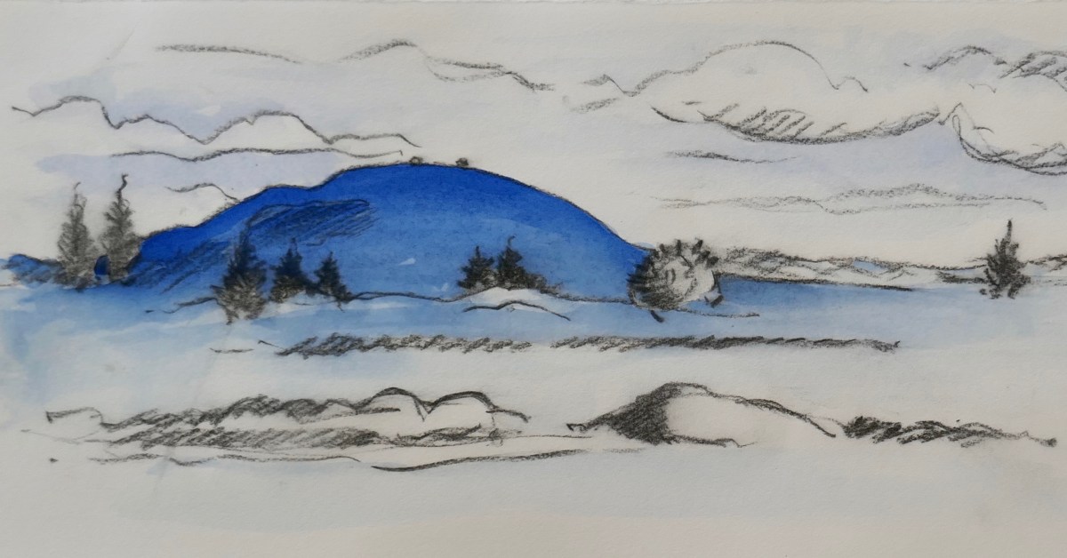
Thirty-Six Views of Mount Gabriel

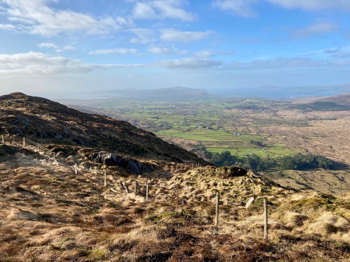
Mount Gabriel is, I believe, a rarely regarded topographical prominence on the Mizen. Yet it is impossible to ignore: the summit can be seen from most parts of this western peninsula. And, for those visitors who do notice it – and make the effort to scale its heights, it presents the most spectacular of views over rugged landscapes to the oceans beyond.
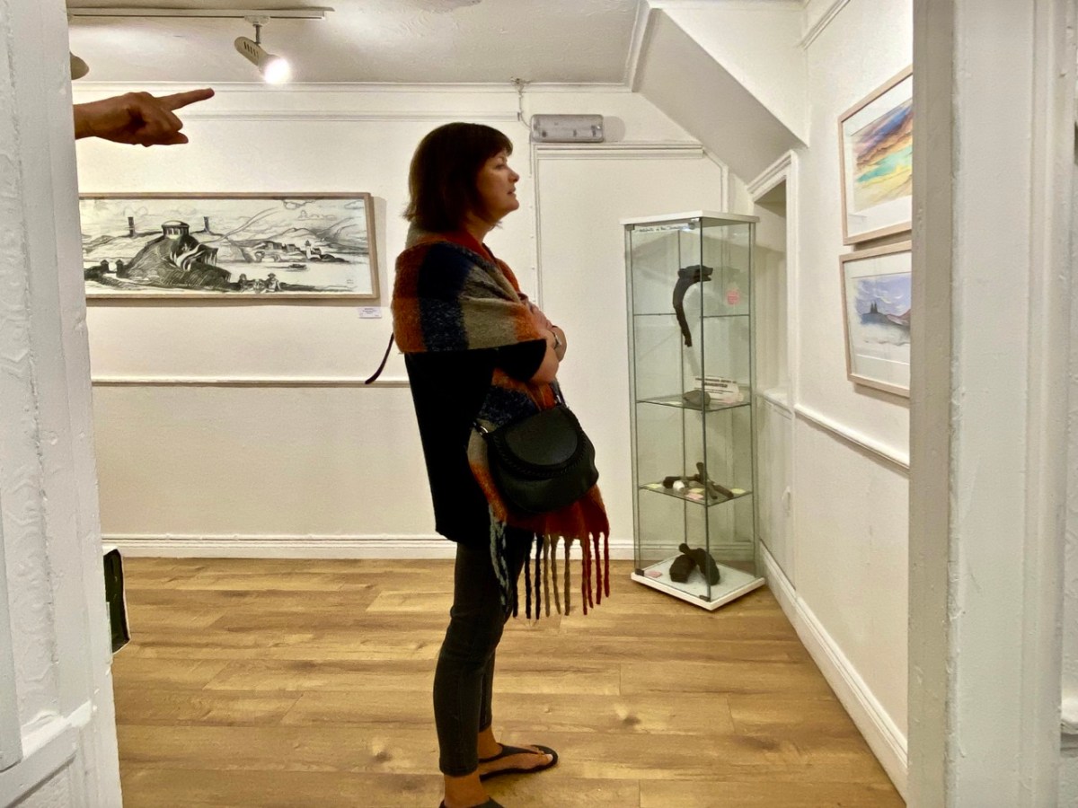
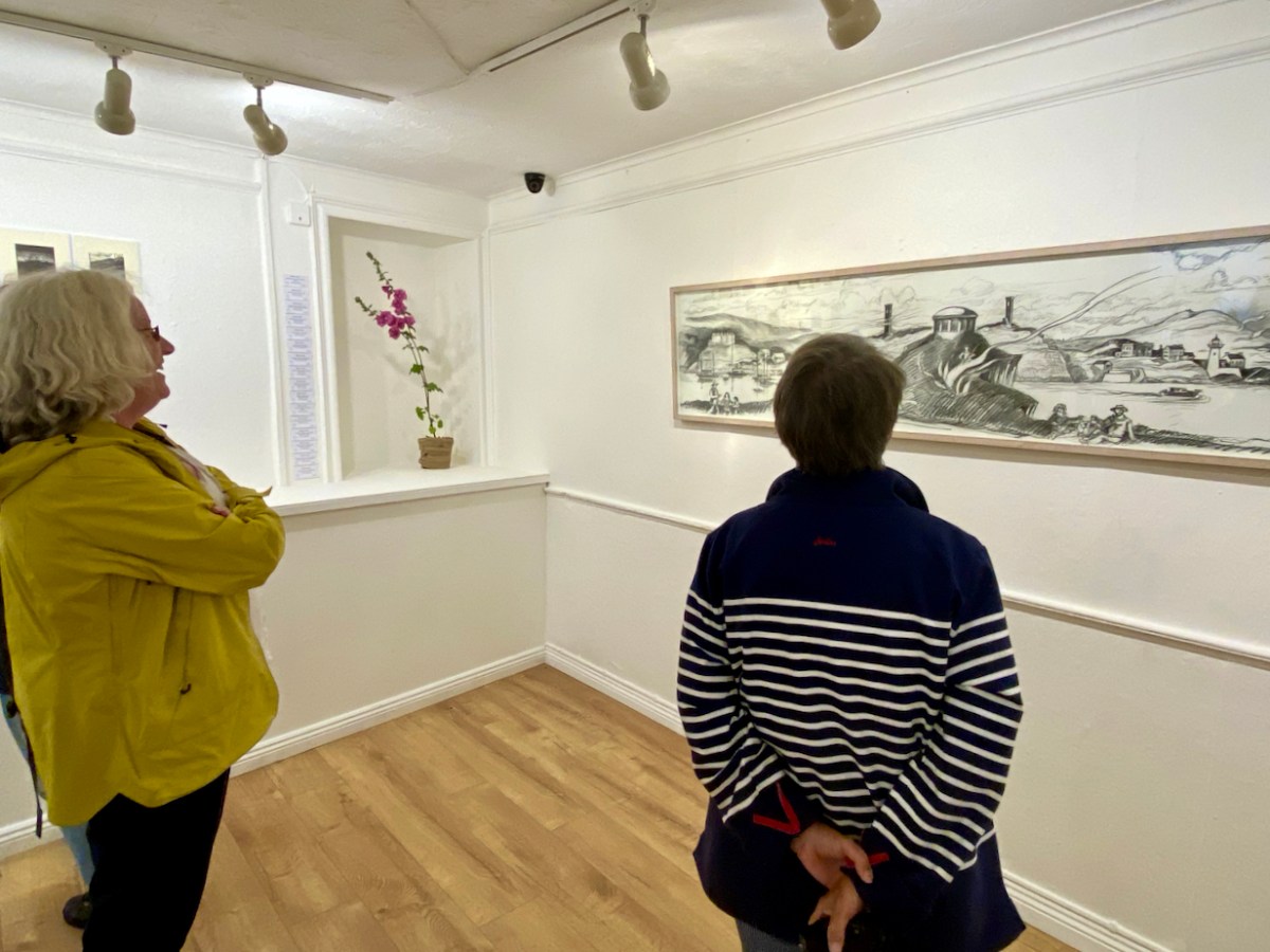
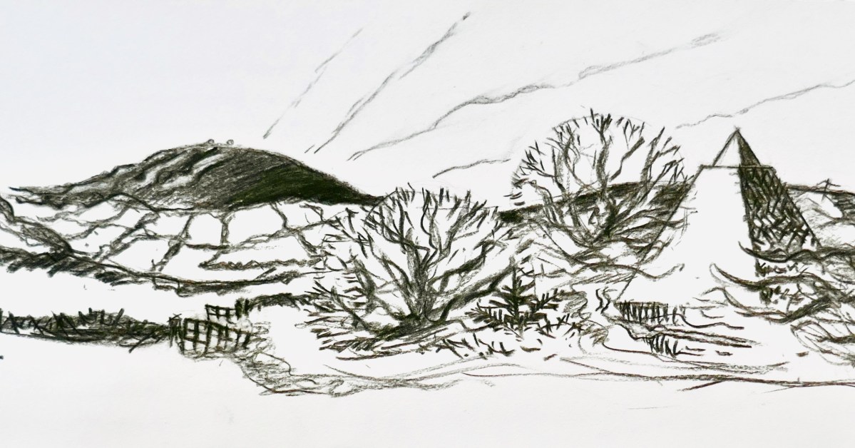
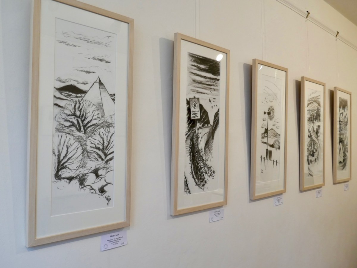
Brian Lalor has chosen to make this peak the centrepiece of his new exhibition, which opened in Schull’s Blue House Gallery at the weekend: Thirty-Six Views of Mount Gabriel. You have to see it. The works are for sale, so it will be impossible, probably, to assemble them as one entity ever again. (Unless, perhaps, in a hundred years time – if there is still an intellectual world in existence – Brian’s genius will be fully recognised and appreciated, and an astute curator will raid collections from all over the world in order to put this canon back together as a centenary project).
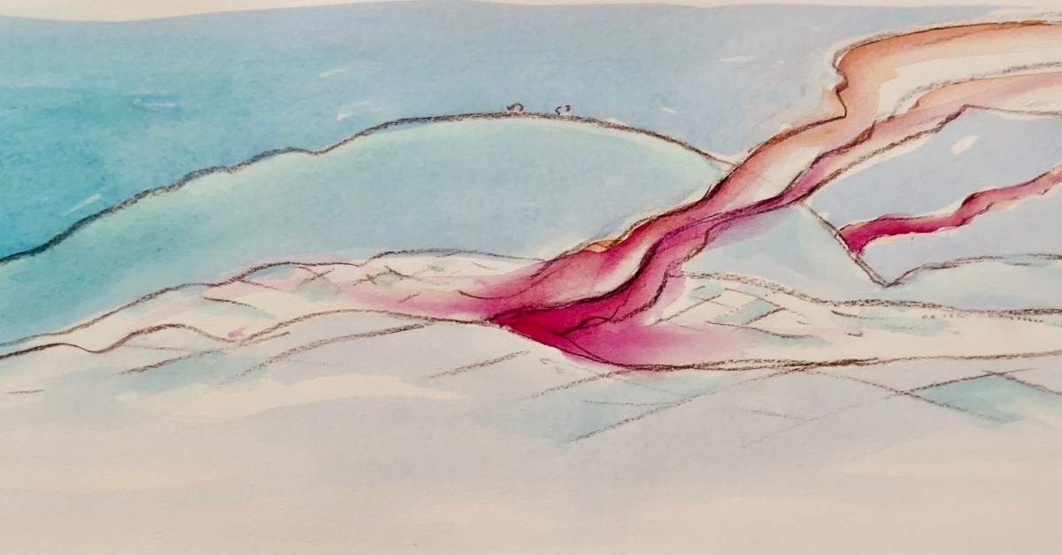
The works themselves draw attention to some of Brian’s many artistic talents: conté crayon drawings, exquisite watercolour sketches and linocut prints. They make an impressive whole on the walls of Schull’s eccentric gallery, which is a jumble of smallish rooms, a staircase and landing, with a minimalist shop-window frontage. Circumnavigating the spaces is a revealing and stimulating experience.
Returning to the subject matter of the work, Brian – General Editor of Gill & Macmillan’s mammoth 2003 volume The Encyclopaedia of Ireland – and considered a prime authority on Ireland’s art heritage and its place in world culture, is familiar with artists’ legacies from many other domains. He grew up in a household which contained significant pieces of Japanese art and was au fait from a young age with the concept of ukiyo-e – the floating world. His early awareness of the arts of Japan provided the source of inspiration for this exhibition: Katsushika Hokusai’s Thirty-Six Views of Mount Fuji, woodblock prints which date from the early 1830s. Here are Fine Wind, Clear Morning (upper) and Inume Pass (lower) from the series:
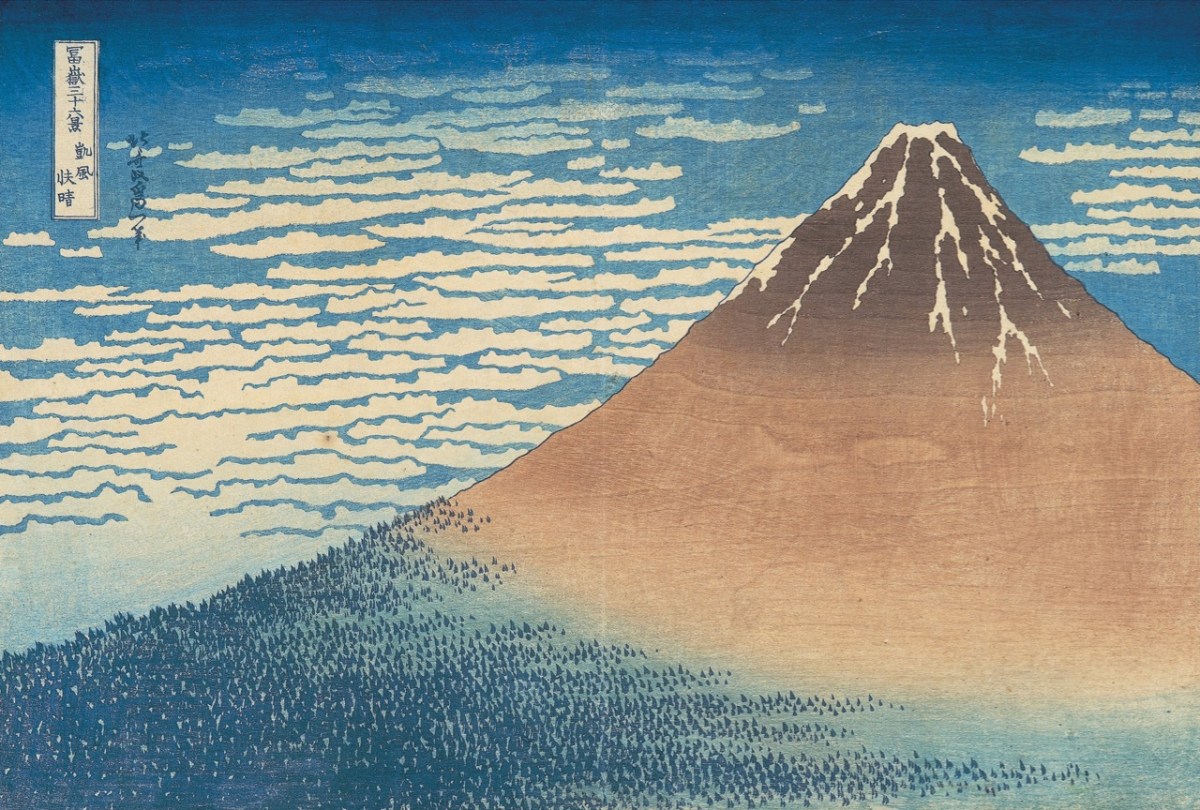
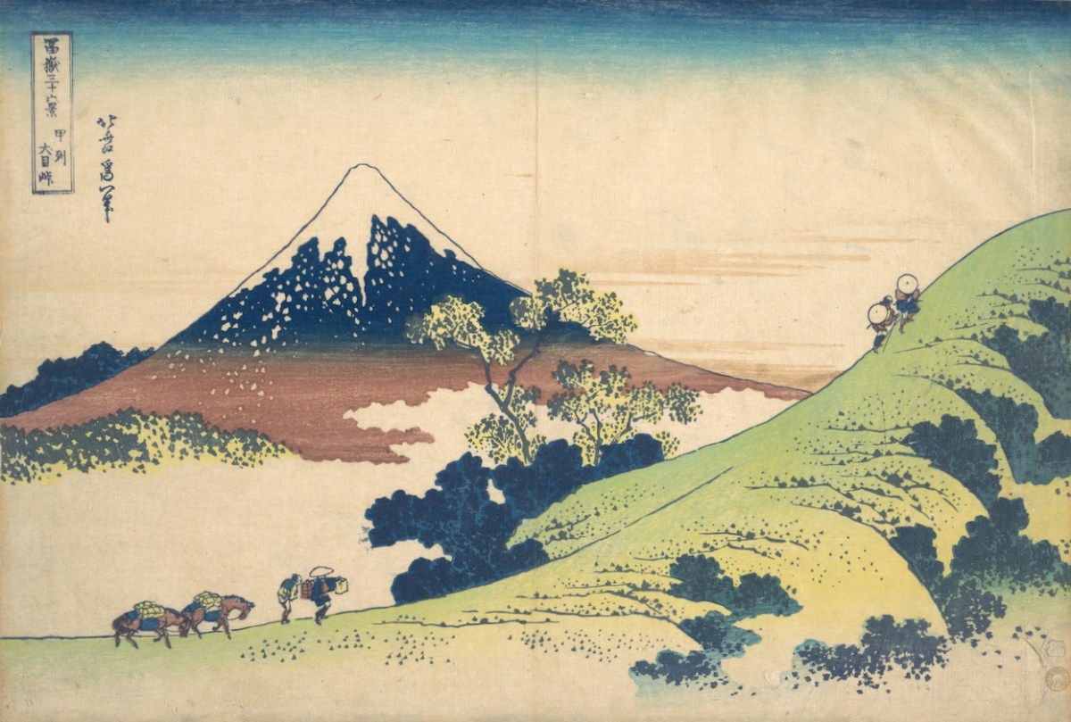
Fuji is one of Japan’s Holy Mountains. Brian’s juxtaposition is brilliant: our Mount Gabriel has to be a holy place. It is named after an Archangel, who is said to have descended to the mountain top to view the unsurpassed beauty of West Cork’s landscapes, the reputation of which had reached to Heaven even back in those days. In so doing he left behind his footprint, which is still to be seen on the summit.
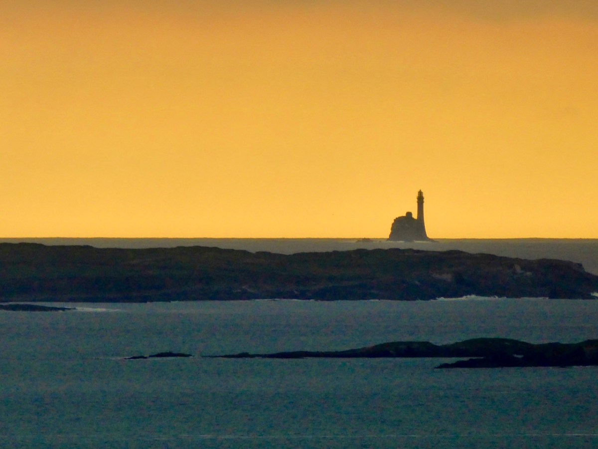
The Archangel was not the only biblical character to visit Gabriel: Satan himself touched down, but stumbled on a large rock. In a fit of temper he picked up the rock and threw it far off into the sea beyond. This caused such a hazard to shipping that we have had to erect a lighthouse on it. Here is Finola’s photographic view of The Fastnet, taken at sunset. For me, it has a suitably print-like quality . . .
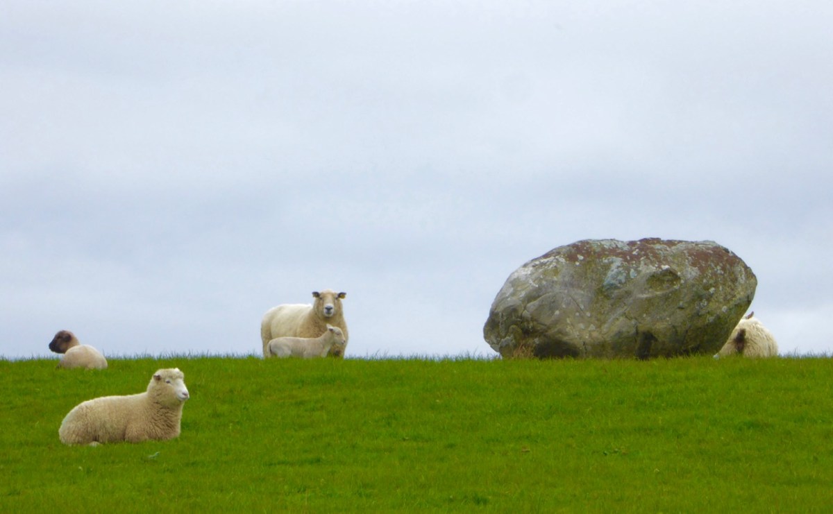
Legends attached to Gabriel include many that attribute Irish heroes to activities on the summit. Finn MacCool, for example, is also credited with throwing large rocks from the mountain, including this fine boulder burial at Rathruane:
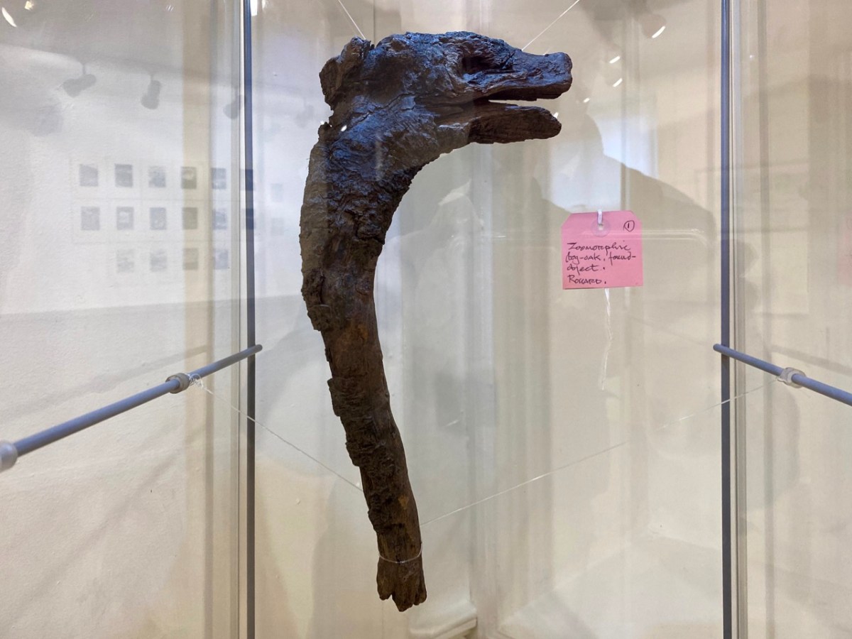
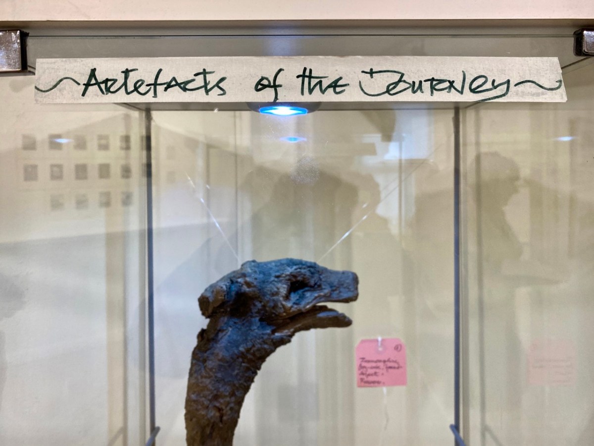
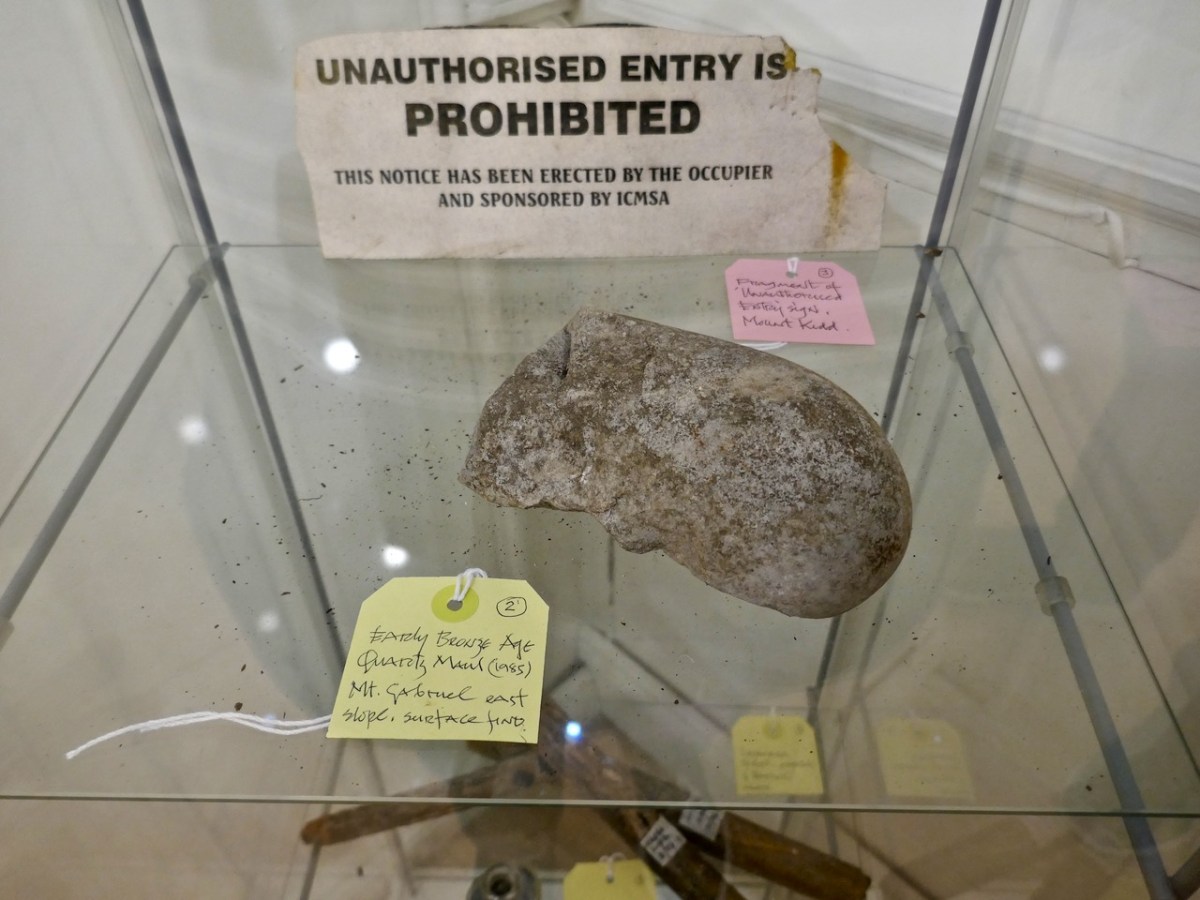
Brian’s observation and humour are not missing from this exhibition. He has included a cabinet of ‘artefacts’ distilled from his own explorations on the mountain. These make reference to the ancient history of the site and its connection with copper extraction in the Bronze Age and in medieval times, and also the twentieth century manifestations of air traffic control technology (known as ‘Gabriel’s Balls’) . . .
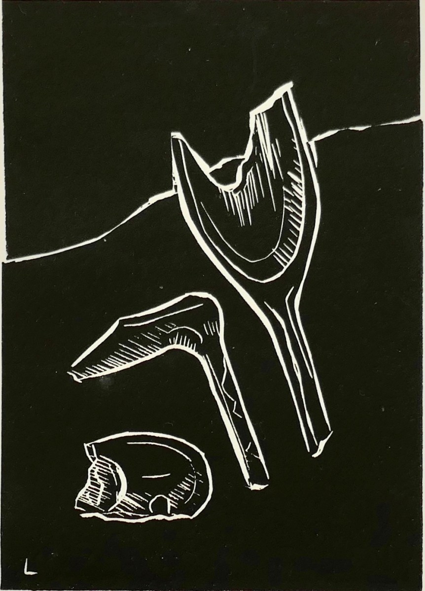
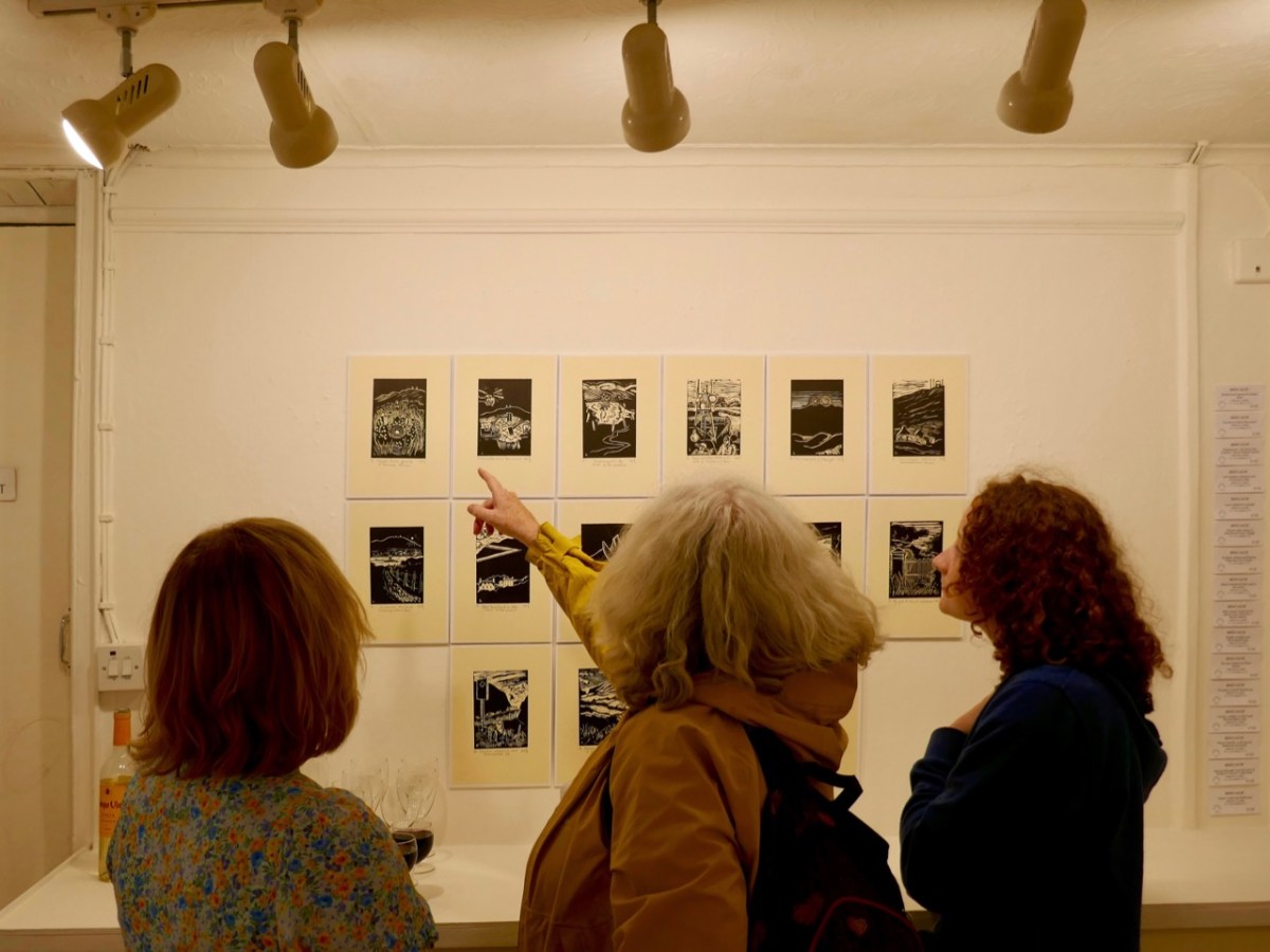
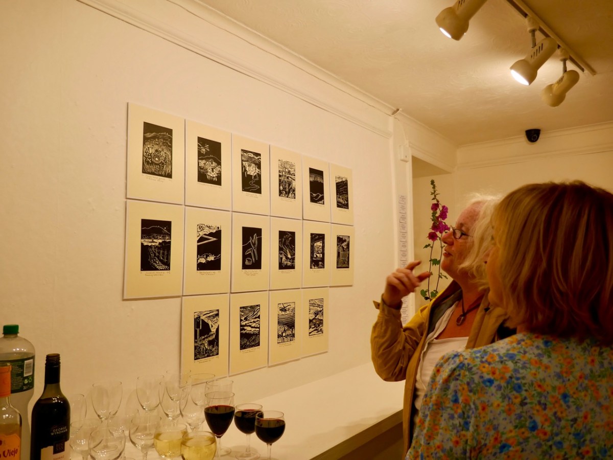
I am particularly taken with Brian’s linocut series – a limited edition of only ten of each print. They provide the ‘fine detail’ in the overall assemblage, and work so well together on the back wall of the largest room.
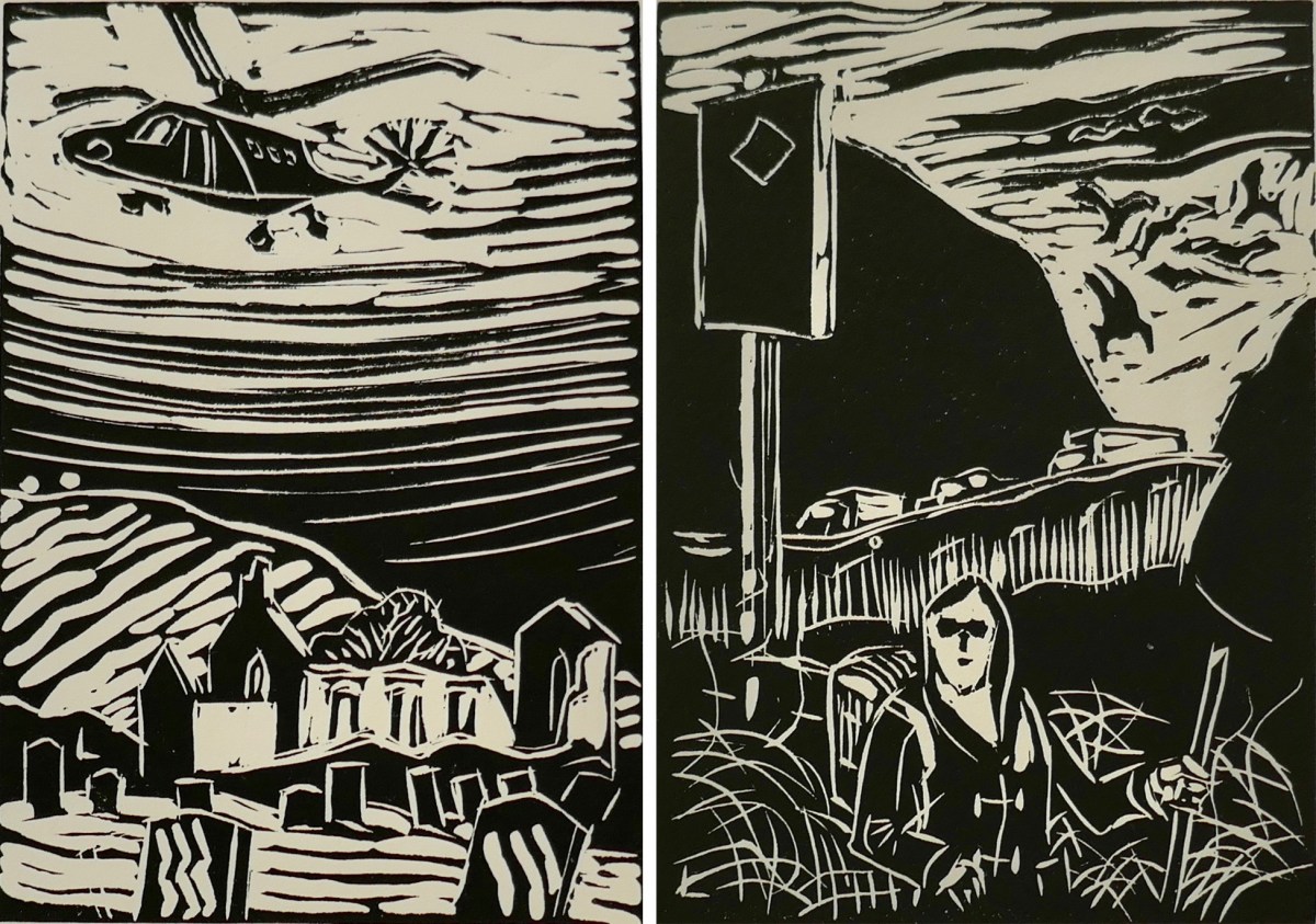
The detail print, above, shows Brian’s representation of archaeological finds connected with ancient copper mining which have been found during excavations on the mountain.
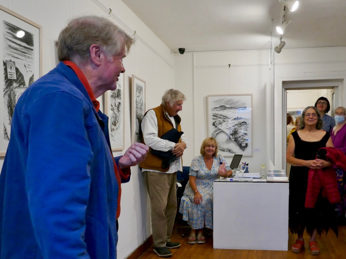
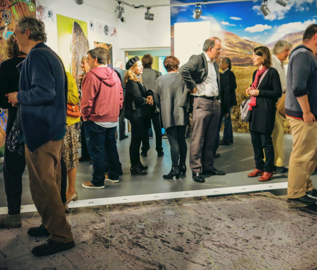
As ‘Guest Curator’ of this exhibition I was delighted to introduce it to an eager audience on the opening night in Schull (above). The show only runs until the 3rd of August, so please rush over in order not to miss it. It is (for me) the highlight of West Cork’s summer offerings!

Blue House Gallery, Schull

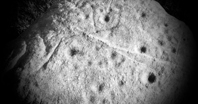
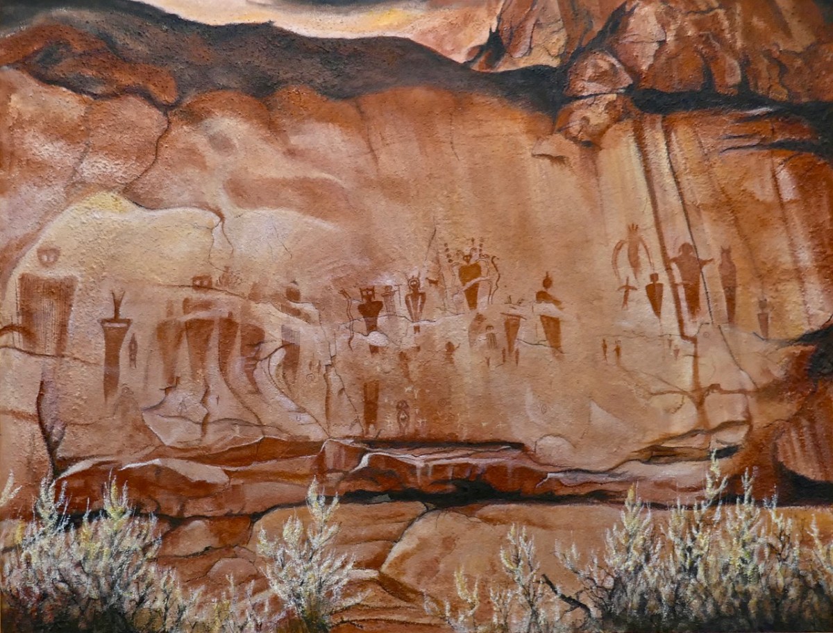
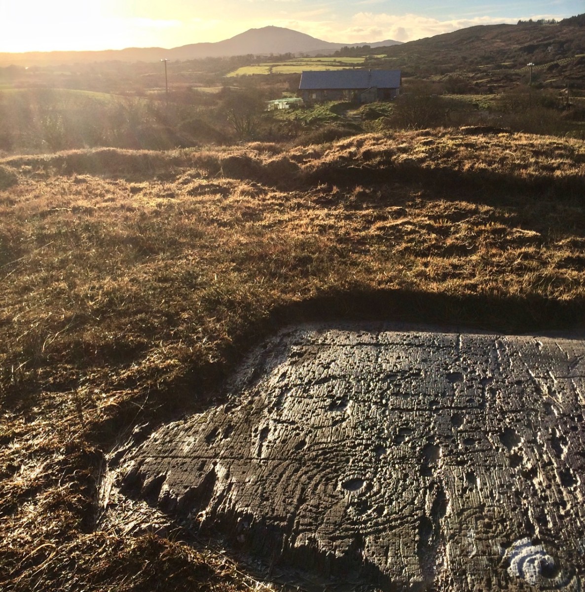
The gallery also has on show some work by other West Cork artists, well worth exploration, so don’t miss them when you go. I can’t resist finishing with one of them: this work (below) by Keith Payne – Sego Canyon. Keith has always been fascinated by ‘Rock Art’ in all parts of the world, and painted this based on his visit to a collection of petroglyphs on a cliff-face in Utah. It’s very apt, I think, to see this work in the context of the Brian Lalor exhibition. Below it is our own photograph of 5,000 year old Rock Art at Derreenaclough, West Cork – discovered only a few years ago. I am personally of the opinion that the siting of this rock in full view of ‘sacred’ Mount Gabriel is purely intentional!
A fully illustrated catalogue is available to purchase in the gallery

Some useful links:

The Giant’s Ring

It’s not West Cork, but – if you are looking for an impressive archaeological site – take a little trip over the border into the North, as we did very recently. Just outside Belfast City we found The Giant’s Ring. The size of it is astonishing – 180 metres in internal diameter, and covering an area of 2.8 hectares. And what we see today is only part of a cluster of monuments here.

This marked up location plan, produced by archaeologist Barrie Hartwell in 1998, shows the Giant’s Ring, and other sites nearby which have been discovered by aerial survey and crop marks. We can’t really know what the focus of the whole complex is. Guesses are made as to what its function might have been, based on similarities to other finds, but the size of this ‘Ring’ sets it apart from most other equivalent discoveries. If you want West of Ireland comparisons, then Drombeg Circle has a diameter of 9.3 metres; The Giant’s Ring, at 180m, is twenty times greater! Also, the Grange Stone Circle in Co Limerick – which appears very large to us (it’s the Republic’s largest) – has a diameter of ‘only’ 60 metres.

It’s hard to judge the scale from a photograph, but looking at the figure just visible at the right-hand edge of this view, above, helps to set the scene. The ‘small’ pile of stone that you can also see within the enclosure is, in fact, a monument in its own right, generally thought today to be the remains of a passage grave. Here’s a nearer view, followed by close-ups. The structure – a type which used to be called a ‘dolmen’ (and still is in some of the accounts of The Giant’s Ring) is quite substantial.

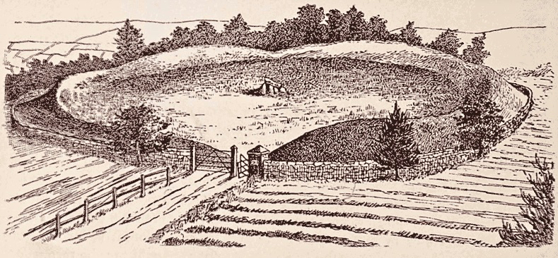
This passage grave is far less impressive than – say – Newgrange, but why would it be sited in this enormous ring – which resembles a ‘henge’? It is dwarfed by the huge circular bank. It is likely that the grave or tomb structure was covered by a mound. Here is an artist’s impression of the enclosure being used for a ritual purpose:

In 1995 archaeologist Barrie Hartwell provided the following commentary to this sketch:

. . . This conjectural reconstruction of the Giant’s Ring brings together a number of ideas. Here the Giant’s Ring stands on the southern edge of a plateau overlooking the fertile land of the Lagan Valley. The internal slope of the bank is lined with stones and the bank has a flat top on which people crowd to view the spectacle unfolding within. The passage grave, embedded in an earthen mound provides the focus of activity. The quarry ditch can be seen between the two. In the right foreground is a circular bank, first seen as a crop mark in an aerial photograph. This was excavated in 1991, when the remains of a stoney bank were found on the eastern side. The central area had been removed by quarrying to a depth of 3m and backfilled within the last two hundred years . . .

Prehistory of The Giant’s Ring & Ballynahatty Townland
Barrie Hartwell LISBURN.COM

Above is an image from Google Earth showing the context of the circular monument in its immediate surroundings. There is no sign in this image of the many nearby sites which have been identified close to the Ring (look again at Barrie Hartwell’s location plan), but archaeologists have been busy at this location in comparatively modern times. Hartwell summarised some of the excavations in an article for Archaeology Ireland Volume 5, No 4, Winter 1991. He reports a description of a ‘chamber’ that was described in 1855 by Robert MacAdam, editor of the Ulster Journal of Archaeology:

. . . On November 21st 1855, Robert MacAdam picked up the Belfast Newsletter in his office in the Soho Foundry in Belfast . . . His attention was caught by a paragraph in the paper announcing the ‘discovery of an ancient tomb on the farm of Mr David Bodel of Ballynehatty’. He immediately visited the spot, just six miles south of Belfast, with his friend Mr Getty, and found that the tomb was still largely intact and that most of the contents had been rescued by the farmer. Equally interesting was its position close to the great enigmatic banked enclosure of the Giant’s Ring on an isolated, undulating, upland block of land overlooking the River Lagan. They were impressed enough to return at the weekend with other members of the Belfast Natural History and Philosophical Society to record it properly . . .

Archaeology Ireland Volume 5 No 4 – Winter 1991

The above illustration accompanies the article. Note that this find appears to have been sited outside of the Giant’s Ring itself. Hartwell’s account continues:

. . . Their plan and description shows that this curious structure had been built in a paved, 1.5m deep, flat-bottomed pit and with a corbelled roof supported by a stone perimeter wall, five internal stone dividers and a central prop. The top of the roof was 0.5m below the ground surface and may have been covered with small stones to form a cairn. In two of the radial compartments so formed were found the remains of four ‘…urns, about twelve inches high by ten broad…’ each containing burnt bones. One of the urns had disintegrated, and two of them were later described as being large and rudely formed. One of these survives today as a Bronze Age Collared Urn. The fourth was a typical globular-shaped Carrowkeel Ware pot usually found in Neolithic passage tombs . . .

Archaeology Ireland Volume 5 No 4 – Winter 1991

I found a further reference to the discovery of this ‘chamber’ in the archives of the Belfast News, 1855:

Hartwell’s fascinating account describes other finds in the area, and reports how Bodel – the farmer who owned the land – could remember stories of previous finds going back through generations of his family: a number of sites had been destroyed through agricultural clearance or ‘treasure hunting’. According to his memories these included a standing stone, another megalithic tomb, a multiple cist cairn, a number of single cist burials and two ‘cemeteries’ which produced many cart-loads of human bones. He also noted that similar sites had been found in his neighbours’ fields.

We can distil from these various stories that what we see today at this site was central to a very significant cultural hub, much of which is now lost. Hartwell suggests that some of the more recent excavations provide evidence that human activity here dates from 3039 to 2503 BC. His conclusion is significant:

. . . It is placed firmly in the late Neolithic rather than the Bronze Age. The closest parallel in Ireland is surely Newgrange. Indeed, the Bend in the Boyne and the ‘Loop in the Lagan’ invite close comparison. The scale of the monuments may vary but all the elements of a ceremonial landscape are there – passage tombs, henges, pit circles, flat cemeteries, and, of course, the river. Just as the river at its extremities defines a natural region, it mat also have defined a human territory with the ceremonial centre at its hub . . . Ancestral rights to territory were anchored by a thousand years of burial rites and the sanctity of the land shown by the continuum of ritual from the Neolithic to the Bronze Age . . .

Archaeology Ireland Volume 5 No 4 – Winter 1991

Former landowners of the estate on which this monument stands were the Dungannons of Belvoir House. In the mid nineteenth century Lord Dungannon built a protective wall around the Giant’s Ring (shown in the top sketch which reportedly dates from 1897). The plaque on the entrance gate (above) marks a visit to the site by Countess Dungannon, presumably to commemorate the completion of this wall.

The site has understandably attracted artists and photographers. The upper photo by R Welch dates from 1902 and the centre photo by S Kirker dates from 1905. The old postcard, above, is undated, but is remarkably similar in its viewpoint to the 1897 sketch – which one came first?

So there we have it: a very significant ceremonial site which has been compared in importance to Newgrange. What was it for? A burial place imbued with connections to an afterlife? We cannot know. But my own thoughts when looking at this vast circle is that in the present day we would call it an ‘arena’, and we might use it for sports, drama or processions. In fact I noted a report that stated it was used for horse-racing in the eighteenth century. A significant disappointment for me is that I have been unable to find any folklore or ‘stories’ about The Giant’s Ring. Northern Ireland does not share the equivalent of the Dúchas Folklore Collections which we have in Ireland, dating from the 1930s. There must have been tales told about it through the generations: I would be most interested to hear from anyone who can fill in this omission, please.

Timoleague Tour

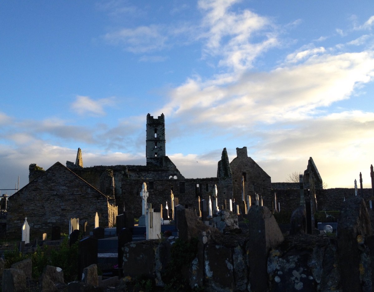
We had a great afternoon yesterday, exploring aspects of the history of Timoleague, in West Cork. Our Finola Finlay (above) was involved in an event organised by the Glass Society of Ireland . . . a professional all-island, non-profit association that opens a window onto the contemporary Irish Glass Community . . . The day’s proceedings were centred around the ecclesiastical buildings in the town, the earliest of which is the Franciscan Friary, now a substantial ruin beside the Argideen River.

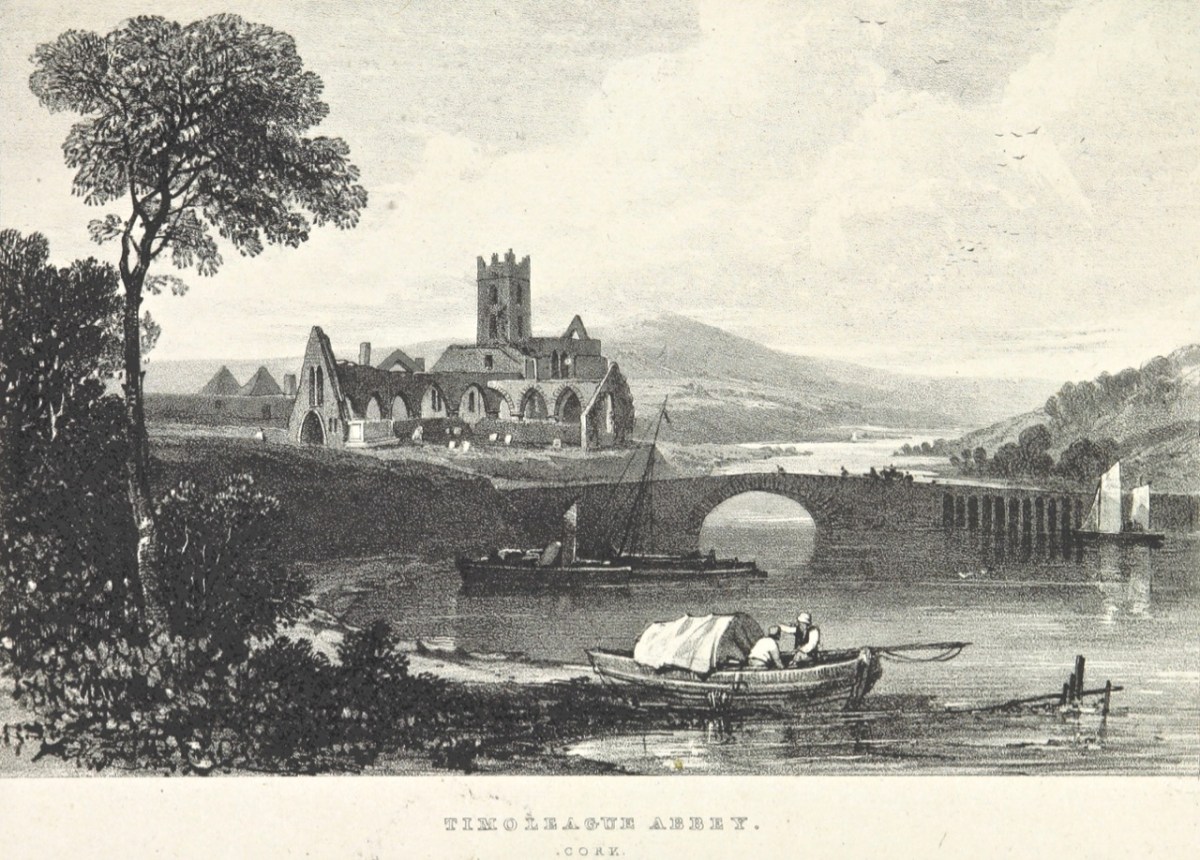
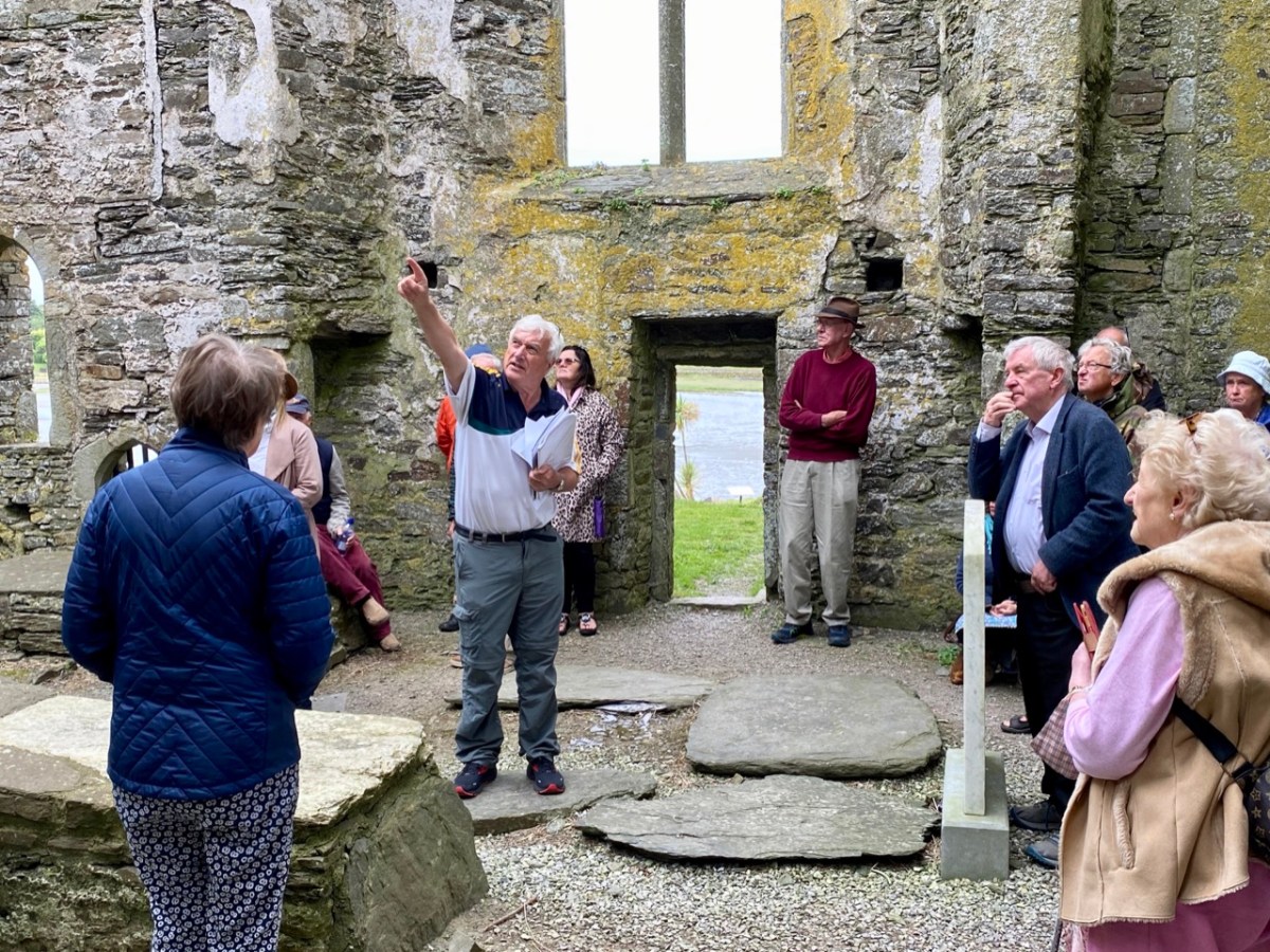
This view of the ruined ‘abbey’, above, dates from 1830. It is located on the site of an early Christian monastic settlement founded by Saint Molaga, from whom the town of Timoleague derives its name. A story that I heard for the first time yesterday was told by local historian Donal Whooley: the Saint was trying to found his community back in the sixth century, but everything that he and his followers built fell down the following day. According to legend, it was originally to be built a mile west of Timoleague, but all work done on that site by day would fall down by morning. Interpreting this as God’s wish that the church should be built elsewhere, Molaga fixed a blessed candle on a sheaf of corn, and floated it down the Argideen river, siting his settlement on the spot that it came ashore, on the big bend in the waterway where the Friary ruins can be found today. Here is a view from the great three-light window which looks out to the east over the river. Finola told us that, in its heyday, this window would have been filled with beautiful medieval glass, bringing light and colour into the substantial nave of the church.

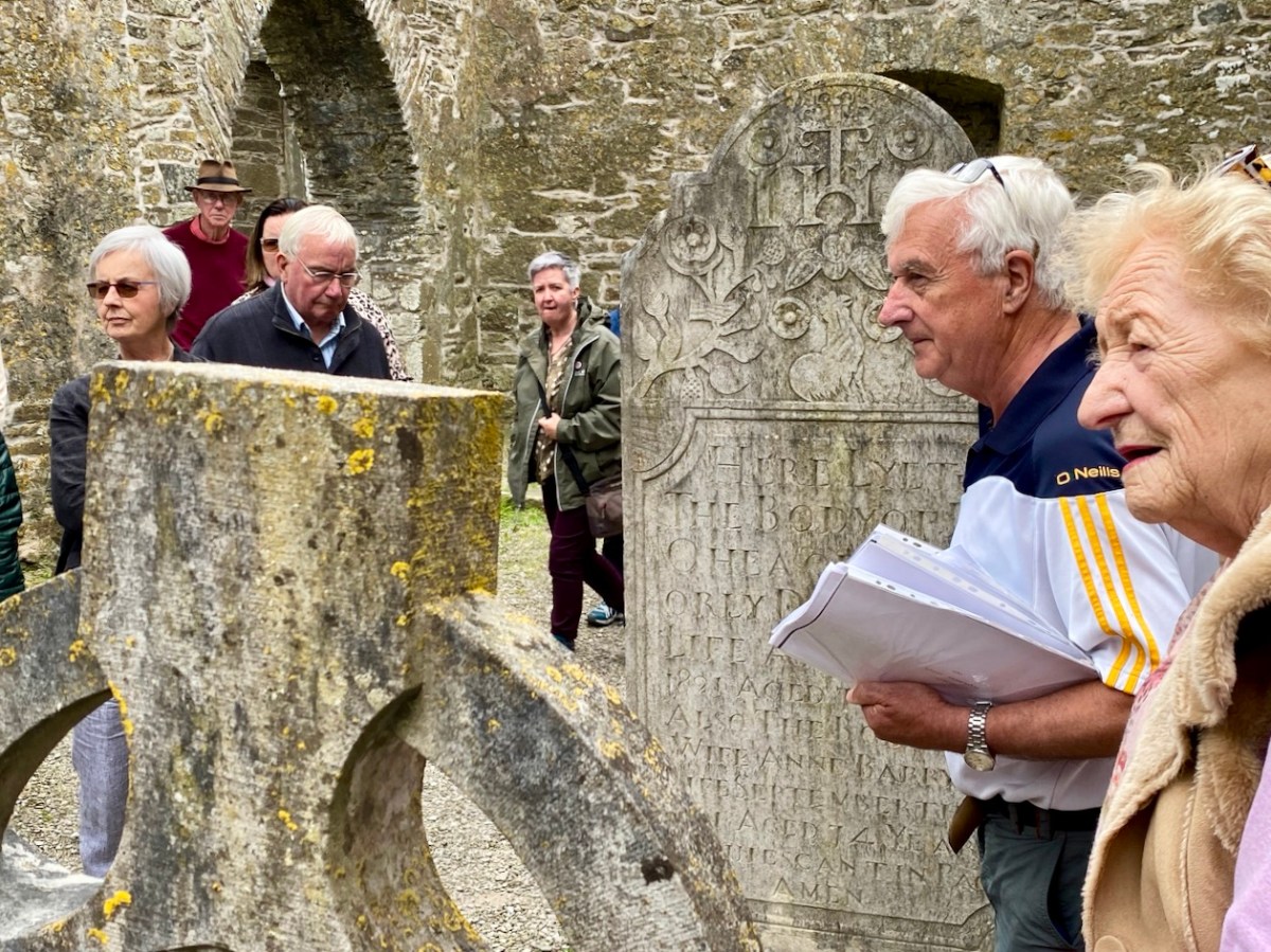
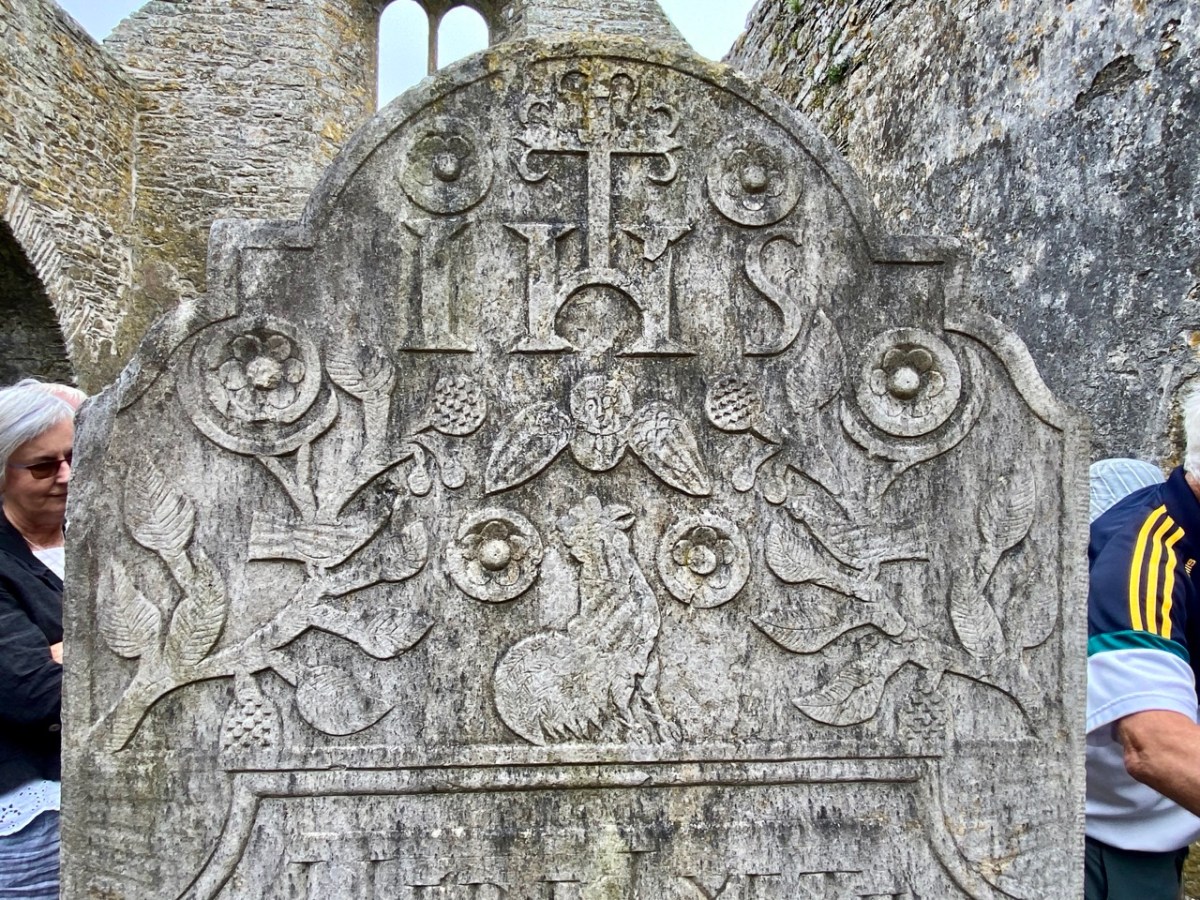
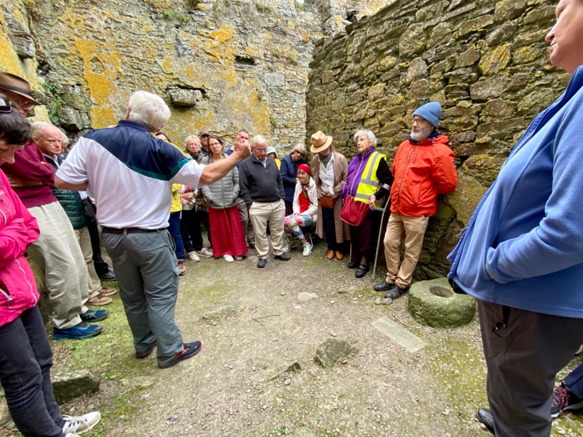
That’s Donal, above, leading our group of almost fifty keenly attentive people who shared an interest in the town and its history. To the right (in a blue jacket) is Father Patrick Hickey. He told us of the symbolism of the cockerel you can see on the large headstone in the nave (below), dating from 1821. Evidently some of the disciples were standing together while Christ was being crucified: nearby stood a pot in which a rooster was being boiled for supper. Judas reportedly said: do you think there’s any chance that our Lord will rise again? Mrs Judas retorted: there’s about as much chance of that as there is of that rooster jumping out of the pot and crowing! At which point – of course – the cockerel did just that!

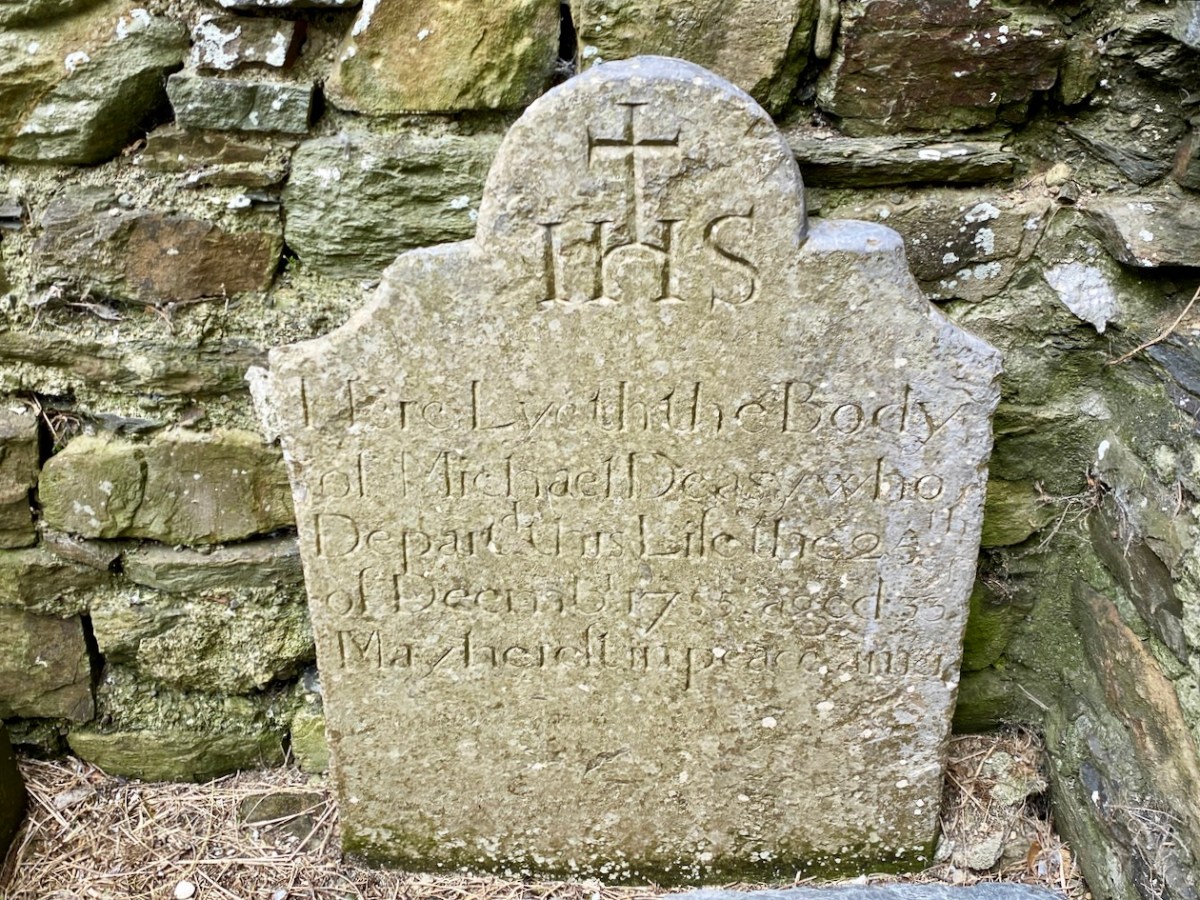
It was the custom to place burials in ruined church buildings. Here’s another fine headstone in Timoleague Abbey, to Michael Deasy, ” . . . who departed this life on the 23 December 1755, aged 33. May he rest in peace. Amen . . . “

Lively discussions ensued on the efficacy of wart wells, and Donal suggested that this repurposed bullaun stone, above could be the oldest human element on the whole site!

Here’s an aerial overview of the geography of Timoleague. The Friary ruin is only one of many historic sites of interest which caught our interest yesterday. It was Finola’s task to introduce us (or those of us who had never seen it) to the little Church of the Ascension.

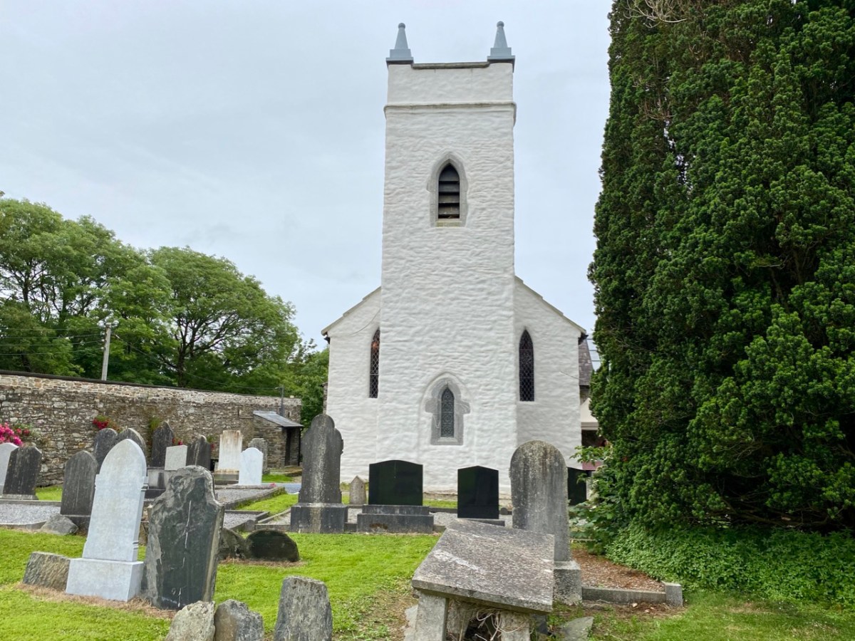
This building is currently undergoing major improvement works: the lime rendered tower has created a striking landmark in the town. This work has become necessary by water penetration through the stonework leading to deterioration of the fabric. The conservation project is led by a hard-working Parish committee who also served us delicious tea and cakes since the tour was a fund-raiser for their efforts.
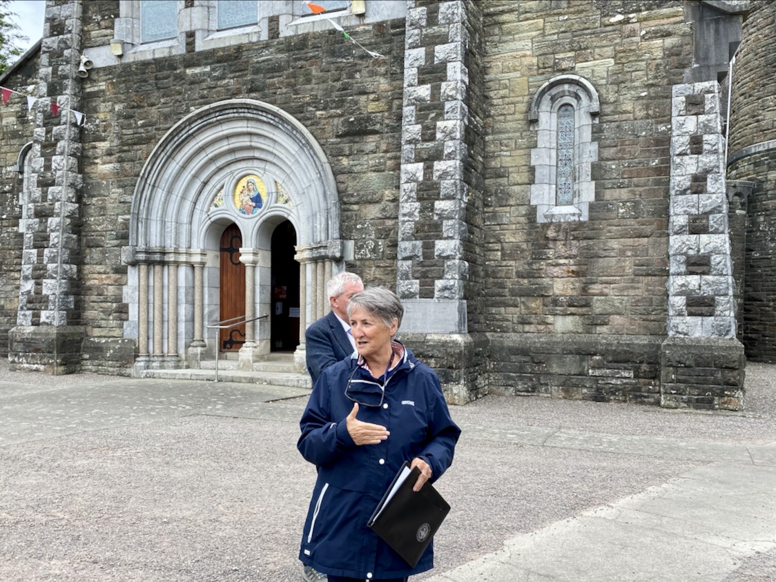
You can see Finola addressing us in this little Protestant church in the header picture. Above is one example of the fine early glass here, this one by Clayton and Bell. For a fuller description of this church and its many stories, read our post here.

The early OS map extracts, above, give further context to the town’s history. The top map dates from the 1830s and comparison of the plan forms of the Church and Chapel buildings with those in the lower map, which dates from c1900, and then the present day aerial view (higher up the page) shows the degree of change which has taken place. We finished our town tour in the Church of the Nativity of the Blessed Virgin Mary. Here’s Finola standing outside it, below, prior to giving us an introduction to the history of the building, and its windows.

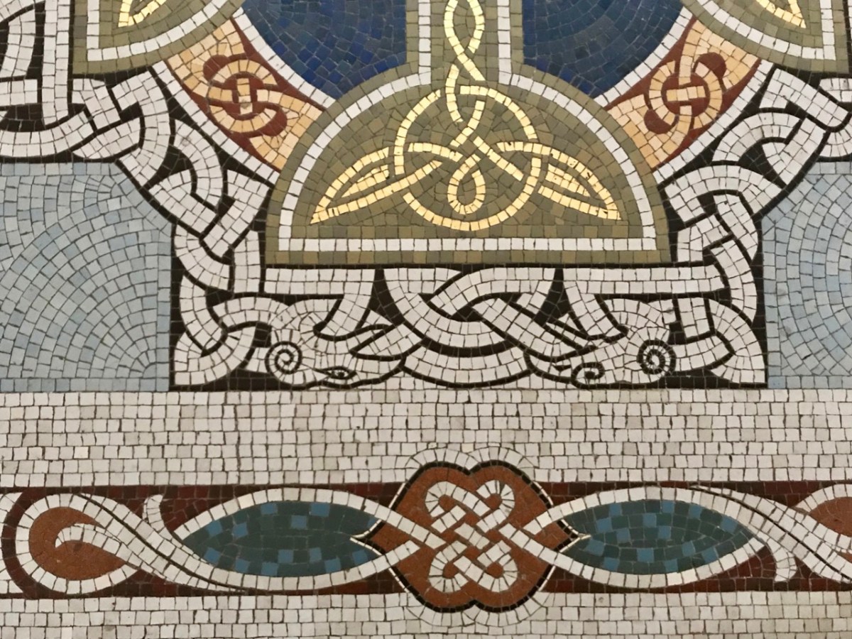
The fine Harry Clarke Studio window (one panel of which is shown in the upper picture) is a ‘must-see’, as is the mosaic work from the same church. The building work for this Catholic church, replacing an earlier chapel, dates from 1912.

Father Patrick Hickey nicely rounded off our day of Timoleague history by showing us the replica of the ‘Timoleague Chalice’ (above). The replica is kept in this Catholic church. According to Fr Hickey, ‘back in the penal days’ three monks were found floating in an open boat just off the island of Cape Clear. They had with them a box, or trunk. They were brought ashore but two of them died. The other asked that the box be kept on the island – but unopened – until he could return to retrieve it. He never returned, and in later years another visiting Priest said it could be opened. Inside was a gold chalice – blackened with age – and some liturgical vestments. The vestments fell to dust immediately, but the chalice was sent away for inspection, and was confirmed as coming from the Friary at Timoleague, where the replica is now kept.

Here is another ‘souvenir’ of Timoleague – it’s an extract from a poem written in Irish: The Mourner’s Soliloquy in the Ruined Abbey of Timoleague. The poet, Seághan Ó Coileáin, ” . . . was a Gaelic-language poet born in County Cork, in a time of faded Irish glory. He lived as a village schoolmaster, with a large family and no patron . . . “

Abroad one night in loneliness I stroll’d,
Along the wave-worn beach my footpath lay;
Struggling the while with sorrows yet untold,
Yielding to cares that wore my strength away:
On as I mov’d, my wayward musings ran
O’er the strange turns that mark the fleeting life of man.

The little stars shone sweetly in the sky;
Not one faint murmur rose from sea or shore;
The wind with silent wing went slowly by,
As tho’ some secret on its path it bore:
All, all was calm, — tree, flower, and shrub stood still,
And the soft moonlight slept on valley and on hill.

In Search of Wells and Railway Lines

We are often invited to join our friends Amanda and Peter Clarke on their journeys of exploration into the wild places of West Cork and Kerry. We even stray over into Limerick on occasion! And it’s usually all to do with Holy Wells. Amanda has been writing about them for years, and you can find her accounts of them in Holy Wells of Cork & Kerry, here.

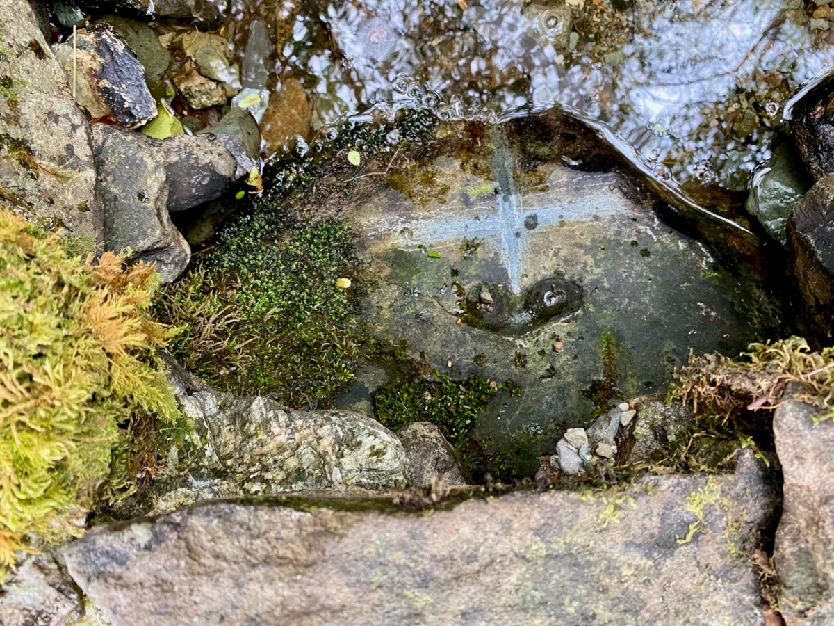
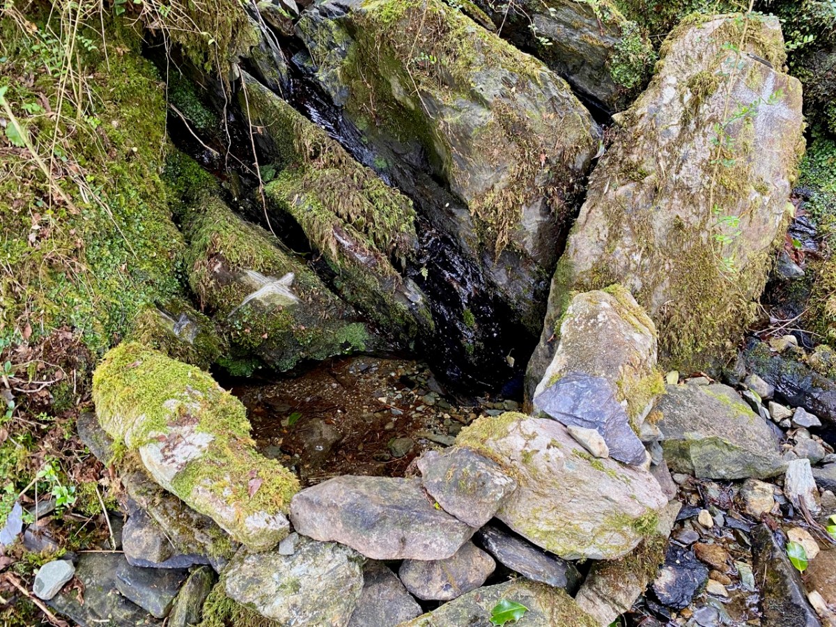
Recently we were at Loo Bridge, near Kilgarvan, Co Kerry. There’s a well there – Tobar na Naomh – All Saint’s Well, and there’s a lively account of it in the Dúchas Schools Folklore Collection. Evidently a ‘band of Saints’ travelling over the mountain to Gougane Barra stopped at this well for refreshment. One of them (St Finnbarr) left his spectacles behind and didn’t realise it until he was a long way up the steep path. Fortunately, there were so many of his companions that he was able to pass a message back down to those who were still starting off from the well and the spectacles were retrieved! But – because they were holy spectacles, they left their imprint on the rock at the well – forever. There it is in the picture above.

There are several crosses etched into the stones around this well by visitors. It’s wonderful to think of the continuity of those pilgrims seeking out the well and keeping its veneration alive – probably through countless generations.

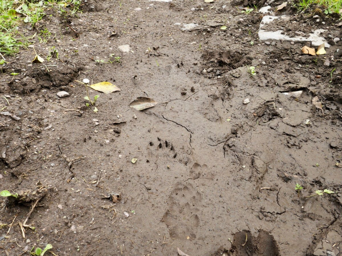
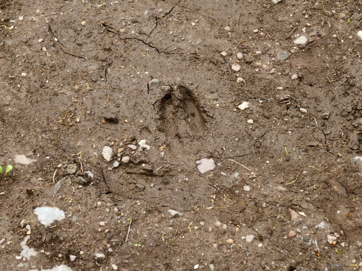
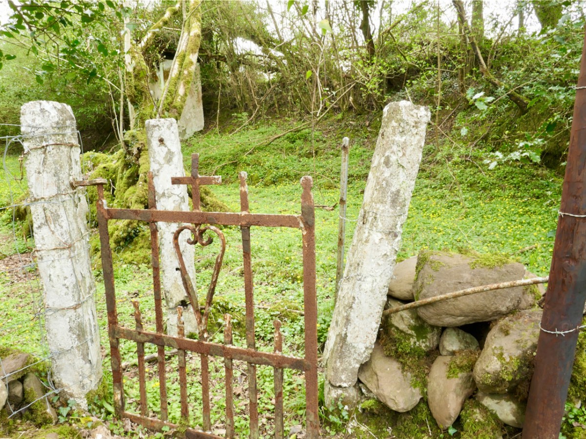
Another well on our agenda involved us walking over a long, muddy trackway. We could see the prints of the feet of other travellers: the top pic looks like bear paws (although perhaps more likely to be badgers), whereas the cloven hoof above is either Satan or a deer. We met none of these on the path that led, eventually, towards the Wells of St Peter and St Paul.

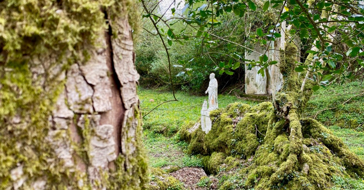
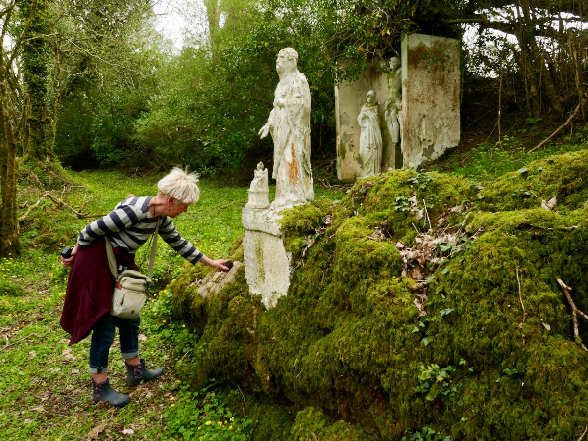
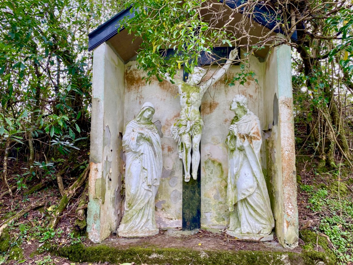
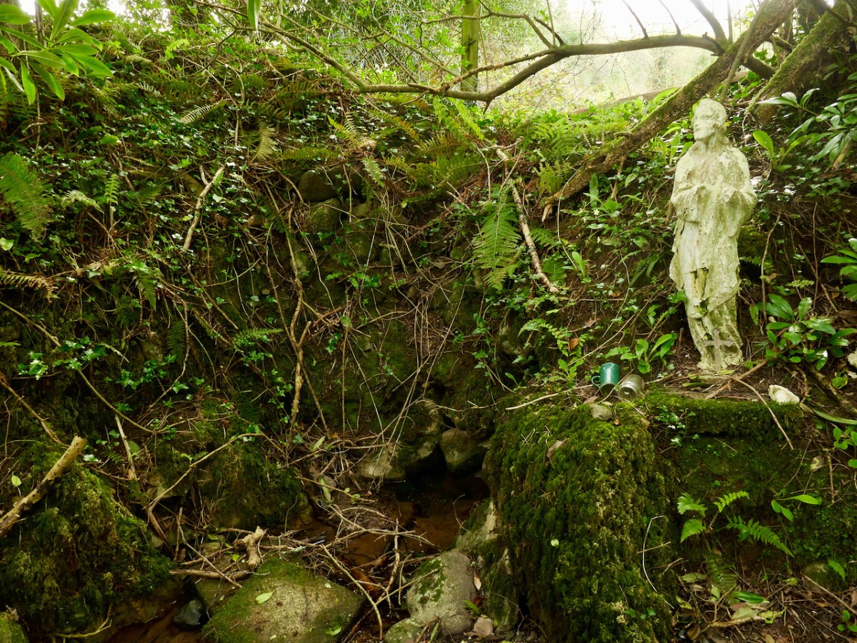
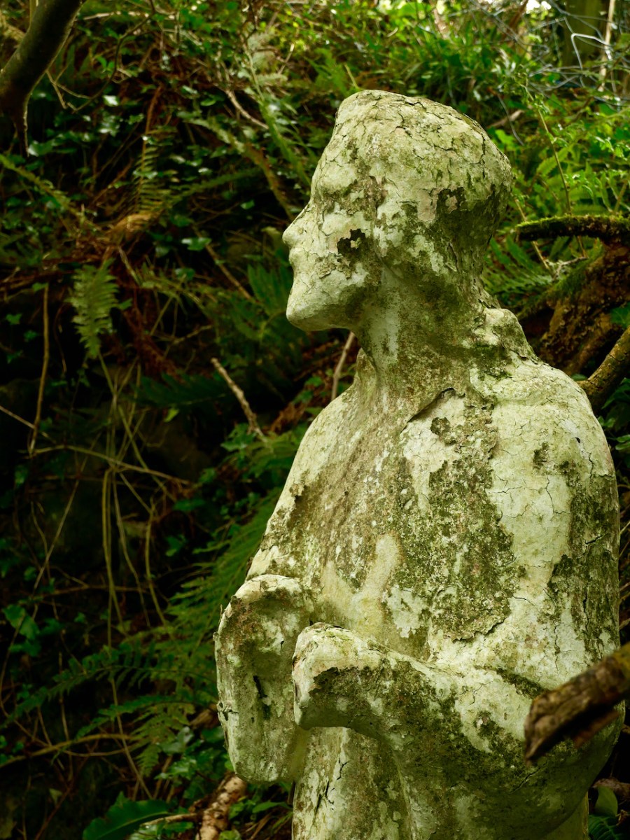
St Peter’s well is clearly defined (above, with Amanda looking on). Beyond it is a weather-worn shrine with a Calvary depiction. It’s quite a surprise to find such a substantial life-sized scene in a remote wood.

A little way to the east of St Peter is St Paul (above). He looks down on his own well. Note the modern mugs, implying that the well is still in use.

Both St Peter and St Paul share their feast day on 29th June. This is the day when these wells should be visited.

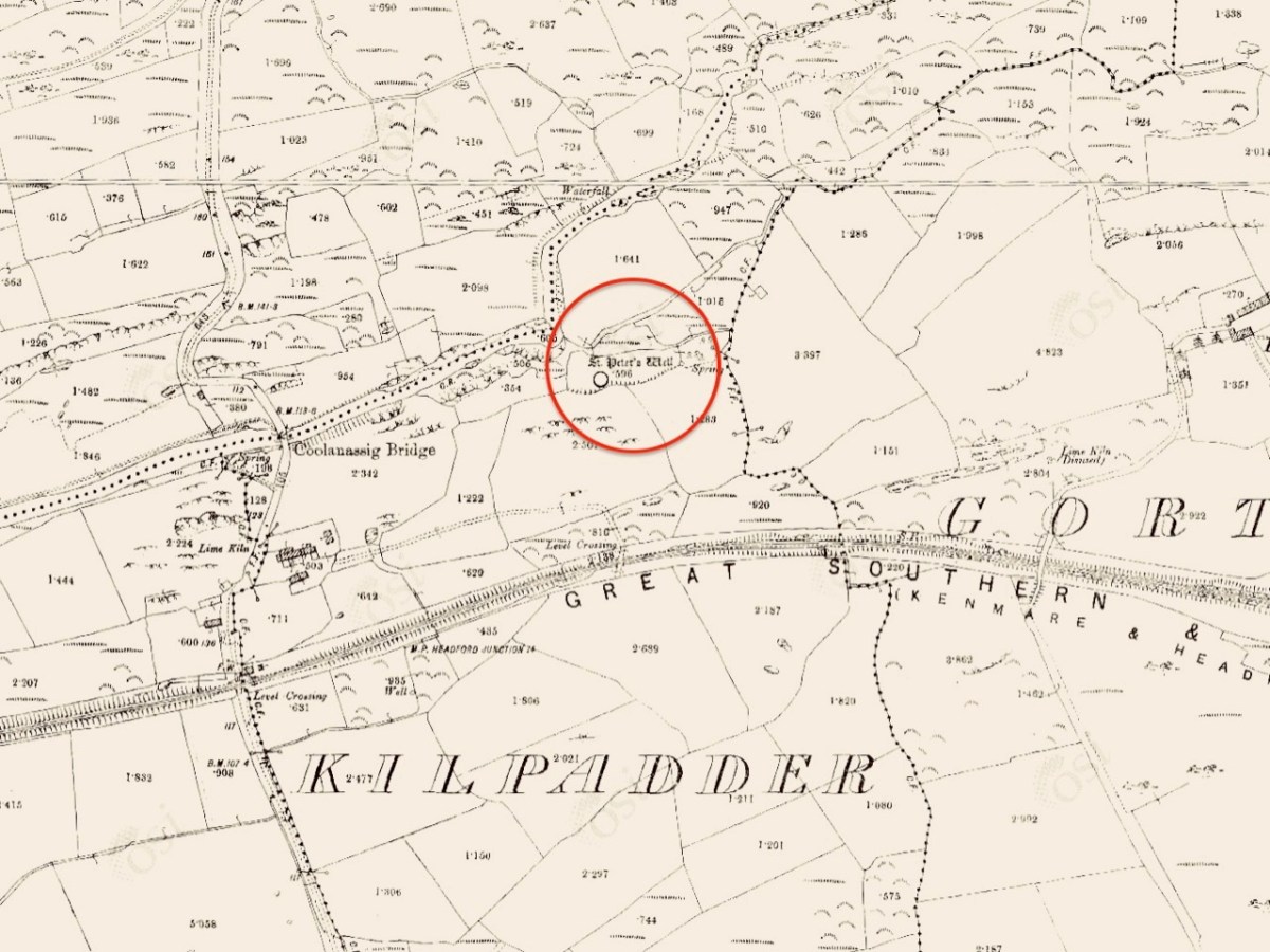
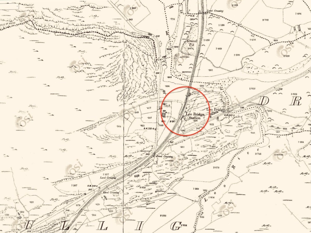
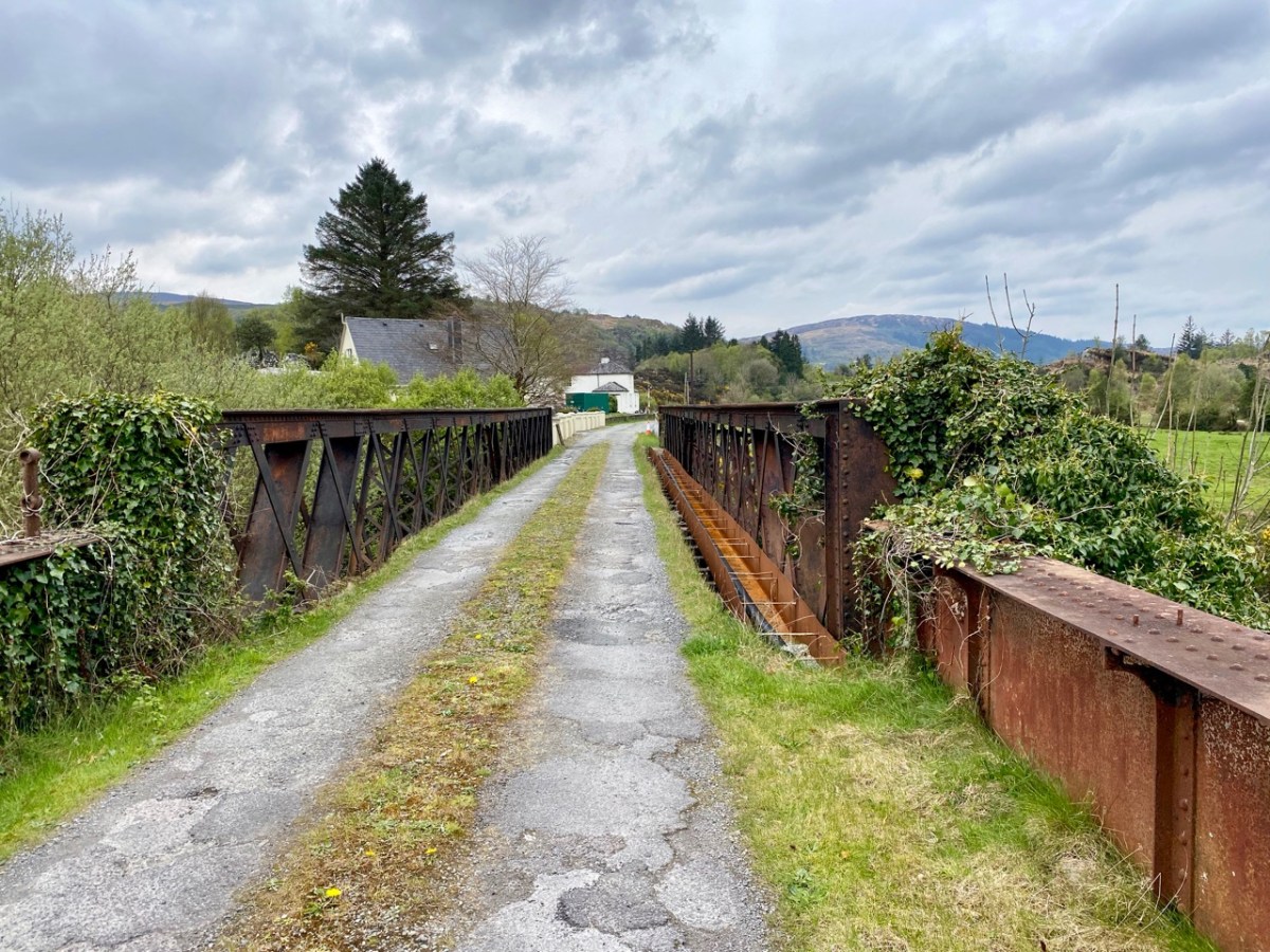
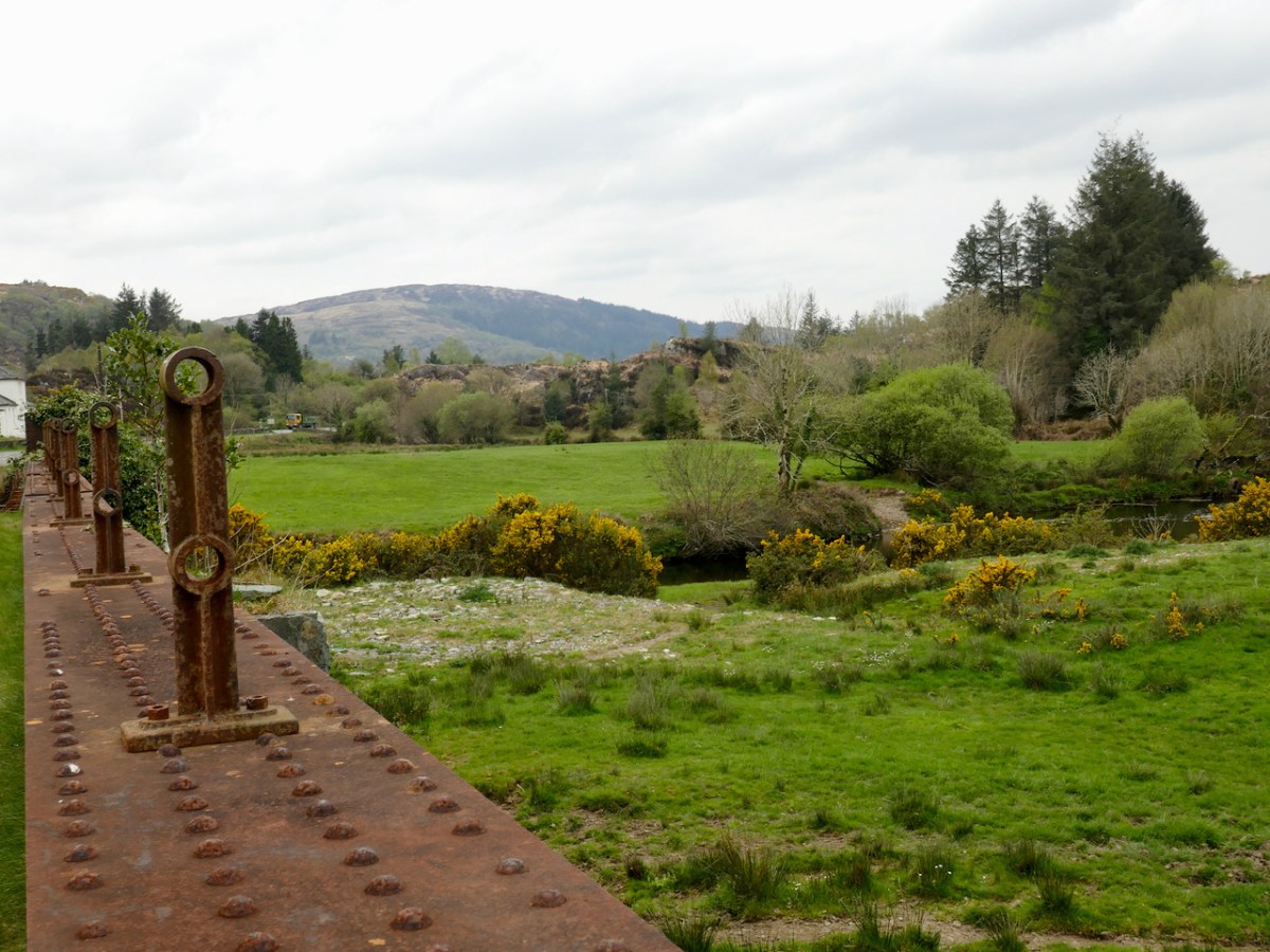
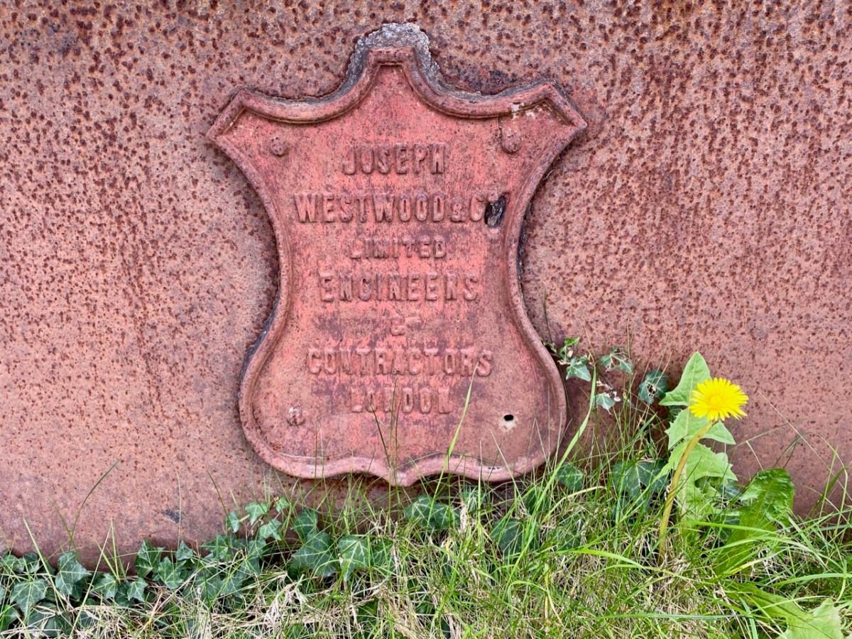
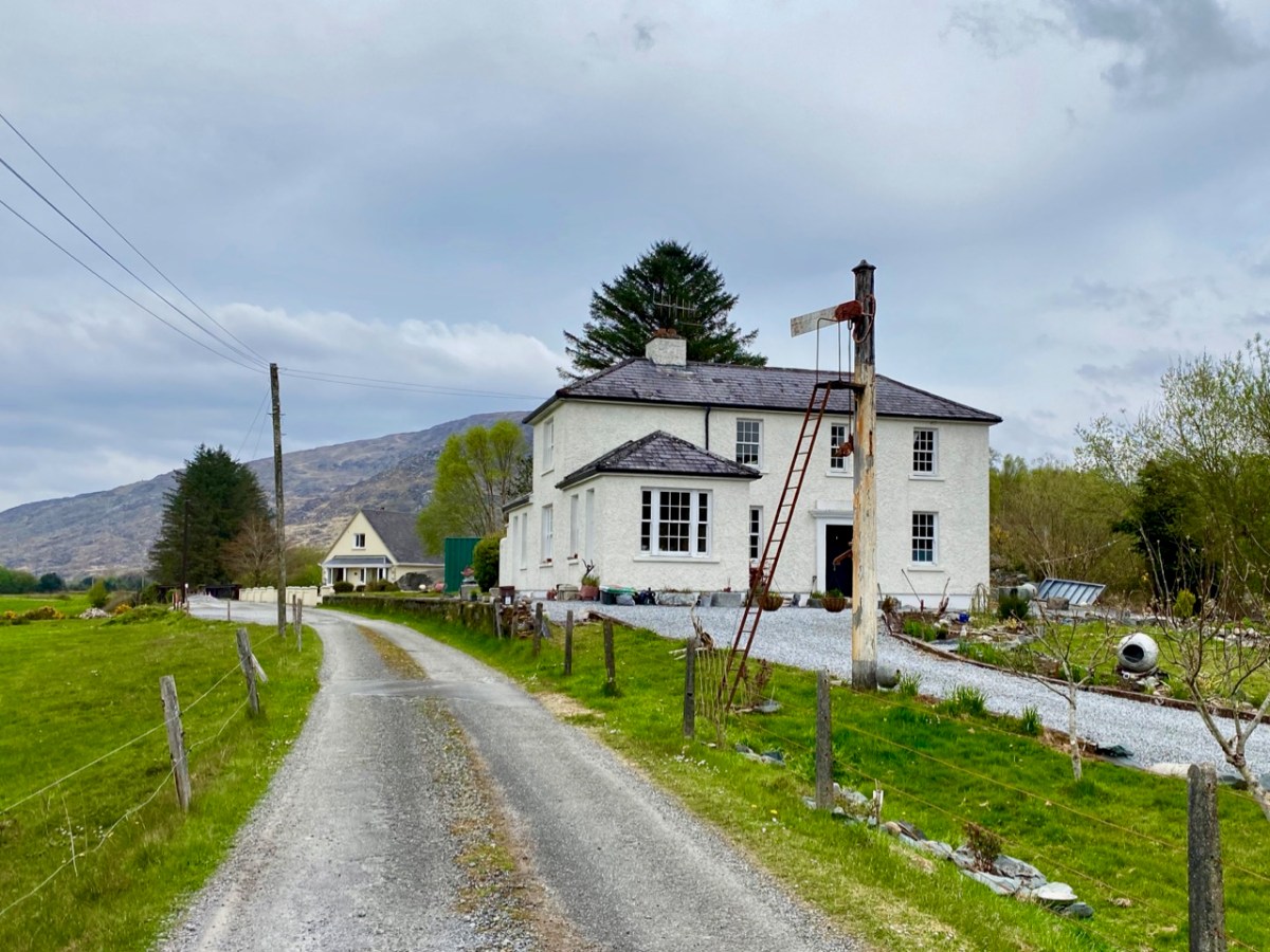
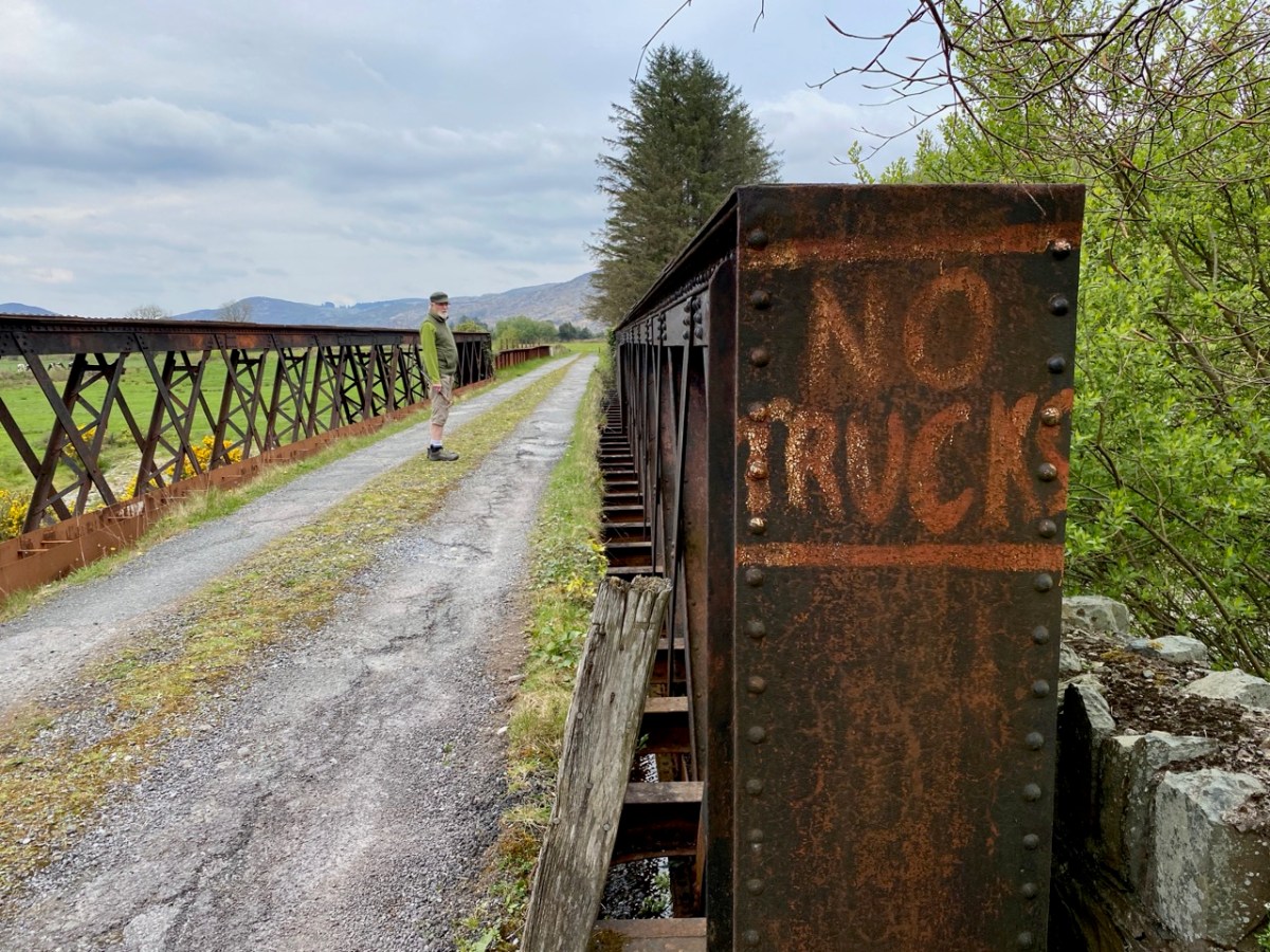
The 6″ OS map, above, dates from the late 19th century. St Peter’s well is marked on it, while St Paul’s only gets mentioned as a spring. Not far to the south is a railway line: The Great Southern Railway: Headford Junction to Kenmare. This was opened in 1890 and closed in 1959. While the track itself is long gone, many features can be traced. We stopped at Loo Bridge where the old station remains, as does an adjacent steel river crossing.
I am always saddened to see abandoned railway lines: they could so easily have had a new lease of life in our present environmentally conscious world. Regardless of their potential functionality, ‘heritage railways’ are also highly popular tourist destinations. I’m afraid, however, that the work and costs now required to recover them is unlikely to be invested any time soon, unless there is a big change in attitude and priority.
Lost railways and fading wells: unlikely bedfellows for a day out in Kerry. But our travels are always fulfilling, and diversity is the essence. In Ireland we can never run out of places to visit, or matters to be researched and recorded. Join us again, on our next expedition!

Rock Art – A Diversion to Wicklow

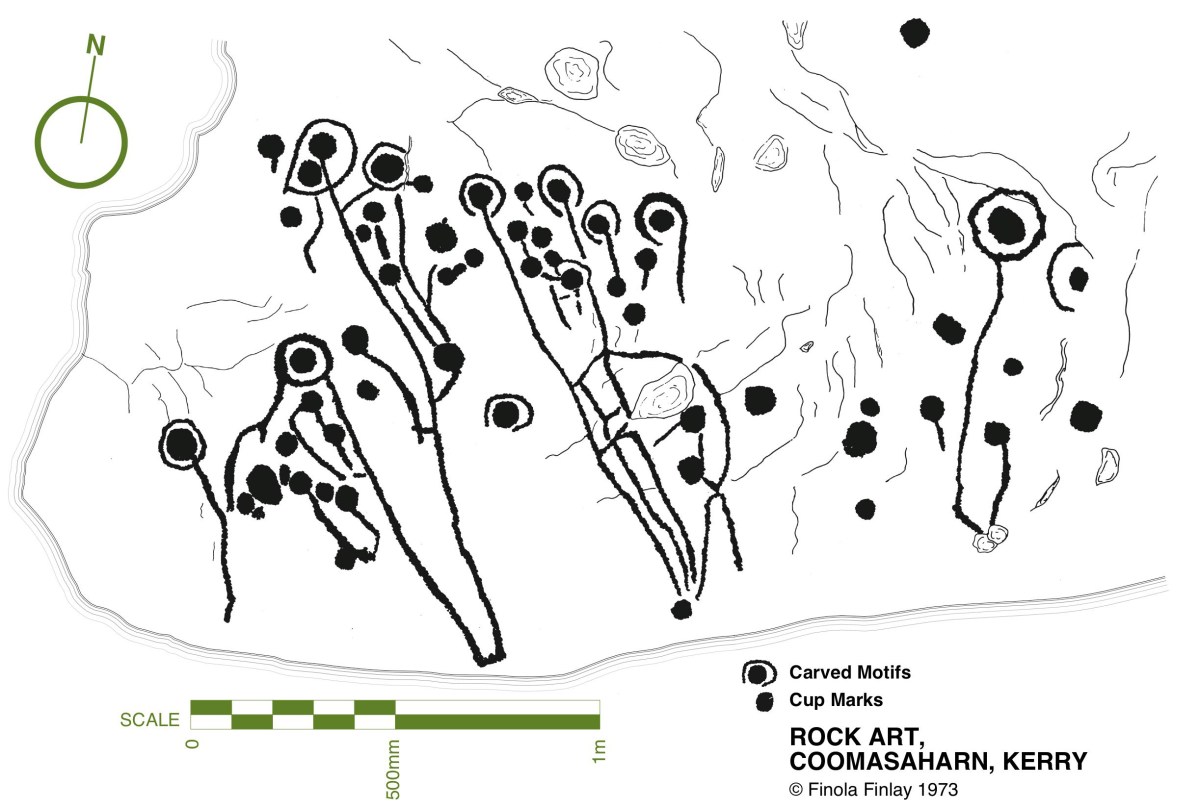
While writing this Journal over the years, Finola and I have included many examples of Prehistoric Rock Art, mainly on the west side of the country, in Cork and Kerry. Here is just one – you can find others through the search facility in the header. Finola’s UCC thesis from 1973 also concentrated on specimens from the southwest and her own drawings based on tracings direct from the rock surfaces provide a unique record of this form of prehistoric art. They have formed the basis of exhibitions which we have promoted over the years: here’s one from 2015.

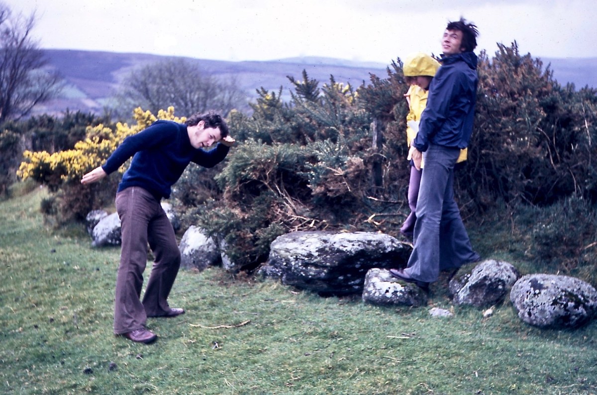
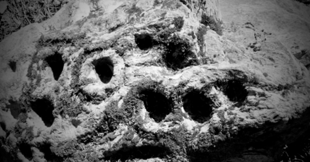
Upper: the opening of our Rock Art exhibition at Cork Public Museum , October 2015 and (lower) one of Finola’s drawings from 1973. Another area in Ireland which has a concentration of Rock Art is Wicklow. We have been spending a few days in that county, and decide to go and have a look for some examples there. Finola dug out from her archives a photo which she took in 1972 when she and some college friends visited a Wicklow site:

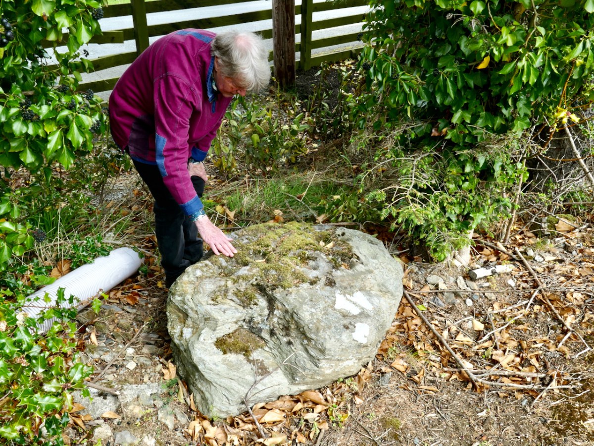
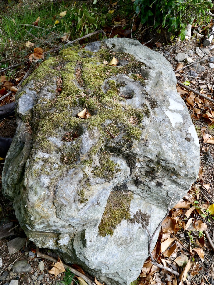
Could we find that particular rock again? Well, we think we did, but it has been moved in fairly recent times. Here it is in its new setting (we believe) – it’s not very propitious:

The present site is in the townland of Togher More, behind a fence lining a main road. The National Monuments record tells the story, which confirms that Finola’s earlier photograph was taken in the townland of Baltynanima:

. . . Class: Rock art (present location) Townland: TOGHER MORE Description: Found during ploughing c. 1.8m to the SW in Baltynanima and moved here in the mid 1980’s (see W1018-036—- for original location record). An irregular shaped schist boulder (L 1.3m; W 0.9m; T 0.5m) with 16 cup marks and the remains of another where the corner of the boulder appears to have come away. The four largest cups (diameters 10-12cm; depth c. 6cm) are enclosed by circles (max ext. diameter 20cm) formed by incised lines (widths 1.5-2cm; depths 1cm) with the exception of one which has only a semi circle incised line around it. The remaining 13 cups have diameters of 6-8cm and depths of 4-5cm. There are also three incised linear grooves (L 14- 22cm; W 4cm; D 2.5-3.5cm) visible on the stones surface. Described, photographed and drawn by Price on the 29th January 1933 . . .

National Monuments Record WI018-049

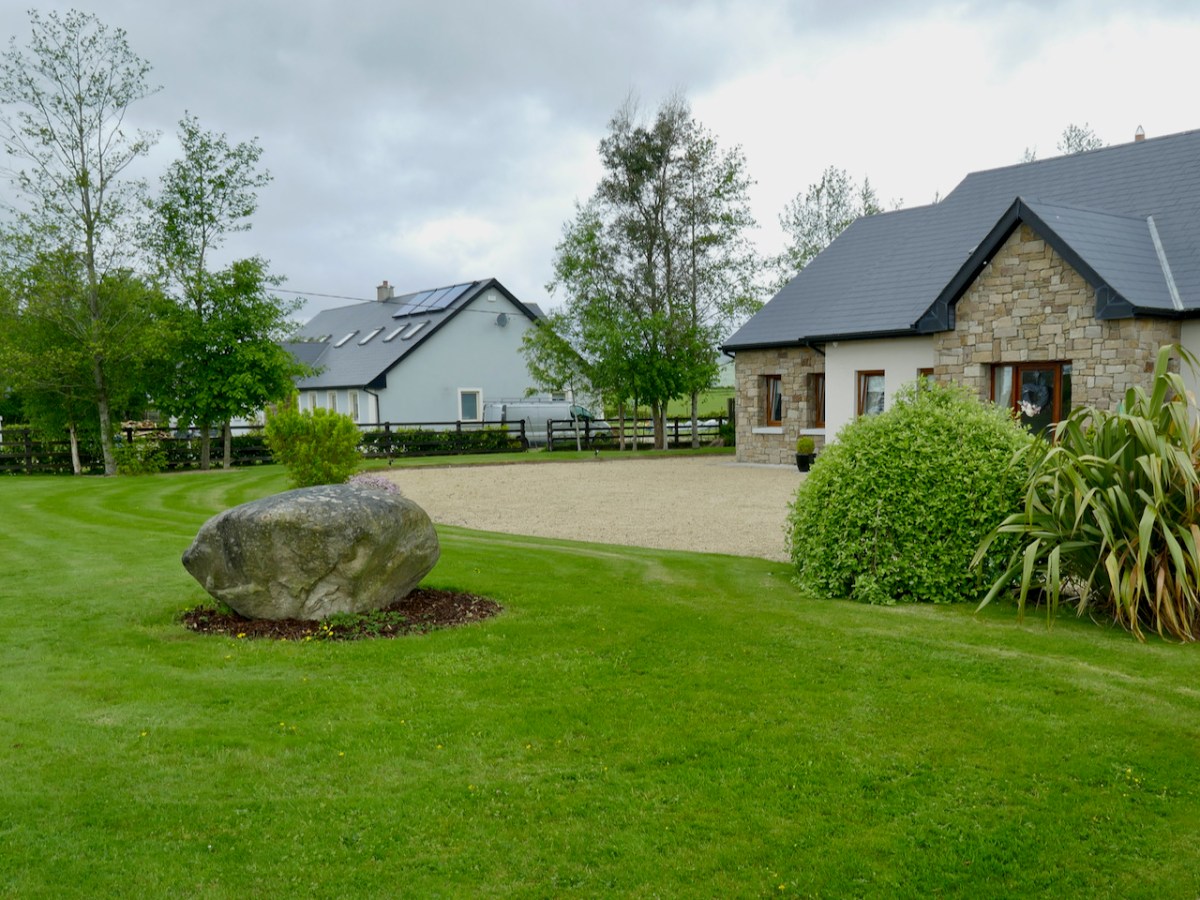
It’s not unusual to find that ‘portable’ stones with Rock Art on the surface are moved, usually to protect them if a site is to be developed. Here’s another example we found, in the townland of Knockrahen:

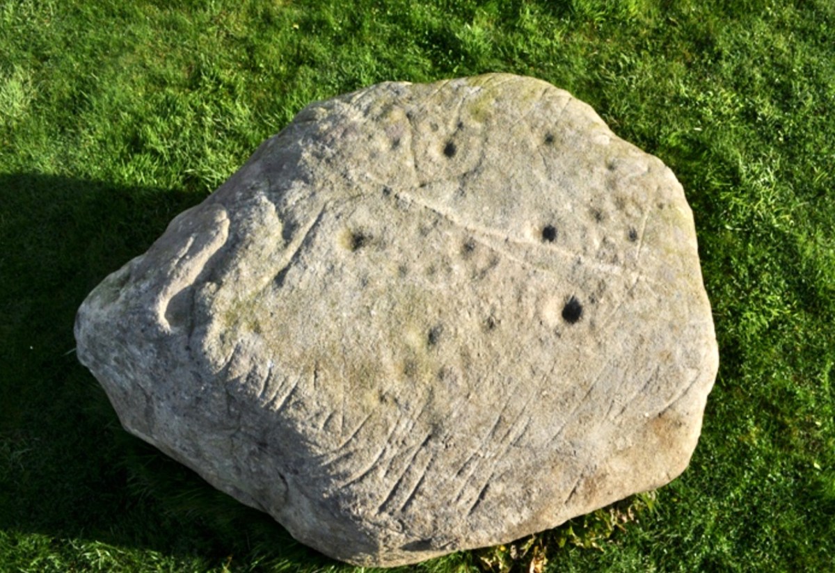
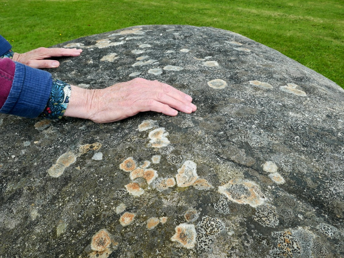
In this case the rock was found while the foundations were being dug for the house. The owner (with whom we spoke) noticed the markings and decided to keep it as a feature in her new garden. The photo below was taken by Chris Corlett for the National Monuments records. Thank you, Chris (and the NM), for allowing us to use this – and the detail on the header pic. Below Chris’s photo is Finola’s, with my hand in the shot to give it scale.

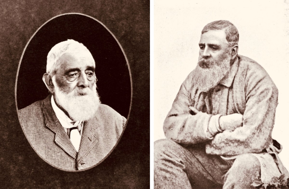
While out in Wicklow we noticed that many of the National Monument records of Rock Art are credited to George Henry Kinihan (1829 – 1908). He was a geologist who also had an interest in archaeology. His home was in Clontarf and he is buried in the Protestant churchyard in Avoca, Co Wicklow. He was involved in his lifetime in engineering works, particular railway construction, but was also a keen Rock Art enthusiast.

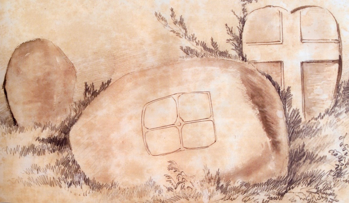
Two portraits of Kinihan: he was said to have been of ‘strong and massive build’. He spent some of his early years working under George du Noyer of the Irish Geological Survey – who shared with him an interest in antiquities in the landscape. Here is a du Noyer drawing of cross slabs in Co Wexford:

On du Noyer’s death in 1869, Kinihan was appointed District Surveyor of the Geological Survey, in charge of field work and mapping, and oversaw the completion of the One Inch Geological Map of Ireland. He also became President of The Royal Geological Society of Ireland in 1880. Now, here is a conundrum:

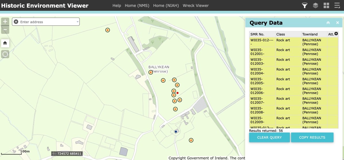
Here is part of the current Historic Monuments Viewer, showing the location of archaeological sites in Ballykean, Co Wicklow. All the yellow-and-red dots are recorded as Rock Art, discovered by Kinihan (there are 14 just in this small area of the townland). In every case, the site is described in detail, with numbers of cupmarks etc recorded. But also – in every case – the description concludes: ‘…The site indicated by Kinahan in 1884 was inspected in 1990, however this stone was not located…’ These are not the only instances in Co Wicklow where Rock Art found by Kinihan can no longer be traced. Does this mean that all these instances have now been destroyed or buried? Is it possible that this experienced archaeological enthusiast could have misinterpreted so many sites? It remains an adventure for us – another day – to go in search of some of these enigmatic examples to see if we re-establish the credibility of this Wicklow giant in this very particular specialism.

Notes from the Past

We heard – from our correspondent Justin Cremin – about an ancient copper mine somewhere near Skibbereen: possibly prehistoric (like the mines on Mount Gabriel). Supposedly there were rock scribings there (perhaps like those we explored in the Cooleenlemane valley). The Archaeological records proved a little disappointing:

CO150-070

Townland: GORTSHANECRONE

Class: Redundant record

. . . Description: Listed as an ‘ancient copper mine’ in the RMP (1998). Located in rough hill pasture on the W side of a deep wide ravine running N-S across the hill. A natural cave with two E-facing entrances extends c. 35m W into the hill. The height varies from c. 1m to c. 4m and jagged rocks protrude from the roof. Loose stones are scattered on the uneven floor. While there are traces of green malachite copper staining in a few places there is no evidence to indicate prehistoric mining. The material in the spoil mound outside the lower entrance suggests some unsuccessful 19th century exploration for copper may have been carried out here. The evidence is not sufficient to warrant accepting this as the location of an archaeological monument . . .

archaeology.ie
Compiled by: Connie Murphy

This now ‘redundant’ entry in the official records seemed to imply that the ‘ancient’ mine wasn’t there at all – it was just a cave. But the records also make no mention of any sort of inscription on the cave walls: perhaps, if there were scribings, they were considered ‘modern graffiti’ and of no historic interest. We set out to solve the mystery, accompanied by our intrepid friends David Myler and his children. David has written about the site on his own Facebook page.

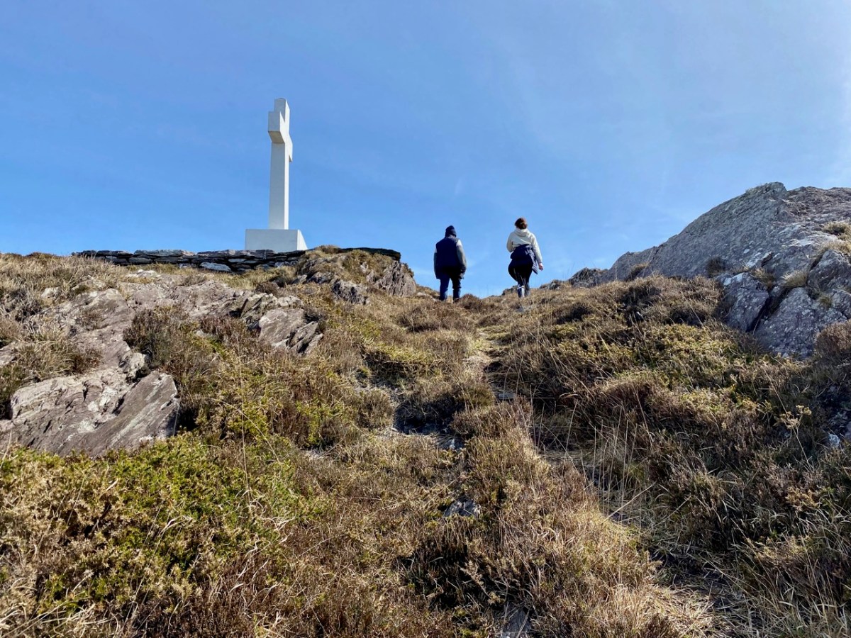
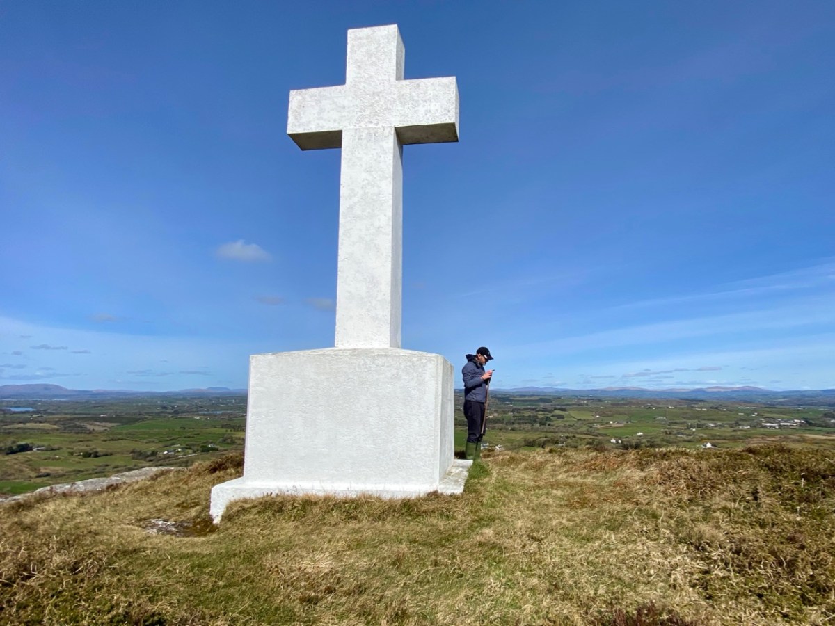
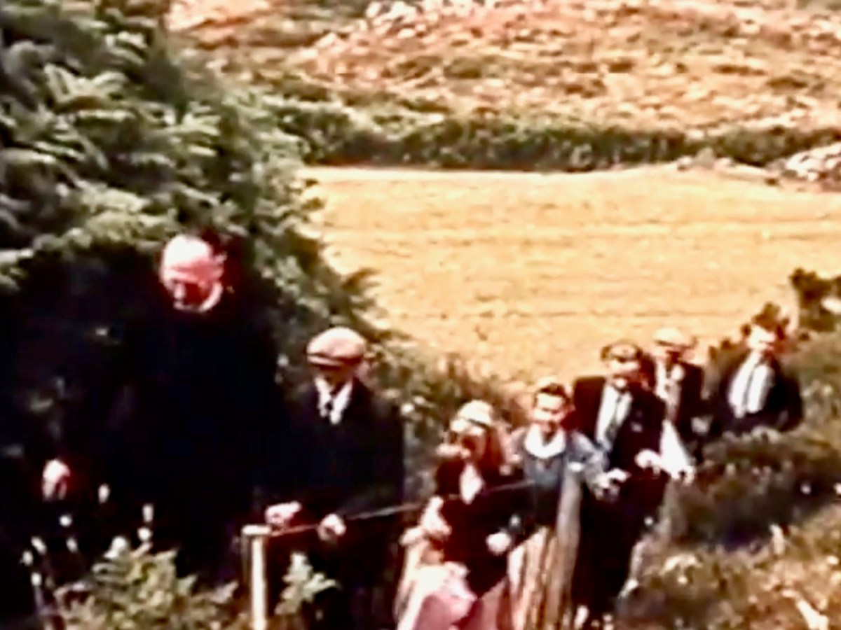
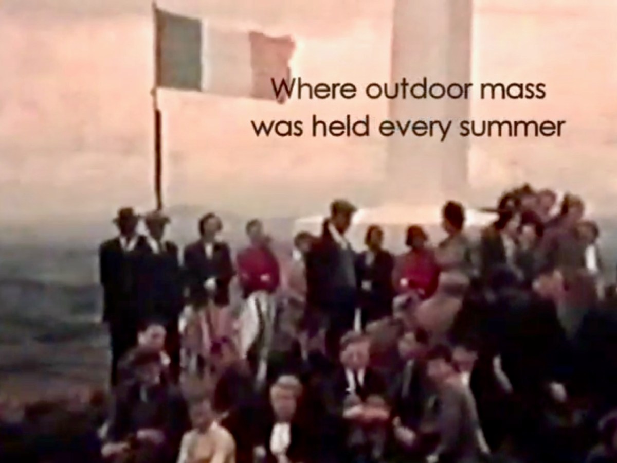
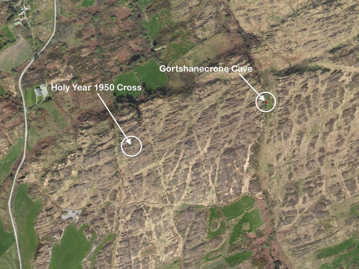
En route was another – much younger – piece of local history that we had long wanted to visit: an enormous white cross set up on top of Coom Hill to commemorate the Holy Year of 1950. Once visited on Corpus Christie day every year by a procession which started in Skibbereen, it remains an important local landmark and is situated with dramatic views in all directions.

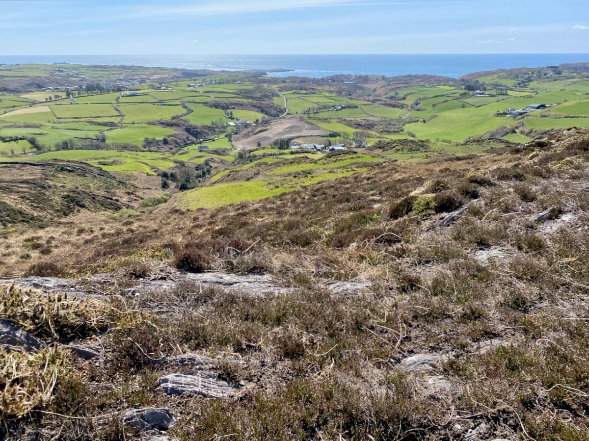
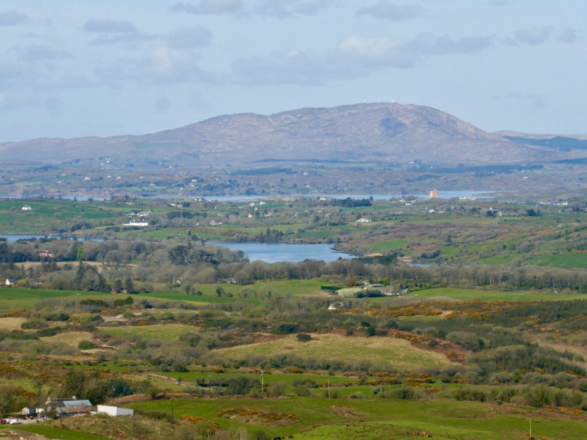
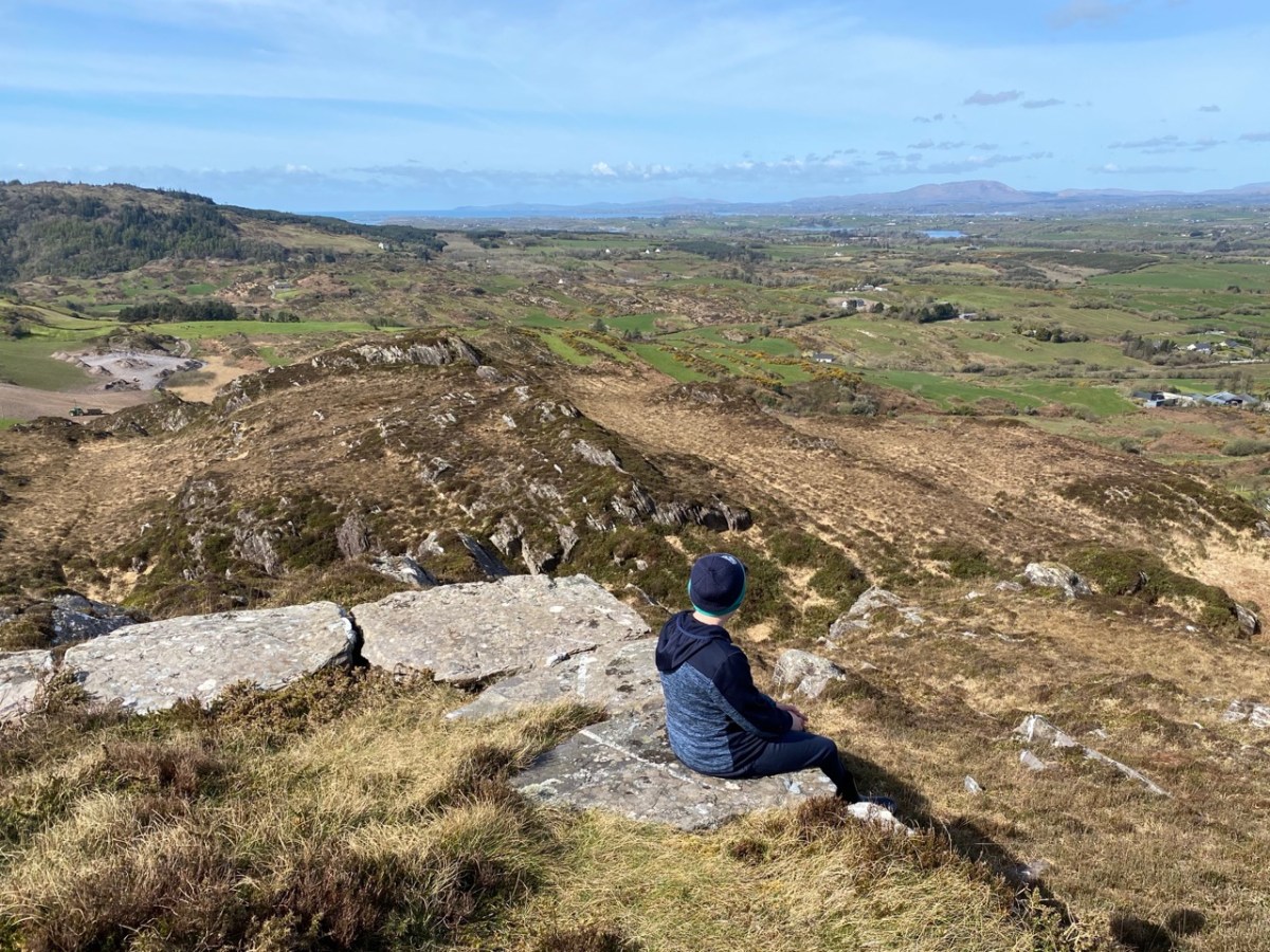
The two screenshots above are from a film taken in the 1960s, showing the procession to the cross. You can watch the full film online here. Below are some of the views which can be seen from the top of the hill.

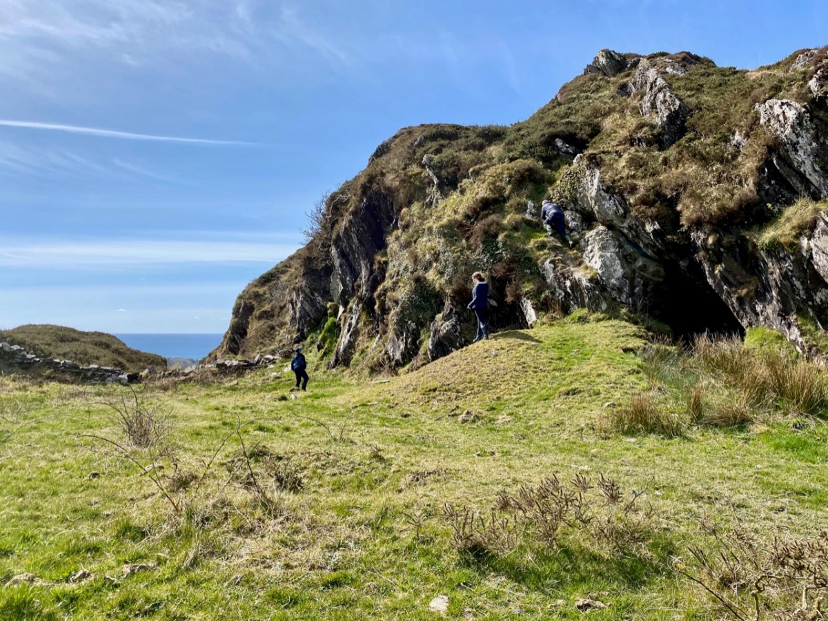
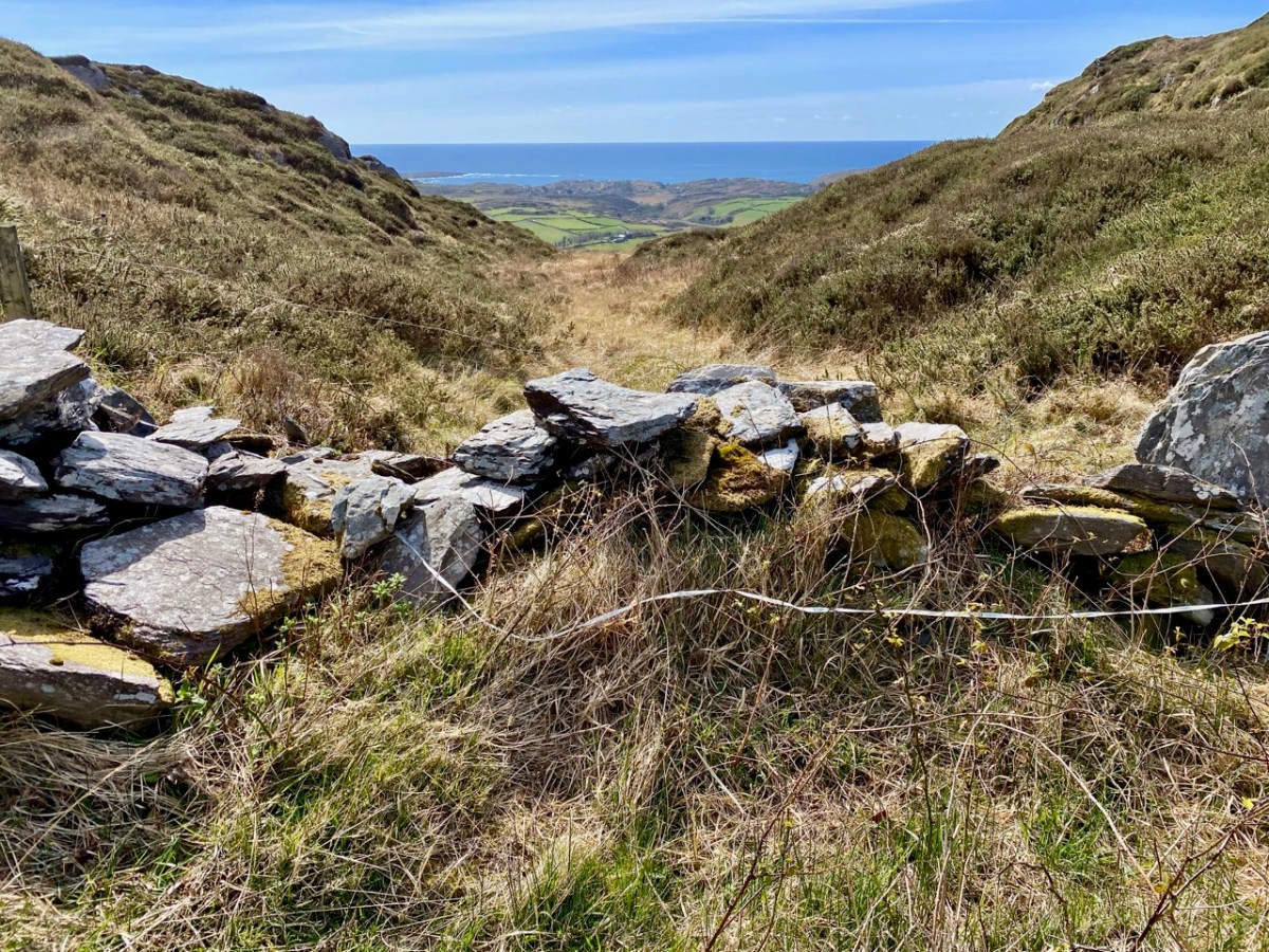
The cross – and the views – were only tasters for the adventures we had in store. Justin had researched the location of the ‘cave’ and his instructions unerringly led us across country towards a gulley – a substantial gash in the landscape running north to south, where the high land dropped away: tucked in just below us we found our goal.

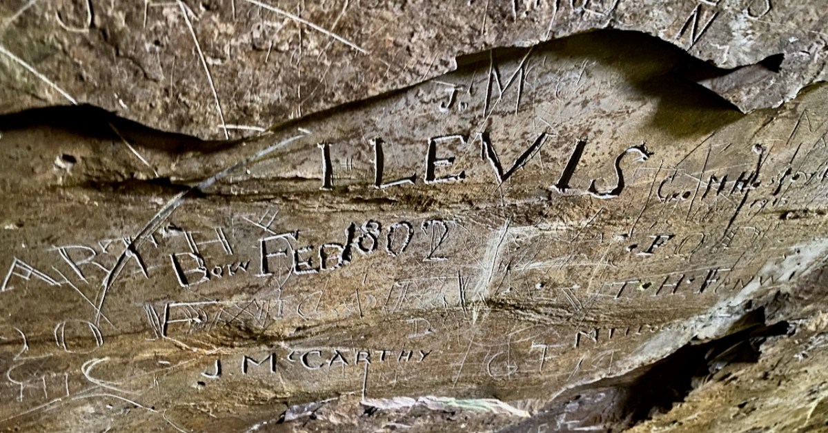
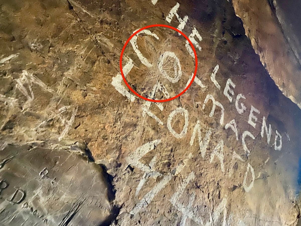
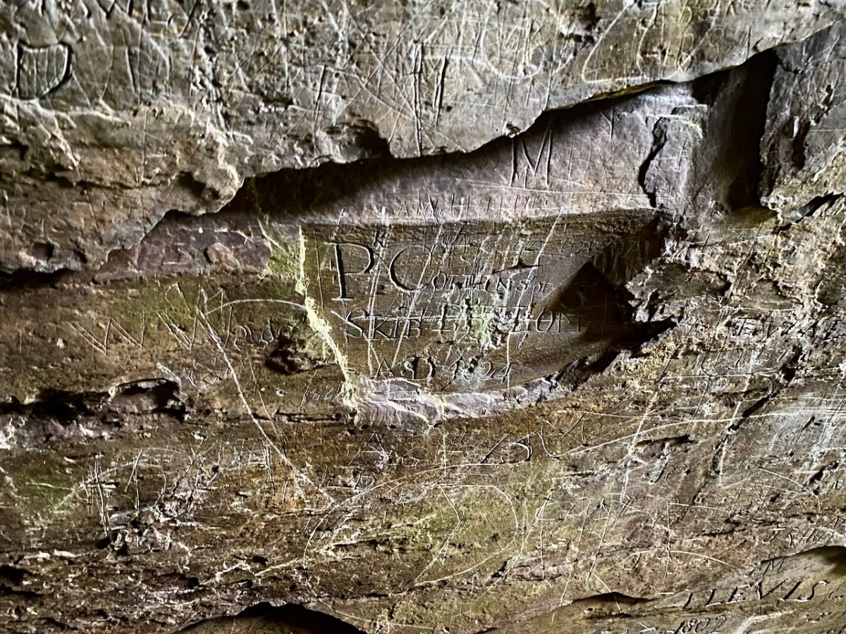
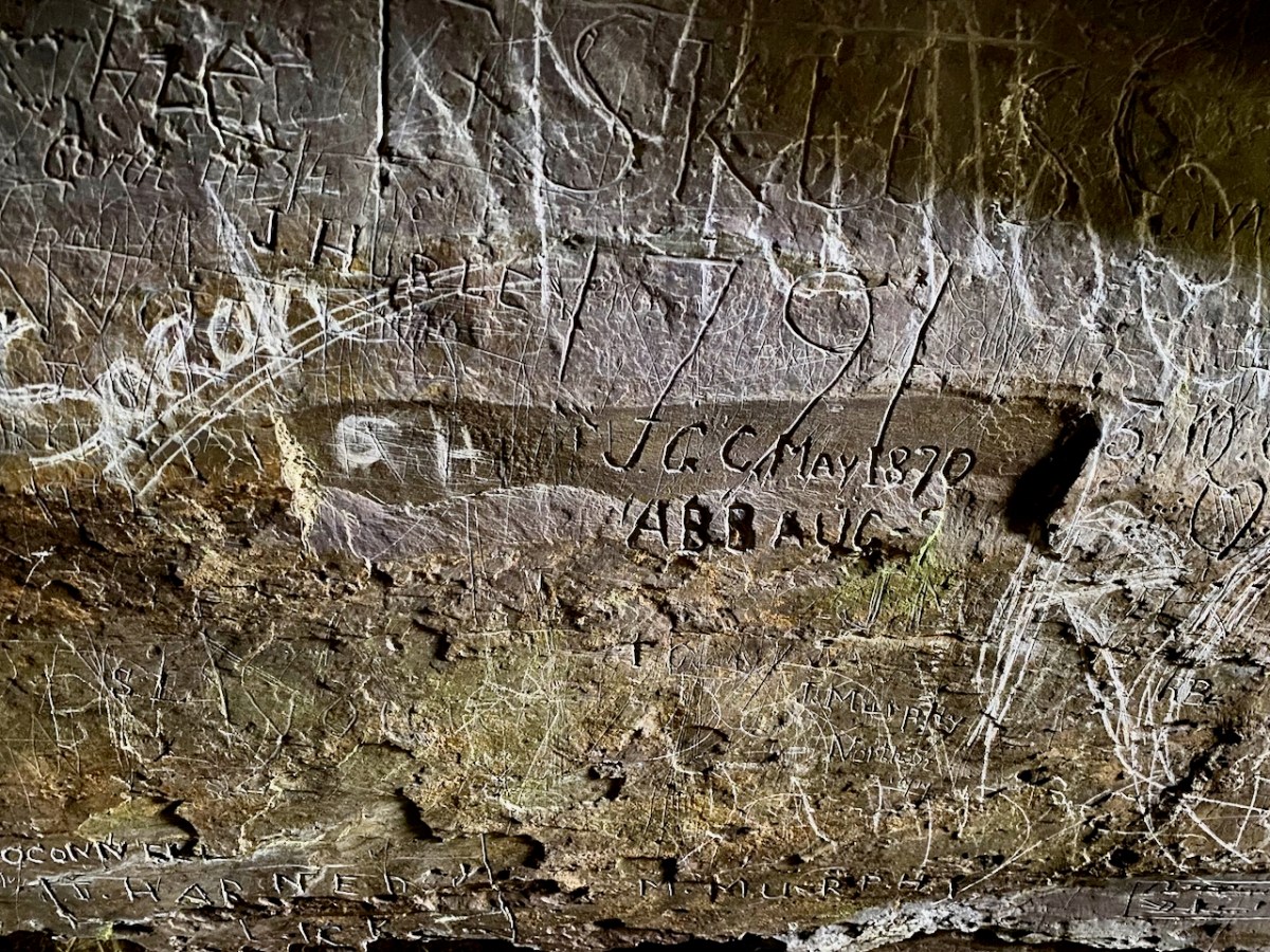
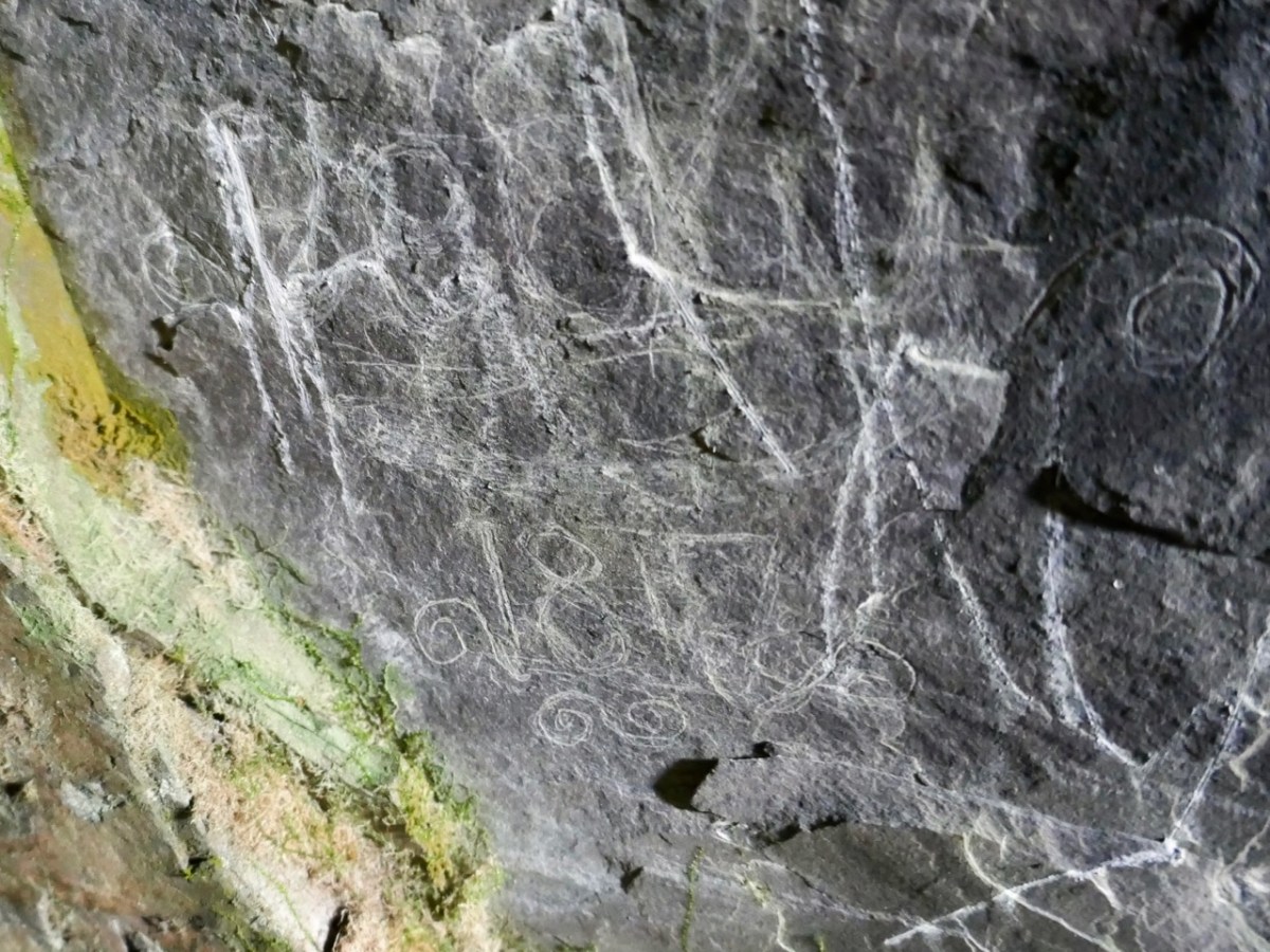
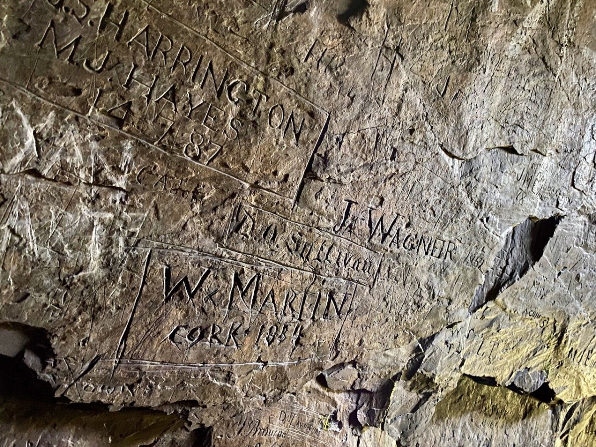
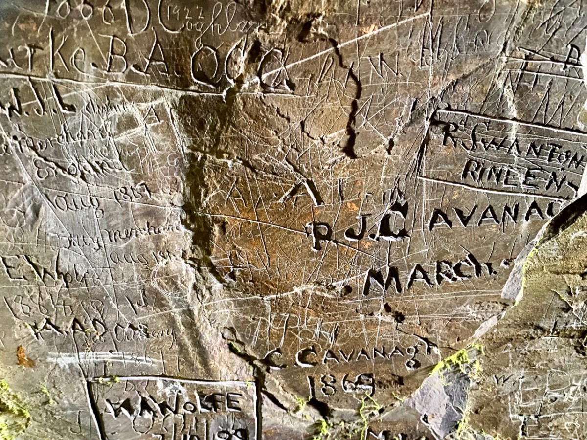
The cave has two entrances – higher and lower – and the rock faces within certainly look as though they had been worked in places. This could be from the “. . . unsuccessful 19th century exploration for copper. . .” mentioned in the archaeological record. But the exposed stone is covered in scratchings: names, words, dates from all periods – recognisably going back as far as the 1700s. There are also a few images, such as this group of leaves which has been partly obscured by modern-day painted lettering: – and note the harp in the top left of the next pic down:

We had been surprised that we could not find any written description of the graffiti which – although not ‘ancient’ – has to be of interest, as it is a record of marks made by people through many centuries. In our recent census (2022) we have all been asked to contribute to a ‘time capsule’ – our words will be sealed up ready for opening by future generations a hundred years from now. (Some of these words have been published on the internet. My favourite is the simple and poignant: “Is there anybody there…?”). This cave is a comparable ‘time capsule’ but perhaps less embracing of contemporary life.

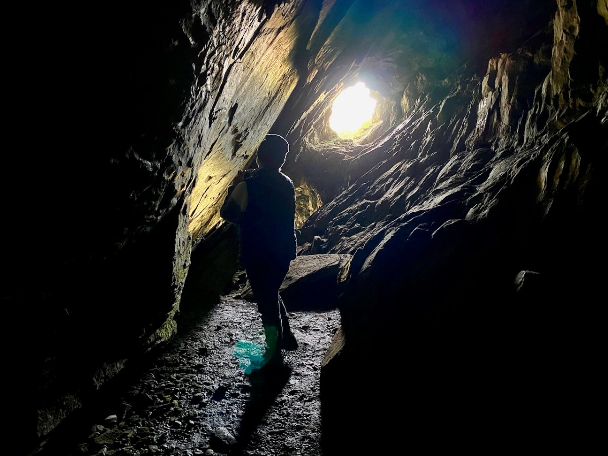
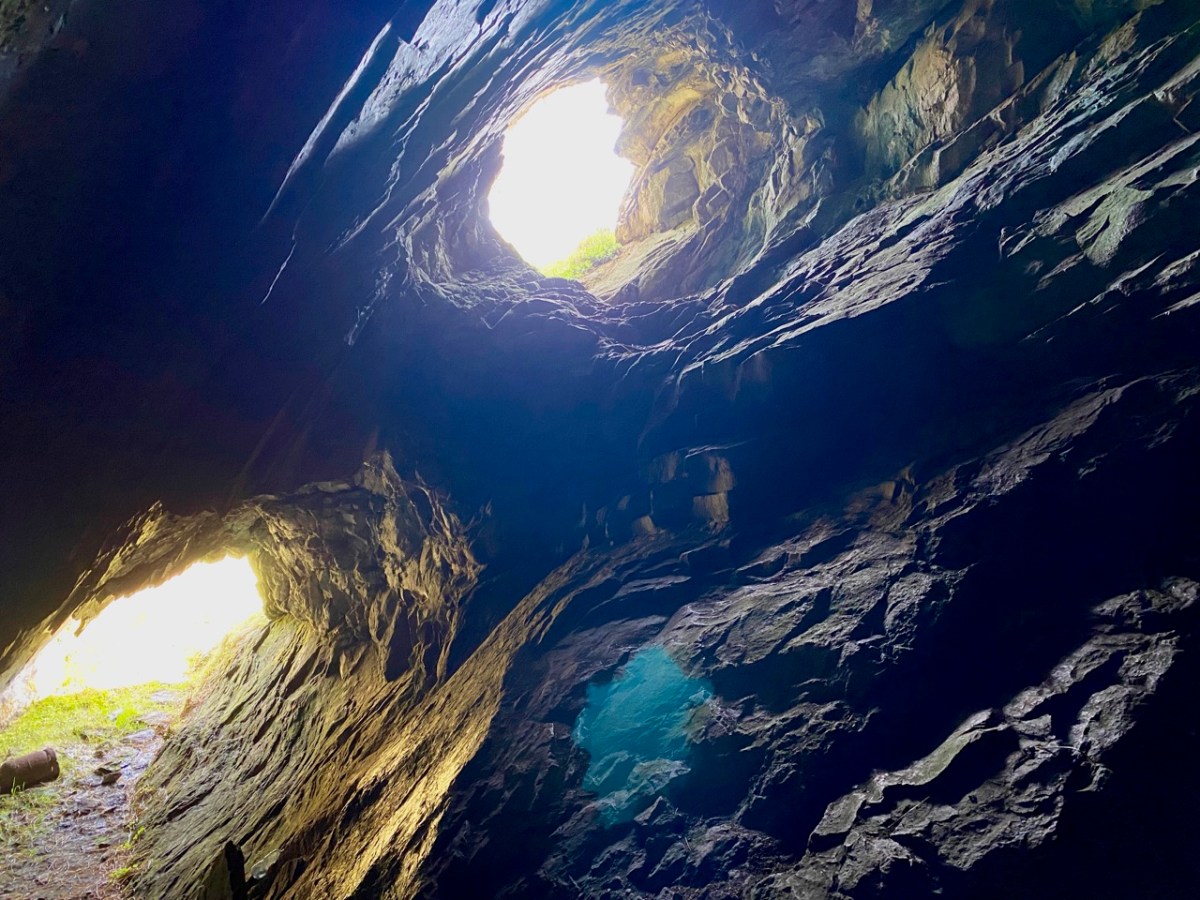
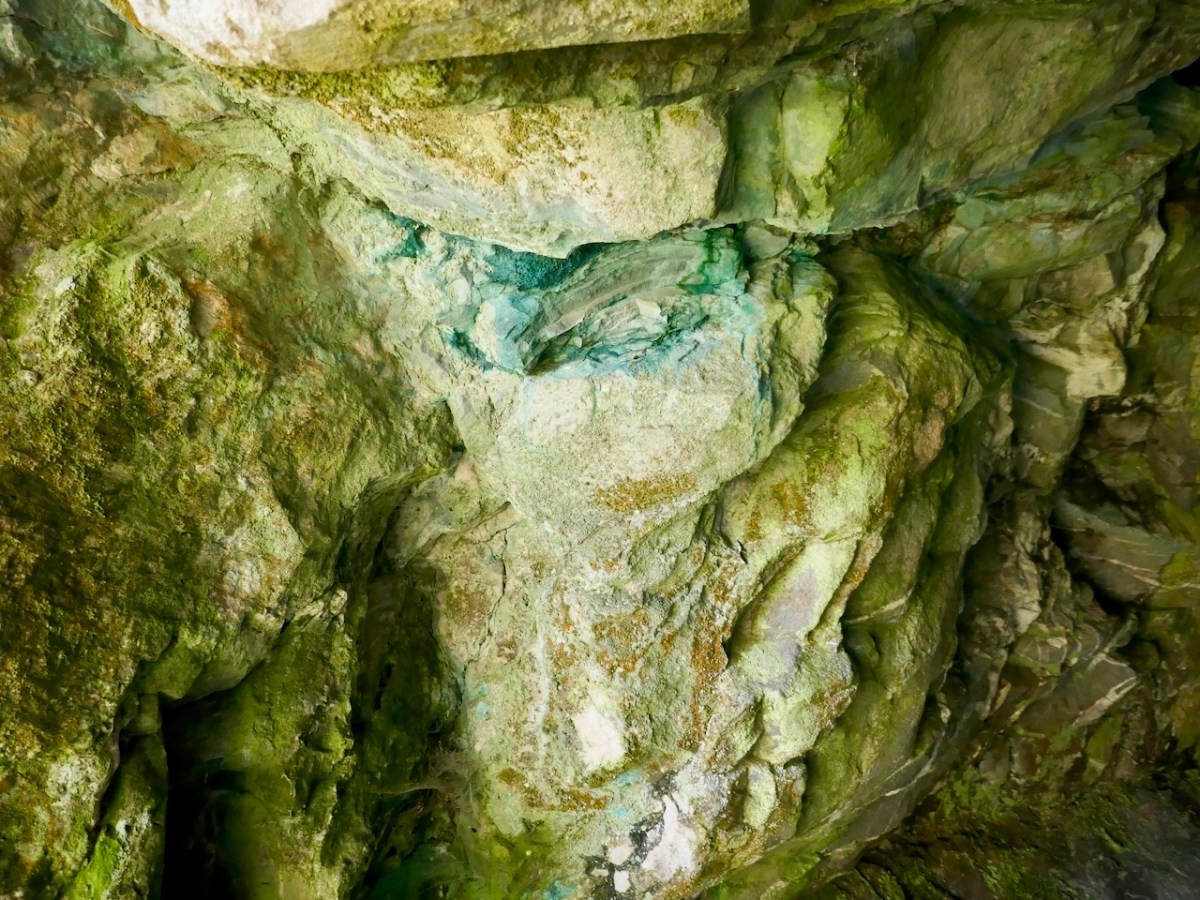
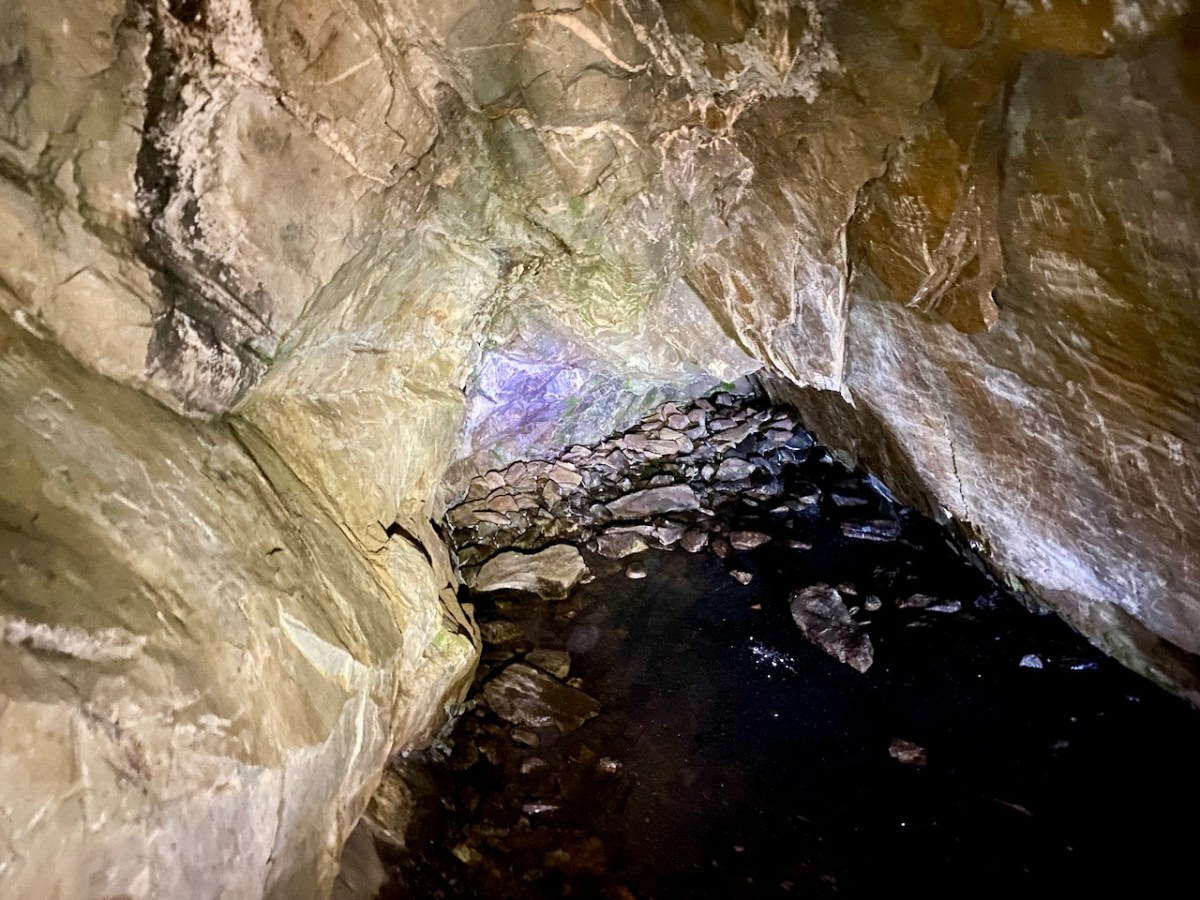
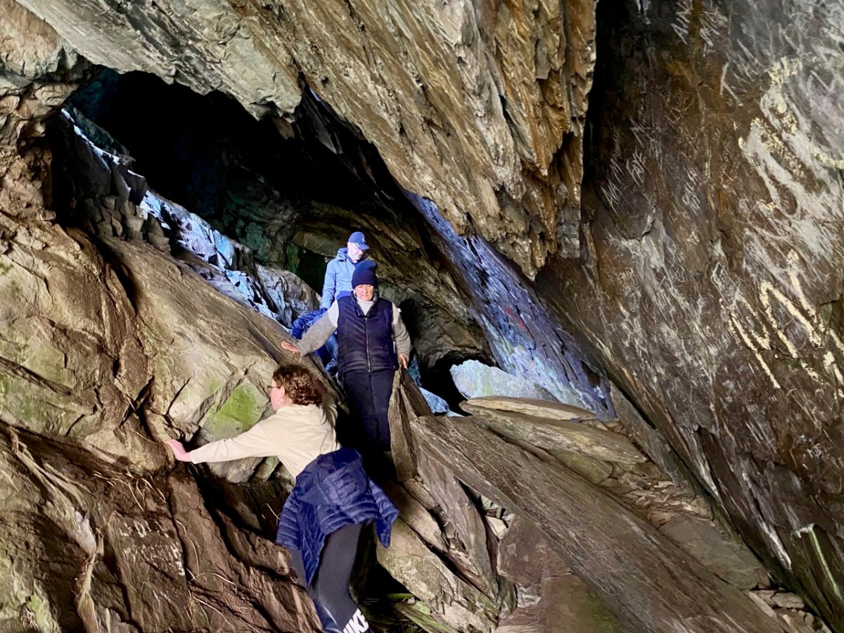
Centre, above: the copper staining, which is mentioned in the redundant archaeological record. Above is the far end of the cave, with some interesting lighting effects. The pic below gives an impression of the scale of the interior.

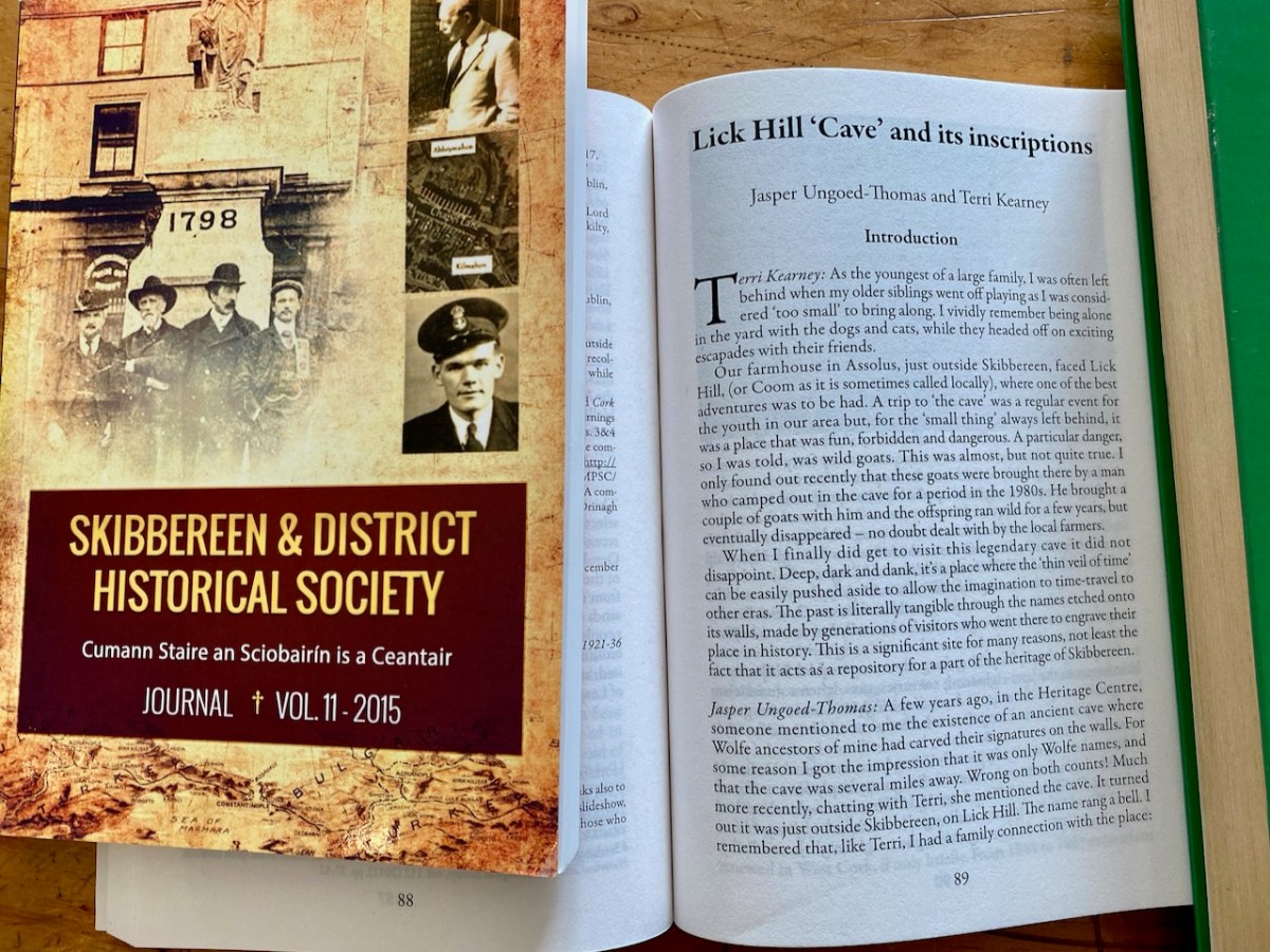
Before writing this post I made a few more enquiries, and discovered that the rock scribings had been thoroughly researched and written up in an article in Volume 10 of the Skibbereen & District Historical Society Journal, dating from 2014. The reason I had not previously discovered this was that the writers chose the local name of Lick Hill, rather than Coom Hill or the townland name (Gortshanecrone). Local knowledge is everything!

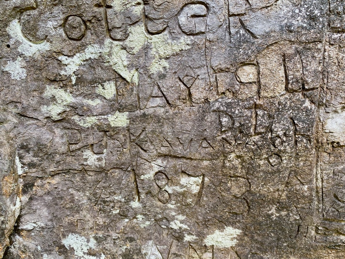
The excellent article is written by Jasper Ungoed-Thomas (whose ancestors – Wolfes – had carved their names on these walls) and Terri Kearney, who has been the Manager of the Skibbereen Heritage Centre since it opened in 2000. The Journal article is as comprehensive as you could ever need, with a full list of the names inscribed on the cave walls, together with information on those named where it is known. As an example, J Cotter, 1790 has the following entry:

. . . Cork Anglo-Protestant family, dating back to at least seventeenth century. Edward Cotter RIC during War of Independence. A Catholic branch existed by twentieth century. Edward Cotter was section commander of Bantry IRA . . .

Skibbereen and District Historical Society Journal , Volume 10 2014

The same Journal article describes well the techniques which have been employed in many of the scribings:

. . . The nature of the rock face, with its hard surface, inevitably influenced the quality of the inscriptions. From the late eighteenth century until the later twentieth century, those who wished to leave a record of their visit had little option but to carve their graffiti. It is quite easy to scratch a name, but the outcome is often difficult, if not impossible, to understand. Results which are usually, but by no mean always, easy to read can be achieved by cutting, probably with a knife. But almost certainly the fairly few very clear inscriptions were done with a sharp chisel. Presumably some visitors came prepared to inscribe their names, since proper carving is not easy; it demands time, application and skill . . .

Skibbereen and District Historical Society Journal , Volume 10 2014

Wolfe and Cotter names are seen in the examples above. Having visited the cave we perhaps thought our adventures were over for the day. However, getting back to where we had parked our cars was hazardous, as we opted to follow what seemed to be an easier route (I have to confess it was my suggestion!).

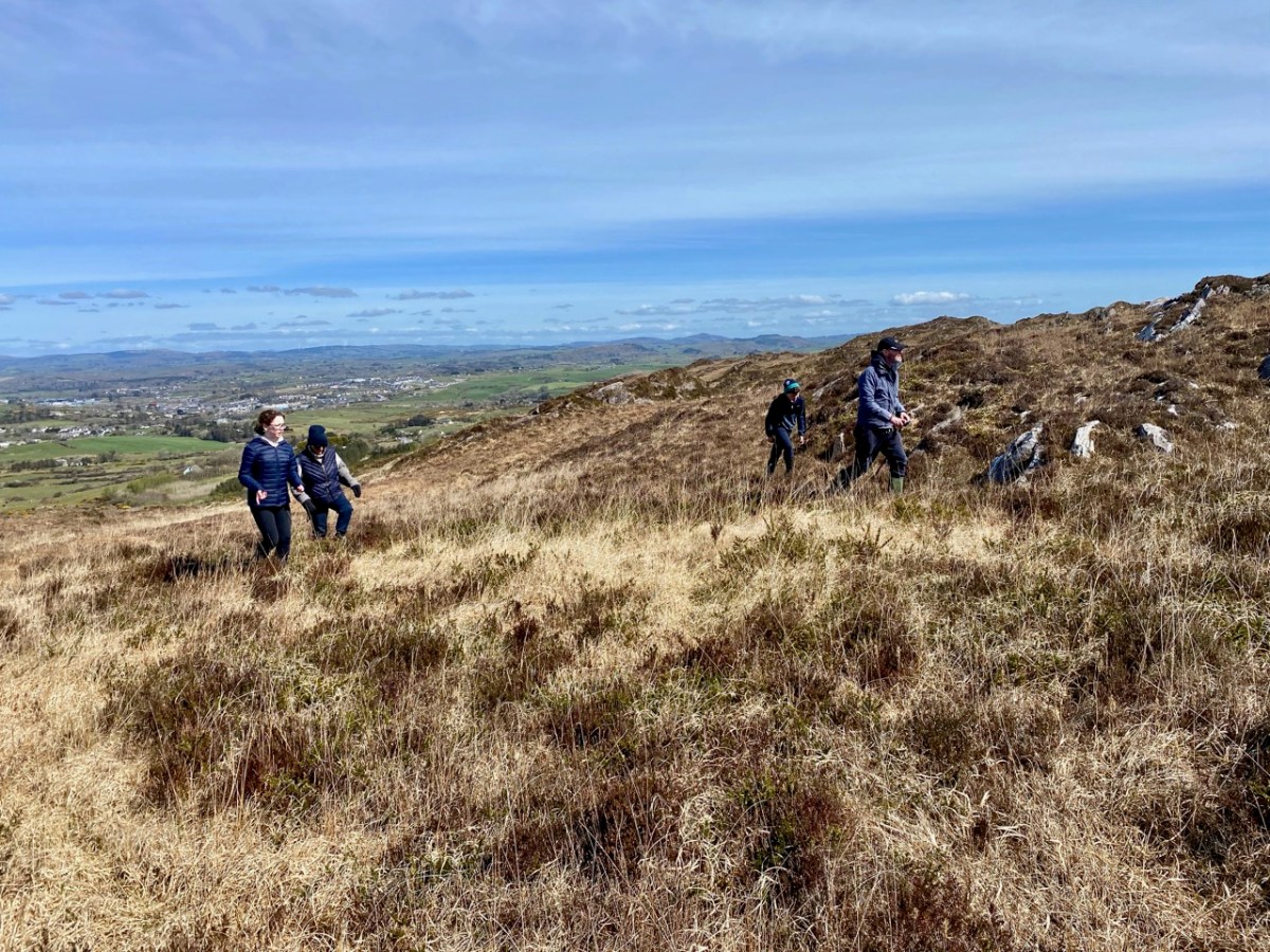
It proved to be a long and tedious trek. The terrain was uncertain and we had to negotiate bogs and steep, uneven surfaces where there were no visible footholds. When we wearily made it to a boreen, we found we still had far to go. A lesson learned: always go back the way you came – you know you will arrive! In spite of the strains, we had a great day out, and broadened our knowledge of local West Cork history. Don’t forget – as always – seek the permission (and advice) of landowners before you embark on any such exploration. And don’t unduly disturb the local residents!