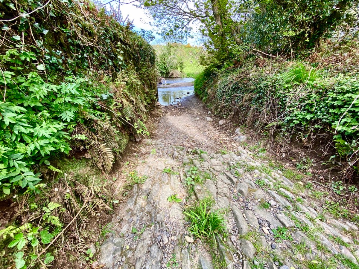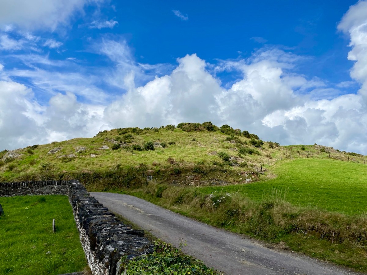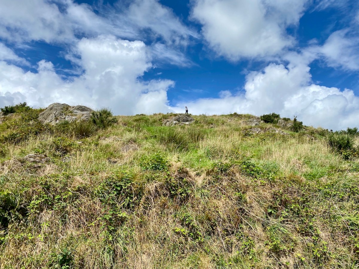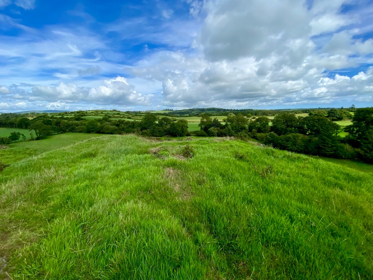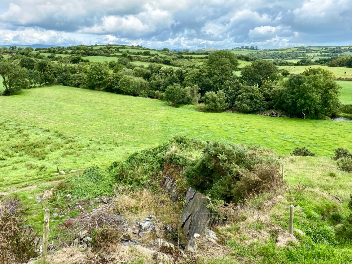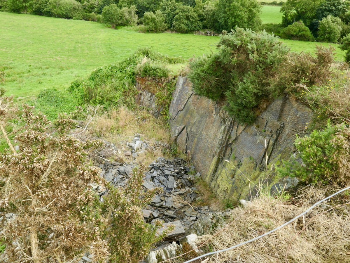
Mizen Megaliths 1: The ‘Unclassified’ Gubbeen Tomb and Fionn’s Ridge

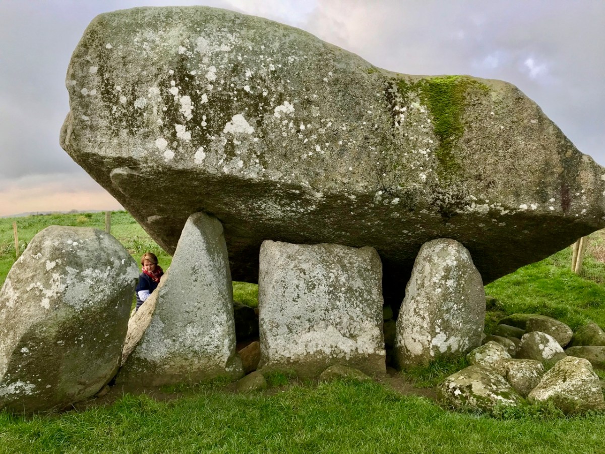
Megalithic tombs (from ancient Greek mega – great, lithos – stone) dot the Irish countryside and date from the Neolithic period (4,000 to 2,500BC) and the Bronze Age (2,500 to 500BC). The practise of erecting large stone monuments would have entailed significant command of local resources and therefore indicates either a highly co-operative or a highly stratified society. The megaliths were built to last and indeed many have survived, although only a shadow of their original size. 

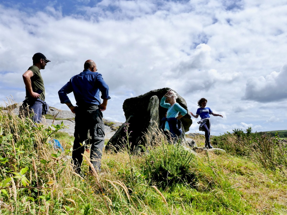
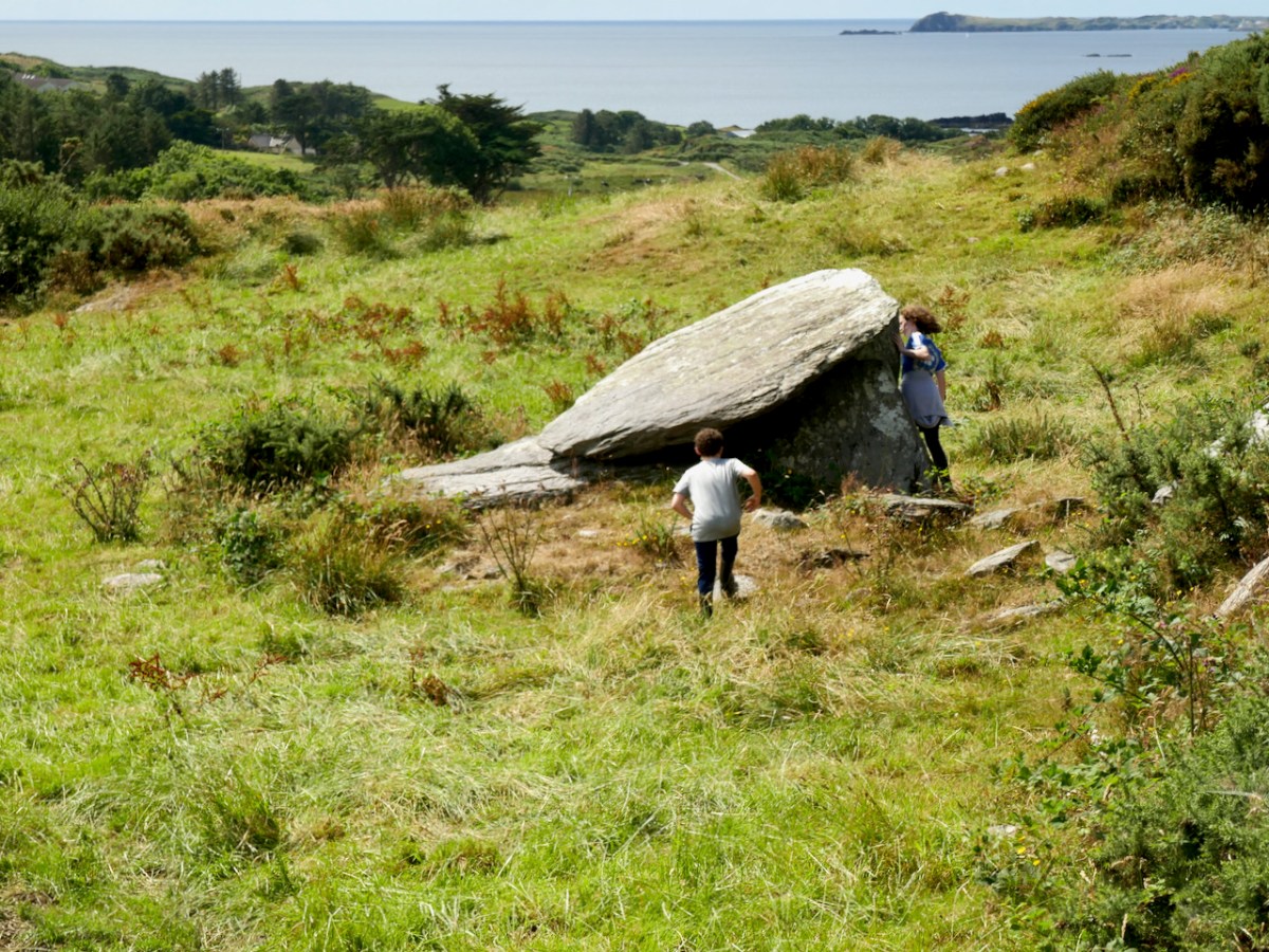
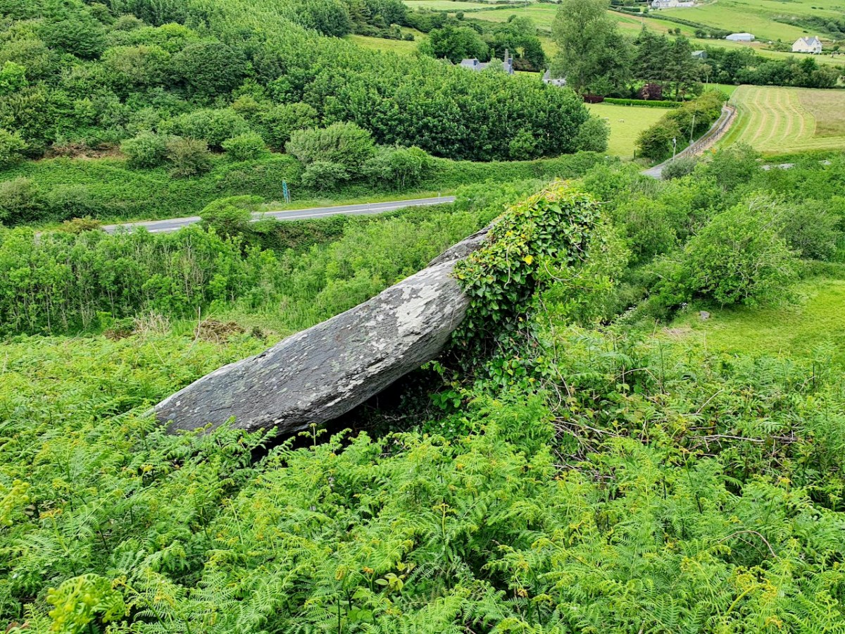
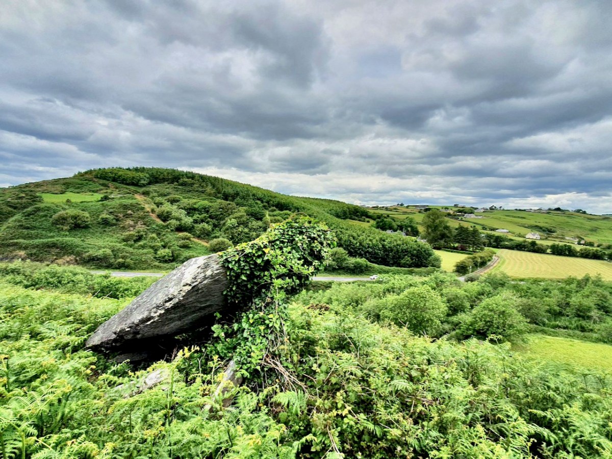
I’m going to start this new series with a curious construction labelled by the National Monuments survey as a ‘megalithic tomb- unclassified’. It’s in the townland of Gubbeen, near Schull, but only barely, as it’s almost on the boundary with the townland to the North, called Glan. What marks the townland boundary here is one of the things that makes this site so fascinating.
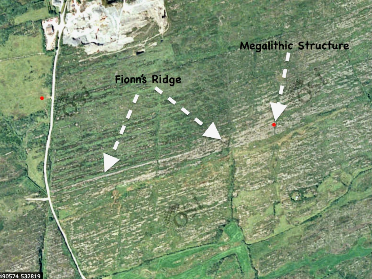
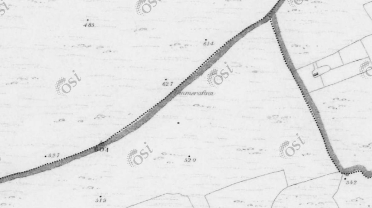
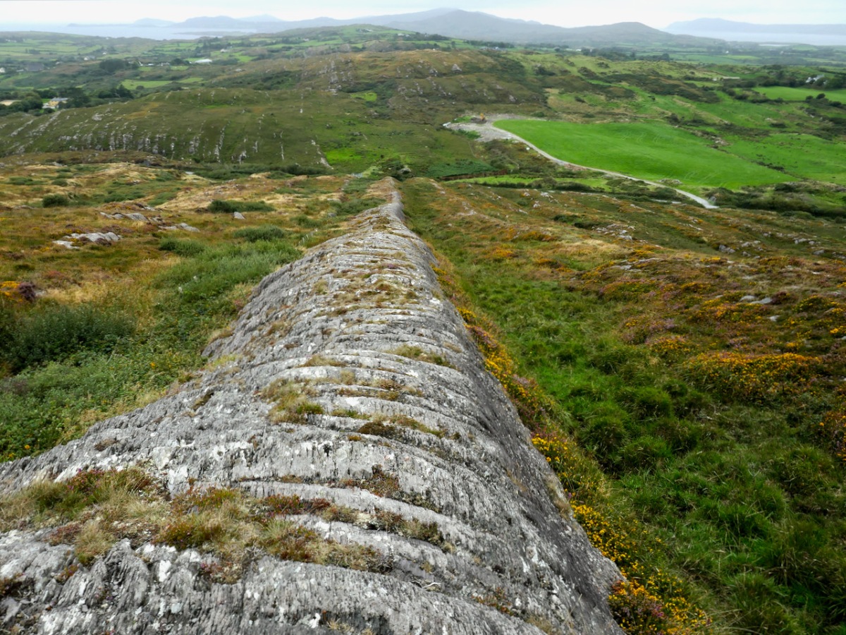
The boundary, instead of the usual stream or old road, is a striking landscape feature called locally Fionn’s Ridge. Originally, it was known as Ummerafinn, from iomaire, meaning a raised strip of earth, such as that made by a plough, and Finn, a common form of the Irish name Fionn, meaning fair-haired. It is marked thus on the Historic 6” Ordnance Survey map which was made in the 1840s – can you make it out, above?

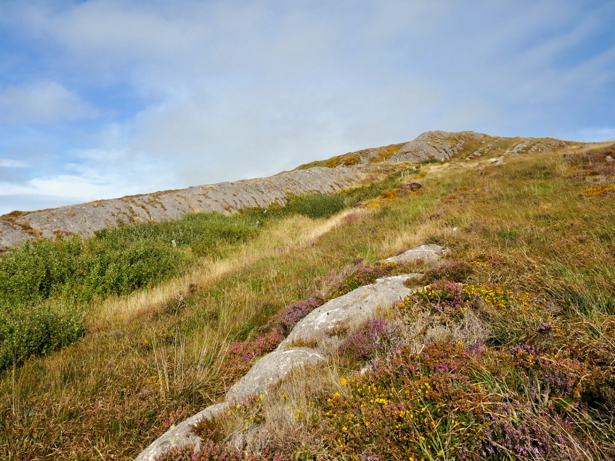
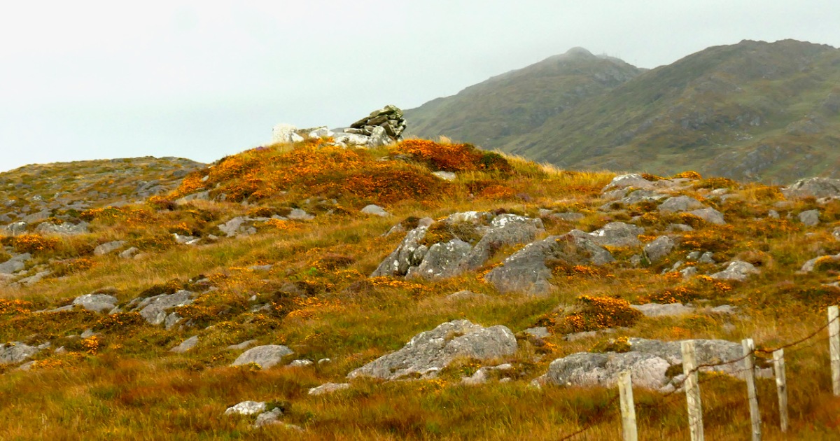
Fionn’s Ridge runs for half a kilometre from the road up to a rocky prominence that is part of Knocknageeha (Hill of the Winds), which in turn is part of the greater mass of Mount Gabriel. As you would expect from such a conspicuous landscape element, it is the subject of much folklore, some of which I detailed in the post Legends of Mount Gabriel: Fionn, Furrows and Fastnet. That post will tell you, if you don’t already know it, more about the legendary Fionn MacCumhaill.

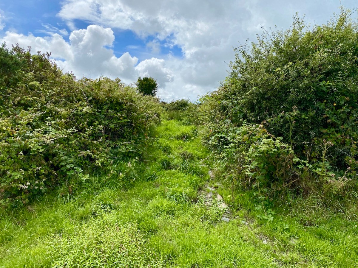
However, when I wrote that post, I hadn’t actually identified Fionn’s Ridge properly. Now, I have not only seen it from several angles, but walked up and down it. The folklore says that Fionn MacCumhaill ploughed the furrow with two rams and a wooden plough and indeed what we see now does bear a resemblance, not to a furrow but to the raised rounded spine (on one side of the furrow) which results when a plough cuts and turns over earth.

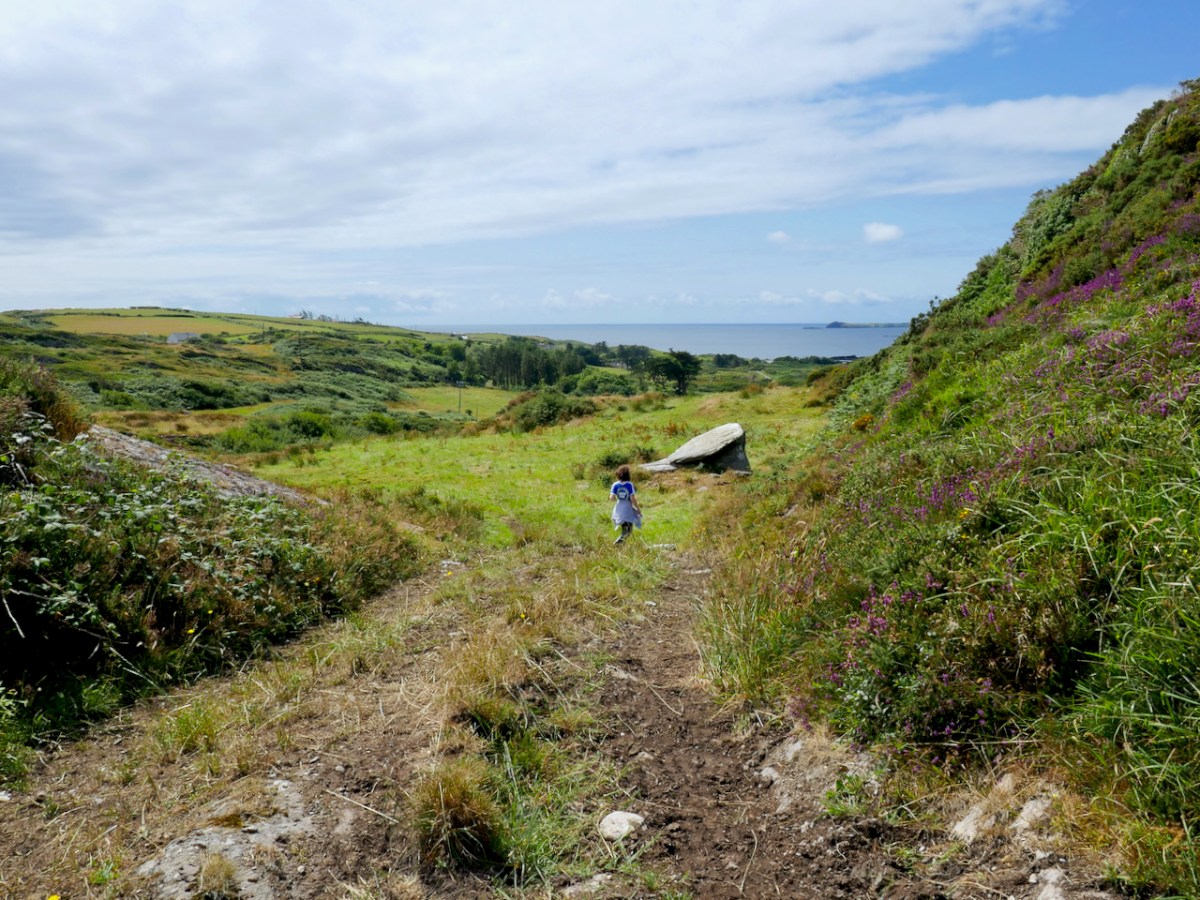
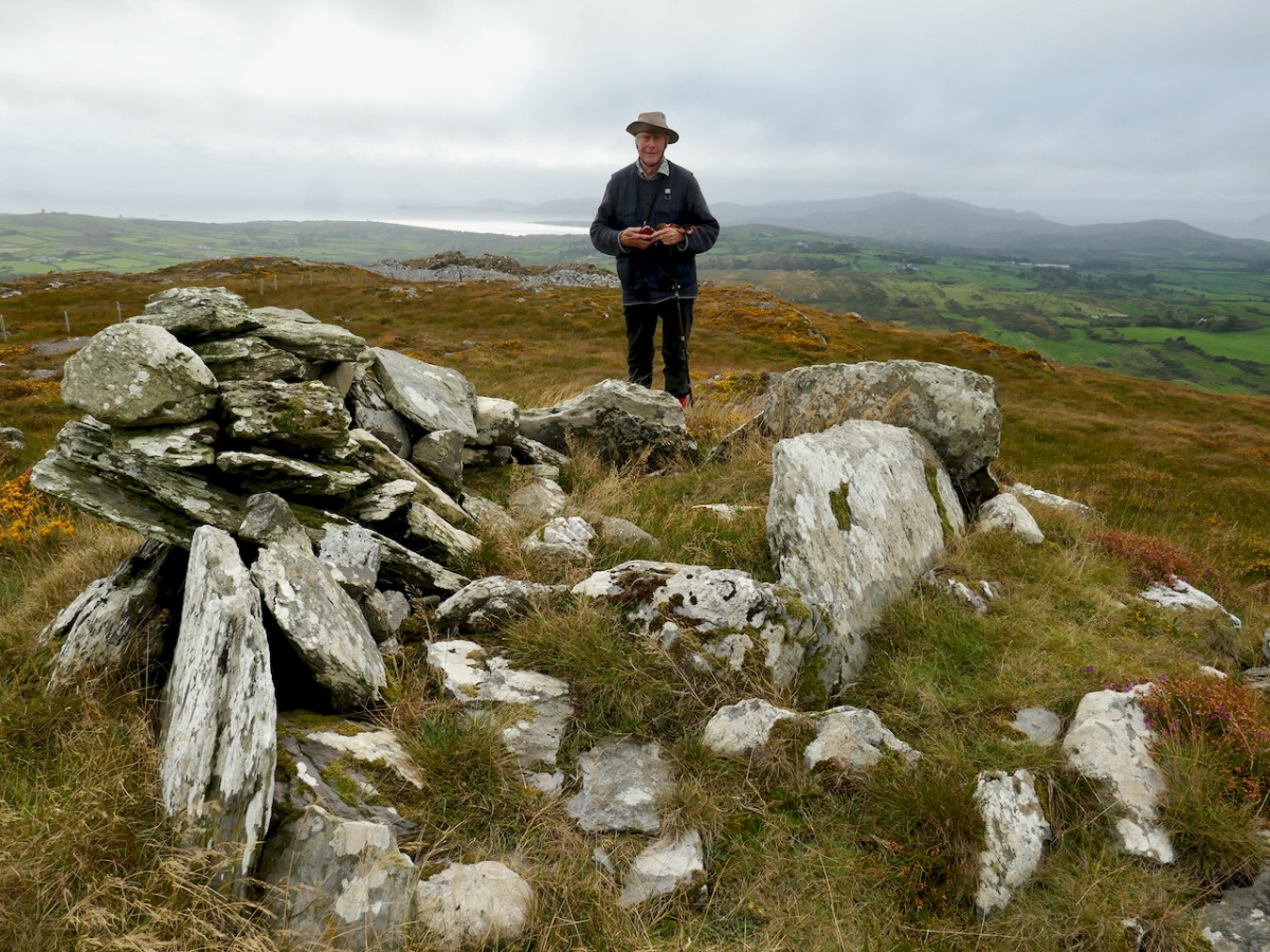
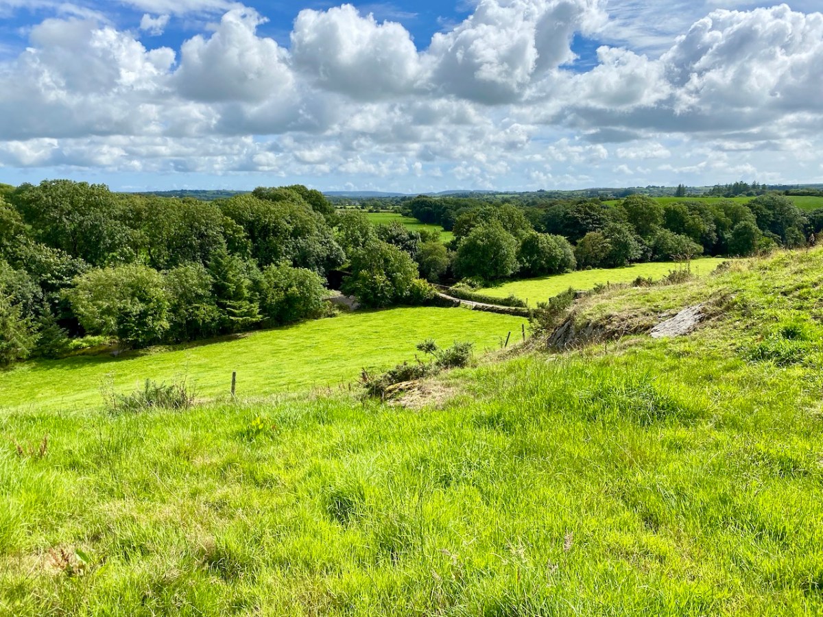
The ridge leads almost straight up to the megalith. This is unlikely to be a coincidence – Neolithic people were as struck as we are by such strange phenomena in their surroundings. When they decided to build the structure at a spot right at the top of it, they may have been influenced by several factors. They may, for example, have used the ridge as a road or as a ceremonial processional route up to the megalith. It is ideal for such a purpose. Like us, they may have had folklore that spoke of a giant and his plough.

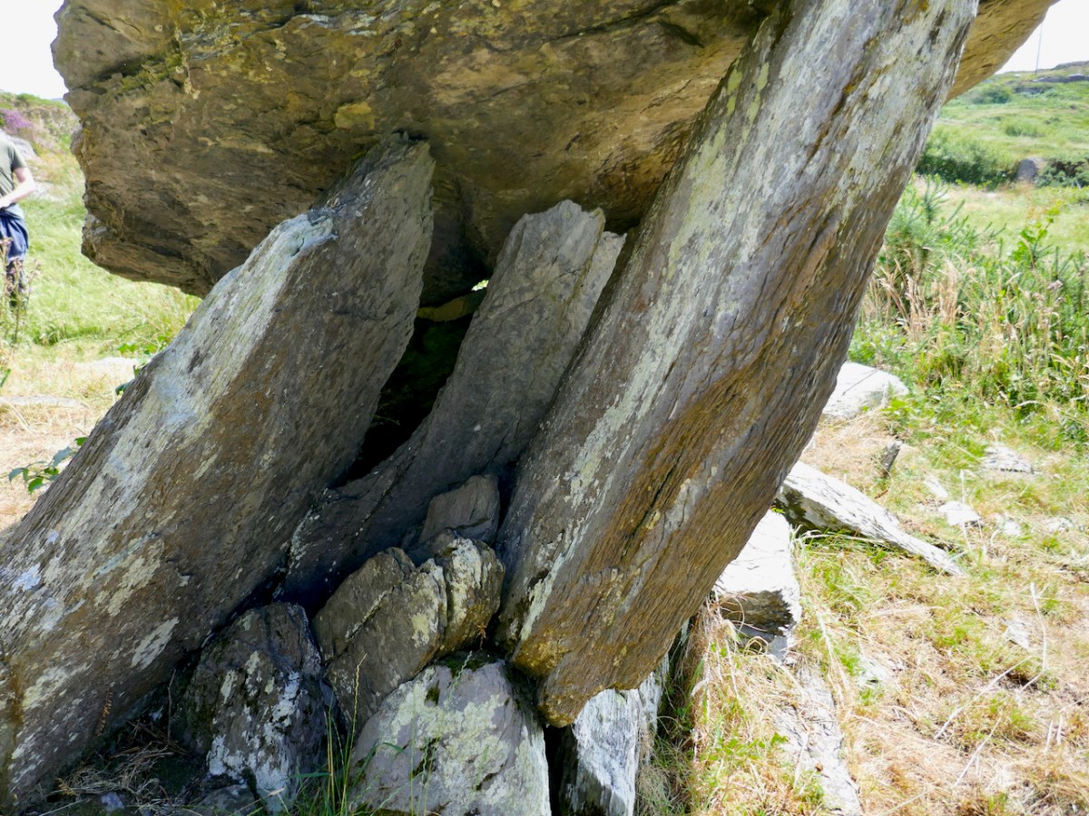
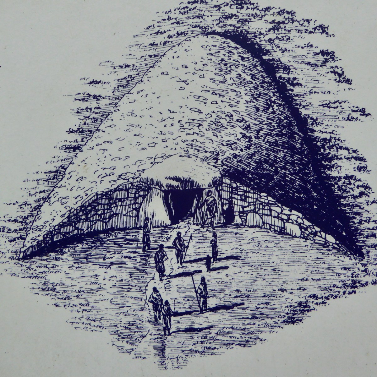
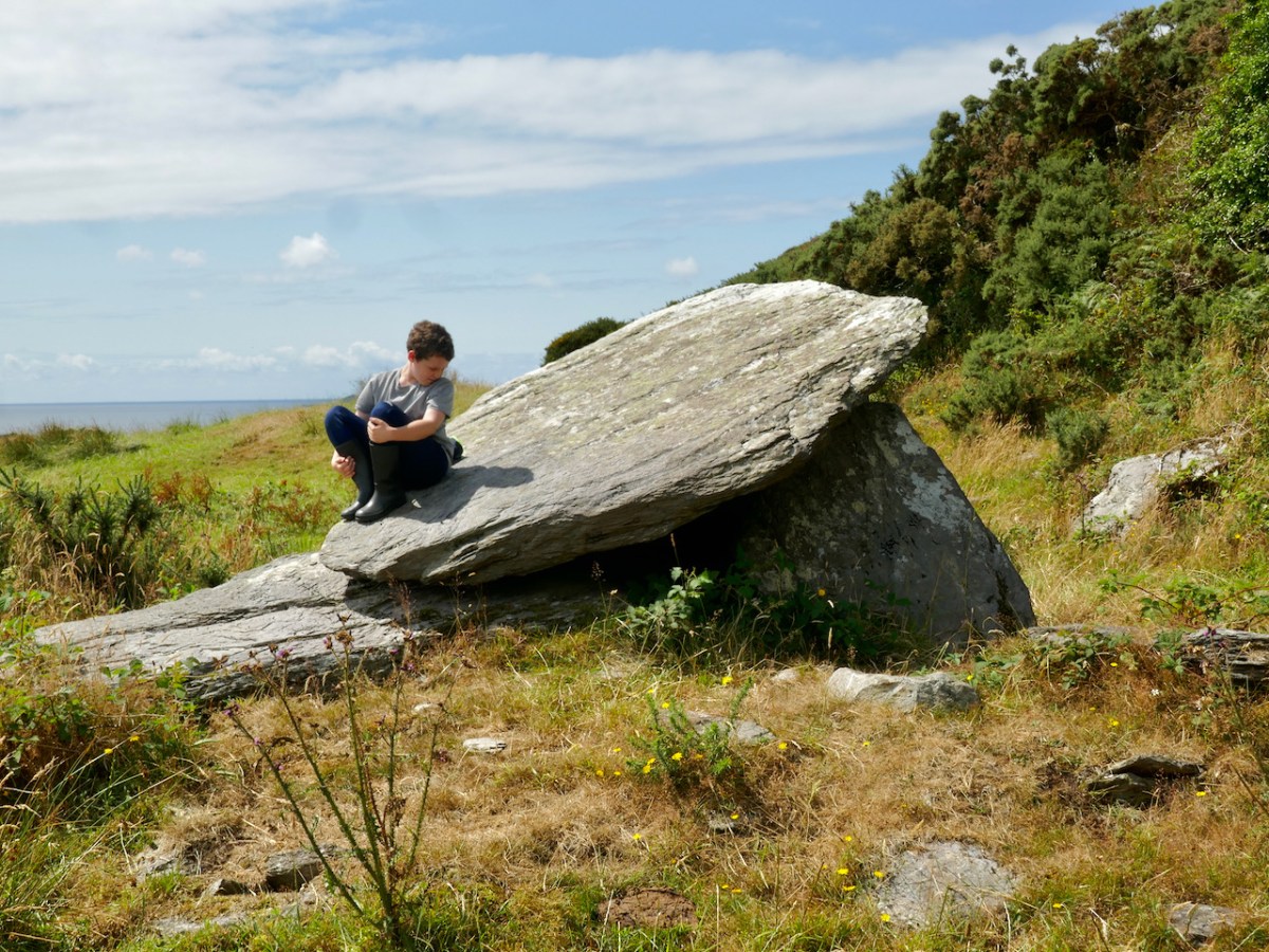
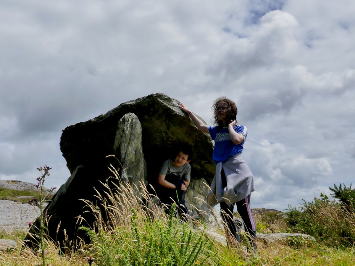
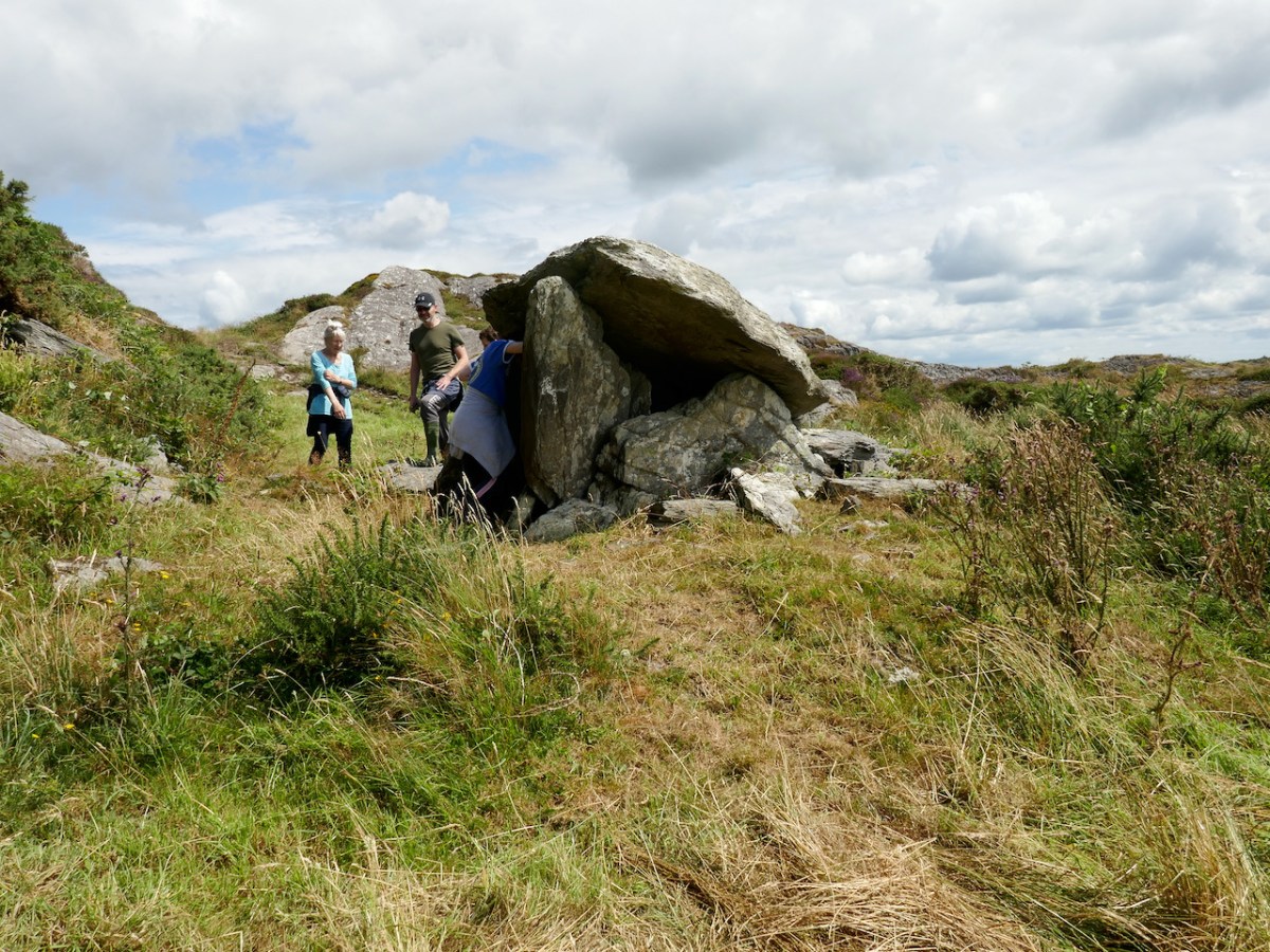
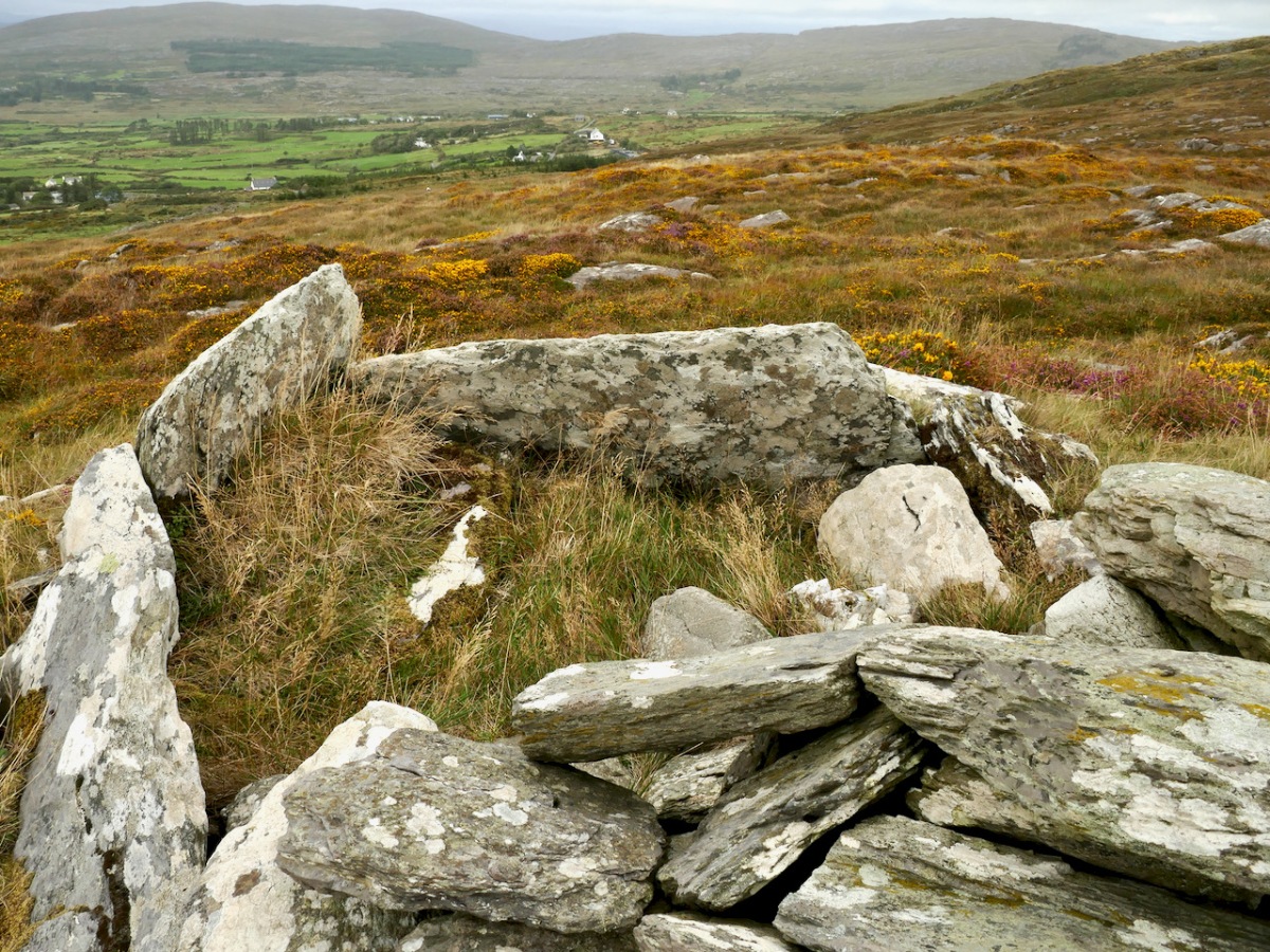
Let us turn now to the megalith. Here’s the National Monuments description: Ruined chamber (L 3.1m; Wth 2.2m at W end, c. 0.6m at E) aligned ENE-WSW, formed of inclined slabs. Structure incorporated in circular cairn. Traces of low dry-stone kerb survive at N, W and S.

The first thing we can say for certain is that is is not a wedge tomb. Take a look at my post Wedge Tombs: Last of the Megaliths for a complete description of this type of monument, which belongs to the Bronze Age. Wedge tombs are the most common megaliths on the Mizen – there are 12 listed. Of these, I have stated my doubts about the Giant’s Grave in Arduslough, based on its hilltop setting and the traces of a mound delineated by kerbstones.

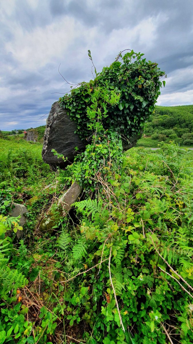
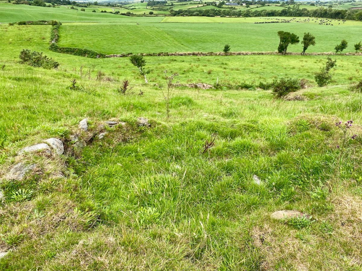
Here we have the same issue – the siting is not typical of wedge tombs, none of which, on the Mizen at least, are on hilltops (apart from Arduslough). Wedge tombs are oriented to the setting sun in the Western sky – that is, the tallest and broadest section, the entrance, is always to the west. In Gubbeen, it is clear that there is no opening to the west – instead what we see is the wall of a roundish chamber. It is impossible to make out exactly where the entrance was for certain, because of piled-up rocks, but it was at the eastern side, with an orientation towards the rising sun, and Mount Gabriel. 

As noted by National Monuments, there are traces of a kerb, although it’s hard to be definitive about this. The collapsed pile of rocks as the eastern end may have been simply piled up there in modern times – but they may also be from a collapsed roof.

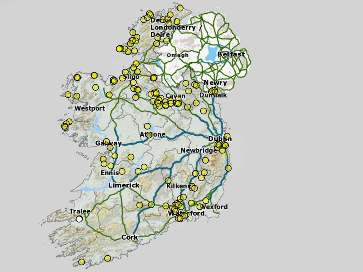
Where am I going with this? I posit that this may be, in fact, a passage grave. Several features (hilltop setting, sunrise orientation, internal chamber, kerb) set it more obviously in the passage grave tradition than in the wedge tomb tradition. There may be an archaeological bias against labelling such structures as passage tombs, since it has been considered that passage tomb distribution was in the northern half of the island. 

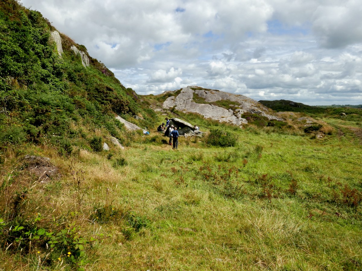
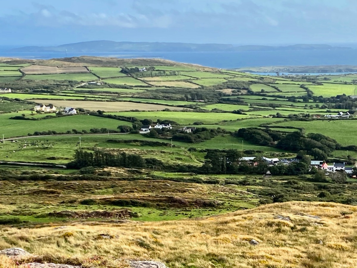
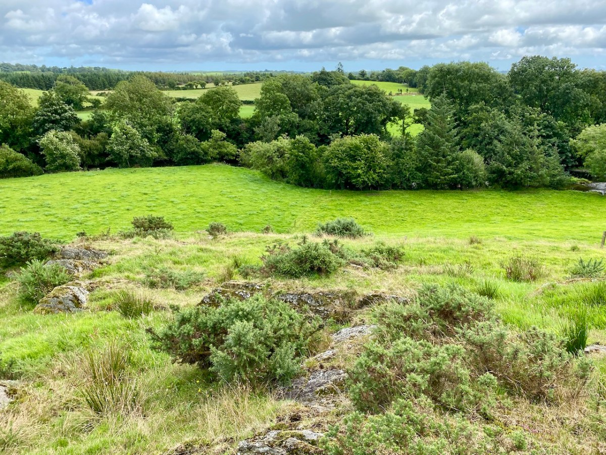
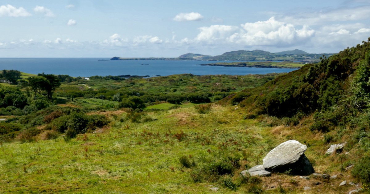
In fact, it is not unlike the passage tomb on Cape Clear, the position of which is clearly visible from this one – that’s it on the horizon, above. Inter-visibility is a feature of passage graves. There is also a similar anomalous megalithic structure on a high point on Sheep’s Head – also clearly visible. 

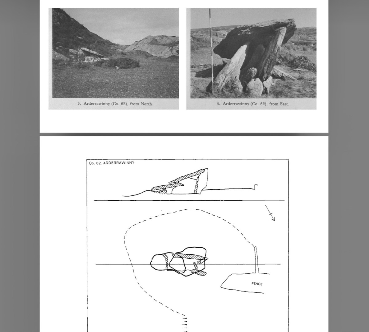
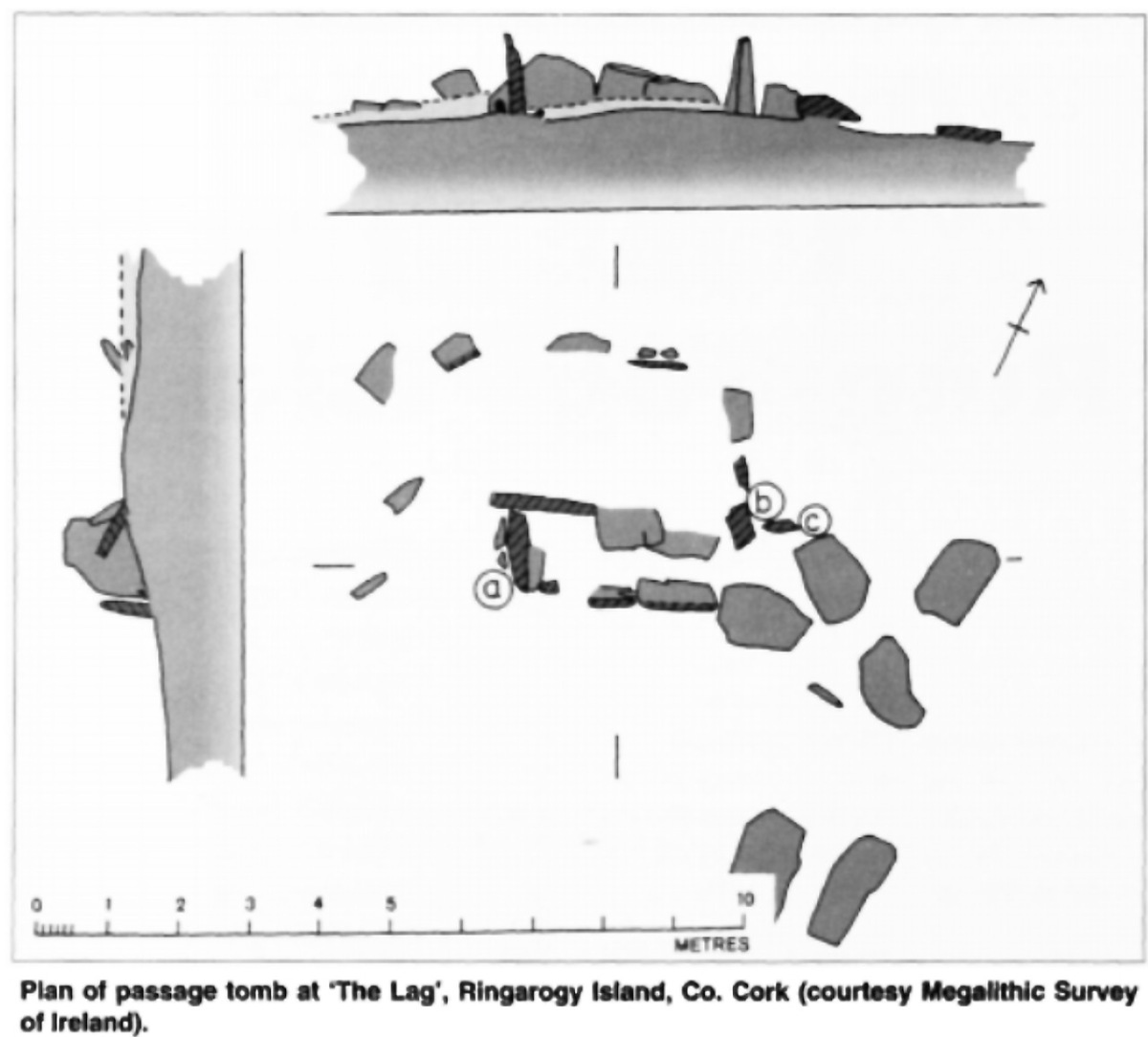
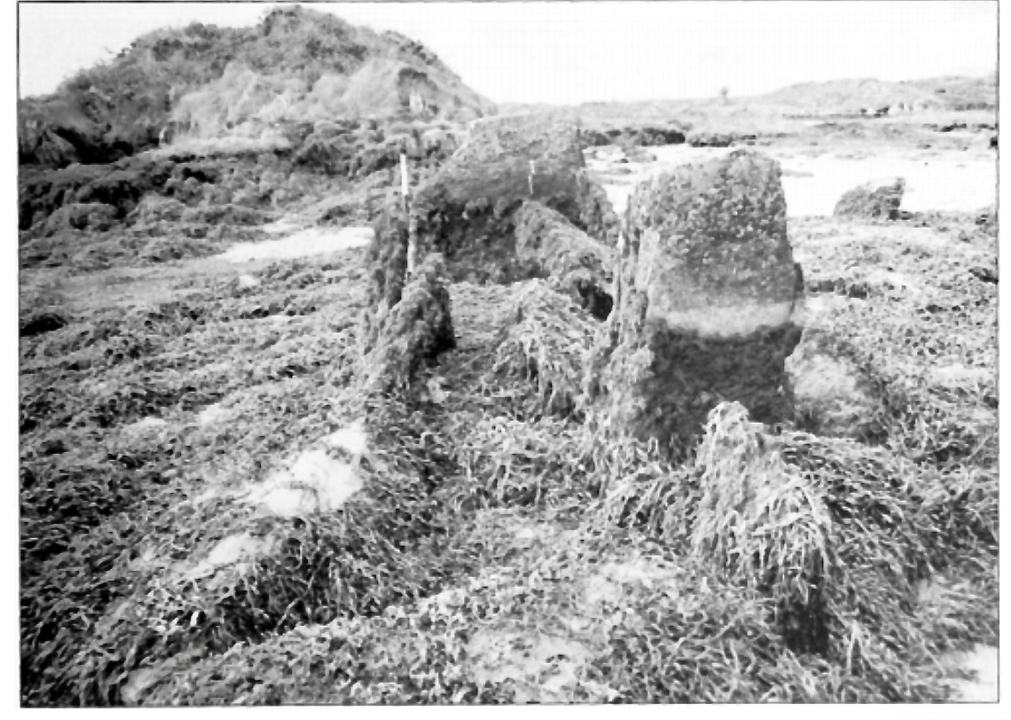
The other structure that has been identified as a passage tomb in this area is in The Lag, between Ringarogy Island and the mainland. Elizabeth Shee Twohig identified it, and placed it and Cape Clear within a group of ‘undifferentiated’ passage tombs (by which she means that there is no clear differentiation between the passage and the chamber as there is, for example in Newgrange) known from Waterford and South Tipperary. All except The Lag occupy high ground, although not summits. Above is her plan of the tomb and below is her photograph, both images from her article on The Lag in Archaeology Ireland Vol. 9, No. 4 (Winter, 1995), pp. 7-9, available here for those with a Jstor account.

So – in many ways, Gubbeen fits with what we know about the southern spread of a passage grave tradition. It’s time for a re-evaluation of passage graves in this part of Ireland. They may well turn out to be much more common than we have admitted hitherto.

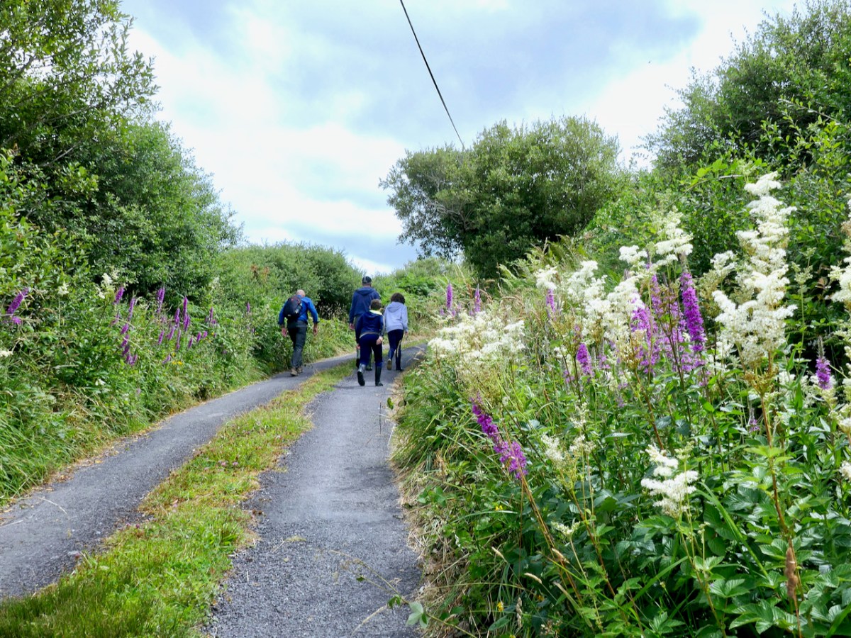
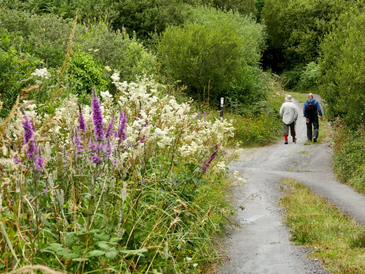
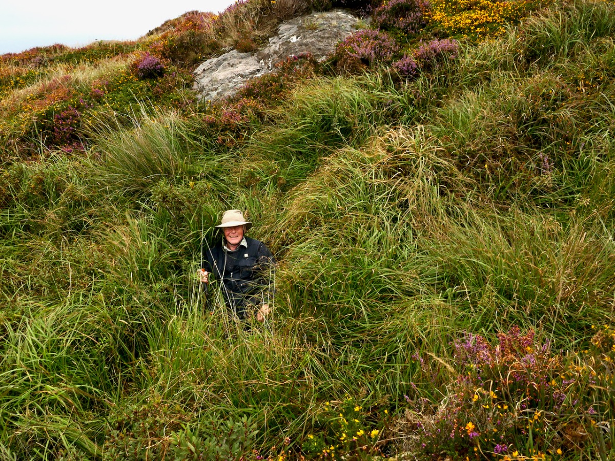
We have visited this site so you don’t have to. It’s private land and very difficult to access and there is no way onto Fionn’s Ridge from the road, despite the fact that it terminates close to the road. Our trek, taken with the permission of the landowner, who warned us, was quite hazardous – more than once we ended up falling through the bracken or caught on the wrong side of barbed wire.

If we ever find an easy way up, we will amend the post – meanwhile, we don’t recommend trying it yourself. 

Ten Years!

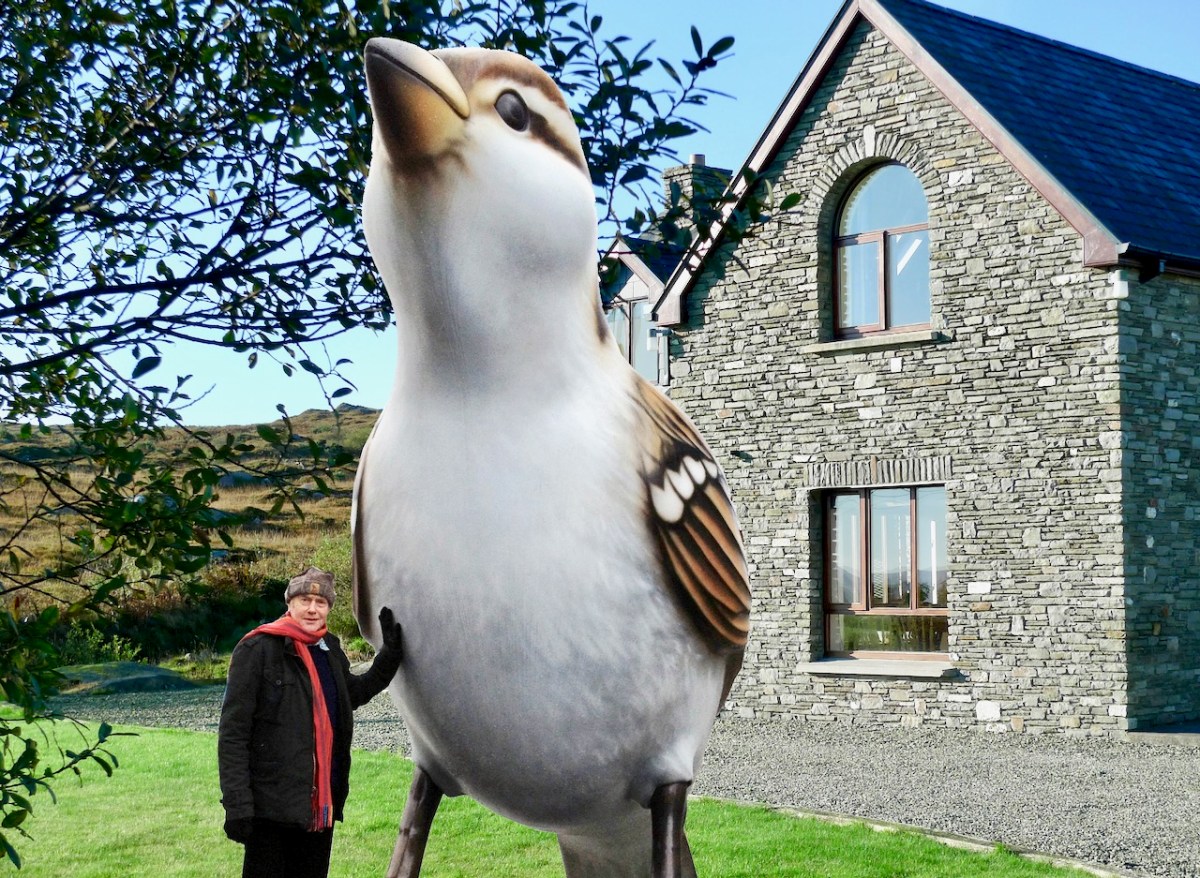
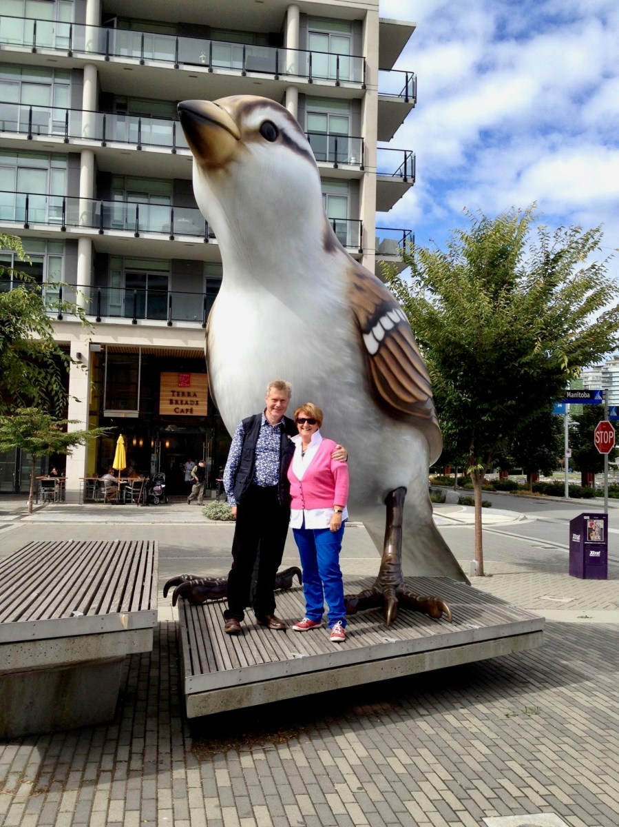
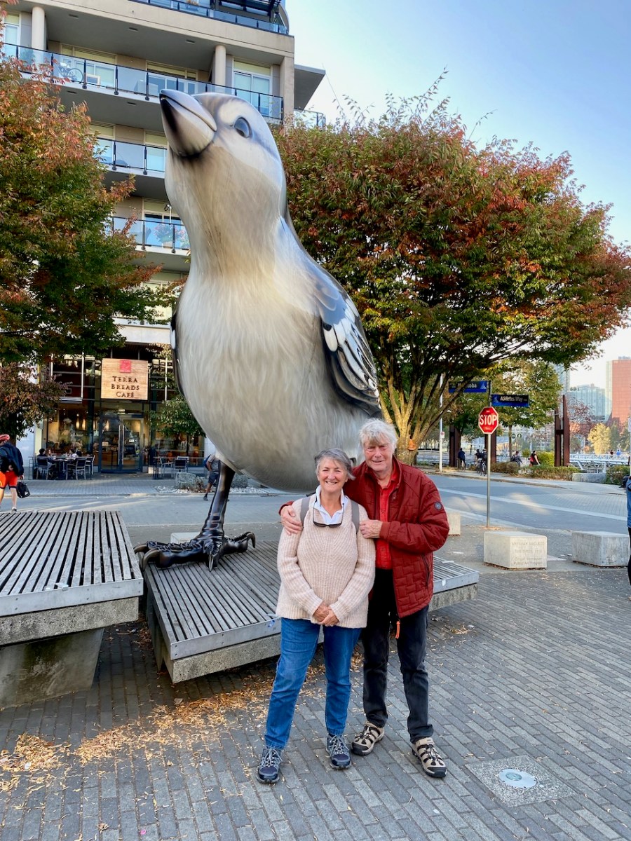
Why have we chosen this photograph to head up our ten year anniversary blogpost? That’s simple: the pic was taken on 15 October 2012. We had moved into Ard Glas – just outside Ballydehob – for a six-month rental to see how we liked West Cork!

But – what about the giant sparrow?

Wait a minute. We very obviously ended up liking West Cork so much that we bought a house in Cappaghglass (the townland next door to Ard Glas), and have stayed there ever since. As you can see, we have been thoroughly enjoying ourselves over the last decade:

Yes, but, that very large sparrow…?

Be patient! Believe it or not, we have kept the blog posts going, with hardly any interruption, ever since. This is Roaringwater Journal post number 968. In the last decade, our Journal has been viewed over 1.5 million times and we have acquired over 5,700 followers between our various platforms.

Our posts are all still there in the archives – and you can still read them. Search by using the three-bar icon on the home page and select All Pages-Navigation, or one of the other menus. Alternately, press the cog button under the Roaringwater Journal title at the top of the page, then scroll down to Archives. Roll down through all the months. Or enter a search term into the magnifying glass symbol next to the cog. That will show whether we have mentioned your chosen subject in any of our blogs. We warn you that some posts (especially the very early ones) haven’t survived the test of time perfectly: but we leave them in there because it’s all a bit of history.

Sparrow?

Hang on! Of course, things change a bit as the years go by (although we don’t*). We have varied the layout of the blog, and the header etc. We had thought of refreshing it all again to celebrate this milestone but… ah, well – perhaps for the twentieth anniversary.

Sp……..?

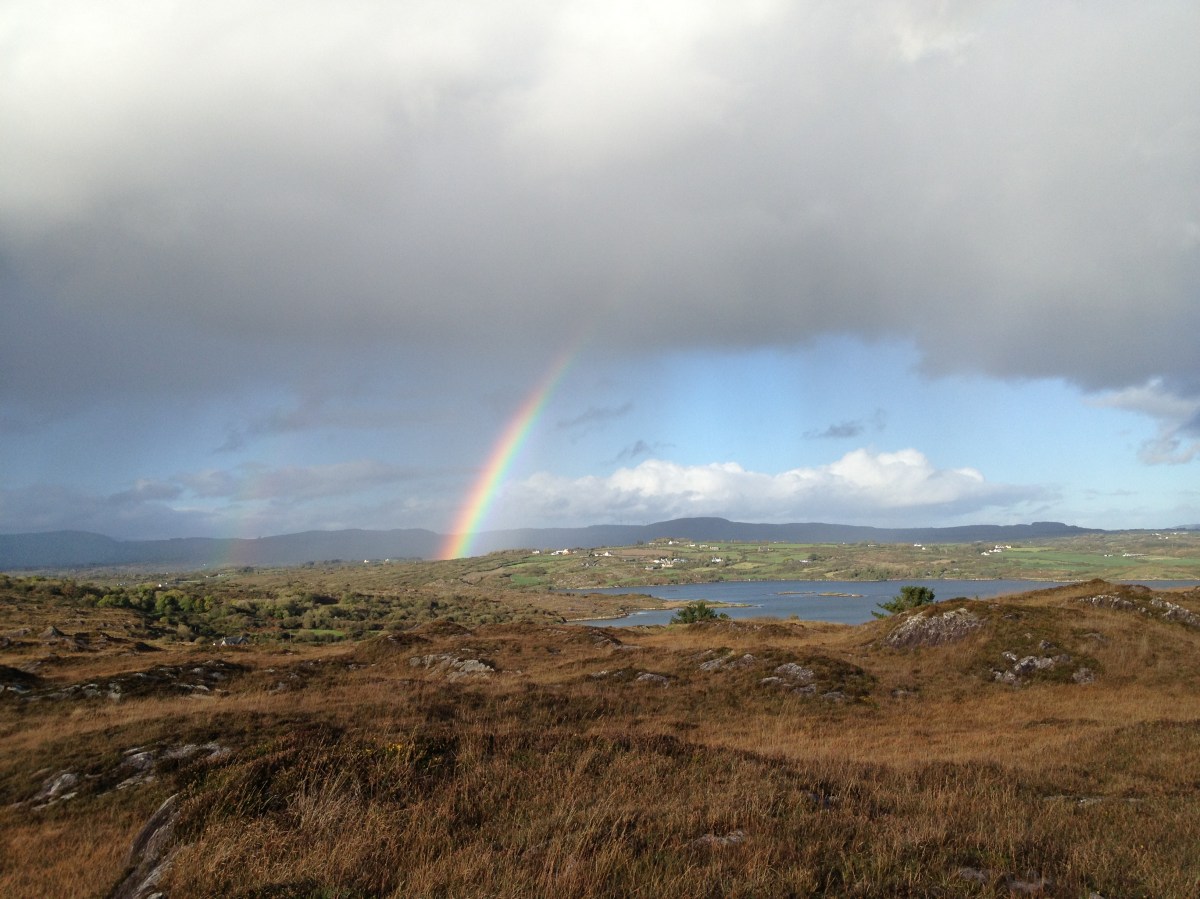
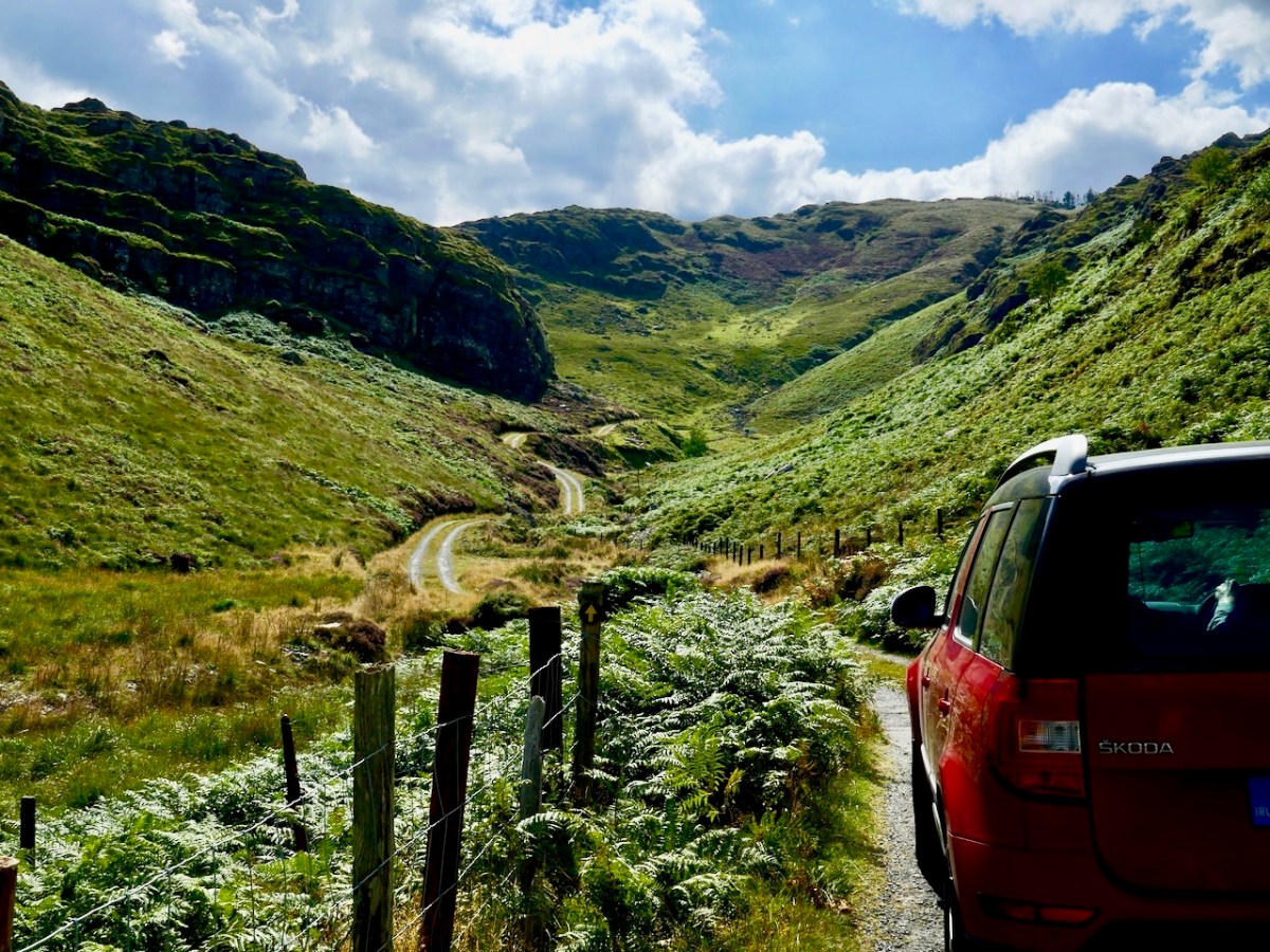
Another pic from 2012 (above) showing mixed weather conditions over Roaringwater Bay. It hasn’t always been sunshine here (have a look at this) but it always feels sunny to us – or just about to be sunny. One of our newest posts -here – shows us doing what we like the most, and always have: exploring remote and often forgotten West Cork byways.

Our regular readers will know that, over ten years, we have developed our interests to take in history, archaeology, rock art, stained glass, architecture, topography, folklore, wildflowers, art and culture, landscape and language… and very much more. We share our adventures often with Amanda and Peter Clarke, our fellow bloggers and friends – see Holy Wells of Cork and Kerry and Hikelines.

What of the next ten years? Well, we are trying to be innovative. This week we have introduced a ‘guest post’ for the first time: this one, by our friend Brian O’Riordan, explores the exploits of an intrepid 79-year old woman who sailed solo across the Atlantic to Ireland in 1994 , which falls right into our own interests, and – hopefully – yours too.

S…………..?

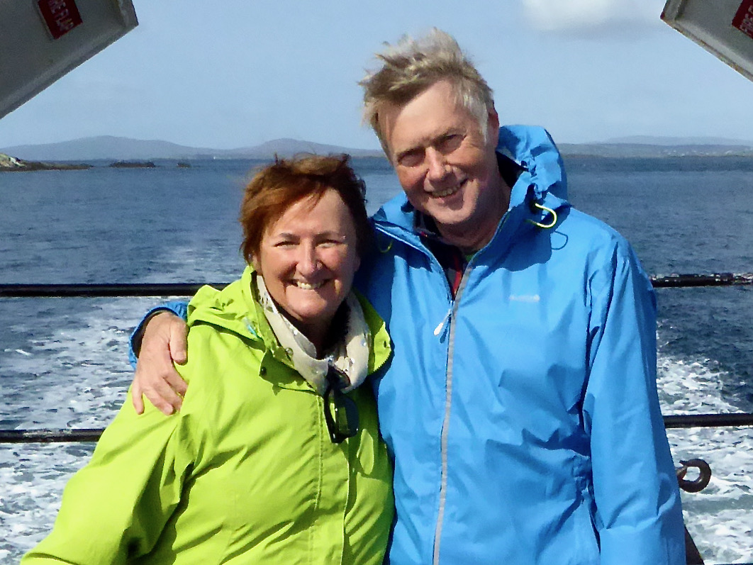
Ok – we have got the message! About the sparrow, that is. The original giant sparrow is one of two (a male and a female) which were created for the Olympic Park in Vancouver, Canada, in 2010 by the sculptor Myfanwy MacLeod. One was transported by our own photo magic to Ard Glas! Perhaps they are not relevant to West Cork, but they are meaningful to Finola and Robert, as we saw them together in Canada ten years ago – pic below. We have just recently returned from a visit to Canada, enjoying a long-awaited catch-up with Finola’s family there. We made sure to record our presence there with another photo-op (below the below).

* Hopefully this demonstrates how youthful we remain, imbibing as we do the stimulating West Cork air. Here’s to the next ten….!

Sun’s Out! A Further Look at The Beara

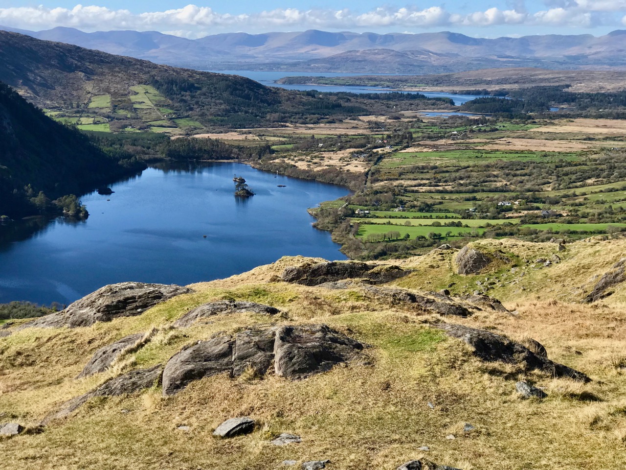
A few years ago, on one April day after a bleak, harsh winter that had gales, hurricanes, blizzards and unceasing bitter east winds thrown at us – the sun came out! We were out too, and headed up to the Beara Peninsula to see if we could remember what sun-soaked landscapes felt like… They felt great!

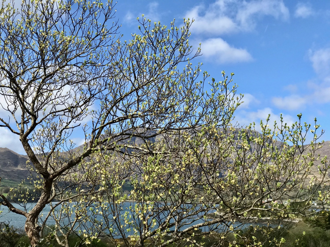
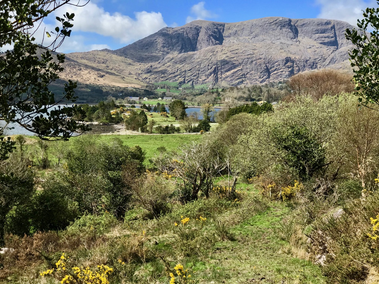
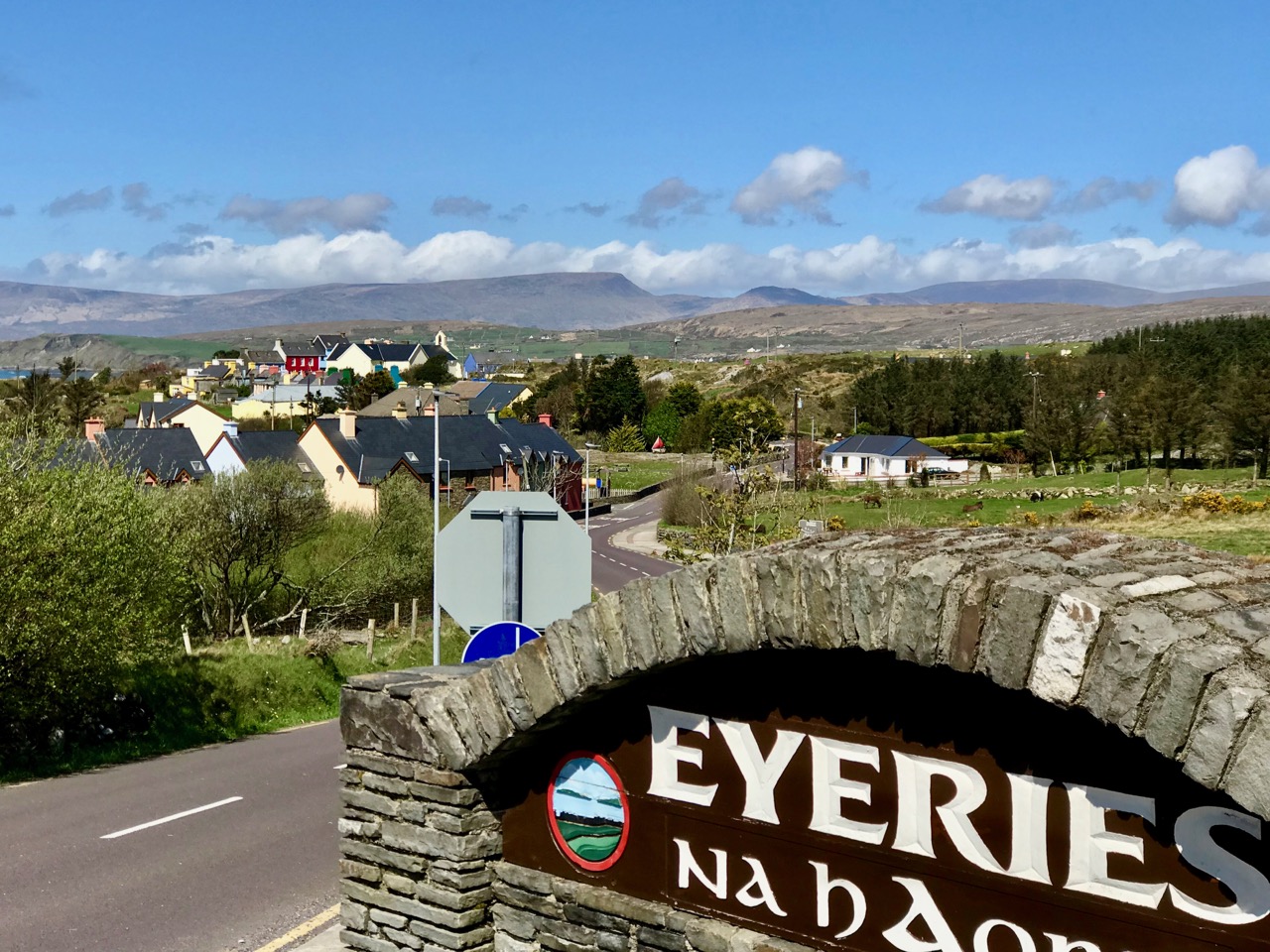
Header – the glories of Cork and Kerry combine on the spectacular Beara; top photograph – finally, after a long,harsh winter, we see the spring blossoms appearing; middle – a wayside shrine on the road out from Glengariff; bottom – Hungry Hill dominates the views as we head west on the peninsula

You will remember our previous visits to the Beara: there are not enough superlatives for what it has to offer in the way of stunning scenery and colour. None of these photographs have been enhanced – what you see is exactly what we saw on the day – and it’s what you will see, too, if you choose aright (although even on dull days we always find plenty to interest us).

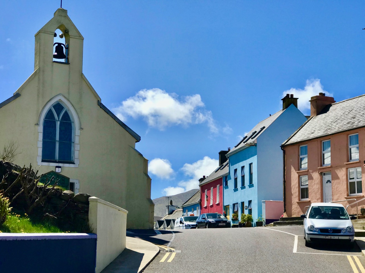
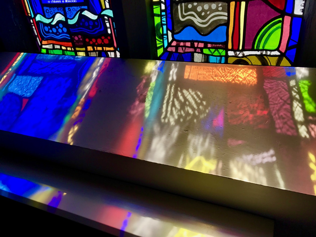
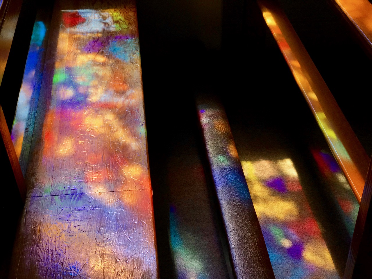
Top photograph – St Kentigern’s Church is in the centre of one of Ireland’s most colourful villages; middle – the sunlight plays games with the beautiful windows by glass artist George Walsh; bottom – light from the windows dances on the pews

We knew where we were going: Finola was keen to revisit the little Catholic church of St Kentigern in Eyeries, which has a fine collection of windows by George Walsh: it’s a gem – and at its best for the quality of the light enhancing it on the day. I wanted to see the settlement itself in the early spring sunlight as it’s one of the most colourful places in the whole of Ireland! Neither of us was disappointed.

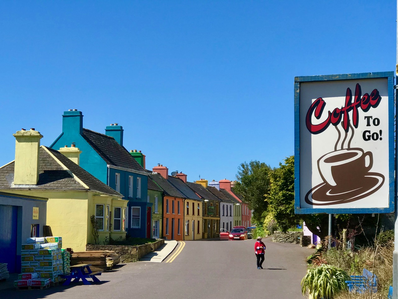
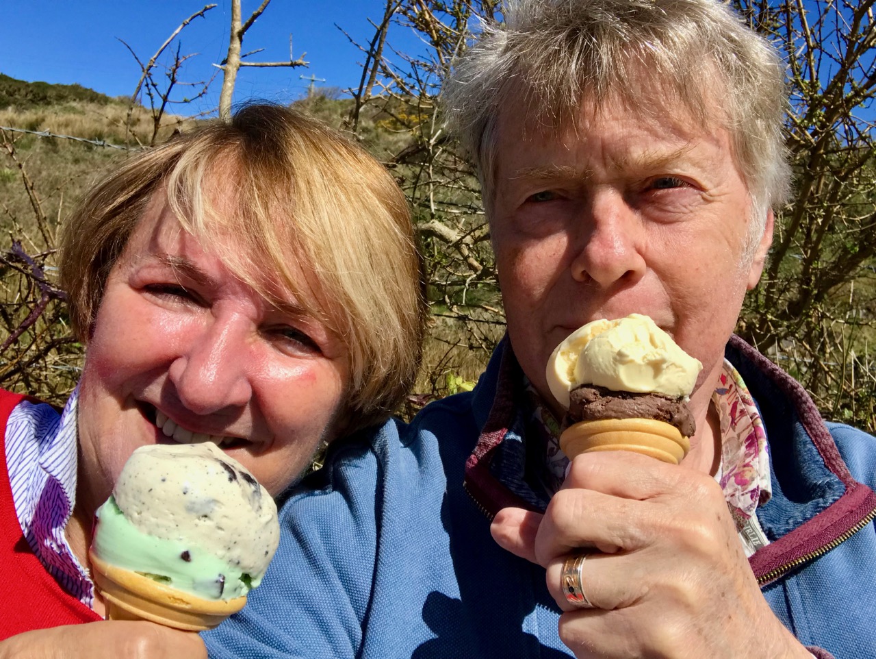
Just a taster of the treats in store in Eyeries: on a beautiful spring day there was hardly a soul around, but we were still able to find an ice cream in O’Sullivan’s!

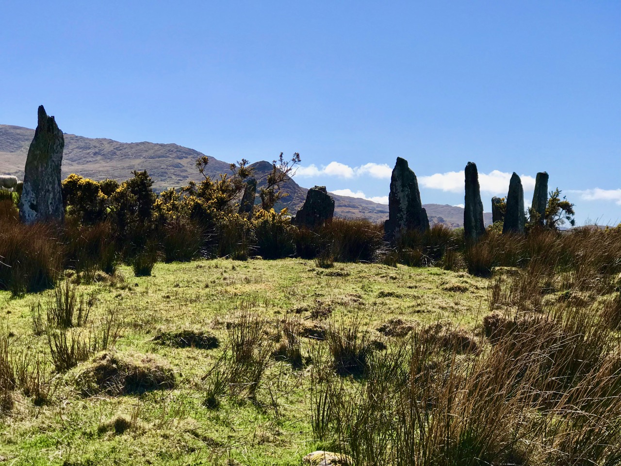
Our second objective was to travel into the hills and find Ardgroom Outward stone circle. The trail involves farm gates, stiles and a lot of mud – but the 9 stone circle (named locally ‘Canfea’) is a fine, almost intact monument with wide vistas to mountain and sea. The impressive outlier stone is 3.2m in height.

The magnificent Ardgroom Outward (or ‘Canfea’) stone circle is accessible via a marked, boggy path: the vistas from the site make the journey worthwhile. Finola is dwarfed by the huge outlier!

It’s barely a skip up to Eyeries from Nead an Iolair, so we had to carry on around the peninsula and take in the almost surreal views of oceans, lakes and mountains before dipping into Kerry and then heading over the top back into Cork county and down the Healy Pass – surely one of Ireland’s most spectacular road trips.

Returning home – with the evening sun setting gloriously over Roaringwater Bay – we reflected that there can’t be many places in the world where a single day can offer such a feast to satisfy all the senses.

Kenmare Stone Circle

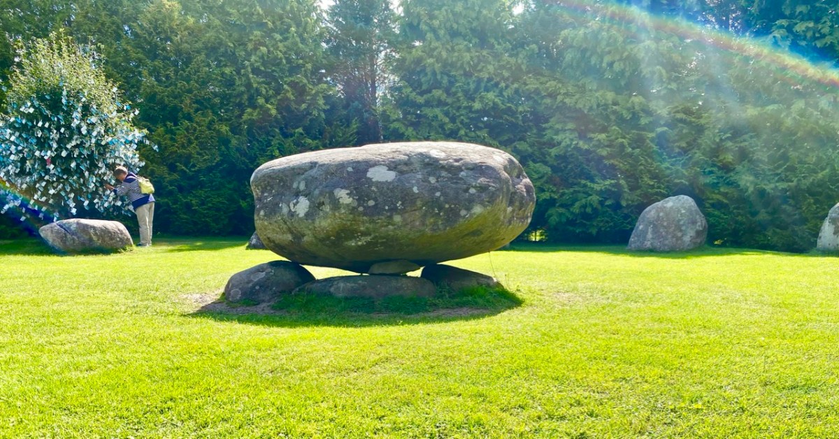
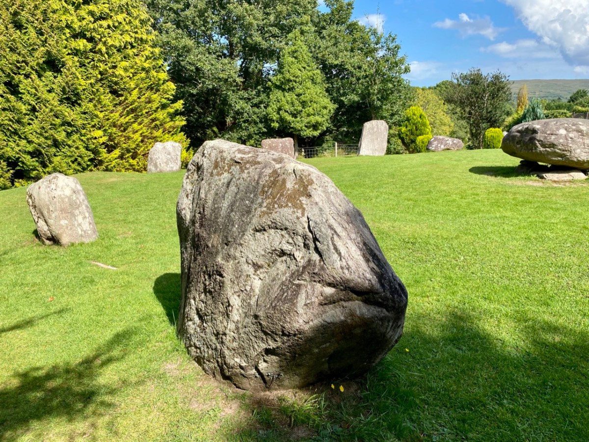
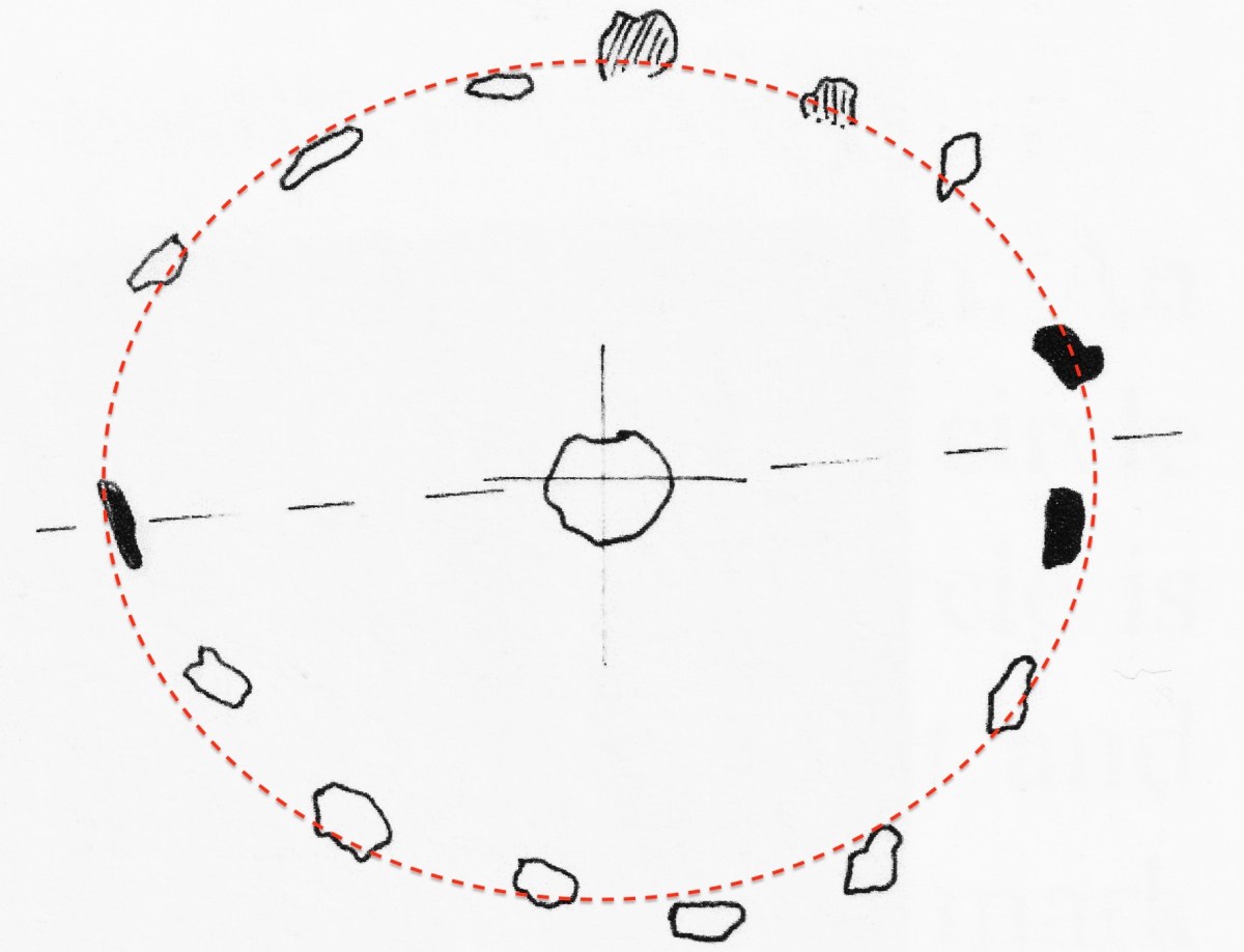
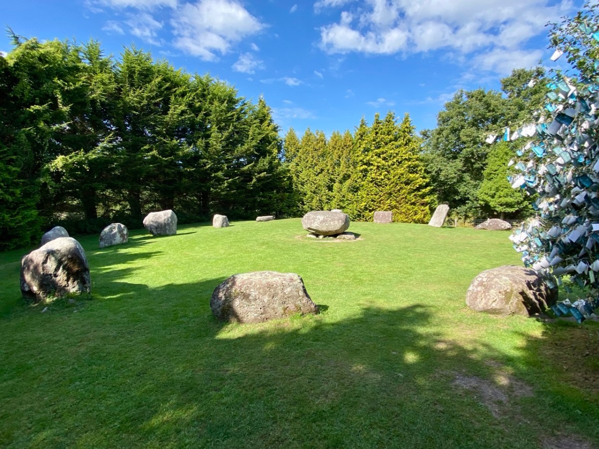
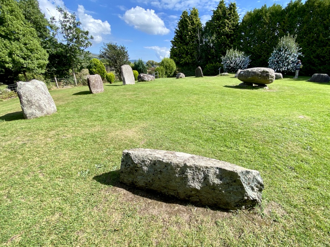
The significant stone circle at Kenmare is an unusual monument in several respects. It is said to be the largest stone circle in the south west of Ireland, oval in shape and measuring 17.4 x 15.8m. It seems intact: I found no record of any intervention or ‘improvement’ to the circle, which consists of an oval ring of 15 stones with a central ‘boulder burial’. Although situated very close to the main streets of this Kerry town, it has often been described as ‘hard to find’. I can remedy that – here’s a present-day location map:

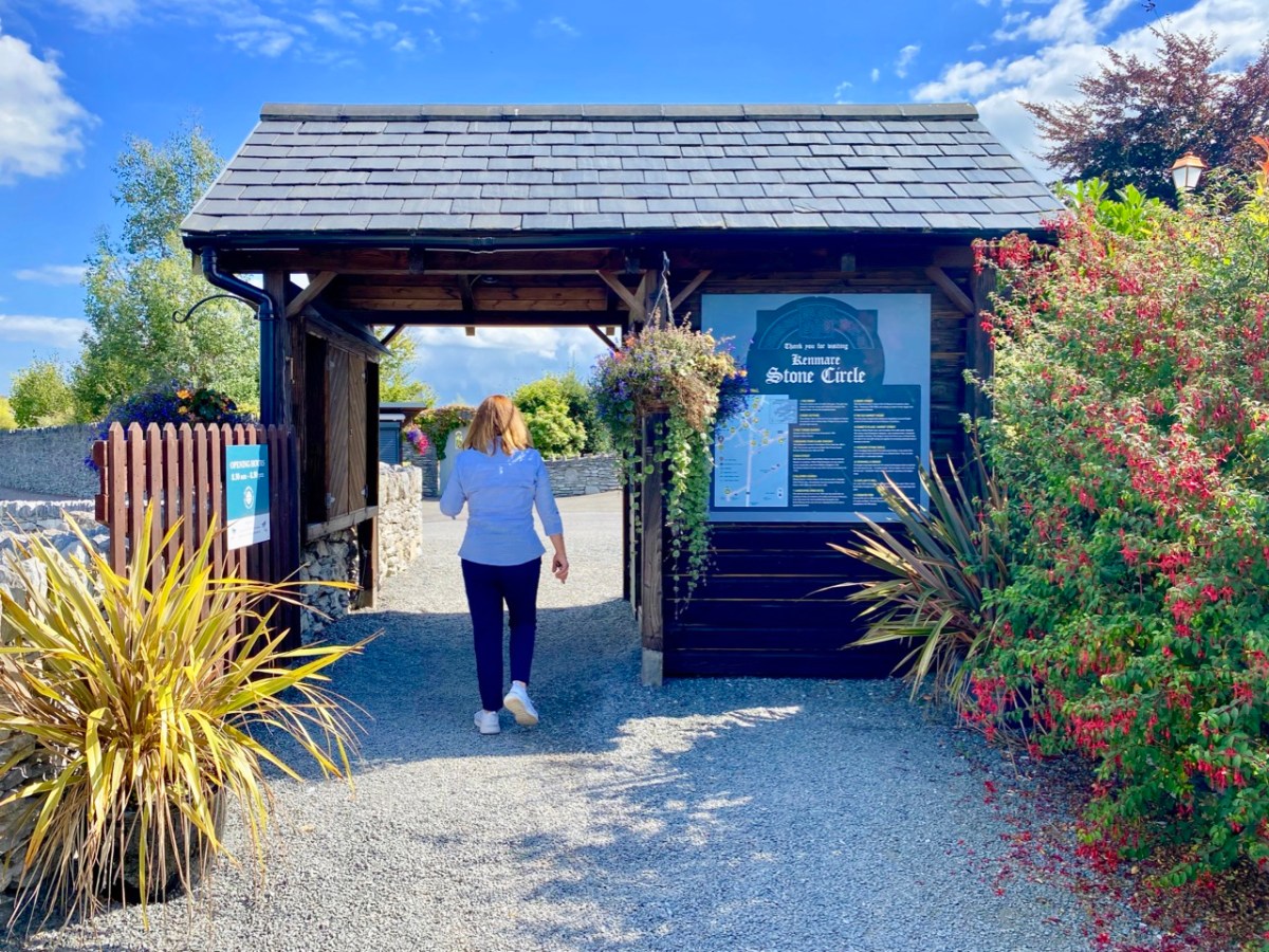
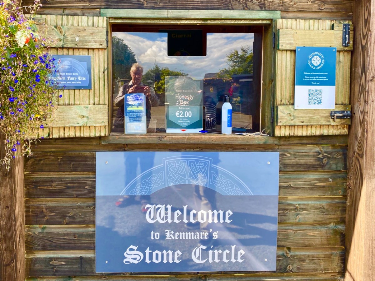
The site is just a few minutes’ walk from the centre of Kenmare and now has its own dedicated car park beside it. The circle is very ‘tidy’ and well looked after. A nominal entrance fee is requested, the funds being put towards the maintenance of the area.

While the circle is fairly well enclosed nowadays by a ring of tall trees, the vista would previously have been more open with extensive views. Quarrying has taken place in the vicinity in past years. Here is the historic 6″ OS map showing the site as it was around the late nineteenth century.

The archaeology.ie Historic Environment Viewer gives a brief, sober description of the site:

. . . In level pasture, on the SW outskirts of Kenmare town. A subcircular area (17m E-W; 15m N-S) is enclosed by fifteen stones (L 0.8-1.6m; T 0.2-0.7m; H 0.3-1.2m), two of which are prostrate. The axial stone is the lowest and is a regular flat-topped slab contrasting with most of the other stones, which with one or two exceptions, are of boulder type. A boulder-burial (KE093-032002-) occupies the centre of the stone circle. (Ó Nualláin 1984a, 26, no. 41) . . .

Archaeology.ie KE093-032001

I was disappointed in my search for an antiquarian’s account of this circle: Ó Nualláin (quoted above) and others have included it in general lists of such monuments. I was hoping for some speculation on its significant size, and on the large central boulder, itself a slightly unusual feature within a stone circle.

Finola has comprehensively speculated on boulder burials, however, in her Roaringwater Journal post from a few years ago. (She has also written on stone circles generally here). The Kenmare example is visually very much in line with the overall archaeology.ie Monument Class description:

. . . Boulder Burial – A large boulder or capstone of megalithic proportions, resting on a number of supporting stones, usually three or four in number, which, in most cases, do not form a recognisable chamber structure. Excavations suggest a Bronze Age date for this burial monument (c. 2400-500 BC) . . .

Archaeology.IE Monument Classification

Finola has pointed out, however, that there is no conclusive evidence for assuming that these ‘boulder burials’ are – well – principally burials.

. . . William O’Brien [Professor of Archaeology UCC] excavated three boulder burials in the late 1980s and found no evidence of burials. In his book, Iverni, he comments in an understated way, “The absence of human remains at Cooradarrigan and Ballycommane does pose some questions as to their use.” His findings dated the sites to the Middle Bronze Age, between 3000 and 3,500 years ago . . .

Finola Finlay, Roaringwater Journal

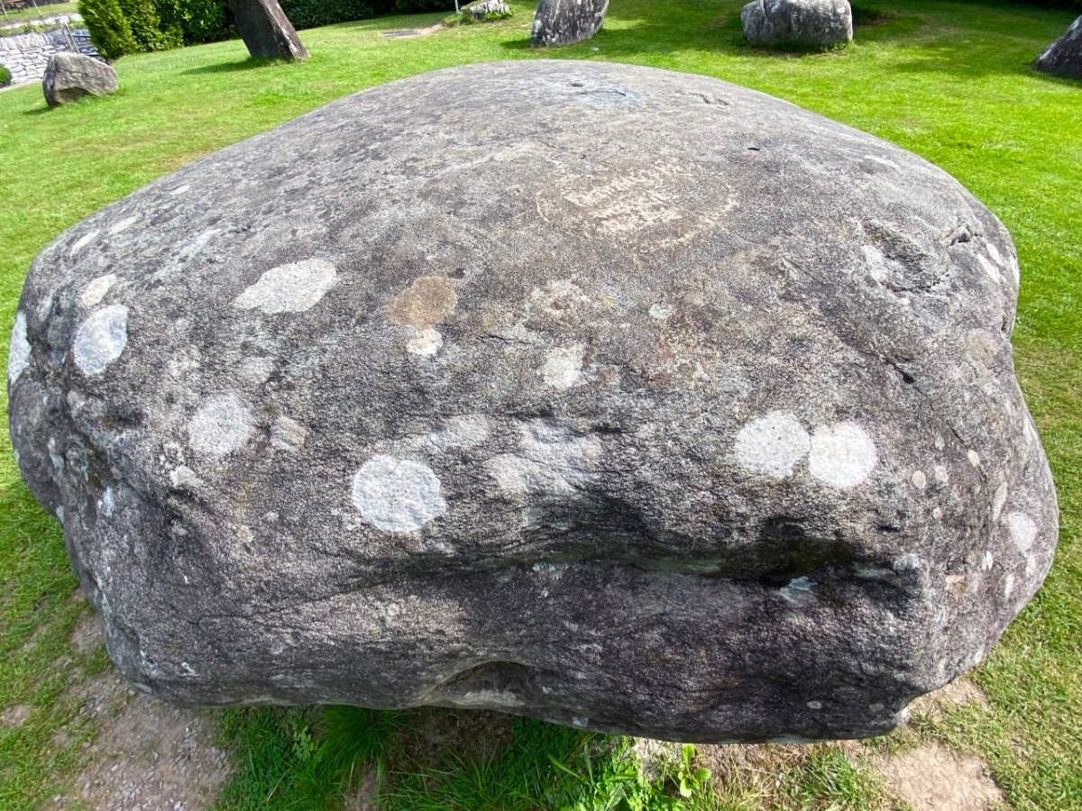
So, should we perhaps call them ‘elevated stones’? Visually, they are certainly always striking. This one at Kenmare is said to weigh around 7 tons. Bearing in mind the stones in this circle are likely to originate some few miles distant, we can imagine the efforts required to assemble them. O’Brien dates the boulder burials he studied to 1000 or 1500 BC. This would tie in with the general thinking that stone circles were Bronze Age also.
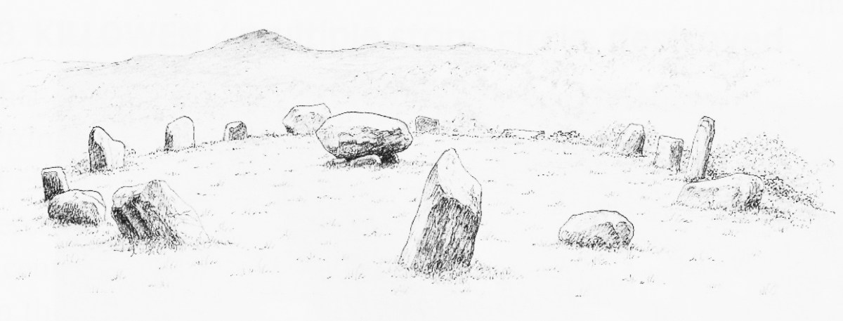
The two drawings above are from Jack Roberts. On his survey (top) I have superimposed an oval template which confirms the suggestion that the Kenmare ‘circle’ is egg-shaped. In the lower sketch view – probably dating from the 1980s – the stones appear to be out in the open, free from the present-day tree shielding.

While it is generally implied that all the stones in this monument were placed at the same time, there is always the possibility that there might have been an evolution in its construction. By that I mean that we could speculate that the ‘boulder burial’ stone was placed first and the circle came afterwards – perhaps to enhance its setting. Or vice versa.
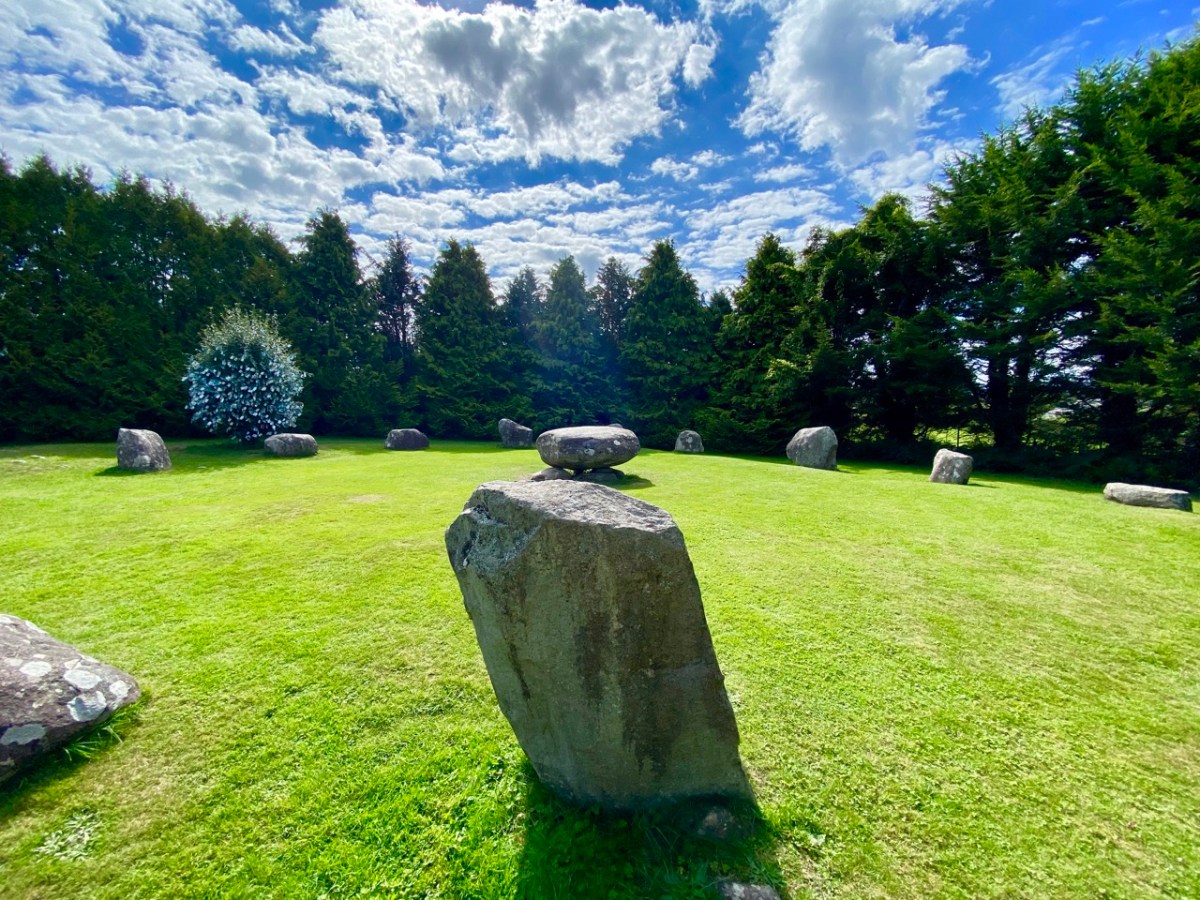
This photograph clearly shows the recumbent stone. Many of the circles in south west Ireland are known as axial circles, where a ‘recumbent’ stone (seemingly placed on its long edge) may provide a horizon viewing point when observed from a ‘portal’ of two stones at the opposite side. The orientation axis created by this observation is usually from north east towards south west (as is the case here). Where a stone circle has a clear horizon (such as Drombeg, in West Cork) it has been noted that this alignment faces the setting sun at midsummer solstice.

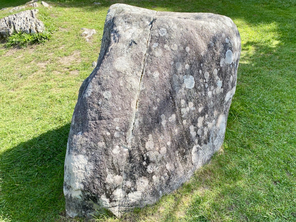
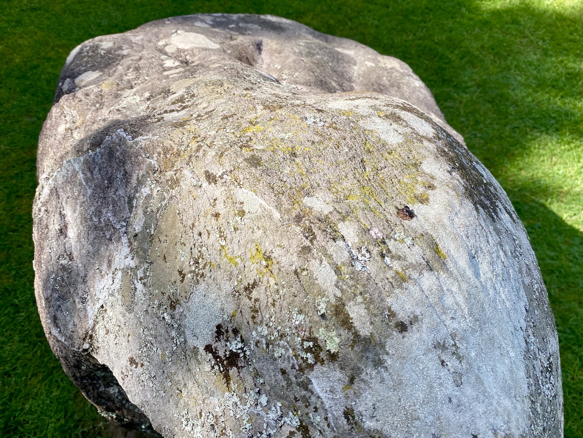
As you can see from these close studies of some of the individual stones (above) there are quite significant differences in their shape and character within the circle. It has been suggested (elsewhere) that the shapes and the relative placing of the stones is significant. ‘Male’ and ‘female’ stones have been suggested – but this is yet more speculation.

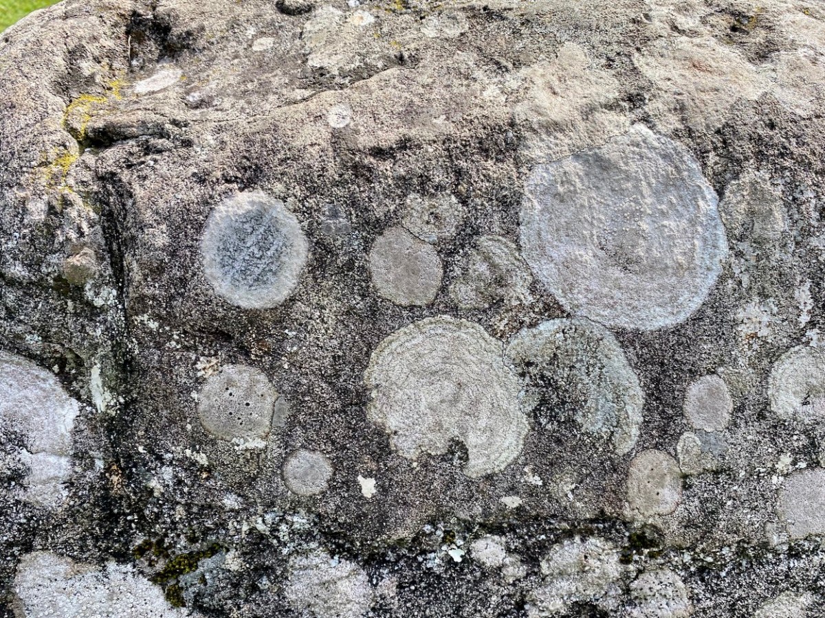
As far as we can see there are no ancient markings on the stones at Kenmare (except for a possible single cup-mark on the upper surface of the boulder burial), but I am fascinated by the lichen shapes and textures on one particular stone (above). This is ‘nature’s art’, of course.

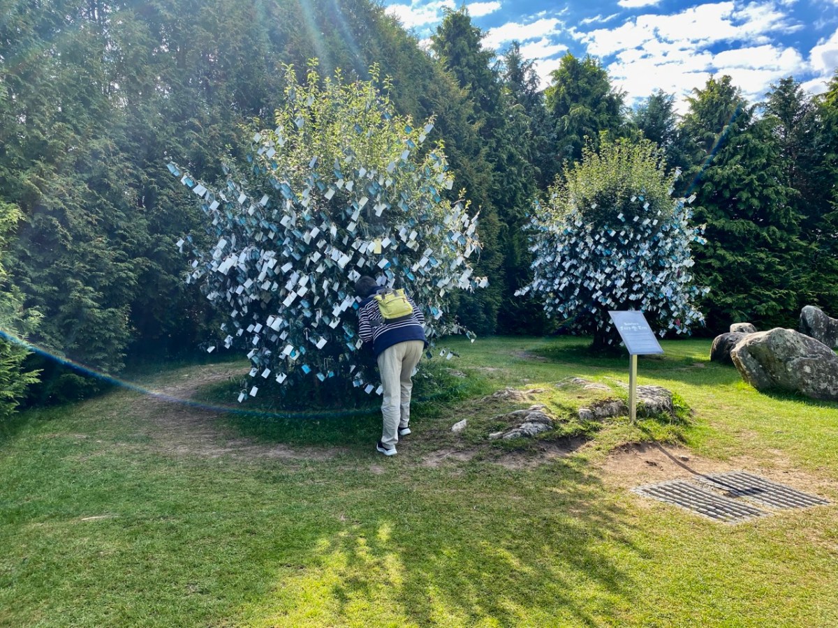
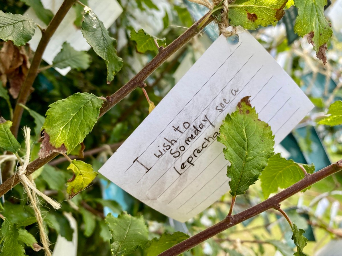
It’s impossible to ignore the two ‘fairy’ hawthorn trees that have been established within the vicinity of the stones. In my opinion it was an inspiration to exploit the idea of visitors purchasing ‘message cards’ from the site kiosk and writing down their own thoughts and personal wishes, which are then tied on to the branches. That’s Finola, above, being affected by the rainbow fairy vibes. She has written her own post today specifically on this aspect of the place. My favourite message is this one, below:

Caheragh Explorer

I’ll explain at the outset that Caheragh is (more or less) pronounced ‘corer’ (as in coring apples)! It’s a parish in West Cork that we have visited before. Have a look at my article on the Ilen River, here. This locality is brimming over with history and we go exploring as often as possible: there is always more to find. And – with wide views and cloud scapes in all directions from the high ground – it’s an uplifting place, especially when blessed with the August sun.

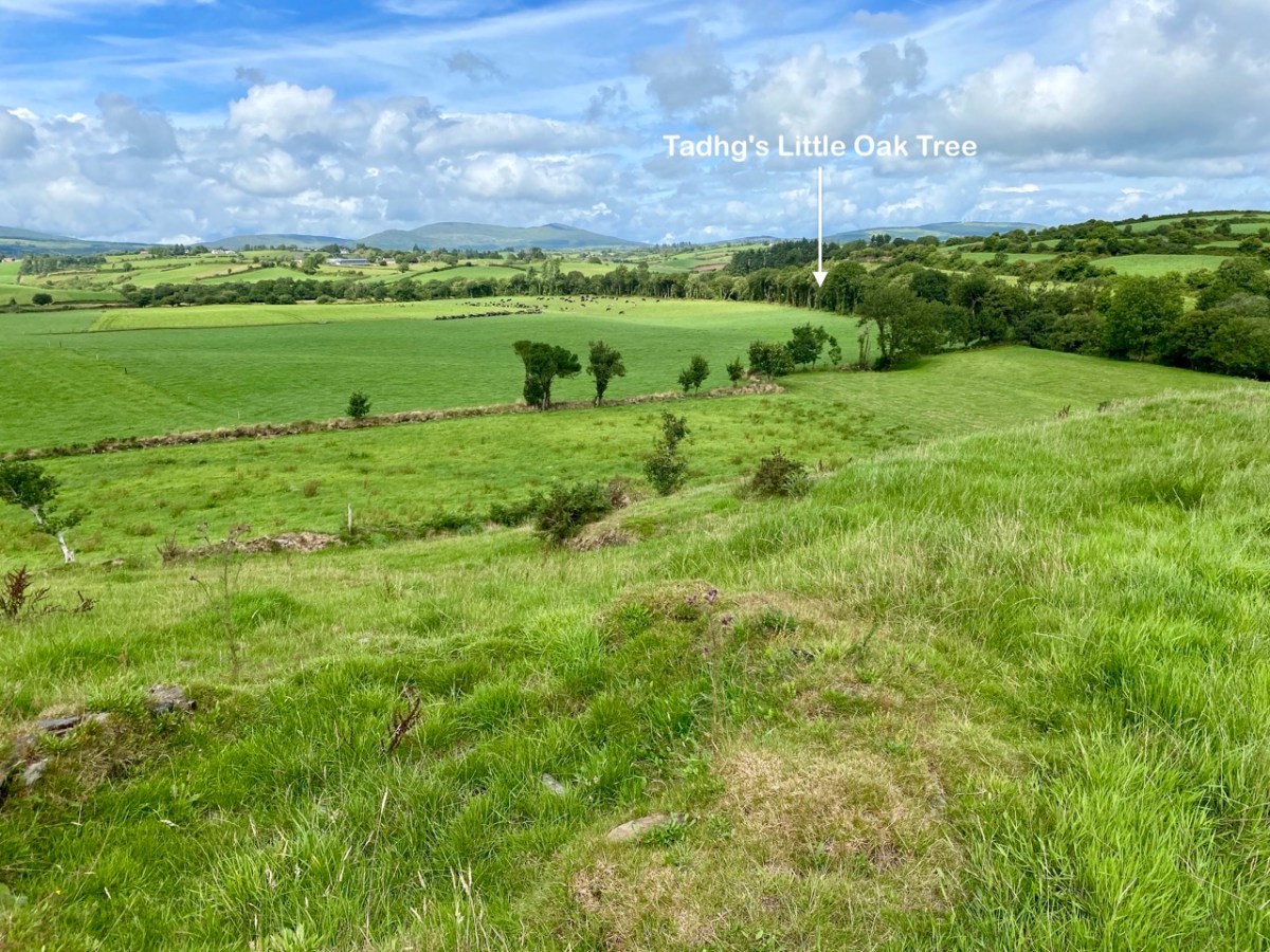
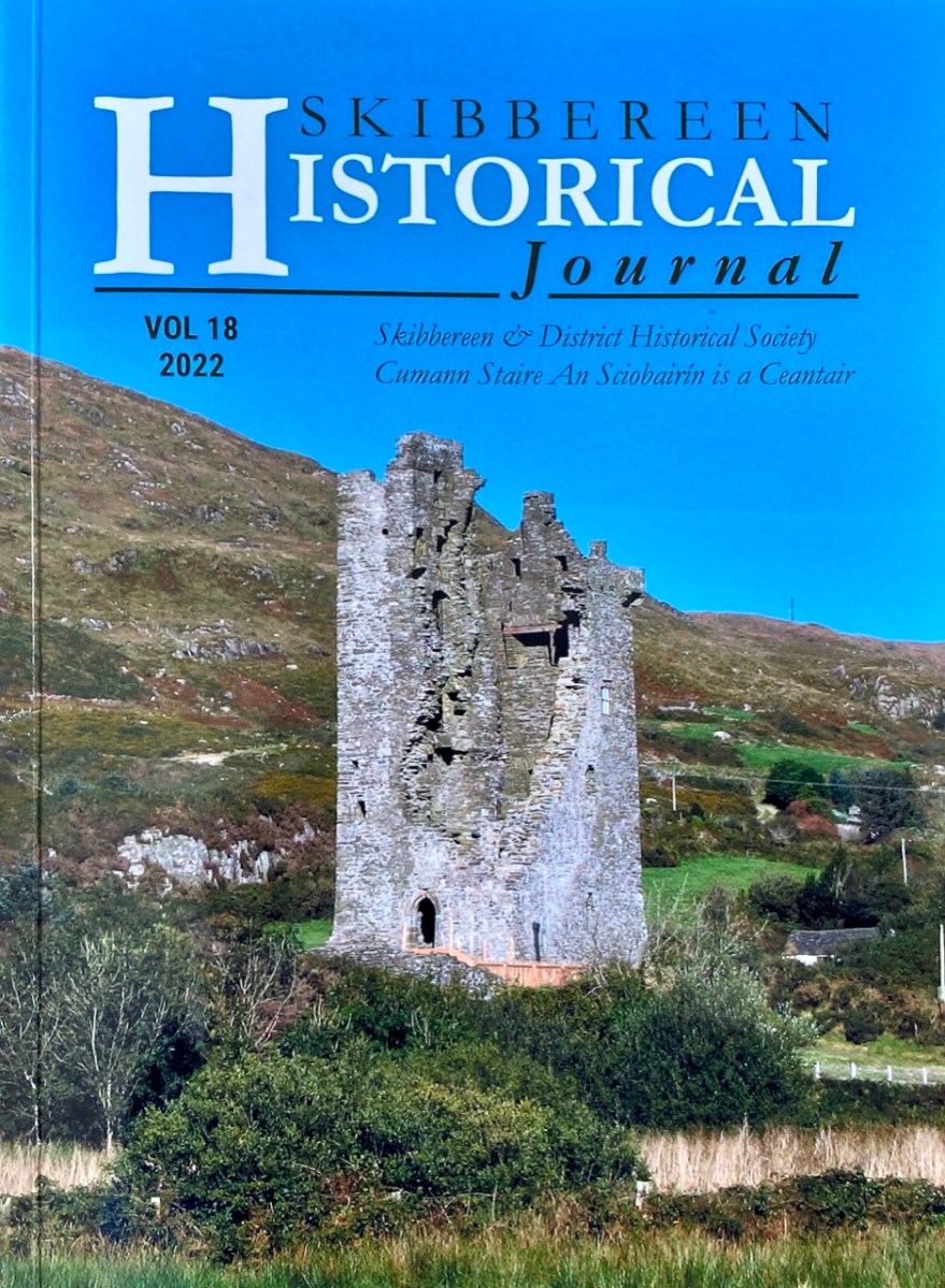
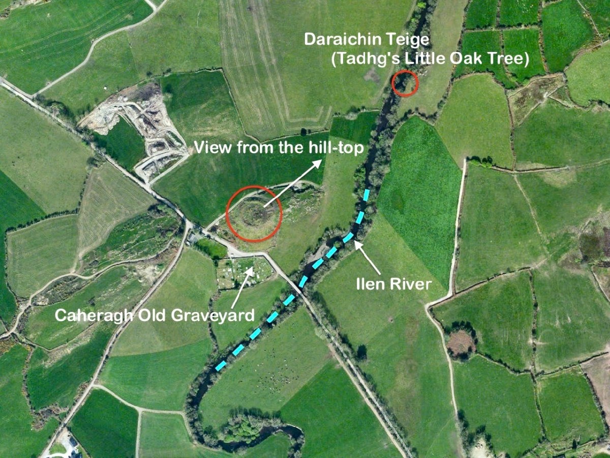
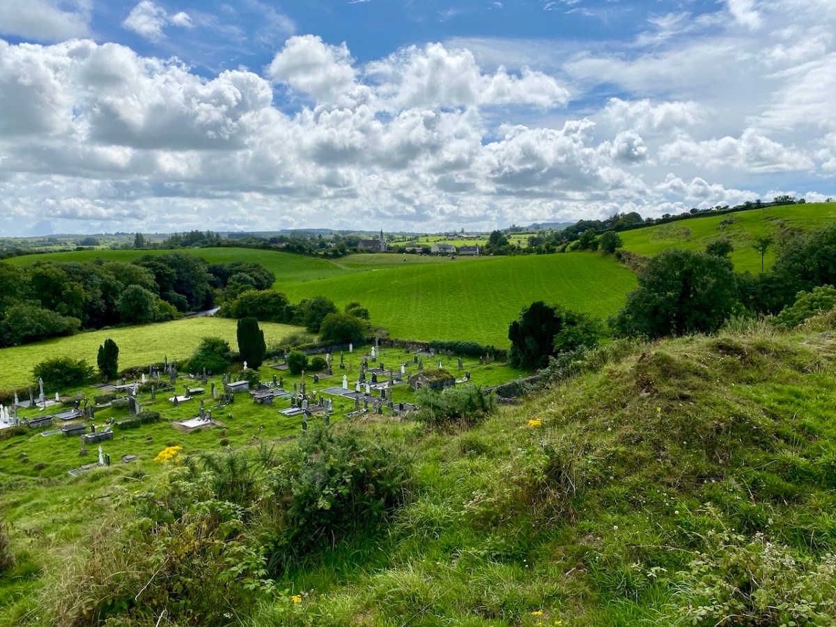
Here’s a vista to the north-east, from the top of the mound beside the graveyard that might just be a ring-fort, or possibly the site of a monastic centre dating from medieval times – more on that later. In the middle distance is the Ilen River with its wooded banks, heading out towards Castle Donovan and – eventually – to its source on Mullaghmesha (or, perhaps, Nowen Hill – we have yet to determine exactly where it rises. This post from the Sweet Ilen series covers the area). And that Donovan castle itself graces the cover of the latest Skibbereen Historical Journal (Volume 18, 2022), which you can get in bookshops locally, or online here. You will find a summary of some of my research on the Ilen River in this journal, together with many other fascinating and erudite articles.

But, going back to that sunlit vista, you’ll notice Tadhg’s Little Oak Tree is indicated. I can’t resist quoting the story of this feature that appears as a ‘Redundant Record’ in the Historic Environment Viewer:

. . . On E bank of River Ilen. Site of tree, ‘Darriheen Teige’ or ‘Daraichin Teige’ (Tadhg’s little oak tree), where Tadhg O’Donovan, chieftain of Clan Cahill, was slain c 1560 by rival group of O’Donovan’s (O’Donoghue 1986, 55). Nearby is Poll a’ Daraichin (pool of the little oak) . . .

Archaeology.ie Historic Environment Viewer – Record CO132-066

Well, it seems strange that the ‘site of a tree’ is a recorded monument. In fact, if the oak was still flourishing (we couldn’t find it), it would probably be just one of only a few trees included in Ireland’s vast record of archaeological monuments!

For today’s post I am indebted to our historian friend Pat Crowley, who directed us to a clip from The Southern Star newspaper dated January 12, 1929. It was a letter written to the newspaper by Captain Francis O’Neill, retired Chief of Police in Chicago and well-known prolific collector of traditional Irish music. O’Neill (1848-1936) was raised in his family home at Tralibane, in the parish of Caheragh. He has been mentioned in this journal, and I was fascinated to read his letter, which became a protracted discussion on the parish, the old graveyard, historic sites and archaeology in the area.

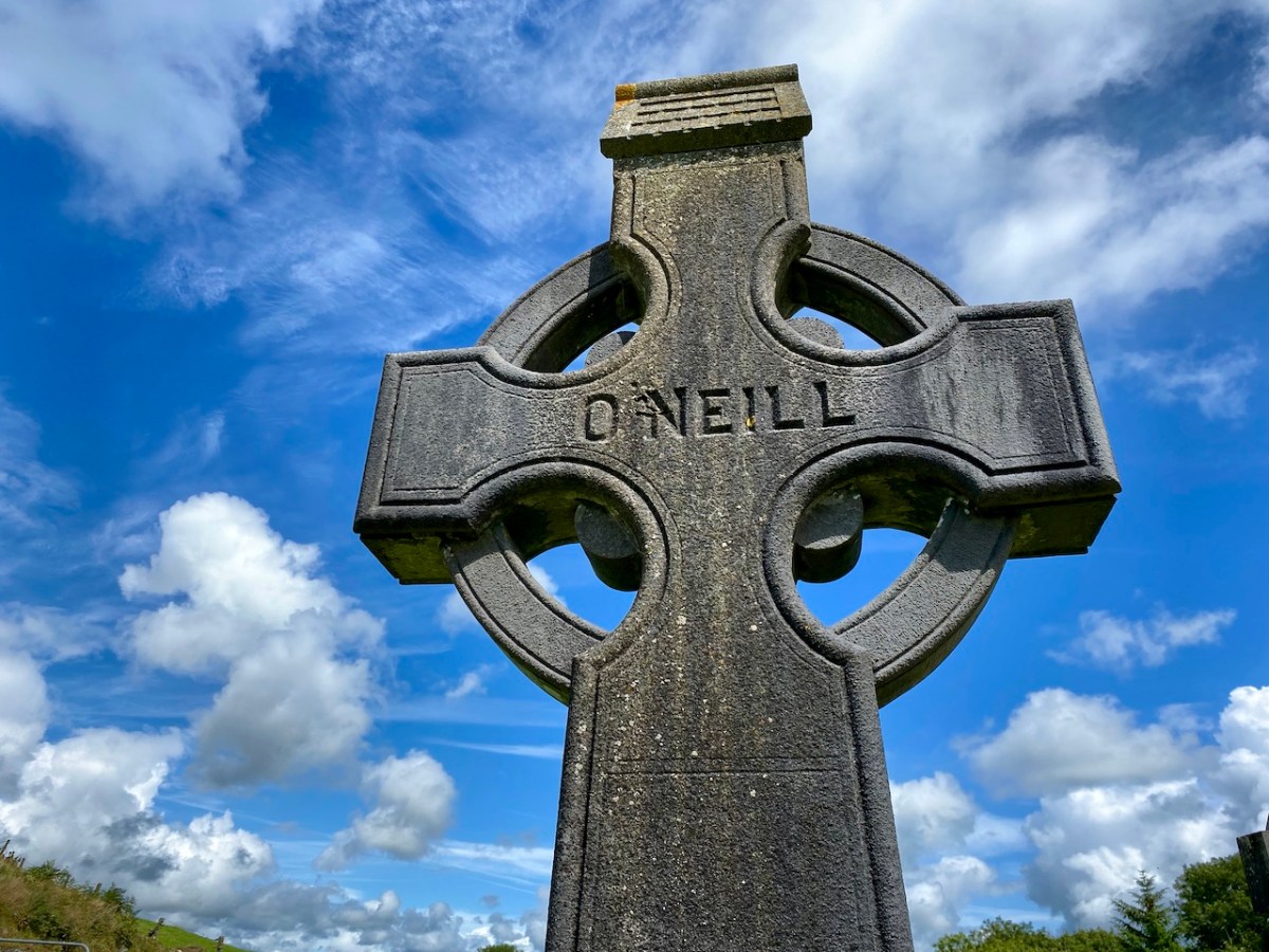
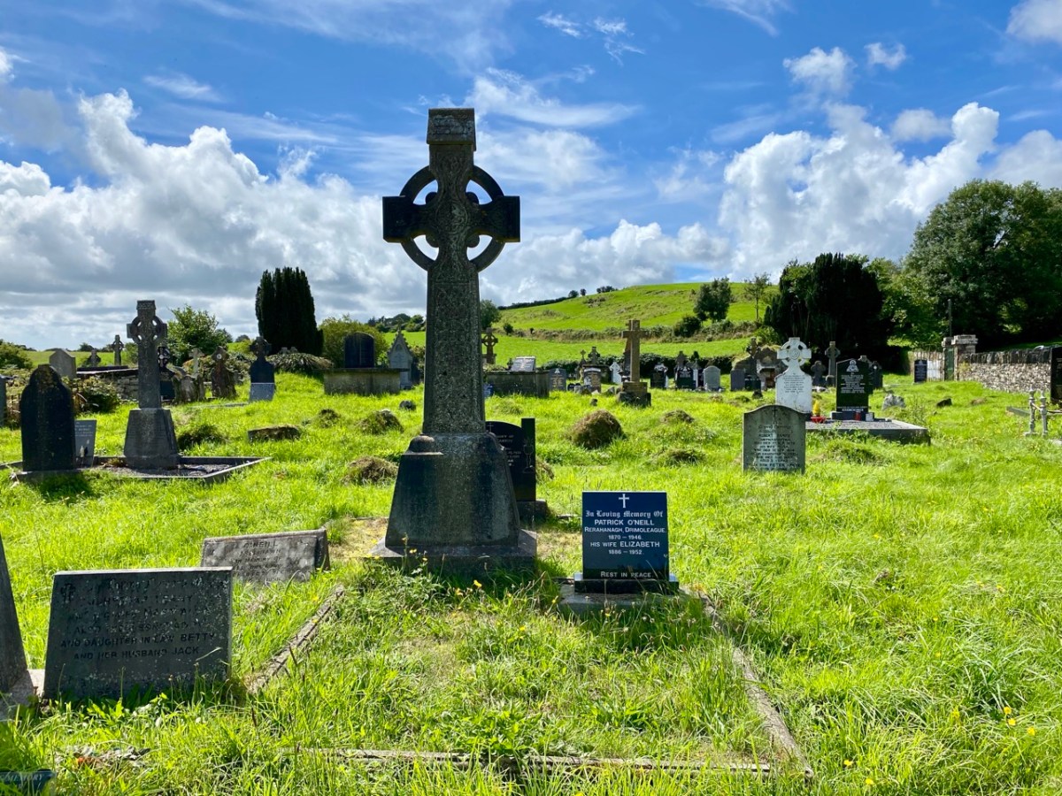
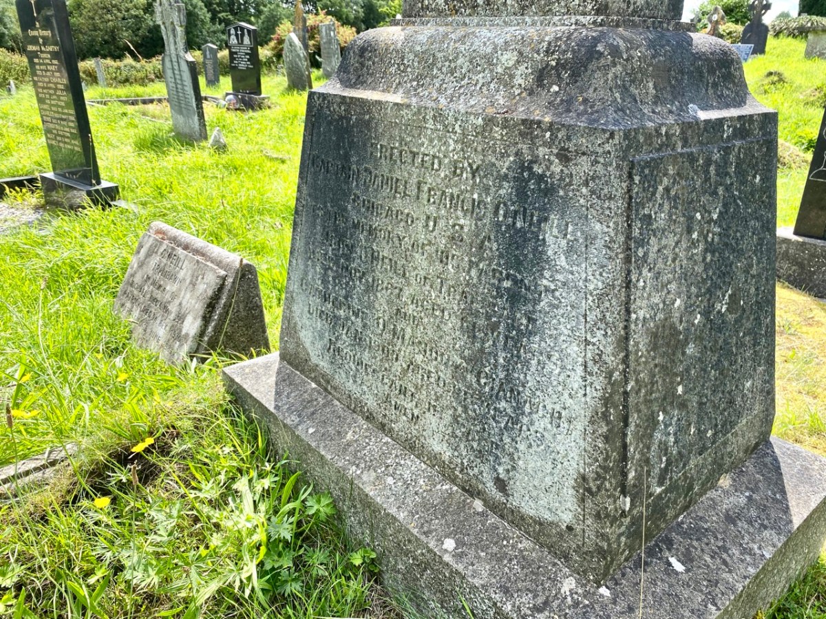
All this came about because Francis had returned from Chicago to West Cork in 1906 – after a long absence – ostensibly to visit the burial place of his parents, and to order a suitable monument to mark their graves (above).

. . . On my return to Ireland July 1906, after an absence of 41 years, I visited the bleak Caheragh graveyard, in which the remains of my parents, and O’Neill ancestors, were buried. There being nothing visible in the environment to indicate its origin as a cemetery, personal curiosity, abetted by that of the Downings of Tralibane – cousins of McCarthy Downing, MP – led to investigation . . . The result, somewhat disconnected and fragmentary, is herewith submitted for publication . . .

Southern Star 12.01.1929

The O’Neill burial plot at Caheragh. Francis ordered the large cross to mark the graves of his parents. The inscription reads:

Erected By
Captain Daniel Francis O’Neill
Chicago USA
To the Memory of his Parents
John O’Neill of Tralibane
Died Nov 1867 Aged 66 Years
And
Catherine O’Mahoney (Cianach)
Died 1900 Aged 88 Years
Requiescant In Pace
Amen

Quoting again from Francis O’Neill’s letter to the Southern Star:

. . . All available authorities in my library have been consulted, and I find that references to the parish of Caheragh are both meagre and obscure… The earliest mention of this parish which has come to my notice, is in the report of Dive Downes, Episcopal Bishop of Cork and Ross, who made a trip on horseback to all parishes in his diocese in the years 1699 – 1702. Following is the entry: – “Caheragh Church, about two miles distant from Drommaleage Church to the SW lies close to the Island River (he means Ilen). On the west side of the river are 35.5 lowlands in this parish, of which 20 lie on the west side of the river, and 6.5 lie on the east side of the said river . . . There are about 12 Protestant families in this parish. ’Tis thought there are forty Papists for one Protestant in this parish . . . Will Gureheen, a very old man, is priest of this parish . . . The church is ruinous. The north side is down . . .”

Southern Star 12.01.1929

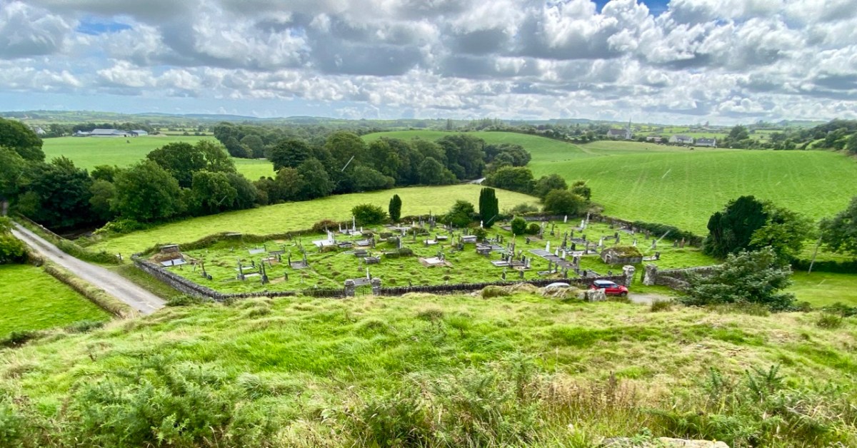
A vista to the west, from the top of the mound beside the graveyard. The present-day village of Caheragh is distant beyond the green pasture (a long way from this ‘Old Graveyard’ – why…?), identifiable through the spire of the 1963 Holy Family Church. O’Neill continues, now quoting from Samuel Lewis “A Topographical Dictionary of Ireland” published in London in 1837:

“Near Lisangle are the ruins of a strong castle, once the residence of McCarthy, King of Cork. The ruins of the old church also remain, which the people here call the ‘Abbey of Cahir” . . . The absence of ruins at Caheragh, which, by the way, seems to have never attracted the attention of historians or antiquaries, is easily accounted for. The stones, conveniently at hand, were utilised in the building of the walls which encompassed the graveyard . . .

Southern Star 12.01.1929

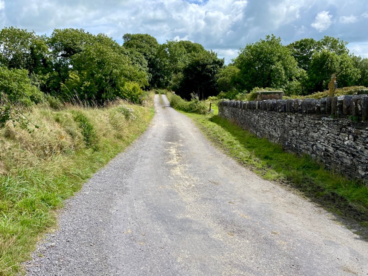
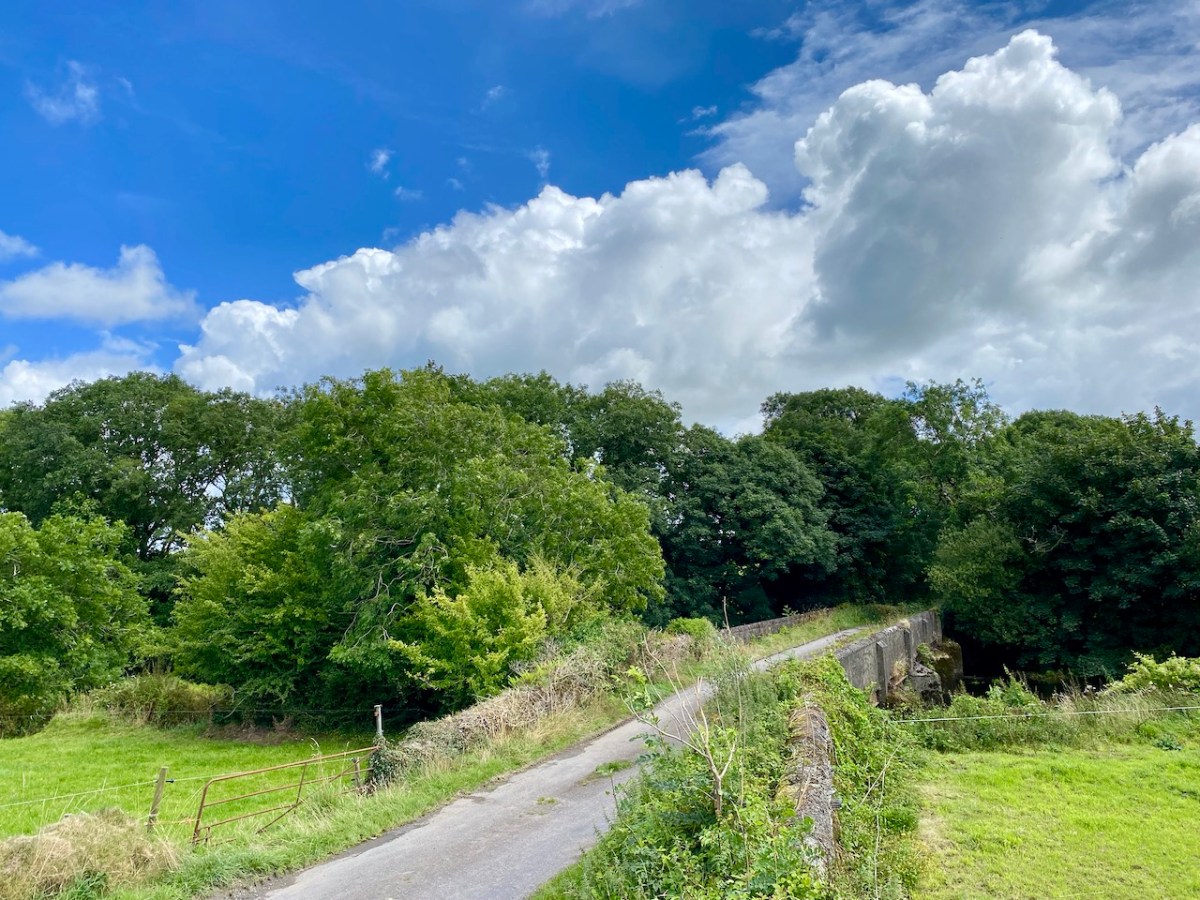
Above – the western boundary wall of Caheragh Old Graveyard. The small road continues over the Ilen River: the bridge here was built by the Congested Districts Board for Ireland in the early years of the twentieth century, to replace a ford, the stone flag bed of which can still be seen.

. . . The Irish word Cathair, spelled and pronounced in English Caher or Cahir, meant a circular stone fort, and therefore Caheragh, under any form of spelling, signifies the field of the stone fort. But where is the fort? one naturally asks. Remembering the descriptive nature of the Irish place names on my short call at Caheragh in 1906, I looked for something to justify the name and found it. In order to gain a vantage point, to view the country round about, I struggled through the thicket of furze to the top of the hill east of the road and, unexpectedly, to my great delight, found the outlines of the stone foundations of the Cahir, mostly covered with soil and grass, but quite distinct on the flat top. Again was the correctness of Irish topographical names vindicated . . .

Letter from Capt Francis O’Neill, Southern Star 12.01.1929

This feature (the two pictures above) is the hilltop referred to by O’Neill, where he claims to have found the ruins of the ‘Cahir’. Today it is recorded on the National Monuments Record as a ‘ringfort’ or ‘rath’:

CO132-017001-

Class: Ringfort – rath

Townland: CAHERAGH

Description: In pasture, atop hillock broken by rock outcrop. Circular area (36.5m N-S; 37.5m E-W) enclosed by earthen bank (max H 3.8m). Break in bank to NNW (Wth 5m); and WSW (Wth 4m), where triangular feature adjoins inner bank face. Possible souterrain (CO132-017002-) in SW quadrant

Archaeology.IE National Monuments Record

Top: flat-topped mound with circular summit, very much in line with the expectation of a ringfort structure. Centre: stone embankment seen from the top of the ‘fort’. Lower: a defined ‘entrance’ through the ‘fort embankment’ on the summit of the mound. This could be ancient or modern: cattle use the fields in which this feature is located, and some of the topography could be shaped by this usage over centuries.

. . . The builders of Abbeys and Monasteries were wise in their day in the choice of locations for their establishment, and one essential desideratum was near to a plentiful supply of water, such as the banks of lakes and rivers, or adjoining never-failing springs. In this instance the River Ilen met all requirements, and taking everything into consideration, I am led to the conclusion that the graveyard at Caheragh was the site of the “Abbey of Cahir” mentioned by Lewis in the Topographical Dictionary of Ireland . . .

Letter from Capt Francis O’Neill, Southern Star 12.01.1929

Above: evidence of built structures on the summit of the ‘ringfort’ mound at Caheragh. A significant circular foundation is clearly outlined. Perhaps, after all, there is some substance in the Captain’s musings on what occupied this site in earlier times? This account is from The county and city of Cork remembrancer; or, Annals of the county and city of Cork by Francis H Tuckey, Savage and Son, 1837:

. . . 1317 December 28, Geoffrey Fitz John de Cogan is presented by the King (by mandate to the Bishop of Cork), to the church of the Blessed Mary de Catheragh, in the King’s gift, by reason of his wardship of the lands and heir of John de Cogan . . . ‘Blessed Mary de Caheragh’ was a monastic site, said to be ‘situated on the hilltop commanding the view above the graveyard at Caheragh’ (possibly on the site of the ringfort). It was no doubt founded here because of the proximity of the watercourse . . .

So there – for your consideration – is the suggestion that the hill above Caheragh’s Old Graveyard (which may, in earlier times, have been a ringfort with a souterrain) was the monastic settlement Blessed Mary de Caheragh in medieval times. That’s quite a thought. My own opinion would be that the monastery would have been founded on the level ground close to the river: in fact where the graveyard is today. As the monastery declined, a church might have remained, eventually becoming a ruin. It was common for old churches and their environs to be used for burials and this might account for the comparative remoteness of this site from the village itself. Now – of course – there is no trace of a church ruin. This theory would hold good except for the annals quoted above, which state that a monastic site was situated on the hilltop overlooking what is now the graveyard.

Evidence of stone quarries on the hillside suggest that significant quantities of stone has been used locally. Graveyard wall, field fences, or built structures? But the most challenging feature has to be the ringed foundation, or base, clear to see on the edge of the hill (below). Could it be a souterrain entrance – or, more fanciful, the base of a round tower?

I’ll leave you with that conundrum (and my whimsical daydream below) for now, but we will continue with Francis O’Neill’s musings (which become even more complex) in a future post.

Rock Art and Red Socks

(Mizen Magic 26: Balteen)

What do red socks have to do with rock art?  Well, nothing really, but they turned out to be surprisingly useful this week.

It’s been ages since we talked about rock art, hasn’t it? Thinking about that, I decided to do some tidying up in our blog and I have created a special page for Rock Art, and another one for Mizen Magic, since this post also fits into the Mizen Magic series. 

Robert and I set off to hunt down rock art we haven’t yet seen on the Mizen. The National Monuments site contains two records for Cupmarked Stones in the townland of Balteen, and both proved easy to find. (If you can’t remember what a Cupmarked Stone is, take a look at this post before reading on.) The first is along the road that leads from Barley Cove to the North Side. That’s my butt marking the location of the rock, above.

It’s built into the bank and we might not have been as quick to spot it as we were unless somebody else had already found it and cleared away some of the overgrowth – I suspect Rock Art Kerry, AKA Aoibheann Lambe had been there before us, perhaps a couple of years ago. We usually remember to bring a soft brush with us for a gentle cleaning of the rock surface (lots of moss on this one) but we had forgotten this time. The red socks came to the rescue.

This is a lovely example of a cupmarked stone – although it’s possible there is more on it than cupmarks only. The central cupmark appears to have some carving around it that helps to mark it out and elevate it – not a complete circle but an arc that may end in an expanded finial. We have sent the photos off to UCC for a 3D rendering and this may clarify this aspect of the carving. Here’s a short video – see what you think about that arc.
Meanwhile, since it’s hard to make out what’s in the surface of a grey rock on a grey day, clever Robert has made a scaled drawing of it. We know that cupmarked stones like this can date anywhere from the Neolithic (about 5,000 years ago) up to the Bronze Age (ended about 2,500 years ago), and that the cupmarks were probably made by picking or bashing them out with a stone cobble, but we don’t know why they were done, or what meaning the cupmark itself may carry.

We also don’t know if this one is in its original position, but it’s likely that it is not. It is currently incorporated into the bank at the side of the road, leading us to suspect that it was found in the vicinity and built into the wall to give it a place where it would be visible to all passers-by.

The second one (above) was a surprise! First of all, it’s enormous! It looks like it may have been a capstone for a large structure, or perhaps a boulder burial. However, it’s difficult to determine if there is anything underneath and it may well be a glacial erratic that simply ended up here. This one is in the same townland but it’s on private property, so we are not pinpointing it on a map, at the request of the owners – but they are happy to give permission to see the stone and they welcomed us to take photos and tell them a little about rock art in general. There are nine cupmarks, from large to small and some appear to be arranged in a rough semi-circle – something we have observed on other cupmarked stones.

I am trying something a little new with this post – doing short videos to see if this helps to convey more than a photograph might. I’d be interested in your feedback on this. Note: You may have to play the videos on YouTube – sorry if this aspect isn’t working right for everyone!

Just when you think you have seen all the Mizen has to offer, it reveals yet more of its secrets!