Kerry Leftovers

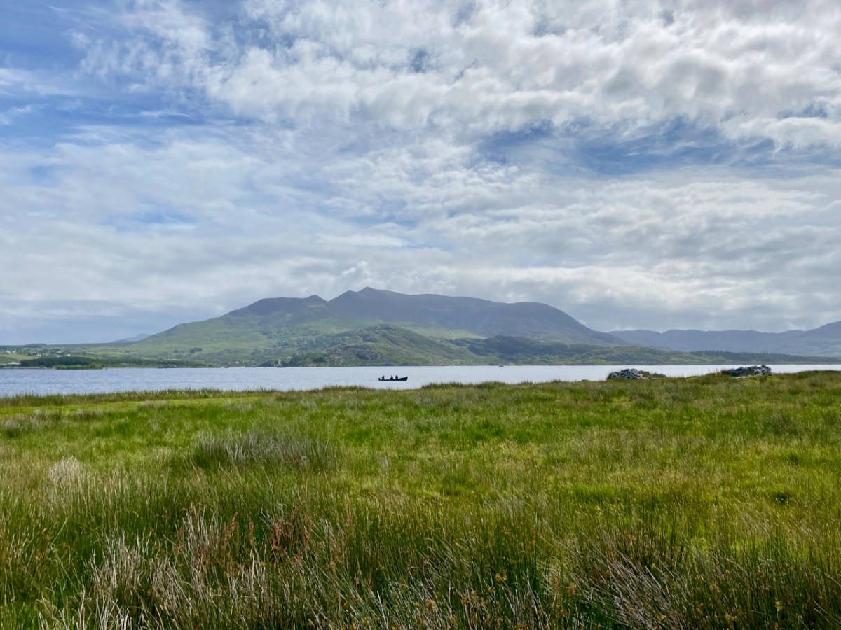
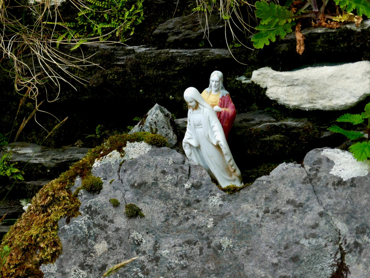
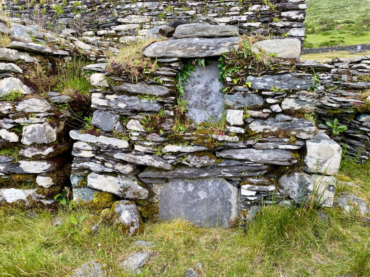
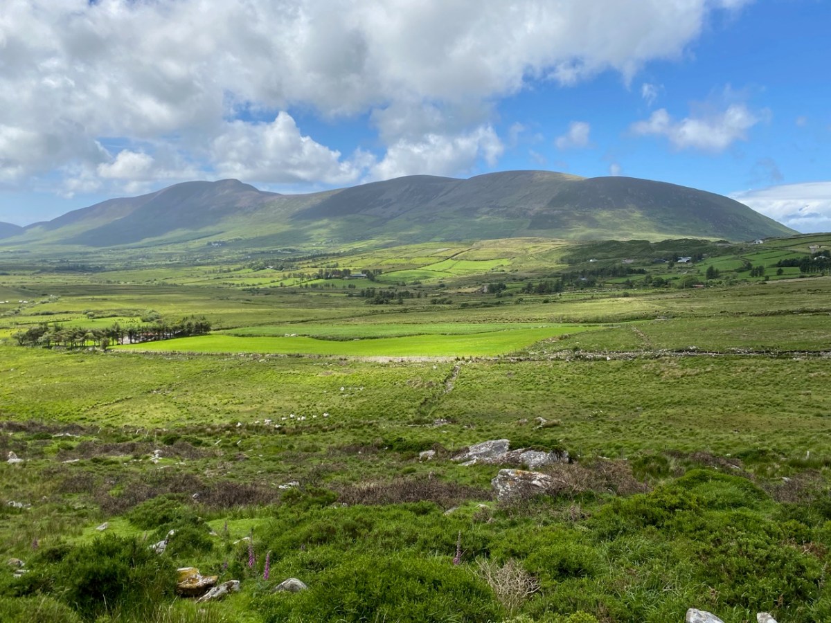
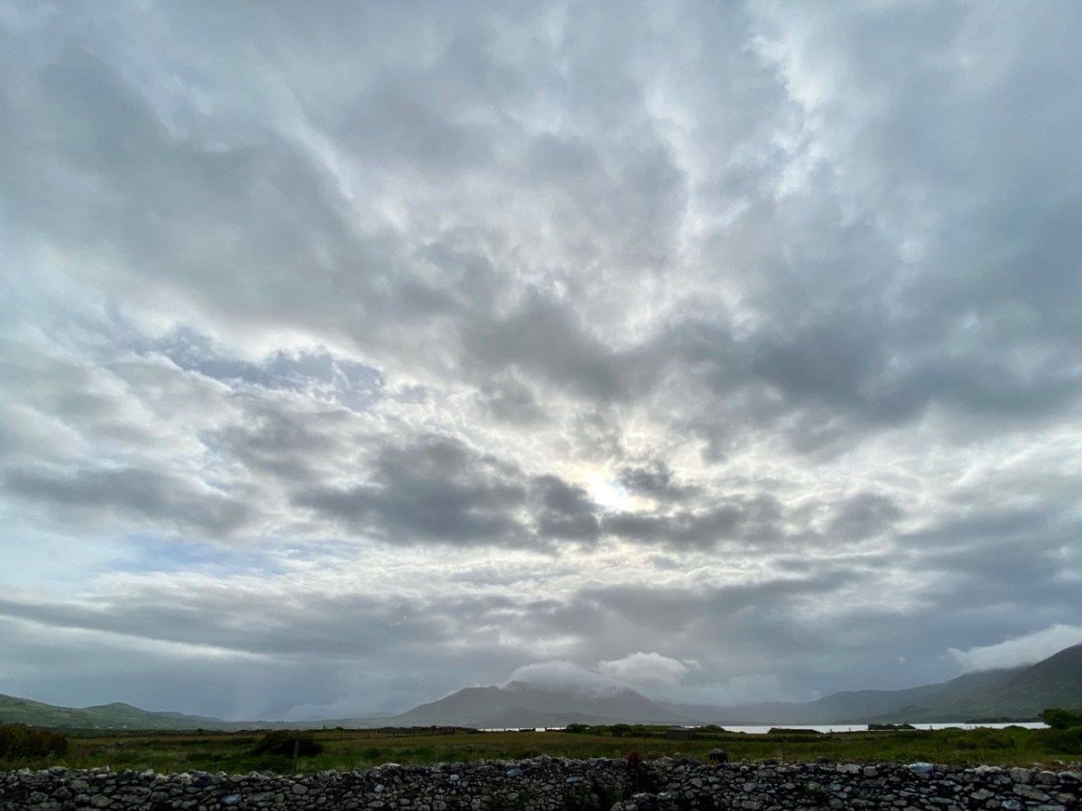
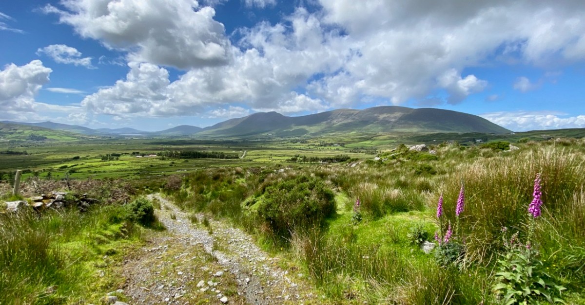
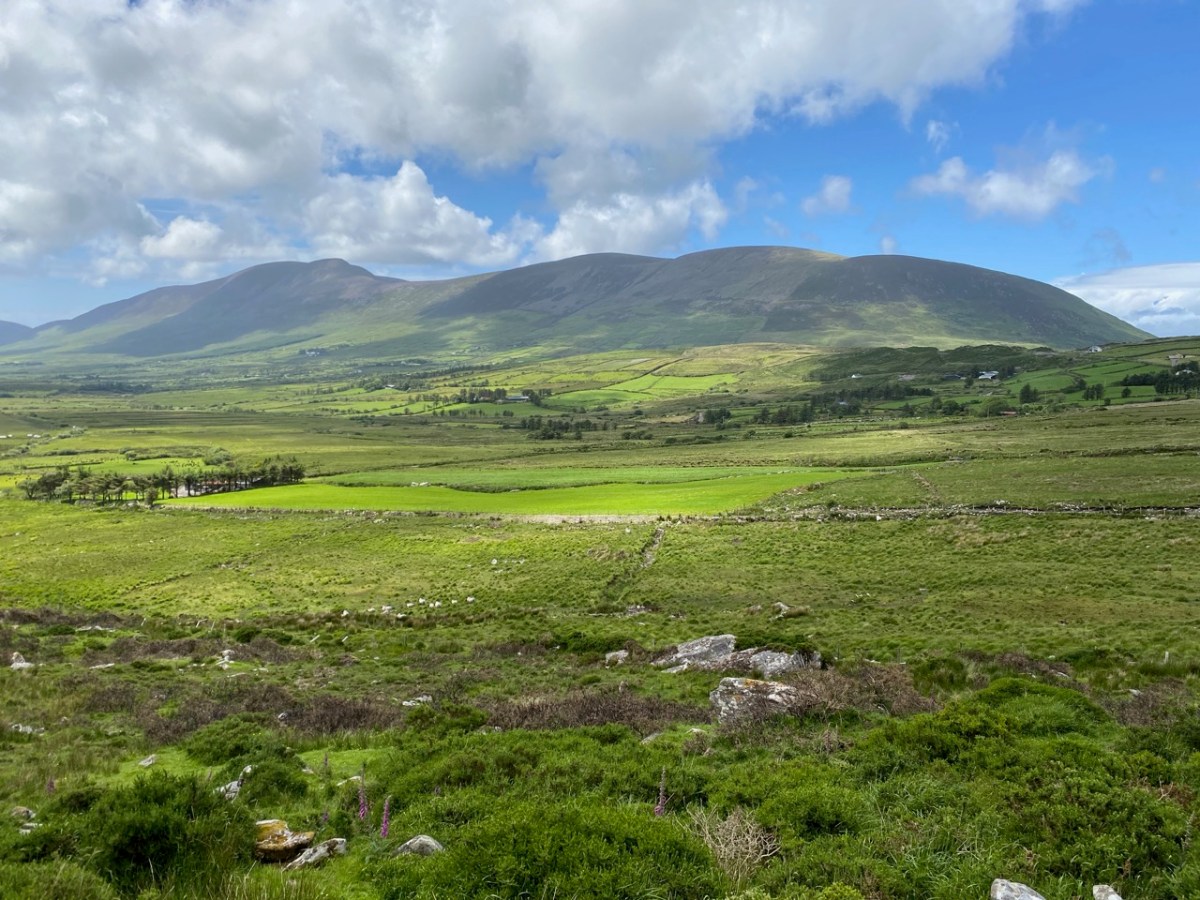
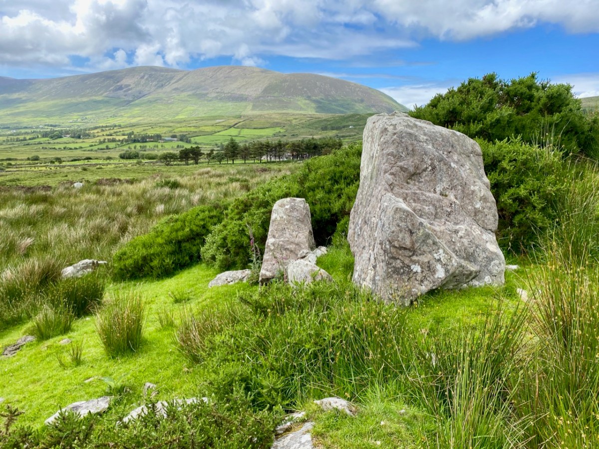
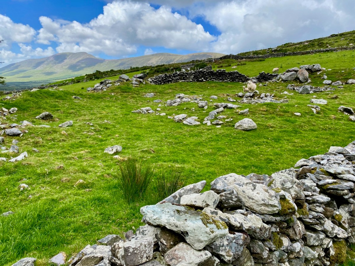
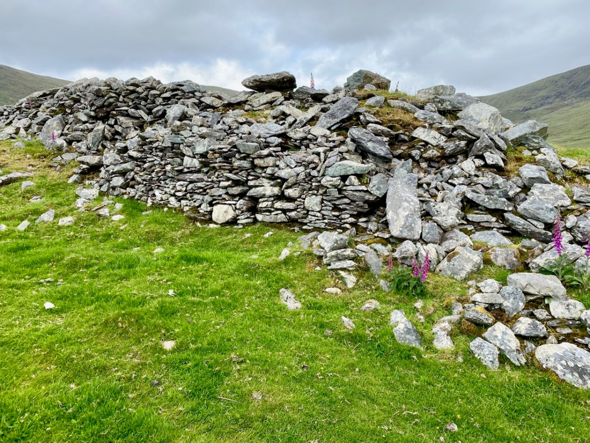
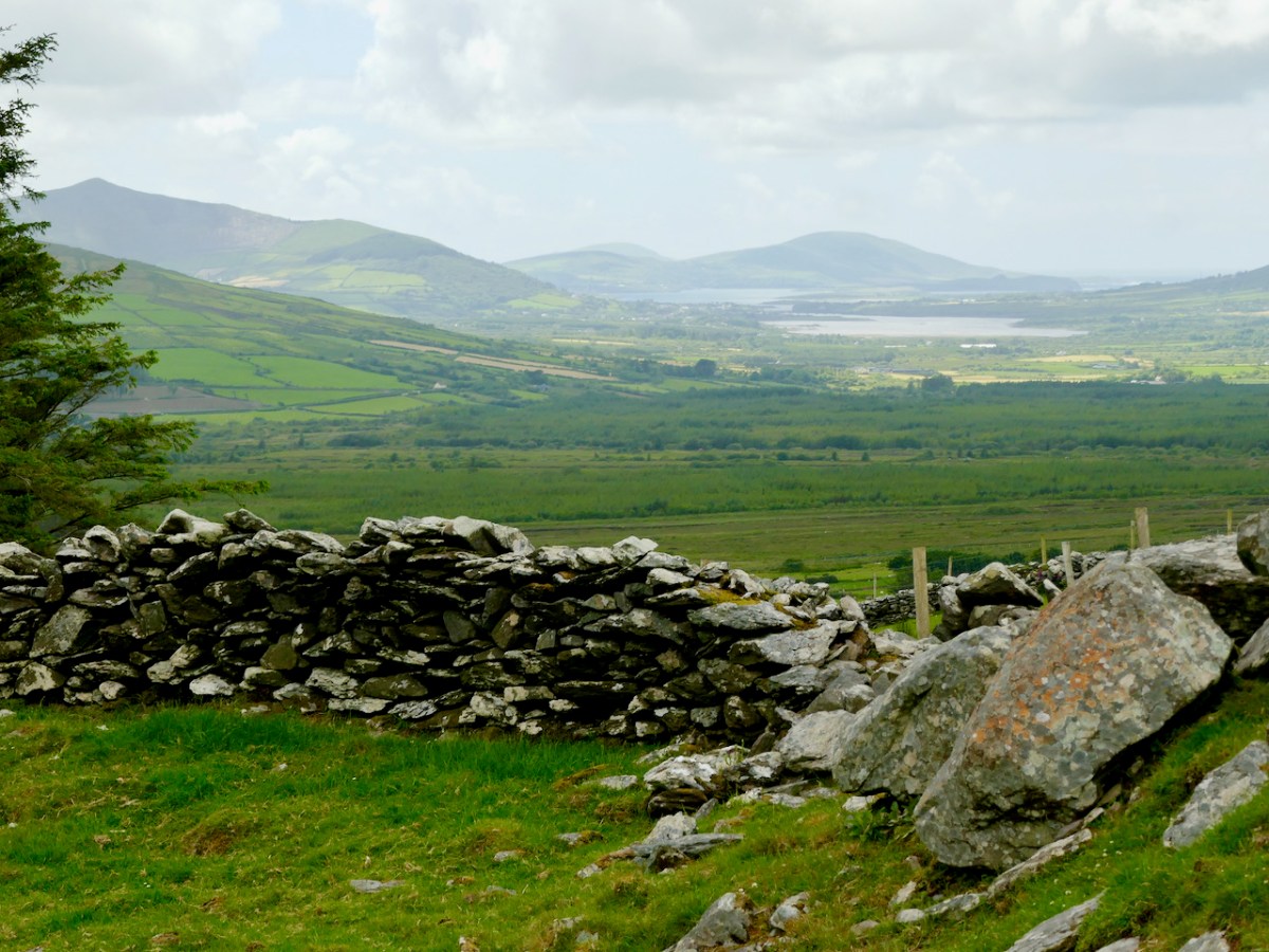
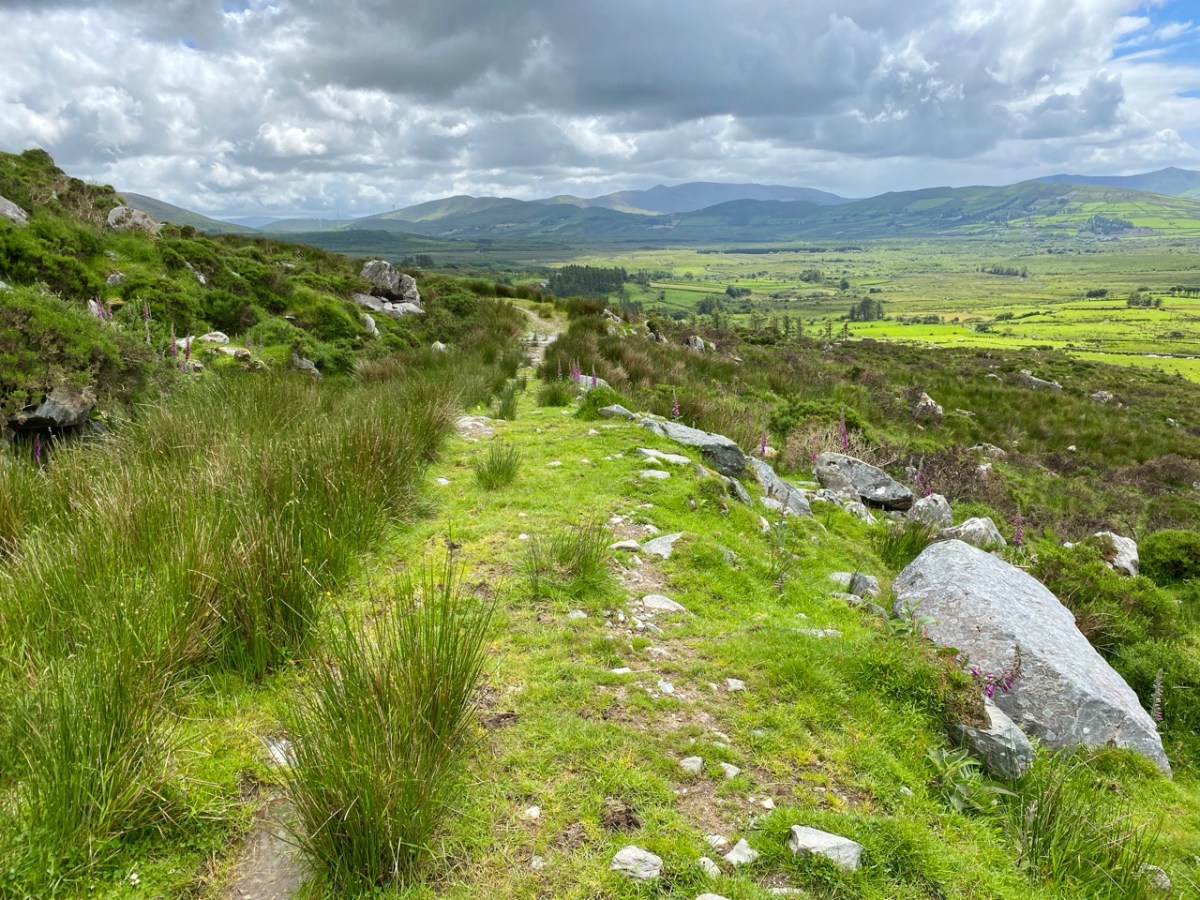
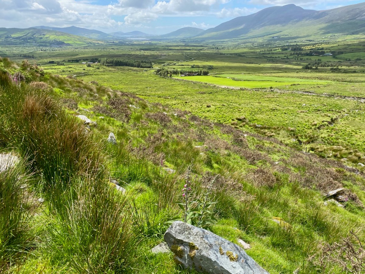
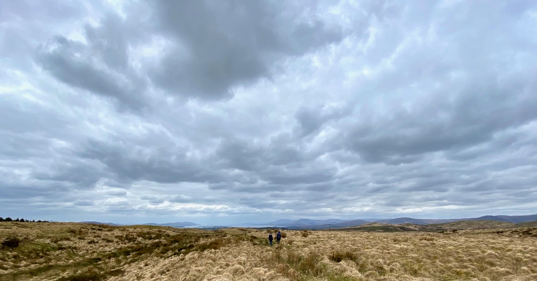
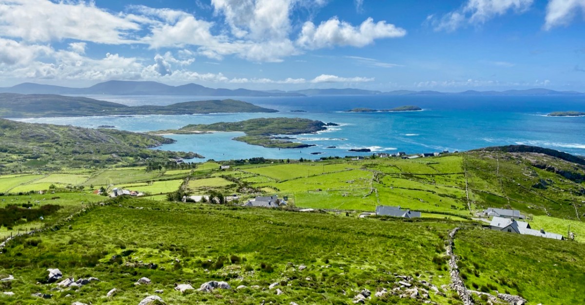
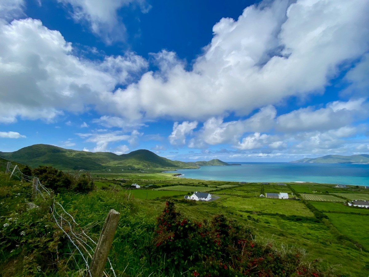
We spent a couple of days in Kerry a week before midsummer, and gave you some account of our discoveries on Church Island, Lough Currane, and up in the hills at Caherlehillan – both memorable Early Christian sites. Our adventures did not end there: we managed to take in, also, some other ancient treasures, a couple of Kerry characters, and some stunning scenery – hard to match – as we travelled back to West Cork along the Ring of Kerry road (above).
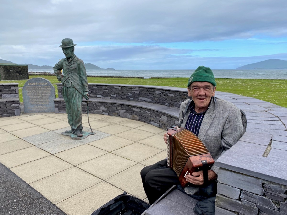
Firstly, here are Charlie Chaplin and Michael Collins (above), both familiar figures in Waterville. The Hollywood star spent his summer holidays in the coastal town for many years with his family and is commemorated by a bronze statue, while Michael can be found on most days in this much photographed location, always ready to entertain with Kerry polkas and slides on his accordion.
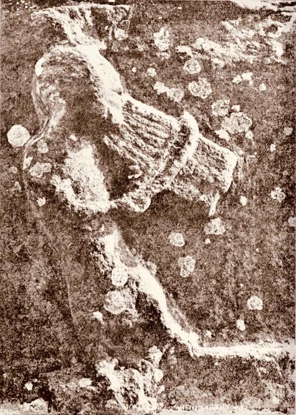
Here’s a much earlier Kerry musician: he’s known as ‘The Fiddler’, and is an unusual medieval representation of an instrumentalist found in the romanesque ruin on Church Island, Lough Currane. I was pleased to find this photograph in the Royal Society of Antiquaries of Ireland Notes from 1908 by P J Lynch as it shows the carving as it was found by the OPW when they took over the site. Now the original, which had suffered accelerated weathering, is kept protected in a museum while a well-worn replica is in place on the site. I believe the carving is a good representation of a medieval bowed lyre, an instrument with six strings which survives today in some cultures, although Lynch gave the following commentary:

. . . The interest in this stone centres in the musical instrument. The examples of ancient carving in Ireland representing stringed instruments are few, and confined to harpers. The photograph illustrates this instrument very clearly. It is the ancient cruit or fidil, said to be the parent of the violin. There are six strings indicated by sunken lines in the stone. The figure appears to wear a kind of tight-fitting tunic. Dr O’Sullivan states that the word fidil being a teutonic version of the original name vièle, it may be concluded that the original instrument was introduced through the Anglo-Saxons, and not through the Normans. He adds that up to the eleventh century it consisted of a conical body, and after that it became oval. If this be a portion of the twelfth-century instrument, the older pattern must have survived. The Kerry people were probably as unwilling to change in those days as they are at present . . .

P J Lynch – Some notes on church island – RSAI 1908
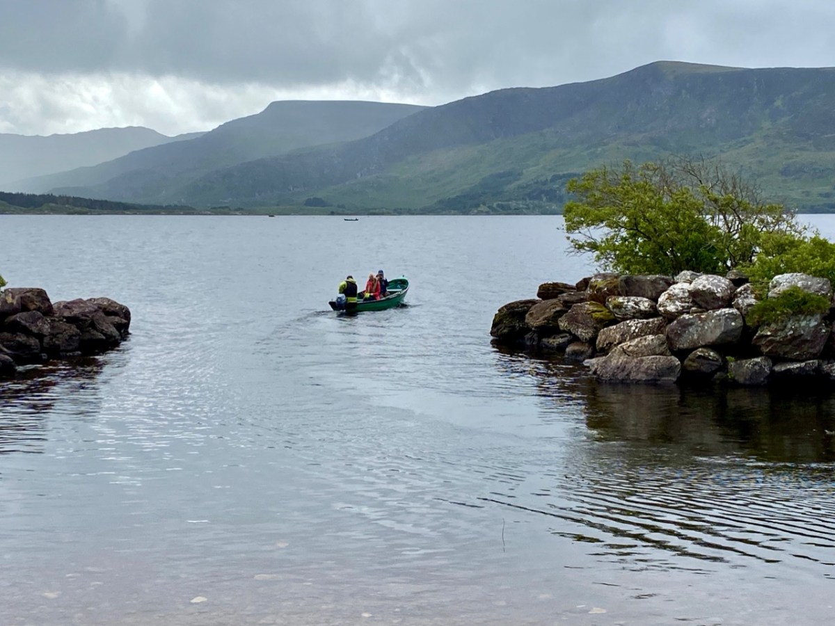
Our trip out to Church Island (above) was accompanied by moody weather, but we were fortunate with other expeditions which included the discovery of ancient sites in the townland of Srugreana (Srúbh Gréine in Irish, which is translated variously as sunny stream, gravelly stream or – my favourite – snout of the sun: Kerry certainly offers some tricky pronunciations for those unfamiliar with the area, or the language!).
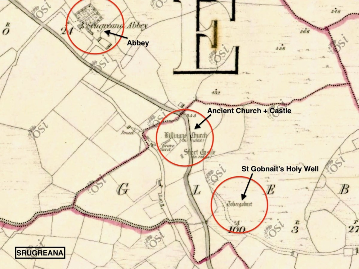
This extract from the 6″ OS map, dating from the mid-1800s, shows one area we explored on our Kerry day. It throws up some enigmas: Killinane Church (the church of Saint Lonan or Lonáin) is often referred to as Srugreana Abbey, but this is a separate site indicated further to the north-west on the early plan.
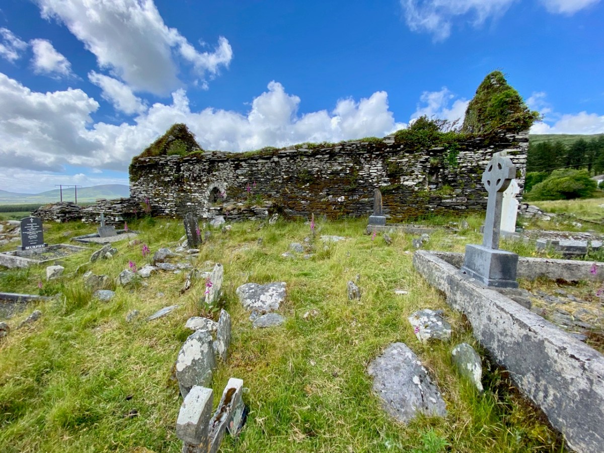
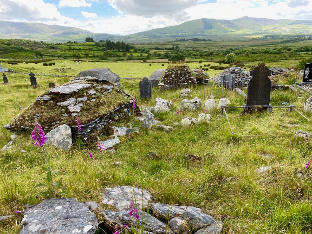
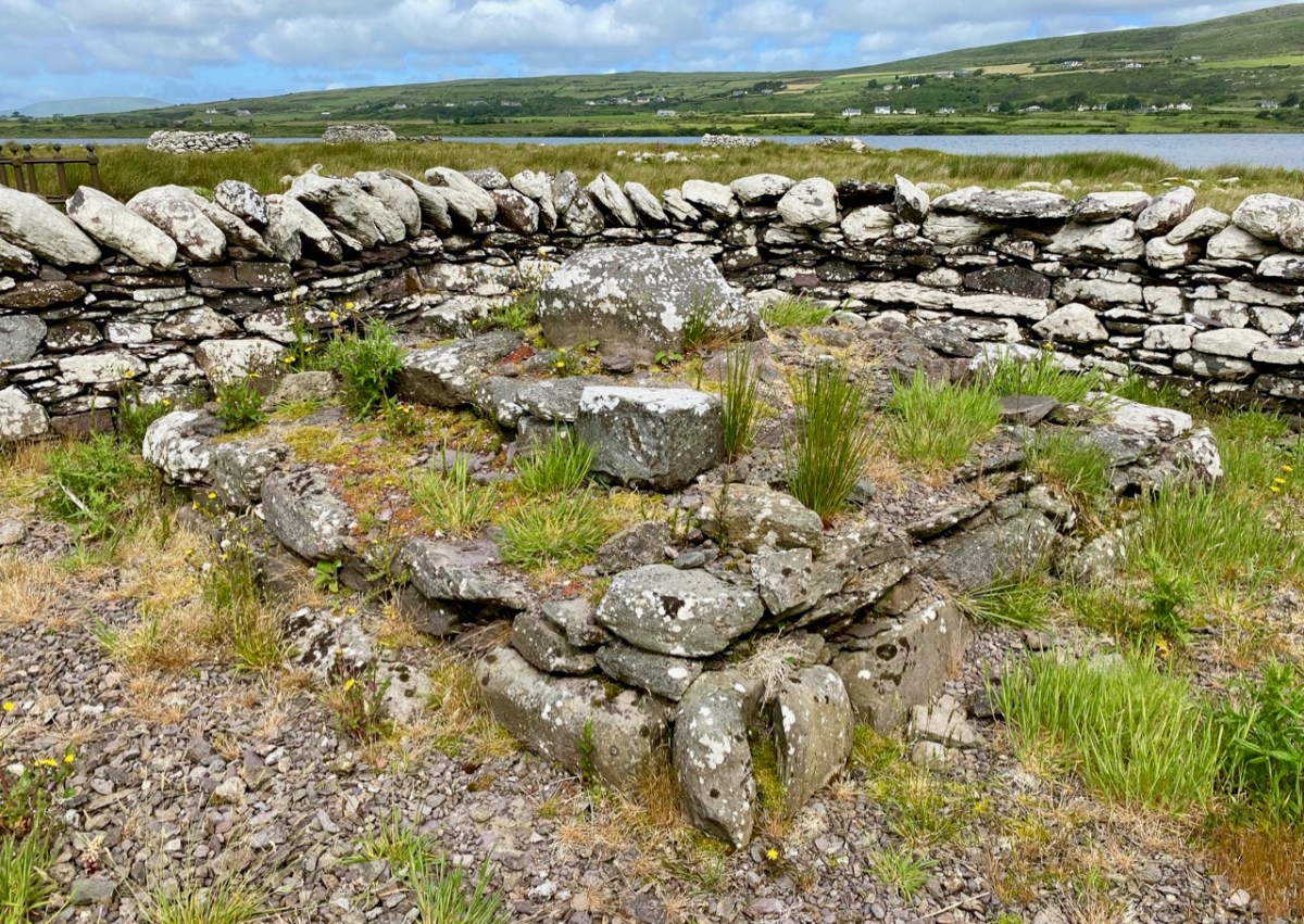
The church site at Srugreana is remarkable in many ways. A 2012 survey commissioned by Kerry County Council Heritage Office found there are at least 1,290 unhewn, uninscribed gravemarkers around the medieval church, and a significant number of ‘house type’ tombs, some of which are ‘two-storey’, like the one above. The concentration of graves – many of which cannot be dated – suggests how populous this now remote area was at one time.
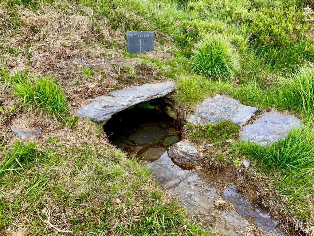
The main purpose of our visit to Srugreana was to search out a holy well dedicated to Saint Gobnait (above). The expedition was led by Amanda, who runs the Holy Wells of Cork and Kerry website. You need to read her comprehensive article on this particular saint here. Interestingly, while we were visiting the well we met the new owner of the land on which it sits. She had no idea that there was a holy well here, and also was unaware of its apparently recent renovation! Note the crosses carved on the stones by visiting pilgrims, above.

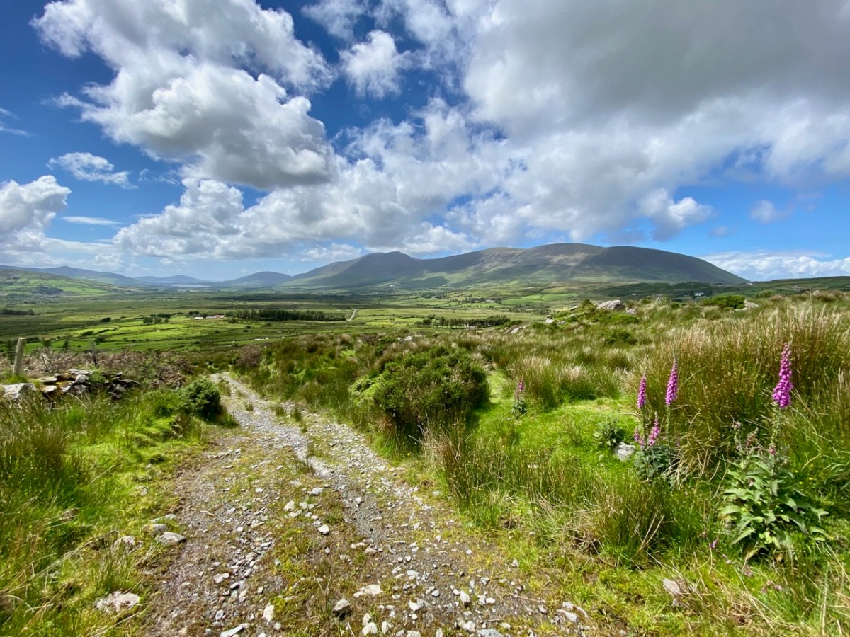
From the above accounts, and our two previous posts, you can tell that we had a most productive time exploring just one small area in the ‘Kingdom’ of Kerry. I am rounding off this entry with some more photographs of our journey back along the coast. The weather gave of its best for this county which is our neighbour, and we will continue to explore it and look for more archaeological gems. Keep reading!

Caherlehillan

The Iveragh is the largest of the Atlantic peninsulas of Ireland: it is, perhaps, also the most romantically named. In Irish it is Uíbh Ráthach – ‘descendants of Ráthach‘. But we don’t know who Ráthach might have been: a Gaelic chieftain, a notable family – ancient inhabitants lost even to legend? Certainly this terrain is amongst the wildest and most beautiful in this green island. Today we are focussing on just one Kerry townland which encompasses a deep vein of history stretching back to prehistoric times.

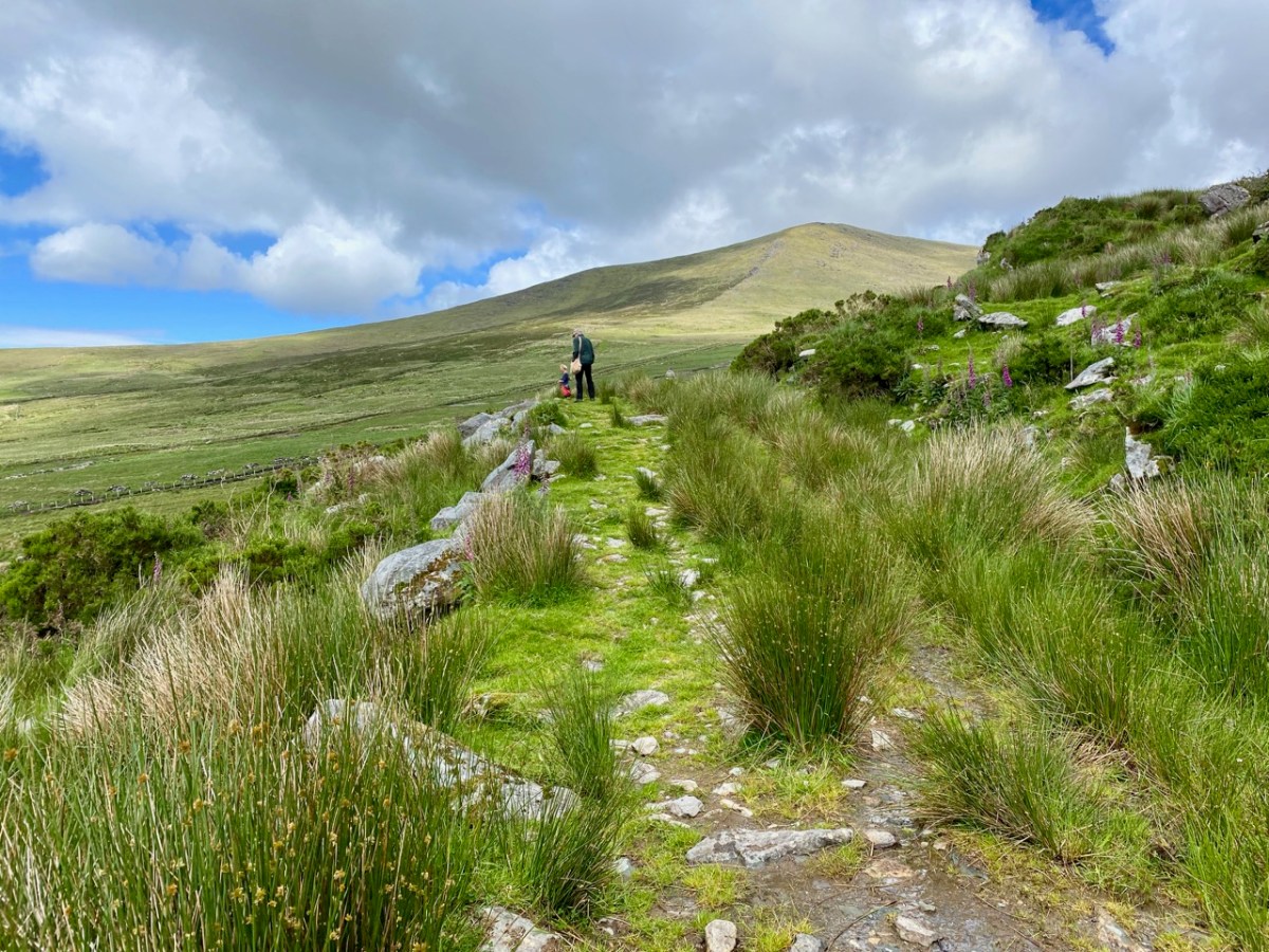
The townland of Caherlehillan is defined by mountains. To the north is Knocknadobar (header and above), to the east Mullaghnarakill, and to the south Caunoge. The Fertha River flows down from Coomacarrea and creates a long, fertile valley floor which opens to Valencia Harbour at Cahersiveen.

It would be reasonable to assume that the river valley would have supported communities in ancient times, and the recorded archaeology of the area confirms this. The earliest antiquities include a Bronze Age stone row and – possibly Neolithic – Rock Art, explored and recorded by Finola fifty years ago: an eager student travelling alone through the wildernesses on a borrowed Honda 50!
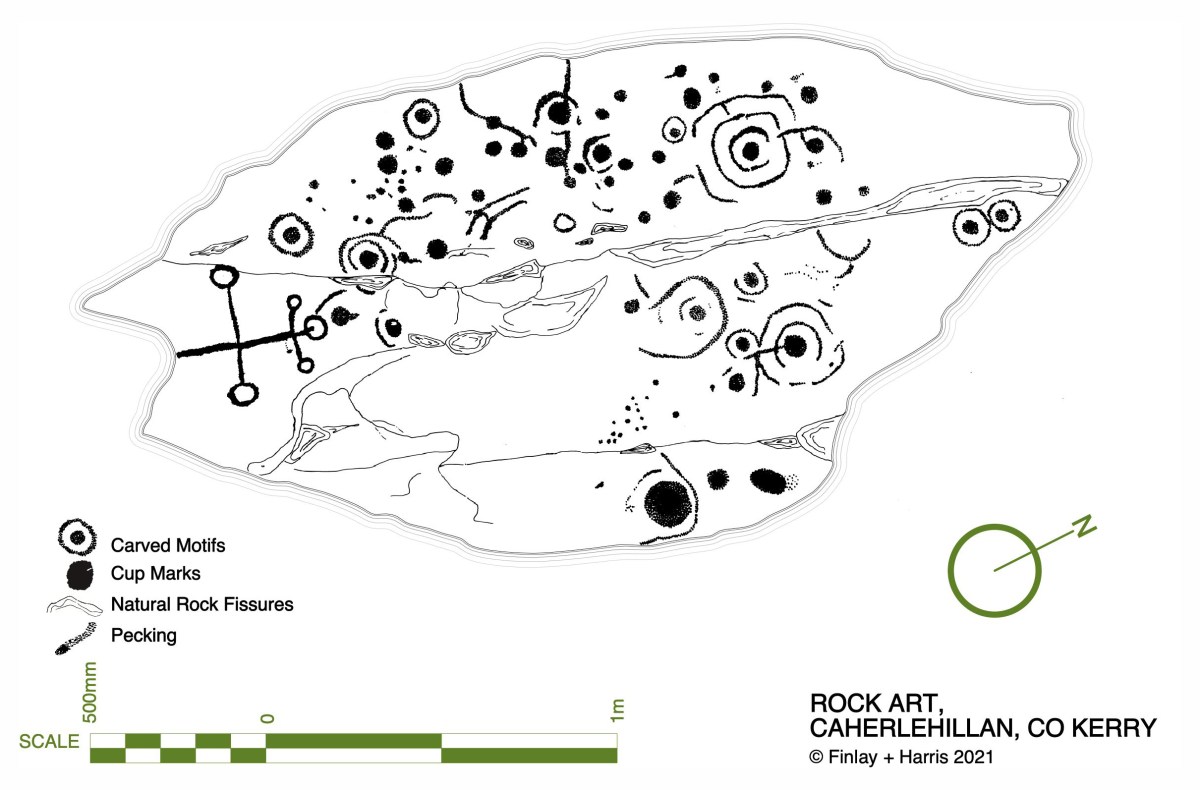
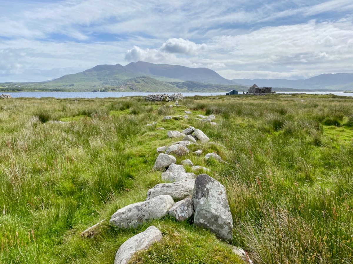
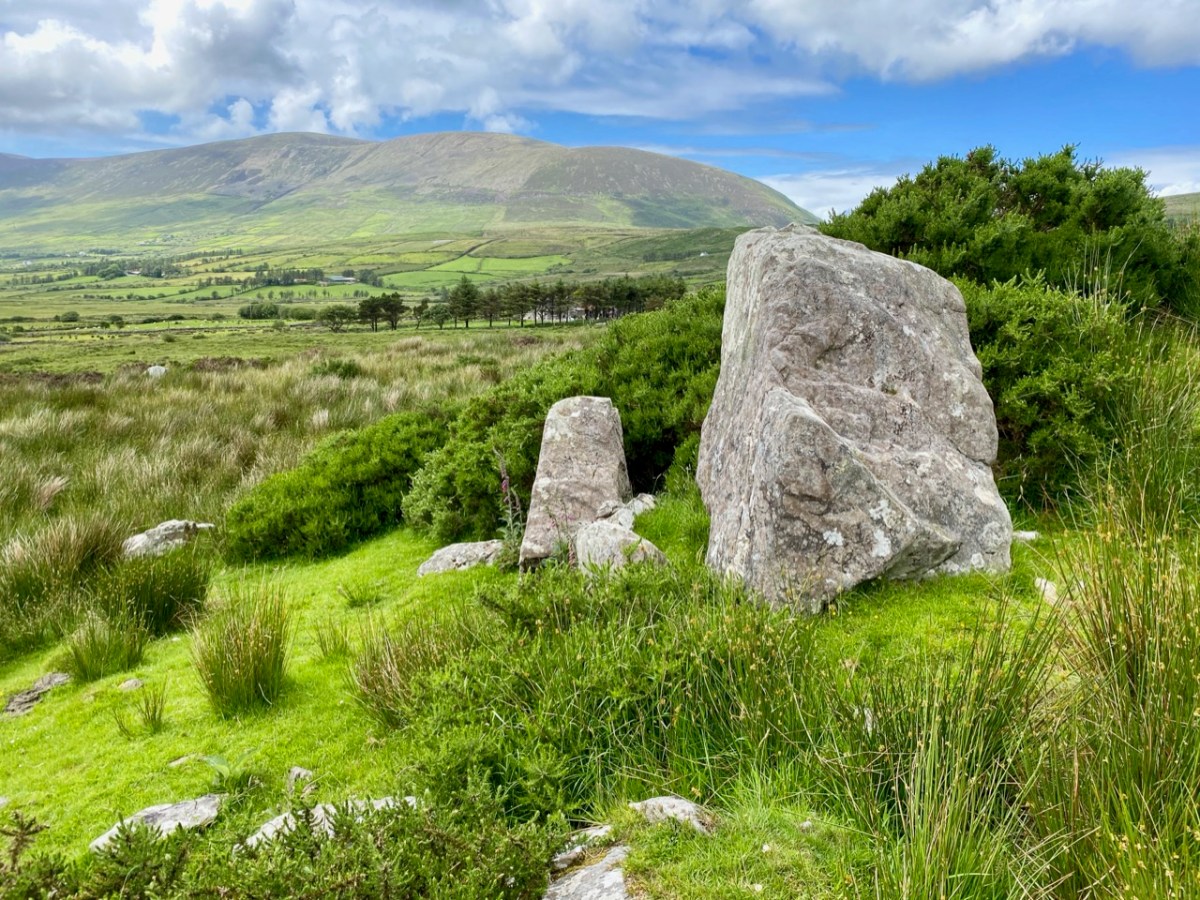
Upper picture – stone row in Caherlehillan townland; lower – Finola’s drawing of Rock Art made in 1973 for her UCC thesis. Note the cruciform motif at the southern end of this large sandstone boulder: it is probable that this carving dates from a later period, and may have indicated its use as a Mass Rock in penal times. However, the ‘Patriarchal Cross’ format is unusual in this context, and warrants further study. Since Finola travelled those boreens, many more examples of Rock Art have been revealed in the area and are now identified on the Sites and Monuments records. On our visit to Caherlehillan we searched the hillsides in vain for some of these more recently discovered panels (below).

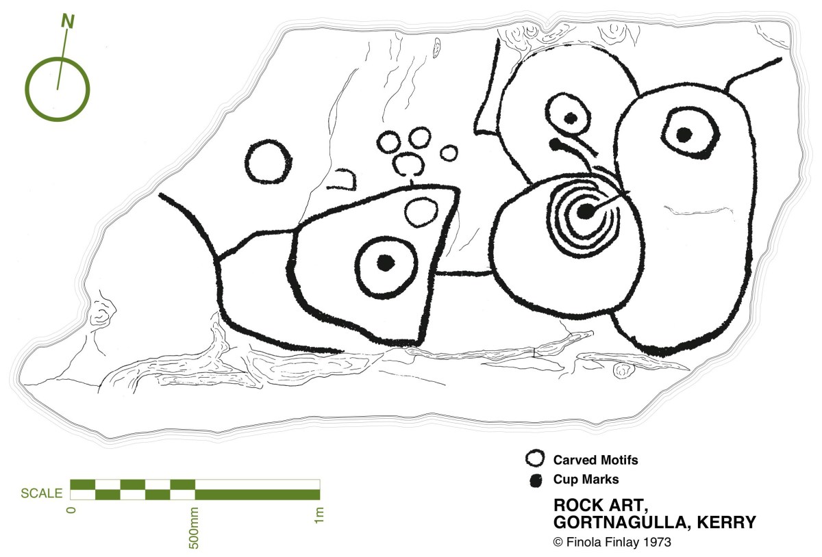
This further representation of Rock Art (above), also recorded by Finola, lies on the borders of the townlands of Caherlehillan and Gortnagulla: the motifs are quite unusual.

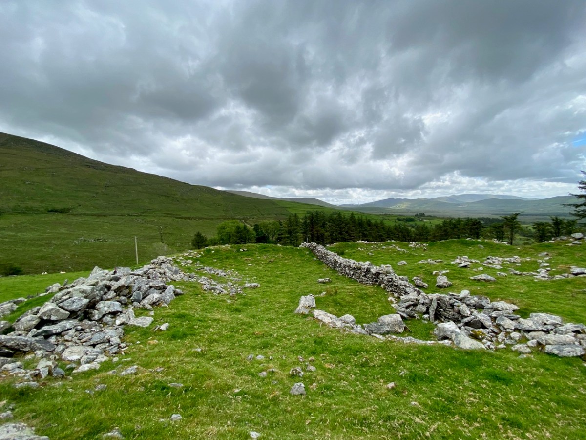
The central feature of Caherlehillan is the Caher (above), which gives the townland its name. The suffix ‘lehillan’ is probably from the Irish Leith-Uilleann, meaning half-angle, or elbow. There is a sharp bend in the Fertha River below the settlement, and it is most likely that this natural feature gave rise to the nomenclature. A Caher (Irish Cathair) is a stone fort, and is distinguished from a typical earthen rath, or ring-fort, by its size and construction. Forts, whether stone or earthen, were the dwelling places and shelters of people who lived in the first millennium in Ireland. Generally, stone-built forts were larger than earthen examples and are likely to have been inhabited by higher status families or communities. They would have been impressive structures and good views over the surrounding landscape was a requisite. Interestingly, the word Cathair is also given the meaning ‘city’ – ‘monastic city and settlement’ – and ‘Paradise’ (Teannglann). All of these could be relevant, as close to this Caher is an early ecclesiastical settlement.

This picture shows the spectacular setting of the Caher; the previous views show the extent of the enclosing stonework. Today it is a desolate place: many of the walls have been partially dismantled for use elsewhere, and the only close habitation is a single farm dwelling just below the fort. In this remote yet beautiful site it is hard to imagine the activity that was focussed here a thousand years ago.

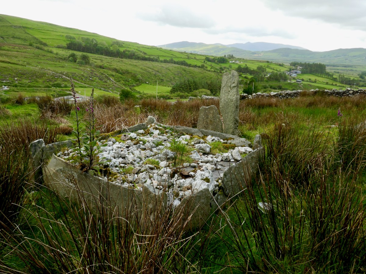
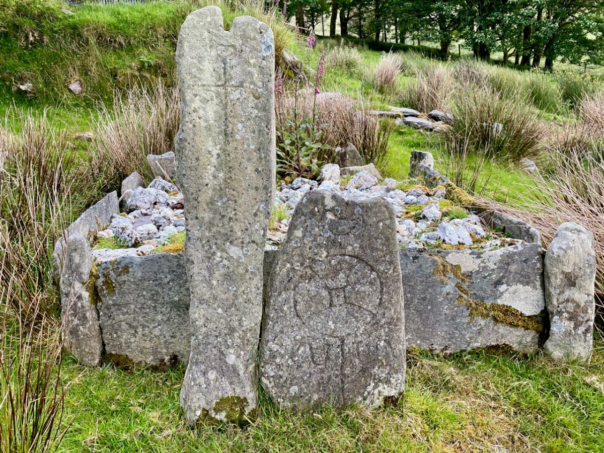
Just to the west of the lone farmhouse is a small enclosure, bounded by stone walls. It would be easy to overlook this, but for one feature which stands out (above). It catches the eye because it is so unusual: a square box structure with stone sides and corner posts, and two upright engraved cross-slabs facing down the valley. Quartz rocks form a raised bed within the square. Around this ‘box’ are a number of low, unshaped stones set in the ground. This was long thought to have been just a children’s burial ground – a Ciilín or Ceallúnach, but we now know that this was a later use. Between 1994 and 2004 the site was substantially investigated and excavated by students from University College Cork’s Department of Archaeology under the direction of John Sheehan, with remarkable results.

. . . Recent excavations at the early medieval ecclesiastical site at Caherlehillan, Co Kerry, have resulted in the discovery of important information on its initial development and structure. The ritual core of the site, consisting of a church, cemetery and shrine (which probably originated as a ‘special’ or founder’s grave), dates to what is probably the formative phase of Christianity in the south-west of Ireland. The picture emerges of a site that was conceived and built as a coherent entity in accordance with a clear conceptual template . . .

John Sheehan, A Peacock’s Tail: Excavations at Caherlehillan, Ivereagh, 2009

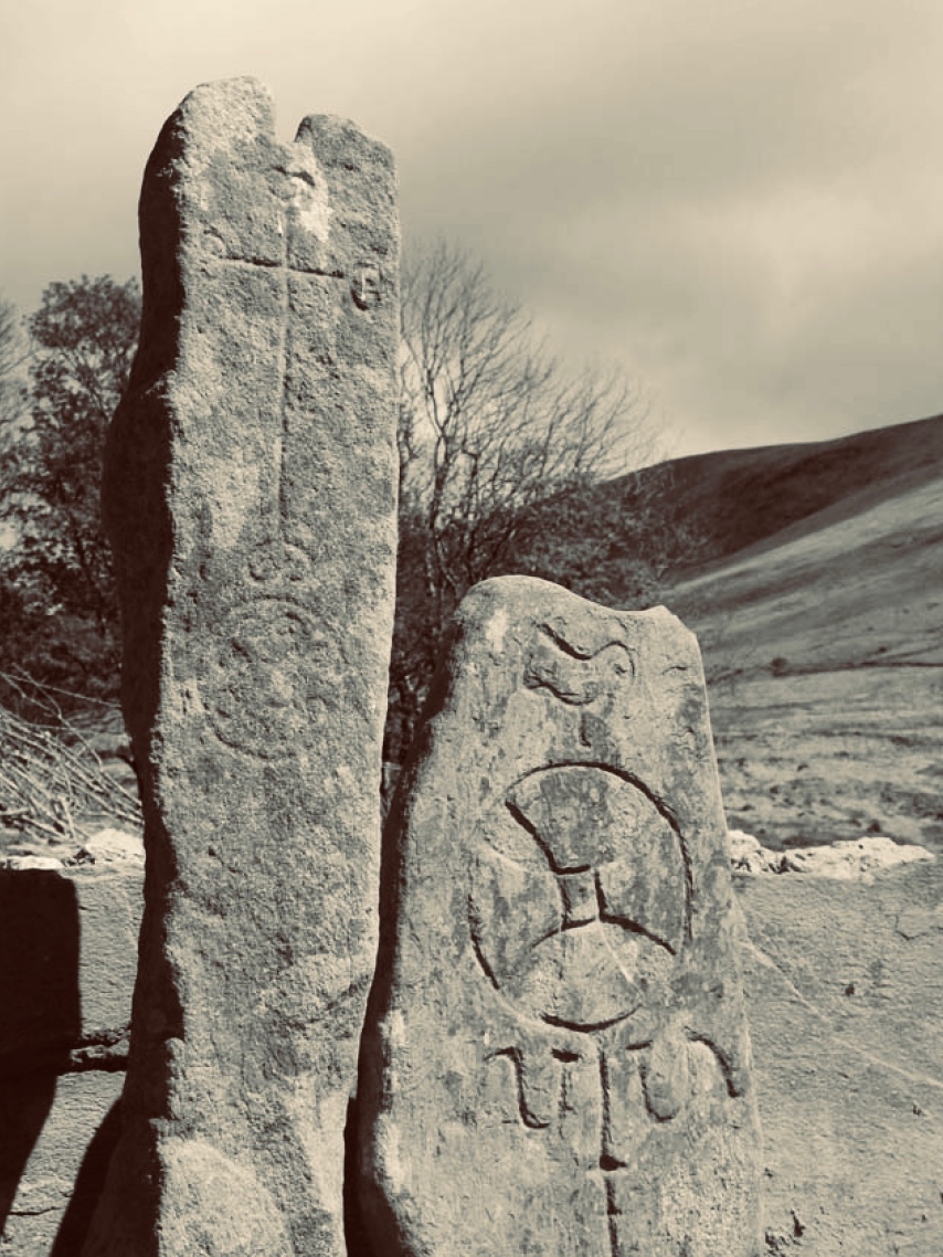
These two illustrations are from the Sheehan / UCC Excavation summary. The photograph is a good representation of the two upright cross-slabs, while the illustration shows two fragments which were found during excavation. Both show the same motif displayed on the smaller slab, yet each representation is to a different scale. This motif therefore occurs three times at this site.

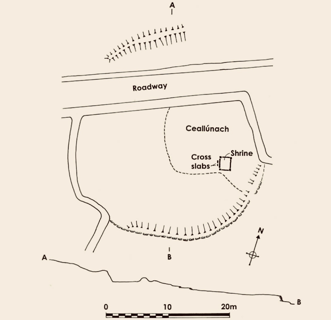
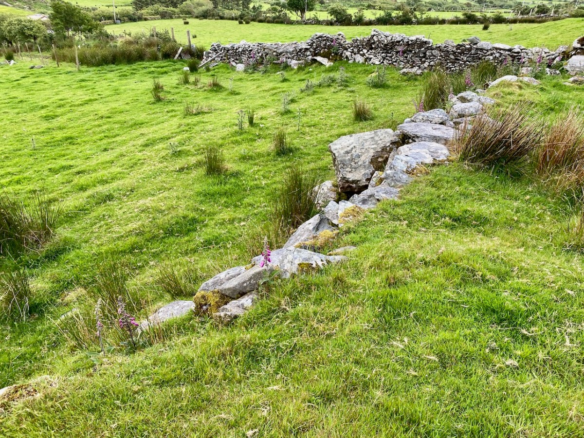
This is the plan that was made at the commencement of excavation, showing the ecclesiastical site at Caherlehillan. The south-eastern boundary is a built-up stone retaining wall (shown on the photograph below), and the indicated embankment above the later roadway implies that this site was originally circular in form (courtesy John Sheehan). Carbon dating of excavated materials suggest a date of mid-5th to early 6th centuries for the earliest activity on the site, while activity appears to have ceased beyond the 8th century. Most importantly, the excavations revealed – to the north-east of the ‘shrine’ – the foundations of a timber church dating from the 5th century – possibly the earliest church remains ever found in Ireland.

The photograph above is from Church Island on Lough Currane, Co Kerry, a site which we visited recently. It shows the shrine of Saint Fionán Cam, who was the founder of that ecclesiastical settlement. The island foundation was set up in the sixth century, and the name of the holy man and his exploits are recorded for us to observe today. Sheehan suggests that the ‘box’ at the Caherlehillan site is also a founder’s shrine, but we have no record of who this ‘saint’ or holy man was. Four hundred years of occupation of the site have, apparently, left him without a name, either through inscription, implication or oral tradition.

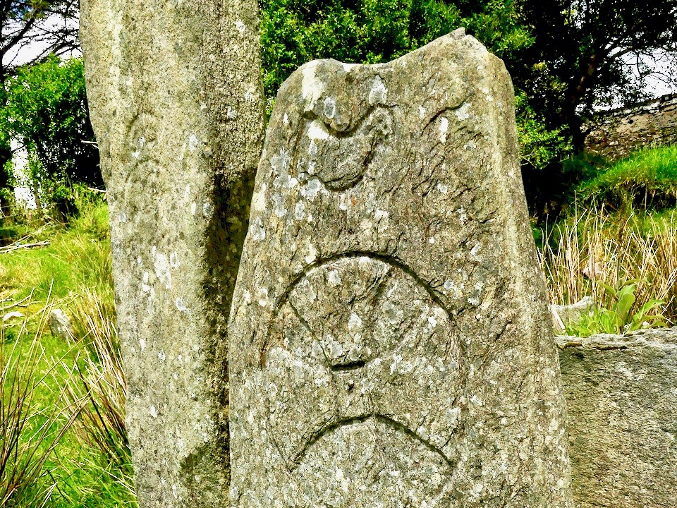
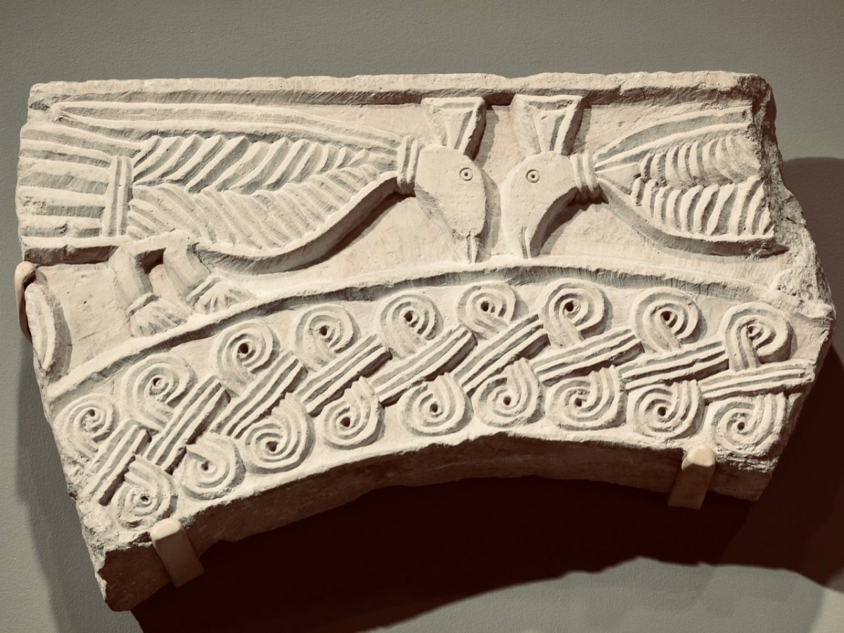
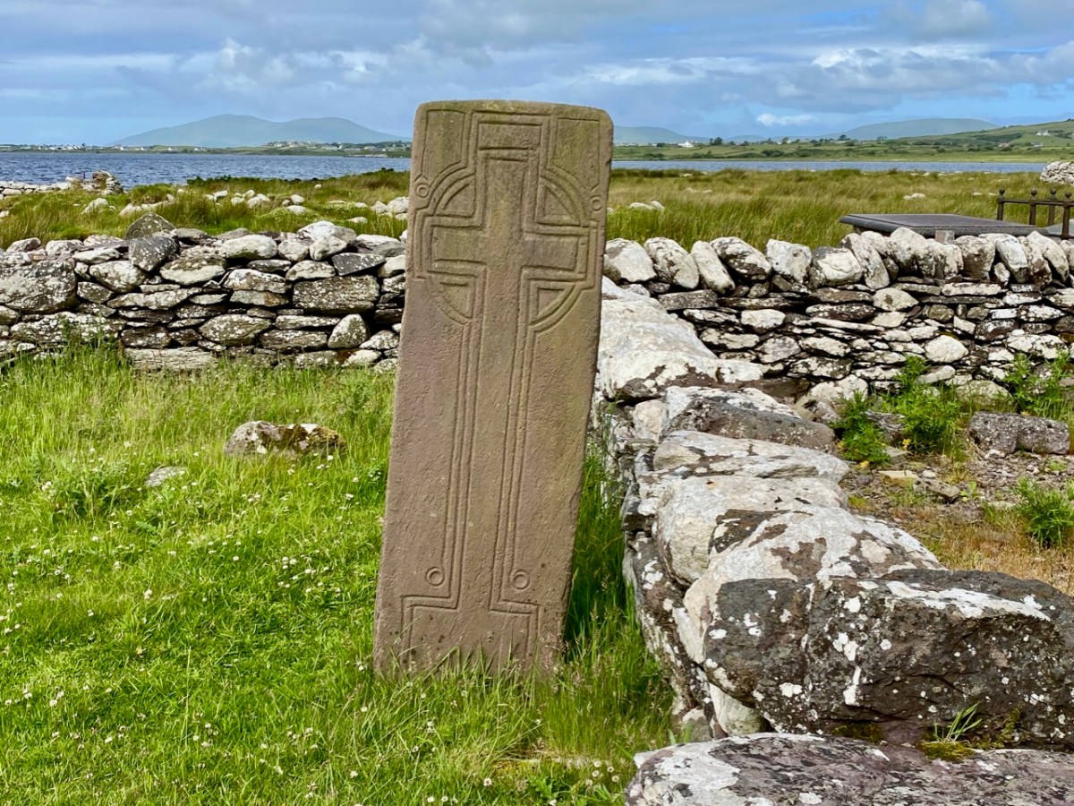
The upper picture shows a detail of the carving on the smaller cross slab at Caherlehillan. Sheehan (and others) suggest that the bird representation is in fact a peacock, which features frequently in early Christian art. This is because the wonderful plumage of the bird is entirely renewed every year, through moulting, and this symbolizes the underlying Christian theme of death and resurrection. The relief carving (above) from Northern Italy is dated to the 8th century and shows two confronted peacocks, ” . . .symbols of paradise and immortality in early Christian and Byzantine art . . . “. Sheehan in fact goes further, suggesting that the symbols on the shrine stones at Caherlehillan show a direct link with early Christian influences from the Mediterranean, something that is borne out by ceramic fragments also recovered from his excavations. These are of of ‘Bii type’, a form of pottery of north-eastern Mediterranean origin that may be firmly dated to the period between the late 5th and mid-6th centuries.

So there we have it: a small, remote settlement in a wild Kerry mountainside that has given up its ancient secrets to us. Dwellers there left us enigmatic Rock Art, possibly 5,000 years ago. Their descendants populated the fertile valley, farming the land and building here a prestigious stone fort, while nearby – and contemporary with that fort – was established perhaps the very earliest Christian foundation in Ireland! Today the place is sparse and rugged but, in keeping with Ireland’s spirit, breathing with an almost remembered past.
The researches and writings of John Sheehan, lecturer in Archaeology at University College Cork have been invaluable in formulating this post.

Half a Kerry Day

Kerry is an Irish county rich in history and archaeology. Our day was spent in the company of the ‘Saints’ – a term given to devout men and women who set themselves apart, leading small communities in the remotest of places, dedicated to order, prayer, knowledge, and the contemplation of humanity. Traces of these medieval ecclesiastical sites abound in Ireland, (sometimes described as The Land of Saints and Scholars), and we are always eager to search them out.

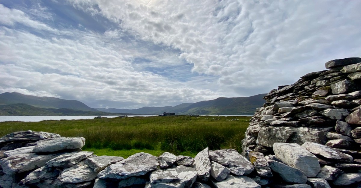
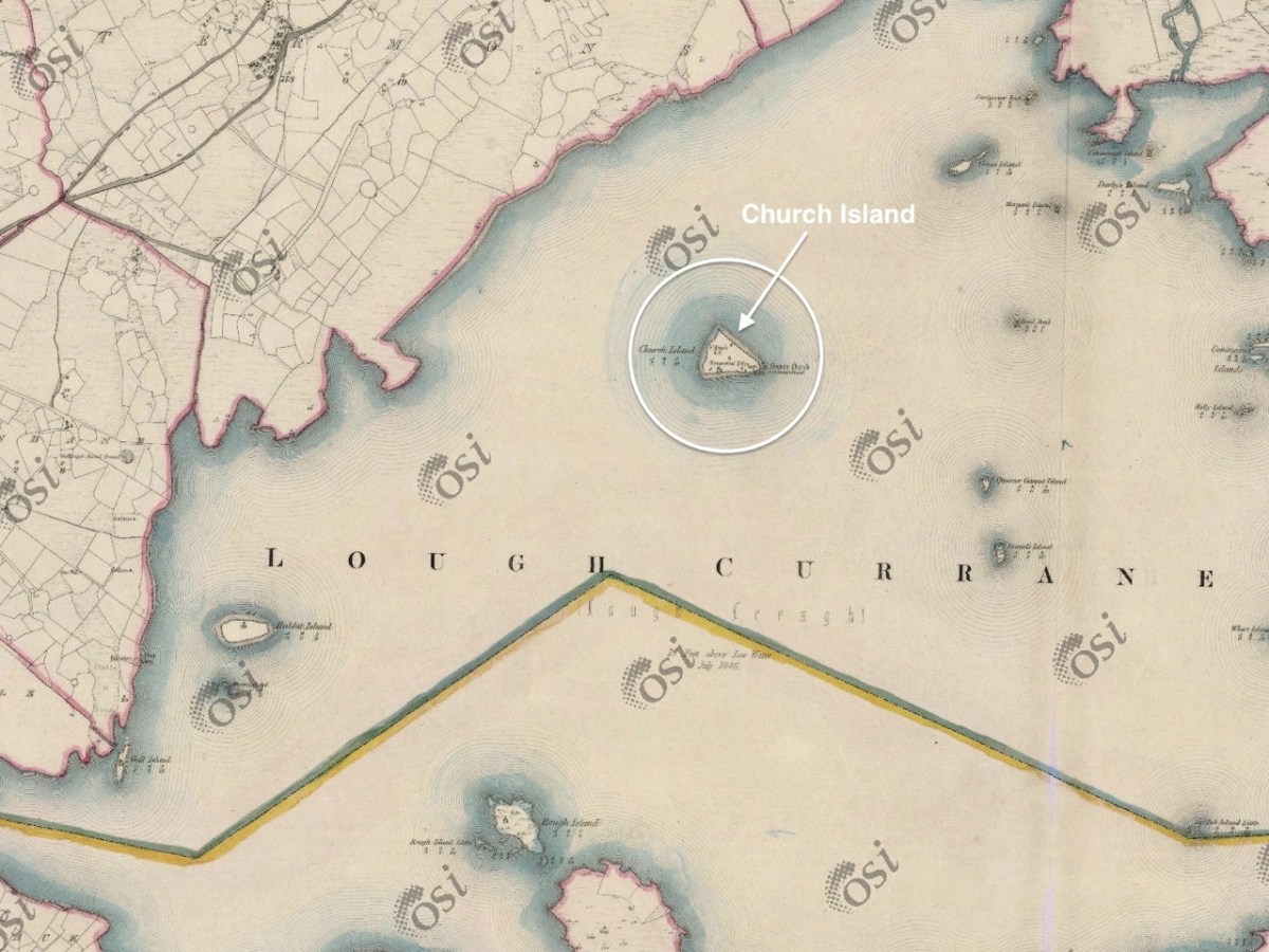
The header and the picture above are from Church Island, formerly known as Inis Uasal (meaning Island of the nobles), on Lough Currane near Waterville. The Lough – also known as Loch Luioch or Leeagh – is a substantial body of water, about 1,000 hectares in area. It is fed by the Cumneragh River in the north, Isknagahiny in the east, and drains to Ballinskelligs Bay at its south-western end. This Aerial view (below) shows the Lough in context, while the 6″ OS map extract dates from the 1840s.

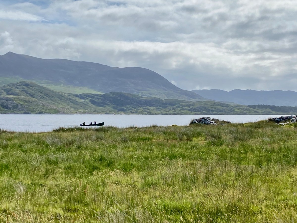
We were fortunate to be taken to the island by Tom O’Shea. He is the owner of the island today, and a mine of information on its history and traditions associated with it. He is also a Ghillie – anciently the attendant of a Gaelic chief, whose job it was to carry the chief across a river or lake – but in the present day an organiser of fishing or hunting expeditions: Lough Currane is one of Ireland’s premier sea trout fisheries. We hired Tom to carry us across the water to this ancient sanctuary which had been occupied by saints and monks for over a thousand years!

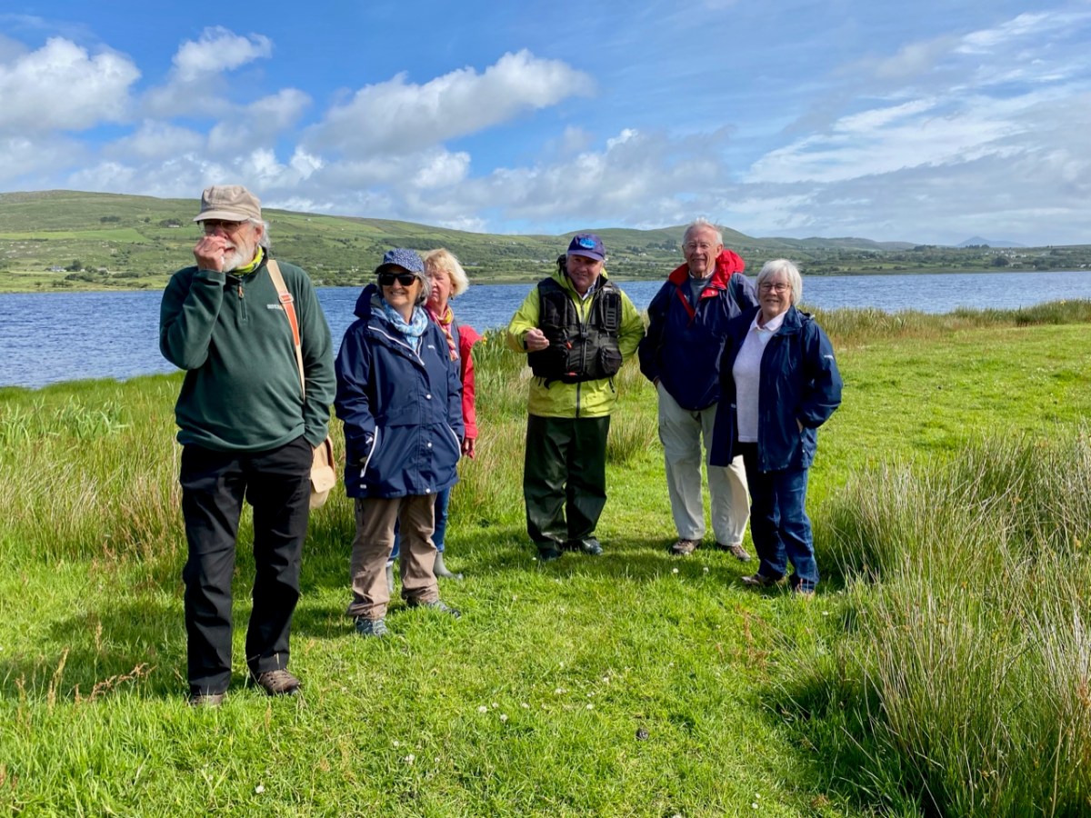
That’s Tom ferrying us across the lake in the upper picture – only two at a time due to Covid restrictions. Above is my picture of the rest of our group on the island, with Tom in the centre explaining the geography and history of this remarkable place. The day was organised by our good friends Amanda and Peter Clarke, and we had along with us friends from Kerry – David and Janet, all of us discovering this gem for the first time.

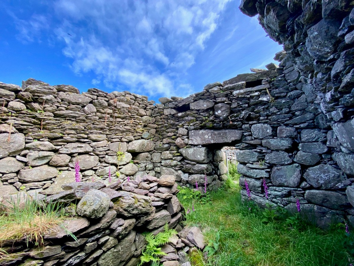
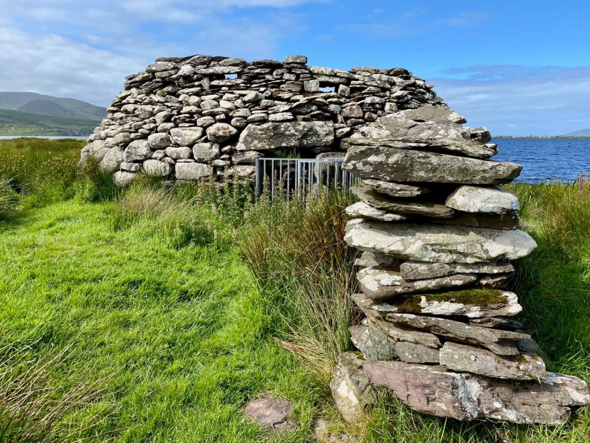
The monastic foundation on Church Island was set up by Saint Fionán Cam in the sixth century. Cam means ‘bent’ or ‘squint-eyed’, and it is significant that the name already gives us a picture of the man – a picture which has survived in local tradition for more than fifteen hundred years. One of the most impressive aspects of this island is that some of the historic structures date from the time of the saint – the one above is known as his oratory, or ‘cell’. This is a ‘gallurus’ type of oratory, and would have been roofed completely in corbelled stone: the upper part of the roof has fallen. Archaeologists do not agree over the dating of the structure, but local tradition is clear that it was built by the saint himself, and his community. At its eastern end is a low doorway with two roof boxes above, while opposite is a small, rectangular ‘squint’. It has been noted that the opes of this oratory align with the sunrise at midsummer. As that is almost upon us as I write, it is appropriate that we should have visited at this time of the year. The old photograph is courtesy of the National Library of Ireland Lawrence Collection, dating from the late 1800s. Below is the same view today: the ivy and creeper growth has been removed, revealing the roof box ‘slots’.

Fionán Cam was an important figure in Kerry: he is regarded as one of the three coinnle – or ‘candles’ of the Múscraighe, and descended from Conaire Cóem, High King of Munster. His birth was miraculous, his mother Beagnad – a virgin – having conceived while swimming in Killarney Lake, with a salmon. There are numerous dedications to this Fionán in the west of Ireland, but most traditions link him to Lough Currane and he is reputed to be buried beneath one of the three Leachta – or shrines – on the island, within the enclosure of the Romanesque church at its eastern end.

The OPW took over the archaeology of the island in 1880 and this illustration (above) from the Duchas information board shows pilgrims paying their devotions at the Leachta in 1000 AD. Nearly a century and a half on, the OPW has not yet completed their work on the island! There were plans to restore the west doorway of the twelfth century church (below), but this has not happened.

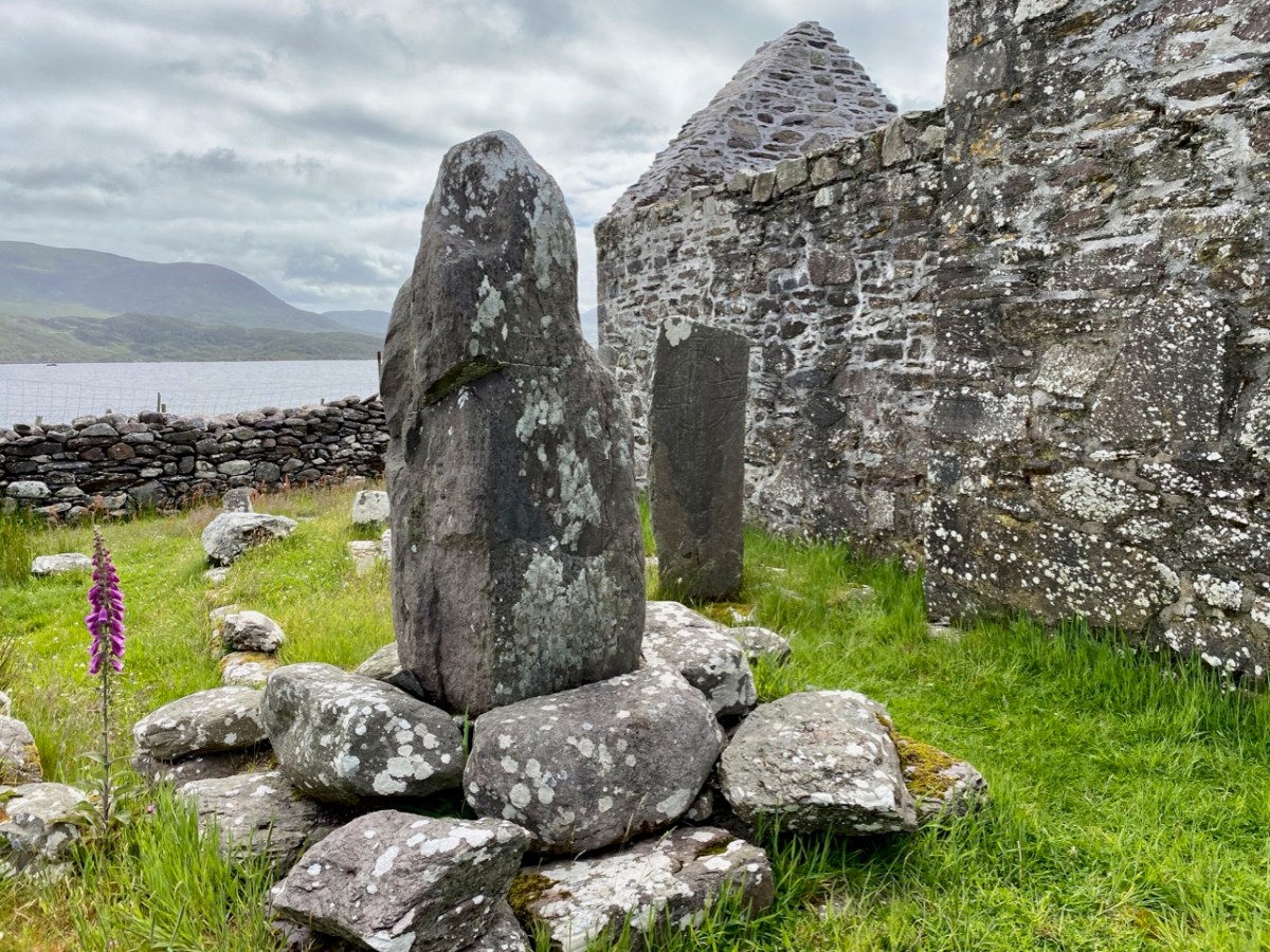
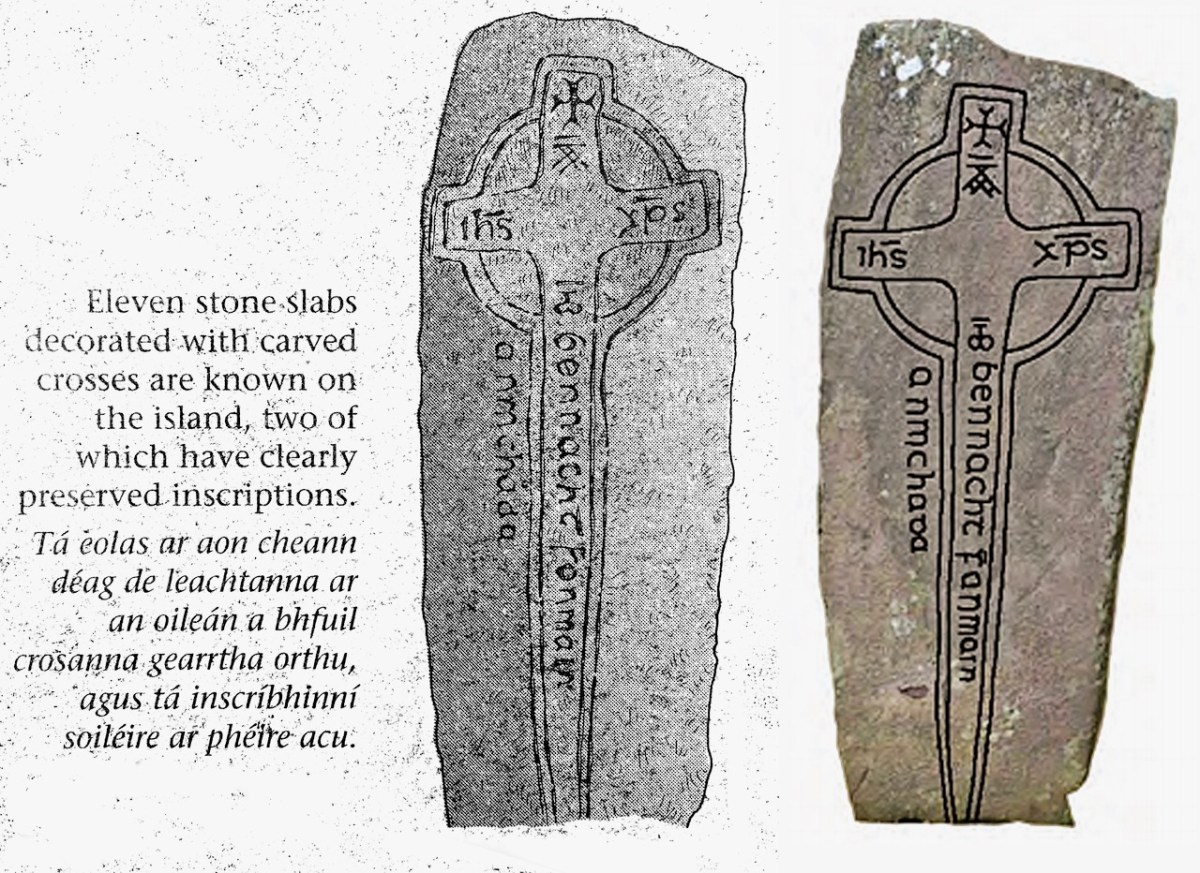
One of the Leachta (shrines) in the church enclosure. This probably marks the burial place of a later saint (or holy man) – Anmchad Ua Dúnchada – described as ‘anchorite of God’ in the Annals of Inisfallen, which states that he was buried here in 1058. Close by this shrine, and shown in the photograph above, is an inscribed slab on which can still be read the inscription to him:

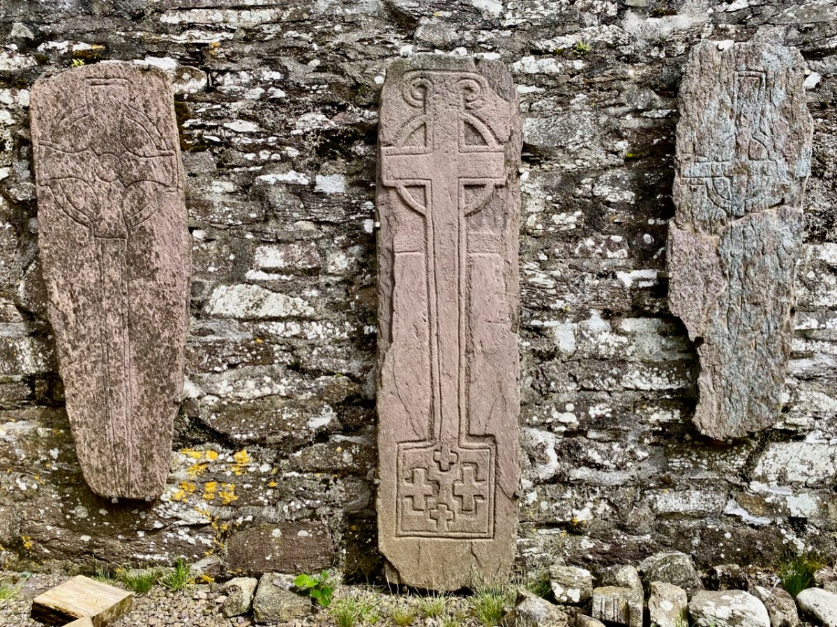
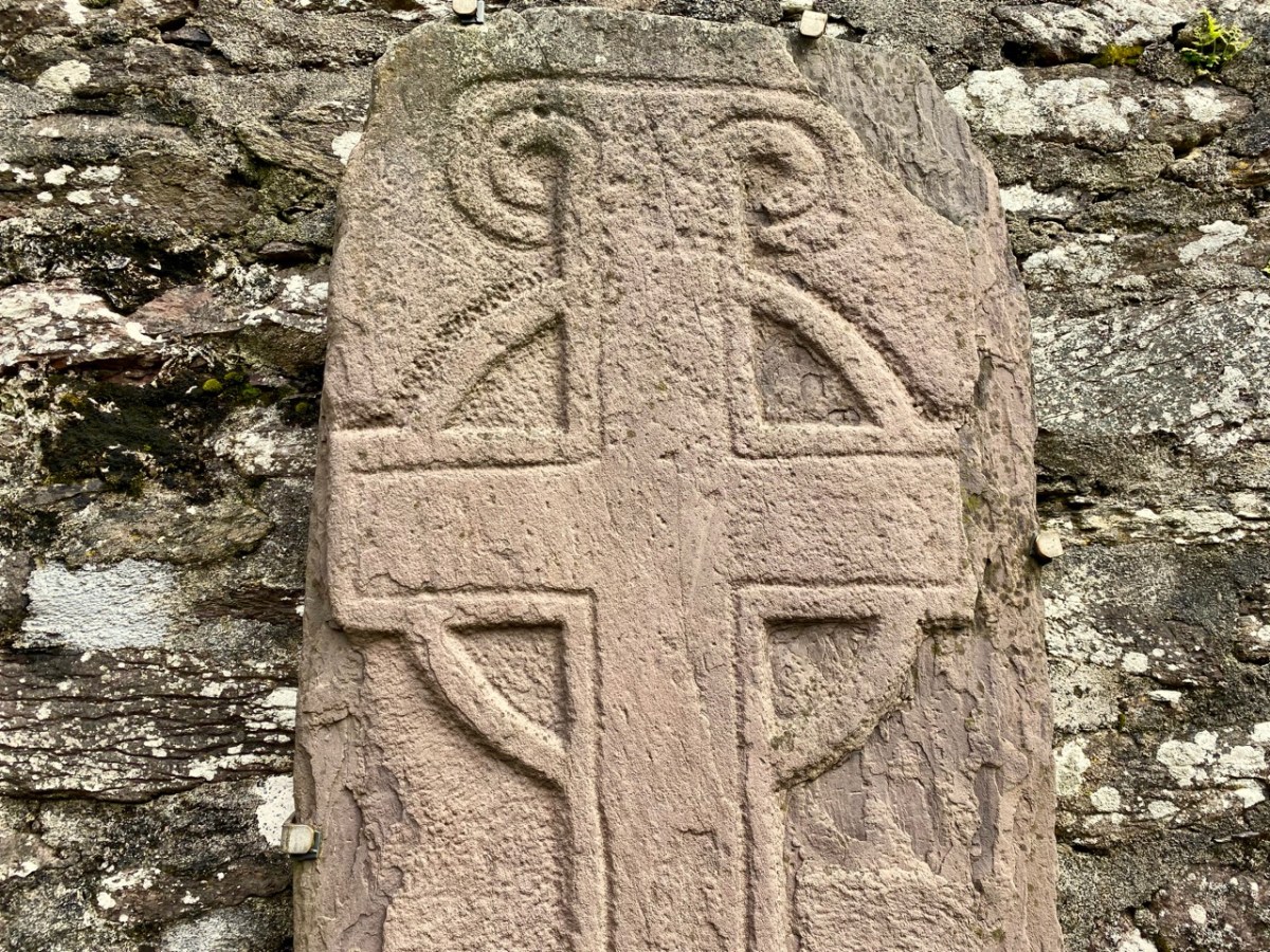
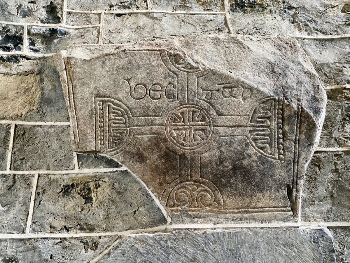
The eleven stone slabs – mentioned on the Duchas information board – are beautiful examples of this medieval craft: some are displayed now within the church building, although still open to the elements. Nevertheless they are surviving reasonably well.

One carved stone from Church Island is very unusual, being a rare representation of a musician. Known as ‘the fiddler’ the figure is clearly playing a stringed instrument with a bow. It is thought to be a lyre, an instrument which came to Europe in the eleventh century. This is the only known early representation of a lyre found in Ireland. In fact, the stone that we saw is a replica (on the left, below), which has become very weathered: the original (right) is being conserved in museum conditions.

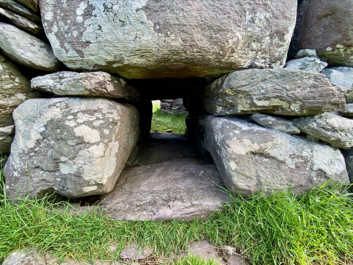
There are other early buildings on the island, including the base of a ‘beehive hut’, said to have been the home of the early saint.

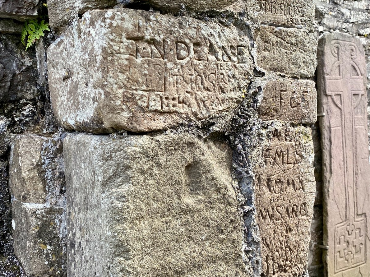
Some quite fine examples of graffiti by visitors to the island, on the Romanesque church walls: some of it dates from the nineteenth century.

Our visit to Church Island only occupied half of our Kerry day. We had more treats from medieval times – and earlier – in our explorations later on. These will have to wait for another post, but here are some tasters:

Irish Romanesque 4: The Nuns’ Church at Clonmacnoise

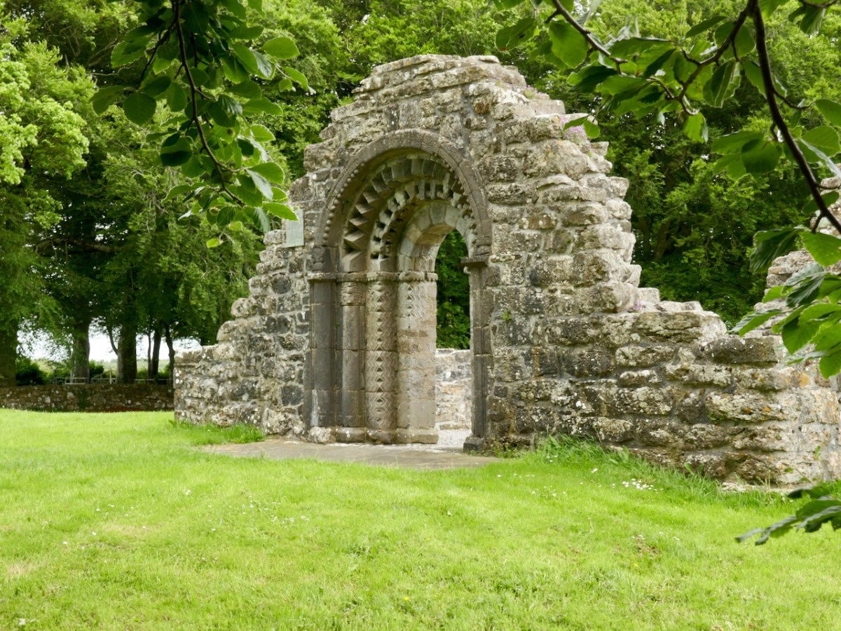
It’s been a while since I wrote about Irish Romanesque architecture, but a recent visit to Clonmacnoise included a walk to an outlying site – the Nuns’ Church – which ranks as one of the gems of this form. 

If you’re new to this series of posts, you can bring yourself up to date with a quick read of previous posts, which will give you the background and vocabulary on this form of architecture – the dominant church building style of 12th century Ireland.

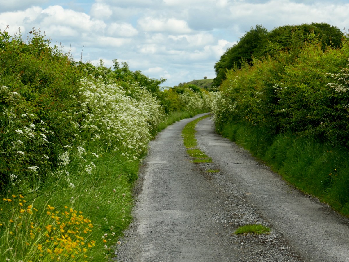
The Nuns’ Church was connected to the main monastery of Clonmacnoise by a causeway, still evident in places,  but is now reached by wandering along a boreen that, at this time of year, is delightfully fringed with Cow Parsely, Buttercups and Hawthorn.

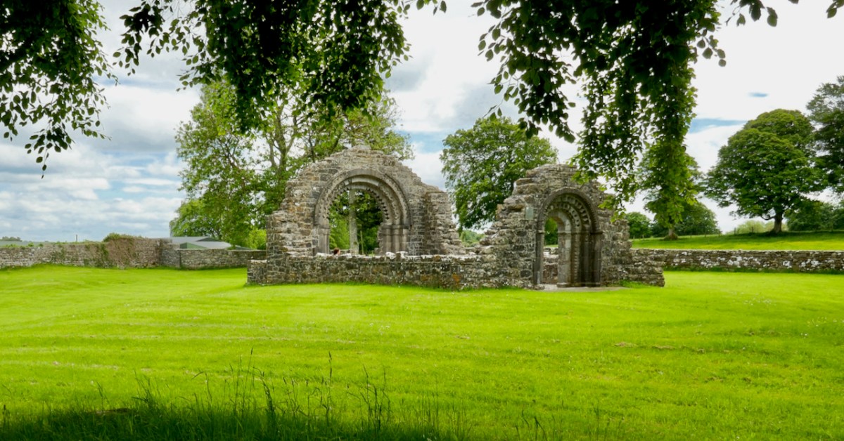
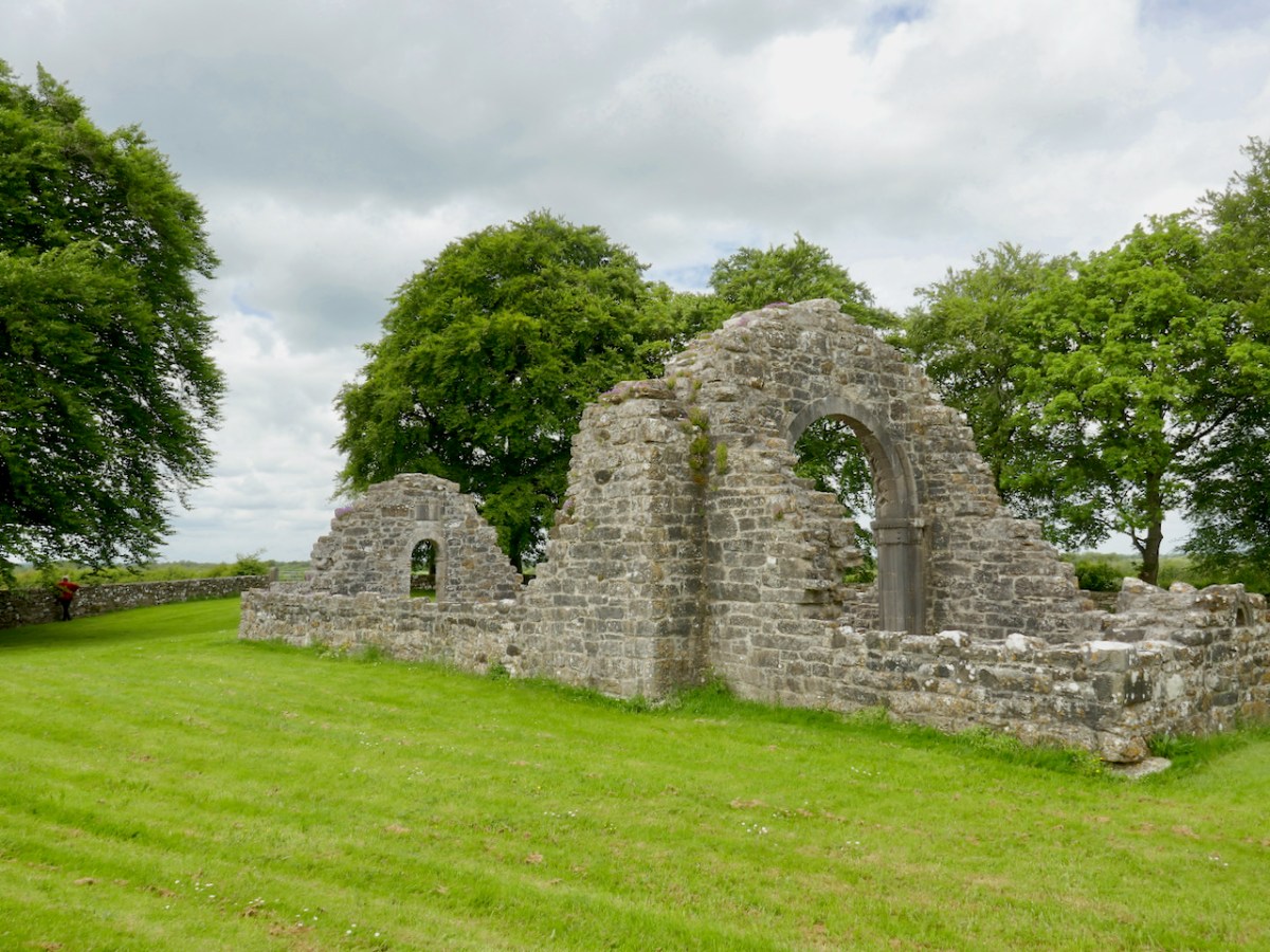
There is no glimpse of it in advance – you arrive at a gate, and there it is – one of the wonders of medieval architecture marooned in a peaceful little field.

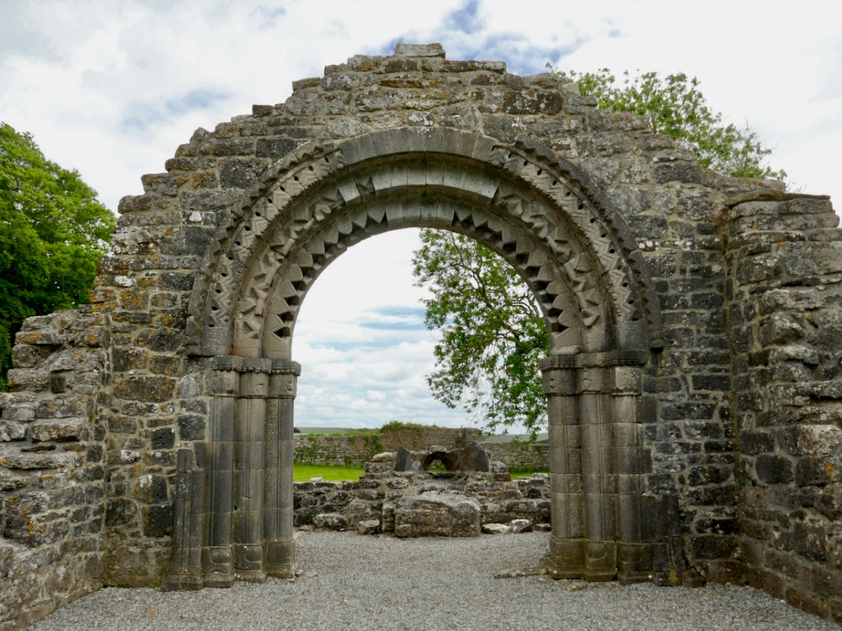
This is a nave-and-chancel church, typical of the time. It is associated with Devorgilla, wife of Tiarnan O’Rourke, as it is said to be the place to which she retired as a penitent, for the sin of absconding with Diarmuid McMurrough and being the unwitting cause of the Norman Invasion. However, there are many sides to this story, and I have just read a most entertaining version, Dervorgilla: scarlet woman or scapegoat?, which claims that she was entirely innocent of the misdeeds she is famous for. Whether she died there, or at Mellifont, as the article asserts, she was certainly responsible for re-building the church in 1167, which places it firmly in the date-range for the full flowering of the Hiberno-Romanesque style.

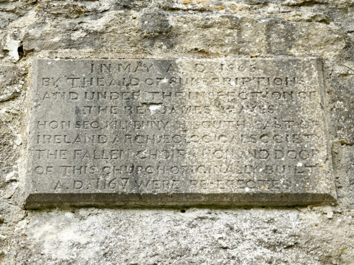
The little church was in ruins by the 1860s and one of the foremost antiquarians of the day, James Graves, of the Kilkenny Antiquarian Society, supervised the reconstruction of the chancel arch, as recorded on a plaque on the inside wall. Our old friend George Victor du Noyer was along to give advice.

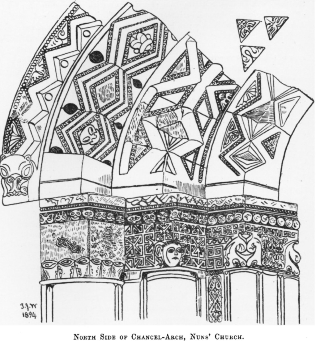
By all accounts, they did a careful and informed job of it, digging out the carved stones from the rubble and debris of the collapsed arch and walls, and using a skilled mason to rebuild the arch and doorway. Du Noyer’s drawings* at the time, such as the one above, give an insight into what they found – all the pieces had to be carefully re-assembled, or replaced with ‘blanks’ to indicate what was lost.

In 1907, Thomas Westropp arrived to admire the skill of the reconstruction job and to make his own observations and drawings. (You’ve met Westropp before too, and may again.) From those drawings, it can be seen that Graves’s reconstruction has lasted intact to the present day. While not quite as accurate as du Noyer’s sketches, Westropp’s drawings are a valuable addition to the literature on this church and capture in particular the spectacular west doorway (above).**

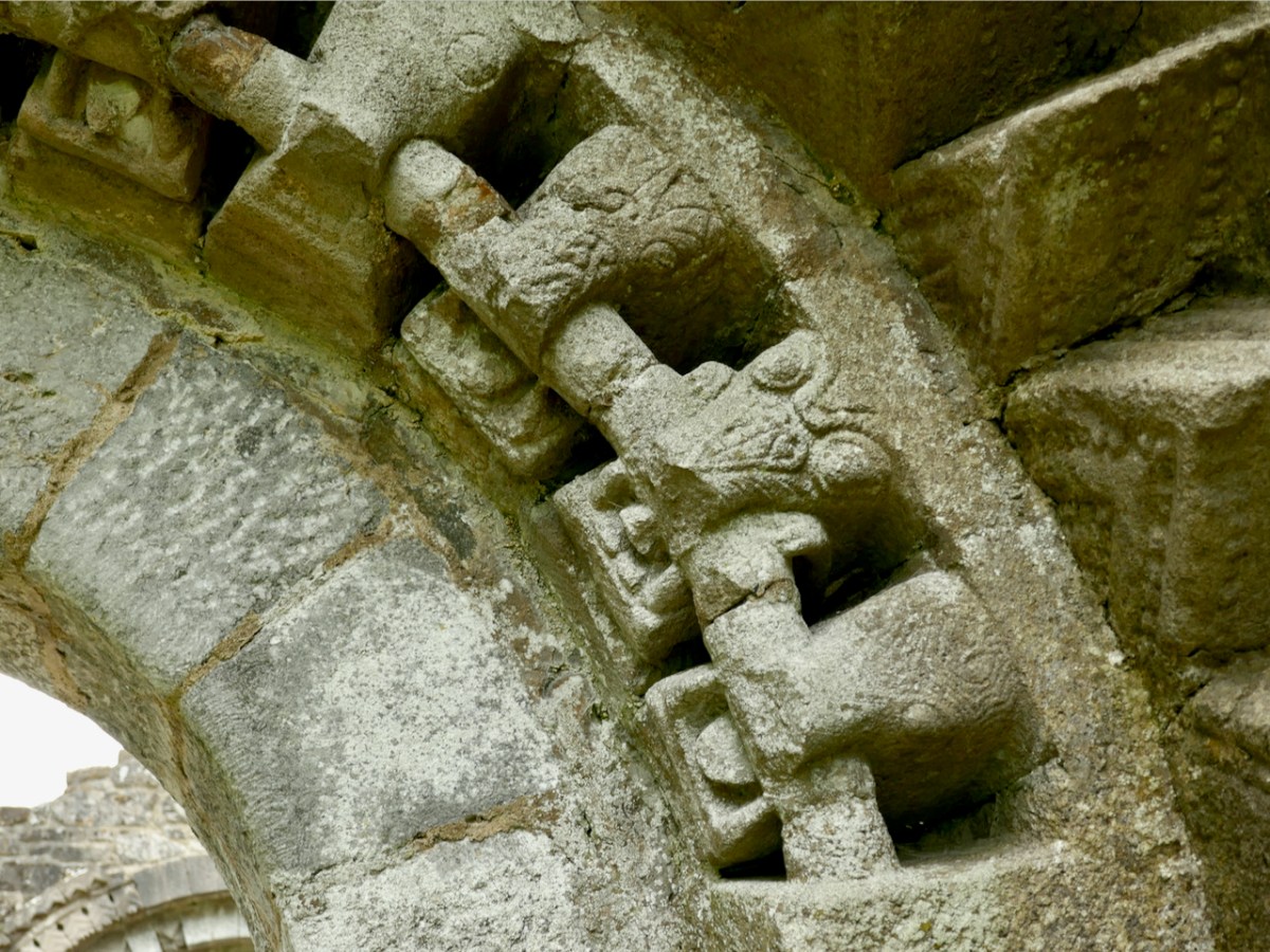
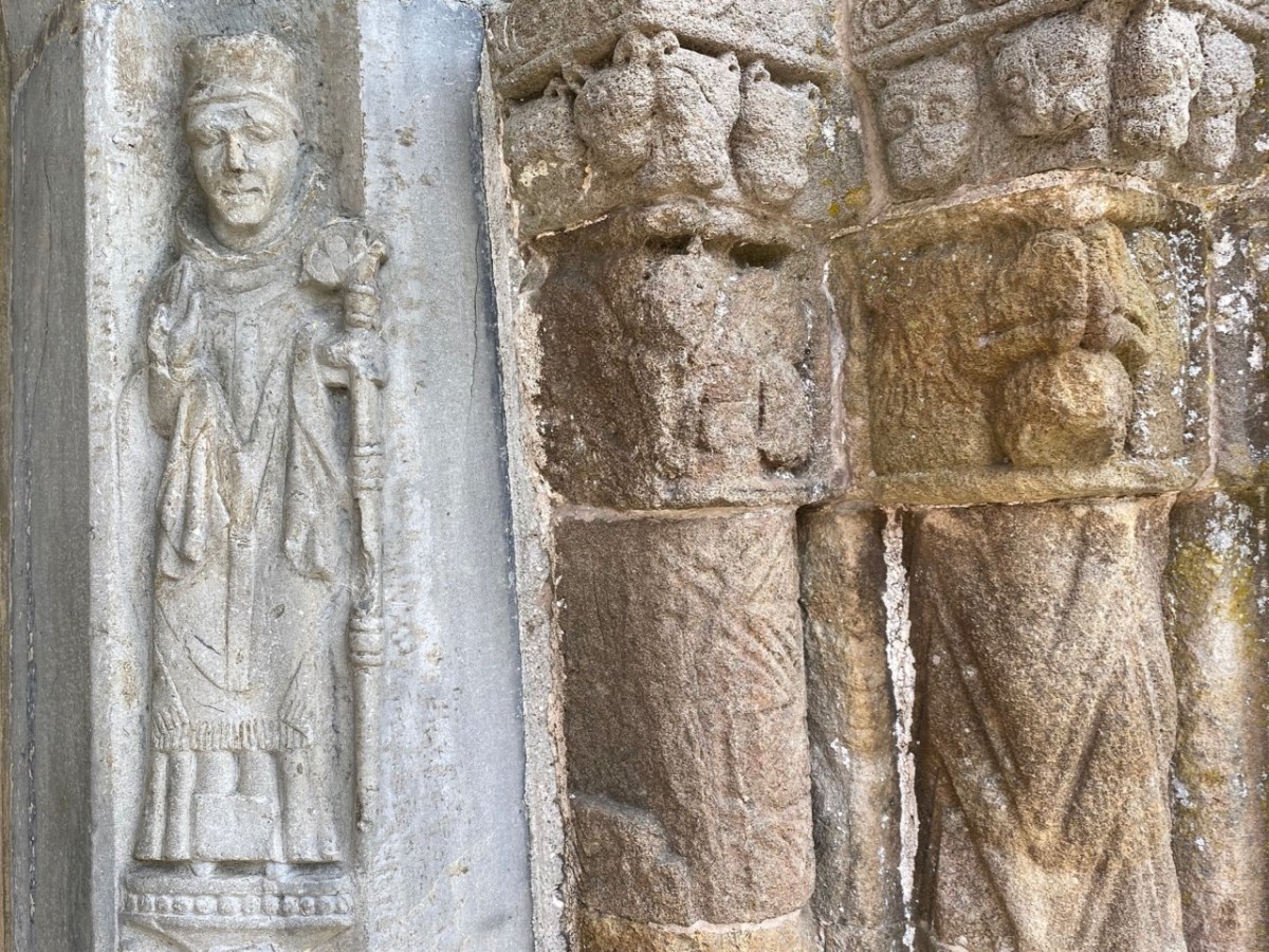
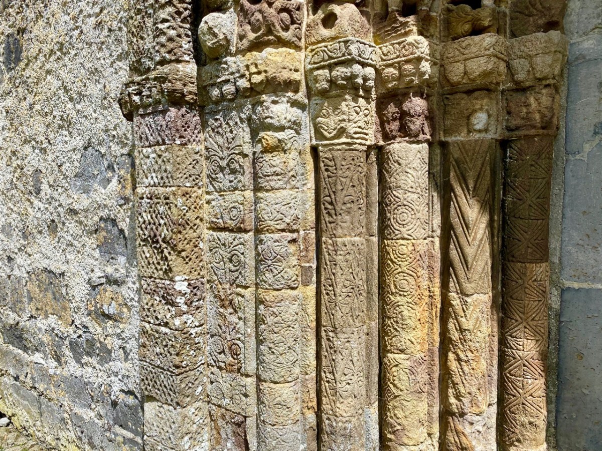
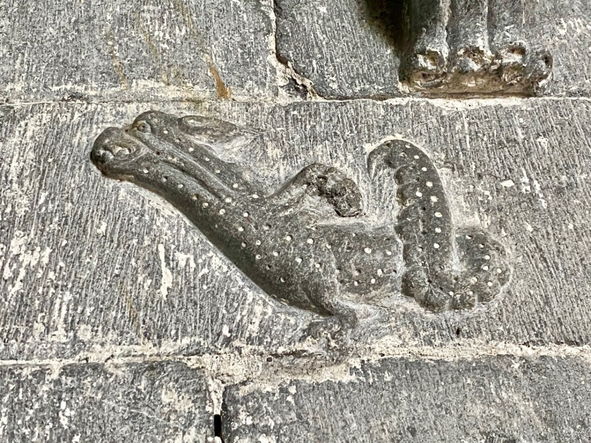
My Romanesque Bible says of the carvings on the Nuns’ Church, The emphasis on low-relief ornament and the use of zoomorphic elements are typical of Irish Romanesque and show the adaptation of English and Continental Romanesque influences to the traditions of Insular art. That’s a fancy way of saying that there are lots of animal motifs here. Most obvious are the voussoirs of beast heads biting on roll moulding that form the arch of the second order of the four orders of the West doorway. 

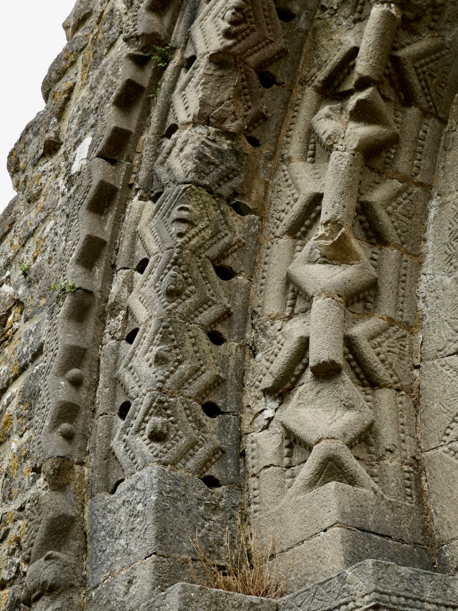
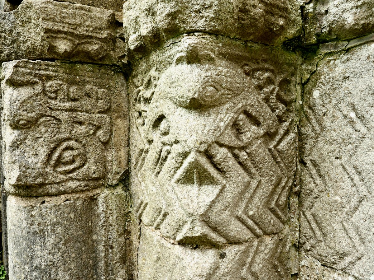
But monster heads and snakes are seen here and there on capitals and jambs, as well as all the usual chevrons, roll mouldings, foliage and interlace patterns. 

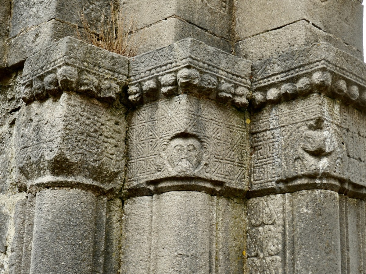
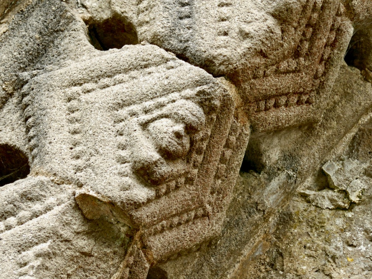
The chancel arch is equally highly carved. Among the intriguing elements are the capitals on the both sides of the arch, which have both human and beast heads, together with geometric ornamentation (such as a Greek key design), rows of cats’ heads, and beading. 

Westropp’s drawing and my photographs above, of the north side of the chancel arch and below, of the south side.

Westropp’s drawing also shows the base or plinth of the jambs, which he says are quite unusual because of both the ‘strange bulbs’ and the ‘discs displaying crosses.’ My photo of what he’s referring to is below.

In one of the lozenges formed by the two rows of chevrons, carved point-to-point on the chancel arch, is an exhibitionist figure – a tiny head and legs, with the legs pulled behind the head. Can you see it in the photograph below?

How about this one, below? It’s been interpreted as a sheela-na-gig, a similar exhibitionist genitals-displaying figure, although this one is a lot smaller than a typical sheela. 

Give yourself enough time here to trace the carvings with your eyes – there is so much detail to observe and some of it is easy to miss. 

The small field is full of bumps and hollows – evidence that this was once the centre of a convent with substantial buildings around the church, separated, of course, by a ‘decent’ distance from the male monastery, but connected by those causeways.

Many people who visit Clonmacnoise don’t realise that the Nuns’ Church is only a short stroll away and never see this tiny, perfect example of Irish Romanesque architecture. Now – you’ve been let in on the secret!

* Du Noyer drawing courtesy of Europeana.eu
**A Description of the Ancient Buildings and Crosses at Clonmacnois, King’s County, Thomas Johnson Westropp, The Journal of the Royal Society of Antiquaries of Ireland, Fifth Series, Vol. 37, No. 3, 1907, pp. 277-306

Back to Clonfert

Clonfert is only a couple of counties over from us: we just have to skip through a bit of Cork and Tipperary and there we are in Galway – a tiny corner of it that is shaped by the River Shannon. So, on a Thursday afternoon at the beginning of June, we found ourselves tripping along dead straight boreens – narrow for the most part – taking us through lush dairy lands – on a quest to revisit Clonfert’s medieval Cathedral, and its associations with one of Ireland’s most famous saints: Brendan the Navigator.

As we approached the little settlement of Clonfert, our empty road ahead was interrupted by a small white car, which seemed to travel erratically from one side of the lane to the other, and our arrival made little difference to its progress. As we got near, we realised that there was a wiry Jack Russell ambling along the road in front of the car: it was clear that the terrier was having its daily walk, with the owner driving along protectively behind it, regardless of where its fancy might take it. Ah, sure – we were in no hurry, so we joined the procession and waited as the dog sniffed and shuffled its way back home: eventually, dog, car and owner vanished through a gate, and we had the road to ourselves once again . . . This is life in Ireland, and it’s good!

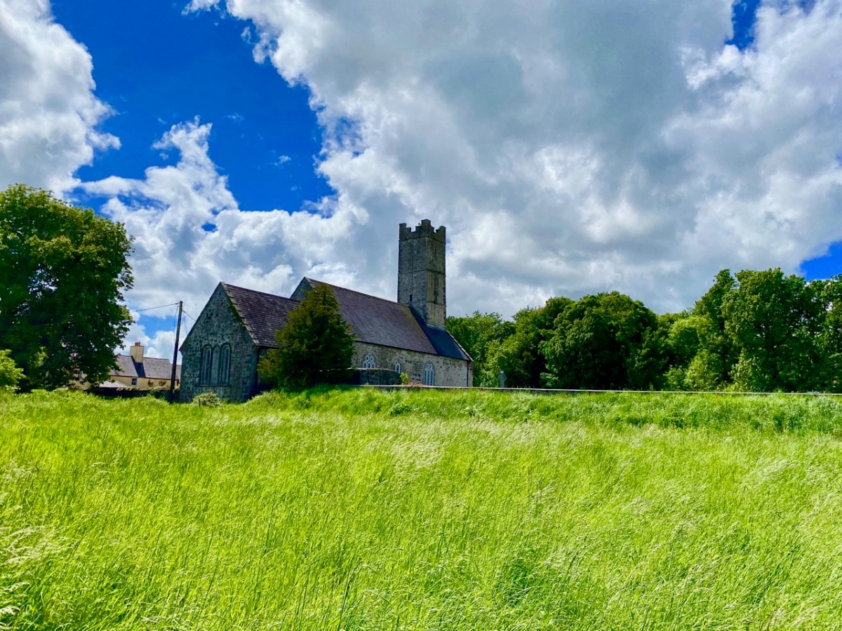
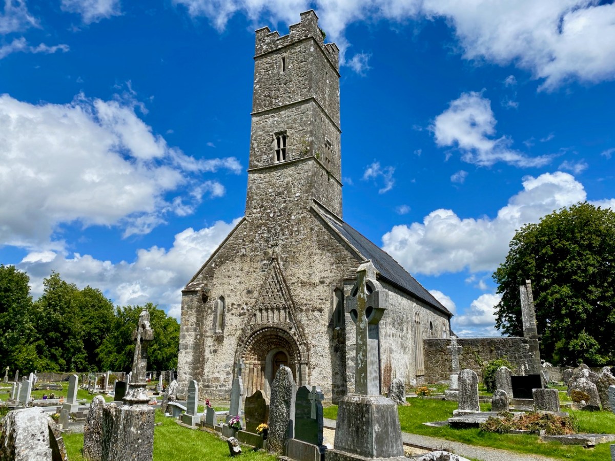
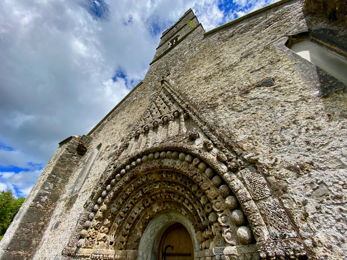
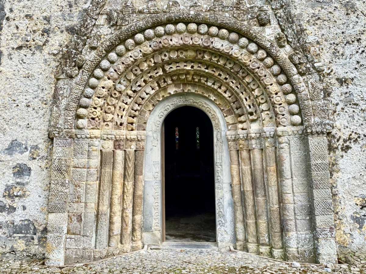
Clonfert’s grandly styled ‘Cathedral’ is so important historically, yet it could hardly be more remotely situated. From the east (upper picture above) it looks like many another Church of Ireland building, maybe not worth a second glance – unless, like us, you can’t resist examining every unturned stone because there is invariably something unexpected to be found under it. Just turn the corner and have a look at the west entrance door:

That doorway, with its exquisite decoration dating probably from the 12th century, has been described as ‘the supreme expression of Romanesque decoration in Ireland’. The carvings, although suffering from hundreds of years of wear and tear from the Irish elements, still display an extraordinary richness and variety: we can only wonder at the inspiration, skill and knowledge of the carver, who must have been deeply immersed in both lore and craft. Tadhg O’Keeffe, current Professor of Archaeology at University College Dublin, suggests a date of c1180 for this doorway. Records state that the church was burnt during a Viking raid in 1179, the same year in which a synod was held there by St Laurence O’Toole; installation of this imposing entrance may be connected with these events. Finola’s post today also explores Romanesque carvings not too far away, at Clonmacnoise. She has also written on Clonfert’s architecture in her Irish Romanesque series.

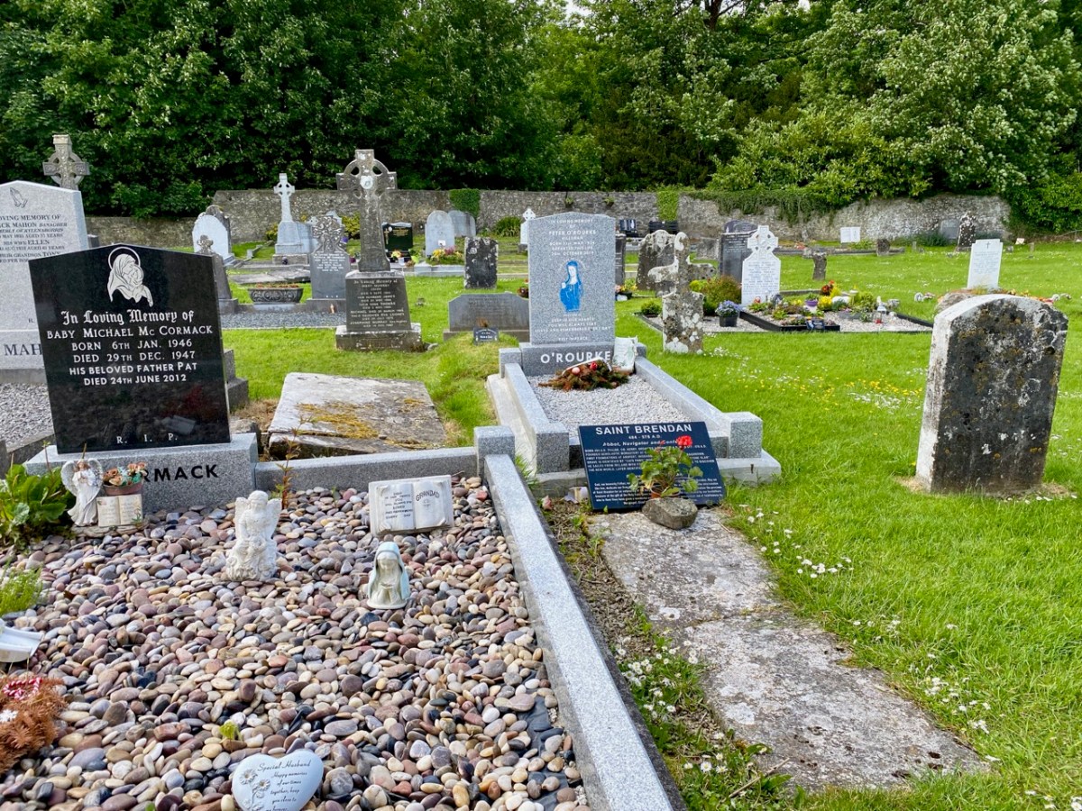
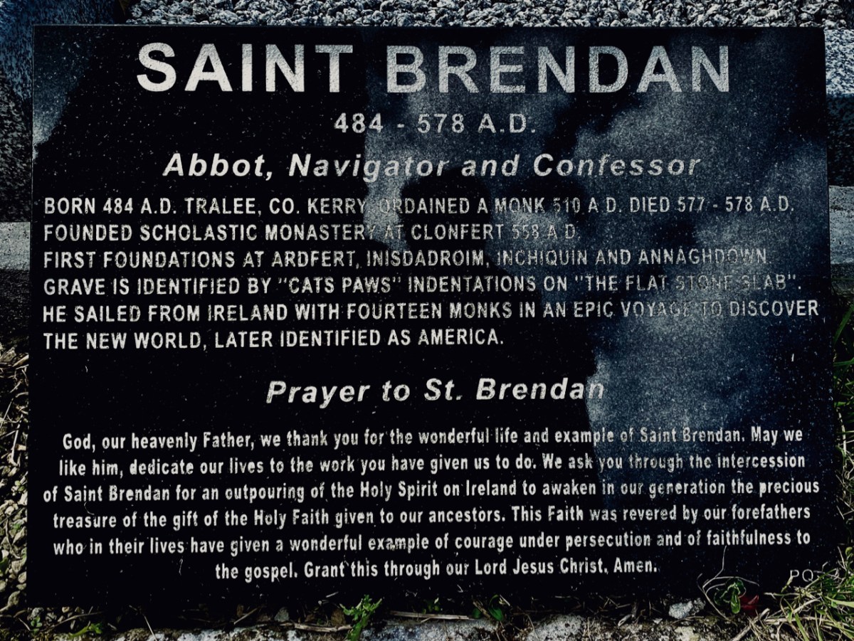
St Brendan lived from 484 to 577. We saw his birthplace in Fenit, Co Kerry, a few years ago. He founded many monasteries in Ireland but arranged for his body to be taken secretly to Clonfert Cathedral for burial as he didn’t want his remains to be disinterred by relic hunters. His grave is a stone slab just outside the great west door. On it are said to be the marks of cats’ paws – interestingly linked, according to folklore, with the many carvings of cats’ heads on the doorway arches.

When we first visited Clonfert, many years ago, the cathedral itself was closed and we went away with the impression that we had seen all the wonders that the place had to offer by our explorations of the outside of the building and its setting. We were wrong: on this occasion the door was unlocked and there were unexpected treats hidden for us in the interior.

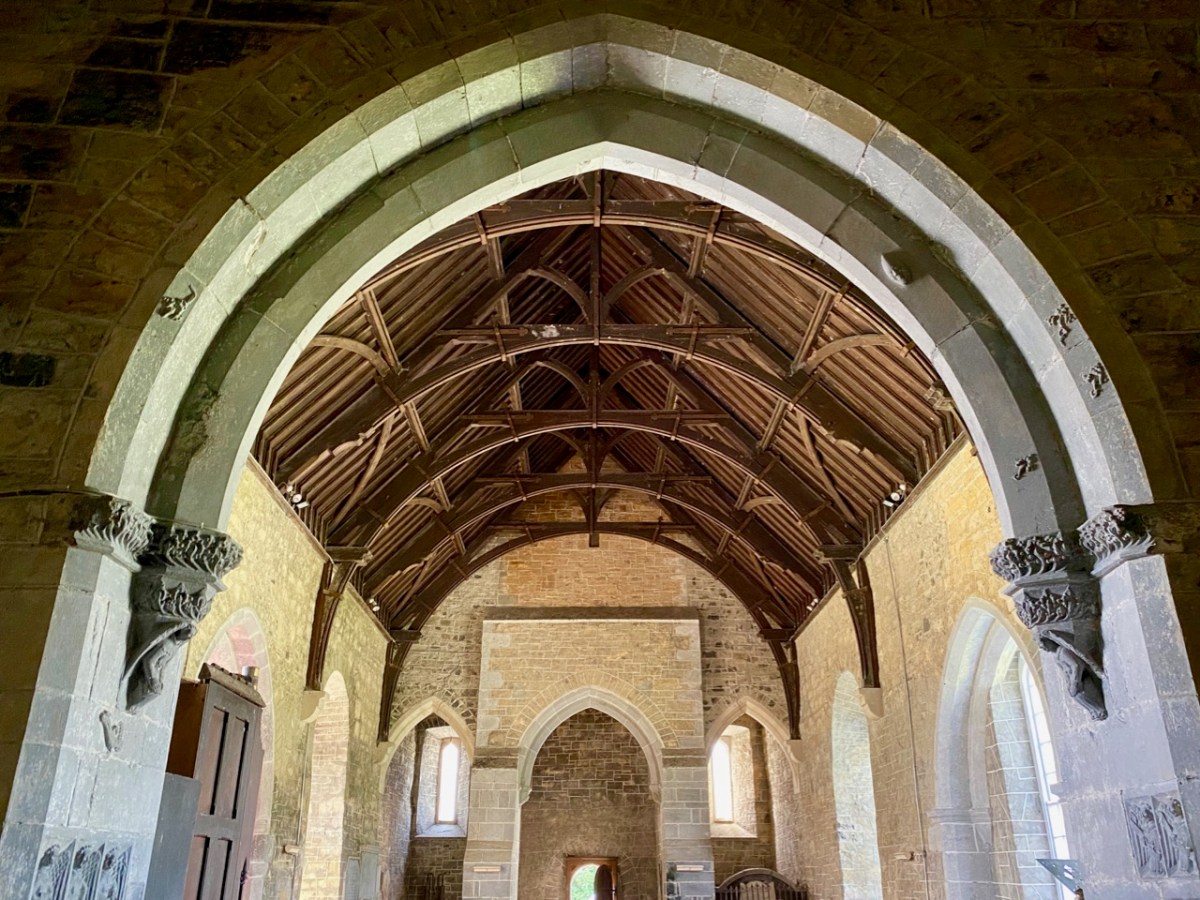
Further carvings decorate the church walls: they vary in date and style, but all are fascinating. Here is a selection – notice the seemingly random arrangement of heads and animal features on the great 15th century chancel arch, above.

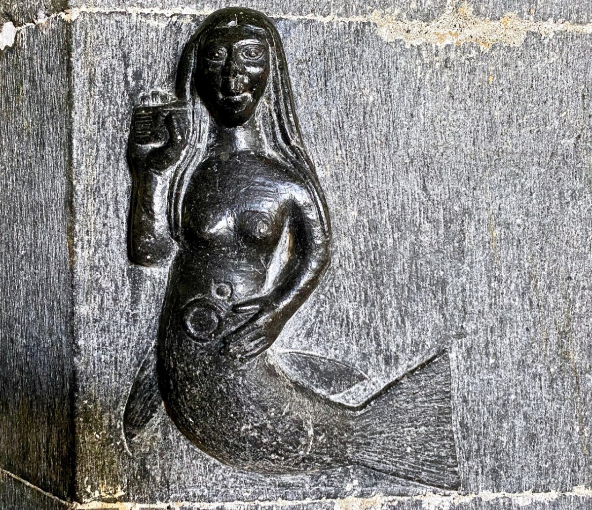
Angels, cross-slabs, a wyvern and, astonishingly, this fine mermaid complete with comb and mirror. I have found very little information to identify why these various carvings are found here in the Cathedral, apart from general legends which suggests links with Saint Brendan.

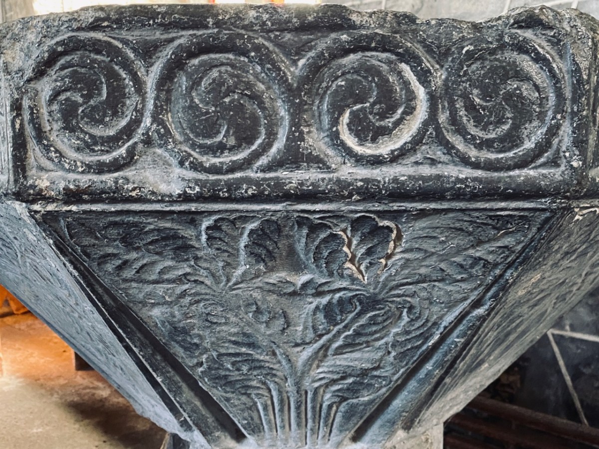
The carved stone head was found ‘in the ceiling’ when restoration work was carried out in 1985. It is said to date from around 1500, while the ancient and beautiful font is attributed to the thirteenth century. We could linger and feast on further treasures inside the church, but we need to look at the surroundings, which reveal yet more history.

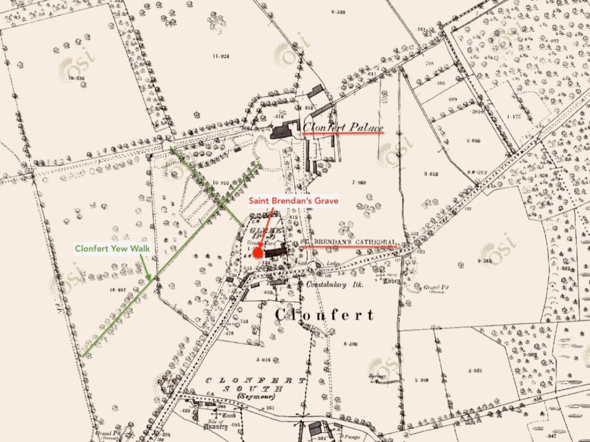
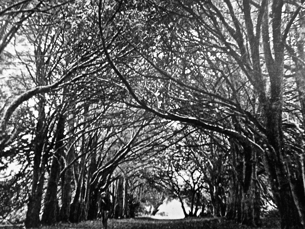
This extract from the 25″ OS map – late nineteenth century – shows the cathedral and some of the landscape features associated with it. We came here a few years ago, when we were researching Ireland’s waterways, following in the footsteps of English writer L T C Rolt. In his book ‘Green & Silver’ we read of his admiration for Saint Brendan, and his determination to find the grave at Clonfert, which he did in 1946. His book is illustrated with photographs taken by his wife Angela, and the one picture from Clonfert which is used in the book is this one of the ‘Yew Walk’ which was laid out as part of the gardens of the Bishop’s Palace, which you can see marked on the map.

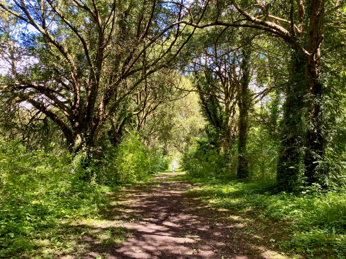
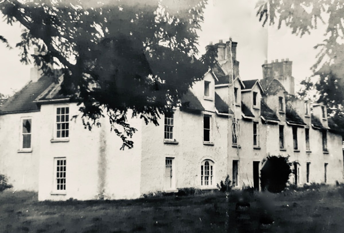
Our own photo of the Yew Walk at Clonfert was taken a few days ago. You can see that it survives, although neglected today. Some of the yew trees are said to be up to 500 years old. From the map you can also see that the Yew Walk connected the Cathedral to the 16th century ‘Clonfert Palace’, and was set out as an ornamental cruciform route, suggesting the path that might have been taken by the monks a thousand years ago. When we explored previously, we discovered the ruins of the Palace at the end of the Yew Walk, and wondered why it has been left in this state (since 1954, as we subsequently learned). The answer to that is fascinating, and I urge you to read my full account from that first visit, here. Below is a photo dating from c1950, showing the Palace at that time (with thanks to Dr Christy Cunniffe). My own photos from this week’s visit follow.

Clonfert might have been a very different place today if Queen Elizabeth had been listened to:

 . . . We are desirous that a college should be erected in the nature of a university in some convenient place in Irelande, for instruction and education of youth in learning. And we conceive the town of Clonfert within the province of Connaught to be aptlie seated both for helth and comodity of ryver Shenen running by it . . .

Queen Elizabeth, Letter to the Bishop Of Clonfert, 1579

The Queen’s advice was not taken up, and Trinity College Dublin was established instead – in 1592 – becoming Ireland’s first University.

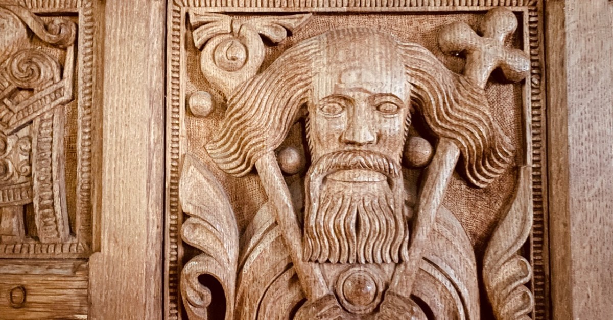
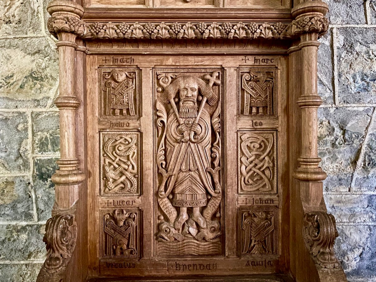
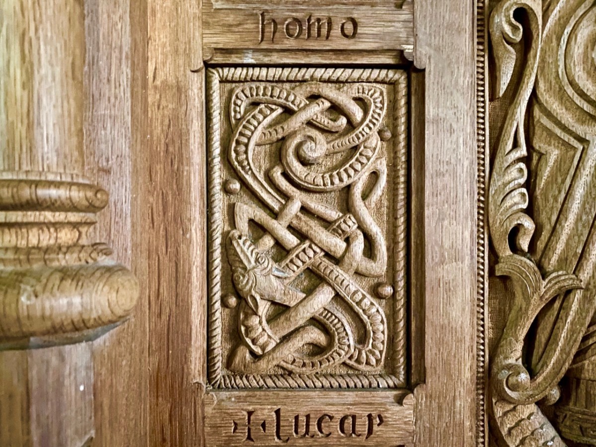
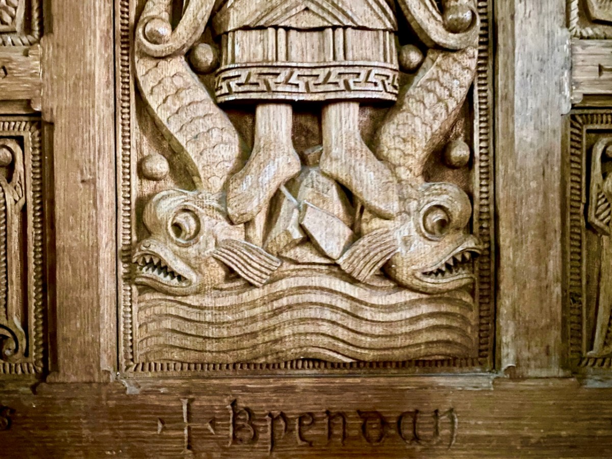
The site at Clonfert is so interesting – and covers so many periods in Ireland’s history – right up to the 20th century. It was well worth revisiting – and will merit further visits in the future, too. I’ll leave you with one aspect that probably impressed us most this time around. It’s the Bishop’s Throne which is hidden in the shadows of the Cathedral chancel. Carved from oak, most likely in the 19th century, it is a wonderful representation of Saint Brendan himself, surrounded by the Four Evangelists, crafted in the style of the Book of Kells. Look at him, also, on the header. Here is the Irish saint who set sail out on a voyage into the unknown – seeking Paradise – and discovered the World!

Antiquities of the Mealagh Valley

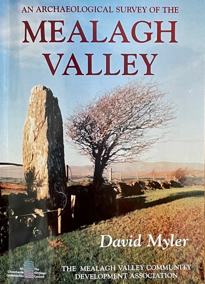
The Mealagh Valley (locals pronounce it Maylock) runs from Bantry Bay to the Maughanaclea (Maw-na-clay) hills and through this valley the Mealagh River flows from north east to south west. Along the valley are found numerous ancient monuments, evidence of occupation from the earliest times. David Myler, some years ago, with support from other local people, undertook to survey all the archaeological sites in the area and the result was this book. Sorry – it’s out of print and we are glad we managed to pick up a copy several years ago.

David and I have been in virtual touch for quite a while through social media, promising to meet up and explore when we got a chance – and that finally happened on Friday! Along the way we discovered family connections, so it was no wonder I felt an instant kinship when we met – we bonded over archaeology and shared family stories. David, a Dubliner originally, has been living here for decades and in that time has taken courses in archaeology and developed a passion for the heritage of this – his territory.

It was a joy to be taken on a field trip by the man who has, literally, written the book about the archaeology of the Mealagh Valley. It’s only the first of many, I hope, since we really only got to sample a few of the sites this time – although, as you will see, the places he took us were pretty spectacular!

David had secured all the permissions we needed to visit the sites on private land. We started out in the townland of Ardrah (Árd Rath – high fort) with a ring fort (above) commanding panoramic views of the surrounding countryside. A ring fort (also called a rath, lios, dún, or cashel if made of stone) was the dwelling of a high-status individual in early medieval Ireland and examples like this probably date to 500 AD to 1,000 AD. The banks had traces of stone here and there so may well have been faced with stone, and the interior had been levelled.

There would have been a house and perhaps other buildings inside, and a wooden pallisade fence on top of the surrounding bank. There’s a good summary of what we know about ring forts in this engaging website about Irish mythology – I especially enjoy the writer’s comments on the use of ‘fairy fort’ to describe these structures. 

From there we climbed a couple of fences – the first of several fence-climbing incidents during the day and thanks to David for sacrificing his jacket to save us from the barbed wire – and trekked uphill. The monument started to reveal itself as we got higher – at first I thought it was a standing stone.

No – a stone pair?

What, there’s more?

This is the Ardrah stone row, consisting of fours stones aligned ENE/WSW, a common alignment for stone pairs and rows. Take a quick trip over to Standing Stone Pairs: A Visit to Foherlagh for more about this kind of monument. You will see that this one is pretty typical – it has an orientation to the south west, consists of stones that could be interpreted as ‘male’ and ‘female’ and the stones rise in height towards the SW. The southernmost stone is enormous – Robert is providing the scale.

But wait, I hear you say – I see five stones, not four! And you are right. there are five stones, whereas originally there had been only four, and all the records state that this row consists of four stones. The photograph in David’s book, which dates to 1998, clearly shows four.

So – where did the fifth, and smallest, stone come from? It’s a head-scratcher and all we can do is point to the presence of the nearby fairy fort and speculate that the Other Crowd are messing with us.

And then it was on to the piece of prehistory that David discovered in the course of his survey. I should explain here that much of what the Mealagh Valley group was documenting was already known, since the whole county had been surveyed in the 1980s. But what the County Survey lists and what a local group like this looks at, will differ – for example, this group was interested in folklore and local stories about the monuments they visited and about items of interest beyond the remit of the county survey. Moreover, because they are local themselves, they are likely to be contacted if anyone spots an unusual rock or such like, and can be on the spot to examine new ‘finds’. Finally, a project like this generates appreciation and pride in, and a sense of ownership of, one’s heritage, and thus, hopefully, less likelihood of monuments being damaged.

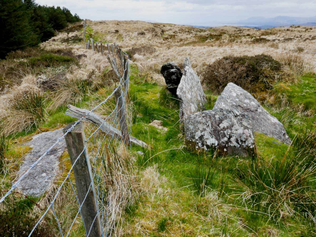
David had been alerted by a farmer to a ‘funny pile of stones’ on the boundaries of the townlands of Ardrah and Gortnacowly (Gort na Camhlaigh – field of the ruins), an area that had been impacted by forestry activity. It’s quite high up and the views are immense. As we walked up, it sent shivers down our spines as David related how he hunted around for what had been described to him, almost giving up, and finally stumbling upon the mangled remains of what he instantly recognised as a Bronze Age wedge tomb.

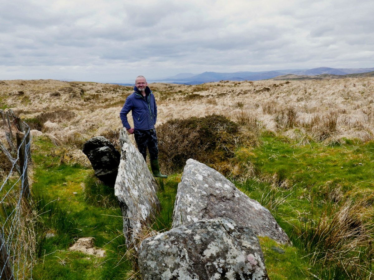
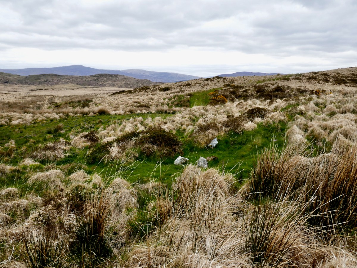
A digger clearing out a drainage ditch had inflicted damage but most of the stones were still lying around. One side of the tomb, and the back stone, were in situ. That’s probably the capstone, or one of them, on the other side of the fence.

As an archaeologist, it’s actually quite rare in Ireland to discover a previously unrecorded monument – having done so once or twice I know what a thrill it is. David’s wedge tomb is a classic of its type – see my post Wedge Tombs: Last of the Megaliths for more about them. That’s David above, showing us how to make sense of the stones, both those in situ and those which have been disturbed. He was able to ascertain that the workings in the area had turned up quartz pebbles – a feature of several West Cork wedge tombs.

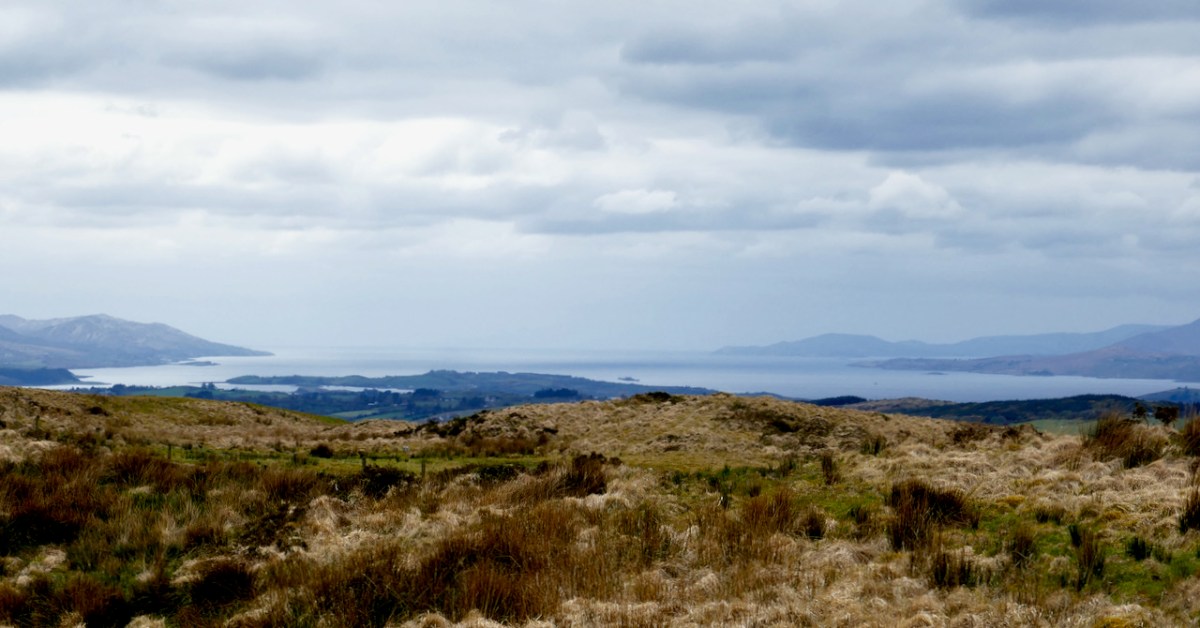
This one was, as expected, oriented towards the setting sun – but that doesn’t begin to describe the incredible sweep of the view from this point – the whole of Bantry Bay lay before us, with the Beara on one side and Sheep’s Head on the other.

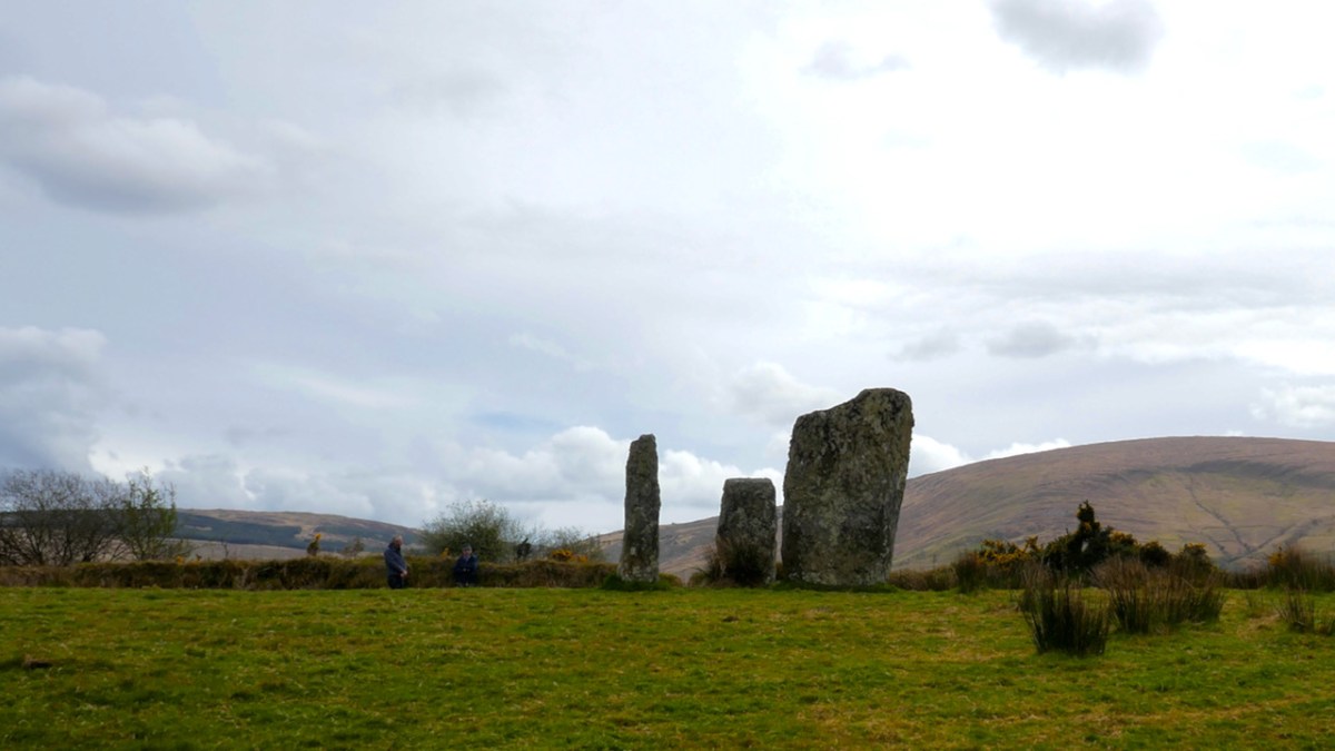
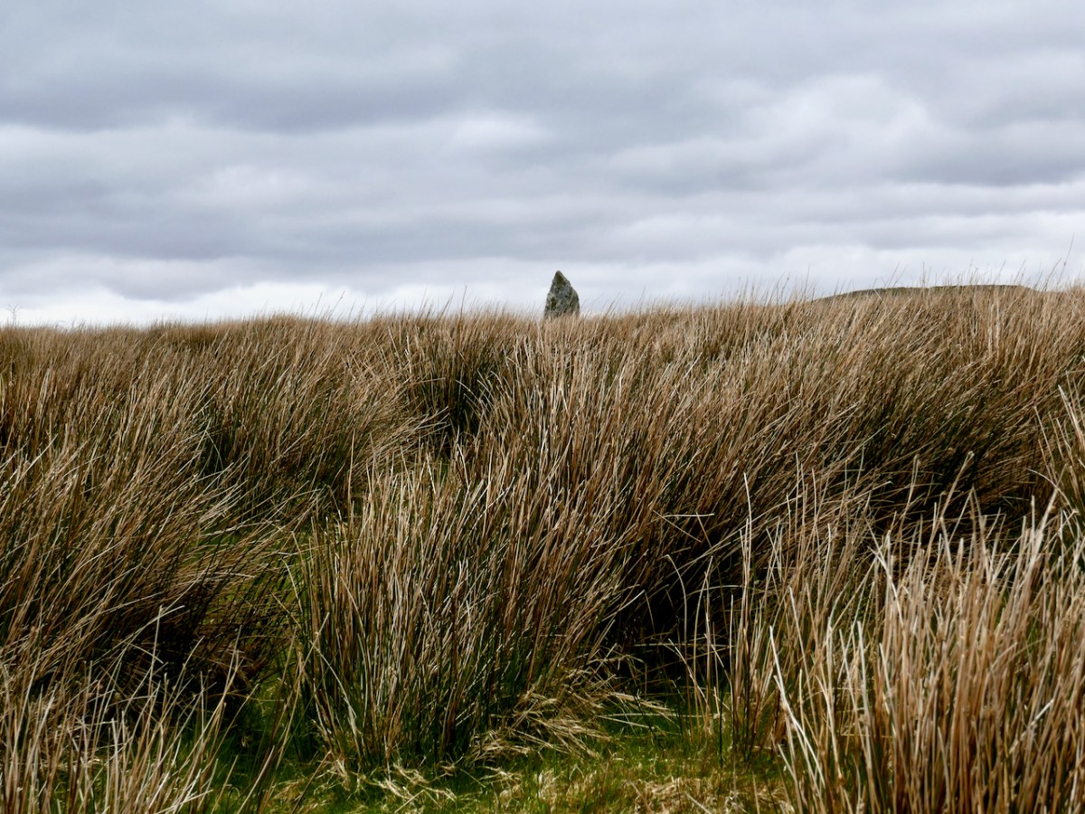
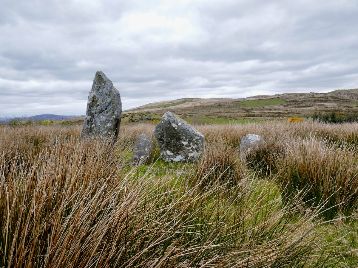
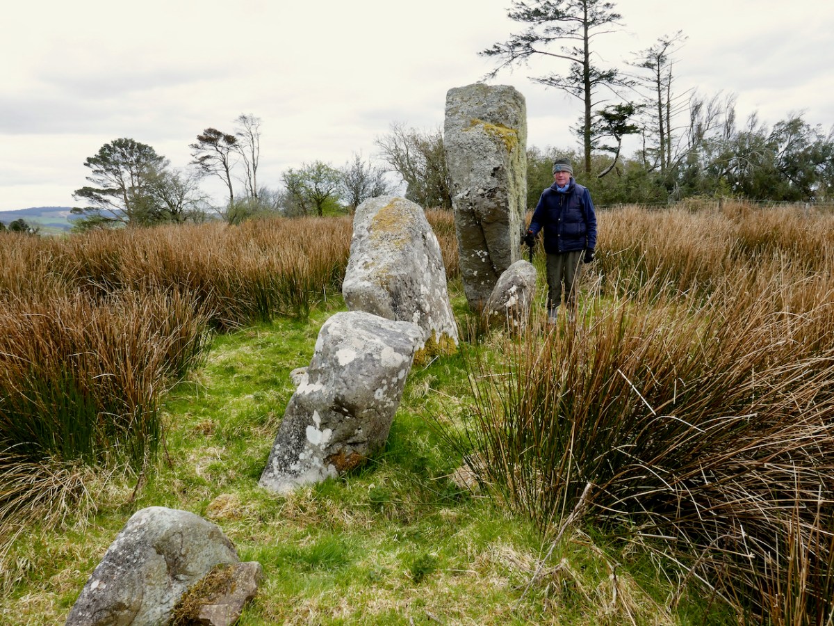
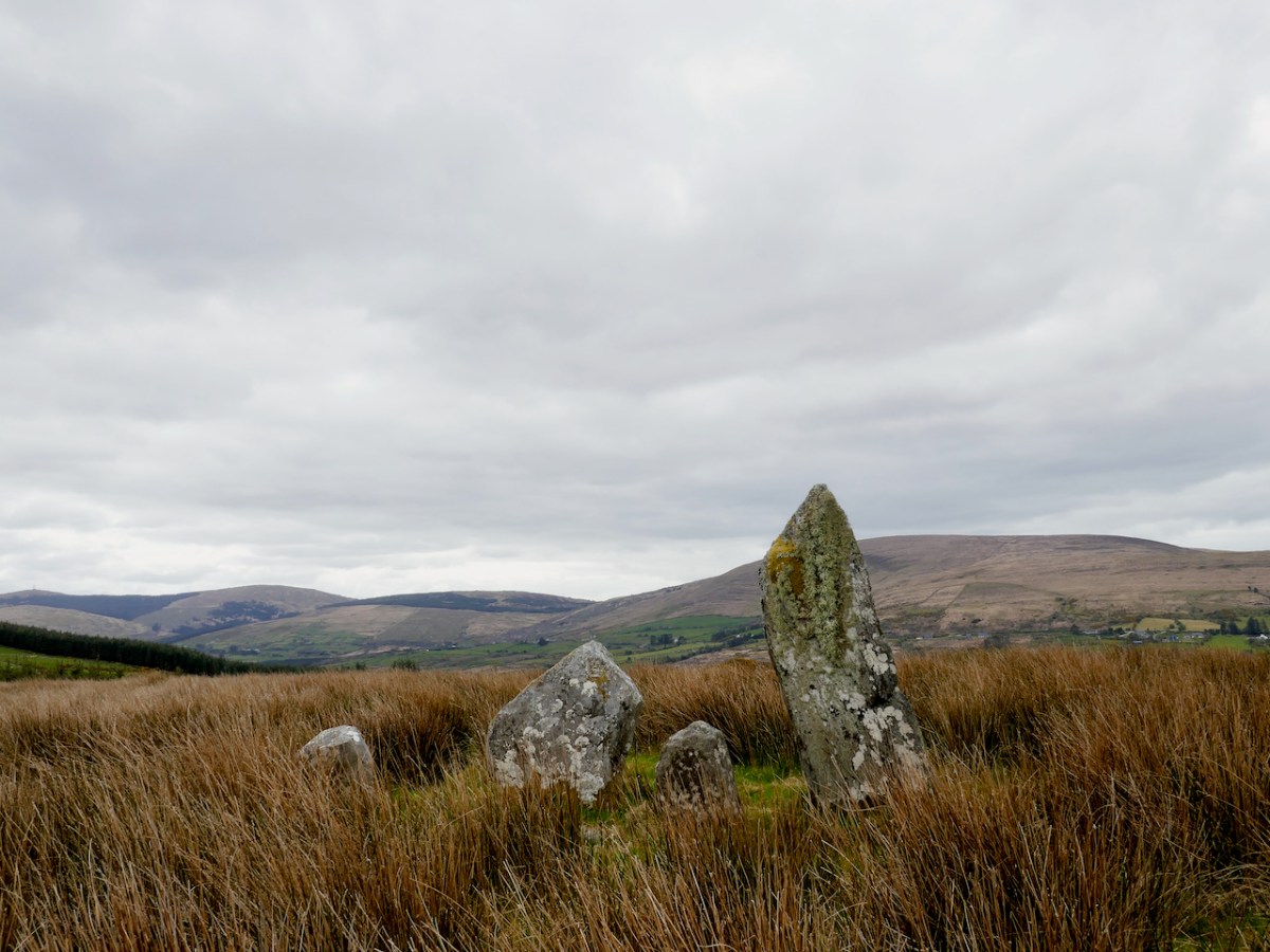
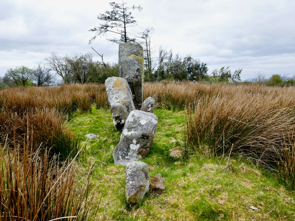
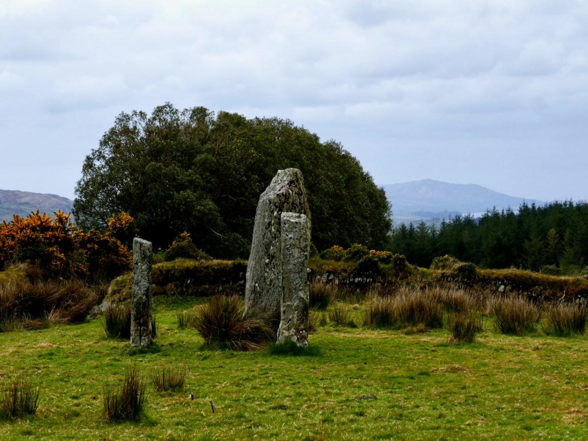
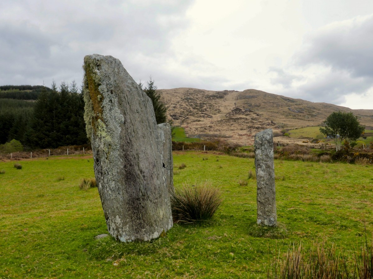
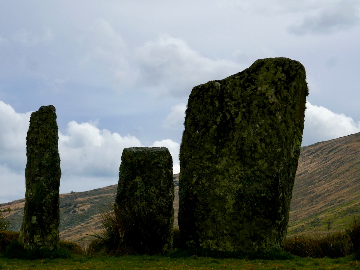
Our final visit of the day was to a type of monument I had never seen before – a ‘Four Poster’. That’s it, above, and note that there is a distant view of the sea, ten kilometres away, from it.

Only five four posters have been recorded in Ireland, one in Wexford, one in Kerry and the other four in West Cork. Here’s what the National Monuments site has to say about them: An arrangement of four upright stones standing at the corners of an irregular quadrilateral. The stones are usually graded in height with the tallest stone at either the south-west or north-east corner. Their closest counterparts are to be found in northern England and Scotland. These monuments are closely related to stone circles in date and function though they are much less numerous. These are dated to the Bronze Age (c. 2400-500 BC).

There are, in fact, only three stones remaining here. The largest stone is massive and of course there are all kind of alignment possibilities with arrangements like this. The closest counterpart to these four posters are to be found in Northern England and Scotland. There have been no excavations at four posters in Ireland but those few which have been dug in Britain yielded a Bronze Age range of dates.

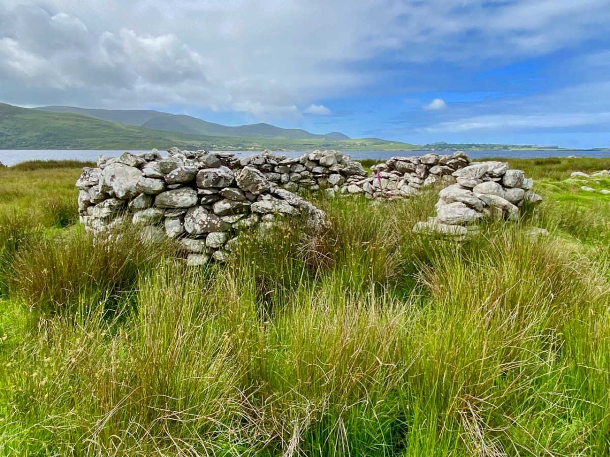
We saw some other things along the way – a booley (above), a hedge school, a mass rock – and Robert wants to write in the future about one particular site, so I won’t deal with it here. The day was cold and crisp – but you hardly notice little things like freezing hands with a landscape like this to wander around in.

What a great day! Thank you, David, for being our tour guide and friend and we look forward to returning the favour soon.