The Monster of Red Strand!

Last week we investigated Castlefreke, the tallest High Cross in Ireland,  and the Long Strand. Not far away – and ripe for another day of exploration – is the intriguingly named Red Strand.

Header picture – looking across Red Strand towards Galley Head. Upper – Red Strand beach; lower – red stones are prolific on the beach at Red Strand: it is said the beach ran with blood after the battle between the Barryroe army and John Barry’s army

Tales abound as to how or why that West Cork beach got the name. A good source of such stories is the Schools Folklore Collection – an invaluable resource of memories recorded by local people about their own townlands. Although the collecting project took place in the mid 1930s, the schoolchildren were interviewing members of their own families who might have lived in the same location through several generations, and were probably retelling stories that had in some cases been passed across hundreds of years.

. . . There is an old ruin of a castle in Dundeady which is about eight miles s.w. of Clonakilty. It is about 20 ft high. During the last storm a part of the top was blown off. There are holes in the walls where the guns were kept to shoot from. It was built by an anglo Norman named John Barry. One night they went east to Barryroe and stole cattle from another Norman named “Barry Bán”.

John Barry had a white horse which would not drink water of any well only the well in “Cráig Gaimhne”. Next day he went to the well with his horse and left him grazing in a field near by called “Pairchín Caol” whilst himself fell asleep near the fence.

It was not long until “Barry Bán” and a great army came attacking his castle. The horse ran to the fence where John was sleeping and started to screech into his ear and woke him.

When he saw the Barryroe army attacking his castle he jumped on his horse and off with him over the fields and fences as fast as he could. When he was crossing the “Góilín” he struck the horse with a magic wand. The horse jumped the “Góilín” which is about 15 yds. He struck the horse a second time and the horse fell dead.

The signs of the horses feet are plainly visible on the rock. That day there was a terrible battle fought between the Barryroe army and John Barry’s army and this battle is called the “Battle of the Red Strand”. They fought all the way across the “Red Strand”. They fought and fought across the “Red Strand” and up “Ballira Hill” as far as “Ballira House”. John Barry and his army slew and killed all of Barry Bán’s army nearby. John Barry and his army won the battle that day.

For months after there were bones and pieces of bones throughout the place where the battle was fought . .

Collected from Master Pat Hayes, Donour, by Duchas Schools Folklore Project 1937

Another collected tale also centres around the Lady Well at Dunowen (lower right on the aerial view, above):

. . .There is a well situated in a field belonging  to Michael Feen in the townland of Dunowen not far from the sea coast. It is said that the Blessed Virgin appeared there long ago and was seen by some fishermen when fishing near the coast. She appeared as a big swan and pitched on the edge of the boat. Then she flew eastwards and flew in a circle over the well. Then she knelt down and left the prints of her fingers and knees on the flag, But some 20 years ago  a young boy about 12 years who was blind from birth went to the well with his father, after being taken to the well he left a scream at his father to look at the frog. Then they both thanked god and went home cured . . .

Amanda fully describes and illustrates this well in Holy Wells of Cork and Kerry after her own visit to the area three years ago.

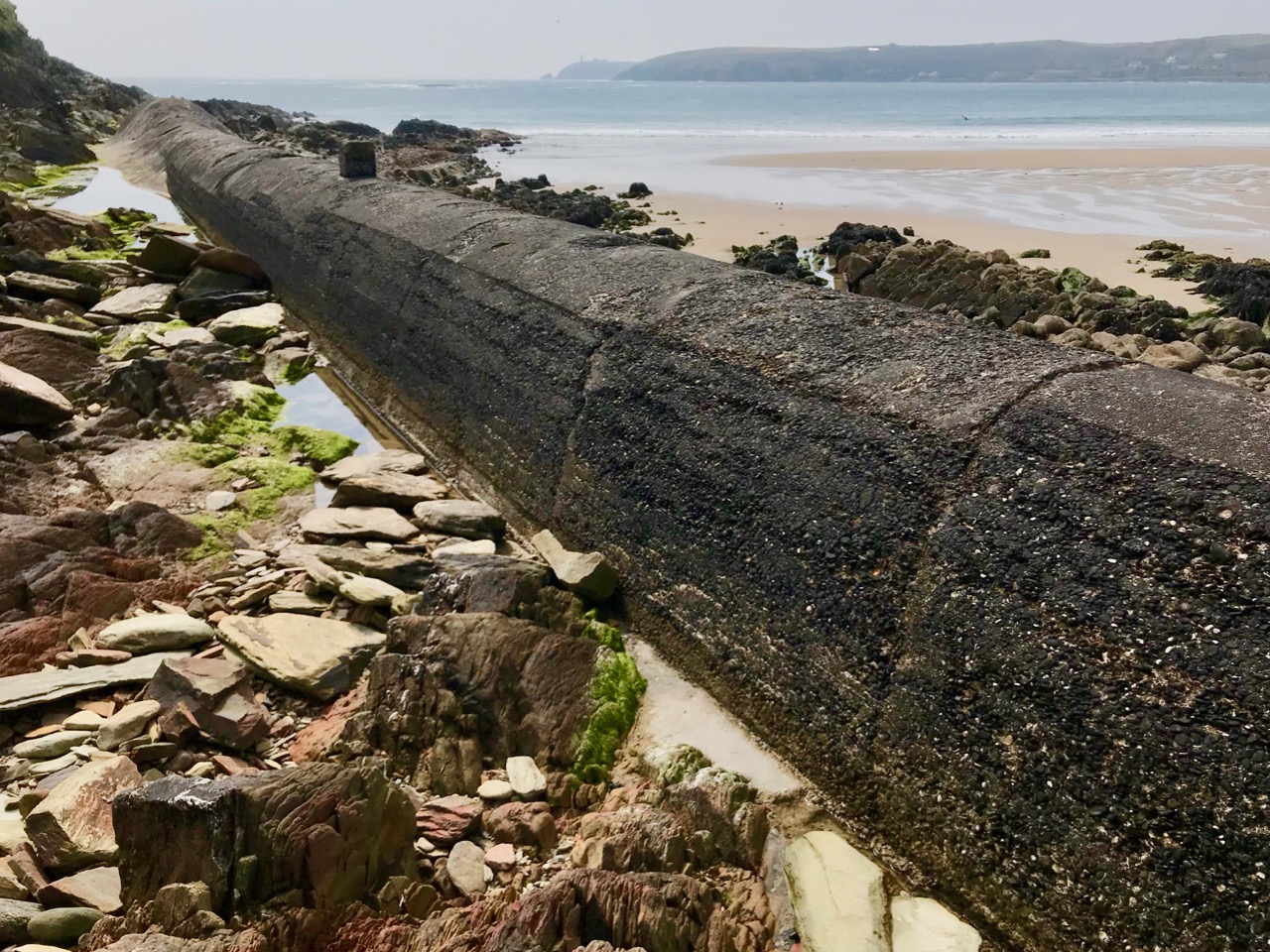
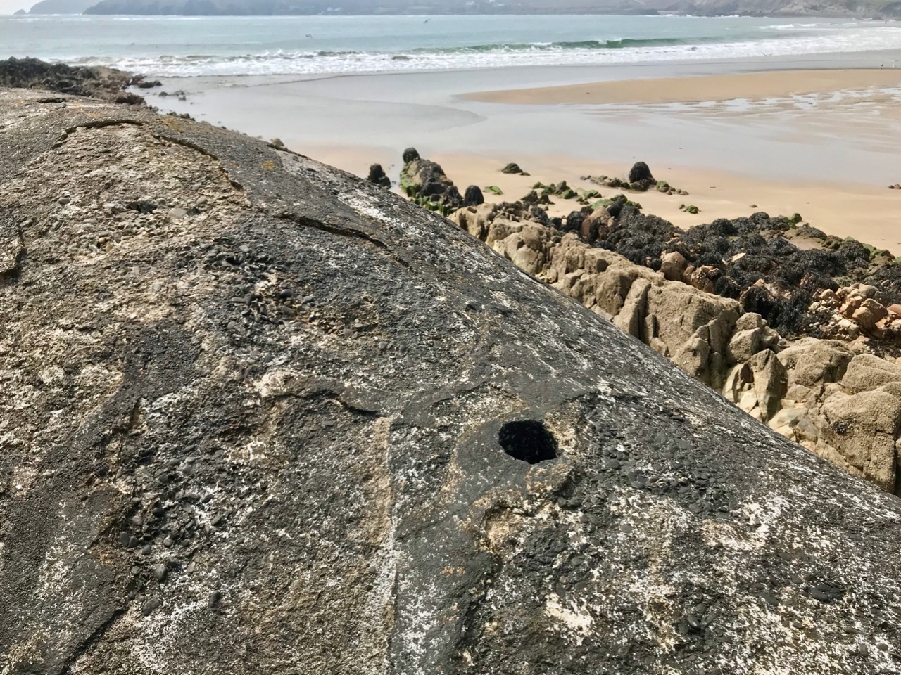
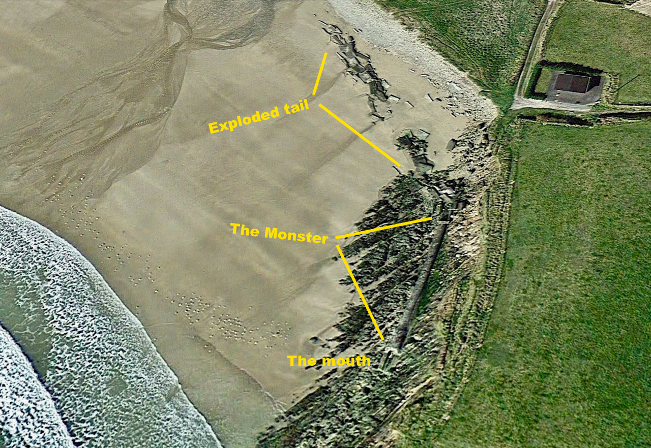
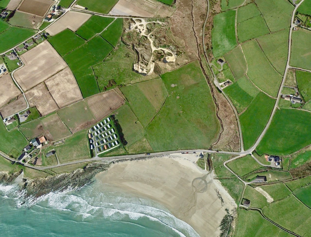
But – what’s this? Marooned on the beach is a strange, dismembered creature… Or, at least, the remains of a creature. I’ve labelled it monster on the aerial view, because I can’t think of a better way to describe it: alien, amorphous, slightly sinuous. It has a mouth, too.

Is it spewing out or sucking in? Will it swallow you or I if we are not careful with the tides? Why is it here, and who made it? Be careful, Robert . . .

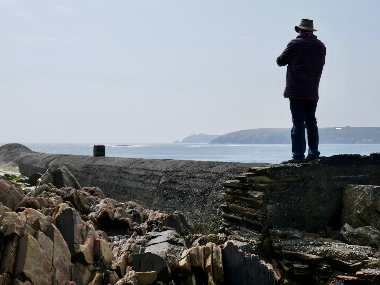
It’s enormous! It runs the length of the west end of the beach: you can just make it out in the second picture from the top, lying along the bottom of the cliff face. It’s like a great, marine creature with a fin and blowholes.

But, if that is its mouth facing out to sea, then its tail seems to have exploded. Look at this more detailed aerial view:

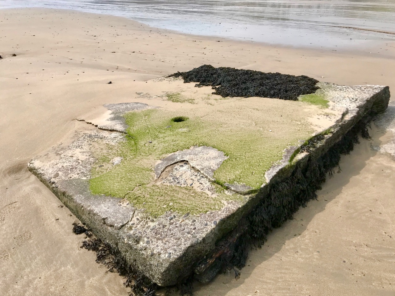
This Google Earth image dates from 2009. Ten years later, much of the debris from the exploded part of the monster is disappearing under the shifting sands.

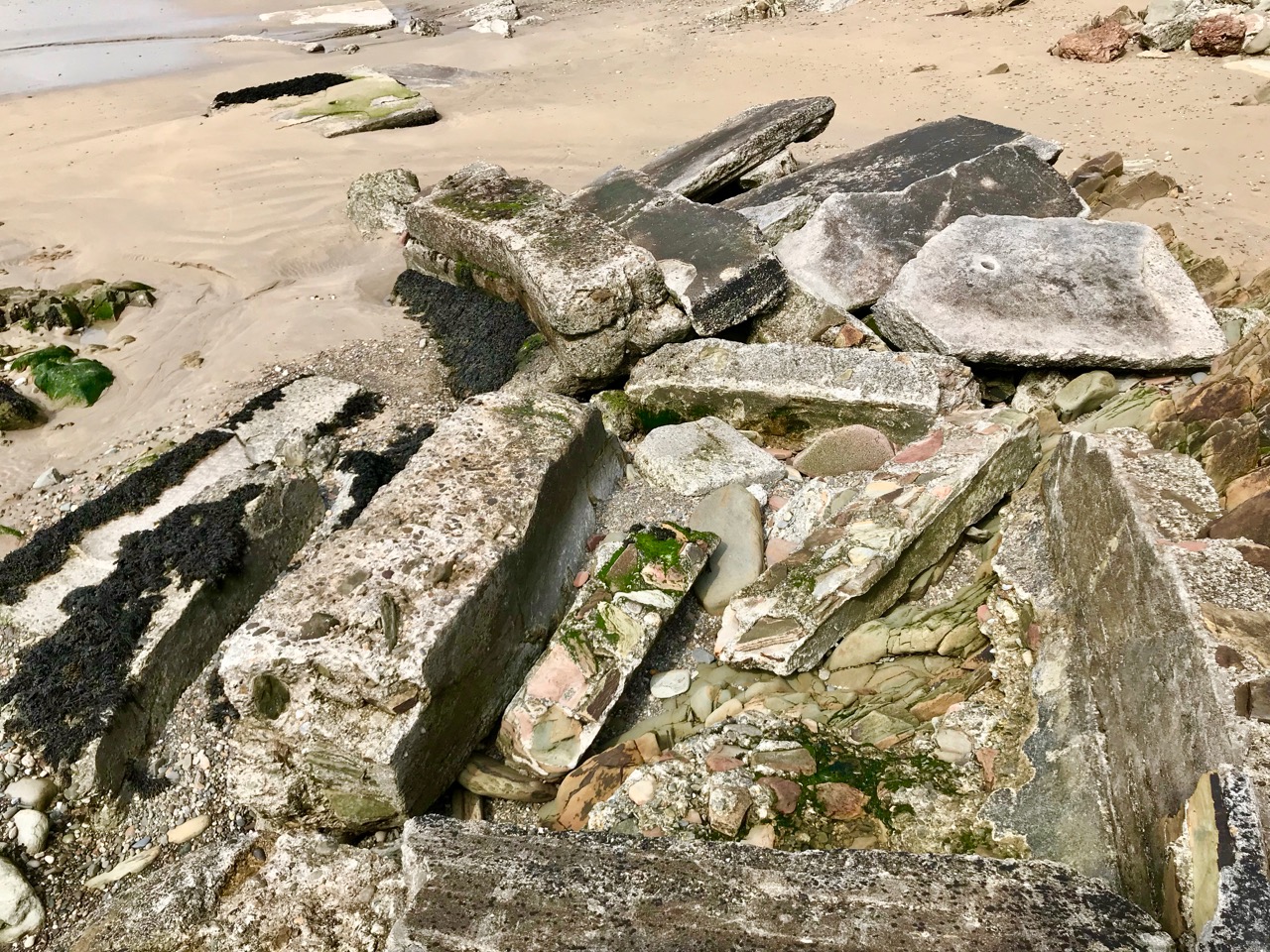
Those huge slabs now scattered over the west end of Red Strand are reinforced with steel girders: whatever has been here in the past was a massive and heavy structure. Is there any record of it? I found only one slightly oblique mention, after searching high and low, written by Noel Baker in the Irish Examiner in February 2014 – following one of the most severe storms ever recorded on the coast of West Cork:

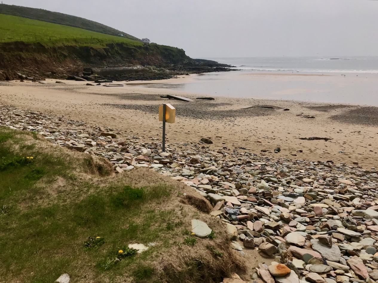
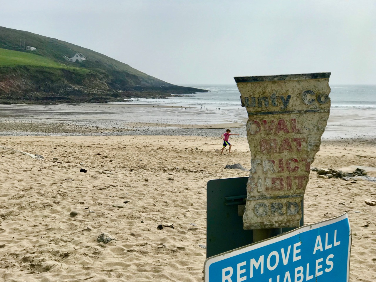
. . . So much of what happens is hidden from plain sight. Take the beautiful beach area of Red Strand near Clonakilty. The recent storms have caused serious damage to counties from Mayo to Wexford and beyond. Sometimes the extent of the damage is obvious, other times not so much. Red Strand, not far from the villages of Rathbarry and Ardfield, has clear evidence of damage. One of the walls alongside the road has been knocked, the sands have been shifted, along with rocks and stones, and the pillar displaying the Red Strand plaque lies knocked on the sand. Local man Cornelius ‘Con’ Scully is a veritable historian of Red Strand. He has photos of the area dating back to the 19th century and knows every nook and cranny.

“The face of the strand has totally changed in a very short time,” he says from his conservatory overlooking the sea.

He remembers back to the 30s when a tunnel, a section of which is still visible to the left of the strand as you look from the road, was laid. “When that was built the high water [mark] was 20 ft further out to sea,” he says. “It’s coming in the whole time” . . .

So there we have it – a tunnel, ‘laid’ in the 1930s.

But we still have an enigma. Why was the tunnel built then? And while the term ‘tunnel’ would adequately describe the remaining long section of the monster, it gives no clue as to its purpose. The ‘exploded’ bit intrigues me the most. From what you can see of the debris today, there must have been some sort of box-sectioned structure running along the higher part of the beach. A number of possibilities spring to mind: a sea-bathing pool, fed from the high tide through the ‘tunnel’? Fish tanks? A sewage system? Settling beds (but for settling what)?

Let’s do a little more detective work by looking back at another aerial photograph from Google Earth. You can see that I have placed the beach – and the monster – in a broader context:

You can trace the snaking line of the monster, starting in the bottom right (ish) and heading up the beach: follow the disintegrated section, which heads for the outlet on to the beach of a stream, which passes under a road bridge. It might be reasonable to assume that whatever passed through the monster’s stomach (the ‘tunnel’) came from that stream.

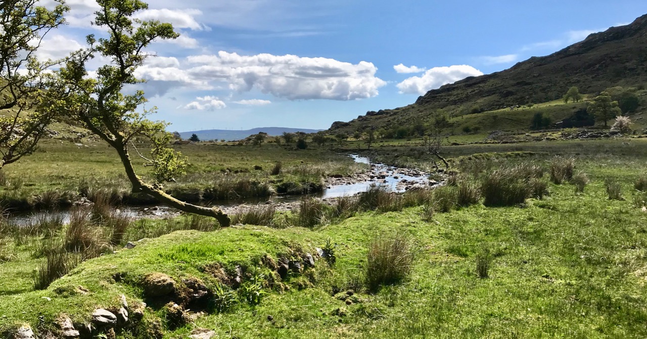
This picture is looking over the wetlands that are beyond the road running along the top of Red Strand. In the middle distance are ‘old workings’, seen more closely below: these appear to be in the townland of Ganniv Beg.

Whatever those workings might be – or might have been (extraction of sand, minerals?) – any run-off could have been carried into the stream on the right and then spilled out over the beach. This could have been detrimental to the amenity of the beach, and the ‘monster’ might have been constructed to contain and carry the outfall away at high tide. Pure speculation on my part: I’m happy enough to be proved either right or wrong. I would just like my curiosity to be satisfied. So – who has the story? It’s a recent enough construction to be within living memory . . . Hopefully, this post will stir someone to comment: if they do, I will report back.

Bluebell Time in West Cork

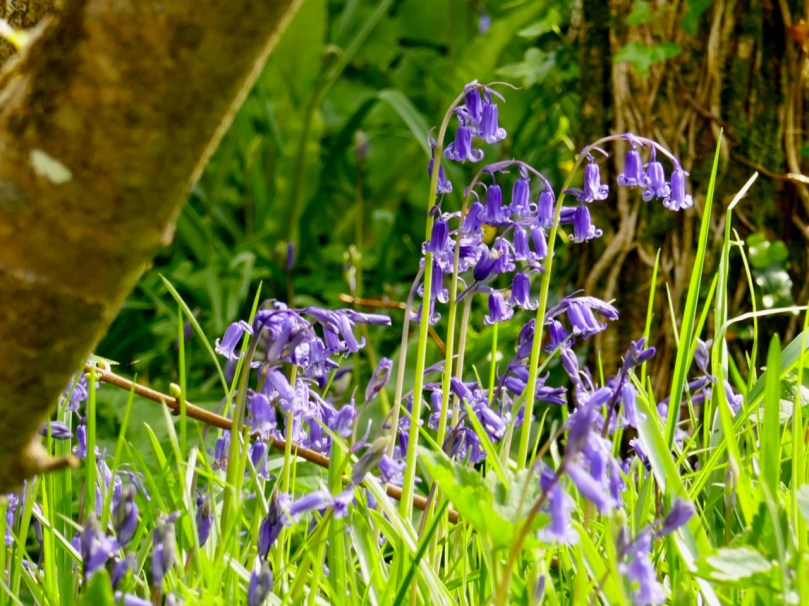
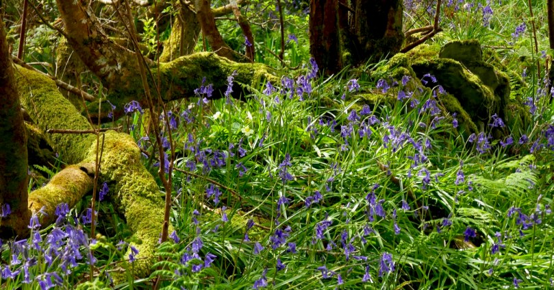
What is it about a bluebell wood that re-charges the batteries and lifts the heart? Perhaps it’s that amazing blue carpet that stops us in our tracks: it’s so unlike anything else in our natural world.

Or maybe it’s the fact that it lasts only a little while that makes it special. Like Easter eggs or Christmas carols, we would get tired of them if they were always with us – it’s their brief seasonality that makes us look forward to them (OK, maybe the Christmas carols don’t appeal to everyone in the same way).

Lower: Bluebells and Three-cornered Garlic

Even when it’s bluebell time, as it is right now, it’s not always easy to find a bluebell wood, because we don’t have expansive deciduous forest cover here in West Cork. I love the bluebells that line the boreens in places, growing up the hedgebanks, but it’s not quite the same thing as a woodland carpet.

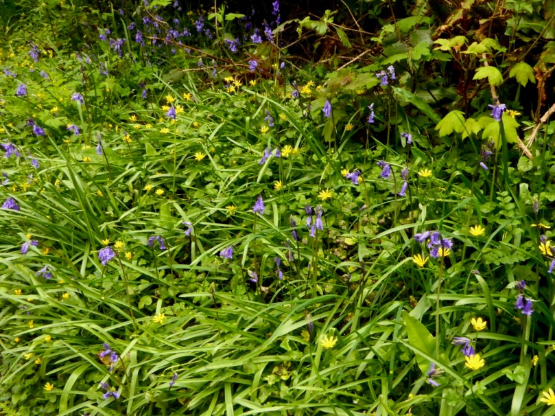
Bluebells and Celandine growing on the bank on one of my favourite boreens

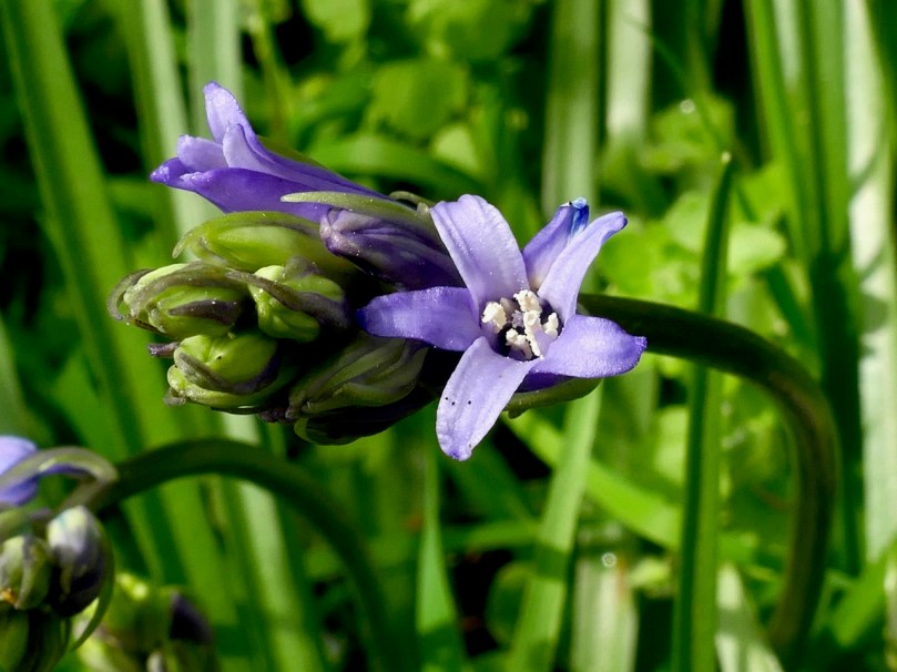
Let’s start with what a bluebell is – I’m talking here about our native bluebells (Bluebell/Hyacinthoides non-scripta. Or in Irish Coinnle corra, pronounced quinn-la curra). As you probably know, the imported Spanish Bluebell is everywhere now, and to add insult to injury has started to hybridise with our native Bluebell.

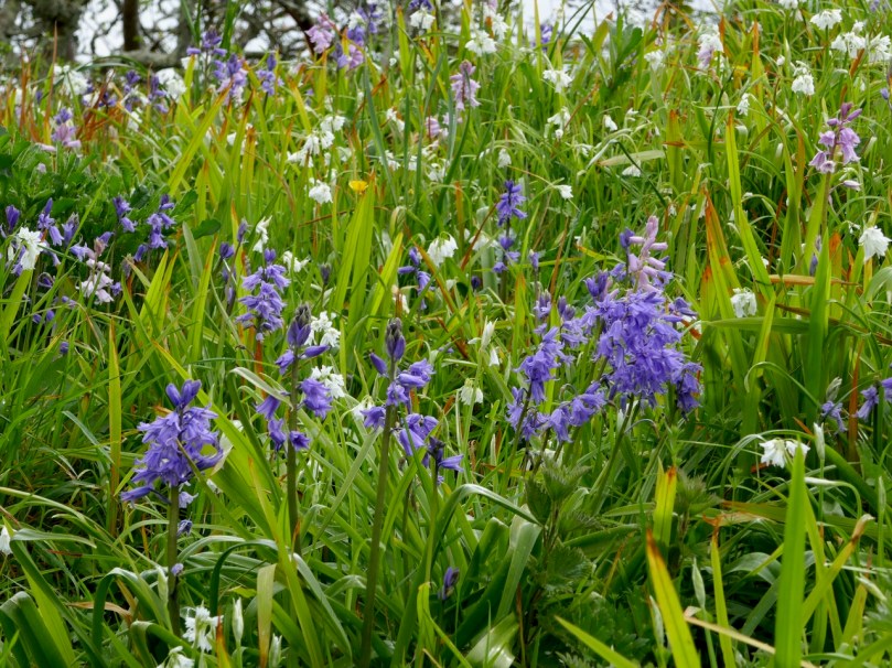
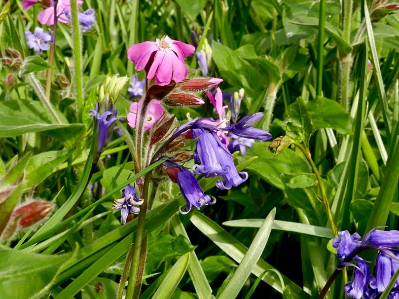
A garden near us has a lovely display of blue and pink Bluebells and Three-corned Garlic – unfortunately these are the non-native Spanish Bluebells, or possibly hybrids

Take a look at this excellent video from the Irish Wildlife Trust for a guide to how to distinguish between them.

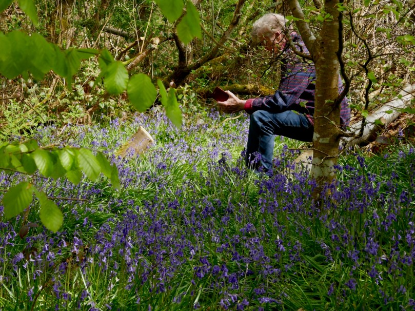
Fortunately, we still have lots of native bluebells and I was lucky this week to get permission to stroll in my friend, Nick’s, little wood, and also to take a walk with Robert and Gill up the hill behind Long Strand. For more about what we were after, see Robert’s post on the cross today.

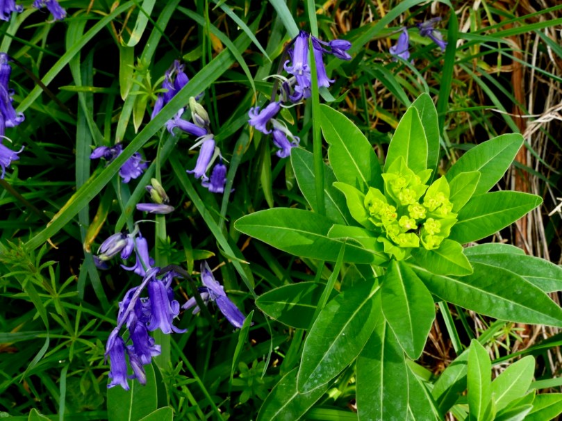
Upper: One of the little bridges over the stream. Lower: Bluebells and Irish Spurge

Nick’s little wood is down beside the sea on what was once an old homestead – you pick your way through a heritage orchard to get in there. It felt like an immense privilege to be the only ones there, to wander through the trees and over the tiny bridges.

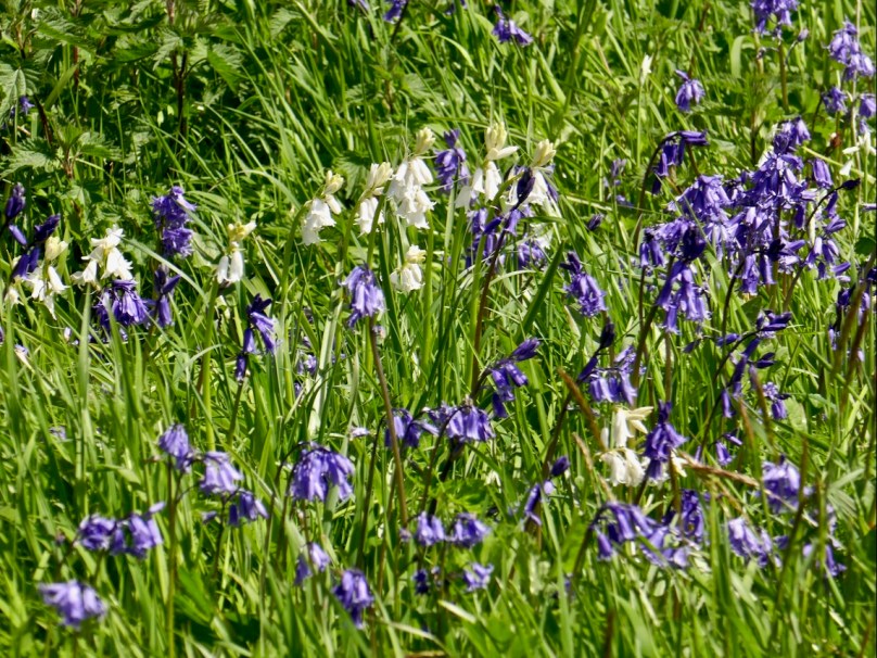
Upper: one of the way to recognise a native Bluebell is to look at the anthers – they’re white or cream-coloured. Lower: a spontaneous white Bluebell in among the blue ones. It happens

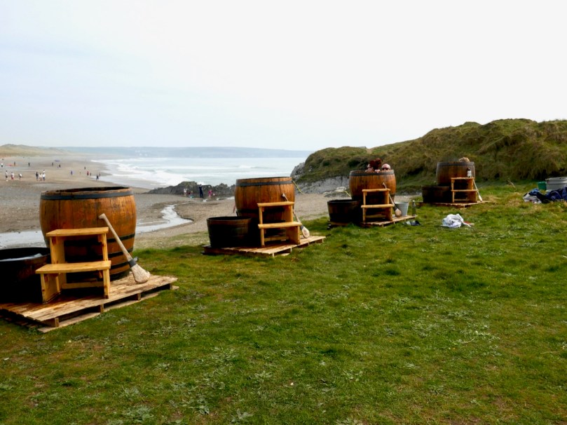
Yesterday, because Robert wanted to see Lady Carbery’s Cross, we walked up Croachna Hill, behind Long Strand, near Rosscarbery. The strand was heaving with swimmers, surfers and loungers, the coffee truck and restaurant were packed and the guy who does the Wild Atlantic Seaweed Baths was out – it all looked so festive and summery.

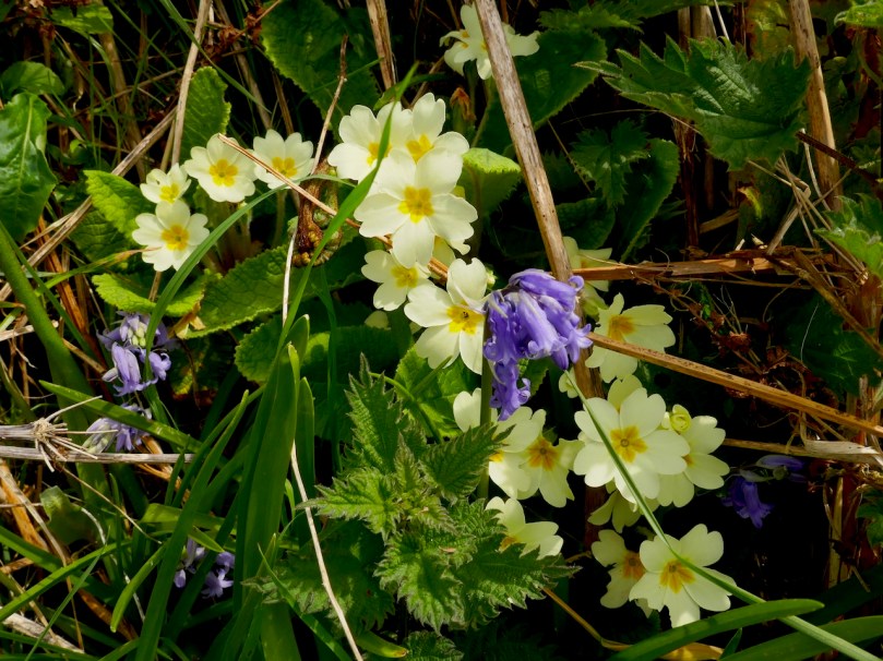
Primroses and Bluebells

The walk up the hill was awash with wild flowers, besides the ones I’ve illustrated here we saw Common Dog-violet, my first Ragged-Robin of the season, Yellow Pimpernel, Ribwort Plantain, Navelwort, Ground-ivy and Herb-Robert.

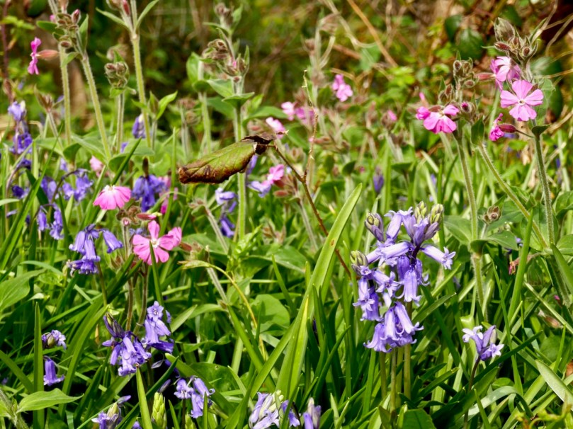
I’d never seen that combination of Bluebell and Red-campion before (above). It’s pretty spectacular, and a reminder that colours in nature always harmonise. Together with the yellow of Celandine and Buttercup, and the lovely woodsy smells, it was a sensuous experience.

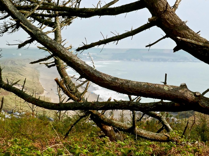
Upper: Looking back to Long Strand from Croachna Hill. Lower:  Bluebells, Celandine, Buttercup, and a lone Red Campion

Where are your favourite bluebell haunts, dear readers?


Mizen Magic 14: Lissagriffin

Lissagriffin (the fort of Griffin) lies on the south-facing slope on the northern side of the salt marshes behind Barley Cove. It is a sunny spot with panoramic views back to the hills beyond Goleen and across the salt marshes below to the dunes of Barley Cove and the sea beyond.

The Barley Cove salt marshes – sit on the wall and just listen to the breeze in the reeds

Nowadays, it’s a peaceful place of farms and pasture land, but there are clues in the landscape and the old maps and records that there was much more going on here in times past.

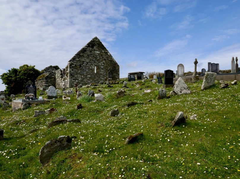
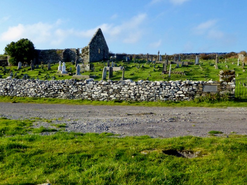
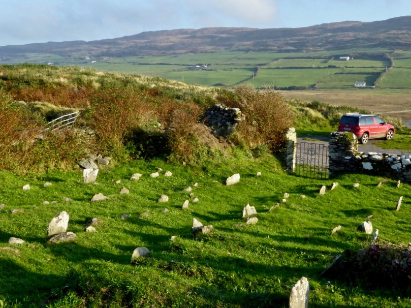
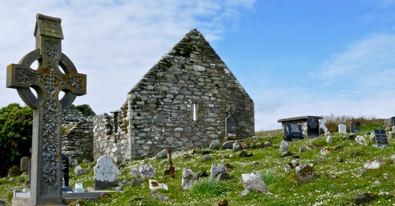
The most visible reminder is the ruined church, surrounded by a graveyard. Once, these lands were in the possession of the Rev Fisher  – remember him from my Saints and Soupers saga? They were associated with the Glebe Lands accruing to the Church of Ireland, which means that the rector was also the administrator of the graveyard, to whom you had to apply for permission for burial. The church and graveyard is known as Kilmoe (pronounced kill moo, meaning the the church of Muadh, although I haven’t been able to identify this saint), like the parish of the same name which occupies most of the Mizen west of Schull.

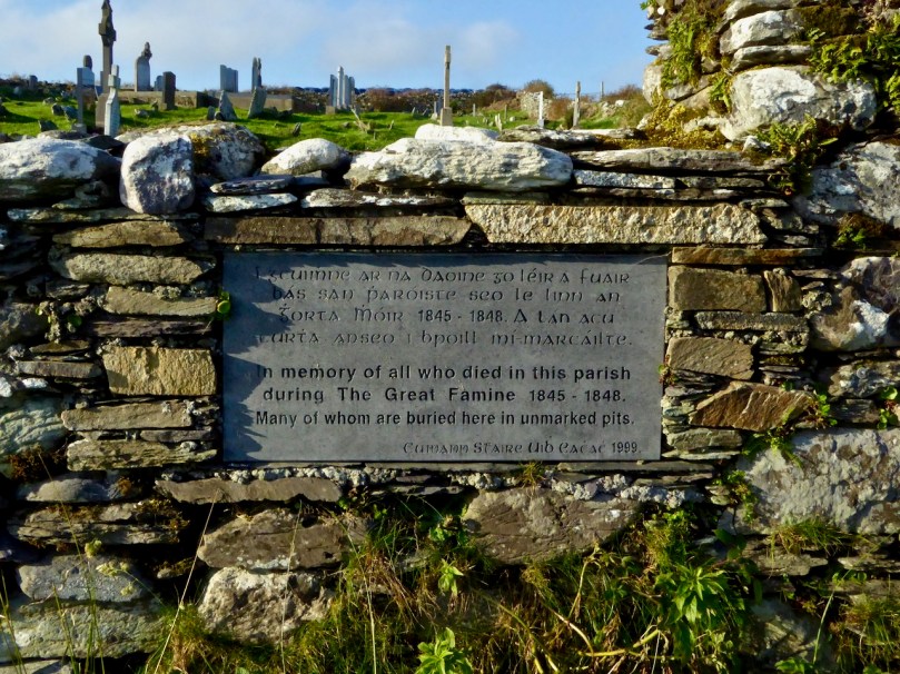
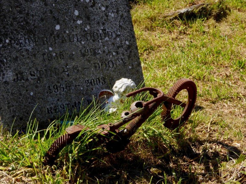
The graveyard has headstones going back to the 1700s, although I couldn’t find any from that era on my searches. All the local names are represented here, including the Burchills and the Wilkinsons of my Cousins Find Each Other post. It was in use as a burial plot during the Famine – a memorial plaque on the wall attests to this.

A feature of graveyards from this time was a watch-house, a reminder that bodysnatching was a lucrative trade. During the famine watch-houses also enabled people to be on the look out for dogs – there are accounts of dogs attempting to get at bodies barely covered by soil during this terrible time. There’s a ruined structure just inside the gate at Kilmoe (below), probably a watch-house from this time.

Like all historic graveyards around here there are many plots marked by simple stones, headstones and foot-stones, where people could not afford the services of an engraver. Remarkably, the knowledge of who is buried in some of those unmarked graves still resides somewhere, whether in church records or in the folk memory of local people. You can browse the listings of the graves here.

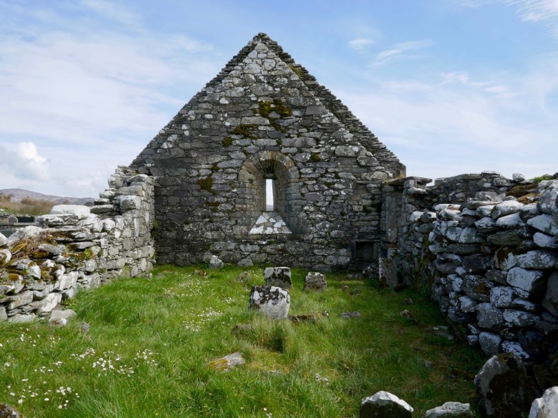
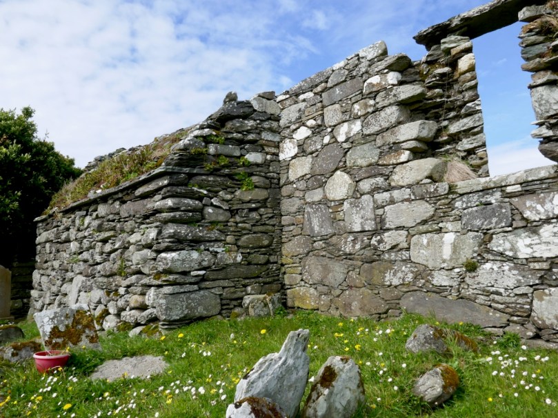
At the centre of the graveyard is a ruined church. It’s a very interesting structure to me, because I believe it is actually older than its normally-ascribed date. It was occupied, according to Brady’s Clerical and Parochial Records in 1581, when Dermot McCormack McCarthy was the rector and the church belonged to the College at Youghal and was dedicated to St Brendan. The Down Survey described it thus in 1700: Kilmoe : the church is ruinous, the walls that are standing are bad, built with stone and clay. The church stands about a mile from Crookhaven, to the westward near the head of Barlycove bay. 8A. of glebe on the north of the church; good land, set for £20 per an. There are the ruins of a vicaridge house joining to ye church-yard.

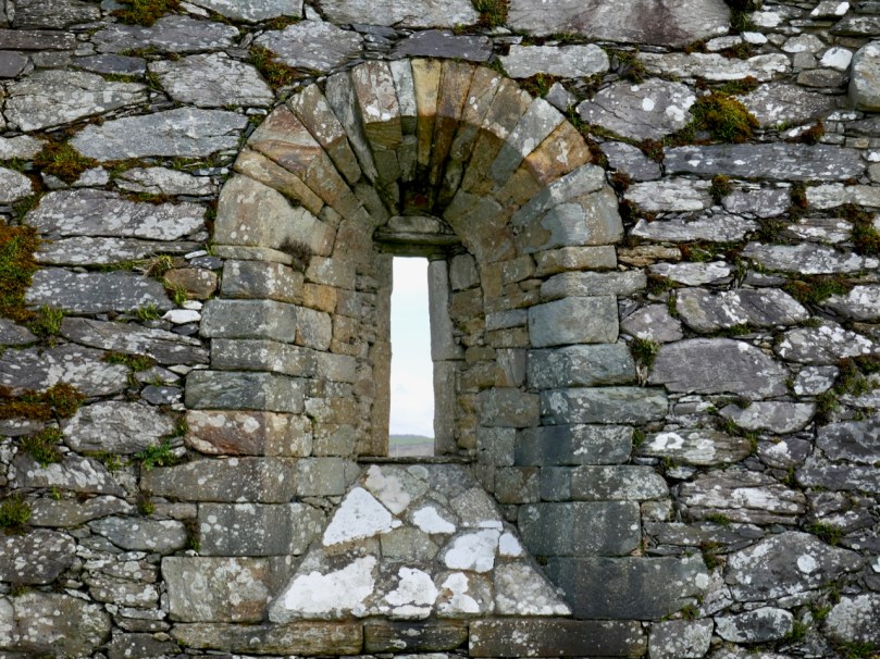
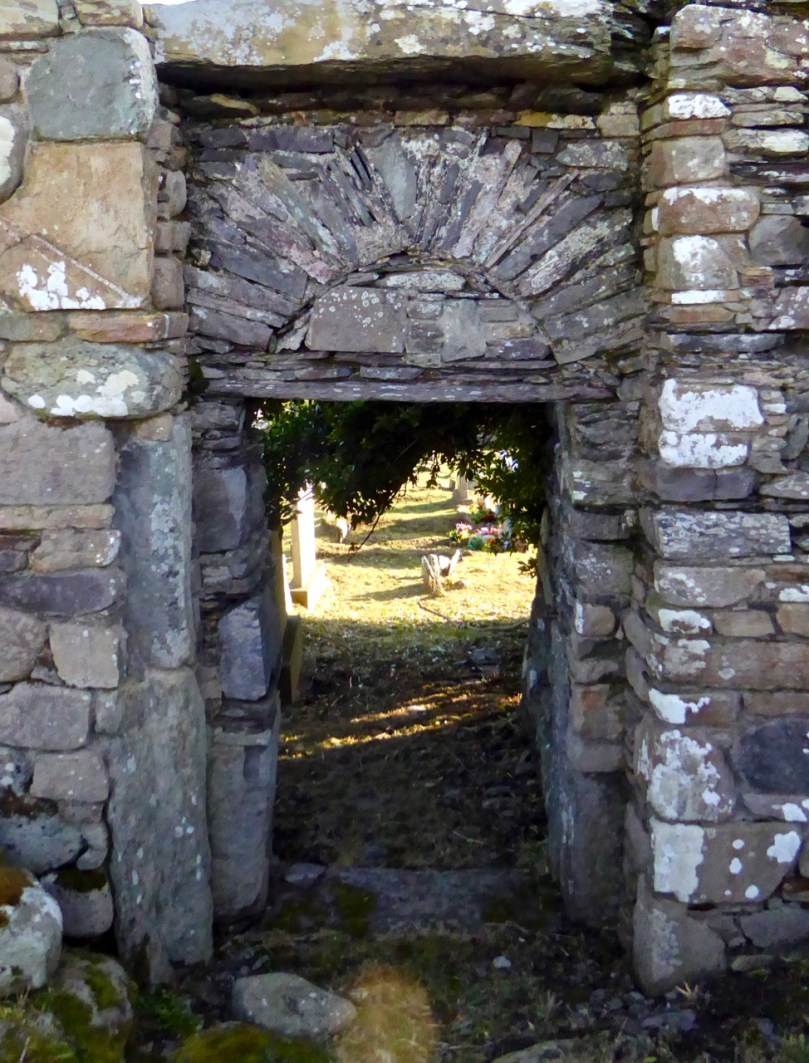
There are hints in the structure of the Romanesque style, which would place it in the 12th century. The east window is clearly Romanesque in construction, while the door, with its plain lintel and ‘relieving arch’ also appears so.

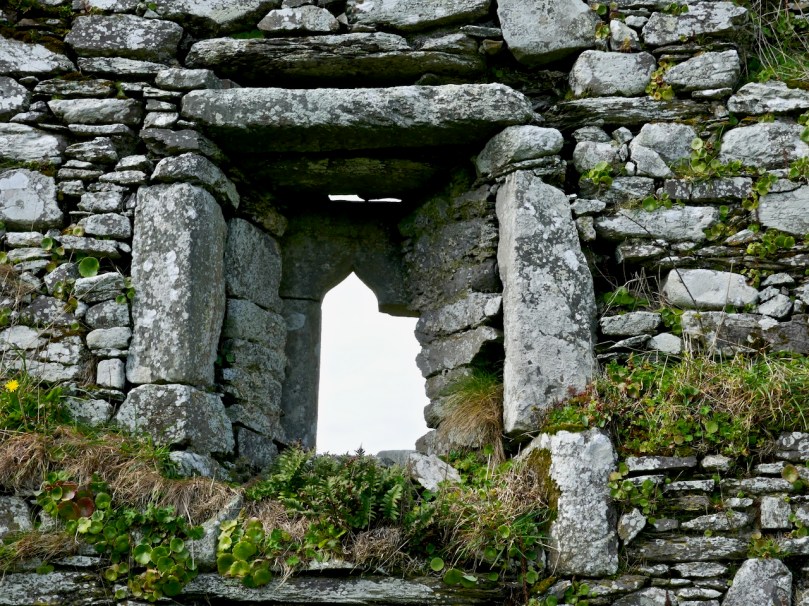
I am seeking some confirmation of this and will update this post if or when I get a response. The west end appears to have been two storey – the joist supports are still projecting from the wall, which means that the old ground level was lower than it is today and that the window was in the second storey. That window (below) is ogee-headed – a clearly gothic element, which means (if I am right about the west end) that it was inserted later. The whole church may have been modified many times over the years it was in use.

There is a record of a cross-inscribed stone inside the church – we have looked for this but cannot find it. It may be gone, or it may be partially buried in the long grass. There’s no sign of the vicaridge house joining to ye church-yard.

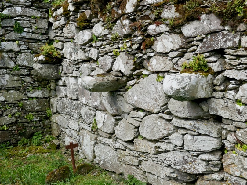
The unusual ‘buttress’ feature on the north wall

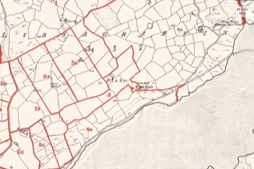
But the landscape around has other elements too – or rather had other elements. There used to be an O’Mahony Castle just to the east of the church, of which no trace remains today. We know of it from Griffiths map of the 1840’s, (below: apologies for the blurriness, it seems to be the best resolution one can get) where it is clearly marked as a ruin. While many of the O’Mahony castles were closer to the shore, this one would have benefited from all-encompassing views of both land and sea, and from proximity to the church, for worship. According to James Healy’s The Castles of County Cork, it was probably tenanted by the O’Meighans, a bardic family associated with the O’Mahony clan. Although there is nothing left, local people told Healy in the 1980s that the site was cursed and that bad luck attached to it.
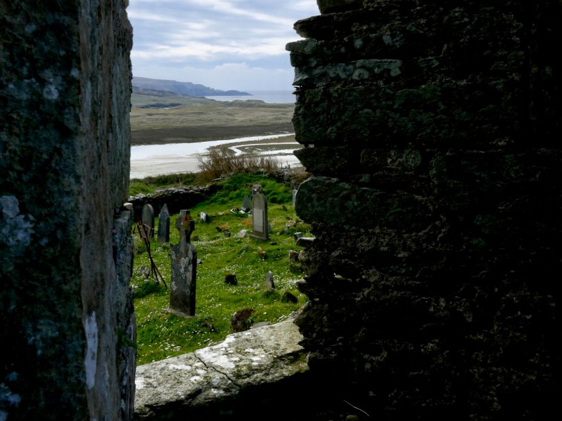
The view out to sea from the church

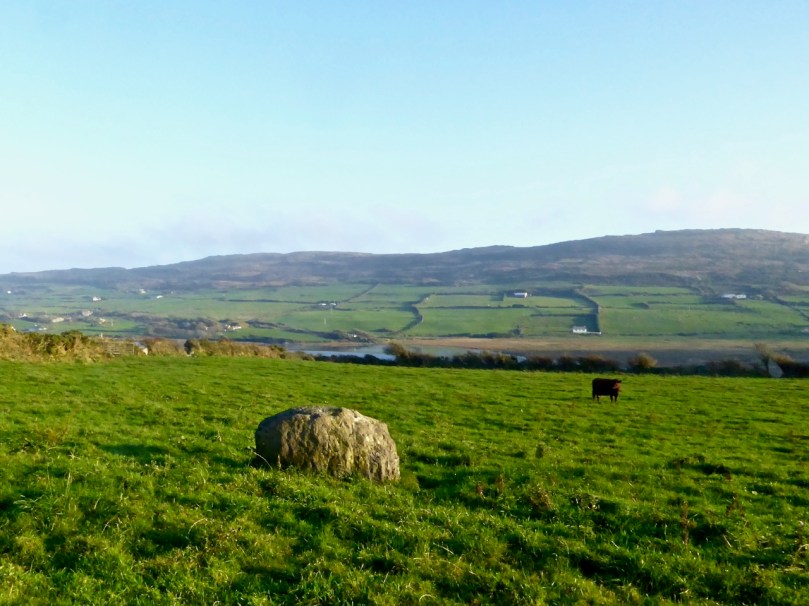
Even older still are the numerous standing stones that dot the hillside to the east and north. The photograph below shows one – a rather stumpy example. And probably even older than those are the cupmarks reported on the rock face just to the east of the graveyard. We have searched for these too, but were defeated by the gorse and brambles.

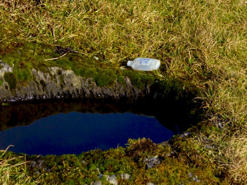
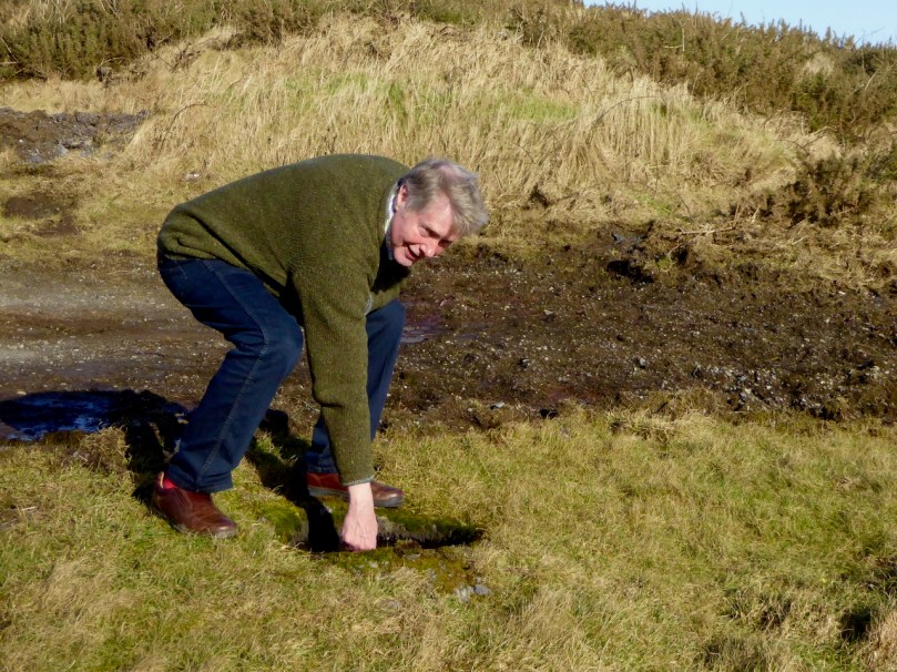
Of unknown vintage is the bullaun across from the graveyard gate. Although bullauns are often carved in free-standing boulders, this one was scooped out of the bedrock: it is known locally as a wart well. Dip your finger in, say the requisite prayers, and your wart will disappear. We even found a small bottle for Lourdes holy water left by it on one of our visits, showing that it is believed to still possess curative powers. Robert agrees! Amanda has included it in her Holy Wells blog.

Next time you’re headed out to Barley Cove on a fine day, take a little detour up to Lissagriffin church. The views alone are worth it, although a little wander around the graveyard will do a lot to soothe your soul. 


Mizen Magic 13: Dunmanus Promontory

It’s geologically and archaeologically fascinating – a substantial natural promontory just to the north of Dunmanus Castle: well worth an exploration. But, do be warned – there are cliff edges, exposed fissures, ankle-wrenching undulations and bogs to overcome. Also – it’s private, so please seek permission before crossing the land.

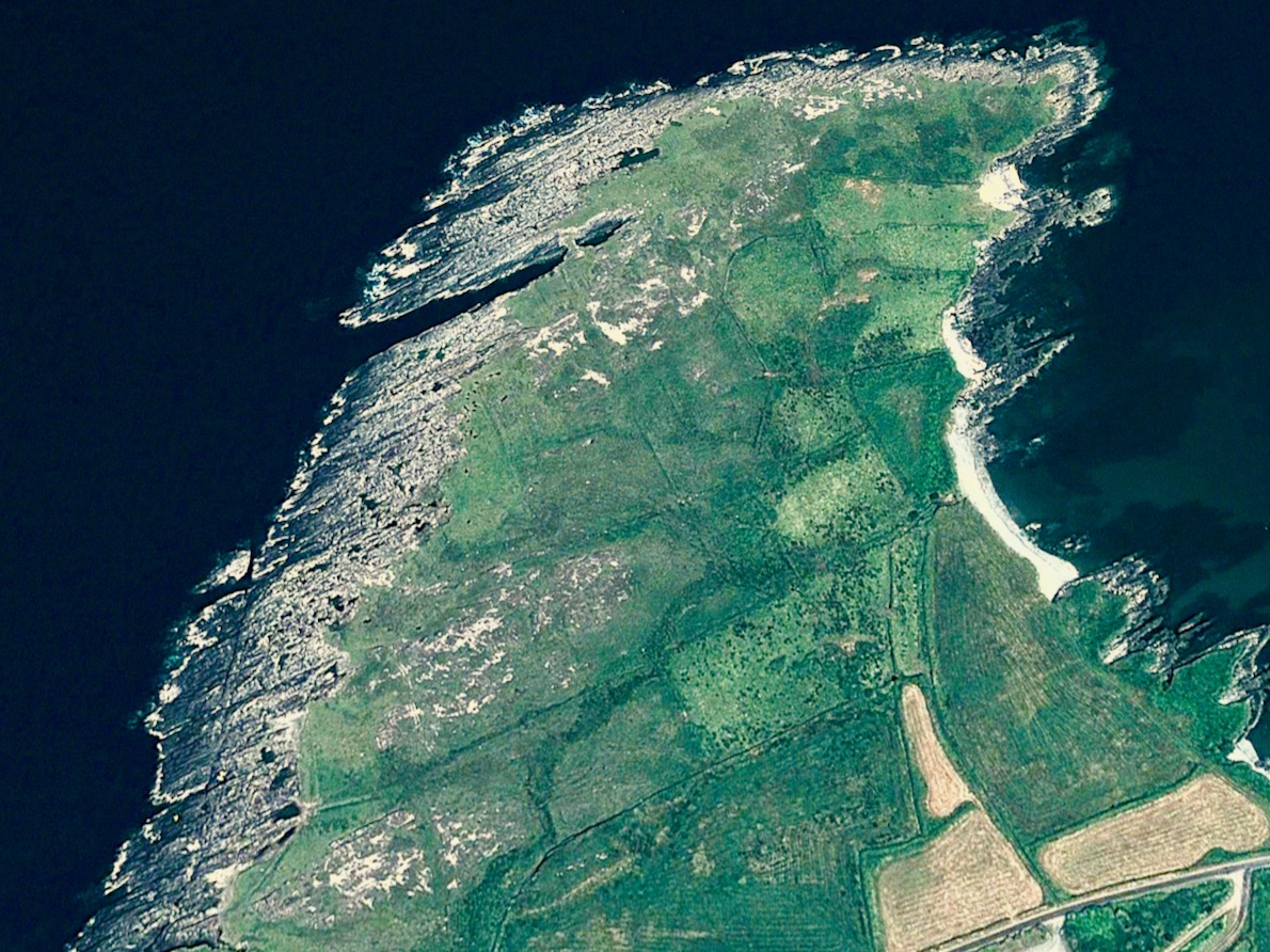
The west side of this shark’s fin-shaped promontory is wildly exposed to the ocean and its gales. You can see from the aerial views, above, how the rock bed is bare and visible, and the vestigial fields which occupy – or once occupied – the east side peter out, and the walls and banks which once formed them fade away altogether over on the left. In fact, these Google Earth images give a better impression of the oddly shaped enclosures than can be seen on the ground.

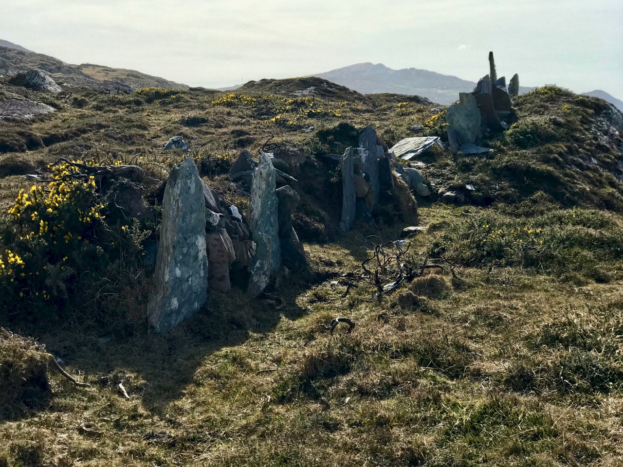
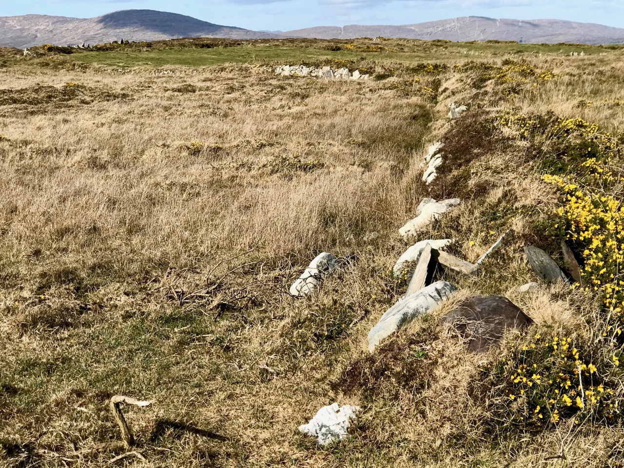
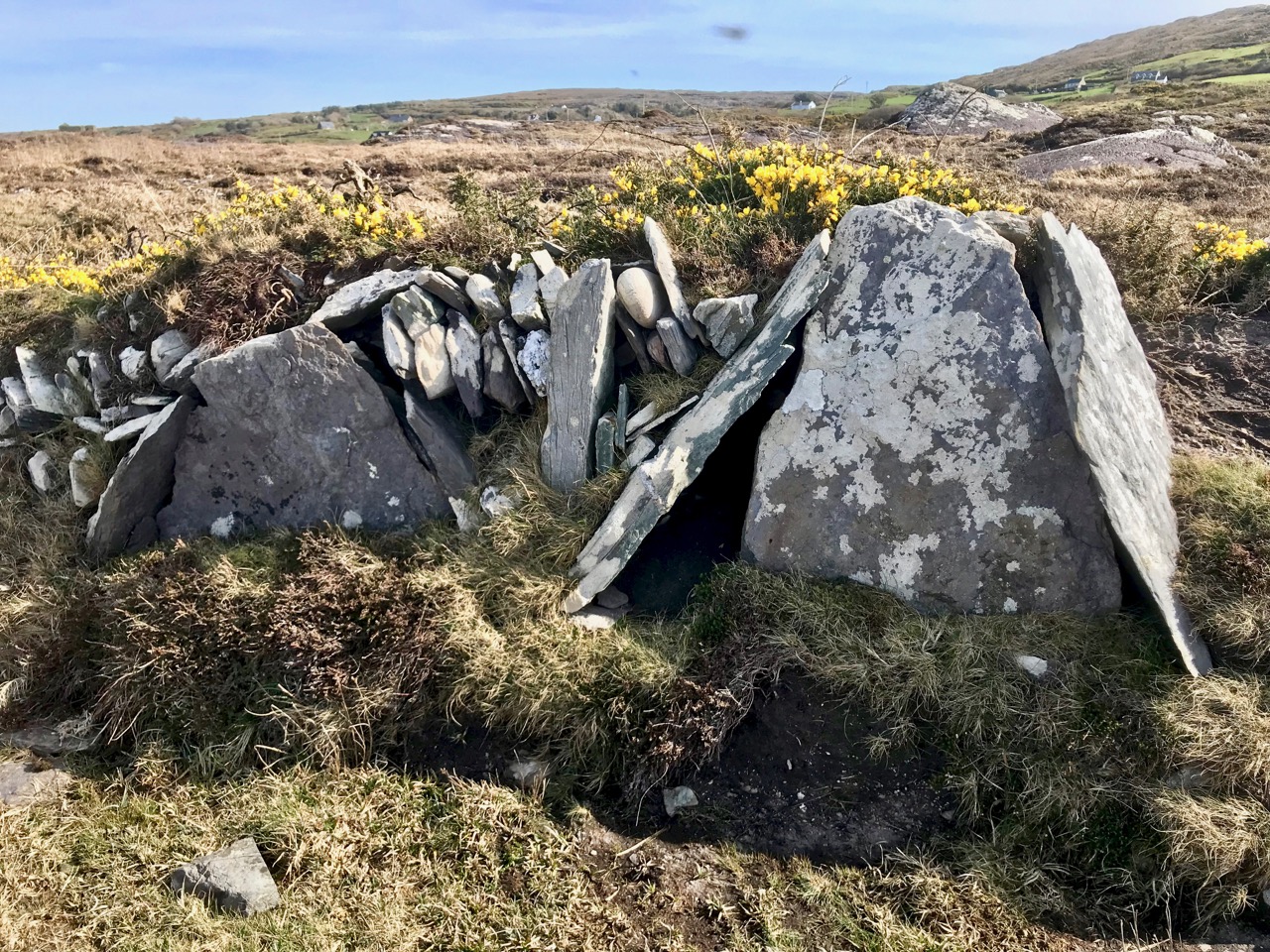
Three examples of many varied boundary features on the promontory are shown above. Each is differently constructed and they range from a series of vertically-set slabs to rocks-and-rubble and a raised bank reinforced with stones. In the picture below, follow with your eye the boundary as it traverses the scrub and makes a large S-bend on to the ridge facing the distant horizon.

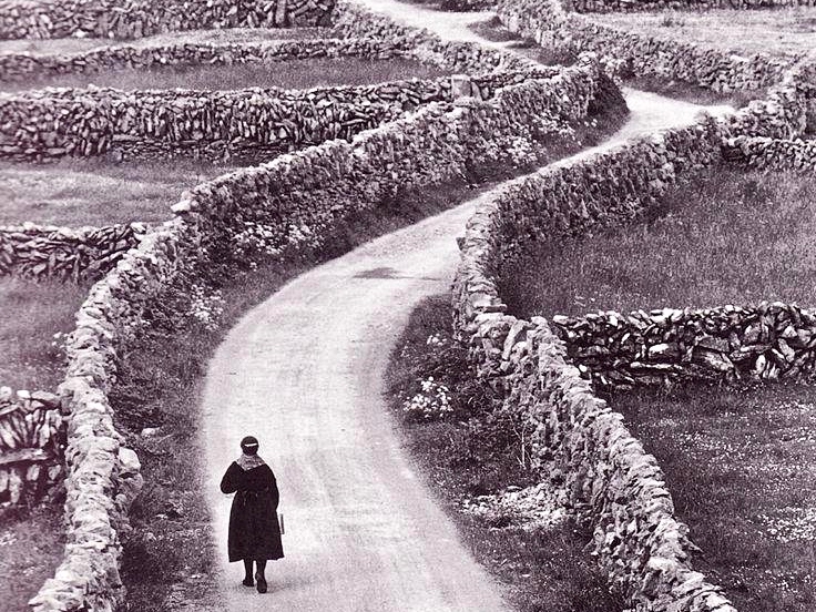
Ireland – especially the west of it – is a huge stone landscape. Wherever people have settled, they have moved the stone and used it. To make fields, or any enclosures, they have had to clear the land. The stone taken from the land is used – sometimes to build shelter, often to build myriad walls to define the holdings. Here’s a striking example from the Aran Islands:

Nothing is recorded on the National Monuments Survey about these land boundaries at Dunmanus – or the significance of the promontory as a whole. Was it once a promontory fort? There are others on this coast. It could easily have been defended along the line of the present road running across the south. However, the land is flat and low, and there is no shelter.

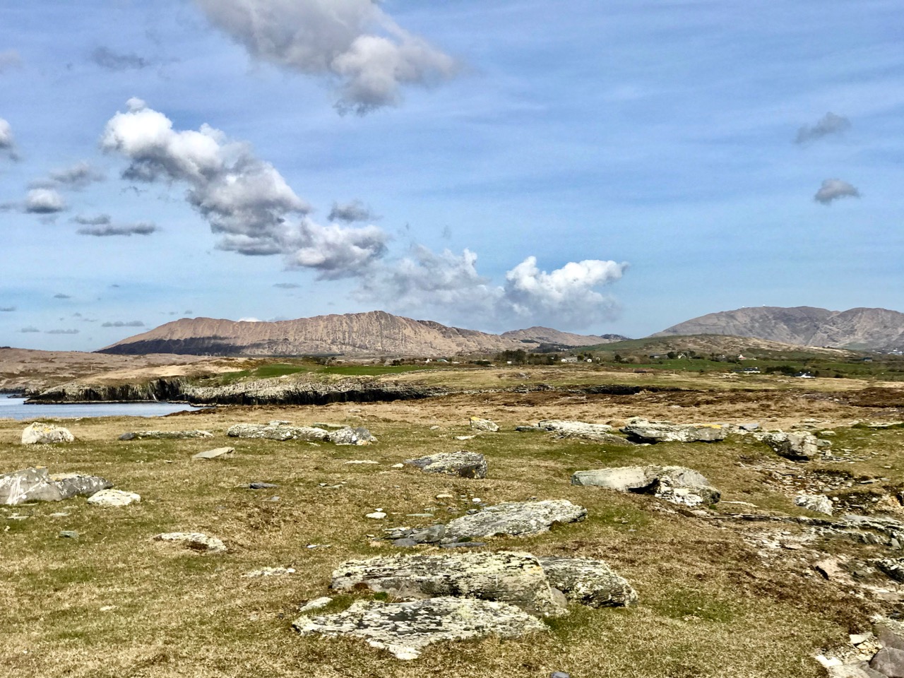
Flat stone surfaces – of old red sandstone – remind us of the Burren landscape in Clare, and we can suppose that the present windswept bog and scrub could once have supported agriculture. But when? In medieval times, perhaps, when the nearby Dunmanus tower house was a thriving centre of occupation and, probably, commerce. In the shelter of the bay the little quay at Dunmanus survives and is still used by small boats searching out shellfish and scallops.

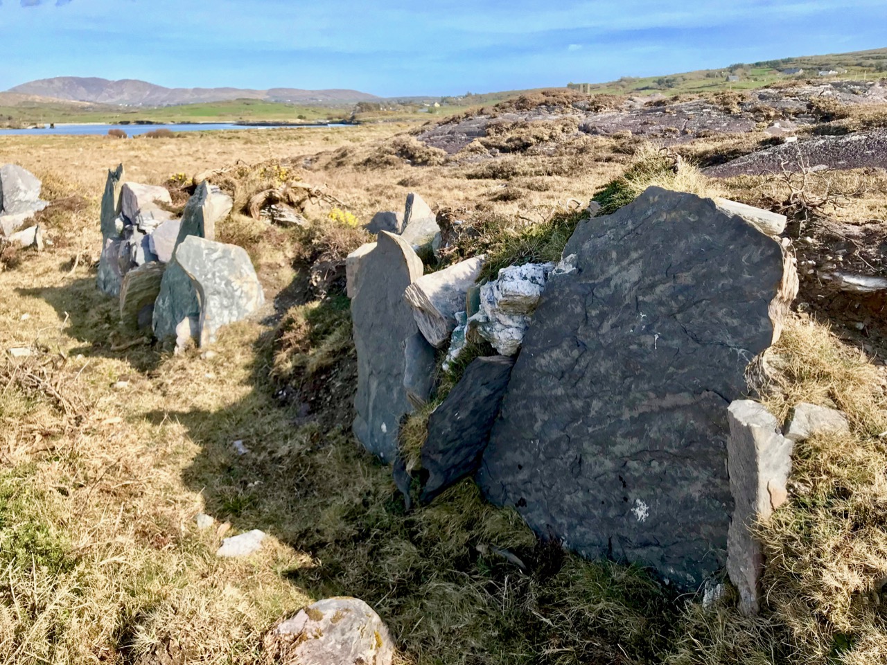
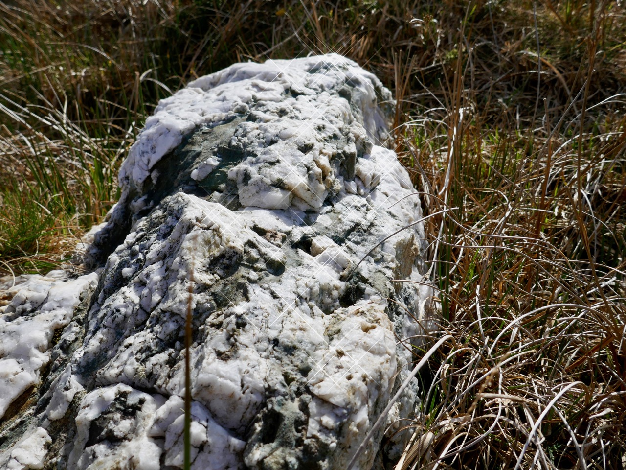
In some places the old walls seem to have a prehistoric feel: the use of slabs embedded vertically like standing stones is quite unusual in West Cork. The presence of large quartz rocks, too, is reminiscent of ancient sites, although they are natural geological occurrences here.

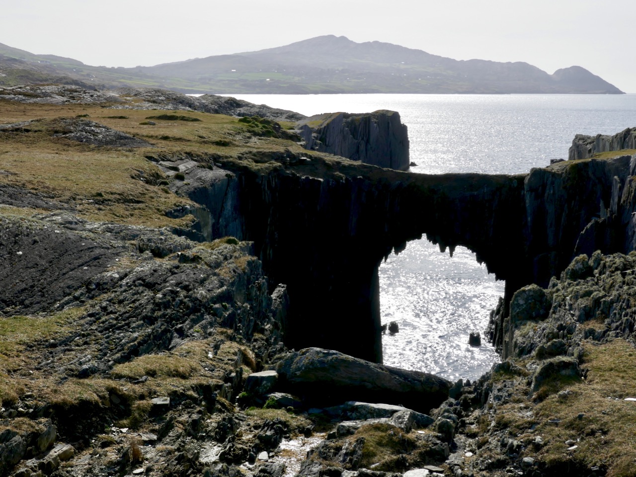
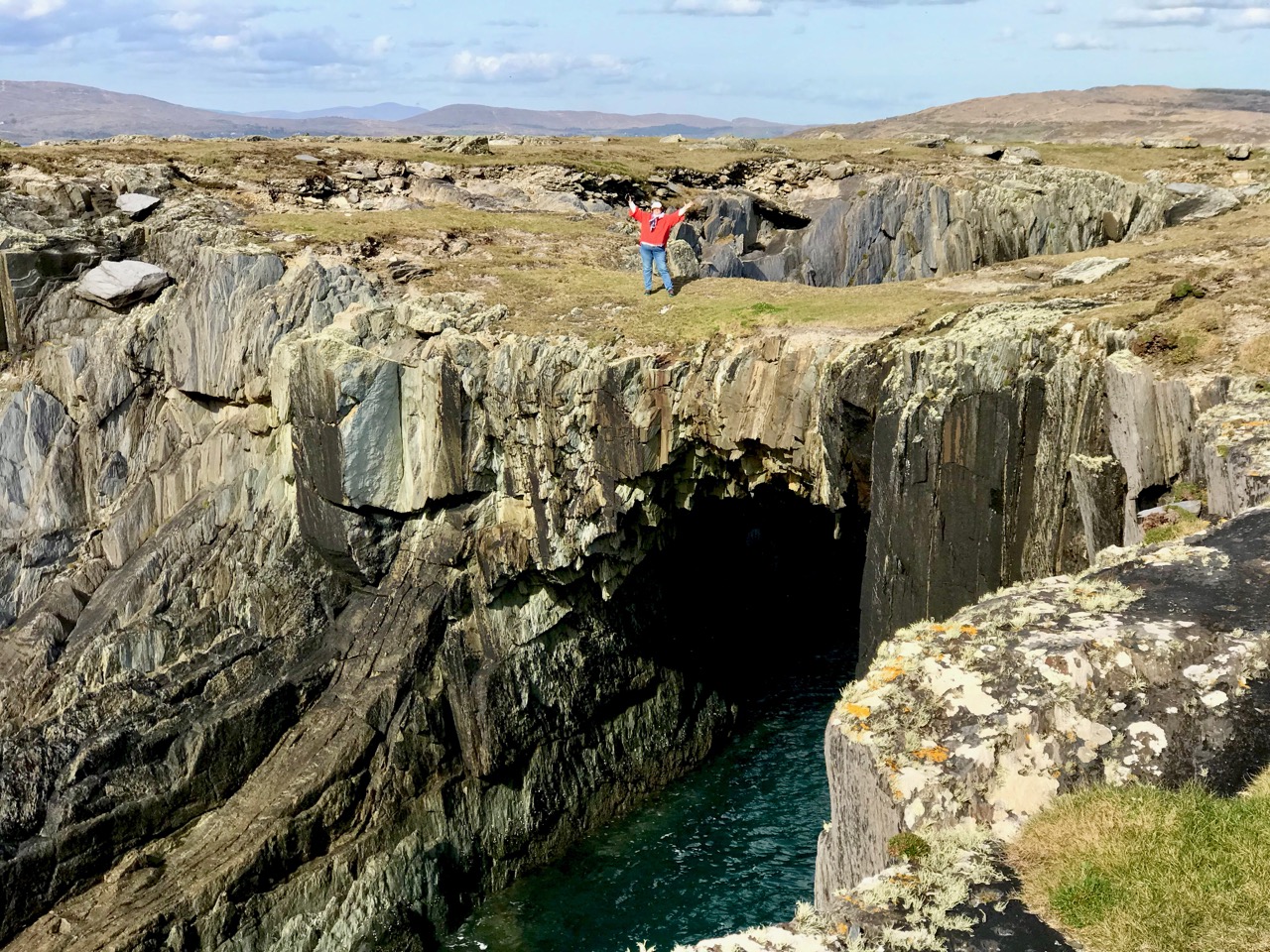
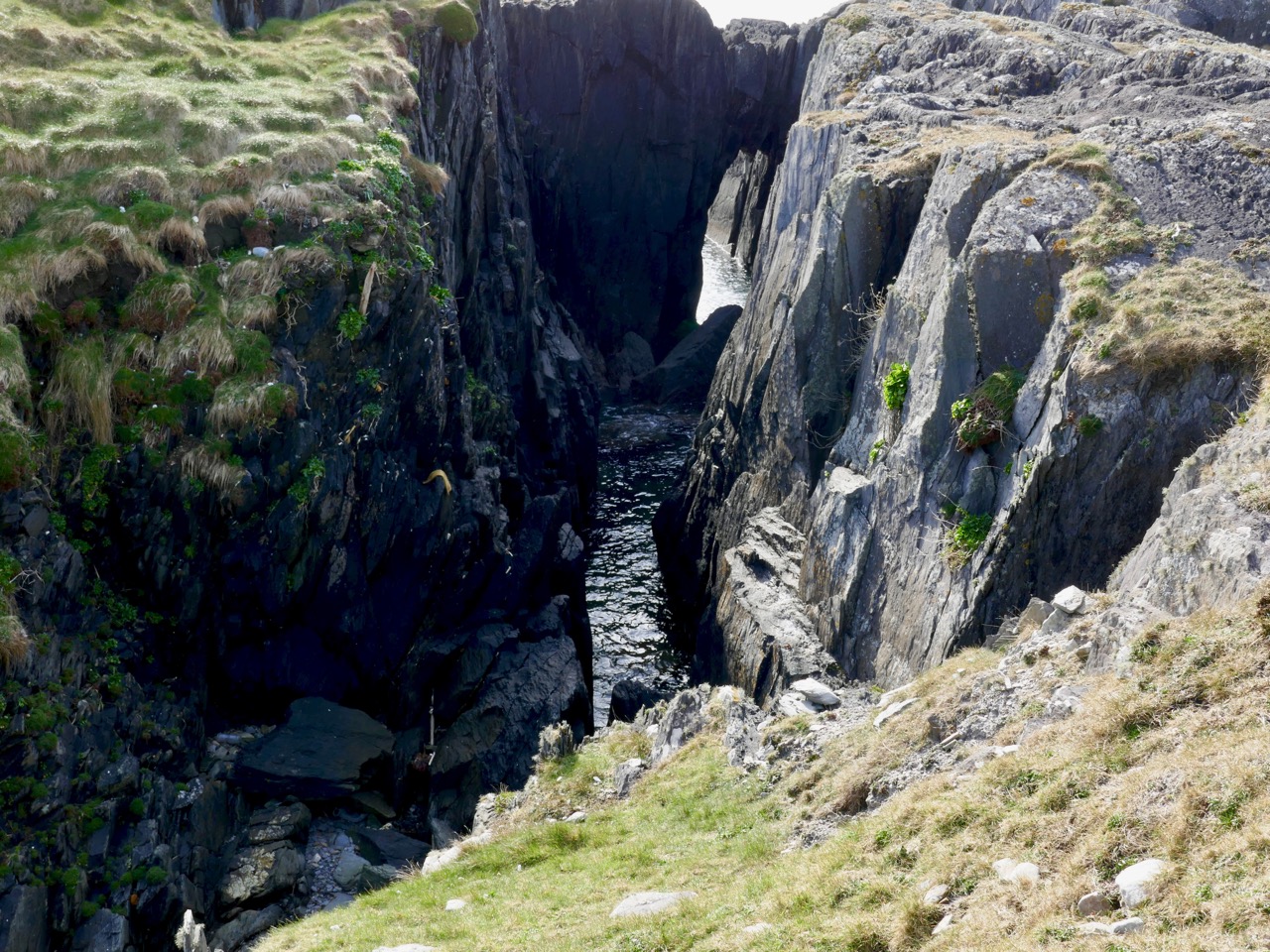
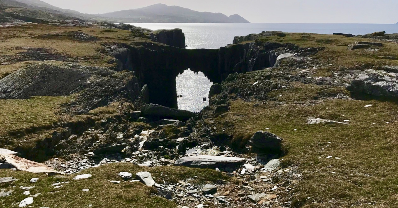
Other natural features on the peninsula include two ‘sea arches’ – bridges formed through erosion of the rocks and chasms by the ocean.

It’s a landscape of vestigial fields, sea – and stones. Nothing more. But I find it a mesmeric place; partly because we can see that it bears the marks of human toil, and we want to know more about who was there and how they lived. It’s a remote piece of Ireland to call ‘home’. Those marks remain after how many years – hundreds, thousands? They intrigue us, and compel us to explore.

Drawn to the Beara

The spectacular landscapes of the Beara Peninsula draw us again and again: have a look at some of our past explorations here and here. There’s no doubt that for fine, distant views, tranquil coastlines and variety in geology, history and archaeology this part of Ireland takes some beating. And, for us, it’s ideal: near enough that we can have a full day out absorbing all these things, yet still being home in time for tea!

This is the weekend when clocks ‘spring forward’ – giving us longer evenings. But also the sun is getting noticeably stronger, colours are getting more intense, and the shadows are hardening. It’s a great time to be out on our travels.

That’s Hungry Hill above – highest peak in the Caha Mountain range, Co Cork – and the background setting for Daphne du Maurier’s 1943 novel of that name. The story is based on the real-life Puxley family who set up and ran Allihies copper mines in the first half of the nineteenth century. Du Maurier weaves the tale to give the name of the hill a symbolic meaning – the mines ‘swallow up’ the lives of those who work them and the plot is charged with tragedy and unhappiness.

We crossed the peninsula on the Healy Pass, one of Ireland’s great road journeys, with breathtaking views towards Bantry Bay in the south and the Kenmare River to the north as you traverse the 334 metre summit. The road, known in Irish as Bealach Scairte, was originally cut as a nineteenth century famine relief project, and improved in the 1930s, when it was named in honour of Tim Michael Healy, a Cork man who served as the first governor general of the Irish Free State.
We had a mission: to visit Dereen Garden, which is open all year round. We were there before the tourist season got going, and we mainly had the beautiful walks and vistas to ourselves. The woodland garden was laid out 150 years ago with sub-tropical plants from around the world and has been improved and added to since then; it is famous for its huge Arboreum rhododendrons. Evidently there is a variety of wildlife to be seen, including red squirrels, sitka deer and hares, but they were all keeping out of the way when we visited.

We were hoping to sample some of the fine eateries which have been set up on the Beara but, again, we were a little too early in the year: an excuse for another trip when they open up. So we reluctantly turned our way back towards the Healy Pass – to get the views from the other direction – and were stopped in our tracks by a sign pointing to ‘stone circles’. This is in a townland named Cashelkeelty and is near Lauragh, Co Kerry. Finola had a look at her archaeological records on the phone and found it was somewhere we had to go! It involved a long, uphill walk through a forest, but was very well worth it. Read Finola’s post to find all the details.
I will show only one picture as a taster (above) – but also to point out the proximity of the high grade overhead powerline which runs right by the ancient stones. Does it add or detract from the monument itself?

There were many more vistas to be taken in on our few hours spent on this dramatic peninsula, where mountains so spectacularly meet the sea. We can never tire of this, our own little part of the world.

Cashelkeelty – More Than Meets The Eye

It’s on the wild and remote Beara Peninsula and it’s a bit of a trek to get up to it – but so worth it. We are fortunate that we know quite a lot about Cashelkeelty, which is in the Kerry section of the Beara, not far from Lauragh. There were excavations here in the 70s and 80s led by old friends, John Barber and Anne Lynch. Pollen analysis in the region has added to our understanding of the environment during the Bronze Age.

You can see both the multiple stone circle (the closer set of stones) and the 5-stone circle and stone row from the knoll near the site

But none of this is obvious on the ground and there are no explanatory signs, so I’m going to lay out what we know about this marvellous complex of monuments, so that when you go (Yes, do go!) you’ll know a bit more about what you are looking at. Make it part of a day trip, like the one that Robert is describing this week.

Park in the little car park about 2 km west of the turn off for Derreen Garden. Someone has handily marked it on Google Maps as ‘Parking Place Stone Circle’ and take the path that runs upwards through the woods, turning left (and ever upwards) when you come to another path. It’s a Robert Frost experience – the woods are not only lovely, dark and deep but also mossy and mysterious, with hints of old walls here and there.

When you emerge into open country, you are actually on the Beara Way and this stretch was beautifully described by Peter Clarke in his Hikelines blog.

Peter Clarke’s sketch of the 5-stone circle and stone row ©Peter Clarke/Hikelines

In fact, you are walking now along or beside a medieval road that once ran from Kenmare to Castletownbere. Once you know this, you can pick it out and imagine walking or riding along it in rough woollen garments, or perhaps the  flowing robes of a monk, or the full armour of a knight. But this road is actually one of the newer items in this landscape.

The landscape itself is Bronze Age. People made their living here by growing some cereals (probably barley and emmer wheat) and by herding cattle and sheep. Pollen analysis tells us that forest cover declined – that is, it was cleared by the early agriculturalists – beginning about 1500BC and intensifying around 1100BC. Pre-bog field systems are everywhere here – look for the lines of upright boulders defining walls and small fields as you walk.

According to Billy O’Brien in his Iverni (got your copy yet?) deterioration in the climate and higher rainfall about 1000BC led to increased acidification and the spread of bogs in many areas. So what we are looking at here, in the Mid to Late Bronze Age, is an open pastoral landscape. This is important because the views from here are panoramic and significant, and they would not have been obscured by trees.

Ancient fields

And in this open landscape these early farmers lived in houses of which no traces remain, probably of wood and thatch. What does remain are the monuments they built of stone – they meant them to endure and endure they do. There’s a five-stone circle, and a stone row right beside it, and about 30 metres to the west another set of upright stones.

The stone row was built before the 5-stone circle, possible hundreds of years before. There are three stones now, but the Lynch excavation established that there had been a fourth. Like most of  the stone rows on this part of the world it is oriented ENE/WSW, or towards the morning and evening horizons in summer. As regular readers know, I am always intrigued by the way the shapes of the stones seem to mirror the landscape behind it and this is no exception.

The 5-stone circle now only has three stones, but the sockets for the remaining two were found in the course of the excavations. In the centre, covered by a stone slab, was the cremated remains of a person in his or her 20s. Radio carbon dates (later re-calibrated) established the construction to about 1300 to 700BC, placing it in the Late Bronze Age. Mike Wilson of the Mega-WHAT site has analysed the orientations of both the stone row and the 5-stone circle – you can see the results of that here.

Visitors love to leave little offerings at sites like this. You are looking into the 5-stone circle, towards the recumbent. The slab is more or less where the cremated remains were discovered in the excavation

From here you can clearly see another set of stones to the west. What looks like another stone row is actually the remaining uprights of a multiple stone circle, as Anne Lynch documented in her account of the excavation. There were either 11 or 13 stones originally. The tallest stone now standing must have been one of the portals. The middle stone was originally lying down but was re-erected in the course of the excavation.

Once again, I am struck by how these three stones appear to mirror the horizon behind them. Can this really be a coincidence? If so, it’s a an eerie one. To understand how and why multiple stone circles were built, start by reading The Stone Circles of West Cork: Discussion. That post will point you to others as well.

To round out the Bronze Age monuments, there’s a Fulacht Fia just south of the 5-stone circle – you can read more about these ancient cooking places in my post Ballyrisode Fulacht Fia.

This little road leads to a stone building, perhaps originally a cottage. It’s the green roof you can see in the second photograph

Cashelkeelty is an amazing site – so many monuments, such evidence of Bronze Age activity from daily living and farming to monument-building. We still have their stone edifices to remind us that these people were sophisticated builders who wanted certain of their practices and rituals to endure for centuries. What we no longer see easy signs of, we can imagine – the forest clearing, the planting and herding, the communal feasting. Take a little while at this site and ask whether our own efforts will endure for thousands of years.