We thought ourselves fortunate to have come through those years unscathed. But the Covid has caught up with us both! Two years later, when we thought we could stop worrying: quite suddenly we felt strange – and gave ourselves Covid tests, which showed up positive! Of course, we are both fully vaccinated, and perhaps took too much for granted. We continued to be careful and wore masks in crowds (not that we encountered many of those). Perhaps there’s an inevitability that most people will succumb to it. But we are fortunate that it has seemed like no more than a severe cold. We are almost at the end of our isolation period, and look forward to setting foot on the boreens again.
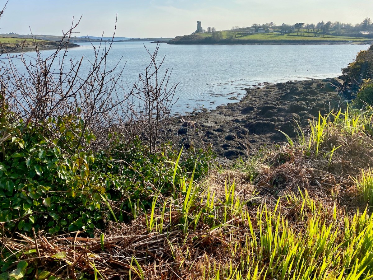
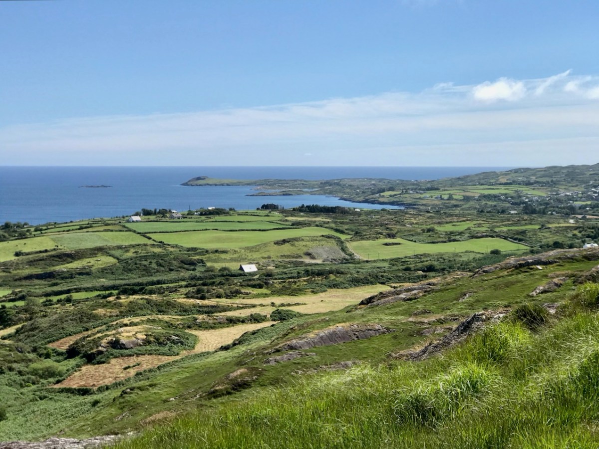
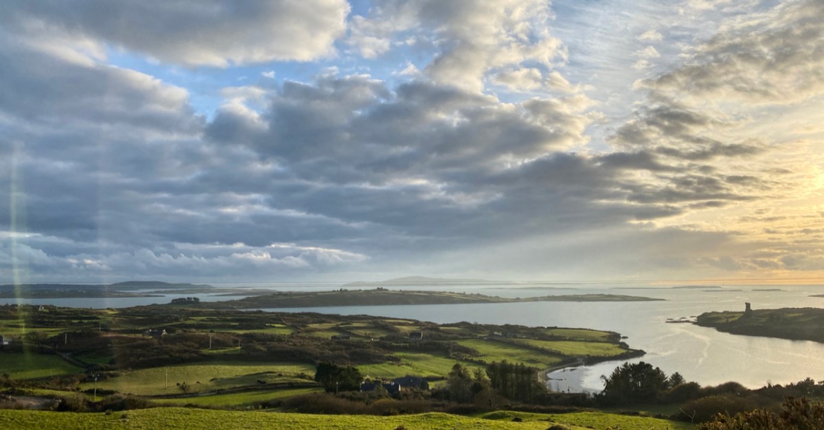
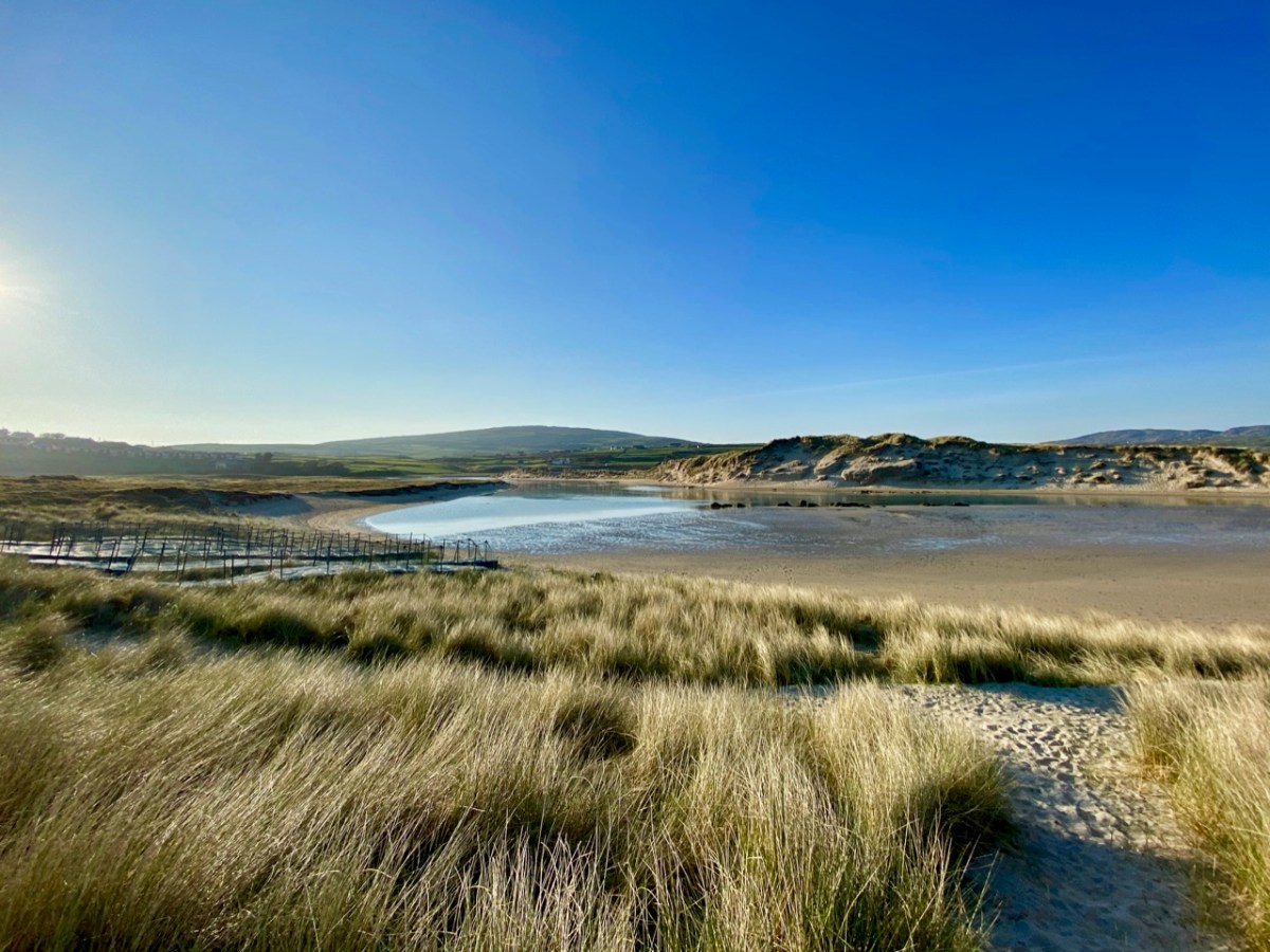
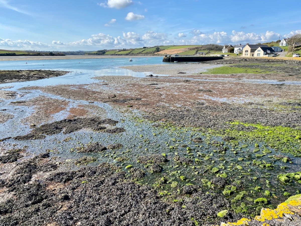
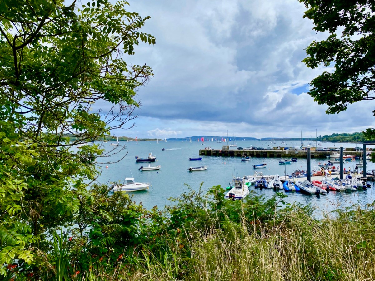
That’s our local tramping ground: Rossbrin Cove, yesterday. We couldn’t want for a better place to enjoy the lengthening warm days of this new spring which, so far, is proving exceptional for weather. Hopefully, by next week we will be back to normal, with new posts to interest and entertain you!
A pic of the Saturday market at Skibbereen just three weeks ago.
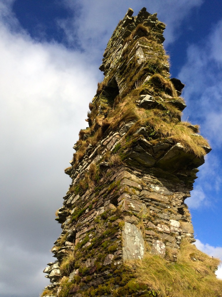
What can you say about a castle where only fragments remain of the original structure? Turns out – a surprising amount!
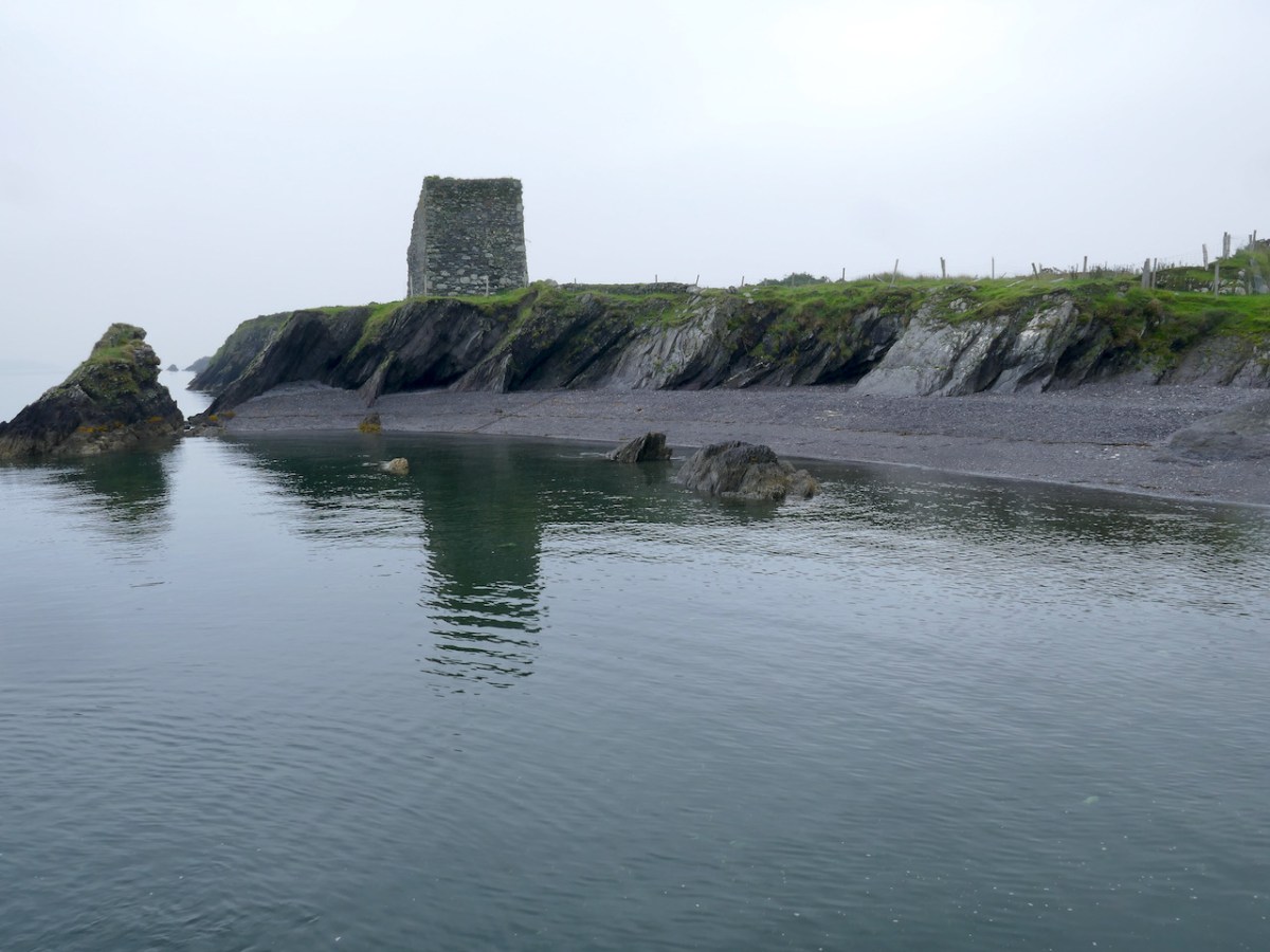
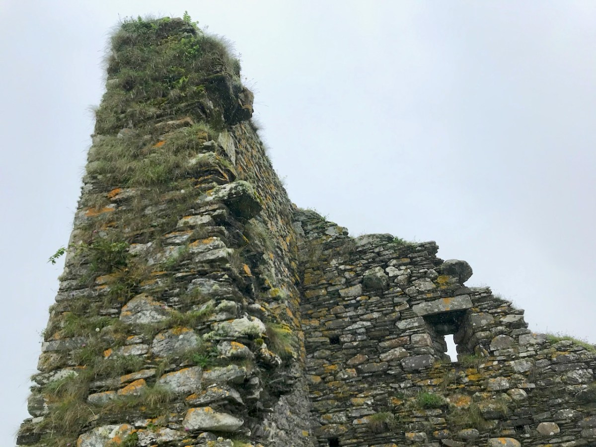
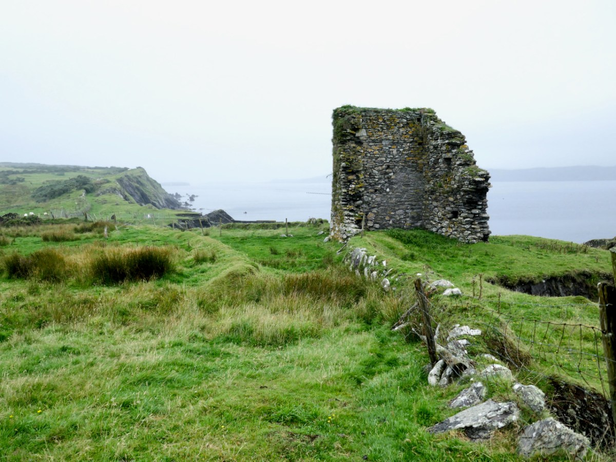
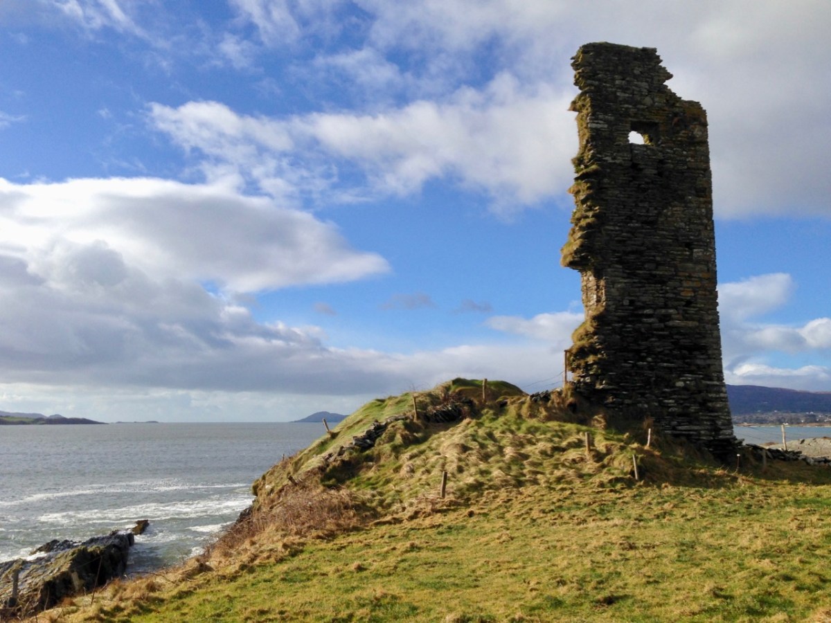
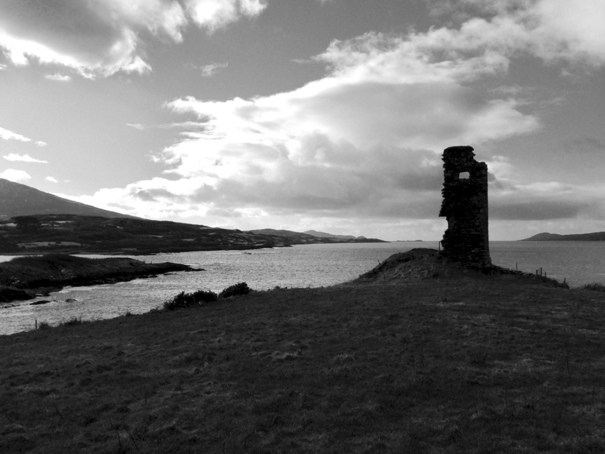
Fragmentary remains is the phrase used in the National Monuments record to describe the two castles which are the subject of this post – Dunbeacon and Castle Island. In each case only enough is still standing to confirm that it was indeed a medieval tower house. Fortunately, in the case of Dunbeacon, there is also historical evidence.
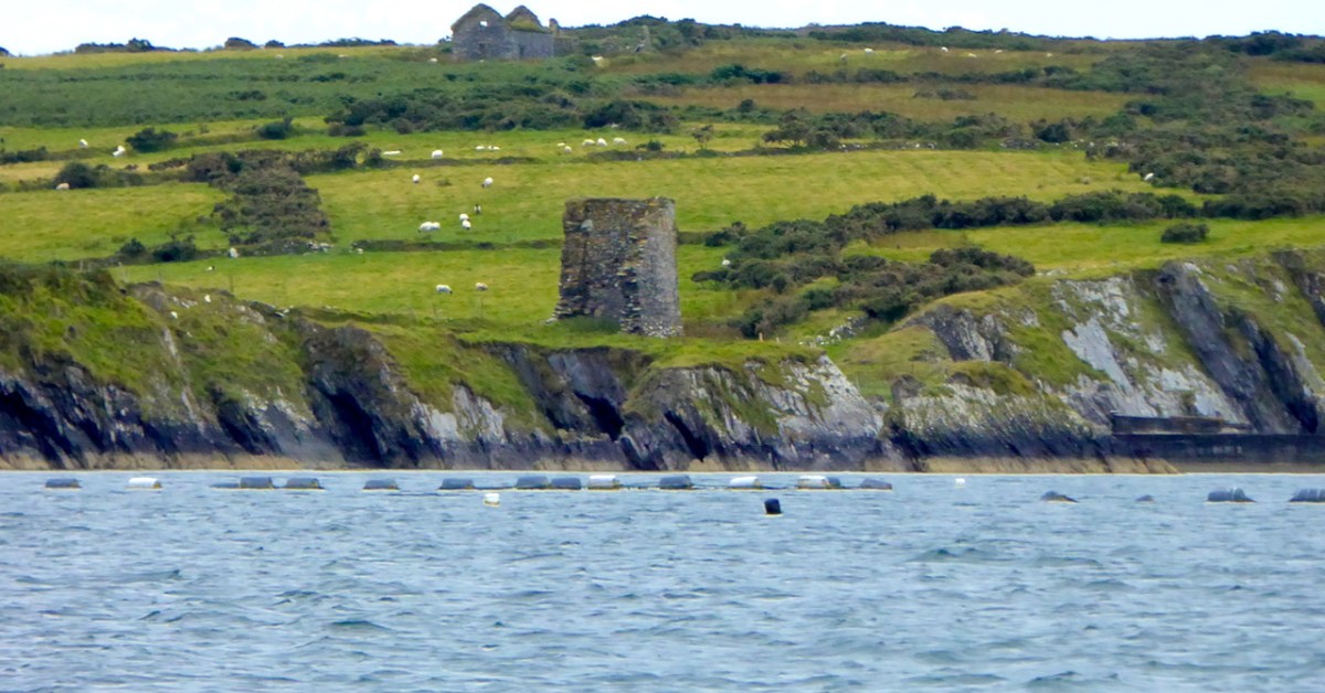
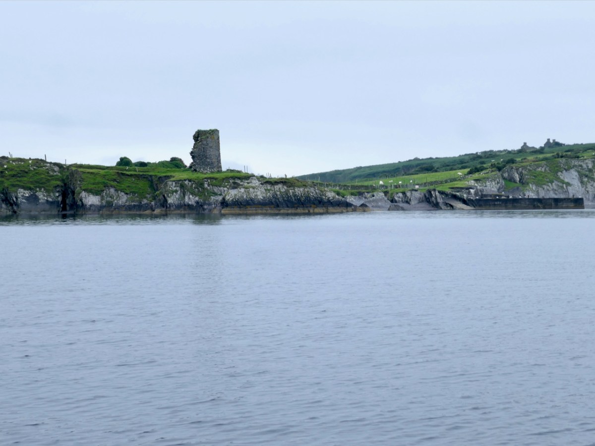
Let’s look at Castle Island first, and begin with the name. Samuel, in his thesis on The Tower Houses of West Cork, tells us that it was known locally as Castleduff, or Caisleán Dubh, the Black Castle. However, this was the name more commonly applied to Black Castle/Leamcon, so he says there might be some confusion there. There is no other name in the historical records – no mention, indeed, at all. Perhaps it was too insignificant to merit a mention – a fortified outpost rather than the high-status residence of one of the ruling O’Mahonys.
We have noted with other of the O’Mahony castles that they were built on the site of a ring fort (Ardintenant) or a promontory fort (Dunlough). The National Monuments records notes a promontory fort at this site, although it is not obvious on the ground any more. There are, in fact several promontory forts noted on Castle Island, perhaps indicating that this was the preferred type of fortified dwelling here, since there are no ringforts.
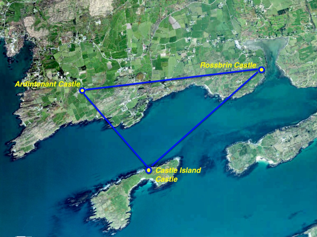
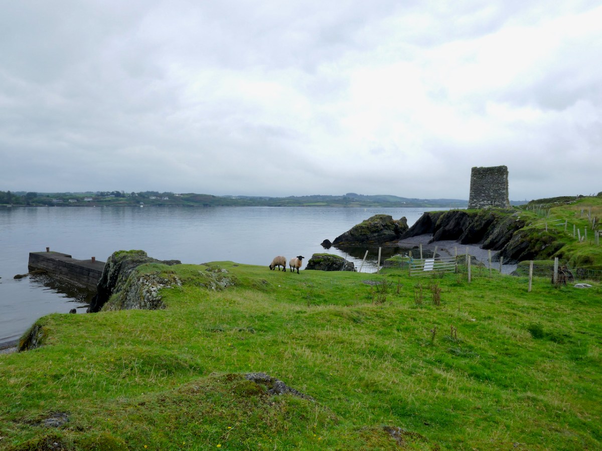
Like all the O’Mahony castles, it was strategically sited – it was beside the waters that separates the island from the mainland, and within sight of two other castles – Rossbrin and Ardintenant. The three form a triangle that overlooked and guarded the sheltered waters of Castle Island Channel. But also, from the top of the castle, there would have been a clear view south across the low land in the centre of the island, out to Roaringwater Bay.
We know that these waters would have been crowded with Spanish, French, Portuguese and British fishing boats, coming in to salt their catches in the fish palaces along the coast and to replenish their supplies. For all of these services and for permission to fish around Roaringwater Bay they paid hefty fees to the O’Mahonys, who got fabulously wealthy as a result.
The castle was much smaller than all the others. Samuel says,
Working on the assumption that Castleduff was an RE tower house [i.e Raised entry], its smallness is striking. The surviving ‘end wall’ makes possible a reasonably accurate estimate of the plan’s originallength. It is assumed that like its neighbours, its plan had a length-to-breadth ratio of 3:4 to 4:5; the ratios suggest a length of 7.96-7.46m (measures above the base-batter). The surviving north wallprobably represents the full length of the ground-floor chamber.
Mark Wycliffe Samuel the tower houses of west cork
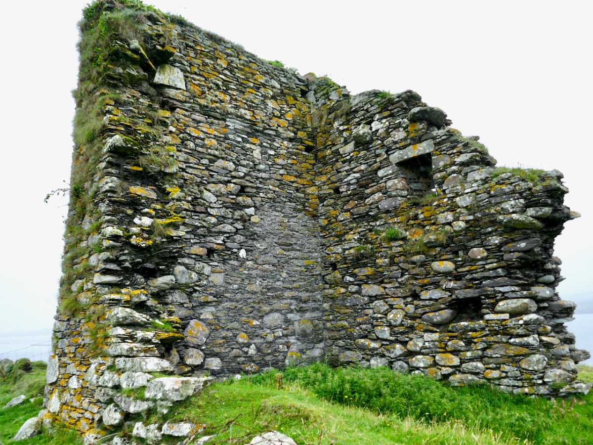
The only surviving opening is a loop in one wall, and a row of corbels that would have supported the first floor is still visible. There is no trace of anything that might suggest a vault, so it is possible that this small tower was unvaulted – Samuel thinks that the walls are noticeably thinner than the other castles, implying that this was a much simpler and shorter tower.
Samuels concludes his study of this tower by saying:
The jetty is modern, but the beach that it is laid upon was the best natural landing point on the island,well sheltered from the Atlantic swell. The landing clearly determined the siting of the tower houseand was an important resource to the family that built the tower house. It is tempting to see a directcontinuity between the recent settlement and a settlement around the tower house. Only excavationcould determine if this was the case.
Mark Wycliffe Samuel the tower houses of west cork
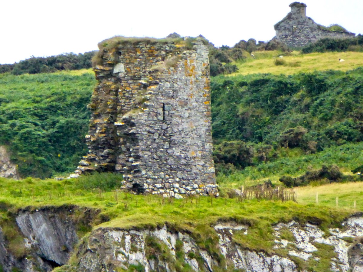
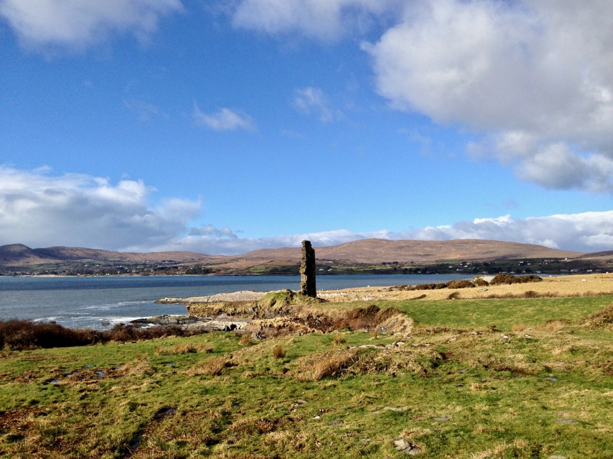
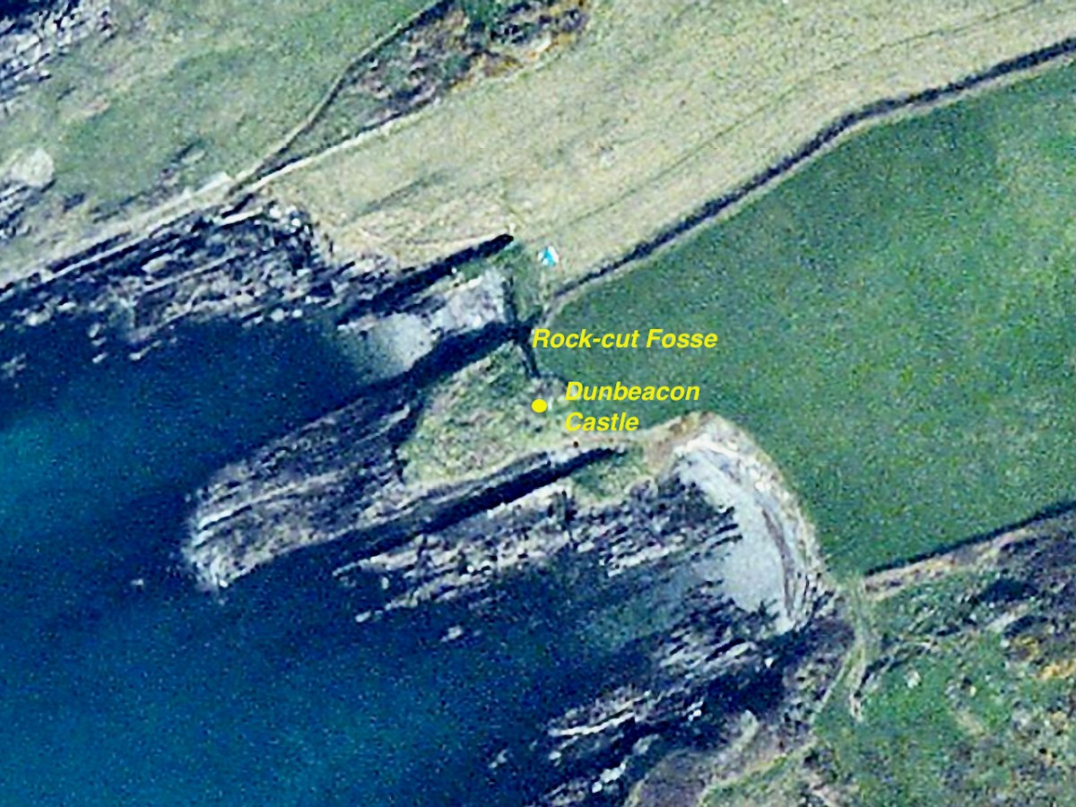
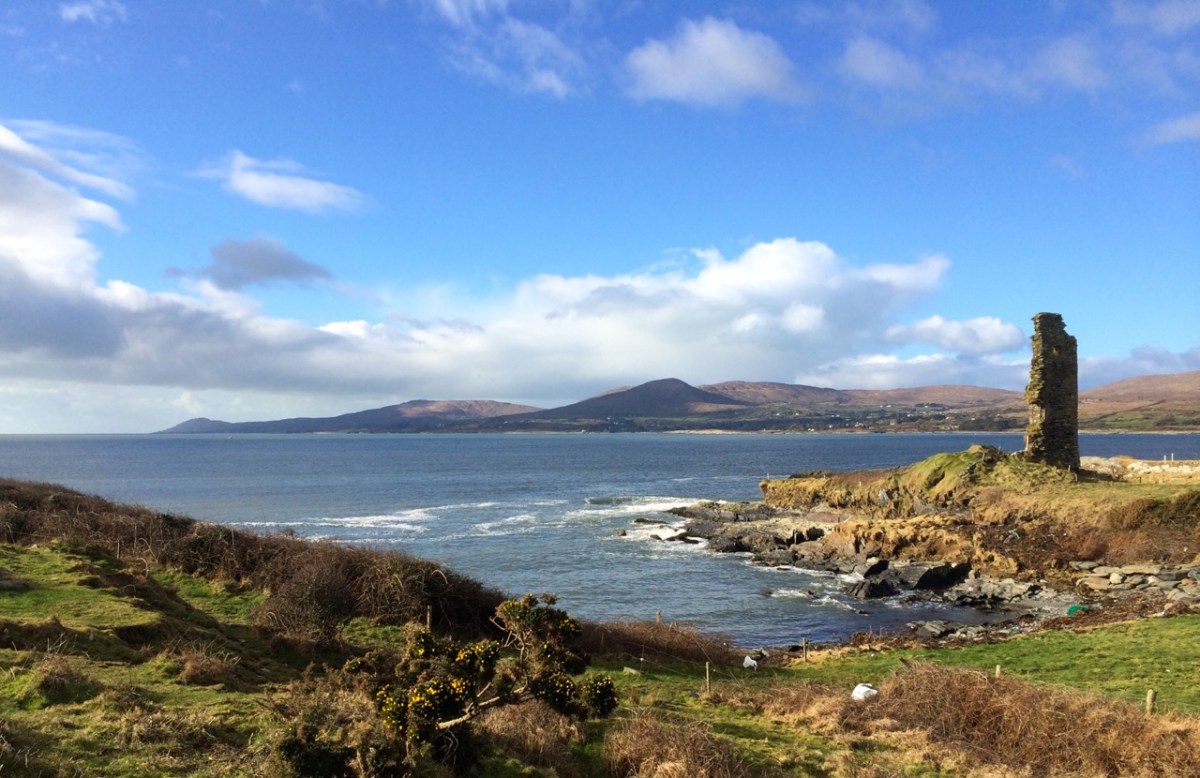
Dunbeacon (images below) is even more vestigial than Castle Island, but fortunately we do have some historical evidence for it. The name could mean Fort of Beacan – where Beacan is the name of a chieftain. However, it could also mean The Fort of the Mushrooms – since the Irish word for mushroom is beacán. I like to think of the chieftain and his lady chowing down on a plate of eggs and mushrooms for breakfast.
As with Castle Island, there are signs that the castle was built within a former promontory fort, also underscored with the name Dún, which means fortress. A fosse, or ditch, cut through the rock, is all that remains of the fortifications of that promontory fort.
The majority of the O’Mahony tower houses in Ivagha were built by or for the sons of Conchobar Cabach. Dunbeacon castle was allegedly built by his brother Dohmnall. This seems to be a traditional rather than documented attribution. If it is assumed that Dohmnall was born c. 1400, he may have built the tower house at any date during his adult life (c.1420 to c.1470).
Mark Wycliffe Samuel the tower houses of west cork
The siting is magnificent. From it, there is a clear view of the whole of Dunmanus Bay, right to the end of the Ivaha (Mizen) and Sheep’s Head Peninsulas. This, of course, also meant that it bore the responsibility, along with Dunmanus, of defending O’Mahony territory from attack or incursion on the north side of Ivaha. The pro-English Owen O’Sullivan of Beara, for example, is known to have conducted cattle raids on the lands surrounding Dunbeacon.
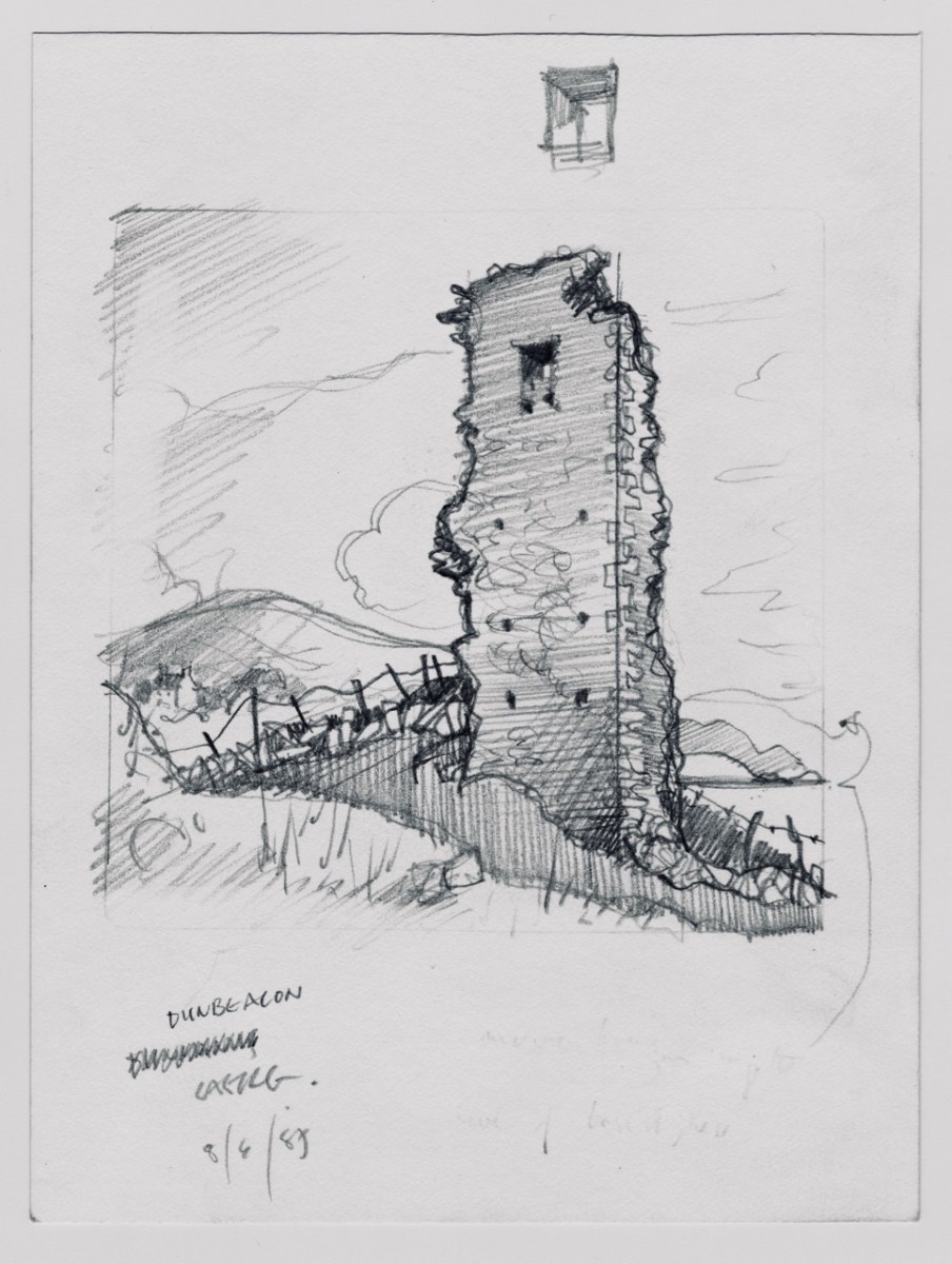
Samuel tells us that the chief of Dunbeacon, Domhnall O’Mahony, forfeited his lands as a result of his participation in the Desmond Rebellion, and it became a ruin – beautifully captured in Brian Lalor’s sketch, above.
The tower house and four ploughlands were confiscated, and passed into the possession of an English settler who probably built a timber house to the east. The O’Mahonys did not attempt to reconquer the lost part of their pobol; instead they contented themselves with attacking and burning the tower house, an event recorded in a letter written by an English judge in 1588. The tower house probably remained a ruin.
Mark Wycliffe Samuel the tower houses of west cork
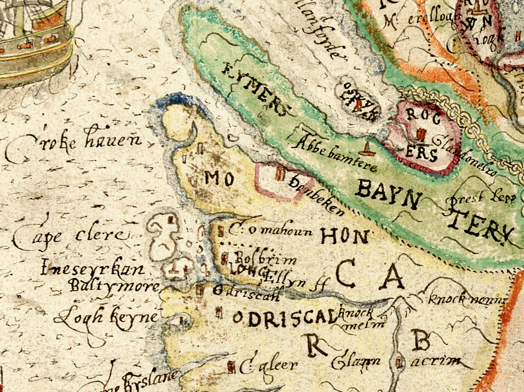
The O’Mahonys regained possession of their Dunbeacon lands but lost them again when they were granted to an English settler. See my post Planning a Plantation: Jobson’s 1589 Map of Munster Part 1 and Part 2 for how the land was mapped preparatory to the Plantation of Munster. As you can see above, Dunbeacon (or Donbeken) was clearly marked out for colonisation. William Hull came to own it at one point, and even the conniving ‘lawyer’ Walter Coppinger laid claim to it – as he did with much of the O’Mahony and O’Driscoll territory.
Although so little remains, Samuel’s careful analysis indicates that Dunbeacon was probably a typical raised entry tower house, with a vault supporting the third floor which held the principle private chamber. See my posts on Ardintenant and Black Castle for what it may have looked like.
It’s hard to look at ‘fragmentary remains’ and think of them as vibrant centres of life. Yet, these two castles were once part of the mighty O’Mahony federation – a large network of connected families that ruled Ivaha and the surrounding seas. Sic Transit Gloria Mundi.
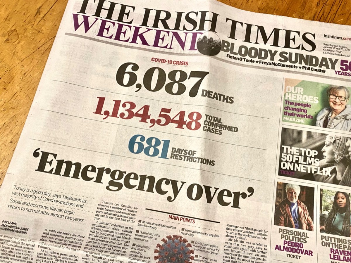
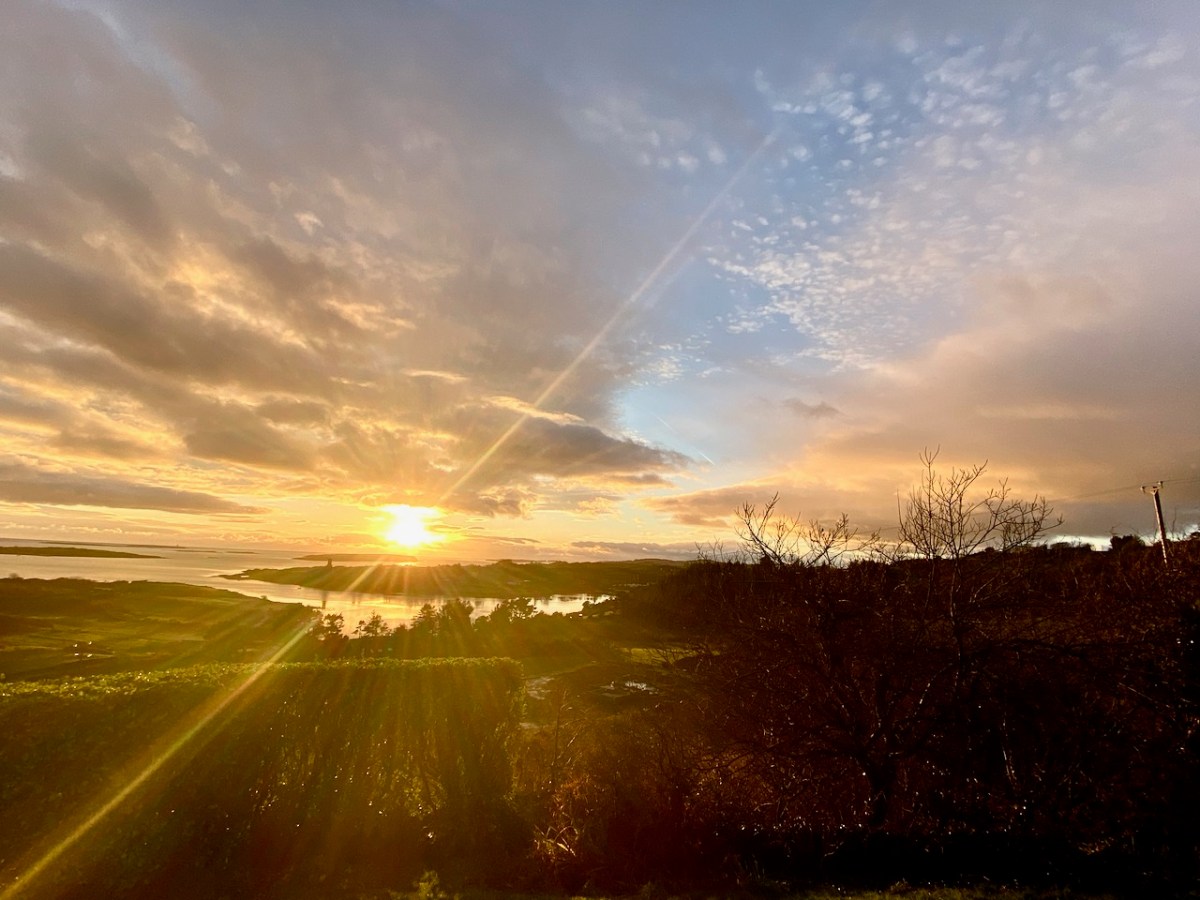
Yes – it has been 681 says since Covid-19 hit us and our world changed. From today, 22 January 2022, most restrictions in the state are gone, apart from the continuing need to wear masks in certain public places. Hopefully that West Cork sky over our house this morning, above, is a good omen for us. Today’s paper shows the stark tally:
The population of the Republic of Ireland as I write this is 5,023,337 (no doubt that is changing by the minute). That tells the story: 22.6% of the people here have had the virus. And of course it hasn’t gone away yet… But at least “social and economic life can begin to return to normal” says the Taoiseach. In order to mark the significance of the moment, my post looks back to our experiences over the last 681 days: in particular, how our lives changed at the beginning of the outbreak.
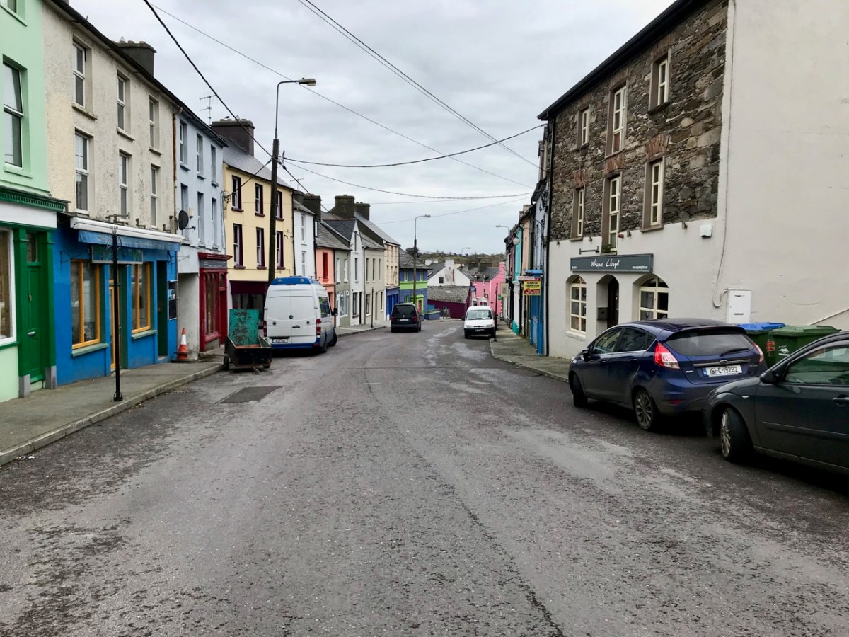
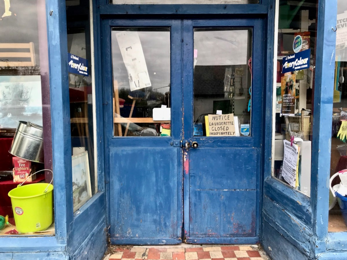
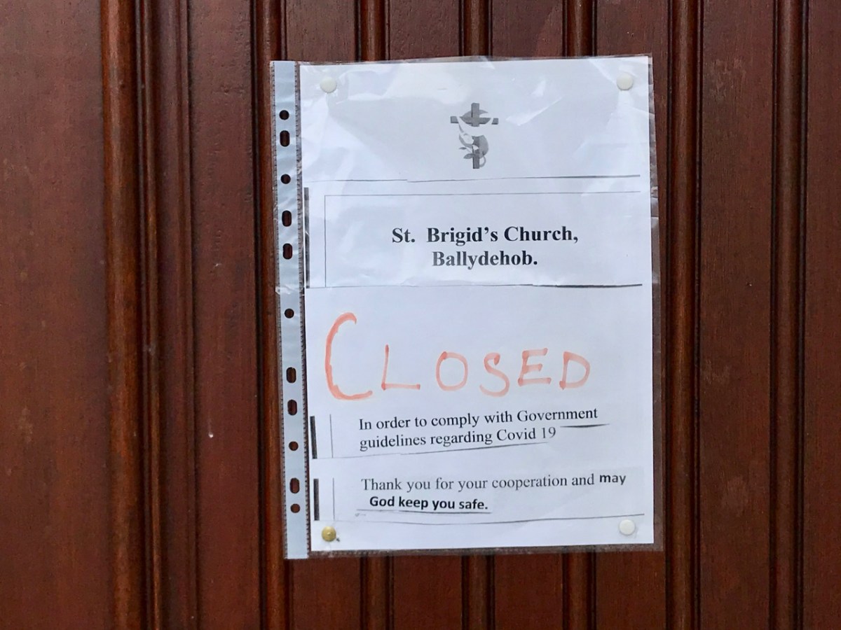
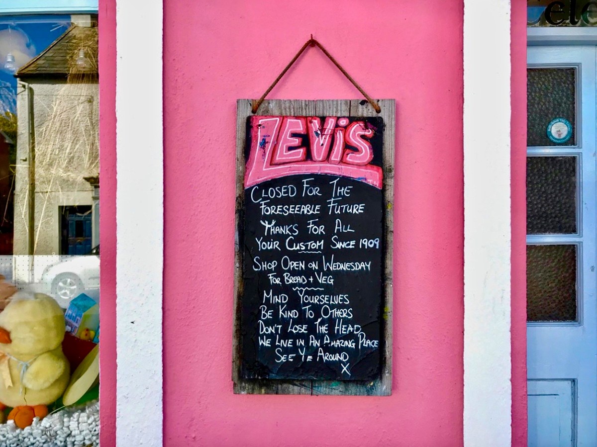
These two images of Ballydehob, taken at the beginning of April, 2020, sum up the shock of empty streets, closed businesses and everyone being advised to isolate. It all seemed very bleak: our movements were initially restricted to 2km from home, then that increased to a radius of 5km. If you lived in rural areas – as we do – you were permitted to travel beyond those distances if you needed to in order to shop or use essential services. We breached those rules on occasion – sometimes to get exercise in the deserted countryside all around us.
As the days went by, an amazing spring emerged, with day after day of beautiful weather. Human activity was curtailed, but the natural world continued along its course as though nothing was awry!
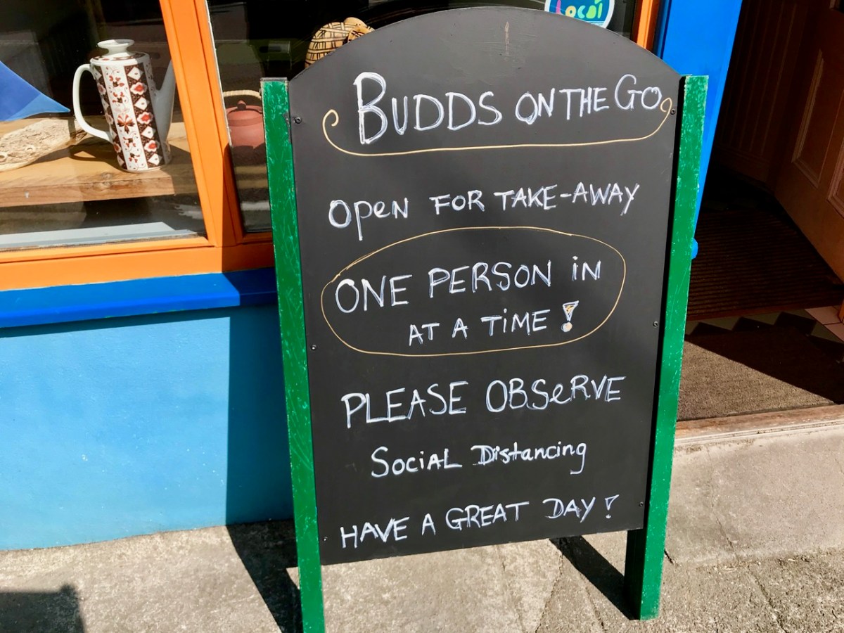
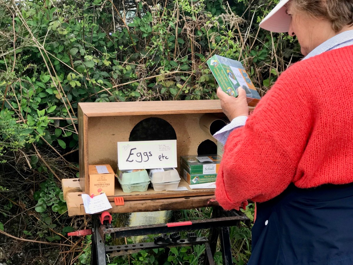
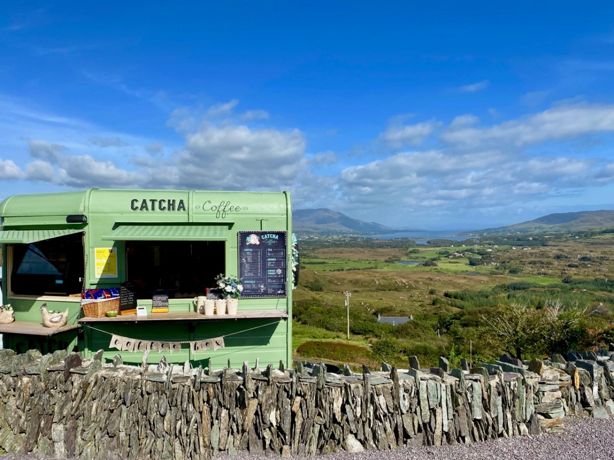
We humans are pretty adaptable. It was amazing to see the ingenuity of folks creating outlets for their energies without having to mix. Food-on-the-go blossomed as a craft industry: here are some examples.
We were very impressed with many of the examples we encountered – and which have survived over the months. Hopefully they will carry on, as casual coffee stalls in the middle of nowhere are welcome to us in our travelling. Pre-pandemic they were probably frowned upon by ‘the authorities’ – and they are certainly regulated – but ‘authority’ would have had to be very hard-hearted to close down these little lifelines. In our experience, every one we encountered was well-run, and spotless. It was an incidental opportunity to have a distanced ‘chat’: always a source of good local information on how others were coping.
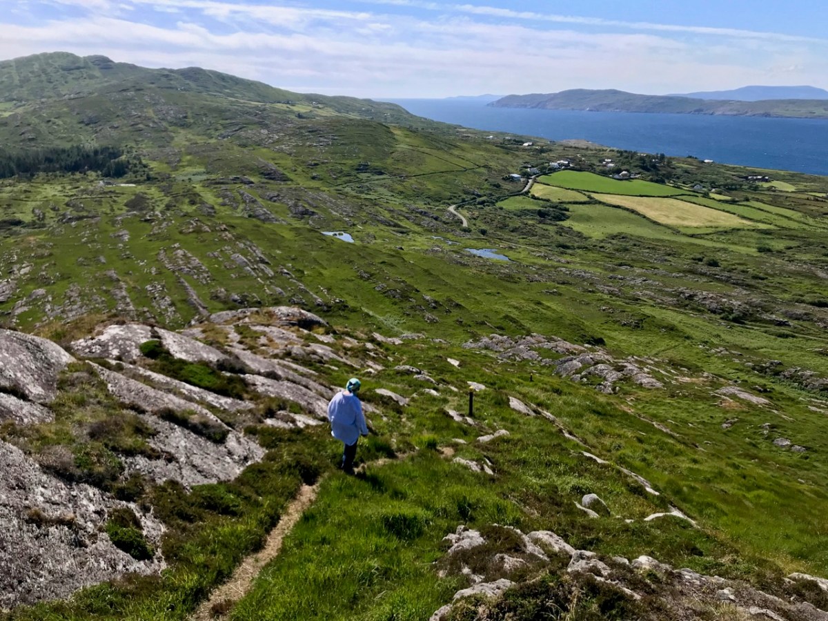
We took the opportunity to climb – and descend – Knockaphuka during the pandemic. It’s a mountain a short distance from Nead an Iolair, but a little outside the limit. No-one was watching! I suppose being restricted to our immediate environment for so long – day after day – made us re-assess it, and our lives. Certainly we have got to know the fine detail of the beautiful place we call home.
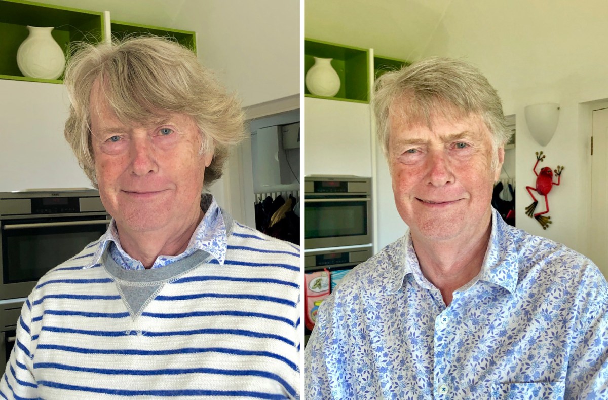
Here’s a social issue: we couldn’t get a haircut for months! Finola kept me in trim, but it was a relief when salons were once again allowed to operate, albeit with some restrictions.
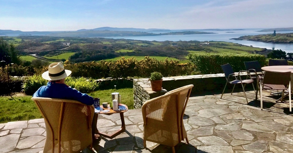
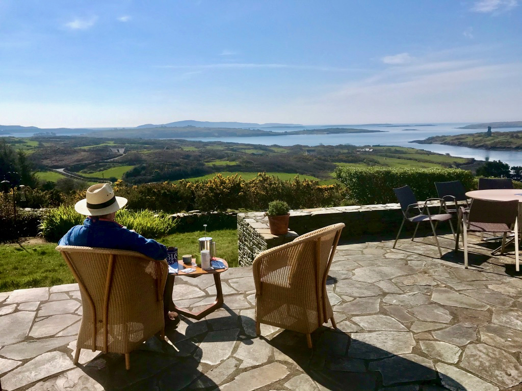
This is us having coffee on our own terrace, looking out over Roaringwater Bay in the wonderful spring of that first pandemic year. In fact, each of the two last years has been benign – with a few exceptional winter storms. We would have felt less relaxed if we had had persistent rain (which sometimes happens).
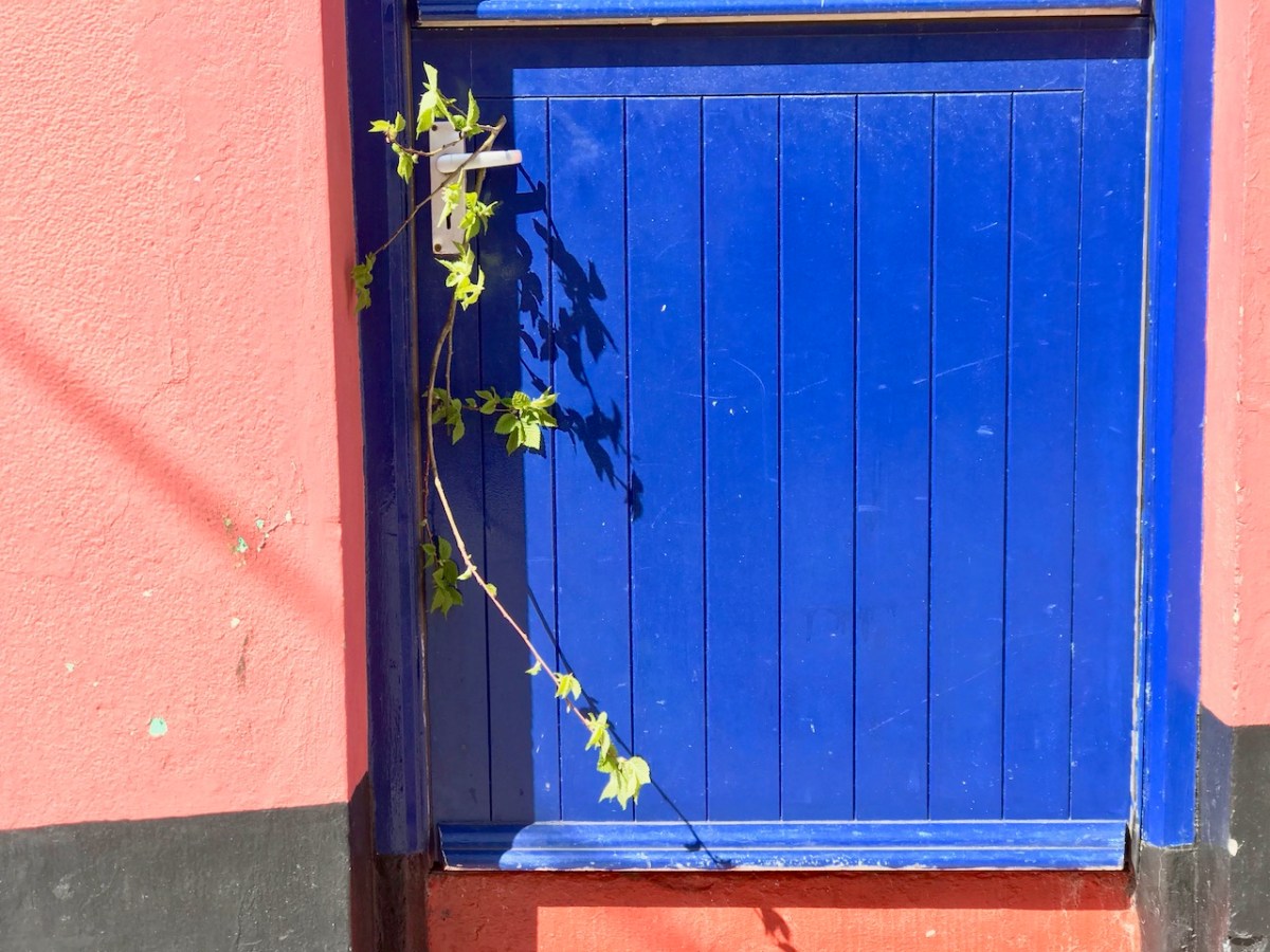
A sprig of green appears on a doorstep on May Day, 2020: a sign that we all still want to continue the old (perhaps ancient) traditions… There were ups and downs: things eased as the year went by and then the new variations came in. Numbers went down and we breathed out. Then they soared – especially with the Omicron variant, and everything went haywire again. Let’s hope that the present easing is here to stay. But the future can never be told…
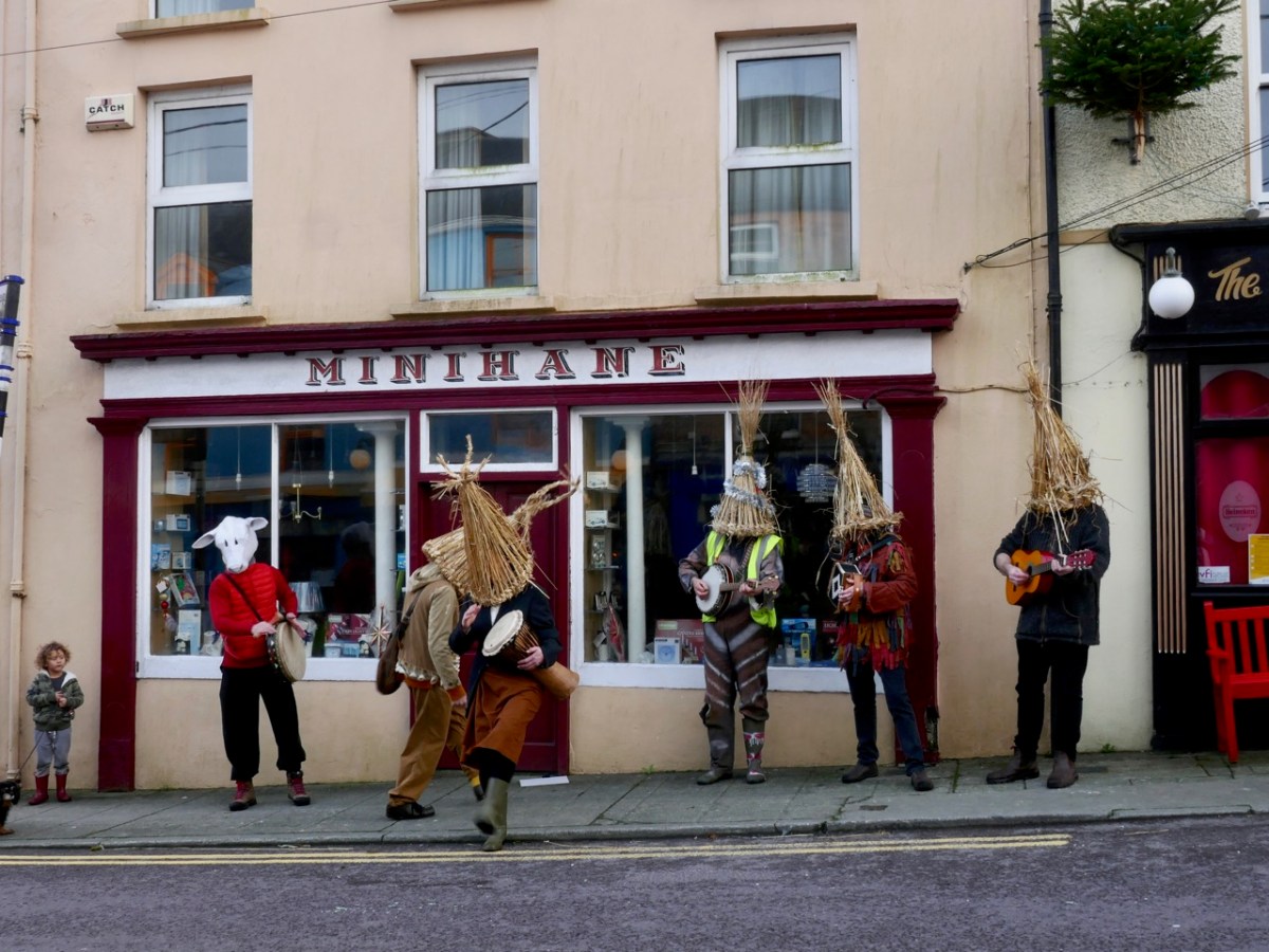
. . . New Year’s Day saw the Wran coming out in our village of Ballydehob, County Cork. It’s an old tradition here. That time “the fool” accompanied the wren boys. He was mounted on a donkey and carried a bladder tied to a stick. I got the song from John Levis, Ballydehob, (34 years of age) who procured it from Jeremiah Driscoll, Ballydehob (age 64yrs) who was an old wren boy. “Wren” is pronounced wran locally in Ballydehob and surrounding districts . . .
Duchas Schools Folklore Collection : Collector J Barry
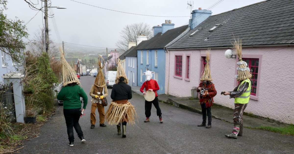
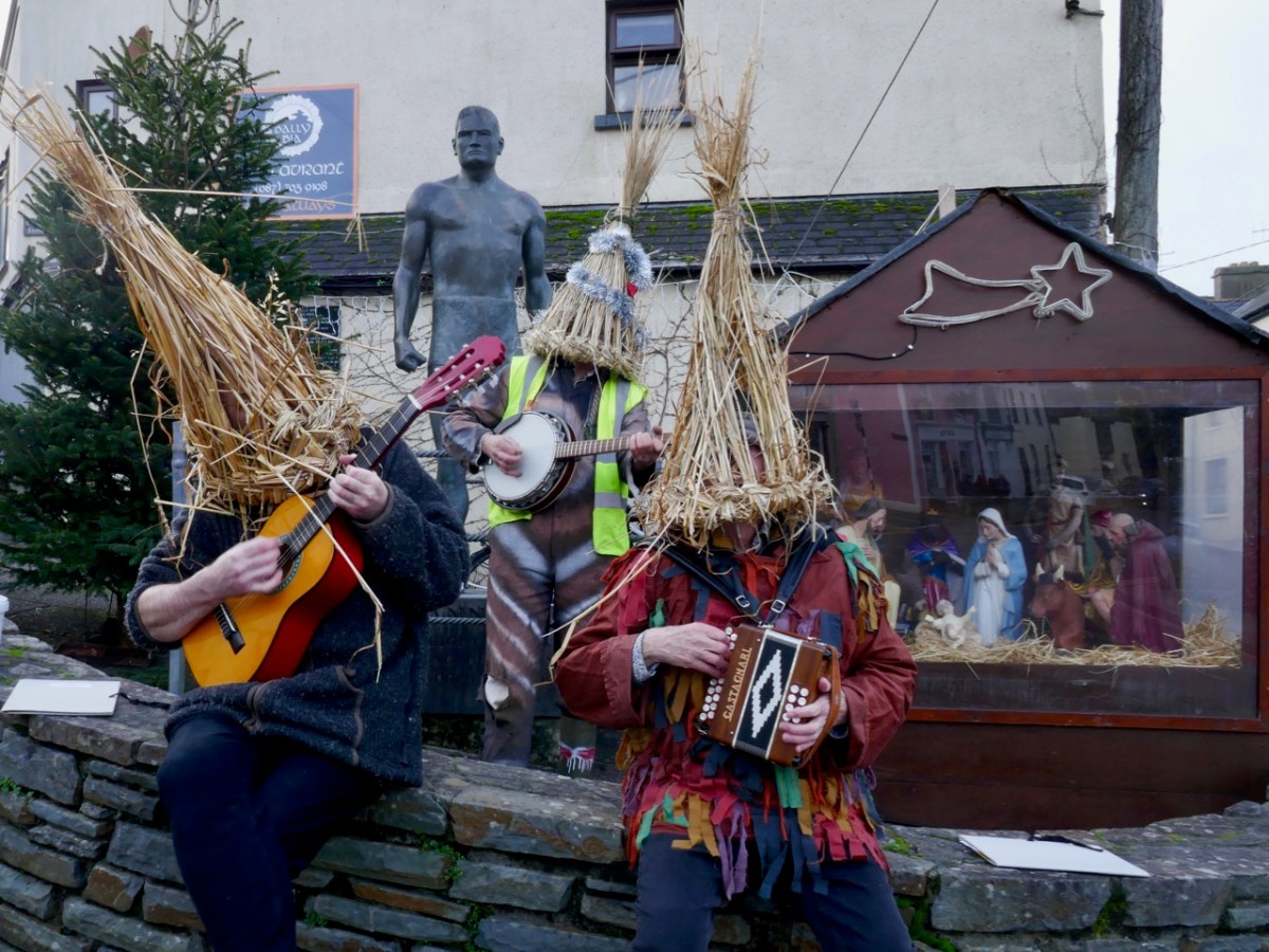
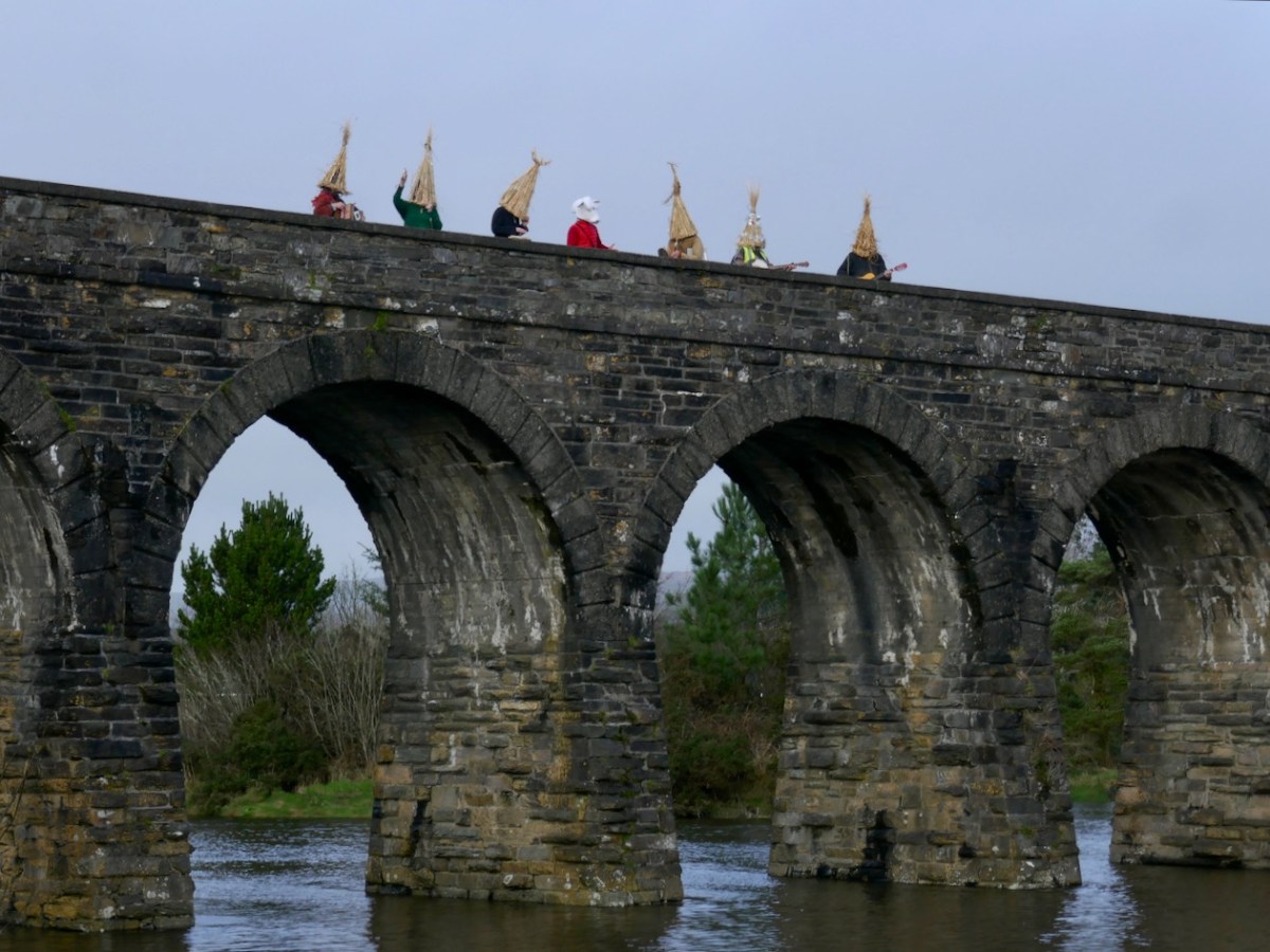
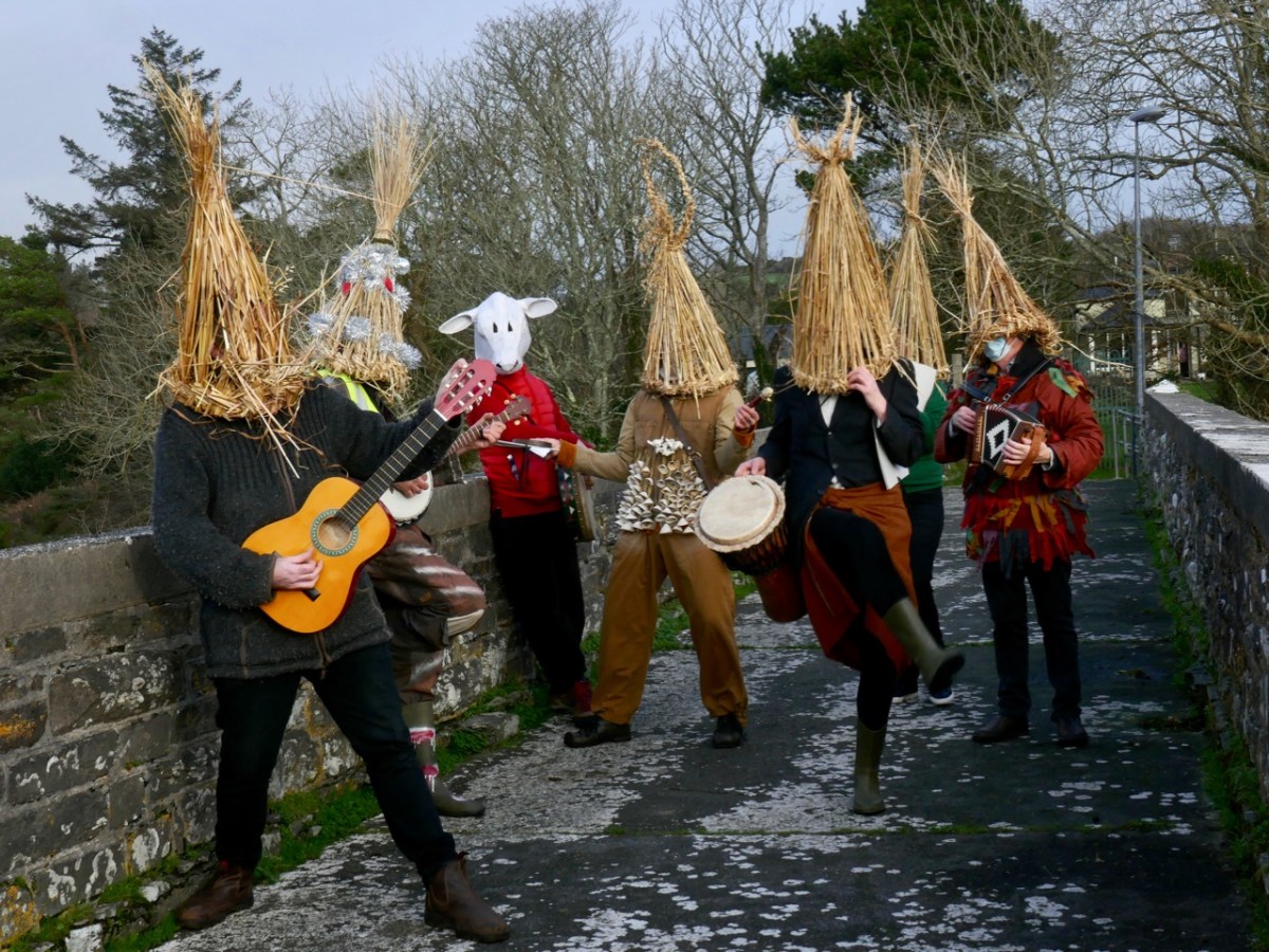
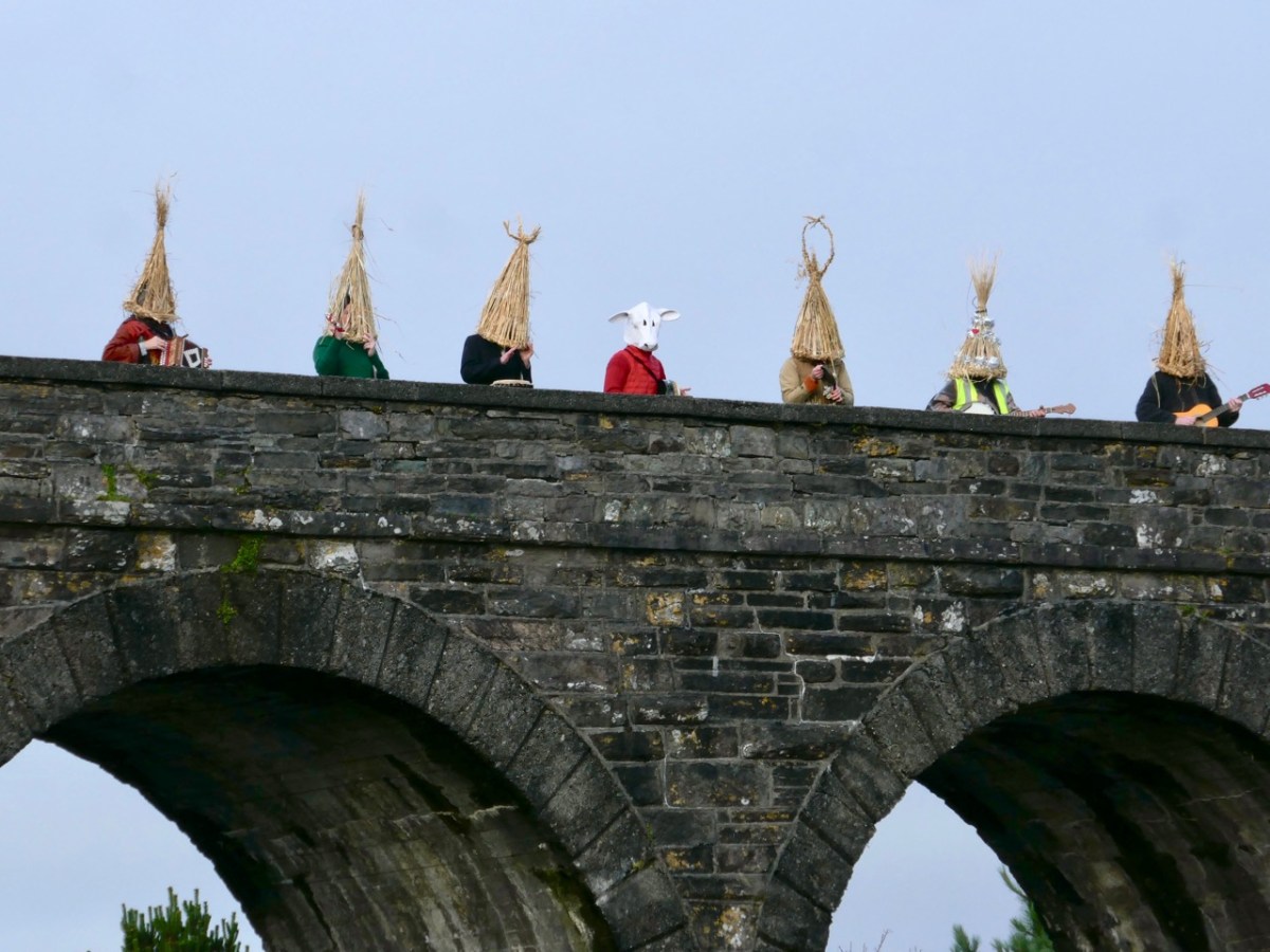
This account dates from around 1936. It’s referring, therefore, to something happening regularly in the late 1800s and, probably long before that. ‘The Wran’ is still active in Ballydehob, well over a century later. I have written about our own Wran Day preparations not so long ago – and included the song – and I’m pleased to report that the day went well. That’s me, above and below, playing the melodeon (although perhaps I shouldn’t be giving away the disguise)! I’m actually wearing ‘tatters’, which was my costume when I took part in Mummers’ plays in England from relatively early in my life: I was brought up on the Surrey / Hampshire borders, prime country for this English tradition. Mumming also takes place in parts of Ireland, have a look here.
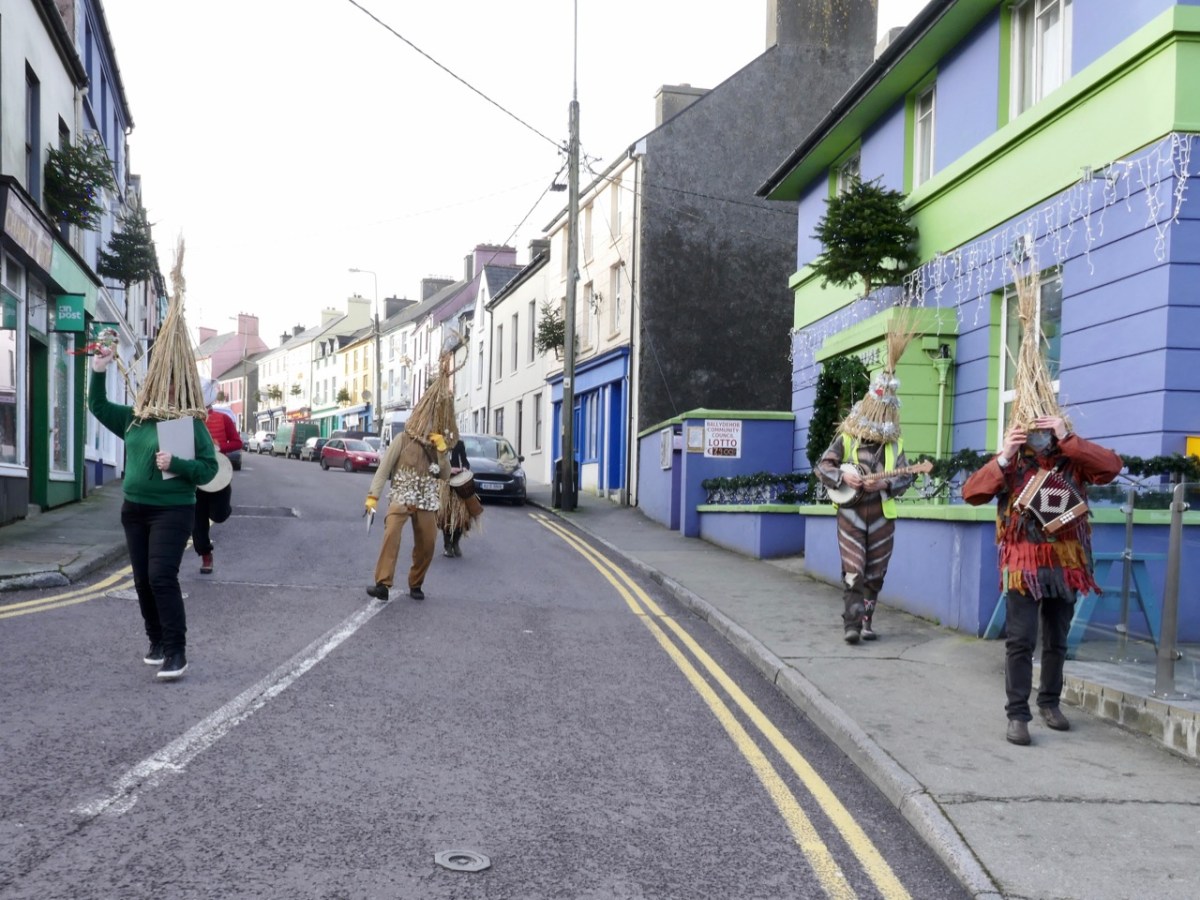
New Years’ Day was quiet day in the village – until we took to the streets! If you want to know the purpose of it all, I can’t really tell you. These are activities that happen around the natural turning point of the year – the change from the sun getting progressively lower in the sky, and weaker, to its returning strength: already we can sense the lengthening of each day. In the mumming on these islands you got a sense of it from a symbolic play where combatants fought and died, then were brought back to life by The Doctor who can apparently cure all illnesses. And, of course, we are always anxious to see the solstice in action!
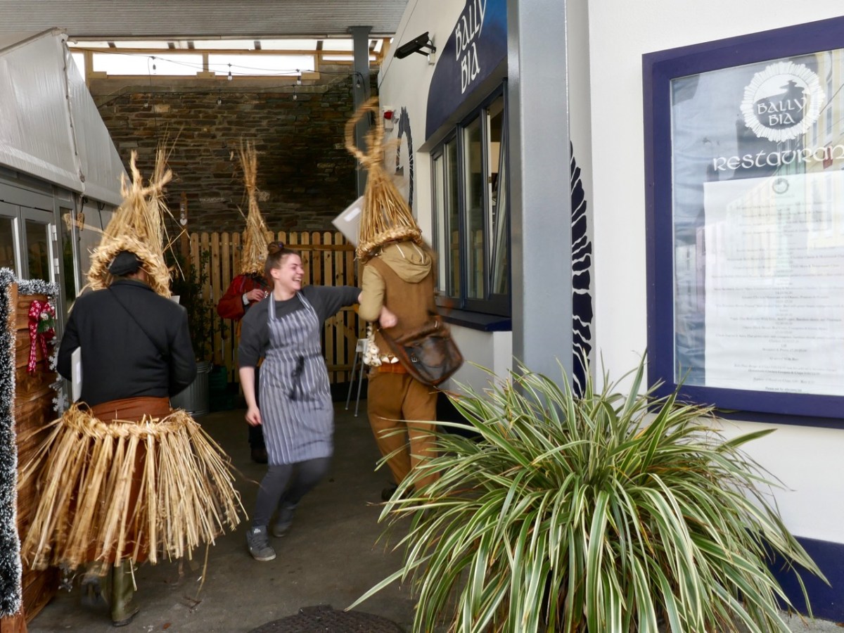
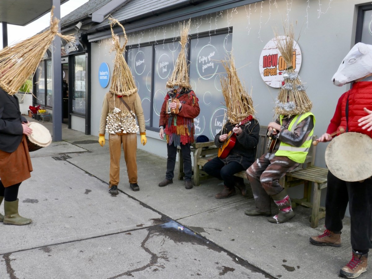
In Ireland, the Wran Day tradition is accompanied by a play in some places, but more usually it’s a procession through a community, involving interaction by going into houses and shops, making a lot of noise and generally stirring up the spirits with a bit of mischief-making. We were fairly passive this year because of Covid restrictions, but it felt good to be out and about. Let’s hope that this anomaly in the regularity of daily life can become more marked as things gets back to near normal in future years!
Thanks are due to Sonia Caldwell – who instigated proceedings, keeping us all focussed – andJoe and Caroline of Levis’s Bar who provided the venue for making the masks – and gave great moral support! Traditionally, the masks are ritually burned on the following St Patrick’s day. Finola kindly provided the pics.
Earlier in the year I went back to my childhood days, remembering when I first learned about Jonathan Swift from my Granma, and walked with her to the places associated with him in the town of my birth: Farnham, Surrey. Here is the post.
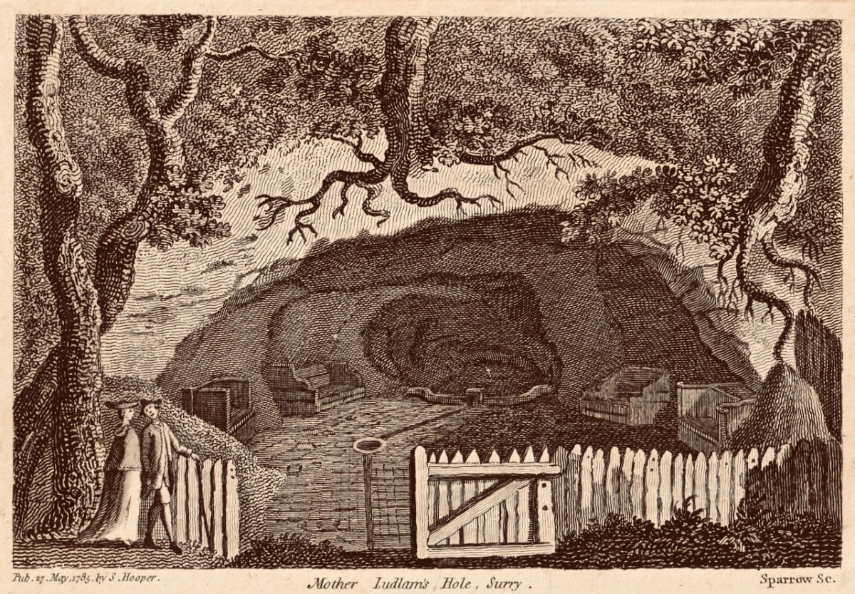
If you read my ‘Dean Swift and I’ post you will find this engraving of ‘Mother Ludlam’s Cave’ which was close to Stella’s Cottage, and must have been familiar to Jonathan Swift during his years living in Surrey. I came across this old print in a local bookshop when I was growing up in Farnham, and it has stayed with me ever since
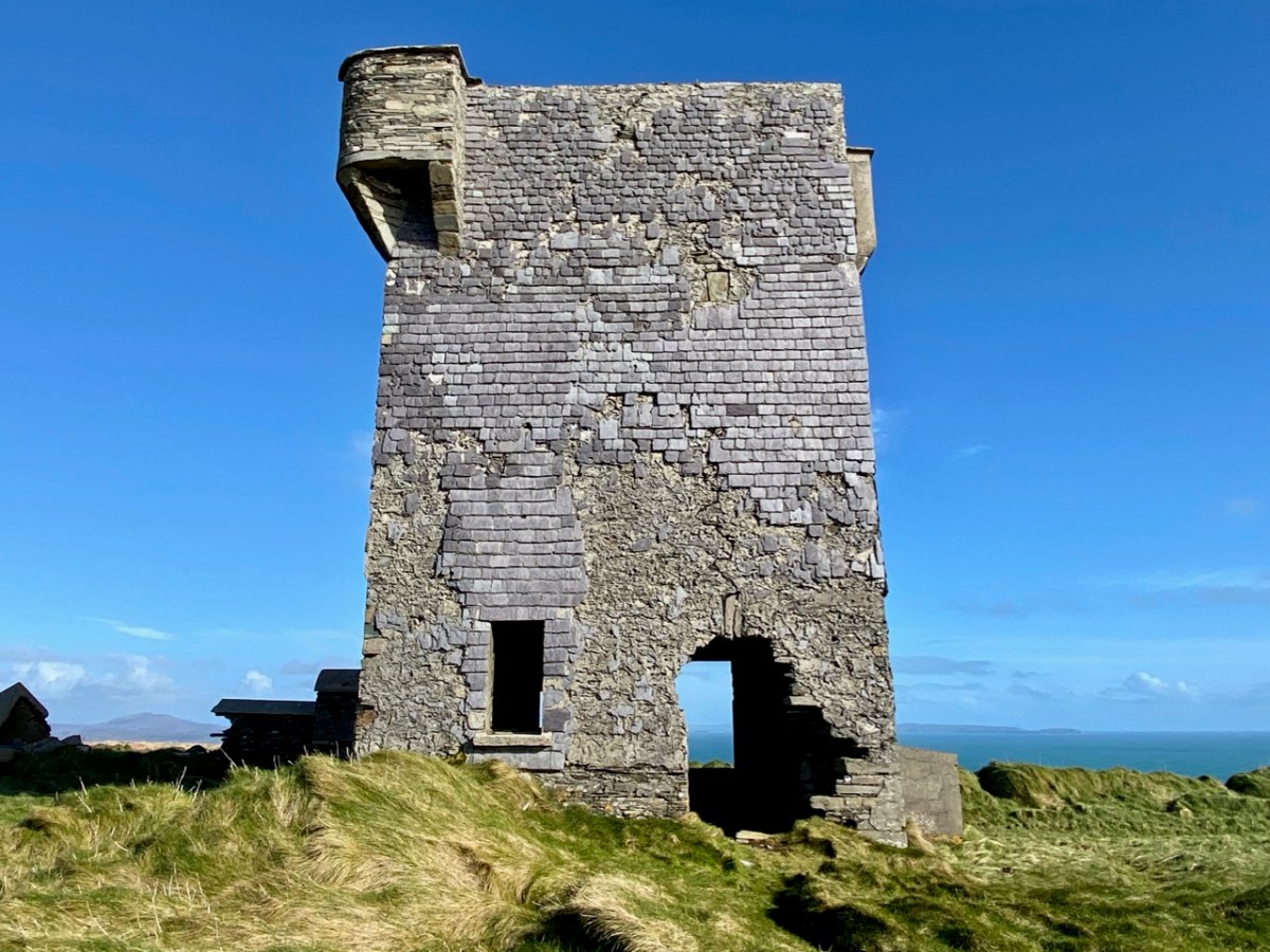
I have been keeping a few series of posts going through the year: one is about the Napoleonic signal towers that dot the coastline all around this island. I began the series in 2020 (do you remember how we thought the Covid restrictions would soon be over?). In 2021 I continued the posts with new episodes. This is one of my favourites.
The Napoleonic Signal Tower at Brow Head, West Cork
West Cork had good coverage from our blog during the year which has just ended. I began a series of posts about West Cork Villages and Towns. Perhaps it was an interesting time to concentrate on our local communities: hopefully it proved that we West Corkonians are not deterred from celebrating life as much as is possible in these strange times.
The communities of (top to bottom) Bantry, Schull and Skibbereen have been the subjects of posts in my West Cork Villages and Towns series in the past year. There are many more to come in the future, including the remarkable activities that take place in our ‘home’ village, Ballydehob (below).
It proved a remarkably popular post and I was forced to admit that it did come from my imagination, although all the background historical information can be verified. What really interested me was the interest and enthusiasm that everyone has about life here on our wild West Cork coastline all those centuries ago!
We are most fortunate to live overlooking Rossbrin Cove and the islands of Roaringwater Bay
It’s always a difficult task to choose just a few posts from the 50 or so each of us has written over the last twelve months. If I started all over again I would probably choose many different ones. But they are all still there to be read (dating back to 2012): you only have to search the archives! Our new year began – yesterday – with the enactment of an ancient Irish tradition in Ballydehob: the Wran Day. That will be my post next weekend, but here’s a taster. Happy New Year everybody…!
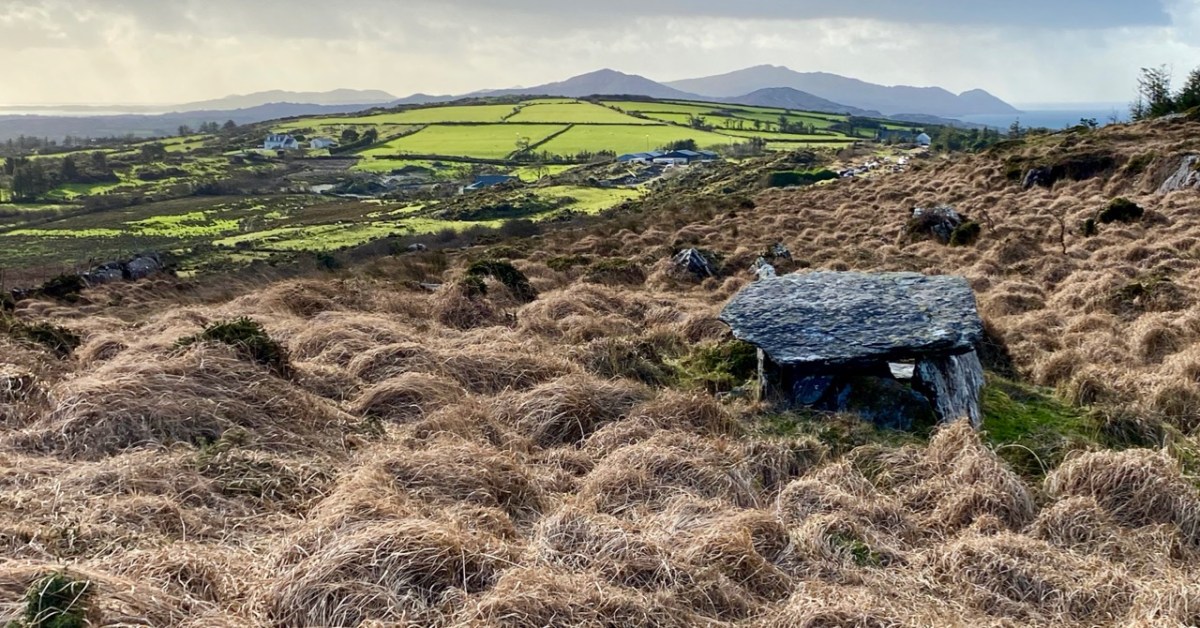
At this time we usually do a couple of ‘reviews’: looking back through the year and picking posts and photographs that jump out at us, asking to be shown again. Next week’s offering will be our selection of favourite Roaringwater Journal articles from 2021, but here, following on from Finola, is my choice of photographs that have never been published. We gave ourselves the stipulation that they have to be from West Cork, and they had to be taken this year. We are trying to have a minimum amount of commentary – and hope they will speak for themselves. First up – above – is Ratooragh Wedge Tomb, far down on the Mizen: we discovered it in February, and that exploration resulted in this article.
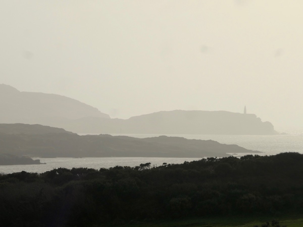
Baltimore Beacon has a recognisable profile: we can see it in the far distance from our home: Nead an Iolair
Barley Cove is a favourite place for us to walk – far enough away from the madding crowds: there are few of those in West Cork!
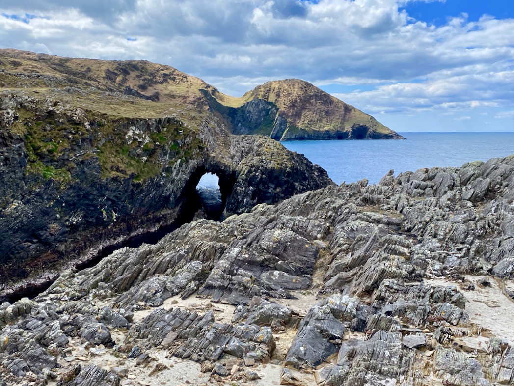
We like to explore the seascapes over by Dunkelly: here is a wonderful natural sea-arch
This view is from Inish Beg Estate, looking across the Ilen River towards the burial ground at Aughadown. In the background is Mount Gabriel
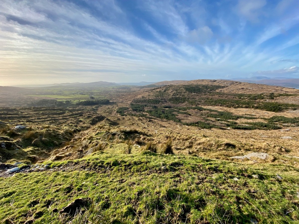
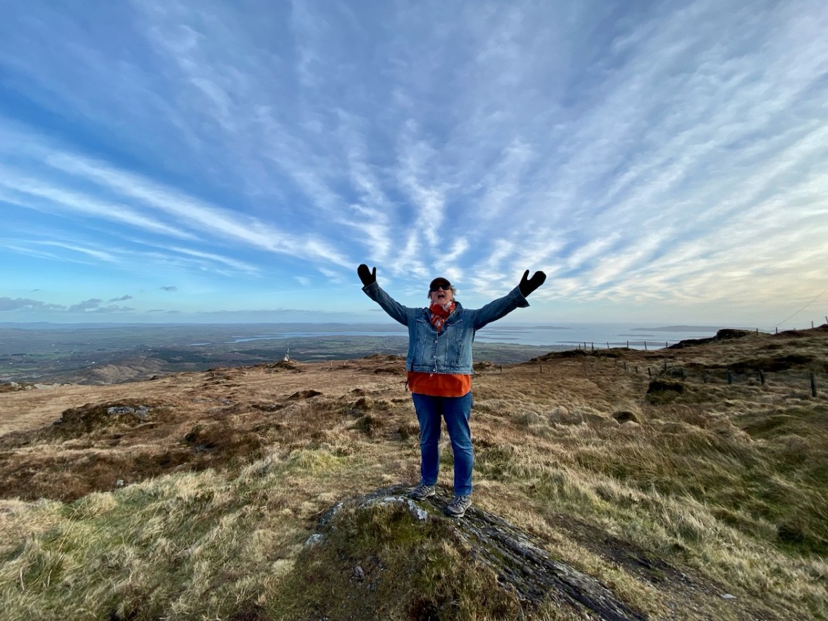
…And here is the view from the upper slopes of Mount Gabriel. Go up there on a good day and you are ensured the most scenic prospect from the top. During the year, Finola walked all the way up and – next – you can see her celebrating her achievement!
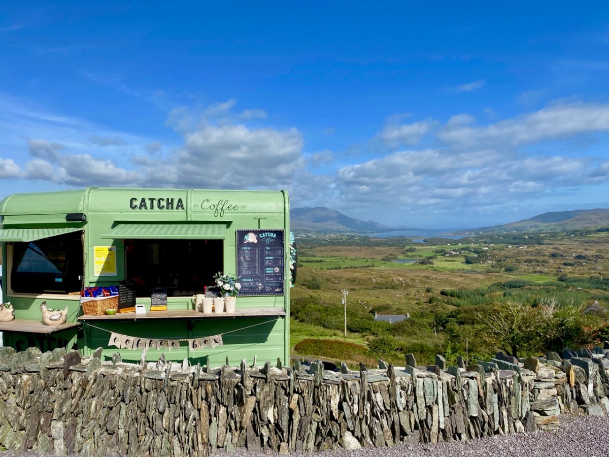
The strange times that we live in have seen an abundance of food and drink outlets springing up in town and country. I like the look of this oneon the Beara
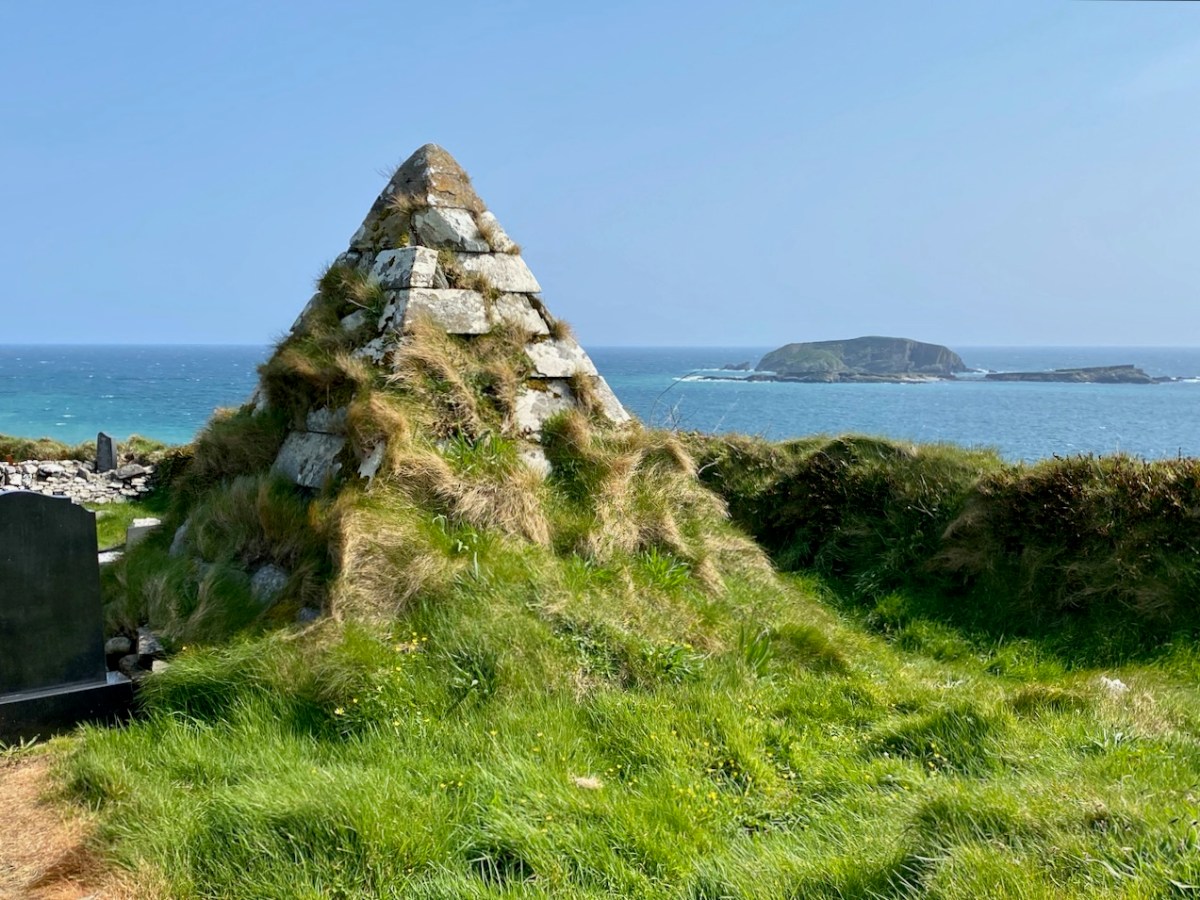
This pyramidical grave marker is one of a few in West Cork: it’s at Myross, and looks out over High Island and Low Island
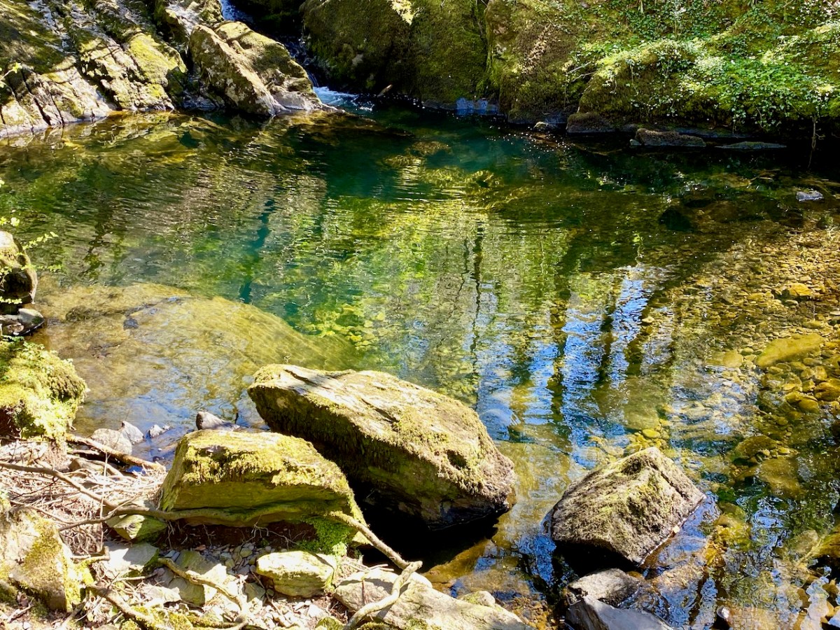
The West Cork landscapes offer an always changing mix of water and rock
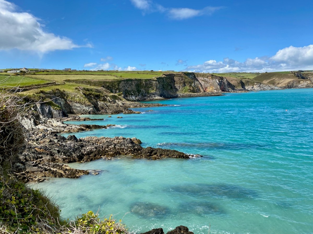
This is the coastline at Dirk, beyond Ring: it really is that colour under the summer sun!
Our neighbouring town is Schull, which even in these Covid times was busy with seafarers in the summer holidays
We look down on Rossbrin Cove. Here is our view on a clear day in February
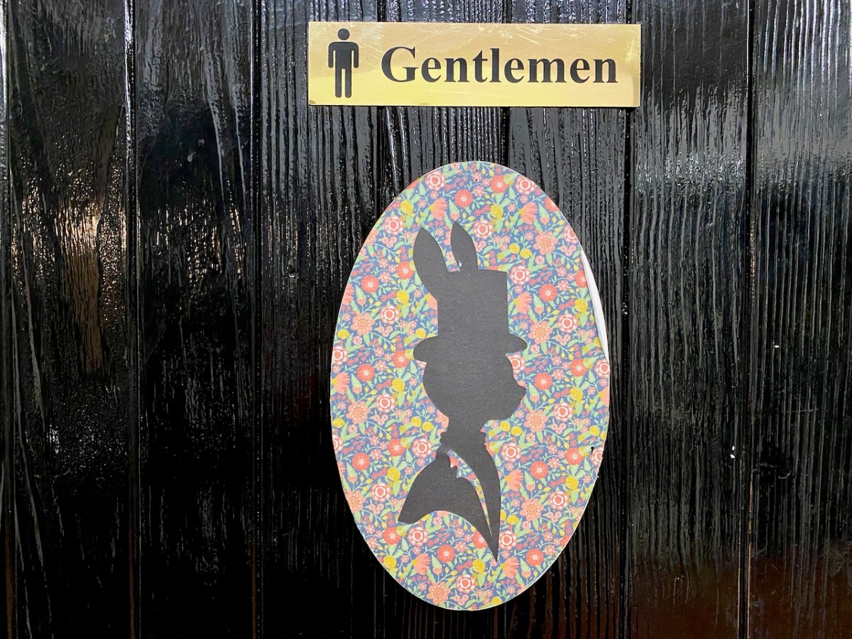
I asked Finola to take my picture next to this gentle giant – I couldn’t resist!
This may seem a surprising picture to finish off with, but Yay Burger has become our go-to on a Sunday night after a hard day on the Blog! Yay Burger has been a life-saver for us through the pandemic, and is one of a number of food outlets that have earned Ballydehob the title ‘centre of the culinary universe’
Welcome to the UCD Library Cultural Heritage Collections blog. Discover and explore the historical treasures housed within our Archives, Special Collections, National Folklore Collection and Digital Library






 Roaringwater Journal