Merchant, Miller, Smuggler: James O’Sullivan and Roaring Water

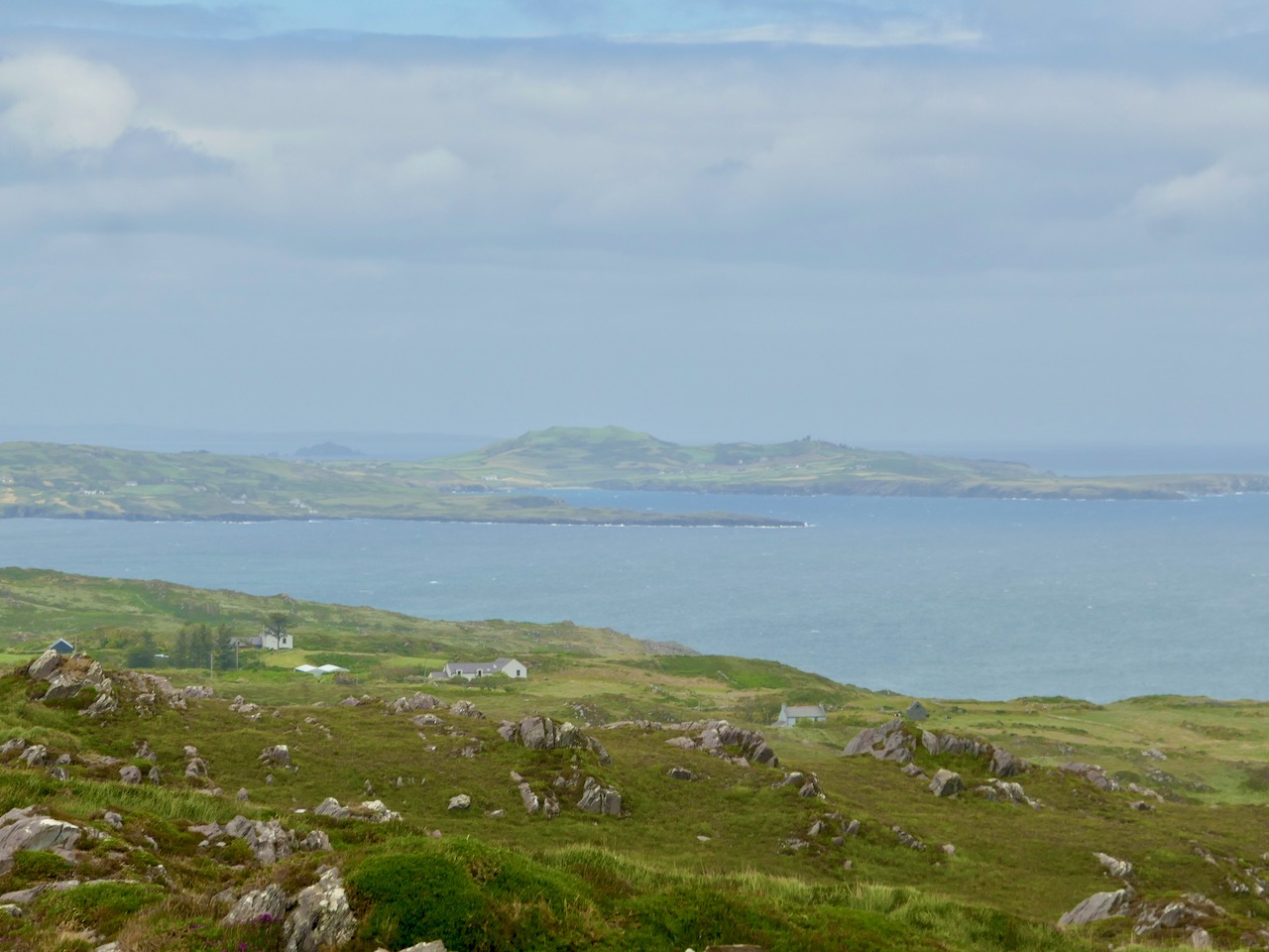
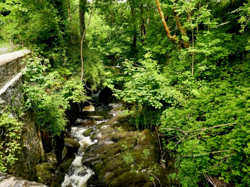
If you park your car at Kilcoe Church, at Meen Bridge on the N71 between Skibbereen and Ballydehob, and walk straight south, you arrive at a picturesque pier – a quiet backwater of leafy boreens. This is the outlet for the Roaring Water River (yes, that’s how the river is spelled on the OS maps), which rises on the southern slopes of Mount Kidd, a bare 6km away. Despite the short distance, this little river is a notable torrent by the time it reaches the sea, and it is said that the noise it made as it rushed over the rocks and weirs in its last stretch gave its name not only to the river but also to Roaringwater Bay (and yes, that’s how the Bay is spelled on the OS maps). 
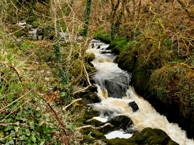
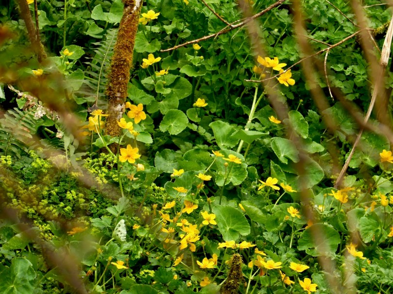
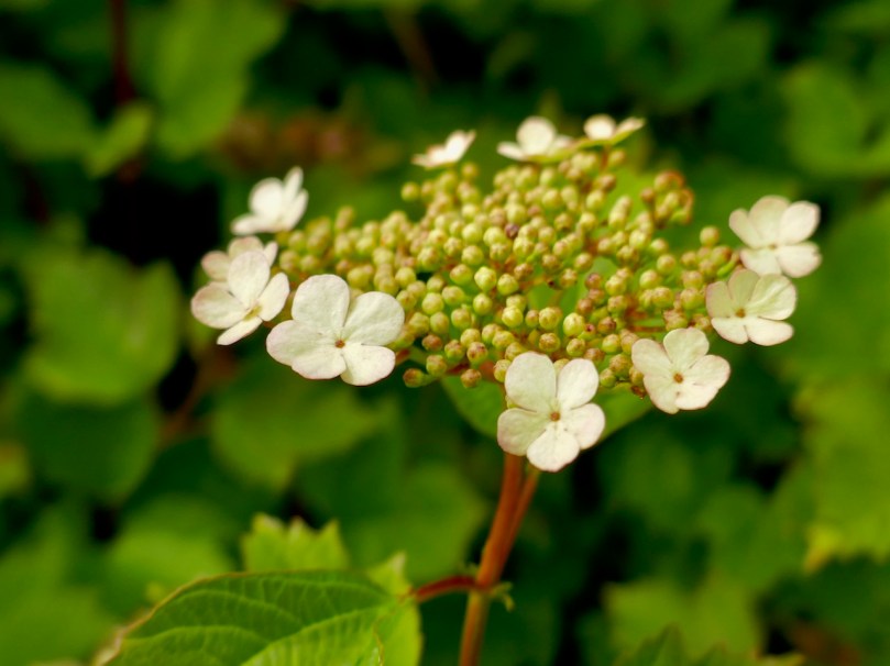
Your walking route from Kilcoe Church to the pier takes you along the river. Here and there are perilous but satisfying opportunities to hop over a wall, hang on to branches and lean out to see over the river. This is a marvellous stretch of road in spring and early summer, with the river full on and hosting a riot of Marsh-marigold, and the banks heady with Whitethorn and Guelder-rose.
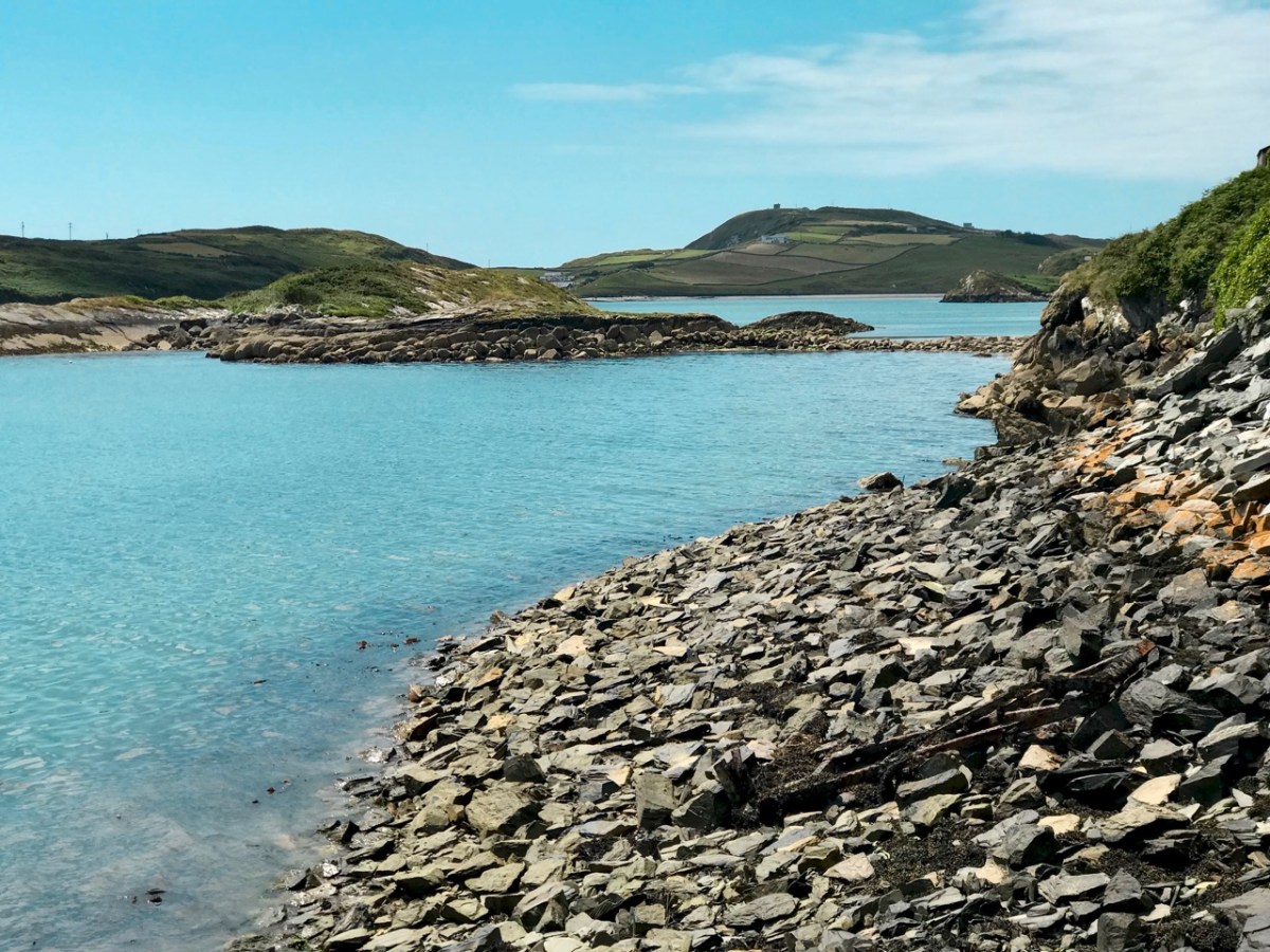
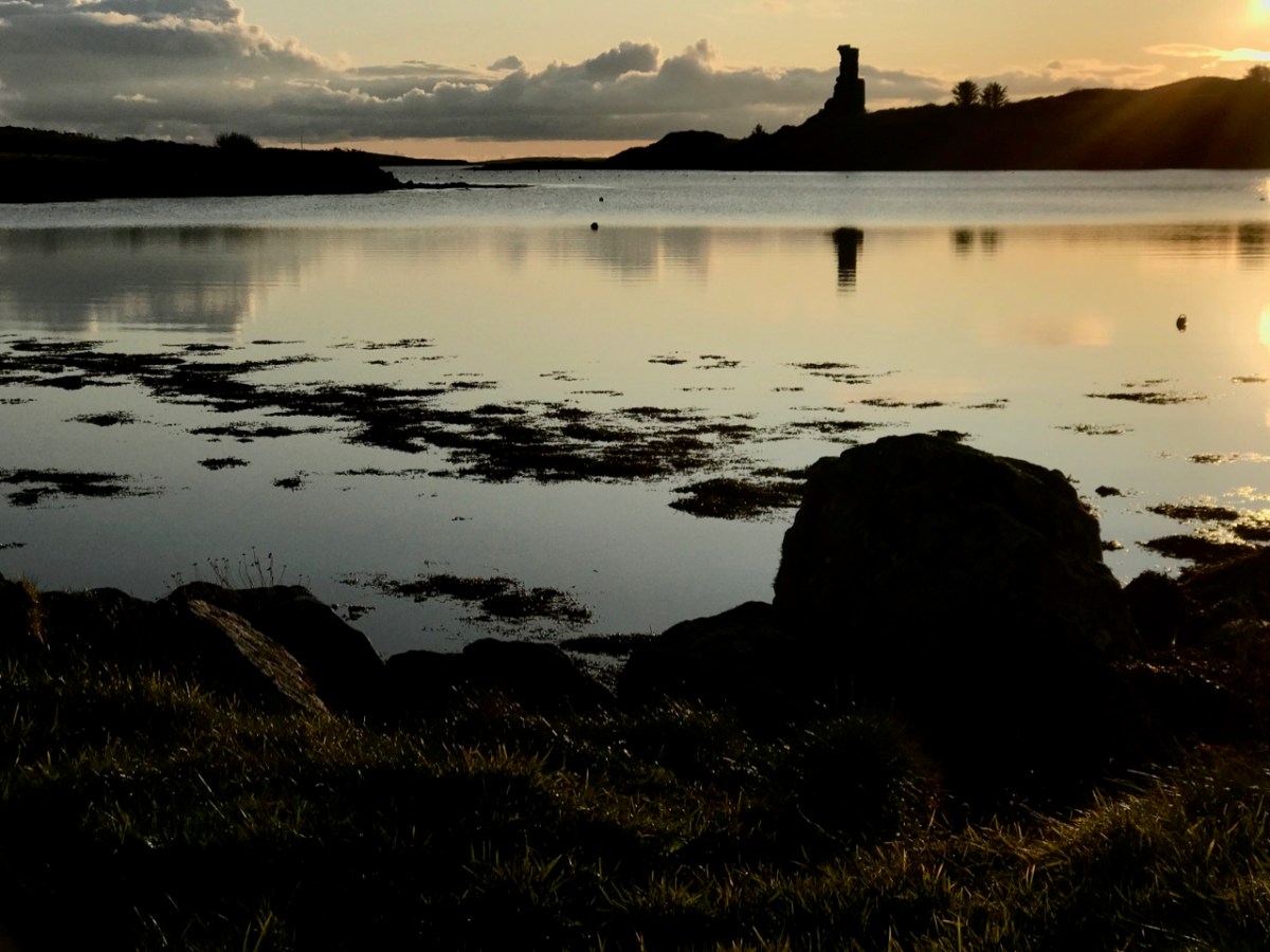
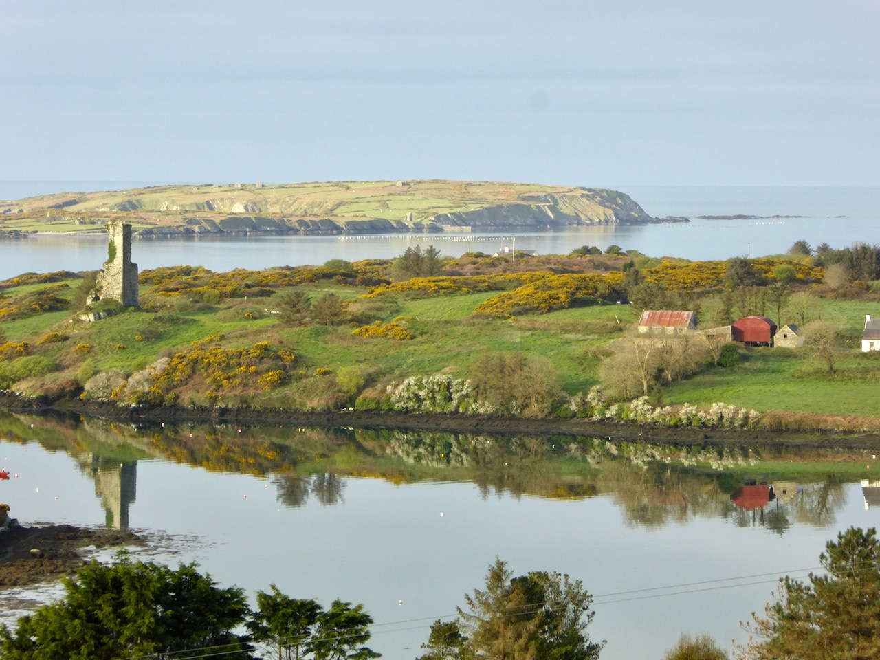
Eventually, you arrive at the final bridge – an interesting single span with a high arch – and can walk down to the Pier. You’ll be lucky if you encounter another person here, a dog-walker perhaps, or somebody messing about in a boat. It’s an idyllic spot, with views down the narrow channel to the medieval castle of Rincolisky (or Whitehall) across the water.
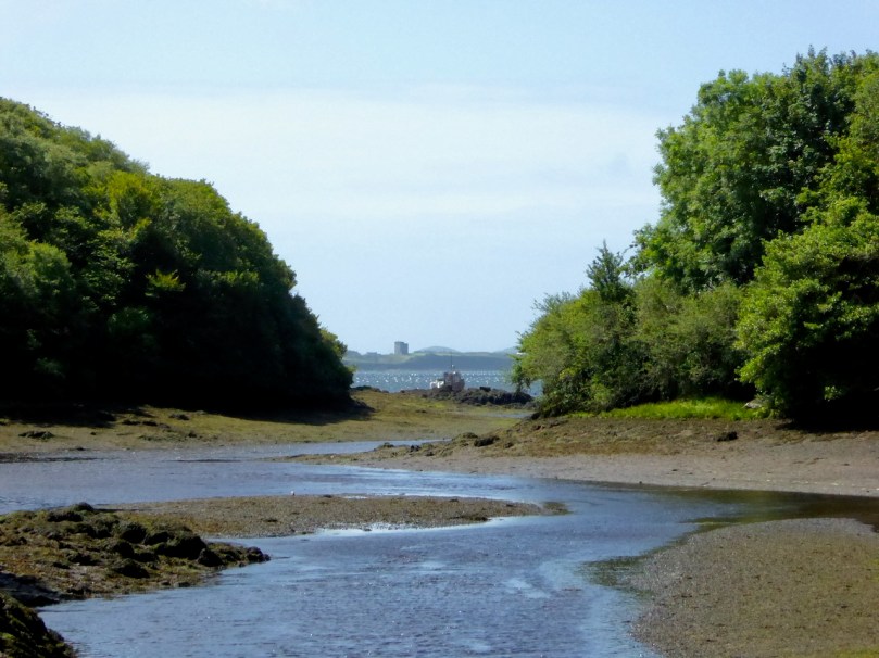
But in the first half of the nineteenth century, this was a bustling place indeed, and most of that came down to the the vision and energy of one man, James O’Sullivan. His house is still at the head of the inlet, still lived in and lovingly maintained. The quays he built for his various enterprises have stood the test of time and are as straight and sturdy as they were in their heyday.
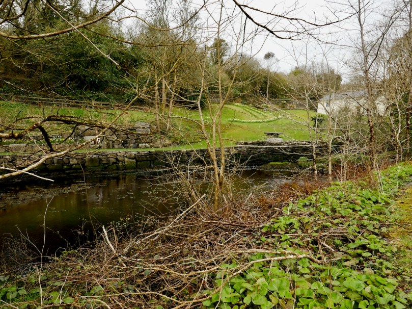
No longer here are the industrial buildings that once marked this place as an active centre of industry and commerce. On the 1840s OS maps you can see them – there’s a Tuck Mill (used in wool processing) and a Corn Store. An historic account refers to a large building beside O’Sullivan’s house used to store potatoes until they were ready for export. There’s a slate quarry over to the east and a small village to the west. In addition the Archaeological Survey uncovered a metal working site on the rising east bank beside the quay, and a lime kiln at the edge of the water on the west bank. 
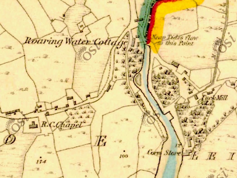
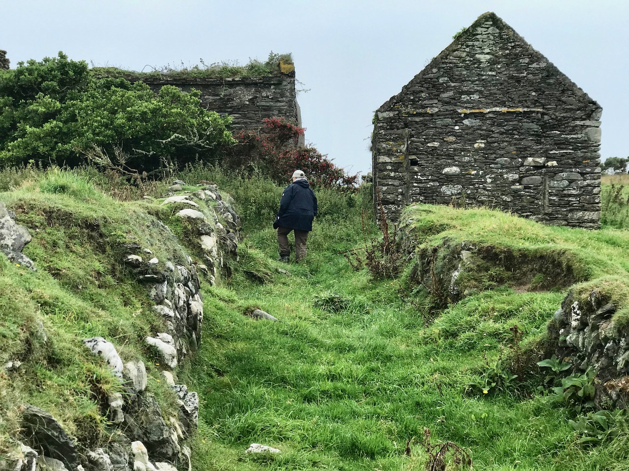
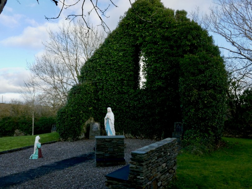
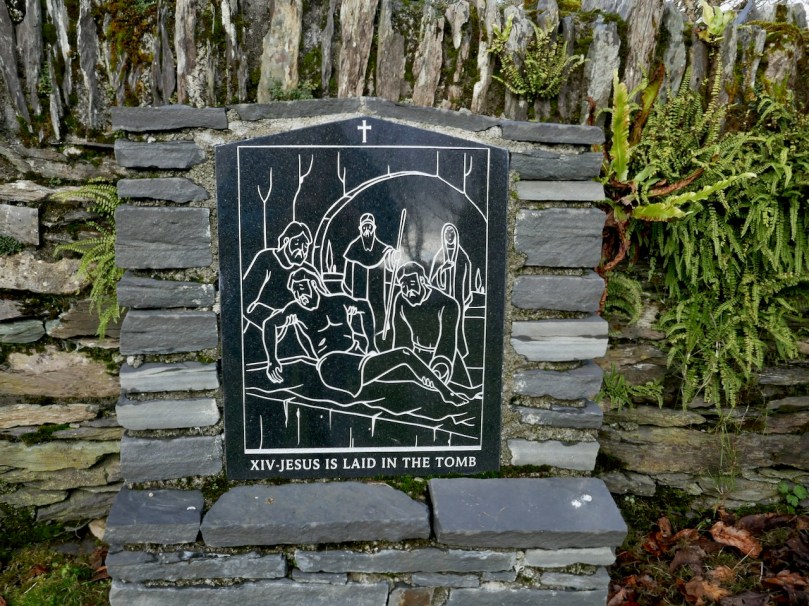
That little ‘village’? You can clearly see it as a cluster of buildings on the old maps, although there’s nothing there now you would call a community. But if you look hard, some traces are still visible. The old Catholic church became unfit for purpose by the end of the nineteenth century and was replaced by the splendid Church of the Most Holy Rosary (where you left your car). But it’s still a place of reverence for local people, having been repurposed as a grotto and a place for quiet contemplation and prayer – new Stations of the Cross were unveiled here as recently as 2018. It’s also a Cillín (pronounced killeen), a place where unbaptised children were buried – see this post for more on that.
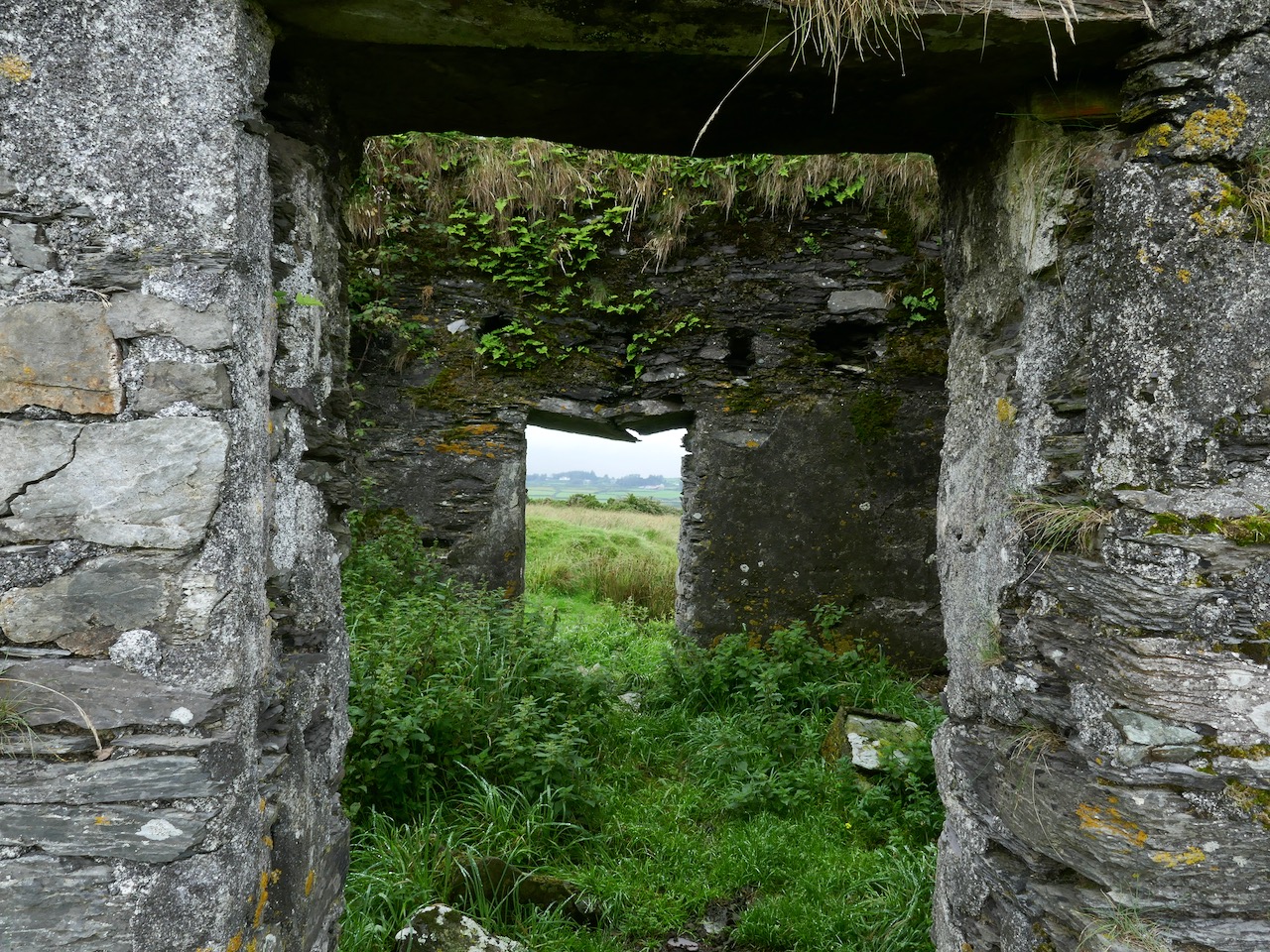
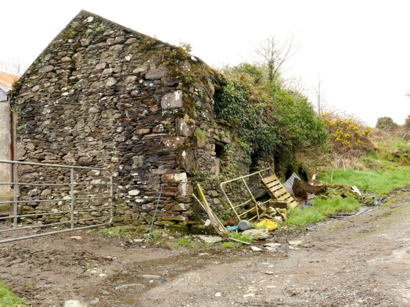
There were two schools here, a boys’ and a girls’, and the boys’ school can still be seen in ruins along the road (below). By the 1840s they had both been replaced by a new school up by Meen Bridge – it, or its successor, is still there. There was a shop here once, no longer in use except for storage and partly ruined, and several houses only one of which remains. It is estimated that up to 200 people may have worked here. 
Who was James O’Sullivan? for all the information that follows I am indebted to a piece by Timothy Cadogan in the Seanchas Cairbre (a now-defunct publication) for 1993. Born around 1758, he was from the area and appeared to have engaged, by his own admission, in some lucrative smuggling in his younger days, mostly tobacco but “he could give you a bottle of good cognac”. After a crackdown, he turned to more legitimate businesses, perhaps funded by his earlier nefarious dealings. He was by no means alone in the smuggling trade – many a local gentleman had a hand in it too.
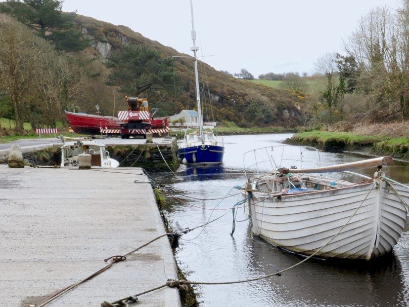
Turning to commerce, he operated both a corn mill and a tuck mill (the latter marked on the OS map). Both were overshot mills (see illustration below), in which the wheel was fed by a mill stream which diverted water from the Roaring Water River. The corn was stored in a large building on the quay (more or less where the small corrugated house is now, see image above) and shipped to Cork and Dublin. He had his own ships for this purpose and a storehouse in both cities.
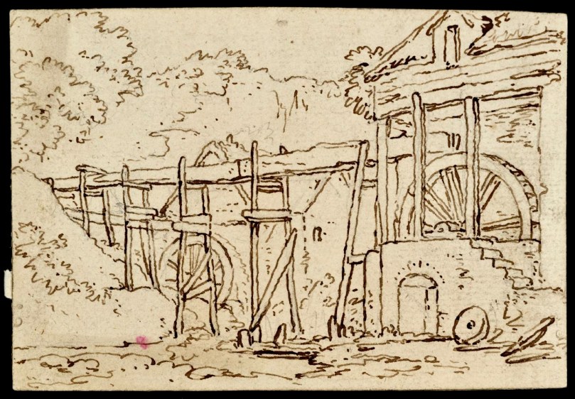
Part of the Overshot Mill at Aberdulais 1786 or 1800 Philip James De Loutherbourg 1740-1812 Accepted by the nation as part of the Turner Bequest 1856 http://www.tate.org.uk/art/work/D36368

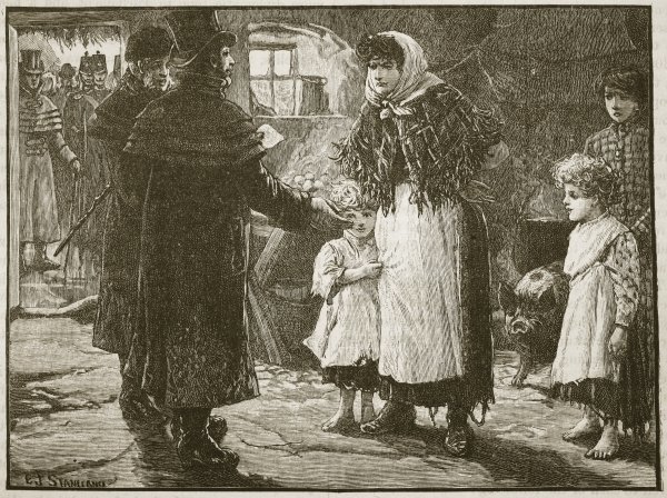
Timothy Cadogan points out that O’Sullivan played an active role in the politics of the time, “as might be expected from the most prominent Catholic in Aughadown and Kilcoe”. He chaired, for example, the great Anti-Tithe meeting in Skibbereen in 1832 – you can read more about that movement, and that meeting, in this post. The image below is of a tithe collector, called a Proctor, extracting his dues.
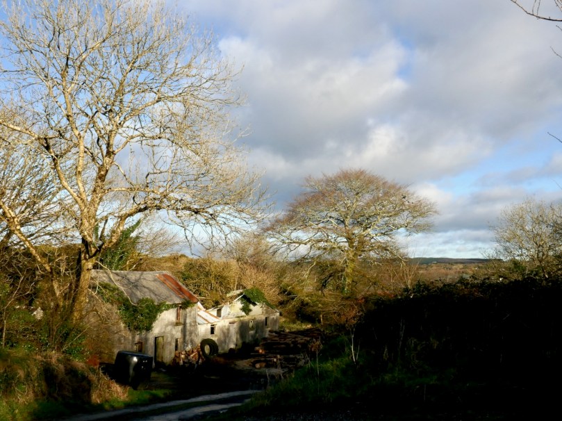
James O’Sullivan died between 1837-39. He had been married twice, first to Ellen Fitzgerald and after her death in 1826 to Ellen Coleman. No record has been left of any children, and indeed his great enterprises failed to survive his death, although copper mining was subsequently carried out in the vicinity with no great success. The building below was a later shop, across from the old church.
Perhaps though, if you linger a while on the Quay and close your eyes, you can hear the shouts of those loading corn, the sheets slapping against the masts in the wind, the rumble of barrels coming down the road to the waiting ships – maybe even make out, in your mind’s eye, a skiff silently slipping into the inlet loaded with an ‘irregular’ cargo to be delivered under cover of darkness.
Beautiful West Cork in Picture and Song

Missing West Cork? Live here and love it? Always wanted to visit? Colum Cronin sent us this charming song some time ago and this is the perfect time to enjoy his wonderful voice with the images his song evokes. Wherever you are, stay safe and well, and sit back and enjoy.

Roaringwater Bay in 1612

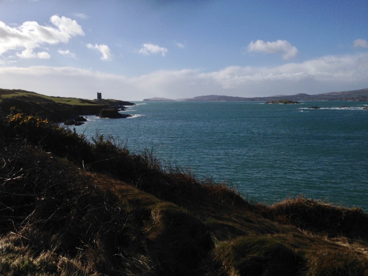
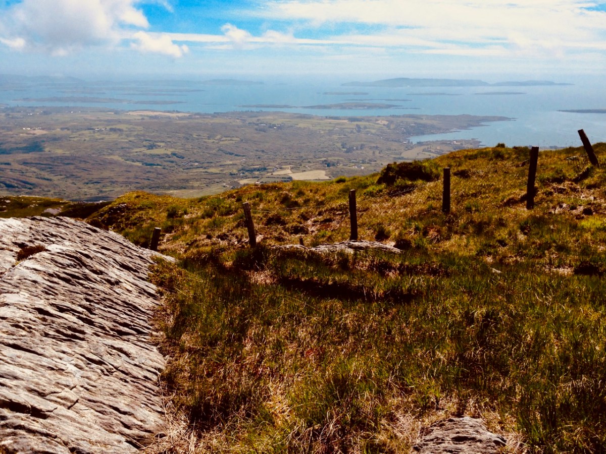
Roaringwater Bay must be so familiar to you, if you are a regular reader of this Journal. It’s a land- and sea-scape of hidden coves, inlets, islands, mountains and castles: a treasure trove for explorers and historians. That’s Black Castle at Castlepoint, Leamcon, above – said to have been built by Connor O’Mahony in the mid fifteenth century. Probably the best place to get an overview of the coastline is to climb to the top of Mount Gabriel (407m) and have a look down. You will see stretched out the archipelago of ‘Carbery’s Hundred Isles’ – seen here in autumnal hue – Cape Clear is the distant remote landfall over on the right:

We always have a sizeable pile of books waiting to be pored over. Currently at the top is this study, The Alliance of Pirates, written by Connie Kelleher and just published (2020) by Cork University Press. We have yet to consume every detail, but we do assure you that it’s full of fascinating historical information – not just about pirates, but about life and culture in the west of Ireland in the late sixteenth and early seventeenth centuries. Connie is an ‘underwater archaeologist’ and we have followed her over many years, lecturing and presenting original information which she has gathered together on her subject. We couldn’t fail to be hooked on everything she says, illustrates and writes about, as the focus is on our own doorstep. One linchpin of this book is a map which is dated to 1612. This article from Atlas Obscura explains the map and Kelleher’s approach. It’s worth reading: note that you may be required to register on the Atlas Obscura website (it’s free) in order to access it.
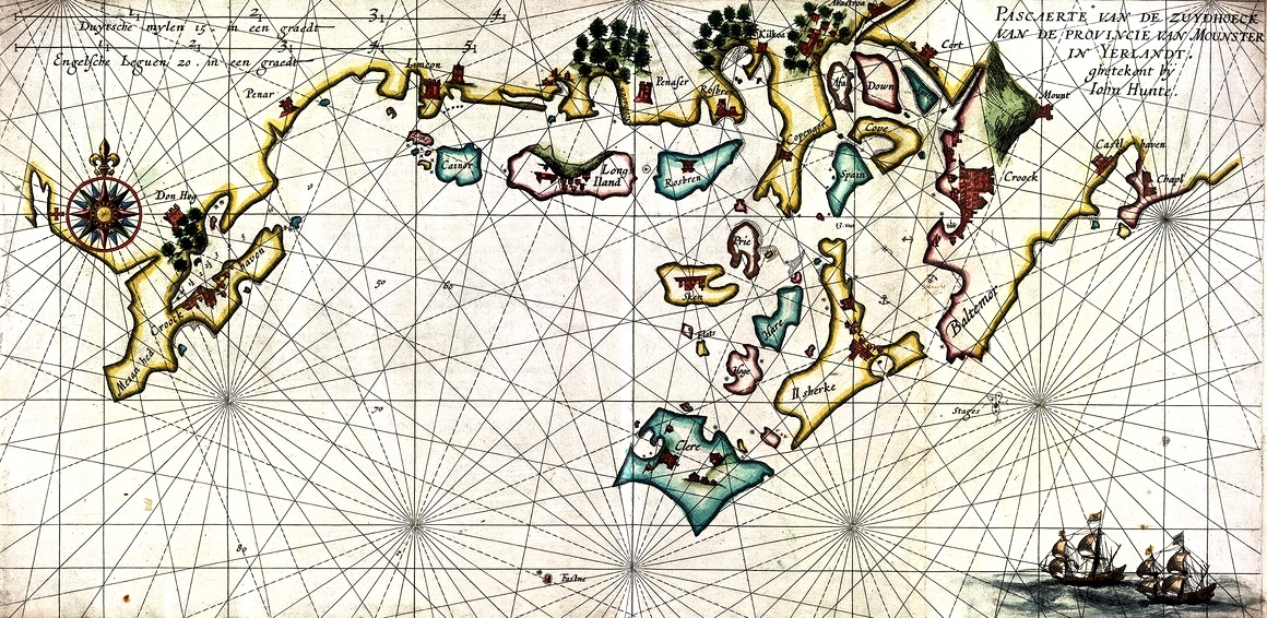
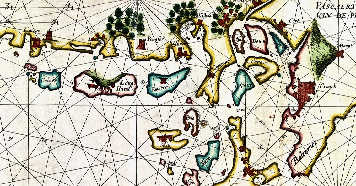
The 1612 chart of the “Pirate Harbours” of southwest Munster which became a valuable source of information for Connie Kelleher‘s studies © SUB GÖTTINGEN 4 H BRIT P III, 6 RARA UNIVERSITÄT BIBLIOTHEK GÖTTINGEN LIBRARY ARCHIVES, GERMANY

The purpose of today’s post is to examine the 1612 map in detail and attempt to identify and relate to many of the places which are named and illustrated. Before that, though – let’s consider how such a chart came to be made. Finola has written previously about how West Cork as a whole was being mapped in the sixteenth and seventeenth centuries here and here. The thing that sets the 1612 map apart, however, is that it was made in secret, and largely from surveys only carried out at sea. Also, it was specifically intended to enable a Dutch fleet to assail the pirate strongholds which became numerous around the area from Baltimore to Crookhaven, centred on Roaringwater Bay and ideal for forays into the wider Atlantic trade routes.

The sheltered waters of Crook Haven – an important recognised centre for careening and victualling ships operating legitimately on the Atlantic trade routes: ships that would become prime targets for the pirates based in secret ‘nests’ along the same coastline

. . . In 1612, having grown tired of the ongoing pirate harassment, the Dutch government lobbied James I for permission to enter the harbours of southwest Ireland to attack the pirates themselves. James I agreed, but only under the conditions that the pirates would be captured alive and handed over, along with captured goods, to the Kings’ ships to be transported for trial by the Admiralty in England.

To prepare their ships for the attacks, Dutch hydrographer Hessel Gerritszoon was tasked with mapping the Irish coastline with a special focus on the “pirate coast” of southwestern Ireland. A large task in front of him, Gerritszoon engaged English cartographer John Hunt to assist. . .

Atlas Obscura

The leeskarte which the hydrographers produced still exists, and has been housed since the mid 1700s in the library at the University of Göttingen in Germany, which acquired it in the mid 1700s. During her researches, Connie Kelleher travelled to Göttingen to examine and document the map, which is a wonderful resource for enlightening us on some aspects of our local history.

. . . It is a type of ‘treasure map’ informing on the heritage within the landscape at the time, which could potentially help us identify other pirate-related locations, including archaeological sites . . .

Connie Kelleher

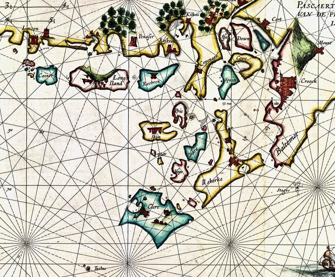
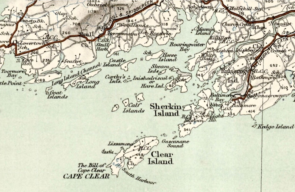
In this extract from the 1612 map I have focussed on our immediate area – the environs of Roaringwater Bay itself. Many names will ring bells with us (Clere, Baltemor, Rossbren for example); others won’t. For a simple comparison I have chosen a version of the historical 6″ Ordnance Survey map, dating from the late nineteenth century – it’s probably the clearest and best annotated example of what we would recognise around us today in terms of place-names:

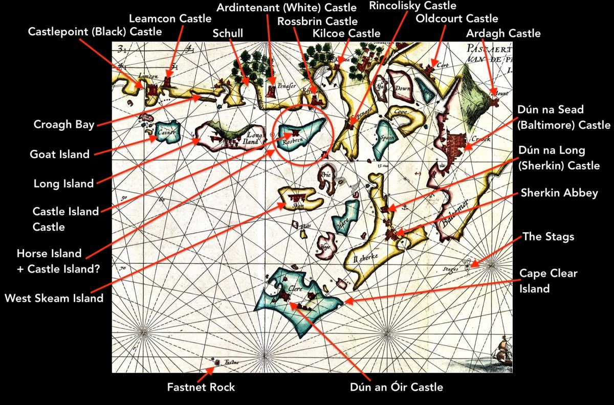
Here I have located and labelled our environs, as shown in 1612. It is remarkable that every castle and many significant features are clearly shown. Now, have a look at my red circle around ‘Horse Island + Castle Island’.

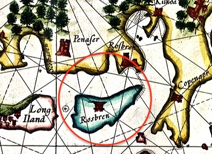
There’s an island missing! Opposite ‘Rossbren’ on the mainland is shown a single island: Rosbren. Next to it is Long Island. In fact, there are two islands here – Horse Island and Castle Island. On the 1612 map there is a castle shown on the Rosbren island, but the castle is actually on Castle Island. Somehow, the surveyors have missed this detail: perhaps the visual information which could be got offshore was confusing. What is interesting, though, is that the dotted lines at the east end of Rosbren on the 1612 map seem to mark the line of a causeway, the vestiges of which do appear today at very low tides and the feature exists in local folk memory. That level of detail on a chart, produced in the limited circumstances of its, time is remarkable! You can read more about Castle Island here.

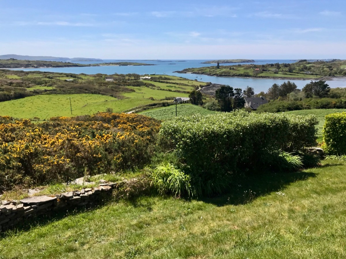
Our view across Rossbrin Cove with its O’Mahony castle and, beyond Rossbrin Castle, Castle Island. On the left of the picture is Horse Island

I want to show you some further details from the 1612 leeskarte. Firstly, here’s a close-up of Crookhaven (Croock haven on the map). Note the scales in Dutch miles and English leagues, and ‘Limcon’ – in fact Leamcon – which was one of the major pirate centres and also the territory of Sir William Hull, a Vice Admiral of Munster from 1609. His job description involved rooting out the plague of pirates in Roaringwater Bay but in fact entailing a lot of profitable collaboration with them. Also of interest here is the depiction of Goat Island – named ‘Cainor’ and a castle – ‘Penar’ which is likely to be Ballydevlin, at the mouth of Goleen harbour; also ‘Don Hog’, which we believe refers to Castlemehigan. There is no trace remaining of either of these two.

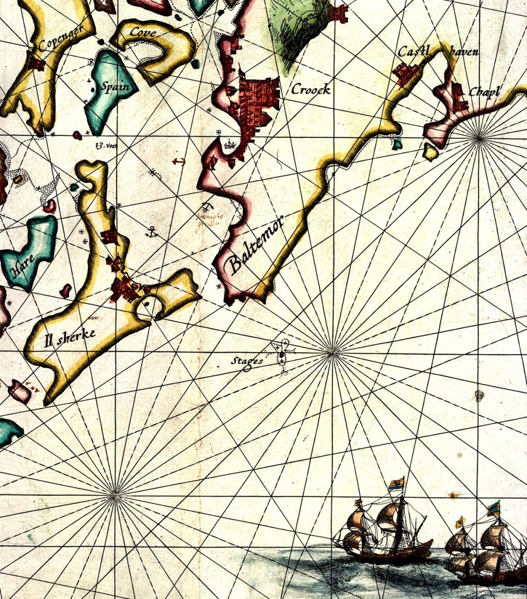
Another detail from the map (above) shows Spain Island, Sherkin and ‘Baltemore’. the depiction of galleons in full sail is a fine ornamental ‘illumination’. Also, note the small anchor symbols. In some places on the whole map, anchorage depths are shown: another remarkable factor highlighting the observation skills of the surveyors. Additionally on this detail, note the name ‘Croock’ – Thomas Crook, an Englishman, took a lease on Baltimore Castle in 1605. The ‘Chapl’ below Castlehaven is probably the now ruined church at Myross, detailed in my post here.

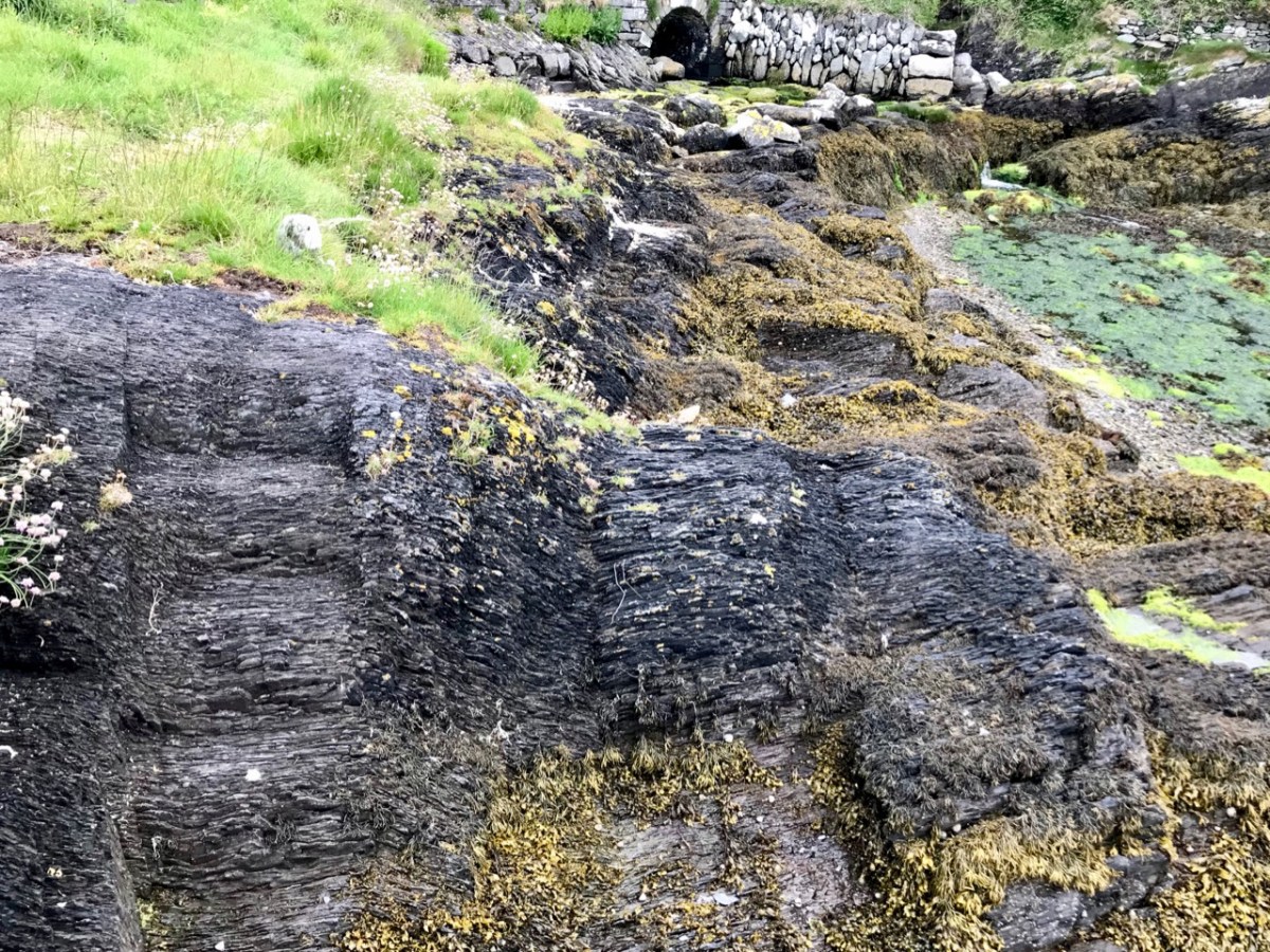
Our photograph of old (possibly ancient) steps carved into the rocks at Dereenatra. Connie Kelleher highlights the physical remains that can be found today in many of the former pirate strongholds around the coast of West Cork. Several are in the form of frequently hidden away steps and tying-up points in remote locations. I have included references to ‘pirate steps’ in a previous post. For the full picture, don’t forget to get hold of Connie’s book: it will make an ideal Christmas present for the archaeologists and pirate enthusiasts among you!

Going With The Wind

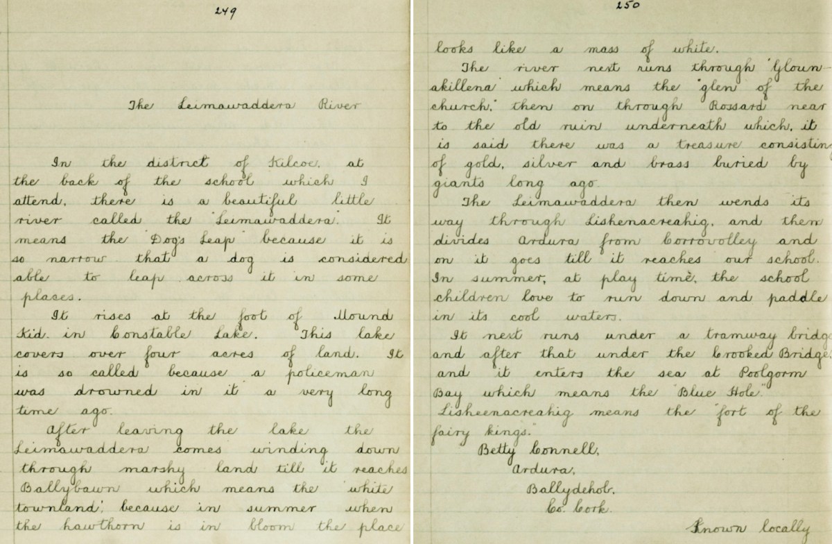
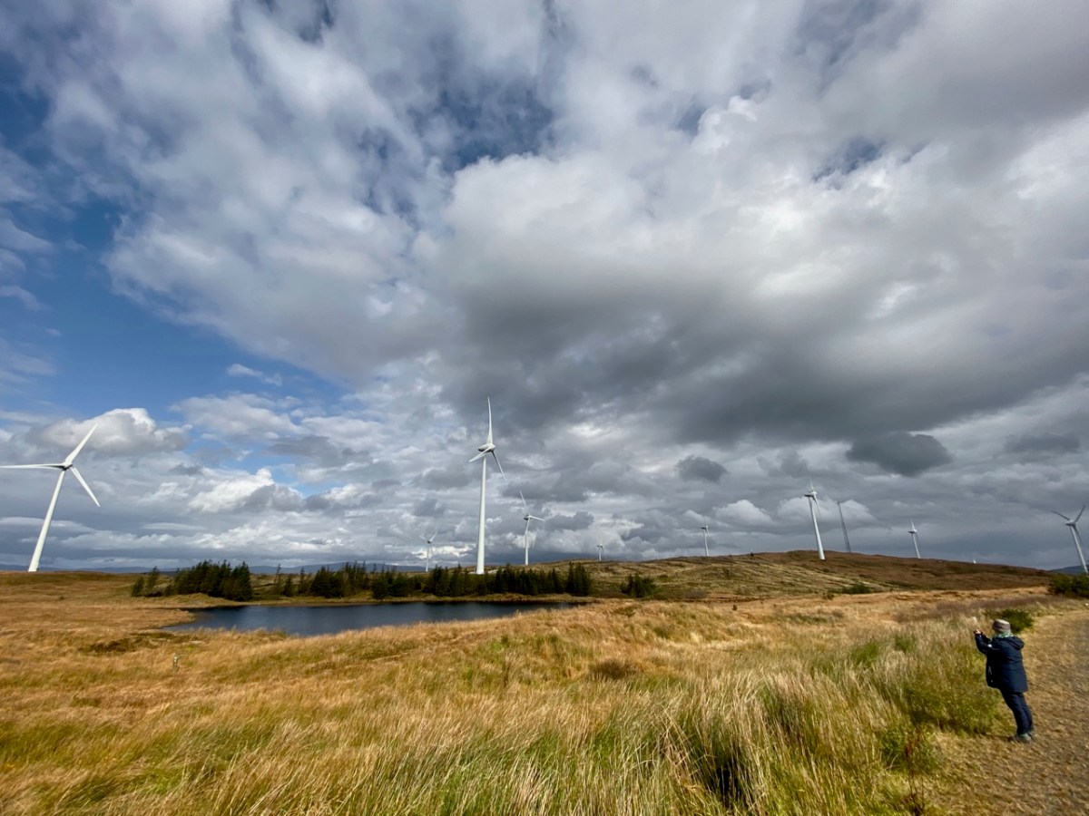
We set out to search for a lake in the hills above Ballybane West: it’s known as Constable Lake. There’s a story, of course – which I found in the Duchas Schools Folklore Collection, collected at Corravoley School in 1937. A whole gamut of stories, in fact, packed into two neatly handwritten pages. I don’t think I have ever found quite so much information on local lore in a single entry. Ammunition for a few more posts, perhaps!

In the district of Kilcoe, at the back of the school which I attend, there is a beautiful little river called the “Leimawaddera”. It means the “Dog’s Leap” because it is so narrow that a dog is considered able to leap across it in some places.

*

It rises at the foot of Mount Kid in Constable Lake. This lake covers over four acres of land. It is so called because a policeman was drowned in it a very long time ago.

*

After leaving the lake the Leimawaddera comes winding down through marshy land till it reaches Ballybawn which means the ‘white townland’, because in summer when the hawthorn is in bloom the place looks like a mass of white.

*

The river next runs through ‘Glounakillena’ which means the “glen of the church”, then on through Rossard near to the old ruin underneath which it is said there was a treasure consisting of gold, silver and brass buried by giants long ago.

*

The Leimawaddera then wends its way through Lishenacreahig, and then divides Ardura from Corravolley and on it goes till it reaches our school. In summer, at play time, the school children love to run down and paddle in its cool waters.

*

It next runs under a tramway bridge and after that under the Crooked Bridge and it enters the sea at Poolgorm Bay which means the “Blue Hole”.

*

Lisheenacreahig means the “fort of the fairy kings”.

BETTY CONNELL, ARDURA

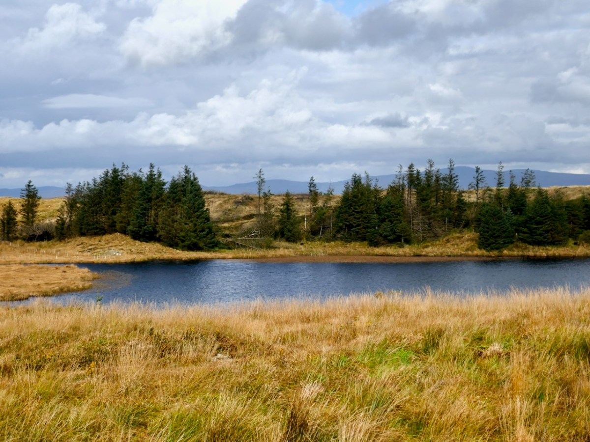
In How Well Do You Know West Cork? on the Roaringwater Journal Facebook page this week, Finola posted this photo of Constable Lake:

This view is cleverly framed to minimise the clues, but several readers gave the correct answer almost immediately. Here’s a more revealing picture:

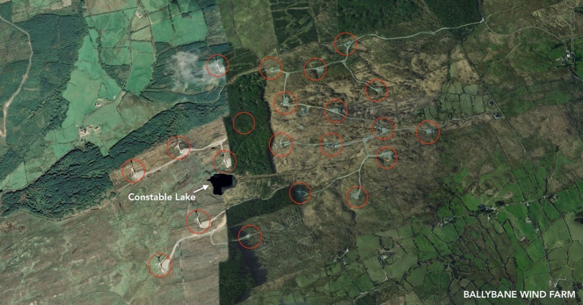
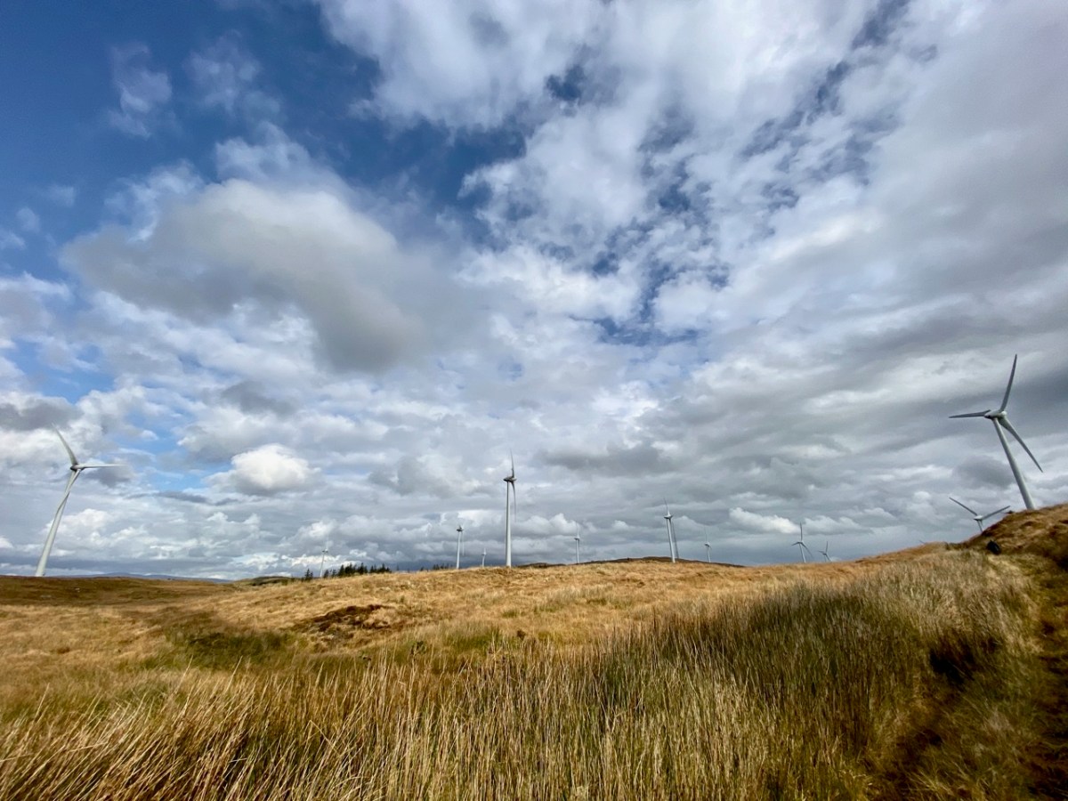
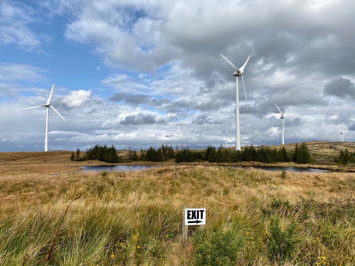
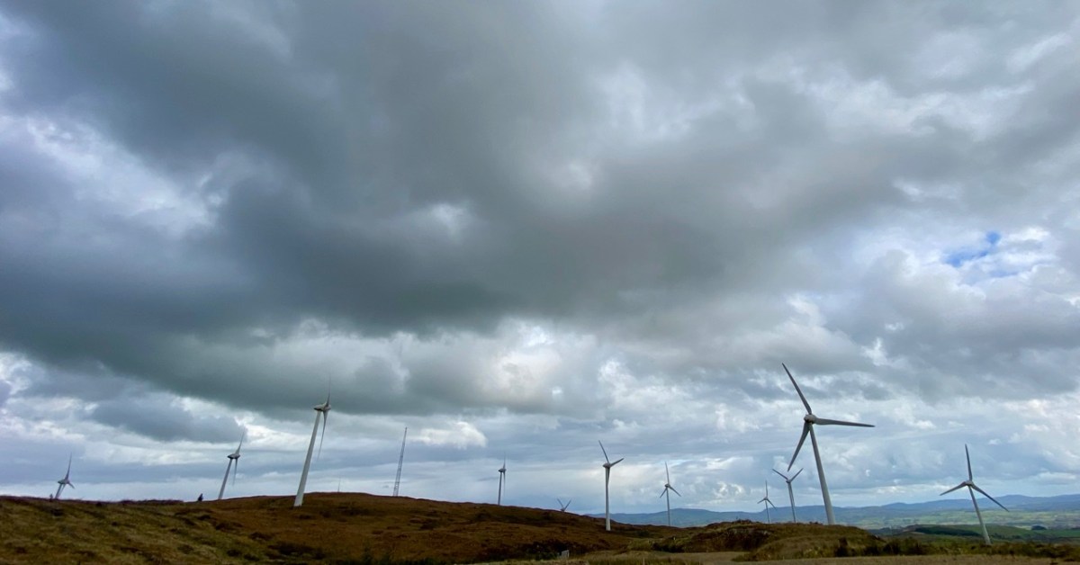
Constable Lake now lies within the boundaries of Ballybane Wind Farm and the 21 tall turbines can all be seen from its shores. It’s one of several farms in the West Cork area, strategically sited on the wild heathland ridges, working away at their mission of harvesting nature’s resources in order to provide us with electricity without burning fossil fuels.

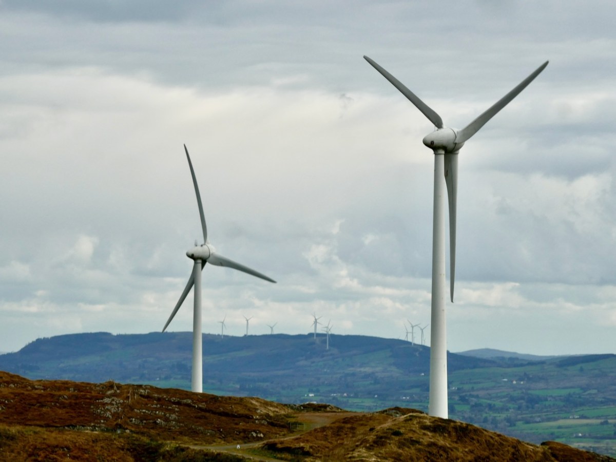
Upper – on the aerial view I have marked each of the 21 turbines. Lower – from the Ballybane site the turbines at Drinagh and Coomatallin are visible

I find the turbines dynamic and exhilarating. I know there are many readers who will disagree with my opinion, and social media abounds with polarised views about them from all perspectives. It’s hard to home in on hard and fast truths on anything these days but I have read extensively – and scientifically – on the subject and it seems to me that these wind-turned appliances have a life expectancy of around 25 years, and they pay for their installation in less than two years. Of course, carbon emissions are involved in the construction and manufacturing processes but this is heavily outweighed by the carbon savings from running these instead of burning fossil fuels to produce our electricity. Dismantling costs are built in to the permissions, and there is no doubt in my mind that in 25 years time – or less – technology will have advanced towards other solutions.

A simple chart from 2017 (via FactChecking.org) which graphical shows how well onshore wind farms perform against other fuel sources. Only nuclear power is marginally better

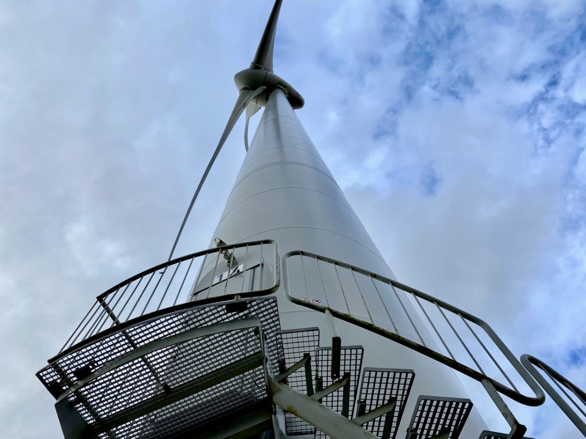
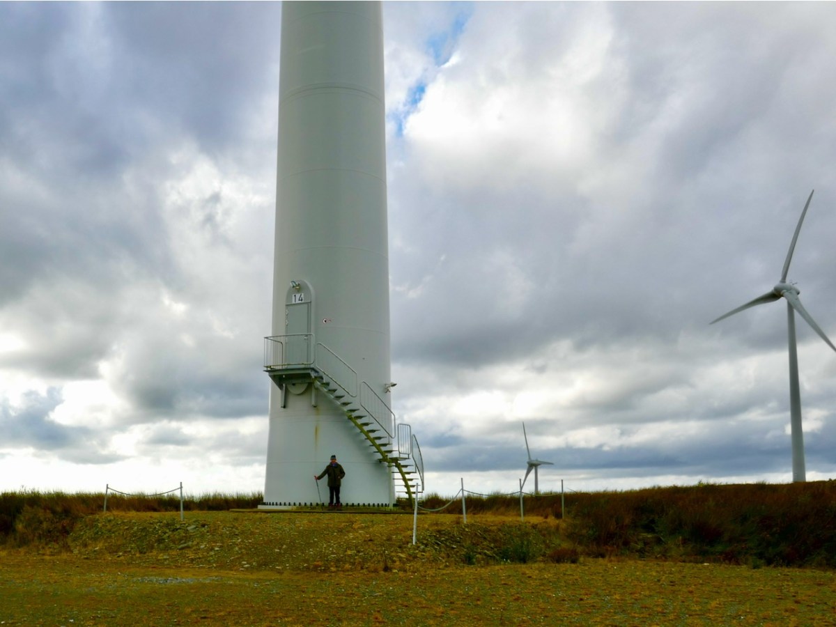
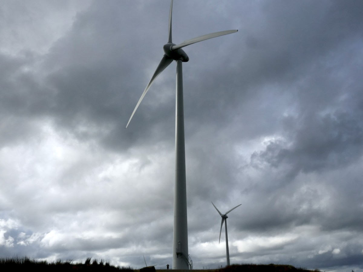
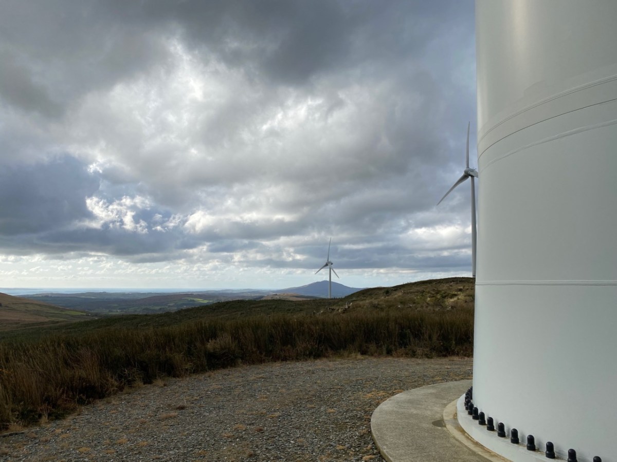
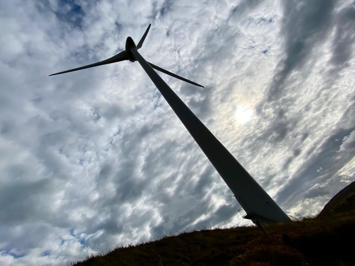
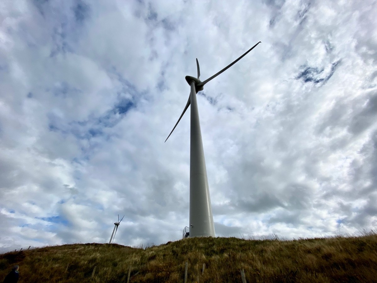
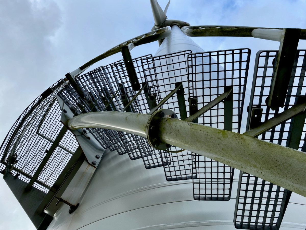
Wind turbines have a huge visual impact on the landscape, so their siting is important. In the case of Ballybane they have been constructed on heathland and in an area that was formerly commercial forestry. I personally prefer the elegance of the actively dynamic structures to a dark, impenetrable and seemingly sterile sitka spruce plantation. The scale is aweing: in the following photographs here’s me at the base of one of the 64m high towers (upper picture) and, below that, you can see me again – the very tiny figure to the left of the main turbine.

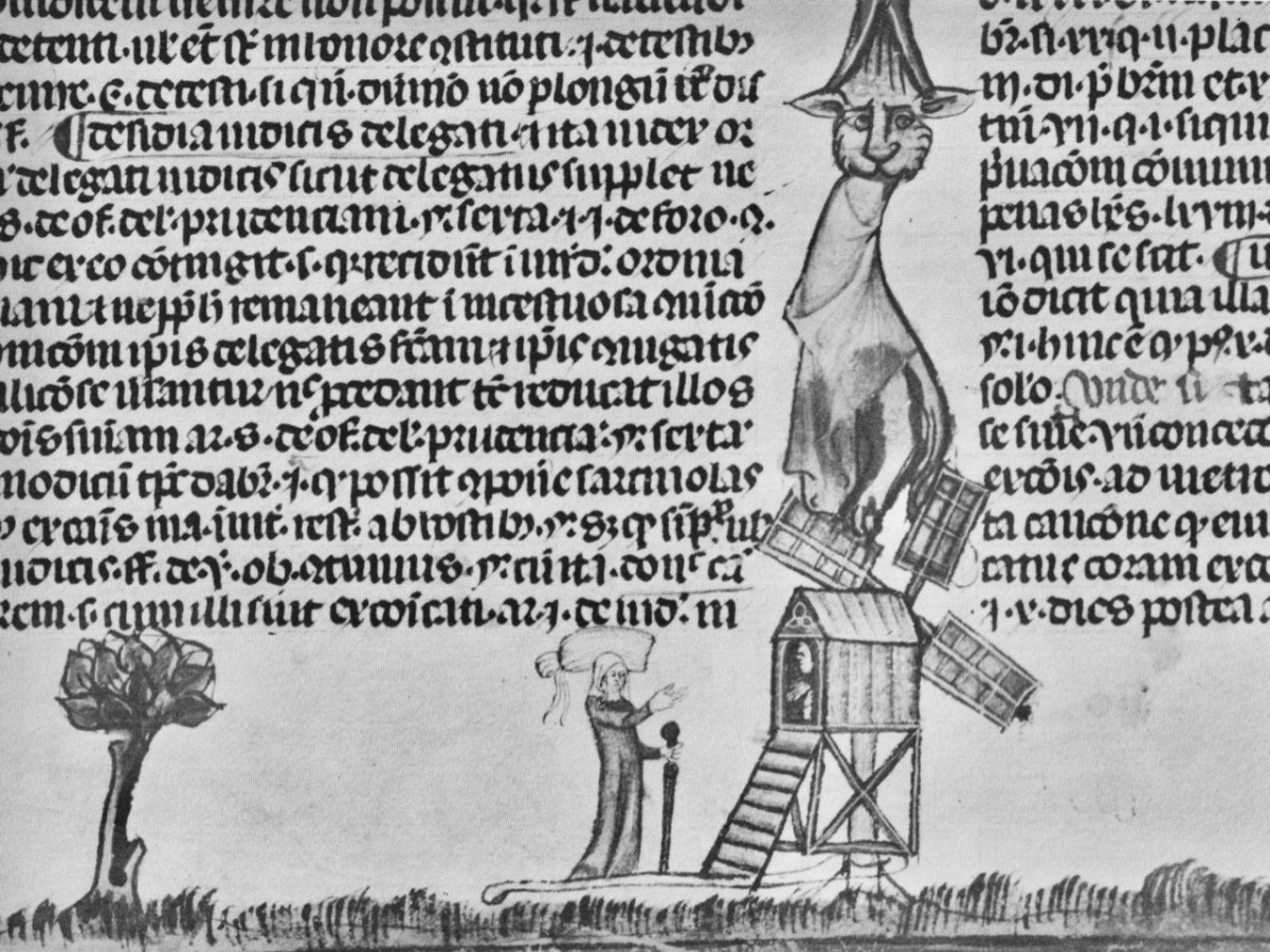
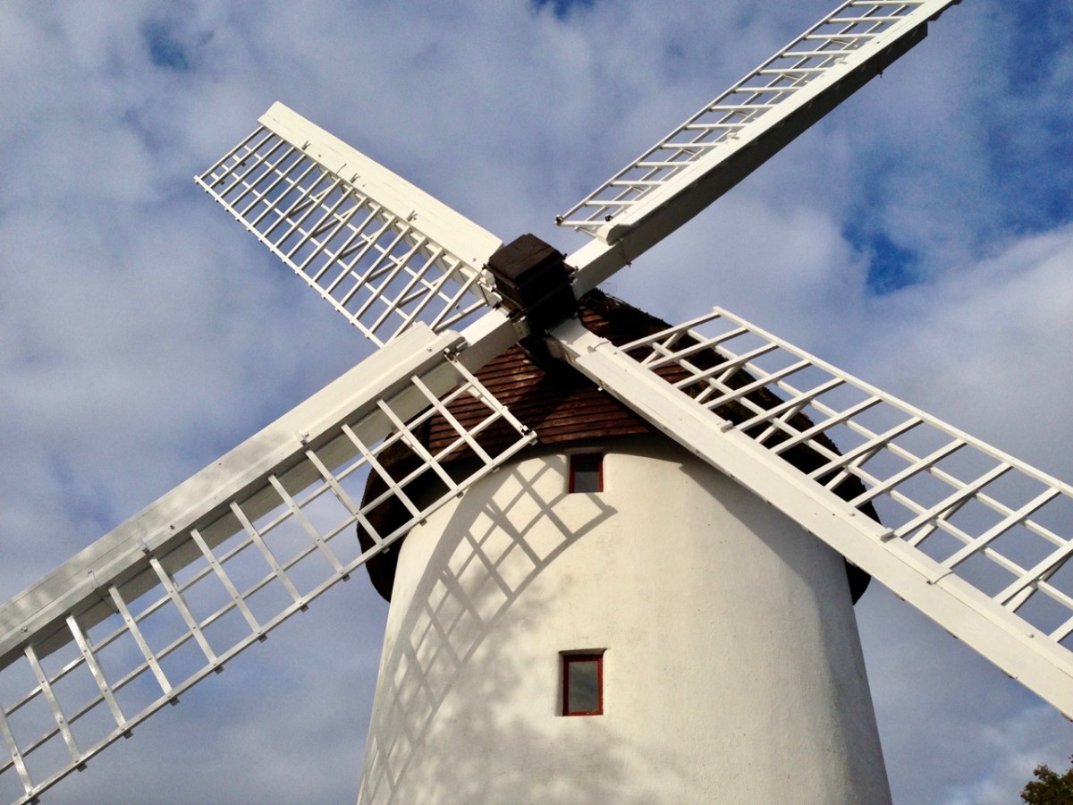
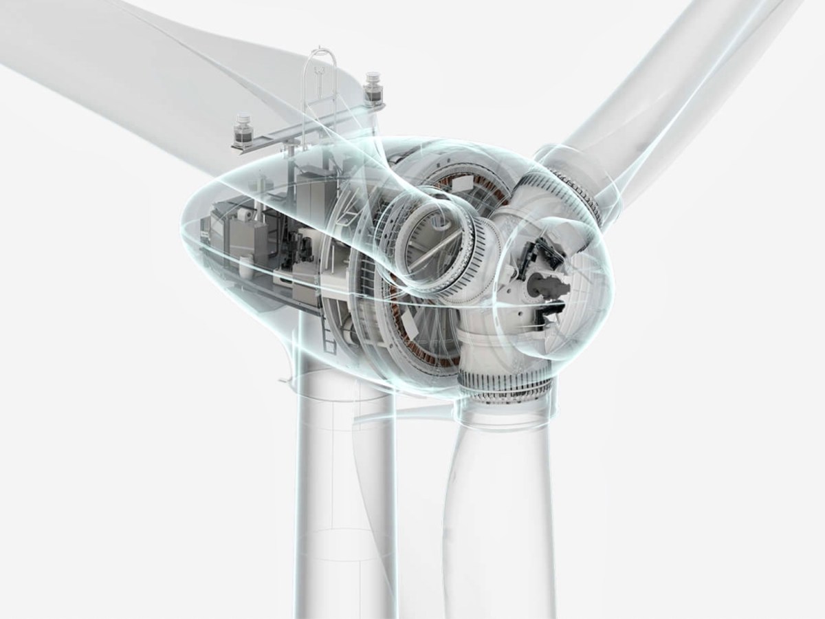
The machinery of industry has always fascinated me. Windmills go back a long way. The first image, below, is from the 14th century Decretals of Gregory manuscript in the British Museum. This is followed by our photograph of Elphin mill, County Roscommon, which dates from 1730 and is said to be the oldest in Ireland. Next, an exploded view of the nineteenth century flour mill at Chillenden, Kent, UK (courtesy of John Reynolds) and then a comparable view of the workings of the Enercon E-70 Wind Energy Converter, which is the unit in use at Ballybane and has a rotor diameter of 71 metres.

The Ballybane Farm will power about 40,000 homes a year on average. That’s modest compared to the newest developments. Currently the world’s largest installation – the offshore Hornsea One Farm, Yorkshire, UK – powers a million homes, while in the Netherlands a huge Haliade-X offshore turbine is being developed with a height of 260 metres and rotor blades of 220 metres in diameter: it’s said that each sweep of the blade will keep a house powered for a day. But that’s enough of the technical stuff. I enjoyed the experience of being close to these giants, and hearing the significant swish of those blades powering us into a safer, carbon reduced future.

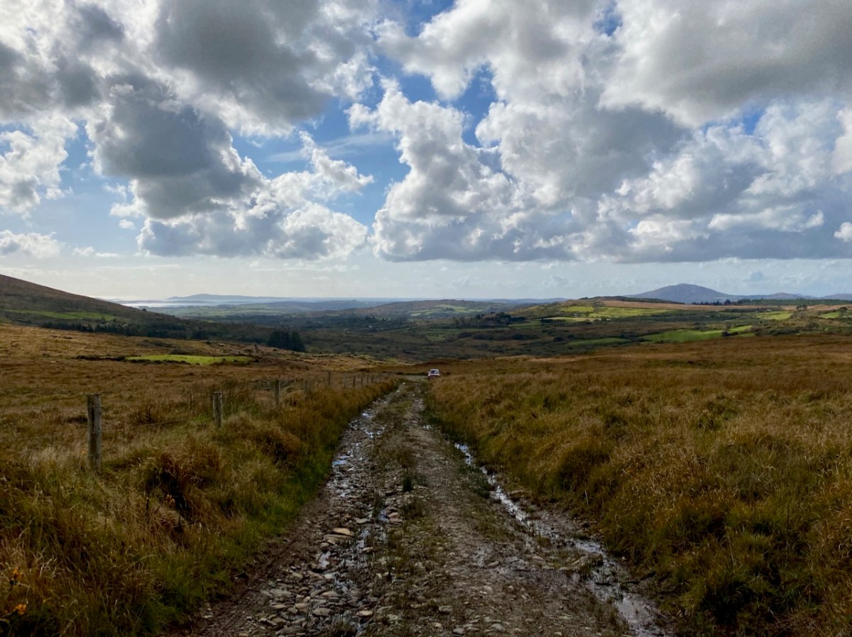
Above you can see the trackway leading us up to Constable Lake and the Ballybane Wind Farm. On the horizon is Roaringwater Bay and the distinct profile of Mount Gabriel. There’s an ancientness about this landscape that balances the surreal – somewhat ‘science-fiction’ – character of the turbines. For me, these elements complement each other, and the sheer scale of the contemporary engineering sets us apart from our slight, human selves – so vulnerable in these times.

Castle Island Explored – Part 1

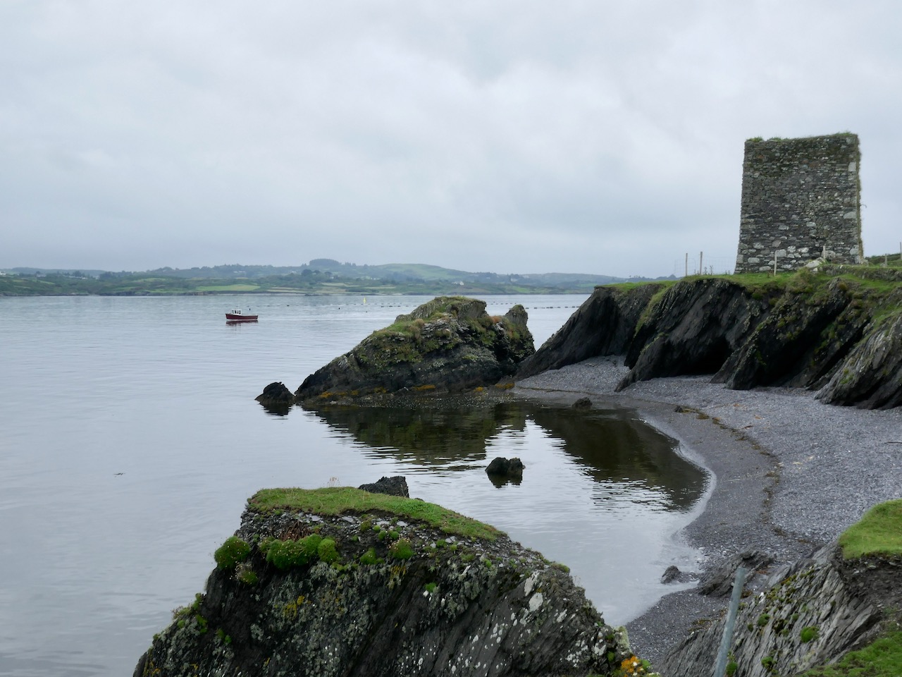
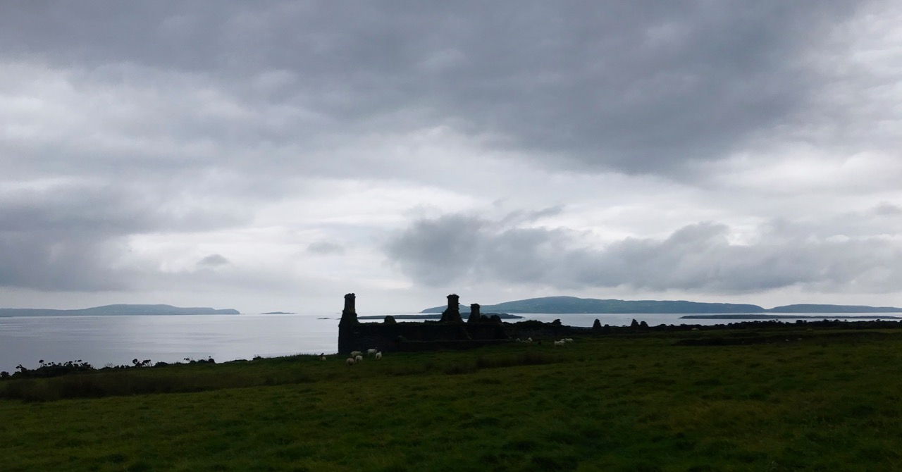
In this early spring photograph, taken from our Eyrie at Nead an Iolair, you can see Rossbrin Castle in the foreground. Beyond it lies Castle Island, uninhabited and slightly mysterious, but with clear traces of former occupation including a medieval tower house, a substantial quay and several abandoned dwellings. As we look over this island every day, we have long held an ambition to visit it, recently fulfilled when we were offered a lift out there on our good friend and neighbour’s fishing boat.

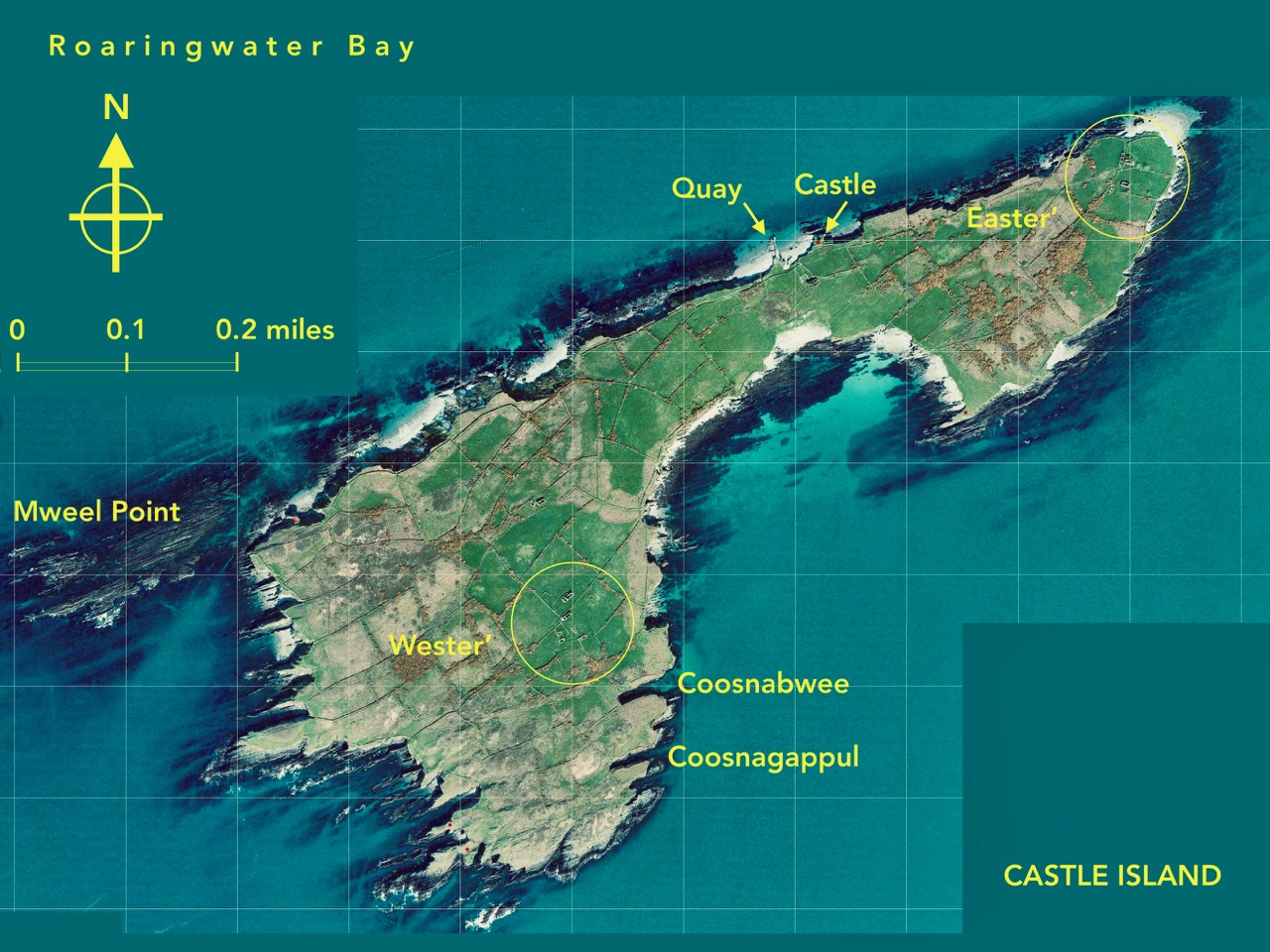
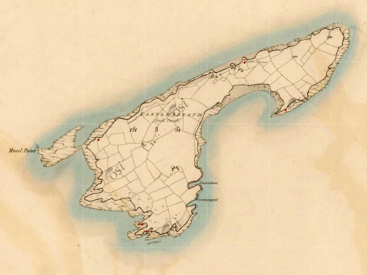
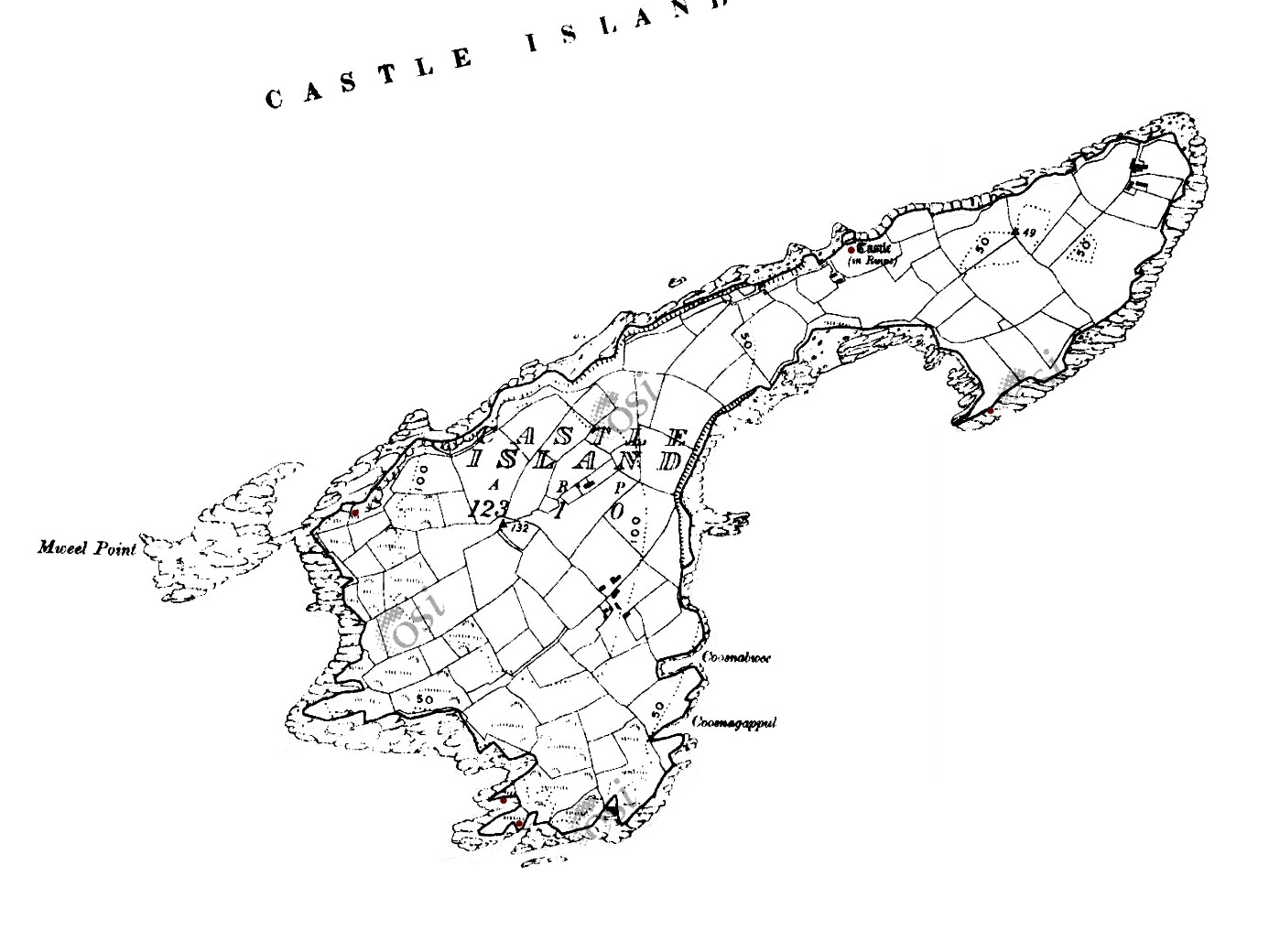
This map shows the scale of the island – just under a mile in length, and occupying 123 acres of mixed land. The main settlements – of Wester’ and Easter’ – are shown, as are the Quay and the Castle. It’s interesting to compare the two Ordnance Survey plans (below): the first 6″ edition was drawn up between 1829 and 1841, and the second one is the 25″ edition, drawn between 1888 and 1913. You can clearly see how the fields have changed, with new boundaries created in the later survey. Presumably this was due to an increase in population resulting in more clearances of rough land.

Both these maps show the Castle – said to date from the 15th century and one of the chain of O’Mahony fortresses that are strategically situated around this most south-westerly part of the Mizen. Of that clan we can find the following written by W O’Halloran in 1916:

Dr Smith says – these Mahowns derive their pedigree from Kean Mc Moyle More, who marrid Sarah, daughter to Brian Boru, by whom he had Mahown, the ancestor of all the sept. It is from this Kean the village of Iniskeen, in Carbery, has its name, and from this sept the Bandon is sometimes called Droghid Mahon. Mahon was the ancestor of the Mahonys, or O’Mahonys . . . The O’Mahonys, whose stronghlad was in the neighbourhood of Bandon (Drohid Mahon), were the first to encroach on the territory of the O’Driscolls. This occurred long before the Anglo-Norman invasion. They possessed themselves of the western portion of Corca Laidhe called Ivahah, which comprised the parishes of Kilmoe, Schull, Durrus, Kilcrohane, Kilmacougue, and Caheragh. They had fourteen strongly built castles . . .

Early Irish History and Antiquities and the History of West Cork, W O’Halloran

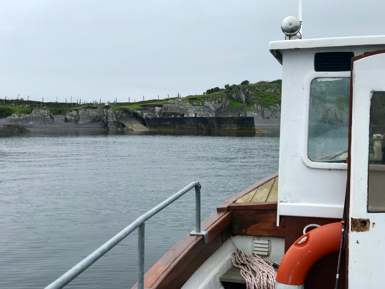
The M V Barracuda approaches Castle Island on an atmospherically damp day in late August. The quay itself seems to have been constructed  during the time of the Congested Districts Board from 1892 to 1922. It is a substantial structure and the investment in that time suggests that there was a significant community living and working on the island to justify it. However, a number of sources assert that Castle Island was “. . . home to a community of approximately 15 families who were last resident on the island up to the year 1870 . . .” Our own observations of the abandoned dwellings on the island led us to the conclusion that, although now significantly deteriorating, these habitations must have been in use more recently than this.

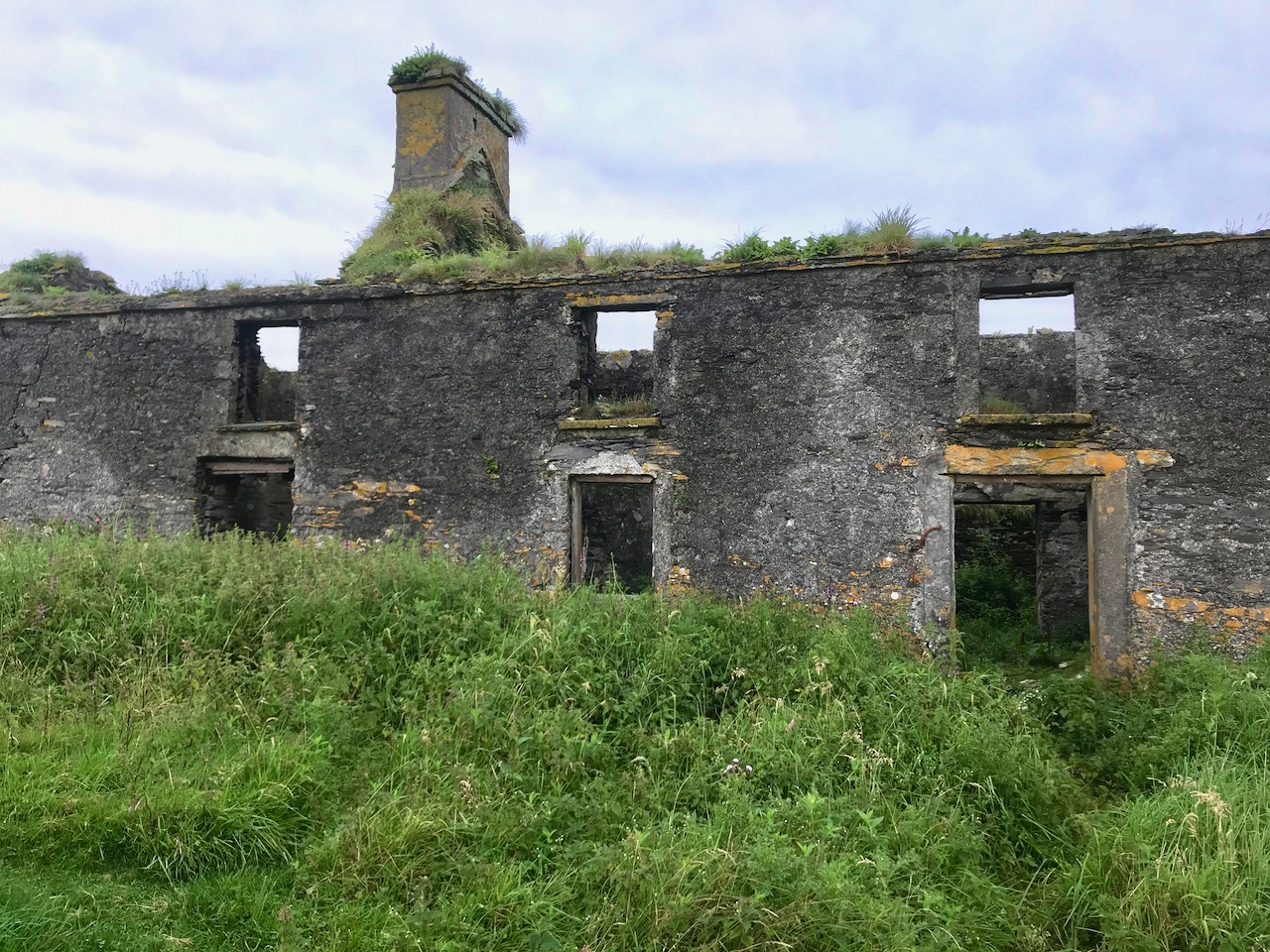
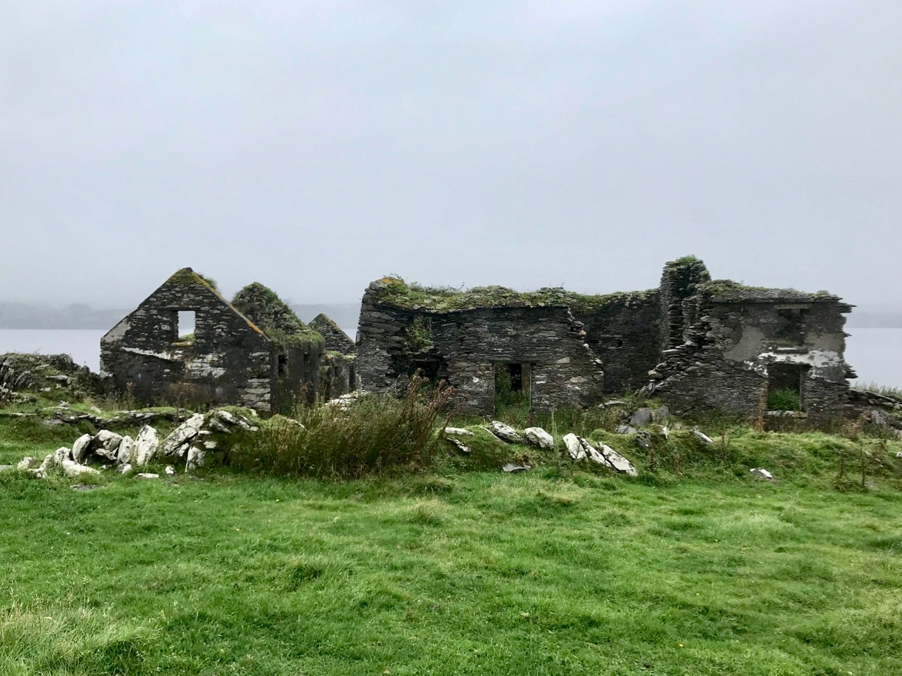
Examples of now-ruined houses, barns and boreens on Castle Island. These are not ‘cabins’ or even cottages, but significant homesteads. Some – including the large residence in the upper picture – have the vestigial remnants of timber door and window frames, unlikely to have survived in place in this harsh environment for 150 years.

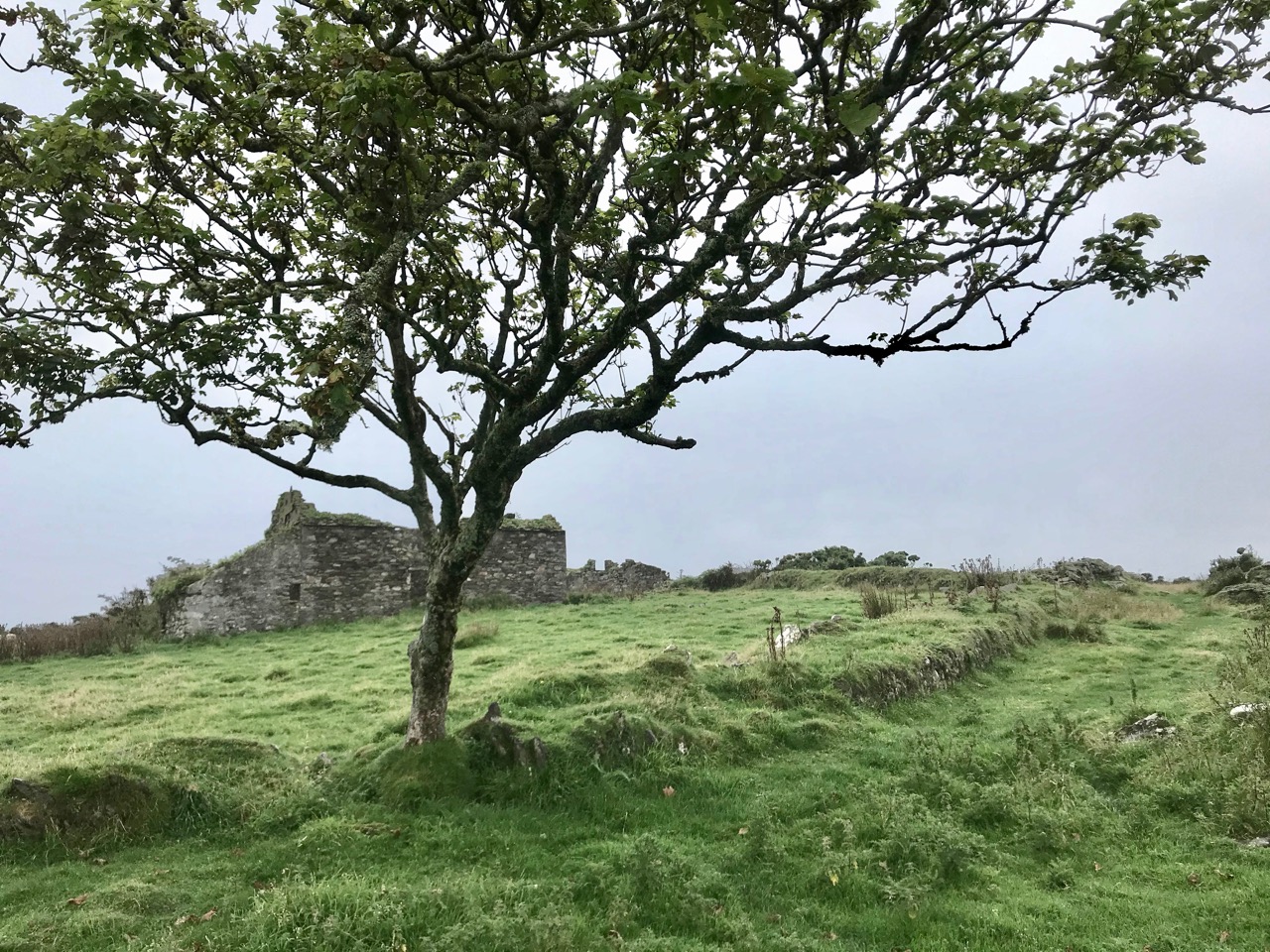
A community of sheep roams unhampered by fences or boundaries, and Finola absorbed how nature has taken over and populated the landscape in spite of wild winters and lack of shelter: we counted precisely two and a bit trees on the whole island!

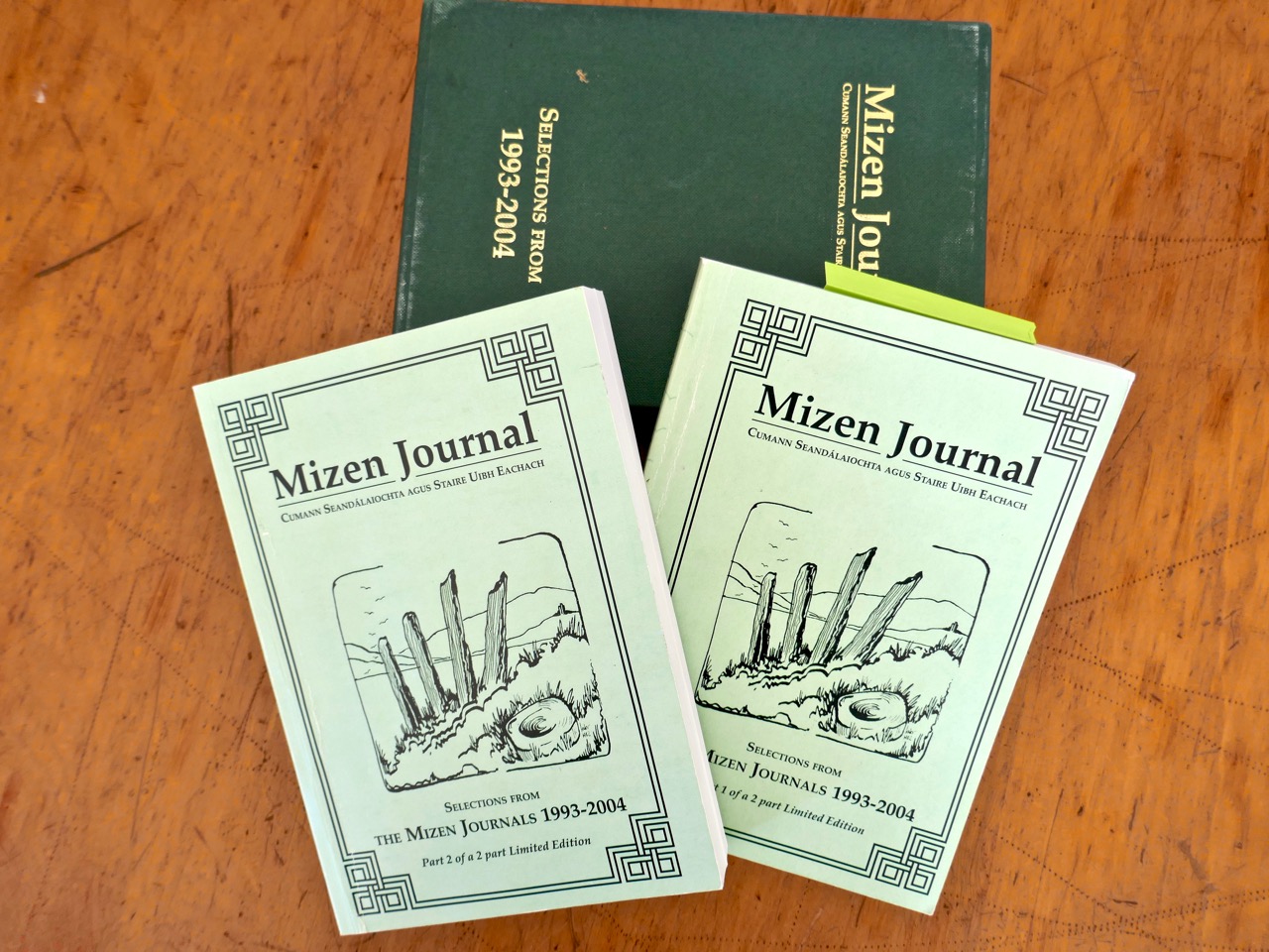
The story of this island is somewhat overlooked generally – one of the reasons we were so keen to visit. In our library, however, we are fortunate enough to have some copies of the Journals of the Mizen Archaelogical and Historical Society – now out of print. That Society was active for thirty years between 1979 and 2010, and produced a dozen journals gathering important historical research by mainly local people. Here’s a post we put together when our good friend Lee Snodgrass – a leading light in that organisation – passed away recently.

In that Journal we have found two articles about Castle Island. One – by Anthony Beese – explores the local placenames, and the other – by Liam O’Regan – speaks of The Castle Island Evictions 1889 – 90. This latter clearly shows that the island was inhabited in the late nineteenth century (apparently contrary to current popular thinking). Also, following those evictions, many of the tenants returned later and it seems very possible that some islanders remained in situ into the twentieth century. Both Journal articles have stories which need to be told, and I will attempt to do that in a later Roaringwater Journal post. For now, however, you will have to be content with . . . the story so far . . . which tells of our voyage of discovery to the island on an overcast day in the summer.

A Signal Success in Irish Engineering – Part 1: Kedge Point

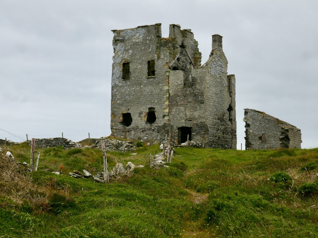
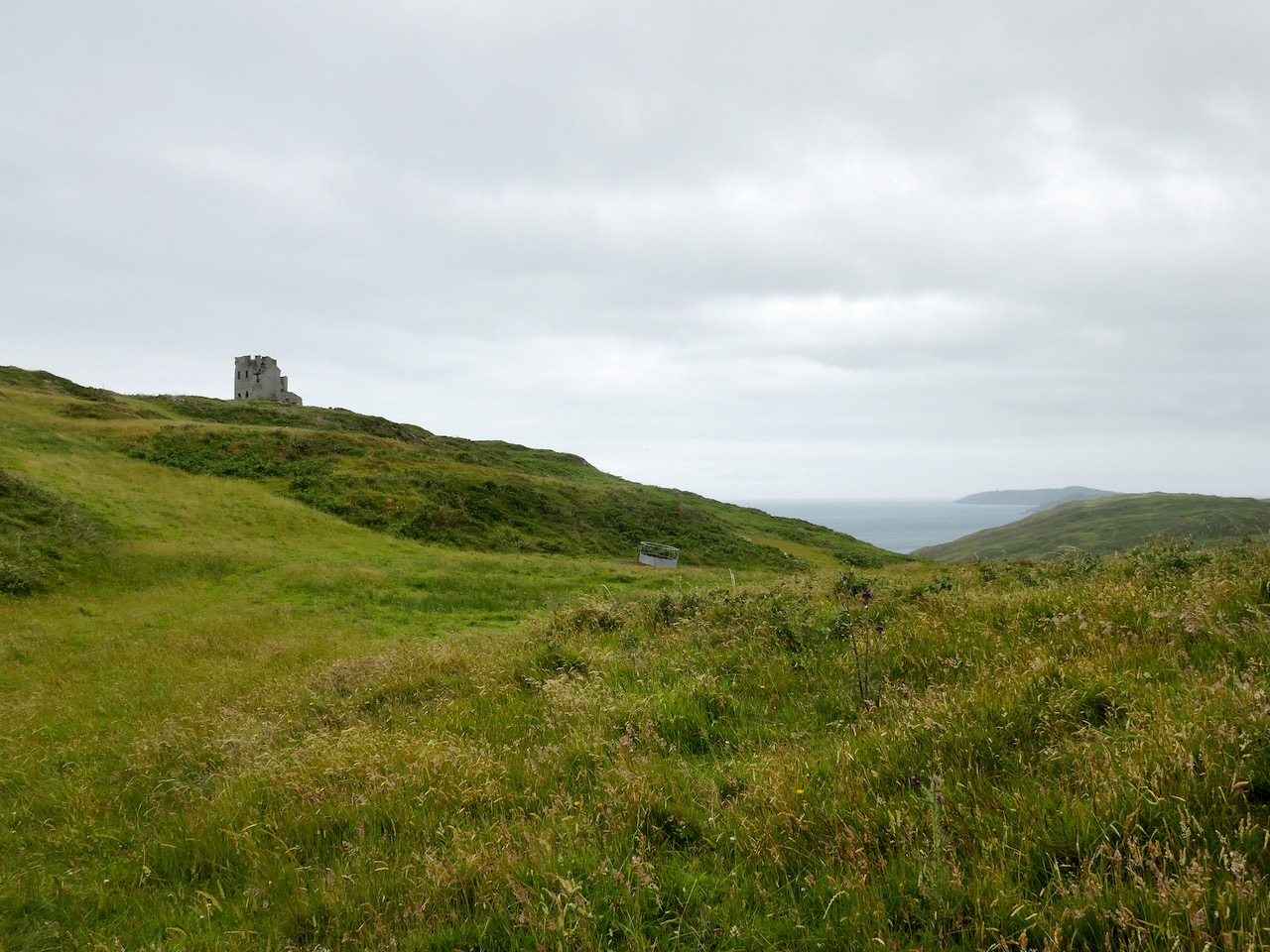
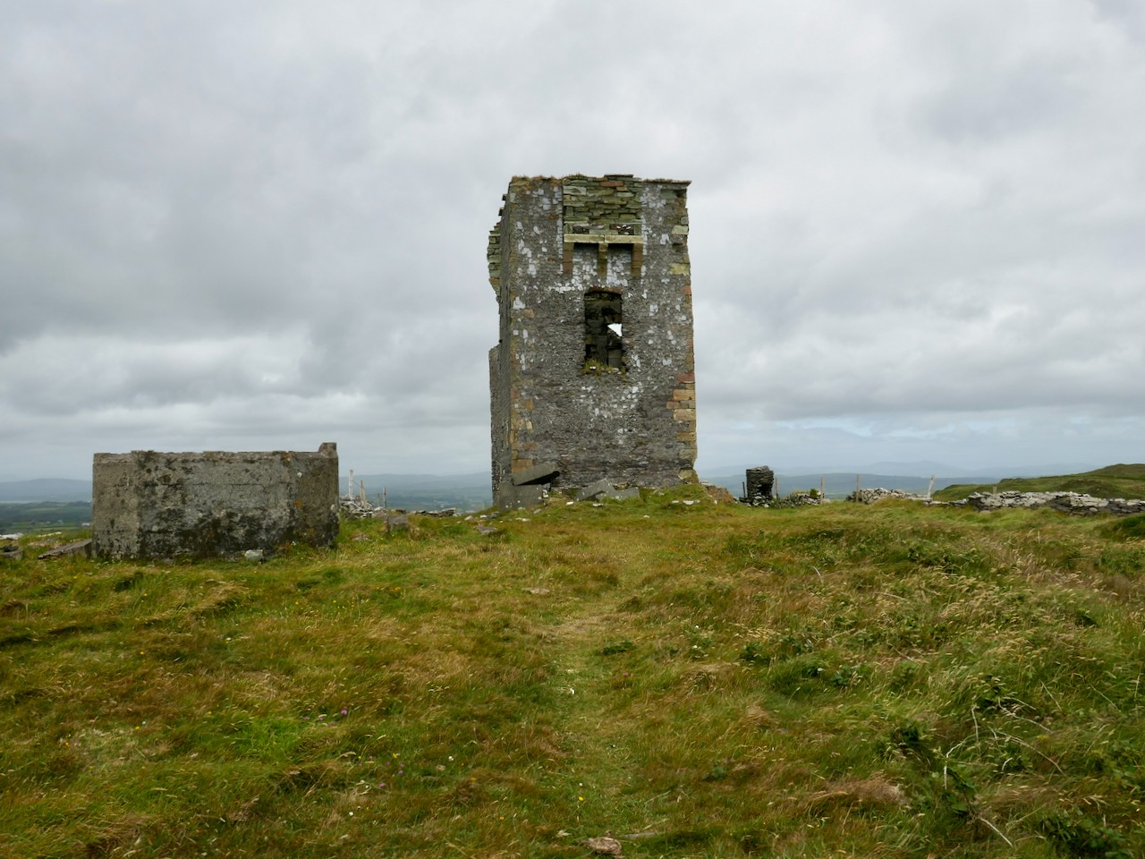
At first sight this gaunt ruin on the West Cork coastline could be taken for a medieval fortified house or castle, but we can date its construction very precisely – to 1805, and we also know its purpose: long-distance communication. It was only put to use for a few years, and has been derelict at least twenty times as long as it was ever in service. It’s a signal station, one of over eighty similar structures around the whole coastline of Ireland, an initiative which represented a major engineering feat of its time.

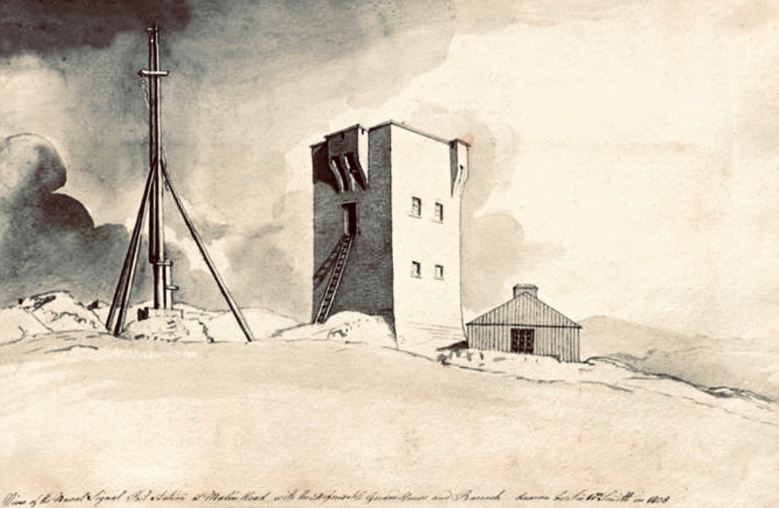
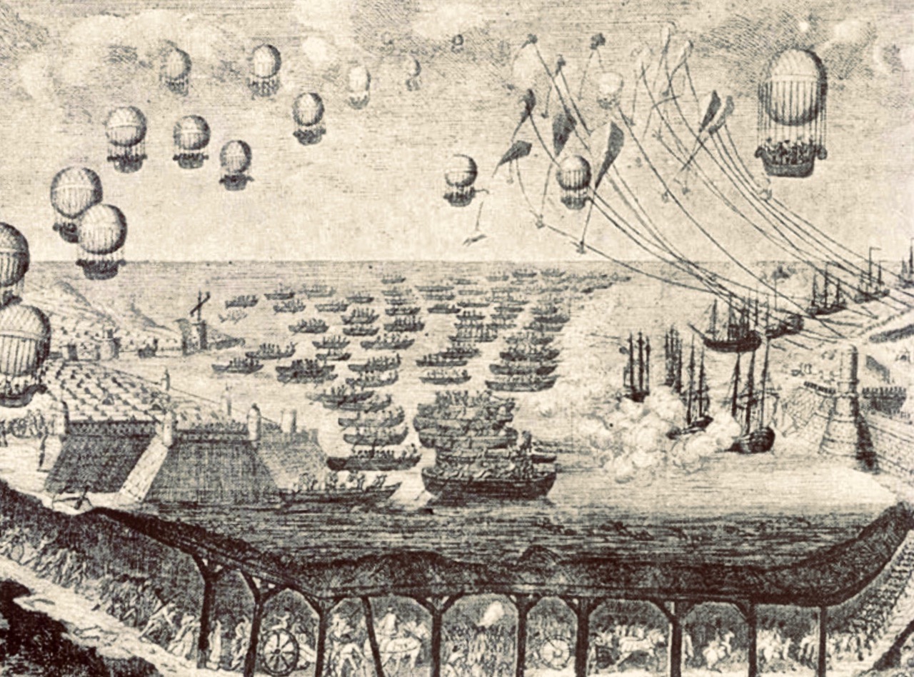
This watercolour sketch by surveyor Sir William Smith is invaluable: it dates from 1808 and shows a signal station in use in its heyday. This one is at Malin Head on the Donegal coast, Ulster, and shows the elements which would have been common to all of the stations: a signal mast, a defended tower and a ‘guard house and barrack’ – probably also an equipment store. The signal tower bears a striking resemblance to the Irish ‘tower house’ or castle dating from several hundred years earlier, with its bartizans, machicolation, base wall batter and raised entrance, All these features were practical as the towers were military installations built in the times of the Napoleonic Wars. The cartoon (below) dates from 1805 and encapsulates the fear of invasion that swept over Britain in the early 19th century. Balloons, kites, flotillas of troopships and a channel tunnel were all envisaged as ways in which the French might conquer these islands! Humorous though this may seem, France had already used military balloons in the 1790s, and Bonaparte appointed Madam Blanchard as his ‘air service chief’, though she told him an aerial invasion would probably fail because of adverse winds.

Since Theobald Wolfe Tone and the Society of United Irishmen attempted to rally France behind the Irish cause in the 1790s, Ireland was seen as a possible focus for the feared invasion, and led to the British Admiralty constructing the system of signal stations as observation posts, together with 50 Martello towers, each maintaining a garrison of troops, officers and heavy artillery. The principal purpose of the signal towers was to keep watch on the coasts and to rapidly send signals around the country if unrecognised shipping was seen. Each tower, therefore, had to be within sight of one or more of its neighbours in both directions. The average distance between towers was 13.5km, although here in West Cork the towers at Brow Head and Mizen Head are only 3.8km apart. Ireland’s coastline is about 1,400km long, depending how you measure it.

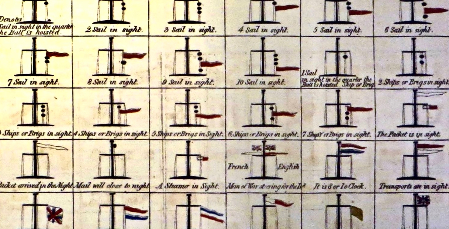
Various combinations of flags and canvas ‘balls’ could be quickly assembled on the signal masts and, with the use of a code book (above) fairly complex messages might be circulated. Another vital piece of equipment, of course, was a high quality telescope. As the Navy had such essential apparatus – and the experienced personnel to use it – the Irish signal towers were largely manned by active or retired sailors.

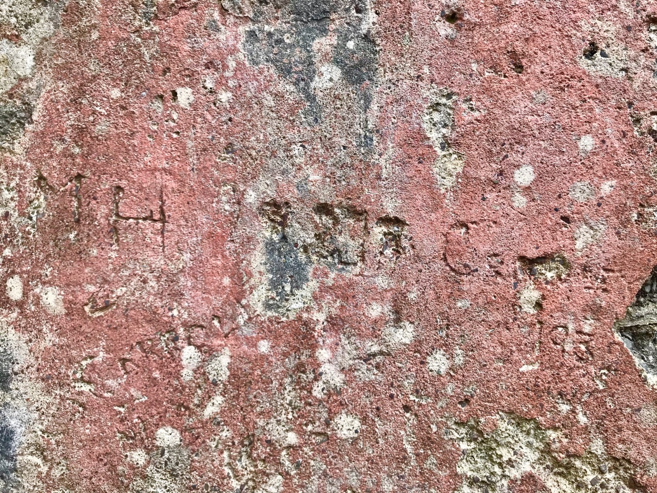
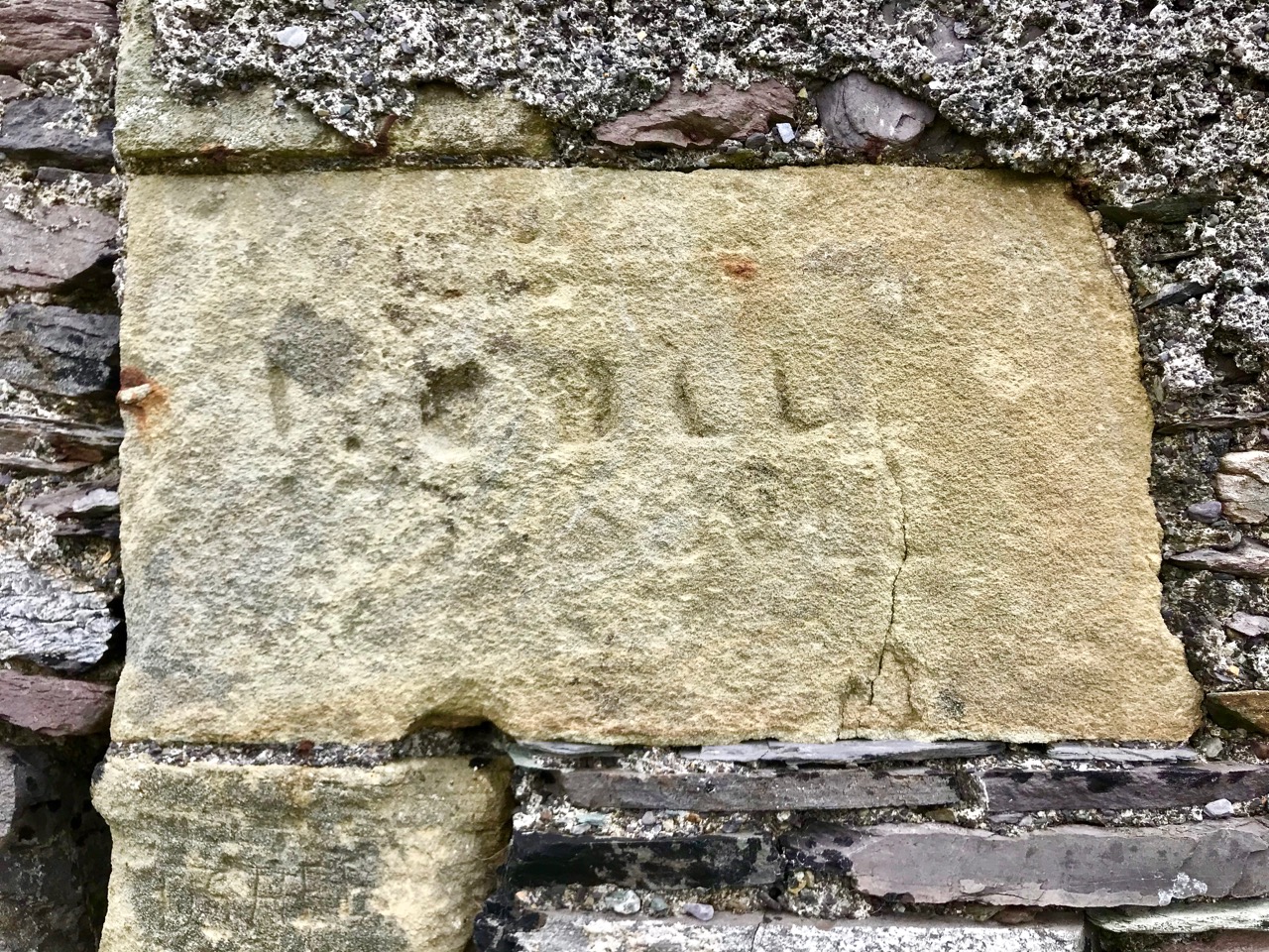
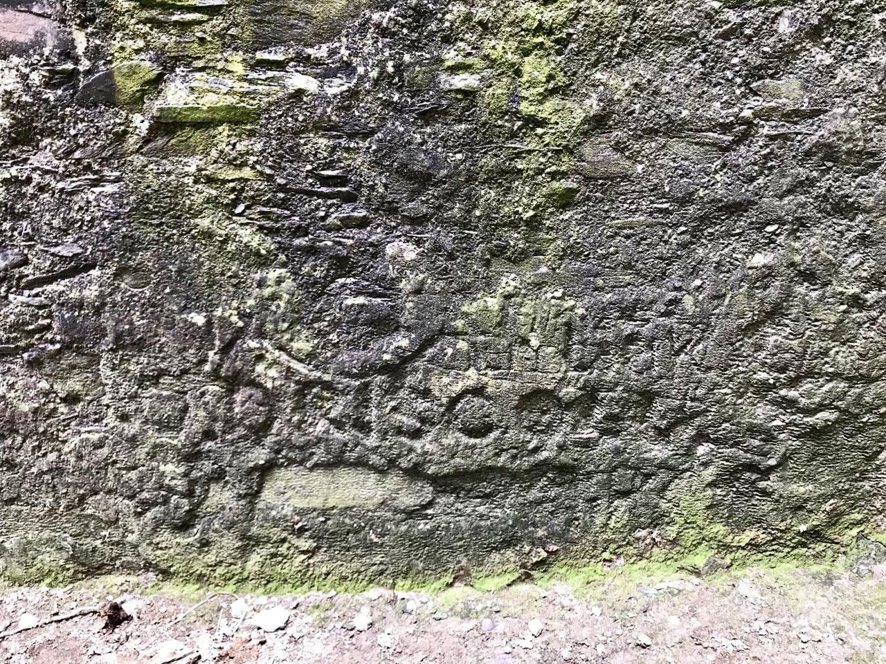
We set out to explore some of the signal stations close to us in West Cork. Once we feel free to travel further afield through Ireland I can see the signal towers becoming a long-term project! If those we have visited so far are good examples, they take us to some of the wildest high places with panoramic coastal views: many are utterly remote. And they are all imbued with a sense of history – of duties that demanded long hours of lonely vigilance in harsh conditions. Most are long abandoned and forlorn. But the marks of those who have been there remain inscribed on the decaying walls.

The header illustration and all the photographs above were taken on our recent visit to the signal station at Spain, to the east of Baltimore. There is rugged moorland there and dramatic cliffs overlooking Kedge Island. The site is known as Ballylinchy or Kedge Point. It’s a fair climb off-road but not difficult to reach. It’s always essential to seek permission locally before crossing farmland.

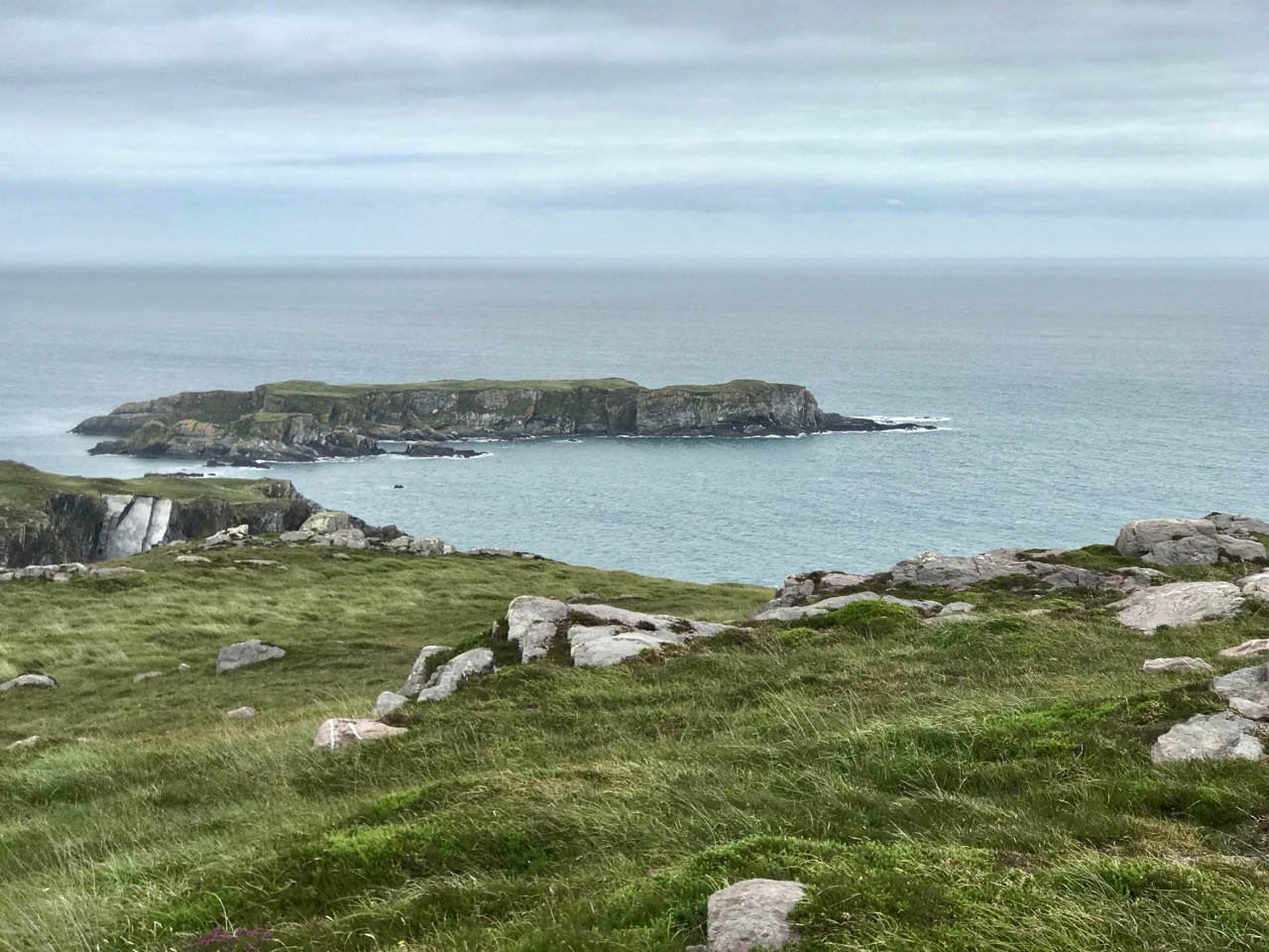
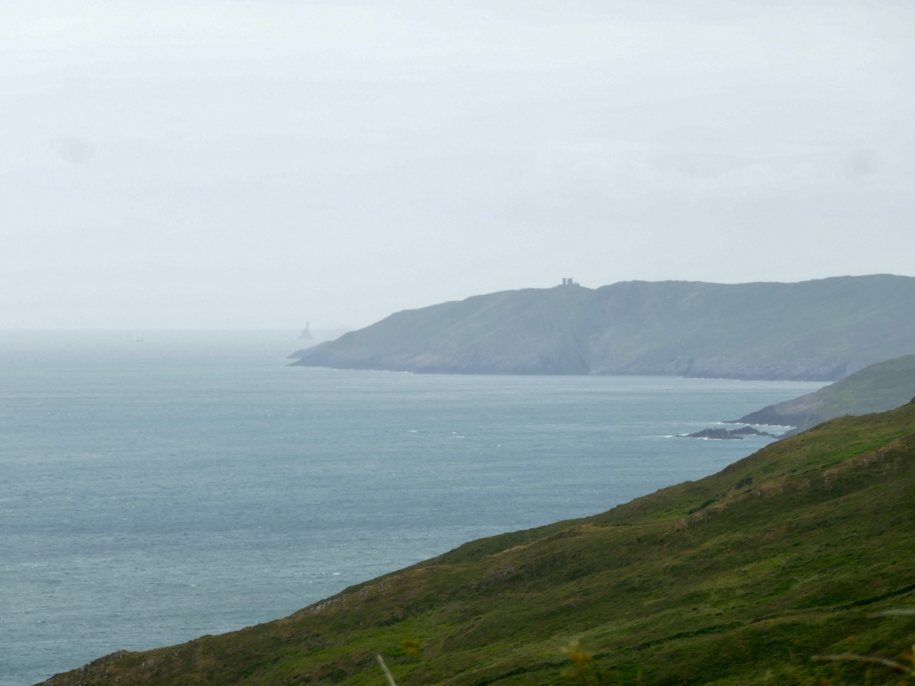
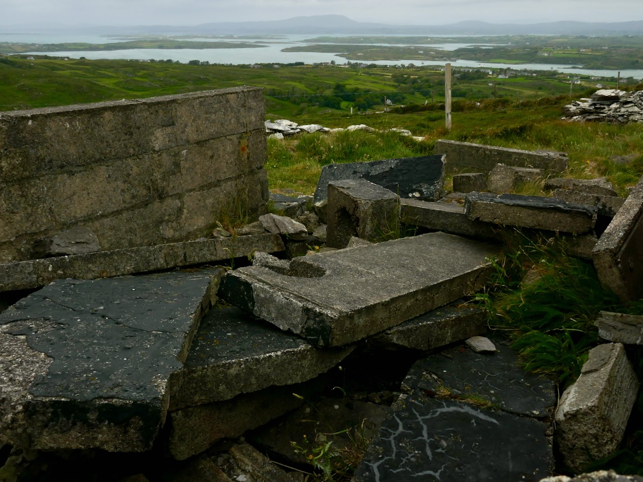
There are uninterrupted views from Ballylinchy towards Kedge Island (upper photo) and across the islands towards the Mizen (lower). Visibility was restricted on the day we visited – and this made us realise how important the weather would be for accurate observations. However, we could clearly see the signal tower on Cape Clear from this vantage point, shown below, with the Fastnet Rock and lighthouse beyond. You can understand from this view – with the camera zoomed in – how powerful the telescopes needed to be to clearly read the flag signals. Finola’s post here includes a section on the Cape Clear installations.

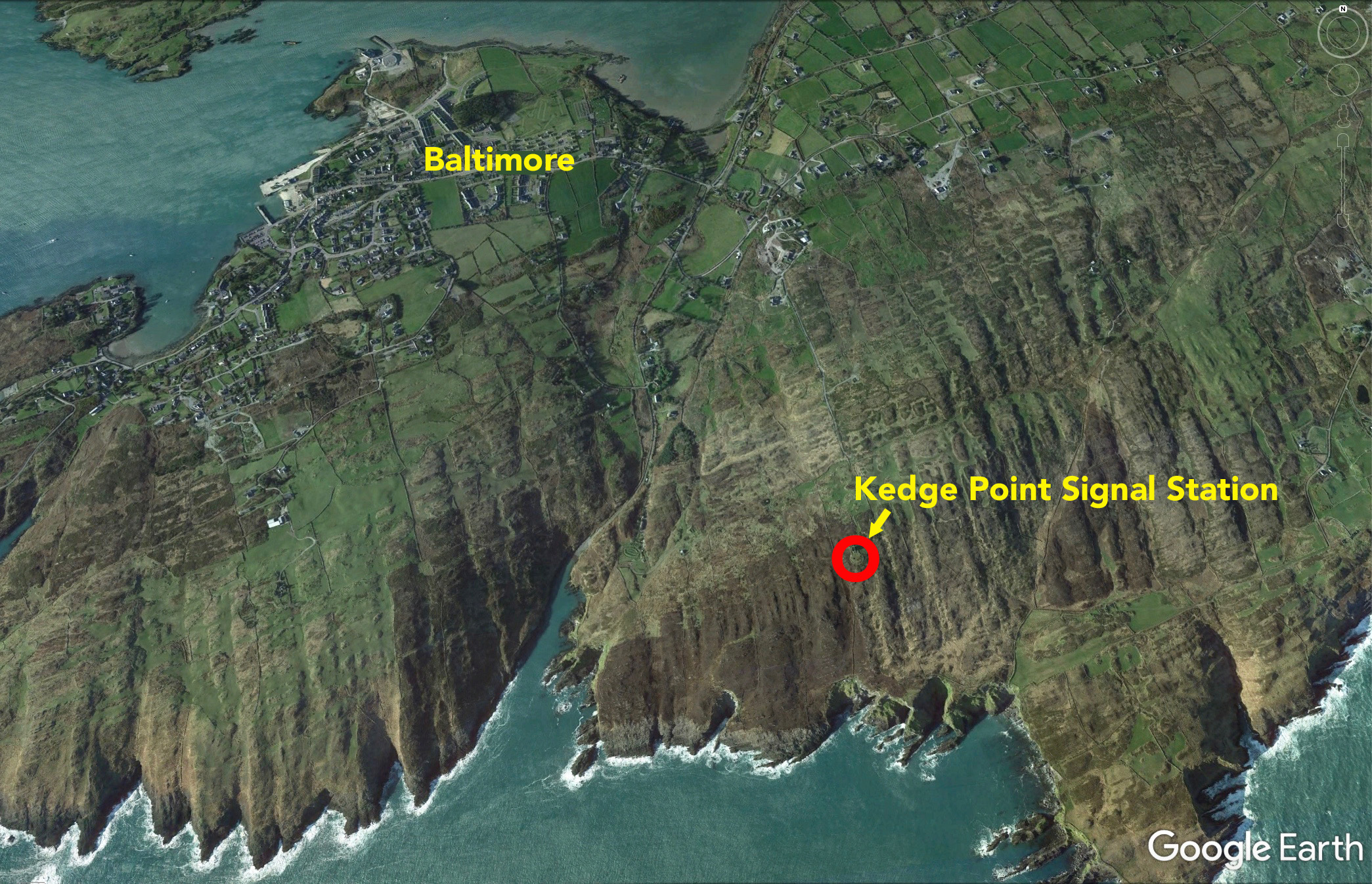
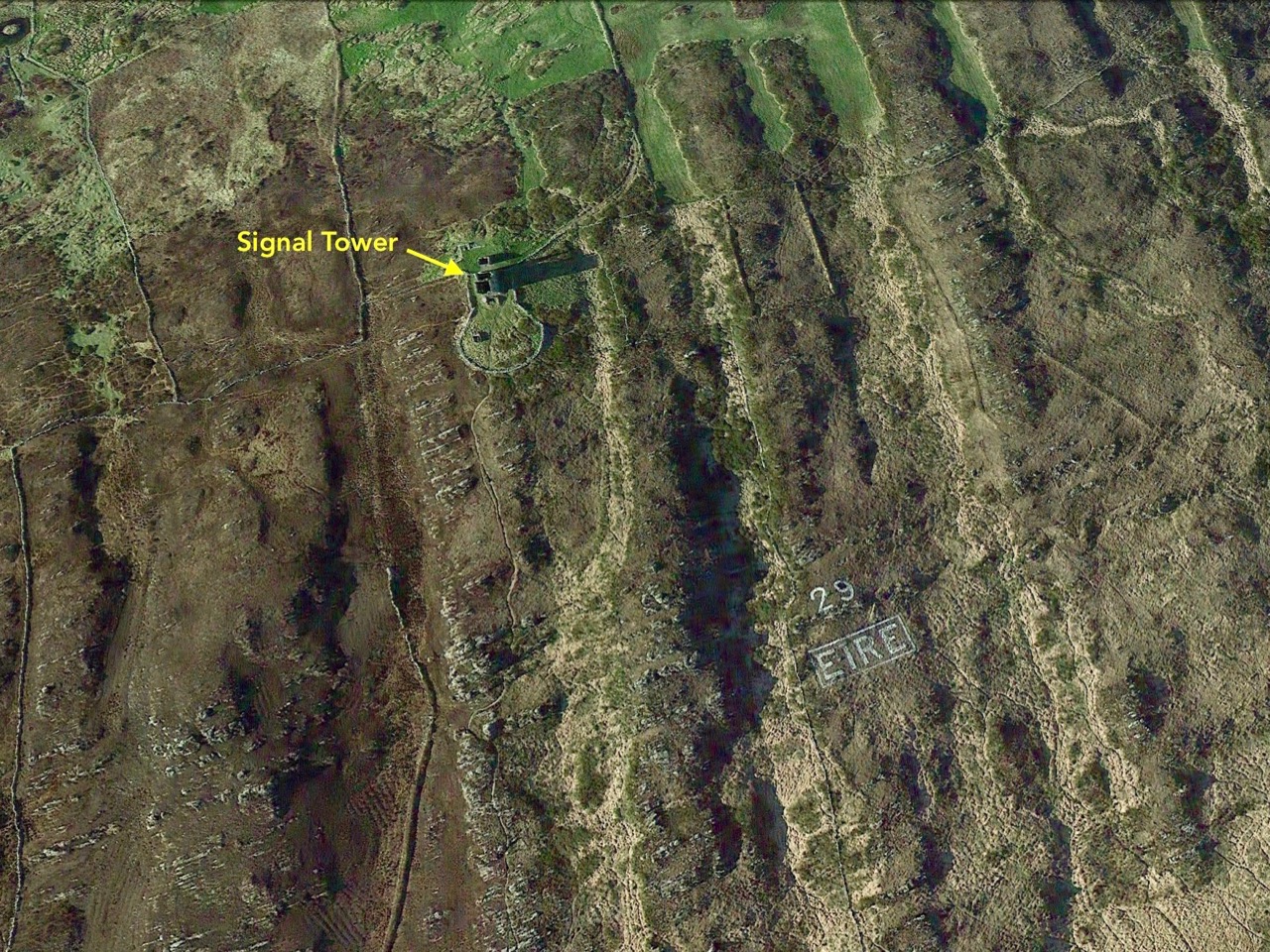
The Google Earth images above and below reveal the setting of this signal station on the highest point of land for miles around. History abounds on this site, with the remains of a World War 2 observation post in close proximity to the 1805 structure, and one of the many EIRE signs set into the cliff, also dating from World War 2 and set up around the coast, reportedly at the behest of the American authorities to help orientate pilots and alert them to Ireland’s neutrality.

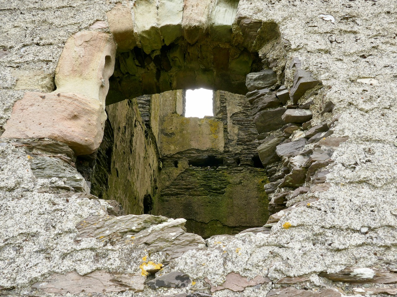
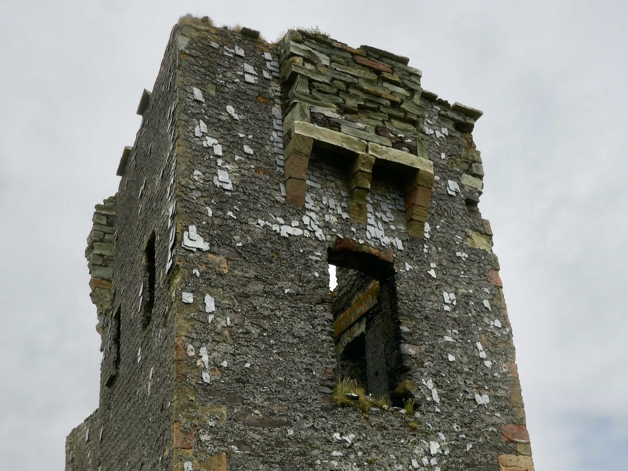
The south facing elevation of the Kedge Point signal tower clearly shows its defensive machicolation. On the left is the stump of the LOP (World War 2 lookout post). Below – the rubble of the destroyed LOP and some of the recognisable architectural features of this tower.

Next week I will report on a very different location, which we visited on a much better day – lots of sunlight, blue skies and West Cork magic to look forward to! This time our site will be at the westernmost tip of the Sheep’s Head Peninsula, and you will get a different sense of the relative orientation and intervisibility of these intriguing historic monuments.

Below – the signal tower at Toe Head, about ten kilometres to the east, seen from Kedge Point