Mizen Mountains 5 – Knockaphuca

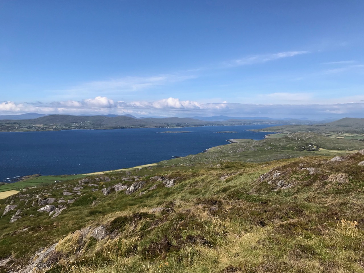
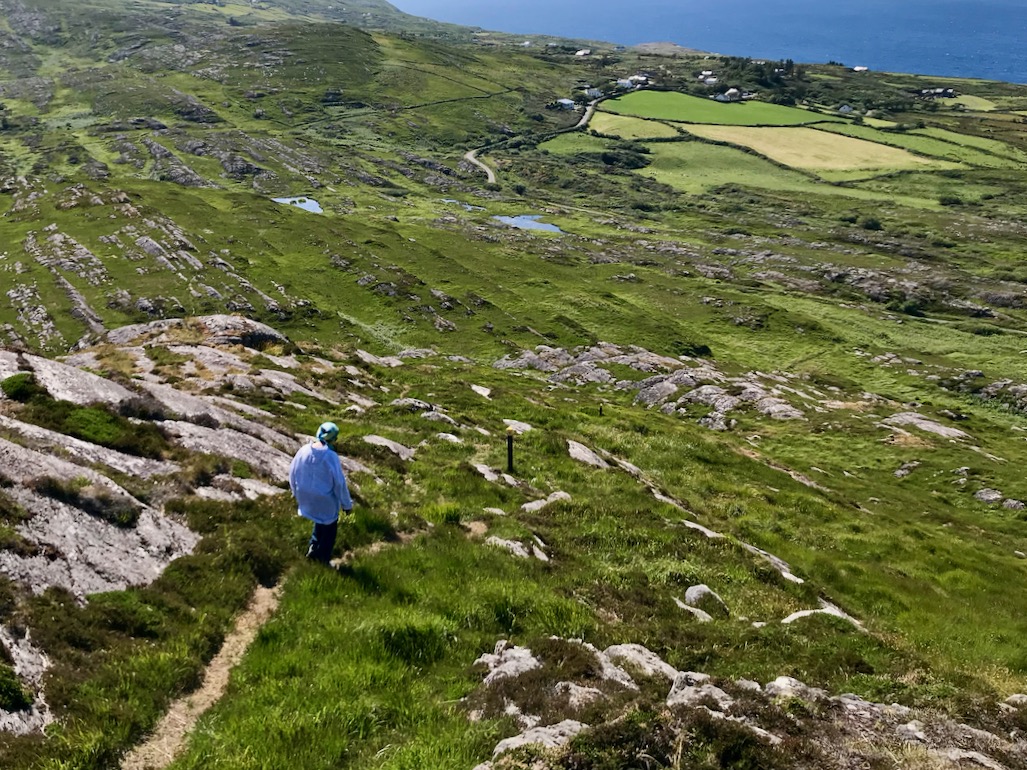
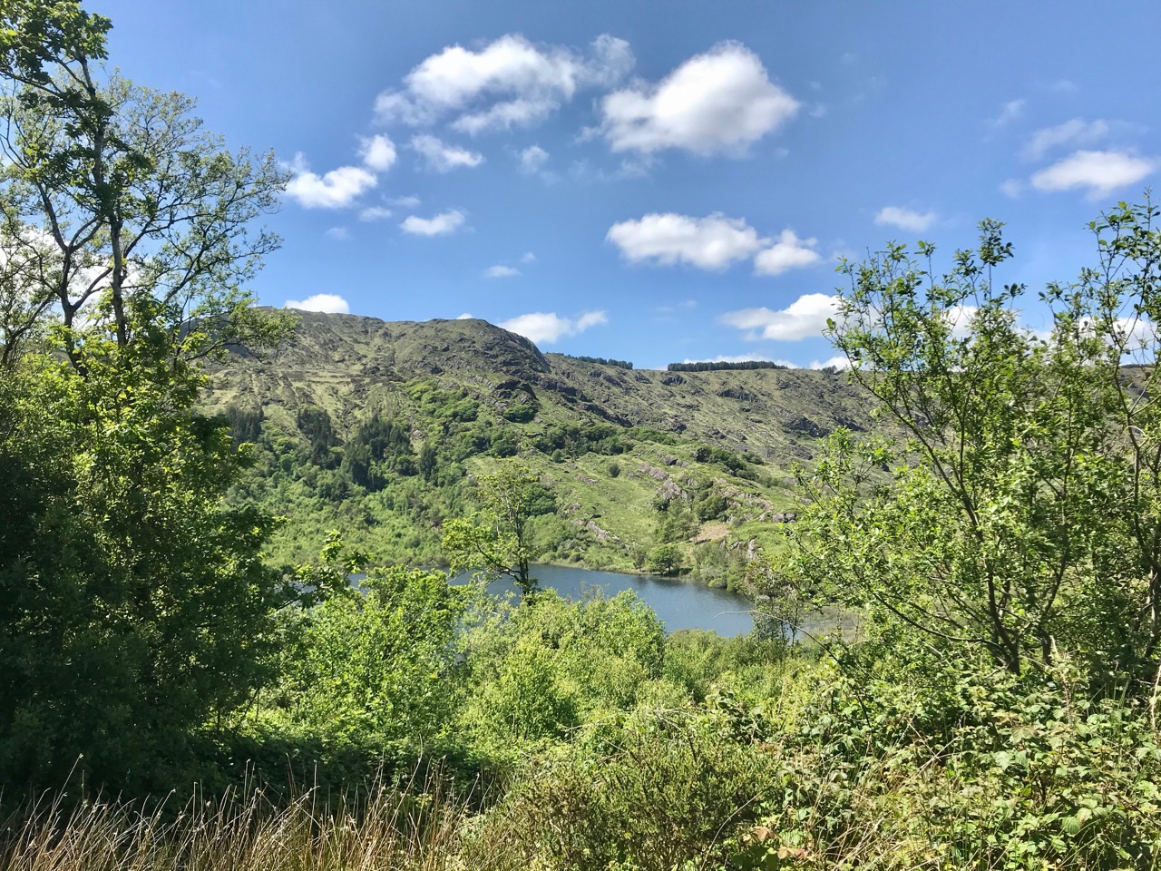
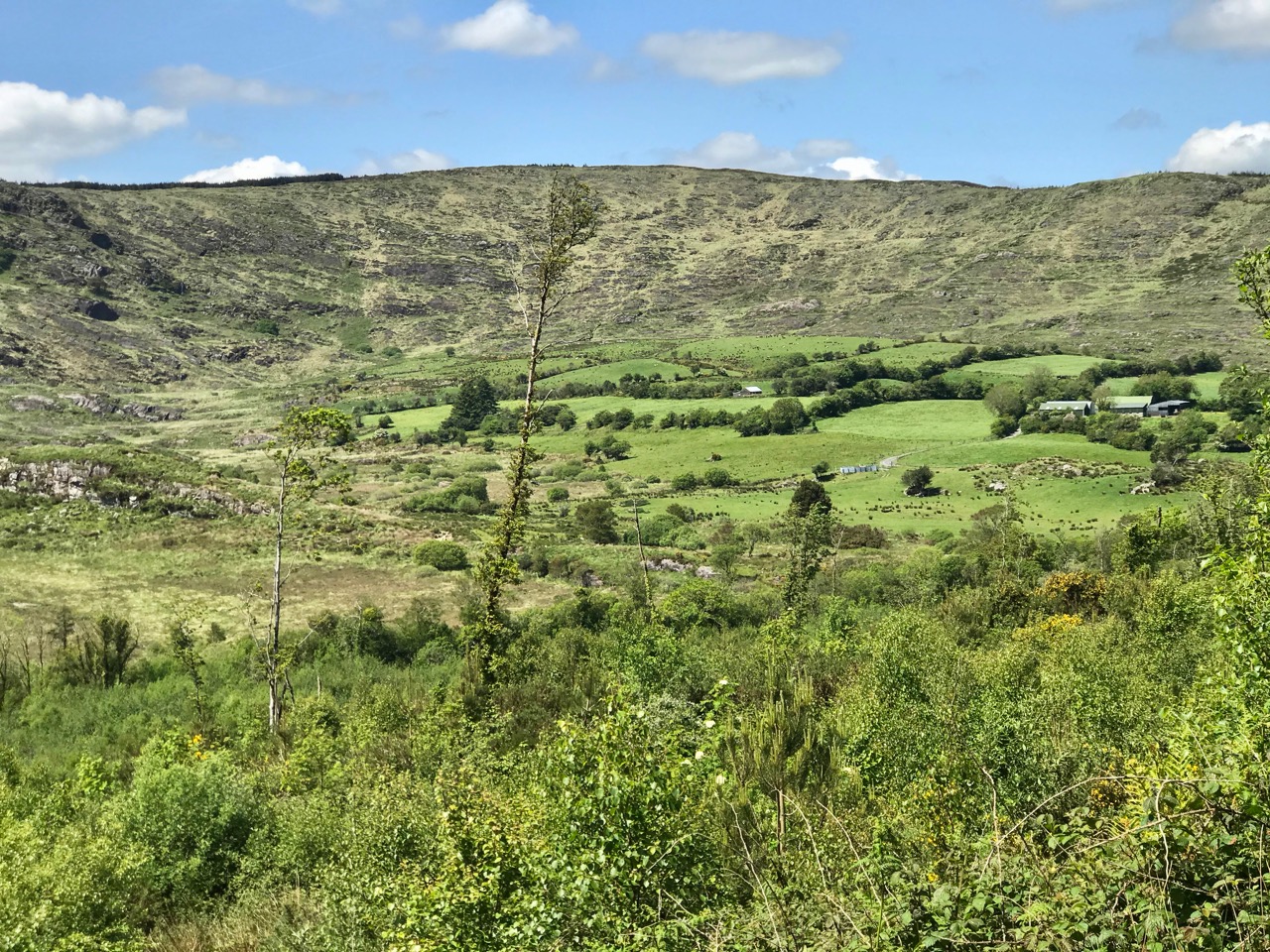
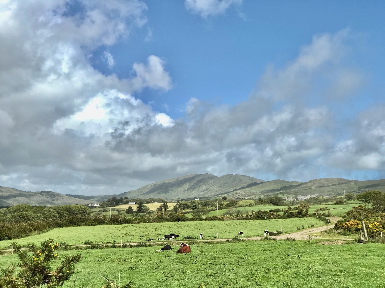
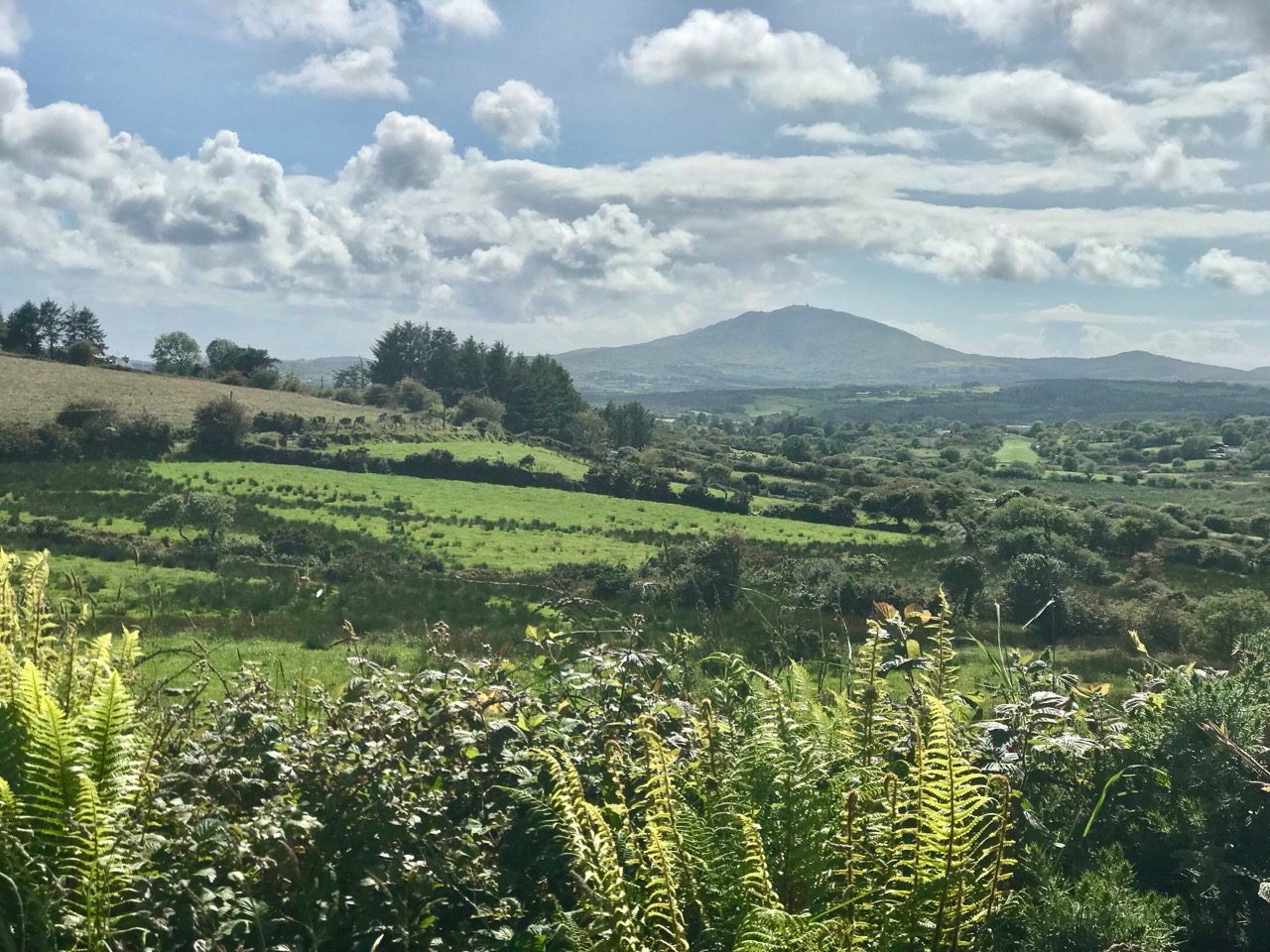
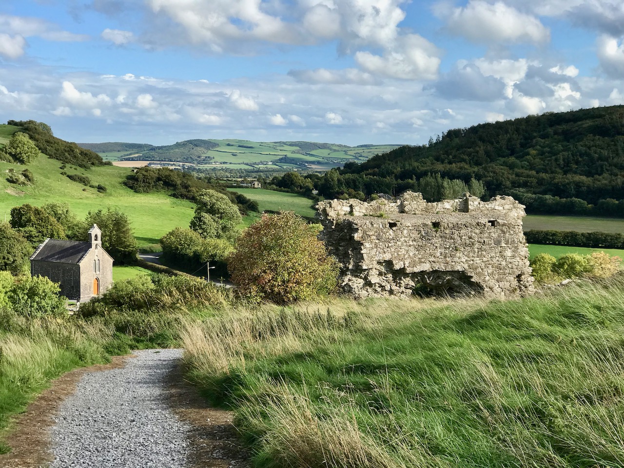
Perhaps one of the most satisfying mountains on the Mizen, the 237m high Knockaphuca provides a well maintained waymarked trail best tackled as it is laid out – in a counter clockwise direction. You will go up the east side and down the steep west face. If you are lucky with the weather, as we were just before the longest day, you will have an experience which is hard to rival in this corner of Ireland. The loop walk is one of the latest sections of the Fastnet Trails which have been established to the west of Schull during 2019. All credit is due to the team which has so successfully organised and laid out these trails: this has involved much behind-the-scenes hard work.
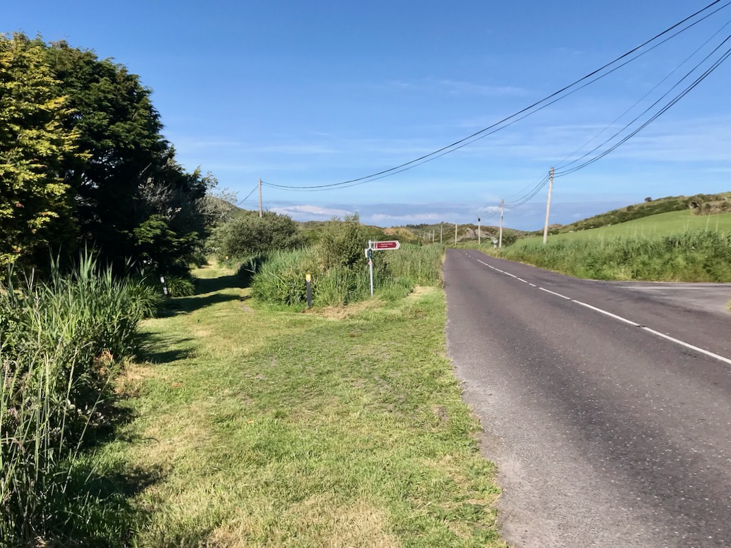
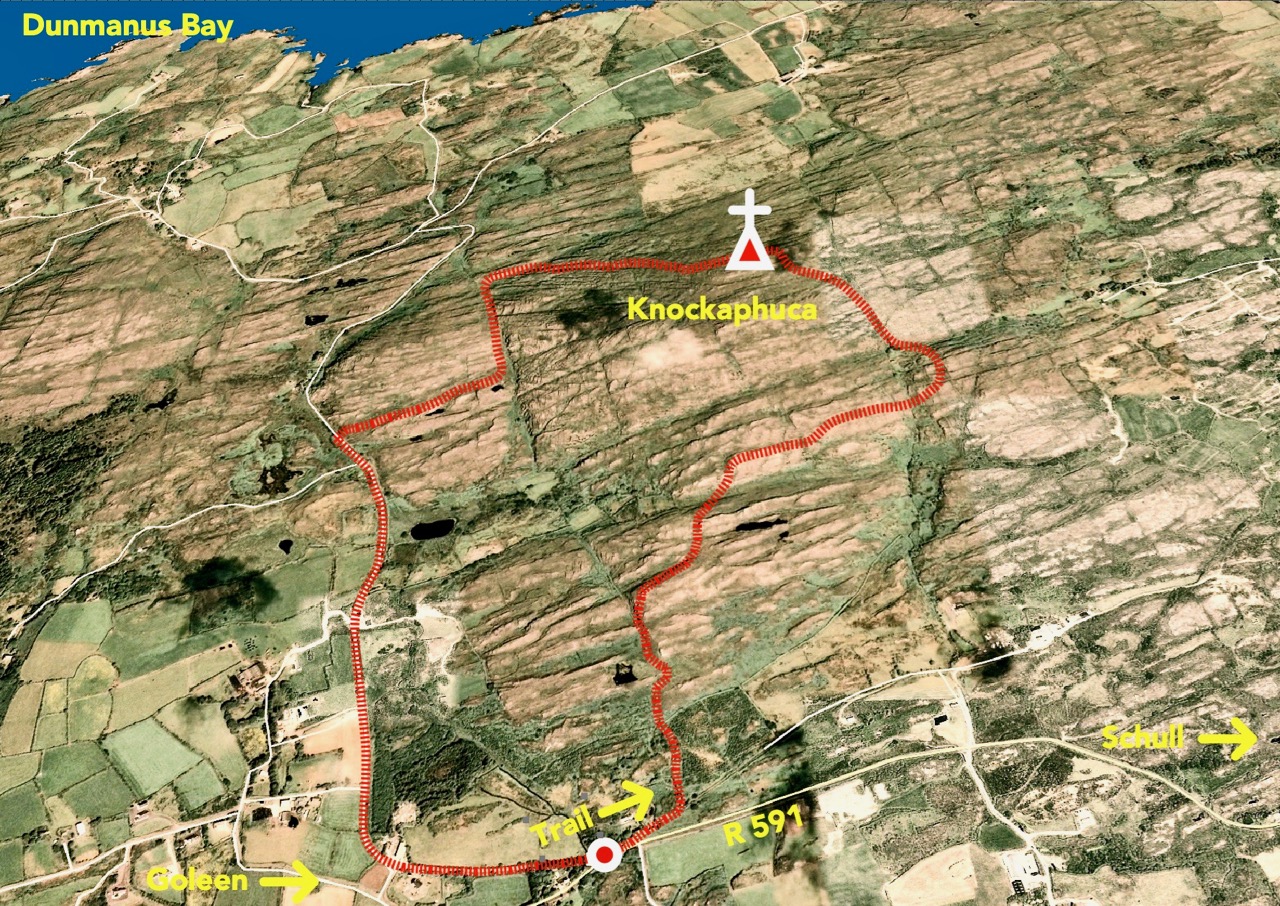
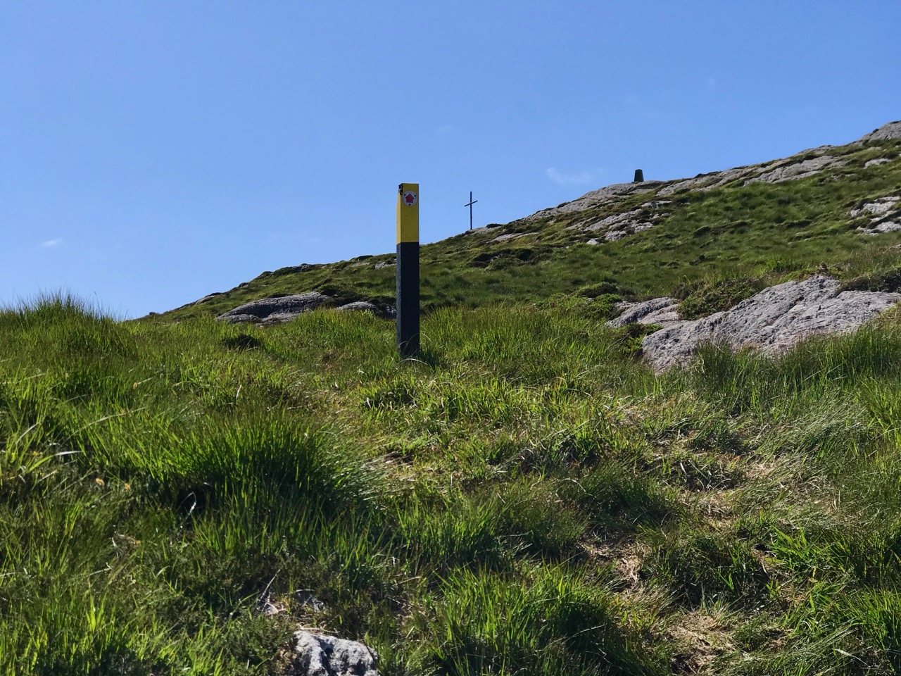
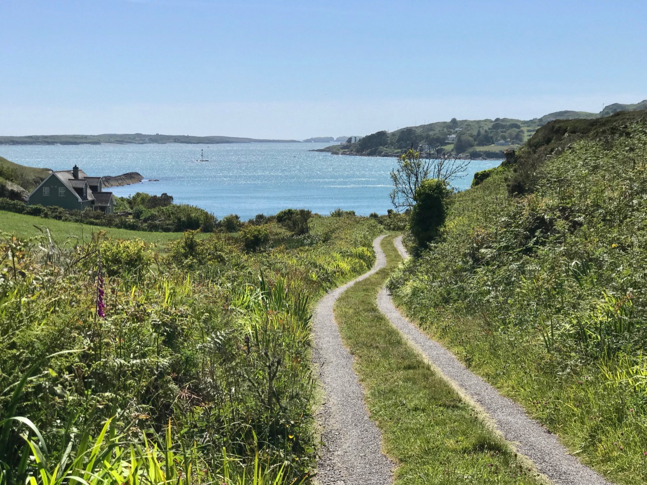
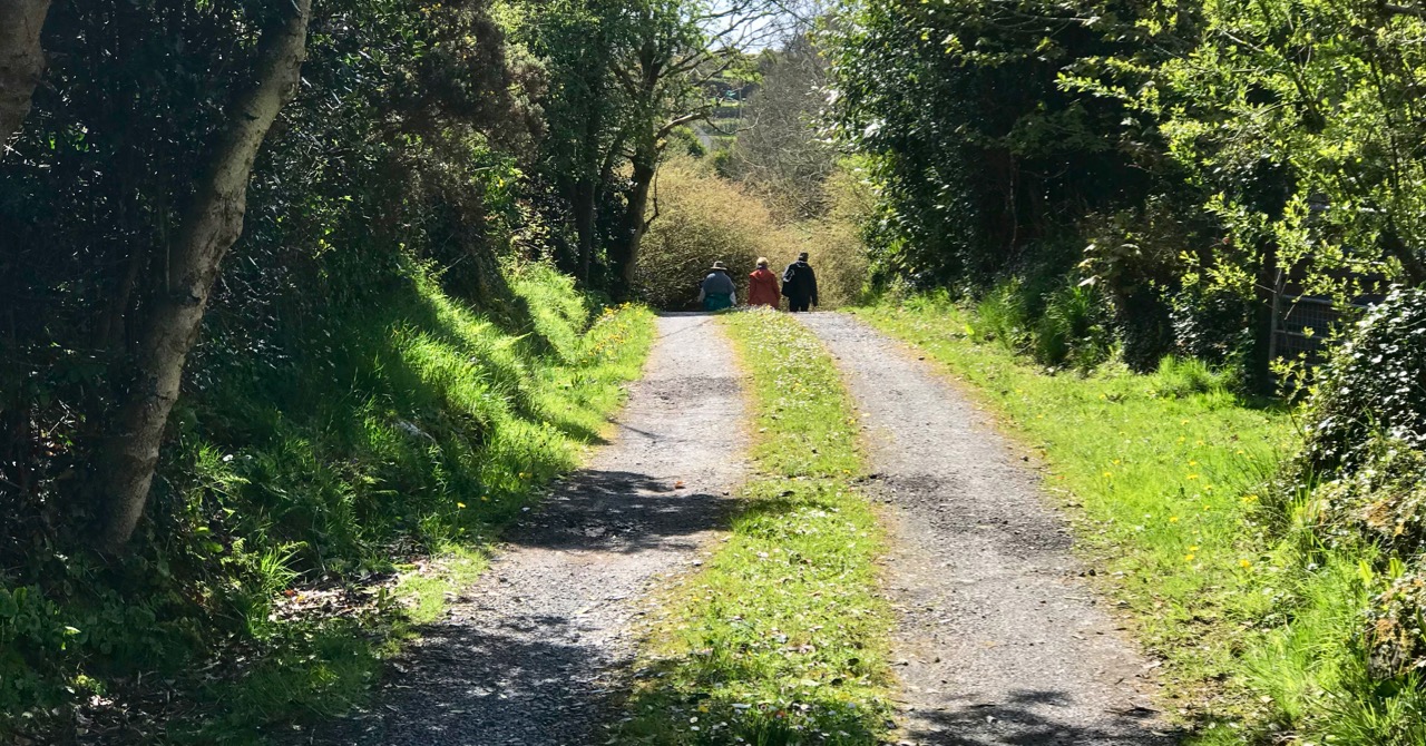
In fact the full Knockaphucka Loop trail starts in Goleen, and is 10km long. We joined it as it leaves the R591 road north of the village (upper picture – the route goes off to the left). The map above has the mountain section (which we followed) superimposed on the Google Earth contour information. The section we walked is 6.6km long, and climbs about 200 metres.
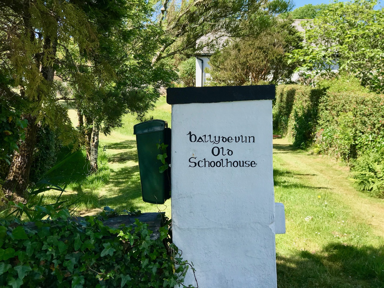
One of the first landmarks on the way is right at the point where the marked track to the mountain leaves the main road: Ballydevlin Old School House (above). There is another ‘Ballydevlin Old School’ nearer to Goleen; presumably one was the National School (established c1831) and the other may have been a denominational Church of Ireland school. This peculiar Irish duality still exists today in many places.
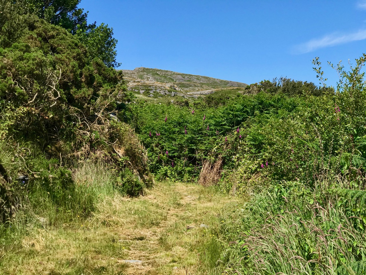
Once on the marked track you are in a paradise! An ancient green road takes you part-way up the mountain, passing through small gorges which must have been cut out long ago: even if you are not a geologist you can’t help being impressed by the rock formations – they could be works of art.
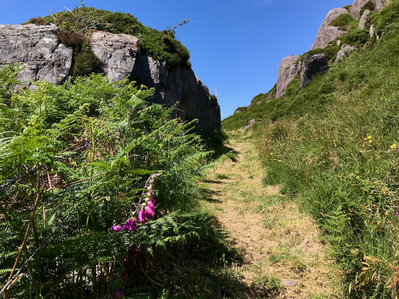
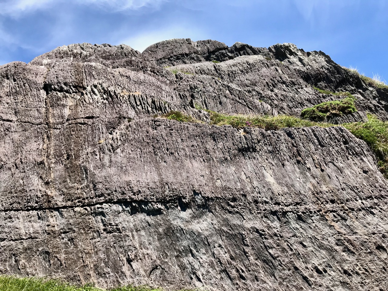
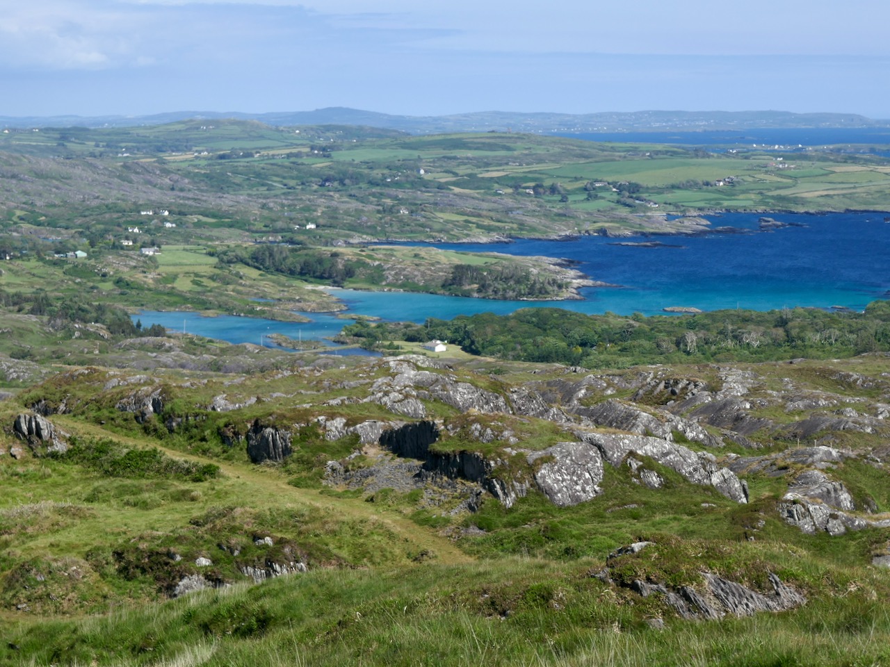
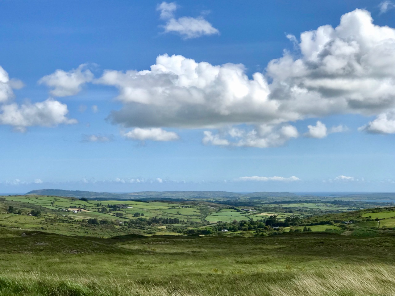
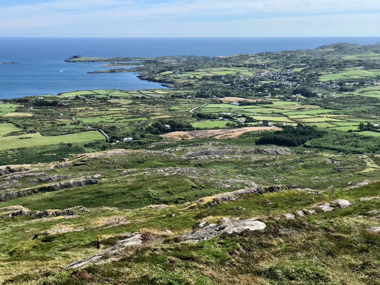
After a while the path turns to the east and follows narrow, grassy glens bordered by majestic, serpent-like outcrops. It’s here that the views begin to open out, particularly to the south. Always you think that there couldn’t be a finer prospect over the Mizen and across the islands of Roaringwater Bay, and always – as you climb higher – you are surprised by the next, which is even better.
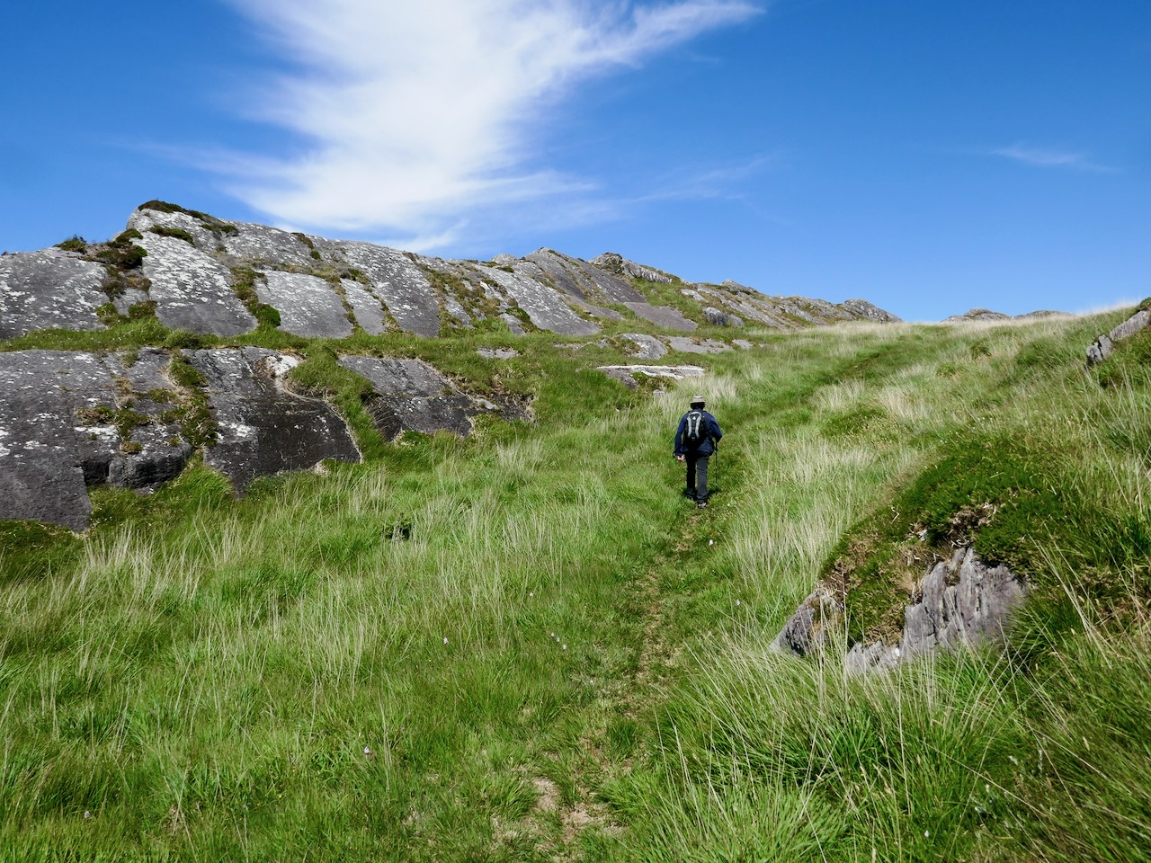
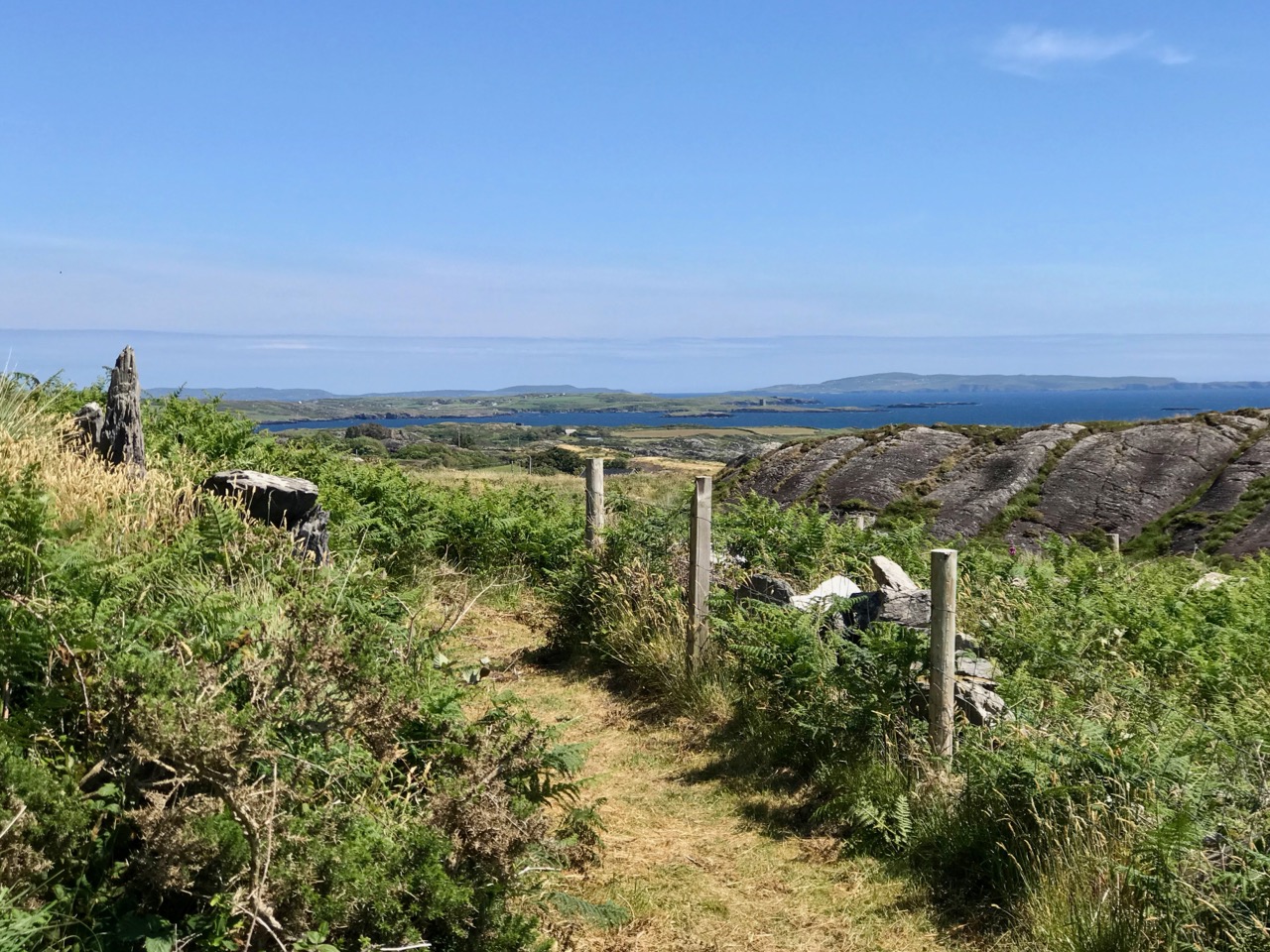
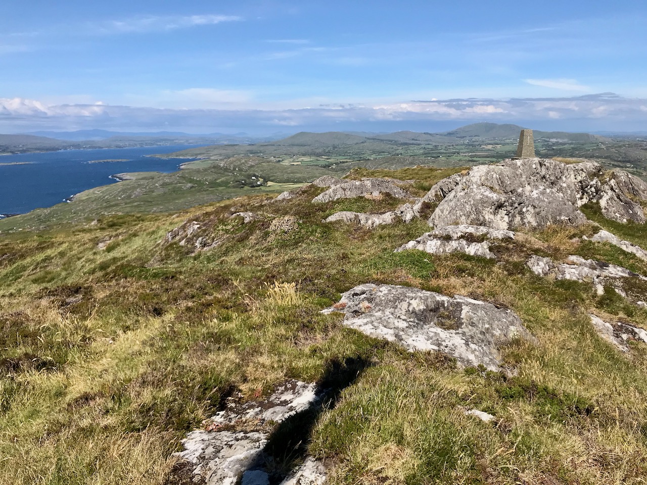
Twists and turns take you more steeply across the contours and swing round towards the summit. Only then is the full picture revealed: the whole landscape set out below you – every rift, valley and glacial glen with the higher land beyond culminating in the crests of Gabriel, 407m high, to the east, and the ‘little’ Mizen Peak, 232m high, to the west.
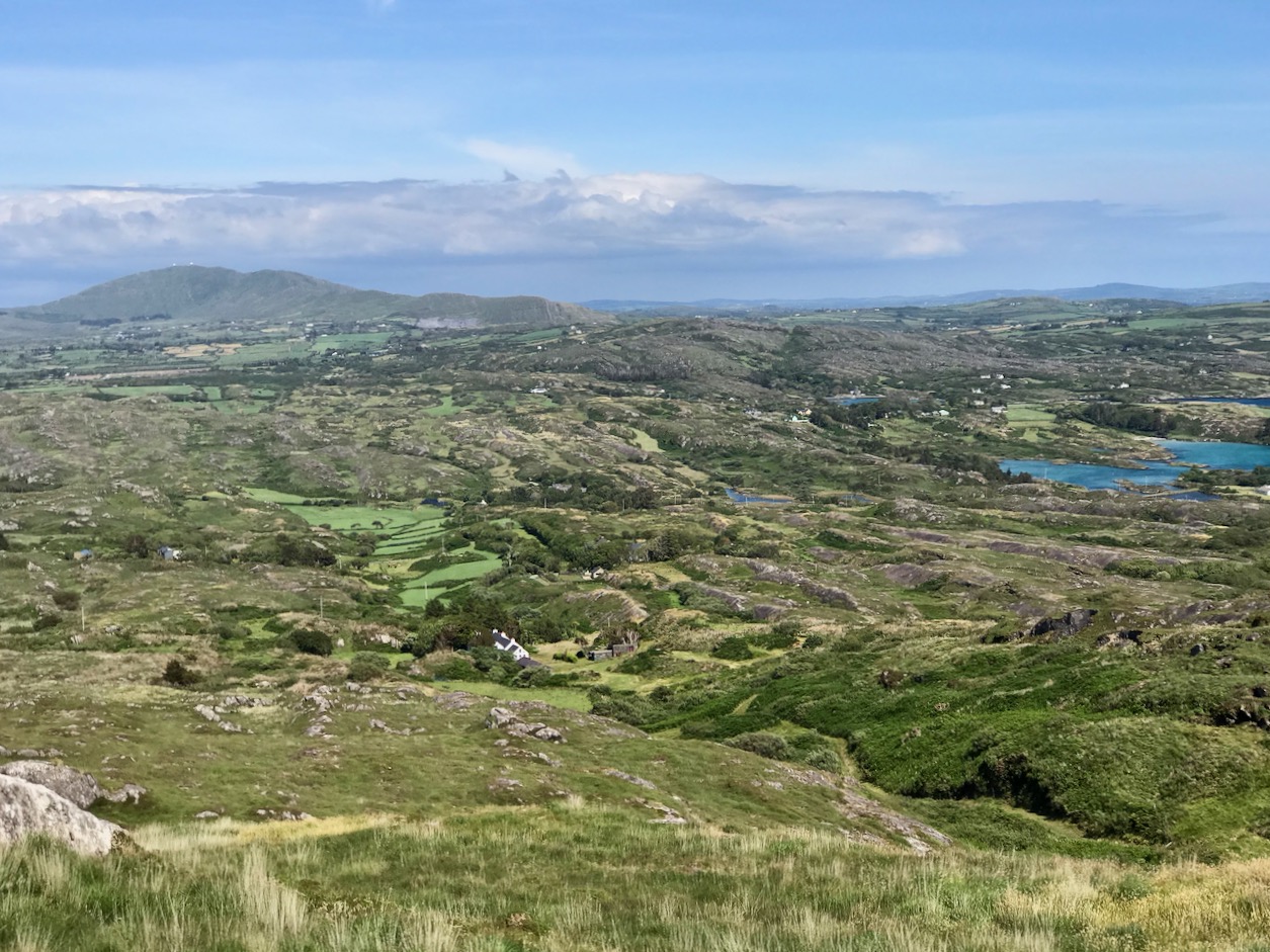
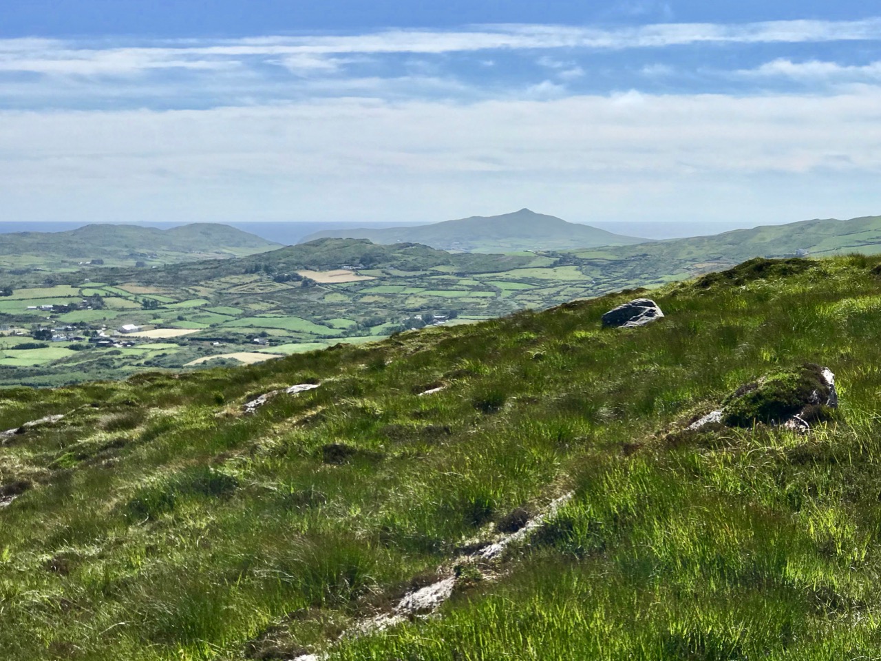
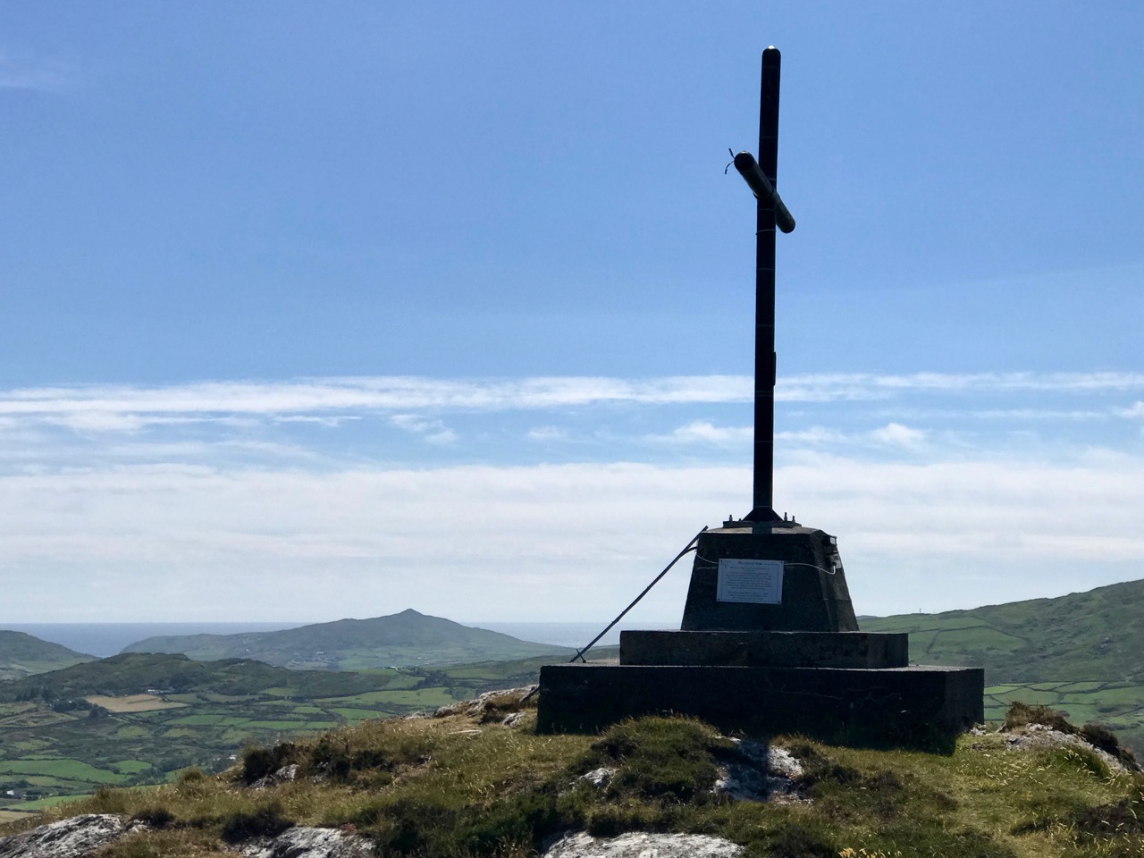
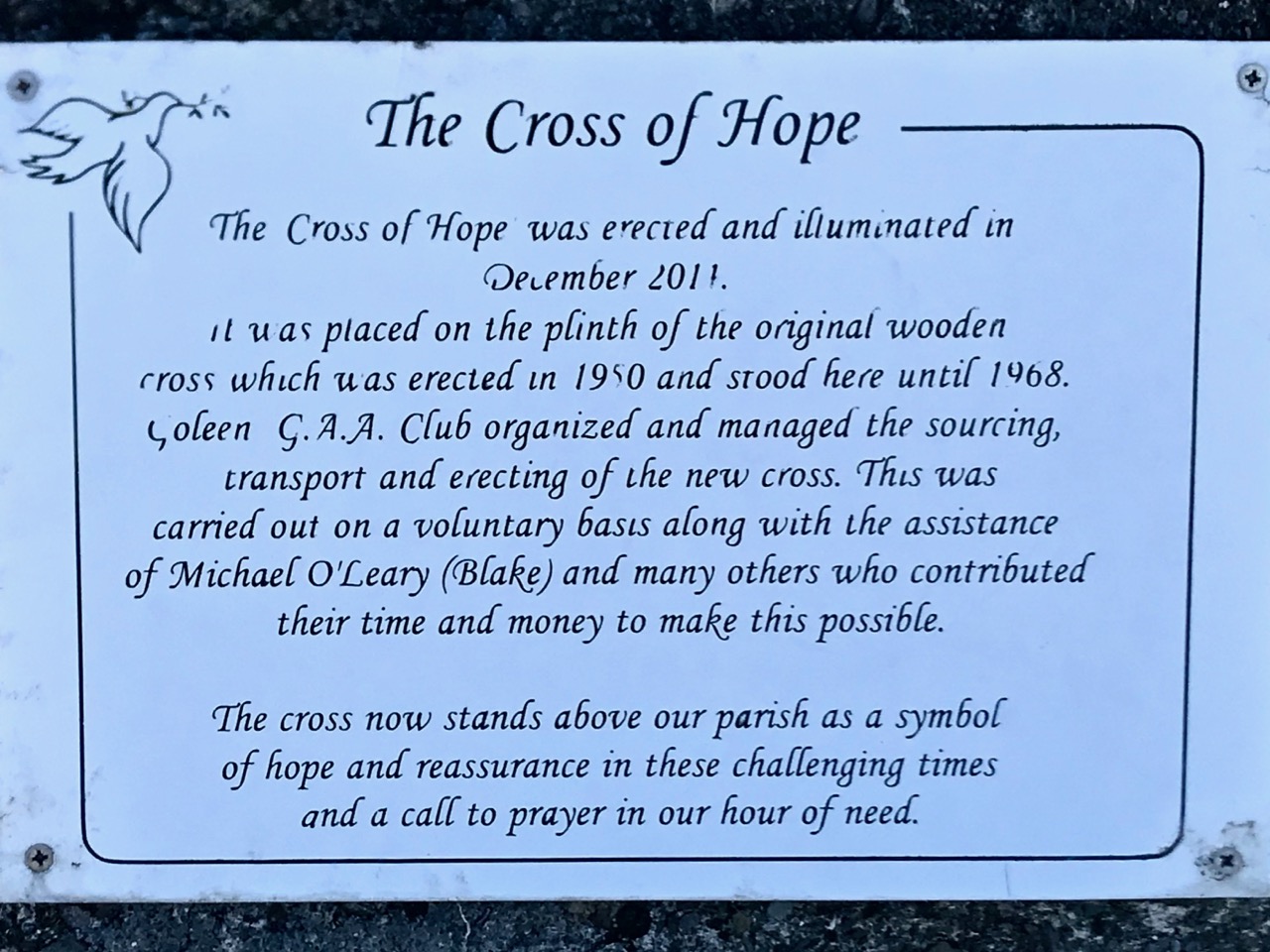
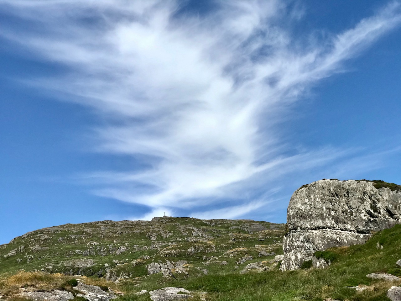
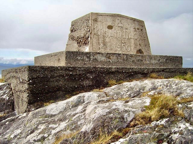
You won’t get lost as you head for the summit: this mountain had a distinctive cross placed at its highest point in the Holy Year of 1950, which reportedly fell in 1968, leaving the inscribed concrete plinth intact. The photo below shows the plinth in 2006 – courtesy Richard Webb. A new cross was installed in 2011 by a community effort led by the local GAA: this is now visible from much of the trail. The plaque mentions ‘…these challenging times…’, referring to the financial crash that hit Ireland so badly around that time. Illumination of the cross today is provided by photo-voltaic cells.
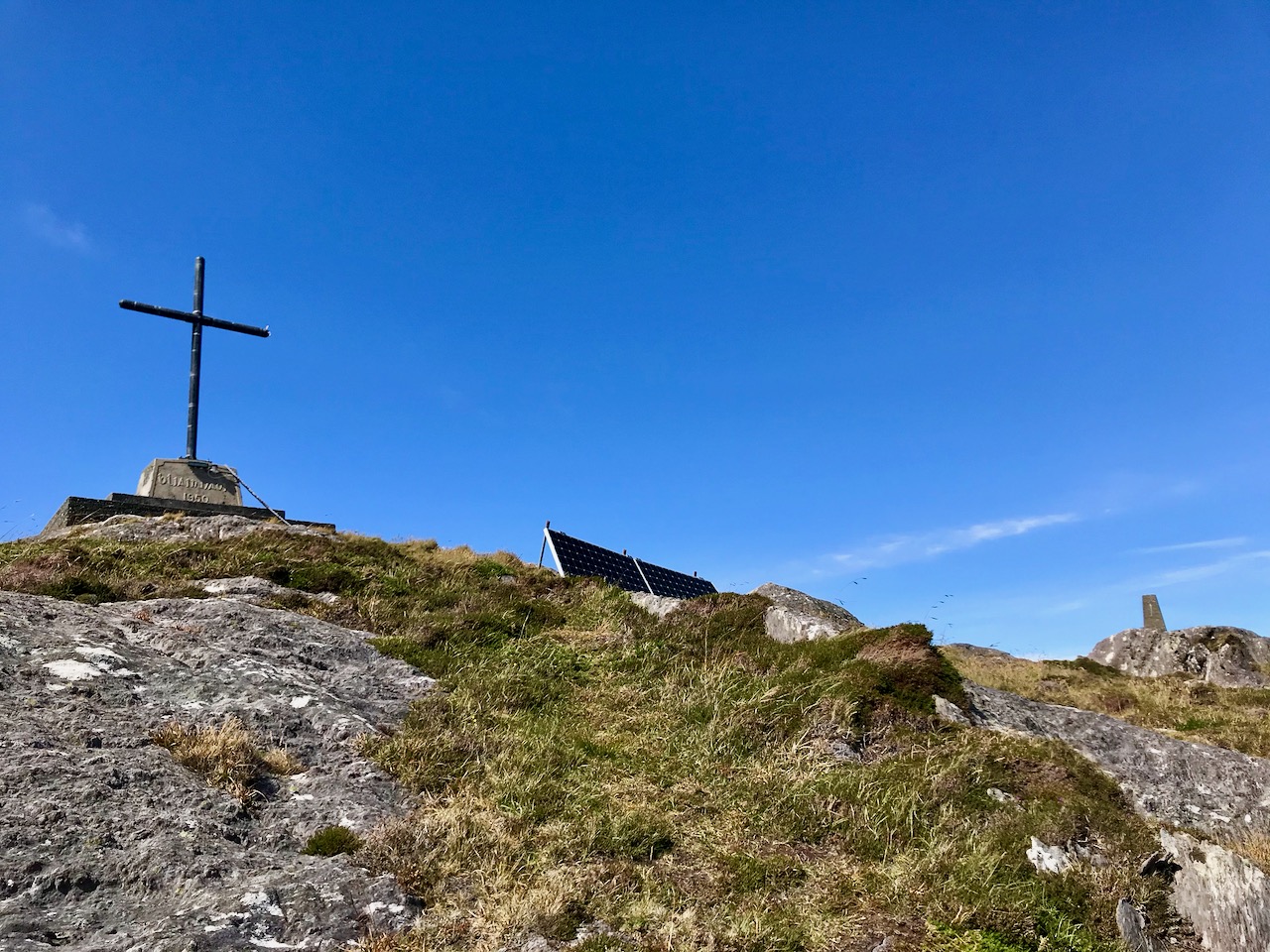
When you get to the top – pause… Now is the opportunity to appreciate the spectacular views in every direction. On our outing the south wind had been building up all day and was at its strongest in the late afternoon, when we gained the summit. It was pretty hard to remain upright! In fact, I wondered if we were being given a message by the resident Púca whose domain this is, after all?
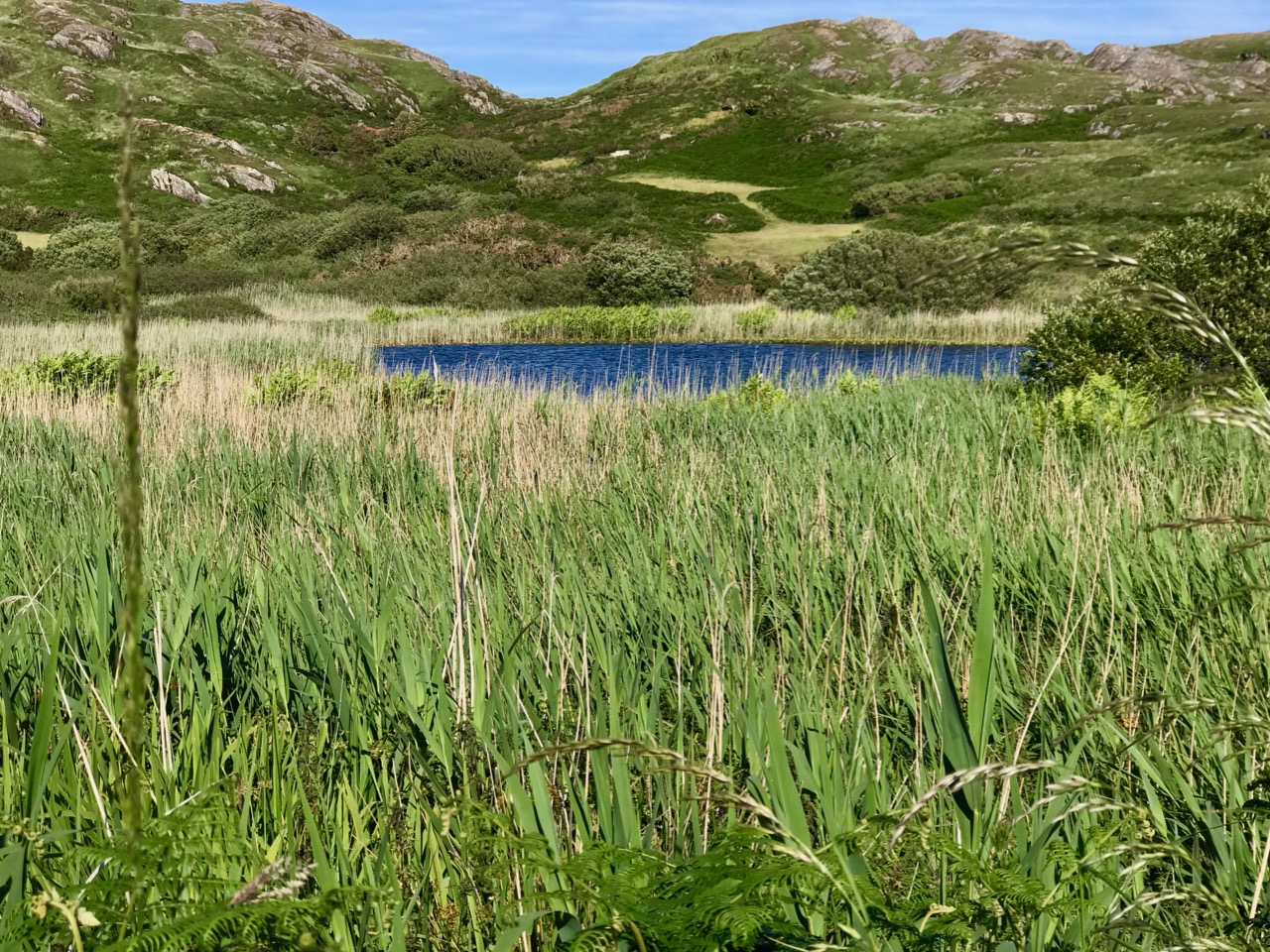
The path down descends quite steeply: make sure you are well shod and vigilant. But you are in for further treats: the marked way passes by some peaty mountain tarns which are exquisite in their pristine beauty. Finola was in her element finding undisturbed native species such as water-lilies and sundews.
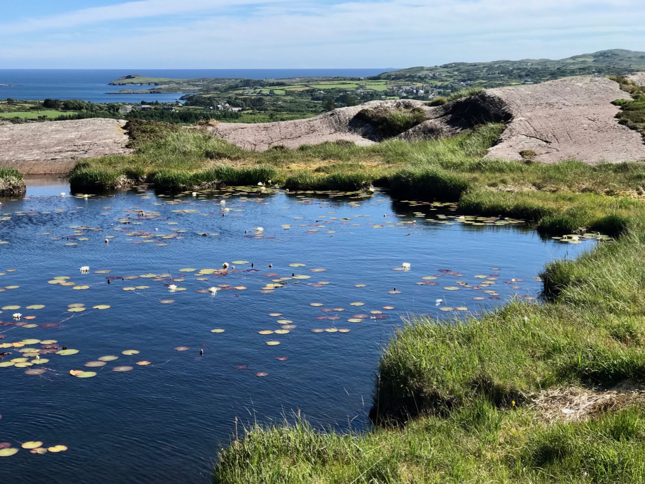
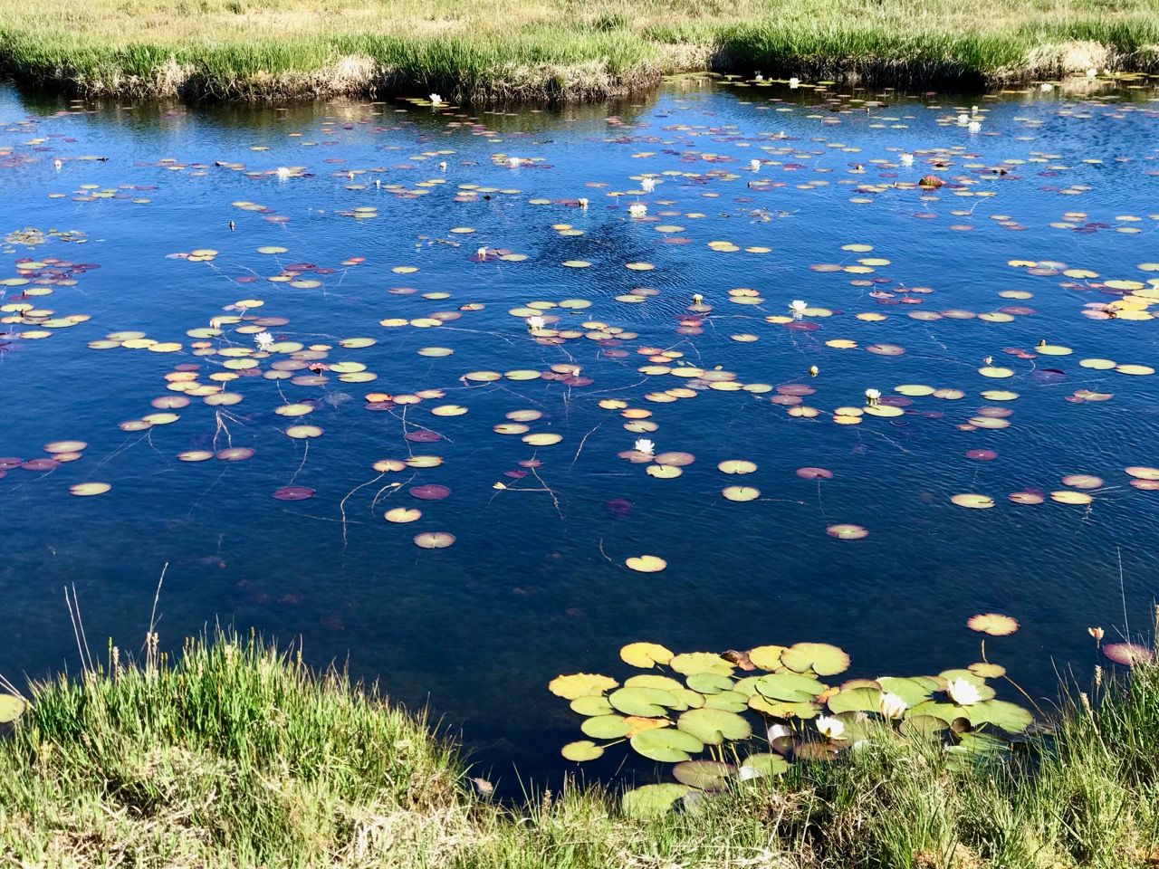
The mountain trail section ends on the small boreen running to the west of Knockaphuca, but the waymarkers will lead you back to the starting point, and there are still views up to the summit to enjoy, along with some landscape features on the way to continue to stimulate the senses.
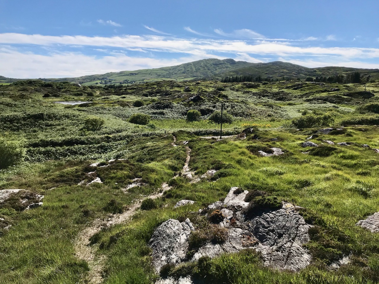
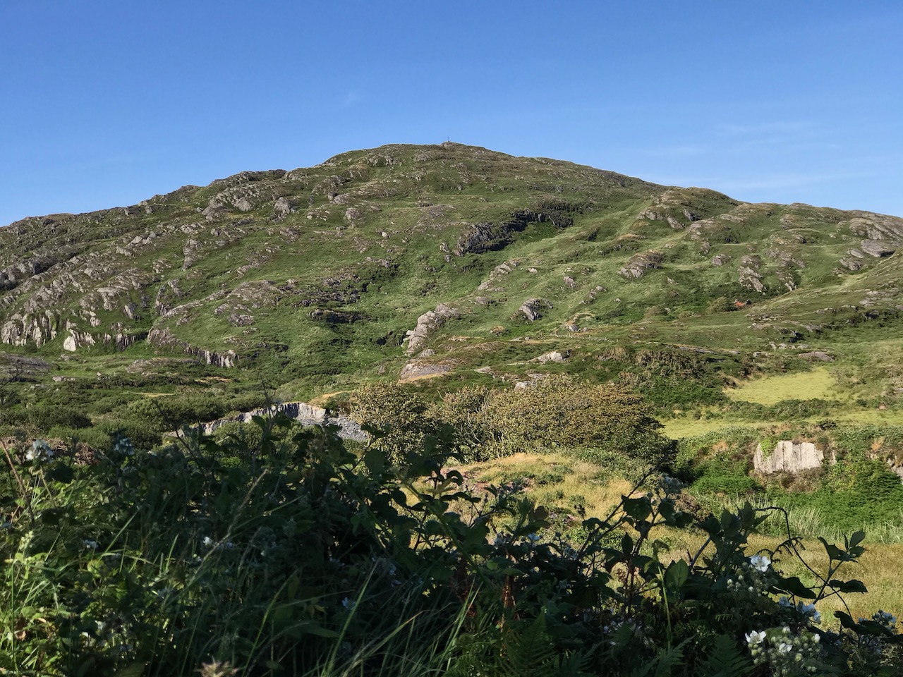
What more could anyone want from a day’s outing in West Cork? Well – a bit of local history, perhaps. I searched for stories about the hill, particularly about the Púca – but only turned up this one told by Jerry McCarthy and included in Northside of the Mizen, the invaluable collection of Tales, Customs and History produced by Patrick McCarthy and Richard Hawkes in 1999:

The Púca of Knocnaphuca


The old people would feed the Púca of Knocnaphuca on ‘Snap-apple Night’, or indeed, whenever one had call to travel up the hill. It was the wise person that fed the Púca the night before going up. Milk and cake would be put on a plate and left outside the house and by the next morning the food had always gone!


The Púca of Knocnaphuca was half horse and half human. One late Snap-apple Night there was a young lad out walking the road when he heard a strange, sweet music coming from the hill. He went up and saw the Púca playing on a whistle. As soon as the lad had put eyes on it, it stopped playing and caught him. Away the Púca went to the top of the hill, where a crack opened up in the rock. In they went. They were twisting and turning down through tunnels until they entered a chamber full of gold. “Now,” said the Púca, “you are mine!”…


The next morning the boy was found on the road by the Long Bog. His hair had turned white and he could not speak a word ever after.
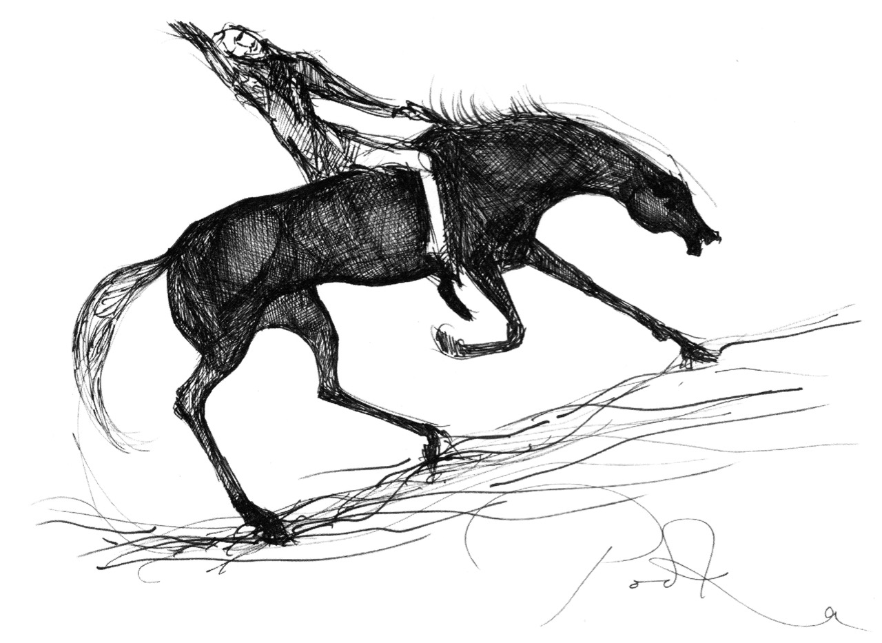
Thank you to our artist friend Hammond Journeaux of Ballydehob for this wonderful drawing of ‘Pooka’, included in The Little People of Ireland by Aine Connor, illustrated by Hammond, The Somerville Press, 2008. Púca in Ireland has counterparts in Cornwall (Bucca), Wales (Pwca), The Channel Islands (Pouque) and Brittany (Pouquelée). A shape-shifter (Flan O’Brien’s character from At Swim-Two-Birds, the Pooka MacPhellimey, changes his appearance by smoking from a magic pipe), the Púca most often appears in Ireland as a fine black stallion with red eyes. If you meet him, you have to mount him and he will take you on a journey far across the sea. It will seem to you as though you had been away for only a few hours, but the world will have moved on several weeks, perhaps months, during your absence. We saw no trace of the creature in June but, perhaps, if we climbed this mountain in the November Dark, we would have more chance of an encounter.
Transcendent Prospects

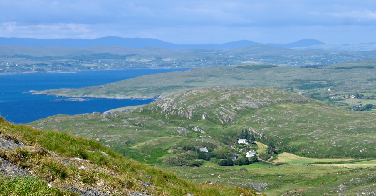
One of the advantages of the limitations that are placed upon us at the moment is that we have to look more closely at everything. We are seeing – and enjoying – the familiar landscape around us, so I am looking out, now, for the transcendent qualities it has to offer. [Transcendent: adjective – beyond or above the range of normal or physical human experience; surpassing the ordinary; exceptional.]

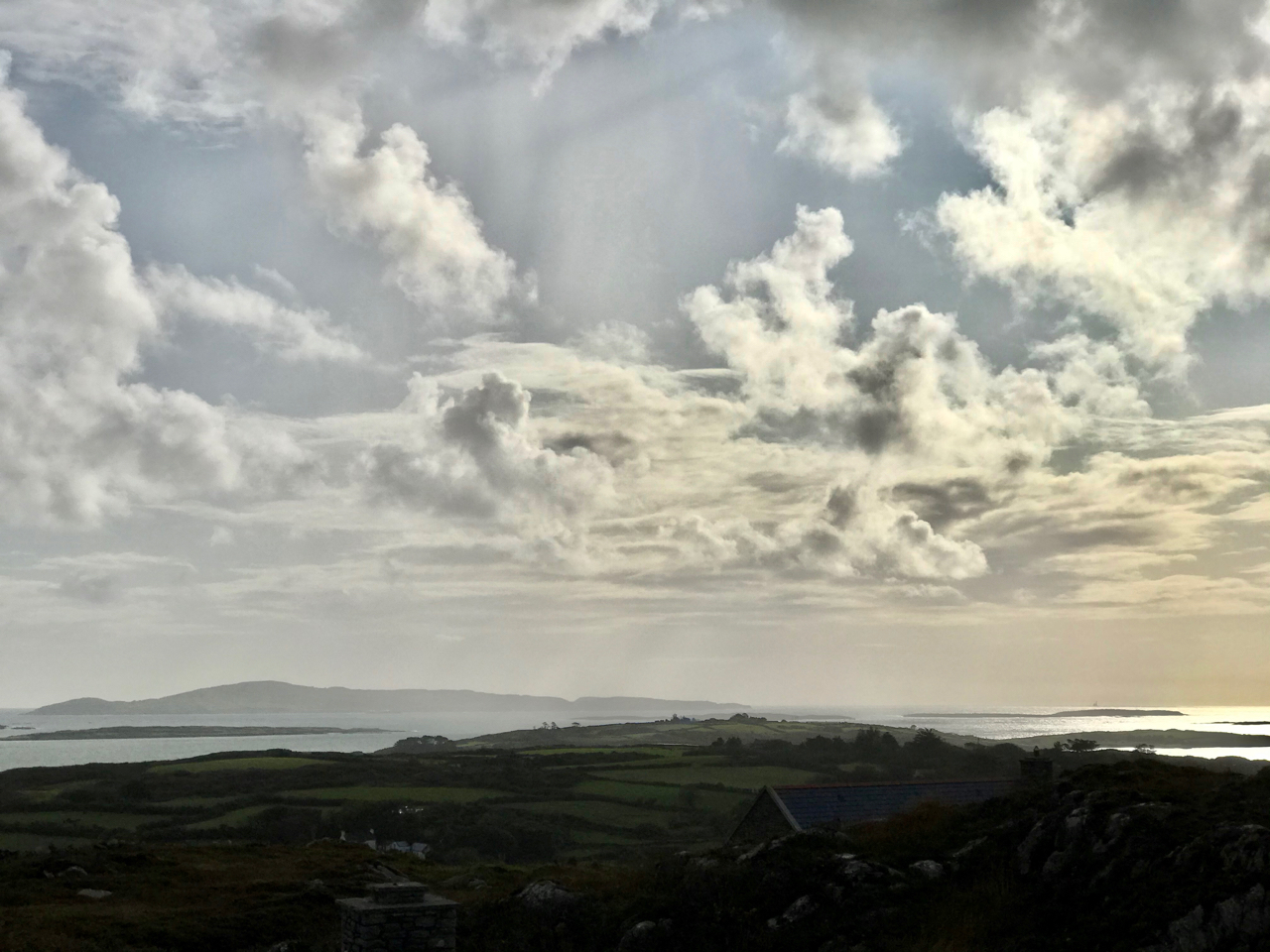
Waterscapes at Ballydehob, Schull and Dereenatra. Header: cloudscape over Cape Clear, Horse Island in the foreground

So, over the last couple of days I have wended my way around the boreens of Cappaghglass, Stouke and Ballydehob – armed only with my iPhone camera – to see what I can record to intrigue and delight you. I have looked, particularly, for the quality of light that the currently ubiquitous sun is casting on to our green fields and hedgerows, our evanescent skyscapes, and the waters of the bays that surround us. In Cornwall – where I spent many years – it was the quality of light that was all important to the artists who came to the little fishing communities of Newlyn and St Ives from the late nineteenth century, and even into the present day. They were searching for something which was and is missing in towns and cities: clear, unpolluted air, constantly infused with tiny droplets of water arising from the sea which surround that western peninsula. We have the same quality on our own Mizen Peninsula: it’s that moisture laden air which captures and refracts the light, enhancing clarity and colour – and our own artists always did and always will respond to that.

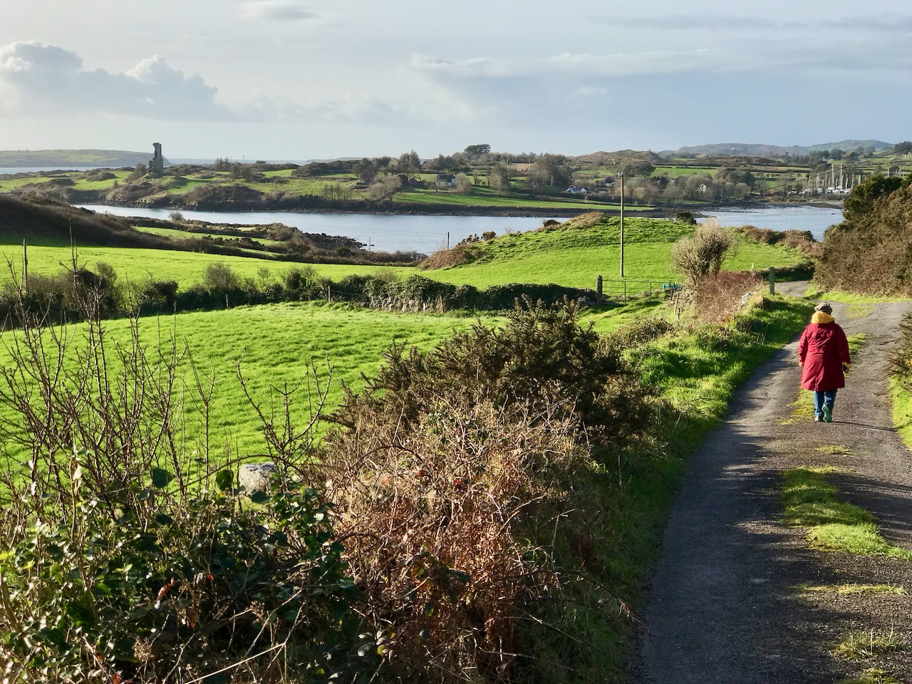
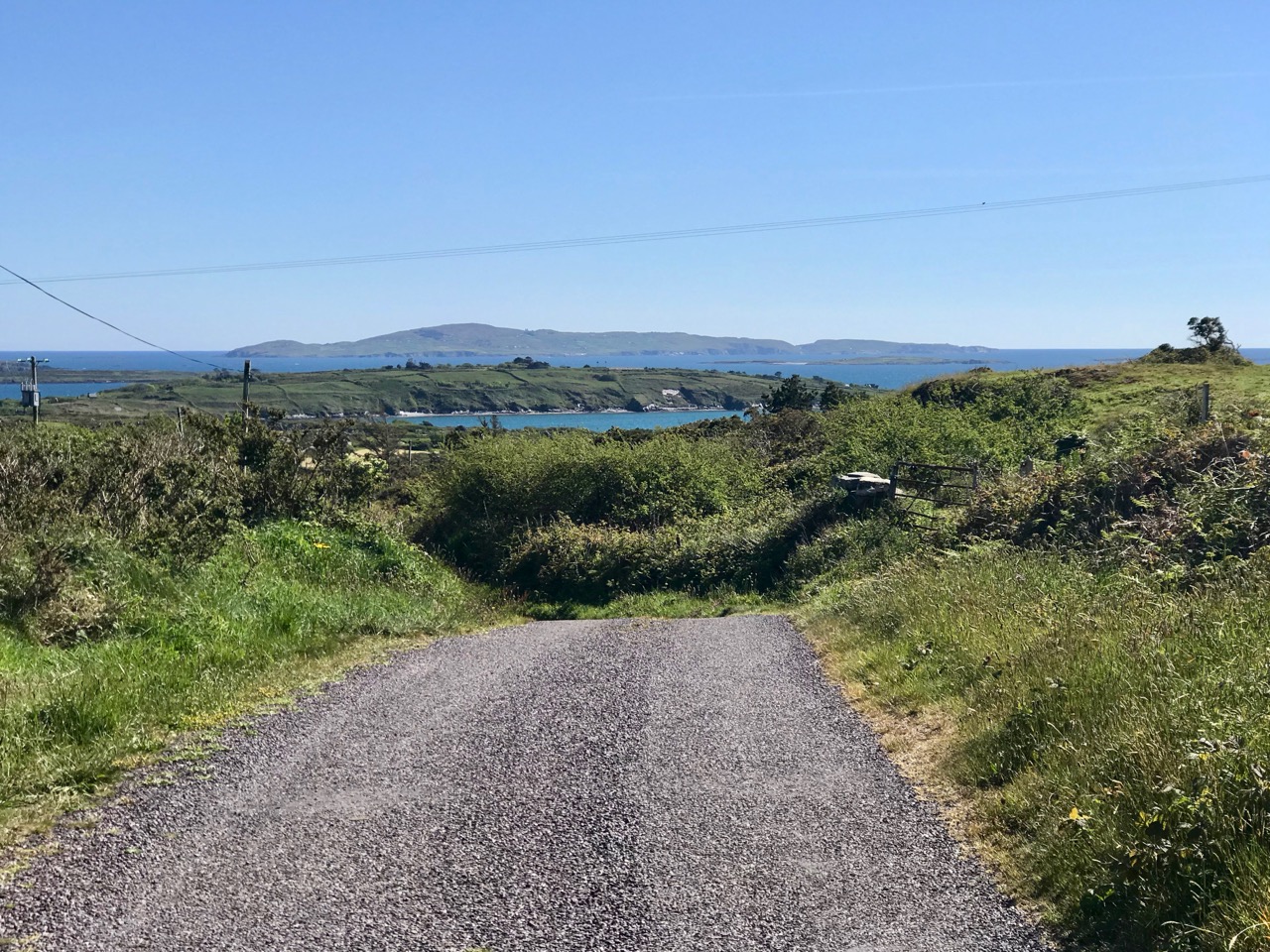
We sometimes drive further afield in West Cork, so that we can take our exercise with a change of scene. But all of the photographs here are relatively close to home. The clarity of the light is apparent: the detail of the distant hillsides is picked out even by the phone camera. The colours – all those greens and the blues of skies and water are true to life.

Our favourite views are often dominated by the distinctive profile of Mount Gabriel in the distance. This is the highest point of land on the Mizen, and must have been an important waymark throughout history, central to the orientation of travellers through this area, and probably imbued with significance and ‘stories’. My favourite is the one that says the Archangel had heard of the inherent beauty in the Irish countryside (highly believable to me!) and ‘touched down’ on the top of the mountain, leaving his footprint on the rocks. Here’s a post I wrote about Mount Gabriel – and its associated stories – six years ago.

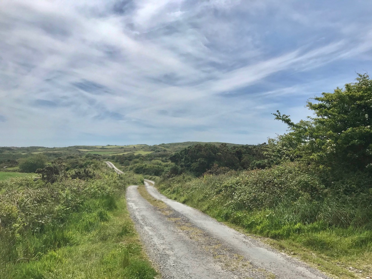
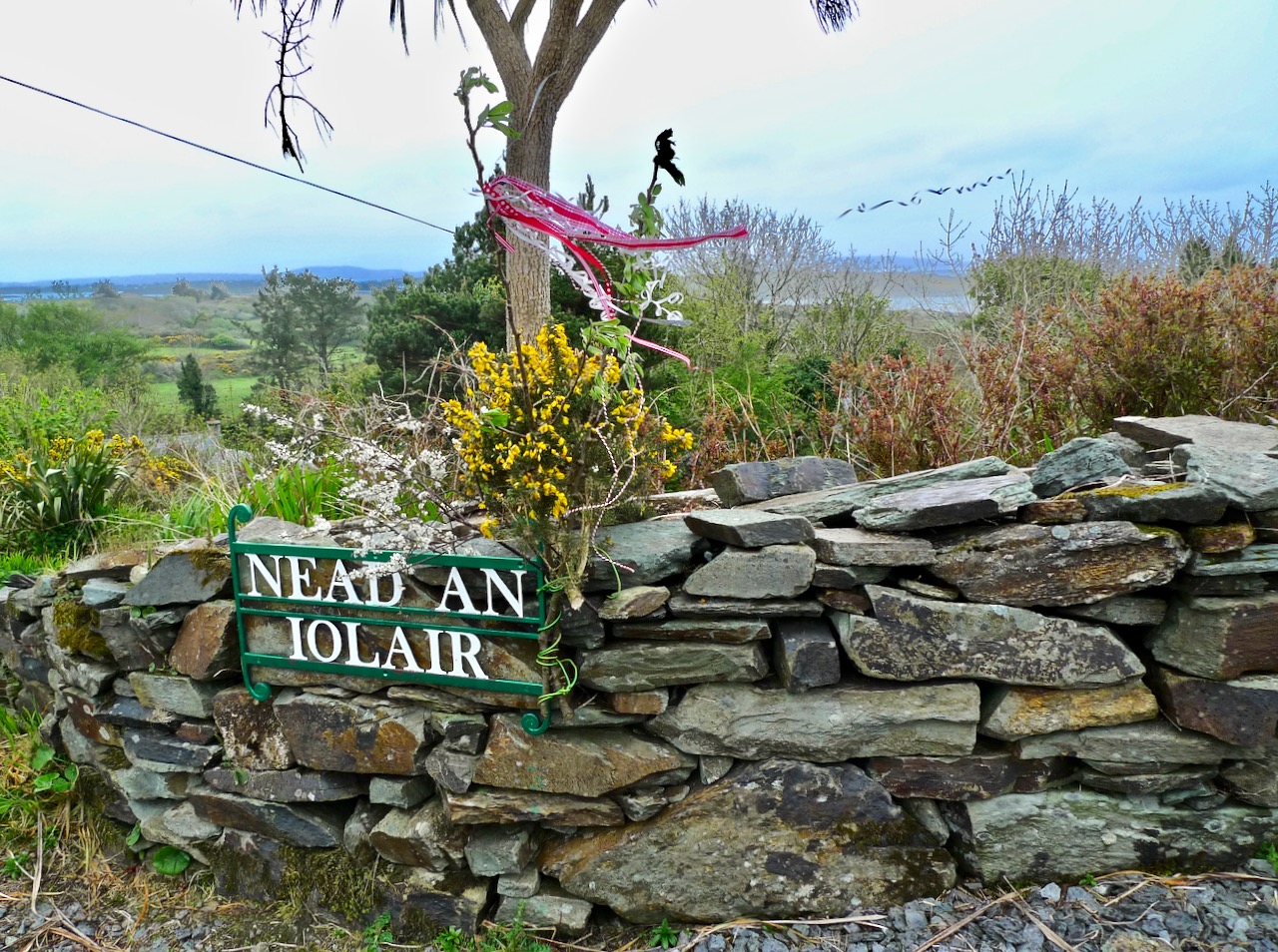
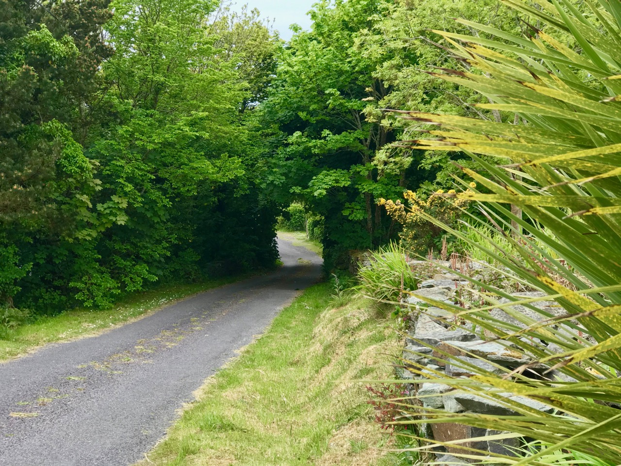
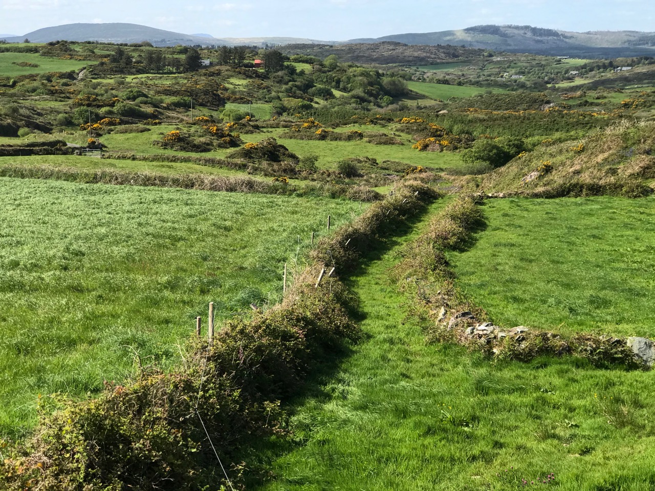
I don’t want to overdo the West Cork boreens (you can see lots more of them here), but I just can’t resist them! Perhaps it’s what they symbolise – our journey through life, pathways leading us on optimistically into our own futures? When we are exploring overgrown lanes, like the one in the middle picture above, there is a sense of excitement about what we might find through the trees or around the corner: in this case, we were led to an abandoned house. What mysteries are contained there: lives fully lived and now departed. The lower picture is the boreen that leads us home from Stouke to Nead an Iolair: always one of my favourites.

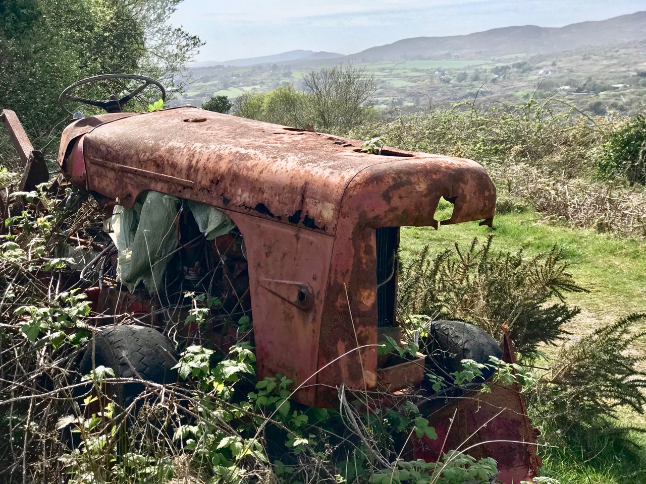
Upper – the colourful remains of an old tractor enhance (for me) the views from the Butter Road running out of Schull towards Ballydehob. Lower – this track is a highway leading down to the beach at Coosheen.

We look forward to the Covid19 restrictions being lifted, but it will be a while yet before travel constraints are removed. Even when they are, we will still appreciate what we have around us, and we won’t neglect the transcendent beauty of ‘our’ townlands and the sublime scenes that await us daily just a few steps from home.

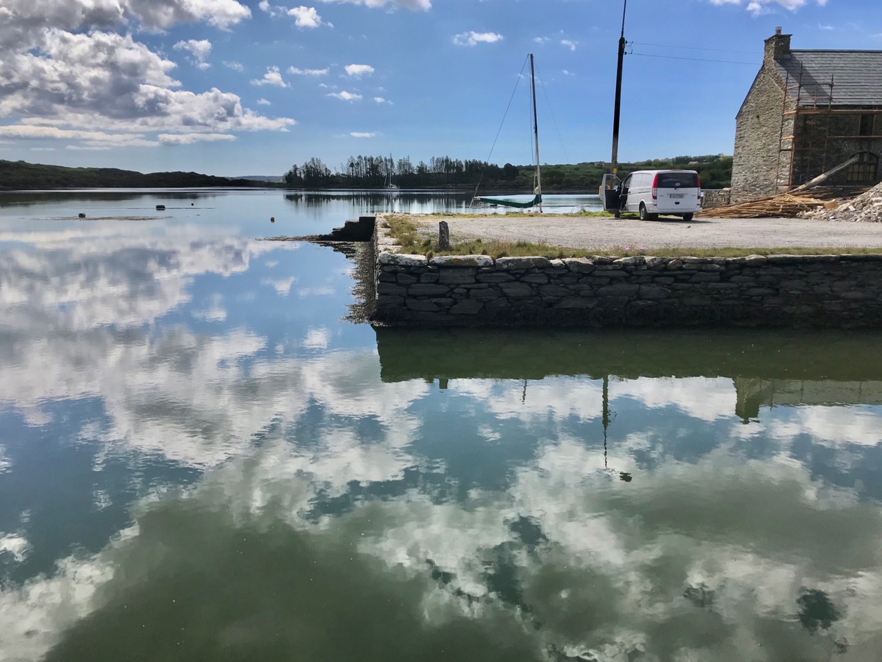
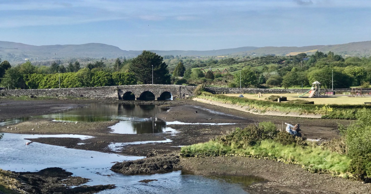
Back home: (upper) reflections by the once busy quay at Ballydehob with (lower) the road leading into Ballydehob passing over the three-arched bridge, overlooked by higher land to the north

If you want to read more about the artists in Cornwall who were influenced and inspired by the landscapes of that Celtic kingdom, read more here and here.

And for more about the West Cork artists’ community – there’s a website (and a museum) dedicated to their history here.

Quest for the Lone Whitethorn

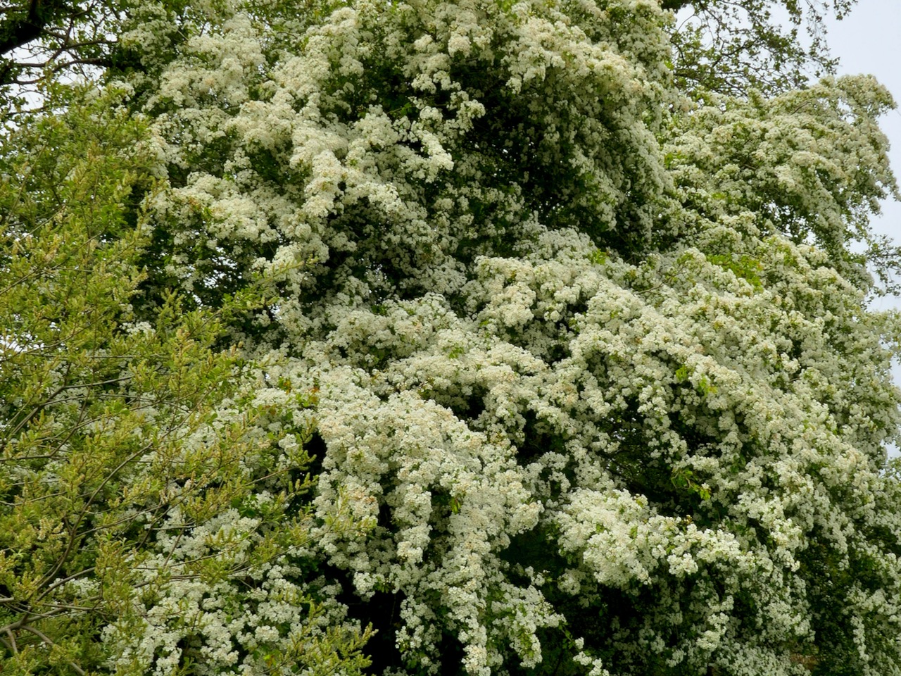
The crowning glory of our West Cork hedgerows, highways and boreens at this time of the year is the May bush – Sceach Gheal – Hawthorn or Whitethorn. The example above is on the way down to Ballydehob, just a few minutes’ walk from Nead an Iolair: we can’t resist stopping every time we pass to admire its brilliance – a shining presence among the abundant greenery of the early summer that’s all around us in these quiet days.

You have to get up close to fully appreciate the wonder of the tiny individual blooms that contribute to the billowing white cloud effects we see wherever there is a May bush in the hedges. We have one right outside of our bedroom window (see Rossbrin Castle in the distant view):

Such a visually striking tree has attracted many traditions and superstitions over the generations – and pisogues like these never really go away. A good account of many surviving beliefs in the British Isles is given in The Hazel Tree Blog.

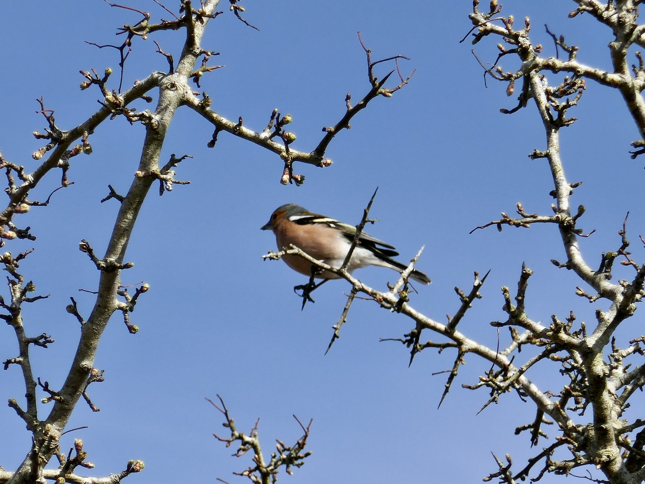
Of course, the May Bush is a thorn – a spiky tree, seen here before the blossoms come out. Even if those pisogues about it being unlucky to bring it into the house didn’t protect it from being cut, then those thorns would certainly be a goodly deterrent. This great picture, with chaffinch, was taken by Finola, who also provided many of the other photos here. Thank you, Finola! We admire the work of Michael Fortune, who lives in Wexford where, with Aileen Lambert, they have succeeded in re-establishing a May Bush tradition.

It’s been a quest of ours, when on our ‘lockdown’ walks – limited to 5km – to find the iconic ‘lone thorn tree’, out in a field, moor or open country, as this is the one imbued with the legends. So far we have been unsuccessful – the whitethorns around us all seem to be part of a hedgerow. In my English west country days – when I lived in the Celtic regions of Cornwall and Devon – I was aware of many solitary thorn trees, particularly out on the moors. Being in exposed locations they were usually distinctively shaped, bending away from the prevailing winds.

I had to search my archives for this photo of a lone thorn tree ‘bent’ by the wind: it was taken on the Sheep’s Head in June 2015 – after the blooms have faded. Always be careful of the solitary thorn for it guards the entrance to the realm of the Other Crowd. If you fall asleep under that thorn tree you will find yourselves transported into the kingdom of the old ones. It will not be an unpleasant experience – they will offer to satisfy all your thirst and hunger… But, if you accept, you will remain in that kingdom and grow old. One day they will release you, and it will seem as if just a few moments had passed since you left, but your aged body will very soon crumble to dust. This belief was as prevalent in Devon and Cornwall as it still is today in Ireland. Beware!

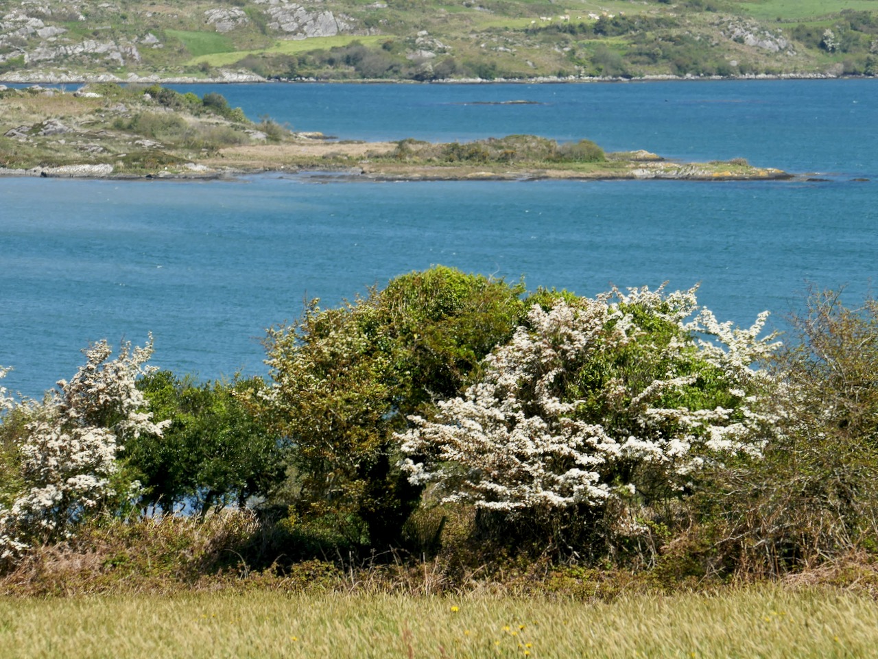
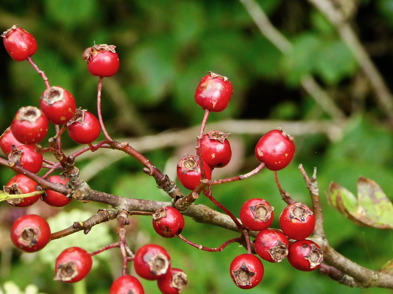
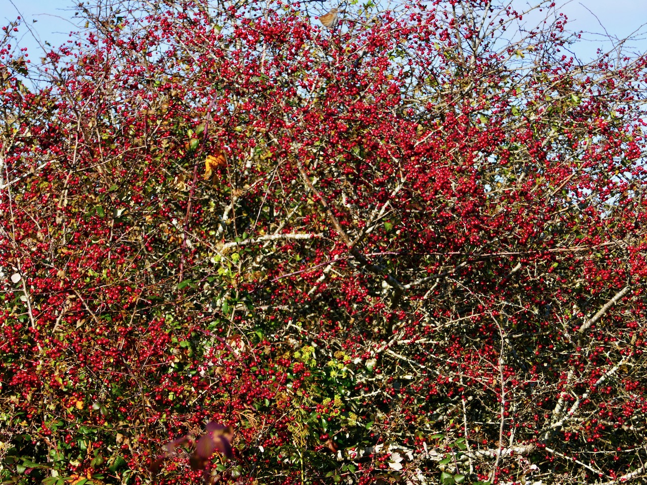
Close to home again – whitethorns in Ballydehob Bay. Once the blooms have gone, of course, we look forward to the haws, which are said to be edible but bland. They are traditionally used to make jelly and wine.

We could not be without the hawthorn trees which are all around us: they are lighting up our days in these times of anxiety and restriction – and they are reminding us of the continuity of nature and the constant cycle of the seasons. Life will prevail.

Our own May Bush a few years ago – blackthorn and gorse. We keep up the ancient traditions out of respect for the lore of our ancestors. If we don’t, the sun may never rise again!

Wending the Boreens

Only in Ireland can you wend your way along boreens. The Irish word is bóithrín, – a small bóthar (road). We are surrounded by them in our West Cork townlands. In these days of Covid19 restrictions, they are our whole world. With a maximum walk of 5 kilometres allowed, we can only ever be on boreens. But that’s no hardship – mostly they are beautiful (in fact they are all beautiful), and we enjoy every step we can take. So today’s post is simply a celebration of what is around us. But I have also combed the RWJ archives to look for boreens outside of our local area, for a bit of variety and comparison. Rest assured that any illustrations beyond our present limits were taken in other – normal – times!

Of course a ‘boreen’ or small road doesn’t have to be in a rural location, This fine boreen in Eyries, on the Beara Peninsula, is in fact a well used highway through the town, but you can’t deny that it is as atmospheric and picturesque as many of the rural byways shown here. It’s a moment in time captured for all time.

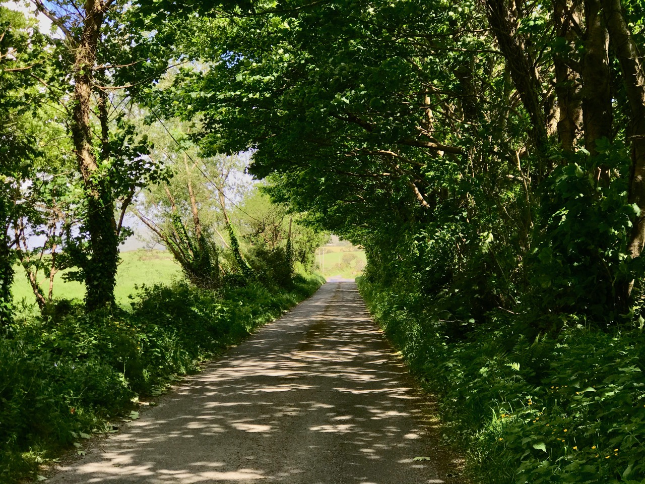
The photo at the top of the page is special for us: it’s the view we get when we turn out of Nead an Iolair, heading down towards Rossbrin Cove. And there (above) is our first glimpse of the sheltered harbour, overlooked by the medieval castle that was the home of Clan Chieftain Fininn O’Mahony in the 15th century. Not only do we have all the wonders of West Cork’s landscape on our doorstep, but we also have deep history as well…

How much closer can you get to nature than this ‘green’ boreen just a short walk up the road from where we live in Cappaghglass? The stone hedge banks have become completely assimilated into the surroundings, and are a haven for so many native species of wildflowers, as Finola will readily point out to us!

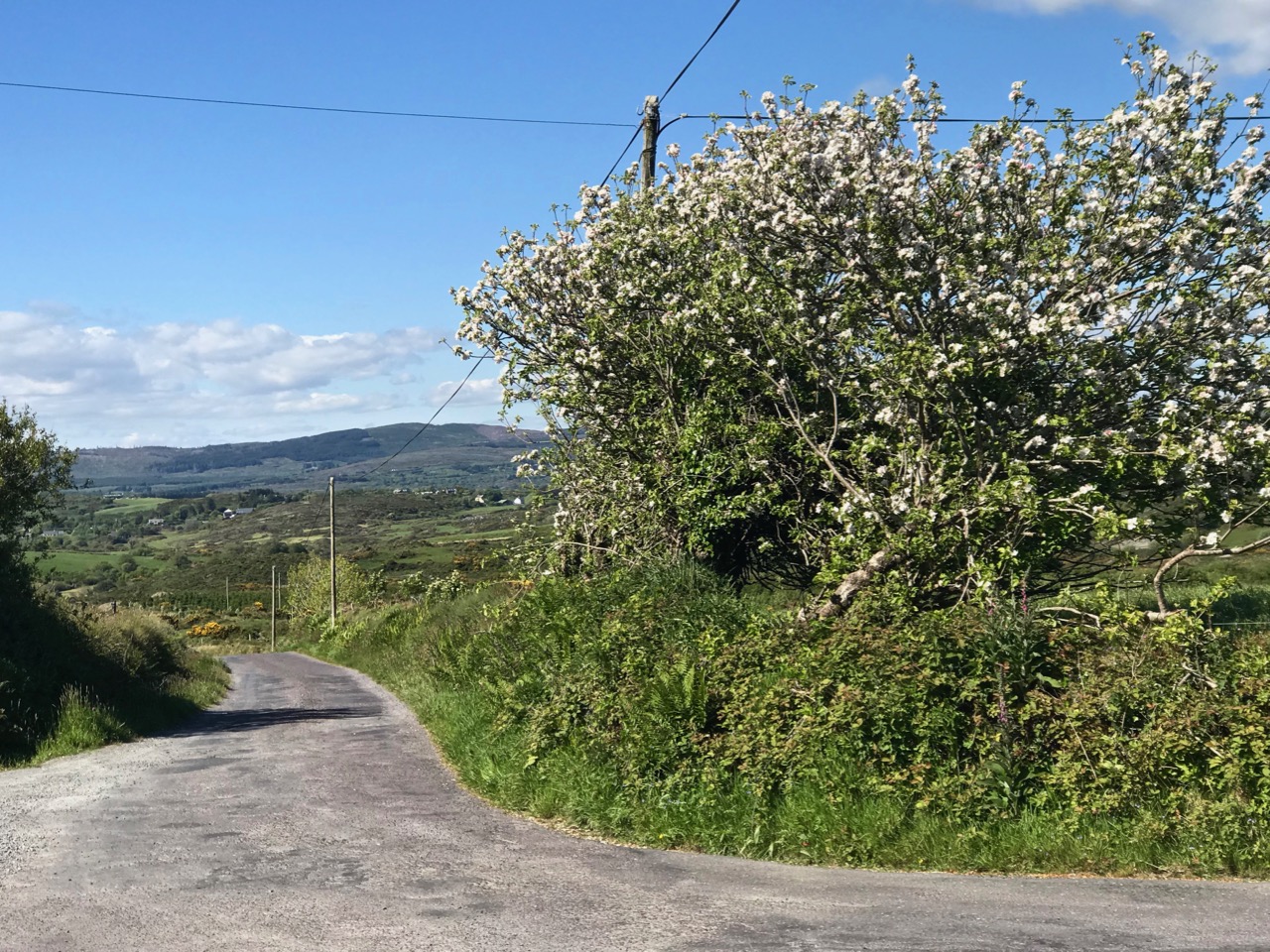
And just a few yards from that last green trackway is the boreen that takes us down into our village of Ballydehob. Those are apple trees flourishing as part of the natural hedgerow.

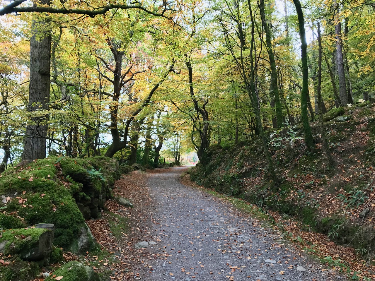
We have very little woodland around us here. This slightly mysterious tree-lined boreen was found on our travels near Glendalough, in County Wicklow, last year.

Close by the little harbour of Glandore (in Irish Cuan D’Ór – Harbour of Gold) in West Cork, we found a secluded boreen which pointed us towards an oddity: a pyramid in a graveyard – well worth a visit. Read about it in this post from two years ago.

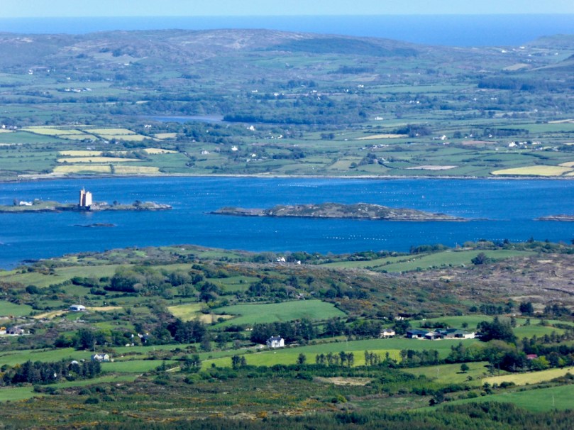
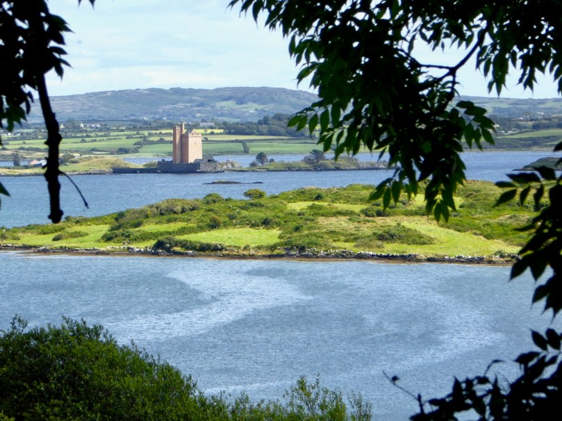
Returning to our own neighbourhood these two recent photos, taken only a couple of days ago, show how you can never quite know what you are going to find just around the corner or over the brow of the next hill. That’s Jeremy Irons’ Kilcoe Castle in the upper picture, and Cape Clear Island (on the horizon) in the lower one.

In contrast, here’s a little trackway that takes you up to the summit of the Rock of Dunamase in County Laois. This historic site with a view is associated with momentous events in the history of this country: in the painting by Daniel Maclise that hangs in the National Gallery of Ireland, The Marriage of Strongbow and Aoife is depicted as taking place at the now ruined Great Hall on the Rock. You can find the whole story of this most critical juncture in Ireland’s history in Finola’s post here.

Even further afield – in Ballymoney, Co Antrim – is this spectacular avenue of beech trees planted on the entrance driveway leading to an eighteenth century Georgian mansion, Gracehill House. This boreen – open to pedestrians – is known as the Dark Hedges, and we visited it when we explored the North of Ireland three years ago.

Although in normal times we travel a lot – on major roads and motorways, as well as boreens – the places we like the best are near to home. How could we not be impressed by the winding boreen that climbs to the top of Mount Gabriel, the highest point on the Mizen? Look at the spectacular views (above). The preacher Caeser Otway travelling in this area in 1822 wrote:

. . . On my way to Bantry I passed the dark and lofty Mount Gabriel and took my way over a dreary, comfortless tract of country. Let no one say after looking at these moors , studded over with cabins crowded with children, pigs, goats, cocks and hens that an Irishman is not an industrious creature . . . Men, women, boys and girls toiling up the mountainside with seaweed and sea sand in baskets on their backs . . . See them reclaiming from amidst rocks and bogs, patches of ground on which to cultivate their only food, the potato; and no one witnessing this struggle of human industry against nature, but must acknowledge that the Irish are a most industrious race . . .

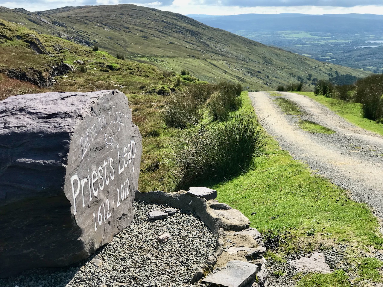
The 400 year old road that crosses the mountains from Cork into Kerry north of Bantry has to count as a boreen, as it’s single track for much of the way. The Priest’s Leap sign (above) marks the point at which the two counties meet. Although we have travelled all over Ireland in our explorations, this is still one of our favourite routes, and always will be. We so look forward to being able to go there again, when the present ‘lockdown’ is lifted.

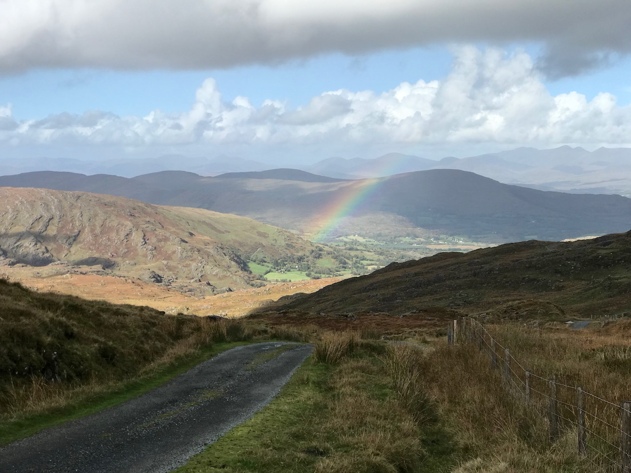
Another glimpse of the Priest’s Leap ‘boreen’.

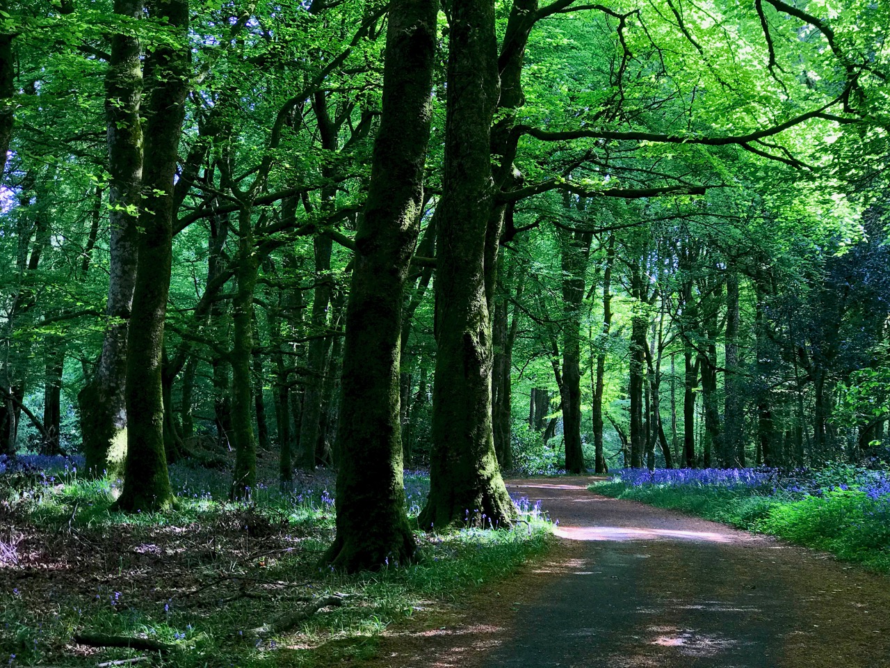
This elegant woodland boreen is a fine example of regency landscaping, being part of the Ballyfin Demesne in Co Laois. Like so many of Ireland’s fine luxury hotels, Ballyfin remains closed until the Covid19 restrictions are lifted.

We’ll finish this post where we started – near to home in West Cork, with happy memories of unrestricted rambles with friends along the quietest and most beautiful of Ireland’s boreens . . .

Kilcoe Castle – A Magnificent Reconstruction

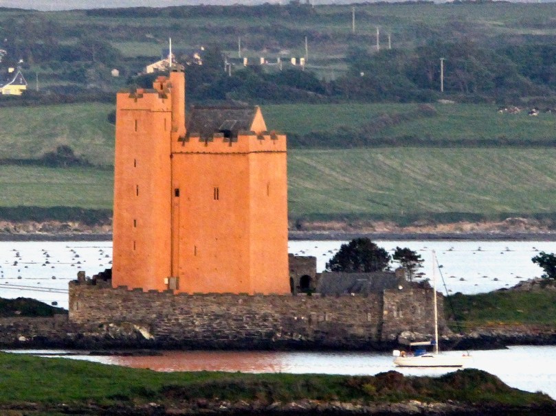
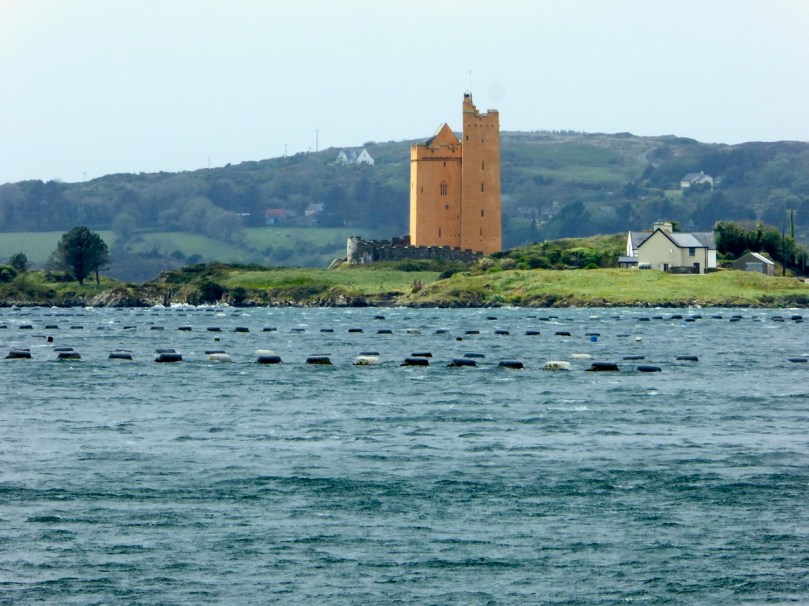
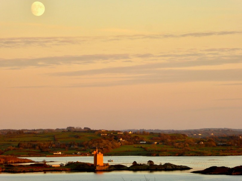
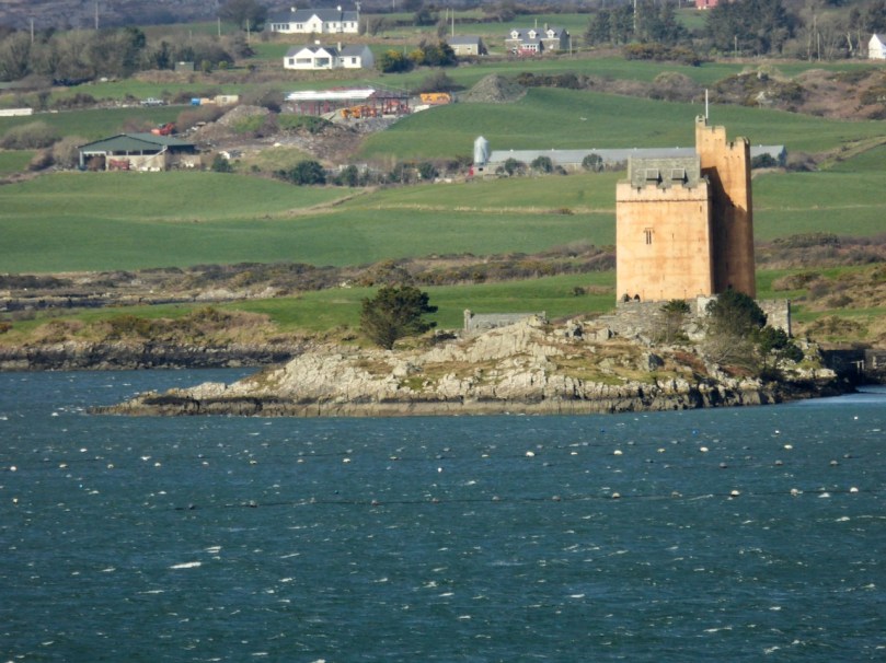
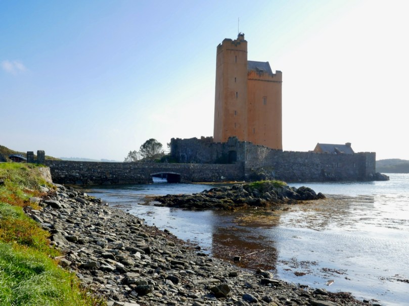
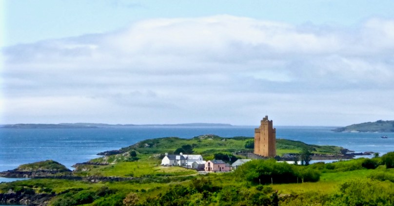
Kilcoe Castle has been wonderfully restored and conserved by Jeremy Irons. His work allows us to see what a 15th century castle would have looked like in the landscape and has saved a precious piece of our heritage. This is important as there are so few castles that have been conserved here and lots that have disappeared or are in danger of doing so. Before you read on you might like to refresh your understanding of our West Cork castles, or Tower Houses, by reading When is a Castle?; Tower House Tutorial, Part 1; Tower House Tutorial, Part 2; or Illustrating the Tower House: A Guest Blog (sort of)

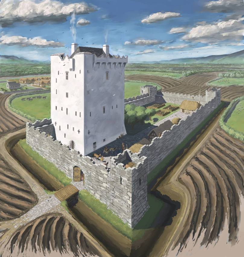
First of all, let’s address the issue of the colour of the exterior lime render, since this has been controversial. In fact, the only reason it’s been criticised is that people are not used to seeing castles as they originally stood, since the lime render has long ago disappeared from them, leaving the familiar bare stone walls that people have assumed was how they looked from the start. But all castles were rendered – without that they would have been porous and running with water inside and out.

This is JG O’Donoghue’s reconstruction drawing (used with permission) of what a fifteenth century tower house would have looked like. It was based on Kilcrea Castle. Note the white render and note also that another white castle can be seen in the distance

And the render was coloured! There is evidence of all kinds of additions that would have added colour, including animal fats, blood and hair, flour, shell, sand and stone rubble. The plasterer had his formula and also used what was available locally, materials that would increase cohesion and improve drying time. Irish places names abound in references to coloured castles – just Google the words “castle Ireland” and then put white, black, red, green in front of it and see how many there are. Or look for Irish equivalents, such as Castlederg – for Caisleán Dearg, meaning Red Castle. There’s even a Castleboy in Meath that comes from Caisleán Buí, meaning yellow castle. So the choice of colour was not idiosyncratic or random but well grounded in historical precedents. The render was essential to keep the castle dry and will have to be renewed occasionally as it does eventually wash away – which is why very few examples have survived from the fifteenth century.

The other reason to include colouring elements in the render was to make the castle stand out in the landscape. These were statement residences and the statement was one of power and prestige. They were meant to be seen from a long way off so that nobody could be in any doubt who was the most important person in the neighbourhood. In West Cork, they were also meant to be seen from other castles – those built either by members of the same or another family (the McCarthys, O’Mahonys, O’Driscolls, O’Sullivans or O’Donovans). Kilcoe was a McCarthy castle: the McCarthys were the overlords of all the West Cork clans and this castle was inserted right into the middle of territory controlled by the O’Mahony’s and the O’Driscolls as a constant reminder of the hierarchy. Accordingly, Kilcoe is the largest castle in Roaringwater Bay and has a unique design that incorporates an additional corner tower, distinguishing it from all the other castes around it. There is only one other West Cork castle of the same design – Dunmanus Castle on Dunmanus Bay, a castle of the O’Mahonys.

It was also important that castles could be seen from the water, because control of the fisheries was what gave the great West Cork families their vast wealth. Salted herring and pilchards were staples of the European diet in the Middle Ages because there were so many fasting days on which eating of meat was forbidden and because fresh food wasn’t always readily available in the winter. The O’Mahonys and O’Driscolls catered to the huge fleets of Spanish, French, Portuguese and British fishing boats that plied the waters of Roaringwater Bay, providing, for hefty fees, permission to fish in ‘their’ waters, fish processing facilities and salt in several ‘fish palaces’ along the shore, fresh water, and taverns with fine wines and (sorry) accommodating women. The McCarthy’s must have been involved in this lucrative trade too, but it is also likely that their objective in building Kilcoe was to keep an eye on the the ‘take’ so that they could extract, as befitted those at the top of the food chain, their due share from those who owed them submission and therefore were obligated to yield up hefty donations on a yearly basis.
Castles such as Kilcoe were heavily fortified. Mostly the inhabitants were worried about incursions by other Irish families. It was not until after the Battle of Kinsale in 1601 that the forces of the British Crown came to lay siege to Kilcoe. Thanks to its defensive features and siting Kilcoe was able to hold out longer than any other West Cork castle. The McCarthys abandoned it after Kinsale but an O’Driscoll held on until finally surrendering in 1603. What were the features of this castle that allowed it to resist so successfully?

Fist of all, it was sited on a small island. Like a few other West Cork castles, it was connected by a causeway that could be destroyed at will, cutting off access to the castle. It was surrounded by a strong bawn wall, which is clearly visible now as it has been reconstructed. The wall was punctured by arrow loops and had a wall walk at the top where crenellations provided cover for archers. The roof of the tower also had a wall walk and crenellations – in this case they took the form of what became known as Irish Crenellations. These were stepped or ‘toothed’ battlements, with tall parts (merlons) behind which defenders could take cover and shorter parts (crenels) for shooting from. The crenellations have been expertly reconstructed as part of the restoration of the castle.

Heavy ordinance such as cannons were not yet staples of siege warfare in Ireland – it was Cromwell who unleashed their destructive force half a century later. When the castle finally surrendered, it was intact. Over the years, of course, it fell into disrepair and finally into ruin. It was shored up and some work was done by the Samuels family, but when they sold it to Jeremy Irons the restoration program got underway.
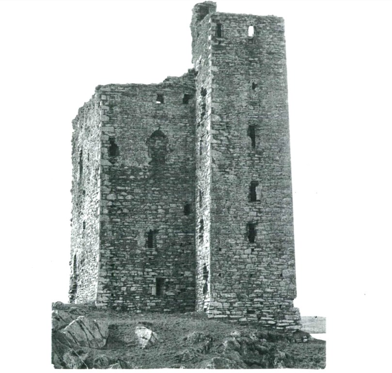
What Kilcoe Castle looked like before reconstruction

This is a private home and I have never been inside it. But if you are curious you can see lots of interior photographs here: https://jeremyirons.net/category/kilcoe-castle/. My objective in this post has been to emphasise the importance of the restoration of this magnificent tower house so that it will be a highlight of West Cork heritage for generations to come, as well as to acknowledge the solid research that went into the reconstruction program, resulting in a spectacular structure that is a superb and historically-accurate addition to our West Cork landscape. Thank you, Jeremy Irons and your team, from all of us in West Cork.


Living in Lockdown!

Main Street, Ballydehob: 4 April 2020. You’ve never seen it like this before on a Saturday morning. We are only out because we have urgent shopping to do. We are permitted to go to the shops, the dispensary and the dump (we live too far out of town to have any waste collections). Oh, and we can exercise within a two kilometre radius of home (here’s Finola’s account of that). It’s a strange life – but we are gratefully alive…

We completed our last ‘long’ walk on Friday 27 March – to the summit of Mount Corrin, for my Mizen Mountains post. On that evening the government announced the ‘lockdown’ and we are now isolated in Cappaghglass for the foreseeable future, although the 2km restriction will allow us to trespass into our adjacent townlands of Stouke, Cappanacallee, Foilnamuck, Rossbrin, Ballycummisk and Kilbronogue, provided we keep our distance from other walkers. We see very few.

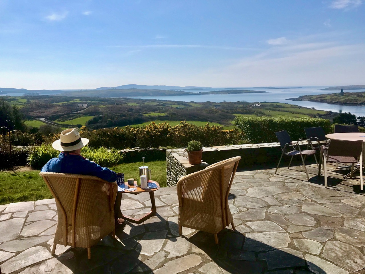
When the sun is shining, there’s no better place to be than home – looking out over Roaringwater Bay! We have plenty to occupy us. Not least, keeping up with this journal and my new venture Swantonstown Sessions – compensation for the enforced adjournment of the weekly traditional music meetings in Ballydehob. It’s an online forum for sharing tunes, songs and related ‘chat’. Please join in!

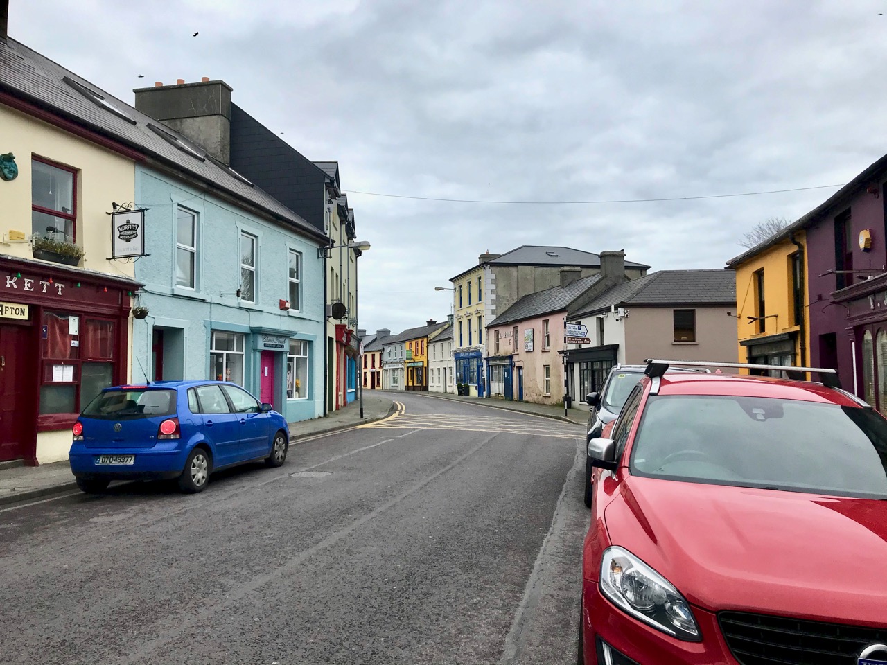
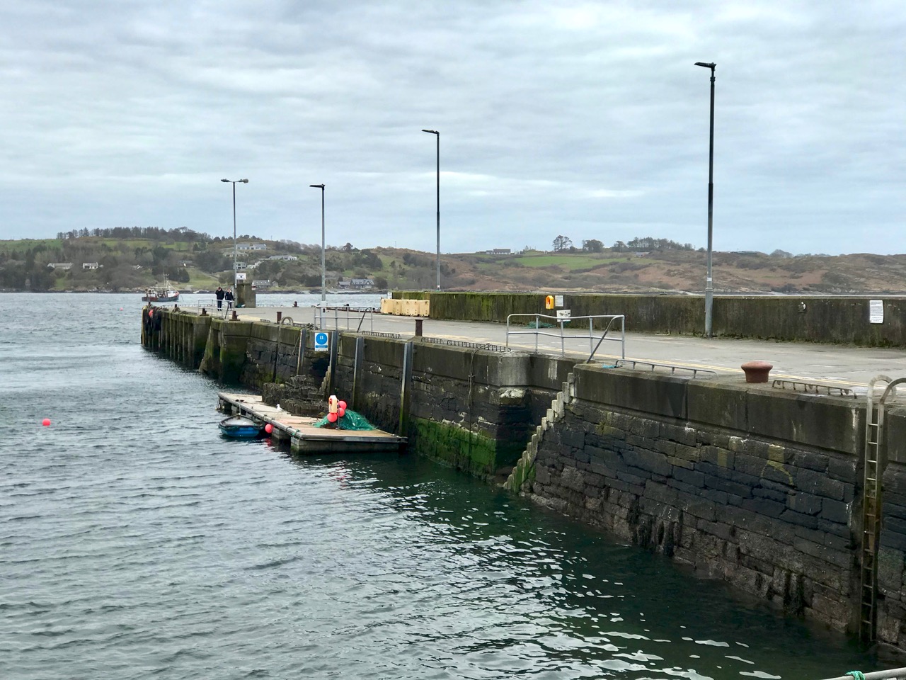
There’s not much activity in Schull, our other centre for essential supplies, either. The main street (upper) and pier (above) are deserted on Saturday morning, when it’s normally buzzing. All the businesses in our villages and towns rely on customers: we hope for their sakes (and ours) that the situation doesn’t last too long, although we do all understand how necessary the restrictions are.
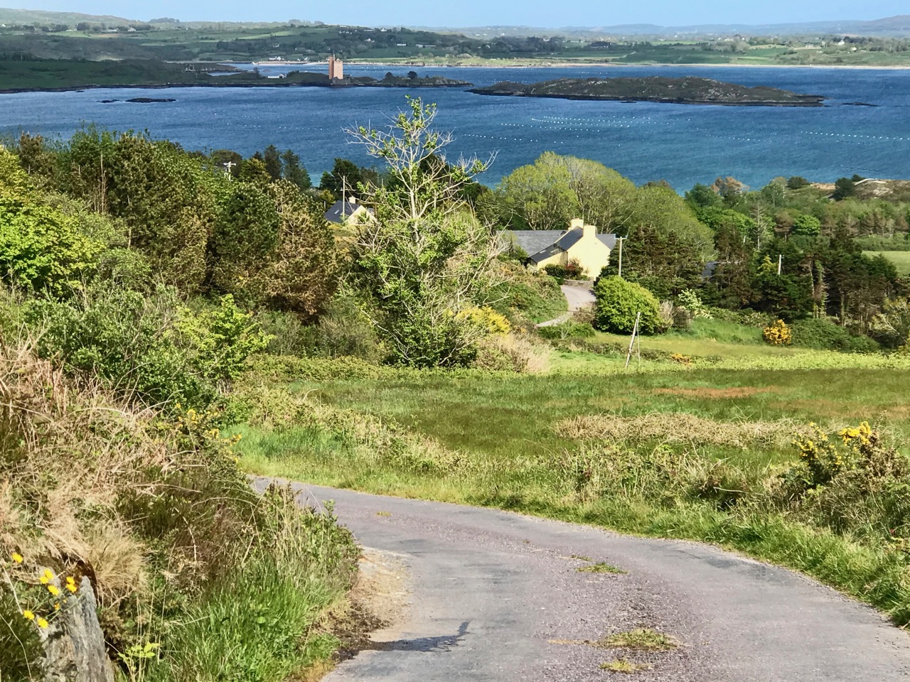
Join us for one of our walks – along to Rossbrin – to look at the water and the always changing scenery as spring gets under way. That’s the boreen leading down to it, above.

Rossbrin Castle, the home of the ‘Scholar Prince’ Finghinn O’Mahony in medieval times, is the local landmark which always draws us towards the Cove. It has stood for centuries, although very gradually returning to nature: parts of it will remain for generations to come, and will intrigue those who chance upon it, as I first did some thirty years ago. It is on private land, remember, but it can be seen from many accessible vantage points.

It’s no hardship to be ‘marooned’ out here in rural Ireland. The one thing we miss above all else is meeting and chatting with friends and neighbours: that’s unnatural. But we will survive it. After our walks there’s always the road home to look forward to (do you see the celandines lining the way?):

Roaringwater Journal wishes to heartily thank all those in our communities who are supporting the rural population through these abnormal times: medical teams, pharmacies, shopkeepers, producers and suppliers . . . All who keep our facilities and utilities going . . . They are helping us to stay healthy and upbeat in times of disquiet. We appreciate all of you.