Living in Lockdown!

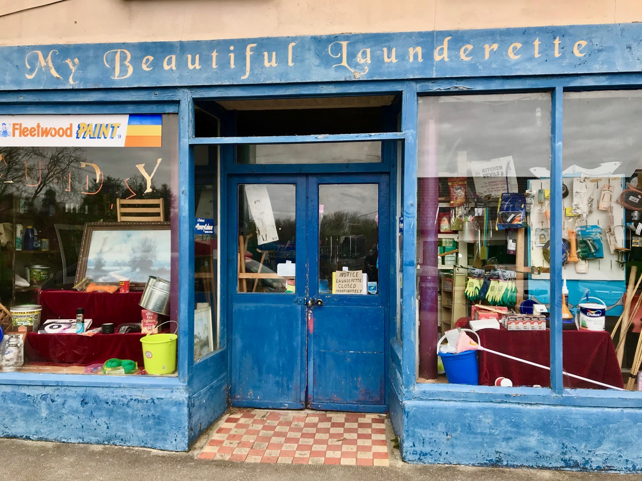
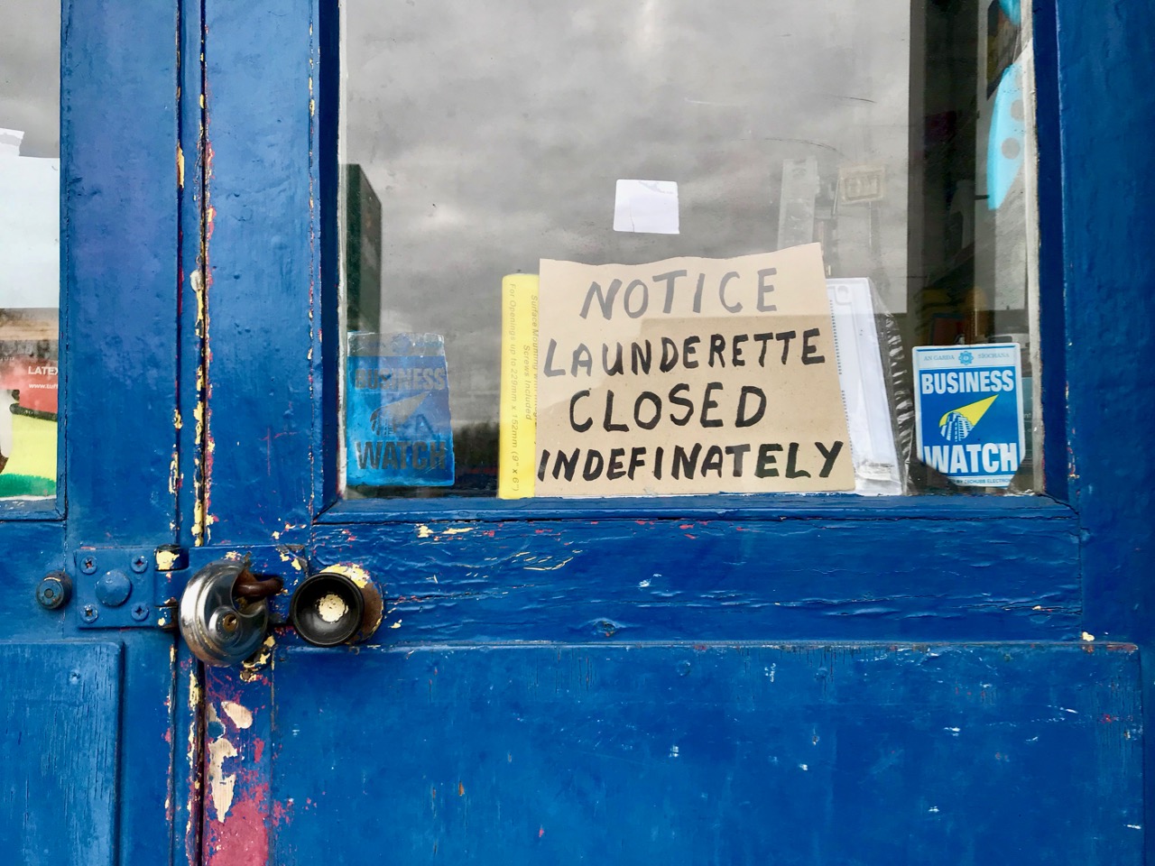
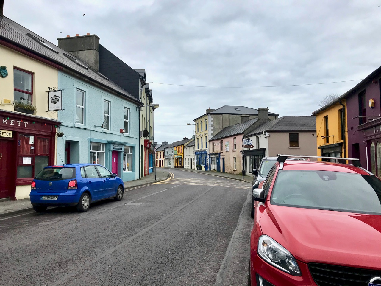
Main Street, Ballydehob: 4 April 2020. You’ve never seen it like this before on a Saturday morning. We are only out because we have urgent shopping to do. We are permitted to go to the shops, the dispensary and the dump (we live too far out of town to have any waste collections). Oh, and we can exercise within a two kilometre radius of home (here’s Finola’s account of that). It’s a strange life – but we are gratefully alive…

We completed our last ‘long’ walk on Friday 27 March – to the summit of Mount Corrin, for my Mizen Mountains post. On that evening the government announced the ‘lockdown’ and we are now isolated in Cappaghglass for the foreseeable future, although the 2km restriction will allow us to trespass into our adjacent townlands of Stouke, Cappanacallee, Foilnamuck, Rossbrin, Ballycummisk and Kilbronogue, provided we keep our distance from other walkers. We see very few.

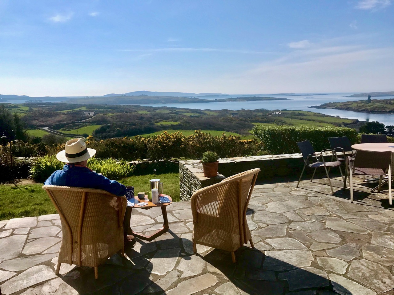
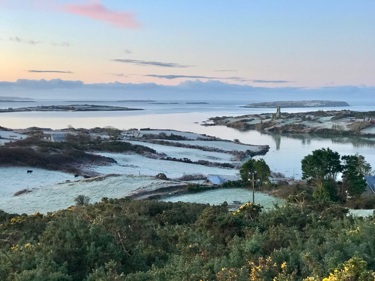
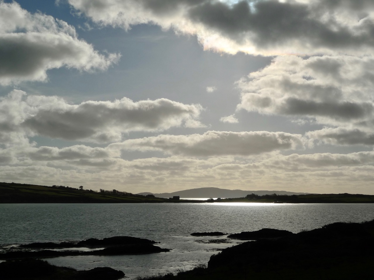
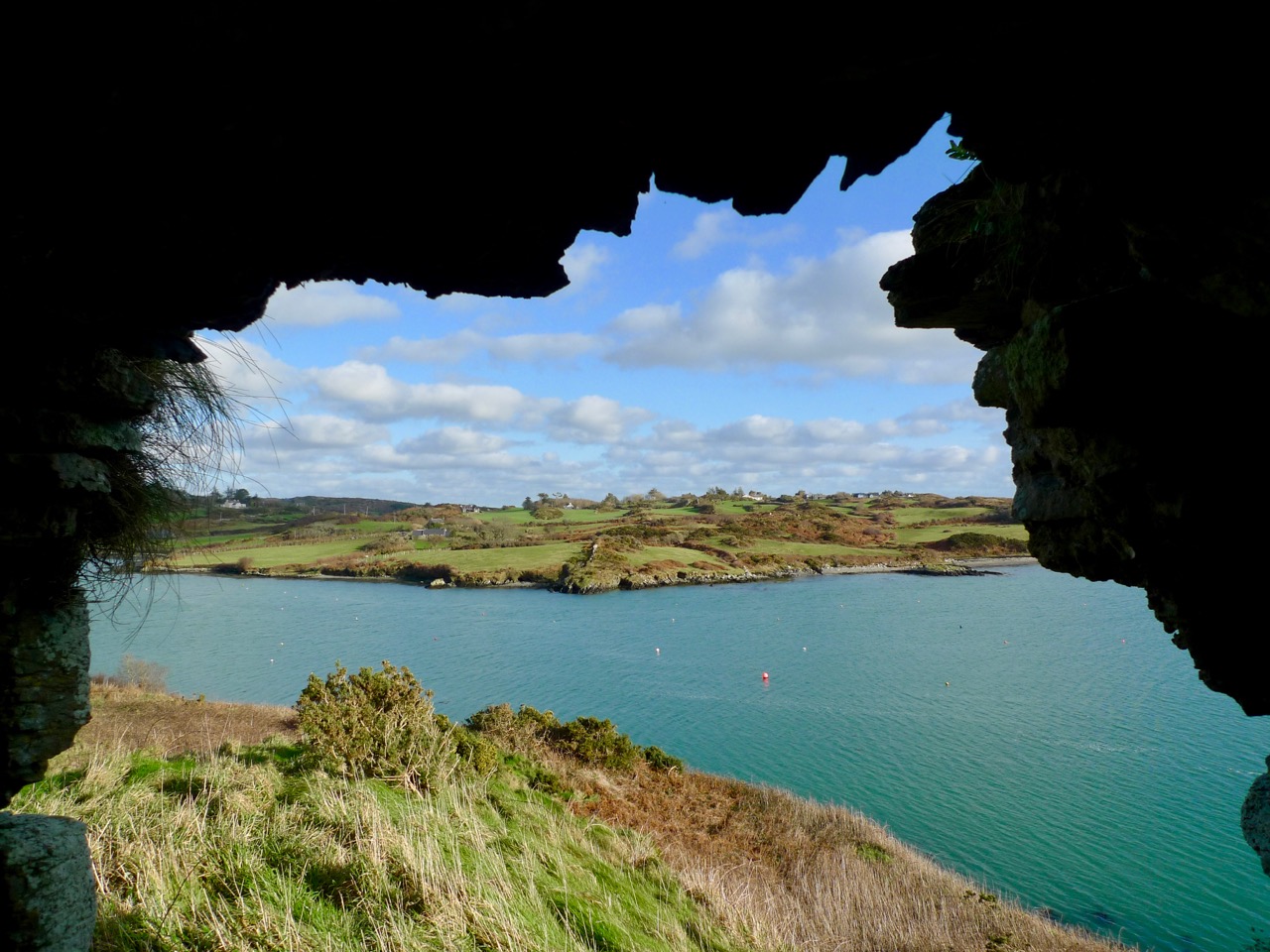
When the sun is shining, there’s no better place to be than home – looking out over Roaringwater Bay! We have plenty to occupy us. Not least, keeping up with this journal and my new venture Swantonstown Sessions – compensation for the enforced adjournment of the weekly traditional music meetings in Ballydehob. It’s an online forum for sharing tunes, songs and related ‘chat’. Please join in!

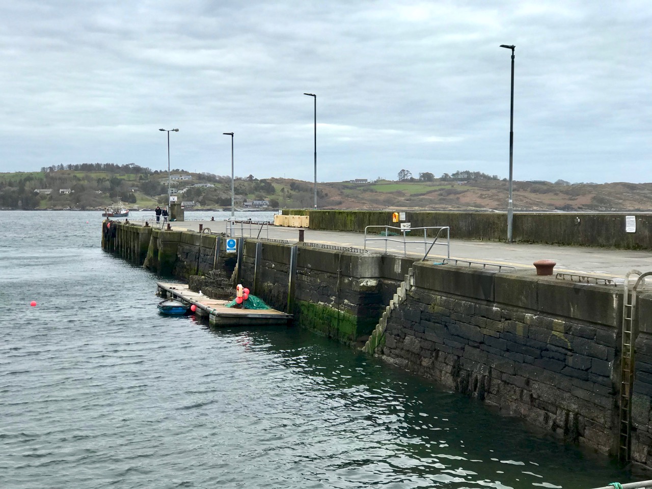
There’s not much activity in Schull, our other centre for essential supplies, either. The main street (upper) and pier (above) are deserted on Saturday morning, when it’s normally buzzing. All the businesses in our villages and towns rely on customers: we hope for their sakes (and ours) that the situation doesn’t last too long, although we do all understand how necessary the restrictions are.

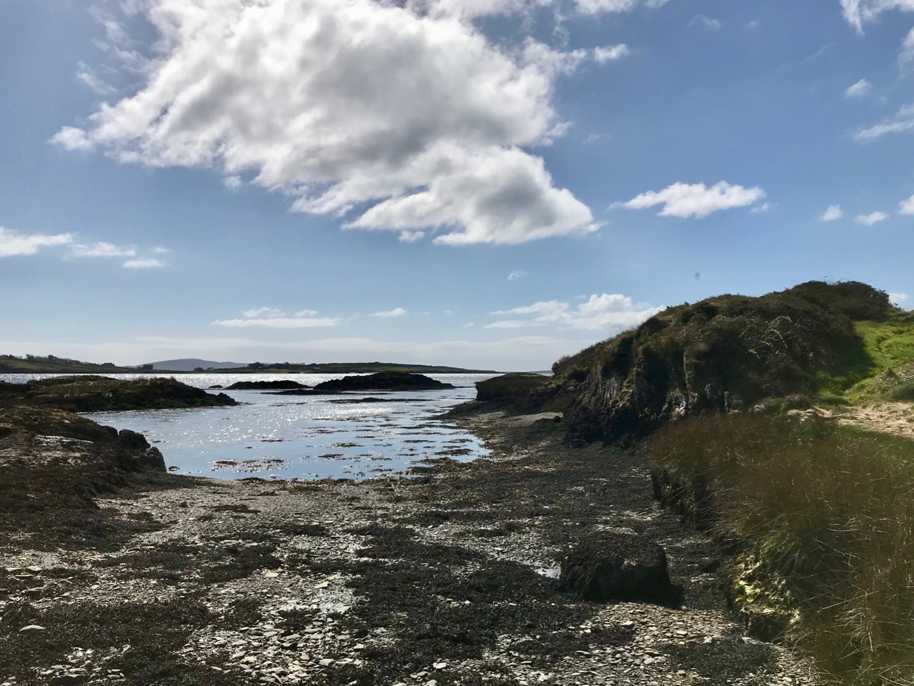
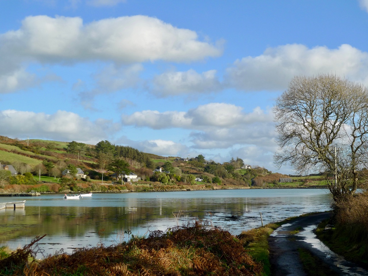
Join us for one of our walks – along to Rossbrin – to look at the water and the always changing scenery as spring gets under way. That’s the boreen leading down to it, above.

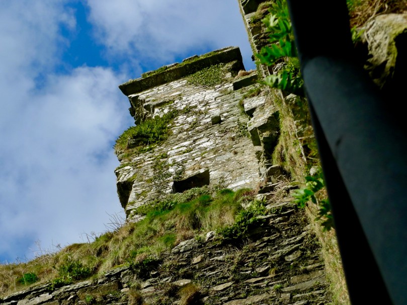
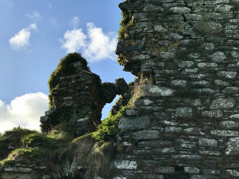
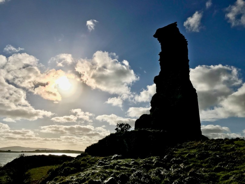
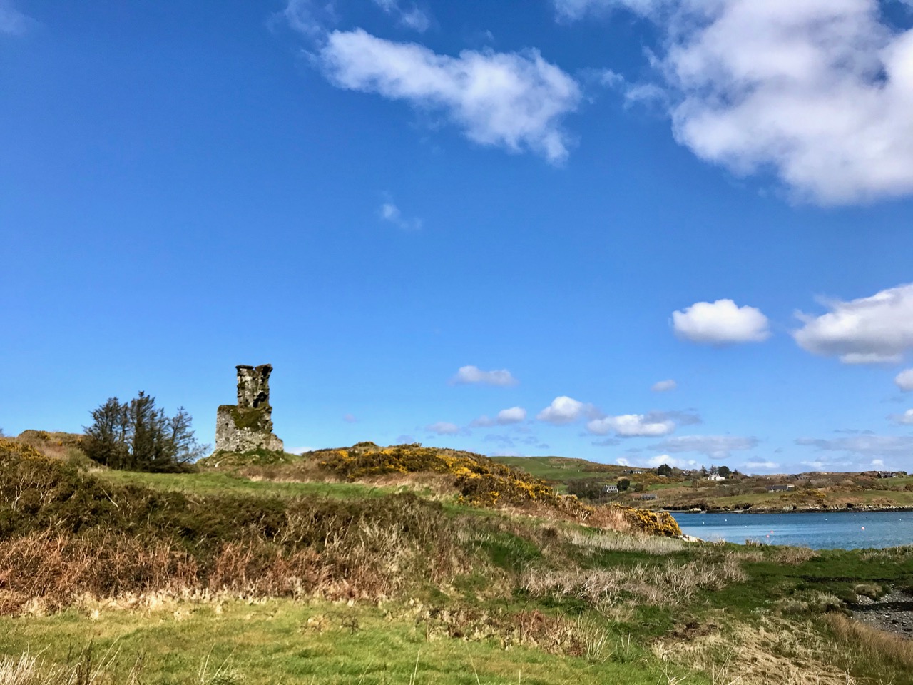
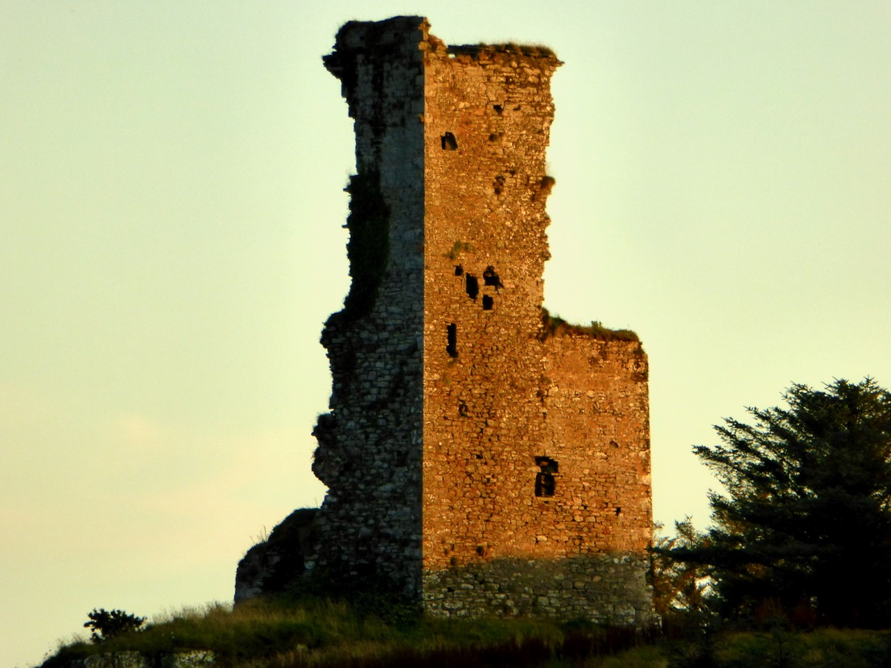
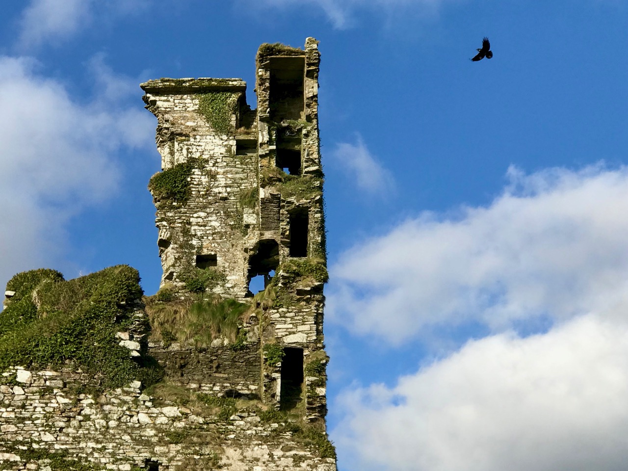
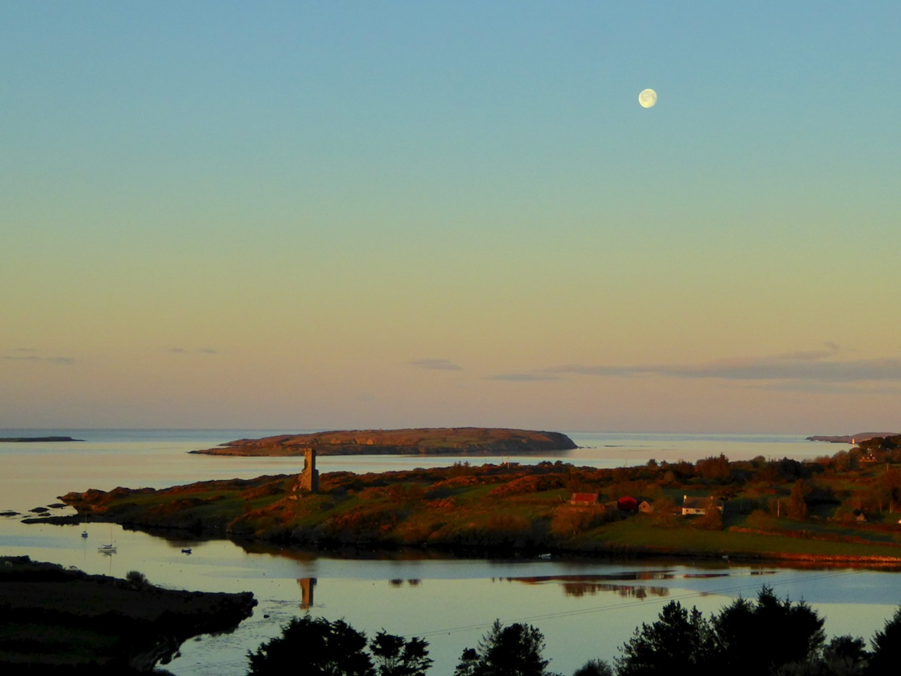
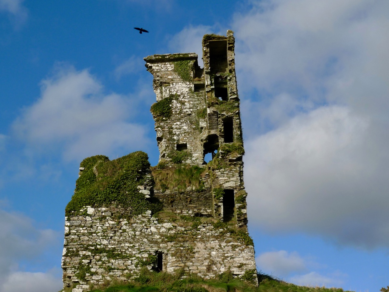
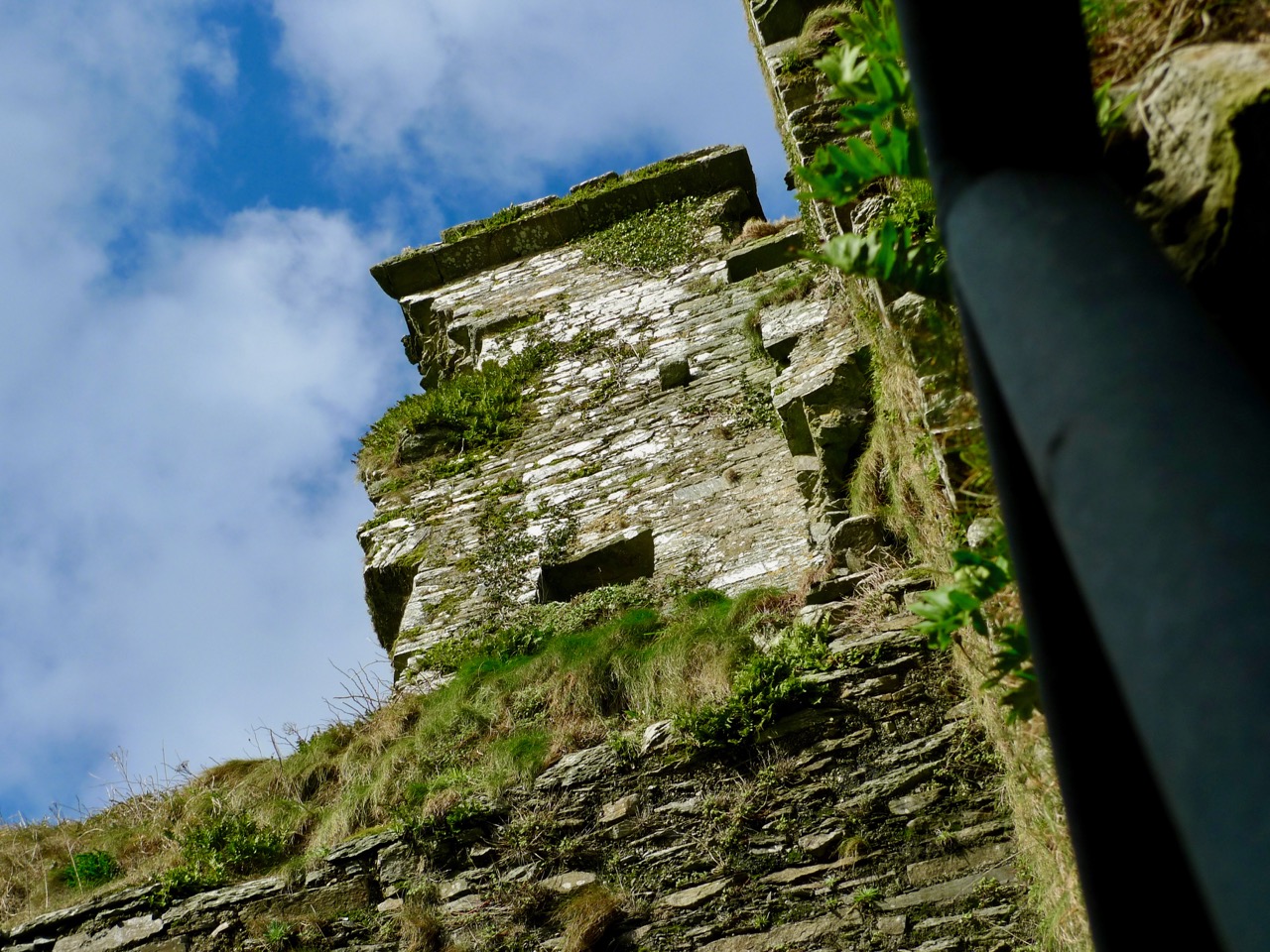
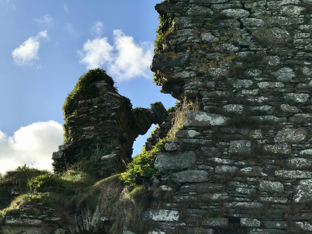
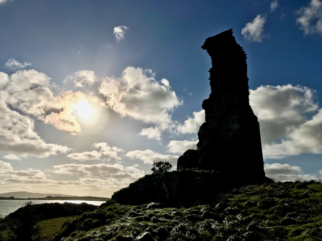
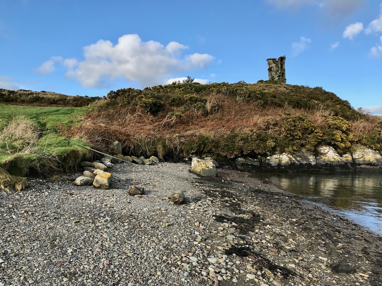
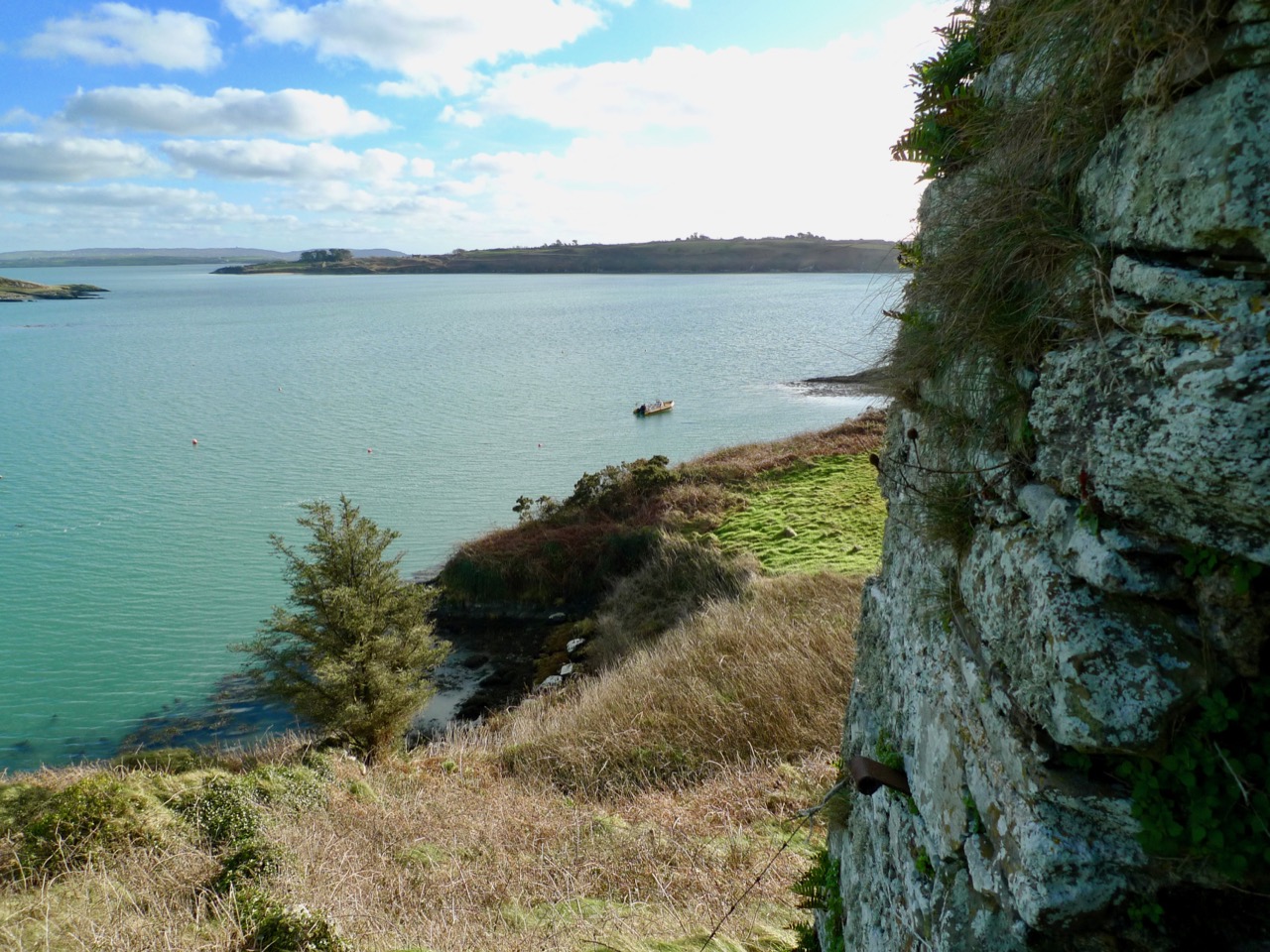
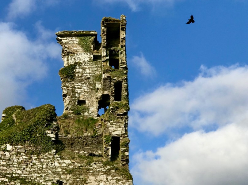
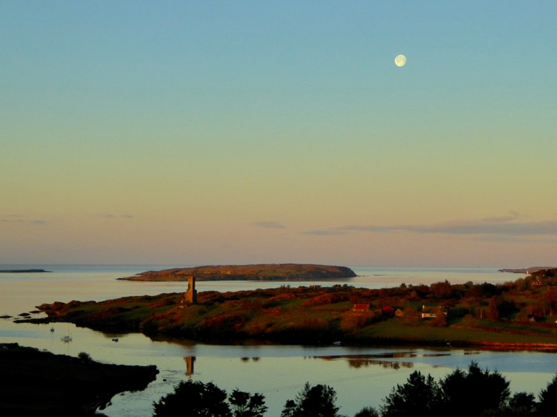
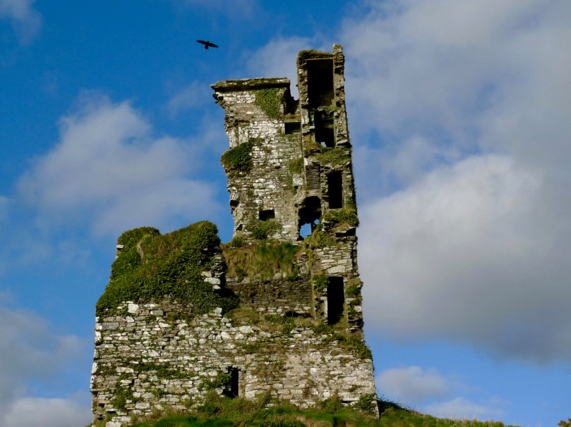
Rossbrin Castle, the home of the ‘Scholar Prince’ Finghinn O’Mahony in medieval times, is the local landmark which always draws us towards the Cove. It has stood for centuries, although very gradually returning to nature: parts of it will remain for generations to come, and will intrigue those who chance upon it, as I first did some thirty years ago. It is on private land, remember, but it can be seen from many accessible vantage points.

It’s no hardship to be ‘marooned’ out here in rural Ireland. The one thing we miss above all else is meeting and chatting with friends and neighbours: that’s unnatural. But we will survive it. After our walks there’s always the road home to look forward to (do you see the celandines lining the way?):

Roaringwater Journal wishes to heartily thank all those in our communities who are supporting the rural population through these abnormal times: medical teams, pharmacies, shopkeepers, producers and suppliers . . . All who keep our facilities and utilities going . . . They are helping us to stay healthy and upbeat in times of disquiet. We appreciate all of you.

Mizen Mountains 4 – Corrin

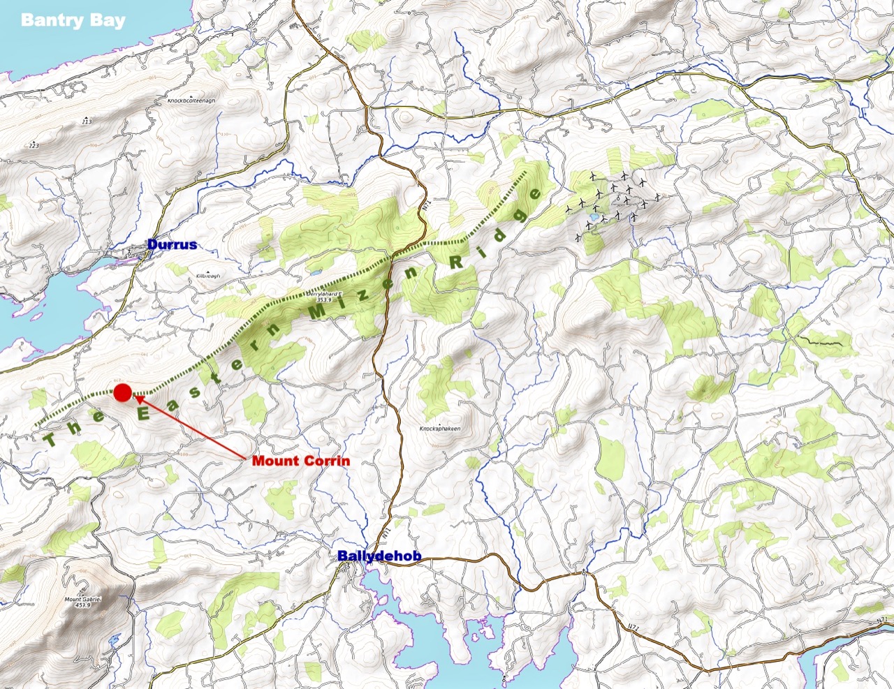
The world is in trouble – but in our tiny corner of it we find ourselves taking the time to get out into the open air, lapping up any chance of sunlight, and bracing ourselves against the bitter east winds that seem to prevail at the moment. Following last week’s escapades, when we discovered new territory just beyond the boundaries of the Mizen, we decided to take up the challenge of one of the most significant Mizen peaks – Mount Corrin.

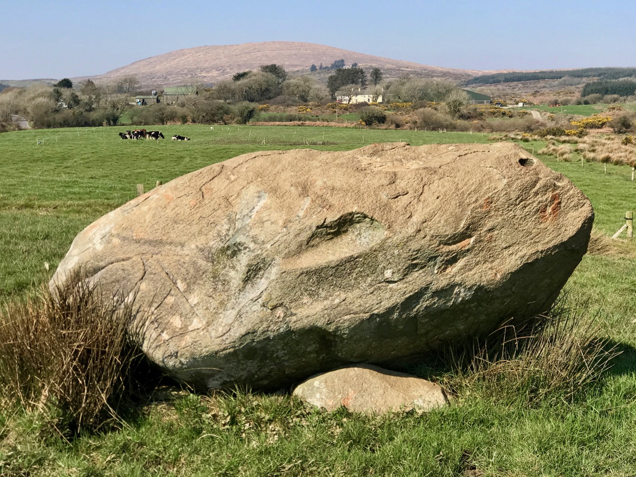
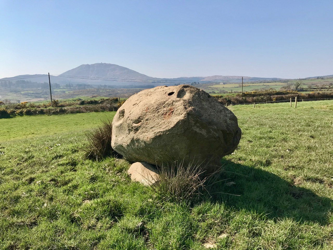
Upper – the elevated boulder burial at Rathruane – probably Bronze Age – seems to echo the profile of Mount Corrin – a perfect peak – away to the west, while – lower – the same monument also stands in context with Mizen’s highest mountain – Gabriel – to the south

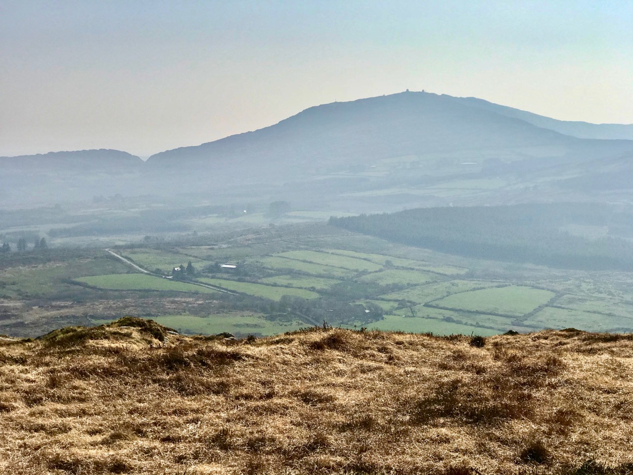
We have passed the spring equinox, and days are now longer than nights. It’s a good time to consider seriously exploring the high ridges again. Corrin – 284 metres – is not the highest summit on the Mizen, but its profile is one of the most distinctive as it rises from lower ground on all sides – a ‘proper’ mountain! in this respect it is  surpassed only by the Mizen giant – Mount Gabriel. We’ll tackle that one later on. We notice that Gabriel is always visible to us, from whatever elevated ground we traverse.

Last time we tackled Letterlicky, which is at the furthest edge of the eastern Mizen Ridge: today’s summit is on the west side of the same ridge  We have, of course, been to the top of Corrin before: Finola’s post of October 2015 describes previous expeditions. Then, the light was magnificent and the skies were clear blue – such a contrast to the beginning of this week, when the landscape has been pallid – all washed-out browns and yellows: spring  still hiding its face in West Cork.

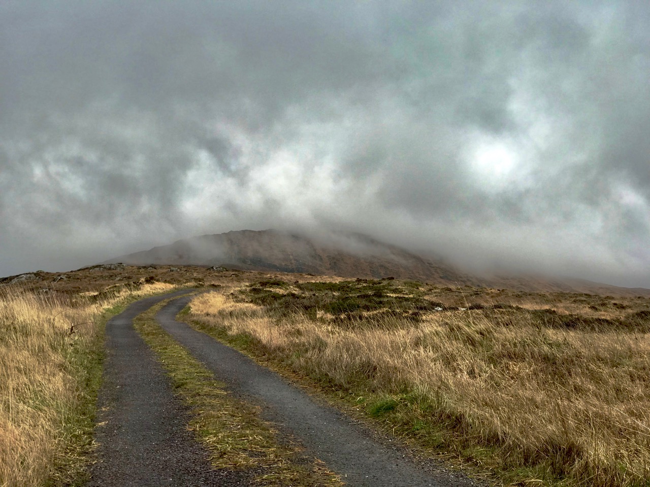
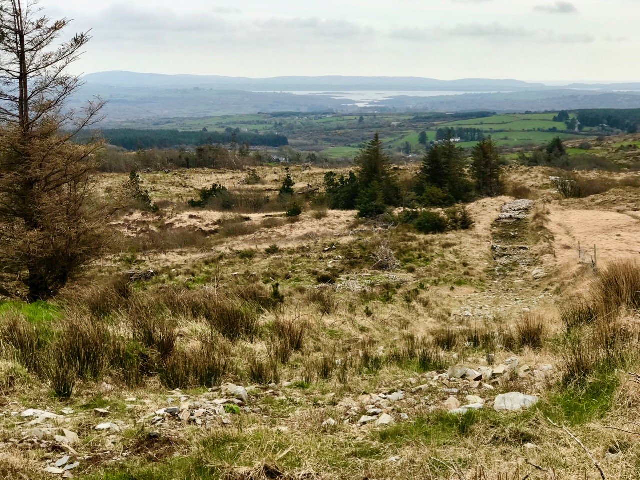
Upper – approaching Corrin on a challenging day. Lower – on the ascent, good distant views can be got to Ballydehob Bay, in spite of poor weather

We were the only souls on the mountain: it’s a good way of being self-isolated. But any walk in a natural environment in these strange times is exhilarating. In fact, we made two journeys to Corrin in the week: the first had to be abandoned in haste when halfway up due to waterlogged footwear and a biting cold easterly.

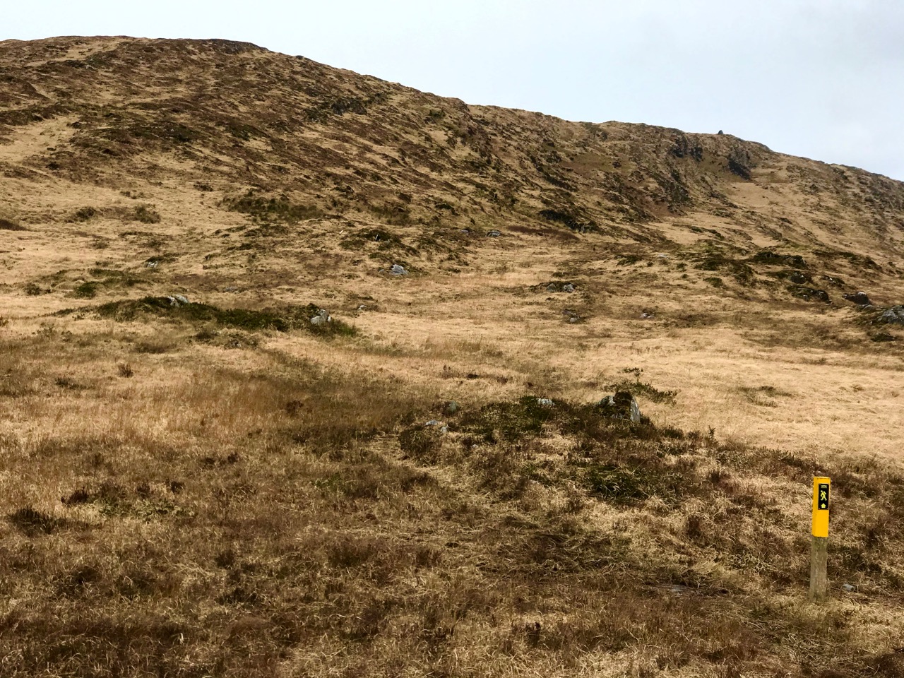
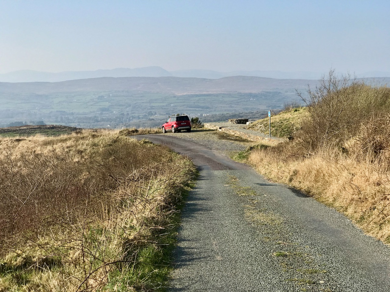
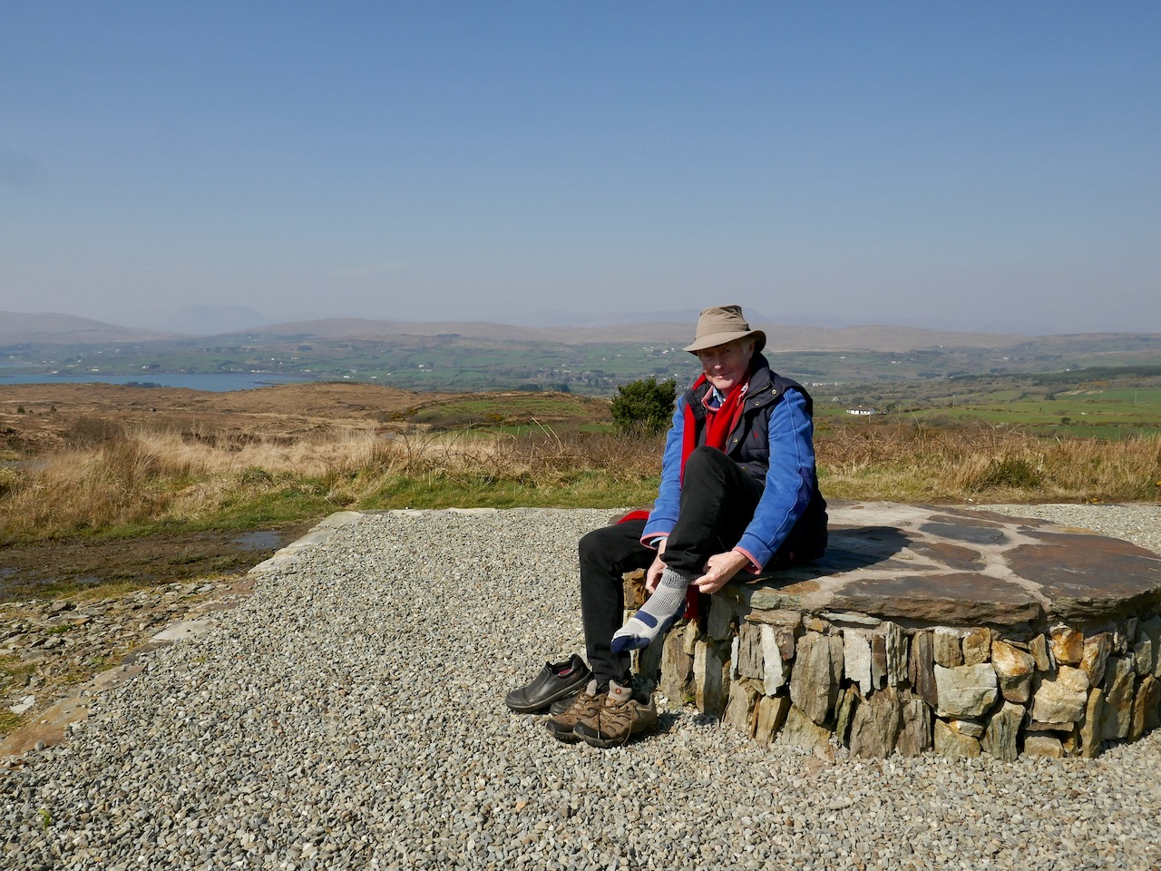
Upper – on our first attempt on Corrin we got as far as this wilderness before turning back. Centre – park here for the Corrin trail! It’s well marked and accessible from the east side. Lower – a convenient seat for donning the right footwear! This is on our second attempt, in much improved conditions

Suddenly – on Friday – everything changed. Out of nowhere came a bright, clear and windless day. We hurried out to complete our journey to the summit, revelling in the light. It was as though, for the first time in the year, there was a sense of expectant renewal. When we arrived home, it was to discover that Ireland had been plunged into lockdown: we (the ‘elderly and vulnerable’) have to stay in our homes unless needs are urgent (food and medicine) although we are permitted to exercise close to home, always keeping a safe distance from others.

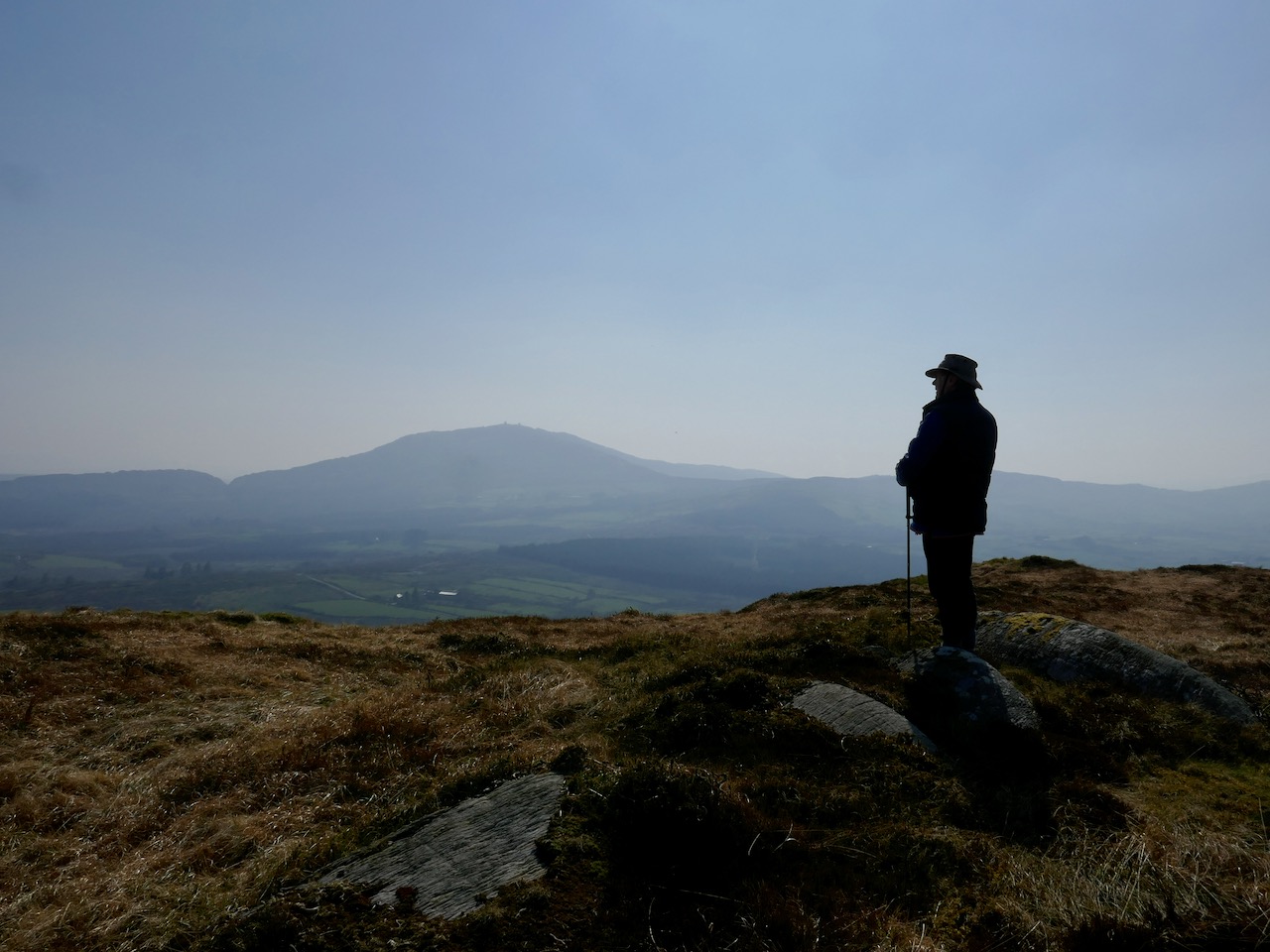
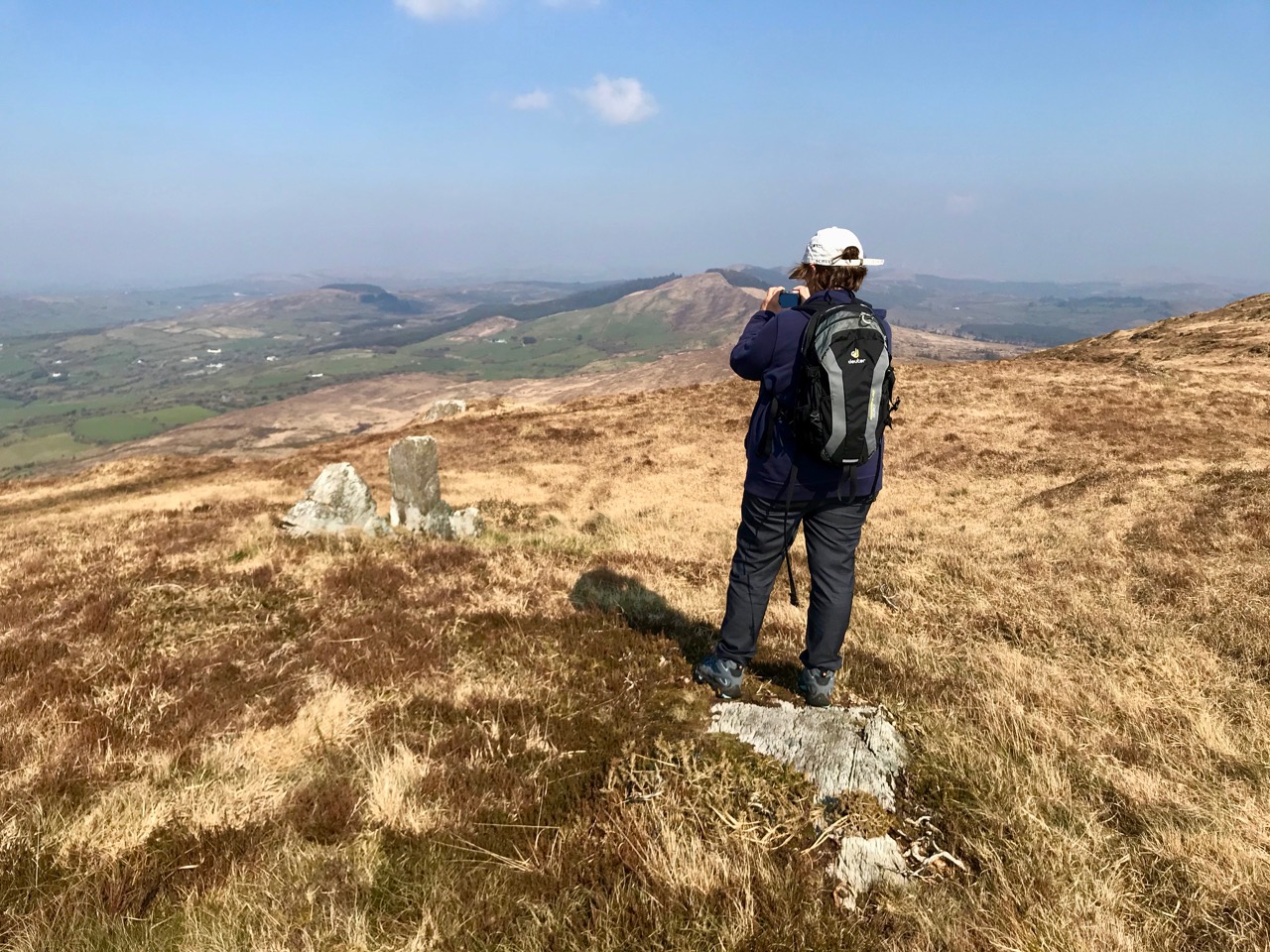
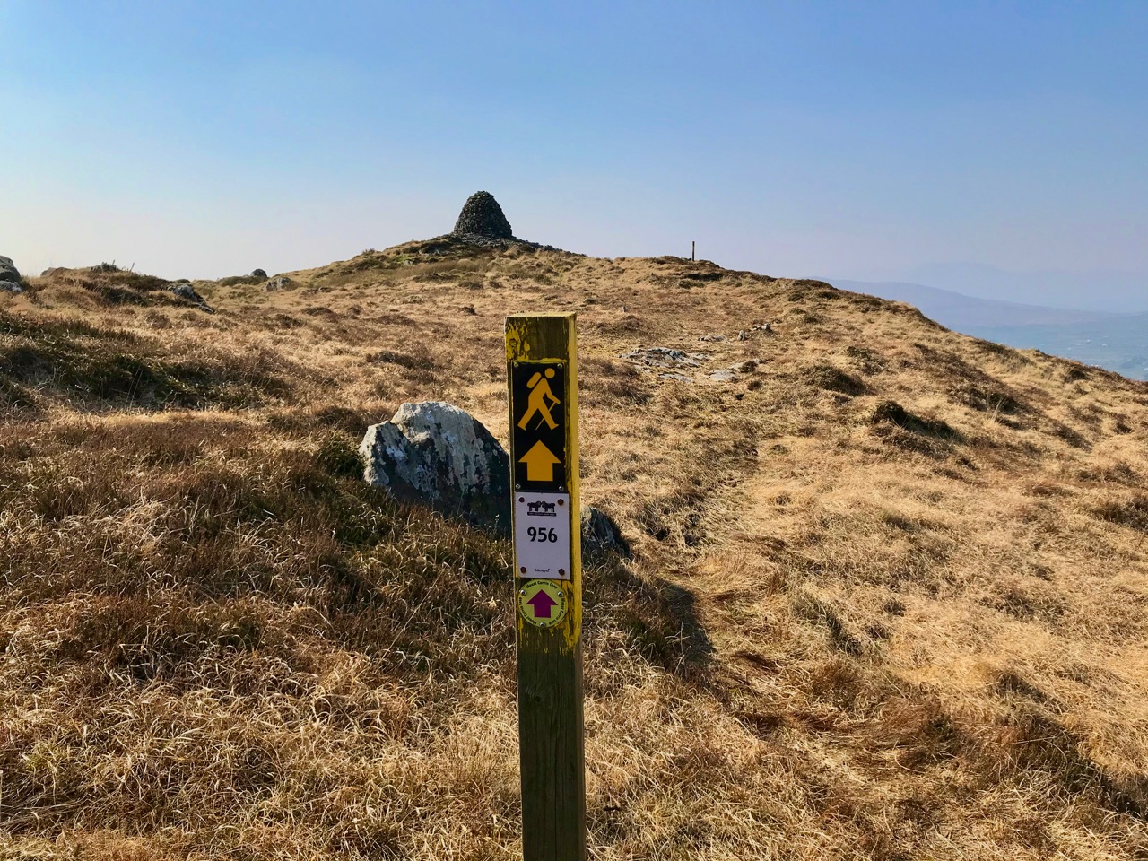
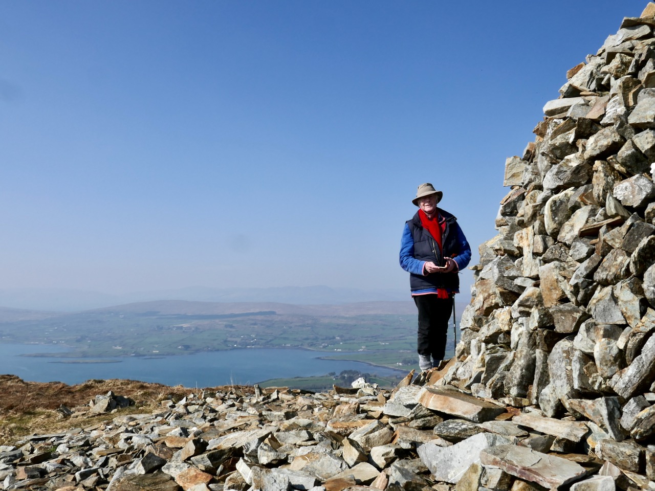
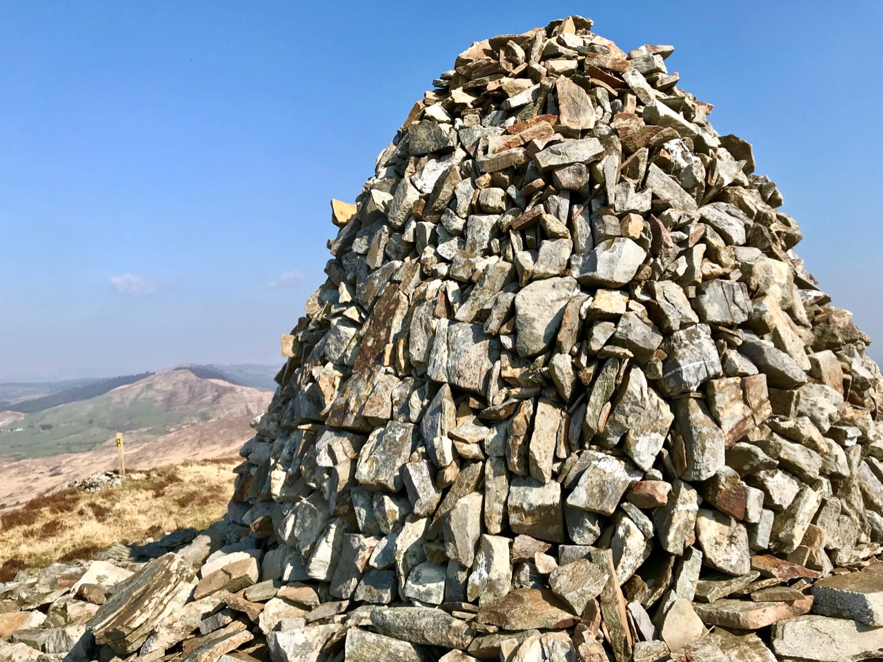
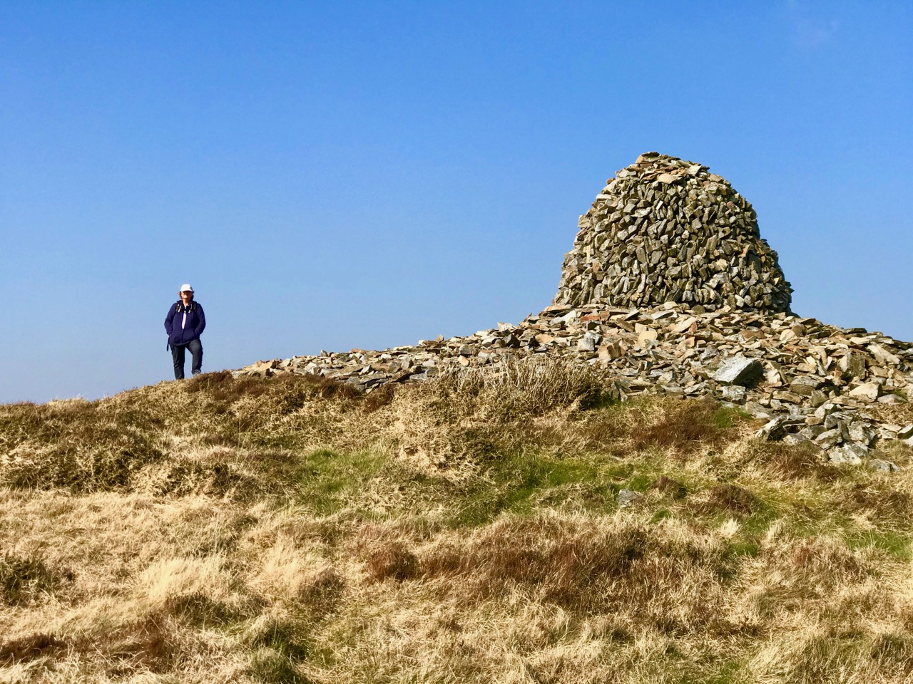
Upper – Finola looks back along the ridge towards our previous goals (Lisheennacreagh and Letterlicky). Centre – spectacular views of Gabriel and the Barnaclleeve Gap are had from Corrin. Lower – the track is well marked: we are approaching the summit cairn

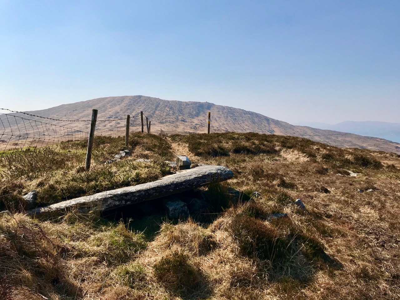
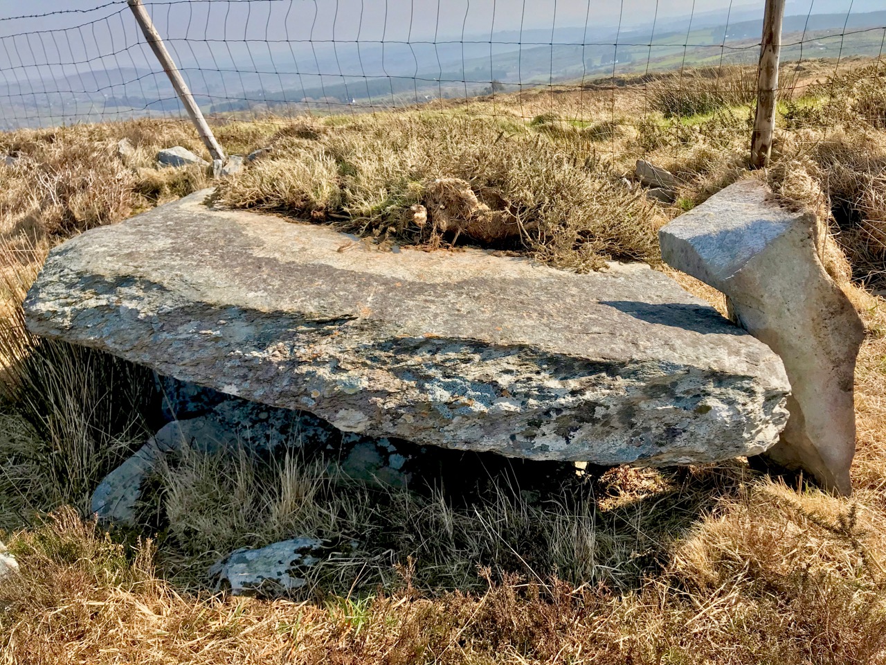
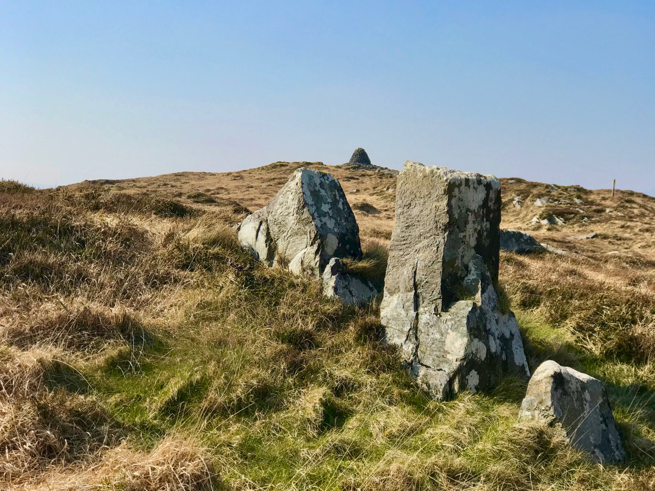
There is history on this mountain. The summit is crowned by a significant cairn. If the peak is named from the cairn – which seems likely (West Cork folk would pronounce ‘cairn’ corrin), it must have had ancient roots going back through many generations. The National Monuments Record makes brief mention of it: Class: Cairn – unclassified – Townland: Coolcoulaghta, Derreennalomane – On top of  Mount Corrin, commanding view. Sub-circular cairn (H 0.7m; 13.6m E-W; 15m N-S); modern cairn built in centre (H 2.7m; circ. 10.9m). On the way up from the east side, the path passes directly over some large prostrate slabs which look very much like a broken wedge tomb. The NMR says only this: Megalithic structure. There are also, near the summit, three substantial stones in an alignment. The NMR is silent on these.

Upper and centre – a possible broken wedge tomb on the slopes of the mountain. Lower – a convincing three-stone alignment which doesn’t get a mention in the Scheduled Monuments Record

Duchas has a far more exciting mention of Mount Corrin, with this ‘True Old Story’ recorded in 1936 from Dreenlomane School:

A True Old Story

. . . About eighty years ago where there was no talk of anyone being able to fly there lived in Screathan Uí Laoghaire [Scrathanleary] a very clever man named Julian Camier. He had a house built, and quarried slate on the other side of Cnoc an Chairn at a place called Leaca Dhubh, and then he made a pair of wings. He told all the people that he would fly if each one of them brought a couple of slates home for him. When the day came crowds of people ascended on Mount Corrin to see him fly. He went on top of a high cliff and put on his wings but they failed to work when he spread them out and he jumped into the air and he fell off the cliff and hurt his leg. All the people took pity on him and each one brought a couple of slates down to his house so he got the slate brought home easy, and after that he was known as “Fly away Julian” . . . 


Patrick Donovan, Dreenlomane, Ballydehob, Skibbereen

Obtained from my father, Patrick Donovan 52 yrs

The Duchas Schools Folklore Collection also mentions folktales told about the mountain:

It is said that there is a chieftain buried under a heap of stones in Mount Corrin and there are other chieftains buried in Coolcoulachta . . .  There is a cairn on the top of ‘Corrin’ hill and it is said that a giant Mc Gun and his horse were buried there . . .

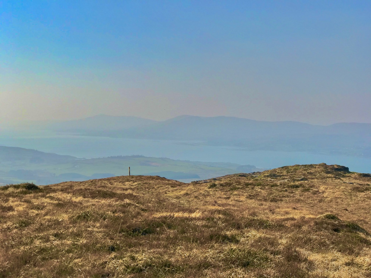
Upper – view from Corrin’s summit across the Sheeps Head Peninsula. Lower – descending from the peak

It would be wonderful to think that folk tales about ancient burials on the mountain top is a memory carried down through countless generations. Clearly this Mizen summit holds histories and mysteries. but, regardless of any lore that we might find in our researches, it’s one of the finest walks that you can take in this part of West Cork, with rewarding views over the whole peninsula.

From start to finish the round walk from the eastern access point to Mount Corrin summit and back involves an ascent of 120 metres and a distance of around 6km

Mizen Mountains 3 – Letterlicky Cairn, or ‘The Old Bog Road’

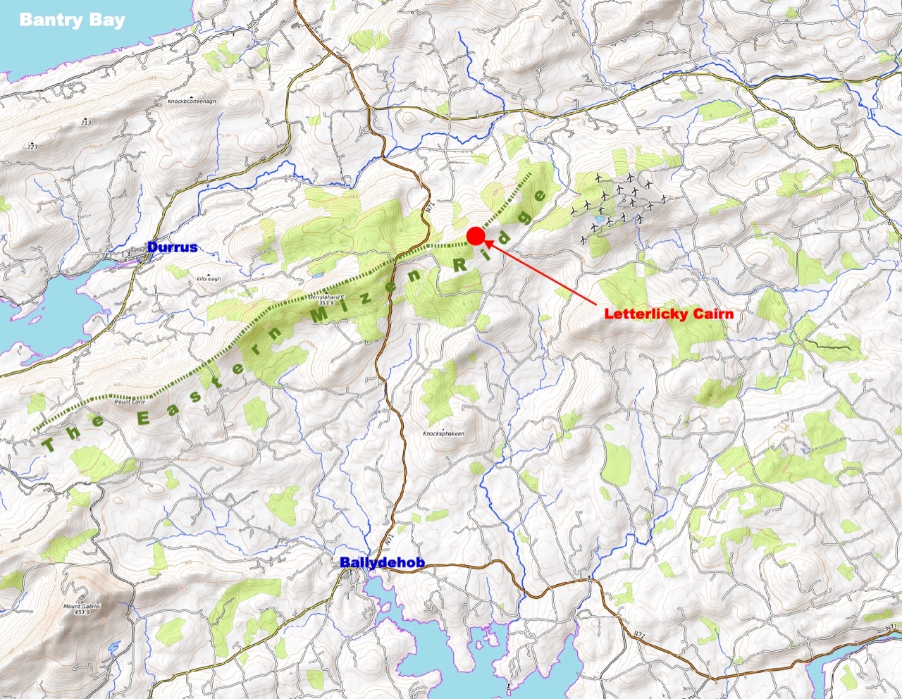
I confess I’m stretching things a bit here: the 297m peak in the townland of Letterlicky, West Cork, fits well enough into my definition of mountains – anything above the 200 metre contour line. But is this one on the Mizen? We think of our own village of Ballydehob as being ‘The Gateway to The Mizen’ in the south-east, and it would be logical to have another ‘Gateway’ at Durrus, where the northern coastline of the Mizen meets the Sheeps Head. If you draw a straight line between these two points, then today’s subject misses out. But – there are no straight lines in nature, and this peak is a continuation of a natural ridge line that rises down on the Mizen near Mount Corrin and runs east.

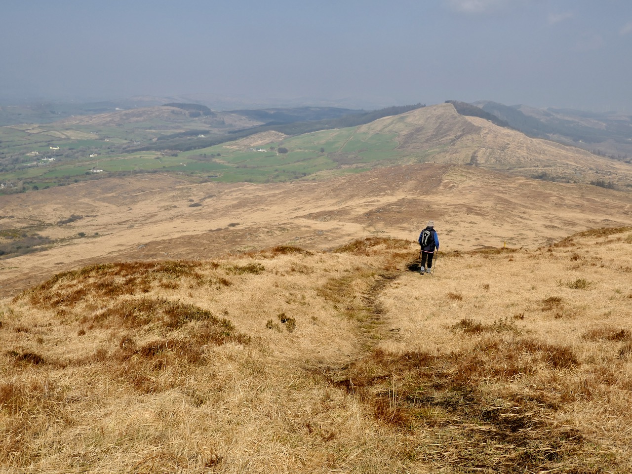
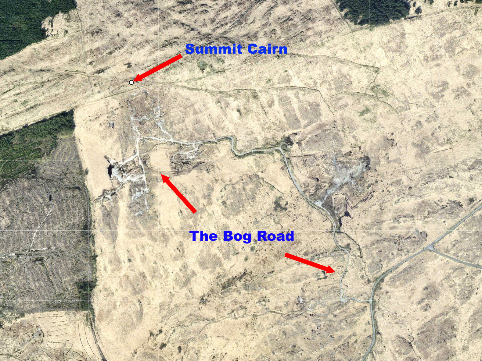
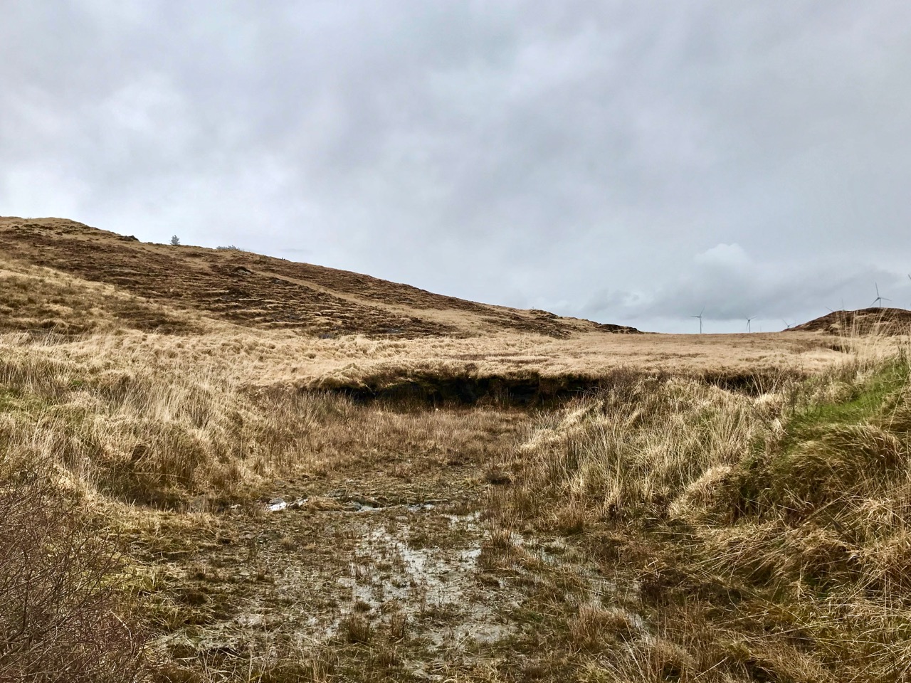
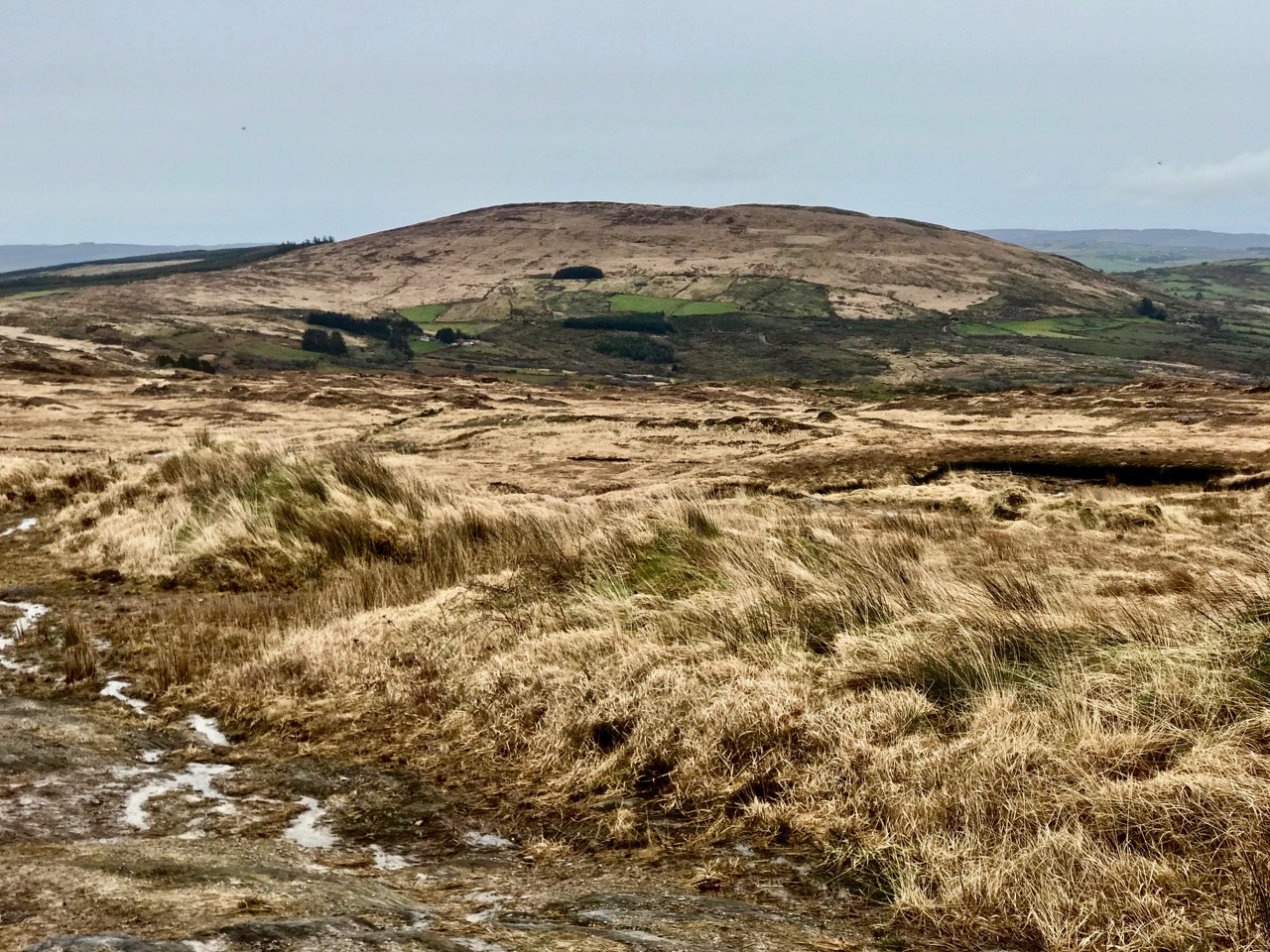
But if you are uncomfortable with my concept of what is or isn’t the Mizen, just go with the subtitle of this post: The Old Bog Road. We found Letterlicky Cairn quite by accident as our exploration set out to follow a trackway that we had often passed, on the high road to the north of Ballybane West. We had no idea where the track would take us, but it’s very well defined, roughly paved and probably quite old. As we journeyed up into the hills, we could see that the track was there to serve peat workings which must have been used for generations. The extent of the peat workings – and the line of the old road serving them – show up well on the aerial map view below.

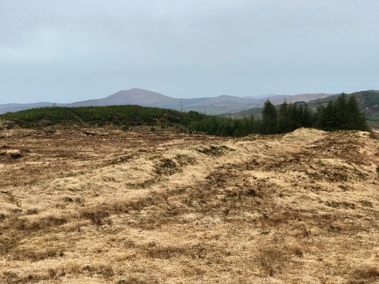
It was a sunless mid-March day when we set out: the wind was in the east and there was little colour in the landscape. There were, as yet, few signs of spring. We could see the ridge in the distance and, happily, the track appeared to climb towards it. In Ireland, the days of cutting peat for fuel are numbered: commercial operations will cease by 2025. Generations of families in rural areas have historically cut peat by hand and lay claims on the rights to do this. Increased regulation will eventually see this tradition declining along with all other fossil fuel production as carbon neutral ways to produce energy are developed. It seemed significant that the large array of 20 giant wind turbines on the high land to the east was a constant backdrop on our journey along the Old Bog Road.

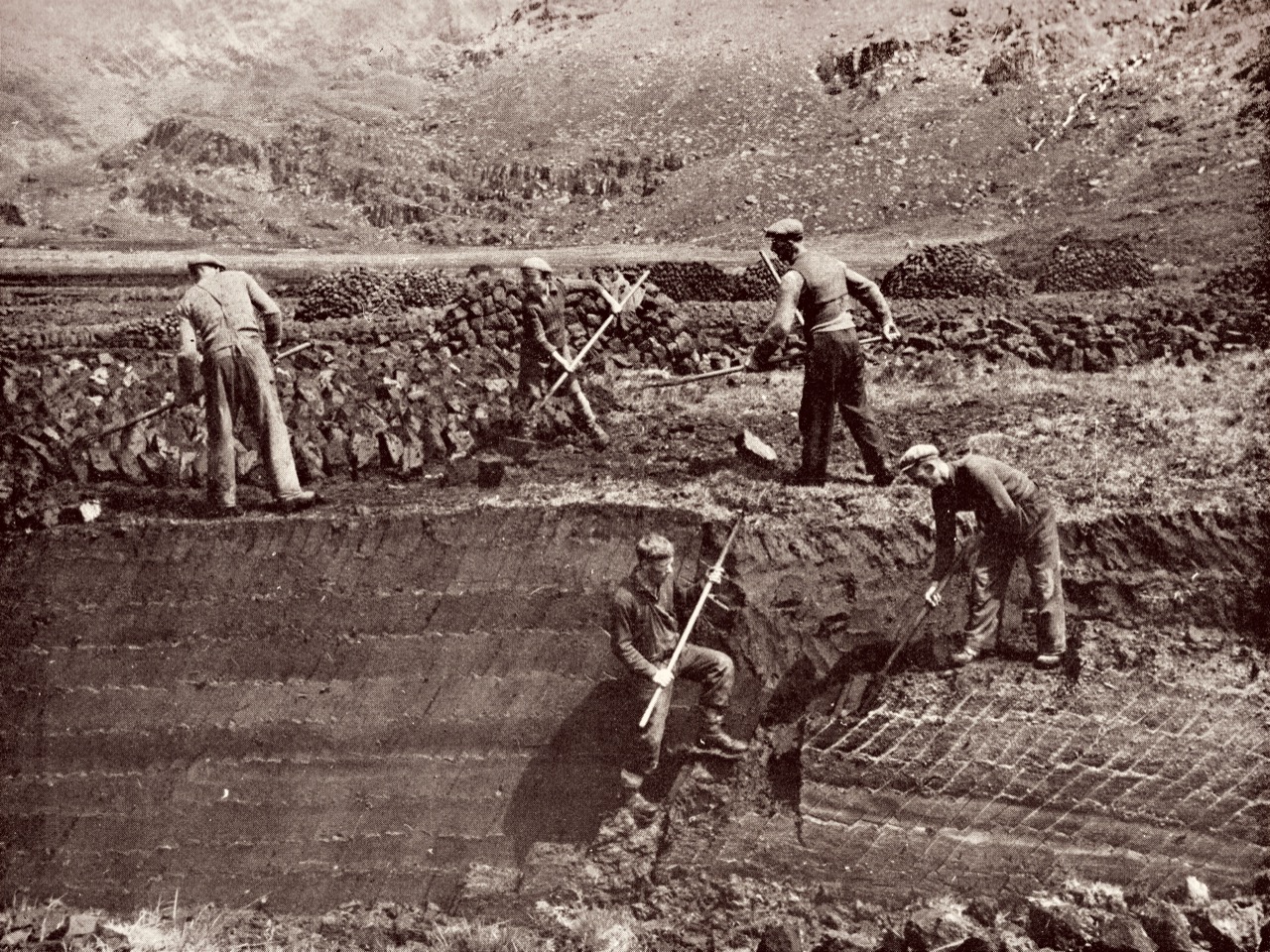
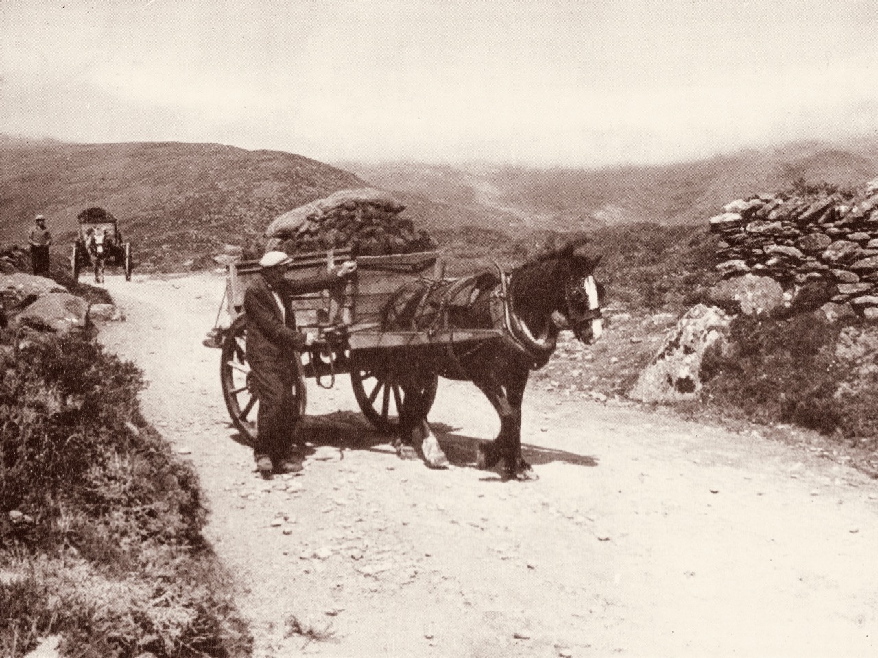
Tomás Ó Muircheartaigh (1907 – 1967) was an amateur photographer who recorded life in rural Ireland during the first half of the twentieth century. We have used examples of his work in previous posts. These two prints (above) demonstrate the hand-working of peat faces and the transporting of sods from the workings. Our Old Bog Road would have seen similar sights in its heyday.

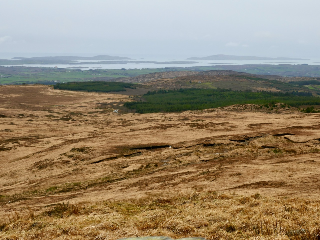
As we threaded our way through the peat workings, we could see the track carrying on towards the ridge. We had done no prior research into the area we were traversing, but as the way grew higher and higher – and we realised we must be coming to a high point in the landscape – we wondered whether there would be any signs of ancient activity on the mountain top. We could see other high points around us – Mount Kidd to the south and Mount Gabriel to the west – and, beyond, a spectacular distant view over Roaringwater Bay: a place like this would have been considered special, surely, to those who knew it thousands of years ago.

Views from the Old Bog Road: upper – Mount Kidd; middle – Mount Gabriel, and lower – the islands of Roaringwater Bay

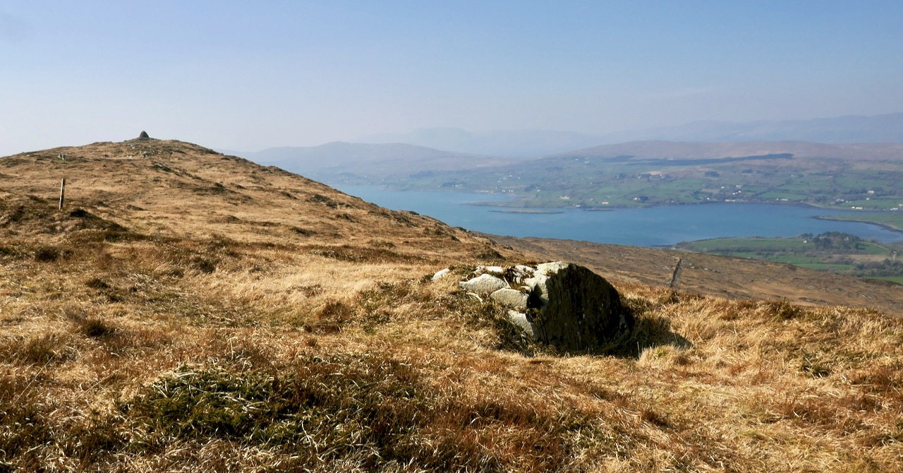
As we rounded the last bend in the trackway we could see the summit ahead of us. Initially, we were delighted to see a substantial cairn. But we were surprised by the number of larger, roughly shaped boulders and slabs which were lying around it. Also, there seemed to be a substantial earthen raised platform.

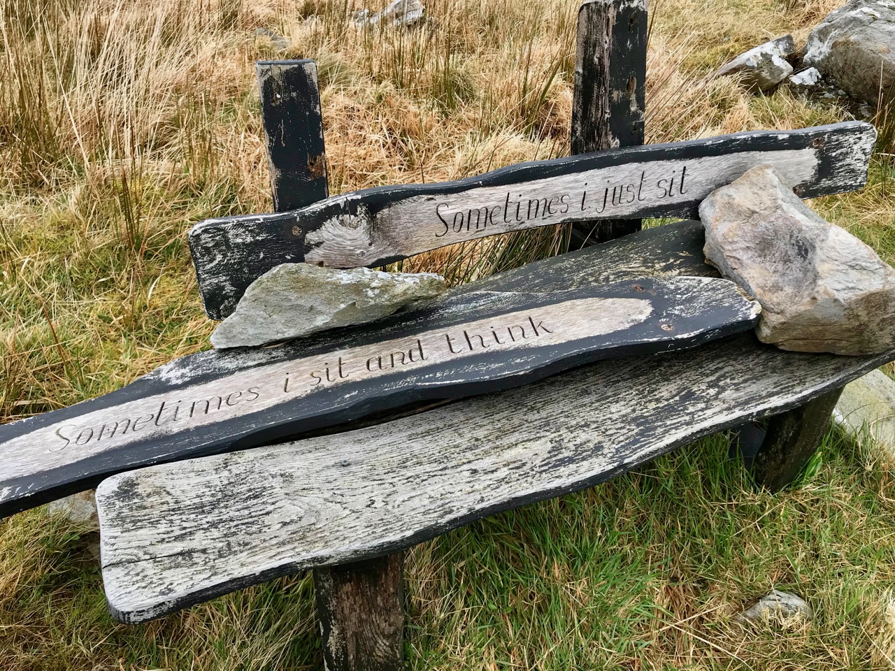
To add to the interest – and the enigma – there were some 21st century monuments on the same hilltop. An inscribed bench and a carved wooden marker which resembled a gravestone, with wording on both sides:

Our subsequent enquiries have given us a little information about Mick Townshend (1951 – 2012). He was well know locally, related to the Townshends of Castletownshend, and lived near Ballybane West. The bench was made by his friend Charlie, and was intended to be installed in Ballydehob: we don’t know why it is now here at the mercy of the elements, but it’s easy to imagine someone finding such a place inspirational, and perhaps asking to be remembered at this spot.

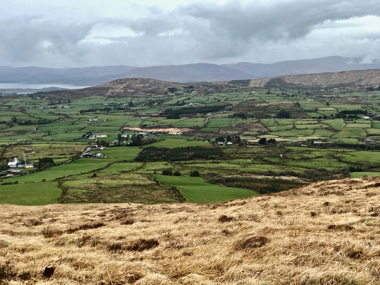
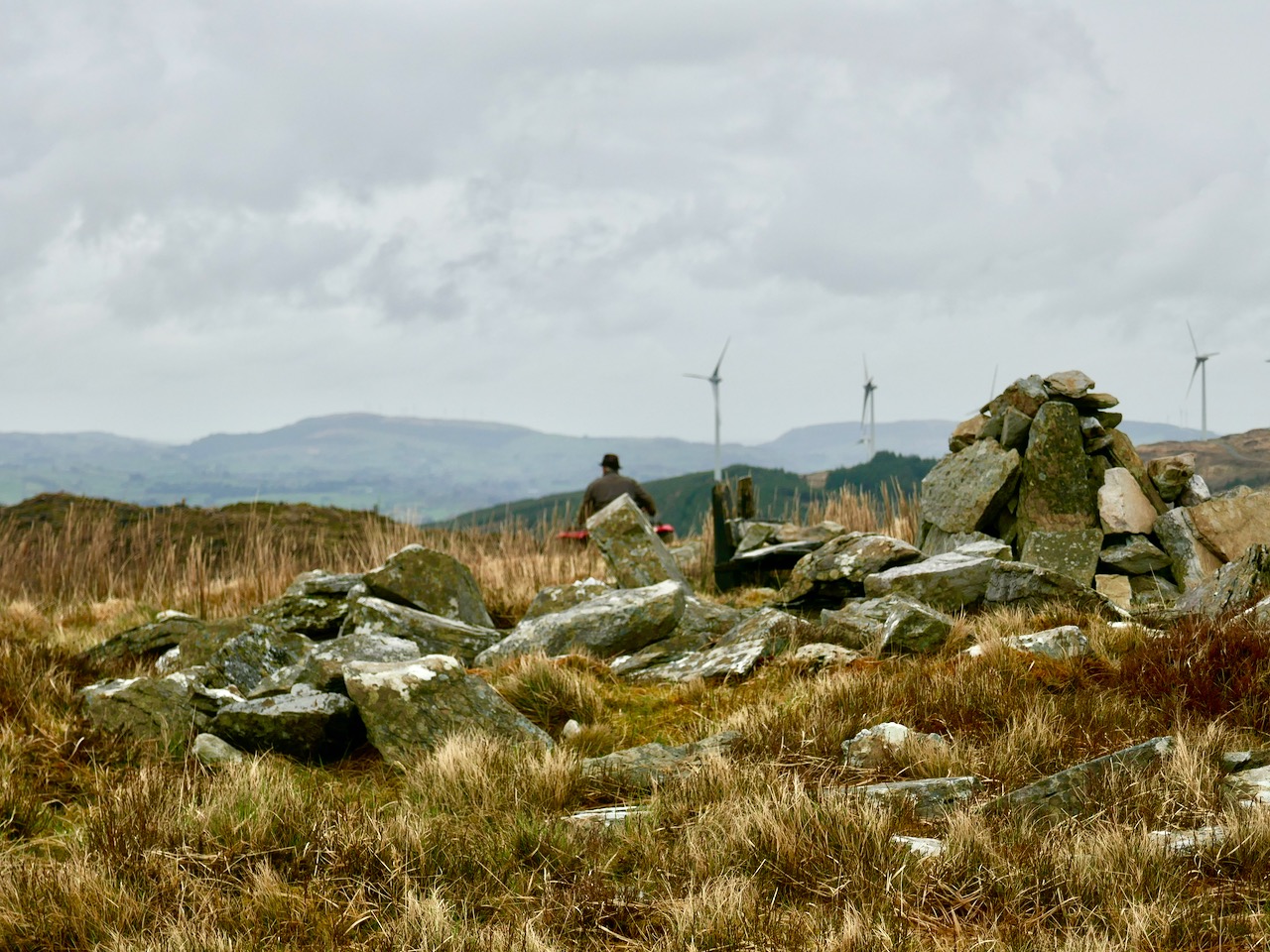
Although it wasn’t the best of days, the view to the north was exceptional, taking in Bantry Bay and the Beara mountains beyond. It’s a place that demands to be returned to. As we prepared for the descent we heard the sound of a small engine, and suddenly there was farmer Florence McCarthy arriving on a quad bike with two collies running behind: they were searching for lost sheep. Good chat was had – although, in deference to the Coronavirus crisis, we all kept the currently regulation distance apart. It felt very unnatural to not shake hands, and we forgot to ask for a photograph, until Florence was just disappearing over the brow of the hill!

Florence

The cairn is a scheduled monument, described prosaically on the Archaeological Survey Database as: Circular area (19.5m N-S; 19m E-W) defined by scatter of large rectangular stones. The Duchas folklore collection proved far more interesting, although I can’t be sure that this entry from Gort Uí Chluana School, Bantry, in 1936 is referring to the same cairn:

Long ago when some of the people from the north of Ballydehob used be carrying their “firkins” of butter to Cork they used go through an old road in the town land of Letter Lickey . . .


On the side of this old road it is supposed that one man killed another with a stone. After that it was the custom with the old people; who ever happened to pass that stone should throw a stone near the spot the stone was dropped at the man or if not something would happen to the person afterwards. Up to the present day there is a cairn of stones to be seen on the side of this old road . . .

Looking at Rossbrin

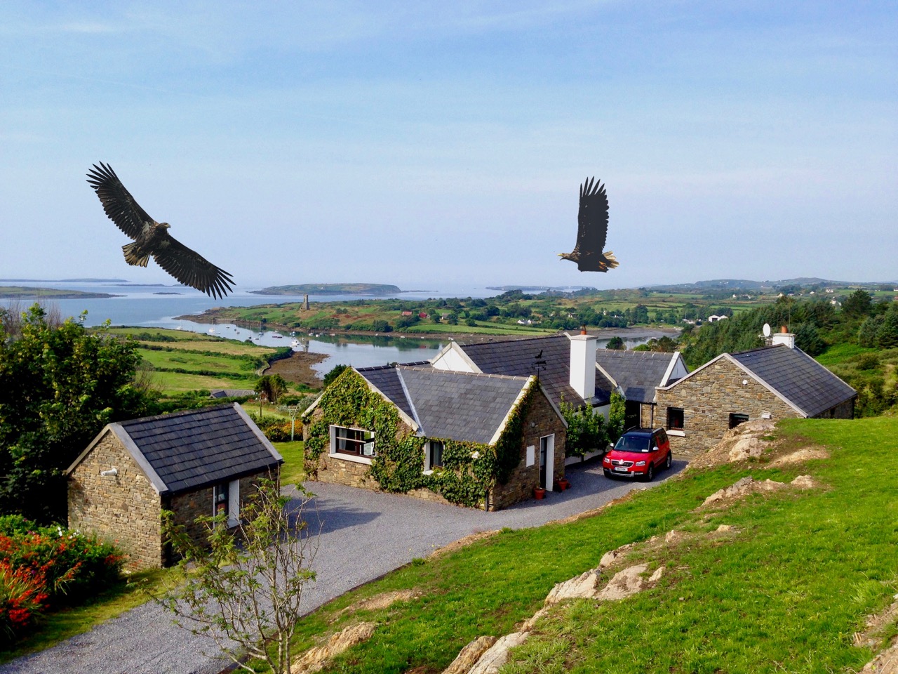
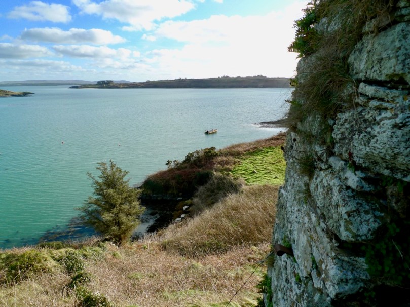
Last week we talked a little about the history of Rossbrin’s medieval castle, and the importance of this natural inlet as a historical centre of fishery, scholarship and European culture. Rossbrin Cove stills serves as an anchorage and refuge for sailing boats on the edge of Roaringwater Bay, but is now a peaceful haven, with only the sounds of the shore birds and slapping masts to lightly disturb an overriding tranquility that gives the place a very particular atmosphere. Our photograph (above) is taken on the boreen going to the castle; on the skyline in the centre is a wind turbine, and just below that is Nead an Iolair (Irish for Eagle’s Nest). The picture below shows the eagles wheeling over our house, with Rossbrin Castle and our view to the Cove beyond.

I have been exploring images of the Cove and its castle – some historic photographs and a few artists’ impressions. As it’s right on our doorstep, we have taken many pictures of Rossbrin during our years here. I am also sifting through a few of these.

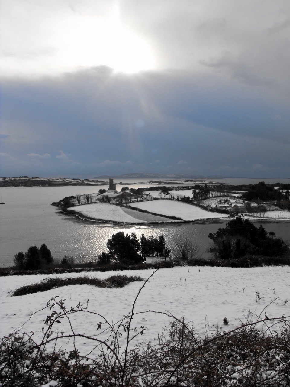
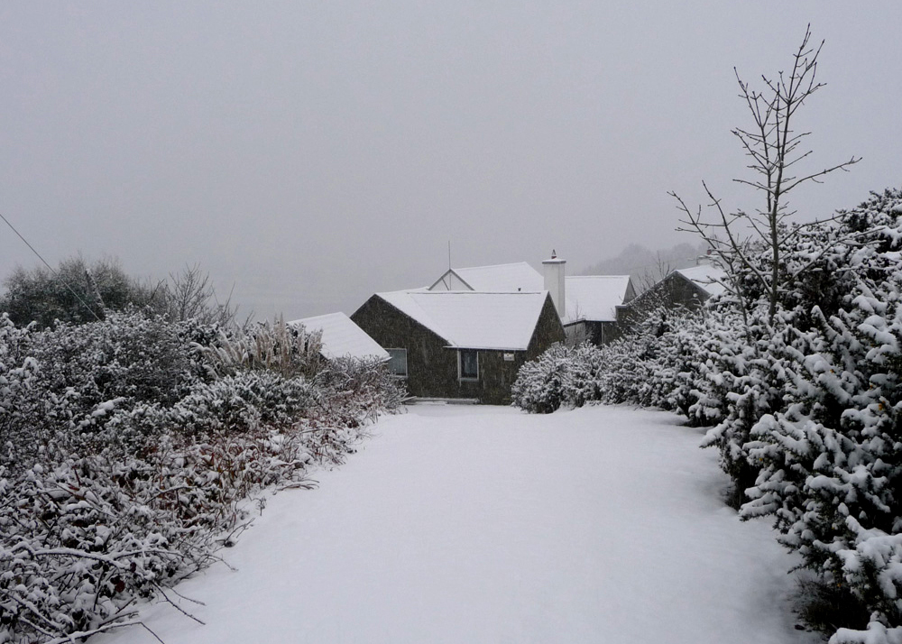
Ten years ago, the west of Ireland experienced an exceptional snowfall, and above is a photograph taken by our near neighbour, Julian van Hasselt, before we arrived. Mostly, our weather is relatively mild due to the effects of the gulf stream on the south-western coast. The castle can clearly be seen here, beyond the fields of Castle Farm. This view of our house (below) was also taken in 2010 by our neighbours Dietrich and Hildegard Eckardt:

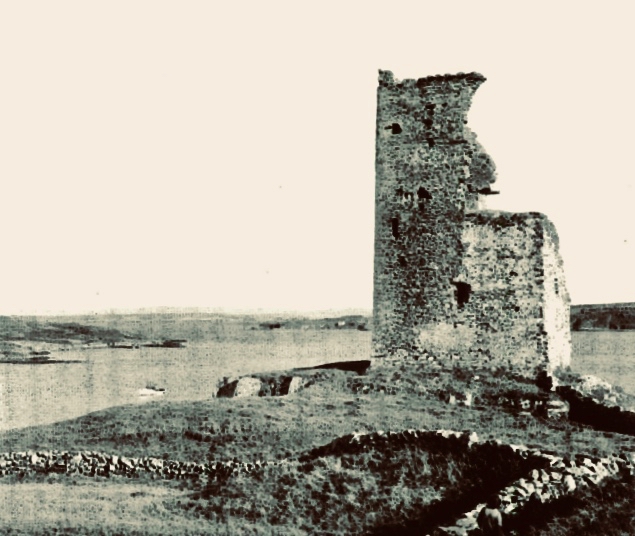
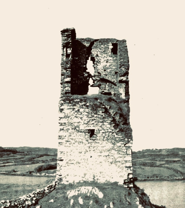
I showed a couple of early photographs of the castle last week. Here are two more taken before a substantial part of the ruined structure was toppled by a storm in the 1970s:

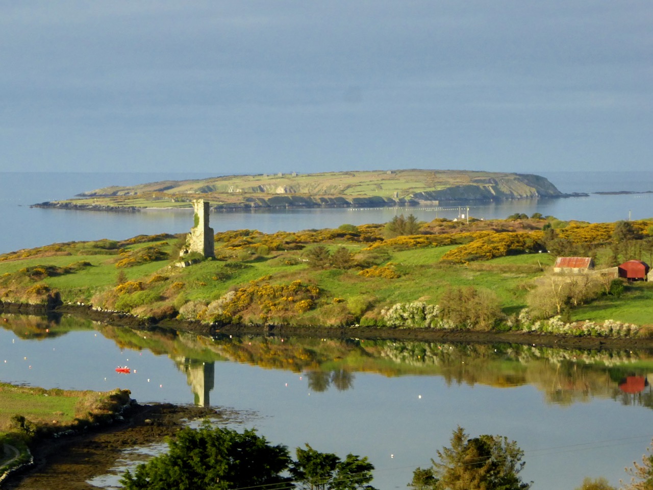
It’s good to see a bit of context, so here is another winter view of the castle on its rock with Castle Island behind. That island was also part of the O’Mahony territory. It is farmed by its present owner but no-one lives there now. You can make out the ruined castle on the island by the shore, just to the right of centre; it’s one of many that can be seen on, or close to, the shores of the Bay.

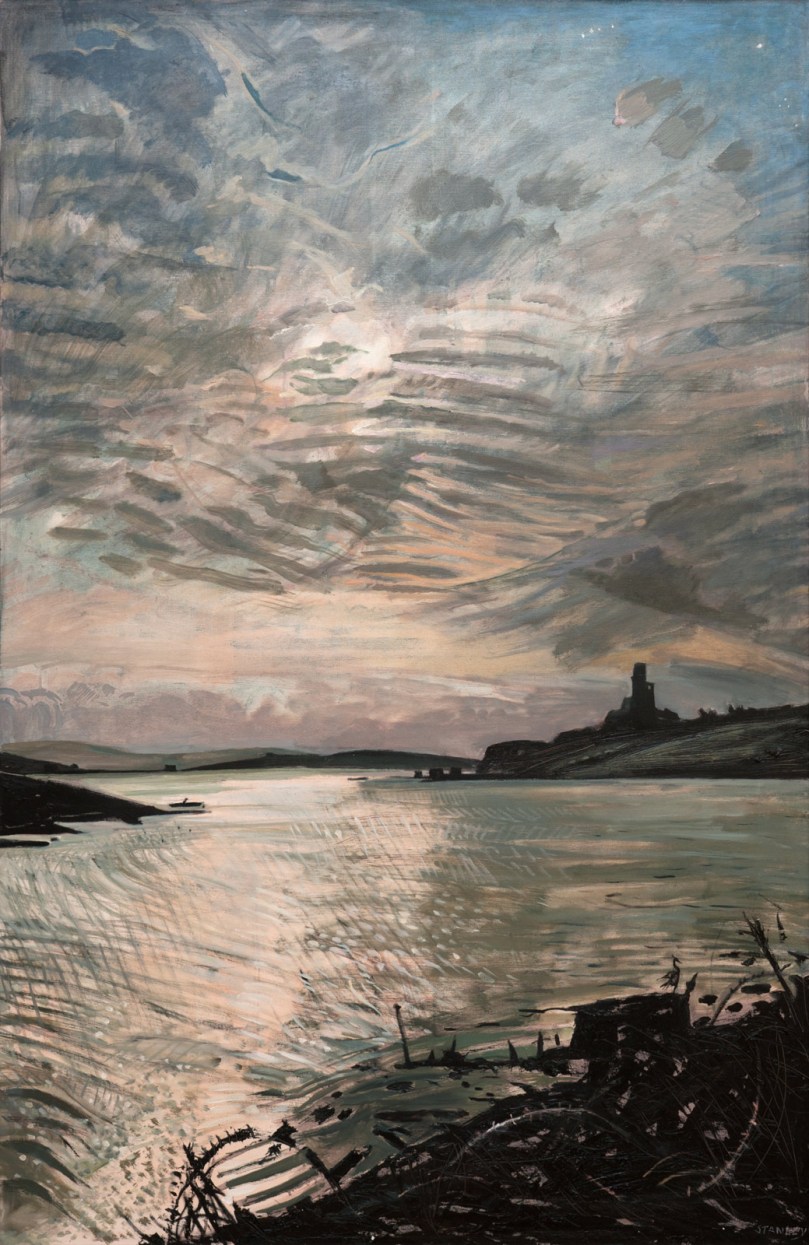
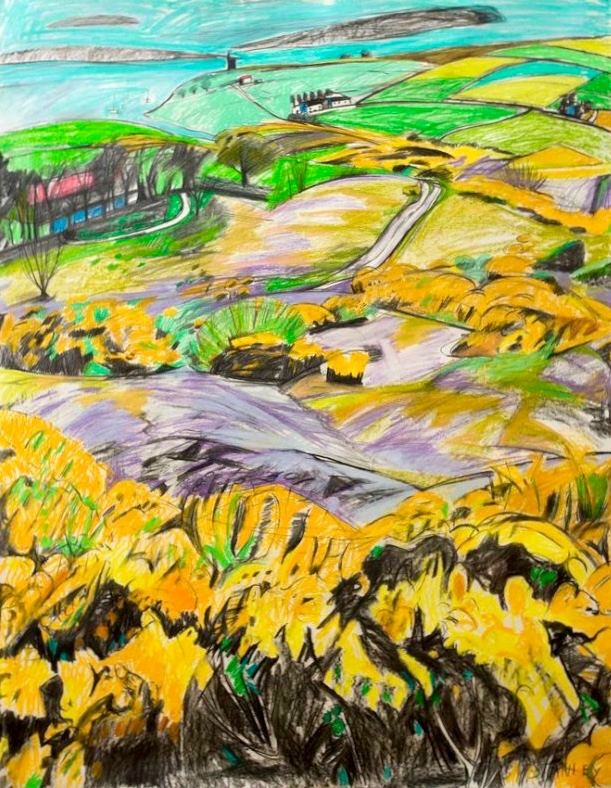
Let’s have a look at some of the art works that feature the Cove and the Castle. Jacqueline Stanley was one of many artists who was attracted to the beauty of West Cork. Now in her nineties, she moved from England to Ireland in the mid 1970s and purchased the old School House at Rossbrin as a country retreat: it has only recently changed hands.Here are two of her works, depicting Rossbrin. You can find more on her website.

I particularly like this view (above) which was painted by Jackie from the vantage point above the high road going down to the Cove, close to the remains of the copper mine at Ballycumisk. Last week I showed a painting by Geraldine van Hasselt, Julian’s mother, also from the 1970s. Every painting or photo is a historical document – and important to retain, in view of the fragile nature of the structure today.

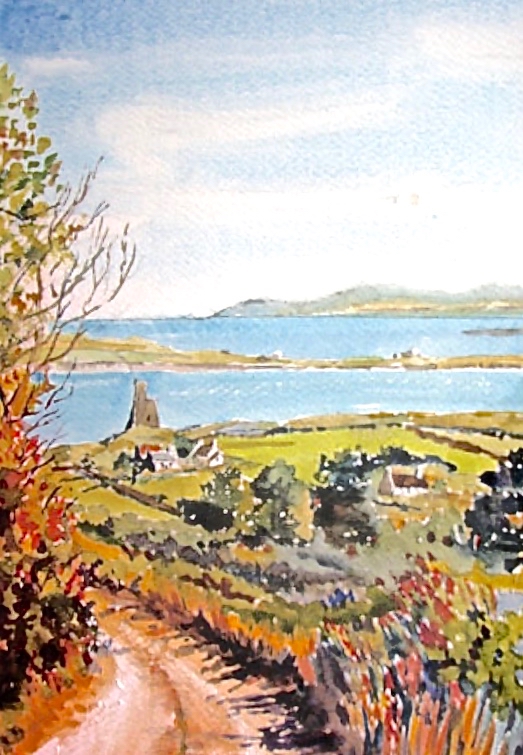
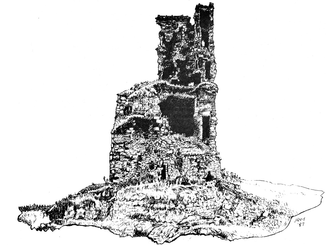
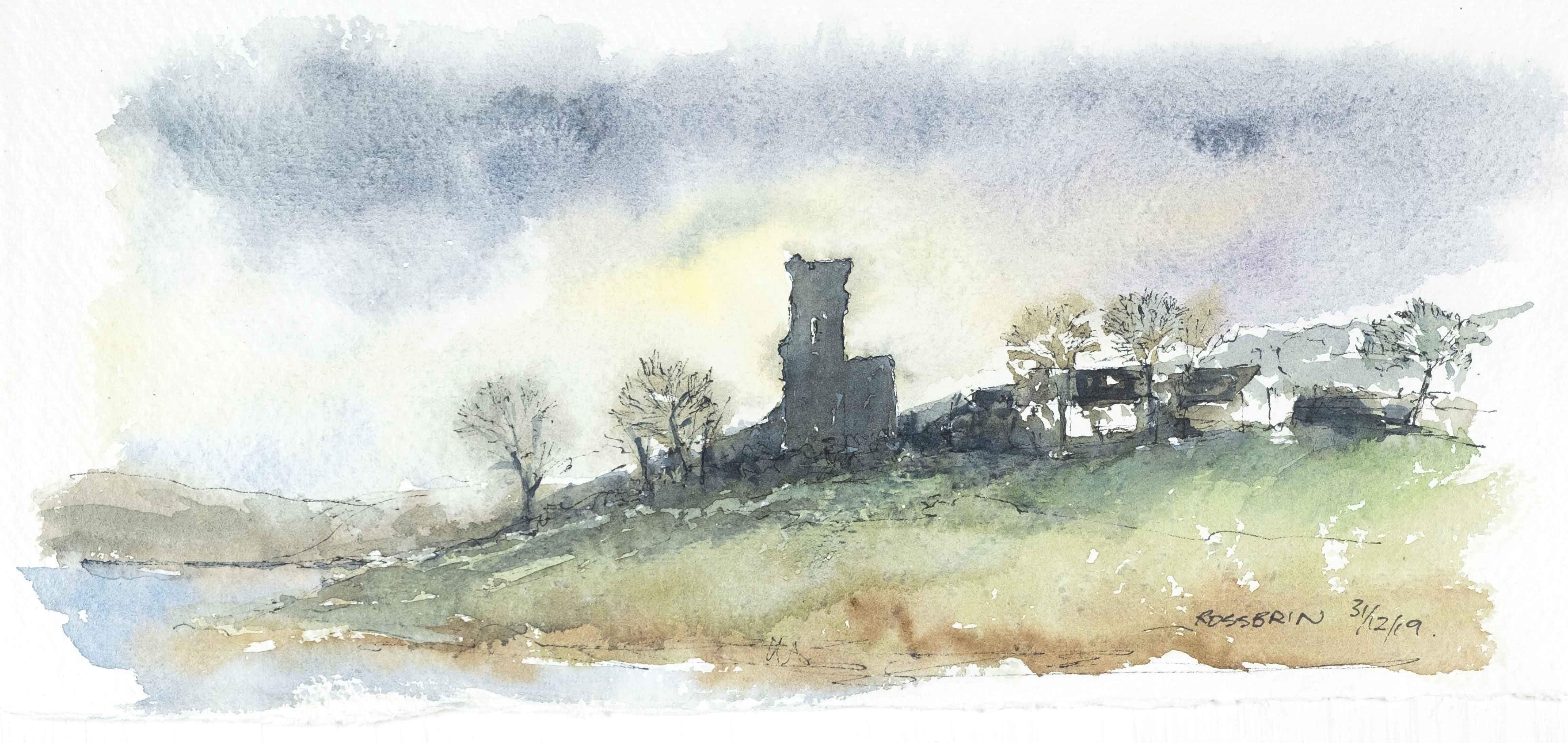
Our friend Peter Mabey is an architect and artist. He has lived in West Cork for a long time: he and I were at college together in Kingston, Surrey, and were surprised to meet each other by chance in Skibbereen market a good few years ago now. Above is one of his attractive watercolours looking down towards the Cove. The vantage point looks remarkably like the one chosen by Jackie Stanley. Below is a drawing of Rossbrin from the monumental work The Castles of County Cork by the late James N Healy, published in 1988 by Mercier:

The ruin is a romantic reminder of past times, enhanced by the changing weather moods of Roaringwater Bay. This photograph, by Finola, emphasises the character of the place:

I can’t resist finishing this little two-part foray into the medieval remnants of our historically significant ‘centre of culture and learning’, which now languish on the edge of the waters below us with an artist whose work we admire: Peter Clarke, who writes and illustrates the Hikelines blog. His watercolour sketches are exquisite and always atmospheric. He has kindly allowed me to use his portrayal of Rossbrin Castle as my tailpiece. Thank you, Peter – and thank you to all the other artists who have been inspired by this remote and beautiful part of Ireland.

The Castle of Rossbrin

It was just Raven and I, down at Rossbrin today. We were both inspecting the O’Mahony stronghold which has stood here for, perhaps, 800 years in one form or another. Peter Somerville-Large explored the area and its history in the early 1970s:

Down beside a narrow inlet which empties at low tide stands Rosbrin, the most easterly of the O’Mahony castles. Like the O’Driscolls, the O’Mahonys had a passion for building castles: they built twelve, and six survive, all overlooking or right on the edge of the sea. They shared with the O’Driscolls one of the finest fishing grounds in Europe, controlling the waters and exacting dues from visiting fishing boats in much the same way. ‘None of the fisheries of Munster are so well known,’ wrote an observer in 1688, ‘as those of the promontory of Ivaha, whereto a great fleet of Spaniards and Portuguese go, even in the midst of winter . . .’

The Coast of West Cork, 1972
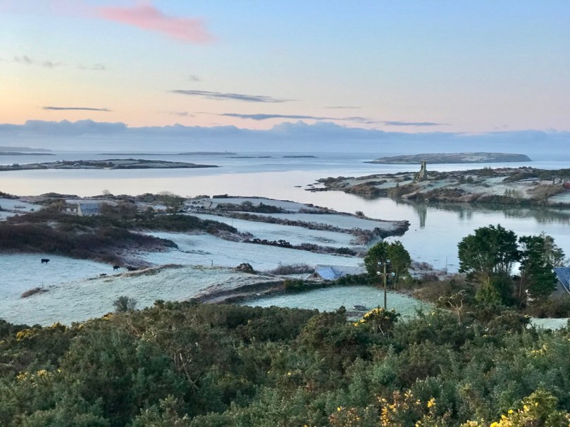
Neither Raven nor I would be deterred by the winter weather. On a day of hard frost followed by blue skies and sunshine, nowhere could be more beautiful than Rossbrin, and nothing could be more poignant than the quiet remoteness of this western corner of Ireland, once considered ‘the greatest centre of learning in Europe’. I walked in the company of the wisest of the corvids over the vanished ruins of a great university.
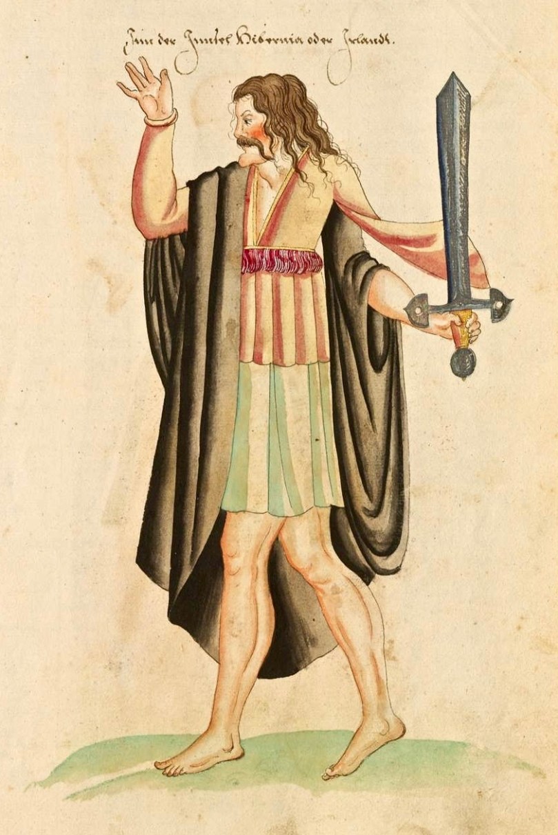
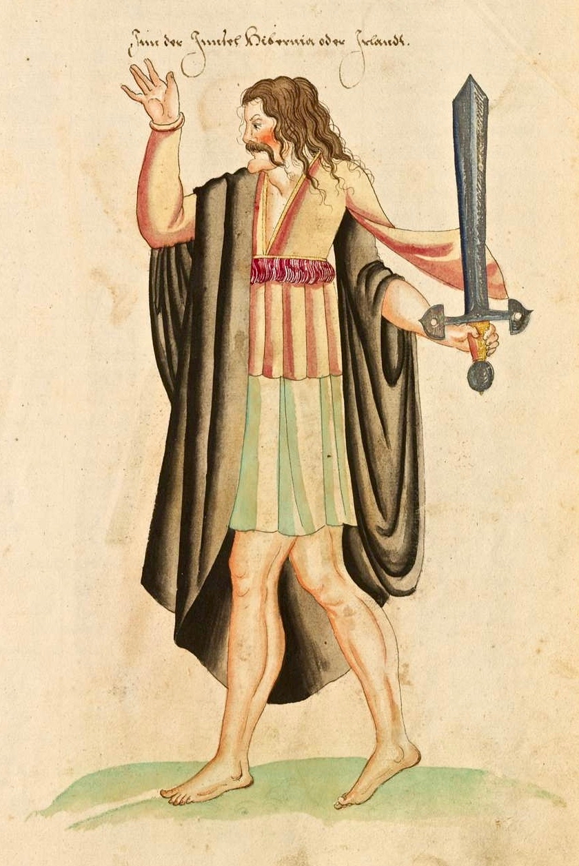
Finnin O’Mahony – Taoiseach, or chieftain, of the clan – as he may well have looked in the latter part of the fifteenth century (above): cultured, fashionable, flamboyant even, and powerful. It’s sobering to think that, while Columbus was following in the footsteps of Saint Brendan to rediscover the New World, scholars and scribes were busy on the shores of Roaringwater Bay writing and translating treatises, medical manuscripts and historical accounts of travellers busy in their quests to prove the earth may not be flat after all . . .

The Annals of Ulster tell us that Finghinn Ó Mathúna of Rossbrin Castle who died in 1496 was an acclaimed historian of the then known world. And, the Annals of Connaught lauded him as ‘a great scholar in Irish, Latin and English’. The Annals of the Four Masters referred to Finghinn Ó Mathúna as being unmatched in Munster for hospitality and scholarship. The O’Mahony territory was inclusive of today’s parishes of Dromore and Caheragh and all the lands westwards to Mizen Head. Finghinn made Rossbrin Castle both his residence and a rendezvous for Irish scholars . . . Most writers who laud the scholarship of Finghinn Ó Mathúna lament the loss of many of Rossbrin Castle’s manuscripts . . .

From an article by Alfie O’Mahony in the Skibbereen and District Historical Society Journal, Volume 6, 2010
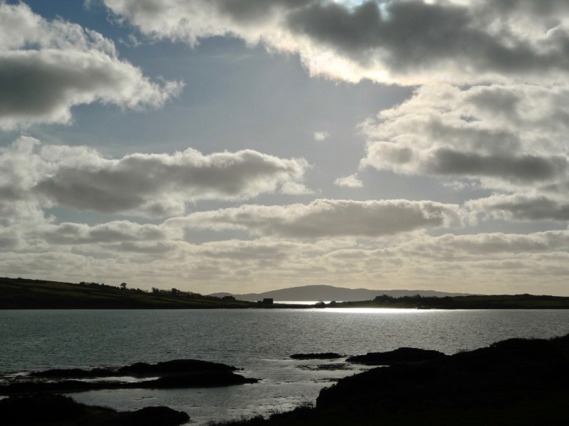
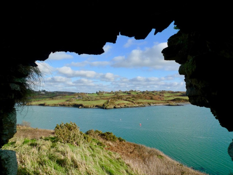
Roaringwater Bay – the view to the south, today, from Rossbrin. In the foreground is Horse Island, and beyond is the profile of Cape Clear, also a place of learning to this day: students of the Irish language spend time on the island, one of the Gaeltacht areas where Irish is still the native tongue. One of the reasons for Finghinn being so expert in languages himself was the desire to communicate with the visiting fishermen whose needs provided him and his clansmen with a good living. As well as a celebrated place of learning, Rossbrin Cove would have supplied fish palaces and all the trappings of the industry: barrels and salt for preserving, victuallers, alehouses, brothels . . . It must have been a boisterous and vibrant place.
Peter Somerville-Large gives a commentary on the more recent history of the castle:

One wall of the splintered tower has a crack running down the side. Another was partly blown down by a storm in 1905. If there is another great storm like that one, Rosbrin might well disappear without trace, like the O’Mahony castles at Ballydevlin, Castle Meighan and Crookhaven. It is sited on an area which is very difficult to approach from either land or sea, standing on a rock. Contrary to what might be written in Holy Scripture, buildings on rocks have little in the way of foundation, and when they fall down or are swept away there is nothing left of them except a memory . . .
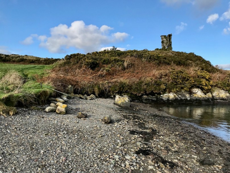
To the south of the rock on which the castle stands are the vestigial remains of an ancient stone quay (above), still in use as a landing place. The Cove itself – a natural haven – would have been the main harbour area serving the fishing fleets. The castle stands sentinel above the harbour entrance, ensuring that no-one could approach unseen.
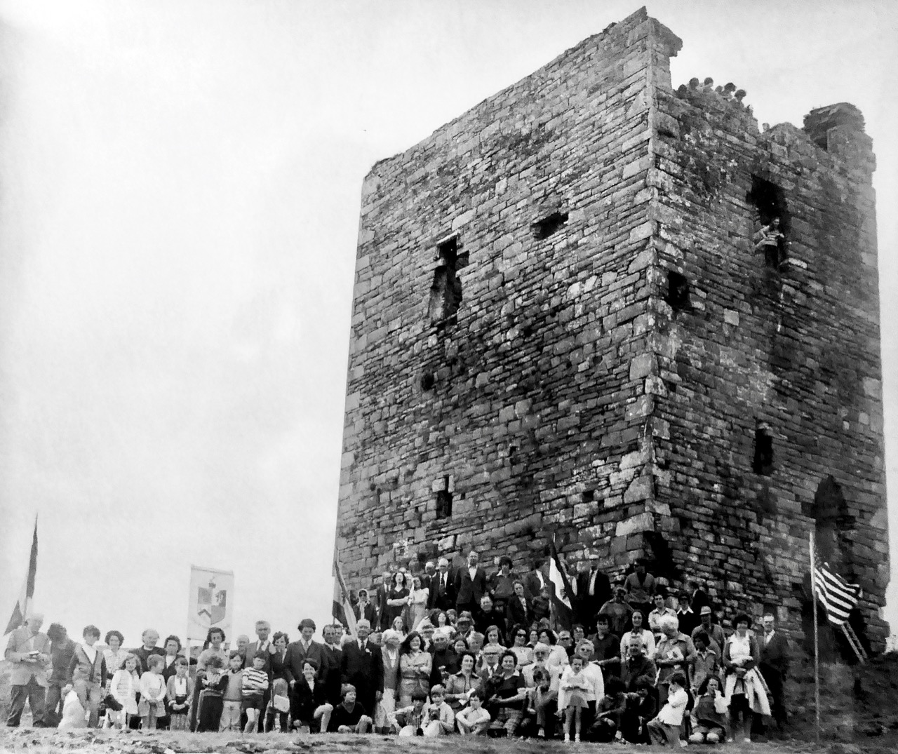
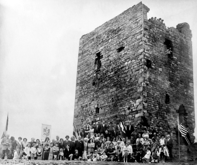
I have been looking for older illustrations of the castle, in order to ascertain how much erosion is taking place as the years go by. Here’s a fascinating record of an O’Mahony Clan Gathering, photographed in 1975 by Michael Minihan of Skibbereen. There is a lot more of the building intact at that time. Can you see the spectators high up on the walls and roof? [Note: I was mistaken – this is actually Leamcon or Black Castle before reconstruction. I am leaving it in to illustrate what Rossbrin may have looked like before it started to fall apart.]
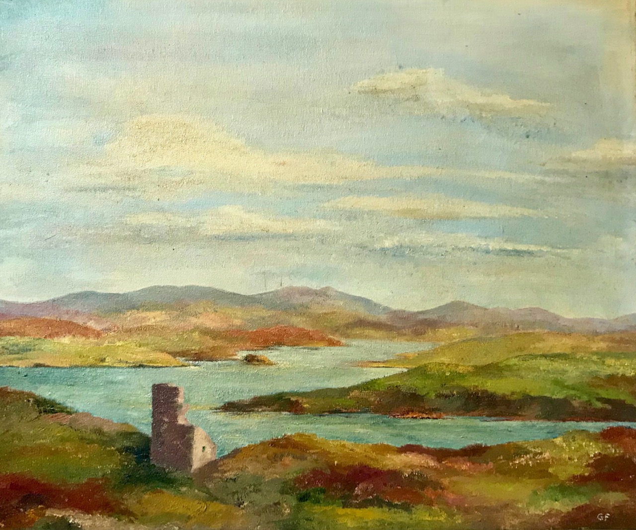
As most of you will know, we look down on Rossbrin Cove and Castle from our eyrie up at Nead an Iolair. We consider anyone living on or by the Cove a neighbour. One of these is Julian, the first to welcome us when we arrived here many years ago. On my walk today I called in on him – he lives next door to the Castle Farm. I was over the moon when he showed me a portrayal of the Castle which his mother, Geraldine, painted in the 1970s, only a year or so after the gathering at Leamcon, above. A substantial part of the Rossbrin castle walls has collapsed in relatively recent times.
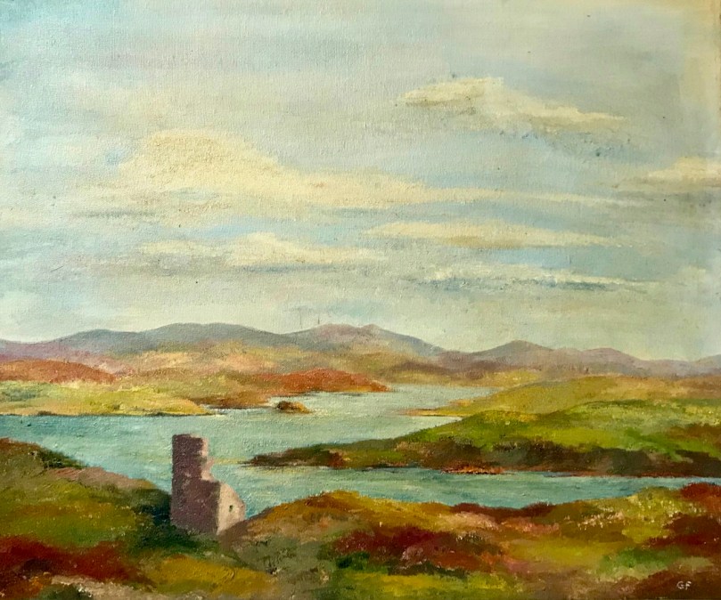
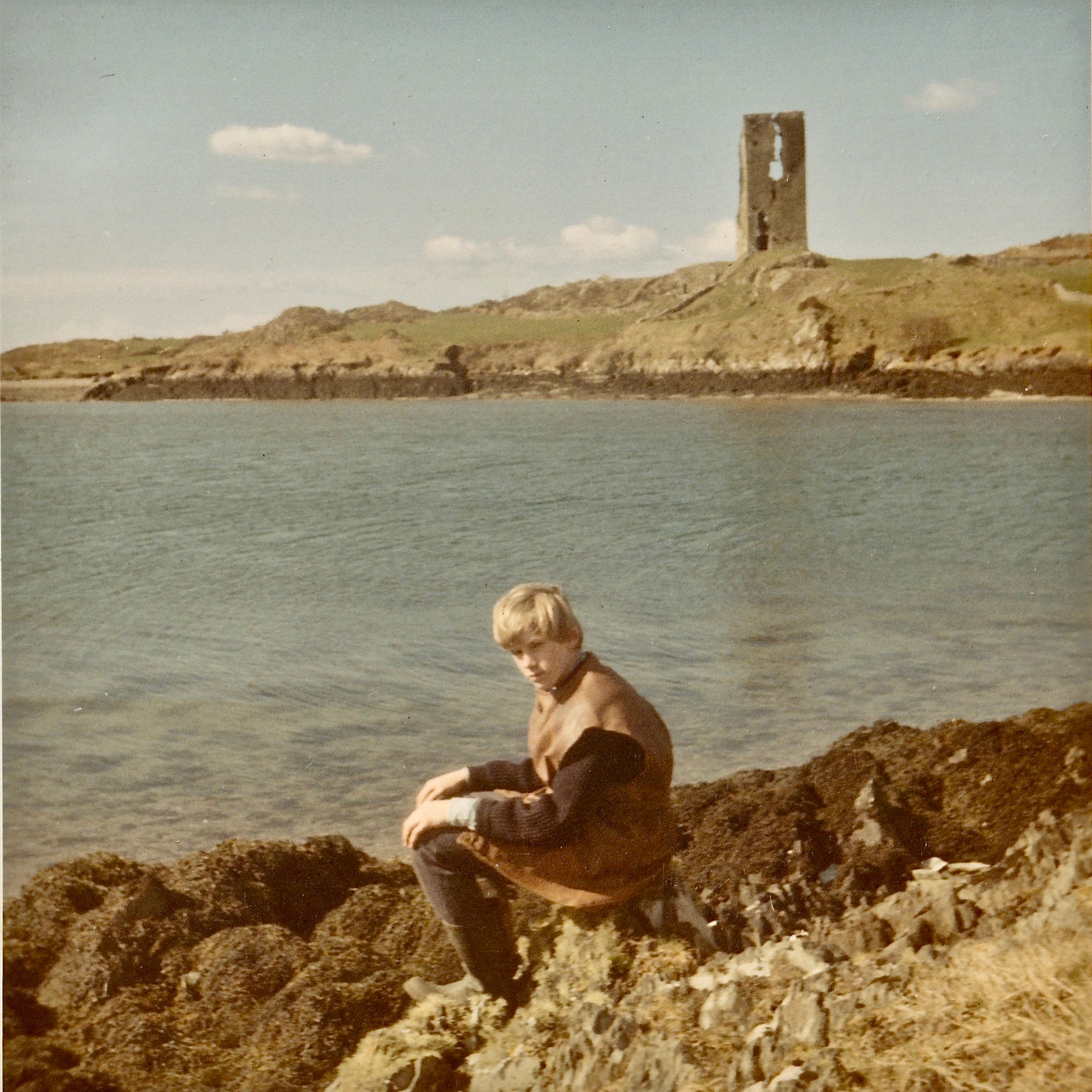
Rossbrin Castle, painted by Geraldine van Hasselt in the 1970s (above). Best of all, though, is a photograph of Julian – her son – taken at Easter, 1969: significant parts of the walls have collapsed since this picture was taken.
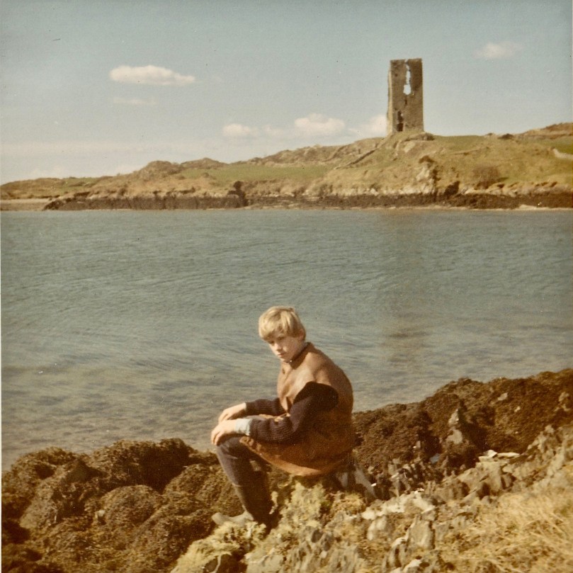
Julian van Hasselt on Rossbrin shore: behind him is a clear view of the castle. You can see the vertical crack which eventually led to the collapse of half the tower.
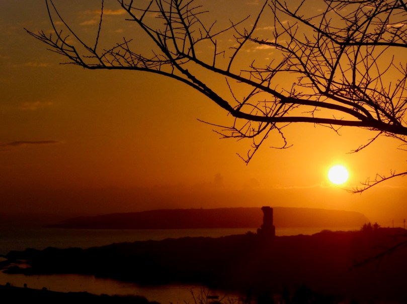
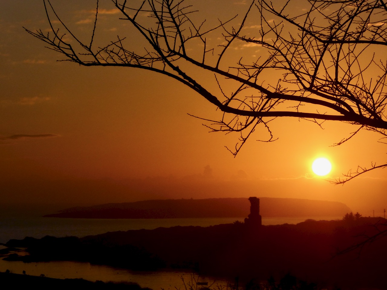
At this time of the year we get excellent sunsets when the weather is right. Today’s was a good one! I reluctantly said goodbye to Raven, my companion whose constant cronking seemed to follow me as I perambulated this place of deep history. I wonder: was it just Raven? Or might it have been Finghinn himself, speaking to me in yet another of his languages? I think I’ll have to return to Rossbrin to find out!
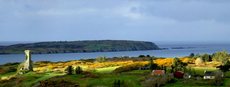
With many thanks to friends Julian and Raven . . .

Heir Island Bread School – Revisited

A version of this post was originally written way back in 2013 but guess what? Patrick and Laura are still running their bread school on Heir Island, and are about to add a new one in Wicklow too. This is a live-in-the-memory experience and I heartily recommend it to anyone. Makes a great Christmas present! Check out The Firehouse website for more details and to register your interest – these course sell out fast! The bakery/cafe is now based in Delgany, Co Wicklow, and is a superb, and award-winning, spot for coffee or lunch.

What follows now is the post from 2103, but edited and updated. Apologies for the photo quality, these were my pre-proper camera days. But Robert and I, you will not be surprised to hear, don’t look a day older. Right?

January 2013: We got the most incredible Christmas present from Noah, Robert’s son! It was a day of learning to bake bread at the Firehouse Bakery on Heir Island, about a 20 minutes drive from Ard Glas. While Robert had some experience of baking with yeast, I had none, and considered myself yeast-phobic.

Our day started at 10:00AM with the short ferry ride to the  Island. (For more on Heir Island, see our post Heir Island – a Modern Paradise). We were picked up by Laura Moore who drove us back to the house/school/bakery and plied us with coffee and brownies to get us in the mood. The baker/instructor is Patrick Ryan, who ran his own bakery in Bath, England, and has written the inspirational The Bread Revolution with his bakery partner. He plunged us right into the process by introducing his four students to our bowl of sourdough, explaining what is was and how it worked. Patrick is passionate about sourdough and making real bread and feels many wheat and gluten intolerances (other than Coeliac Disease, of course) may be related to modern mass-baking methods.

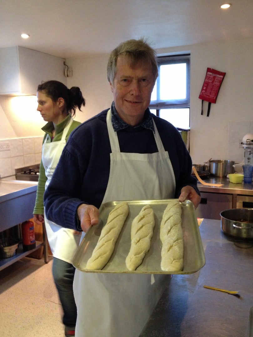
Then it was all mixing and kneading and scraping until we had a loose ball of dough which was set aside to prove while we got on with the next project – in my case a granary ‘bloomer’ and pull-apart buns and in Robert’s some baguettes.

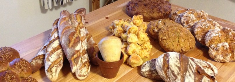
We moved on from there to muffins, flowerpot bread, orange cake, brownies, cookies and soda bread. I thought I was on more solid ground with whole wheat soda bread but this was soda with a twist – each of us made a different version. We made thyme, mustard and cheddar; apple and cider with caraway; honey, blue cheese and walnuts; and roast butternut squash and cheddar and each version took different shapes, including mini-muffin shapes.
All our bread was baked in Patrick’s custom-built outdoor oven, heated by burning logs inside it. At the end of the day we sat around a table eating Laura’s excellent soup and pasta – she had been cooking away all day as we were baking – with samples of our own bread. We divided all the bread between the four of us and headed back to the ferry. We have a freezer full of bread, a fistful of recipes, directions for sourdough starter, a sense of accomplishment, and memories of a warm and friendly learning atmosphere. What I don’t have? Yeast-phobia!