All Around the Bloomin’ Heather

heathers CappaghglassHeather blooms here in late summer and through the autumn – not, as in the song lyrics, when “the summer time is comin’”. It washes the hillsides with a rich pink-purple that has to be seen to be truly appreciated. The gorse has a late bloom too and the combination of the purple heather and the brilliant yellow gorse is one of my favourite things at this time of year.

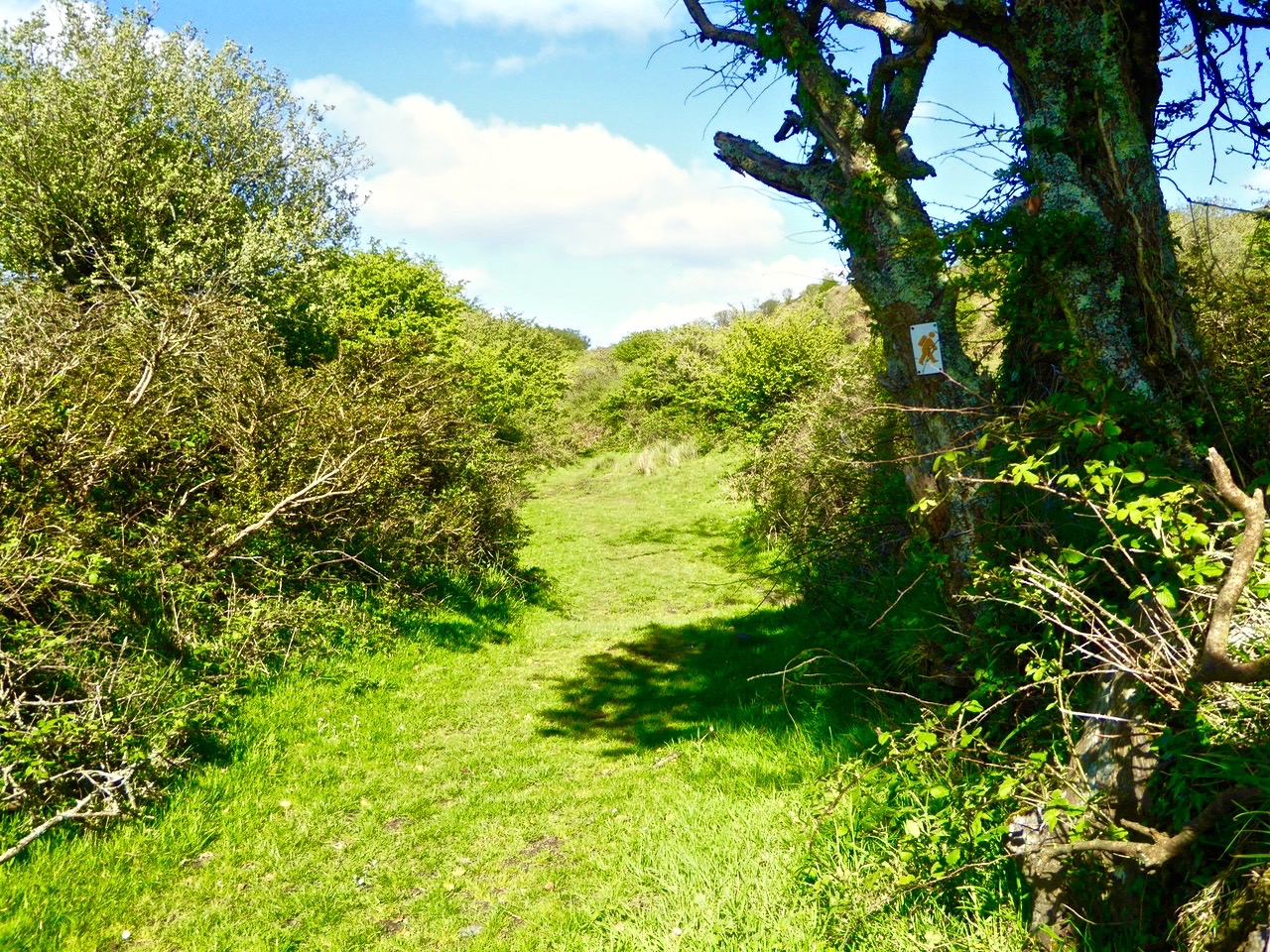
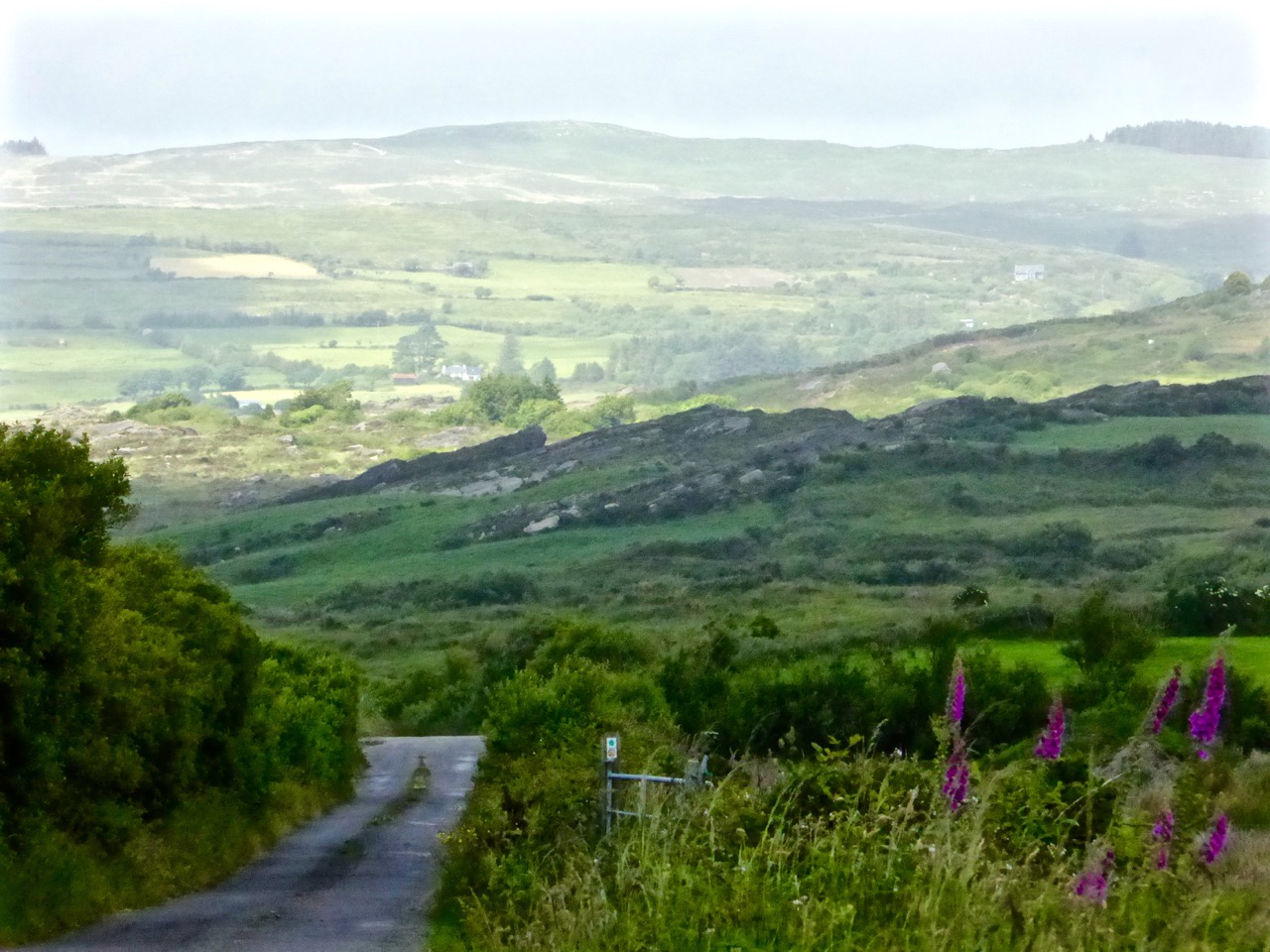
We’ve been walking the little roads around us in West Cork again, and observing the new cycle of hedgerow flowers since I last reported on them in June.

boreen

Inspired by my Ellen Hutchins experience, I set out to identify some of the most conspicuous of them, aided by my Zoë Devlin book and my friend Amanda.

Fuchsia Montbretia and blackberries

Most striking, of course, is that combination of drooping fuchsia and the gaily waving montbretia (or crocosmia) underneath. Although technically both are introduced species, together these two flowers define the south west of Ireland – it’s what we see in our mind’s eye when we think of West Cork.

Mainly montbretia

Now the berries are ripening and it’s impossible to walk without keeping an eye out for particularly juicy blackberries.

Blackberries

Although, because we’ve had a cold and wet summer, lots of the brambles are only flowering now.

blackberry flowers

Sloes too, with their glossy blueblack skins are there for the picking. Sloes are the fruit of the blackthorn, often used for making sloe gin. They are actually a type of small plum and are considered edible after the frost. (Note to self – must try one!) Blackthorn hedges are common around here as they make an impenetrable, thorny cattle-proof fence. The wood was prized in the past for making walking sticks that could also be used as clubs, sometimes called shillelaghs. Traditionally, they were cured and acquired their glossy black colour by sticking them up the chimney.

Sloes

Whitethorn, or hawthorn, hedges and their red berries, or haws, are equally ubiquitous in September. We love to see our garden birds descend on the whitethorn trees in the winter, knowing that the haws provide an important source of nutrition for them.

Haws

The wild roses, white and pink, still sport a few blooms but now mostly the colour comes from the rose hips, the more domesticated ones huge and glossy and the wilder ones smaller and half-hidden among the brambles. I’ve never made rose hip jelly, which is apparently packed with Vitamin C, but I did pick up a delicious rose hip and apple jam at one of our local markets recently, and I’ve been enjoying it on my morning toast.

One of the dominant flowers in the hedges and ditches now is purple loosestrife. In lower-lying marshy ground it masses in a vivid amaranthine swath.

Loosestrife

We can admire it freely here, although when I lived in Canada I knew it as an invasive weed to be feared and eliminated. Researching this online, I came across this excellent article by the Examiner’s Dick Warner. As he explains it, once purple loosestrife established itself in North America…

In these new homes, without any natural ecological controls, it became invasive and threatened to choke up important watercourses. The main reason this doesn’t happen in Ireland is that purple loosestrife is kept in check by a number of specialised and very efficient insect predators.

There are known to be two species of beetle, two species of weevil and one species of moth that feed virtually exclusively on purple loosestrife and control its spread. In America, the first thing they tried when it started to become a problem was to control it mechanically, by cutting and removing it. When this didn’t work they tried chemical control, spraying it with herbicides. Not only was this equally unsuccessful, it had some very undesirable environmental repercussions. Using toxic substances in or around water is always problematic.

Then the scientists looked to Europe. They decided the moth with caterpillars that ate purple loosestrife was itself a potential pest, so they left it alone. But they imported the beetles and the weevils and they did an excellent job. It’s one of the classic success stories of biological pest control.

The grasses, brackens, hogweed and ragwort have colonised the hedges and jostle for space in the corners of the fields.

Thistles have now mostly lost their purple heads but are no less spectacular for that.

thistle seedheads

In fact seed heads of all kinds provide an ethereal fringe to many of the hedges, while the breeze in the grasses supplies the music. 

Thistles and seedheads

Knapweed (top) and ragwort seed heads

A few of the smaller flowers can be easily missed.

Common dog-violet (left) and tormentil (right)

And even some of the larger ones are easy to ignore because they’re so common. But look closely…

meadowsweet

Scabious

Meadowsweet (upper) and Scabious (lower)

And here’s a handsome one – Hemp Agrimony, sometimes known as Holy Rope or St John’s Herb. Apparently you’re supposed to boil the root in ale as a purgative or to cure dropsy. Now you know.

Hemp Agrimony

Finally, and because many of you cherish the memory of curling up with Baroness Orczy as teenagers, here’s a Scarlet Pimpernel.

Scarlet pimpernel

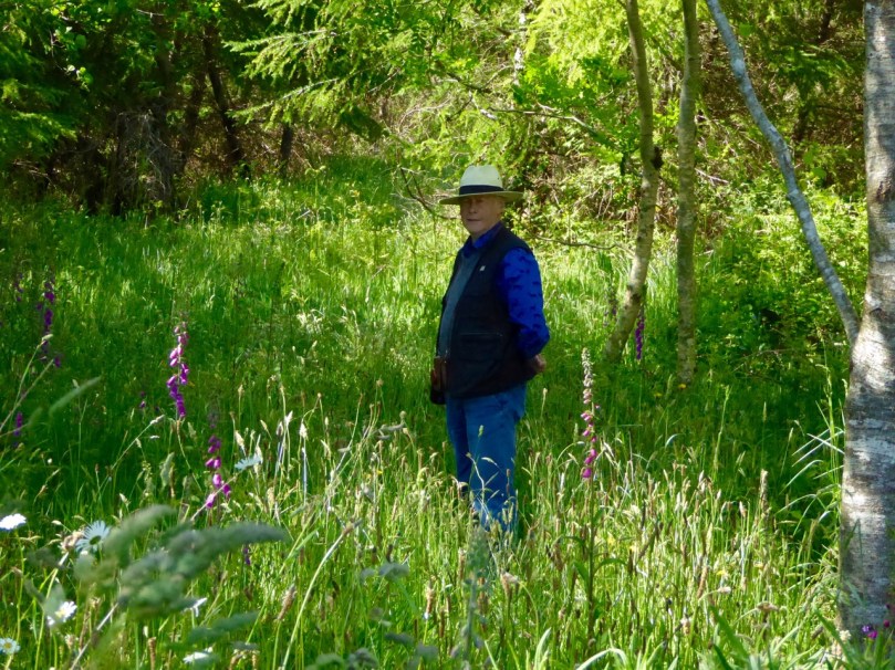
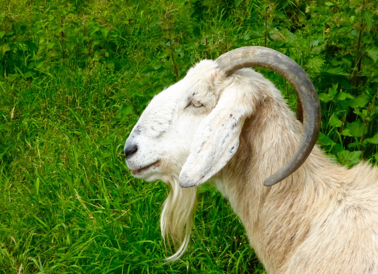
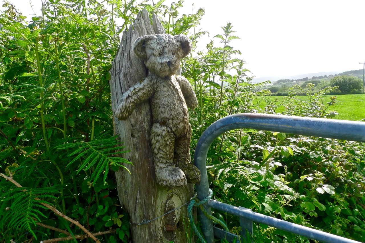
All the photographs in this collection, with one exception, were taken on one day, September 8. There’s more, so much more, to see and hear at this time of year along the boreens of West Cork, but I’ll leave it at that for now, except to show you whom I was sharing all this with on my walk.

FLY ON BLACKBERRY

Clockwise from top: blackberry, dog rose, rose hip, hawkbit, herb robert and a species of willowherb. All with visitors.

Oh and one more thing… there are many versions of the song Wild Mountain Thyme on YouTube, but this one struck me because of the lyrics. Subtle changes make the song both more romantic and more accurate. See what you think.

fuchsia

Irish Poldarks

black hole

Derrycarhoon Mine

Schools are back; fields are being cut; the shutters are going down on the holiday houses around the Cove. And – the good weather has arrived! Hot days and red sunsets: West Cork is the place to spend autumn…

Full Sky

Autumn comes to Rossbrin Cove

It was just such a golden autumnal-feeling day when our friend (and Fastnet Trails mastermind) Eugene McSweeney called us to see if we would like a trip out to the old metal mine north of Ballydehob, in the townland of Derrycarhoon. Of course we would! Local farmer William Swanton led the expedition: William’s family had connections with mining – he told us that his grandmother’s father had been a Captain of the mine.

William

William Swanton at the South Shaft, Derrycarhoon

You will know that we live in the townland of Cappaghglass, and this has a mining history, as does the neighbouring townland of Ballycummisk. Also, there are ancient mines on the slopes of Mount Gabriel, not far away, and more mining activity in other parts of the Mizen, Sheep’s Head and Beara Peninsulas.

Allihies19571957 scene at Allihies Mine, Beara Peninsula

hodnett bookWhile many aspects of the 19th century history of the old mine at Derrycarhoon have been well recorded (I am indebted to The Metal Mines of West Cork by Diane Hodnett, The Trevithick Society, 2012), the site itself had for some time been difficult to reach and interpret as it was in a dense forestry plantation established in the 1960s and 70s. Now, however, much of the matured forest has been cleared (albeit leaving a devastated landscape) and it is possible to piece together the layout of the workings. Please remember that the mine is on land managed by Coillte and is subject to Coillte’s policies on access – permission must be sought from the landowner before visiting; also, a guide is essential – there is very rough ground and open and unguarded shafts and trenches.

danger

What is so special about this mine is that it has apparently been exploited firstly in prehistoric times, and then again in historic times – prior to its most recent incarnation in the 19th century. Professor William O’Brien of UCC recognises ‘…the recently-adduced evidence for early medieval operations at this site, which is quite unique in the history of Irish metal mining…’ (A Primitive Mining Complex at Derrycarhoon, County Cork – Journal of Cork Historical and Archaeological Society vol 94). While other mines on the Mizen Peninsula have shown evidence of being worked initially in the Bronze Age and then subsequently in modern times, Derrycarhoon is the only one to date which can confidently claim to have also been in use in between those times.

finola at the shaft

interior

Intrepid Finola inspecting the deep shaft at Derrycarhoon, top, and her photo, below – note the copper staining

We have explored links between West Cork and Cornwall in previous blog posts (here, herehere and here). When it comes to metal mining anywhere in the world there’s usually a Cornishman involved and here is no exception to that rule. The mine agents – whose job it was to prospect and direct operations – were always known as ‘Captains’. A dynasty of Mine Captains was founded by Charles Thomas (1794-1868), a mining agent and share dealer in Camborne, Cornwall – responsible for the very successful development of the Dolcoath Mine in Camborne. Mineral rights here were established in 1588 and copper was being produced in some quantity by 1720. Thomas (who had started work in the seams of Dolcoath at the age of twelve) stepped in as Captain in 1844 after a period of considerable decline in metal production. Charles was a real-life Poldark – insisting that the apparently dwindling seams of copper be followed to the bitter or fruitful end – and his skills saw Dolcoath (known as the Queen of Mines) become the largest, deepest and most productive mine in Cornwall, with its principal shaft eventually reaching a depth of 3,300 feet (1,000 m) below the surface – and incidentally taking the miners between 2 to 3 hours to descend and ascend, significantly reducing their working shifts below ground. Thomas was succeeded at Dolcoath by his son Josiah and then his grandson Arthur, taking the mine well into the twentieth century. (Its successor, the South Crofty Mining Company went into administration in 2013).

Dolcoath 1893

Dolcoath, Cornwall – Queen of Mines – 1893

The point of this digression into Cornish mining history is simply that three more sons of Charles Thomas, Captain of Dolcoath, came to the west of Ireland in the mid nineteenth century and were instrumental in the development of many of the mining activities here, including those on the Mizen. The brothers, Charles, Henry and William arrived by 1841 with their own families – yet more sons – who proceeded to populate, at one period or another, the Captaincies of most of the West Cork activities, including our own Cappaghglass workings and the Derrycarhoon venture.

West Cork Mine Captains: Henry Thomas (left) with his niece and William Thomas (right) with his daughter

The modern age of mining commenced at Derrycarhoon in 1846, under the management of Captain Charles Thomas. Charles discovered no less than six old mines during his preliminary explorations, and recognised similarities between them and the shallow workings of medieval tinners which he knew from his childhood home on the moors of Bolenowe, near Camborne, where such workings were extensive and visible. That’s how we know that this mine had been active in those times. But also, as his brother Captain William records in an article dated 1853:

…In the Derrycarhoon Mountain some excavations have been found, which no doubt were made at a very remote period, as they are invariably designated by the country people ‘Danes’ or ‘Danish Works’, but whether these ancient works were carried on or not by the Danes is not easy to determine: it is, however, an historical fact that the Danes visited Ireland many hundreds of years ago…

1843 drawing danish implements

Nineteenth Century Archaeology: Excavated ‘Danish Implements’, 1843 – in fact these finds are likely to be Bronze Age or Iron Age – have a look at  Umha Aois, a Roaringwater Journal post about early metalworking

(Thomas 1853) …One of these singular excavations at Derrycarhoon was a few years ago cleared of water and rubbish; it was found to be 60 feet deep and about 120 feet in length… the lode or vein appears to have been literally pounded away by stone hammers, a great many of which were found in the old works and which were evidently brought from a considerable distance, there being no rock of the same character within some miles…

Hand-held stone maul used at Derrycarhoon in prehistoric times

We found evidence at Derrycarhoon of these stone tools, generally known as ‘cobble stone hammers’ and probably originating on the beaches below us: their presence almost certainly confirms that the earliest workings here were Bronze Age, as confirmed by Timberlake and Craddock in a paper of 2013: …The distribution of known occurrences of this type of cobble stone hammer at or near to mining sites in the British Isles correlates with some (but not all) of the areas of near-surface copper deposits, particularly along the west coast of Britain… Recent fieldwork suggests good survival of tools at mine sites, even where these have become dispersed as a result of redeposition by later mining… Hammer stones, or fragments of hammer stones, are more or less indestructible, surviving any amount of later reworking. In most cases the fragments of these tools never disperse far from source, even when redeposited several times. Experience has shown that if a range of these can be found, then the approximate site(s) of prehistoric mining can usually be identified…

derrycarhoon trumpet

Further intriguing finds were made at Derrycarhoon in the nineteenth century, including a ‘notched pole’, a ladder and a trumpet-like wooden tube 75cm in length. Whether these artefacts were medieval or earlier we do not know but, remarkably, the tube still exists and is kept in the spectacular Pitt-Rivers Museum in Oxford (why not here in Ireland?). I could only find a poor quality early photograph of this.

Pitt Rivers Museum, Oxford, UK

Pitt-Rivers Museum, Oxford – where the Derrycarhoon Trumpet (above) is stored

The topography at Derrycarhoon – which is reappearing now that the forestry plantation has been cleared – is very similar to the Bronze Age mining sites on Mount Gabriel: long, shallow trenches interspersed with pits and shafts. However, the superimposition of medieval and modern interventions clouds the issue. William Swanton pointed out to us a drainage adit driven horizontally for some distance through the bedrock. We assume this is probably the work of the Victorian speculators.

three figures

portal

Mine explorers (top) and portal (below)

Captain Charles Thomas evidently raised some 30 to 40 tons of ‘rich grey copper ore’ after the ‘old workings’ had been cleared during the 1850s. Derrycarhoon Mine was listed from 1862 to 1873 under the ownership of Swanton and Company but there is no record of any production at this time nor afterwards, although prospecting trials were made in 1912 by a John McArthur of Glasgow and again in 1965 by the Toronto Mining Company. We found part of a core sample on site, presumably dating from that trial. Then the trees took over…

Landscape of spoil: copper traces in the discarded rubble; baryte – and views west to other Mizen mining sites, Mount Gabriel and Mount Corrin

Today, the rough landscape is marked only by green-stained spoil heaps, earthwork undulations and a few recognisable pits and shafts. The litter includes traces of barytes, sometimes a by-product of copper production. If you are not interested in mines or the history of them you will be pretty unimpressed. But, as a microcosm of our own local history, we were fascinated by our exploration of Derrycarhoon and are very grateful to William and his ancestors (were they the Thomases – our own Irish Poldarks?).

Cornish Miners Window

Fastnet Trails: Rossbrin Loop, Part 2

Start this walk at the Rossbrin boat slip

Start this walk at the Rossbrin boat slip

A joint post by Finola and Robert

In Part 1 of this trail post, we took you around the first leg of the Rossbrin Loop trail, which we have broken into two shorter rambles.

This one is steeper and climbs higher, but it’s full of interest and you can take it as easy as you like. For this walk, you park at the Rossbrin boat slip, at the eastern end of Rossbrin Cove.

Rossbrin trails route revised Export

You won’t need off-road boots and you can take the dog. Give yourself two to three hours, depending on whether you decide to do the detour to see the wedge tomb. This is a nice, rambling pace, with lots of time to stop and chat to anybody you meet, admire the wonderful views, take lots of photographs, and maybe indulge in a picnic along the way. 

The first hill affords lovely views back to Rossbrin Castle

The first hill affords lovely views back to Rossbrin Castle

Set off north and turn right after the boat yard and then left up the hill. As you ascend you will see the remains of old mine workings to your left. The earliest records of mining at Ballycummisk refer to 16 tons of ore raised in 1814 and 42 tons in 1815. In 1838 a shaft was sunk 20 fathoms, mainly through barytes and shale. In 1857, 174 tons of ore were sold, mainly copper. By 1861 the mine was recorded as being ‘one of the best developed and very satisfactorily worked.’ The ‘Lady’s Vein shafts’ are marked on the OS 6” map. The Ballycummisk Mining Company worked the mine from 1872. In 1878 a section down to 228 fathoms was noted, but in the same year the mine was recorded as ‘abandoned’. Nowadays some concrete pillars and the slag heap are the most visible remains of the once thriving mine-site.

Old Mine site

There are extensive views over the countryside beyond the old mines

At the top of the hill, where you will find a sign to the riding stables, turn left and head through the townland of Ballycummisk with pleasant country views to the west. Once you get to the crossroads you may see a little wayside stall selling vegetables on the honour system. If you’ve brought a backpack, this would be a good place to stock up on carrots, potatoes, or yellow tomatoes.

Beware of the bull

Wayside StallAt this point, we recommend a detour to see the Kilbronogue wedge tomb. Turn left and walk until you reach the next crossroads. Go straight through the crossroads and a short distance on you will see a lay-by on the right side of the road. Step over the wire and find your way up the path that has been generously maintained by the landowner. In early summer this path is awash with ox-eye daisies. It meanders up through a birch plantation until you emerge in a small clearing to find the wedge tomb.

Path to wedge tomb, Kilbronogue

Like most wedge tombs, this one is orientated to the west – take a look at our post Wedge Tombs: Last of the Megaliths for lots of information on this class of Bronze Age monuments. This is a lovely example, and we are grateful to Stephen Lynch for ensuring its wellbeing and providing access to it.

Kilbronogue Wedge tomb

Retrace your steps to the second cross roads and turn left up the hill, turning right when your reach a T junction, and then take the left fork at the Y. This is a pleasant country road – farmland stretches on either side, with ruined or abandoned houses dotted here and there among the neat modern farmhouses with their colourful paint and bowery entrances.

In spring and summer the hedgerows are heady with wild flowers of every variety.

Turn right again at the next junction and you will come shortly to the beautiful and atmospheric Stouke burial ground. Although we have read that there are the ruins of an old church in this graveyard, we have never found it. But there are other items of great interest here, the traditional burial place of many island dwellers. In the centre you will find the grave of two priests, Fathers James and John Barry, who were parish priests here during the time of the famine. According to the Historic Graves listing for Stouke  “Sarah Roberts who is buried here in this tomb, died at an early age… worked as a housekeeper for the parish priest… When his sister died and was also buried here, Sarah’s coffin was in perfect condition. She was reburied with the parish priest even though she was not a Catholic. People of the parish come to pray at this tomb on the 24th June at John’s Feast Day.”

A little way to the right of this grave is a rock, partially covered by heather, that contains a bullaun stone, known locally as the Bishop’s Head. Once again, according to the Historic Graves entry, “The bishop was confirming children in a nearby church. Red coats came in and beheaded the bishop.”

Amanda photographs the bullaun stone

Amanda photographs the bullaun stone

There are offerings of coins in jars at the bullaun stones, and at the priests’ grave. Leave one too, along with a prayer or wish for a loved one.

Bishops Head bullaun stone, Stouke Graveyard

Bishop’s Head bullaun stone, Stouke Graveyard

From Stouke the road drops down to a cross roads. Go straight through and start to climb again up to Cappaghglass. Ignore the left turn and carry on until you reach a Y junction. Take the right fork, pass all the ripe blackberries (if you’re able) and as you crest the hill the whole of Roaringwater Bay is laid out before you. Few views in the country can equal this one for sheer scope: all the islands in Carbery’s Hundred Isles come into view, The Baltimore Beacon gleams on its rocky outcrop to the east, while the Fastnet Rock sits sturdily on the horizon, and the Mizen Peninsula stretches away to the west.

Roaringwater Bay from Cappaghglass

Descend the steep hill, turning right at the T junction, and meander down to Rossbrin Cove.

Shaft of Sun

Now a peaceful boat harbour, Rossbrin in the 15th Century was the domain of Finghín O’Mahony, the Scholar Prince of Rossbrin, a man who used the riches extracted from taxes paid by Spanish and French fishermen to fund a centre of learning here in Rossbrin where scribes and learned men wrote and translated books which still exist today. The ruined section of the castle still standing gives little evidence of the erudite court that was once respected throughout Europe. A fish ‘palace’ for processing pilchards once provided employment to the people of Rossbrin, but little trace remains of it, or the holy well at the shore that once attracted those seeking cures for their ailments.

Kayaks at Rossbrin Cove

If the weather’s warm and the tide’s in, this is a good spot for a dip. No? Well, a photograph, then. 

We hope you’ve enjoyed the two Rossbrin Loop walks – do let us know how you got on.

Ballycummisk Mine

Ballycummisk Mine

Irish Roads

Heading towards the light

Driving the Gap of Dunloe in Kerry – it can only be done in winter.

To give you a flavour of what it’s like to drive in Ireland, I’ve put together a few of my favourite photographs of the roads we’ve travelled. Sometimes I wonder if we will get to the point where we take for granted the spectacular scenery which is such an everyday occurrence for us, but then we find ourselves pulling over once again to wonder at the wild landscape, the grandeur of the mountains, the way the sea cuts deeply into the sandstone cliffs, the old castles and ruins that dot the fields – and we know that we will never tire of Irish roads.

This slideshow requires JavaScript.

I’ve chosen only photographs that have roads in them, so you can get the feel of travelling in Ireland. And yes, it does rain in Ireland and the clouds come down and cover everything and then driving isn’t as much fun. Find a pub to hole up in, wait a while, and try a prayer to St Medard

Dingle

Of course some  of you, dear readers, do this every day, like we do, so tell us your own favourite Irish roads – or share a photograph on our Roaringwater Journal Facebook page if you like.

This slideshow requires JavaScript.

Obstacles are common – so don’t drive too fast along the rural roads as you never know what might be around the bend.

Tractor pace

And there’s no point in being in a big hurry…
Only room for one at a timeThere’s only room for one at a time

We do have freeways/motorways in Ireland, and tolled highways, and congested city streets with honking traffic. Our advice is to get off the highways and out of the cities as soon as possible. Get on this road, for example, that runs through the Black Valley in Kerry, and see where it takes you.

Black Valley, Kerry

Happy driving in Ireland!

By the lighthouse

Umha Aois

spearhead

There’s a magic to the working of metal: you can pick this up when you are doing it, or when you are watching others do it. It could be the arcane transformation of rough nuggets of ore, first into liquid and then into beautiful solid objects that inspires that impression – or perhaps it’s because the senses are battered by the fierce heat, the molten rivulets, the streaming sparks, the incessant hammering, the sheer excitement… It’s no wonder that our ancestors embraced the emerging technologies hundreds of generation ago, and created spectacular objects which, today, we place in our museums and venerate.

sparking

Umha Aois are artists and sculptors working as ‘experimental archaeologists’ who have been in Skibbereen this week as part of the Skibberen Arts Festival. They use Bronze Age metal working techniques to produce replicas of ancient tools, weapons and musical instruments and also contemporary art objects. We went to their workshops set up in the grounds of Liss Ard House and met Holger Lönze – a locally based sculptor – James Hayes from Bray and their colleagues who are researching and using stone and clay moulds, ‘lost wax’ processes and charcoal pit-furnaces.

Robert holding a recently cast bronze bell, while Finola tries out an adze

It’s very appropriate that we should be looking at Bronze Age metalwork in our own corner of West Cork as we are in the shadow of Mount Gabriel, site of substantial copper mine workings probably dating from some three and a half thousand years ago. A number of Bronze Age mines have been found on the Mizen Peninsula: it must have been a significant local activity and source of trade. It has of course continued almost up to the present day; our own townland of Cappaghglass saw considerable copper extraction during the nineteenth century.

copper mountain

Copper Mountain – on Mount Gabriel can be found the sites of 32 separate workings dating from 1700 – 1400 BC, but there is no evidence of smelting or metalworking in the same vicinity: perhaps the ‘magic’ of the process required it to be carried out in more secret places?

Back to the Umha Aois project (it’s pronounced oowah eesh and means Bronze Age): we saw pieces in various stages of production, including axe heads, adze heads and spear heads, cast from stone moulds. They are elegant objects, especially when they have been polished to a gleaming finish.

axe heads

Bronze axe head, showing the mould used to cast it

The group was using pit furnaces which they had constructed on site. These consisted of basin shaped depressions in the ground lined with clay, and pipework of clay running from two sets of bellows. The clay pits were filled with charcoal and fired to a high temperature to convert the ore in the crucibles to a molten state.

empty furnace

Top – the principle components of a Bronze Age pit furnace; below left – crucible being heated; below right – the bellows in action

In another shelter we were also shown the ‘lost wax’ process: small objects were shaped in wax and then encased in clay. The wax was melted, leaving a mould in the clay cavity which was then filled with molten metal. Once hardened, the clay moulds are broken apart; the copper or bronze objects are then finished and polished. Here is a BBC video that demonstrates these techniques. There are incredible examples of this type of worked metal in the National Museum in Dublin, including some in gold – thousands of years old and yet so elegant and sophisticated.

melting out the waxClay moulds used in the ‘lost wax’ process

Holger has also made a Bronze Age musical instrument, which he demonstrated for us. The pattern is based on ‘trumpets’ which have been found in Europe, the finest being the Loughnashade trumpet, discovered during drainage works at the site of a former lake in County Armagh. Holger’s trumpet is a bronze cast: some finds have been made from curved and rivetted sheets of bronze. Here is a link to a recording of the sound made by a similar reconstructed instrument.

Holger Lönze conjuring up ancient music!

By exploring techniques, lifestyles and behaviour of our forebears through practical application, experimental archaeologists such as Umha Aois help us to understand that people who lived in the Bronze Age were not intellectually ‘primitive’ as was once thought; they have passed down to us their own aesthetic appreciation of art, music and their highly developed knowledge of sciences that enabled them to construct the complex megalithic monuments – and enigmatic Rock Art – which are yet beyond our own understanding.

Experimental archaeology in the walled garden at Liss Ard

Our ancestors left behind rugged stone monuments, landscapes which have shaped the pattern of our countryside, and sublimely beautiful objects: magic to our eyes and senses.

This Bronze Age gold disc – now in the National Museum, Dublin – was found at Sparrograda, Ballydehob:

sparrograda disc

Closer Encounters – Fastnet Trails

The view from Cappaghglass, on the Rossbrin Walk

The view from Ballycummisk, on the Rossbrin Walk

Today (Sunday 28 June) a newly established system of walking trails was formally launched – by longstanding local TD (now retired) Jim O’Keefe – at Aughadown: we were part of the crowd

The Unveiling – from top left: mover and shaker Eugene McSweeney with Jim O’Keefe; Jim and the Fastnet Walk Trails Group Committee cutting the ribbon; on the inaugural walk – Fr Patrick Hickey giving us the low-down on smuggling at Roaringwater Pier; the wonderful Kilcoe National School Band
At Kilcoe Trailhead - the walks unveiled!

At Kilcoe Trailhead – the walks unveiled!

Rediscovering what we’ve only recently discovered… is that the best way of describing our experiences exploring the just launched Fastnet Trails? We have been traversing and driving around the boreens – local lanes and byways – that permeate this beautiful stretch of coastline and country on our own peninsula (Ballydehob is colloquially termed ‘the Gateway to the Mizen’) for the full two years that we have lived permanently here at Nead an Iolair. We have taken in the vistas – from the windows of our car – and appreciated the profuse combinations of sky, sea and mountain as we passed on our way; now, we are seeing everything anew, and in closer focus, because we have started to walk the trails.

Cornflowers

Old Copper Mine at Ballycummisk (Rossbrin Walk)

Old Copper Mine at Ballycummisk (Rossbrin Walk)

Towards Mount Gabriel - Butter Road Walk

Towards Mount Gabriel – Butter Road Walk

It may seem strange that many of these walks are along roads but don’t let that put you off! Remember that here in rural Ireland the old lanes were made to serve farmsteads and are little used today by anything more than very local traffic. I did the hike home from Ballydehob this morning (after my usual excellent coffee break in Budds) on the long route, passing by Ard Glas (Ballydehob Rossbrin Walk): I pootled along for well over an hour and didn’t see a single vehicle in the whole of that time! In fact, a passing car (or bicycle or tractor) is an event: invariably it involves a pause in walking while the time of day is passed in leisurely conversation during which acquaintances are made and news is passed on…

Have you time for a chat?

Have you time for a chat?

P1050062

lisheenacrehig map

Before the official opening Finola and I undertook one of the walks (Lissheenacrehig Walk, starting at Kilcoe Trail Head): we deliberately chose the one that seemed perhaps the least interesting as it heads north inland and doesn’t pass directly by Roaringwater Bay. I’m not sure what we expected – after all, we had travelled all the little roads on this route by car previously – we are great explorers! In fact, our eyes were opened and we were surprised to be presented with wide views focussing on Mounts Gabriel, Kidd, Corrin and all the rugged uplands in between, and to be given the huge bonus of time to stop and scour inviting rock surfaces for new examples of Rock Art (we didn’t find any). But also it was the closer encounters which we really valued: a wealth (if that really is the right word?) of ruined sheds and cottages; wells, walls and wild flowers; an old burial ground with its memories of lives lived; the tumbling waters and green rocks of the Roaringwater River just before it empties itself into the Bay; archaeology (viewed from a distance on this occasion – the standing stones and ring forts are on private land and – as always – permission should be sought from the owners prior to visiting: that, of course, creating further opportunities for chat and dawdling).

View to Mount Kidd, Rossbrin Walk

View to Mount Kidd, Rossbrin Walk

Butter Road Walk

Butter Road Walk

The signage on these walks is clear but discrete – you’d have to try very hard to lose your way. Very occasionally there are information boards: these have been well thought out and attractively drafted. At the end of our sample walk we realised we had taken three hours to do the 7.5 kilometres: the well produced trail information recommends allowing an hour and three quarters! I think that emphasises our predisposition to get diverted in every possible way…

pathsign

Discrete signage on the Butter Road

Signage on the Butter Road

Bucolic

Useful signs along the way…

In all there are 80km of walks set out, from Schull in the west to Lisheen in the east. They are easily accessible, and there is ample parking at all the Trailheads.

gatepost

The one trail which is largely away from surfaced roads is the Butter Walk, running between Ballydehob and Schull. This an ancient way – Finola has written about it and its fascinating history previously. It’s magical to get into the heart of rural Ireland and to immerse yourself in nature and a past writ so clearly on the landscape.

Along the Butter Road

Along the Butter Road

We really believe that West Cork is pulsating with an underlying energy! So much has happened (and is happening) during our time here. Much of it is, of course, down to people who have been working away for years – often behind the scenes and, therefore, unappreciated – but future generations will realise what a debt is owed to these innovators: West Cork has been steadily and deservedly building its reputation as good food capital of Ireland, for example – and the opening of Uillinn in Skibbereen will emphasise the equal importance and historical context of the arts in these remoter landscapes. For music, drama and literature, also, we are always spoilt for choice: the furthest we have to travel is half an hour to see and hear world class performers in all these genres.

Roaringwater River, Lisheenacrahig Walk

Roaringwater River, Lisheenacrehig Walk

Roaringwater Bay Panorama

The latest asset to bring West Cork to the fore is this – literally – trailblazing one: the establishment of a network of walking routes along the coast, through the countryside and into the wild places. Fastnet Trails has been quietly gestating now for some time: the launch today shows how much work has been undertaken already – and what fruition has been attained. On behalf of everyone locally we thank the organisers for achieving the realisation of their dreams which benefit all of us and the generations to come. A grand start has been made: undoubtedly, more good works will follow.

Light and shade: Lisheenacrahig Walk

Light and shade: Lisheenacrehig Walk

Lisheenacrehig Loop

Fastnet Trails are recognised by the National Trails Office and the Wild Atlantic Way: the venture has been organised by The Fastnet Walks Trails Group with the help of the Community Councils of Aughadown, Ballydehob and Schull

fastnet_trails_a3.indd