A Signal Success in Irish Engineering – Part 1: Kedge Point

At first sight this gaunt ruin on the West Cork coastline could be taken for a medieval fortified house or castle, but we can date its construction very precisely – to 1805, and we also know its purpose: long-distance communication. It was only put to use for a few years, and has been derelict at least twenty times as long as it was ever in service. It’s a signal station, one of over eighty similar structures around the whole coastline of Ireland, an initiative which represented a major engineering feat of its time.

This watercolour sketch by surveyor Sir William Smith is invaluable: it dates from 1808 and shows a signal station in use in its heyday. This one is at Malin Head on the Donegal coast, Ulster, and shows the elements which would have been common to all of the stations: a signal mast, a defended tower and a ‘guard house and barrack’ – probably also an equipment store. The signal tower bears a striking resemblance to the Irish ‘tower house’ or castle dating from several hundred years earlier, with its bartizans, machicolation, base wall batter and raised entrance, All these features were practical as the towers were military installations built in the times of the Napoleonic Wars. The cartoon (below) dates from 1805 and encapsulates the fear of invasion that swept over Britain in the early 19th century. Balloons, kites, flotillas of troopships and a channel tunnel were all envisaged as ways in which the French might conquer these islands! Humorous though this may seem, France had already used military balloons in the 1790s, and Bonaparte appointed Madam Blanchard as his ‘air service chief’, though she told him an aerial invasion would probably fail because of adverse winds.

Since Theobald Wolfe Tone and the Society of United Irishmen attempted to rally France behind the Irish cause in the 1790s, Ireland was seen as a possible focus for the feared invasion, and led to the British Admiralty constructing the system of signal stations as observation posts, together with 50 Martello towers, each maintaining a garrison of troops, officers and heavy artillery. The principal purpose of the signal towers was to keep watch on the coasts and to rapidly send signals around the country if unrecognised shipping was seen. Each tower, therefore, had to be within sight of one or more of its neighbours in both directions. The average distance between towers was 13.5km, although here in West Cork the towers at Brow Head and Mizen Head are only 3.8km apart. Ireland’s coastline is about 1,400km long, depending how you measure it.

Various combinations of flags and canvas ‘balls’ could be quickly assembled on the signal masts and, with the use of a code book (above) fairly complex messages might be circulated. Another vital piece of equipment, of course, was a high quality telescope. As the Navy had such essential apparatus – and the experienced personnel to use it – the Irish signal towers were largely manned by active or retired sailors.

We set out to explore some of the signal stations close to us in West Cork. Once we feel free to travel further afield through Ireland I can see the signal towers becoming a long-term project! If those we have visited so far are good examples, they take us to some of the wildest high places with panoramic coastal views: many are utterly remote. And they are all imbued with a sense of history – of duties that demanded long hours of lonely vigilance in harsh conditions. Most are long abandoned and forlorn. But the marks of those who have been there remain inscribed on the decaying walls.

The header illustration and all the photographs above were taken on our recent visit to the signal station at Spain, to the east of Baltimore. There is rugged moorland there and dramatic cliffs overlooking Kedge Island. The site is known as Ballylinchy or Kedge Point. It’s a fair climb off-road but not difficult to reach. It’s always essential to seek permission locally before crossing farmland.

There are uninterrupted views from Ballylinchy towards Kedge Island (upper photo) and across the islands towards the Mizen (lower). Visibility was restricted on the day we visited – and this made us realise how important the weather would be for accurate observations. However, we could clearly see the signal tower on Cape Clear from this vantage point, shown below, with the Fastnet Rock and lighthouse beyond. You can understand from this view – with the camera zoomed in – how powerful the telescopes needed to be to clearly read the flag signals. Finola’s post here includes a section on the Cape Clear installations.

The Google Earth images above and below reveal the setting of this signal station on the highest point of land for miles around. History abounds on this site, with the remains of a World War 2 observation post in close proximity to the 1805 structure, and one of the many EIRE signs set into the cliff, also dating from World War 2 and set up around the coast, reportedly at the behest of the American authorities to help orientate pilots and alert them to Ireland’s neutrality.

The south facing elevation of the Kedge Point signal tower clearly shows its defensive machicolation. On the left is the stump of the LOP (World War 2 lookout post). Below – the rubble of the destroyed LOP and some of the recognisable architectural features of this tower.

Next week I will report on a very different location, which we visited on a much better day – lots of sunlight, blue skies and West Cork magic to look forward to! This time our site will be at the westernmost tip of the Sheep’s Head Peninsula, and you will get a different sense of the relative orientation and intervisibility of these intriguing historic monuments.

Below – the signal tower at Toe Head, about ten kilometres to the east, seen from Kedge Point

Sheep’s Head Oasis – the Heron Gallery

As West Cork slowly opens up again, we welcomed the news that the Heron Gallery in Ahakista was once again serving food in its wonderful garden setting. The only excuse we needed to head over to the Sheep’s Head!

This garden is one of those on the West Cork Garden Trail and most of them are opening now, late this year, of course. According to Trail President, Jean Perry, Like many of us, garden owners have had lots of time on their hands this year and the outcome is that gardens of the West Cork Garden Trail are to an exceptional standard and have never looked better!

I can vouch for the truth of this as regards the Heron Gallery. There is nothing more delightful than to linger over one of their delicious lunches, or just a latte and cake, seated outside by the pond, and then to wander through the garden.

Annabel and Klaus have been working on this garden for about fifteen years. It was just a field when they took it over – that’s hard to imagine now. For Annabel, it is a haven and an inspiration. Take a look at her website and especially at her blog where she writes about the nature all around her and her latest projects. 

The garden is a paean of praise to both the natural and the cultivated. The traditional herbaceous borders are at their most colourful right now and feature clever little inserts of sculptures and objects of metal, pottery and wood.

Wander through the more formal garden and you come to the wildflower meadow – all native plants, most of which have simply volunteered, although Annabel has also carefully introduced harebells and local orchids. I spent most of my time here, observing the mix of flowers and grasses.

By the time we left the cafe was busy with lunch service. This is a garden that adults and kids both love. The piggies are a universal favourite, but sharp little eyes will discover many hidden delights.

The gallery is devoted to Annabel’s art. She works in a staggering variety of media and sells her paintings and products all over Ireland, as well as in her own galleries, here and in Kenmare. 

Many thanks to Annabel Langrish and her team for creating this spectacular little oasis on the Sheep’s Head. It was just what we needed this week and we look forward to more visits over the summer.

The Picarooner

Question: what’s the connection between these rather lovely donkeys in a little North Devon (UK) village, and our own beautiful Roaringwater Bay (below)?

Answer: a Picarooner! And here is one . . .

Selkie belongs to our friends and neighbours, Oliver and Susie Nares. It has a mooring at Audley Cove – just over the hill from us. It has been out of the water during the winter receiving some refurbishment and a new colour scheme (it’s shown above in last year’s livery). I was pleased to get an invitation to the launch this week, down at Rossbrin Cove.

Oliver and Selkie, getting ready for the launch

A Picarooner is a small fishing boat which has a long history. The name is reportedly the corruption of a Spanish word and means ‘sea chaser’ or ‘sea robber’. These boats are now associated with the North Devon coast and, specifically, the fishing village of Clovelly, where they still bring in catches – mainly of herring – using sustainable methods. But there is a fascinating etiology legend – which they will tell you in the West Country – that they were originally the ‘cockboats’ or shore tenders carried on board the galleons of the Spanish Armada which foundered on the west coast of Ireland and the southwest coast of England in the summer of 1588 while trying to return to Spain by circumnavigating the British Isles and Ireland. These endeavours were confounded by exceptional storms and lack of local knowledge of treacherous coastlines together with the effects of a strong gulf stream pushing them off course. There were many attempted landfalls in Ireland – in County Clare, Kerry, the Blasket Islands and Valentia Island – resulting in numerous wrecks. It is logical that their cockboats, which were stored on deck, would have survived the destructions and taken on lives of their own, wandering the lonely seas until they landed up on strange shores. One such landing was at Clovelly – or so the story goes – and the local fishermen and boatbuilders there were so impressed with the construction of the craft – its size, shape and manoeuvrability – that they established their own fleet of them to seek out the enormous shoals of herring which had arrived off that coastline due to a medieval climate change bringing warmer waters. That same climate change also brought a similar influx of fish to the south west of Ireland and – particularly – to Roaringwater Bay, allowing the Gaelic chiefs here to prosper.

Photo above by Franzfoto, Wiki Commons; header photo  by Adrian Pingstone, Wiki Commons

This is the fishing village of Clovelly, probably little changed from the times of the Armada and the herring bonanza. It is built into the side of a cliff and the one cobbled main street is so narrow and steep that only donkeys and pedestrians can negotiate it. I know it well, as I spent numerous years of my architectural career working on projects in the village, restoring scores of cottages, boating facilities and the two village inns. The village is owned to this day by a descendant of Zachary Hamlyn who, born to a farming family in Higher Clovelly, made his fortune as a lawyer in London and returned to purchase the whole estate for around £9,000 in 1738.

Old Clovelly – romantic views from Alfred William Hunt (upper) and an engraving (lower), both mid nineteenth century

It’s very fitting that the Nares should launch their Picarooner herring boat under the shadow of Rossbrin Castle, as Finnin O’Mahony, who occupied it in the fifteenth century, became fabulously wealthy through the medieval herring and pilchard fishing industry. The O’Mahonys and their fellow Gaelic overlords levied dues on visiting fishermen from Spain, Portugal, France and England and provided victuals, barrels, salt, liquor – and fish palaces for processing the catch.

The Nares family getting their feet wet, and preparing to run back to Audley Cove. Interesting to note that the Picarooner has a ‘cockboat’ of its own!

It’s worth going back to Clovelly before finishing off this post. Here is a gem: the village Harbourmaster, Stephen Perham, giving us a first-hand account of using a Picarooner for its traditional purpose – fishing for herrings. I remember Stephen well from my Devon days.

Oliver and Susie’s boat was built by Martin Heard of Tregatreath, Mylor Bridge in Cornwall. Martin sadly passed away in 2009, but the yard still builds and maintains traditional boats. This is another connection for me as I had cousins living in nearby Perranarworthal, and spent idyllic summer holidays there in my youthful days.

Many thanks to the Nares for inspiring this post and providing some of the material, including the view of Selkie under sail (above)

The Stone Circles of West Cork: Discussion

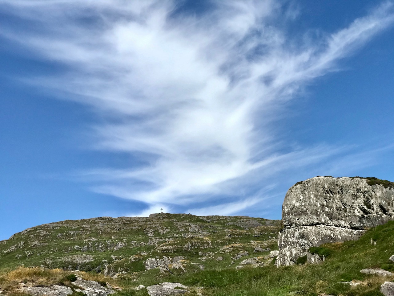
The Stone Circles of West Cork form a distinct group within all types of Irish stone circles – the axial or recumbent pattern is its defining characteristic and completely consistent across the geographical spread and different circle sizes. I have described the circles in three posts now: a general Introduction, a post on the Multiple-Stone Circles, and a post on the Five-Stone Circles. If you have not already done so, you might like to refresh your memory by reading or re-reading those posts before carrying on with this one. My objective in this post is to address the question that everyone asks about these circles – When were they built? By whom? And most of all – WHY? I also want to share my own response to the experience of visiting and observing stone circles over many years.

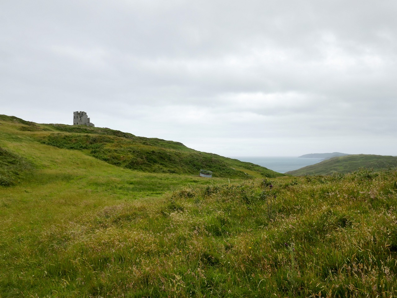
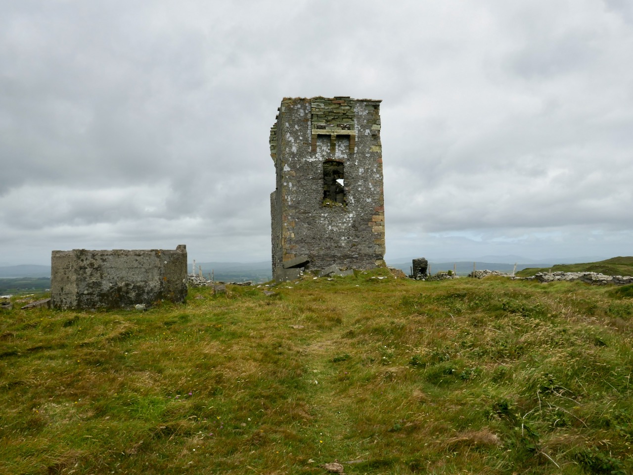
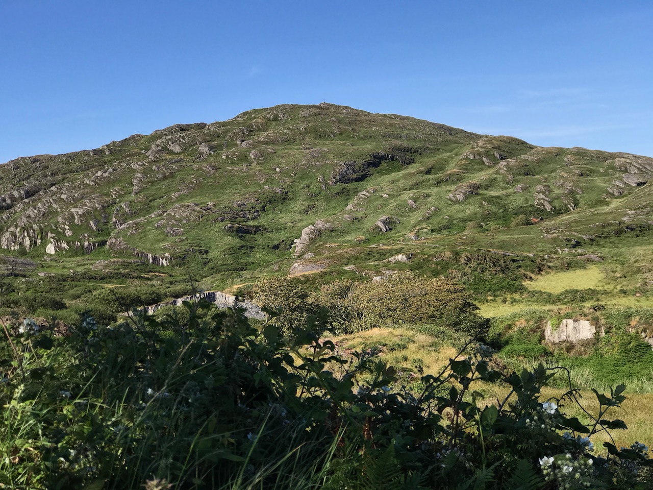
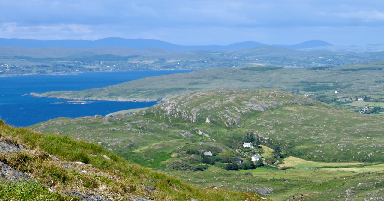
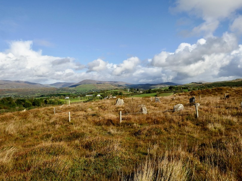
Looking back at Uragh Stone Circle on the skyline

But perhaps this post should come with a trigger warning. Back away now if you want me to talk about mystic energies or ley lines. Stop reading if you believe in vibratory signatures or that a pendulum will reveal some hidden secret to a circle’s purpose. Run, if you think it’s appropriate to light a fire in a stone circle or leave an offering to an ancient goddess. You’ll find lots of other places on the internet to engage with you on those approaches but you won’t find them here. Still with me? All right, let’s get started.

Not all stone circles look monumental – this one at Trawlebawn has been filled with field clearance, but all the features are still clearly visible

Let’s begin with the When? and By Whom? The idea of a circle as a way to create a dedicated space, of course, goes back to the earliest farming communities – John Waddell in his book The Prehistoric Archaeology of Ireland devotes a chapter to the arrival in Ireland of various traditions of monument building based on a circle, firstly earthen enclosures and on to the circular passage tombs of Brú na Bóinne and Loughcrew. New circular structures, some amazingly complex, have been discovered recently near Newgrange, thanks to dry summers and drone technology.

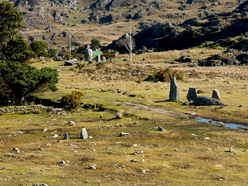
The Cashelkeelty Complex on the Beara – in this image you can see the remains of what was probably a Multiple-stone Circle on the right, while in the upper left is the Five-stone Circle and row of three Standing Stones

While the circles we are talking about – the axial circles of West Cork – share their basic shape with many of these earlier monuments they should be viewed as a unique and recognisable tradition of monument-building. Very few stone circles have been excavated, but those that have support a Mid- to Late-Bronze Age date, that is from about 1600BC to about 600BC.  It was a tradition that occupied a restricted geographic region (Cork and Kerry) and had their closest parallels to the similar stone circles of Scotland. In Scotland, few have been excavated but those that have been also support a Mid- to Late-Bronze Age date. Remember too that our stone circles are strongly associated with other monuments – boulder burials, standing stone outliers, stone pairs or rows. Where dates have been established, they place these monuments in the same era. Waddell sums up by saying These new monuments may be related to an expansion of settlement and an intensification of agriculture reflected in the pollen record and pre-bog field systems.

Cashelkeelty again, looking up towards the Five-stone Circle and stone row. In the foreground are the fence stones of an ancient field system. Waddell based his conclusion about agricultural expansion partly on the findings of excavations at this site 

And now to the Why? Archaeological theories fall into two broad categories – axial stone circles were built primarily for calendrical purposes and stone circles were built primarily as memorials or burial places. I emphasise primarily as it is likely that anything that takes this level of resources to construct would have been multi-functional. Our old friend Boyle Somerville was the pioneer of the calendrical approach – see Boyle Somerville, Ireland’s First Archaeoastronomer.

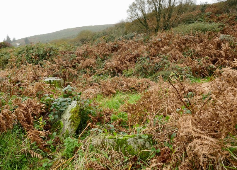
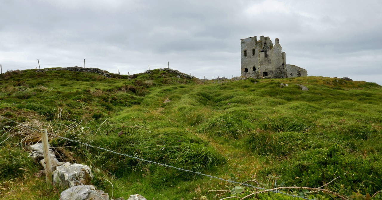
There’s a stone circle (large and sophisticated) under all that bracken!

There is no doubt that marking the turning of the year was of vital importance to an early farming culture. Two solstices, two equinoxes and the mid-way points between them, known as cross-quarter days, are the basis for many ancient calendars and festivals. Our own traditional festival days of Imbolc, Bealtaine, Lughnasa and Samhain correspond roughly to the cross-quarters and to the beginning of spring or the end of harvest. It makes sense to have some way to mark out those dates and building a stone circle to do so had the merit of being enduring in the landscape.

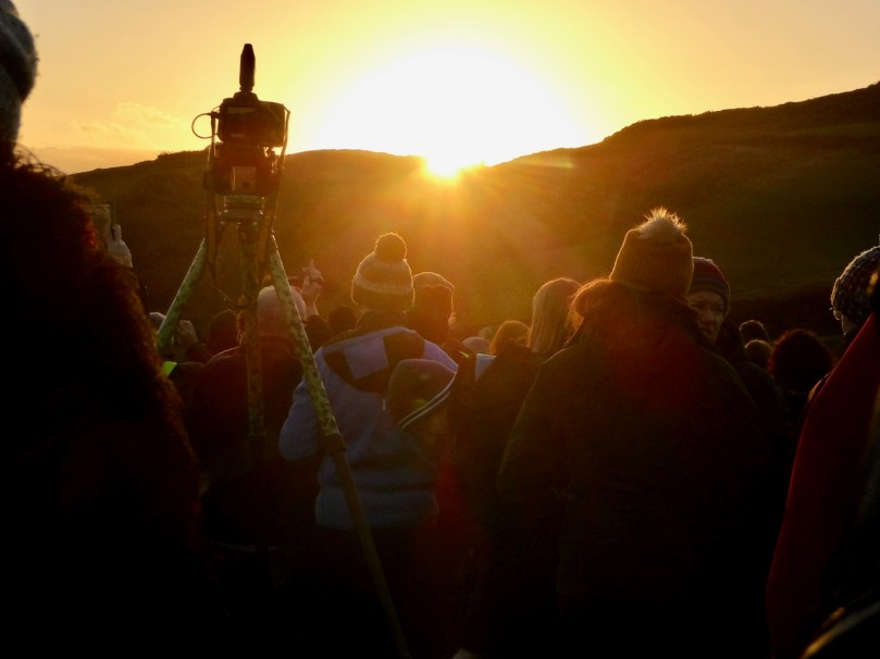
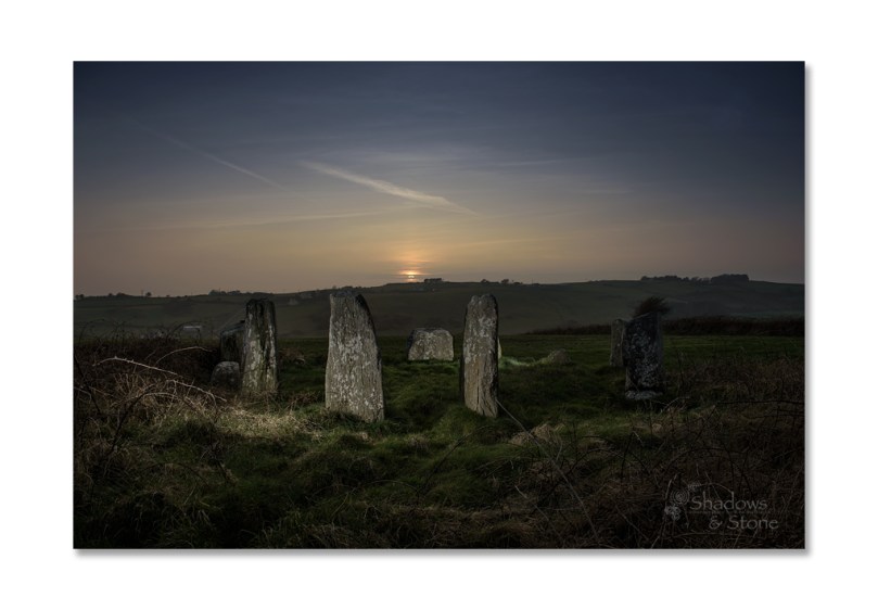
Each winter solstice people gather at Drombeg to watch the sun set over the recumbent – see our post, Drombeg Solstice Celebration for  more 

There is also the issue of the design of the circles – two portals across from a recumbent – a line has been observed and is being marked by the axis thus laid out. In West Cork, this axis line is NE (the portals) SW (the recumbent). However, there is a fairly broad spread on either side of the line so obviously it was not an immutable rule that the orientation was set to a certain point in the heavens but that it corresponded in a general way to that part of the sky in which both the sun and the moon rose and set – between the east for rising and the west for setting, moving across the southern sky.

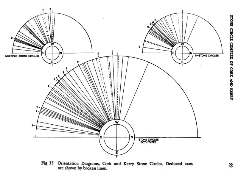
This diagram is from Seán Ó Nualláin, The Stone Circle Complex of Cork and Kerry, in the Journal of the Royal Society of Antiquarees of Ireland, Vol 105, 1975

Within that general orientation, settings over the recumbent have been observed at many, although by no means all, the stone circles. The most well-known is Drombeg, where the sun sets over the recumbent at the winter solstice. We have observed an equinoctial orientation at Bohonagh with Ken Williams, Ireland’s foremost photographer of prehistoric subjects. That’s his photograph of that event below (used with permission). Lunar risings and settings have also been noted – see Mike Wilson’s observations at Drombeg, for example. The winter sky appears to be what is most important – perhaps understandably given the psychological effect of passing the darkest and coldest time of the year.

Other orientations have been posited – towards a sacred peak, for example, or to an upland area where people would move their cattle at a certain time of the year (known as transhumance, or as booleying in Ireland) or to stars of first magnitude. Terence Meaden has encouraged us to look at shadow-casting as a way of building an 8-month calendar and has made many accurate observations at stone circles to support his thesis. While there is no doubt that fertility must have been important to early farmers, Meaden somewhat undermines his own research by his insistence on interpreting everything as sexual symbolism, to the point of seeing penises and vulvas in the the stones and in invoking the concept of celestial marriage to explain ‘union by shadow’ between phallic and female orthostats.

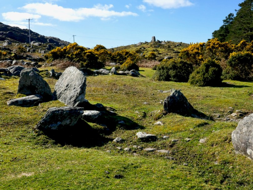
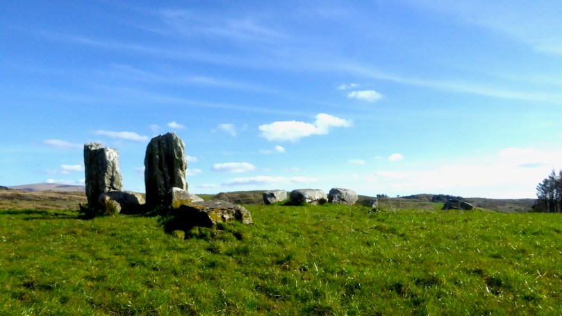
Some stone circles are more accessible than others – this one, at Derrynafinchin, is right by the road, which had to take a detour around it

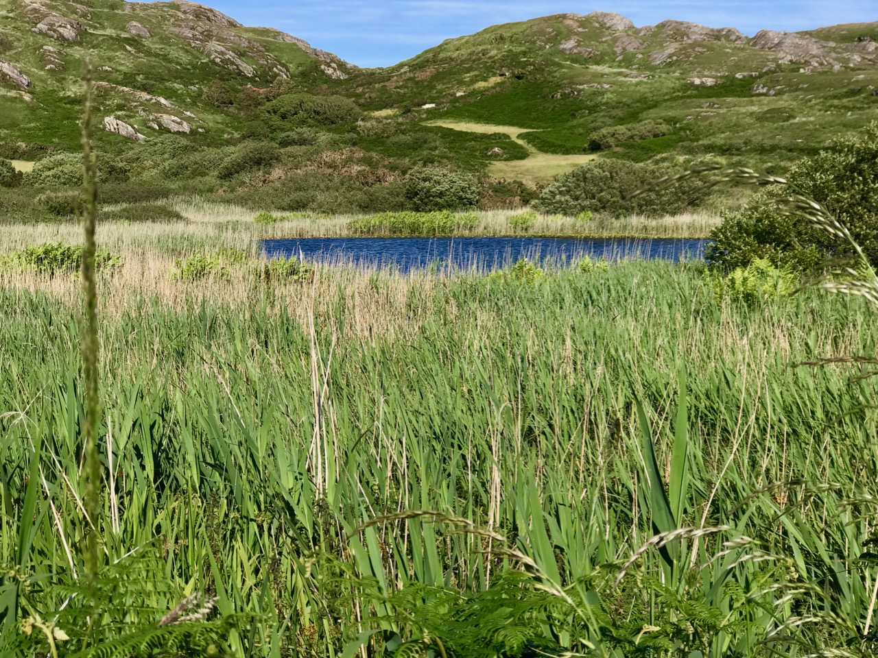
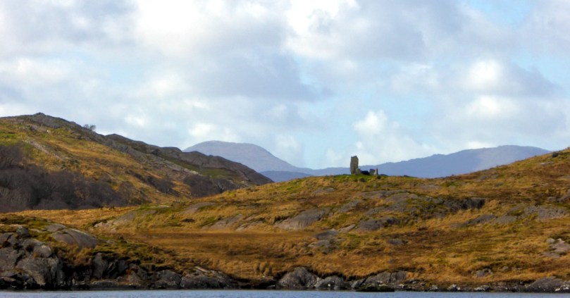
Then there are the outliers – standing stones or stone rows that provide further and different orientations. Sometimes these are close by the circle, as at Uragh or Glanbrack (below) and sometimes at a distance, as at Dunbeacon. 

The late lamented Aubrey Burl, in his book Rings of Stone, reminds us that these are ceremonial spaces. Not keen on archaeoastronomy, he paid attention to the shape of the monument as creating a place for ritual, and especially for dancing, commonly done on special festival or feast days. Circle dancing is one of the oldest forms of dancing and innately human, providing contact between the dancers and capable of involving all, or specific (e.g. young women) members of the community. Multiple-stone Circles such as Cappanaboule (below) may have provided a platform for performances inside the circle, while dances at Five-stone Circles may have been outside the circle.

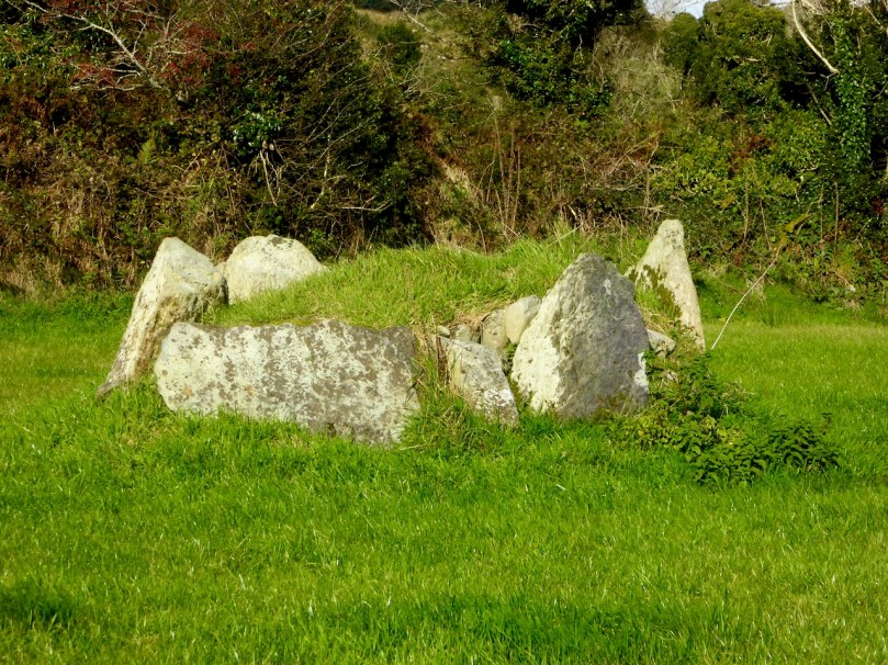
The second main theory revolves around the circle as a burial place. Once again, there is a paucity of excavation reports to rely on, but Fahy found cremated human bone at all three of his excavations, Drombeg, Bohonagh and Reanascreena, indicating that the primary purpose of the circle may have been sepulchral. Archaeologist also point to the strong association of stone circles with boulder burials. However, once again, there is actually little evidence of human remains at those boulder burials that have been excavated. Waddell, in fact prefers the more descriptive and less functional term boulder monuments for this reason.

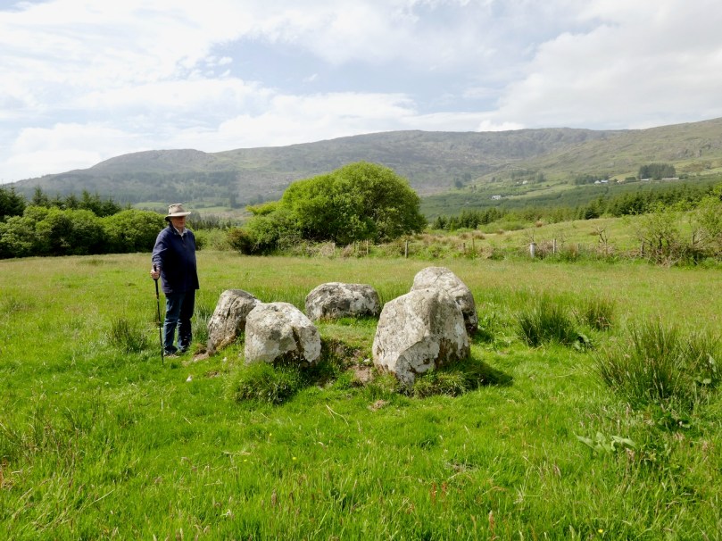
At Breeny More there are four Boulder Burials set within the remains of a Multiple-stone Circle

The question arises whether, if individuals were buried in any monument, it conclusively proves that that the primary purpose was to receive and honour the body of this person, who may have been a high-status member of the community. In support of this contention we can look at the pyramids – enormous monuments erected through the commandeering of community-wide resources as tombs for pharaohs. While it may have had other, secondary purposes, the main reason for building a pyramid was to memorialise the dead and to affirm a believe in the afterlife.

The perfect Five-stone Circle at Cappaboy Beg

Megalithic monuments in Ireland, even if they displayed certain orientations, such as Newgrange to the winter solstice, or wedge tombs to the autumn or winter setting sun, are regarded primarily as burial places. Should the primary purpose of stone circles, then, also be considered to be sepulchral. Or should we perhaps, think in terms of churches and cathedrals with crypts underneath them? To be buried in a crypt under a church (as opposed to outside in the graveyard) was the prerogative only of those who had the power and prestige to exercise that privilege: however it does not mean that the only or even main purpose of the church was as a memorial to those buried within its walls or under its floor. Where the remains were those of the founding saint the claim is stronger and the church’s role as a centre for pilgrimage may take precedence over its other liturgical functions. Likewise, although churches are traditionally oriented east-west, it does not follow that their primary purpose is to celebrate the sunrise.

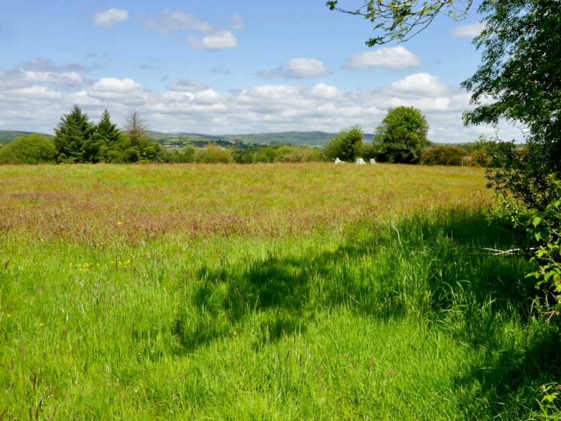
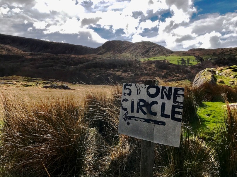
Whatever the ultimate answer, there is no doubt that for us in the present day, a visit to a stone circle is a very special experience. First of all, in West Cork, it is always an adventure, off the beaten track and in spectacular countryside. When you’re lucky, the circle will be right beside the road, or on the other side of a field of wildflowers, like the one above at Inchireagh. That happens once in a blue moon – normally we get to climb mountains, trudge through bogs, beat back gorse, get lost on tiny roads with nowhere to turn around and make friends with the local farmers who act as guardians of their monuments. Oh, yes, and face down cattle!

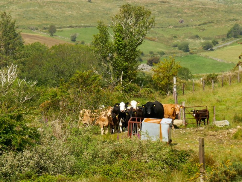
Can you see the ring in his nose? I had wandered by a field full of cattle in my quest for a particular stone circle, not noticing that the gate was open. On my return, I was confronted with this gigantic bull and his harem. I turned tail and fled, eventually finding my way back to the road by a circuitous route – scratched, drenched, exhausted, and badly in need of ice cream

Finally, and despite my insistence on logic and science, I have to admit that visiting a stone circle is a profoundly spiritual experience. By this I mean that it connects you somehow to all that went before and it raises all the deep existential questions about why our ancestors expended their precious resources to build these extravagant and arduous  structures. This sense of wonder has been marvellously expressed for me in a poem by one of our readers, Finbarr O’Driscoll* of Skibbereen. Originally published in the 70s, when I was doing my own research into rock art, including that at Drombeg, it resonated with me as soon as I saw it and I thank Finbarr for permission to reproduce it in full. It’s a fitting way to conclude this series.

DROMBEG

In an urn under
the stone the centre of
the stone circle
they found the ashes of
a child’s concise shape.

On the local limbo
of this wet hill I
of this congruent blood
cannot deny I
hold the godlessness was

good. Turning this thought
inside out again then
inside in unearths
no more. Again my heart
is as the urn then.

*Finbarr O’Driscoll sadly passed away last year. This post is dedicated to his memory.

Mizen Mountains 5 – Knockaphuca

Perhaps one of the most satisfying mountains on the Mizen, the 237m high Knockaphuca provides a well maintained waymarked trail best tackled as it is laid out – in a counter clockwise direction. You will go up the east side and down the steep west face. If you are lucky with the weather, as we were just before the longest day, you will have an experience which is hard to rival in this corner of Ireland. The loop walk is one of the latest sections of the Fastnet Trails which have been established to the west of Schull during 2019. All credit is due to the team which has so successfully organised and laid out these trails: this has involved much behind-the-scenes hard work.

In fact the full Knockaphucka Loop trail starts in Goleen, and is 10km long. We joined it as it leaves the R591 road north of the village (upper picture – the route goes off to the left). The map above has the mountain section (which we followed) superimposed on the Google Earth contour information. The section we walked is 6.6km long, and climbs about 200 metres.

One of the first landmarks on the way is right at the point where the marked track to the mountain leaves the main road: Ballydevlin Old School House (above). There is another ‘Ballydevlin Old School’ nearer to Goleen; presumably one was the National School (established c1831) and the other may have been a denominational Church of Ireland school. This peculiar Irish duality still exists today in many places.

Once on the marked track you are in a paradise! An ancient green road takes you part-way up the mountain, passing through small gorges which must have been cut out long ago: even if you are not a geologist you can’t help being impressed by the rock formations – they could be works of art.

After a while the path turns to the east and follows narrow, grassy glens bordered by majestic, serpent-like outcrops. It’s here that the views begin to open out, particularly to the south. Always you think that there couldn’t be a finer prospect over the Mizen and across the islands of Roaringwater Bay, and always – as you climb higher – you are surprised by the next, which is even better.

Twists and turns take you more steeply across the contours and swing round towards the summit. Only then is the full picture revealed: the whole landscape set out below you – every rift, valley and glacial glen with the higher land beyond culminating in the crests of Gabriel, 407m high, to the east, and the ‘little’ Mizen Peak, 232m high, to the west.

You won’t get lost as you head for the summit: this mountain had a distinctive cross placed at its highest point in the Holy Year of 1950, which reportedly fell in 1968, leaving the inscribed concrete plinth intact. The photo below shows the plinth in 2006 – courtesy Richard Webb. A new cross was installed in 2011 by a community effort led by the local GAA: this is now visible from much of the trail. The plaque mentions ‘…these challenging times…’, referring to the financial crash that hit Ireland so badly around that time. Illumination of the cross today is provided by photo-voltaic cells.

When you get to the top – pause… Now is the opportunity to appreciate the spectacular views in every direction. On our outing the south wind had been building up all day and was at its strongest in the late afternoon, when we gained the summit. It was pretty hard to remain upright! In fact, I wondered if we were being given a message by the resident Púca whose domain this is, after all?

The path down descends quite steeply: make sure you are well shod and vigilant. But you are in for further treats: the marked way passes by some peaty mountain tarns which are exquisite in their pristine beauty. Finola was in her element finding undisturbed native species such as water-lilies and sundews.

The mountain trail section ends on the small boreen running to the west of Knockaphuca, but the waymarkers will lead you back to the starting point, and there are still views up to the summit to enjoy, along with some landscape features on the way to continue to stimulate the senses.

What more could anyone want from a day’s outing in West Cork? Well – a bit of local history, perhaps. I searched for stories about the hill, particularly about the Púca – but only turned up this one told by Jerry McCarthy and included in Northside of the Mizen, the invaluable collection of Tales, Customs and History produced by Patrick McCarthy and Richard Hawkes in 1999:

The Púca of Knocnaphuca


The old people would feed the Púca of Knocnaphuca on ‘Snap-apple Night’, or indeed, whenever one had call to travel up the hill. It was the wise person that fed the Púca the night before going up. Milk and cake would be put on a plate and left outside the house and by the next morning the food had always gone!


The Púca of Knocnaphuca was half horse and half human. One late Snap-apple Night there was a young lad out walking the road when he heard a strange, sweet music coming from the hill. He went up and saw the Púca playing on a whistle. As soon as the lad had put eyes on it, it stopped playing and caught him. Away the Púca went to the top of the hill, where a crack opened up in the rock. In they went. They were twisting and turning down through tunnels until they entered a chamber full of gold. “Now,” said the Púca, “you are mine!”…


The next morning the boy was found on the road by the Long Bog. His hair had turned white and he could not speak a word ever after.

Thank you to our artist friend Hammond Journeaux of Ballydehob for this wonderful drawing of ‘Pooka’, included in The Little People of Ireland by Aine Connor, illustrated by Hammond, The Somerville Press, 2008. Púca in Ireland has counterparts in Cornwall (Bucca), Wales (Pwca), The Channel Islands (Pouque) and Brittany (Pouquelée). A shape-shifter (Flan O’Brien’s character from At Swim-Two-Birds, the Pooka MacPhellimey, changes his appearance by smoking from a magic pipe), the Púca most often appears in Ireland as a fine black stallion with red eyes. If you meet him, you have to mount him and he will take you on a journey far across the sea. It will seem to you as though you had been away for only a few hours, but the world will have moved on several weeks, perhaps months, during your absence. We saw no trace of the creature in June but, perhaps, if we climbed this mountain in the November Dark, we would have more chance of an encounter.

Whale Watching in West Cork

To celebrate the lifting of travel restrictions within Cork county, I did something I have been meaning to do for years – I went whale watching! Thank you to my good friend Susan Byron of Ireland’s Hidden Gems for the recommendation of where to go and who to go with.

Colin Barnes (below), of Cork Whale Watch (and see their Facebook Page here) has been doing this for years and knows every large animal in these waters. For him, this is a personal passion, an academic study, and a mission to show us that we have, in our own backyard, a world-class whale watching experience.

I have been whale watching several times in Canada so I know that there is never a guarantee that you will see anything. I’ve always been impressed by the people who run these experiences, at how knowledgeable they are and how they seem to love these enormous animals. Colin fits that description to a T. From the website:

Colin Barnes has worked closely with the Irish Whale and Dolphin Group (IWDG) since 2000, and continues to assist with their scientific work. His knowledge and experience was instrumental in helping the IWDG develop their recommendations for responsible whale watching and marine eco-tourism in Ireland. Colin submits details of all cetacean and basking sharks sightings to the IWDG’s sighting scheme. He is the co-author of “Photo-identification of fin and humpback whales off the south coast of Ireland” and a number of other peer reviewed publications.

Socially distancing on board – lots of hand sanitiser in use as well

I knew that it was possible to identify Orcas in Canada by their dorsal fin patterns, but on this trip I learned that this was also the practise with Humpback Whales, except in this case the pattern scientists rely upon is that on the tail fluke. Colin was hoping for a sight of a humpback that had been hanging around off Castlehaven, as well as some Minke Whales and lots of dolphin.

The dolphins happened almost immediately we left the harbour and what a joy this was! They stayed with us almost the whole way out and back, riding the bow wave, leaping and dancing along beside us, at incredible speeds. It was mesmerising and I felt like I had a permanent smile on my face. They seem to do it for the sheer fun of it!

These are the Short-beaked Common Dolphins and they are the most frequently sighted in these waters. Worryingly, there has been a huge increase in the last few years of the number of strandings of this species and nobody yet knows what has caused this.

Passing Horse Island with its Circular tower. Although this is classed as a belvedere on the National Monumnets site, local tradition has it that it was built by a Somerville to guide his merchant ships into harbour. That’s the Toe Head Napoleonic-era signal tower in the background

I’m not great at doing videos but one of my fellow passengers, Denis O’Regan, had an underwater camera with him on a long pole and he has posted footage on his Vimeo channel. Take a look here to see how he captured some of the magic that we saw last Monday. Thank you, Denis!

A great shout went up when the first blow was spotted – it was a Humpback, just starting a dive. They dive for several minutes and you don’t know where they will come up again. But it wasn’t too far away and when it surfaced it stayed for a while, allowing us several looks at that giant shape curving through the water.

A passenger the previous day, John Holden, had posted incredible photos on Facebook of the same whale lunge-feeding  – take a look at these amazing images here and here. Thank you, John, for sharing these incredible photographs so freely. I have followed your page now, and hugely admire your highly skilled photography of the natural world.

Back to my own efforts. Photography was difficult – the boat is heaving and the animals are moving fast. I did manage to capture a photo of the tail fluke (below), though, and later found out that I had a match – it was #HBIRL43, the same whale that had been feeding in this area for a few days. The ID is courtesy of the marvellous Irish Whale and Dolphin Group – a one stop shop for everything you want to know, and Dedicated to the conservation and better understanding of whales, dolphins and porpoises in Irish waters.

We sighted some Minke Whales but they were moving too fast to pose for their photos. On the return trip, Colin gave us a sightseeing tour of the islands and rocks at the mouth of the Haven, with their bird and seal populations.

Atlantic Sea Kayaking operates from the same pier at Reen that Cork Whale Watch does and this is their paddling ground. I had a magical night tour with them on Lough Hyne a few years ago, and I can see that I now need to do some daylight padding around these rocks and caves.

Thank you, Colin Barnes and Cork Whale Watch for a marvellous experience. I don’t know what took me so long!