Island Hopping

Long Island Sound

Long Island, with some of Carbery’s 100 Isles 

Carbery’s 100 Isles, they call them, the islands of Roaringwater Bay – and there really are 100, and more, if you count all the islets.  J F Collins, in a paper in the 2015 Journal of the Skibbereen and District Historical Society, has an interesting account of the various ways islands were counted in Roaringwater Bay  – by the Ordnance Survey, by Admiralty charting, and through Griffith’s Evaluations – they all came up with different numbers. Whatever the final count, this week we visited three, each one special and unique.

Long Island Ferry heading back to Colla

The Long Island ferry on its way across Long Island Sound to Colla Pier

The Fastnet Film Festival has just finished – this is the amazing little festival that manages to attract world-class movies in a town with no cinema. We took in several of the events, and watched many of the shorts, but a highlight for us every year is the Long Island Trip. Read about the festival and the Long Island event here, an account from two years ago. To be whisked off to this hidden spot, to be provided with wine and popcorn and invited to go down to the ferryman’s bedroom to watch an hour of excellent cinema – well, who could resist it? Long Island (permanent population: 7) has some interesting ecology and we have promised ourselves a proper trip and wander later this summer.

Cape Clear Ferryman

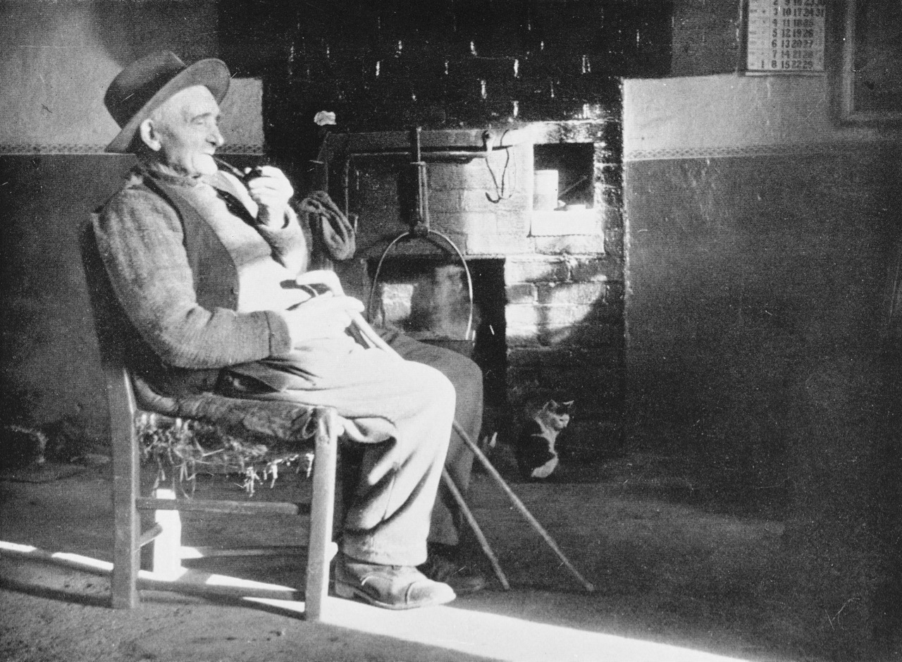
An overnighter to Cape Clear Island came mid-week – a birthday treat for Finola. We’ve been to Cape Clear before on day trips, and Robert has written about it – but this was something special. First of all, the weather was amazing the whole time – warm and cloudless. Secondly, our time-frame gave us the opportunity to do some serious exploring. Thirdly, the seas are alive at the moment with whales and basking sharks!Sherkin Lighthouse

When the weather is fine the ferry takes the outside route around Sherkin Island. Along the way we pass the Sherkin lighthouse and many treacherous rocks, threading our way, in this instance, through shark-infested waters

The ferry to Cape Clear takes about 40 minutes normally. We were a little longer this time because the ferryman slowed and diverted to allow us time to photograph the sharks. Enormous creatures, with wicked dorsal and tail fins, they are actually peaceable fish who swim with open mouths, filtering plankton, and who are harmless to humans. We are not harmless to them, however, as we have hunted them close to extinction and they need protection in many areas.

Basking shark en route to Cape Clear

This photograph was taken from the ferry

For such slow and cumbersome creatures, it was an out-of-this-world experience to watch one of them breaching in the South Harbour. It happened when we were in the bus on the way to our accommodation and nobody had their camera at the ready. But we all know what we saw.

South harbour with kayaks

Just out there, in the South Harbour, we saw the basking shark leap from the water. An incredible sight!

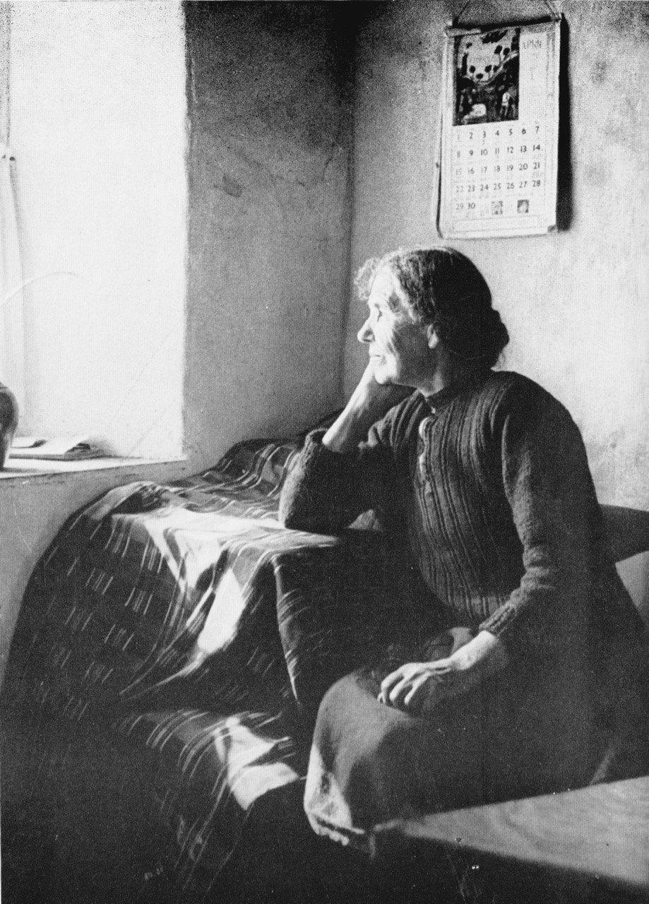
The bed and breakfast, Ard na Gaoithe, was wonderful. Robert had told Eileen that it was my birthday – and well, would you look at what awaited us! It was the perfect place to stay – just be ready to walk the hill up to it, after a marvellous dinner at Cotter’s!

On day one we followed the way-marked trail that edges along the south side of the island. This involved a visit to the site of a Napoleonic-era signal station and the original Fastnet Lighthouse. This position for the lighthouse proved to be a major mistake, as it was so high that the light was lost in the clouds half the time. The current position, right on the Fastnet Rock, has been much more successful, and remains an iconic sight in West Cork. The remaining stump is beautifully constructed of granite blocks, while the signal tower still clings on to some of its slate covering.

Signal Tower and Original Fastnet lighthouse

Our route took us along the cliffs and to a viewing point over the South Harbour. The sharks were ubiquitous, lazily swimming around with those enormous gaping jaws.

Shark basking

Stone Wall 2


Here and there ancient field fences poked their way out of the heather, while skylarks warned of our approach and standing stones framed a distant view.

Standing Stones and Fastnet rock

Looking over the South HarbourOn day 2 we decided to make the climb to the Cape Clear Passage Grave – but I will let Robert tell that story and content myself with saying that I hope he tells you all how arduous the climb was, and how thick the gorse, so you can see how I suffer for science.

Across to the mainland

The views are immense but equally fascinating are the numerous dry-stone walls and the wild flowers everywhere. There’s still lots to explore on Cape Clear and more trips are clearly in order.

Green path

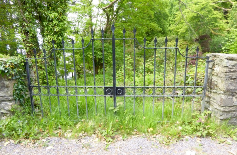
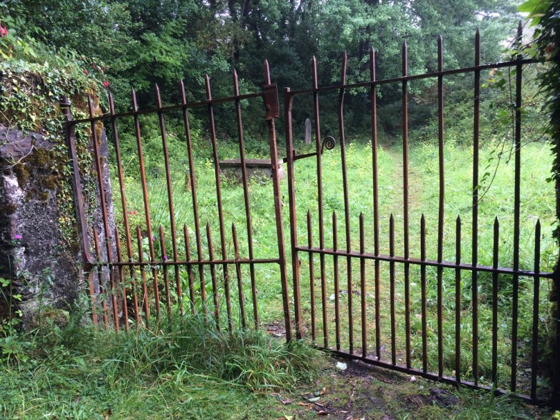
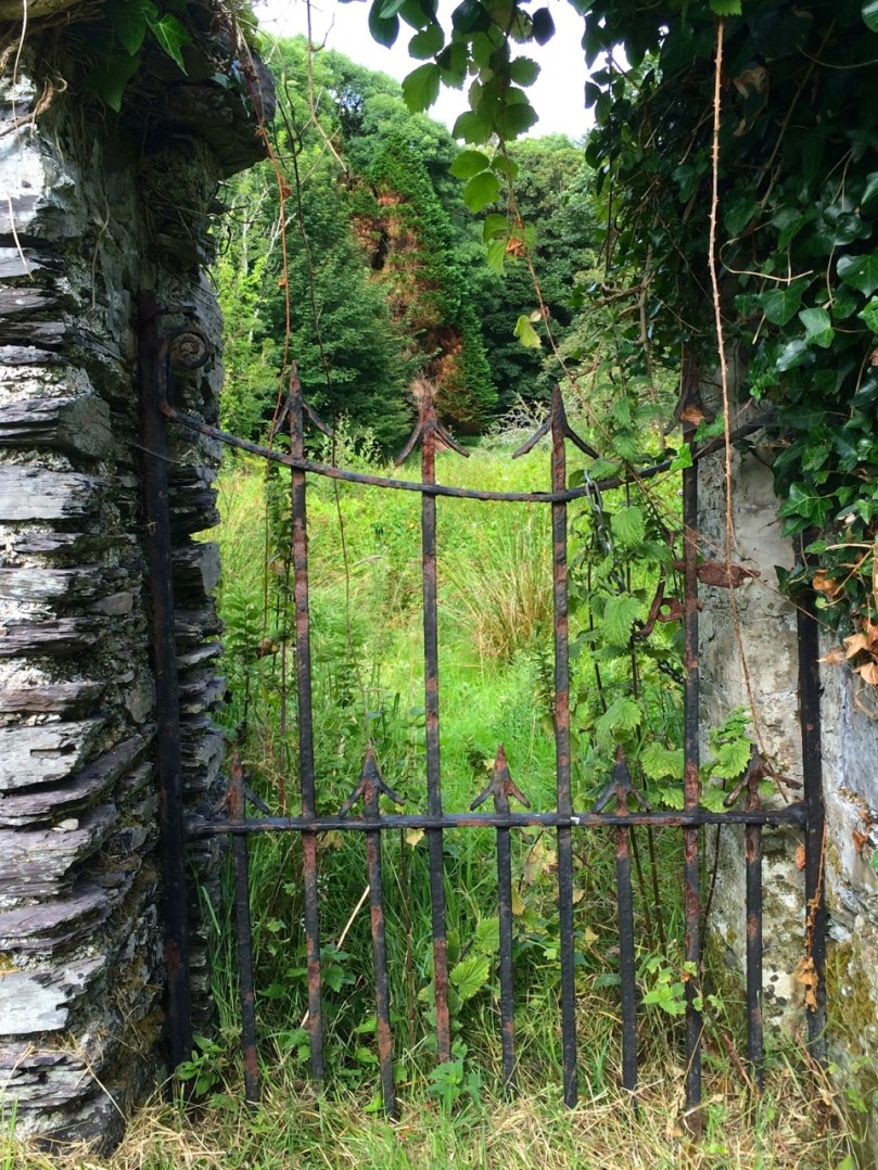
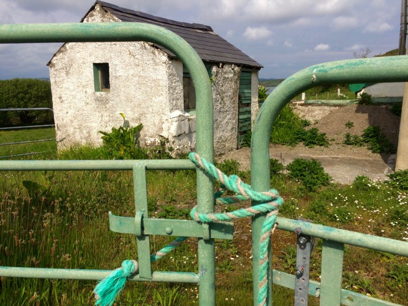
Finally, on Friday, we were invited to lunch with friends on Heir Island. Heir, sometimes called Hare, is the third largest inhabited island after Cape and Sherkin and home to a justly famous restaurant, a sailing school, the wonderful Firehouse Bakery Bread-Making course (we wrote about this in one of our very early blog posts and it’s still going strong but now booked up months in advance), and many artists.

Heir Island Boreen

Strolling along the peaceful boreens of Heir, lingering over Viv and Fran’s fabulous lunch overlooking Roaringwater Bay, and sauntering back to catch the late afternoon ferry – you adjust to island time remarkably quickly.

West Cork Islands – they will captivate and hold you. There is no escape.

Robert contemplates

The Gate to My Heart

Orchard Gate, David Ross

Everywhere I go in West Cork I take pictures of gates.* Most, nowadays, are galvanised metal, rather than, as in the past, forged by a blacksmith taking satisfaction in making each piece unique. Our friend David Ross of the Top of the Rock Pod Páirc & Walking Centre collects and preserves these wrought iron gates where he can. The first two photographs are kindly supplied by him. At the top is an orchard gate he found lying in a ditch and restored – note the blacksmith’s marks of an X and four dots. The gate below is also his, salvaged from the site of an old monastery in Castlemartyr.

David Ross Gate

Another friend and fellow-blogger, Pat Crowley of the encyclopaedic Durrus History, shared his photographs with us – see below. This kind of gate is called a ‘band iron trinity’ and this one was made in the 1930s. The blacksmith was an O’Donovan from Kilcrohane or Kealties.

Band Trinity Gate

Such gate-dedication is rare: large wrought iron field gates are often left to rust, or cast aside in favour of an easy-care option. But you can still find them, hanging in there, often by a thread, and doing their job. Their days are numbered so we enjoy them while we can.

P1230522


Smaller gates fare better. Perhaps maintaining them isn’t as big a commitment. Garden gates establish the atmosphere the homeowner wishes to evoke – or in the case of abandoned houses, once wished.

Elegant Gate, Ahakista


Here are details from a pair of matching red gates near us – a large entrance gate and a smaller side gate.

Graveyards are fertile sources of wrought-iron. The entrance gates still stand sentinel, sometimes double gates, but often single, as most coffins were shouldered in.

IMG_5390


Long-disused church yards with little walls separating off the church precinct from the surrounding cemetery or from the vicarage, feature overgrown gates with fetching designs.


Castlehaven graveyardHoly wells are accessed through through special gates, many dating from the mid-20th century, when holy well sites were re-furbished.

The boreens leading to the well can be accessed occasionally by edging through a kissing gate. This one is not wrought iron, but I like the little details on it.

Kissing Gate

Still, the common field gate manages to establish its own character, and often acts to frame a vista across a valley, or a tantalising glimpse of old stone farm buildings. The vast majority now are galvanised metal, but some have been painted, or hung between substantial stone pillars.

green gate

Nick's GateMost are secured using a highly technical local form of lock called the loop-a-bit-of-rope technique. Seems to baffle the cattle, who stay inside, but it’s great for your friendly wandering archaeologist wanting to investigate a pile of rocks in a field.

The ultimate, of course, is to dispense with the gate altogether and simply use the loop-a-bit-of-rope lock on its own.

P1060541

Will this gate, below, sadly neglected, be replaced with a wooden or galvanised model? Perhaps new owners will see what they have and try to salvage it. But it does look like it’s on its last legs.

IMG_8970

When we decided we need some wrought iron for our own entrance, we went to Cronin’s Forge near Durrus. Working in time-honoured ways they make gates and signs that will last the course.

Fitting to end with a church gate, as this has been a hymn to the West Cork Gate, in the form of a photo essay. This is one of my favourites, access to and guardian of so many treasures: the gates to St Barrahane’s Church in Castletownshend. Like so many aspects of this place it is elegant and unique. The photograph was taken by my 11-year old niece, Ava.

St Barrahane's Church Steps

*My apologies to those of you who followed a broken link to this page earlier. At an early stage of writing, I pressed ‘publish’ rather than save (easy to do!) and then had to delete the post. I hope you came back!

True to Life

at the hearth

Old photographs are irresistible. The collection of Tomás Ó Muircheartaigh who travelled and photographed the west of Ireland during the 1930s, 40s and 50s is an invaluable documentary of the times in which he lived. Ó Muircheartaigh’s pictures record rural life and – most impressively – the people who lived it. This is a post, mainly of portraits, taken from a book of his work published posthumously in 1970, and now hard to find.  

hat and string

Tomás was President of Conradh na Gaelige (The Gaelic League) between 1955 and 1959, and his photographs appeared on the cover of many editions of the League’s monthly magazine.

Gealic league advert

The portraits, sadly, do not record the names of the subjects nor – often – their localities. We only know, on the whole, that his travels were centred on west Kerry and the Blasket Islands. The images, however, are powerfully evocative and time and place are, perhaps, irrelevant.

calendar

shawl

mower

on the bussweetshop

Tomás Ó Muircheartaigh 1907 – 1967, sketched by Sean O’Sullivan:

tomas


Aweigh in Kerry

ursine setting

Adrift on the shoreline of Ballycarnahan townland in County Kerry is a most wonderful piece of architecture. It is a ship shaped house, seemingly half buried in the sand dunes, its prow and bridge emerging and facing one of Ireland’s most spectacular views.

view to derrynane

The view from the Ship House: across the water is Derrynane, the home of ‘Ireland’s Liberator’ Daniel O’Connell (soon to be featured on Roaringwater Journal). The Kerry mountains make a splendid backdrop

The house in the dunes was built as a holiday home by Francis and Ros Horgan of Macroom in the early 1950s. It is still owned by the Horgan family. As an architect myself I wondered about the history of the design: did the inspired idea of the ‘ship’ come from the clients? Or was it dreamed up by the architect? In which case the clients would have to be commended for going along with such a daring (and witty) concept.

from the road

Houses made from boats and marooned forever on dry land are not unknown: below are a couple from California; the Kerry house, however, is a purpose-built ‘one off’. Architectural ‘ship’ symbolism can also be found elsewhere in Ireland: the new Library in Dun Laoghaire by Carr Cotter + Neassens Architects has a definite nautical theme, appropriate for its site overlooking Dublin’s Dun Laoghaire Harbour.

green arks

Lexicon

Dun Laoghaire’s new library – the Lexicon – in the right of the picture above, acknowledges its maritime setting (photograph courtesy The Irish Times)

We were in Kerry visiting cousins of Finola: all of them were brought up in Lamb’s Head, just beside the Ship House. They were a mine of information on the house, which had been built by their grandfather Crohane Donnelly (he was named after the local saint) at a cost of one thousand pounds. Over breakfast this morning at Lamb’s Head, enjoying the same view across the bay to Derrynane House, I was delighted when cousin Annie came in with a newspaper cutting from the Daily Mirror dating from St Patrick’s Day 1969: the headline was Ahoy! It’s the Cosy Home that is Always Ship Shape, and it was all about the Ship House.

elevation

The house is named St Anne. I gleaned from the newspaper article that …she was one of Mrs Horgan’s favourite saints. A mass was celebrated when the house was “launched”, after the site had originally been blessed by Cardinal Griffin…

The upper deck of the three tier house – the wheelhouse – has a ship’s wheel which came from the HMS Pluto, which was being broken up in Cork. The lower deck, within the concrete ‘hull’, houses a garage and workshop, is known as ‘the hold’ and is lit by portholes. There is even a gangplank leading to the front door!

Quoting the Mirror: …Mrs Hogan, a quietly humorous Irishwoman in her fifties, explained how it all came about. “I’ve always had a great love for this spot, since I first came here at the age of five,” she said. ‘My husband and I used to come here every year for our holidays. We both loved the sea and boats.” She said that Mr Horgan, an engineering director and farmer from Macroom, Co Cork, worked on the plans with an architect. “First of all it was going to be a round house, then it just evolved into a ship. But,” she smiled, “I think that was what my husband wanted in the first place…”

from the driveway

sand dunes

In 1969 …The house now sprouts a TV aerial and has mains electricity. But Mrs Gorgan rather regrets it. “When we had a diesel engine for lighting, it used to chug-chug away. At night, looking across the bay, you felt you were sailing in a real ship right out at sea. I miss the diesel for that…”

bridge

Perhaps one day I will get to have a look inside the ship house – I wonder how the rooms are laid out? As well as bringing in the electric there are some obvious upgrades which have taken place – there are modern windows installed and the roof looks to have been renewed. But it’s still a holiday home, owned and used by the Horgan’s children. It must be one of the most unusual and eccentric holiday hideaways in Ireland!

Stop Press Since publishing this post yesterday, Cousin Annie has forwarded some more information. An album of photographs which were taken during the construction process was reproduced in the Caherdaniel Parish Magazine in 2014, with the permission of the Horgan family (owners) and the Donnelly family (builders). It’s a great contemporary record of an unusual project and some of those photographs are put together in this slide show – thanks, Annie!

This slideshow requires JavaScript.

Here’s the final picture from that collection, worthy of a place of its own. It shows the completed project and the Donellys who built it. Crohane Donnelly, Annie’s grandfather, is on the left…

ship24 complete

head on

Ros Horgan (pictured below in the Mirror article) deserves the last word: …Her eyes twinkled. “The archaeologists in years to come are going to have a lot of trouble with this one. They are going to ask: ‘In what era did they have concrete ships?’…”

Thanks to all Finola’s Kerry cousins and their families for their memories and information on the Ship House, and for the wonderful hospitality which they heaped upon us during our visit. And thank you to Finola for allowing me to use her superb picture on the header, which would otherwise have featured in her own Into The Kingdom post!

Ros Horgan


Into the Kingdom

To the Skelligs

The Kingdom? No, we didn’t go to Britain – we went to Kerry. It’s always been called the Kingdom, possibly based on ancient Irish precedents, although other theories abound. Many people think it’s because of the sheer magnificence of the scenery, and I wouldn’t disagree.

Ballinskelligs Bay

Ballinskelligs Bay. The first photograph is also Ballinskelligs Bay, with a glimpse of the famous Skelligs Islands in the background – subject of a future post, we hope!

Our journey took us on the Ring of Kerry, along the south side of the Iveragh Peninsula, by the sea. This is prime tourist territory – bus after bus passed us and every lay-by was thronged with camera-wielding tourists, including us. We came back through the middle of the peninsula, through deep valleys and high mountain passes.

To Ballaghbeama

Not for the tour busses!

These are not roads that busses can manoeuvre through, so we had it mostly to ourselves, the locals, and a few tourists armed with small cars and good maps. I love this Iveragh backcountry. It’s where I spent my student days, conducting my research. I even recognised the place where I crashed my Honda 50 into a bog.

Ballaghasheen Pass

Although it seems totally mountainous, vast sheltered valleys occupy some of the hinterland of the Iveragh Peninsula  

We visited two stone forts, the mighty Staigue and the lesser-known Loher, and of course some rock art. Staigue Fort is generally reckoned to be Iron Age (about 250AD), while Loher, although very similar, was built later, around the 9th Century.

Staigue Interior and outlook

Loher Stone Fort
Staigue Fort (upper), at the head of a long valley, commands views to the sea. Loher is also strategically sited with extensive views all around.

We toured Daniel O’Connell’s House at Derrynane and took the Nature Trail walk along the dunes, using the app developed by local man Vincent Hyland.

Shoreline walk

Wild flowers a-plenty on the dunes at Derrynane. Top: Sea Pinks and Sea Sandwort. Bottom: Pyramidal Orchid and Kidney Vetch

We searched in vain for the holy well devoted to Saint Crohane, patron saint of Caherdaniel – we’ll have to go back with Amanda to help us find it.

Across to the Beara

We didn’t find St Crohane’s well but when we finished our search, in twilight, this is what was waiting for us. The mountain range in the background is the Beara Peninsula in Cork

In fact, the primary purpose of our trip was to re-connect with cousins that I haven’t seen for about 45 years. The last time I saw Annie and her siblings they were kids, and we were all piled on to a donkey and cart in a vain attempt to get from Lamb’s Head to Staigue Fort. It’s a long story, but suffice it to say that the donkey came out the winner. Most of the family still live around Caherdaniel, in jaw- dropping surroundings, and we were accommodated and hosted with true Kerry hospitality.

The view from Annie's

Top: The view from Annie’s house, across to Lamb’s Head where the family grew up

Along the way we saw a house shaped like a ship (Robert has more – much more – about this!), had our first experience of bottle-feeding a lamb, and we watched Rex the sheepdog gently herd a flock of chickens into their pen for the night. We visited my cousin Betty’s grave – she died a few months ago, the heart of the family, much mourned. It was, we hope, the first of many visits, back and forth.

Abbey Island

Abbey Island, Betty’s last resting place, must be one of Ireland’s most beautiful graveyards. To access it, you must walk across the sand and keep an eye out for high tides. The original monastic site was founded by St Finian in the sixth Century, although the ruined church, Ahamore Abbey, probably dates from the 10th Century.

This post is to give you a flavour for our neighbouring county and to show you why it is justly famous for its history and archaeology, but most of all for what is surely some of the most spectacular scenery in the world.

Lamb's Head to Scariff and Deenish IslandsScarrif and Deenish are the two islands out from Derrynane Bay. Uninhabited for 40 years, they are the site of salmon farms now. We walked down Lamb’s Head to get a better view of them.

Tiny green fields

As in West Cork, everywhere in Kerry you can see the traces of tiny settlements. Abandoned long ago, possibly after the famine, each field may have provided enough potatoes for one family. Now only the sheep graze peacefully.

Ballaghbeama Gap

We headed home through the Ballaghbeama Gap. On the south side is Ireland’s greatest concentration of prehistoric rock art. We wrote about this in our post Derrynablaha Expedition.

Down from Ballaghbeama

Heading down towards Derrynablaha and home

Derrynane Sunset

It was hard to leave Derrynane!

Anomalies

The cairn

What’s an archaeological anomaly? When the National Monuments Survey was being undertaken, some stone structures didn’t quite fit the description of a particular class of monument. They may have been ancient – but how ancient, and what exactly were they? The term chosen for such mysterious piles  was ‘anomalous stone group’. Here’s the definition: A group of stones, usually standing, which cannot be classified as any other known archaeological monument type on present evidence. They may be all that remains or is visible of a partially destroyed or obscured archaeological monument which may date to any period from prehistory onwards.

cupmarked rocks?

Just a leaning rock?

But it’s not the only term used for uncertain monuments: enclosure is a vague term that can mean a multitude of things, and an ‘unclassified cairn‘ can be defined simply as a heap or pile of stones. In the last few months our explorations of the Sheep’s Head have turned up several anomalies. The only thing they all have in common is their spectacular siting, leading to an ultra-rewarding field trip.

Heading towards the cairn

Hiking to the cairn

Perhaps the most magnificently situated of all is the unclassified cairn on the mountain ridge above Kilcrohane. It’s right on the way-marked Sheep’s Head Way, so it’s easy to find. While it’s described as a cairn in the National Monuments inventory, it could be as humble an object as a turf storage platform or as wonderful as a passage grave. We’ve been to it several times and always puzzled over it, but on our last visit we were alerted to a new element by Amanda and Peter.

Amanda investigates

The ‘new element’ – you have to really look!

A couple of stones had shifted, possibly in storms, and we could now delve deeper into the pile of rocks and see that one of them had a large circular opening in it. Very strange – I had never seen anything like it – and very intriguing.

Curious ‘holed stone’ at the bottom of the cairn

We noted that the highest point on Cape Clear was visible across the water, the hill on which a ‘real’ passage grave sits. Only excavation is likely to reveal the exact nature of this anomaly.

What's the orientation?

This one is called an ‘anomalous stone group’

Not too far away, in the same townland but on lower ground, is an anomalous stone group. This is a strange one indeed because half of it looks for all the world like a stone circle – identical to the numerous recumbent or axial circles that dot West Cork. The other half? It’s the rock face that the stones obviously came from.

Is it a stone circe?

Could swear that’s a classic recumbent, but where’s the other half of the circle?

It’s like a work in progress. If it is a stone circle, the builders decided that half a one would do the job just fine. Indeed the owner of the land has noted several significant  sunset alignments.

possible alignments

There seem to be several alignments – this one to the Beara Peninsula

But when I asked for comments on an archaeological social network site the general consensus seemed to be that it was unlikely to be a stone circle, since the stone face obscured half the horizon. But that same stone face would have provided shelter, so the speculation in the discussion centred on this being a hut site, with only some of the stones of the outside wall remaining.

radial cairn?

This area of rough ground to the right of Robert, Peter and Amanda is labelled an ‘Enclosure’

The third site we’ve explored is described as an enclosure. The description of the site states: A circular area (diam. 10.5m) is defined by the remains of a stone wall (T 1.3m; H 0.5m) displaying traces of an inner and outer row of large stones with a fill of smaller stones. A stone slab (H 1.15m; L 0.5m; T 0.4m) narrowing as it rises stands on the external perimeter at E. There is also a standing stone a few meters to the south.

inner row?

Difficult to make out what’s here, but it seems like there’s a lot going on

This could be a radial cairn – take a look at the one at Kealkill to see what we mean. But equally, the description hints, it may have to do with field clearance. It’s almost impossible to tell a lot from the general jumble of stones and the furze and brambles that grow all over the site. Once again, however, we were rewarded with panoramic views to the Beara Peninsula. Another one where only an excavation will reveal the truth.

View east from the enclosure

And these views of the farms to the east, lit by a shaft of slanting sun

Finally, we trekked out on the Lighthouse Loop Walk at the very end of the peninsula in search of possible cupmarks, discovered by Peter and Amanda’s son.

Lighthouse trail, looking back

On the lighthouse loop trail, looking back

The cupmarks turned out, we’re pretty sure, to be natural solution pits. There were lots of them, of varying sizes, and some could only be viewed by lying on your back.

The pitted boulders

The ‘cupmarks’ are on the underside of the leaning rock

Instructive, though, as we have certainly seen cupmarked stones that don’t look a whole lot different than these ones – there’s a type of shaley sandstone in West Cork that laminates in a very similar manner when carved.

Solution pits

pits all aroundSolution pits – and modern graffiti 

In West Cork, monuments that don’t fit into satisfying categories abound – and it’s just as much fun exploring them as it is the ‘normal’ type!

tough to take

This kind of field trip is tough to take!