Charles Vallancey: A Colossus and his Collectanea

General Charles Vallancey, in the words of one of his biographers, ‘bestrode the world of Irish antiquarians for almost half a century.’ *

His origins are shrouded in mystery – although he is believed to have been born in Flanders to a French family, moved to England as a child, and attended Eton, there is no absolute proof of any of these facts of his early life. Even the date of his birth is contested – any time between 1720 and 1726. What is certain is that he joined the army, was posted to Ireland before 1760 as a military engineer, and spent the rest of his life, until his death in 1812, engaged with many aspects of Ireland, the country that one writer has called the great love of his life. Given that he had three wives (or maybe four) and twelve children (or maybe only 10, or maybe 15), that’s quite an assessment.

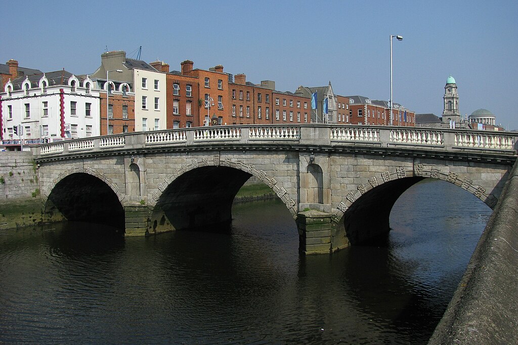
Dublin’s oldest bridge still in use, photo courtesy of Wikimedia Commons. It was designed by Vallancey and originally called the Queen’s Bridge, but re-labelled the Queen Maeve Bridge after independence, and eventually the Mellows Bridge

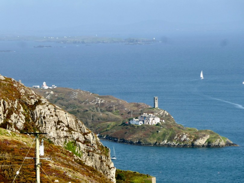
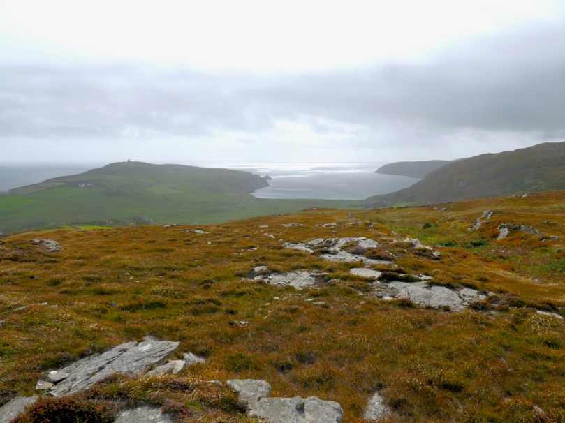
As a military engineer, Vallancey made real contributions: mapping and surveying large tracts of Ireland including the bogs and the canal systems; proposing a major transport route for Cork which, had it been realised, would have greatly aided trade and commerce in Ireland; building strong defences, such as on Spike Island; designing elegant bridges, and supervising the construction of an earlier version of the famous Dun Laoghaire Pier.

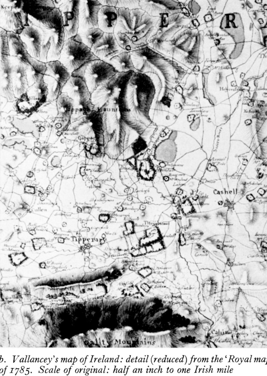
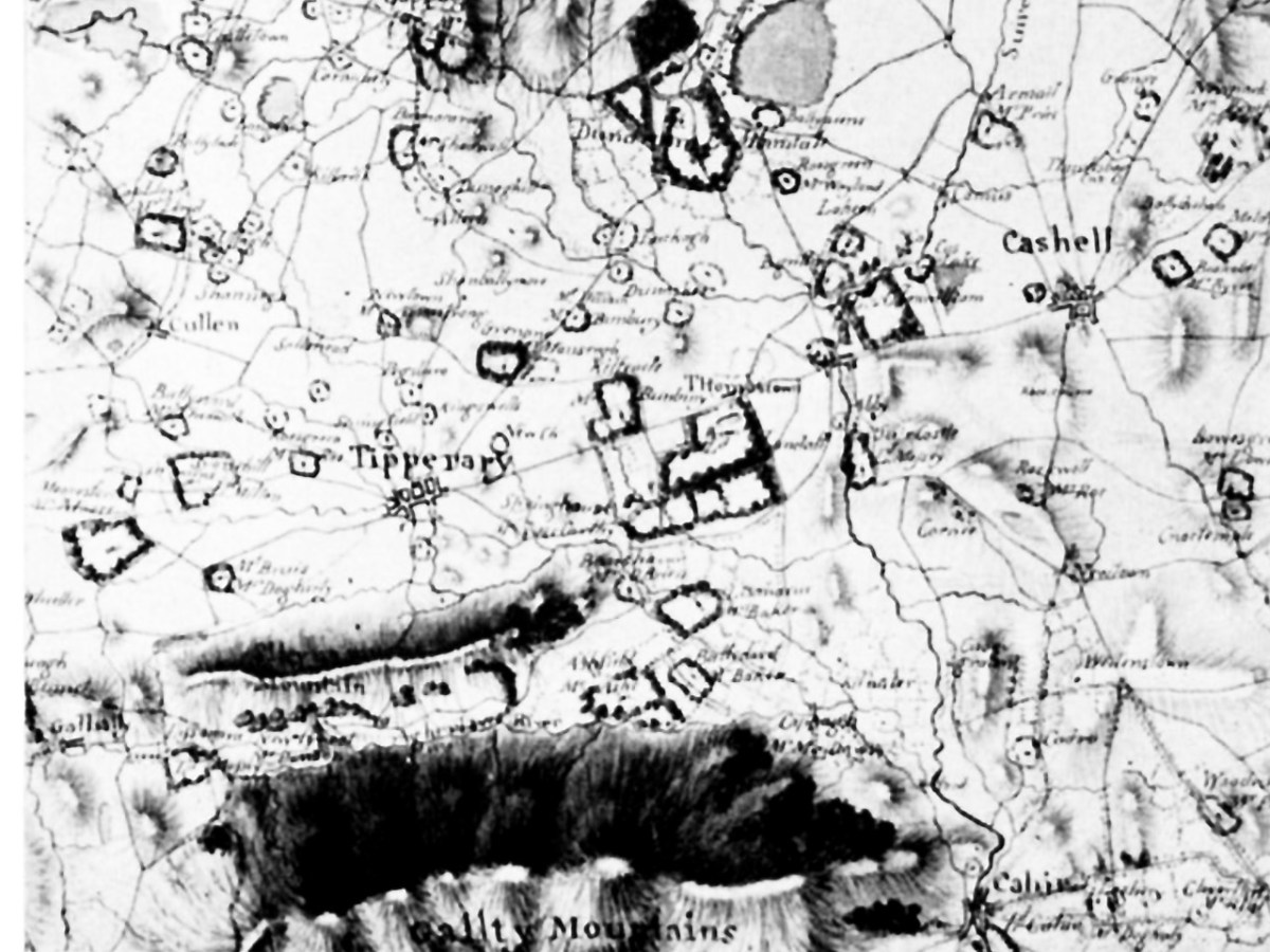
His cartographic achievements have been praised by experts – the extract above from a map of Tipperary is from Charles Vallancey and the Map of Ireland** by JH Andrews, our foremost cartographic historian who notes that Vallancey’s cartographic achievements were far from negligible. He made copies, in Paris, of the Down Survey Maps that had been lost to Ireland when they were captured by the French in 1707 en route from London to Dublin (unfortunately, those copies were destroyed in the Four Courts Fire of 1922).

But it was as an antiquarian that Vallancey made his greatest, and most controversial mark. He was a member, sometimes a founding member, of the serious societies of the time – the Dublin Society, the Royal Irish Academy and its important Committee of Antiquities, and the short-lived Hibernian Society of Antiquarians. Nevin tells us that at least three academic honours were conferred on Vallancey in the 1780s. He received an LLD from Dublin University in 1781 and became a Fellow of the Society of Antiquaries of London in 1784: he was elected a Fellow of the Royal Society in 1786. Even the French Academy of Belles-Lettres and Inscriptions honoured him.

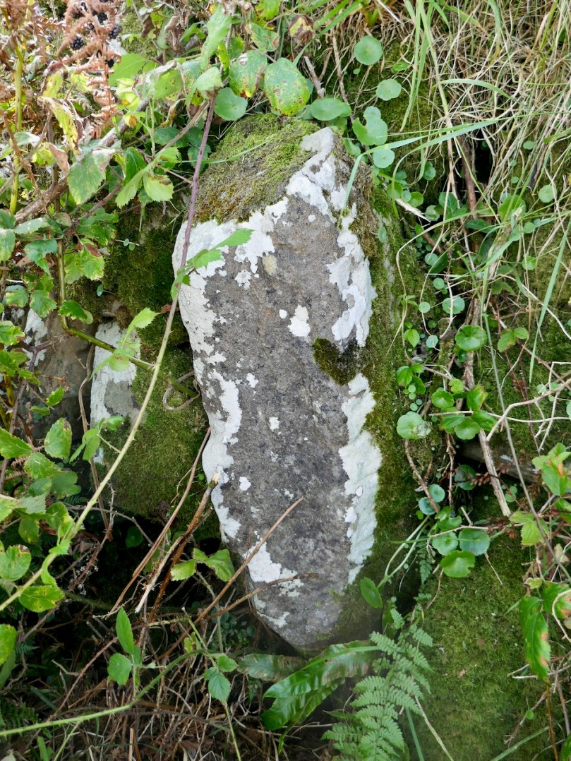
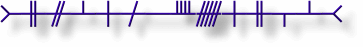
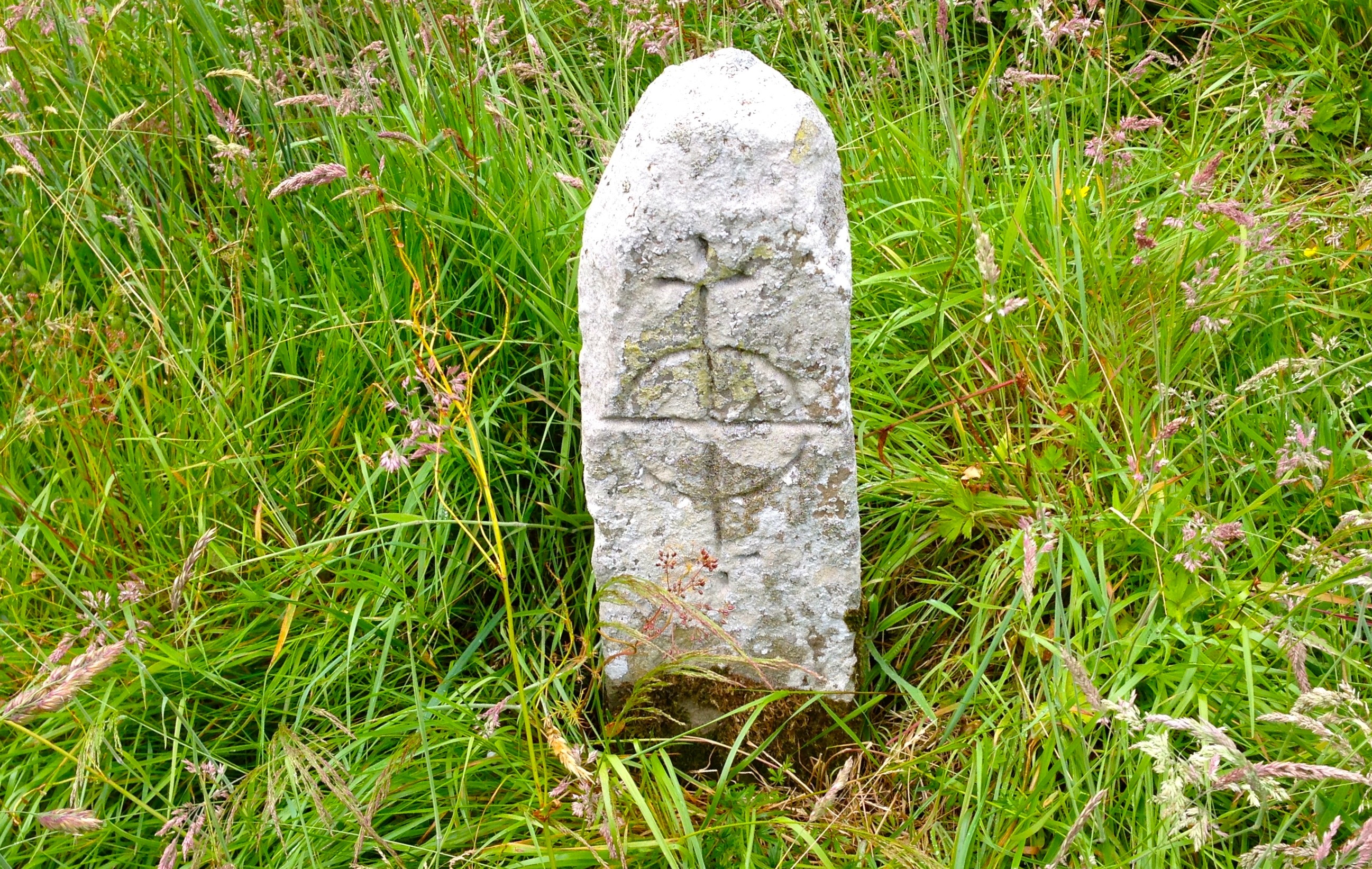
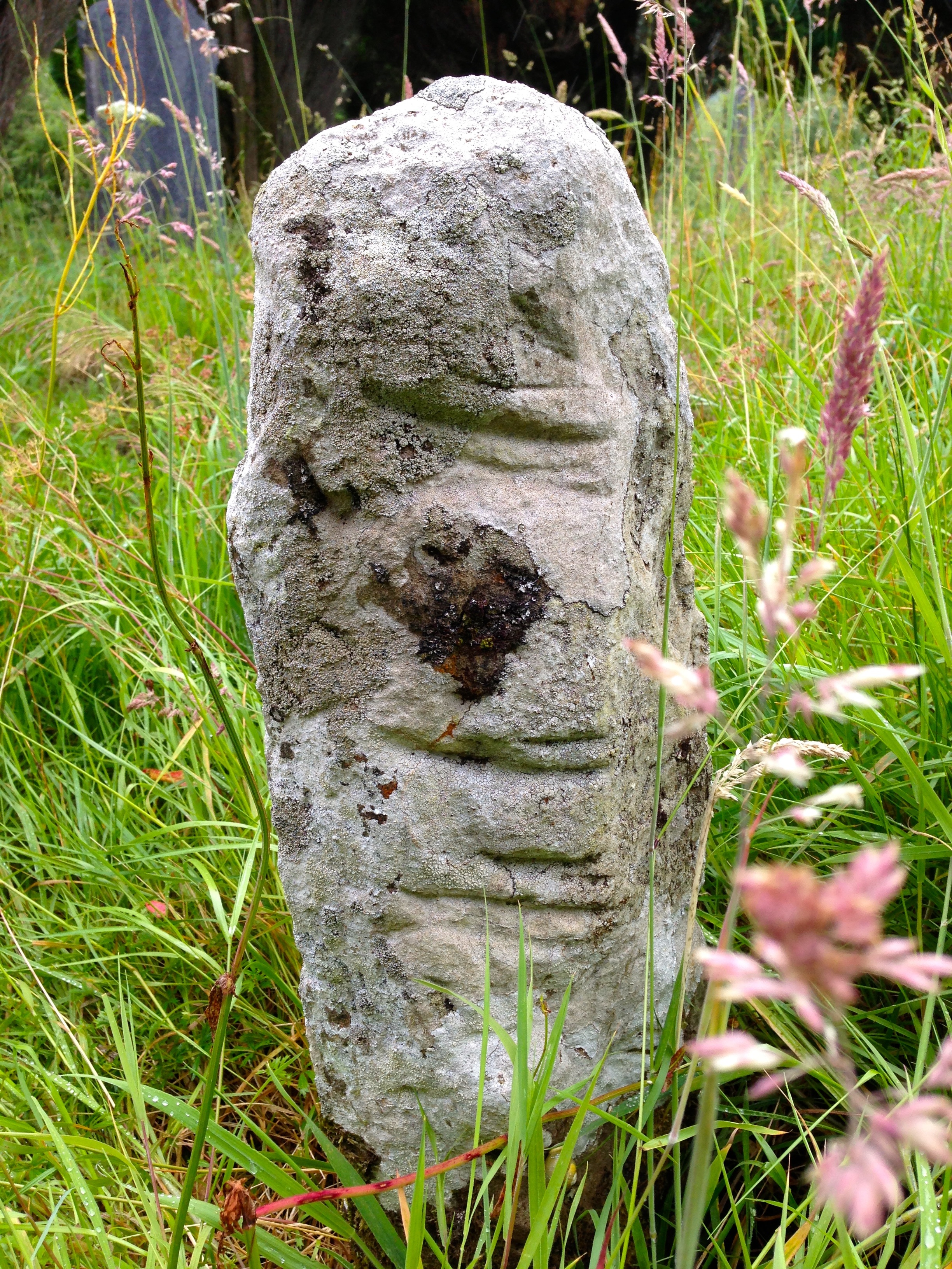
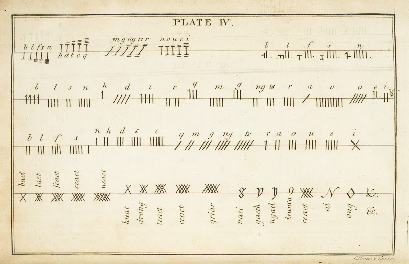
Unusually for the English and the landed classes living in Ireland at that time, he learned Irish. This allowed him to become familiar with the ancient manuscripts and annals which were being discovered and conserved at the time, and to translate some of them, including fragments of the Brehon Laws. It also led to his interest in Ogham, an alphabet used for inscriptions in stone in a form of Old Irish and he recorded examples of Ogham and reported on others.

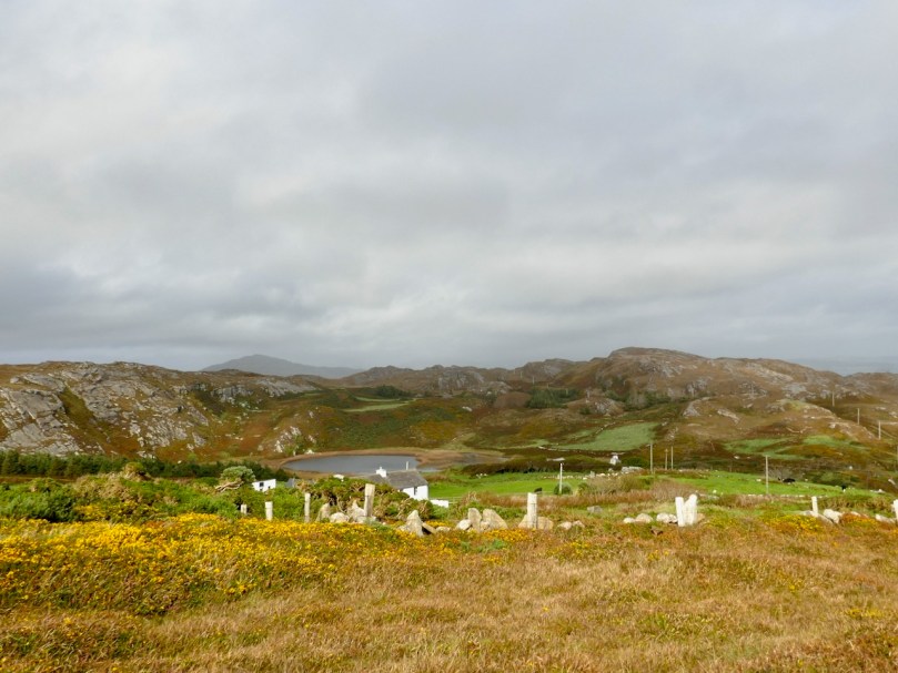
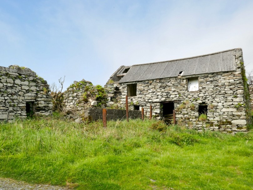
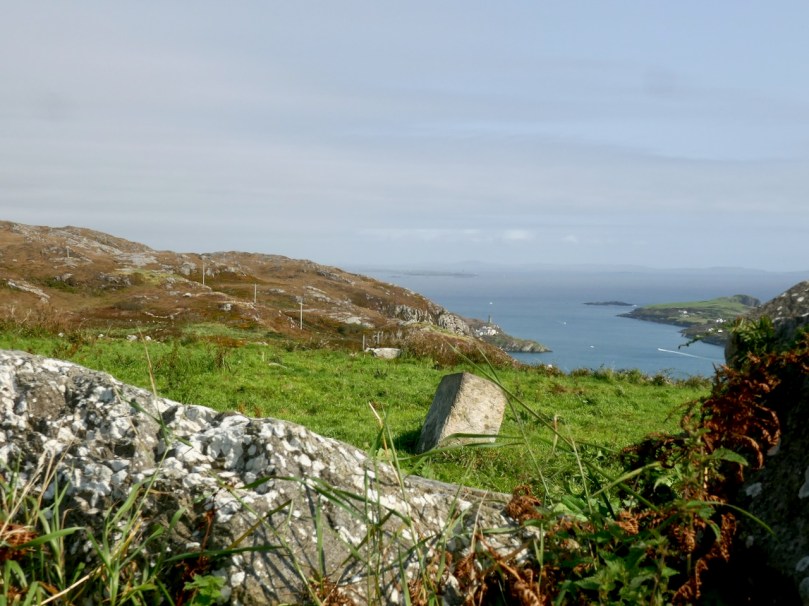
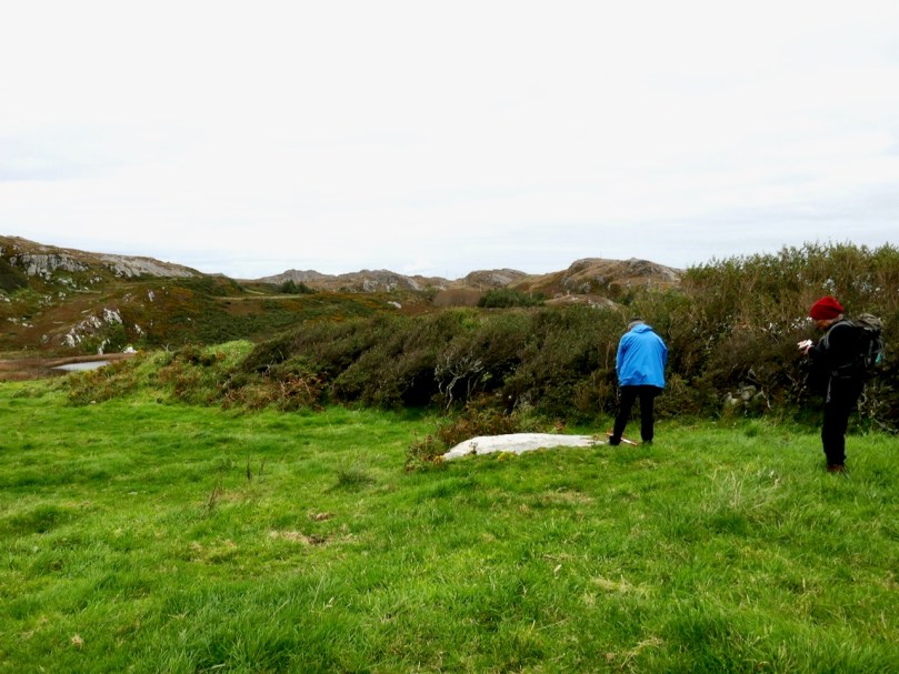
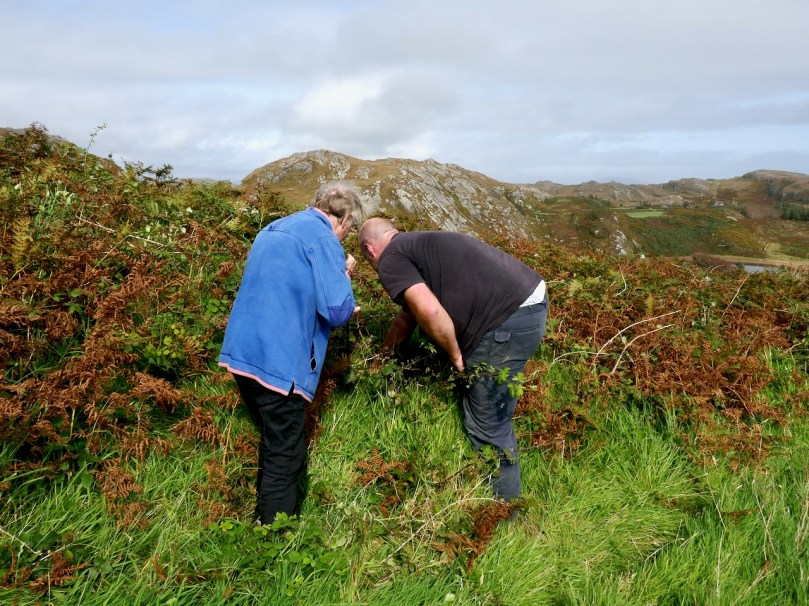
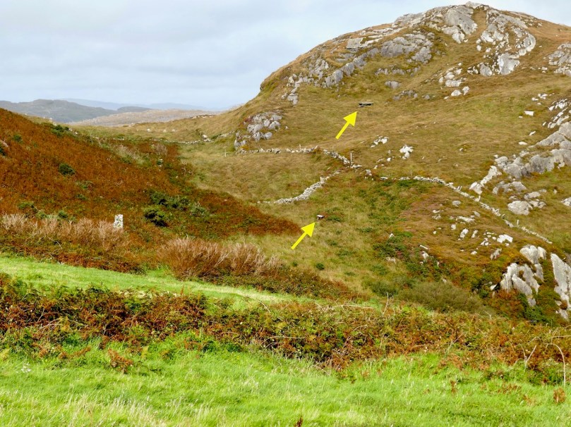
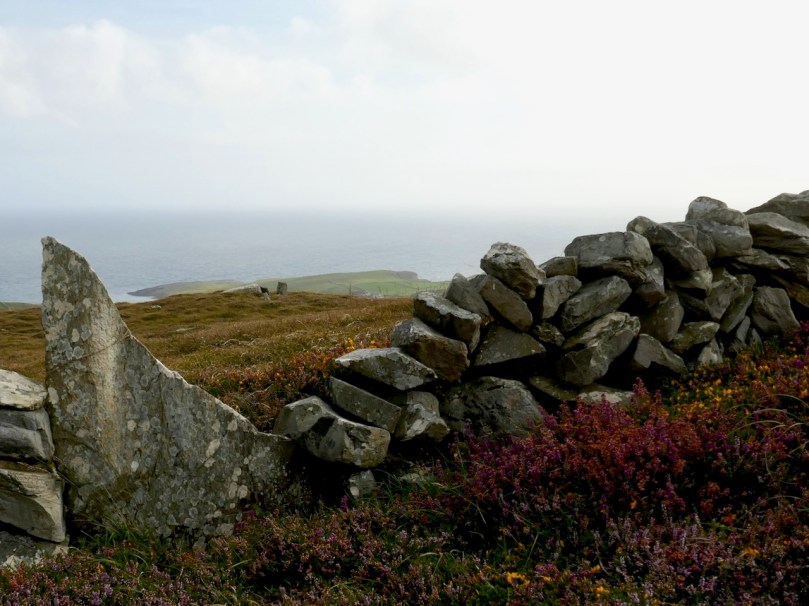
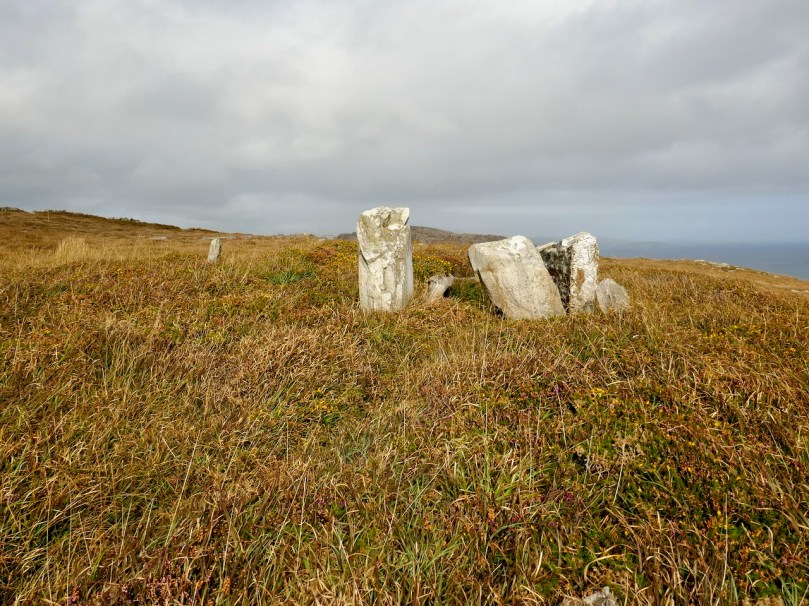
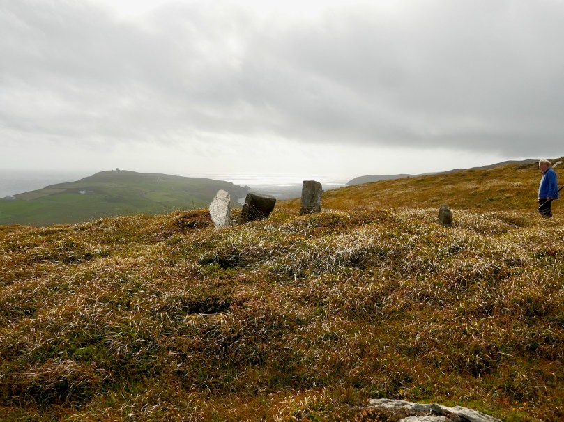
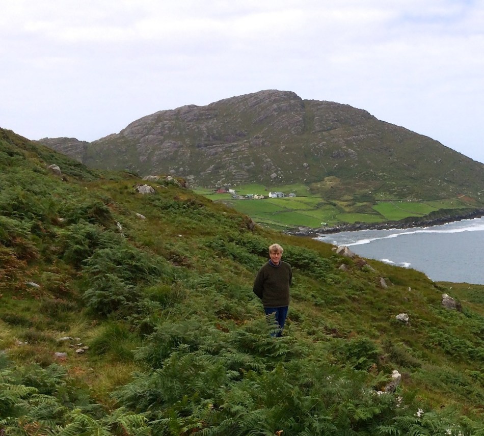
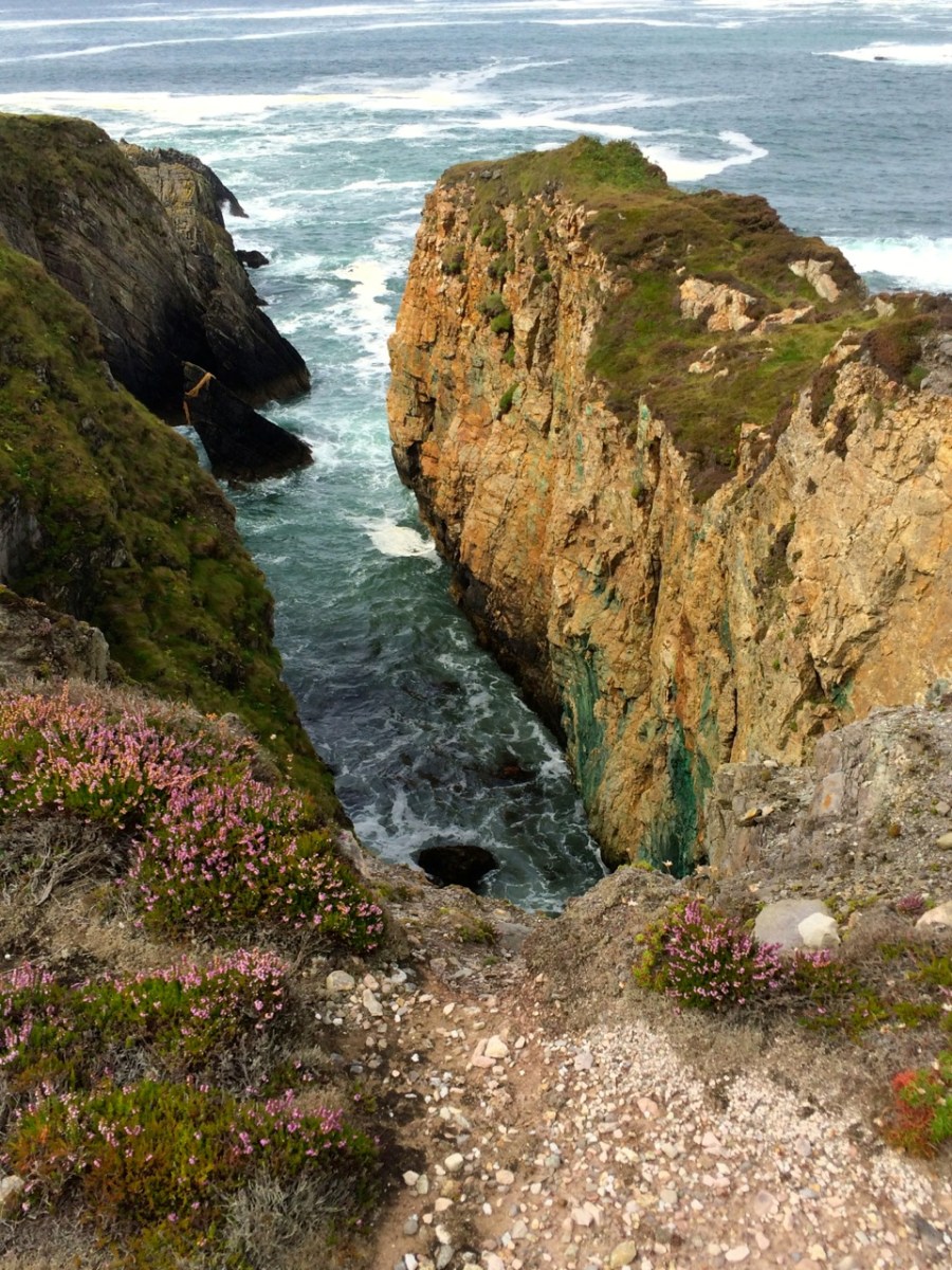
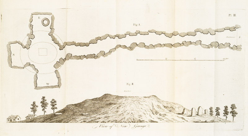
His interest in antiquities, fostered by his extensive travels around the Island,  led him to record and draw many, including early plans of Newgrange, and to support the efforts of others, including Beranger, and perhaps Bigari, to record them. In some cases, Vallancey’s drawings are the only early records we have of some monuments.

Most importantly, Vallancey, even if he didn’t always get it right, strove to establish for Ireland and the Irish, a noble heritage, far from the view of most Englishmen at the time of a benighted people speaking a savage tongue. In this, he prefigured the work of Petrie, Wilde, Windel and others to show how the Irish past, and incredible heritage of archaeology, language and mythology, could stand against that of any civilisation. 

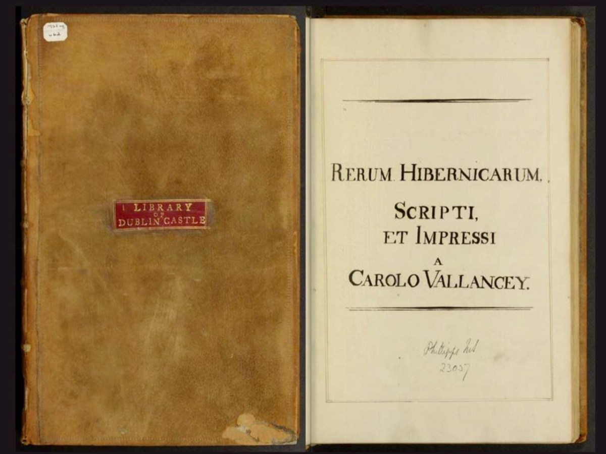
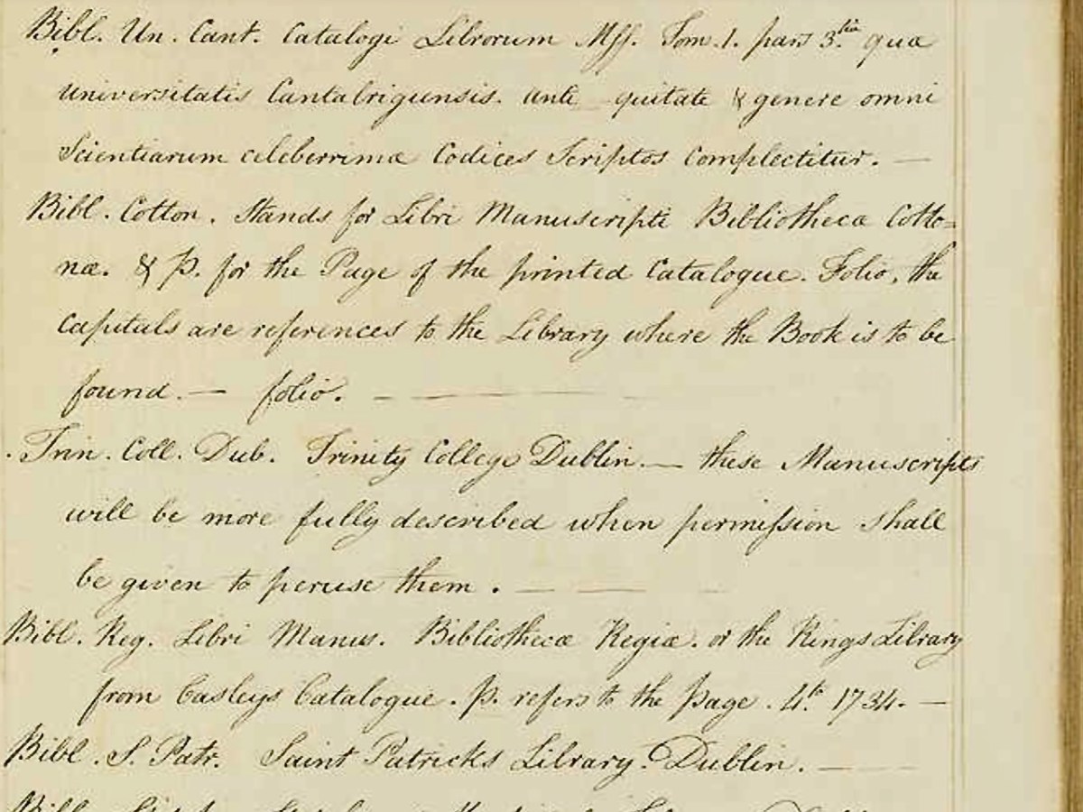
His least known but most important contribution to Irish scholarship was his Rerum Hibernicarum, Scripti, et Impressi. This is a handwritten

alphabetical list of material relating to Irish history divided into two sections; a list of manuscripts held in multiple archives and a supplementary list of printed works. The volume is undated, but as the most recent printed work cited is from 1777 the compilation was probably made shortly after this time.

Taking the long way home: the perambulations of Harvard MS Eng 662, Rerum Hibernicarum, Scripti et Impressi, by Charles Vallancey

Dr David Brown

The Rerum Hibernicarum disappeared – it had an interesting journey, entertainingly told by David Brown in his essay for the Virtual Record Treasury of Ireland, in which a digital copy now resides. An incredibly valuable piece of research, it was the seminal book that initiated a more rigorous approach to Irish studies in the nineteenth century by providing sources for Irish manuscripts, folklore and language to the next generation of antiquarians. Brown says:

All four men, Larcom, Todd, O’Donovan and O’Curry, were committed members of the Royal Irish Academy, the institution Vallancey had co-founded in 1785. Together, this quartet placed Irish studies on a scientific basis and at the centre of Ireland’s main places of scholarship.

Vallancey’s best known work was his Collectanea de rebus hibernicis – Collection of Irish Matters. It is also his most complex and most characteristic – containing as it does a staggering variety of materials, much of it written by him. It contains work by others too, sometimes credited and sometimes presented as if written by Vallancey. He published it himself in limited editions, so that now it is very rare. 

I am honoured to have been entrusted with a set to examine and write about, by Inanna Rare Books and have spent many happy hours browsing through the volumes. Reading it thus, from cover to cover, I began to see how enormously clever he was – and how obsessed, as he returns again and again to his favourite theme: that the Irish were a noble race descended from the ancient Phoenicians.

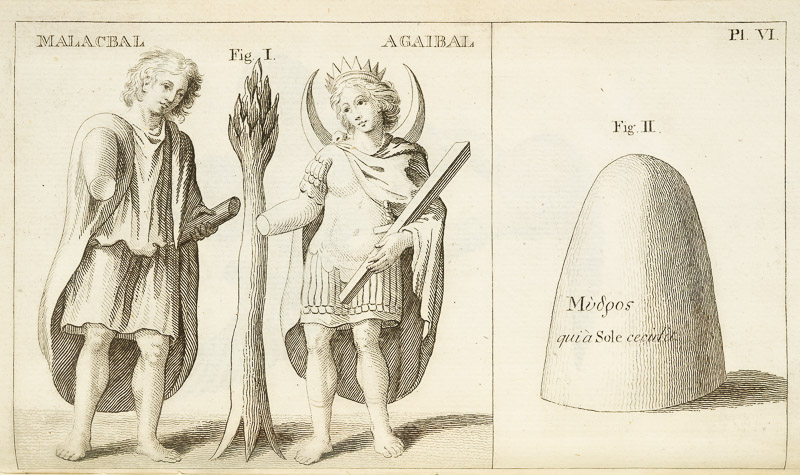
In this pursuit, Vallancey was not merely riding a personal hobby horse. In fact, he was very much in the mainstream of European intellectual thought. Vallancey believed that the Irish people were descended from the Scythians, Phoenicians, and Indians, and he used linguistic analysis, comparative mythology, and archaeological evidence to support his claims. In his essay, Phoenician Ireland: Charles Vallancey (1725–1812) and the Oriental Roots of Celtic Culture, Bernd Roling posits that Vallancey’s work, while ultimately based on speculation, reveals the powerful influence of ‘orientalizing’ models of history that were popular in the 17th and 18th centuries. He argues that Vallancey’s work is not simply a collection of outlandish ideas but rather a reflection of the enduring influence of ‘baroque’ antiquarianism and its commitment to finding connections between cultures and languages, even if these connections were ultimately based on speculation and incomplete understanding of the past.

Perhaps it was his enthusiasm for technology and the continuous journeys through Ireland required by his work that led Vallancey to find there the great love of his life of his life, namely Ireland herself. . . 

In the eighteenth century Ireland was not the centre of the world. It was a land dominated and exploited by England, with a rural population who were regarded as barbarians at best by the gentlemen at home in the clubs and coffee houses of England’s cities. For them, the native language of the Irish was no more than an incomprehensible squawking that needn’t be accorded any further significance. Would it not, then, be a magnificent surprise, almost a humbling of Anglophile arrogance, if the Irish turned out to be the descendants of the ancient Chaldees, Phoenicians, Scythians and Indians, the crowning jewel in a chain of heroic acts reaching back into a prehistory, which was able to supersede any other chain of historical events? Would it not be a wonder if the Land of Saints and Scholars, with its ancient monuments, poetry and songs, were the final record of a primordial European people whose wisdom united the learning of the whole ancient East?

Yes, indeed, Vallancey, himself a bit of an outsider, was consumed with the need for that humbling of Anglophile arrogance. Unfortunately, as with anyone blindly obsessed with a cause, and simultaneously lacking self-doubt, this led him into many false conclusions and leaps of imagination in his interpretations of how Irish Gaelic related to ancient and oriental languages. His philological arguments were thoroughly debunked, starting almost immediately upon publication. 

And it wasn’t just language – he had equally startling views about round towers, proposing that they were built by Scythians. He suggested that they were part of the “Scytho-Phoenician settlement of Ireland” and linked to ancient Chaldean religion. He drew on the work of other scholars to support his argument, citing the discovery of similar towers, called misgir or “fire towers,” in the Volga region formerly inhabited by the Bulgars. Vallancey also referenced Geoffrey Keating’s account of a druid named Midghe, who supposedly taught the Irish the use of fire during the third invasion by the followers of Nemed (from the Book of Invasions, a mythological origin story for Irish History). This association with fire, combined with the architectural similarities to the towers in the Volga region, led Vallancey to believe that the round towers served as observatories for an astral, or sun-worshipping, cult that had been brought to Ireland by the Phoenicians.

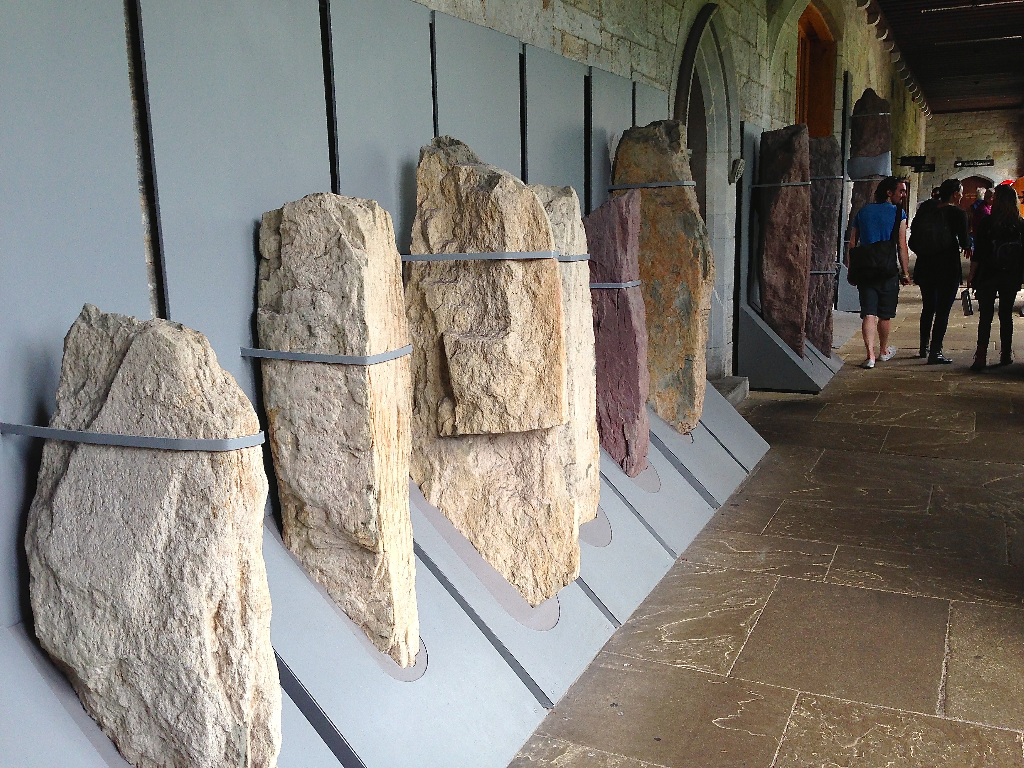
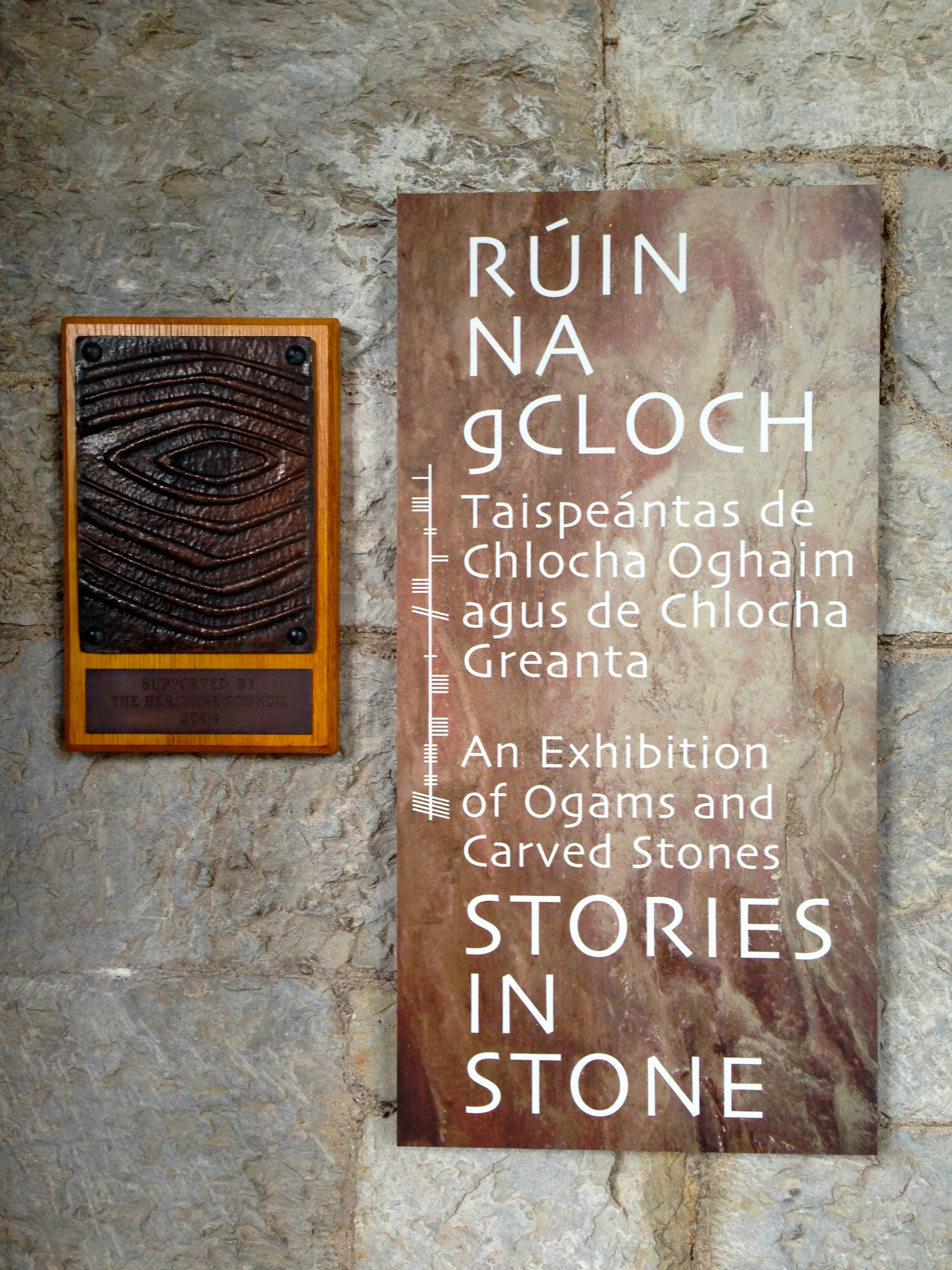
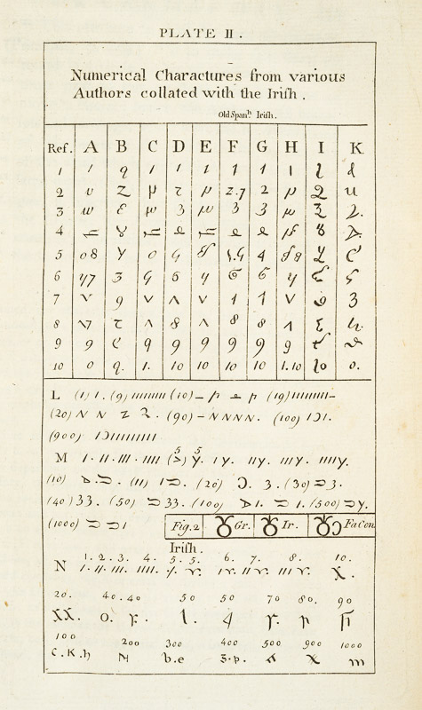
Similarly, with ogham, an early Irish script mainly found carved into standing stones, he argued that the word ogham itself was derived from Sanskrit, meaning ‘sacred or mysterious writing or language’ and pointed to the visual similarities between ogham and the Old Persian cuneiform script found at Persepolis as further evidence of an oriental connection. This view aligned with his broader theories about the druids as practitioners of a sophisticated astral cult with origins in Chaldea and connections to the Indian Brahmans

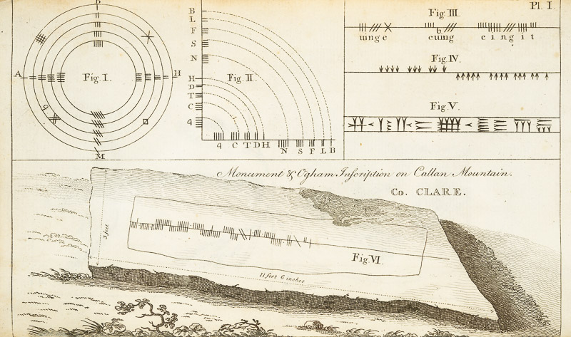
His research on ogham was extensive, including the study of ogham inscriptions and the publication of scholarly articles and drawings of ogham stones in his Collectanea de Rebus Hibernicis. Next week, we will take a deep dive into that Collectanea. Meanwhile, I’ll try to figure out how to pronounce that word correctly.

*General Charles Vallancey 1725-1812 by Monica Nevin. The Journal of the Royal Society of Antiquaries of Ireland , 1993, Vol. 123, pp. 19-58

** Charles Vallancey and the Map of Ireland, JH Andrews. The Geographical Journal, March 1966. Available here. Highly recommended if you want to know more about Vallancey as a map maker, which is slightly outside the scope of this series.

Mizen Magic 18: The Prehistoric Landscape of Arduslough

There are parts of West Cork that seem to hold within them all the memories and markers of eons. Such a place is Arduslough, on the high ground across from Crookhaven (below, map and photo) and west of Rock Island (above).

Technically, the places we explored are in three different townlands – Tooreen, Arduslough and Leenane, but mostly they fall within the boundaries of Arduslough. The name has been variously translated – Árd means high place and Lough means lake, both of which seem appropriate, but in fact the placename authority, Logainm, renders it as Árd na Saileach meaning High Place of the Sallies, or Willow Trees. Not much in the way of willows is obvious now, but the lake is certainly central to your view in the townland.

The Lake is the source of drinking water for Crookhaven and is the home, according to a story collected in the late 1930’s, of. . .

. . . an imprisoned demon of the pagan times. He is permitted to come to the surface every seven years on May morning and addresses St. Patrick, who is supposed to have banished him, in the following words “It is a long Monday, Patrick”. The demon does not speak in the English but in the vernacular. The long Monday refers to the day of General Judgement. Having expressed these words his chain is again tightened, and perforce he sinks to the bottom of the lake for another period of seven year His imprisonment will not expire till the last day.

We saw no sign of the demon and the lake looked remarkably untroubled, with its floating islands of water-lilies.

For a relatively small area, Arduslough abounds in archaeological monuments – there are four wedge tombs, three cupmarked stones, a standing stone and a piece described as either an Ogham Stone or Rock Scribings, depending on what you read. The remains of old cabins dot the landscape too, reminding us that this was a much more populous place before famine and emigration decimated the population.

The standing stone, and Robert with Jim and Ciarán O’Meara

Arduslough is the home of esteemed local historian Jim O’Meara, who grew  up in Goleen but spent most of his adult life teaching in Belfast. We met up with Jim and his son Ciarán, who very kindly offered to show us the Ogham stone. It was so well hidden under layers of brambles and bracken, and built into a field fence, we would never have found it on our own.

It is impossible to say if it is real, or even false Ogham, as it is heavily weathered and lichened, but if we turn again to the School’s Folklore Collection, we find this entertaining account of it:

There is a stone in Arduslough, a townland on the hill to the north of Crookhaven, on which are very old characters or ancient writing. It is very difficult to discern these markings now as the centuries during which they were exposed to the weather have obliterated them. The following story explains the origin of them.

In ancient times there lived in Toureen a man named Pilib. He informed on some party of Irish soldiers who were hiding in the heather there. The enemy came on them and burned the heather round them in which the soldiers perished. The stone was erected in this spot and the event was recorded on the stone. Years passed and the language underwent a change. In later years the people did not understand what was recorded on the stone, and went to the Parish priest asking him to interpret it. He translated it as follows – ‘that every sin will be forgiven but the sin of the informer Pilib an Fhraoich [Philip of the Heather].

We had previously located one of the three cup-marked stones, including a visit a couple of days earlier with Aoibheann Lambe of Rock Art Kerry (below). Ciarán thought he might be able to find another one, but extensive searching and bracken-bashing failed to turn it up.

The folklore collection is full of references to mass rocks, druid’s altars, and giant’s graves, as you would expect from the number of Bronze Age wedge tombs recorded in this area. (For more on Wedge Tombs, see my post Wedge Tombs: Last of the Megaliths.) Two of them are situated on the slope above the lake (below) and we left them for another day. A third is hard to spot and indeed we didn’t.

We headed up to the high ground west of the lake to find the one that local people still call the Giant’s Grave. What a spectacular setting this is! First of all, you are now on a plateau with panoramic views in all directions. West lie the two peninsulas of Brow Head and Mizen Head and the boundless sea beyond.

This is heathland, covered in heather and Western Gorse – a colour combination that has the power to stop you in your tracks – and traversed by old stone walls.

From this colourful bed the stones of the Giant’s Grave arose, pillars silhouetted against the sky. It’s actually in the townland of Leenane, just outside the boundary of Arduslough. When Ruaidhrí de Valera and Seán Ó’Núalláin conducted their Megalithic Survey in the 1970s they commented that the tomb was ‘fairly well preserved’ and  ‘commands a broad outlook to the south and east across the sea to Cape Clear and Roaringwater Bay.’ They interpreted what was there as a wedge tomb, although with some uncommon features.

First of all, they said the tomb was ‘incorporated’ within an oval mound. While mounds are known for wedge tombs, they are unusual and most of the Cork examples, included excavated ones, show no trace of a mound. Stones sticking up here and there, protruding from the mound, they interpreted as cairn stones.

Secondly they noted two tall stones on the north side of the tomb – one is still standing and clearly visible (above and below) – whose function was ‘uncertain.’

Two tall stones at the south west end (above) seemed like an ‘entrance feature.’ Our own readings at the site indicated that the orientation was to the setting sun at the winter solstice, a highly significant direction to where the sun sets into the sea.

So – an unusual wedge tomb. Elsewhere in their report de Valera and Ó’Núalláin state repeatedly that a hilltop setting and a rounded mound are consistent with passage graves. However, at the time no passage grave had been identified this far south and they were thought to have a more northerly distribution. Since then, two have been identified in County Cork – one at the highest point on Cape Clear, which is visible from this site, and one in an inter-tidal zone between Ringarogy Island and the mainland. Perhaps it is worth considering whether, rather than a wedge tomb, this site may be a passage grave, like the one that Robert writes about this week in Off the M8 – Knockroe Passage Tomb or ‘Giant’s Grave’.

Whatever we label it, this Giant’s Grave is a spectacular site. It’s not hard to imagine, up there, that Neolithic and Bronze Age farmers were just as awe-stricken as we were with the magnificence of the surroundings. Tending their herds, they marked the seasons with the great movements of the sun and moon, and commemorated their dead with enduring stone monuments. More recently, people invested the landscape with myth and stories. Walking the hilltops, you know you are in the footsteps of all who went before.

Beara – the Lie of the Land

On the north side of the Beara, looking across to the Kerry Mountains.

On the north side of the Beara, looking across to the Kerry Mountains

The Beara Peninsula is the largest and perhaps the wildest of the three West Cork Peninsulas. (See last week’s post for the map.) Two mountain chains, the Caha Mountains and the Slieve Miskish Mountains make up the spine of the Peninsula. You can traverse it via the spectacular Healy Pass, which runs from Adrigole north to Lauragh. On this occasion, because we had limited time, we confined ourselves to driving the main coastal route and to getting the general lie of the land. This meant we missed out on several landmarks – Bere Island, for example, and Dursey Island, besides the Healy Pass – so of course we must go back soon!

Near Cod's Head

Near Cod’s Head

After the inspiring piano recital by David Syme, described last week, we stayed overnight in Allihies and enjoyed an excellent dinner in O’Neill’s pub. The local Gaelic Football team had won a championship match that afternoon and the town was celebrating well into the night. Our first stop the next day was the Allihies Mining Museum. Housed in an impressively converted old Methodist Chapel, it tells the story of copper mining on the Beara, evidence of which can still be seen in the vicinity.

Note the green copper veins on the cliff face

Note the green copper veins on the cliff face

From there we carried on to the Cod’s Head, through a small pass which brought us out to a jaw-dropping vista across Coulagh Bay to Kilcatherine Point, and beyond to the Mountains of the Iveragh Peninsula in Kerry. We took the time here to hike up a waymarked trail that brought us up to breathtaking views high into the mountain slopes, home of purple heather, enormous boulders and curious sheep.

The sentinel

The sentinel

Eyries village is a pure delight: a riot of colourful houses and sleepy streets. We stopped at Ms Murphy’s traditional shop for tea and delicious sandwiches, strolled along the main street taking pictures and chatting to friendly residents, and finally by chance dropping into the startlingly beautiful St Kentigern’s church.

The north side of the Peninsula offers glorious vistas across the Kenmare River (an enormous sea inlet but called, oddly, a river). We took the coastal route from Kilcatherine to Dog’s Point and back to Ardgroom and on to Lauragh – lovely villages with seaside settings.

Mountain and sea

Mountain and sea

We stopped to visit the Cailleach Beara, the Hag of Beara. A powerfully symbolic site from Irish mythology, this rock is associated with many legends. People leave votive offerings – coins, rosary beads, a set of old glasses, shells and ribbons in honour of the spirit of the ancient goddess. Our next stop was the Ballycrovane Ogham Stone – the tallest in the world, and still in the wild, as Robert was glad to note.

Alright – so we have our bearings now and we’ve scratched the surface of this fascinating part of West Cork. Look out for future posts on the Beara – we can’t wait to return!

Beara mussel beds

Mussel beds, looking out to the Kenmare River

Ogham

Captured! Ogham stones held in iron bands at UCC

Captured! Ogham stones held in iron bands at UCC

The Scythian King Fénius Farsaid lived at the time of the building of the Tower of Babel – some stories suggest that he had a hand in its construction. He gathered around him a group of scholars and methodically researched the new languages which were being spoken by the dispersed builders of the tower. Their work produced four languages: Hebrew, Greek, Latin and – the most sophisticated – Ogham. _ogham


Thus was the story that the bards of old related to explain the carvings on Ogham Stones (sometimes spelled Ogam but always pronounced oh-am) which are found in northern Europe, the greatest number being in the South West of Ireland.

King Fénius named each of the letters of the Ogham alphabet after his best scholars – 25 in all. The ‘letters’ are in fact simple lines inscribed on stone, either on opposite sides of a vertical line or on each side of a sharp corner of stone – the position and angle of each line defining the letter. Words are read starting at the bottom, going up the left side of the line or corner and coming down on the other side, and are generally thought to represent names, suggesting that the inscribed stones are memorials.

ogham

Ballycrovane – the tallest Ogham Stone in the world is in West Cork

If you subscribe to the King Fénius theory of Ogham Stones (and why wouldn’t you?) you might wonder why historians place them in the early medieval period (4th to 9th centuries) and associate them with Christianity. Many of them appear to have been inscribed on older standing stones, including the gigantic megalith at Ballycrovane, overlooking Kenmare Bay and 5.3 metres tall.

An Ogham tray by Danny

An Ogham tray by Danny

Ogham is not a forgotten language: it is a saleable item of Irishness. But, consider – quite apart from the many examples of Ogham stones which remain in the wild there are those which are kept in captivity. Take a look in the Stone Corridor at University College Cork – there is a remarkable collection there, a collection that raises questions in my mind: why have the stones been removed from their original siting? Is that an archaeologically sound thing to do – to take them from their historic context and chain them up so unnaturally in a long, dark and urban corridor? If it’s time to give the Elgin Marbles back to Athens then it’s certainly got to be appropriate to redistribute the Ogham stones (and the other inscribed stones and Rock Art that are in the Corridor) back to their natural habitats – in the wilds of West Cork… maulin

In its rightful place: Maulinward Ogham Stone near Durrus

In its rightful place: Maulinward Ogham Stone near Durrus (front and back)

corridor