The Enigmatic Bullaun

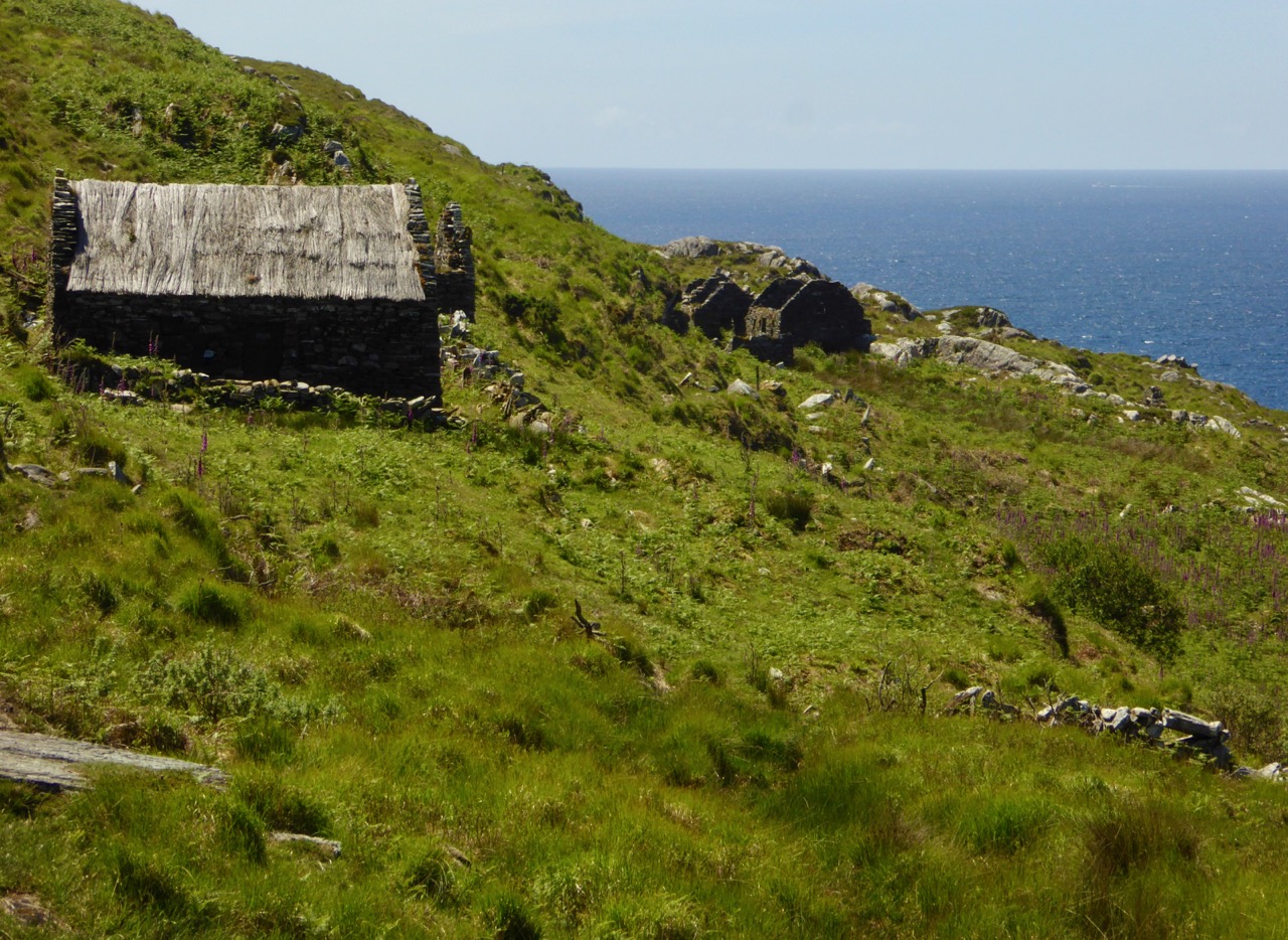
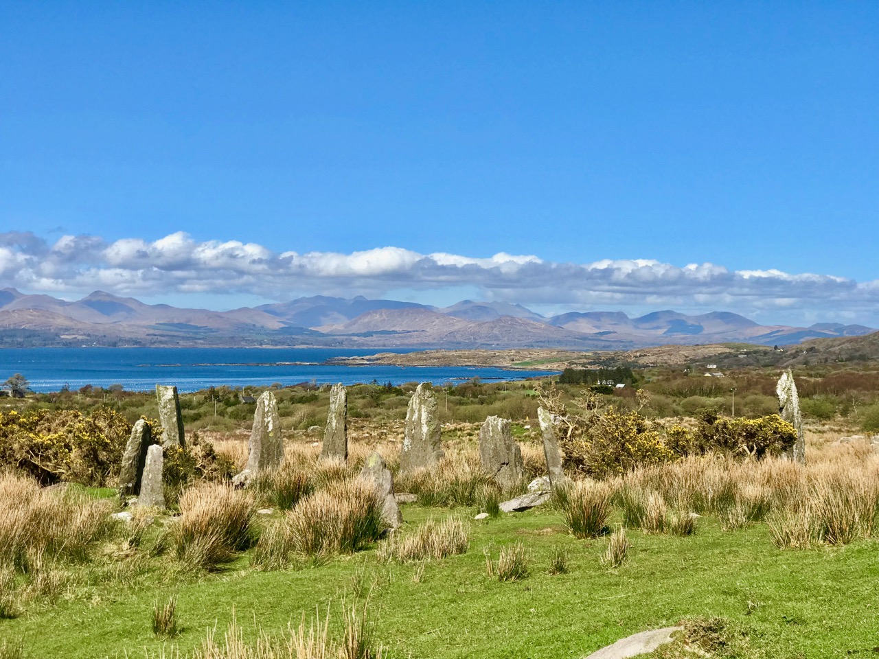
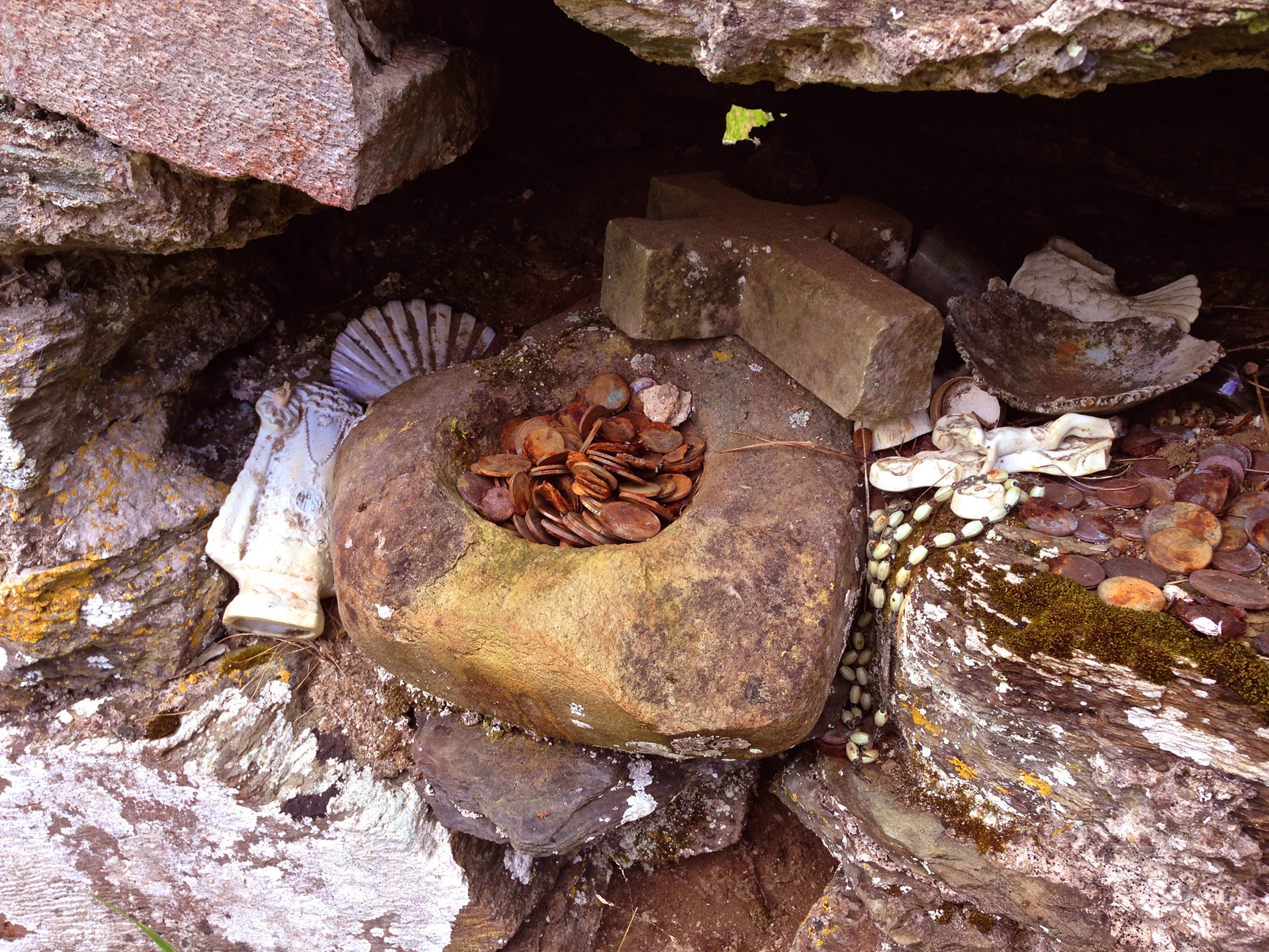
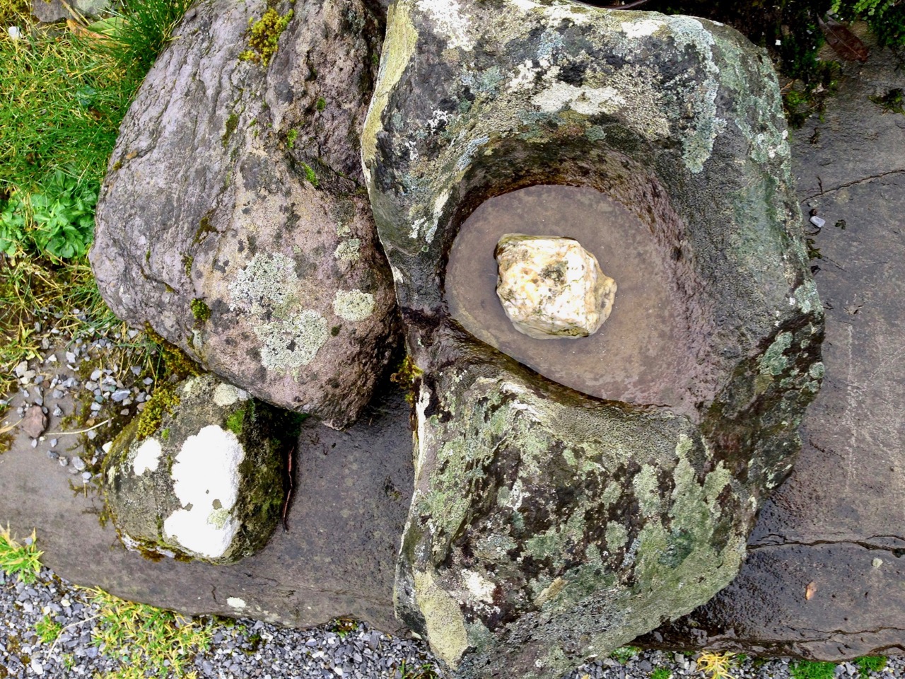
Bullaun Stones abound in Ireland. They are usually found nowadays at sites with ecclesiastical connections, as in the example above at Maulinward, an ancient West Cork burial ground. This association does not reduce or affect their traditional uses – according to folk convention – to cure or to curse. The Irish word Bullán means ‘bowl’ – a water container. At pilgrimage sites, such as St Gobnait‘s, Ballyvourney (below), the bullaun stones often hold quartz fragments or smooth, rounded pebbles – perhaps incised with a cross – which are turned around each time a pattern or procession is completed.

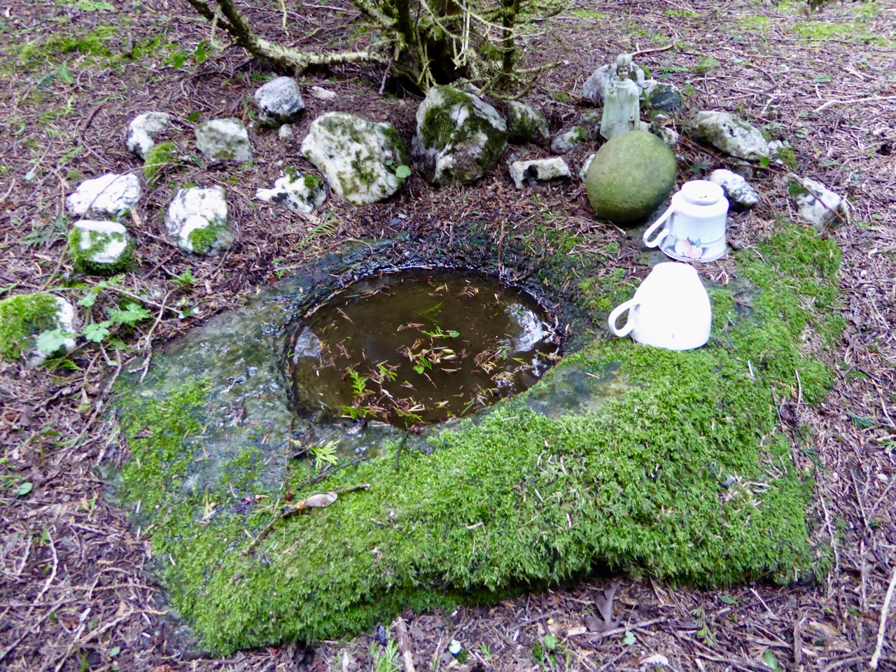
The Maulinward example on the header picture shows how the tradition of making offerings at some of these locations continues to this day. At other sites, such as the one below, the hollowed-out stone filled with rainwater takes on the properties of a holy well, and is visited for cures or simply good fortune.

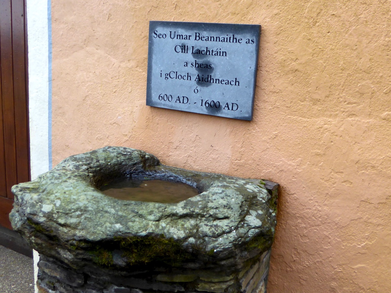
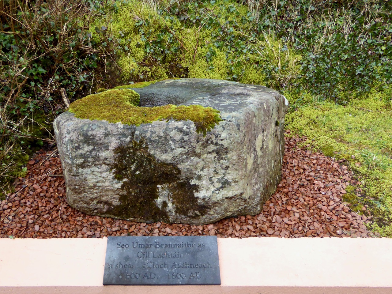
This example, outside the door of the church at Cill Lachtáin, Co Cork seems to have been mounted to perform as a holy water stoup: the plaque reads ” . . . This blessed font of Cill Lachtáin was standing in Cloch Aidhneach from 600AD to 1600AD . . . “ Others resemble fonts and are similarly associated with places of worship. Look at this striking stone from Timoleague Friary, whose purpose – according to tradition – is clearly stated:

In the sixth century, the Council of Tours ordered its ministers ” . . . to expel from the Church all those whom they may see performing before certain stones things which have no relation with the ceremonies of the Church . . . ”  Such an order doesn’t seem to have prevented folk customs of curing continuing into the twenty-first century.

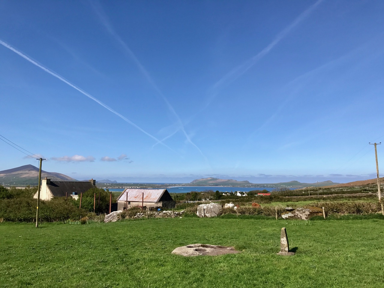
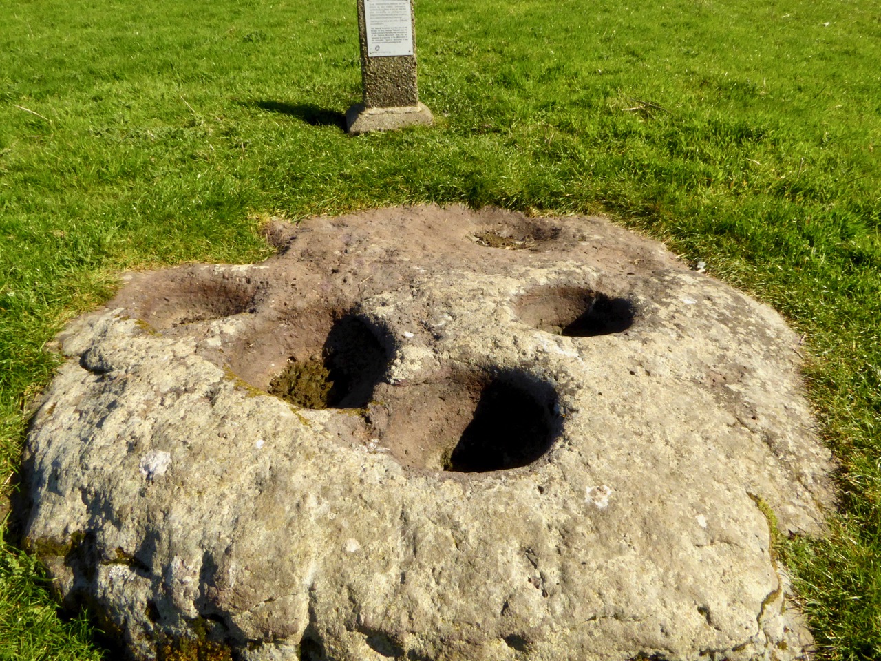
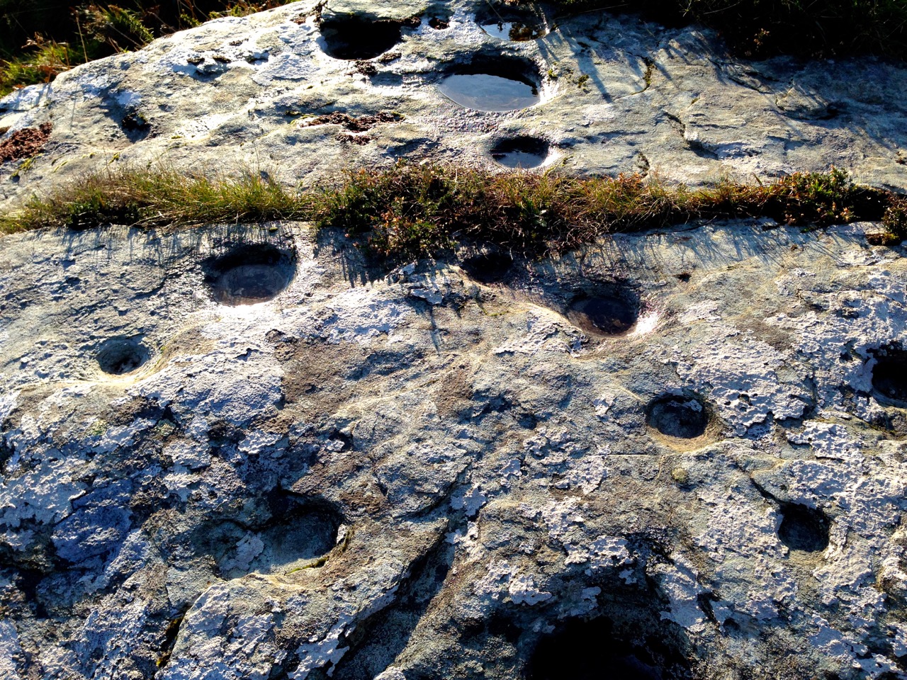
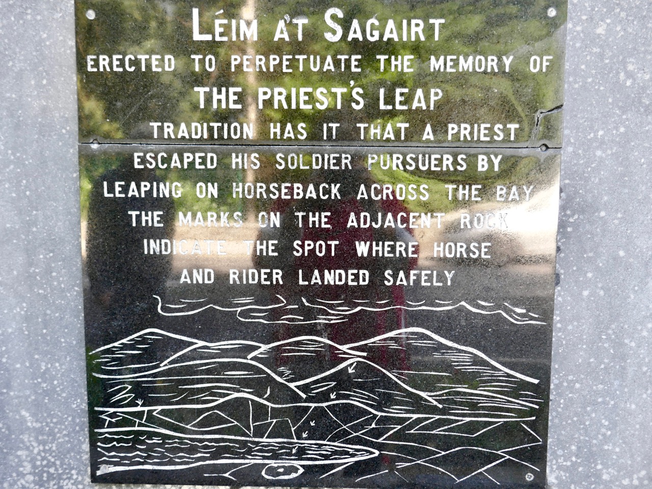
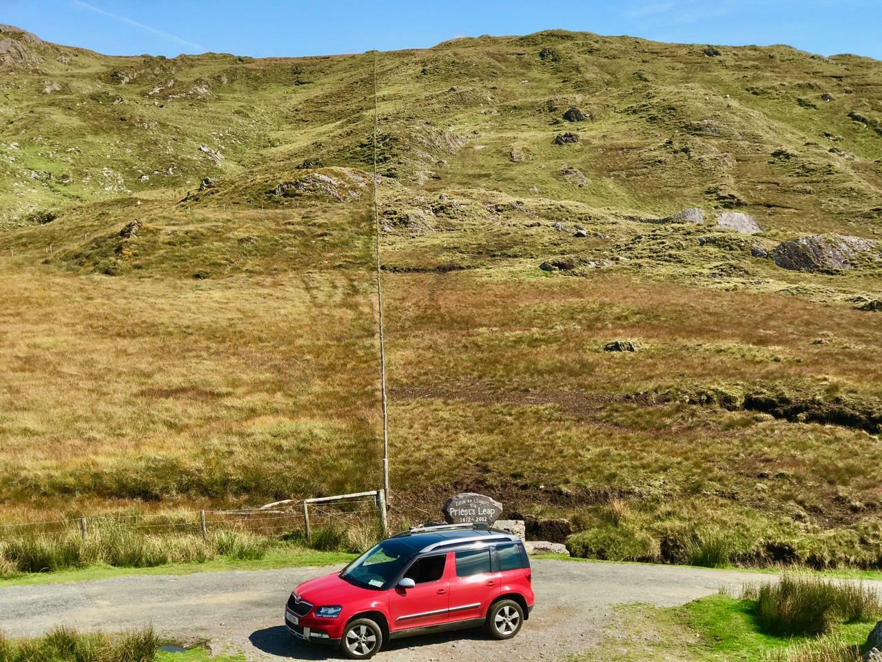
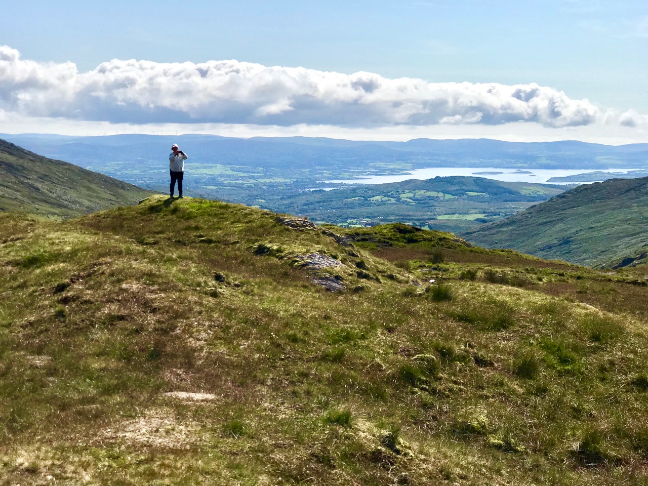
The ongoing use of bullauns as fonts, stoops or holy wells does not explain their original purpose (which is probably pre-Christian: here’s an interesting conjectural world view of the phemomenon), and it’s quite likely that we will never fathom for sure what they were for. The example above, at Kilmalkedar, Co Kerry is as enigmatic as they will get, with its multiple ‘basins’ carved into a large earth-fast boulder isolated in the middle of a field, although not far from a remarkably complex ecclesiastical site. But the one I find the most fascinating can be found along the Priest’s Leap road, a mere few steps away from our own home in West Cork . . .

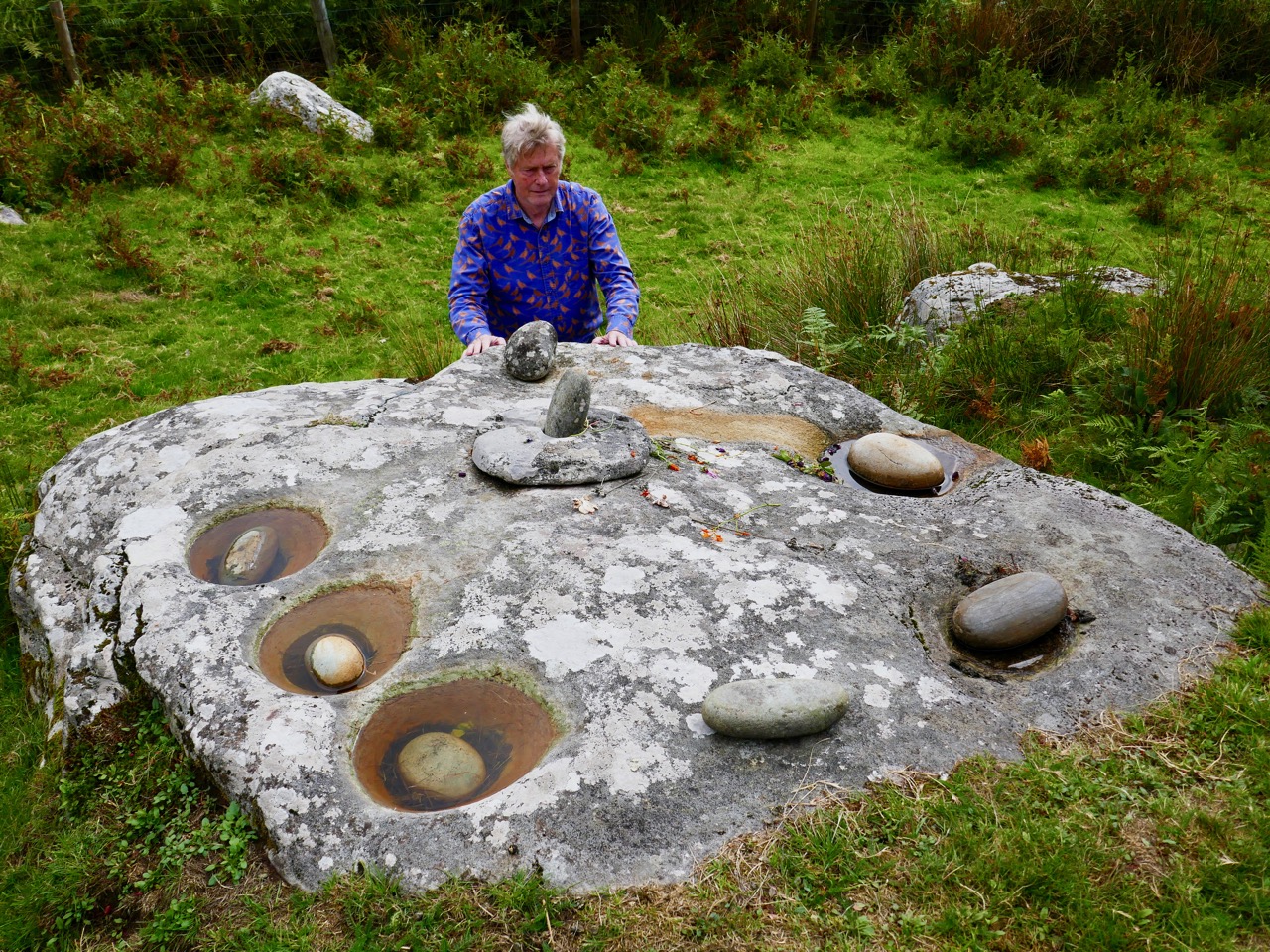
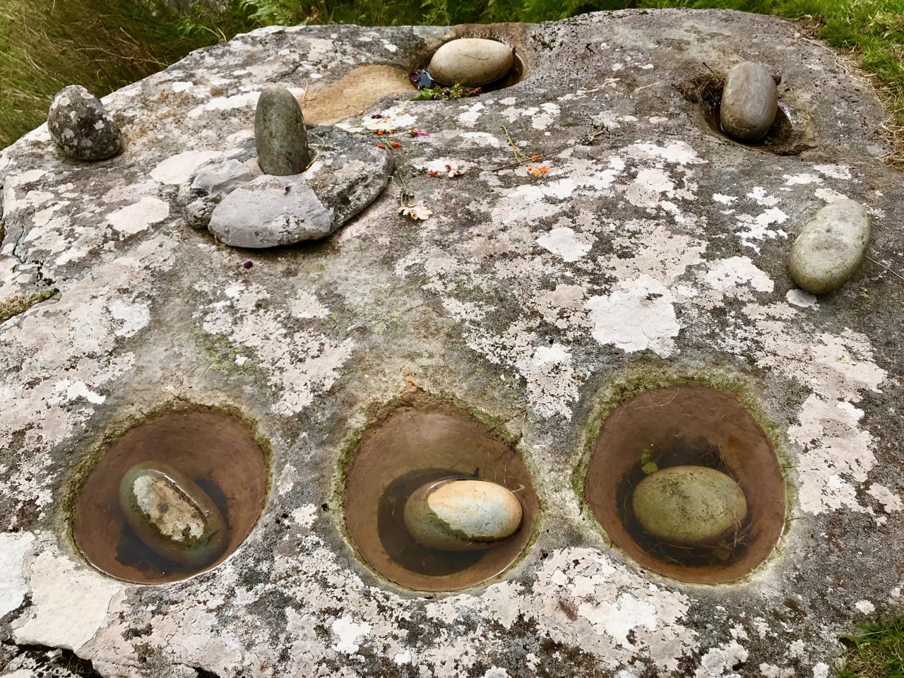
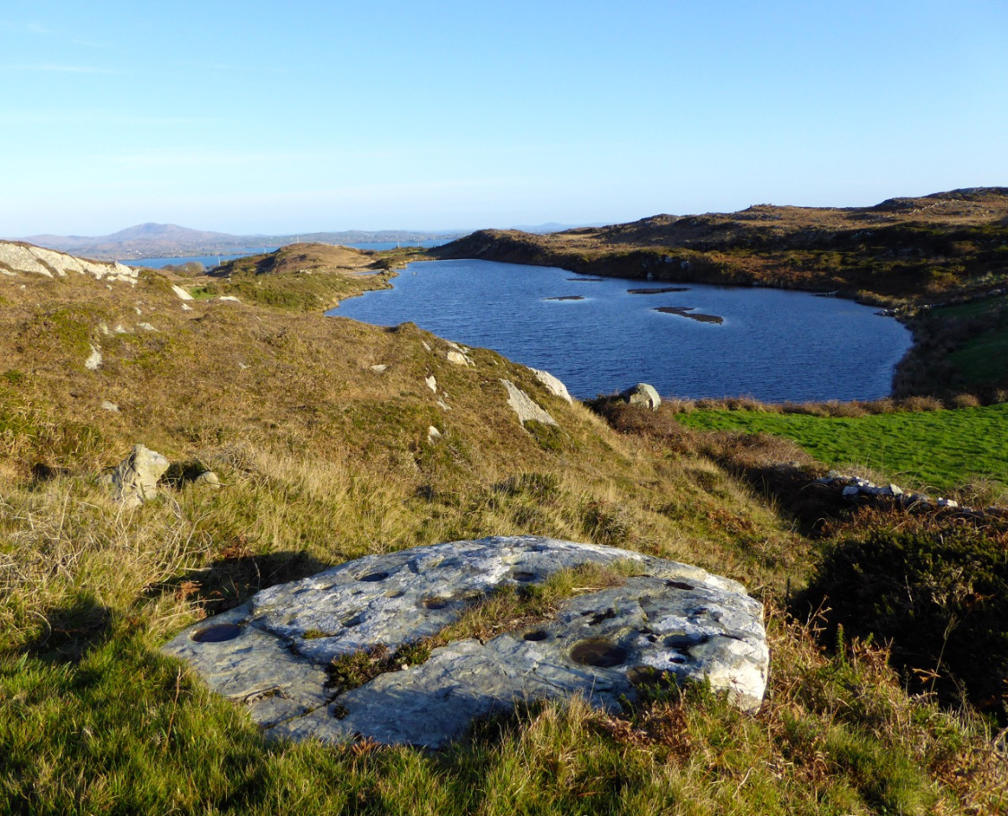
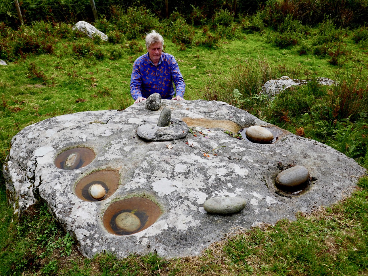
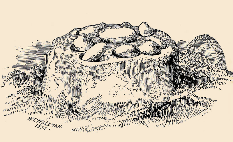
This rock outcrop – known locally as The Rolls of Butter – is large (I’m there to give it scale!) with seven scooped-out bullaun like basins and a somewhat phallic central upright stone. The basins each contain a large, smoothed pebble. Some folk traditions in Ireland identify such pebbles as ‘cursing stones’: “. . . if you wanted to put a curse on someone, you turned the stones anti-clockwise in the morning . . . ” However, the curse had to be ‘just’ otherwise it came back to curse you in the evening! The illustration below – of ‘cursing stones’ at Killinagh, Co Cavan was made by antiquarian W F Wakeman in 1875. He also noted the similar local folk traditions of these examples.

Many bullaun stones or stone groups around Ireland have been included in the National Monuments records, and number in the hundreds. Functional, magical, sinister? Who knows . . . Your guess is as good as anyone else’s. But one thing is certain – they are intriguing and mysterious. Keep a look out for them – as we do – in your travels around this land.

Note: this is a re-run of a post I published five years ago – but it’s been augmented, updated and – hopefully – improved!

West Cork Obscura – Robert’s Choices

‘Hidden West Cork’ and ‘off the beaten track’ have been oft-used phrases in our posts – and that’s part of our mission with Roaringwater Journal: exploration of some of the more secret places, and researching and recording their stories. Finola has looked out her own favourites; my current choices are here – although, with 569 posts written to date between us, we could have picked out so many.

Header and above – one of the discoveries which made a great impression on me during the year was Tralong Bay, out beyond Glandore and Drombeg: it’s a beautiful piece of the coastline, at the end of a cul-de-sac and – it seemed to us – very little visited. But to visit is to transport yourselves back thousands of years as, on the beach and exposed at low tide, are the remains of an ancient forest. Here is the post.

A quirky discovery, not too far away from Tralong, was the pyramid-shaped mausoleum in the old burial ground at Glandore. For us, ancient graveyards are treasure troves of local history. This one – a peaceful and secluded place well worth a visit anyway – conceals an enigma: find the story here.

The Rock Art at Castlemehigan in its spectacular setting (above). Below is a close view of some of the markings on the rock

Delving back a few years, I found this December post on a visit to a spectacular example of Rock Art at the far end the Mizen Peninsula: Castlemehigan. The cupmarks on this earthfast boulder are impressive and the view from it is spectacular, especially on the clear winter day that we were blessed with. The rock was also in use as a Mass Rock during penal times, and there is evidence of this on the surface. We were told a story about those times by Florence O’Driscoll, whose land the rock is on. Make sure you have permission to visit if you go!

Finola managed to combine her consuming interest in wildflowers with industrial history and an account of a very special walk on the Sheep’s Head. It’s one of the marked trails on that peninsula – and takes in the deserted settlement of Crimea where a cottage has been partially restored (picture above) – finishing at the abandoned mine workings at Gortavallig, perched precariously on the very edge of a cliff (below). Here is the link to Finola’s post.

Here am I trying to get my head around the enigmatic ‘Rolls of Butter’ (above). I have to admit they are in Kerry (only just), but involved us travelling one of our all-time favourite roads, much of which is actually in West Cork: that’s the Priest’s Leap Road which runs over the mountains from Bantry (more or less) to Kenmare (more or less). We go out of our way to use this road because of the superb views – and a special piece of folklore – but, if you give it a try, be prepared for a narrow and steep journey (below)! Here is the post.

Archaeology dictates many of our outings. One of the less well-known monuments is Ardgroom Outward Stone Circle (pictured above and below) on the Beara Peninsula. This year, following a harsh winter, the weather turned sublime, and we have travelled extensively to make the most of it. We find ourselves often drawn to the Beara (much of which is in West Cork). This post describes an expedition which included stone monuments, colourful villages, stained glass – and ice cream! Have a look.

It was almost five years ago that we first reported on one of our perenially favourite West Cork locations: Gougane Barra (above). It’s a holy place – an alluringly beautiful lake sited in the Shehy Mountains, close to the source of Cork’s special River Lee. Here, in the sixth century, Saint Finbarr set up a collection of cells for his monastic community on an island. Here, also, lived the couple ‘The Tailor and Ansty’, immortalised in a book written in 1942 by Eric Cross. It’s a not entirely happy story as the book was banned because of its down-to-earth portrayal of the facts of life, and storyteller Tim Buckley (‘The Tailor’) was forced to burn his copy of it in front of the local priests: the incident led to an abrasive debate in Seanad Éireann on censorship. This story is, perhaps, one of the less well-known historical aspects of West Cork (and Ireland), but visit Gougane Barra for its beauty – and make sure you find the gravestone of ‘The Tailor & Ansty’: it was carved by their friend Seamus Murphy and bears the inscription . . .  A Star Danced And Under That Was I Born . . .

We hope that, between us, we might have given you some good ideas for exploration of our wonderful West Cork landscapes and – perhaps – encourage you off the highways and on to the byways: there are so many adventures to be had, summer or winter. Travel Well!

A Flying Priest, and Rolls of Butter

Last week Finola reported on a journey over the mountains on the ‘Priest’s Leap’ road from Kenmare, Co Kerry to Bantry, in West Cork. We received a fusilade of comments from readers who told us we hadn’t seen half of what there is to be found on this road so, on the very first day of September, we were off again, this time getting a different perspective by travelling the other way. Before we left Bantry we had to find the very spot where the priest – being pursued by soldiers – landed after he and his horse leapt off the highest summit of the road which has been named after him.

It’s great that this stone has been left untouched by the modern roadmakers, so that all can see the hoof marks to this day. I calculated that, 400 years ago, the priest was airborne for a distance of some 12 kilometres as the crow (or horse!) flies – considerably more than some of those early aviators of the 20th century were credited with!

If you are not of a nervous disposition, and don’t mind travelling a narrow, single-track mountain road for some 15 kilometres, probably sharing it only with a few sheep, then to pass over this route is one of Ireland’s most spectacular experiences. Choose your day, though: we were lucky to have hot sun and clear views the whole way. If you survive it to the top, you are right on the Cork – Kerry border: in the photo below, the fence going on up the hill is exactly on that border line (and the point at which the priest and his horse took off is to the right of it at the peak). Stop and look around: the views in every direction are stunning.

After we crossed the border into Kerry we came downhill and stopped again at the remote, picturesque Feaghna burial ground in the townland of Garranes. On our last visit we were completely unaware of the existence of an unusual archaeological site nearby – one which has a number of traditions associated with it.

Popularly known as the ‘Rolls of Butter’ this site is technically a ‘Bullaun Stone’. These are fairly widespread over Ireland, but their original function is not known for sure. Here’s a summary from the National Monuments Service:

. . . The term ‘bullaun’ (from the Irish word ‘bullán’, which means a round hollow in a stone, or a bowl) is applied to boulders of stone or bedrock with hemispherical hollows or basin-like depressions, which may have functioned as mortars. They are frequently associated with ecclesiastical sites and holy wells and so may have been used for religious purposes. Other examples which do not appear to have ecclesiastical associations can be found in bedrock or outcrop in upland contexts, often under blanket bog, and are known as bedrock mortars. They date from the prehistoric period to the early medieval period  . . .

A drawing by the 19th century antiquarian W F Wakeman of a Bullaun Stone at Killinagh in Co Cavan. Here, the stones are known as ‘cursing stones’ – a term also applied by some commentators to the Feaghna site at Garranes. Interestingly, the Cavan site is also referred to as ‘St Brigid’s Stones’, while the Rolls of Butter are associated with the local saint, Fiachna. Beliefs – stories – are, of course, as fascinating as any archaeological evidence, and have to be investigated. Here, they abound – and are best learned from local sources: in this link folklorist Matt Sullivan has put together an entertaining selection of local opinion about the Rolls of Butter.

A few years ago I wrote a post covering some bullauns, ‘cursing stones’ and ‘curing stones’ – but at that time I wasn’t aware of these examples just a mere priest’s leap away from our own home.

There is much more archaeology and history in this mountainous country: here (above) in the townland of Erneen, the view from the road across one of the many remote glens shows up former enclosures and ‘hut sites’, which the National Monuments Service describes thus:

. . . A structure, usually discernible as a low, stone foundation or earthen bank enclosing a circular, oval or subrectangular area, generally less then 5m in maximum dimension. The remains are generally too insubstantial to classify as a house but the majority probably functioned as dwellings. These may date to any period from prehistory (c. 8000 BC – AD 400) to the medieval period (5th-16th centuries AD) . . .

It’s intriguing to think that these beautiful natural landscapes which appear so lonely to us were occupied hundreds – perhaps thousands – of years ago. It’s likely that they have changed very little over all that time: history is clearly set out for us as we travel over this ancient way.

The days are shortening, and we still didn’t have time to explore everything the Priest’s Leap road has to reveal. We’ll be back again before too long – in search of more stories.