Through The Big Gap

It’s October: autumn light is playing on the skies and seas as we set out to cross the Sheep’s Head peninsula on a path which is new to us. The path traverses the backbone of this peninsula – a ridge which is virtually continuous from east to west – and runs from Rooska, a settlement beside Bantry Bay on the Northside, heading south for Coomkeen and then Durrus. Before we take to the hills, however, we need to prepare ourselves with some sublime scenery en-route, a little excursion into vernacular architecture, and an encounter with local expertise.
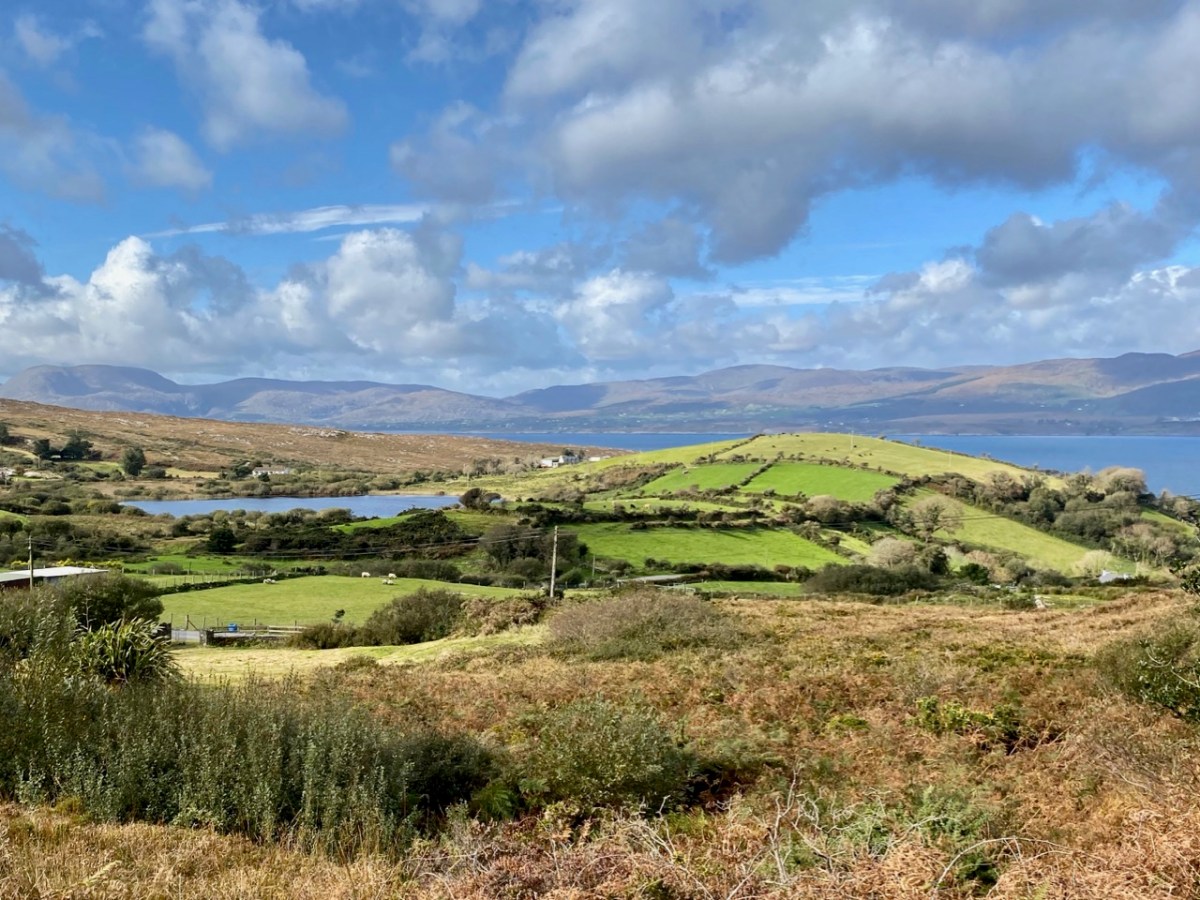
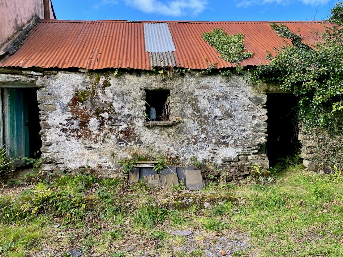
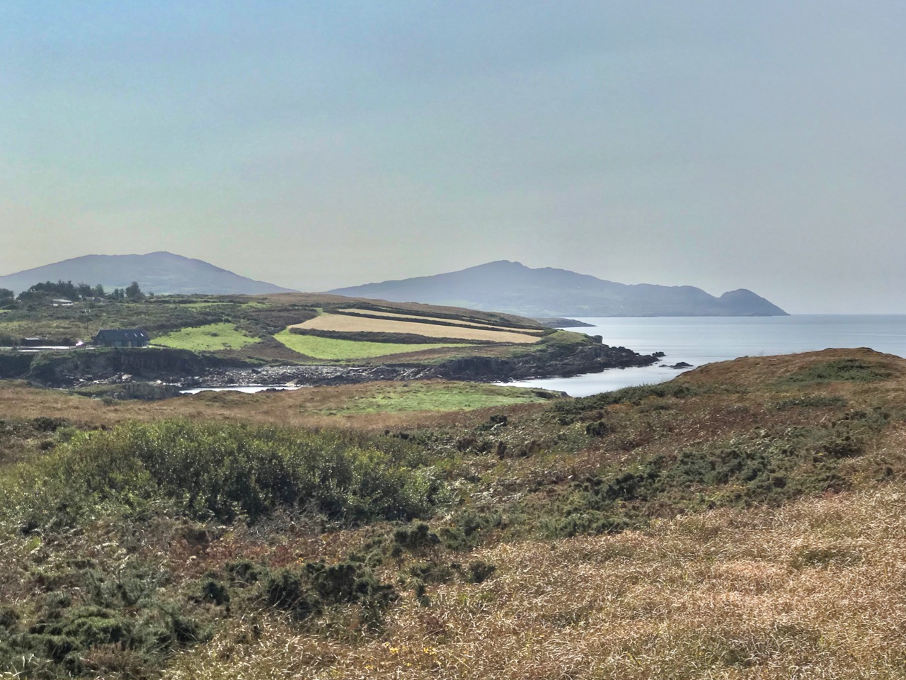
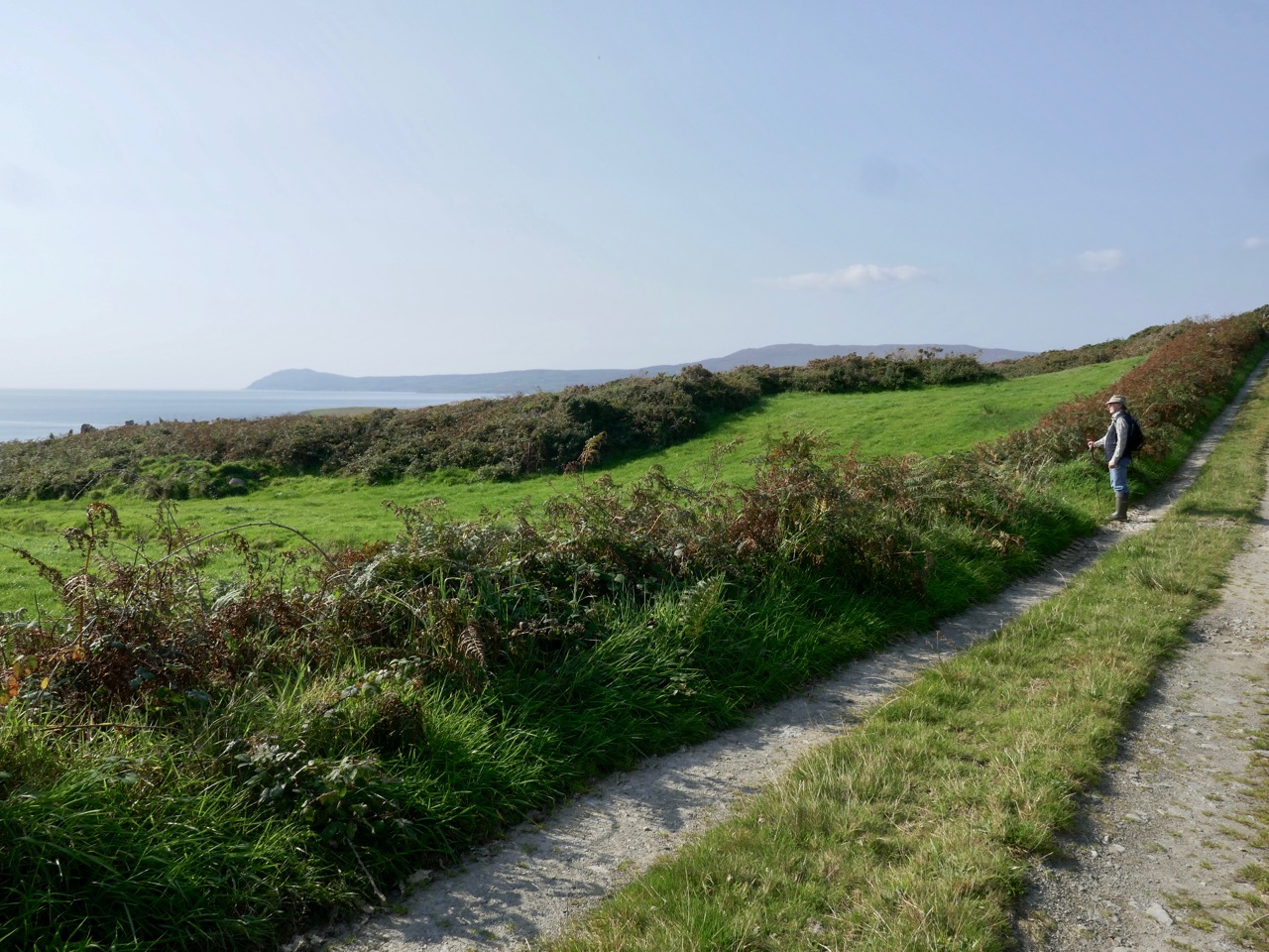
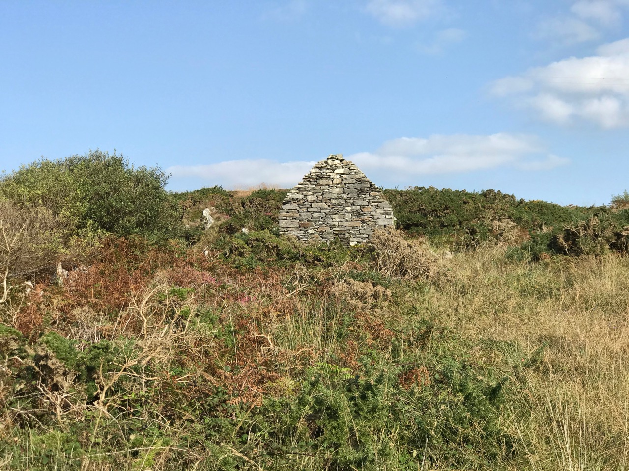
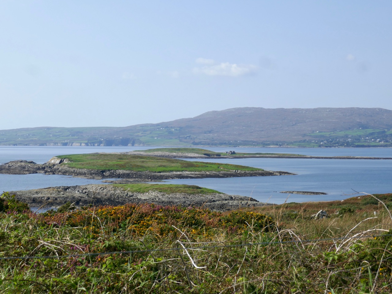
From upper – a Sheep’s Head pastoral, the view over Glanlough towards distant Beara; a perfect composition in tin and stone; a niche for offerings? Looking to the ridge – and The Big Gap – in the distance; Joe O’Driscoll with his architectural egg-box. Unfortunately the hens are not laying at the moment!

We are heading to the start of our climb and find a busy settlement, historically once a mining centre and now home to a major award winning seafood producer, bravely weathering the Covid storms. It’s worth a look at their colourful website! You might not expect to see such a venture on the wild and remote Sheep’s Head Northside, but it’s a great boost to a fragile local economy. We wish them well in surviving the Covid19 crisis. Parking up at Rooska, we get first sight of the zig-zagging route that will take us over towards Durrus, passing through The Big Gap at the summit of the hill.

Upper – looking north across Bantry Bay from the path; middle – from the south, the path descends through The Big Gap; lower – the path can be seen on the right cutting through the hills: the highest point is 200m above sea level

I tried in vain to find a name for the way we followed. I would like to have called this post The Mass Path, which is given to it on a modern guide, and it does seem probable to us that one purpose of the trackway would have been to take Northside dwellers over to the old Catholic church at Chapel Rock in Durrus, a distance of 7 kilometres (or four and a half miles in older times). There and back would have been a taxing walk for a Sunday morning on an empty stomach (you have to fast from midnight before taking communion)! However, we were told locally that our intended way will lead us through The Big Gap, hence my title.
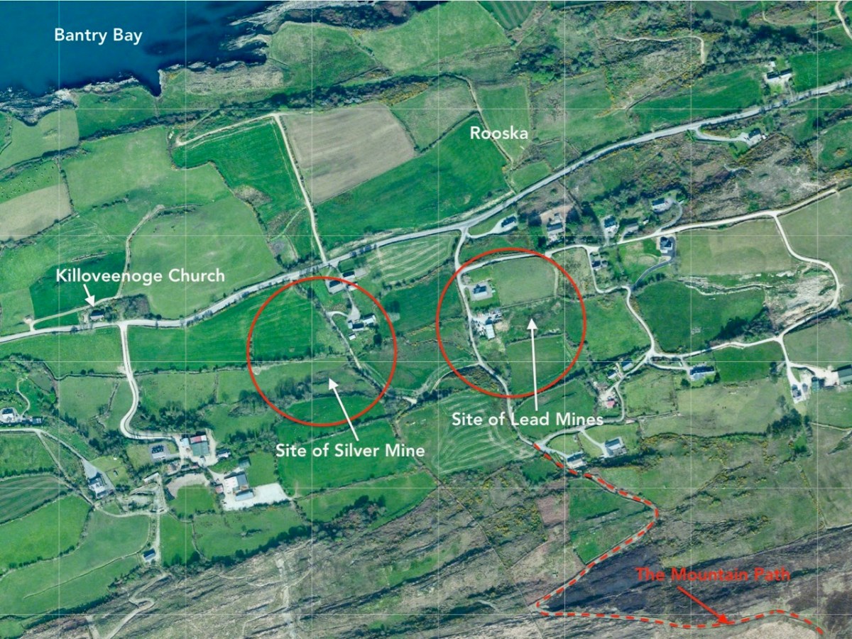
This view over the Northside area of Rooska, above, shows several features and the beginning of the path over the mountain heading south. Notable is Killoveenoge Church, known as a ‘Chapel of Ease’ and said to have been built in the 1860s specifically for the English and Cornish miners who were working in the nearby silver and lead mines at the time. There are scant remains of these mines now, and the Church of Ireland building was closed in 1988 and converted to a studio.

Looking down on Killoveenoge Church from The Big Gap path, with Bantry Bay beyond

The townland name Killoveenoge translates as Church of the Young Women and the only explanation of this I could find suggests that the site was anciently a priory, sacked by the Vikings in 890AD. It is also said that some ruins of this are visible, but we failed to find them – nor any factual historic records. The Schedule of Monuments notes a circular burial ground in the west of the townland with early grave markers, but nothing more. Clearly folk memory transcends recorded history, and that is one of the attractions of Ireland – to us, at least.
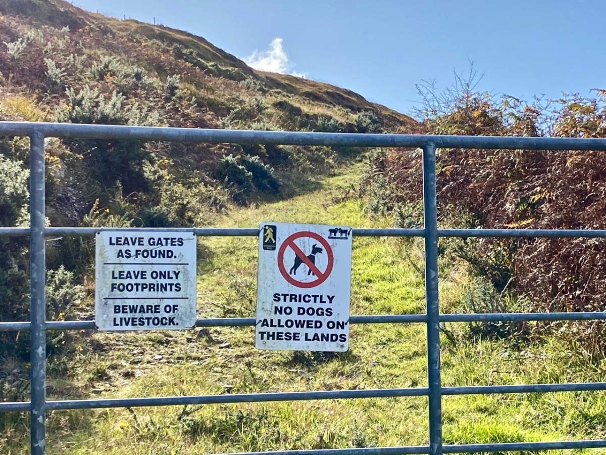
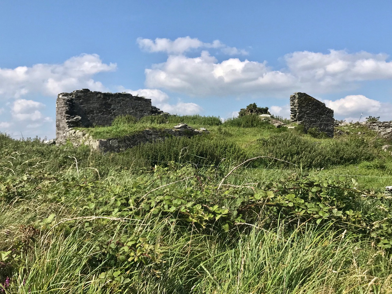
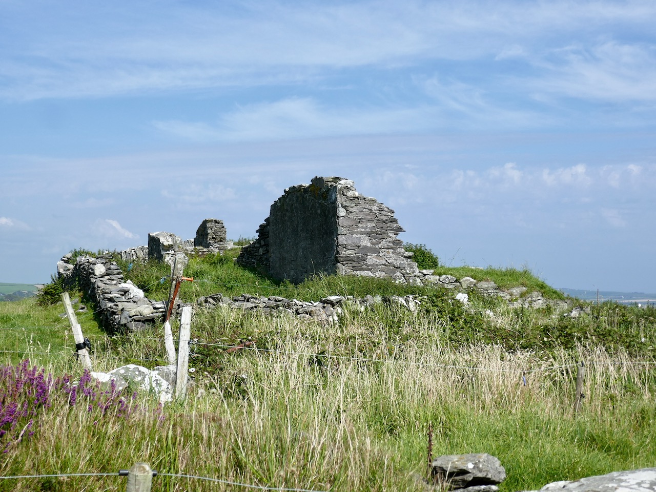
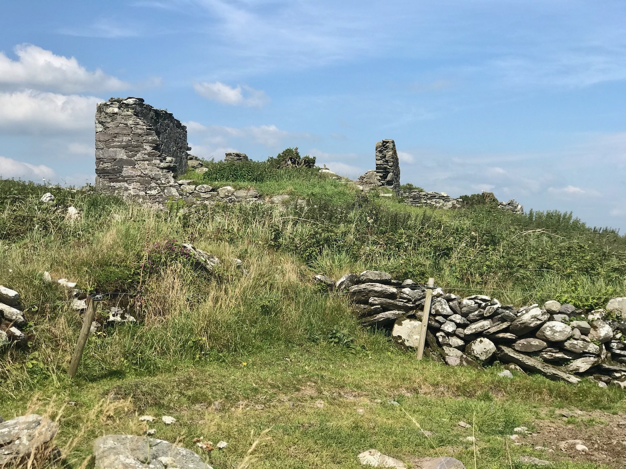
Upper – The Sheep’s Head Way trails have a strict code, which benefits all users; middle – the ruins of a cottage almost lost in the furze. The mining records mention a ‘miner’s cottage’ still being visible: could this be it? Lower – gaining height as the path gets steeper: that’s Whiddy Island in the distance

The wider aerial view shows the full length of the old trackway as it crosses the mountain through The Big Gap. Just past the summit when heading south is another landmark, also holding a folk memory. Lough Na Fuilla translates as ‘Lake of the Blood’:

A reed-filled lake suddenly appears; so many different greens, so far from anywhere and the gentle murmuring of the reeds all combine to make a rather unsettling atmosphere . . . Maybe it’s knowing the name of the lough, Loch Na Fuilla, lough of the blood, that plays tricks on the mind. There is a story attached, of course. One extremely hot summer the cattle came down from the mountain in search of water. The lough was empty. Maddened with disappointment and thirst the cattle went berserk and attacked each other and many were killed.

Walking the Sheep’s Head Way – Amanda and peter Clarke – Wildways Press 2015
Lough Na Fuilla, and a nearby tarn on the east side of the trackway. The autumn colours are sublime

Neither the Lake of the Blood nor the nearby tarn are shown on the early OS maps. The few remaining mining records, however, mention that there was some prospecting activity up on the ridge: could this have relevance? And is this another reason for the existence of this path? We are impressed with the views from The Big Gap both north and south. We temporarily divert on to a stony sheep path to get even higher, and to find the best panoramas. From the ridge we also record the contrasting light and shadow effects from a constantly changing sky.

We pause to wonder whether a large rounded outcrop is the Eagle’s Rest which is mentioned by local historian Willie Dwyer, of Rooska:

The gap going through the mountain there, by Loch na Fuilla, the locals always called it, that’s the old people who are dead and gone now, used to call it “Barna Mhór” which means “The Big Gap”, and on the right-hand side (the north-west corner) before you come to the extreme top of the track, there’s a round bald rock which was known as “the Eagle’s Rest”. I don’t know how long the eagles have been gone out of this part of the country, but it must have been a long time ago. This is a tradition now, it has been passed down as tradition, how true or false it is, I can’t prove to you.

Willie Dwyer, Quoted by TOM WHITTY in ‘A guide to the Sheep’s Head way’ 2003

From The Big Gap it’s downhill all the way! As we walk south it’s the Mizen which is always on the horizon, across the waters of Dunmanus Bay.

As we approach the southern end of the trackway crossing the mountain, we look back up towards Barna Mhór – The Big Gap. It has been a most rewarding adventure for us, and one which we intend to repeat at other times of the year so that we can capture the effects of the changing seasons.

Northside of the Beara

We have written previous posts in praise of the remarkable narrow, remote, and rarely explored byways or boreens that serve the north coasts of our own peninsula – the Mizen – and our neighbour – the Sheep’s Head. Driving them can be an exhilarating and, at times (particularly when you meet something coming the other way!), harrowing experience although always worthwhile because of the unparalleled land- and sea-scapes which are revealed at every turn.

A view from the boreen that skirts the Northside of our own Mizen Peninsula

This week, however, we set out to explore a little corner of our land which we have, until now, neglected: the Northside of the Beara. Not too far away from us, the Beara Peninsula extends from West Cork into County Kerry and draws us like a magnet because of its dramatic scenery and inherent beauty in all weathers. Have a look at this post, for an overview of how sublime it is.

Looking towards the Northside: our route takes us through the Healy Pass and over the mountains

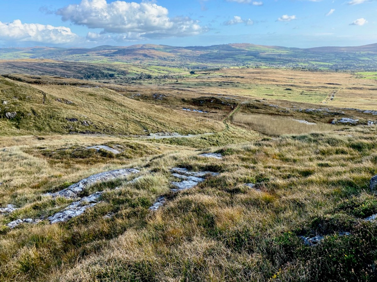
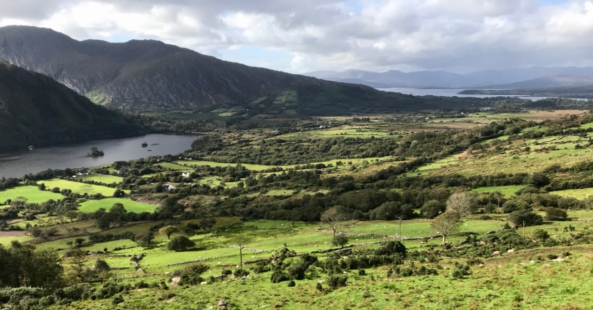
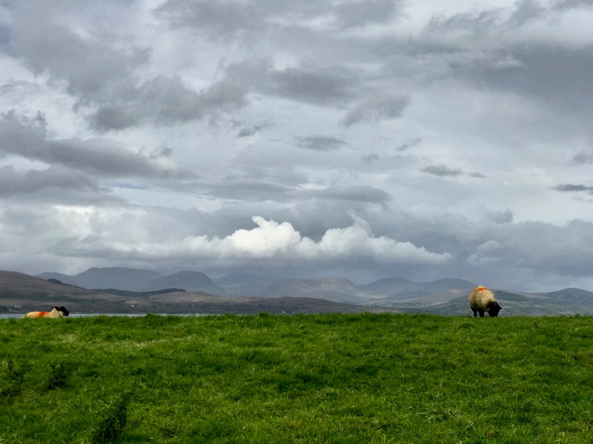
We headed out on the last day of September and were treated to a day of changing skies and theatrical light effects – the header picture, showing sheep on the Beara Northside, gives an example of the cloud atmospherics over the distant Ring of Kerry. We wanted to explore a corner which could easily be by-passed if you were travelling on the most direct routes through the peninsula.

Our first port of call took in the lakes at Cloonee. Finola was on the lookout for a very rare wildflower which has been seen around the shores but, after diligent searching, we concluded that we were too late in the season: we will have to return next year. That’s no hardship, of course.

Clonee Lakes – dramatic reflections and blue boats at rest

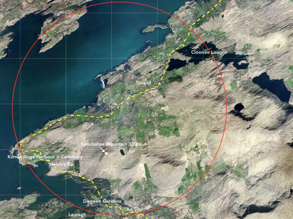
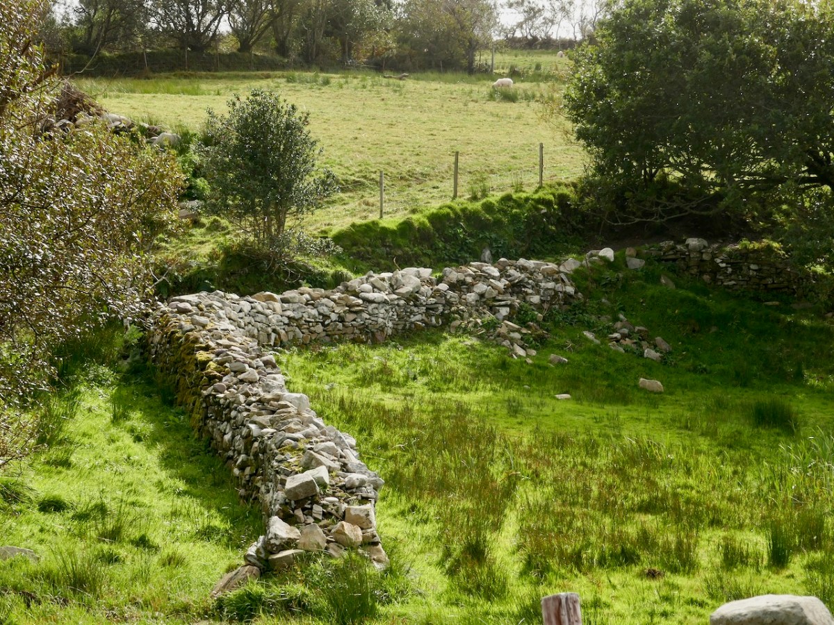
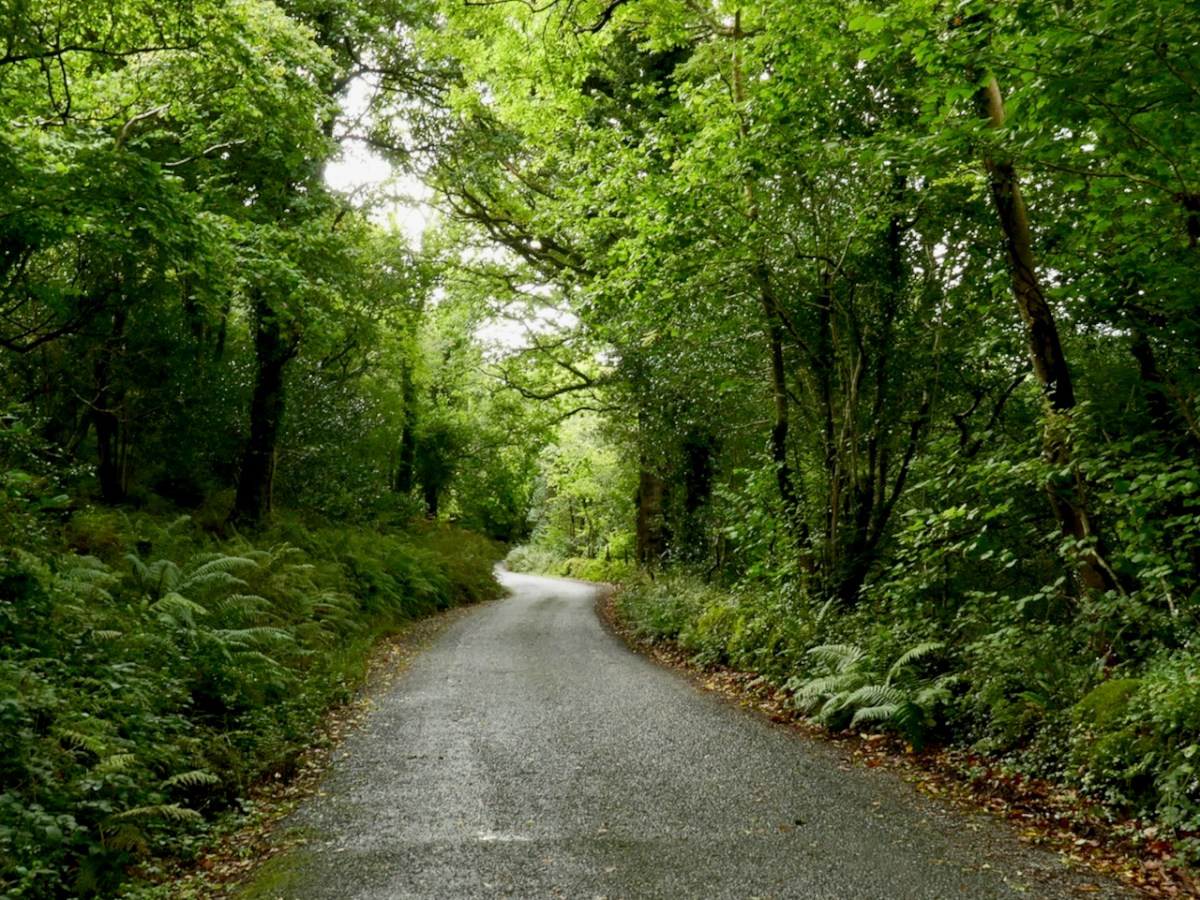
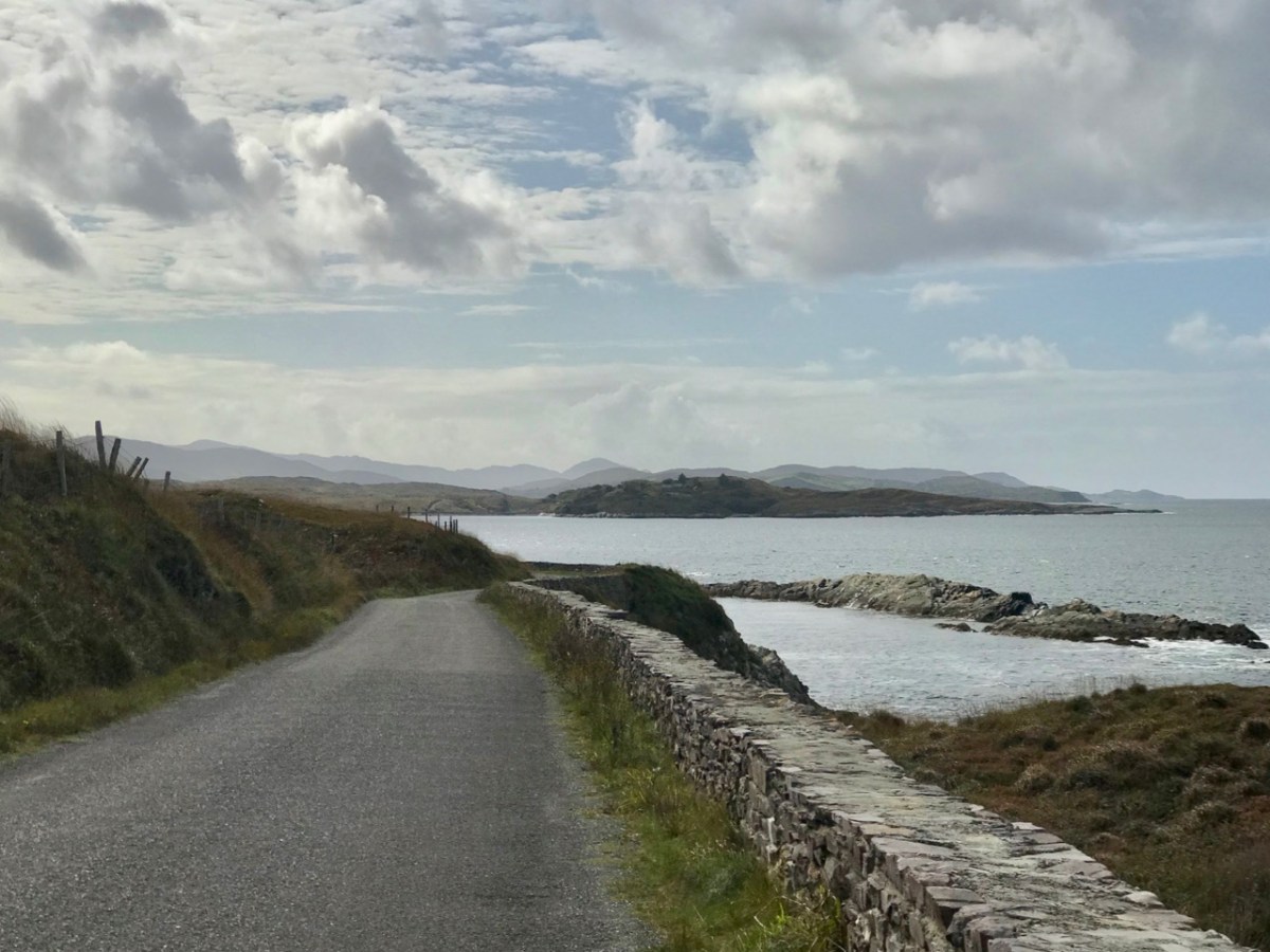
As you can see from the route map above, the terrain all around is wild and rugged. After the little settlement of Tousist the road runs mainly close to the coast and offers constant changes and contrasts. The wide panoramas across Kenmare Bay give way to small stony fields, some guarded from the prevailing weather by heavy-duty walls, then occasionally diving inland to briefly present an unexpected tree tunnel or tumbling stream. Always, the road is not far from an indented shoreline unpredictable in its many twists and turns.

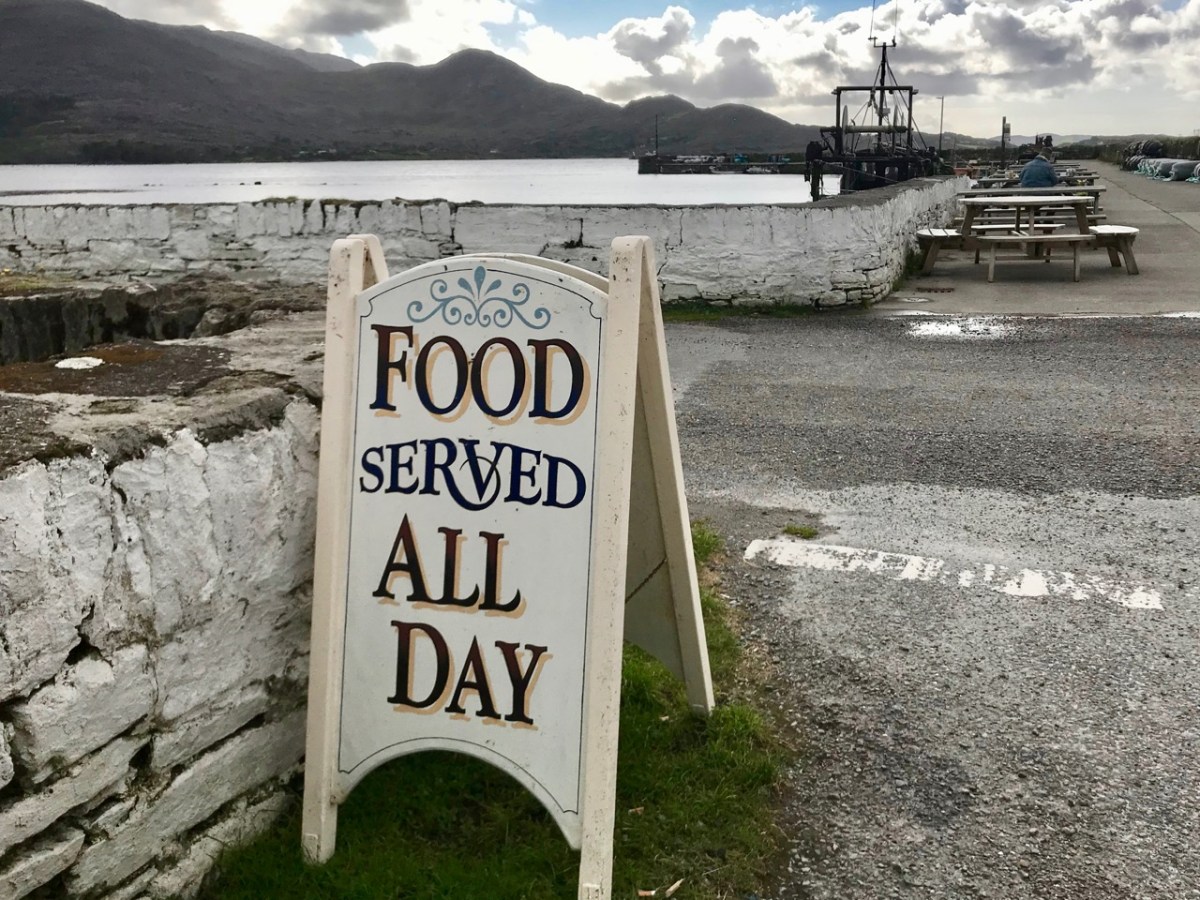
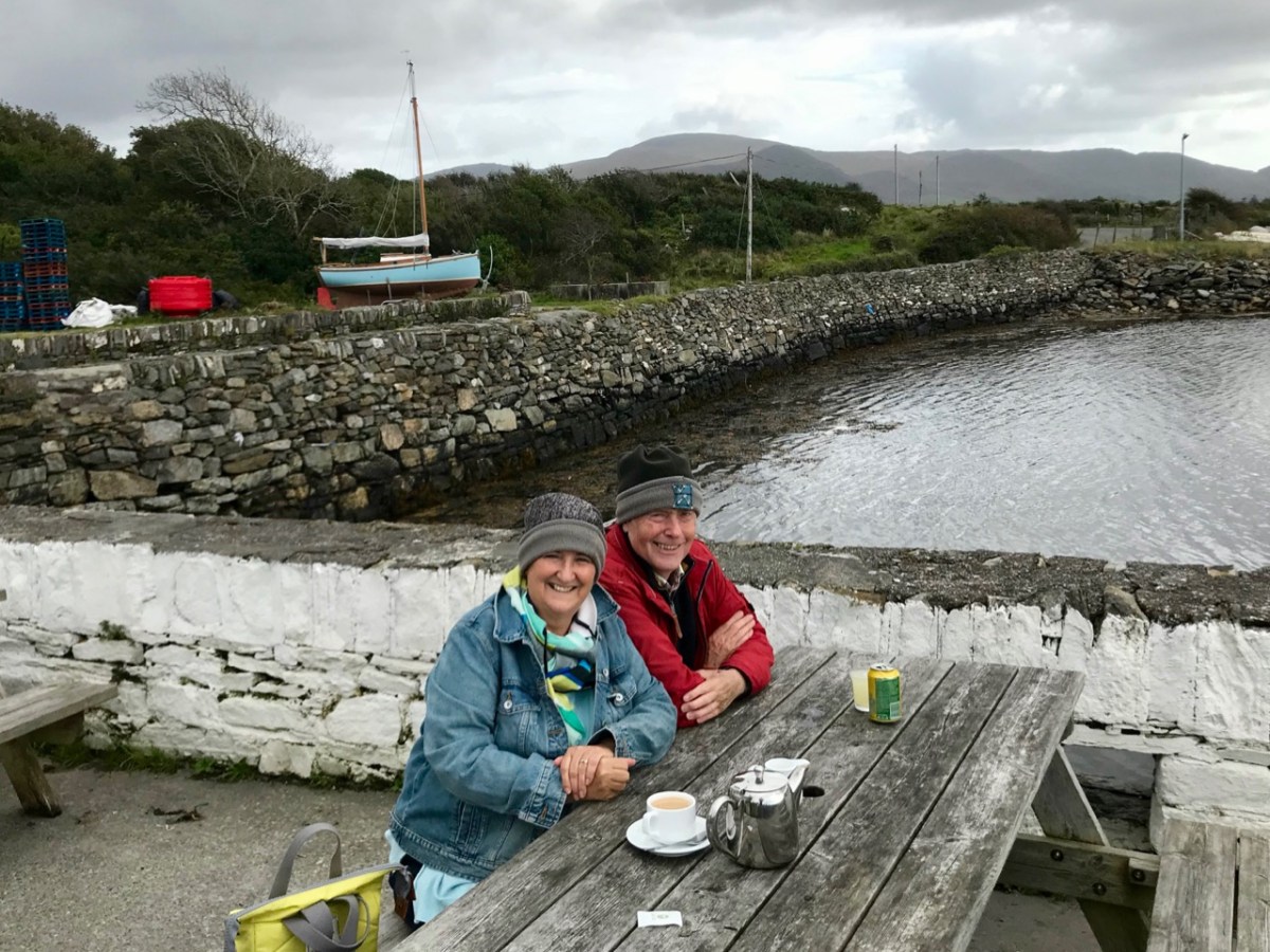
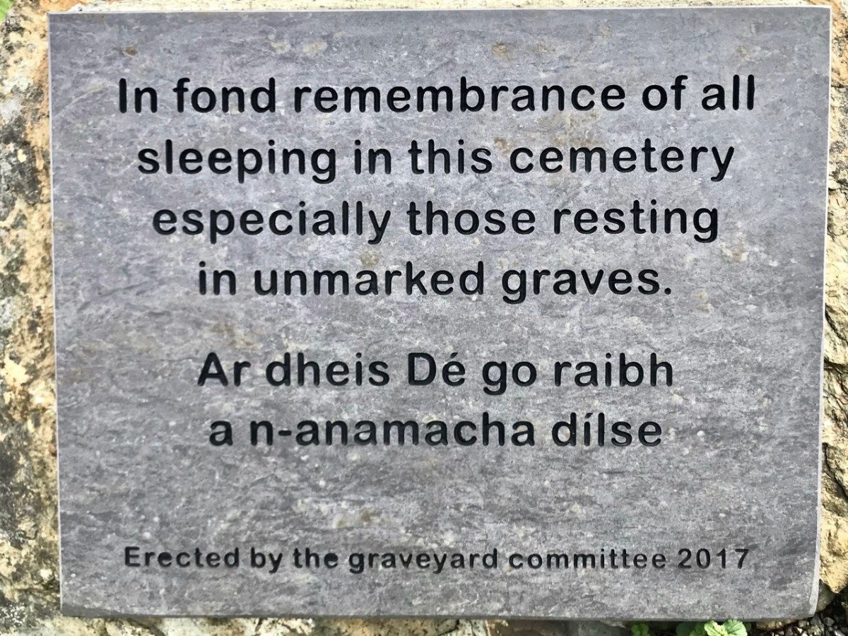
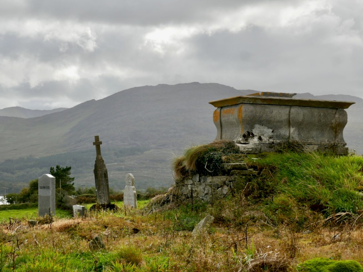
The edge of the land – in this part of the Beara at least – is more heavily populated than the Mizen or Sheep’s Head Northsides. The small townland of Kilmakilloge, in particular, offers a substantial harbour, a bar and cafe ‘serving food all day’ (Helen’s Bar), a large cemetery in which it is possible to glean the part played by this little settlement in the whole history of Ireland, and the slopes of a geological wonder – the 330 metre high Knockatee Mountain. Described as ‘…a small hill with a massive view…’, this green-grey sandstone and purple siltstone mass is a spectacular backdrop to the burial ground: we didn’t climb it on our day out but it is evidently well worth it for the vistas it provides! Another good reason for us to revisit the area.

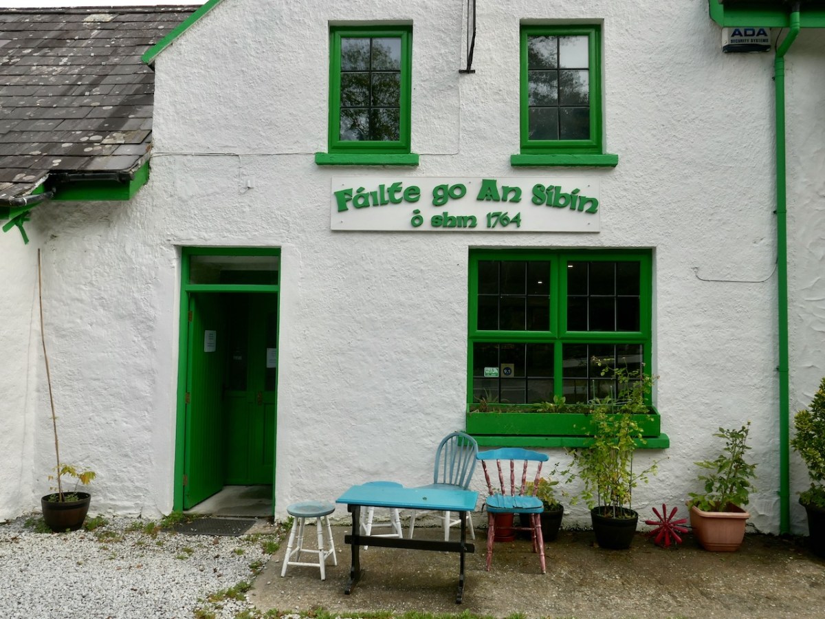
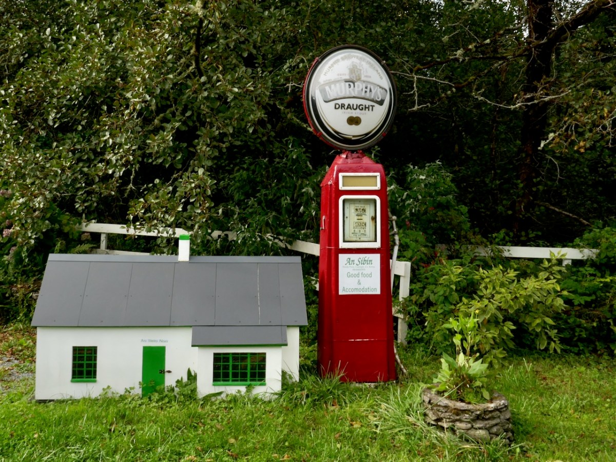
Approaching Derreen Gardens (you’ll find it described in this post), our excursion is close to the finishing line. The Beara is well supplied with hostelries, which seem to be surviving in spite of the Covid-19 difficulties, and one you shouldn’t miss is An Síbín, near Lauragh. I’m always amused by the old petrol pump there, which looks as though it should provide you with a fill-up of Murphy’s Draught! This is also the point where you have to decide which way to return home. In our case it was back over the beautiful Healy Pass: who wouldn’t want to look out again over those amazing views in all directions?

Friendly sheep have the right of way as we traverse the hairpins on the Healy Pass, heading back to the Mizen

It’s an easy day out for us – and we certainly can’t get enough of the Beara! If you have the chance, explore the Beara Northside yourselves!

A Signal Success in Irish Engineering – Part 7: Cloghane, Mizen Head

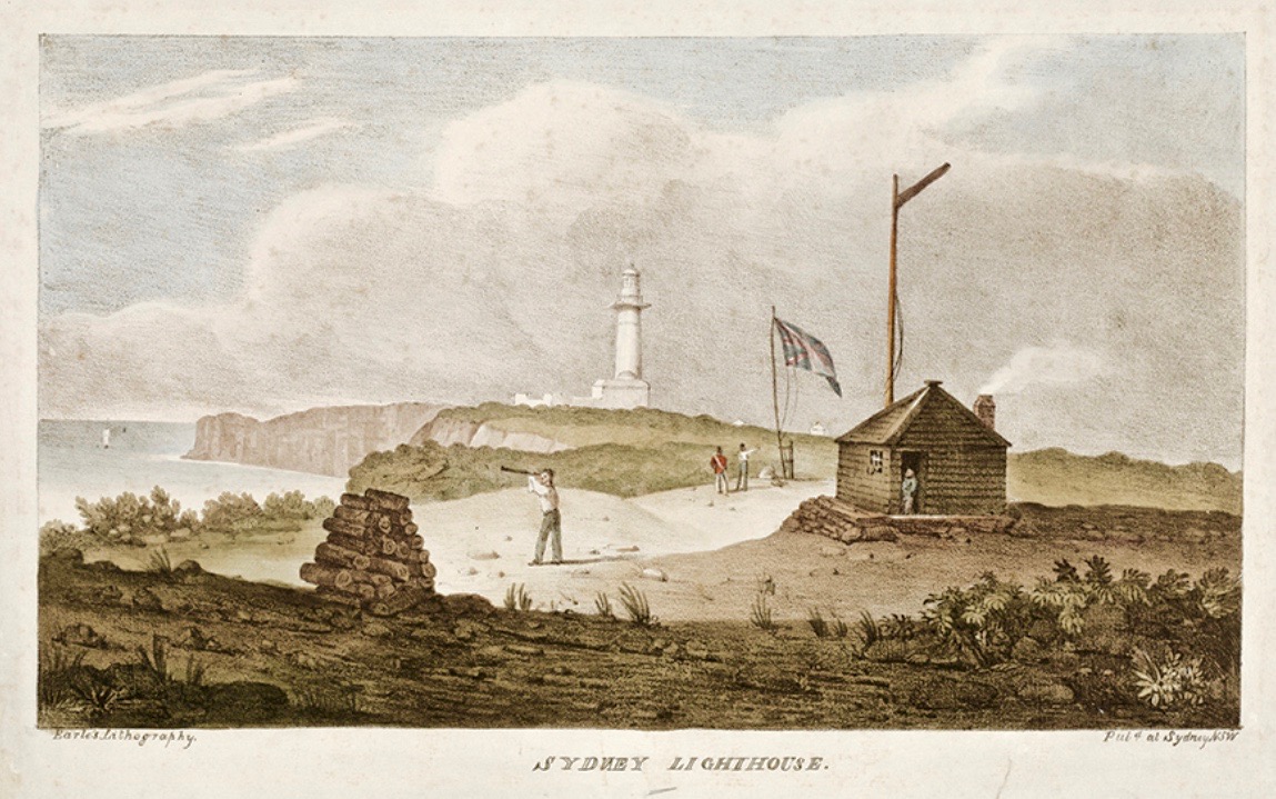
It’s a long way from West Cork, Ireland, to Sydney, Australia! And I’m not suggesting that signals could travel that far in the early 19th century . . . But I couldn’t resist putting up this engraving when I found it while researching signal towers generally as it is in fact an exemplary view with which to head up this – the seventh of our explorations into a fascinating subject. It has everything: the signal station itself, built on a prominent headland with a lighthouse nearby; a ‘telegraph’ mast and a flag mast for signalling; a man with a telescope looking out for a signal coming in – and a pile of logs with which to make a beacon fire to communicate urgently at night! The only difference, in fact, between the Irish stations and this ‘colonial’ one on the other side of the world is the building material. In Terra Australis (the name used for that continent until 1824, and meaning ‘southern land’) it was timber, whereas in Ireland the towers were of masonry and constructed with elements resembling medieval tower houses.

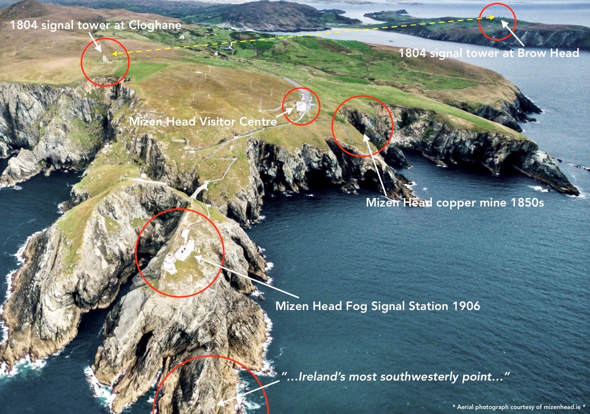
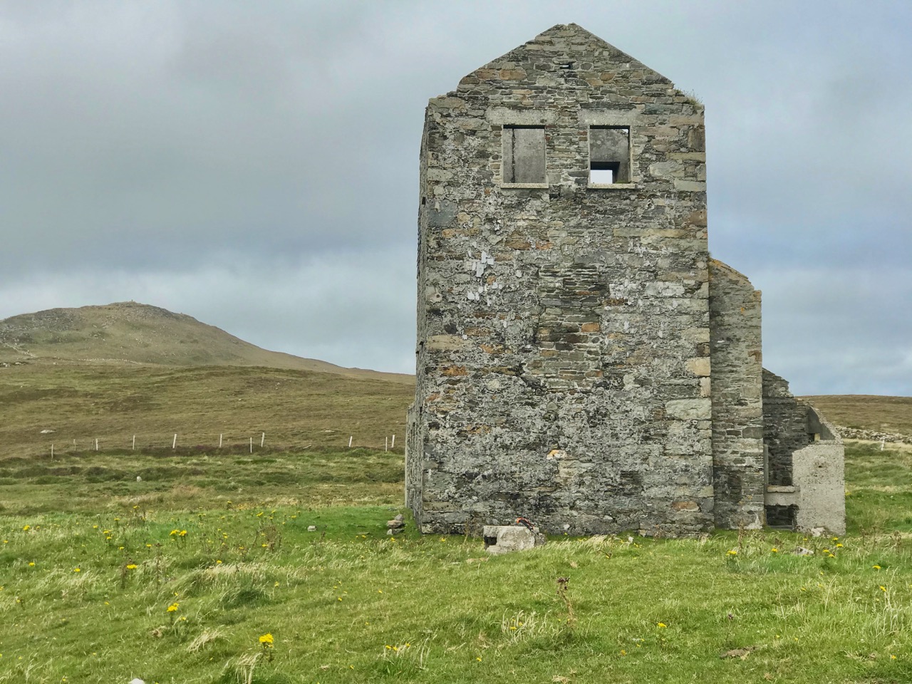
But it’s fair to say that today’s foray into the story of the Irish Napoleonic-era signal towers also has everything. Perched on Ireland’s most southwesterly point – Mizen Head in the townland of Cloghane – this site is one part of a craggy, indented promontory which is scattered with historical elements.

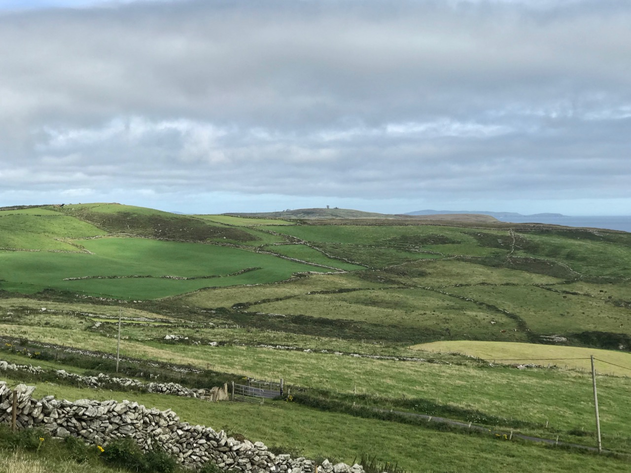
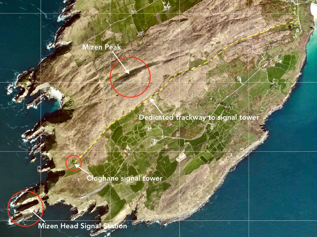
I have tried to illustrate a history time-line graphically by superimposing some of the significant sites on an aerial view (above – courtesy of mizenhead.ie), although even this does not tell the full story. Apart from an undated promontory fort in the north of the townland the signal towers are the earliest elements, specifically dating from 1804 and part of the network of 81 towers around the whole coast of Ireland which we have been charting in our posts. Interestingly, the two towers shown on the top of this view – at Cloghane and Brow Head – are the closest together of any around the coast, being only 3.8 km apart. The average distance between towers is 13.5 km, while the maximum distance is 36.9 km (between Ballydavid and Kerry Head in Co Kerry): we have not yet explored those sites. Here are two views from Cloghane across to the signal tower at Brow Head:

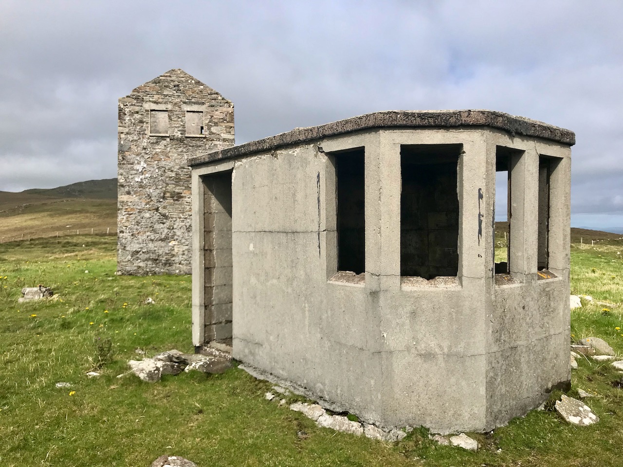
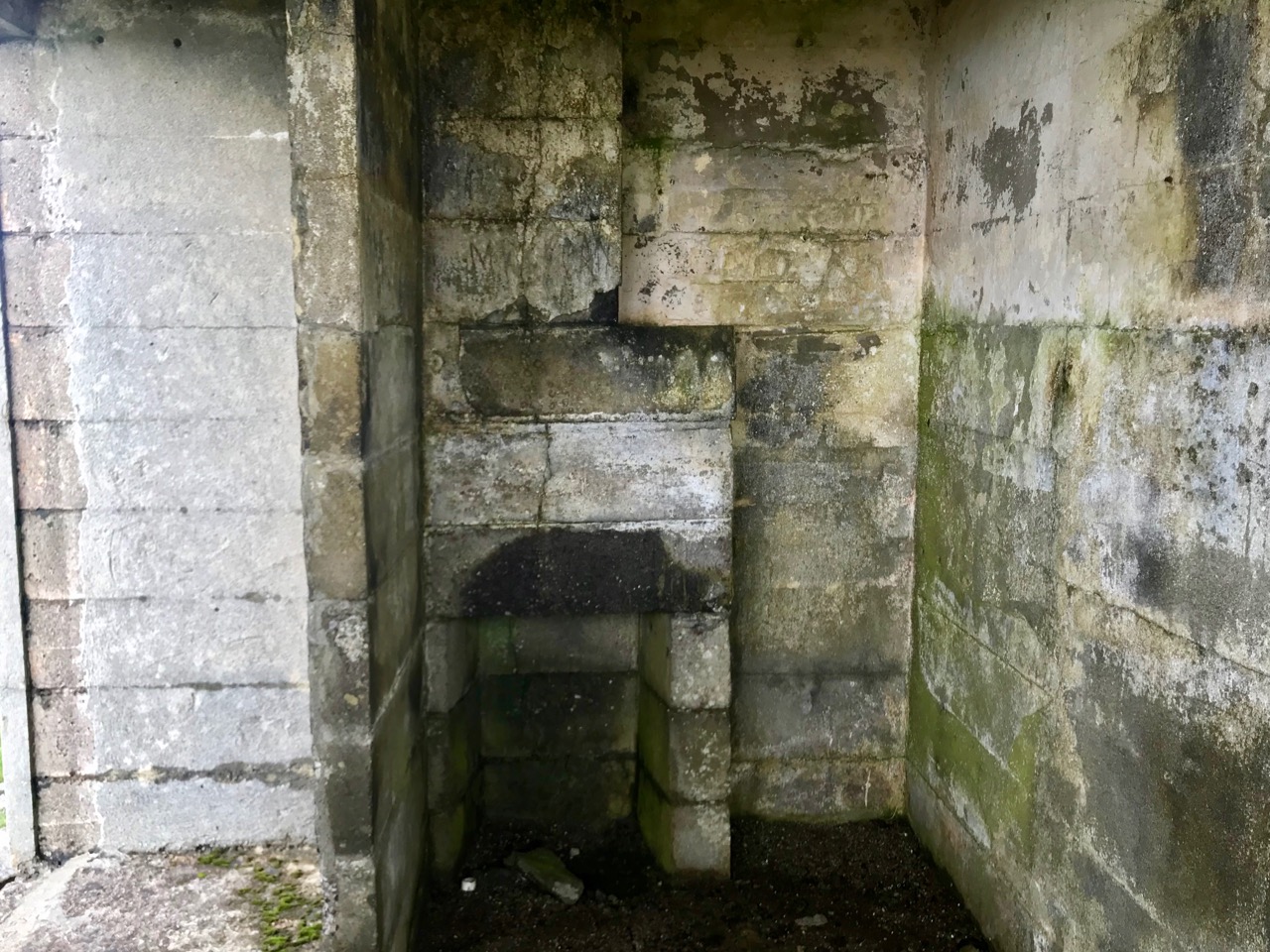
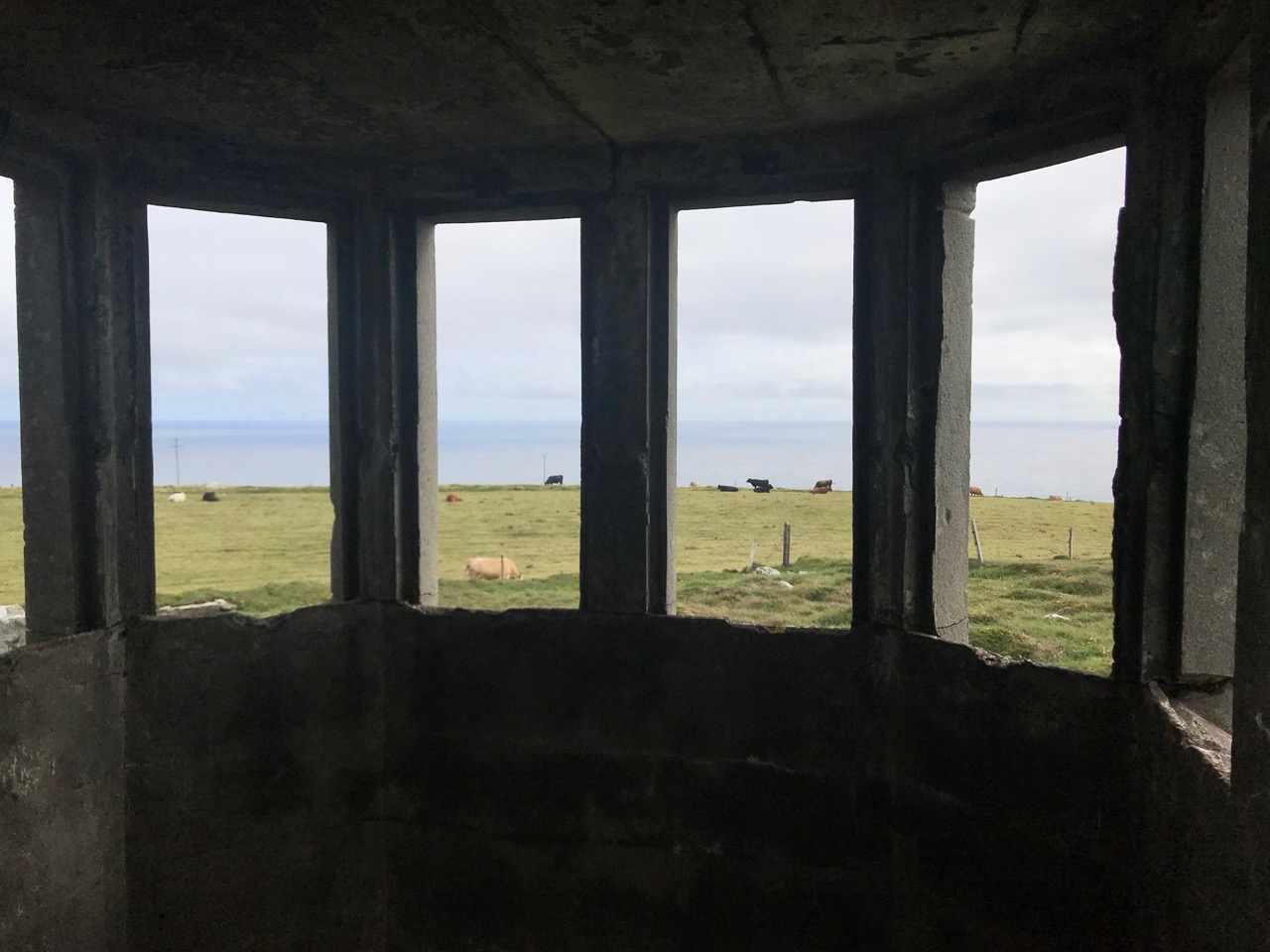
A feature at Cloghane which doesn’t show up on the aerial view is this Second World War lookout post, built close to the early signal tower around 1942. 83 of these structures were built by the Irish Defence Force to monitor activity at sea, many of them relating to Napoleonic-era sites for obvious reasons: these locations had already been selected for their inter-visibility and the panoramic views which they commanded. We have encountered these ‘Emergency-era’ posts previously at Kedge Point, Baltimore, and Ballyroon Mountain, Sheep’s Head (see the full list of links at the end of this post). We shouldn’t get diverted, but if you want to know more about these here is an excellent creative presentation on them carried out in 2014 by Tim Schmelzer of Vienna – particularly, I recommend that you view the first of the videos: it’s wonderful! The LOPs were designed by Howard Cooke RIBA of the Irish Office of Public Works in 1939 and I was fascinated to see that the design achieved recognition (‘posthumously’) from the National Inventory of Ireland Buildings Archive. The posts were cramped, damp and minimal, but apparently at least equipped with small fireplaces:

Mizen Head has drama: there is no land beyond this place until you reach America. And, if you are approaching Ireland from the south or west, Cloghane will be your first landfall. But it’s a dangerous coastline, particularly in stormy weather or at times of poor visibility. Hardly surprising, then, that a fog signal station was established on the furthest point in the early 20th century, under the jurisdiction of the Fastnet Rock Lighthouse. This was initially only a foghorn, powered by explosives: a light was not placed there until 1959.

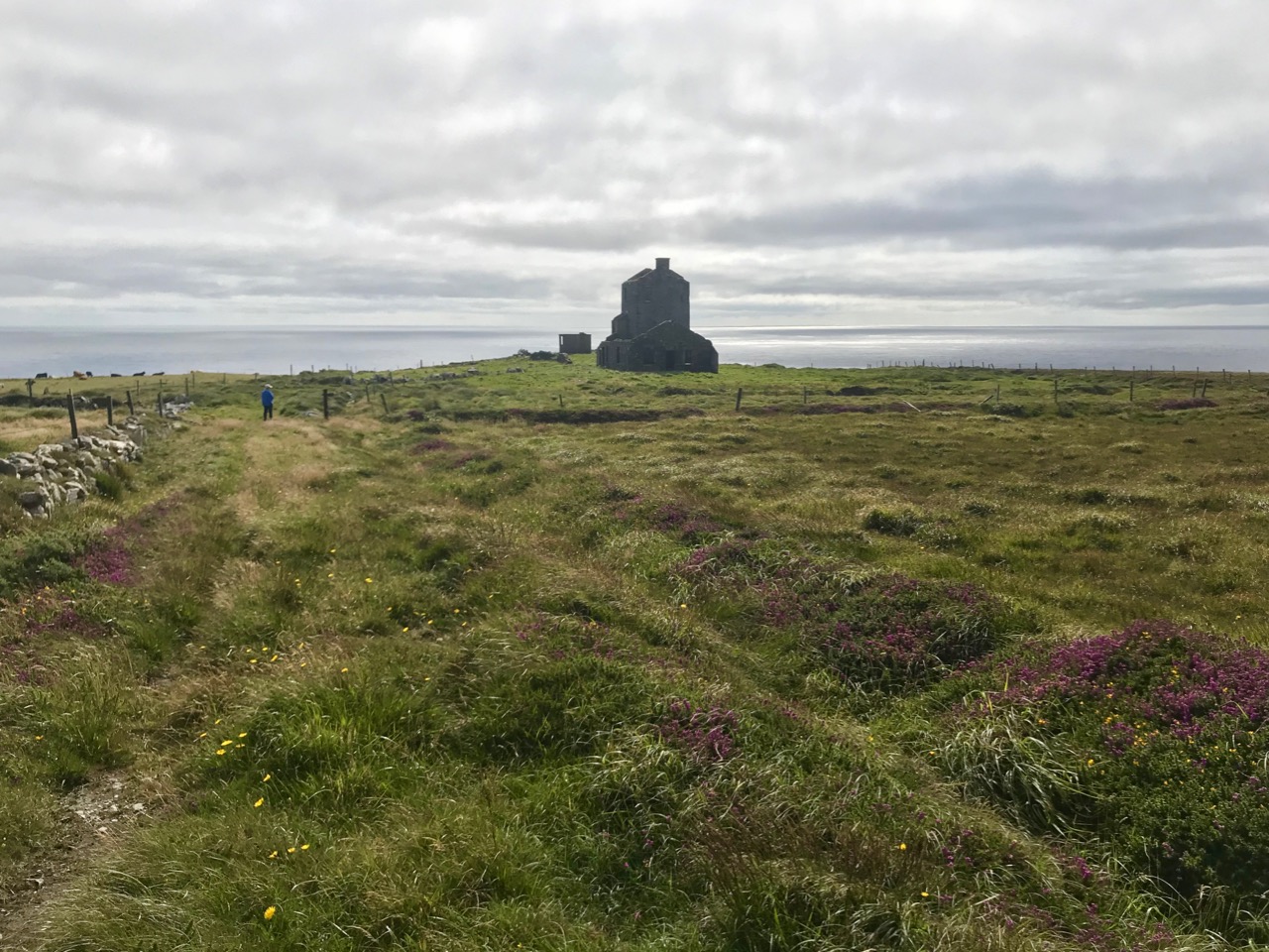
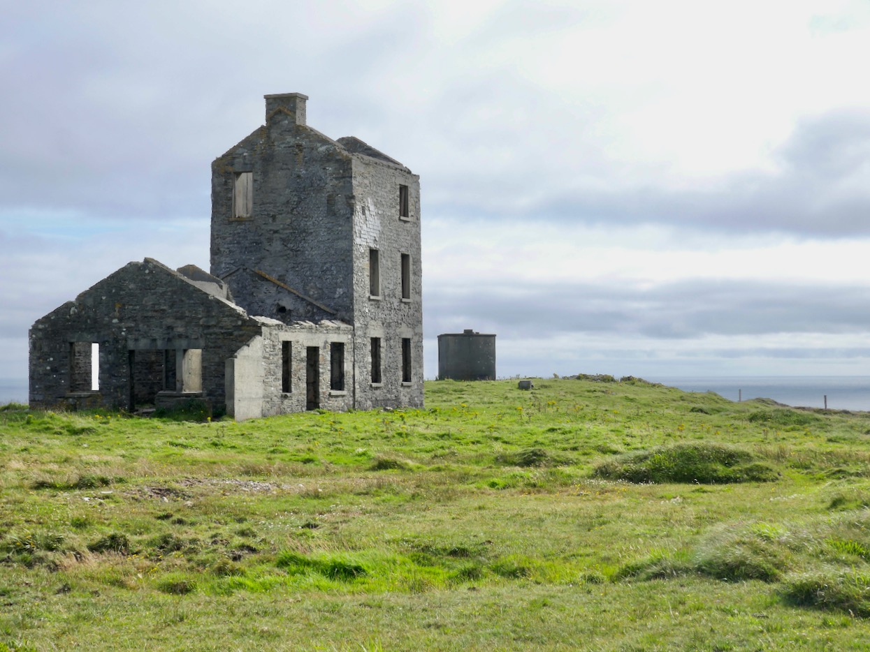
That this signal tower is the virtually identical ‘twin’ of the one we explored at Robert’s Head must be significant, as both are unlike the general pattern we have seen elsewhere: a simple ‘defensible’ structure some 6m square with flat roof, parapets, machicolations and bartizans. My conclusion at Robert’s Head was that the tower had been substantially rebuilt to incorporate upgraded accommodation, perhaps for use by the Coast Guard which was formally established in 1822. Comparing it now with the Cloghane structure it seems more likely that these might both have originated as larger, better appointed buildings. I wonder if this could be because of the relative remoteness of both sites, which would not be easy to populate and service from any nearby community. It was a long trek to Cloghane: the original dedicated trackway, some 2.7 km long is still defined on the landscape, and passes under the 232m high Mizen Peak.

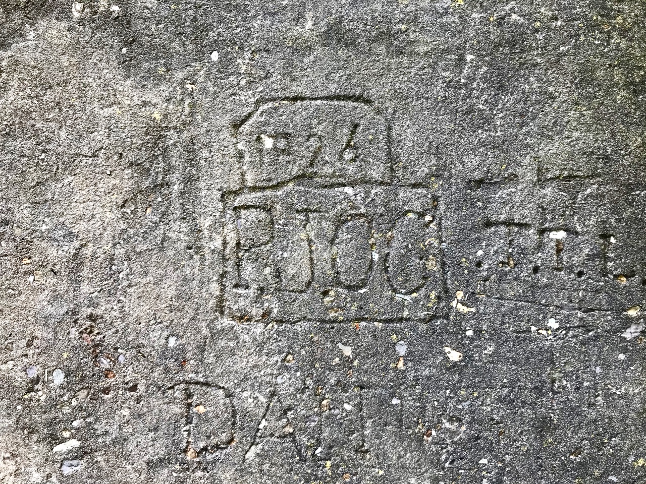
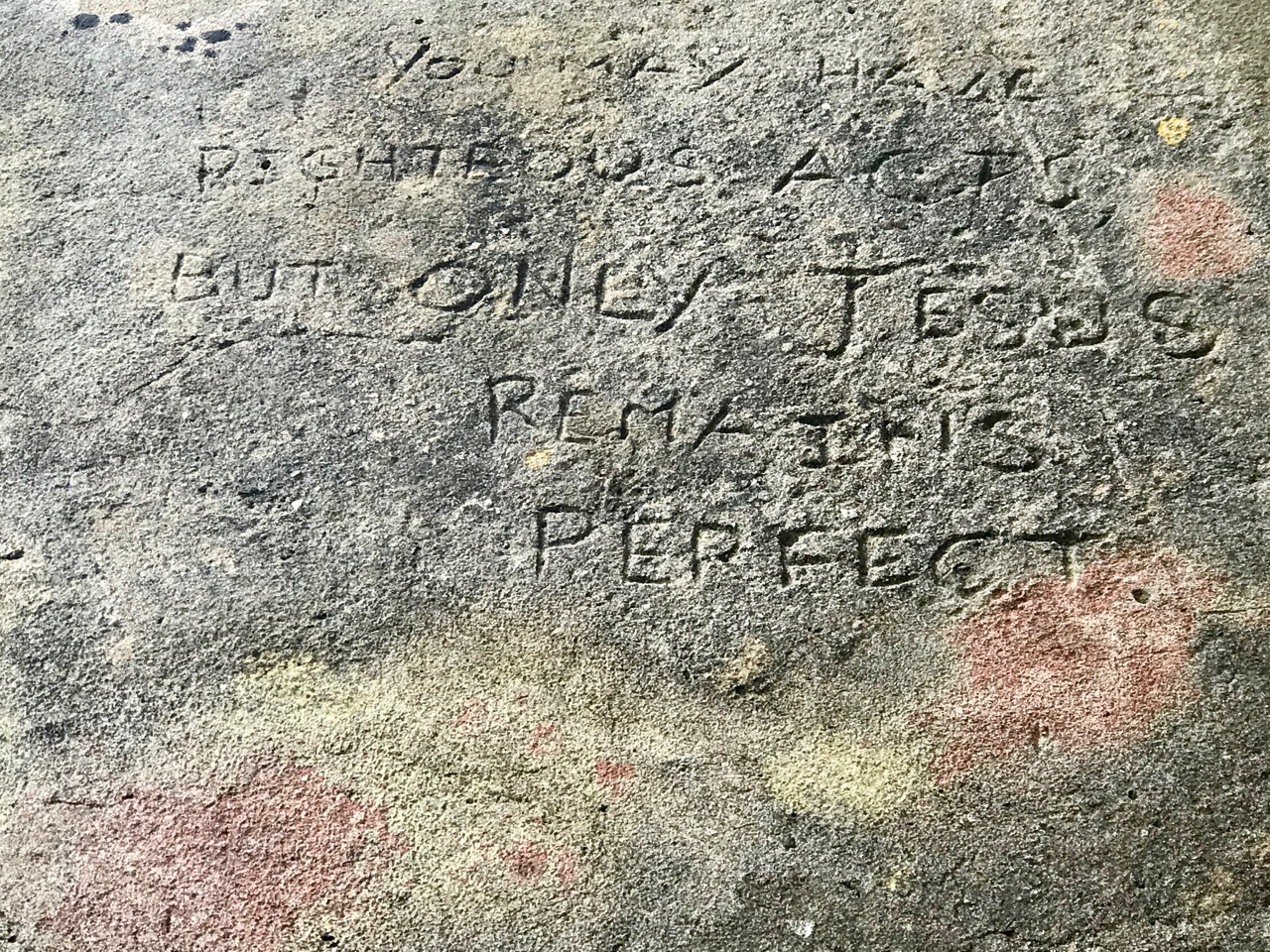
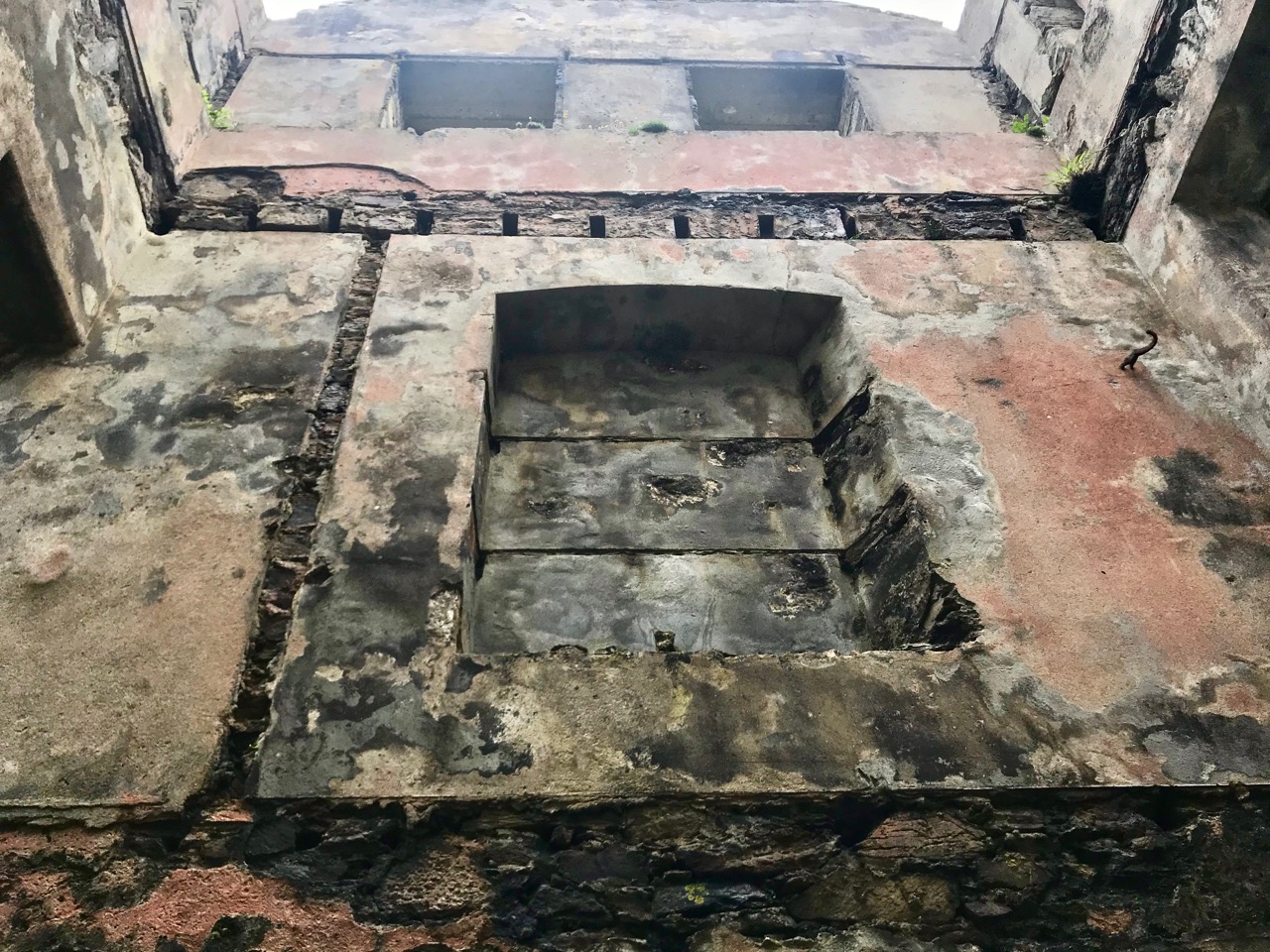
The signal tower at Cloghane is in reasonable condition considering its age and the long period of abandonment (many of the towers went out of use after 1812 although some – possibly including this one – were revived and adapted for use by the Coast Guard). Many visitors have left their marks over the years, and some of the graffiti is intriguing! There is also some vestige of the timber casement frame remaining in one of the window openings: surprising considering the level of exposure to severe storms at this remote site.


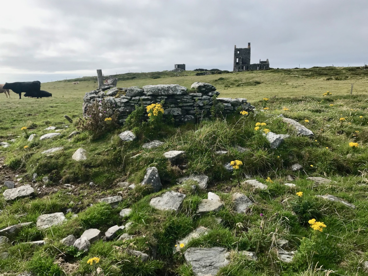
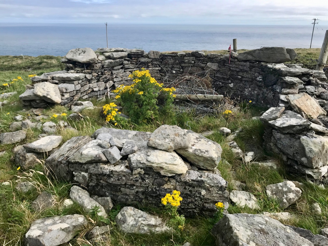
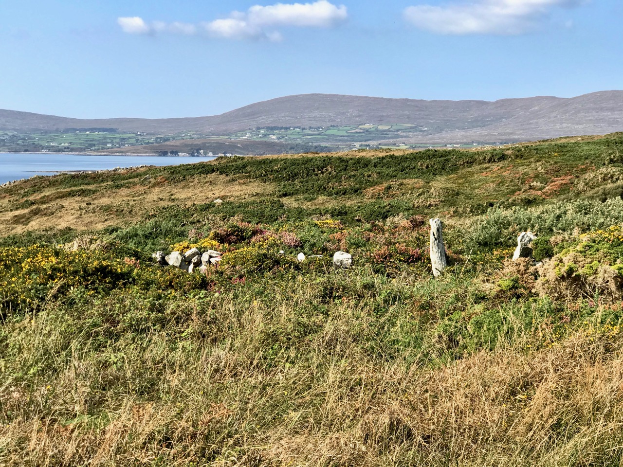
There’s a conundrum at this site that I want to share with you. A little distance to the south of the signal station building is a grouping of stones which are easy to miss at first glance, Have a closer look:

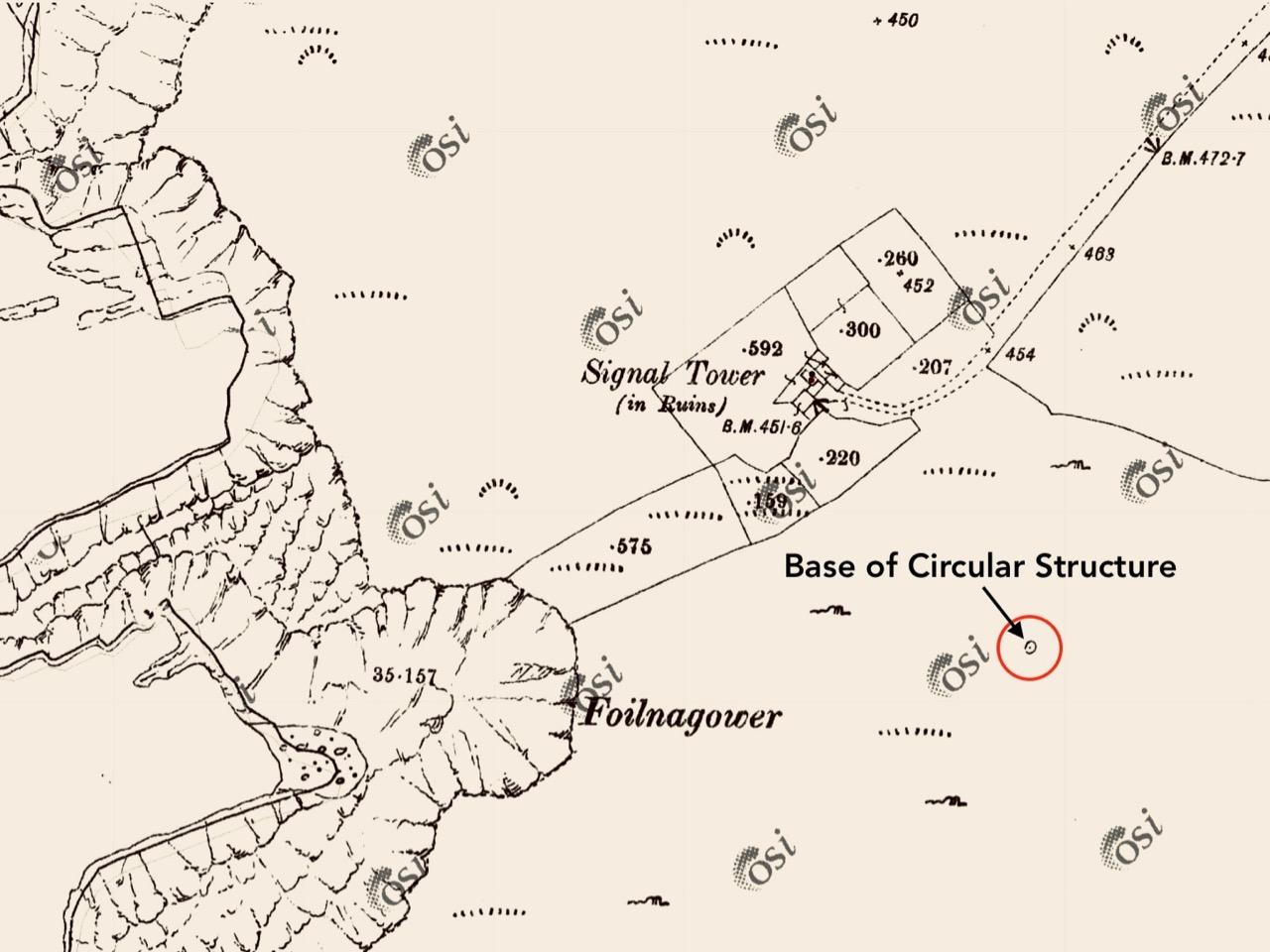
It’s the base of a circular building, or enclosure – a few metres in diameter. Archaeologists amongst you might think in terms of round towers but we can discount that in this desolate location. It does not seem to relate to the signal station buildings, either in terms of architecture (it gives the impression of being rougher and, perhaps, earlier) or usage. With regard to its age, it shows up as a feature on the early 6″ Ordnance Survey map:

What might it be? A mine chimney? But the Mizen Head Copper Mine was a long way from here (refer to the annotated aerial view). The size and shape resemble a gunpowder magazine which we came across at Dhurode Mine, on the north side of the peninsula. The only reason for having a gunpowder store at a signal station would be for a fog signal operated by explosives, as was the case at the Fog Signal Station lower down the Head, built in the early twentieth century. This is clearly much earlier. The dreamer in me pictures, rather, a hut lived in by a medieval hermit, supported by a local monastic settlement to keep beacons burning on Ireland’s headlands in perpetuity. Like the round towers, these were signals to travellers in ancient times that here might be found a haven. For seafarers, perhaps, this one signalled the gateway to a fertile land of enlightenment.

The previous posts in this series can be found through these links:

Part 1: Kedge Point, Co Cork

Part 2: Ballyroon Mountain, Co Cork

Part 3: Old Head of Kinsale, Co Cork

Part 4: Robert’s Head, Co Cork

Part 5: Downeen, Co Cork

Part 6: Dunnycove

Mizen Magic 20: Ballyvonane Headland

Twenty Mizen Magic posts . . . The whole of the Mizen is magic and magnificent – at all times, in all seasons. It doesn’t matter where we go, we will find things to photograph and write about: landscape, history, the remnants of lives lived generation after generation, and new life – art, creativity. We have on our doorstep a cornucopia – an inexhaustible resource.
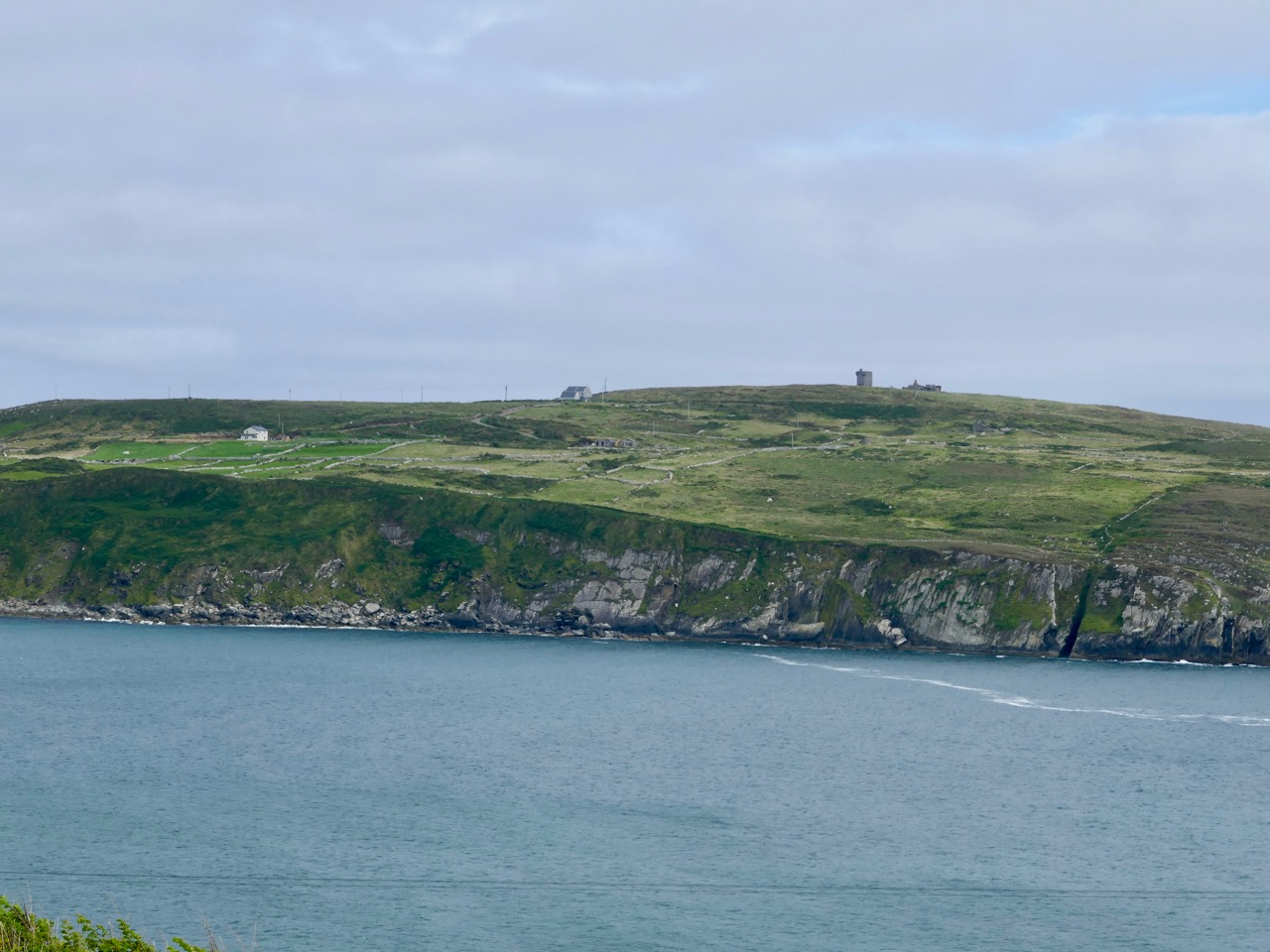
In late September, close to the autumn equinox, Nature has chosen to be compassionate to the human denizens of West Cork. In these benighted Covid times we are having exceptional long, warm and calm days, inviting us to take to the hills and headlands to shake off the wretchedness of bad news and the miasma of melancholy that it might bring. We in the far west remain free to roam unfettered, for now, and Roaringwater Journal is committed to bringing you the good news of fresh pathways to be trod and fine vistas to be unfolded.

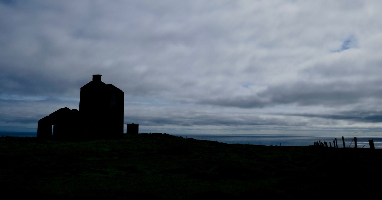
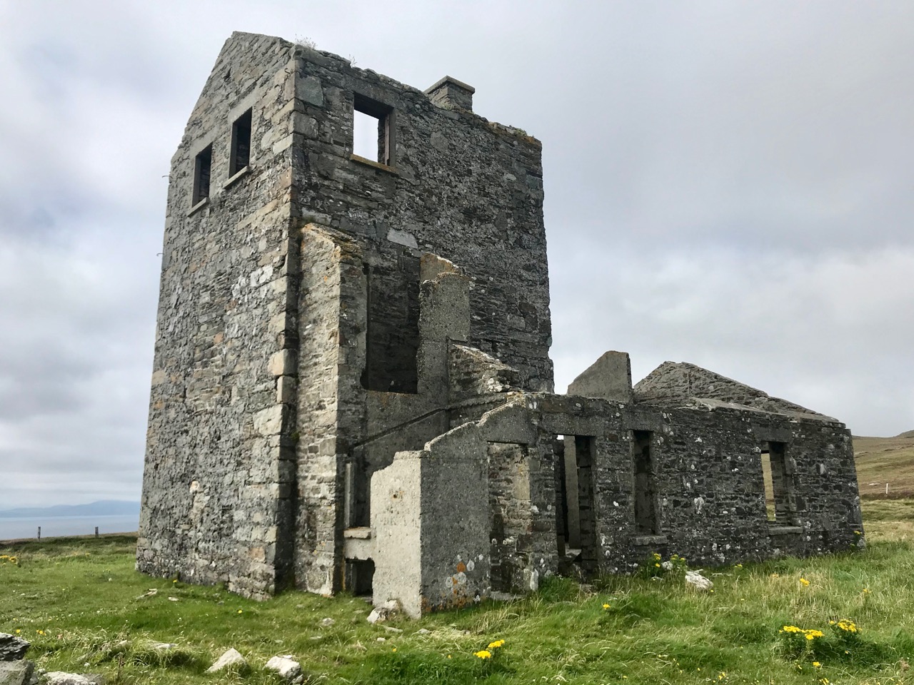
At the beginning of the track is this imposing ruin: we wondered when it had last been occupied

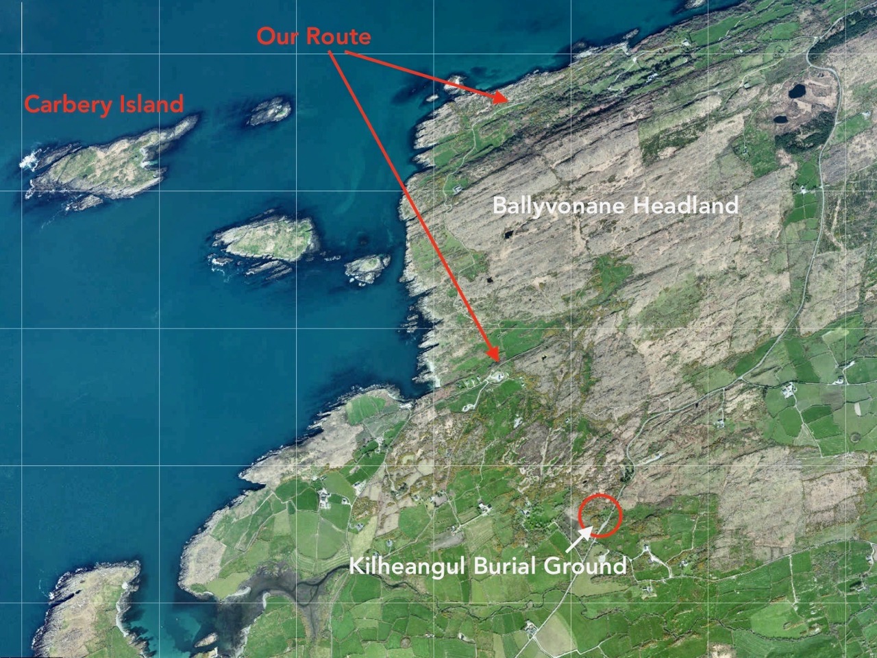
Today we thought we’d finish something we started back in February: Delights of Dunmanus described how we set out to walk a trackway marked on the map going over the headland in the townland of Ballyvonane. In fact we didn’t make it: winter storms had flooded our way near the start of the track and – after getting hopelessly lost trying to go around the flood we had to give up. Finola graphically set out our probable route on that day (in blue – we were aiming to take the red path!)

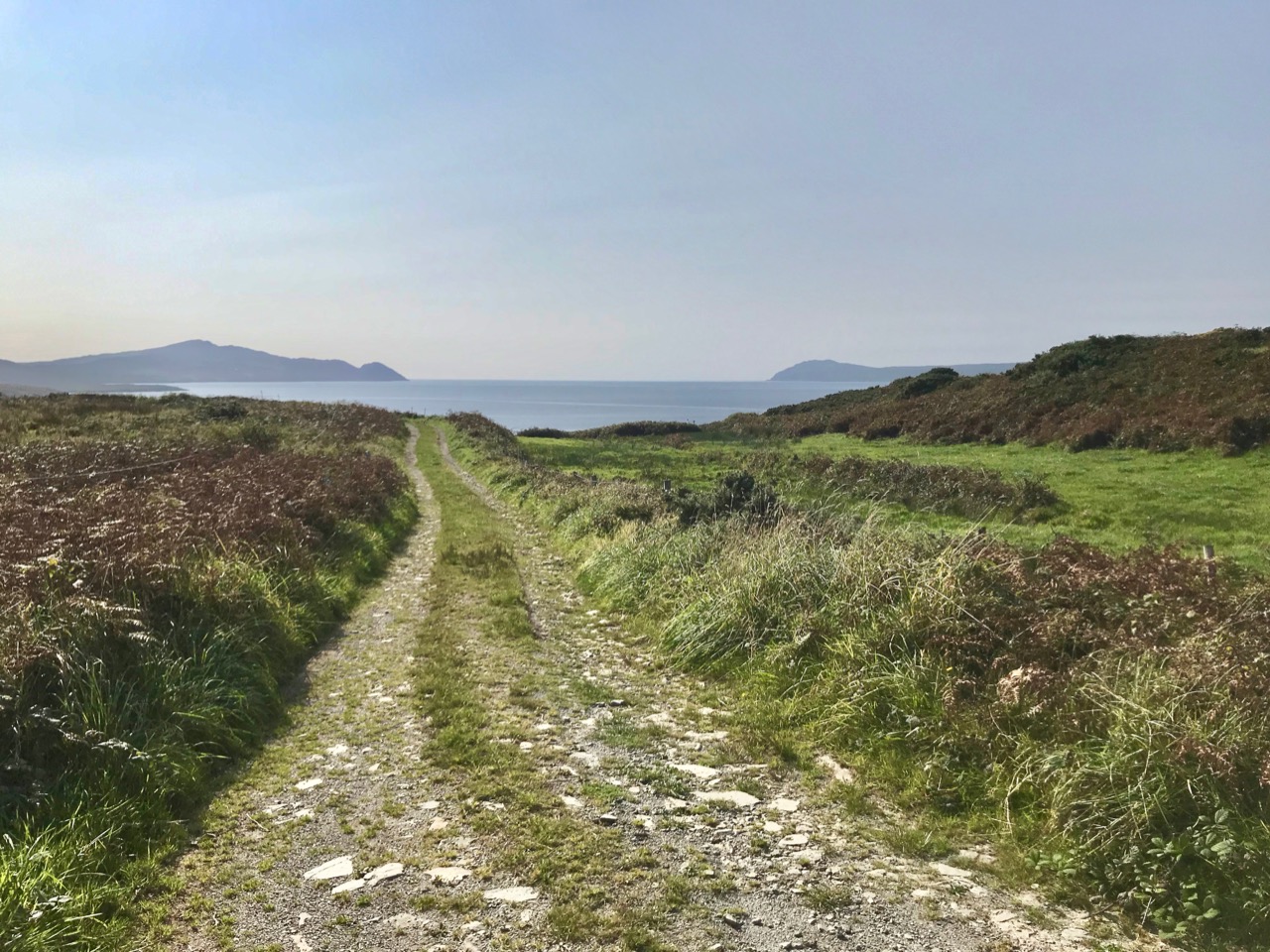
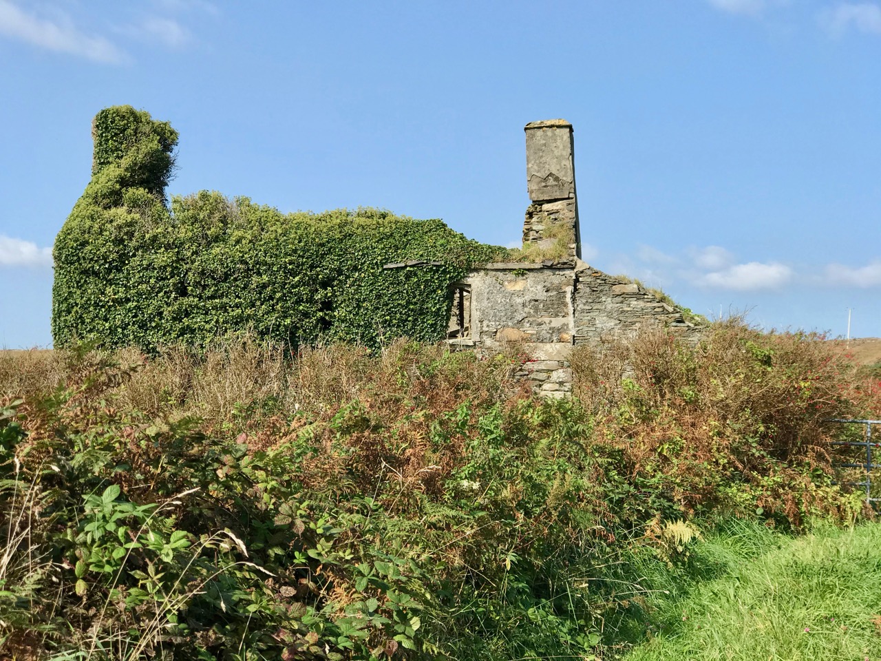
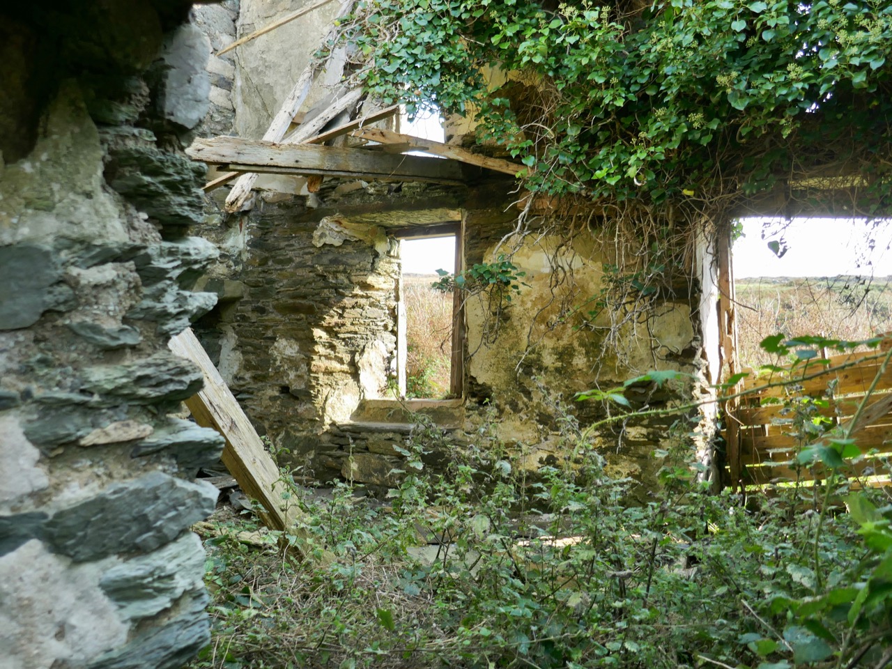
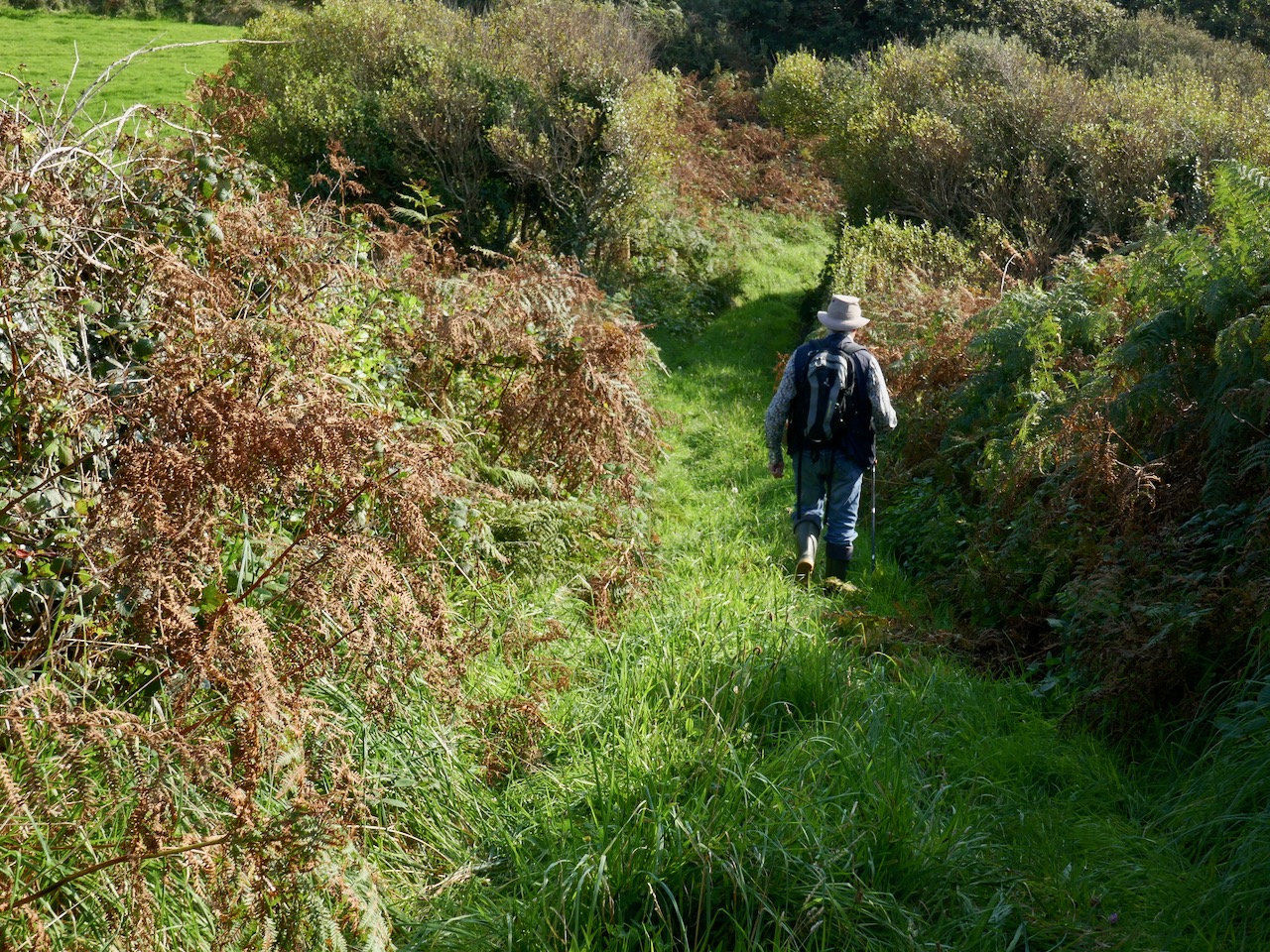
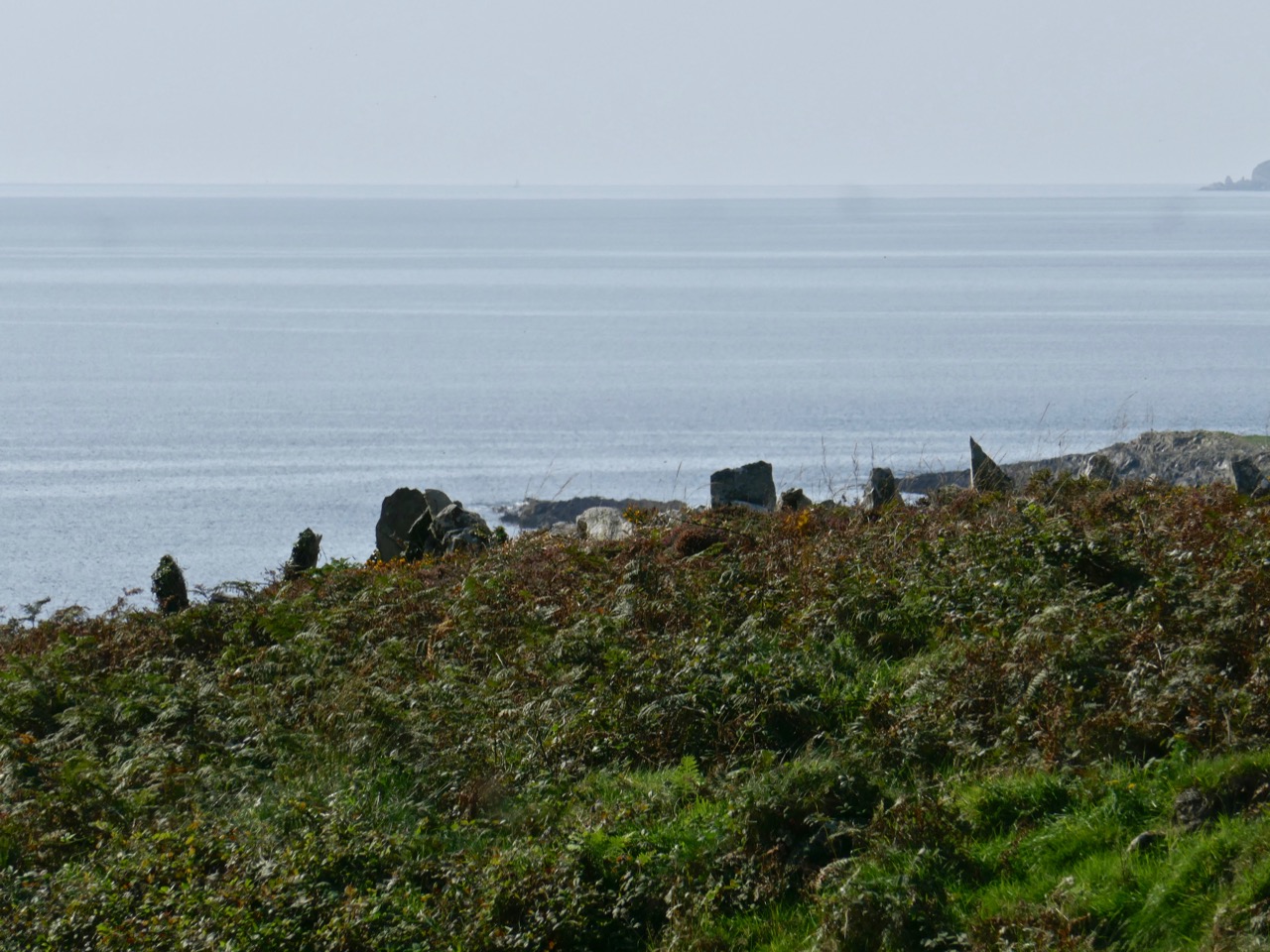
Today we were determined: we donned boots which would withstand a substantial flood. In the event they were quite unnecessary as the land was dry. We felt secure, though – but hot. After the first few hundred metres – which is the old way leading to a ruined house and now much overgrown – the path became well defined and easy to follow. We passed many signs of human intervention on the landscape: skeletal cottages and field boundaries which looked like rows of standing stones. The fields themselves were empty, however: we saw only one living creature the whole way. That was a wood pigeon that clattered noisily out of the bushes as we passed.
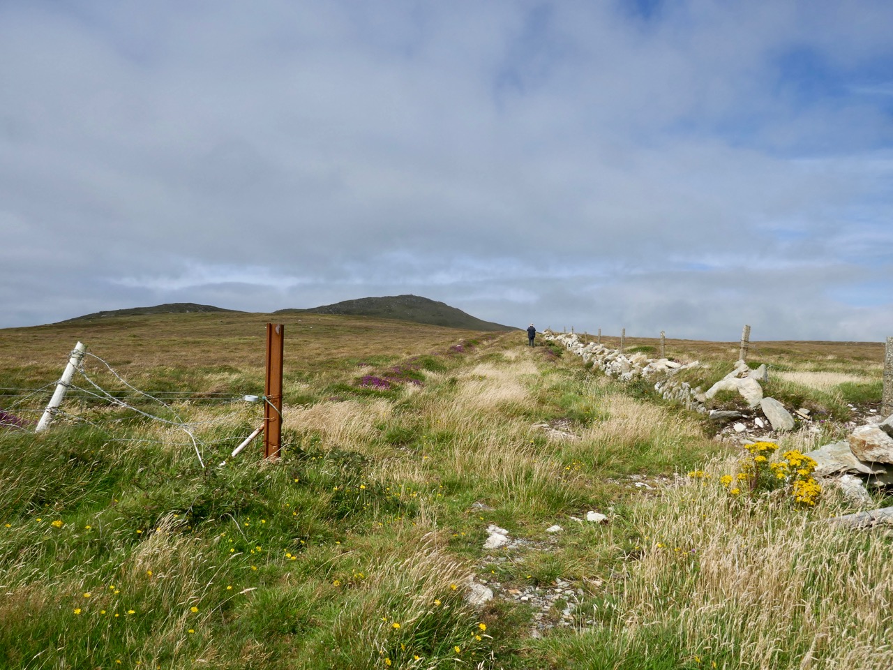
This section of the path was completely flooded when we attempted to follow it in February!

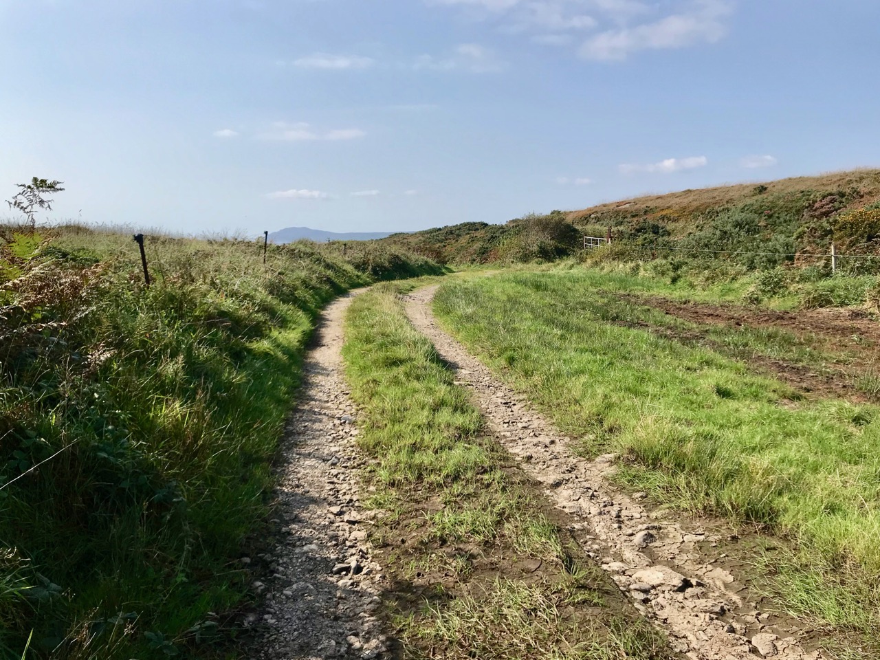
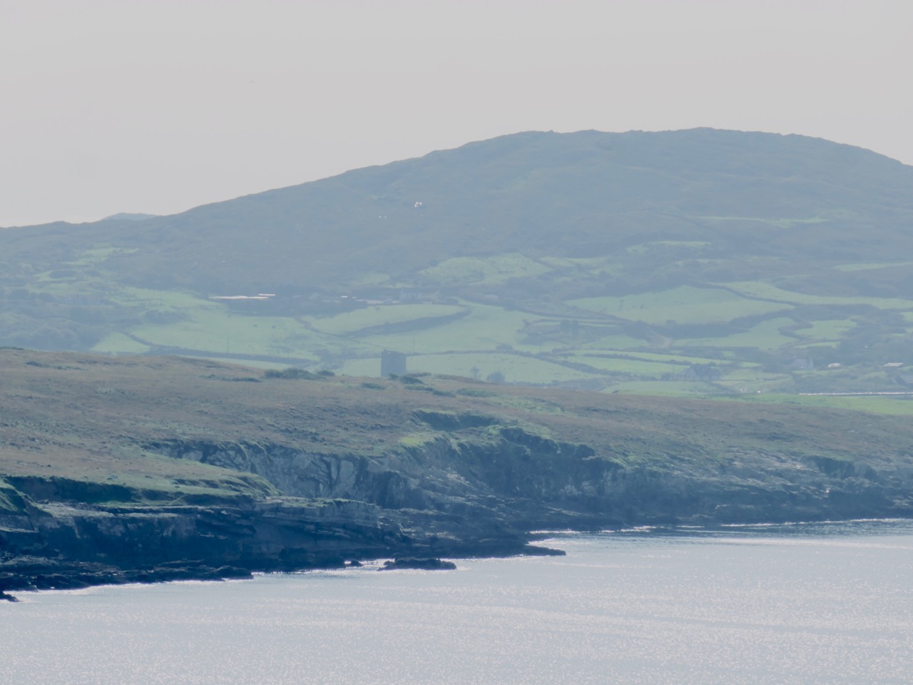
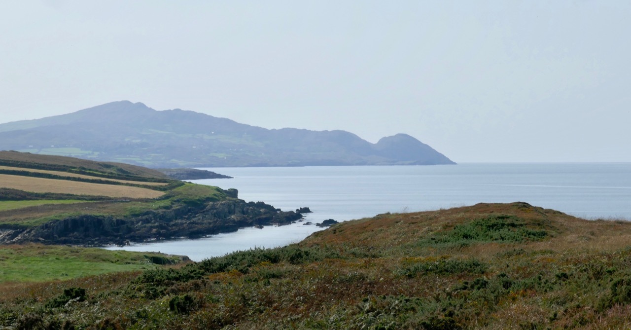
The journey was rewarding because of the wide views out across Dunmanus Bay with the Mizen and the Sheep’s Head flanking either side. There was quite a haze over both peninsulas arising, perhaps, from distant gorse fires.
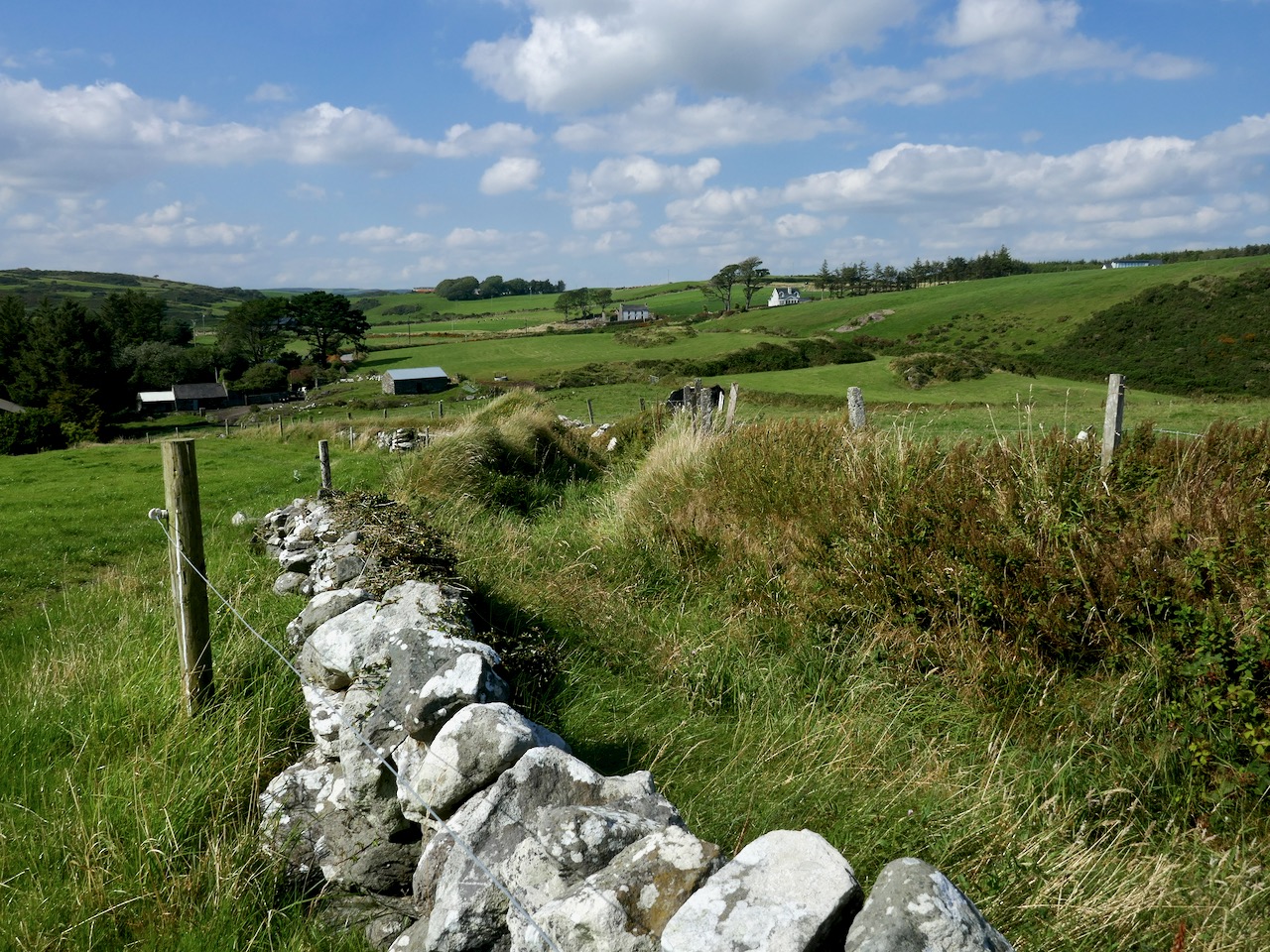
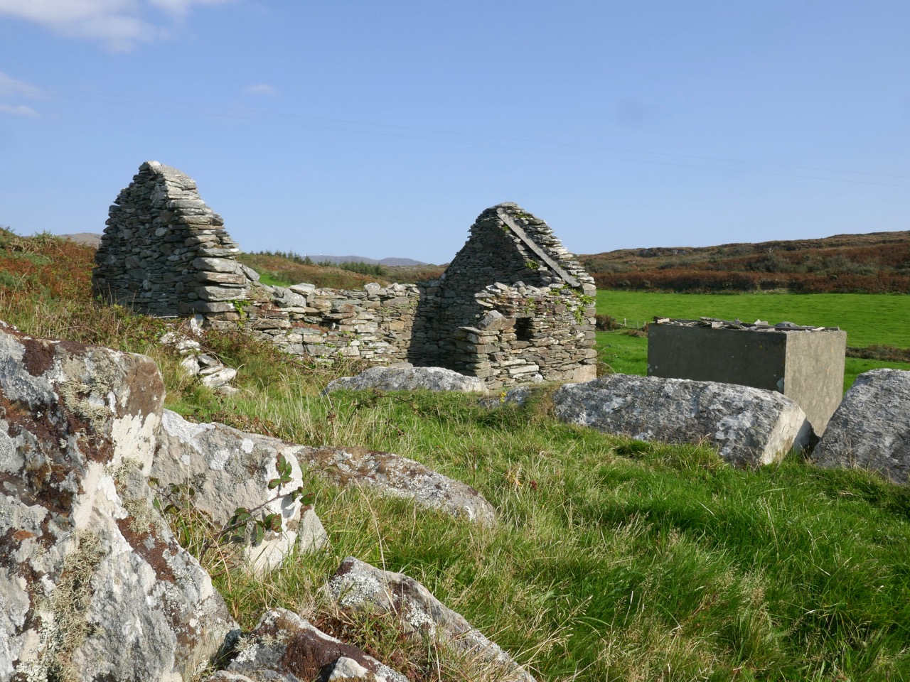
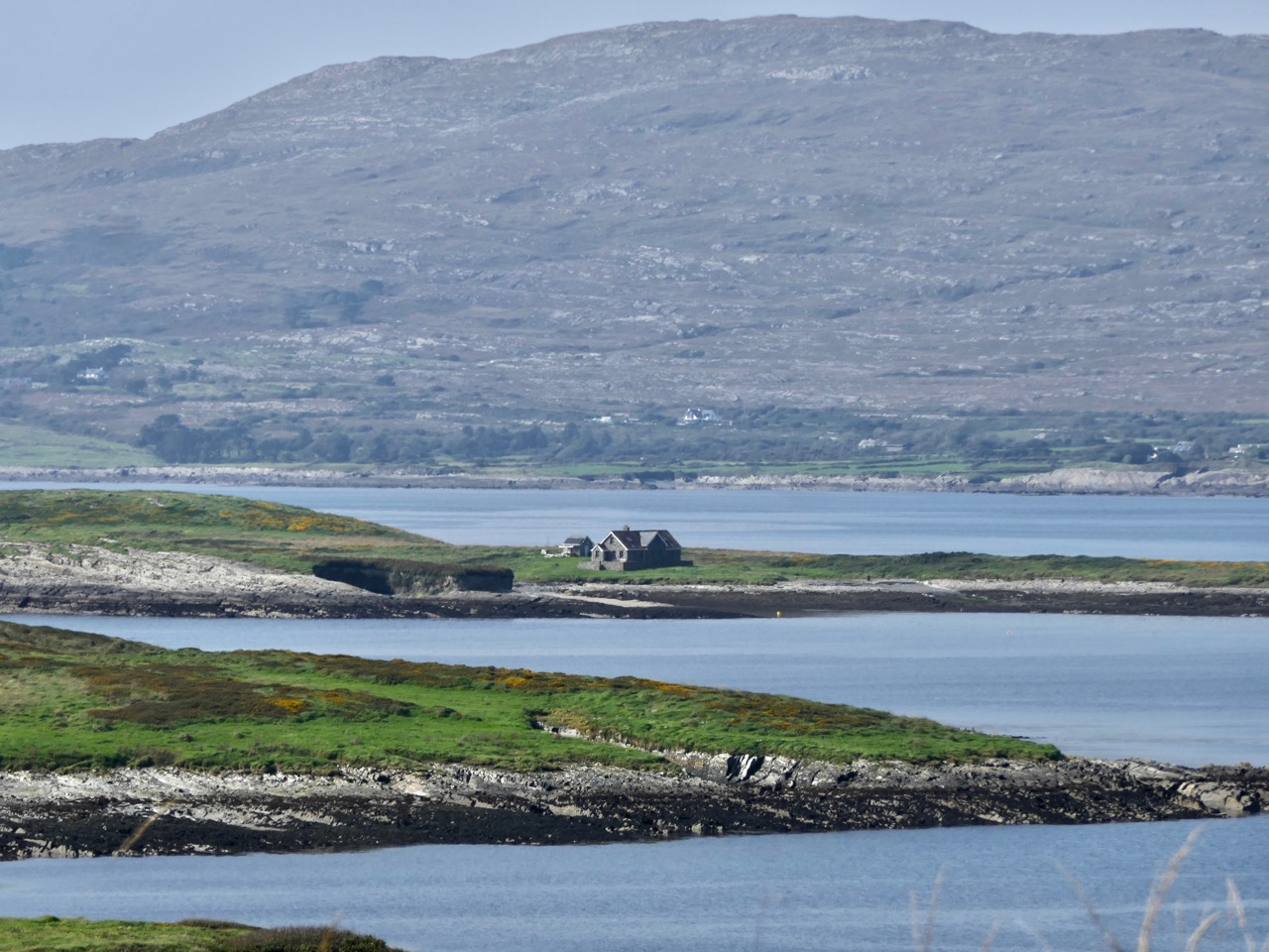
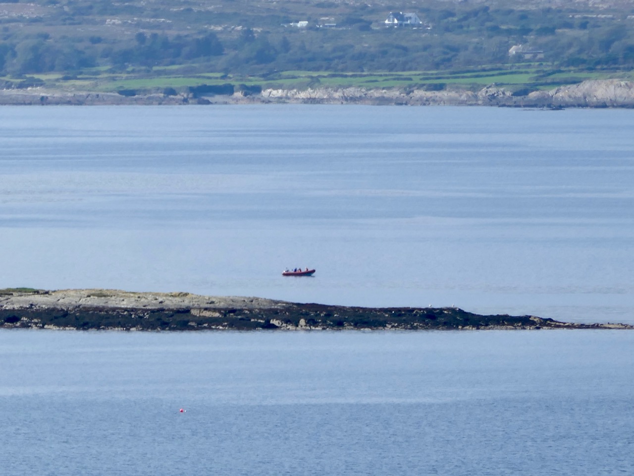
Passing abandoned cottages which had the aura of ancient temples we rose up to the higher ridge commanding the best views. We could clearly see Carbery Island to the west: this has a lonely modern residence on it. Close by are the other islands in this group: Cold Island, Furze Island and Horse Island. Lusk Island and Scurvygrass Island are some way off to the north.
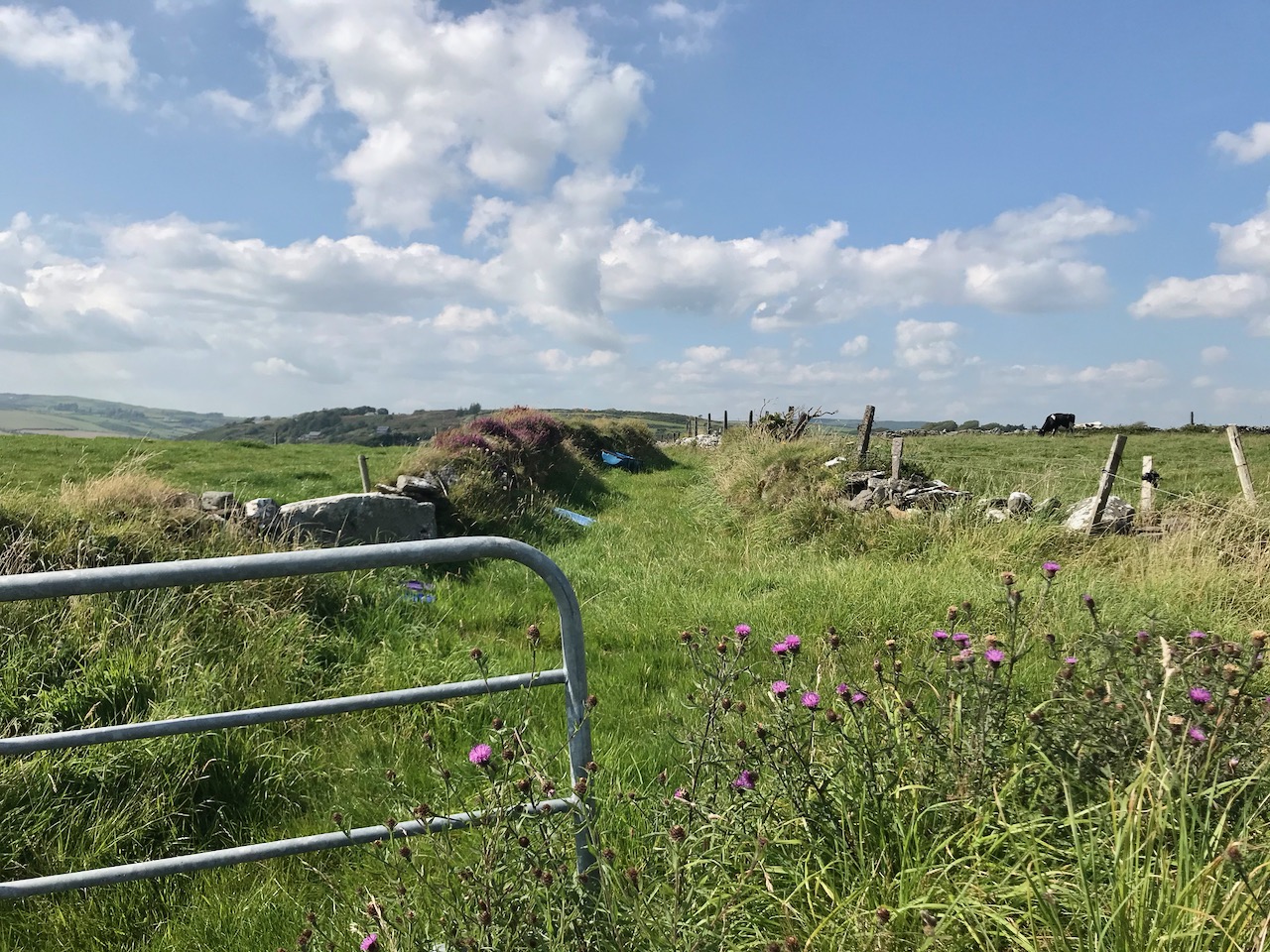
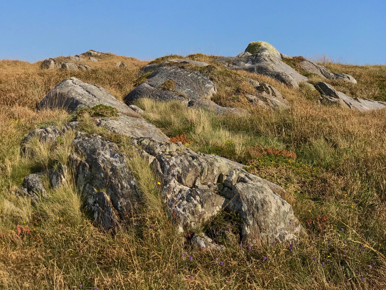
Each turn in the trackway opened up fresh views, and new dimensions, to the bay below us. Some may consider this landscape featureless, but a moorland scattered with large loose and earthfast rock formations – some resembling megaliths, but clearly natural – is my own favourite. Look at the map above to see how far the rock outcrop extends . . . In my mind’s eye it’s the work of giants.

Unlike many of our journeys into the West Cork landscape, this one had no clear end, there was no destination, no historic or archaeological feature that we had set out to find. There was just a turn in the trackway at the northernmost point of the headland and then the trackway continued on to became a boreen and, finally, a road leading back through Ballgibba North and the R591 (where Kilhangle is sited – see Finola’s post). We could have made a big loop of it, but there wasn’t enough time in the day that was in it. In any case, returning on the same path was no hardship and gave us more time to indulge in the tranquility of a way less trod, and in the sublime peace of an afternoon spent in remote places.

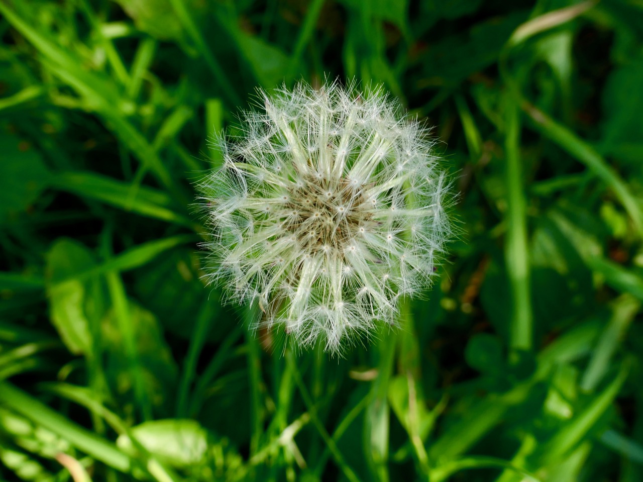
The autumn hasn’t quite come upon us yet, but some signs have started to appear. One is the ‘dandelion clock’ (did you call them that as children?). Finola challenged me to find the ‘perfect’ one, with the promise that, if I did, she would provide the ‘perfect’ photograph. I found perfect, and then perfecter, followed by perfectest. Here’s Finola’s promised rendering:

Castle Island Explored – Part 1

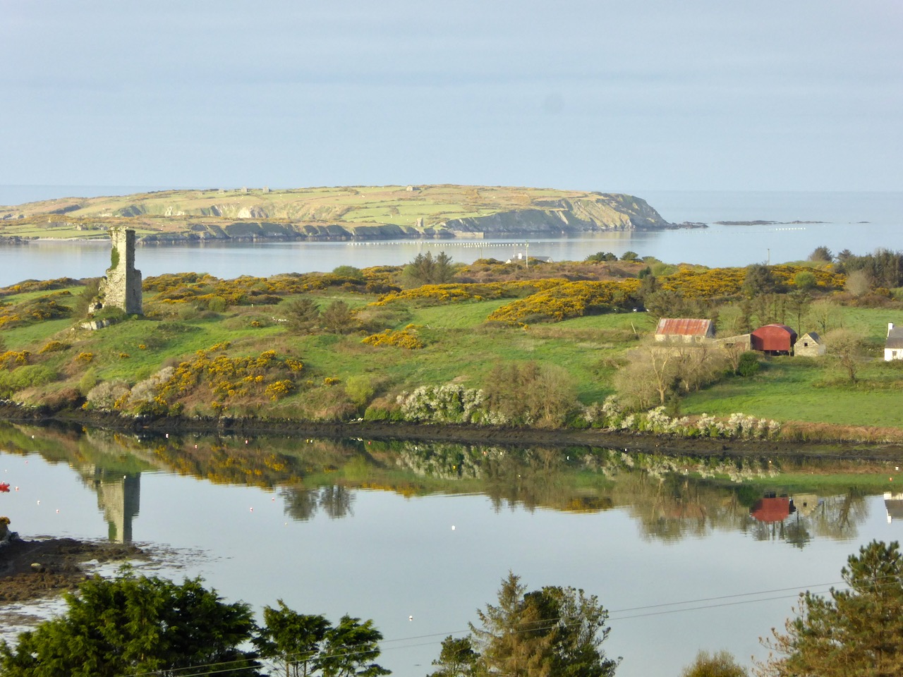
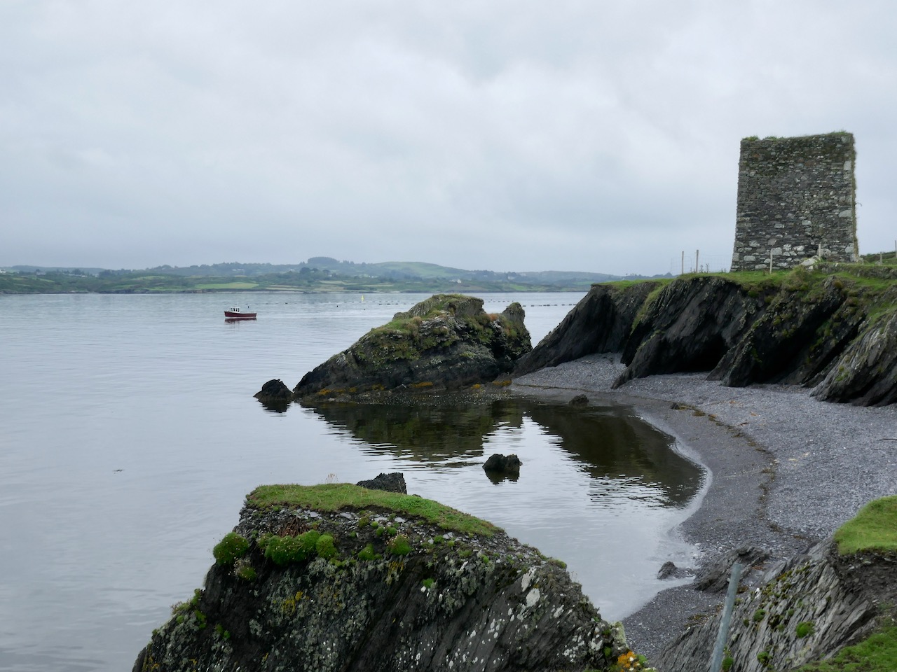
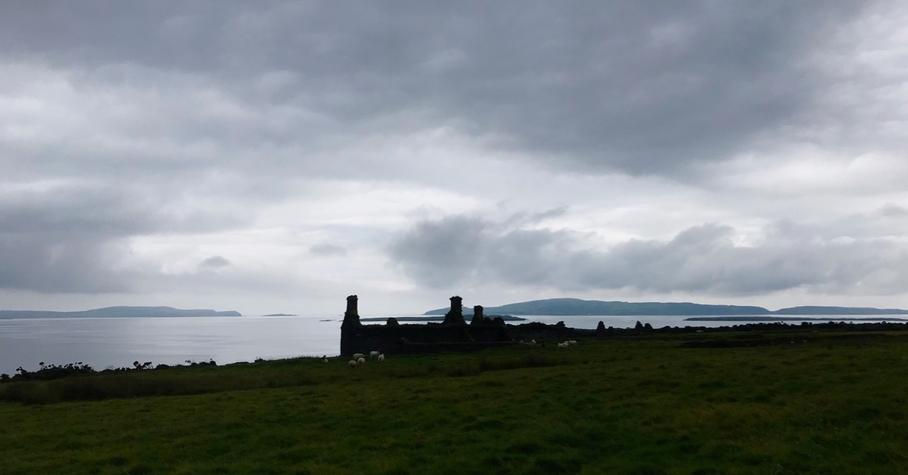
In this early spring photograph, taken from our Eyrie at Nead an Iolair, you can see Rossbrin Castle in the foreground. Beyond it lies Castle Island, uninhabited and slightly mysterious, but with clear traces of former occupation including a medieval tower house, a substantial quay and several abandoned dwellings. As we look over this island every day, we have long held an ambition to visit it, recently fulfilled when we were offered a lift out there on our good friend and neighbour’s fishing boat.

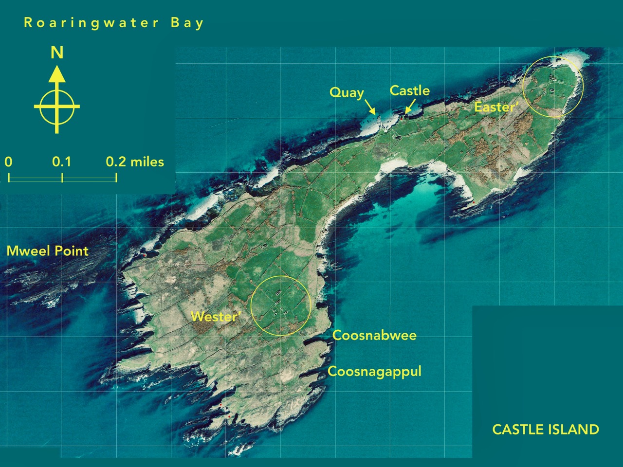
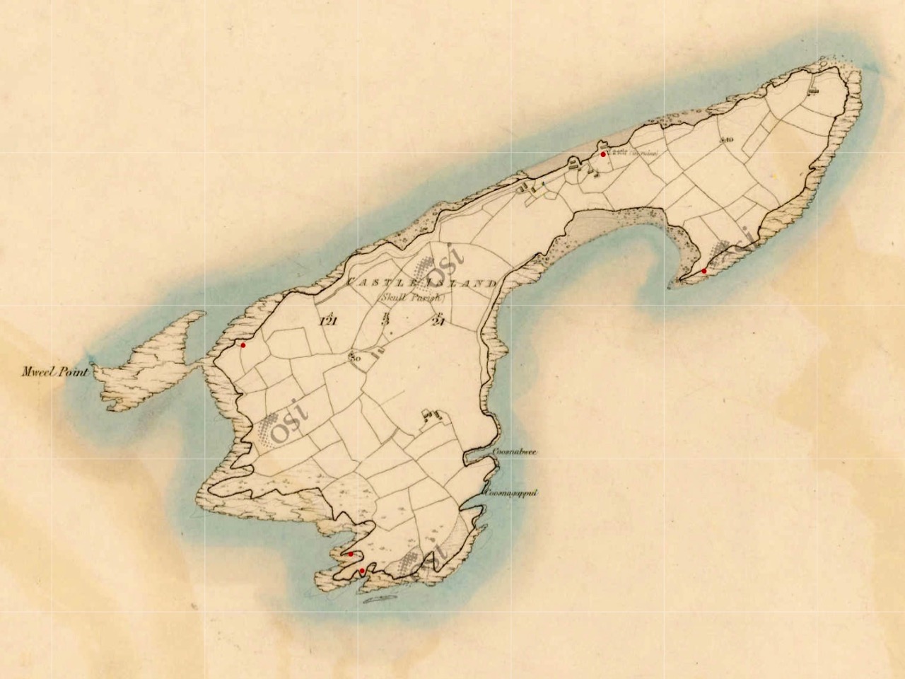
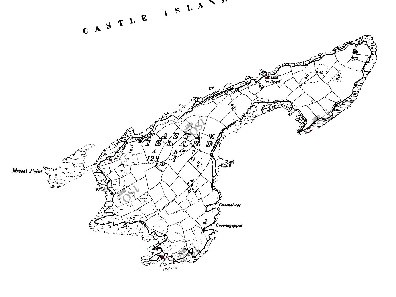
This map shows the scale of the island – just under a mile in length, and occupying 123 acres of mixed land. The main settlements – of Wester’ and Easter’ – are shown, as are the Quay and the Castle. It’s interesting to compare the two Ordnance Survey plans (below): the first 6″ edition was drawn up between 1829 and 1841, and the second one is the 25″ edition, drawn between 1888 and 1913. You can clearly see how the fields have changed, with new boundaries created in the later survey. Presumably this was due to an increase in population resulting in more clearances of rough land.

Both these maps show the Castle – said to date from the 15th century and one of the chain of O’Mahony fortresses that are strategically situated around this most south-westerly part of the Mizen. Of that clan we can find the following written by W O’Halloran in 1916:

Dr Smith says – these Mahowns derive their pedigree from Kean Mc Moyle More, who marrid Sarah, daughter to Brian Boru, by whom he had Mahown, the ancestor of all the sept. It is from this Kean the village of Iniskeen, in Carbery, has its name, and from this sept the Bandon is sometimes called Droghid Mahon. Mahon was the ancestor of the Mahonys, or O’Mahonys . . . The O’Mahonys, whose stronghlad was in the neighbourhood of Bandon (Drohid Mahon), were the first to encroach on the territory of the O’Driscolls. This occurred long before the Anglo-Norman invasion. They possessed themselves of the western portion of Corca Laidhe called Ivahah, which comprised the parishes of Kilmoe, Schull, Durrus, Kilcrohane, Kilmacougue, and Caheragh. They had fourteen strongly built castles . . .

Early Irish History and Antiquities and the History of West Cork, W O’Halloran

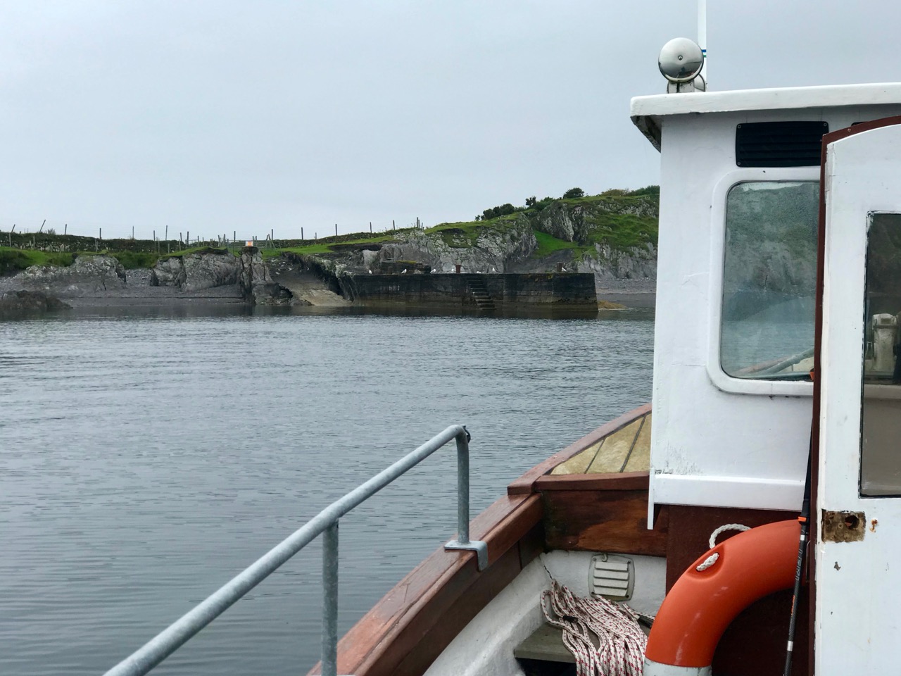
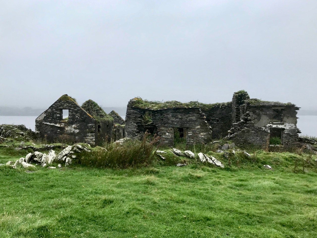
The M V Barracuda approaches Castle Island on an atmospherically damp day in late August. The quay itself seems to have been constructed  during the time of the Congested Districts Board from 1892 to 1922. It is a substantial structure and the investment in that time suggests that there was a significant community living and working on the island to justify it. However, a number of sources assert that Castle Island was “. . . home to a community of approximately 15 families who were last resident on the island up to the year 1870 . . .” Our own observations of the abandoned dwellings on the island led us to the conclusion that, although now significantly deteriorating, these habitations must have been in use more recently than this.

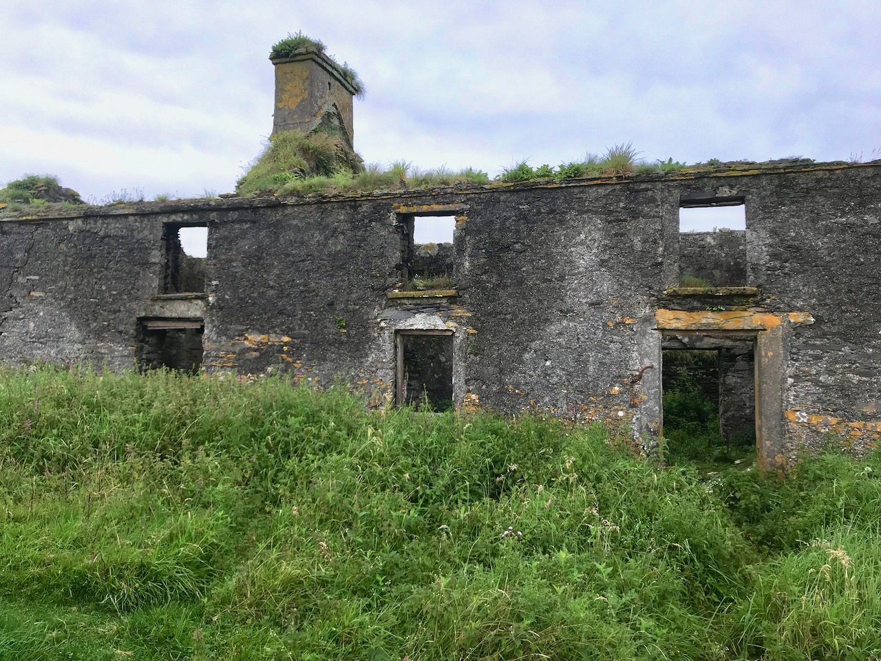
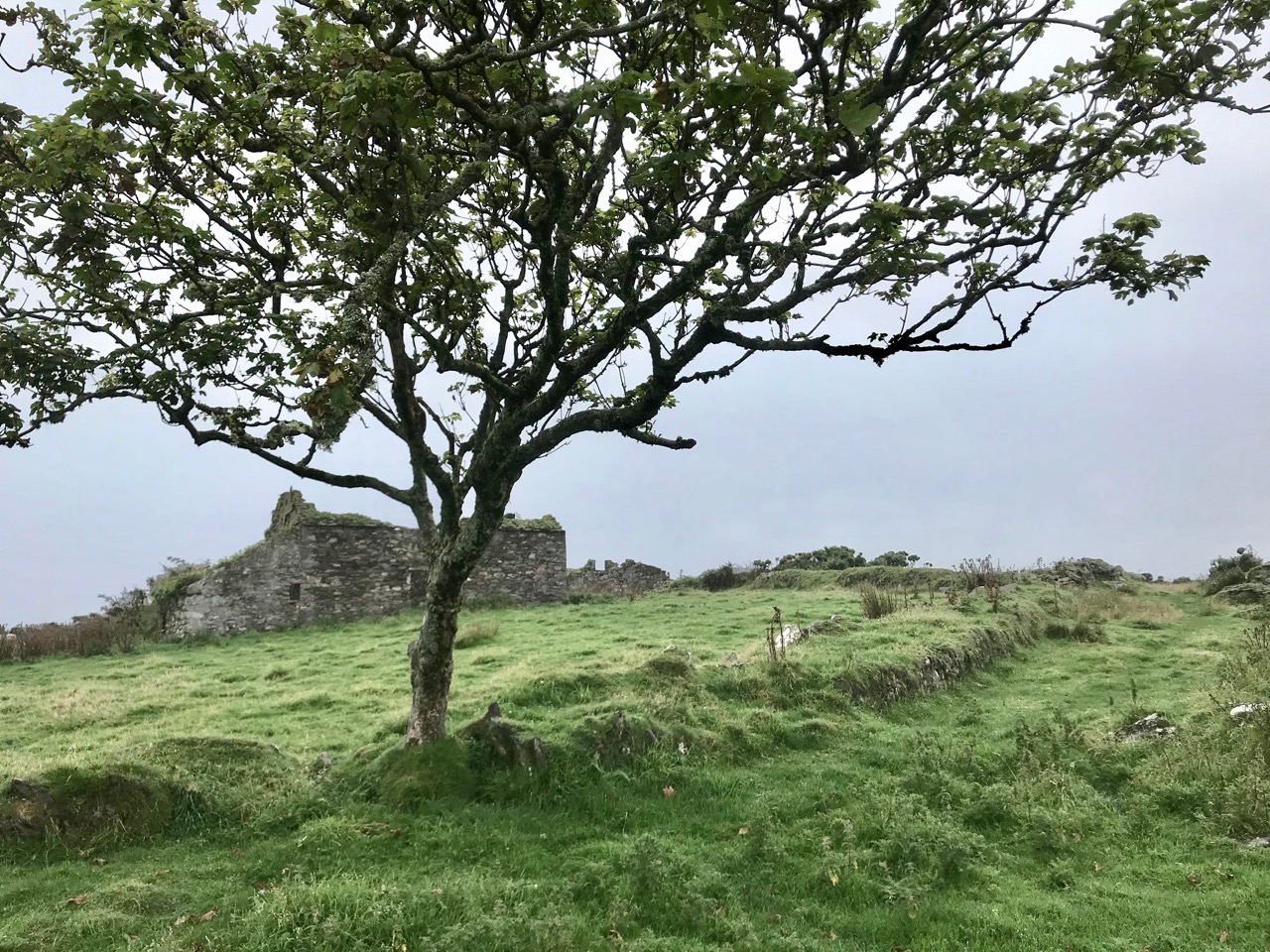
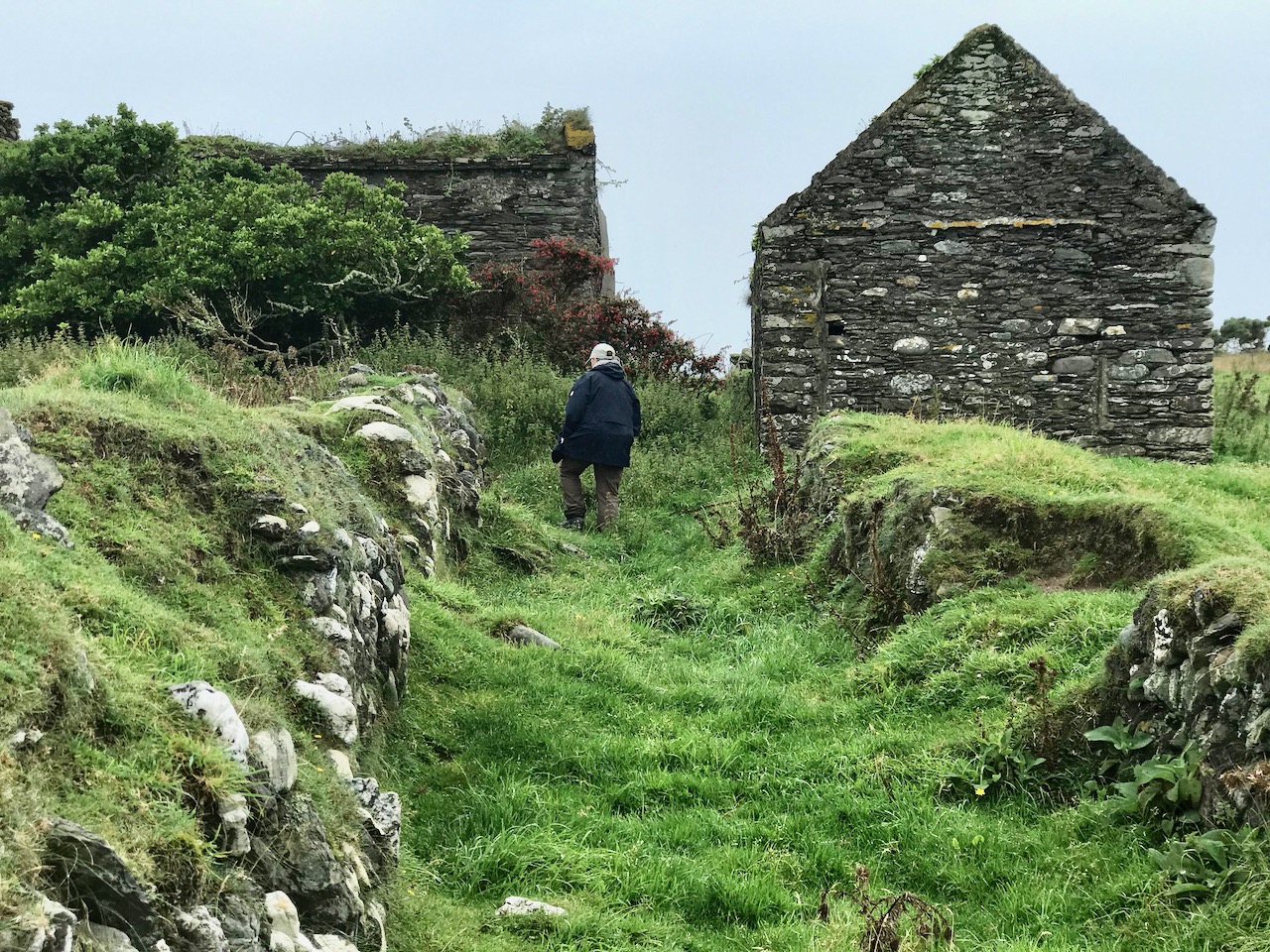
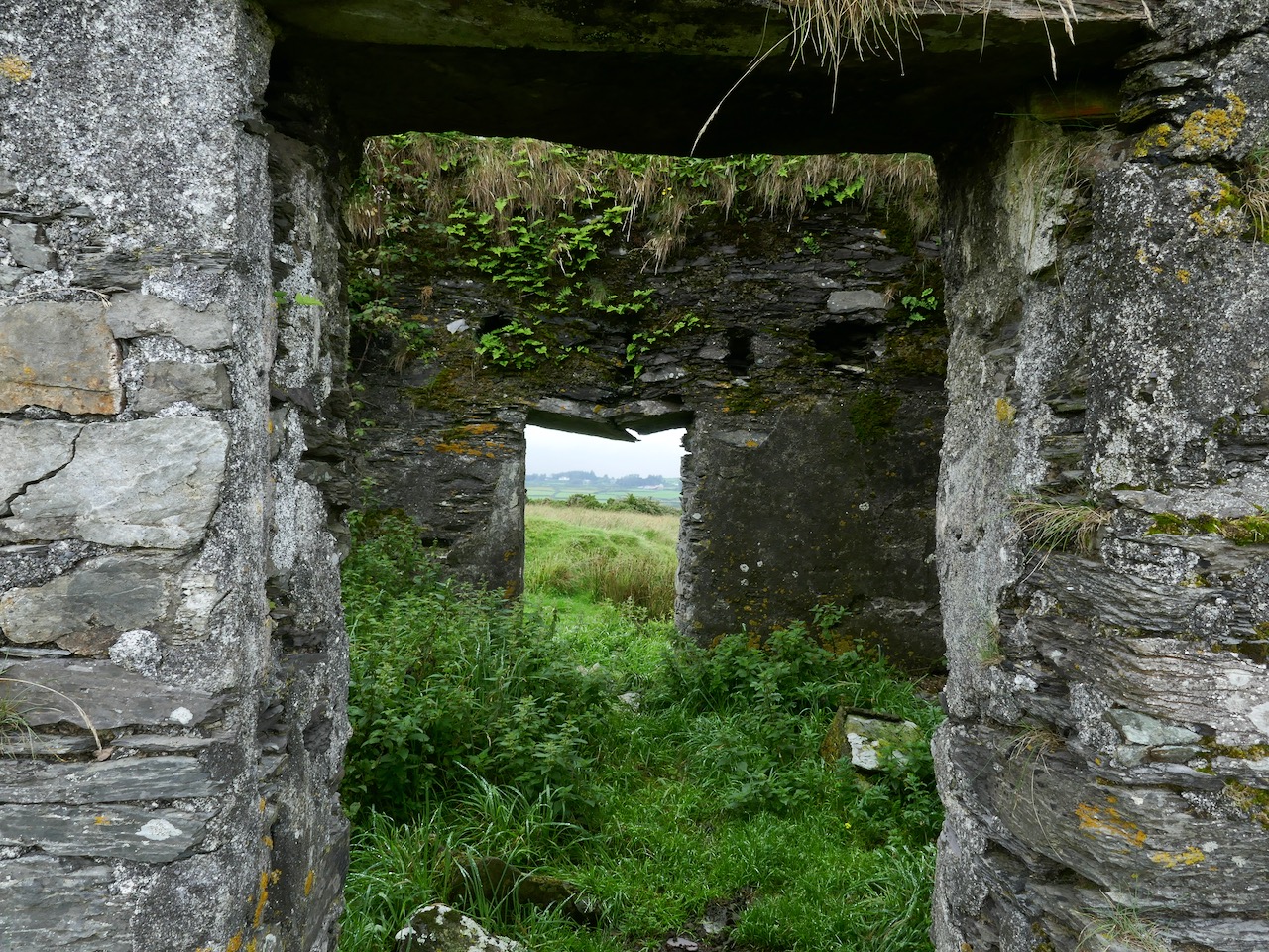
Examples of now-ruined houses, barns and boreens on Castle Island. These are not ‘cabins’ or even cottages, but significant homesteads. Some – including the large residence in the upper picture – have the vestigial remnants of timber door and window frames, unlikely to have survived in place in this harsh environment for 150 years.

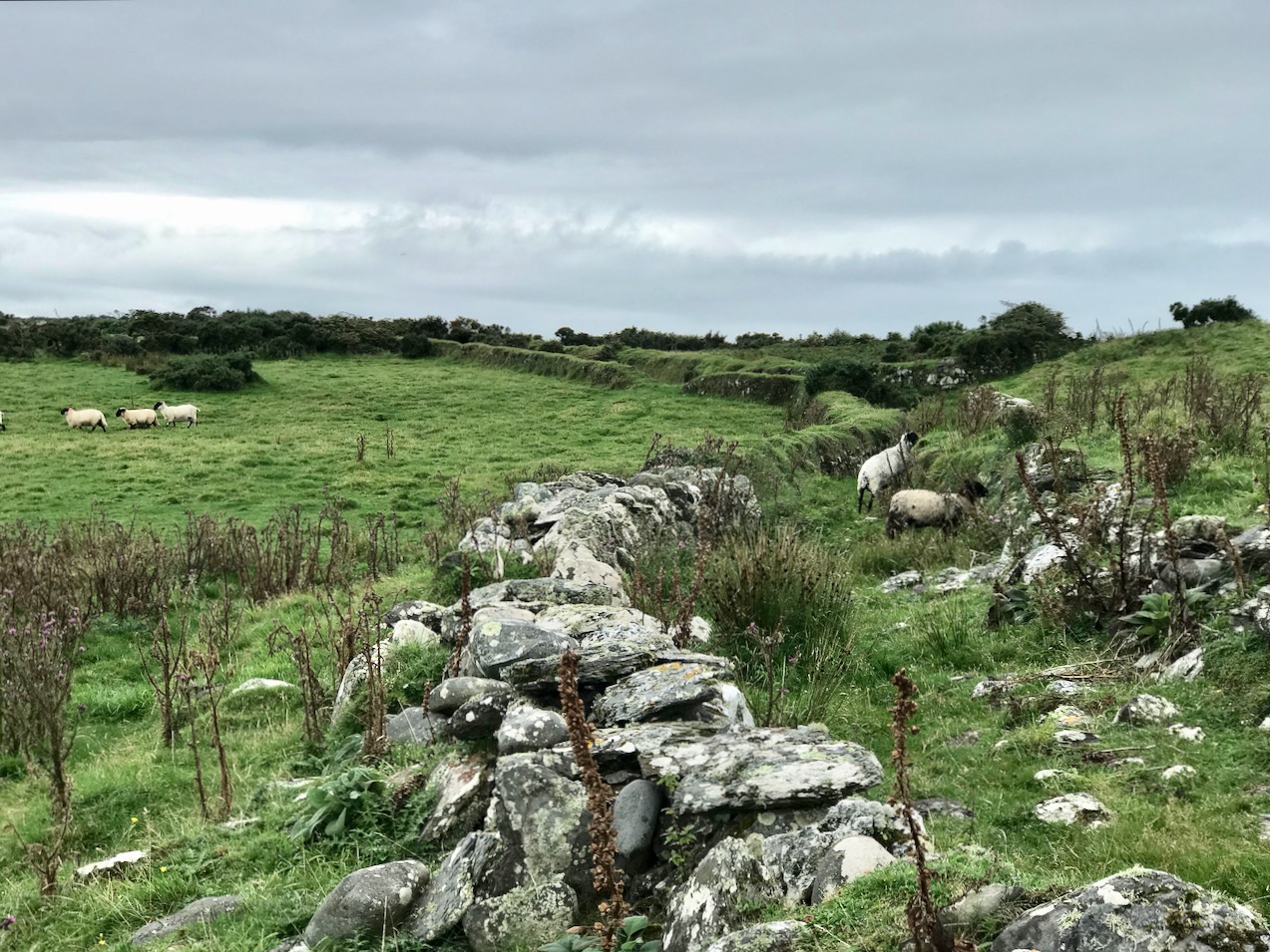
A community of sheep roams unhampered by fences or boundaries, and Finola absorbed how nature has taken over and populated the landscape in spite of wild winters and lack of shelter: we counted precisely two and a bit trees on the whole island!

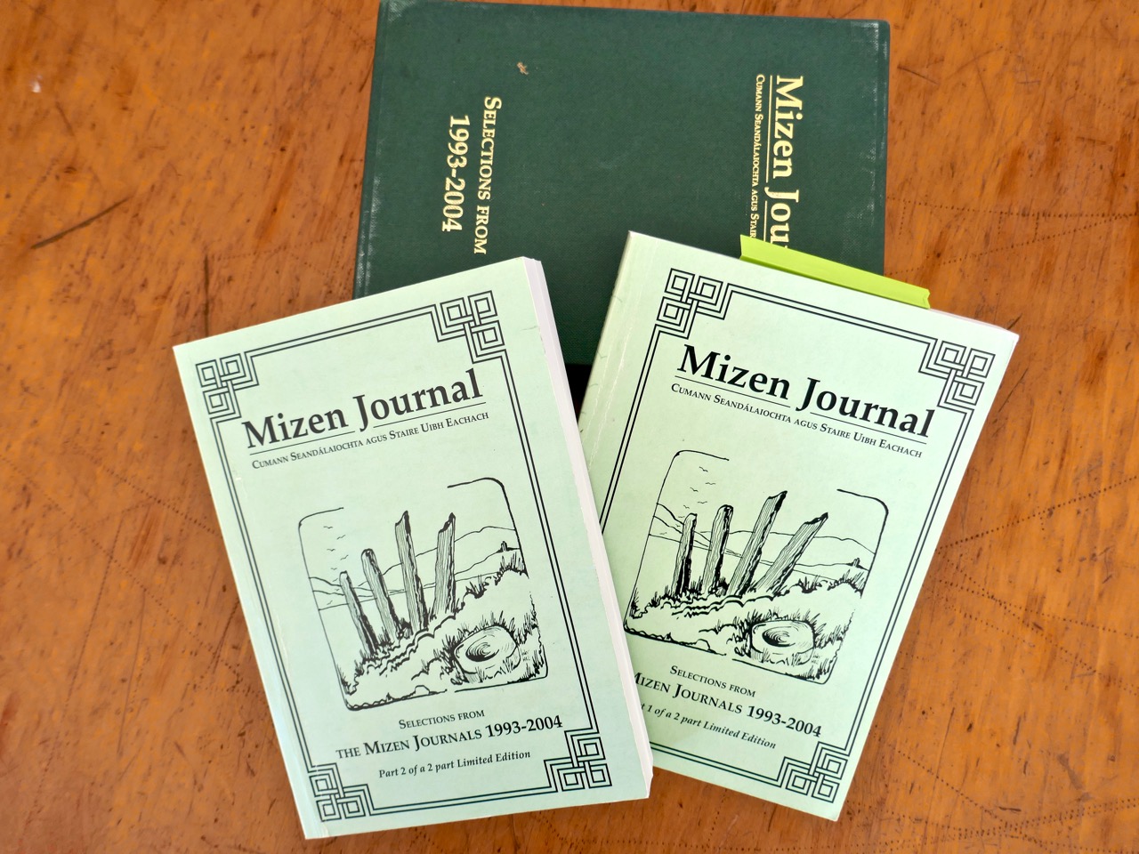
The story of this island is somewhat overlooked generally – one of the reasons we were so keen to visit. In our library, however, we are fortunate enough to have some copies of the Journals of the Mizen Archaelogical and Historical Society – now out of print. That Society was active for thirty years between 1979 and 2010, and produced a dozen journals gathering important historical research by mainly local people. Here’s a post we put together when our good friend Lee Snodgrass – a leading light in that organisation – passed away recently.

In that Journal we have found two articles about Castle Island. One – by Anthony Beese – explores the local placenames, and the other – by Liam O’Regan – speaks of The Castle Island Evictions 1889 – 90. This latter clearly shows that the island was inhabited in the late nineteenth century (apparently contrary to current popular thinking). Also, following those evictions, many of the tenants returned later and it seems very possible that some islanders remained in situ into the twentieth century. Both Journal articles have stories which need to be told, and I will attempt to do that in a later Roaringwater Journal post. For now, however, you will have to be content with . . . the story so far . . . which tells of our voyage of discovery to the island on an overcast day in the summer.

A Signal Success in Irish Engineering – Part 5: Downeen

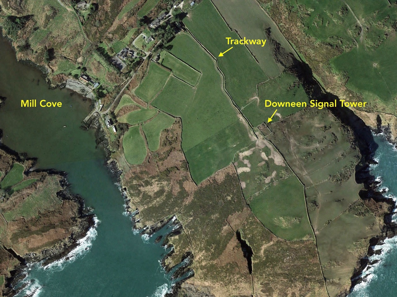
County Cork is well-endowed with the sites of Napoleonic-era signal towers. By my calculations there are 20 sites in this county, almost a quarter of the generally accepted number of sites around the whole island. For a map of the 81 locations identified by Bill Clements in 2013 have a look at part 2 of this series – Ballyroon Mountain. Today’s subject is Downeen Signal Tower, close to picturesque Mill Cove, a naturally sheltered quay around which a small settlement can be found, most active in the summer months.

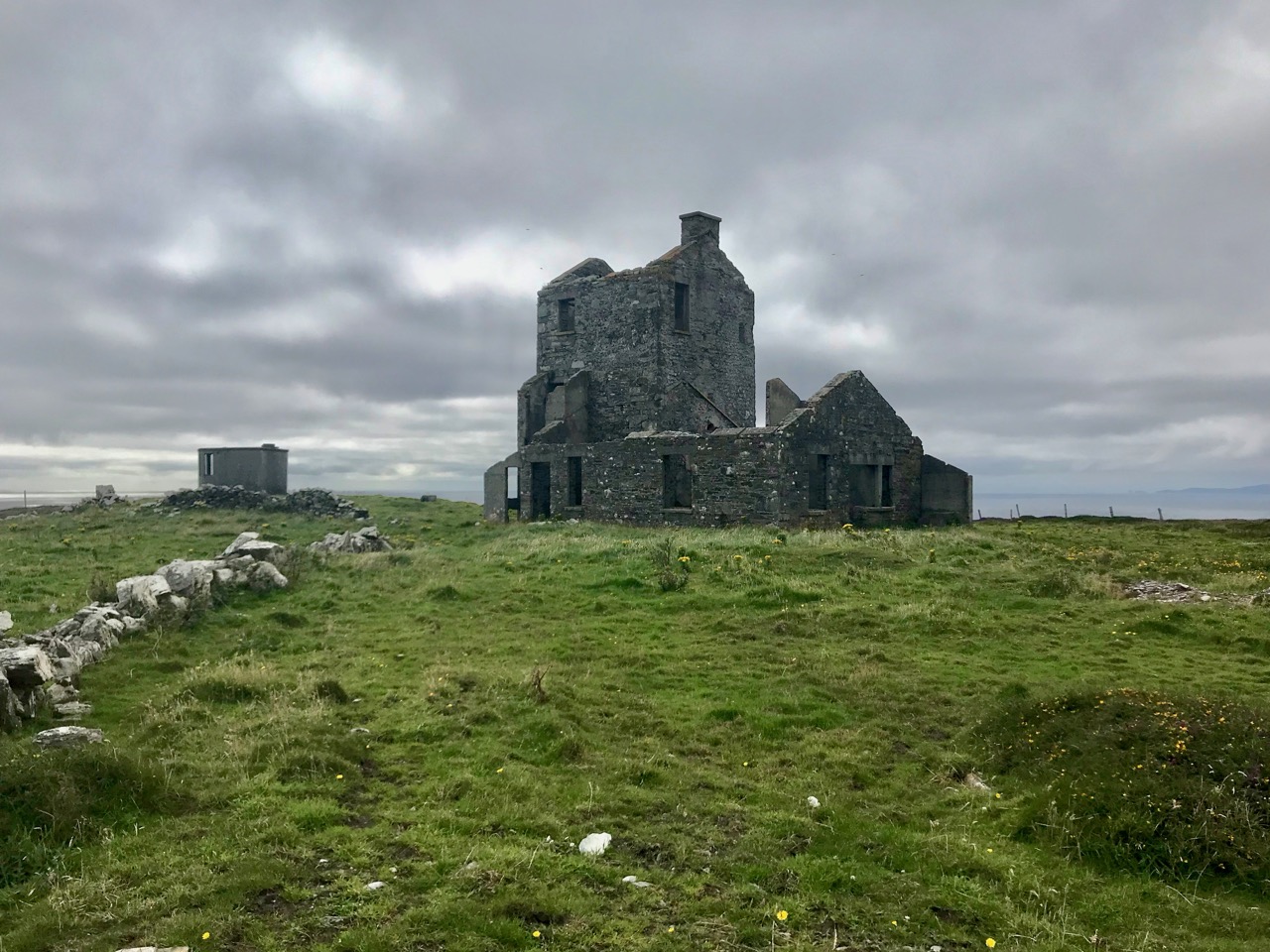
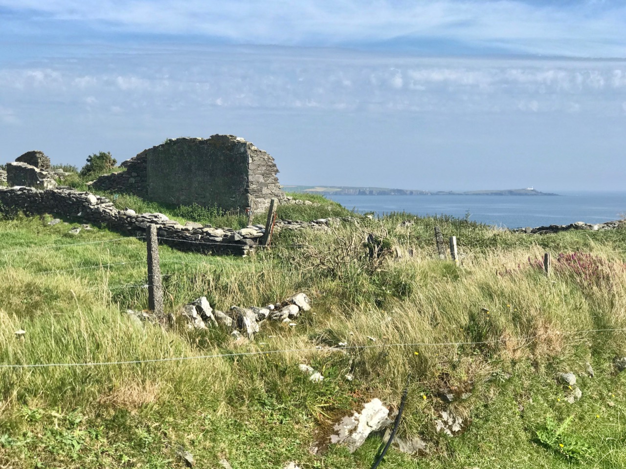
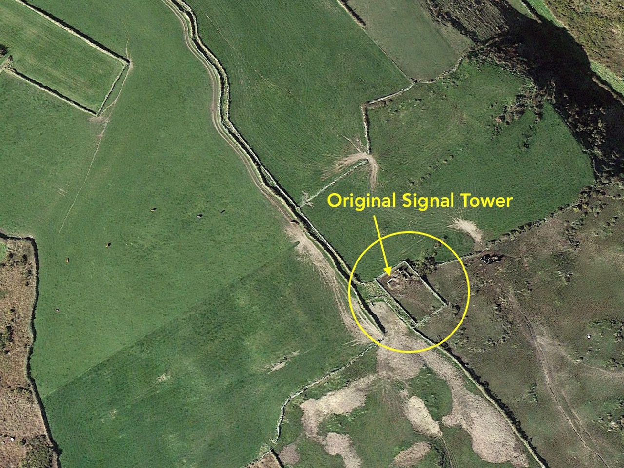
The header picture shows all that remains of the buildings of Downeen signal tower today. In the distance you can see Galley Head with its lighthouse. There was no signal station on Galley Head itself, the next in line to the east being at Dunnycove, in the townland of Ballyluck – this will be the subject of a future post. The aerial views above show the Downeen site: note the well-defined access trackway, a feature of all the locations we have visited to date. This signal tower has been changed and extended over the years, as can be seen by comparing the two OS maps below:

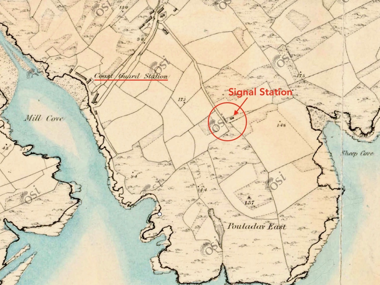
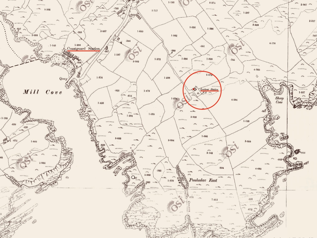
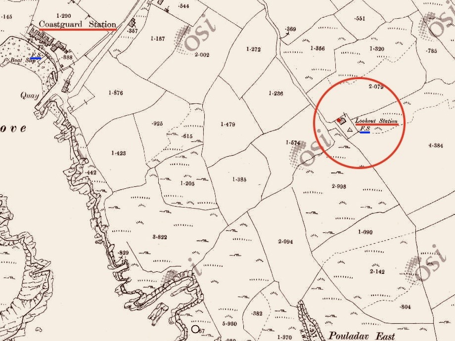
The upper map is based on the earliest 6″ survey which the Ordnace Survey carried out between 1829 and 1841. By that time, of course, the signal towers would have become redundant and this map shows a simple building and the trackway, with no label. The lower map is from the Historic 25″ survey, produced between 1888 and 1913. Here we see the site extended and the buildings altered, more in keeping with the present day aerial views. On this OS map the building is labelled as a ‘Lookout Station’ and there is also ‘F.S.’ shown, which I assume to indicate ‘Flag Staff’. This comparison exercise shows us how invaluable the Ordance Survey can be to historians in providing information often not documented elsewhere. Both maps show a ‘Coast Guard Station’ as the main feature of Mill Cove itself and this gives us the clue to the further incarnations of the original signal tower at Downeen. Here is an enlarged section from the 25″ map:

On this extract I have also underlined the two ‘F.S.’ indicators, which I take to mean flagstaffs – one at the Lookout Station, and the other at the ‘Coastguard Station’. Based on this I am putting forward the opinion that the original signal tower was taken over, extended or rebuilt for the use of the Coast Guards. I don’t have any other supporting evidence for this at Downeen, but at other stations I know this has definitely happened (either from written evidence or – more importantly – direct contact with local recollections). It certainly makes sense, as the towers were generally placed at the highest and best vantage points in the landscape – and had good access, verified by the surviving trackways.

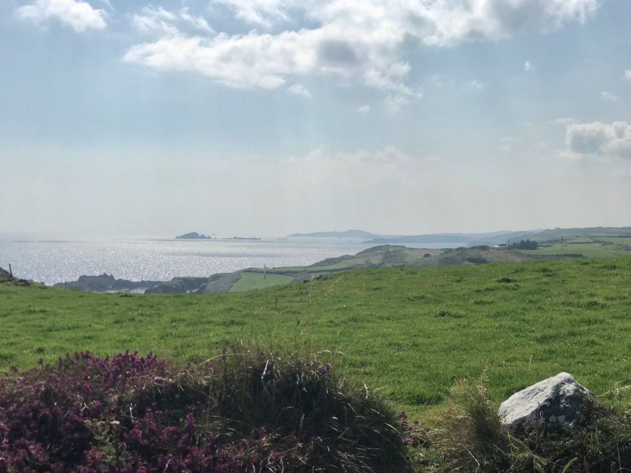
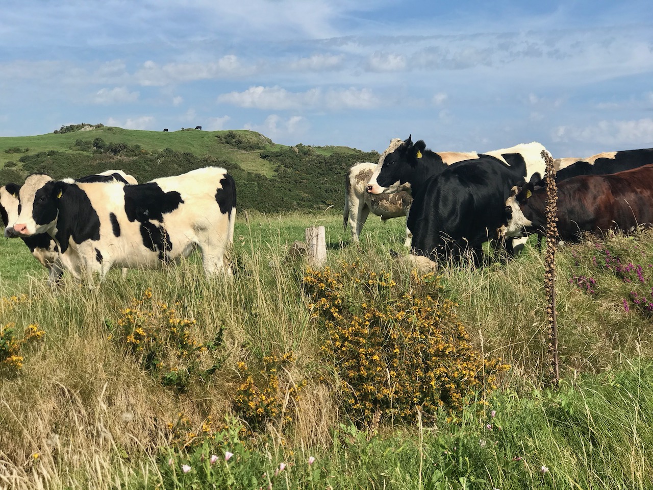
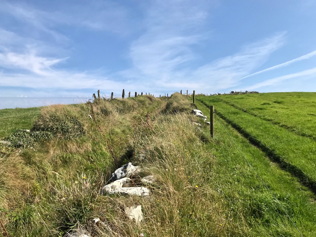
The upper picture is taken from the Downeen signal station looking west – the sweeping vista is commanding. Two views of the access trackway show that it remains well defined by continuous masonry walls, but overgrown. Our only companions on our exploration regarded us with benign curiosity! Attempts to uncover a comprehensive history of Coast Guards and Coastguard stations here have not been rewarded so far – except to establish that, in Ireland, we should correctly refer to them as Coast Guards – not Coastguards. This information is taken from the Irish Government website (gov.ie):

In 1809  the “Water Guard” was formed. Also known as the Preventative Boat Service. The Waterguard was the sea-based arm of revenue enforcement who patrolled the shore. The Waterguard was initially based in Watch Houses around the coast, and boat crews patrolled the coast each night. It was under Navy control from 1816 to 1822, when it and riding officers were amalgamated under the control of the Board of Customs . . . in 1856 control of the Coast Guard passed to the Admiralty . . . In 1921, after Independence, the Coast Life Saving Service was established in Ireland . . . The duties formerly performed by His Majesty’s Coastguard (HMCG) were taken over by Saorstát Eireann (Irish Free State) and the Coast Lifesaving Service (CLSS) was established . . . In 1925 the UK Coastguard Act passed, formally defining its powers and responsibilities. This inadvertently used the single word ‘Coastguard’ for the first time, and affected all crown dominions . . . In 2000 Ireland re-established the Coast Guard as the original two-word variant . . .

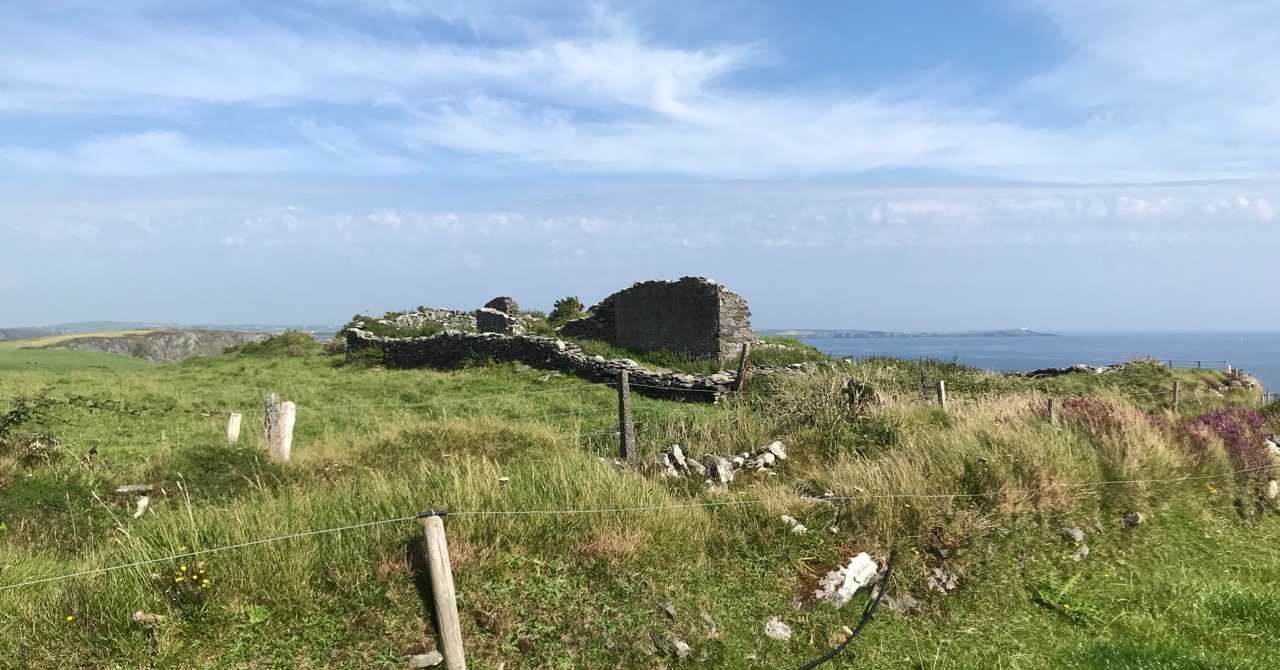
It’s fairly logical that the signal towers built between the 1790s and early 1800s to frustrate a French invasion of Ireland were still intact at the time of the Waterguard, and would have been ideal for the general purpose of watching the coast. (Above) – the ruins of the buildings at Downeen signal tower cum Coastguard lookout station as seen today. They enjoy the conceptual protection of being classified as a scheduled monument, but are unlikely ever to be more than crumbling vestigial stone walls. In their decay they command a poignant respect, and our imaginations can recreate the activities they may have witnessed. Here’s another quote, from the engrossing forum Coastguards of Yesteryear:

Nineteenth-century coastguards must have formed a close-knit group. Mostly ex-naval men, they presumably shared a sense of camaraderie . Often stationed as coastguards in remote spots, moved every few years to prevent them becoming too friendly with the locals, and often viewed with suspicion by those many locals with smuggling sympathies, coastguards were presumably drawn to marrying each others’ daughters. The more generous notion that “every nice girl loves a sailor” was only to develop later in the general population!

Notwithstanding the slight vestiges of its signal tower, Downeen has significantly more to offer in the way of history – worth a mention as it has led to some confusion in the story of this particular site.

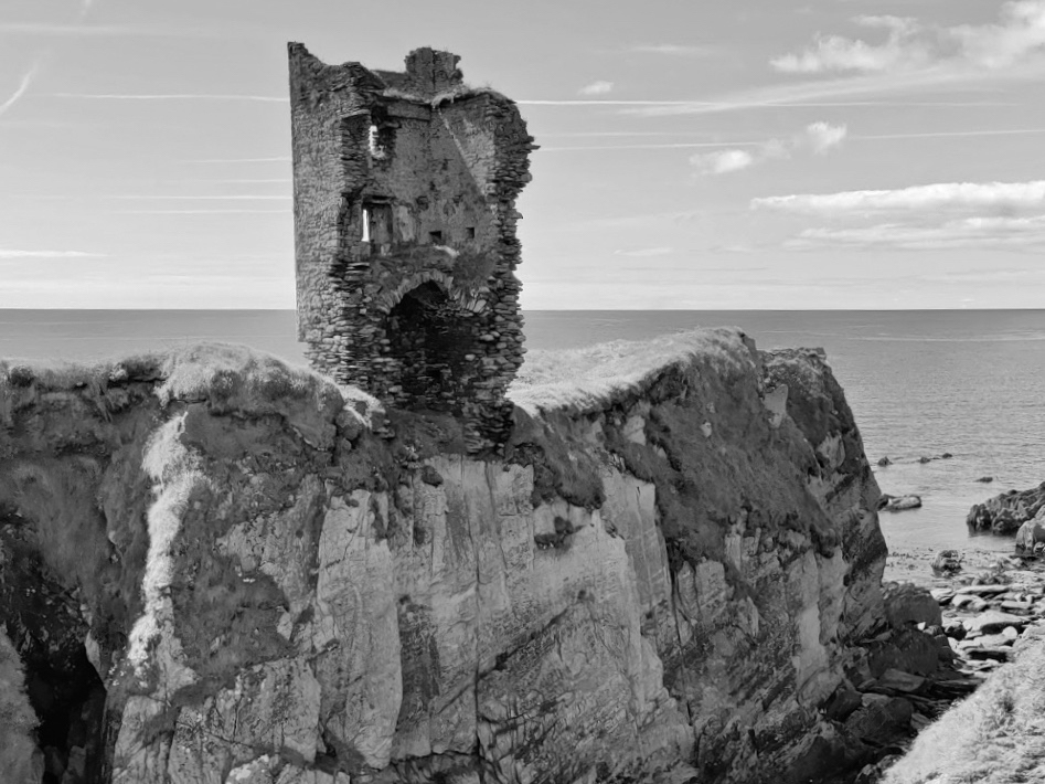
We came across these two further ‘towers’ not too far away from the signal station site – also in Downeen. The first (upper) is classified as designed landscape – a belvedere. The second is a most intriguing tower house, a seemingly impossibly surviving clifftop ruin. On the day we visited, we were unable to get really close to either of these structures, but I was able to find a bit more about them on the internet, including a reference to the belvedere on the National Inventory of Architectural Heritage, where it is described as a ‘Signal Tower’ dating from between 1780 and 1820! In fact, further research has shown that this is a mis-attribution. Both these structures are connected to Castle Downeen. The tower house is described as possibly an O’Cowhig castle taken by crown forces in 1602 and approached by “a little drawbridge of wood”.

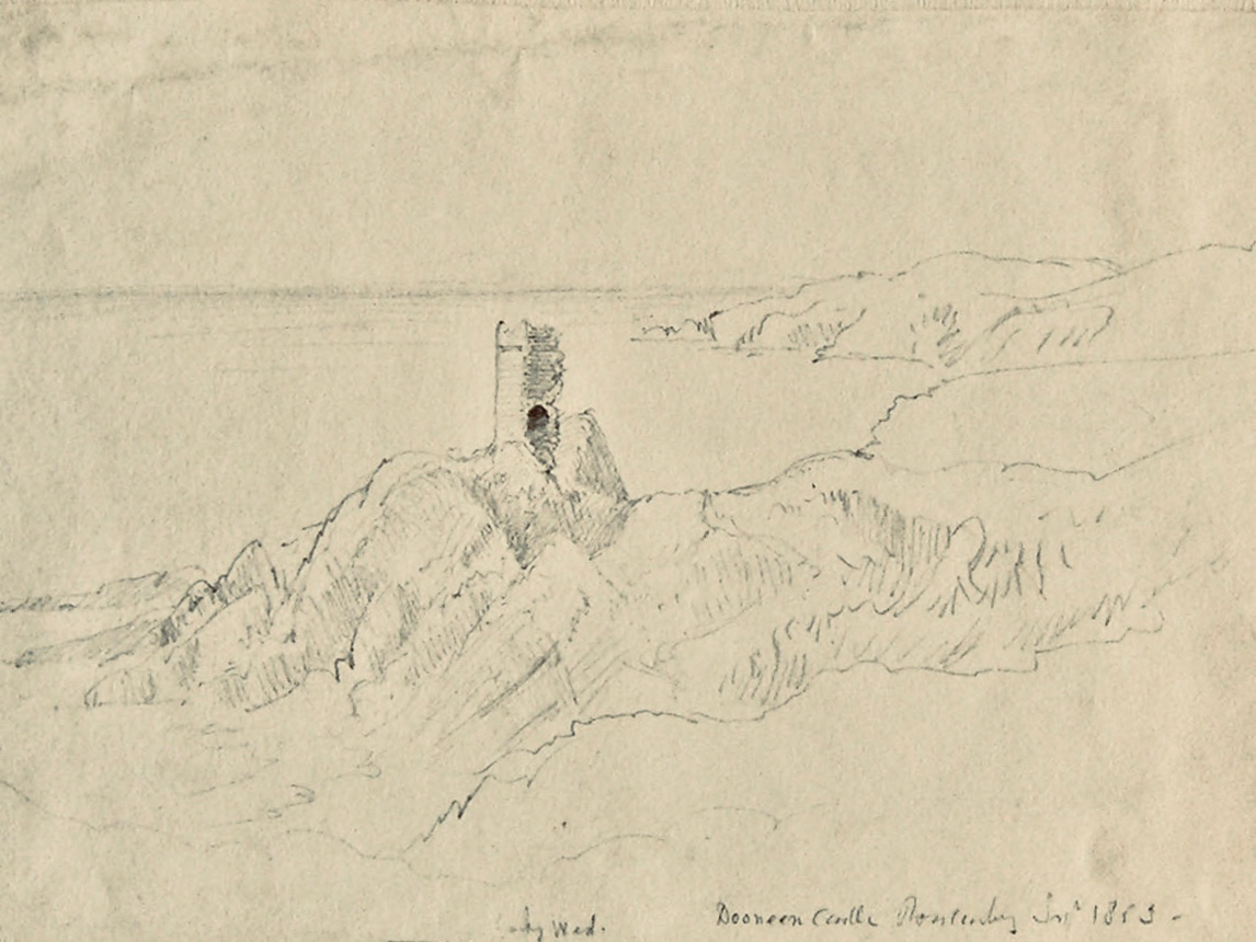
Here is the remarkably poised tower house at Downeen. The upper picture is courtesy of rowler21 via Google, 2020. I was delighted to find this small sketch (lower) by George du Noyer, titled Dooneen Castle, Rosscarbery, Sept 1853. Although almost 170 years have passed since du Noyer visited this part of West Cork – possibly in connection with his work for the Ordnance Survey – not much appears to have changed: perhaps the loss of part of the parapet. The ruin was apparently as precariously balanced then as it is now.

Downeen, with its lush valleys, old stone built settlement, former Coastguard station and this trackway serving a site formerly of great importance in the history of communications in Ireland is worth further exploration. As well as the 16th century tower house there are the abandoned and heavily overgrown remains of an 18th century ‘Country house’. This had a walled garden and the belvedere appears to be part of this. We are always surprised – and delighted – by the sheer volume of history that can be found in these out-of-the-way places, and remember – it is always worth talking to local people if you want to get under the skin of that history!

The previous posts in this series can be found through these links:

Part 1: Kedge Point, Co Cork

Part 2: Ballyroon Mountain, Co Cork

Part 3: Old Head of Kinsale, Co Cork

Part 4: Robert’s Head, Co Cork