Fortified Manor Houses in West Cork – a Tudor Status Symbol

Coppinger's Court, Ballyvireeen, near Rosscarbery

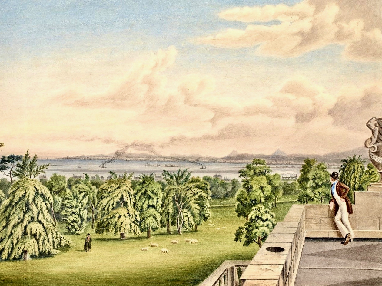
Fortified houses are a distinctly Irish phenomenon. The Tudor period in Britain ushered in a great era of manor house building with many distinctive features. But England was a peaceful place – the owners of these great houses did not expect to be attacked. Tudor Ireland was a very different environment: life was still dangerous and conflict between the native Irish and the planter class, or between Irish clans, was common.

Machicolations at Coppinger's Court

Fortifications at Coppinger’s Court – projecting machicolations

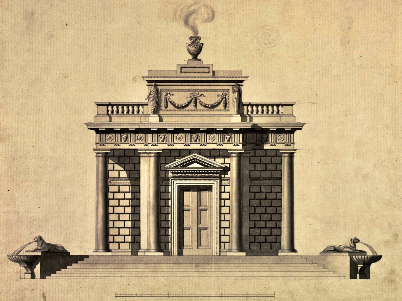
Up to the end of the 16th century the castle/tower house was the residence of choice of the powerful – a tall stone keep mainly focused on defensive features and horribly uncomfortable to live in. (See Illustrating the Tower House for a complete run-down on tower houses.) The new manor houses emphasised the horizontal rather than the vertical, and were built with comfort in mind. However, they incorporated some of the defensive features of the tower houses – they were “fashionable but defendable.”

Mullioned windows

While tower house windows were notoriously tiny, they became much larger in the new manor houses

In Ireland they represented

a public display of power and wealth…[and] a long-term investment in their owner’s regional future and were monuments to an aspiration for an English and Continental house style suited to local Irish conditions. On a basic level the construction of a fortified house represented the owners’ desire to modernise and Anglicize.

This quote and much of the information that follows are taken from The Fortified Houses of County Cork: Origin, Fabric, Form, Function and Social Use of Space, by Joe Nunan, who has generously made it and related material available on his website.

Gun loop at ground floor level, Coppinger's Court

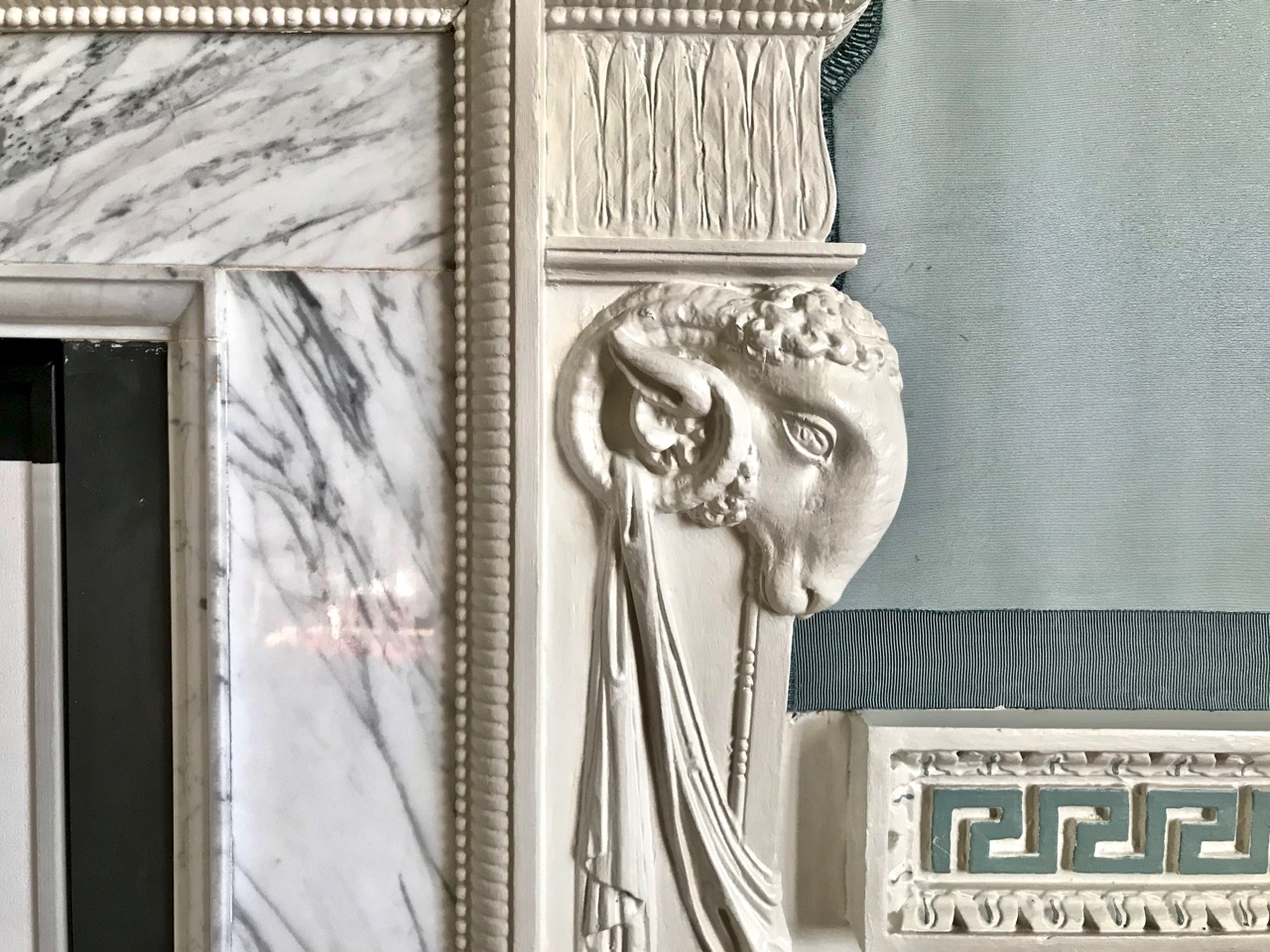
At Coppinger’s Court, a small gun loop in the wall among the large windows

Fortified houses were built of stone but unlike tower houses all internal floors, stairs and partitions were of wood. Defensive features included machicolations, bartizans, wall walks, gun loops, corner towers or wings to provide for flanking fire. They were built starting about 1580 up to about 1650, in a style generally known as Elizabethan.

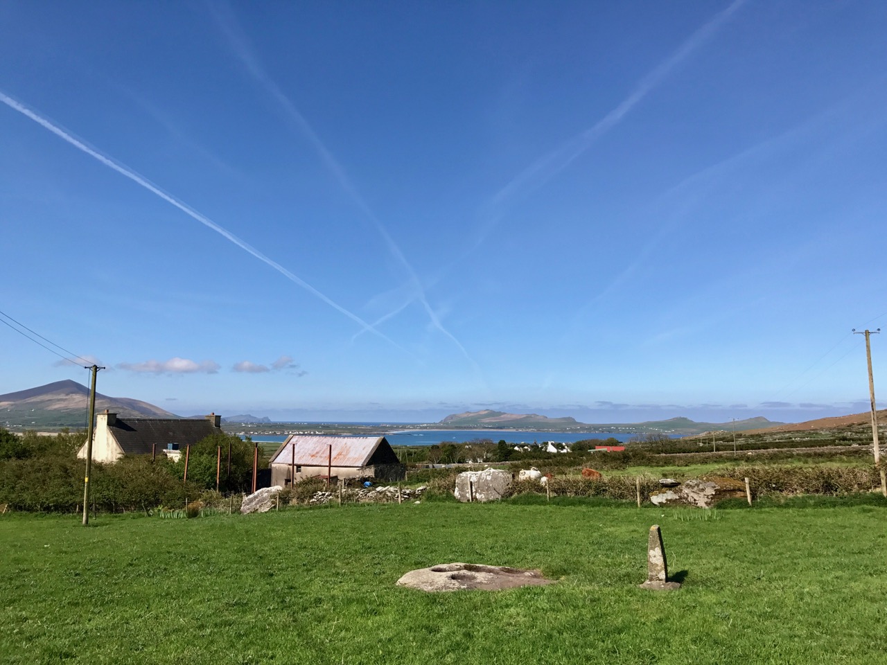
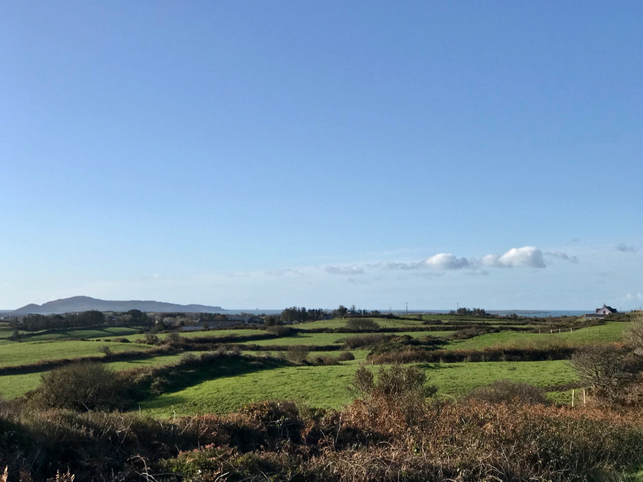
Coppinger’s Court marooned among the fields and modern houses, near Rosscarbery. Walter Coppinger had a vision of a large settlement along the Roury River here, but it never came to fruition

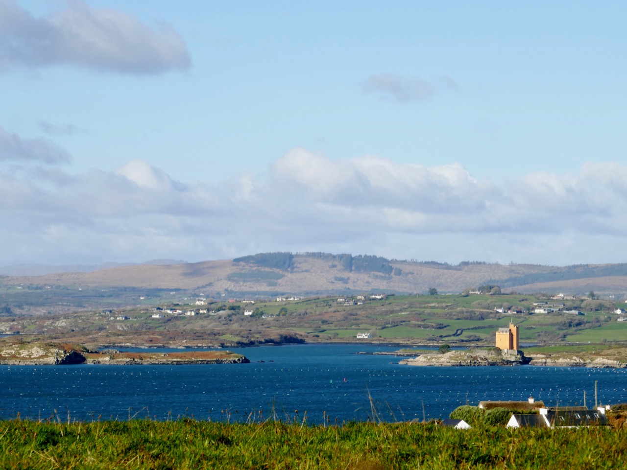
There are four surviving fortified houses in West Cork (although Joe Nunan would include Baltimore Castle as well). The most impressive is Coppinger’s Court, in Ballyvireen townland near Roscarbery: indeed it is one of the most magnificent examples of this type of dwelling in Ireland. Some of the mullions remain in upper windows, and a sharp eye will spot gun loops in the outer walls. The machicolations are particularly fine, with impressive cut stone supports. This was the home of the infamous Sir Walter Coppinger, whose plan was to build a complete settlement around him in this lovely spot on the banks of the Roury River. He was a despot who got rich through clever manipulations of mortgage documents and he was said to hang his enemies from one of his windows.

The chimney on top of this wall has fallen - note the pile of stones on the ground.

The pile of stones in the foreground is the remains of a fallen chimney

The house was so awe-inspiring in its time that the legend developed that it had a window for every day of the year, a chimney for every week and a door for every month. The house was eventually attacked and ransacked in 1641 and has sat in ruins ever since. Sadly, one of the magnificent chimneys fell down in the storms of early 2014. Evidence of a bawn wall remains, with possible outdoor cooking areas.

Gearhameen - a U shaped plan

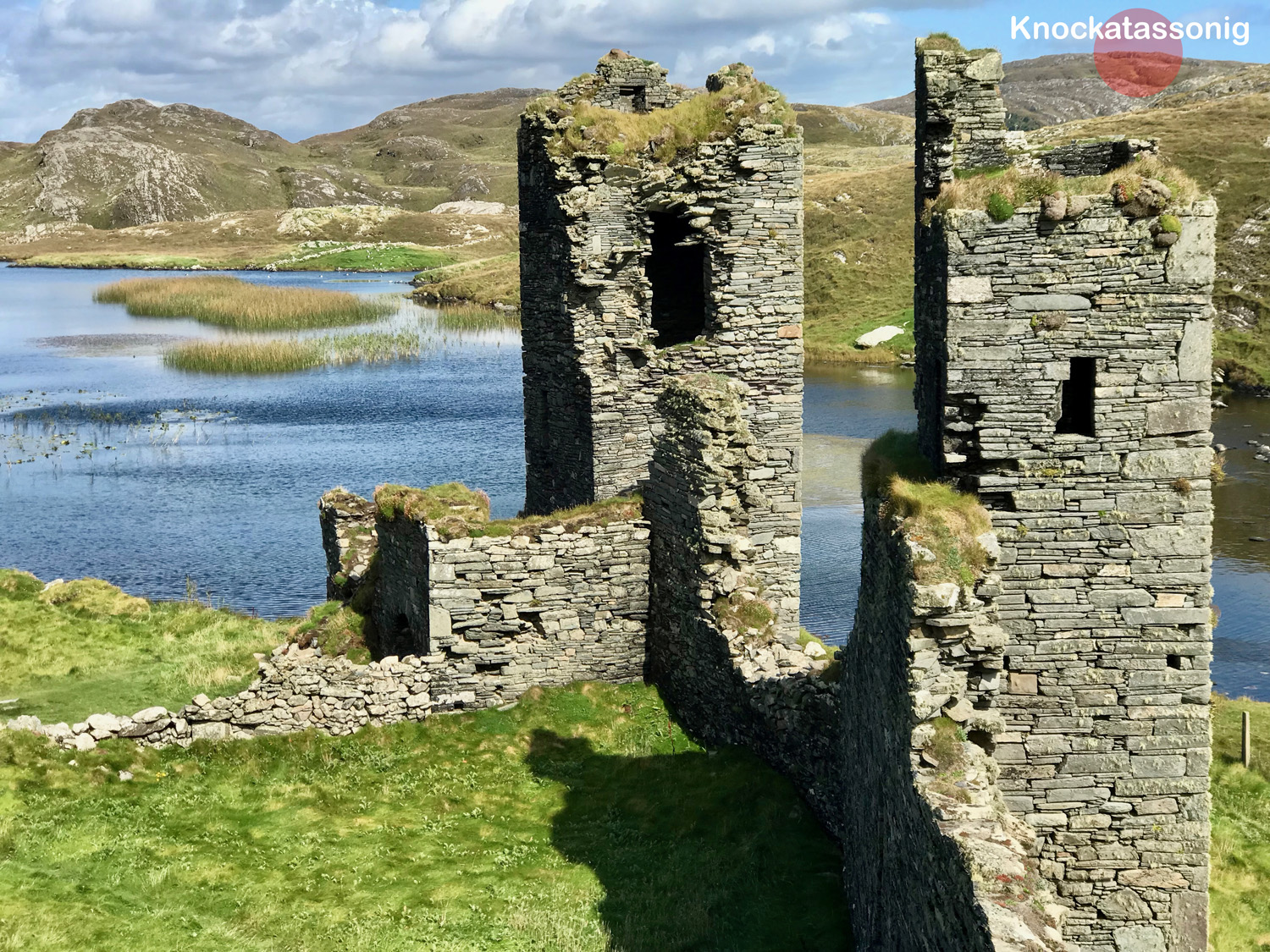
Geerhameen Fortified House, also known as Coolnalong. This view shows the U-shape design

The fortified house at Gearhameen near Durrus, built by the MacCarthy Muclaghs, provides evidence of the comfort that these new ‘castles’ provided. The household work was done on the ground floor – large kitchens contained huge fireplaces, and in this house we can see the main kitchen fireplace had a bread oven to one side and a slop hole for sweeping out leftovers to the pigs (see below), who must have been in an attached pen (the smell!).

Large ground floor fireplace with bread oven

The first and second floors have large fireplaces, with magnificent herringbone chimneys still intact (and hosting nesting choughs).

Rather than the machicolations we see at Coppinger’s Court, corbels on the outside walls probably supported wooden or stone platforms.

Corbels supported a platform for defenders

Like Coppinger’s Court, the outer walls still stand to their full height, but the loss of a keystone above one arch, and the consequent development of a large crack above it (below), bodes ill for that section of the wall.

Missing keystone

The house at Reenadisert, near Ballylickey, (below) has been built onto and within over the centuries, serving as a modified dwelling place and as farm buildings. It was the stronghold of an O’Sullivan.

It is in a very ruinous state inside – the eeriness is enhanced by an enormous crows’ nest that has fallen from inside one of the chimneys to rest on the ground. There is evidence of a basement but this cannot be accessed.

Fallen nest

A corner tower sports an impressive bartizan (corner machicolation).

That this house is still standing is something of a miracle. It is on the same land as a ruined hotel and Celtic Tiger-era abandoned housing project and I cannot find out any information about its ownership or future.

The final house (below) is at Aghadown, once home to the Becher family, and consists only of one wall with attached towers. Ivy has threatened to take over most of it – I love Leask’s description of ivy – “destructive green mantle beloved of the sentimentalist.” The house occupies high ground and once had a commanding view. Nearby are the remains of a belvedere and pleasure garden that once formed part of the demesne. Have a look at Capturing the View: Belvederes in West Cork for more on this feature of Aughadown House

Aghadown Fortified house occupies high ground with a commanding view

Through all that ivy one can make out traces of the slate that once hung on the wall above the ground floor, the outline of corbels at roof level, and a string course between the ground and first floor.

One of the Fastnet Trails goes past Aughadown House now, and there is a neat little plaque giving more information about the house and the Bechers.

Joe Nunan provides useful summations of Irish fortified houses. Among other points, he says the following:

The fortified houses built in Co. Cork had a unique Irish architectural quality and a distinct southern English look and feel; the result of contacts built up between both regions, politically through plantation-immigration and economically, through trade with the port and fishing towns of Waterford, Cork, Kinsale, Youghal and Baltimore. The social changes that took place in Tudor England were reflected in architectural form by the elites in that society and it was the latter who spearheaded the Munster plantations. They were noblemen who viewed Munster as another region within a larger England and it was through these individuals that the initial architectural influence of the many gabled, oblong country manors with circular, square, rectangular and hexagonal corner-towers was introduced into Co. Cork.

We are lucky to have these fine examples of  fortified houses in West Cork still. However, all of them  are in a perilous state of dereliction. Gearhameen’s owner has tried to stabilise the building and stave off collapse but all of them may eventually succumb to the natural ravages of time. That’s a sad thought.

An earlier version of this post was written in 2015, now edited and updated.

The Enigmatic Bullaun

Bullaun Stones abound in Ireland. They are usually found nowadays at sites with ecclesiastical connections, as in the example above at Maulinward, an ancient West Cork burial ground. This association does not reduce or affect their traditional uses – according to folk convention – to cure or to curse. The Irish word Bullán means ‘bowl’ – a water container. At pilgrimage sites, such as St Gobnait‘s, Ballyvourney (below), the bullaun stones often hold quartz fragments or smooth, rounded pebbles – perhaps incised with a cross – which are turned around each time a pattern or procession is completed.

The Maulinward example on the header picture shows how the tradition of making offerings at some of these locations continues to this day. At other sites, such as the one below, the hollowed-out stone filled with rainwater takes on the properties of a holy well, and is visited for cures or simply good fortune.

This example, outside the door of the church at Cill Lachtáin, Co Cork seems to have been mounted to perform as a holy water stoup: the plaque reads ” . . . This blessed font of Cill Lachtáin was standing in Cloch Aidhneach from 600AD to 1600AD . . . “ Others resemble fonts and are similarly associated with places of worship. Look at this striking stone from Timoleague Friary, whose purpose – according to tradition – is clearly stated:

In the sixth century, the Council of Tours ordered its ministers ” . . . to expel from the Church all those whom they may see performing before certain stones things which have no relation with the ceremonies of the Church . . . ”  Such an order doesn’t seem to have prevented folk customs of curing continuing into the twenty-first century.

The ongoing use of bullauns as fonts, stoops or holy wells does not explain their original purpose (which is probably pre-Christian: here’s an interesting conjectural world view of the phemomenon), and it’s quite likely that we will never fathom for sure what they were for. The example above, at Kilmalkedar, Co Kerry is as enigmatic as they will get, with its multiple ‘basins’ carved into a large earth-fast boulder isolated in the middle of a field, although not far from a remarkably complex ecclesiastical site. But the one I find the most fascinating can be found along the Priest’s Leap road, a mere few steps away from our own home in West Cork . . .

This rock outcrop – known locally as The Rolls of Butter – is large (I’m there to give it scale!) with seven scooped-out bullaun like basins and a somewhat phallic central upright stone. The basins each contain a large, smoothed pebble. Some folk traditions in Ireland identify such pebbles as ‘cursing stones’: “. . . if you wanted to put a curse on someone, you turned the stones anti-clockwise in the morning . . . ” However, the curse had to be ‘just’ otherwise it came back to curse you in the evening! The illustration below – of ‘cursing stones’ at Killinagh, Co Cavan was made by antiquarian W F Wakeman in 1875. He also noted the similar local folk traditions of these examples.

Many bullaun stones or stone groups around Ireland have been included in the National Monuments records, and number in the hundreds. Functional, magical, sinister? Who knows . . . Your guess is as good as anyone else’s. But one thing is certain – they are intriguing and mysterious. Keep a look out for them – as we do – in your travels around this land.

Note: this is a re-run of a post I published five years ago – but it’s been augmented, updated and – hopefully – improved!

Walking West Cork – Another of the Fastnet Trails

We’re well into November, yet clear, dry days abound and we are drawn out into the lanes of West Cork. There are so many to choose from, and all are quiet, although we will always find someone to share a chat along the way. Yesterday we donned our boots and followed another of the Fastnet Trails – the Ilen River Loop. In fact, the boots were unnecessary as the whole route is on virtually deserted paved roads. If that sounds unexciting, let me tell you it isn’t: wherever you go in West Cork you won’t be short of sweeping green landscapes, broad views – mostly over mountain or water – and fragments of engrossing history jumping out to meet you.

We started at the Lisheen trail head and covered the 8 kilometers in a bit over two hours. This did include some dawdling and chatting: in Ireland the latter is unavoidable, and applies to everyone you meet. With us were friends Amanda and Peter, and you’ll find Peter’s Hikelines account of the expedition here: his watercolour illustrations can only be described as ‘exquisite’.

Look carefully (above) at the line of sea on the horizon: just visible is the unmistakeable silhouette of the Fastnet Lighthouse, justifying this route as a part of the Fastnet Trails network. It’s a wonderful asset for locals and visitors. You could simply drive along these routes, of course, but you just won’t get to see the details and appreciate the beauty. On foot you can pause at every turn and on every brow to properly take in the delectable countryside. And the network of trails is expanding – new routes are being developed at the west end of the Mizen: here’s another of Peter’s posts.

There are views to the north as well, looking into Ballydehob Bay which Jeremy Irons’ ochre coloured Kilcoe Castle dominates. Above the water can be seen the islands of Roaringwater Bay and the ridges of the Mizen and Sheep’s Head, and even the high peaks of the Beara Peninsula beyond. But we must focus on the subject of this trail, which is the broad estuary of the Ilen River as it winds inland, feeding into the woods and pastures of West Cork, narrowing but remaining tidal right up to Skibbereen: schooners used once to berth on the five quays serving that town.

All along the coastline and river estuaries in West Cork are reminders of how important transport by water once was. Dozens of quays are still here, in good working order – there was a drive to revive and restore the more significant ones some years back. Also there are traces of more ancient ones which are slowly decaying into nature. All were put there to serve the isolated rural communities in the days when boreens were only narrow tracks, often impassable in the winter months. But on these western peninsulas no-one is more than a few miles from navigable water – and those quays were an invaluable asset.

Our route passed right beside the Glebe Quay, where we came across the hull of an old fishing boat and – by chance – one of its former owners! Here we are, ‘at the chat’, above. This became a long ‘chat’ – as I was most intrigued to find out why this large vessel was sitting here in a deteriorating state – but we had to cut it short in the end as we were getting cold standing still! Our informant was Mike Williams, who Finola and I have met before: he lives on the shore of the Ilen River and has been involved in boats and boatbuilding for much of his life. He bought this former herring ring-netter some years ago with the intention of restoring her, but sold the vessel on to another enthusiast. The project did not succeed, however, and now the boat is on its way to the marine scrap yard – a sad but inevitable fate for many retired wooden craft.

I did a bit of internet delving and was pleased to turn up some historical information on this boat, which Mike told us was named Ribhinn Bhan. Ribhinn comes from the old Irish word rhigan meaning ‘maiden’, while bhan in Irish means ‘white’. This vessel started life with the name Ribhinn Donn – ‘brown-haired maiden’, and was built in Scotland by Nobles of Girvan in 1966. She was first registered in Scalpay Isle – Sgalpaigh na Hearadh in Gaelic, one of the Outer Hebrides, close to Harris – and carried the number SY 371. She was renamed in 1973 and reregistered as B23 in 1989. She arrived in Tarbert, Co Kerry, Ireland in 2004, and Mike bought her in 2006. I’m including these two not-so-good quality photos of Ribhinn Bhan, which I traced, for historical interest: the first is the vessel in Tarbert, and the second  follows her to West Cork; she is on the right, here, in the boatyard at Oldcourt, on the Ilen River, in 2007.

Moving on from the Ribhinn Bhan our path followed the line of the estuary, rising up to higher ground before turning back towards the trail head at Lisheen. There were many more sweeping views to be enjoyed, and the delight of being immersed in the simple ambience of rural life in West Cork, with all its unremarkable yet irresistibly attractive details. 

We passed the quite remote but still running Minihan’s Bar – an ideal refreshment point on summer evenings – but not open for us on this November afternoon. The also remote seeming Saint Comghall’s Church, built in 1832, marked the return to the trail head and the end of our walk. It was a most satisfying expedition on a remarkably golden late autumnal day.

Up-to-date information on all the Fastnet Trails – including this one – can be found on this website. Our Roaringwater Journal has also written up a few more of them. Give them a try, if you haven’t already done so . . . Enjoy!

Bloodshed and Fenny Poppers – the Legacy of Martinmas

If the wind is in the south-west at Martinmas (10 November), it keeps there till after Candlemas (2 February) . . .

I’m writing about St Martin again! I’ve already put up posts about this character and his fascinating legacy over the past few years. He can take another – after all, we celebrate St Patrick year after year and that’s ok, because this is Ireland . . . But St Martin never set foot in Ireland (as far as we know) although he is well remembered in many Irish traditions, including that piece of weather-lore above. And here – as elsewhere in Europe – there’s a phenomenon known as St Martin’s Summer, or Martin’s Little Summer, which describes an unseasonable spell of warm weather, sunshine and clear blue skies that occurs around about now, in mid-November. In fact today – Martinmas or St Martin’s eve – has dawned warm and clear.

Header and above – looking across Rossbrin Cove from the garden of Nead an Iolair early this morning – St Martin’s Eve – conforming with the tradition of ‘Little Summer’ associated with the saint

The English poet John Clare (1793 – 1864) – sometimes called the peasants’ poet – wrote a very long poem about  St Martin’s Eve: I’ll quote some verses as we go along. It’s worth noting that Clare was a great champion of traditional rural life, and was known as “. . . the greatest labouring-class poet . . . No one has ever written more powerfully of nature, of a rural childhood, and of the alienated and unstable self . . .” That’s according to his biographer Jonathan Bate. Although some of his work was well received in his lifetime, he was unable to make enough to keep him, his wife and seven children – and his alcohol consumption – on an even keel. He suffered from ‘strange delusions’ and spent the last twenty seven years of his life in asylums where, nevertheless, he continued to write.

Now that the year grows wearisome with age 

& days grow short & nights excessive long

No outdoor sports the village hinds engage                                                                                Still is the meadow romp and harvest song                                                                               That wont to echo from each merry throng

At dinner hours beneath high spreading tree

Rude winds hath done the landscape mickle wrong

That nature in her mirth did ill foresee                                                                                       Who clingeth now to hope like shipwrecked folk at sea . . .


(John Clare, St Martin’s Eve, 1823)

Here’s St Martin, looking every inch a medieval knight – although in fact he lived in the fourth century. He was St Patrick’s uncle – possibly accounting for his popularity in Ireland. In this Italian representation he is shown cutting his cloak in two and giving half to a beggar: the act that has made him famous. He was a Roman soldier but gave up that calling to be consecrated as Bishop of Caesarodunum (Tours) in 371. Although he lived a long life, he is said to have died a martyr by being thrown into a mill stream where he was crushed by the wheel. He achieved acclaim as the patron saint of soldiers, but also managed to become the patron saint of conscientious objectors!

The Basilica at Tours, France (above). St Martin served as Bishop here from 371 – but reluctantly. It is said that he tried to hide from those who wanted to install him as Bishop, but his hiding place was given away by the cackling of geese – which have been associated with the saint ever since. Other stories tell how the saint destroyed pagan temples and cut down sacred trees: in one instance, the pagans agreed to fell their sacred fir tree, if Martin would stand directly in its path. He did so, and it miraculously missed him. There’s a relic in the St Catherine’s Convent Museum of Religious Art in Ultrecht, the Netherlands, which claims to be a hammer which St Martin used to fell pagan sites including sacred trees.  Archaeological analysis has shown it was probably made in the 13th or 14th century from a late Bronze Age stone axe dating from c 1,000 – 700 BC. The handle contains a Latin text saying Ydola vanurunt Martini cesa securi nemo deos credat qui sic fuerant ruicuri (‘the pagan statues fall down, hit by St Martin’s axe. Let nobody believe that those are gods, who so easily fall down’). Here it is:

Beside the fire large apples lay to roast

& in a high brown pitcher creaming ale

Was warming seasoned with a nutmeg toast

The merry group of gossips to regale

Around her feet the glad cat curled her tail

Listening the crickets song with half shut eyes

While in the chimney top loud roared the gale

Its blustering howl of outdoor symphonies

That round the cottage hearth bade happier moods arise . . .


(John Clare, St Martin’s Eve, 1823)

It seems a little incongruous, perhaps, to come from a world of basilicas and silver hammers to ancient folk-customs in rural Ireland, but not so long ago Martinmas was greatly celebrated here. Kevin Danaher quotes Mason’s Parochial Survey:

On the eve of St Martin (who is one of the greatest saints in their calendar) in November every family of a village kills an animal of some kind or other; those who are rich kill a cow or a sheep, others a goose or a turkey; while those who are poor, and cannot procure an animal of greater value, kill a hen or a cock and sprinkle the threshold with the blood, and do the same in the four corners of the house; and this ceremonious performance is done to exclude every kind of evil spirit from the dwelling where this sacrifice is made, till the return of the same day in the following year . . .

Danaher also mentions a writer, Amhlaoibh Ó Súilleabháin, commenting in 1830 from County Kilkenny:

The eleventh day, St Martin’s Day. No miller sets a wheel in motion today, no more than a spinning woman would set a spinning wheel going, nor does the farmer put his plough team to plough . . .

The tradition undoubtedly refers back to St Martin’s death from being ‘ground by a mill wheel’. Significantly, there are numerous entries in the Dúchas Folklore Collection, dating from the 1930s, which show that these customs were still remembered and – on occasion – practised:

One of many examples from the Dúchas Folklore Collections which remember the importance of Martinmas customs

Martin King used kill a fowl every St Martin’s night in honour of St Martin. One year Martin forgot it and when he awoke in the morning the floor from his bedroom to the kitchen was covered with blood. Martin washed out the floor, but when he awoke again the following morning the floor was covered with blood again. This went on for three nights. Martin was very troubled about it so he told his story to an old woman that lived near him. The old woman told him it was because he had not killed something in honour of St Martin. Every year after that till he died Martin killed a hen or something in honour of St Martin . . .


(Eileen Donegan, Knockane, Listowel – collected for Dúchas 1935)

Another from Co Kerry:

St Martin’s day is held on the 11th of November. It is held as a feast day in honour of St Martin. The night before St Martin’s day people kill a goose or a chicken or some other kind of fowl, and they draw the blood and dip a piece of flax in it. They keep the piece of flax because it is said to be a cure for a pain in one’s side.


St Martin was a saint who was ground in a mill for his faith.


In olden times the mills used not work on that day The women in olden times used not work. No one would turn a wheel not even of a car.


(Mrs Walsh, aged 90 years – Tullamore, Co Kerry – collected for Dúchas)

The next piece is particularly interesting as it mentions St Martin’s association with a white horse:

It is a custom in Ireland to kill a cock on Saint Martin’s Night.


There was a man who emigrated to America. On St Martin’s night he was very sad. He was telling his friends that he would like to be home in Ireland, because if he were home he would kill a cock in honour of St. Martin.


He went outside and he went down the street. He met a man on a beautiful white horse. The man asked him would he like to go home. He said he was just wishing to be at home. He told him to get up on the horse. He did so and the next place he found himself was at his own door in Ireland.


The man told him to come out at a certain hour. He killed the cock and came out at the hour that he was told to do so. The man was waiting for him at the door. He got up on the horse and rode away. It was said that it was St Martin who brought him home.


(Maura Keating, aged 82 years, Passage East, Co Waterford)

St Martin’s Eve celebrations are still observed all over Europe. This is a festival in Italy, where children carrying lanterns watch out for the saint arriving on his white charger

What about Fenny Poppers? I hear you ask . . . Well, we have to go across to Northamptonshire, in England, for this surviving – and most curious – custom. St Martin’s Church, Fenny Stratford is to this day the scene of an event which has no apparent origin, nor any particular purpose. I won’t try to offer you an explanation – just to point out that it happens every Martinmas come hell or high water. Here’s a somewhat eccentric account of the event from a Movietone News snippet c 1950:

That’s probably enough about St Martin and his special day to last you another year. The subject is by no means exhausted!

Casino Marino

It’s a perfect little building: a gem of Irish architecture. It lies in an oasis of parkland on the outskirts of Dublin city – all that’s left of an expansive eighteenth century country house demesne, now all but engulfed by housing estates. But – perhaps in homage to the eccentric conceiver of this environmental idyll – the housing estates which have stood below it since the 1920s are quite out of the ordinary. Have a look at the layout on this contemporary plan of Merino townland, carved out of the larger Donnycarney which was granted to the Corporation of Dublin following the dissolution of The Priory of All Hallows in the reign of King Henry VIII. 

This plan is showing the location of Casino Marino, with the green areas around it being the remnants of a 238 acre demesne. The housing below the surviving Casino was Ireland’s first example, in the newly formed Irish state, of an affordable housing project and was the first local authority housing estate in the country. It was heavily influenced by Ebenezer Howard’s Garden City movement, originating in the UK with the two revolutionary developments at Letchworth Garden City and Welwyn Garden City. This Dublin estate of about 1300 houses was built on the site of a planned formal garden for Marino House and the original design was followed when the streets were laid out. This gives the Marino estate its symmetrical layout. When it was first built, purchasers of houses were restricted to large families, while alcohol and dogs without leads were banned from the parks, as were children after dark.

Ebenezer Howard, To-morrow: A Peaceful Path to Real Reform – diagram of the ideal city, dated 1898

Back to the eighteenth century, and the heroes of our piece today: James Caulfeild, 1st Earl of Charlemont (1728 – 1799), and his friend, the architect Sir William Chambers (1723-1796). James (left, below – a portrait by Pompeo Batoni) was a cultivated man who disregarded the conventions of court and openly pursued Irish nationalism, having taken a leading part in the formation of the Irish Volunteers. He was the first President of the Royal Irish Academy and was a member of the Royal Dublin Society. In 1783 he was made a founding Knight of the Order of St Patrick. Like most of the wealthy young gentry of his time he went to Italy on The Grand Tour: he fell in love with that country and classical Roman culture and stayed away for nine years. When he returned he determined to bring the spirit of Italy to Dublin. Acquiring tracts of land by the coast that afforded unrivalled views over the entire bay and city, he poured his energies into creating an ideal landscape: he named his demesne ‘Marino’.

William Chambers (on the right, above – this portrait by Joshua Reynolds is in the Royal Academy) was also a great traveller: he was born in Gothenburg to a Scottish father and visited and studied architecture in China, Paris and Italy – where he met Charlemont. He established a practice in London, where he was appointed architectural tutor to the Prince of Wales, later George III. As the leading classicist of his day, it was unsurprising that Charlemont should turn to him to realise his dream of an Italian arcadia in Dublin. It was a commission that took many years to come to fruition, partly because of the Earl’s seemingly limitless ambitions and his attention to fine detail.

Charlemont’s Marino estate enjoyed fine unrestricted views across Dublin Bay. The culmination of the Earl’s work on his estate (and now the only surviving element) is the Casino, and this is sited on the highest point on the land: the painting above shows the view from the roof of the Casino, which was fully accessible from the building interior. So – what is a casino? It’s simply the Italian for small house, and in this case has been built as a garden room or, perhaps, a gazebo. Ornamental, but eminently functional. From the outside it appears small, but exquisitely detailed on all its elevations. In fact, the simple building houses 16 rooms over three storeys – plus the roof terrace.

Exercises in architectural scale. Upper – an almost contemporary view of the Casino painted by William Ashford (1746-1824), National gallery of Ireland: here the building seen in its landscape context looks like a miniature folly. Centre – a close-up of the roof detailing includes life-size statuary. Lower – Ava and Hugo, willing participants in our expedition to the Casino, help to give an impression of its true size.

The Casino is guarded by four large lions. Originally they were intended to be fountains – as you can see from the original architect’s drawing, above. In this drawing you can also get a good sense of how the designer plays tricks with scale: the doorway is perhaps three times the height of a normal door, and only a small section at the bottom is, in fact, an opening.

Symbolism and hidden messages abound: the architect, Sir William Chambers, left his signature – in the form of a ram – in many parts of the house. Every moulding, coving, frame detail has a meaning in terms of architecture and freemasonry – and also pays homage to the Greek and Roman classical orders – at the behest of the client. The parquet flooring is magnificent – and is at present kept covered by a vinyl replica to protect the original exotic woods.

The detailing of every element has been fully considered. I was impressed with the curved timber doors, which follow the line of circular wall partitions inside. And, particularly unusual, is the use of vertically curved glazing which causes reflections when seen from the outside, meaning that no shutters or blinds are needed at the windows.

Look carefully at these windows: they are crafted with vertically curved glass which make them reflective externally!

Examples of the plasterwork within the Casino include agricultural harvest symbols, every classical moulding motif and Apollo the sun-god. It would take several visits to absorb and catalogue the complete variety of images: every room has a different visual character.

There are hidden elements – and enigmas – to the building. These include ‘secret’ tunnels in the basement: one was used by Michael Collins to test-fire submachine guns during the War of Independence. The picture above shows a reconstruction. The basement of the Casino, including the tunnels, is currently undergoing further restoration and refurbishment and was not accessible during our visit. It is said that there are many other tunnels, including one that linked the Casino to the big demesne house (now demolished) – and some that, according to legend, run to the coast – miles away!

Charlemont was a liberal and believed that everyone should have access to his parklands: there were no gates. He was so protective of his project, however, that he married in middle age, having been a confirmed bachelor. He had overheard his then presumed heir (his brother) talking about how he was going to exploit and commercialise the demesne once he got his hands on it: this prompted Charlemont to ensure he produced an heir that he could have some direct influence over! Evidently, the marriage was a happy one. The image above shows the Casino in a sad state of disrepair around 1900: the estate was broken up by the third Earl in 1876.

The Casino was adopted as a National Monument in the 1930s, and a full restoration was begun in the 1970s. A further phase of this restoration is currently under way, and the property is only open on limited occasions when suitable areas are accessible: we were fortunate to get there on one of those times. If you plan to visit, contact the Office of Public Works to make sure that you will get in. Charles Topham Bowden made the journey in 1791, and recorded it in his journal A Tour Through Ireland: here is an extract:

. . . This is one of the most beautiful and elegant seats in the world, happily situated, and in a demesne improved in the highest taste, comprehending 238 acres, laid out in plantations, lawns, and a delightful park . . . The temple is situated in the park – a monument of his Lordship’s refined taste. The Gothic room is a very curious and beautiful structure. The hermitage is nature itself. Art and nature unite in rendering this a most desirable residence. What obligation are not the citizens of Dublin under to his Lordship for having the gates of this terrestrial paradise opened to them whenever they chuse [sic] to walk through it . . .

Mizen Mountains 1 – the Hill of the Foxes

The first day of October seemed ripe for starting a new project. It was also a beautiful, rich, blustery autumnal day – ideal for heading to the remotest uplands. I have always been drawn to high places: there’s something romantic about seeing the coastal landscape laid out below your eyes, especially in these western wildernesses where bare rock, gorse and heather intertwine with history: ancient farmsteads, ruined cottages and impossibly isolated forgotten quays, seemingly abandoned along our most rugged shores.

Header – Toor Island just off the mainland close to the west end of the Mizen Peninsula: the high ground beyond is the peak of Knockatassonig. Above – it’s a most remote and wild place for a pier, but Toor Quay is still accessible from a winding, overgrown footpath and 107 concrete steps: today it’s only the occasional haunt of anglers

This project – Mizen Mountains – sets out to explore all the peaks on our westernmost peninsula. Are they mountains? It all depends on the context, and your perspective. Mizen’s loftiest outcrop – Gabriel – is 400 metres above sea level. Quite modest (Kerry’s MacGillycuddy’s Reeks claim the country’s highest summit, Carrauntoohil, at 1,038 metres), yet when you do look down on the spine of our peninsula from above, it’s all rocky crags and ridges pushing upwards towards the heavens, while at the edges the mountains fall precipitously towards the sea. It’s great, dramatic country, calling out for exploration – and there’s nothing we like better than finding new ways to discover this land and all its stories.

The view to the western end of the Mizen Peninsula, seen from the slopes of Mount Gabriel. The Sheep’s Head is across to the right

50 years ago the writer, Peter Somerville Large, set out to travel the western peninsulas of Ireland on a rusty bicycle purchased for the purpose in Skibbereen. I like the introduction he gives to his book The Coast of West Cork, first published in 1972, and still in print – it serves my own project well:

. . . I set out into the country. The sun had filtered through after rain, making the tarmac steam with moisture and sending up towering clouds off the mountains into the sky. Cattle stood motionless in the boggy fields and water dripped from the leafless sycamores . . . I travelled along the coast of West Cork, through Carbery, from Clonakilty to Roaringwater Bay with its fringe of islands and castles, and north to Bantry and the Beare peninsula. Much of the land near the coast consists of bog and mountain with headlands like lines of slanting spears thrust into the Atlantic. But there are parts that are sheltered, with a tropical lushness that is partly ascribed to the benign influence of the Gulf Stream. Ruins are soon covered with thick ivy and it takes only a few trees or slips of fuchsia to make a protective wall. Some valleys and hillsides have pockets of moss-covered oak-trees which are survivors of the ancient forest that covered the country three hundred years ago . . . From Goleen the old road wound high over a ridge before dropping down to Crookhaven. Almost all the land was rocky around Knocknamadree; The quilted shadows of clouds passed along the high ground over to the sea . . .

Satellite view of the rocky landscape towards the western edge of the Mizen: Knockatasonnig is a barren peak

I have set the bar at the 200 metre contour line – anything above that is, for me, a mountain! So I will be traversing the terrain in search of all the eminences above this elevation on the Mizen, looking specifically at topography and any traceable history and folklore specific to these ‘mountains’. But I will also be talking about our journeys to these destinations: you know how fond we are of getting ‘off the beaten track’. Every new exploration is invariably a revelation! This time around, we are going west – almost as far as is possible on this peninsula – to the townland of Knockatassonig, which peaks at 204 metres.

Top – the 25″ Ordnance Survey map, locating Toor Quay and Knockatassonig. Lower – the earlier 6″ map outlining the townlands

Knockatassonig is a curiosity. It’s a townland which doesn’t seem to have any habitation – and possibly never did. The 6″ map, above, was originally surveyed in 1846 and is valuable in outlining the townland boundaries at that time. It may be that in pre-famine times there were dwellings in the area: Ireland was much more heavily populated in those days, even in places like this which seem so remote today. But sometimes the townland names are particularly useful to us because they can tell us something of the history, which would have been passed on aurally through the generations until the maps were made.

Upper – detail from the 25″ map, showing the ‘Boat Slip’ at Toor. The map was presumably surveyed before the present pier was made; the slip has been cut into the solid rock and launching boats there must have been a treacherous business. Lower – today, a steep, narrow boreen can be negotiated as far as the Stop sign! An overgrown footpath goes on down to the sea and quay. The mountains seen over the water are on the Sheep’s Head

So far we haven’t talked much about the ‘Mountain’ of Knockatassonig. This summit is very visible, but virtually inaccessible at this time of the year due to bracken and spiky fences. It can just be seen on the left in the header picture: that’s taken from the footpath which goes down to Toor Quay. Like most of the Mizen peaks, Knockatassonig commands good distant views. It should be more approachable in the winter months. Although it’s hard to get to, it can be seen from several places on the Mizen, including Dunlough. The photo below shows the peak on the horizon beyond the ruins of Three Castle Head:

Here’s a view of Knockatassonig summit seen from the south-west side, taken from the small road that goes down towards Toor.  The view below shows the complex profile of the summit seen from the north

In looking at the peaks of the Mizen I intend to explore and uncover – where possible – any extant memories of stories or local lore relating to them. As far as Knockatassonig goes, I have found nothing recorded, other than the name, which is shared with the townland. So what does it mean? Well, it’s not clear, but the logainm website suggests ‘The hill of the Englishman’, and compares this name to the entry for Corr na Seirseanach in Co Monaghan ‘The round hill of the Englishmen’ or ‘The round hill of the mercenaries or hired soldiers’. Well – that’s a surprise . . . and a bit hard to reconcile with the unpopulated landscape we see today in this part of West Cork. The Monaghan version of the name can be supported by political events dating from the early 1300s: it’s hard to relate these to any activities we are aware of on the Mizen, but Irish history is a complex thing – as are place-names. When Finola heard the name she thought it meant ‘The hill of the foxes’: a direct translation into the Irish of that would be Knock an tSionnaigh. Townland names were often written down in Anglicised form by surveyors whose ears may not have been attuned to the Irish nuances. I’m voting with Finola on this one: there’s sure to be a good few foxes in that landscape!

Here’s an earlier source of information on Irish names: the Down Survey. Undertaken between the years 1656 and1658, the Down Survey of Ireland is the first ever detailed land survey on a national scale anywhere in the world. It sought to measure all the land to be forfeited by the Catholic Irish in order to facilitate its redistribution to merchant adventurers and English soldiers. The extract above details the Parish of Kilmoe at the end of the Peninsula: note Three Castle Head depicted at the far left. The survey does not give modern townland names but we can work out where the Knockatassonig peak would be – in the section labelled Unforfeited Lands belonging to the Earle of Corke and Coghlane protestants  In which case, of course, not only the present day townland of Knockatassonig but all those around it could reasonably be termed ‘ . . . of the Englishman . . .’ Food for thought?

Below – peaks of the Mizen: many will be the subjects of future posts