Behold, Their Bright Shining Future Rising Before Them

This is the first in a series of posts being published simultaneously by Roaringwater Journal and the Ballydehob Arts Museum, celebrating 33 years of an aspect of art history in West Cork. The Living Landscape series of art exhibitions ran from 1987 to 1996, masterminded and driven by the energies of Cóilín Murray. Cóilín has recently donated an invaluable file of photographs to the Museum, connected to a sculpture trail which was set up between Skibbereen and Schull in the early 1990s as part of this project. We are indebted to Cóilín for these items, and I will be using many of them in these posts.

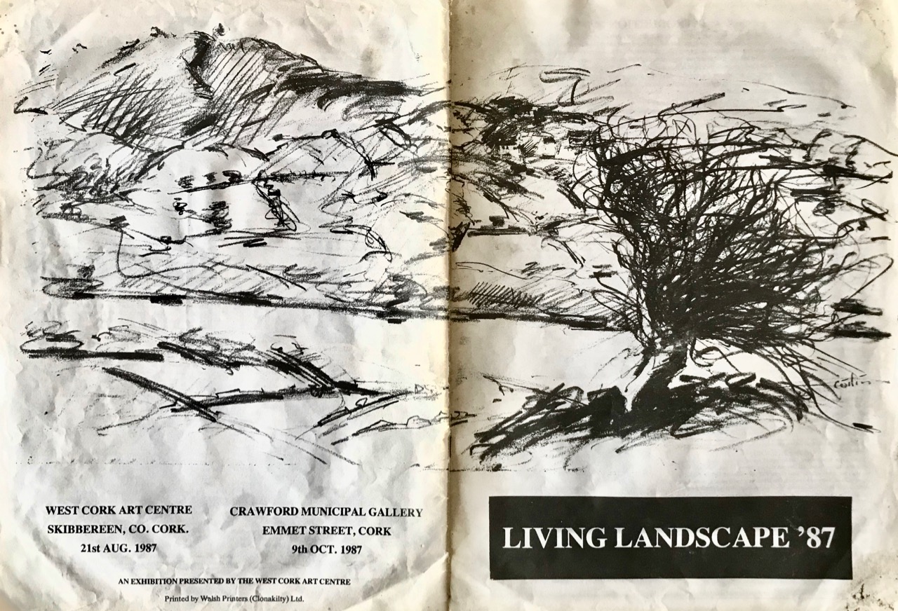
Catalogue from the first Living Landscape exhibition, launched by the West Cork Arts centre and the Crawford Gallery, Cork, in 1987. The cover illustration is by Cóilín Murray

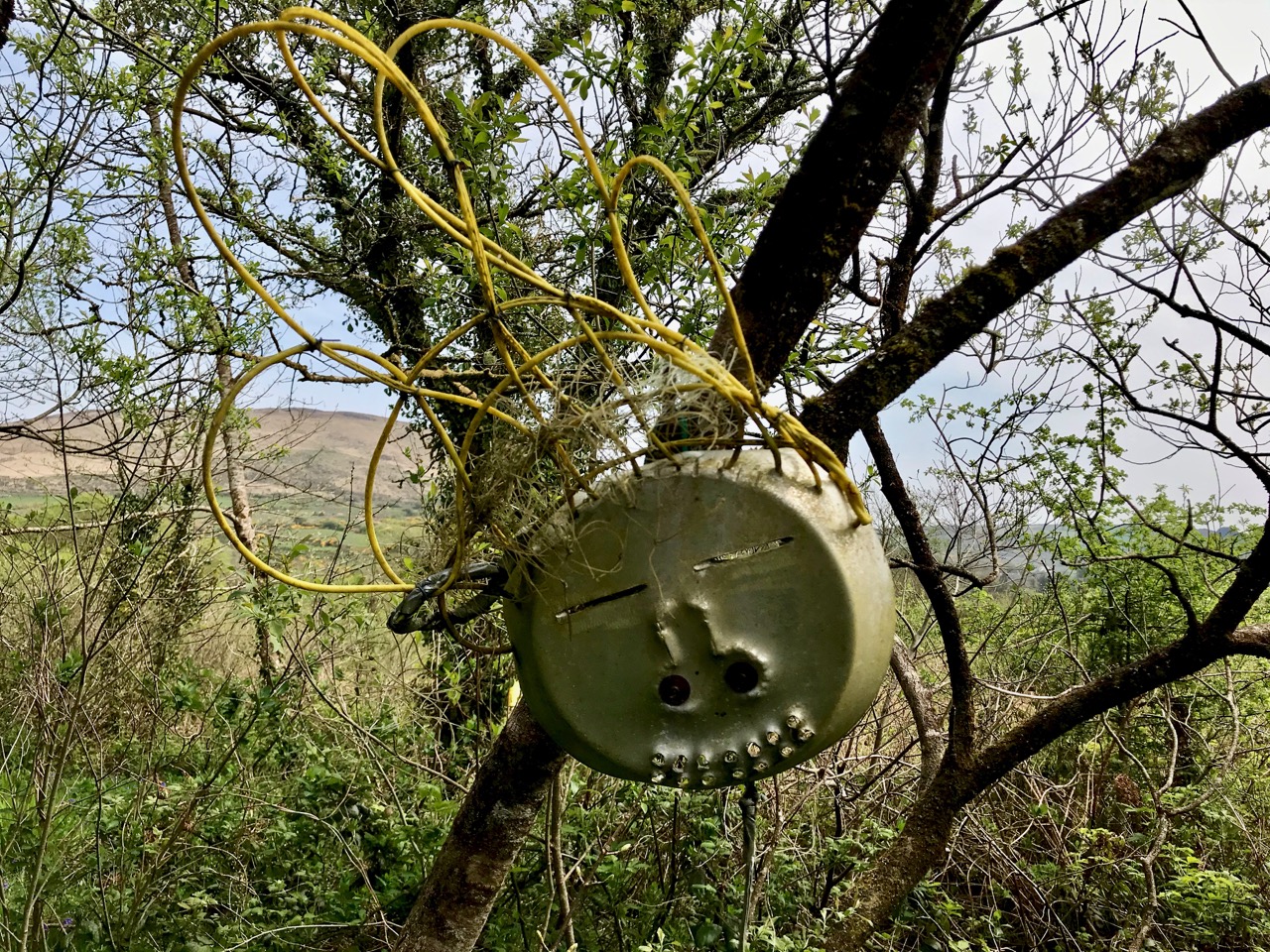
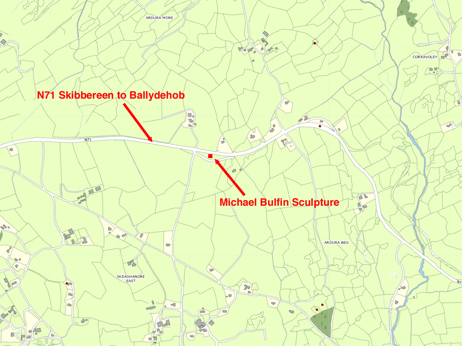
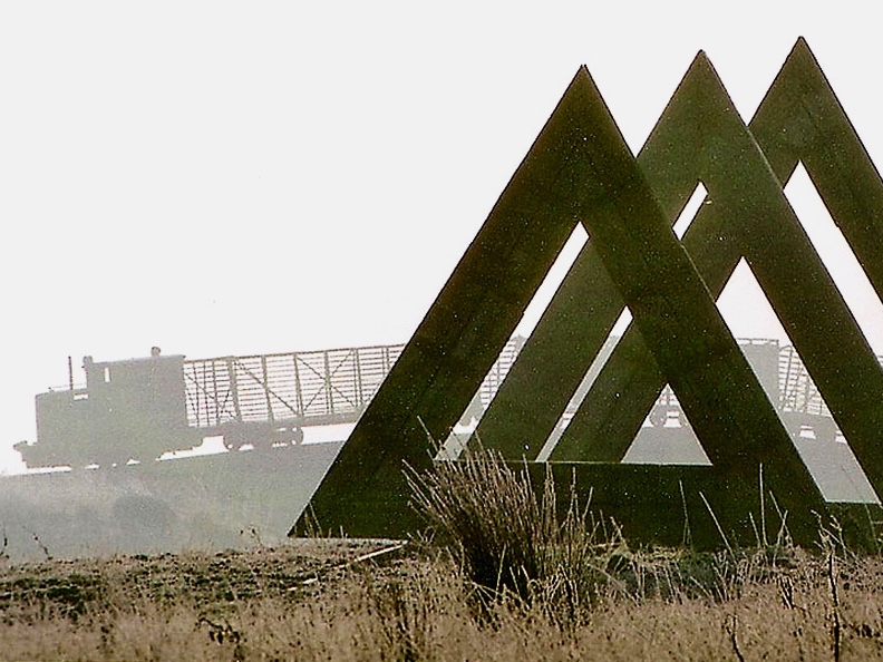
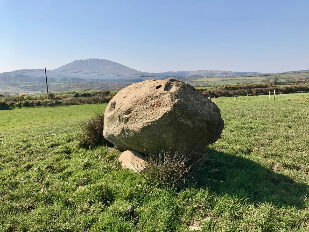
It’s fascinating to trace the sculptures which were set up more than 25 years ago along the N71 and R592 roads connecting Skibbereen with Schull. Most have vanished – some back to nature, some through destruction. But those which remain are now ‘enigmatic’ and must often excite comment and questions. This is particularly the case with the one in our header picture (taken recently), which is the central subject of today’s post. It’s a work by Michael Bulfin, born in 1939, one of Ireland’s most respected artists and a member of Aosdána (an association of artists whose work is deemed to have made an outstanding contribution to the creative arts in Ireland). The title of the sculpture is the title of this piece: Behold, Their Bright Shining Future Rising Before Them

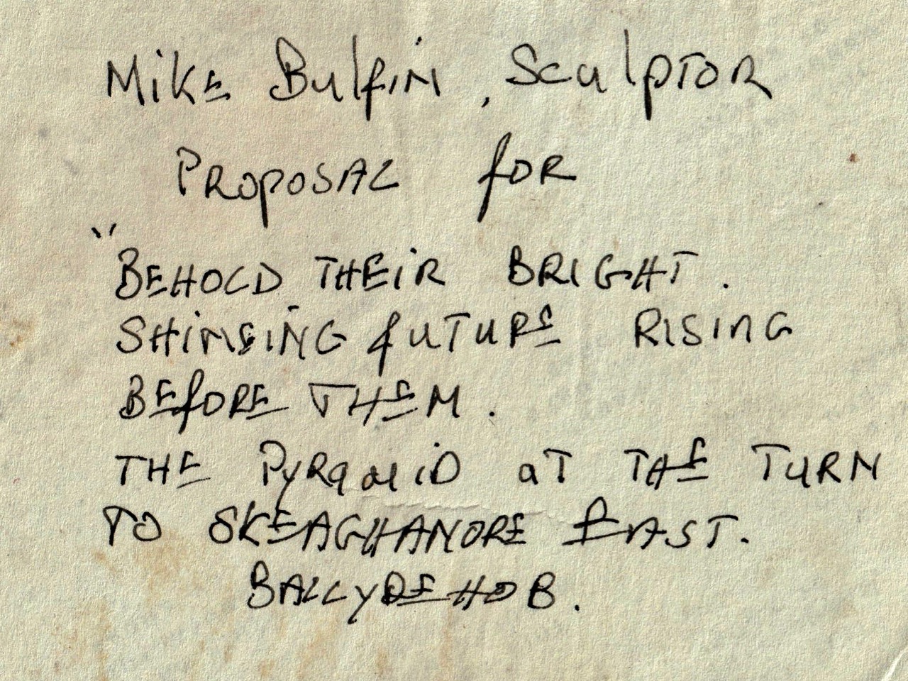
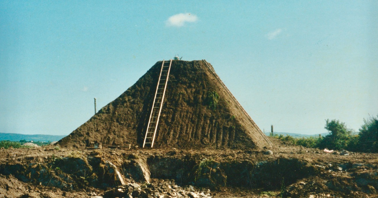
Michael Bulfin’s exhibition proposal was a piece of land art: a giant grass-covered earth pyramid crowned by a stainless steel pinnacle, with a cascade of boulders flowing down the surface – facing on to the main road running through the townland of Skeaghanore East. Upper, the design for the piece was submitted as a model. Lower – the inscription from the back of the original photograph.

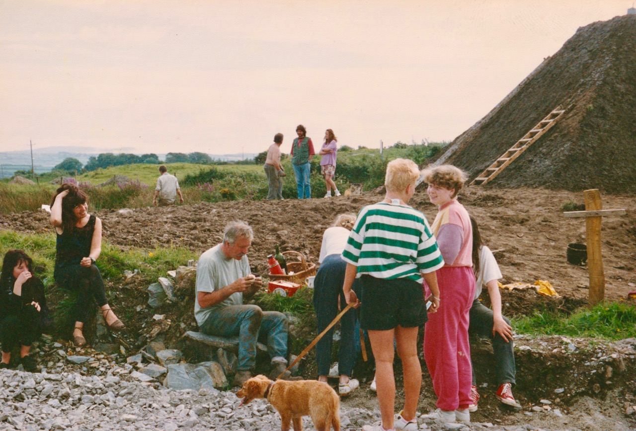
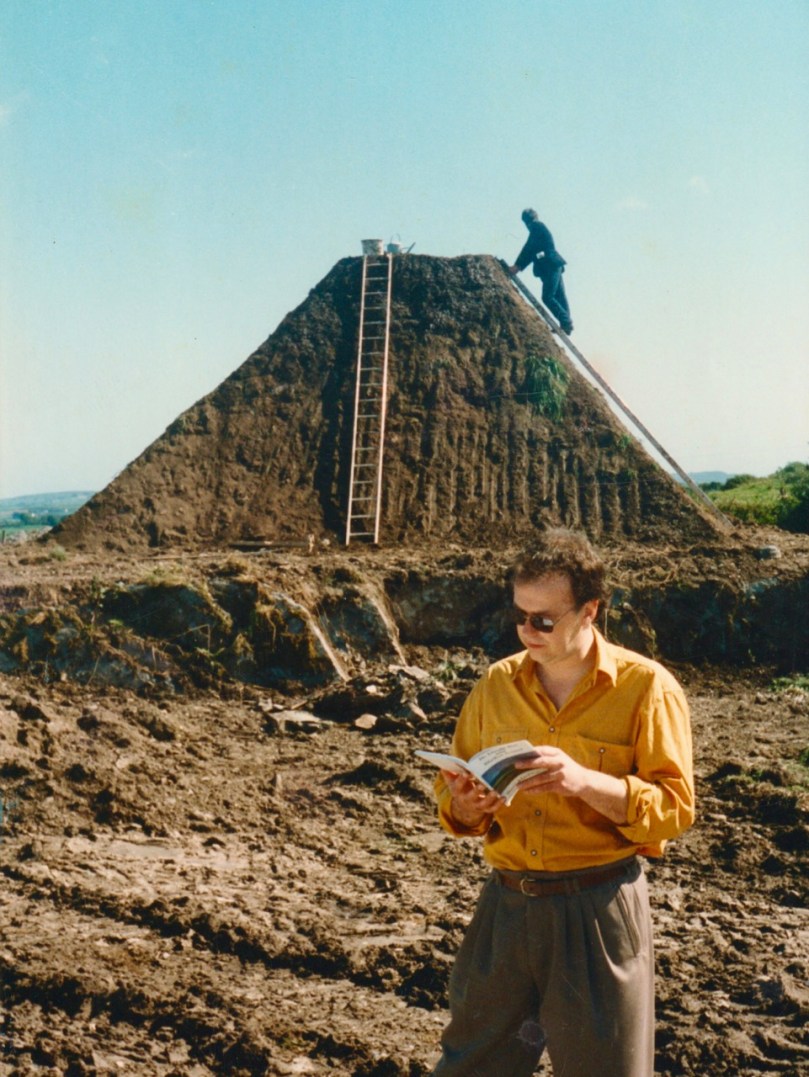
The task of physically realising this monumental piece was the product of many hands, including a number of volunteers from West Cork’s artistic community. The following ‘work in progress’ shots document some captured moments in time.

In this shot, Michael Bulfin is on the ladder, and painter Maurice Desmond watches the process

‘Lunch break on the day the mound was seeded’ – identified in this picture are (foreground left to right): Aoife Desmond, Deirdre Heaney, Mike Bulfin, Rosemary Murray (serving lunch), Ailne Murray and Niamh Murray. (Background): Simon Holler, Cóilín Murray, Gerry Walker and daughter

The project was well publicised; here Mike Bulfin is being interviewed by Anita Whooley for RTE, with Cóilín Murray looking on

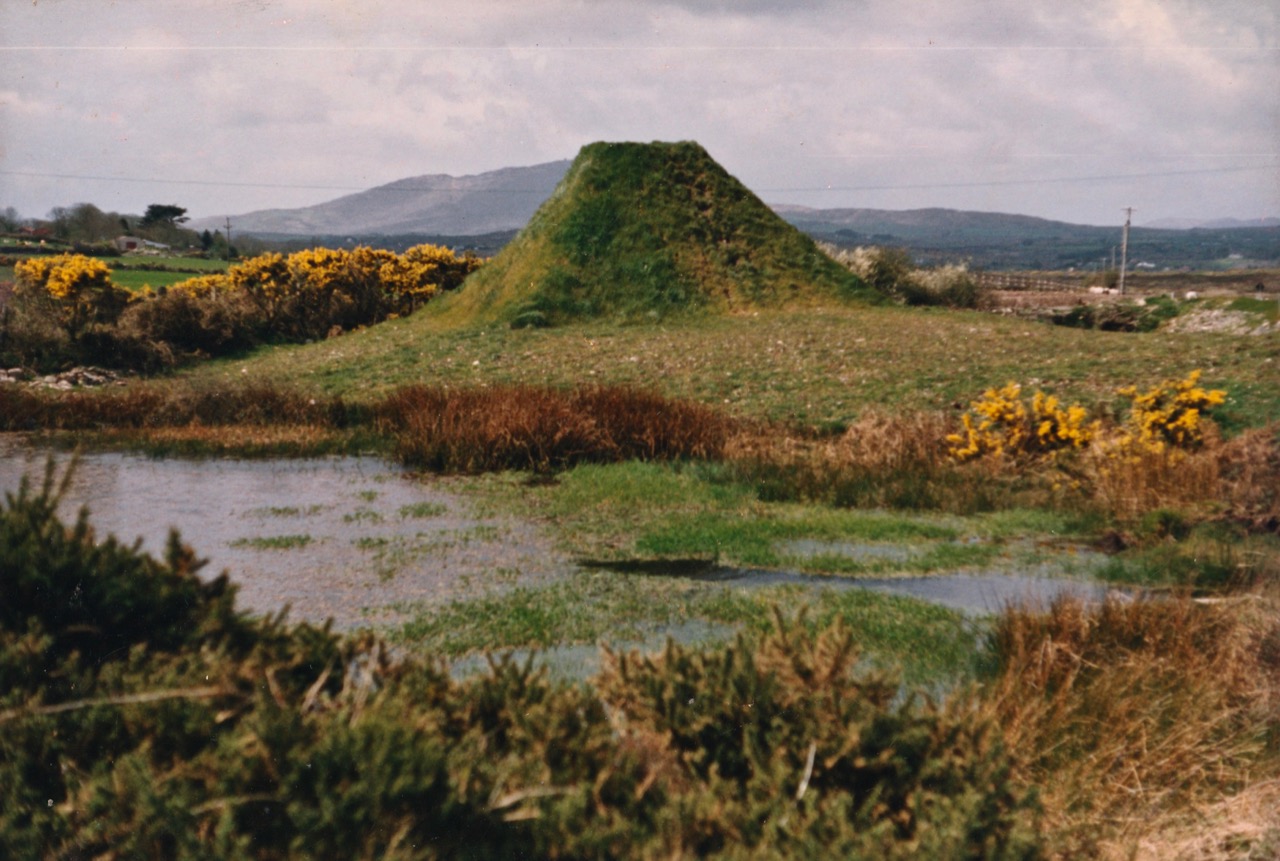
The mound ‘greening up’: the stainless steel pinnacle was added at a later date. The ‘cascade of boulders’ is not evident today: I am assured it is still there, shrouded by gorse and brambles

At the official opening of the Living Landscape Sculpture Trail the poet Steve McDonagh, founder of Brandon Books based in Dingle, Co Kerry, read from his work at each location. Steve McDonagh died in November 2010. As can be seen, the pyramid was unfinished on opening day!

Michael Bulfin remains active in Ireland to this day. He lives in Co Offaly, and there is impressive work from him at the Lough Boora Parklands, including the eye-catching ‘Skytrain’ sculpture:

Something that could be considered in the future is a creative project based on the West Cork Sculpture Trail. This might restore or resurrect some of the pieces from the 1990s, and provide an opportunity for new work to take the place of those sculptures which are now lost.

Glens of the Scientists

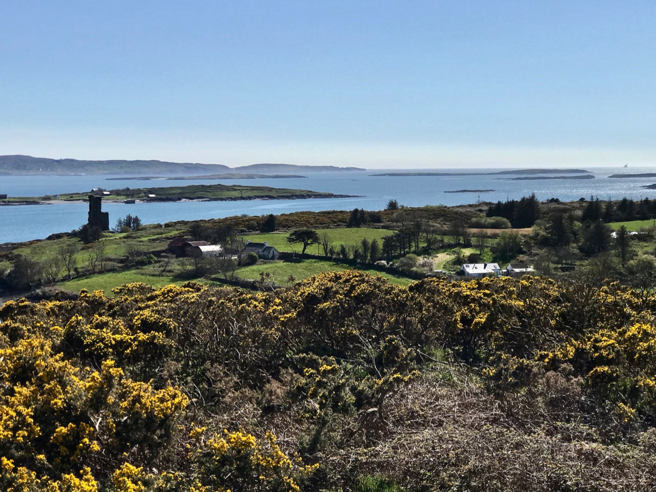
It’s Easter Sunday, but we didn’t see the sun dancing at dawn this morning. In fact, so far it’s the first wet day that we’ve had since we’ve been in ‘lockdown’ because of the Covid 19 crisis. Such a contrast from the view over Roaringwater Bay yesterday (Saturday, see above) when the weather was absolutely flawless: no wind, blue sky over balmy sea, and temperatures akin to midsummer. But for today’s post I’m going back a few weeks to the days when Coronavirus was just something that was happening, in the news, a world away from West Cork – and we were still free to roam the countryside.
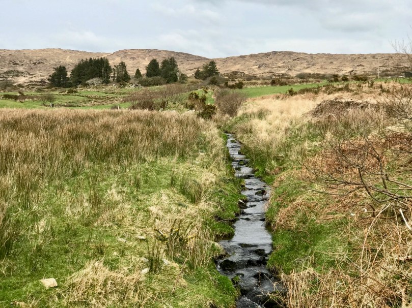
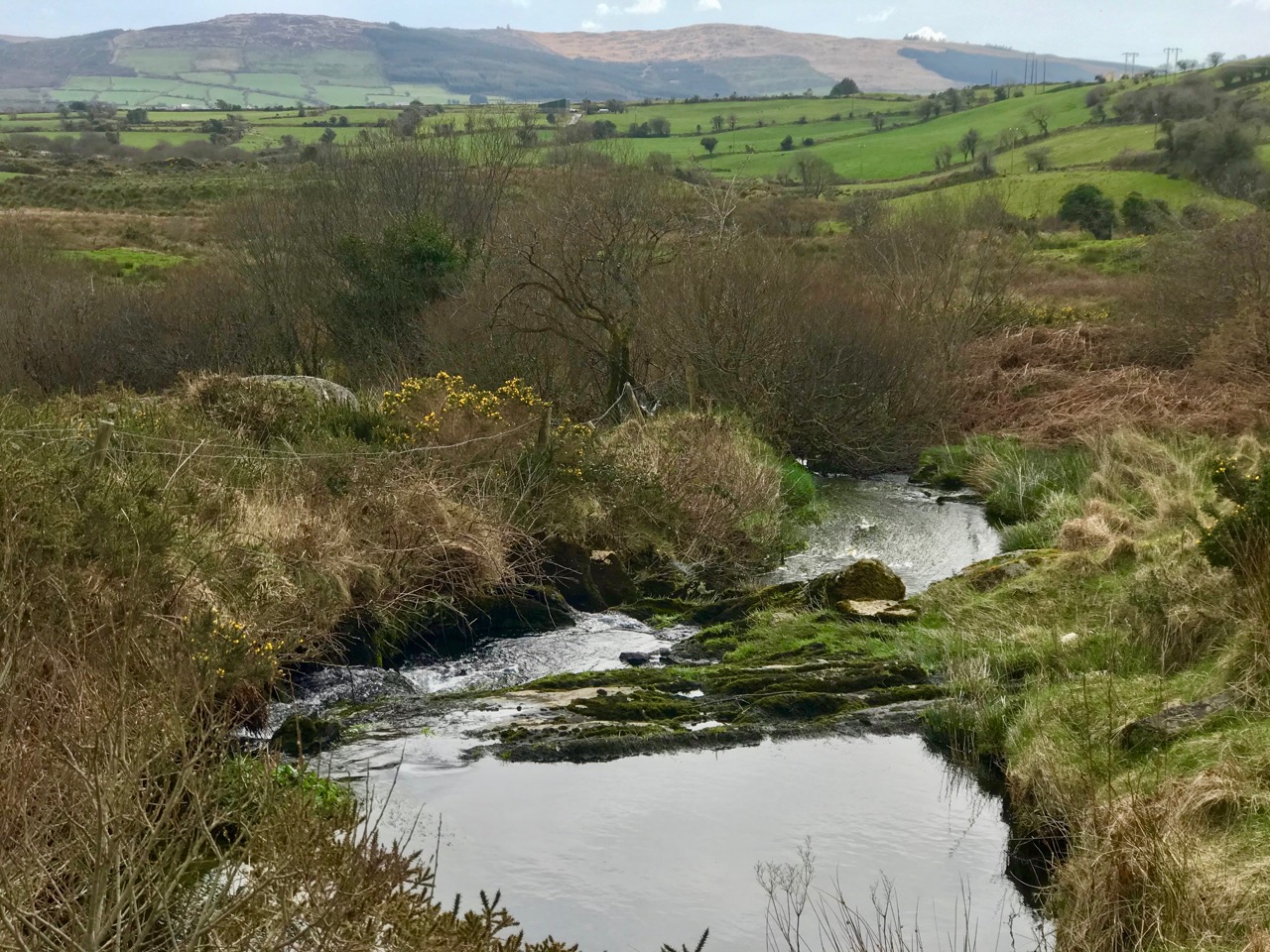
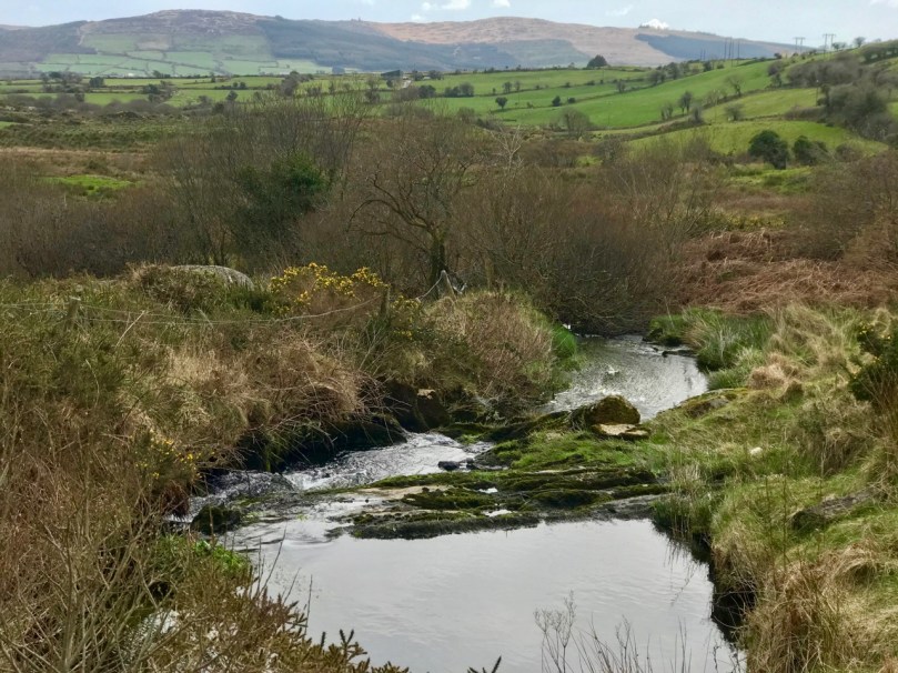
Spring equinox came early this year. We were out for it, in a biting east wind but dry under clear skies. Our destination was a vast landscape of glens and hills to the east of Bantry town. The place fascinates us: it is alive with prehistory. There are literally dozens of scheduled monuments spread over many townlands. They include stone circles, standing stones, stone alignments, ancient cairns and other anomalous stone groupings. This is probably one of the west of Ireland’s richest and most concentrated areas which records, through physical remains, human activity from the Neolithic period – the earliest settled farmers – through to the Bronze Age, when the first metallurgists began to explore and exploit the underlying geology of the landscape.
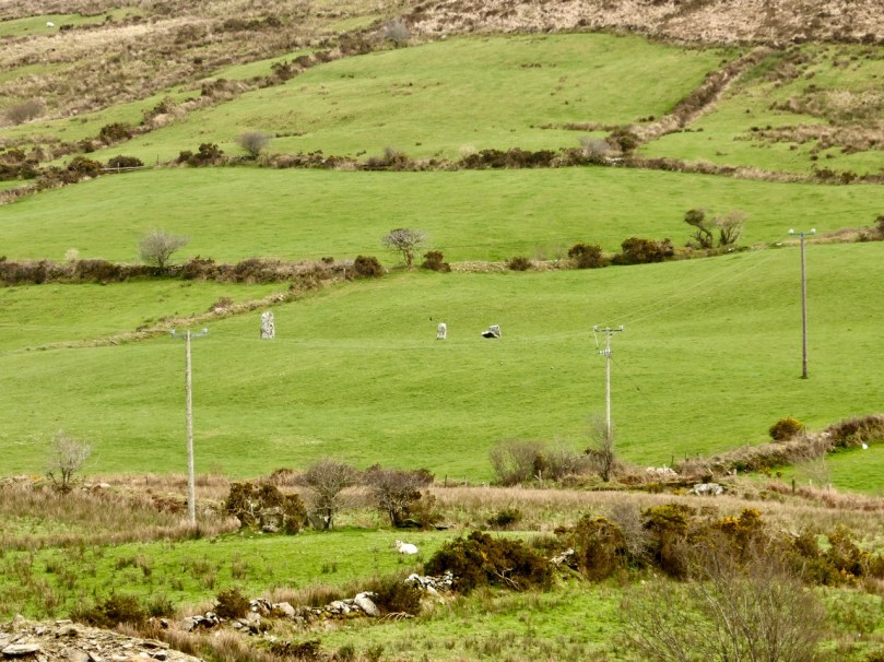
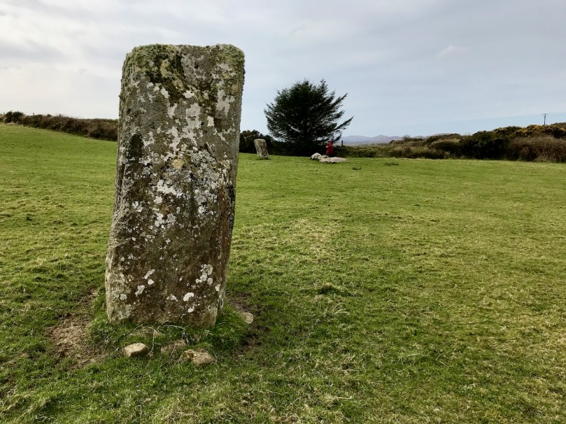
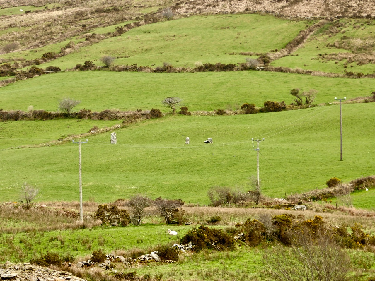
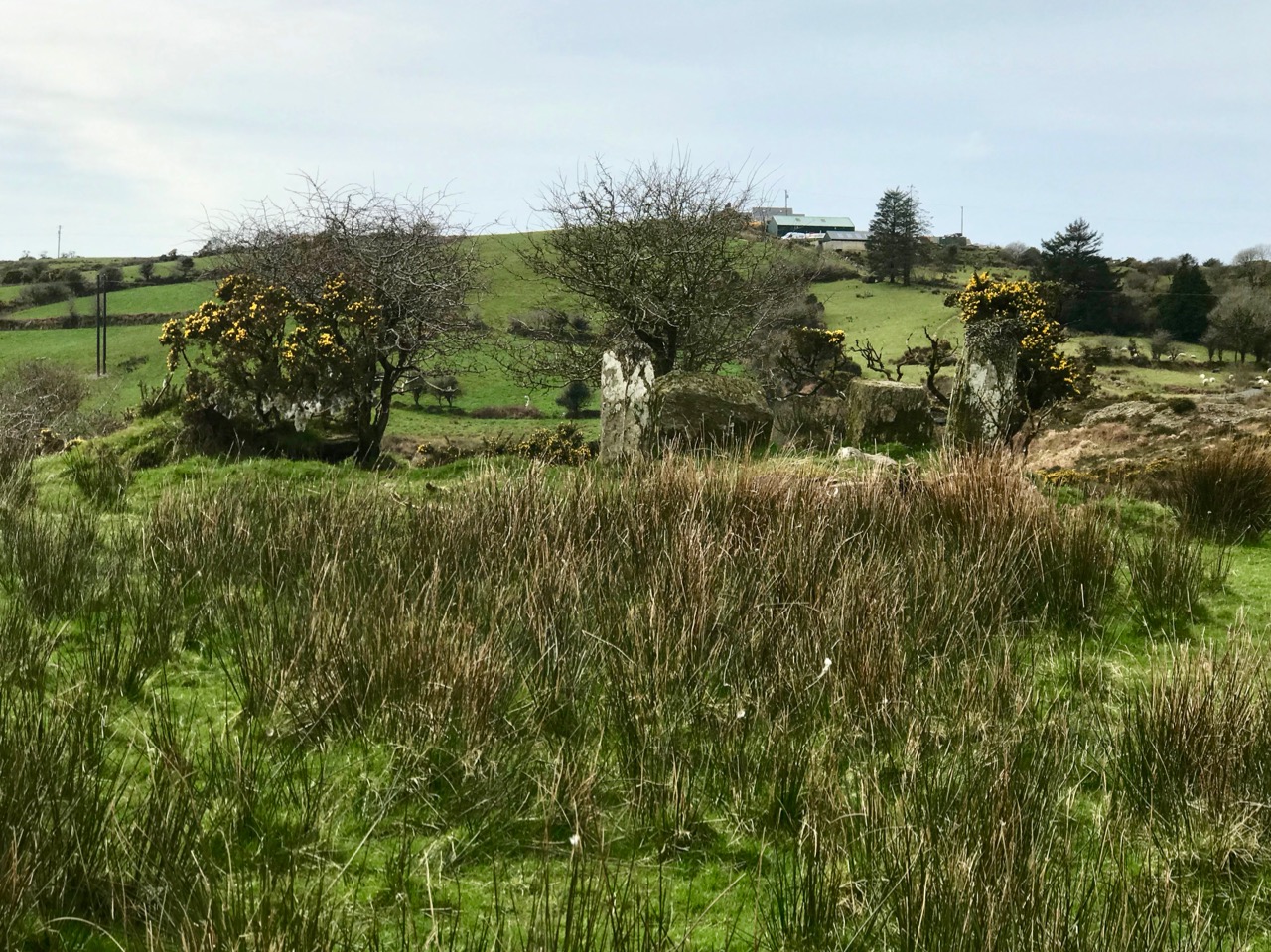
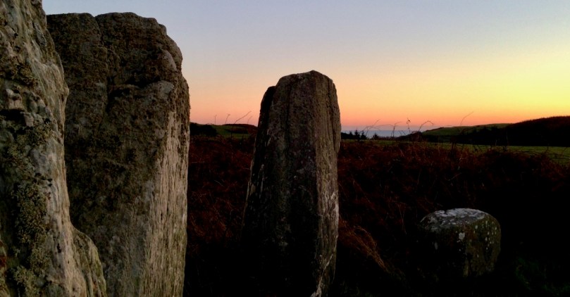
Upper – look carefully – there’s an alignment of three significant standing stones in these fields in Cullomane West, but our first stop was a nearby anomolous stone grouping which included an equinox alignment – (lower) – towards the west horizon

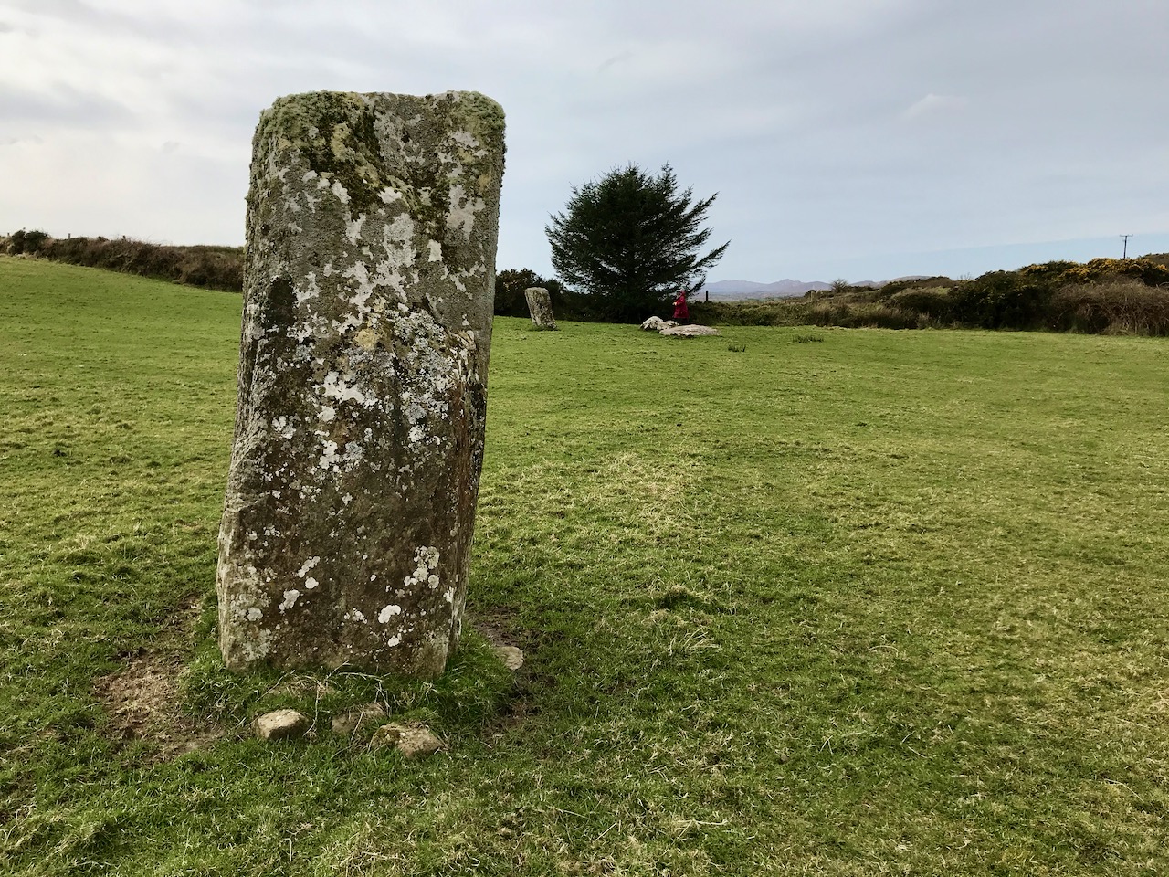
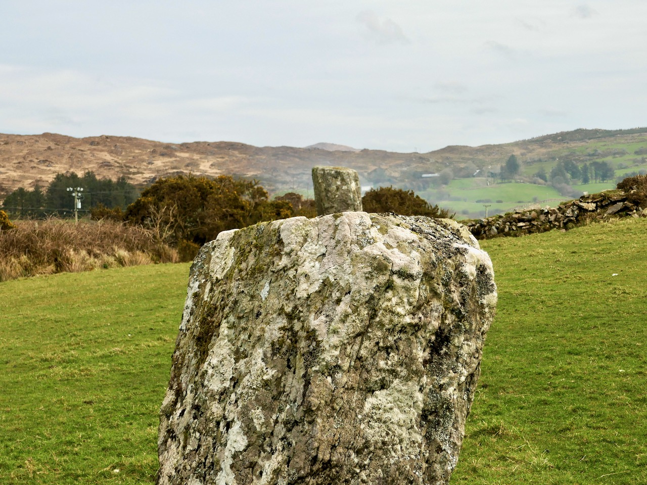
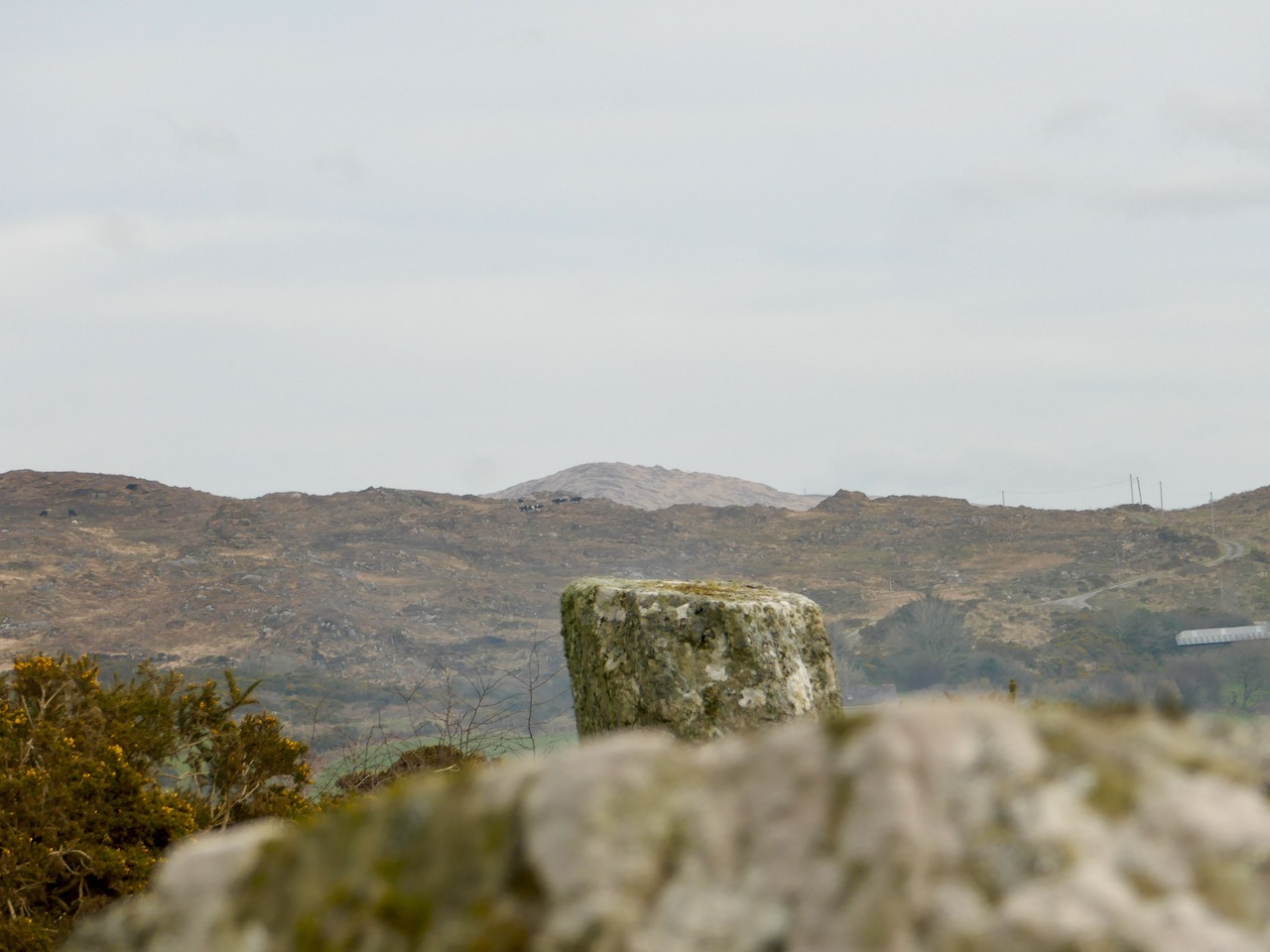
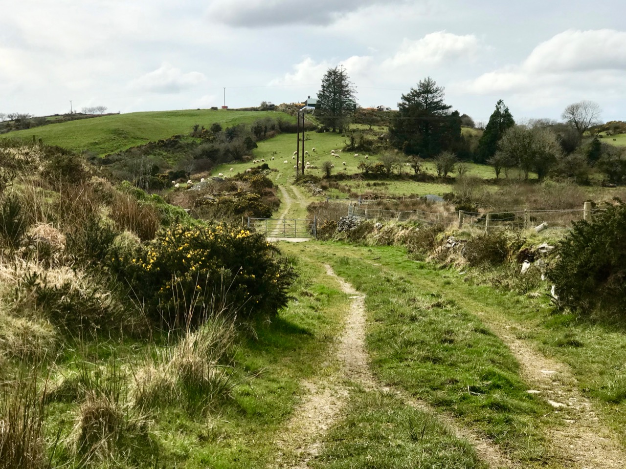
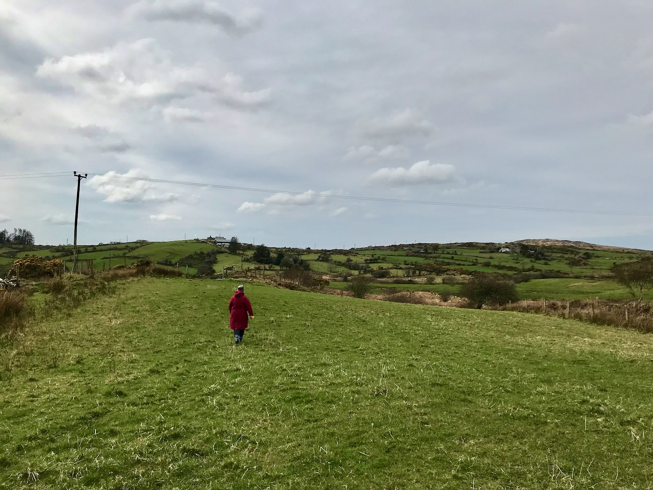
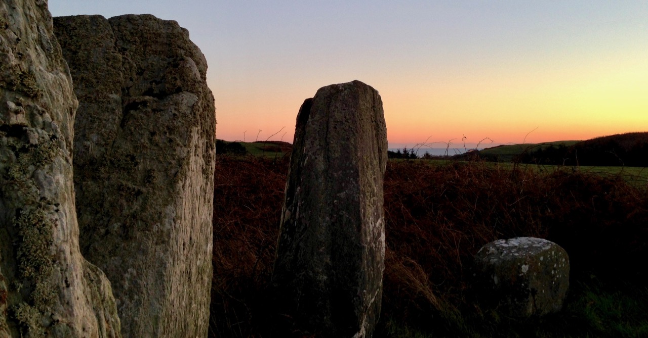
It was pure chance that we were out on the day of the spring (or vernal) equinox – the time when the length of the day equals the length of the night. And pure chance, also, that our first stop, in the townland of Derreengreanagh, presented us with a spring equinox alignment. We had the permission of the landowner to cross her fields to access these stones which are hidden away from any highway or byway. We found two substantial standing stones and a small group of recumbent stones. By checking the relative positions of the two tall stones on a ‘sunseeker’ app, we were able to establish that they line up perfectly with the spring equinox sunrise to the east and the spring equinox sunset to the west. Furthermore, the point at which the sun rises on the eastern horizon on this day is marked by a distant hilltop – also in perfect alignment:
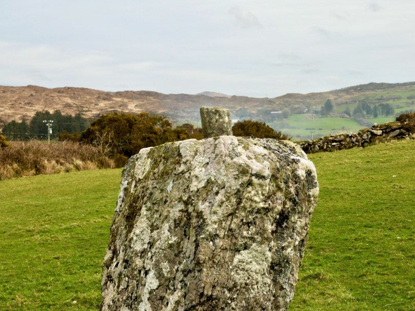
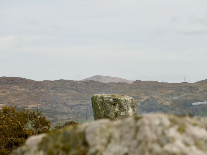
As I look around the glens on our wanderings, I see into the past. I see rich, sheltered meadows watered by natural streams, stunted oak forests, sunlit glades. I feel the warmth of the sun as it gets stronger, contained by the bowl shaped landscapes; I find flocks of sheep which don’t seem to mind our trespassing (carefully) on their domains – they are content with their environment. The place is at peace in its own time.
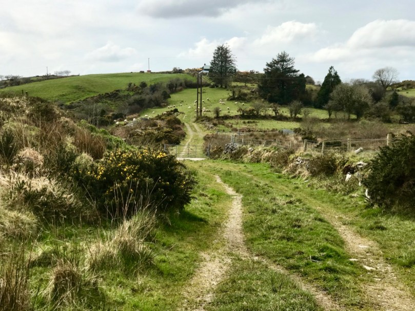
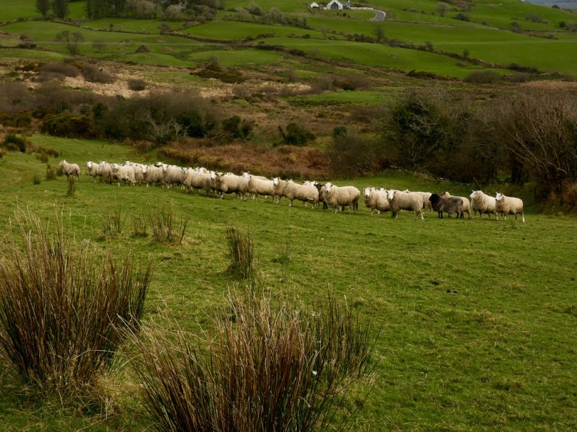
I try to feel closer to those who dwelled in this relative tranquility thousands of years ago. I can imagine that the shape of the landscape, and its natural offerings, attracted them. They might have been my own distant ancestors, or yours. But they were no different from you and me. Their lives were technologically unlike ours, but we can’t suppose that their responses to what was around them would be unrecognisable to us. They would have welcomed the abundance which fed them, through their ability to understand the principles of sowing and harvesting; they were able to make shelters from natural materials – wood, stone and furze. But, beyond the practicalities, surely they would have seen wonder in nature. How could they not respond to the ever changing light, the vastness of the sky, the awesome infinity of the stars? The strange movements of sun and moon… The constancy of things all around them?
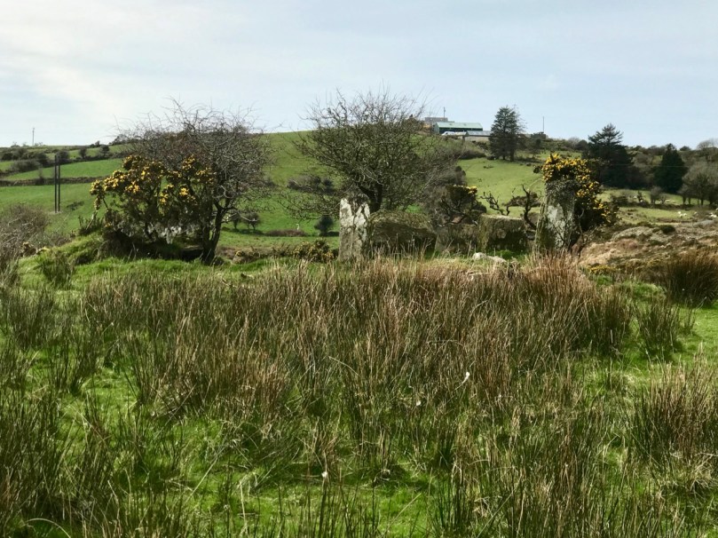
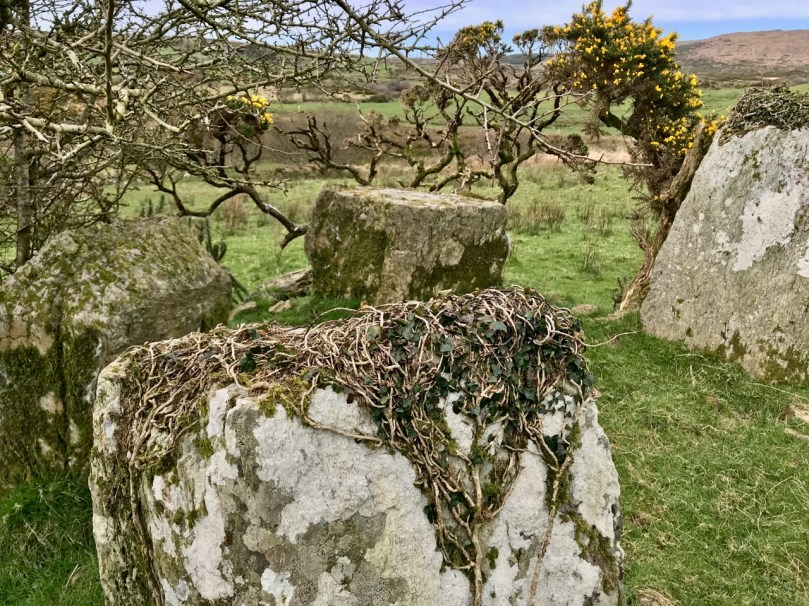
Hiding in nature: this five-stone circle in Baurgorm townland is heavily overgrown and guarded by thorn trees, yet it survives: its orientation and the alignment of the stones was undoubtedly deliberate

The next townland over from Derreengreanagh is Baurgorm, where our researches were rewarded with an almost intact five-stone circle. Within site of this is another stone alignment (see picture 3 above), and several other scheduled monuments are nearby. There is no ‘Stonehenge’ or ‘Newgrange’ in these glens: everything is relatively low-key and is unlikely to impress the average 21st century sightseer. Yet these stones are still there, set in the landscape where they were first placed – with a purpose – in these glens so many generations ago.
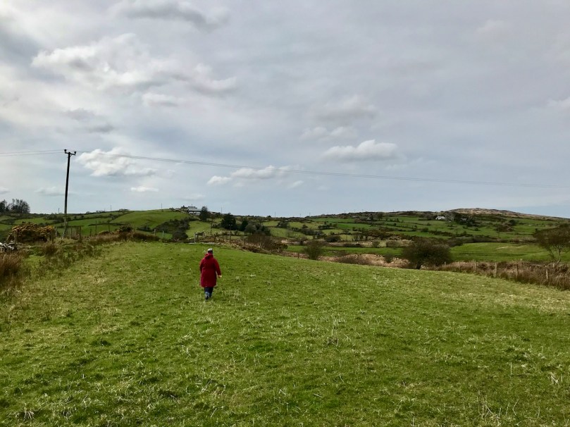
Walking the glens: walking through prehistory

In my opinion (and this is only my opinion, remember), the people who lived in these glens were our earliest scientists, and the surviving ancient stones are the hard evidence of their science. They were observing and recording the world they saw around them and marking the elements of that world which were of the greatest significance. One of these must have been the solar cycle. The equinoxes were of paramount importance: through the half-year after the spring equinox the days were longer, lighter and warmer, while through the half-year after the autumn equinox, their world was darker and colder with short days and long nights. The alignment of the standing stones at Derreengreanagh marks this calendrical division with great accuracy, and must have taken a great deal of time and human endeavour to set up. The shape of the terrain, the undulations of the horizon, and the daily progression of the sun had to be understood and integrated into a  construction so monumental that it has survived intact for 3,000 years or more. There’s nothing magic about this, or mystic or religious: it’s pure science.
Not just the sun, but the phases of the moon and the trajectories of the stars would have been observed and studied by our ancestors. What came before Christianity in Ireland? St Patrick’s work was to convert the Irish, but all he says in his own Confessio about them is that they worshipped ‘idols and unclean things’. But he also refers to ‘all those who adore’ the sun. That’s a fascinating concept: ‘adoration of the sun’. Patrick didn’t use the phrase worship of the sun. but he had specifically mentioned worship of idols. I could be reading too much into the Confessio as it has come down to us, but the concept of ‘adoring’ as opposed to ‘worship’ fits well with the idea of Ireland’s earliest settled people being obsessively concerned with the movement of this source of light, heat – and life. In the remotest regions of West Cork we find an ancient wisdom.
Living in Lockdown!

Main Street, Ballydehob: 4 April 2020. You’ve never seen it like this before on a Saturday morning. We are only out because we have urgent shopping to do. We are permitted to go to the shops, the dispensary and the dump (we live too far out of town to have any waste collections). Oh, and we can exercise within a two kilometre radius of home (here’s Finola’s account of that). It’s a strange life – but we are gratefully alive…

We completed our last ‘long’ walk on Friday 27 March – to the summit of Mount Corrin, for my Mizen Mountains post. On that evening the government announced the ‘lockdown’ and we are now isolated in Cappaghglass for the foreseeable future, although the 2km restriction will allow us to trespass into our adjacent townlands of Stouke, Cappanacallee, Foilnamuck, Rossbrin, Ballycummisk and Kilbronogue, provided we keep our distance from other walkers. We see very few.

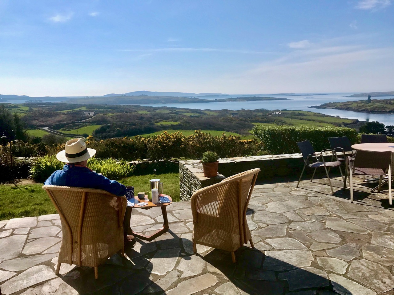
When the sun is shining, there’s no better place to be than home – looking out over Roaringwater Bay! We have plenty to occupy us. Not least, keeping up with this journal and my new venture Swantonstown Sessions – compensation for the enforced adjournment of the weekly traditional music meetings in Ballydehob. It’s an online forum for sharing tunes, songs and related ‘chat’. Please join in!

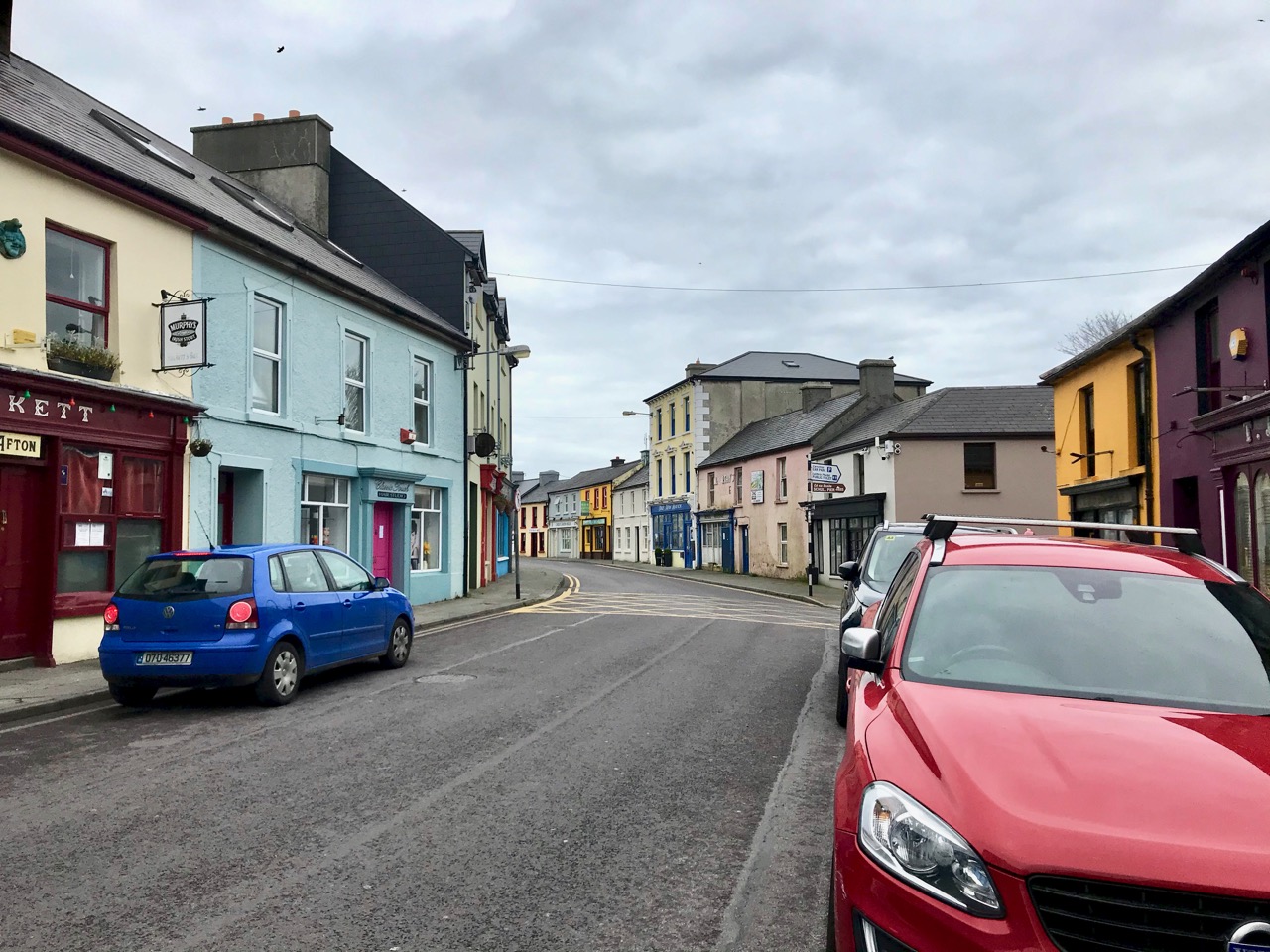
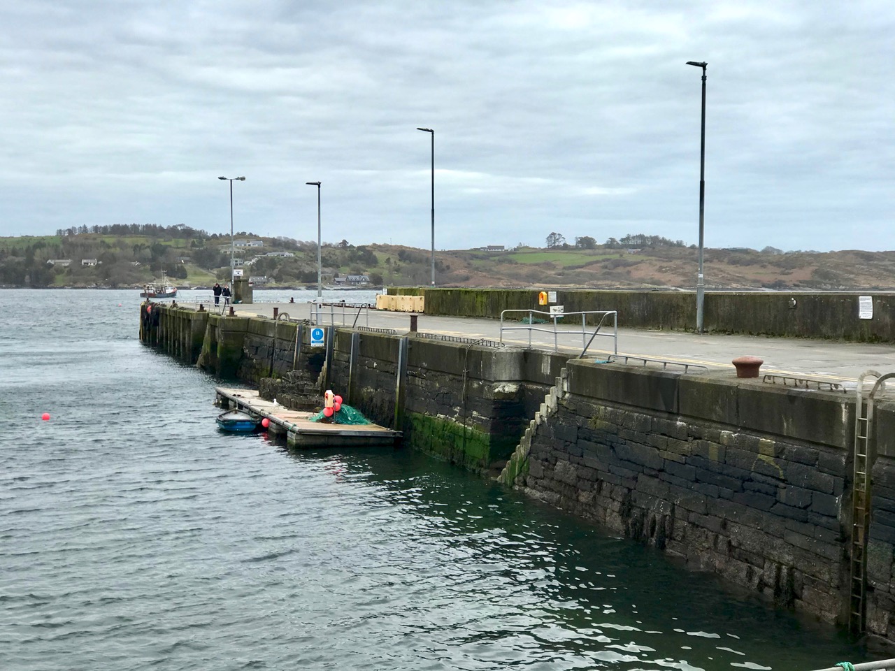
There’s not much activity in Schull, our other centre for essential supplies, either. The main street (upper) and pier (above) are deserted on Saturday morning, when it’s normally buzzing. All the businesses in our villages and towns rely on customers: we hope for their sakes (and ours) that the situation doesn’t last too long, although we do all understand how necessary the restrictions are.

Join us for one of our walks – along to Rossbrin – to look at the water and the always changing scenery as spring gets under way. That’s the boreen leading down to it, above.

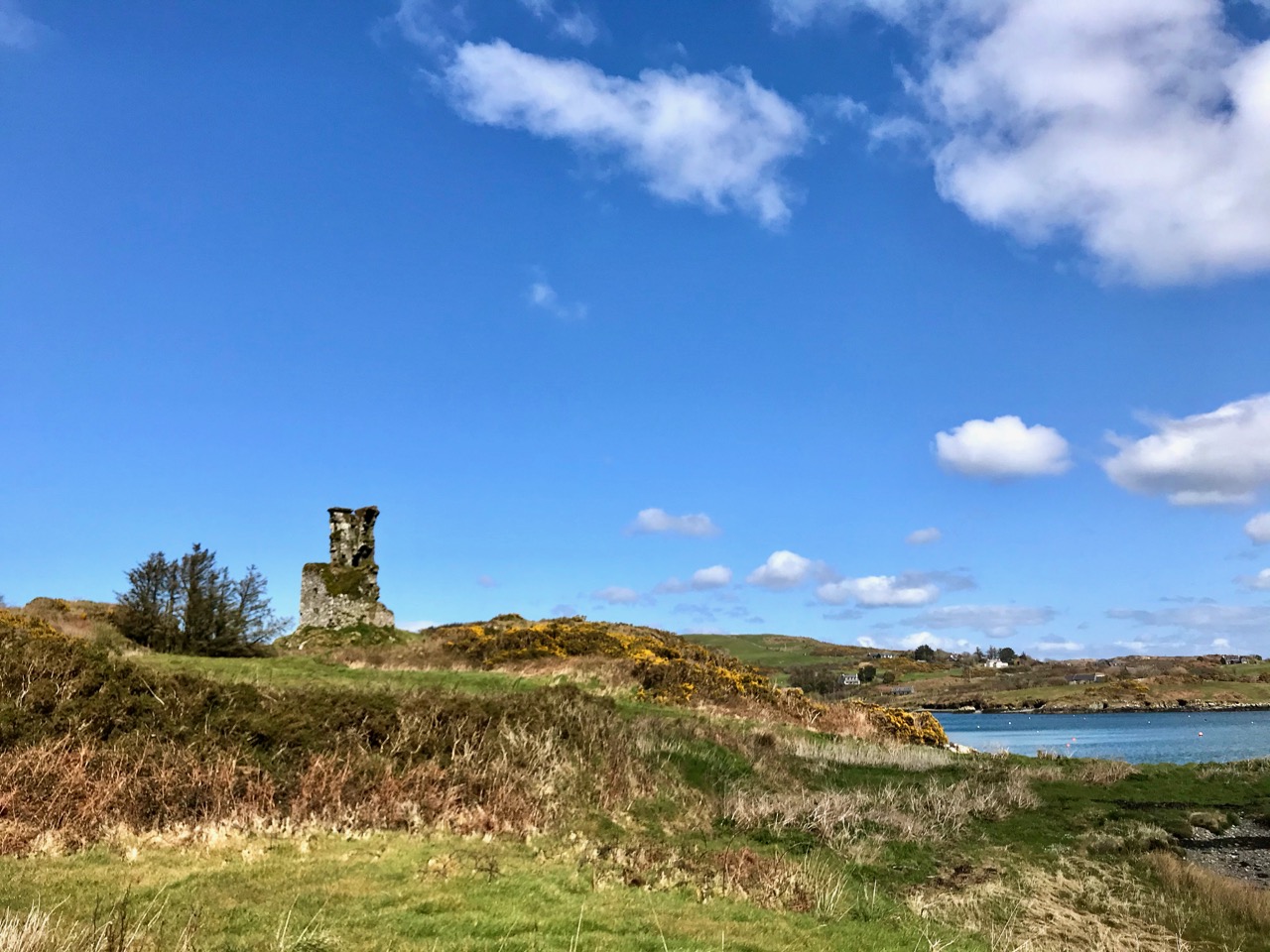
Rossbrin Castle, the home of the ‘Scholar Prince’ Finghinn O’Mahony in medieval times, is the local landmark which always draws us towards the Cove. It has stood for centuries, although very gradually returning to nature: parts of it will remain for generations to come, and will intrigue those who chance upon it, as I first did some thirty years ago. It is on private land, remember, but it can be seen from many accessible vantage points.

It’s no hardship to be ‘marooned’ out here in rural Ireland. The one thing we miss above all else is meeting and chatting with friends and neighbours: that’s unnatural. But we will survive it. After our walks there’s always the road home to look forward to (do you see the celandines lining the way?):

Roaringwater Journal wishes to heartily thank all those in our communities who are supporting the rural population through these abnormal times: medical teams, pharmacies, shopkeepers, producers and suppliers . . . All who keep our facilities and utilities going . . . They are helping us to stay healthy and upbeat in times of disquiet. We appreciate all of you.

Two Kilometres

That’s all we’re allowed during the Covid19 lockdown for ‘necessary exercise.’ But I have spent years now exploring the townlands around us and I like nothing better than to ramble out with my camera looking out for whatever comes my way, like Rossbrin Castle, above. Robert has done something similar this week – each of us with our own take on what life is like here right now.

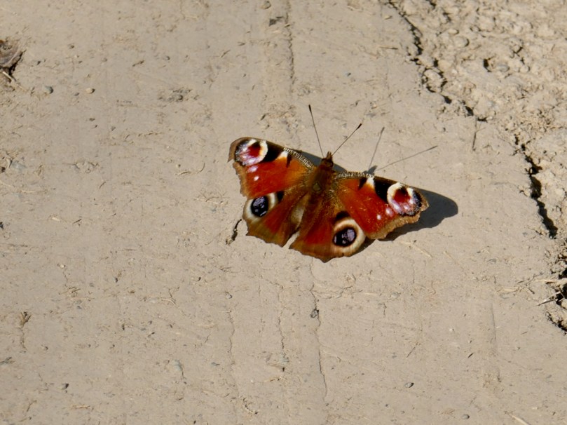
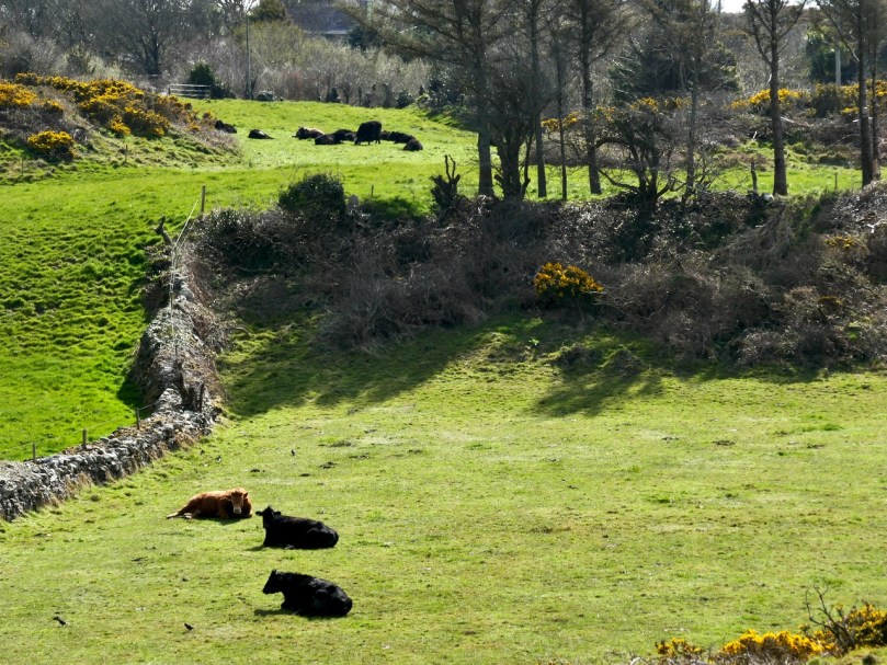
From the top: Seven-spot Ladybird; Peacock Butterfly; Mr Bull and his two cows observing social distancing

I’ve learned so much this way about the natural world. A lot of it has ended up as blog posts on Roaringwater Journal or as entries on my Wildflowers of West Cork Facebook Page.

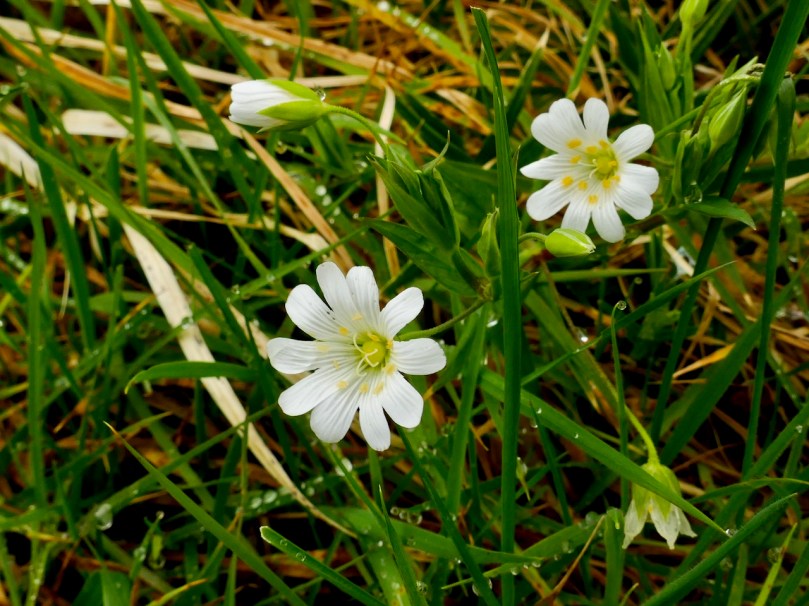
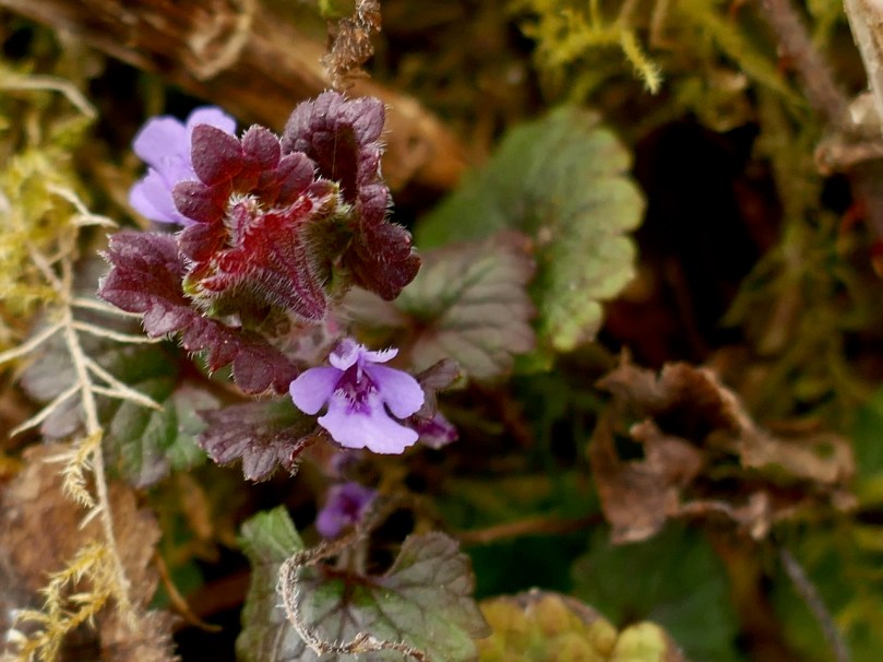
From the top: Herb Robert, Greater Stitchwort and Ground-ivy

There is archaeology and history all around us too, from a wedge tomb to a tower house, from mining complexes to ring forts and standing stones.

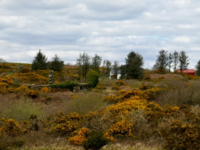
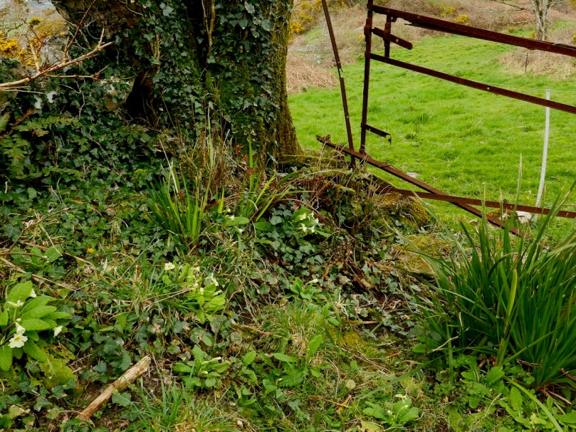
From the top: a ruined farmstead bears witness to population decline; Mount Gabriel looms over a pastoral scene; the old gate once led into a mine

We miss our friends, The Chat in Budds, our Irish lessons and conversation group, the Book Club and Art House Cinema and Talks at the Vaults and all the other events that get us out into the community and keep us curious and learning. We miss our long drives, our Holy Well and Stone Circle hunting trips – and our lattes!

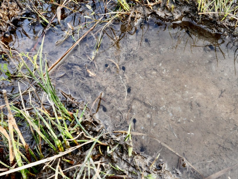
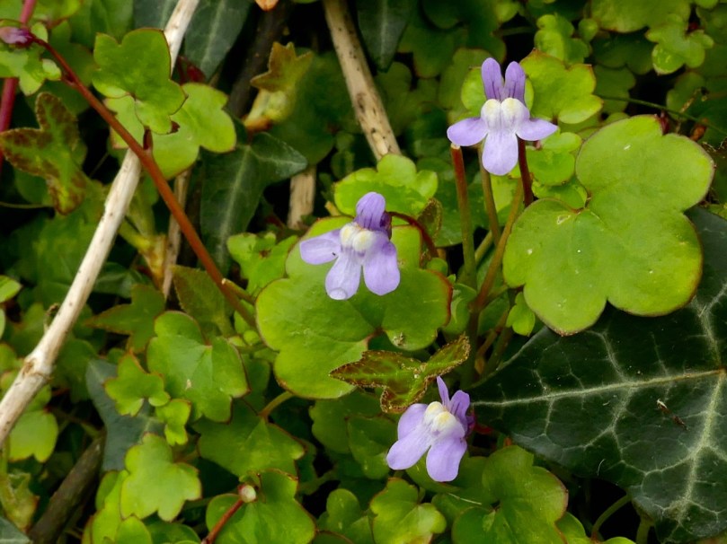
From the top: Tadpoles; Ivy-leaved Toadflax on an old stone wall

But these are small, first world, complaints and we do know how privileged we are to be well, to be able to buy groceries online, not to have small children to entertain and educate at home, and most of all to live in such incredible surroundings. It’s a good reminder not to take those privileges for granted.

I think I have barn envy

Meanwhile, we want to support everyone’s efforts to flatten the curve and we are in awe of the selfless dedication of so many people and desperately sympathetic to those who have lost income. The best way we know to do this is to be cooperative and follow the rules. And that’s what we are doing, mostly staying at home and when we go out keeping our walks to a 2km radius.

From the top: Contrasting textures – bark and barn; Distant view of Castle Island with the remaining castle wall and the abandoned farm houses

So herewith is a selection of what we’ve seen in the past few days as we walk several different 2km routes that present themselves from our front gate. Many of the wildflowers are tiny and only lots of practice enables me to spot them in the verges or the fields.

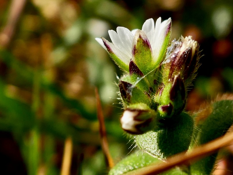
From the top: Dandelions and Celandine; Common Mouse-ear; Thrift and Scurvygrass 

It seems like spring has been slow to come this year although when I look back at previous years I see much the same assemblage of flowers for late March and early April. But beyond a golden day or two, it hasn’t warmed up yet so there is no sense of spring suddenly ‘bustin’ out all over’. Nevertheless the hedgebanks are slowly coming to life and I see something new every day.

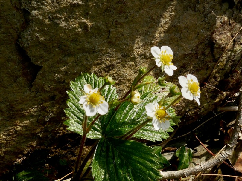
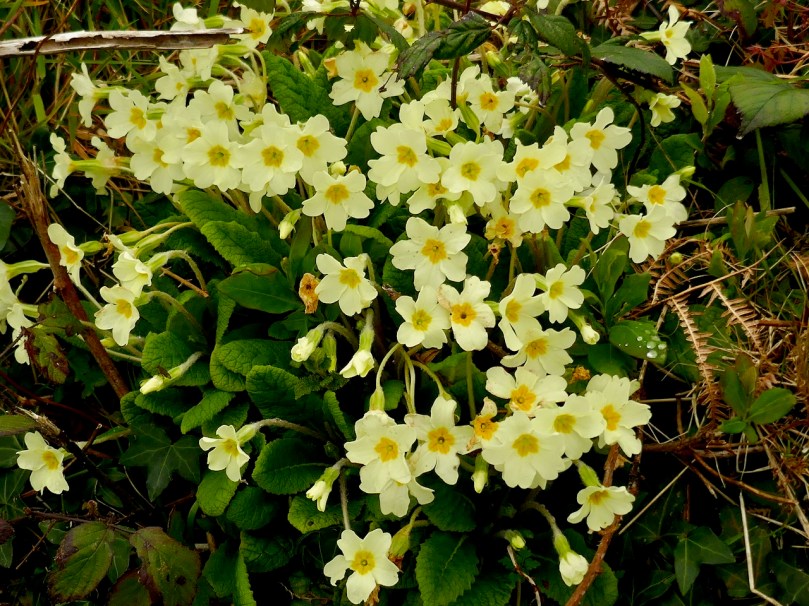
From the top: Wild Strawberry; Three-cornered Garlic (AKA Three-cornered Leek); Scarlet Pimpernel; Primrose

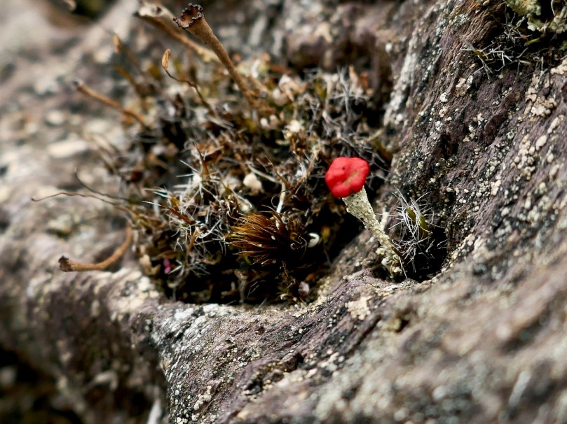
The rock faces at my favourite bog soak are always fascinating, although you have to lie flat with your face an inch from the surface to really grasp the miniature world that teems on its surface. I’m still determined to improve my knowledge of lichen and mosses, but I can’t pretend I’ve advanced much.

From the top: Devil’s Matchstick, a type of Cladonia lichen: I don’t know

How are you all doing out there? Leave a comment and let us know – we want all our dear readers to stay safe and well!


Mizen Mountains 4 – Corrin

The world is in trouble – but in our tiny corner of it we find ourselves taking the time to get out into the open air, lapping up any chance of sunlight, and bracing ourselves against the bitter east winds that seem to prevail at the moment. Following last week’s escapades, when we discovered new territory just beyond the boundaries of the Mizen, we decided to take up the challenge of one of the most significant Mizen peaks – Mount Corrin.

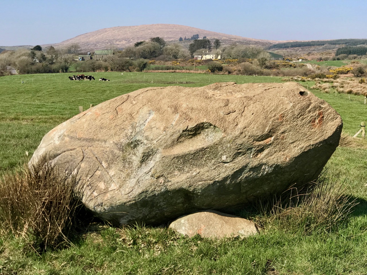
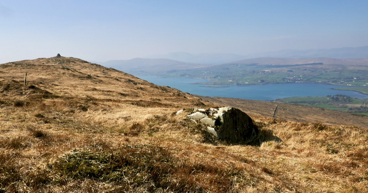
Upper – the elevated boulder burial at Rathruane – probably Bronze Age – seems to echo the profile of Mount Corrin – a perfect peak – away to the west, while – lower – the same monument also stands in context with Mizen’s highest mountain – Gabriel – to the south

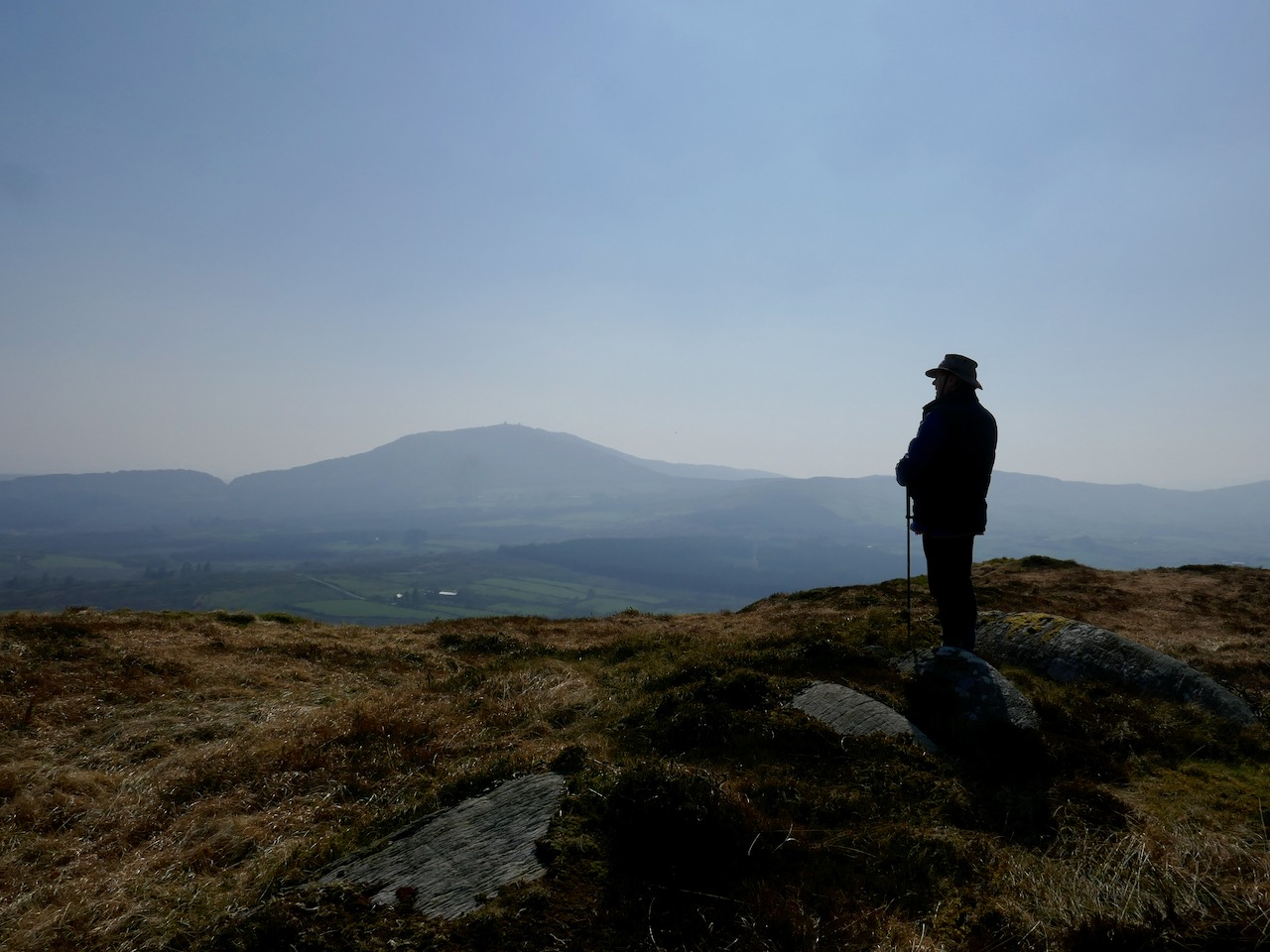
We have passed the spring equinox, and days are now longer than nights. It’s a good time to consider seriously exploring the high ridges again. Corrin – 284 metres – is not the highest summit on the Mizen, but its profile is one of the most distinctive as it rises from lower ground on all sides – a ‘proper’ mountain! in this respect it is  surpassed only by the Mizen giant – Mount Gabriel. We’ll tackle that one later on. We notice that Gabriel is always visible to us, from whatever elevated ground we traverse.
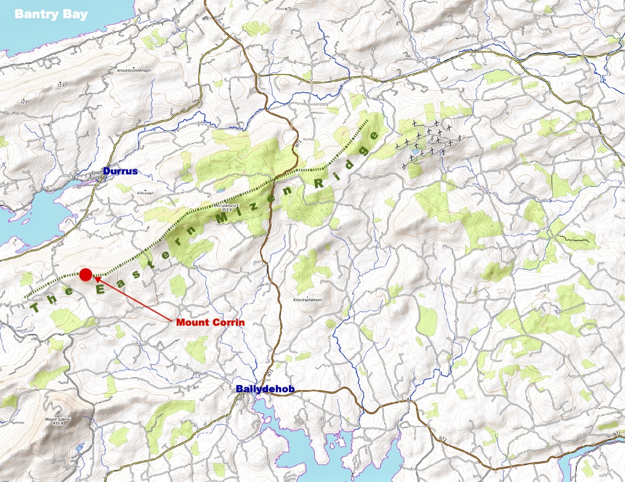
Last time we tackled Letterlicky, which is at the furthest edge of the eastern Mizen Ridge: today’s summit is on the west side of the same ridge  We have, of course, been to the top of Corrin before: Finola’s post of October 2015 describes previous expeditions. Then, the light was magnificent and the skies were clear blue – such a contrast to the beginning of this week, when the landscape has been pallid – all washed-out browns and yellows: spring  still hiding its face in West Cork.

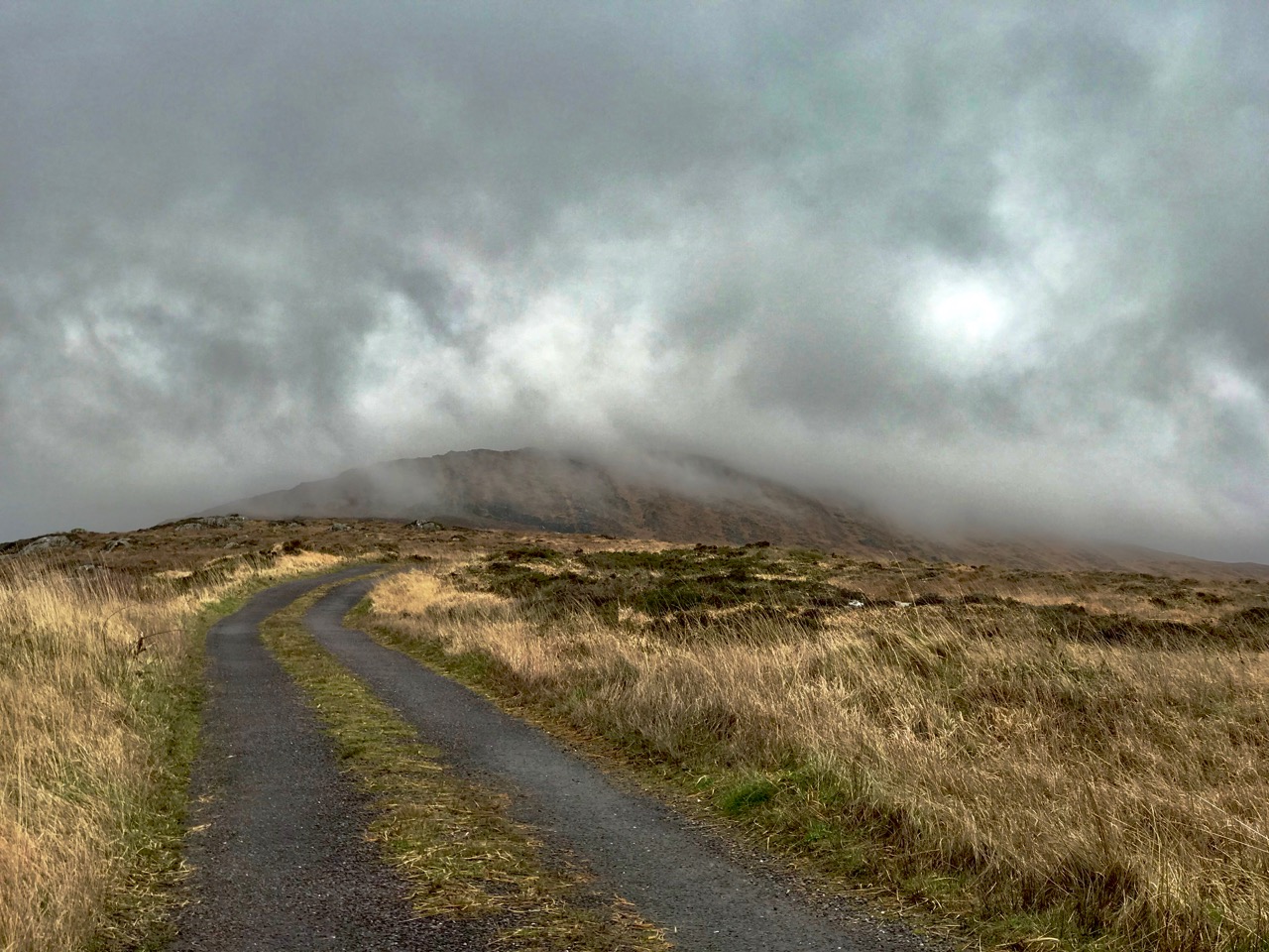
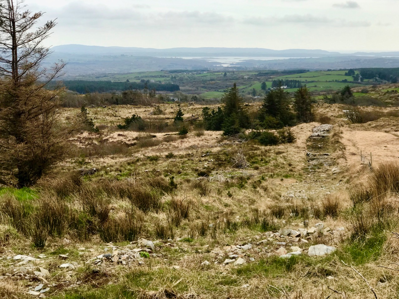
Upper – approaching Corrin on a challenging day. Lower – on the ascent, good distant views can be got to Ballydehob Bay, in spite of poor weather

We were the only souls on the mountain: it’s a good way of being self-isolated. But any walk in a natural environment in these strange times is exhilarating. In fact, we made two journeys to Corrin in the week: the first had to be abandoned in haste when halfway up due to waterlogged footwear and a biting cold easterly.

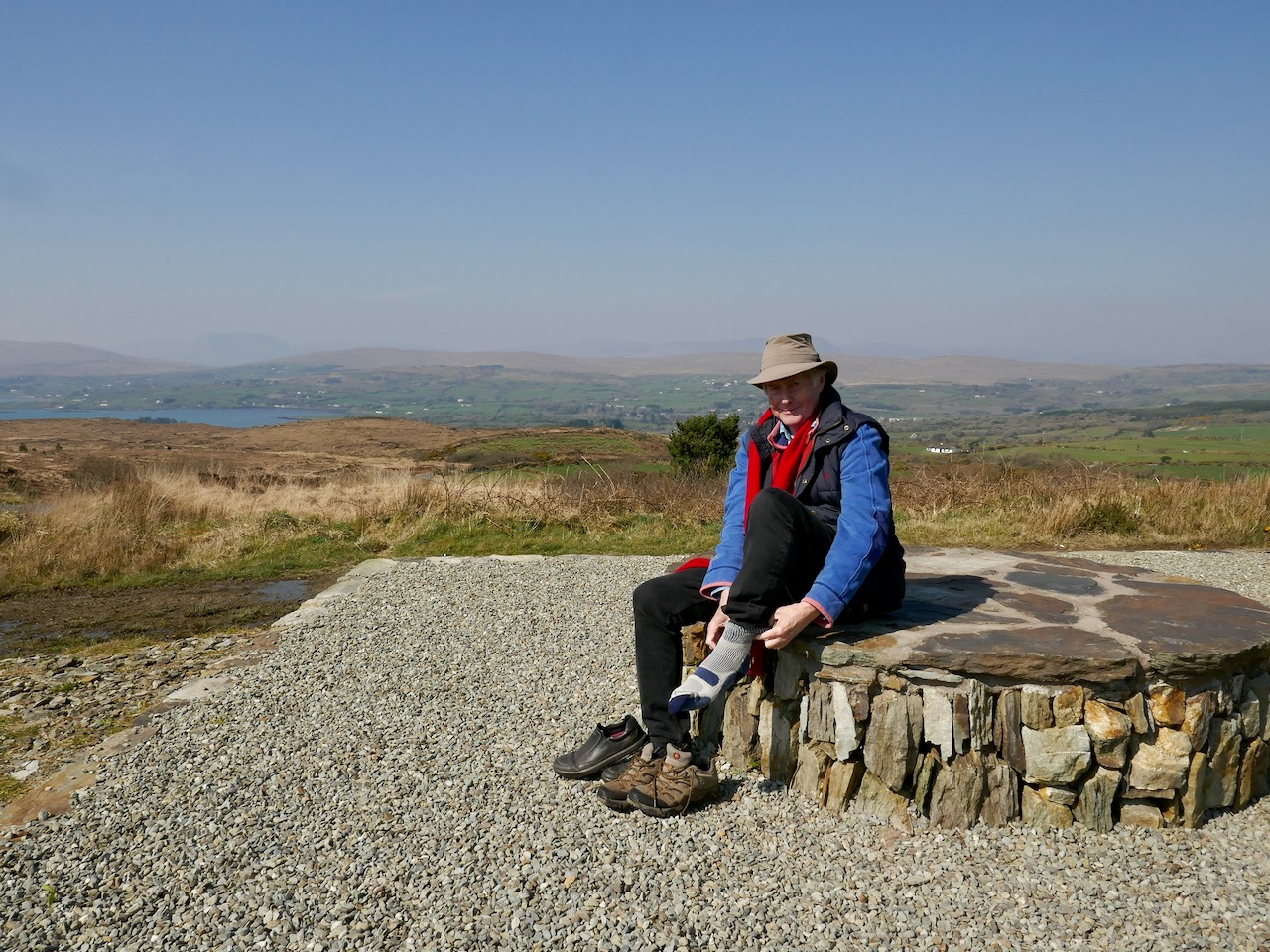
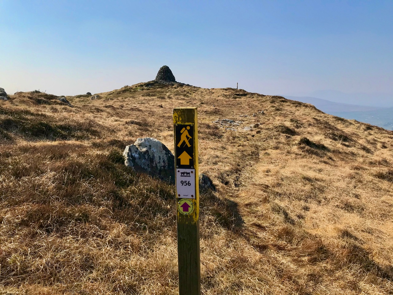
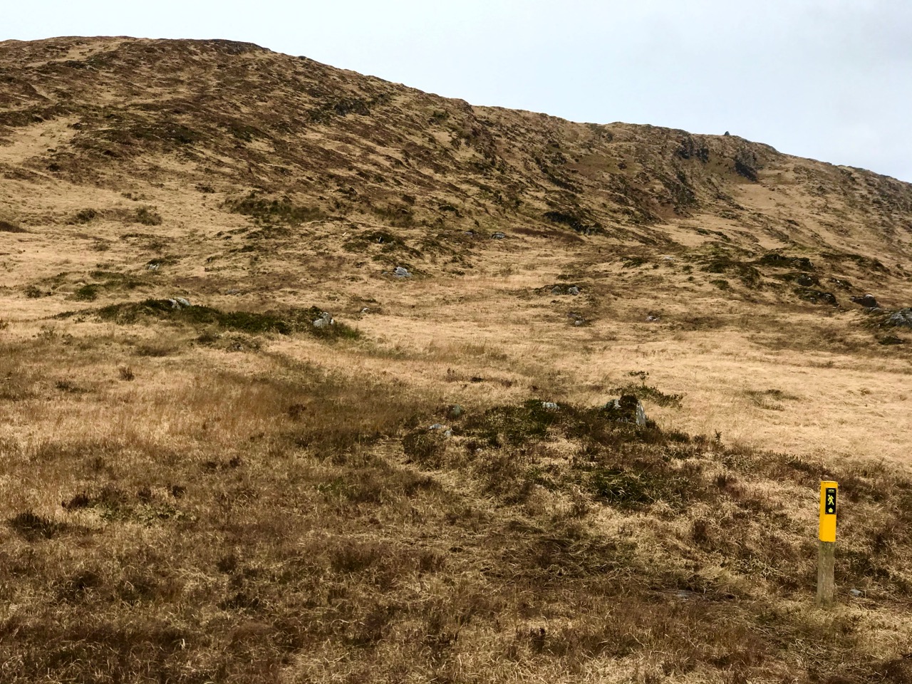
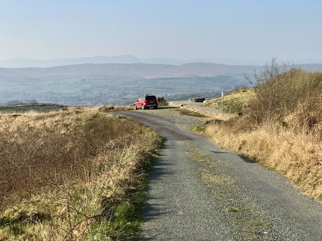
Upper – on our first attempt on Corrin we got as far as this wilderness before turning back. Centre – park here for the Corrin trail! It’s well marked and accessible from the east side. Lower – a convenient seat for donning the right footwear! This is on our second attempt, in much improved conditions

Suddenly – on Friday – everything changed. Out of nowhere came a bright, clear and windless day. We hurried out to complete our journey to the summit, revelling in the light. It was as though, for the first time in the year, there was a sense of expectant renewal. When we arrived home, it was to discover that Ireland had been plunged into lockdown: we (the ‘elderly and vulnerable’) have to stay in our homes unless needs are urgent (food and medicine) although we are permitted to exercise close to home, always keeping a safe distance from others.

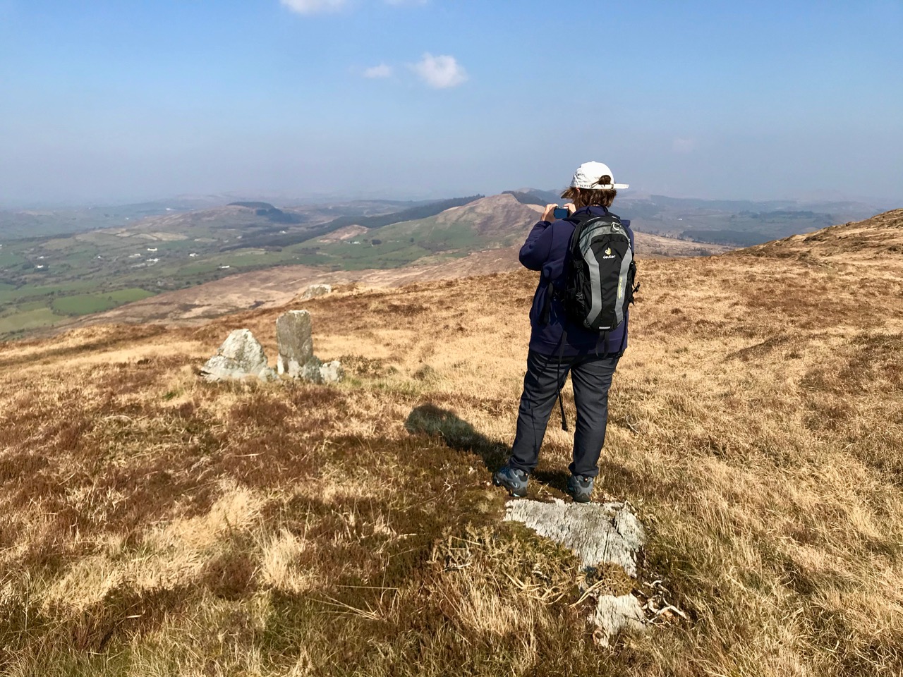
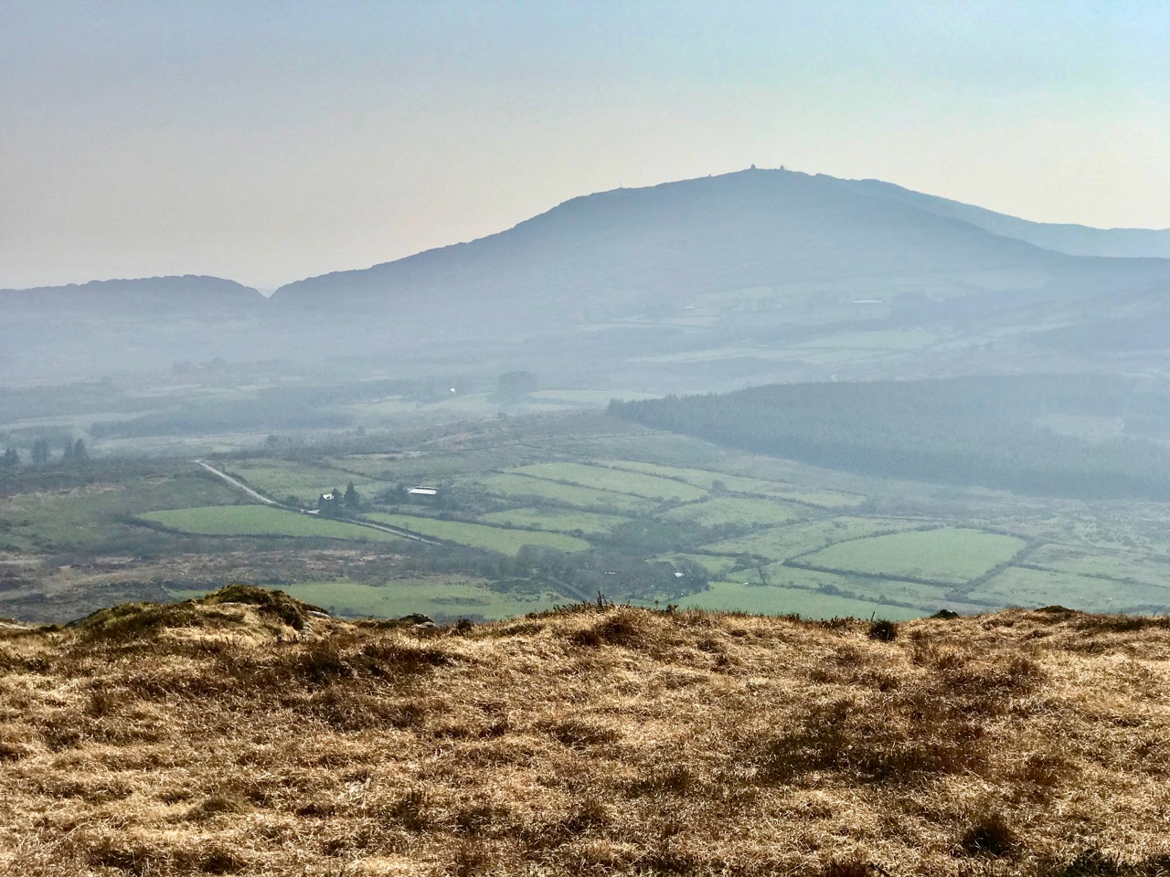
Upper – Finola looks back along the ridge towards our previous goals (Lisheennacreagh and Letterlicky). Centre – spectacular views of Gabriel and the Barnaclleeve Gap are had from Corrin. Lower – the track is well marked: we are approaching the summit cairn
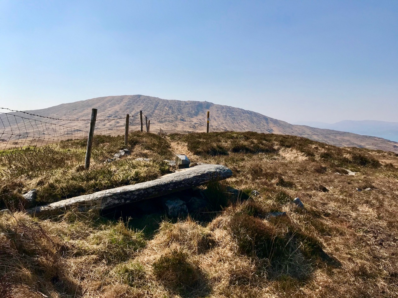
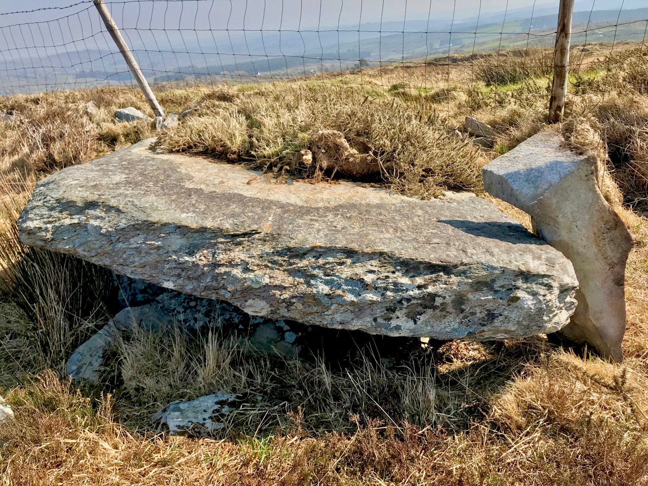
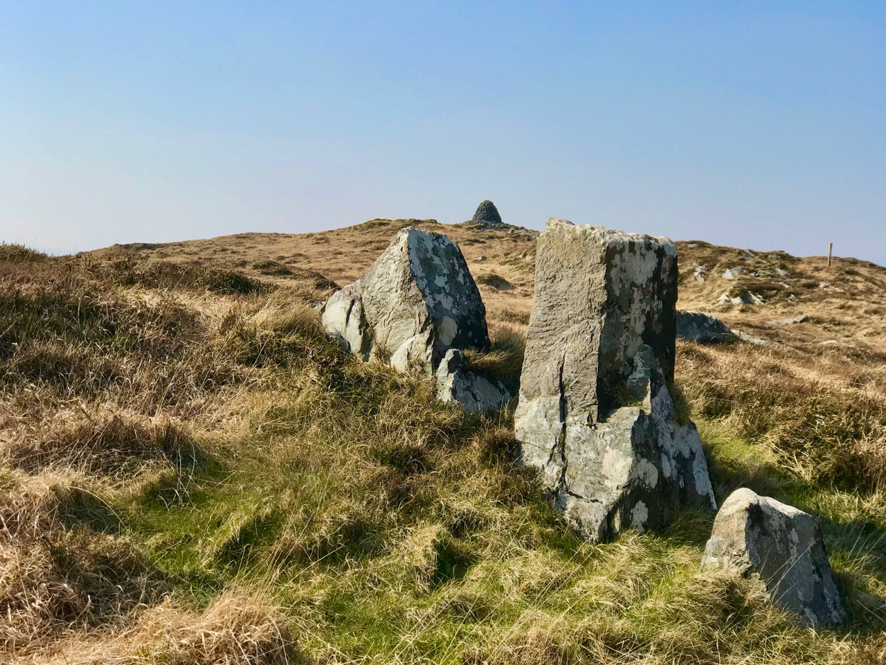
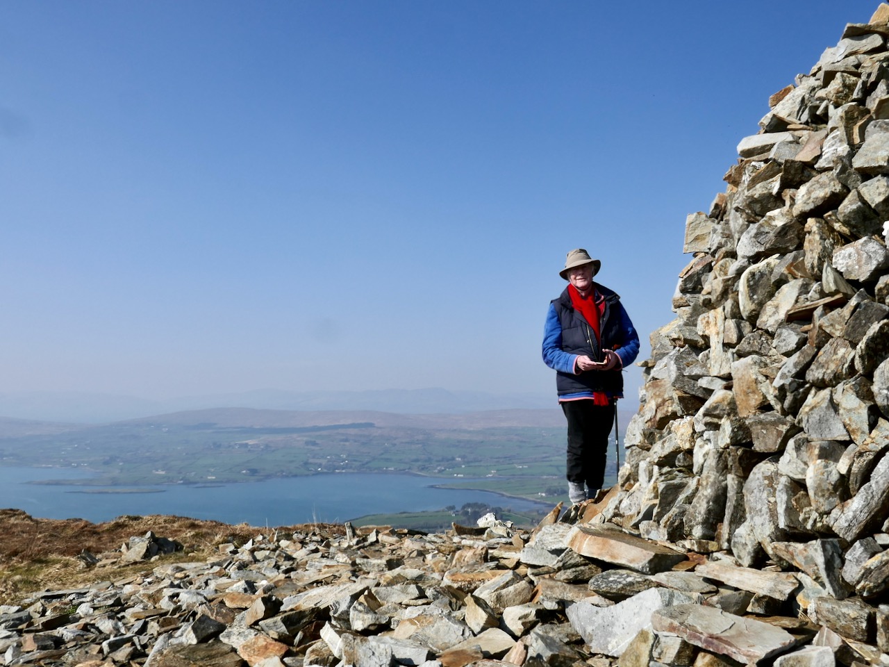
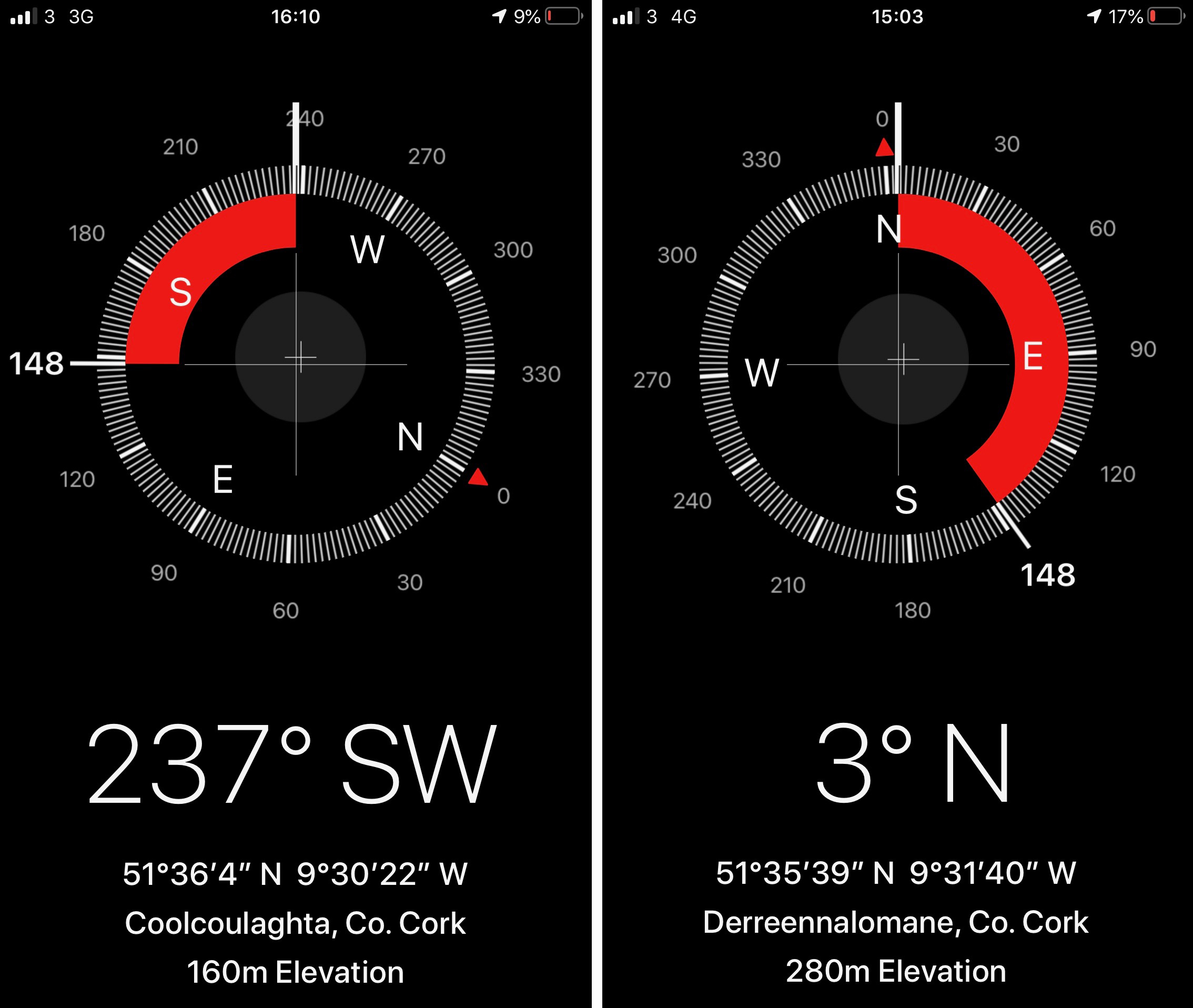
There is history on this mountain. The summit is crowned by a significant cairn. If the peak is named from the cairn – which seems likely (West Cork folk would pronounce ‘cairn’ corrin), it must have had ancient roots going back through many generations. The National Monuments Record makes brief mention of it: Class: Cairn – unclassified – Townland: Coolcoulaghta, Derreennalomane – On top of  Mount Corrin, commanding view. Sub-circular cairn (H 0.7m; 13.6m E-W; 15m N-S); modern cairn built in centre (H 2.7m; circ. 10.9m). On the way up from the east side, the path passes directly over some large prostrate slabs which look very much like a broken wedge tomb. The NMR says only this: Megalithic structure. There are also, near the summit, three substantial stones in an alignment. The NMR is silent on these.
Upper and centre – a possible broken wedge tomb on the slopes of the mountain. Lower – a convincing three-stone alignment which doesn’t get a mention in the Scheduled Monuments Record

Duchas has a far more exciting mention of Mount Corrin, with this ‘True Old Story’ recorded in 1936 from Dreenlomane School:

A True Old Story

. . . About eighty years ago where there was no talk of anyone being able to fly there lived in Screathan Uí Laoghaire [Scrathanleary] a very clever man named Julian Camier. He had a house built, and quarried slate on the other side of Cnoc an Chairn at a place called Leaca Dhubh, and then he made a pair of wings. He told all the people that he would fly if each one of them brought a couple of slates home for him. When the day came crowds of people ascended on Mount Corrin to see him fly. He went on top of a high cliff and put on his wings but they failed to work when he spread them out and he jumped into the air and he fell off the cliff and hurt his leg. All the people took pity on him and each one brought a couple of slates down to his house so he got the slate brought home easy, and after that he was known as “Fly away Julian” . . . 


Patrick Donovan, Dreenlomane, Ballydehob, Skibbereen

Obtained from my father, Patrick Donovan 52 yrs

The Duchas Schools Folklore Collection also mentions folktales told about the mountain:

It is said that there is a chieftain buried under a heap of stones in Mount Corrin and there are other chieftains buried in Coolcoulachta . . .  There is a cairn on the top of ‘Corrin’ hill and it is said that a giant Mc Gun and his horse were buried there . . .

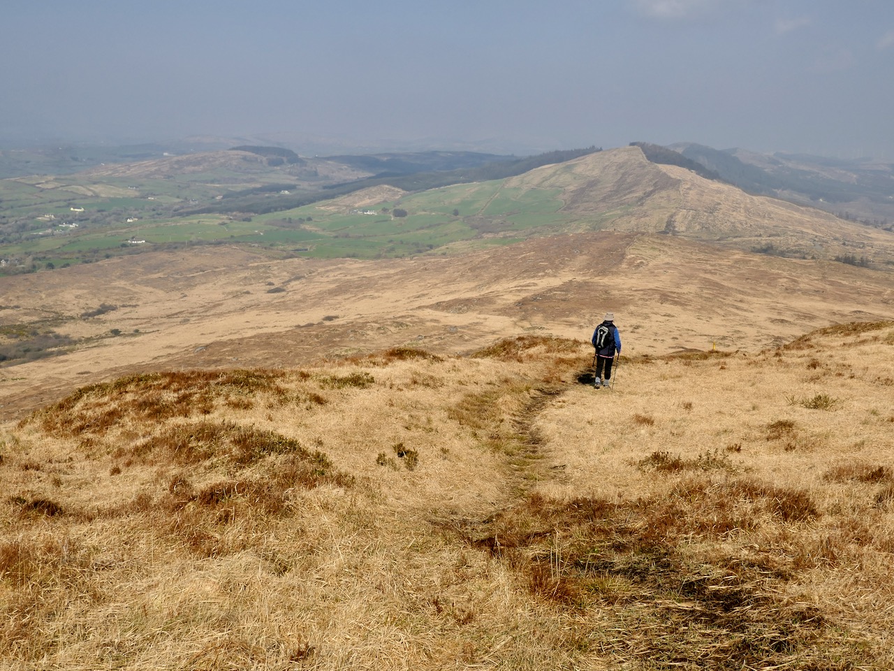
Upper – view from Corrin’s summit across the Sheeps Head Peninsula. Lower – descending from the peak

It would be wonderful to think that folk tales about ancient burials on the mountain top is a memory carried down through countless generations. Clearly this Mizen summit holds histories and mysteries. but, regardless of any lore that we might find in our researches, it’s one of the finest walks that you can take in this part of West Cork, with rewarding views over the whole peninsula.

From start to finish the round walk from the eastern access point to Mount Corrin summit and back involves an ascent of 120 metres and a distance of around 6km

Mizen Mountains 3 – Letterlicky Cairn, or ‘The Old Bog Road’

I confess I’m stretching things a bit here: the 297m peak in the townland of Letterlicky, West Cork, fits well enough into my definition of mountains – anything above the 200 metre contour line. But is this one on the Mizen? We think of our own village of Ballydehob as being ‘The Gateway to The Mizen’ in the south-east, and it would be logical to have another ‘Gateway’ at Durrus, where the northern coastline of the Mizen meets the Sheeps Head. If you draw a straight line between these two points, then today’s subject misses out. But – there are no straight lines in nature, and this peak is a continuation of a natural ridge line that rises down on the Mizen near Mount Corrin and runs east.

But if you are uncomfortable with my concept of what is or isn’t the Mizen, just go with the subtitle of this post: The Old Bog Road. We found Letterlicky Cairn quite by accident as our exploration set out to follow a trackway that we had often passed, on the high road to the north of Ballybane West. We had no idea where the track would take us, but it’s very well defined, roughly paved and probably quite old. As we journeyed up into the hills, we could see that the track was there to serve peat workings which must have been used for generations. The extent of the peat workings – and the line of the old road serving them – show up well on the aerial map view below.

It was a sunless mid-March day when we set out: the wind was in the east and there was little colour in the landscape. There were, as yet, few signs of spring. We could see the ridge in the distance and, happily, the track appeared to climb towards it. In Ireland, the days of cutting peat for fuel are numbered: commercial operations will cease by 2025. Generations of families in rural areas have historically cut peat by hand and lay claims on the rights to do this. Increased regulation will eventually see this tradition declining along with all other fossil fuel production as carbon neutral ways to produce energy are developed. It seemed significant that the large array of 20 giant wind turbines on the high land to the east was a constant backdrop on our journey along the Old Bog Road.

Tomás Ó Muircheartaigh (1907 – 1967) was an amateur photographer who recorded life in rural Ireland during the first half of the twentieth century. We have used examples of his work in previous posts. These two prints (above) demonstrate the hand-working of peat faces and the transporting of sods from the workings. Our Old Bog Road would have seen similar sights in its heyday.

As we threaded our way through the peat workings, we could see the track carrying on towards the ridge. We had done no prior research into the area we were traversing, but as the way grew higher and higher – and we realised we must be coming to a high point in the landscape – we wondered whether there would be any signs of ancient activity on the mountain top. We could see other high points around us – Mount Kidd to the south and Mount Gabriel to the west – and, beyond, a spectacular distant view over Roaringwater Bay: a place like this would have been considered special, surely, to those who knew it thousands of years ago.

Views from the Old Bog Road: upper – Mount Kidd; middle – Mount Gabriel, and lower – the islands of Roaringwater Bay

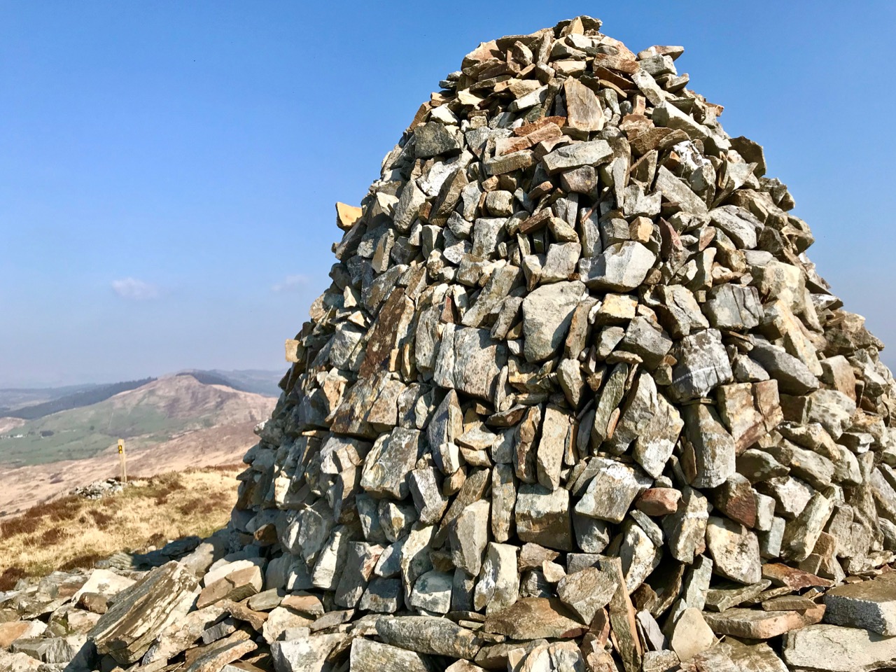
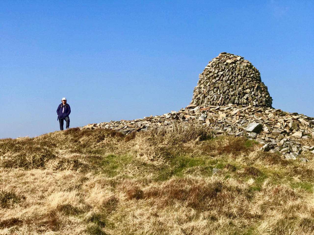
As we rounded the last bend in the trackway we could see the summit ahead of us. Initially, we were delighted to see a substantial cairn. But we were surprised by the number of larger, roughly shaped boulders and slabs which were lying around it. Also, there seemed to be a substantial earthen raised platform.

To add to the interest – and the enigma – there were some 21st century monuments on the same hilltop. An inscribed bench and a carved wooden marker which resembled a gravestone, with wording on both sides:

Our subsequent enquiries have given us a little information about Mick Townshend (1951 – 2012). He was well know locally, related to the Townshends of Castletownshend, and lived near Ballybane West. The bench was made by his friend Charlie, and was intended to be installed in Ballydehob: we don’t know why it is now here at the mercy of the elements, but it’s easy to imagine someone finding such a place inspirational, and perhaps asking to be remembered at this spot.

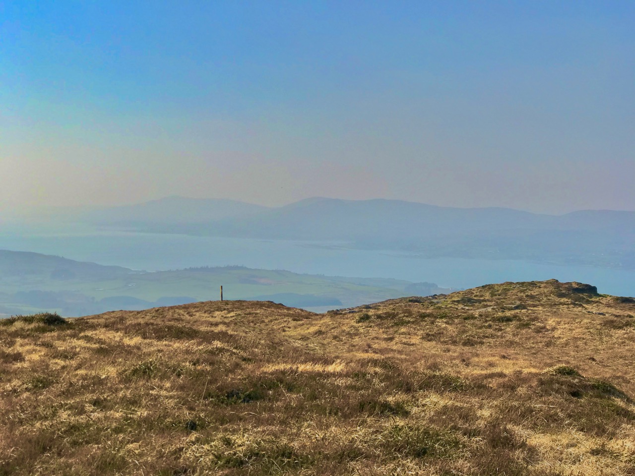
Although it wasn’t the best of days, the view to the north was exceptional, taking in Bantry Bay and the Beara mountains beyond. It’s a place that demands to be returned to. As we prepared for the descent we heard the sound of a small engine, and suddenly there was farmer Florence McCarthy arriving on a quad bike with two collies running behind: they were searching for lost sheep. Good chat was had – although, in deference to the Coronavirus crisis, we all kept the currently regulation distance apart. It felt very unnatural to not shake hands, and we forgot to ask for a photograph, until Florence was just disappearing over the brow of the hill!

Florence

The cairn is a scheduled monument, described prosaically on the Archaeological Survey Database as: Circular area (19.5m N-S; 19m E-W) defined by scatter of large rectangular stones. The Duchas folklore collection proved far more interesting, although I can’t be sure that this entry from Gort Uí Chluana School, Bantry, in 1936 is referring to the same cairn:

Long ago when some of the people from the north of Ballydehob used be carrying their “firkins” of butter to Cork they used go through an old road in the town land of Letter Lickey . . .


On the side of this old road it is supposed that one man killed another with a stone. After that it was the custom with the old people; who ever happened to pass that stone should throw a stone near the spot the stone was dropped at the man or if not something would happen to the person afterwards. Up to the present day there is a cairn of stones to be seen on the side of this old road . . .