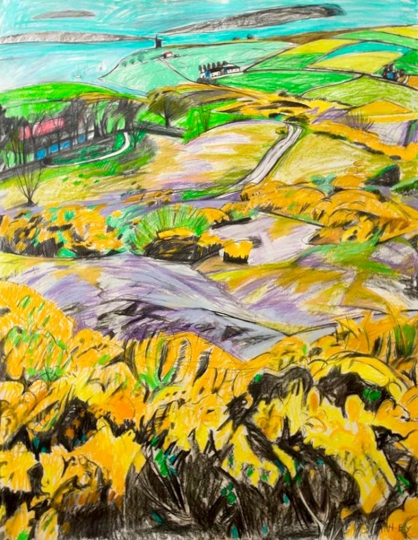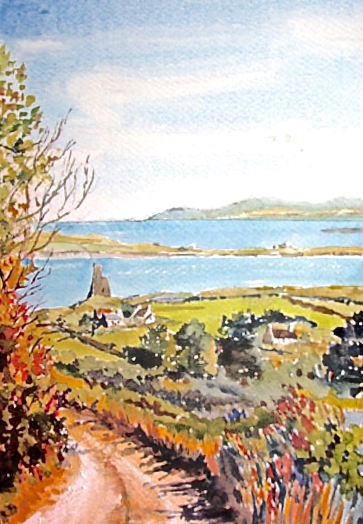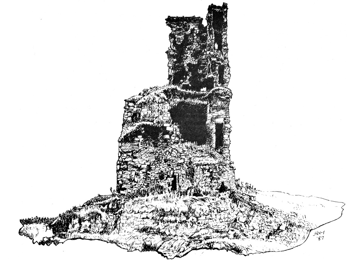
Mizen Magic 17: Delights of Dunmanus

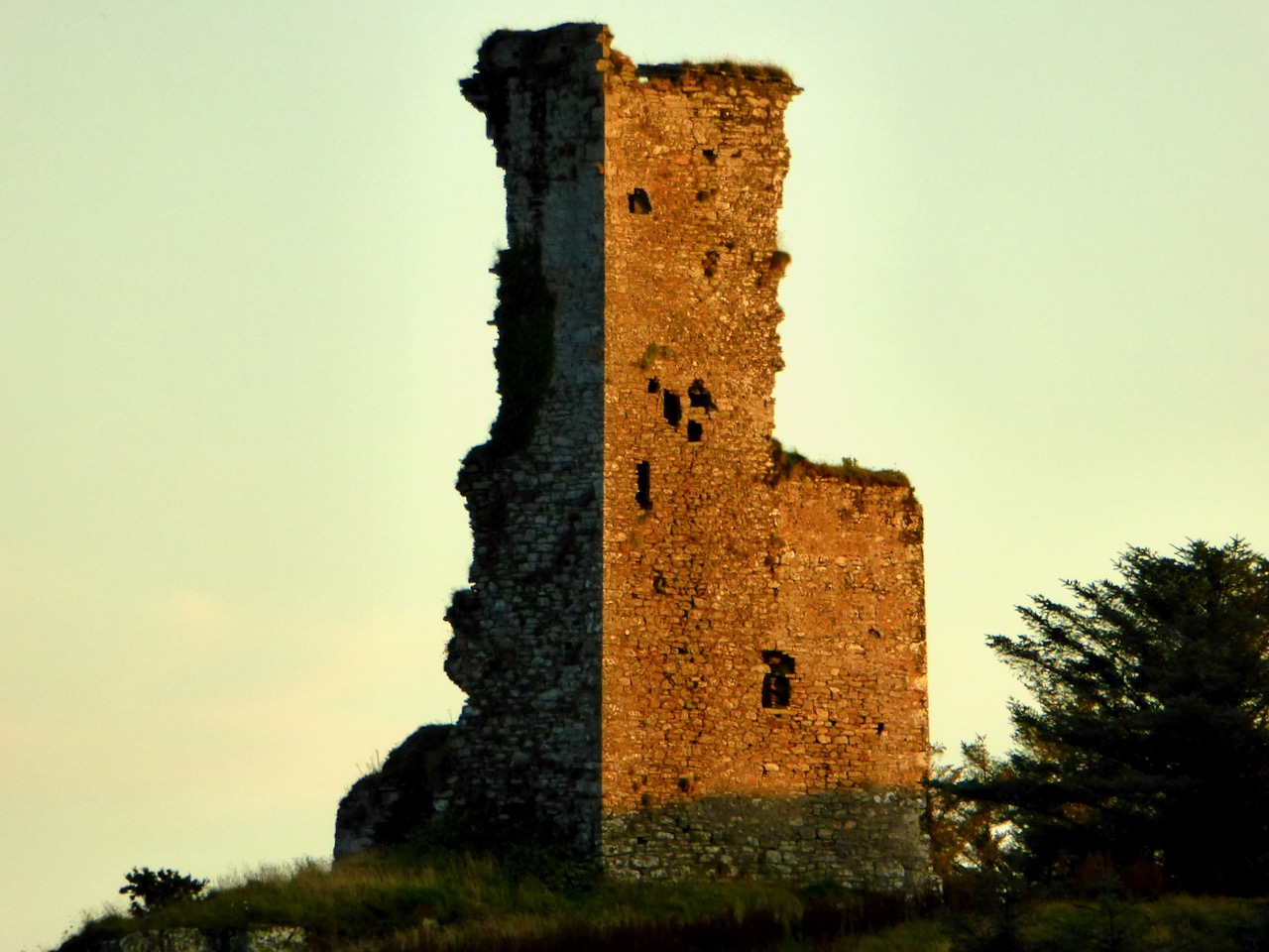
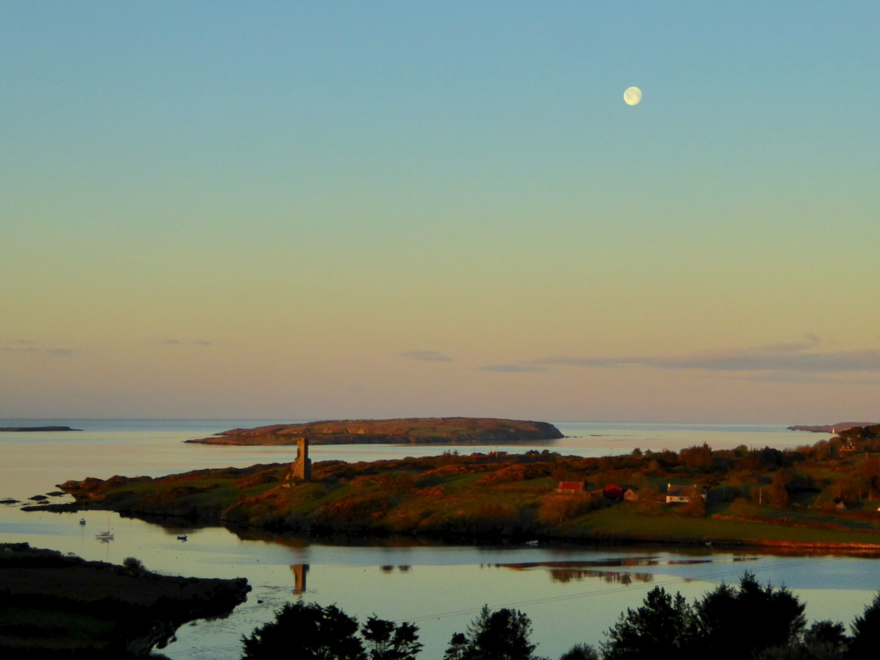
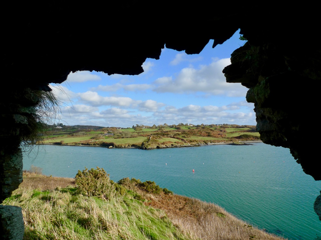
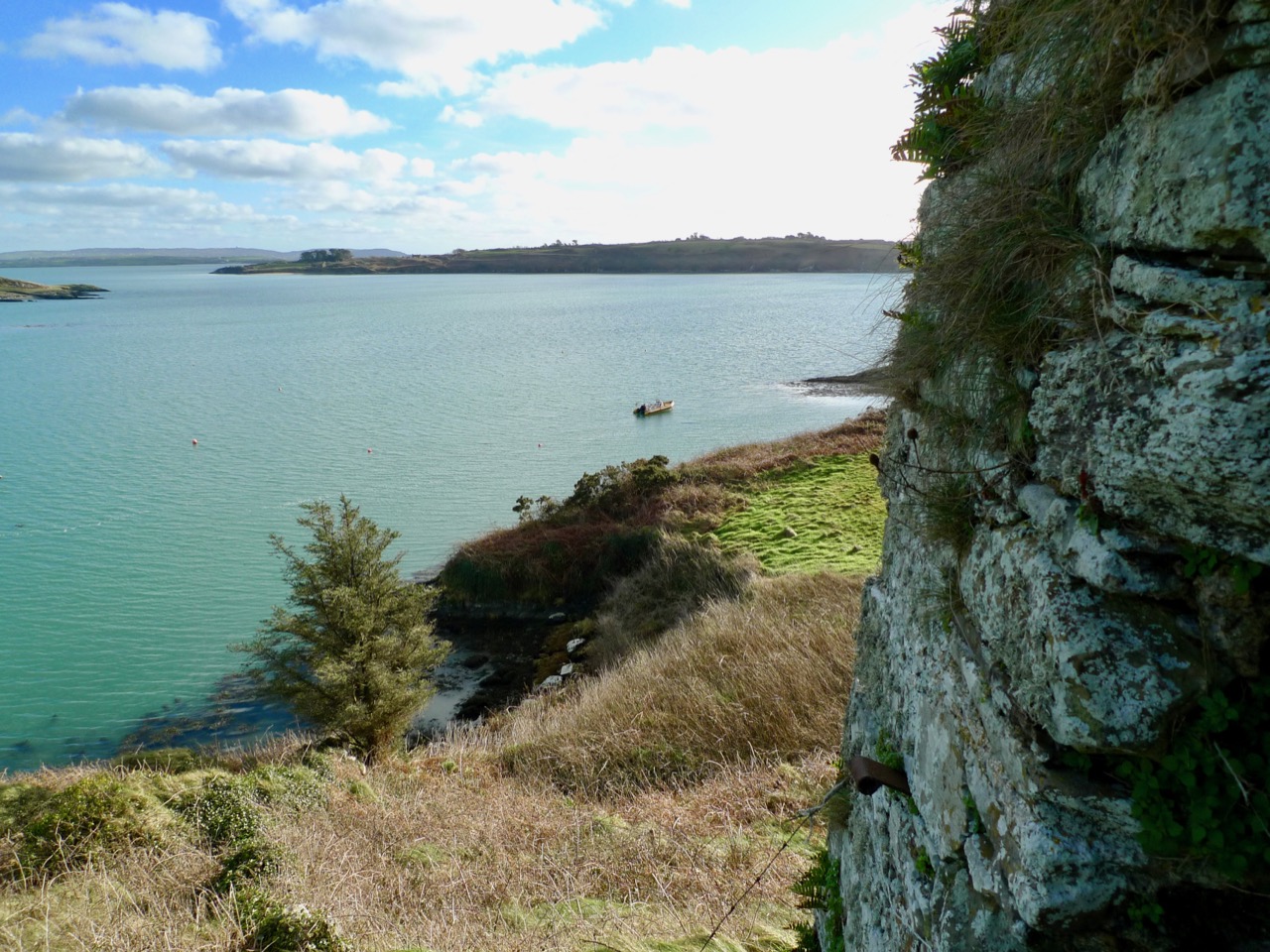
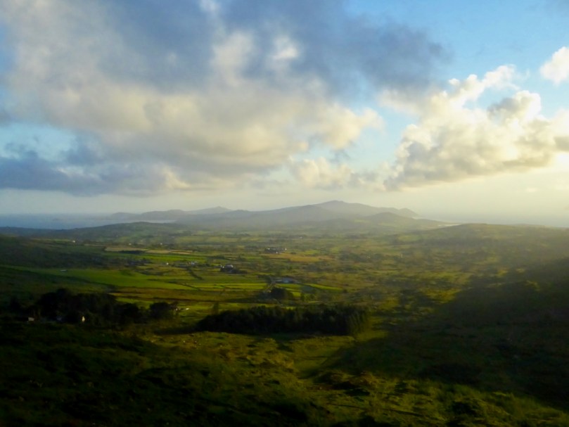
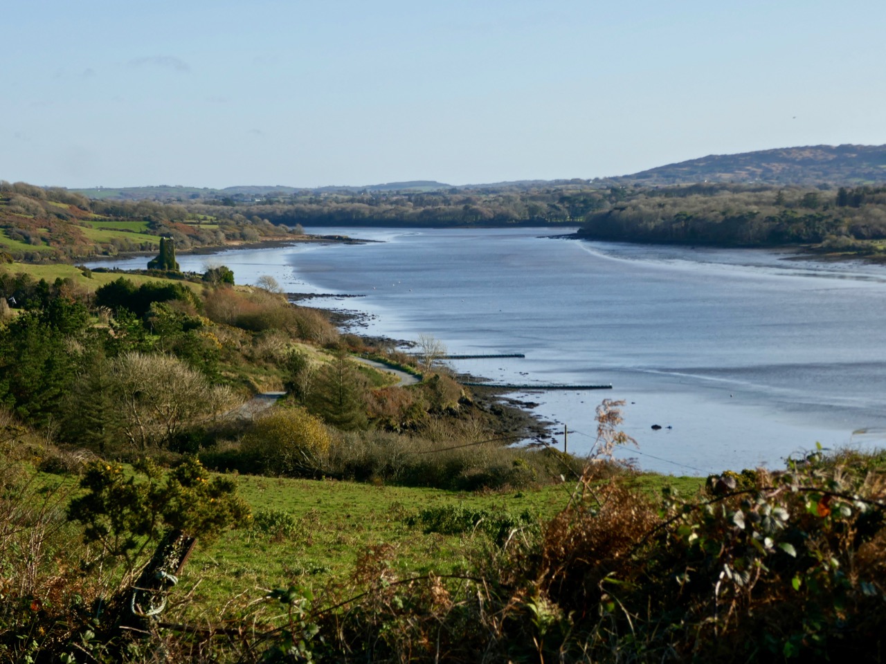
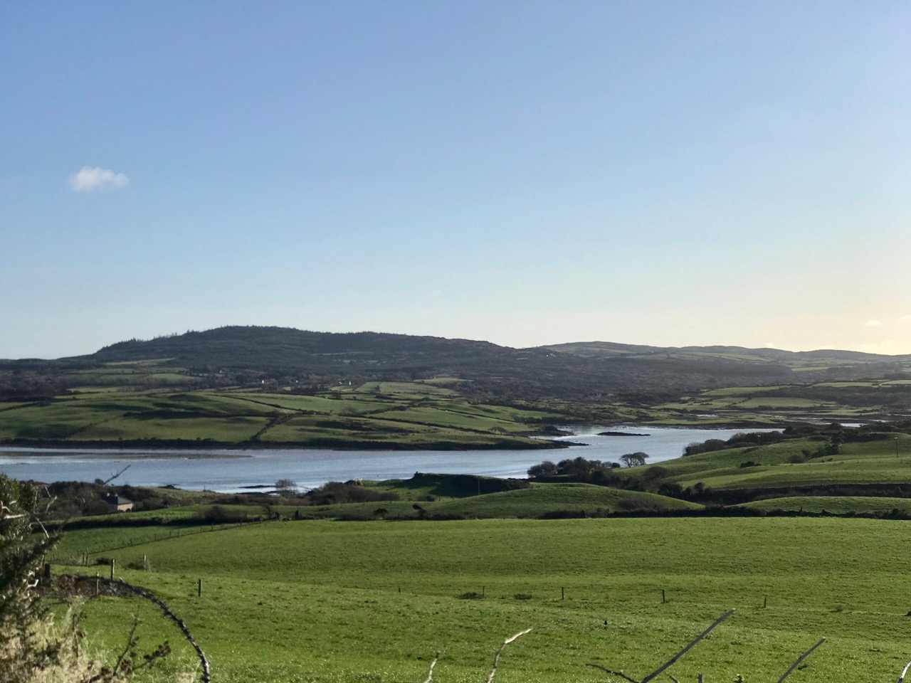
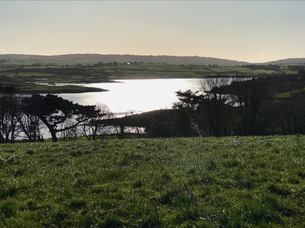
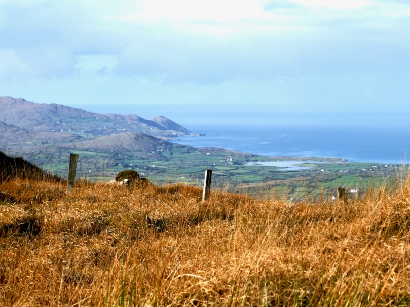
As we often do, we set out on a sparkling day last month to explore a part of the Mizen we aren’t familiar enough with yet. Our plan consisted of pouring over the OS Number 88 map and having an AHA! moment of realising that we haven’t been to a particular spot. This time, the dart landed on an area just northeast of Dunmanus Castle (seen above from Mount Gabriel), where it looked like there was a trail running along the water that would afford magnificent views of Dunmanus Bay and the Sheep’s Head. Things didn’t go quite as planned. . .

Red line: the trail we wanted to walk. Blue line, the trail we actually walked.
Arrows – yellow, Dunmanus Castle; pink, boulder burial; blue, Killhangel Church

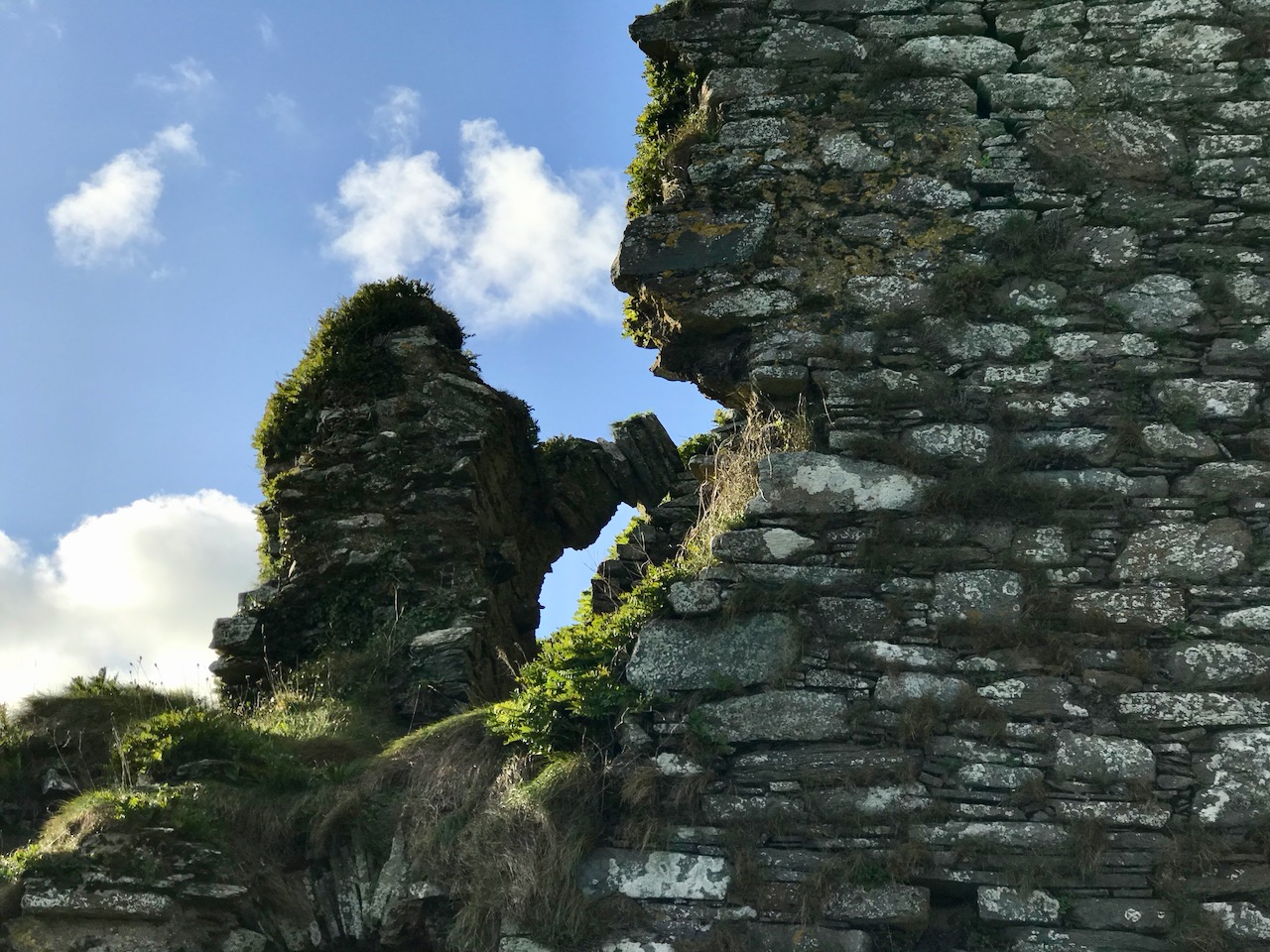
We’ve written about this area before – specifically, in Mizen Magic 13 Robert described the promontory immediately to the northwest of the castle, with its ancient stone walls and its spectacular sea arches. This area has recently been re-fenced and isn’t as easy to access as it was.
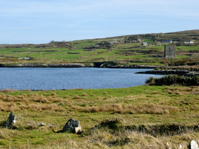
The Castle and bridge from the promontory

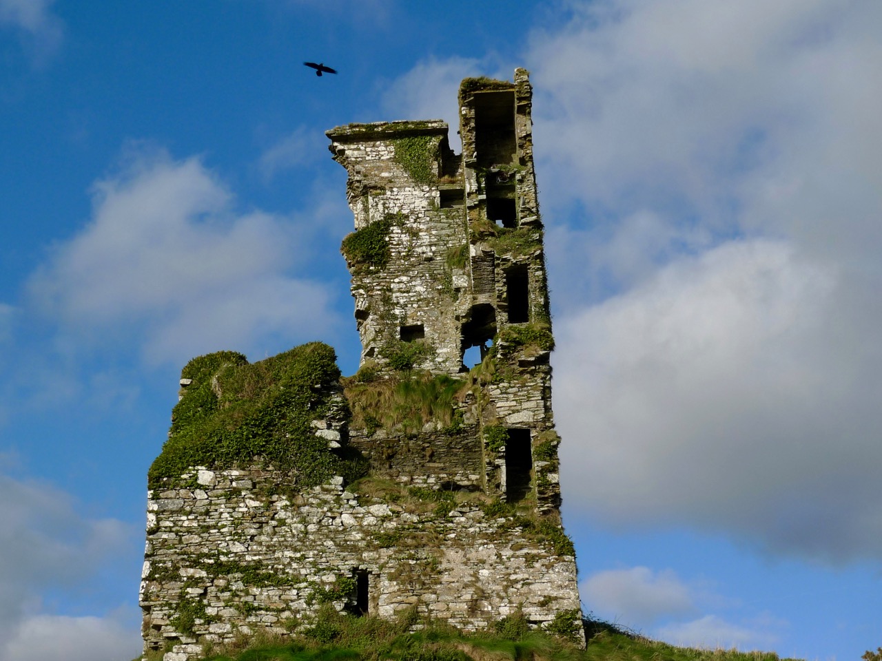
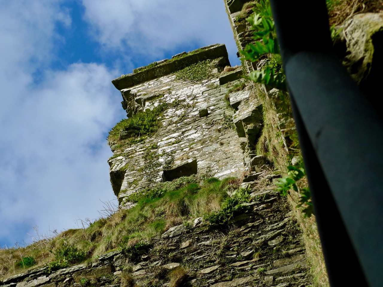
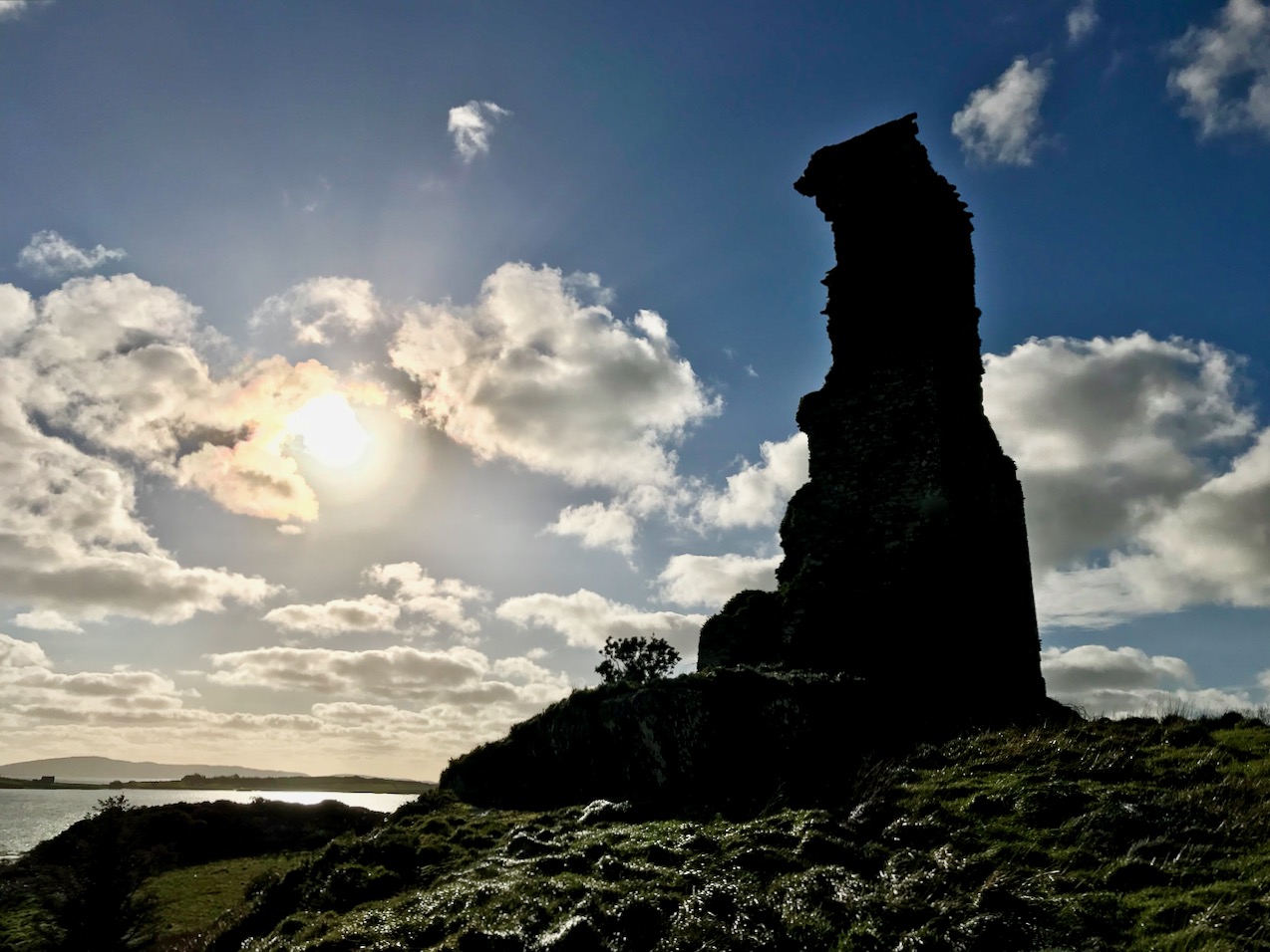
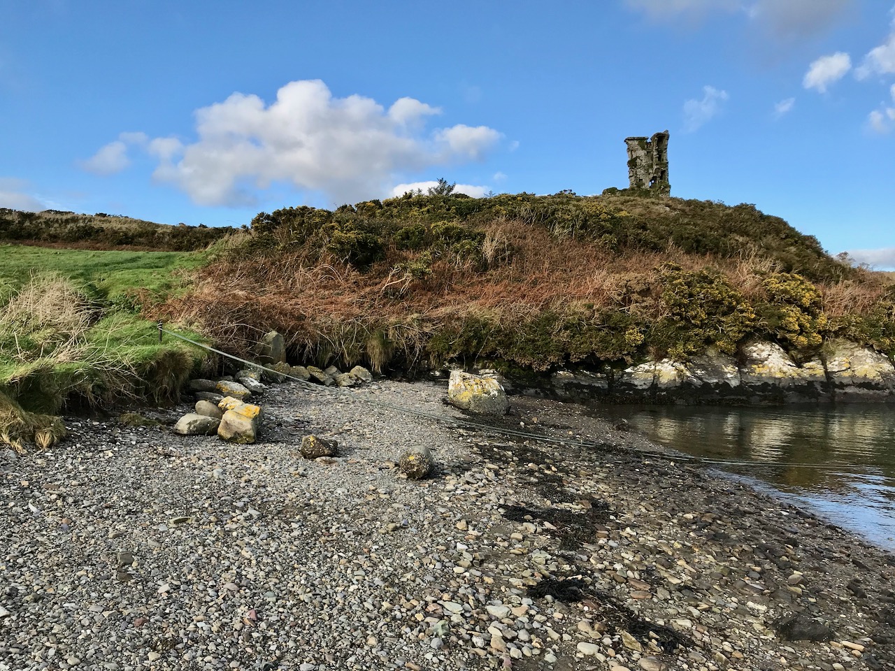
The Castle, of course, is the most prominent landmark in this area. Built by the O’Mahony’s in the 15th century, it is a classic early ‘raised entry’ type of tower house, with complicated internal architecture that allows restricted access to different parts of the building at different levels – including to an oubliette. My post When is a Castle..? has a good description of these kinds of castles, typical of West Cork.
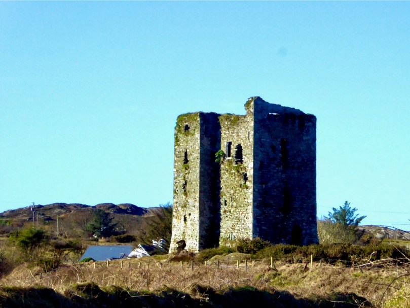
But today we were heading away from the Castle, towards the townland of Knockeens, where, on the map, we could see this promising trail. But you can’t just go right there – a little meandering is always in order when you’re in countryside this beautiful and this interesting.
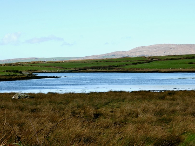
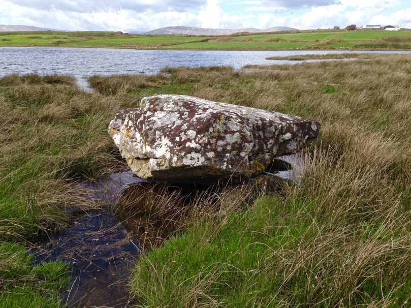
So we stopped to admire the Dunmanus boulder burial (it’s the rock in the lower left of the photograph above). Boulder burials are Bronze Age monuments, although they may have been used for purposes other than to mark burials. See my post Boulder Burials: a Misnamed Monument? for more about this intriguing group of archaeological sites, more widespread in West Cork than other parts of the country, and often associated with stone circles or standing stones. This one is unusual in that it is low-lying (most are in more commanding positions) and the base gets covered at high tides.
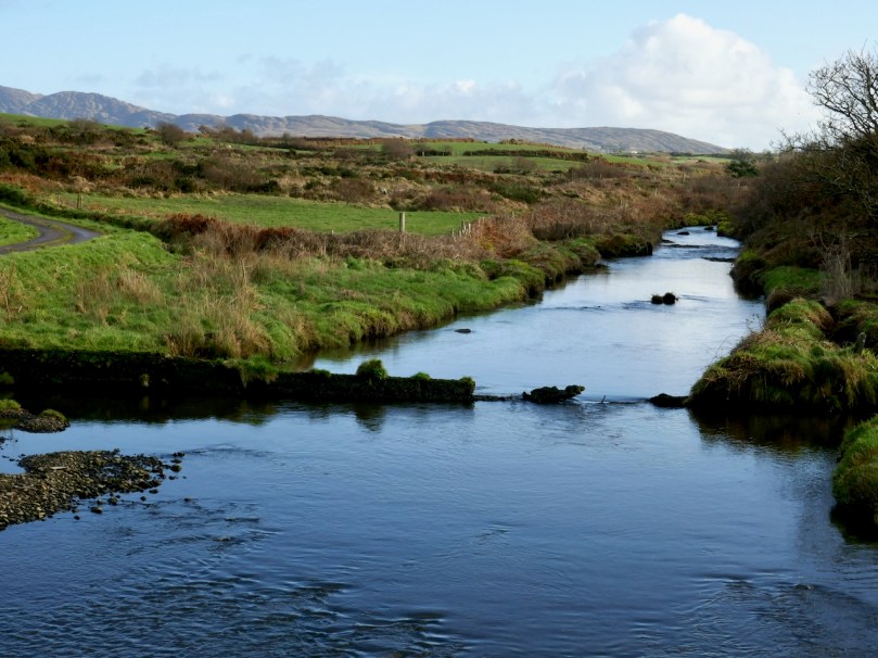
Crossing over an unnamed stream that rises on Mount Gabriel and empties into the sea here, we arrive at the point where we can leave the car and proceed on foot.
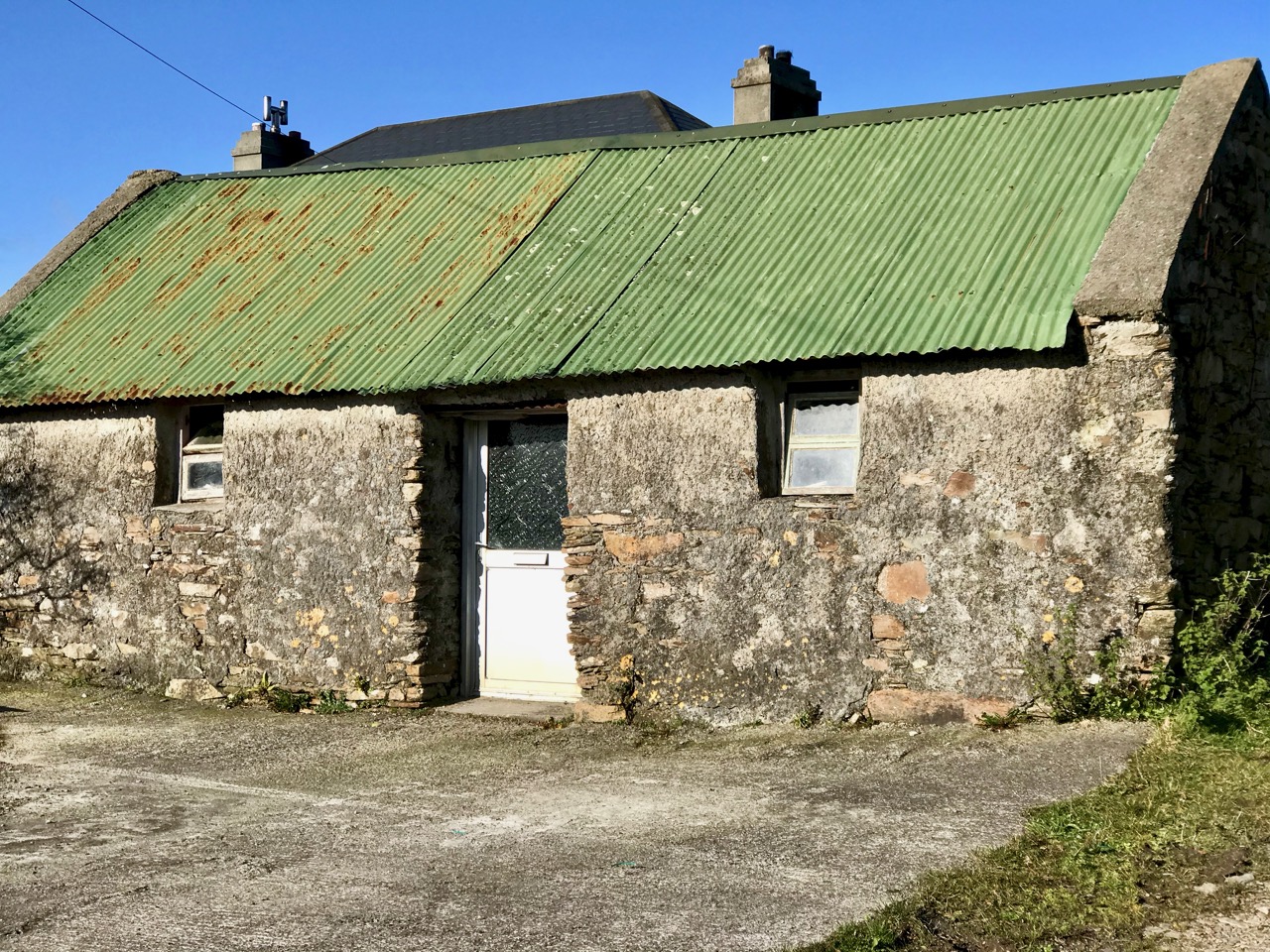
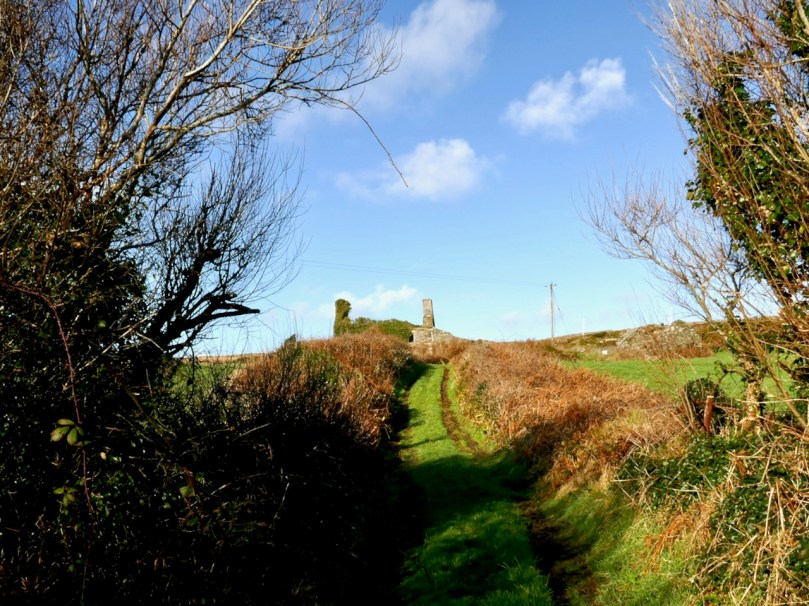
A short walk up an old boreen leads us to a clachán – a tiny settlement of houses, now all in ruins. The residents had magnificent views back down to the bay in their day, but as people say around here, you can’t eat scenery and the families who lived here are long gone to a better life elsewhere.
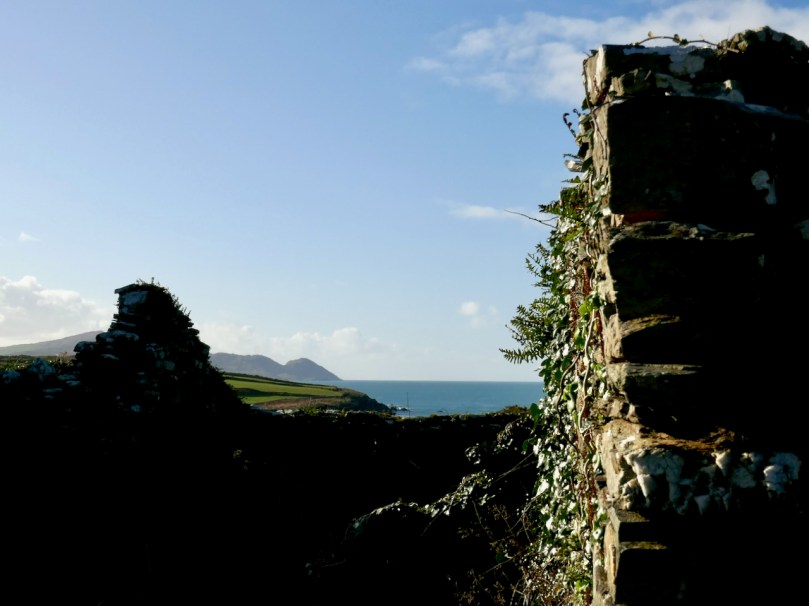
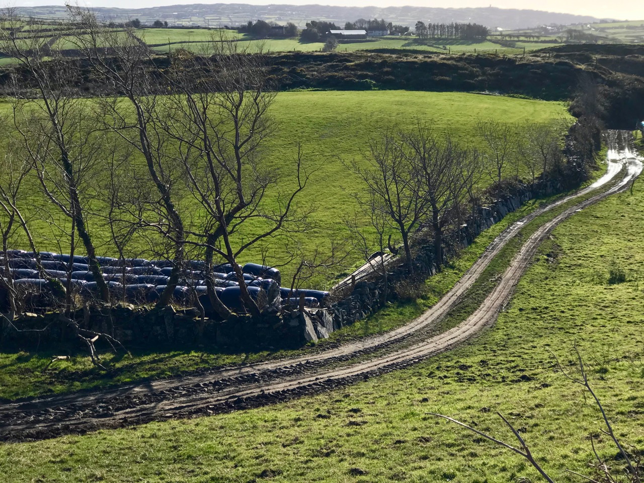
Just beyond the clachán we ran into our roadblock – an enormous puddle extended over the path. It was too deep to walk through and the boreen was fringed with thick gorse bushes we couldn’t push past. Stymied, we decided to climb up above the path and look for a way around. Easier said than done – between stands of gorse, boggy patches to go around (or sink into), sheep paths that went nowhere, we spent an hour or so wandering around the hillside and finally admitted defeat.
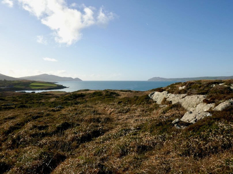
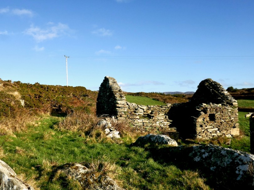
It wasn’t wasted time though – it was wonderful to be out in the crisp air, surrounded by all the magnificence of the Mizen, thinking about the generations who had wrested a subsistence out of that unpromising land. When we finally got back to the car we decided to see if we could approach the trail from the other side, and set off in that direction.
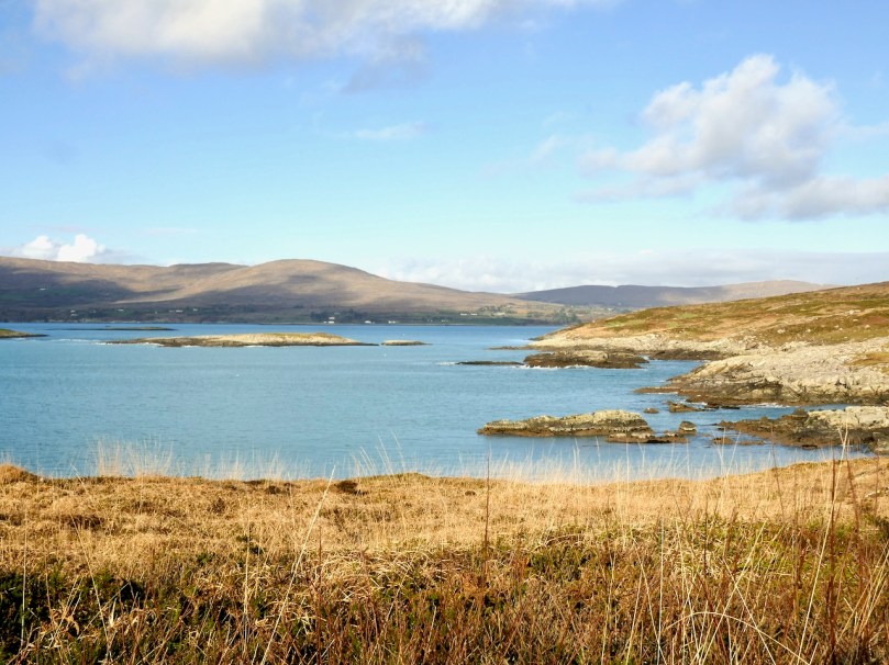
Looking across to the Sheep’s Head

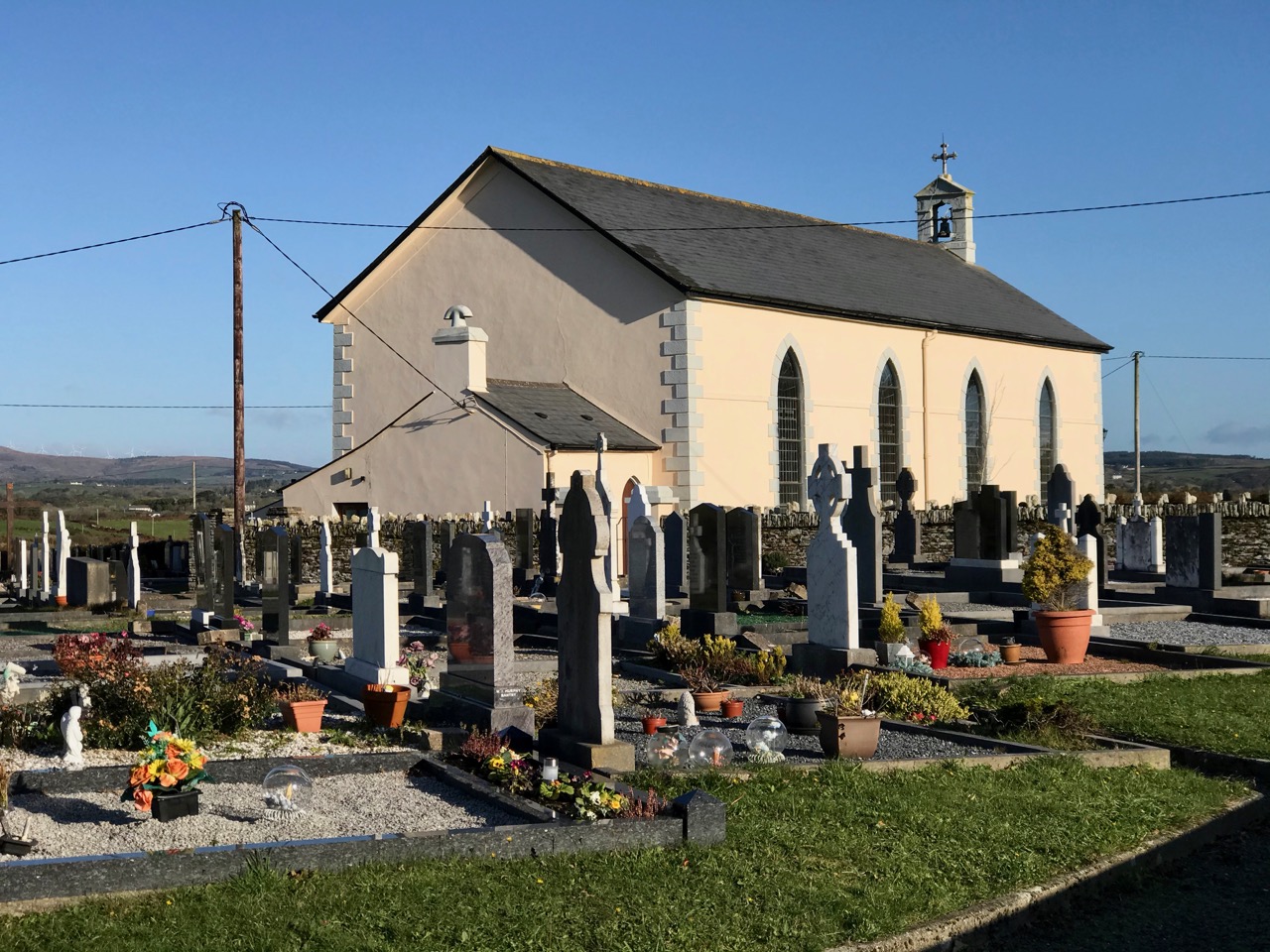
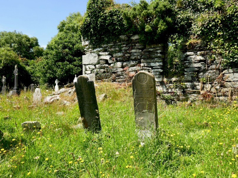
Along the way we had a quick stop at the ruined late-medieval Kilheangul Church (Church of the Angels). It’s a special little spot that deserves a post of its own someday, so I won’t say much about it now. This photograph of it was taken in the summer.
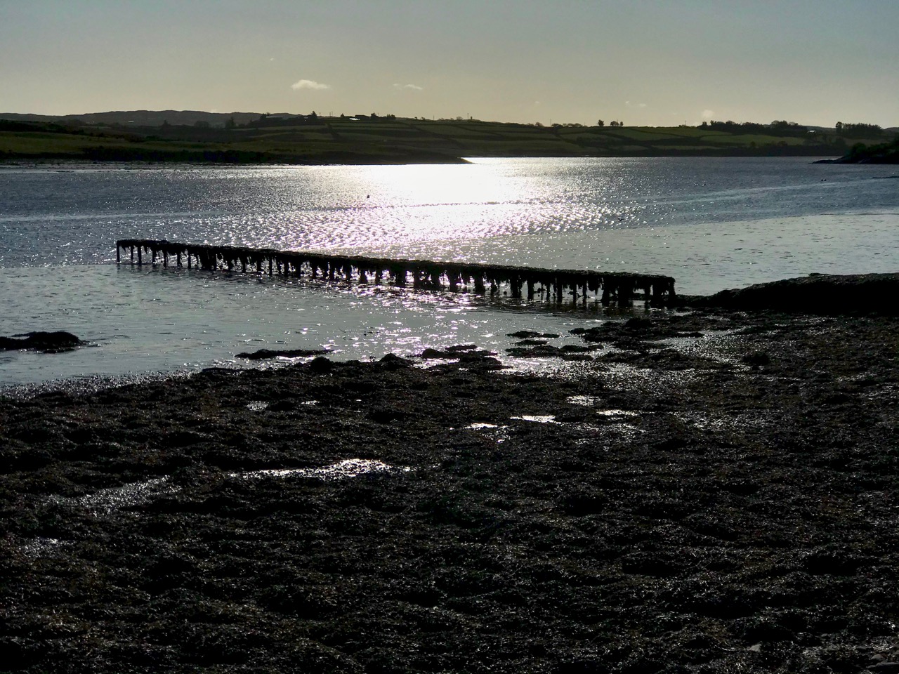
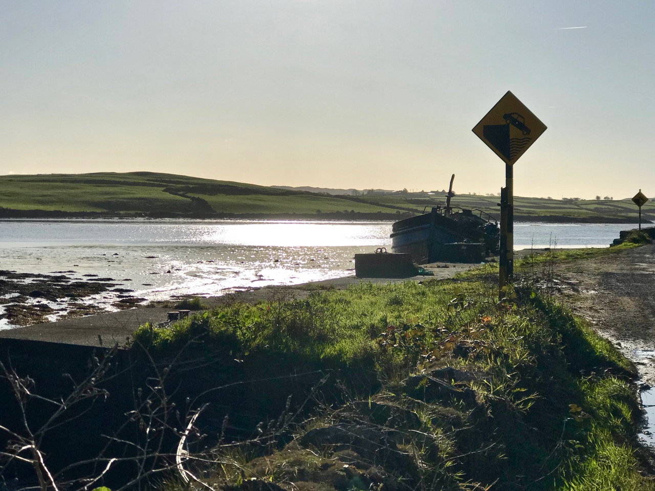
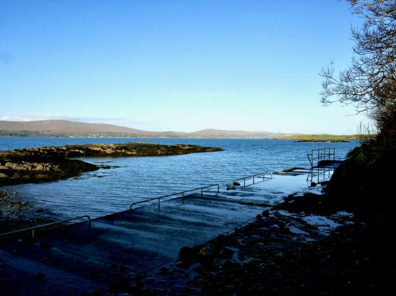
By the time we arrived at the other end of the trail, beside a small pier, it was starting to get dark, as befits a January afternoon, so discretion dictated that we leave the rest of the adventure to another day. 
The day started out to be about walking the trail – it ended up being about everything around it. That’s the thing about the Mizen – the journey is the destination. 
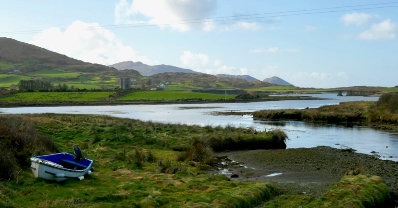
 

Looking at Rossbrin

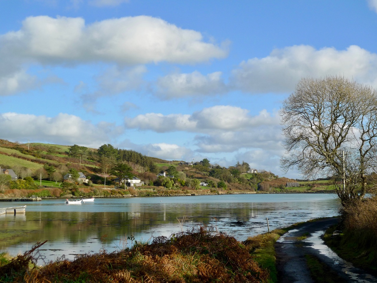
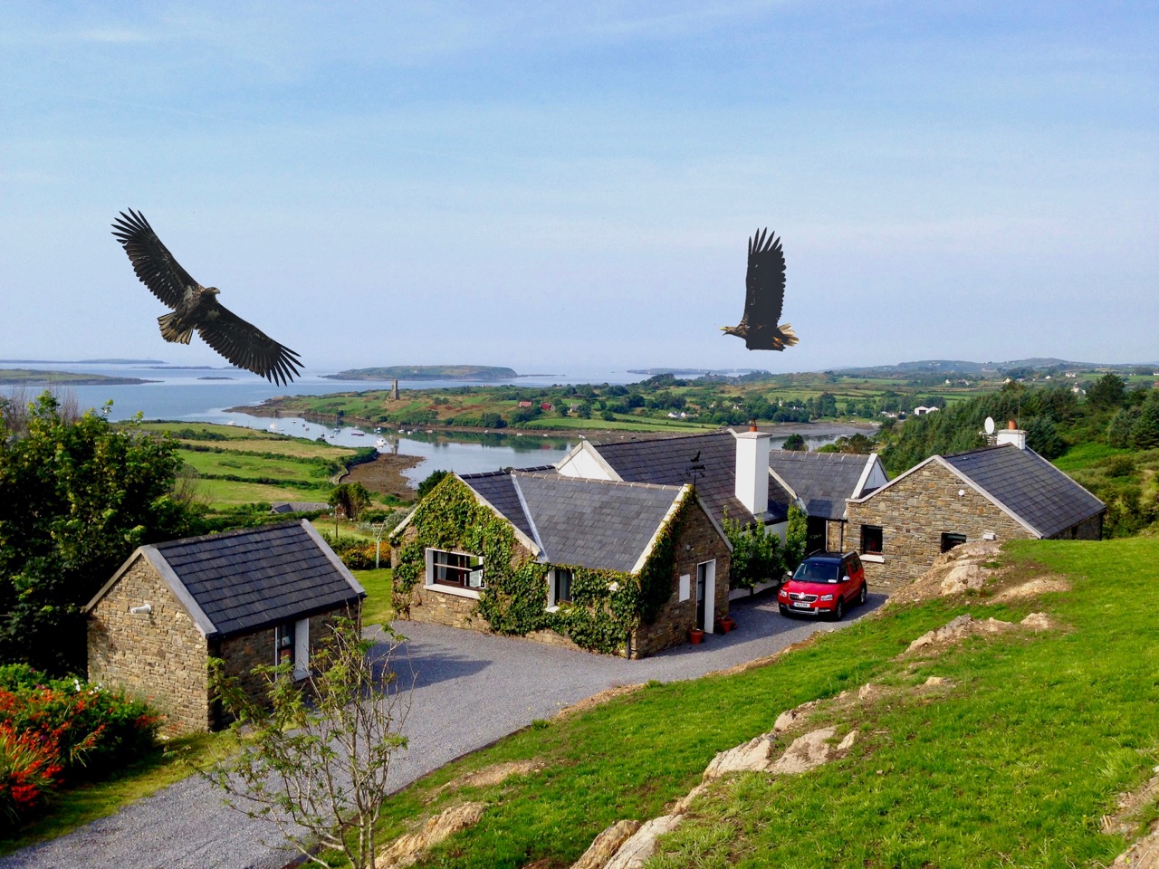
Last week we talked a little about the history of Rossbrin’s medieval castle, and the importance of this natural inlet as a historical centre of fishery, scholarship and European culture. Rossbrin Cove stills serves as an anchorage and refuge for sailing boats on the edge of Roaringwater Bay, but is now a peaceful haven, with only the sounds of the shore birds and slapping masts to lightly disturb an overriding tranquility that gives the place a very particular atmosphere. Our photograph (above) is taken on the boreen going to the castle; on the skyline in the centre is a wind turbine, and just below that is Nead an Iolair (Irish for Eagle’s Nest). The picture below shows the eagles wheeling over our house, with Rossbrin Castle and our view to the Cove beyond.

I have been exploring images of the Cove and its castle – some historic photographs and a few artists’ impressions. As it’s right on our doorstep, we have taken many pictures of Rossbrin during our years here. I am also sifting through a few of these.

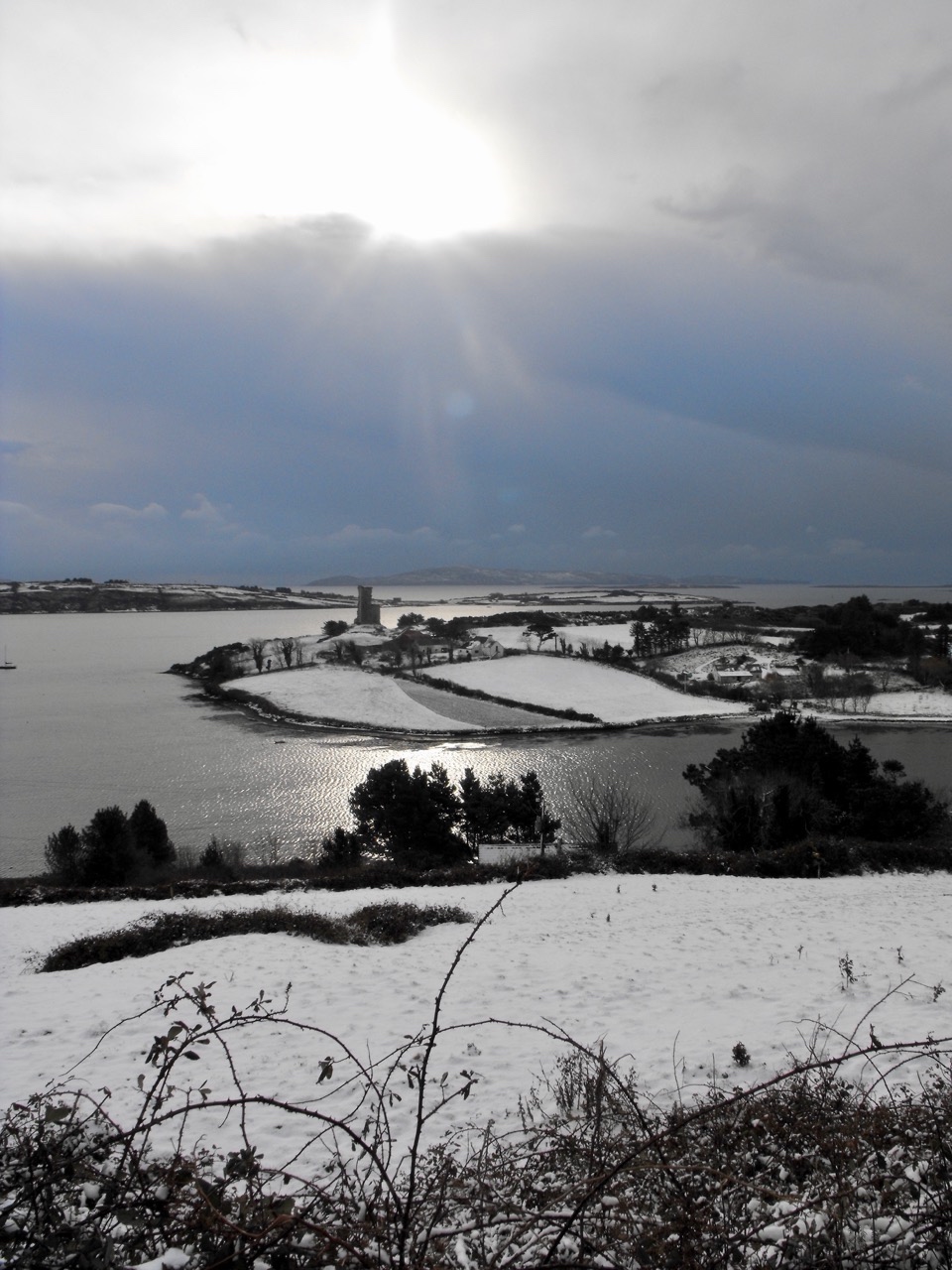
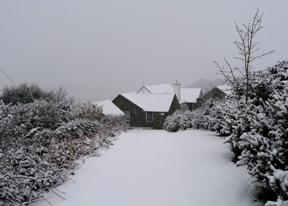
Ten years ago, the west of Ireland experienced an exceptional snowfall, and above is a photograph taken by our near neighbour, Julian van Hasselt, before we arrived. Mostly, our weather is relatively mild due to the effects of the gulf stream on the south-western coast. The castle can clearly be seen here, beyond the fields of Castle Farm. This view of our house (below) was also taken in 2010 by our neighbours Dietrich and Hildegard Eckardt:

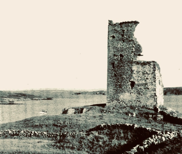
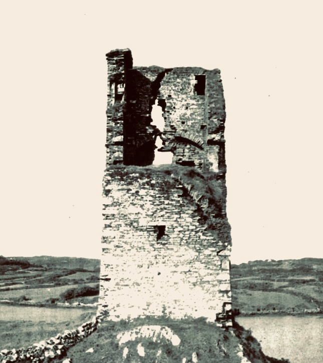
I showed a couple of early photographs of the castle last week. Here are two more taken before a substantial part of the ruined structure was toppled by a storm in the 1970s:

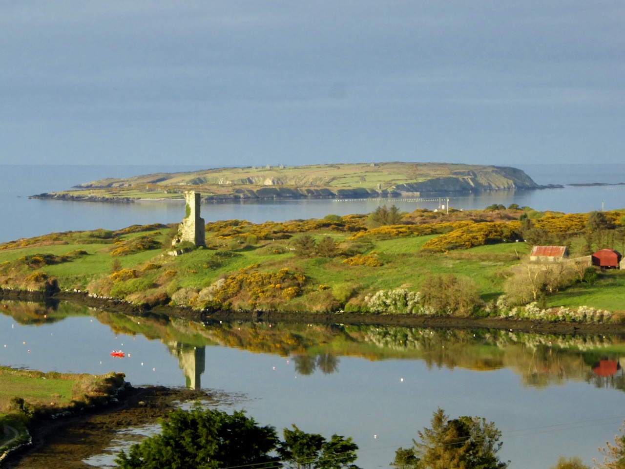
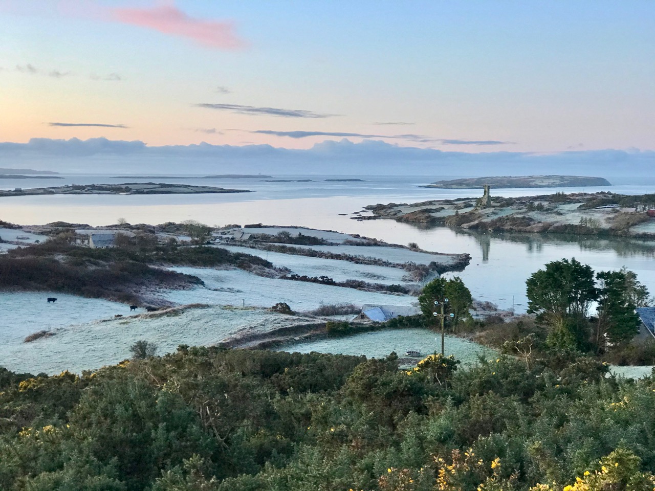
It’s good to see a bit of context, so here is another winter view of the castle on its rock with Castle Island behind. That island was also part of the O’Mahony territory. It is farmed by its present owner but no-one lives there now. You can make out the ruined castle on the island by the shore, just to the right of centre; it’s one of many that can be seen on, or close to, the shores of the Bay.

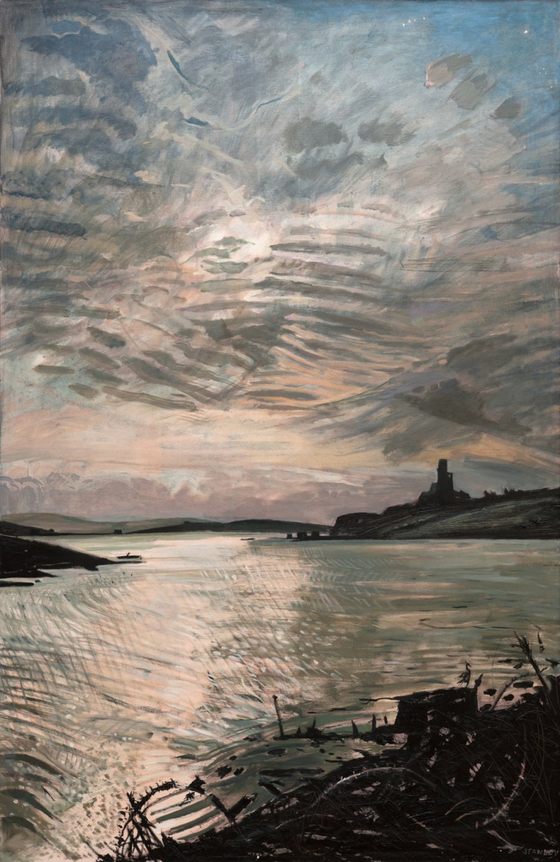
Let’s have a look at some of the art works that feature the Cove and the Castle. Jacqueline Stanley was one of many artists who was attracted to the beauty of West Cork. Now in her nineties, she moved from England to Ireland in the mid 1970s and purchased the old School House at Rossbrin as a country retreat: it has only recently changed hands.Here are two of her works, depicting Rossbrin. You can find more on her website.

I particularly like this view (above) which was painted by Jackie from the vantage point above the high road going down to the Cove, close to the remains of the copper mine at Ballycumisk. Last week I showed a painting by Geraldine van Hasselt, Julian’s mother, also from the 1970s. Every painting or photo is a historical document – and important to retain, in view of the fragile nature of the structure today.

Our friend Peter Mabey is an architect and artist. He has lived in West Cork for a long time: he and I were at college together in Kingston, Surrey, and were surprised to meet each other by chance in Skibbereen market a good few years ago now. Above is one of his attractive watercolours looking down towards the Cove. The vantage point looks remarkably like the one chosen by Jackie Stanley. Below is a drawing of Rossbrin from the monumental work The Castles of County Cork by the late James N Healy, published in 1988 by Mercier:

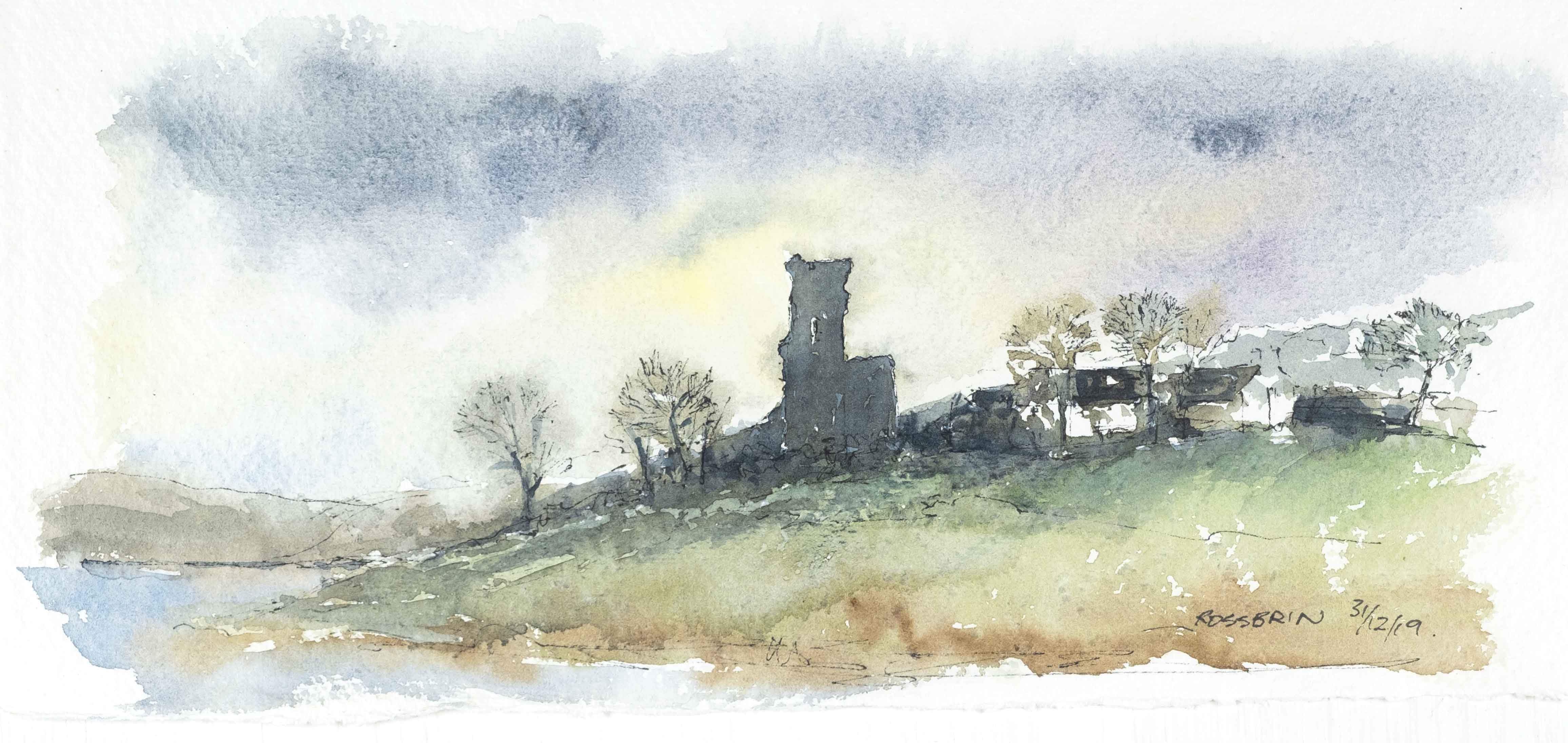
The ruin is a romantic reminder of past times, enhanced by the changing weather moods of Roaringwater Bay. This photograph, by Finola, emphasises the character of the place:

I can’t resist finishing this little two-part foray into the medieval remnants of our historically significant ‘centre of culture and learning’, which now languish on the edge of the waters below us with an artist whose work we admire: Peter Clarke, who writes and illustrates the Hikelines blog. His watercolour sketches are exquisite and always atmospheric. He has kindly allowed me to use his portrayal of Rossbrin Castle as my tailpiece. Thank you, Peter – and thank you to all the other artists who have been inspired by this remote and beautiful part of Ireland.

The Castle of Rossbrin

It was just Raven and I, down at Rossbrin today. We were both inspecting the O’Mahony stronghold which has stood here for, perhaps, 800 years in one form or another. Peter Somerville-Large explored the area and its history in the early 1970s:

Down beside a narrow inlet which empties at low tide stands Rosbrin, the most easterly of the O’Mahony castles. Like the O’Driscolls, the O’Mahonys had a passion for building castles: they built twelve, and six survive, all overlooking or right on the edge of the sea. They shared with the O’Driscolls one of the finest fishing grounds in Europe, controlling the waters and exacting dues from visiting fishing boats in much the same way. ‘None of the fisheries of Munster are so well known,’ wrote an observer in 1688, ‘as those of the promontory of Ivaha, whereto a great fleet of Spaniards and Portuguese go, even in the midst of winter . . .’

The Coast of West Cork, 1972

Neither Raven nor I would be deterred by the winter weather. On a day of hard frost followed by blue skies and sunshine, nowhere could be more beautiful than Rossbrin, and nothing could be more poignant than the quiet remoteness of this western corner of Ireland, once considered ‘the greatest centre of learning in Europe’. I walked in the company of the wisest of the corvids over the vanished ruins of a great university.

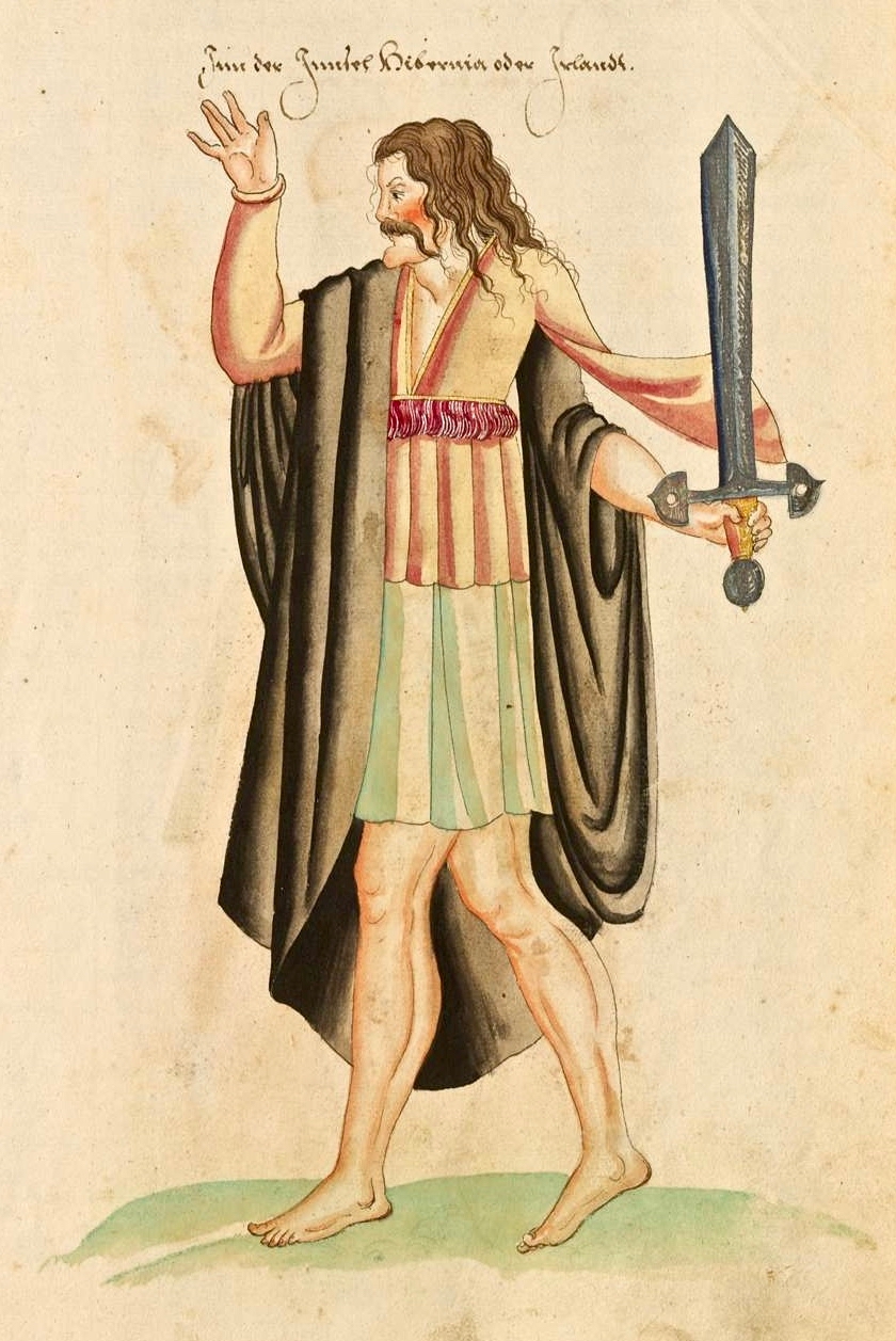
Finnin O’Mahony – Taoiseach, or chieftain, of the clan – as he may well have looked in the latter part of the fifteenth century (above): cultured, fashionable, flamboyant even, and powerful. It’s sobering to think that, while Columbus was following in the footsteps of Saint Brendan to rediscover the New World, scholars and scribes were busy on the shores of Roaringwater Bay writing and translating treatises, medical manuscripts and historical accounts of travellers busy in their quests to prove the earth may not be flat after all . . .

The Annals of Ulster tell us that Finghinn Ó Mathúna of Rossbrin Castle who died in 1496 was an acclaimed historian of the then known world. And, the Annals of Connaught lauded him as ‘a great scholar in Irish, Latin and English’. The Annals of the Four Masters referred to Finghinn Ó Mathúna as being unmatched in Munster for hospitality and scholarship. The O’Mahony territory was inclusive of today’s parishes of Dromore and Caheragh and all the lands westwards to Mizen Head. Finghinn made Rossbrin Castle both his residence and a rendezvous for Irish scholars . . . Most writers who laud the scholarship of Finghinn Ó Mathúna lament the loss of many of Rossbrin Castle’s manuscripts . . .

From an article by Alfie O’Mahony in the Skibbereen and District Historical Society Journal, Volume 6, 2010

Roaringwater Bay – the view to the south, today, from Rossbrin. In the foreground is Horse Island, and beyond is the profile of Cape Clear, also a place of learning to this day: students of the Irish language spend time on the island, one of the Gaeltacht areas where Irish is still the native tongue. One of the reasons for Finghinn being so expert in languages himself was the desire to communicate with the visiting fishermen whose needs provided him and his clansmen with a good living. As well as a celebrated place of learning, Rossbrin Cove would have supplied fish palaces and all the trappings of the industry: barrels and salt for preserving, victuallers, alehouses, brothels . . . It must have been a boisterous and vibrant place.

Peter Somerville-Large gives a commentary on the more recent history of the castle:

One wall of the splintered tower has a crack running down the side. Another was partly blown down by a storm in 1905. If there is another great storm like that one, Rosbrin might well disappear without trace, like the O’Mahony castles at Ballydevlin, Castle Meighan and Crookhaven. It is sited on an area which is very difficult to approach from either land or sea, standing on a rock. Contrary to what might be written in Holy Scripture, buildings on rocks have little in the way of foundation, and when they fall down or are swept away there is nothing left of them except a memory . . .

To the south of the rock on which the castle stands are the vestigial remains of an ancient stone quay (above), still in use as a landing place. The Cove itself – a natural haven – would have been the main harbour area serving the fishing fleets. The castle stands sentinel above the harbour entrance, ensuring that no-one could approach unseen.

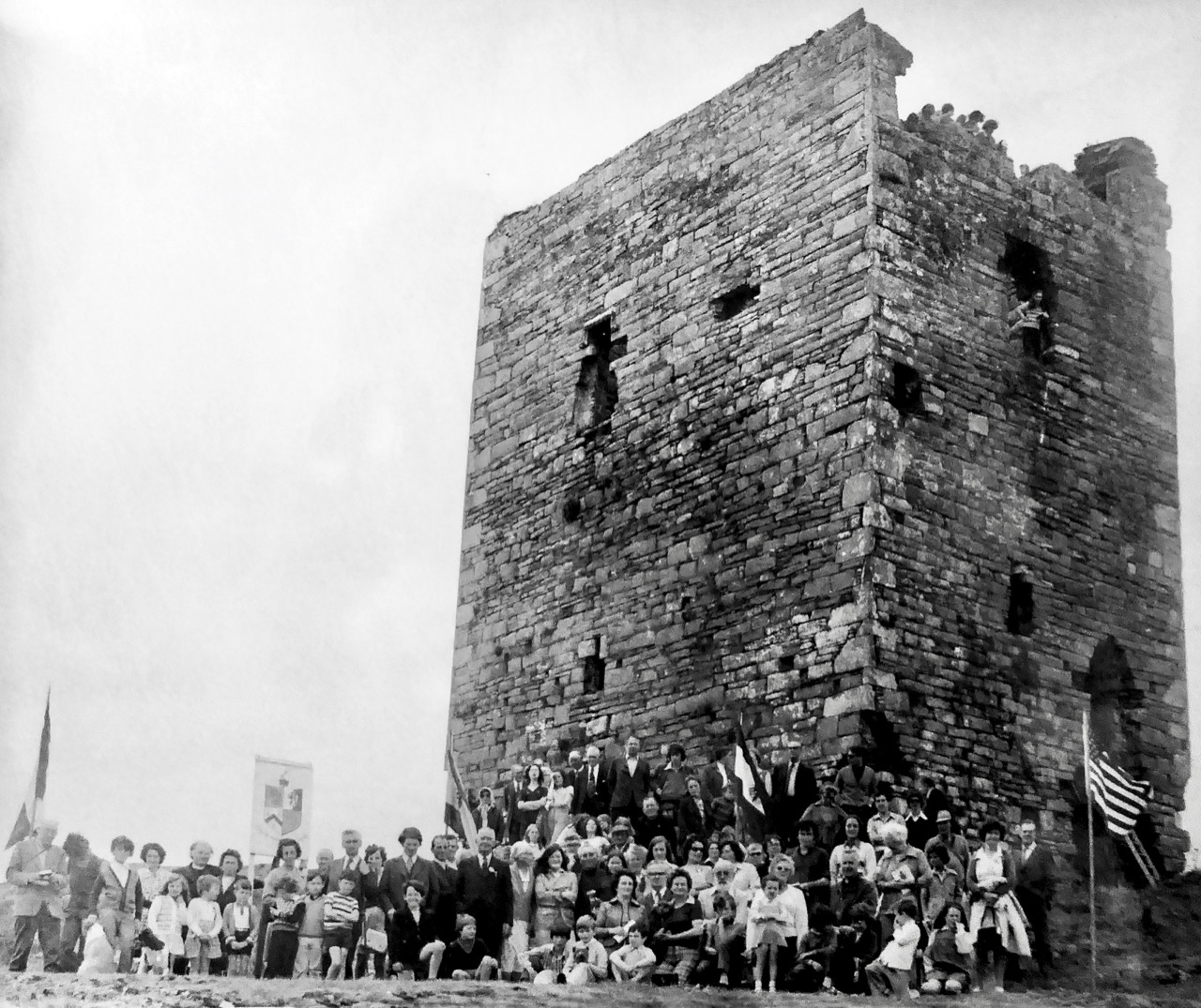
I have been looking for older illustrations of the castle, in order to ascertain how much erosion is taking place as the years go by. Here’s a fascinating record of an O’Mahony Clan Gathering, photographed in 1975 by Michael Minihan of Skibbereen. There is a lot more of the building intact at that time. Can you see the spectators high up on the walls and roof? [Note: I was mistaken – this is actually Leamcon or Black Castle before reconstruction. I am leaving it in to illustrate what Rossbrin may have looked like before it started to fall apart.]

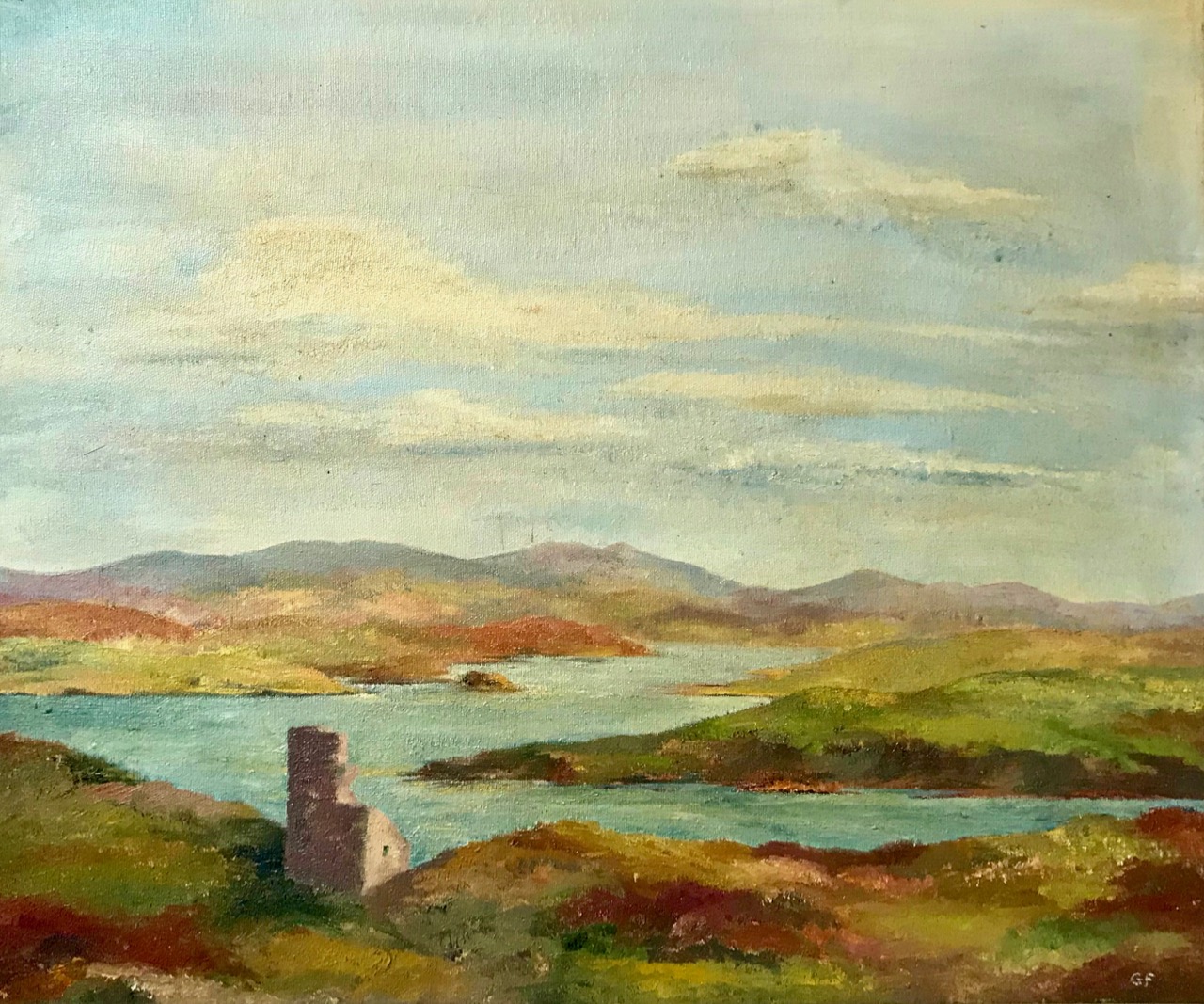
As most of you will know, we look down on Rossbrin Cove and Castle from our eyrie up at Nead an Iolair. We consider anyone living on or by the Cove a neighbour. One of these is Julian, the first to welcome us when we arrived here many years ago. On my walk today I called in on him – he lives next door to the Castle Farm. I was over the moon when he showed me a portrayal of the Castle which his mother, Geraldine, painted in the 1970s, only a year or so after the gathering at Leamcon, above. A substantial part of the Rossbrin castle walls has collapsed in relatively recent times.

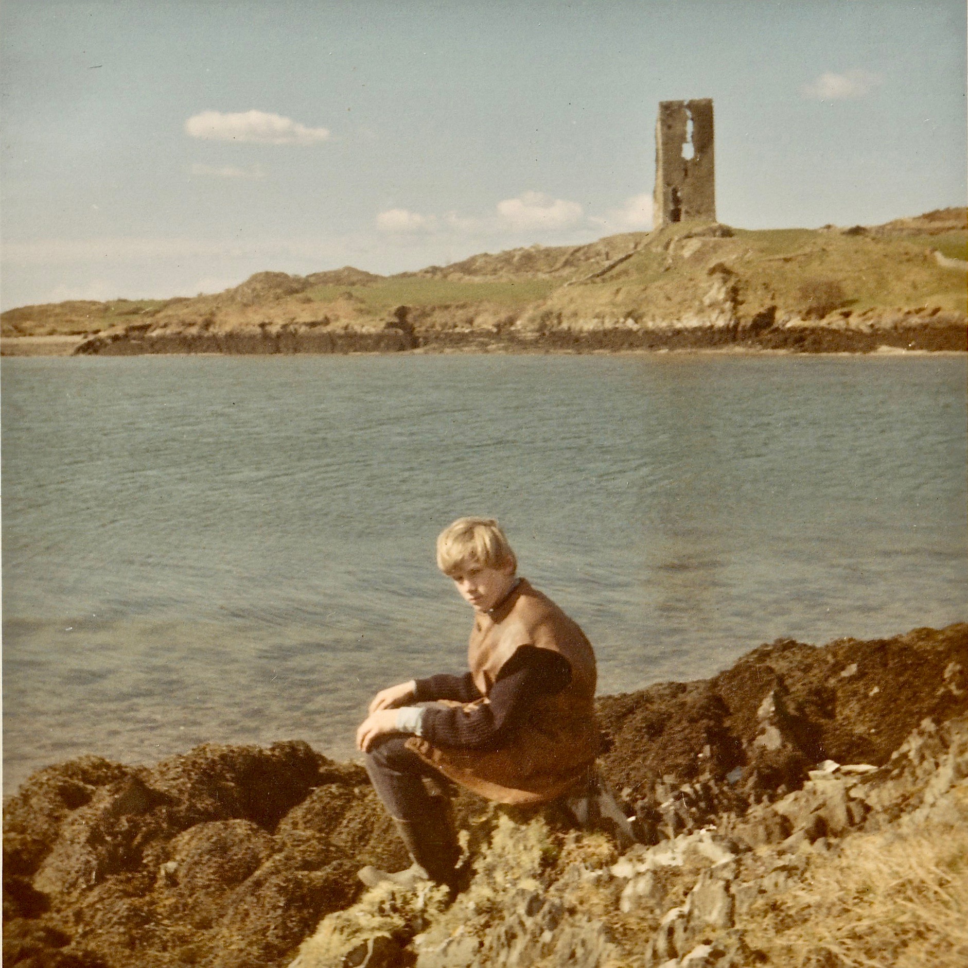
Rossbrin Castle, painted by Geraldine van Hasselt in the 1970s (above). Best of all, though, is a photograph of Julian – her son – taken at Easter, 1969: significant parts of the walls have collapsed since this picture was taken.

Julian van Hasselt on Rossbrin shore: behind him is a clear view of the castle. You can see the vertical crack which eventually led to the collapse of half the tower.

At this time of the year we get excellent sunsets when the weather is right. Today’s was a good one! I reluctantly said goodbye to Raven, my companion whose constant cronking seemed to follow me as I perambulated this place of deep history. I wonder: was it just Raven? Or might it have been Finghinn himself, speaking to me in yet another of his languages? I think I’ll have to return to Rossbrin to find out!

With many thanks to friends Julian and Raven . . .

We are on Twitter!

You wouldn’t want to do anything too hastily, like. We’ve only been blogging since 2012 –  beavering away, week after week, to let you all in on the epic stories and fabled landscape of West Cork (that’s Ballydehob Bay above, taken today). That’s seven years, 665 posts, four thousand regular followers, four hundred thousand visitors and about three quarters of a million views. About a third of you come from Ireland, two sizeable chunks of you from the USA and the UK, then Canada and after that it’s the United Nations of Readers. There’s a couple of African countries where we have yet to find a reader – and Greenland. Come on, Greenland!

Our beat – the Mizen Peninsula, from the top of Mount Gabriel

We’ve been called “West Cork’s premier Arts and Culture blog” and “…The wonderful literary and visually rich website . . . is a treasure, a sort of 21st century Robert Lloyd Praeger, online…” We’ve had letters and comments from all over the world, some of which have led us down all kind of interesting avenues for further research. It’s been humbling and exhilarating and we are grateful for all your support.

You can expect lots of archaeology – still working on more posts about stone circles, like this one at Ardgroom on the Beara

In all that time, we’ve operated across two platforms. First our blogging platform, WordPress, and second, Facebook, which we joined in Sept 2014. Both are marvellous, user-friendly (well, most of the time) services that have allowed us to connect to our readers and promote both our blog and West Cork. As a couple of retired professionals with average techie skills, that’s been a godsend.

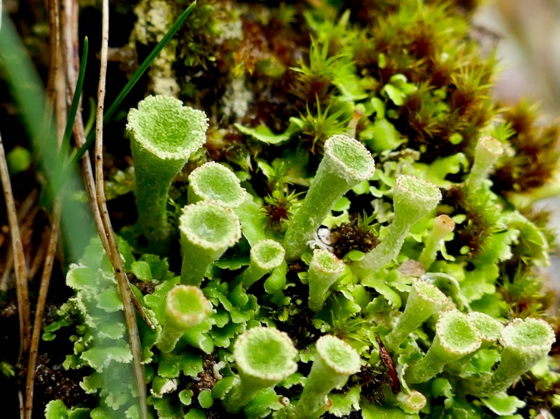
From the Big Picture to something hard to see with the naked eye – these tiny Pixie Cup lichen are growing in our own garden

And now we are venturing from the Blogosphere to the Twitterverse. We’ve set up a Roaringwater Journal Twitter account, with the handle @RoaringwaterJ. We’ve tweeted a few recent favourite posts just to get us started, and will be tweeting all our new posts as they are published, and maybe the odd photograph or two as well.

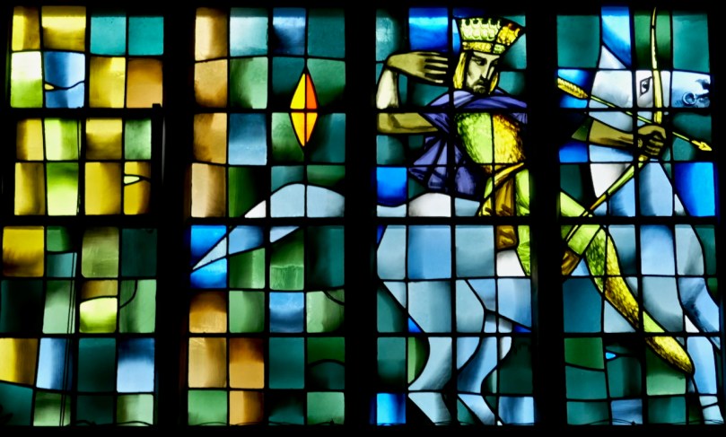
We’re planning to look in depth at the wonderful Murphy Devitt stained glass windows in Cork soon. Here’s one of the Horsemen of the Apocalypse from a MD window in Newbridge College

Don’t worry, Facebook Friends – we are staying on Facebook too. But if you have a Twitter account, please do drop by @Roaringwaterj and hit that Follow button. It’s taken us 7 years to get here, after all.

Walking West Cork – Another of the Fastnet Trails

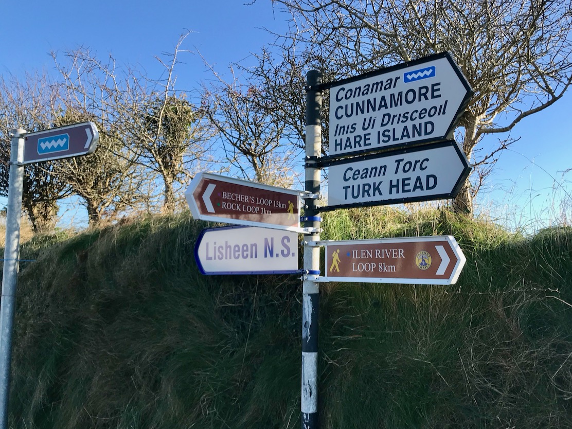
We’re well into November, yet clear, dry days abound and we are drawn out into the lanes of West Cork. There are so many to choose from, and all are quiet, although we will always find someone to share a chat along the way. Yesterday we donned our boots and followed another of the Fastnet Trails – the Ilen River Loop. In fact, the boots were unnecessary as the whole route is on virtually deserted paved roads. If that sounds unexciting, let me tell you it isn’t: wherever you go in West Cork you won’t be short of sweeping green landscapes, broad views – mostly over mountain or water – and fragments of engrossing history jumping out to meet you.

We started at the Lisheen trail head and covered the 8 kilometers in a bit over two hours. This did include some dawdling and chatting: in Ireland the latter is unavoidable, and applies to everyone you meet. With us were friends Amanda and Peter, and you’ll find Peter’s Hikelines account of the expedition here: his watercolour illustrations can only be described as ‘exquisite’.

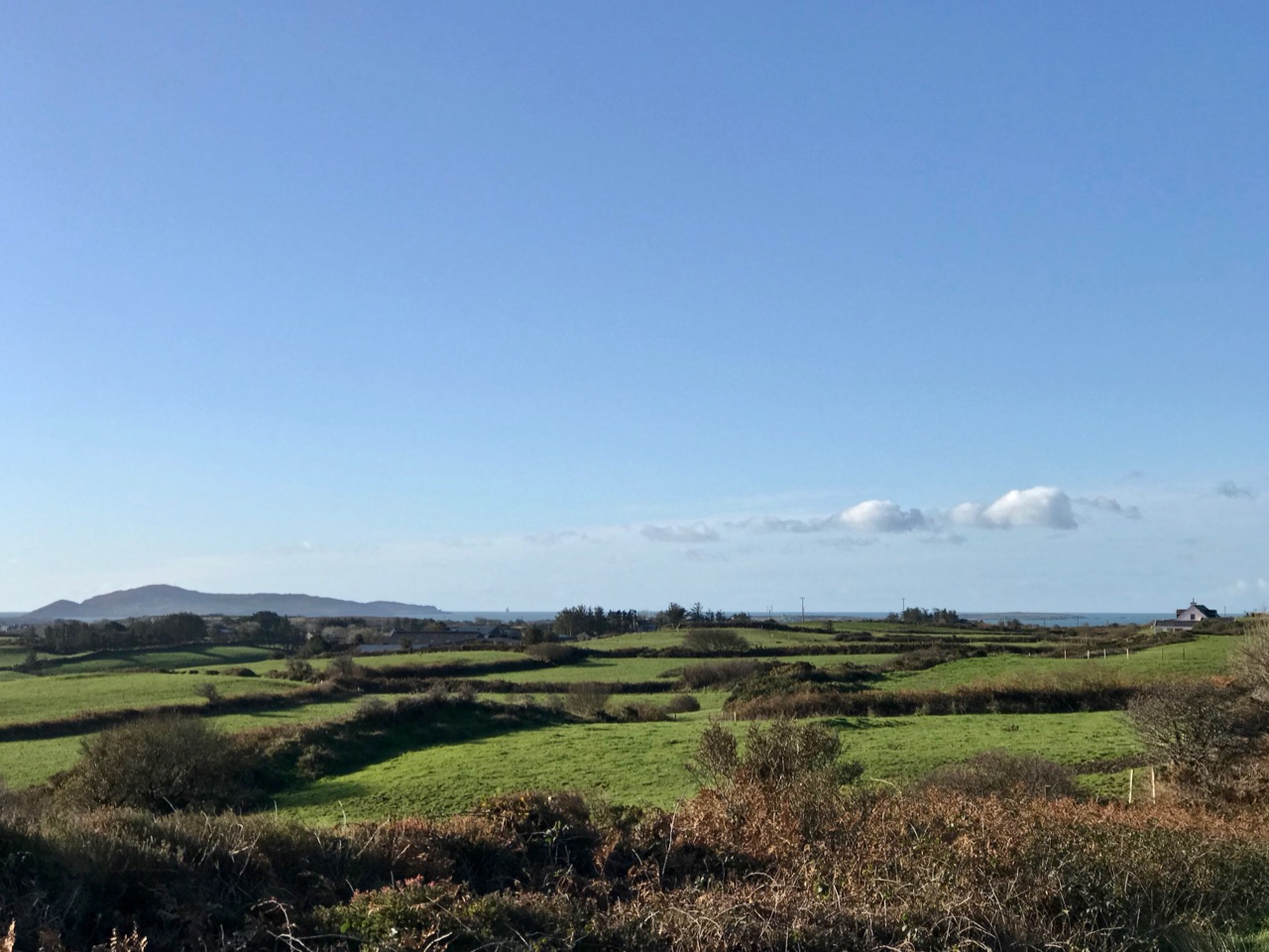
Look carefully (above) at the line of sea on the horizon: just visible is the unmistakeable silhouette of the Fastnet Lighthouse, justifying this route as a part of the Fastnet Trails network. It’s a wonderful asset for locals and visitors. You could simply drive along these routes, of course, but you just won’t get to see the details and appreciate the beauty. On foot you can pause at every turn and on every brow to properly take in the delectable countryside. And the network of trails is expanding – new routes are being developed at the west end of the Mizen: here’s another of Peter’s posts.

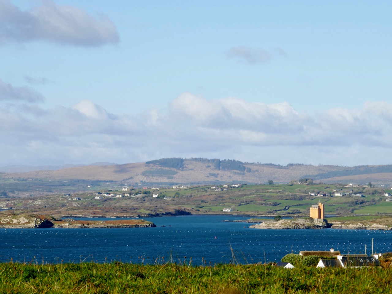
There are views to the north as well, looking into Ballydehob Bay which Jeremy Irons’ ochre coloured Kilcoe Castle dominates. Above the water can be seen the islands of Roaringwater Bay and the ridges of the Mizen and Sheep’s Head, and even the high peaks of the Beara Peninsula beyond. But we must focus on the subject of this trail, which is the broad estuary of the Ilen River as it winds inland, feeding into the woods and pastures of West Cork, narrowing but remaining tidal right up to Skibbereen: schooners used once to berth on the five quays serving that town.

All along the coastline and river estuaries in West Cork are reminders of how important transport by water once was. Dozens of quays are still here, in good working order – there was a drive to revive and restore the more significant ones some years back. Also there are traces of more ancient ones which are slowly decaying into nature. All were put there to serve the isolated rural communities in the days when boreens were only narrow tracks, often impassable in the winter months. But on these western peninsulas no-one is more than a few miles from navigable water – and those quays were an invaluable asset.

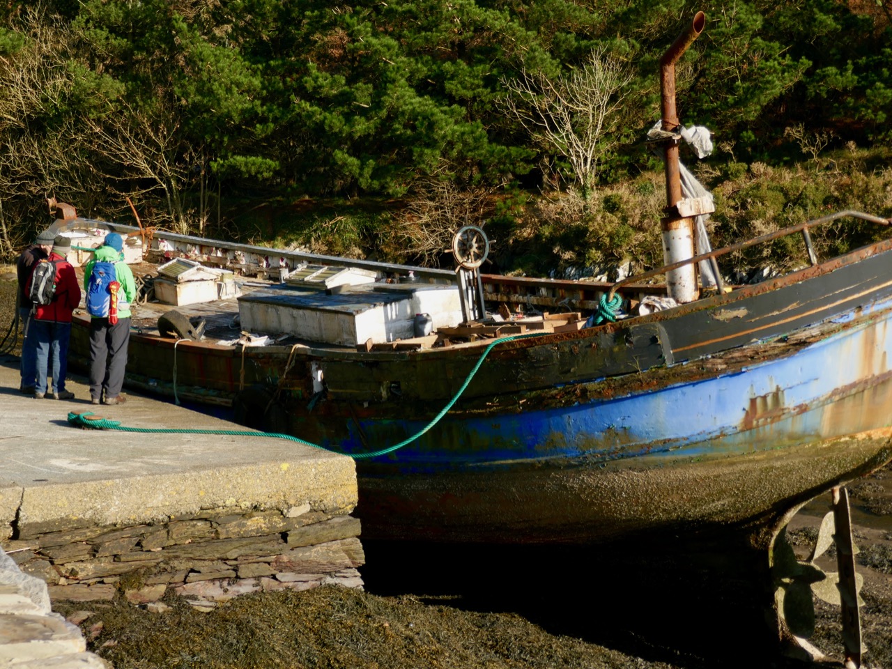
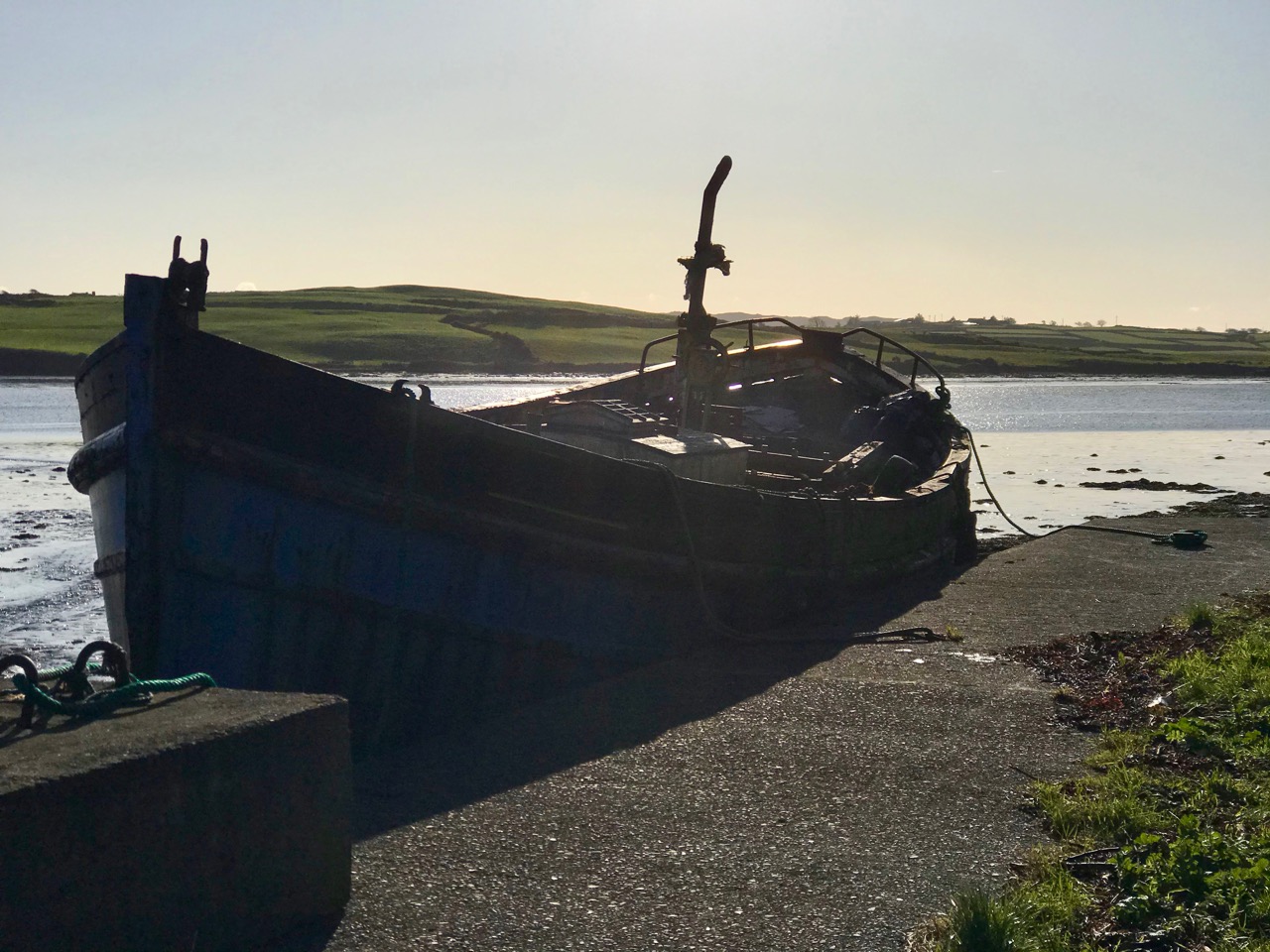
Our route passed right beside the Glebe Quay, where we came across the hull of an old fishing boat and – by chance – one of its former owners! Here we are, ‘at the chat’, above. This became a long ‘chat’ – as I was most intrigued to find out why this large vessel was sitting here in a deteriorating state – but we had to cut it short in the end as we were getting cold standing still! Our informant was Mike Williams, who Finola and I have met before: he lives on the shore of the Ilen River and has been involved in boats and boatbuilding for much of his life. He bought this former herring ring-netter some years ago with the intention of restoring her, but sold the vessel on to another enthusiast. The project did not succeed, however, and now the boat is on its way to the marine scrap yard – a sad but inevitable fate for many retired wooden craft.

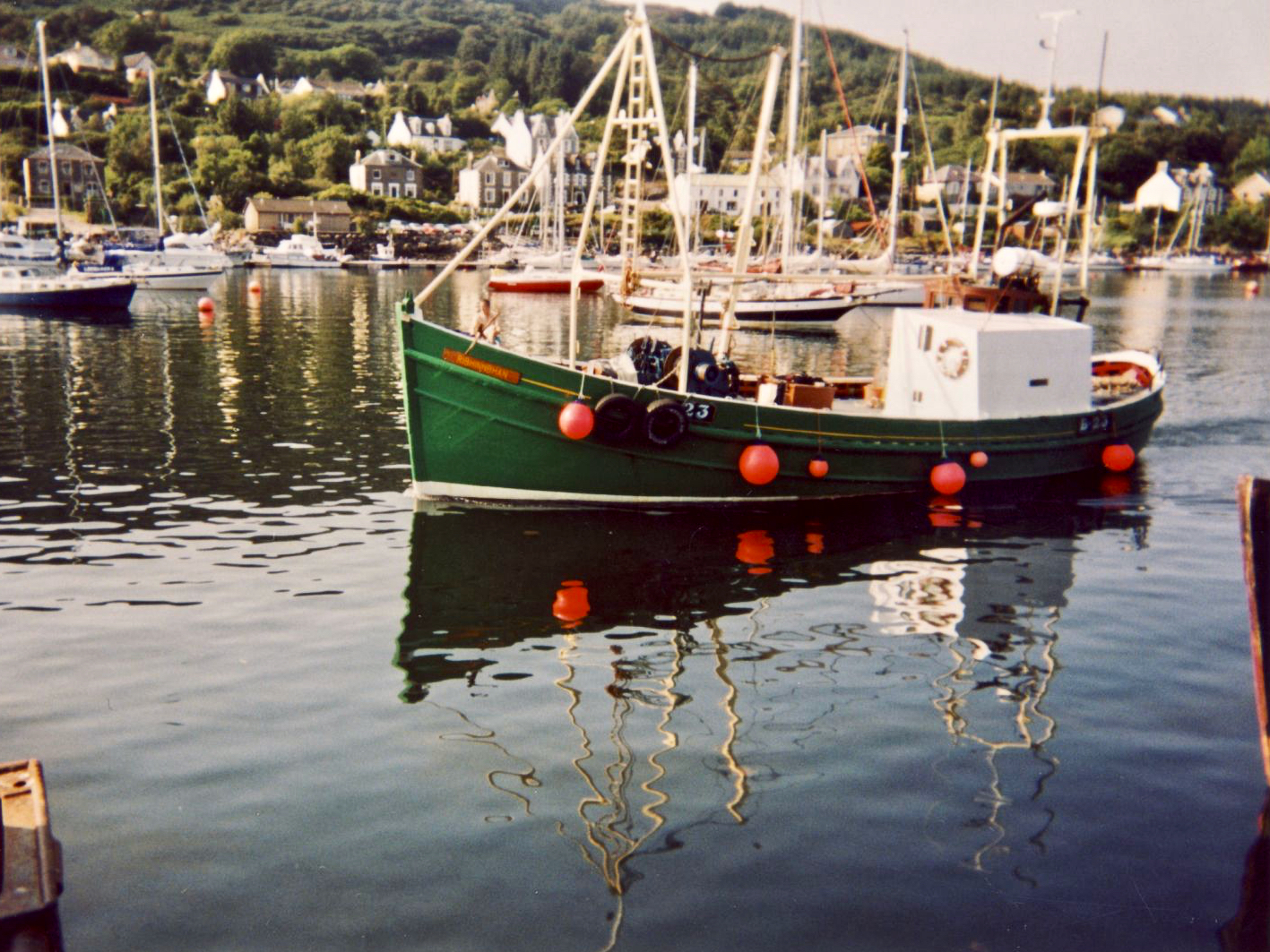
I did a bit of internet delving and was pleased to turn up some historical information on this boat, which Mike told us was named Ribhinn Bhan. Ribhinn comes from the old Irish word rhigan meaning ‘maiden’, while bhan in Irish means ‘white’. This vessel started life with the name Ribhinn Donn – ‘brown-haired maiden’, and was built in Scotland by Nobles of Girvan in 1966. She was first registered in Scalpay Isle – Sgalpaigh na Hearadh in Gaelic, one of the Outer Hebrides, close to Harris – and carried the number SY 371. She was renamed in 1973 and reregistered as B23 in 1989. She arrived in Tarbert, Co Kerry, Ireland in 2004, and Mike bought her in 2006. I’m including these two not-so-good quality photos of Ribhinn Bhan, which I traced, for historical interest: the first is the vessel in Tarbert, and the second  follows her to West Cork; she is on the right, here, in the boatyard at Oldcourt, on the Ilen River, in 2007.

Moving on from the Ribhinn Bhan our path followed the line of the estuary, rising up to higher ground before turning back towards the trail head at Lisheen. There were many more sweeping views to be enjoyed, and the delight of being immersed in the simple ambience of rural life in West Cork, with all its unremarkable yet irresistibly attractive details. 

We passed the quite remote but still running Minihan’s Bar – an ideal refreshment point on summer evenings – but not open for us on this November afternoon. The also remote seeming Saint Comghall’s Church, built in 1832, marked the return to the trail head and the end of our walk. It was a most satisfying expedition on a remarkably golden late autumnal day.

Up-to-date information on all the Fastnet Trails – including this one – can be found on this website. Our Roaringwater Journal has also written up a few more of them. Give them a try, if you haven’t already done so . . . Enjoy!

Casino Marino

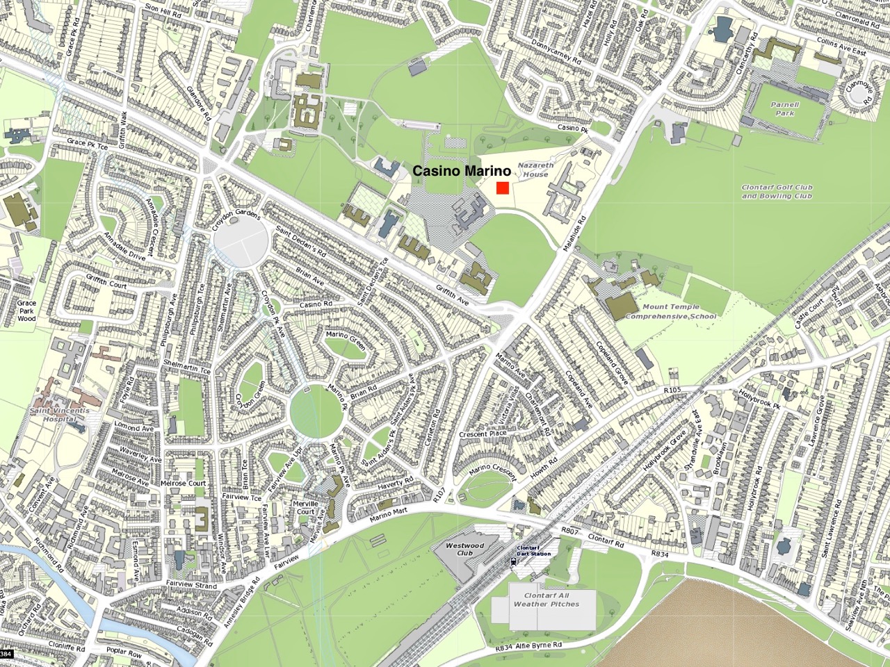
It’s a perfect little building: a gem of Irish architecture. It lies in an oasis of parkland on the outskirts of Dublin city – all that’s left of an expansive eighteenth century country house demesne, now all but engulfed by housing estates. But – perhaps in homage to the eccentric conceiver of this environmental idyll – the housing estates which have stood below it since the 1920s are quite out of the ordinary. Have a look at the layout on this contemporary plan of Merino townland, carved out of the larger Donnycarney which was granted to the Corporation of Dublin following the dissolution of The Priory of All Hallows in the reign of King Henry VIII. 

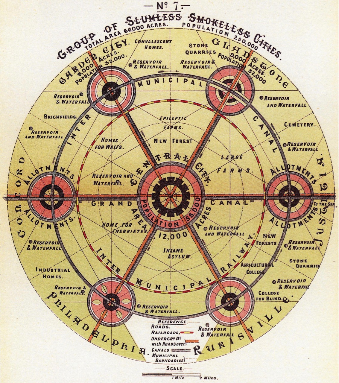
This plan is showing the location of Casino Marino, with the green areas around it being the remnants of a 238 acre demesne. The housing below the surviving Casino was Ireland’s first example, in the newly formed Irish state, of an affordable housing project and was the first local authority housing estate in the country. It was heavily influenced by Ebenezer Howard’s Garden City movement, originating in the UK with the two revolutionary developments at Letchworth Garden City and Welwyn Garden City. This Dublin estate of about 1300 houses was built on the site of a planned formal garden for Marino House and the original design was followed when the streets were laid out. This gives the Marino estate its symmetrical layout. When it was first built, purchasers of houses were restricted to large families, while alcohol and dogs without leads were banned from the parks, as were children after dark.

Ebenezer Howard, To-morrow: A Peaceful Path to Real Reform – diagram of the ideal city, dated 1898

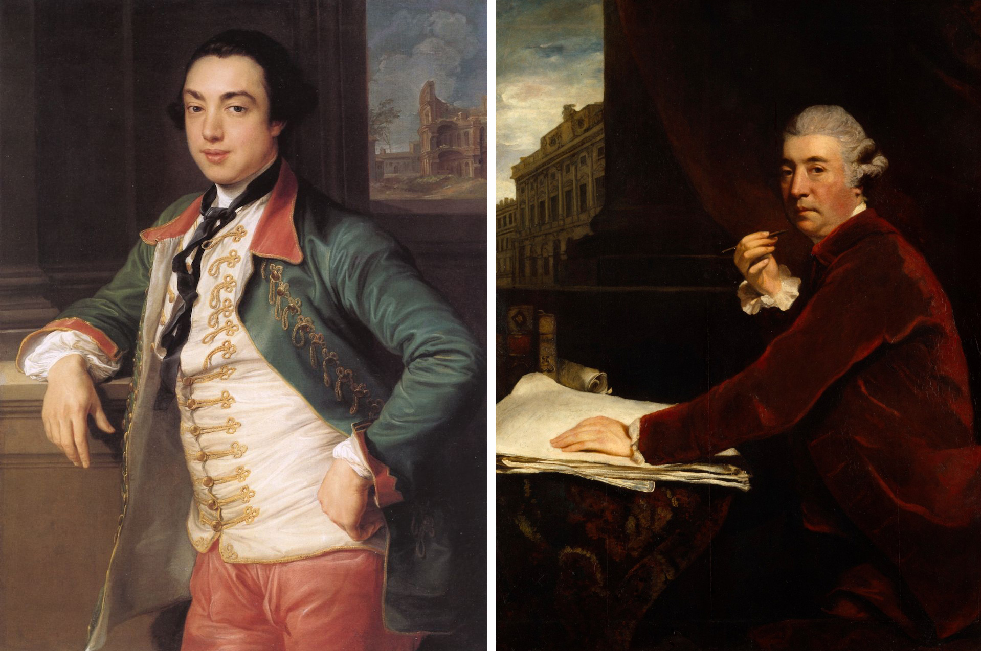
Back to the eighteenth century, and the heroes of our piece today: James Caulfeild, 1st Earl of Charlemont (1728 – 1799), and his friend, the architect Sir William Chambers (1723-1796). James (left, below – a portrait by Pompeo Batoni) was a cultivated man who disregarded the conventions of court and openly pursued Irish nationalism, having taken a leading part in the formation of the Irish Volunteers. He was the first President of the Royal Irish Academy and was a member of the Royal Dublin Society. In 1783 he was made a founding Knight of the Order of St Patrick. Like most of the wealthy young gentry of his time he went to Italy on The Grand Tour: he fell in love with that country and classical Roman culture and stayed away for nine years. When he returned he determined to bring the spirit of Italy to Dublin. Acquiring tracts of land by the coast that afforded unrivalled views over the entire bay and city, he poured his energies into creating an ideal landscape: he named his demesne ‘Marino’.

William Chambers (on the right, above – this portrait by Joshua Reynolds is in the Royal Academy) was also a great traveller: he was born in Gothenburg to a Scottish father and visited and studied architecture in China, Paris and Italy – where he met Charlemont. He established a practice in London, where he was appointed architectural tutor to the Prince of Wales, later George III. As the leading classicist of his day, it was unsurprising that Charlemont should turn to him to realise his dream of an Italian arcadia in Dublin. It was a commission that took many years to come to fruition, partly because of the Earl’s seemingly limitless ambitions and his attention to fine detail.

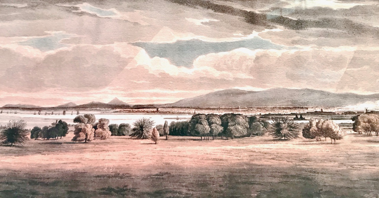
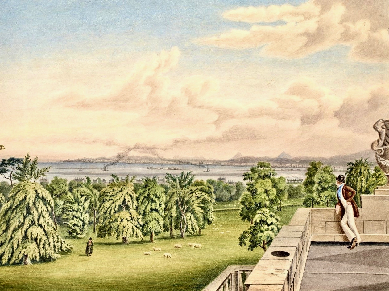
Charlemont’s Marino estate enjoyed fine unrestricted views across Dublin Bay. The culmination of the Earl’s work on his estate (and now the only surviving element) is the Casino, and this is sited on the highest point on the land: the painting above shows the view from the roof of the Casino, which was fully accessible from the building interior. So – what is a casino? It’s simply the Italian for small house, and in this case has been built as a garden room or, perhaps, a gazebo. Ornamental, but eminently functional. From the outside it appears small, but exquisitely detailed on all its elevations. In fact, the simple building houses 16 rooms over three storeys – plus the roof terrace.

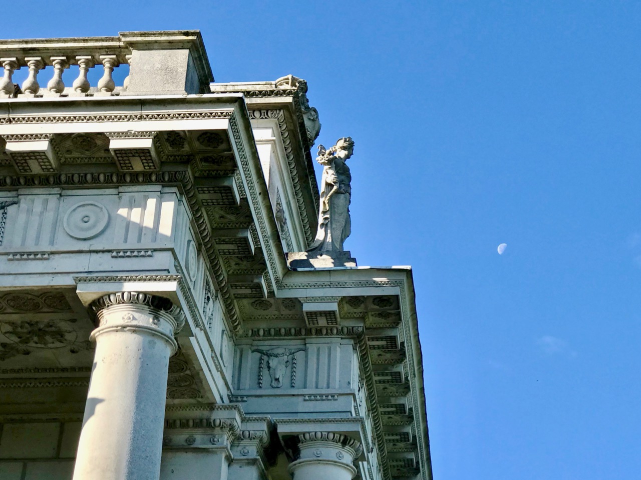
Exercises in architectural scale. Upper – an almost contemporary view of the Casino painted by William Ashford (1746-1824), National gallery of Ireland: here the building seen in its landscape context looks like a miniature folly. Centre – a close-up of the roof detailing includes life-size statuary. Lower – Ava and Hugo, willing participants in our expedition to the Casino, help to give an impression of its true size.

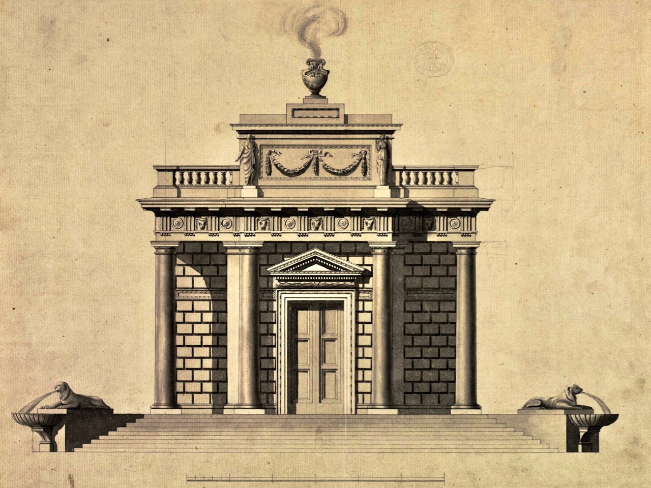
The Casino is guarded by four large lions. Originally they were intended to be fountains – as you can see from the original architect’s drawing, above. In this drawing you can also get a good sense of how the designer plays tricks with scale: the doorway is perhaps three times the height of a normal door, and only a small section at the bottom is, in fact, an opening.

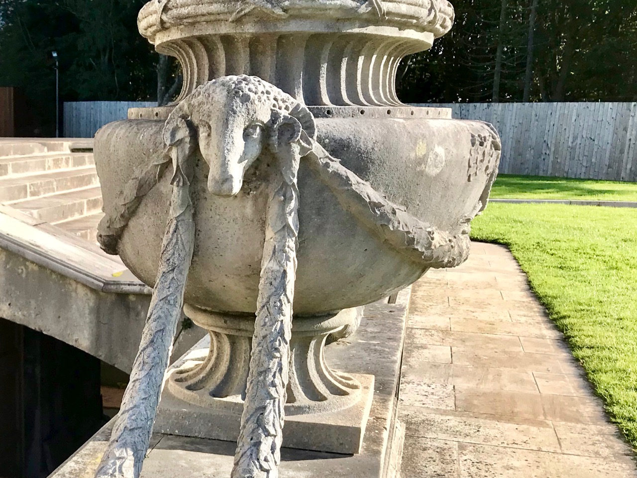
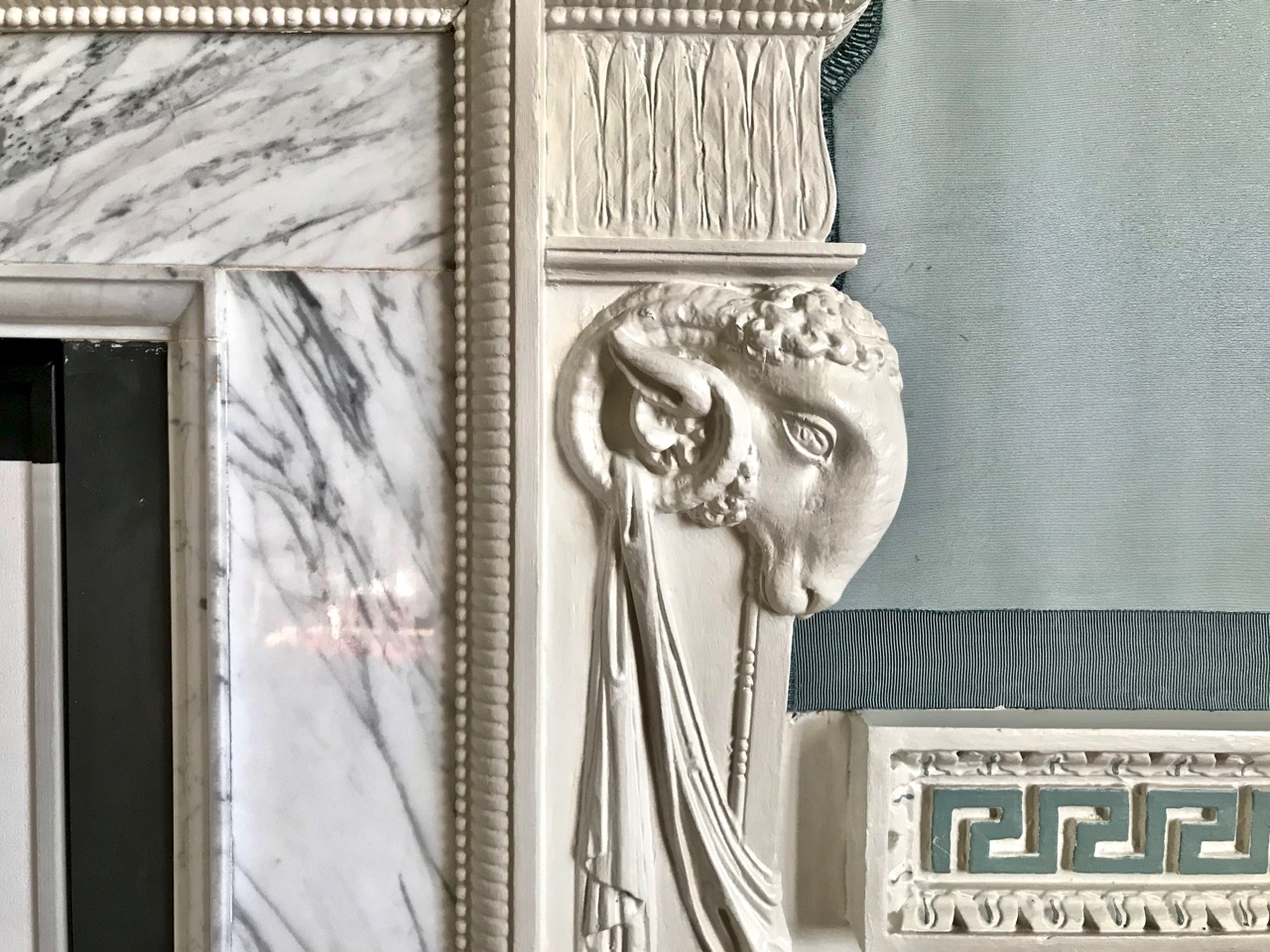
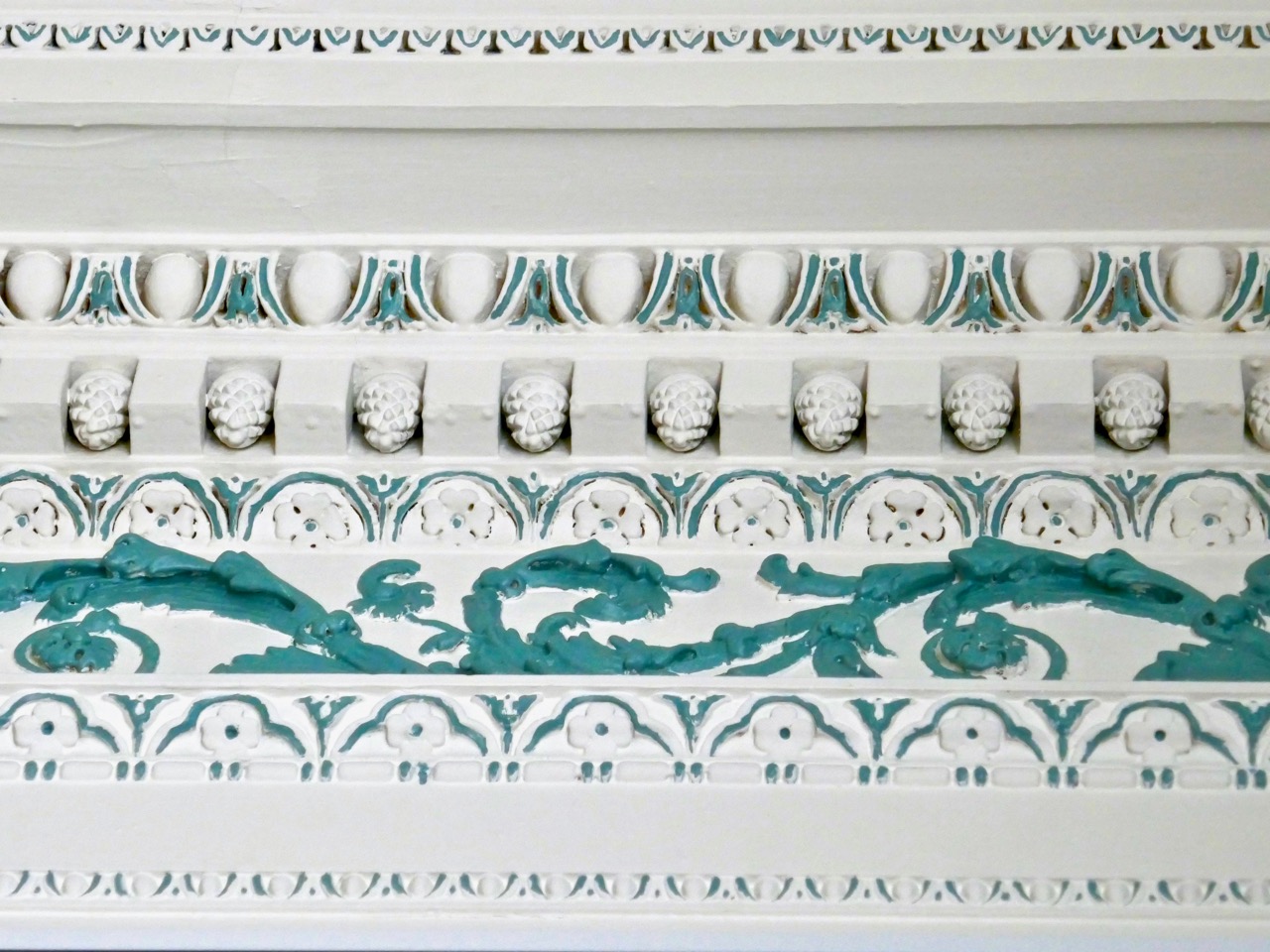
Symbolism and hidden messages abound: the architect, Sir William Chambers, left his signature – in the form of a ram – in many parts of the house. Every moulding, coving, frame detail has a meaning in terms of architecture and freemasonry – and also pays homage to the Greek and Roman classical orders – at the behest of the client. The parquet flooring is magnificent – and is at present kept covered by a vinyl replica to protect the original exotic woods.

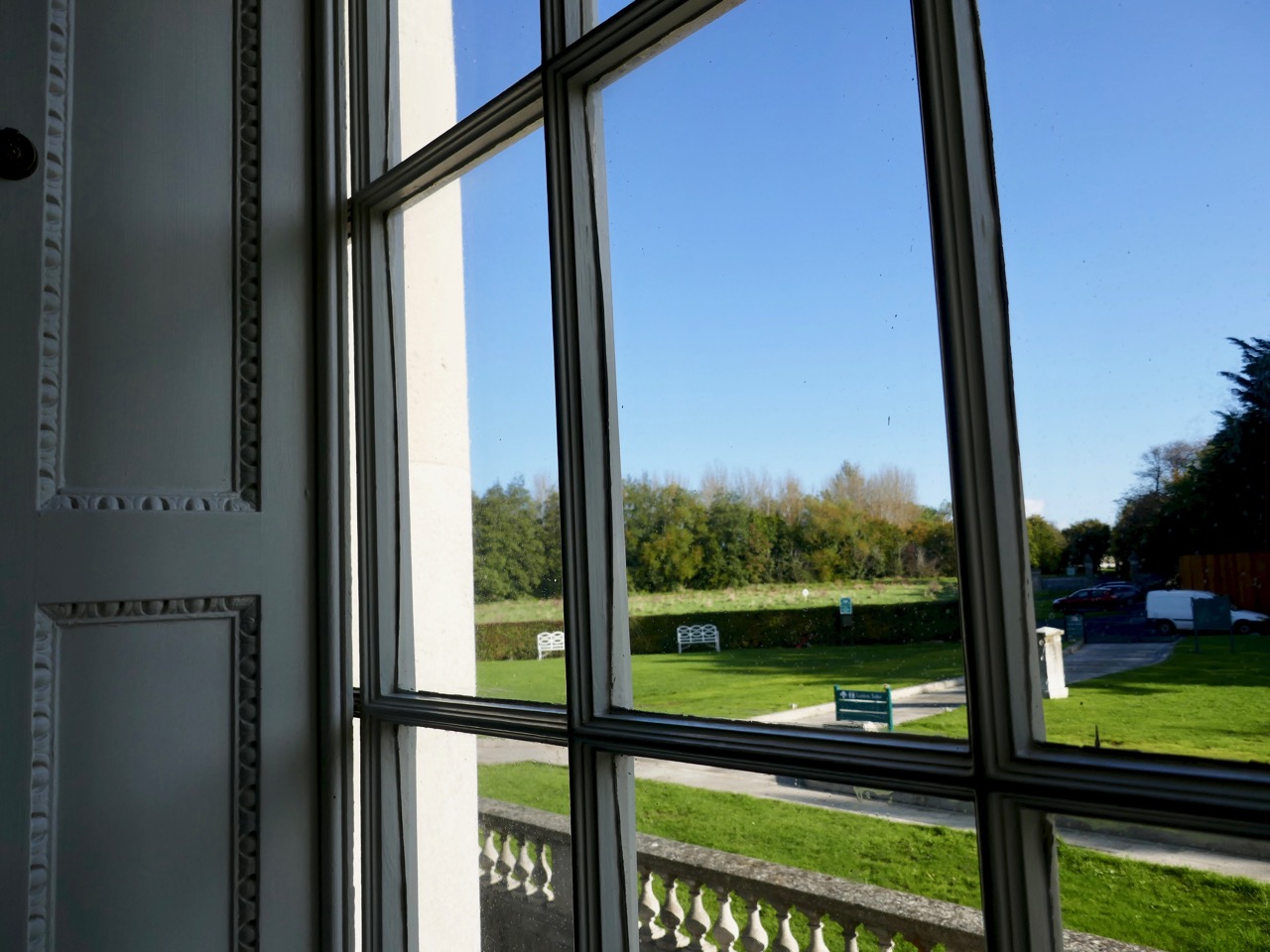
The detailing of every element has been fully considered. I was impressed with the curved timber doors, which follow the line of circular wall partitions inside. And, particularly unusual, is the use of vertically curved glazing which causes reflections when seen from the outside, meaning that no shutters or blinds are needed at the windows.

Look carefully at these windows: they are crafted with vertically curved glass which make them reflective externally!

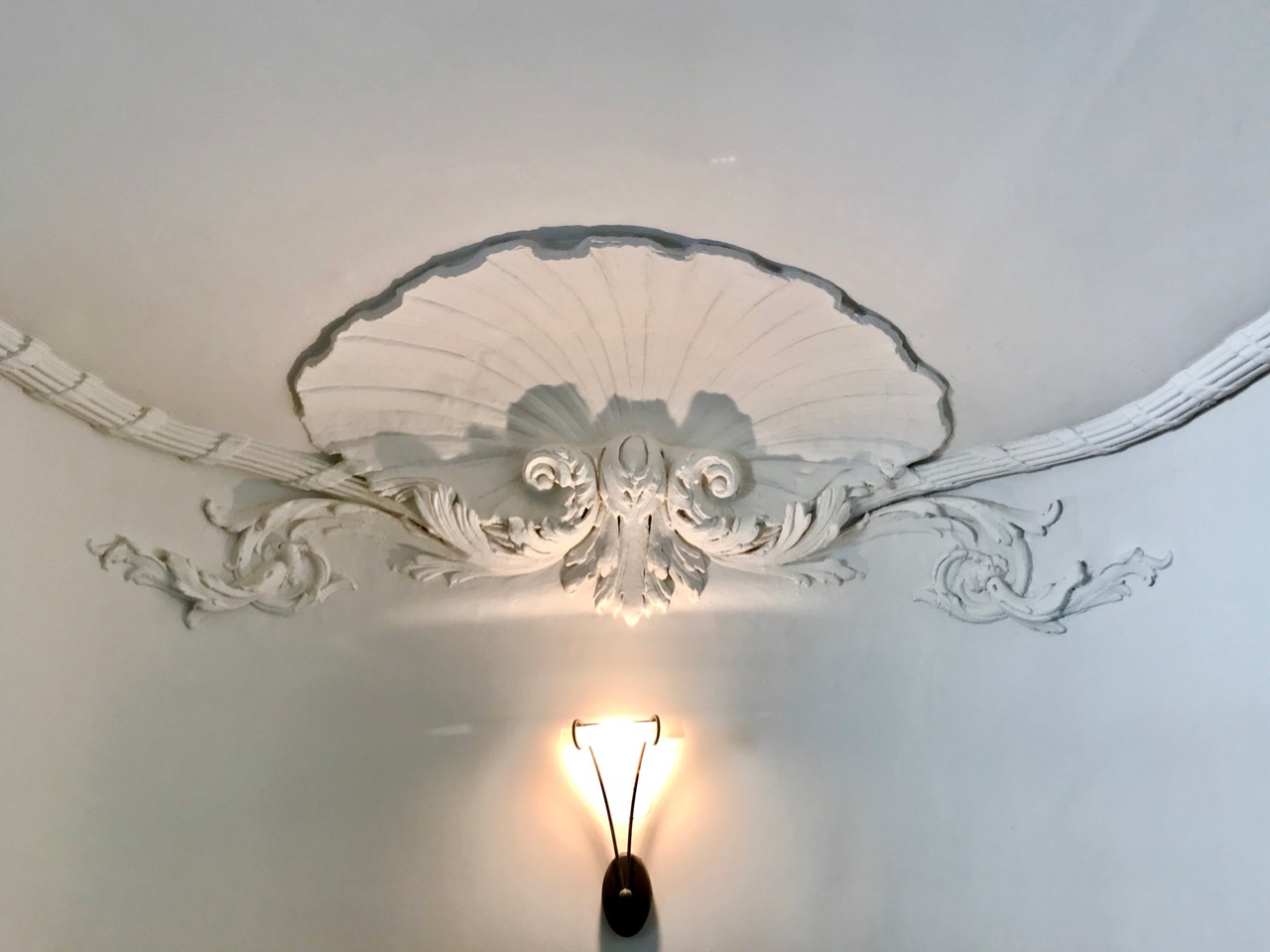
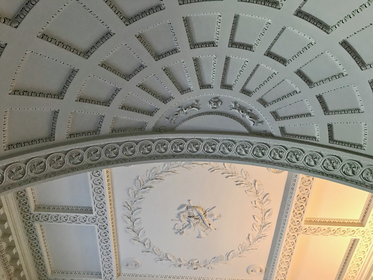
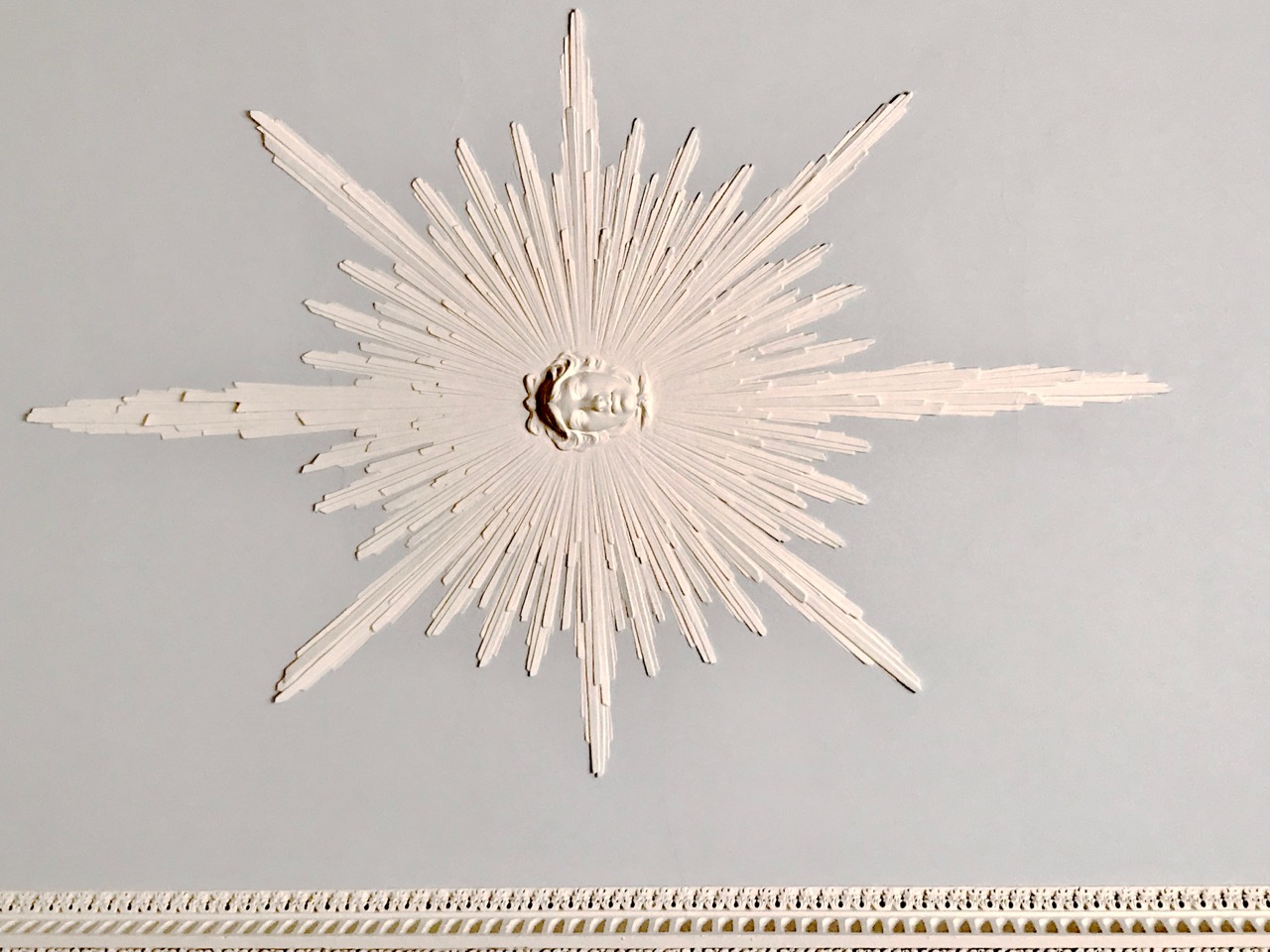
Examples of the plasterwork within the Casino include agricultural harvest symbols, every classical moulding motif and Apollo the sun-god. It would take several visits to absorb and catalogue the complete variety of images: every room has a different visual character.

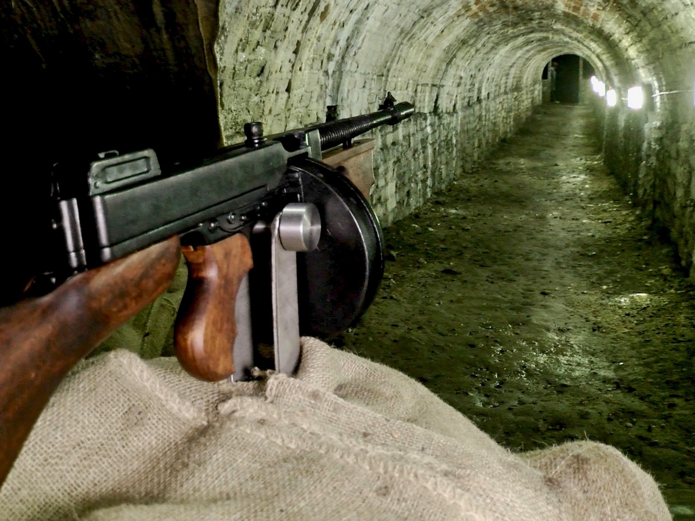
There are hidden elements – and enigmas – to the building. These include ‘secret’ tunnels in the basement: one was used by Michael Collins to test-fire submachine guns during the War of Independence. The picture above shows a reconstruction. The basement of the Casino, including the tunnels, is currently undergoing further restoration and refurbishment and was not accessible during our visit. It is said that there are many other tunnels, including one that linked the Casino to the big demesne house (now demolished) – and some that, according to legend, run to the coast – miles away!
Charlemont was a liberal and believed that everyone should have access to his parklands: there were no gates. He was so protective of his project, however, that he married in middle age, having been a confirmed bachelor. He had overheard his then presumed heir (his brother) talking about how he was going to exploit and commercialise the demesne once he got his hands on it: this prompted Charlemont to ensure he produced an heir that he could have some direct influence over! Evidently, the marriage was a happy one. The image above shows the Casino in a sad state of disrepair around 1900: the estate was broken up by the third Earl in 1876.

The Casino was adopted as a National Monument in the 1930s, and a full restoration was begun in the 1970s. A further phase of this restoration is currently under way, and the property is only open on limited occasions when suitable areas are accessible: we were fortunate to get there on one of those times. If you plan to visit, contact the Office of Public Works to make sure that you will get in. Charles Topham Bowden made the journey in 1791, and recorded it in his journal A Tour Through Ireland: here is an extract:

. . . This is one of the most beautiful and elegant seats in the world, happily situated, and in a demesne improved in the highest taste, comprehending 238 acres, laid out in plantations, lawns, and a delightful park . . . The temple is situated in the park – a monument of his Lordship’s refined taste. The Gothic room is a very curious and beautiful structure. The hermitage is nature itself. Art and nature unite in rendering this a most desirable residence. What obligation are not the citizens of Dublin under to his Lordship for having the gates of this terrestrial paradise opened to them whenever they chuse [sic] to walk through it . . .