Walking the Past

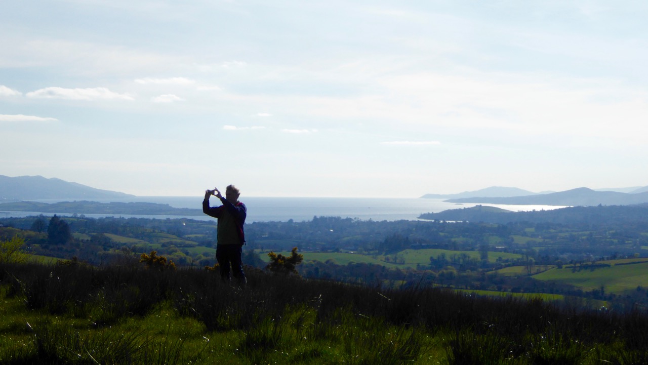
Robert taking a picture

How fortunate are we? We are free to spend our days wandering the world’s most beautiful landscapes, here in Ireland: landscapes which have changed relatively little over the last five thousand years. They have changed, of course, but the human hand has had less impact in this country than in many other developed nations, especially in these wilder parts. That is why we relish our explorations: we are walking the past.

breeny landscape

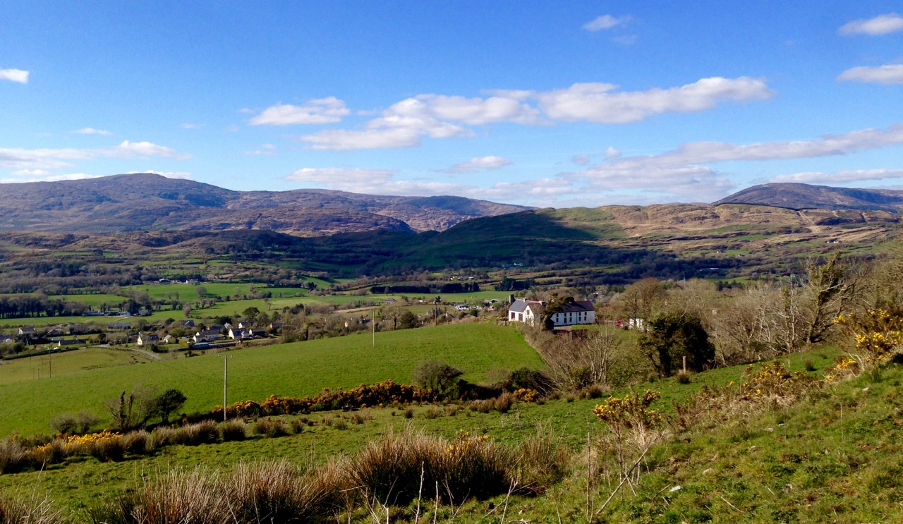
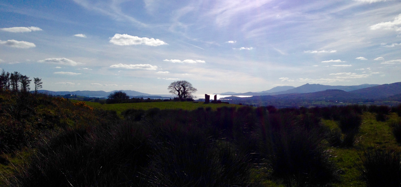
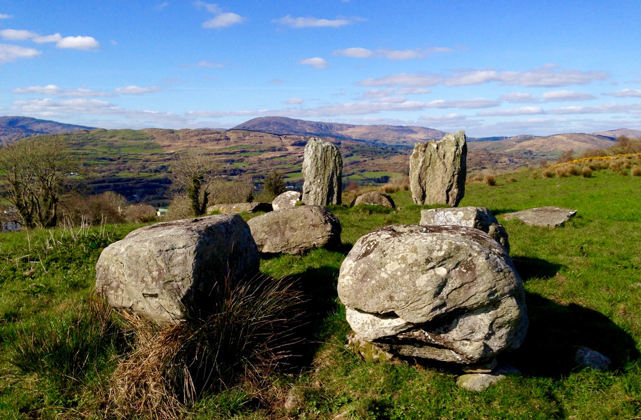
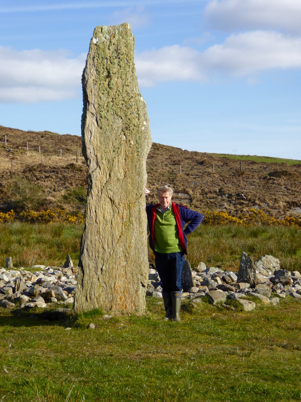
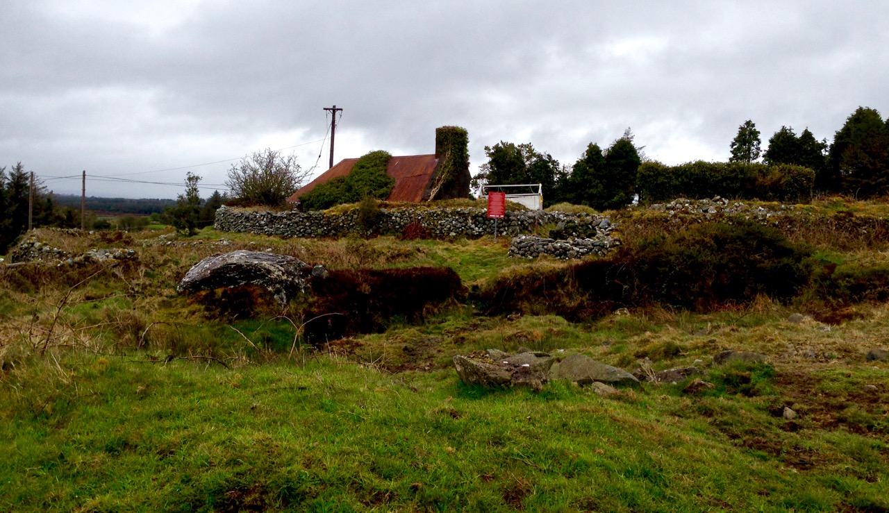
Top picture: Robert taking in the setting of the monuments at the Kealkill complex. Above: the view towards Kealkill village from Breeny More

Every expedition requires a little pre-planning. This week we were keen to catch up with a group of monuments known as ‘boulder burials’. Finola tells me that, when she was first studying archaeology, they were known as ‘boulder dolmens’: I prefer that term – perhaps because it has a touch of the antiquarian about it – and, in any case, the use of the word burials implies a definitive function which has not been universally borne out with the examples that have been excavated. But I will leave Finola to delve into the specifics of that subject in her post Boulder Burials: a Misnamed Monument?

workspace

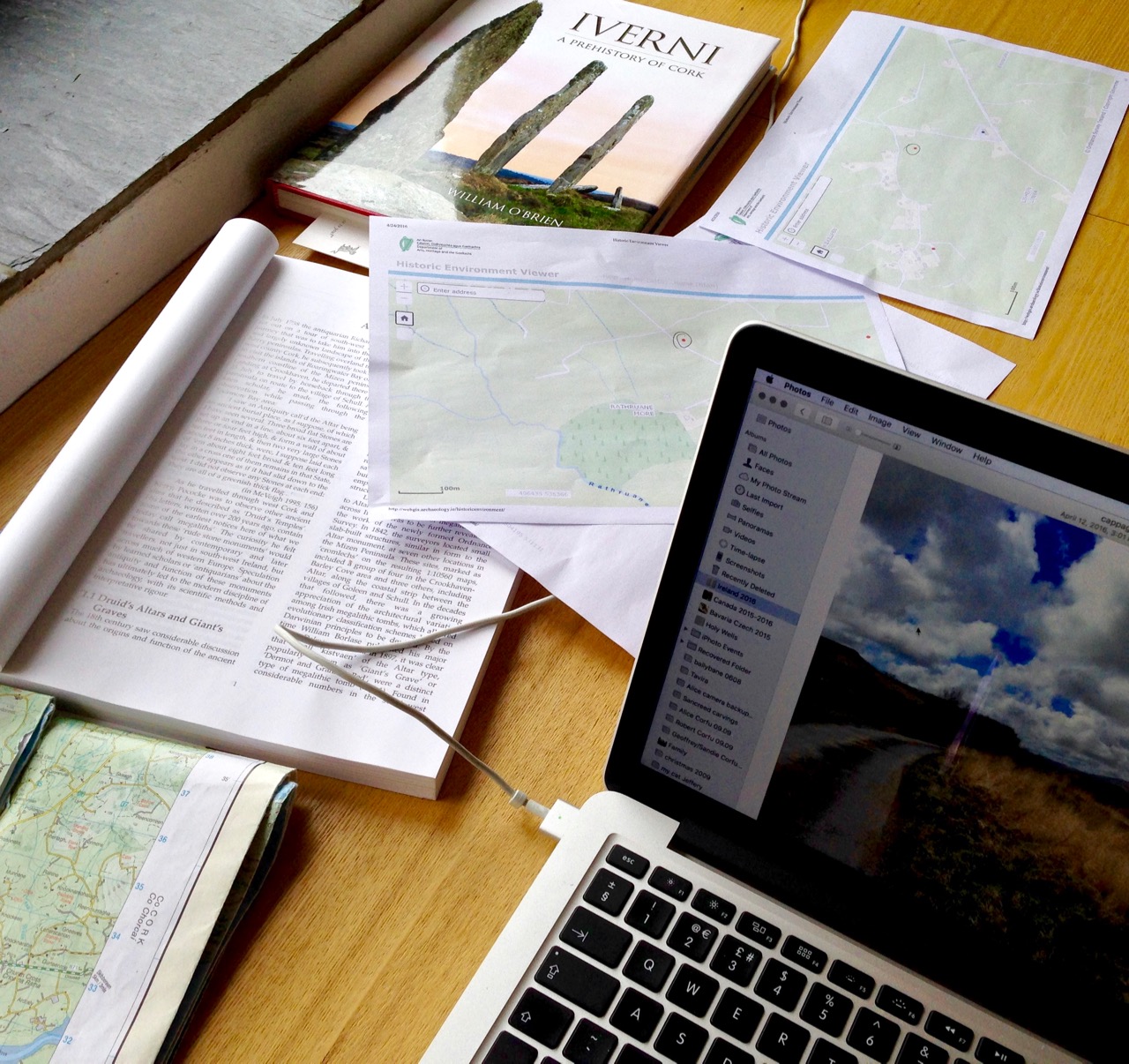
Blogging in progress: prequel to an expedition…

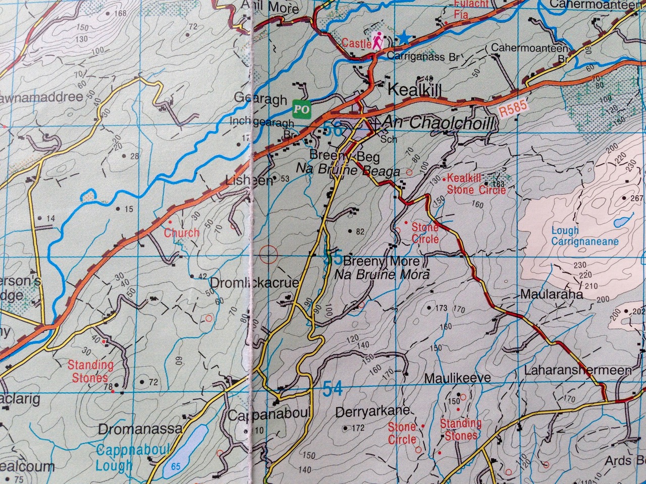
First, we look to the available information: William O’Brien’s Iverni – A Prehistory of Cork (The Collins Press 2012) is an essential primer on the pre-Christian era in this corner of Ireland since the first human foot was set on its shores. Then there are maps to be consulted: the Ordnance Survey Office was created in 1824 to carry out a survey of the whole island for land taxation purposes. The original survey at a scale of 6 inches to 1 mile was completed in 1846 and Ireland thus became the first country in the world to be entirely mapped at such a detailed scale. From the outset, known historic sites and monuments were recorded and the present Discovery Series at 1:50,000 scale provides a wealth of information to the fingertips of historians and adventurers.

kealkill OS map

One of our bibles: the Discovery Series of the 1:50,000 Ordnance Survey maps – well used and well worn! The monument sites are marked in red

Before setting out we usually consult with the Archaeological Survey Database of the National Monuments Service: this gives us the fine detail on where to find recorded historic sites. Yet in the end the most valuable information often comes from knocking on doors. Farming families here often go back through many generations and local knowledge is always passed down through them. It’s here that you sometimes pick up the ‘stories’ that are associated with ancient sites – for me, these are just as interesting as any formal records.

Breeny More landscape

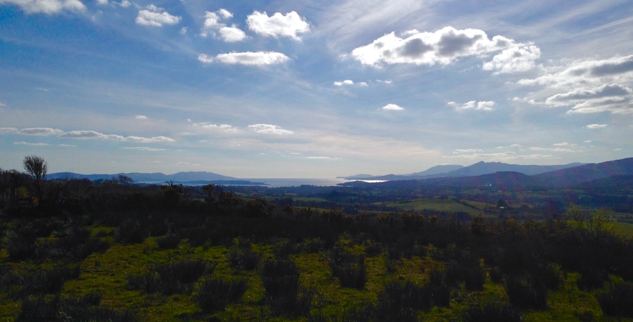
View to Bantry Bay across the Breeny More archaeological site

This week our travels brought us to the Breeny More and Kealkill complexes, high up in the hills above Bantry, heading towards the wonderfully named Cnoic na Seithe – the Mountains of the Spirits. This was on a perfect spring day: the views all the way down the bay with the Beara on one side and the Sheep’s Head on the other can only be described as spectacular.

kealkill landscape

view west

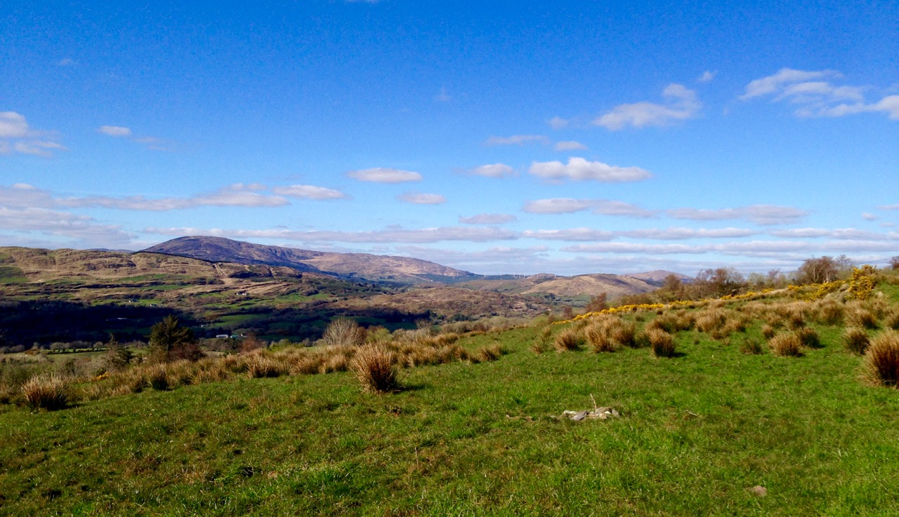
Two views from the Kealkill complex

It can’t be accidental, surely, that these ancient sites occur in places like this, that make the senses reel? In many cases there are long views in all directions, often taking in prominent horizons, hilltops, the sea, inlets and islands. ‘As far as the eye can see’ is an expression that truly comes into its own: these vistas must have had special meanings to the ancestors who were here in the Neolithic and Bronze ages. Were they trying to define it in some way by building such impressive large-scale structures, most likely for some ceremonial purpose? It was certainly not construction work which could have been undertaken lightly or frivolously. Here’s O’Brien in Sacred Ground, Megalithic Tombs in Coastal South-West Ireland (NUI Galway 1999):

…Antiquarian interest in Ireland dates from the visit of Edward Lhuyd at the end of the 17th century and was encouraged by the discovery of great megalithic centres like the Boyne Valley in Co Meath and Carrowmore in Co Sligo. The early antiquarians were to link these ‘Giants Graves’ to invaders or colonists from the East, to Scandinavian incursions and eventually to the events and characters of early Irish literature…

boulder cluster

The Breeny More complex:  no less than four boulder burials, a multiple stone circle and a (much later) ring fort, all on one superbly located site

Robert Kealkill Complex

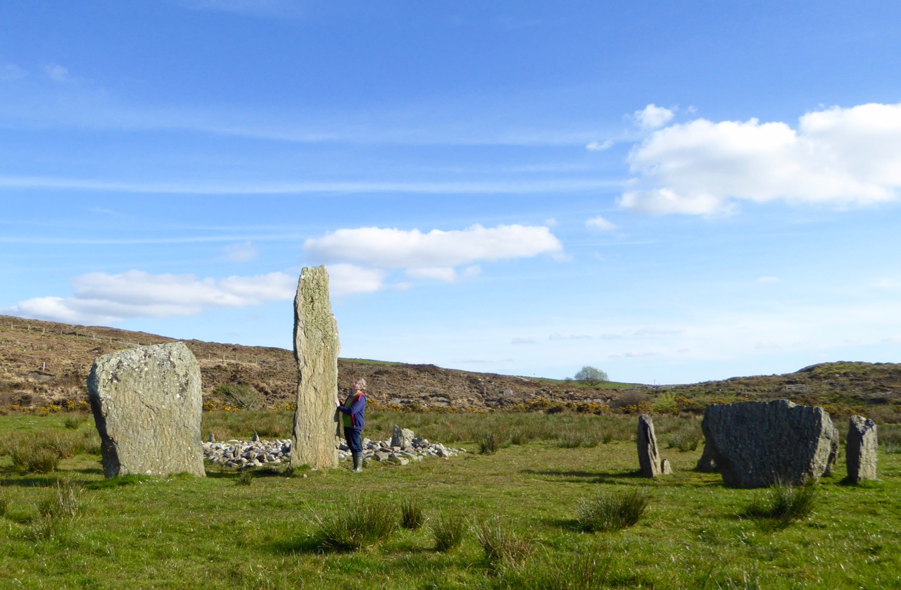
A cause for wonder: the tall standing stone at the Kealkill complex. A stone circle lies to the west while a radial cairn is behind (to the south of) the stone pair

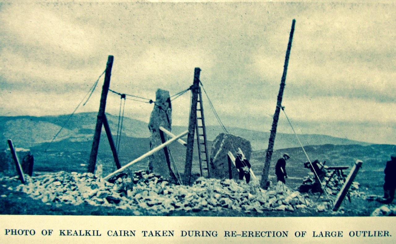
So, it’s Finn McCool and the Tuatha de Danaan that we have to look to, perhaps, for explanations as to why we find these incursions on our natural landscape standing as solidly and unchangingly as they did a few millennia ago. Perhaps not quite unchangingly, in fact: archaeologists have had a hand in the present day appearance of some of them. In the photo above you can see me wondering at the 4.6 metre high megalith which is part of the Kealkill complex. When the site was explored by Sean P O’Ríordáin in 1938 that stone had broken off and had fallen: O’Ríordáin re-erected the remaining part of the menhir. The original would have been at least a metre higher than what we see today.

kealkill excavation report

kealkill diagram

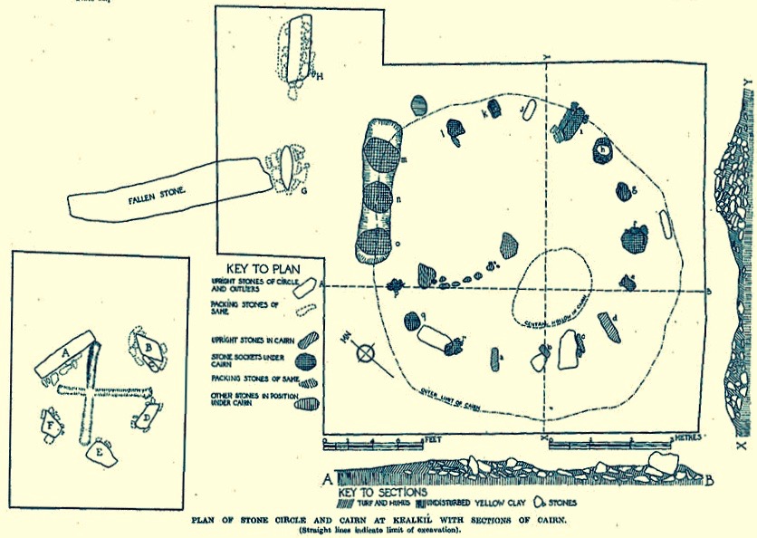
From O’Ríordáin’s published report of the excavation of the Kealkill complex: top, the taller standing stone being re-erected and, below, a survey diagram of the findings. From the Journal of The Cork Historical Archaeological Society, Volume XLIV ,1939

The Breeny More site and the Kealkill complex are near neighbours. Both contain various artefacts: standing stones, stone circles and boulder burials. Kealkill also has a radial cairn. Both are set against a background of moorland, mountain and bay. Kealkill is easily accessible although boggy.

Most sites are on private land and permission should always be sought to visit, unless it is obvious that access is welcomed, as here at Kealkill

Our second archaeological adventure this week was also boulder burial orientated. This was close to home in the townlands of Rathruane, Lisheen Lower and Bawngare. Again, Finola has detailed the findings in her post, but I was struck at each of these sites that the their settings, too, were on high ground with excellent distant views. In each case, mountains were prominent. I couldn’t help thinking that the boulders could have been placed where they are specifically because of the visibility to the various peaks. Might it even be that territories were marked out by these huge stones? Boundaries have always been important to human strategies: we have been identifying and ‘naming’ the land before records began to be written. Field names, townland names, parishes, baronies… A whole lot more to be researched, visited and recorded. Our long walk through Ireland’s past has barely begun!

Robert at Kealkill

Tide’s Further Out!

cove gray day“Donn Fírinne was in the clouds last evening – today would be bad…” Donn Fírinne was a Munster fairy-king always connected with weather omens: …the people said that Donn collected the clouds on his hill (Cnoc Fírinne, Co Limerick) and held them there for a short while to warn of approaching rain, and from the reliability of this sign came his name, Donn of Truth… (from The Festival of Lughnasa, Máire MacNeill, University College Dublin 2008)

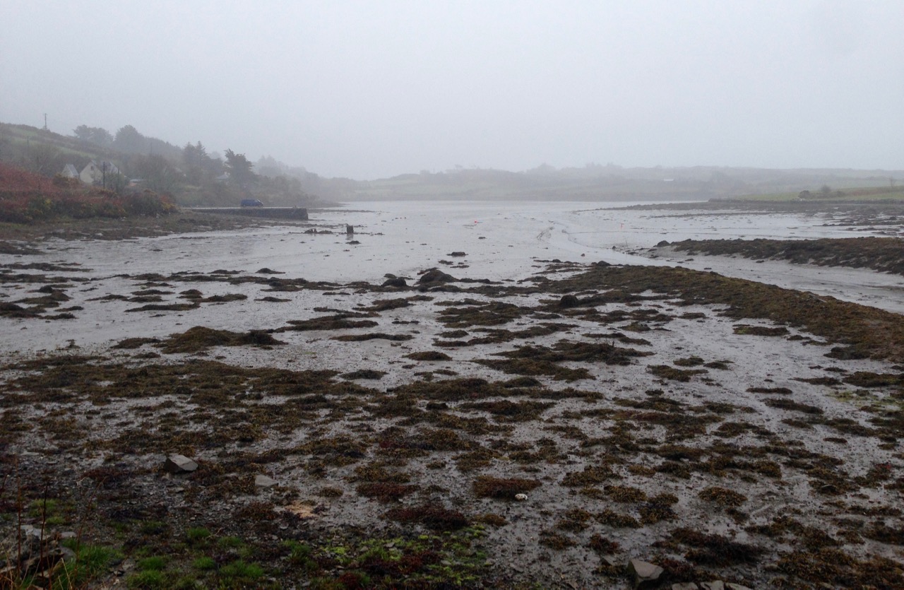
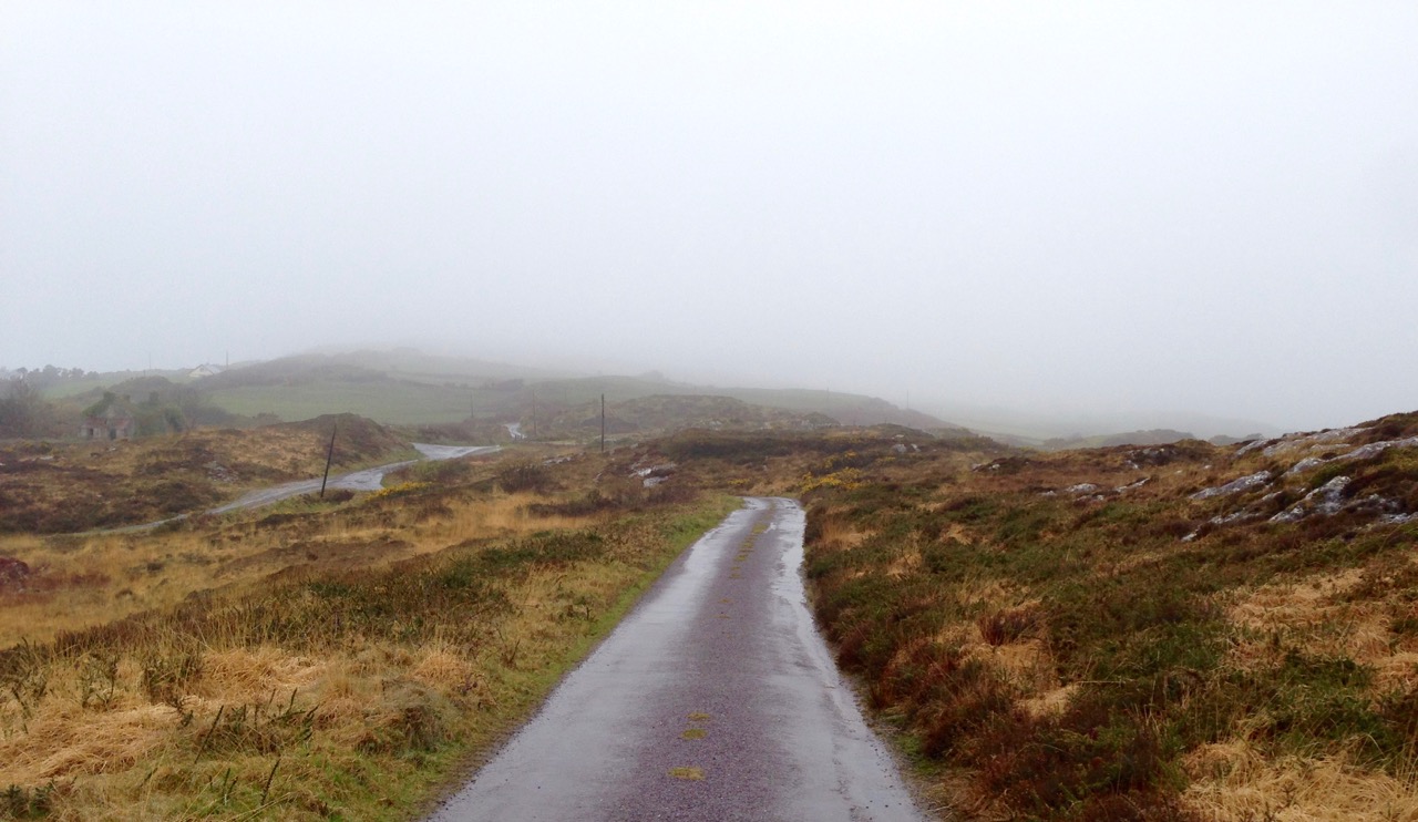
Only a month ago I wrote a post about a very low tide: I hadn’t realised that we were heading for an exceptional event, the lowest tide of the century! So I felt that our readers deserved to have this circumstance recorded as well, even though it involved braving what was probably the least hospitable weather that the spring has come up with so far! I should have taken notice of the omens from Donn, but instead I went out into the cold, pervading rain.

high road gray day

Out into the weather: the high road at Cappaghglass at its wettest

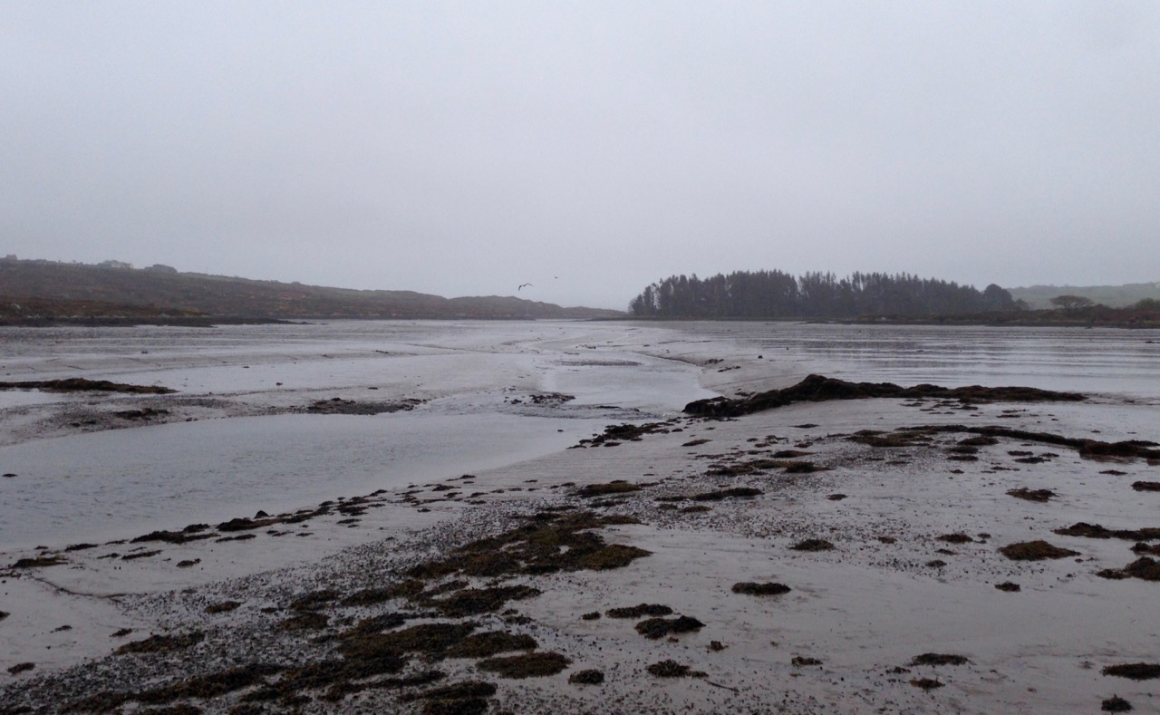
The day was last Thursday, 7th April, and the tide prediction was a low of 0.00, just after noon. 0.00! You can’t get much lower than that. But we have to remember that  tide predictions are just that – predictions. It’s a bit like weather forecasting – there are so many factors which can affect the outcome. Tides can vary from the predictions because of winds, atmospheric pressure, even the salinity and temperature of the sea, evidently. However, although I can’t vouch for the 0.00 (wouldn’t that mean that the sea was empty?) I can confidently state that the shoreline had receded further than I’ve ever seen it before.

ballydehob bay gray day

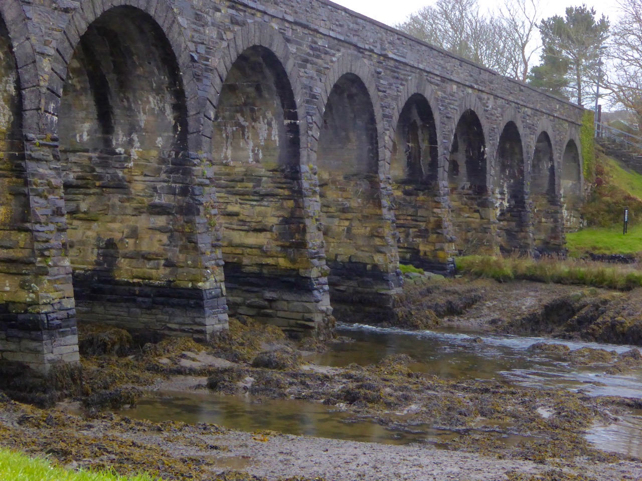
12 arch low tide 2

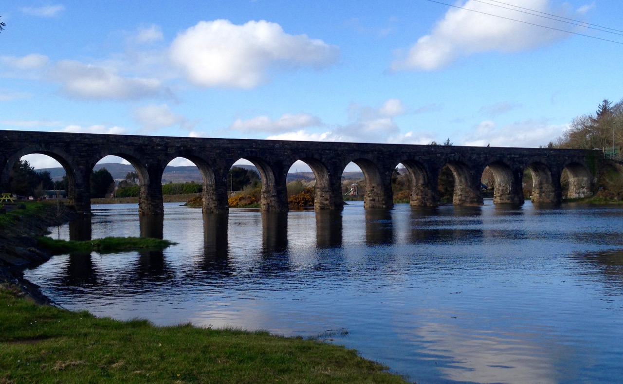
Top: Ballydehob Bay just a mud flat – Bottom: the 12-arched bridge has lost its river

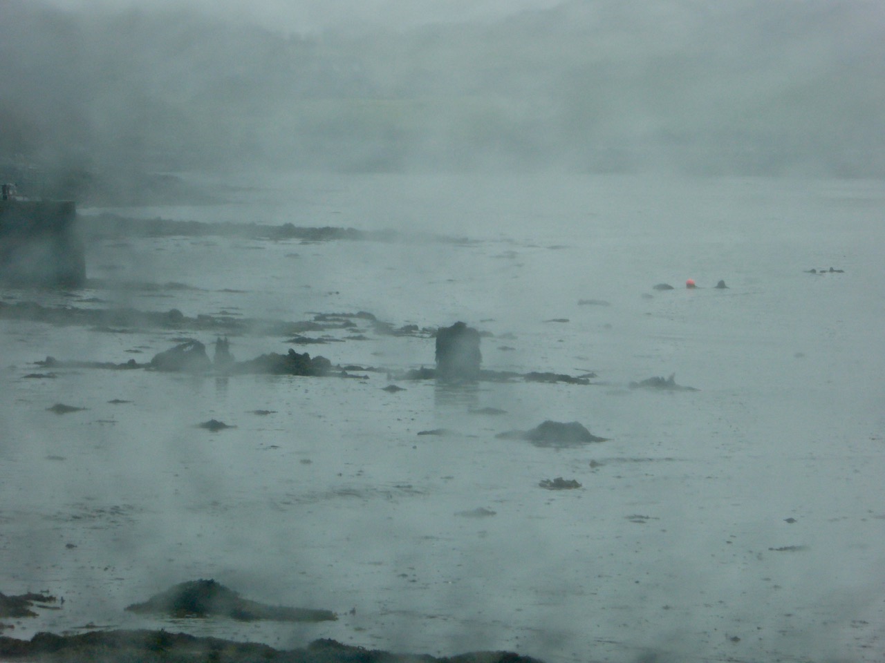
I followed the coastline all the way from Ballydehob Bay to our own Rossbrin Cove. Sure enough, whenever you could glimpse the sea, it wasn’t to be seen! But that might have had something to do with the all encompassing fog that had descended.

Sunken wreck

Is it a wreck? Or some debris discarded in the Cove?

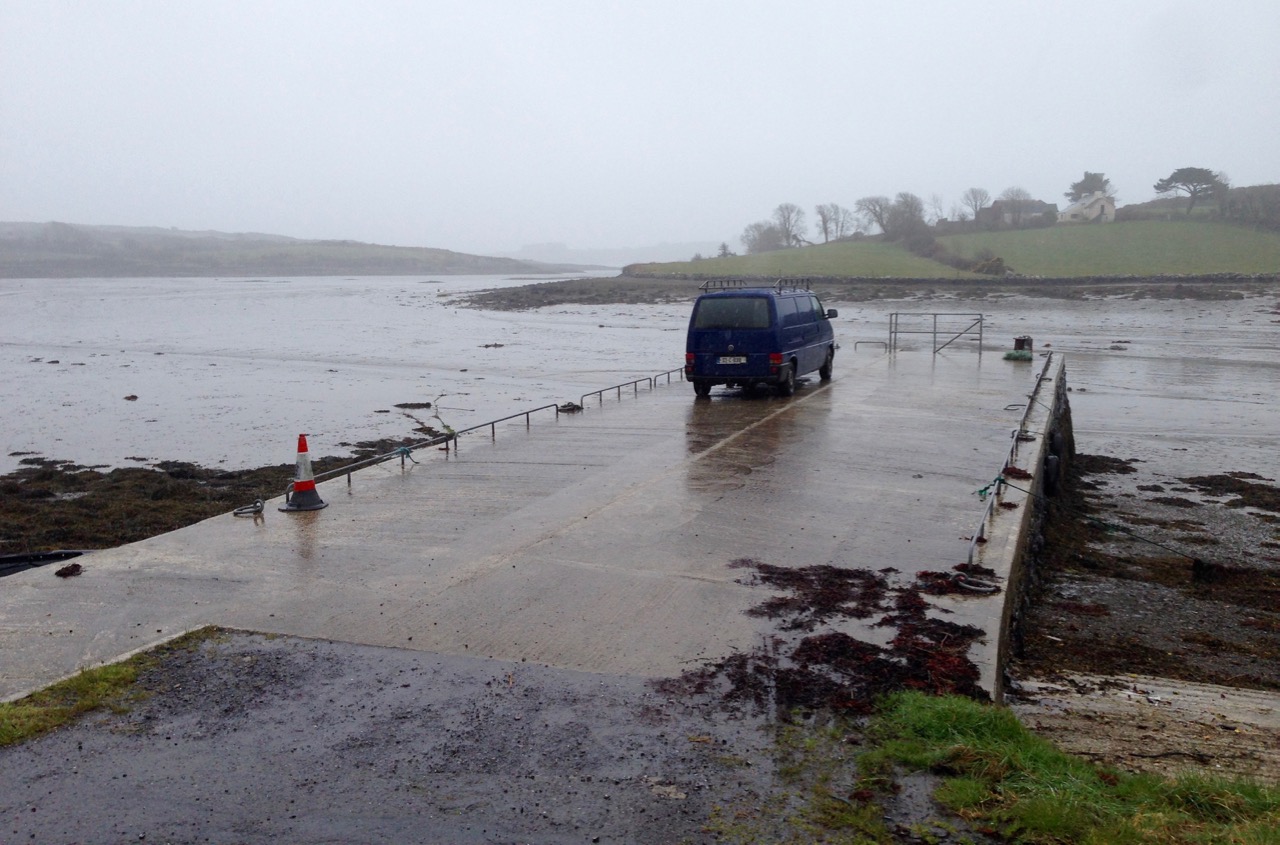
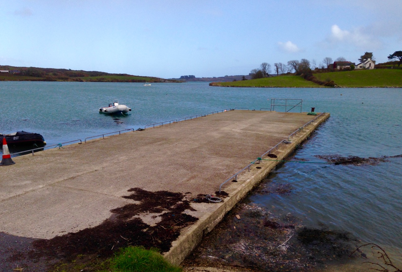
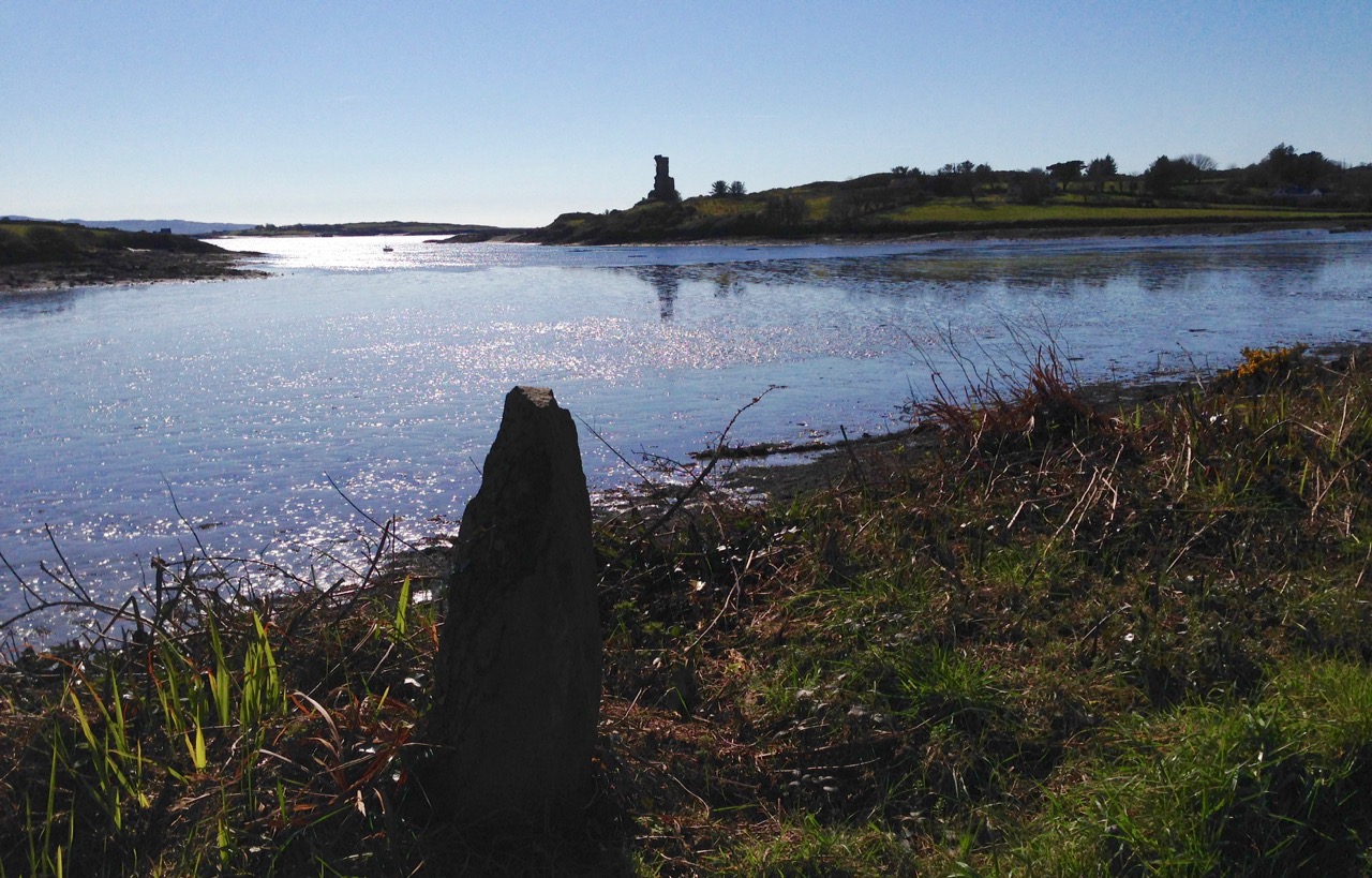
The modern quay in Rossbrin Cove seemed stranded and pointless, but Fineen O’Mahony’s tower house still managed to catch a reflection as the tide began to turn.

the quay gray day

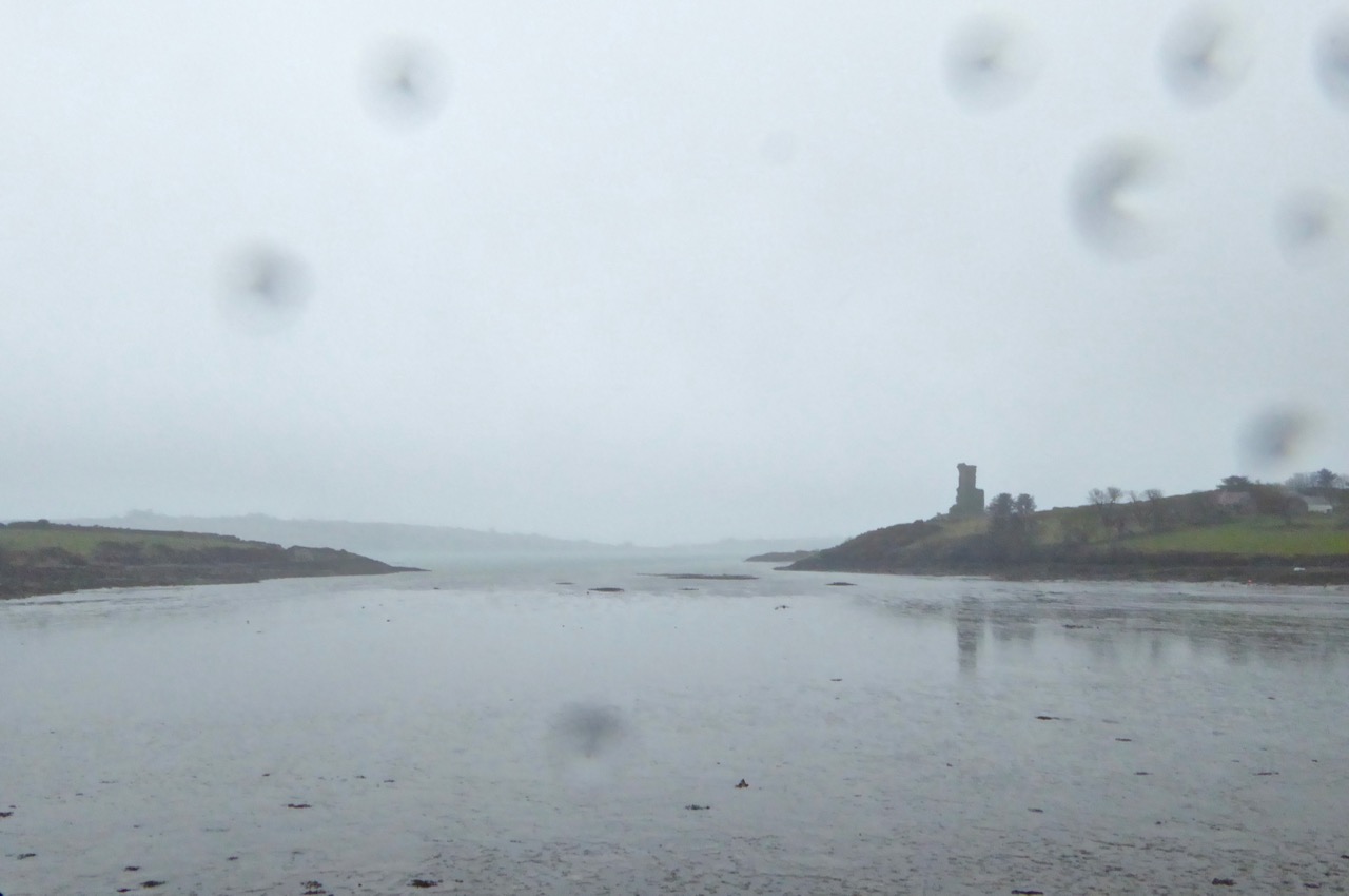
Rossbring through rain

Rossbrin Castle – Fineen O’Mahony’s tower house – seen through a spotted lens

Of course, what goes down has to come up and – in the evening – I ventured out again to see the ‘high’ of 3.30.

high tide 12 arched bridge

rosbrin pier high tide
Evening high water in Ballydehob (top) and at the quay in Rossbrin (below) – note the improvement in the weather!

This is Ireland, so the day that was in it had changed completely with the tide: now we enjoyed clear blue skies and (watery) sunshine. Walking the shoreline was a pleasure! To be honest, you have to find your pleasure here from taking to the trails whatever the weather (as many of our occasionally bedraggled visitors might testify). It’s fine, as long as you have a good fire in the hearth to come home to…

the road to julian's house

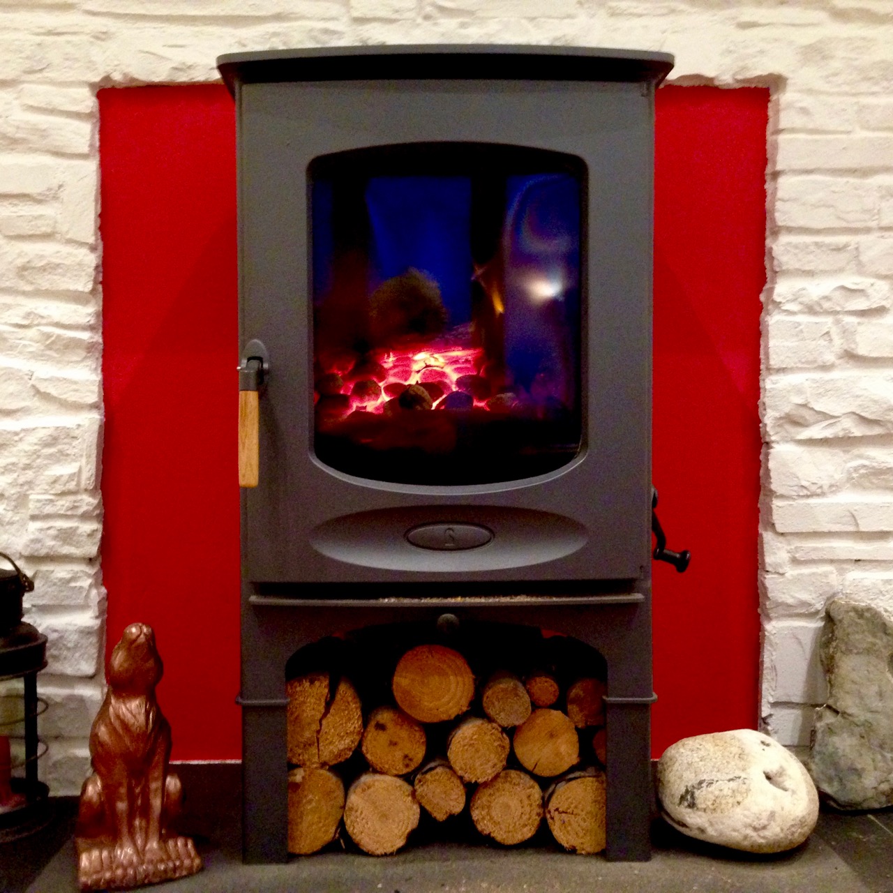
Above – when the tide goes up, the road to Julian’s house goes under! Below – a hot fire to come home to…

hot fire

Fourknocks – the Little Giant

Interior

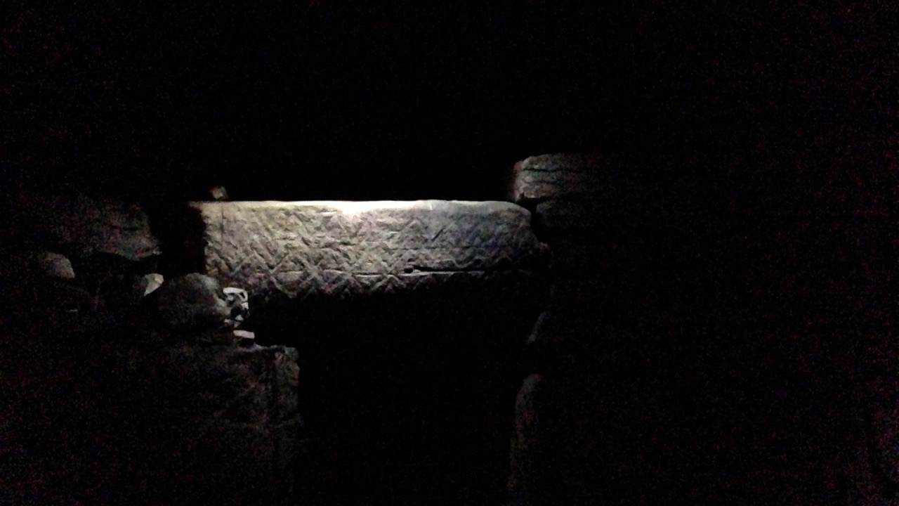
For our own Easter Monday celebration – while staying in Dublin – we took a trip out to Fourknocks. This is a decorated chambered cairn within the Boyne Valley complex, but very much a ‘little brother’ to the better known attractions of Newgrange, Knowth and Dowth.

key

Only in Ireland would you be instructed to travel a mile down the road to pick up the key to a 5,000 year old monument (leaving a 20 Euro deposit for its safe return) and let yourself in by unlocking a heavy steel door that guards the way into the passage… But don’t be put off: it’s so well worth the effort. With luck you will be the only visitors and you will have the place to yourself – apart from the sheep families who share the field with Fourknocks. The name probably means ‘The Cold Hills’ – that’s the translation of the Irish Fuair Cnoc

sheep

Fourknocks was unknown to archaeologists until a chance conversation in 1949, when a woman making a visit to Newgrange mentioned, “there are mounds like this on my uncle’s farm…” The site was then explored and excavated by Archaeologist P J (Paddy) Hartnett in the early 1950s. You can read the full excavation report* online, by signing on to JSTOR. Like all the Boyne Valley Neolithic monuments, the mound had collapsed inwards and the dig involved removing layers of earth and fallen stone, analysing the spoil material and working out how the original structure had been put together. It’s methodical, scientific – and pretty dry reading! However, I couldn’t help being completely entranced as I imagined spectacular carved stones gradually being revealed, unexpected artefacts being turned up, and the unusual dimensions of the central chamber being realised.

excavationdiagram

P J Hartnett’s excavation diagram – from his report published in 1957

This ‘pear shaped’ central chamber measures 41.92 sq metres in area, considerably bigger than those at Newgrange (16.50), Knowth (20.21) and Dowth (15.21). However, the mound itself is relatively small – a ‘pimple’ on the hillside with a diameter of only 19 metres (Newgrange has a diameter of 85 metres). Yet, when you stand on top of Fourknocks, you understand its significance – there are panoramic views in every direction over countryside, ocean and mountains. You might expect to see the other Boyne Valley monuments but in fact they are hidden by a ridge, so this one enjoys splendid isolation in every respect.

Pan 2

Pan 4

Pan 5

P1210637

Cardinal Points: panoramic views in all directions from the mound of Fourknocks

Something else that’s unusual about Fourknocks is the way it has been reconstructed. Restoration of Archaeological structures has often been controversial. In Ireland the most notable example is Newgrange itself: Professor Michael J O’Kelly, who was in charge of the works there from 1962 to 1975, imagined that large numbers of white quartz stones which were found in and around the collapsed mound could have been used to face the entrance wall and duly designed the reconstructed passage tomb around this premise. He was (and still is) criticised for this ‘leap of faith’ – but, for me, the result is entirely justified: whether or not the original structure did look like this is perhaps irrelevant, as it has bequeathed to us such a visually iconic and powerful symbol of Neolithic Ireland…

Above and left: the great passage grave of Newgrange before excavation, Right: the iconic face of the restored monument today (image courtesy of Our Irish Heritage)

At Fourknocks the excavations did not prove that the chamber was ever roofed over. Certainly there was stone corbelling to suggest that this might have been attempted, but it is unlikely that the large span of the central court could have been enclosed in this way with the available technology, and the weight of the number of stones. However, complete enclosure is likely to have been a necessity, and a central post hole – which would have accommodated a large timber pillar – was found: Hartnett suggests that the roof covering was completed using light timber rafters and thatch. Rather than simulate this, a solution has been employed which is entirely modern – but, in fact, as imaginative as O’Kelly’s ideas at Newgrange: a reinforced concrete shell roof has been cast completley around and above the excavated structure. So what we see today as the ‘mound’ is a concrete dome which has been turfed over.

Open Door: the entrance to Fourknocks chamber outside and inside

But this 1950s innovation is far cleverer than it might seem. Cast into the new shell are holes and slits which project limited shafts of daylight into the otherwise unlit chamber. Each shaft has been carefully orientated to cast natural light on to one of the spectacular examples of megalithic art which are the showstoppers of this monument.

zaggy

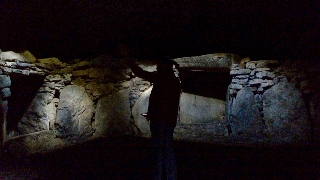
To properly experience the unique adventure of Fourknocks, go inside and – be brave – shut the heavy door behind you. Immediately you are in darkness, and disoriented. But wait: as your eyes adjust, the chamber comes alive.

zigs

The subtle shafts of daylight filtering through the roof perforations focus on their targets and, gradually, you realise that you have entered a gallery of startling images – images made by our ancestors thousands of years ago…

concentric

As Rock Art enthusiasts, our particular interests lie in the cupmarks, concentric circles and other carvings found on outcrops and boulders dispersed over the Irish (and British) landscape: it’s fascinating and intriguing – but should we call it Art? Perhaps those marks have been made as signposts, to define territory, or to provide information to passing visitors – we just don’t know. But, with the carvings at the Boyne Valley monuments there can be no doubt: their purpose is to startle, impress and delight – Art, with a capital A! Fourknocks is such a good example of megalithic or passage grave art, not because of its quantity or complexity (you’ll find far more elsewhere) – but because of the context: the fact that you can stand there on your own and be startled, impressed and delighted – without the intervention of artificial lights, interpretation centres or display boards. It’s just you and the Neolithic mind in there.

Chambers 3

Fourknocks, the Newgrange complex, Loughcrew, Carrowkeel: there is even a passage tomb in our view from Nead an Iolair – over on Cape Clear Island and it produced a fine example of megalithic art, now in the Cork Public Museum. What were they for? In spite of being sometimes called passage graves or passage tombs we can’t assume necessarily that interment was their primary purpose, although significant human remains were found at Fourknocks, including cremations, skulls and bone fragments. Many of these are dated much later than the main structure – Bronze Age rather than Neolithic – suggesting a continuing use of and respect for the monuments over long periods of time. I hope we always retain that respect: the risk of the unsupervised access that we can enjoy at Fourknocks is a vulnerability of the site. Sadly, there is graffiti apparent on some of the stones, although this may be historic.

two sided

I could find no trace of folklore, legends or stories relating to Fourknocks. This is unusual for an ancient site in Ireland. Perhaps it’s because the place was lost to all but very local human memory for so long. Apart from the restored mound there appears to be either two or three other disturbed earthworks close by but not accessible – could this be the origin of ‘four’ cnocs (hills)?

effect 1

not a face

For more excellent photographs of this monument have a look at Ken William’s work in Shadows and Stones. If you are passing this way – as we were – perhaps on your journey to see the marvels of Brú na Bóinne, don’t hesitate to look out this wonder of the megalithic world- it’s a little giant!

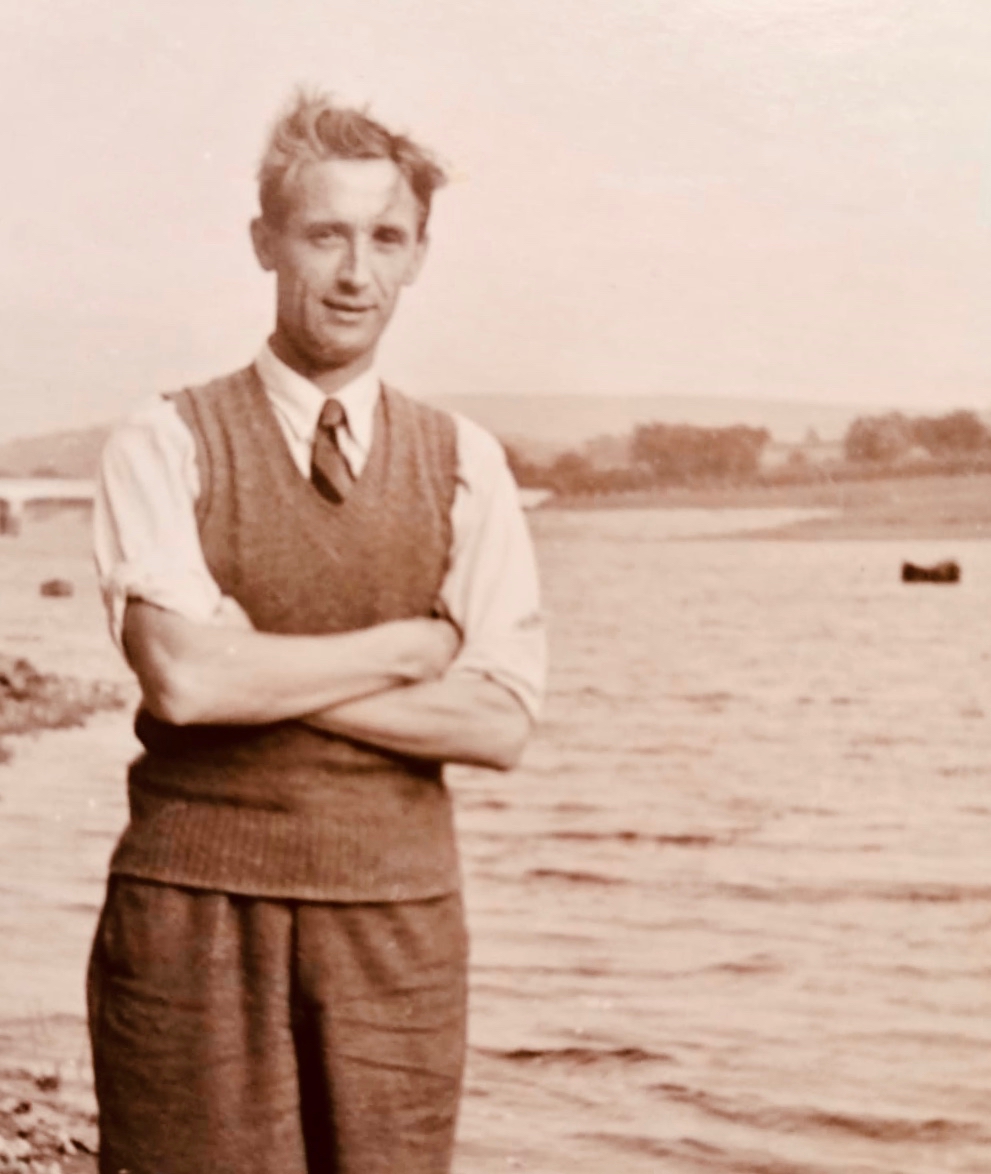
Below: P J Hartnett, a photograph taken at around the time of  the excavation of Fourknocks, 1950s. Many thanks to his grand-daughter, Dee McMahon, for providing this and further historical information

Excavation of a Passage Grave at Fourknocks, Co Meath: P J Hartnett – Proceedings of the Royal Irish Academy. Section C: Archaeology, Celtic Studies, History, Linguistics, Literature Vol 58 (1956/1957), pp 197-277

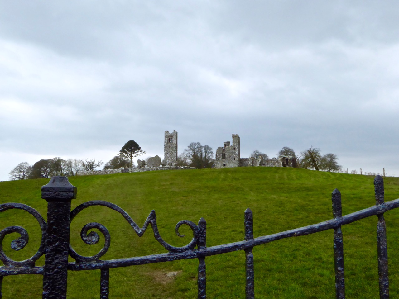
Hill of Slane

abbey + college

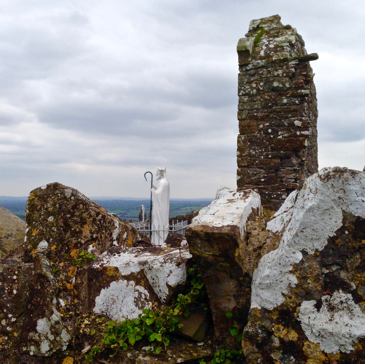
Our travels took us to the Hill of Slane. On its summit overlooking the River Boyne a depleted Saint Patrick (he’s lost his hands) looks forever out to the east, facing towards the mound of Millmount at Drogheda, about 15 kilometres away according to our Crow. Millmount is reputed to be the site of an ancient passage grave – and the burial place of Amhairgin mac Míled, who was regarded as the originator of the arts of song, poetry and music. The very first Irish poem The Song of Amhairgin was recited by him as he entered Ireland from the River Boyne, below the mound. Here’s a version of it translated (from the original Irish) by Lisa Gerrard:

I am the wind on the sea
I am the stormy wave
I am the sound of the ocean
I am the bull with seven horns
I am the hawk on the cliff-face
I am the sun’s tear
I am the beautiful flower
I am the boar on the rampage
I am the salmon in the pool
I am the lake on the plain
I am the defiant sword
I am the spear charging to battle
I am the god who put fire in your head

Who made the trails through stone mountains?
Who knows the age of the moon?
Who knows where the setting sun rests?
Who took the cattle from the house of the Warcrow?
Who pleases the Warcrow’s cattle?
What bull, what god created the mountains’ skyline?
The cutting word – the cold word?

The Saint lit the Pascal Fire on the Hill of Slane soon after his mission in Ireland began (the flame is still lit at Easter). That seems to me a symbolic action: a challenge issued, perhaps to the pagan traditions that had gone on for generations before the new religion arrived. Patrick’s fire-raising activities are also a comparatively recent addition to the lore of the hill: according to the Metrical Dindsenchas – combining poems from the Book of the Dun Cow, the Book of Leinster, the Rennes Manuscript, the Book of Ballymote, the Great Book of Lecan and the Yellow Book of Lecan – all sources well over a thousand years old and themselves most likely compiled from the timeless oral traditions of the Bards – Slane is the burial place of an ancient king:

…Slaine, whence the name? Not hard to say. Slaine, king of the Fir Bolg, and their judge, by him was its wood cleared from the Brugh. Afterwards, he died at Druim Fuar, which is called Dumha Slaine, and was buried there: and from him the hill is named Slaine. Hence it was said: Here died Slaine, lord of troops: over him the mighty mound is reared: so the name of Slaine was given to the hill, where he met his death in that chief abode….

(Translated by Edward J Gwynn in 1903)

The ‘mighty mound’ must surely be the enigmatic earthworks hidden in the trees to the west of the abbey and college ruins: these are variously described as a barrow or a motte.

Over the gate

Top: medieval profile; Above left: ‘Creature of Slane’ decorating the walls of the old college, and Above right: the tower of the monastery which dates from the 16th century

Mostly what we see today on the summit here is medieval: the hill remained a centre of religion and learning for many centuries after St Patrick. A friary church was established on the site of an earlier monastery in 1512: it was abandoned in 1723. Beside it is a medieval college, probably also 16th century. The stonework here includes some extraordinary carvings, sadly much dilapidated.

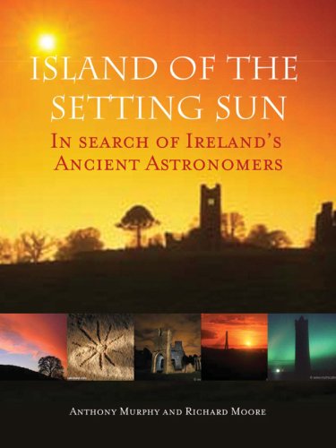
I musn’t shy away from another tradition associated with Slane Hill: the authors of this book make a convincing case for an alignment right across Ireland that takes in several historically important sites:

41s5jHsihjL…The Millmount-Croagh Patrick alignment stretches over 135 miles from the east coast of Ireland to the west, and has significant St Patrick associations … we found that the line from Millmount to Slane westwards travels all the way to Croagh Patrick, perfectly intersecting the little chapel on the summit of The Reek with breathtaking accuracy. Significantly, this line skirts the hills of Loughcrew on its way, and also travels directly through Cruachan Aí, one of the largest archaeological complexes in the whole world, with 200 monuments located in a 10-mile radius. Croagh Patrick, known in prehistoric times as Cruachan Aigle, is the place where, according to legend, Patrick banished the serpents from Ireland…

If nothing else, the theory at least demonstrates that St Patrick’s influence stretches the length and breadth of the country: witness his statue looking out from the Hill of Slane and another looking across from the lower slopes of The Reek!

croagh patrick 6

croagh patrick 5

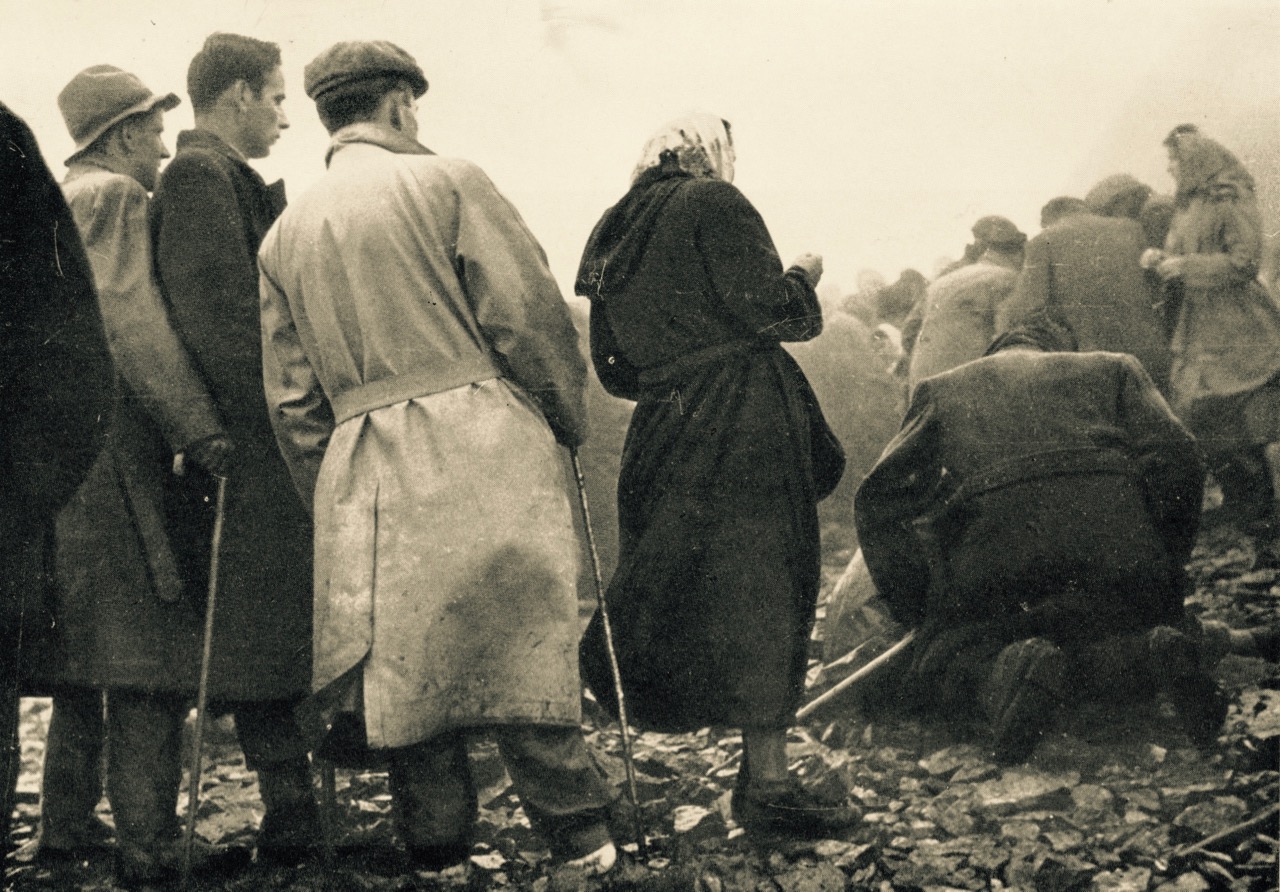
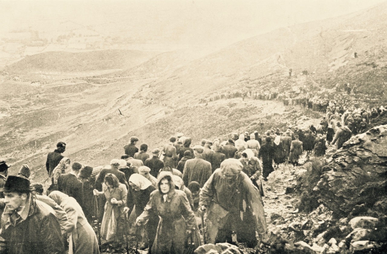
Pilgrimage for St Patrick on The Reek: Photos from the collection of Tomás Ó Muircheartaigh, who documented life in rural Ireland between the 1930s and the 1950s

St Patrick (his day was last week), Easter (this weekend), the Boyne neolithic monuments, Irish poetry, ancient kings and their battles, a little bit of astro-archaeology, the commemoration of the 1916 uprising in Dublin, the fight for Irish freedom… All seem to have joggled along beside each other in our recent explorations. Somehow they fit together and define an Irish-ness which is all-encompassing but not overwhelming. History is dancing all around us: alive and relevant.

watching saint p


Tide’s Out!

the Cove

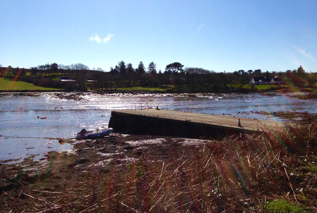
Up here in Nead an Iolair we have a perfect view of the state of the tide in Rossbrin Cove, the natural harbour below us which is accessed from Roaringwater Bay. Just now it’s a Spring Tide – and an extreme one: we’ve never seen the Cove quite so empty. I think it’s because there was a ‘supermoon’ a day or two ago – that’s the point at which the moon’s orbit is closest to the earth, and this affects the rise and fall of the tides.

low tide

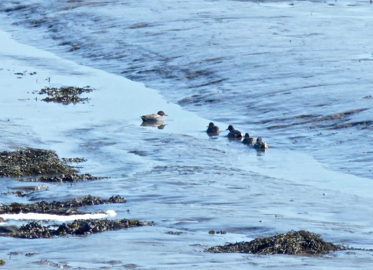
On a day when the sun does be splitting the stones we walk the long way over the hill and through the lanes to have a look at what the low tide has revealed. The surface of the boreens is hot to the touch, and it’s hard to recall that, during the last couple of weeks, we have had wild storms, some icy mornings and dank wintry fogs. Today the whole cove is a broad mud flat: a little rivulet runs through it and a family of Teals (Praslacha) is managing to make its way out to the bay, stopping every few yards to peck at tasty morsels in the silt.

Teals

Wading birds are everywhere, enjoying the rich pickings of nereid worms. We are particularly impressed with the handsome Redshank – Cosdeargán: Red Leg, Warden of the Marshes – who winters here, like the Teals – on holiday from Iceland. We have to make the most of him, and his piercing tew-hoo, tew-hoo call as he’ll be off back home shortly.

Redshanks 2

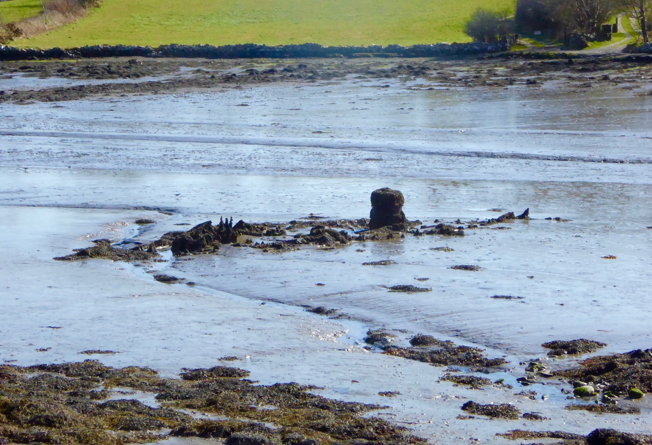
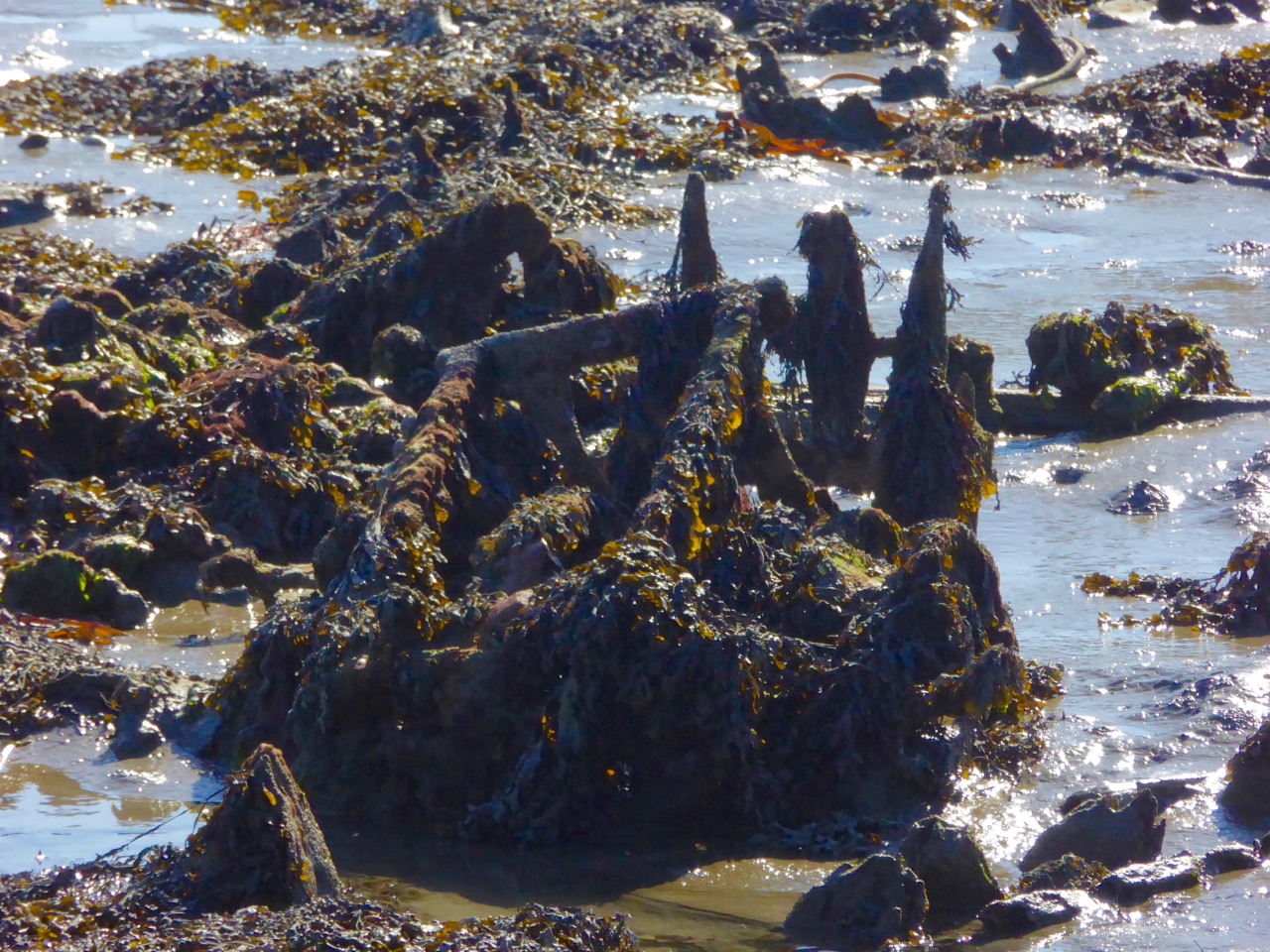
I think it’s exciting to see what the low tide has uncovered: down by the ‘new’ quay there’s something boat-shaped. It must have ended up here in living memory, so someone should know the story of it. An old engine block, perhaps, at one end – and a sort of metal frame at the other: a piece of fishing equipment, possibly. Of course, it could all be the skeletal remains of a great leviathan which has been stranded by the falling tide…

Drowned object

Enigma

On a tiny rock-pile which has never been an island before we catch sight of the Curlew, one of the Seven Whistlers. The Calloo, Courlie or Marsh Hen is declining rapidly and what we are seeing today is most likely to be a winter visitor from Scotland or Scandinavia, feeding on ragworms, crabs and molluscs. A few stay all the year round, mostly in the northern half of Ireland – although I’m pretty sure I have seen the occasional Curlew around here in the summer months: we live in a privileged place, after all.

Curlew

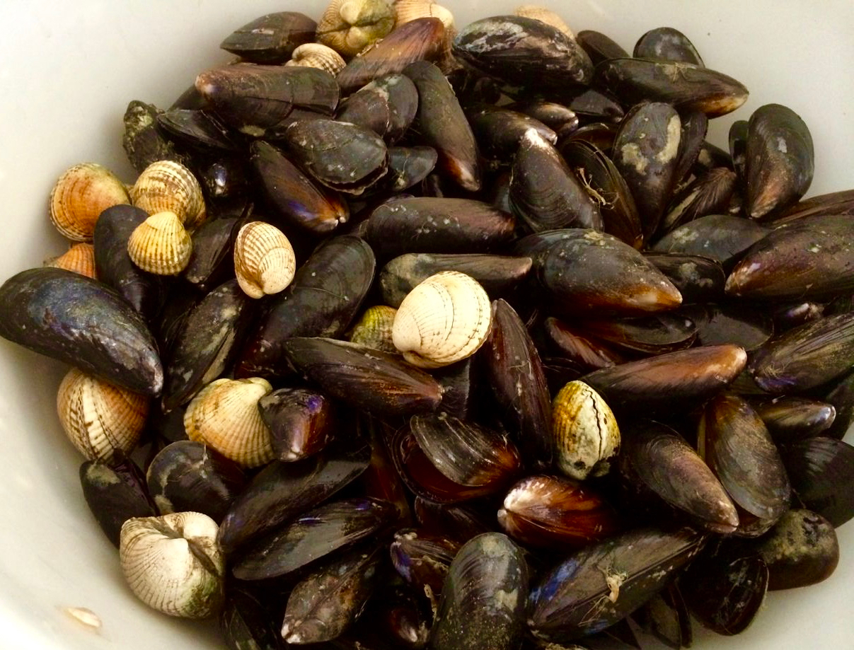
We are halfway through March now. We still have more extreme tides to look forward to, especially around Good Friday, when the Mussels will be harvested from the exposed rocks. That’s early this year – before the end of the month – and it’s a festival which is based around the seasons of the moon. Let’s hope that never changes (there has been some talk among officialdom of regularising the dates for Easter) because, if it does, all the customs and traditions associated with it will be thrown out of sync.

feast of mussels

We have a good ol stretch in the evening to look forward to. On the reasonable basis of what goes down must also come up we’ll be off to the Cove again to see it filled to the brim: it will be a particularly high tide as well, of course, and there will be another set of shore birds and waders foraging from the fresh influx of salt water.

muddy waters


Mizen Mud: Recipe for a February Exploration Day

Muddy Boots

It’s been a wet, wet winter, but when the sun shines in February (which it does, honestly!), we are out exploring. This particular day our companions were Jessie, Brandon, Amanda and Peter and our accompaniment was MUD, and lots of it.

Explore Group

Amanda took the photo of the group, and the one of my muddy boots

We had goals – Amanda was after some elusive holy wells and Robert wanted to find the pirate steps at Canty’s Cove for his talk on William Hull and the Leamcon Pirates’ Nest, part of the Ballydehob spring lecture series, ’Talks at the Vaults.’ Jessie is a professional tour guide, wanting to learn more about the Mizen. Finally, I wanted us to swing by Dunmanus Castle so I could check out a few construction details.

Dunmanus Castle and bridge

Dunmanus Castle on its knoll, surrounded by water

You don’t actually need goals like this to go out exploring, but it helps. It gets you into places you wouldn’t normally go, down tiny boreens, into farmyards and across fields. You end up knocking on doors and meeting people who know all about the well, or the old stones, or the legends of the place, or who owns what field and whether he minds people tramping through it. On this occasion we met, for the first time, the near-legendary Pat McCarthy, one of the writers of Northside of the Mizen, and a huge authority on this area. We’ve promised ourselves a return visit with him as we weren’t able to stay long enough for a good talk.

Budds

The best way to start a day like this is with excellent coffee, in Budds of Ballydehob, where we assembled with our map to plot our course. It was off then to Toormore and the Altar wedge tomb. On this occasion we weren’t actually after the wedge tomb (although I can never resist a photo of it) but the little holy well across the road.

Altar Wedge Tombe

Our next stop was Dunmanus, to take a good walk around the castle with the camera, looking for details I had missed on previous visits.

Dunmanus Castle ground floor entrance details: The bar-hole for barring the door once inside; the spud stone and the hanging eye. The hollows are for the pole that the door swings on

And then on to Canty’s Cove. You can read Robert’s post, Canty, for more about this place and its association with Canty the Pirate. Finding the steps wasn’t easy and it was a big thrill when we finally figured out where to look.

from Canty's House

This is the inlet with the pirate steps. Photographing them involved hanging over the edge with someone holding on to your ankles

Pirate Steps

How would you like to climb up these with a keg on your back?

By then we were starving – this exploring is hungry work – so we repaired to O’Sullivan’s of Crookhaven for one of their famous crab sandwiches. Even at that early date the sunshine was so inviting that people were sitting outside with their sandwiches and their pints.

water pump at Crookhaven

Crookhaven Pier

From Crookhaven it’s a quick trip to Lissagriffin, where there’s a medieval church and a bullaun stone doing double duty as a holy well/wart well. The church has a panoramic view over the salt marshes behind Barley Cove Beach as well as interesting architectural features.

Lissagriffin Doorway

Our next holy well was right by the side of the road a couple of miles further east – labelled so we couldn’t mistake it.

Callorus Oughter

Amanda inspects Tobareenvohir – or Tobairín an Bhóthar, the Little Well of the Road

The final one was harder to find and necessitated negotiations of some seriously muddy fields. Tobairín Brón (Little Well of Brone) was in the general vicinity of where we ended up, along with a small monastic site – all very brambly and hard to decipher. But what a place – a view clear out to the Fastnet Rock, with Knockaphuca looming behind us. Cnoc an Phúca means the Hill of the Mischievous Spirit – it’s been tamed, presumably, by the large cross erected on its peak.

Monastic site

Knockaphuca

Fastnet Rock

Read Amanda’s post for her take on the four wells we visited that day.

By then the sun, so warming earlier in the day, had been overtaken by high cirrus clouds, and we were donning jackets and gloves and remembering that it was only February after all. As if to make up for its lack of warmth, it treated us to a magnificent solar halo (I’ve always called them sun dogs)  as we made our way back to the cars.

Sun dog

We were never much more than 30 kms (or about 40 minutes) from home but in that distance we managed to see heritage sites dating from the bronze age through the medieval period up to the recent past, surrounded all the time by the magnificent scenery of the Mizen. You can do this anywhere in Ireland. Using the Historic Environment Viewer of the National Monuments Service, define the area you want to explore, pick your fancy (ring forts? medieval churches? cross slabs? megalithic tombs? castles? rock art?), and off you go.

Peter and Amanda in a holy well

A holy well looks back at Amanda and Peter

Now, if you’ll excuse me, I’m off to buy some wellies…