Back to the Beara

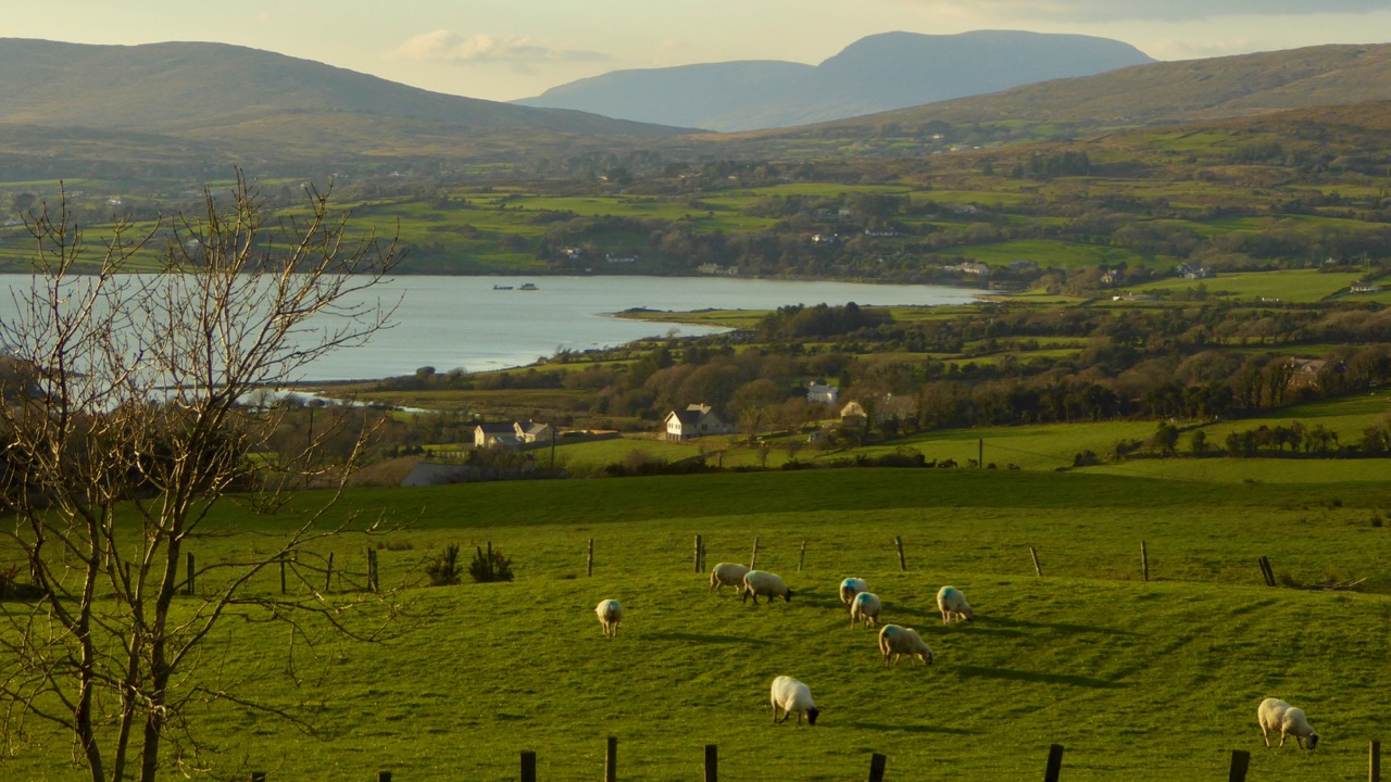
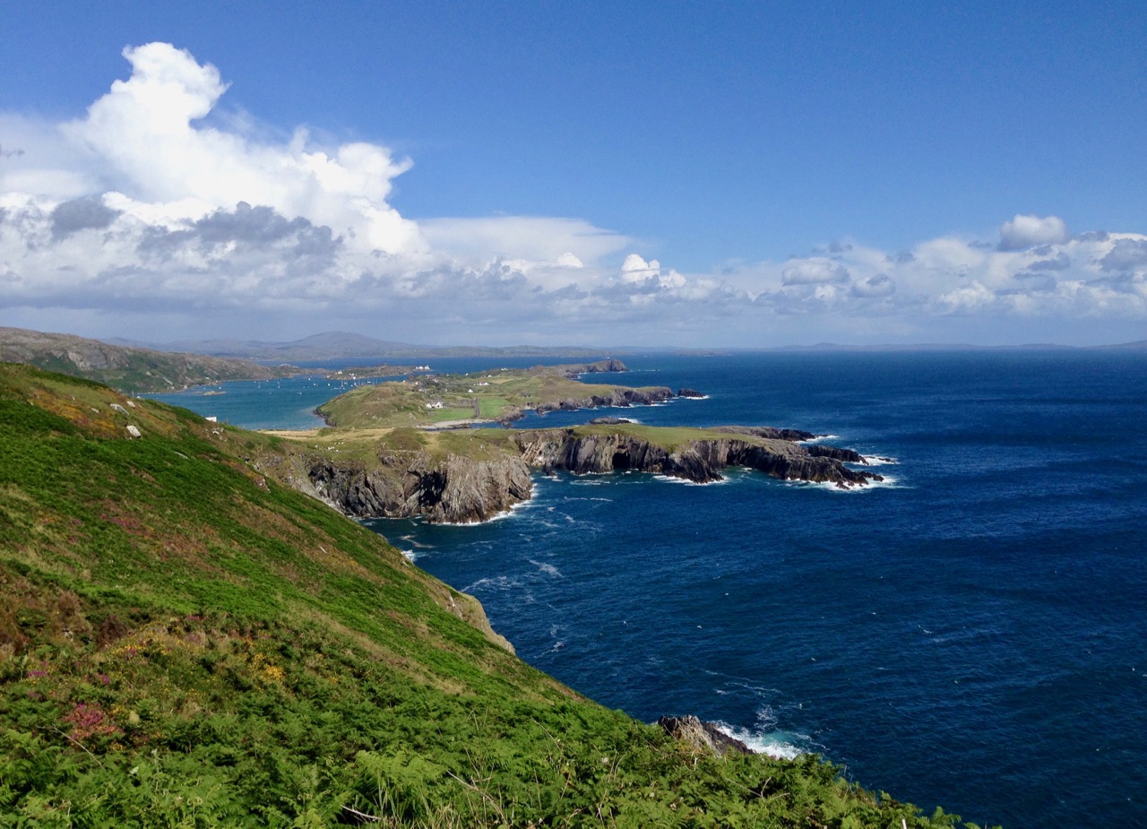
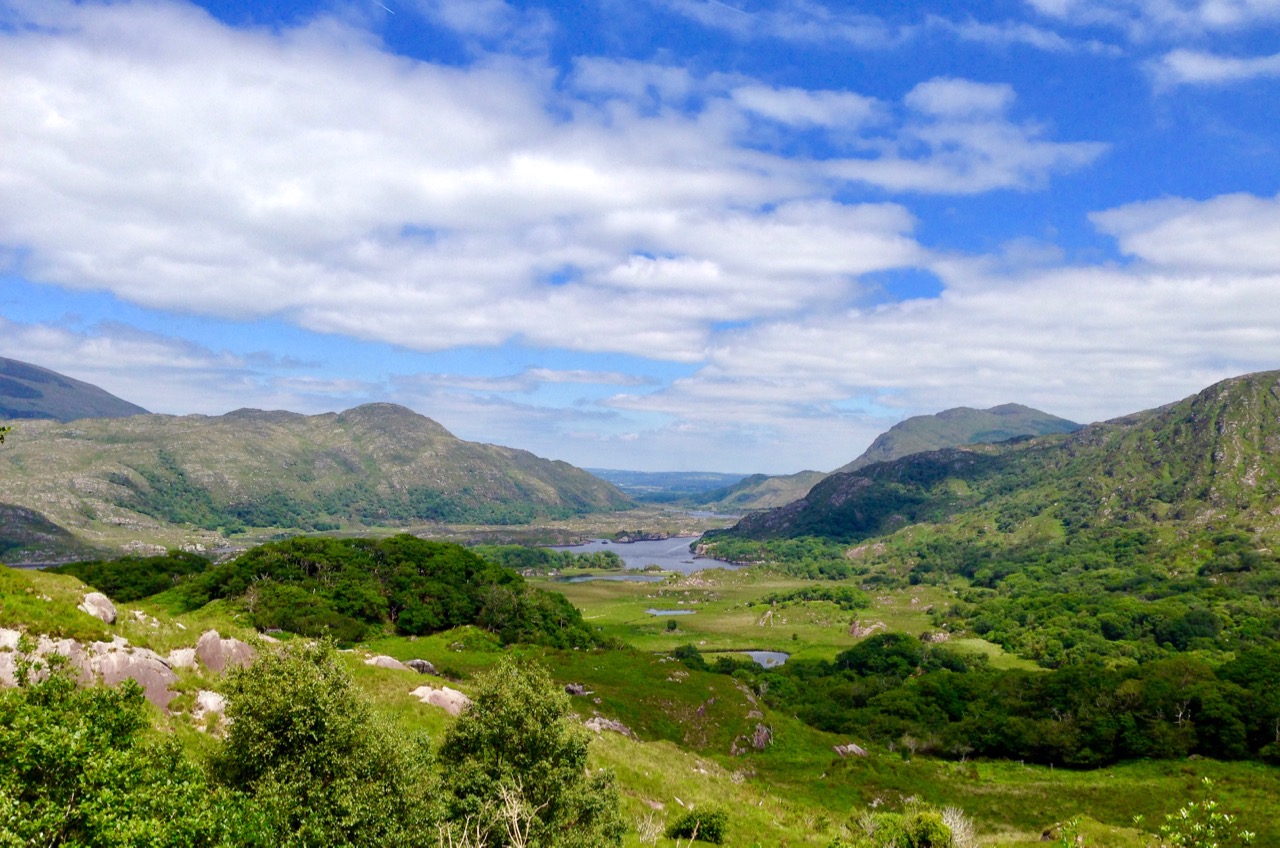
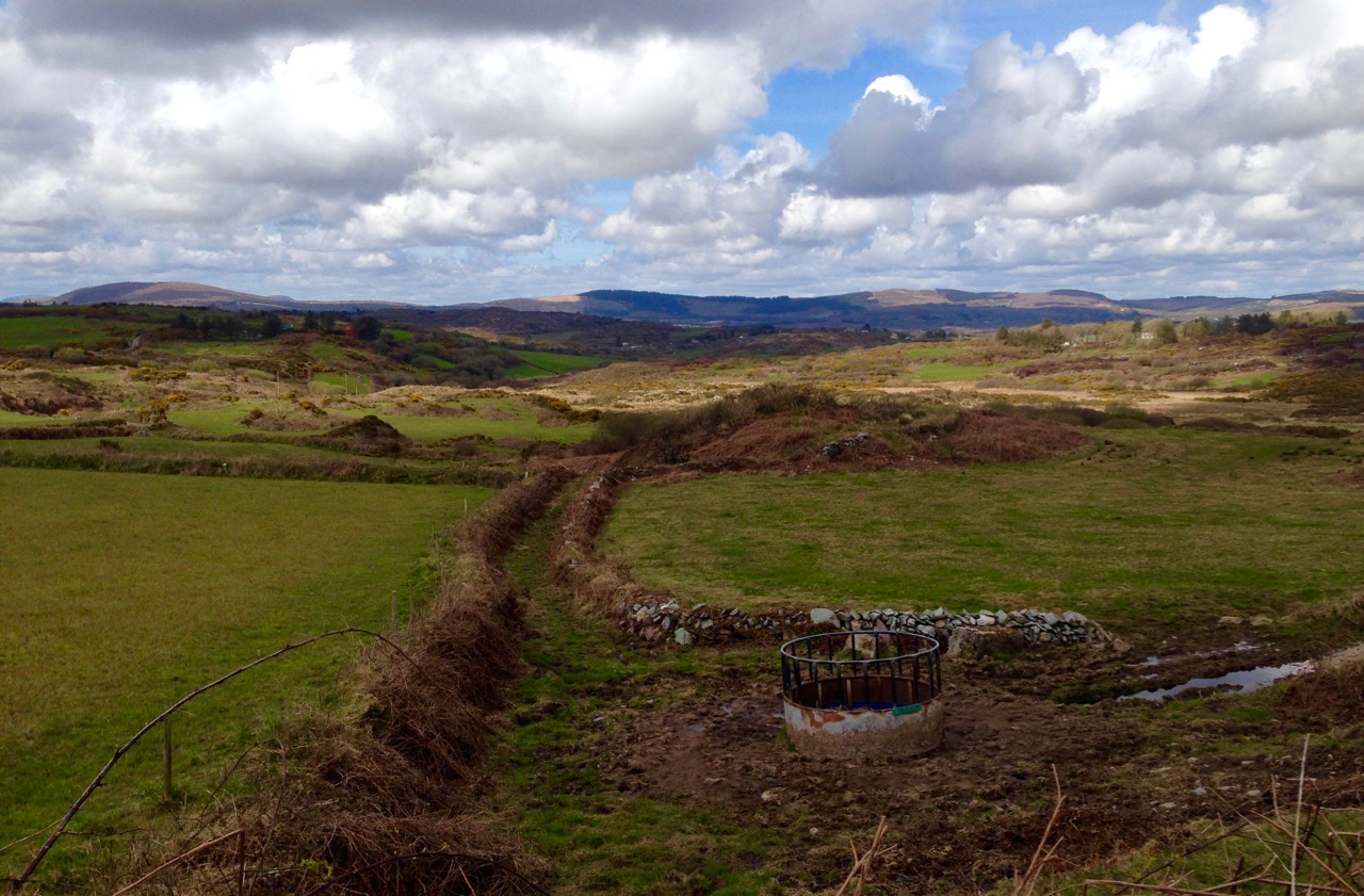
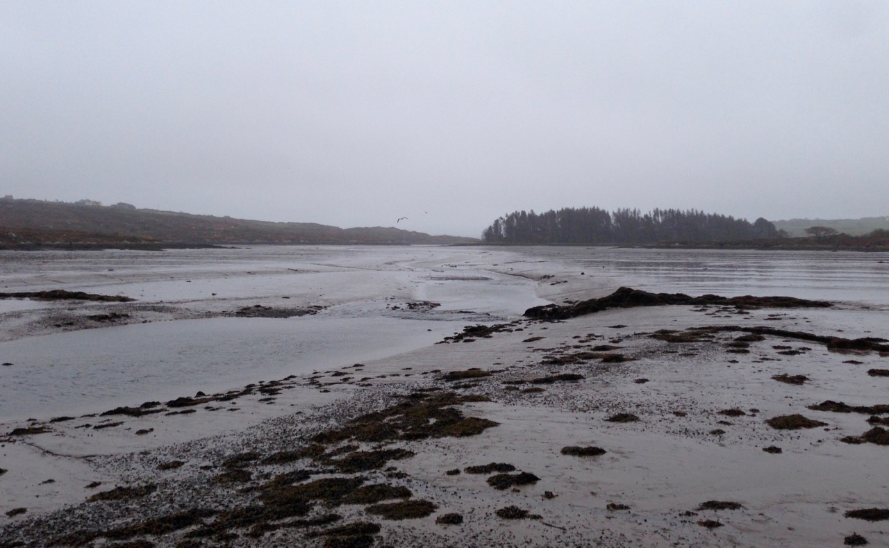
Mizen, Sheep’s Head, Beara, Iveragh and Dingle: these are the five peninsulas which make up the south-western coast of the island of Ireland. We live on the Mizen and, for that reason, we are always trumpeting the qualities of the place, historical and scenic. However – to be fair – the other peninsulas have much to offer. The Sheep’s Head is a mere stone’s throw from us – just over the waters of Dumnanus Bay – and our visits there are frequent. The Beara has been calling us recently: we tend to think of it (unfairly) as somewhere quite distant but we can be on it in less than an hour. In the last two weeks we have taken two day trips out there (with our holy-well hunting friends Amanda and Peter), in contrasting weather conditions, and we can report back that the landscape is stunning whatever the weather, and the visible history is palpable. We have visited before – a while ago now: see our posts here and here.

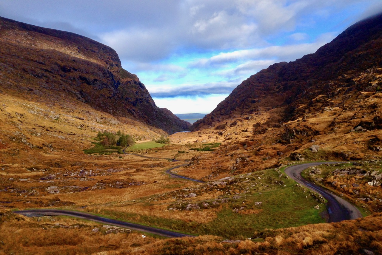
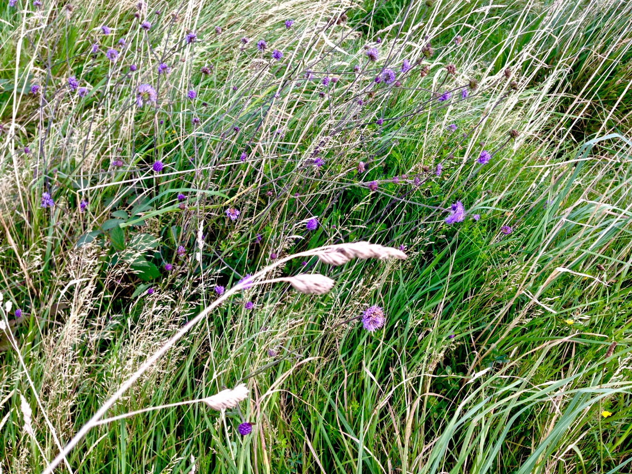
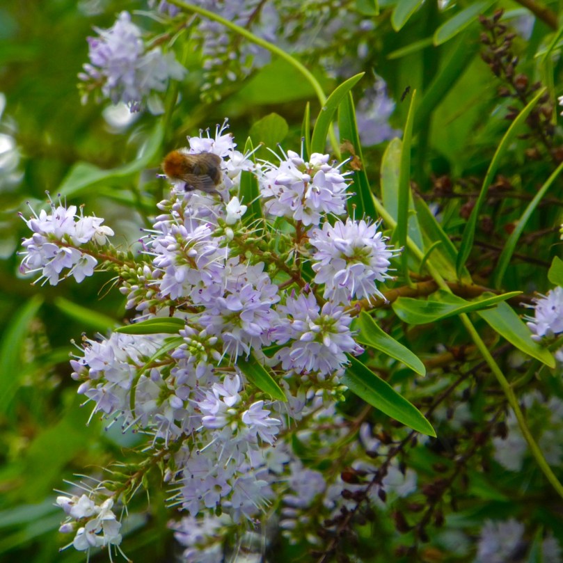
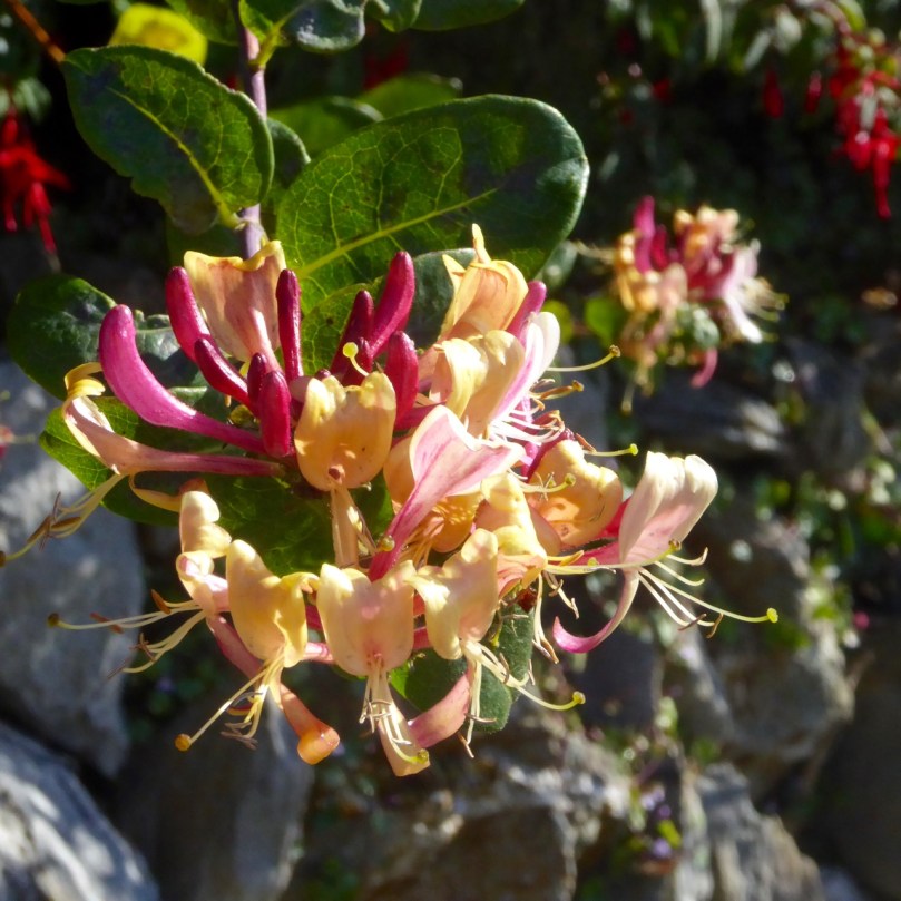
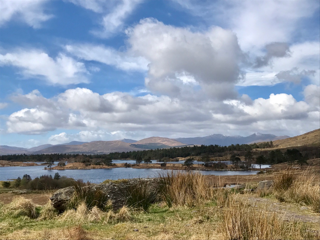
Header picture – I titled this photograph ‘unbelievable’ in our file: look at the tiny house and the monumental stone walls heading up the mountain above it, dividing up the land into enormous fields. Above – a typical view of mountain, meadow and wild scenery to be found on the Beara

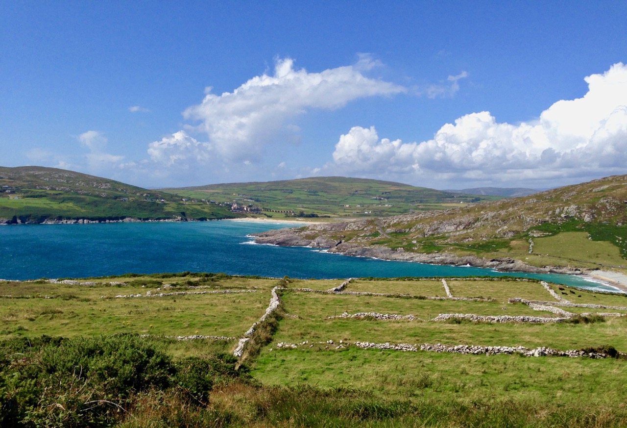
The Beara comprises around 58,000 hectares, or 228 square miles, and covers 330 townlands. The larger, southern portion of the peninsula lies in County Cork, while the northern area is in County Kerry.

We were searching for – and found – some of the Beara’s holy wells. Head over to Amanda’s blog Holy Wells of Cork for more information on these (and hundreds more Cork wells!)

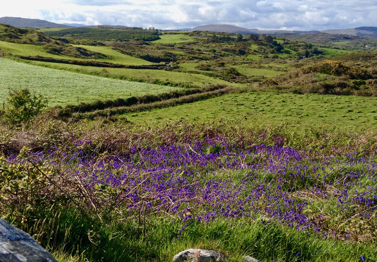
A significant and comprehensive study of the history of the Beara has been carried out by Cornelius J Murphy (more popularly known as Connie Murphy). In all he has examined and documented some twelve hundred archaeological and historical sites, some half of which had been known and recorded previously, but as many had not. Our little expeditions pale into insignificance compared to Connie’s work, but they will inspire us to spend more time ‘on the ground’ in the area, while also simply taking in the spectacular views of the wildly variable topography.

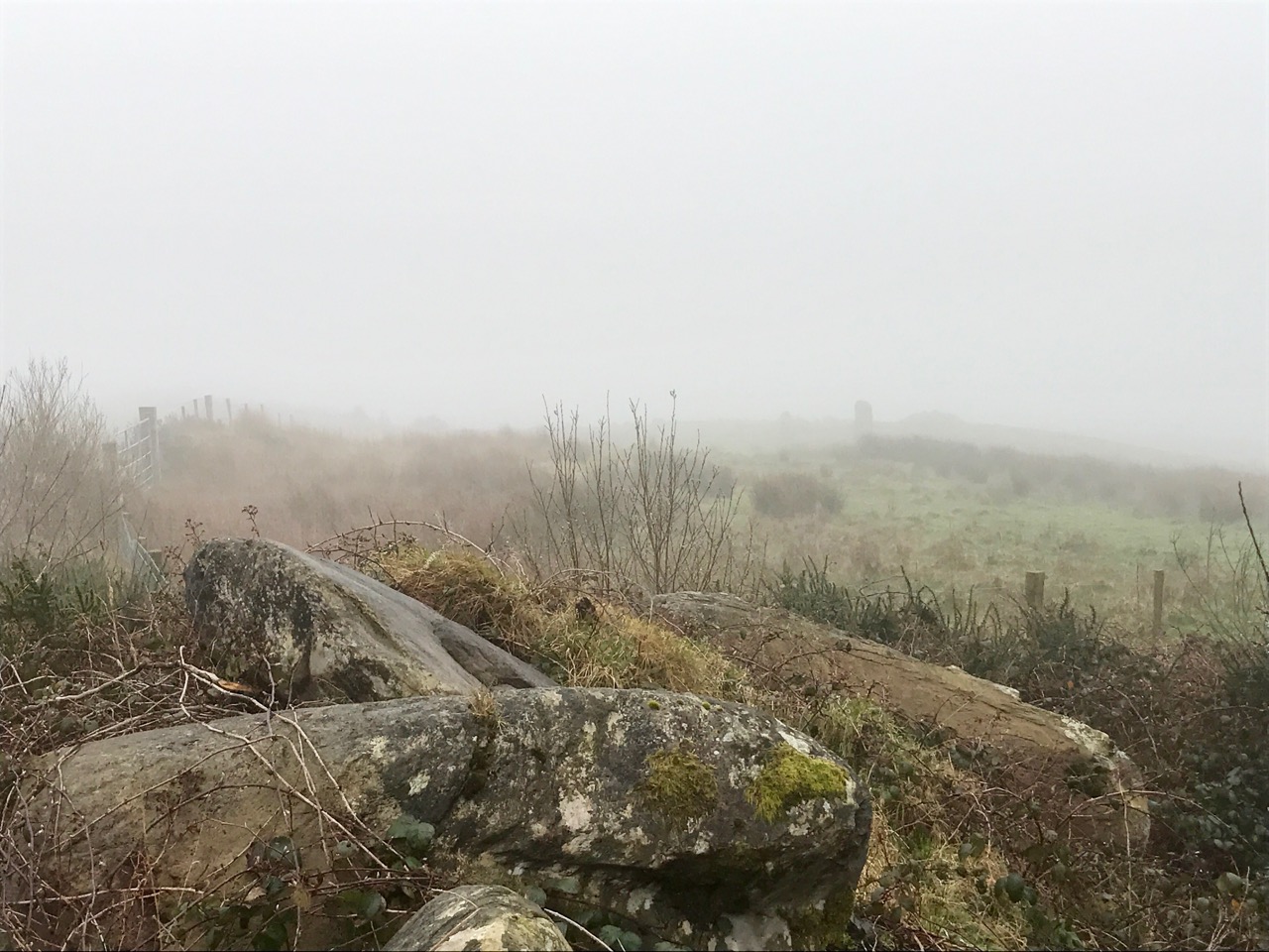
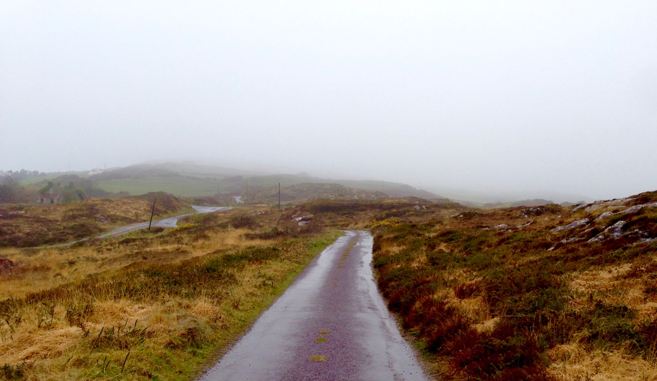
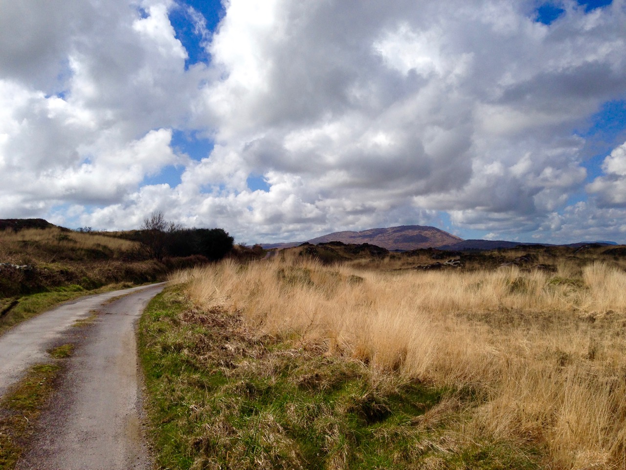
Top – Day 1, in the mist: standing stones can just be made out in the distance. Lower – same stones, different day! On our second trip we were most fortunate with the weather

Tradition has it that, in around 120 AD, Conn Céad Cathach (Con of the hundred battles) fought a fierce battle against Owen Mór, King of Ireland at Cloch Barraige – these are the words of Connie Murphy:

…Owen was badly injured in the battle. Those of his followers who survived took him to Inis Greaghraighe (now known as Bere Island) as a safe place for him to recover. There, the fairy Eadaoin took him to her grianán (bower) where she nursed him back to full health. Nowadays, this place is known as Greenane…

…Owen and his followers then sailed southwards until they reached Spain. There he met and married Beara, daughter of the King of Castille…

…Later Owen, Beara and a large army sailed from Spain and landed in Greenane. Owen took his wife to the highest hill on the island and looking across the harbour he named the island and the whole peninsula Beara in honour of his wife. Rossmacowen, Kilmacowen and Buaile Owen most likely are named after Owen Mór and his son. Owen’s wife, Princess Beara, died and was buried in Ballard Commons in the remote and peaceful valley between Maulin and Knocknagree Mountains….

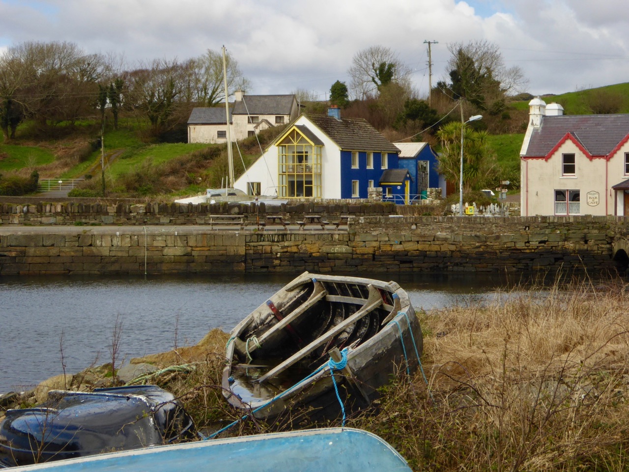
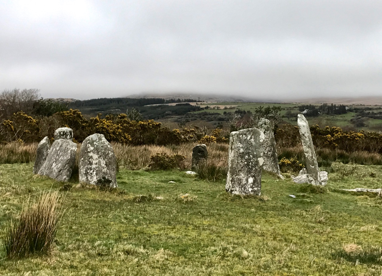
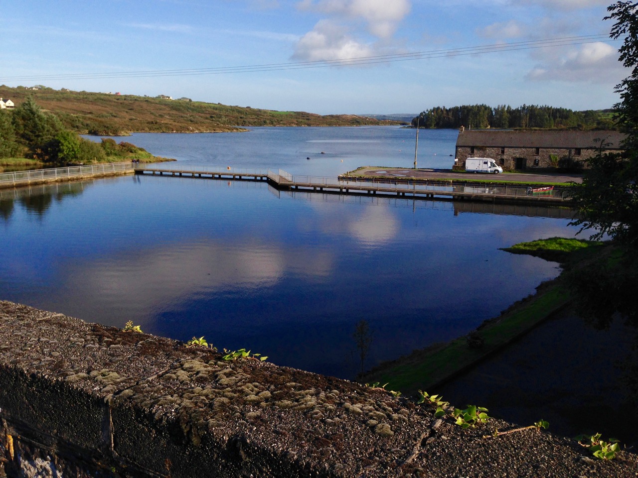
Top – down by the water, a tiny settlement by the pier, and – lower – Derrenataggart Stone Circle, Day 1

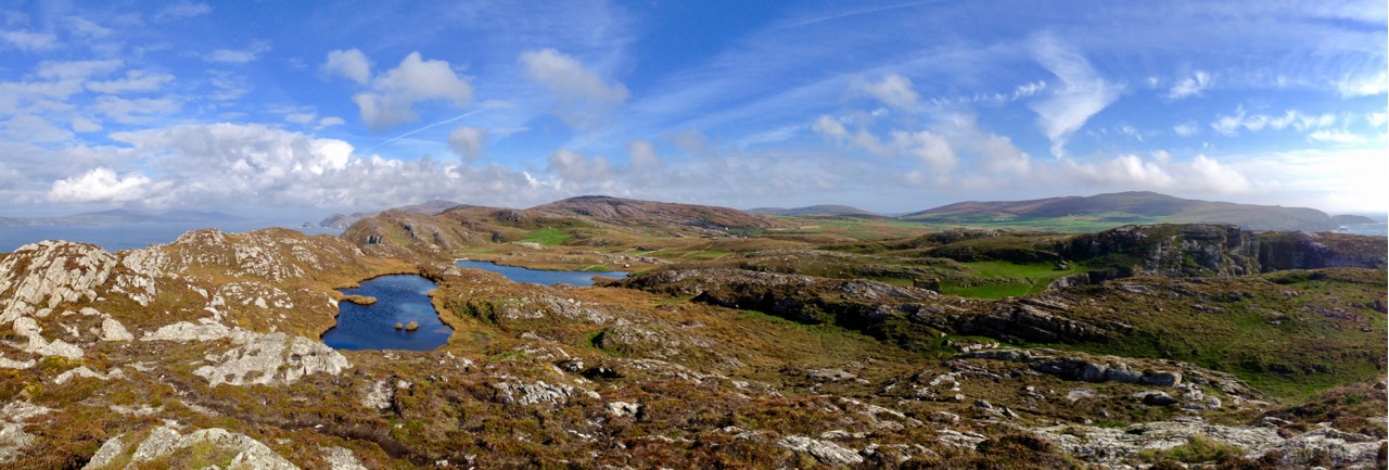
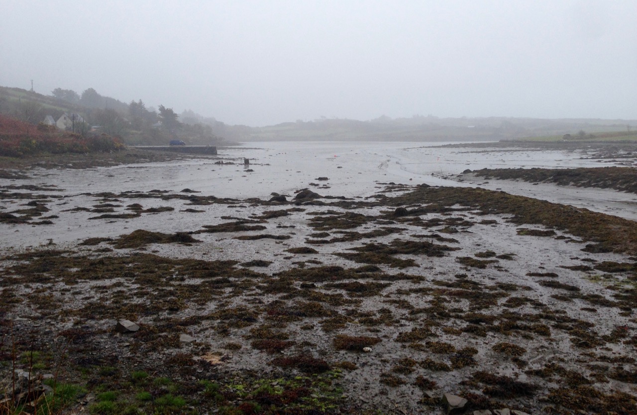
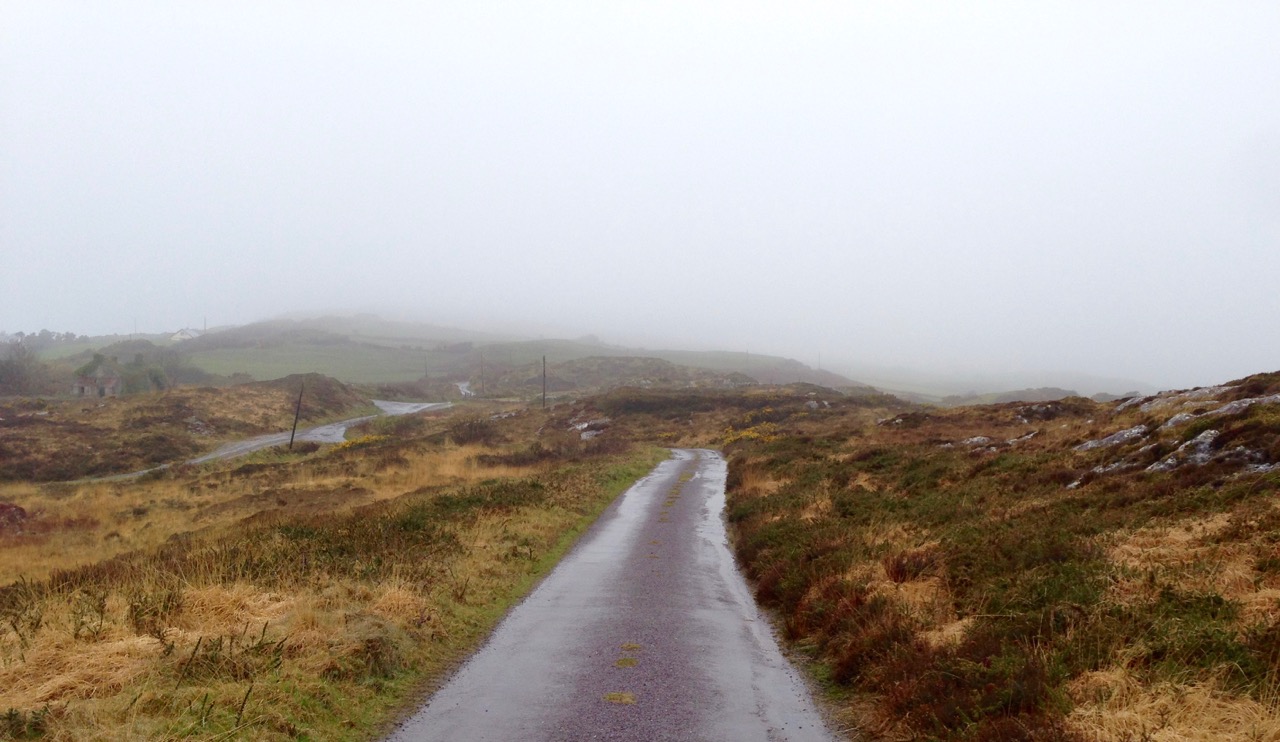
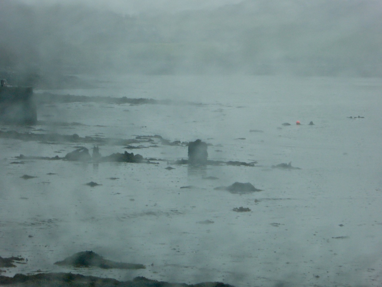
Our first day’s expedition took in the southern side of the peninsula, from Glengariff to Castletownbere. The mist was down and we went off the beaten track to search for holy wells, standing stones and stone circles, and were rewarded with some good finds. I was particularly intrigued by the ‘raised ring fort’ at Teernahillane: I could not trace anything in the archaeological records to describe or explain it. Our conclusion was that it could be a natural phenomenon that has been mistaken for an unusual (and rather unlikely) form of defensible structure. There is no sign of any retaining stonework, although this might have been robbed but, other than being more or less circular, it bears no resemblance to any ring fort we have seen elsewhere. If anyone has any more knowledge or ideas about this site, please let us know.

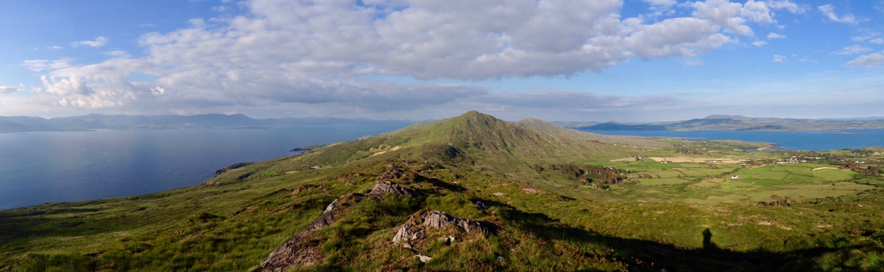
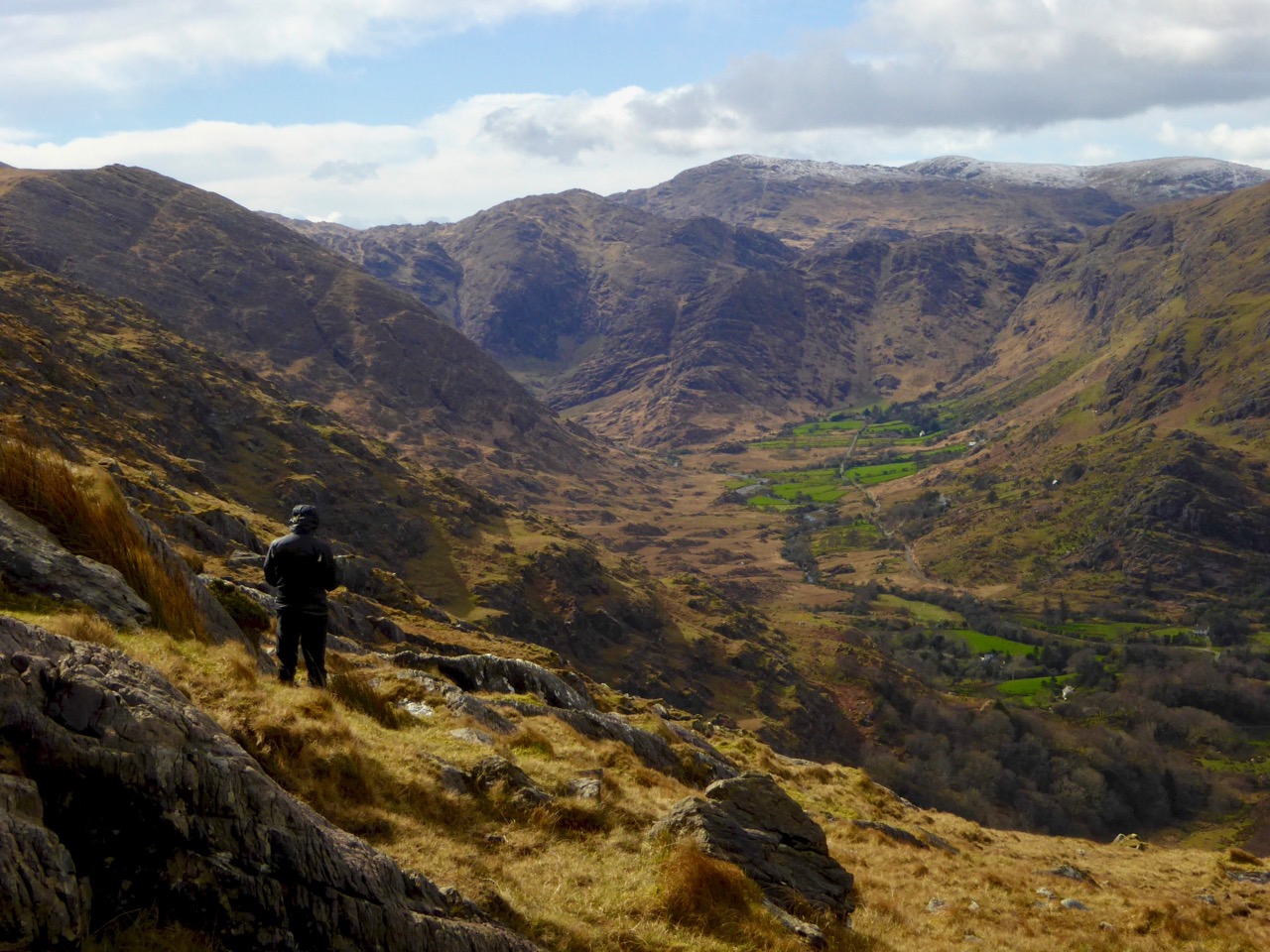
On our travels this week we were rewarded with brilliant weather which cast a whole different hue over the Beara – and opened up the incredible views which are everywhere, but nowhere more spectacular than the journey over the mountains on the Healey Pass. This road was constructed as a famine relief project in 1847 on the line of an ancient trackway that connected Cork and Kerry and was first known as Bealach Scairt – the way of the sheltered caves. It was renamed after Timothy Michael Healey (who lived from 1855 to 1931) – a Bantry man, deserving of a future blog post, who achieved notoriety in the Irish Parliamentary Party under Charles Stewart Parnell. The two fell out – and came to blows – when Parnell was involved in a sensational divorce case. After the 1916 rising, Tim Healy declared his sympathy with Arthur Griffith’s Sinn Féin movement, but was opposed to the use of physical violence. Healy returned to prominence in 1922 when he was appointed the first ‘Governor General of the Irish Free State’. In that post he pursued the improvement of the road between the Kerry side and the Cork side of the Beara Peninsula and, shortly after his death in 1931, the restored pass was dedicated to him.

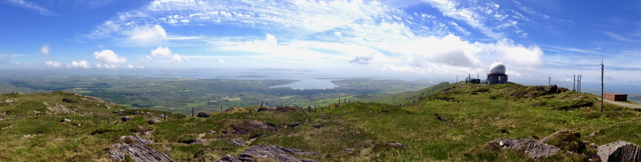
At the top of the Tim Healey Pass we were treated to the most incredible views of our entire journey: our photographs hardly do them justice, but we hope they give you a sufficient taster to inspire you to journey that same way.

Top pictures – Christ looks down, on the summit of the Tim Healy Pass; middle – one of the views from the top: snowy peaks seen on the sunniest of days! Lower – another view from the summit, with the Iveragh Peninsula (and the Kerry mountains) in the distance

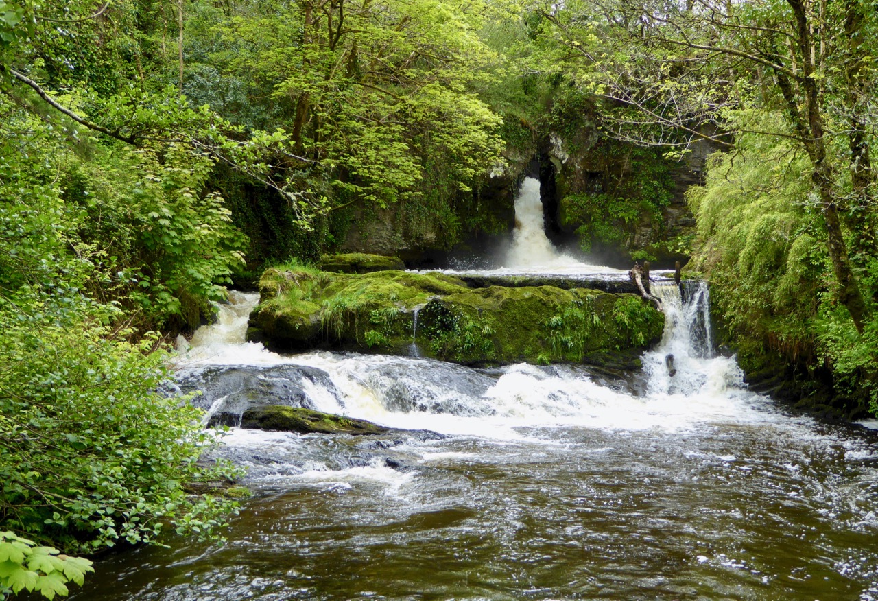
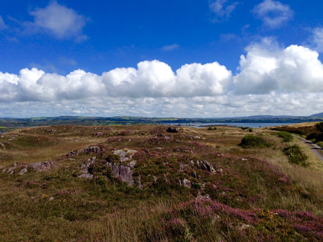
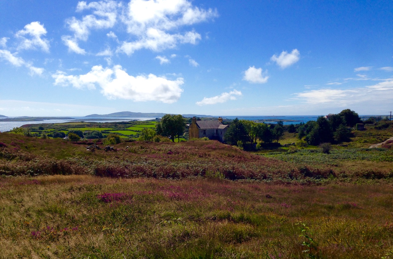
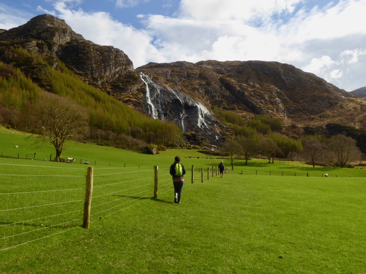
Other highlights of our second day trip included the Uragh Stone Circle – surely the most dramatic situation for any megalithic monument? Beyond that site – through serpentine narrow boreens – lie the Gleninchaquin Lakes, Woods and Waterfalls, on a privately owned and run park covering 700 hectares. The very modest entrance fee allows you to freely use all the walking trails, the longest of which – around the perimeter – will take you six hours! We chose a shorter route through unbelievably green meadows, passing the enormous waterfall and being treated to glimpses of newly born lambs, all in hot March sunshine worthy of the middle of summer.

Views of the Uragh Stone Circle in its magnificent mountain and lake setting and – lower picture – looking from the circle back towards the landscape

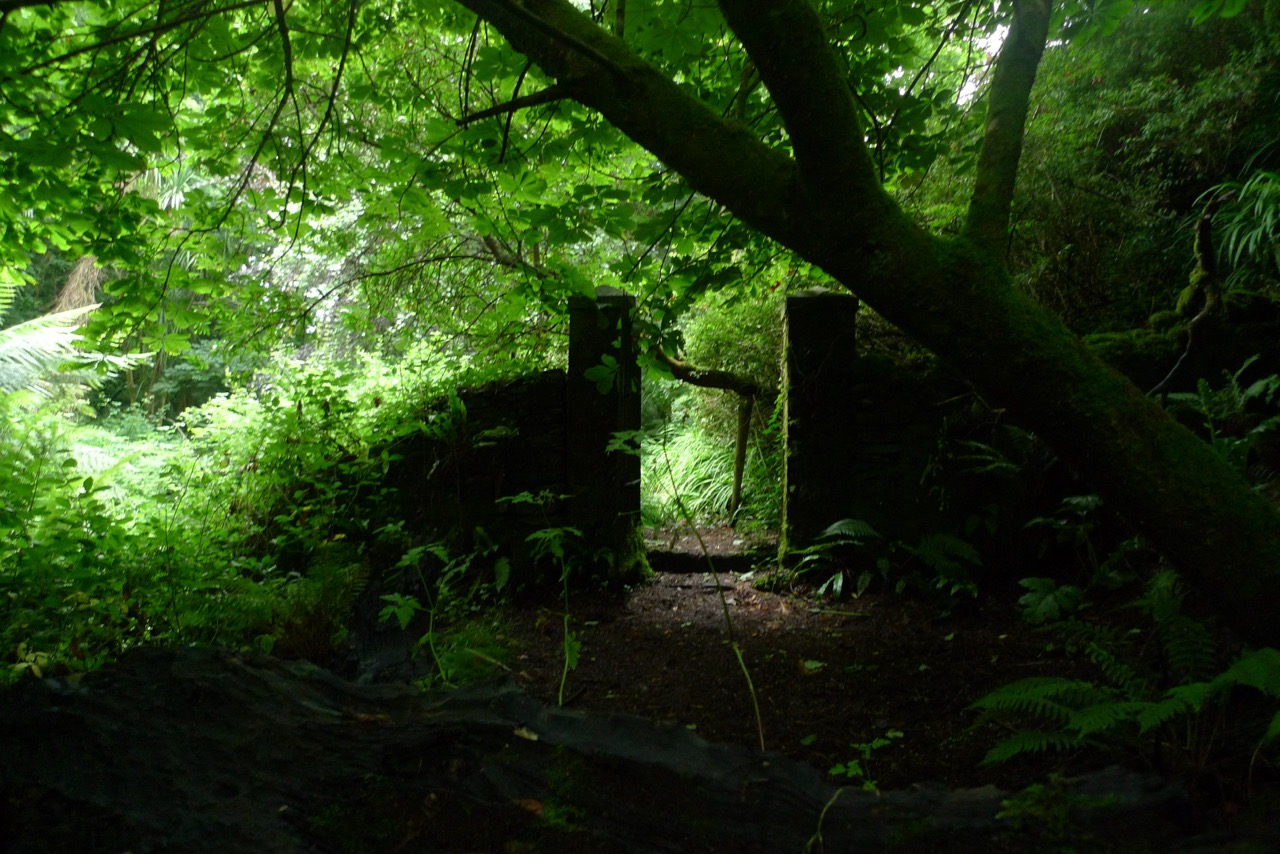
Ancient cottage in an ancient land; the green glens of Gleninchaquin

All roads lead to home and we found ourselves eventually in Kenmare – where we suppered and visited another rather special holy well – before travelling over the mountains to Bantry on another high road – spectacular also – the Caha Pass – which finds itself tunnelling through the rocks in places.

Saint Finian’s Holy Well, on the shores of the river at Kenmare – still visited, and still effective!

We hope these little descriptions, and the photographs, will stimulate you to explore the Beara. We are looking forward to many more visits there, and to the discovery of yet more of Ireland’s fascinating history.

Spring Green

Spring comes early this year – on the 20th of March instead of the 21st. It’s all to do with the precession of the equinoxes. But you might follow the old tradition (and why wouldn’t you?) that Spring begins on St Brigid’s Day – the 1st of February. We have been having many good, clear – and warm – days of sunshine since then, to balance out all the cool and wet ones, and the days are ‘drawing out’.

Ireland’s green landscapes presented using the panorama technology of a phone camera! Top – the two lakes at Dunlough, above Three Castle Head, Mizen Peninsula; centre – view across Roaringwater Bay from the top of Mount Gabriel; lower – Peekeen ridge, Sheep’s Head Peninsula

It’s the abundance of weather – in all its varieties – that makes Ireland’s landscapes so green, and so beautiful: as we are not so far from St Patrick’s Day (last week, when everything turned green!) today’s post is a celebration of the special colour as we find it around us. Finola mentions it today, but in a different context.

…When Erin first rose from the dark swelling flood,
God bless’d the green island and saw it was good;
The em’rald of Europe, it sparkled and shone,
In the ring of the world the most precious stone…

(William Drennan 1754 – 1820)

Where Ireland’s most westerly land mass dips into the Atlantic: looking east from Brow Head towards Crookhaven

…Ireland, it’s the one place on earth that heaven has kissed with melody, mirth, and meadow and mist…
(Old Irish Blessing)

Rossbrin Cove – with its ancient castle lost in the mist – seen from the green fields of Cappaghglass

In our own townland of Cappaghglass we have vivid green pastures but also, up on the old mine road, colours that constantly change with the seasons. It’s too early yet for the abundance of wild blooms that will transform the hedgerows and verges – we’ll watch out for those.

Cappaghglass: upper – a kaleidoscope of colours along the mine road, waiting for the Spring; lower – the colour green proliferates when the wildflowers appear

…When I come out on the road of a morning, when I have had a night’s sleep and perhaps a breakfast, and the sun lights a hill on the distance, a hill I know I shall walk across an hour or two thence, and it is green and silken to my eye, and the clouds have begun their slow, fat rolling journey across the sky, no land in the world can inspire such love in a common man…

(Frank Delaney)

One of Ireland’s spectacular roads makes its way through the Kerry mountains

Her eyes were like two sparkling diamonds
Or the stars of a bright frosty night
Her cheeks were like two blooming roses
And her teeth of the ivory so white
She resembled the Goddess of Freedom
And green was the mantle she wore
Bound round with the shamrock and roses
As she strayed along Erin´s green shore

(Mick Moloney)

Erin’s green shore: upper – our own Roaringwater Bay: Horse Island just off the coast and Cape Clear beyond. Lower – the tide is out below Brow Head, Crookhaven, exposing an ancient stone row which has been drowned by rising sea levels

…The gorse was in bloom, the fuchsia hedges were already budding; wild green hills, mounds of peat; yes, Ireland is green, very green, but its green is not only the green of meadows, it is the green of moss – and moss is the plant of resignation, of forsakenenness. The country is forsaken, it is being slowly but steadily depopulated…

(Heinrich Böll – 1957)

…There is not in the wide world a valley so sweet
As that vale in whose bosom the bright waters meet;
Oh! the last rays of feeling and life must depart,
Ere the bloom of that valley shall fade from my heart…

(Thomas Moore)

The meeting of several waters here at Donemark Falls, just north of Bantry

…Sure a little bit of Heaven fell from out the sky one day and it nestled on the ocean in a spot so far away. When the angels found it, sure it looked so sweet and fair, they said, “Suppose we leave it for it looks so peaceful there.”
So they sprinkled it with stardust just to make the shamrocks grow. ‘Tis the only place you’ll find them no matter where you go. Then they dotted it with silver to make its lakes so grand and when they had it finished, sure they called it Ireland…

(Linda Weaver Clarke)

The Lakes of Killarney, Co Kerry

The seas in which Ireland floats are as variegated in colour and texture as the landscape itself. Should our last words on this go to James Joyce…?

…The sea, the snotgreen sea, the scrotumtightening sea…

(James Joyce – Ulysees)

Ancient fields on Brow Head, Mizen Peninsula, looking towards Barleycove

All beauty is in the fine detail, we are told. The panoramas, the wide views, the seascapes are unbeatable – but, sometimes, it’s just the simplicity of a gateway that invites you in to explore this verdant island…

The Old Mine Road

to the castle

Exactly two years ago I wrote a piece for this Journal – A Moment in Time – remarking on the very specific changes that we become aware of at the end of the summer: the holiday homes being closed up and shuttered; the boats being taken off their moorings and stored away in the boatyard; the shorebirds returning to their winter quarters. I finished up by pointing out that our own summers never end: we enjoy living in Cappaghglass just as much in the darker, colder days at the turning of the year as we do when the sun is high in the heavens.

cove gray day

high road gray day

Top – starting point: Rossbrin Cove on a gray day. Bottom – The Old Mine Road wearing its raincoat

It is an idyllic life and we are privileged to have the quiet boreens to ourselves in all weathers. We have talked about Rossbrin Cove so often, in its many seasonal variations: for today’s post I’m taking the upward road through the townland, the route that I call The Old Mine Road. This road – or more accurately this series of lanes and byways – will take the traveller from the Cove into the little town of Ballydehob, and will pass through an old copper mining district which, two hundred years ago, saw heavy industry, intermittent employment, smoke, noise, pollution and desperate human working conditions where now ‘peace comes dropping slow’ with only the crying of the Choughs over an undisturbed backdrop of rock, heather and coarse grasses – and the occasional jumble of stones showing where there were once buildings, shafts and crumbling walls marking the old mine complex.

cappaghglass

captain's house sun

Top – the landscape of The Old Mine Road: Mount Gabriel dominates the horizon to the west. Bottom – looking from the road towards Roaringwater Bay: in the foreground is the site of old mine workings, now reclaimed by nature, with one of the two Mine Captain’s Houses in the centre and the stump of an old mine chimney on the right

A walk along The Old Mine Road on a benign late September day will be rewarding because of the good air, the distant views to the Mounts Gabriel and Kidd, and with the bays of Roaringwater and Ballydehob below. You will find medieval history in the form of towerhouse castles, modern economy delineated by distinctive lines of mussel ropes spilling over the water and always alongside you the immediate wildness of a natural, undisturbed landscape. Views change as the way winds and dips – always interesting, always different, however many times you follow these routes.

mussel ropes

waving grass

mine buildings

Top – mussel ropes abundant in the Bay. Middle -waves of grass in the wild landscape to the north of the road. Bottom – ruins of old mine buildings can still be seen from the road

Autumn brings with it a certain melancholy. Time passes, our lives move relentlessly forward. We enjoy the changing of the seasons but we want to know that there will be so many more seasons to see. Each one will bring us unique experiences.

blue in the grass

from the road

Top – wildflowers in abundance on the boreens of Cappaghglass. Bottom – signs of old workings in the fields below the road

As I walk the old road, I can’t help trying to picture the scenes there from other times. I wonder what feelings the hard working miners had – did they take in the changing light and the views? Did they see the way the grasses moved with the wind, creating waves on the landscape? Did they have any time to notice nature’s fine details – the incredible variety, colours and designs of the wild flowers? Or was theirs just a drudging commute from cottage to workplace at dawn and dusk?

ballydehob wharf

The end of the road: Ballydehob Wharf, which would have seen great activity (intermittedly) when the mines were in full swing. Cappagh Mine was operating between 1816 and 1873, with its maximum output of about 400 tons of ore being produced in 1827

The poet Seamus Heaney has much to say about the hardship – and order – of a physical working life; his own father had worked the land and the poet was infected with memories of his younger days. This poem – Postscript – has a different emphasis but strikes me as a similar commentary on encounters with the landscape, although it’s concerned with another geography:

…And some time make the time to drive out west
Into County Clare, along the Flaggy Shore,
In September or October, when the wind
And the light are working off each other
So that the ocean on one side is wild
With foam and glitter, and inland among stones
The surface of a slate-grey lake is lit
By the earthed lightning of a flock of swans,
Their feathers roughed and ruffling, white on white,
Their fully-grown headstrong-looking heads
Tucked or cresting or busy underwater.
Useless to think you’ll park or capture it
More thoroughly. You are neither here nor there,
A hurry through which known and strange things pass
As big soft buffetings come at the car sideways
And catch the heart off guard and blow it open…
wall and heather

Feed the Bugs

Bee in Fuchsia

Our walk in Glengarriff Woods opened my eyes to the challenges facing us in regards to ensuring the continuing biodiversity of Ireland. Loss of habitat, invasion of alien species, climate change, and modern farming practices all combine to present our insect life with increasing difficulty in obtaining what they need to thrive. Perhaps the best-known (although not the best understood) example currently is the enormous die-off of the bee population, known as colony collapse.

Hildegard's Shrub

With this in mind, I have been observing the bees, butterflies and bugs in our neighbourhood, and the role of flowers, both wild and cultivated, in supplying the food and the nectar they need. We have the advantage here that the hedgerows are rich in flowering plants, and that by regulation they must remain uncut until the end of August.

Fly on yellow flower

But this has been a short, cool summer and already the flowers that we saw last year in September have gone, to be replaced with the browning bracken. Our Budleia, for example, also known as the Butterfly Bush, was still attracting butterflies in September last year but this year it’s been flowerless since late August.

A speckled Wood Butterfly and a Hoverfly enjoy some blackberry time

On the upside, we’re enjoying a bumper blackberry crop, and lots of insect seem to love blackberries as much as we do. Because of the way blackberries grow, ripening at different times, some brambles are only flowering now, providing nectar for the bees.

Great Willowherb 2015

This photograph, showing a riotous mixture  of Great Willowherb and Montbretia (Crocosmia) was taken at this time in 2015: this year all these flowers have finished already.

holly close to flowering

This year the holly flowers are abundant – here they are about to bloom. The berries are honeysuckle berries

The fuchsia is still flowering, providing that gorgeous blush along the boreens that we love. One of the advantages of the fuchsia flower is that it is down-facing. This helps to keep it dry and preserve the nectar (see photo at beginning of post).

We have two types of bindweed here: hedge bindweed in the upper photo; a subspecies, the uncommon hedge bindweed ‘roseata’ is lower right ; lower left is sea bindweed, which grows along sandy shores

We might hate bindweed but it is an important flower for the bees. The hedge-bindweed we see around here has pretty pink and white stripes – apparently the white stripes act like a runway, guiding the insects into the heart of the flower.

rose with bee

Wild and cultivated roses are still blooming, here and there. This little guy is appreciative.

Speckled Wood Butterfly on sedum

How many bees?Red admiral at Helen's GardenMy  friend Gill grows sedum (upper two photos) and the bees love it. You can hear the hum from ten feet away. Meanwhile, Helen and William’s garden (lower photo) attracts butterflies by the score. I saw my first Red Admiral there last year.

Small Tortoiseshell on oregano

A Small Tortoiseshell Butterfly enjoys my Oregano, along with the bumbles bees

In my herb garden it seems to be the Oregano that is attractive to both bees and butterflies. It’s just finishing its flowering period now, but I still have to be careful when I pick a bunch, not to pick a bee as well.

Flies and spiders need the flowers too. Hoverflies are an important part of the ecosystem, helping to pollinate and preying on aphids and thrips. They (and the wasps!) seem to prefer my fennel. They also like the little pink Herb Roberts that are still to be seen in the hedgerows.

Honeysuckle

And what about the Honeysuckle? It’s abundant and beautiful, and with a name like that surely it’s a-buzz with bees? No – apparently the flower is too long and the bees can’t reach in far enough to gather the nectar. But the sweet scent, which gets even more intense towards the evening, calls in the moths who take their fill.

Snail on cabbage

Ah, but y’know – you can’t always welcome little critters to your plants. Sometimes, it’s us against them.

Cobweb on Montbretia

And of course, sometimes the plant isn’t so much food, as a means to an end…

Tide’s Further Out!

cove gray day“Donn Fírinne was in the clouds last evening – today would be bad…” Donn Fírinne was a Munster fairy-king always connected with weather omens: …the people said that Donn collected the clouds on his hill (Cnoc Fírinne, Co Limerick) and held them there for a short while to warn of approaching rain, and from the reliability of this sign came his name, Donn of Truth… (from The Festival of Lughnasa, Máire MacNeill, University College Dublin 2008)

Only a month ago I wrote a post about a very low tide: I hadn’t realised that we were heading for an exceptional event, the lowest tide of the century! So I felt that our readers deserved to have this circumstance recorded as well, even though it involved braving what was probably the least hospitable weather that the spring has come up with so far! I should have taken notice of the omens from Donn, but instead I went out into the cold, pervading rain.

high road gray day

Out into the weather: the high road at Cappaghglass at its wettest

The day was last Thursday, 7th April, and the tide prediction was a low of 0.00, just after noon. 0.00! You can’t get much lower than that. But we have to remember that  tide predictions are just that – predictions. It’s a bit like weather forecasting – there are so many factors which can affect the outcome. Tides can vary from the predictions because of winds, atmospheric pressure, even the salinity and temperature of the sea, evidently. However, although I can’t vouch for the 0.00 (wouldn’t that mean that the sea was empty?) I can confidently state that the shoreline had receded further than I’ve ever seen it before.

ballydehob bay gray day

12 arch low tide 2

Top: Ballydehob Bay just a mud flat – Bottom: the 12-arched bridge has lost its river

I followed the coastline all the way from Ballydehob Bay to our own Rossbrin Cove. Sure enough, whenever you could glimpse the sea, it wasn’t to be seen! But that might have had something to do with the all encompassing fog that had descended.

Sunken wreck

Is it a wreck? Or some debris discarded in the Cove?

The modern quay in Rossbrin Cove seemed stranded and pointless, but Fineen O’Mahony’s tower house still managed to catch a reflection as the tide began to turn.

the quay gray day

Rossbring through rain

Rossbrin Castle – Fineen O’Mahony’s tower house – seen through a spotted lens

Of course, what goes down has to come up and – in the evening – I ventured out again to see the ‘high’ of 3.30.

high tide 12 arched bridge

rosbrin pier high tide
Evening high water in Ballydehob (top) and at the quay in Rossbrin (below) – note the improvement in the weather!

This is Ireland, so the day that was in it had changed completely with the tide: now we enjoyed clear blue skies and (watery) sunshine. Walking the shoreline was a pleasure! To be honest, you have to find your pleasure here from taking to the trails whatever the weather (as many of our occasionally bedraggled visitors might testify). It’s fine, as long as you have a good fire in the hearth to come home to…

the road to julian's house

Above – when the tide goes up, the road to Julian’s house goes under! Below – a hot fire to come home to…

hot fire

Tide’s Out!

the Cove

Up here in Nead an Iolair we have a perfect view of the state of the tide in Rossbrin Cove, the natural harbour below us which is accessed from Roaringwater Bay. Just now it’s a Spring Tide – and an extreme one: we’ve never seen the Cove quite so empty. I think it’s because there was a ‘supermoon’ a day or two ago – that’s the point at which the moon’s orbit is closest to the earth, and this affects the rise and fall of the tides.

low tide

On a day when the sun does be splitting the stones we walk the long way over the hill and through the lanes to have a look at what the low tide has revealed. The surface of the boreens is hot to the touch, and it’s hard to recall that, during the last couple of weeks, we have had wild storms, some icy mornings and dank wintry fogs. Today the whole cove is a broad mud flat: a little rivulet runs through it and a family of Teals (Praslacha) is managing to make its way out to the bay, stopping every few yards to peck at tasty morsels in the silt.

Teals

Wading birds are everywhere, enjoying the rich pickings of nereid worms. We are particularly impressed with the handsome Redshank – Cosdeargán: Red Leg, Warden of the Marshes – who winters here, like the Teals – on holiday from Iceland. We have to make the most of him, and his piercing tew-hoo, tew-hoo call as he’ll be off back home shortly.

Redshanks 2

I think it’s exciting to see what the low tide has uncovered: down by the ‘new’ quay there’s something boat-shaped. It must have ended up here in living memory, so someone should know the story of it. An old engine block, perhaps, at one end – and a sort of metal frame at the other: a piece of fishing equipment, possibly. Of course, it could all be the skeletal remains of a great leviathan which has been stranded by the falling tide…

Drowned object

Enigma

On a tiny rock-pile which has never been an island before we catch sight of the Curlew, one of the Seven Whistlers. The Calloo, Courlie or Marsh Hen is declining rapidly and what we are seeing today is most likely to be a winter visitor from Scotland or Scandinavia, feeding on ragworms, crabs and molluscs. A few stay all the year round, mostly in the northern half of Ireland – although I’m pretty sure I have seen the occasional Curlew around here in the summer months: we live in a privileged place, after all.

Curlew

We are halfway through March now. We still have more extreme tides to look forward to, especially around Good Friday, when the Mussels will be harvested from the exposed rocks. That’s early this year – before the end of the month – and it’s a festival which is based around the seasons of the moon. Let’s hope that never changes (there has been some talk among officialdom of regularising the dates for Easter) because, if it does, all the customs and traditions associated with it will be thrown out of sync.

feast of mussels

We have a good ol stretch in the evening to look forward to. On the reasonable basis of what goes down must also come up we’ll be off to the Cove again to see it filled to the brim: it will be a particularly high tide as well, of course, and there will be another set of shore birds and waders foraging from the fresh influx of salt water.

muddy waters