Into the Woods

Pools

Glengarriff Woods – serene, beautiful and incredibly diverse

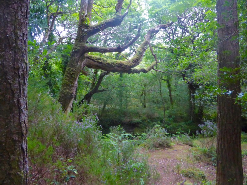
The second (now annual) Ellen Hutchins Festival has just concluded in West Cork. We wrote about this exciting new festival last year in the post Ellen Hutchins: The Short and Remarkable Life of Ireland’s First Female Botanist. This year there were all sorts of events and activities once again but we were able to participate only in one, a guided walk through Glengarriff Woods. Robert and I agree that we learned more about plants in that three hour walk than we had in most of our lives to date!

Teaching 2: Guelder Rose

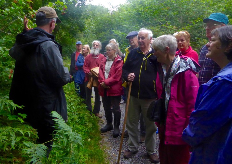
Padraig pauses in front of the Guelder Rose (see below for more on this species)

Our guide and educator was Dr Padraig Whelan, a former Chief Scientist at the Charles Darwin Research Station on the Galapagos Islands, and now with the School of Bio, Earth and Env Sciences at UCC. Erudite and encyclopaedic in his understanding of individual species and in the interactions between the living organisms in the woods, Padraig’s talk was riveting. Nothing was above our heads, everything was explained in the simplest terms, but we came away with something approaching a profound appreciation for biodiversity. (Padraig is also camera-shy – I am honouring his request not to use full photographs of him.)

Howard Fox

Dr Howard Fox, the lichen expert

Along on the walk also, and contributing on the way, were Dr Howard Fox of the Office of Public Works, who had earlier given a sold-out two day workshop on Lichens, Algae, Fungi & Bryophytes (mosses and liverworts), as well as Clare Heardman, a Conservation Ranger with the National Parks and Wildlife Service, and Madeline Hutchins, great great grandniece and biographer of Ellen.

St Patrick’s Cabbage – there are three varieties of it here

The talk started with an outline of what makes Glengarriff Woods such a special habitat. It’s the rain, of course, combined with a mild climate, that leads to the perfect conditions for a temperate rain forest. We learned that these woods are home to many Lusitanian species that are mysteriously only found here, or on the Iberian Peninsula. One of these is St Patrick’s Cabbage, a member of the Saxifrage family. The attractive flowers had finished, but you can see what they look like here. In Irish they are called Cabáiste an Mhadra Rua, or Fox Cabbage. Nobody yet knows how plants that grow in Spain and Portugal managed to flourish in the south west of Ireland, skipping France and Britain entirely on their traverse, but it’s probable that they arrived after the last ice age.

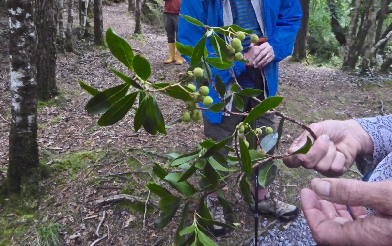
Strawberry tree

Another Lusitanian tree we encountered was the strawberry tree, which apparently is a member of the heather family, but grows to tree height in our West Cork climate. There was some discussion about the edibility of the fruit – it’s supposed to taste fig-like, but only one person present had tasted it and wasn’t recommending the experience. The examples we saw hadn’t ripened yet – it really does have the hue of a strawberry once fully ripe.

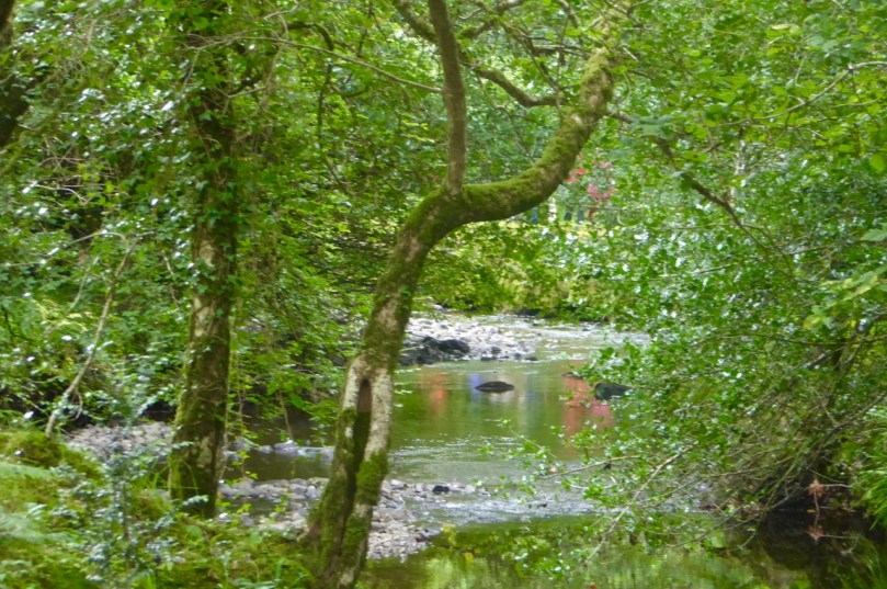
Walkers reflected

Walkers are reflected in the stream that flowed along our route

A second theme of the walk was ‘alien’ species – those non-native plants that have colonised the area as a result of importing activities. In this regard, the Glengarriff Woods are facing a double whammy – the botanic gardens at Garnish, and the arboretum at Ardnagashel, ironically started by the Hutchins family. Padraig pointed us to a young myrtle tree as an example of just such an alien intruder – they belong in Chile and Argentina, not in Ireland.

Myrtle grove

The Myrtle Grove at Ardnagashel

The culprit, of course, is the famous Myrtle Grove at Ardnagashel, which we visited last year and where myrtle trees imported by a Hutchins ancestor flourish. In Glengarriff it was threatening to take over all the available space for trees and measures had to be undertaken to limit them, as they create so much shade that little can grow underneath them. It was painstaking work, but there are now very few growing actively in the Woods and they can be eliminated more easily.

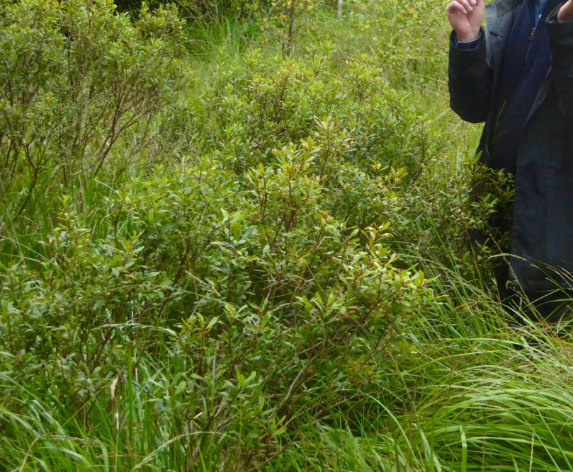
Bog Myrtle

Bog Myrtle

Interestingly, there is a native myrtle – the Bog Myrtle, an aromatic shrub. We passed around crushed leaves to inhale the woodsy scent. According to my favourite wildflower source, Bog Myrtle was used to flavour beer before the advent of hops.

Fuchsia Montbretia and blackberries

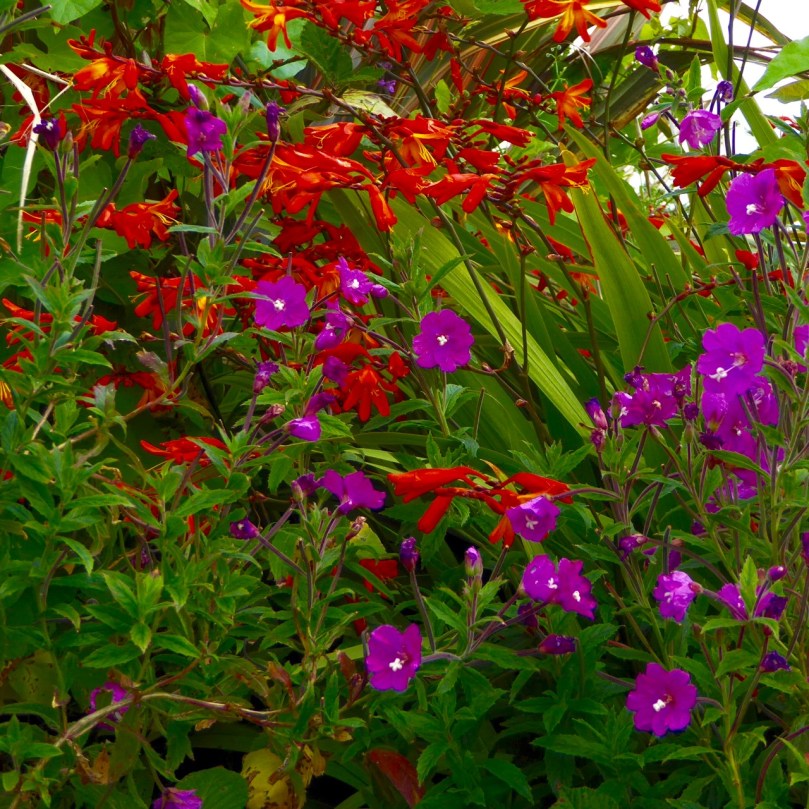
Fuchsia and Montbretia (or Crocosmia) flourish in the West Cork Hedgerows, but are actually alien species

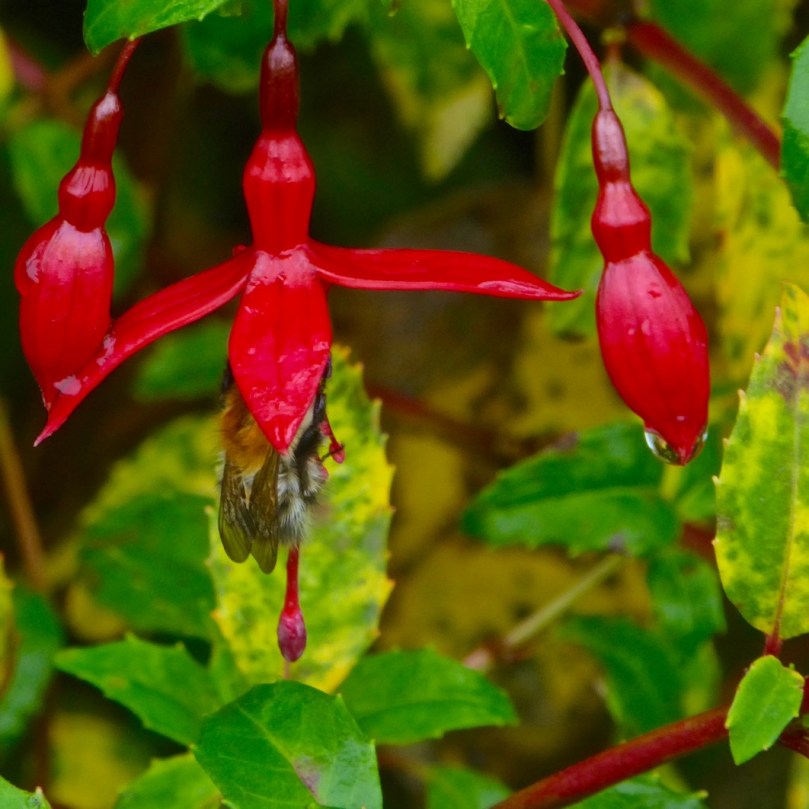
Ironically also, the colourful and attractive wayside flowers that we think of as quintessentially West Cork, Fuchsia and Montbretia, are introduced species. Rhododendron was introduced in the 19th century and is considered a terrible threat to native species in Kerry. The same is true for Gunnera (that giant rhubarb disaster that has colonised vast tracts of Connemara), and Griselinia (ubiquitous for hedging). None of them would have been known to Ellen Hutchins. As Clare Heardman pointed out, Ellen recorded over a thousand plants, with no mention of them.

Holly Flowers

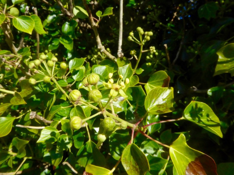
Ivy is just on the brink of flowering – we found one open bud after much searching

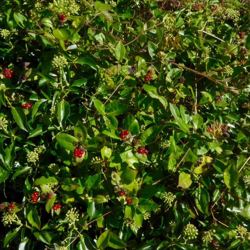
A third theme was the inter-dependence of species, both floral and faunal. About now, ivy starts to bloom, just as other flowers finish, and the ivy flower becomes an important food source for bees, moths, butterflies and other insects, such as hover flies. Unfortunately, ivy gets a bad rap for its habit of covering and damaging archaeological sites, such as medieval castles and churches and I wouldn’t have been sympathetic to it before our walk. Now I look at it in a whole new light. Pollinators also depend on holly, and the berries can also be a food source for field mice.

Royal Fern

The Royal Fern – an unusual native fern

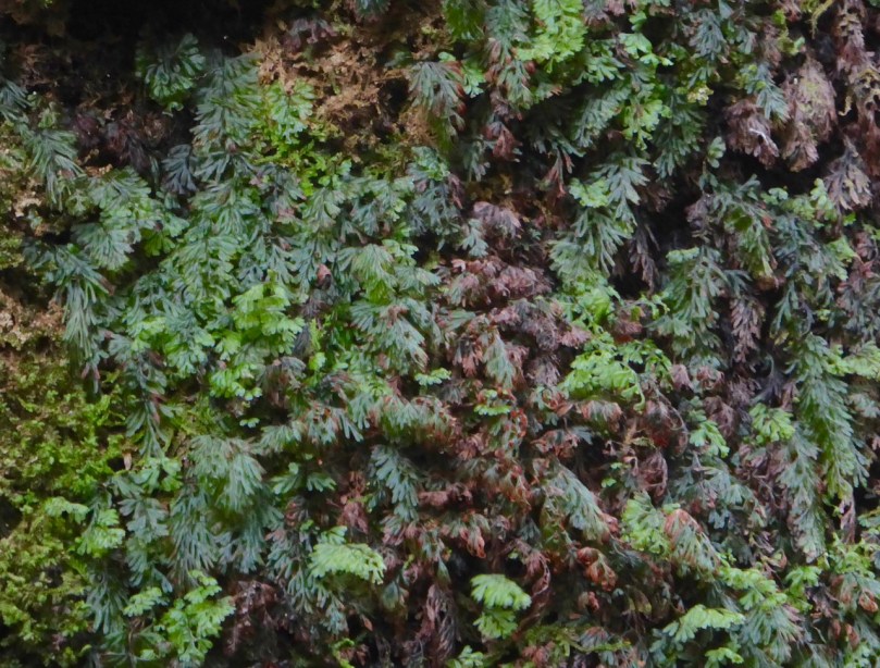
There are a huge number of native plant species in Glengarriff Wood, and the conservation work that goes on there is of national importance. Padraig pointed out the filmy ferns that grow here and are rarely found in the rest of Ireland. He also showed us the native Royal Fern, which is unusual in that the spores grow not on the underneath of the fronds but on separate stalks.

filmy ferns

Filmy Ferns

Howard introduced us to a macro-lichen that, because the underneath bears a resemblance to lung tissue, was once tried as a cure for breathing ailments. Lichens, of course, are normally microscopically tiny, so an enormous one like this is rare, and exciting to visiting lichen-specialists. Like ivy, I gained a new appreciation for lichens – up to now, my normal emotion in regards to lichen has been frustration, since it functions to obscure rock art and stone carvings.

Large lichens like this one are very unusual, but Glengarriff Woods provide perfect conditions for them

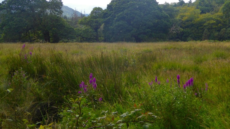
Glengarriff Woods has preserved meadowland as well as woods. Important species use this habitat, such as the hairy wood ant and frog species that may be specifically Irish.

Meadow

The meadow

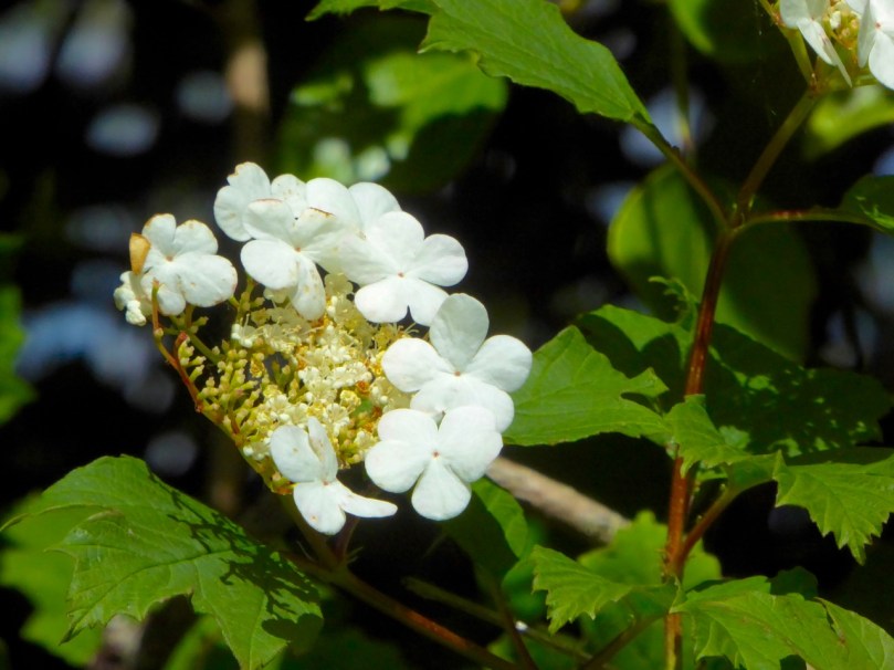
There was more, much more, but I will mention only one – the Guelder Rose tree. The dense and intensely red berries provide winter food for birds, but the flowers make it an attractive shrub in the early summer. There are some growing wild in the hedgerows just below us here along the Fastnet Trail Rossbrin Loop. I hadn’t been able to identify it until now. Pointing out that it would make a wonderful and ornamental garden plant, Padraig made a plea to us to insist on such native varieties when we develop our own gardens.

Guelder Rose Flower, June

A Guelder Rose tree found near our house in early summer

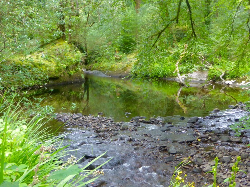
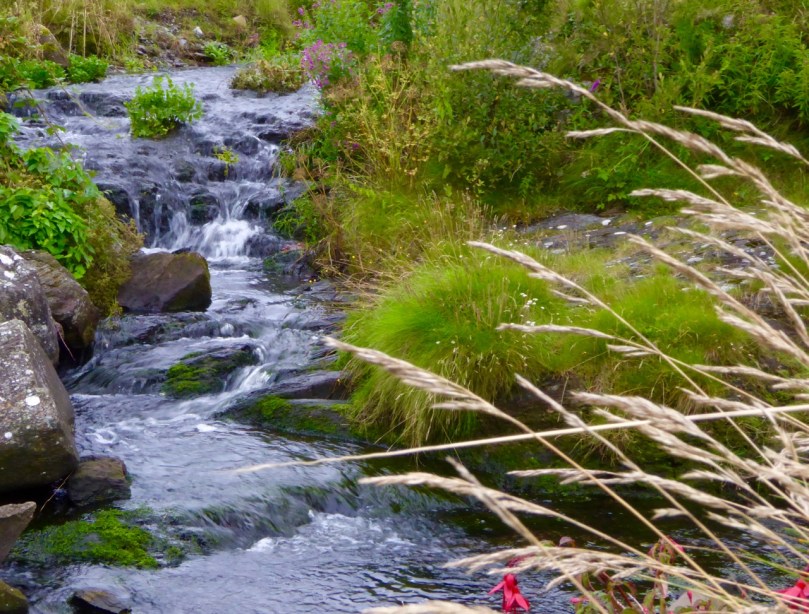
Throughout the walk, we meandered by the river that runs through these woods. It’s an important factor in the lush growth here, carrying high acidity levels from the bogland above. It’s also beautiful, serene and musical, adding immeasurably to the pleasure afforded by a walk in this woodland national treasure.

Still and Moving stream

Thank you to the Ellen Hutchins team for yet another fascinating botanical adventure!

By the stream

Foto Mizen!

Hydrangea and Montbretia

Montbretia and Hydrangea (Ava)

Sunday August 7th is The Mizen on a Sunday Project Day. The what? 

Robin

This young robin was curious about our activities in the woods

The organisers of the new Photo Mizen Festival, which launches next year in Schull, have come up with a great fundraising idea. Here it is: a photo book of life on the Mizen Peninsula during the 24-hour period of a single day, Sunday, August 7, 2016.

Stream

This little stream flows into the sea at Derreennatra

Derreenatra Bridge

The stream flows under this picturesque bridge (Ava)

My niece, Ava, and I decided to participate. Ava is almost 12 and she has a great eye and her parents’ camera. She and I rose at dawn this morning and set off to see what we could capture of life around us in Rossbrin.

My nephew Hugo, my sister Aoibhinn, and Marley, were happy to be photographed

Within three hours we had 250 images. Oh dear! We spent several hours deciding on the ones to submit to the Foto Mizen project and of course we had lots left over – we can only submit 5 each. So here is a selection of images that didn’t make the final cut.

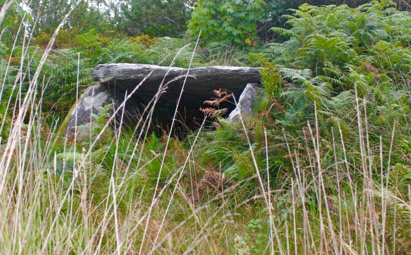
Kilbronogue Wedge Tomb

We walked up through the woods to the 3,000 year old wedge tomb at Kilbronogue (Ava)

The wildflowers were everywhere in abundance, some blowing in extravagant crowds and some tiny and hidden.

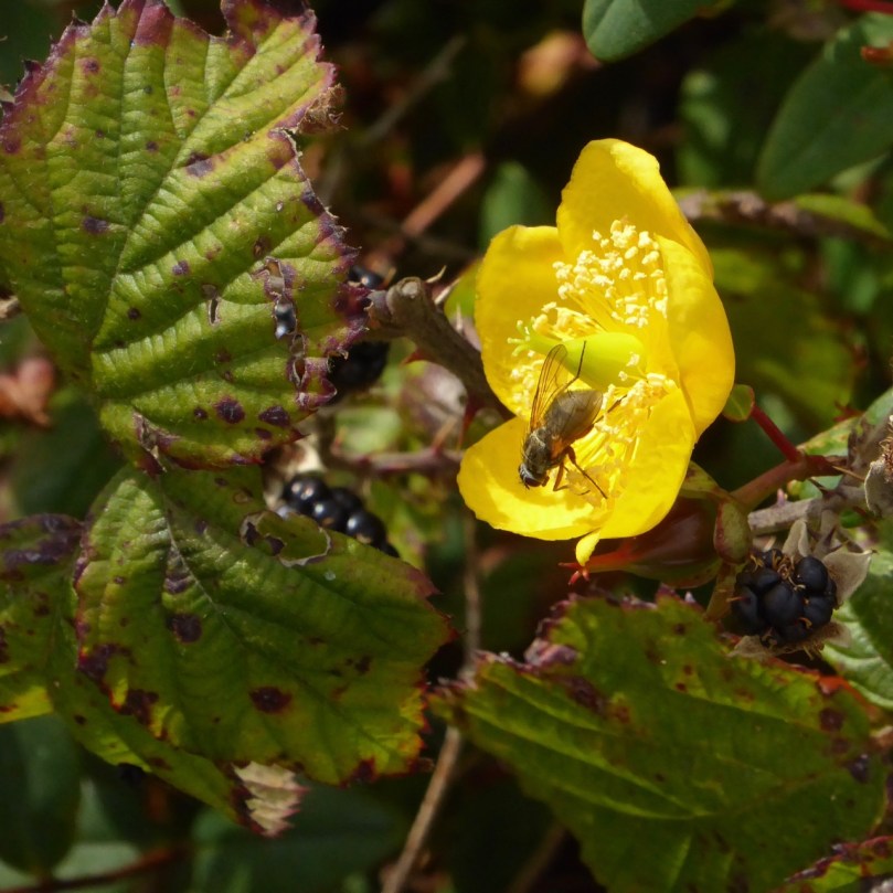
St John’s Wort, heather and gorse, and blackberry flowers

Ava took lots of photos but was a bit shy of having me take photos of her! Here she is doing her best imitation of a Jawa.

Ava the Jawa

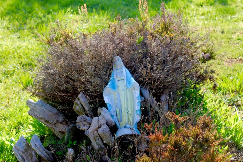
She was a little puzzled when I said our next stop was a graveyard, but got into the spirit of things right away when she found this statue.  She labelled it Creepy Mary, and I have to admit, those eyes are a little weird.

Creepy Mary

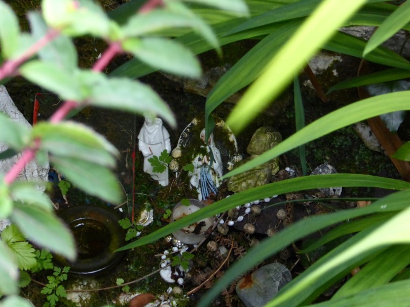
A tiny reminder from Stouke Graveyard that The Mizen is still a place where the past is sacred (Ava)

But she loved this little gate with its colourful postbox.

Gate and Post Box

And she took several photographs of the disused postbox at the old Rossbrin National School.

Rossbrin Post Box

It was a lovely way to spend time together, wandering companionably around the incredible Mizen countryside, snapping away at whatever took our fancy.

Rock wall with Montbretia

We didn’t have to go far – this is Ava’s picture of the little boreen outside our house 

Her younger brother, Hugo, got in on the act too, helping us to decide on our final five photos, which we will submit for the Photo Book Project. Turns out he has a great eye too – so next year there’ll be three of us roaming the hills of West Cork in the wee hours.

Fennel

Susan’s Burren

Valerian

Valerian provides a carpet of red in a Burren field

We want ‘A Susan Day’, we told her – and what a day we got! Readers may remember our visit (Showing off West Cork) from Susan Byron of Ireland’s Hidden Gems. We’ve been planning a return visit ever since, so that Susan could show us HER Burren. 

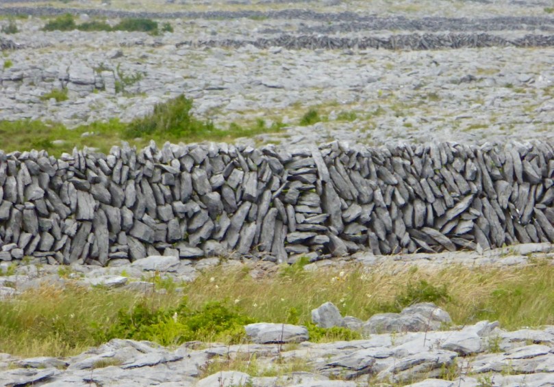
Fields of Stone

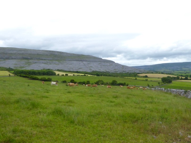
I’ve written about the Burren before – the unique karst limestone landscape full of heritage and wildflowers in West Clare. But this time we had the benefit of Susan’s intimate knowledge of the place – she lives there and has been exploring it for years. Since we only had one full day, she planned an outing that covered everything we love about this part of Ireland – you’ll see what I mean.

DESTINATION
Our destination: Turlough Hill

Leaving the car in a convenient spot, we set off up a long green road, Susan pointing out the wildflowers as we walked, here and throughout the day. We stopped at numerous places to admire features in the landscape: Corcomroe Abbey, for example, lay below us in all its medieval glory.

Corcomroe

Corcomroe – a wonderful site to visit if you’re in this area

Our first real stop was St Colman’s Holy Well. It’s a beauty, with all the remote wildness that lends such atmosphere to these ancient sacred spots. One of our blogging heroes, Ali Isaac of the wonderfully researched and entertaining site Aliisaacstoryteller had visited this same route a couple of weeks earlier. We were walking in her footsteps, although in reverse. She tells of her journey here and has extensive details about the holy well and St Colman here.

St Colman's well

St Colman's Well 2

Robert and Susan at Colman’s Well and a peek into the interior of the well

Ali had walked through the Burren in time to see the last of the electric blue Gentians that grow here and in the Alps. They were gone by the time we got there, but we were not disappointed in the wildflowers, which were everywhere underfoot in the most prodigal abundance.

Carpet of Orchids

Bloody Cranesbill, left, and a white orchid

Brilliant magenta Bloody Cranesbill jostled with delicate Orchids and tiny yellow Potentilla (or Cinquefoil), while Wild Thyme scented the air. One field was awash in Valerian. A rare Lesser Butterfly Orchid was spotted in the long grass and lovely Burnet Roses in a hedge.

Clockwise from top left: Burnet Rose, Lesser Butterfly Orchid, Mountain Avens and Spotted Orchid

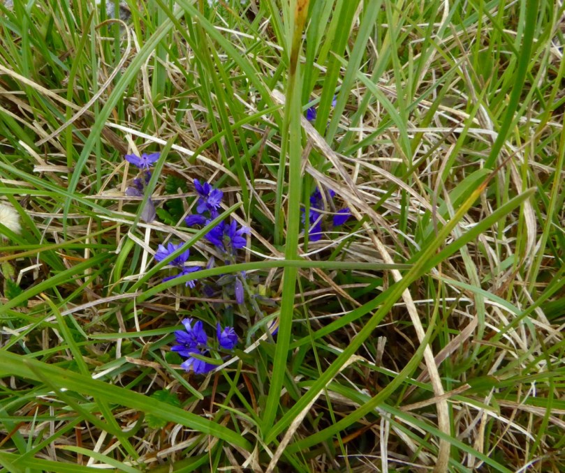
Milkworth

Milkworth lurking in the grasses

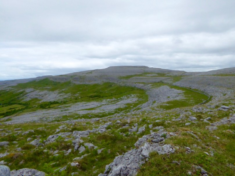
Hiking up Turlough Hill was an excellent opportunity to see how the Burren is laid out. From below, it looks like bare rock, but as you ascend, you realise that the hills are stepped in a series of terraces, the evidence of retreating beach levels after the ice age. These terraces provide important forage for sheep and cattle, who, in turn, help in the regeneration of the plant life. The going isn’t easy – we didn’t stick to any defined path but simply clambered up the steep slopes. The flat parts had been deeply rutted by cattle hoofs – we had to be vigilant to prevent stumbles and ankle injuries.

Turlough Terraces

But the rewards were enormous – ever-increasing panoramas of North Clare, across Galway Bay and south into the hinterland.

Cattle enclosure?

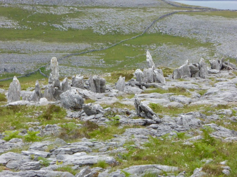
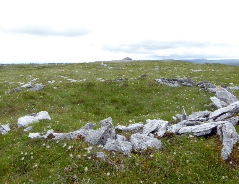
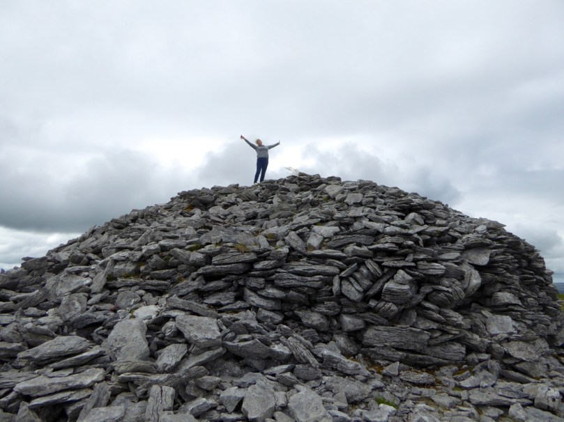
We had an objective in mind. At the top of Turlough Hill, and most visible in arial photographs, is a prehistoric ‘village’ of over 150 hut sites and some larger enclosures. On the summit is an enormous cairn.

Turlough Hill

Turlough Hill 2

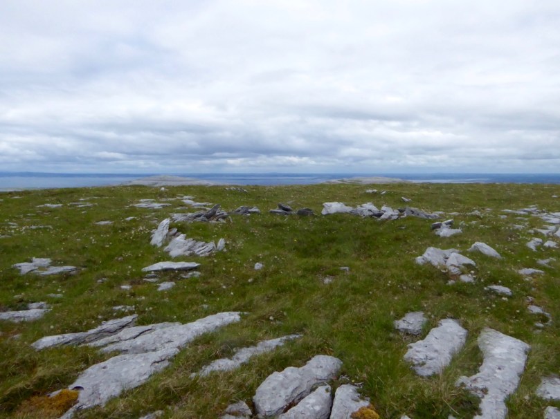
Hut site and cairn

From the top: An aerial image of the hut circles and cairn (look closely!)  from the National Monuments Service, a hut circle looking north to the sea, a hut circle looking towards the cairn

This mysterious site has been the subject of an initial investigation to establish the extent of it. The report had this to say:

Even though the hut sites, in a morphological sense, are domestic in character, it is very hard to see their role and function as primarily domestic, considering their location on this inaccessible and exposed hilltop. The activity that required the building of about 150 hut sites on this inaccessible and extremely windy summit, consisting mainly of bare bedrock, was most likely of a strong social and/or ritual character, with few direct links to secular way of life.

Susan on Cairn

This will give you a sense of how huge the cairn is

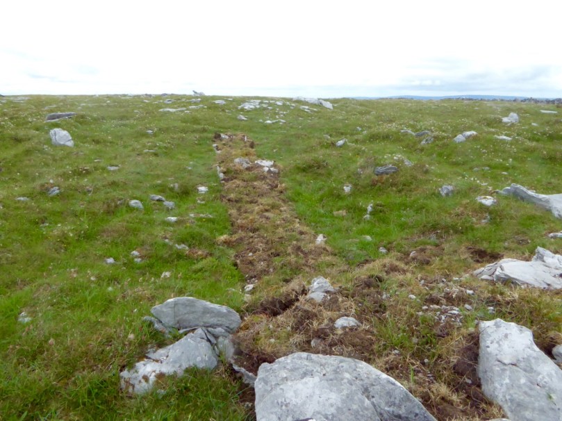
Earlier this year, Dr Stefan Bergh of UCG conducted a preliminary excavation within the hut-site concentration. You can read about that in this Irish Times piece. We saw the neatly back-filled trench, and look forward to his results.

Trench

Coming down, as all hikers know, is often more difficult than going up – the knees certainly protest! In this case, some chunks of it were accomplished by dint of sliding down on my butt and picking the thorns out afterwards. Oh – and the tick! Do check yourself after all walks in long grass where cattle and sheep have been grazing.

From the Cairn

The view from the cairn

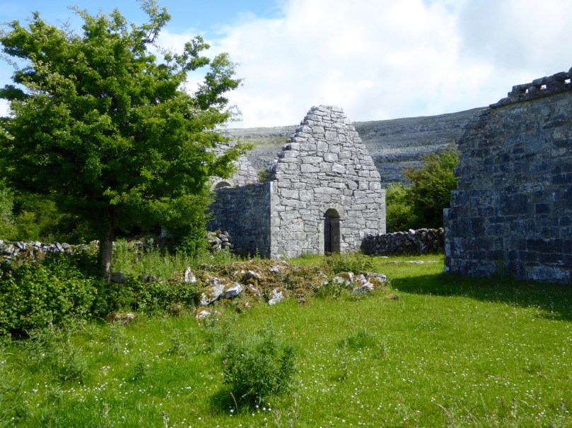
We ended up at an early medieval site that quickly banished all thoughts of aching muscles – Oughtmama, of the Seven Churches. Meaning The Breast of the High Pass, there are actually only three churches at Oughtmama, but they pre-date the 12th century Cistercian foundation at Corcomroe, and as such they are excellent examples of early monastic structures in the Romanesque tradition.

Oughtmama Churches

There are several examples of churches built with ‘cyclopean’ masonry in Clare, and here at Oughtmama you can see the huge stones used in the courses of the outer walls that give it this name. Associated with St Colman (of the Holy Well) these churches probably fell into decline after Corcomroe was completed.

We hiked back to the car in the soft afternoon sunlight. It’s hard to believe that one day could be so packed with experiences. Thank you, Susan, for sharing YOUR Burren with us. We’ll be back – we’ll let you know when to put the kettle on again.

Wild Thyme

Wild Mountain Thyme

Foxglove Fever

Foxgloves in our own boreen

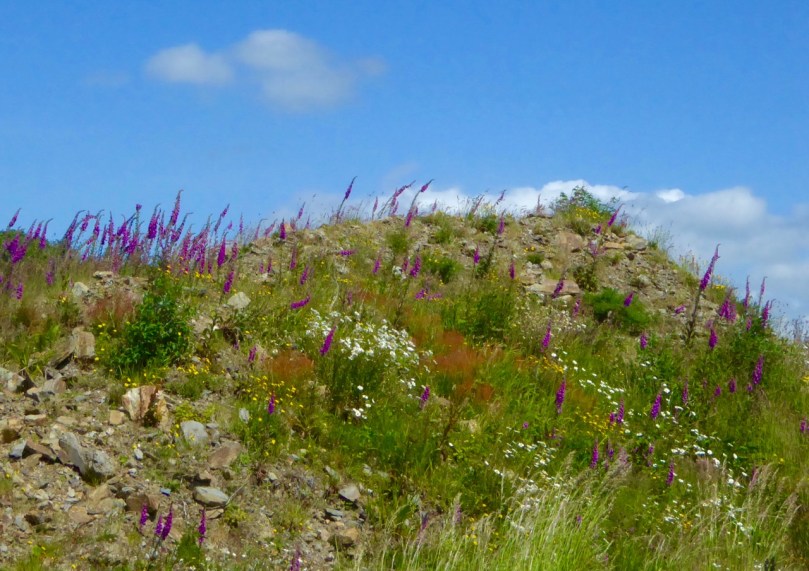
Nobody can remember a year like this one for the foxgloves. In fact, all wildflowers seem to be crowding out the boreens and invading the fields everywhere you look, including our own little patch of paradise, above.

ragged robin and oxeye daisies

Ragged Robin, Oxeye Daisies, Buttercups and Thistles

Back Road to Schull

Along the back road to Schull from Ballydehob

Last year I wrote a post, Close Reading, about the June wildflowers. The theme of the piece was that to really see what was in the hedgerows you should slow down, stop and seek.

Massed foxgloves

Not this year! This year we cycle or walk along fragrant, colourful paths that threaten to overwhelm the senses. The bounty is simply laid out before us.

Half way there

Foxgloves can have as many as 75 blooms on one stem. This one’s half way there

Foxgloves, tall and straight, are everywhere, singly or in masses. Nobody knows why it’s called foxglove, beyond the obvious explanation which doesn’t seem to quite fit the size of the flower in relation to a fox’s paw. But we do know its latin name, digitalis, was based on the idea of the flower easily slipping over a finger. It’s an important medicinal plant used in heart treatments but highly toxic if ingested raw or improperly, earning it the nicknames dead men’s bells or witches gloves.

They are a native to Ireland, quickly colonising waste ground and common near moorland. Sometimes called fairy thimbles or fairy bells here, they were associated with the little people and it was considered unlucky to have them in the house. That’s good, as they are an important source of nectar for bees and other insects.

Wasteland

This patch was cleared last year and looked barren. Here’s what’s happening now!

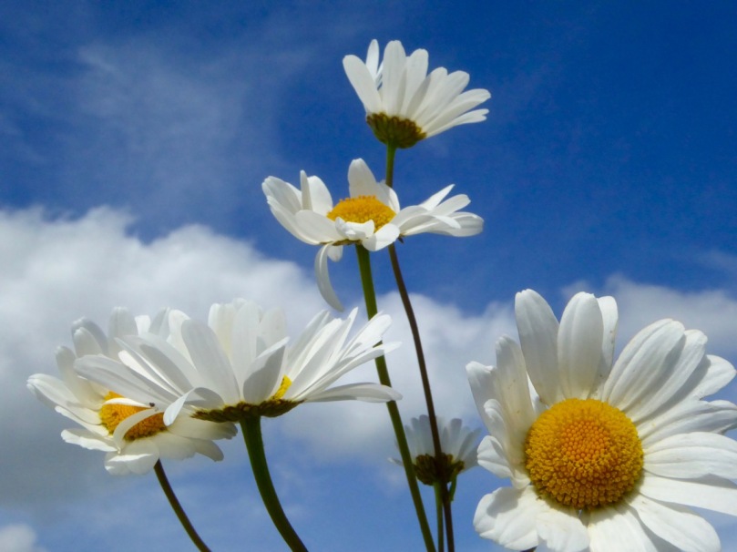
The other ubiquitous flowers of June in West Cork are the Oxeye Daisy and the Buttercup, often growing together in a riot of white and yellow. Both are native plants and, like the foxglove happily and quickly colonise any ground that’s been recently cleared. We grew up calling them dog daisies and bringing them home in great bunches for our mother, who would quietly dispose of them once we’d gone to bed – their perfume didn’t match their good looks.

oxeye daisies blue sky

And Buttercups – is there another such yellow? We held them under each other’s chins to see the yellow reflection. If it was there, it meant you liked butter. It never occurred to us to question the validity of the predictive method.

oxeye daisies and buttercups darker

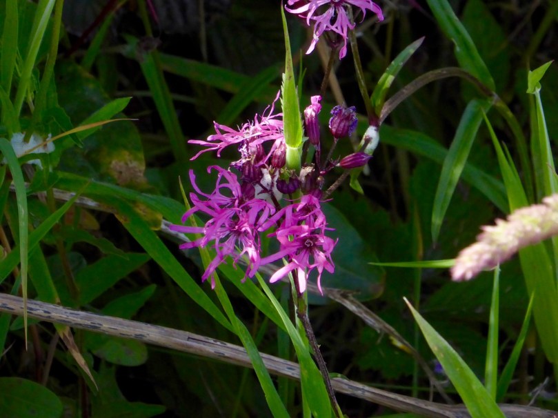
Ragged Robin – such an apt name for this native! A tiny haggard near us is full of them, much visited by butterflies. This lovely flower used to be more common, but the draining of wetlands and boggy areas has left less of their preferred habitat for them.

Ragged robin

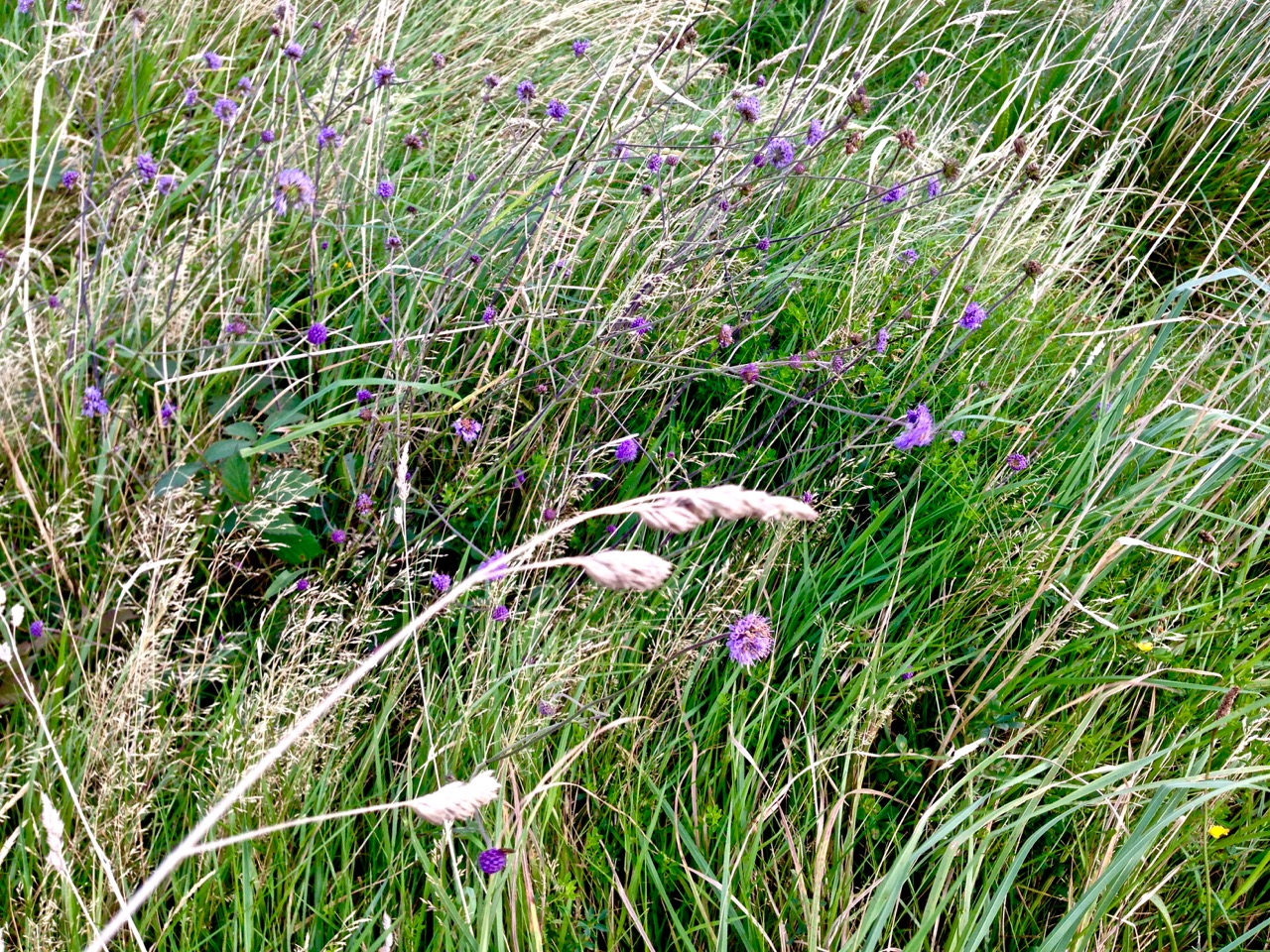
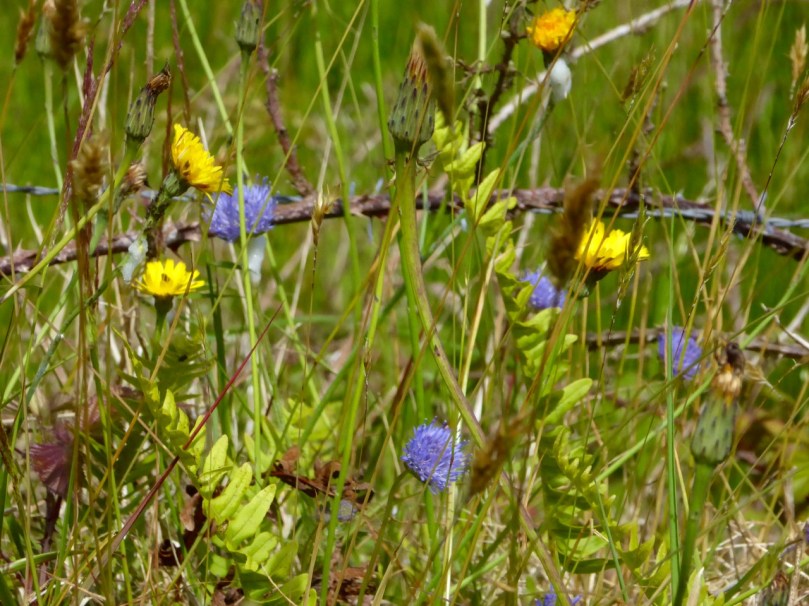
Scabious is everywhere and its brilliant periwinkle blue plays off beautifully against the yellow of the humble dandelion. The bane of gardeners everywhere, the dandelion was used in Ireland to make a tea that was supposed to be a great tonic for one of ‘consumptive habits.’ As kids, we delighted in blowing the seed heads to see what o’clock it was, and rubbing the milk on our warts as a cure. On a less charming note, we called them piss-a-beds and teased each other that touching them would result in wetting the bed.

Scabious

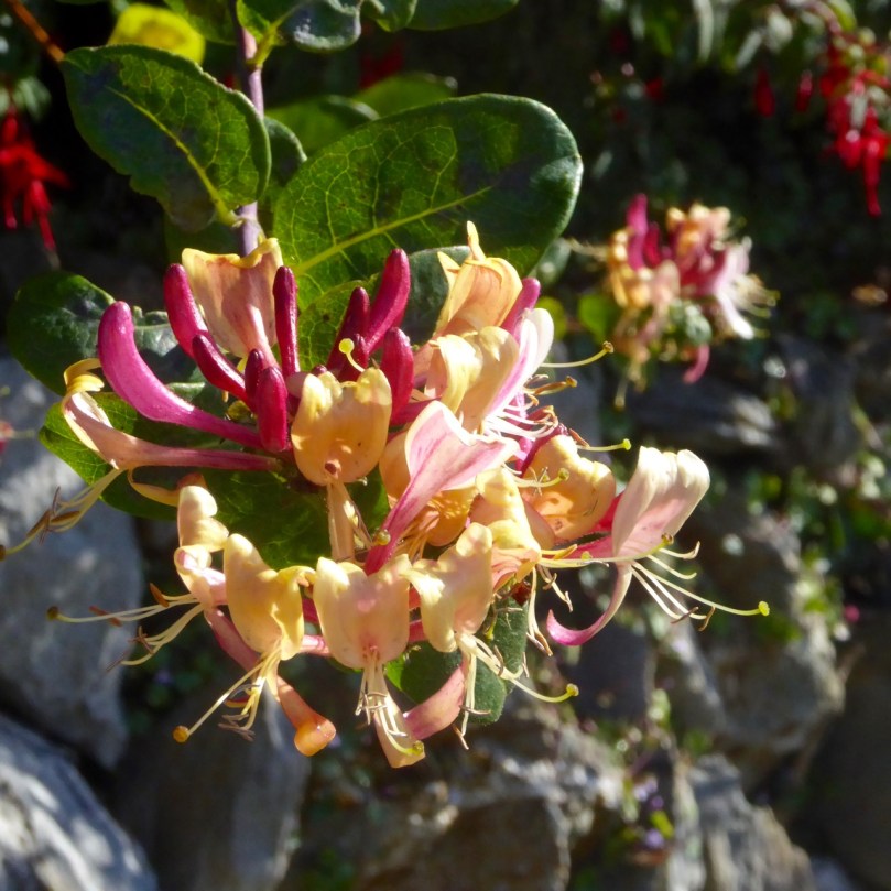
Scabious and DandelionsThe honeysuckle and the fuchsia are just starting to make their presence felt now. The bramble flowers and the wild roses are punctuating the hedges and the bird’s foot trefoil has taken over part of our lawn. My father waged war on anything but grass on his lawn, especially the little lawn daisies. He didn’t mind us pulling those up to make daisy chains, or to play he loves me, he loves me not.

Clockwise from top left: Birdsfoot trefoil, Wild Rose, Lawn Daisies, Campion, Foxglove and bramble flower

Of course, there is still a bit of seeking and peering involved for the tiny flowers in the hedges or fields. Speedwell, Herb Robert and Campion (below) reward the slow down and look closely approach.

Flaming June, some people call it (although the original Flaming June is actually a painting), and perhaps this year it’s a better description than ever.

colourful haggard

Into the Kingdom

To the Skelligs

The Kingdom? No, we didn’t go to Britain – we went to Kerry. It’s always been called the Kingdom, possibly based on ancient Irish precedents, although other theories abound. Many people think it’s because of the sheer magnificence of the scenery, and I wouldn’t disagree.

Ballinskelligs Bay

Ballinskelligs Bay. The first photograph is also Ballinskelligs Bay, with a glimpse of the famous Skelligs Islands in the background – subject of a future post, we hope!

Our journey took us on the Ring of Kerry, along the south side of the Iveragh Peninsula, by the sea. This is prime tourist territory – bus after bus passed us and every lay-by was thronged with camera-wielding tourists, including us. We came back through the middle of the peninsula, through deep valleys and high mountain passes.

To Ballaghbeama

Not for the tour busses!

These are not roads that busses can manoeuvre through, so we had it mostly to ourselves, the locals, and a few tourists armed with small cars and good maps. I love this Iveragh backcountry. It’s where I spent my student days, conducting my research. I even recognised the place where I crashed my Honda 50 into a bog.

Ballaghasheen Pass

Although it seems totally mountainous, vast sheltered valleys occupy some of the hinterland of the Iveragh Peninsula  

We visited two stone forts, the mighty Staigue and the lesser-known Loher, and of course some rock art. Staigue Fort is generally reckoned to be Iron Age (about 250AD), while Loher, although very similar, was built later, around the 9th Century.

Staigue Interior and outlook

Loher Stone Fort
Staigue Fort (upper), at the head of a long valley, commands views to the sea. Loher is also strategically sited with extensive views all around.

We toured Daniel O’Connell’s House at Derrynane and took the Nature Trail walk along the dunes, using the app developed by local man Vincent Hyland.

Shoreline walk

Wild flowers a-plenty on the dunes at Derrynane. Top: Sea Pinks and Sea Sandwort. Bottom: Pyramidal Orchid and Kidney Vetch

We searched in vain for the holy well devoted to Saint Crohane, patron saint of Caherdaniel – we’ll have to go back with Amanda to help us find it.

Across to the Beara

We didn’t find St Crohane’s well but when we finished our search, in twilight, this is what was waiting for us. The mountain range in the background is the Beara Peninsula in Cork

In fact, the primary purpose of our trip was to re-connect with cousins that I haven’t seen for about 45 years. The last time I saw Annie and her siblings they were kids, and we were all piled on to a donkey and cart in a vain attempt to get from Lamb’s Head to Staigue Fort. It’s a long story, but suffice it to say that the donkey came out the winner. Most of the family still live around Caherdaniel, in jaw- dropping surroundings, and we were accommodated and hosted with true Kerry hospitality.

The view from Annie's

Top: The view from Annie’s house, across to Lamb’s Head where the family grew up

Along the way we saw a house shaped like a ship (Robert has more – much more – about this!), had our first experience of bottle-feeding a lamb, and we watched Rex the sheepdog gently herd a flock of chickens into their pen for the night. We visited my cousin Betty’s grave – she died a few months ago, the heart of the family, much mourned. It was, we hope, the first of many visits, back and forth.

Abbey Island

Abbey Island, Betty’s last resting place, must be one of Ireland’s most beautiful graveyards. To access it, you must walk across the sand and keep an eye out for high tides. The original monastic site was founded by St Finian in the sixth Century, although the ruined church, Ahamore Abbey, probably dates from the 10th Century.

This post is to give you a flavour for our neighbouring county and to show you why it is justly famous for its history and archaeology, but most of all for what is surely some of the most spectacular scenery in the world.

Lamb's Head to Scariff and Deenish IslandsScarrif and Deenish are the two islands out from Derrynane Bay. Uninhabited for 40 years, they are the site of salmon farms now. We walked down Lamb’s Head to get a better view of them.

Tiny green fields

As in West Cork, everywhere in Kerry you can see the traces of tiny settlements. Abandoned long ago, possibly after the famine, each field may have provided enough potatoes for one family. Now only the sheep graze peacefully.

Ballaghbeama Gap

We headed home through the Ballaghbeama Gap. On the south side is Ireland’s greatest concentration of prehistoric rock art. We wrote about this in our post Derrynablaha Expedition.

Down from Ballaghbeama

Heading down towards Derrynablaha and home

Derrynane Sunset

It was hard to leave Derrynane!

Walking the Past

Robert taking a picture

How fortunate are we? We are free to spend our days wandering the world’s most beautiful landscapes, here in Ireland: landscapes which have changed relatively little over the last five thousand years. They have changed, of course, but the human hand has had less impact in this country than in many other developed nations, especially in these wilder parts. That is why we relish our explorations: we are walking the past.

breeny landscape

Top picture: Robert taking in the setting of the monuments at the Kealkill complex. Above: the view towards Kealkill village from Breeny More

Every expedition requires a little pre-planning. This week we were keen to catch up with a group of monuments known as ‘boulder burials’. Finola tells me that, when she was first studying archaeology, they were known as ‘boulder dolmens’: I prefer that term – perhaps because it has a touch of the antiquarian about it – and, in any case, the use of the word burials implies a definitive function which has not been universally borne out with the examples that have been excavated. But I will leave Finola to delve into the specifics of that subject in her post Boulder Burials: a Misnamed Monument?

workspace

Blogging in progress: prequel to an expedition…

First, we look to the available information: William O’Brien’s Iverni – A Prehistory of Cork (The Collins Press 2012) is an essential primer on the pre-Christian era in this corner of Ireland since the first human foot was set on its shores. Then there are maps to be consulted: the Ordnance Survey Office was created in 1824 to carry out a survey of the whole island for land taxation purposes. The original survey at a scale of 6 inches to 1 mile was completed in 1846 and Ireland thus became the first country in the world to be entirely mapped at such a detailed scale. From the outset, known historic sites and monuments were recorded and the present Discovery Series at 1:50,000 scale provides a wealth of information to the fingertips of historians and adventurers.

kealkill OS map

One of our bibles: the Discovery Series of the 1:50,000 Ordnance Survey maps – well used and well worn! The monument sites are marked in red

Before setting out we usually consult with the Archaeological Survey Database of the National Monuments Service: this gives us the fine detail on where to find recorded historic sites. Yet in the end the most valuable information often comes from knocking on doors. Farming families here often go back through many generations and local knowledge is always passed down through them. It’s here that you sometimes pick up the ‘stories’ that are associated with ancient sites – for me, these are just as interesting as any formal records.

Breeny More landscape

View to Bantry Bay across the Breeny More archaeological site

This week our travels brought us to the Breeny More and Kealkill complexes, high up in the hills above Bantry, heading towards the wonderfully named Cnoic na Seithe – the Mountains of the Spirits. This was on a perfect spring day: the views all the way down the bay with the Beara on one side and the Sheep’s Head on the other can only be described as spectacular.

kealkill landscape

view west

Two views from the Kealkill complex

It can’t be accidental, surely, that these ancient sites occur in places like this, that make the senses reel? In many cases there are long views in all directions, often taking in prominent horizons, hilltops, the sea, inlets and islands. ‘As far as the eye can see’ is an expression that truly comes into its own: these vistas must have had special meanings to the ancestors who were here in the Neolithic and Bronze ages. Were they trying to define it in some way by building such impressive large-scale structures, most likely for some ceremonial purpose? It was certainly not construction work which could have been undertaken lightly or frivolously. Here’s O’Brien in Sacred Ground, Megalithic Tombs in Coastal South-West Ireland (NUI Galway 1999):

…Antiquarian interest in Ireland dates from the visit of Edward Lhuyd at the end of the 17th century and was encouraged by the discovery of great megalithic centres like the Boyne Valley in Co Meath and Carrowmore in Co Sligo. The early antiquarians were to link these ‘Giants Graves’ to invaders or colonists from the East, to Scandinavian incursions and eventually to the events and characters of early Irish literature…

boulder cluster

The Breeny More complex:  no less than four boulder burials, a multiple stone circle and a (much later) ring fort, all on one superbly located site

Robert Kealkill Complex

A cause for wonder: the tall standing stone at the Kealkill complex. A stone circle lies to the west while a radial cairn is behind (to the south of) the stone pair

So, it’s Finn McCool and the Tuatha de Danaan that we have to look to, perhaps, for explanations as to why we find these incursions on our natural landscape standing as solidly and unchangingly as they did a few millennia ago. Perhaps not quite unchangingly, in fact: archaeologists have had a hand in the present day appearance of some of them. In the photo above you can see me wondering at the 4.6 metre high megalith which is part of the Kealkill complex. When the site was explored by Sean P O’Ríordáin in 1938 that stone had broken off and had fallen: O’Ríordáin re-erected the remaining part of the menhir. The original would have been at least a metre higher than what we see today.

kealkill excavation report

kealkill diagram

From O’Ríordáin’s published report of the excavation of the Kealkill complex: top, the taller standing stone being re-erected and, below, a survey diagram of the findings. From the Journal of The Cork Historical Archaeological Society, Volume XLIV ,1939

The Breeny More site and the Kealkill complex are near neighbours. Both contain various artefacts: standing stones, stone circles and boulder burials. Kealkill also has a radial cairn. Both are set against a background of moorland, mountain and bay. Kealkill is easily accessible although boggy.

Most sites are on private land and permission should always be sought to visit, unless it is obvious that access is welcomed, as here at Kealkill

Our second archaeological adventure this week was also boulder burial orientated. This was close to home in the townlands of Rathruane, Lisheen Lower and Bawngare. Again, Finola has detailed the findings in her post, but I was struck at each of these sites that the their settings, too, were on high ground with excellent distant views. In each case, mountains were prominent. I couldn’t help thinking that the boulders could have been placed where they are specifically because of the visibility to the various peaks. Might it even be that territories were marked out by these huge stones? Boundaries have always been important to human strategies: we have been identifying and ‘naming’ the land before records began to be written. Field names, townland names, parishes, baronies… A whole lot more to be researched, visited and recorded. Our long walk through Ireland’s past has barely begun!
Robert at Kealkill