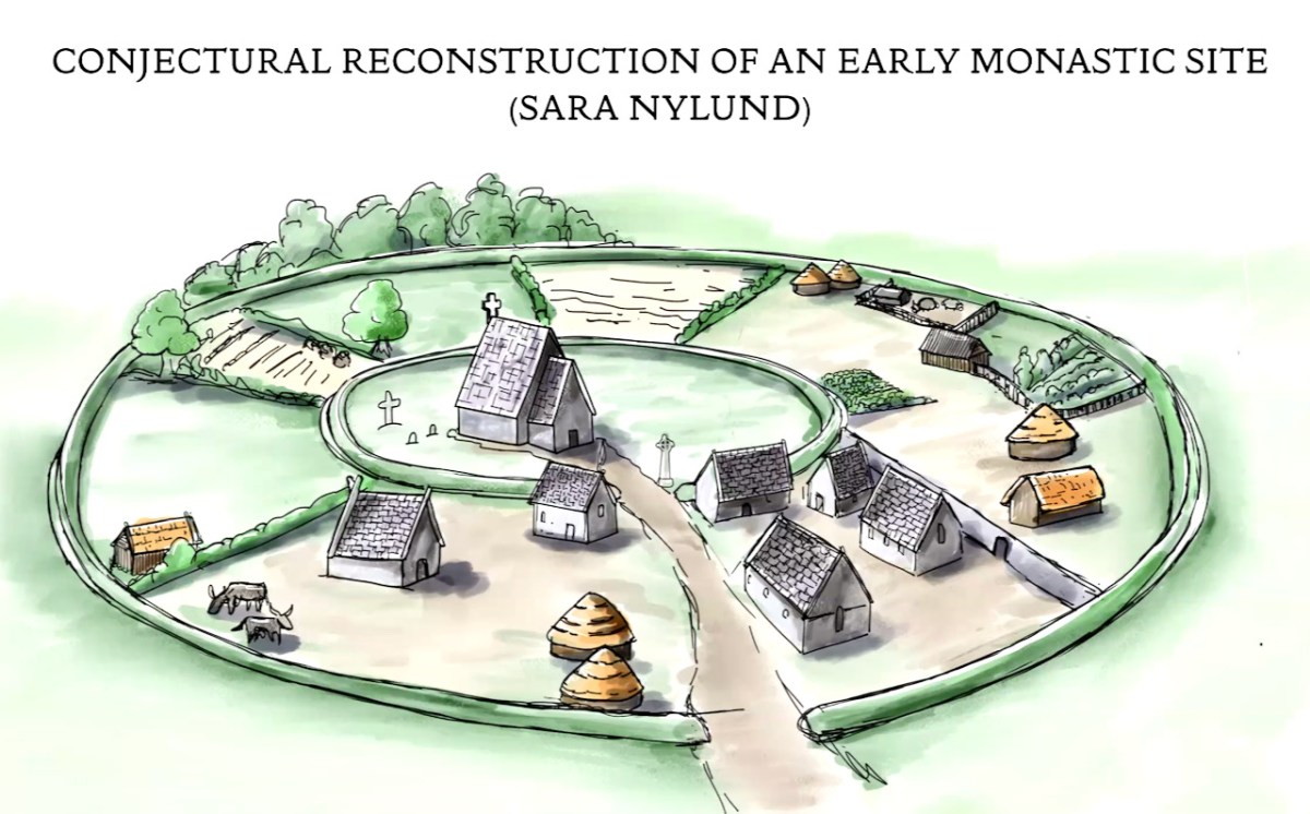
Many thanks to Sara Nylund for her wonderful reconstruction drawing of an early ecclesiastical site
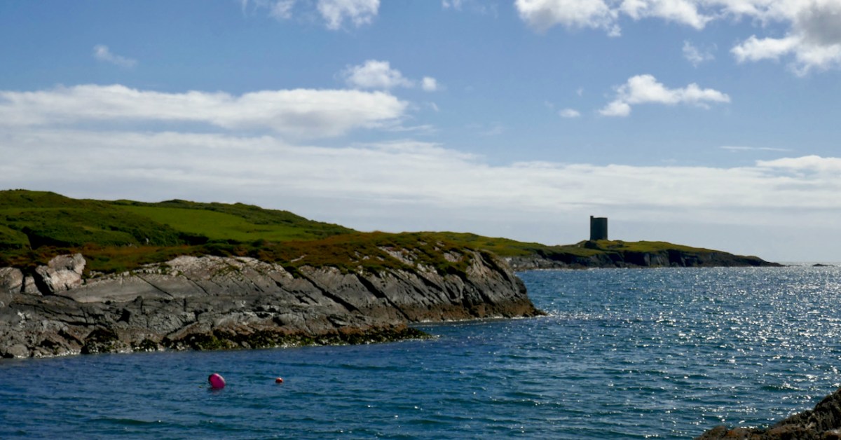
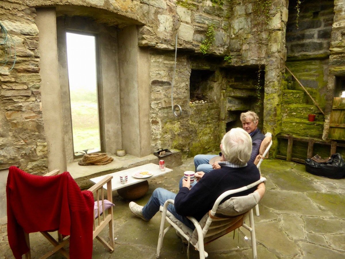
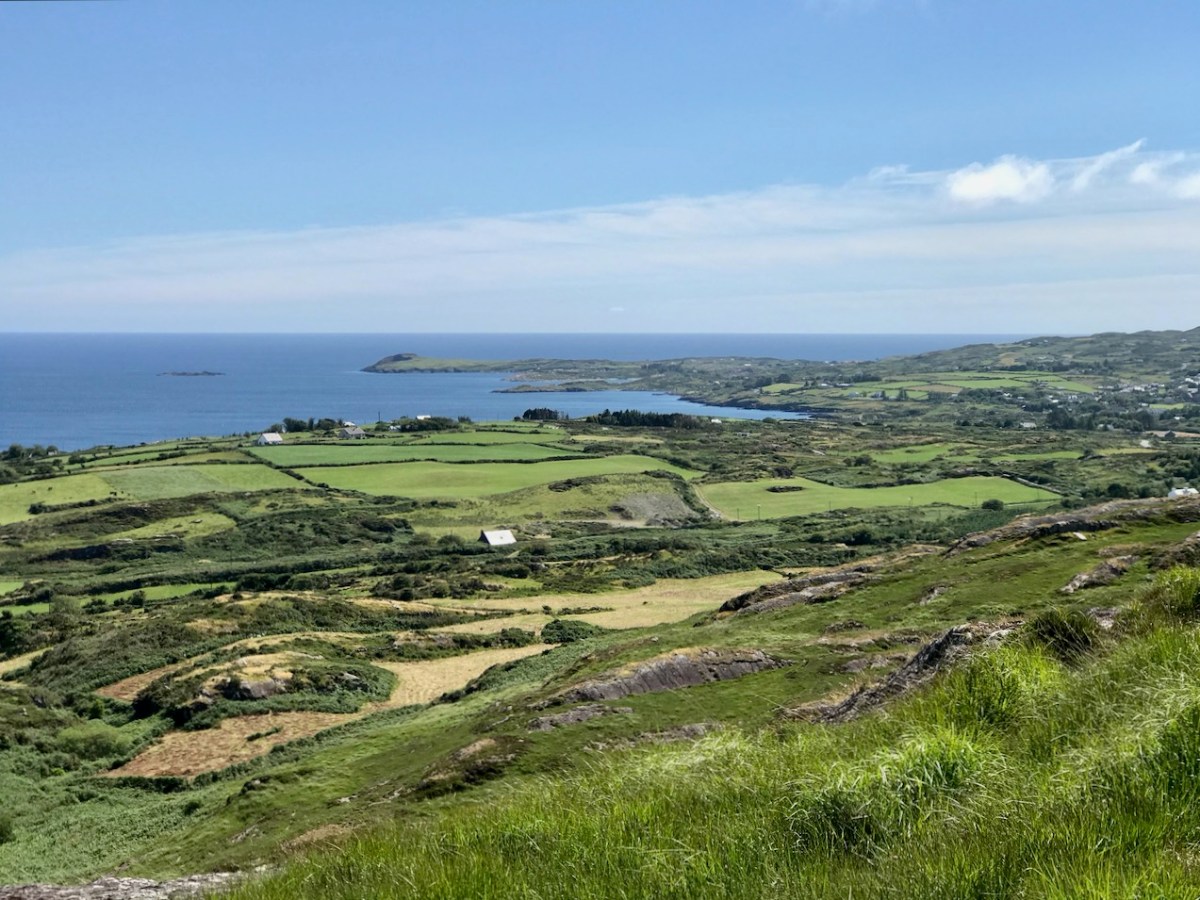
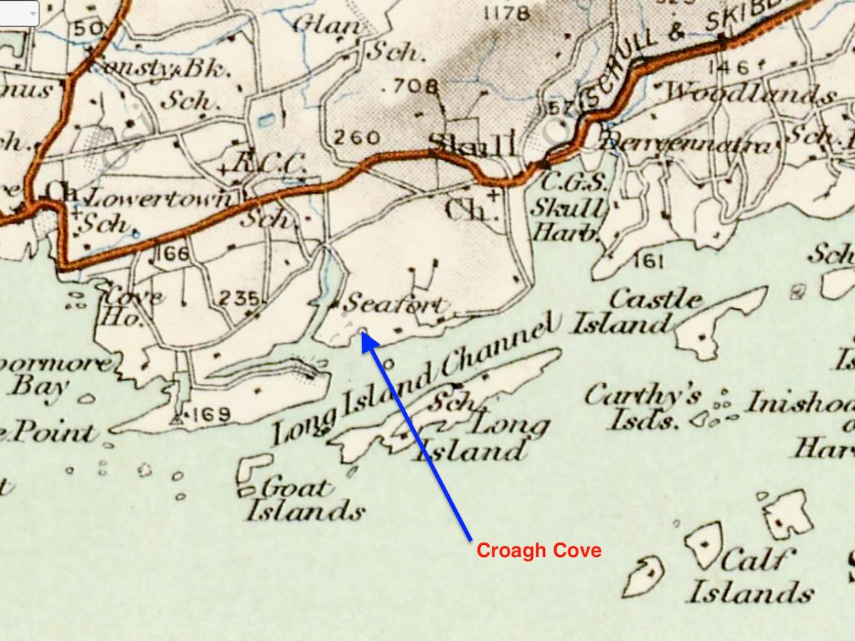
A couple of years ago, confined to explorations within 5km, Robert wrote about Croagh Bay (pronounced locally as Crew Bay). Recently our friends Donagh and Tamsin enticed us back to take a closer look at the eastern part of the Bay – Croagh Cove (Crew Cove).
What intrigued us about this place and why we were eager to visit (apart from Donagh’s world-class coffee) was a place marked on the map as an ‘ecclesiastical enclosure.’ There aren’t a lot of those on the Mizen, although there may be more early ecclesiastical sites than have been identified and recorded. Kilbrown (see my post Mizen Mud), Cove and Kilbronogue are the only others so far.
What establishes a site as a likely ‘early ecclesiastical enclosure?’
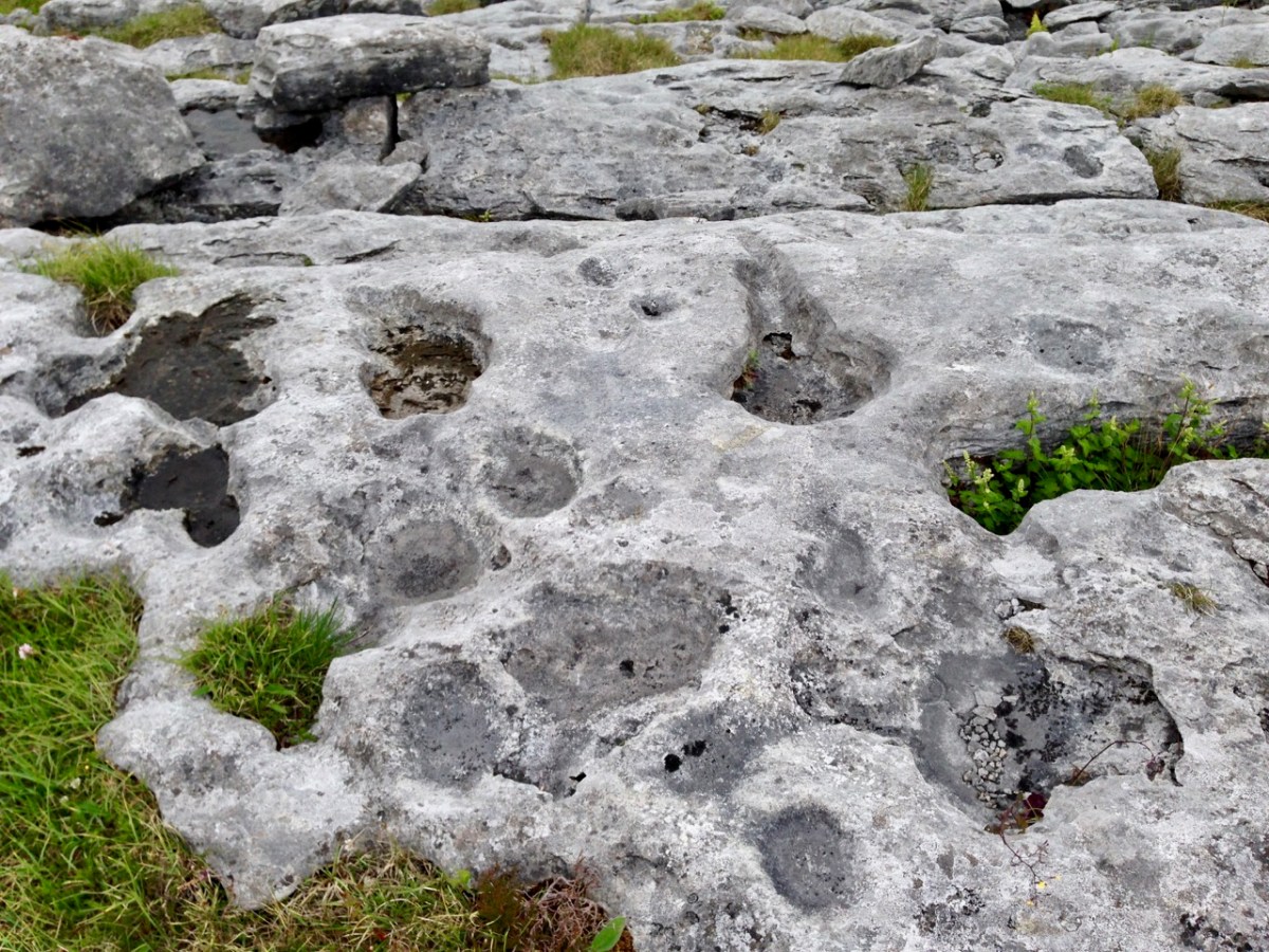
The Irish church was dominated by scattered rural monasteries from the sixth century onwards. These were surrounded by large enclosures (varying in diameter from 40 a.m. to 400 M), often circular or oval in plan, and usually far more extensive than the surviving graveyards. In some cases the original bank, fosse or stone wall survives but more often the line of the monastic enclosure (or vallum) is indicated by curving field boundaries, roadways or a laneways. As well as the church and graveyard, these enclosures contained the dwellings, outhouses and workshops of a community, sometimes approaching the size of a town. Because the buildings were constructed of wood nothing survives above ground today; the graveyard often contains the ruin of a mediaeval church. In some cases the surviving burial ground has no inscribed headstones but was used for the burial of unbaptised children during the last few centuries. Bullaun stones and cross-inscribed stones are often found on early church sites while holy wells may be situated close by and retain the name of the saint anciently associated with the site. Unfortunately little of the history of the early church in West Cork has survived and the earliest reference to many of these sites is as late as the 12th century.
The Archaeological Inventory of County Cork, Vol I, West Cork. P 271
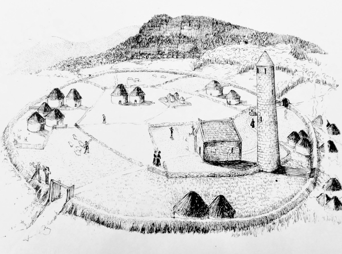
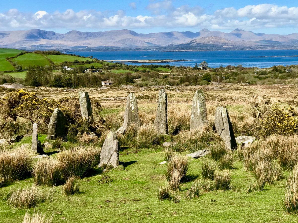
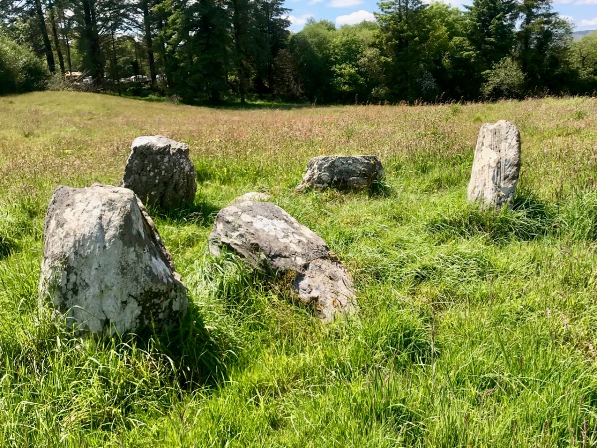
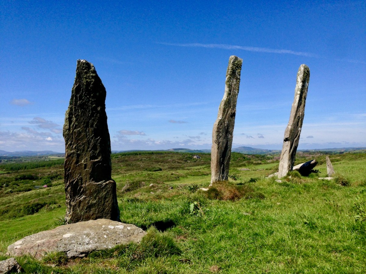
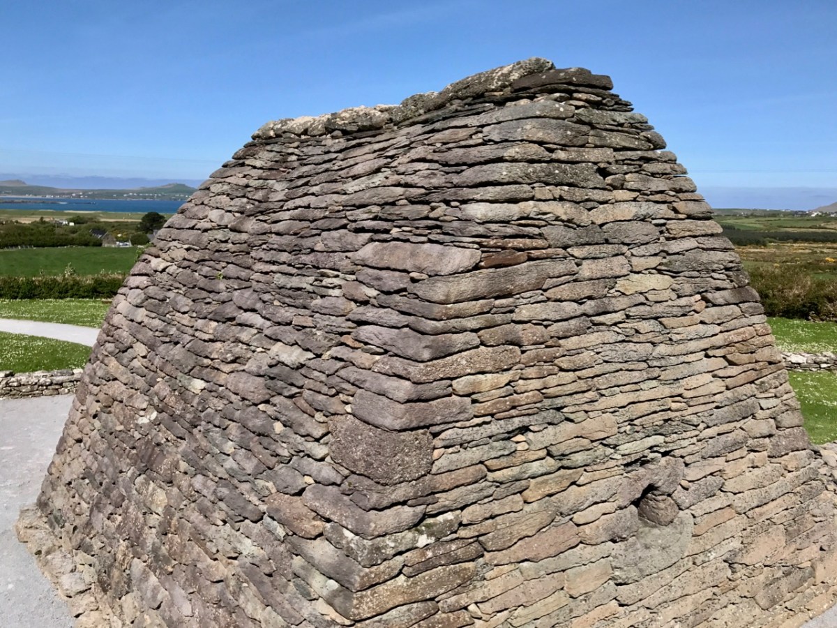
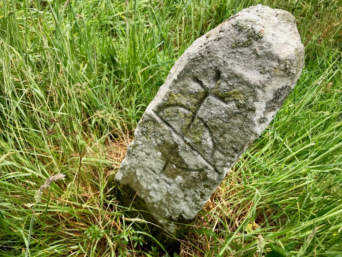
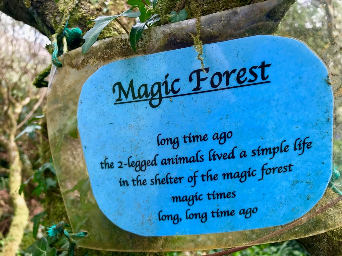
So, as you can see, not much normally survives on the surface but a tell-tale sign is a circular or oval enclosure, or (often) two concentric enclosures, with the barely-discernible signs of buildings inside. (Readers may remember the above illustration from my post on Ardpatrick – no sign of a round tower at Croagh, though!).) The memory of these places as once-sacred seems to be retained locally, and led to their use as Cillíní, or Children’s burial grounds in the past. See my post Unknown Souls for more about Cillíní – ‘the loneliest places on earth.’ Thus – small uninscribed headstones peeking out through the grass is an indication that this may be a cillín, and in turn perhaps something more ancient yet.
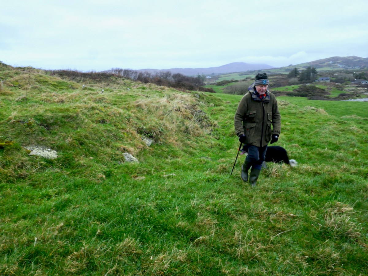
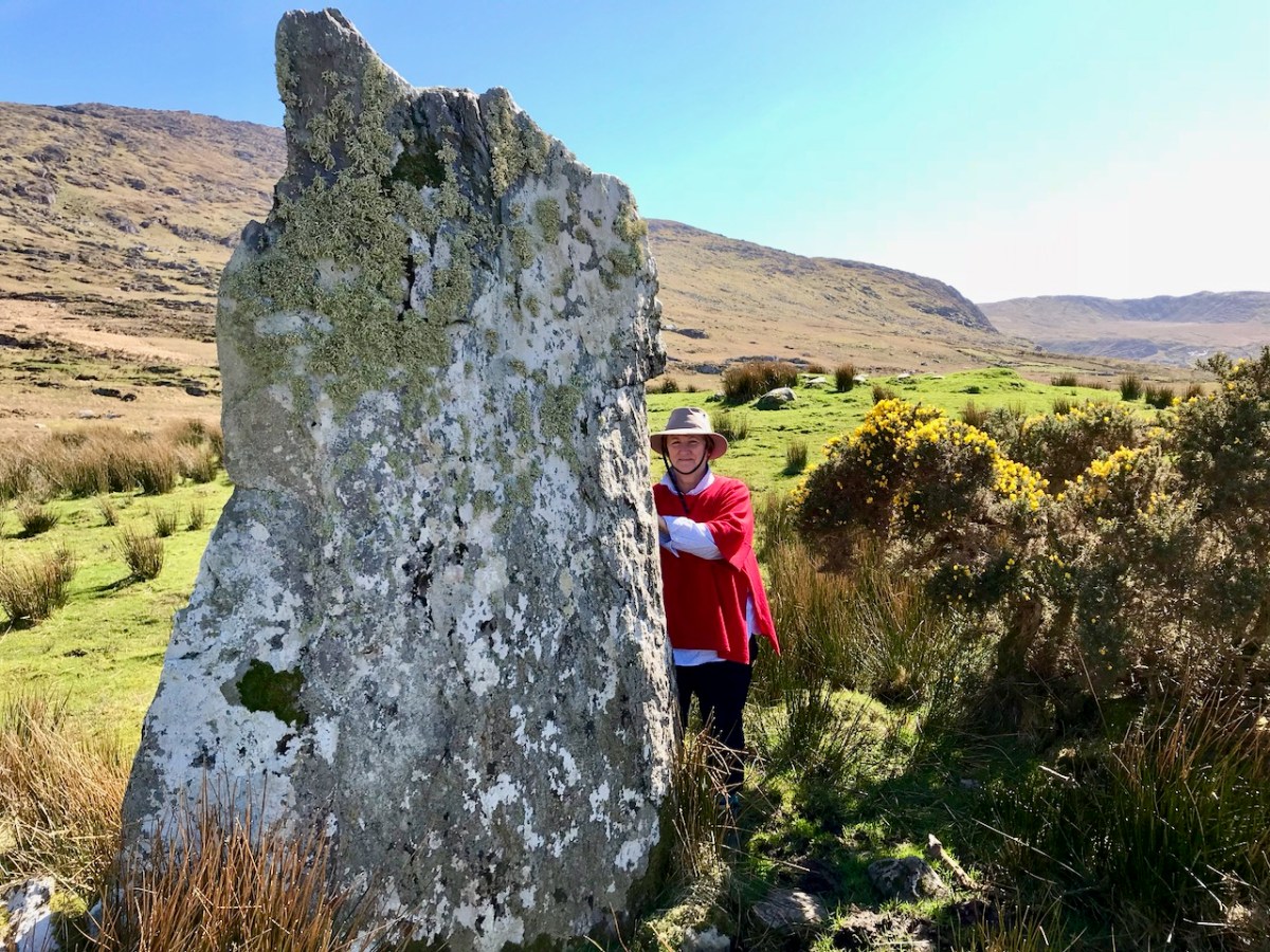
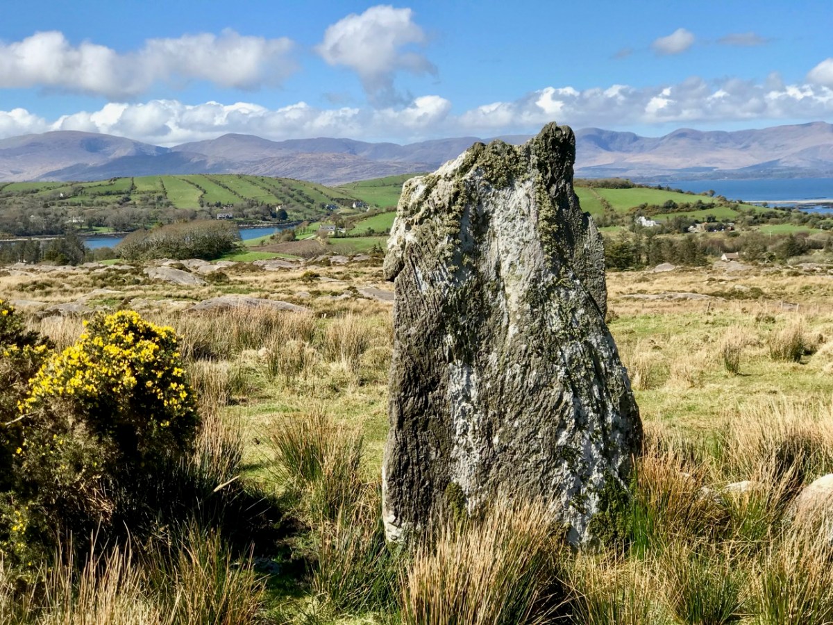
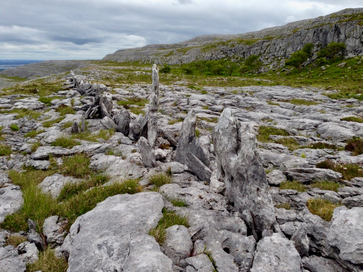
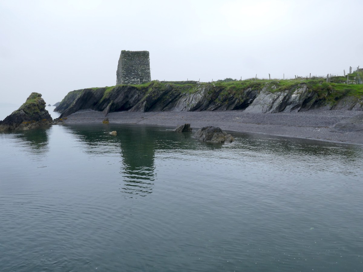
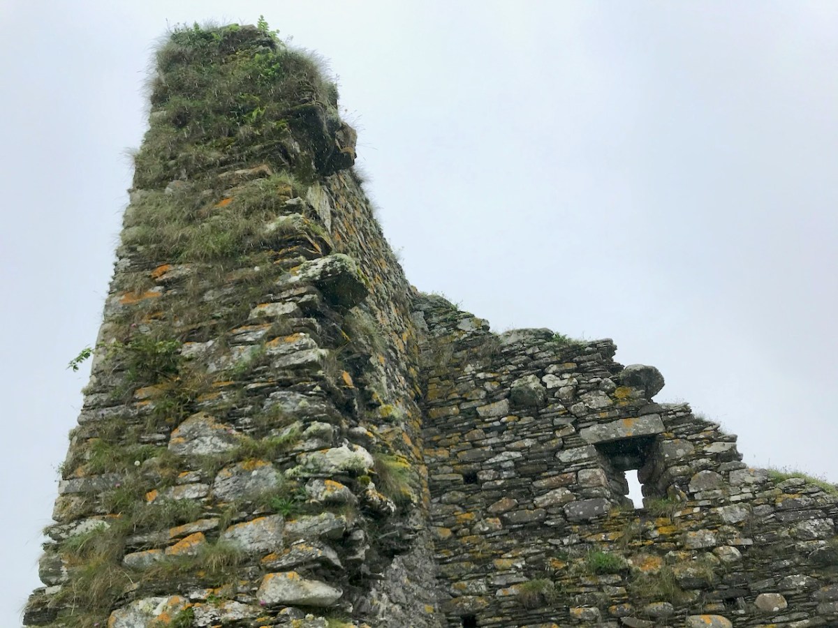
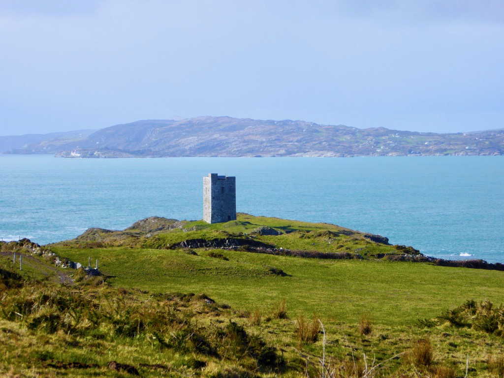
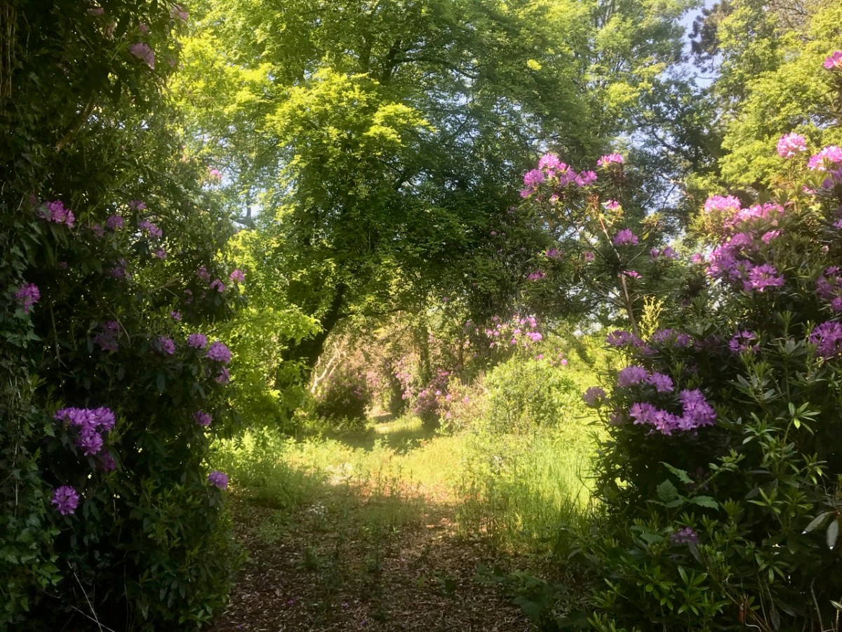
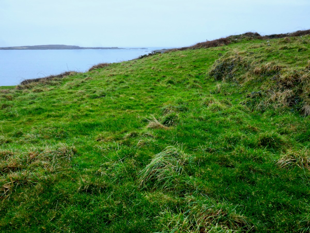
The original site may have been carved out of the hillside – the flattening process leaving a sharp-edged bank on the sea-ward side (above and below). This reminded us of the similar bank we found at the possible ‘Scoil Mhuire’ site that Robert reported on in his post Schull – Delving into History.
What would such a site have looked like? They varied enormously in size – for example Glenadalough in Wicklow and Kells in Meath would both have been monastic cities. Most, however, and especially in remote places, would have been small religious foundations in which there would be a central church surrounded by an inner wall, and houses and gardens for the monks surrounded by an outer wall.
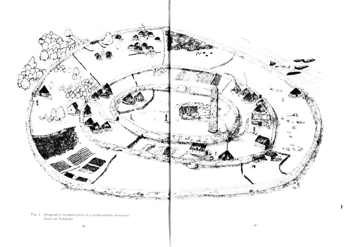
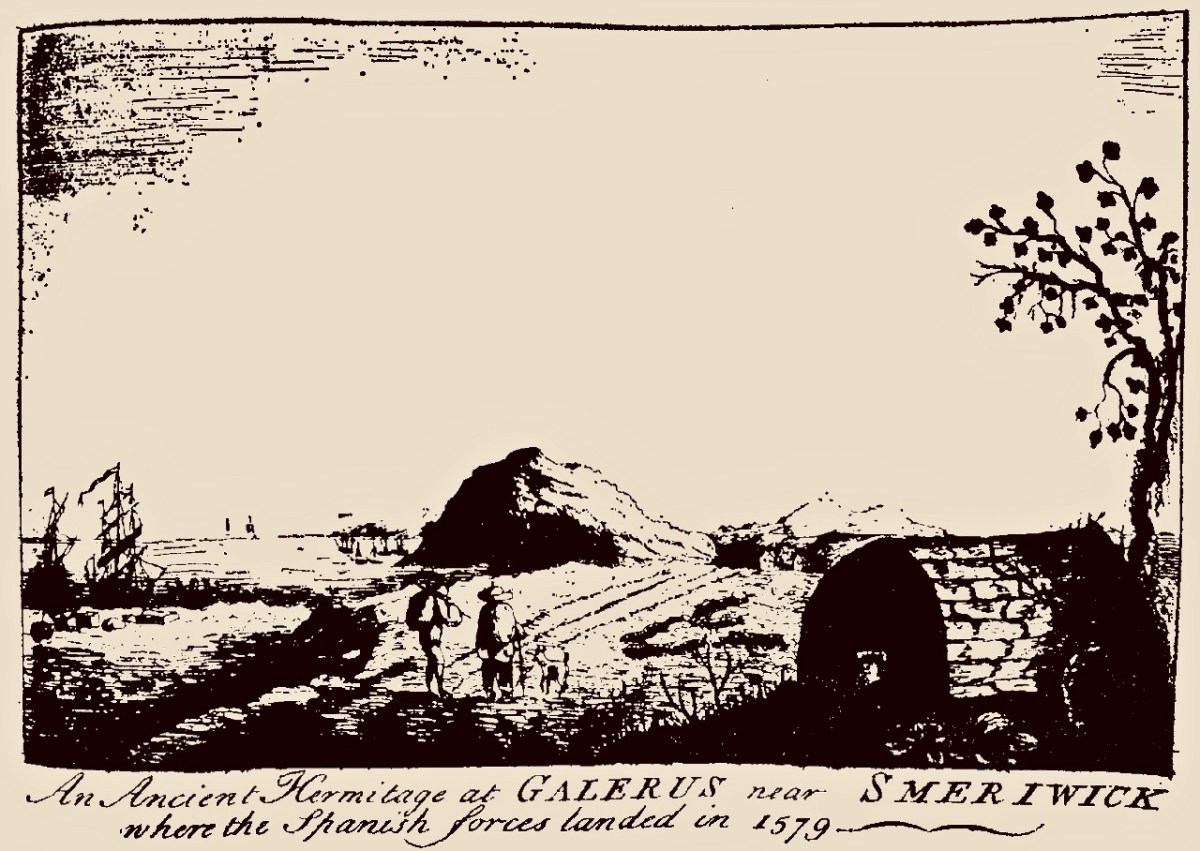
Nendrum in Co Down shows what a monastic settlement considerably larger than Croagh might have looked like. The Illustration is from The Modern Traveller to the Early Irish Church by Kathleen Hughes and Ann Hamlin
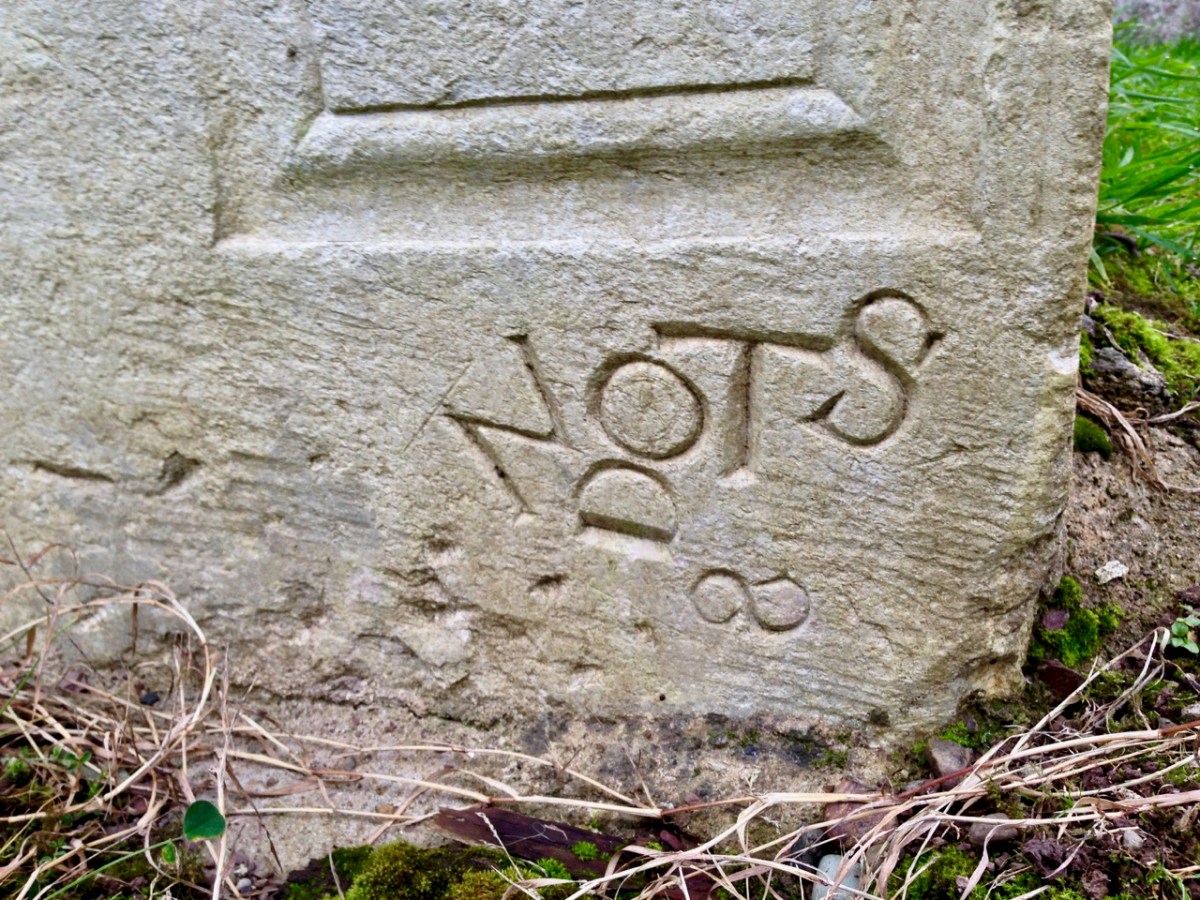
The word reilig (pronounced rellig) is the Irish word for graveyard and it comes from the word for relic. Early sites like this were assumed to have had a founding saint, who gave his or her name to the site. Kilbrown, for example, would be the church of Brón, and he would have been buried on the site – hence the ‘relic’ association. Kilcoe was named for a saintly nun, St Coch. The echoes of the cult of those saints would have remained alive through the centuries in the names of townlands and holy wells.
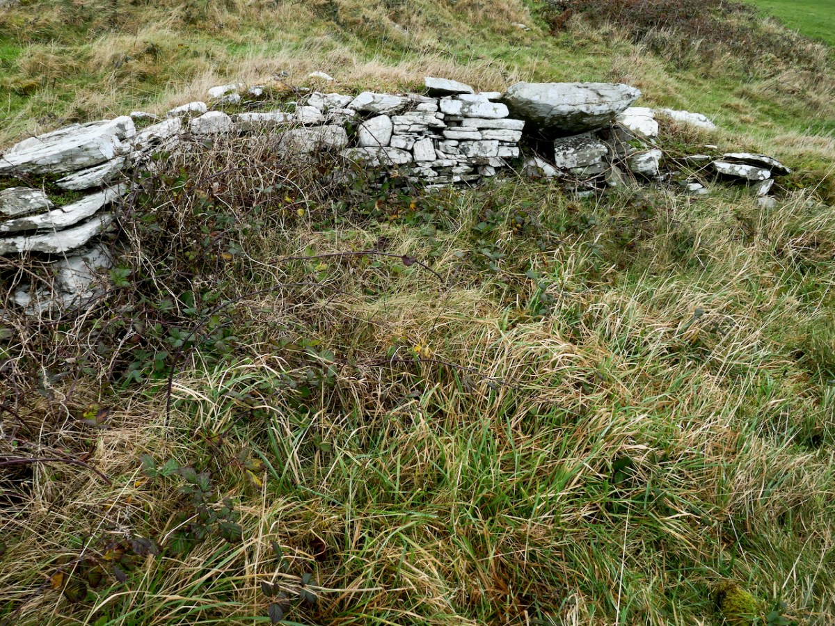
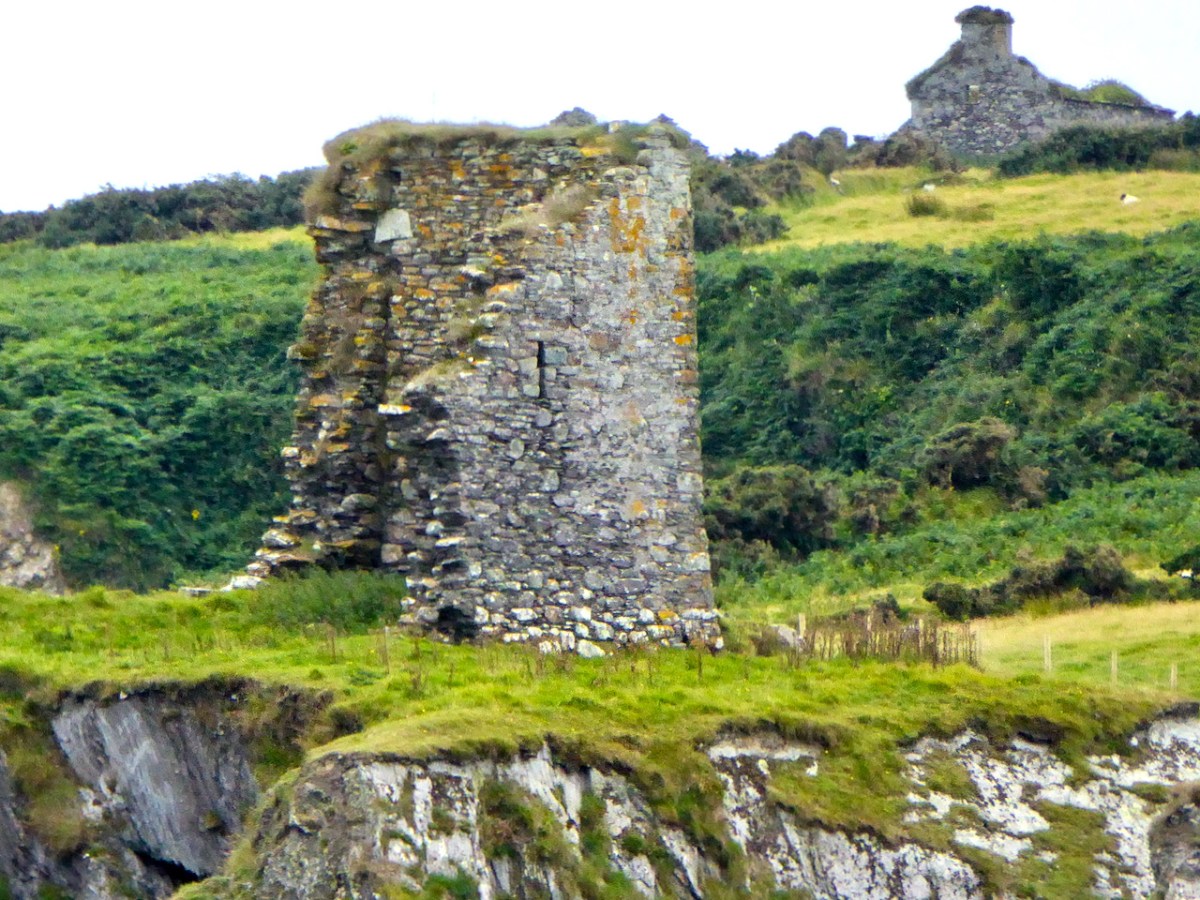
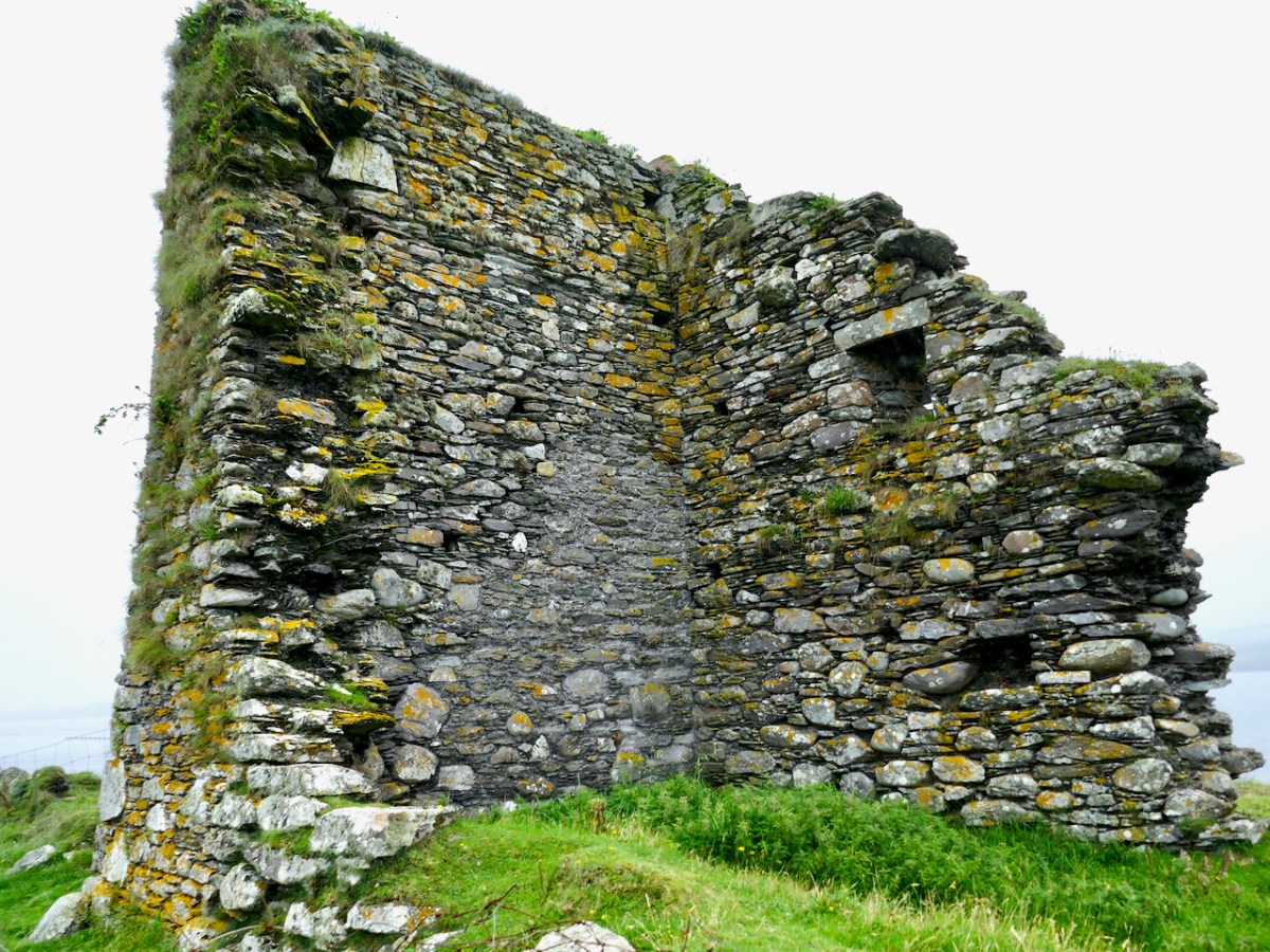
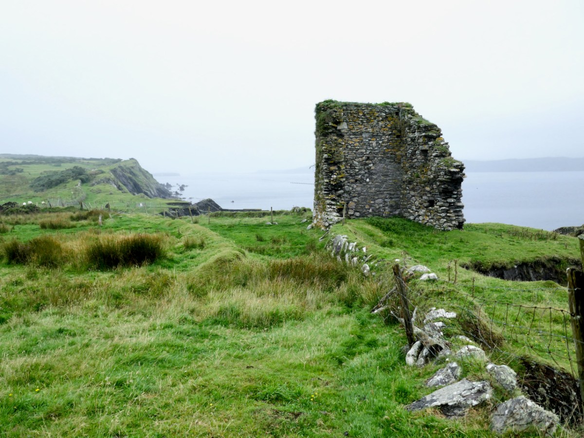
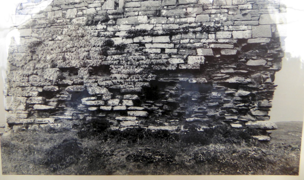
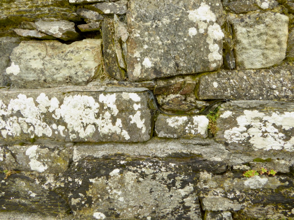
Possible remains of church at Croagh
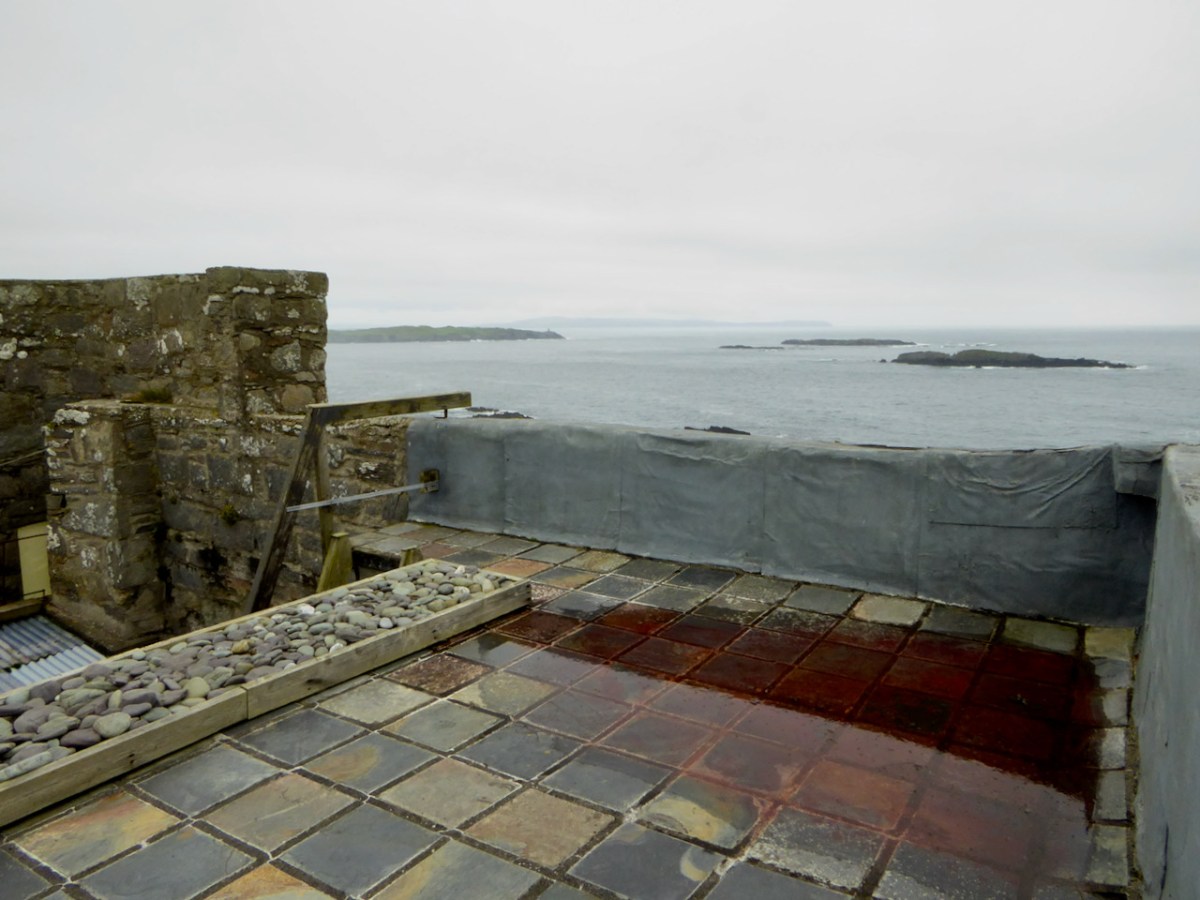
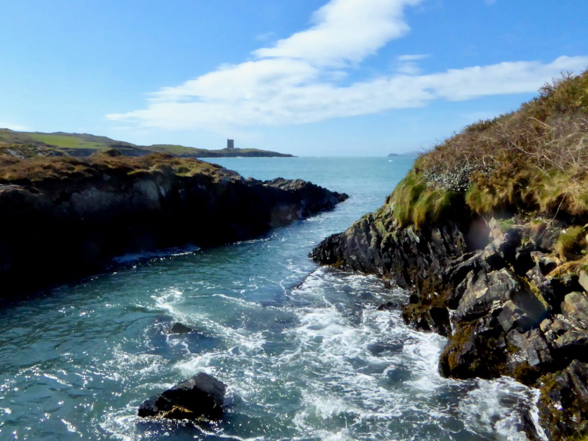
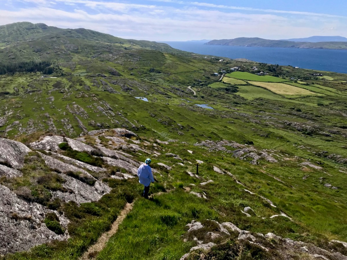
The name Croagh, however, is based not on a saint’s name but on the Irish word for a ‘stack’ and may refer to the gentle hill that rises up from the water. It was, and remains, an almost perfect spot to establish a peaceful settlement based around hard work and prayer. There’s a lovely little beach below, so transport and travel was easy by water. It’s in a sheltered haven protected from storms by Long Island off the cost, and from it there’s a good view out to sea (below) so the monks could see Vikings or other raiders coming.
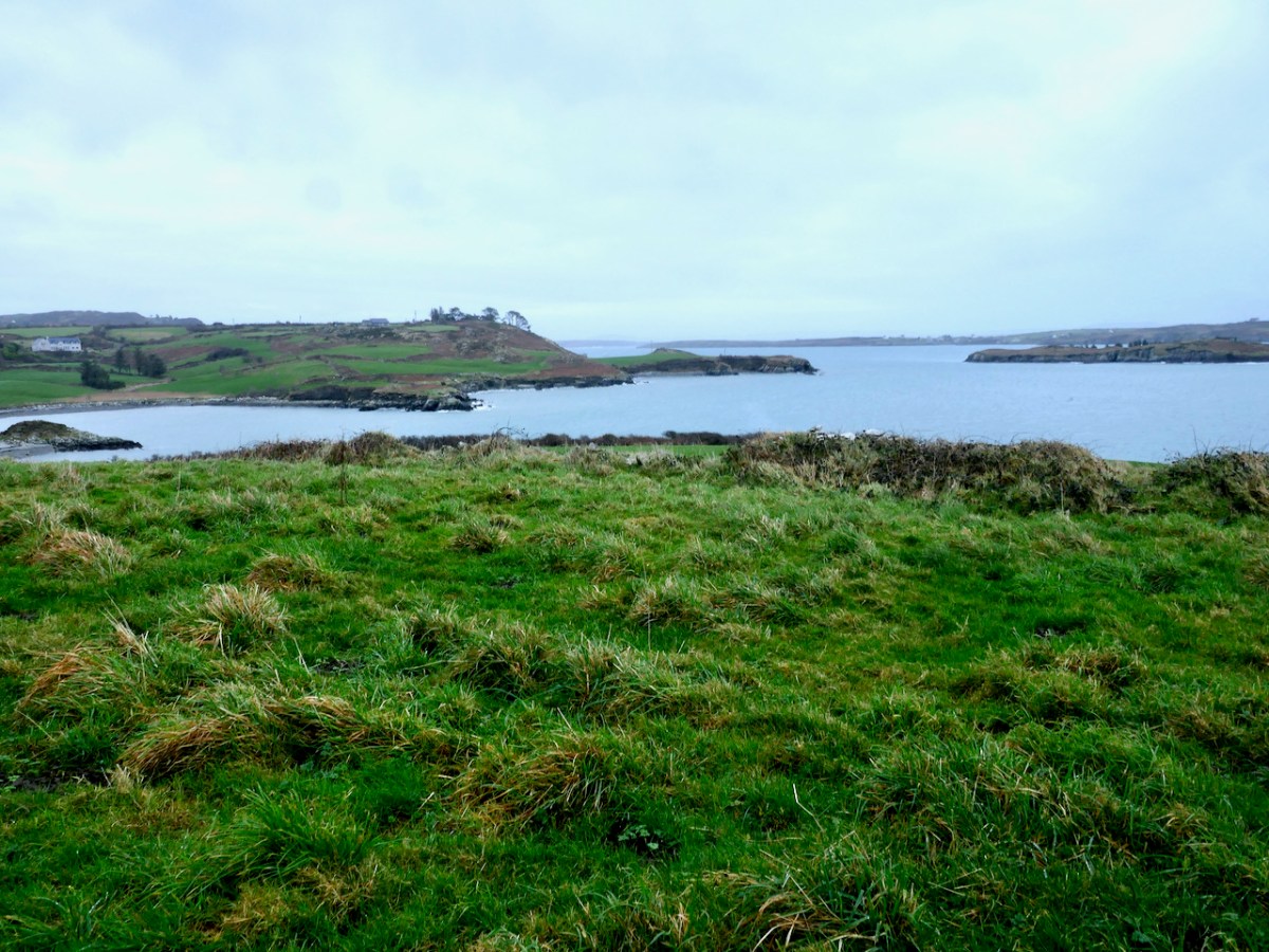
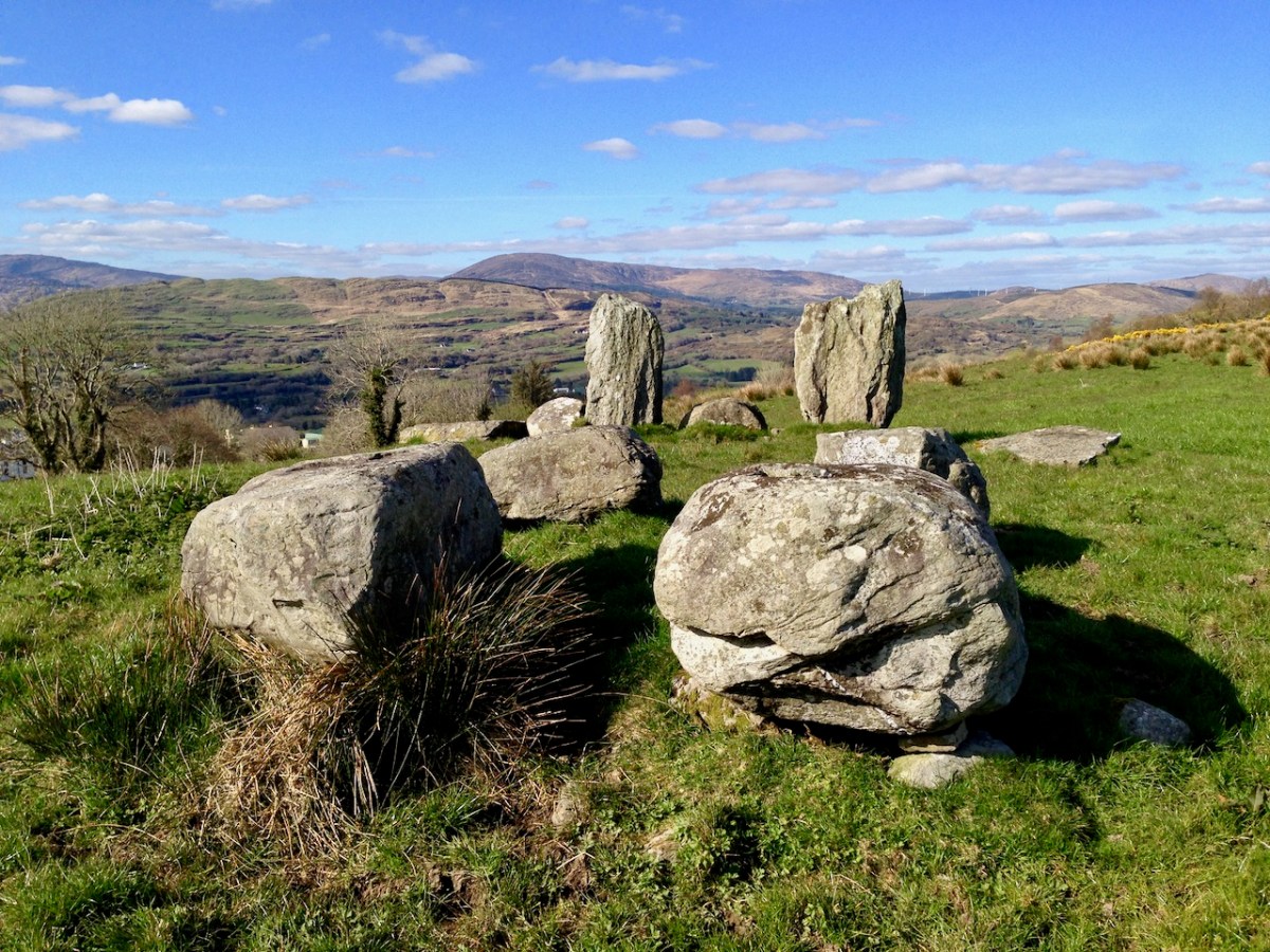
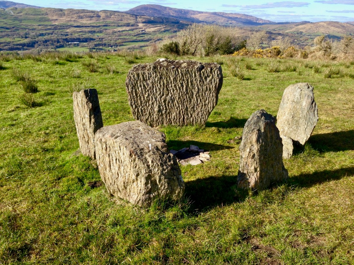
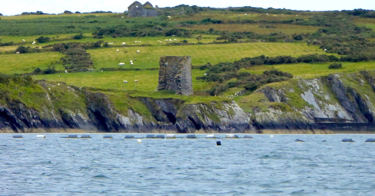
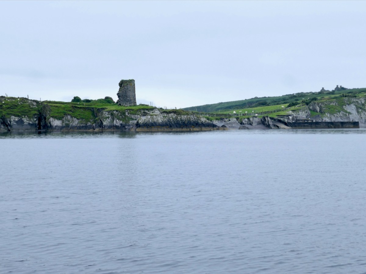
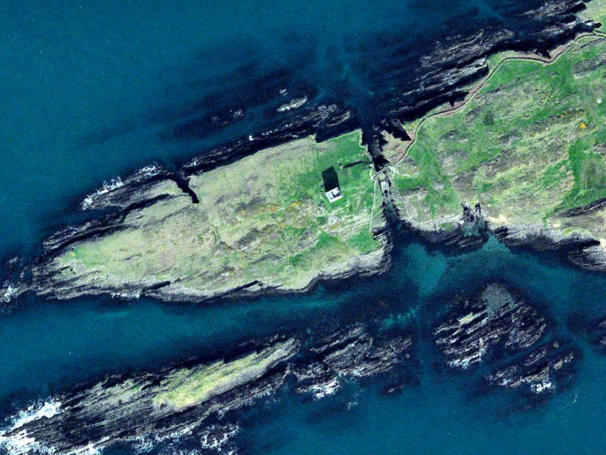
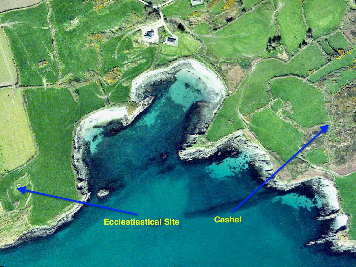
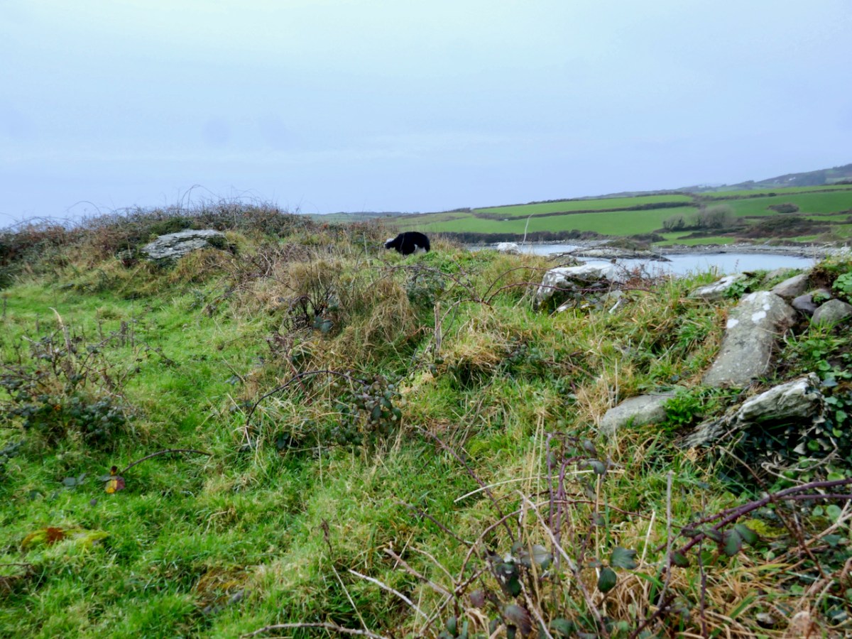
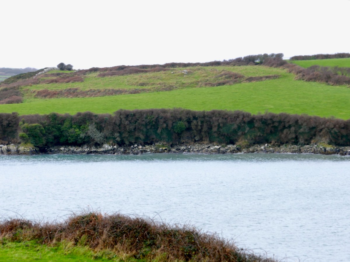
And right across the Cove there’s a ring fort – a cashel, in fact, since it looks like the walls were made of stone (below). It’s a classic – on elevated ground with commanding views all around, out to sea and to the low hills behind. Puzzlingly, this cashel is not recorded by National Monuments. It’s overgrown by bracken so may not have been obvious at the time of the survey.
This juxtaposition, across the cove from each other, of an early-medieval monastic settlement and a fortified residence, leads to speculation as to the relationship between the two. Was the monastery endowed by the local chief, committing the monks to say prayers for his eternal soul in exchange for land and protection? This is certainly a familiar pattern from the later medieval period.
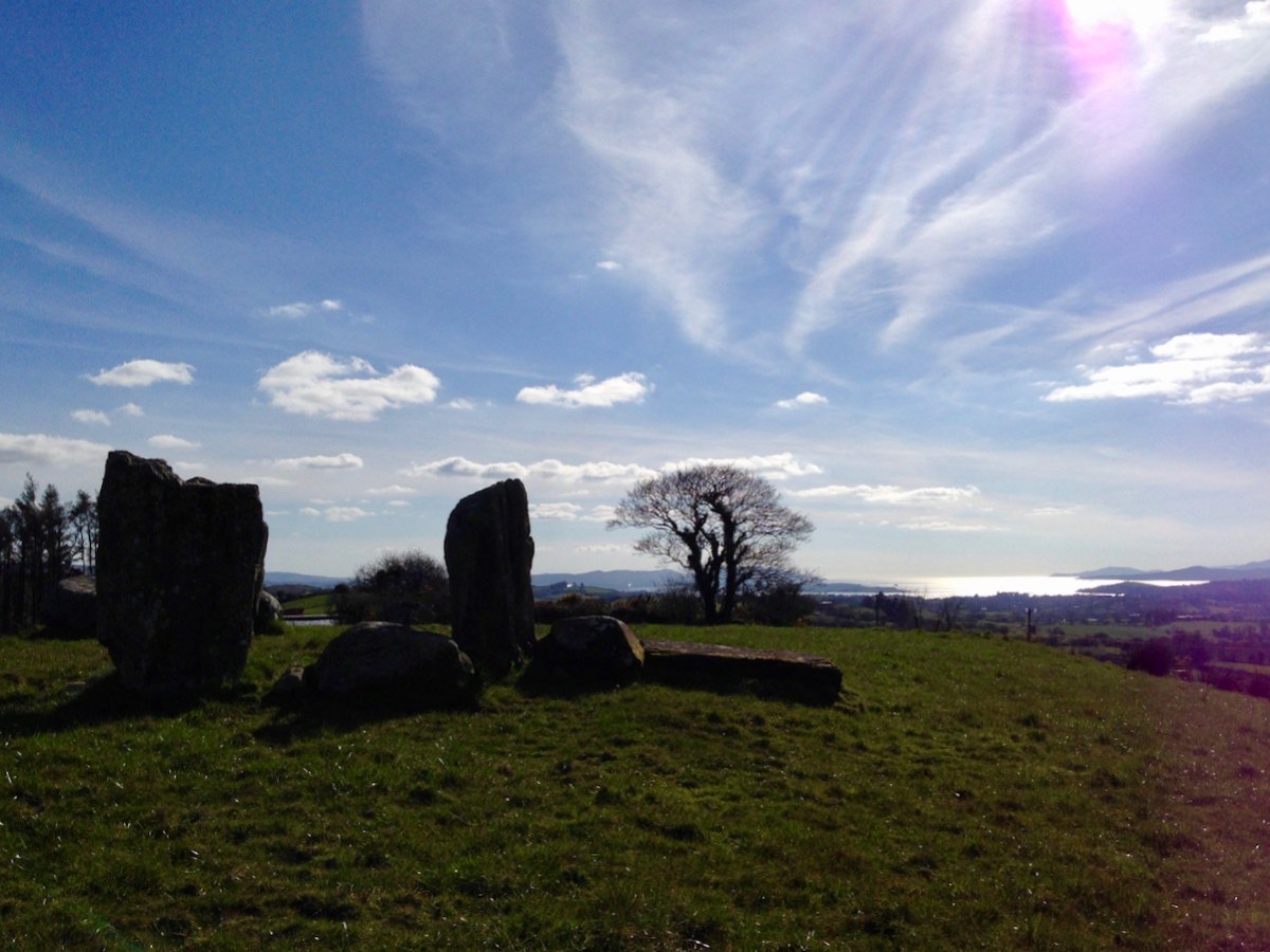
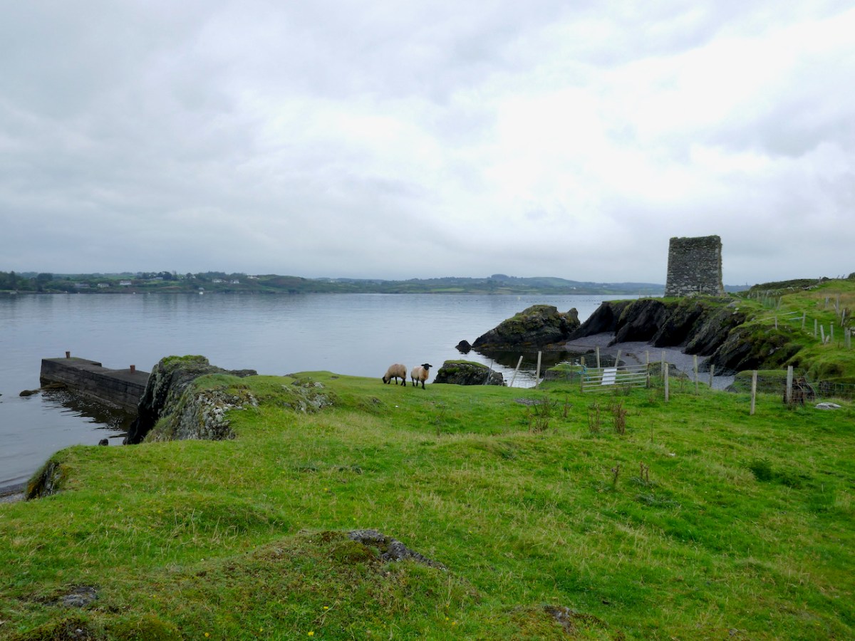
View of the ecclesiastical site from the cashel
This is just a tiny corner of the Mizen. There is much more of interest in this small townland but for today I wanted to focus on these early-medieval sites. In their ruins lie clues to a distant but vibrant past.