‘This is Our History’: The Abbey Graveyard Project in Bantry

All over Ireland there are local history heroes working to recover the heritage represented in the numerous historic graveyards that dot the country. Few groups have taken on as daunting or as important a task as the Abbey Graveyard Project Team in Bantry.
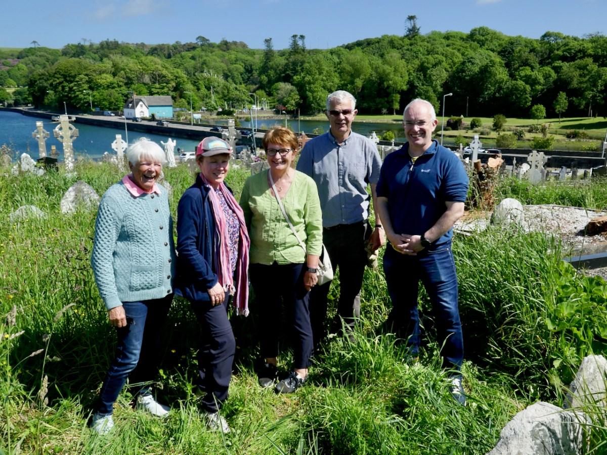
Team members Dorann Cafaro, Teresa Moran, Geraldine Mullins, Bernard O’Leary and Seamus O’Shea

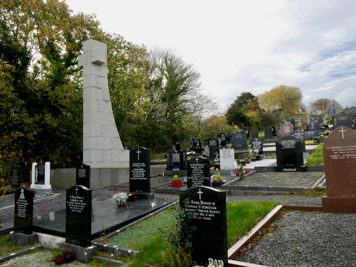
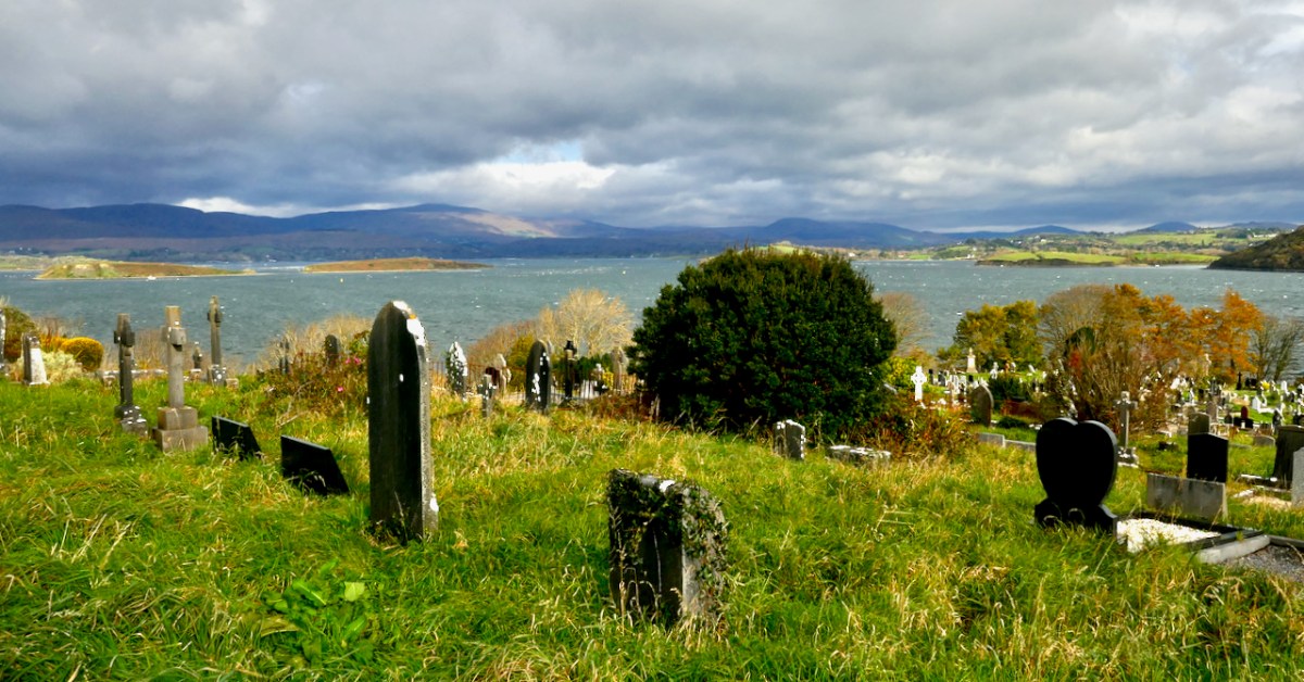
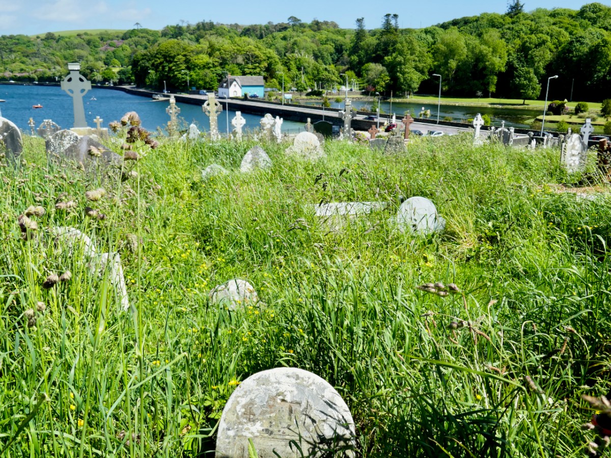
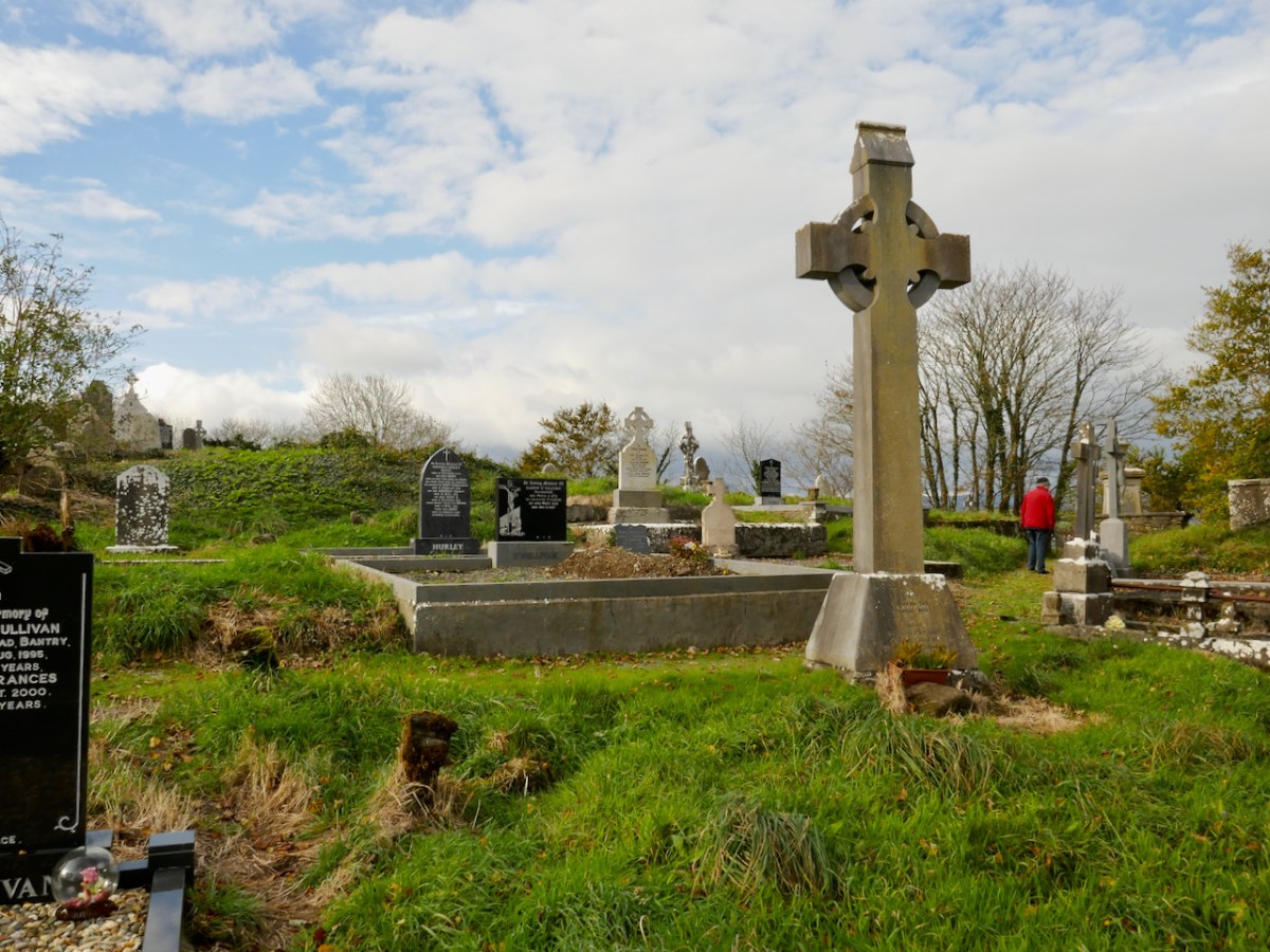
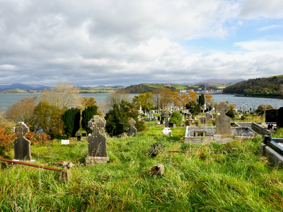
First of all, this graveyard is enormous, stretching over several acres, and secondly, the ‘old’ section has been largely untended over the centuries and so is characterised by long grass, lichen growth and tumble-down headstones. While this is understandable, as the families of those buried here have themselves passed or moved away, it makes for a very challenging environment. It also provides a startling contrast to the ‘new’ sections, where all is order and neatness, for the most part. In the image below the ‘old’ section is at the back.
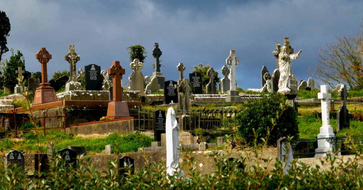
The team, however, is undaunted! If anything, they seem energised by the task ahead of them. After all, as Teresa Moran said in the Zoom presentation on the projectthis is our history. 

More recent history – this is the moving and beautiful memorial to those who died in the Whiddy Island Disaster of 1979

I was privileged to spend some time with them recently, on the invitation of the project team. Besides an extraordinary level of commitment, the group has a wide variety of skills between them, something that is key to a project like this – historians, computer folk, genealogy experts, keen-eyed decipherers of faint inscriptions. 
In the background is Pat Crowley, the indefatigable researcher behind the Durrus History/West Cork History website – following up on clues and names and records in his own inimitable way.
This is a project that is being done properly – that is, using best practice as developed by Eachtra, an archaeological consulting company that provides training on this type of survey and which maintains the site Historic Graves.
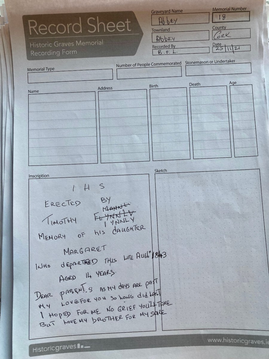
An example of a recording sheet

On this website, take a look, for example at Grave 31 from the Abbey Graveyard – photographed, numbered, geo-located on the map. It’s the headstone of Cornelius Leary Senior, who died in 1797 aged 88. The script is beautifully incised – the work of a master carver. Such a headstone is a real treasure, both for the information it contains and as evidence of the craftsmanship that went into a memorial like this for those who could afford it.
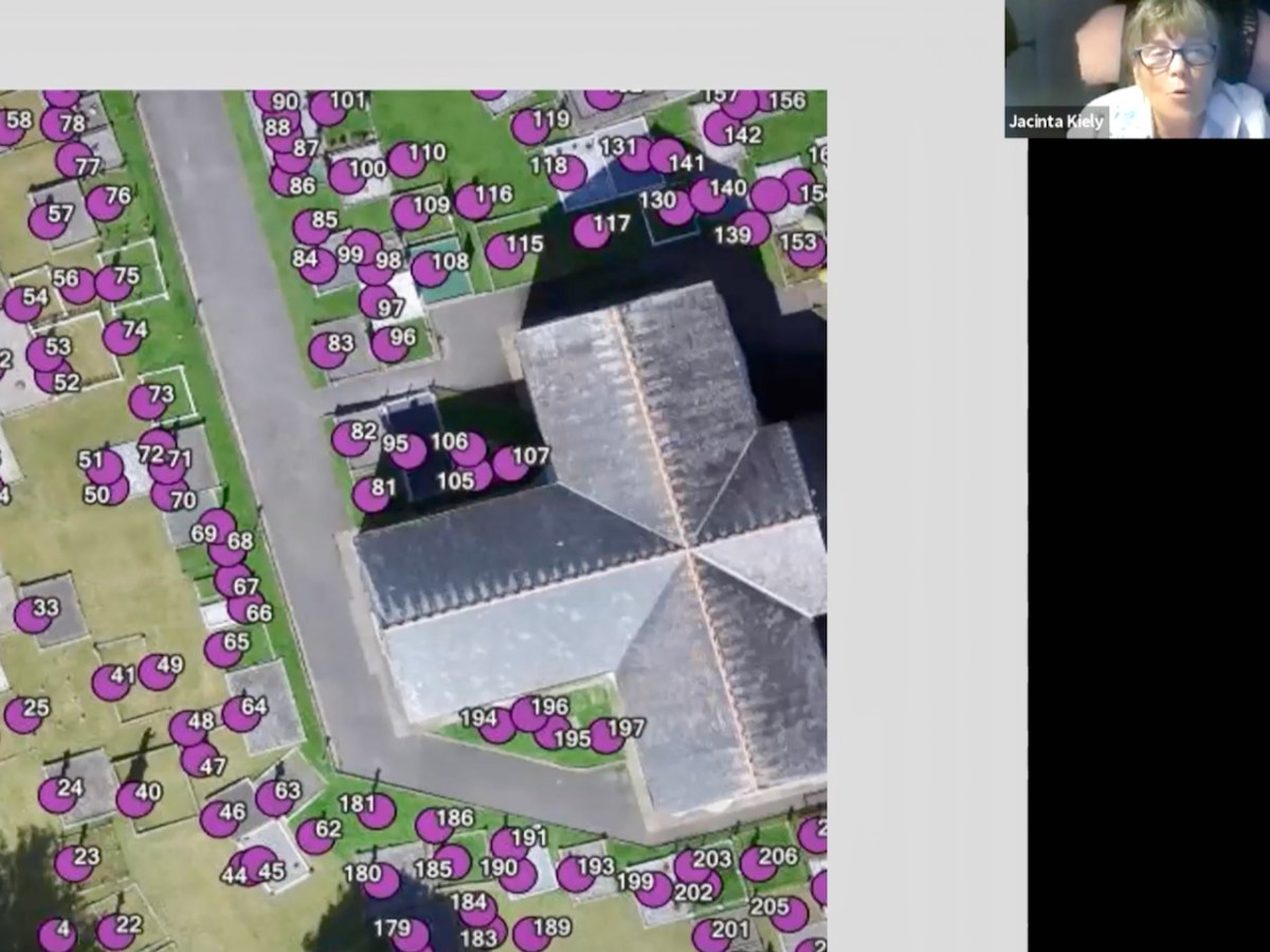
In this still from the Zoom presentation, Jacinta shows how a Drone Survey, using geo-tagging technology, can assist in providing a super-accurate map of a graveyard. Drone surveys are expensive, but the Bantry Team successfully raised the funds to commission one.

Sadly, many of those buried in the Abbey Graveyard, and in similar graveyards across the country, lie under stones with no inscription. But that does not mean that that is always impossible to identify them. Amazingly, in some areas, the knowledge of who lies under what stone is held by the elders of the area, who remember the size and shape of a field stone, especially chosen for a burial plot. That’s one of the reasons this kind of project is so vital to undertake before those memories disappear forever.
Dorann Cafaro takes the recording exercise  one step further and uploads all the records into the massive international website Find a Grave. This is particularly helpful for the descendants of emigrants who are searching for family and cannot access the information any other way. So many people now are becoming expert in genealogy and this is one of the major tools that the advent of the internet has provided for them. It’s an enormous undertaking though, to upload all those records – we are all grateful for people like Dorann!
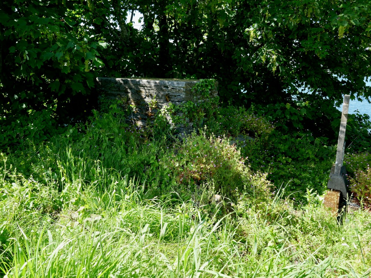
This chest tomb is the grave of Honoria O’Sullivan, sister of Daniel O’Connell

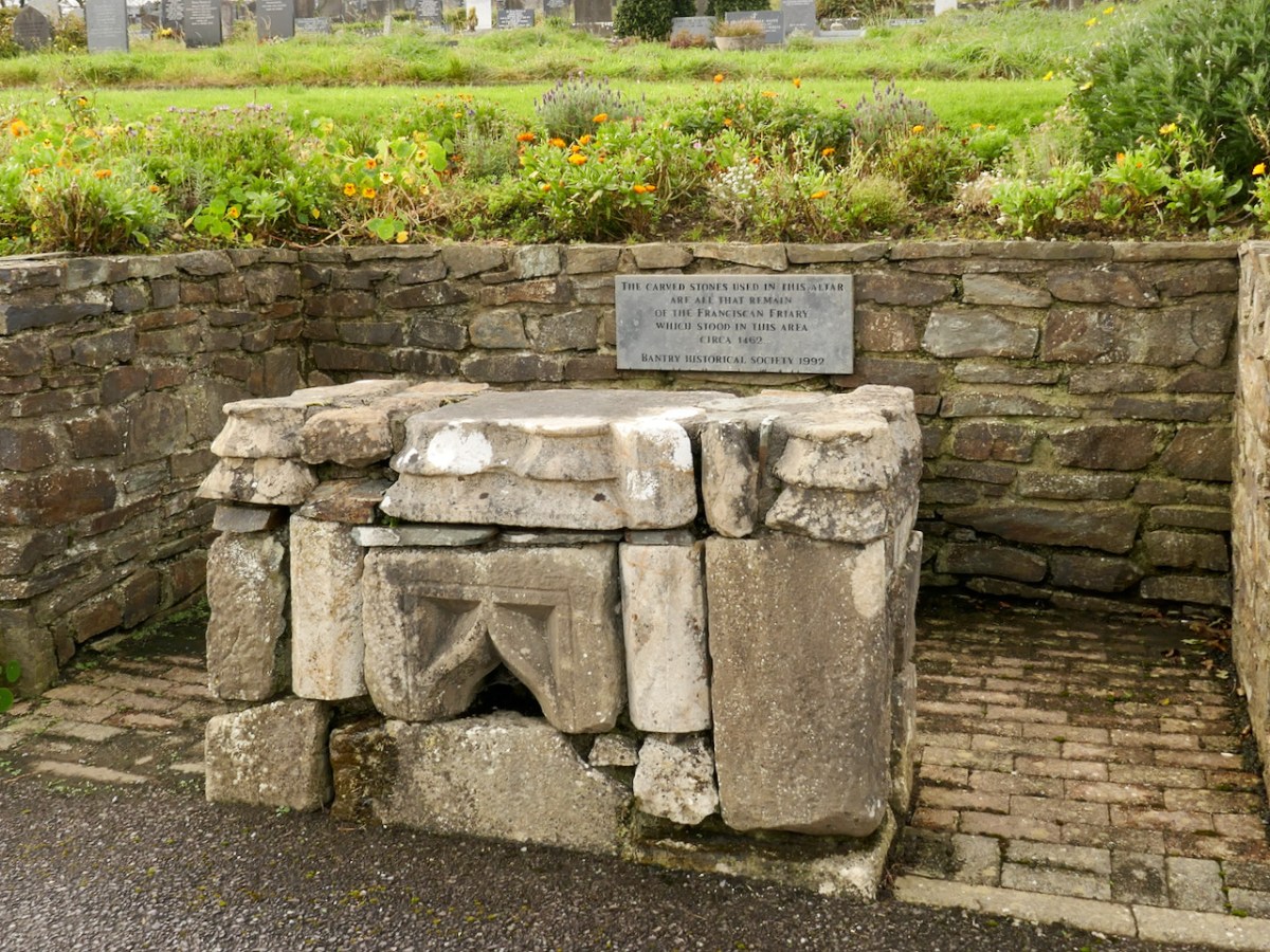
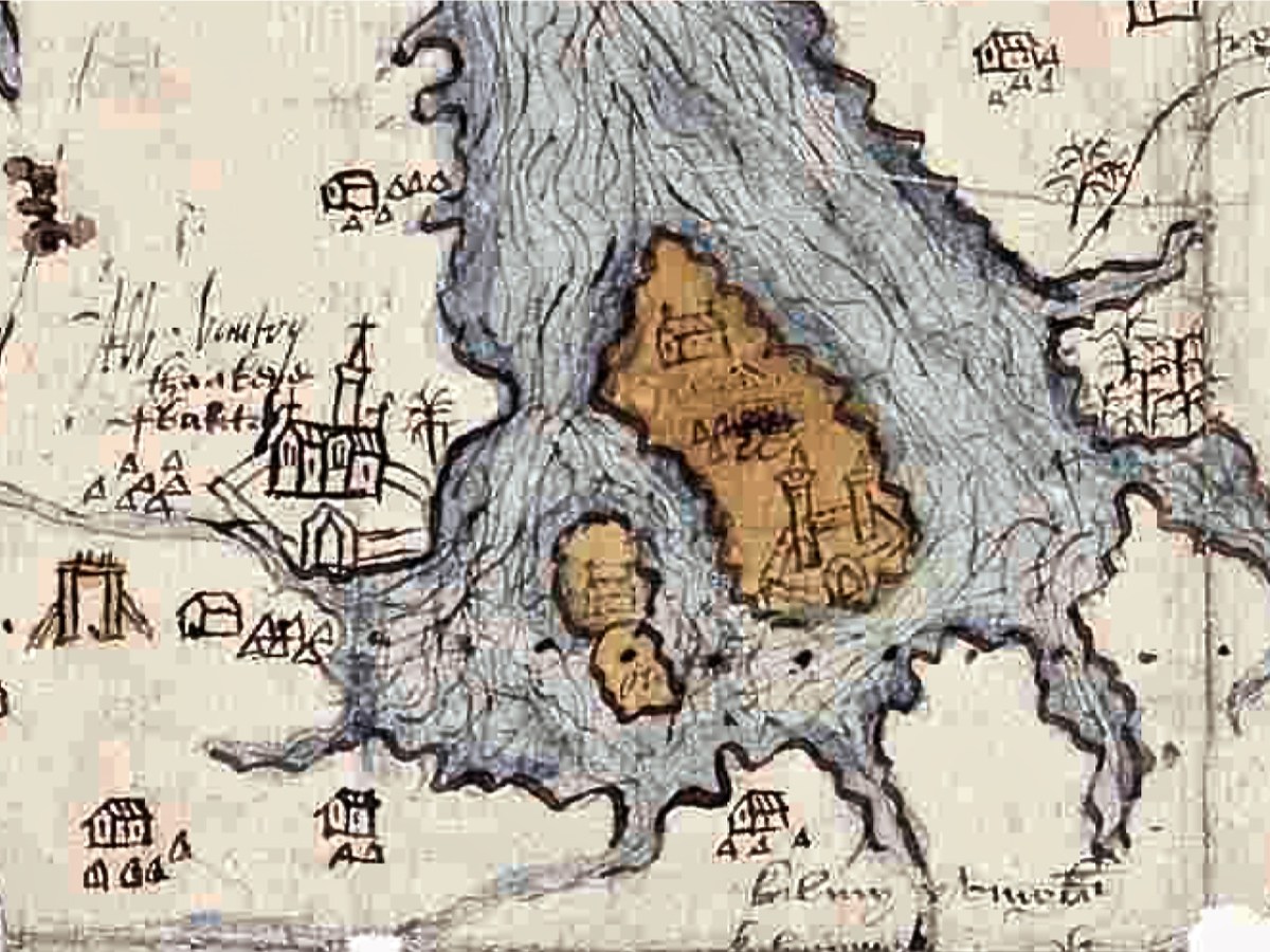
The Abbey Graveyard, as its name suggests, began as a burial ground surrounding a Franciscan Abbey, built in 1460 by Dermot O’Sullivan and demolished in 1602 by his descendant, the tragic Donal Cam O’Sullivan Beare, in order to prevent the Earl of Thomond from taking it over. Only a few random stone remain, now incorporated into an altar.
This area was one of the epicentres of the Famine – a period rigorously researched and chronicled by Geraldine Powell in her new book A Want of Inhabitants. Bodies from the workhouse – 3,000 in all, most of whom died of infectious diseases between 1847 and 1850 – lie buried in the Famine Pits, and were unmarked until Tim Healy caused a Celtic Cross to be erected in 1899 (below). However, as one of the team members, Bernard O’Leary reminds us, there were other horrendous period when large numbers of people died – of cholera in the 1820s, yet another mini-famine on the 1880s, and of TB, which was still killing thousands of people every year in Ireland up to the 1950s.
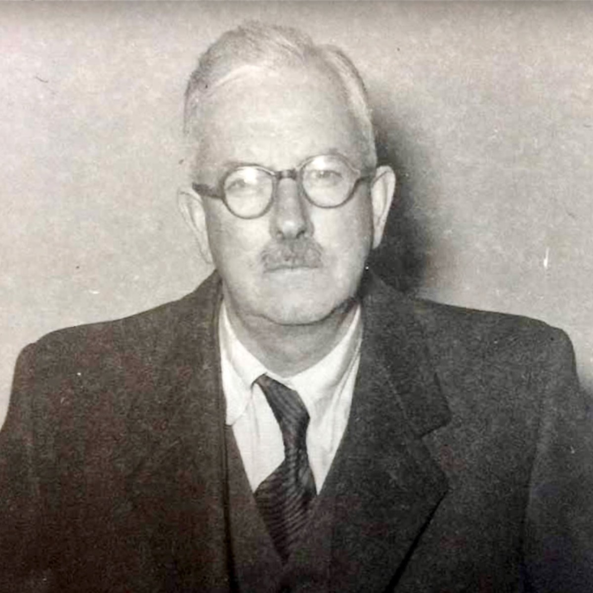
Paddy O’Keefe, noted Bantry historian, conducted the first survey of the graveyard in the 1950s and the project team has mined the database he created. This has been particularly useful, since it was done 70 years ago and some headstones that have since eroded were readable then.
Paddy also wrote about the early map of Bantry and Beare (see my post Elizabethan Map of a Turbulant West Cork and Elizabethan Map of a Turbulent West Cork 2: The Story) on which the Franciscan Friary is clearly shown (below).
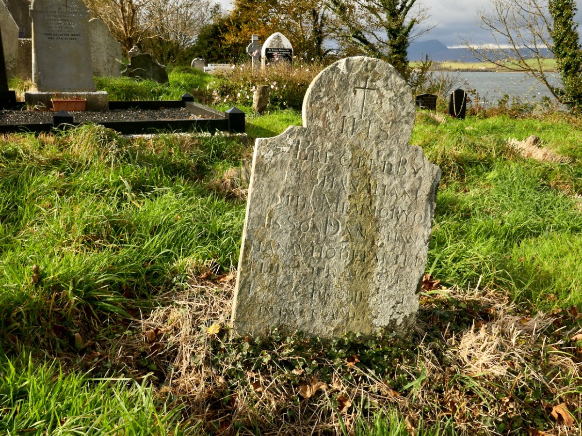
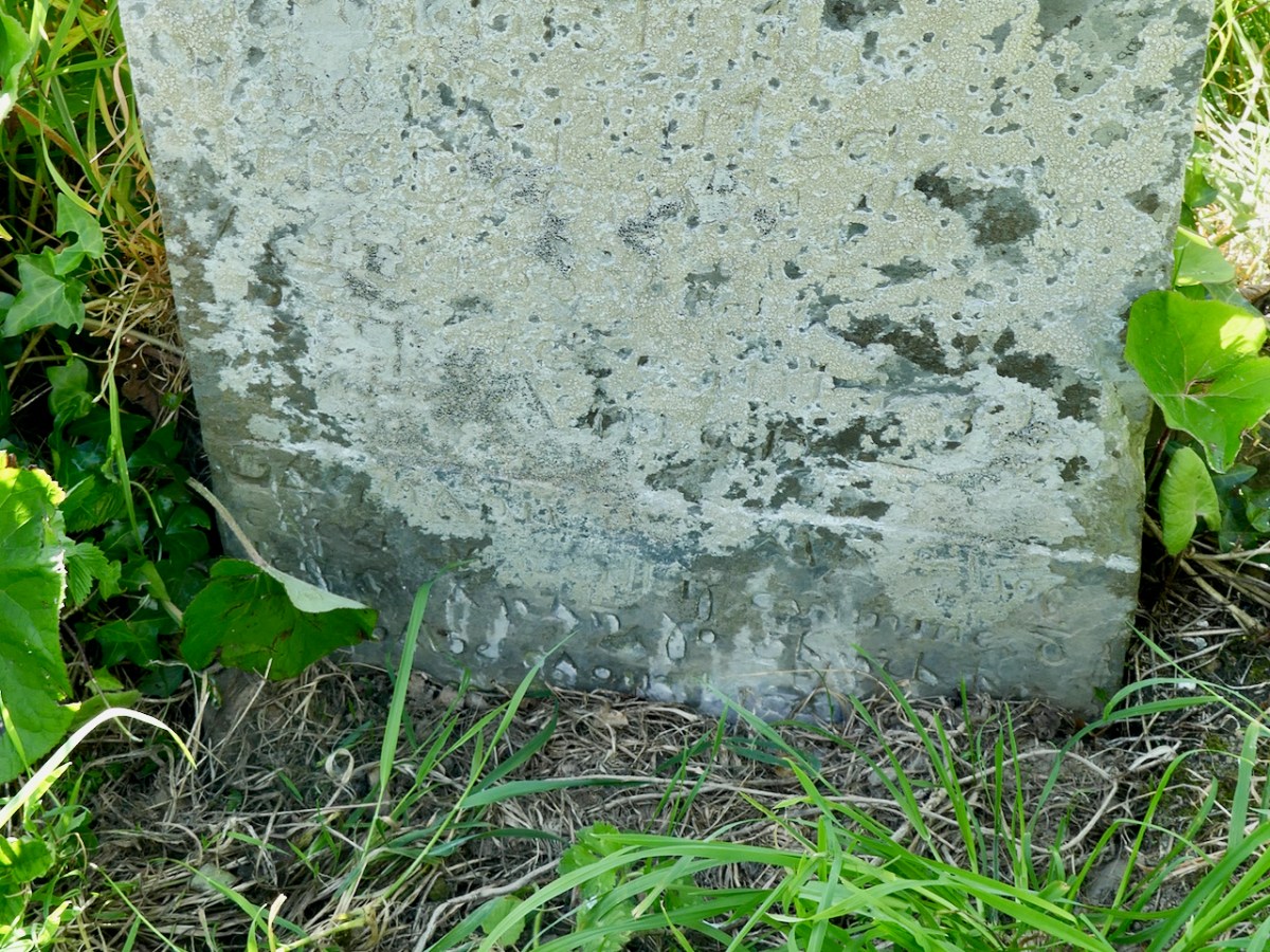
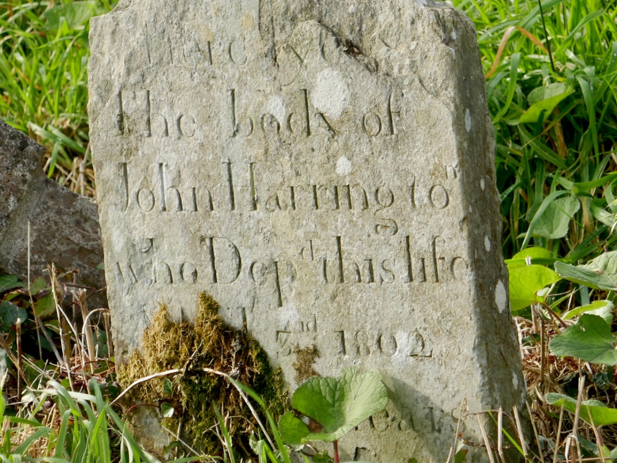
Deciphering a headstone can be a real head-scratcher, especially if it’s badly weathered or covered in lichen. Geraldine Mullins showed me several where she had figured out the inscription – she has been developing a real eye for it. Lighting becomes important – strong slanting sunlight does wonders, or a bright torch shining from the side. One particular example only became clear under tinfoil! As with best archaeological practice, the team do not advocate the use of rubbing, chalking or cleaning with stiff brushes or chemicals, all of which can promote further deterioration of a headstone in the long run.
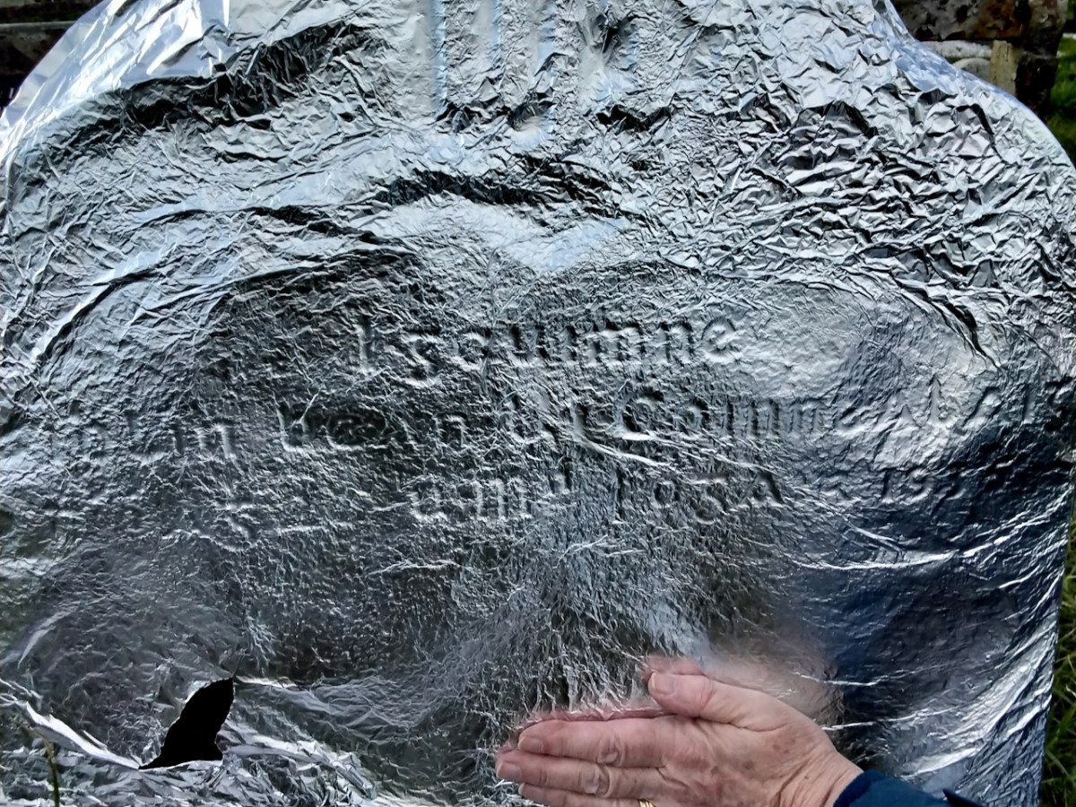
One of the exciting finds has been that of a headstone with an inscription in Irish – highly unusual! This might seem strange, since Irish was the language of most of the people buried in this graveyard, but it has to be viewed within the context of the colonial administration. Headstones were considered an official record, and the official language, under British rule, was English. After the foundation of the State, of course, Irish inscription became much more common. Geraldine has sent me the text and translation and I append it at the end of this post. As you can see (below) it took real study to make out this inscription!
Have a look at the Zoom Seminar on the Bantry Historical Society’s website, and browse what’s been uploaded so far to the Historic Graves website. It’s very much a work in progress. And if you have any information at all that might help the committee, do get in touch with them through the Bantry Historical Society contact page.
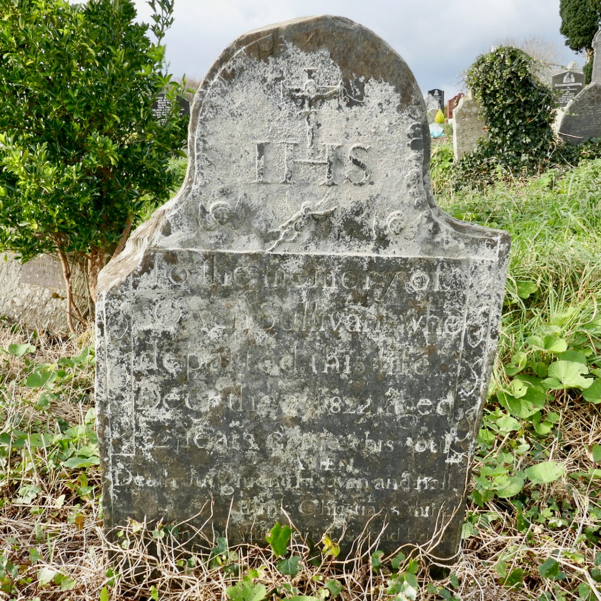
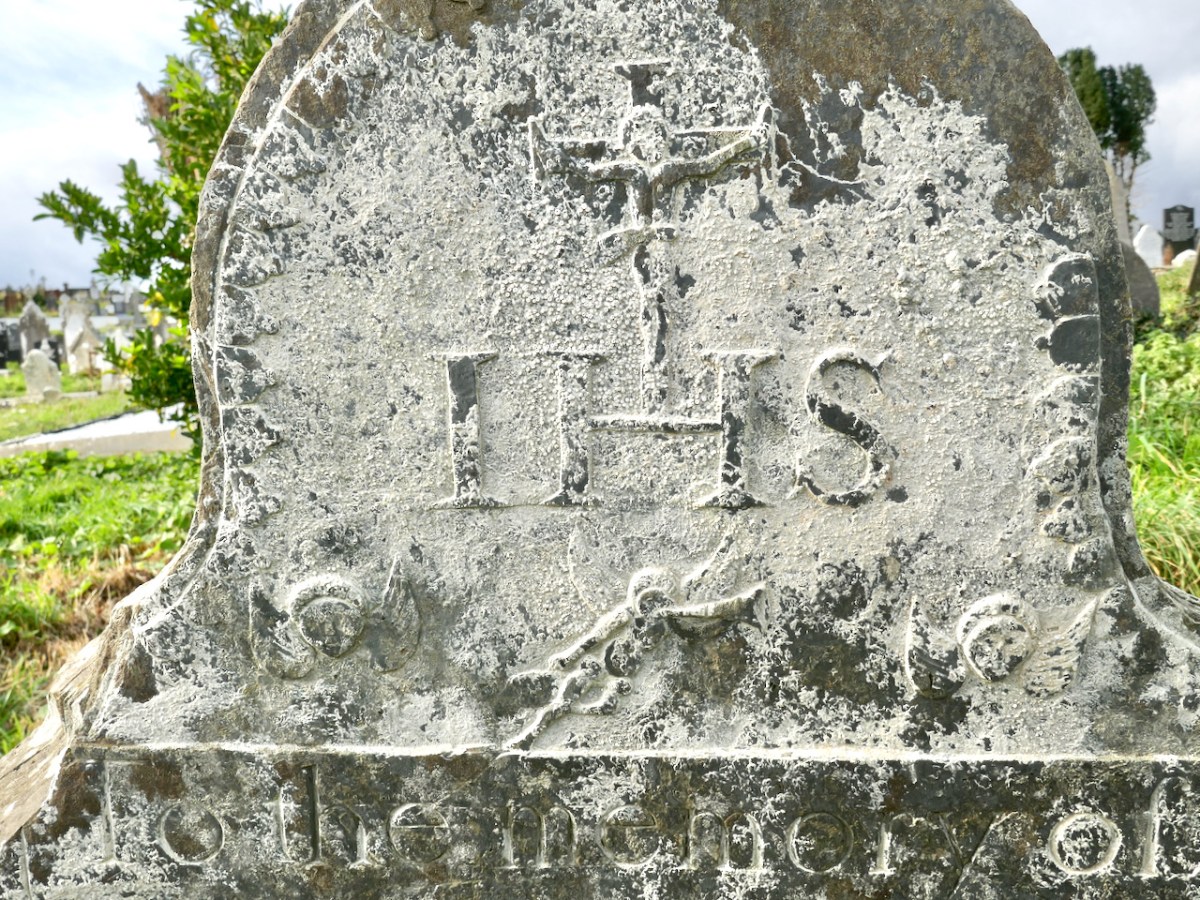
Headstone of Owen O’Sullivan, who died in 1822 has a carved top section featuring a crucifixion, two winged heads and an angel blowing a trumpet

Or better yet, take a wander through the graveyard itself and see what you can find.
Many thanks to Geraldine Mullins for sharing resources used in this post, and to all the committee members for so graciously spending time with me and answering questions.
Text and Translation of Irish Inscription

Gac naon do calam liocht /  

cathuil ui neill is cuimhine d/  

leifis an rann so g[e above]arrtha an /  

gaoghalge caoin le cheile an tathair /  

an mac 7 an naomh spriod /  

[g]uidheach do rai[.]h Dia trochurac /  

air anom do bhi ansa corp so /  

ata fan liag Amen 

Everyone of the noble, warlike line of Ó Néill and Conn, who will read this verse inscribed in beautiful Irish, pray to the Father, Son and Holy Spirit together, that God may be merciful to the soul that was in the body that is beneath this stone. Amen. 
Sure Signs

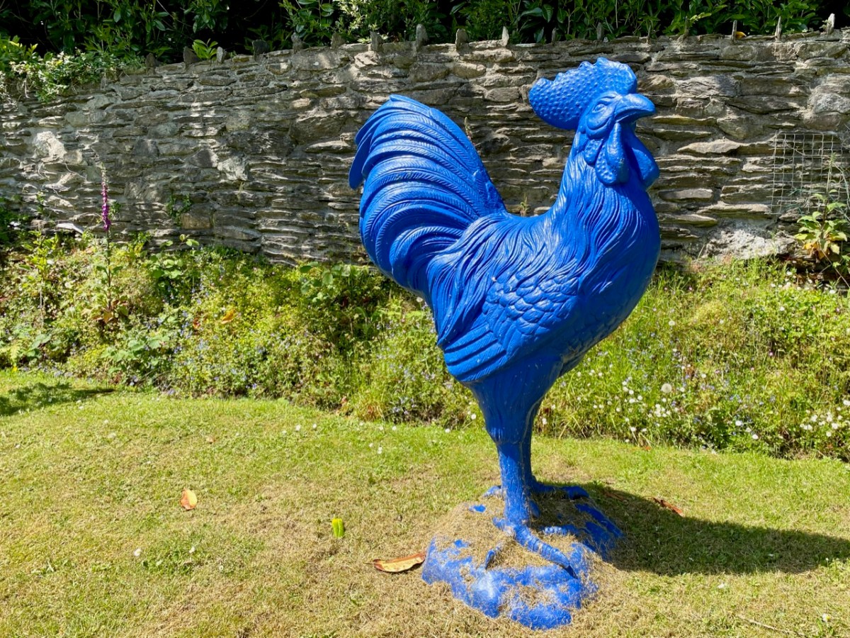
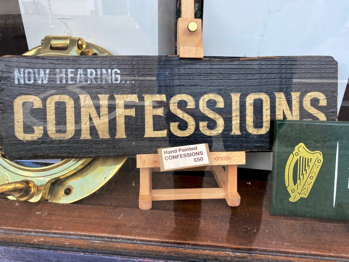
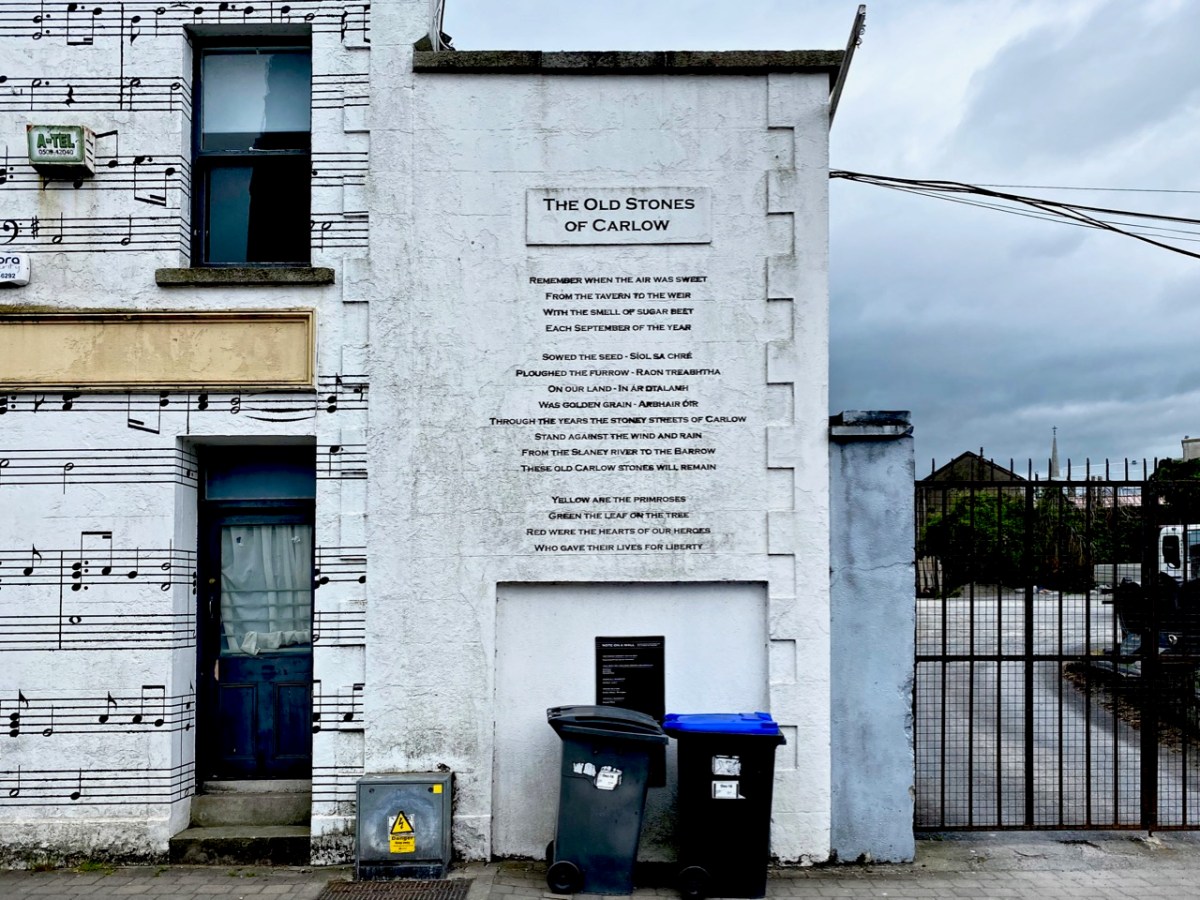
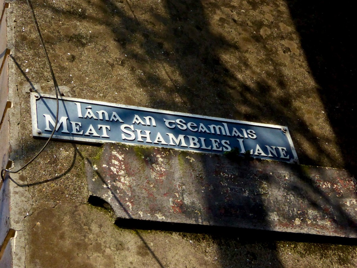
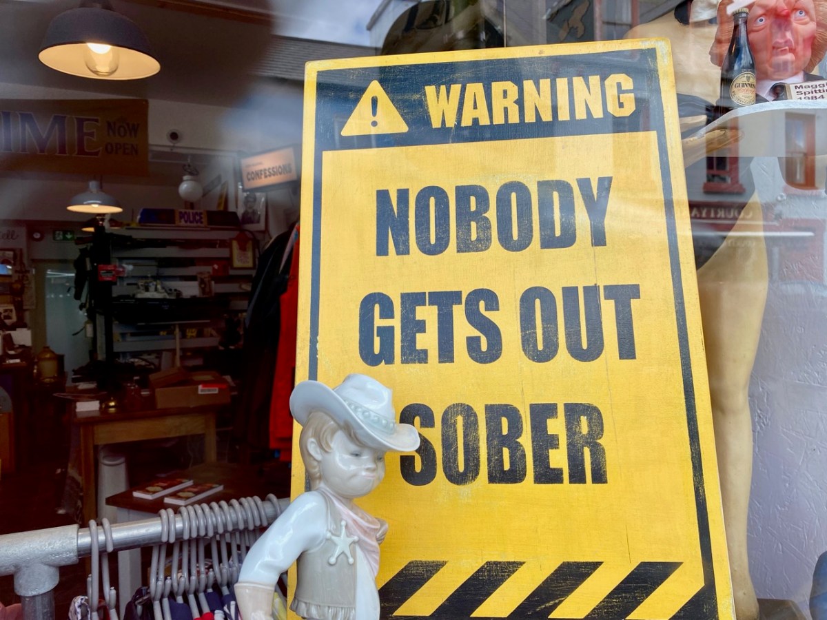
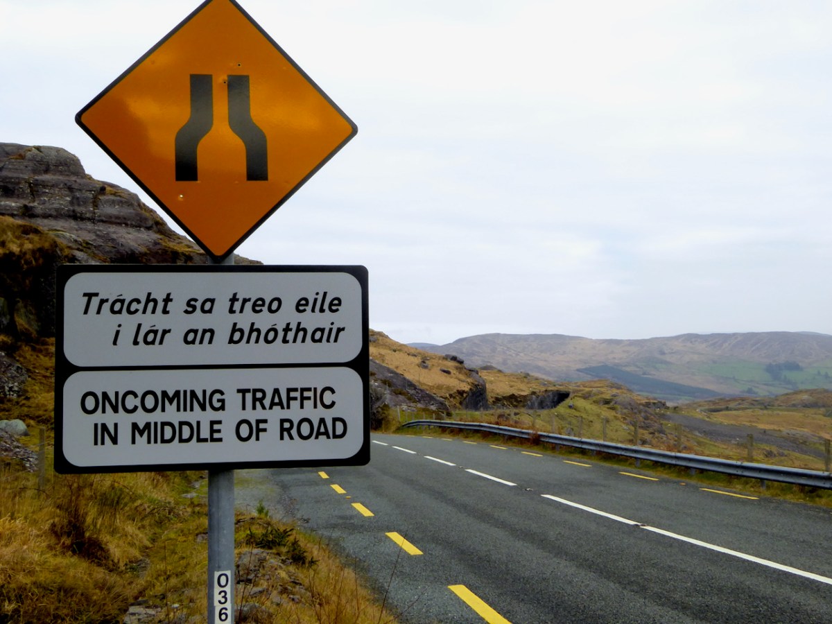
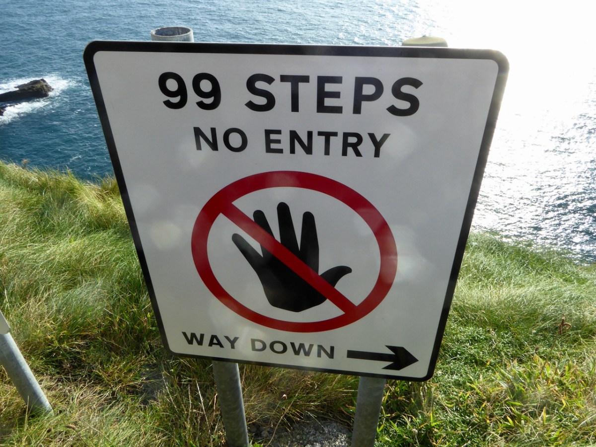
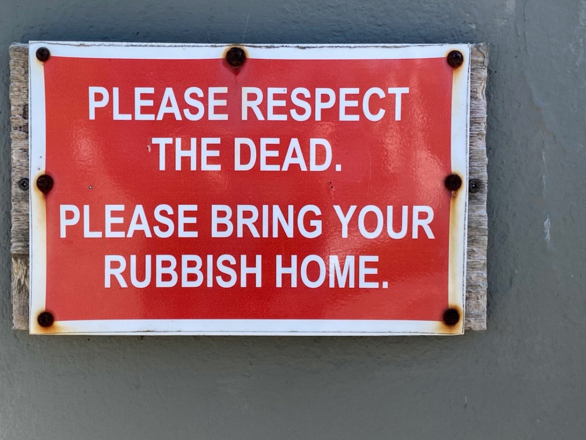
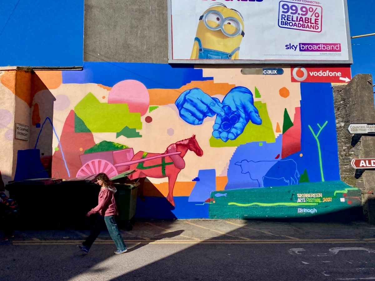
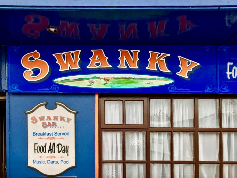
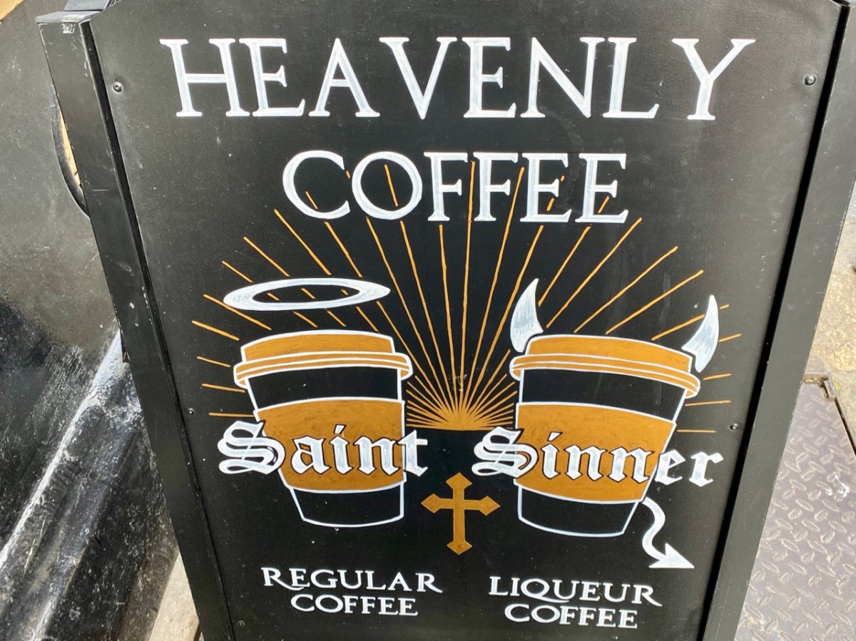
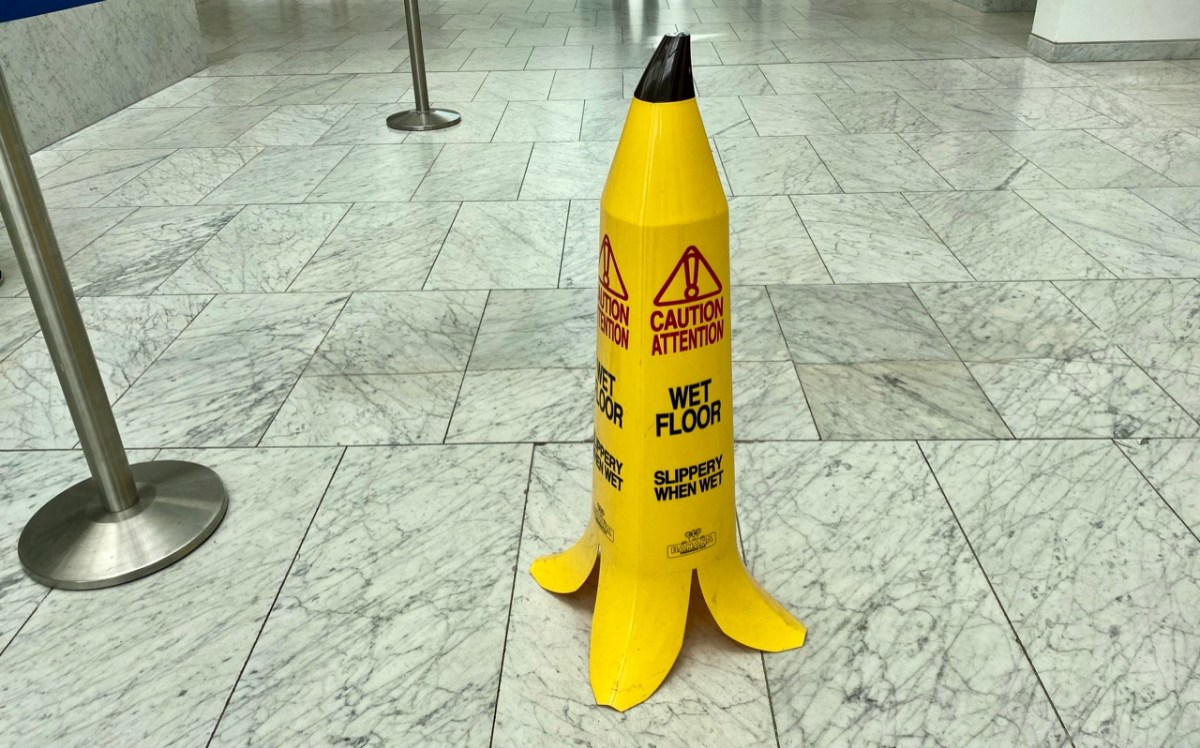
Another post about signs in Ireland: I ‘collect’ them and update them every few months. The slippery banana – above – is a classic and is to be found in the City Hall in Cork. Following it are a whole variety of examples with – hopefully – some touches of humour about them. Others have to be classified as eye-catching curiosities, including this magnificent bright blue cockerel.

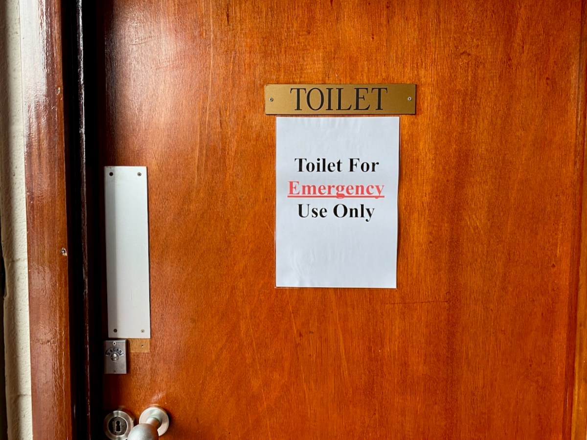
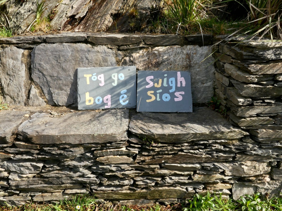
Mostly, the signs just speak for themselves…

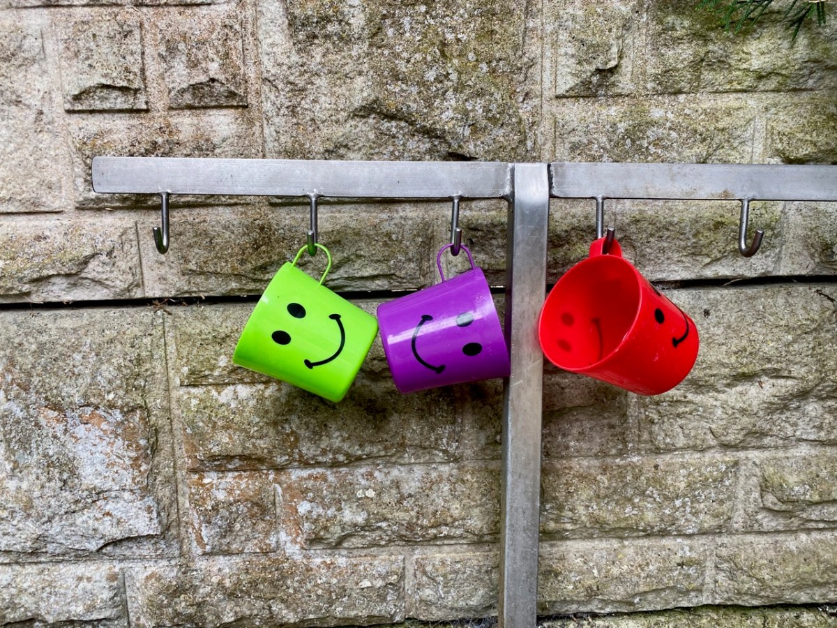
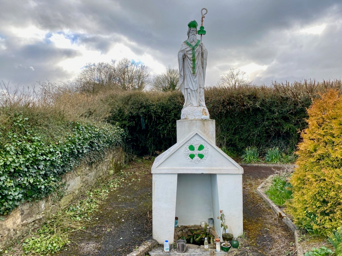
These cheerful cups can be found at a wayside Holy Well.

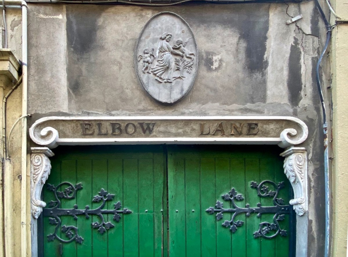
The gate above, also from Cork city, shows what architectural gems are waiting to be discovered on the streets. I was pleased – and puzzled – to come across the following:

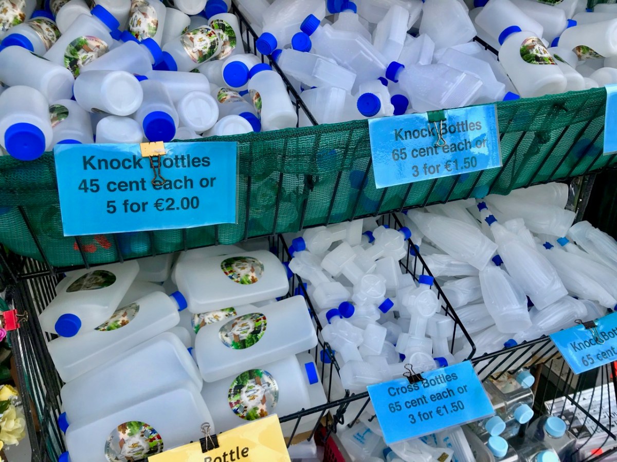
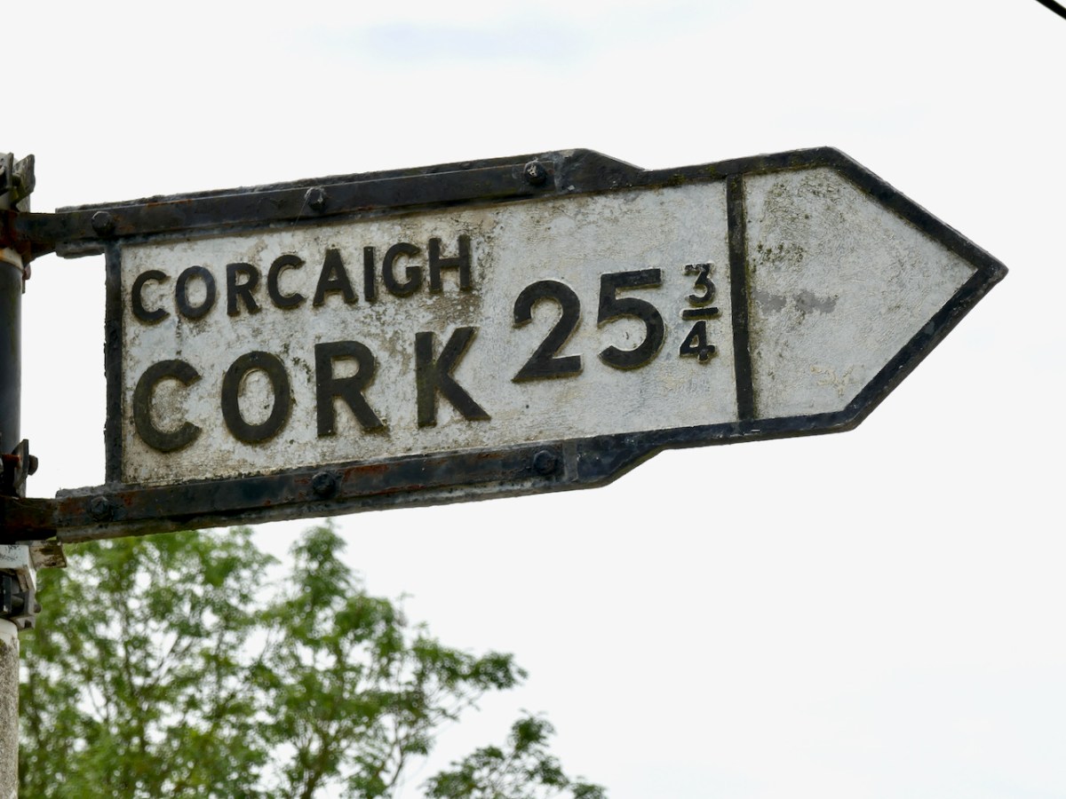
If you visit Knock (above) you can collect your own holy water. This is my report on the place. Here (below) is a curiosity – not far from our West Cork home: an old signpost marking the distance in miles. You might say it’s one that got away!

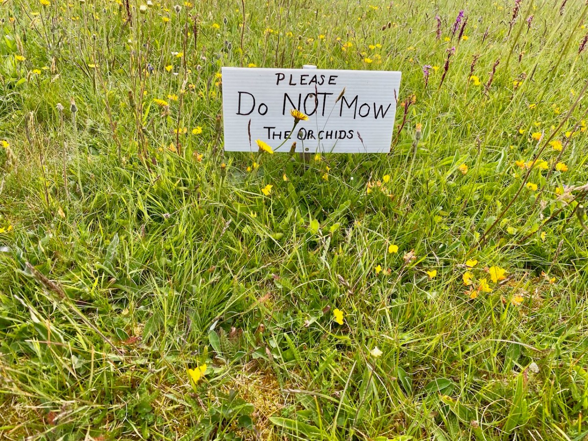
Quite right! The orchids at Toormore Church are spectacular, and have to be looked after.

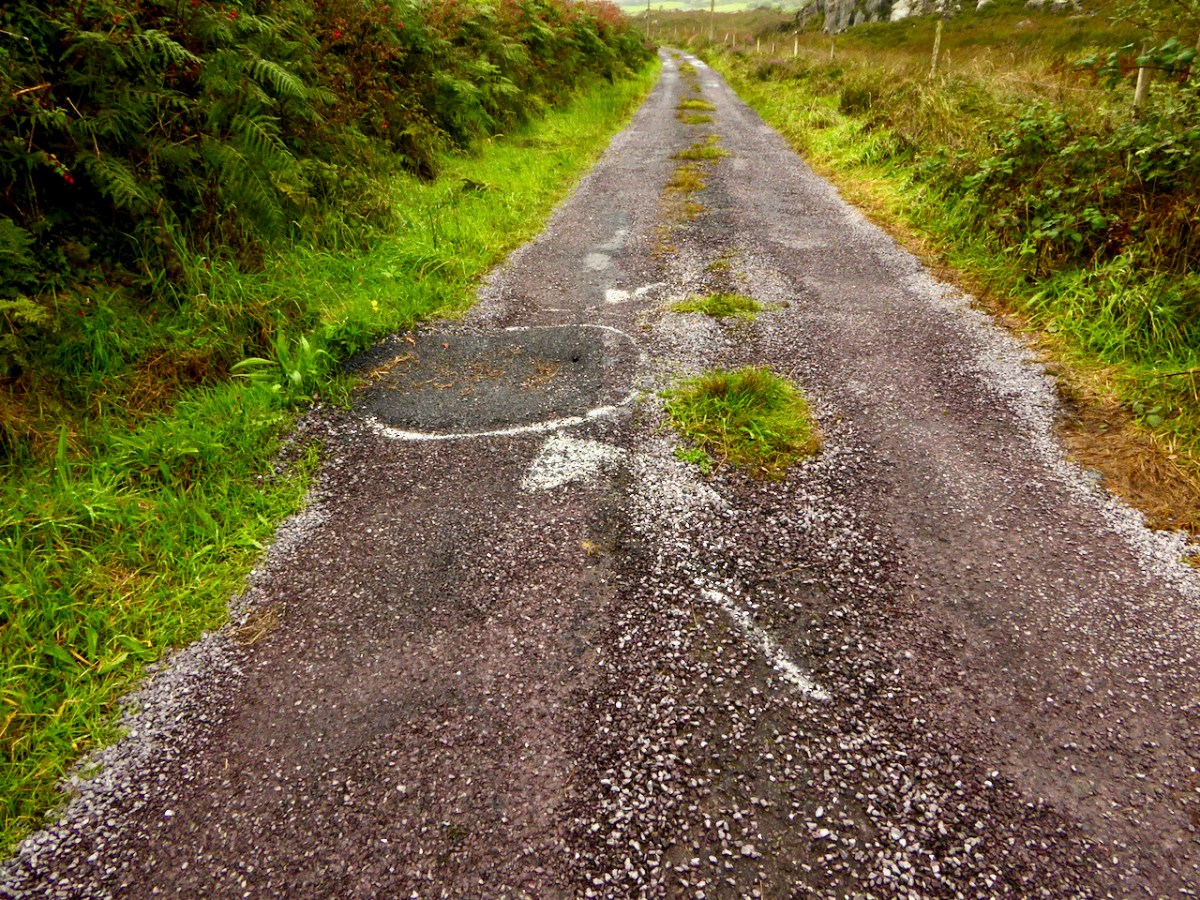
A coded message from another world, perhaps?

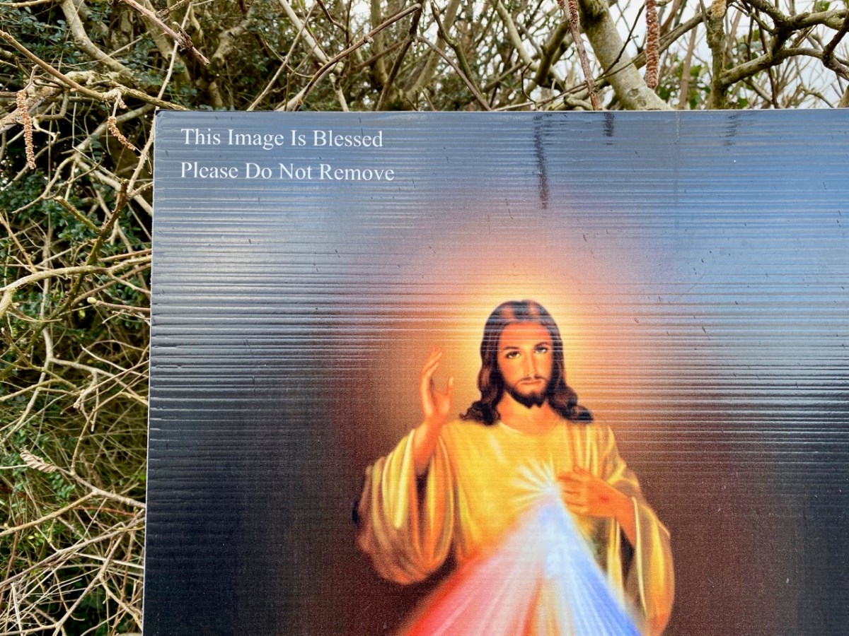
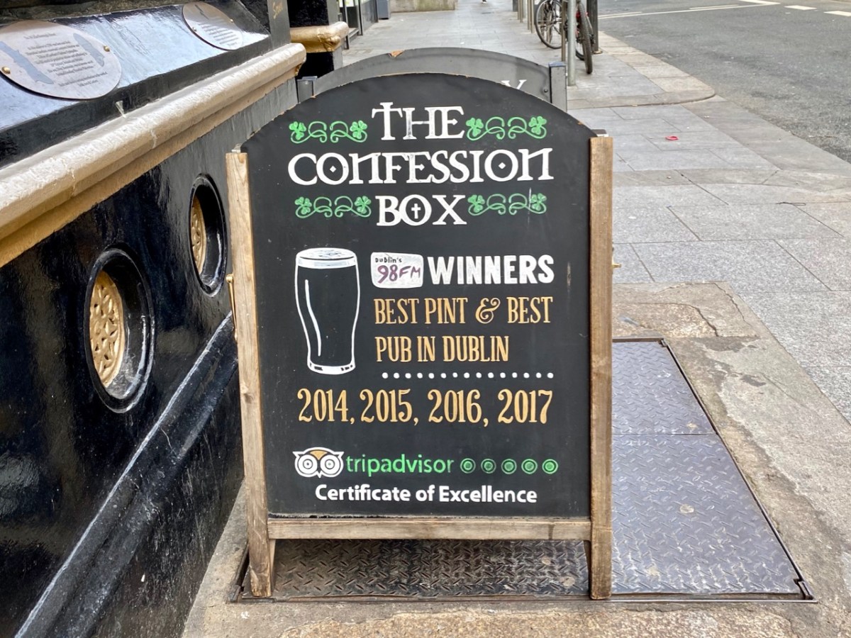
Signs can be enigmatic here in Ireland. There’s usually a reasonable explanation for them, though.

There’s plenty more where these came from (in fact they come from all over Ireland). Keep a watch out yourselves!

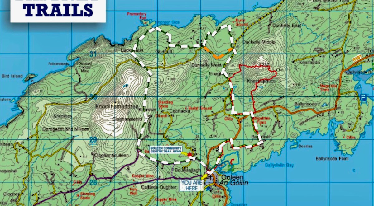
Mizen Magic 25: Gortduv Loop (Fastnet Trails)

Ready for a longer walk? If yes – this one is 13.5km and has strenuous stretches. If not, don’t worry – there are lots of possibilities for doing parts of the walk, or for going with friends and leaving a car at strategic spots. We didn’t do it all at once, in case you get to thinking we are super-fit hikers. (The sad truth is we can’t be too far from a coffee shop.) As with all the Fastnet walks, keep dogs on leads – we did encounter both cattle and sheep on this walk, right on the road. There is a short stretch of ‘green road’ and although it’s well maintained, it might be muddy after rains, so good shoes are essential.

This loop takes you from Goleen on the south side of the Mizen right across the peninsula to the fabulously scenic north side. It skirts along the edges of the valley that runs between Knocknamaddree (Hill of the Dogs) to the west, and Knockaphuca (Hill of the Pooka, or Mischievous Spirit) to the east, rising to a maximum altitude of 180m (or about 600 feet). Most of the altitude is gained in the first half of the walk – so a packed lunch and water will be both welcome and needed if you’re doing the whole walk.

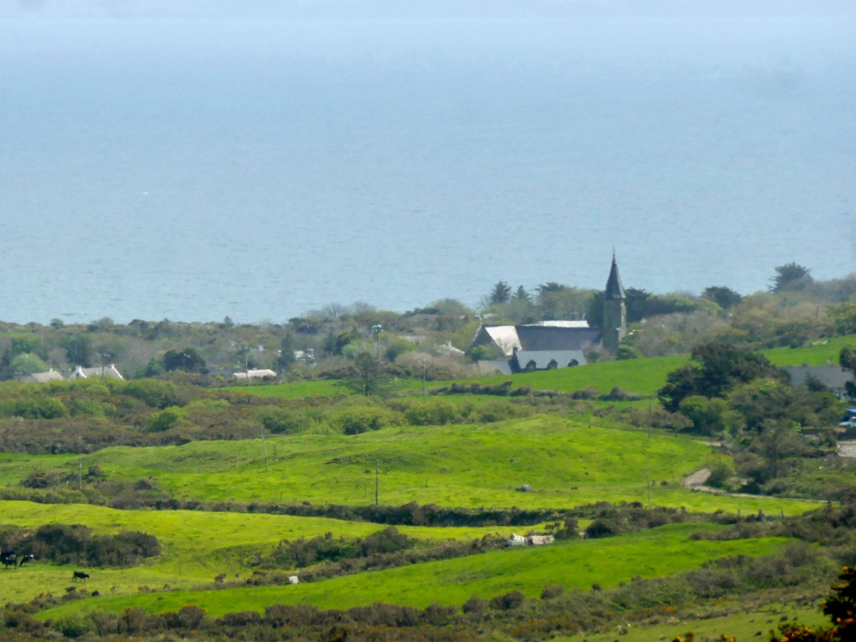
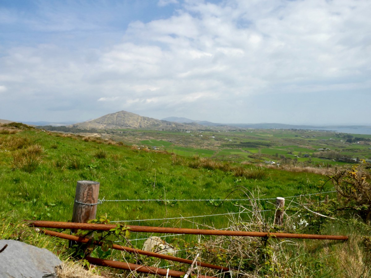
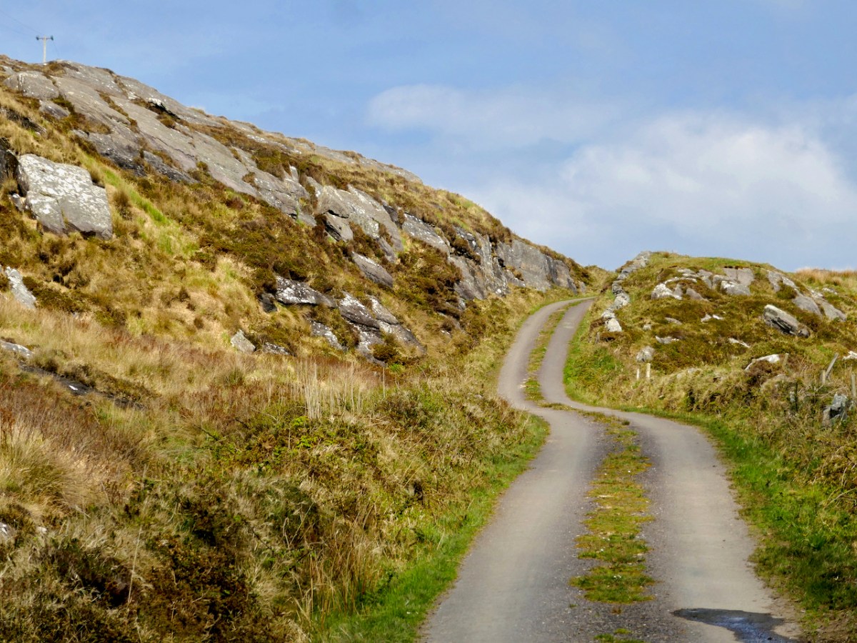
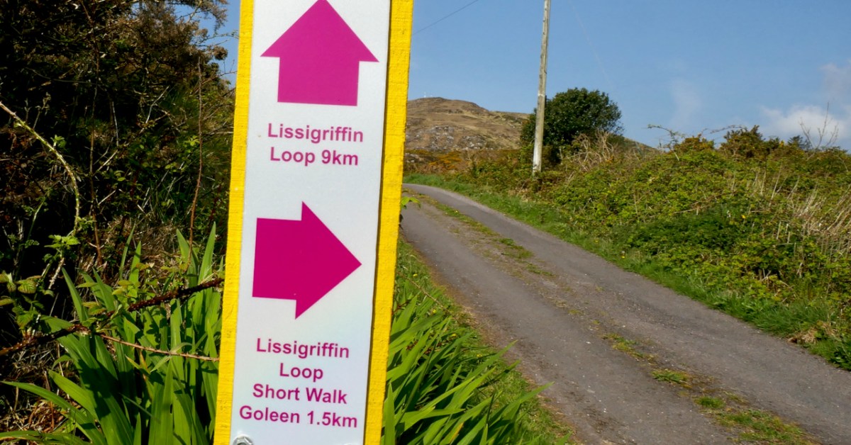
Set out from the Goleen Community Centre and the first part of the walk is shared with the Lissagriffin Loop – see our recent post on that walk. As you ascend, the views are immense – back to Goleen and across to Knockaphuca and Mount Gabriel beyond it.

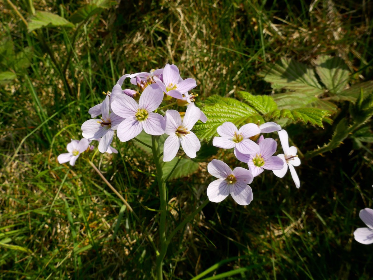
You’ll have to dig into your reserves of energy (or maybe have some chocolate) as you continue the climb. You are in true mountainy heathland now – look out for orchids in the spring and early summer, or Cuckooflower (below) in damp ditches.

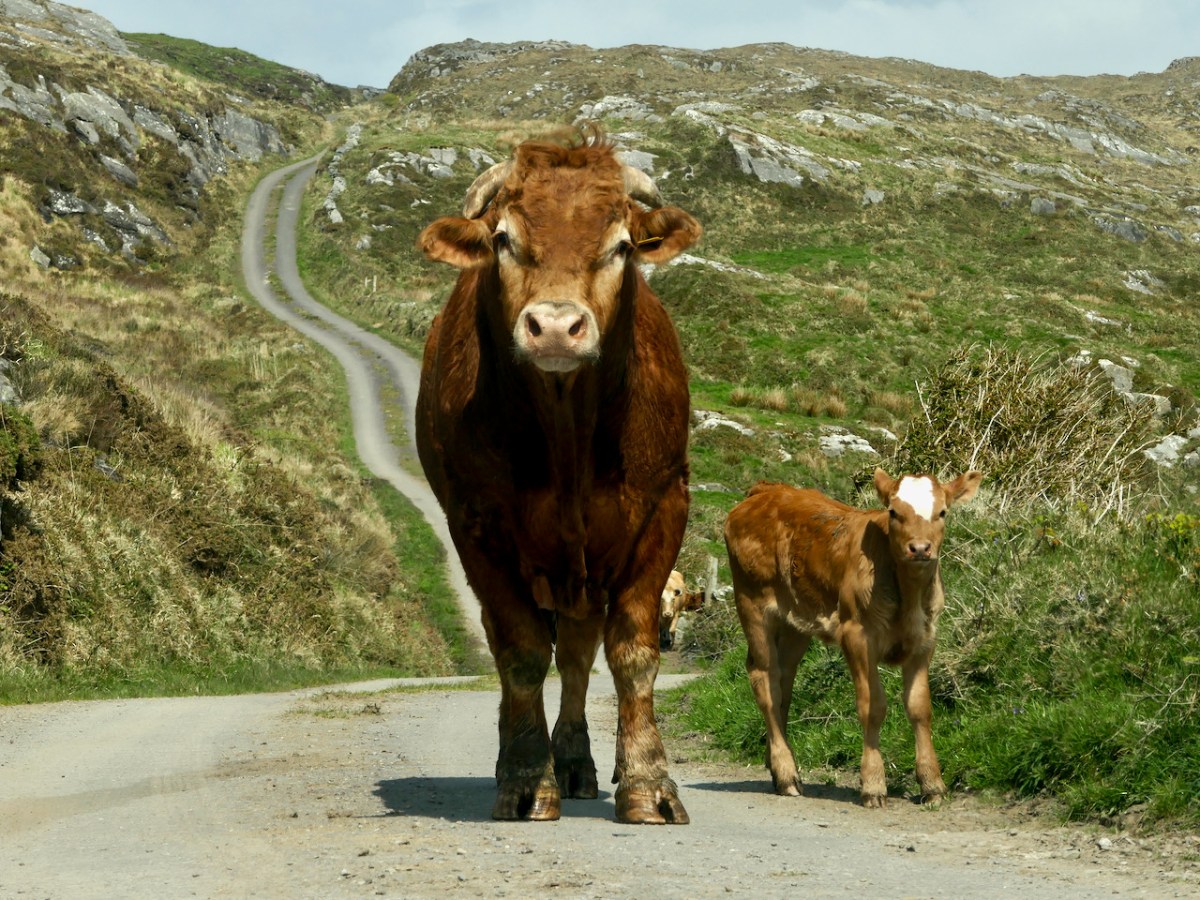
Watch out also for cattle on the road – we were startled by a line of plodding cattle coming towards us, and even more startled when we realised that one was a mighty fine bull. Fortunately, they turned into a field before we reached that spot, but there was no human around and the gates were open, so we can only assume we were simply in the wrong place at the wrong time as it is very unusual (although not unknown) to see cattle wandering like this.

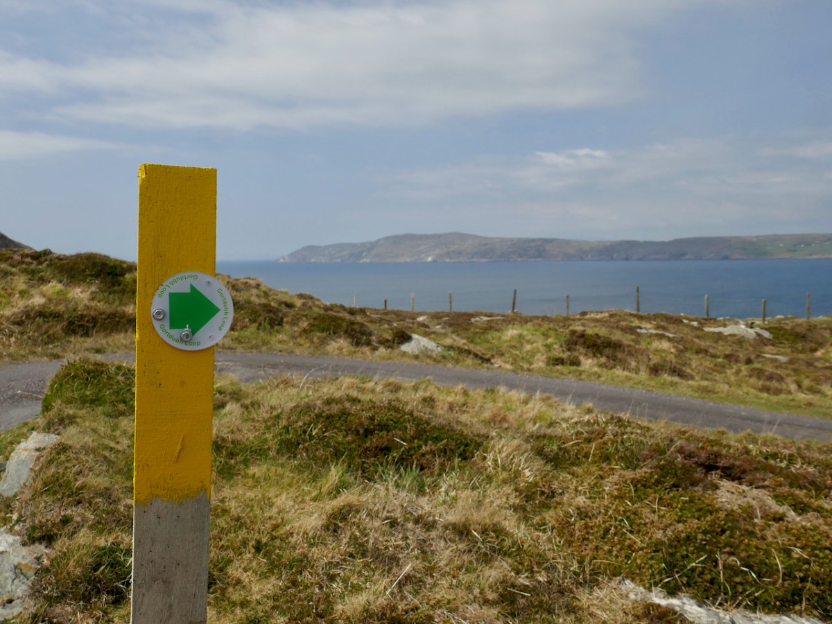
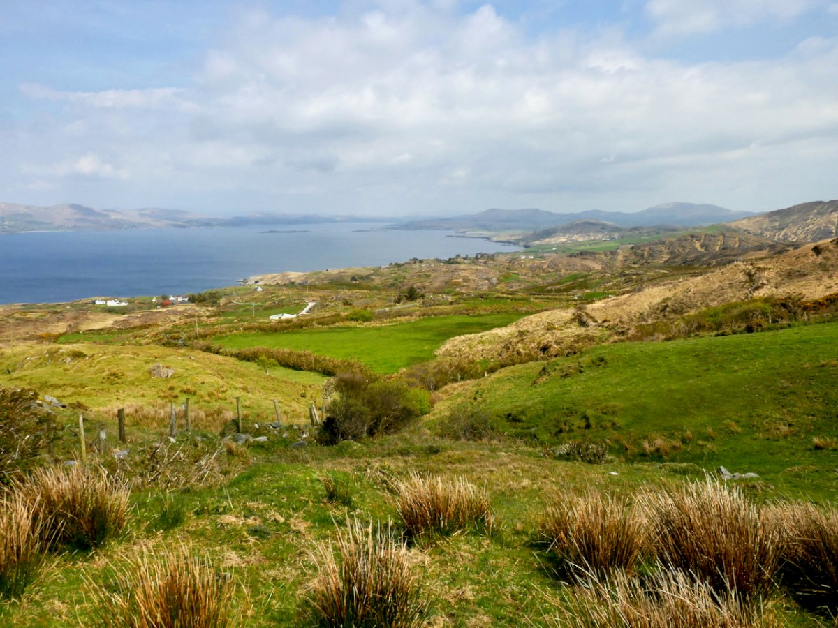
Coming over the top of the hill you have the whole of Dunmanus Bay in front of you and you can see clear up to the head of the bay, across to the Sheep’s Head, and to the Mountains of the Beara behind that. Have a nice sit down on some convenient boulder here – you deserve it – and just absorb that breathtaking sweep of land and sea.

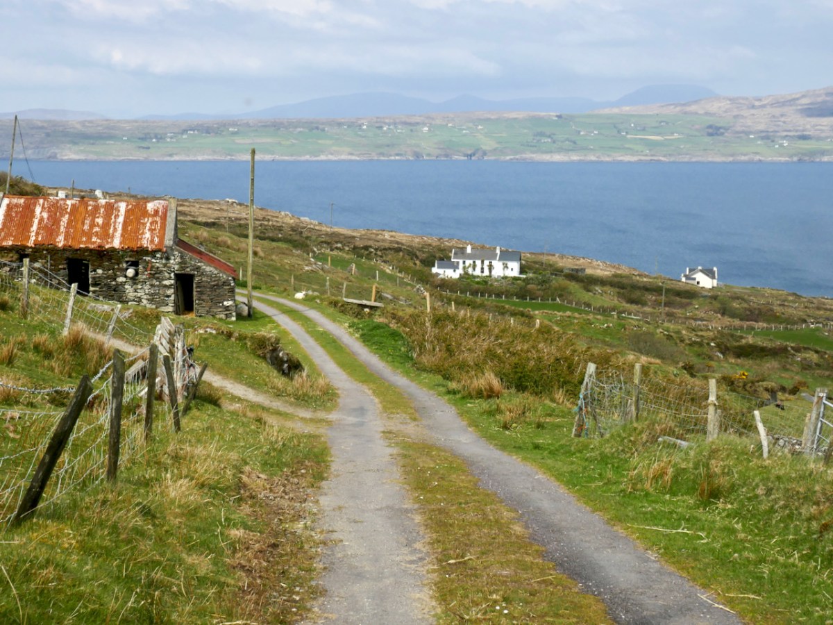
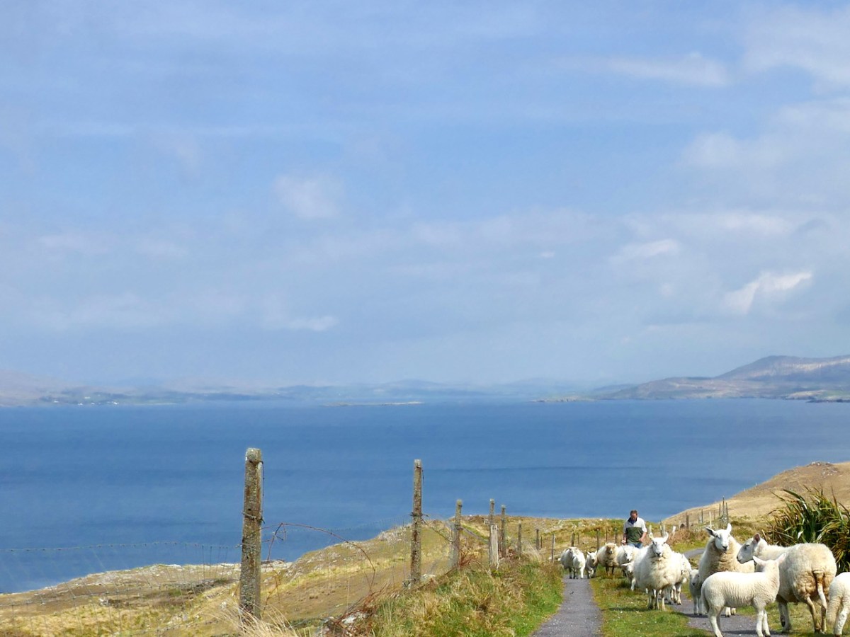
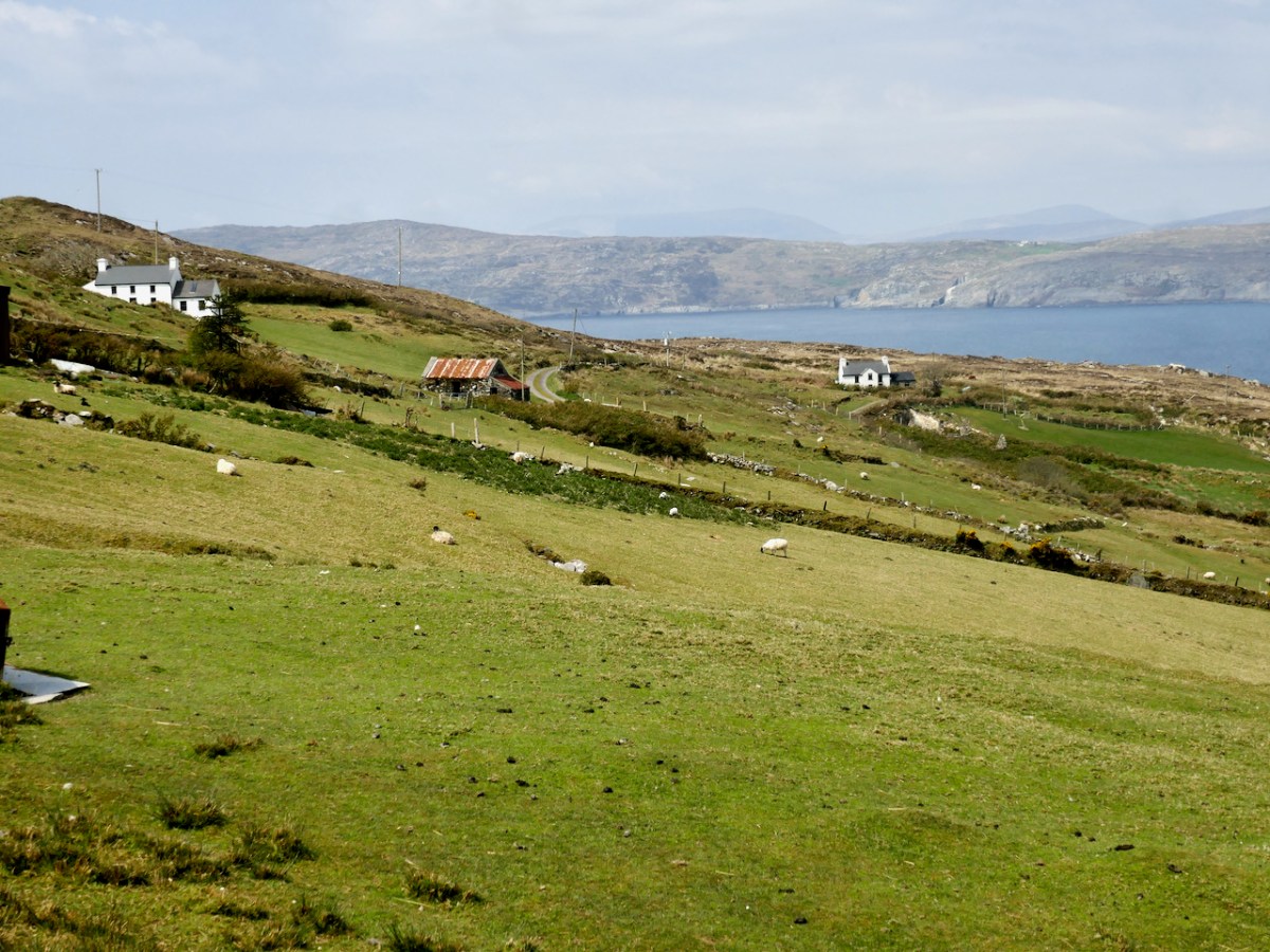
And talking of sea – you’re heading down now towards it, past picturesque stone farm buildings and beautifully renovated cottages until you arrive at Dooneen Coos (the Cove of the Little Fort). Along the way we ran into a shepherd moving his sheep up into higher ground, with the aid of the marvellously well-trained dogs that attend to their business but also like a good pat.

Dooneen Coos is a good spot for lunch – or even a swim if you’re that way inclined. it’s close to the peninsula we wrote about in our post Mizen Magic 23: Lackavaun and The Meallán so you can always take a side trip there if you wish. This might also be a good spot to leave a car if you’re not doing the whole loop on this occasion.
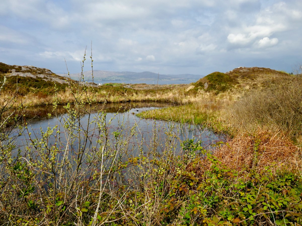
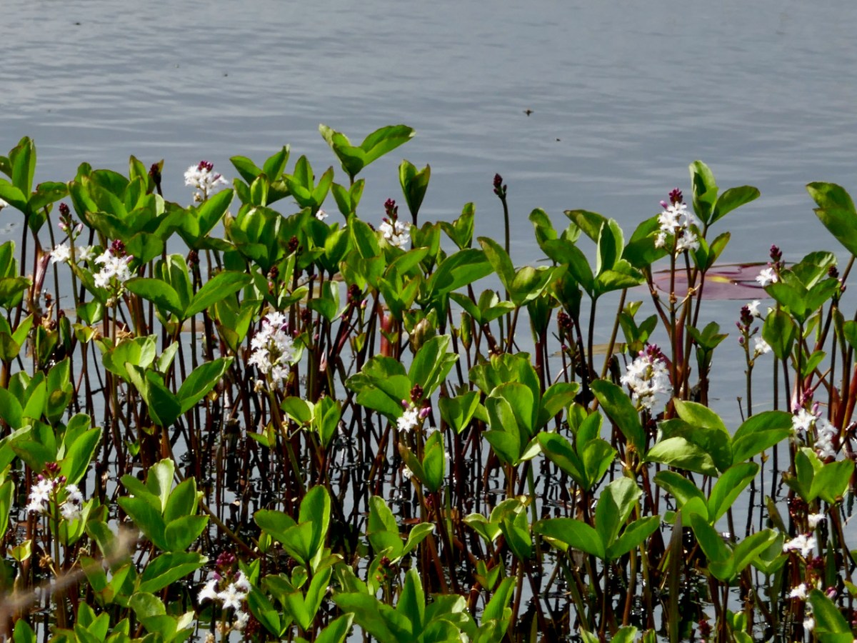
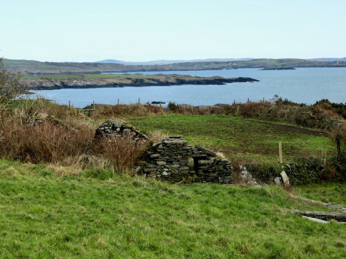
But if you’re carrying on, you’re now heading towards Dunkelly and the storied inlet known as Canty’s Cove. Read all about it here. Here, because we have been to Canty’s Cove lots, we took the short cut – marked in orange on the map. The compensation is that this stretch contains the remains of old ruined cabins and clacháns (hamlets) along the road, as well as a beautiful pond which, at the time of our visit was full of flowering Bogbean. 
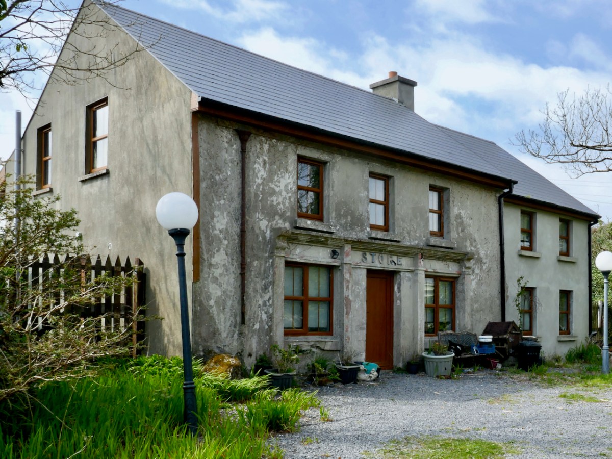
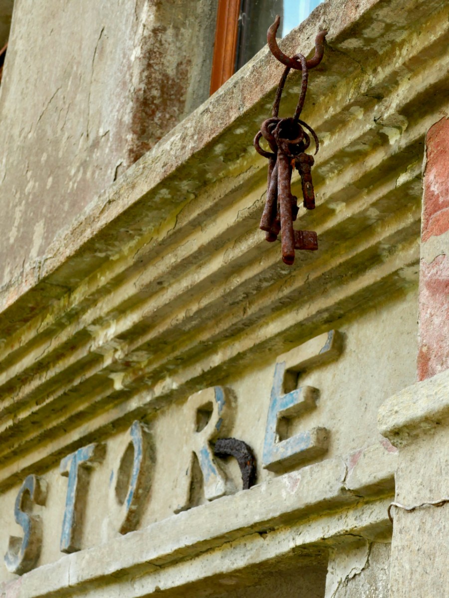
From Dunkelly the road turns back along the slopes of Knockaphuca  and along the way there’s a  bit of a surprise – an old store that once supplied necessities for the population of this area but which has not been viable for many years. No doubt local people have all kinds of memories and stories about this one. I was taken by the keys, still hanging above the door!
By now we were on the stretch of road that this loop shares with the Knockaphuca Walk and that’s a walk you HAVE to do, if you haven’t already. Possibly the jewel in the Fastnet Trails crown. Crossing the main Schull-Goleen road we head down to Ballydivlin. 

We’re at the sea again now, back on the south side of the peninsula, looking across to Castlepoint (and Leamcon Castle) and out to the Fastnet Rock with its iconic lighthouse

It’s been a long haul but SO worth it – wouldn’t you agree?

The Fastnet Trails website is coming soon. We will update this post with that link once it’s finalised and active.

Mizen Magic 24: Lissagriffin Loop (Fastnet Trails)

The energetic Fastnet Trails team is marching westward along the Mizen, developing new trails. They do this on a purely volunteer basis and we are all the beneficiaries – so a huge thank you to them! Work on their website is ongoing, and it should be up and running soon. This week we explored one of their recent additions – the Lissagriffin Loop. I have written a previous LIssagriffin post in the Mizen Magic series (number 14), but that one was mainly about the medieval church and the graveyard around it, as well as the history and archaeology in its vicinity. 

This walk starts and ends in Goleen and is a 10k walk with lots of ups and downs. You’re climbing100m (about 320’) on the first half of the loop and 120m (about 400’) on the second half, so this is a good workout. As with any of these walks, it’s possible to do stretches of them by leaving a car at one point and walking back and forth, or go with friends and leave a car at either end. Wear good shoes and bring water and snacks. It’s all on quiet back roads, so the dog is welcome too, but use the lead if you encounter cattle or sheep (we met both). And there are a couple of surprises along the way.

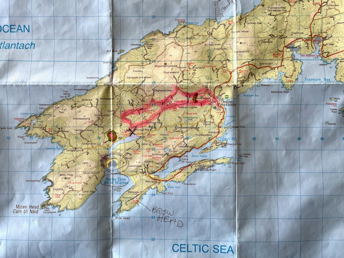
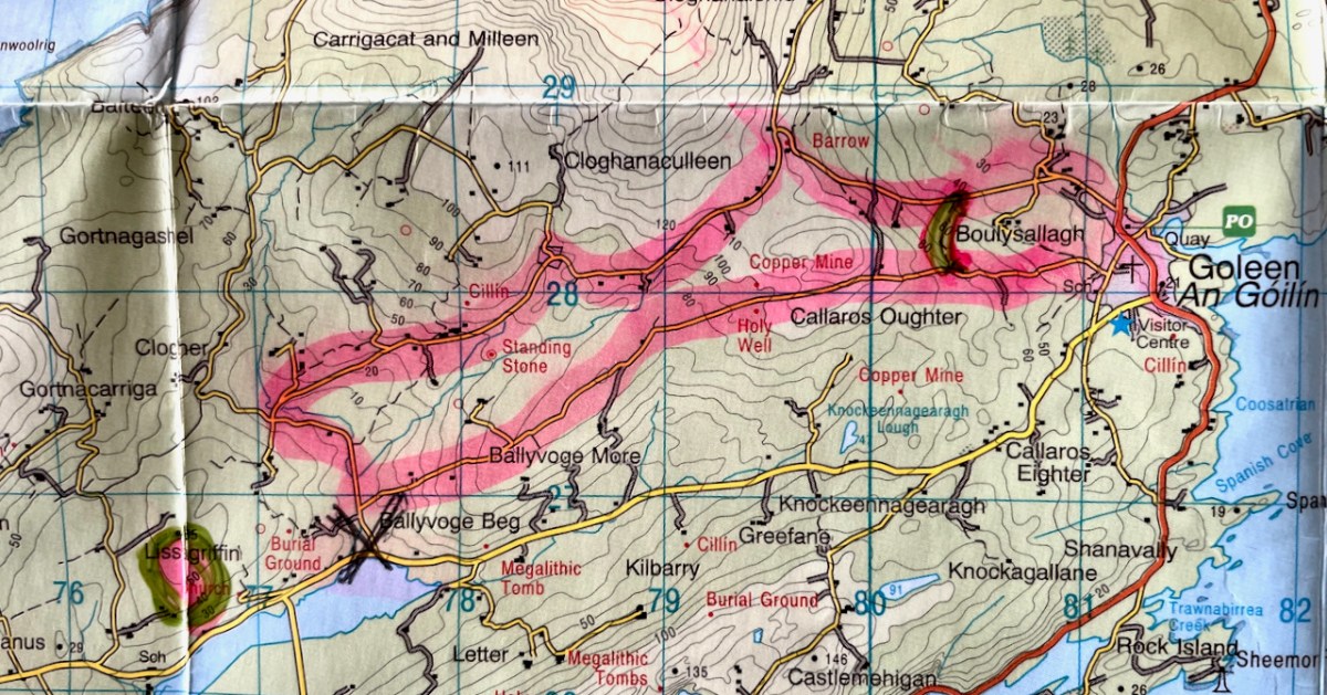
I’ve included a map (above) to show you where you are on the Mizen Peninsula, and a close-up (below) to show the route you’re following. The pink blob within the green circle at the lower left is Lissagriffin Medieval Church in case you have the inclination for a little side trip.

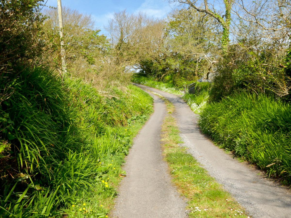
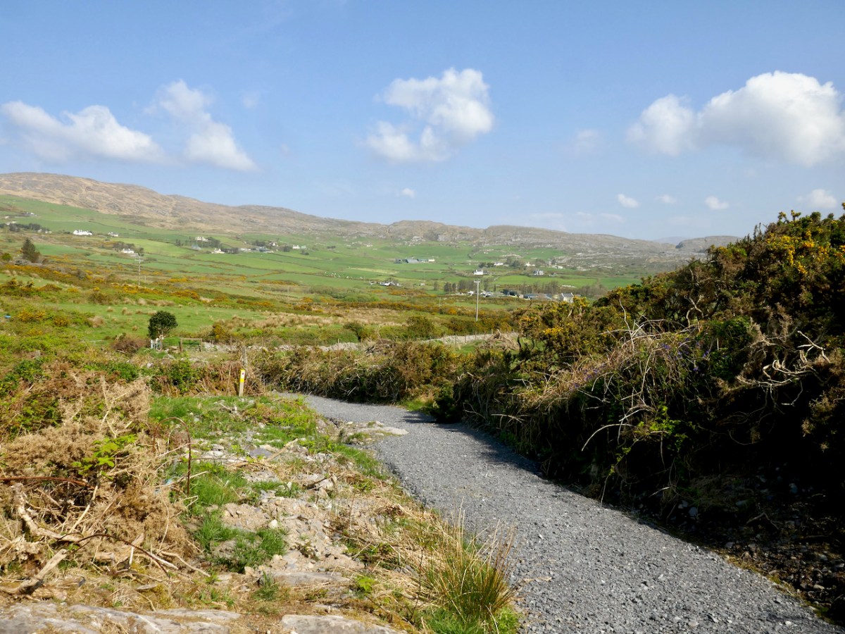
Walk up to Goleen Catholic Church, take a sharp right and you’re on your way. This first part will involve some huffing and puffing, but you’re on a country boreen fringed with wildflowers (wild garlic at this time of year) and with expansive views back to the sea and across a valley to Knockaphuca Mountain (another brilliant trail!) and to Mount Gabriel beyond.

If you don’t have the time or inclination for a long walk, look out for a sign to the shortcut. It’s the curved green line on the lower of the two maps above. It will bring you back to the village, initially via a well-maintained gravel path (below), and then by road, for a 2km walk in all. 

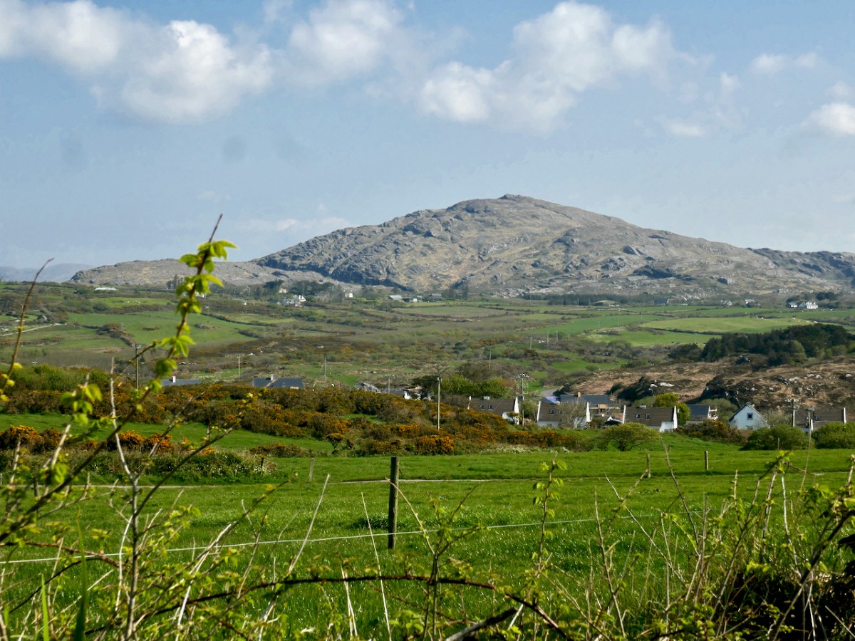
If you decide to carry on, it’s uphill now for quite a stretch, but the views across to Knocknamadree and to Knockaphuca are worth the effort. Later in the year, the route will be dripping with Fuchsia and Montbretia, but right now the Navelwort is starting to sprout and stitchwort is rampant. 

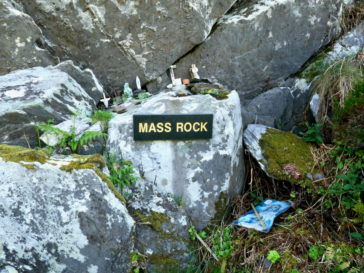
Once you’re up the hill the road levels out, the going is easy, and the views are now to the sea on your left and towards the distant Mizen Peak. And here’s the first surprise for you – a mass rock. Mass rocks, of course, were used in Penal times, when the saying of mass was outlawed and people met with their priest in faraway locations.

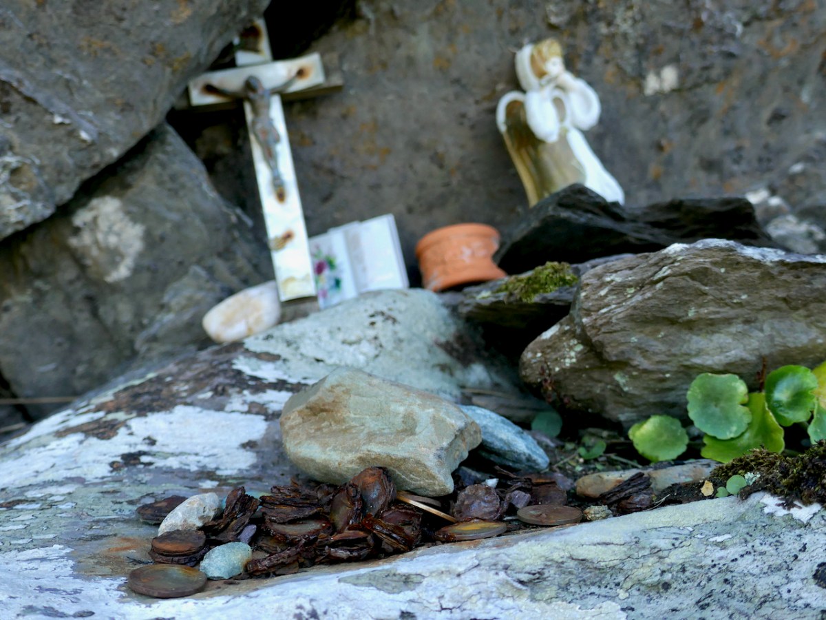
This one still lives in folk memory, and is still visited, by the evidence of various offerings left on the ledge. Some of the coins are so old they are peeling apart, while others look of more recent vintage.

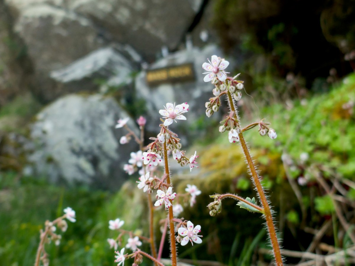
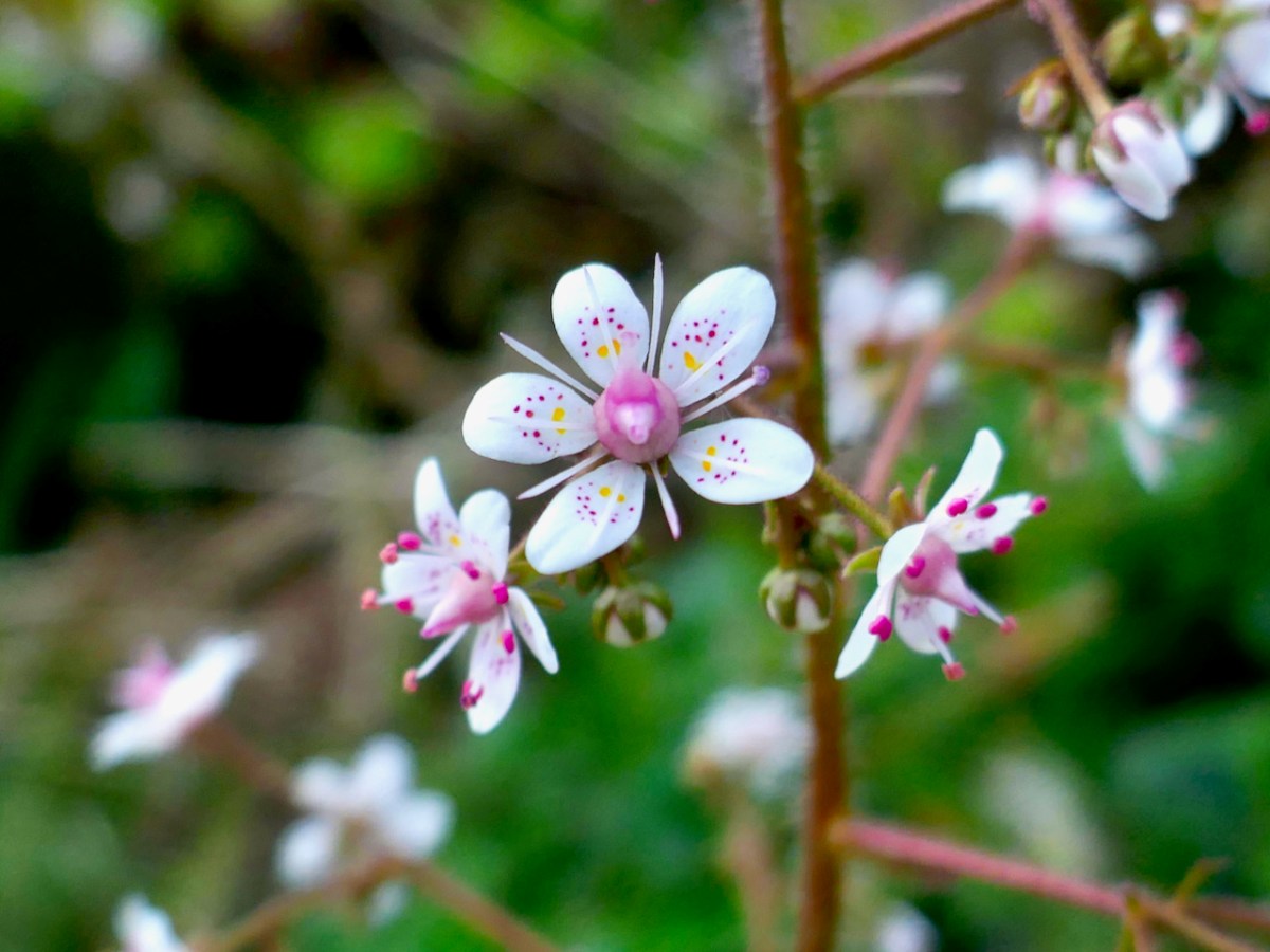
St Patrick’s Cabbage Is just starting to bloom. This is a native plant and part of a curious set known as the Lusitanian Flora which only occur in southwestern and western Ireland and in the Iberian Peninsula.

This one rewards a close look – the flowers are white but the petals have pink and yellow dots and the anthers are a startling deep rose colour. A domestic hybrid known as London Pride is grown in many gardens.

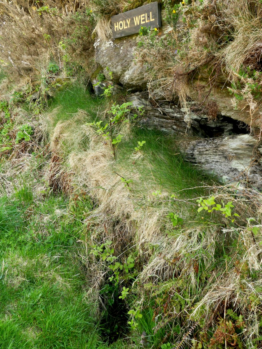
The second surprise is a holy well, just a little further along. It’s not a very impressive sight – looks like a ditch, in fact, although there’s a bit more going on under all that grass and brambles. The location is marked but there are no indications that anyone has visited in many years. No offerings here, no cups or rag trees, no statues or prayer cards. But nothing deters Amanda, and she has written about the well here, including the fact that its name is Tobairin a ‘Bhothair – small well of the road – and that it was once revered.

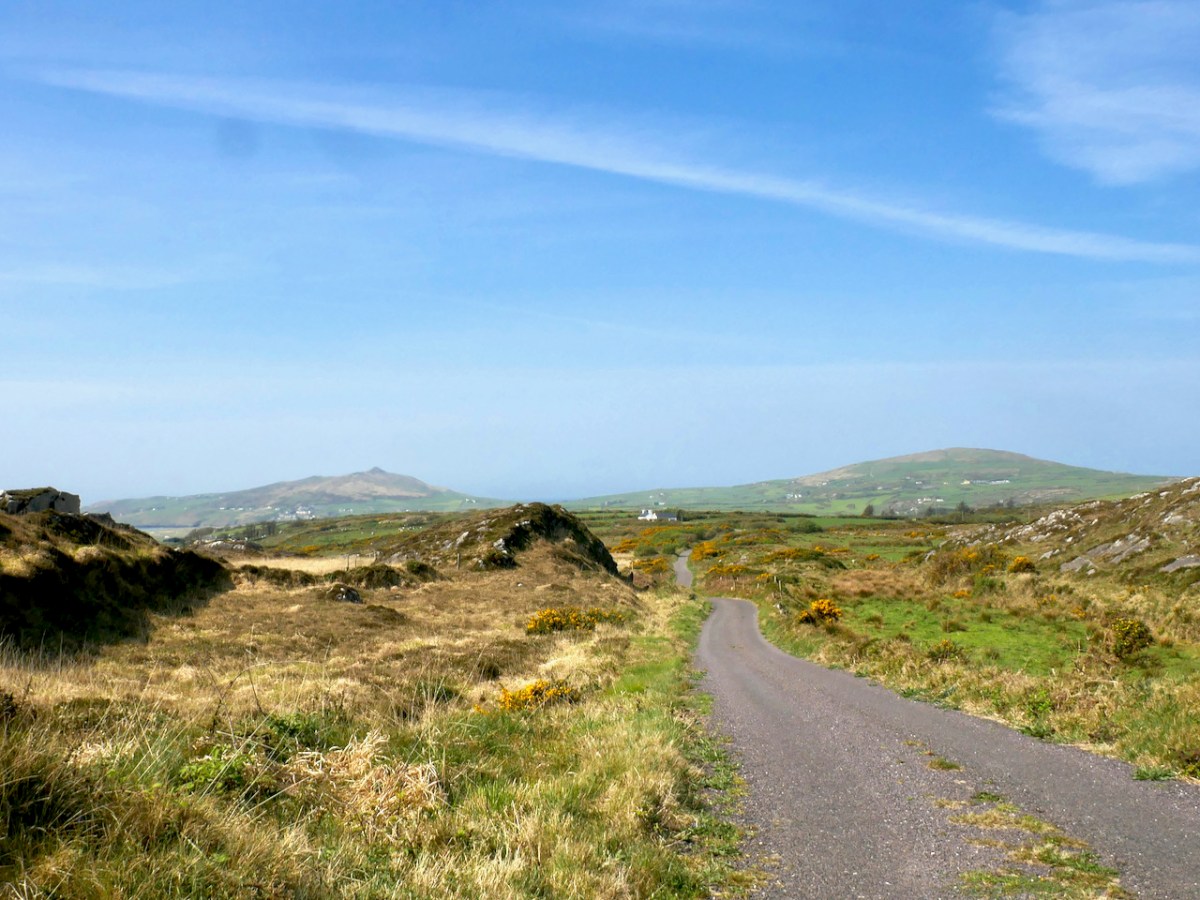
From the holy well keep going westwards and the reward is an immense view to the end of the Peninsula and the Mizen Peak (below). It’s a gentle downhill all the way until you get close to the main Goleen – Crookhaven road.

At this point, nobody could blame you for retreating to the snug at O’Sullivan’s Bar in Crookhaven for a pint coffee and a crab sandwich, but of course you are only half way through the walk if you want to do the full loop. So turn right and then right again, and start climbing as the road heads back to Goleen over the hills and away from Barley Cove (below)

The views don’t really start until you’re quite high up, but the road is peaceful and rural – a good time for contemplation, perhaps.

Once you’re on the downhill stretch you are facing east and once again have those glorious views across to Knockaphuca, with Mount Gabriel behind.

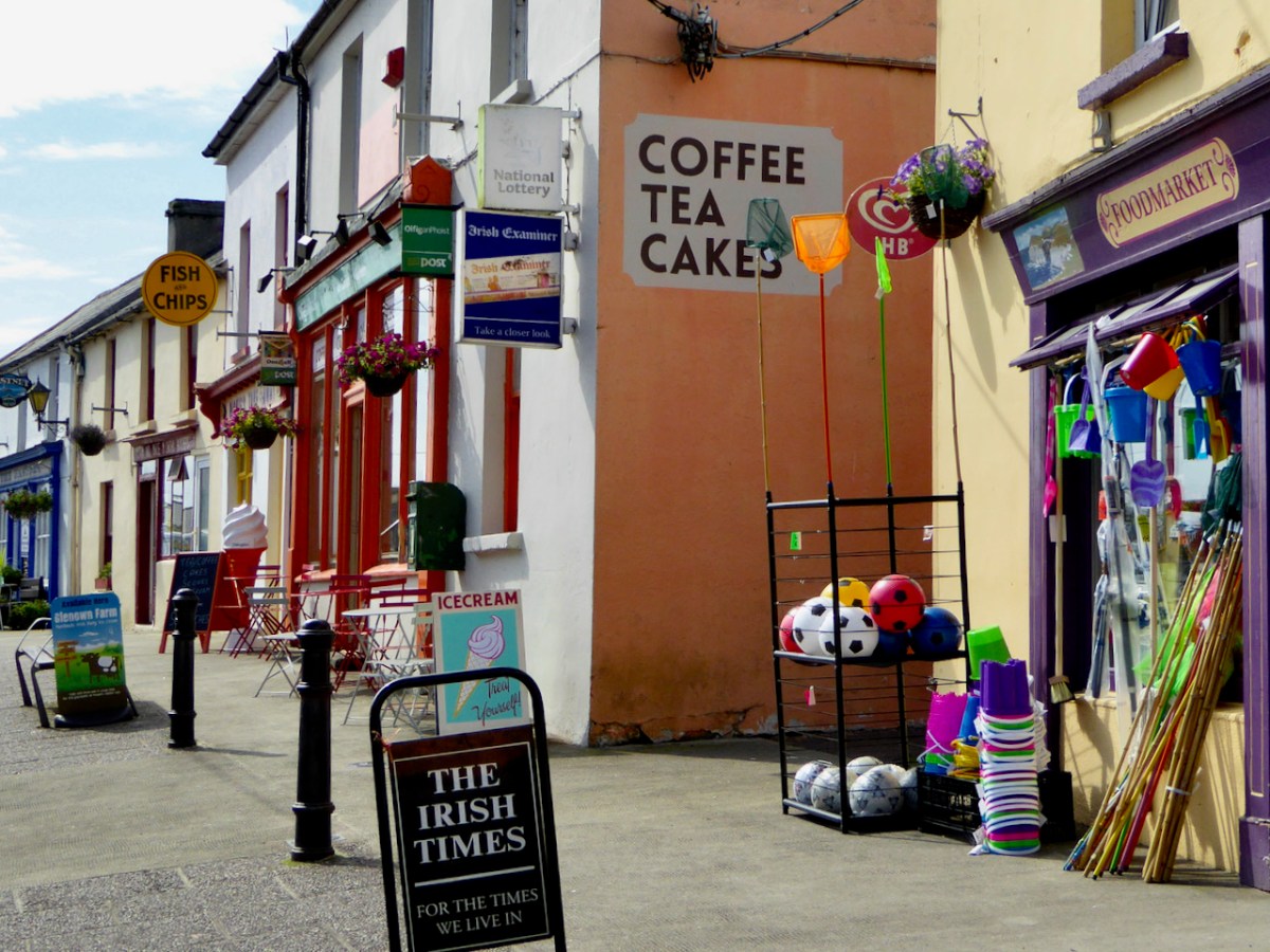
And when you hit Goleen – go on, you deserve it, have some ice cream!

“Easter” Island!

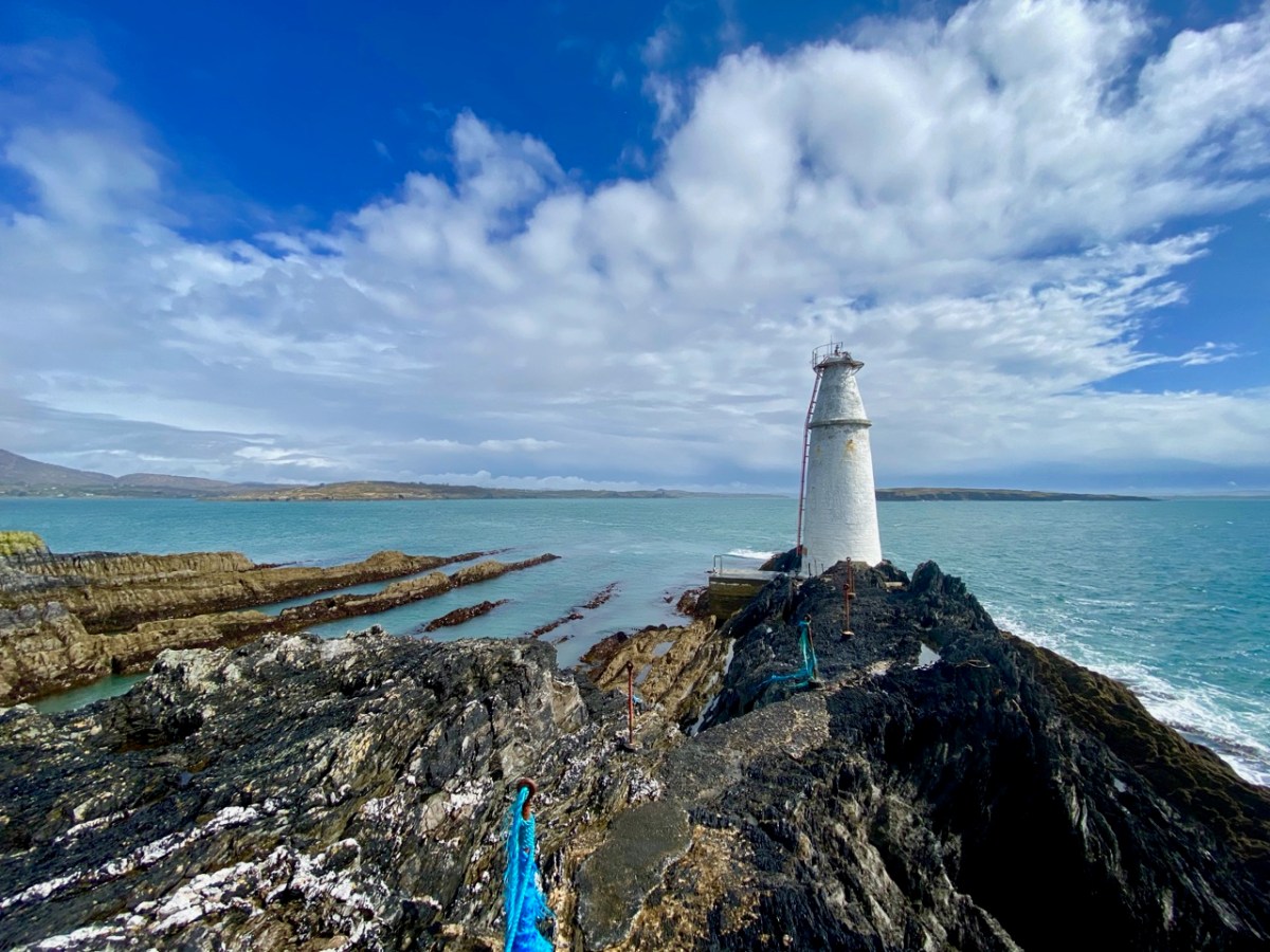
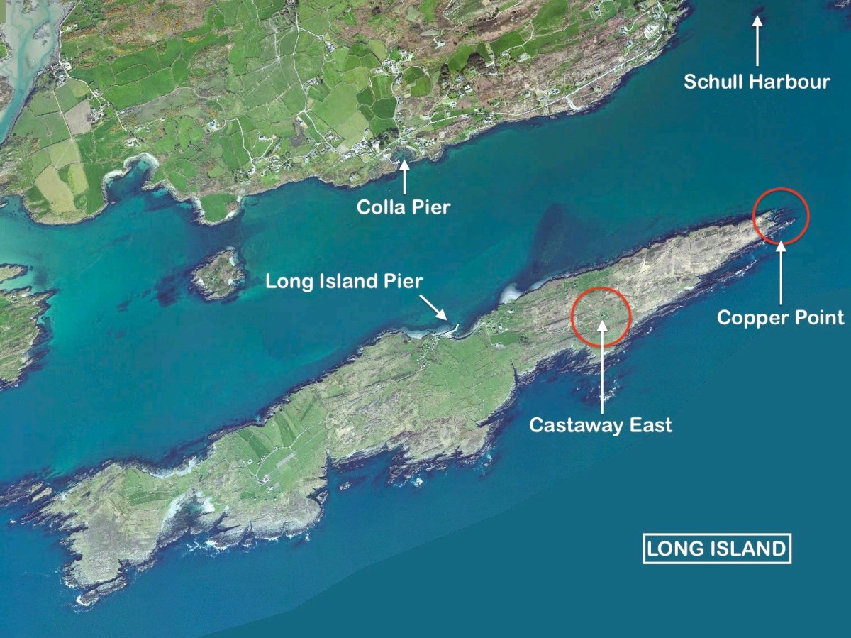
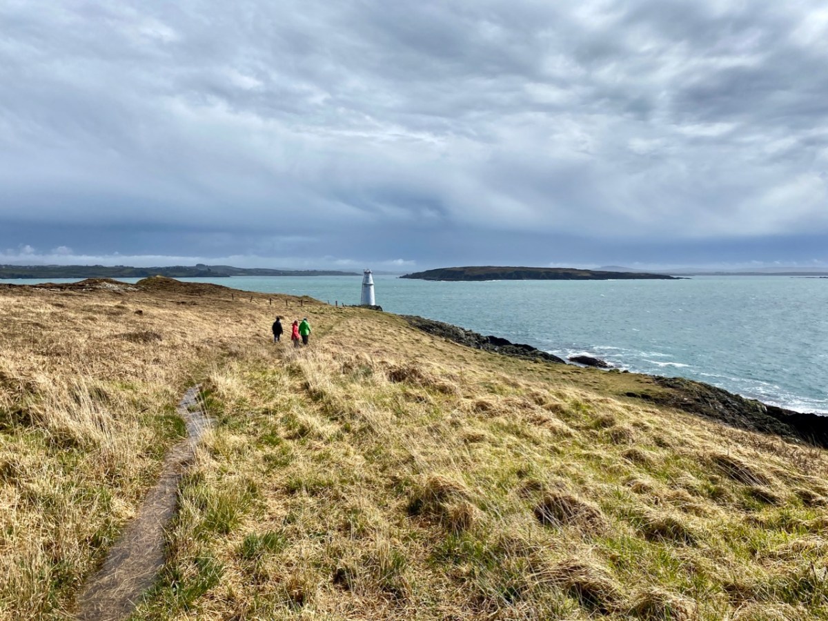
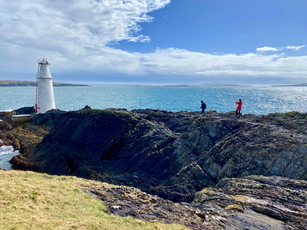
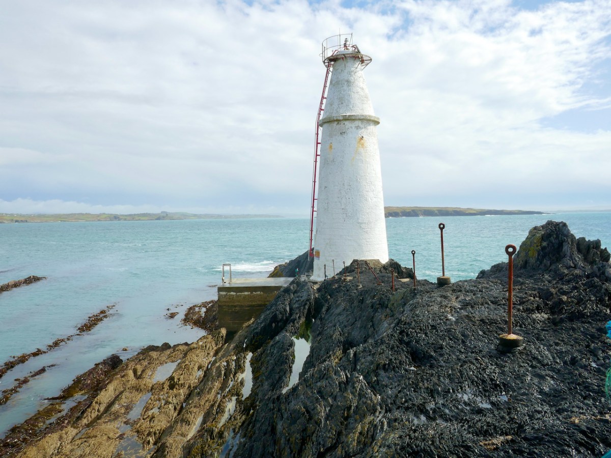
What better place to spend Easter Day than at the ‘Easter end’ of Long Island? We can see the island – out there in Roaringwater Bay – from our home here at Nead an Iolair. The lighthouse on the end of the island faces us – and winks through the night with the character of 3 quick flashes every 10 seconds. The narrow headland on which it stands bears the name ‘Copper Point’ – and so does the lighthouse.

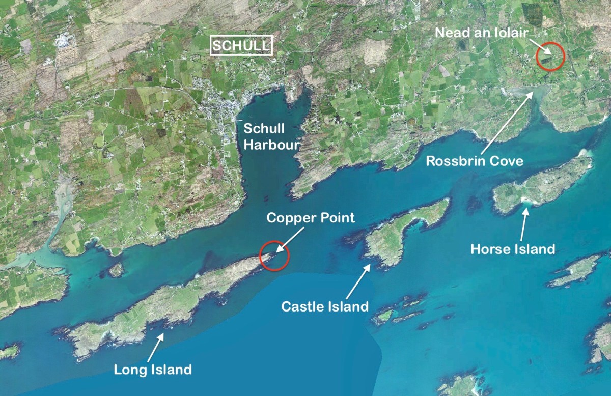
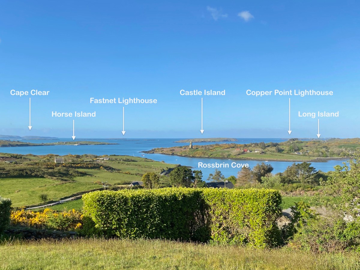
This aerial view shows Long Island in its context – a part of Roaringwater Bay and its ‘Carbery’s Hundred Islands’. Its neighbours to the east are Castle Island and Horse Island – all in our view – (that’s our view, below).

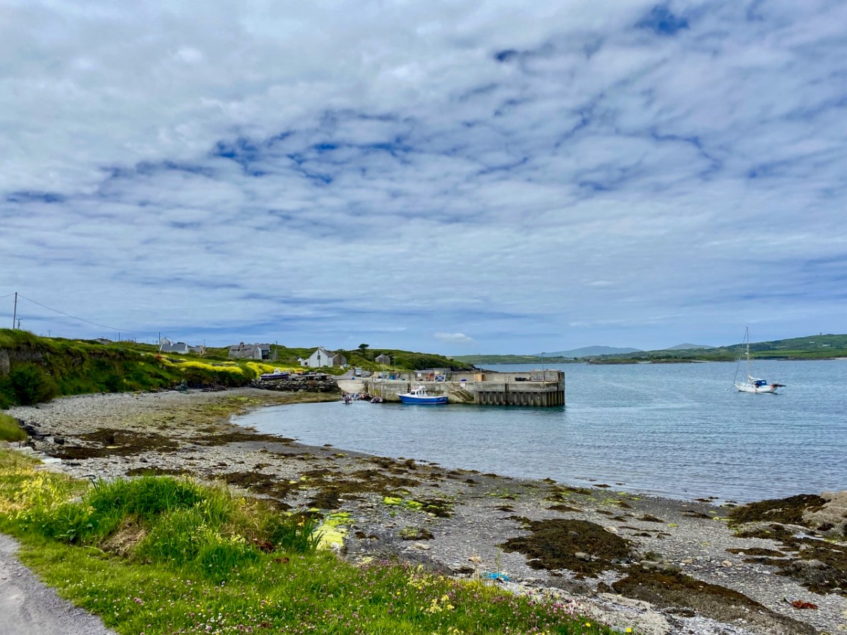
A closer aerial view of the island, above. It’s accessed by a regular ferry which leaves Colla Pier, a short distance from Schull town. The ferry arrives at Long Island Pier: there it is, on the pier (below).

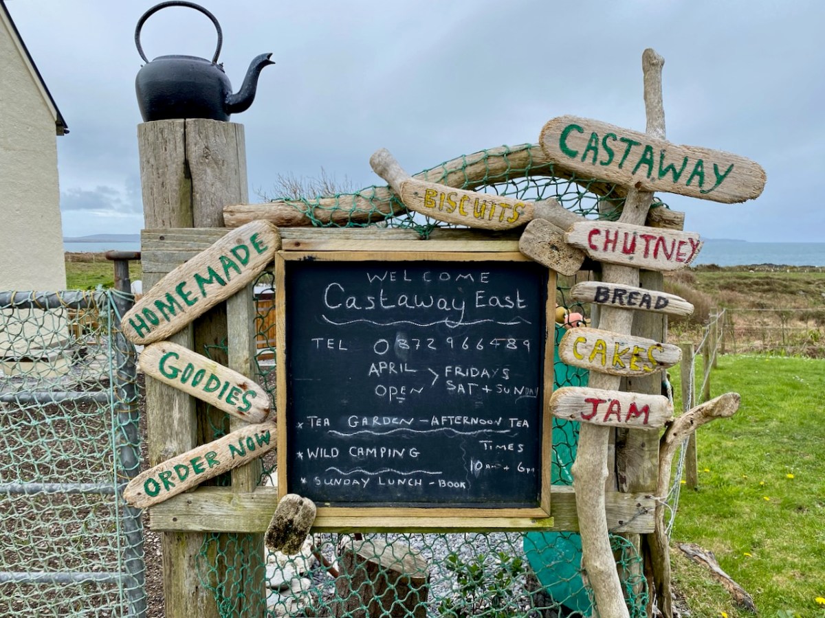
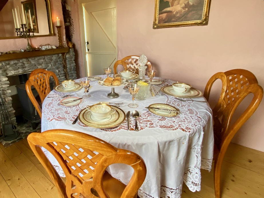
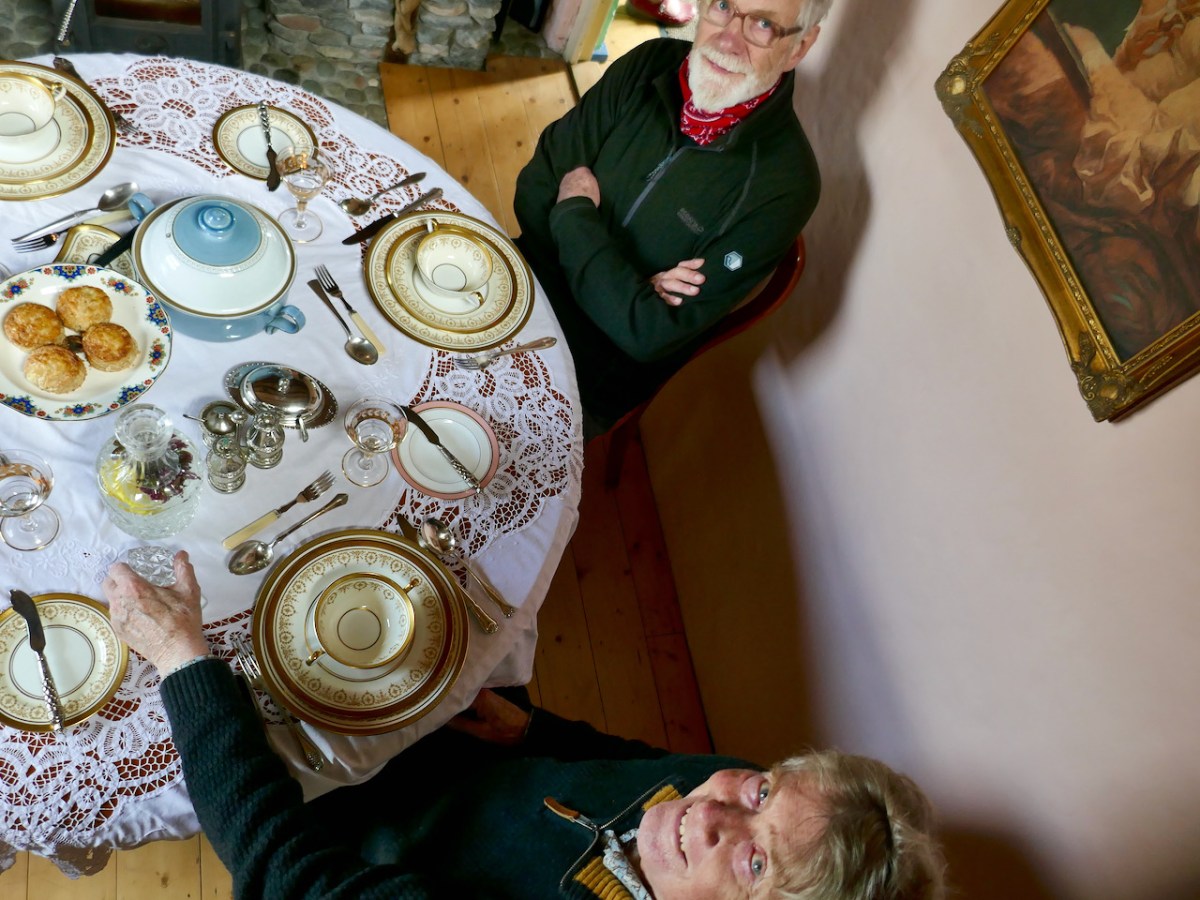
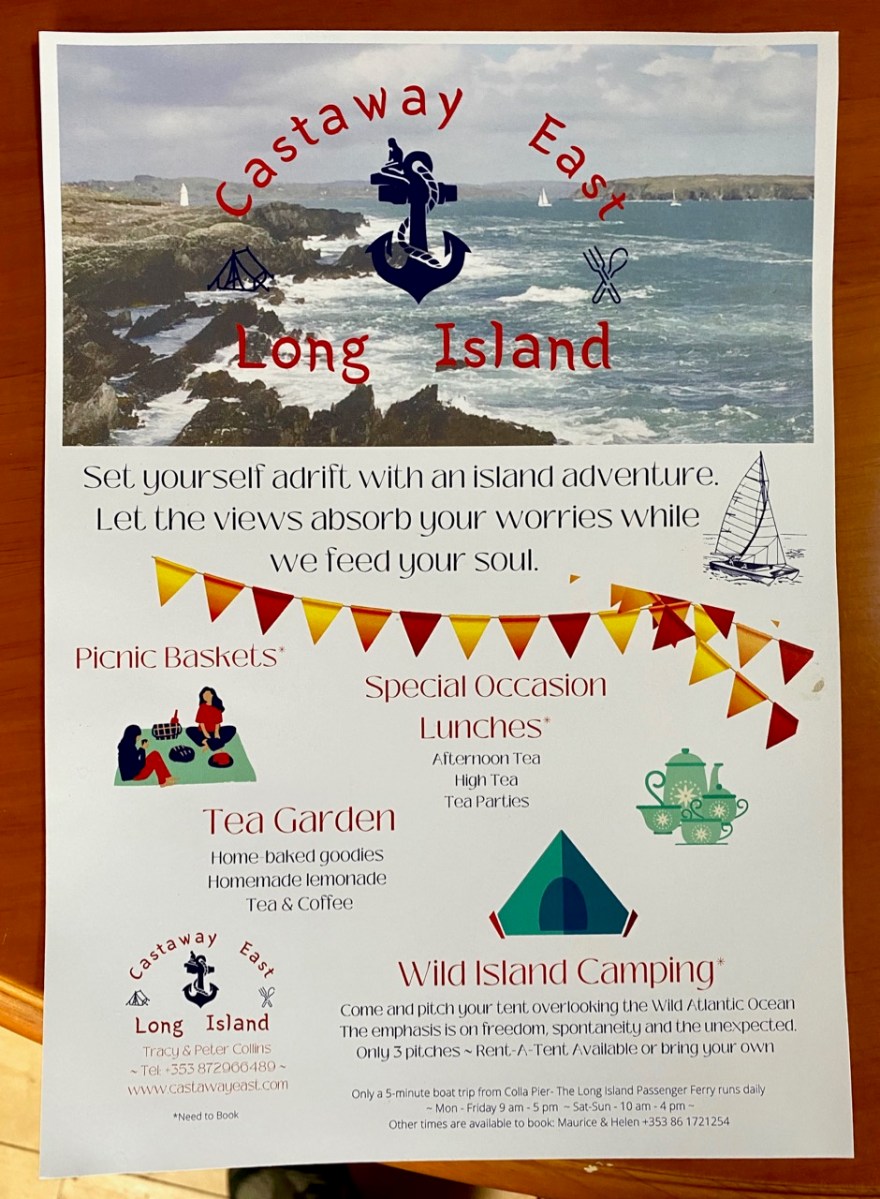
Our destination on this Easter Sunday was Castaway East – the furthest house on the ‘Easter’ end of the island. We have taken you there before, when we organised a Mad Hatter’s Tea Party in July of last year. The hosts there are Tracy and Peter, who served us brilliantly for that occasion, and also for the Wildflower Walks which Finola led last June: the Castaway crew provided a superb picnic for everyone, delivered to us at the island’s western end. This time we decided that we would test Tracy and Peter’s skills by ordering up an Easter Sunday lunch to celebrate a ‘special’ birthday for our good friend, Peter Clarke.

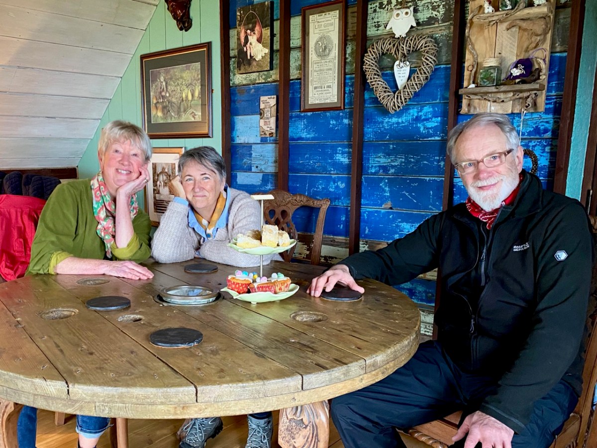
Amanda Clarke, Finola and birthday boy Peter, looking forward to a morning coffee (with delicious Easter treats) after arriving at Castaway East. We had an upstairs room in the Castaway house, with a good view over the island. Before lunch we had an opportunity to explore part of the island we had never been to before, heading down to Copper Point.

Why is it called ‘Copper Point’? Because there was a copper mine close by, one of many such enterprises that were seen in West Cork in the nineteenth century. Explorations on the island were started in the 1840s by the Cornish mining engineer Captain William Thomas: he wrote a Roaringwater Journal post for us a couple of years ago! William sank a trial shaft for 10 fathoms (60 feet) and extended a level south from this shaft for 3 fathoms. No metal bearing lode was found, and the mine was abandoned. Traces of these workings can still be seen not far from the lighthouse. It’s slightly ironic, perhaps, that the name ‘Copper Point’ arrived from somewhere and stuck.

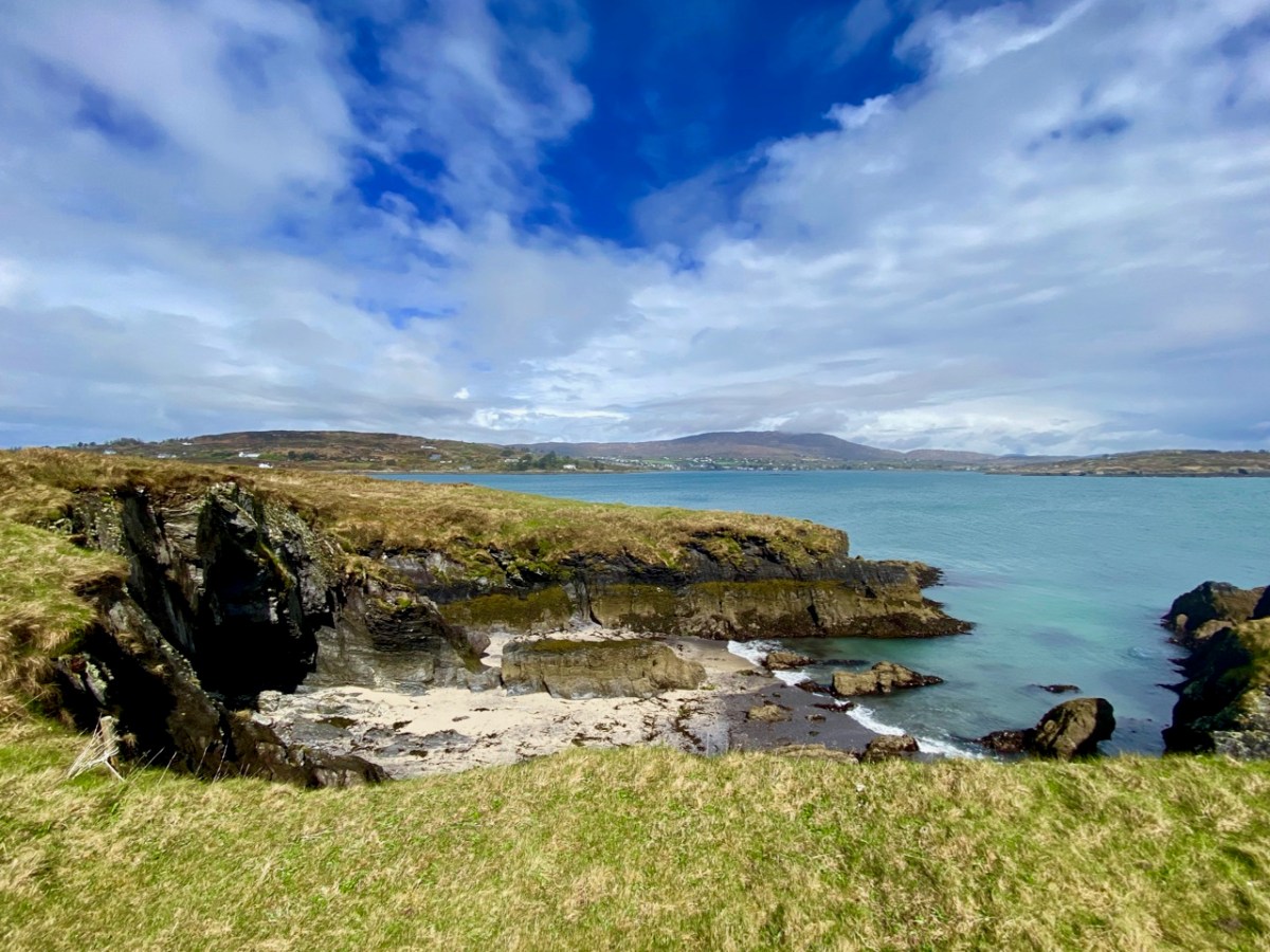
It’s a wild landscape – but very beautiful and imbued with atmosphere. We certainly worked up a good appetite while on our morning walk, and returned to the house with great expectations.

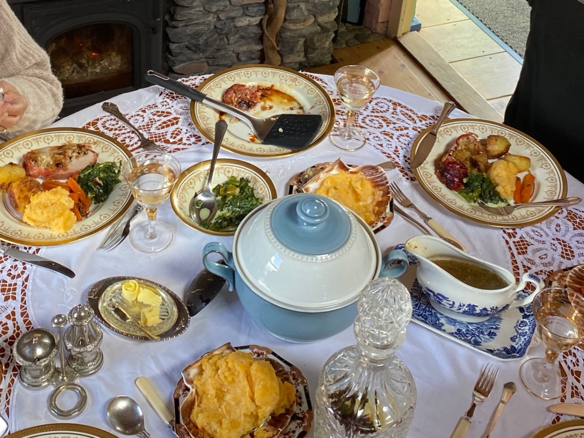
All those expectations were far exceeded when we sat down to our meal. We had a room to ourselves, attractively furnished and comfortable, with a welcome wood-burning stove on the go in one corner. Tracy and Peter have spent considerable time and energy upgrading what was a very run-down cottage, and have used locally available materials with impressive imagination.

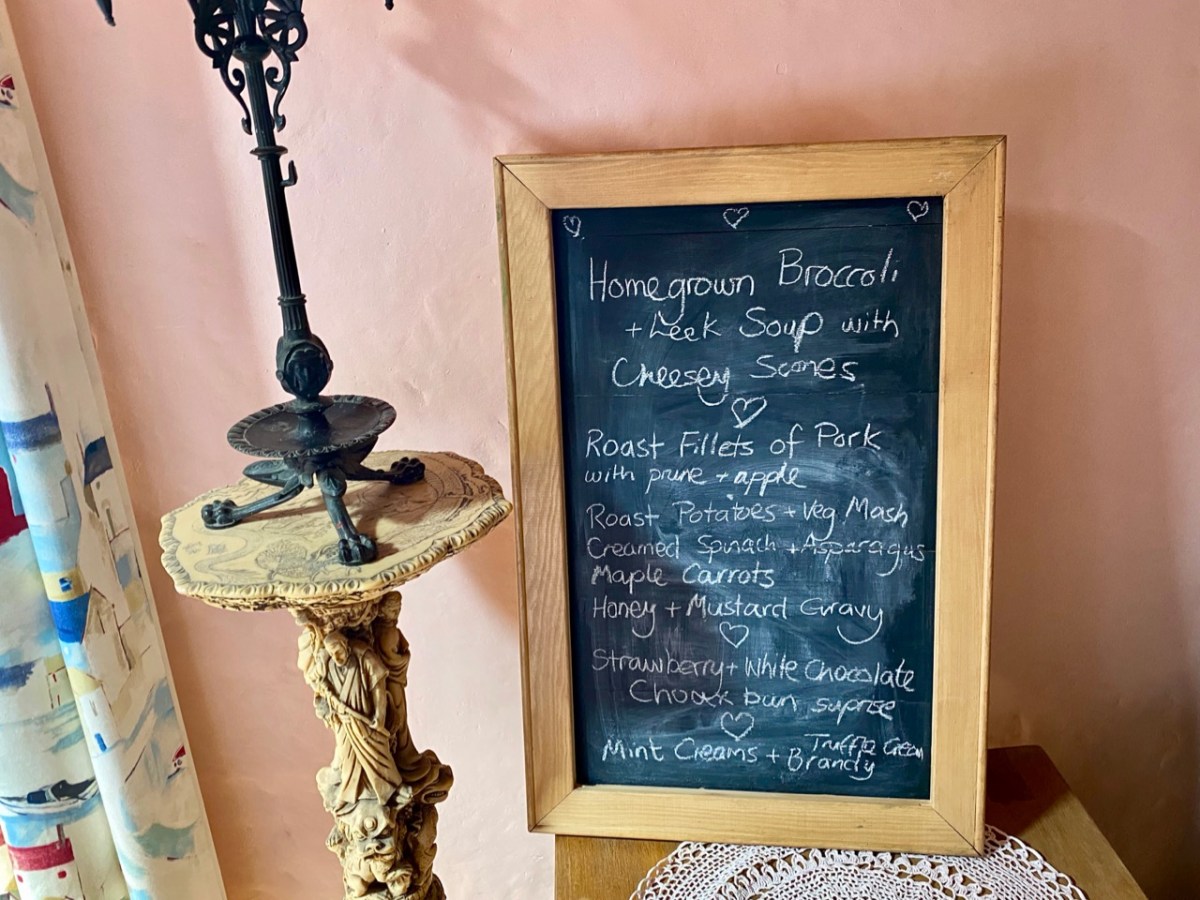
Tracy – in charge of the culinary delights – had worked out a menu which was entirely tailored to our various tastes (and dislikes) – and it was brilliant! All the courses were exemplary.

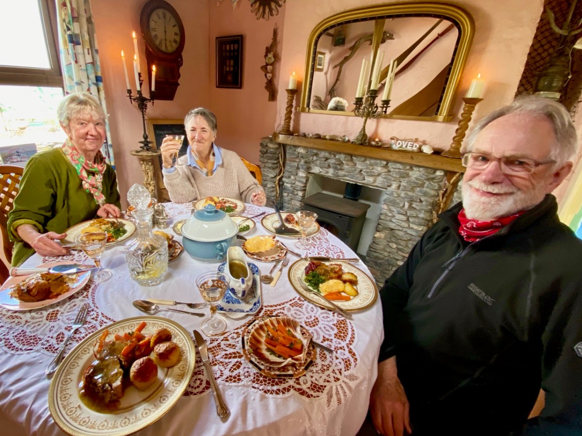
The main was a Sunday roast to make your mouths water… Fillets of pork for the three of us who are not vegetarian, and a miraculous stuffed filo pastry pie for Amanda. The accompanying vegetables were prepared without any meaty elements – so we could all savour them in equal measure.

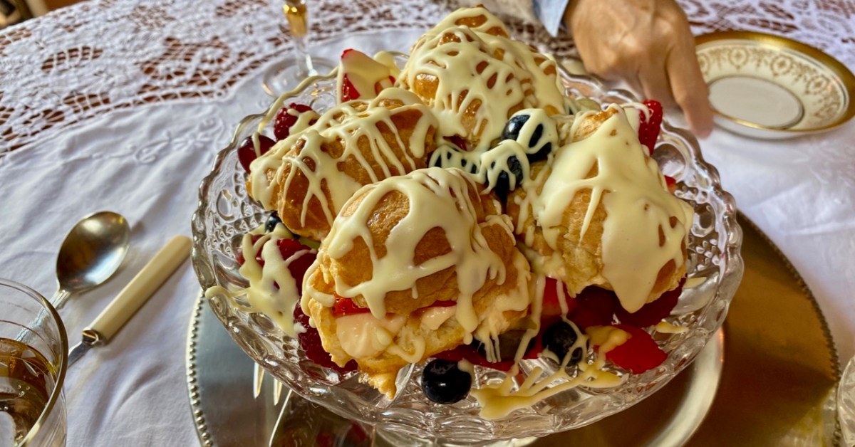
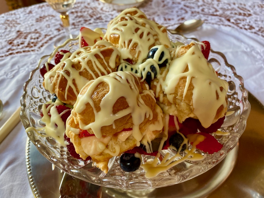
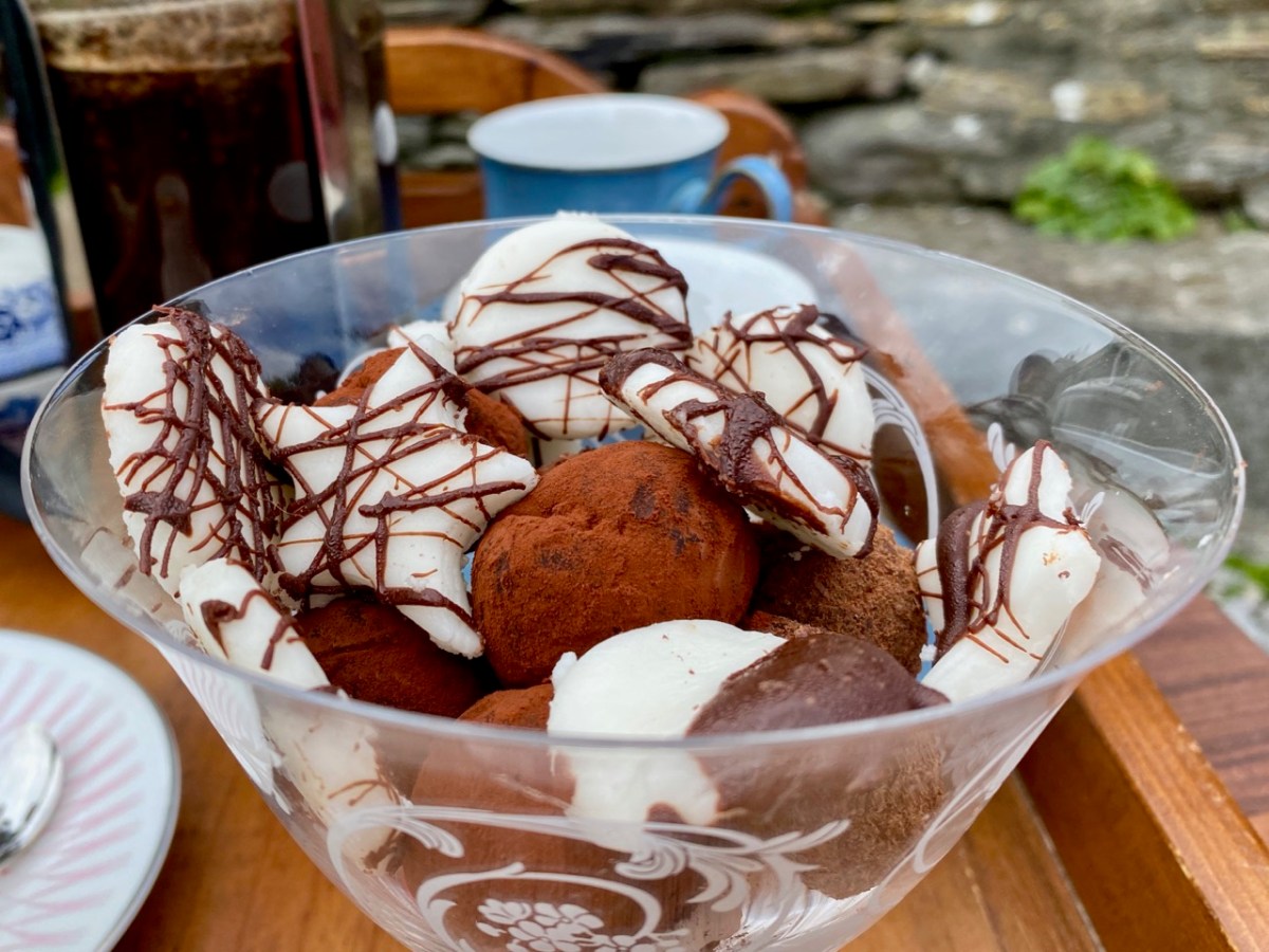
Peter was delighted with every aspect of his celebratory meal – we all were! The choux bun dessert was unbelievable; not a morsel was left behind. The riches never stopped: for our after-dinner coffee we went outside to the terrace-with-a-view and enjoyed home-made fondants and biscuits.

I think you’ve got the message… Sunday lunch at Castaway East is a very special experience indeed. Combine it with a good walk on a beautiful and atmospheric West Cork island and you will have a day you will always remember. If you want the experience for yourselves give Tracy and Peter a shout: they will be delighted to organise it for you.

Contact Tracy & Peter Collins on +353 872966489 or email simplytracy@icloud.com – They also have a campsite!

Castlehaven and Myross Placenames Project

The preservation of placenames has become urgent in Ireland, as the keepers of the memory are getting older, and taking all their knowledge with them to the grave.

One group in Castlehaven and Myross has embarked on a fascinating project to try to rescue their local placenames before it’s too late, and are succeeding magnificently. In their undertaking, they are providing a model to any other community that wants to follow their lead. We met with Conor Buckley and Annette Glanton (above) as well as Vincent O’Neill recently to learn what this project is all about.

Annette showed us her work, which centres on Carrigillihy, near Union Hall. Her main informant was her father, who has an intimate knowledge of every inch of the area. Working with him, she has labelled fields, inlets, islands, cliffs and streams. The result is a detailed map of names – some in English, such as Badger’s Hole, but most in Irish, such as Faill na Cág (pronounced file na cawg – I will give approximate pronunciations in brackets after Irish words from here on), the Cliff of the Jackdaws. I am showing just a small portion of her maps, above. 

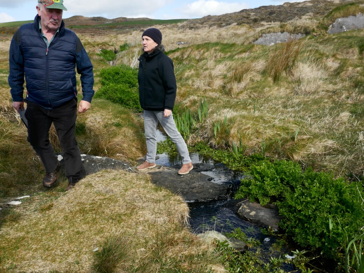
Conor then took us on a walk across the heath, to a vantage point where he could point out many of the surrounding features and name them. We crossed two streams on the way, and he told us each one was a townland boundary. We started in Castlehaven townland, crossed a stream into Glasheenaulin, and from there walked to Ballycahane, crossing the Glasheenaulin stream as we did so. Since a ‘glas’ is a rivulet, a glasheen is a small rivulet or stream, and aulin is an anglicised version of álainn, which means beautiful – so, we crossed the beautiful little stream, and indeed it was.

The historic map of the area, above, shows the townland boundaries in red. The middle boundary is marked by the Glasheenaulin, below, being crossed by Vincent and Annette.

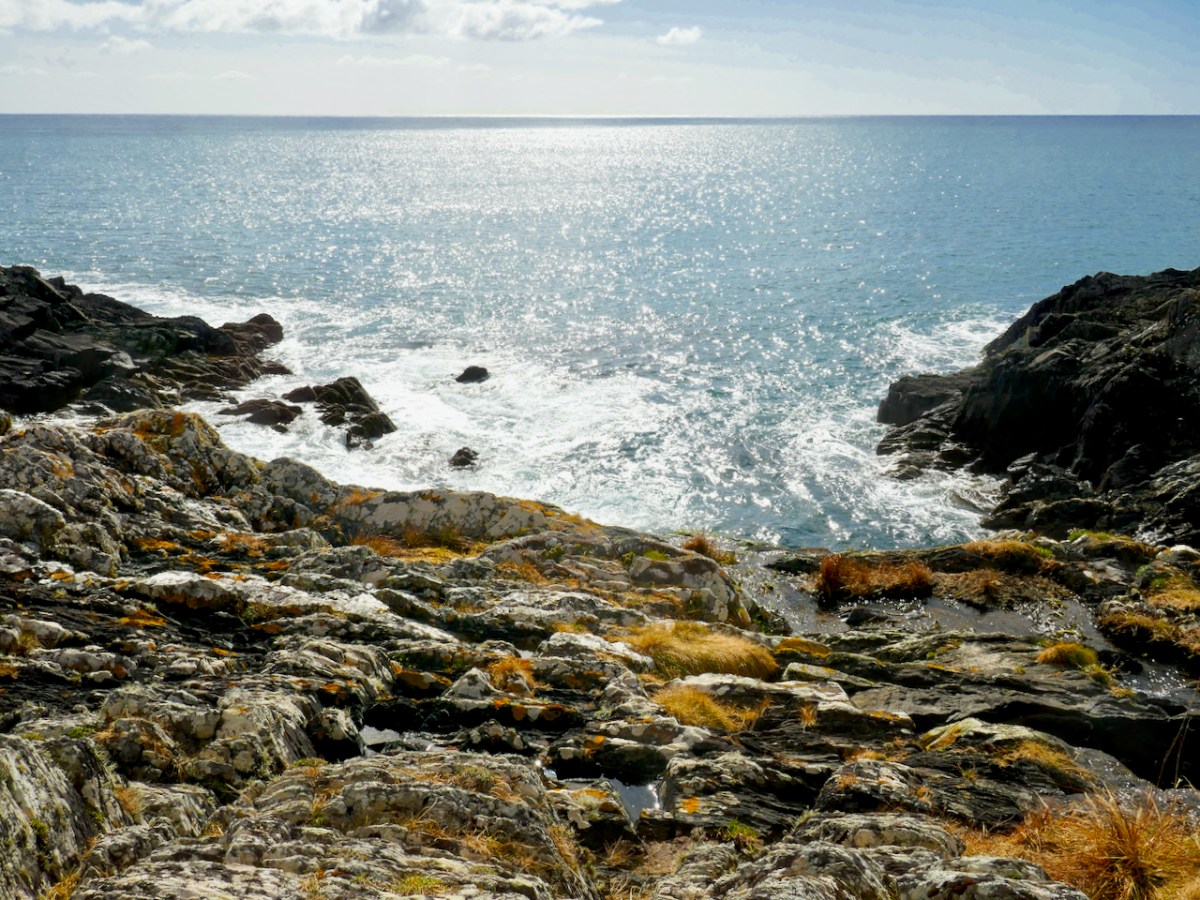
From our vantage point Conor pointed down to where the sea came boiling in over the rocks – perhaps because of this effect, this small inlet was called Poll a’ Choire (powl (rhymes with the bird, owl) a Quirrah), or the hole of the cauldron. However, he showed us that within all the roiling water and rocks was another, smaller hole, which filled and emptied with water, and told us that there was a possibility that the name might be Poll na Caora (powl na kay-ra) or Sheep’s Hole, since it may have functioned as a sheep-washing station! Welcome to the intricacies of figuring out Irish placenames!

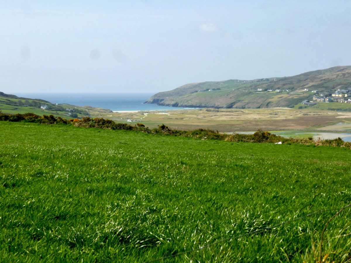
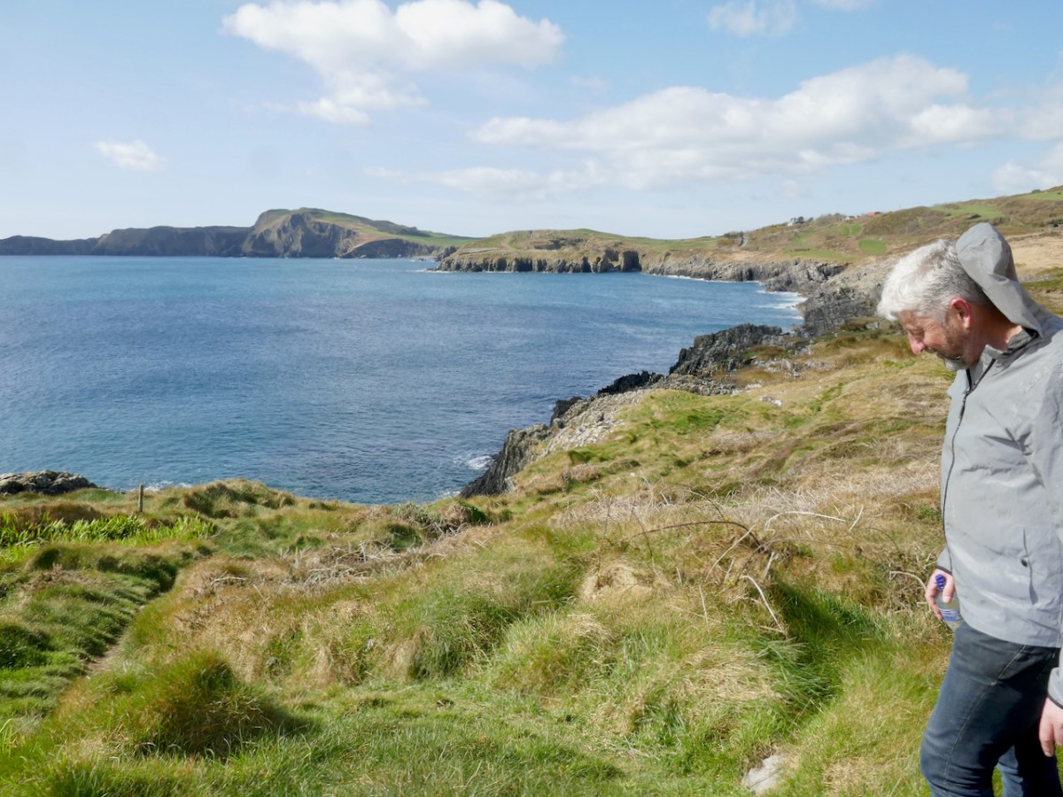
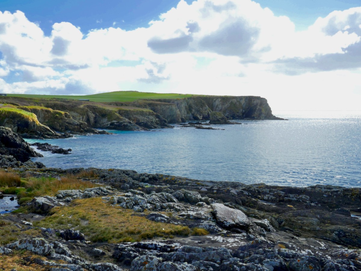
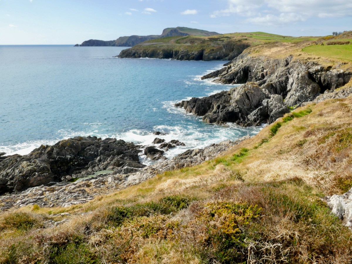
From the same spot we had a good view of the coast west and east. To the west is the unmistakeable mass of Toe Head – a promontory that has a distinctive rise (see the first and last photos in this post). On the near side is a hill which locals traditionally call Beann tSidháin (which they pronounce Been te Sheedawn), or peak of the fairy mound. A place with a name that included references to the Sí was a place to be treated with respect and caution – the Other Crowd was not always benevolent.

When I asked if it was possible that this might have been séideán (shay-dawn), meaning place of gusty winds, Conor gave me an insight into the depth of research that he and his advisory group undertake. He responded with several references to dictionaries, placename tomes – and a manuscript from the 1660s! I can just imagine the meetings of this group as they ponder of the possible variations and come to a conclusion – as Conor said to me, ‘it’s as much an art as a science.’

A lot of Toe Head itself has had names assigned, and I was intrigued by the name given to the piece of rock that has in the distant past, sliced off from the mainland (above). Locals call it the Sciollán (skull-awn), which means a seed potato – or maybe the piece of a potato that you can plant as long as it has an eye in it. Once you know that, you can’t unsee the nobbly bit of potato.

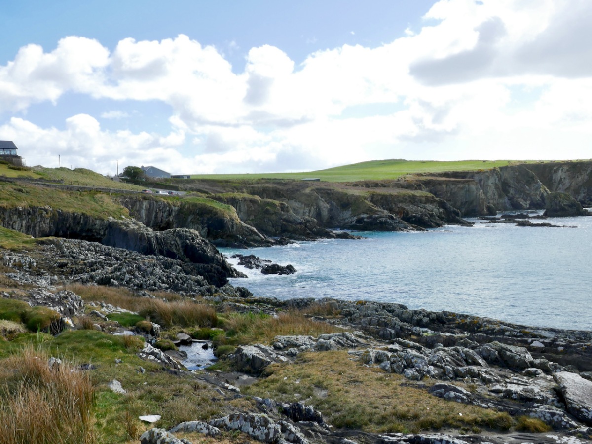
We will head east now, to the series of tiny inlets that indent the eastern side of Sandy Cove. Each one has a name, beginning with cuas – a cuas (koo-us) is a small inlet or cove although it seems to be used particularly in Cork and Kerry. To name each one makes total sense of course – if you were telling a neighbour which cuas you left pots in, or where you were going to dig sand, you all had a shared knowledge of the store of names.

Going from left to right along the bank you have:

Cuas a Chúir – this might be Inlet of the sea foam (cúr) or inlet of the tower (thúir). There is no tower here now, but Sandycove was once called Torbay, so maybe…

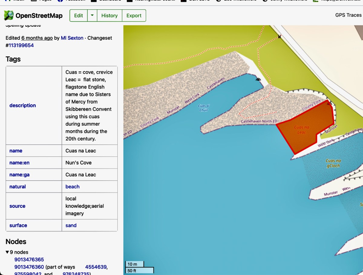
Cuas na Leac – a leac (lack) is a flat stone or flagstone. This cuas has an alternative English name – Nun’s Cove. Apparently it was the one used by nuns from the Skibbereen convent to swim in.

Cuas na gCloch – cloch (cluck) is a rock – hence, rocky inlet.

Sandy Cove – this is a preferred swimming spot for locals and visitors

Cuas na nGabhar. Lots of scope here! A gabhar (gower) is a goat, but apparently it’s also the name for a certain type of pollock, known as a scad. [Just to complicate things, it can also be a little white horse, and therefore white-crested waves. Gabhra Lír, for example, means the little white horses of Lír, who was the king of the world under the sea in Irish mythology. Whew! – But that’s just my own musings]

Cuas an Tairbh – tairbh (tarriv) is the irish word for bull, and the rock just off this point is the Bull Rock. It probably has the shape of a bull from some angles.

Cuas Móire – móire (moy-ra) is an adjective usually applied to a place that experiences great gusts of wind or rolling seas. Apt! But this could also simply be Cuas Mór (more), meaning Big Cuas, since it is the biggest one.

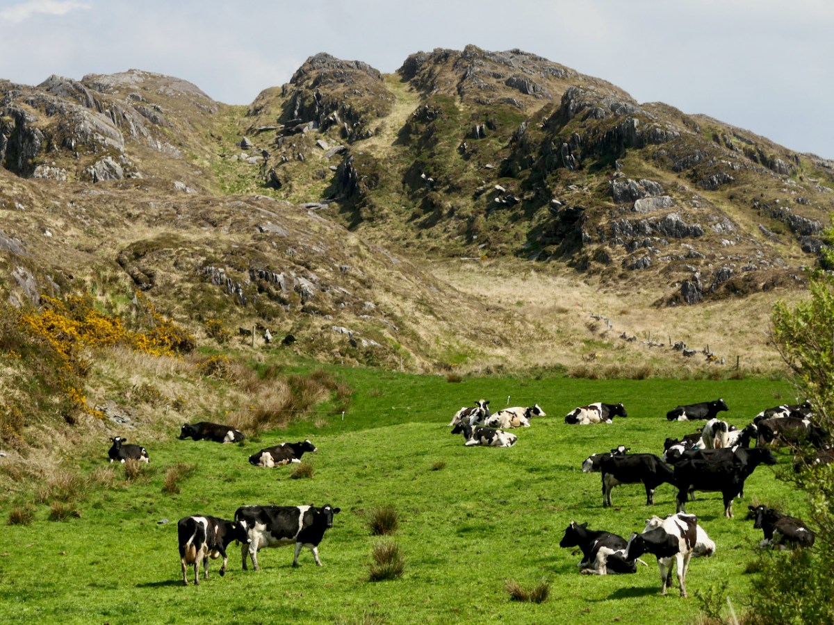
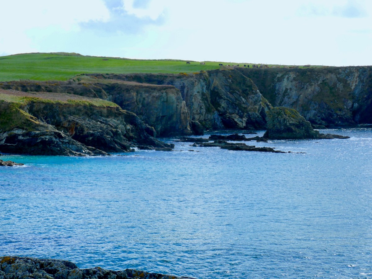
Just before the Cuas Móire theres a significant cliff labeled The Pulley (about where the cattle is in the photo below) and here’s the story about that name. On top of the cliff was a pole with a bar attached – the bar, with a pulley at the end of it, could swing out over the cliff. A long rope threaded through the pulley was controlled by a patient horse which was lead away from and toward the cliff, thus raising and lowering the rope. At the end of the rope was a large basket. A man climbed into the basket and was lowered to the bottom of the cliff at low tide. There he set about harvesting kelp with a tool that cut it off above the roots. As he gathered armfuls, he filled up the basket which was raised up to the field and piled onto a cart. He continued to do this until the tide came up to his neck, whereupon he jumped into the basket and was the last load to be pulled up.

Almost unbelievable, isn’t it? The hardship and courage of that – it was done all year round! Yet, as Vincent and Conor explained to us, sand and seaweed were the only fertilisers available to people and gathering both was an important part of the yearly round of labour needed to grow food. Both were also taxed by local landlords, so they were a commodity over which landowners exercised control. The National Museum has a good piece on seaweed harvesting, with photographs showing how it was done – no cliffs, alas. Another piece on RTE from 1962 shows hand harvesting in Clare.

You will have noted that all of these placenames are now on maps, which I have used in my illustrations. The site is https://www.openstreetmap.org/ and Conor, Vincent and their team are using it to record these names for posterity. Anyone can do this, but, as they pointed out to us, it’s best done in an informed way, since labelling a place with a modern name (e.g. Danny’s fishing cove) can perpetuate new, personal or inaccurate names. The team has annotated many of the placenames with additional information – such as about the possible names for Cuas a’ Chúir, above, and Cuas na Leac, below.

I have only given you a tiny look at what the Castlehaven and Myross Placenames team is doing – their work is extensive and ongoing. And it’s important – these are among the oldest ‘transparent’ placenames in Europe. As Conor explained to me placenames start out as transparent – people name what they see in front of them. But over time, the names become opaque, mostly due to a change in the dominant culture – a new language wreaks havoc with pronunciation of ‘foreign-sounding’ words. However, the names around West Cork, as long as there is someone who still remembers them, are as ancient as it gets. Hydronyms (place names associated with water) survive better than toponyms (land-based) possibly because they were a shared resource.

The team are happy to share their expertise and would love to encourage other groups to undertake similar projects in their own locality. You can get in touch with them by emailing castlehavenhistory@gmail.com or through their Facebook page https://www.facebook.com/castlehavenhistory/