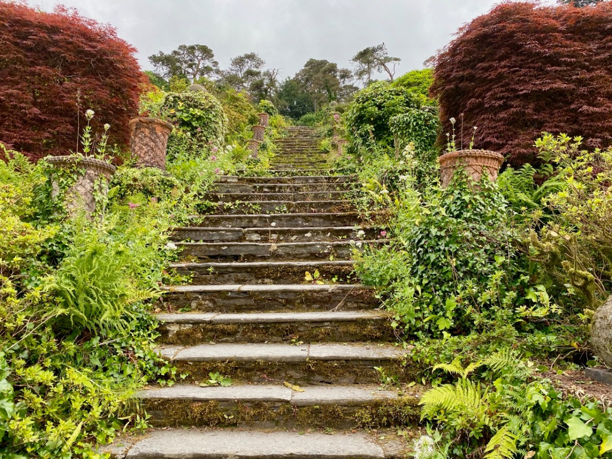
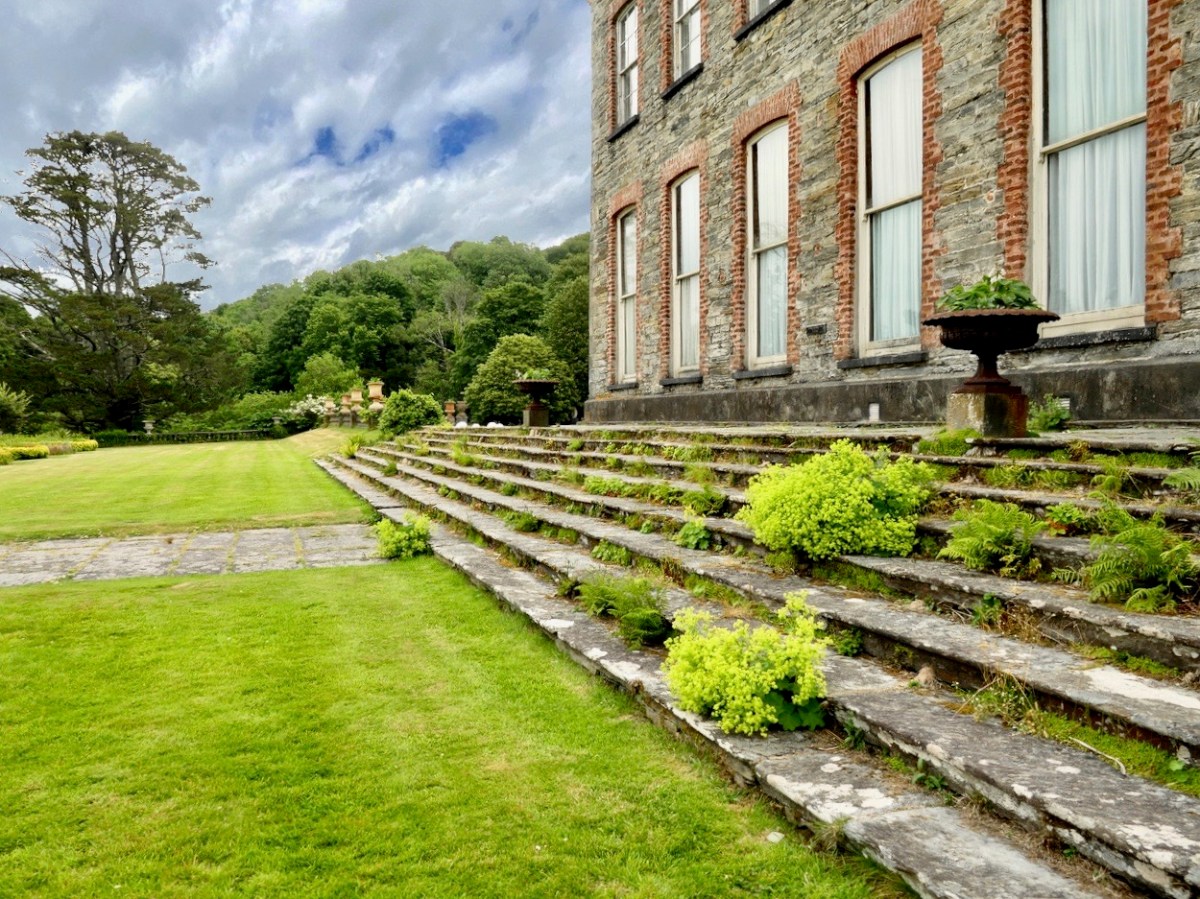
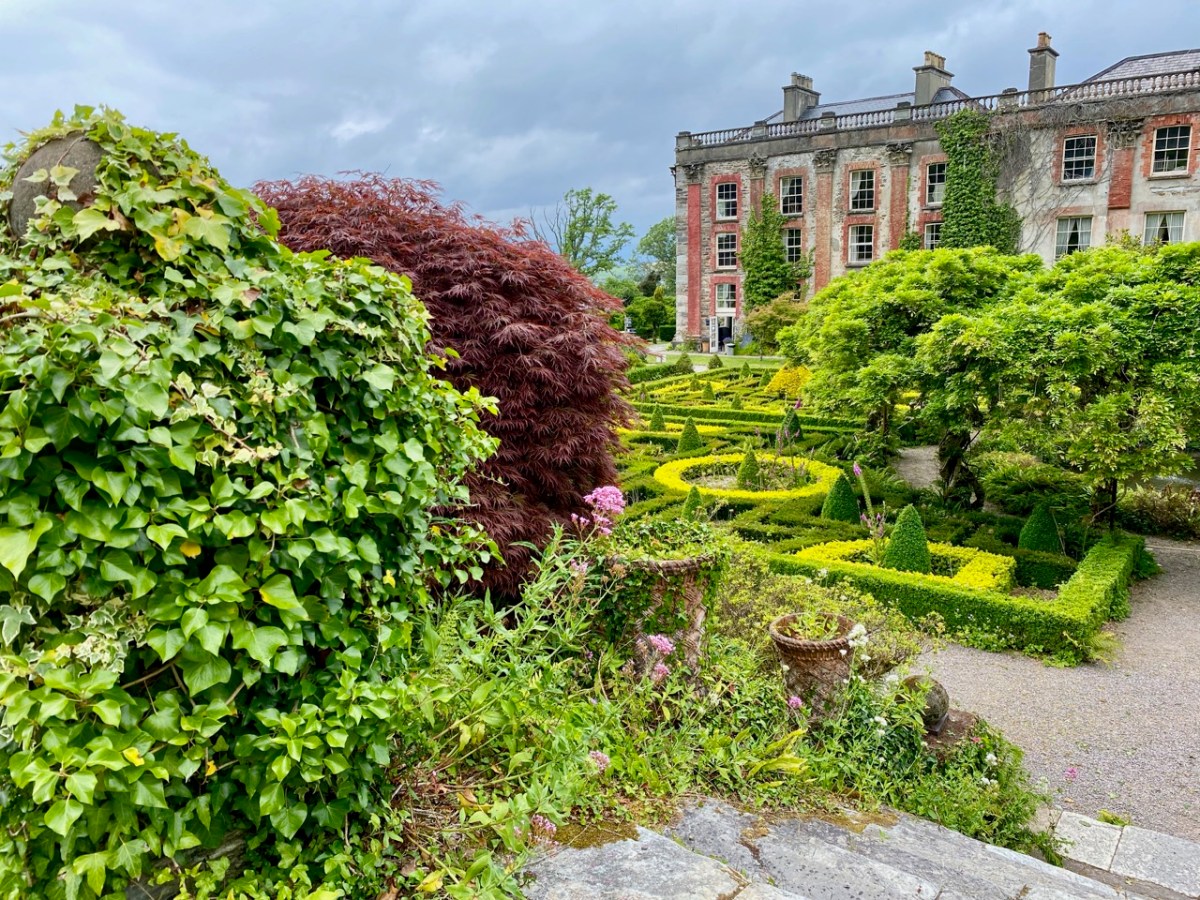
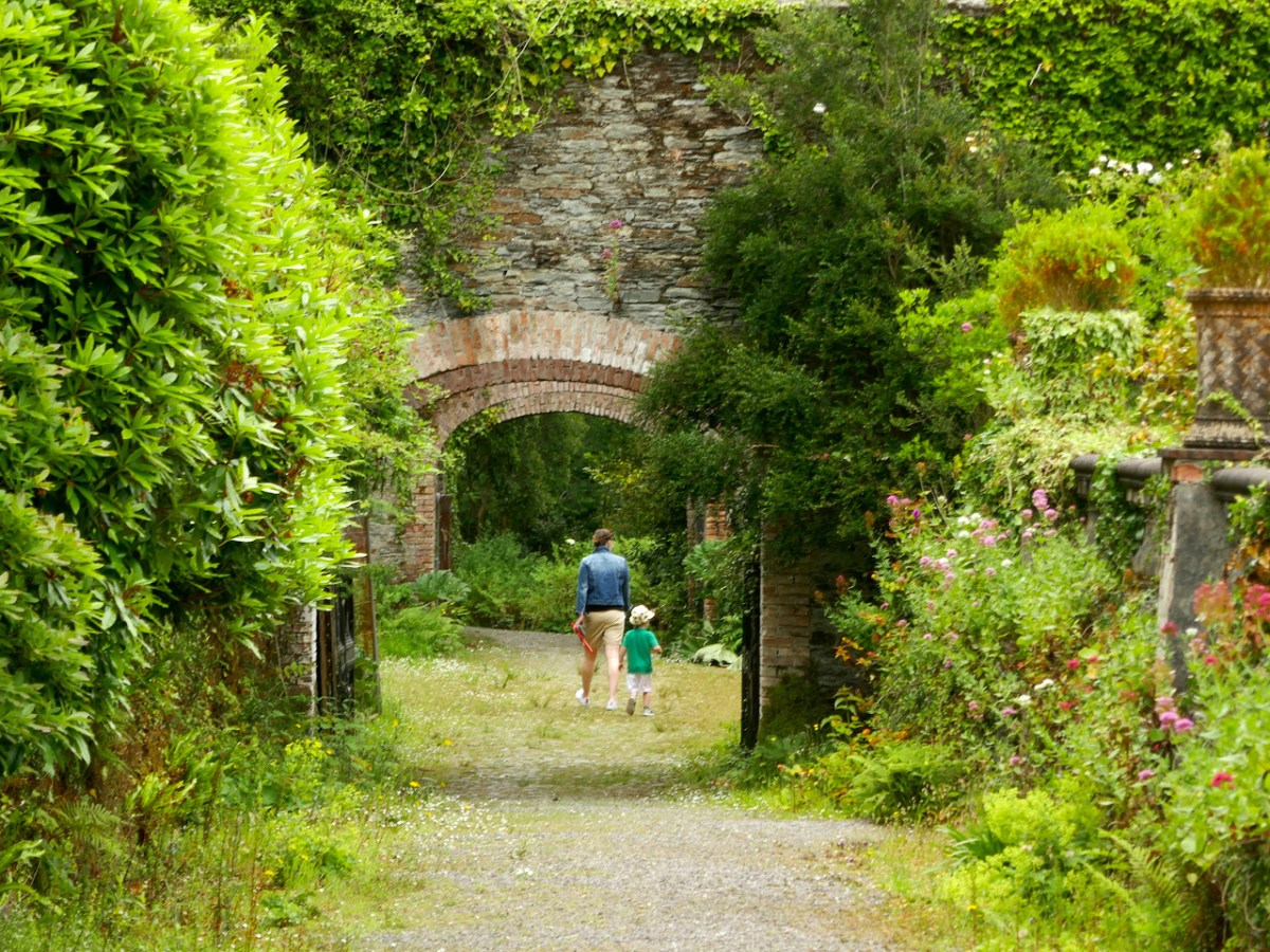
Pandemic days can be well spent in West Cork. Visit Bantry House: for a small fee you can walk around the extensive gardens all day, pausing en route to partake of more-ish refreshments from the Tea Kitchen. There’s ample room to socially distance; panoramic views out to the Bay – and plenty of history to absorb.
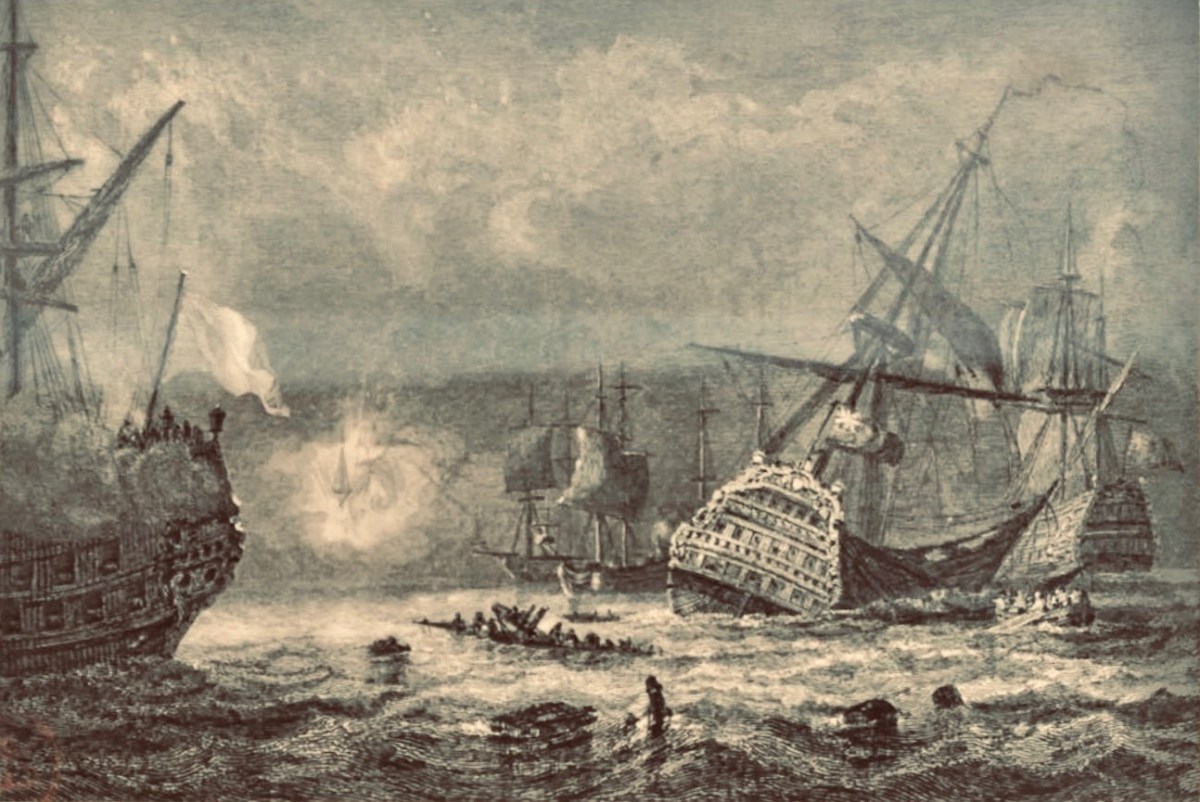
On 11 May 1689, the Battle of Bantry Bay was fought between the French and British forces (above). It was inconclusive, but considerable damage was suffered by both fleets.
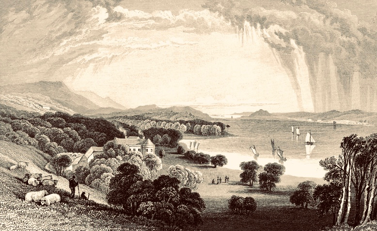
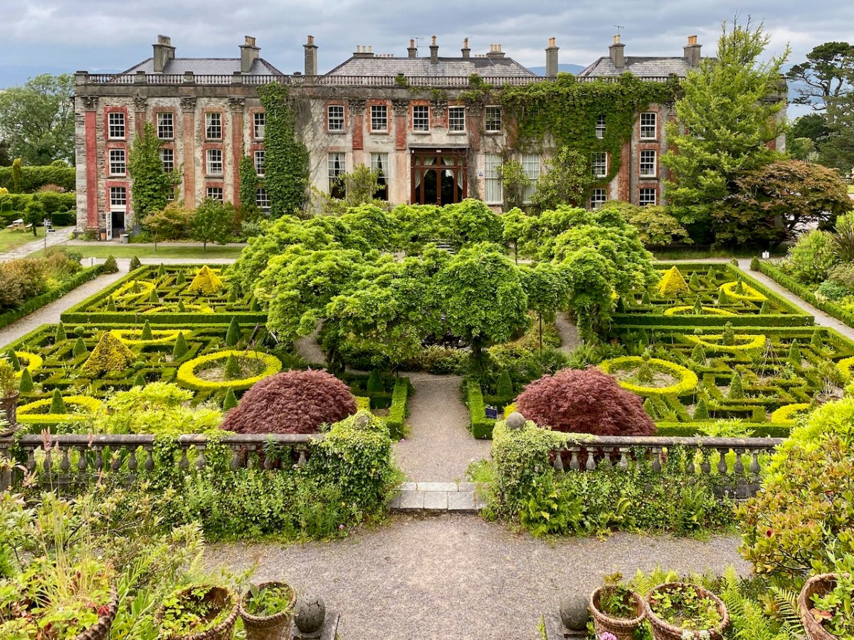
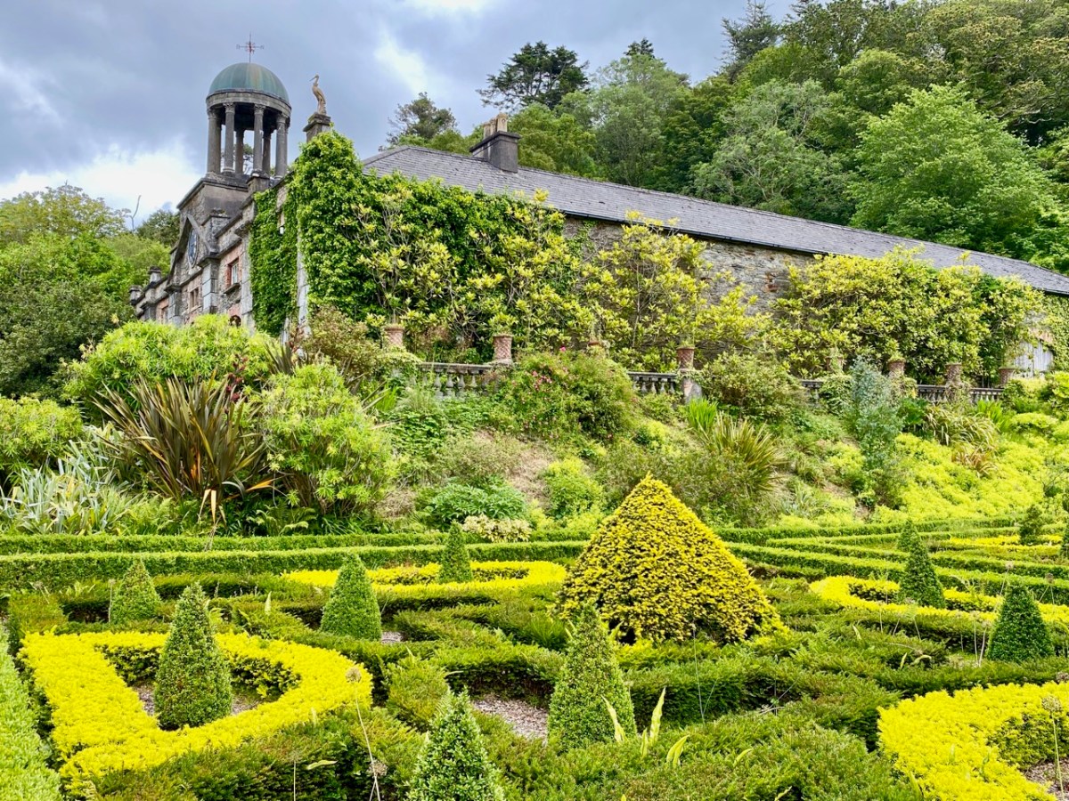
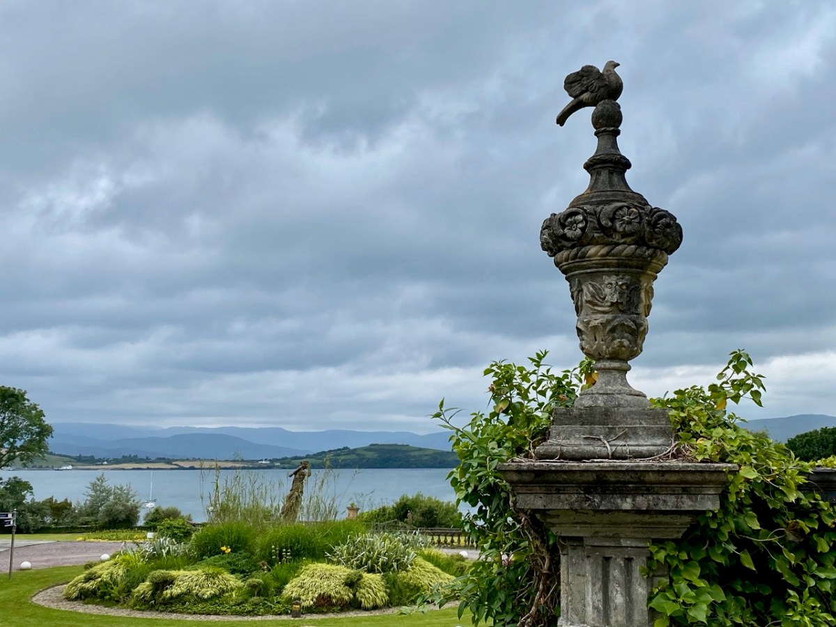
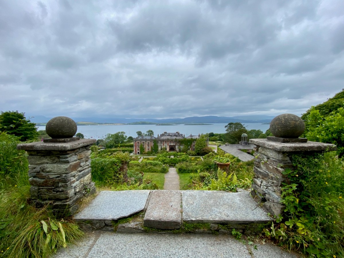
Originally a farmhouse known as Blackrock, the property was built by Samuel Hutchinson in 1710; it was purchased by Captain Richard White of Whiddy Island in the 1760s. His grandson – also Richard – renamed the house Seafield, and witnessed an engagement between the French and British forces in the Bay in 1796. He became the first Earl of Bantry and his eldest son – another Richard – extended the house and laid out the grounds more or less as we see them today (here is a post from Finola narrating a visit to the house in pre-pandemic days). The idyllic view above dates from 1840, around the time of the renovation and landscaping work.
More naval activity in Bantry Bay can be seen in the background of the above photograph, dating from the first decade of the twentieth century.
. . . For eight days past, the mammoth battle ships Bellerophon, Lord Nelson, and Agamemnon have been manoeuvring in Bantry Bay, between the Roancarrig Light and Whiddy Island. The thunder of the big 12-inch guns can be heard at immense distances, and electric and searchlight displays may be witnessed at night from places far inland . . .
Southern Star, 27 March 1909
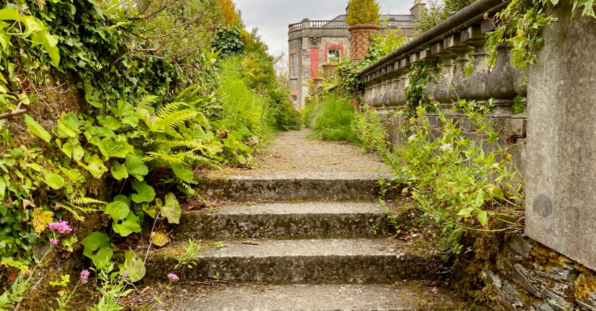
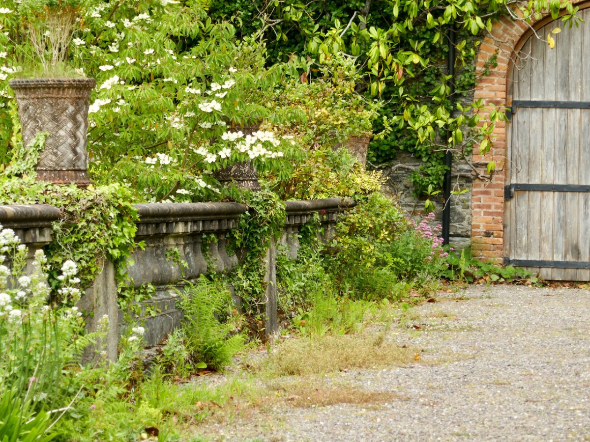
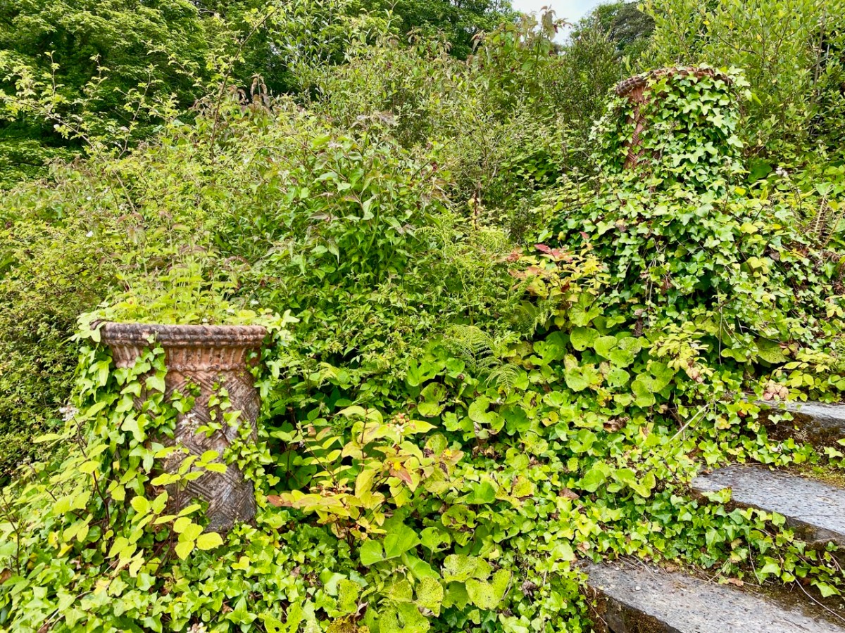
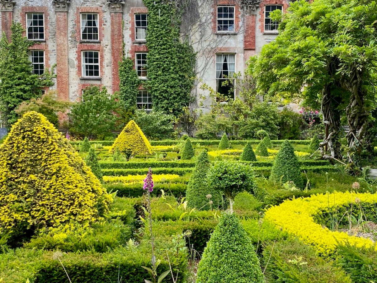
The fortunes of Bantry House have varied during the last hundred years, but it remains in the ownership of the descendants of the Whites, and has been opened to the public since 1946. Now a very significant tourist attraction, the property has eased itself into the 21st century and can be seen today pursuing a laudable philosophy of encouraging the grounds to support informal wildflower spread and natural habitats within the previous strict formality of the terraced gardens laid out by the second Earl. In our view, this approach is highly successful and in fact softens, complements and enhances the mature house and its setting of terraces, steps, courtyards, paths and woodlands. It also provides excellent habitats for pollinators and contributes to a more sustainable world.
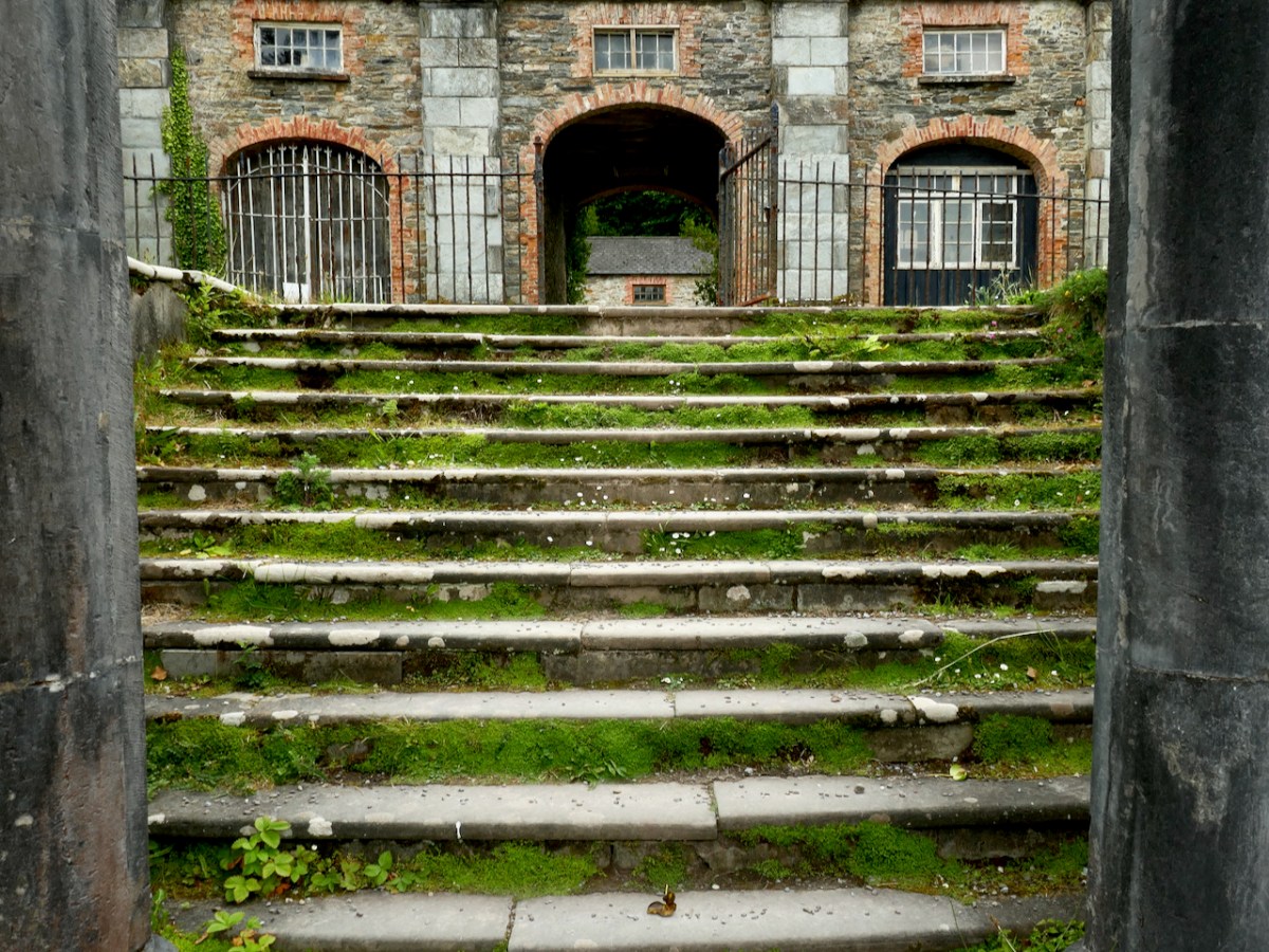
Every part of the grounds is worthy of exploration. There are two former stable blocks: both are time capsules. The activities of generations of gardeners, groundsmen, grooms, and farriers can be imagined from the surviving evidence.
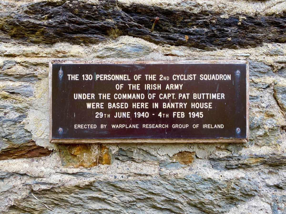
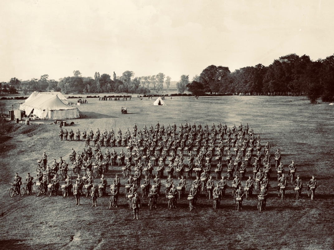
I was fascinated by the plaque, above, and added it to my collection of classic signs. I then set about trying to find photographic evidence of this squadron, sadly without success. But I did find an equivalent from Suffolk, England, dating from 1910, which is worth a share:
I hope you will follow in our footsteps and visit the gardens at Bantry House. This is a great time of the year to experience the burgeoning growth of the wilder elements, and, if you have the happy fortune to hit a good spot of sunshine (or even if you don’t), there is no better place in West Cork to while away the constraints of this pandemic.
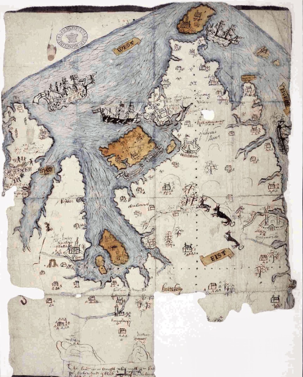
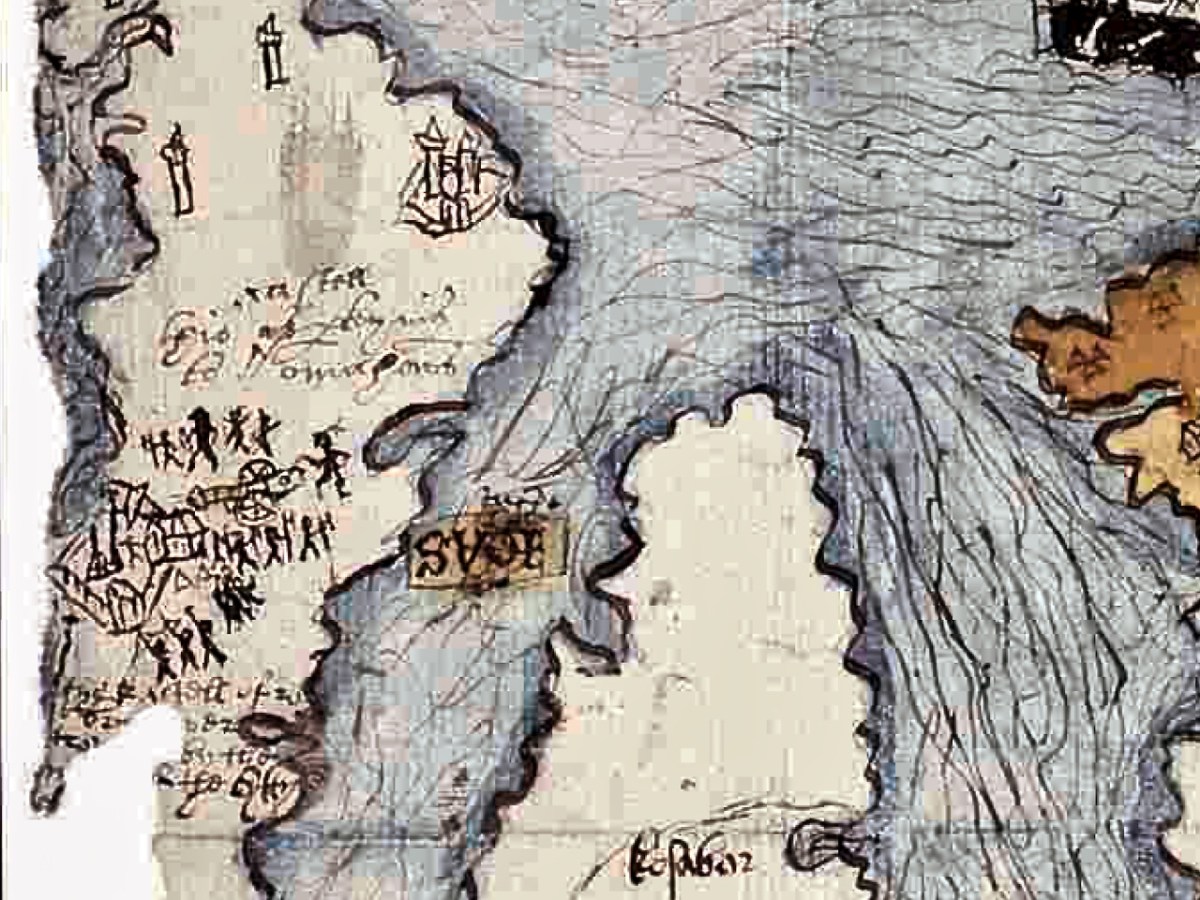
The Elizabethans were map-makers, especially if they needed information for the purpose of wars and conquests. I was first alerted to this extraordinary map of West Cork by a reference in the O’Mahony Journal (subscription needed) and then to a piece written on it for the Journal of the Cork Historical and Archaeological Society in 1958 by P O’Keeffe who labelled it a Map of Beare and Bantry. Neither of these sources had a good image of the map and so, intrigued, I sent off a request for a digital copy to the British National Archives. It arrived by return email, at no charge. What a service! (Irish national repositories take note.) Here is the complete map.
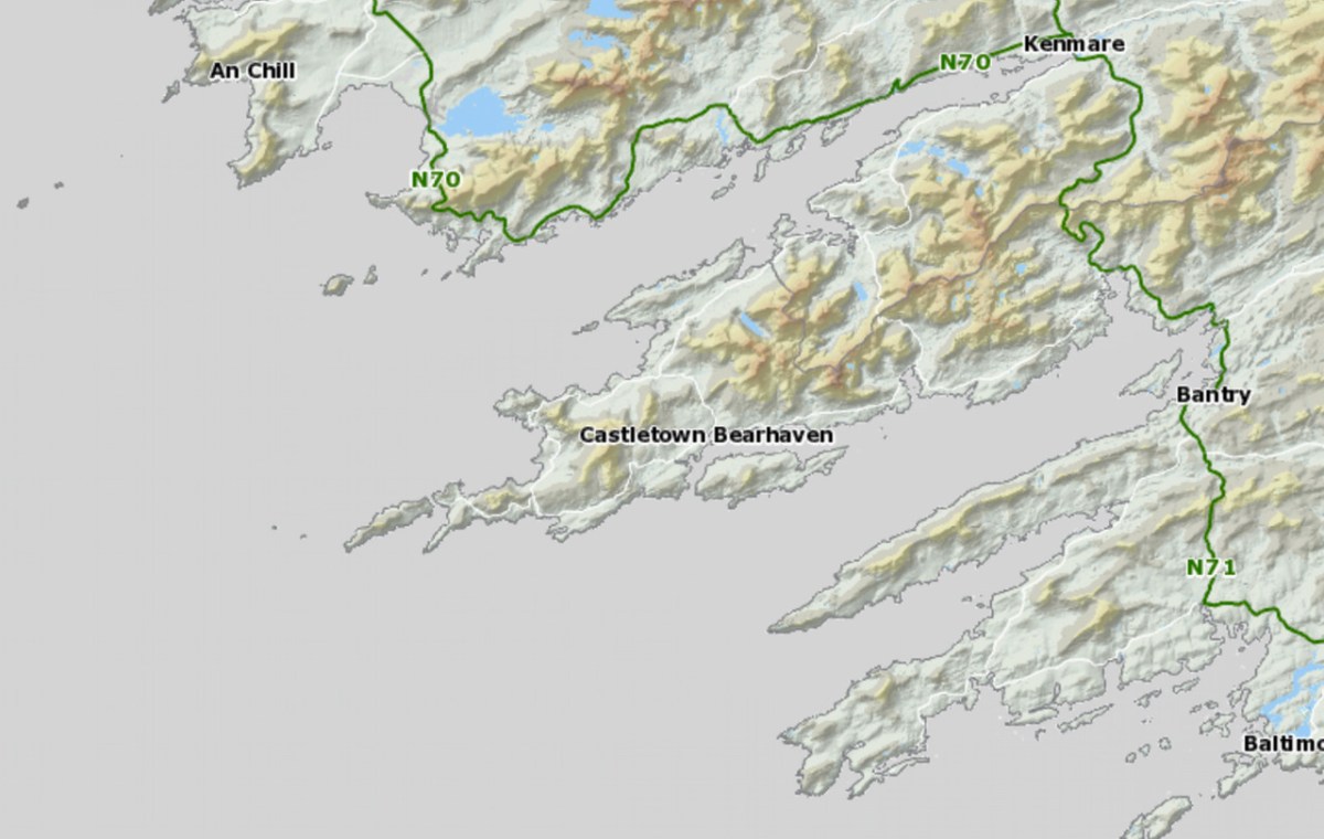
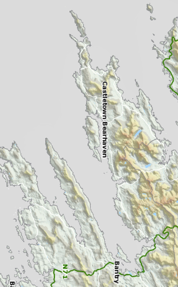
While it is clear that this map dates to the Elizabethan period, there are many questions about it: who did it, for what purpose, exactly when? For this post I want to go through elements of the map and identify, as far as possible, what it depicts. A subsequent post will deal with what is actually going on – that is, what are the actions that are being chronicled. Let’s start with the fact that the map is quite accurate. It depicts the three peninsulas of West Cork – the Mizen, the Sheep’s Head and the Beara – and the inlets in between them. It is oriented east-west rather than our modern convention of north-south, but the cardinal points are clearly identified. The map is drawn on paper, with the sea coloured in blue and the islands in brown. I have provided maps below of the same area, the first in our typical north-south orientation and the second as it is orientated in the historical map.
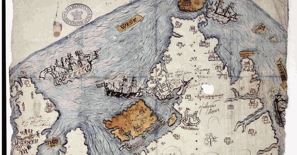
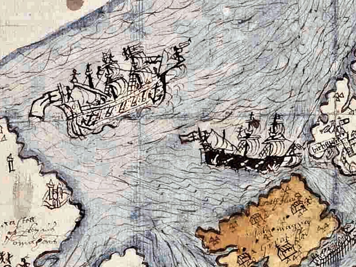
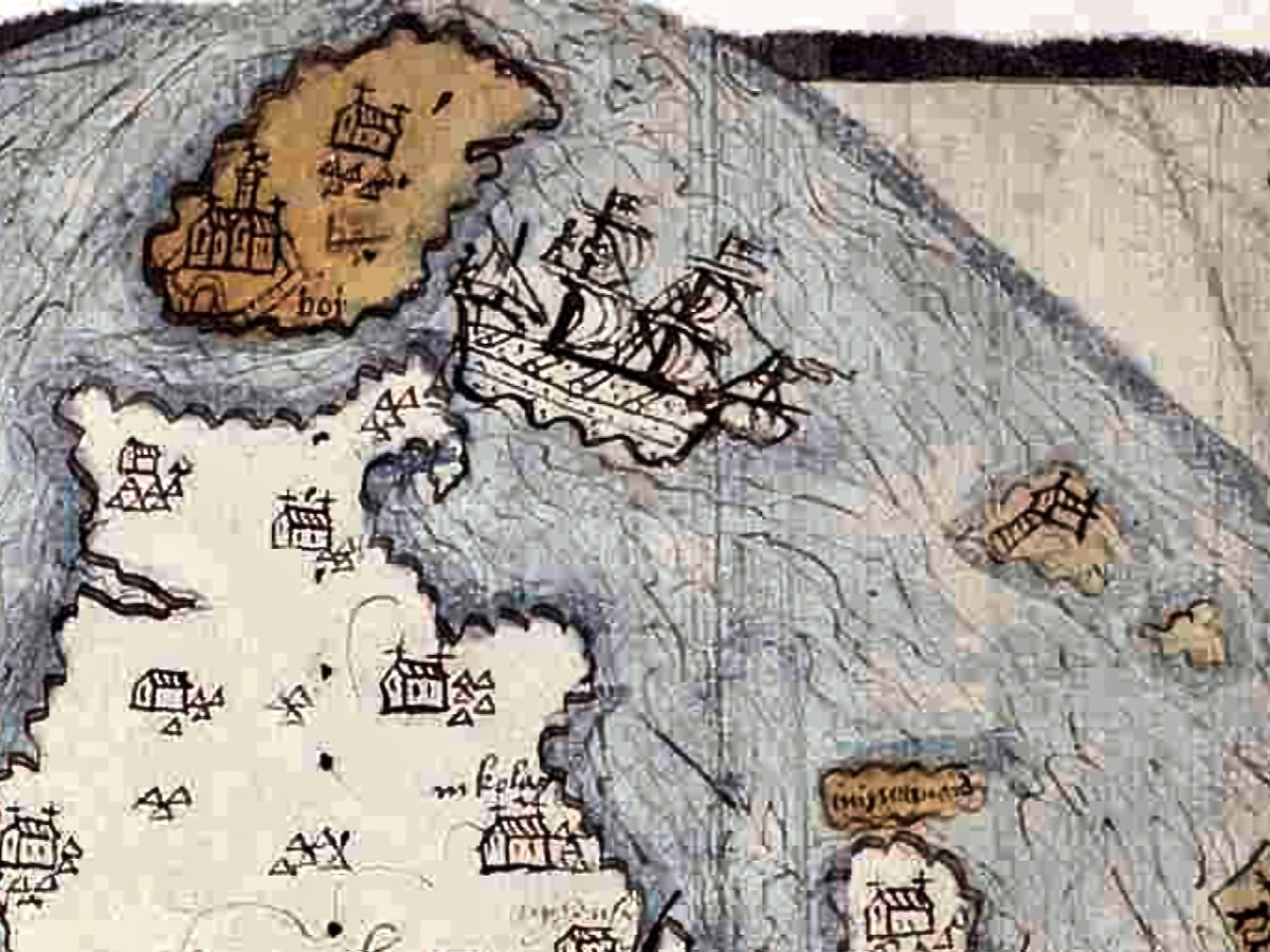
The sea is shown teeming with ships – warships and galleys. Taking a closer look at the two north of Bear Island we see two different ships, one light and one dark. Each is in full sail, with men on the riggings and in the look-outs. They have cannons emerging from the hull, a trumpeter aft and a bugler on the bow-spit.
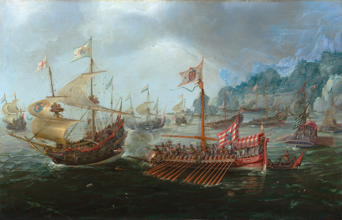
As a reference, here is a painting by Andries van Aervelt showing the kinds of ships that were engaged in The Battle of the Narrow Seas (1585) – both the full-sail warships are shown as well as galleys.
Galleys were also deployed here, shown between Bear Island and the mainland (below). The lead galley has a trumpeter on the bow, while the second galley shows a man blowing a horn in the stern and what looks like a drummer on the bow (like those ramming speed scenes in Ben Hur). The rowers were often convicts and the life of a galley rower was brutal. This map shows a single row of oars. Galleys essentially provided platforms upon which armed soldiers could shoot, and had the advantage of being more stable than sailing ships and often faster, depending on wind and swell.
Another warship (below) is rounding the tip of the Beara , heading for Dursey Sound. Dursey Island has both a church and a castle on it. There isn’t much trace of this now, but there was an O’Sullivan castle on a small grassy peninsula on Dursey, described as two rectangular buildings with a rectangular enclosure in the National Monuments records. It was destroyed in 1602 (more about that in the next post) along with what was then left of the church, known as Kilmichael, which was already in a ruinous state. At the right, in this section of the map, are two rocky islands, one with a set of steps leading up to a church. Could this be Skellig Michael? The other candidate is Scariff Island, off Lamb’s Head, which had a monastic settlement and hermit’s cell on it.
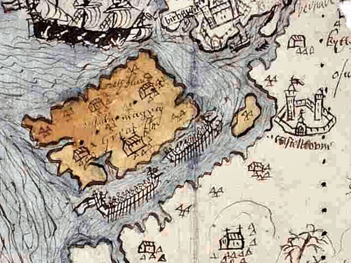
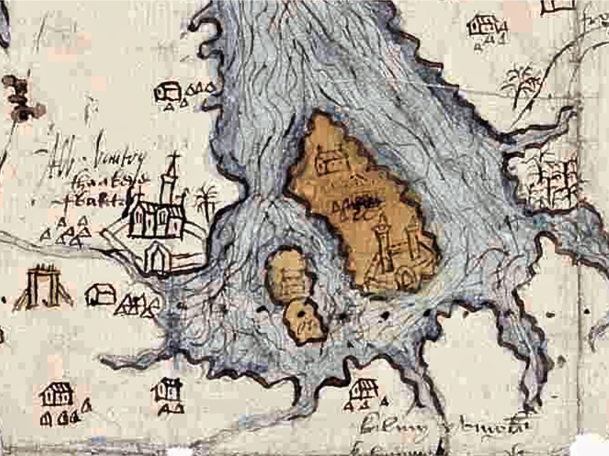
Let’s take a look now at the area around Bantry (below). The large church is of course the Franciscan Abbey that stood here, where the graveyard is located There is a church shown on the aptly-named Chapel Island between the mainland and Whiddy (no trace if it now remains), and both a church and a castle on Whiddy.
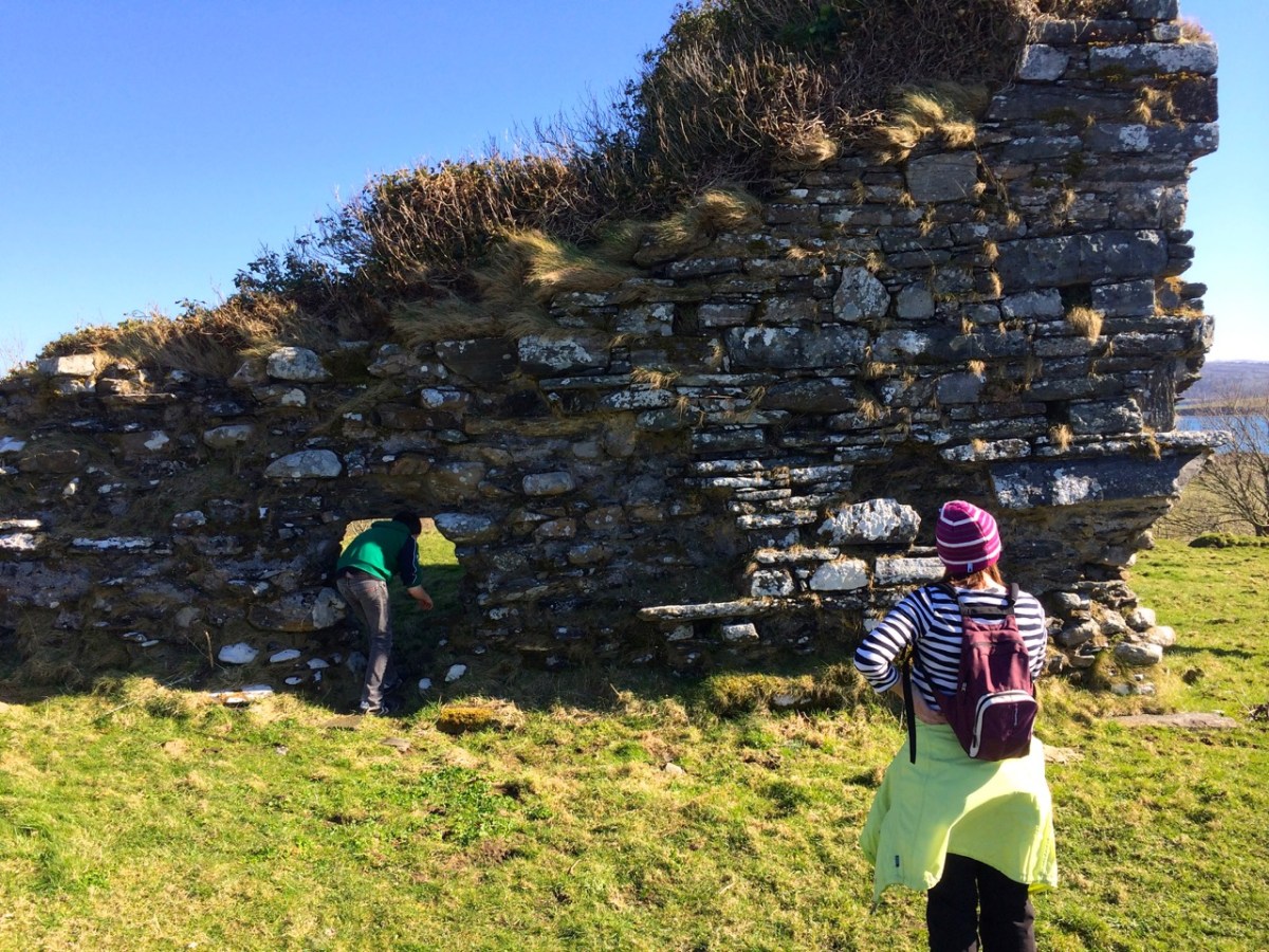
The fragmentary remans of an ecclesiastical enclosure can still be seen at the graveyard on Whiddy, while the O’Sullivan Castle has only one wall still partly standing. That’s it, below.
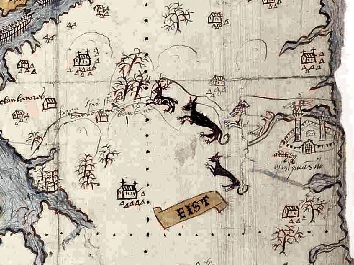
The hinterland of the Beara is shown with trees and animals. Either this is a hunting scene with dogs chasing a stag, or it is meant to show the wildness of the interior, with wolves and deer. Settlements are indicated by churches surrounded by a cluster of cabins (not that different from Irish villages up until recently), and there is a castle labelled Ardhey and O Sulyvans Ho. This is likely to be the ruined casted of Ardea, which actually stands on the other side of the Kenmare River – the Iveragh side rather than the Beara side.
The final depiction I want to highlight is of the Mizen. Several towers dot the landscape as well as two substantial castles, one of which is under siege.
Which castles are these – especially the one being attacked? Tune in next week!
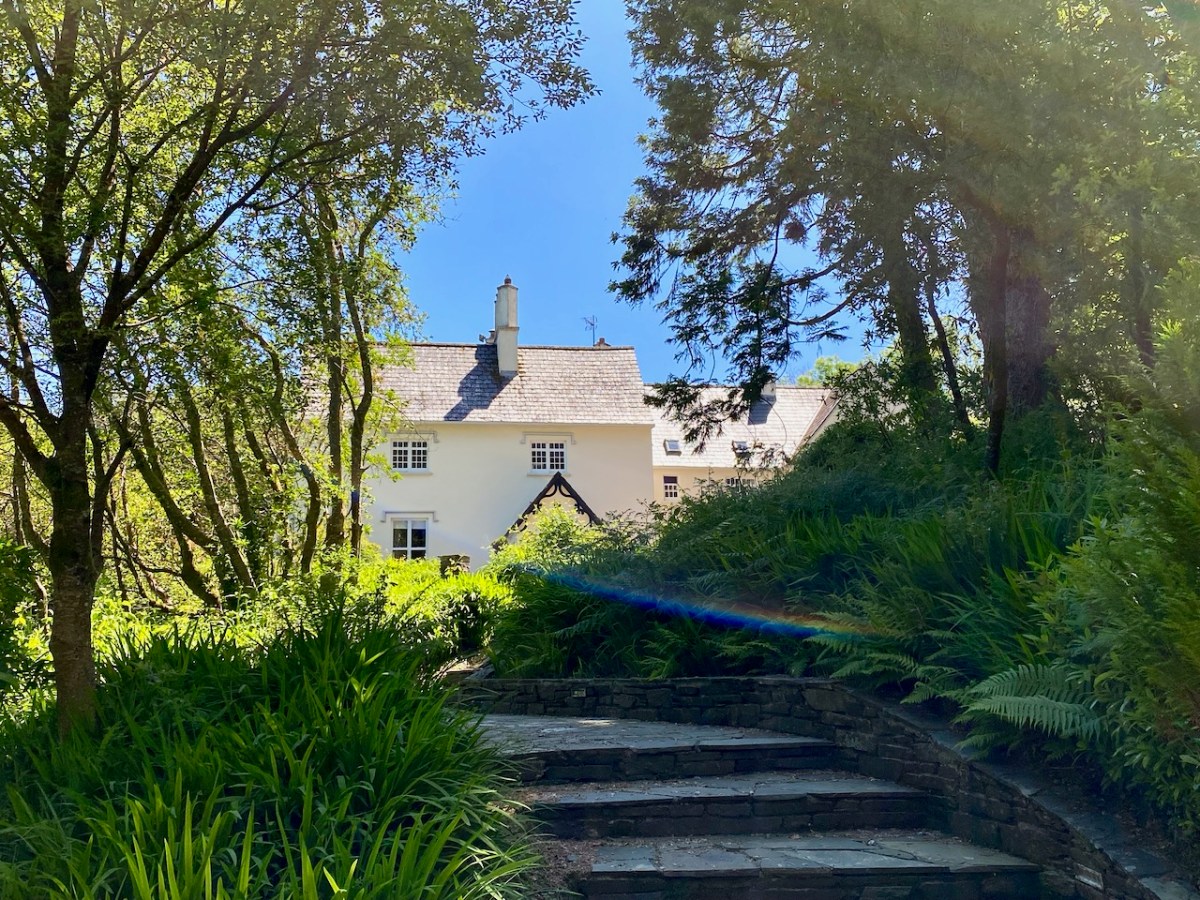
Just along the road from us in West Cork lies Liss Ard Estate. One of Ireland’s ‘big houses’, it was built in 1853 and was for generations the home of The O’Donovan, leader of that Gaelic clan. During the ‘cold war’ era of the 20th century it was owned by the Swiss government, who saw in West Cork a potential safe haven if the world descended into a nuclear holocaust. Just recently it has been taken over by an American company who will continue to run it as a hospitality venue. Finola’s eagle eye picked out the other day that Liss Ard were opening up for outdoor Sunday brunch! How could we resist?
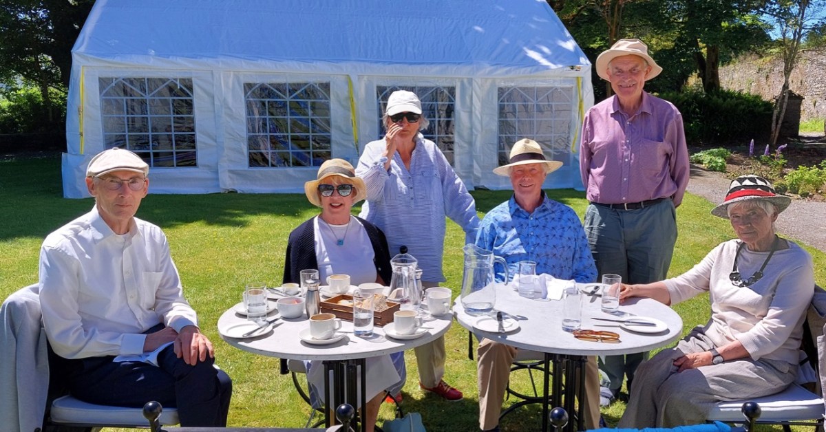
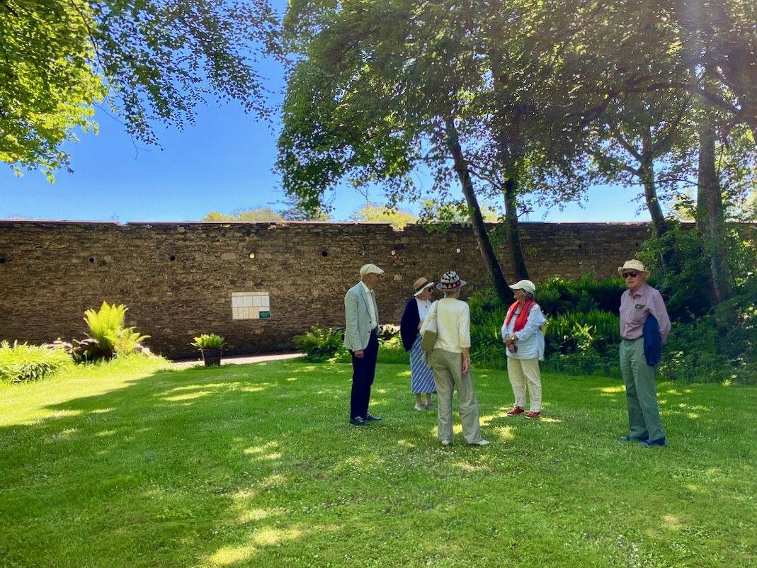
Here’s the brunch group: George, Una, Finola, myself, Con and Clair. We thoroughly enjoyed the occasion – partly because it was like being let out of jail (although I doubt – but can’t say for certain – that any of us has experienced that particular phenomenon), but also because, as customers, we were able to follow the excellent breakfast and coffee with a walk around the 163-acre estate.
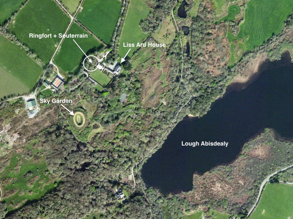
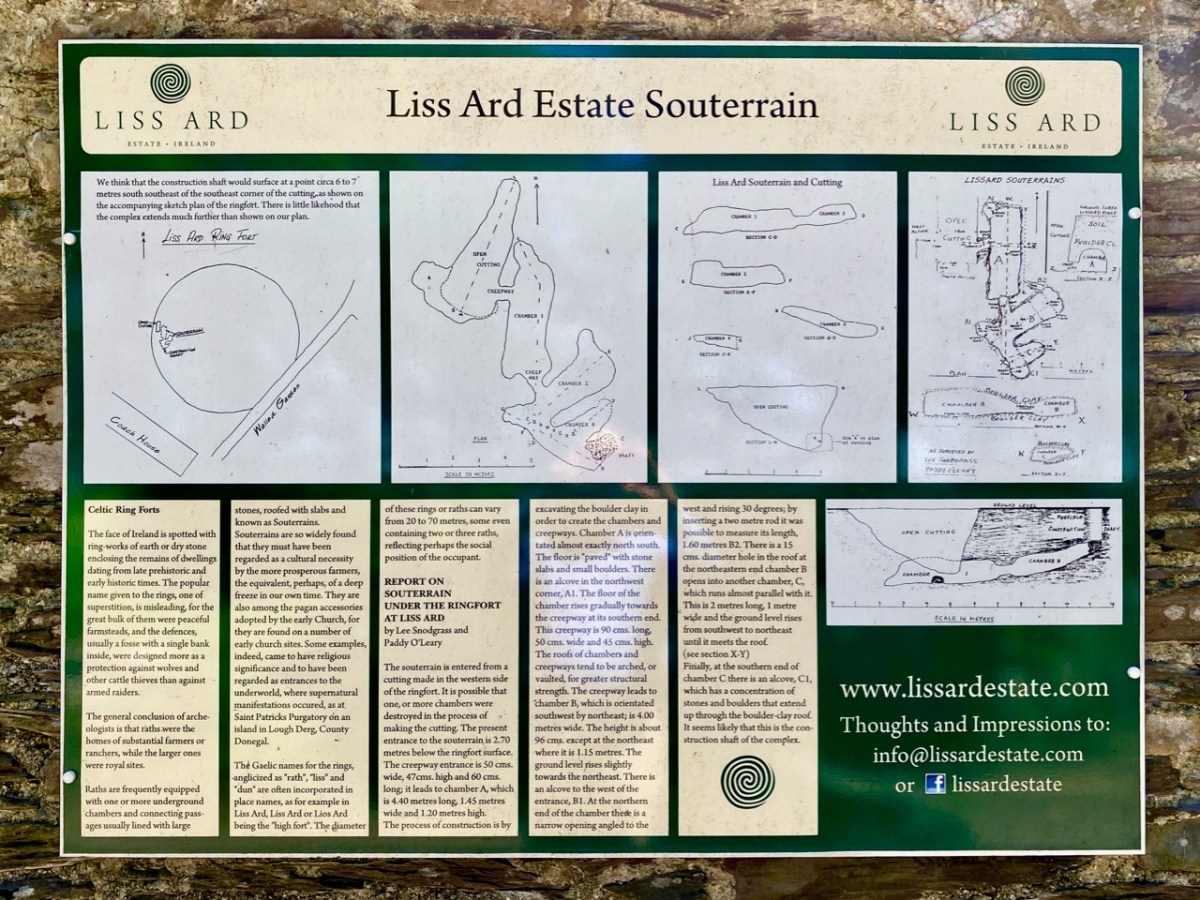
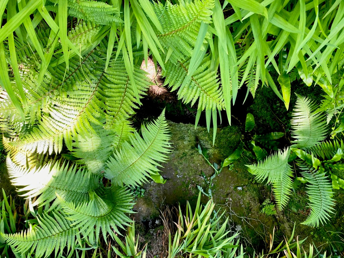
Finola and I have special feelings for Liss Ard, as we were married there in 2014 in an ancient ringfort! So, easing ourselves out of our chairs in the summer sunshine our first port of call was the feature after which the house is named: Lios Ard = High Fort. At our wedding the souterrain which was an integral part of the fort was not visible: today it can be seen, from above (at least, the entrance to it can be seen). The souterrain is a series of underground chambers, and this one – cut from rock and clay – has survived for well over a millennium. It was fully explored by a good friend of ours, Lee Snodgrass and her partner Paddy O’Leary – both archaeologists – back in the 1980s, and an information board just beside the fort tells the story in their words.
Above: Lee and Paddy’s survey drawings of the fort and souterrain, with a view of the entrance at the west side of the enclosure, and the cave-like structure which can be seen today, surrounded by ferns. Below is our group standing in the circle of the fort: such structures were probably high status homes defended by banks and timber palisades. They would also have provided protection for domestic animals who would have been predated by wolves.
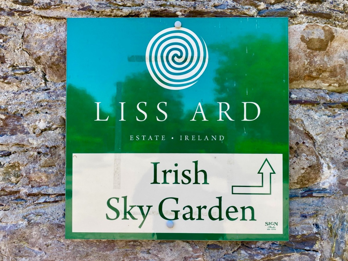
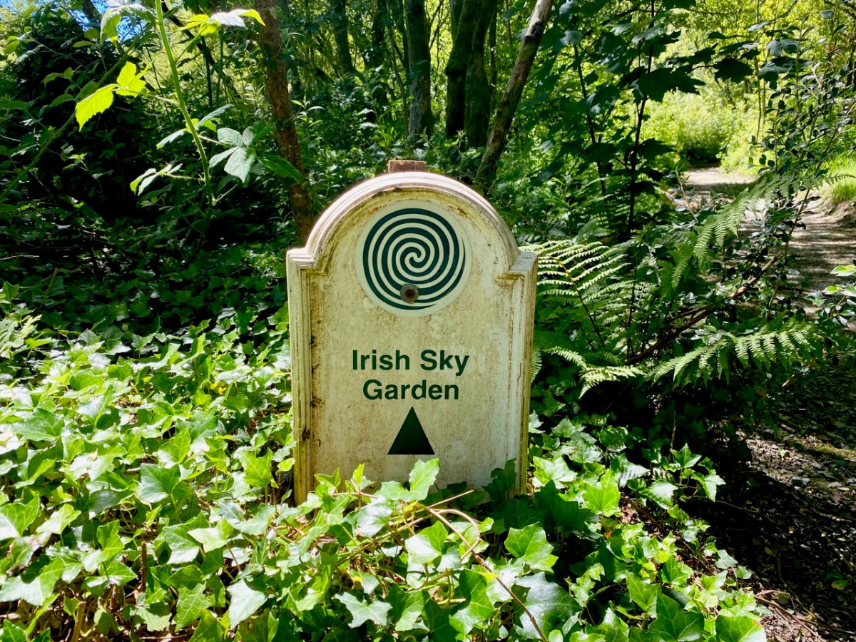
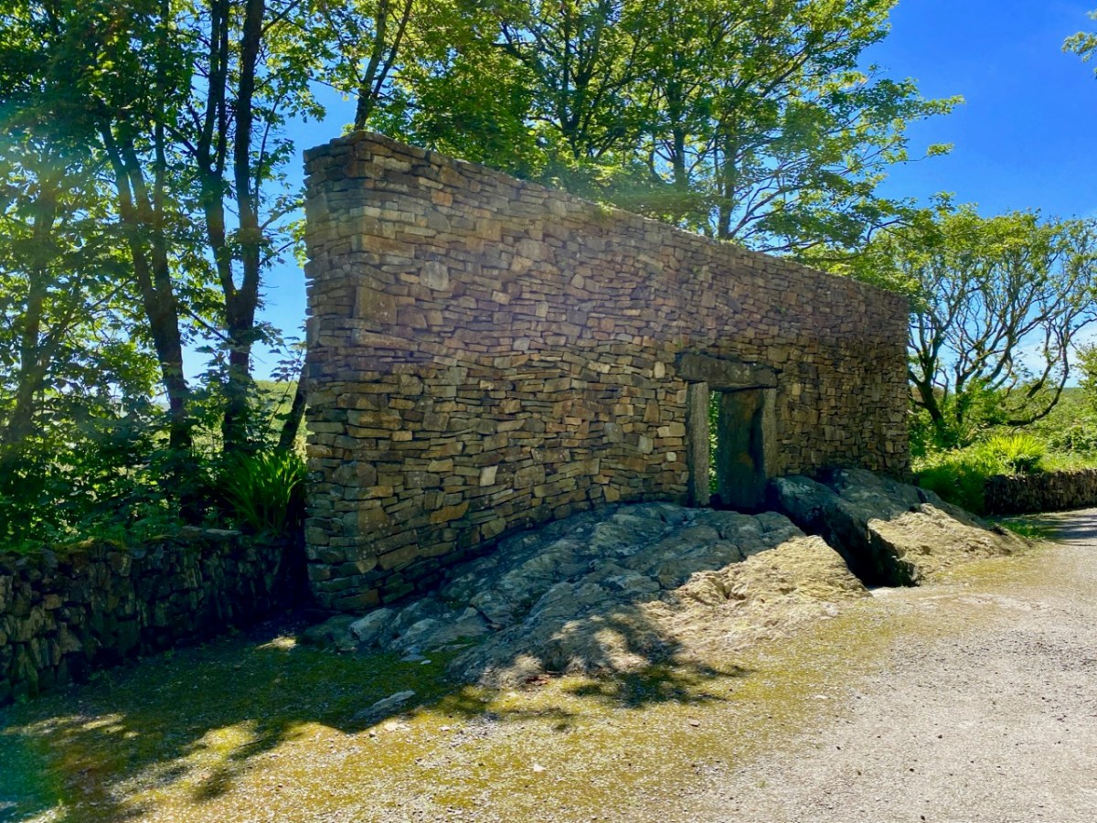
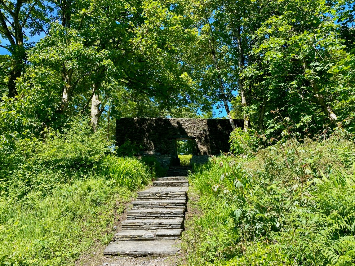
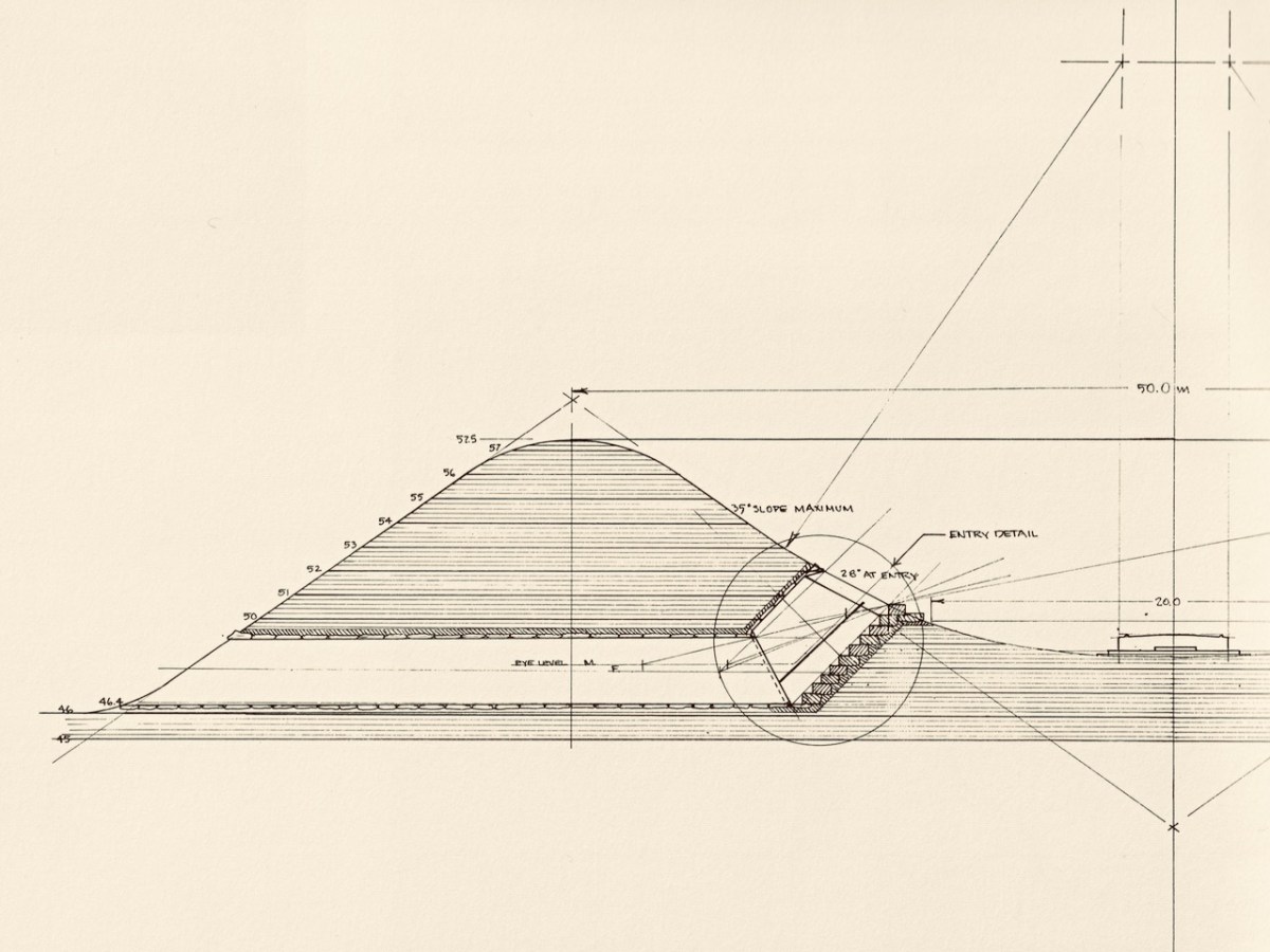
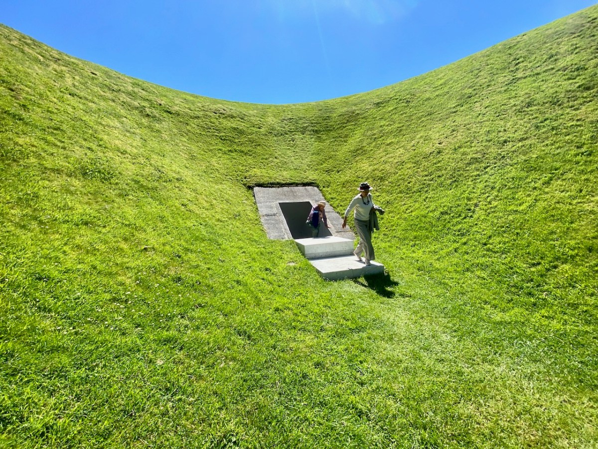
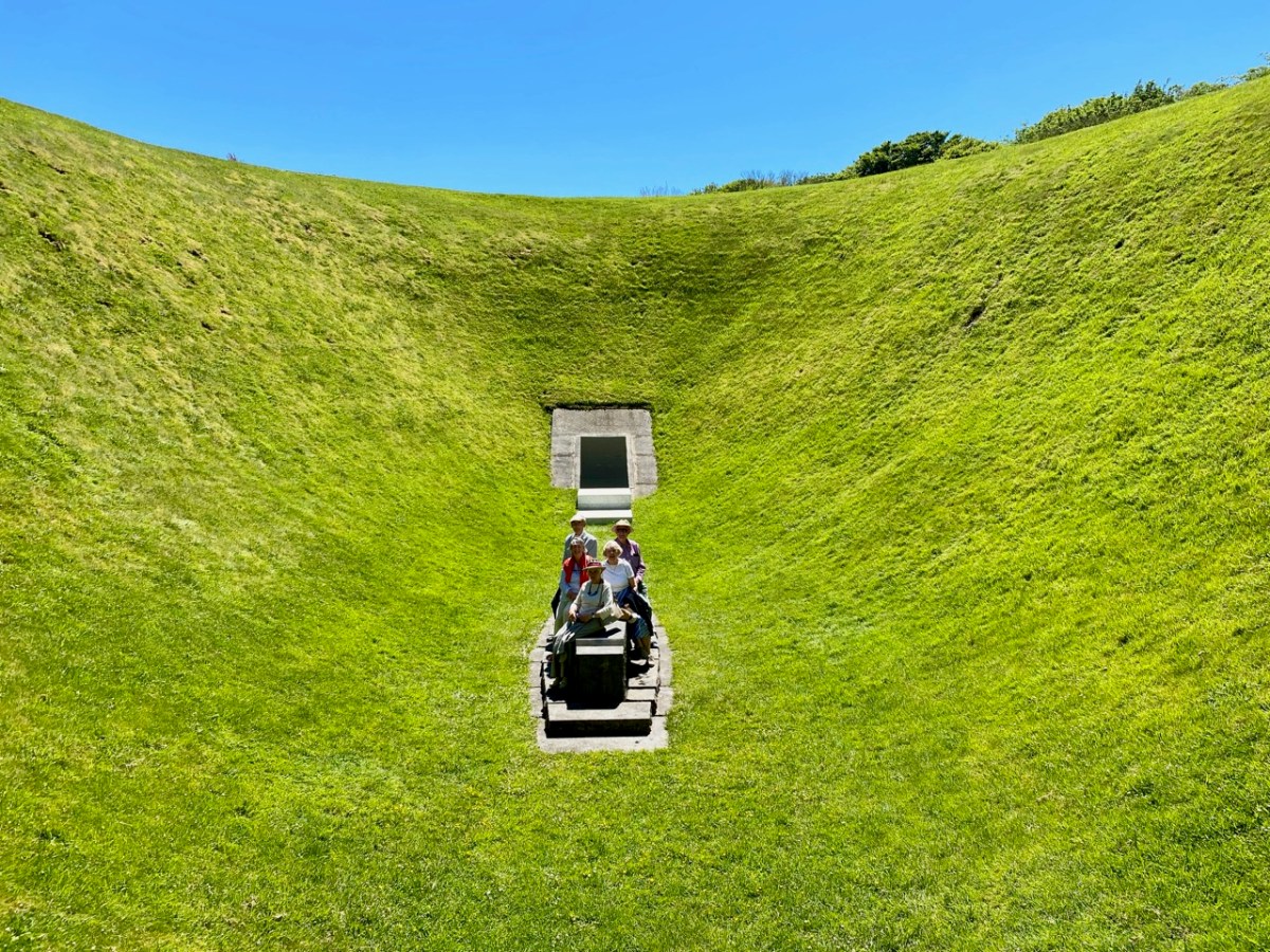
Another feature in the grounds of Liss Ard may also seem like something ancient, but actually only dates from 1992:
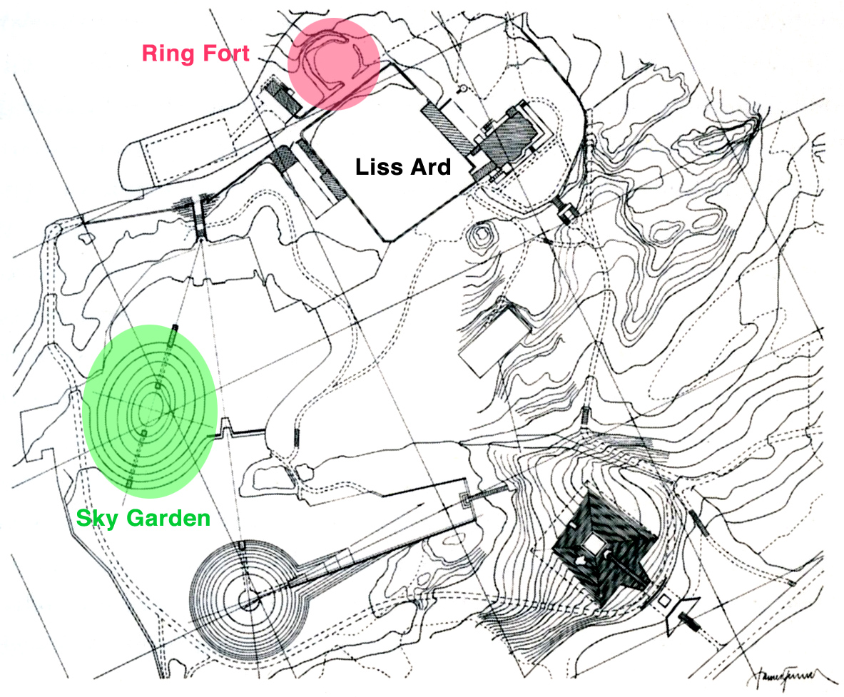
. . . The Liss Ard Project brings together the conservation of nature and contemporary art: it will combine animal wildlife preservation, controlled ‘wild’ gardens and a contemporary art project – the Sky Garden . . .
. . . Turrell traced his wife (Julia)’s ancestors to Castletown Bearhaven. He had his two youngest children, Sophie and Arlen, baptised in the church there . . . This (West Cork) is the countryside that inspired his Sky garden. It could not be realised anywhere else. Jim is responding to what he has found in Liss Ard, and his sensitive response will enhance the attraction of the site even more. Jim and Veith (the Zurich art dealer who bought the estate in 1989) study the site like two conspiring brothers. Both radiate assurance. Something unique and shared is being created there. The joy of it shows in their faces . . .
James Turrell from the exhibition – Long Green, Turske & Turske, Zurich 1990
The Irish Sky Garden is an as yet incomplete work of art. The whole project was set to incorporate other ‘land works’ including a pyramid and a vault. Turrell’s most famous work, perhaps, is the Roden Crater in the Arizona desert. It is also work still in progress: construction began in 1977.
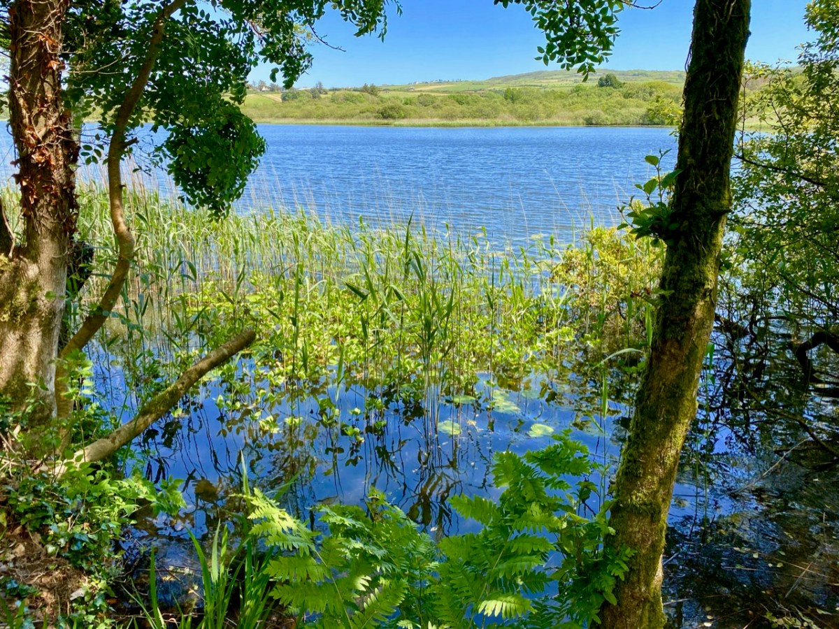
Quite apart from the ancient history and modern art, the gardens at Liss Ard have so much to offer. There is a maze of paths and steps, lush – almost tropical – growth and views across the substantial lake which forms part of the demesne: Lough Abisdealy.
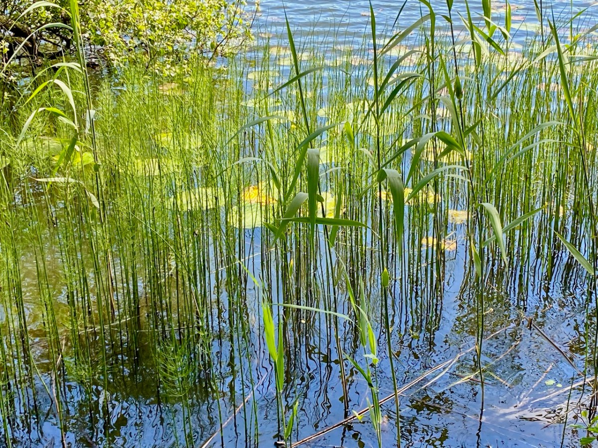
As we walked beside the lake I was entranced by the sound of the wind in the reeds, and have tried to capture it with this little recording: you can imagine the combination of the swaying reeds, the crescendo of the light wind, the distant birdsong and the lapping water.
I can only give you a brief impression of our sensory experiences from the day: much is left unsaid and unseen but – all you need to do is book your Sunday brunch, and you stand a good chance of following our footsteps. I only hope that the day is as brilliant for you as it has been for us!
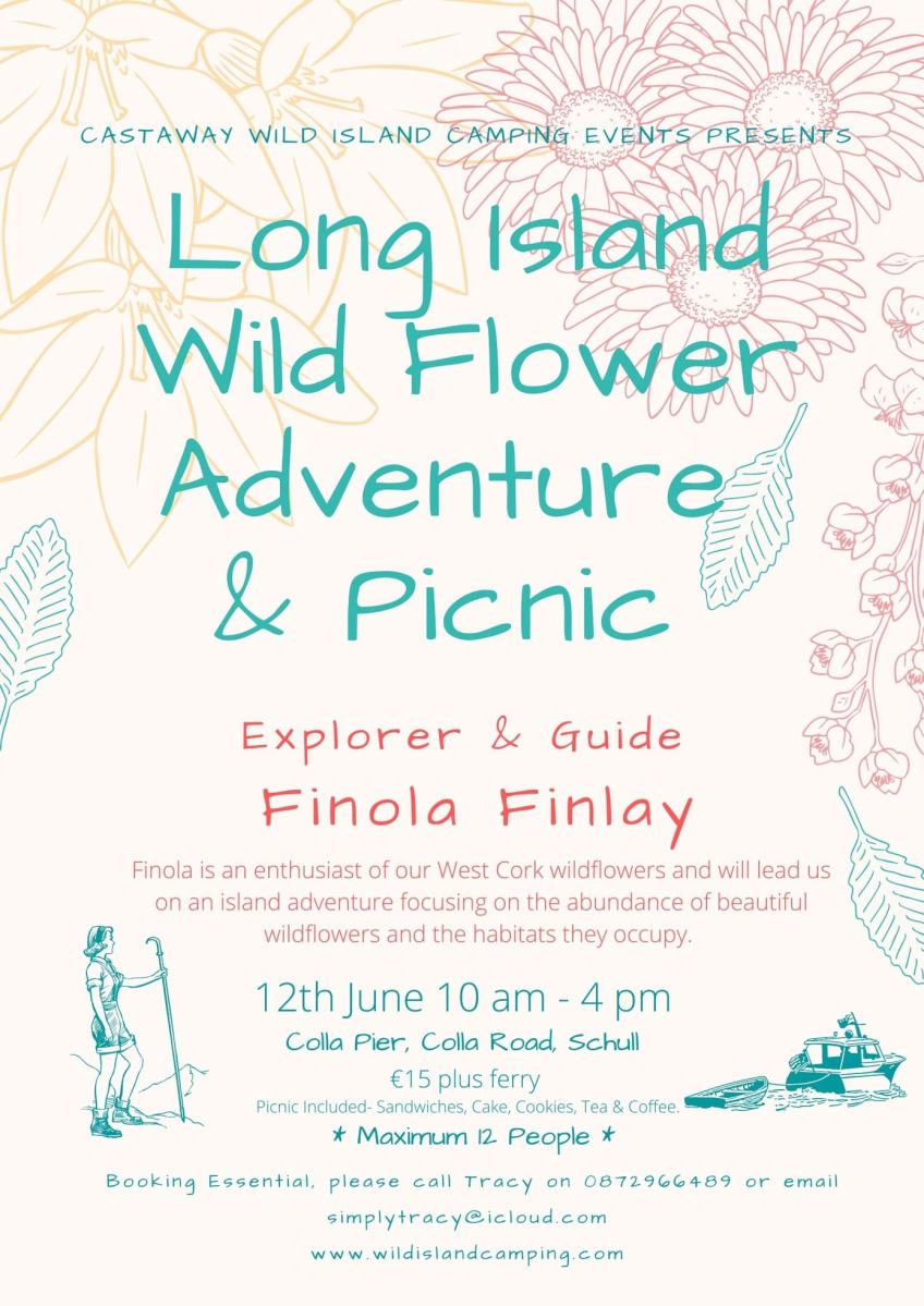
Tracy and Peter Collins are the charming and enterprising couple behind Castaway Wild Island Camping on Long Island in West Cork. When they asked us if we’d like to help with a collaborative island adventure we jumped at the chance to lead a wildflower walk.
But who knew there would be such a demand? Our first date (yesterday) filled up overnight with a waiting list, so we put on a second and it filled from the waiting list!
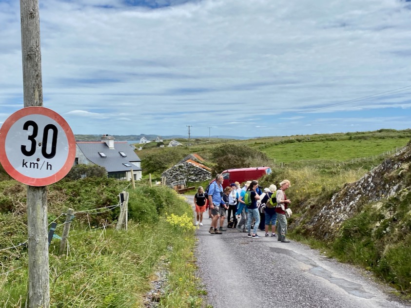
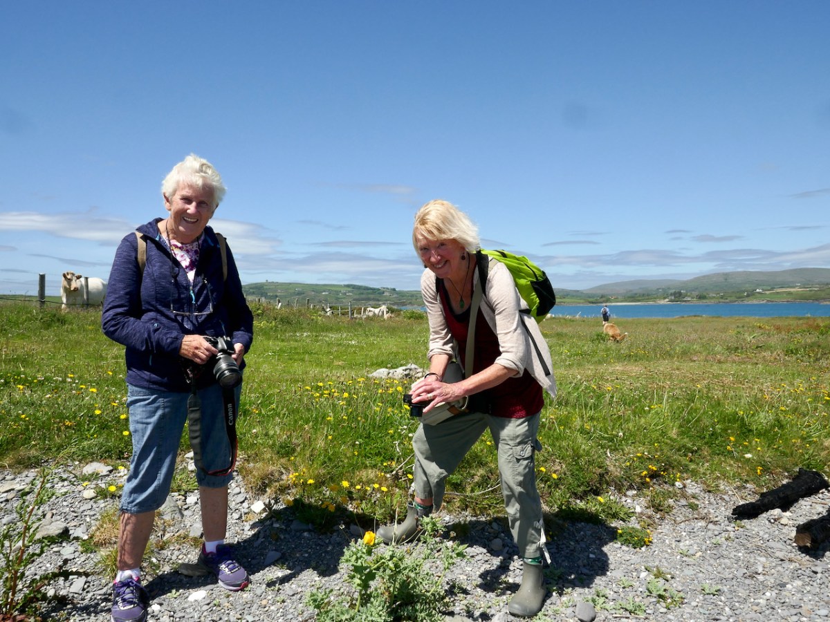
People are hungry, it seems, for experiences like this – and who can blame anyone for wanting to spend time on Long Island! We’ve been there several times and we know that the place, as my mother used to say, is Falling Down with Wildflowers. And so, yesterday, we met with our first group – and what a lovely and talented bunch of people it turned out to be, including an archaeologist, a fish biologist, an ecologist, a professor of Pharmaceutics, teachers, fellow-blogger Amanda from Holy Wells of Cork and Kerry, and an assortment of Long Island and wildflower lovers.
We started off at East House, home of Castaway Wild Island Camping for coffee and possibly the most delicious biscuits I’ve ever tasted, and then started our walk westward along the spine of the island, stopping as we went to talk about the habitats we were passing through, and the different flowers that had successfully adapted to those habitats. Hedgebank, field margins, stone walls and rock faces, old gardens – all carry their own assortment of plants.
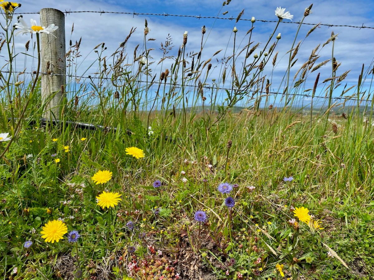
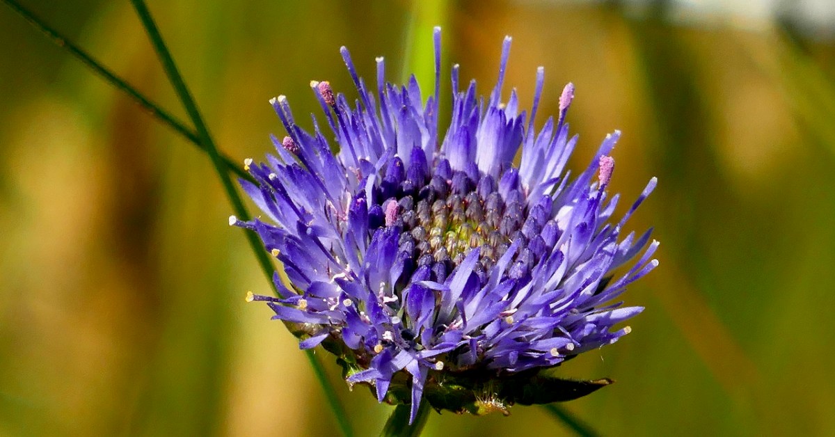
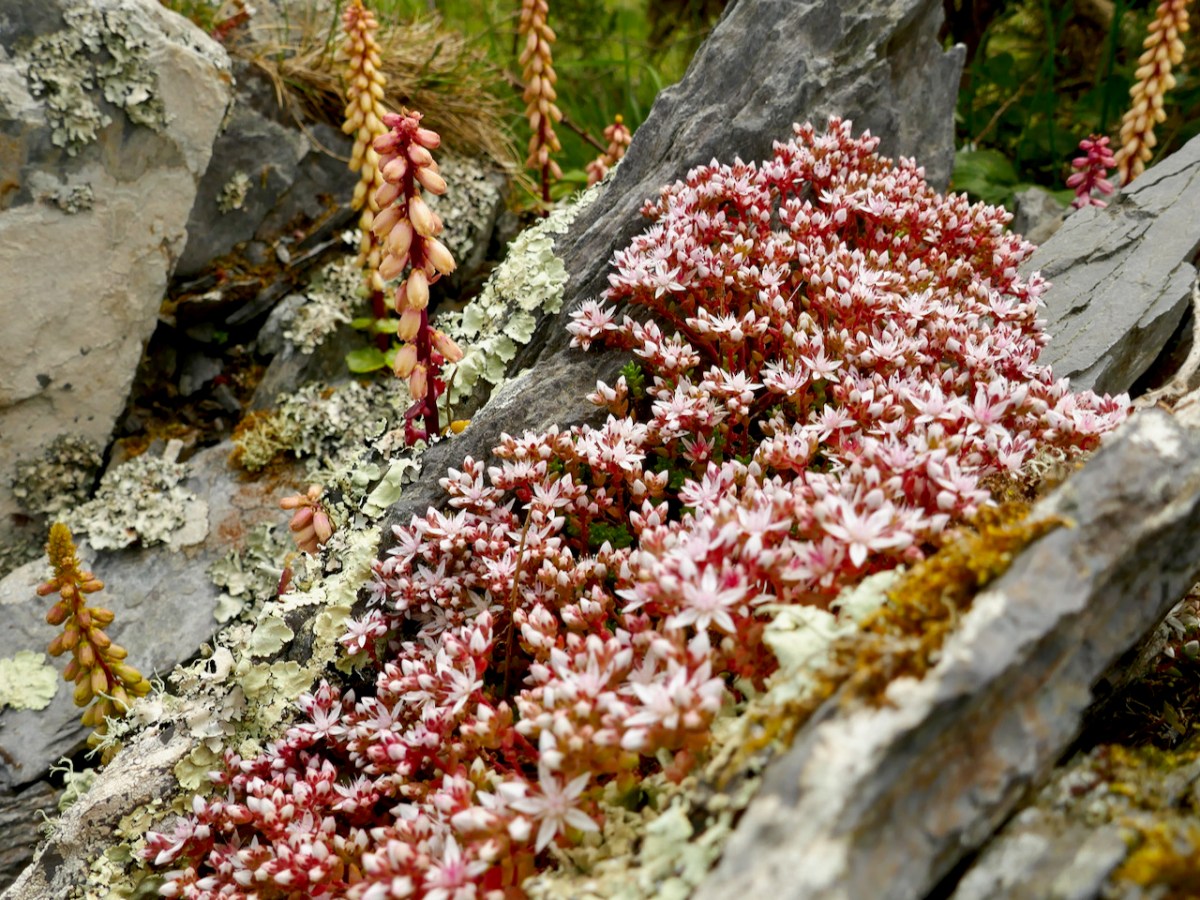
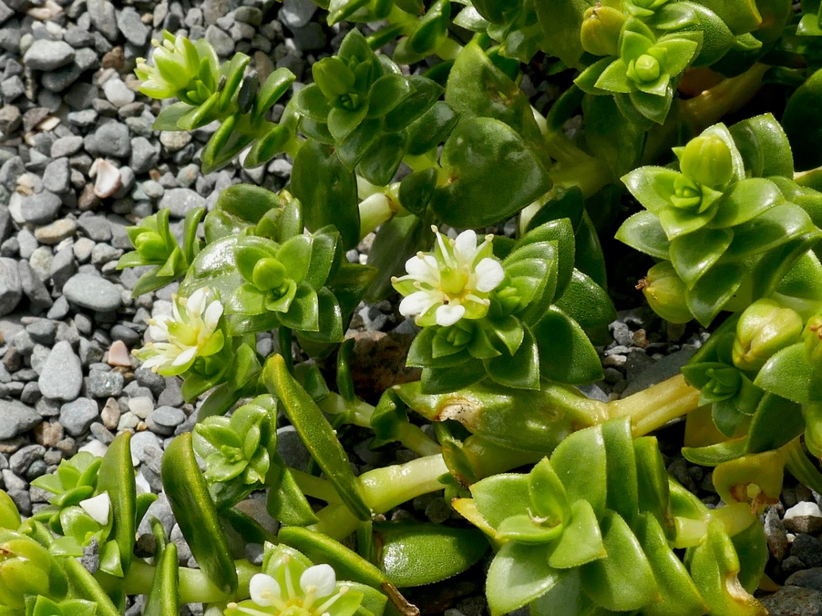
From the top: Cat’s-ear and Sheep’s-bit on a hedgebank; close up of Sheep’s-bit; English Stonecrop, Navelwort and lichen on rock face
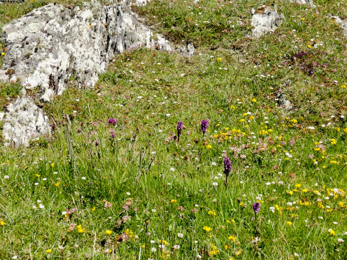
I never thought I would be blasé about orchids, but there are so many at this time of year on Long Island that we soon ceased to stop and exclaim over each new group (below). Mark, the ecologist, was very knowledgeable about plants and pointed out the presence of Yellow Rattle, something that’s quite hard to find in the wild in West Cork but really important for creating good conditions for a wildflower meadow.
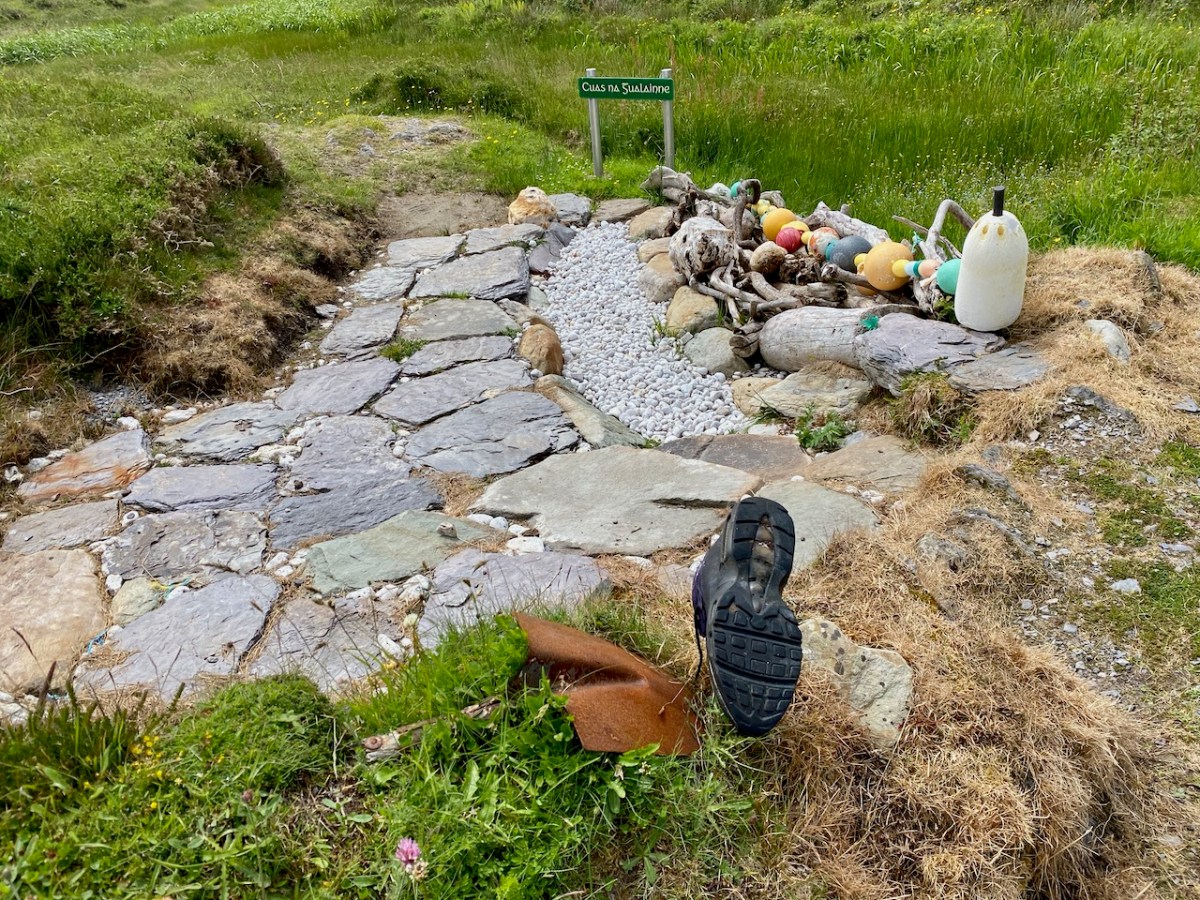
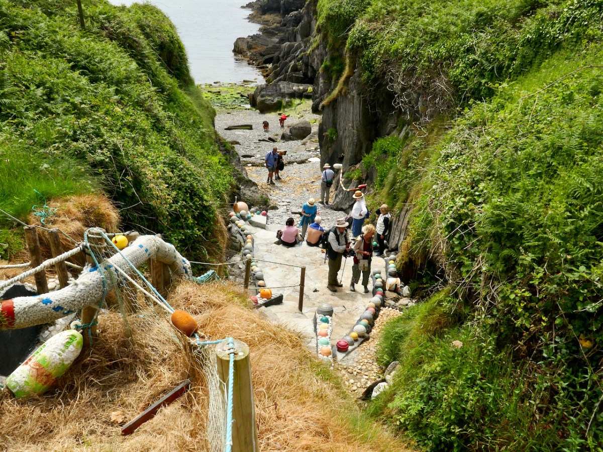
An island man, Joe Whooley, lovingly maintains the well at Cuas na Gualainne (the Little Inlet of the Shoulders – a reference, we think, to the shape of the tiny bay) and it was looking even better than the last time we were there. Amanda shared her knowledge of holy wells in general and told us about this one in particular. She’s not sure what the source of the holiness is, but is investigating. Meanwhile, the water was found to be clear and tasty.
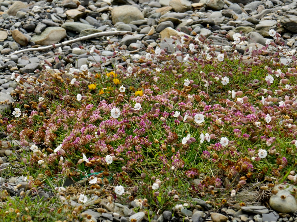
Reaching the Westlands pier, we concentrated on a whole new habitat, one in which marine-adapted plants flourish in what looks like unpromising conditions of shingle and bare rock..
From the top: a colourful patch of Kidney Vetch (pink), Sea Campion (white) and Bird’s-foot Trefoil (yellow); the delicate white flower of Sea Sandwort
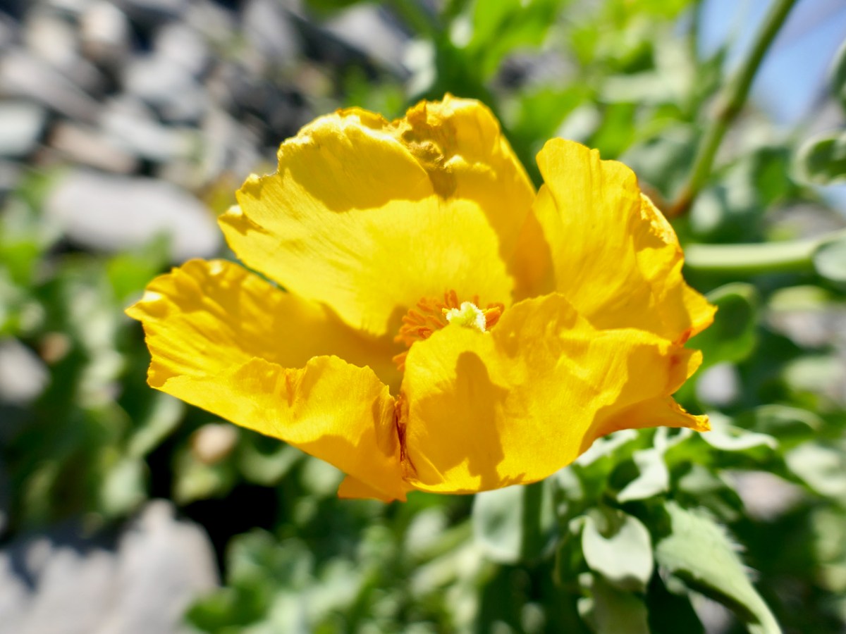
And here was one of the prizes – the Yellow Horned-poppy. It’s rare – classed as near threatened in the Red Data List of Vascular Plants – and strikingly beautiful. It’s wonderful to see a flourishing community of this exotic-looking flower on Long Island and I was thrilled to find some blooming already as I thought we might be too early for them.
From the top: Teresa and Amanda with one of the poppies: a poppy close-up
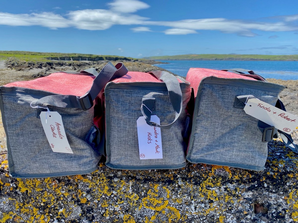
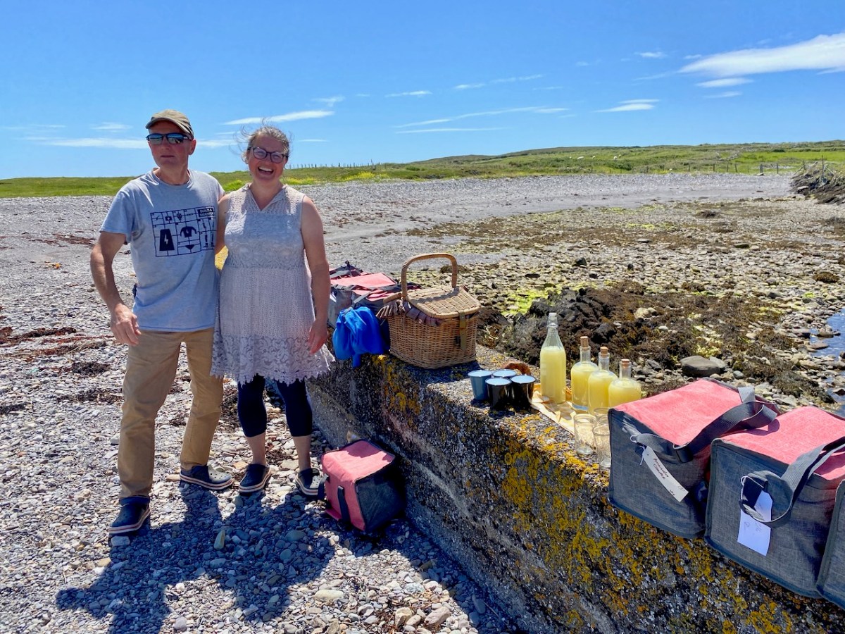
After a while exploring the shingle beach and the sandy beach we were all ravenous and like magic Tracy and Peter appeared with a fabulous lunch box for everyone. Home-made everything, some of it from their own garden (chocolate-dipped strawberries!) and delicious lemonade.
Tracy and Peter and the superb lunch
Mark gave us an impromptu talk on the island environment, reminding us all it was an essentially man-made habitat, and on the importance of this coastal strip of south west Ireland for so much flora and fauna. A possible future national park? That’s a huge YES from us!
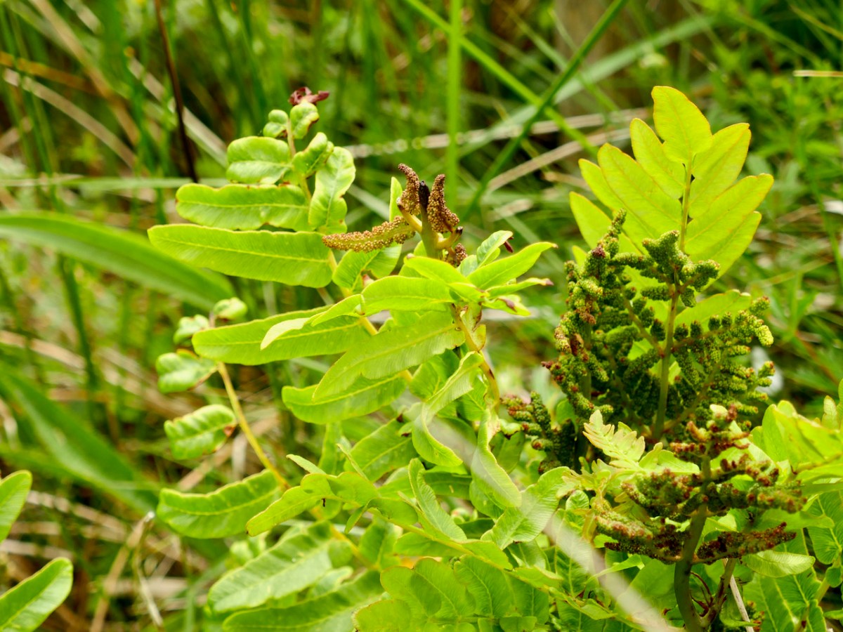
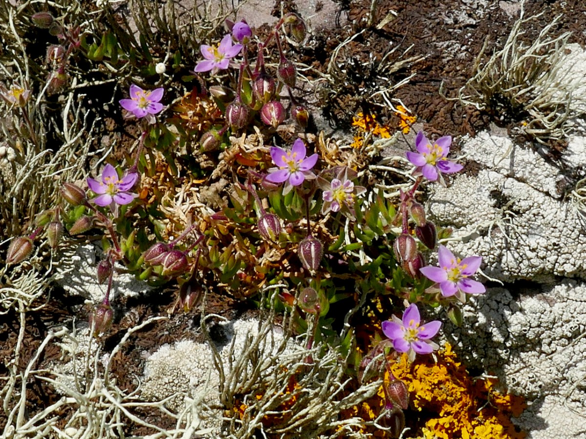
From the top: The Royal Fern – the spore-bearing fronds are starting to appear – this species is an indicator of a healthy environment and Mark told us it it getting to be quite rare in some parts of Europe and needs protection; Rock Sea-spurrey – a beautiful and tiny pink flower that likes to grow on rocks by the sea
Well fuelled, we made our way back to the ferry. The chat was mighty along the way, with old friends catching up and new friendships being forged.
We’ll be doing it again next Saturday – all full up already, so sorry. But why not go on a do-it-yourself wildflower ramble on Long Island any time? Check the ferry schedule, pick up a copy of Zoe Devlin’s The Wildflowers of Ireland(she’s just brought out a new edition – the best and easiest way to teach yourself how to wildflower) and treat yourself to a day in Paradise! Better still – book in with Castaway Wild Island Camping for a true island adventure.
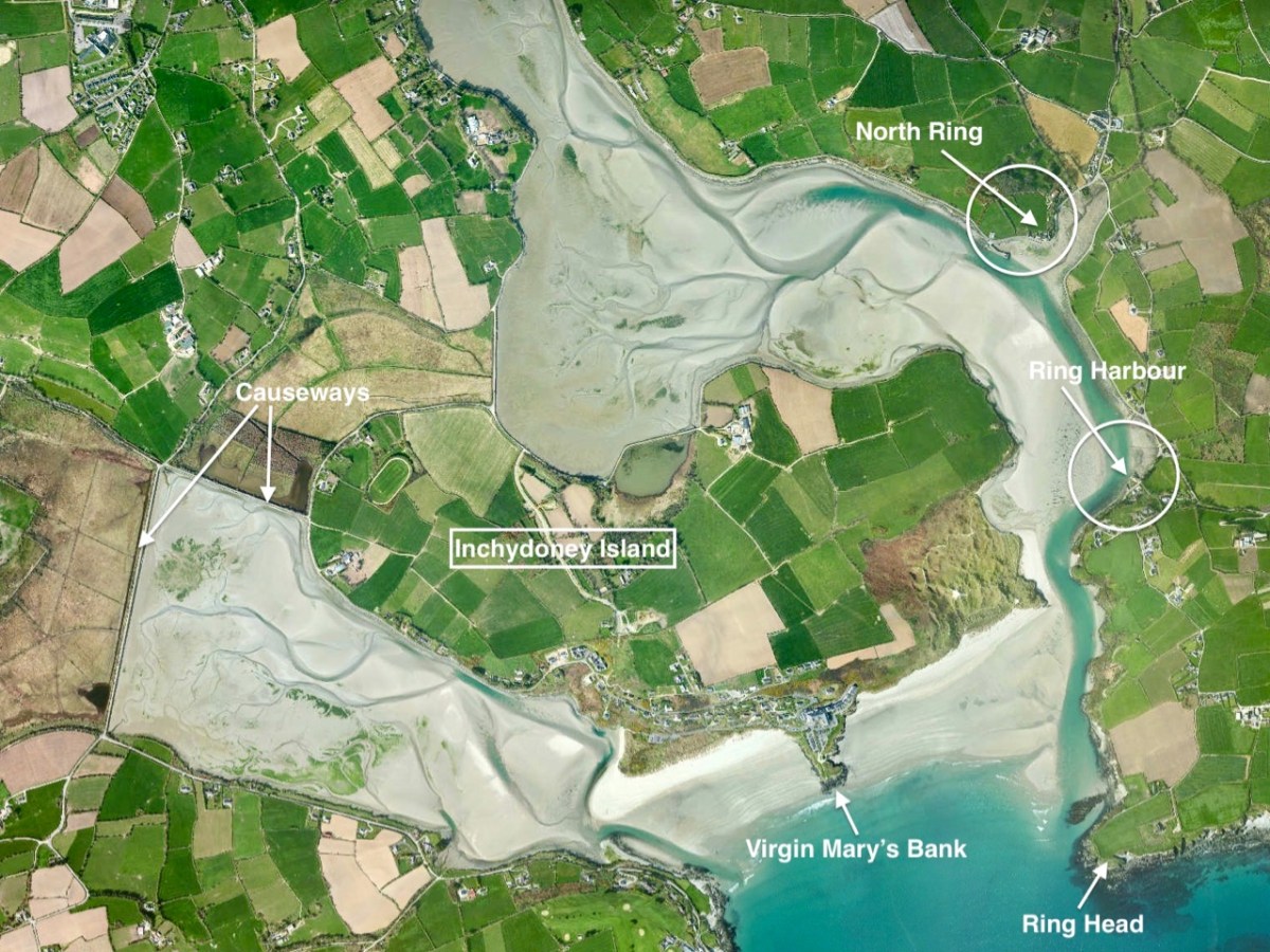
A few weeks ago we took ourselves round Ring, a perhaps less-well-trodden part of West Cork’s many delights, just to the south east of Clonakilty. I ran out of time and space in that post and left the rest for another day. This is the day! Last week we were just across the water from Ring – on Inchydoney Island – and that exploration enthused me again. I’ll remind you of the geography:
Between North Ring and Ring Harbour the road skirts the coast, and it’s obvious from the buildings along the way that boats and boating were the most significant assets to the area in past times, and are important also today.
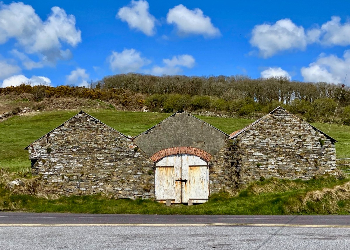
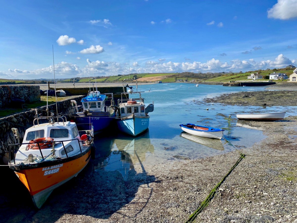
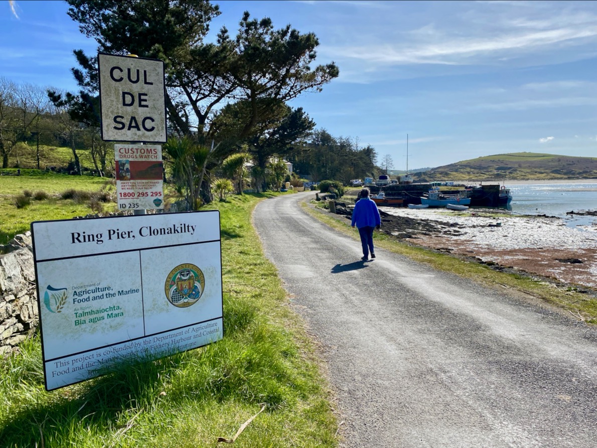
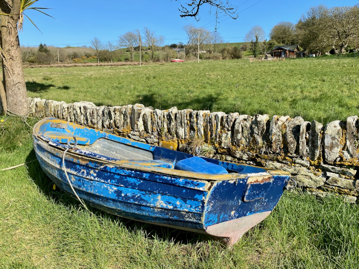
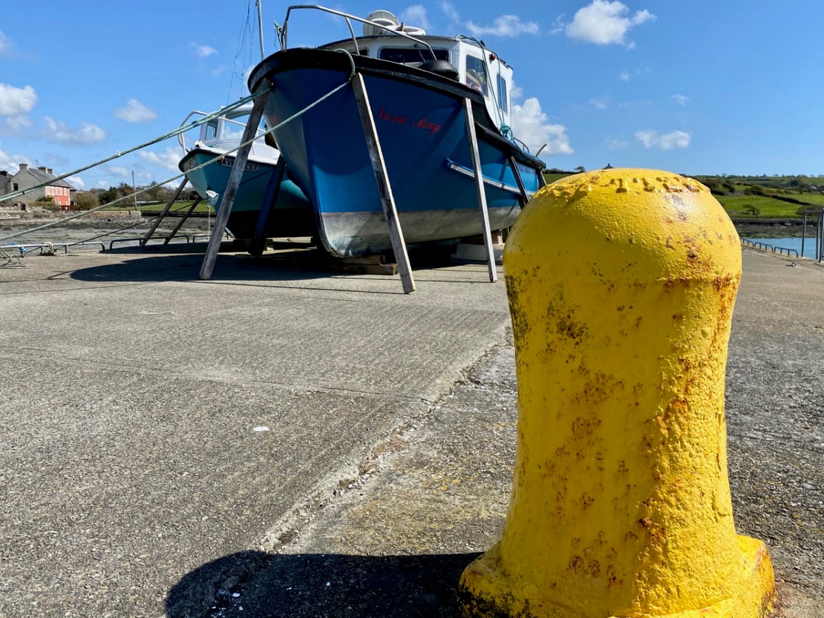
The two buildings with arched openings, above, were boathouses and stores. They are on the road which runs right beside the water going south out of Curraghgrane More. The colourful craft are at Ring Pier, which is still an active centre for fishing and – well – just messing about in boats.
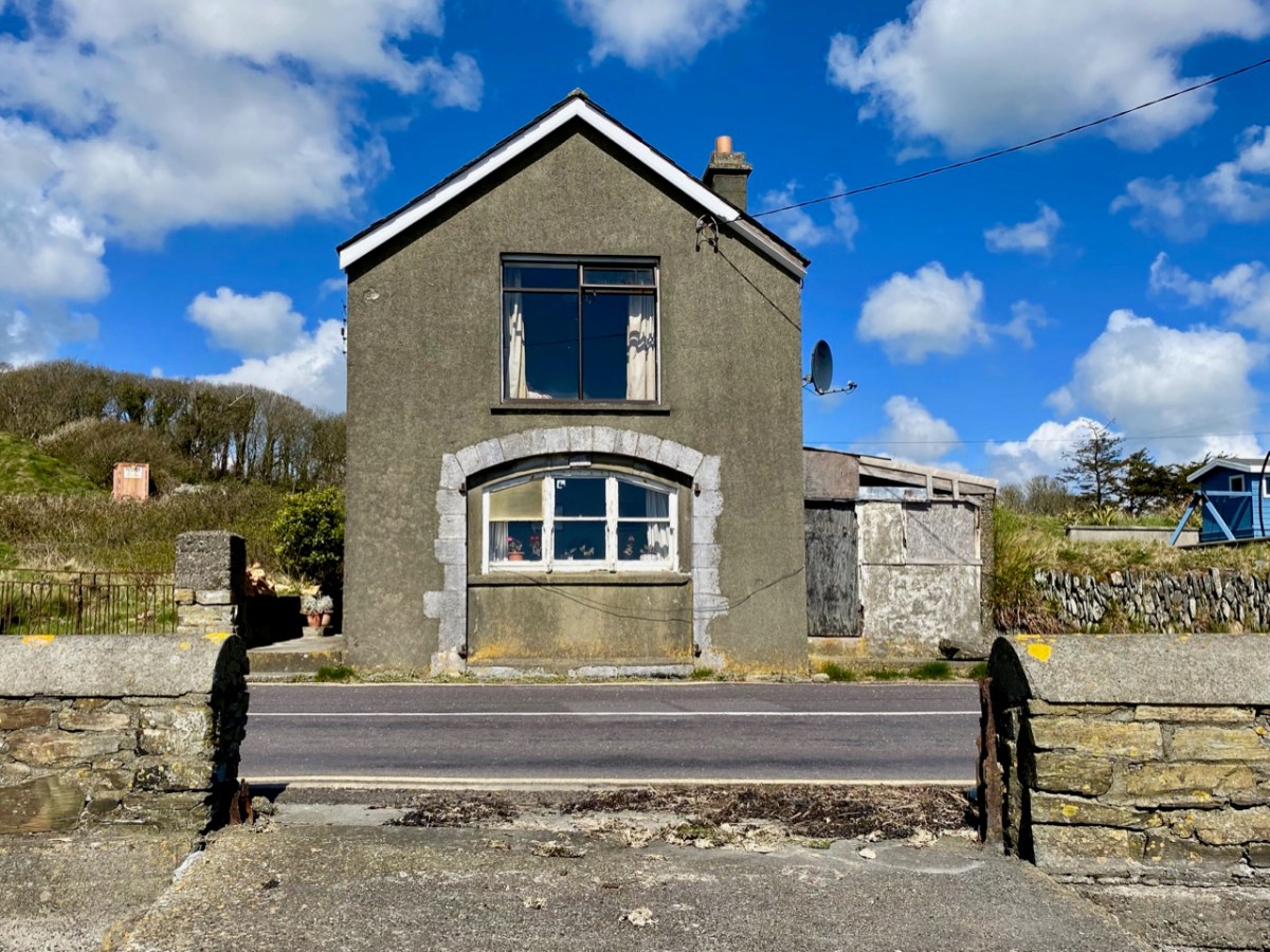
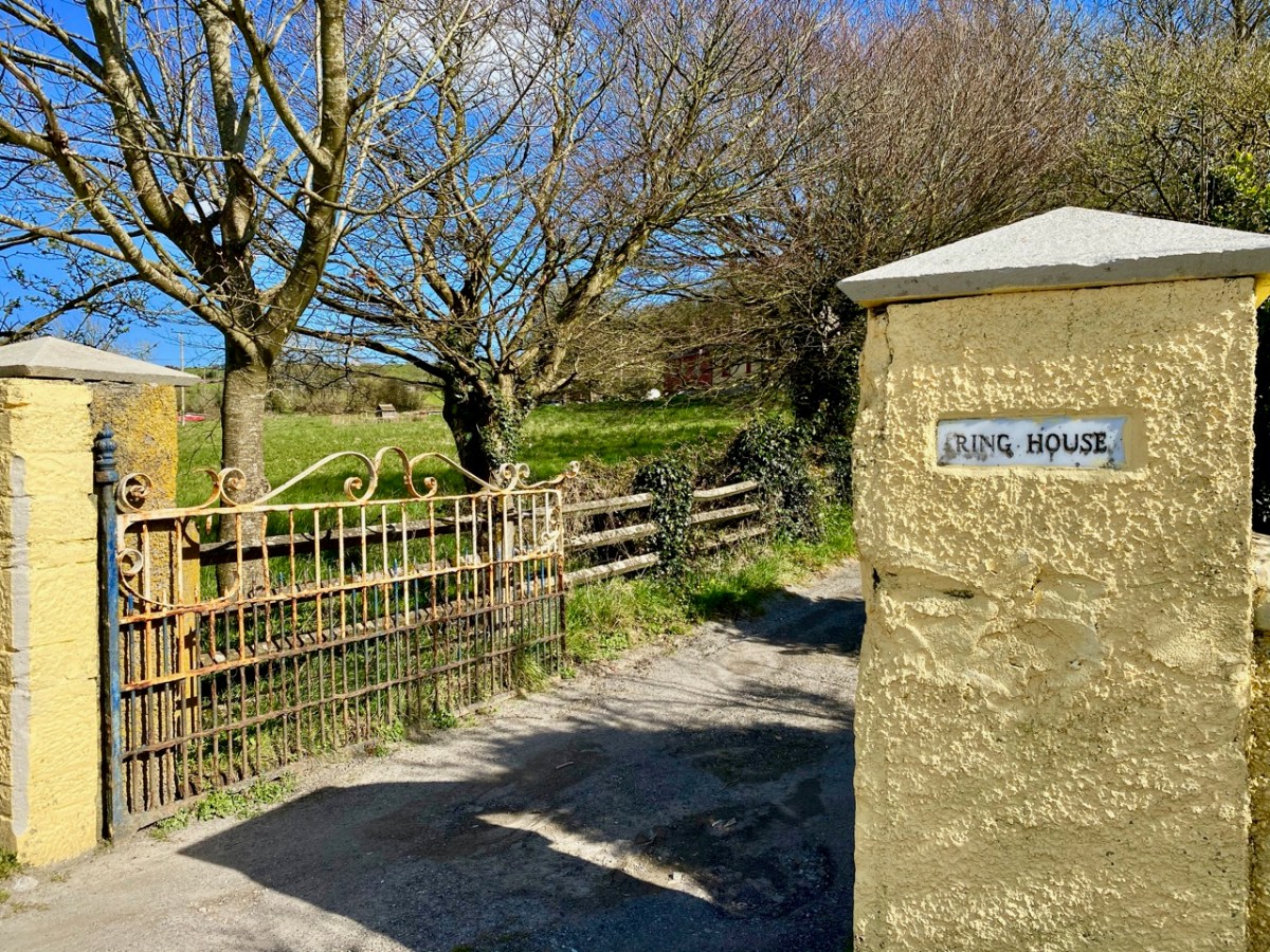
Just beside the harbour at Ring is the entrance to Ring House, which is on the National Inventory of Architectural Heritage, described thus:
. . . Pair of semi-detached three-bay two-storey houses, built c.1820, having single- and two-storey with dormer attic extensions to sides (north, south) elevations . . . An interesting pair of houses, which are unusual as they are semi-detached and large scale, yet in a rural area. Though some traditional features have been replaced, nonetheless the pair retains its historic character and is a notable contributor to Ring Harbour . . .
National inventory of architectural heritage, Reg no 20913532
The gateway is promising, but there is very little to see of Ring House from the road. I also could not find any other accounts or any history of the place. I wondered if it had always been two semi-detached houses – as described in the National Inventory – or whether it was originally a single dwelling of some stature.
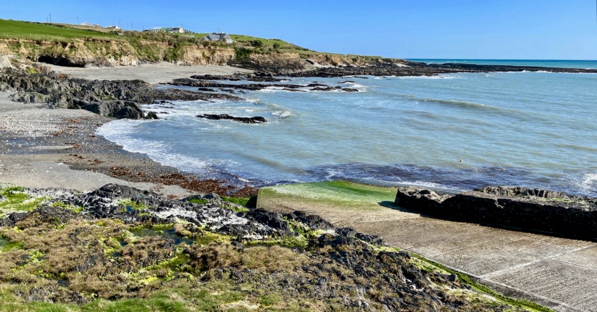
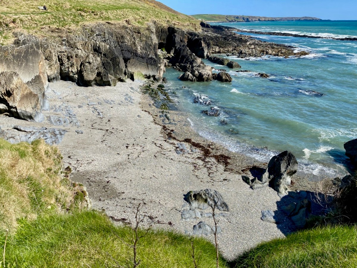
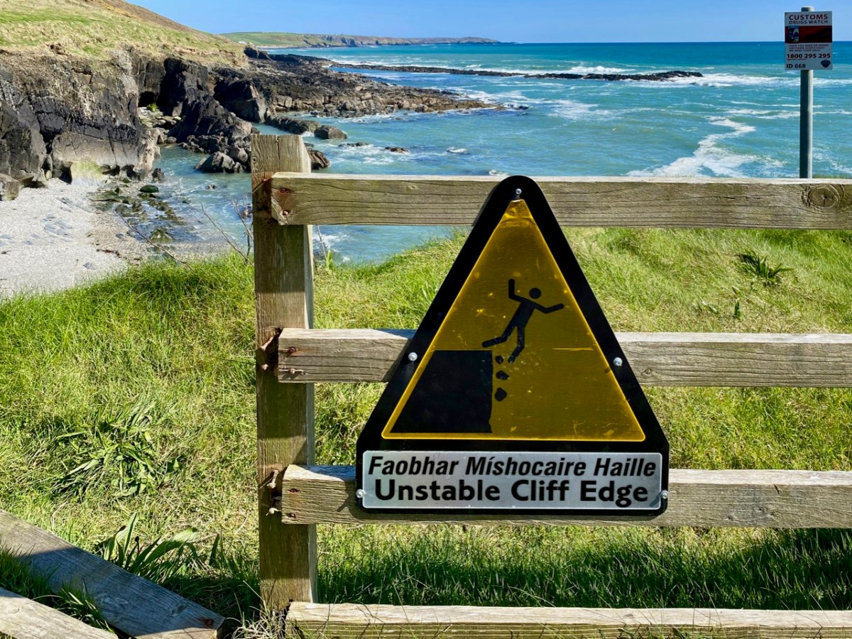
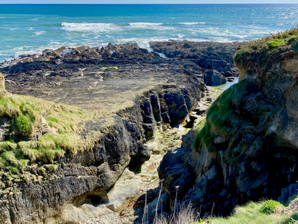
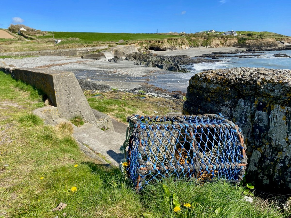
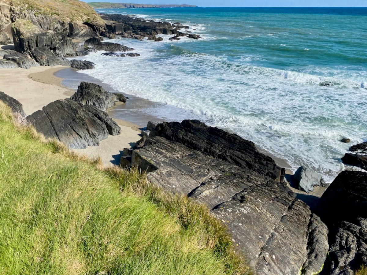
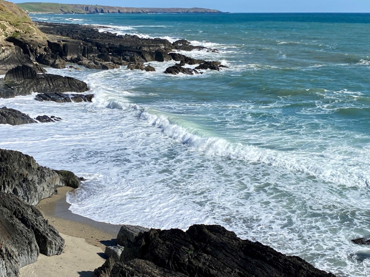
Our journey took us along the south facing coastline and we dropped down to the little inlets at Sheep Cove and Simon’s Cove. Both are worth visiting, involving negotiating tiny culs-de-sac, but there’s always room to turn at the end. Look out for the small paths leading to flagstone and sandy beaches. As always, there is evidence of the resourceful use of the maritime environment.
At Simon’s cove we turned and retraced our steps: we were barely 15 minutes away from the town of Clonakilty. Next time we will travel further east, and hopefully uncover more West Cork treasures.
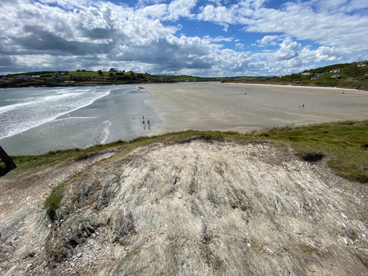
Virgin Mary’s Bank: it’s the intriguing name of a smallish rock outcrop that juts out into the sands at Inchydoney, West Cork. Stories abound, of course. Let’s do a bit of exploring…
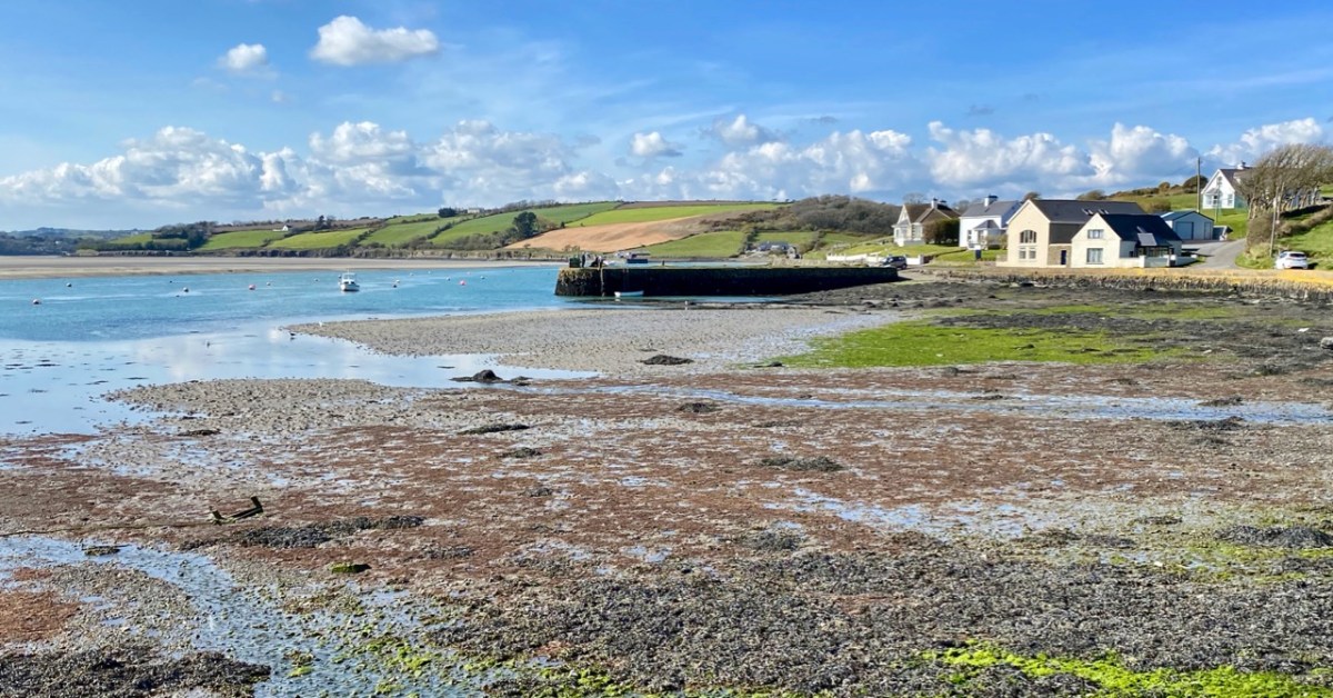
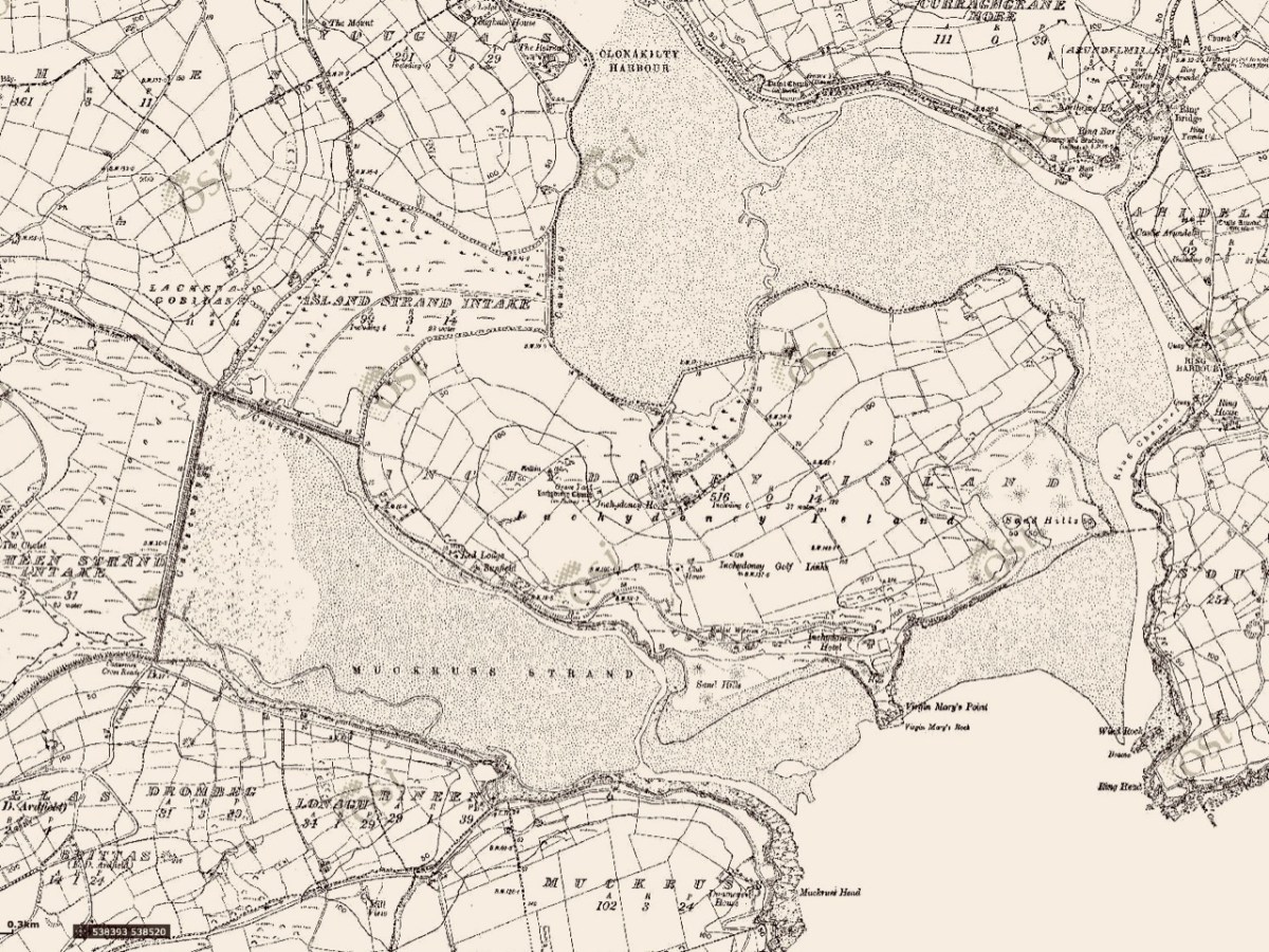
We first saw the name – Virgin Mary’s Bank (sometimes Virgin Mary’s Point or Virgin Mary’s Rock) – on the map when we were orientating our views across the sands from Ring on our excursion last month (above). There’s such a huge, sandy estuarial strand over on that side, stretching all the way from Ring and beyond Inchydoney island: it must be one of West Cork’s most covetable assets!
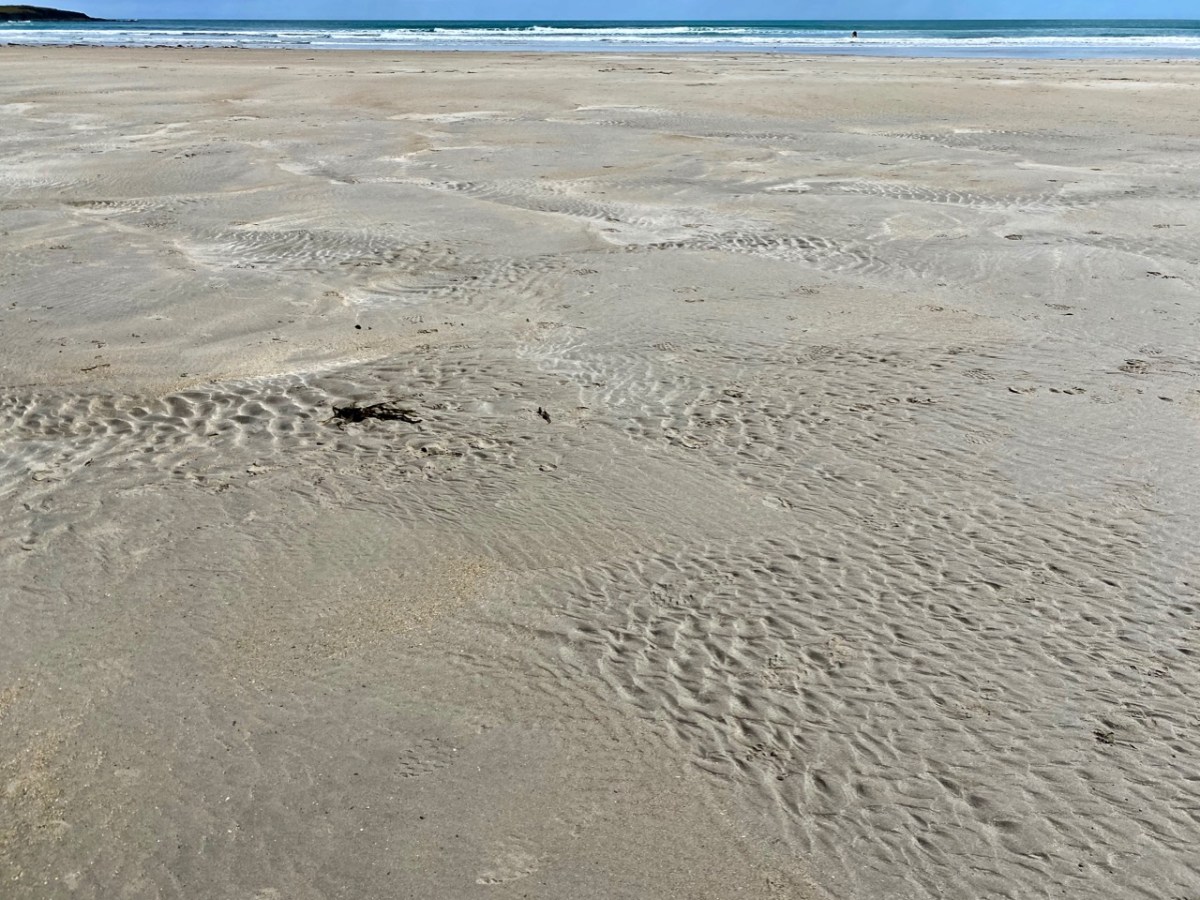
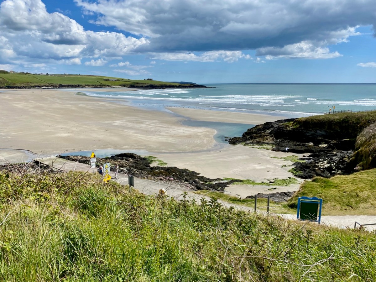
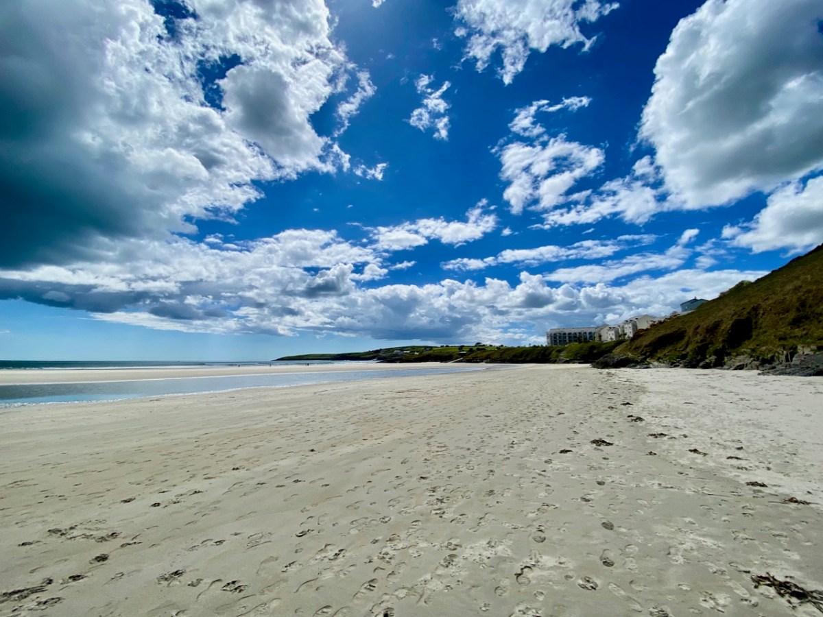
The view above – looking east from Inchydoney Island towards Ring Head – shows barely half the extent of the sands – and beautiful, golden sands they are. In the summertime, of course, the area is buzzing with visitors and sun-seekers, but there is plenty of room, and the beaches are never overrun, although car parking can be at a premium – get there early, if you can, in peak season. But why is Inchydoney an island, you might ask, when you look at the aerial view which seems to show it linked to the pastured landscapes to the north west? Here’s the answer:
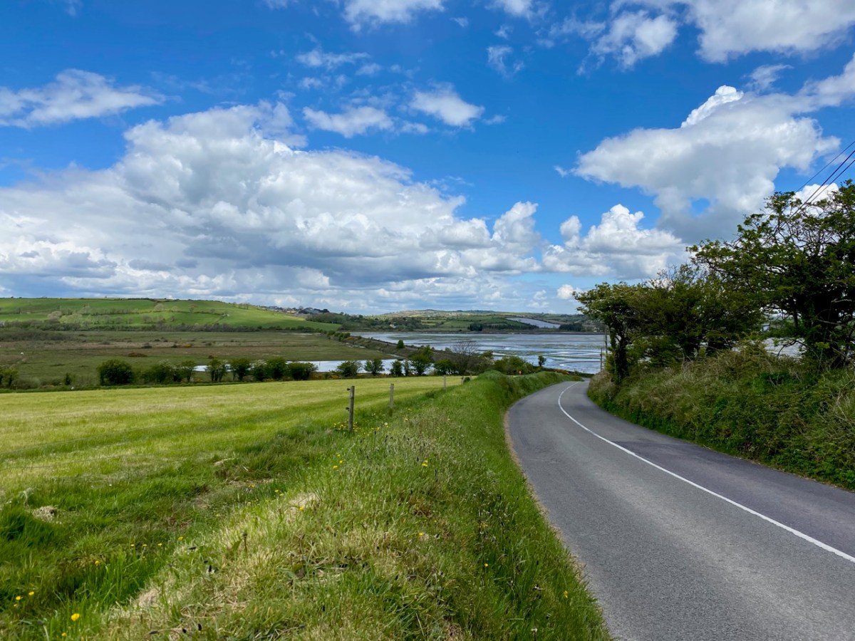
The top map is an extract from the earliest 6″ Ordnance Survey map, mostly surveyed in the 1840s. There you can see the island, clearly surrounded by water, with a causeway on the northwest side linking it to the nearby mainland. The principle features on the island at that time are Inchidoney House, a ruined church and burial ground. The later Cassini 6″ map (above) shows how causeway dams have been built to enclose areas of reclaimed land, here called ‘intakes’, effectively joining the former island to the adjacent mainland. The causeways are very clear if you approach the island from the west side (below).
The Cassini map was surveyed in the late 19th century, and we know from historical records that the causeway system was constructed by the Congested Districts Board in the 1840s, probably as a famine relief scheme. The roads and retaining boundaries were constructed from limestone quarried on the island. It is recorded that workers were paid a penny a day, and that on the first day of the works nine people died – presumably of malnutrition.
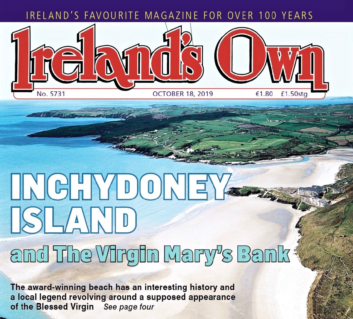
I found an excellent article on Inchidoney Island in a recent edition of Ireland’s Own (October 2019), available to download online, written by Mary Rose McCarthy. She relates how Richard Hungerford, from a Somerset family background, owned a substantial part of the island in 1690 and his descendants were there until the early 1900s. They rebuilt Inchydoney House in the early 1800s: it still stands. The writer ‘Mrs Hungerford’ – Margaret Hamilton of Rosscarbery – married into the Hungerford family and was notorious for an incident in 1905. Here is an extract from a letter sent by her to the Clonakilty Urban District Council on August 16th:
On 10th inst I received a letter from the Town Clerk of Clonakilty who ‘had been directed by the Urban District Council to ask me to receive a deputation with reference to asking me to open my grounds to the public on Sundays’ . . .
The Urban District Council, in proposing this resolution, ‘regretted that I had not followed the example of Mr Bence Jones’ (who had kindly thrown his most lovely garden open to the public every second Sunday) and one member, whom I shall not name but with whom I have had a little business transaction in the past, was of opinion that ‘I should have done so without waiting to be asked’. Now, during the past summer I have permitted every person, and at every hour, who asked leave at the hall door to go through to the strands. The result has been as usual in Ireland, disappointing, Gates were left open and of course my animals strayed away and people had to leave their work to hunt for them and the portion of ‘the public’ who considered asking for leave too much trouble, or perhaps, too derogatory, wandered over the land wherever they choose and papers, bottles etc, etc, littered the place . . .
Miss Hungerford, The Island, Clonakilty 1905
Mary Rose McCarthy, in her Ireland’s Own article, recounts:
. . . Locals felt they had a right to travel to the beach by an old roadway past Inchydoney House. Clonakilty UDC mediated but Miss Hungerford refused all approaches. A group of locals marched from town, tore down the gates, and asserted their right to travel to the beach. This gave rise to a local song – Who broke the island gates?, although the words were never recorded . . .
Mary Rose McCarthy, Ireland’s Own, October 2019
The author also notes that Margaret Hamilton (Miss Hungerford) wrote novels, the most famous of which – Molly Bawn – is mentioned by James Joyce in Ulysses; and also credits her with having coined the phrase ‘beauty is in the eye of the beholder’.
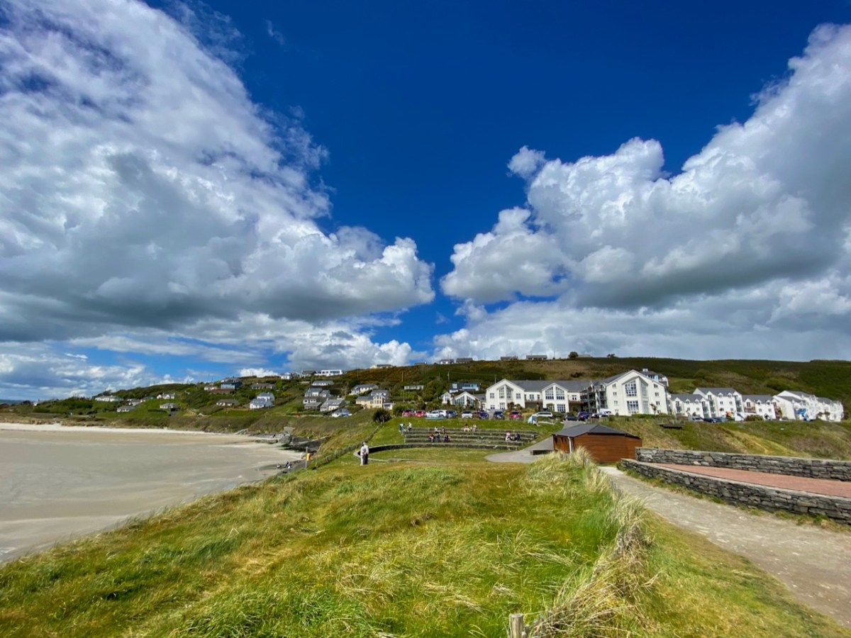
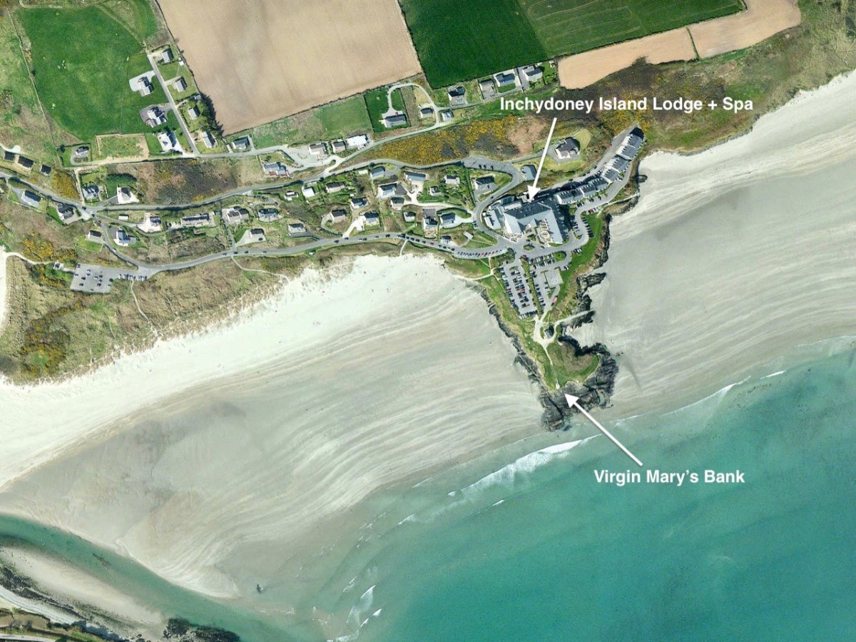
The most notable building on the Island today is the Inchodoney Island Lodge & Spa which – with associated apartments – commands a stunning view over the whole south strand. It replaces the earlier Inchydoney Ocean Hotel, built in the 1930s and famous for its ballroom – and the dances and fancy-dress parties held there, which always went on into the early hours of the morning. The postcard below, published by H Rosehill, Cork, shows the hotel in 1940.
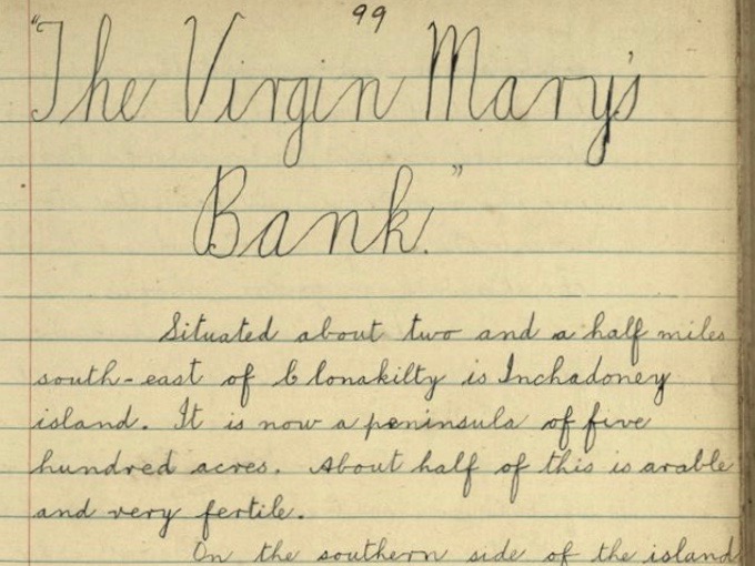
The aerial view gives an idea of the extent of the present day building, and also shows how it relates to the principal subject of today’s post: Virgin Mary’s Bank. The legend of this promontory is best told through the pages of the Duchas Schools Folklore Collection:
. . . Situated about two and a half miles south-east of Clonakilty is Inchadoney island. It is now a peninsula of five hundred acres. About half of this is arable and very fertile.
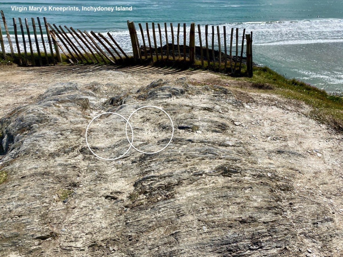
In the southern side of the island there is a bank jutting out into the sea called the Virgin Mary’s bank. It is said that there was a ship coming in there once and the sailors saw a beautiful woman praying on the bank. She was as white as snow and she was kneeling on a knoll which bears the impression of her knees to-day . . .
All the sailors but one began to mock and blaspheme her. Suddenly a great storm arose and the ship was blown to pieces and all her sailors were drowned except the one who took no part in the mockery. When the storm ceased the lady went out and brought the drowning sailor ashore . . .
In olden times there was a flourishing convent on the island and the remains of which are to be seen to-day. Some people say it was one of the nuns of this convent but it is more likely that it was the “Virgin Mary” who saved the man from drowning . . .
Tim Cowhig, Duchas Schools Collection, Clonakilty 1936
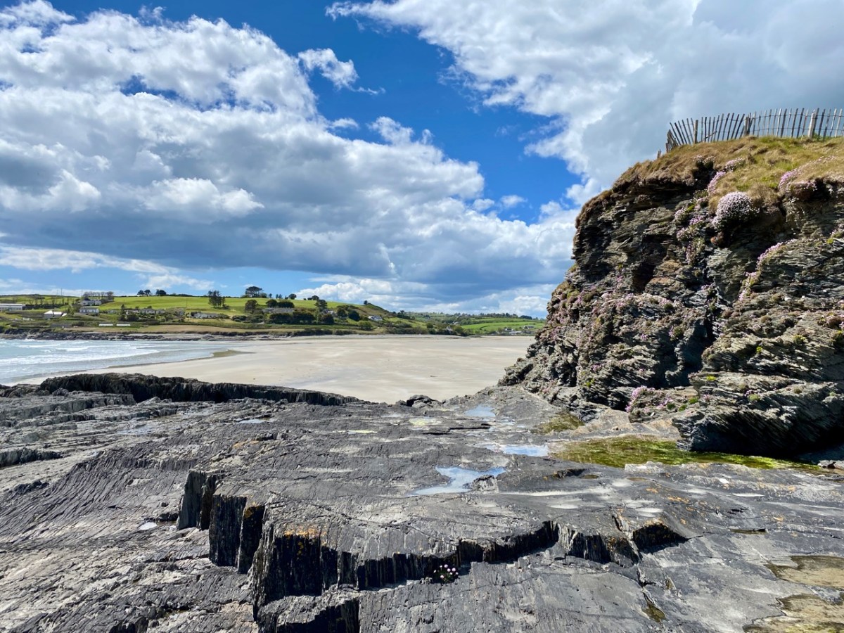
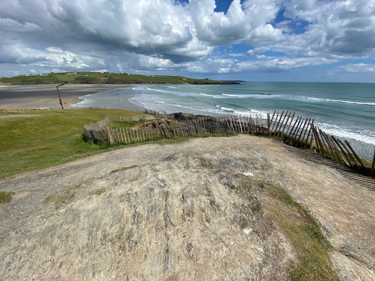
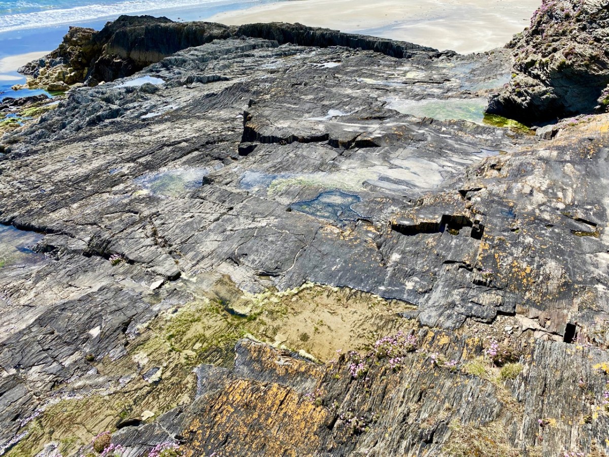
If ever doubt was to be cast as to the veracity of this story, there – as clear as day – are the knee-prints on the rock! A tragedy on the strand in 1932 is commemorated by a carving on the flaggy formation, just below Virgin Mary’s Bank. In August 22-year-old Timothy O’Sullivan from Casement Street in Clonakilty and 19-year-old Joseph Santry, a plasterer from Clarke Street Clonakilty, drowned. Charles P Millar from Summerhill, Cork, managed to rescue a third man who was also in difficulty but due to rough sea conditions he was unable to save the others despite his heroic attempts.
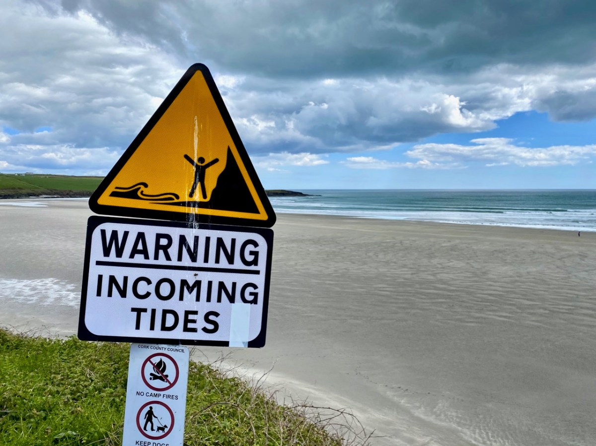
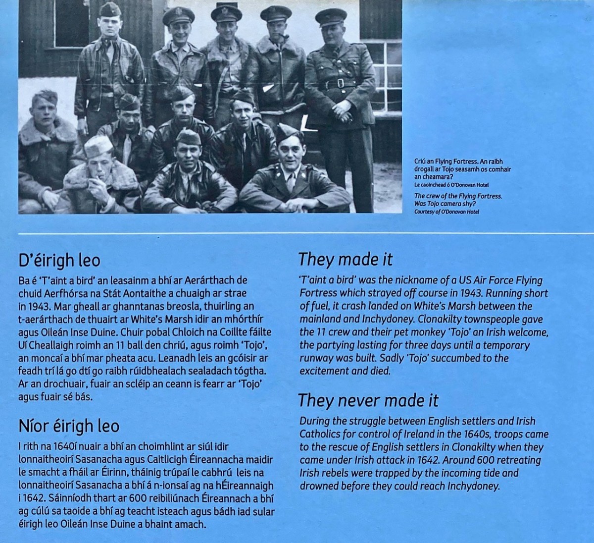
A Wild Atlantic Way information board close to Virgin Mary’s Bank tells of another incident, in more recent times.
But note the paragraph They never made it, above. In 1642 around 600 Irish rebels were trapped by the incoming tide and drowned on the sands: a salutary warning, perhaps, for those who come to the beaches here and don’t keep a wary eye on the tide. Because of the wide, flat expanses of open strand it comes in at a great pace.
An all but forgotten Cork poet, Jeremiah Joseph Callanan (1795 – 1829), heard the story of the appearance of the Virgin Mary at Inchydoney and penned some verses which – according to local legend – all Clonakilty primary school children had to learn by rote. I have transcribed it from the Duchas Schools Collection record above, as the dramatic rendition is well worth quoting in full.
The Evening Star rose beauteous above the fading day, As to the lone and silent beach the Virgin came to pray, And hill and dale shone brightly in moonlight’s mellow fall; But the bank of green where Mary knelt was brightest of them all.
Slow moving o’er the waters, a gallant barque appeared, And her joyous crew looked from the deck as to the land she neared; To the calm and sheltered haven she floated like a swan, And her wings of snow o’er the waves below in, pride and beauty shone.
The Master saw Our Lady as he stood upon the prow, And marked the whiteness of her robe – the radiance of her brow; Her arms were folded gracefully upon her stainless breast, And her eyes looked up among the stars, to Him her soul loved best.
He showed her to his sailors, and he hailed her with a cheer, And on the kneeling Virgin they gazed with laugh and jeer; And madly swore, a form so fair they never saw before; And they cursed the faint and lagging breeze that kept them from the shore.
The ocean from its bosom shook off its moonlight sheen, And up its wrathful billows rose to vindicate their Queen, And a cloud came o’er the heavens, and a darkness o’er the land, And the scoffing crew beheld no more the Lady on the strand.
Out burst the pealing thunder, and the lightning leapt about, And rushing with his watery war, the tempest gave a shout; And that vessel from a mountain wave came down with thundering shock, And her timbers flew like mattered spray on Inchadony’s rock.
Then loud from all the guilty crew one shriek rose wild and high; But the angry surge swept over them, and hushed their gurgling cry; And with a hoarse, exulting tone the tempest passed away, And down, still chafing from their strife, the indignant waters lay.
When the calm and, purple morning shone out on high Dunmore, Full many a mangled corpse was seen on Inchadony’s shore; And to this day the fisherman shows where the scoffers sank, And still they call that hillock green “The Virgin Mary’s Bank”.
Welcome to the UCD Library Cultural Heritage Collections blog. Discover and explore the historical treasures housed within our Archives, Special Collections, National Folklore Collection and Digital Library