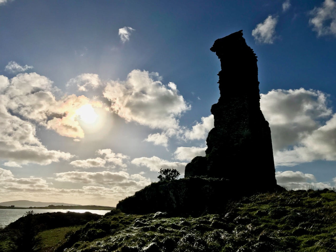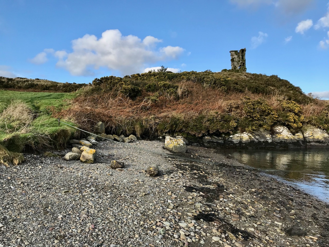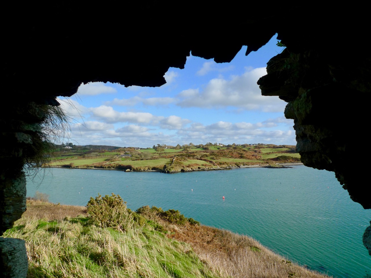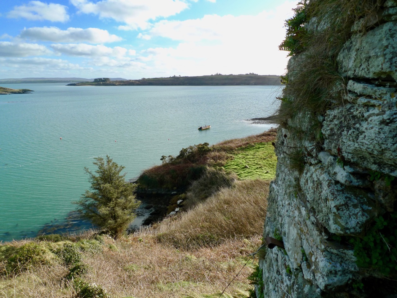
The Day the Sun Came Out – in Ballydehob!

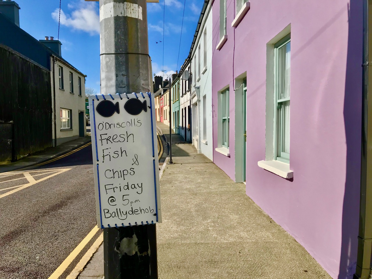
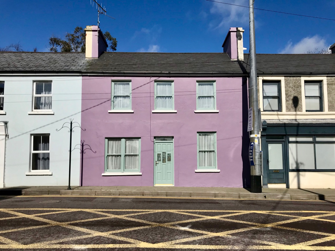
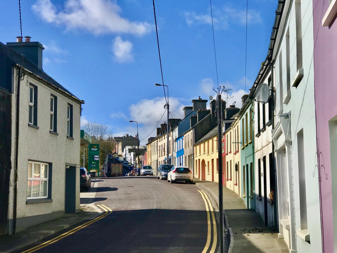
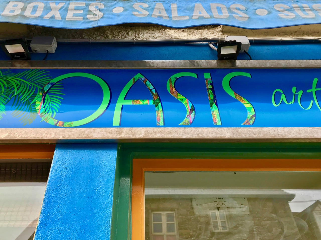
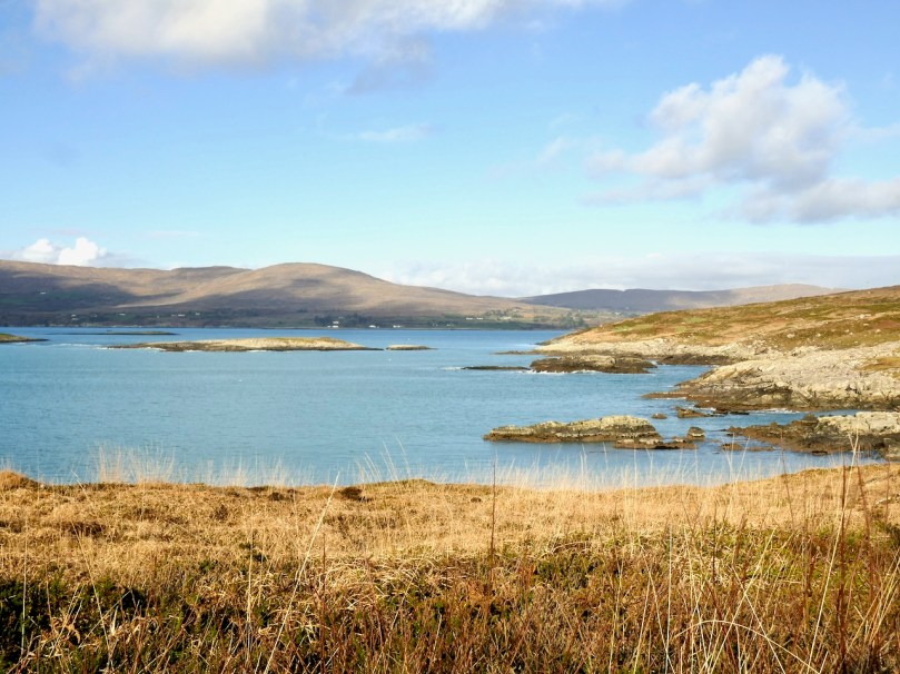
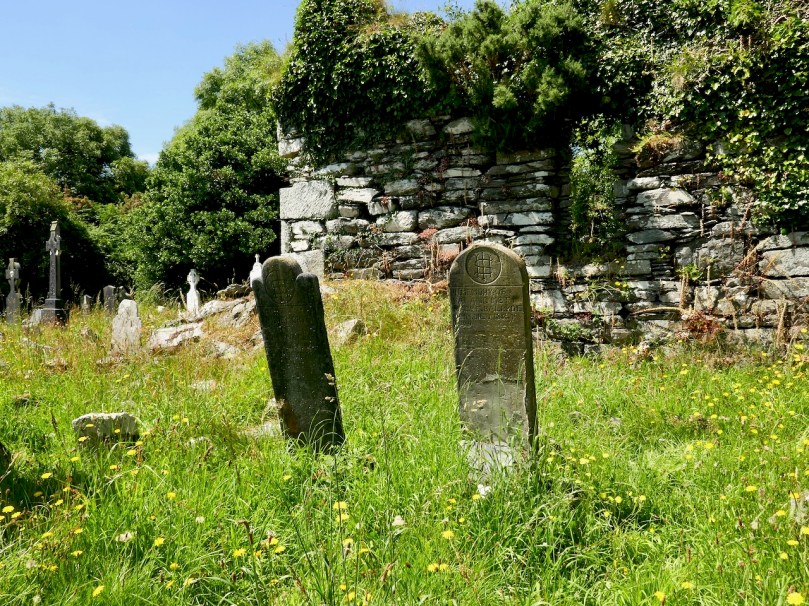
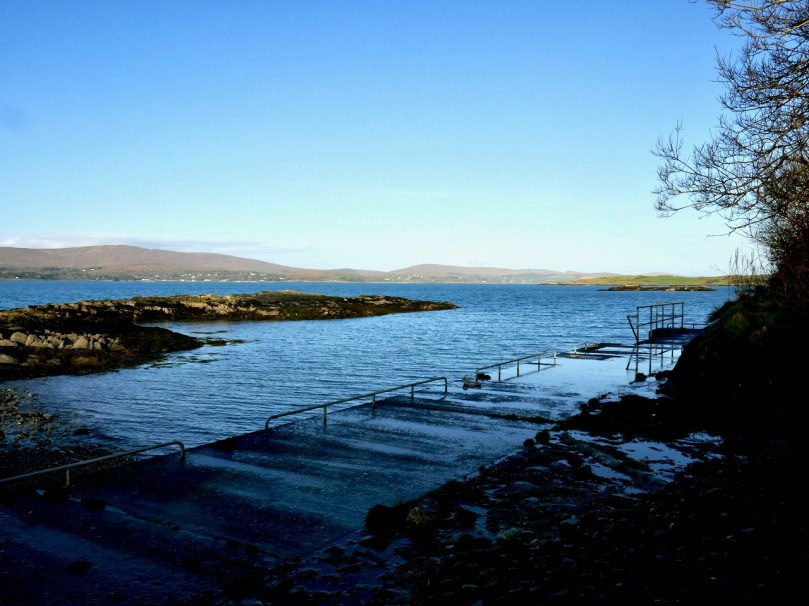
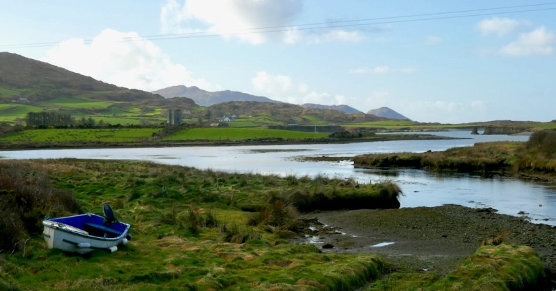
It always happens: you go through a ferocious winter of gales, floods and bitingly cold winds and then one day – probably not too long after St Brigid’s – you realise that spring is arriving! It happened this week, here in Ballydehob. Suddenly, the sun came out; the sky was deep blue and all the coloured houses, bars and shops lit up and made us remember what a wonderful place we live in.

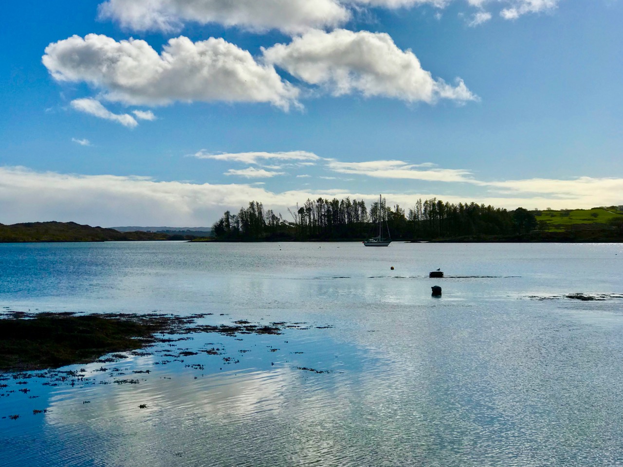
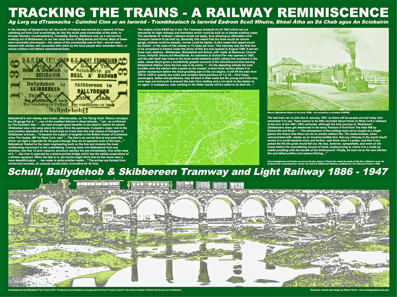
Ballydehob – that’s the name in Irish, above, on the gable of the community’s Bank House. A literal translation would be Town of the ford at the estuary of two rivers and, indeed, the Bawnakeane and Rathravane streams converge here before flowing out into Ballydehob Bay, once a hive of water-borne commerce with coasters, schooners, sand-boats, and punts and skiffs from the inhabited offshore islands arriving and leaving, while the tiny train puffed and rumbled across the viaduct on its way from Skibbereen to the Schull terminus.

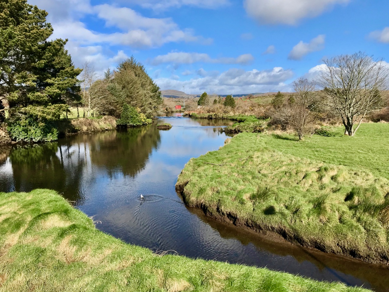
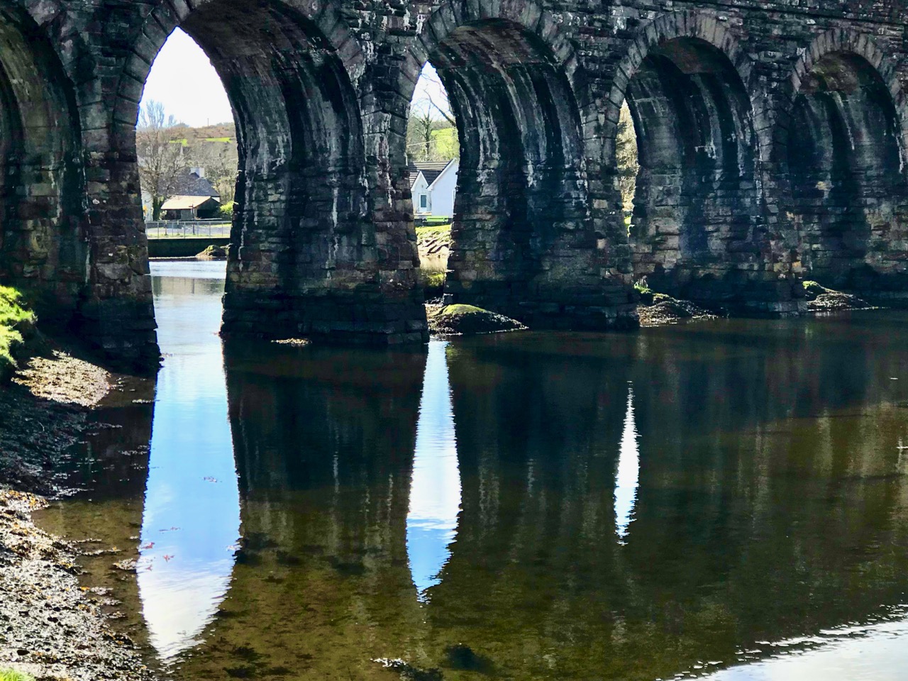
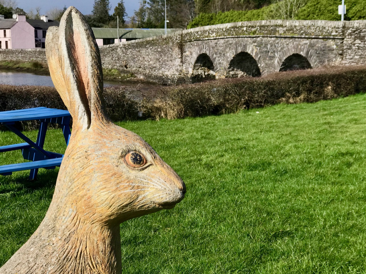
When you feel the spring in the air for the first time, you begin to look anew at your surroundings. Shapes, reflections, the play of images on water: there’s such a difference as the ‘ordinary’ is changed through the quality of the light. That’s the freshness of annual renewal.

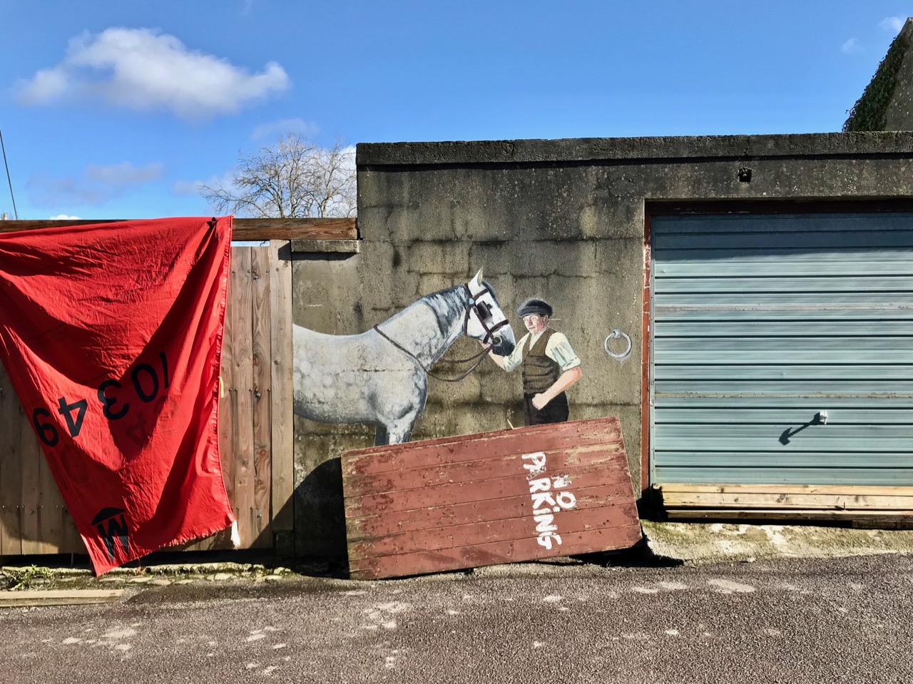
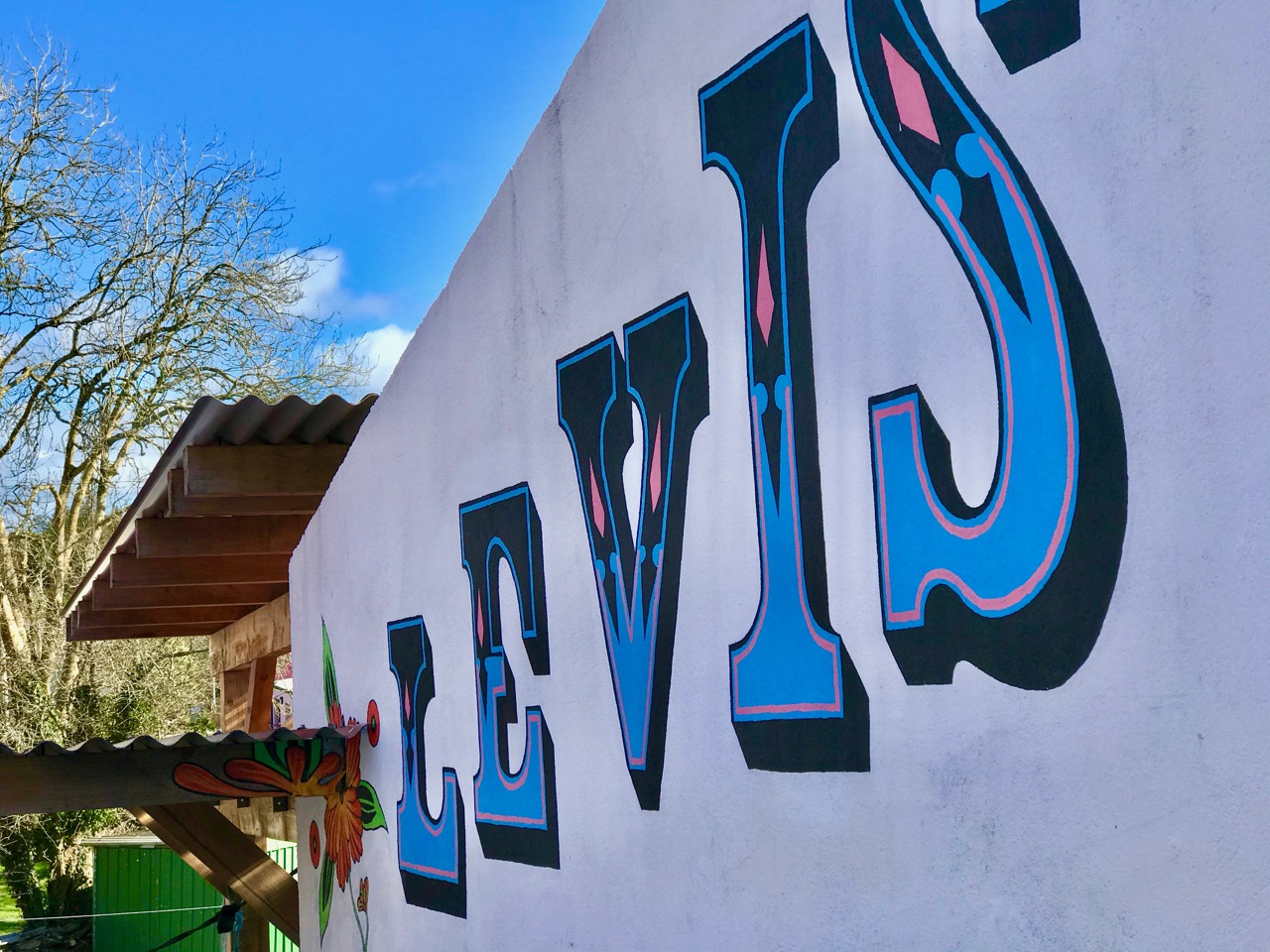
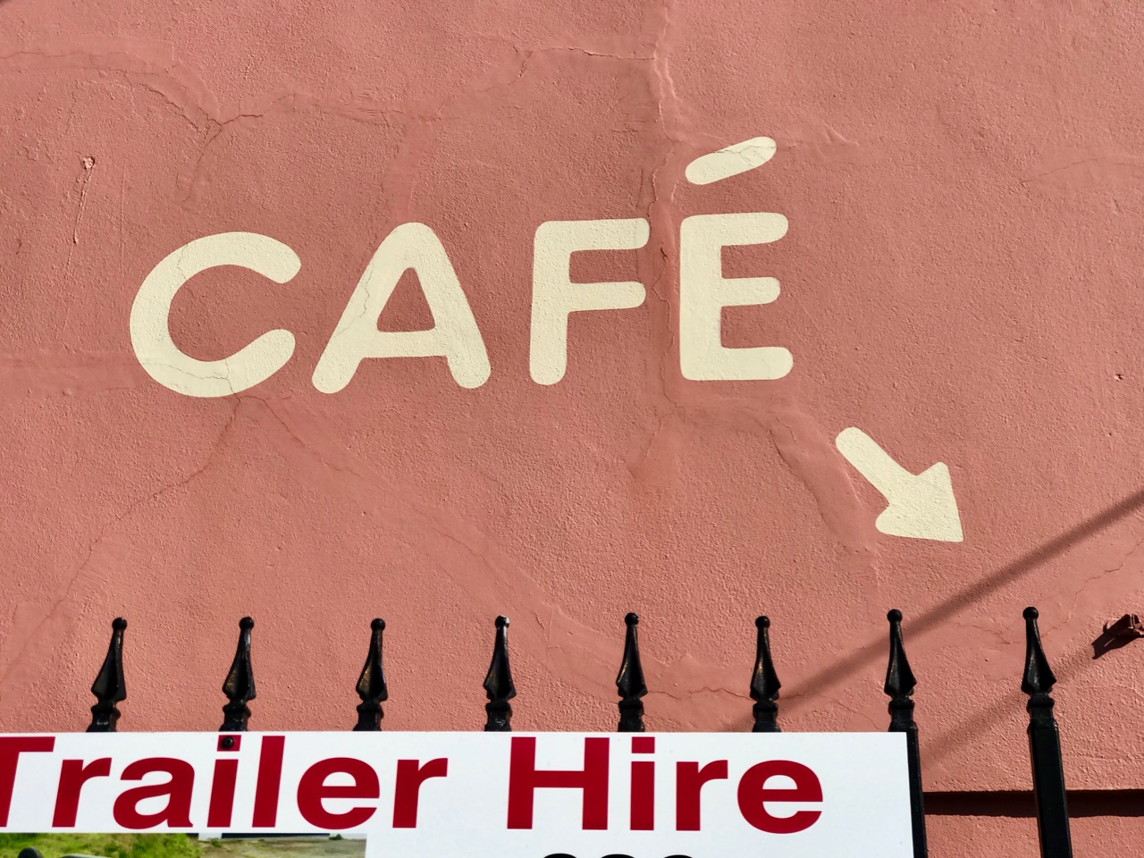
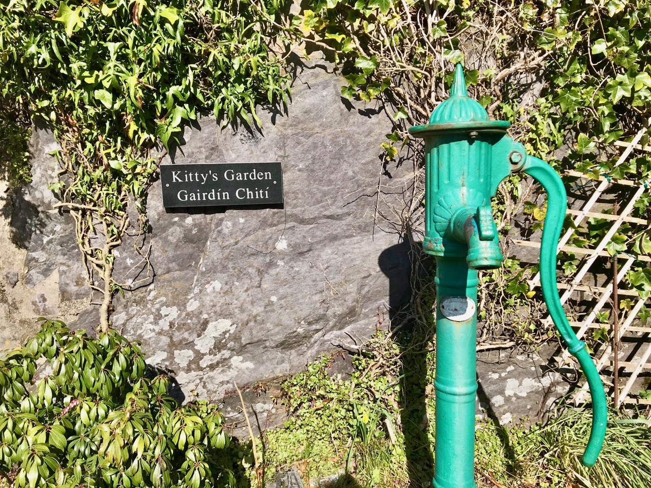
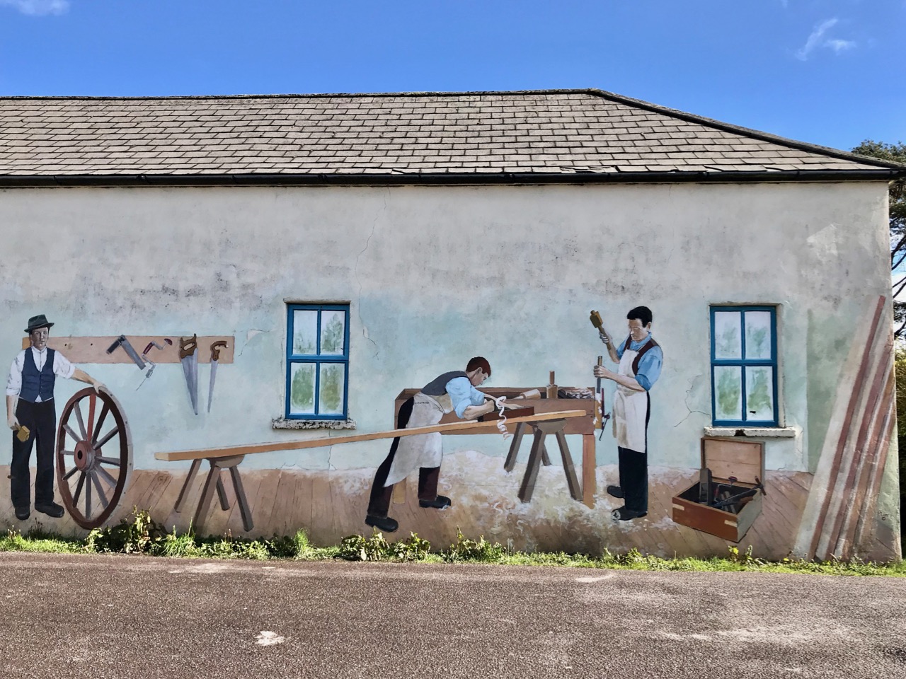
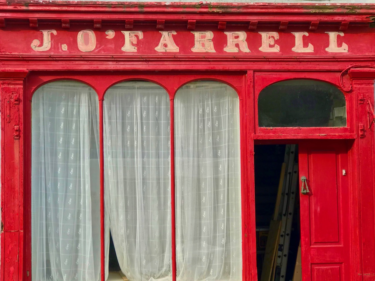
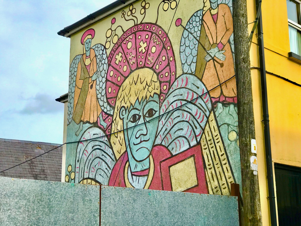
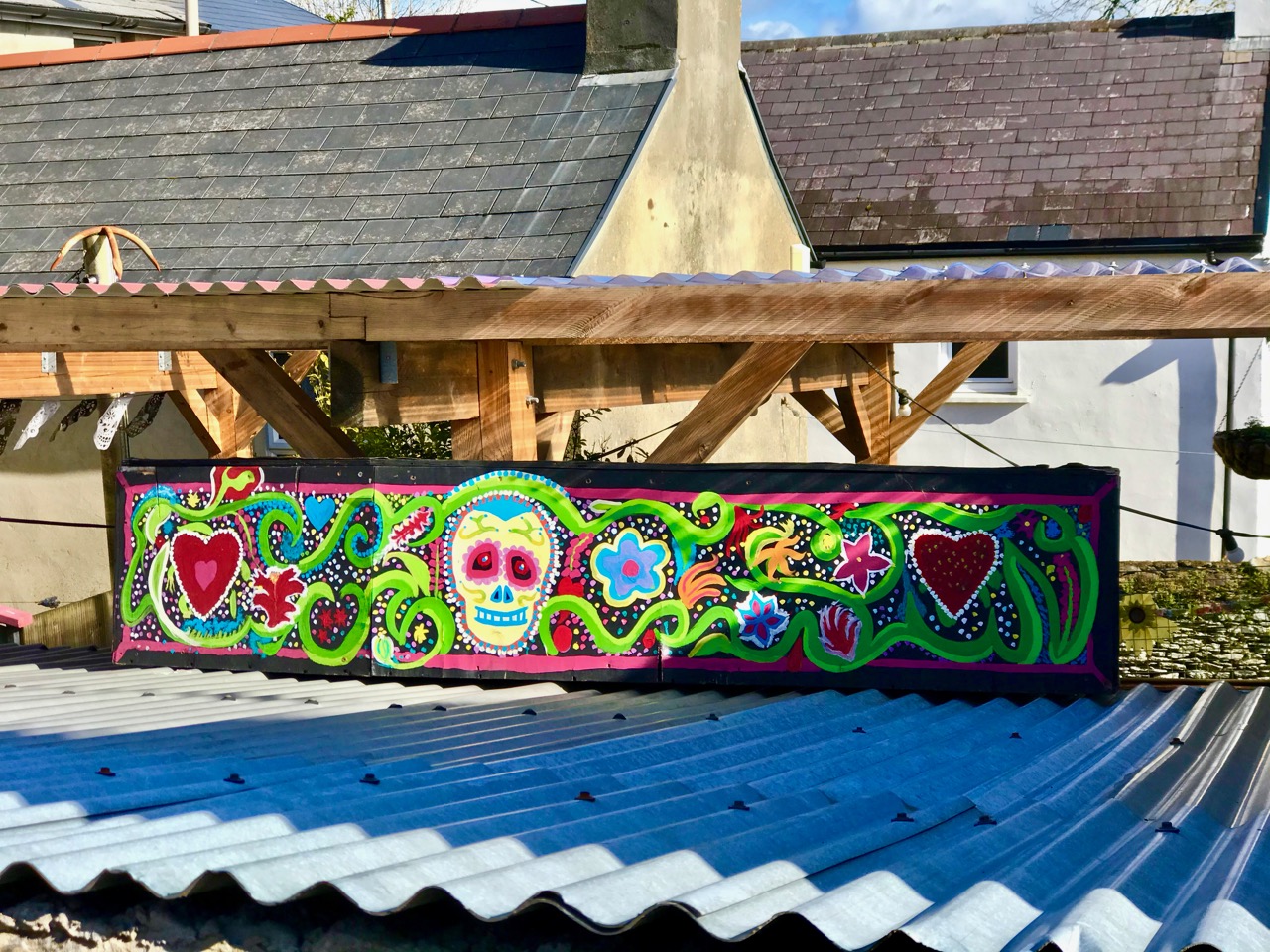
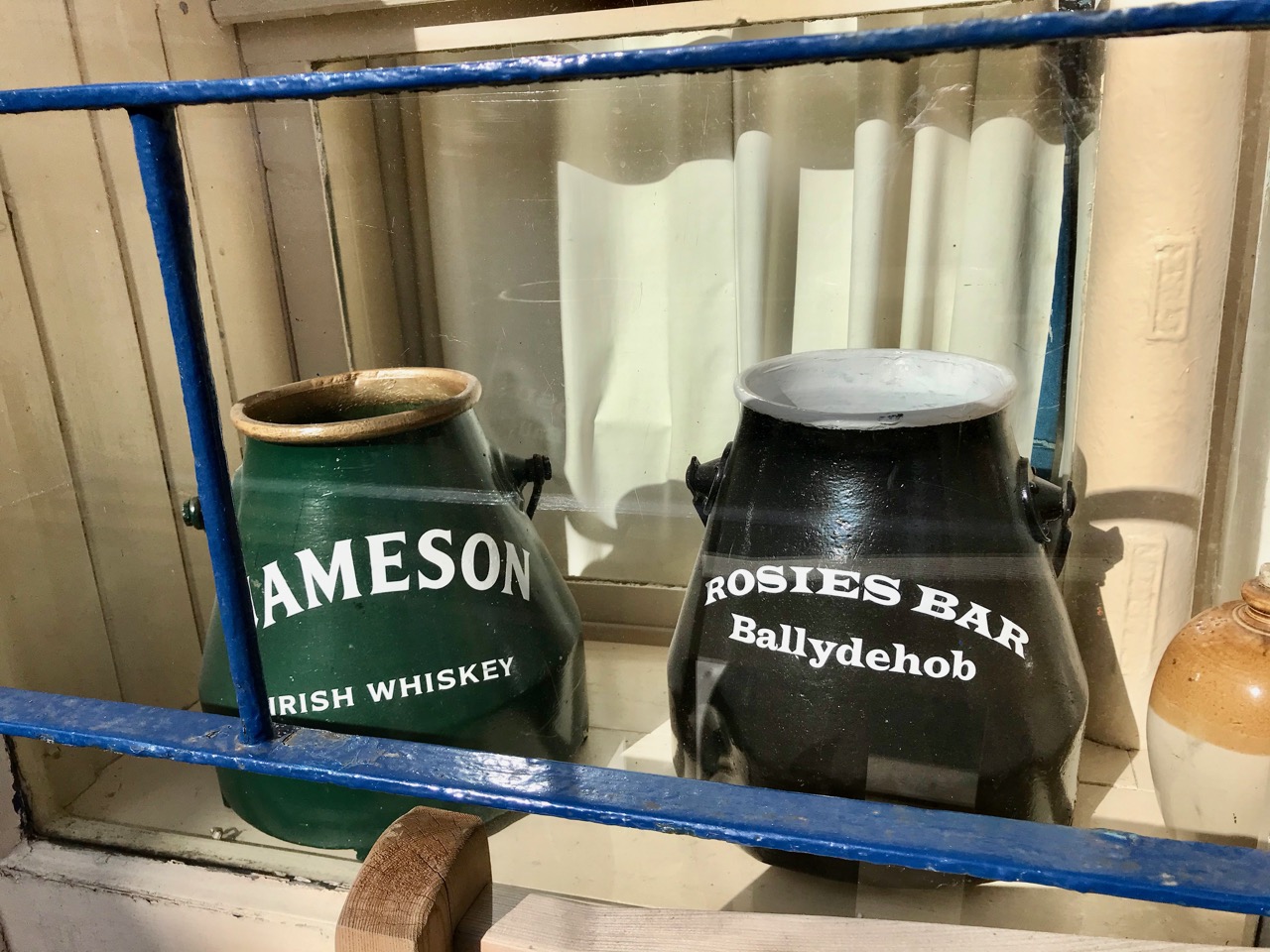
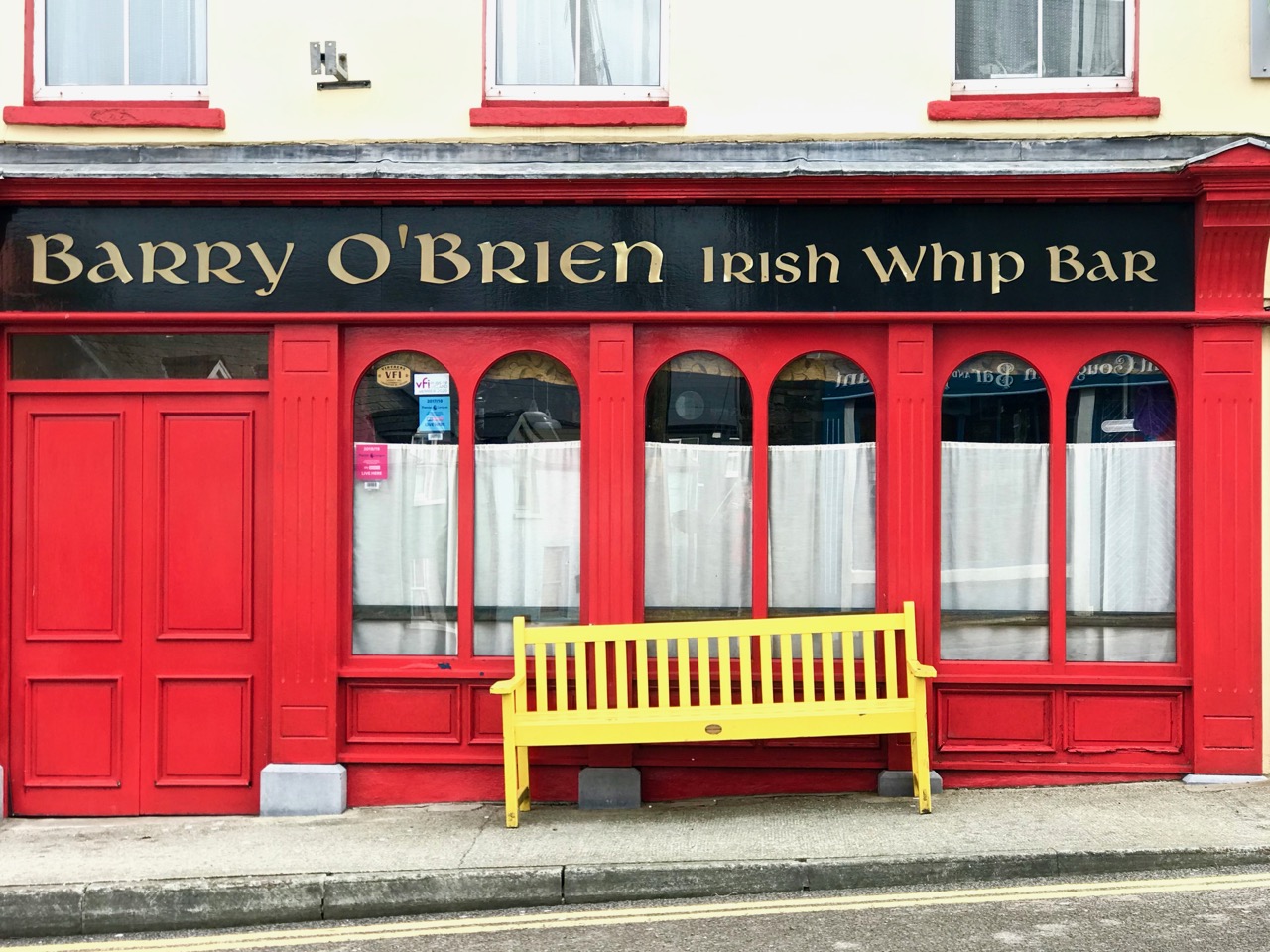
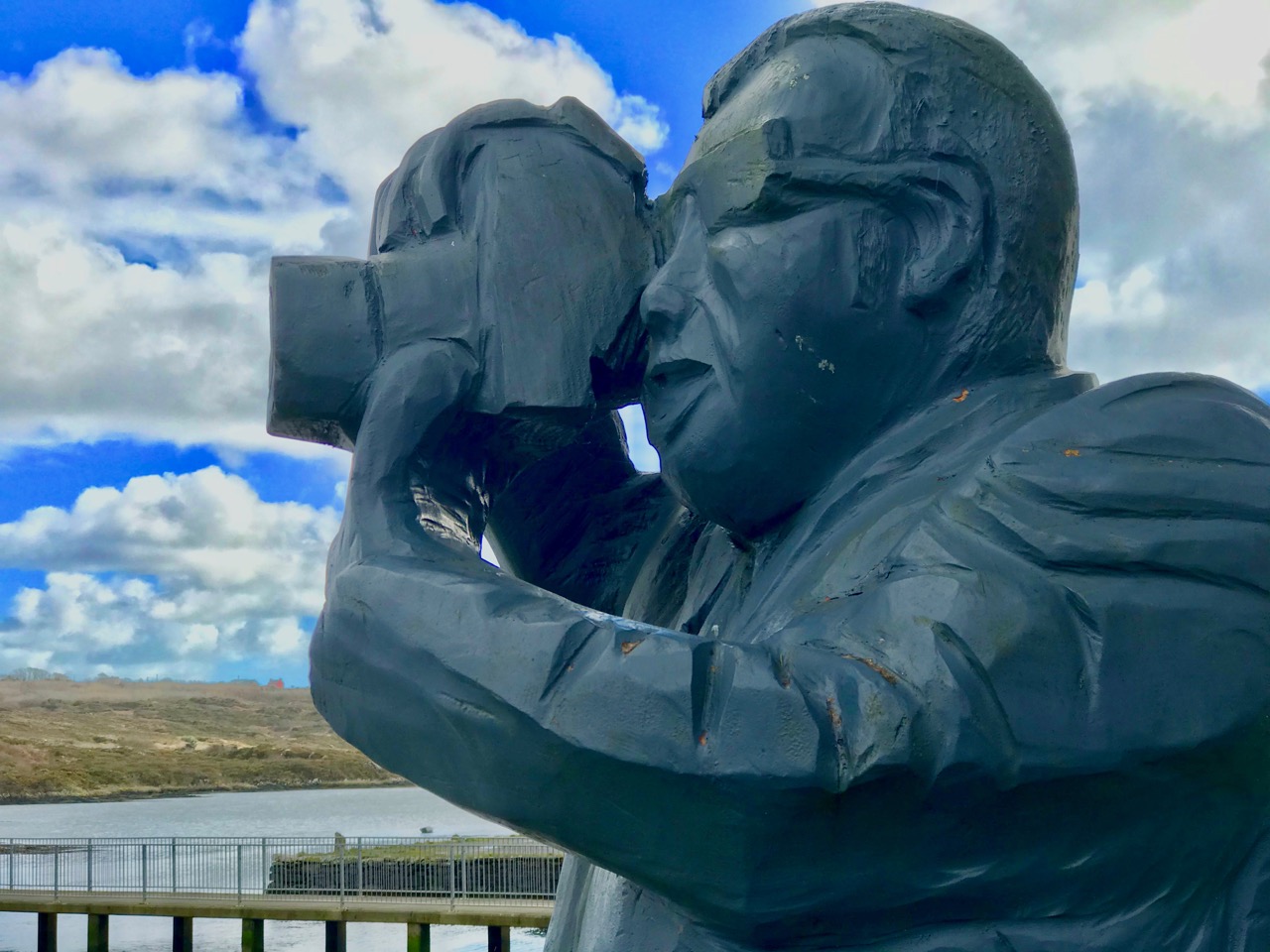
There are so many little details in the townscape that we can overlook, or just take for granted. Ballydehob has a long history of creativity, which is reflected in shop signs, decoration, window dressings. Take a stroll in the sunshine and see if you can find anything new!

You don’t have to wander far from home to welcome and experience the joys of a new spring. You will also find yourself looking forward to the seasons still to come, which will bring Ballydehob to life with its visitors, galleries, festivals and gatherings. Not to mention the hostelries which feed the body as well as the soul.

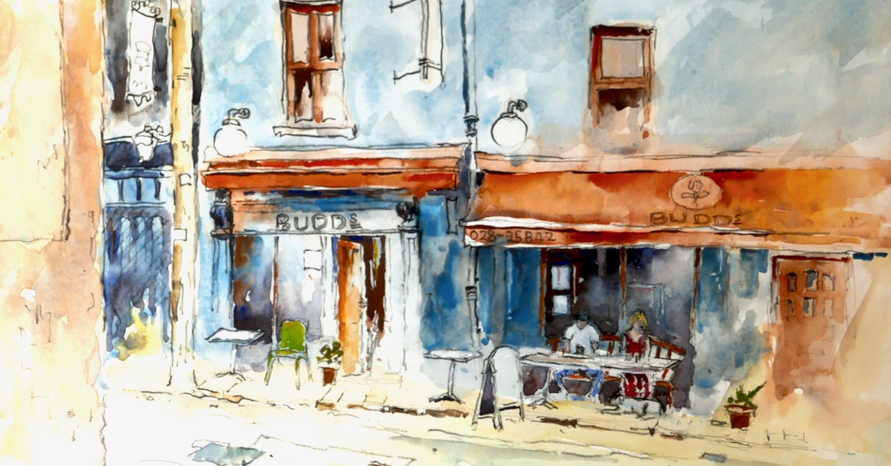
We are looking forward to many sunny days to come as the year warms up. Meanwhile, we can always revisit happy memories of our village life through our photographic archives. Thanks to Judi Whitton for the endpiece watercolour featuring our wonderful Budds, just turned five years old this weekend: congratulations to Jamie and his dedicated team!

A Medieval High Cross – Out of Place

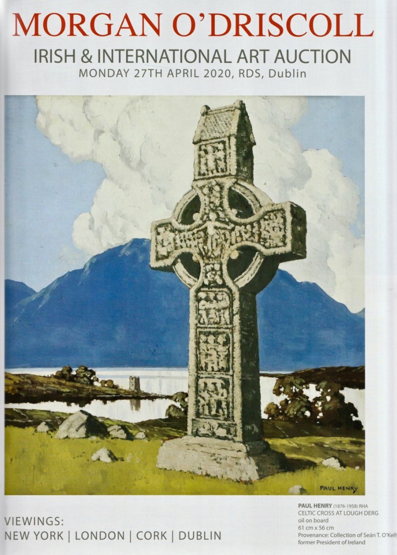
I was intrigued by this advertisement in the current edition of the Irish Arts Review (March – May 2020). Morgan O’Driscoll is based in Skibbereen, West Cork and specialises in Irish art. Paul Henry (1876 – 1958) fought an uphill battle in his own lifetime to get his work recognised. In 1911 Paul Henry and his wife Grace exhibited in Leinster Hall, Dublin. One critic commented that the Henrys: ‘ . . . seldom rise above the dead level of mediocrity and too often fall below it . . . ‘  In that exhibition was a work, The Potato Diggers: it didn’t sell until the 1930s. In 2013 it was included in a sale by James Adams & Sons, Dublin – and fetched €400,000! Just a decade ago, a Paul Henry might have been expected to sell for a few thousand – now, 40 years after his death, he’s a star!
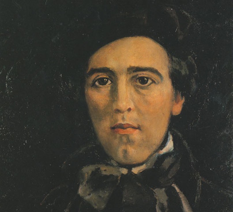
Paul Henry painted by his wife Grace in 1899

So why am I intrigued by the O’Driscoll advertisement? Take another look – the title of the painting is given as Celtic Cross at Lough Derg. I have taken an interest in Irish medieval High Crosses, and published a few articles on them in this Journal. In particular, this one – The Wonders of Monasterboice. Here’s a couple of photos from that post: the left one is an image of the west face of Muiredach’s Cross taken in the early years of the twentieth century – when the carving appears to be more clearly defined than it is today – and on the right is Finola, giving scale to the same cross just a couple of years ago. This cross – named after Abbot Muiredach mac Domhnaill, who died in 923AD – is one of the finest in the country, standing 5.5 metres tall.
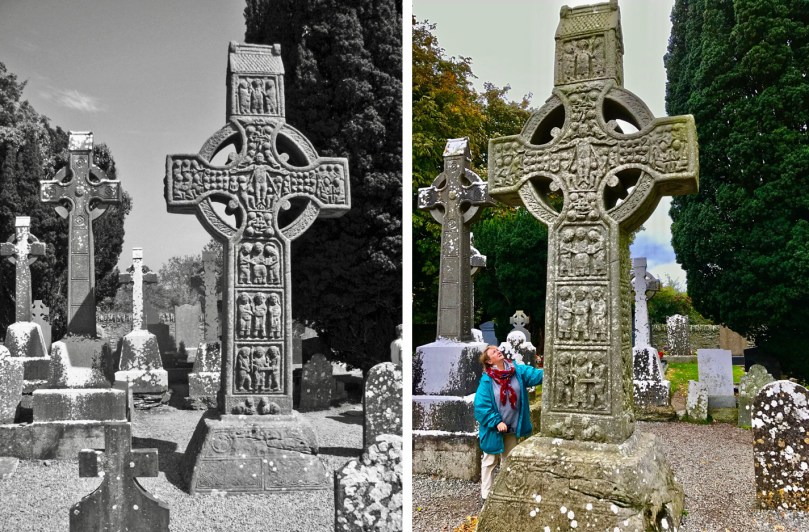
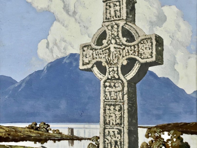
Looking at a detail from the Paul Henry painting (above), there is a remarkable similarity between the ‘Lough Derg’ cross and Muiredach’s Cross at Monasterboice. So – I hear you suggest – are they twins? Not exactly: in fact, through the medium of painting, one cross can be in two places at once! There is no ‘Celtic Cross’ at Lough Derg, so our artist has taken Muiredach’s Cross and placed it in his picture. Why?
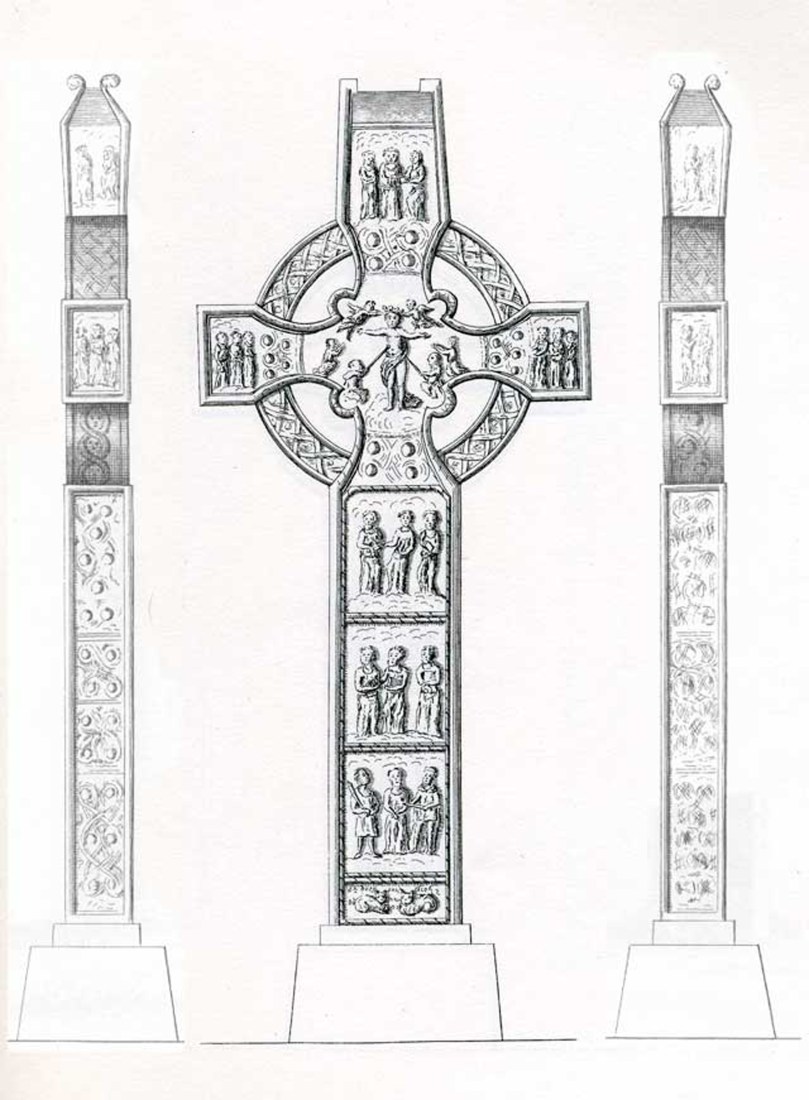
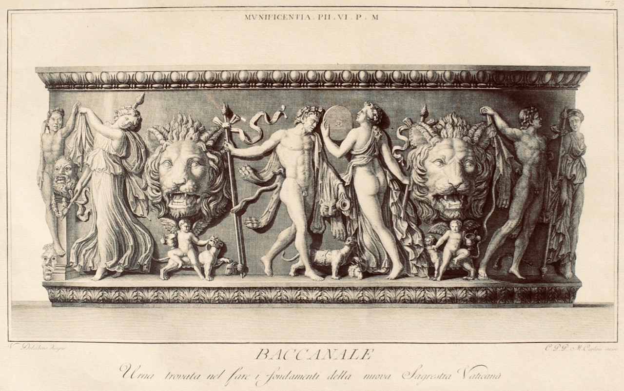
At this point I can’t resist showing you this antiquarian drawing of Muiredach’s Cross (above), probably dating from the eighteenth century, although I haven’t been able to find the author of it. It’s fascinating that all the elements of the cross are portrayed: the central figure in the roundel – presumably Christ – the various figures on the  panels above and below and on either side, and the two cats on the base looking very much like comfortable fireside moggies. But look how all the images have become stylised: medieval has been transported to Georgian neo-classical!
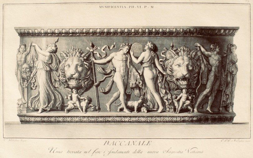
Baccanale – an example of a 1782 copperplate engraving by Marco Carloni, Rome

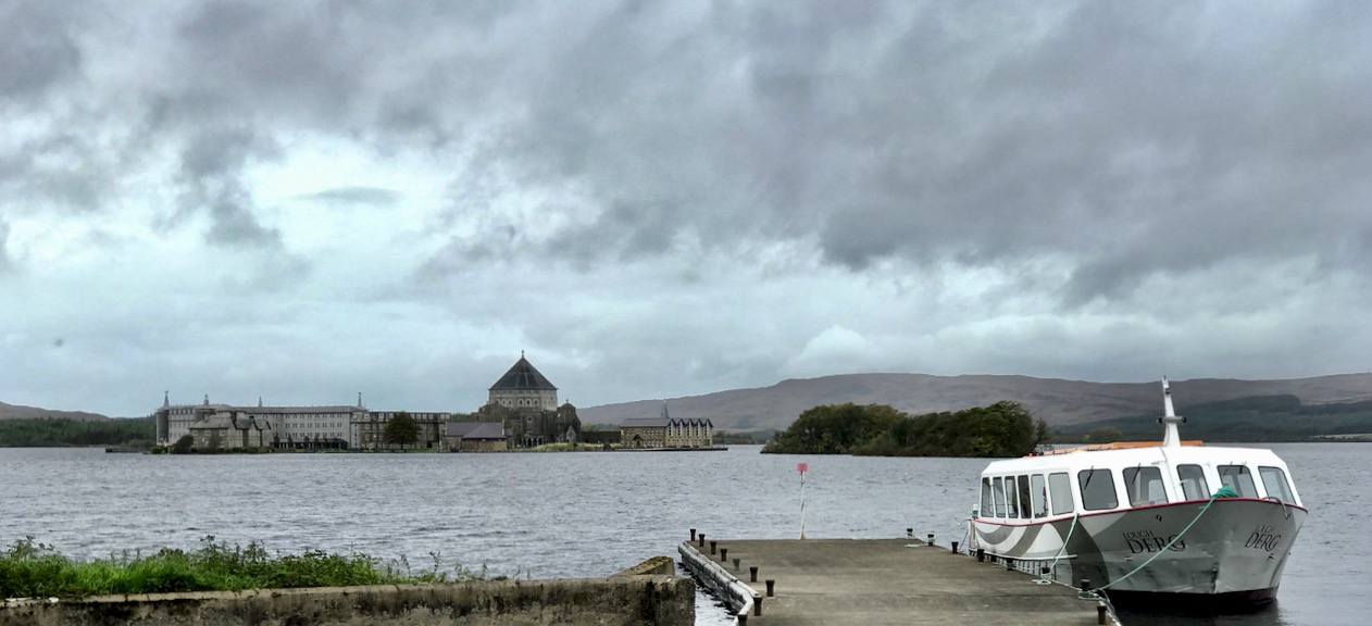
Before we explain Paul Henry’s stretching of the truth, let’s consider something else: there are a few Lough Dergs in the country, but the most famous – and the one most likely to be depicted by an artist who is showing off Ireland might be Saint Patrick’s Purgatory, which I covered in this post, also from two years ago.
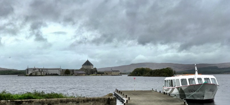
Lough Derg, showing the pilgrimage site of Station island, and the surrounding landscape

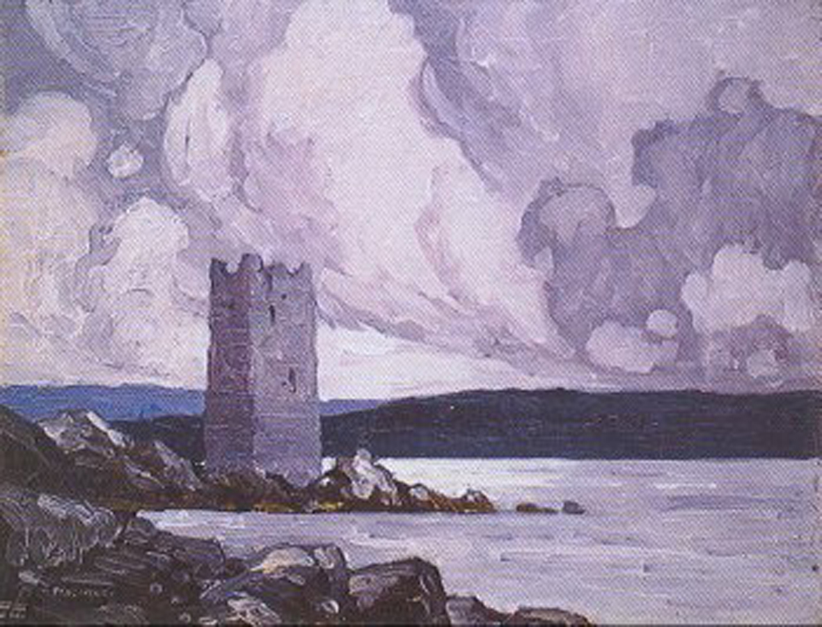
It’s a bit of a stretch of the imagination to see the setting of Lough Derg, with its fairly low-lying hills, in the background of Paul Henry’s painting. And where is that little tower house on the spit of land behind the ‘Celtic Cross’? Well – maybe it’s here:
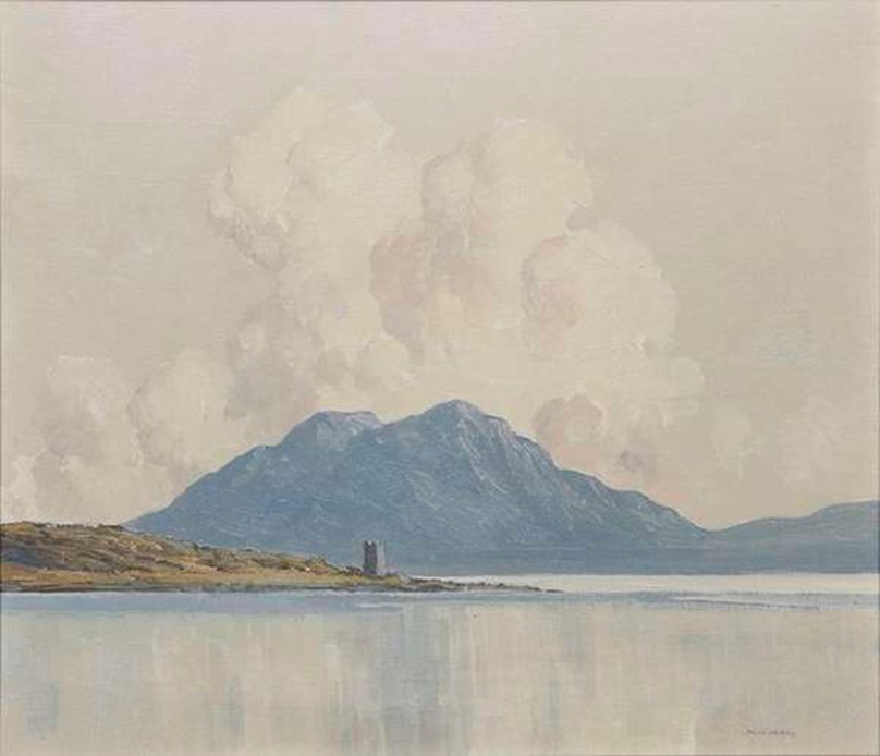
This painting by Paul Henry is known as Grace O’Malley’s Castle: it is picturesquely situated at Kildavnet, in the south-east corner of Achill Island, County Mayo, which Paul and Grace first visited in 1910. So inspired were they by the landscape and the apparently idyllic simple way of life that they remained on Achill for a decade. Here’s another view of the O’Malley castle by Paul Henry:
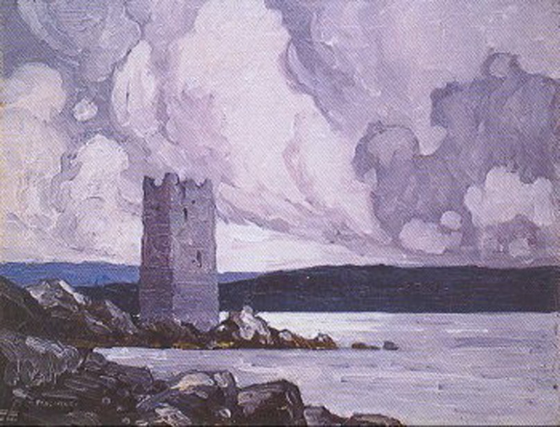
So the ‘Celtic Cross at Lough Derg’ is, in fact, a medieval high cross from Monasterboice, County Louth, and it is set against the stunning scenery of Achill, County Mayo. We can’t blame Morgan O’Driscoll (or anyone else who can be identified) for giving the painting a misleading name. It seems that originally the work was just titled ‘Celtic Cross’: here are some insights from Paul Henry’s biographer, Brian Kennedy, in the Irish Arts Review Yearbook 1989 / 1990 –

. . . Henry was egocentric and occasionally used artistic licence with historical facts in the same way he might have done in a painted composition . . .

. . . In 1917 the Irish Times thought he was developing a decorative treatment of the landscape whereby his imagery was not realistic but was symbolically Irish . . .

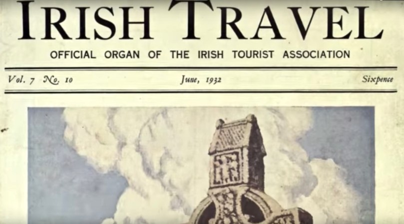
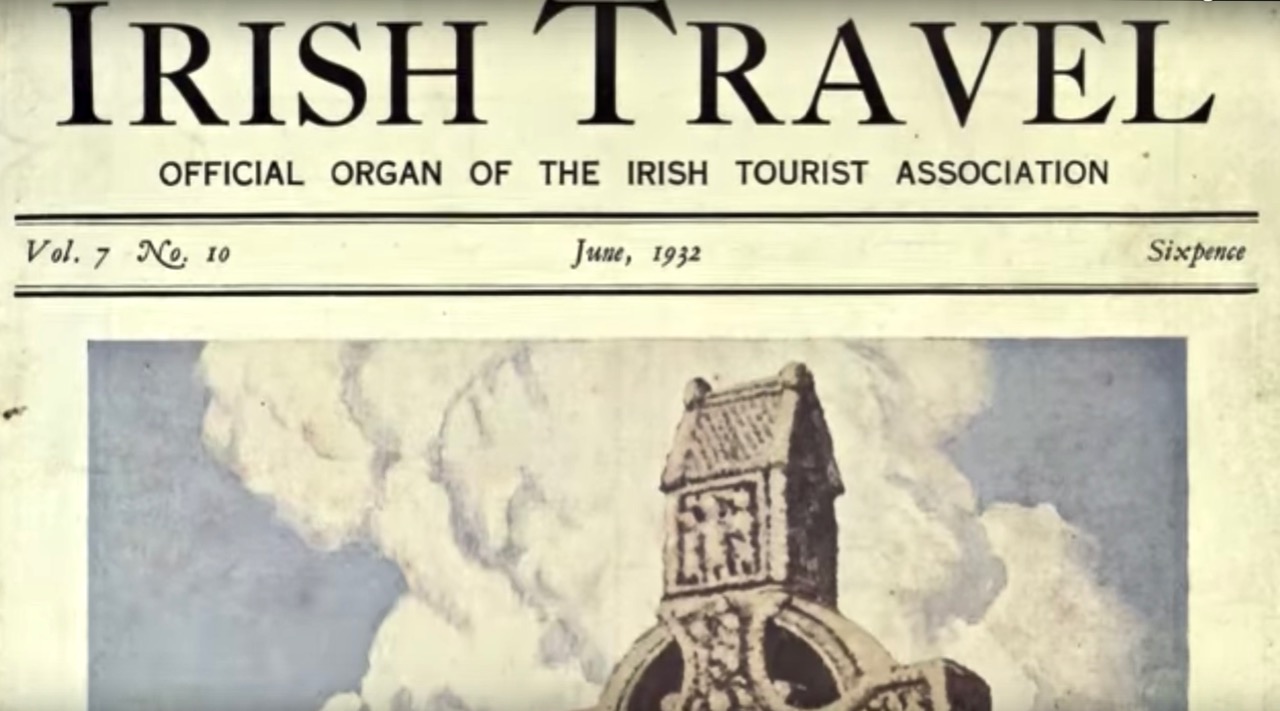
And the following is from Paul Henry: With a Catalogue of the Paintings, Drawings, Illustrations, by S B Kennedy, Paul HenryYale University Press, 2007: it tells us that the painting was clearly known as ‘Celtic Cross’ in 1924, and was in the collection of Seán T O’Kelly, Ireland’s second President (between  June 1945 and June 1959). When sold by Adams in 1984 the painting had acquired the additional wording . . . at Lough Derg . . .

. . . 611 Celtic Cross 1924. Oil on board 24 x 22 (61 x 56). Signed ‘PAUL HENRY’ . . .

Private collection. Prov: Sean T O’Kelly; sale, Adams, Dublin 19 July 1984. Lot 86, as Celtic Cross at Lough Derg, repr. Irish Travel, vol 7, no 10, June 1937 repr. on front cover. Almost certainly a composite composition . . .
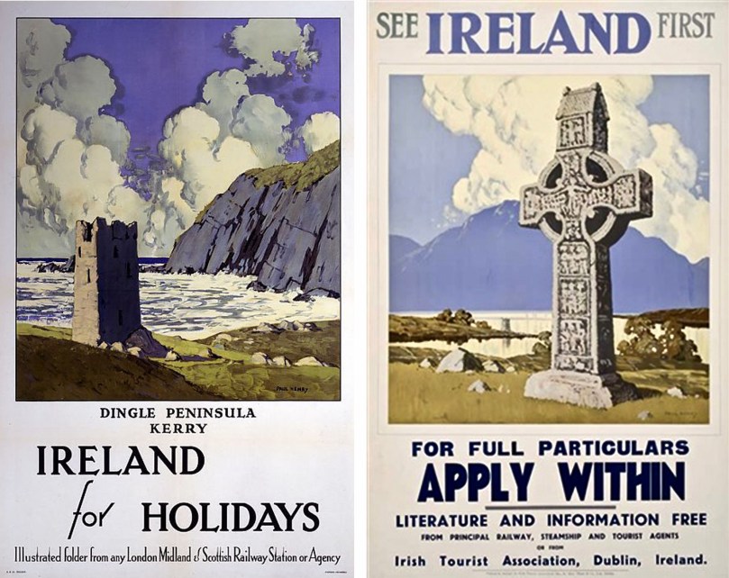
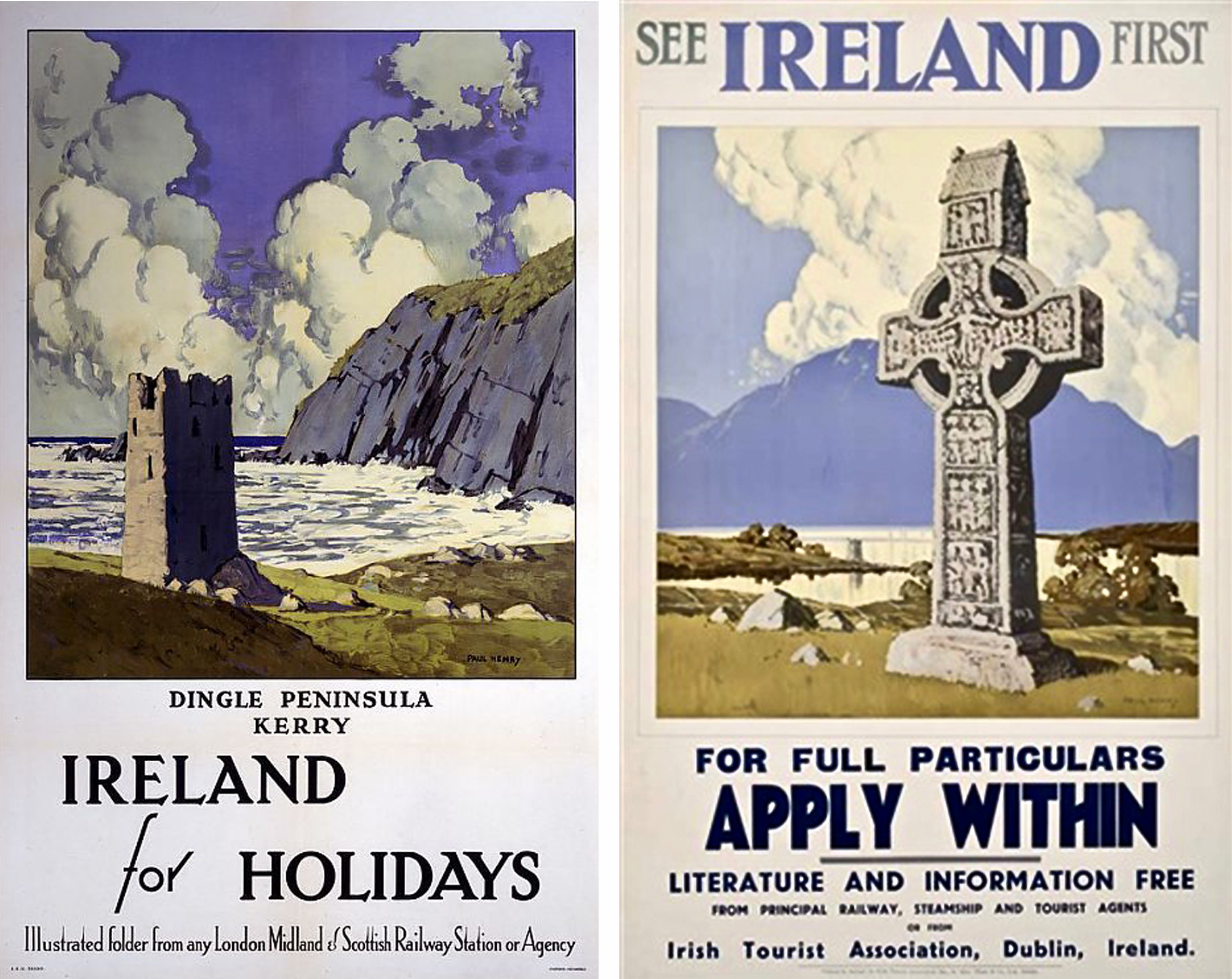
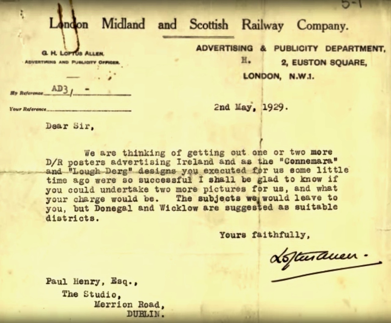
As with most artists – who need to earn a living – Paul Henry willingly accepted commissions. He was successful in selling ‘popular’ work to railway companies and the Irish Tourist Association (above – 1920s and 30s).
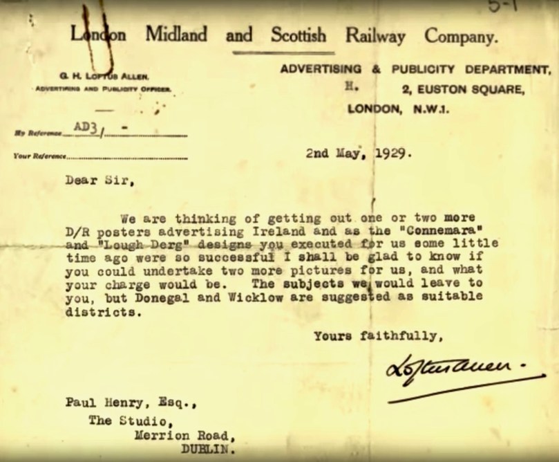
A “Lough Derg” design is mentioned in the Railway Company’s letter (above). Below is another – for British Railways: this is more likely to be the Lough Derg on the Shannon.

Has this helped to unravel the enigma of Paul Henry’s Celtic Cross at Lough Derg? Whether or not you are convinced, I’m sure you would like to have the painting hanging on your wall – me too! Although it would be so much better if it could go permanently into a public collection The sale is coming up in April . . .
 

Mizen Magic 17: Delights of Dunmanus

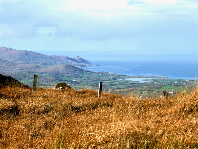
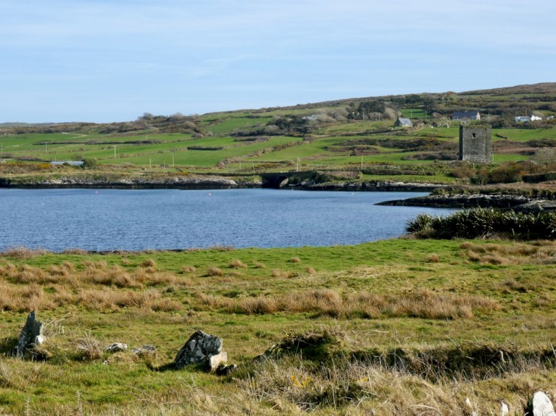
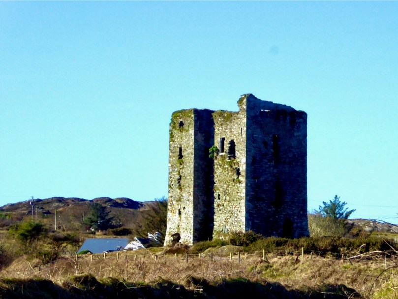
As we often do, we set out on a sparkling day last month to explore a part of the Mizen we aren’t familiar enough with yet. Our plan consisted of pouring over the OS Number 88 map and having an AHA! moment of realising that we haven’t been to a particular spot. This time, the dart landed on an area just northeast of Dunmanus Castle (seen above from Mount Gabriel), where it looked like there was a trail running along the water that would afford magnificent views of Dunmanus Bay and the Sheep’s Head. Things didn’t go quite as planned. . .

Red line: the trail we wanted to walk. Blue line, the trail we actually walked.
Arrows – yellow, Dunmanus Castle; pink, boulder burial; blue, Killhangel Church

We’ve written about this area before – specifically, in Mizen Magic 13 Robert described the promontory immediately to the northwest of the castle, with its ancient stone walls and its spectacular sea arches. This area has recently been re-fenced and isn’t as easy to access as it was.

The Castle and bridge from the promontory

The Castle, of course, is the most prominent landmark in this area. Built by the O’Mahony’s in the 15th century, it is a classic early ‘raised entry’ type of tower house, with complicated internal architecture that allows restricted access to different parts of the building at different levels – including to an oubliette. My post When is a Castle..? has a good description of these kinds of castles, typical of West Cork.

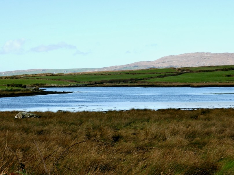
But today we were heading away from the Castle, towards the townland of Knockeens, where, on the map, we could see this promising trail. But you can’t just go right there – a little meandering is always in order when you’re in countryside this beautiful and this interesting.

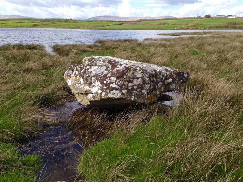
So we stopped to admire the Dunmanus boulder burial (it’s the rock in the lower left of the photograph above). Boulder burials are Bronze Age monuments, although they may have been used for purposes other than to mark burials. See my post Boulder Burials: a Misnamed Monument? for more about this intriguing group of archaeological sites, more widespread in West Cork than other parts of the country, and often associated with stone circles or standing stones. This one is unusual in that it is low-lying (most are in more commanding positions) and the base gets covered at high tides.

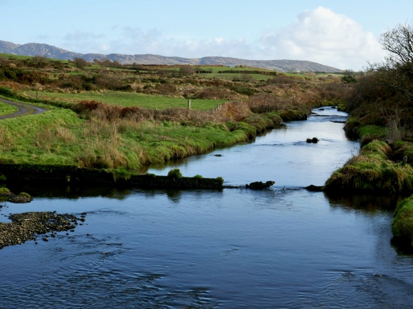
Crossing over an unnamed stream that rises on Mount Gabriel and empties into the sea here, we arrive at the point where we can leave the car and proceed on foot.

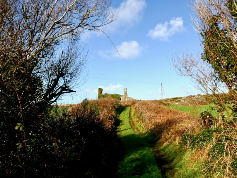
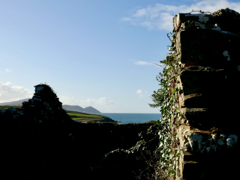
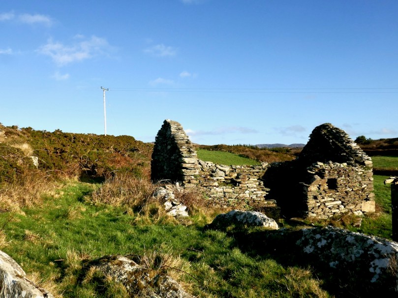
A short walk up an old boreen leads us to a clachán – a tiny settlement of houses, now all in ruins. The residents had magnificent views back down to the bay in their day, but as people say around here, you can’t eat scenery and the families who lived here are long gone to a better life elsewhere.

Just beyond the clachán we ran into our roadblock – an enormous puddle extended over the path. It was too deep to walk through and the boreen was fringed with thick gorse bushes we couldn’t push past. Stymied, we decided to climb up above the path and look for a way around. Easier said than done – between stands of gorse, boggy patches to go around (or sink into), sheep paths that went nowhere, we spent an hour or so wandering around the hillside and finally admitted defeat.

It wasn’t wasted time though – it was wonderful to be out in the crisp air, surrounded by all the magnificence of the Mizen, thinking about the generations who had wrested a subsistence out of that unpromising land. When we finally got back to the car we decided to see if we could approach the trail from the other side, and set off in that direction.
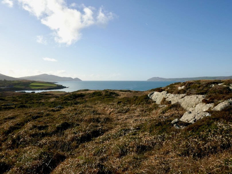
Looking across to the Sheep’s Head

Along the way we had a quick stop at the ruined late-medieval Kilheangul Church (Church of the Angels). It’s a special little spot that deserves a post of its own someday, so I won’t say much about it now. This photograph of it was taken in the summer.

By the time we arrived at the other end of the trail, beside a small pier, it was starting to get dark, as befits a January afternoon, so discretion dictated that we leave the rest of the adventure to another day. 

The day started out to be about walking the trail – it ended up being about everything around it. That’s the thing about the Mizen – the journey is the destination. 


Imbolc – How Our Ancestors Welcomed Spring

February 1 – we celebrate it as St Brigid’s day now, and support the call for making it a national holiday. But we have celebrated it in Ireland forever as Imbolc, the calendar marker that heralds the arrival of spring.
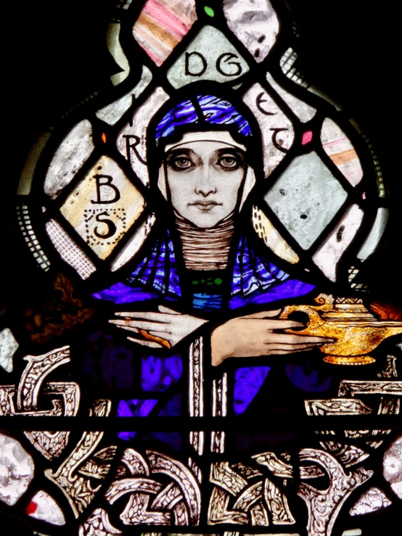
St Brigid by Harry Clarke in St Barrahane’s Church, Castletownshend

What follows was originally a Joint Post by Finola and Robert, written way back in 2013. We have edited it to update the links and added some new photographs and are republishing it now.

Archaeologists have long been aware of the astronomical siting of some Irish megalithic sites, such as at Newgrange, and Loughcrew Passage Graves in Co Meath and Drombeg Stone Circle in West Cork.

Inside Cairn T at Loughcrew

We have become intrigued by the work of Michael Wilson, a talented amateur astronomer who is singlehandedly documenting the astronomical siting of many monuments in this area. Recently he has turned his attention to prehistoric rock art. Mike’s website contains an astonishing body of work, meticulously researched and rigorously recorded, along with explanatory notes.

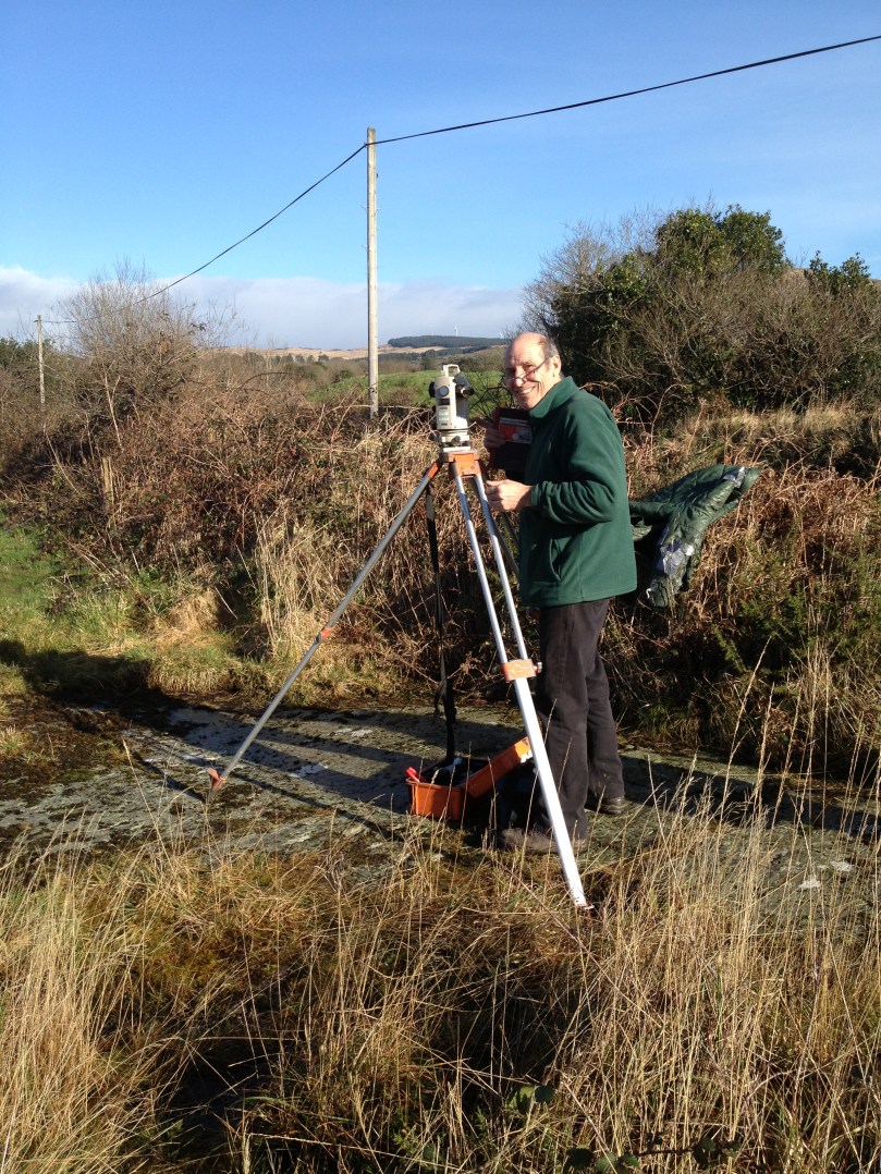
Michael Wilson and his Whole Horizon Analytical Technique (WHAT)

Michael Wilson carries out his Whole Horizon Analytical Technique (WHAT)

His thesis, in a nutshell, is that the builders and carvers of Neolithic and Bronze Age times were keen observers of the day and night skies and were intimately familiar with their surroundings. They situated their megaliths and rock art in places where the contours of the horizon allowed them to mark significant solar and lunar events, such as solstices, equinoxes, lunar settings and risings, and intermediate points. Thus, the sun at the winter solstice might rise at the highest point on a nearby mountain, or set in a deep notch in the hills at the spring equinox.

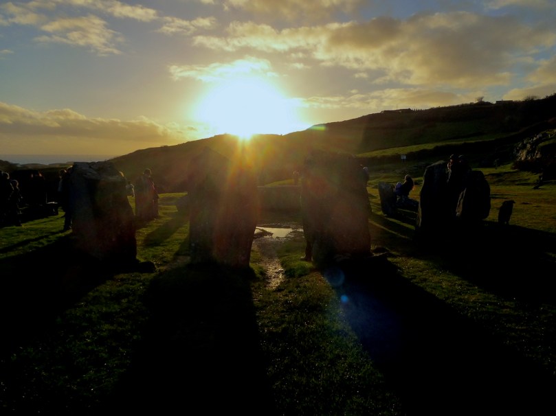
At Drombeg Stone Circle people gather on the winter solstice to watch the sun set over the recumbent stone

The solar calendar has four quarter days (the solstices and the equinoxes), four cross-quarter days (the half way points between the solstices and the equinoxes) and a further finer division into points half-way between the quarters and cross-quarters: an ancient 16 month calendar.

A few days ago [in 2013], Michael posted this:

Imbolc, the spring cross-quarter, is almost upon us. It will be on Feb 1st by the Gregorian calendar, where it is commonly known as St Bridget’s Day or Candlemas, but this is not the correct day. By day-count, the times to celebrate will be sunset on the 3rd and sunrise on the 4th. Astronomically, the sun will be exactly half-way between the winter solstice and the spring equinox at about 16:13 GMT on Feb 3rd, while Feb 2nd is the day to see the sun rise and set at the prehistoric positions for marking this festival.

We set out for our favourite rock art site, Ballybane West, before dawn on Feb 2nd, feeling incredibly lucky to have a clear sky. As the sky brightened, and the nearby hills started to receive the sun’s rays, the carvings on the rock surface became clearly visible.

The sun is already hitting the high ground across the valley

Then, the sun rose, exactly where Michael’s predictions said it would, at the highest point of a rounded hill on the horizon. As people had been doing 4000 years ago in this exact spot, we marked the cross-quarter day of Imbolc – a time when the land starts to warm up, the first spring flowers appear, and the ewes are visibly pregnant.

The carvings light up in the dawn rays

The slanting rays of the rising sun provide perfect lighting for seeing rock art, which is often difficult to observe at other times

If Michael is correct, we have to incorporate a new possibility into our thinking about rock art. There have been indications before that the location of the carved rocks was significant. For example, there is often a view of water or of a significant mountain, some theorists have posited that they are ancient boundary markers, and some rock art sites are inter-visible with each other.

But this way of looking at rock art elevates the actual siting of the rock as most important, and allows us to view the carvings themselves as a way to indicate the purpose of the site – a means to an end rather than an end in itself. The motifs, though, will probably remain as enigmatic as ever.


Looking at Rossbrin

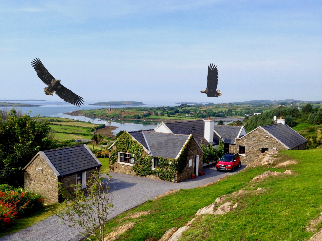
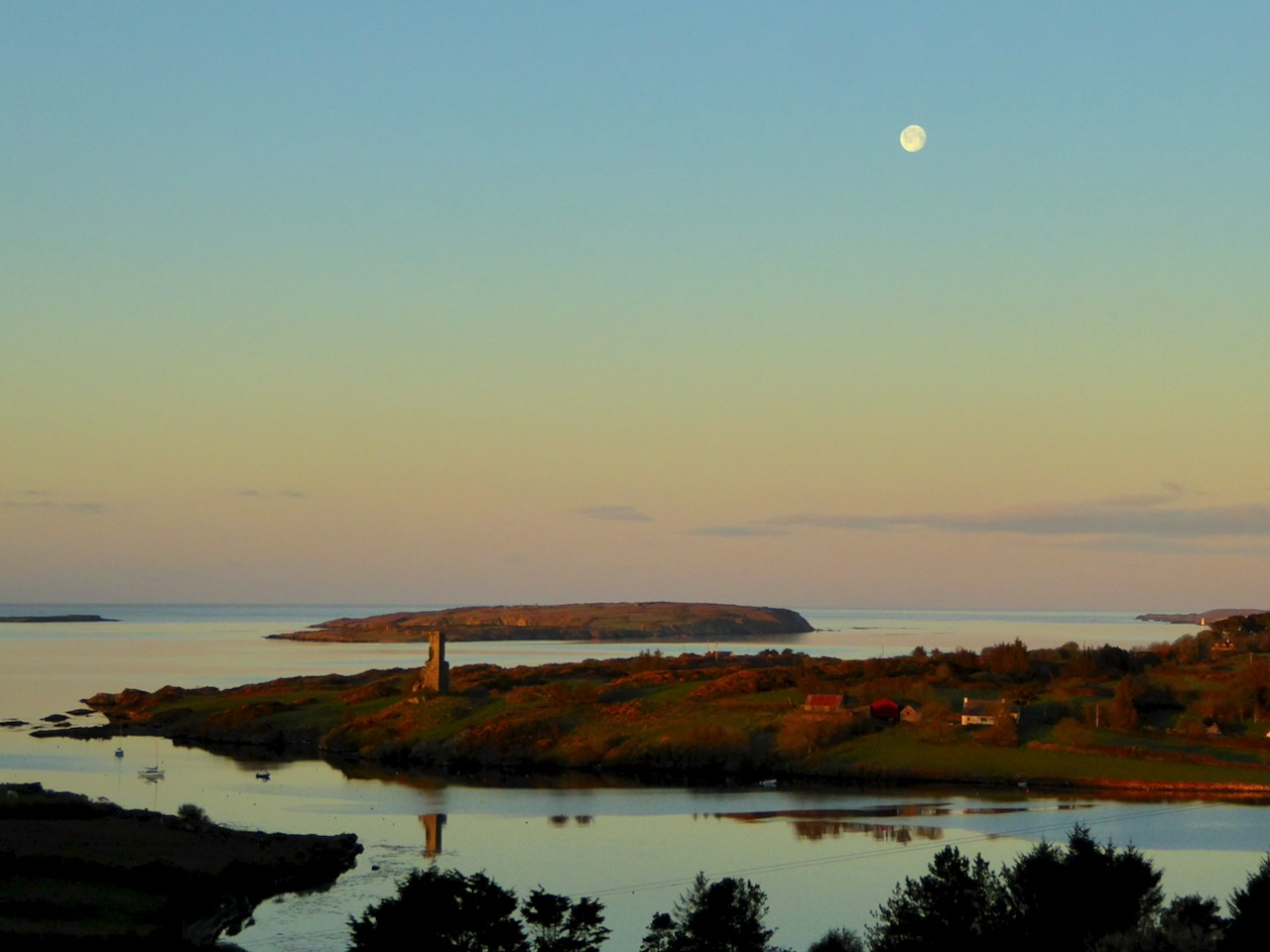
Last week we talked a little about the history of Rossbrin’s medieval castle, and the importance of this natural inlet as a historical centre of fishery, scholarship and European culture. Rossbrin Cove stills serves as an anchorage and refuge for sailing boats on the edge of Roaringwater Bay, but is now a peaceful haven, with only the sounds of the shore birds and slapping masts to lightly disturb an overriding tranquility that gives the place a very particular atmosphere. Our photograph (above) is taken on the boreen going to the castle; on the skyline in the centre is a wind turbine, and just below that is Nead an Iolair (Irish for Eagle’s Nest). The picture below shows the eagles wheeling over our house, with Rossbrin Castle and our view to the Cove beyond.

I have been exploring images of the Cove and its castle – some historic photographs and a few artists’ impressions. As it’s right on our doorstep, we have taken many pictures of Rossbrin during our years here. I am also sifting through a few of these.

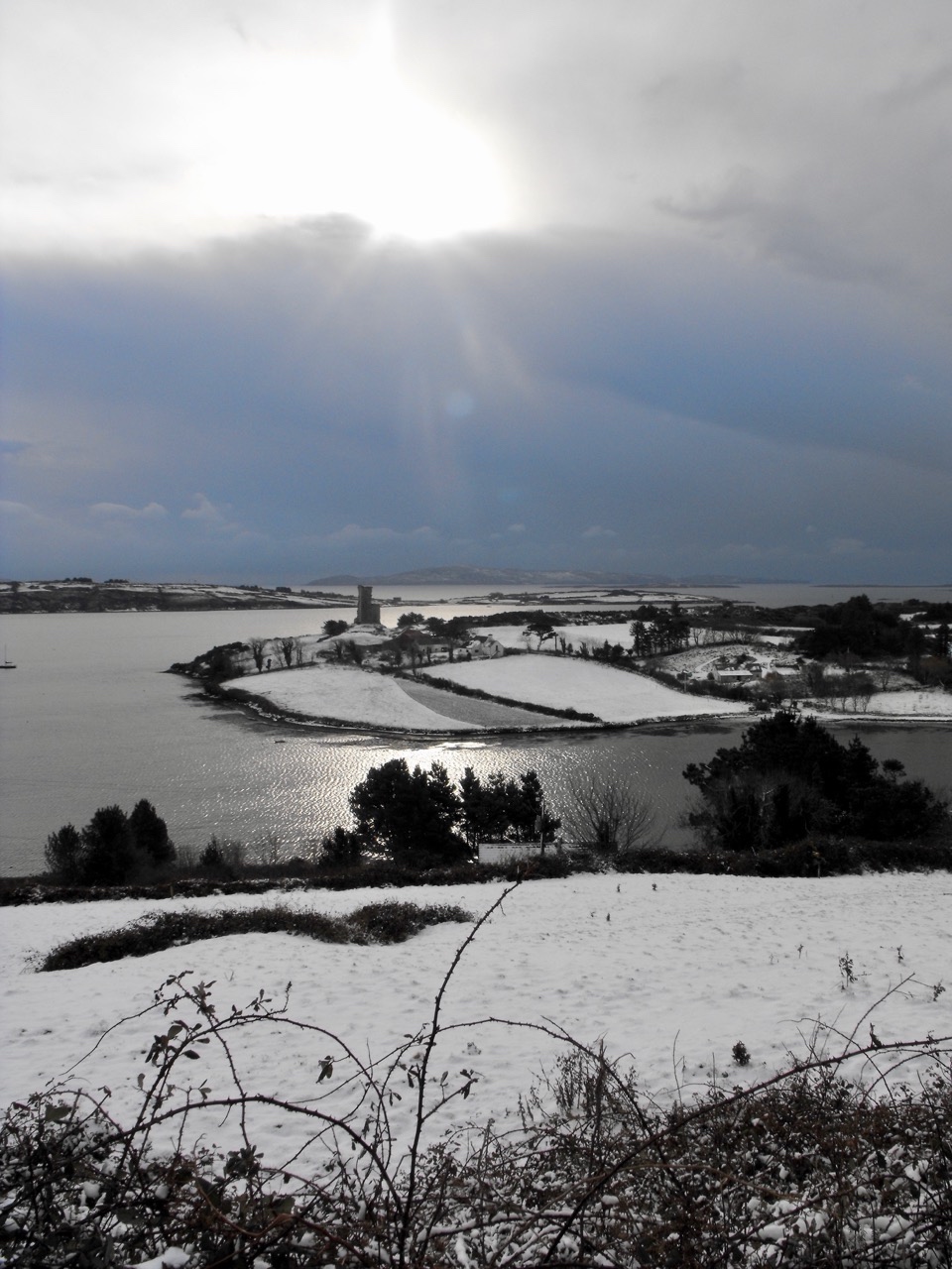
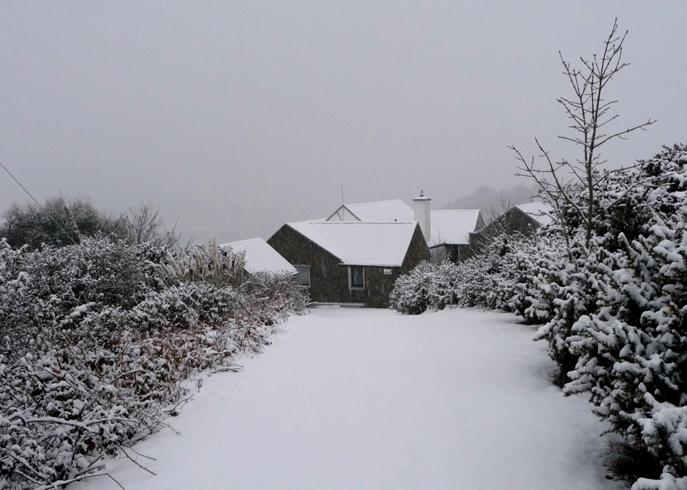
Ten years ago, the west of Ireland experienced an exceptional snowfall, and above is a photograph taken by our near neighbour, Julian van Hasselt, before we arrived. Mostly, our weather is relatively mild due to the effects of the gulf stream on the south-western coast. The castle can clearly be seen here, beyond the fields of Castle Farm. This view of our house (below) was also taken in 2010 by our neighbours Dietrich and Hildegard Eckardt:

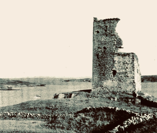
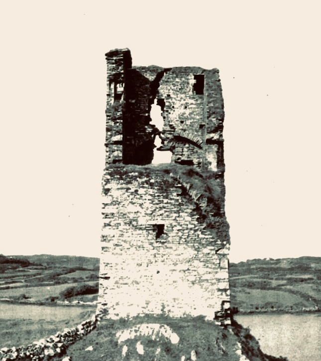
I showed a couple of early photographs of the castle last week. Here are two more taken before a substantial part of the ruined structure was toppled by a storm in the 1970s:

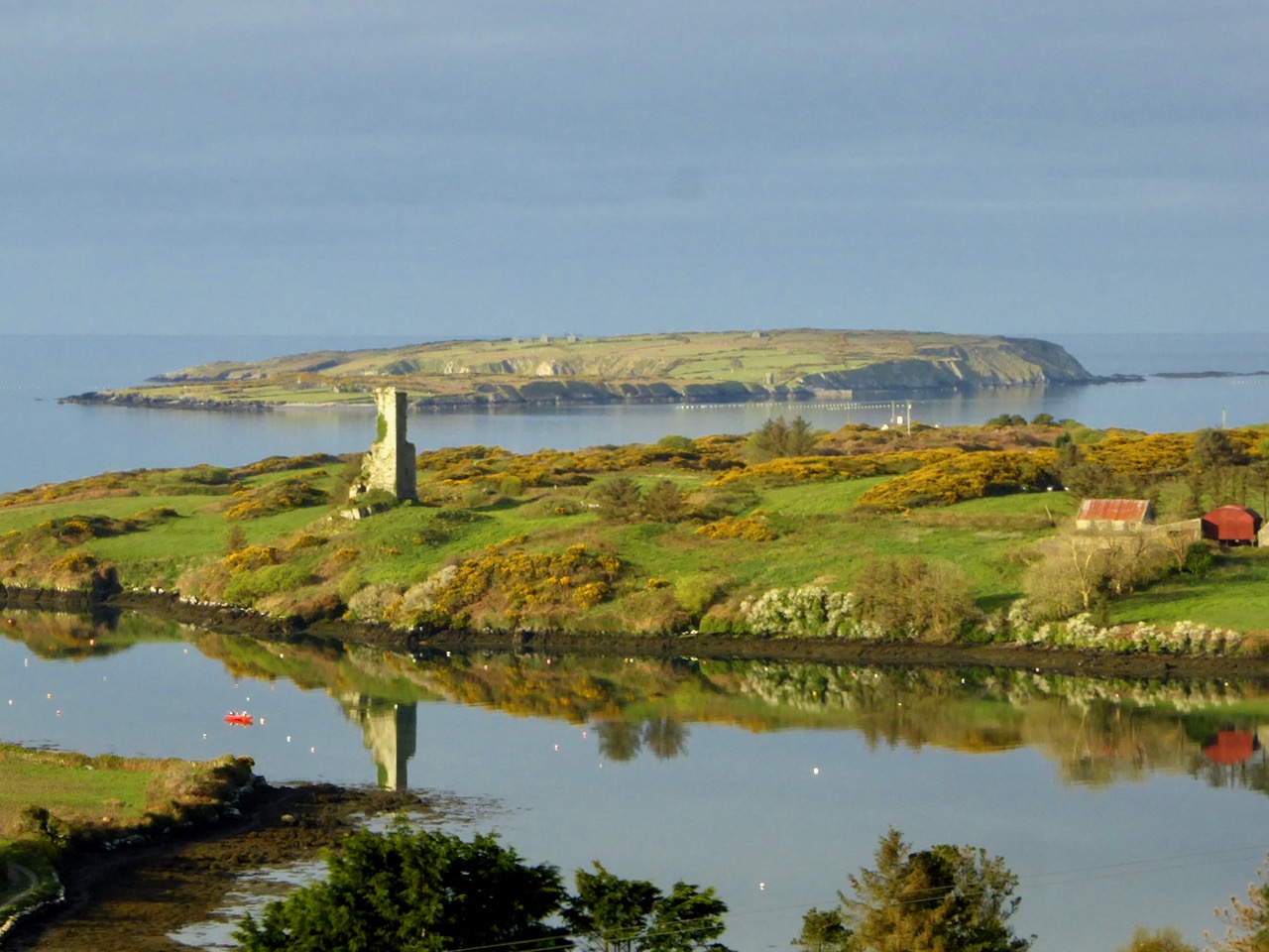
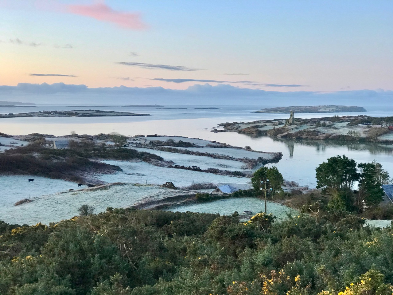
It’s good to see a bit of context, so here is another winter view of the castle on its rock with Castle Island behind. That island was also part of the O’Mahony territory. It is farmed by its present owner but no-one lives there now. You can make out the ruined castle on the island by the shore, just to the right of centre; it’s one of many that can be seen on, or close to, the shores of the Bay.

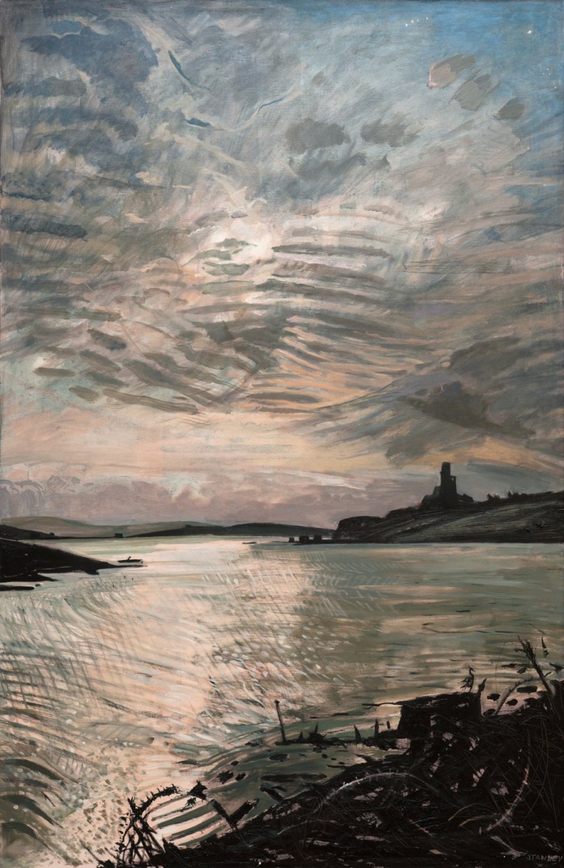
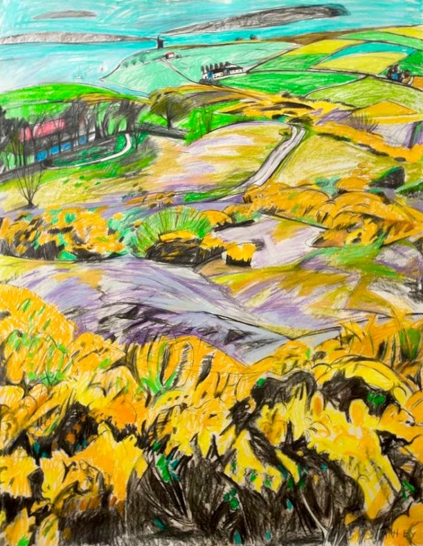
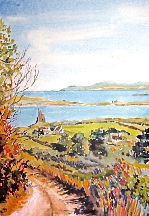
Let’s have a look at some of the art works that feature the Cove and the Castle. Jacqueline Stanley was one of many artists who was attracted to the beauty of West Cork. Now in her nineties, she moved from England to Ireland in the mid 1970s and purchased the old School House at Rossbrin as a country retreat: it has only recently changed hands.Here are two of her works, depicting Rossbrin. You can find more on her website.

I particularly like this view (above) which was painted by Jackie from the vantage point above the high road going down to the Cove, close to the remains of the copper mine at Ballycumisk. Last week I showed a painting by Geraldine van Hasselt, Julian’s mother, also from the 1970s. Every painting or photo is a historical document – and important to retain, in view of the fragile nature of the structure today.

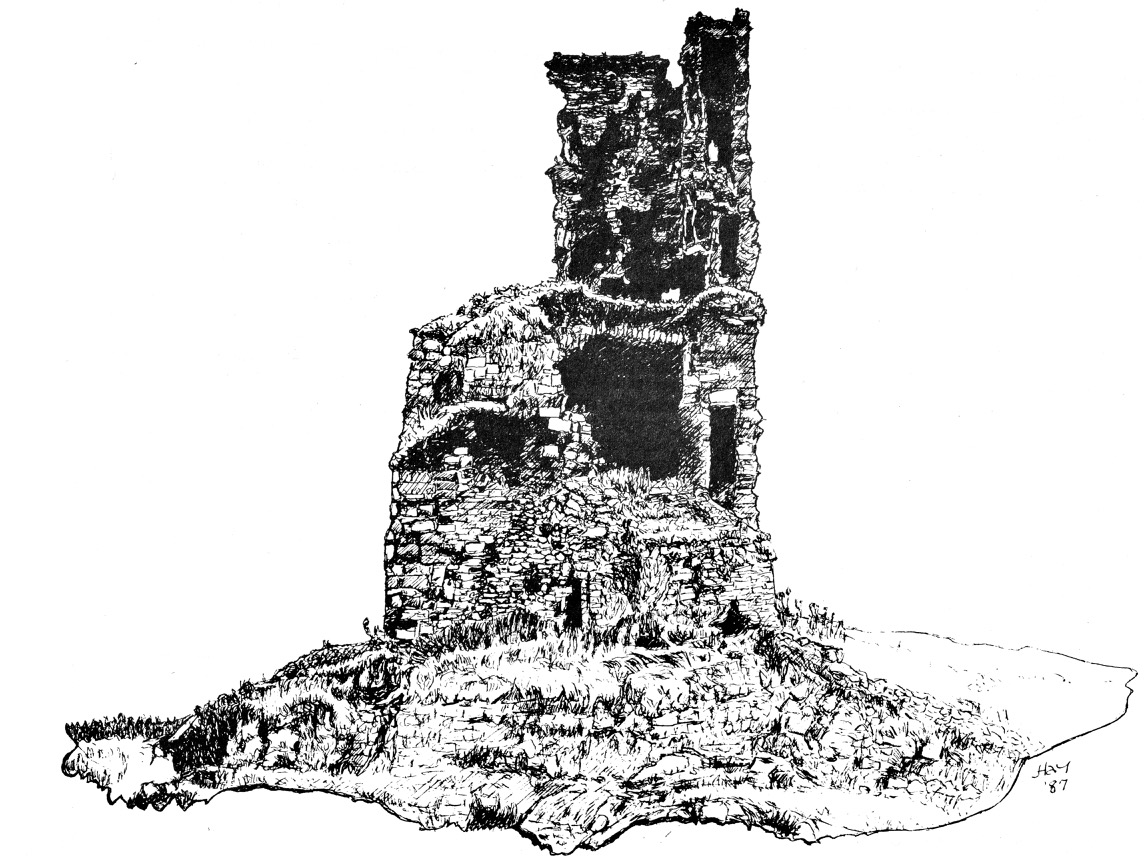
Our friend Peter Mabey is an architect and artist. He has lived in West Cork for a long time: he and I were at college together in Kingston, Surrey, and were surprised to meet each other by chance in Skibbereen market a good few years ago now. Above is one of his attractive watercolours looking down towards the Cove. The vantage point looks remarkably like the one chosen by Jackie Stanley. Below is a drawing of Rossbrin from the monumental work The Castles of County Cork by the late James N Healy, published in 1988 by Mercier:

The ruin is a romantic reminder of past times, enhanced by the changing weather moods of Roaringwater Bay. This photograph, by Finola, emphasises the character of the place:

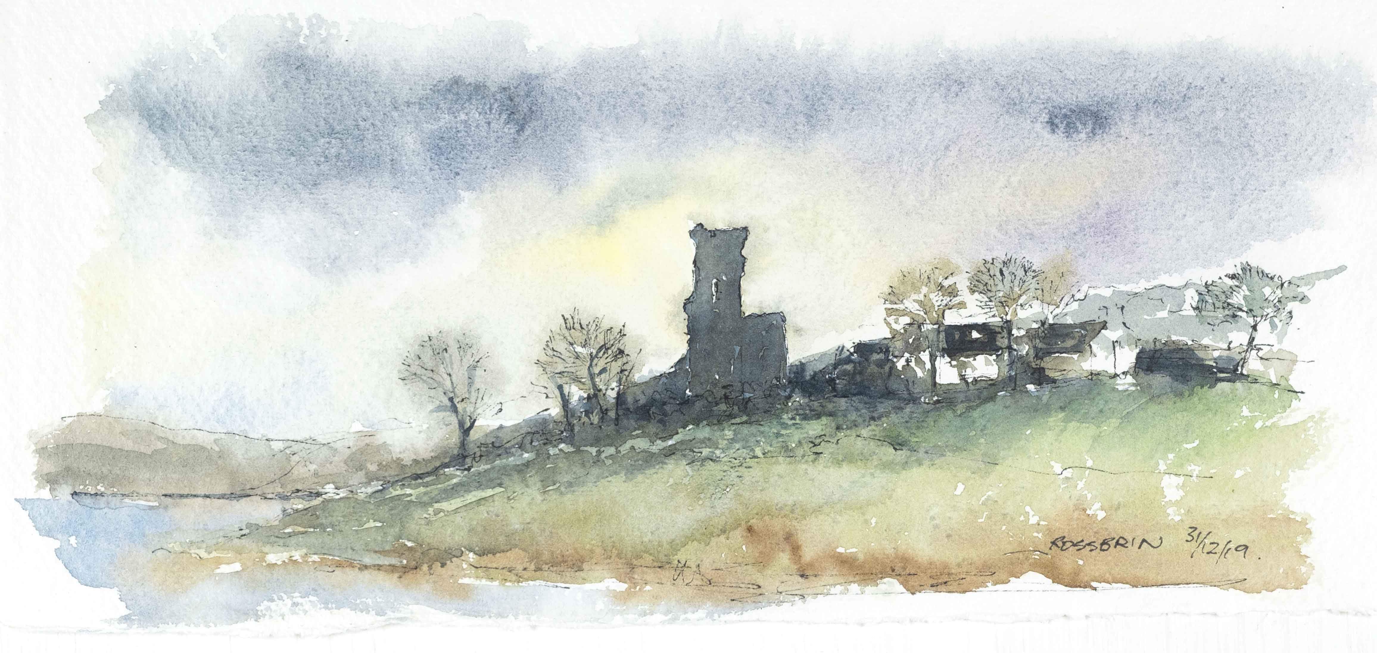
I can’t resist finishing this little two-part foray into the medieval remnants of our historically significant ‘centre of culture and learning’, which now languish on the edge of the waters below us with an artist whose work we admire: Peter Clarke, who writes and illustrates the Hikelines blog. His watercolour sketches are exquisite and always atmospheric. He has kindly allowed me to use his portrayal of Rossbrin Castle as my tailpiece. Thank you, Peter – and thank you to all the other artists who have been inspired by this remote and beautiful part of Ireland.

The Castle of Rossbrin

It was just Raven and I, down at Rossbrin today. We were both inspecting the O’Mahony stronghold which has stood here for, perhaps, 800 years in one form or another. Peter Somerville-Large explored the area and its history in the early 1970s:

Down beside a narrow inlet which empties at low tide stands Rosbrin, the most easterly of the O’Mahony castles. Like the O’Driscolls, the O’Mahonys had a passion for building castles: they built twelve, and six survive, all overlooking or right on the edge of the sea. They shared with the O’Driscolls one of the finest fishing grounds in Europe, controlling the waters and exacting dues from visiting fishing boats in much the same way. ‘None of the fisheries of Munster are so well known,’ wrote an observer in 1688, ‘as those of the promontory of Ivaha, whereto a great fleet of Spaniards and Portuguese go, even in the midst of winter . . .’

The Coast of West Cork, 1972

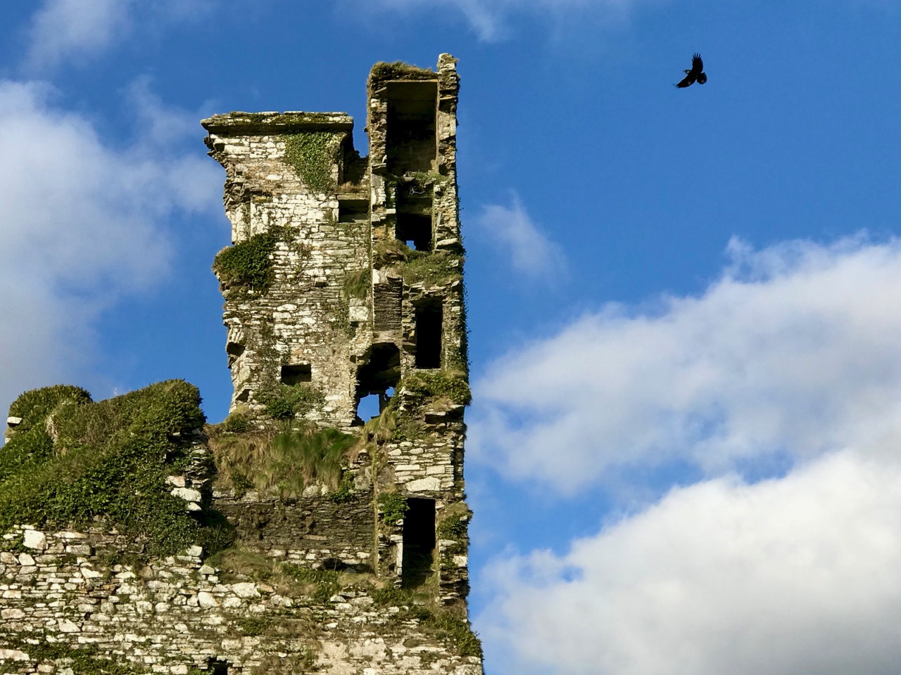
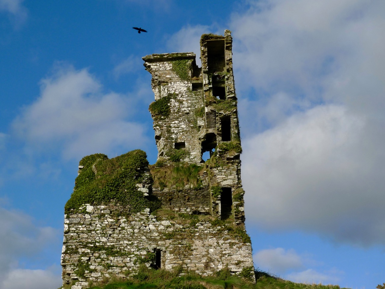
Neither Raven nor I would be deterred by the winter weather. On a day of hard frost followed by blue skies and sunshine, nowhere could be more beautiful than Rossbrin, and nothing could be more poignant than the quiet remoteness of this western corner of Ireland, once considered ‘the greatest centre of learning in Europe’. I walked in the company of the wisest of the corvids over the vanished ruins of a great university.

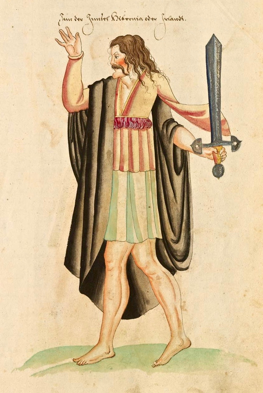
Finnin O’Mahony – Taoiseach, or chieftain, of the clan – as he may well have looked in the latter part of the fifteenth century (above): cultured, fashionable, flamboyant even, and powerful. It’s sobering to think that, while Columbus was following in the footsteps of Saint Brendan to rediscover the New World, scholars and scribes were busy on the shores of Roaringwater Bay writing and translating treatises, medical manuscripts and historical accounts of travellers busy in their quests to prove the earth may not be flat after all . . .

The Annals of Ulster tell us that Finghinn Ó Mathúna of Rossbrin Castle who died in 1496 was an acclaimed historian of the then known world. And, the Annals of Connaught lauded him as ‘a great scholar in Irish, Latin and English’. The Annals of the Four Masters referred to Finghinn Ó Mathúna as being unmatched in Munster for hospitality and scholarship. The O’Mahony territory was inclusive of today’s parishes of Dromore and Caheragh and all the lands westwards to Mizen Head. Finghinn made Rossbrin Castle both his residence and a rendezvous for Irish scholars . . . Most writers who laud the scholarship of Finghinn Ó Mathúna lament the loss of many of Rossbrin Castle’s manuscripts . . .

From an article by Alfie O’Mahony in the Skibbereen and District Historical Society Journal, Volume 6, 2010

Roaringwater Bay – the view to the south, today, from Rossbrin. In the foreground is Horse Island, and beyond is the profile of Cape Clear, also a place of learning to this day: students of the Irish language spend time on the island, one of the Gaeltacht areas where Irish is still the native tongue. One of the reasons for Finghinn being so expert in languages himself was the desire to communicate with the visiting fishermen whose needs provided him and his clansmen with a good living. As well as a celebrated place of learning, Rossbrin Cove would have supplied fish palaces and all the trappings of the industry: barrels and salt for preserving, victuallers, alehouses, brothels . . . It must have been a boisterous and vibrant place.

Peter Somerville-Large gives a commentary on the more recent history of the castle:

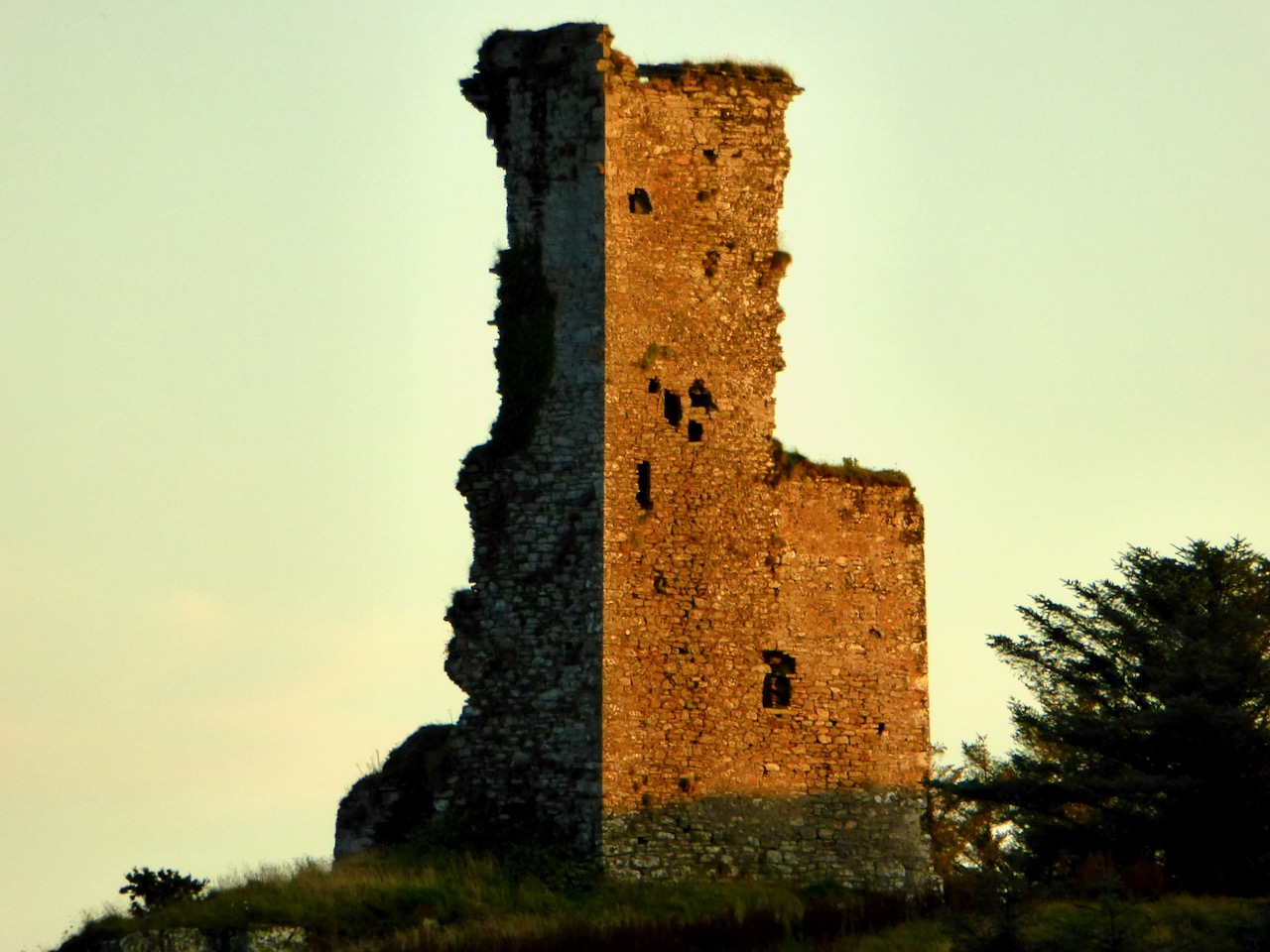
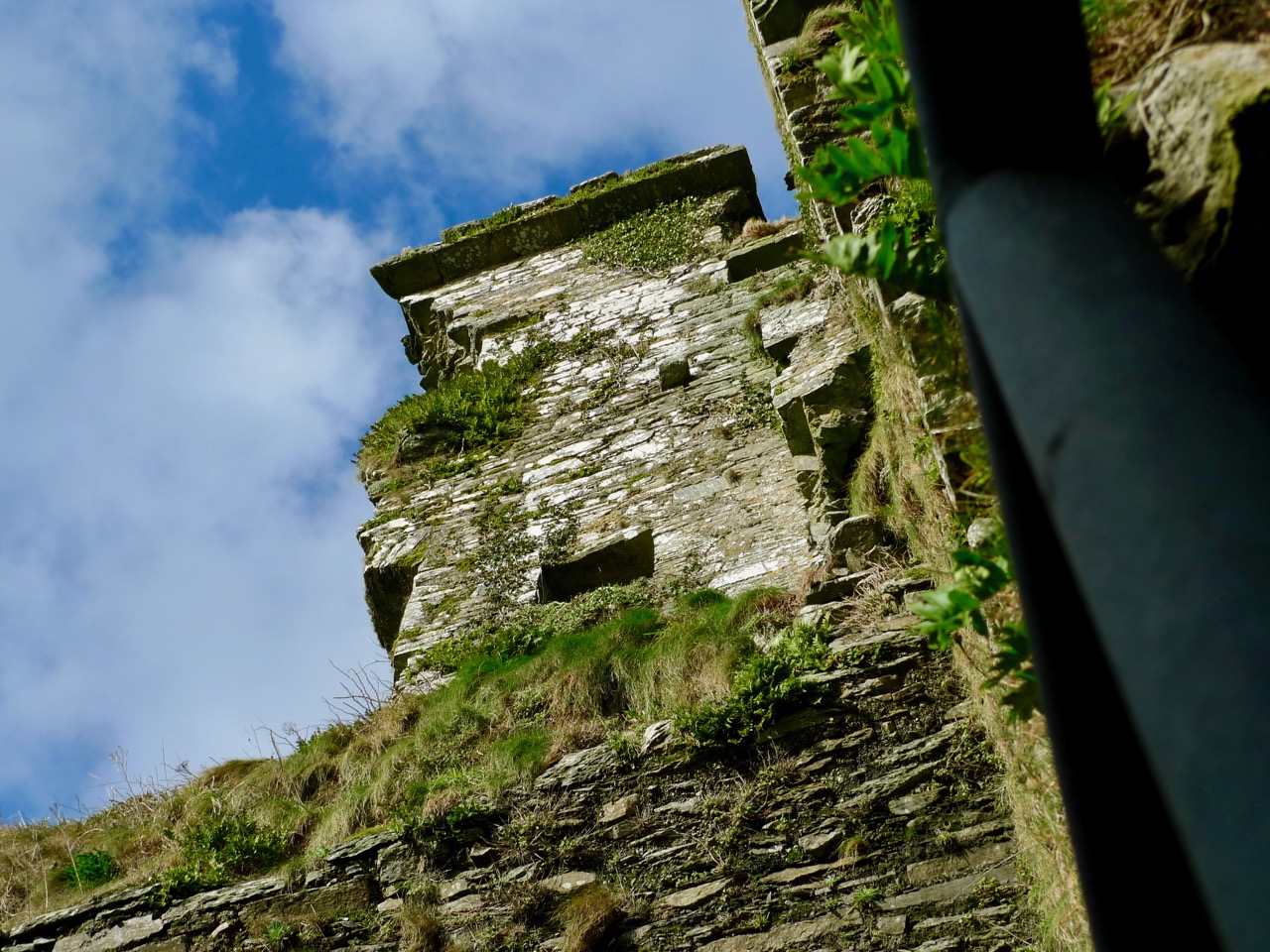
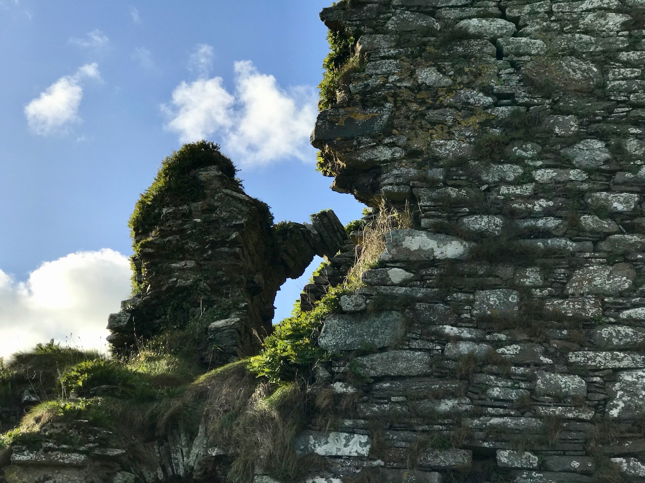
One wall of the splintered tower has a crack running down the side. Another was partly blown down by a storm in 1905. If there is another great storm like that one, Rosbrin might well disappear without trace, like the O’Mahony castles at Ballydevlin, Castle Meighan and Crookhaven. It is sited on an area which is very difficult to approach from either land or sea, standing on a rock. Contrary to what might be written in Holy Scripture, buildings on rocks have little in the way of foundation, and when they fall down or are swept away there is nothing left of them except a memory . . .

To the south of the rock on which the castle stands are the vestigial remains of an ancient stone quay (above), still in use as a landing place. The Cove itself – a natural haven – would have been the main harbour area serving the fishing fleets. The castle stands sentinel above the harbour entrance, ensuring that no-one could approach unseen.

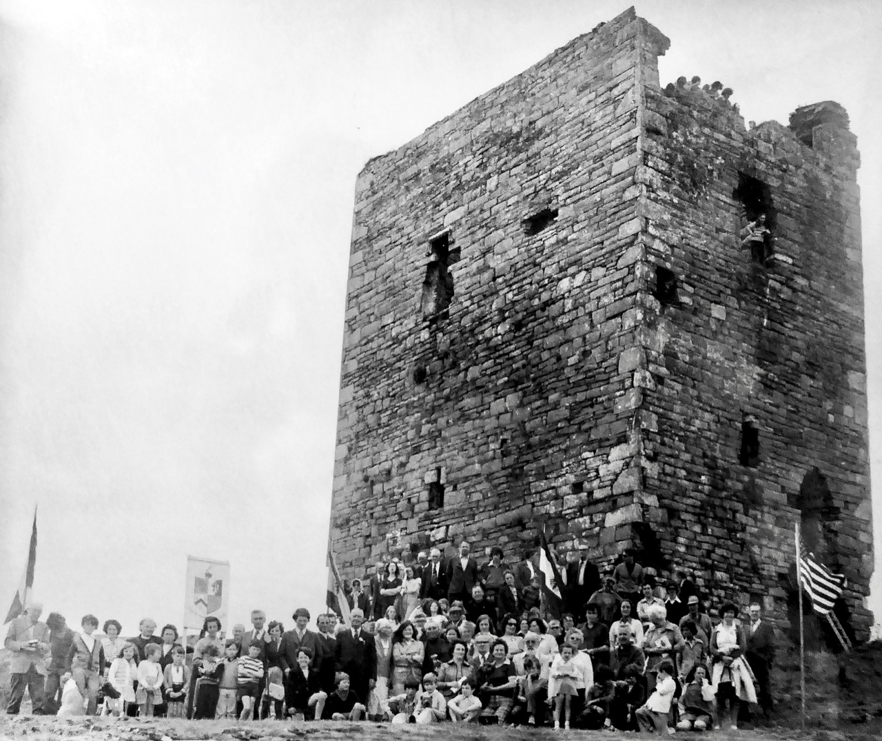
I have been looking for older illustrations of the castle, in order to ascertain how much erosion is taking place as the years go by. Here’s a fascinating record of an O’Mahony Clan Gathering, photographed in 1975 by Michael Minihan of Skibbereen. There is a lot more of the building intact at that time. Can you see the spectators high up on the walls and roof? [Note: I was mistaken – this is actually Leamcon or Black Castle before reconstruction. I am leaving it in to illustrate what Rossbrin may have looked like before it started to fall apart.]

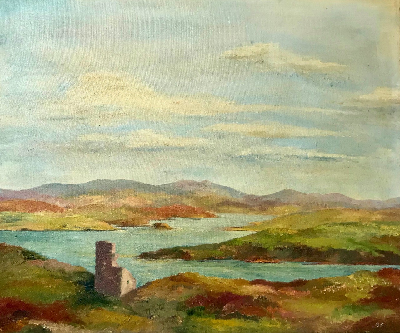
As most of you will know, we look down on Rossbrin Cove and Castle from our eyrie up at Nead an Iolair. We consider anyone living on or by the Cove a neighbour. One of these is Julian, the first to welcome us when we arrived here many years ago. On my walk today I called in on him – he lives next door to the Castle Farm. I was over the moon when he showed me a portrayal of the Castle which his mother, Geraldine, painted in the 1970s, only a year or so after the gathering at Leamcon, above. A substantial part of the Rossbrin castle walls has collapsed in relatively recent times.

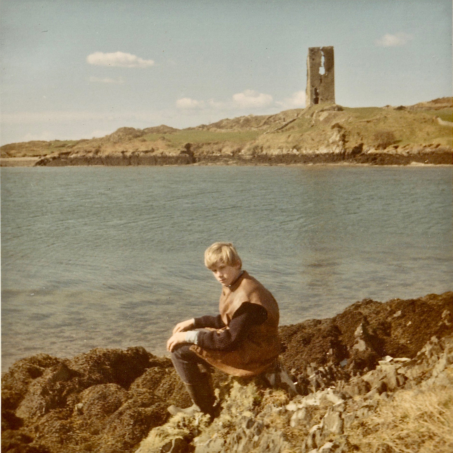
Rossbrin Castle, painted by Geraldine van Hasselt in the 1970s (above). Best of all, though, is a photograph of Julian – her son – taken at Easter, 1969: significant parts of the walls have collapsed since this picture was taken.

Julian van Hasselt on Rossbrin shore: behind him is a clear view of the castle. You can see the vertical crack which eventually led to the collapse of half the tower.

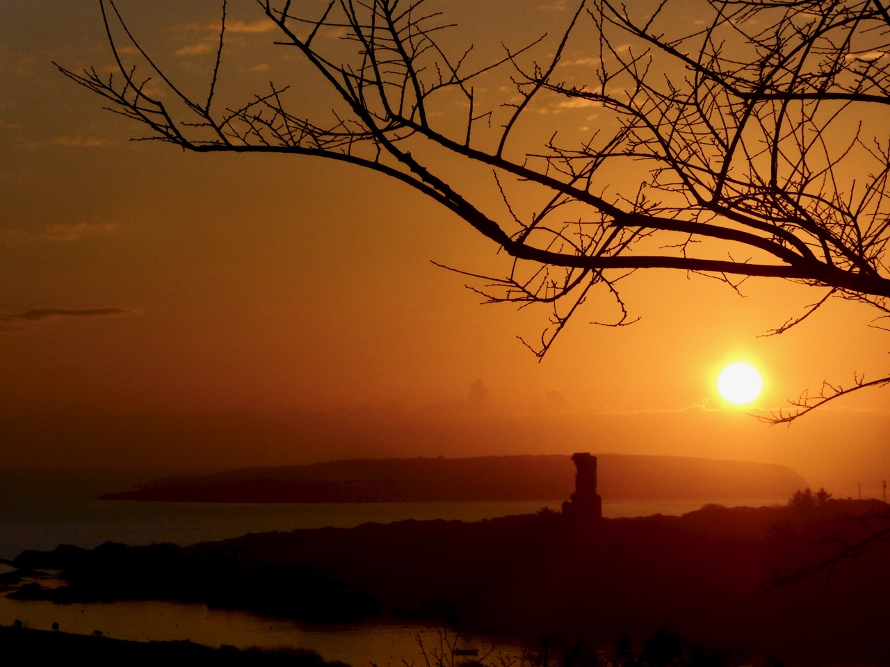
At this time of the year we get excellent sunsets when the weather is right. Today’s was a good one! I reluctantly said goodbye to Raven, my companion whose constant cronking seemed to follow me as I perambulated this place of deep history. I wonder: was it just Raven? Or might it have been Finghinn himself, speaking to me in yet another of his languages? I think I’ll have to return to Rossbrin to find out!

With many thanks to friends Julian and Raven . . .