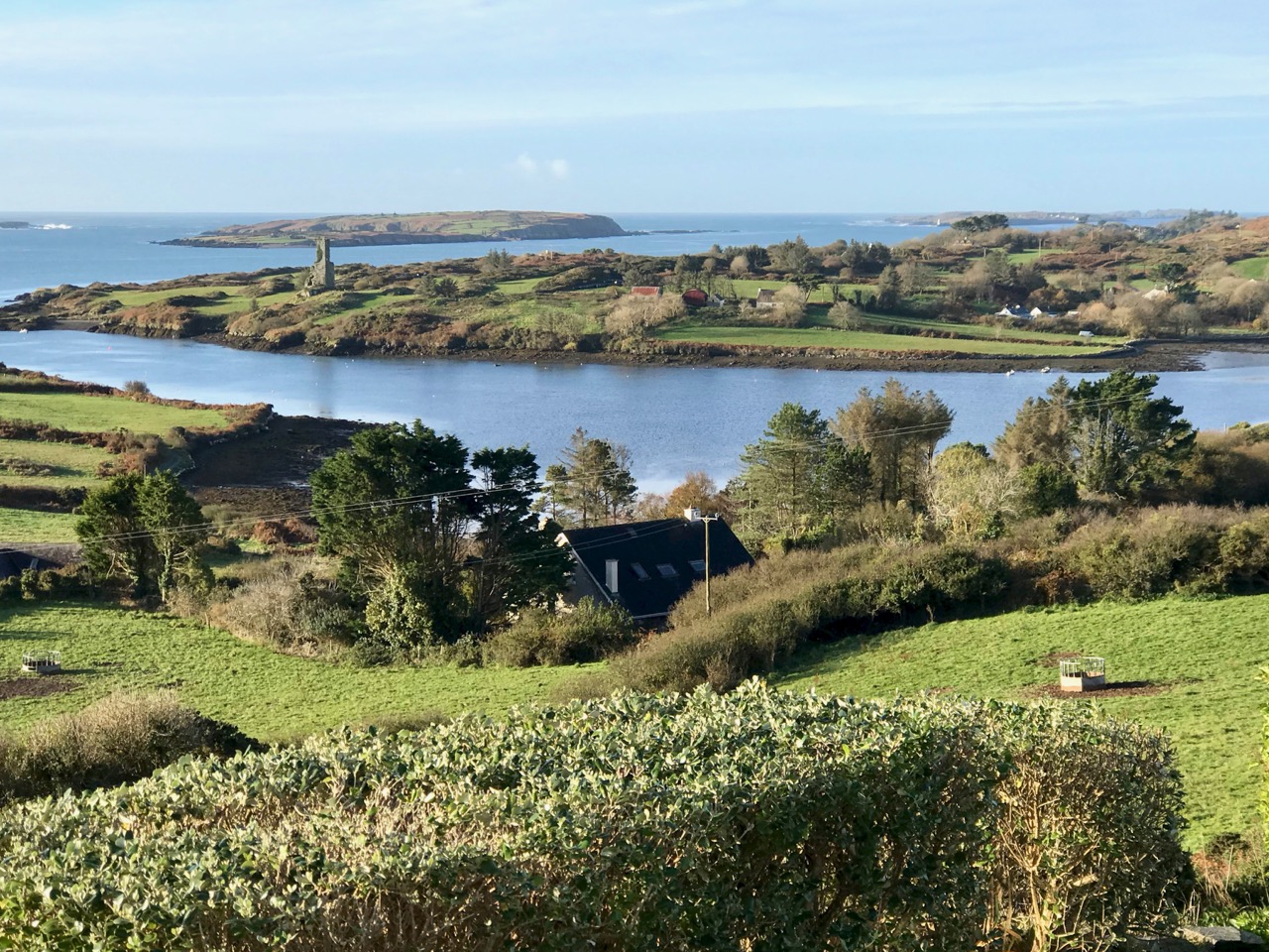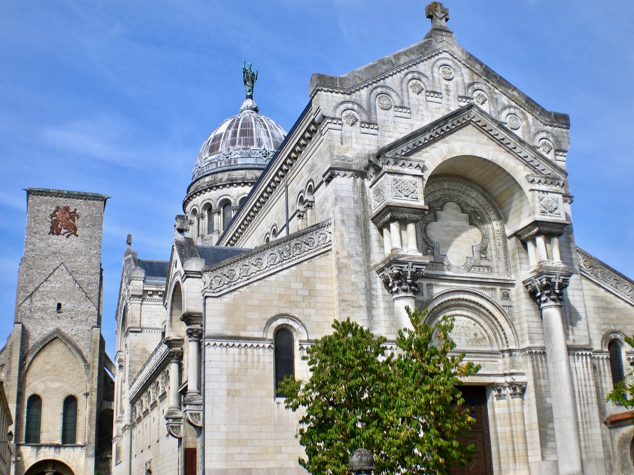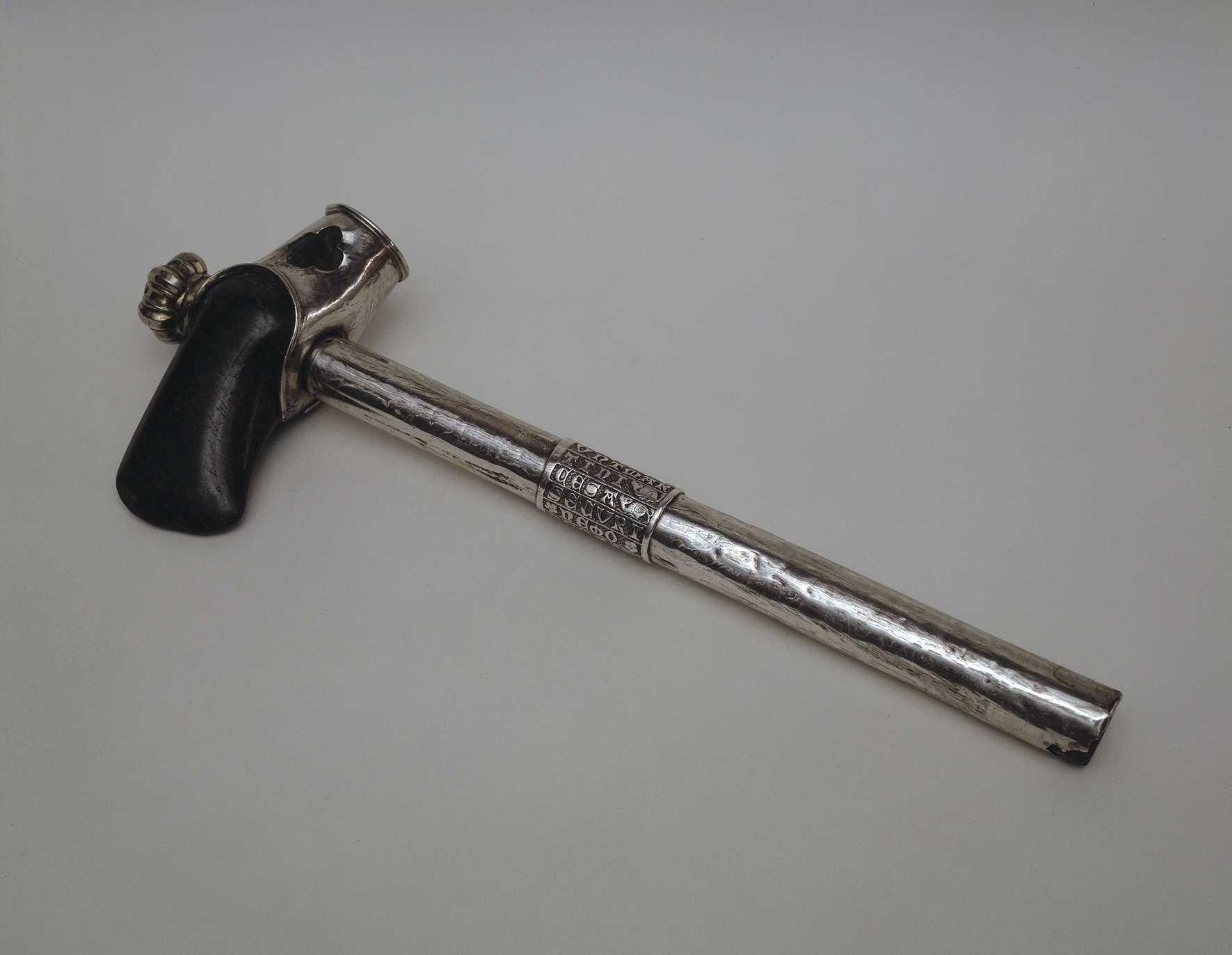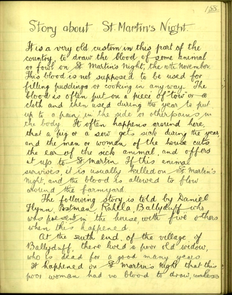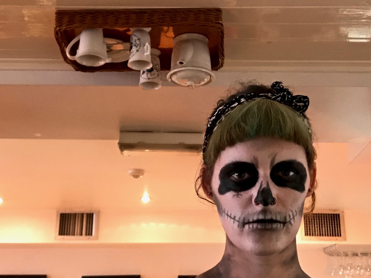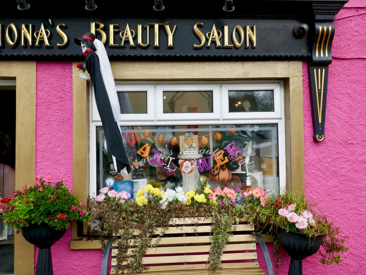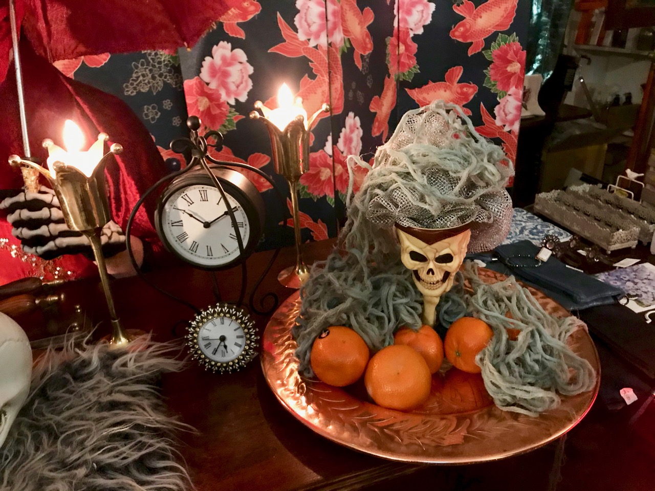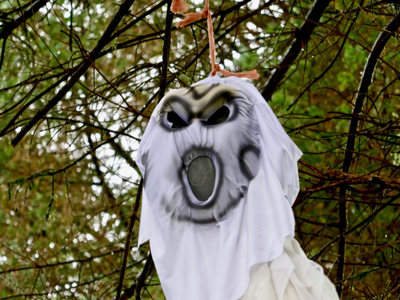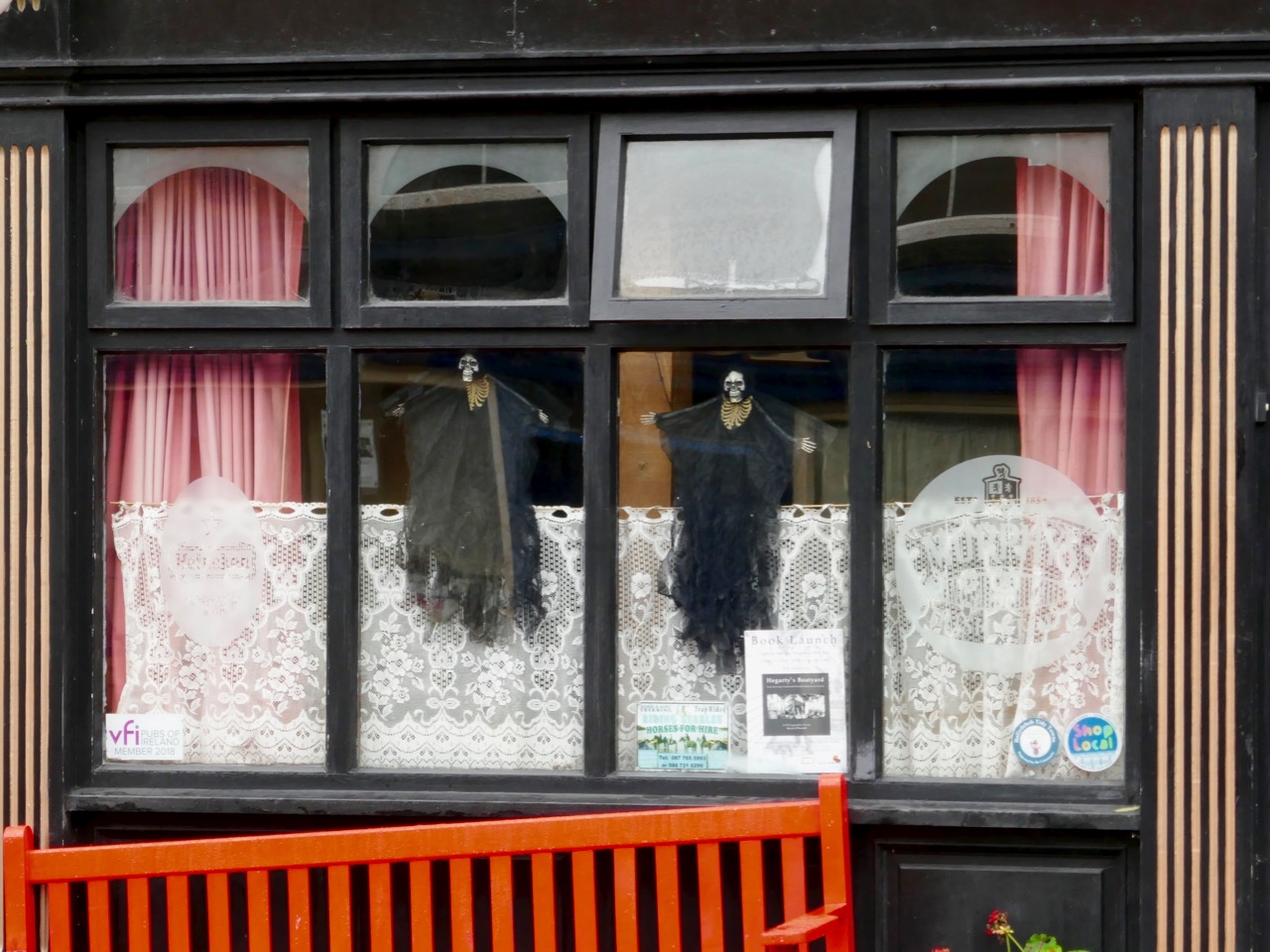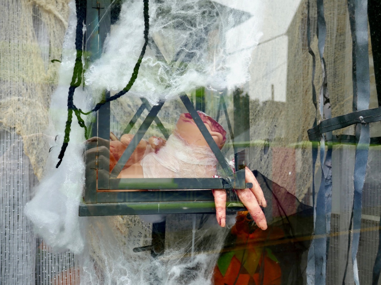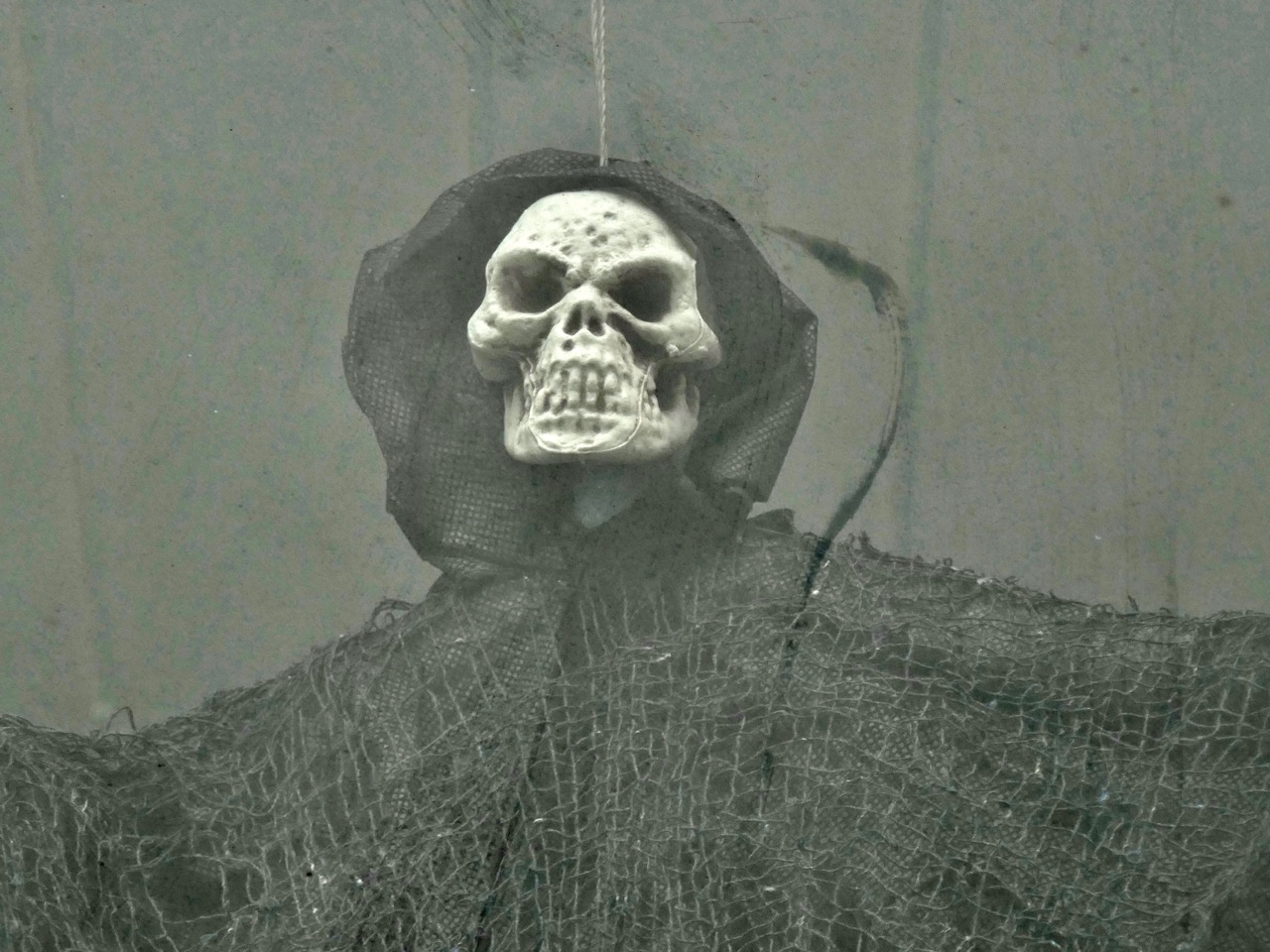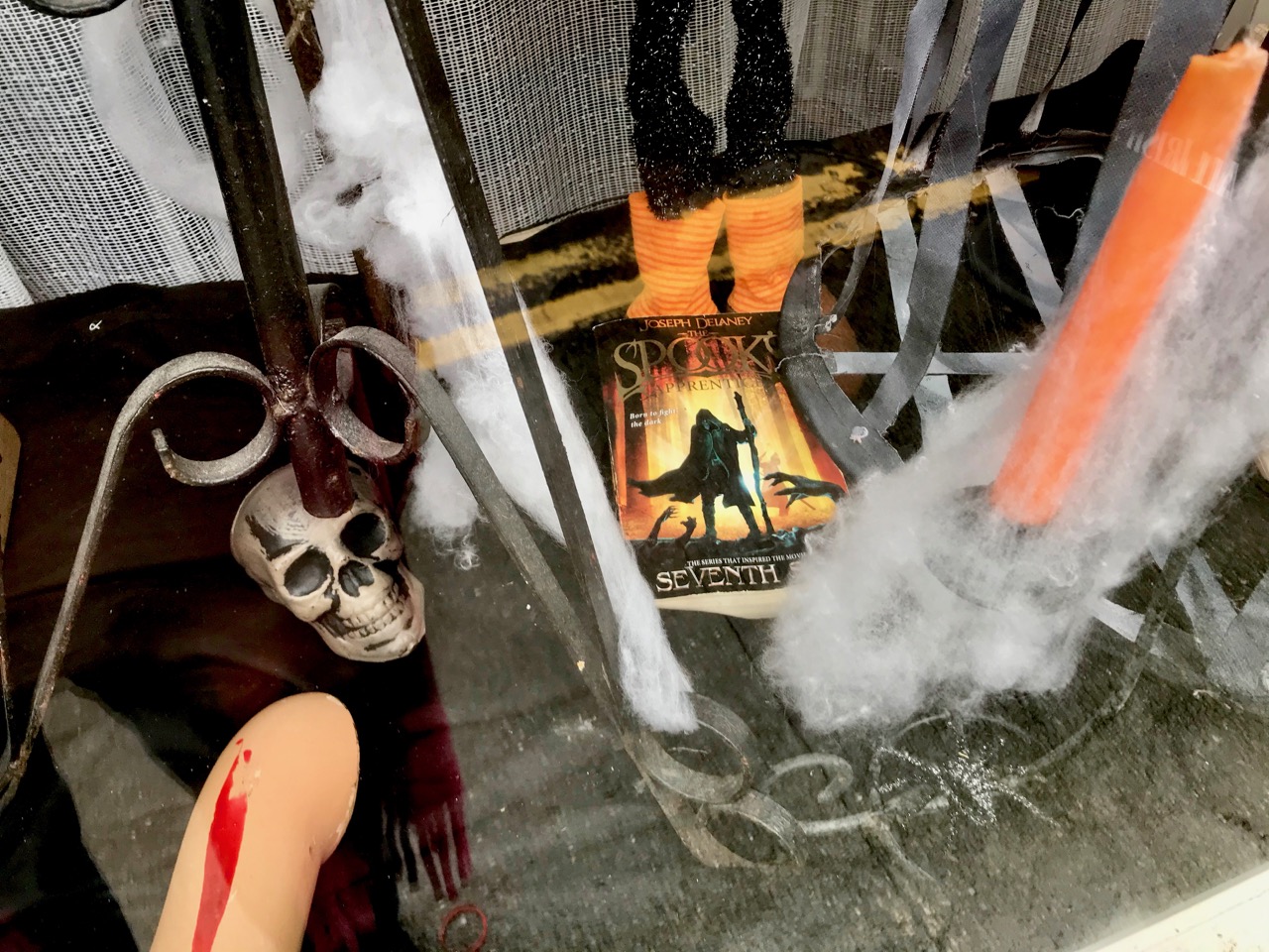
Oíche Shamhna Shona Daoibh!

That means ‘Happy Halloween’ in Irish – more or less. Samhain – pronounced ‘sow-in’, with the emphasis on the sow, literally means ‘summer’s end’, while Oíche Shamhna is ‘the eve of Samhain’ (Shamhna is the genitive form of Samhain). If today (I’m writing this on 31st October) is Samhain’s eve, then  tomorrow – 1st November – should actually be Samhain. And that’s true because, in Ireland, Samhain is also the name of the eleventh month. And, before we move too far on, I should tell you that those difficult words Oíche Shamhna are pronounced ‘Ee-hyeh How-nuh’ and the correct way to say the whole title of this piece is ‘E-hyeh How-nuh Hun-uh Dee-iv’ literally summer’s end evening, happy, to you all – I’ll bet you’re sorry you asked! So, we are on the eve of the eleventh month, and it’s always been a time of great celebration in Irish culture: the time of the year when we begin to sense the darkness creeping in; the trees are losing their leaves, the sun is getting noticeably weaker, and it’s a season of dampness, mists and grey shadows. No wonder, surely, that the imagination turns to arcane, otherworldly – even ghoulish – matters. And no wonder, also, that this time is associated with the spirits of the dead – and the Other Crowd.

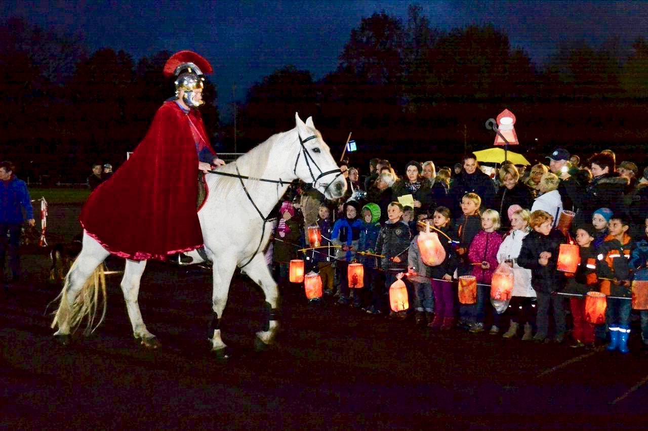
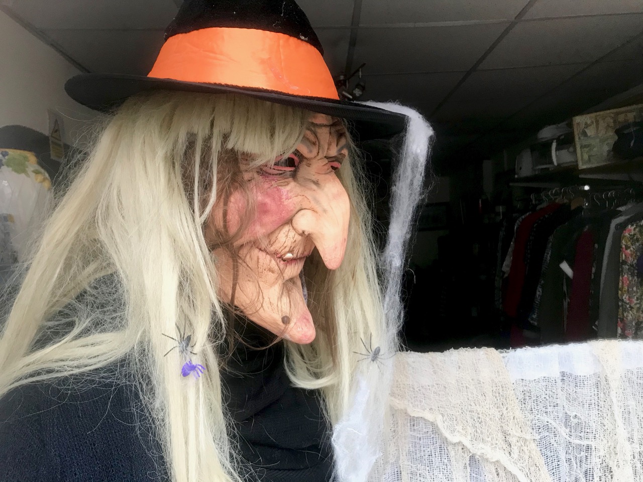
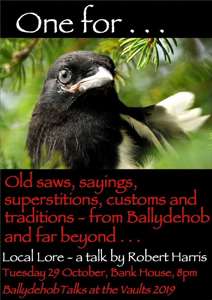
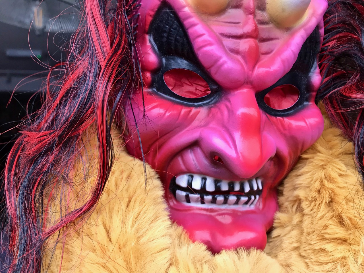
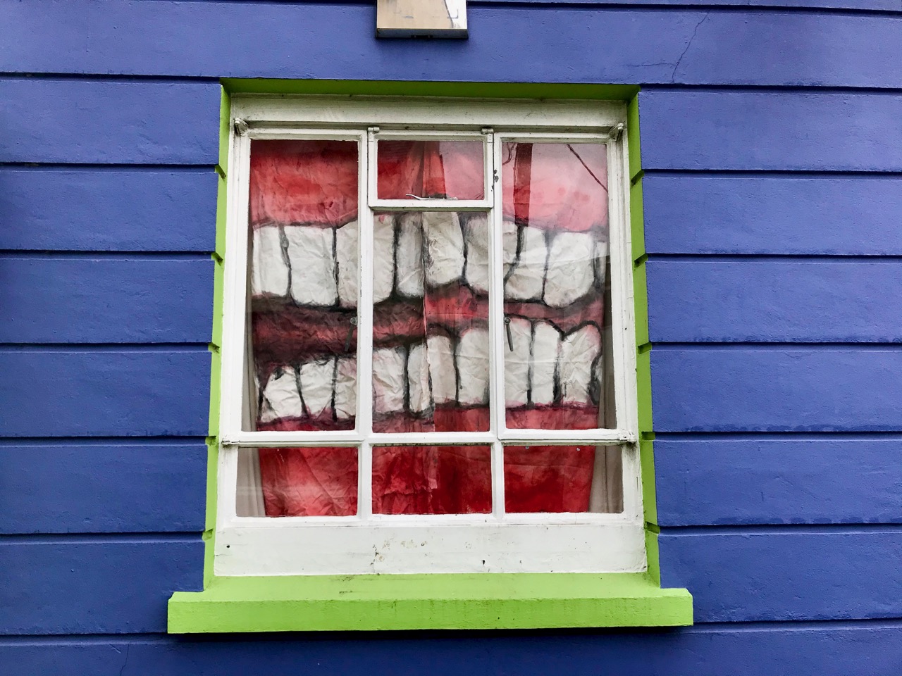
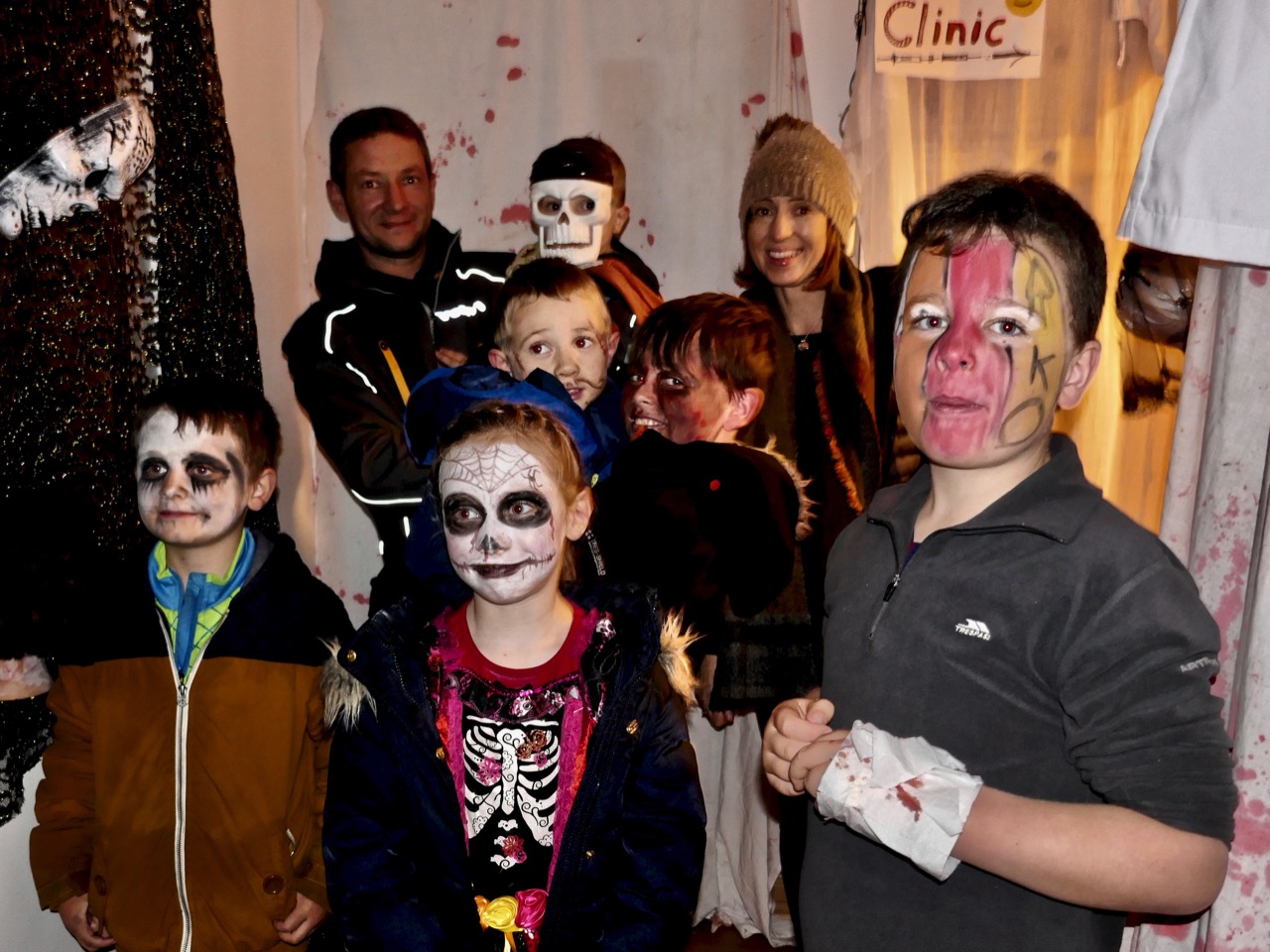
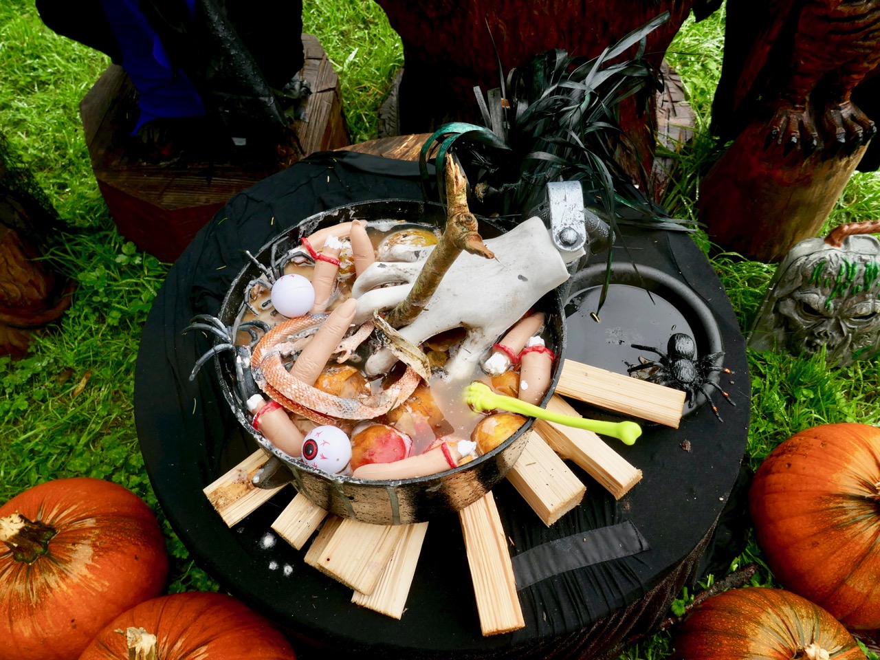
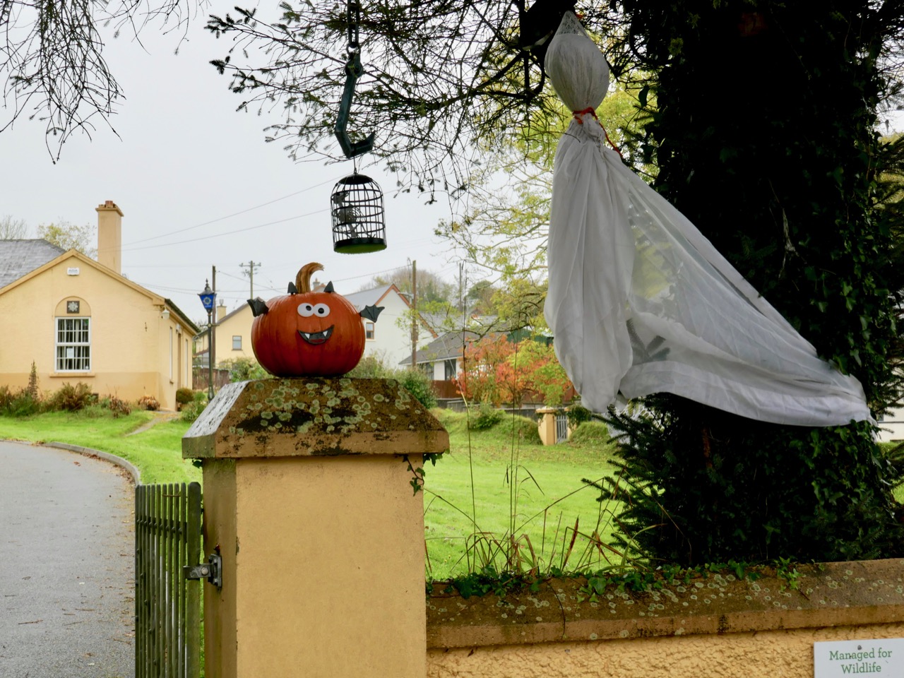
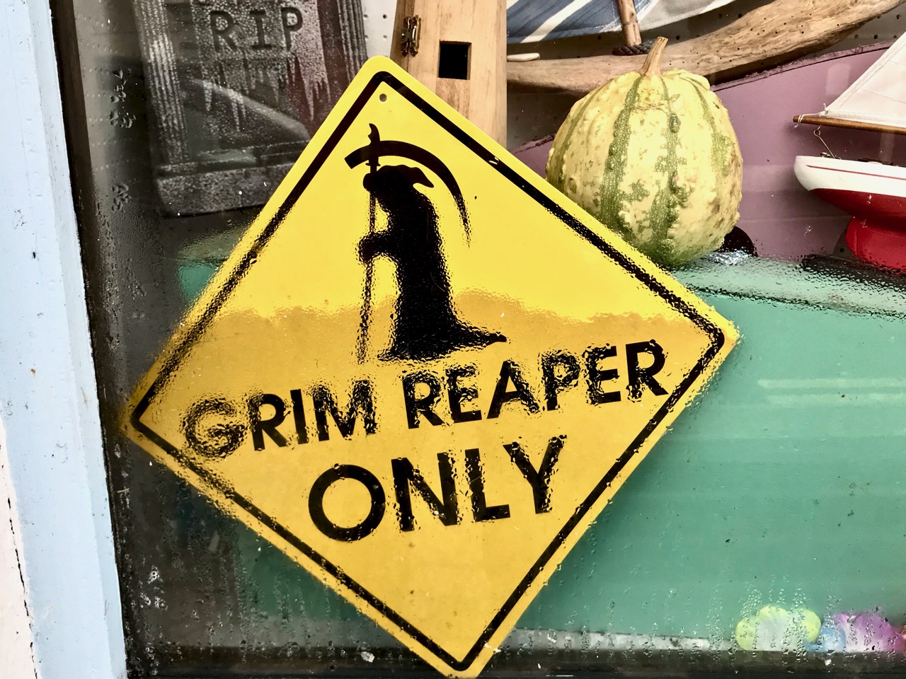
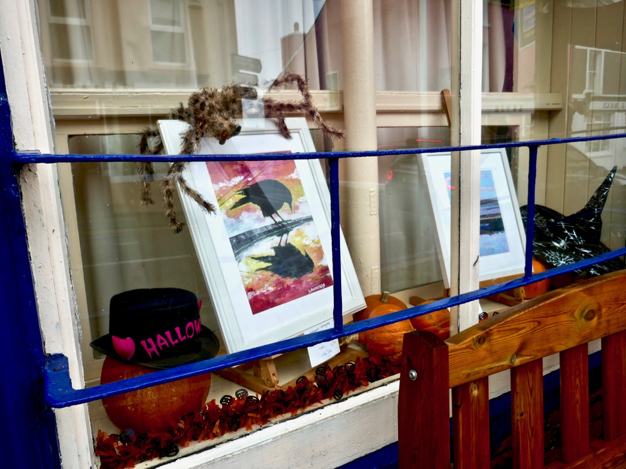
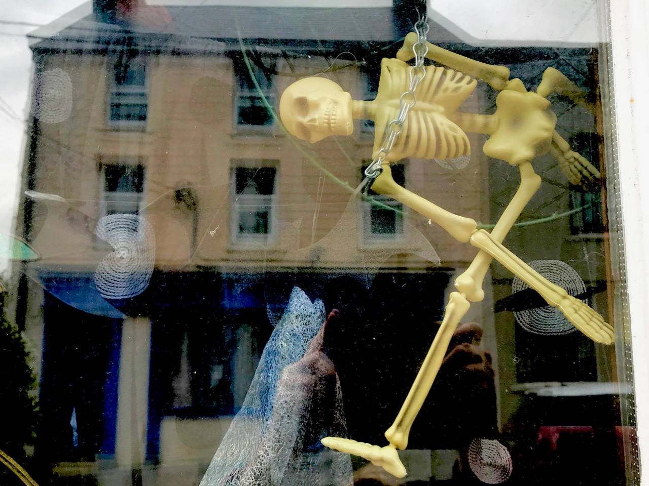
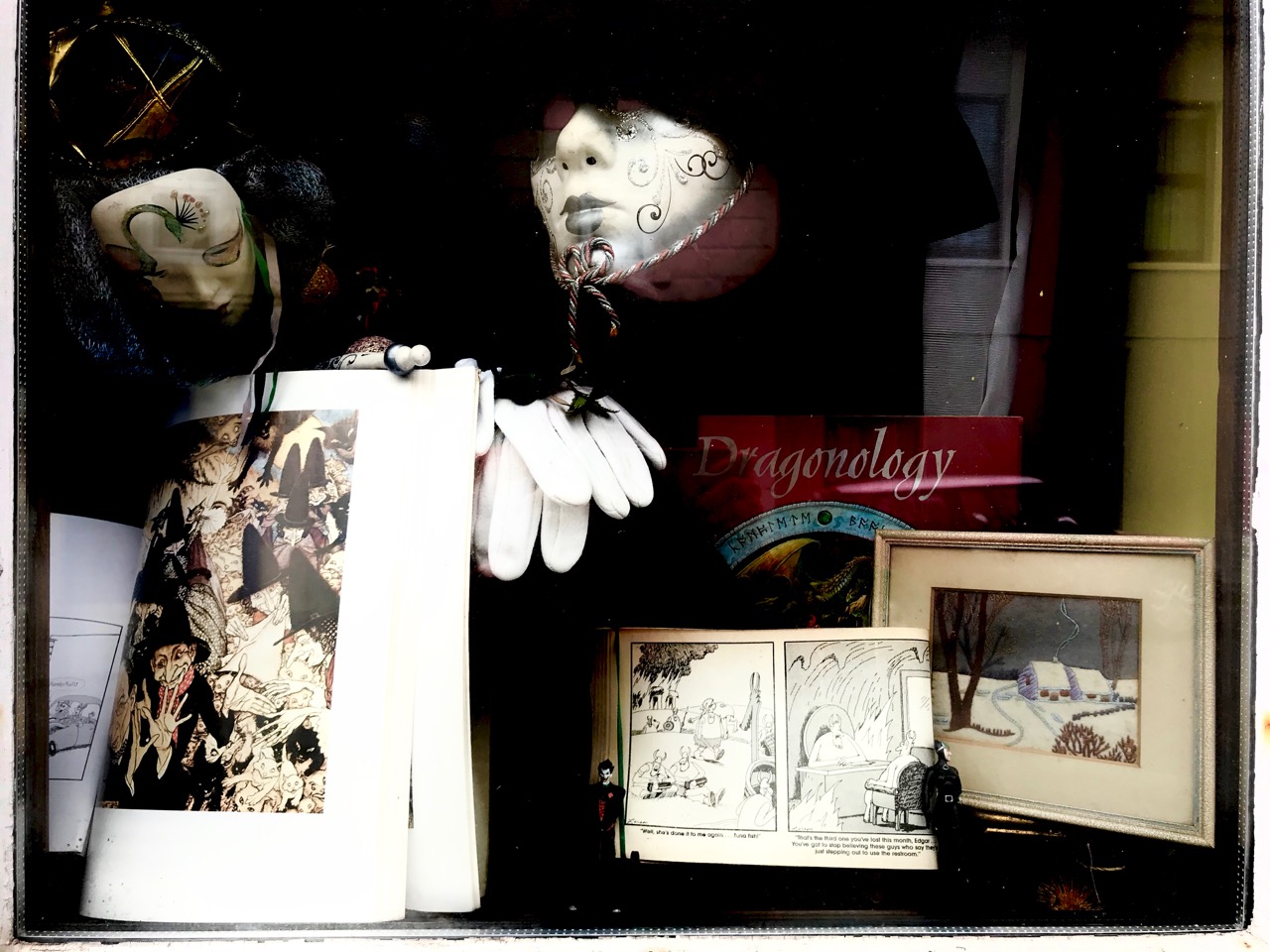
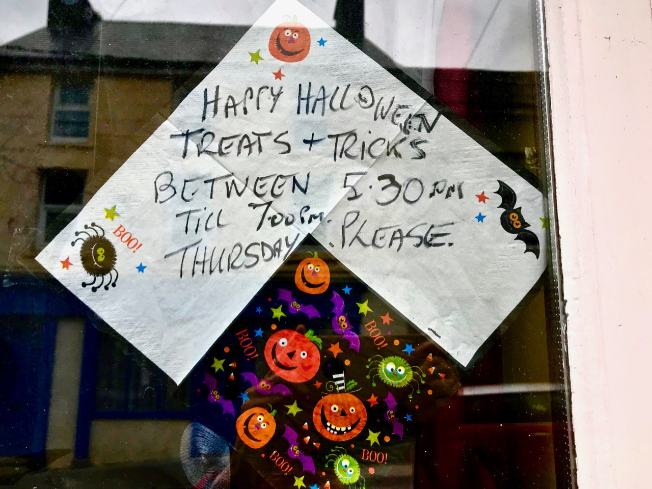
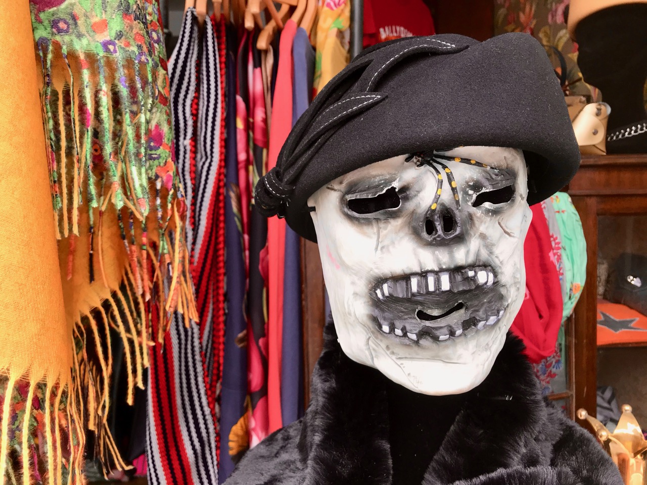
Our little community of Ballydehob in West Cork takes Samhain very seriously – of course! So I thought I would give you a short overview, mainly in pictures, as to what you can expect to find in the village on this day. Earlier in the week I gave a talk about folklore, customs and traditions in the Bank House Talks in the Vaults series and – to acknowledge that we were nearly at Samhain – Finola provided barm-brack for everyone.

While preparing the talk, I reflected on this time of the year – and what it had meant to me when I was growing up in England. There – back in the 1950s – we had no concept of Halloween: we didn’t even know the word. For sure, we had a celebration at around this time (the beginning of November), when we lit bonfires and got excited by throwing firecrackers and bangers around. We called it ‘Guy Fawkes Night’ (sometimes Bonfire Night or Fireworks Night). We made ‘guys’ – life-sized effigies – which we carried around the town collecting pennies to buy fireworks with (and we later burnt those ‘guys’ on the bonfires – it all seems a little gruesome now). As I got older, I was told (but didn’t really understand) that it was all about celebrating the fact that a man had been prevented from blowing up the Houses of Parliament in London with gunpowder. This was a fascinating concept to me and I could never understand (and still don’t) why we remembered a man who failed to set out what he intended to do, while the then attractive spectacle (to me) of succeeding in blowing up the Parliament would, surely, have been a much more justified cause for remembrance and celebration . . .

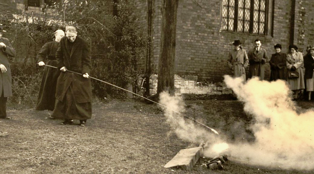
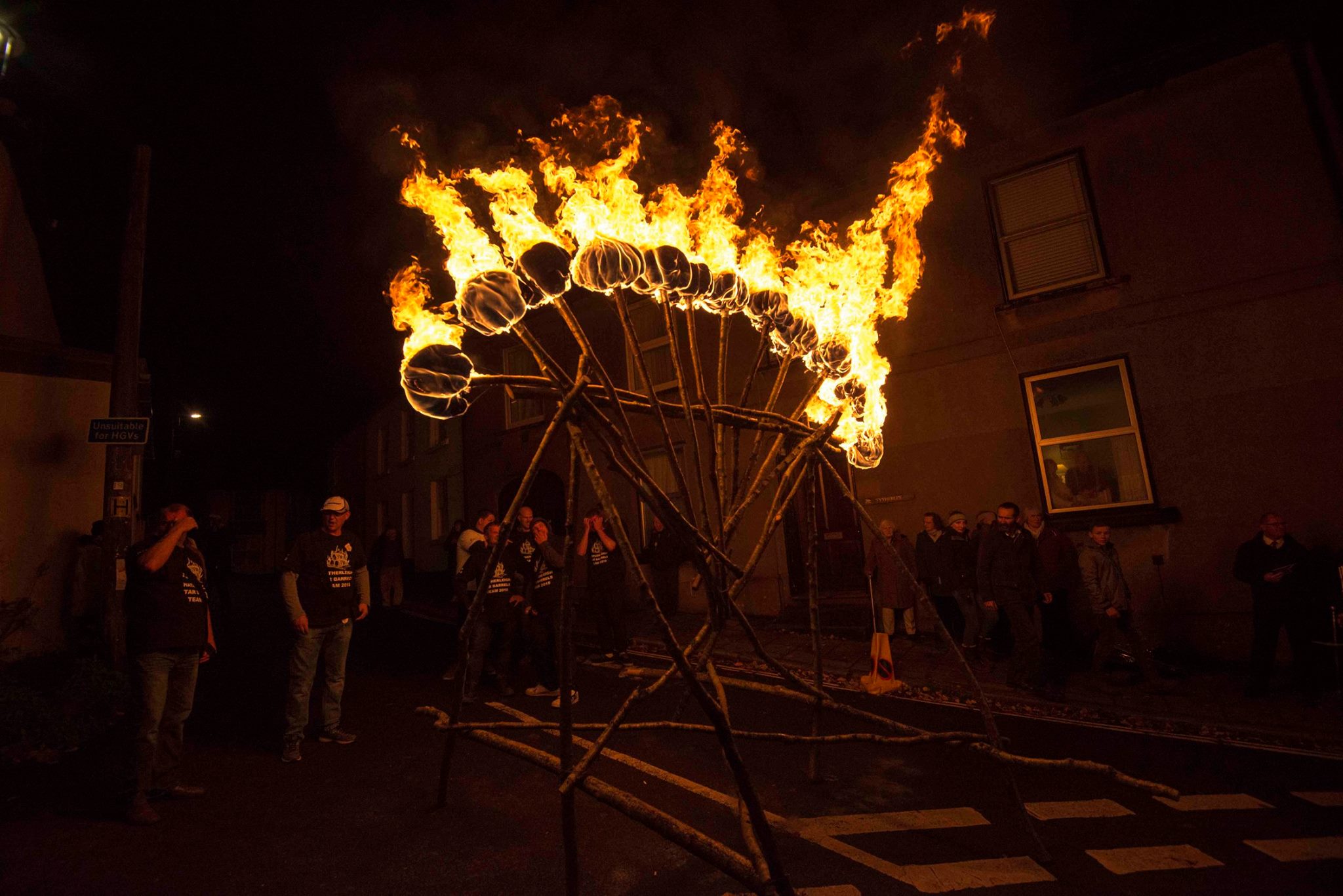
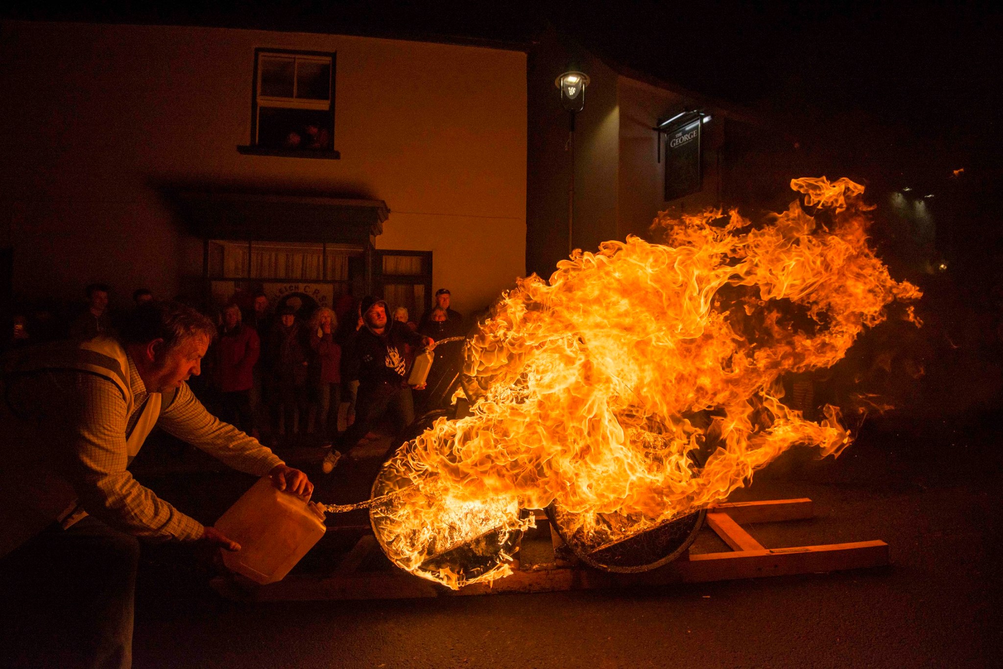
When I moved to the western counties of England I discovered that the Bonfire Night celebrations there were far more elaborate, probably far more ancient, and included blazing tar barrels being pulled through the narrow streets by crowds of young people. These seemed much closer to the outlandish atmosphere of Halloween which we find in Ireland now. Here’s a couple of pics showing the spectacle which happens at dawn every early November in Hatherleigh, Devon, where I lived for many years.

Anyway, I’ll let you have a look at the images which we have taken in Ballydehob this week, and you can see for yourselves what a dynamic, exciting and explosive place we live in! Thank you to the many residents, shop owners and publicans who have joined in and worked so hard to bring this ancient Irish festival to life today.

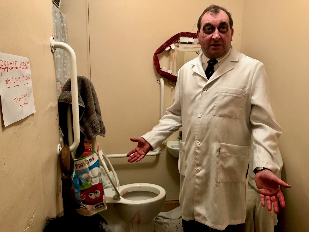
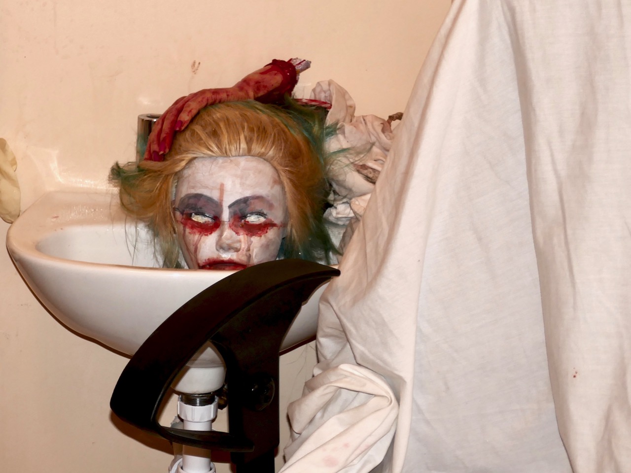
A very special event this year was the transformation of Bank House – Ballydehob’s former bank and now a centre for community events owned by the village – into a very scary ‘blood bank’, where visitors were invited to sample nasty food and to donate blood via the spine-chilling doctor! It was a unique experience!

The topsy-turvy world is an aspect of folk culture that goes back a long way – and deliberately sets out to upset the norm, making us all feel a little less comfortable. This is Budd’s cafe in Ballydehob today.

Ballydehob Garda Station has a haunted look about it this week! And the display there included a very appetising stew… (Pics above)

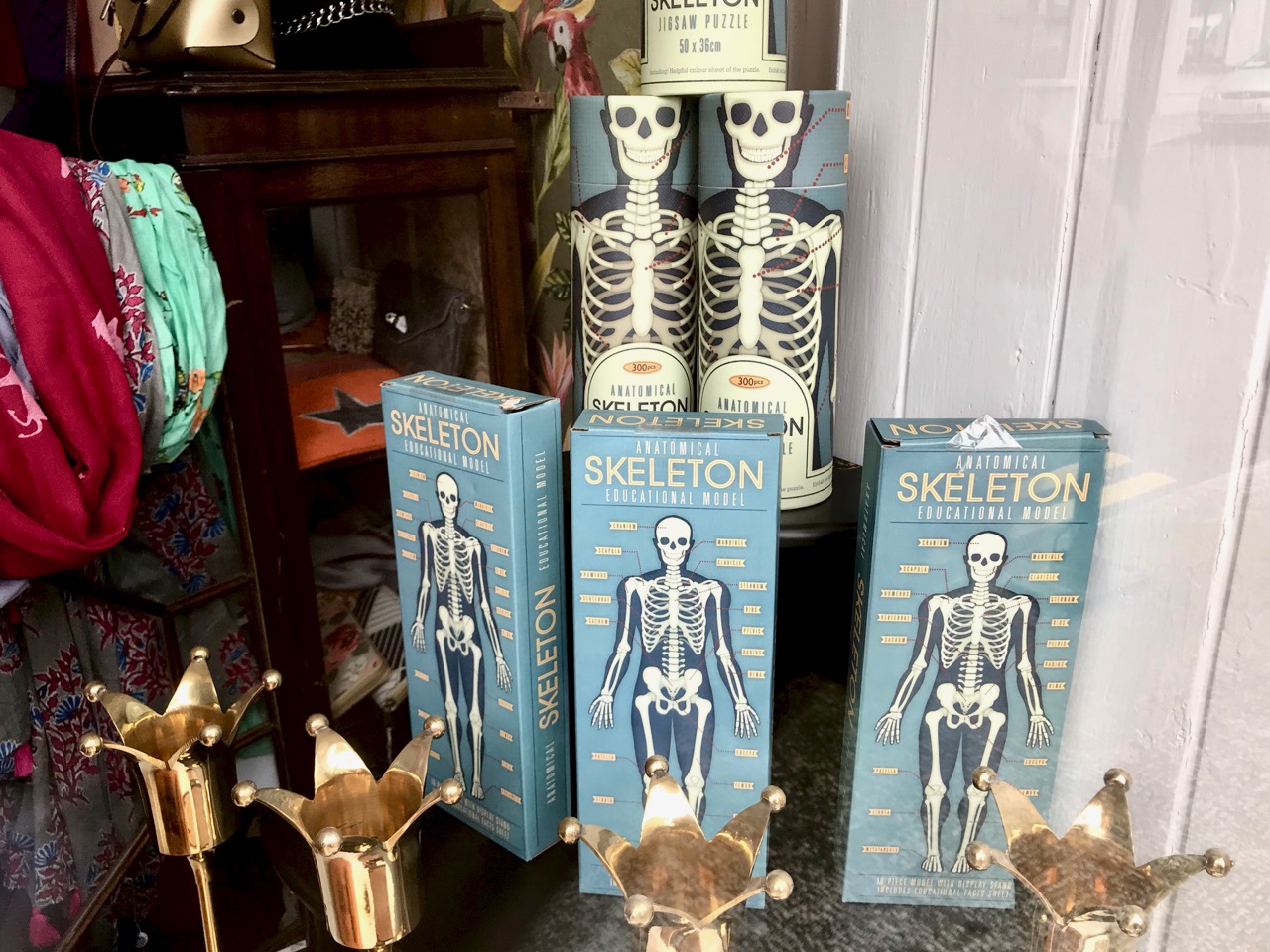
Remember that celebrations take place every year at this time around the world. In Mexico, for example, they have a ‘Day of the Dead’ on November 1st:  Día de los Muertos. It is a time to remember the ancestors, and welcome them back to their homes. During Day of the Dead festivities, food is both eaten by living people and given to the spirits of their departed ancestors as ofrendas (offerings), and decorations. In some parts of the country children in costumes roam the streets, knocking on people’s doors for a calaverita, a small gift of candies or money; they also ask passersby for it. The fiesta (which can last for three days) is filled with marigolds, the flowers of the dead; muertos (the bread of the dead); sugar skulls; cardboard skeletons; tissue paper decorations; fruit and nuts; incense, and other traditional foods and decorations. All this bears a remarkable similarity to the goings on in Ballydehob – and all over Ireland – today: skeletons and skulls are very much in evidence!

So I’ll leave it up to you to wish all your family, friends and ancestors Oíche Shamhna Shona Daoibh! next time you are involved in Halloween activities. But remember, also, the ancient origins of this festival, and the fact that very much the same thing – honouring the ancestors and the coming of the dark time of the year – is being enacted all across the world at this time.

Making a Willow Basket

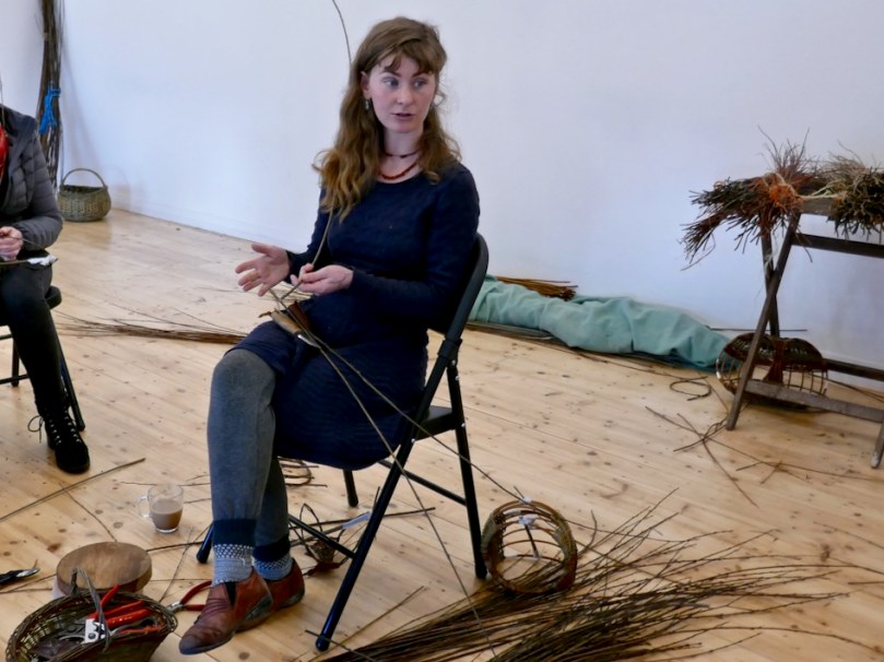
I first met Rosemary Kavanagh at our Irish immersion course last summer in Ballyferriter. We enjoyed a long chat on one of our outings and she told me she was a basket weaver. Her knowledge of the natural world around us was impressive and I responded to her ready laugh and her gentle, slightly ethereal presence.

We had lots of colours to choose from and soon found out that some were bendier than others

More recently I was invited by my oldest friend in the world to take part with her and two of her daughters in a basket workshop, and I realised that Rosemary was the teacher. I signed up, and last Sunday spent the day in Clonakilty making (well, almost making) my first willow basket. It wasn’t my first try at using willow – years ago in Northern Canada I had made a bockety chair under the guidance of my talented friend Sandy. It lasted for years in my garden, slowly disintegrating in the harsh winters and eventually returning gracefully to the soil from whence it came. But those were tough cut-from-the-woods willows, suitable for furniture.

Rosemary is a gifted natural teacher. I know what I am talking about – I spent several years training teachers in pedagogical techniques and I recognise good teaching when I see it. And good instruction is essential for something like this, as you guide novices through an intricate process, building their skill and their confidence bit by bit.

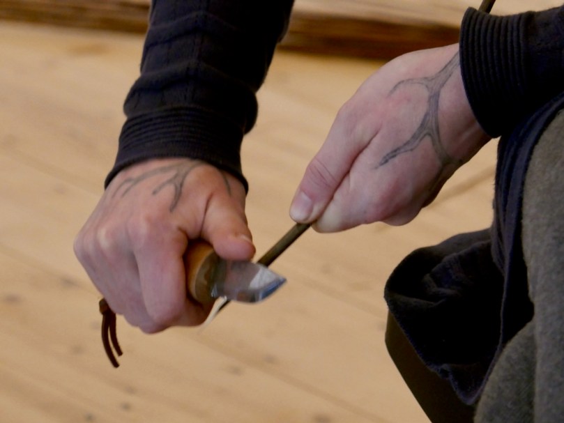
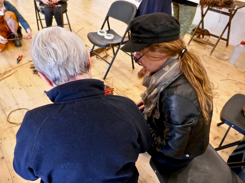
How to sit, how to hold the willow as you worked it, safely using a sharp knife (above), knowing when to discard something that wasn’t working – we were led through it all. As the right brain (creativity) took over from the left brain (process, logic) we descended into near-silence, each of us deeply concentrating on the shape that was emerging under our hands.

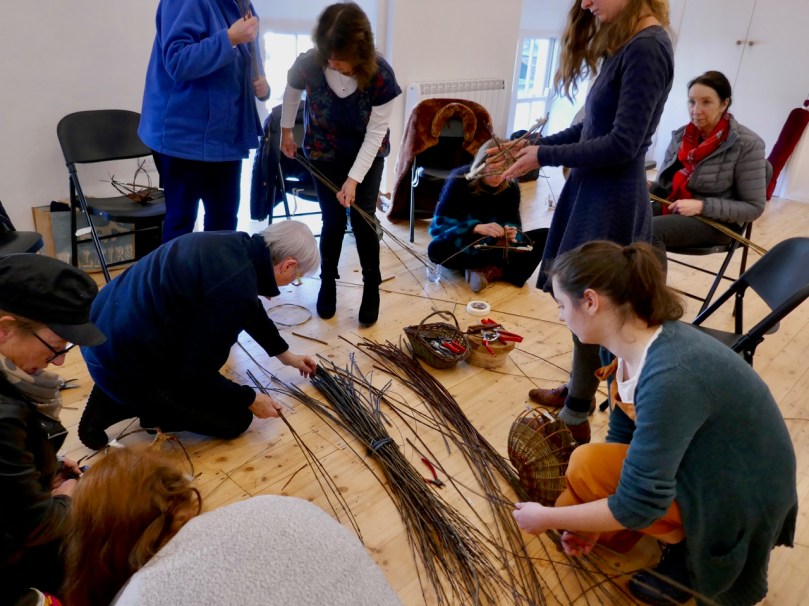
Although there were chairs for everyone it wasn’t long before many of us gravitated to the floor to work

Choosing what willow to work with was part of the process and I was humbled by Rosemary’s knowledge of her materials. She grows her own willow, coppicing and cutting it herself. I never knew there were so many kinds – four native species and several non-native that adapt well to Irish habitats. She knows intimately the characteristics of each kind – colour, strength, straightness – and therefore its suitability for different tasks.

Once harvested, Rosemary allows the willow to dry completely and then re-hydrates it to retain a fraction of its original moisture. This is what gives it its pliability for weaving. But it’s still strong: to see Rosemary flicking a weaver through the frame – in-out, in-out effortlessly – is a wondrous thing and an insight into what years of practice and trained hands can accomplish. Alas, for us neophytes it’s an altogether sweatier business of poking and pushing and hoping to God that the weaver doesn’t develop a kink and have to be discarded AFTER ALL THAT EFFORT.

Anne – my friend from the cradle. Doing something like this with old friends makes it extra-special

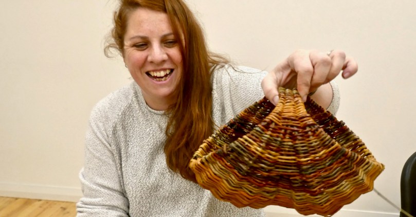
But some of got there and even finished our hen baskets, to the cheers of all. Others nearly finished and took away some willows to do it at home. 

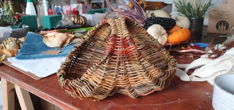
Jill finished hers the next day – looks great! You can see the ‘bum’ shape that gives this basket its alternate name of a Bum Basket

Me? I almost finished, and decided to leave it as is, as a reminder of what I had learned and a memento of an amazingly enjoyable day. I have, however, positioned it on a high shelf so that anyone looking at it would think it was indeed finished. Cheating? Never!  Er, tromp l’oeil?

Rosemary teaches courses across Ireland and in North America too. If you’d like to make your own basket, get in touch with her at her gmail.com address that starts belongingtothewillows. You can also follow her Instagram page, full of lovely basket images.

Well done Kiara!

Mizen Mountains 2 – Lisheennacreagh

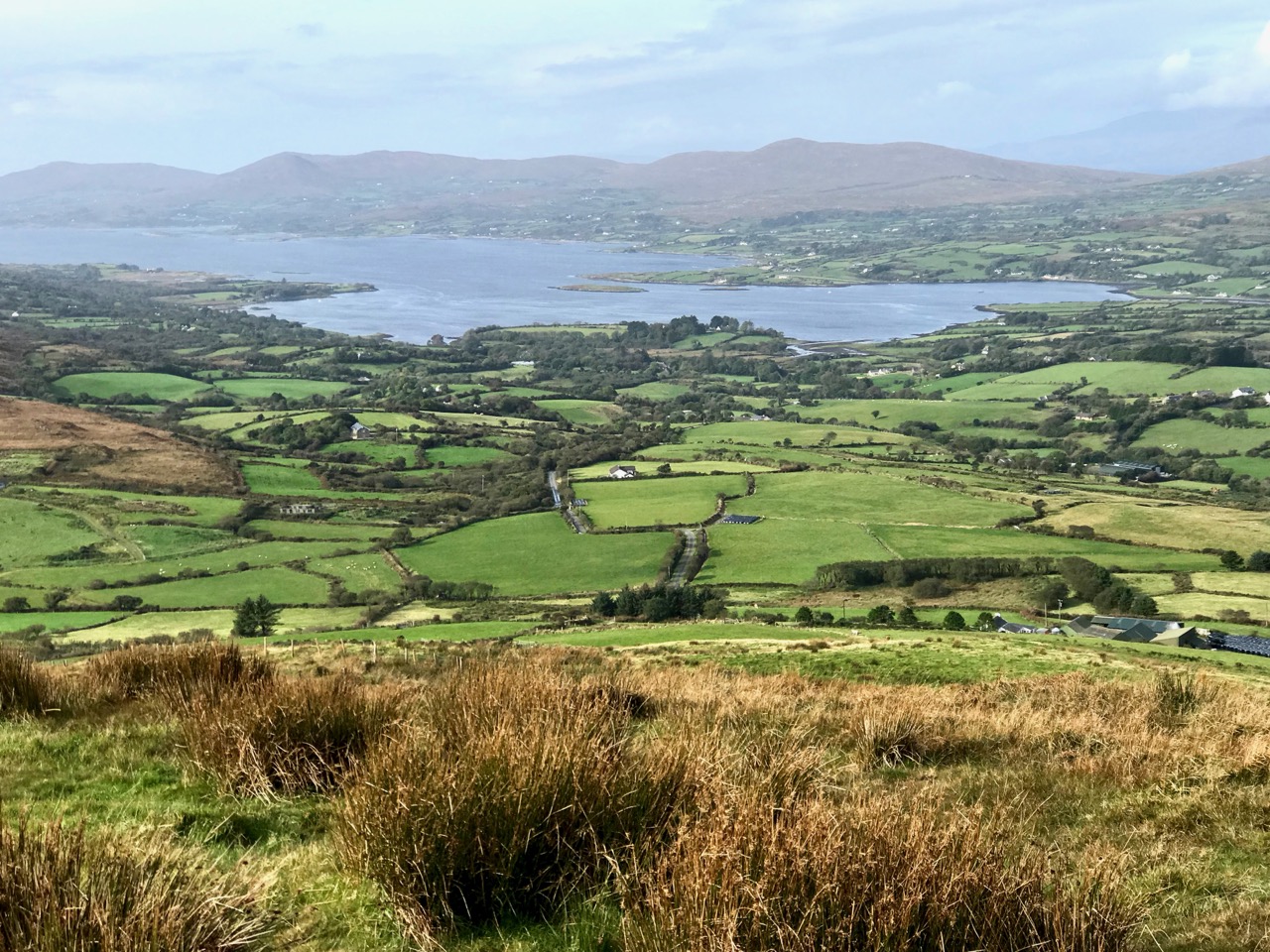
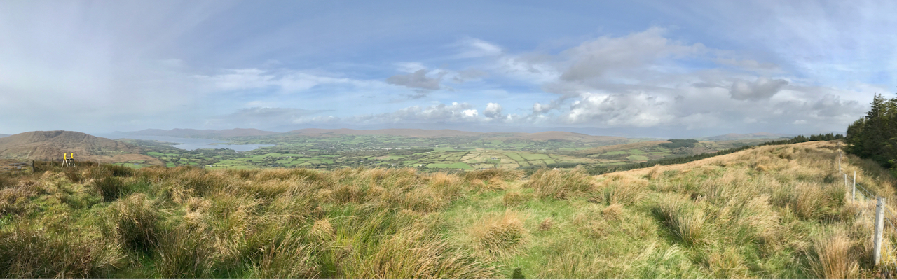
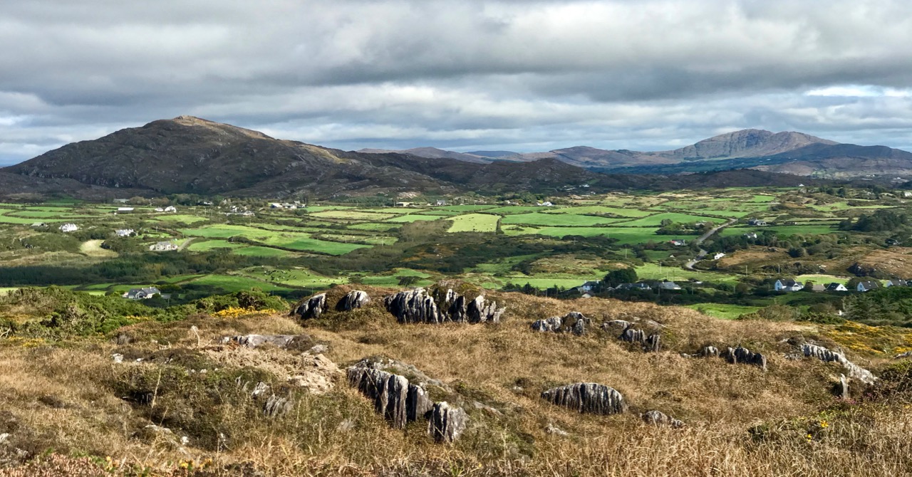
In this series I’m visiting and recording all the ‘mountains’ on the Mizen Peninsula in West Cork. I’m defining a mountain as any summit over 200m above sea level. If I hear you crying out ‘shame!’ – as a mere 200m peak can’t possibly be a mountain – then I can say our country is defined by its undulations, and here in the far west of Ireland all our outcrops, however modest, are dramatic and offer striking views over the landscape, such as the one above which looks north-west across Dunmanus Bay towards the Sheep’s Head, seen from this week’s climb.

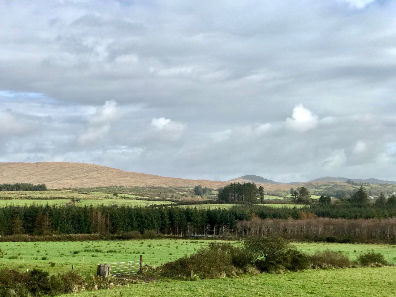
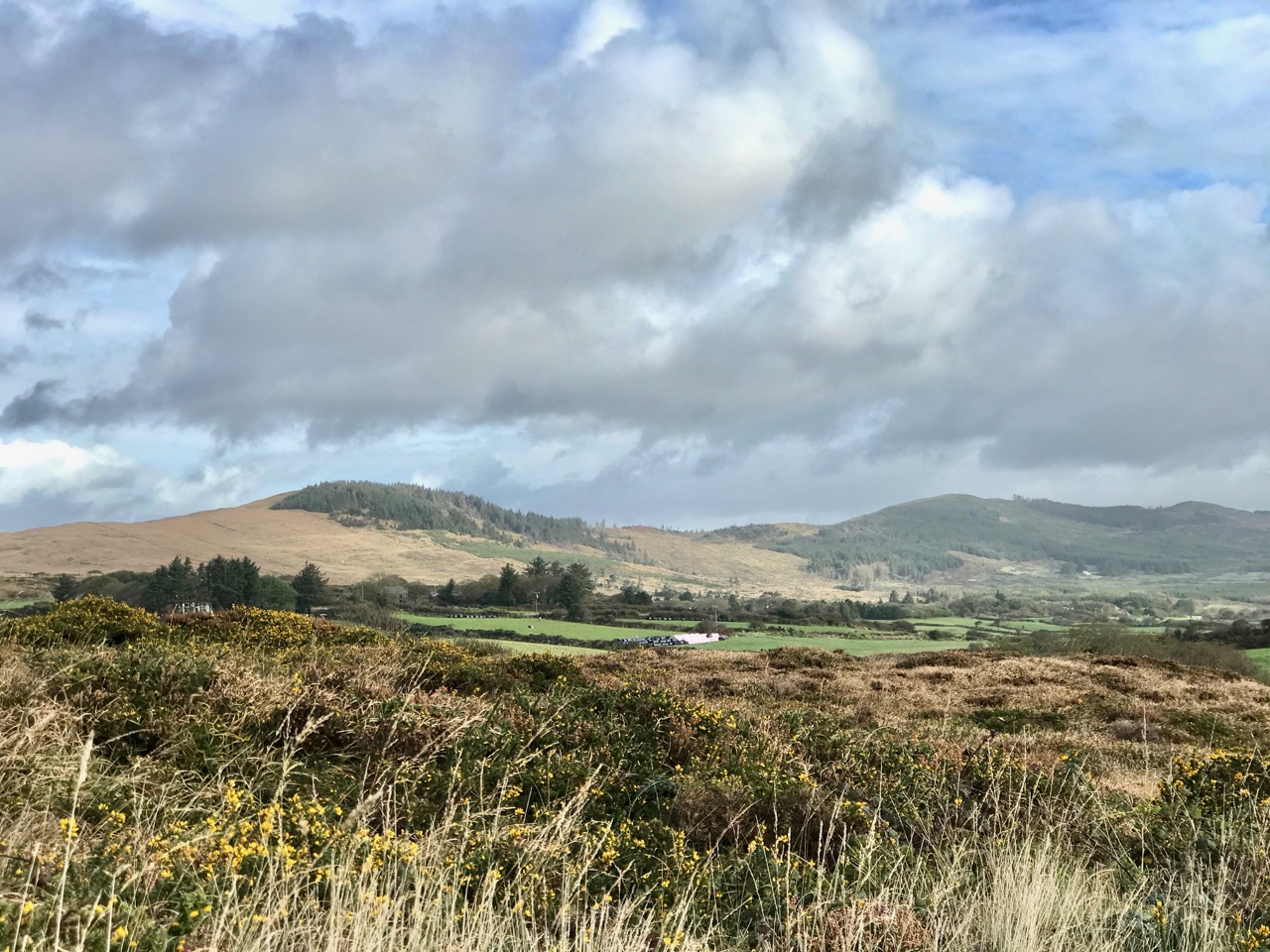
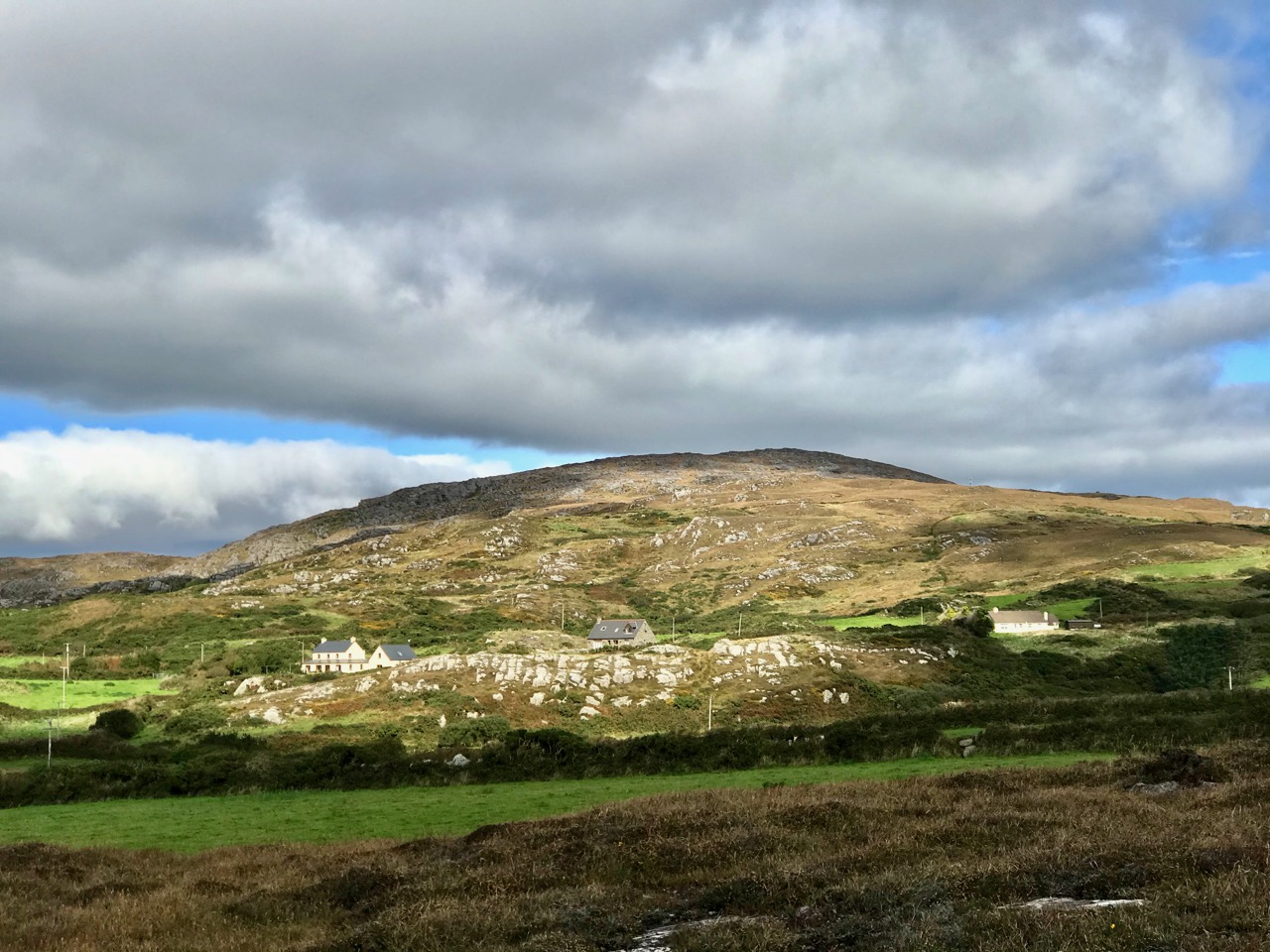
Upper – approaching the ridges from the Schull direction, the three peaks of Corrin (left), Lisheennacreagh (centre) and Derrylahard (right) are set out before us. Lower – a closer view: Lisheennacreagh is on the left: its summit is hidden behind the forestry plantation

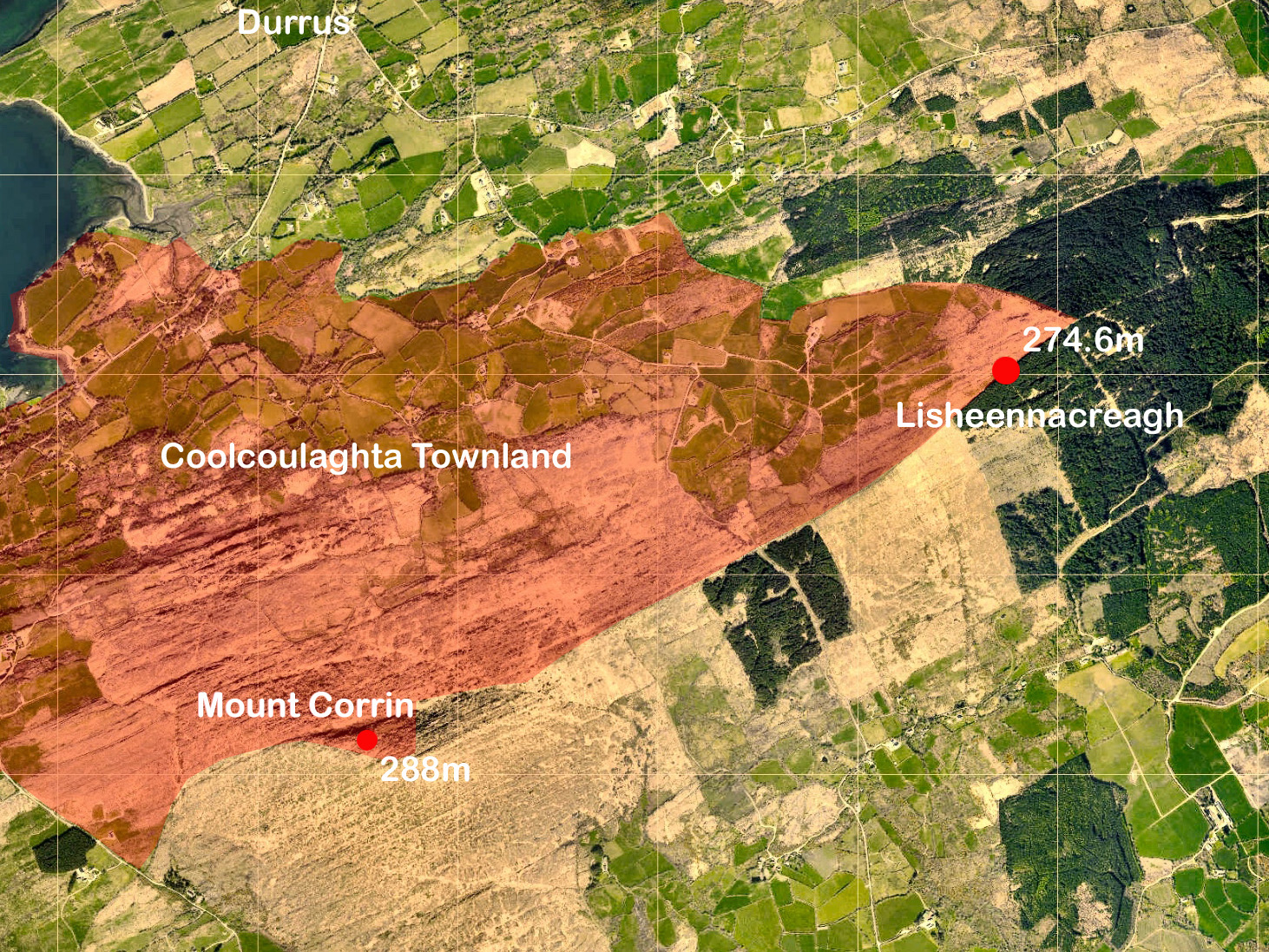
Last week we explored at the western end of the peninsula, where Knockatassonig – at a height of 204m – only just crept into our ‘mountain’ category. This week – much further to the east – we are more secure, as my chosen destination comes in at 274.6m. It’s actually higher than it looks as neighbouring Mount Corrin (no doubt about that one!) peaks at 288m, and appears much more of a climb from below. Today’s summit is not named on any map, so I’m probably courting controversy by calling it Lisheennacreagh, after the townland in which, by my calculations, the highest point is located. Have a look at the aerial view below:

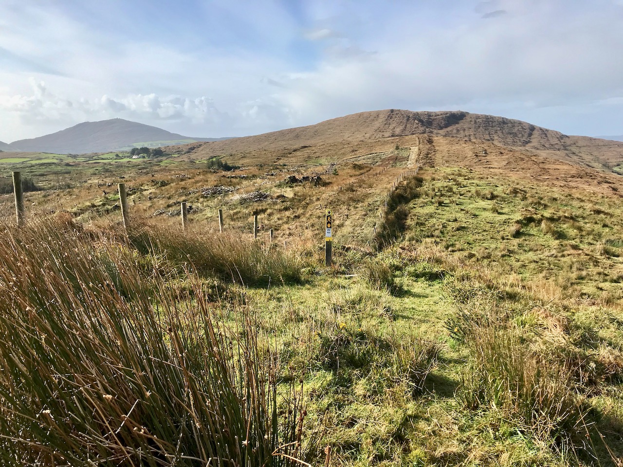
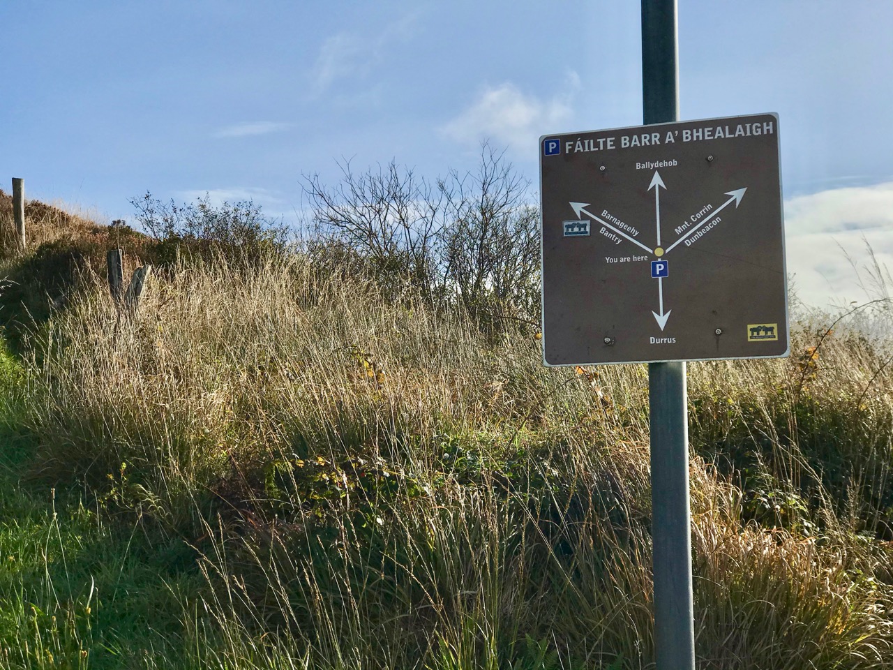
The pink shading shows the outline of part of the large townland of Coolcoulaghta, the southern boundary of which takes a sinuous course to include the summit of Mount Corrin. Over in the east, however, our high point is exactly on the boundary between the townlands of Coolcoulaghta and Lisheennacreagh – a boundary which is physically defined at that point by a substantial fence, whose course – part of the Sheep’s Head Way Mt Corrin Loop route – we followed all the way up to this summit from the designated car parking area on the Rathuane to Durrus road. After much on-site pondering, I decided to give the summit to Lisheennacreagh, as Coolcoulaghta townland already claims Corrin!

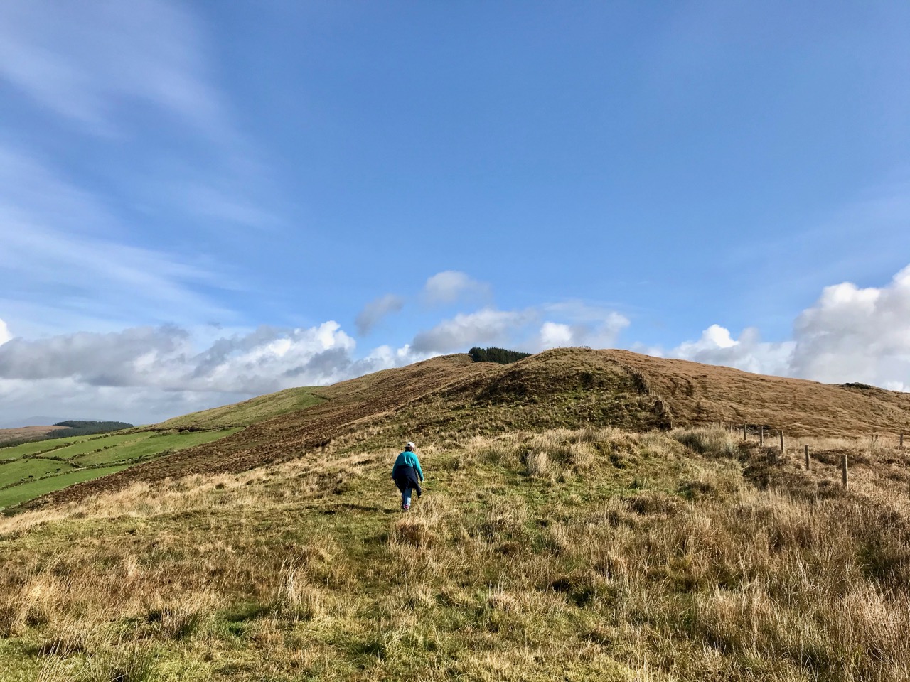
Upper – Finola is heading out for the high ground: the summit is in the far distance, beside the forestry plantation. Lower – looking back from the ascent, high Mizen summits are set out: Corrin is in front of us and Mount Gabriel is in the distance to the left

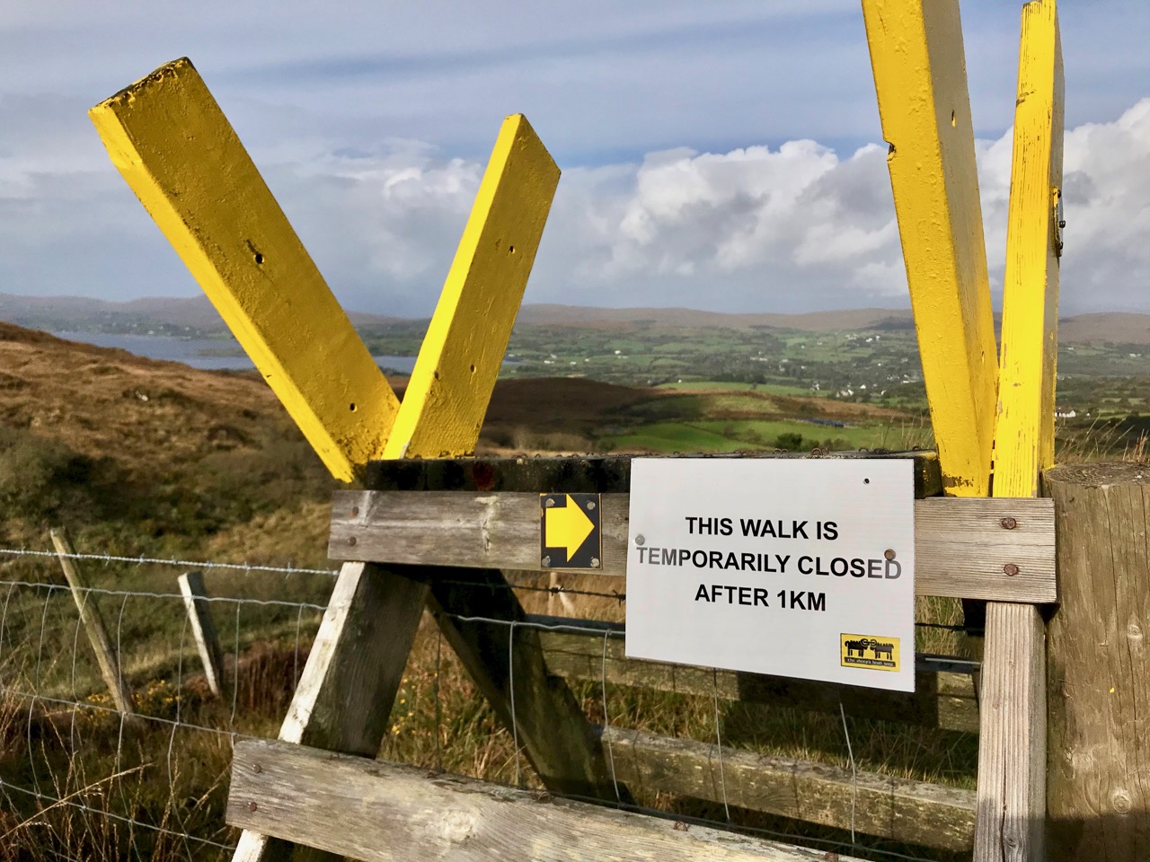
According to the place name records surveyed in 1841, Lisheennacreagh (Irish Lisín ne Cré) means Little fort of the preys or plunders – I was hoping I might find some traces of ancient earthworks on this summit, but there is nothing visible: buried deep in the inaccessible forest is a scheduled monument, described as a hachured univallate enclosure with a diameter of 22m. In fact it’s not possible to complete this loop walk at all, as the way to the next high point – Derrylahard, 301.7m – passes through heavy forestry, but access has been blocked by storm damage earlier in the year.

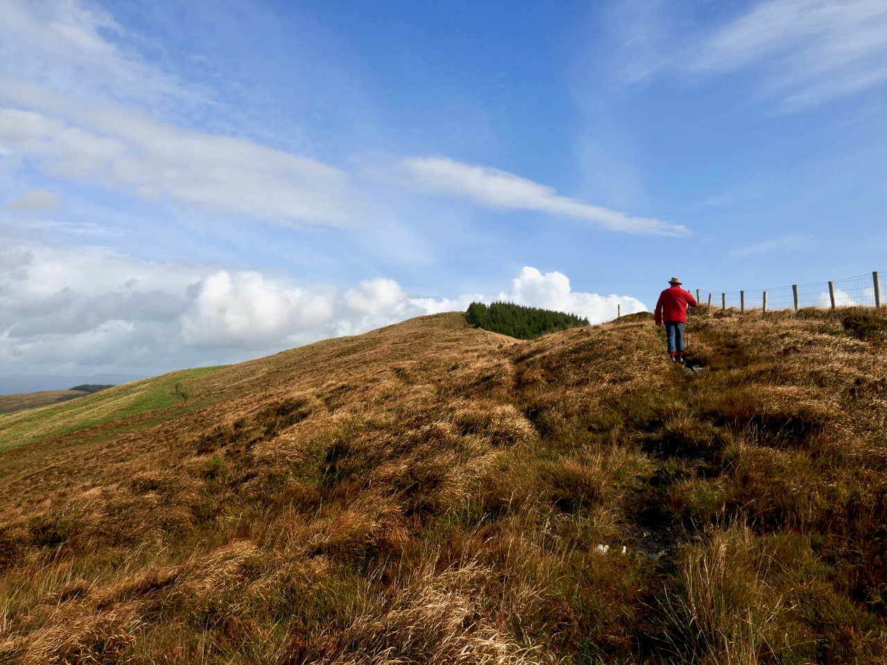
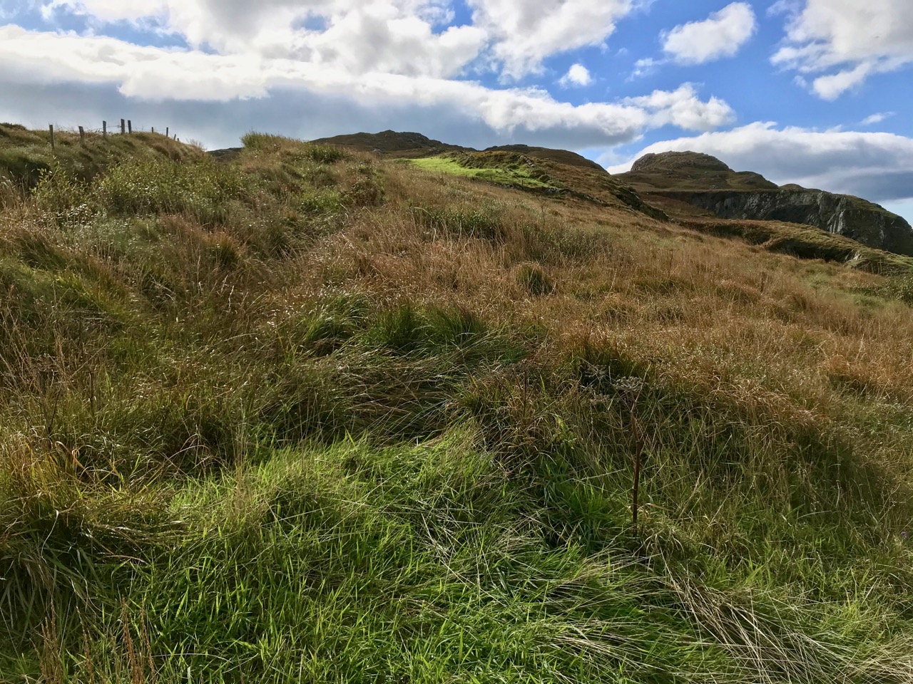
Above – autumnal shades of rough grazing continues all the way over the summit: you can go only as far as the next section of forest. Our companions on the walk were just a few ponies

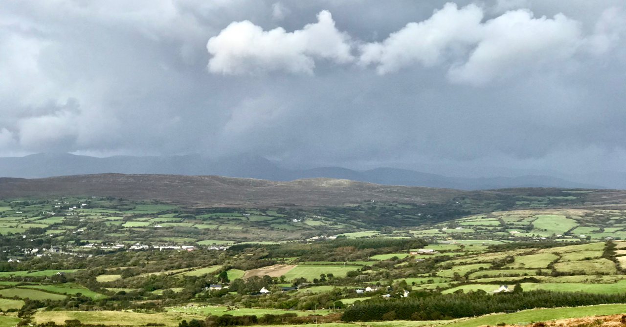
It may seem a fairly featureless walk, but it was well worth the efforts for the superb views in all directions. We were lucky with the day: the mild weather this year has continued right through September and well into October. The mixture of blue skies and scudding clouds emphasises the contours, shadows and natural features, wherever you look.

Rewarding views from the Lisheennacreagh climb: upper – looking across Roaringwater Bay to Baltimore; lower – Cape Clear in the far distance, with another view of Gabriel, the most dominant feature of our Mizen landscape

I found some entries from the Duchas Schools Folklore Collection, for Durrus School. I could not find anything specific to Lisheennacreagh, but I liked this introduction to ‘My Native Townland’ from Brenda MacCarthy dated May 9th 1938:

I live in the townland of Coolcolaughter away out in the country, far from any stuffy unpleasant town or city, and almost two miles from the village of Durrus. My home is at the foot of the mountain in a quiet peaceful valley where my father tills, and sows, and reaps, from dawn to dark year in year out, happy and prosperous, and thankful to God for health and existence . . .

One aspect of Lisheennacreagh is that it is one of the more accessible peaks. There’s a place to park your car (with a fine view looking out to Durrus!), good signage and waymarks. Once the path is repaired beyond this summit, you can go on to Derrylahard (which will be the subject of a future post) and complete the loop by going round Glanlough to Durrus, then back over Corrin – a marathon 17km in all. Choose a good day and you couldn’t hope for a more inspiring hike.

Good accounts of this route and the whole Sheep’s Head system of trails can be found in Amanda and Peter’s book Walking the Sheep’s Head Way – Wildways Press, 2015. Also, have a look at this Living the Sheep’s Head Way post.

Barley Cove: A Special Area of Conservation

Did you know that Barley Cove to Ballyrisode is a European Special Area of Conservation (SAC)? SACs are areas designated as particularly interesting or sensitive on account of their flora or fauna. There’s a complex assessment process carried out that looks at the species present in the area, how important or endangered they are, or how representative of a particular habitat. It’s all done by the National Parks and Wildlife Service and the report on the Barley Cove area is online.

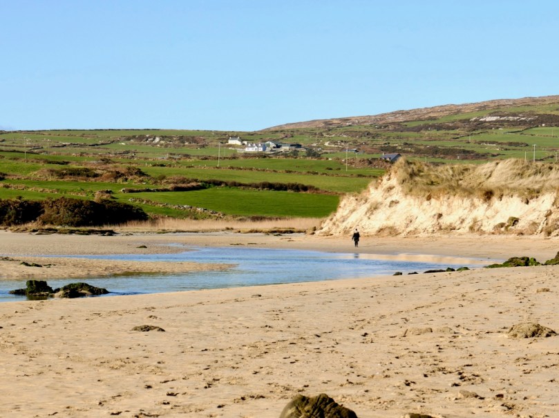
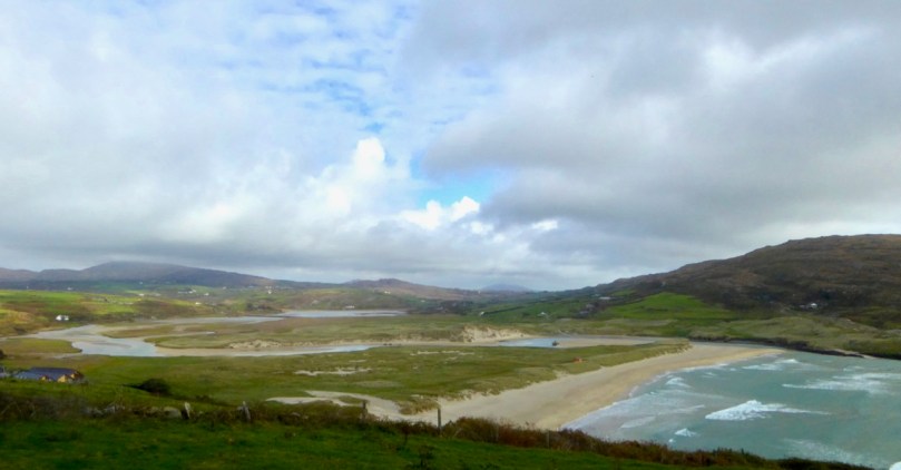
Barley Cove not only has an established dune system, but also a tidal wetland behind it. Because of the mild climate here, it has both Atlantic and Mediterranean Salt Meadows – that is, communities of plants that thrive in a salty environment on the edge of tidal shores. Some of those plants are quite rare and others are valued because they are diagnostic of a particular environment.

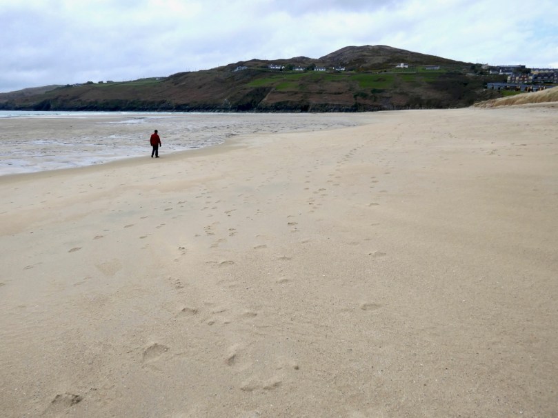
But it’s not isolated or unused – in fact during the summer it is one of the most popular swimming, dog-walking, picnicking, surfing and sea-gazing sites in West Cork. In the off-season, you can often have all this magnificence to yourself!

The fact that it’s so well used presents some challenges in conserving the habitat. Once, for example, there was quite an industrial level of sand removal at the Dunes, but that was stopped when it was realised how much damage it was doing. By and large, it’s encouraging that people do seem to respect the dunes – there is little evidence of litter.

In fact, one of the biggest challenges to the dunes is the enormous rabbit population. Rabbits burrow into the sand, creating extensive warrens which undermine the stability of the dunes. The evidence of the rabbits is everywhere – warren entrances and pellets – but the rabbits themselves are only glimpsed at night. Perhaps the dog walkers have encouraged them in their strictly nocturnal habits. But we do like the idea that the rabbits have a home here too.

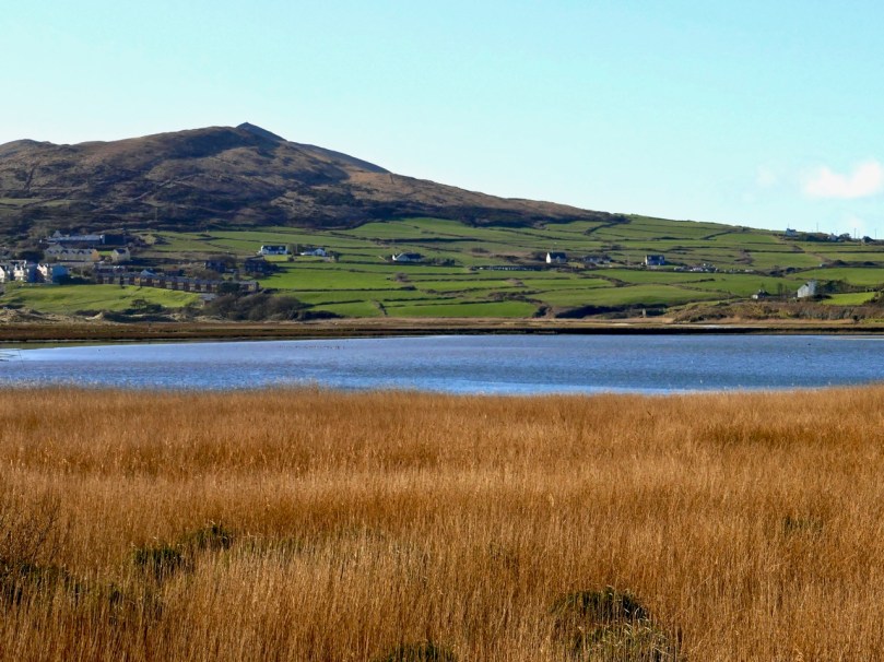
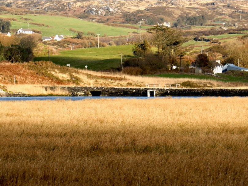
Coastal heath surrounds Barley Cove. Characteristic of West Cork, it supports a wide variety of plant life, dominated by heathers and gorse, and lends our peninsula its background and ever-changing colours. There’s an artificial lake, Lissagriffin Lake, which is classed as a ‘brackish lagoon’ and which hosts a large expanse of rushes.

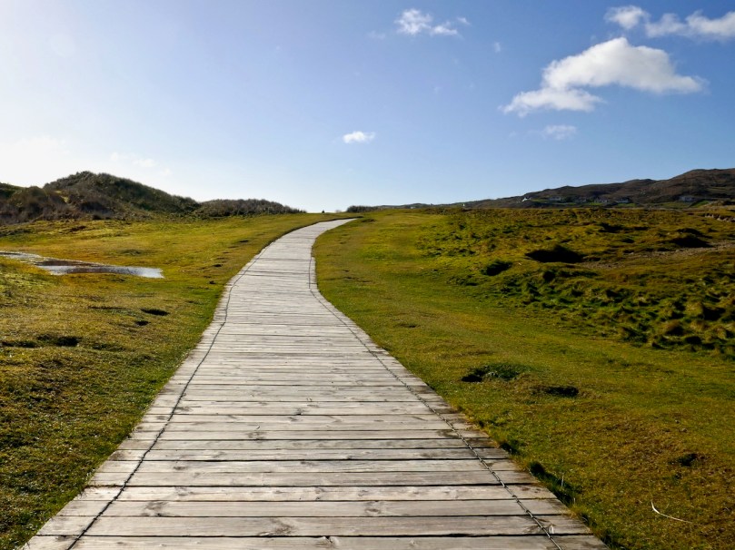
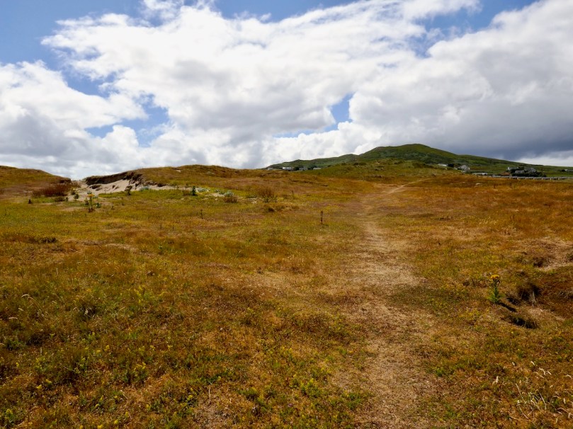
The whole thing is beautiful as well as special. Walking on the dunes is one of our favourite past-times, always with the camera in hand. The sheer variety of what grows here is a wonder, changing with the seasons. On a warm day you can just lie in one of the tiny dune amphitheatres and let your eye tune in to the multitude of flowers around you. Here’s a slideshow of some of what I have seen there.

This slideshow requires JavaScript.

If you like music with your slideshows, start the audio below. It’s the Wild Rose of the Mountain and The Gentle Maiden by Eugene O’Donnell & James MacCafferty.

Next time you go to Barley Cove wander in from the beach and take a stroll through the dunes. Better still, sit for a while and see if you can see some of the flowers in the slideshow. Let us know how you did.


Mizen Mountains 1 – the Hill of the Foxes

The first day of October seemed ripe for starting a new project. It was also a beautiful, rich, blustery autumnal day – ideal for heading to the remotest uplands. I have always been drawn to high places: there’s something romantic about seeing the coastal landscape laid out below your eyes, especially in these western wildernesses where bare rock, gorse and heather intertwine with history: ancient farmsteads, ruined cottages and impossibly isolated forgotten quays, seemingly abandoned along our most rugged shores.

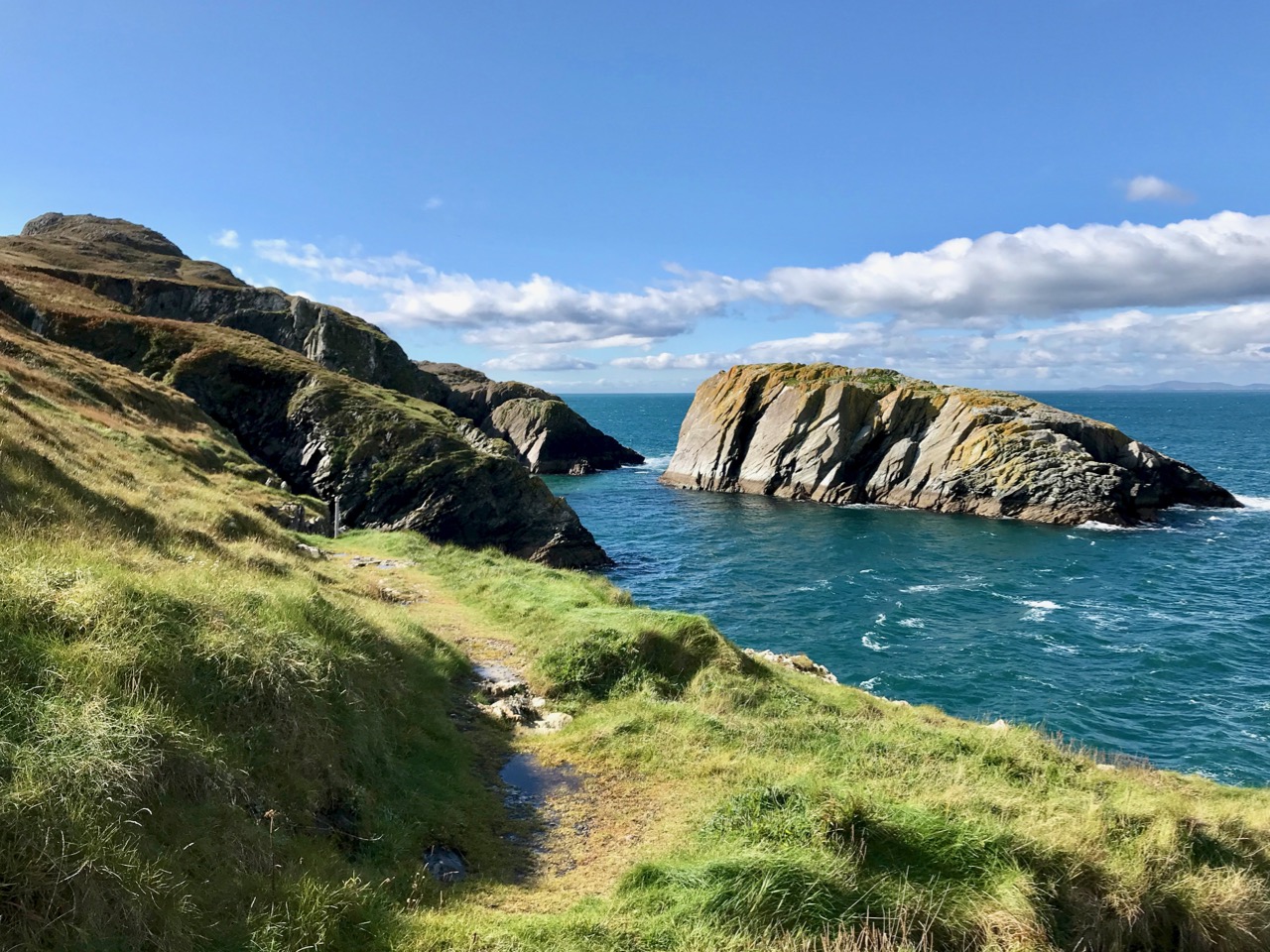
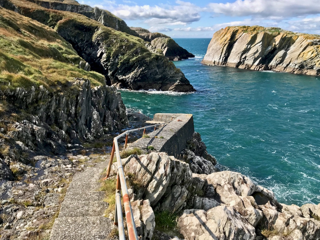
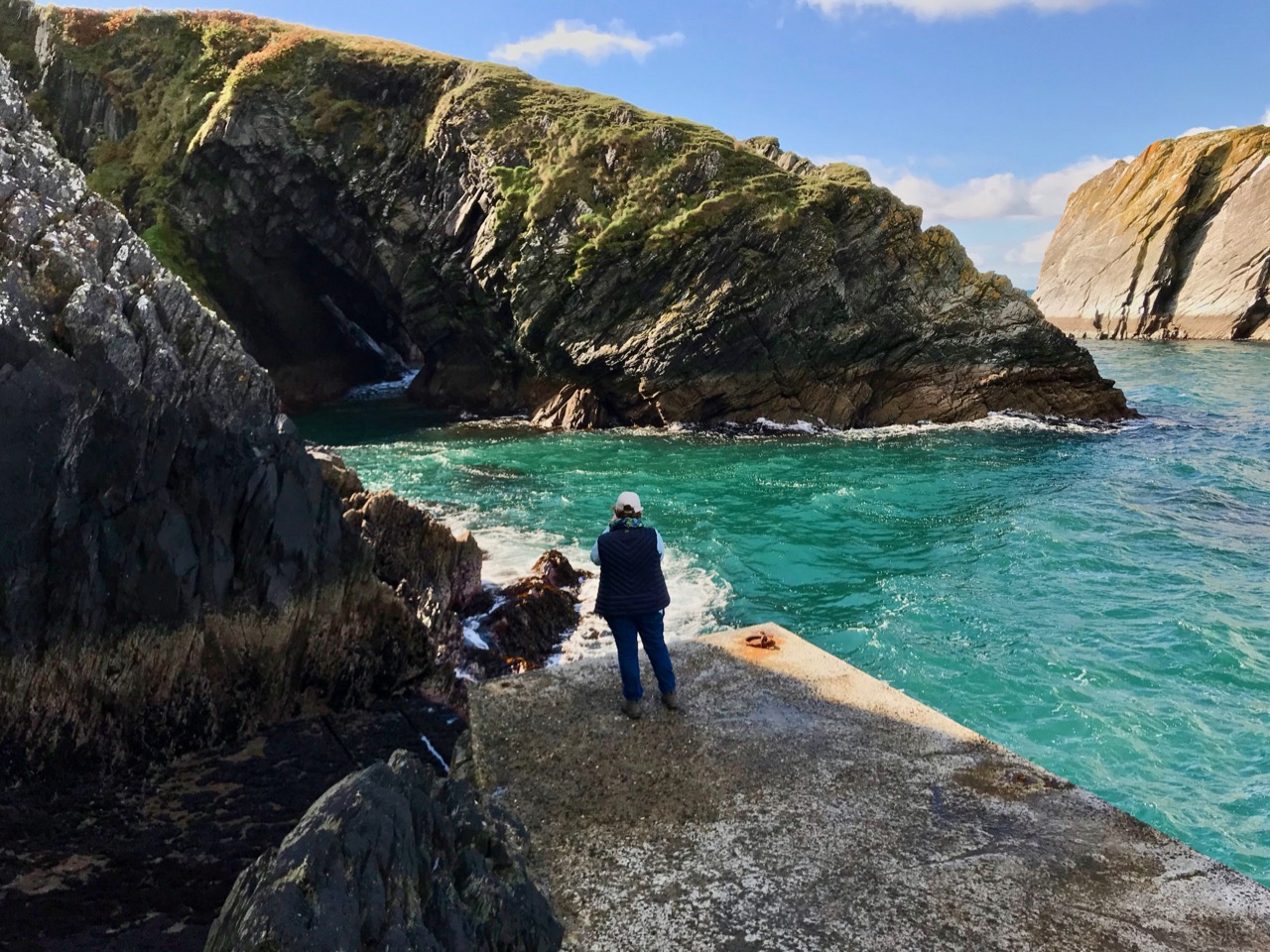
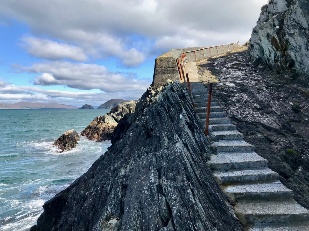
Header – Toor Island just off the mainland close to the west end of the Mizen Peninsula: the high ground beyond is the peak of Knockatassonig. Above – it’s a most remote and wild place for a pier, but Toor Quay is still accessible from a winding, overgrown footpath and 107 concrete steps: today it’s only the occasional haunt of anglers

This project – Mizen Mountains – sets out to explore all the peaks on our westernmost peninsula. Are they mountains? It all depends on the context, and your perspective. Mizen’s loftiest outcrop – Gabriel – is 400 metres above sea level. Quite modest (Kerry’s MacGillycuddy’s Reeks claim the country’s highest summit, Carrauntoohil, at 1,038 metres), yet when you do look down on the spine of our peninsula from above, it’s all rocky crags and ridges pushing upwards towards the heavens, while at the edges the mountains fall precipitously towards the sea. It’s great, dramatic country, calling out for exploration – and there’s nothing we like better than finding new ways to discover this land and all its stories.

The view to the western end of the Mizen Peninsula, seen from the slopes of Mount Gabriel. The Sheep’s Head is across to the right

50 years ago the writer, Peter Somerville Large, set out to travel the western peninsulas of Ireland on a rusty bicycle purchased for the purpose in Skibbereen. I like the introduction he gives to his book The Coast of West Cork, first published in 1972, and still in print – it serves my own project well:

. . . I set out into the country. The sun had filtered through after rain, making the tarmac steam with moisture and sending up towering clouds off the mountains into the sky. Cattle stood motionless in the boggy fields and water dripped from the leafless sycamores . . . I travelled along the coast of West Cork, through Carbery, from Clonakilty to Roaringwater Bay with its fringe of islands and castles, and north to Bantry and the Beare peninsula. Much of the land near the coast consists of bog and mountain with headlands like lines of slanting spears thrust into the Atlantic. But there are parts that are sheltered, with a tropical lushness that is partly ascribed to the benign influence of the Gulf Stream. Ruins are soon covered with thick ivy and it takes only a few trees or slips of fuchsia to make a protective wall. Some valleys and hillsides have pockets of moss-covered oak-trees which are survivors of the ancient forest that covered the country three hundred years ago . . . From Goleen the old road wound high over a ridge before dropping down to Crookhaven. Almost all the land was rocky around Knocknamadree; The quilted shadows of clouds passed along the high ground over to the sea . . .

Satellite view of the rocky landscape towards the western edge of the Mizen: Knockatasonnig is a barren peak

I have set the bar at the 200 metre contour line – anything above that is, for me, a mountain! So I will be traversing the terrain in search of all the eminences above this elevation on the Mizen, looking specifically at topography and any traceable history and folklore specific to these ‘mountains’. But I will also be talking about our journeys to these destinations: you know how fond we are of getting ‘off the beaten track’. Every new exploration is invariably a revelation! This time around, we are going west – almost as far as is possible on this peninsula – to the townland of Knockatassonig, which peaks at 204 metres.

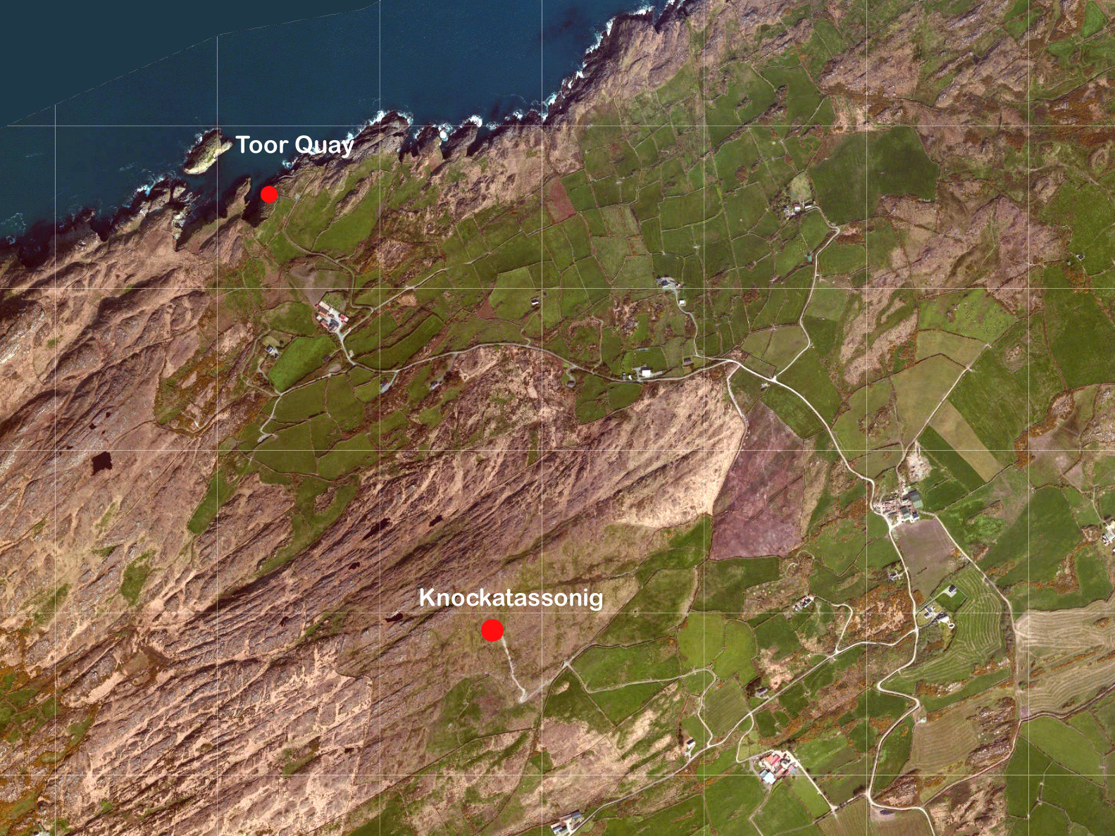
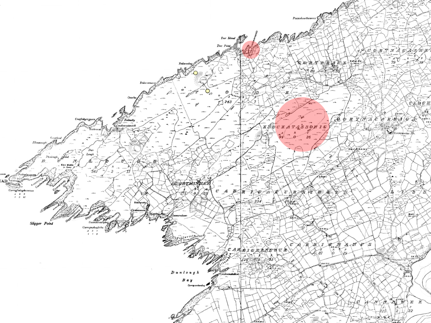
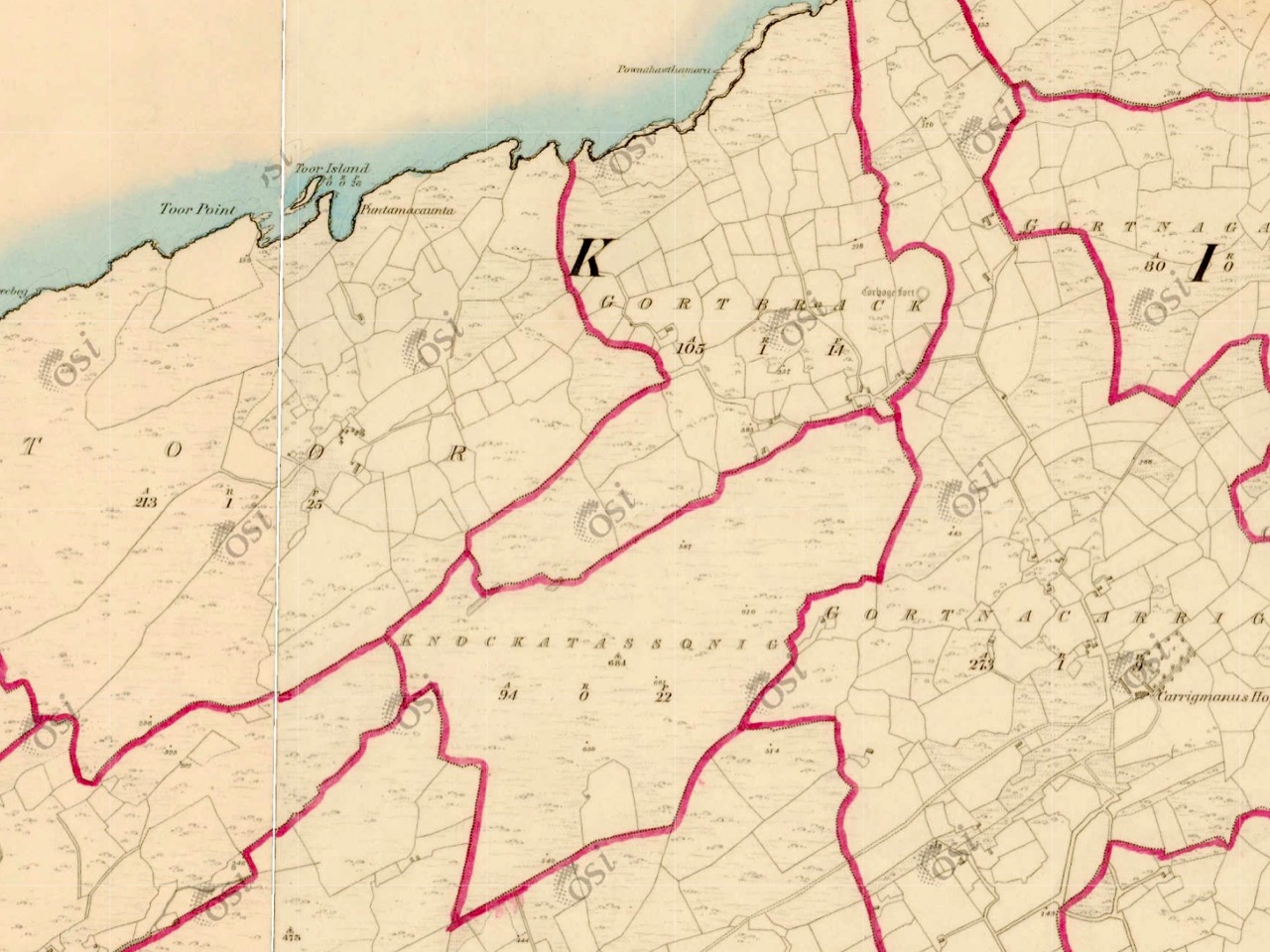
Top – the 25″ Ordnance Survey map, locating Toor Quay and Knockatassonig. Lower – the earlier 6″ map outlining the townlands

Knockatassonig is a curiosity. It’s a townland which doesn’t seem to have any habitation – and possibly never did. The 6″ map, above, was originally surveyed in 1846 and is valuable in outlining the townland boundaries at that time. It may be that in pre-famine times there were dwellings in the area: Ireland was much more heavily populated in those days, even in places like this which seem so remote today. But sometimes the townland names are particularly useful to us because they can tell us something of the history, which would have been passed on aurally through the generations until the maps were made.

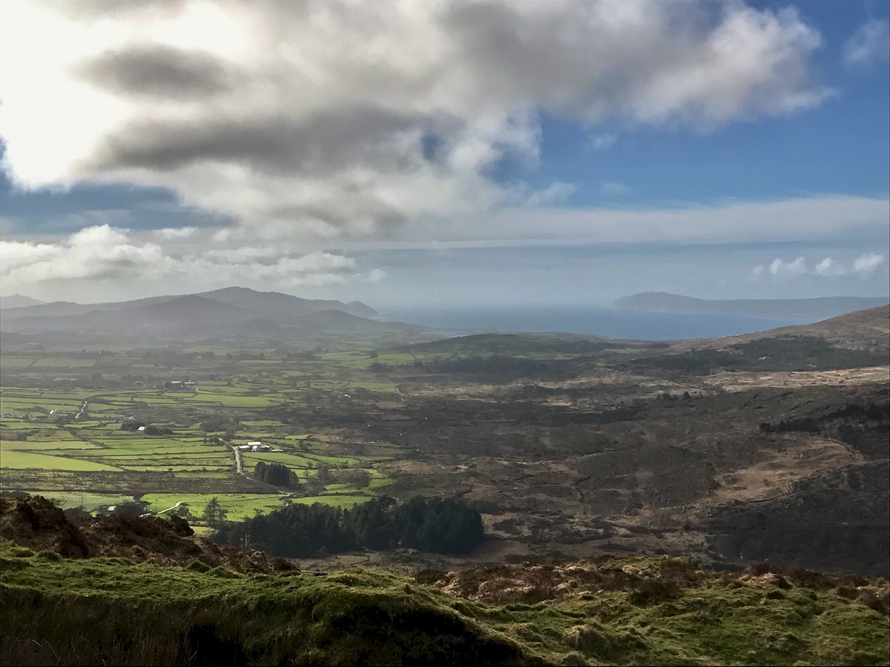
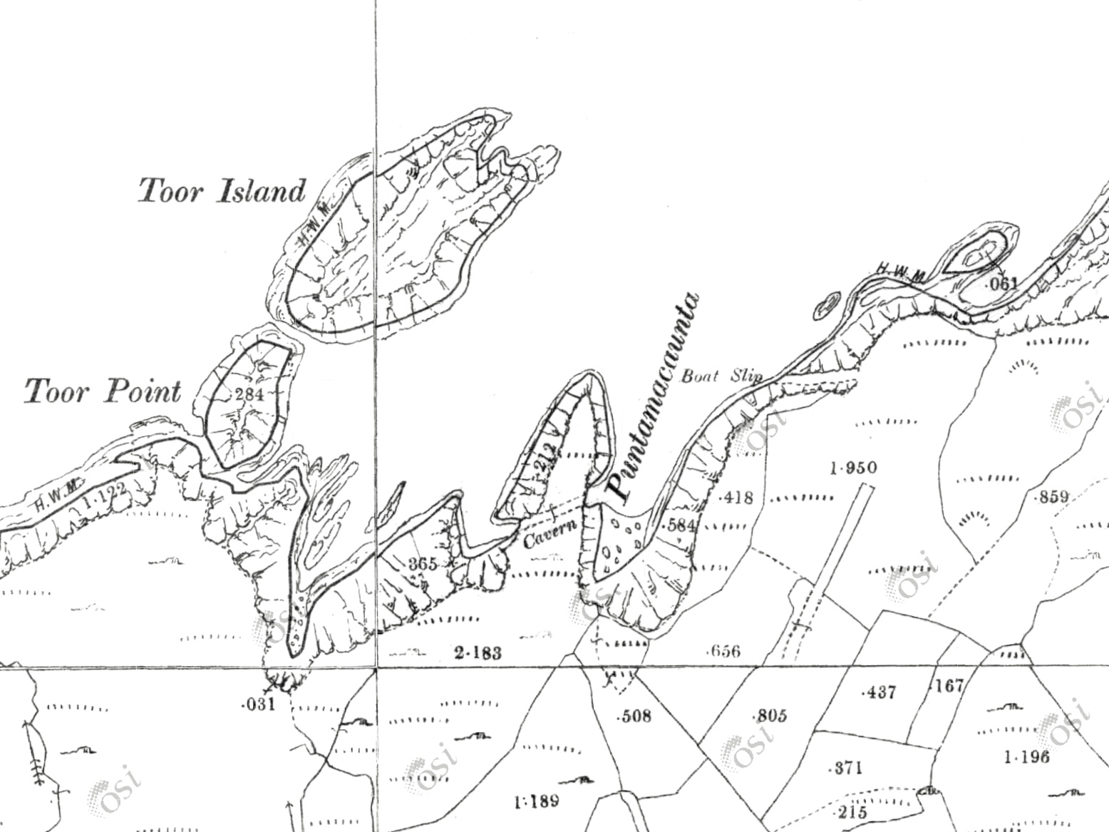
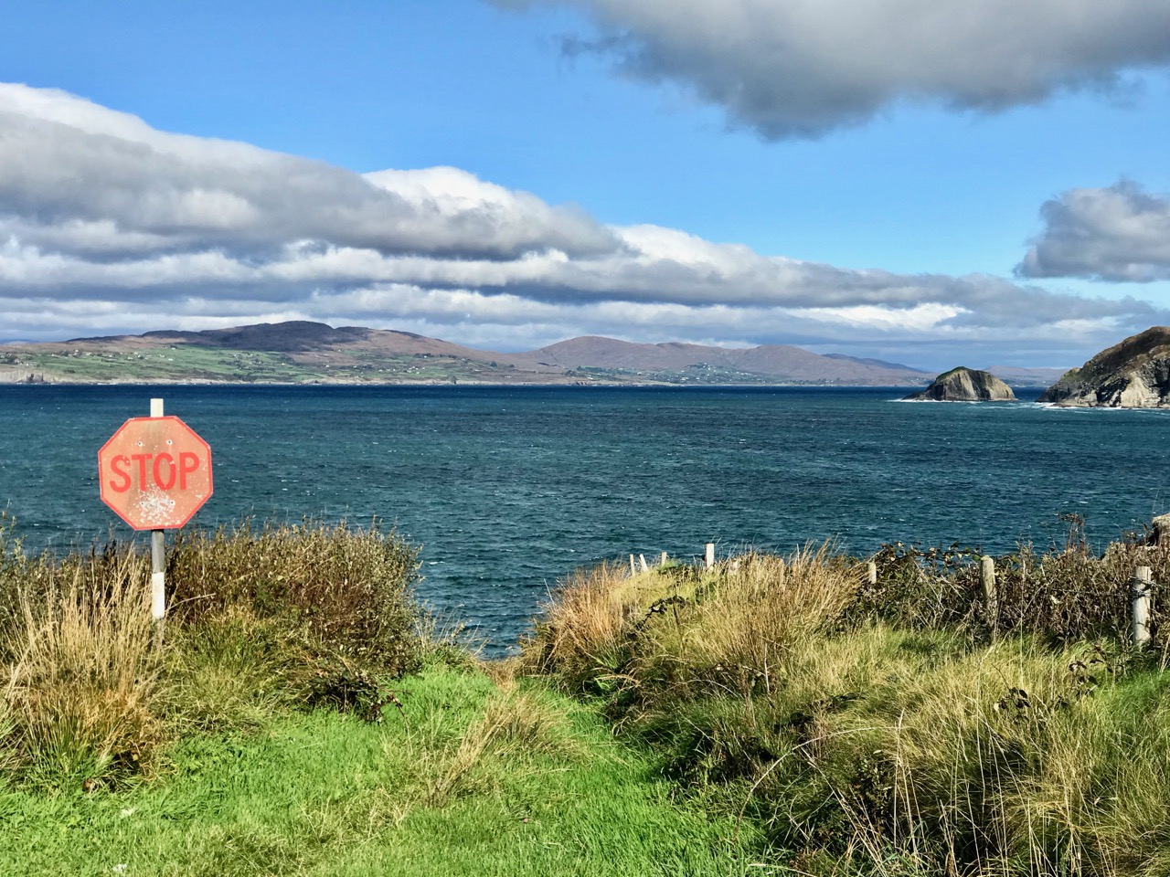
Upper – detail from the 25″ map, showing the ‘Boat Slip’ at Toor. The map was presumably surveyed before the present pier was made; the slip has been cut into the solid rock and launching boats there must have been a treacherous business. Lower – today, a steep, narrow boreen can be negotiated as far as the Stop sign! An overgrown footpath goes on down to the sea and quay. The mountains seen over the water are on the Sheep’s Head

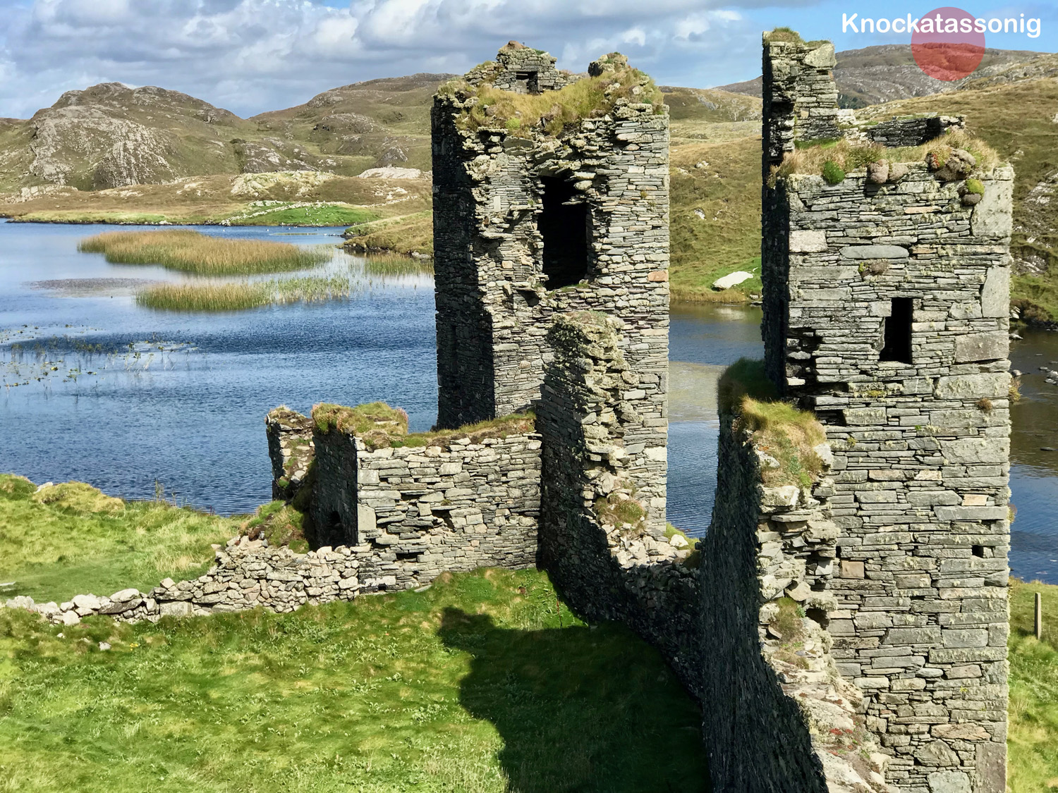
So far we haven’t talked much about the ‘Mountain’ of Knockatassonig. This summit is very visible, but virtually inaccessible at this time of the year due to bracken and spiky fences. It can just be seen on the left in the header picture: that’s taken from the footpath which goes down to Toor Quay. Like most of the Mizen peaks, Knockatassonig commands good distant views. It should be more approachable in the winter months. Although it’s hard to get to, it can be seen from several places on the Mizen, including Dunlough. The photo below shows the peak on the horizon beyond the ruins of Three Castle Head:

Here’s a view of Knockatassonig summit seen from the south-west side, taken from the small road that goes down towards Toor.  The view below shows the complex profile of the summit seen from the north

In looking at the peaks of the Mizen I intend to explore and uncover – where possible – any extant memories of stories or local lore relating to them. As far as Knockatassonig goes, I have found nothing recorded, other than the name, which is shared with the townland. So what does it mean? Well, it’s not clear, but the logainm website suggests ‘The hill of the Englishman’, and compares this name to the entry for Corr na Seirseanach in Co Monaghan ‘The round hill of the Englishmen’ or ‘The round hill of the mercenaries or hired soldiers’. Well – that’s a surprise . . . and a bit hard to reconcile with the unpopulated landscape we see today in this part of West Cork. The Monaghan version of the name can be supported by political events dating from the early 1300s: it’s hard to relate these to any activities we are aware of on the Mizen, but Irish history is a complex thing – as are place-names. When Finola heard the name she thought it meant ‘The hill of the foxes’: a direct translation into the Irish of that would be Knock an tSionnaigh. Townland names were often written down in Anglicised form by surveyors whose ears may not have been attuned to the Irish nuances. I’m voting with Finola on this one: there’s sure to be a good few foxes in that landscape!

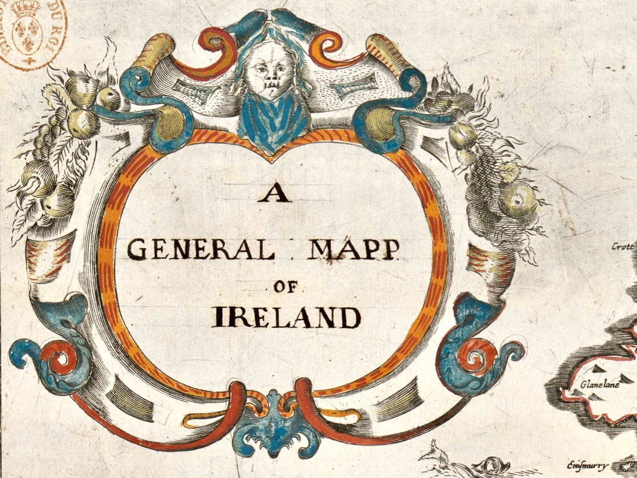
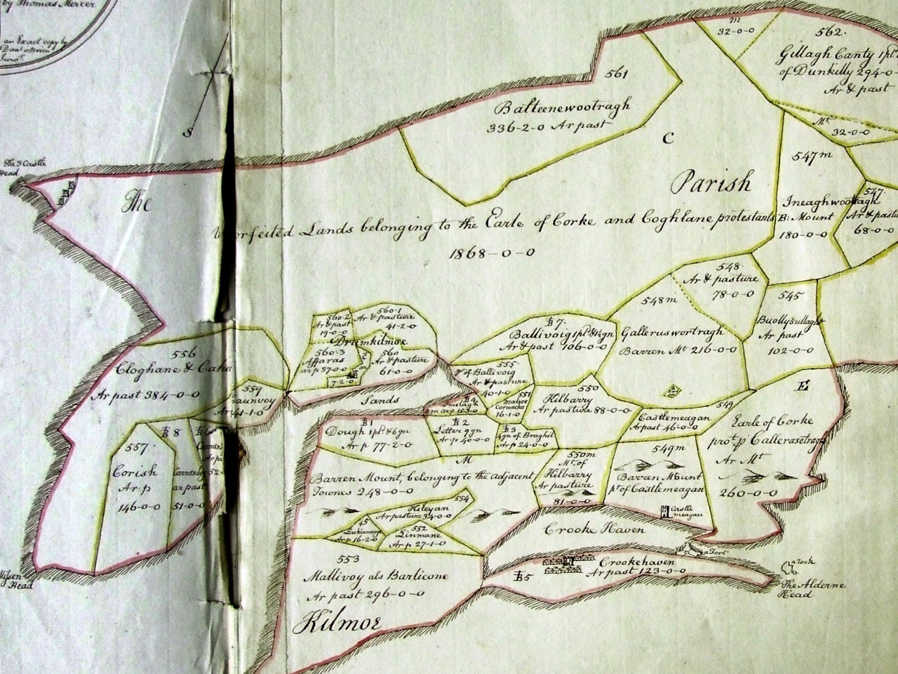
Here’s an earlier source of information on Irish names: the Down Survey. Undertaken between the years 1656 and1658, the Down Survey of Ireland is the first ever detailed land survey on a national scale anywhere in the world. It sought to measure all the land to be forfeited by the Catholic Irish in order to facilitate its redistribution to merchant adventurers and English soldiers. The extract above details the Parish of Kilmoe at the end of the Peninsula: note Three Castle Head depicted at the far left. The survey does not give modern townland names but we can work out where the Knockatassonig peak would be – in the section labelled Unforfeited Lands belonging to the Earle of Corke and Coghlane protestants  In which case, of course, not only the present day townland of Knockatassonig but all those around it could reasonably be termed ‘ . . . of the Englishman . . .’ Food for thought?

Below – peaks of the Mizen: many will be the subjects of future posts

The Marvel of Margaret Barry

When I was in my college years, I lived on the fringes of London. It was the 1960s and – among many other cultural stirrings – there was a burgeoning Irish traditional music scene, in and around Camden Town. The Irish community in the capital had been thriving since the 1950s, when London was being rebuilt following the Blitzes of the recent war. Although not a close follower of Irish music at that time I had taken up the squeeze-box, and, curious enough to hover at the edges of The Music, was fortunate to briefly encounter many singers and players who are now considered legends. One of these is Margaret Barry, seen above in her later years and, below, when she was first becoming established as an Irish traditional music performer.

If you ever saw (and heard) Margaret Barry, you would never forget her. Her voice is unlike anyone else’s. She was born in the City of Cork, and has the distinctive accent of that place, whether she is speaking or singing. I find it completely compelling, but I can understand that it’s not to everyone’s taste. Nevertheless, whatever your own views, her story is fascinating – and at the same time a valuable social commentary on aspects of twentieth century Ireland. Margaret was born in 1917 – on New Year’s Day – and died in 1989. She made a living from music – and spanned the spectrum from obscure street performer to lauded professional much in demand on radio and television, performing in venues which included London’s Royal Albert and Festival Halls and New York’s Rockefeller Centre.

The reason I’m writing about Margaret Barry today is that she was the subject of a talk given at this year’s Drimoleague Singing Festival: “…A celebration of the human voice in the heart of West Cork…”, now an established annual event held around the feast day of Cork’s patron saint, St Finnbarr, September 25th. It’s great that Ireland’s special saints – who ‘kept alive civilisation’ during the otherwise Dark Ages in pre-medieval Europe – are still living and celebrated in traditional culture, which encompasses literature, art, music and folk tradition. Yesterday’s talk, in a crowded hall, was presented by Jason Murphy and Lisa O’Neill (pictured above mid-talk, with Lisa – Singer in Residence at this year’s Festival – giving her own extraordinary rendering of one of Margaret Barry’s songs). It’s worth watching the following YouTube video of Lisa singing a version of ‘The Galway Shawl’ to give you an idea of Margaret’s characteristic style as interpreted by Lisa, and sealing her own authority on the perpetuation of The Music:

Because Margaret Barry is a legend, it’s inevitable that the life and exploits of this lady from Cork have become imbued with folklore. This can happen very quickly in Ireland! Jason – a radio documentary maker – and Lisa – who has studied Margaret’s work – set out to shed light on the reality of her life, times and travels. The talk is work in progress – look out for a comprehensive programme coming up on RTE Radio soon. The talk in no way diminished Margaret Barry’s status and renown in the folk music world, but it did question some of the hitherto accepted accounts of her life. For example, when I first became interested in her singing over fifty years ago, I gleaned (mainly from notes on the sleeves of LPs) that she was from travelling stock, and that’s something you’ll still find quoted in practically every contemporary account of her life. According to Lisa and Jason, however, she came from musical families in Peter Street, Cork. Her mother’s father – Bob Thompson – was an accomplished uilleann pipe maker and player who was married to a Spanish Guitarist and singer. Living through hard times, Bob had to temporarily pawn his own uilleann pipes but lost them when a fire broke out in the pawnshop: he did not play again for ten years! Margaret’s parents and uncles were street singers and musicians, her father earning a precarious living playing the violin in silent-era cinemas and with dance bands. 
Another invariably quoted story is that she left home at 16 with nothing but a bicycle and a banjo tied to her back with string as she set off to busk her way through the harsh streets of Ireland. It’s an engaging picture, but probably simplifies a complex situation. Margaret’s mother died when she was only twelve years old, and soon afterwards her father married a girl not very much older than she was. It’s likely that she did decide to go off and fend for herself – and during her lifetime she did travel around Ireland, sometimes in a horse-drawn caravan, but she had also become interested in the musical traditions she experienced around her and took every opportunity to learn songs from every source, to teach herself to play the fiddle and banjo – and also to use her own talents to earn money wherever she could, and to survive. Here’s her own account of those times, recorded by American musicologist Alan Lomax in the 1950s:

Alan Lomax left a valuable collection of information on ethnic musical cultures from America, Africa and Europe, which he and a dedicated team collected over many years. Much of the collection is available online in the archive of the Association for Cultural Equity. Amongst the publications of the Association is a CD of Margaret Barry singing and talking about her life, which can currently be purchased as a download.

Margaret succeeded in her chosen life of itinerant song performer and always said that she had enjoyed it, regardless of the often hard times. She certainly achieved notoriety and featured in programmes on TG4 and RTE in her lifetime. She had a long-term relationship and musical partnership with the Sligo musician Michael Gorman, whose fiddle playing features on many of the recordings made of her. It seems appropriate to include here this 1965 recording of Margaret accompanied by Michael, singing ‘Still I Love Him’:

The talk we heard in Drimoleague on Saturday was a tour-de-force by Lisa and Jason, reviving my own interest in Margaret Barry, the ‘street singer’ from Cork (also known as ‘Queen of the Gypsies’, a title she was happy enough to embrace, whatever the true circumstances of her ancestry). To finish this post, here’s one of her songs for which she is, perhaps, best known: ‘She Moved Through the Fair’. Margaret was once asked if this tune had come to her from her traveller background: she is said to have replied that she had learned it from a recording of Count John McCormack…