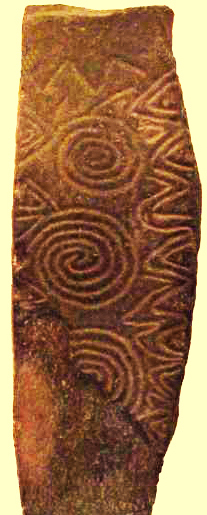
One of West Cork’s ancient calendars
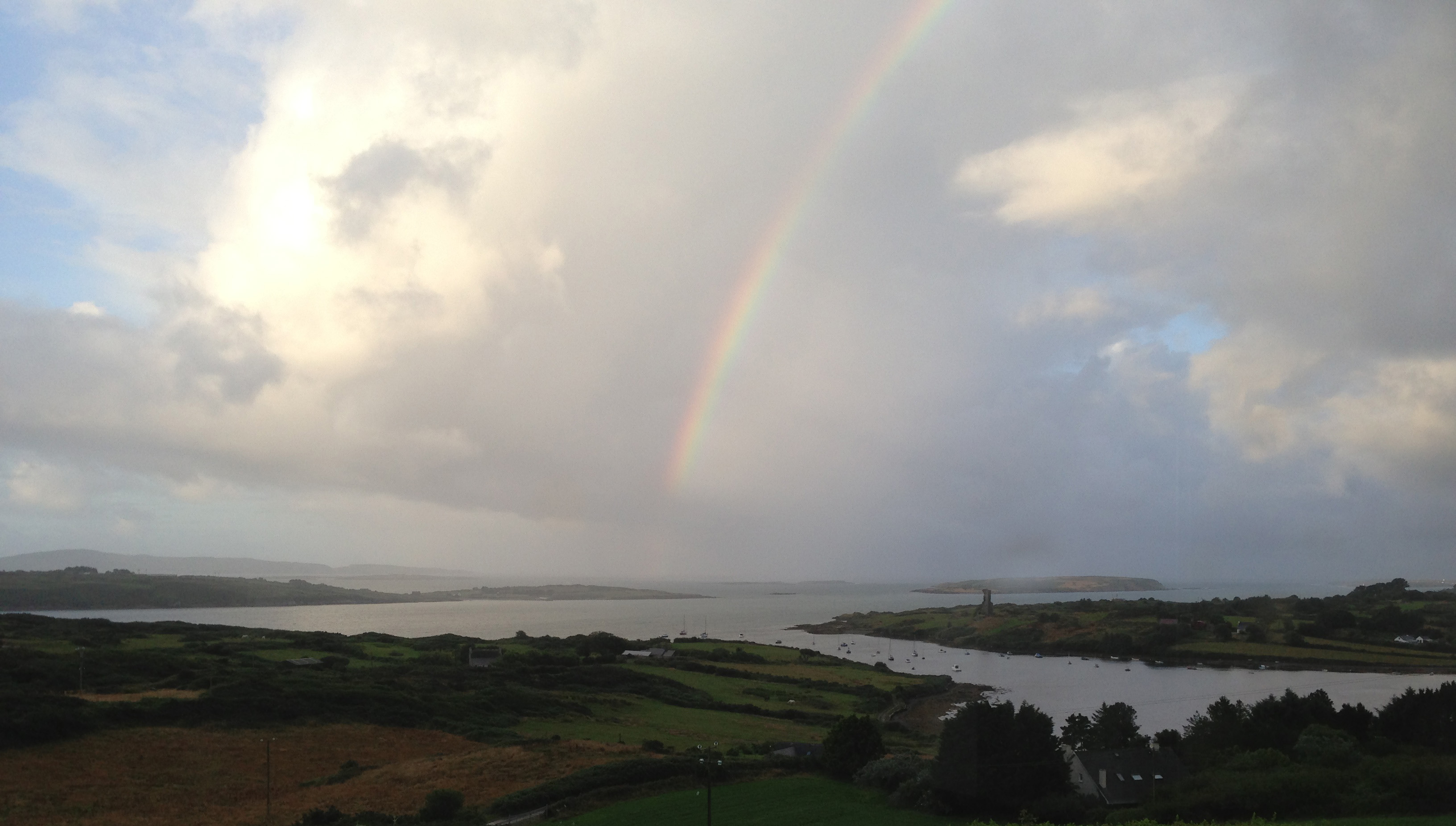
We’ve been catching up on our rock art project this week and it’s brought us out into the field. On Saturday the weather was spectacular – crisp, but with a totally blue sky and vibrant colours. See Amanda’s photo of the day here. We spent most of the day just east of Rosscarbery, a picturesque settlement above the water at Rosscarbery Bay, where the birdlife viewing is always a delight.
One of the sites we visited was Bohonagh. Not only does it boast cupmarked stones, but a very fine boulder burial and a stone circle.

Bohonagh Stone Circle
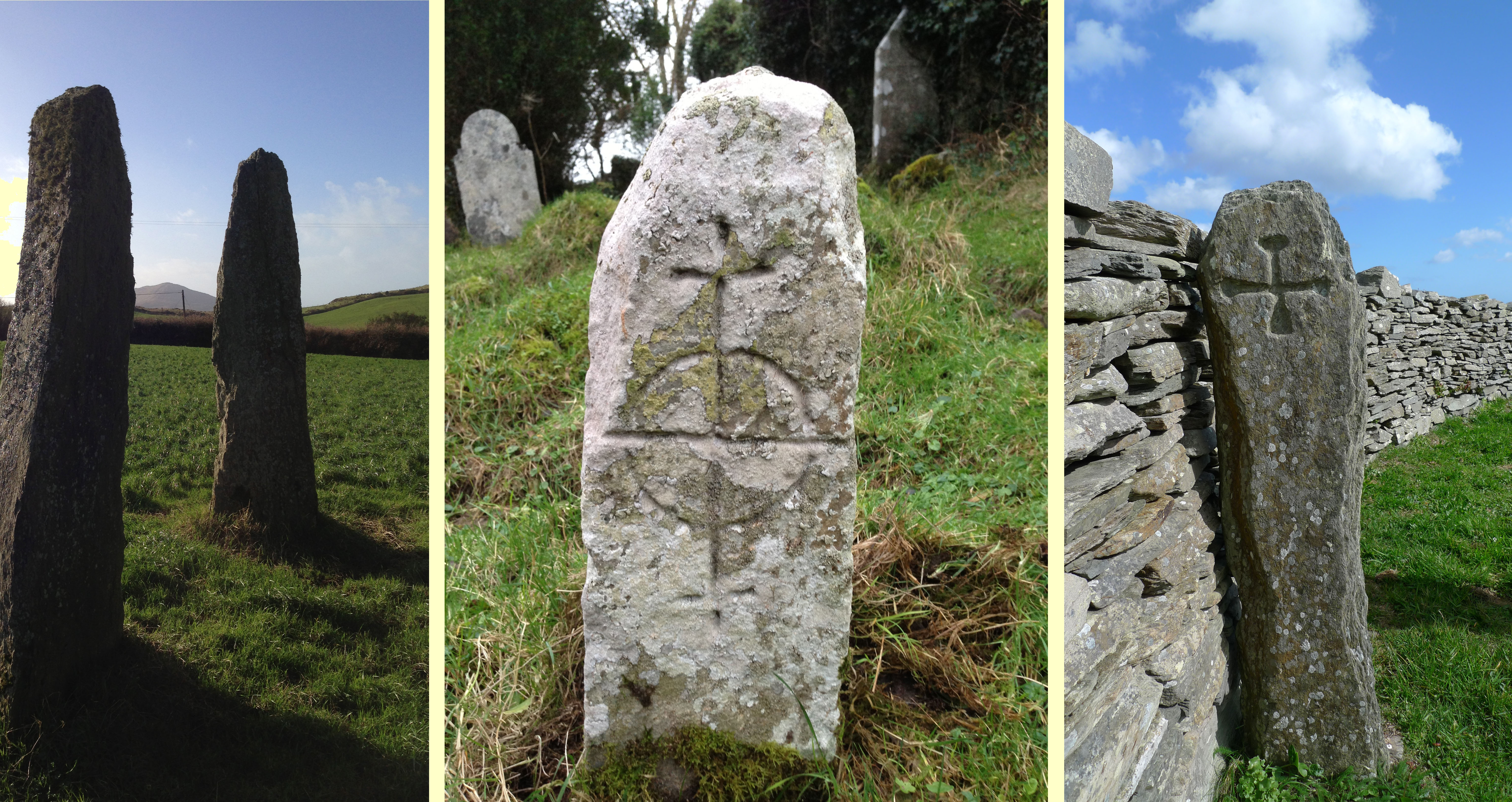
West Cork is particularly rich in 3000 year old Bronze Age stone circles and most of them are of the ‘axial’ or ‘recumbent’ type. This means that the circle is laid out on an axis that is oriented in a particular direction. On one side of the circle is a stone laid longways – the recumbent stone. Across from the recumbent are the portals: two tall stones that appear to create a doorway into the circle. Sometimes the stones rise in height from the recumbent to the portals, and the portal stones may be set ‘end-on’ to the circle. There are always, therefore, an uneven number of stones – up to 17 have been recorded, although many circles are incomplete, with fallen or missing stones. The purpose of the axis was to provide a line of sight on a sunrise or sunset (and perhaps even moonrise and moonset) at important calendrical points such as solstices and equinoxes.

The portal stones at Bohonagh

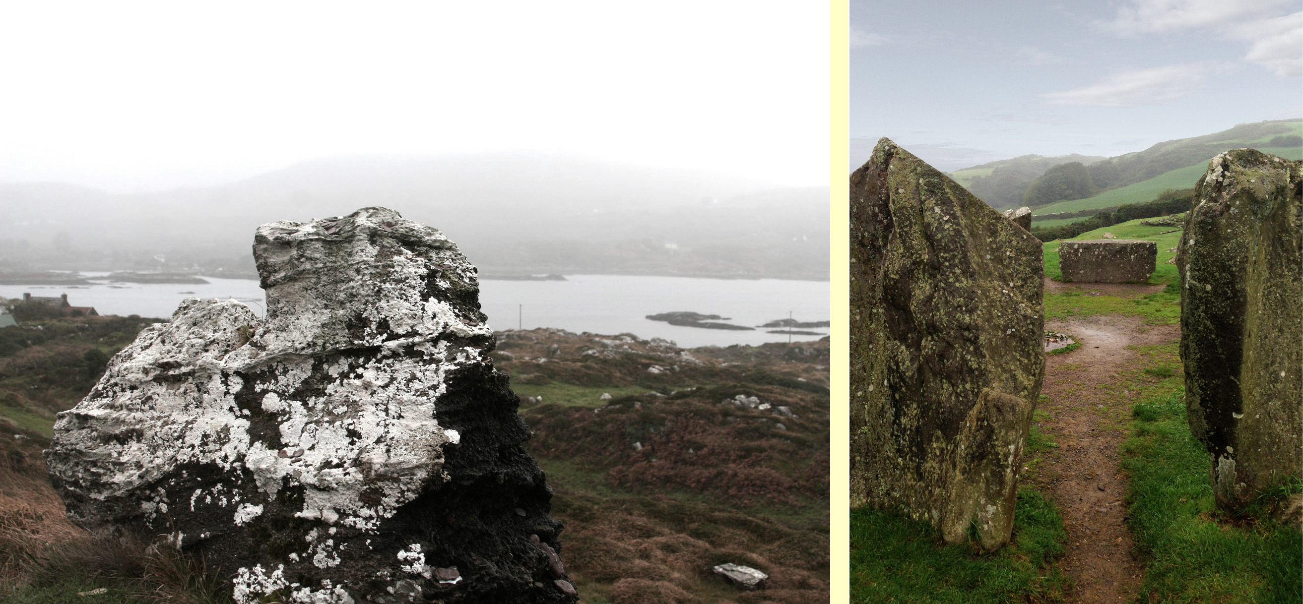
Quartz at Bohonagh
A feature of these circles is that many of them include quartz rocks: sometimes as one of the circle stones, sometimes as an additional rock in the interior or exterior of the circle, and sometimes on a nearby monument such as a boulder burial. At Bohonagh there were several quartz rocks, including one lying outside the circle and two supporting the boulder burial. In one case, at Ballycommane, we have seen an enormous quartz rock function as the capstone of a boulder burial – quite awe-inspiring in its visual impact. Interestingly, this same phenomenon occurs in a stone circle in Cornwall – Boscawen-Un in the West Penwith Peninsula, not that far from West Cork! As we watched the quartz under the boulder burial glisten in the sun (impossible to capture on a photograph) we knew it had to be seen as a very special stone to the builders of these circles.
Brooding stones at Dunbeacon
Stone circles often command sweeping views of the surrounding countryside. This makes them well worth visiting, even if a goodly hike is involved. Because they are invariably located on private land, it is good practice to try to track down the landowner and request permission, and of course to always close gates and observe good field etiquette on a visit. Don’t be surprised to find that many are no longer intact: the centuries have taken their toll and many of the stones have fallen or disappeared over time. On the upside, this adds to the romantic wildness of the scene.

Gorteanish Stone Circle, re-discovered in the laying out of the Sheep’s Head Way
One of the most famous of the West Cork stone circles is Drombeg, near Glandore. Here, people gather on the winter and summer solstices to witness sunrise and sunset.

Drombeg on a wet day
At Bohonagh, the alignment is to the spring equinox sunrise and sunset, due east and west. We plan to be there!