West Cork Villages and Towns – Schull

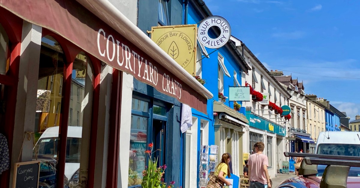
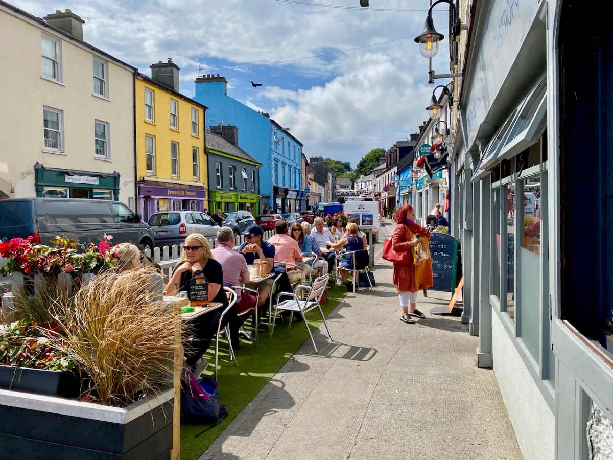
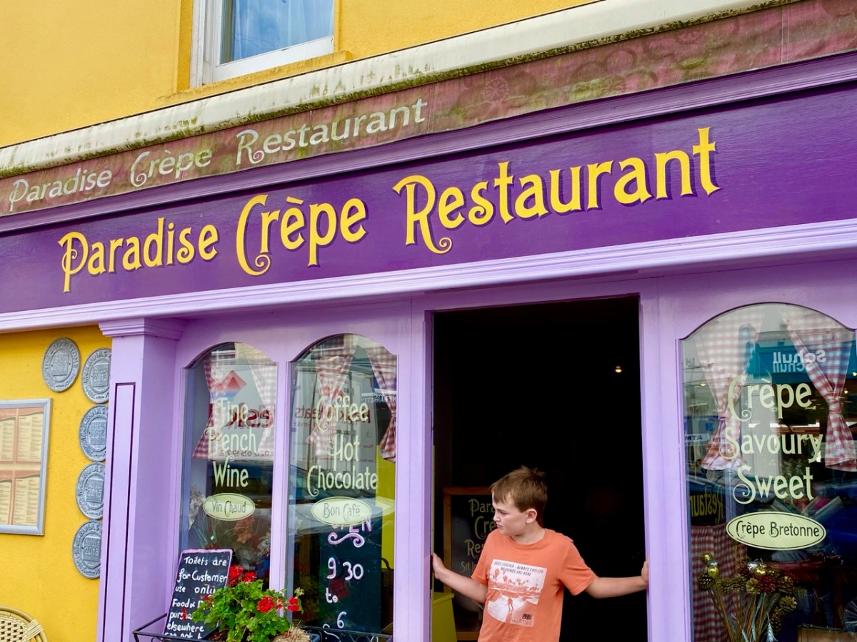
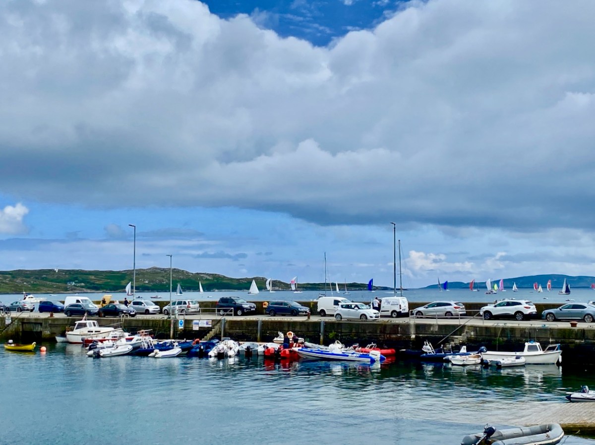
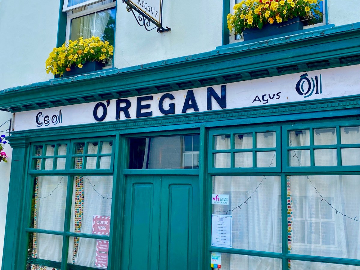
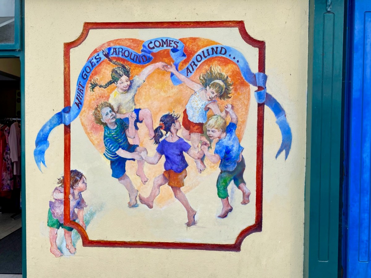
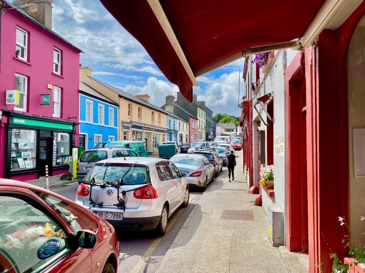
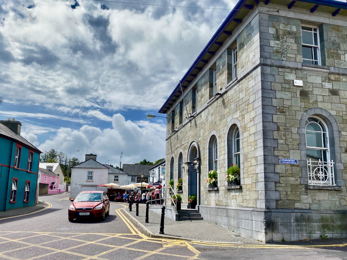
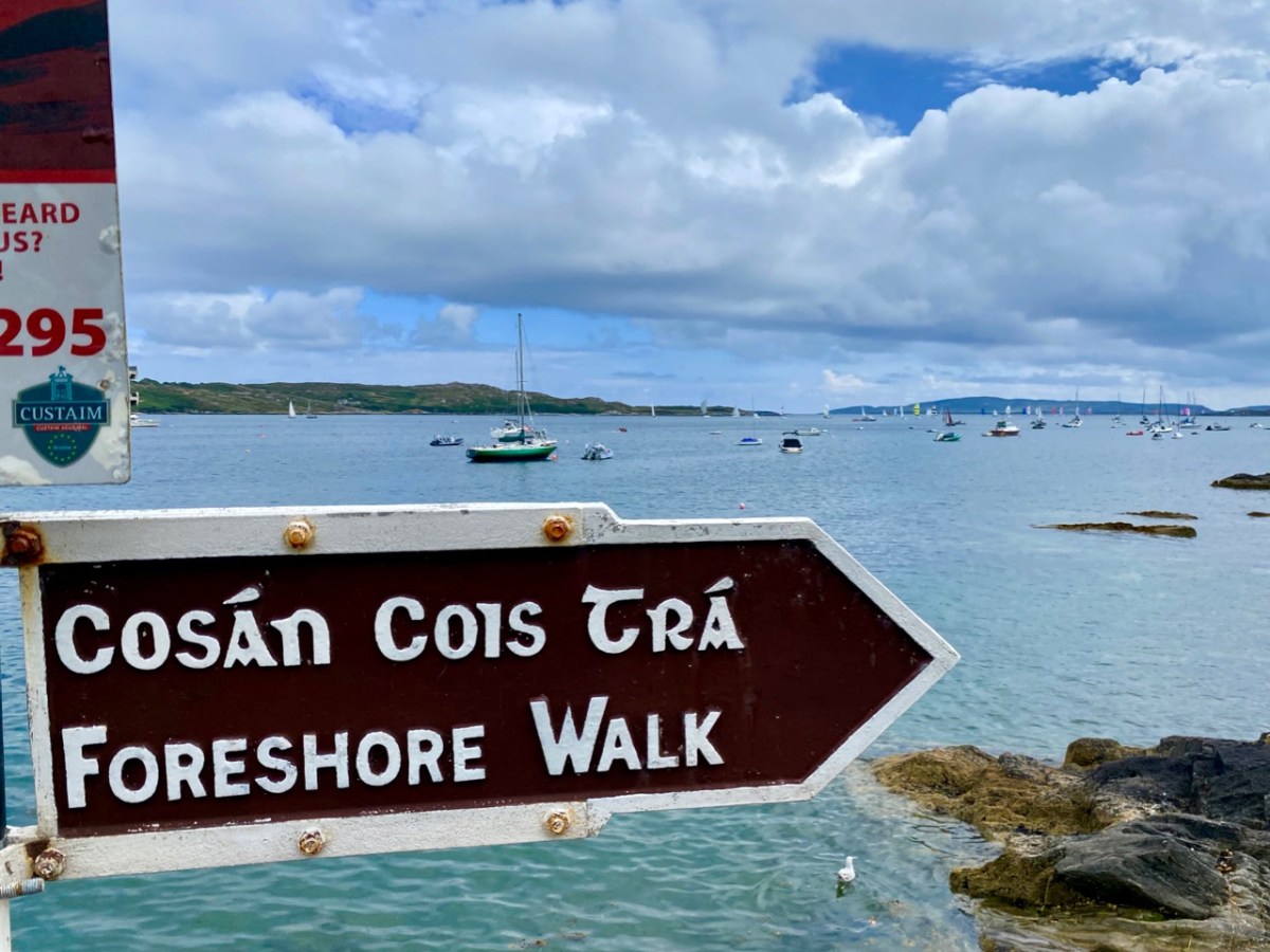
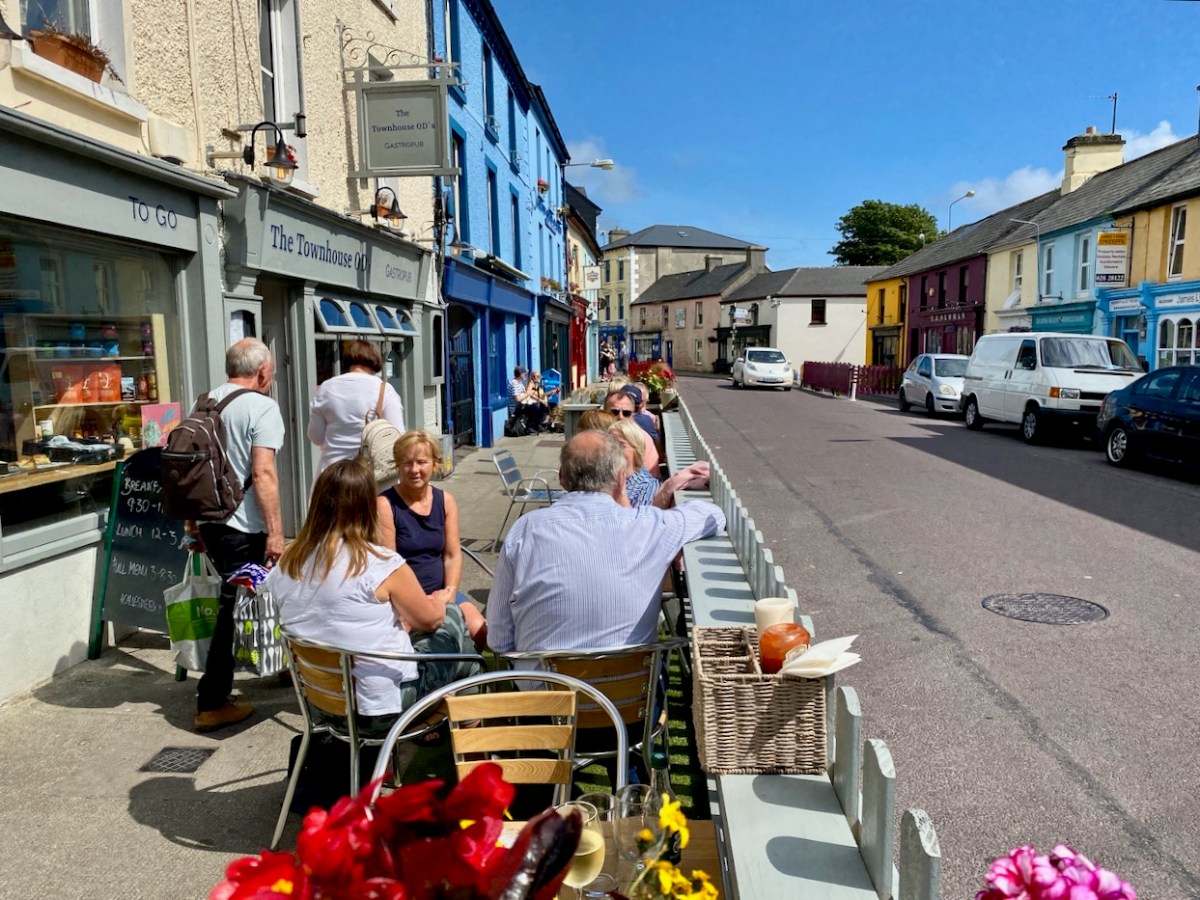
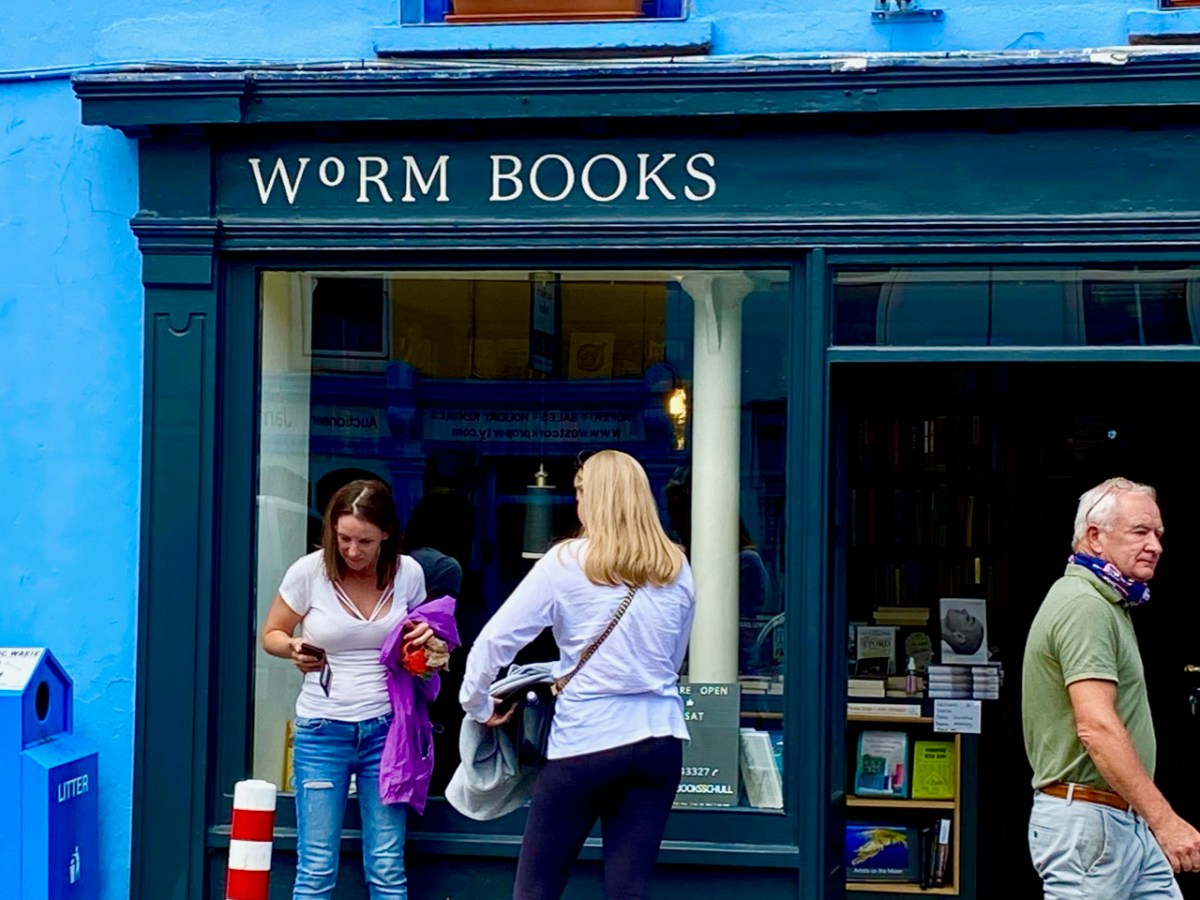
What better time to visit Schull than during Calves Week? That’s a big sailing festival at the beginning of August every year, and you have to be a sailor to understand the nuances of its title. It’s held at the same time as the UK’s premier sailing event – Cowes Week, ‘…the world’s longest running sailing regatta…’ and is focussed around the three Calf Islands in Roaringwater Bay. So there you have it – Cowes and Calves! What it means, of course, is that the village of Schull is at its busiest and, since Covid has given a boost to outdoor socialising, the streets are crowded with visitors enjoying the shops, pavement cafés and galleries.

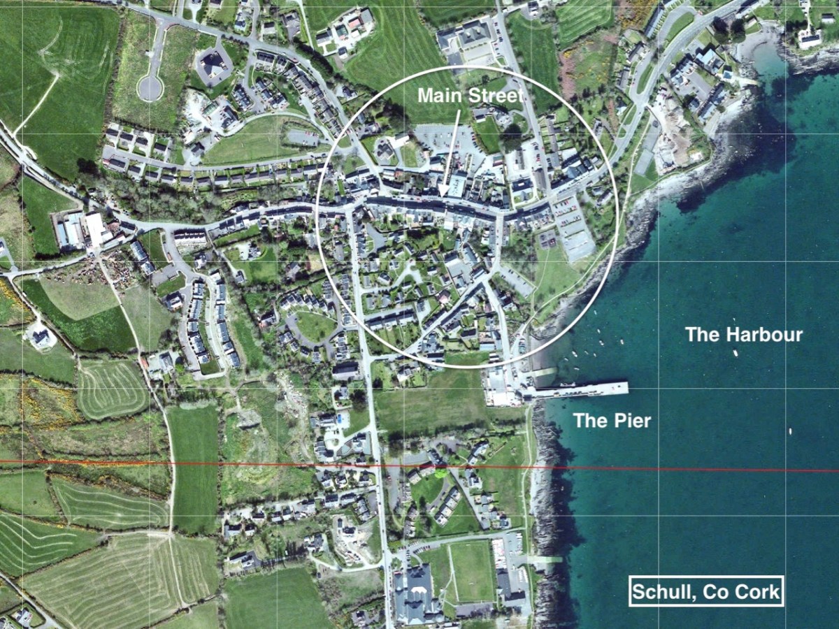
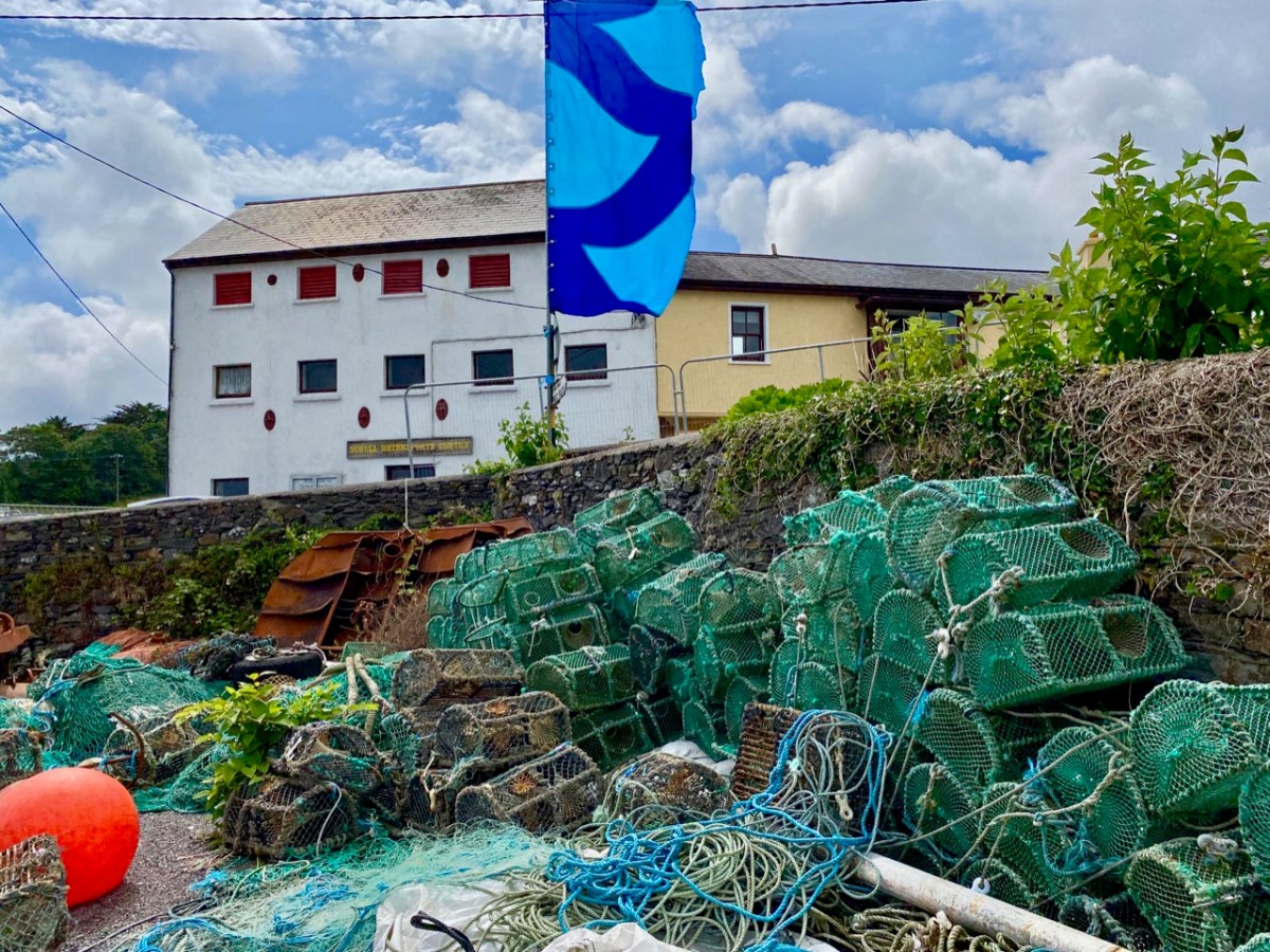
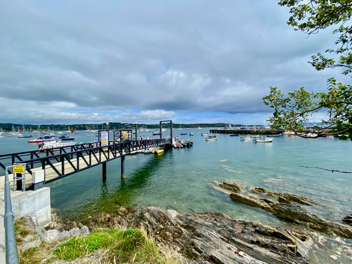
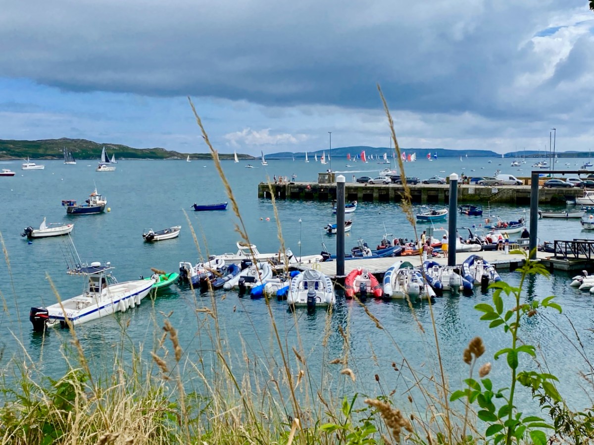
In this occasional series on the Towns and villages of West Cork we will take one community and try to discover why and how it has developed through history, and how it fares in the present day. A snapshot of the place will be presented – hopefully – in the best possible light (although this won’t always be on a sunny summer’s day!) From the aerial view above, you can see how Schull has been built up around its connection with the water. Schull Harbour is at the head of a long sheltered inlet, and the pier today is always busy with fishing and pleasure boats, ferries and yachts.

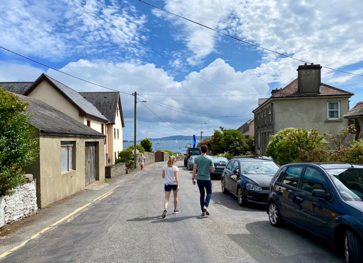
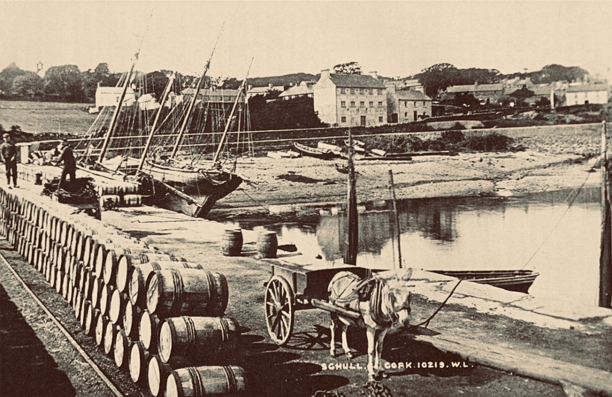
That’s the road to the pier, above, and it’s just a few steps from the village centre. If you are a visitor, you may have no idea that Ireland’s most south-westerly railway line once ran right on to this pier! The narrow gauge Schull, Ballydehob & Skibbereen Tramway and Light Railway was in service between 1886 and 1947, connecting these remoter parts of the county to Skibbereen and then, via the main line, Cork city. Although never considered a commercial success, it was a valuable element of infrastructure enabling local passengers to get to shops and markets, and fishermen to send their catches to distant merchants as hastily as possible (bearing in mind there was a speed limit of 15 miles per hour on most of this rural line). This photograph from the NLI Lawrence Collection (below) dates from the 1890s, and shows barrels of fish stacked up next to the railway track on Schull pier, awaiting despatch. They are likely to contain salted pilchards and herrings.

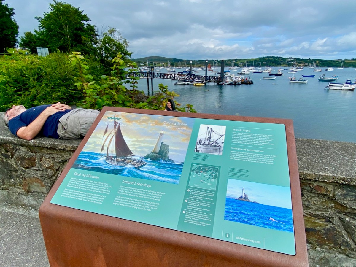
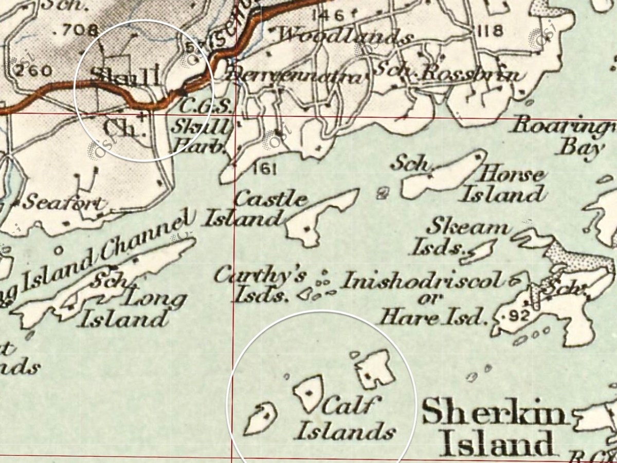
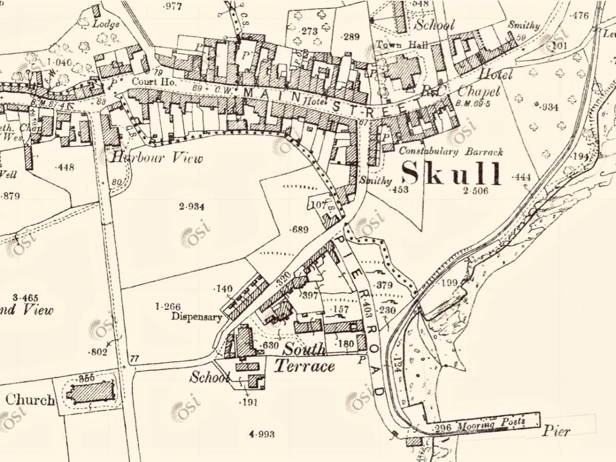
In all these pictures of the pier and pontoon areas above you can see the lively sailing activity in the background. Below are two extracts from early OS maps, one showing Schull and its location to some of the offshore islands, and the other showing the town centre, probably around 1890. It’s thought-provoking to see on the latter the various facilities which the town offered at that time, as well as the railway: Court House, Constabulary Barrack, Smiths, Schools, Hotel and Dispensary.

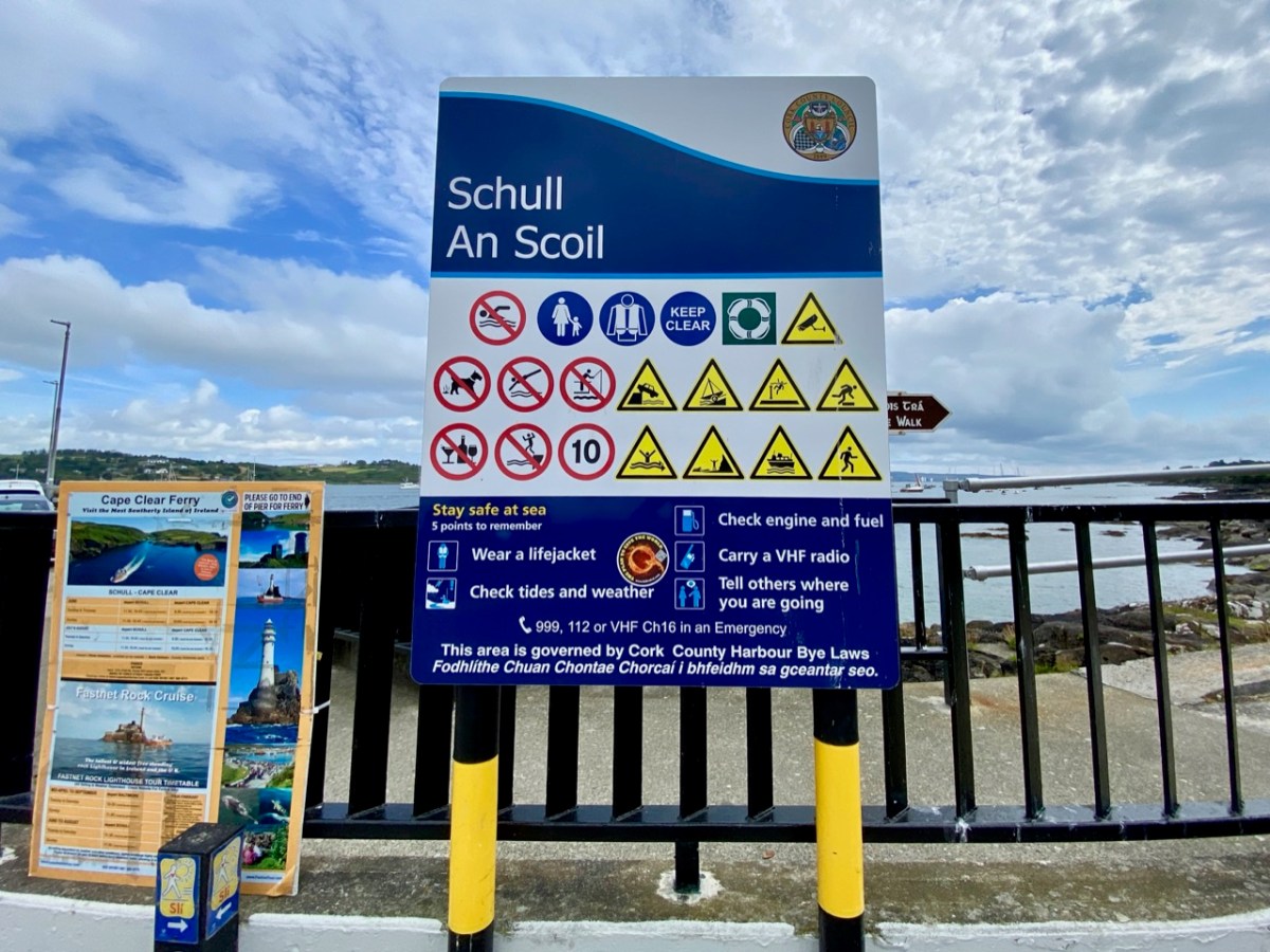
Note that on both the maps above, which date from more than a century ago, the settlement’s name is given as Skull: it still is on all OS Ireland maps up to the present time. Mostly today it’s known as Schull, or in Irish An Scoil, which translates as The School. Some of you may remember my posts earlier this year when I looked in to the possible origins of this village name – and the earliest ‘School’: a site described on Archaeology Ireland as a ‘possible early Christian settlement’:  . . . the ancient school of Sancta Maria de Scholia, ‘a place known in early times as a centre of learning’ . . . There’s a fair bit of local lore surrounding the subject, and you need to read Schull resident John D’Alton’s article on this to find an alternative view to the perhaps romanticised ideas of an ancient monastic site: I’m sitting on the fence!
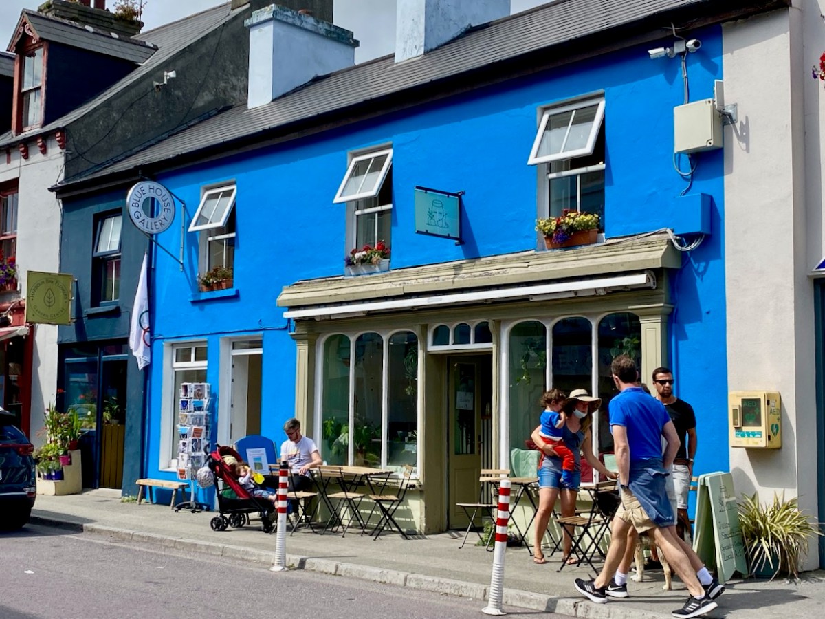
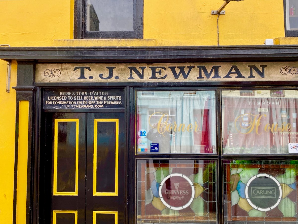
Historic village – perhaps with medieval origins – to vibrant sailing centre and colourful streets in the 21st century. Schull has come a long way, and has far to go. Today the resident population numbers around 1,050: this is boosted substantially with the influx of summer visitors. It’s good to see long established names and new businesses on the streets, contributing to the colourful palette of the architecture. Great things are happening in the future: the old bank building (below) is to become a cinema and film centre: a focal point for the acclaimed annual Fastnet Film Festival.
Year round, Schull is worth exploring. Mount Gabriel, the area’s highest point, is above the village and offers superb vistas over the bay and islands. Finola has looked at the many legends associated with this peak and there is ancient history there, too: the remains of Bronze Age copper mines on its slopes. Good walks can be had on the high ground and on the coastal footpaths – see the Explore West Cork website.

The Castles of Ivaha

Ivaha was the name for the West Cork peninsula that was the traditional territory of the O’Mahonys. The modern name for the peninsular – the Mizen – appeared on maps as early as the 17th century but it is unclear how the name change came about. Ivaha (sometimes Ivahagh or Ivagha) is a corruption of Uibh Eachach Múmhan (pronounced Iv Ahok Moo-en), the Clan Eochy of Munster. Eochy Mac Erc was one of the mythical High Kings of Ireland, from whom the clan claimed descent, acquiring the name O’Mahony from Mahon, son of Cian, an eleventh century chieftain.

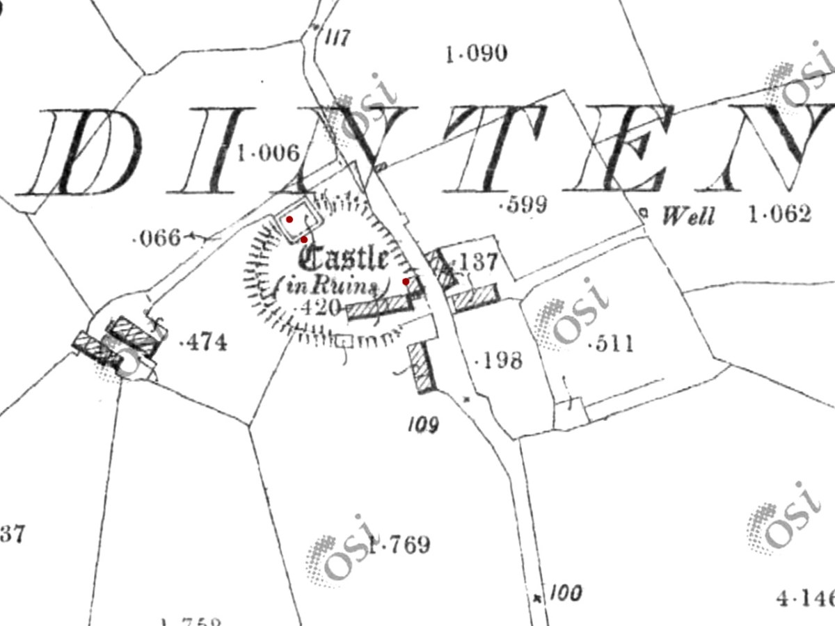
Ardintenant Castle was built on/within an existing ringfort

This expansive territory with its complex coastline was defended and controlled by a series of raths (earthen ring-forts), cashels (stone ring forts), cliff-edge and promontory forts until the 15th century, when wealthy chieftains and high-status individuals (such as bards and brehons) adopted the new style of stone fortification which we now call tower houses, or simply castles.

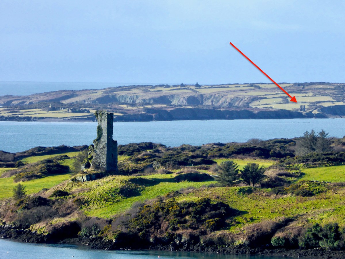
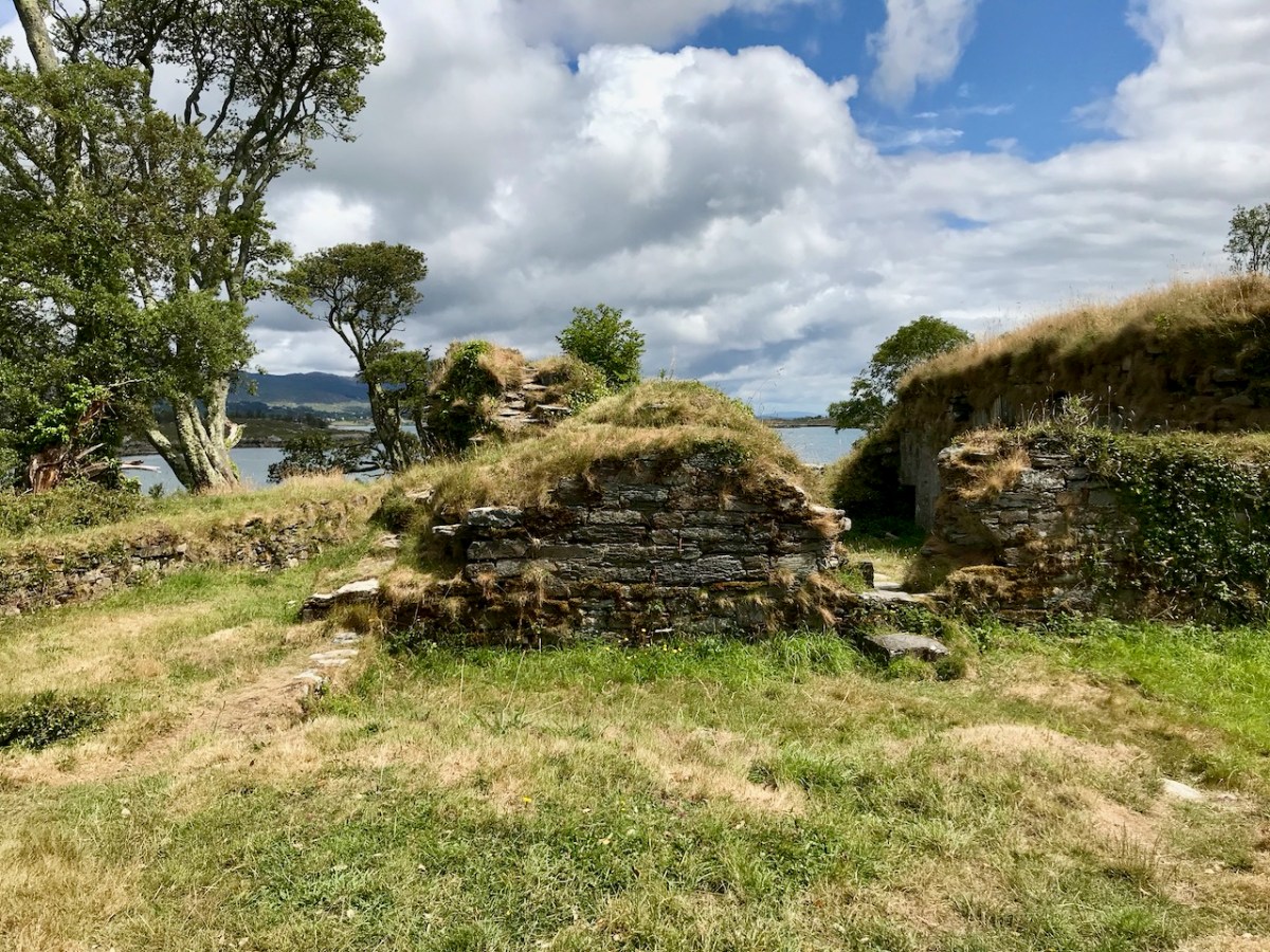
Rossbrin Castle. The arrow points to the location of the remaining wall of the tower house on Castle Island

And the O’Mahonys were certainly wealthy. Control of maritime resources was ensured by castles commanding all harbours and with sight-lines out to sea and to other castles, as well as by fleets of ships. The waters around Ivaha teemed with herring and pilchards, one of the staples of the Medieval European diet, once salted and processed in ‘palaces’ owned by the chieftains. Fishing dues were a lucrative source of income, as were exports of fur and wool and control of vast herds of swine which fed on the mast in the all-surrounding forests.

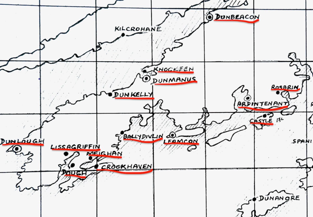
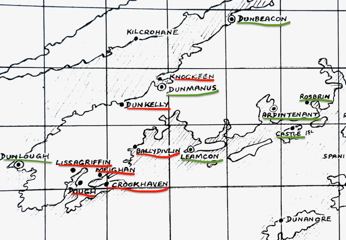
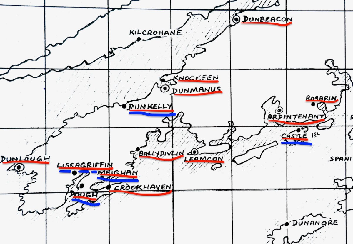
Several of the castles deserve an individual post (all in good time, although Robert has certainly written often about Rossbrin, see for example here and here) but for this introduction I want to lay out exactly how many O’Mahony Castles there were and how many we can see in the landscape now. Let’s start with the total number, each one underlined in red.

As you can see, there are fourteen locations indicated on the map*. Some of these may be familiar to you from previous posts we have written about the history and archaeology of West Cork, and some of them may look strange.  Dough? I hear you say – Never heard of it! Not to mention Knockeen, or Meighan.

The castles underlined in blue are certainly in O’Mahony territory, but may not have been built, or owned or occupied by O’Mahonys. There is some suggestion, and some local belief, that the tower on Castle Island may have been owned by the O’Driscolls, built for the purpose of keeping an eye on their neighbours. However, on the whole this seems highly implausible, since it is so deep within O’Mahony lands  and indeed within sight and easy reach of both Ardintenant, where the clan chieftain, (or Taoiseach) resided and Rossbrin, where the next-in-line to the chieftaincy, (known as the Táiniste) had his stronghold. 

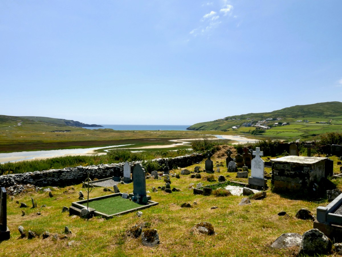
This is the site of the graveyard and ancient church at Lissagriffin – the castle would have a short distance to the west but with the same commanding view

Lissagriffin, Castlemehigan and Doagh Castle may have been built for or by the Mehigans, the traditional bards to the O’Mahonys. According to John O’Mahony,** A well-endowed hereditary family of Bards was considered to be an indispensable appendage of every considerable Chieftain’s establishment. Canon O’Mahony goes on to say

In process of time, if not from the beginning of the new chieftaincy, the western O’Mahony employed another Bardic family, that of O’Mehigan, and endowed them with some three hundred acres of land in Kilmoe (as appears from the Inquisition of Dermod O’Mehigan taken in 1623), and with the wardership of a castle―Castle Mehigan―built by the Chieftain, as, of course, it could not have been built from their own limited resources.

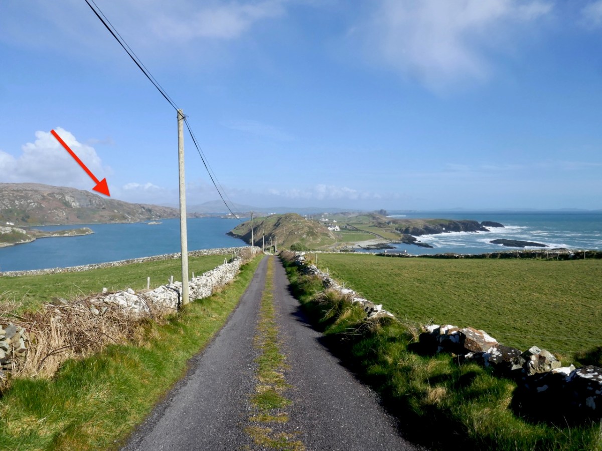
Other authorities posit that the O’Mehigans had not one but three castles of their own. The arrow below indicates the approximate location of Castle Mehigan.

Finally, there is Dunkelly. This one is traditionally associated with the pirate, Canty, and you can read all about him and his exploits in Robert’s post, Canty.

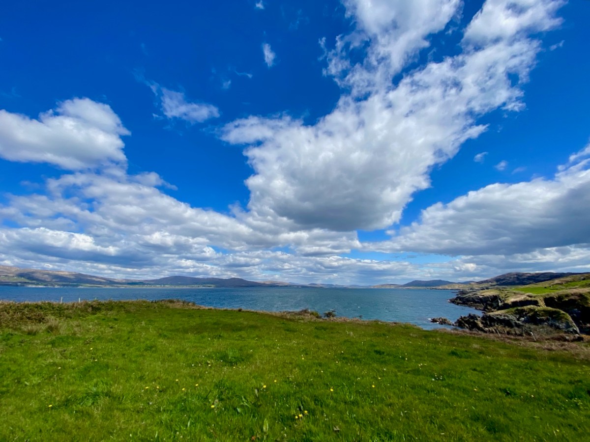
The view from where Dunkelly Castle was sited, looking up Dunmanus Bay

Some of these castles may be unfamiliar to those of you who already know most of these sites. That’s because there is nothing left of them. Besides the O’Mehigan and Canty castles, which have totally disappeared, there is now no longer any trace of the O’Mahony castes at Knockeen, Ballydivlin and Crookhaven. Knockeen, across the bay from Dunmanus Castle, may never have been completed. According to ‘Finnerty’ writing in the Southern Star in 1935, a ‘wise stranger’ came along as the castle was being built and warned that it would fall into the sea – so all operations were moved across the bay to the current location of Dunmanus Castle.

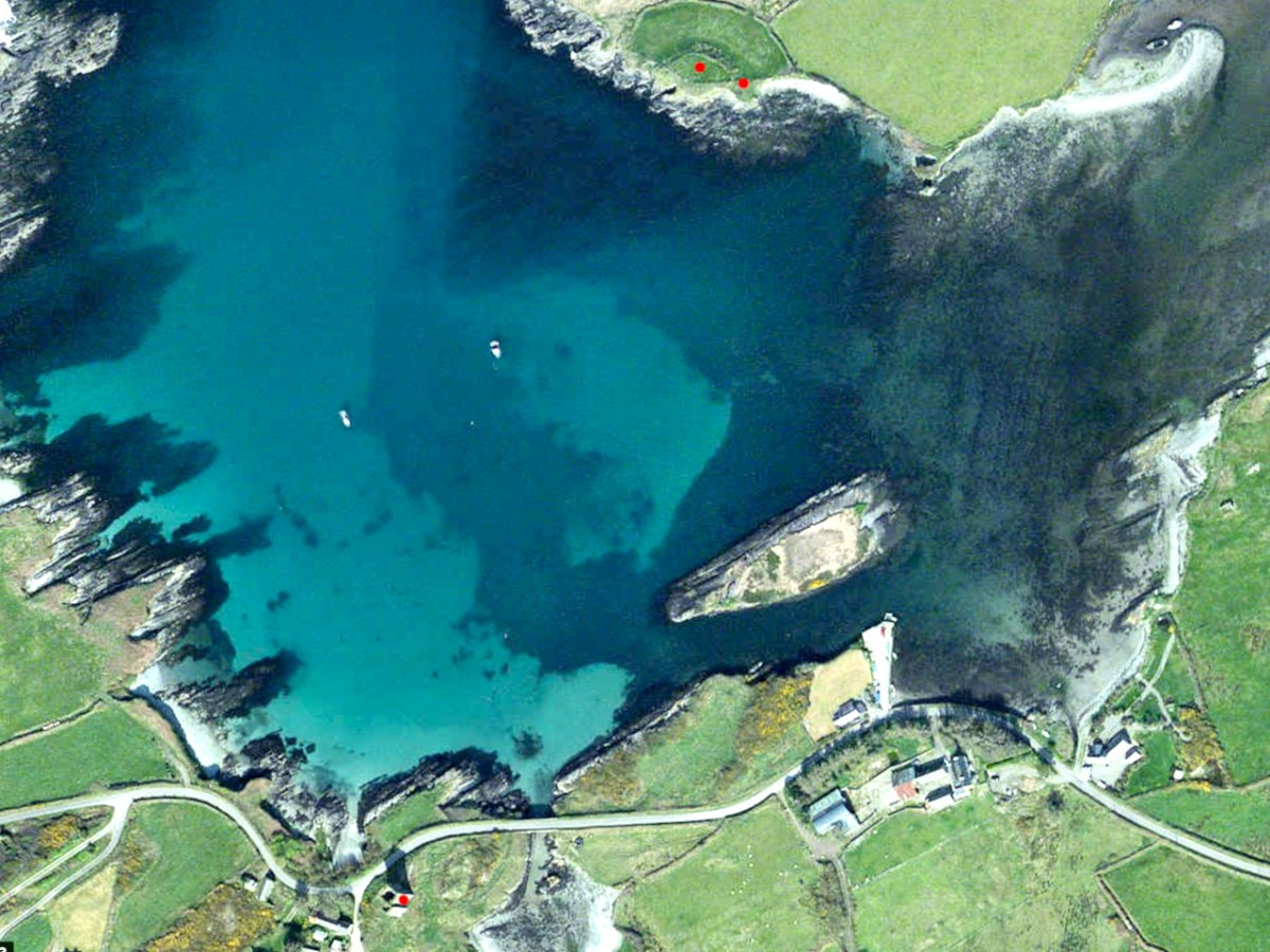
The two red dots on the north side of Dunmanus Harbour mark the site of Knockeen Castle, which was built (or started) on an existing cliff-edge fort. The red dot on the south side is Dunmanus Castle

Ballydivlin, sometimes called Ballydesmond,  was still standing, according to Healy, until the middle of the nineteenth century when it was demolished and its stones used for road making. Likewise, Bishop Dive Downes, visiting Crookhaven in 1700 described the walls of an old castle in the middle of what is now the village. Both Crookhaven and Ballydivlin (the photograph below shows where it was) followed the pattern of strategic siting to dominate the entrances to harbours.

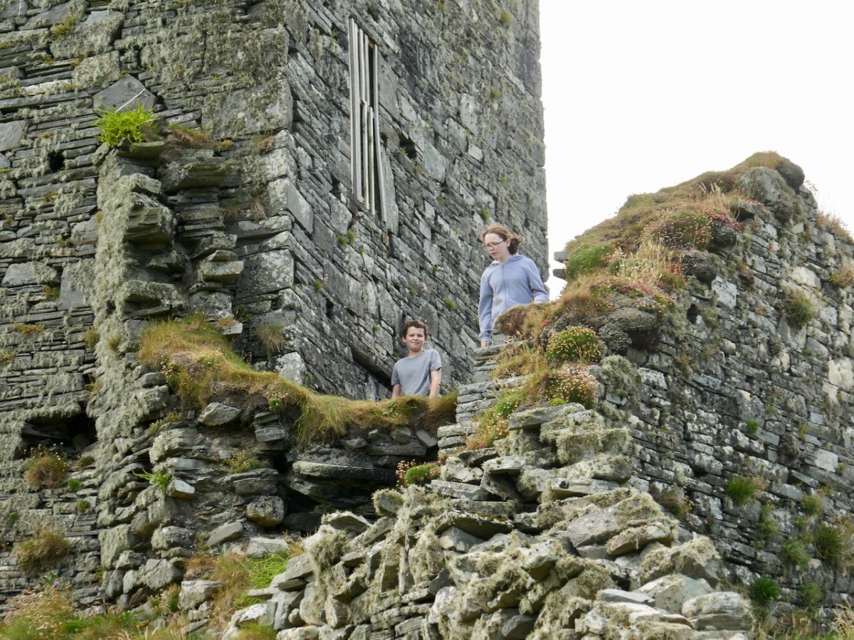
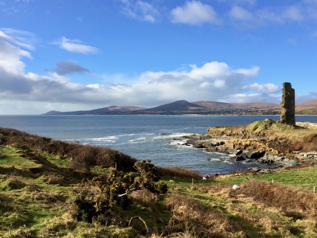
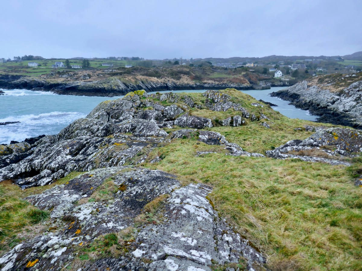
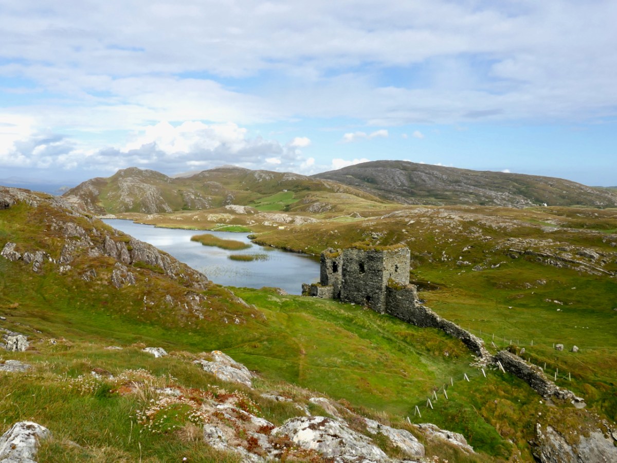
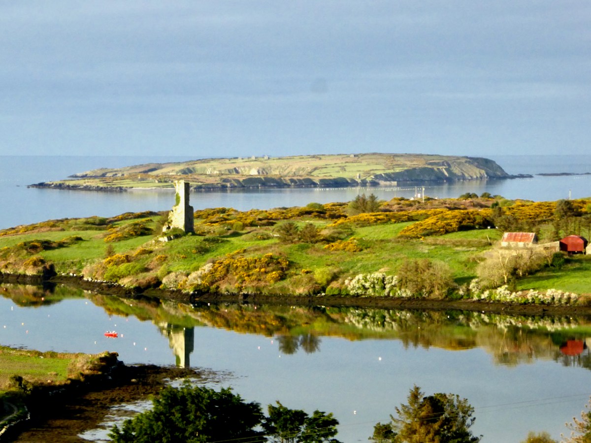
Of those we have left, Dunbeacon and Castle Island are vestigial – only parts of one or two walls remain. Dunbeacon is my lead photograph – you can see not only how little is left, but also how strategically sited it was, with views right down Dunmanus Bay.

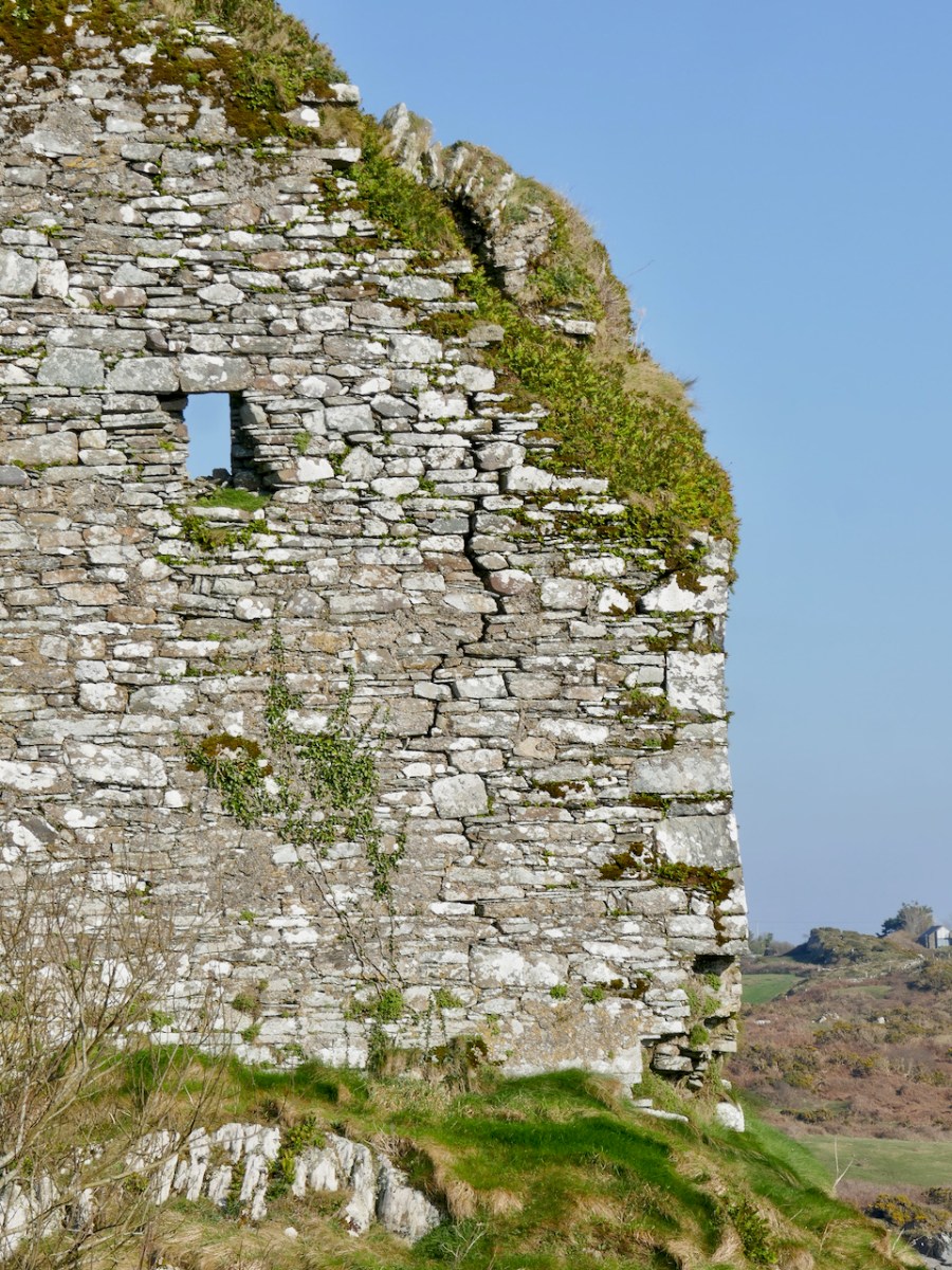
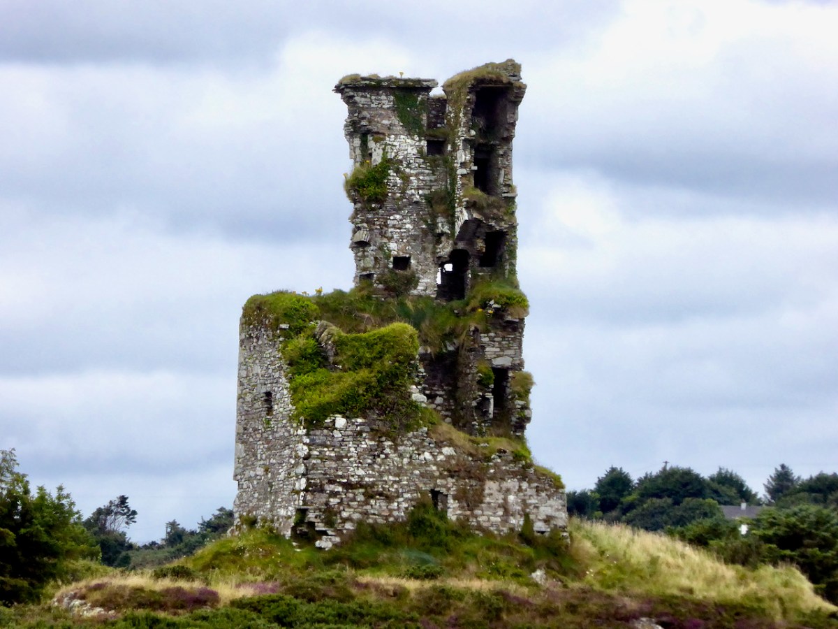
Rossbrin is in a perilous state, having been battered by storms over the years and with cracks and holes in its walls (above). And so we are left with seven of the original fourteen castles – the ones underlined in green, below.

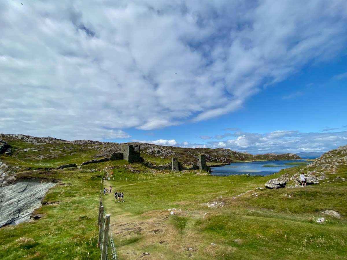
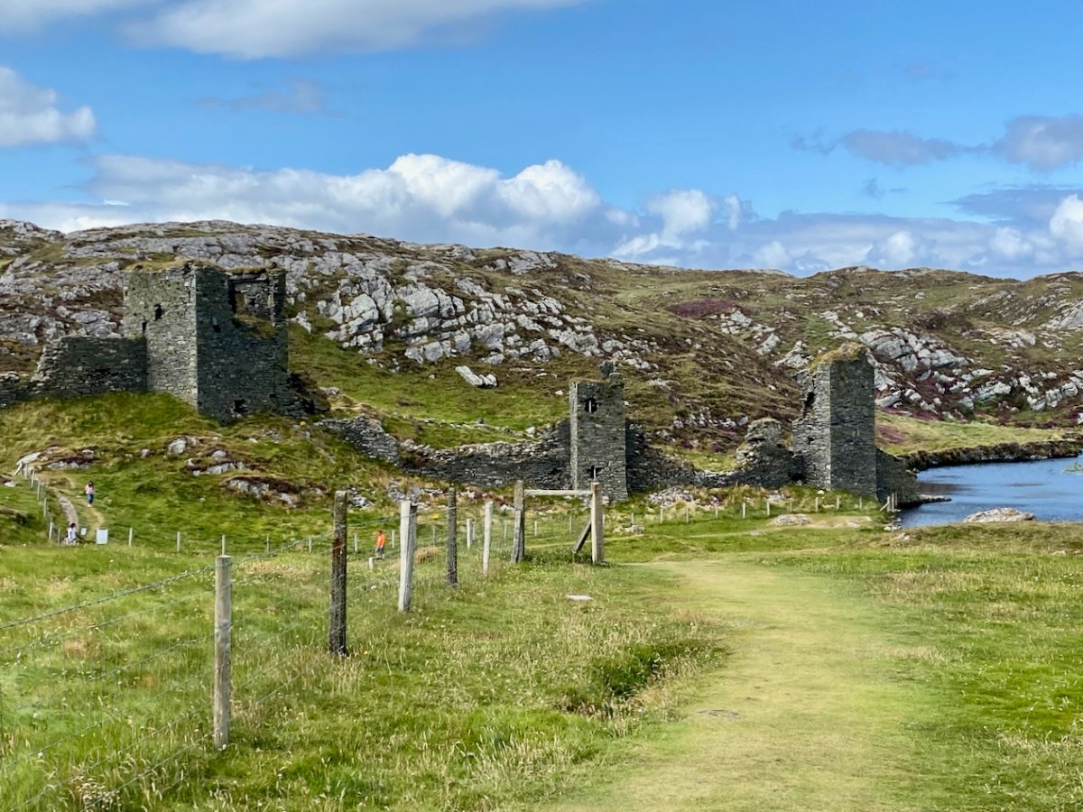
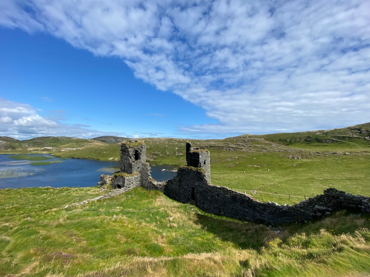
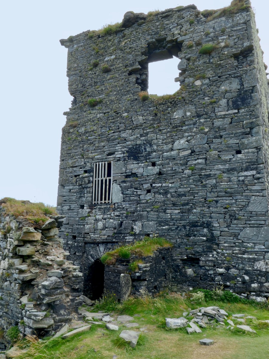
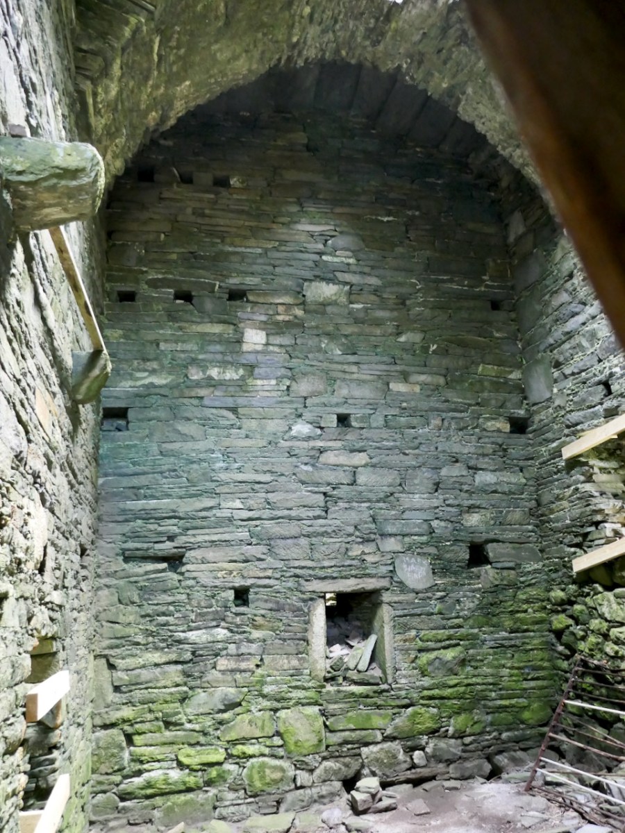
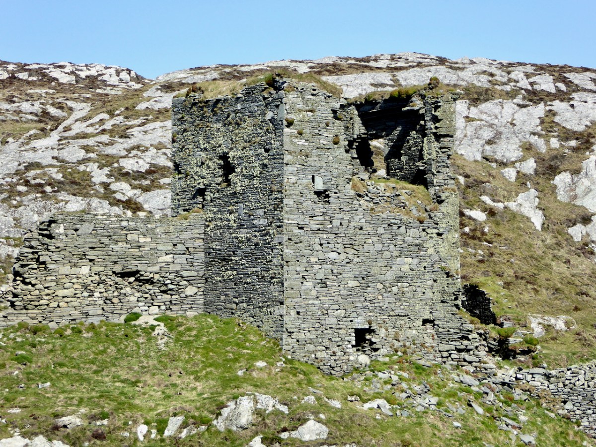
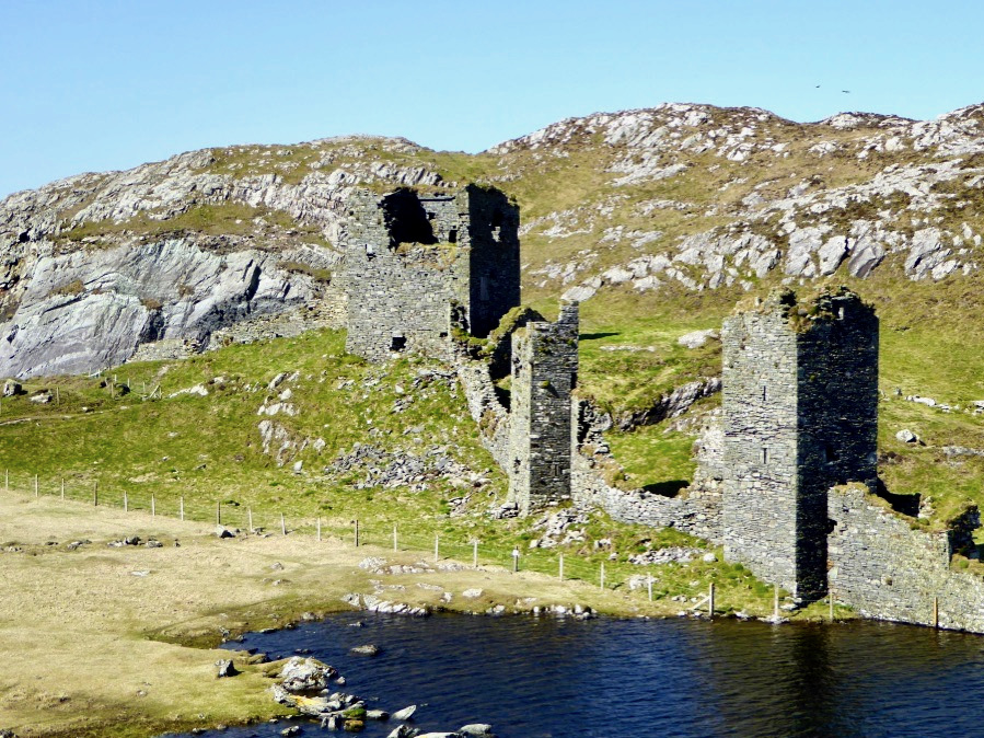
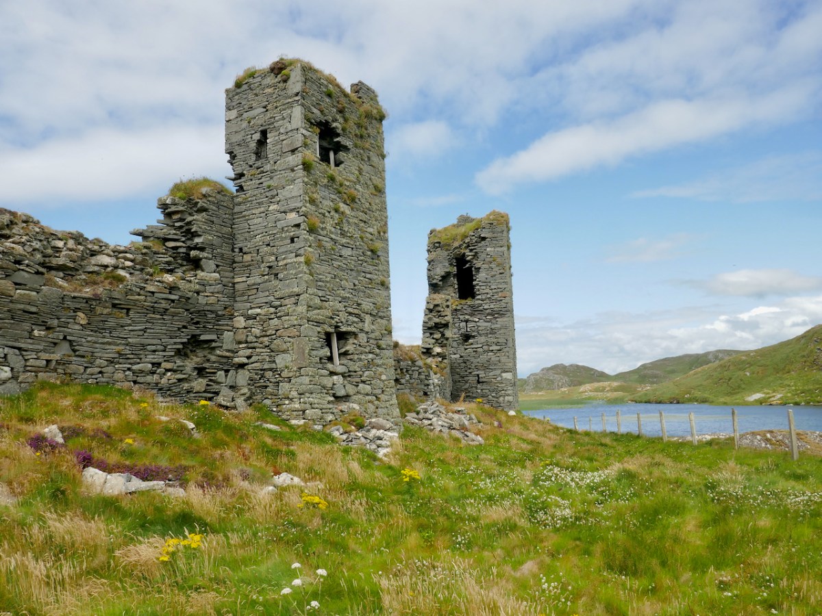
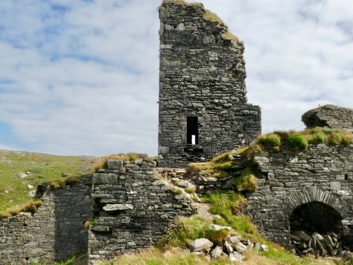
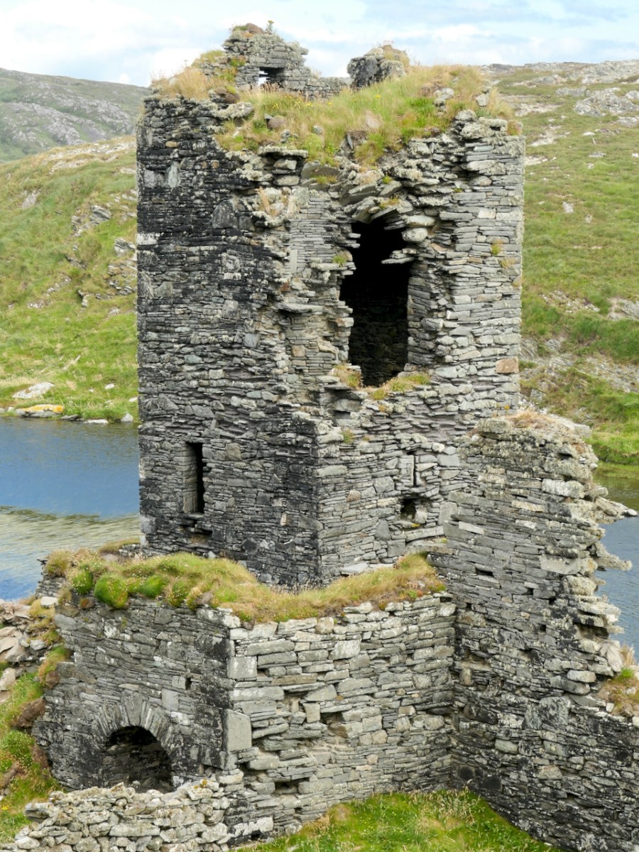
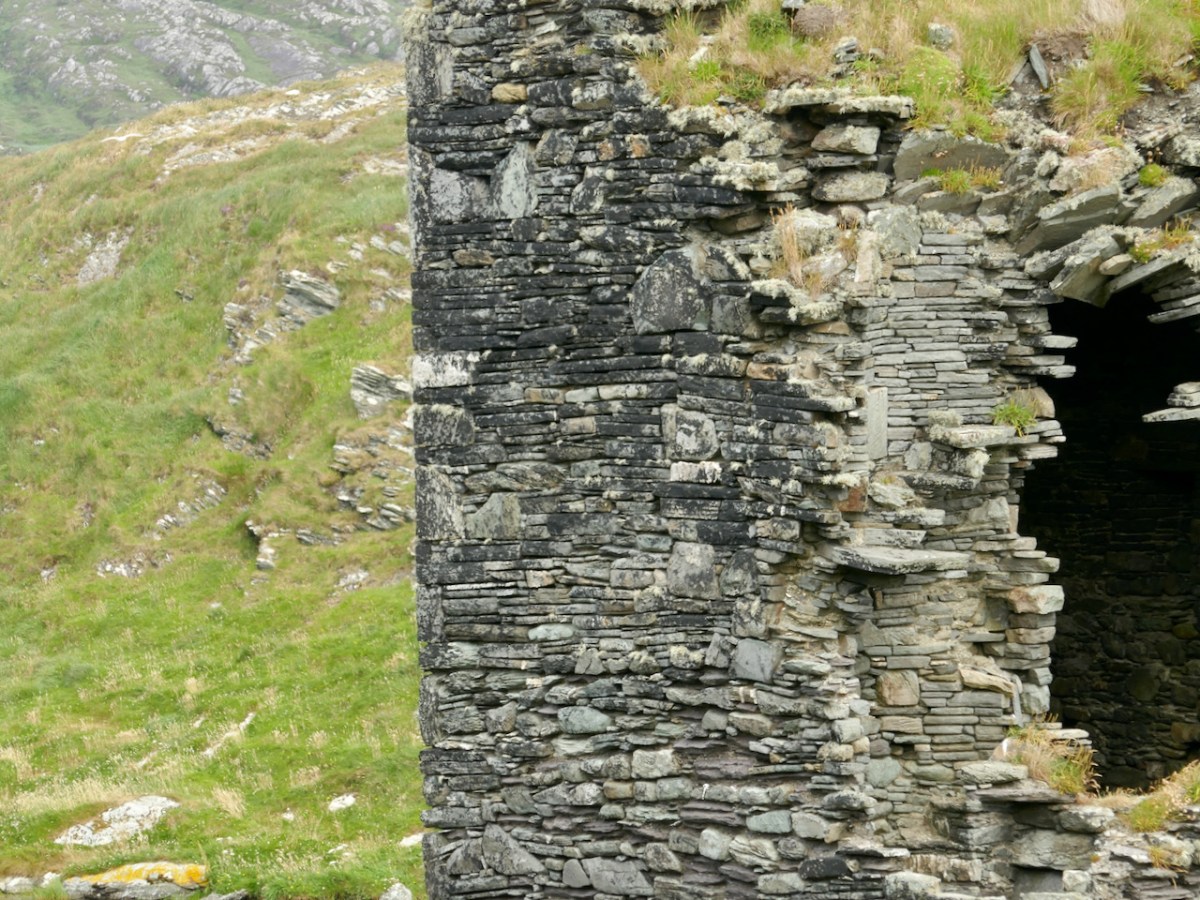
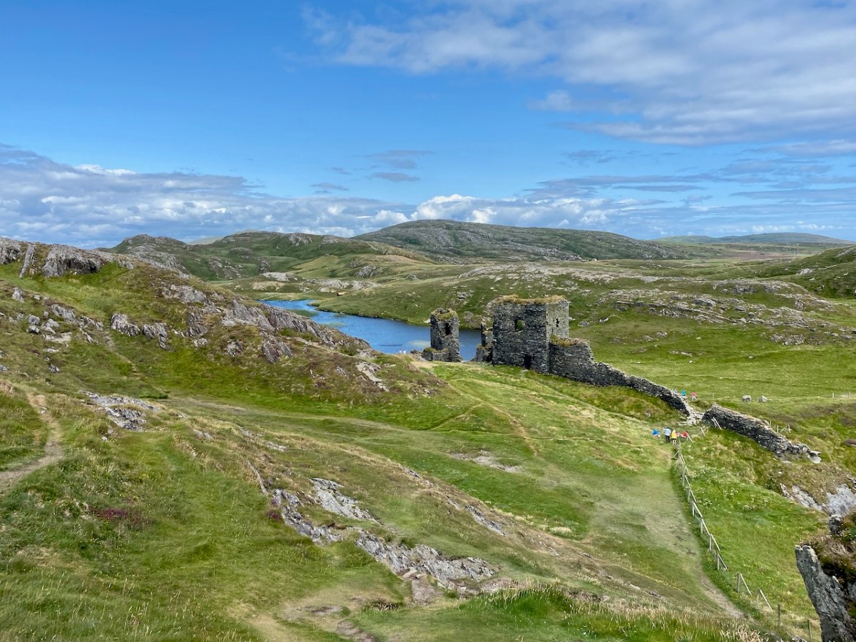
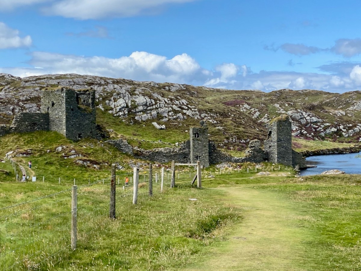
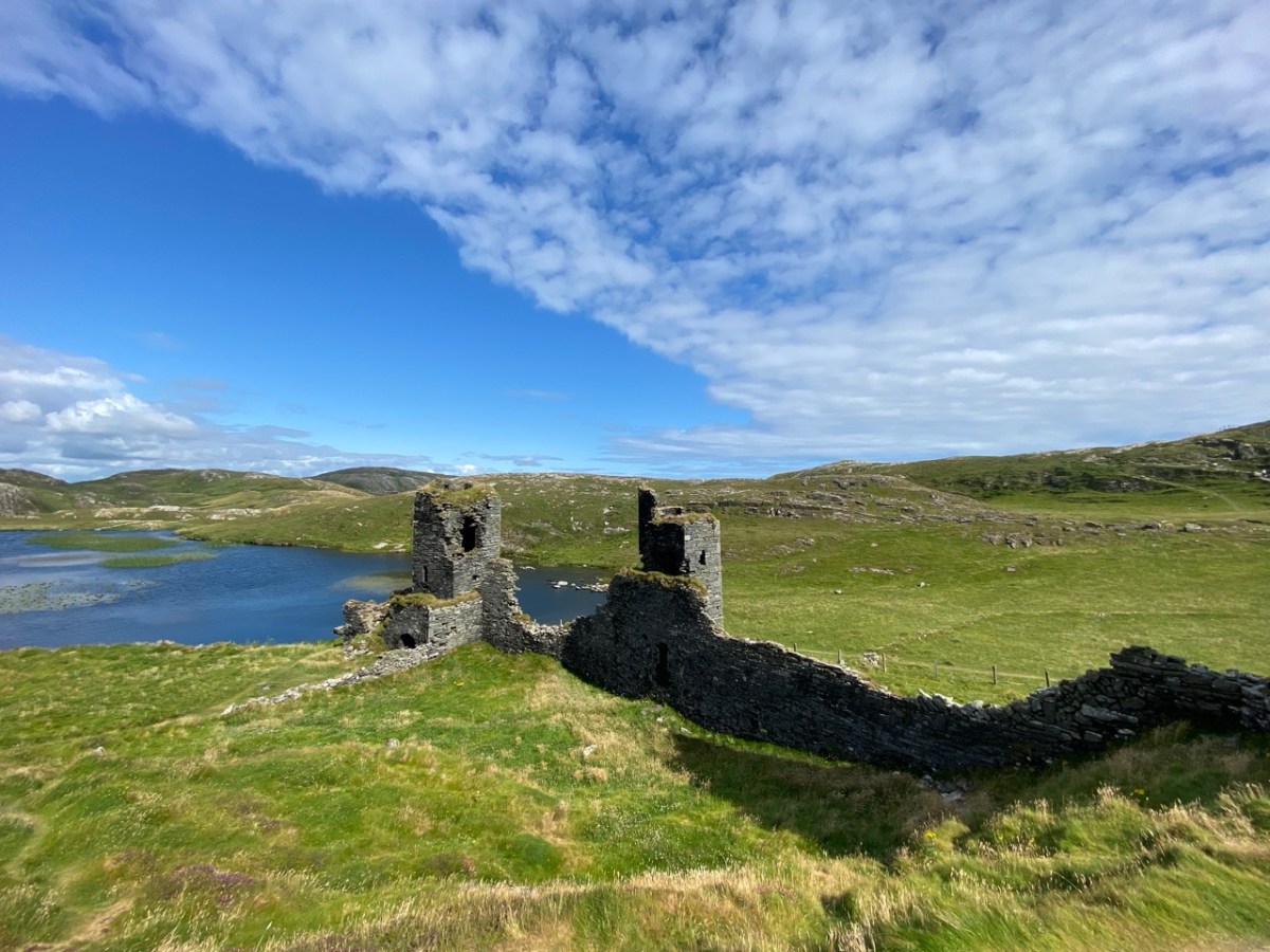
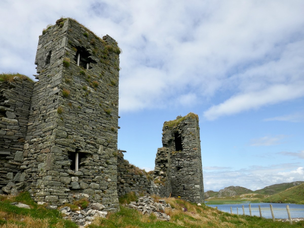
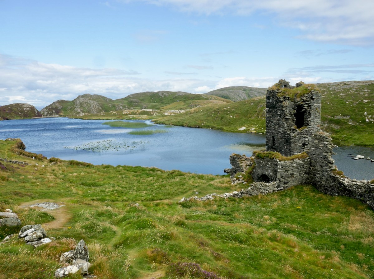
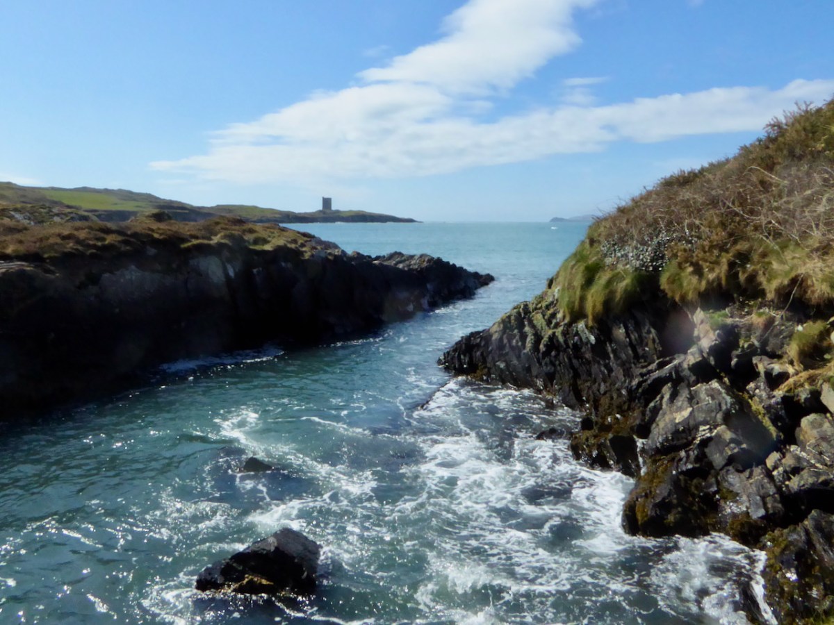
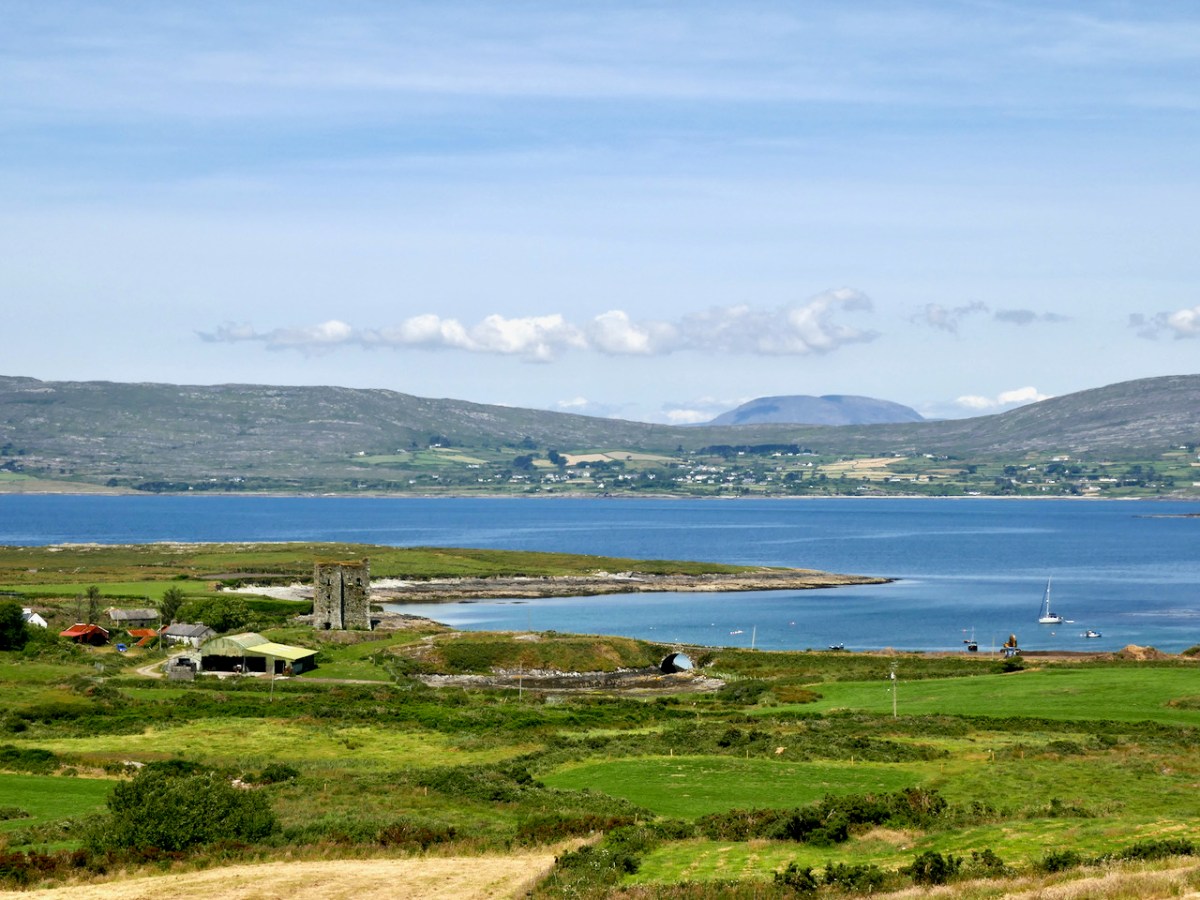
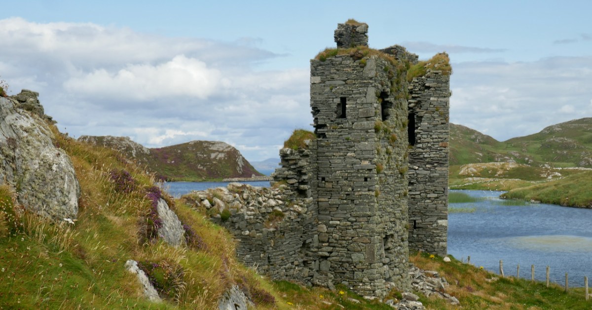
But the final four castles of Ivaha – Ardintenant (White Castle), Dunmanus, Leamcon (Black Castle) and Dunlough (Three Castle Head) are all relatively intact, and Leamcon (below) has been stabilised and preserved by its dedicated owner. 

Future posts will describe the defining characteristics of the Castle of Ivaha and explore what we can learn from those that can still yield information.

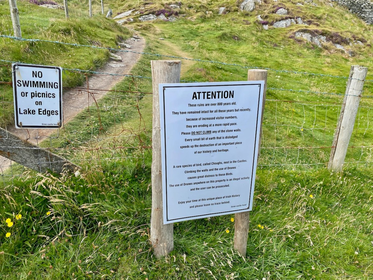
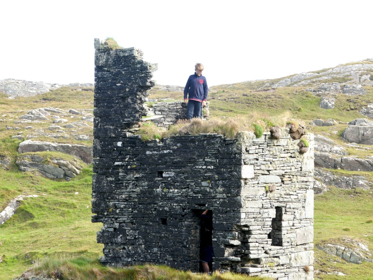
Three Castle Head

*map, and information where noted, based on James N Healy’s The Castles of County Cork, Mercier Press, 1988

**A History of the O’Mahony Septs of Kinelmeky and Ivagha, Rev Canon John O’Mahony, Glenville, Crookstown, Journal of the Cork Archaeological and Historical Society, various issues, 1906-10

For posts on individual Castles see:

Ardintenant Castle

Dunmanus Castle 1: The Cliff-Edge Fort

Dunmanus Castle 2: The Castle

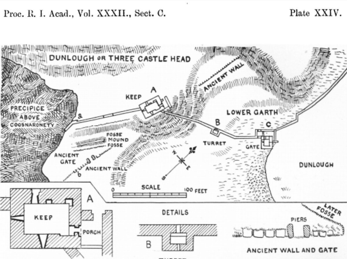
Dunlough, or Three Castle Head

Black Castle, or Leamcon

Glen of the Downs

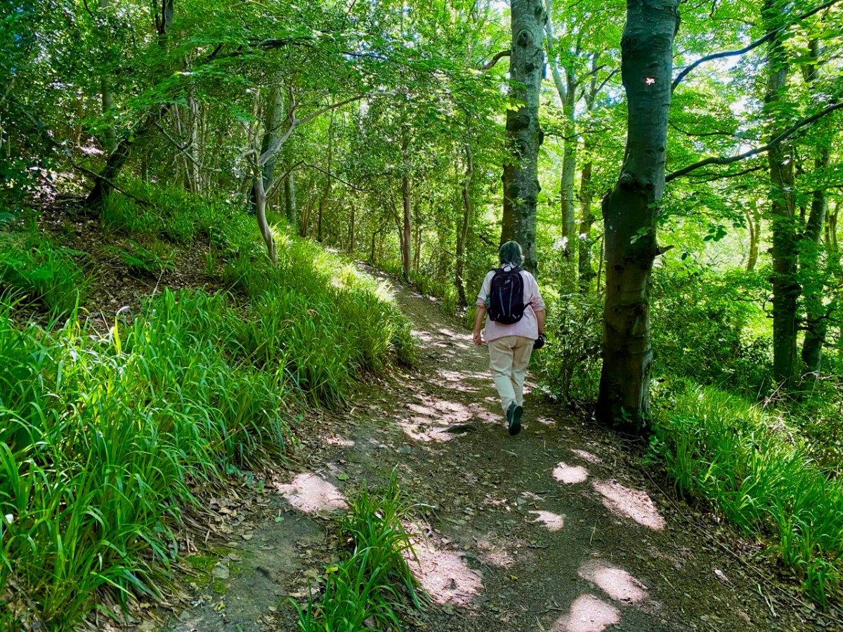
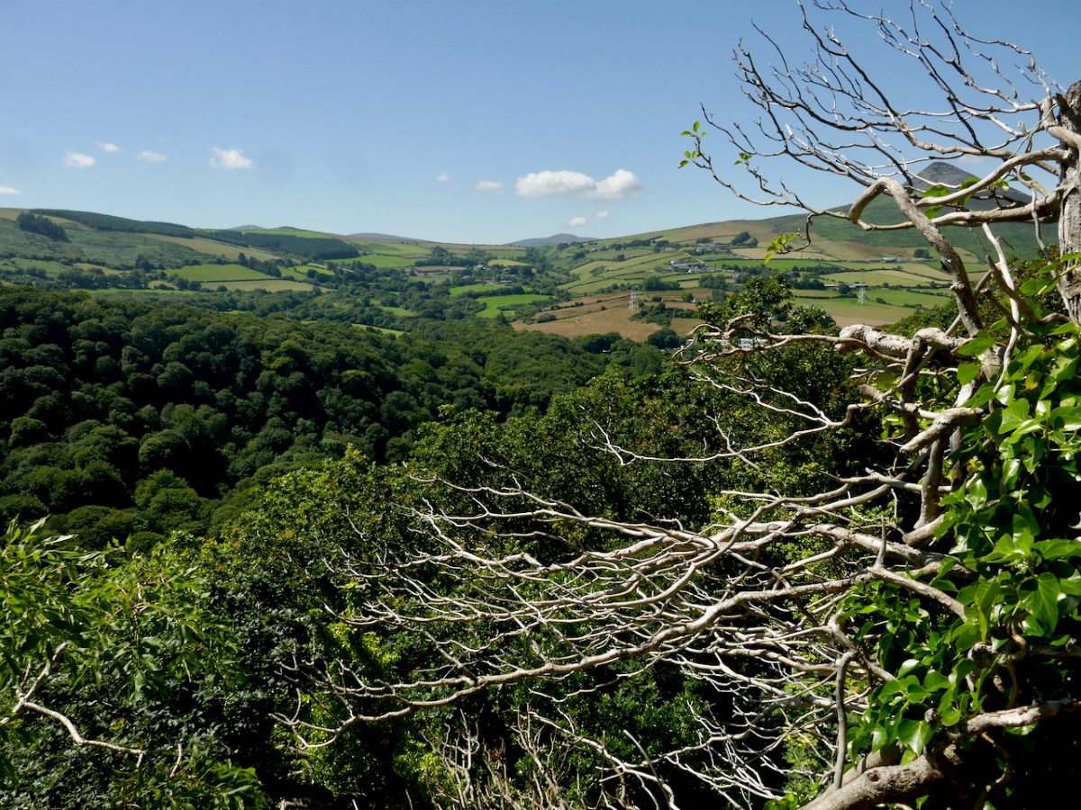
There’s a very attractive woodland walk near Delgany, County Wicklow, to the south of Dublin. It’s well worth an exploration, but be prepared for the intrusive sound of the main N11 road which runs alongside the path as you set out from the public car park: you will leave it behind – eventually – as you climb up into the trees.

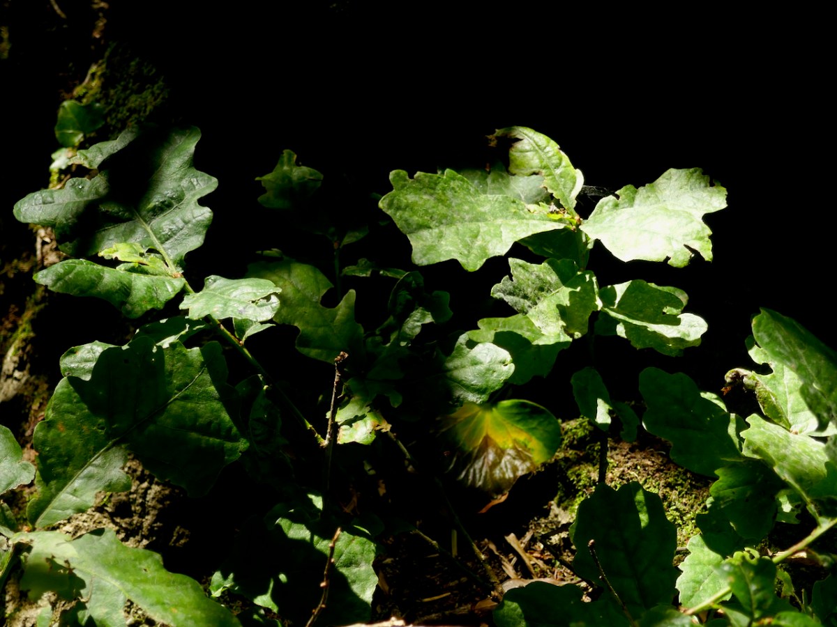
It’s a now rare ancient Irish oak wood, once all part of Bellevue Estate, a 300 acre demesne established by the La Touche family in the mid eighteenth century. Through many generations the Huguenot family was known as an ‘ample benefactor of mankind’ who ‘left a record of noble deeds behind them’. During their heyday the La Touches acquired the lands of Upper and Lower Rathdown on which much of modern Greystones has been built, and their name is familiar in the fabric of that town today.

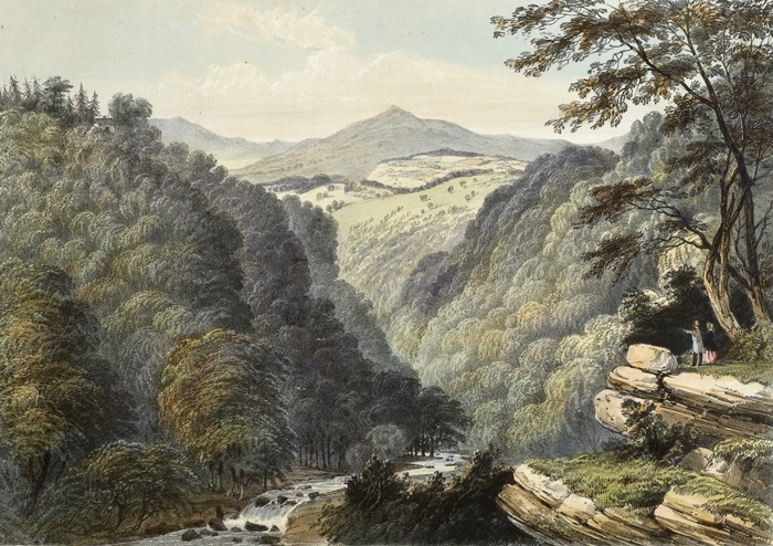
The beauty of this part of County Wicklow has been celebrated by many artists over the years: here are a couple of examples from the late 1700s showing the Glen of the Downs landscape. Always, one or both of the topographical high-points – the Great and Little Sugar Loaves – are prominently featured.

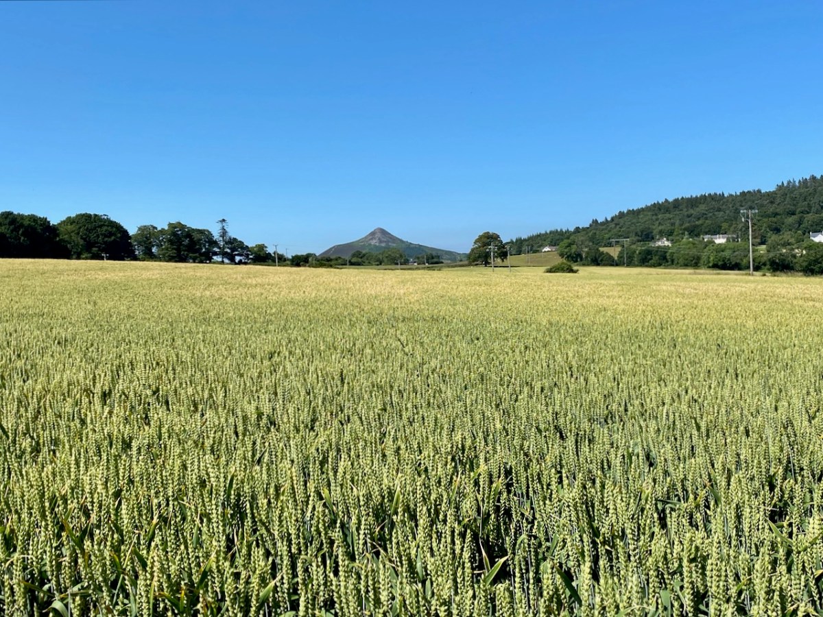
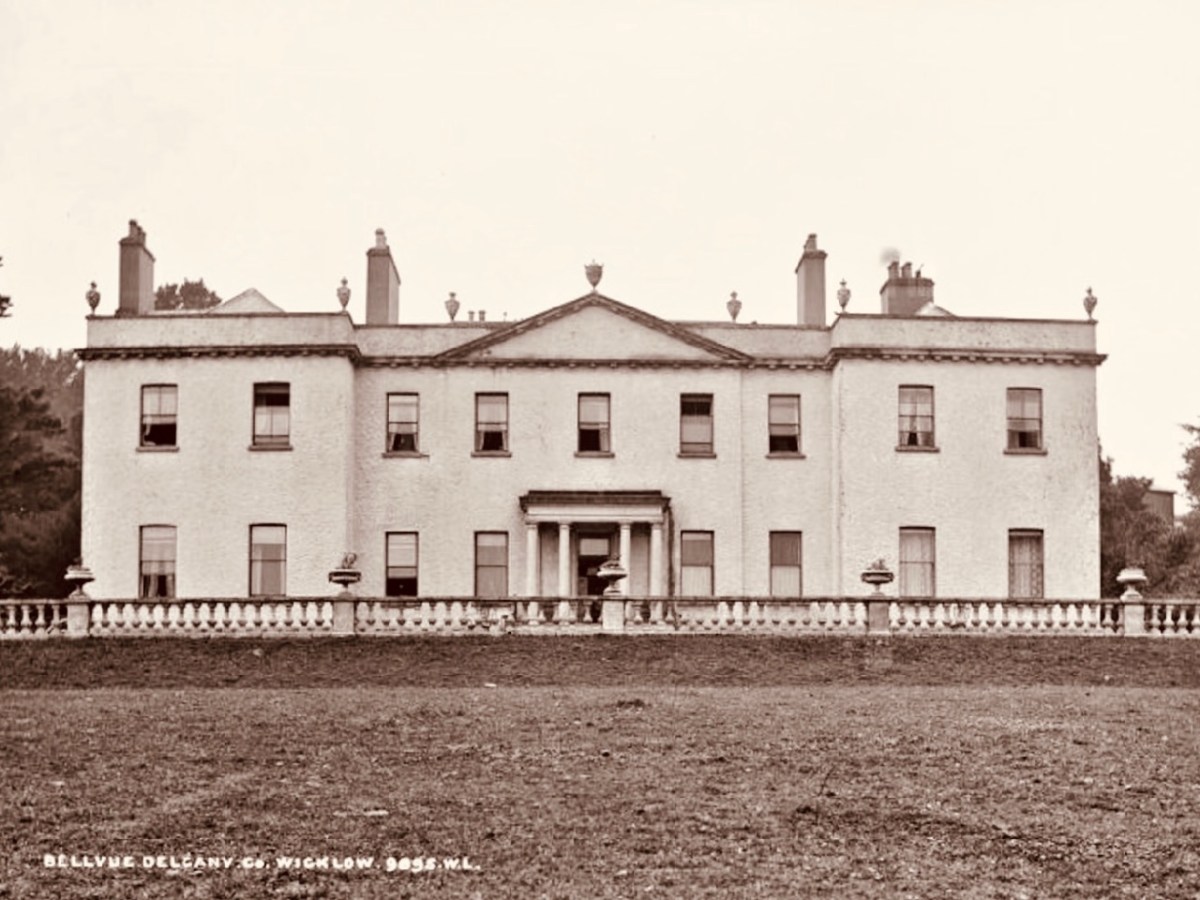
We have photographic records of the La Touche mansion, Georgian Bellevue House – with its famed hot-houses where many exotic plants were cultivated, before its decline in the 1900s and its eventual demise: the crumbling pile was demolished in 1950 to make way for wheat-fields and a golf course.

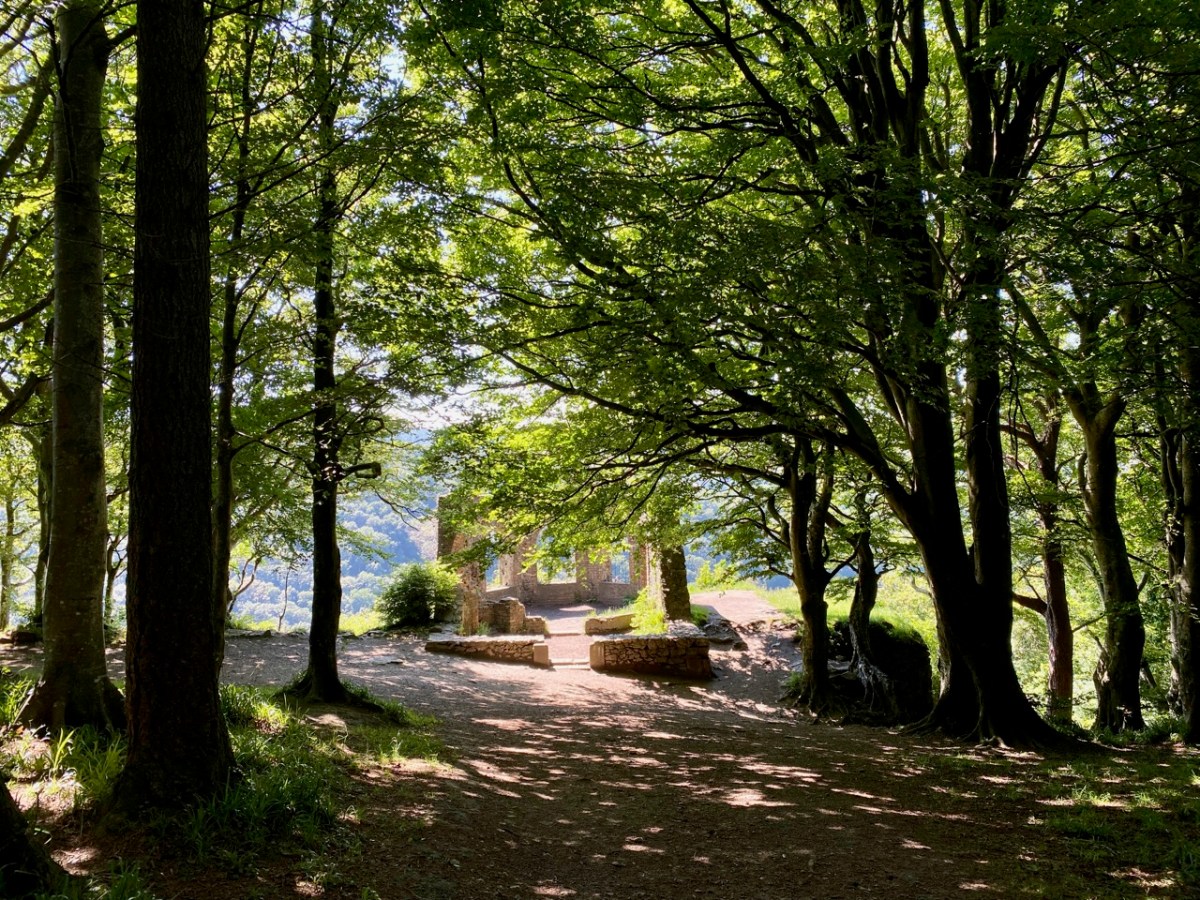
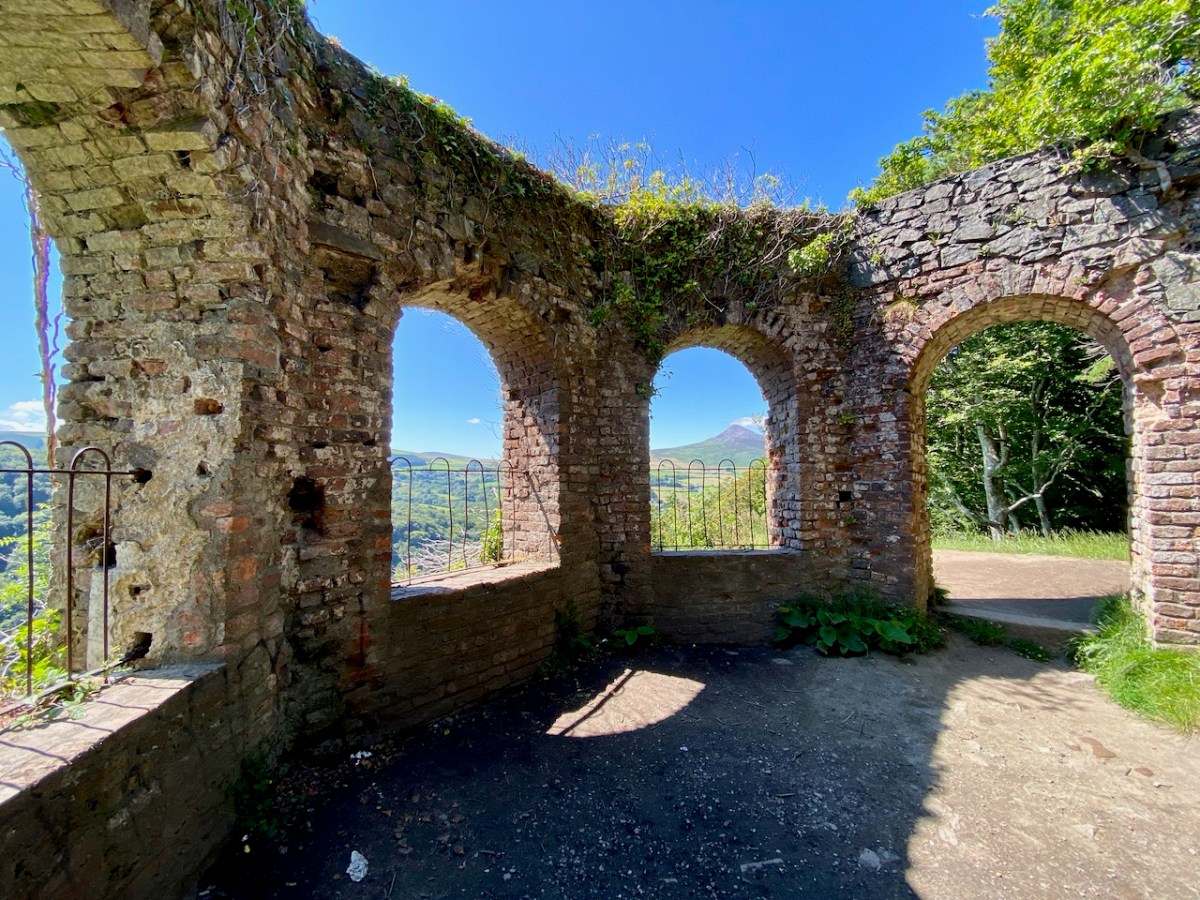
Hidden away in the oak wood is a remnant of the once vibrant La Touche estate: today it’s known as ‘The Octagon’ because of its shape. Its purpose originally was a banqueting hall, set high up on a platform looking out over the landscape. It must have been quite an undertaking, bringing food, furnishings and serving staff up from the ‘big house’: there are remains of tunnels said to have been used for this purpose. Most intriguingly . . .

. . . The estate at Ballydonagh comprised 300 acres, with fine views across the Glen of the Downs and towards the Irish Sea. David, the younger La Touche, built his favourite country retreat here between 1754 and 1756, at a cost of £30,000, and called it Bellevue. Beautiful gardens were laid out with winding paths and “extras” built by David and his son, Peter, when he inherited in 1785. Among these was the Octagon, built in 1766, with a panther on springs, which could be made to jump out at unwary visitors. The house was most famous for its huge glasshouse, built between 1783 and 1793, in which many exotic plants were grown . . .


Judith Flannery, The Story of Delgany, 1990

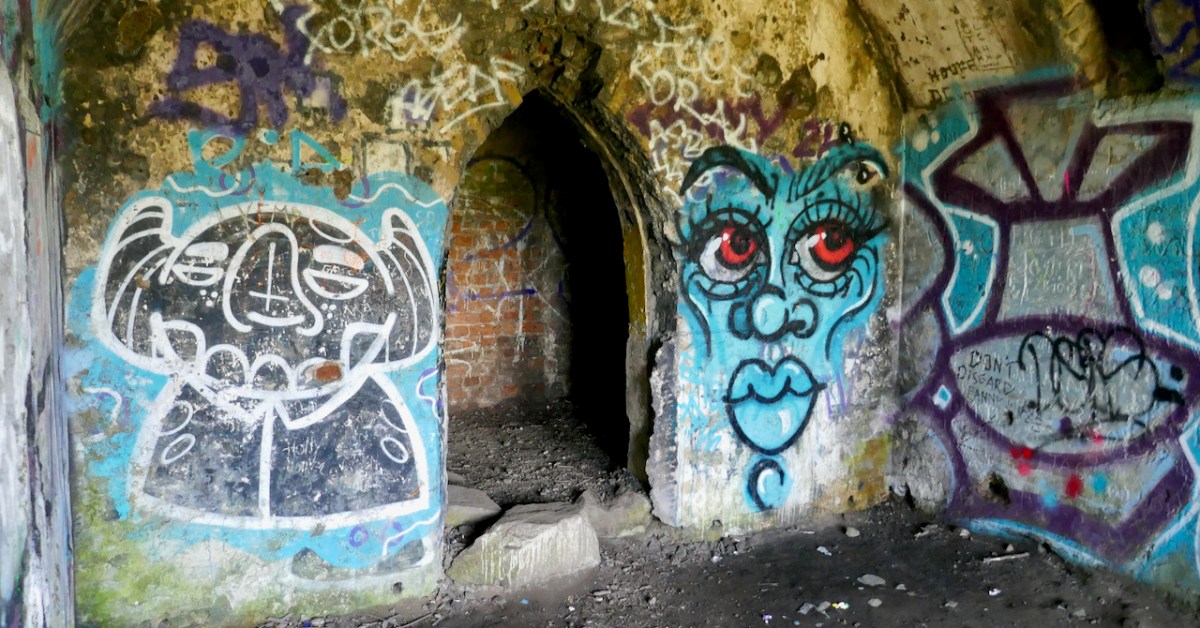
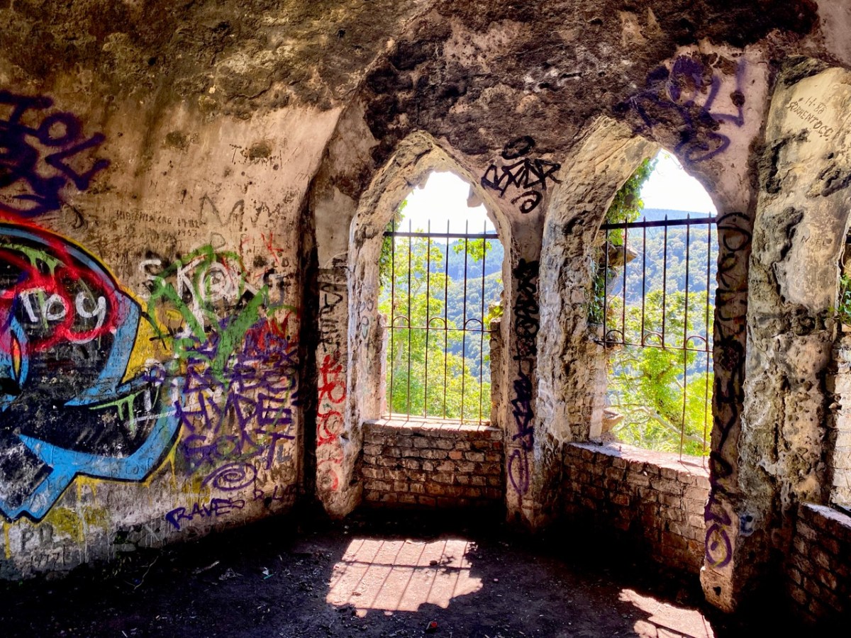
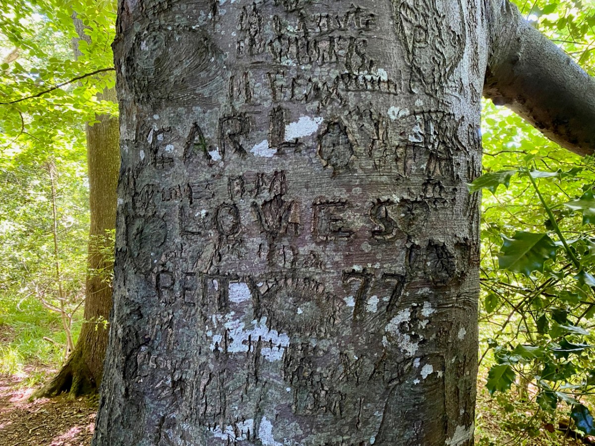
There is no doubt that the building was superbly sited to maximise the good views. Beyond that, it’s hard to fathom how the architecture functioned – and the panther on springs remains a puzzle! Over years of exposure to the elements, and inquisitive visitors, the Octagon has gained a patina of graffiti – which adds, perhaps, to its character and attributes.

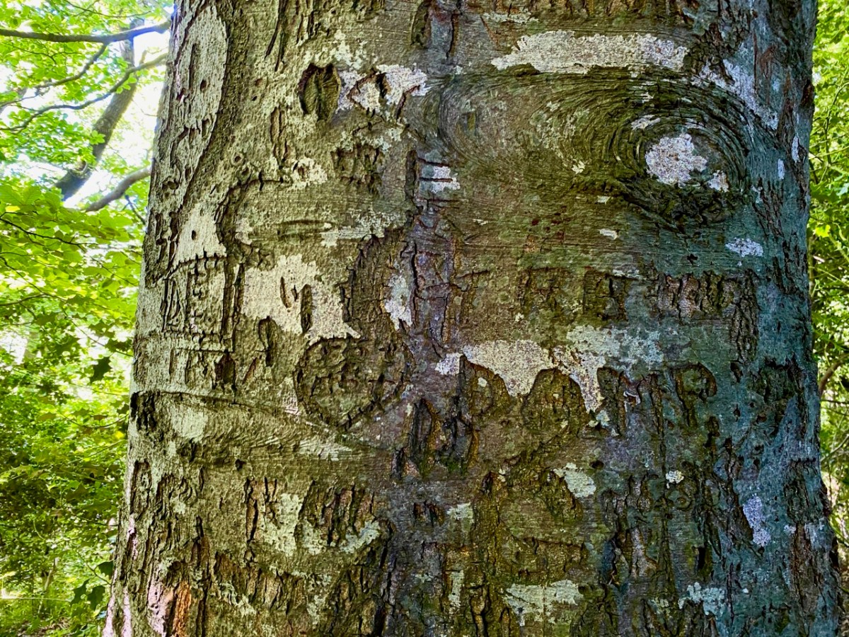
The practice of ‘making one’s mark’ seems to have migrated to trees surrounding the site: perhaps some of these can be attributed to people who lived in them once! In 1997 eco-warriors staged a protest campaign when plans were put forward to upgrade and widen the N11 road, involving felling over 1,700 mature beech, oak and ash trees. The protesters ‘occupied’ the trees for over two years (below), ‘climbing down’ eventually when the Courts upheld the highway authority proposals.

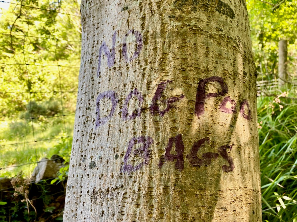
The road has since been widened, and the intrusive traffic sound within the Glen of the Downs has accordingly increased manyfold. Interestingly, there are currently proposals under discussion to further improve the N11/M11 route in this same locality – including the possibility of a road tunnel which might even remove traffic altogether. Meanwhile, the trees continue to present us with messages for our own complex times . . .

For all its ups and downs, and possibly mixed messages, the Glen of the Downs woodland walk is beautiful, and well worth a visit. Who knows what – or who – you might encounter among the trees?

Kerry Leftovers

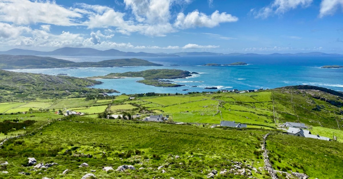
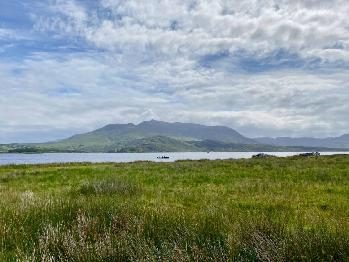
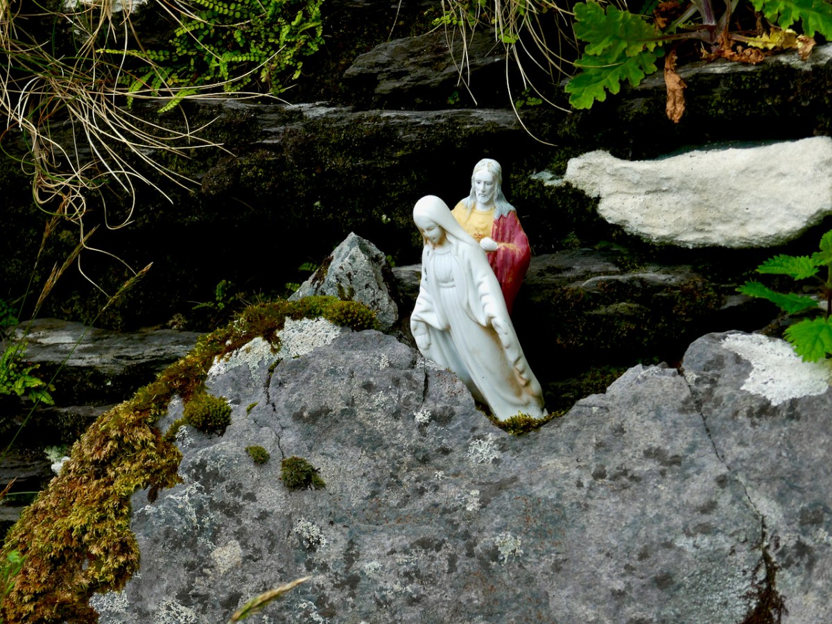
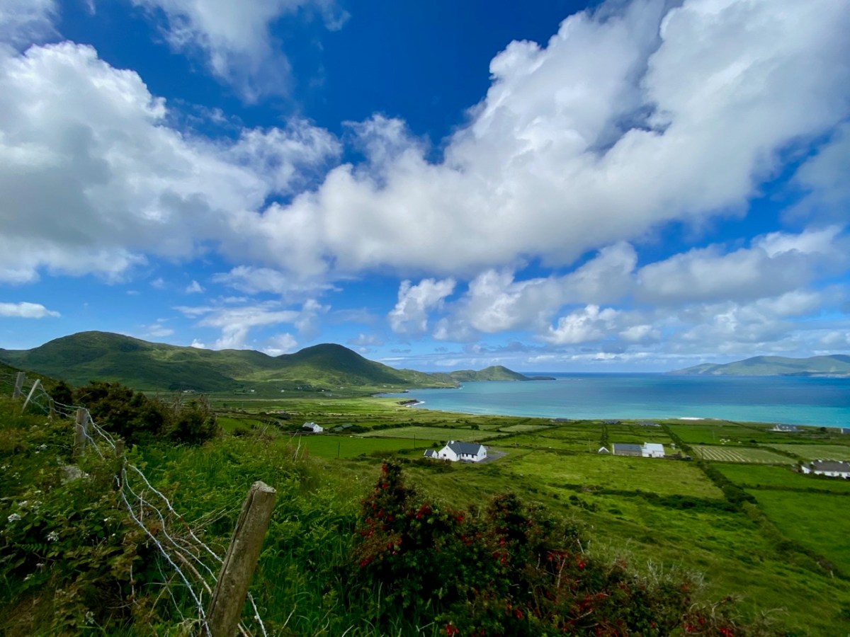
We spent a couple of days in Kerry a week before midsummer, and gave you some account of our discoveries on Church Island, Lough Currane, and up in the hills at Caherlehillan – both memorable Early Christian sites. Our adventures did not end there: we managed to take in, also, some other ancient treasures, a couple of Kerry characters, and some stunning scenery – hard to match – as we travelled back to West Cork along the Ring of Kerry road (above).

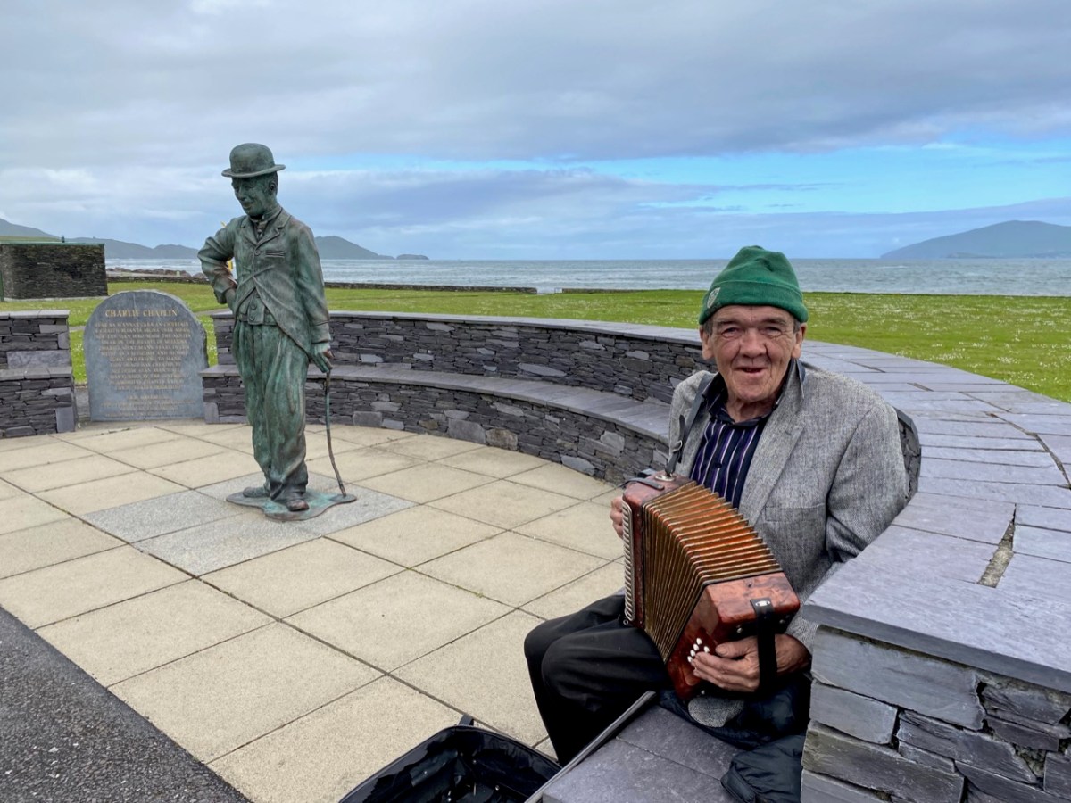
Firstly, here are Charlie Chaplin and Michael Collins (above), both familiar figures in Waterville. The Hollywood star spent his summer holidays in the coastal town for many years with his family and is commemorated by a bronze statue, while Michael can be found on most days in this much photographed location, always ready to entertain with Kerry polkas and slides on his accordion.

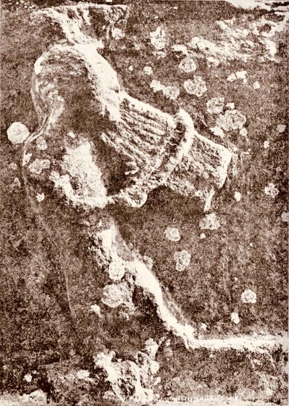
Here’s a much earlier Kerry musician: he’s known as ‘The Fiddler’, and is an unusual medieval representation of an instrumentalist found in the romanesque ruin on Church Island, Lough Currane. I was pleased to find this photograph in the Royal Society of Antiquaries of Ireland Notes from 1908 by P J Lynch as it shows the carving as it was found by the OPW when they took over the site. Now the original, which had suffered accelerated weathering, is kept protected in a museum while a well-worn replica is in place on the site. I believe the carving is a good representation of a medieval bowed lyre, an instrument with six strings which survives today in some cultures, although Lynch gave the following commentary:

. . . The interest in this stone centres in the musical instrument. The examples of ancient carving in Ireland representing stringed instruments are few, and confined to harpers. The photograph illustrates this instrument very clearly. It is the ancient cruit or fidil, said to be the parent of the violin. There are six strings indicated by sunken lines in the stone. The figure appears to wear a kind of tight-fitting tunic. Dr O’Sullivan states that the word fidil being a teutonic version of the original name vièle, it may be concluded that the original instrument was introduced through the Anglo-Saxons, and not through the Normans. He adds that up to the eleventh century it consisted of a conical body, and after that it became oval. If this be a portion of the twelfth-century instrument, the older pattern must have survived. The Kerry people were probably as unwilling to change in those days as they are at present . . .

P J Lynch – Some notes on church island – RSAI 1908

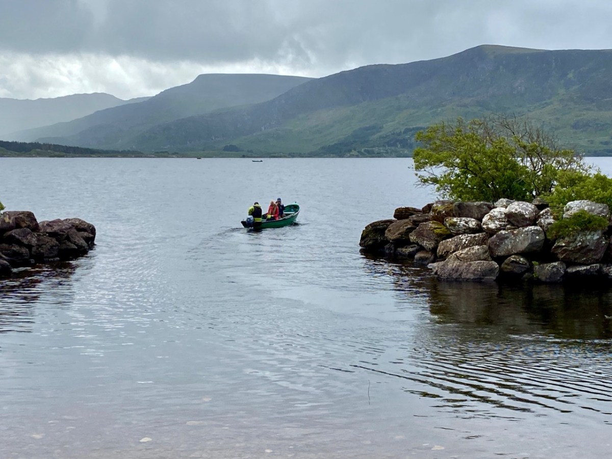
Our trip out to Church Island (above) was accompanied by moody weather, but we were fortunate with other expeditions which included the discovery of ancient sites in the townland of Srugreana (Srúbh Gréine in Irish, which is translated variously as sunny stream, gravelly stream or – my favourite – snout of the sun: Kerry certainly offers some tricky pronunciations for those unfamiliar with the area, or the language!).

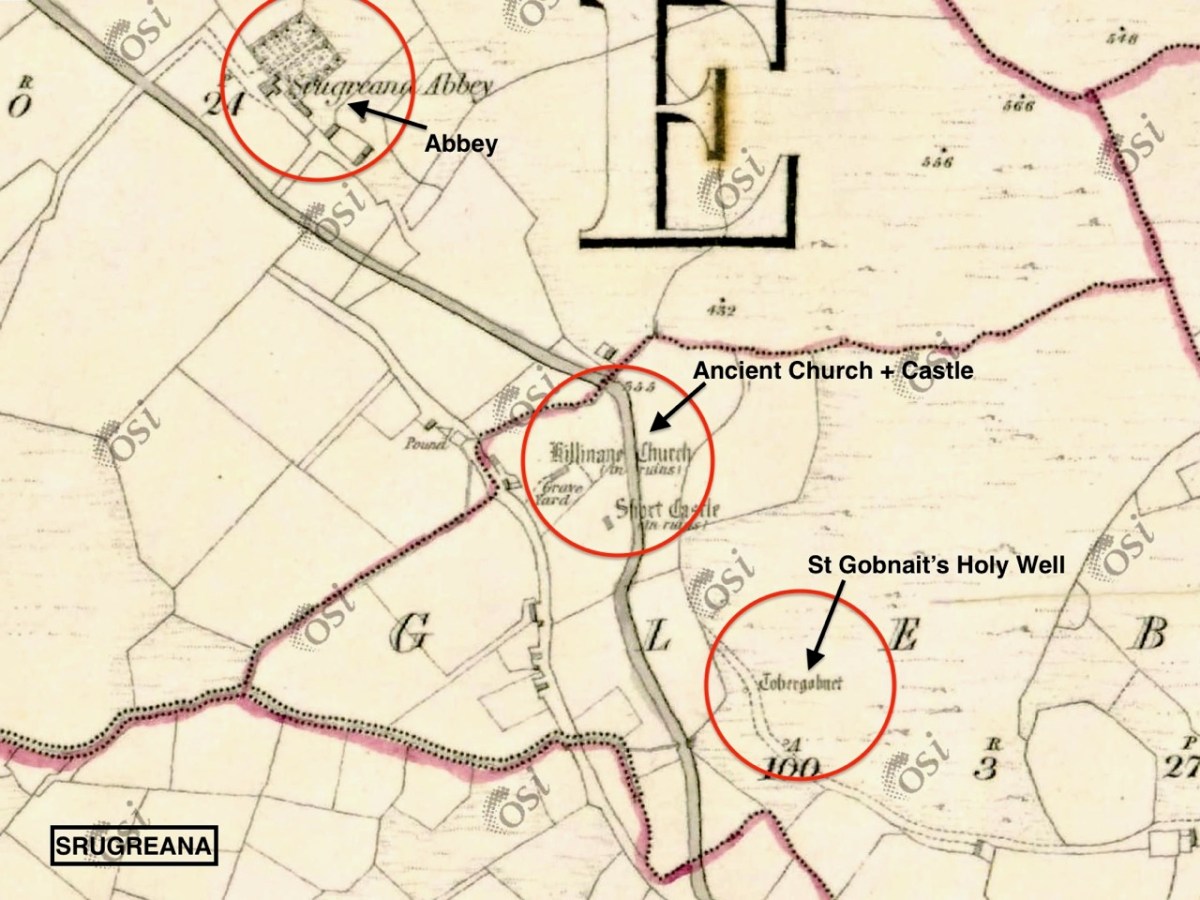
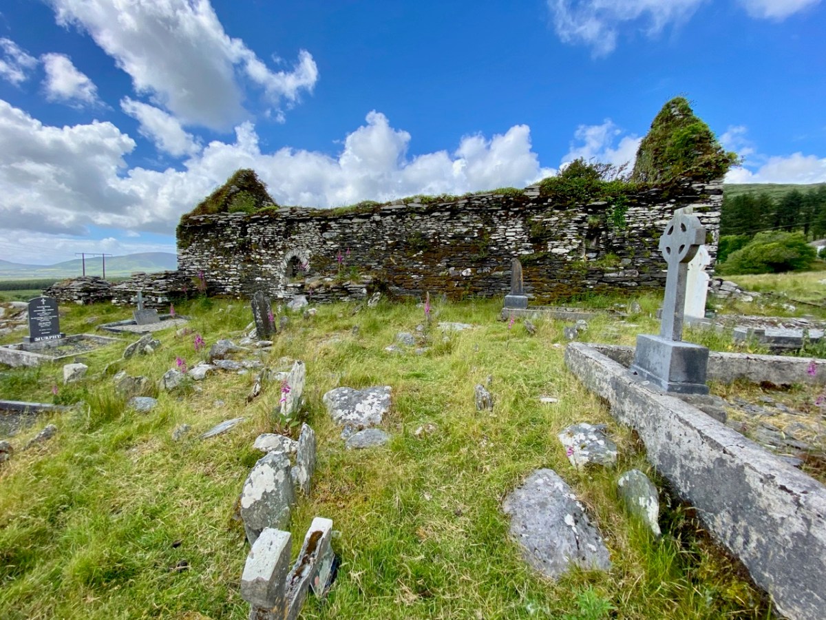
This extract from the 6″ OS map, dating from the mid-1800s, shows one area we explored on our Kerry day. It throws up some enigmas: Killinane Church (the church of Saint Lonan or Lonáin) is often referred to as Srugreana Abbey, but this is a separate site indicated further to the north-west on the early plan.

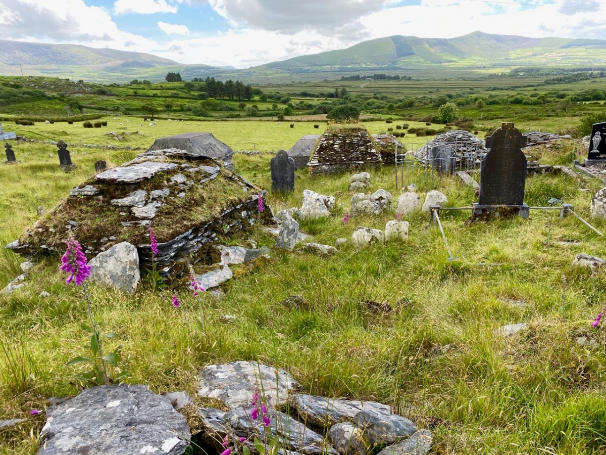
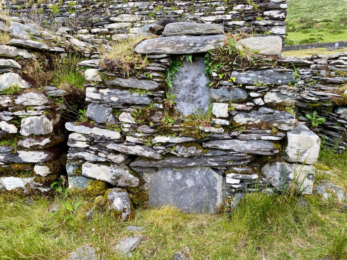
The church site at Srugreana is remarkable in many ways. A 2012 survey commissioned by Kerry County Council Heritage Office found there are at least 1,290 unhewn, uninscribed gravemarkers around the medieval church, and a significant number of ‘house type’ tombs, some of which are ‘two-storey’, like the one above. The concentration of graves – many of which cannot be dated – suggests how populous this now remote area was at one time.
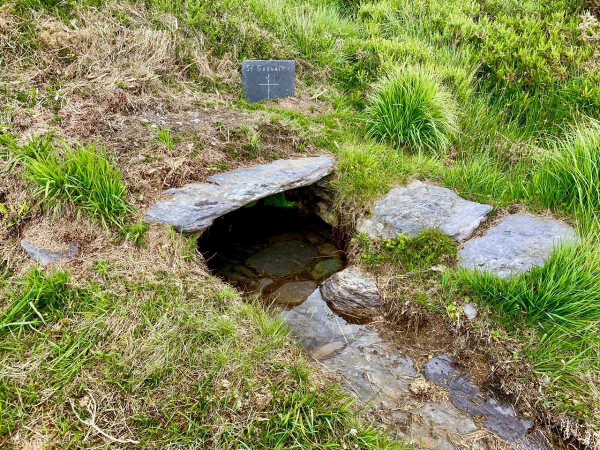
The main purpose of our visit to Srugreana was to search out a holy well dedicated to Saint Gobnait (above). The expedition was led by Amanda, who runs the Holy Wells of Cork and Kerry website. You need to read her comprehensive article on this particular saint here. Interestingly, while we were visiting the well we met the new owner of the land on which it sits. She had no idea that there was a holy well here, and also was unaware of its apparently recent renovation! Note the crosses carved on the stones by visiting pilgrims, above.
From the above accounts, and our two previous posts, you can tell that we had a most productive time exploring just one small area in the ‘Kingdom’ of Kerry. I am rounding off this entry with some more photographs of our journey back along the coast. The weather gave of its best for this county which is our neighbour, and we will continue to explore it and look for more archaeological gems. Keep reading!

Elizabethan Map of a Turbulent West Cork 2: The Story

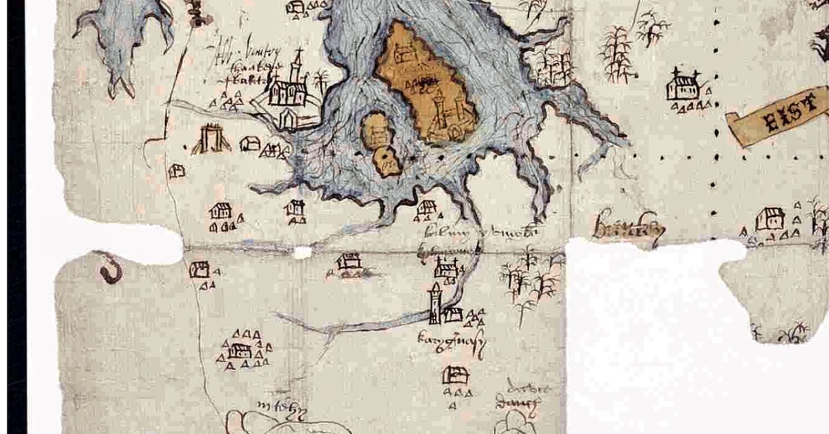
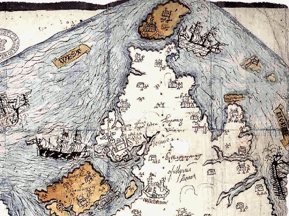
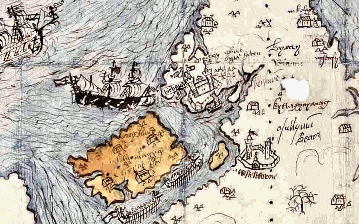
Last week we took a look at this intriguing map and picked out many of its features. This week we want to see what is actually being depicted in this extraordinary document. By the way, before we get on with that – what is that strange construction beside the Bantry Abbey? A drying rack? A Gallows?

The main source I am using is the article written by P.O’Keeffe (this may have been Paddy O’Keeffe of Bantry – if anyone can confirm this I would be grateful). It was published in the Journal of the Cork Historical and Archaeological Society in 1958. It’s a brilliant piece of analysis based on a close reading of the map, cross-referencing with the Pacata Hibernia, and a deep dive into the few other sources for medieval West Cork History.

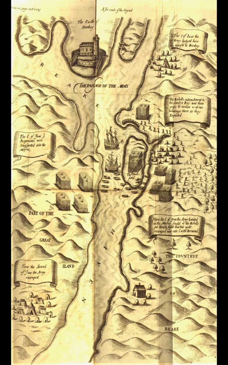
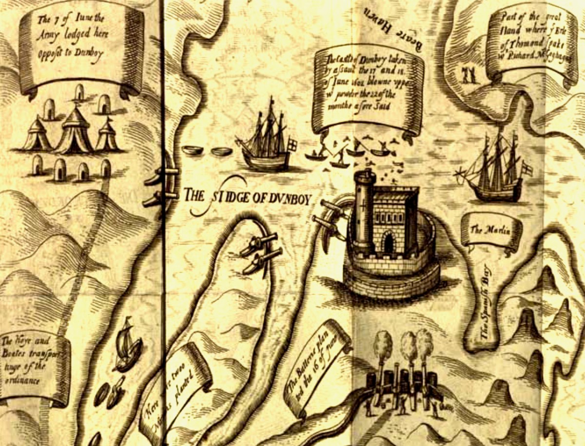
The Passage of the Army – an illustration from the section of Pacata Hibernia dealing with the Siege of Dunboy

First, a very brief background – a slightly more detailed version can be found in Robert’s 2019 post, An Excursion to Dunboy. After the Battle of Kinsale, where a combined force of Irish and Spanish were defeated by the British, Donal Cam O’Sullivan Beare retreated to Dunboy. Having forcibly taken it back from the Spanish commander whom he had left in charge and who was prepared to surrender it, he strengthened its fortifications and leaving it in charge of a deputy, he departed for Ardea Castle to meet a Spanish ship bringing reinforcements and supplies.

While he was absent the British made their way, by land and sea, to the Beara, attacked and destroyed Dunboy (with some assistance from Donal Cam’s cousin, Owen O’Sullivan of Carriganass), killing or subsequently hanging (in Castletownbere) all the defenders and inhabitants. The also murdered all those who has sought refuge on Dursey Island. This all happened in June 1602.

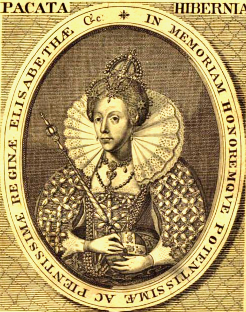
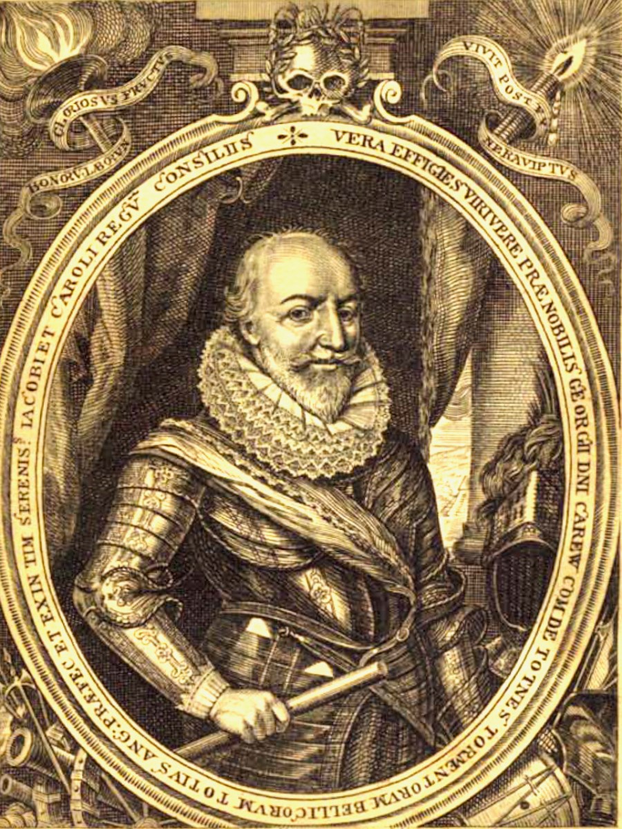
The campaign that marked the end of the Nine Year’s War was chronicled in a book called Pacata Hibernia, (Ireland appeased and reduced; or, an historie of the late warres of Ireland), written by Sir Thomas Stafford and dedicated to Elizabeth I (above) and to his boss (and possible father), George Carew, the President of Munster (below). Stafford lays out the course of each battle, siege and engagement, illustrated with maps and drawings.

Seen as glorious victories by the British, the Battle of Kinsale and destruction of Dunboy spelled the death-knell of the power of the old Gaelic lordships in West Cork and ushered in the large-scale takeover of Munster by the new planter class who arrived to a devastated and depopulated landscape. A visit to Dunboy (below) nowadays does not in any way convey the seismic effect this siege had on Irish history.

Because a previous historian had assigned this map to the 1550s, O’Keeffe goes to great pains to demonstrate that what is depicted here is indeed the Siege of Dunboy.

Thus, the movement against Dunboy, in its initial stages, was entirely a naval action, ships playing a vital role in ferrying troops, guns and supplies, firstly to Bear Island and secondly to Dinish Island, thirdly, to the mainland and into strategic creeks about Dunboy, and, finally, to the Dursey. The principal islands mentioned in the Pataca  report are Whiddy, Great Island (Bear Island) Doughe Insh (Dinish Island) and Dursey, and each one of these played a vital part in the attackers’ plans. Can it be coincidence that these islands are specially emphasised in our map by colour washes? Troops were ferried from Muintervarry to Bear – the map shows two galleys being rowed up the Bear Island Sound. Boats ran the fire of Dunboy into the Creeks about the castle. The map shows boats in precisely similar positions.

A Spanish ship came to Kenmare Bay carrying Bishop McEgan and Turlough O’Brien with supplies and money. The map shows a Biscayner being rowed out of Kenmare Bay. A pinnace and three other boats went to capture the Dursey – a ship is shown clearing the Dursey Sound. Finally, the boundary line on the Muintervarry Peninsula, and the dotted ‘scale’ embrace the specific region mentioned on the Pacata Hibernia. Can the occurrence of all these features be purely coincidental? It seems unlikely, and unless serious arguments can be advanced to the contrary, we must consider that the map was used to illustrate the events of Dunboy in 1602.

O’KEEFfe, P., A Map of Beare and Bantry,
Journal of the Cork HISTORICAL and Archaeological Soc
1958, Vol 63, No 167

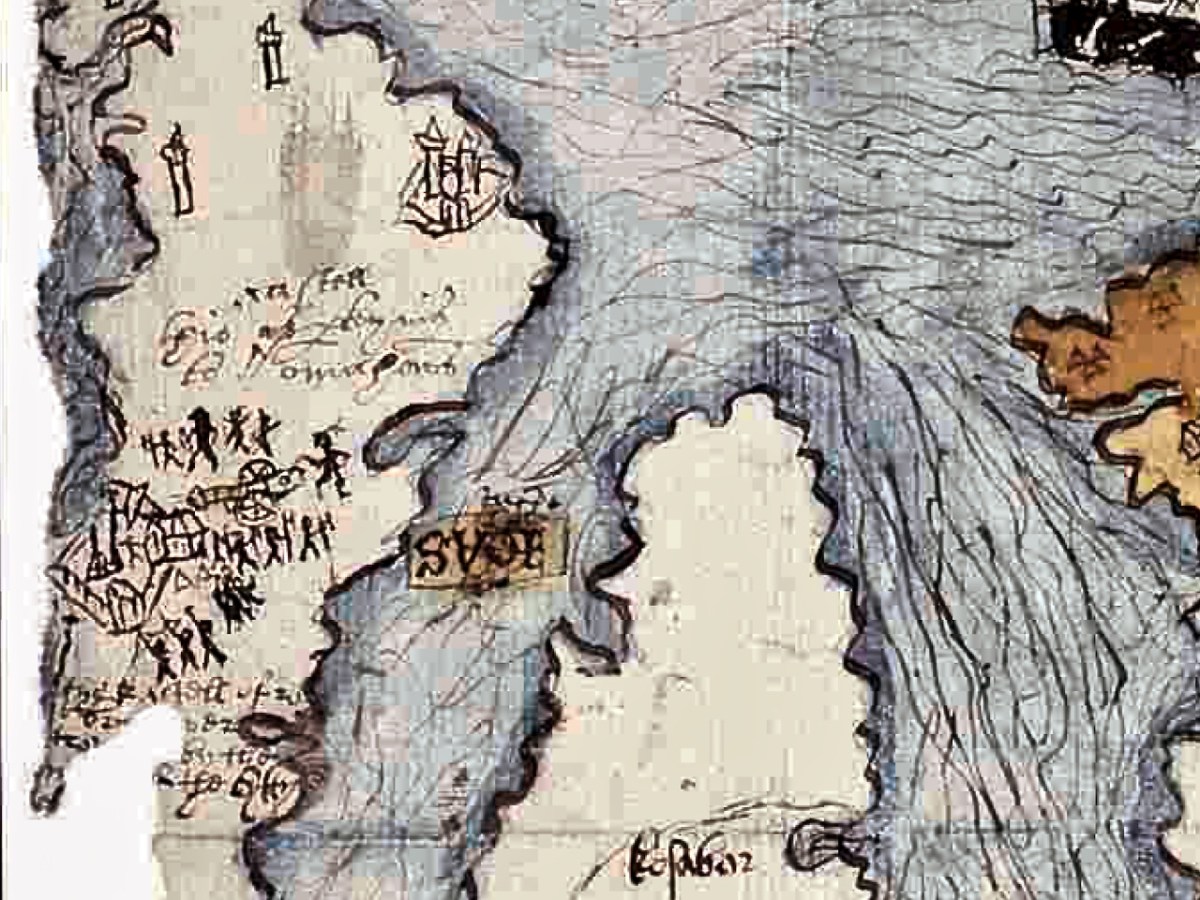
Very convincing. What remains a puzzle, however, is the castle that is being besieged on the Mizen Peninsula. O’Keeffe has deciphered two words above the castle as ‘Kastell’ and ‘Omahons’ and the inscription below as ‘the kastell of rosebry . . . wer  . . . by the m . . .  of the Cytty of . . .’  The drawing may show that the tower inside the bawn has already been destroyed by the cannon outside the walls, being fired by a soldier in a plumed hat. Troops are shown with muskets, crossbows and axes. The bawn wall has at least one corner tower and a substantial gatehouse. 

The inscription appears to verify that this is Rossbrin, and we do know that the Rossbrin O’Mahonys took part, on the Irish side, in the Battle of Kinsale, so it makes sense that their castle would come in for the same treatment as Dunboy. However, only one authority (Smith*) states that Rossbrin was besieged by Carew in 1602, while others assert that it was not, and that the tower was substantially intact up to comparatively recent times. There is no mention of actions against Rossbrin in Pacata Hibernia. O’Keefe speculates that what is being illustrated may be the recorded siege of Rossbrin in1562 when “the authorities in Cork fitted out an expedition to capture the castle from the O Mahonys” or in 1571 “when Perrott attacked and captured the castle.” 

However, this calls for some chronological sleight of hand – in order to establish that what is depicted on the map is a siege of the 1550s, O’Keefe postulates that this map was produced in the 1550s and then later modified to include the Siege of Dunboy. Not very likely, given that his rationale for assigning it to 1602 is so clear, and the map has all the unified appearance of being done at one time and by one hand. What’s left of Rossbrin now can be seen above and below.

The other possibility is that the castle of the Mizen being besieged is not Rossbrin. In this case, the likeliest candidate would be Dunmanus (below), which was captured by Owen O’Sullivan of Carriganass. While the castle under siege on the map is on the correct side of the Mizen for Rossbrin, and not Dunmanus, we have already seen in Part 1 that Ardea Castle is located on the wrong side of the Kenmare River, so perhaps the cartographer was a little more approximate with some locations than others, or perhaps the boundaries of the paper available for the map forced a couple of castles to be squeezed in, even if the location wasn’t totally accurate.

I have yet another resource to consult, but I don’t have access to it yet, so it is possible that there is more, and better, analysis of this map. If so, I will either write a future post, or revise this one. Meantime, I would be interested in anyone else’s take on The Story.

*Smith, Charles, 1893, The Ancient and Present State of the County and City of Cork (available here)

The Luxuriant Gardens of Bantry House

Pandemic days can be well spent in West Cork. Visit Bantry House: for a small fee you can walk around the extensive gardens all day, pausing en route to partake of more-ish refreshments from the Tea Kitchen. There’s ample room to socially distance; panoramic views out to the Bay – and plenty of history to absorb.

On 11 May 1689, the Battle of Bantry Bay was fought between the French and British forces (above). It was inconclusive, but considerable damage was suffered by both fleets.

Originally a farmhouse known as Blackrock, the property was built by Samuel Hutchinson in 1710; it was purchased by Captain Richard White of Whiddy Island in the 1760s. His grandson – also Richard – renamed the house Seafield, and witnessed an engagement between the French and British forces in the Bay in 1796. He became the first Earl of Bantry and his eldest son – another Richard – extended the house and laid out the grounds more or less as we see them today (here is a post from Finola narrating a visit to the house in pre-pandemic days). The idyllic view above dates from 1840, around the time of the renovation and landscaping work.

More naval activity in Bantry Bay can be seen in the background of the above photograph, dating from the first decade of the twentieth century.

. . . For eight days past, the mammoth battle ships Bellerophon, Lord Nelson, and Agamemnon have been manoeuvring in Bantry Bay, between the Roancarrig Light and Whiddy Island. The thunder of the big 12-inch guns can be heard at immense distances, and electric and searchlight displays may be witnessed at night from places far inland . . .

Southern Star, 27 March 1909

The fortunes of Bantry House have varied during the last hundred years, but it remains in the ownership of the descendants of the Whites, and has been opened to the public since 1946. Now a very significant tourist attraction, the property has eased itself into the 21st century and can be seen today pursuing a laudable philosophy of encouraging the grounds to support informal wildflower spread and natural habitats within the previous strict formality of the terraced gardens laid out by the second Earl. In our view, this approach is highly successful and in fact softens, complements and enhances the mature house and its setting of terraces, steps, courtyards, paths and woodlands. It also provides excellent habitats for pollinators and contributes to a more sustainable world.

Every part of the grounds is worthy of exploration. There are two former stable blocks: both are time capsules. The activities of generations of gardeners, groundsmen, grooms, and farriers can be imagined from the surviving evidence.

I was fascinated by the plaque, above, and added it to my collection of classic signs. I then set about trying to find photographic evidence of this squadron, sadly without success. But I did find an equivalent from Suffolk, England, dating from 1910, which is worth a share:

I hope you will follow in our footsteps and visit the gardens at Bantry House. This is a great time of the year to experience the burgeoning growth of the wilder elements, and, if you have the happy fortune to hit a good spot of sunshine (or even if you don’t), there is no better place in West Cork to while away the constraints of this pandemic.