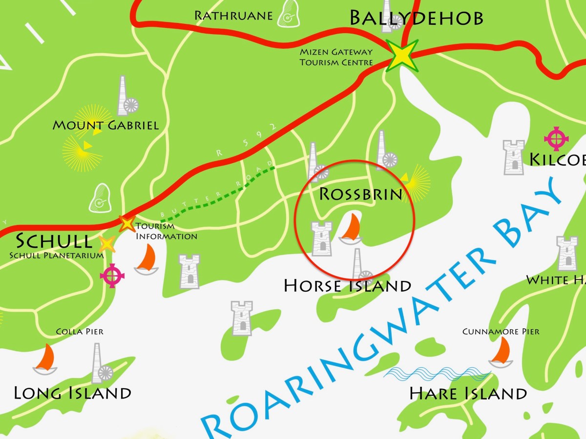
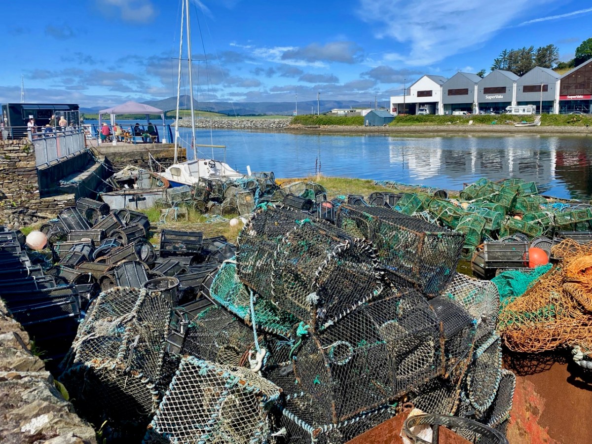
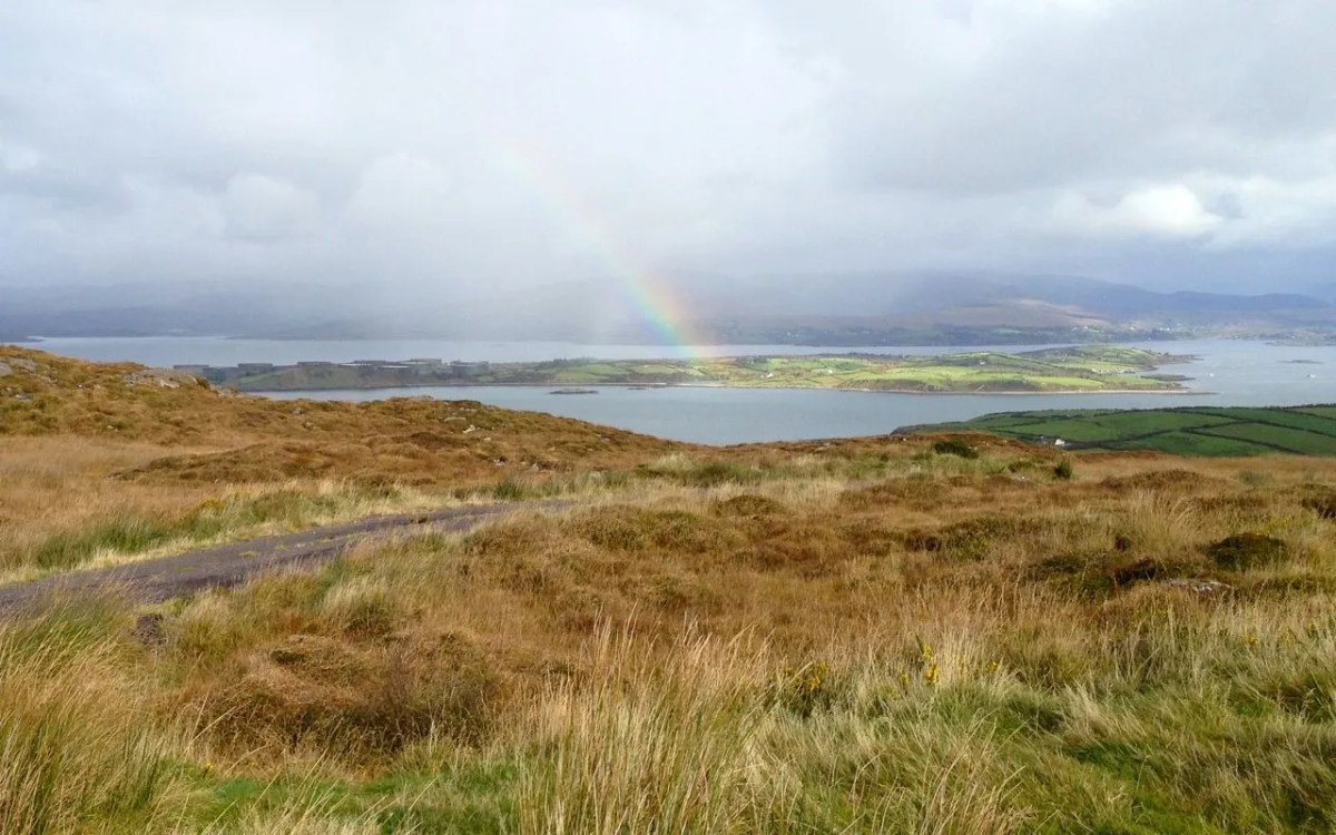
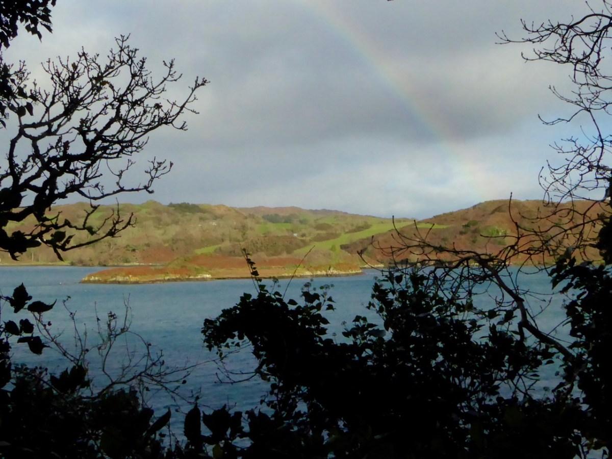
The weather so far this year is breaking records for coldness, wetness and evapotranspiration – while Earth as a whole continues to get warmer. In simple terms that means it’s not pleasant to wander too far from home. I decided to walk down to the shoreline of Rossbrin Cove – all of ten minutes – and see what the winter storms may have washed up: often an interesting diversion.
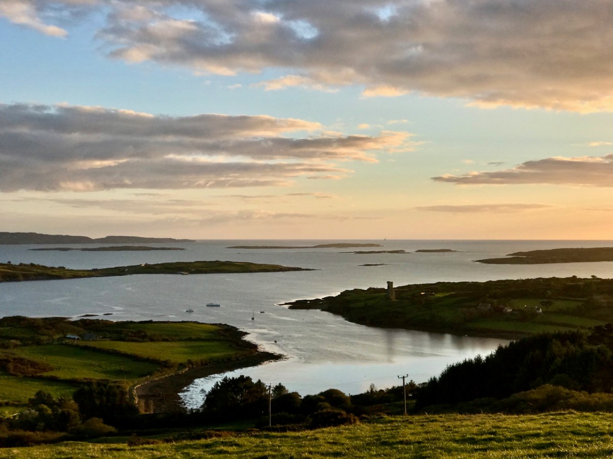
Above: looking down on Rossbrin Cove with some of the islands of Roaringwater Bay beyond. It is a natural harbour, and there is a thriving boatyard at the western end of it. The difference between low and high tides is around 2.5 metres on average, and much of the inlet dries out when it is at an extreme low. I timed my walk to arrive when the tide was fully down, as I wanted to explore the exposed mud-flats, with hopes of finding intriguing detritus.
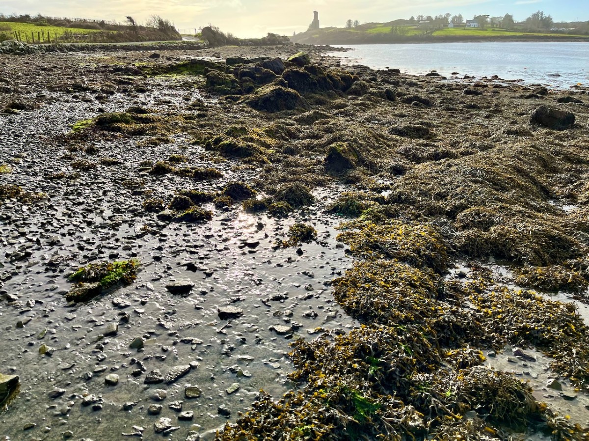
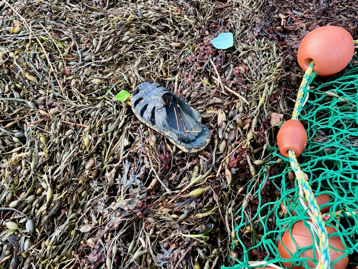
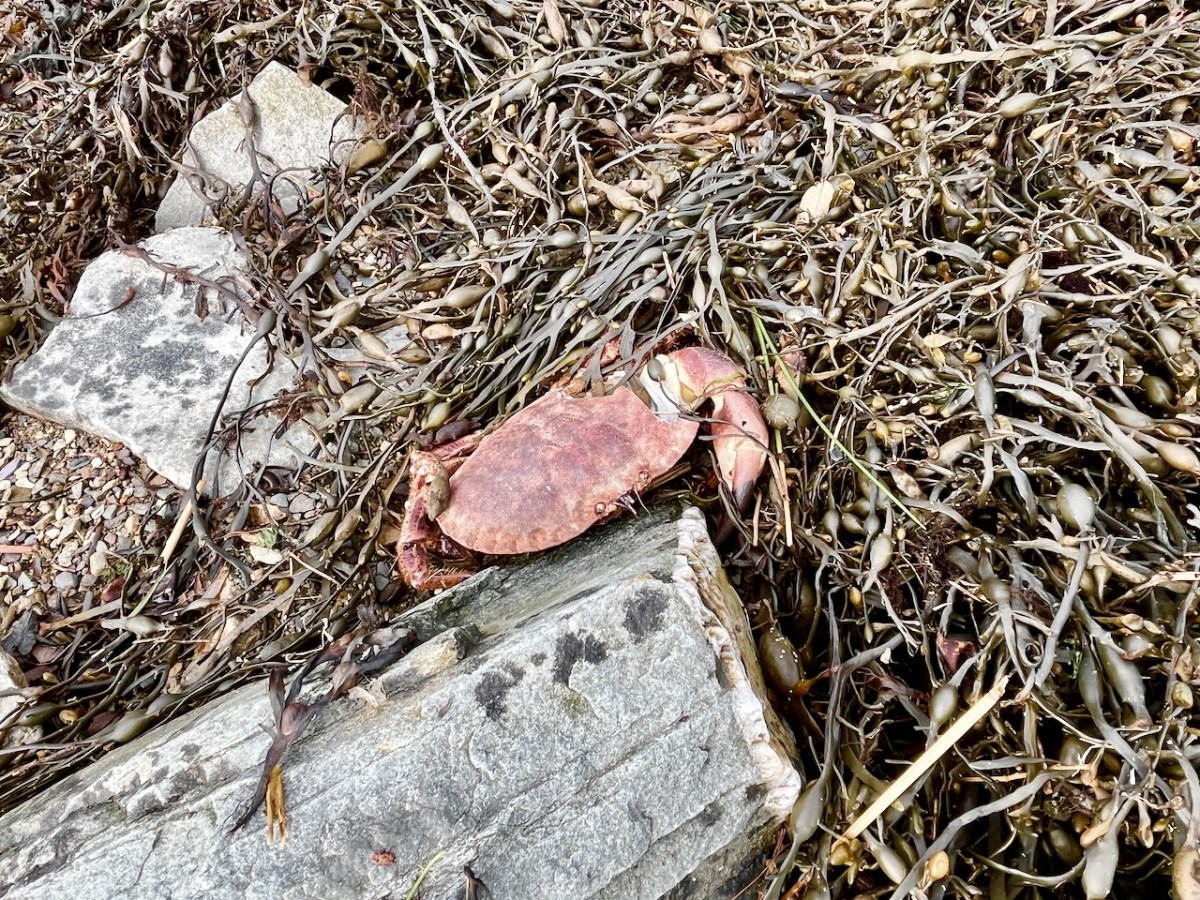
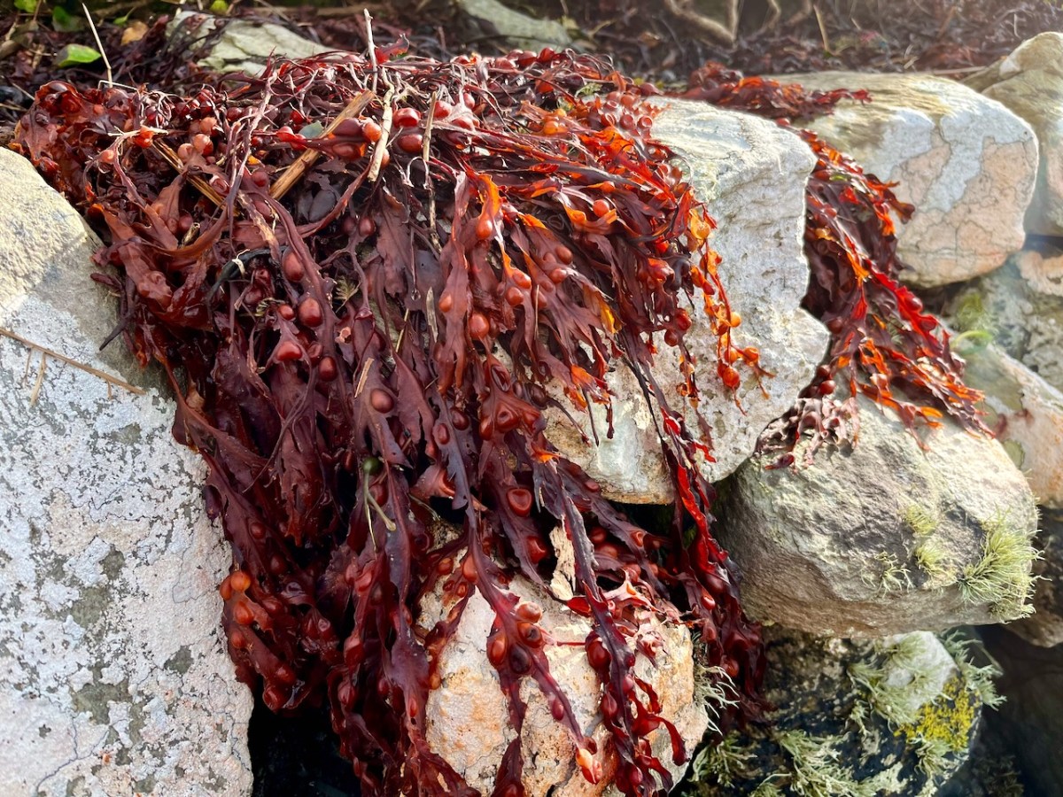
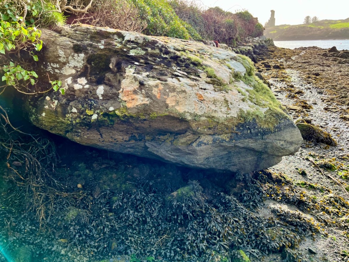
Not an inspiring start! In fact, as I continued my review, I noted that there was very little other than the natural environment – weather-worn boulders, skeletal shells and masses of seaweed – to disturb the order of things in Rossbrin on this February day. If our harsh storms had been of some positive effect it was perhaps to flush out any washed-up debris that might have accumulated in the winter – being now past St Brigid’s Day I consider it appropriate to call the season spring.
No matter that the exploration was superficially disappointing, the magic of this little bit of West Cork soon took over, and my mind was filled with the enormity of its history. There was a university here in medieval times: manuscripts were written here in the castle that has become a crumbling pile. Ravens and seabirds now rule over the stronghold. I walked on.
The margins of the cove are lined with ancient banks. At every turn there is a composition which a maestro could frame: I make do with a camera. Rossbrin inspired our artist friend Peter Clarke . . . Thank you, Peter!
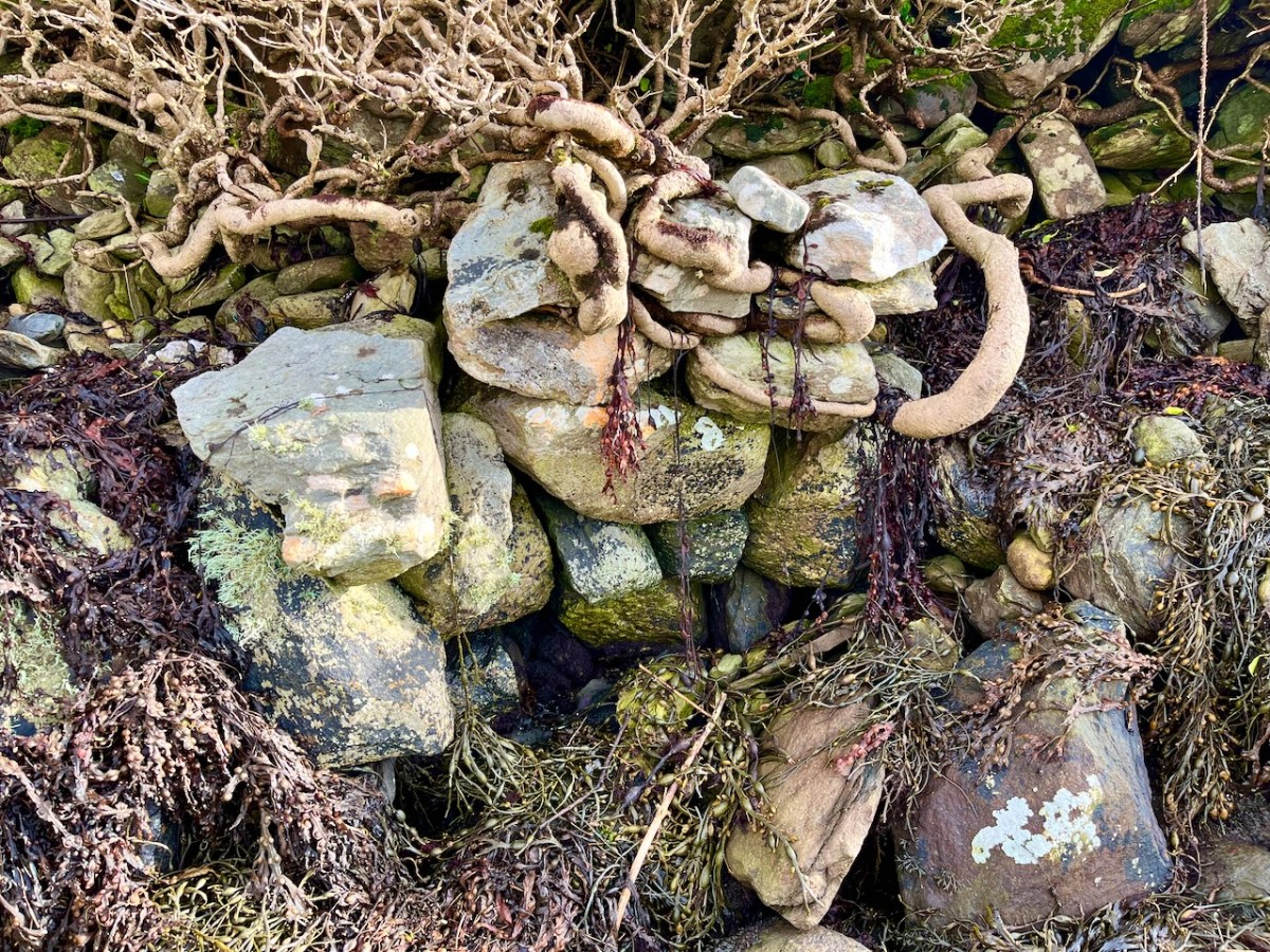
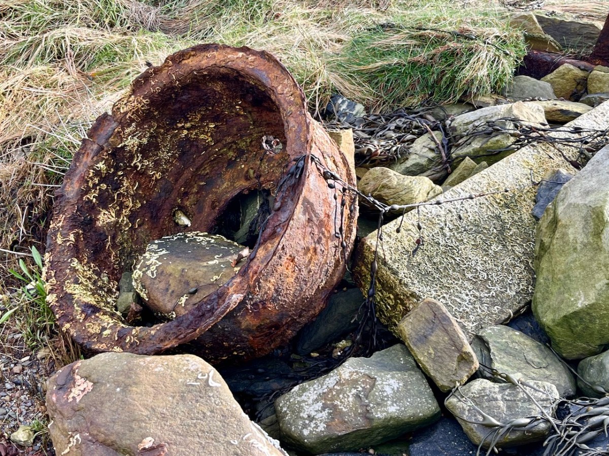
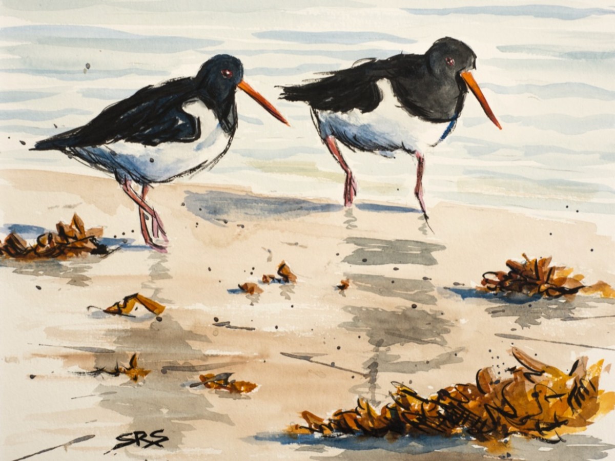
Evidence of more recent history: possibly a pot which was used in the process of tarring a clinker boat hull. No doubt vessels were built on these shores – and used to make basic livings. There is still fishing activity in and around the cove; mussel beds thrive in Roaringwater Bay; seaweed collection happens also. In summer months the deeper waters of Rossbrin are occupied by leisure orientated sailing craft. I enjoy the calm days of winter when there is hardly anything on the water. I watched a small flock of oystercatchers scurrying and foraging with their brilliant beaks, and then I turned for home.
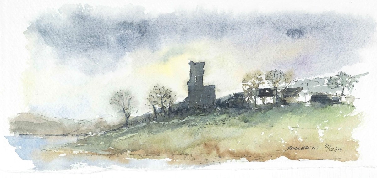
The Rossbrin oystercatchers were uncooperative, and wouldn’t let me photograph them. Instead I have imported this wonderfully atmospheric painting by Cornish based artist Steve Sherris. Thank you, Steve
We have posted extensively about Rossbrin Cove, its history and its people. Have a look at these:
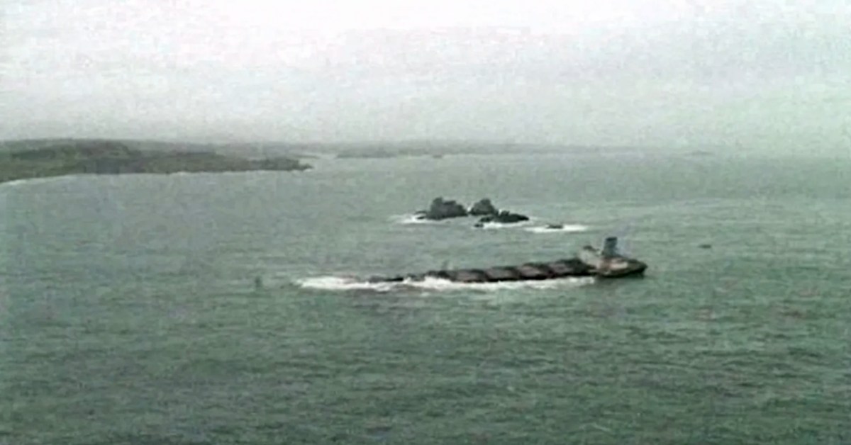
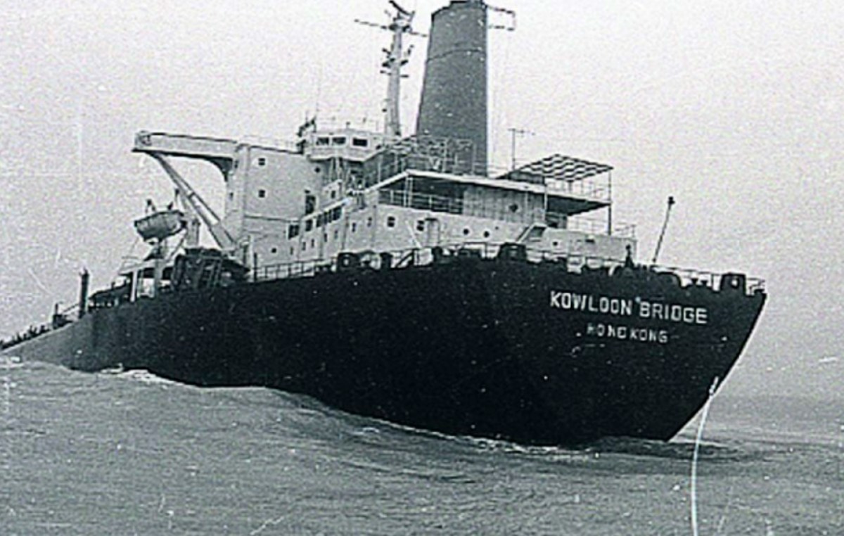
We’re going back a few years to look at a piece of West Cork history: a shipwreck. The ship is the Kowloon Bridge, a Bridge class OBO (oil/bulk/ore) combination carrier built by Swan Hunter in 1973. She ended her days on the Stags Rocks, beside Toe Head in West Cork in 1986 (above – image courtesy of Irish Examiner). At the time, this was said to be ‘one of the largest wrecks in maritime history’.
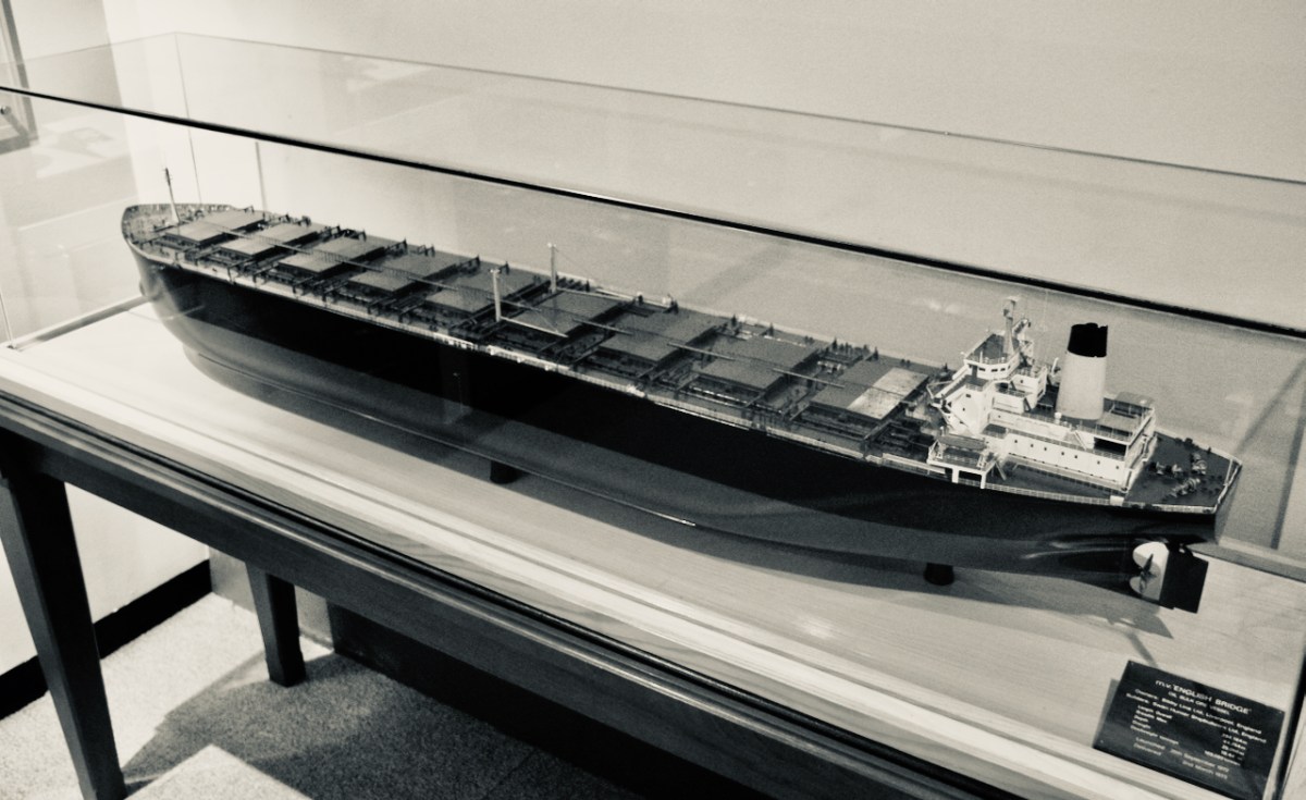
A Bridge Class model (above – photo courtesy www.mikepeel.net). Six of these ships were built by Swan Hunter at Haverton Hill on the River Tees in County Durham, UK, between 1971 and 1976. Originally named English Bridge and subsequently – passing through various ownerships – this 54,000 tonne vessel was renamed Worcestershire; Sunshine; Murcurio; Crystal Transporter; and finally Kowloon Bridge. I’m tempted to think of the old folk belief that says changing the name of a boat is unlucky!
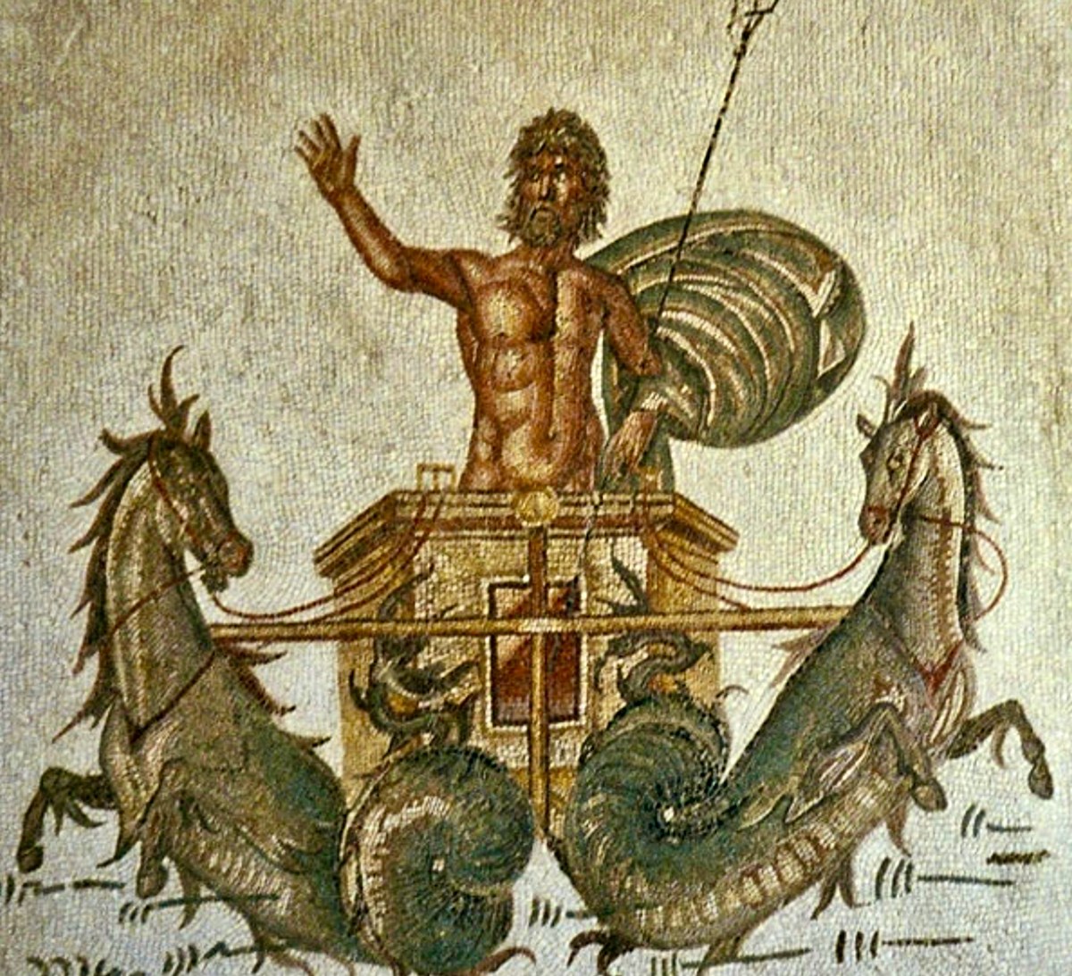
. . . Perhaps the most famous maritime superstition of them all is the idea that changing the name of a ship is bad luck. Legend has it that Poseidon, the Greek god of the sea, has a ledger in which he keeps track of the name of every sea-going vessel. Changing the name is seen as a challenge and as an attempt to try and out-smart him, which would incur his wrath. To avoid any bad luck, the original name must first be purged from Poseidon’s book in a de-naming ceremony, before the new one is adopted . . .
There she is, in her original incarnation and unladen (image courtesy of Tony Ecclestone, Swan Hunter). As you can see, a massive vessel. Her length was 295 metres and her beam 44.3 metres. She had a draft of 18.5 metres. In November 1986 the Kowloon Bridge – which she had then become – departed Sept-Îles, Quebec, bound for the River Clyde in Scotland. Her cargo was 160,000 tonnes of ‘marble sized’ iron ore pellets and crude oil.
The Atlantic crossing was particularly rough-going, and the vessel sustained some superficial damage. The decision (a fateful one) was taken to head for the nearest shelter on the east side of the ocean: the deepwater Bantry Bay, off West Cork’s coast. A Lloyds’ survey there showed that she had suffered ‘routine heavy weather damage’ and recommended that she remained anchored in Bantry Bay while temporary repairs were undertaken. Here’s a view of Bantry’s waterside in more benign days: Roaringwater Journal has reviewed the town in some detail.
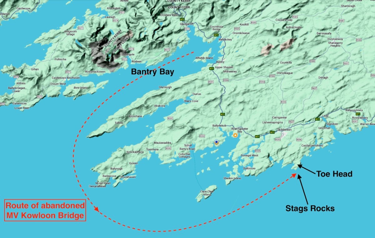
Above is a RWJ view of Bantry Bay and Whiddy Island taken back in 2014. The island was the setting for another disaster in earlier years: on January 8, 1979, the French-owned tanker, Betelgeuse, exploded at the oil terminal, resulting in 51 deaths. Even now – 45 years on – new enquiries are being set up to establish the true facts surrounding that incident. Returning to our Kowloon Bridge story, accounts seem to vary. One says that on 22 November 1986 – having had the necessary repairs completed – the ship resumed her voyage and set out into the Bay; but she was plagued by continuing bad weather, and lost her steering gear. Another suggests that the problems included ‘deck cracking in one of her frames’: she was forced to leave port to avoid colliding with another tanker and – engine running astern – she lost her anchor and her steering controls. The decision was taken to abandon ship (still running astern) and Royal Air force helicopters rescued the crew. She headed out of the bay and into open waters, being driven also by storm-force winds. (Image below courtesy of Southern Star)
Kowloon Bridge left Bantry Bay and rounded the Sheeps Head and Mizen Head. A tug tried to intercept her, but was unsuccessful as this, also, sustained damage due to the adverse conditions. Coming close to Baltimore the combination carrier/tanker hit rocks and her engine stalled. She continued to drift eastwards, finally coming to rest on the Stags Rocks below Toe Head (header pic).
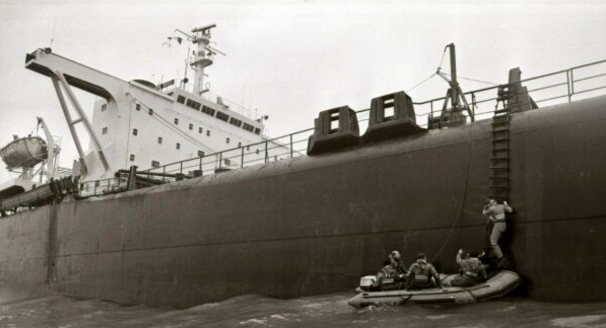
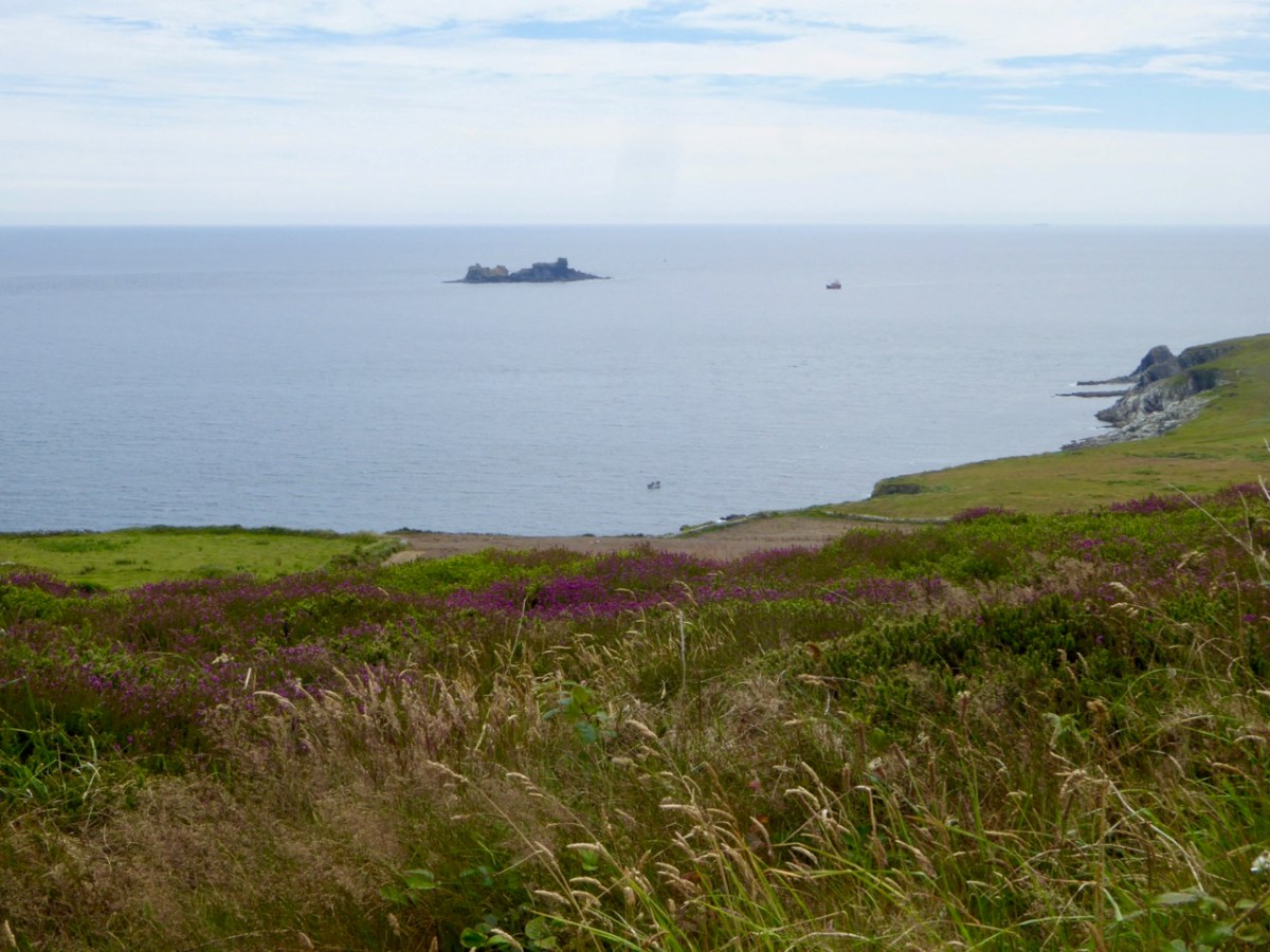
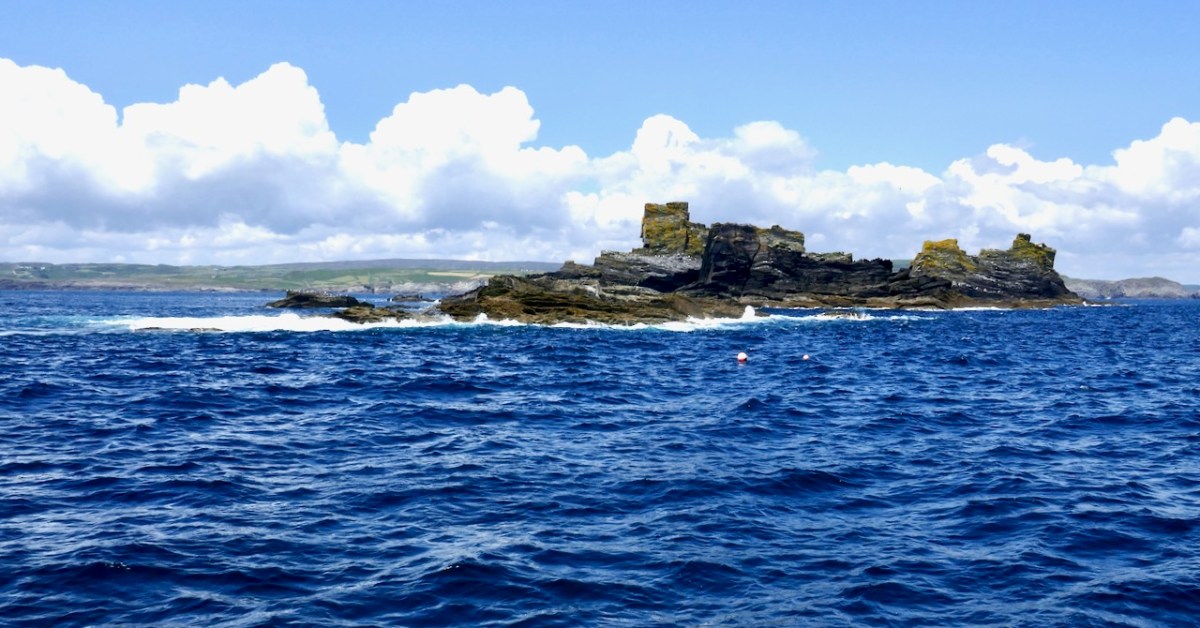
Despite efforts to board her and assess salvage attempts (images above courtesy Irish Examiner), in due course the ship broke her back and went under – although, according to local reports, her bow could still be seen for months afterwards. To this day she lies off the rocks, with her iron ore cargo surrounding her. Below: the view from Toe Head today and (lower) the Stags Rocks.
The breaking up of the ship caused the release of of 1,200 tonnes of fuel oil. This led to damage to local coves and beaches, with loss of income being suffered by the fishing and tourism industries. The incident happened in the days before The International Convention on Oil Pollution Preparedness, Response and Co-operation was set up: that came into being in 1990. Parties to OPRC are required to establish measures for dealing with pollution incidents, either nationally or in co-operation with other countries.
. . . Ships are required to carry a shipboard oil pollution emergency plan. Operators of offshore units under the jurisdiction of Parties are also required to have oil pollution emergency plans or similar arrangements which must be co-ordinated with national systems for responding promptly and effectively to oil pollution incidents. Ships are required to report incidents of pollution to coastal authorities and the convention details the actions that are then to be taken. The Convention calls for the establishment of stockpiles of oil spill combating equipment, the holding of oil spill combating exercises and the development of detailed plans for dealing with pollution incidents . . .
Trying to follow the subsequent story of the wreck, everything gets a bit murky. West Cork communities undoubtedly suffered as a result of the foundering. Debris and oil were washed up (image above courtesy Irish Examiner). ‘Hundreds of seabirds’ died according to local reports. Promises of compensation were made – and reneged on – by the Haughey government. But it was Cork County Council and its ratepayers who eventually bore the major costs of cleaning up, even though the ship had been fully insured (image below courtesy Irish Examiner).
Apparently, the wreck was purchased in December 1986 by a British scrap dealer, Shaun Kent. One report states he paid a million pounds for it – another states he paid one pound for it! An article in the UK Independent newspaper in August 1997 describes how he planned to use high power water jets to wash the iron ore pellets to the surface for recovery. Their value was said to be in the order of millions. He also intended to recover the steel hull and other elements. However, concerns were expressed locally and nationally that such a process so long after the event would adversely disturb the seabed and the stable micro-environment which has evolved over time. It is unlikely that such plans will ever be acted on.
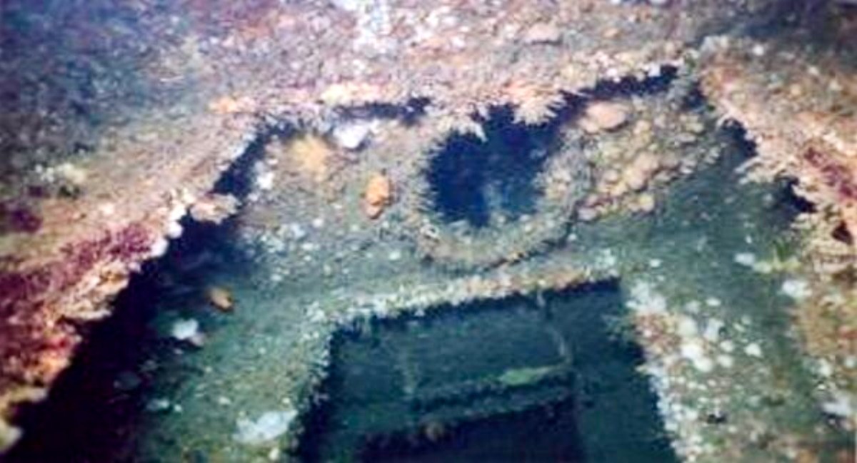
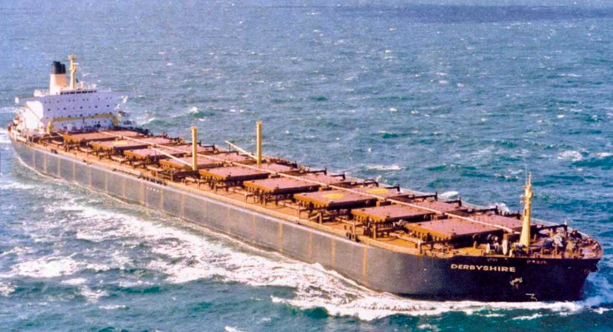
Today, the wreck is an attraction to underwater enthusiasts (images above courtesy of Extreme Sports Cork): Nature has taken over the intrusion to the sea bed. During the various discussions which have ensued in the many years since the Kowloon Bridge came to rest on the Stags Rocks, the question has been raised: was the ship seaworthy in the first place? It is pointed out that a sister ship was MV Derbyshire. Originally named Liverpool Bridge, she was launched in 1975, the last of the six Bridge Class ships. With a gross register tonnage of 91,655 she had the greatest volume. In July 1980, Derbyshire also left port from Sept-Îles, Quebec, bound for Kawasaki, Japan. She was overwhelmed by a tropical storm, and sank in deep ocean, with the loss of all 44 lives on board. This was in fact the largest British ship ever to have been lost at sea (image below courtesy of shipsnostalgia.com).
The four remaining Bridge Class vessels saw long service, and were eventually scrapped, so there is no reason to suggest that the design was in any way faulty. I suppose we might say that it is mankind’s folly to create such huge machinery to bring cargoes across the world. We challenge Poseidon, and he has to take his share (image below courtesy of Bardo National Museum, Tunis).
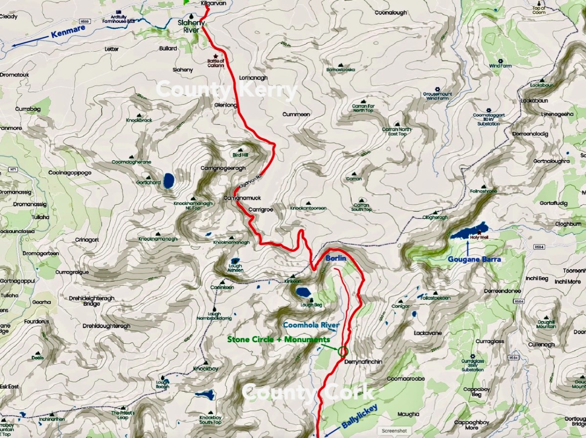
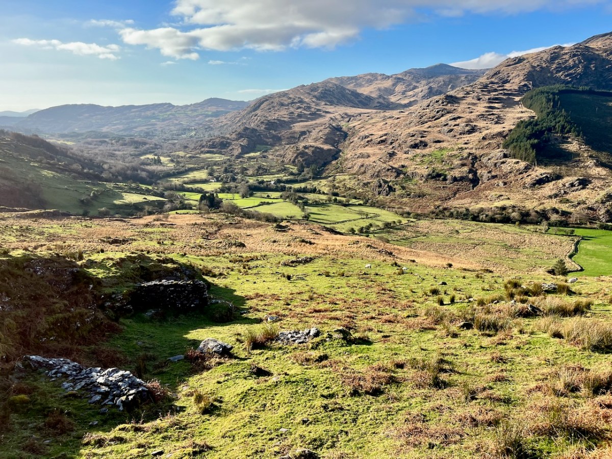
We have certainly travelled this route many times – it’s our favourite way of getting from Kenmare home to West Cork. Assuredly not a direct road, but spectacular – and you’ll hardly see a soul. Here’s a map – the road is in red:
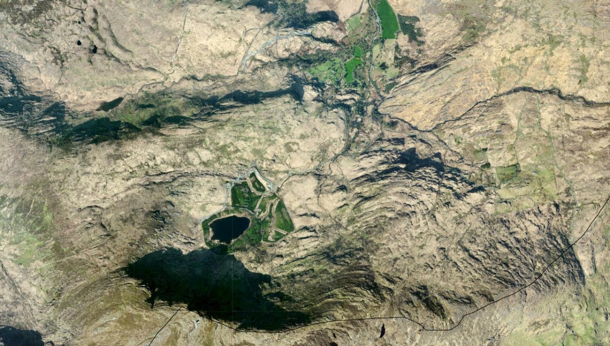
And here (below) – a sculptural abstract – is the nature of the terrain which the satellites spy on – looking straight down!
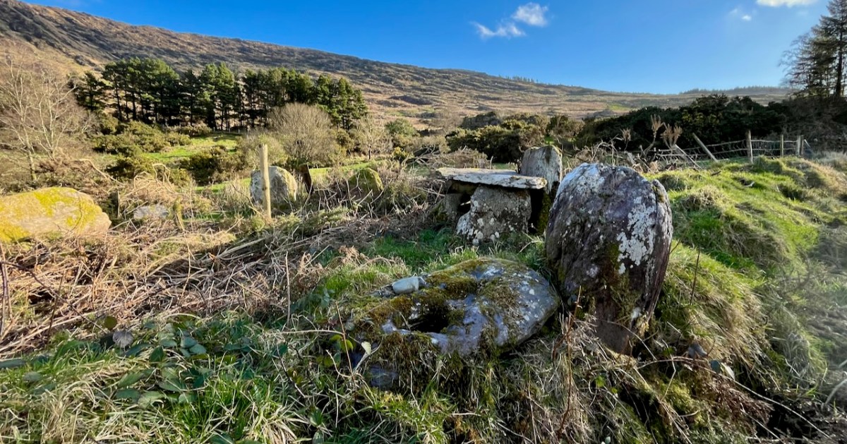
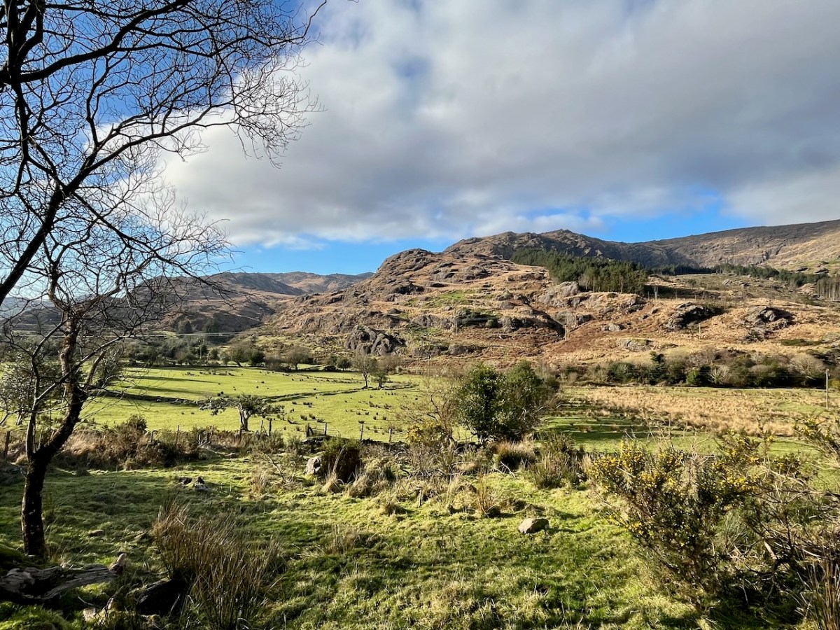
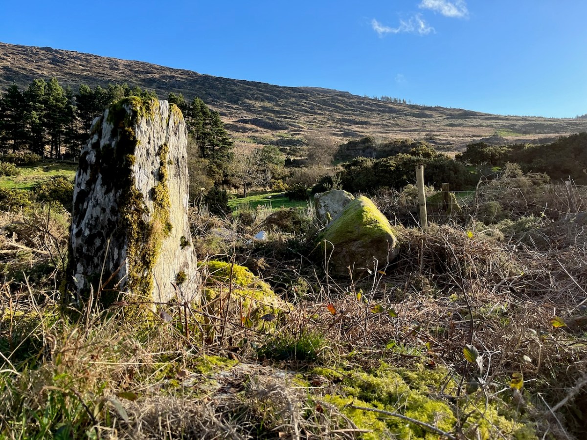
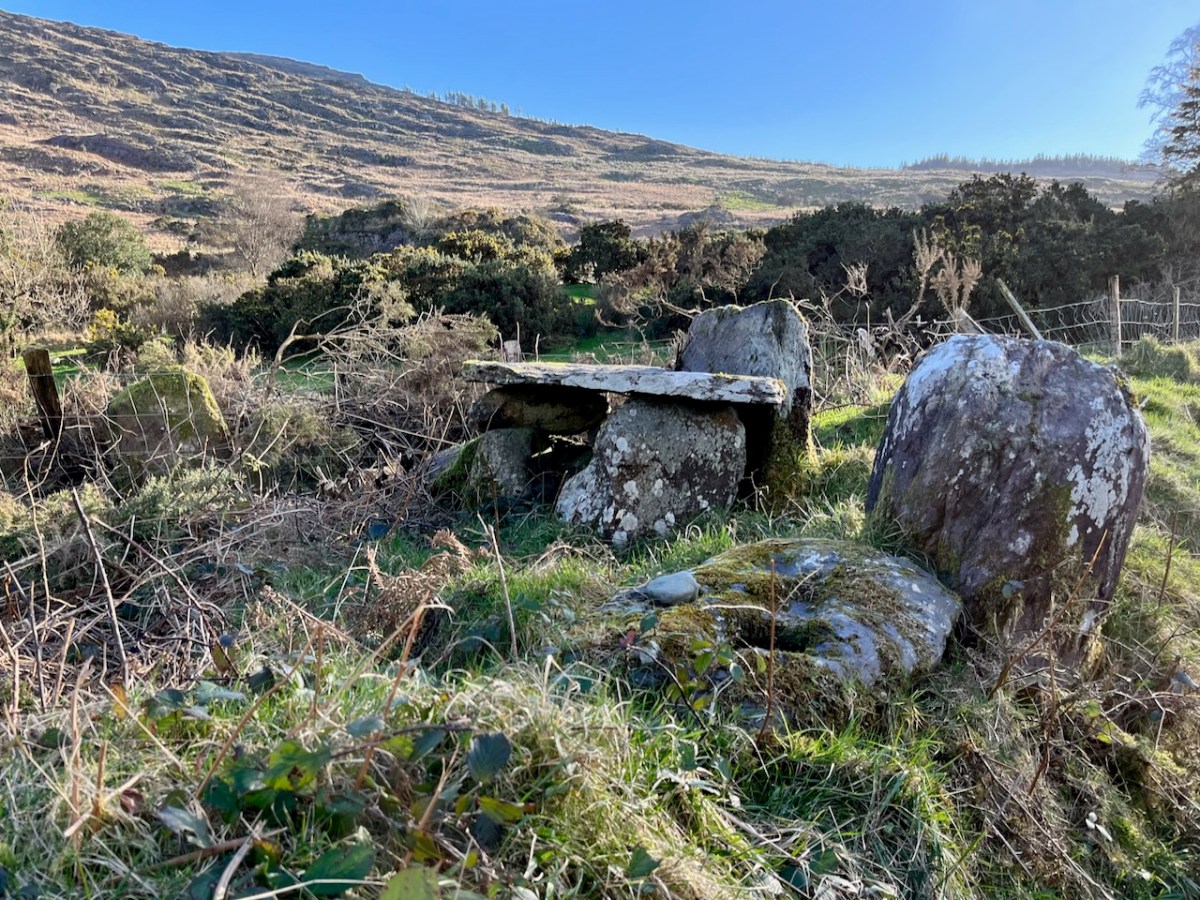
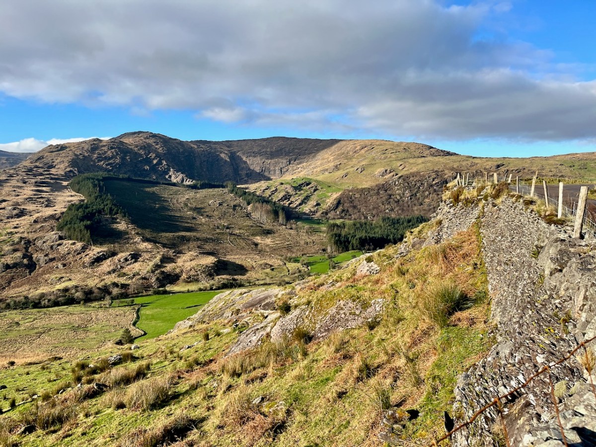
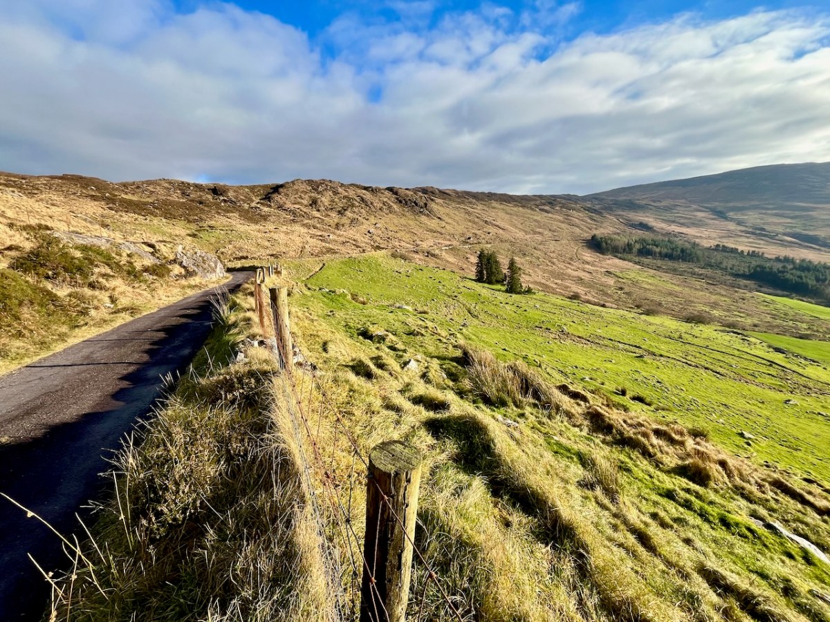
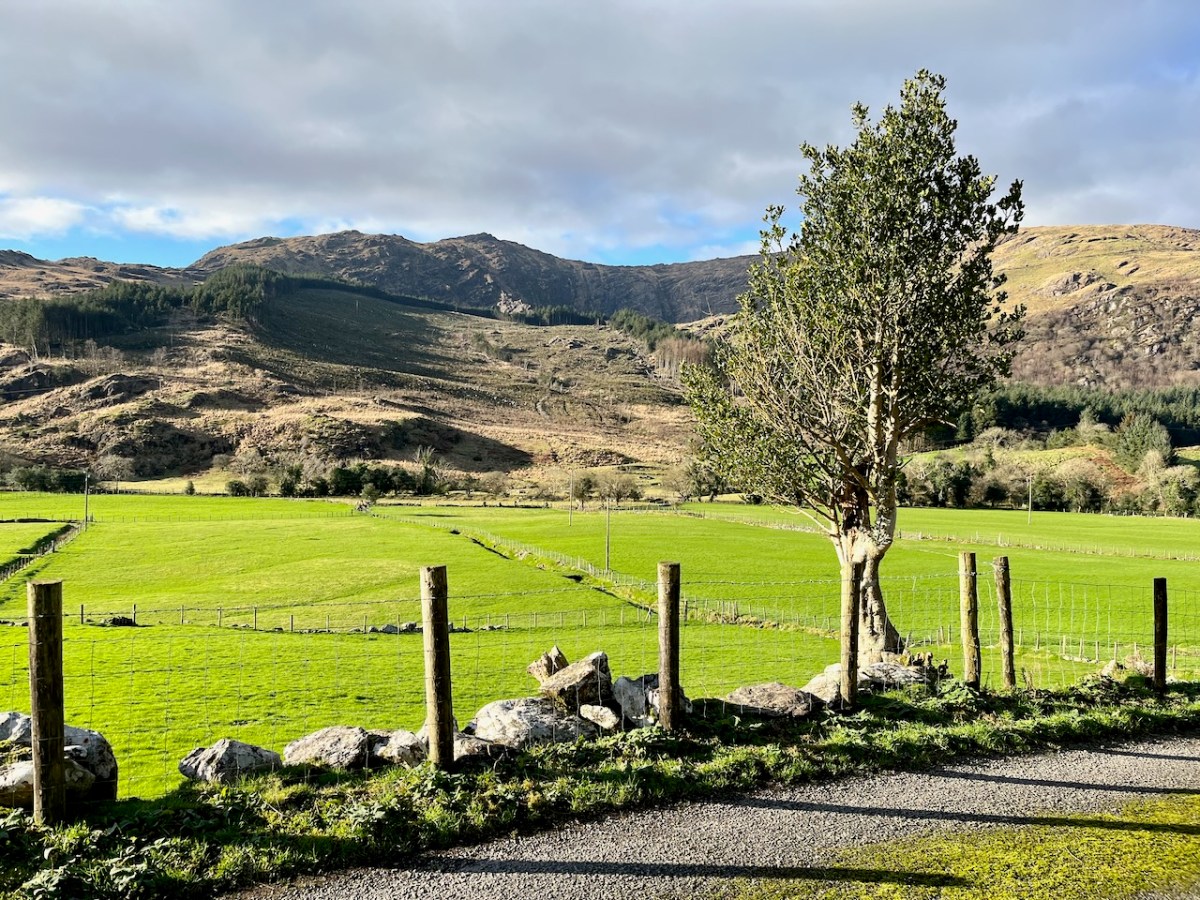
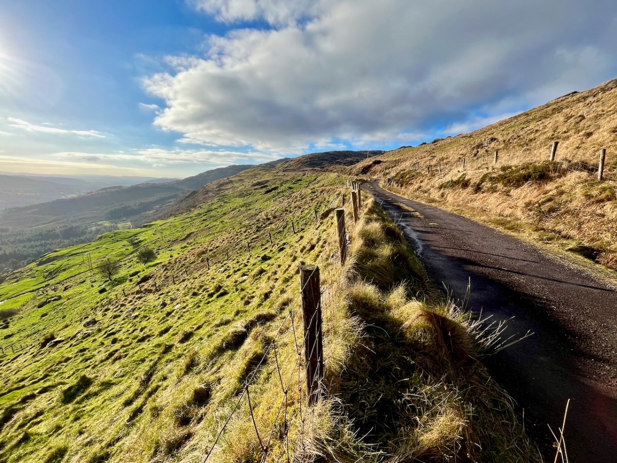
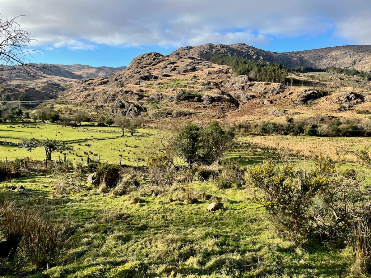
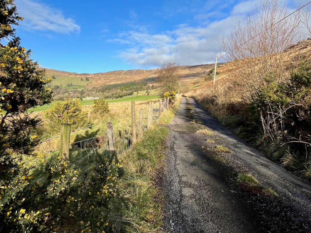
We passed over this high road that skirts the valley on an idyllic January day early in the new year (2024). For the first time, we also traversed the full length of the lane that goes into the heart of the vale, only serving scattered houses and farms. This goes by a complex stone circle and Mass Rock in the townland of Derrynafinchin – or Doire na Fuinseann. The group – also featured on the header – has been fully described by Amanda’s post Derrynafinchin: a bullaun, Mass rock & stone circle from a couple of years ago. Well worth a read!
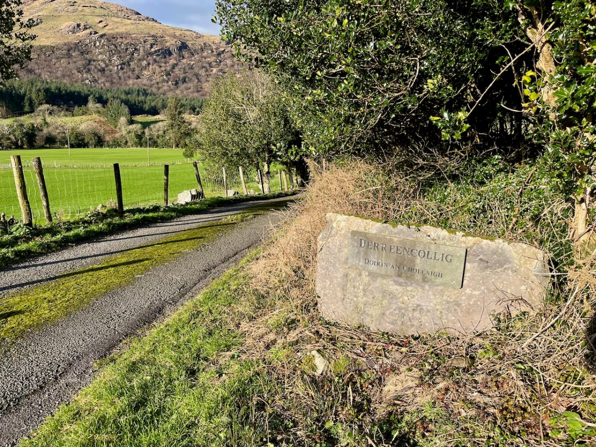
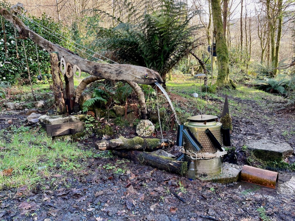
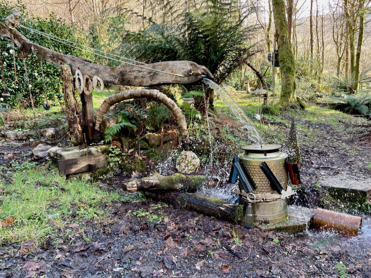
The little lane also passes into the townland of Derreencollig. We were intrigued by some kinetic sculptures we found beside the way: we did not come across the artist, nor anyone else on this part of the journey.
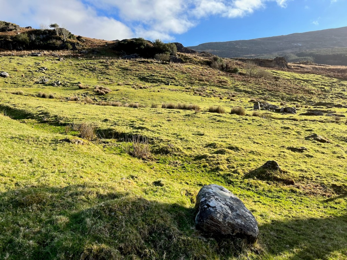
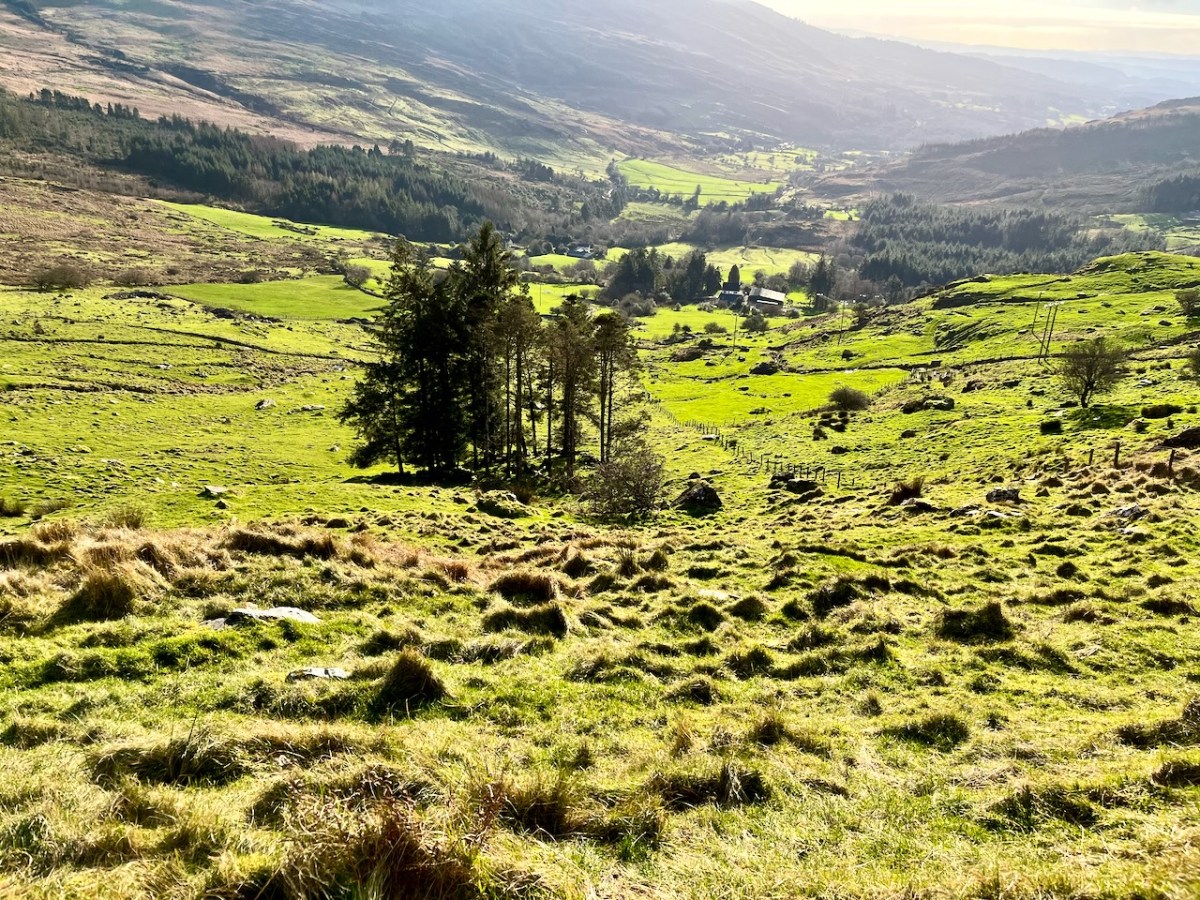
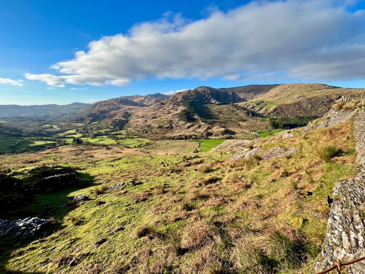
The views into this remote townland and its few habitations is seen from the minor road that follows the contour at high level, heading for Bantry.
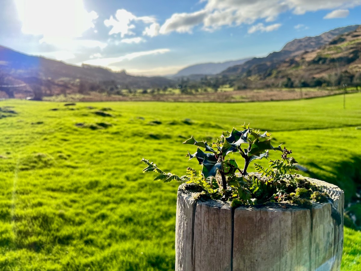
If you find our minor roads tricky, then stick to the main ones. But, if you are not in a hurry, you couldn’t do better on a day of winter sunshine than to traverse the gentler, secret ways.
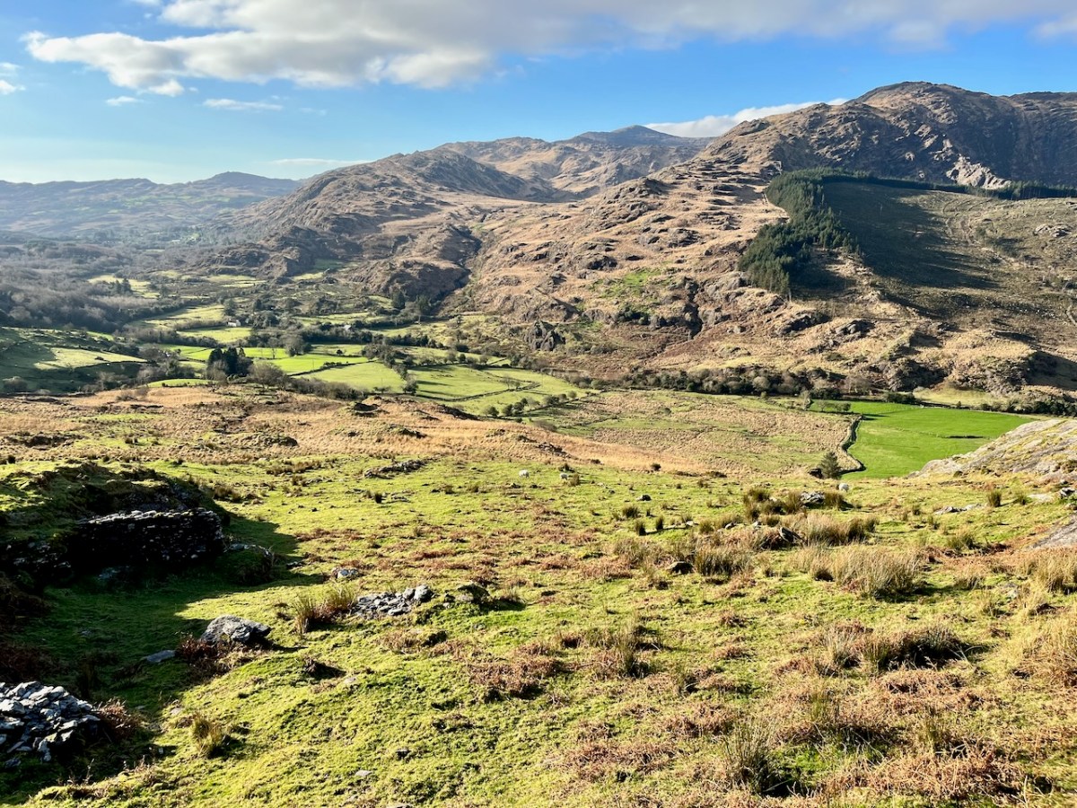
Description is hardly needed in this little topographical diversion. I’m not sure where else in the world you could find your senses as satiated as here in West Cork (and Kerry!). Travel on!
To my mind there’s no more satisfying way of journeying: keep to the crags and cornices of the high tracks.
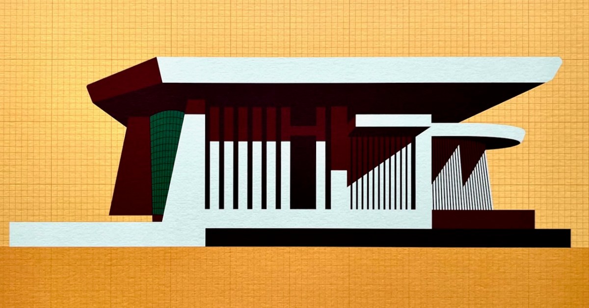
This is my favourite image of the year! I published a post about the architecture of Bantry Library, and it proved to be our most popular . . . This limited edition print, a collaboration between Dermot Harrington of Cook Architects and Robin Foley of Hurrah Hurrah is celebrating the upcoming 50th Anniversary of the completion of Bantry’s Library in 1974, and some refurbishment work is being undertaken for the occasion. For me, the print captures perfectly the iconic graphic of this most unorthodox design.
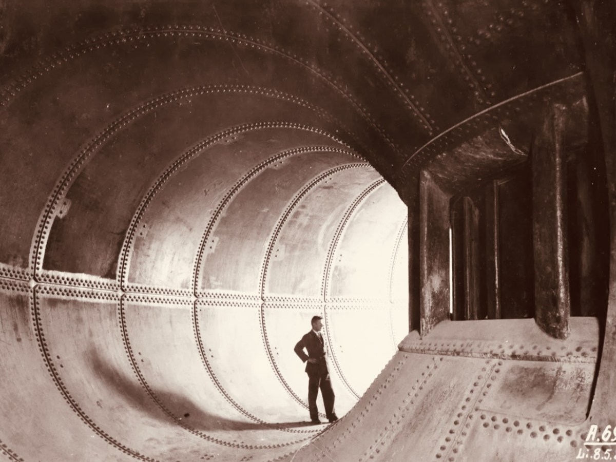
We both wrote 52 posts this year, each of around 1,000 words, and all fully illustrated. Above is a pic of one of the penstocks which brings the water into the turbine casings at Ardnacrusha Power Station (courtesy of ESB Archives). This incredible engineering feat – well ahead of its time – was constructed between 1925 and 1929, and was integral to the supply of electricity throughout Ireland’s young state by harnessing water power from The Shannon. West Cork benefitted from Rural Electrification, and I thoroughly enjoyed researching and writing a series of posts on the whole subject.
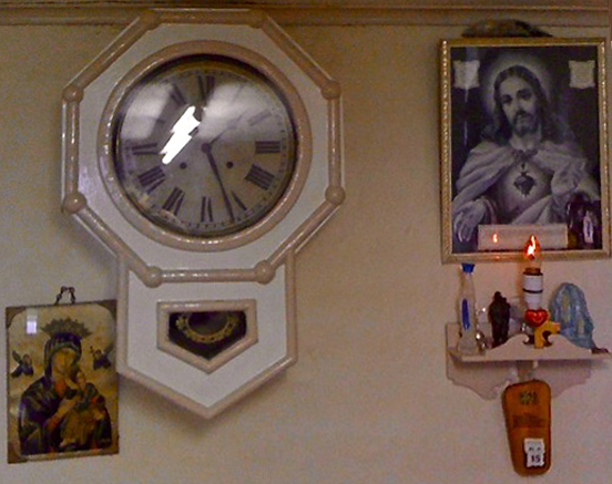
. . . Once a community was connected, or about to be connected, the ESB held public demonstrations of household appliances. These were then sold bringing electric irons, kettles, stoves to homes. The demonstration evening in Glenamaddy was held in January 1951. The handwritten report records that it took place “in the very fine Esker Ballroom”; these events were social occasions that brought communities together. The Glenamaddy evening “was attended by about 90, including 50 women. As is usual, the women appeared to be more keen than the men and more inclined to ask questions (and to argue). After the demonstration, a melodeon player turned up and an impromptu dance got under way” . . . Small towns and rural townlands became brighter and winters less harsh and Christmas more special as the fairy lights began to shine. It also gave rise to a rural Irish icon as every house had the Sacred Heart picture with the (electric) red lamp (below): many didn’t get a kettle and washing machine until later on . . .
Since 2018 our own Museum in Ballydehob has been showing exhibitions of the work of locally based artists. This year it was the turn of the Verlings – John and Noelle. John died, sadly, in 2009; Noelle is still alive and kicking and assisted Brian Lalor and myself in assembling an excellent collection of the work of these two creative residents of our village, assisted technically and ably by Stephen Canty. BAM is a really valuable resource in setting out the unique history of the artistic community here in West Cork from the 1950s onwards.
A wonderful photograph (courtesy Geoff Greenham with many thanks) of St Bridget’s Catholic Church in Ballydehob. The interior was reordered by John Verling.
. . . The gold fish hand drawn in the background of the altar and the depiction of one fish swimming against the shoal continues to evoke admiration from locals and visitors alike. He also designed the two ‘windswept thorn’ stained glass windows and etched the brass surround of the tabernacle. The Altar slab, composed of a vast monolith like the capstone of a dolmen, is a distinguished piece of sculpture and a tribute to his imaginative capacity . . .
. . . AS an inspector from the aeronautical section of the Department of Transport and Power arrived in Ballydehob to begin an investigation into Saturday night’s plane crash off the Cork coast, it was learned last night that the pilot of the Piper Cherokee almost lost his life in his efforts to save the other three men on board. Michael Murphy (23), of Mercier Park, Curragh Road, Cork, who was sitting next to the pilot, Eric Hutchins of Ballinlough, Cork, said that Mr Hutchins was concentrating so much on getting the plane down that he was knocked unconscious at impact. Mr Murphy, together with Noel O’Halloran, of St Luke’s, Cork, and James McGarry, of Monkstown, Co Cork, had been braced for the crash and scrambled free on to the wing. But then they found that they could not get out Mr Hutchins who was unconscious. Mr O’Halloran then went back into the rapidly sinking plane and between them they pulled Mr Hutchins free and threw him into the water. The three men then swam ashore taking 40 minutes to reach land at Fylemuck, as they had to support the injured man all the way . . .
IRISH PRESS, MONDAY 24 SEPTEMBER 1973
All four crew and passengers on the plane survived the ditching, but the aircraft itself (a photo taken in its good days, above) was a write-off. Those living locally who remembered the event gathered to mark it in Schull, on the anniversary.
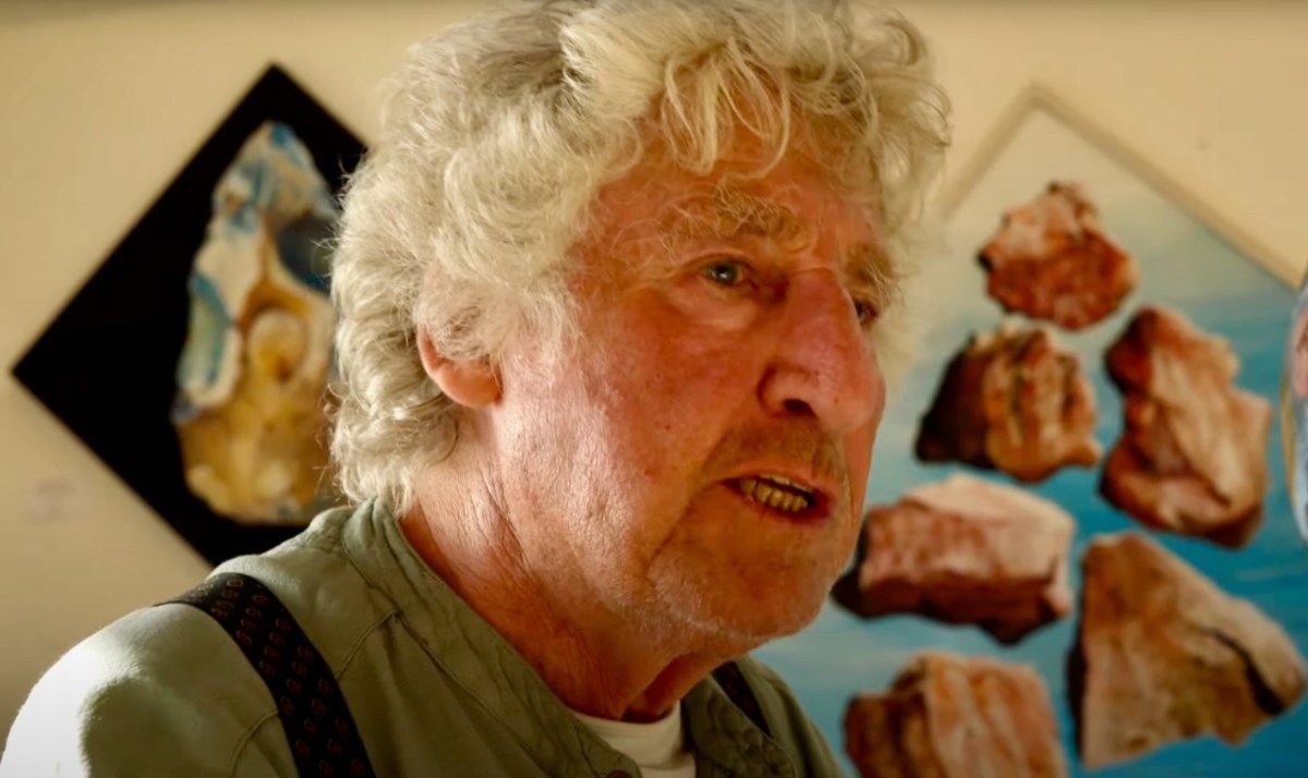
That’s Keith Payne, above. He’s one of the many artists who has lived in West Cork for a significant part of his life – at Leamcon, and he was deservedly given an exhibition in The Blue House Gallery, Schull, in September this year. He has always been fascinated by ‘early markings’, including Rock Art: he contributed dramatically to our own Rock Art exhibition at The Public Museum, Cork, in 2015.
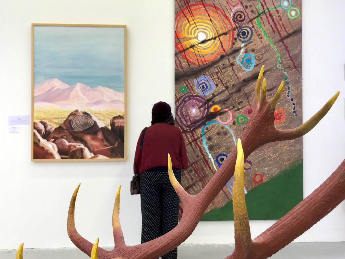
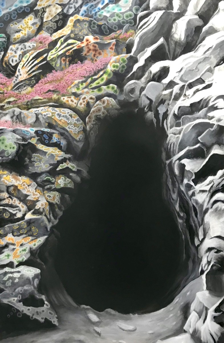
That’s a spectacular large canvas by Keith inspired by Rock Art at Derreenaclogh, West Cork (on the right, above). It’s from an earlier exhibition by Keith in County Clare in 2018, at the Burren College of Art Gallery in Ballyvaughan, Co Clare. The work below is titled Cave Entrance.
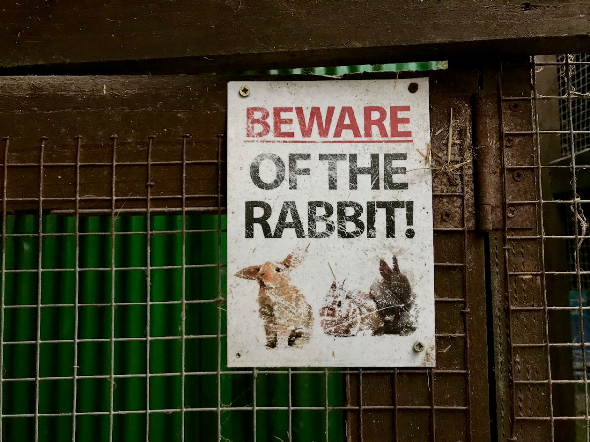
Throughout the year I continued to publish posts on some of my favourite subjects: Irish signs, advertising and curiosities. I’m always avidly collecting these, and will have some to show in 2024, for sure. In the meantime, let’s hope our general news becomes more positive as we move forward in this disorienting world of ours . . . Have a good new year, everyone!
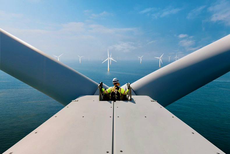
And here’s a little PS . . . Way back in January, before I had the idea to write about Rural Electrification in Ireland historically, I penned a post about how I saw Ireland very much at the forefront of harnessing wind power – all at sea. Here it is!
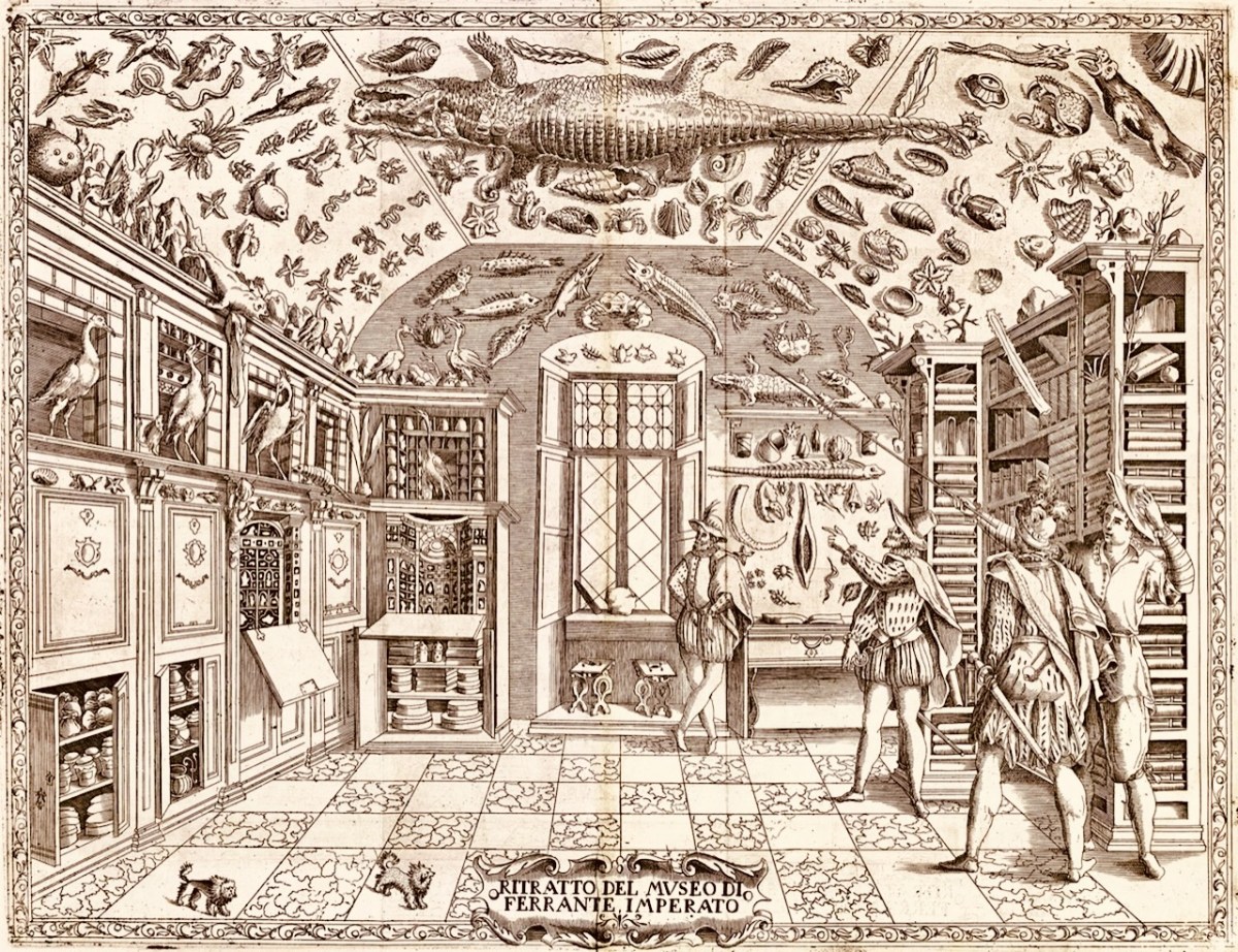
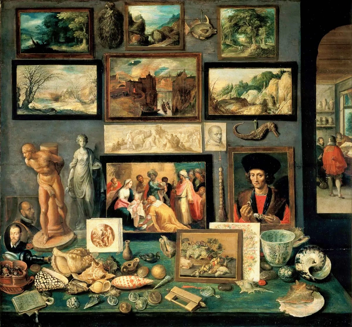
The forerunners of the museums that we visit today were known as ‘Cabinets of Curiosities’. Starting – just about – at the very end of the sixteenth century – we find mentioned and illustrated collections of objects gathered from exotic places: things that a gentleman might be unfamiliar with; things that could expand our knowledge and cause wonder. Curiosities, undoubtedly. Here’s one collection illustrated in 1599:
This is an engraving from Ferrante Imperato’s Dell’Historia Naturale (Naples 1599), the earliest illustration of a ‘natural history cabinet’ (courtesy Oxford University). It shows a room fitted out to display imported paraphernalia: (hopefully mounted) creatures, dried specimens, fossils – also books and illustrations. The collector here takes on the role of educator – perhaps showman. Here you might encounter unicorn horns, a dragon’s blood, mermaid scales as well as the full sized alligator hanging from the ceiling.
Frans Francken the Younger, Chamber of Art and Curiosities, 1636 above (Public Domain). Another selection of paintings intermixed with fish, carved beads, sculptures, with on the table exotic shells, gem-stones mounted with pearls, coins and medals.
Rathfarnham Castle (above) is a good example of an Irish Fortified Manor House. This mainly seventeenth century building type would have been the relatively comfortable home of an aspiring clan – perhaps a titled family with church or merchant connections: Finola has written about a West Cork example. Austin Cooper – a tax collector who indulged his hobbies of sketching and writing while travelling through Ireland in the performance of his duties – wrote of Rathfarnham:
. . . What renders this a Place of any Note is the Cas. belonging to the E. of Ely. This Cas. is square, with a large square Tower at each corner – on the S. side in the Center is a semicircular Tower . . . The hall is but low, at the same time exquisitely elegant . . . The gallery is a beautiful room, at the far end is a curious cabinet of Tortoise Shell & Brass containing some most extraordinary Work in Ivory . . .
Austin Cooper’s Notes, rathfarnham Castle
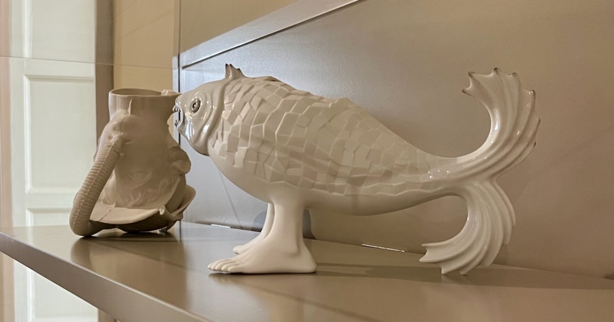
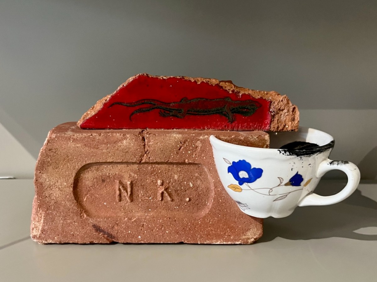
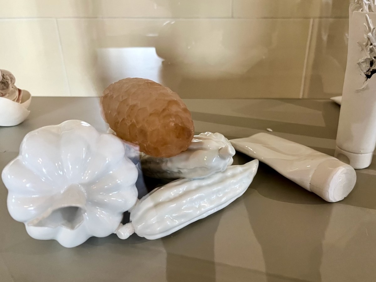
Rathfarnham Castle has, in modern times, a distinguished continuing association with contemporary ceramicists and in 2015 established a modern Cabinet of Curiosities which continues the tradition of displaying ‘extraordinary work’, and provides excellent material for a Sunday morning post!
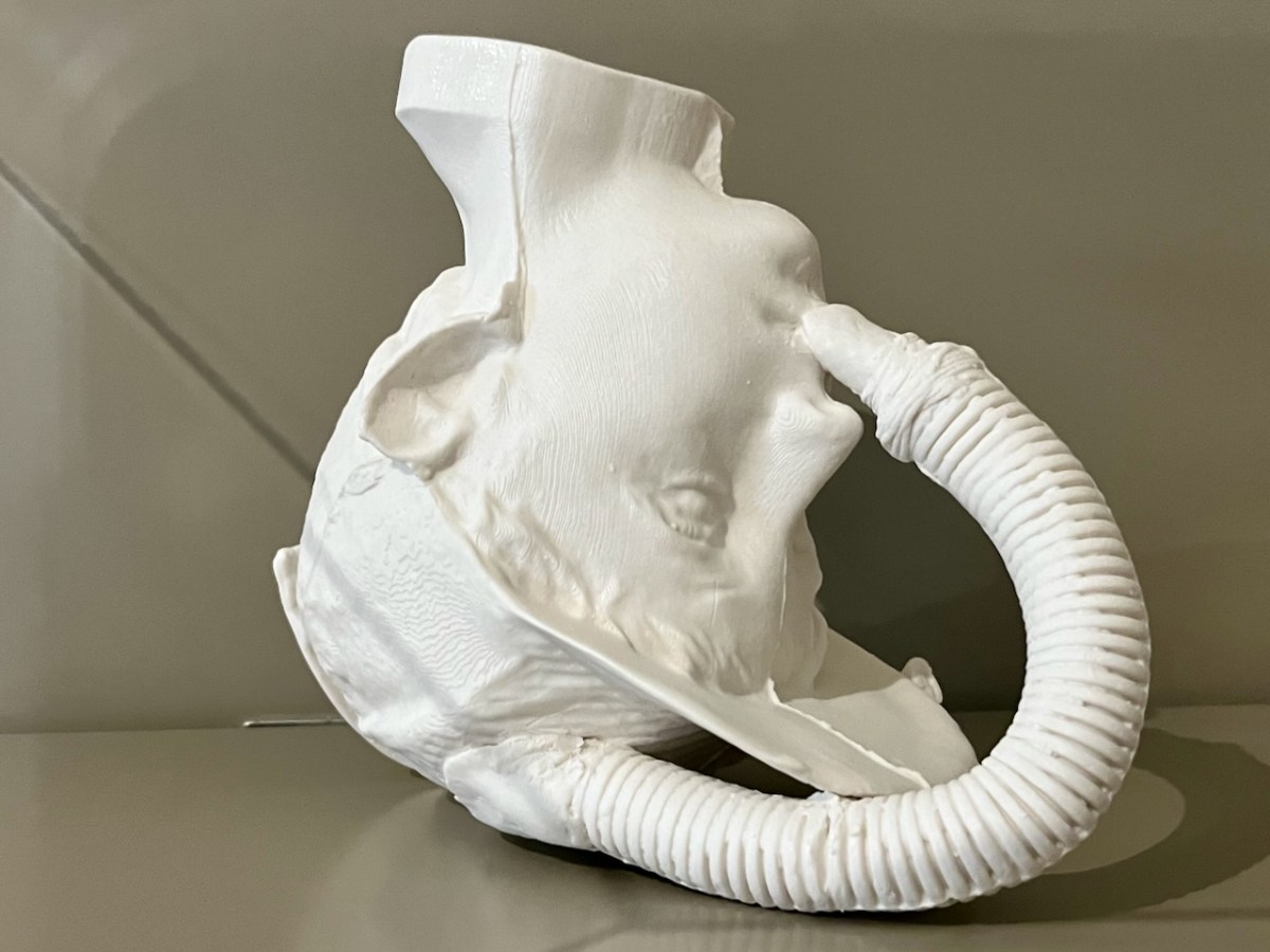
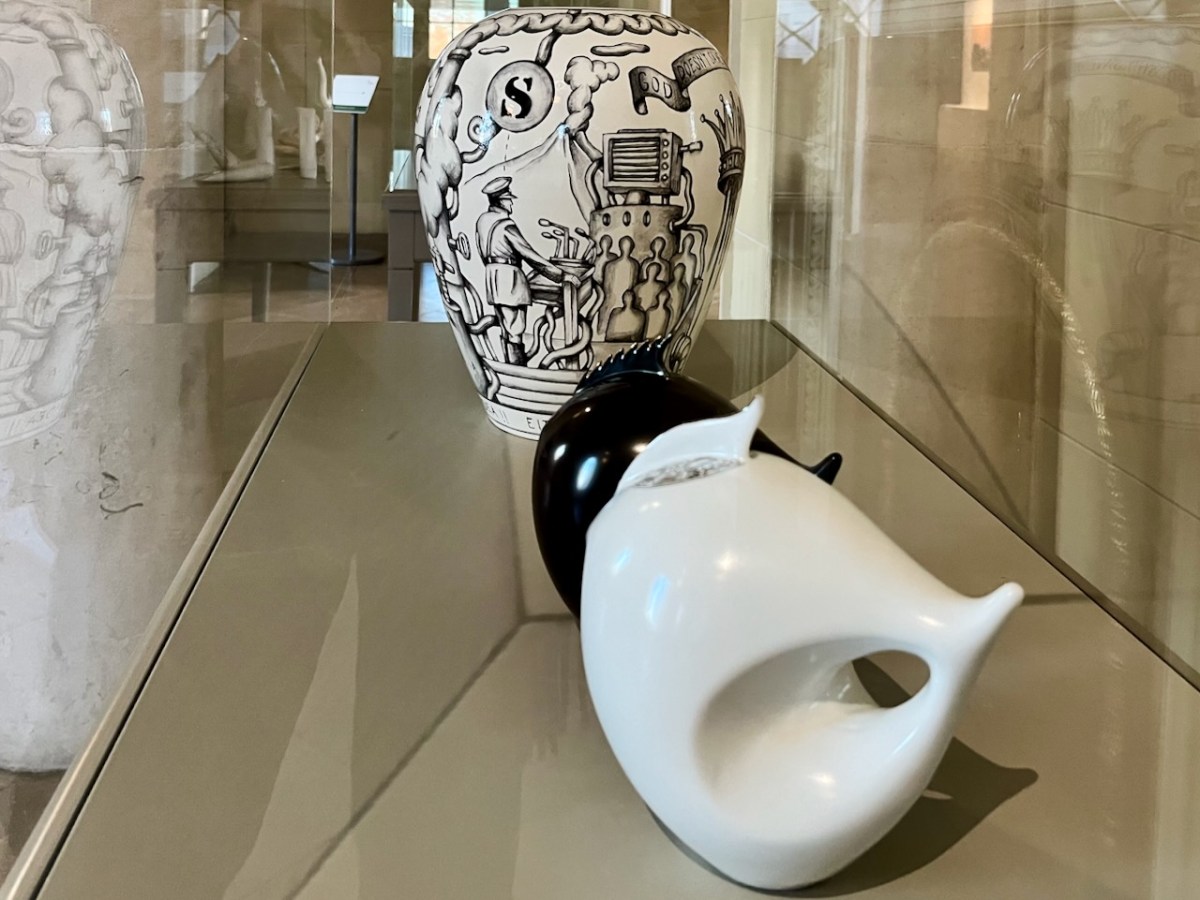
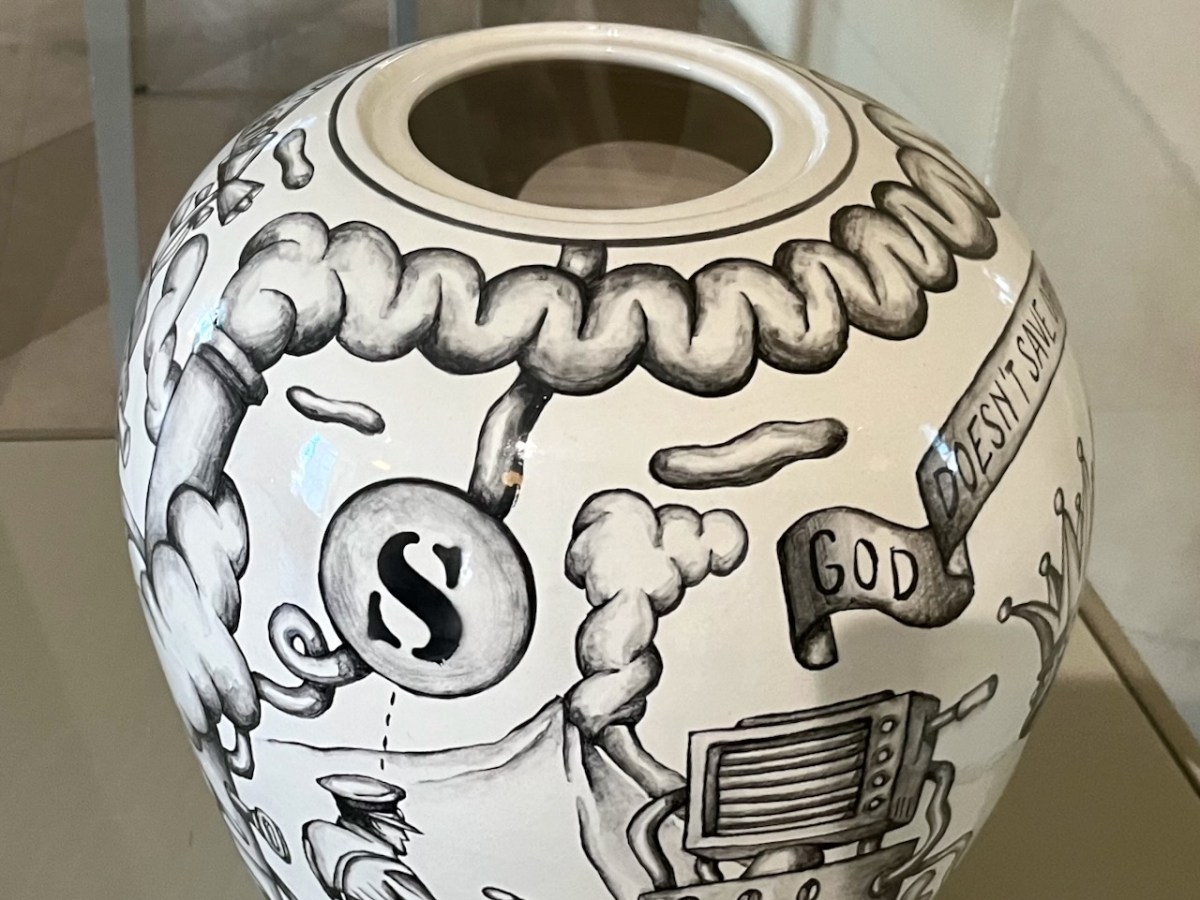
The curiosities are not labelled – and nor are their creators. Peter Bagshaw, OPW at Rathfarnham, has kindly provided me with a list – thank you, Peter – attached at the end of this piece. I cannot necessarily individually identify each item: I will leave you to work out which might be which . . .
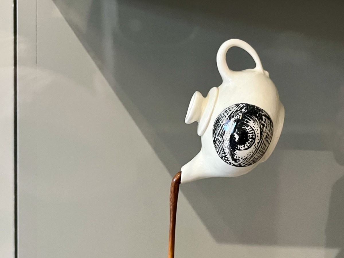
This eye-pot looks great when you pan out a bit . . .
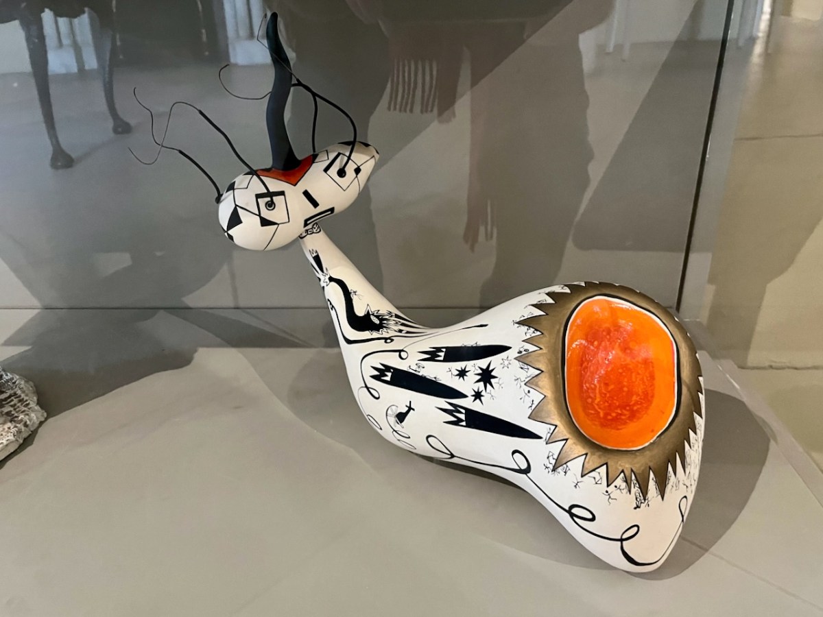
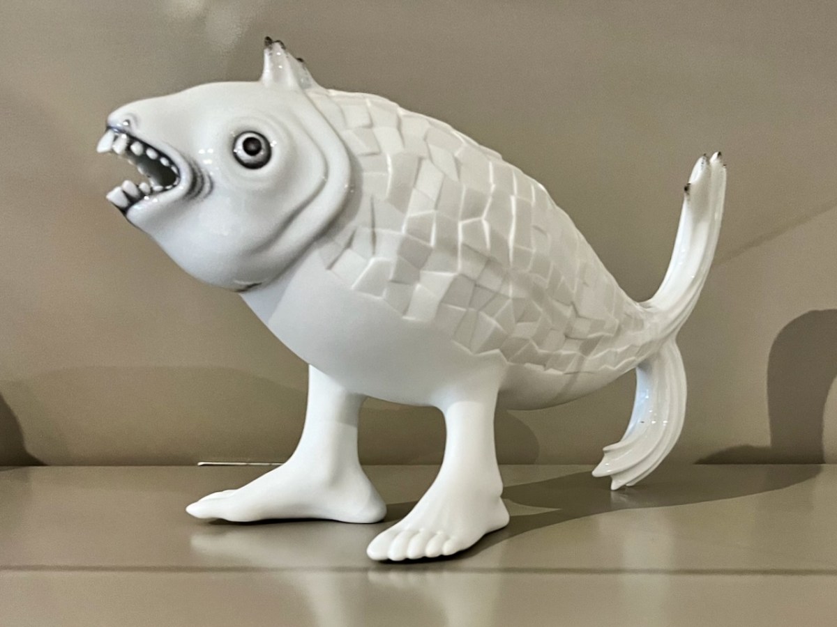
This one certainly harks back to some of those manufactured creatures that turned up in cabinets of old.
Leather teapot – a fashion item, perhaps?
I think the final image might be my favourite: a young person clutching an angel’s wing? Could this be The Sequestrator?
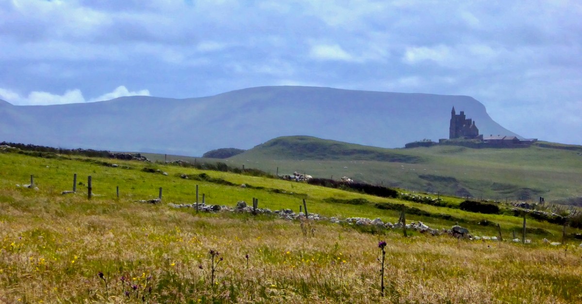
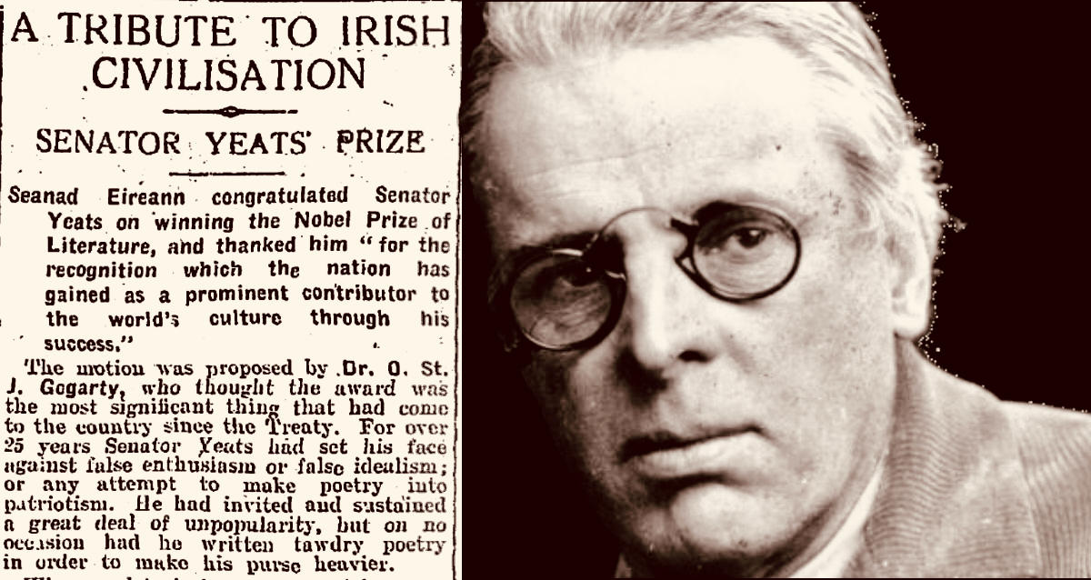
Yeats country – Benbulben and Classiebawn Castle (above). Finola took this fine view seven years ago, when we set out to visit the haunts of William Butler Yeats. We have to turn to Yeats now, as it’s exactly one hundred years since he was awarded the Nobel Prize for Literature – in December, 1923. I have carried a place in my heart for Yeats, ever since I was at Primary School on the Hampshire/Surrey borders, not far from Thomas Hardy’s Wessex. Yeats and Hardy were rivals for the coveted award – the final vote in 1923 was between the two of them: in the end, only two Nobel committee members voted for Hardy, and Yeats achieved the prize. The Guardian newspaper said that “…Mr Yeats is to be congratulated, almost without reserve, on lifting this substantial stake. He is a poet of real greatness; prose, too, he can write like an angel…”, however then arguing that Thomas Hardy would have been a worthier recipient of the award!
The Irish press congratulates Yeats on his achievement (above – Irish Independent 29.11.1923). My schoolboy encounter with the poet must have been when I was around ten years old and we were tasked to learn The Lake Isle of Inisfree. I can still recite it, word for word, to this day, sixty seven years later. But it was far more than mere words for me, then. Our teacher – Mr Sharpe – was careful to explain that this man was cooped up in the city of London – on its “pavements grey” and was yearning for the countryside he loved:
I will arise and go now, and go to Innisfree, And a small cabin build there, of clay and wattles made; Nine bean-rows will I have there, a hive for the honey-bee, And live alone in the bee-loud glade.
And I shall have some peace there, for peace comes dropping slow, Dropping from the veils of the morning to where the cricket sings; There midnight’s all a glimmer, and noon a purple glow, And evening full of the linnet’s wings.
I will arise and go now, for always night and day I hear lake water lapping with low sounds by the shore; While I stand on the roadway, or on the pavements grey, I hear it in the deep heart’s core.
Inisfree serves the poet’s romantic dreams of a remote idyllic landscape far away from the noisy metropolis. It does exist as a place – on Lough Gill in Co Sligo: Yeats spent childhood summers nearby. Interestingly, I searched the internet for pics of the island, and the above came up. It’s from a Roaringwater Journal Post which I wrote in 2016. And it’s not Inisfree, but another ‘lake island’ – just outside Skibbereen, in West Cork – Cloghan Castle Island on Lough Hyne: there’s a holy well nearby, and an 8th century church dedicated to St Brigid – but all that is another story. The diversion just serves to warn against trusting what you find online!
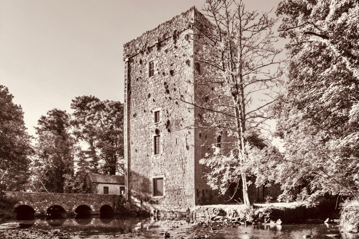
Thoor Ballylee Tower, Co Galway (above) – this 14th century tower house was described by Seamus Heaney, another Irish Nobel Literature prize winner, as The most important building in Ireland, because of its associations with Yeats, who spent many summers there with his family.
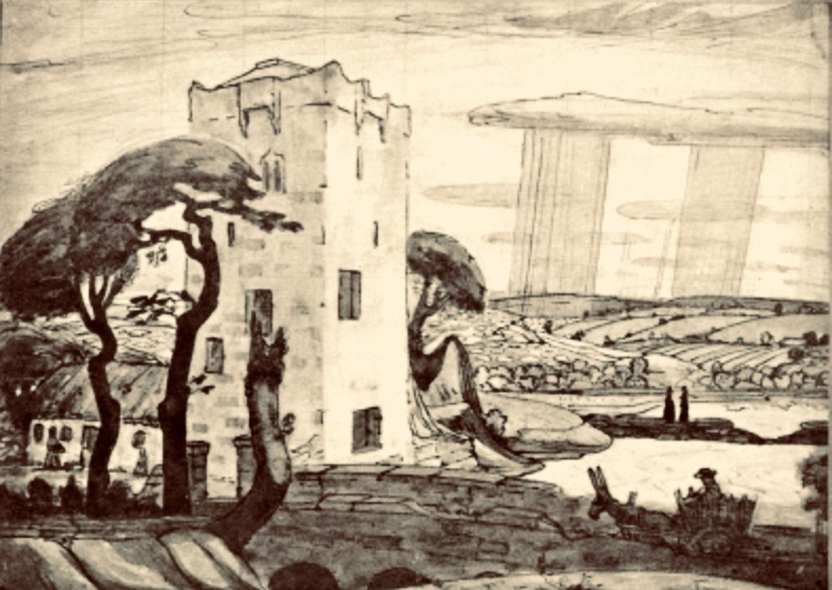
Here is the finely crafted cover of The Tower: a book of poems by W B Yeats, published in 1928 (courtesy Yeats Thoor Ballylee Society). The Tower was Yeats’s first major collection as Nobel Laureate after receiving the Nobel Prize in 1923. It is considered to be one of the poet’s most influential volumes and was well received by the public. (Below) a 1917 drawing by Robert Gregory – son of Isabella Augusta (Lady) Gregory and Sir William Gregory of Coole Park, Co Galway – of The Tower (courtesy Yeats Thoor Ballylee Society).
Going back to my early school years: I was an incurable romantic, and a daydreamer. I paid enough attention to lessons to get by, but my heart lay outside the school gates. Just minutes away were hop-fields and, beyond those, pastures, woodlands, streams – idyllic places where I loved to wander. I could completely relate to Yeat’s desire to be far away from the city, and that’s why his poem appealed to me. I knew very little about Ireland, and had no idea that was where I would one day make my home. I am here now, sitting at my desk, with the hills and oceans of Yeats’ own country beyond.
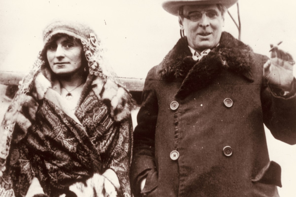
W B Yeats and his wife George Hyde-Lees heard the news that the Nobel Prize had been awarded to him on 14 November, 1923. The photograph above (courtesy Irish Independent) is said to be taken on that day. It’s also said that they celebrated by cooking sausages! The Irish Independent records: “Irish poet and senator, William Butler Yeats created history when he was awarded the Nobel Prize in Literature, the first Irish citizen to achieve such an accolade. The prize was awarded to Yeats ‘for his always inspired poetry, which in a highly artistic form gives expression to the spirit of a whole nation’.”
Somewhat surprised by the award, Yeats would later write in his (unpublished) autobiography: “Early in November (1923) a journalist called to show me a printed paragraph saying that the Nobel Prize would probably be conferred upon Herr Mann, the distinguished novelist, or upon myself, I did not know that the Swedish Academy had ever heard my name.” The news of the award was widely praised in Ireland with members of Dáil Éireann proudly announcing that it had placed Ireland on the international stage. It was a sentiment reiterated by the laureate himself, who at the awards ceremony claimed that the Nobel Prize was less for himself than for his country and called it Europe’s welcome to the Free State. In his presentation speech, Per Hallstrom, then chairman of the academy’s Nobel Committee, praised the poet’s ability to ‘follow the spirit that early appointed him the interpreter of his country, a country that had long waited for someone to bestow on it a voice’.
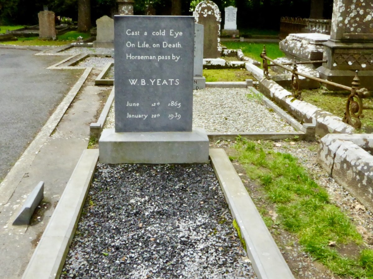
A portrait of Yeats painted by Augustus John OM RA in 1930 (courtesy Sothebys – private collection). Before Yeats passed away he requested that his final resting place be in Sligo. He died in Menton, France in 1939 aged 73 and was buried there. His wish was fulfilled in 1948 when his body was exhumed and buried in St Columba’s Church, Drumcliff. His headstone reads:
Welcome to the UCD Library Cultural Heritage Collections blog. Discover and explore the historical treasures housed within our Archives, Special Collections, National Folklore Collection and Digital Library