Ethel Mannin, W B Yeats – and Wild Flights

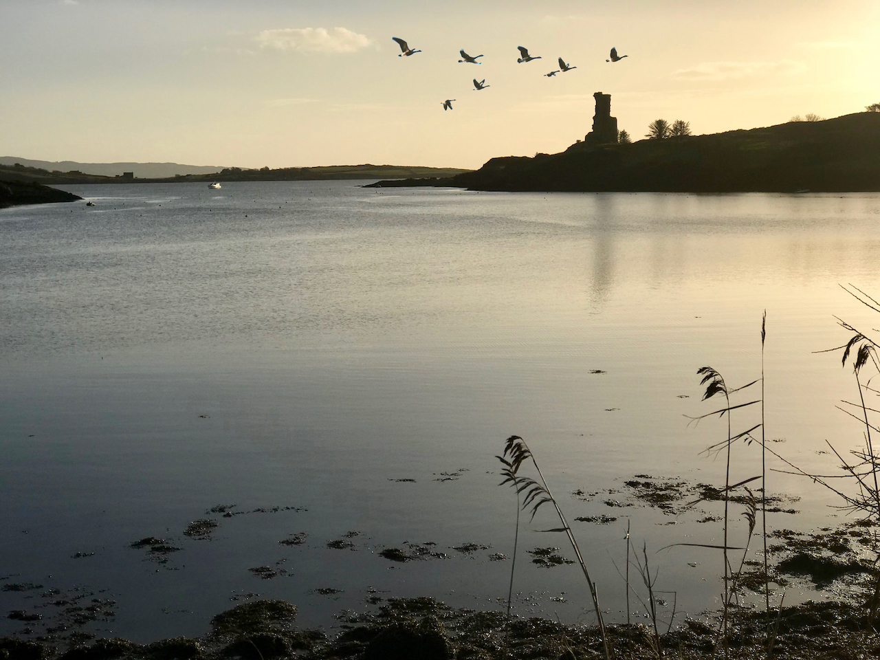
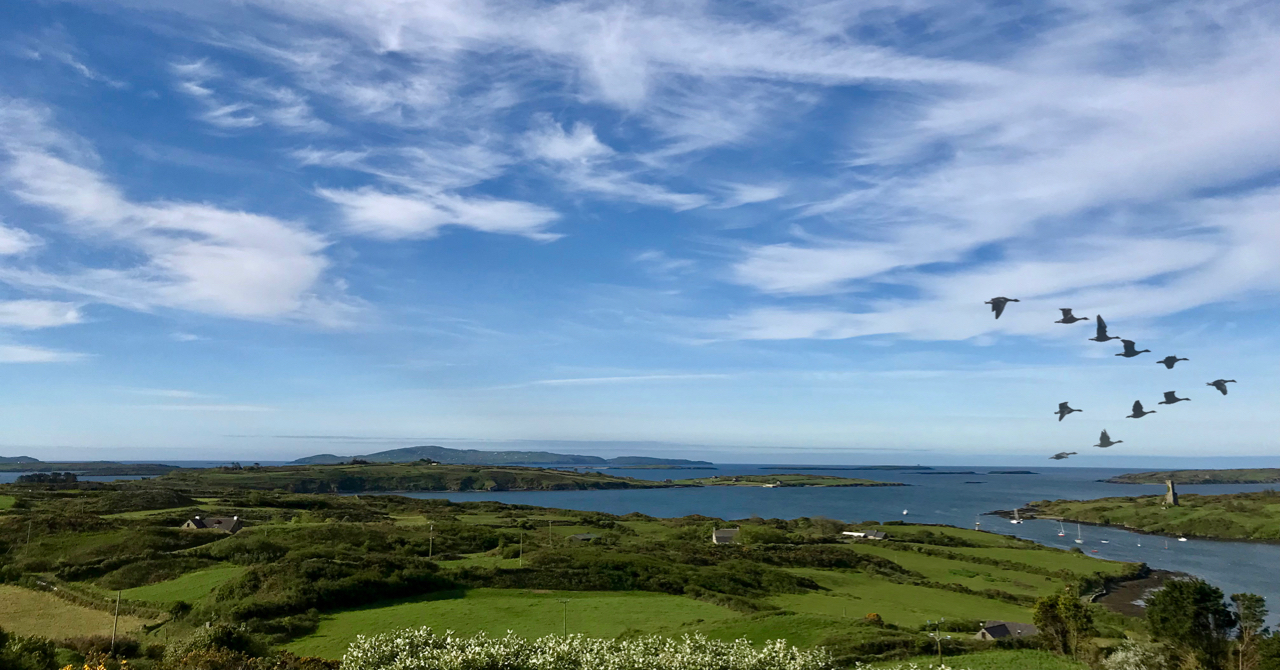
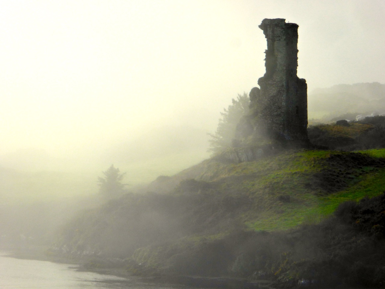
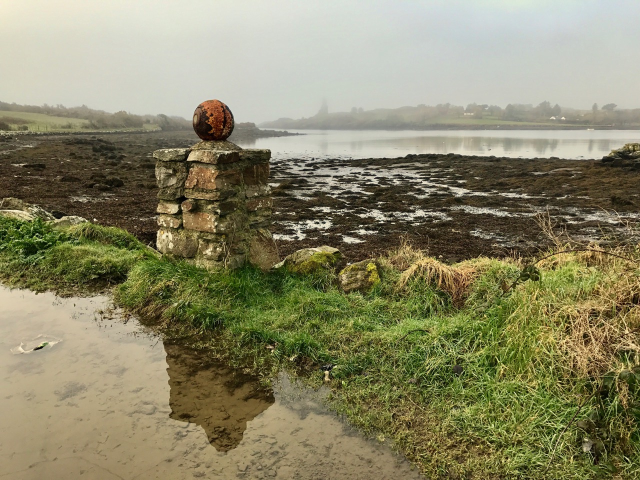
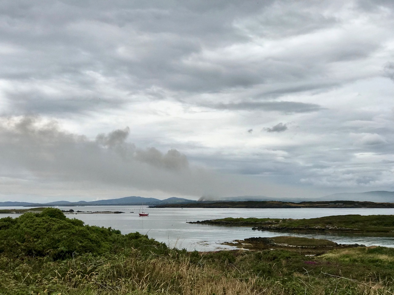
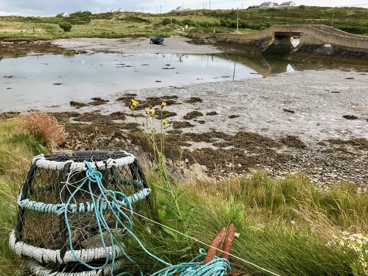
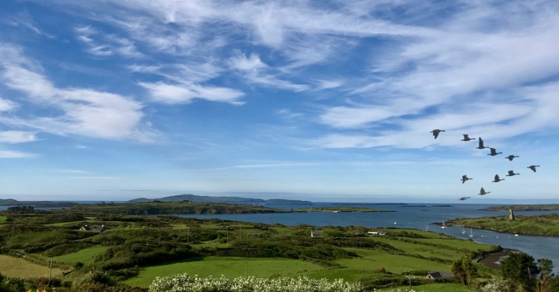
If you read my post last week you will recognise this autumnal view of Rossbrin Castle. I took the photo in November 2017 and looked it out after I watched the magic of a skein of wild geese flying over Nead an Iolair just a few days ago – at the end of August. There’s something wistful about that spectacle – birds coming to winter on our west coasts – and Irish weather lore has to be heeded about these early advents:

It was generally believed that the early arrival of wild geese meant that a prolonged and severe winter was in store. This is a very old belief, as the ninth-century Irish work ‘Cormac’s Glossary’ states that the brent goose usually arrived at the coasts of Erris and Umhall between 15 October and 15 November, and that when it appeared earlier, it brought storms and high winds. Similarly, in Counties Donegal and Galway, when the wild geese arrived, it was a sign that cold and frosty weather was on the way. In Donegal, a sign of an approaching wind was when a goose stuck its neck up into the air and beat its wings against its stomach. Fishermen would watch out for this and if they saw it would not go out, believing that a storm was on the way . . .

(Niall Mac Coitir – Ireland’s Birds: Myths, Legends and Folklore, Collins Press 2015)
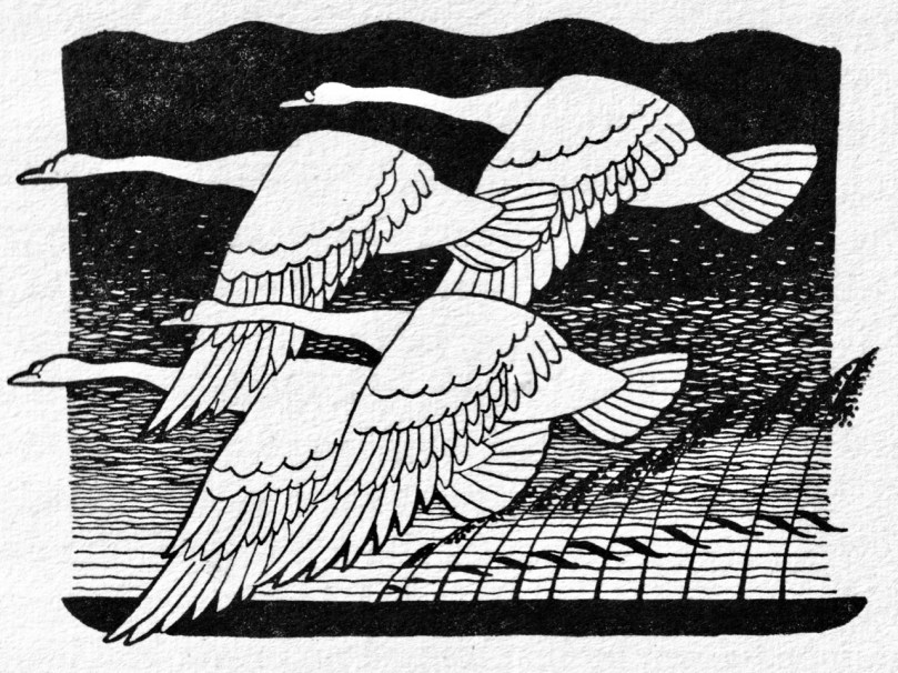
Today’s post – while inspired by my sighting of the wild geese – is more connected to swans: these large and graceful birds are a constant down on Rossbrin Cove, and plentiful along our West Cork coastlines. Niall Mac Coitir also has much to say about them:

In Ireland it was generally believed to be very unlucky to kill a swan, and many tales were told of the dire consequences for those who did so. For example, the mysterious death of one of their farm animals often occurred soon afterwards. In County Mayo the whooper swan was never interfered with, on account of a tradition that the souls of virgins, who whilst living had been remarkable for the purity of their lives, were after death enshrined in the form of these birds . . . In Donegal it was believed that swans were people under enchantment, so that bad luck would come to anyone who interfered with them . . .

(Ibid)

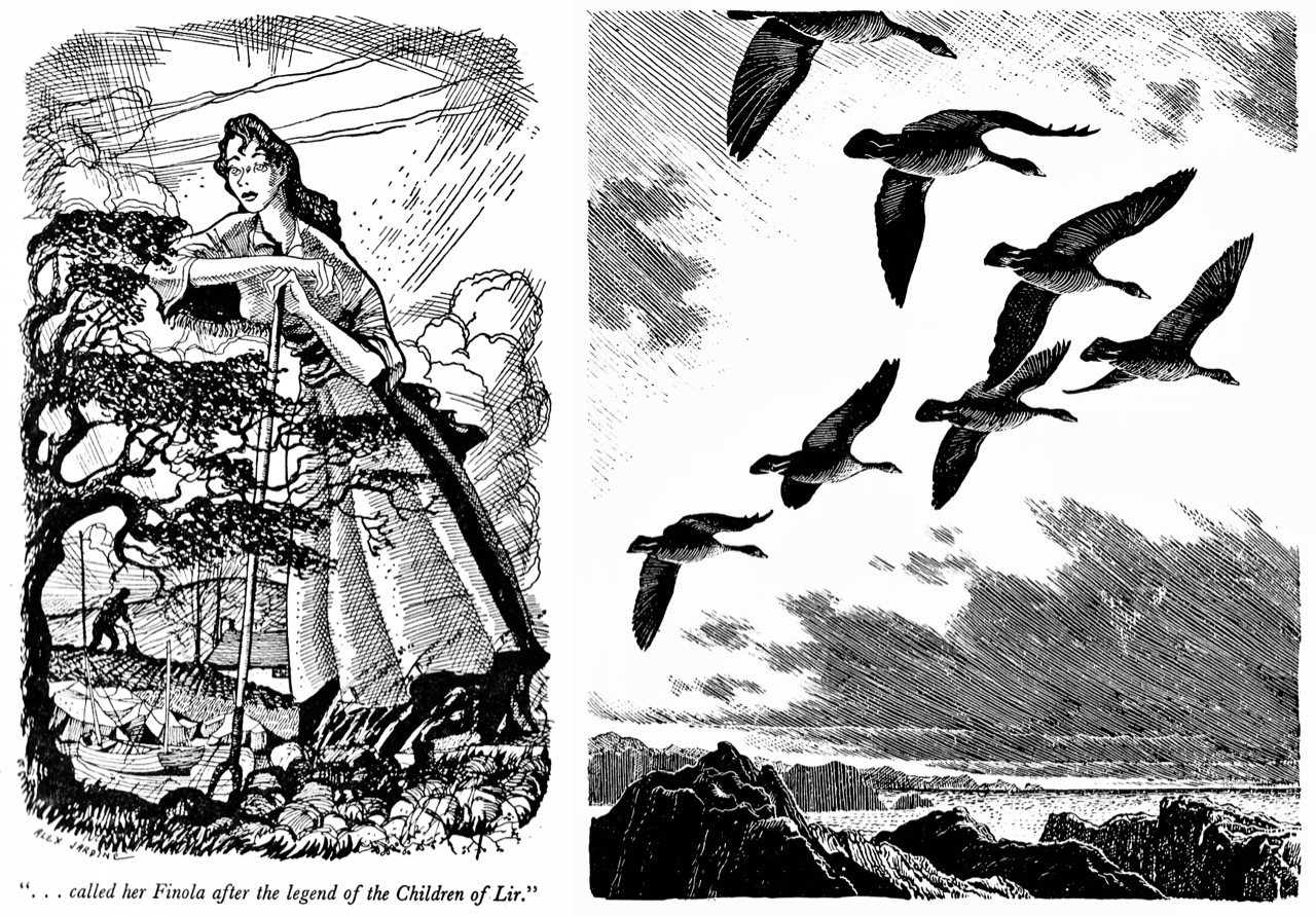
We know all about the tradition of people being turned into swans from the legendary Children of Lir – one of whom was Finola: you may remember the stained glass window we have in our house. A few years ago I found the above book in the wonderful Time Traveller’s Bookshop in Skibbereen (which has now transformed itself into the Antiquity Bookshop Café, the first all-vegan Cafe in West Cork: it’s well worth a visit – for books and food!). I was attracted initially by the cover and the illustrations, and then was delighted to find that the first story in the book was all about Finola and is a modern ‘take’ on the Irish legend. I had to buy the book, of course, for our Finola and I immediately thought of ‘The Wild Swans’ when I saw those wild geese. This post results from those wandering encounters.
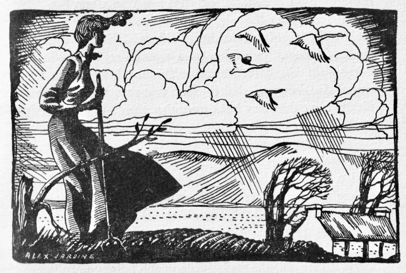
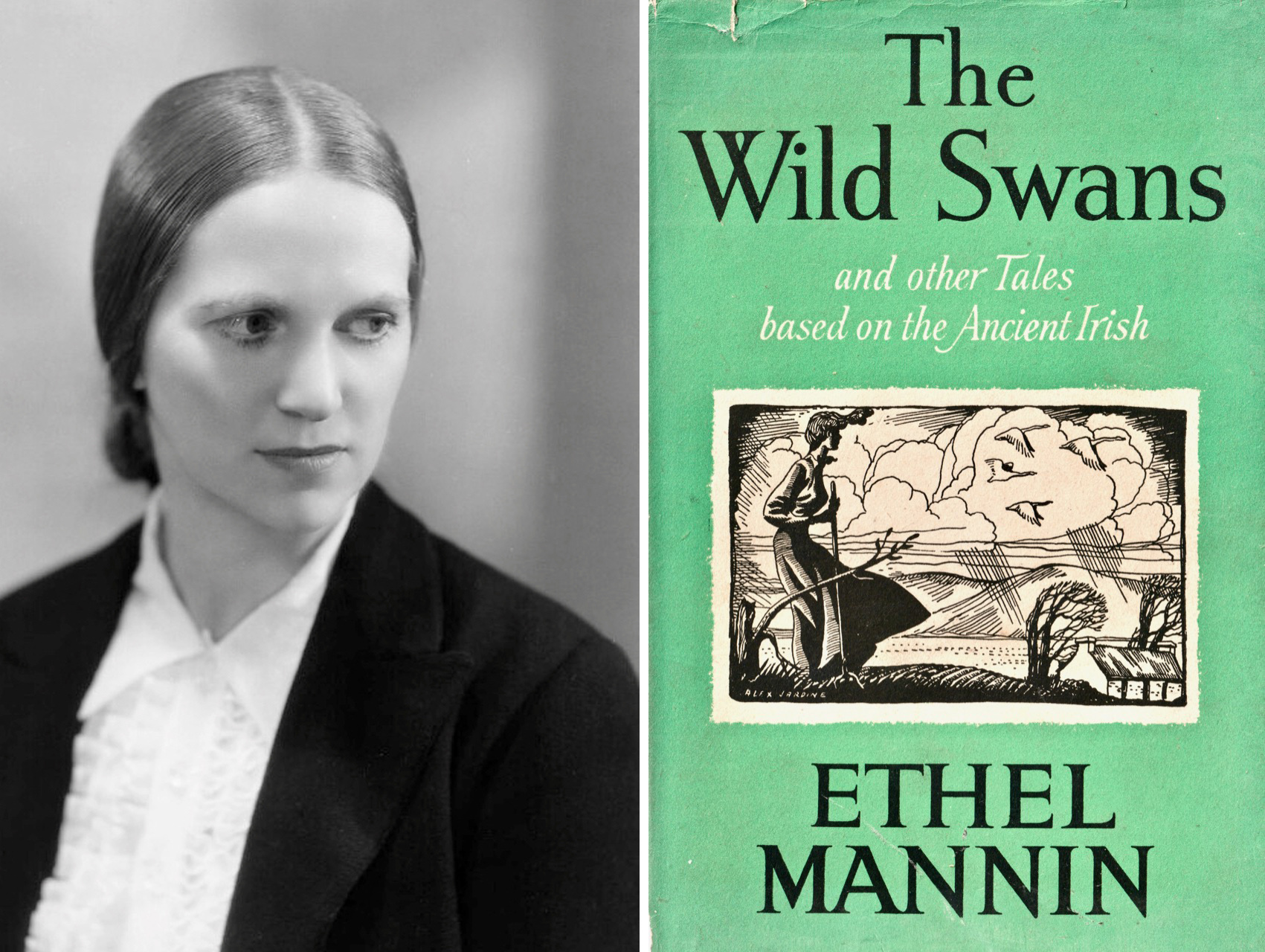
Another of the illustrations from The Wild Swans – used on the cover: do you see the swans? The second picture above – of the four swans – is also from the book. The illustrator is Alex Jardine, about whom I have been able to find very little, other than he was British, lived from 1913 to 1987, wrote and illustrated books on angling, and designed a number of postage stamps. I was also keen to find out more about the author of this book – Ethel Mannin (shown above next to the book cover) – and initially came across scant information, until I discovered a connection with W B Yeats. Then, by dipping and diving through letters and articles specifically by and about Yeats, I was able to put together some often surprising details on her life.
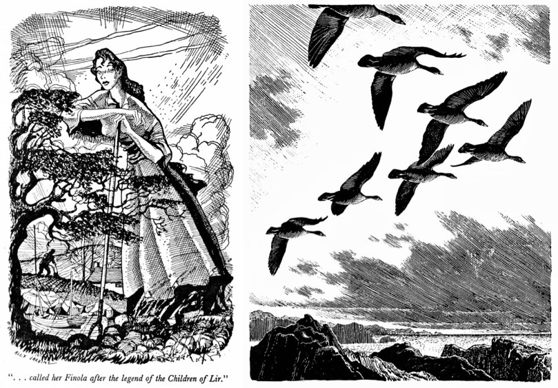
Above left – Alex Jardine’s illustration for The Wild Swans showing Finola – beautifully detailed and with intriguingly distorted perspective (suitable for a ‘modern’ legend?); above right – for comparison, an illustration from the same period (1950s) of wild geese by prolific British illustrator Charles Tunnicliffe: a scene which looks uncannily like a peninsula from the west coast of Ireland

Ethel Mannin was born in 1900 in London, and died in 1984. None of her writings is in print today and she is now little regarded, yet in her lifetime she wrote and had published well over a hundred volumes, half of which were novels and others which included short stories, children’s books, travel books, autobiographies and works on literature, politics and her contemporary world. On the fly-leaf to The Wild Swans – published in 1952 – is the statement:

Her reputation as a writer is founded on her honesty and unorthodoxy. For some years past she has done most of her writing in retreat in a cottage in the remotest west of Ireland, the country of her ancestors . . .

Mannin traced her family background to the O’Mainnin owners of Melough Castle, Co Galway. In 1940 she settled close to Mannin Bay in Connemara, renting a cottage which she eventually bought in 1945. She spoke at public meetings against the Partition of Ireland – ‘the imperialist problem nearest home’ – and was elected Chairman of the West London Anti-Partition Committee. Her travels included India (where she attended a World Pacifist Conference and tore up her diary en route, throwing it overboard in the Indian Ocean, and found Hinduism repellent ‘with its lingam cult’), Burma, Morocco, Sweden, the Soviet Union, Brittany, where she befriended Cartier-Bresson.
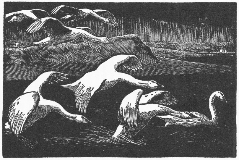
I found more wild swans in this illustration by Charles Tunnicliffe from the 1927 best-seller and Hawthornden Prize winner Tarka the Otter: His Joyful Water-Life and Death in the Country of the Two Rivers by nature writer Henry Williamson. Tarka captured the public imagination and has never been out of print, even though Williamson himself became unpopular following his support for Oswald Mosley and fascism

Ethel Mannin met W B Yeats in the 1930s and they became lovers. Their relationship was reported by Brenda Maddox in Yeats’s Ghosts: The Secret Life of W B Yeats, Harper Collins 1999:

Ethel Mannin was a rationalist and skeptical, he mystical and credulous. Politics divided them too. She was left-wing, just short of being a Marxist, and had recently returned starry-eyed from the Soviet Union; his leanings were firmly the other way. But that hardly mattered when, as a companion, she was brilliant, fun, and full of the salty talk that Yeats adored. She was not worried about his cultural baggage: “Yeats full of Burgundy and racy reminiscence was Yeats released from the Celtic Twilight and treading the antic hay with abundant zest.”

In 2014, to mark the 75th anniversary of Yeats’ death, Jonathan deBurca Butler wrote in the Irish Independent newspaper an article titled The Many Women of W B Yeats. This is an extract:

In 1934, Yeats, who had been suffering from both sexual and artistic impotence for three years, had a Steinach operation, a type of vasectomy, which was said by its supporters to increase energy and sexual vigour in men. According to Yeats, the procedure worked and he claimed to go through what he called “a second puberty”. Shortly after the operation, Ethel Mannin, a 34-year-old writer and member of the World League for Sexual Reform, was called on to “test the operation’s efficacy”. The test was by all accounts unsuccessful but it showed Yeats was still inclined towards trying his hand. If all else failed he could still arouse his mind . . .

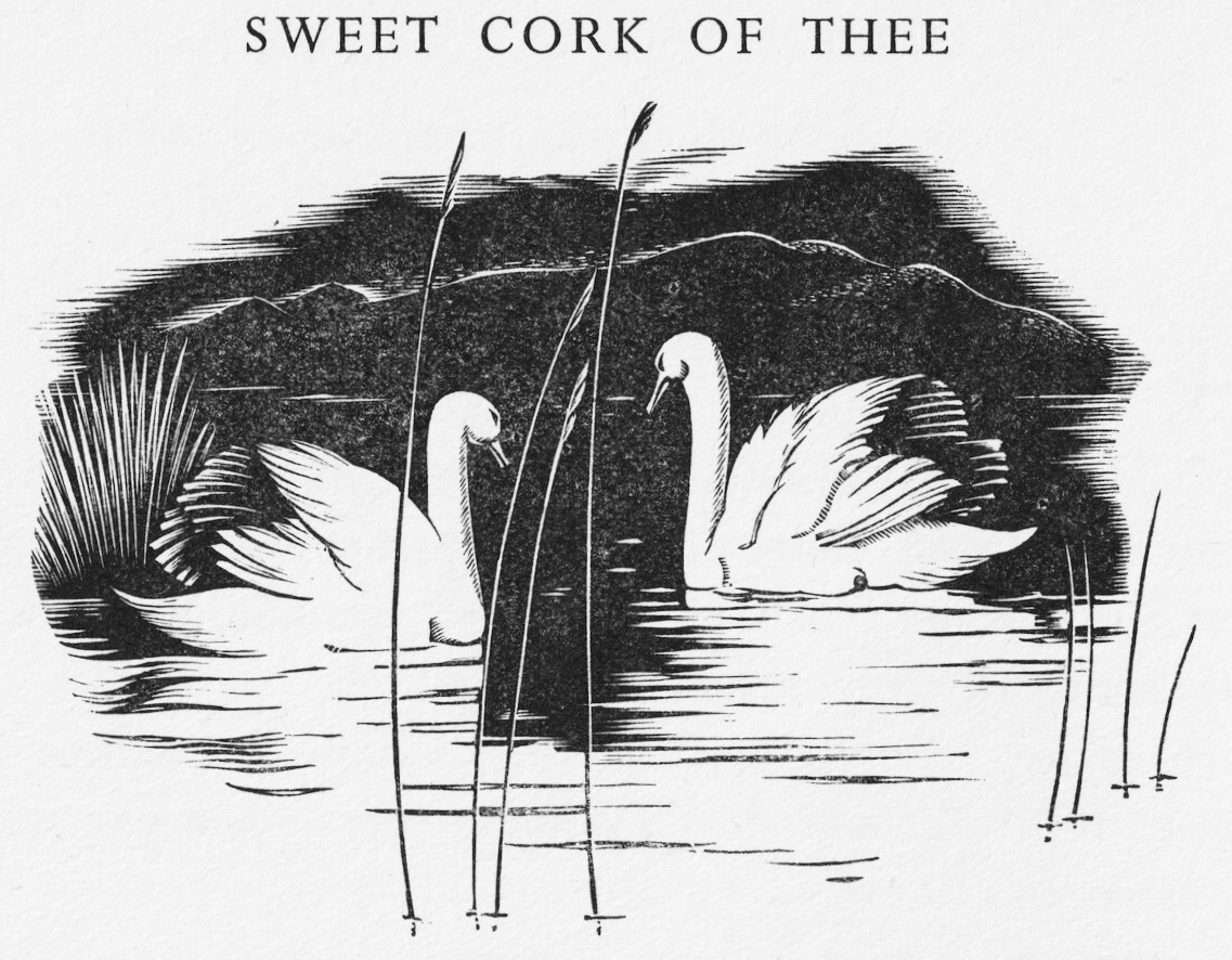
This ‘swans’ illustration is almost exactly contemporary with Ethel Mannin’s The Wild Swans. Robert Gibbings wrote and beautifully illustrated Sweet Cork Of Thee, which was published by J M Dent in 1951

Ethel Mannin married twice, and had one daughter, Jean, after which ‘ . . .she espoused the idea that a masculine mind better suited women writers than motherhood . . . ‘ Apart from W B Yeats she also had an affair with Bertrand Russell. In her later years, Ethel returned to England and lived out her life in Devon – also, incidentally, the home of Henry Williamson. I have been chasing the works of Ethel Mannin, and have succeeded in recently locating some very inexpensive used copies on the internet – including some of her biographical works. Once I have these I may have more to report on her connections with Ireland. Meanwhile, I can only recommend The Wild Swans for its romanticism and imagination – and its seductive illustrations. And, of course, for its connections with Finola!

Because of the Yeats connection, it seems appropriate to quote his poem The Wild Swans at Coole (1916):

The trees are in their autumn beauty,

The woodland paths are dry,

Under the October twilight the water

Mirrors a still sky;

Upon the brimming water among the stones

Are nine-and-fifty swans.


The nineteenth autumn has come upon me

Since I first made my count;

I saw, before I had well finished,

All suddenly mount

And scatter wheeling in great broken rings

Upon their clamorous wings.


I have looked upon those brilliant creatures,

And now my heart is sore.

All’s changed since I, hearing at twilight,

The first time on this shore,

The bell-beat of their wings above my head,

Trod with a lighter tread.


Unwearied still, lover by lover,

They paddle in the cold

Companionable streams or climb the air;

Their hearts have not grown old;

Passion or conquest, wander where they will,

Attend upon them still.


But now they drift on the still water,

Mysterious, beautiful;

Among what rushes will they build,

By what lake’s edge or pool

Delight men’s eyes when I awake some day

To find they have flown away?
Lichens and Little Things in the Woods

The wonderful Ellen Hutchins Festival for 2019 has just finished – now in its fifth year and going from strength to strength in celebrating all the aspects of botany that Ellen practised. You can read about Ellen in my post Ellen Hutchins: The Short and Remarkable Life of Ireland’s First Female Botanist. We participated again in 2016 and I wrote about our fascinating walk Into the Woods with Pádraig Whelan and Howard Fox.

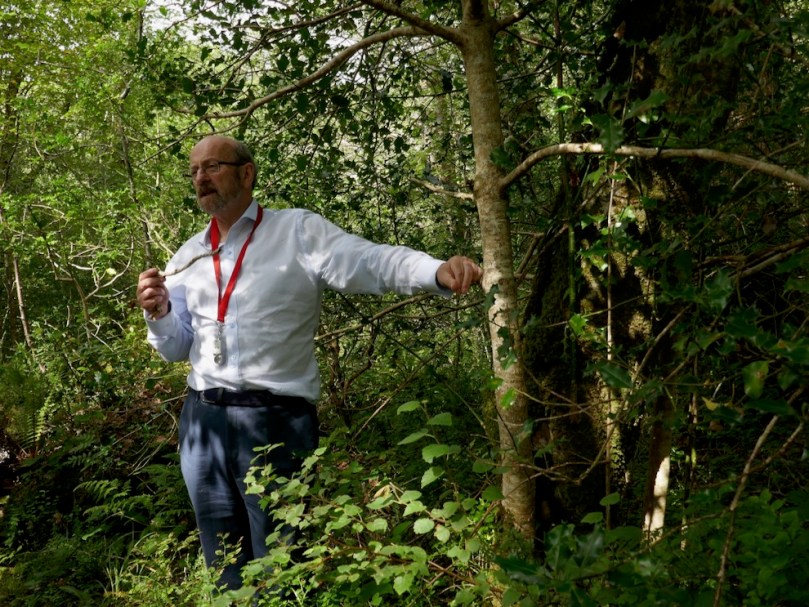
This year there was the same wide variety of botany-related activities, including an impressive array of events for children. We attended (above) a talk by Madeline Hutchins (Ellen’s GGG-Niece) about her life, with an emphasis on her letters and a talk on letter writing of the period by Carrie O’Flynn and then, last weekend, a Lichen Walk in beautiful Glengarriff Woods (first photograph, top).  Been there yet? If not, you’re missing a real treat.

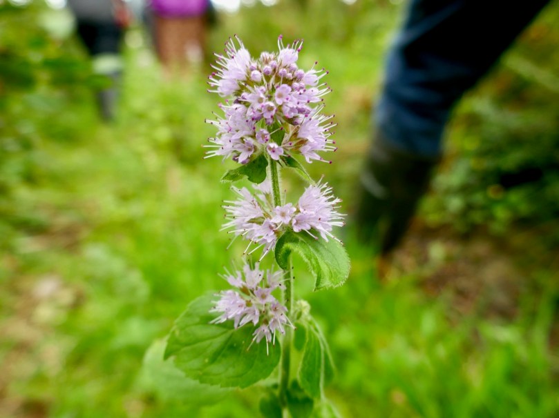
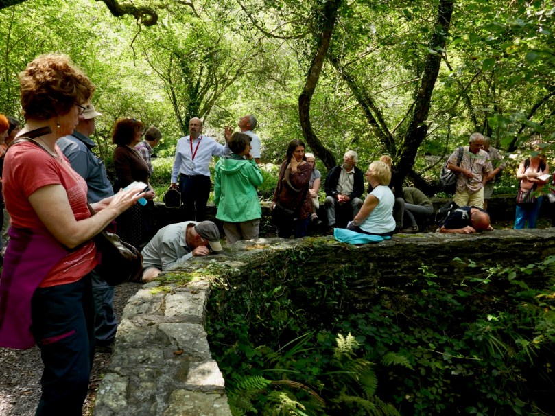
The focus of the walk was lichen of course (apparently it is acceptable to say lyken or litchen so take your pick) with Paul Whelan (above). Paul has a website at Lichens of Ireland which seems to be down for maintenance, but there’s another one, Irish Lichens, run by Jenny Seawright, which I’ve been using and finding easy to follow, especially for a neophyte like me. But even though the subject was lichens, once you enter the woods it’s easy to get distracted by other things, so for me the day was as much about the insects and flowers that we saw (sorry, Paul) on our short, but incredibly rich, walk.

What are these people doing? This is how close you have to get, with a hand lens, to see the tiny patches of lichen on the rocks of the bridge

So what is a lichen? It’s a fungus, but one that works with another organism (usually green algae but sometimes a cyanobacteria) to produce something neither can do on their own. Since lichens can’t photosynthesise, they depend on the other organism to do that. The fungus contributes by consuming dead matter and this mutually beneficial and necessary relationship is called symbiotic.

And this is what we were seeing

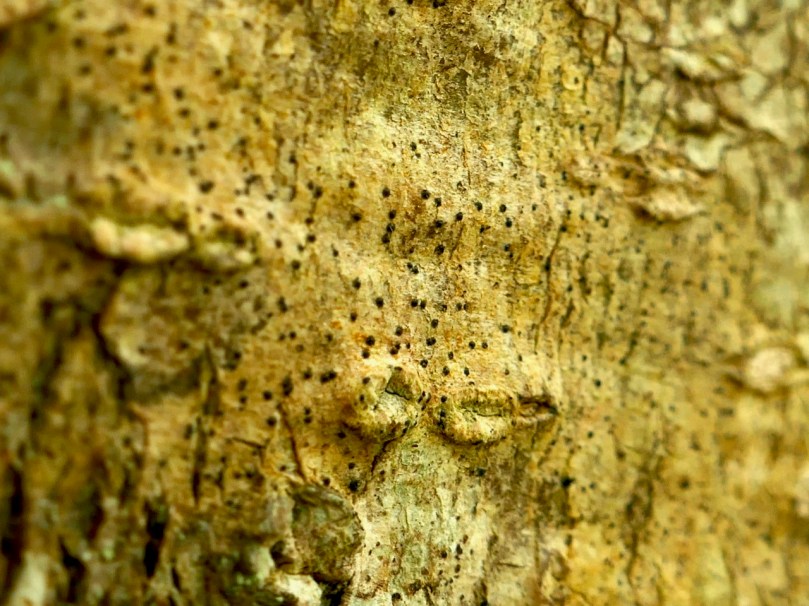
The lichen body is called a thallus, and it produces spores (which is how it reproduces) through an apothecium (which looks like a tiny cup) or a perithecium (which looks like a tiny volcano). We saw mostly lichen with perithecia on our walk, some of which were just tiny black dots.

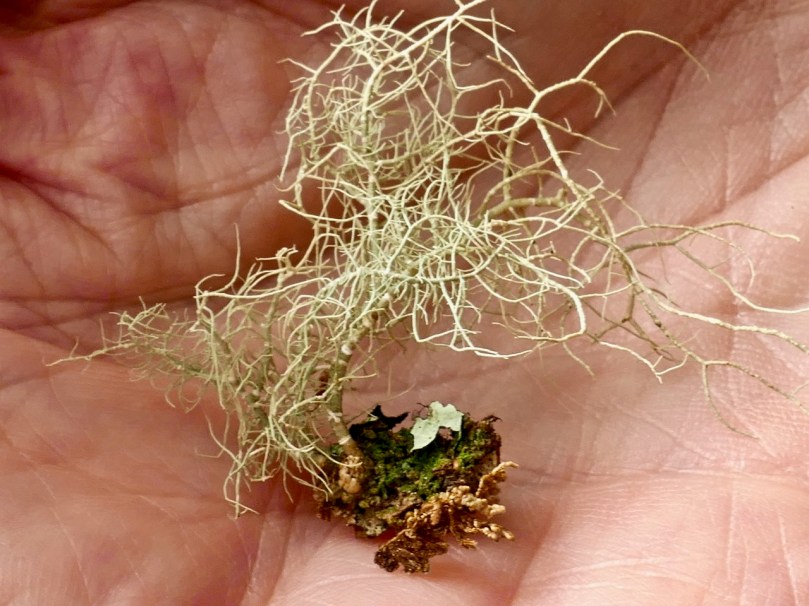
We also saw some foliose lichens – leaf like things such as the one immediately above, although you had to get very close with a hand lens to even see the leafy structures of some of them. Others were bigger and more obvious – these Usnea lichens (below) are like tiny bonsai leafless trees and attach to rocks and trees by a single contact point.

I had already written (in my post Miniature World) about the Cladonia Lichen such as the Devil’s Matchstick, and now that I know a bit more about lichens I’ve been browsing around our own garden and I found some on a rock wall (below) – not only Devil’s Matchsticks but the ones called Pixie Cups as well.

And the ‘other things’ on the walk? Clare Heardman from the National Parks and Wildlife Service, who seems to know about the whole gamut of wild organisms, was excited to see a fly land on Robert’s back. No ordinary fly, it turns out, but a Dark Giant Horse Fly (Tabanus sudeticus) – the largest and heaviest fly in Europe! We know it’s a female by the space between her eyes (males have no space) and it’s the female that bites and sucks your blood. One source I consulted says: Unlike insects which surreptitiously puncture the skin with needle-like organs, horse flies have mandibles like tiny serrated scimitars, which they use to rip and slice flesh apart. Charming, but fortunately she flew away before inflicting that on Robert.

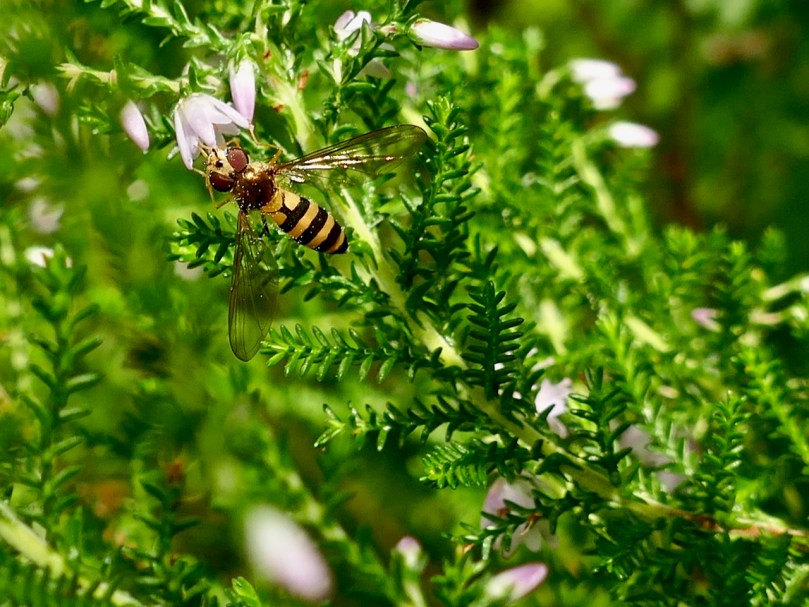
Nearby, another fly was feeding on some Ling Heather, this time a hoverfly. Trying to identify hoverflies is a head wreck, there are so many different types, but I think this one is called parasyrphus lineola, one of the little forest hoverflies that like a conifer environment. Hoverflies are next to bees in importance as pollinators – it’s not that they carry as much pollen, but they are so busy and make so many visits to flowers that they do a sterling job. They also keep aphid populations under control.

You can see the dusting of pollen on this hoverfly

When we arrived at the pond Paul showed us the Usnea lichens – one tree over the water was entirely decorated with them, although they also like to grow on rocks as well. They belong to the Fruticose Lichens and on his website he describes them thus: Fruticose lichen appear tufted and shrubby and are usually erect or pendant and attached to the substrate at a single point. Filamentous lichen are soft and hair-like and some form felt-like mats comprised of very fine filaments.

The pond itself was alive with water striders, amazing little creatures that walk on water. A little Googling led me to this short video about how exactly they accomplish this, and what they live on (don’t watch if you’re squeamish).

As I was watching them, my eye was caught by a flash of brilliant blue and down came a damselfly to rest on one of the long reeds overhanging the pond. It was the aptly named Beautiful Demoiselle and a male, which has the striking metallic blue colour. This reed was its perch, from which it guarded its territory and kept an eye on passing edible insects, leaving it to chase them and then return. (There’s a good Wikipedia page on them.)

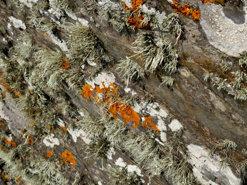
It was a great walk, all in all, and we can’t now go anywhere without checking out our surroundings for lichen. On a walk on Long Island yesterday I was attracted to the patches of bright orange and white lichen on the rocks. Here’s what I saw, at a distance and close up:

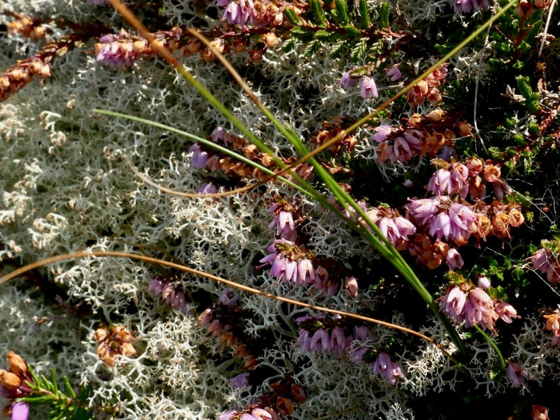
I was also delighted to see heather and lichen growing on one rock surface, and very attractive it looked together. The lichen might be one of the Cladonias, but please correct me if I’m wrong.

My previous feelings for lichen were all negative, since they obscure rock art and headstones, but now – have we caught the lichen bug? I hope not, since it already takes me an hour to walk around the block, stopping to look at flowers. What do you think, Dear Reader – is there any hope for us?


Rossbrin Calendar

We know Rossbrin Cove intimately – more so than any other part of West cork. That’s because it’s right on our doorstep, and there is seldom a day when we don’t walk or drive along the Cove; and, even if we fail to get out, the views from our windows at Nead an Iolair will always be looking down on the Cove and its castle. I conceived the idea of sorting through all our pictures and selecting a ‘calendar’ of Rossbrin, taking us consecutively through the months of the year so that we can follow the seasons and the changes that every day brings. That’s Rossbrin Castle above, a view taken in January – which can often be atmospherically misty. But the picture below was also taken in that month, when we explored an abandoned house in the environs of Rossbrin: just as atmospheric in its own way – and bursting with a story to tell . . . But we’ll never know it.

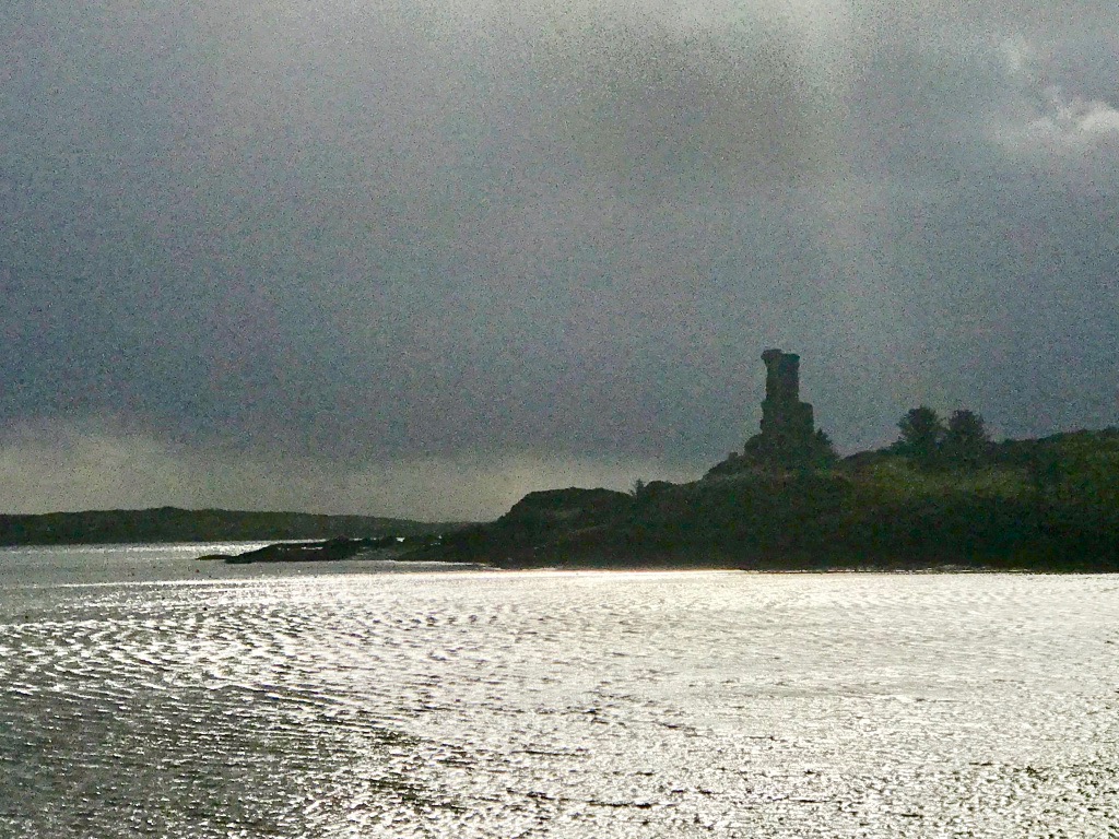
Low tide at Rossbrin, taken from the pier and looking towards the boatyard – an important aspect of the Cove as the winter laying-up and maintenance of pleasure boats brings all-year-round life to the area and provides a livelihood. The picture above was taken in February, on a good clear day. In the middle distance you can just make out a wrecked boat uncovered by the receding water: this is the ‘Flying Foam’ – still rather enigmatic – which I wrote about a little while ago. We expect our strongest gales in February, and the picture below was taken when storm clouds began to gather.

March can also be a month when the weather is inclement (above), but we had a surprise in 2018 when snow covered the land around us (below) – a climatic event seldom experienced in Roaringwater Bay, which is more usually kept mild by the Gulf Stream. That’s Castle Island beyond the Cove – once inhabited (and with its own castle which you can see in the picture) but now just used to run sheep and cattle.

You can see how quickly the weather changes in West Cork: Rossbrin Castle Farm is enjoying blue sea and skies in April, and the gorse is in bloom, showing that love is in season! In the detail below, at the edge of the Cove and also in April, we can see the new spring growth beginning to overtake last year’s seed-heads.

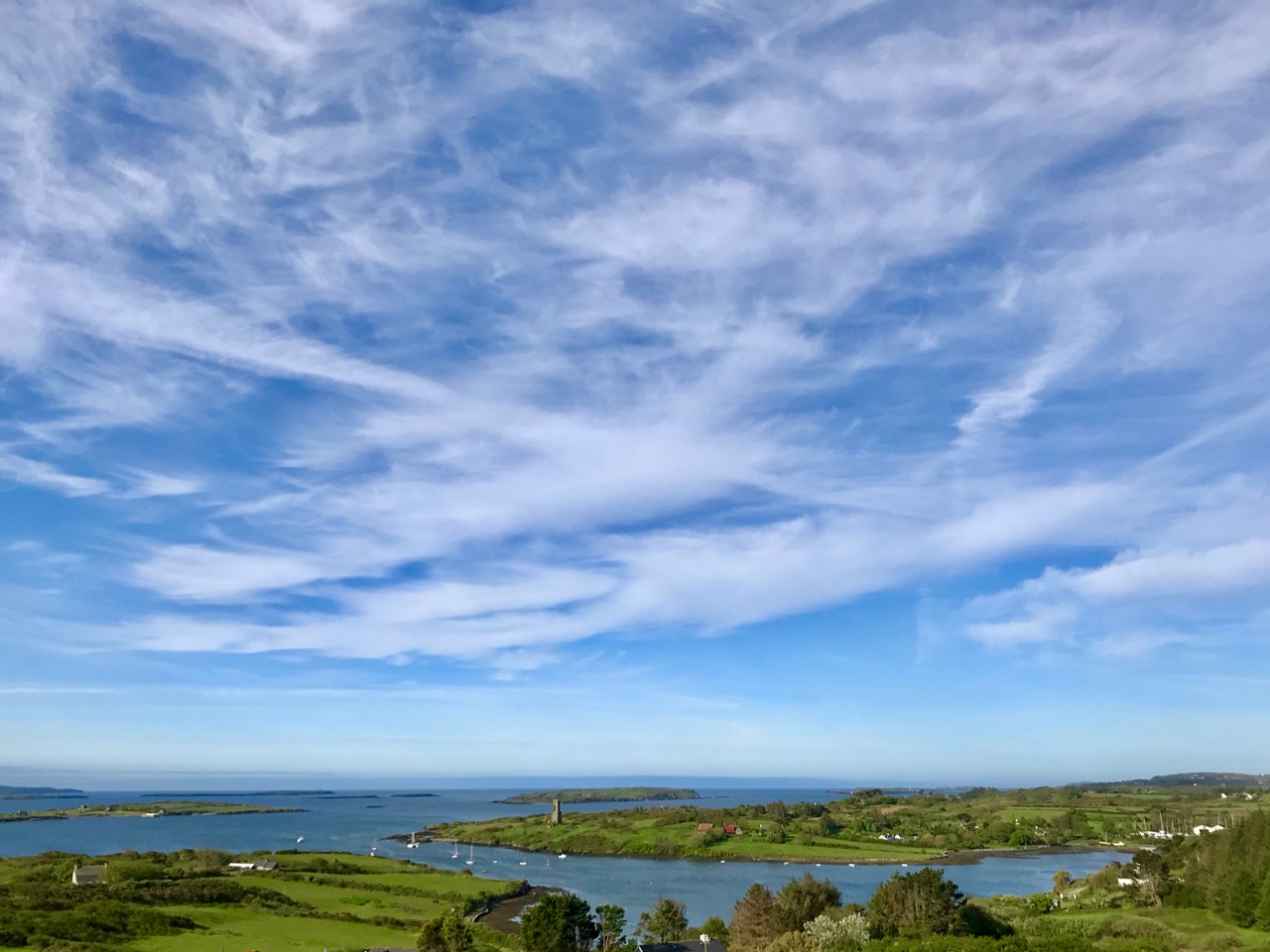
By the time May arrives, boats are already being taken out of winter storage and are anchored in the Cove. We get fabulous skyscapes perched up here above Rossbrin, and these mares’ tails herald windy weather ahead.

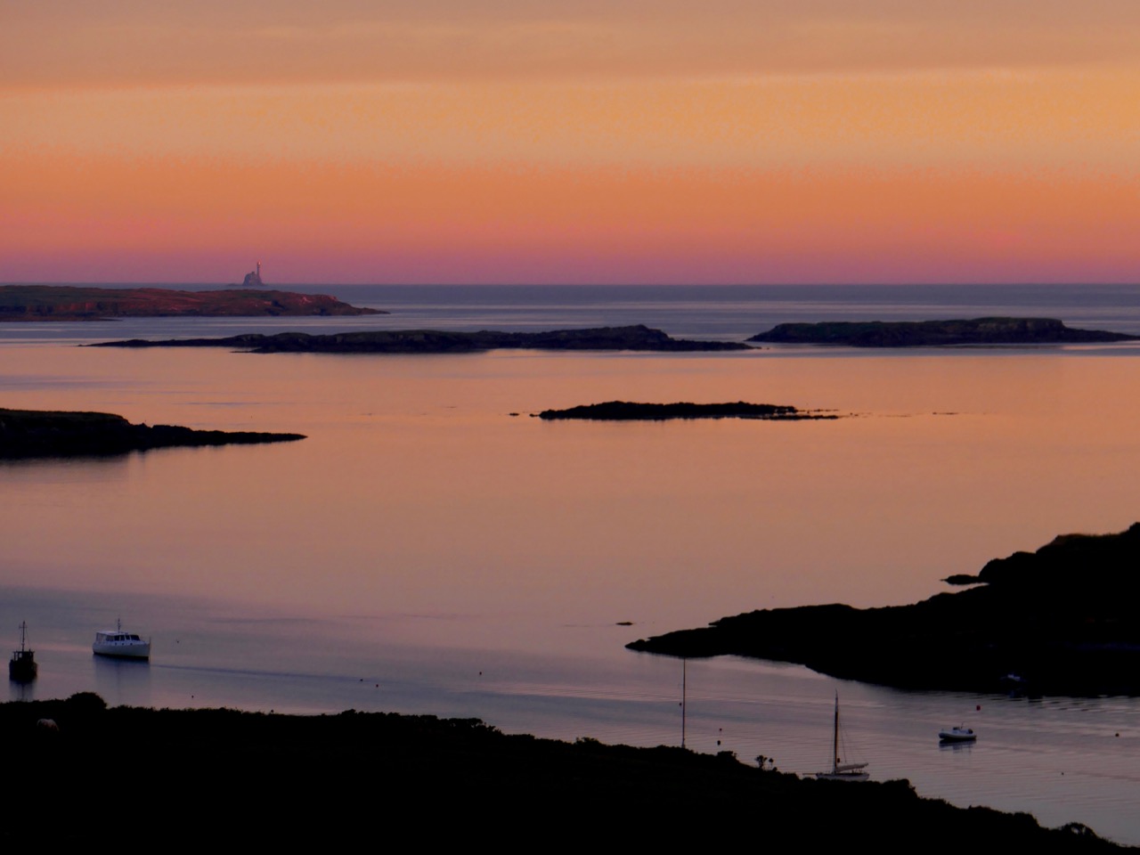
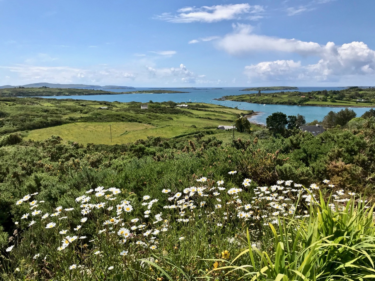
This is one of my favourite pictures – taken by Finola from Nead an Iolair in June. Late evening sun paints the sky and sea in almost implausible colours – although the photo has not been doctored. The whole effect beautifully outlines the Fastnet Rock lighthouse on the horizon with some of Carbery’s Hundred Isles silhouetted as if floating; Rossbrin is in the foreground. By day you can see that wildflowers are abundant this month (below).

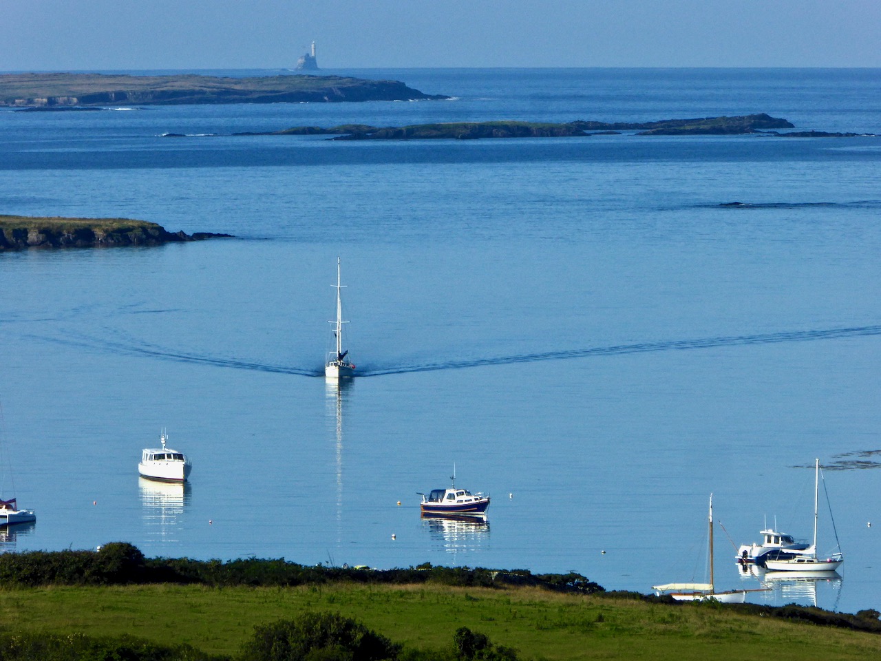
The sea in July is at its bluest. Here is Roaringwater Bay out beyond the shelter of Rossbrin on a calm day. There is hardly a ripple on the surface, except for the elegant wake of the yacht motoring in.

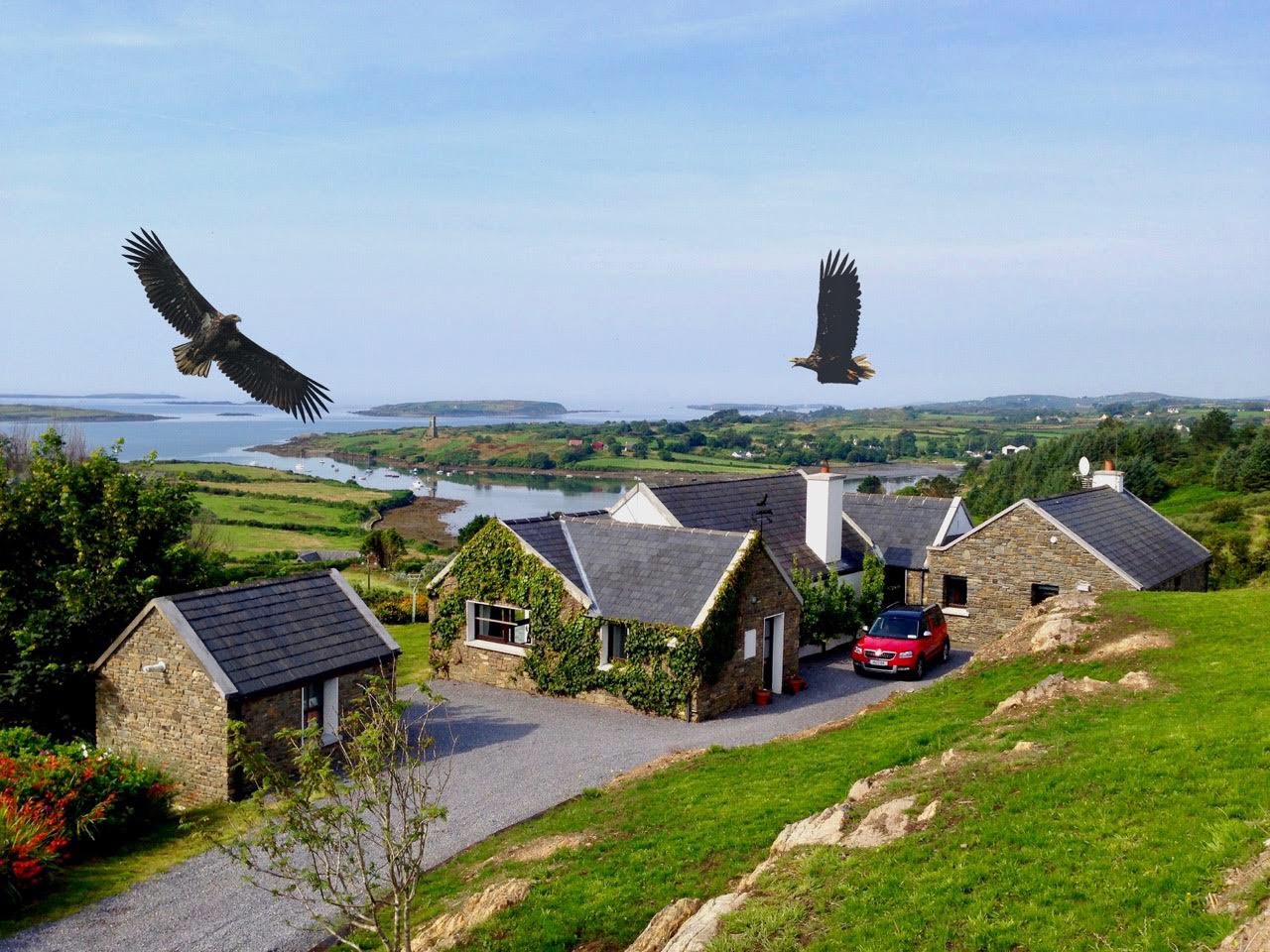
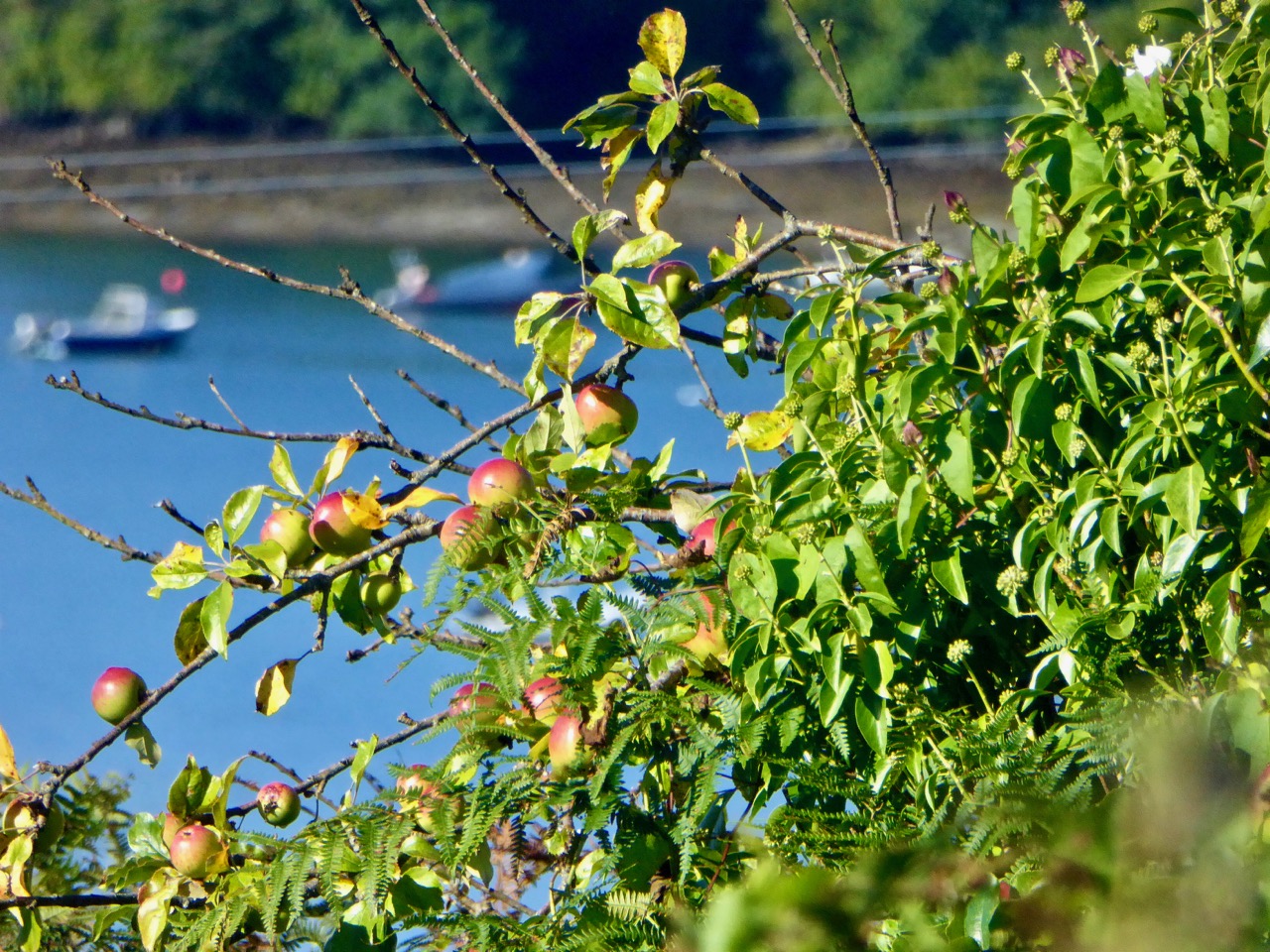
Nead an Iolair – our house – taken in August. You can see that Rossbrin Cove is central to our view out over the Islands. The name of the house means ‘Nest of the Eagle’, and the birds have obligingly flapped their way into the photo, courtesy of Photoshop. White-tailed Sea Eagles do survive in Kerry – not too far away – and they have occasionally been seen in West Cork. Once they were common across the west of Ireland. Below is another August picture – a wild apple tree close to the shore of Rossbrin.

I couldn’t resist adding this picture to the August tally (above): it’s an abandoned post box set into the wall of the old Rossbrin School, now closed. The school building survives as a private house and retains some of the architectural features of its previous use.

This magnificent machine is a remote-controlled boat-lift and was photographed on the large slipway which is at the western end of the Cove, last September. The Cove is a natural harbour and has been used as a resource for sheltering fishing boats and providing facilities for fish processing since medieval times. This post outlines how ‘fish palaces’ worked: there was at least one here in Rossbrin.

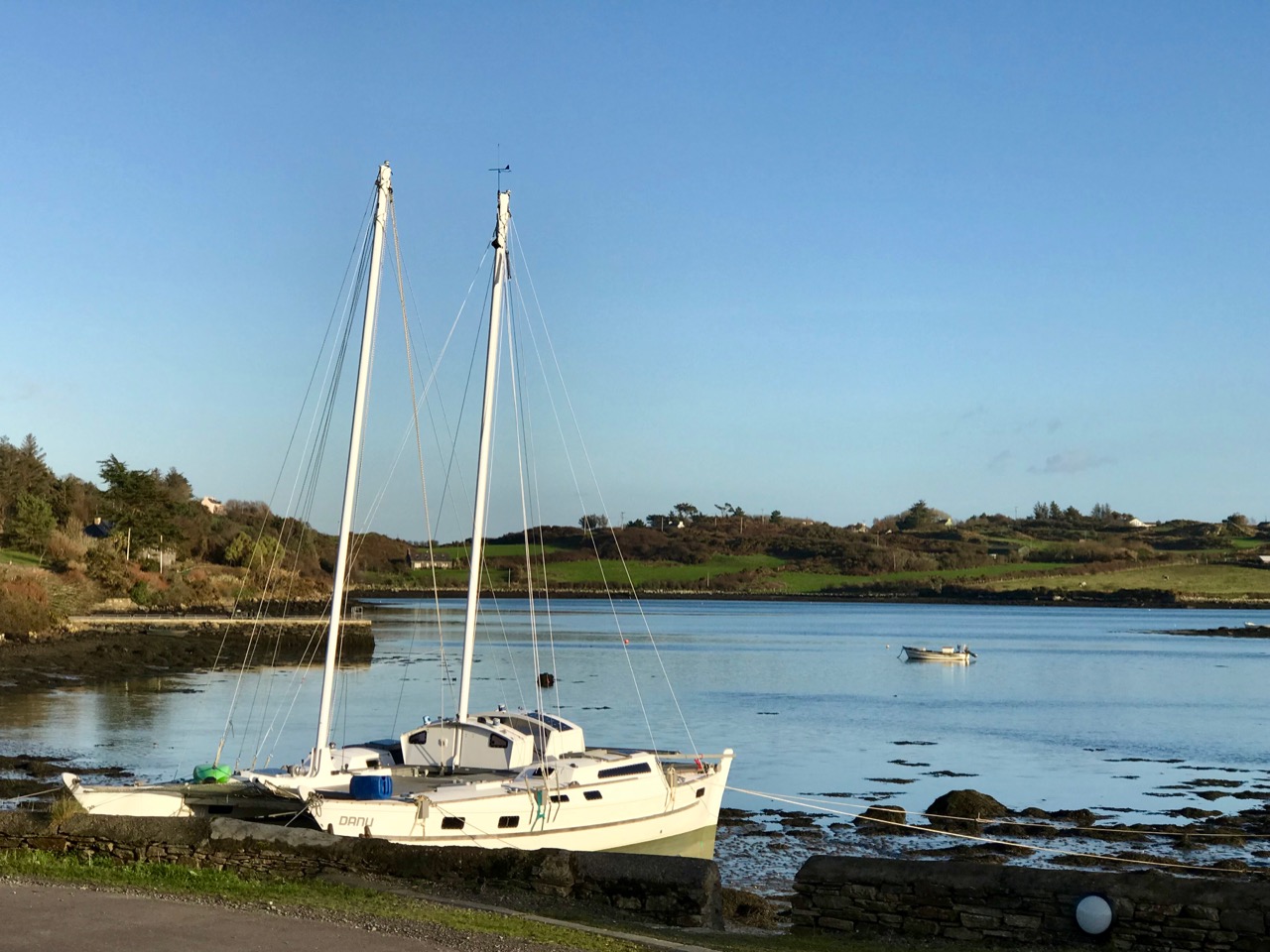
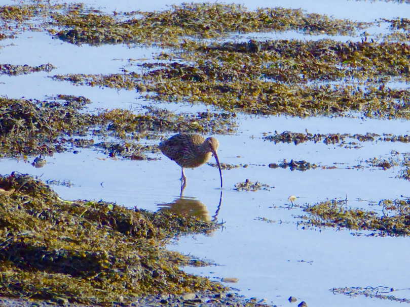
By October most of the boats have been taken off their moorings (above), and the weather changes again. We sometimes have the first of the winter storms this month, although it can equally be benign. Autumn brings with it dramatic skies and sunsets – and a feeling of melancholy, because the holiday houses down by the water are empty and shuttered for the onset of winter. But the weather can continue to surprise and November sunshine (below) can be as warming as any other time of year. It’s a good time for us to watch out for the wading birds – such as the curlews – who come in close to shore and forage on the mud flats.

And so we come to the end of the year in Rossbrin. This has been a fairly random selection of images, picked out because each was taken in a particular month. We know how fortunate we are to live in this rich and constantly changing environment. Not only are we surrounded by nature, but the immediate history is alive with stories – of Fineen O’Mahony, the Scholar Prince of Rossbrin, who lived at Rossbrin Castle in the 15th century and surrounded himself with a university of monks and scribes and made a fortune out of fishing dues – and of Sir William Hull and the Great Earl of Cork who exploited Rossbrin in the 17th century, also for fish. Now we look down on a sparsely populated townland and the bay beyond it: it’s a most beautiful place to know and to live in. For December I have chosen a classic view of the castle with a wintry sky and late sun creating patterns on the half-tide.

Ballydehob and Boats

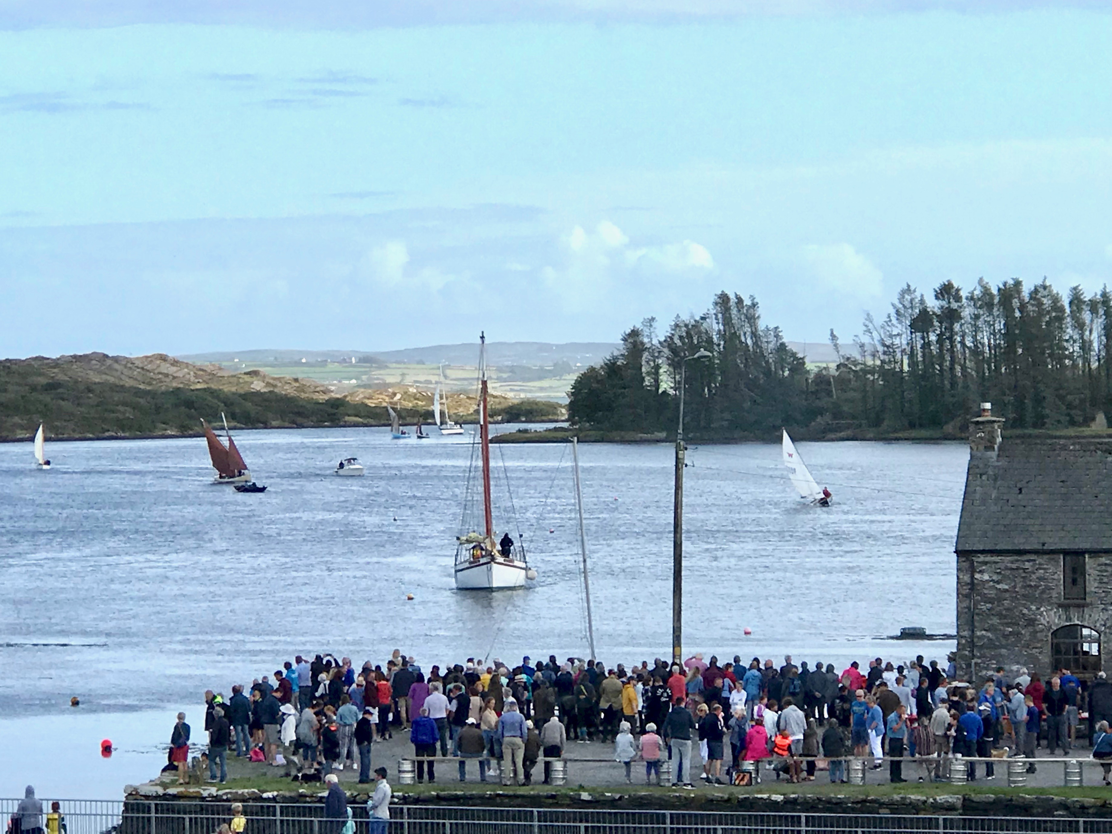
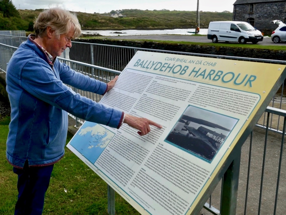
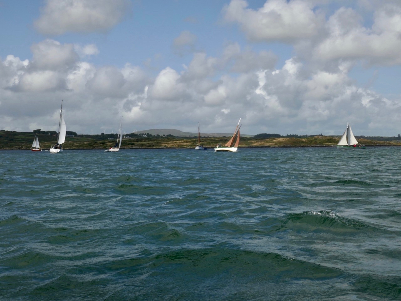
Two years ago Finola wrote about the Cruinniú na mBád (Boat Gathering) in Ballydehob. When I saw that Tidy Towns have erected some new information boards down by the quay – one dedicated to the history of the pier and its importance to the town in past times – I thought it was time to revisit the whole subject of Ballydehob and boats. By chance, our friend Jack suggested that Finola might like to travel with him in his Drascombe and sail up to the quay in this year’s gathering, so we have some ‘live’ coverage of the event from our on-board correspondent! I prefer to keep my feet dry, so watched the event from the vantage point of the 12-arch railway bridge.

Header – Finola took this pic from Jack’s Drascombe of one of the fleet heading for Ballydehob this weekend, rounding the point opposite Rincolisky Castle and negotiating the mussel ropes; above – the view from the 12-arch bridge, waiting for the boats to arrive at Ballydehob Quay

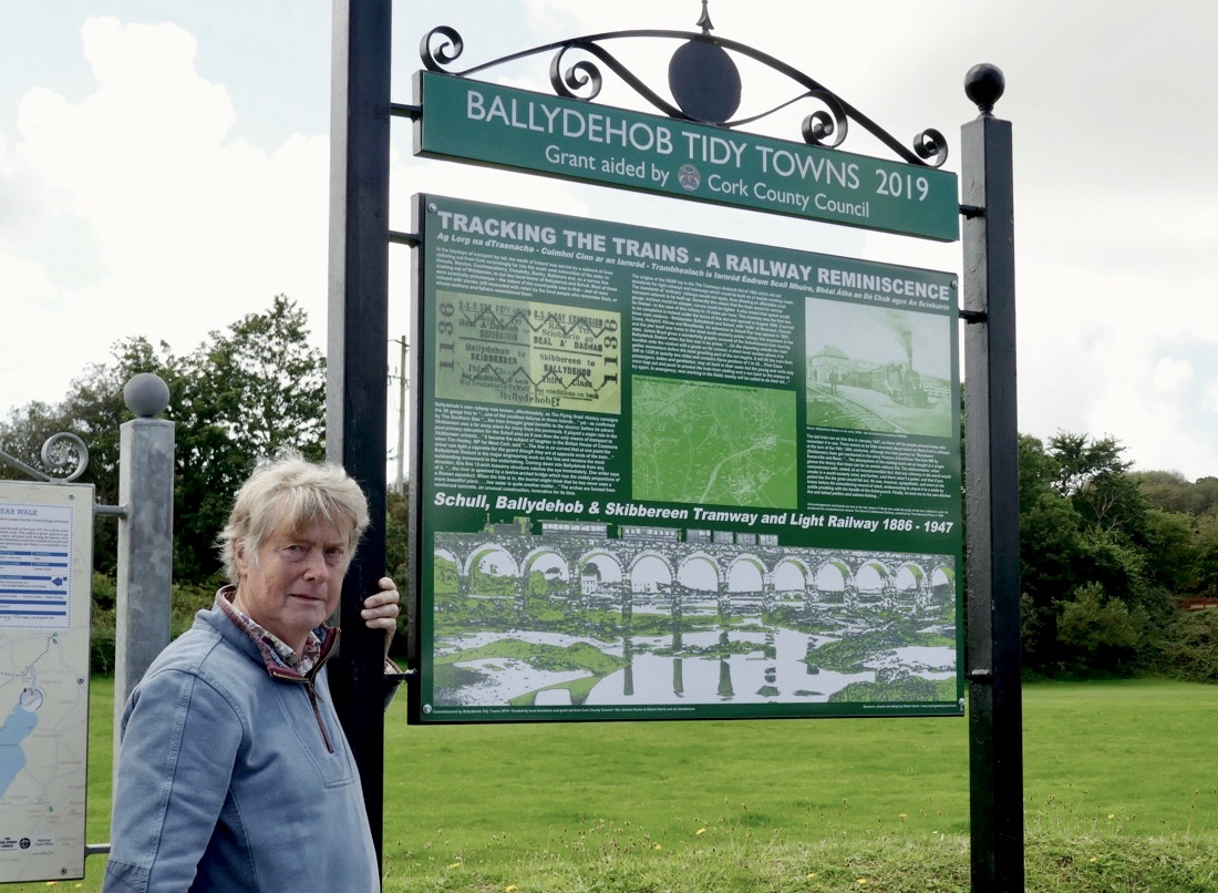
Ballydehob Tidy Towns has recently unveiled two new information boards close to the quay: one (below) is all about the railway line that connected Skibbereen, Ballydehob and Schull: I had a hand in that board! The other tells the history of the harbour itself and is full of information, collected by Cormac Levis, whose forebears worked many of the boats that traded into the town. Cormac initiated the Cruinniú na mBád in 2004 and it has been going ever since, barring the occasional cancellation due to atrocious weather conditions (which can happen, even here in serene West Cork).

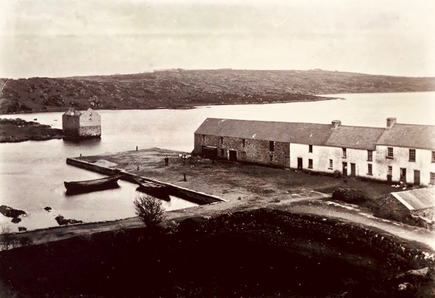
The new information boards enlighten us on many aspects of Ballydehob history, particularly within the vicinity of the 12-arched bridge and the quay. The view above, from Cormac’s board, shows the harbour in the early 1900s and is reproduced courtesy of the Fergus O’Connor Collection and the National Library of Ireland. Note the higher section of buildings to the right of the main warehouse – they are no longer there; they are said to have once housed seven families

The pier at Ballydehob is often called ‘the sandboat quay’ as one of the main commodities to arrive in the town was sea-sand dredged from beaches nearby and on the islands. This was rich in nitrates and minerals and was valued as a fertilizer. However, sand was only one of the commodities that came to Ballydehob; the following is an extract from an excellent piece that Cormac Levis wrote in the (now sadly defunct) Mizen Archaeological and Historical Journal, back in 1996:

On market day, which was Thursday, a long line of small two-oar and four-oar boats would make their way up the channel, lug sails set if the wind was favourable. One by one they would approach the quay, bringing people from the Skeam Islands, Horse Island and Hare Island to do their marketing. Some would have eggs and butter to sell, some would have a plough or other farm implement for the smith to repair. Wrack timber would be brought to be cut into planks or corn to be milled. During the summer months the Hare Island boats would be occupied by women only, their menfolk having migrated en masse to fish lobsters east along the coast as far as Ballycotton. On the arrival of the first letter bearing the fruits of their husband’s labours, they would set out to buy two pigs at Ballydehob Fair. Quite often, if the wind wasn’t in their favour, they would row the full four miles to Ballydehob . . . The day of a cattle fair would occasionally see the arrival of the 39ft MV Mary Patricia with cattle from Old Court or Sherkin. The 20ft Barker, driven by a 6/7 Kelvin, would visit to load up with provisions for Burke’s shop on Hare Island. A rather melancholic sight that would be seen from time to time, was that of two oarsmen making their sad way down the channel returning to one of the islands with a coffin across the gunnels of their small boat . . .

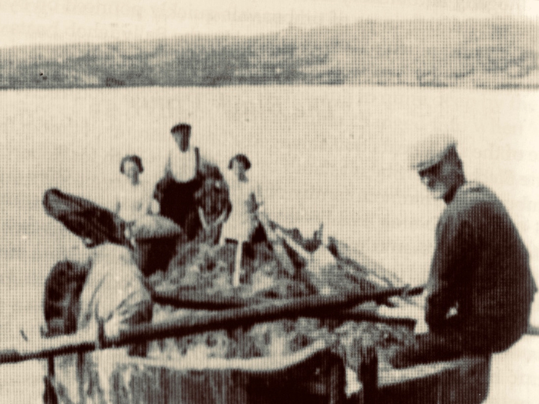
From the 1996 Mizen Journal article by Cormac Levis: a photograph of one of the sandboats from 1936, and a diagram showing the hessian dredge that was used for collecting the sand

Cormac provides good information on the sandboats – this is a short extract:

When William T Young of Ballydehob purchased the stores and quay from Jane Swanton of Skibbereen in 1899, the property was described as the ‘old stores’ and ‘sand quay’, indicating that the practice of discharging sand there was well established by that time . . . In 1885 John Collins moved to Filenamuck. There in the early 1890s he built two boats for W T Young. These sister boats were the largest of the Ballydehob sand boats, capable of carrying a cargo of 8 tons 5 cwt and were typical of the Collins design. They had a 24ft keel, an overall length of 28ft, a beam of approximately 8ft 3ins and, when fully laden, a draught of approximately 4ft 6ins. They had a very shallow keel and, unladen, they had a draught of approximately 1ft 9ins . . . One of the two boats described above came to be known as the Conqueror and the other simply as Levis’s boat, after her skipper Charlie Levis.

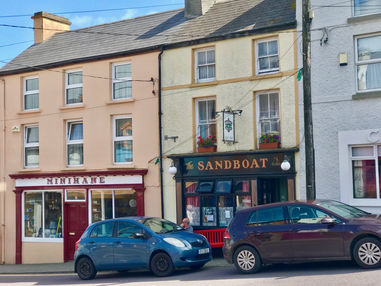
The Sandboat Bar in Ballydehob is still owned and run by the Levis family

Today, the harbour of Ballydehob – while as picturesque as ever – is quiet, and seldom hosts anyone travelling by water. Ballydehob Bay itself is silted up and it’s only on the highest tides of the year – when the moon is full – that boats of any size can make the journey. So we salute the intrepid voyagers who, every year, keep up the memory of a thriving waterfront that was once the heart of the community. If, like me, you are nostalgically inclined – on the day of Cruinniú na mBád, as you stand looking for the flotilla coming in on the rising flood, close your eyes slightly and imagine that you hear the sound of the whistle as a little train clatters over the viaduct behind you . . .

Finola (see her post this week for more on what’s happening here) will assure you that it’s an exhilarating and moving experience approaching Ballydehob by water: I’ll close with some more of her pictures: there was a stiff breeze with high gusts coming in – I’m amazed she managed to keep her horizons horizontal!

Moments on Heir

You will often find us visiting the inhabited islands of Roaringwater Bay. They are, after all, in full view of the panorama we see from our perch up here in Nead an Iolair (Eagle’s Nest), and easily accessible by regular ferry services. We like them because – who doesn’t enjoy a boat trip? Also, that little step from the mainland removes you to another world: places where life is lived a little differently, where you can feel slightly remote from the the most pressing issues of life, a little bit ‘on the edge’. Cape Clear, Sherkin, Long island – we have written about them all. And, today’s subject, Hare, or Heir: we have been there before but last week Finola was leading a wildflower walk on the island, and I went along for the ride, and a further exploration.

Colour on Heir: upper – Heir hedgerow, where wildflowers and garden escapees mix happily together; lower – Finola’s band of wildflower enthusiasts get caught up on the minutiae of the beach flora

It was a mixed, breezy day on the island, but dry for the group – two ferry loads and some furry four-footed minders to keep us all in order. Much time was spent poring over a myriad of plant species, some of which flourish on the West Cork islands more prolifically than on the mainland. I was interested in the land- and sea-scapes which changed quite dramatically with the movements of the tides.

Tides in and out: these two pictures near the wester end of Heir Island were taken within four minutes of each other!

A word about the island’s name: often seen on maps and signposts as ‘Hare Island’ (which of course makes my own long ears prick up!) it is supposed to have nothing to do with the animal. Today, the islanders will tell you that it derives from the past ownership of the lands by the O’Driscoll clan, and should be called Inis Uí Drisceoil (O’Driscoll Island) or Inis an Oidhre (Island of the inheritance – ie, of the O’Driscolls – or heir), hence the more usual modern name.

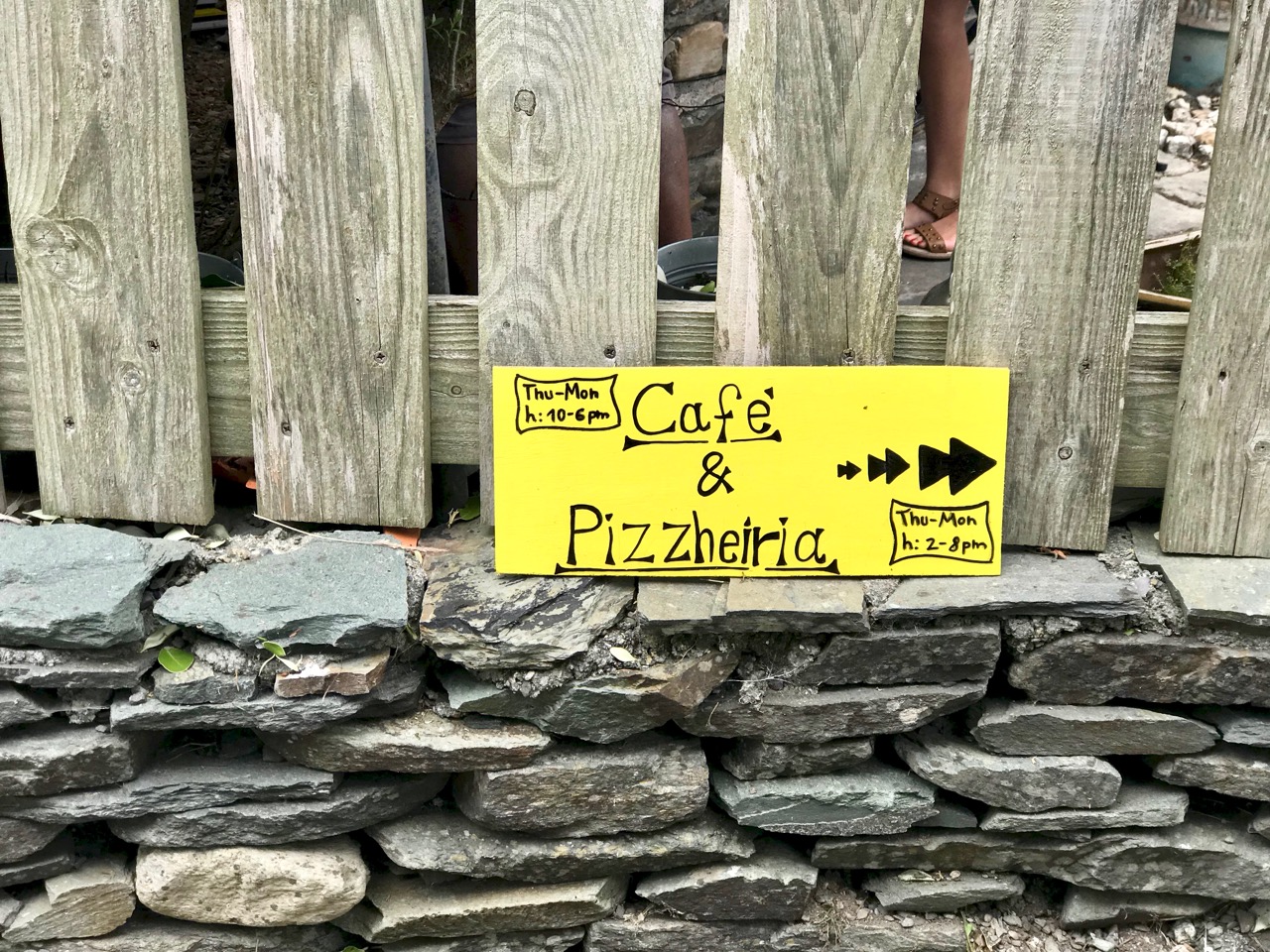
Yes, you can get pizzas and coffee on the island in the summer!

So is this island really a ‘Paradise’, as Finola called it in her earliest post? Undoubtedly! Away from the busy harbour it’s profoundly peaceful: bees, butterflies and wild birds are abundant. But it’s also haunted – as are the other islands of Roaringwater Bay. The past is always around you: reminders of a time when the population was far greater. The first official Irish census of 1841 showed a population of 358. The famine years caused fluctuations but in 1901 there were still 317 people living permanently on the island. Today this number has reduced to around 30 full-time residents, although there are many holiday homes on the island, and the summer population in present times can approach 150. This helps to support a cafe (above) and a restaurant (Island Cottage).

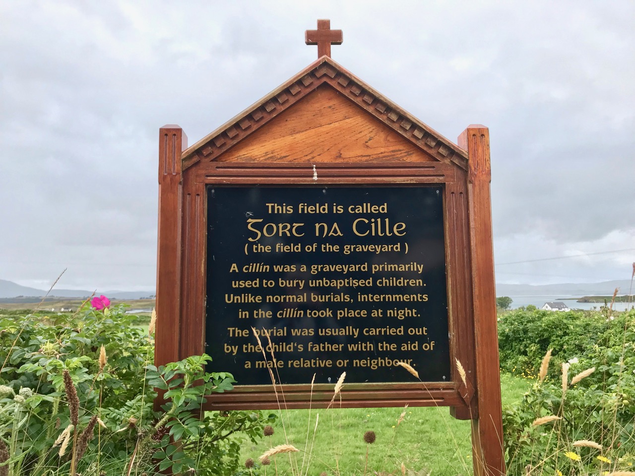
Island history: upper – Field of the Graveyard commemorates the burial of unbaptised children; lower – the Island School closed in 1976, when the resident population was around 50

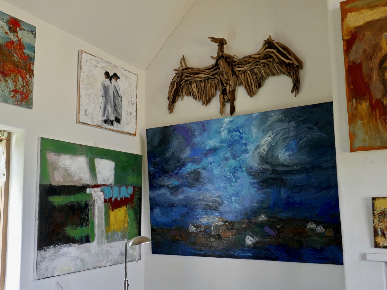
Artist Christine Thery has been a full-time resident on the island for many years; her husband Gubby Williams helps with the ferry and has designed and built ‘Heir Island Sloops’. Christine is an active environmentalist and keenly involved in ensuring that Heir is sustainable and responsible in caring for its natural habitats; she was instrumental in organising Finola’s Wildflower Walk. Here is some of her work in her studio:

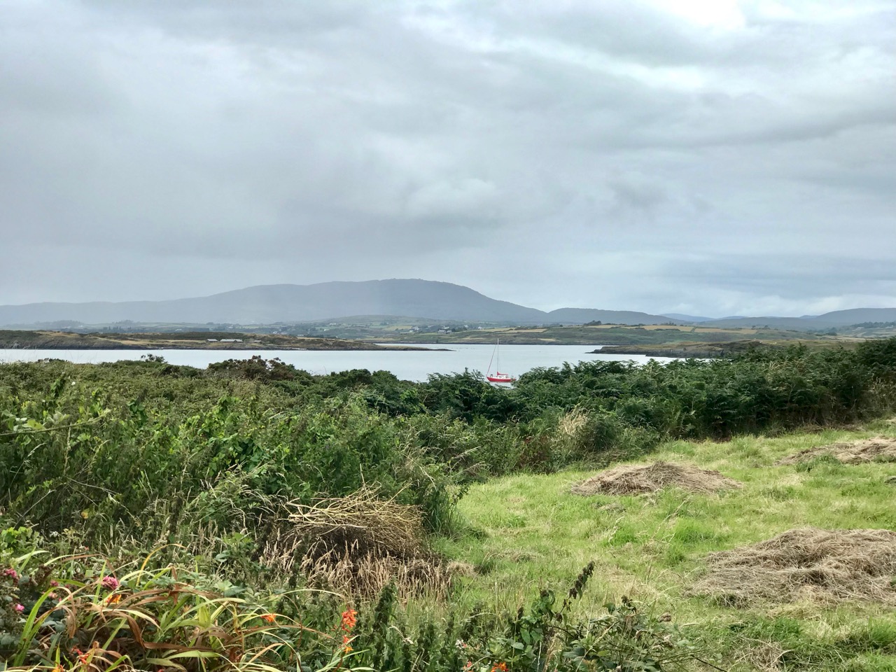
Heir is only a five minute ferry ride from Cunnamore Pier, yet the mainland seems a distant place once you are imbued with the innate atmosphere of island existence. The views from the north side of the island are dominated by Mount Gabriel, (pictures above). Five minutes – yet it seems such a step away from everyday life: long may beautiful Heir continue to support its fragile but tenacious resident population.

An Excursion to Dunboy

We have often visited the Beara Peninsula: it’s not too far away and makes a good day’s outing for us. Have a look at some recent posts here and here to get the feel of the geography. Yesterday we had a mission – to discover more about Donal Cam O’Sullivan Beare (1561 – 1618) and his connections with Dunboy Castle, over by Castletown-Bearhaven – often known as Castletownbere or just Castletown – in the far west of County Cork.
Our first stop was at the bustling harbour of Castletownbere which sits at the foot of the Caha Mountains. …Where land and sea collide, untamed beauty abounds… – that’s the apt heading on the website of the town’s Development Association, and it most certainly seems a lively and flourishing community, a good base from which to explore the wealth of history and archaeology on the Beara. Daphne du Maurier’s novel, Hungry Hill, is set in the area and is a family saga loosely derived from the history of the Irish ancestors of du Maurier’s friend, Christopher Puxley.

We paused only for a much-needed coffee and a quick look in the Sarah Walker Gallery (precariously and picturesquely situated on the end of the town’s slipway – it’s the white building in the picture above) before setting out to find Dunboy. I had read a little of the history of the place, and knew that it had been a centre of rebellion following the Battle of Kinsale in 1601 – 1602, when allied Irish and Spanish forces were defeated at the culmination of the Nine Years War between England and the Gaelic lordships.

At the edge of the Dunboy Demense are traces of a castellated sea-wall and a gatehouse (above).  The territory was a stronghold of the O’Sullivan Beare clan leader, and was built to guard and defend the harbour of Berehaven. Its presence enabled O’Sullivan Beare to control the sea fisheries off the coast and collect taxes from Irish and continental European fishing vessels sheltering in the haven. It was also a centre for trade to and from the continent. In the aftermath of the Battle Of Kinsale Donal Cam O’Sullivan Beare’s followers retreated to Dunboy Castle, which was considered an impregnable stronghold.

The 25″ historic Ordnance Survey map (upper picture) shows the location of the O’Sullivan Beare fortress, circled in red. Don’t be confused by the ‘Dunboy Castle’ label: this is a later building added to an existing tower house that stood on the hill above the promontory. The estate came into the hands of the Puxley family who invested significantly in the Allihies copper mines in the 19th century. The development in the centre of the aerial view above is Puxley Manor, and is a 21st century incarnation of the huge neo-gothic family mansion created by the family, which was burnt out by the IRA in the 1920s.

These pictures show the mansion after its destruction and today. In the lower photograph you can see the original tower house in the foreground: the buildings were fully restored as part of a high-profile ‘Celtic Tiger’ project to create a 6-star hotel which could have brought employment and significant economic benefits to the area. Unfortunately the project collapsed before completion, and the future of this decaying leviathan is uncertain.

We could only look in awe at the very evident and lavish quality of the restoration and development, even in its present state, and speculate how its fortunes might have fared in more stable times. But all this was a bit of a diversion, as our goal was a much less audacious – but far more historically important – site: the original ‘Dunboy Castle’. We followed the trackway along the inlet, which looks as though it was artificially constructed to form a quay serving the demesne.

The ruin itself is unassuming: thick stone walls barely a few metres high. However, the ground plan is clear to see – a typical ‘tower house’ design with splayed openings and steps contained in the thickness of the outer walls. Also visible in the surroundings, however, are the clear ‘star’ shapes of an enclosure, complete with salient angles. These outer defences, reminiscent of ‘star-shaped forts’ evidently date from Cromwellian times, constructed after the castle was destroyed.

These ruins conceal an unhappy tale. At Kinsale the clan chiefs had been joined by a large force of troops sent by King Philip III of Spain, who considered that a federation with Ireland would assist his aspirations against Elizabethan England. After the surrender, a number of O’Sullivan followers retreated to Dunboy, where they found the small Spanish force stationed there  preparing to hand the castle over to the queen’s Lord Deputy, Mountjoy. O’Sullivan overpowered and disarmed the Spaniards and later released them to return to Spain, having kept kept all of their arms, ordnance and munitions. Inevitably, an English force under George Carew set out for Dunboy: it is said that this force numbered between 4,000 and 5,000 troops. O’Sullivan Beare established defences at the castle, but set off himself with most of his own army to consolidate in the north of the Beara Peninsula. Only 143 of his men were left behind at Dunboy, together with Friar Dominic Collins to look after their spiritual welfare. The siege of Dunboy began with an artillery bombardment by land and sea. Owen O’Sullivan of Carriganass, a cousin of Donal Cam, had allied himself with the English and informed them of a weak point in the castle walls. The guns were directed to that point, and the walls were eventually breached. After a ten day siege, Dunboy was reduced to the ruin we see today.

Above is a wonderful graphic illustration of the Siege of Dunboy Castle from Pacata Hibernia or A History of the Wars in Ireland during the Reign of Queen Elizabeth first published in 1633. Only 72 of the Irish defenders survived the siege: they were all hanged, including Friar Dominic Collins. Most of the hangings took place in the bustling square of Castletown-Bearhaven, close to where we had enjoyed our coffee at the start of our excursion.

Here I am meeting Donal Cam himself in the ruins of his former stronghold. My account of the Siege of Dunboy is a very condensed version. Much more has been written about the details. As for O’Sullivan Beare, he eventually embarked on a long march to Leitrim with a thousand of his followers – but that’s a further unhappy story, best kept for another day!

Dunboy Castle and its immediate environs are publicly accessible and there is plenty of parking within easy reach. We finished our day on the Beara by following a rural loop walk from the castle ruin back to the gatehouse – about 5 kilometres in idyllic surroundings.