Island Hopping

Long Island Sound

Long Island, with some of Carbery’s 100 Isles 

Carbery’s 100 Isles, they call them, the islands of Roaringwater Bay – and there really are 100, and more, if you count all the islets.  J F Collins, in a paper in the 2015 Journal of the Skibbereen and District Historical Society, has an interesting account of the various ways islands were counted in Roaringwater Bay  – by the Ordnance Survey, by Admiralty charting, and through Griffith’s Evaluations – they all came up with different numbers. Whatever the final count, this week we visited three, each one special and unique.
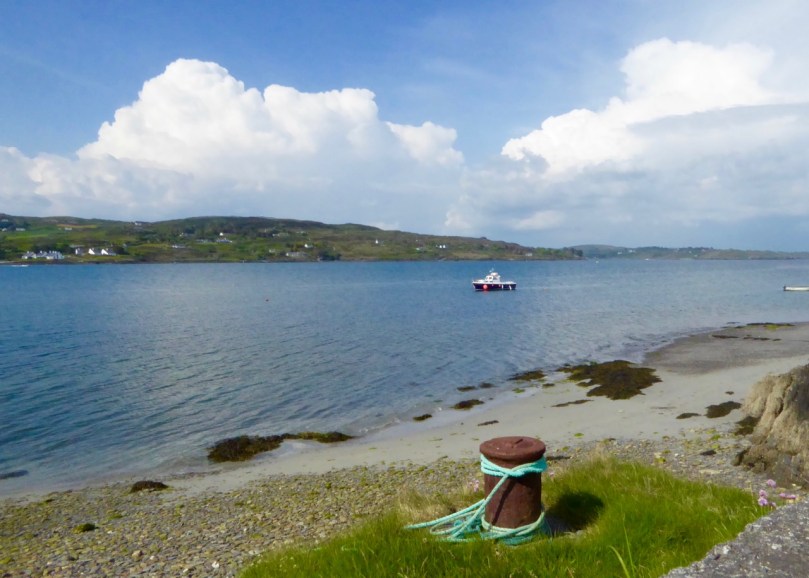
Long Island Ferry heading back to Colla

The Long Island ferry on its way across Long Island Sound to Colla Pier

The Fastnet Film Festival has just finished – this is the amazing little festival that manages to attract world-class movies in a town with no cinema. We took in several of the events, and watched many of the shorts, but a highlight for us every year is the Long Island Trip. Read about the festival and the Long Island event here, an account from two years ago. To be whisked off to this hidden spot, to be provided with wine and popcorn and invited to go down to the ferryman’s bedroom to watch an hour of excellent cinema – well, who could resist it? Long Island (permanent population: 7) has some interesting ecology and we have promised ourselves a proper trip and wander later this summer.
Cape Clear Ferryman

An overnighter to Cape Clear Island came mid-week – a birthday treat for Finola. We’ve been to Cape Clear before on day trips, and Robert has written about it – but this was something special. First of all, the weather was amazing the whole time – warm and cloudless. Secondly, our time-frame gave us the opportunity to do some serious exploring. Thirdly, the seas are alive at the moment with whales and basking sharks!Sherkin Lighthouse
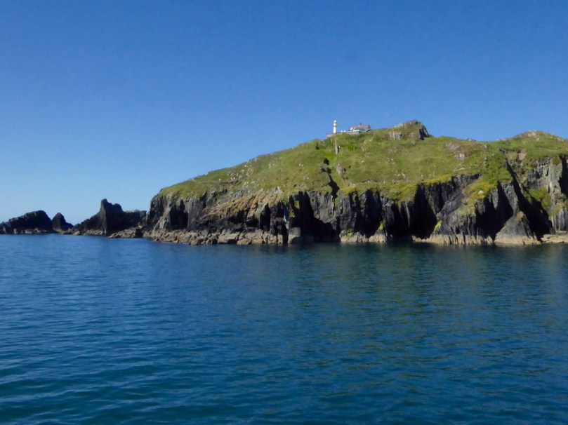
When the weather is fine the ferry takes the outside route around Sherkin Island. Along the way we pass the Sherkin lighthouse and many treacherous rocks, threading our way, in this instance, through shark-infested waters

The ferry to Cape Clear takes about 40 minutes normally. We were a little longer this time because the ferryman slowed and diverted to allow us time to photograph the sharks. Enormous creatures, with wicked dorsal and tail fins, they are actually peaceable fish who swim with open mouths, filtering plankton, and who are harmless to humans. We are not harmless to them, however, as we have hunted them close to extinction and they need protection in many areas.
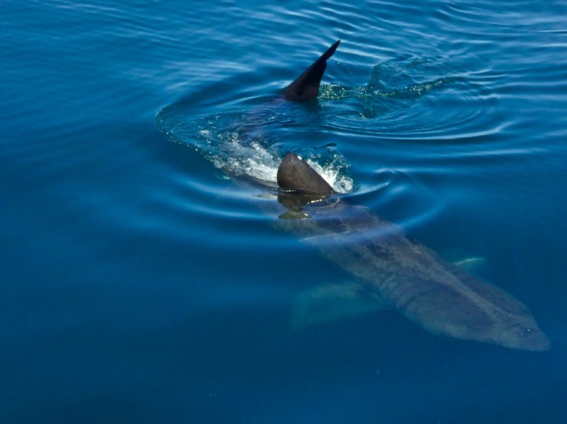
Basking shark en route to Cape Clear

This photograph was taken from the ferry

For such slow and cumbersome creatures, it was an out-of-this-world experience to watch one of them breaching in the South Harbour. It happened when we were in the bus on the way to our accommodation and nobody had their camera at the ready. But we all know what we saw.
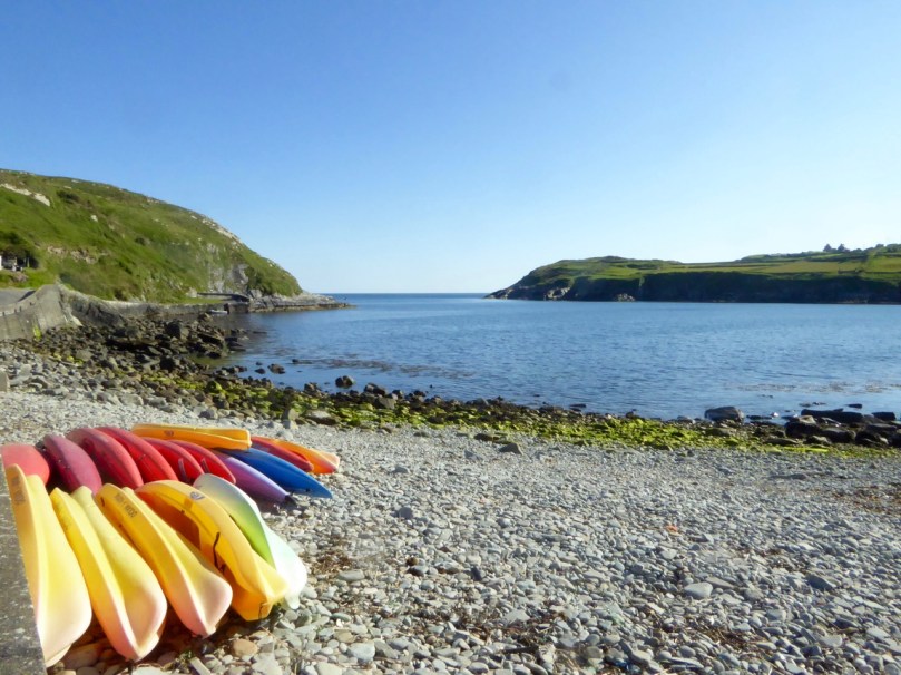
South harbour with kayaks

Just out there, in the South Harbour, we saw the basking shark leap from the water. An incredible sight!

The bed and breakfast, Ard na Gaoithe, was wonderful. Robert had told Eileen that it was my birthday – and well, would you look at what awaited us! It was the perfect place to stay – just be ready to walk the hill up to it, after a marvellous dinner at Cotter’s!

On day one we followed the way-marked trail that edges along the south side of the island. This involved a visit to the site of a Napoleonic-era signal station and the original Fastnet Lighthouse. This position for the lighthouse proved to be a major mistake, as it was so high that the light was lost in the clouds half the time. The current position, right on the Fastnet Rock, has been much more successful, and remains an iconic sight in West Cork. The remaining stump is beautifully constructed of granite blocks, while the signal tower still clings on to some of its slate covering.
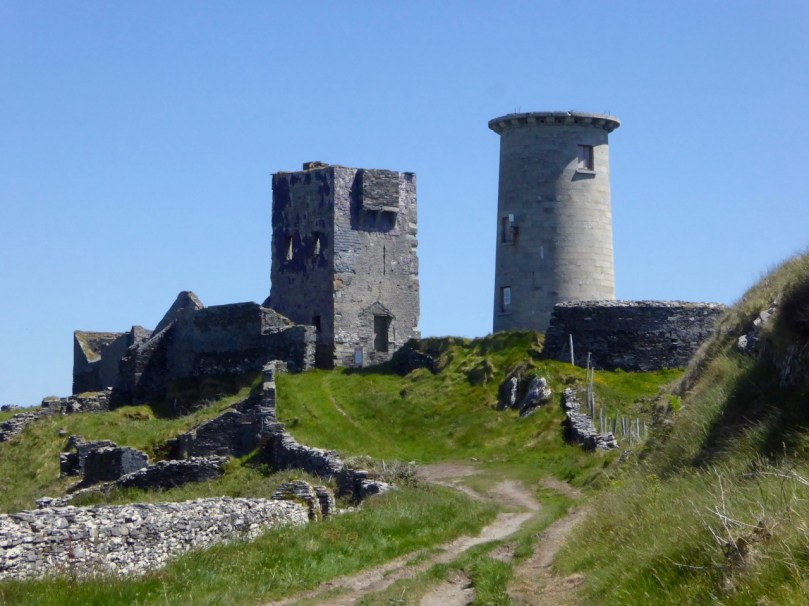
Signal Tower and Original Fastnet lighthouse

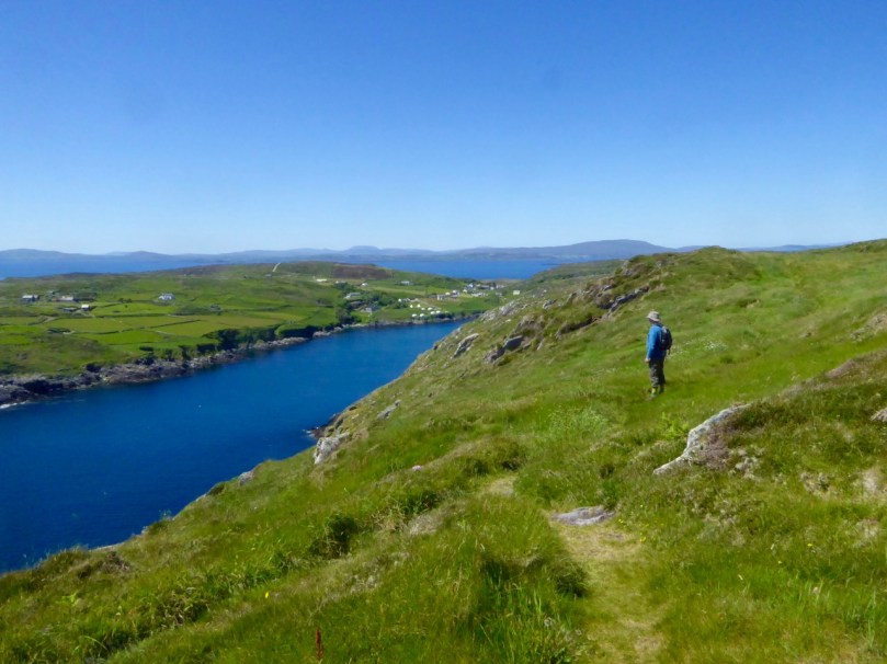
Our route took us along the cliffs and to a viewing point over the South Harbour. The sharks were ubiquitous, lazily swimming around with those enormous gaping jaws.
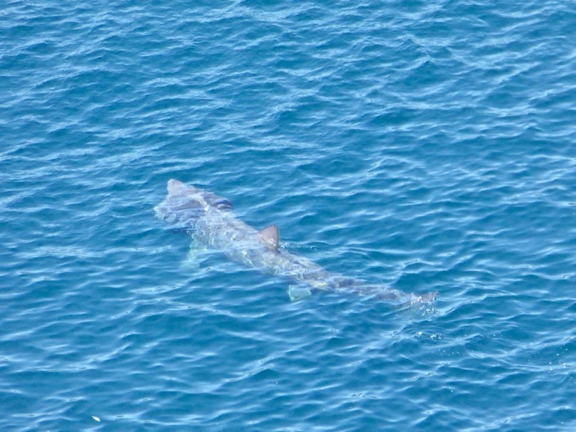
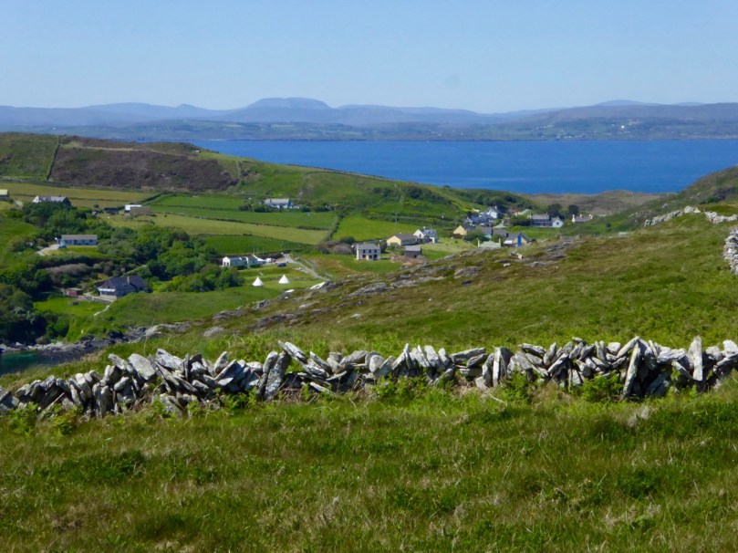
Shark basking

Stone Wall 2


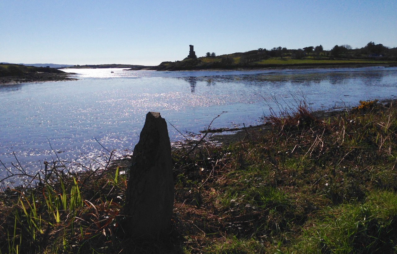
Here and there ancient field fences poked their way out of the heather, while skylarks warned of our approach and standing stones framed a distant view.
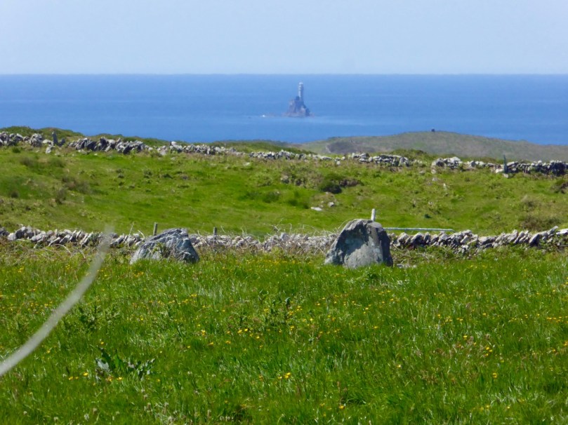
Standing Stones and Fastnet rock

Looking over the South HarbourOn day 2 we decided to make the climb to the Cape Clear Passage Grave – but I will let Robert tell that story and content myself with saying that I hope he tells you all how arduous the climb was, and how thick the gorse, so you can see how I suffer for science.
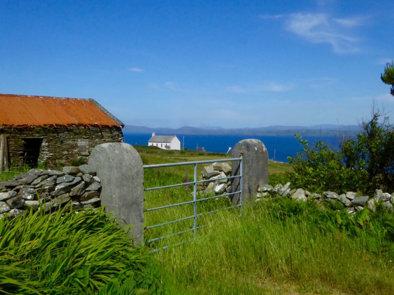
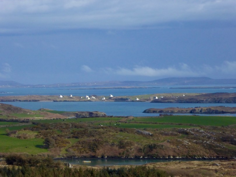
Across to the mainland

The views are immense but equally fascinating are the numerous dry-stone walls and the wild flowers everywhere. There’s still lots to explore on Cape Clear and more trips are clearly in order.
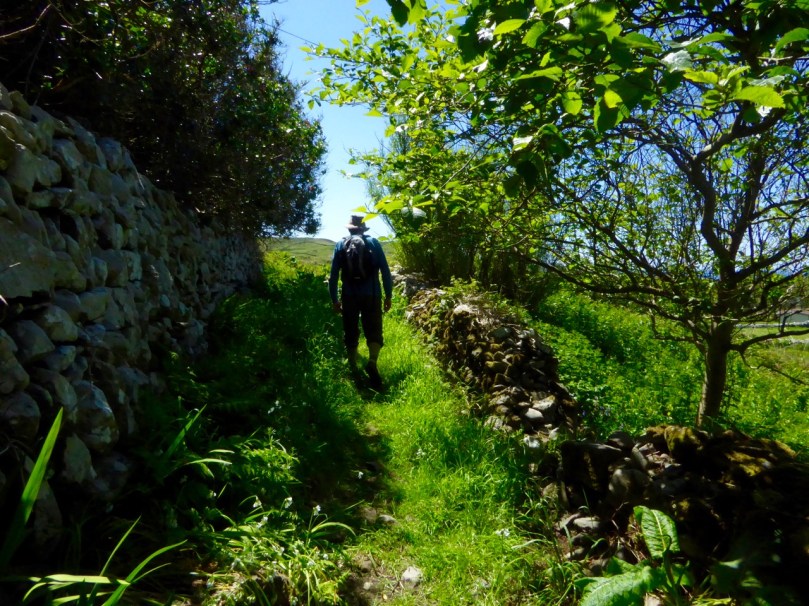
Green path

Finally, on Friday, we were invited to lunch with friends on Heir Island. Heir, sometimes called Hare, is the third largest inhabited island after Cape and Sherkin and home to a justly famous restaurant, a sailing school, the wonderful Firehouse Bakery Bread-Making course (we wrote about this in one of our very early blog posts and it’s still going strong but now booked up months in advance), and many artists.
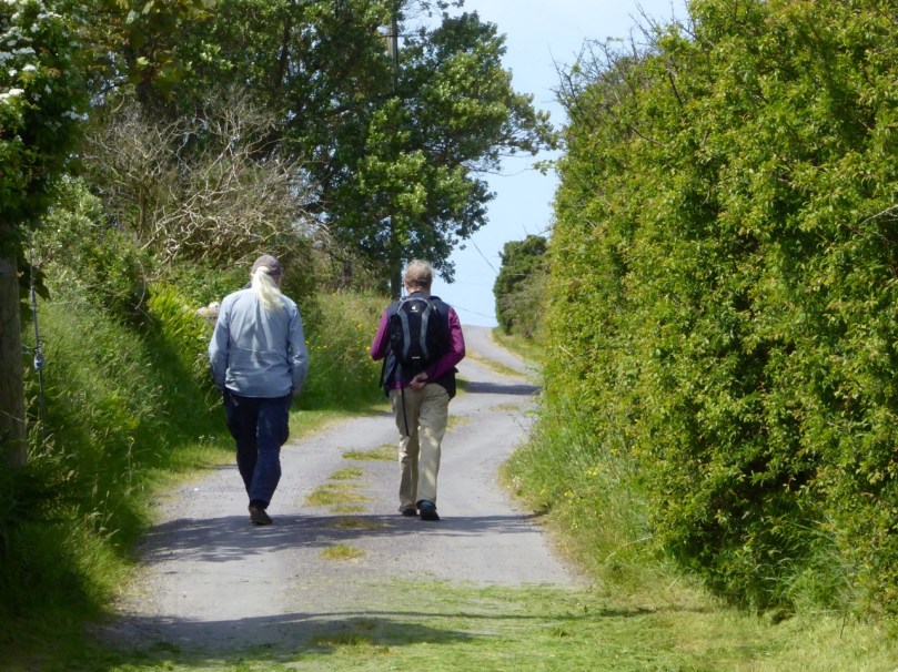
Heir Island Boreen

Strolling along the peaceful boreens of Heir, lingering over Viv and Fran’s fabulous lunch overlooking Roaringwater Bay, and sauntering back to catch the late afternoon ferry – you adjust to island time remarkably quickly.

West Cork Islands – they will captivate and hold you. There is no escape.
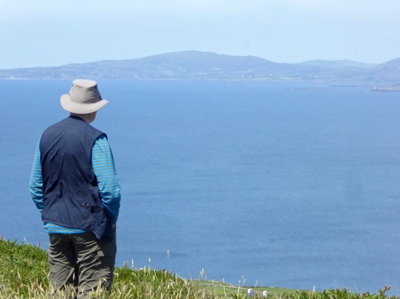
Robert contemplates

Boulder Burials: a Misnamed Monument?

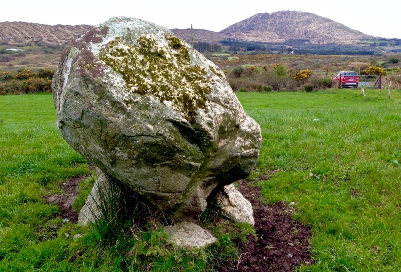
Rathruane Boulder Burial

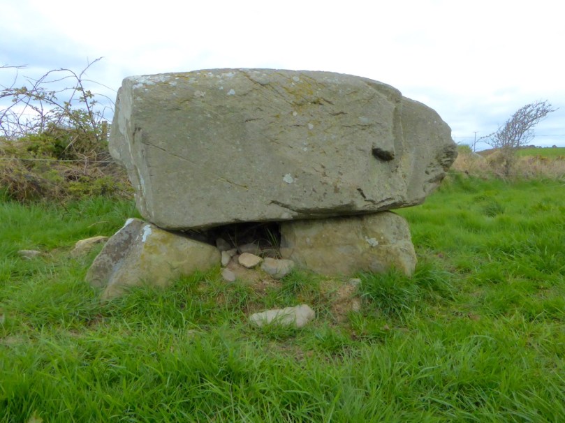
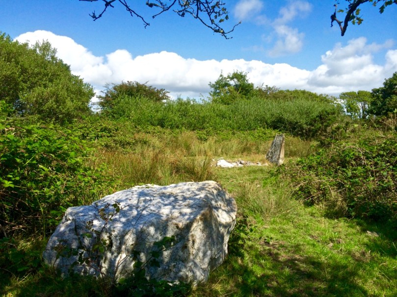
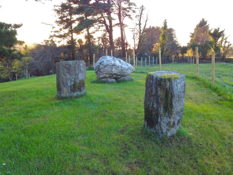
The term boulder burial was coined in the 1970s by Sean O’Nualláin, an archaeologist with the Ordnance Survey, to describe a class of monument that was quite prevalent in the south west, consisting of a single large boulder sitting on three or four support stones. The support stones lift the boulder off the ground and provide a small chamber-like area under the stone. Previously, this type of monument was known as a dolmen, a boulder dolmen or a cromlech, but O’Nualláin was convinced that the main purpose of these boulders was to mark a burial.

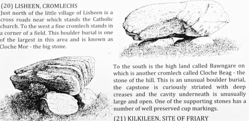
Lisheen Cromlechs by Jack Roberts

Illustrations from Jack Robert’s book Exploring West Cork

He based this belief partly on his extensive experience with other megalithic monuments, but also on the findings of the excavation of the Bohonagh complex, where Fahy found fragments of cremated bone in a pit under the boulder.

Bohonagh Boulder Burial
The Bohonagh complex includes a multiple-stone circle, a boulder burial and a cup-marked stone. A standing stone stood close by but has disappeared. Note the quartz support stone

However, William O’Brien excavated three boulder burials in the late 1980s and found no evidence of burials. In his book, Iverni, he comments in an understated way, “The absence of human remains at Cooradarrigan and Ballycommane does pose some questions as to their use.” His findings dated the sites to the Middle Bronze Age, between 3000 and 3,500 years ago.

Lisheen Lower boulder Burial

A boulder burial from Lisheen Lower

What is unquestioned, though, is that they are predominantly found in the south west, especially in Cork, and that, while most occur alone, they are often found in groups, and/or in association with stone circles or standing stones.

rathruane boulder

This one is at Rathruane More, close to a significant rock art site and with views of Mount Gabriel and Mount Corrin

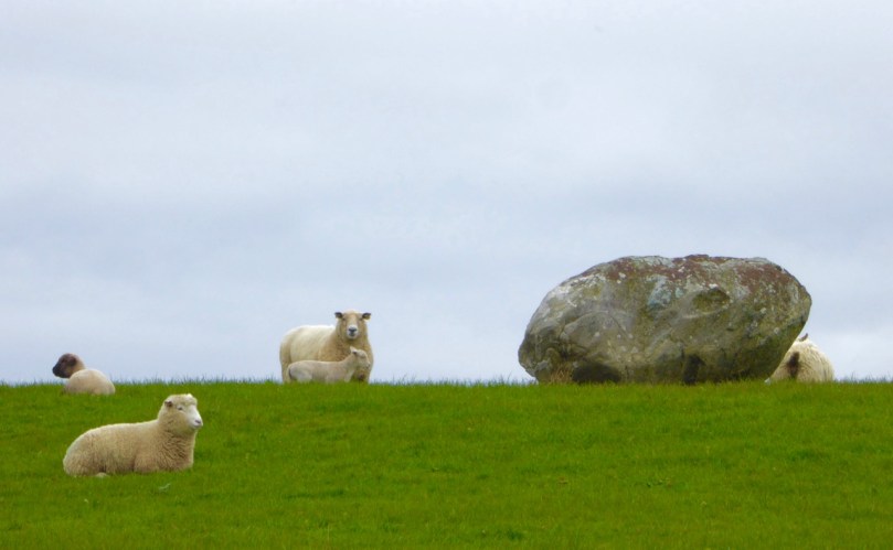
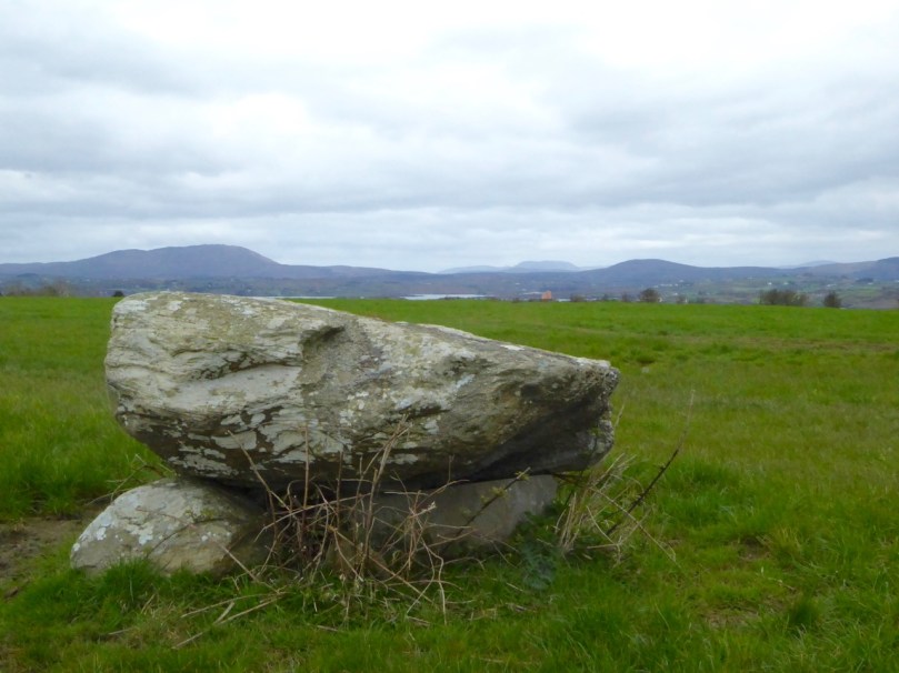
A boulder burial is a striking and unmistakable sight. Often situated on a high point or ridge it can be seen silhouetted against the sky – a large glacial erratic standing proud in the landscape. There are lots of examples around us here and most of them command extensive and often panoramic views. These are monuments that were built to be seen and to see from.

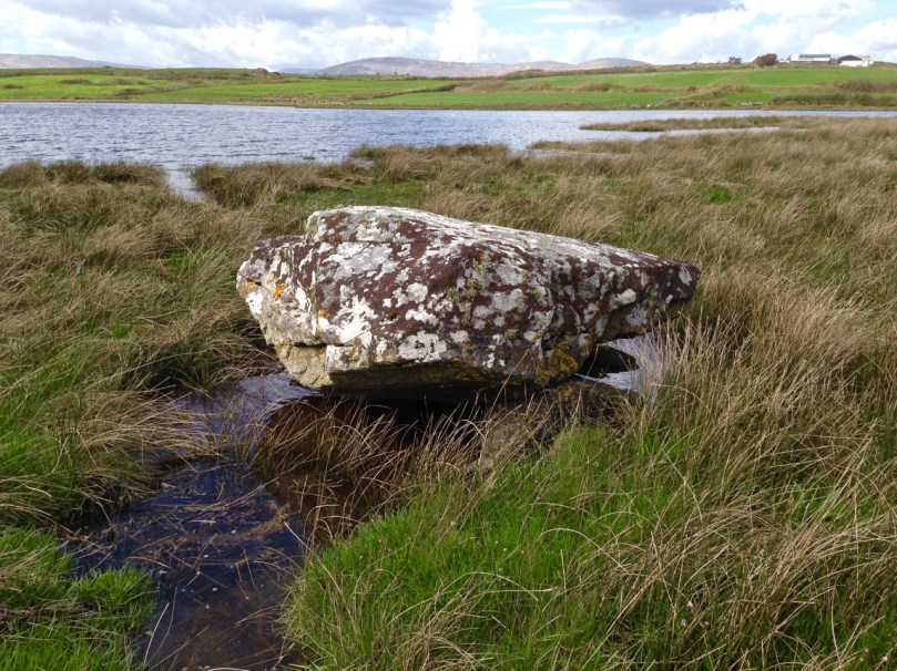
dunmanus boulder burial

An exception to the high ground location is found at Dunmanus on the north side of the Mizen Peninsula. This boulder-burial is so low-lying, in fact, that one can only reach it at low tide

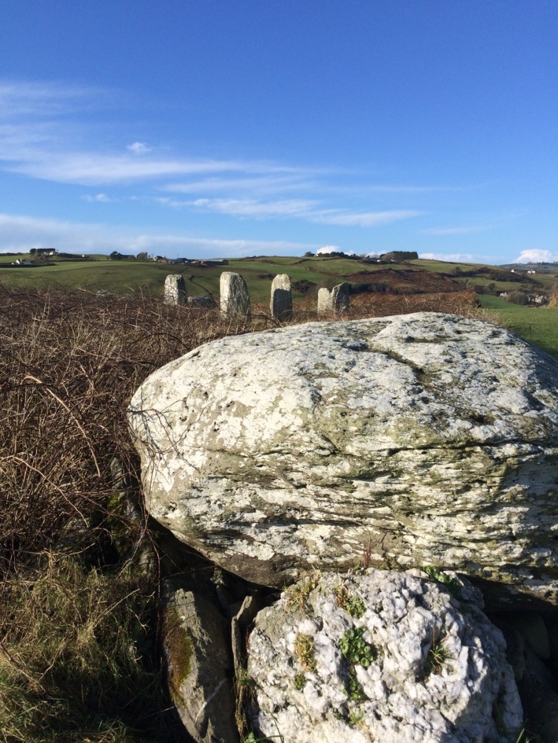
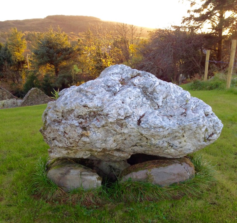
Ballycommane Bouder Burial quartz

Ballycommane – the boulder is of white quartz

William O’Brien has pointed out that quartz is a feature of West Cork prehistoric sites and this is particularly evident in the case of boulder-burials. At Bohonagh, for example, some of the support stones are of gleaming white quartz, while at Ballycommane, Cooradarrigan and Cullomane the boulder itself is quartz. The sun was low in the sky when we visited Ballycommane and the sight of the quartz boulder gently gleaming was truly memorable.

Mill Little Complex 2

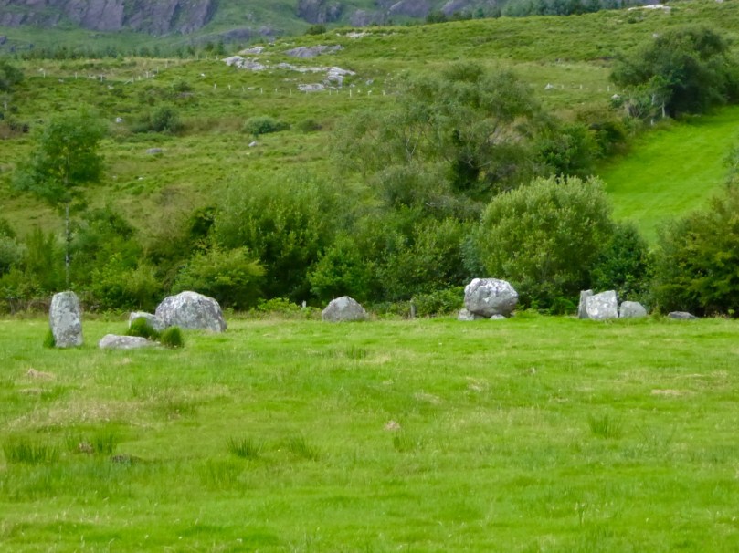
The Mill Little complex

Boulder burials often occur in groups and in association with other monuments. Mill Little is a good example of this: three boulder burials are in a line with a standing stone pair at one end and a five-stone circle at the other. See our post Family-Friendly Archaeology Day for more photos of the Mill Little Complex.

Cullomane boulder burial

This photograph shows the Cullomane boulder burial in the foreground, and a ‘penitential station’, in the background. This ‘station’ was part of a pilgrim round that involved prayer and penance – see Holy Wells of Cork for more detail on this site

At the Cullomane site, east of Bantry, the quartz boulder is surrounded by a variety of other monuments: a small stone circle, an ‘anomolous’ group of stone, a stone row, and standing stones all lie within a few fields of each other. Intriguingly, this site has seen continued ritual use through the millennia – there are also ring forts, burial grounds, a holy well and a ‘penitential station’ within the same small area.

Ballycommane boulder burial and standing stone pair

The Ballycommane boulder is in close proximity to a standing stone pair

Breeny More 4

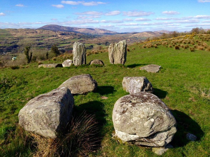
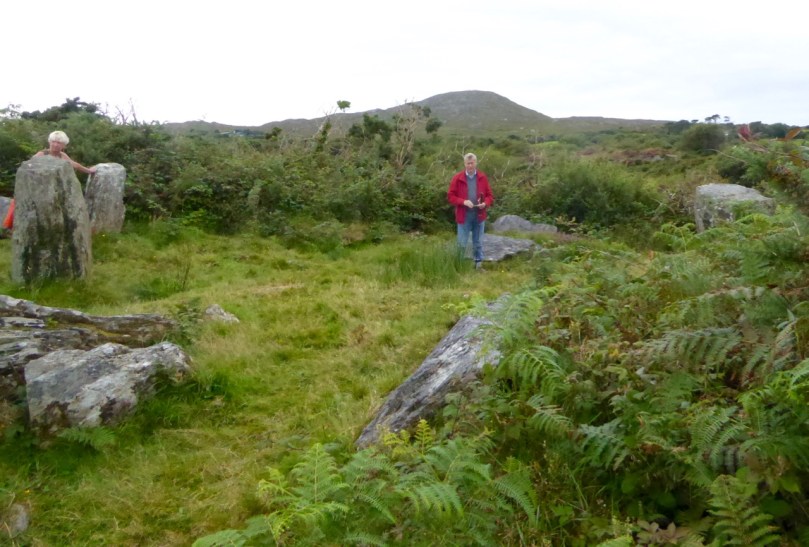
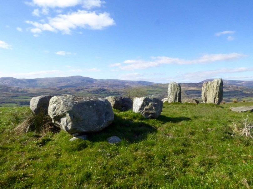
At Breeny More, near Kealkill, four boulder burials in a square pattern lie inside what remains of a large multiple-stone circle. This is an awe-inspiring site – you feel you are on top of the world with mountains all around and stunning views out to the end of the Beara and Sheep’s Head Peninsulas. See Robert’s post Walking the Past for a sense of what this site offers.

Kenmare Stone Circle and boulder burial

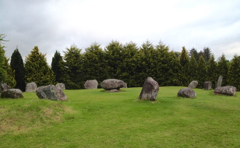
The Kenmare stone circle, above, has a boulder burial in the middle of it, while the Gorteanish stone circle on the Sheep’s Head, below, has at least one and possibly two boulder burials

Gorteanish

So – if they weren’t tombs, or weren’t solely tombs – what was the purpose of these striking boulders? Their association with stone circles and rows provide evidence that they fit the calendrical pattern that we find in so many monuments of this era. Mike Wilson, the archeo-astronomer of the Mega-What site, has surveyed many of the West Cork boulder burials and has this to say: This survey shows that boulder-monuments were functional objects marking astronomically important places in the landscape. They cannot generally define an azimuth as accurately as a stone row or circle but capstone shape and orientation are usually significant, helping to indicate directions of interest.

Breeny More

At Breeny More the square layout of the four boulder burials within the stone circle provide many possible alignments

In several of the boulder burials we have observed, capstone shape and direction certainly seem to be a deliberate feature of the monument.

Rathruane boulder Burial Orientation

Robert checks the orientation of the long axis of the capstone at Rathruane More

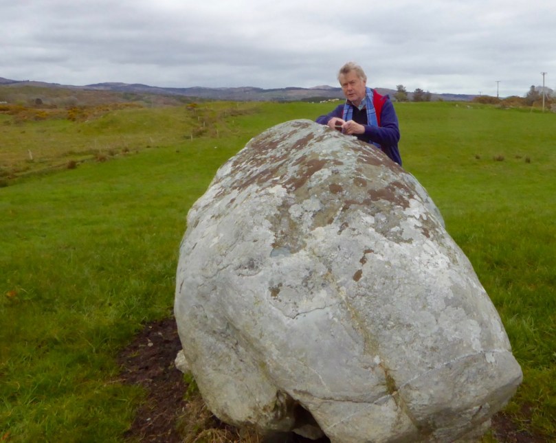
But perhaps the best example we have of how a boulder burial can have an orientation was drawn to our attention by local historian Brigid O’Brien – and she even sent us the evidence! If you stand at Bawngare, your attention is immediately drawn to the spectacular views to the west and north west – views that include Mount Gabriel, Mount Corrin and between them, faraway Hungry Hill on the Beara Peninsula, as well as the Sea in Roaringwater Bay. Interestingly, one of the support stones has several small shallow cupmarks (cupmarks are found on the capstones of several boulder burials).

Barngare Boulder Burial and view

The view west from Bawngare boulder burial

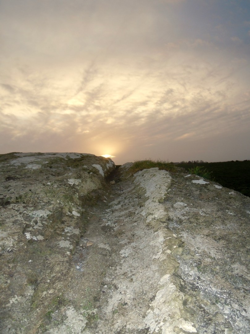
However the capstone with its distinctive long furrow holds the real secret, and Brigid’s persistence in braving the cold to visit at exactly the right time has unlocked that secret for us now.

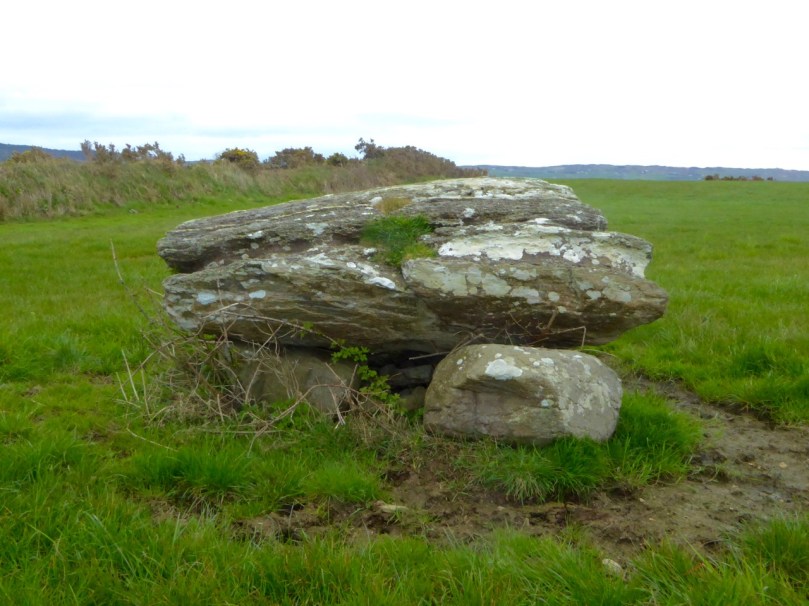
Bawngare boulder burial general

From the other side the long furrow can be seen running the length of the capstone

Brigid visited it last year at the winter solstice and took this photograph of the setting sun. It seems the capstone was deliberately positioned to mark this alignment.

Bawngare boulder burial winter solstice sunset

Brigid’s photograph, taken on December 21st, 2015

Perhaps it’s time to go back to calling them something other than burials – I rather fancy the old term boulder dolmens. What do you think?

Say Cheese!

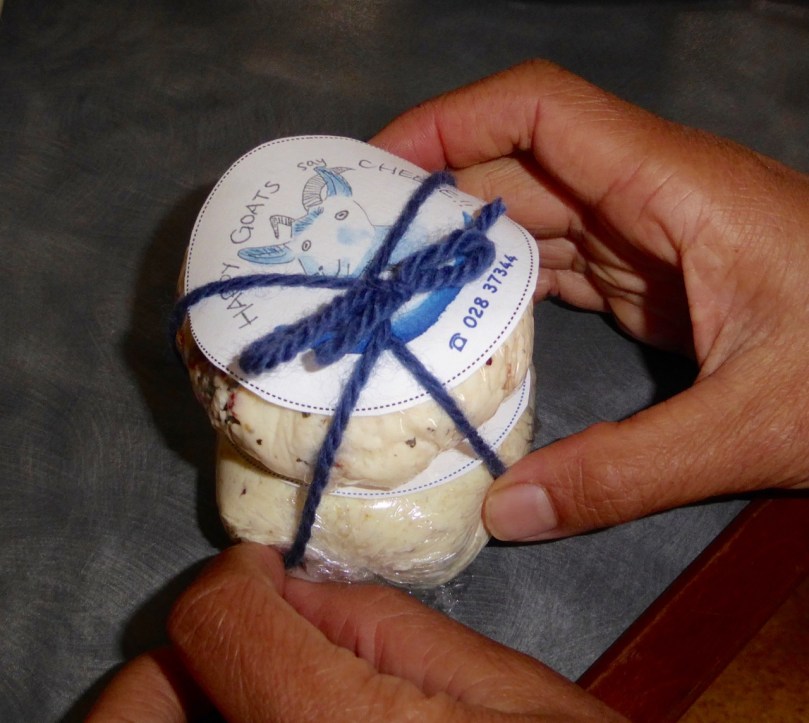
Cheese Bundle

Goats Cheese, that is: creamy, delicious – and home-made! Goats cheese is what I made today at our friend and neighbour Nick’s Rossbrin Permaculture Farm on the shores of Roaringwater Bay. The ingredients? Happy goats, a couple of ingenious WWOOFers and eager students.

Nick and Goats 2

Nick bringing the goats home in the evening

Nick has a smallholding and tries to be as ecologically sensitive, environmentally friendly and sustainable as possible. His WWOOFers seem to like the place and some stay for extended periods or keep coming back. (For those of our readers who are not familiar with the concept of WWOOFing – take a look at the WWOOF Ireland website.) Jasmine from Taiwan has become a keen forager and cheesemaker, and Helene from France loves to experiment with natural flavours. Recently there was a Slow Food event on the farm (wild garlic pesto – forage and make) which we couldn’t attend, so when this opportunity came up I jumped at the chance to sign up to learn how to make goats cheese.

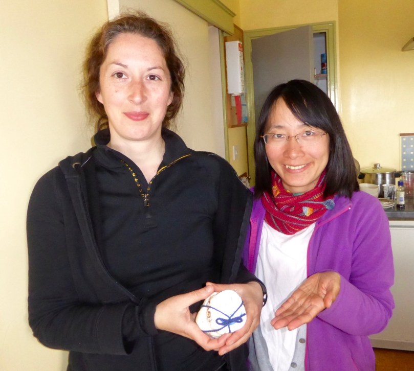
Helene and Jasmine

Helene and Jasmine – cheese makers extraordinaire!

I had this idea that cheese was a long slow process involving ageing in caves and something called rennet so I was intrigued that we would make and take away goats cheese in one afternoon.

Diluting the citric acid

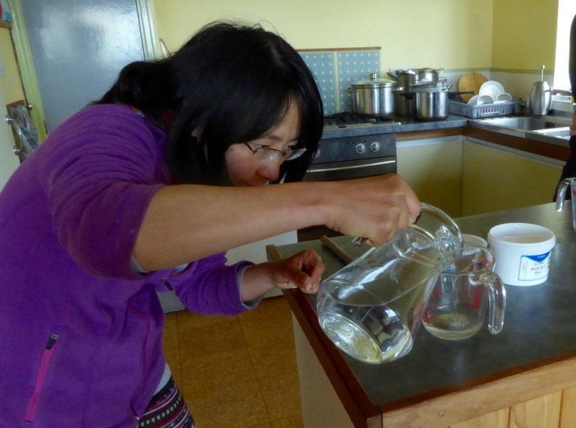
Jasmine dissolves the citric acid – available in any pharmacy

Jasmine and Helene had milked the goats that morning so the milk was fresh, although it can also be a few days old – the older the milk the stronger the distinctive chèvre taste. We started by adding dissolved citric acid to the milk, drop by drop, and stirring, while it sat on a moderate heat. The idea is to add the citric acid very slowly while the temperature rises to 180-190F. This process pasteurises the milk and starts the process of making curds.

Left: Jasmine and Helene and students Manon, Bríd and Maria. Right: adding the citric acid drop by drop and patiently stirring

Once it has reached the proper temperature the milk is allowed to cool a little then poured into cheesecloth-lined colanders to separate the curds and the whey. Since the next step is to let it drip slowly through the cheesecloth, we enjoyed some tea and cake and then we took ourselves off for a wander around Nick’s farm.

Julian straining

Through the cheeseclothUpper: Julian strains the heated milk. Lower: left to drain

We walked down to Jasmine’s seaweed-gathering beach and made a quick inspection of Nick’s ingenious vegetable island. Why grow vegetables on an island? Easy – no rabbits and no slugs! Nick practices Hügelkultur on this plot.

Once back in the kitchen we inspected the cheese and saw that the whey had drained away to our satisfaction. To continue the process we tied the cheesecloth up to make a ball and suspended the cheese over pots for a while longer.

All tied up

During the next wait period Jasmine and Helene showed us how to make seaweed appetisers. Jasmine had harvested sugar kelp and sea spaghetti that morning and together we made seaweed crisps and sea-spaghetti bruschetta. It sounds a bit weird, I know, but honestly, they were delicious.

Jasmine had washed the sugar kelp and hung it out to dry along with the other washing. The recipe for the crisps and bruschetta is at the end of the post

By then, we were ready to finish the cheese. First we added a little salt and then decided on the flavouring. On Helene’s advice we selected cumin and mustard for one and sundried tomatoes and basil for the other. A little tasting, a final lesson in wrapping, and we were done!

I love goats cheese and have several favourite recipes so I’ll be trying out a couple this week. It’s going to feel really good to casually drop into the conversation that, oh yes – I made it myself. And if that’s not totally and strictly true, I’m sure none of you will tell on me. Right?

Recipes

Tide’s Further Out!

cove gray day“Donn Fírinne was in the clouds last evening – today would be bad…” Donn Fírinne was a Munster fairy-king always connected with weather omens: …the people said that Donn collected the clouds on his hill (Cnoc Fírinne, Co Limerick) and held them there for a short while to warn of approaching rain, and from the reliability of this sign came his name, Donn of Truth… (from The Festival of Lughnasa, Máire MacNeill, University College Dublin 2008)

Only a month ago I wrote a post about a very low tide: I hadn’t realised that we were heading for an exceptional event, the lowest tide of the century! So I felt that our readers deserved to have this circumstance recorded as well, even though it involved braving what was probably the least hospitable weather that the spring has come up with so far! I should have taken notice of the omens from Donn, but instead I went out into the cold, pervading rain.

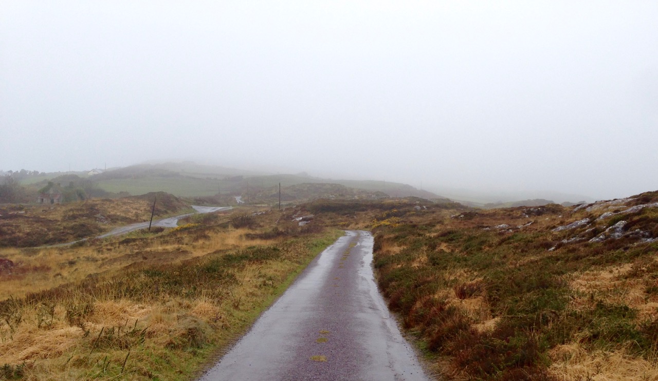
high road gray day

Out into the weather: the high road at Cappaghglass at its wettest

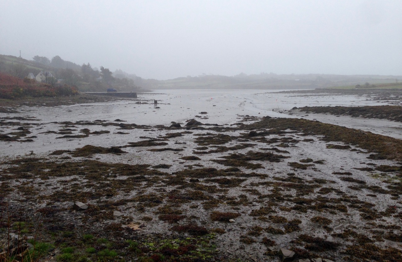
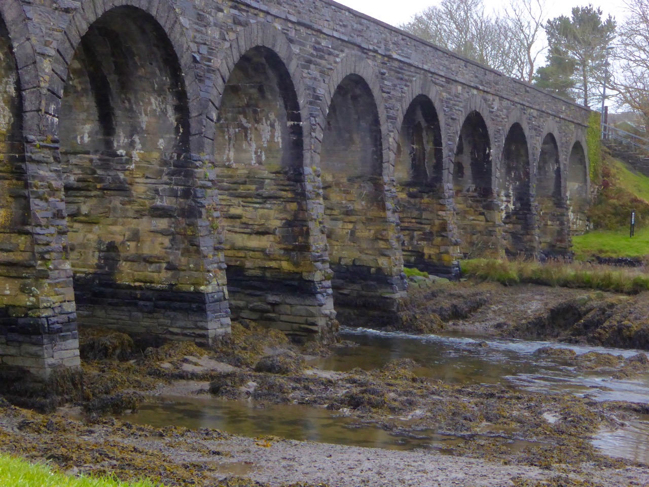
The day was last Thursday, 7th April, and the tide prediction was a low of 0.00, just after noon. 0.00! You can’t get much lower than that. But we have to remember that  tide predictions are just that – predictions. It’s a bit like weather forecasting – there are so many factors which can affect the outcome. Tides can vary from the predictions because of winds, atmospheric pressure, even the salinity and temperature of the sea, evidently. However, although I can’t vouch for the 0.00 (wouldn’t that mean that the sea was empty?) I can confidently state that the shoreline had receded further than I’ve ever seen it before.

ballydehob bay gray day

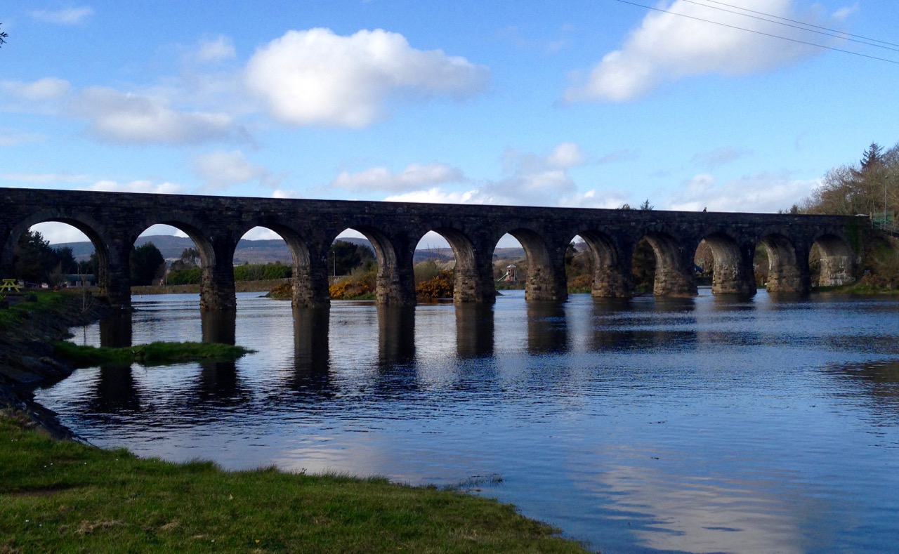
12 arch low tide 2

Top: Ballydehob Bay just a mud flat – Bottom: the 12-arched bridge has lost its river

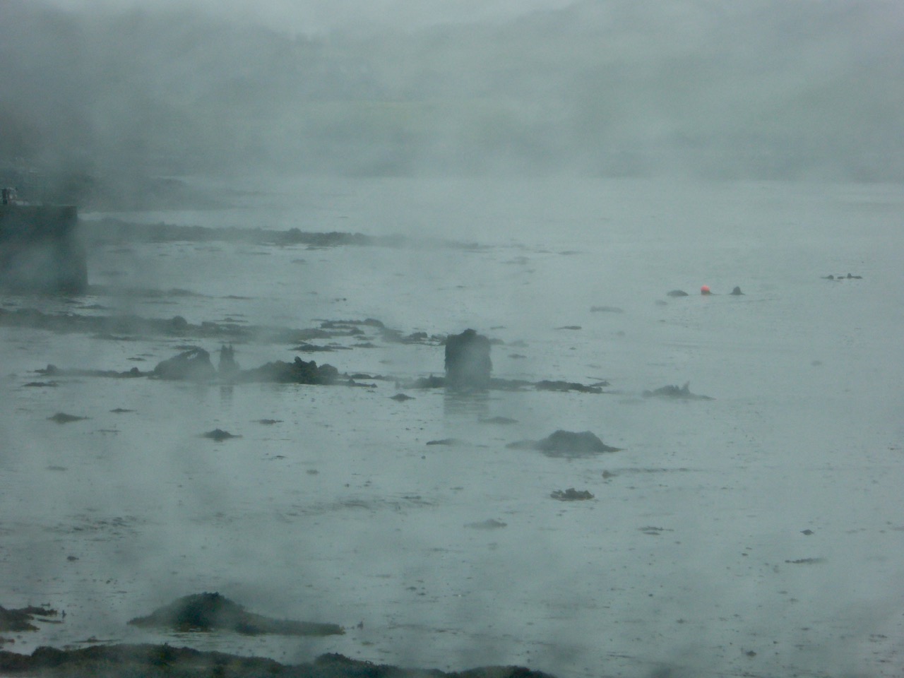
I followed the coastline all the way from Ballydehob Bay to our own Rossbrin Cove. Sure enough, whenever you could glimpse the sea, it wasn’t to be seen! But that might have had something to do with the all encompassing fog that had descended.

Sunken wreck

Is it a wreck? Or some debris discarded in the Cove?

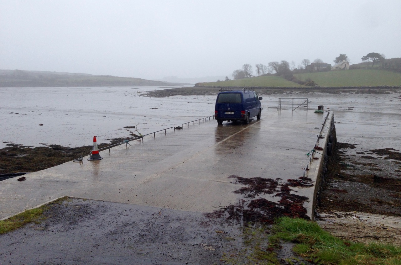
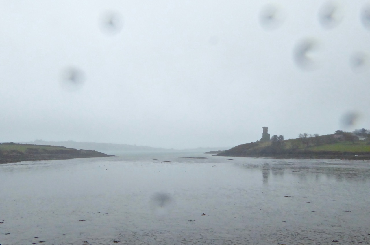
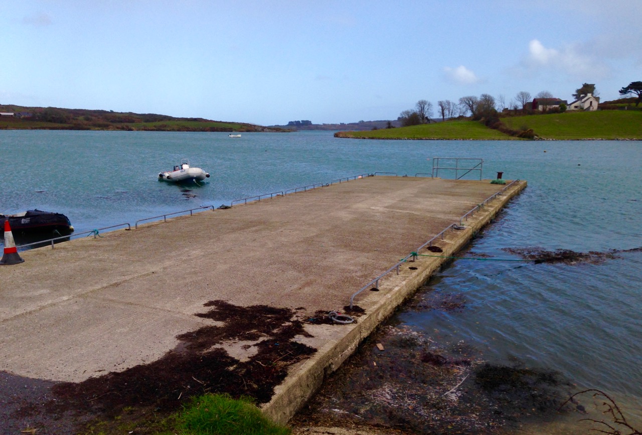
The modern quay in Rossbrin Cove seemed stranded and pointless, but Fineen O’Mahony’s tower house still managed to catch a reflection as the tide began to turn.

the quay gray day

Rossbring through rain

Rossbrin Castle – Fineen O’Mahony’s tower house – seen through a spotted lens

Of course, what goes down has to come up and – in the evening – I ventured out again to see the ‘high’ of 3.30.

high tide 12 arched bridge

rosbrin pier high tide
Evening high water in Ballydehob (top) and at the quay in Rossbrin (below) – note the improvement in the weather!

This is Ireland, so the day that was in it had changed completely with the tide: now we enjoyed clear blue skies and (watery) sunshine. Walking the shoreline was a pleasure! To be honest, you have to find your pleasure here from taking to the trails whatever the weather (as many of our occasionally bedraggled visitors might testify). It’s fine, as long as you have a good fire in the hearth to come home to…

the road to julian's house

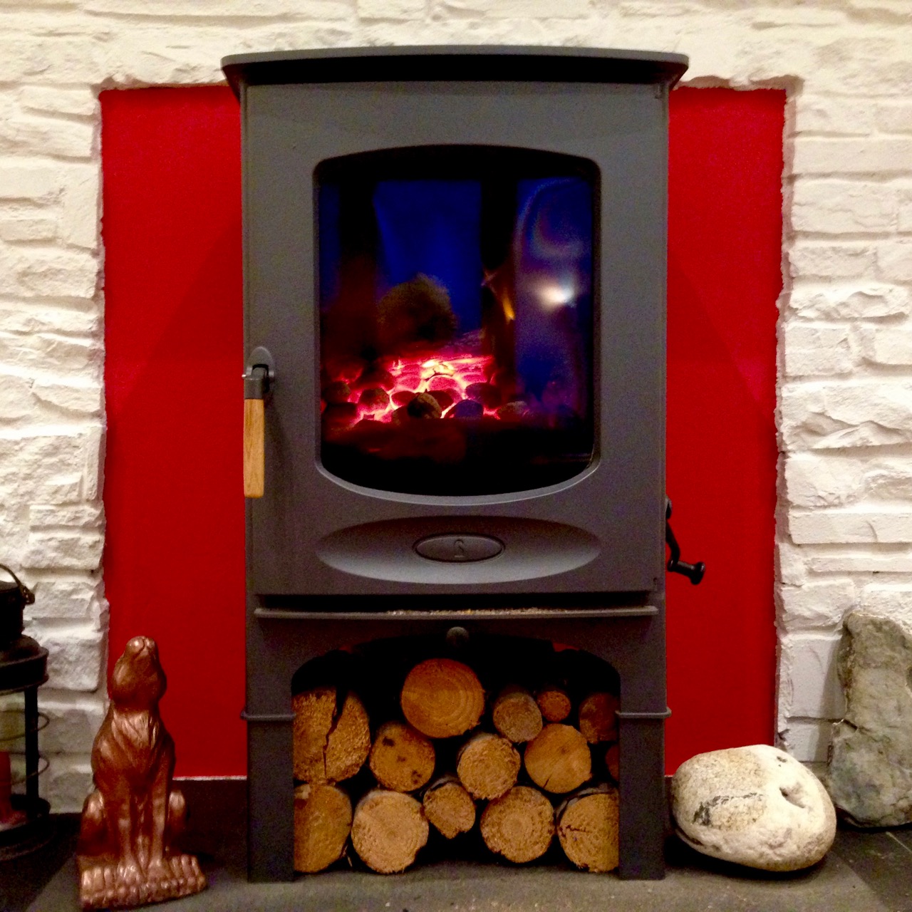
Above – when the tide goes up, the road to Julian’s house goes under! Below – a hot fire to come home to…

hot fire

Tide’s Out!

the Cove

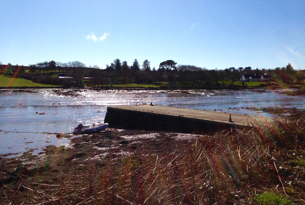
Up here in Nead an Iolair we have a perfect view of the state of the tide in Rossbrin Cove, the natural harbour below us which is accessed from Roaringwater Bay. Just now it’s a Spring Tide – and an extreme one: we’ve never seen the Cove quite so empty. I think it’s because there was a ‘supermoon’ a day or two ago – that’s the point at which the moon’s orbit is closest to the earth, and this affects the rise and fall of the tides.

low tide

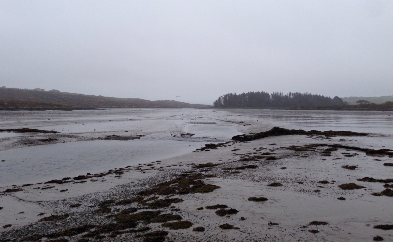
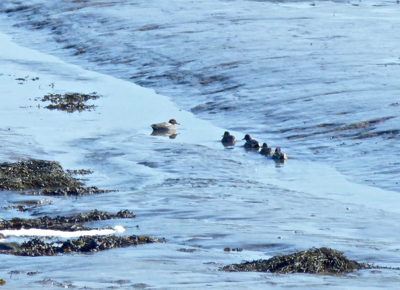
On a day when the sun does be splitting the stones we walk the long way over the hill and through the lanes to have a look at what the low tide has revealed. The surface of the boreens is hot to the touch, and it’s hard to recall that, during the last couple of weeks, we have had wild storms, some icy mornings and dank wintry fogs. Today the whole cove is a broad mud flat: a little rivulet runs through it and a family of Teals (Praslacha) is managing to make its way out to the bay, stopping every few yards to peck at tasty morsels in the silt.

Teals

Wading birds are everywhere, enjoying the rich pickings of nereid worms. We are particularly impressed with the handsome Redshank – Cosdeargán: Red Leg, Warden of the Marshes – who winters here, like the Teals – on holiday from Iceland. We have to make the most of him, and his piercing tew-hoo, tew-hoo call as he’ll be off back home shortly.

Redshanks 2

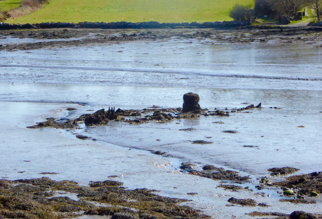
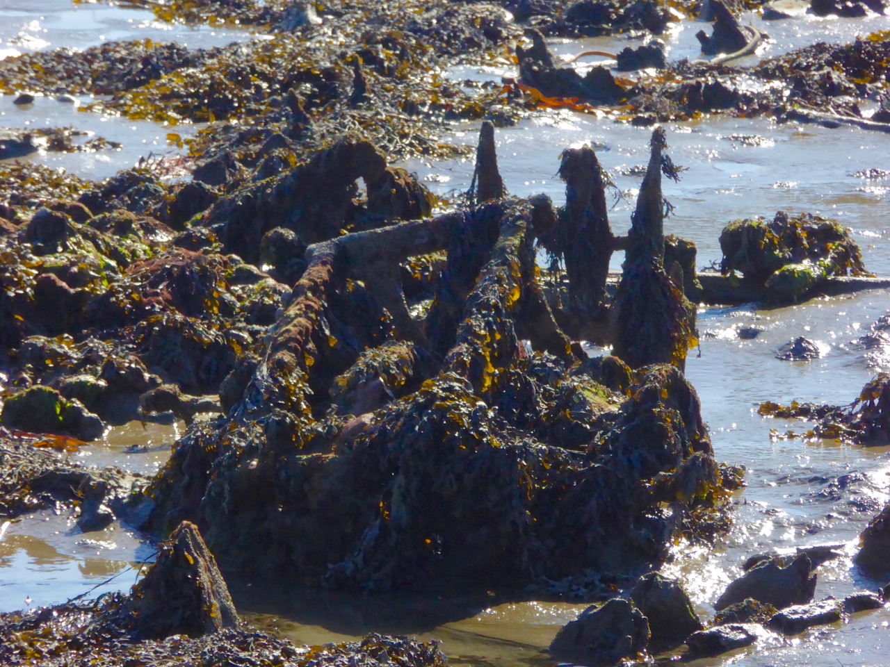
I think it’s exciting to see what the low tide has uncovered: down by the ‘new’ quay there’s something boat-shaped. It must have ended up here in living memory, so someone should know the story of it. An old engine block, perhaps, at one end – and a sort of metal frame at the other: a piece of fishing equipment, possibly. Of course, it could all be the skeletal remains of a great leviathan which has been stranded by the falling tide…

Drowned object

Enigma

On a tiny rock-pile which has never been an island before we catch sight of the Curlew, one of the Seven Whistlers. The Calloo, Courlie or Marsh Hen is declining rapidly and what we are seeing today is most likely to be a winter visitor from Scotland or Scandinavia, feeding on ragworms, crabs and molluscs. A few stay all the year round, mostly in the northern half of Ireland – although I’m pretty sure I have seen the occasional Curlew around here in the summer months: we live in a privileged place, after all.

Curlew

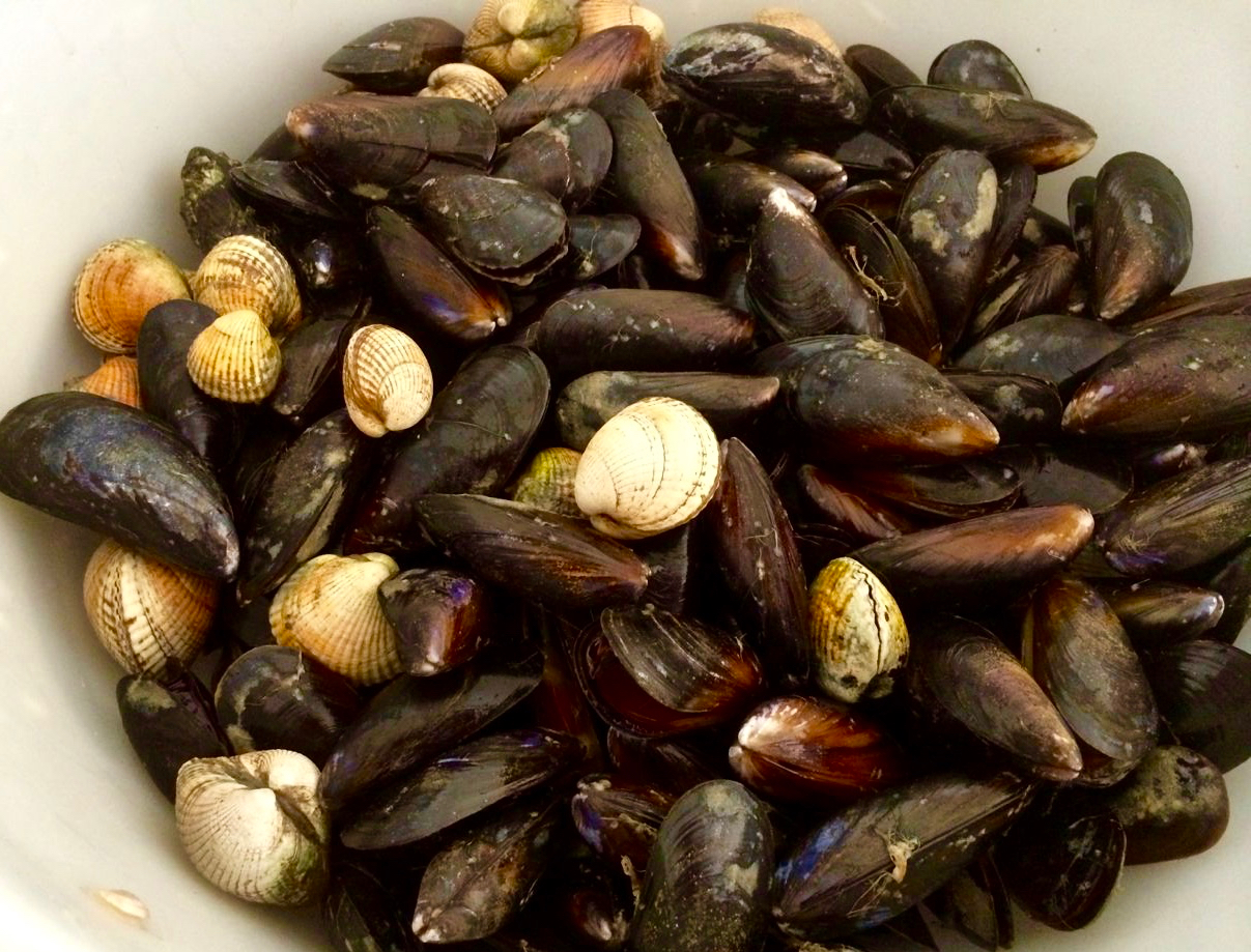
We are halfway through March now. We still have more extreme tides to look forward to, especially around Good Friday, when the Mussels will be harvested from the exposed rocks. That’s early this year – before the end of the month – and it’s a festival which is based around the seasons of the moon. Let’s hope that never changes (there has been some talk among officialdom of regularising the dates for Easter) because, if it does, all the customs and traditions associated with it will be thrown out of sync.

feast of mussels

We have a good ol stretch in the evening to look forward to. On the reasonable basis of what goes down must also come up we’ll be off to the Cove again to see it filled to the brim: it will be a particularly high tide as well, of course, and there will be another set of shore birds and waders foraging from the fresh influx of salt water.

muddy waters


Mizen Mud: Recipe for a February Exploration Day

Muddy Boots

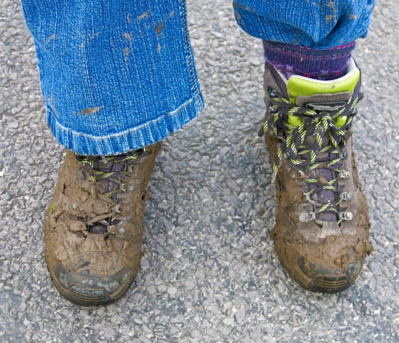
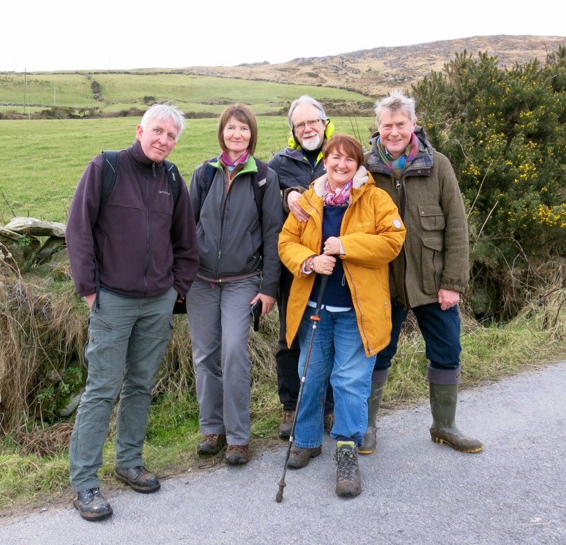
It’s been a wet, wet winter, but when the sun shines in February (which it does, honestly!), we are out exploring. This particular day our companions were Jessie, Brandon, Amanda and Peter and our accompaniment was MUD, and lots of it.

Explore Group

Amanda took the photo of the group, and the one of my muddy boots

We had goals – Amanda was after some elusive holy wells and Robert wanted to find the pirate steps at Canty’s Cove for his talk on William Hull and the Leamcon Pirates’ Nest, part of the Ballydehob spring lecture series, ’Talks at the Vaults.’ Jessie is a professional tour guide, wanting to learn more about the Mizen. Finally, I wanted us to swing by Dunmanus Castle so I could check out a few construction details.

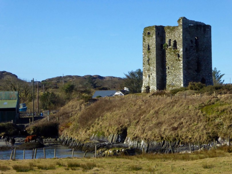
Dunmanus Castle and bridge

Dunmanus Castle on its knoll, surrounded by water

You don’t actually need goals like this to go out exploring, but it helps. It gets you into places you wouldn’t normally go, down tiny boreens, into farmyards and across fields. You end up knocking on doors and meeting people who know all about the well, or the old stones, or the legends of the place, or who owns what field and whether he minds people tramping through it. On this occasion we met, for the first time, the near-legendary Pat McCarthy, one of the writers of Northside of the Mizen, and a huge authority on this area. We’ve promised ourselves a return visit with him as we weren’t able to stay long enough for a good talk.

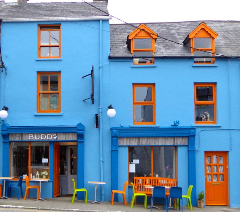
Budds

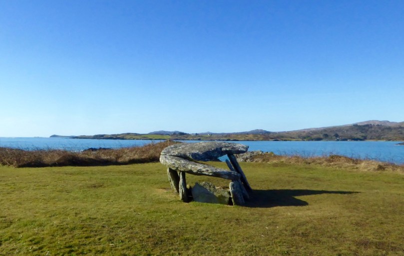
The best way to start a day like this is with excellent coffee, in Budds of Ballydehob, where we assembled with our map to plot our course. It was off then to Toormore and the Altar wedge tomb. On this occasion we weren’t actually after the wedge tomb (although I can never resist a photo of it) but the little holy well across the road.

Altar Wedge Tombe

Our next stop was Dunmanus, to take a good walk around the castle with the camera, looking for details I had missed on previous visits.

Dunmanus Castle ground floor entrance details: The bar-hole for barring the door once inside; the spud stone and the hanging eye. The hollows are for the pole that the door swings on

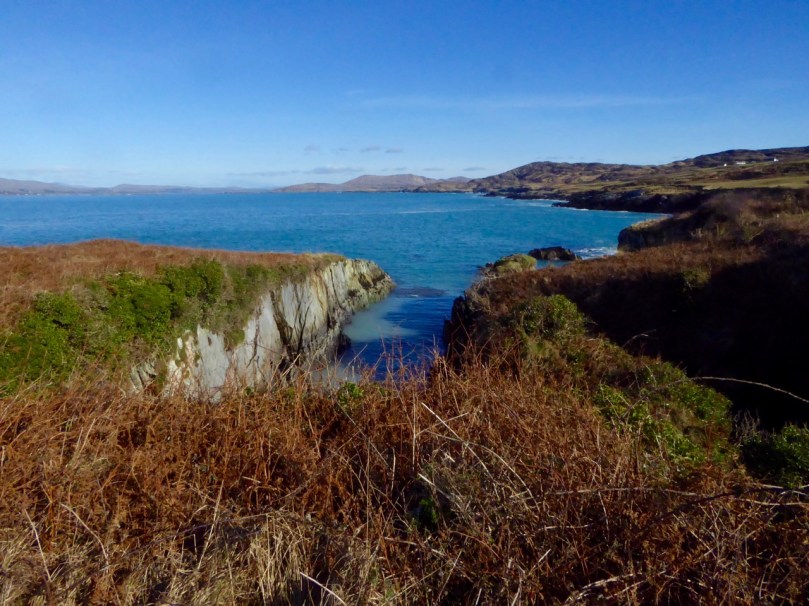
And then on to Canty’s Cove. You can read Robert’s post, Canty, for more about this place and its association with Canty the Pirate. Finding the steps wasn’t easy and it was a big thrill when we finally figured out where to look.

from Canty's House

This is the inlet with the pirate steps. Photographing them involved hanging over the edge with someone holding on to your ankles

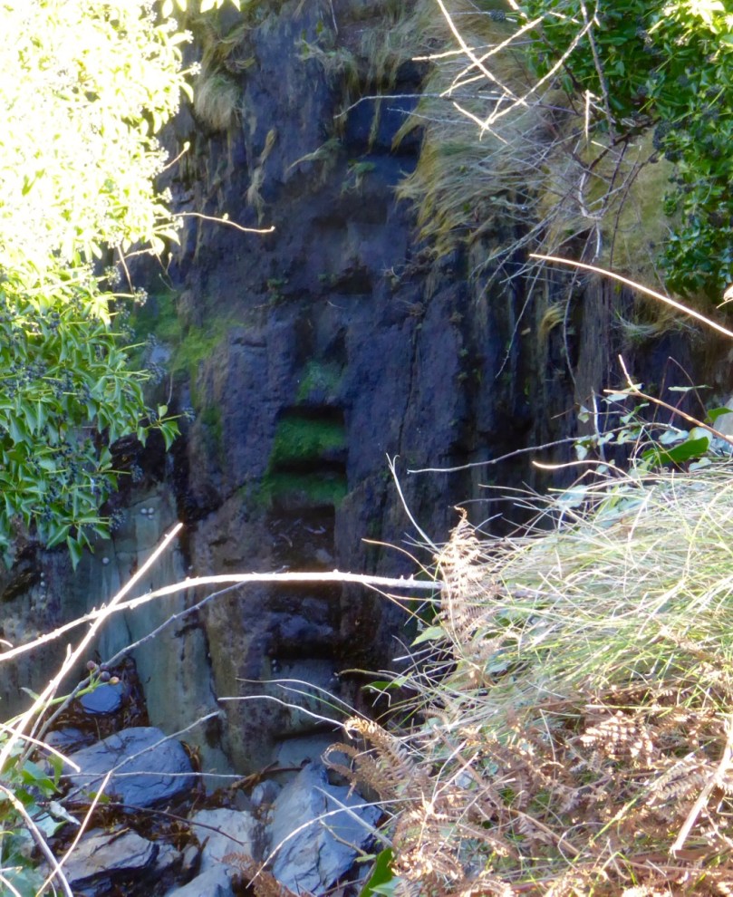
Pirate Steps

How would you like to climb up these with a keg on your back?

By then we were starving – this exploring is hungry work – so we repaired to O’Sullivan’s of Crookhaven for one of their famous crab sandwiches. Even at that early date the sunshine was so inviting that people were sitting outside with their sandwiches and their pints.

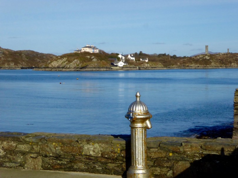
water pump at Crookhaven

Crookhaven Pier

From Crookhaven it’s a quick trip to Lissagriffin, where there’s a medieval church and a bullaun stone doing double duty as a holy well/wart well. The church has a panoramic view over the salt marshes behind Barley Cove Beach as well as interesting architectural features.

Lissagriffin Doorway

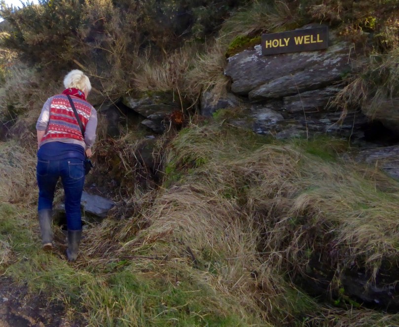
Our next holy well was right by the side of the road a couple of miles further east – labelled so we couldn’t mistake it.

Callorus Oughter

Amanda inspects Tobareenvohir – or Tobairín an Bhóthar, the Little Well of the Road

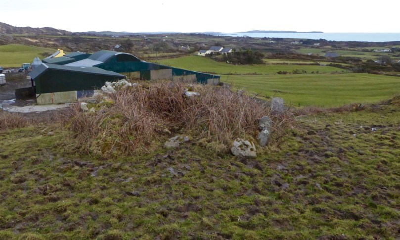
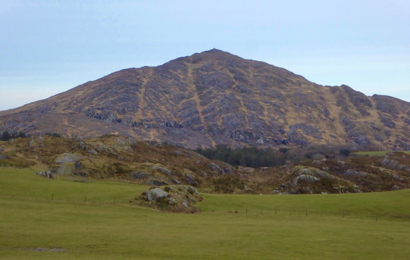
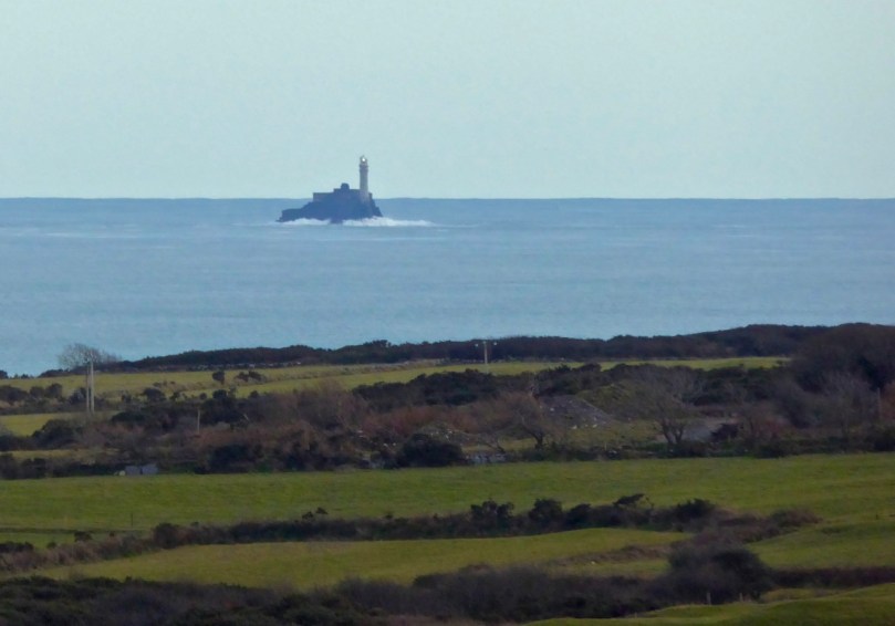
The final one was harder to find and necessitated negotiations of some seriously muddy fields. Tobairín Brón (Little Well of Brone) was in the general vicinity of where we ended up, along with a small monastic site – all very brambly and hard to decipher. But what a place – a view clear out to the Fastnet Rock, with Knockaphuca looming behind us. Cnoc an Phúca means the Hill of the Mischievous Spirit – it’s been tamed, presumably, by the large cross erected on its peak.

Monastic site

Knockaphuca

Fastnet Rock

Read Amanda’s post for her take on the four wells we visited that day.

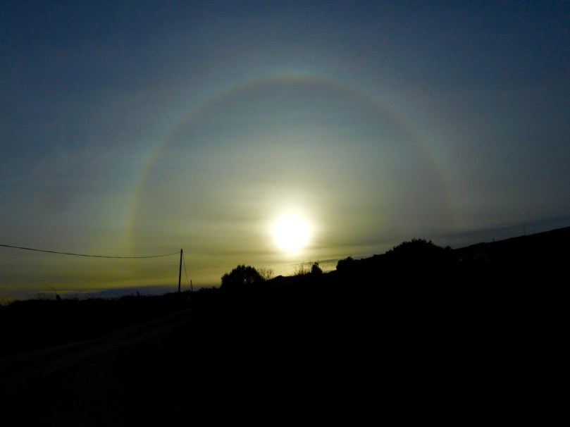
By then the sun, so warming earlier in the day, had been overtaken by high cirrus clouds, and we were donning jackets and gloves and remembering that it was only February after all. As if to make up for its lack of warmth, it treated us to a magnificent solar halo (I’ve always called them sun dogs)  as we made our way back to the cars.

Sun dog

We were never much more than 30 kms (or about 40 minutes) from home but in that distance we managed to see heritage sites dating from the bronze age through the medieval period up to the recent past, surrounded all the time by the magnificent scenery of the Mizen. You can do this anywhere in Ireland. Using the Historic Environment Viewer of the National Monuments Service, define the area you want to explore, pick your fancy (ring forts? medieval churches? cross slabs? megalithic tombs? castles? rock art?), and off you go.

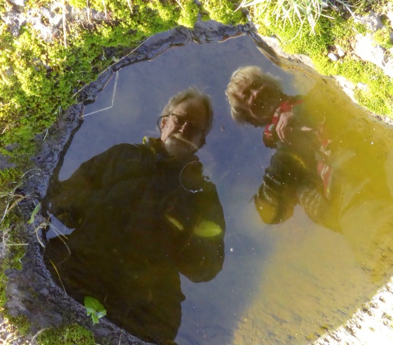
Peter and Amanda in a holy well

A holy well looks back at Amanda and Peter

Now, if you’ll excuse me, I’m off to buy some wellies…