Rock Art and Red Socks

(Mizen Magic 26: Balteen)
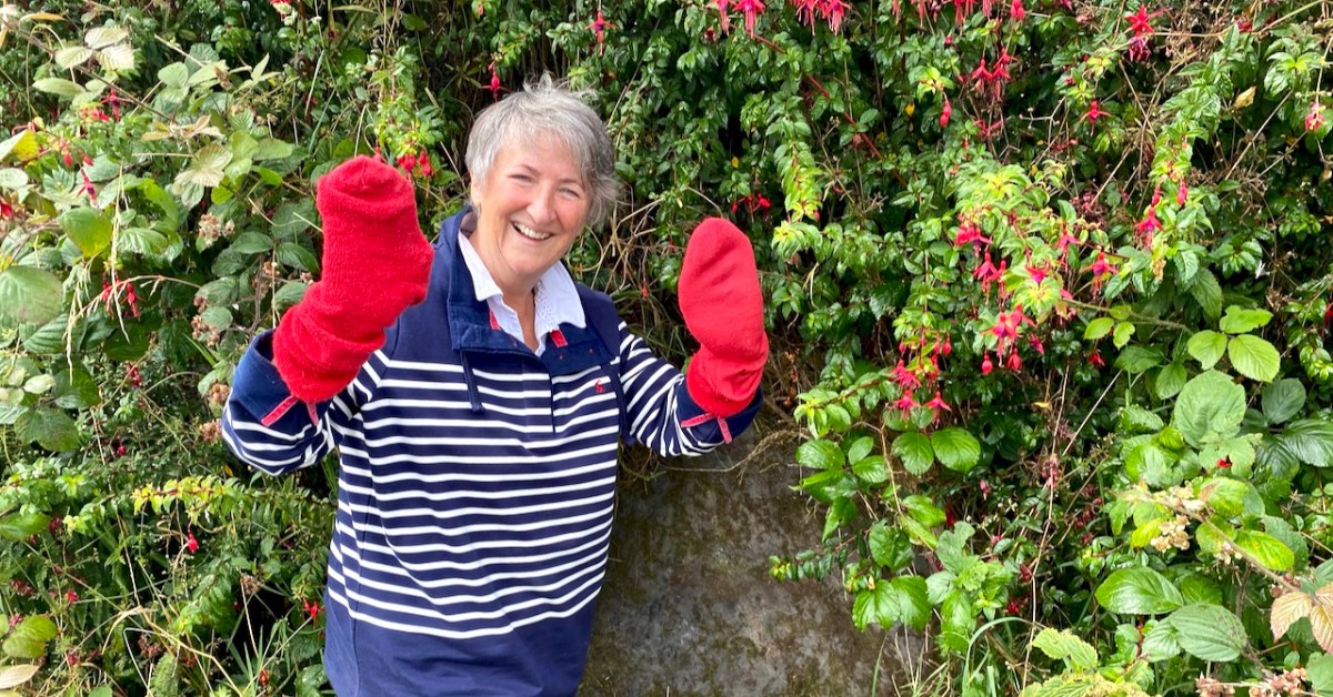
What do red socks have to do with rock art?  Well, nothing really, but they turned out to be surprisingly useful this week.

It’s been ages since we talked about rock art, hasn’t it? Thinking about that, I decided to do some tidying up in our blog and I have created a special page for Rock Art, and another one for Mizen Magic, since this post also fits into the Mizen Magic series. 
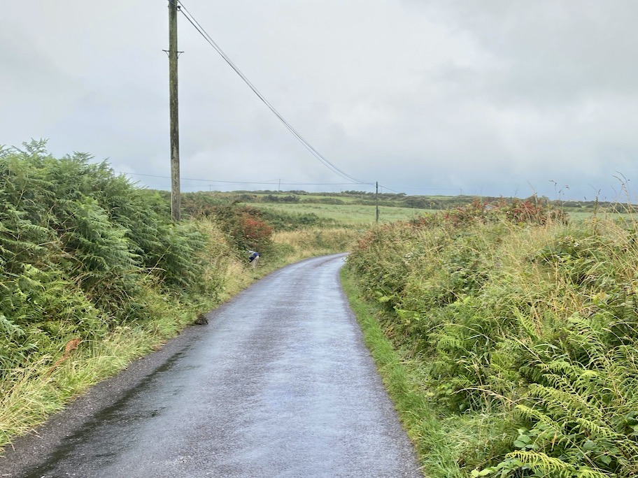
Robert and I set off to hunt down rock art we haven’t yet seen on the Mizen. The National Monuments site contains two records for Cupmarked Stones in the townland of Balteen, and both proved easy to find. (If you can’t remember what a Cupmarked Stone is, take a look at this post before reading on.) The first is along the road that leads from Barley Cove to the North Side. That’s my butt marking the location of the rock, above.
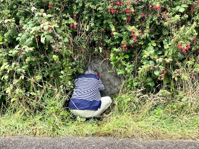
It’s built into the bank and we might not have been as quick to spot it as we were unless somebody else had already found it and cleared away some of the overgrowth – I suspect Rock Art Kerry, AKA Aoibheann Lambe had been there before us, perhaps a couple of years ago. We usually remember to bring a soft brush with us for a gentle cleaning of the rock surface (lots of moss on this one) but we had forgotten this time. The red socks came to the rescue.
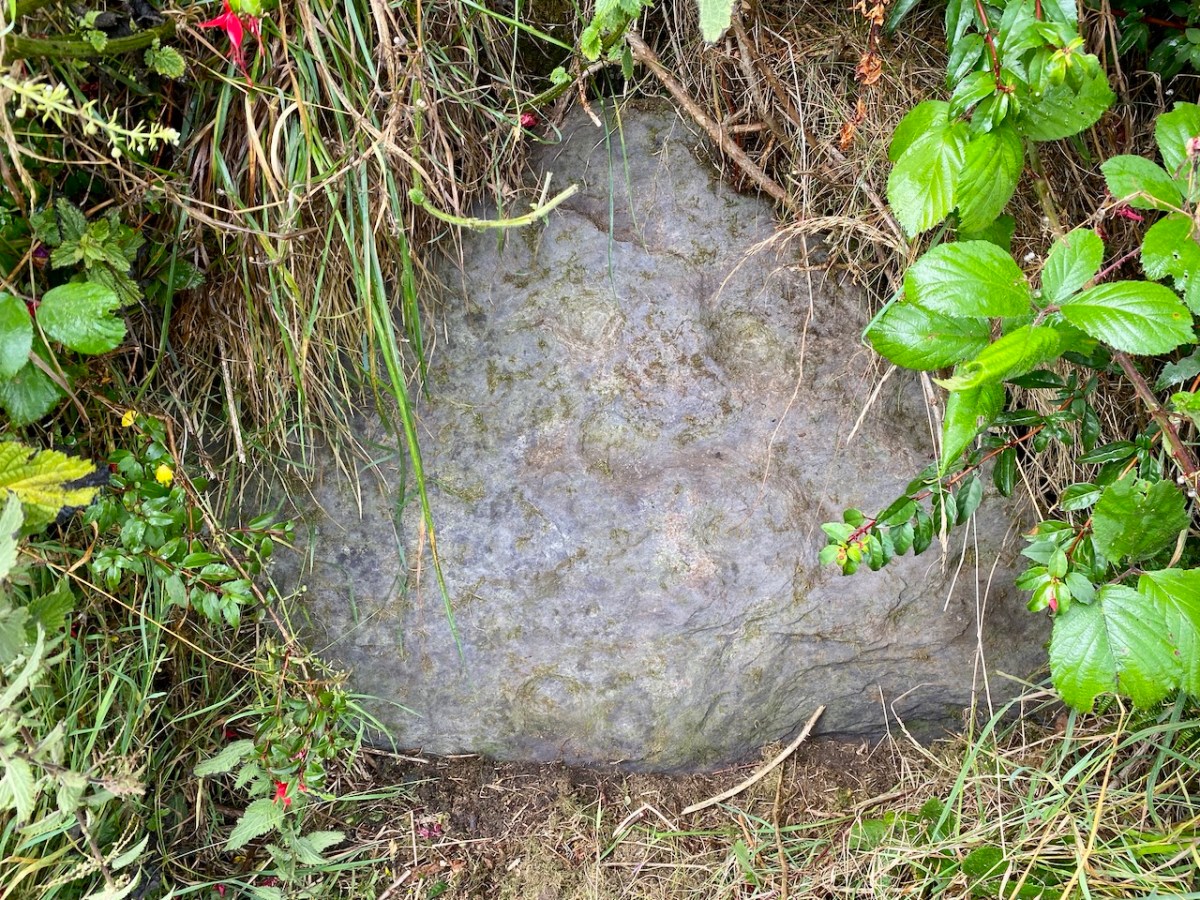
This is a lovely example of a cupmarked stone – although it’s possible there is more on it than cupmarks only. The central cupmark appears to have some carving around it that helps to mark it out and elevate it – not a complete circle but an arc that may end in an expanded finial. We have sent the photos off to UCC for a 3D rendering and this may clarify this aspect of the carving. Here’s a short video – see what you think about that arc.

Meanwhile, since it’s hard to make out what’s in the surface of a grey rock on a grey day, clever Robert has made a scaled drawing of it. We know that cupmarked stones like this can date anywhere from the Neolithic (about 5,000 years ago) up to the Bronze Age (ended about 2,500 years ago), and that the cupmarks were probably made by picking or bashing them out with a stone cobble, but we don’t know why they were done, or what meaning the cupmark itself may carry.

We also don’t know if this one is in its original position, but it’s likely that it is not. It is currently incorporated into the bank at the side of the road, leading us to suspect that it was found in the vicinity and built into the wall to give it a place where it would be visible to all passers-by.

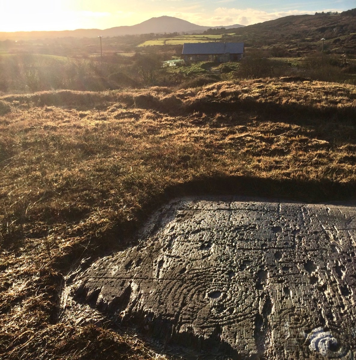
The second one (above) was a surprise! First of all, it’s enormous! It looks like it may have been a capstone for a large structure, or perhaps a boulder burial. However, it’s difficult to determine if there is anything underneath and it may well be a glacial erratic that simply ended up here. This one is in the same townland but it’s on private property, so we are not pinpointing it on a map, at the request of the owners – but they are happy to give permission to see the stone and they welcomed us to take photos and tell them a little about rock art in general. There are nine cupmarks, from large to small and some appear to be arranged in a rough semi-circle – something we have observed on other cupmarked stones.

I am trying something a little new with this post – doing short videos to see if this helps to convey more than a photograph might. I’d be interested in your feedback on this. Note: You may have to play the videos on YouTube – sorry if this aspect isn’t working right for everyone!

Just when you think you have seen all the Mizen has to offer, it reveals yet more of its secrets!
BAM Open! A New + Unique Exhibition!

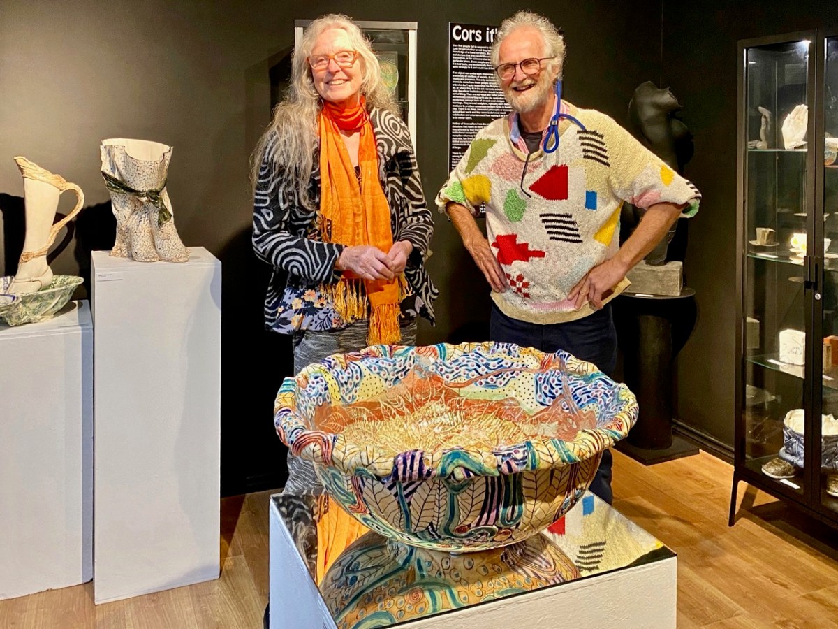
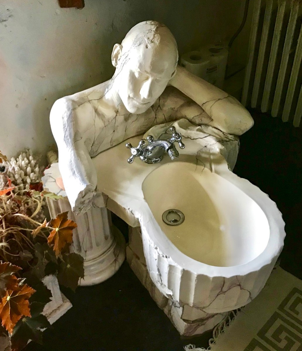
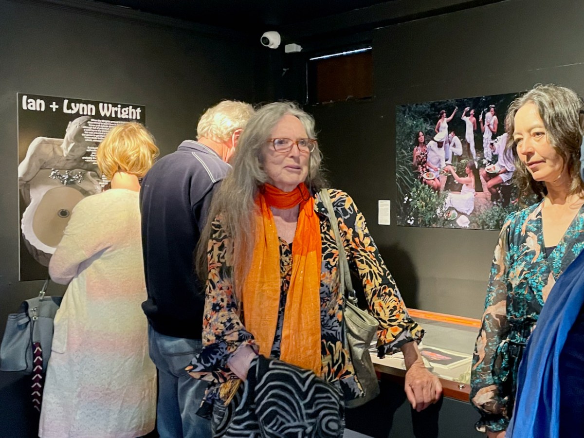
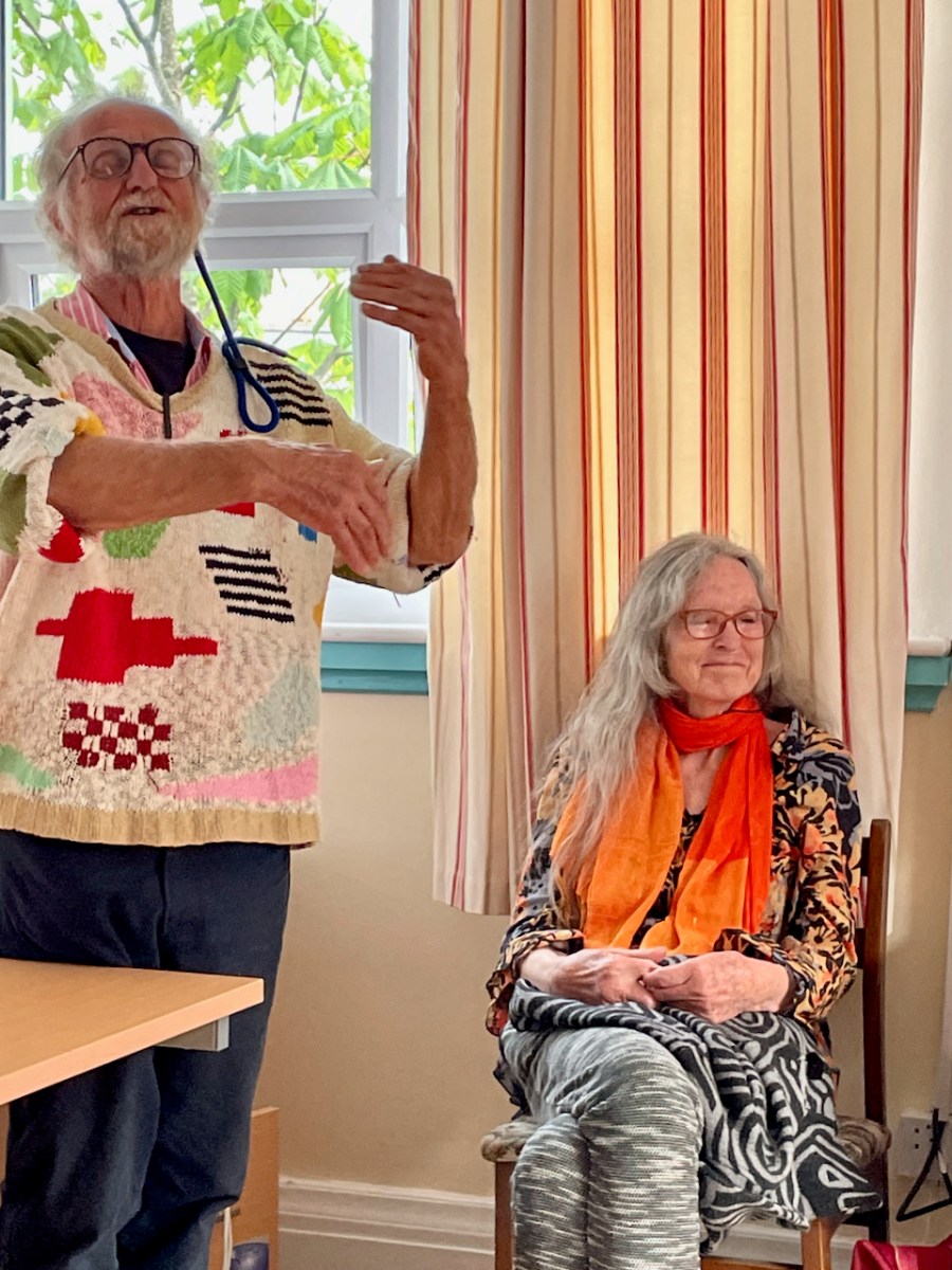
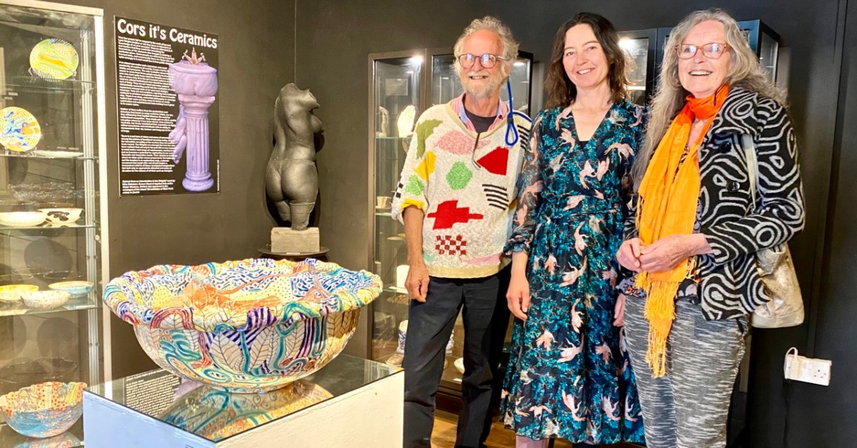
BAM – the Ballydehob Arts Museum – is open through the summer. Make sure you don’t miss the impressive exhibition that’s on at the moment. It shows the work of West Cork art creators Ian and Lynn Wright (shown above with Eleanor Flegg). They were part of the ‘invasion’ of artists who came to the Ballydehob area from the 1960s onwards, and who are now featured in what is perhaps Ireland’s smallest art gallery, situated in Bank House, the headquarters of the Ballydehob Community Council.

You will find out all about the Museum here and here. Curator Brian Lalor (who featured in last week’s post) and Director Robert Harris (that’s me!) have put together a new exhibition this summer, following two years of absence due to Covid.

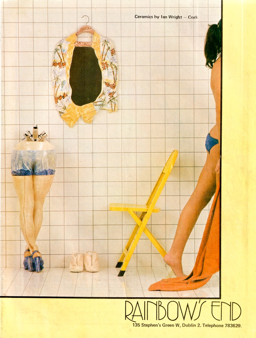
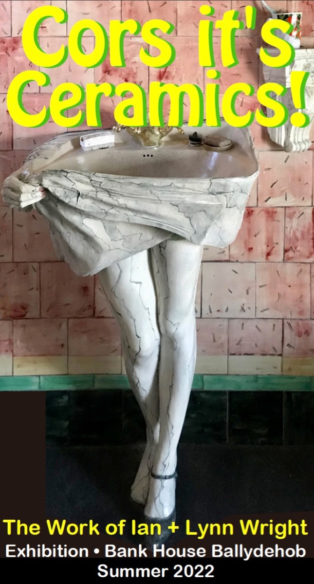
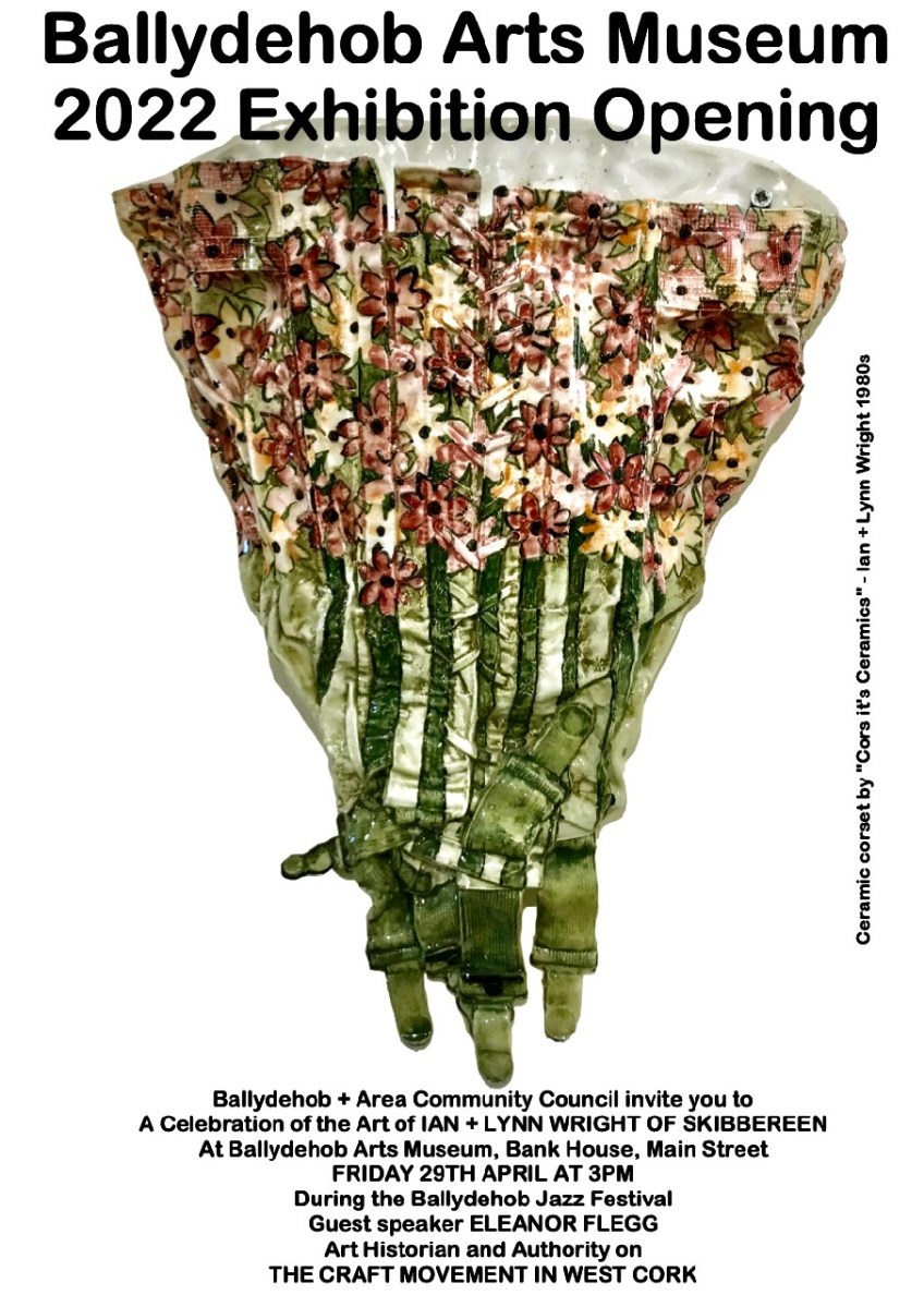
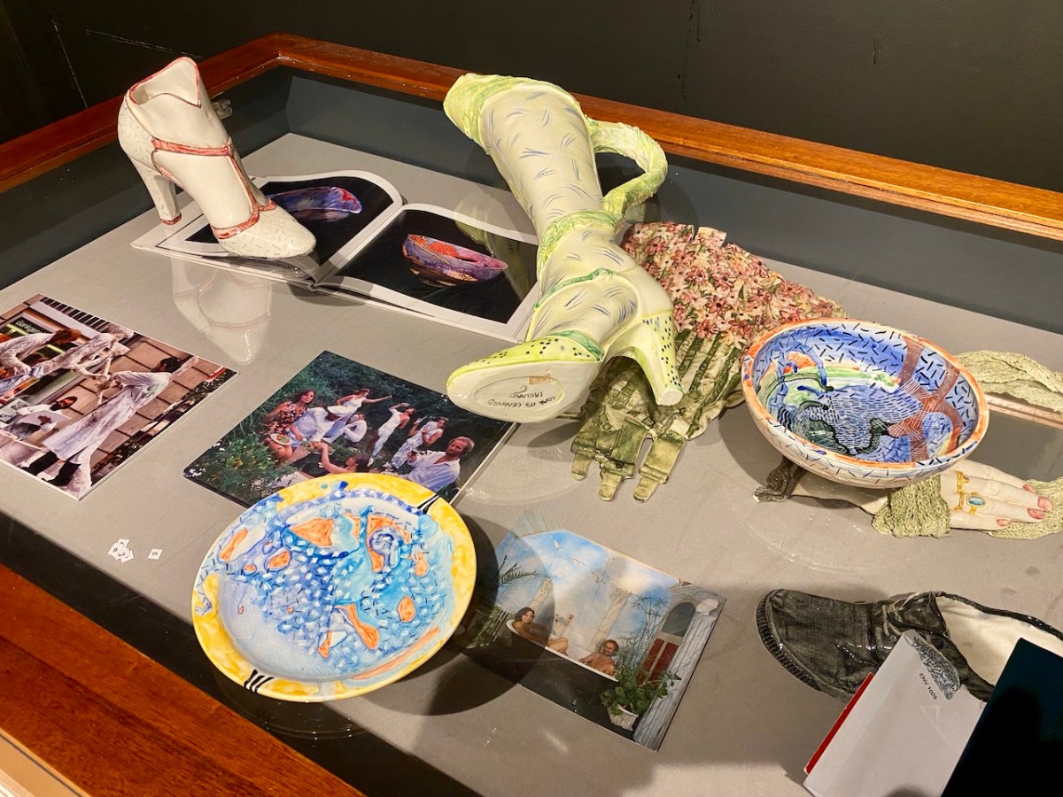
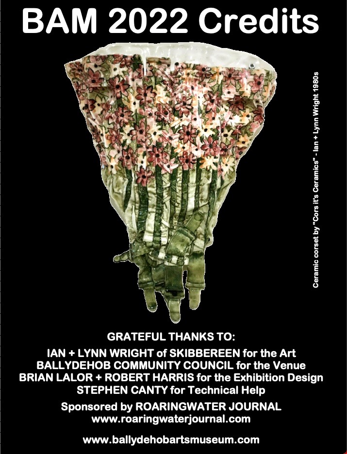
The ad above (from the early 1980s, I think) shows how Ian and Lynn’s work was being marketed at that time. They called themselves Cors it’s Ceramics, and they definitely projected a cheeky identity, making one-off ceramics – basins, bidets, loos and bathroom accessories: unique, appealing and often erotic. Their work was popular, and their production processes couldn’t keep up with demand! Today, the Wrights are producing more measured ceramics: Lynn produces beautiful large bowls, while Ian uses human body moulds to make impressive torso casts. Examples of all their working styles can be seen in the present Museum exhibition.

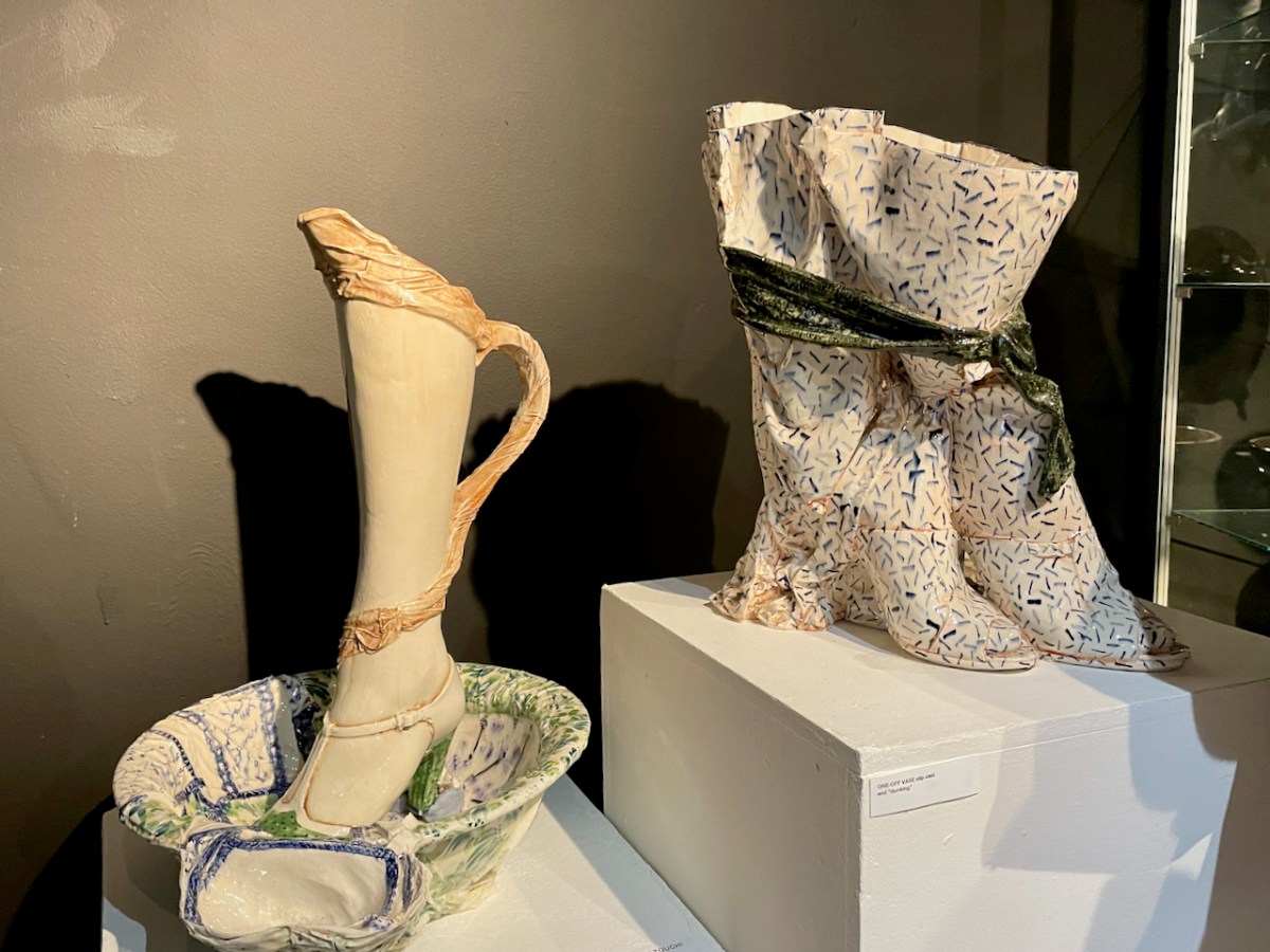
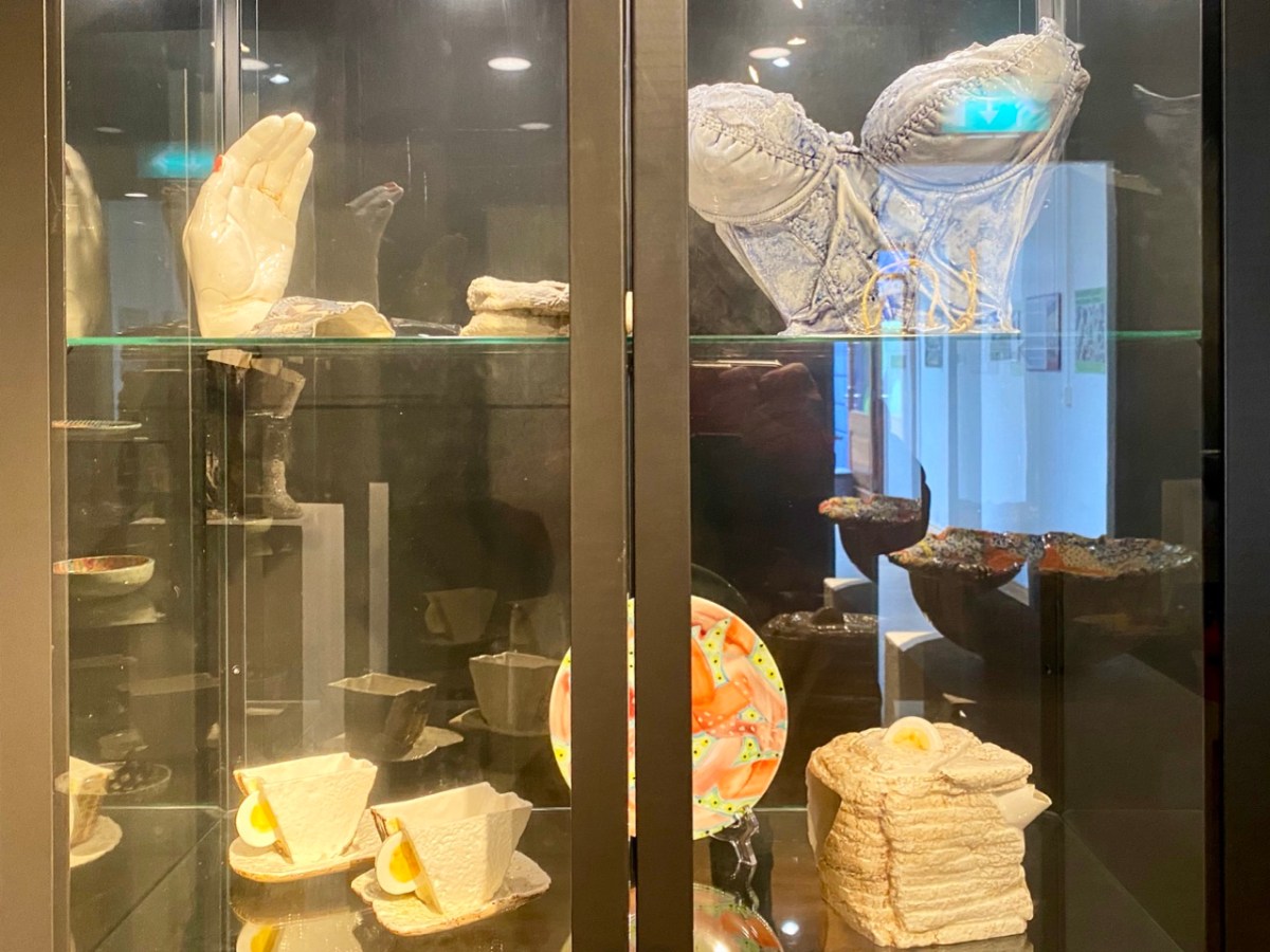
The Museum display is stunning. It brings together – probably for the first time ever – an eclectic extravaganza of the Wright’s output over half a century: examples of work small and large. There are no complete bathroom settings here: those that survive are still installed in the domestic settings for which they were commissioned. But we are fortunate that we have had access to the Wrights’ own collection of their work, which they have freely lent to the Museum. We do, of course, also have photographic records of other examples.

The Exhibition was formally opened earlier this year by Eleanor Flegg, and it can now be viewed for free whenever the Ballydehob Tourism Office is open. Through the summer this is usually from Monday to Saturday – 11am to 1pm, and from 2pm to 5pm. However, please check before visiting, as the office is staffed only by volunteers, and we can’t guarantee those hours at all times. It’s best to ring this number to confirm that it will be open: 028 25922.

A lot of effort has gone into making this exhibition. It’s on for the rest of this season, so please don’t miss it. It is the aim of the Ballydehob Arts Museum to celebrate the very special projects that have been carried out over decades to give the village its reputation as an artistic centre of excellence. Nowhere else can you find the full flavour of what has made this community so special.

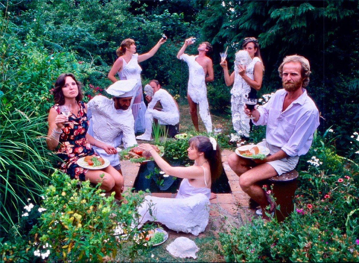
This photo (above) appeared in the Mail on Sunday newspaper in 1983. Lynn and Ian are on the left and right respectively. The occasion is a ‘body casting party’ in the Wright’s garden.

Thirty-Six Views of Mount Gabriel

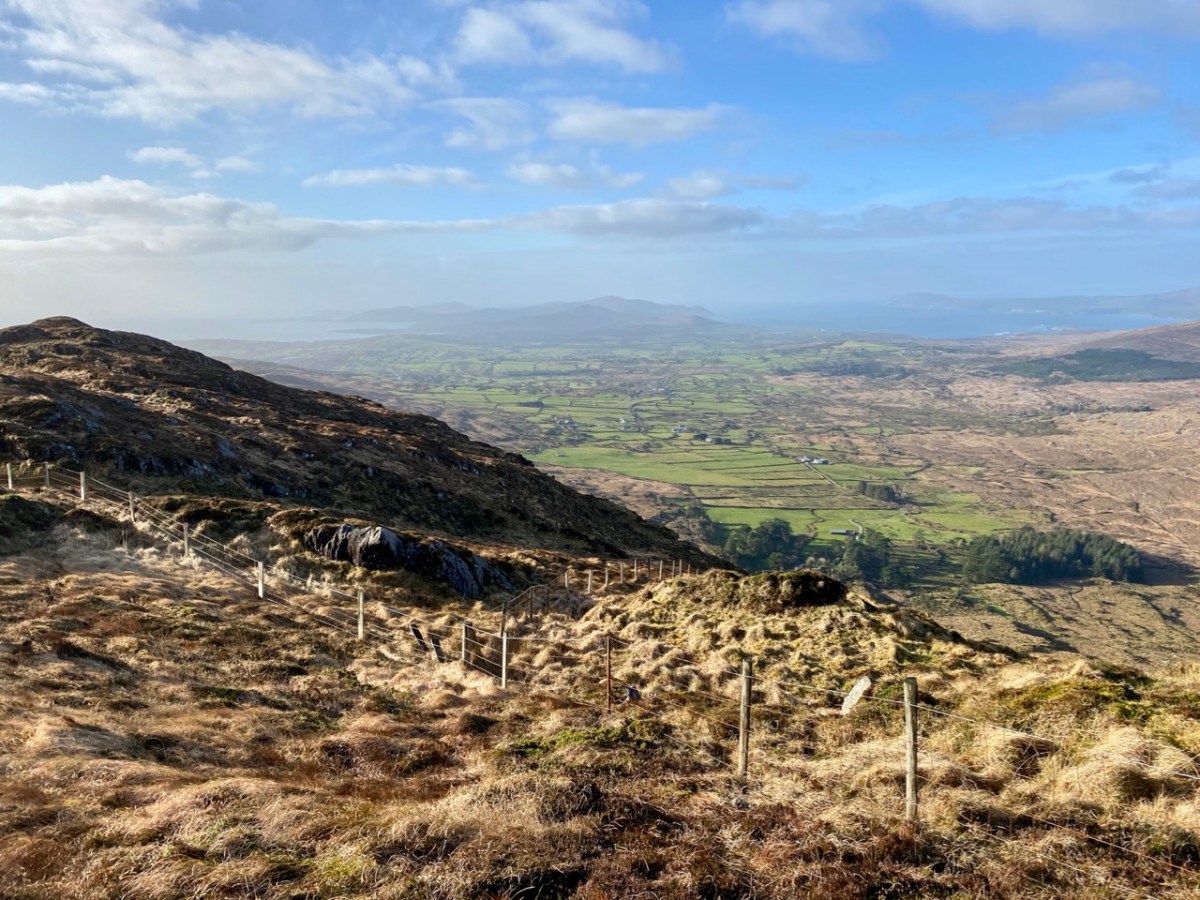
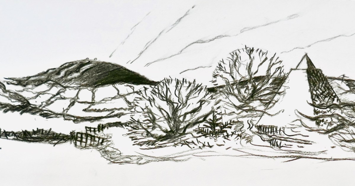
Mount Gabriel is, I believe, a rarely regarded topographical prominence on the Mizen. Yet it is impossible to ignore: the summit can be seen from most parts of this western peninsula. And, for those visitors who do notice it – and make the effort to scale its heights, it presents the most spectacular of views over rugged landscapes to the oceans beyond.

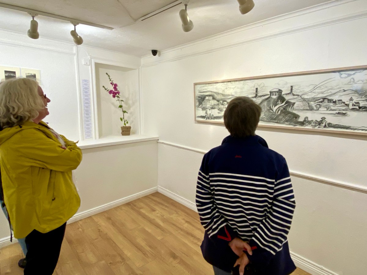
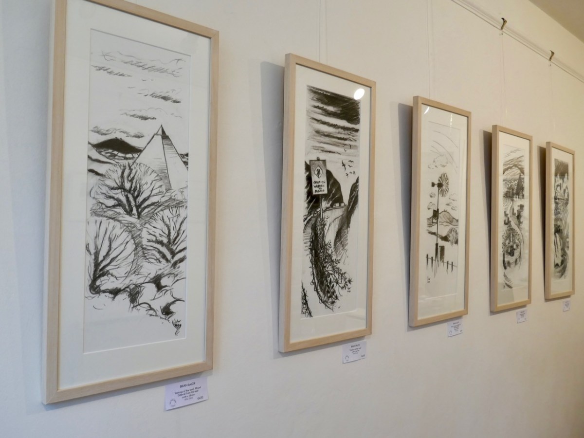
Brian Lalor has chosen to make this peak the centrepiece of his new exhibition, which opened in Schull’s Blue House Gallery at the weekend: Thirty-Six Views of Mount Gabriel. You have to see it. The works are for sale, so it will be impossible, probably, to assemble them as one entity ever again. (Unless, perhaps, in a hundred years time – if there is still an intellectual world in existence – Brian’s genius will be fully recognised and appreciated, and an astute curator will raid collections from all over the world in order to put this canon back together as a centenary project).

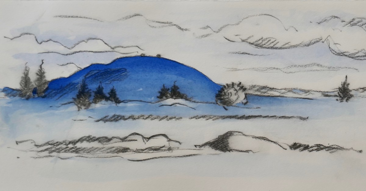
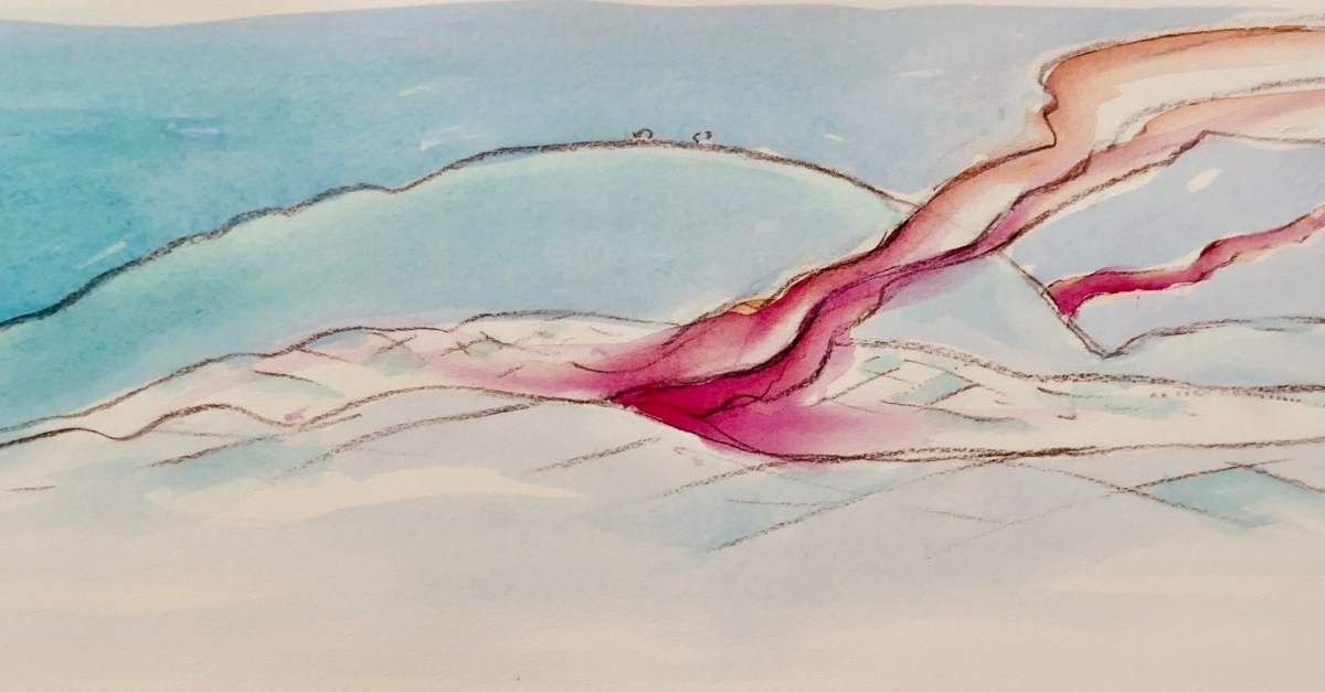
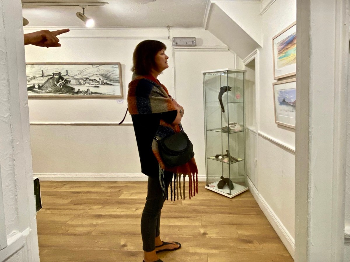
The works themselves draw attention to some of Brian’s many artistic talents: conté crayon drawings, exquisite watercolour sketches and linocut prints. They make an impressive whole on the walls of Schull’s eccentric gallery, which is a jumble of smallish rooms, a staircase and landing, with a minimalist shop-window frontage. Circumnavigating the spaces is a revealing and stimulating experience.

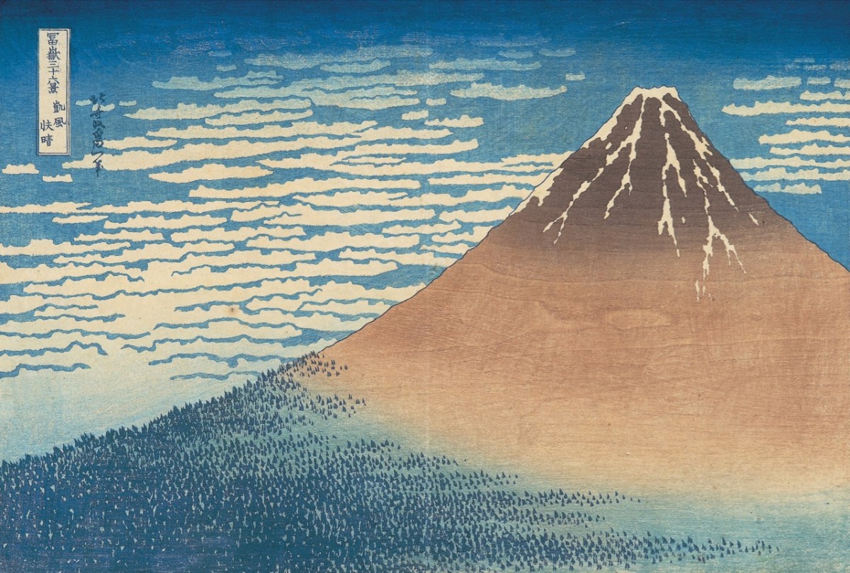
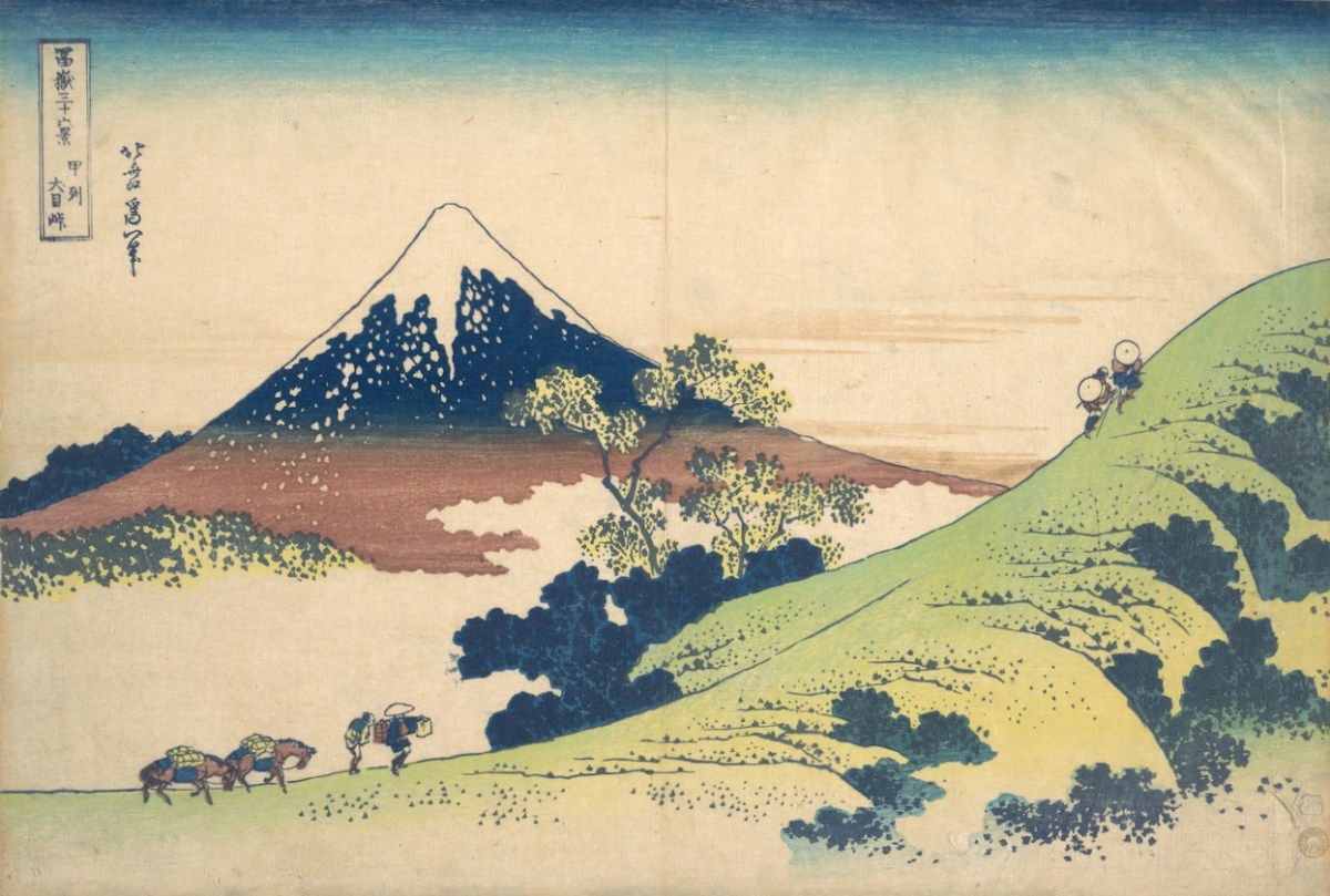
Returning to the subject matter of the work, Brian – General Editor of Gill & Macmillan’s mammoth 2003 volume The Encyclopaedia of Ireland – and considered a prime authority on Ireland’s art heritage and its place in world culture, is familiar with artists’ legacies from many other domains. He grew up in a household which contained significant pieces of Japanese art and was au fait from a young age with the concept of ukiyo-e – the floating world. His early awareness of the arts of Japan provided the source of inspiration for this exhibition: Katsushika Hokusai’s Thirty-Six Views of Mount Fuji, woodblock prints which date from the early 1830s. Here are Fine Wind, Clear Morning (upper) and Inume Pass (lower) from the series:

Fuji is one of Japan’s Holy Mountains. Brian’s juxtaposition is brilliant: our Mount Gabriel has to be a holy place. It is named after an Archangel, who is said to have descended to the mountain top to view the unsurpassed beauty of West Cork’s landscapes, the reputation of which had reached to Heaven even back in those days. In so doing he left behind his footprint, which is still to be seen on the summit.

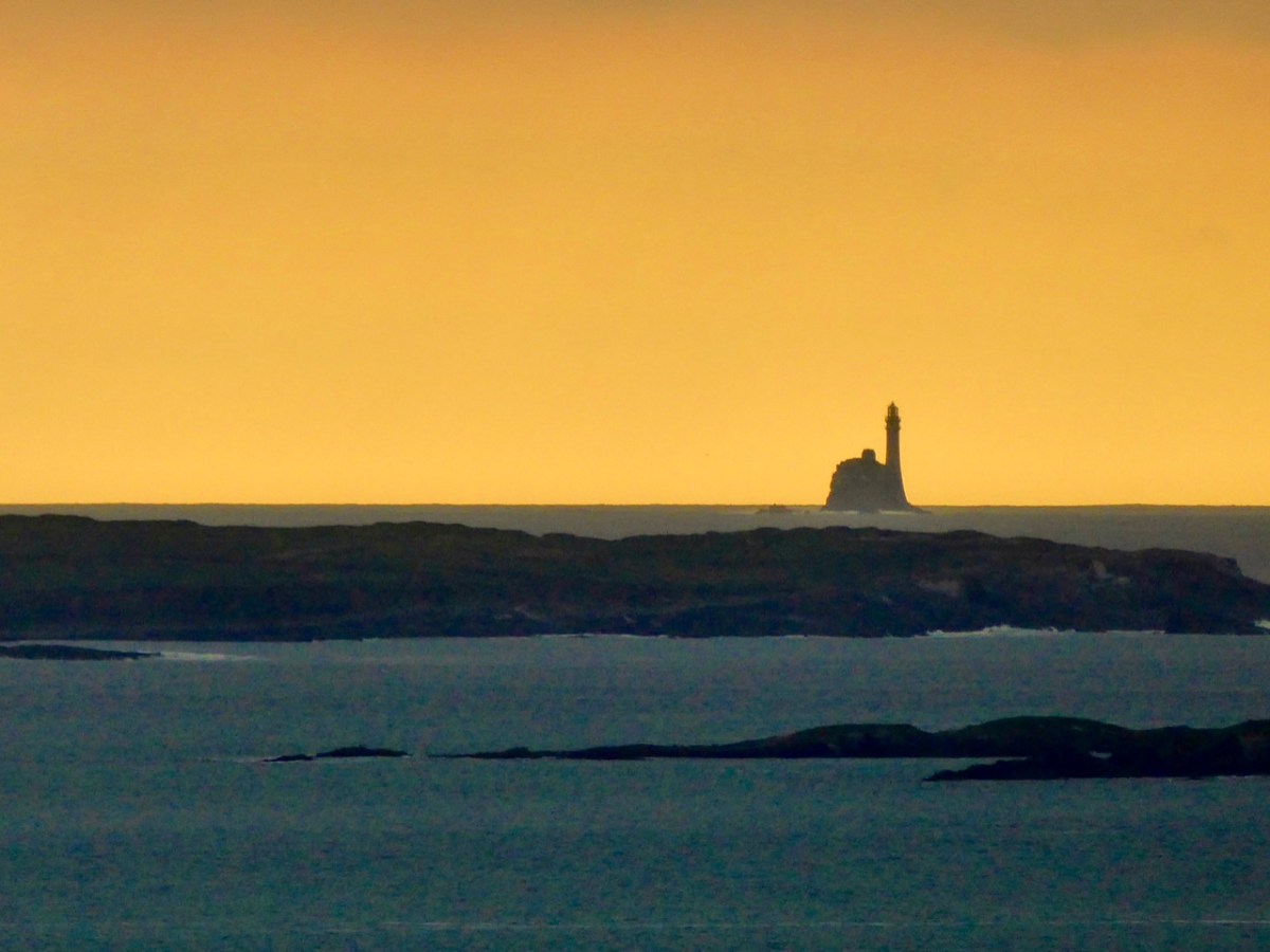
The Archangel was not the only biblical character to visit Gabriel: Satan himself touched down, but stumbled on a large rock. In a fit of temper he picked up the rock and threw it far off into the sea beyond. This caused such a hazard to shipping that we have had to erect a lighthouse on it. Here is Finola’s photographic view of The Fastnet, taken at sunset. For me, it has a suitably print-like quality . . .

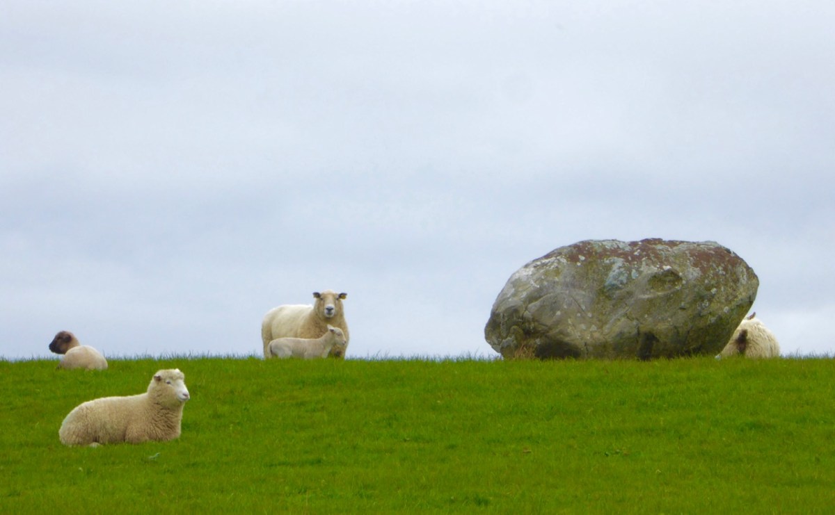
Legends attached to Gabriel include many that attribute Irish heroes to activities on the summit. Finn MacCool, for example, is also credited with throwing large rocks from the mountain, including this fine boulder burial at Rathruane:

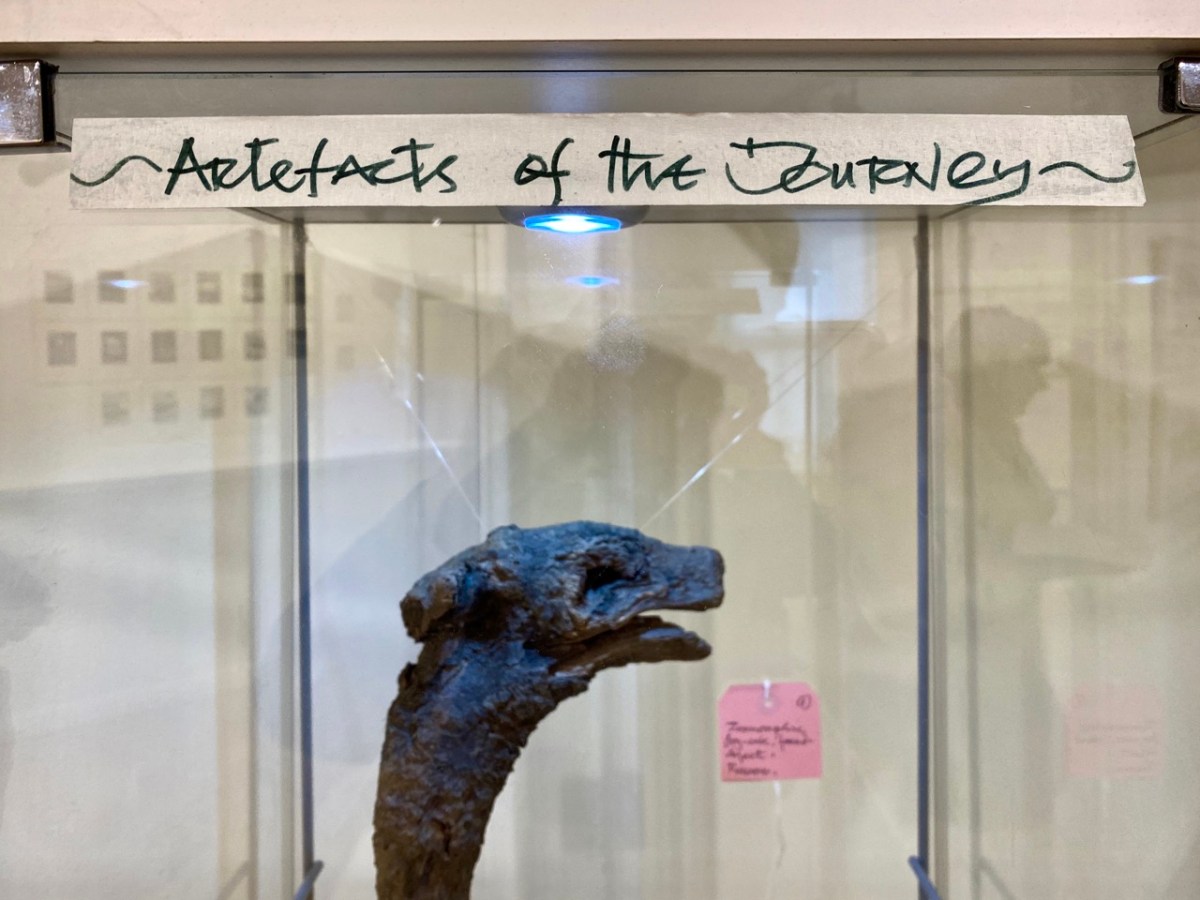
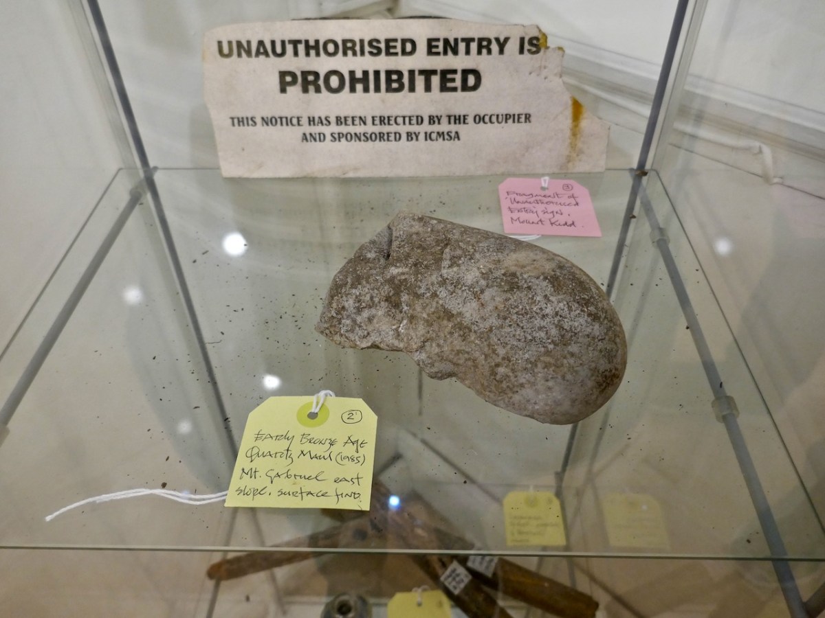
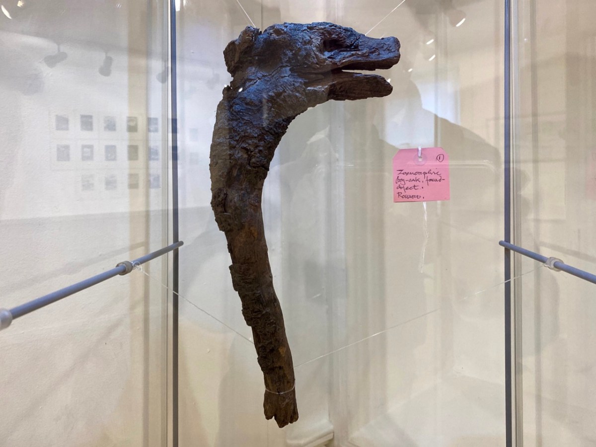
Brian’s observation and humour are not missing from this exhibition. He has included a cabinet of ‘artefacts’ distilled from his own explorations on the mountain. These make reference to the ancient history of the site and its connection with copper extraction in the Bronze Age and in medieval times, and also the twentieth century manifestations of air traffic control technology (known as ‘Gabriel’s Balls’) . . .

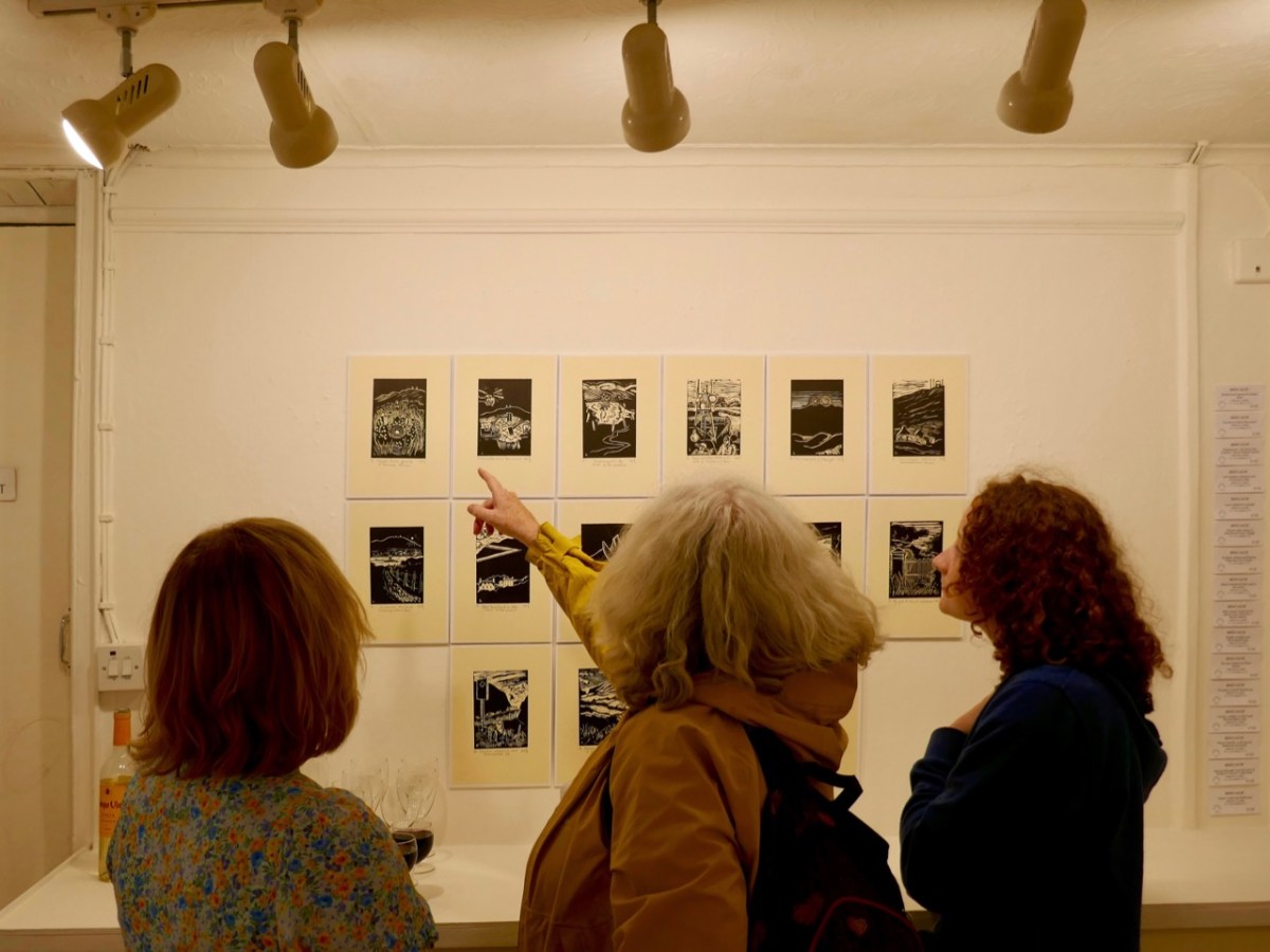
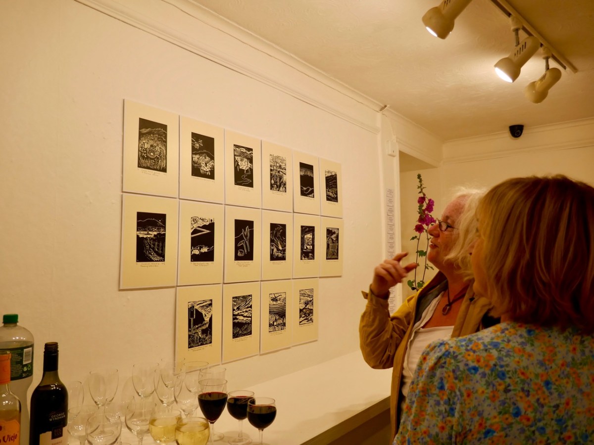
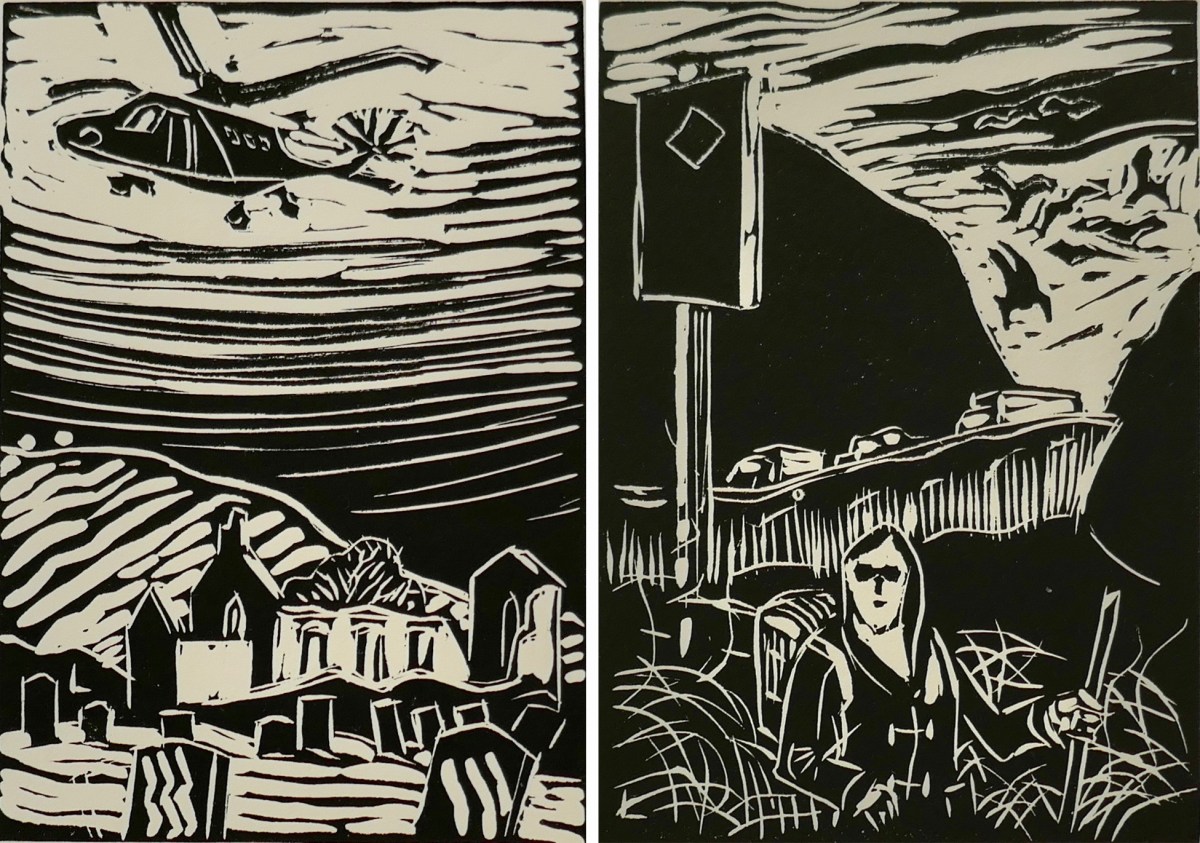
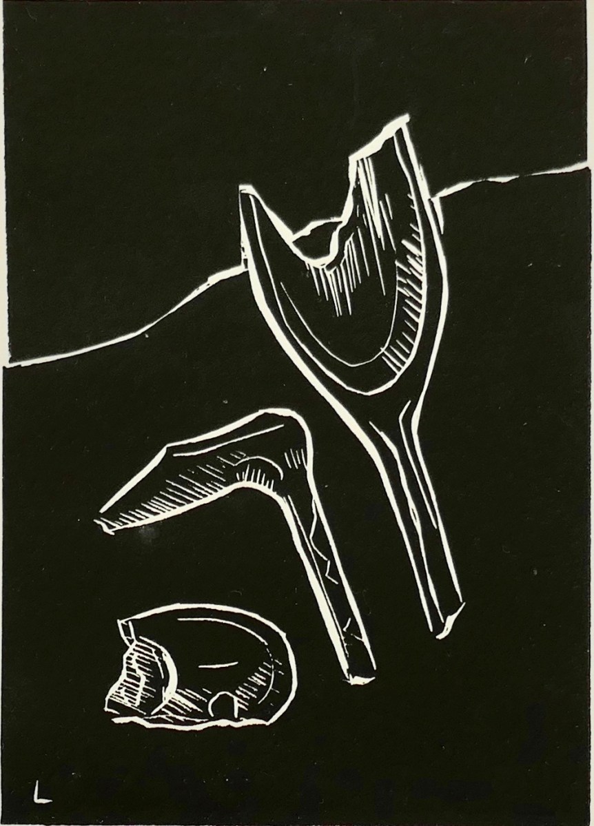
I am particularly taken with Brian’s linocut series – a limited edition of only ten of each print. They provide the ‘fine detail’ in the overall assemblage, and work so well together on the back wall of the largest room.

The detail print, above, shows Brian’s representation of archaeological finds connected with ancient copper mining which have been found during excavations on the mountain.

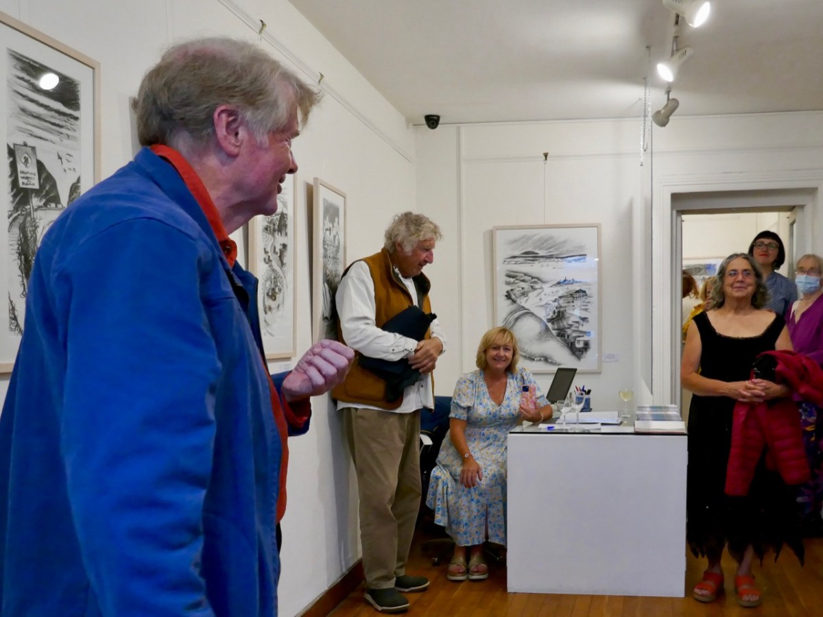
As ‘Guest Curator’ of this exhibition I was delighted to introduce it to an eager audience on the opening night in Schull (above). The show only runs until the 3rd of August, so please rush over in order not to miss it. It is (for me) the highlight of West Cork’s summer offerings!
Blue House Gallery, Schull

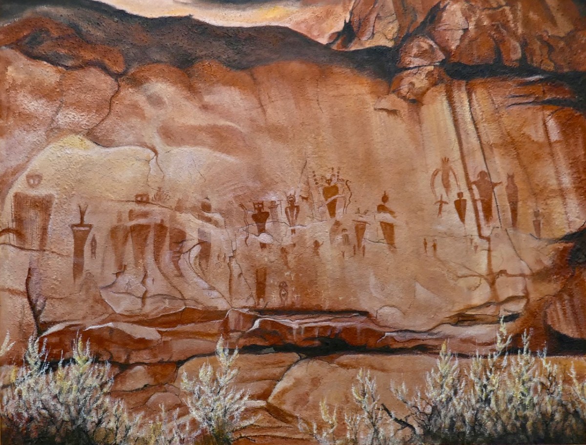
The gallery also has on show some work by other West Cork artists, well worth exploration, so don’t miss them when you go. I can’t resist finishing with one of them: this work (below) by Keith Payne – Sego Canyon. Keith has always been fascinated by ‘Rock Art’ in all parts of the world, and painted this based on his visit to a collection of petroglyphs on a cliff-face in Utah. It’s very apt, I think, to see this work in the context of the Brian Lalor exhibition. Below it is our own photograph of 5,000 year old Rock Art at Derreenaclough, West Cork – discovered only a few years ago. I am personally of the opinion that the siting of this rock in full view of ‘sacred’ Mount Gabriel is purely intentional!
A fully illustrated catalogue is available to purchase in the gallery

Some useful links:

Last Rounds: St John’s Eve in Stouke

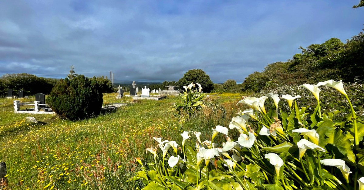
“People would be walking from Ballydehob”, our friend told us, “to do the rounds at Stouke Graveyard on St John’s Eve. Everyone in the village would come” 

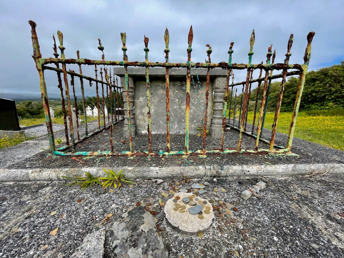
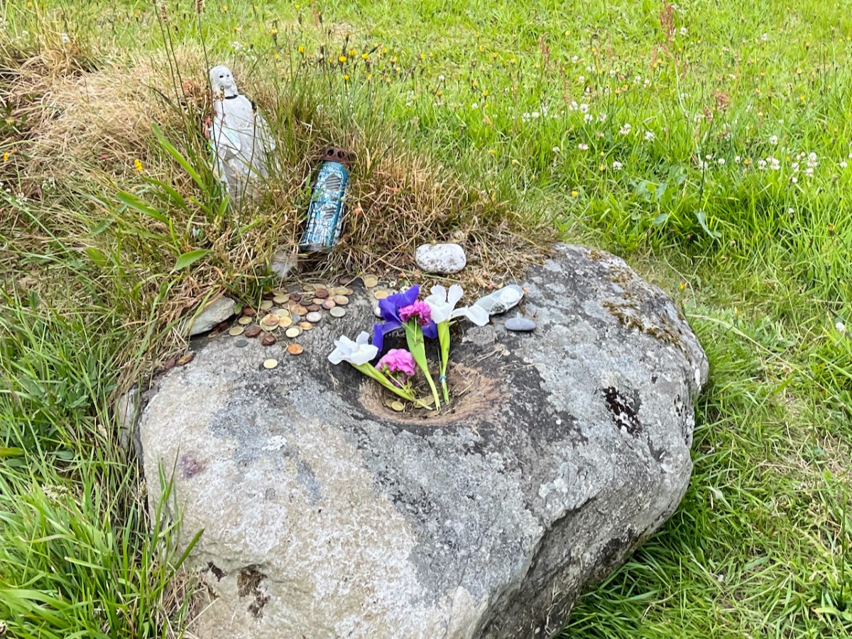
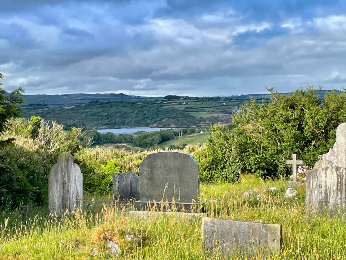
He remembered it well as a boy (he’s now retirement age) – the whole family walking to the graveyard, a festive atmosphere with friend greeting friend, after the day’s work was done. He described how the rounds were done. The focus was the chest tomb in the centre of the graveyard. You would do a decade of the rosary as you walked around, stopping four times. You would leave coins or a small offering, and pray for some special intention. He didn’t remember the Bishop’s Head being part of it, although other accounts state it was. The Bishop’s Head is the name given the bullaun stone (below), based on a legend about a beheaded bishop.

I’ve written about Stouke before (here and here – take a look for the background to this post) – it’s a tiny graveyard full of fascinating history. Looking back at those posts from 2016 also provides a good comparison of the condition of some of the objects in the graveyard between then and now. It is obvious that the small statues, for example, are not being renewed.

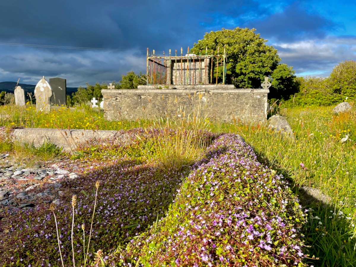
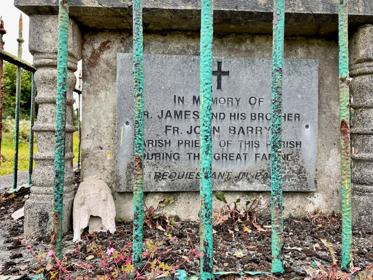
The chest tomb, located in the centre and highest point of the graveyard, marks the last resting place of Fr John Barry, and both he and his brother James, also a priest, are memorialised here. They were tremendously compassionate and capable men who worked tirelessly for their parishioners during the Famine. I have read James’ depositions to the Poor Law Commission. He was articulate and devastating in his criticism of the landlord system – full of righteous anger of the truest sort.

The memory of these two brothers lived on locally and over time took on an almost saintly aura. The fact that Fr John is buried here and that the original name of the graveyard is Kilaspick Oen, or Church of Bishop John, may have led to the practice of visiting here on St John’s Eve, June 23rd, as described to me by our friend.

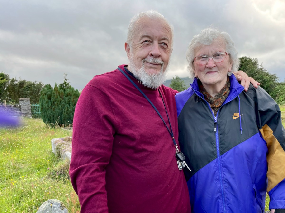
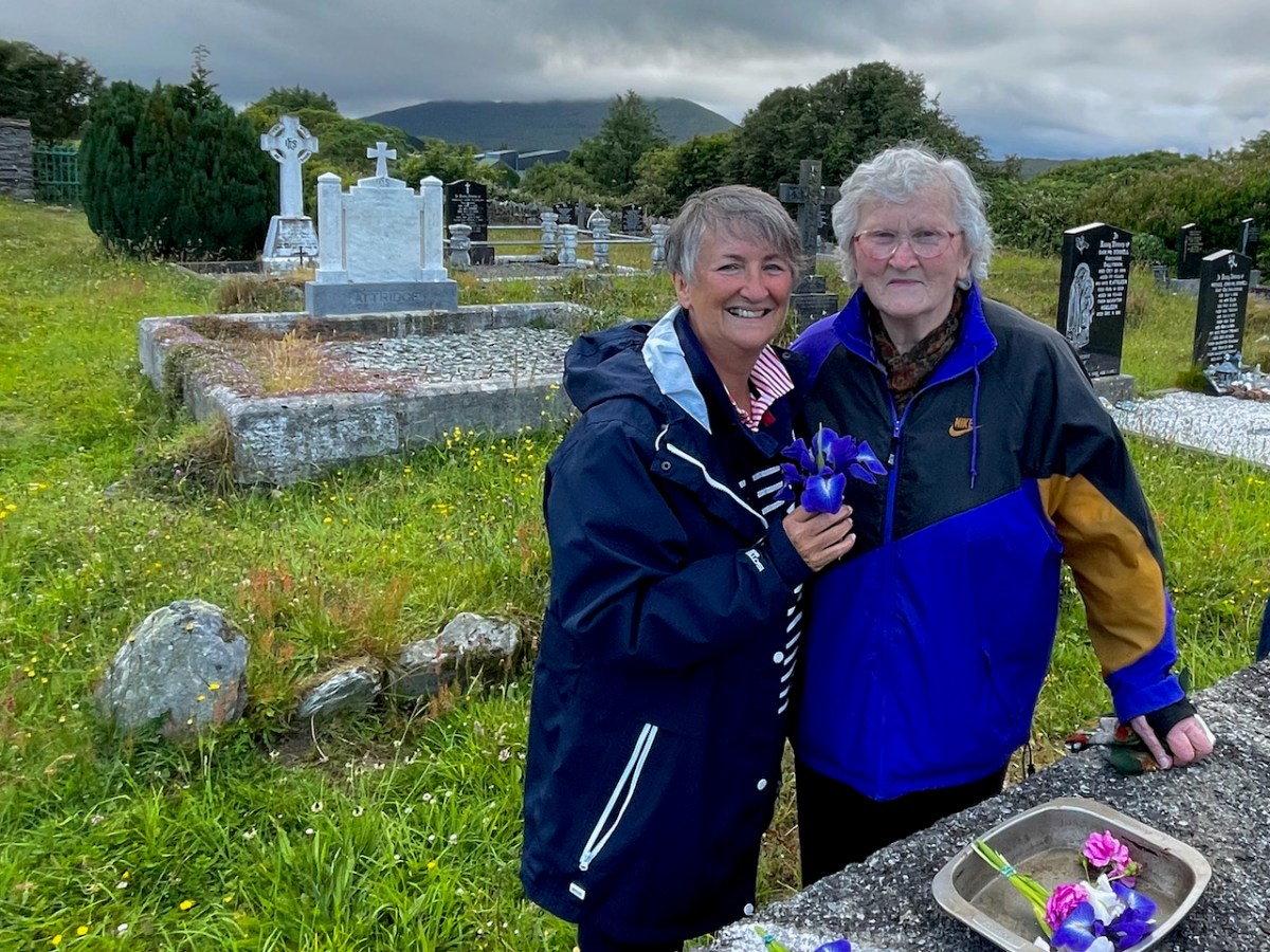
This year I decided to see if the tradition lived on, so I walked up to the graveyard on St John’s Eve (Thursday). I arrived at 7PM and sat in glorious solitude for a long time until I was convinced that nobody was coming. Just as I was about to give up, a car arrived and then another. Tim Cronin and Joan O’Donovan, supported by her son Michael John, had come to do the rounds, as Joan had indeed come for her whole life. 

Joan had brought flowers and coins and distributed them among us. She led the prayers as we said the rosary, stopping four times, once at each side of the tomb. We also left flowers and coins at the Bishop’s Head. 

The chat was mighty afterwards. I told them what I knew about Fr James and John, and Joan and Tim told me about how busy a place this was in the old days. Joan says she will keep coming as long as she is able – she suffers from a bad back and sciatica and needs two sticks to walk, especially on the uneven ground in the graveyard. She had known a lot of the families buried here and we talked about the many islanders whose final resting place is this lovely, lonely spot.

As I walked home, I wondered how much longer anyone would come to continue this tradition. It seemed sad that it had been lost so profoundly that only Joan and Tim now come, where once it had been such an important event for the whole village. We are not that country any more, and in many ways that’s a very good thing, but I can’t help mourning the loss of the old ways too.

Mizen Magic 25: Gortduv Loop (Fastnet Trails)

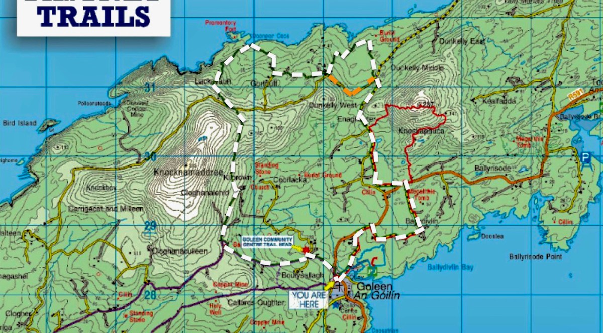
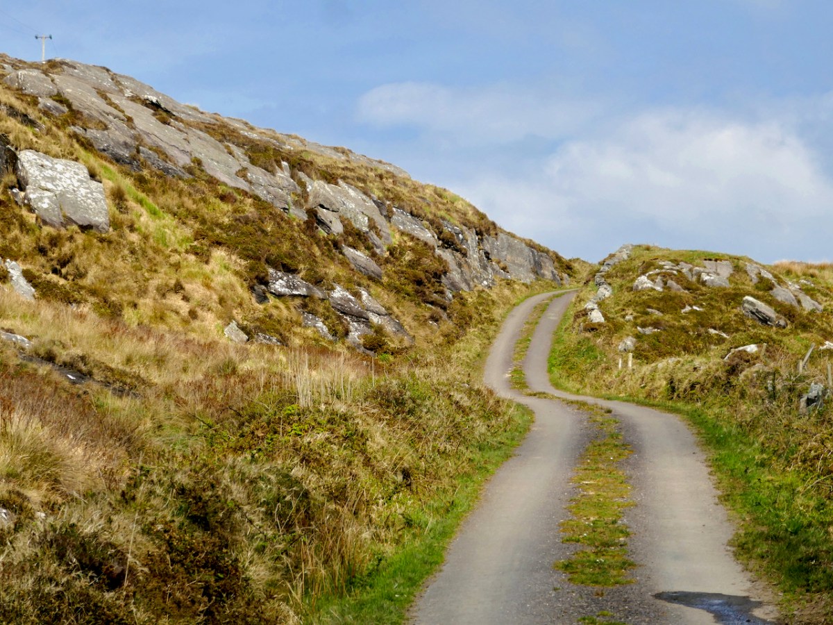
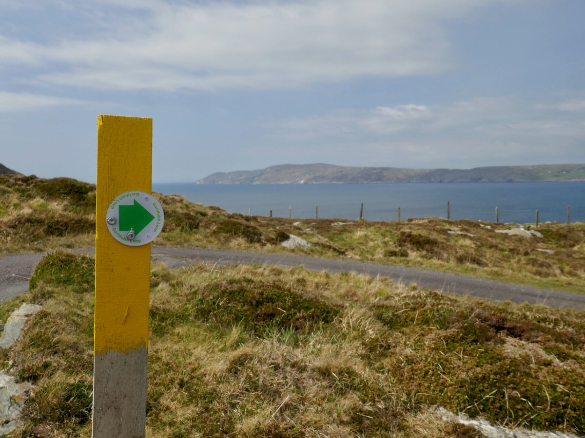
Ready for a longer walk? If yes – this one is 13.5km and has strenuous stretches. If not, don’t worry – there are lots of possibilities for doing parts of the walk, or for going with friends and leaving a car at strategic spots. We didn’t do it all at once, in case you get to thinking we are super-fit hikers. (The sad truth is we can’t be too far from a coffee shop.) As with all the Fastnet walks, keep dogs on leads – we did encounter both cattle and sheep on this walk, right on the road. There is a short stretch of ‘green road’ and although it’s well maintained, it might be muddy after rains, so good shoes are essential.

This loop takes you from Goleen on the south side of the Mizen right across the peninsula to the fabulously scenic north side. It skirts along the edges of the valley that runs between Knocknamaddree (Hill of the Dogs) to the west, and Knockaphuca (Hill of the Pooka, or Mischievous Spirit) to the east, rising to a maximum altitude of 180m (or about 600 feet). Most of the altitude is gained in the first half of the walk – so a packed lunch and water will be both welcome and needed if you’re doing the whole walk.

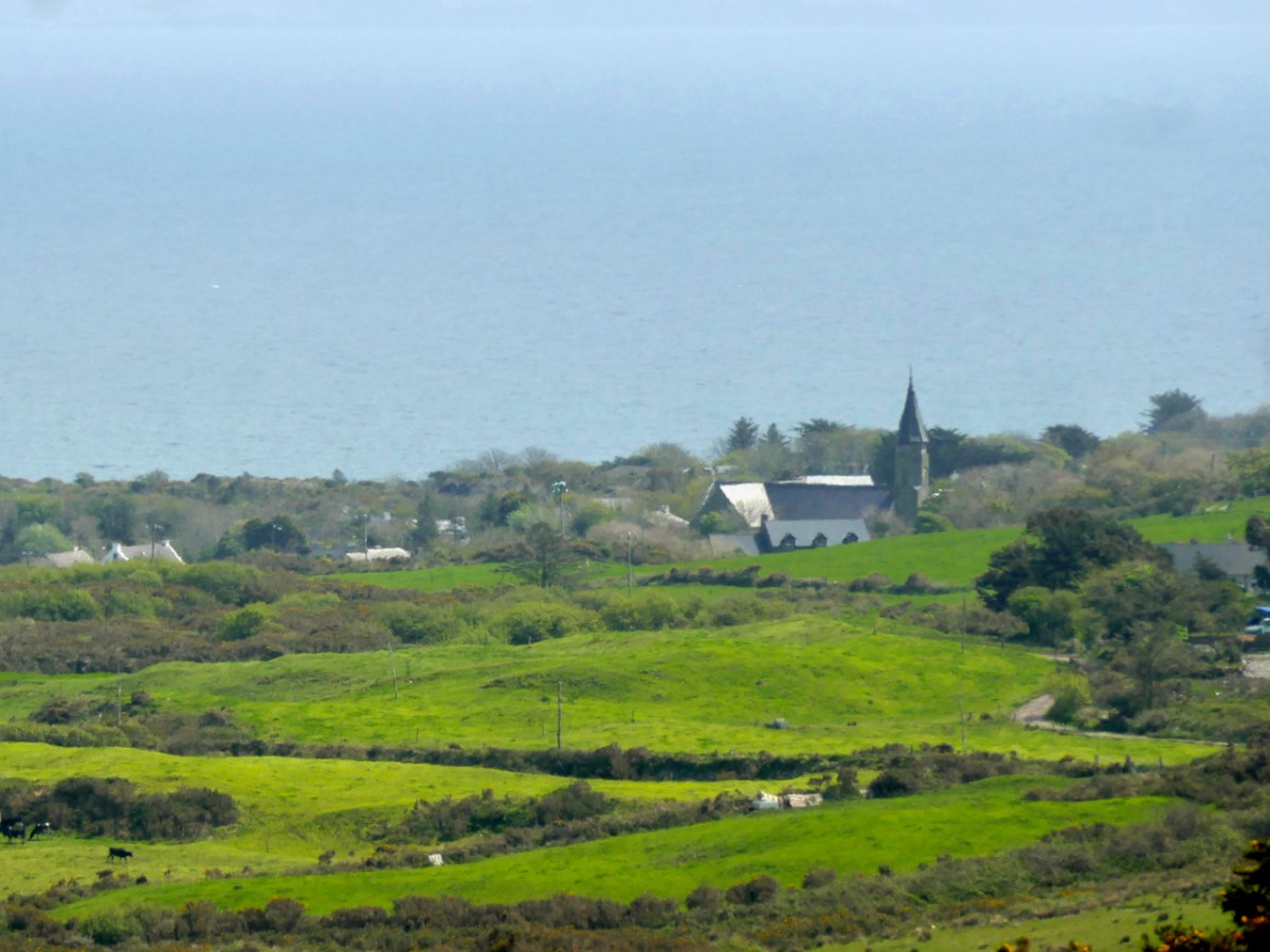
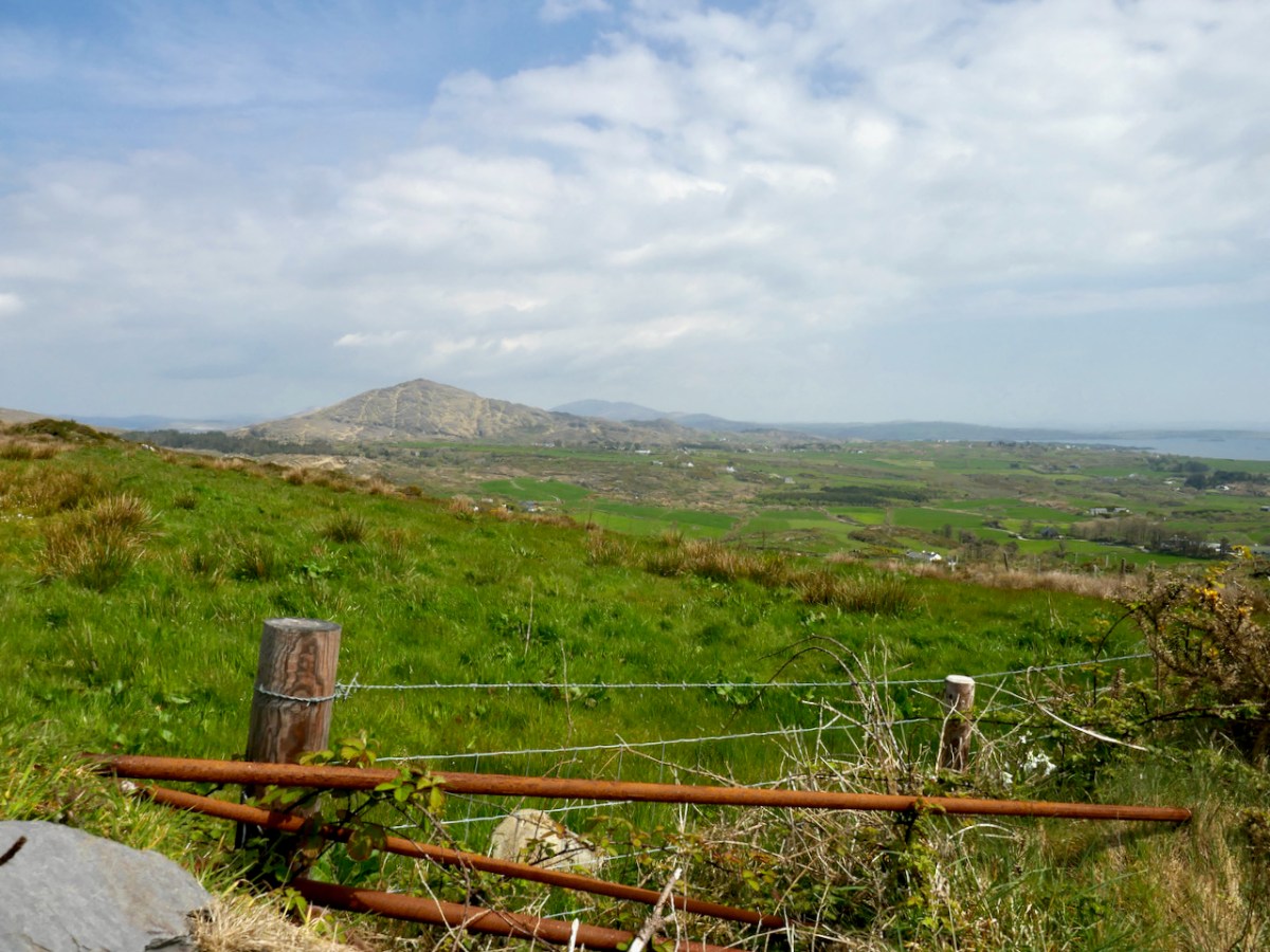
Set out from the Goleen Community Centre and the first part of the walk is shared with the Lissagriffin Loop – see our recent post on that walk. As you ascend, the views are immense – back to Goleen and across to Knockaphuca and Mount Gabriel beyond it.

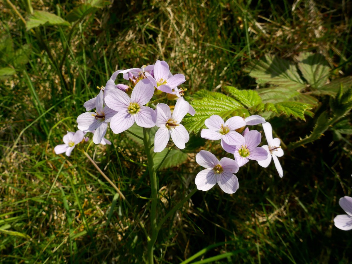
You’ll have to dig into your reserves of energy (or maybe have some chocolate) as you continue the climb. You are in true mountainy heathland now – look out for orchids in the spring and early summer, or Cuckooflower (below) in damp ditches.

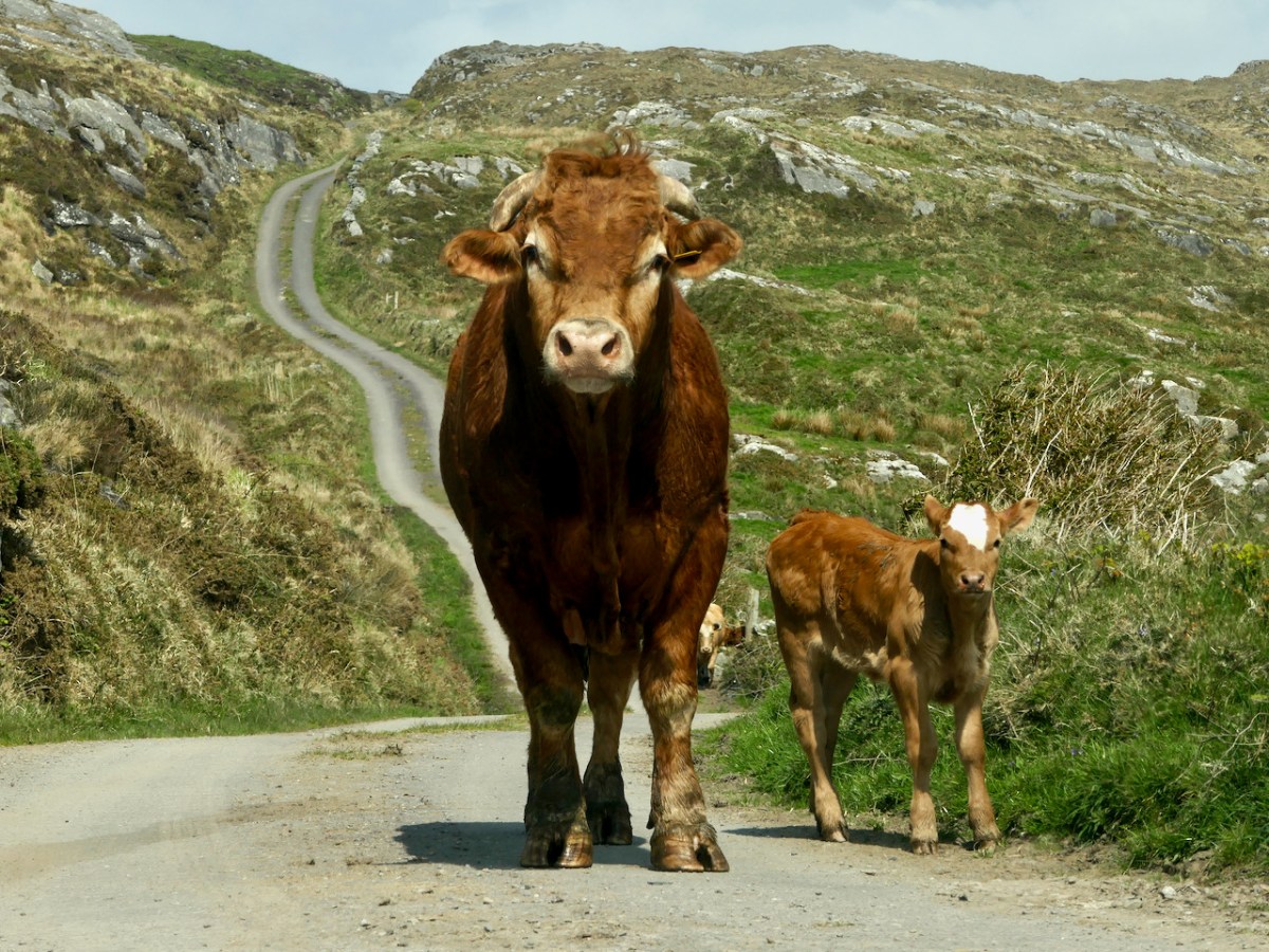
Watch out also for cattle on the road – we were startled by a line of plodding cattle coming towards us, and even more startled when we realised that one was a mighty fine bull. Fortunately, they turned into a field before we reached that spot, but there was no human around and the gates were open, so we can only assume we were simply in the wrong place at the wrong time as it is very unusual (although not unknown) to see cattle wandering like this.

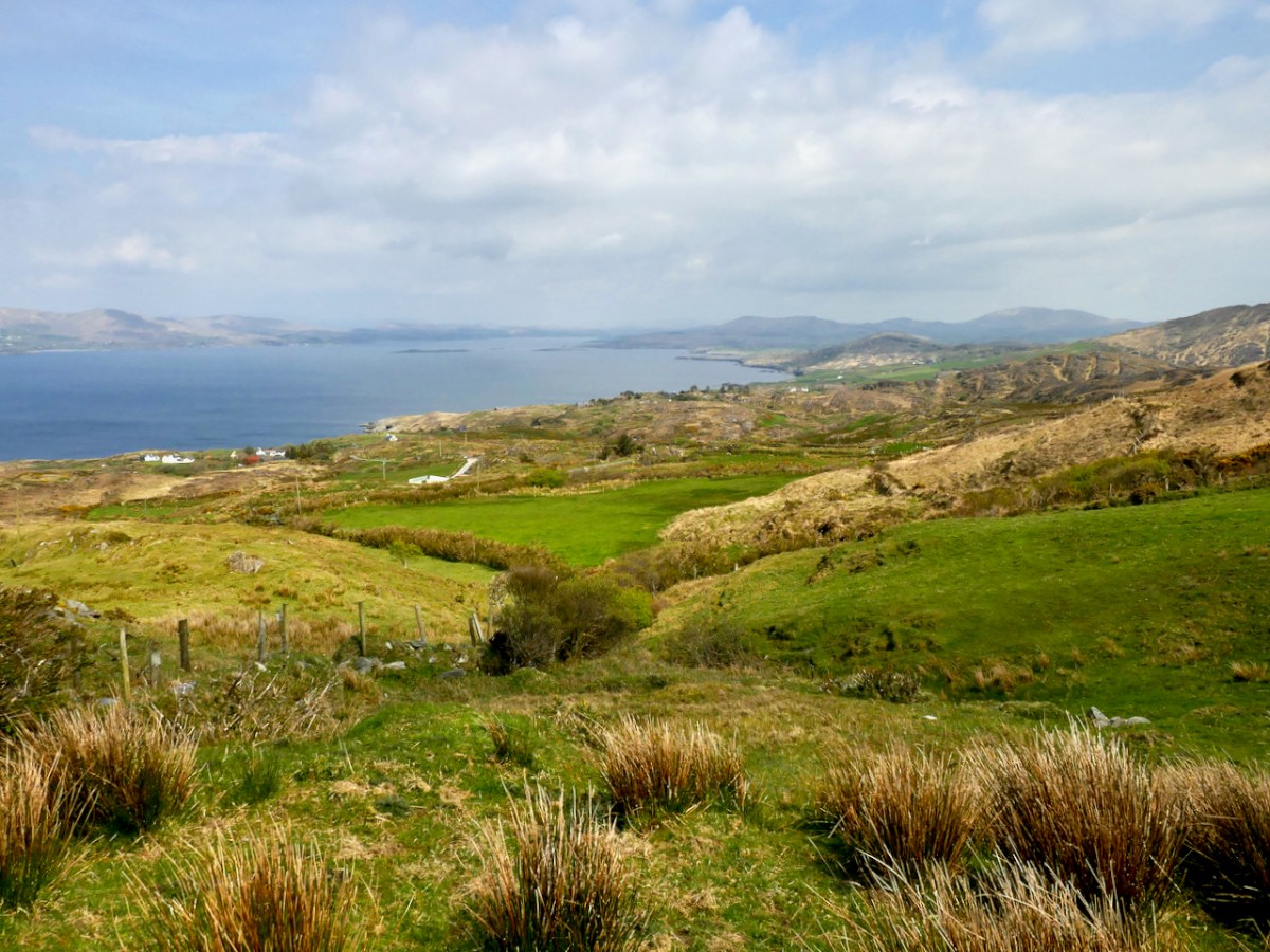
Coming over the top of the hill you have the whole of Dunmanus Bay in front of you and you can see clear up to the head of the bay, across to the Sheep’s Head, and to the Mountains of the Beara behind that. Have a nice sit down on some convenient boulder here – you deserve it – and just absorb that breathtaking sweep of land and sea.

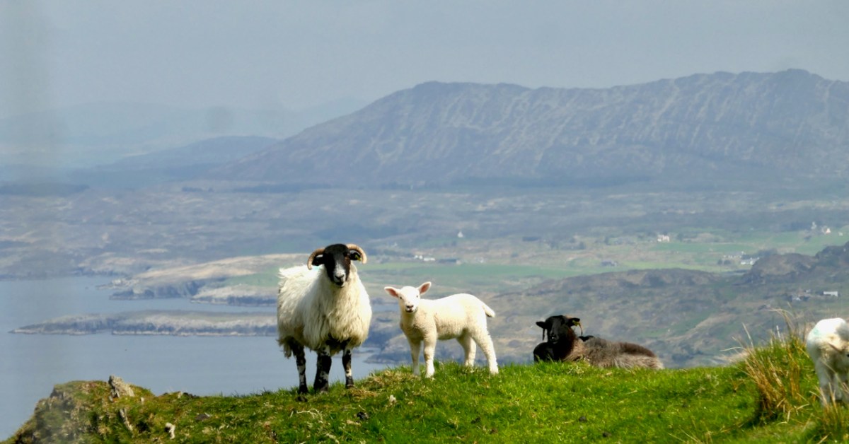
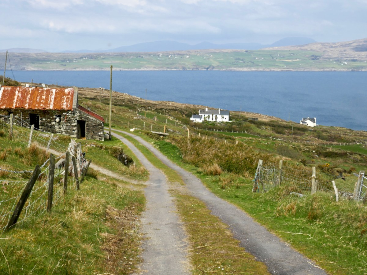
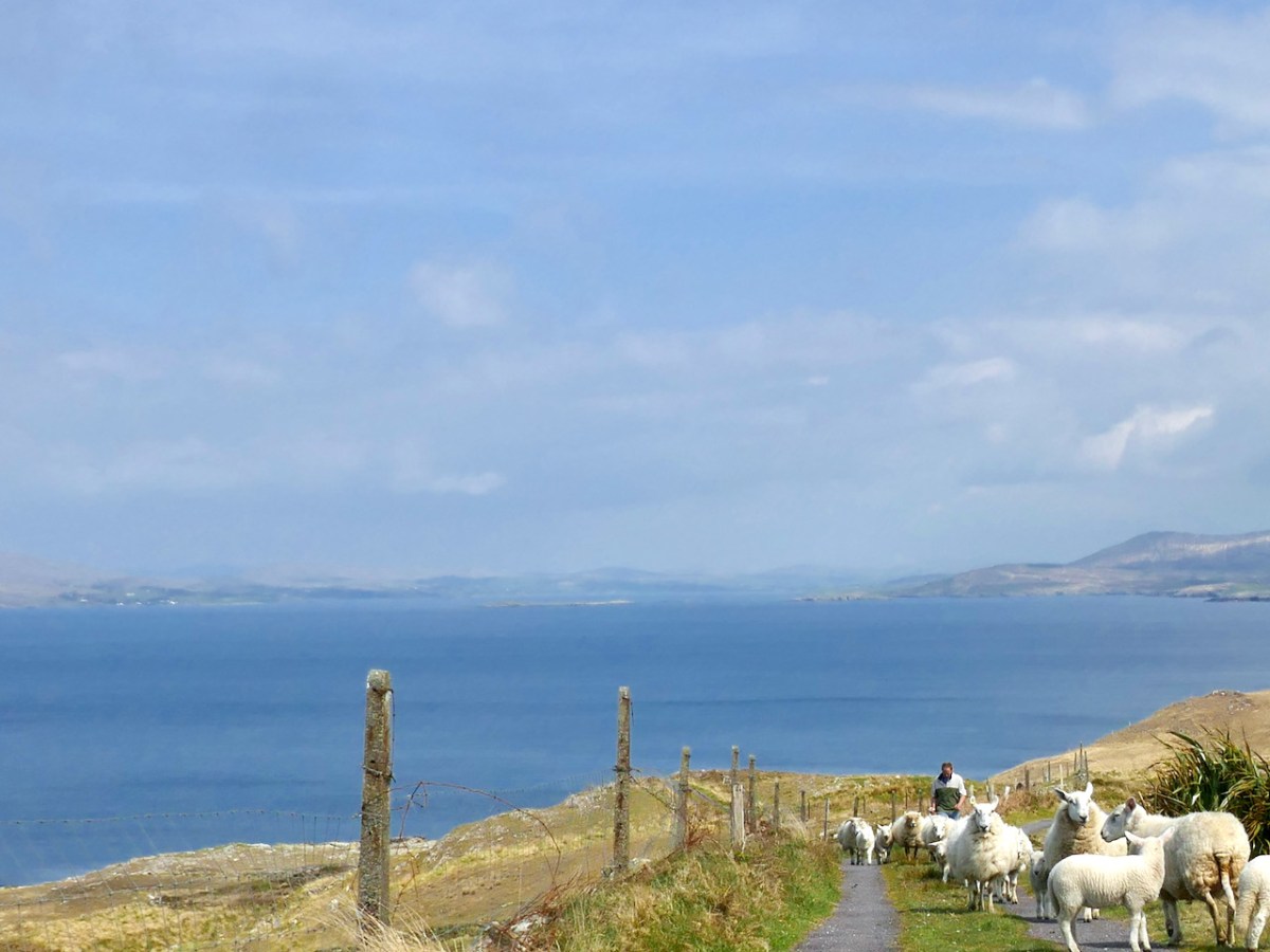
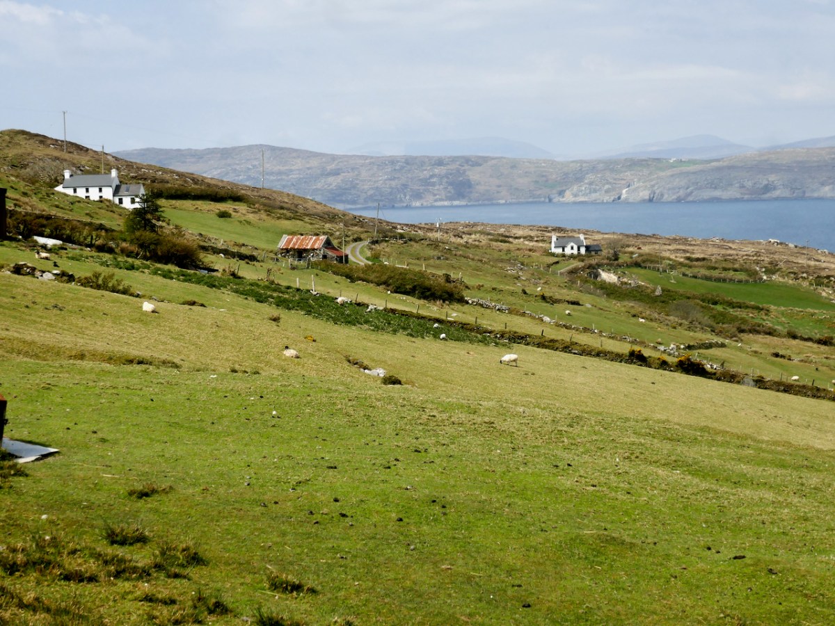
And talking of sea – you’re heading down now towards it, past picturesque stone farm buildings and beautifully renovated cottages until you arrive at Dooneen Coos (the Cove of the Little Fort). Along the way we ran into a shepherd moving his sheep up into higher ground, with the aid of the marvellously well-trained dogs that attend to their business but also like a good pat.

Dooneen Coos is a good spot for lunch – or even a swim if you’re that way inclined. it’s close to the peninsula we wrote about in our post Mizen Magic 23: Lackavaun and The Meallán so you can always take a side trip there if you wish. This might also be a good spot to leave a car if you’re not doing the whole loop on this occasion.

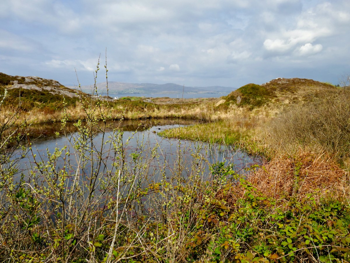
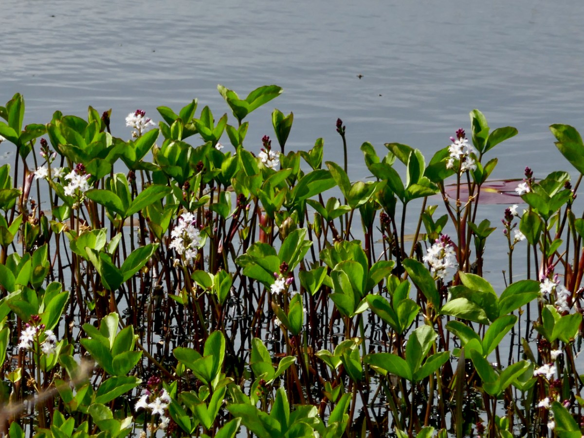
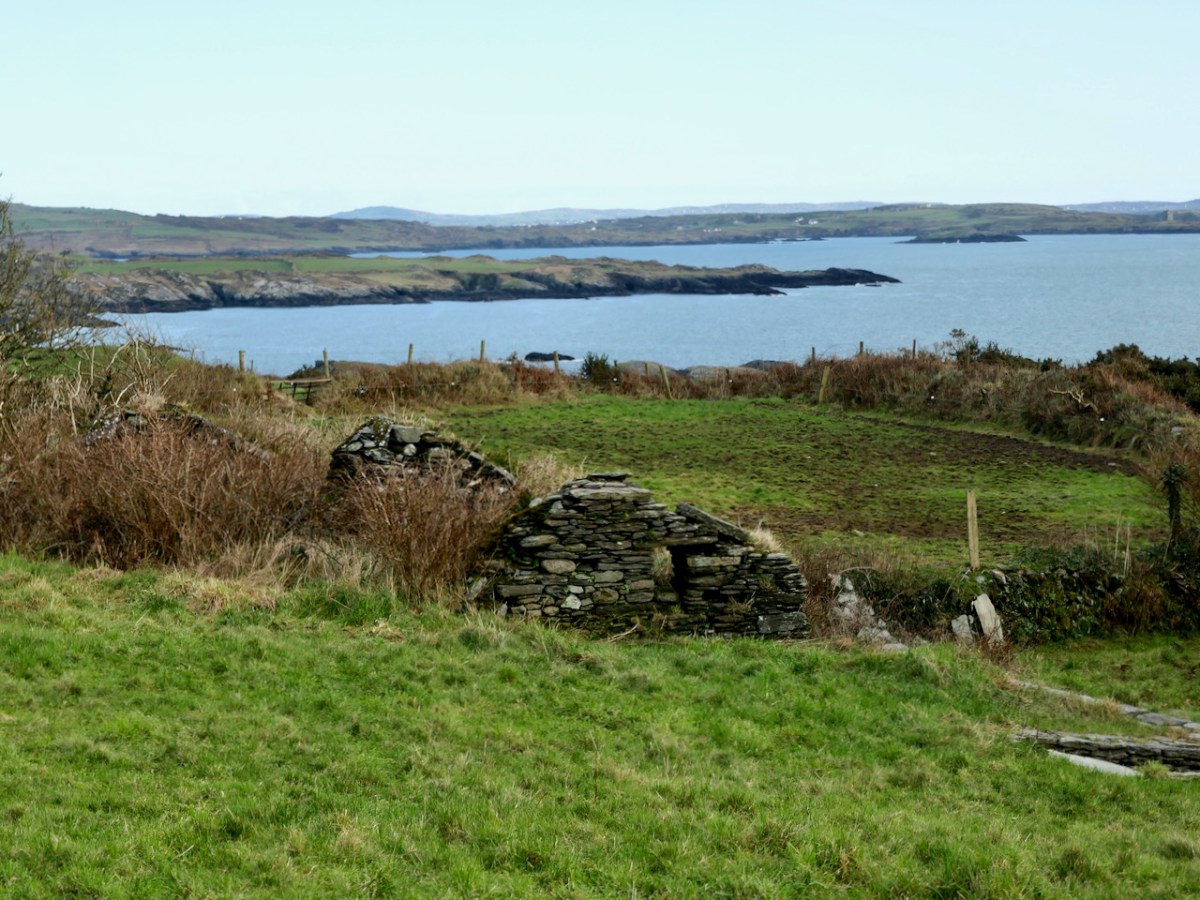
But if you’re carrying on, you’re now heading towards Dunkelly and the storied inlet known as Canty’s Cove. Read all about it here. Here, because we have been to Canty’s Cove lots, we took the short cut – marked in orange on the map. The compensation is that this stretch contains the remains of old ruined cabins and clacháns (hamlets) along the road, as well as a beautiful pond which, at the time of our visit was full of flowering Bogbean. 

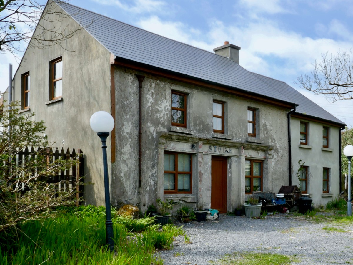
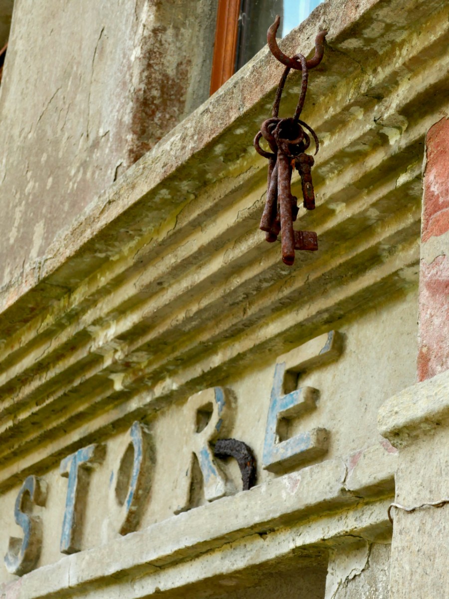
From Dunkelly the road turns back along the slopes of Knockaphuca  and along the way there’s a  bit of a surprise – an old store that once supplied necessities for the population of this area but which has not been viable for many years. No doubt local people have all kinds of memories and stories about this one. I was taken by the keys, still hanging above the door!

By now we were on the stretch of road that this loop shares with the Knockaphuca Walk and that’s a walk you HAVE to do, if you haven’t already. Possibly the jewel in the Fastnet Trails crown. Crossing the main Schull-Goleen road we head down to Ballydivlin. 

We’re at the sea again now, back on the south side of the peninsula, looking across to Castlepoint (and Leamcon Castle) and out to the Fastnet Rock with its iconic lighthouse

It’s been a long haul but SO worth it – wouldn’t you agree?

The Fastnet Trails website is coming soon. We will update this post with that link once it’s finalised and active.

Rare Plants on the Mizen

For a wildflower enthusiast there is nothing better than a day spent with like-minded folk looking for interesting plants under the leadership of a true expert.

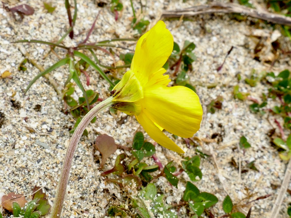
At this time of year the buttercups all over the dunes are actually Bulbous Buttercups – if you look under the flower head you will see that the sepals turn down away from the petals

I had the immense privilege of being included in a Rare Plant Monitoring Workshop on Friday the 13th – which also happened to be the day that Biodiversity Week kicked off in Ireland. As you probably all know by now, Nature is in crisis all across the world, and although we may be surrounded by lush hills and boreens in West Cork, there are ominous signs that all is not well with our natural world here as elsewhere. Fewer than ten percent of our native species in Ireland have been assessed for their conservations status – but of those that have been, one fifth (yes – one-fifth!) are at risk of extinction.

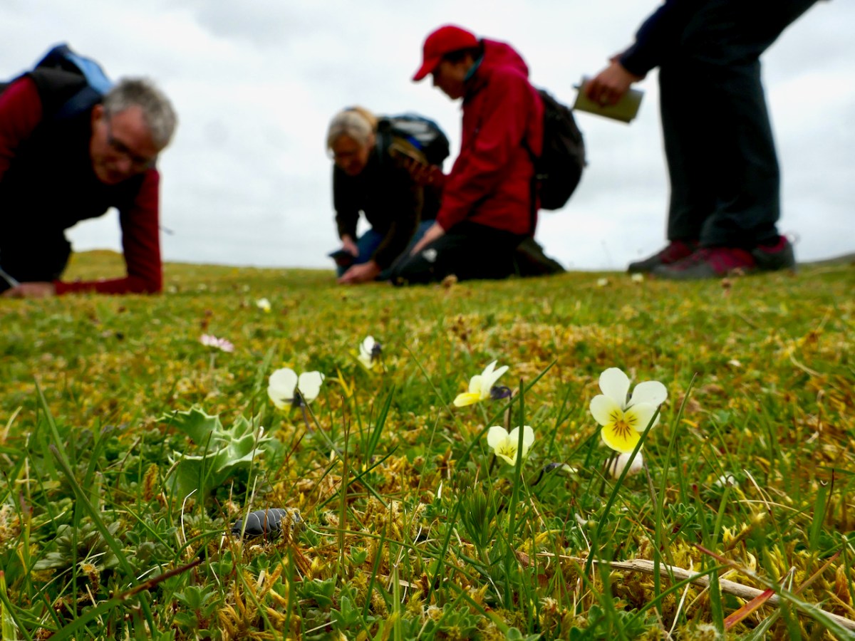
Sand Pansy – gorgeous little violas found on the dunes

That’s why counting plants is important – each one is part of the complex web of biodiversity that contribute to the health of our environment and the loss of even one can have knock-on effects on a whole cascade of others. I already monitor two rare plants for the National Biodiversity Data Centre (NBDC), Vervaine and Calamint, so I have an insight into the kinds of threats rare plants can face, from mowing to herbicides to change of land use – all of those have happened to the small populations I monitor.

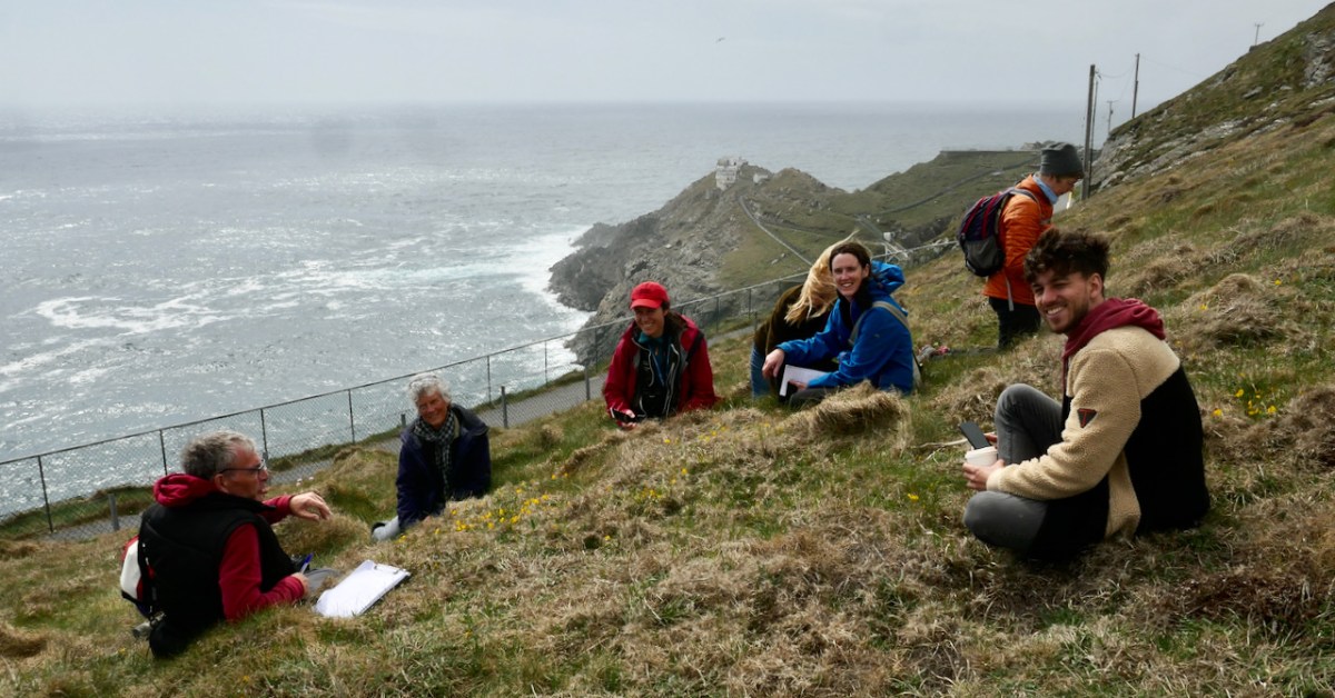
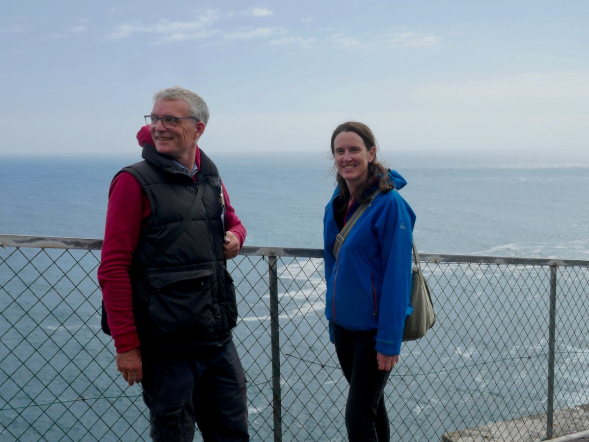
The location for this workshop was Barley Cove and Mizen Head. Having rendezvoused with Botanist Paul Green and NBDC Scientist Úna FitzPatrick (above, at Mizen Head) we set out across the dunes. I had met Paul before and so I knew that he is unfailingly generous about sharing his immense knowledge. Throughout the day we stopped frequently to exclaim over a plant that one or another of us spotted (like the Bulbous Buttercup) on the dunes or the rocks, and Paul always took the time to stop and educate us about each one.

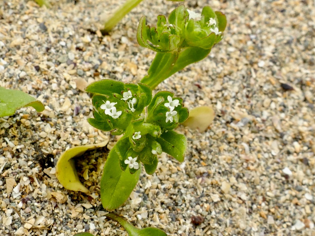
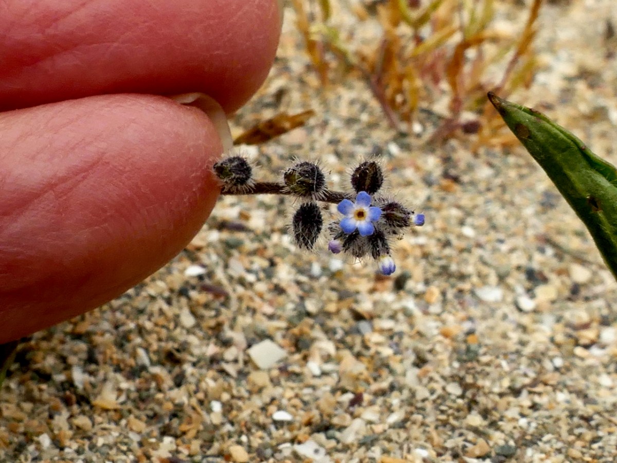
Thus, along the way, I was introduced to several plants that were entirely new to me. Despite the fact that I have been to Barley Cove on numerous occasions, many of them spent lying in the grass on the dunes (see this post and the wildflower slideshow within it, for example), I had never seen Common Cornsalad (above) nor Early Forget-me-not (below) before Friday.

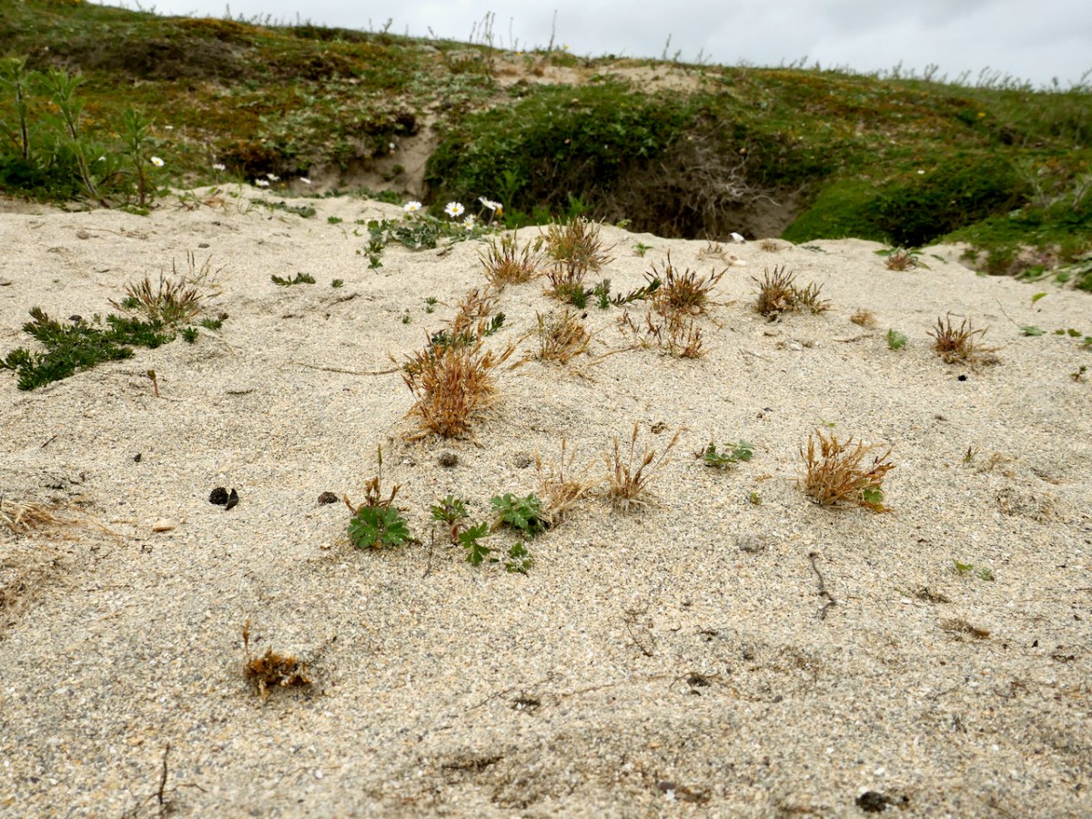
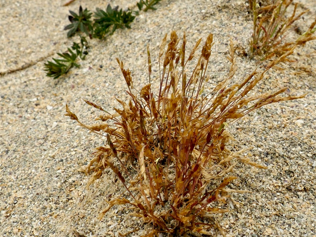
As our first rare plant, we were in search of Early Sand-grass, the kind of undistinguished little plant that you would walk over unthinkingly, but which is so rare that it only occurs here and in the Bull Island Nature Reserve in Dublin. That’s the distribution map below, courtesy of the BSBI.

Paul found it and we collectively traced its extent across the dunes. This is an area with much rabbit activity and Paul speculated that the bare patches of sand created by the busy bunnies was what had encourage or allowed the Sand-grass to colonise this area. It’s a complex issue – those Barley Cove Bunnies can be destructive to the dunes in some ways, but here we have an instance where their presence has been beneficial – one of those complex interactions that are so hard to predict.

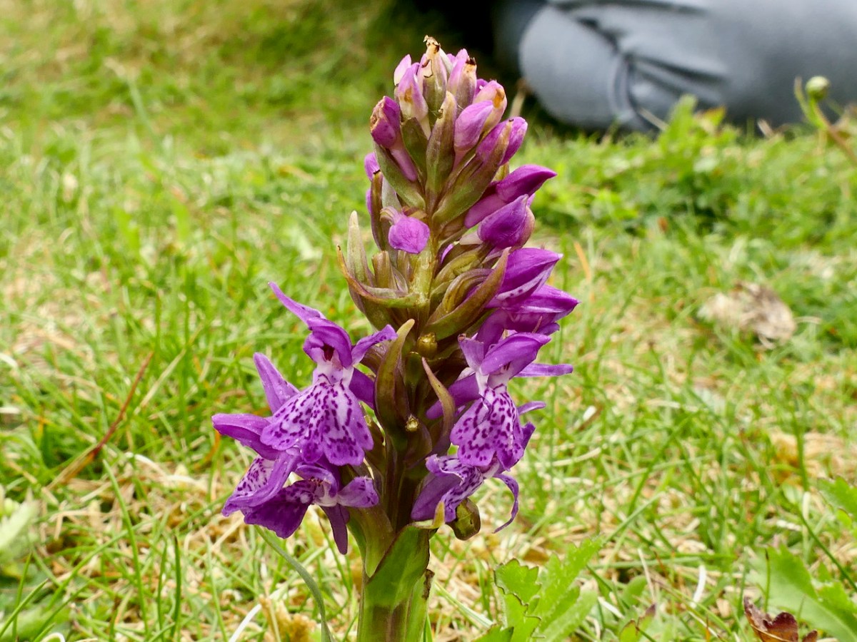
Our next target was an orchid – the Green-winged Orchid. But, on the way, we found another Orchid – the Irish Marsh Orchid (below). It was beautiful and bold and instantly visible in the short grass on the dunes.

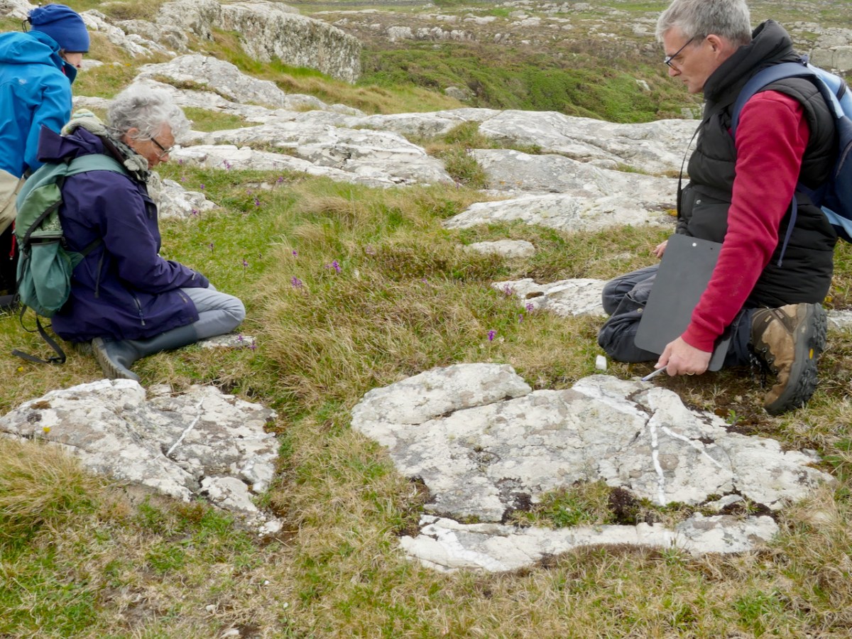
In contrast, we almost tripped over the Green-winged Orchid, which upon first glance looked spindly and unremarkable. This is one you have to get close to – can you see them in the grass, below?

Here’s what Zoe Devlin has to say about this flower:

Surely the most exquisite wild orchid in Ireland. . . Green-winged Orchid is a small, erect plant which grows to about 30cm tall in grassland and meadows where grazing occurs. It bears flowers, well separated, in short spikes and these flowers appear in several colours – from snow-white through pink and magenta to deep purple. The three sepals are purple-veined with strong, green lines and these sepals form a hood over a broad, downward folded lower lip which is three-lobed and heavily spotted at its white centre. There is also a stout, slightly-curved spur. These incredible flowers bloom from mid-April to mid-June. The leaves are shiny green, unspotted with the upper leaves sheathing the stem and the lower leaves forming a rosette. 

Zoe Devlin, Wildflowers of Ireland

Can you see all that in these photos? I’m not sure you can, which is one of the things that makes wildflower identification interesting – especially with a family like the orchids where there are quite a few that look similar until you really examine them. 

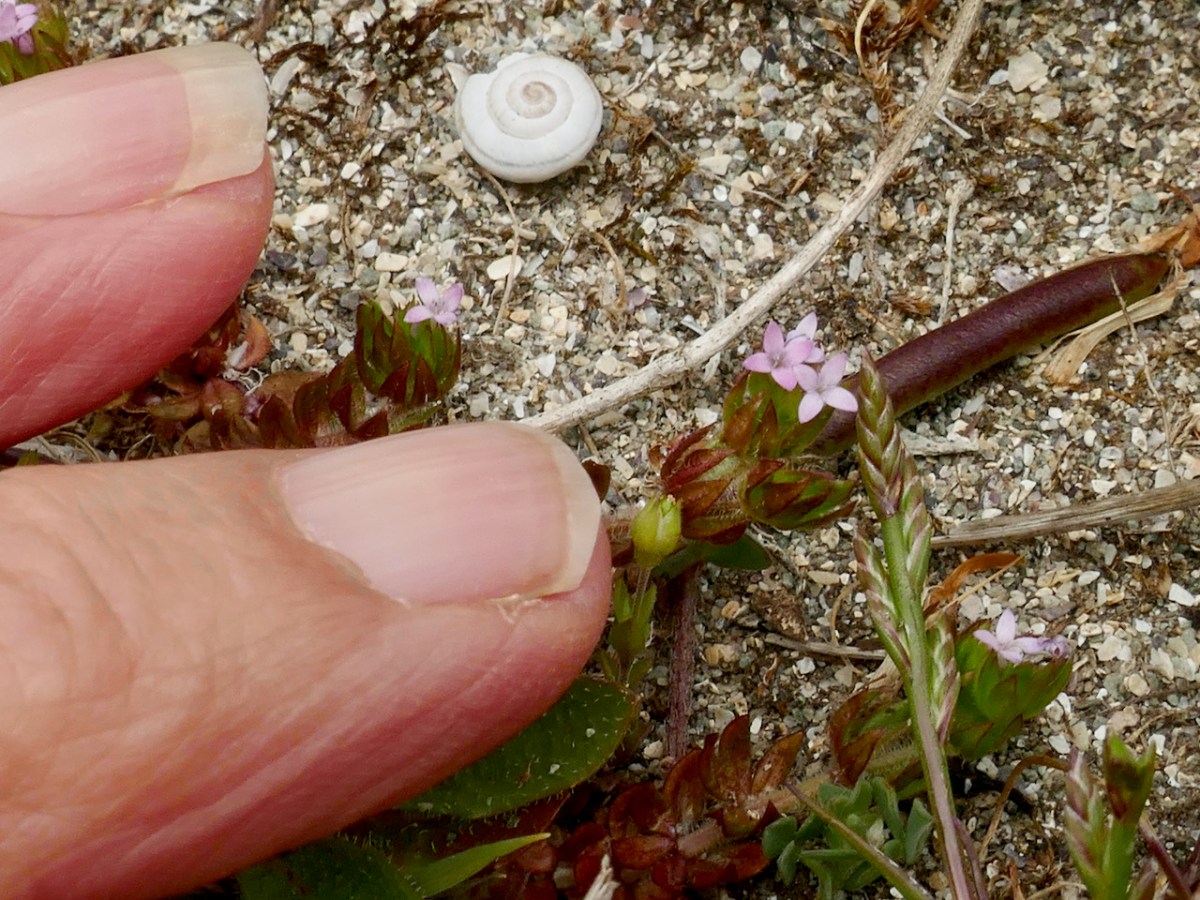
There were more plants on the dunes – I was amazed to find Field Madder (above), which I always assumed was a plant of arable ground. One of the things we had to get used to was how tiny many of the plants on the dunes were compared to those that grow in less challenging environments – like miniature versions of themselves.

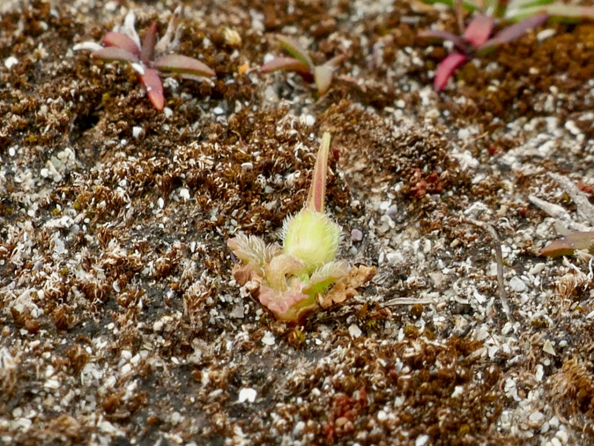
Then there was one of our target species, the Sea Stork’s-bill (above) – really, a flower that only its mother could love, but very rare in Ireland and therefore one of the plants that enable us to chart the conservation of its habitat.

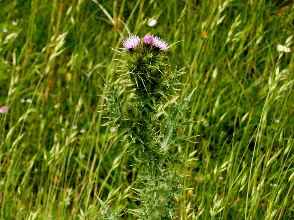
We drove from Barley Cove around to the Holiday Park but were unable to do a count of the Slender Thistle. The land was being grazed by sheep and every access was blocked (above). So we contented ourselves with noting that currently it appears to be abundant, if very localised. I managed a distant shot of this fine head (below) showing the pink flowers but also how spiny it is.

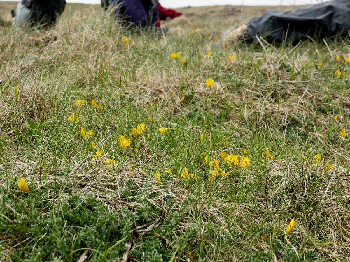
Our final stop was Mizen Head, one of the very few places in Ireland (see map below and the Broom below that) where you can find Prostrate Broom (try saying that fast). This was another exercise in a different kind of counting, since the plant is on sea cliffs and behind fences at the Visitor Centre, so it has to be identified at a distance and the count is an educated estimate. Add in the fact that there are two other yellow flowers gaily blooming around it (Kidney Vetch and Bird’s-foot Trefoil) and you get an idea of the challenge involved.

I have taken on the task of the Early Sea-Grass count. It may bloom as early as February or March, so I’ve made a calendar note to head out to the Dunes next year at that time. Another one of the participants, Damaris, and I will work together on our counts – it’s always more fun if you have a companion and probably more accurate too.

Thank you, Úna and Paul, for such a profoundly educational experience, that also managed to be great fun.