Mizen Magic 24: Lissagriffin Loop (Fastnet Trails)

The energetic Fastnet Trails team is marching westward along the Mizen, developing new trails. They do this on a purely volunteer basis and we are all the beneficiaries – so a huge thank you to them! Work on their website is ongoing, and it should be up and running soon. This week we explored one of their recent additions – the Lissagriffin Loop. I have written a previous LIssagriffin post in the Mizen Magic series (number 14), but that one was mainly about the medieval church and the graveyard around it, as well as the history and archaeology in its vicinity. 
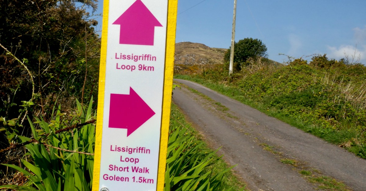
This walk starts and ends in Goleen and is a 10k walk with lots of ups and downs. You’re climbing100m (about 320’) on the first half of the loop and 120m (about 400’) on the second half, so this is a good workout. As with any of these walks, it’s possible to do stretches of them by leaving a car at one point and walking back and forth, or go with friends and leave a car at either end. Wear good shoes and bring water and snacks. It’s all on quiet back roads, so the dog is welcome too, but use the lead if you encounter cattle or sheep (we met both). And there are a couple of surprises along the way.
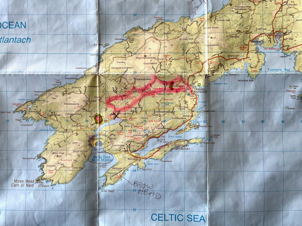
I’ve included a map (above) to show you where you are on the Mizen Peninsula, and a close-up (below) to show the route you’re following. The pink blob within the green circle at the lower left is Lissagriffin Medieval Church in case you have the inclination for a little side trip.
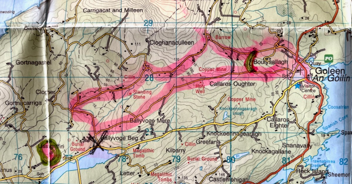
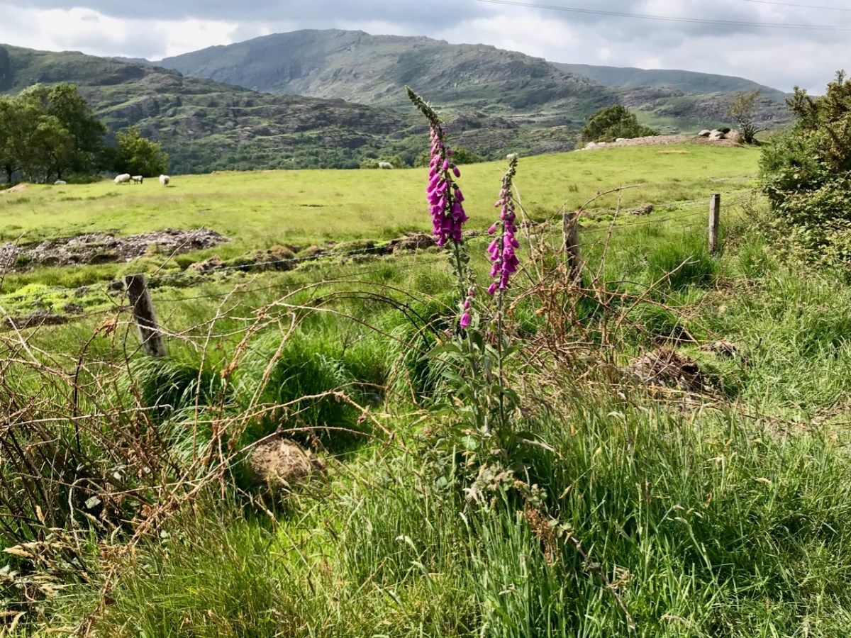
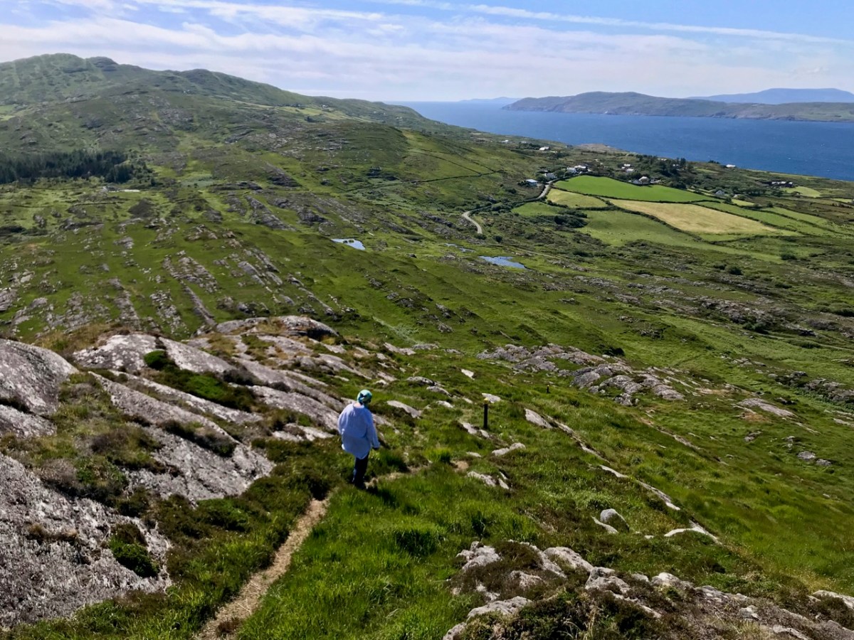
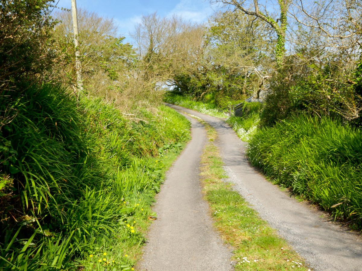
Walk up to Goleen Catholic Church, take a sharp right and you’re on your way. This first part will involve some huffing and puffing, but you’re on a country boreen fringed with wildflowers (wild garlic at this time of year) and with expansive views back to the sea and across a valley to Knockaphuca Mountain (another brilliant trail!) and to Mount Gabriel beyond.
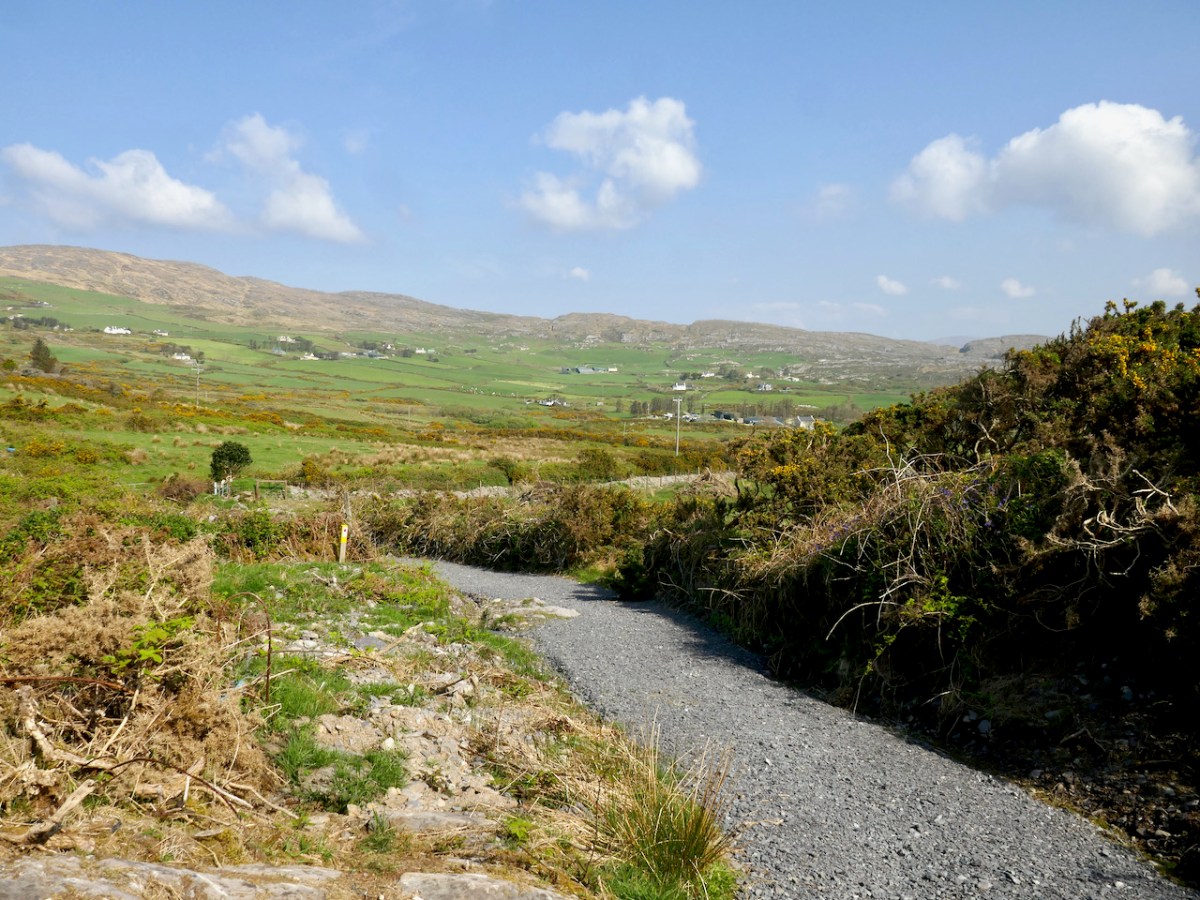
If you don’t have the time or inclination for a long walk, look out for a sign to the shortcut. It’s the curved green line on the lower of the two maps above. It will bring you back to the village, initially via a well-maintained gravel path (below), and then by road, for a 2km walk in all. 
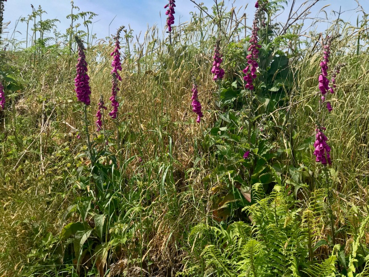
If you decide to carry on, it’s uphill now for quite a stretch, but the views across to Knocknamadree and to Knockaphuca are worth the effort. Later in the year, the route will be dripping with Fuchsia and Montbretia, but right now the Navelwort is starting to sprout and stitchwort is rampant. 
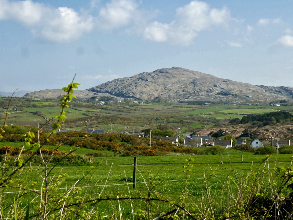
Once you’re up the hill the road levels out, the going is easy, and the views are now to the sea on your left and towards the distant Mizen Peak. And here’s the first surprise for you – a mass rock. Mass rocks, of course, were used in Penal times, when the saying of mass was outlawed and people met with their priest in faraway locations.
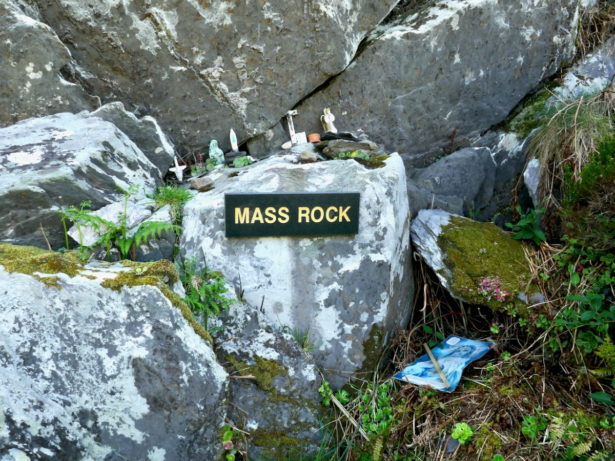
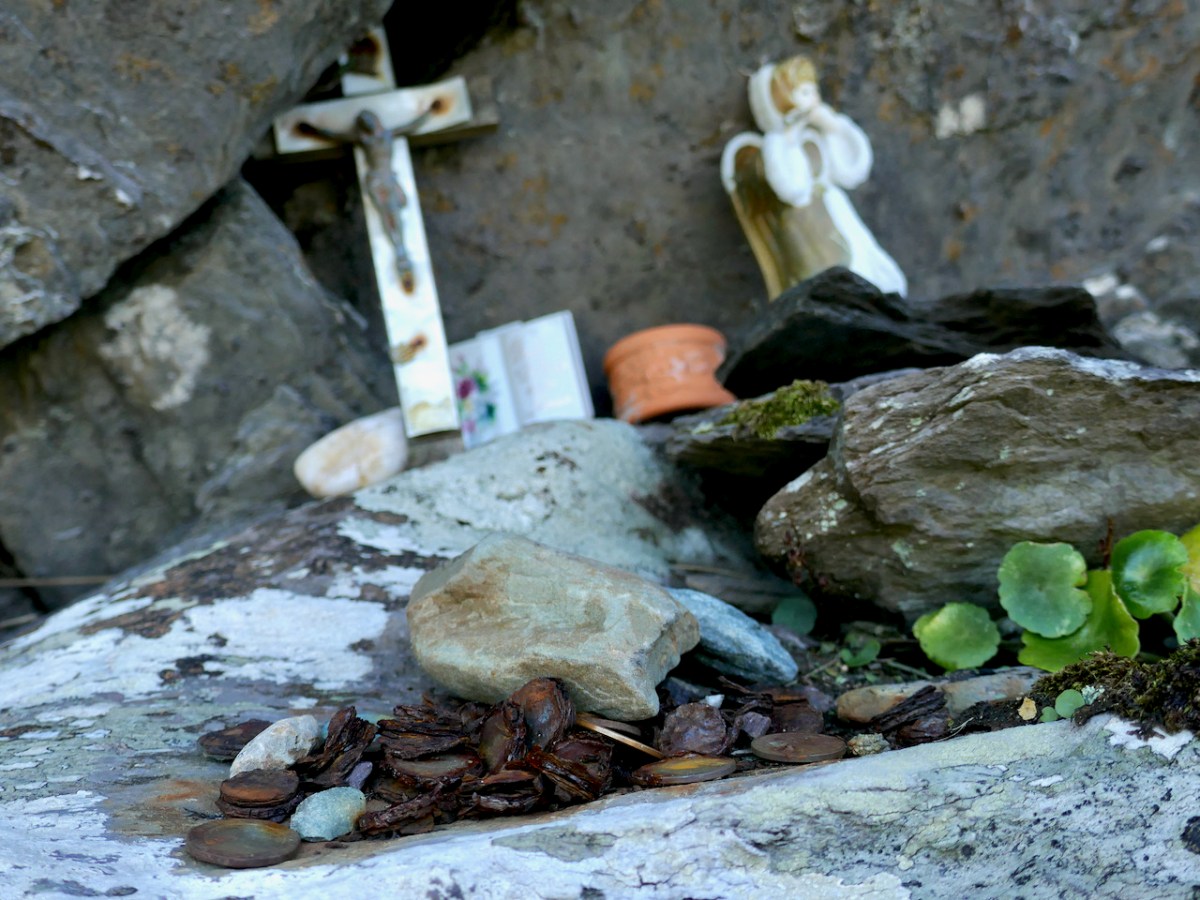
This one still lives in folk memory, and is still visited, by the evidence of various offerings left on the ledge. Some of the coins are so old they are peeling apart, while others look of more recent vintage.
St Patrick’s Cabbage Is just starting to bloom. This is a native plant and part of a curious set known as the Lusitanian Flora which only occur in southwestern and western Ireland and in the Iberian Peninsula.
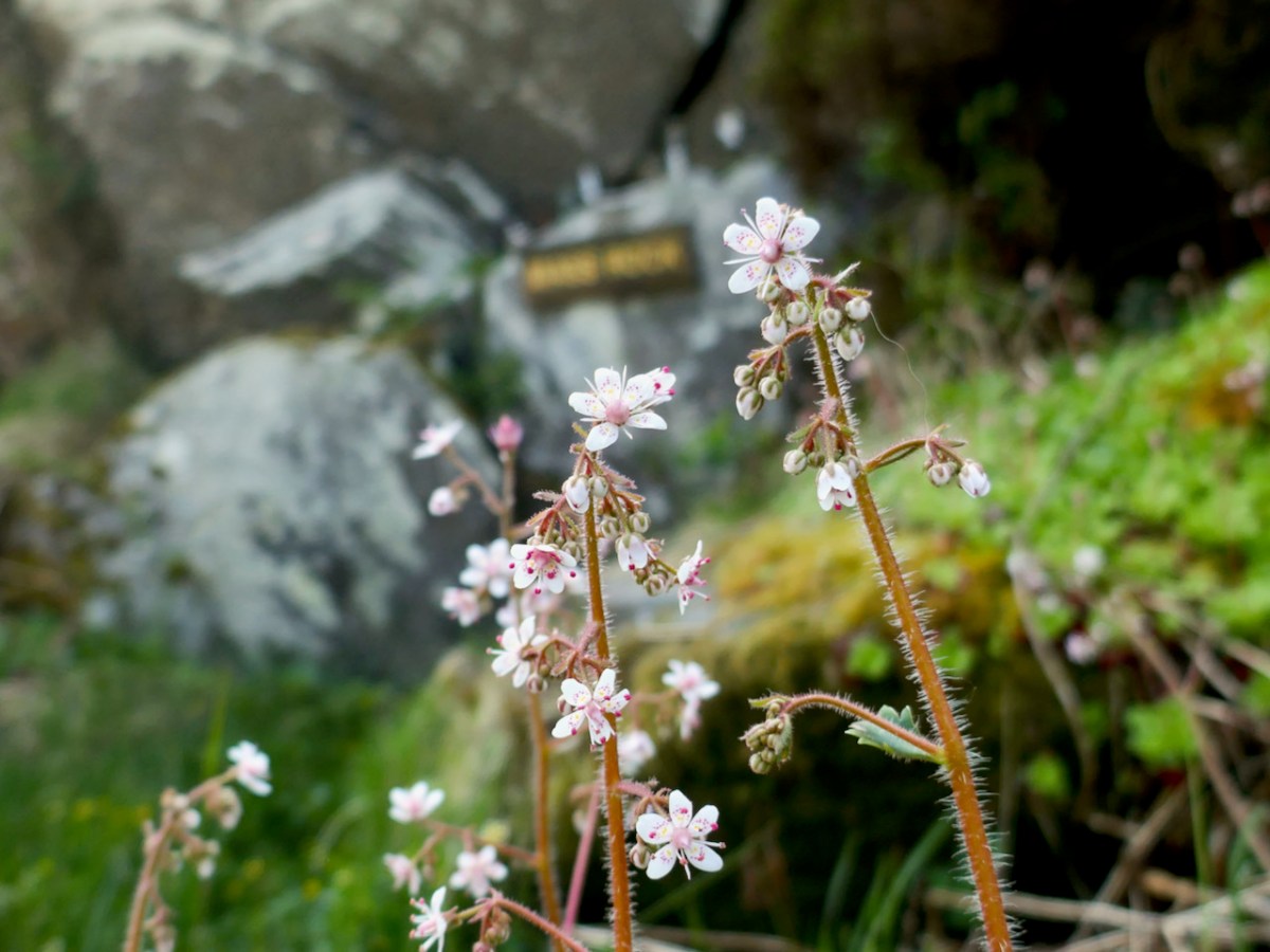
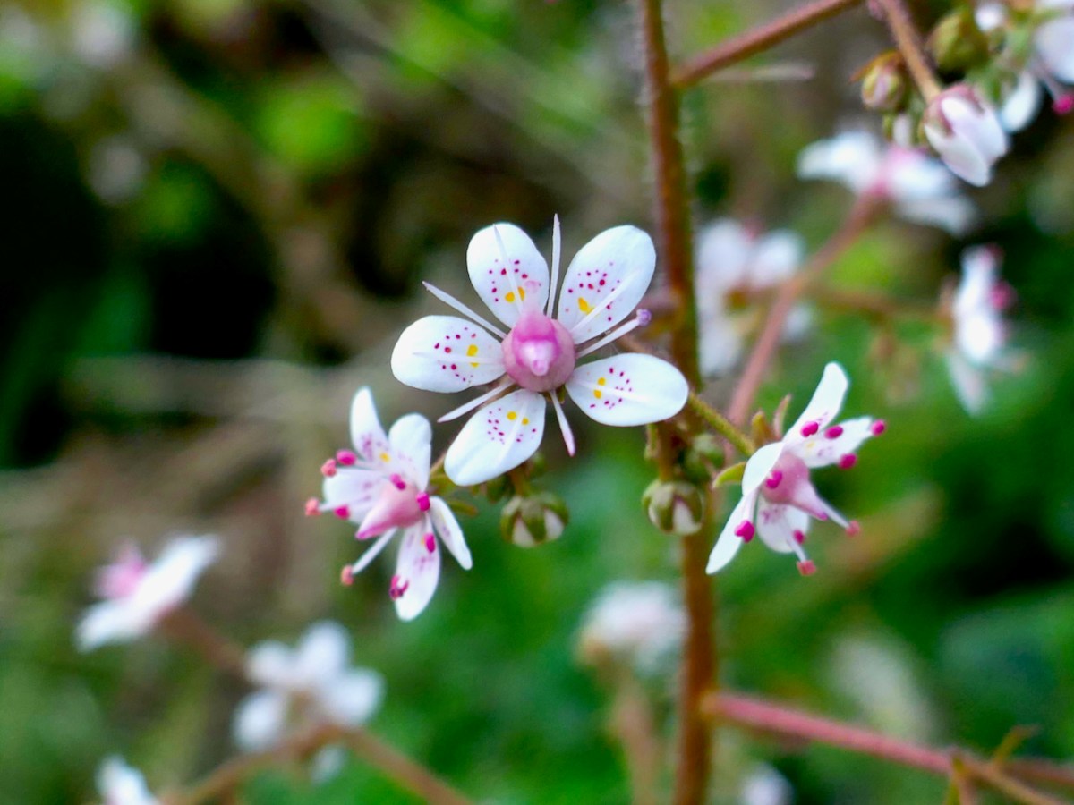
This one rewards a close look – the flowers are white but the petals have pink and yellow dots and the anthers are a startling deep rose colour. A domestic hybrid known as London Pride is grown in many gardens.
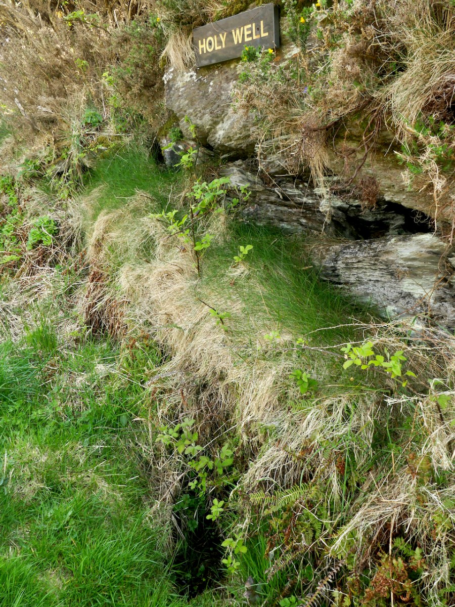
The second surprise is a holy well, just a little further along. It’s not a very impressive sight – looks like a ditch, in fact, although there’s a bit more going on under all that grass and brambles. The location is marked but there are no indications that anyone has visited in many years. No offerings here, no cups or rag trees, no statues or prayer cards. But nothing deters Amanda, and she has written about the well here, including the fact that its name is Tobairin a ‘Bhothair – small well of the road – and that it was once revered.
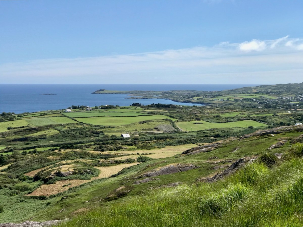
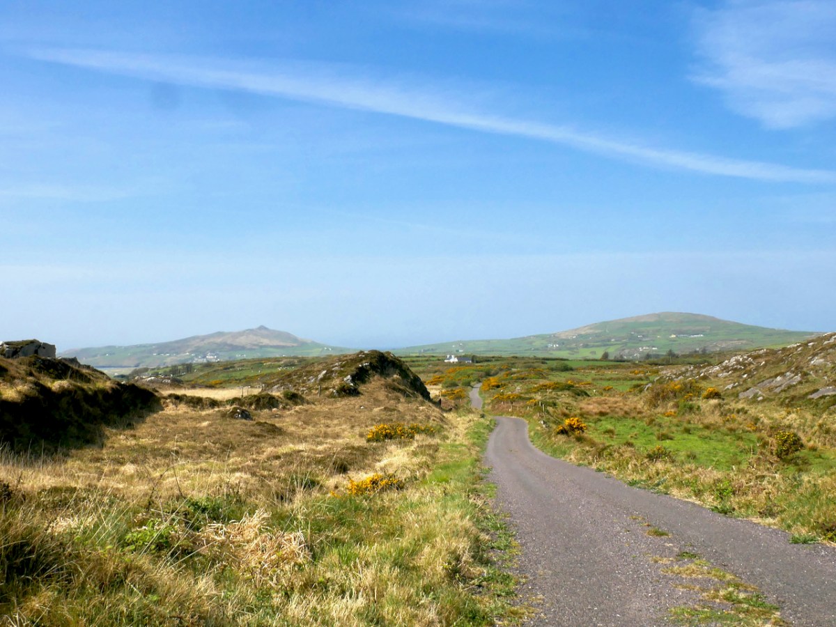
From the holy well keep going westwards and the reward is an immense view to the end of the Peninsula and the Mizen Peak (below). It’s a gentle downhill all the way until you get close to the main Goleen – Crookhaven road.
At this point, nobody could blame you for retreating to the snug at O’Sullivan’s Bar in Crookhaven for a pint coffee and a crab sandwich, but of course you are only half way through the walk if you want to do the full loop. So turn right and then right again, and start climbing as the road heads back to Goleen over the hills and away from Barley Cove (below)
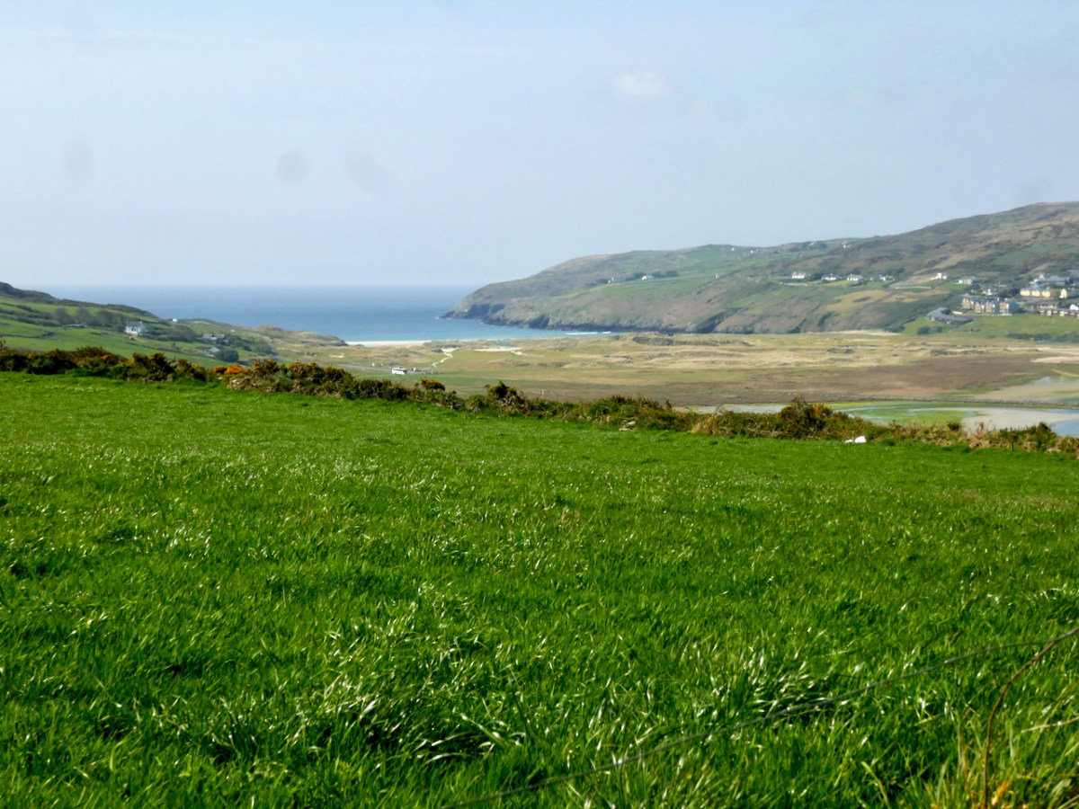
The views don’t really start until you’re quite high up, but the road is peaceful and rural – a good time for contemplation, perhaps.
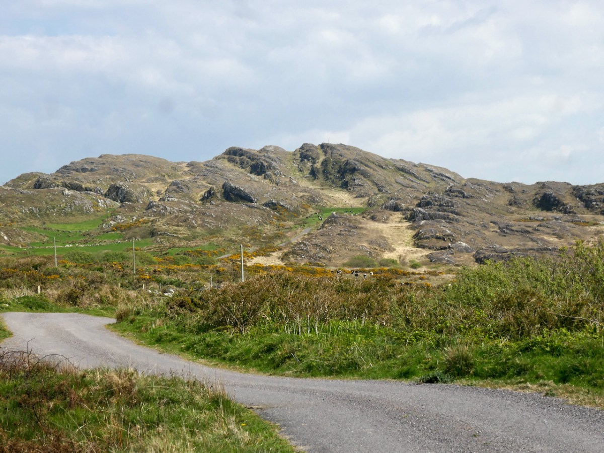
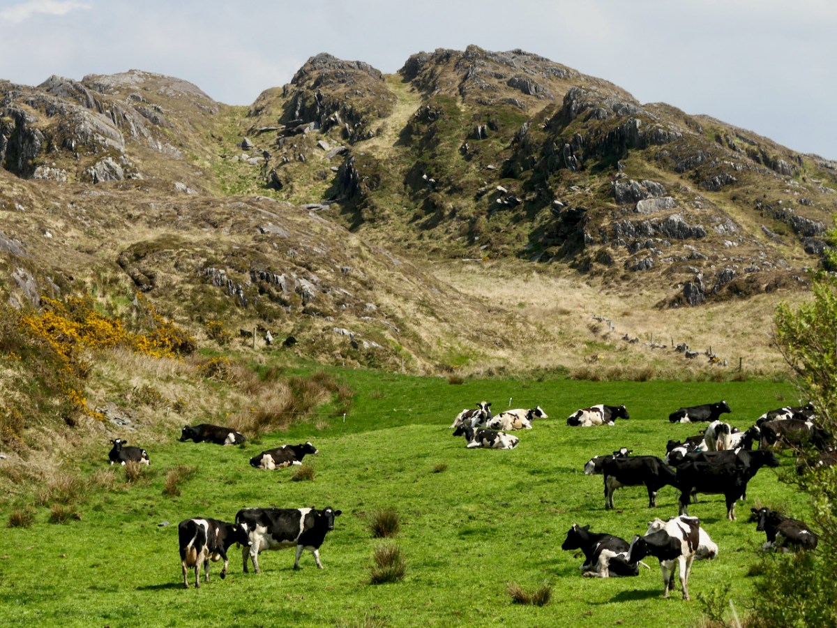
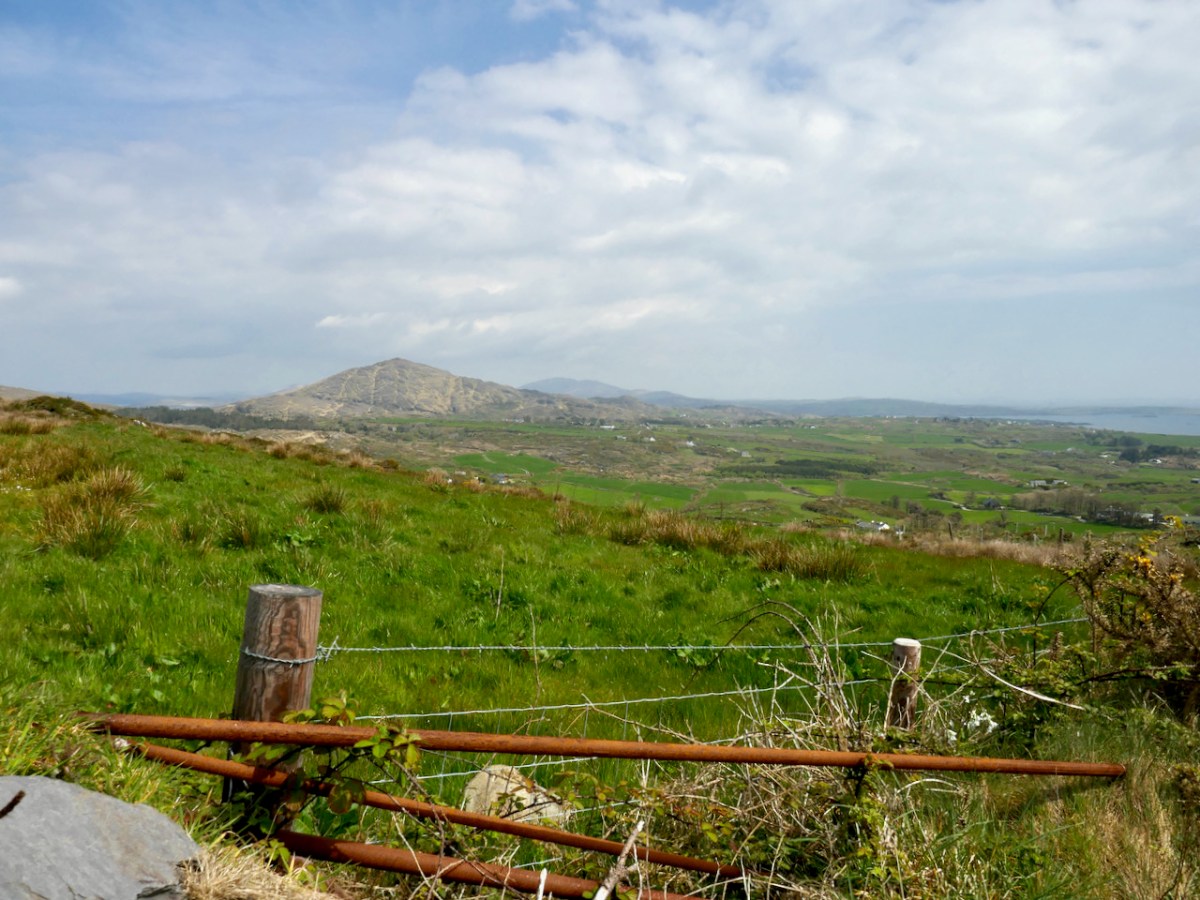
Once you’re on the downhill stretch you are facing east and once again have those glorious views across to Knockaphuca, with Mount Gabriel behind.
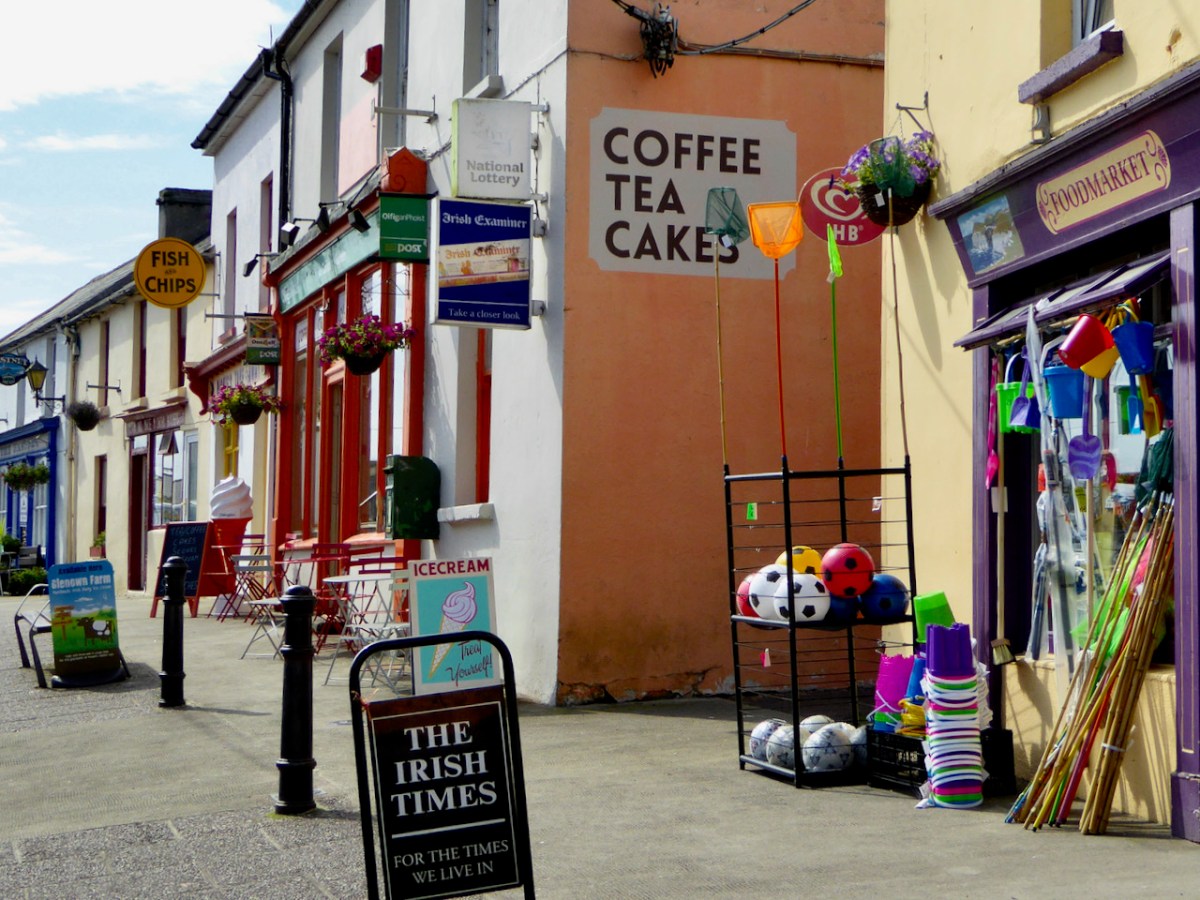
And when you hit Goleen – go on, you deserve it, have some ice cream!
“Easter” Island!
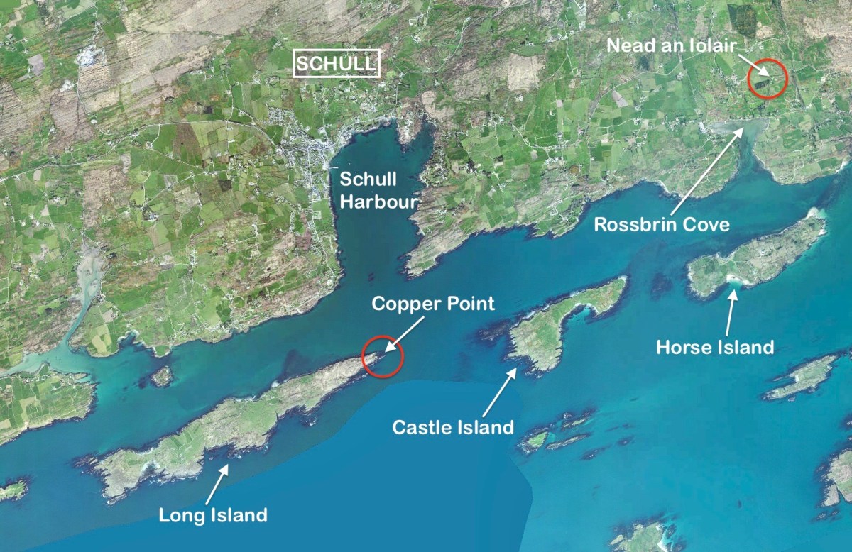
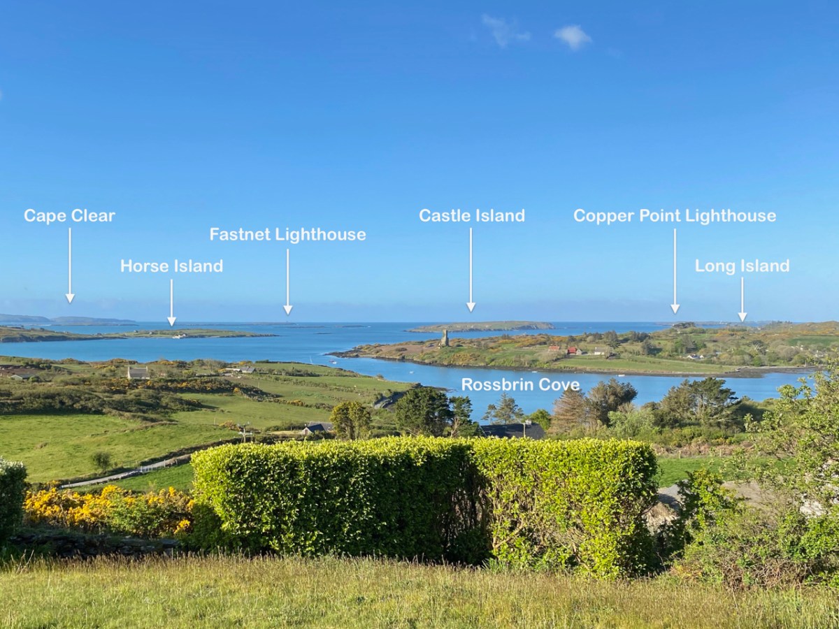
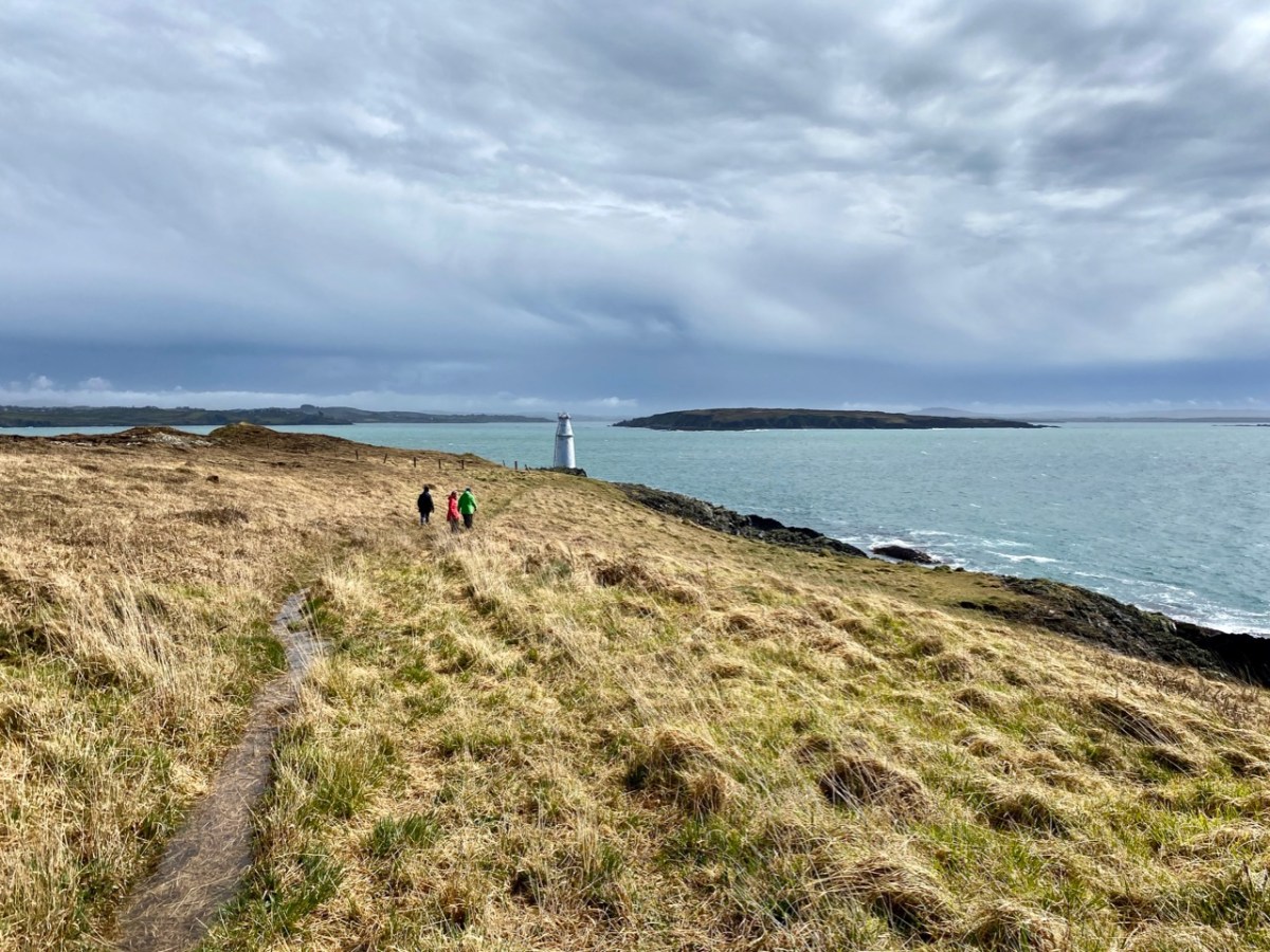
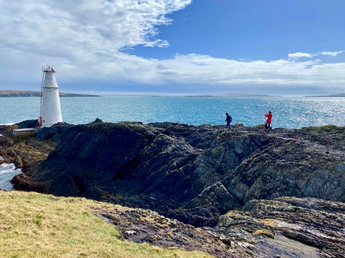
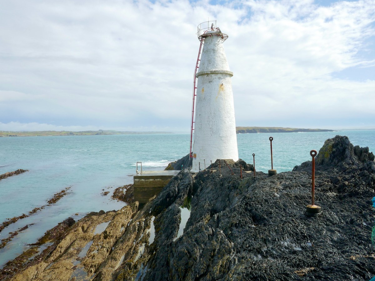
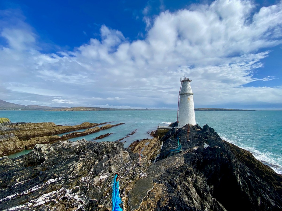
What better place to spend Easter Day than at the ‘Easter end’ of Long Island? We can see the island – out there in Roaringwater Bay – from our home here at Nead an Iolair. The lighthouse on the end of the island faces us – and winks through the night with the character of 3 quick flashes every 10 seconds. The narrow headland on which it stands bears the name ‘Copper Point’ – and so does the lighthouse.

This aerial view shows Long Island in its context – a part of Roaringwater Bay and its ‘Carbery’s Hundred Islands’. Its neighbours to the east are Castle Island and Horse Island – all in our view – (that’s our view, below).

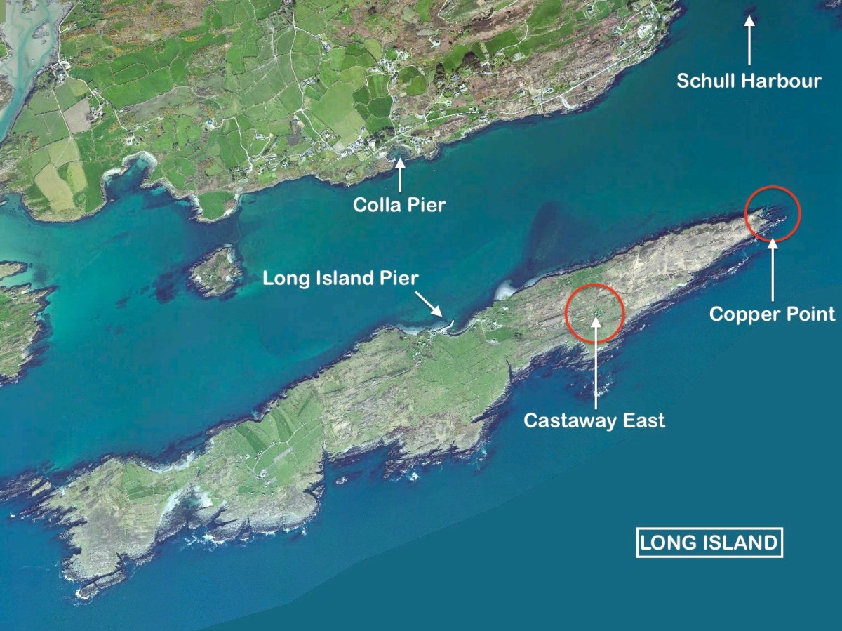
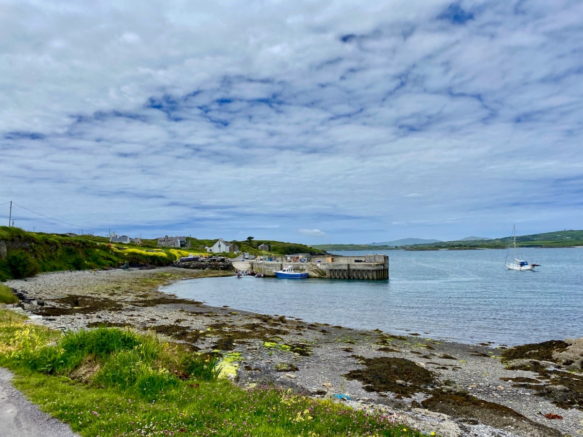
A closer aerial view of the island, above. It’s accessed by a regular ferry which leaves Colla Pier, a short distance from Schull town. The ferry arrives at Long Island Pier: there it is, on the pier (below).

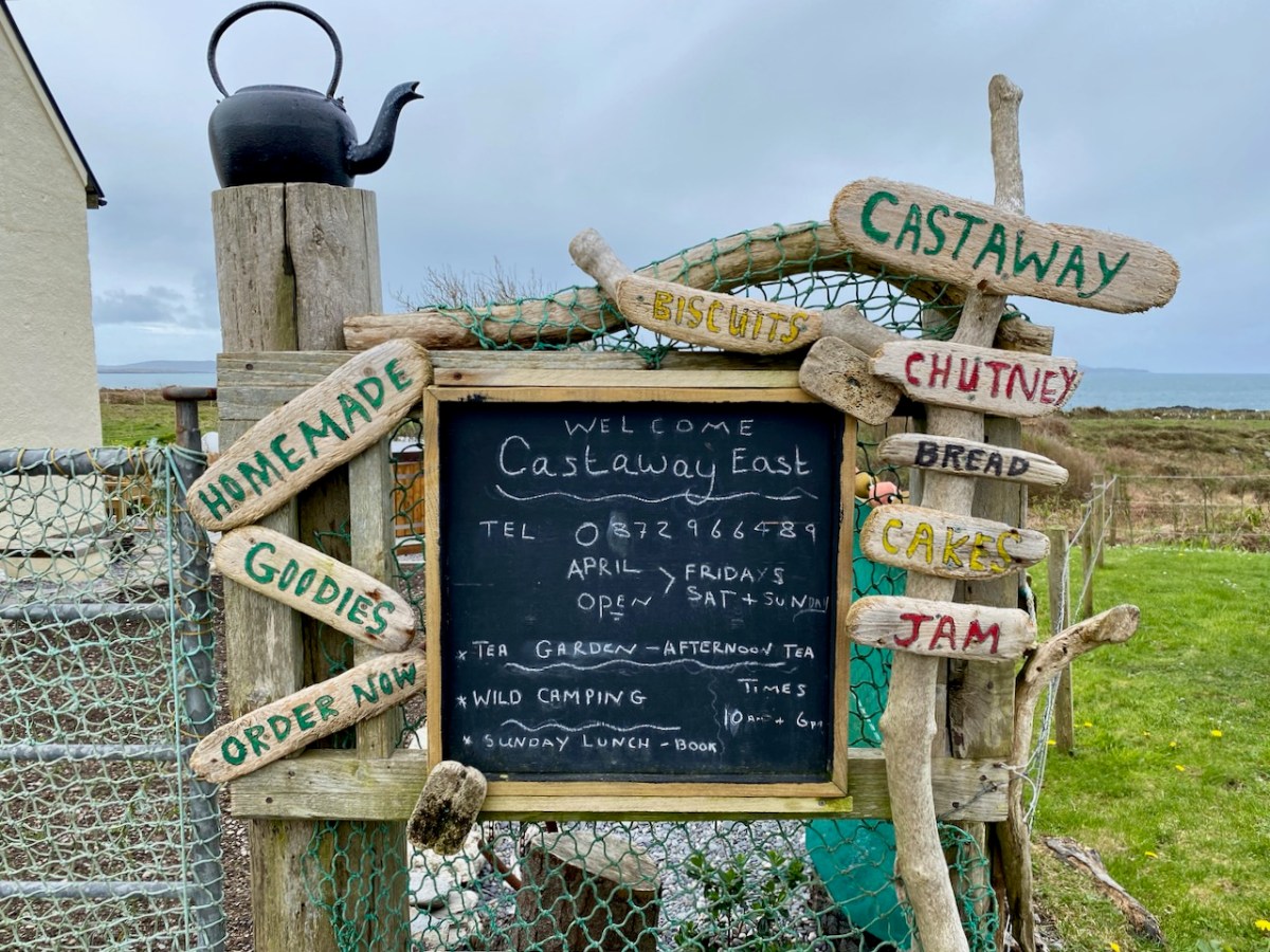
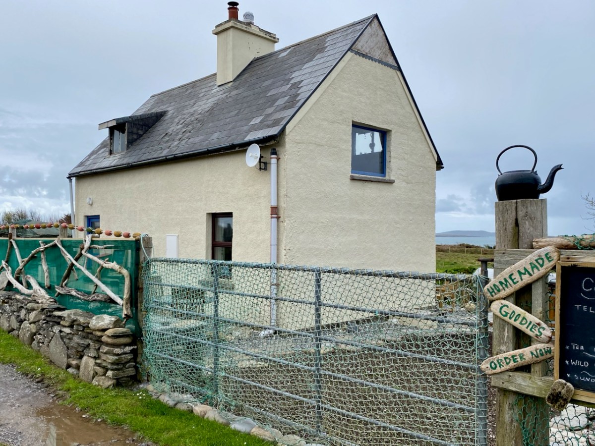
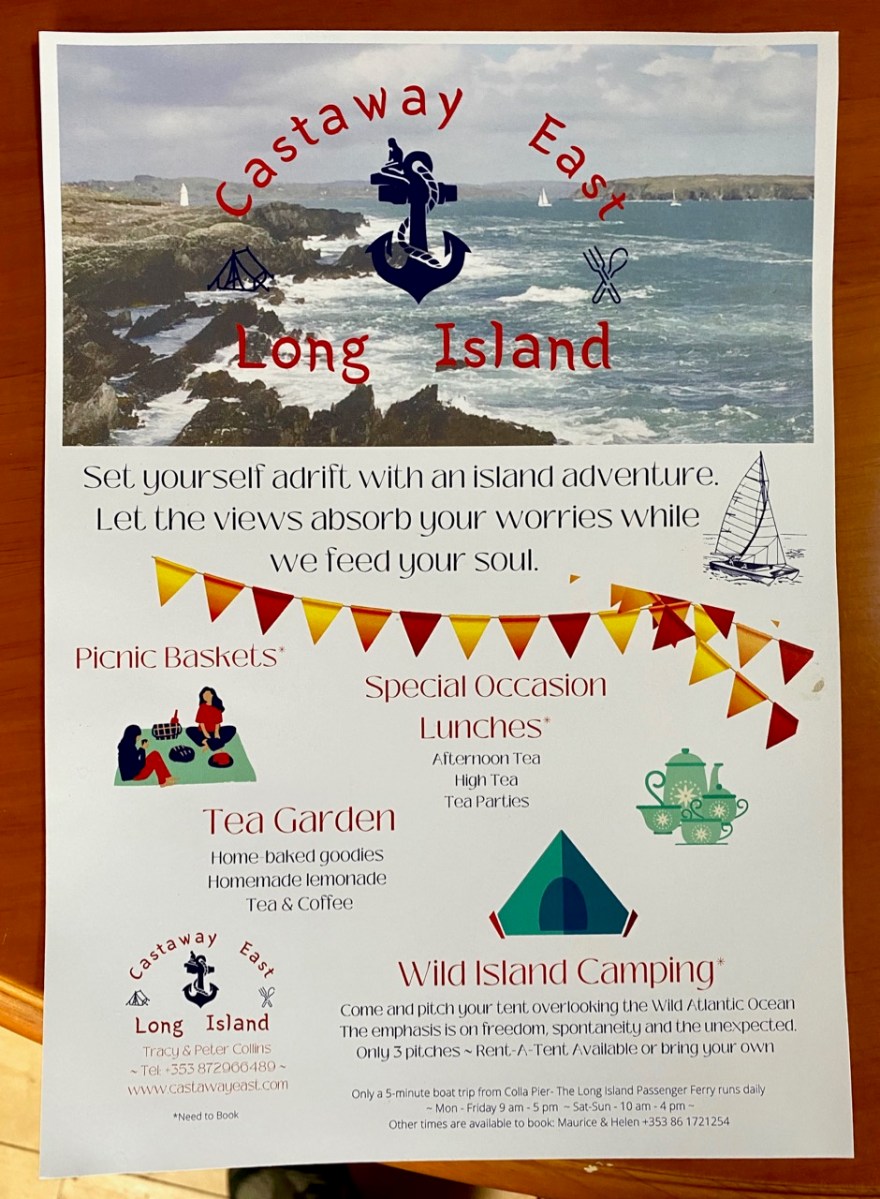
Our destination on this Easter Sunday was Castaway East – the furthest house on the ‘Easter’ end of the island. We have taken you there before, when we organised a Mad Hatter’s Tea Party in July of last year. The hosts there are Tracy and Peter, who served us brilliantly for that occasion, and also for the Wildflower Walks which Finola led last June: the Castaway crew provided a superb picnic for everyone, delivered to us at the island’s western end. This time we decided that we would test Tracy and Peter’s skills by ordering up an Easter Sunday lunch to celebrate a ‘special’ birthday for our good friend, Peter Clarke.

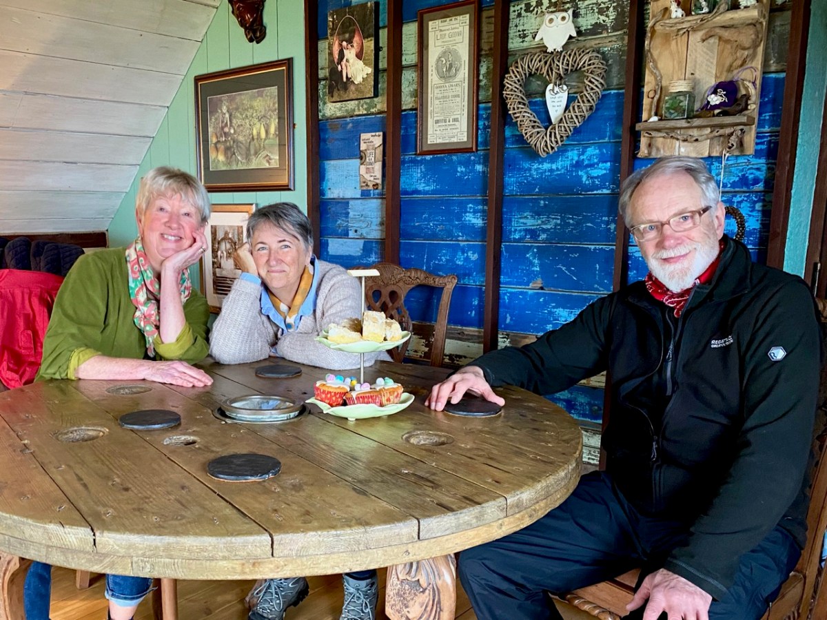
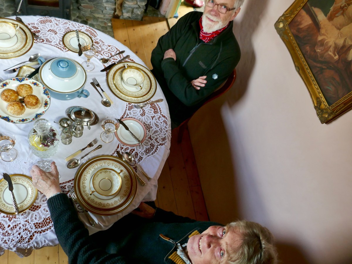
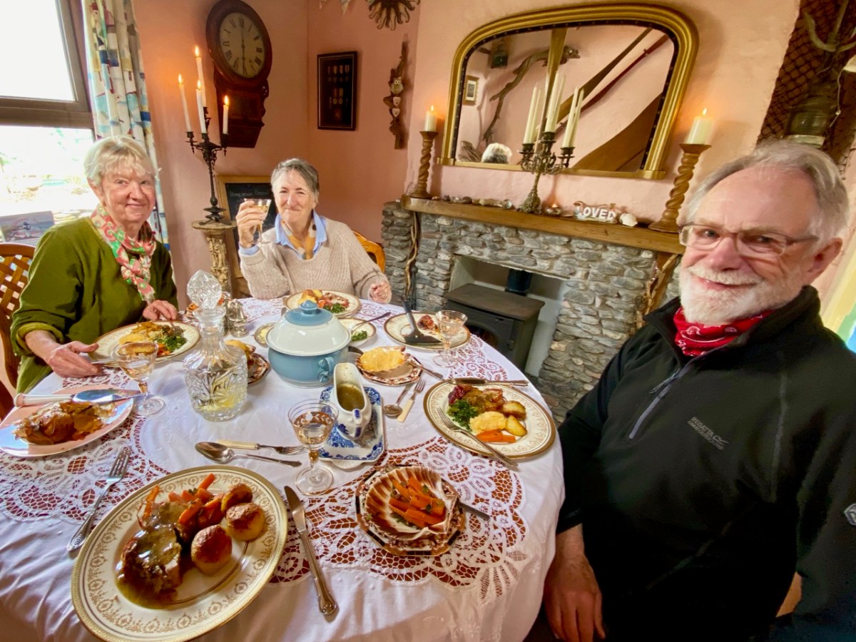
Amanda Clarke, Finola and birthday boy Peter, looking forward to a morning coffee (with delicious Easter treats) after arriving at Castaway East. We had an upstairs room in the Castaway house, with a good view over the island. Before lunch we had an opportunity to explore part of the island we had never been to before, heading down to Copper Point.

Why is it called ‘Copper Point’? Because there was a copper mine close by, one of many such enterprises that were seen in West Cork in the nineteenth century. Explorations on the island were started in the 1840s by the Cornish mining engineer Captain William Thomas: he wrote a Roaringwater Journal post for us a couple of years ago! William sank a trial shaft for 10 fathoms (60 feet) and extended a level south from this shaft for 3 fathoms. No metal bearing lode was found, and the mine was abandoned. Traces of these workings can still be seen not far from the lighthouse. It’s slightly ironic, perhaps, that the name ‘Copper Point’ arrived from somewhere and stuck.

It’s a wild landscape – but very beautiful and imbued with atmosphere. We certainly worked up a good appetite while on our morning walk, and returned to the house with great expectations.

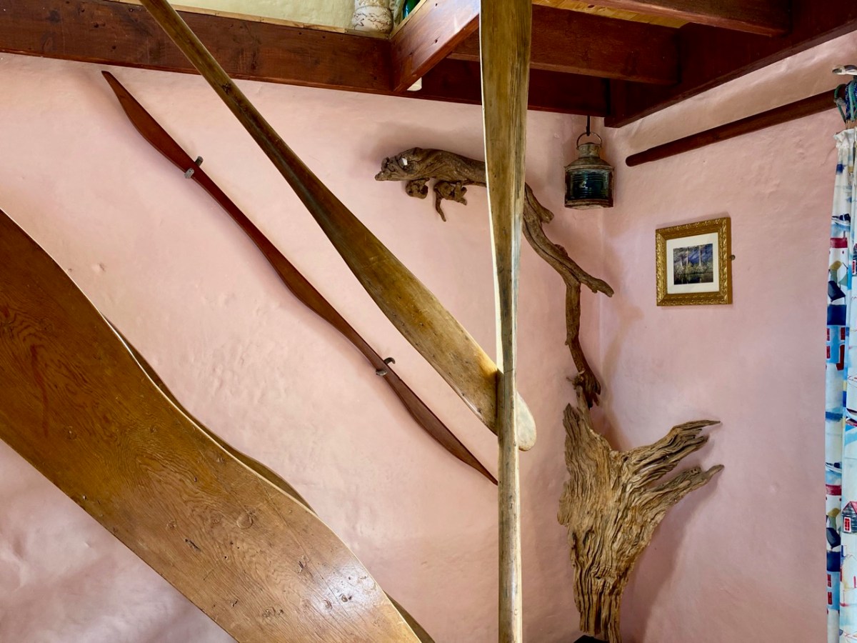
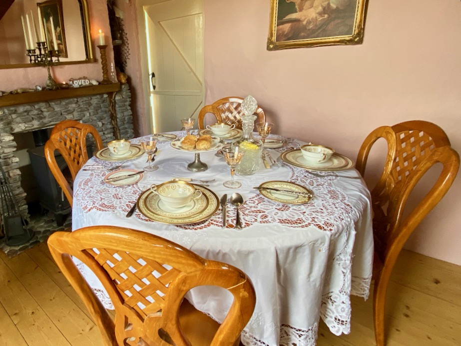
All those expectations were far exceeded when we sat down to our meal. We had a room to ourselves, attractively furnished and comfortable, with a welcome wood-burning stove on the go in one corner. Tracy and Peter have spent considerable time and energy upgrading what was a very run-down cottage, and have used locally available materials with impressive imagination.

Tracy – in charge of the culinary delights – had worked out a menu which was entirely tailored to our various tastes (and dislikes) – and it was brilliant! All the courses were exemplary.

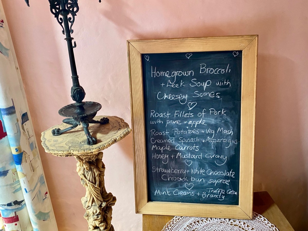
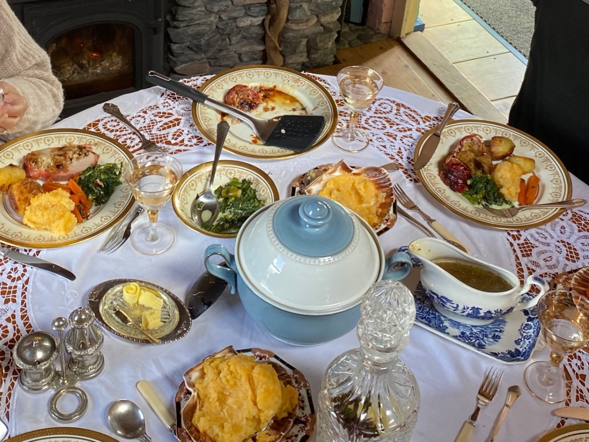
The main was a Sunday roast to make your mouths water… Fillets of pork for the three of us who are not vegetarian, and a miraculous stuffed filo pastry pie for Amanda. The accompanying vegetables were prepared without any meaty elements – so we could all savour them in equal measure.

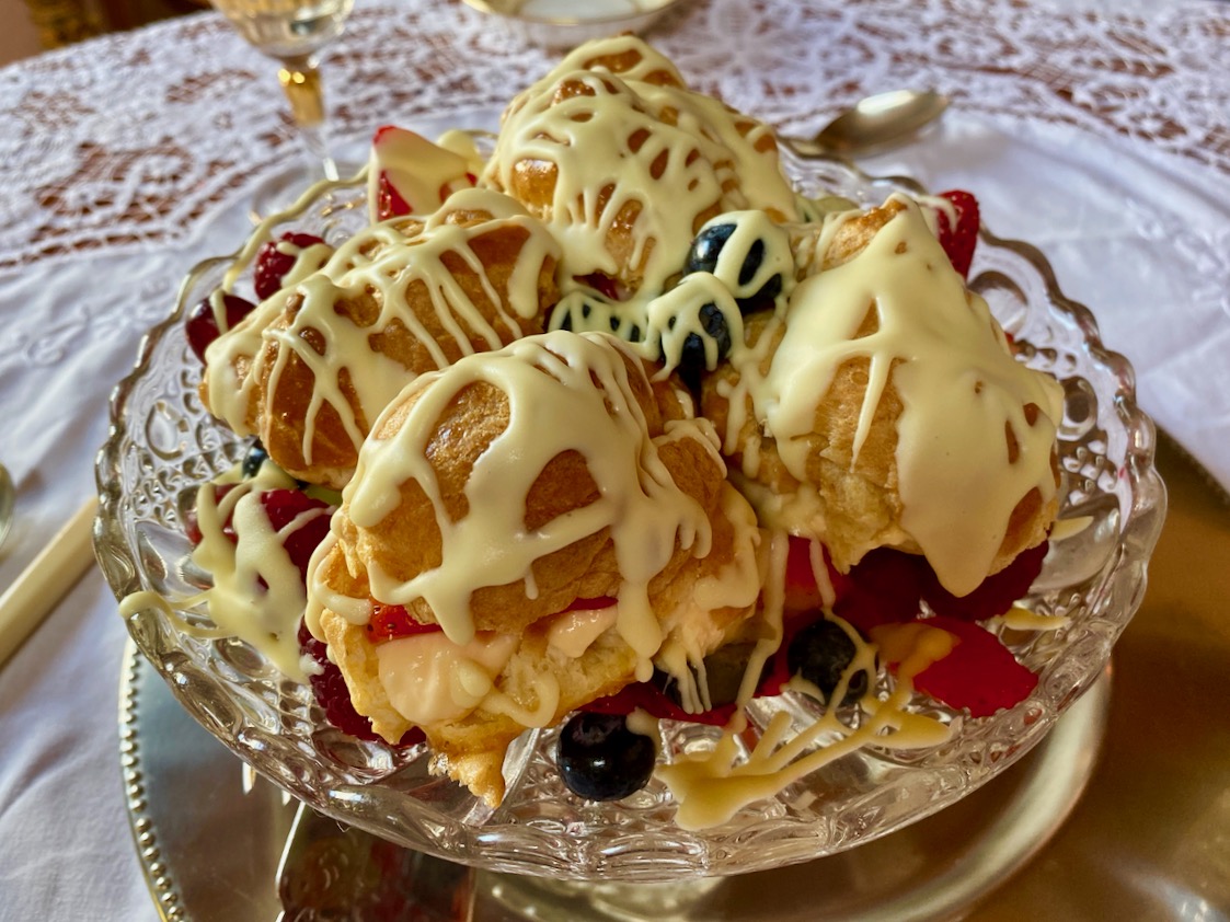
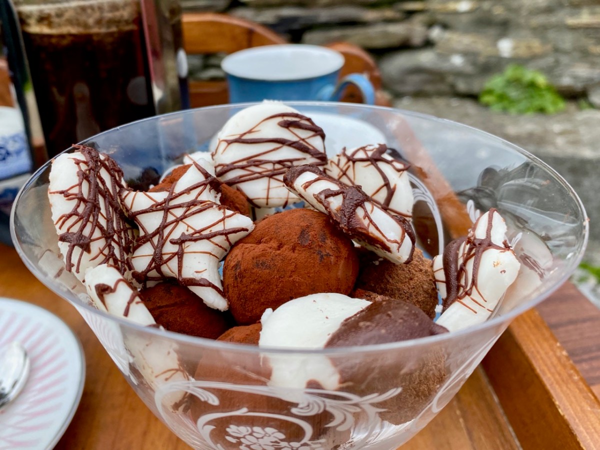
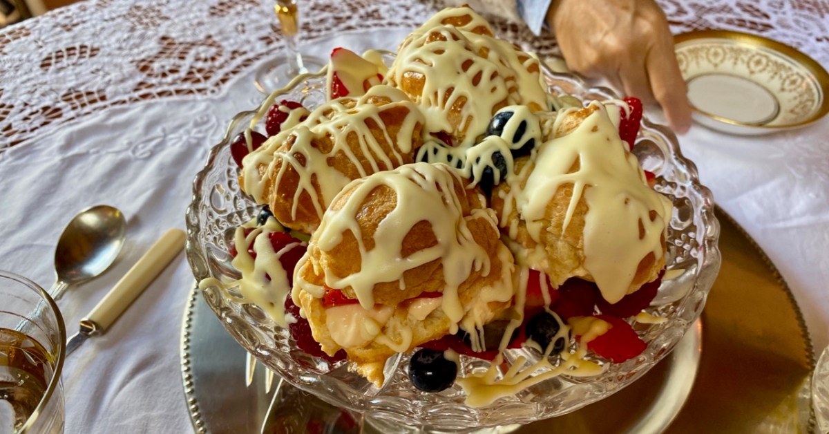
Peter was delighted with every aspect of his celebratory meal – we all were! The choux bun dessert was unbelievable; not a morsel was left behind. The riches never stopped: for our after-dinner coffee we went outside to the terrace-with-a-view and enjoyed home-made fondants and biscuits.

I think you’ve got the message… Sunday lunch at Castaway East is a very special experience indeed. Combine it with a good walk on a beautiful and atmospheric West Cork island and you will have a day you will always remember. If you want the experience for yourselves give Tracy and Peter a shout: they will be delighted to organise it for you.

Contact Tracy & Peter Collins on +353 872966489 or email simplytracy@icloud.com – They also have a campsite!

Mizen Magic 23: Croagh Cove

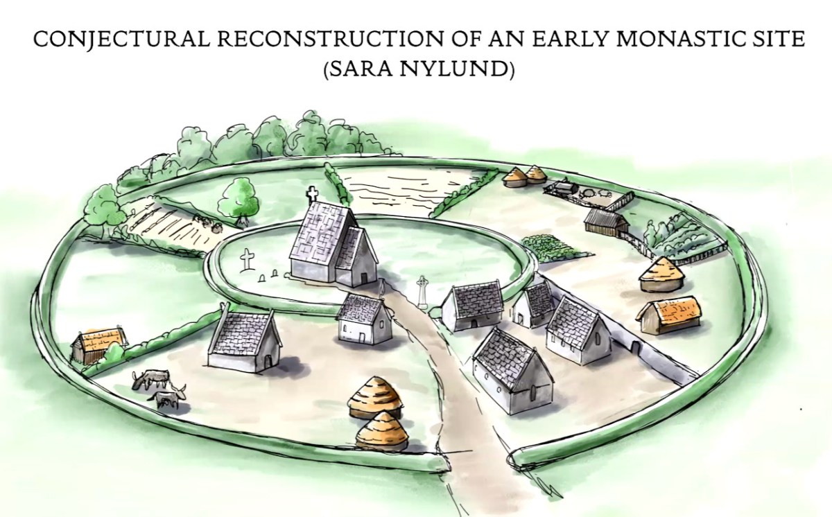
Many thanks to Sara Nylund for her wonderful reconstruction drawing of an early ecclesiastical site

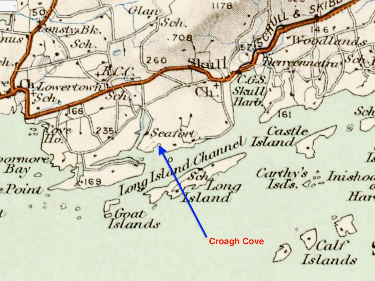
A couple of years ago, confined to explorations within 5km, Robert wrote about Croagh Bay (pronounced locally as Crew Bay). Recently our friends Donagh and Tamsin enticed us back to take a closer look at the eastern part of the Bay – Croagh Cove (Crew Cove). 

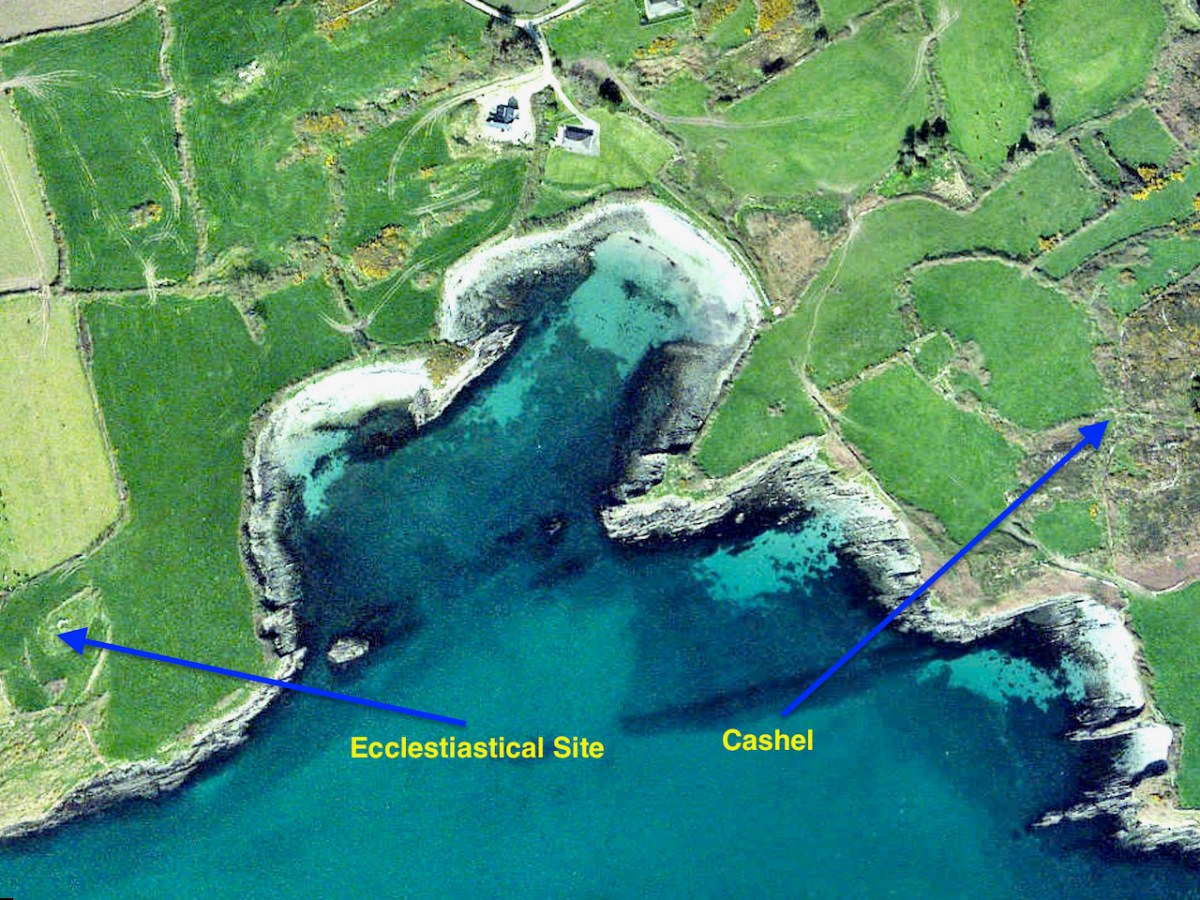
What intrigued us about this place and why we were eager to visit (apart from Donagh’s world-class coffee) was a place marked on the map as an ‘ecclesiastical enclosure.’ There aren’t a lot of those on the Mizen, although there may be more early ecclesiastical sites than have been identified and recorded. Kilbrown (see my post Mizen Mud), Cove and Kilbronogue are the only others so far.

What establishes a site as a likely ‘early ecclesiastical enclosure?’

The Irish church was dominated by scattered rural monasteries from the sixth century onwards. These were surrounded by large enclosures (varying in diameter from 40 a.m. to 400 M), often circular or oval in plan, and usually far more extensive than the surviving graveyards. In some cases the original bank, fosse or stone wall survives but more often the line of the monastic enclosure (or vallum) is indicated by curving field boundaries, roadways or a laneways. As well as the church and graveyard, these enclosures contained the dwellings, outhouses and workshops of a community, sometimes approaching the size of a town. Because the buildings were constructed of wood nothing survives above ground today; the graveyard often contains the ruin of a mediaeval church. In some cases the surviving burial ground has no inscribed headstones but was used for the burial of unbaptised children during the last few centuries. Bullaun stones and cross-inscribed stones are often found on early church sites while holy wells may be situated close by and retain the name of the saint anciently associated with the site. Unfortunately little of the history of the early church in West Cork has survived and the earliest reference to many of these sites is as late as the 12th century.

The Archaeological Inventory of County Cork, Vol I, West Cork. P 271

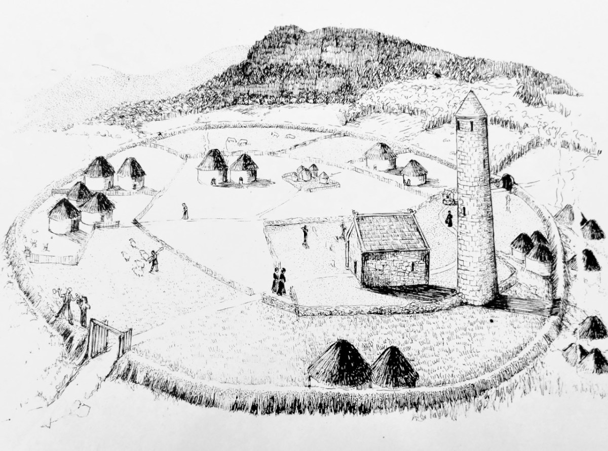
So, as you can see, not much normally survives on the surface but a tell-tale sign is a circular or oval enclosure, or (often) two concentric enclosures, with the barely-discernible signs of buildings inside. (Readers may remember the above illustration from my post on Ardpatrick – no sign of a round tower at Croagh, though!).) The memory of these places as once-sacred seems to be retained locally, and led to their use as Cillíní, or Children’s burial grounds in the past. See my post Unknown Souls for more about Cillíní – ‘the loneliest places on earth.’ Thus – small uninscribed headstones peeking out through the grass is an indication that this may be a cillín, and in turn perhaps something more ancient yet.

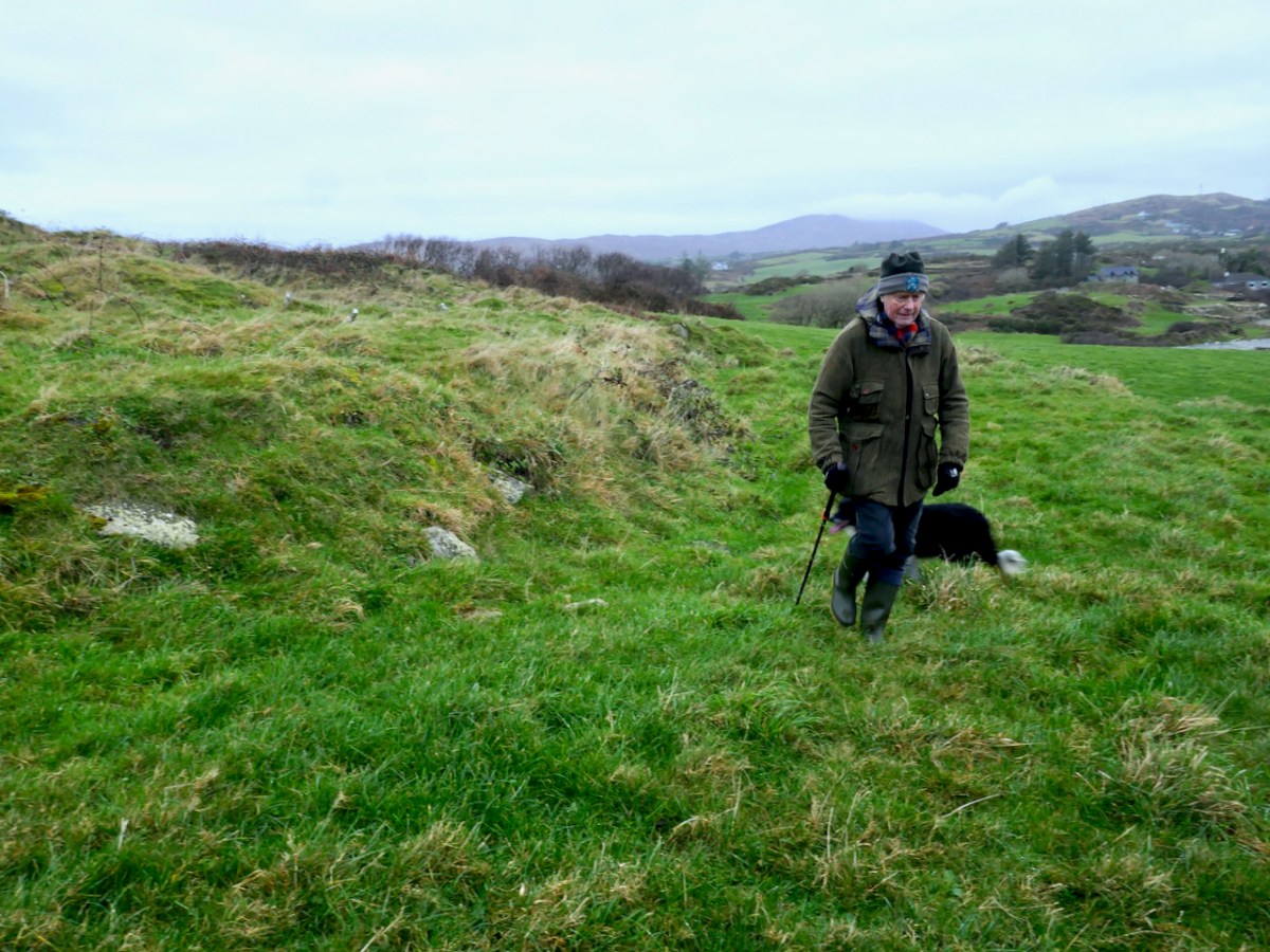
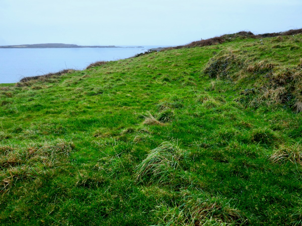
The original site may have been carved out of the hillside – the flattening process leaving a sharp-edged bank on the sea-ward side (above and below). This reminded us of the similar bank we found at the possible ‘Scoil Mhuire’ site that Robert reported on in his post Schull – Delving into History

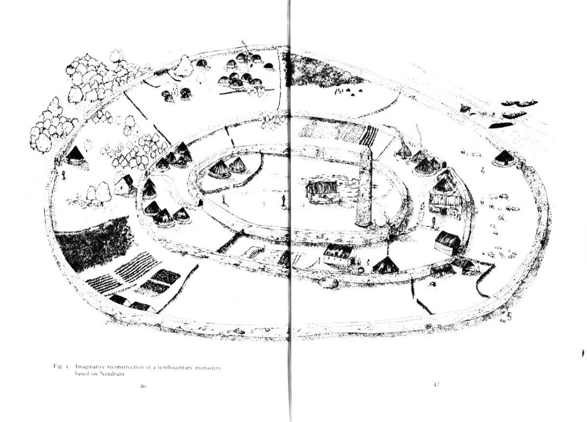
What would such a site have looked like? They varied enormously in size – for example Glenadalough in Wicklow and Kells in Meath would both have been monastic cities. Most, however, and especially in remote places, would have been small religious foundations in which there would be a central church surrounded by an inner wall, and houses and gardens for the monks surrounded by an outer wall. 

Nendrum in Co Down shows what a monastic settlement considerably larger than Croagh might have looked like. The Illustration is from The Modern Traveller to the Early Irish Church by Kathleen Hughes and Ann Hamlin

The word reilig (pronounced rellig) is the Irish word for graveyard and it comes from the word for relic. Early sites like this were assumed to have had a founding saint, who gave his or her name to the site. Kilbrown, for example, would be the church of Brón, and he would have been buried on the site – hence the ‘relic’ association. Kilcoe was named for a saintly nun, St Coch. The echoes of the cult of those saints would have remained alive through the centuries in the names of townlands and holy wells.

Possible remains of church at Croagh

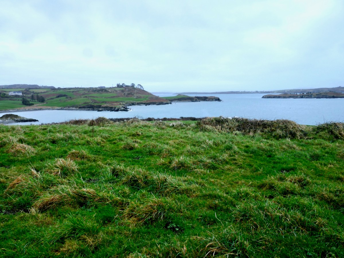
The name Croagh, however, is based not on a saint’s name but on the Irish word for a ‘stack’ and may refer to the gentle hill that rises up from the water. It was, and remains, an almost perfect spot to establish a peaceful settlement based around hard work and prayer. There’s a lovely little beach below, so transport and travel was easy by water. It’s in a sheltered haven protected from storms by Long Island off the cost, and from it there’s a good view out to sea (below) so the monks could see Vikings or other raiders coming.

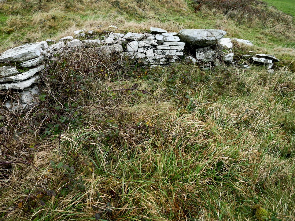
And right across the Cove there’s a ring fort – a cashel, in fact, since it looks like the walls were made of stone (below). It’s a classic – on elevated ground with commanding views all around, out to sea and to the low hills behind. Puzzlingly, this cashel is not recorded by National Monuments. It’s overgrown by bracken so may not have been obvious at the time of the survey. 

This juxtaposition, across the cove from each other, of an early-medieval monastic settlement and a fortified residence, leads to speculation as to the relationship between the two. Was the monastery endowed by the local chief, committing the monks to say prayers for his eternal soul in exchange for land and protection? This is certainly a familiar pattern from the later medieval period. 

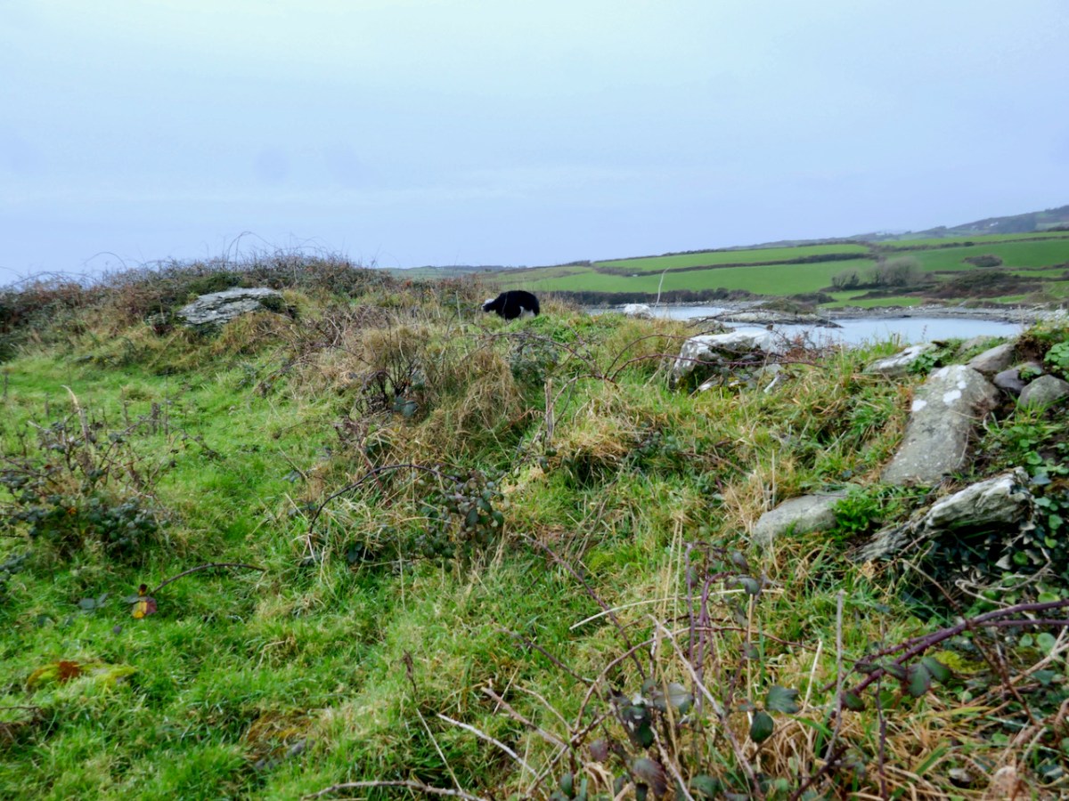
View of the ecclesiastical site from the cashel

This is just a tiny corner of the Mizen. There is much more of interest in this small townland but for today I wanted to focus on these early-medieval sites. In their ruins lie clues to a distant but vibrant past.

The Castles of Ivaha: ‘Fragmentary Remains’

What can you say about a castle where only fragments remain of the original structure? Turns out – a surprising amount!

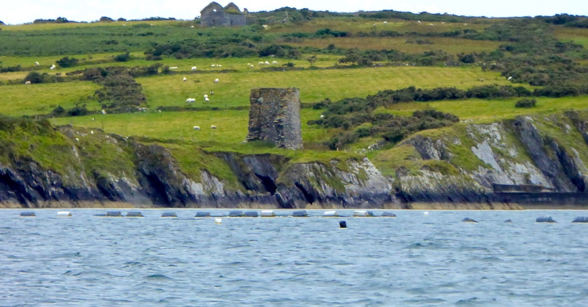
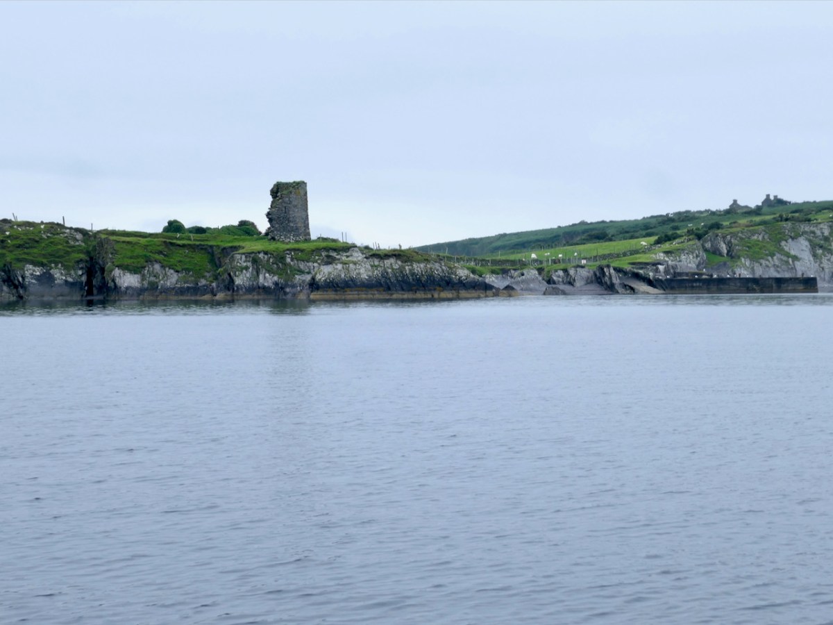
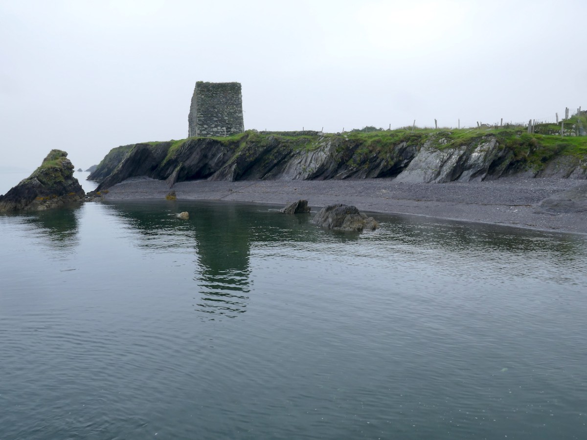
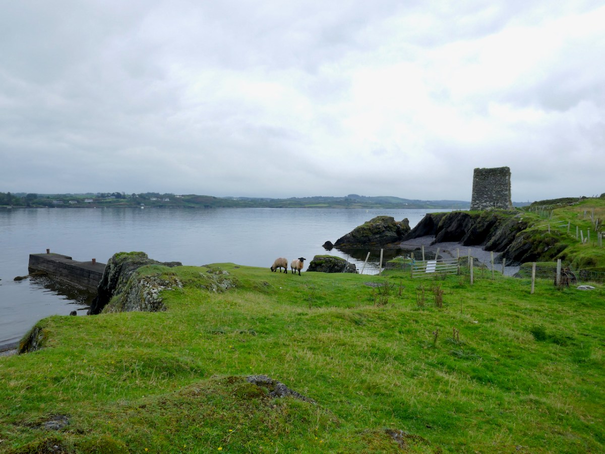
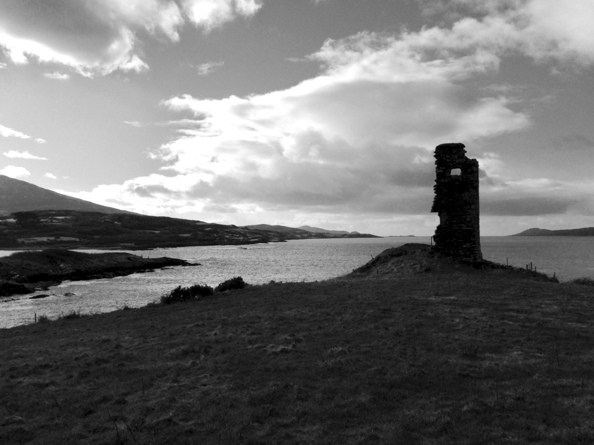
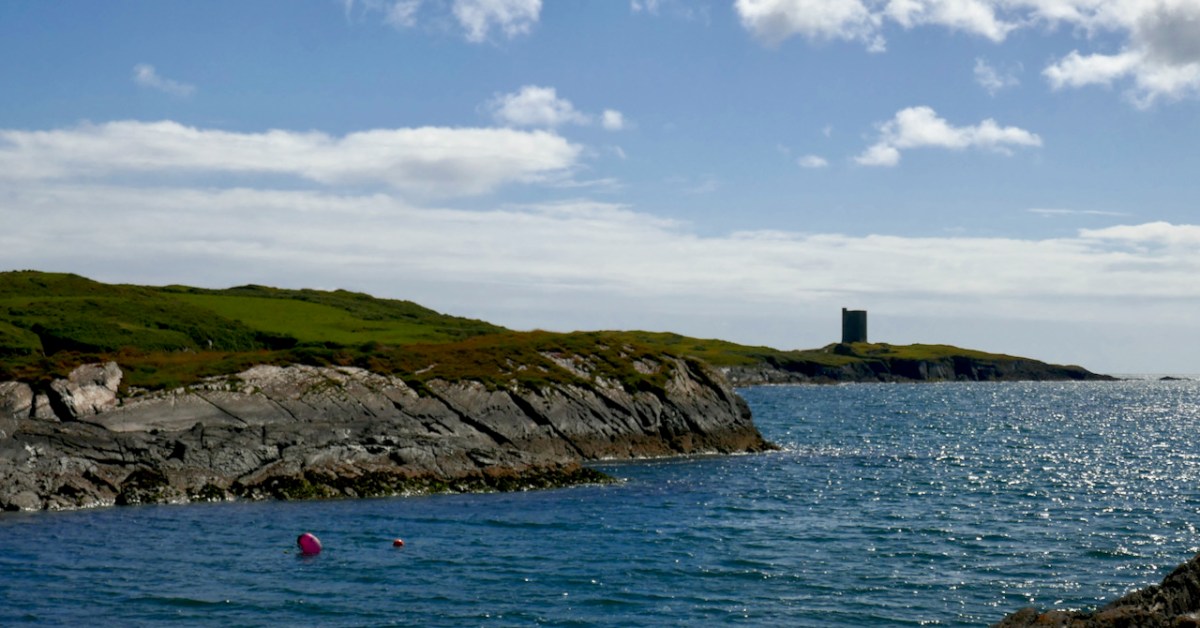
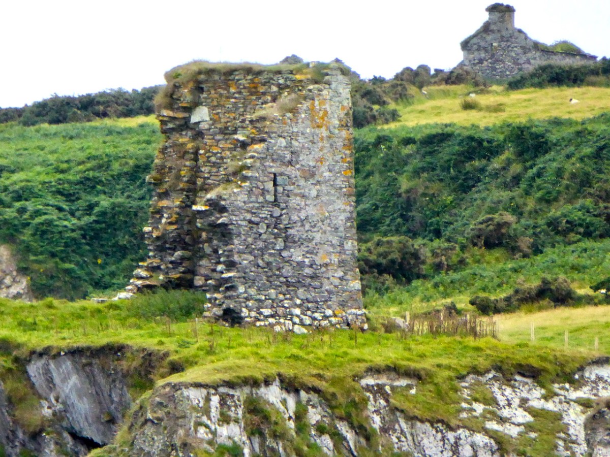
Fragmentary remains is the phrase used in the National Monuments record to describe the two castles which are the subject of this post – Dunbeacon and Castle Island. In each case only enough is still standing to confirm that it was indeed a medieval tower house. Fortunately, in the case of Dunbeacon, there is also historical evidence. 

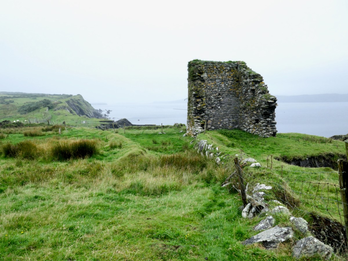
Let’s look at Castle Island first, and begin with the name. Samuel, in his thesis on The Tower Houses of West Cork, tells us that it was known locally as Castleduff, or Caisleán Dubh, the Black Castle. However, this was the name more commonly applied to Black Castle/Leamcon, so he says there might be some confusion there. There is no other name in the historical records – no mention, indeed, at all. Perhaps it was too insignificant to merit a mention – a fortified outpost rather than the high-status residence of one of the ruling O’Mahonys. 

We have noted with other of the O’Mahony castles that they were built on the site of a ring fort (Ardintenant) or a promontory fort (Dunlough). The National Monuments records notes a promontory fort at this site, although it is not obvious on the ground any more. There are, in fact several promontory forts noted on Castle Island, perhaps indicating that this was the preferred type of fortified dwelling here, since there are no ringforts.

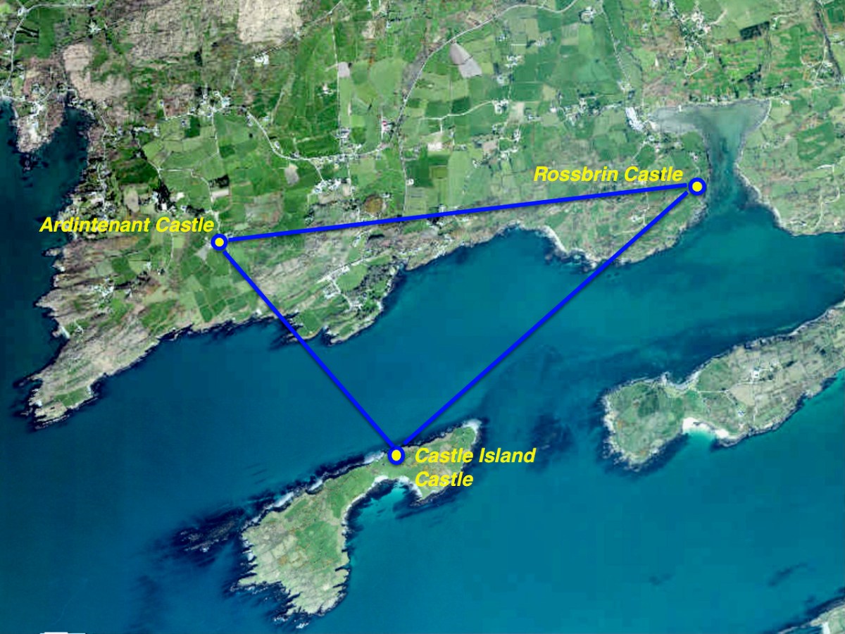
Like all the O’Mahony castles, it was strategically sited – it was beside the waters that separates the island from the mainland, and within sight of two other castles – Rossbrin and Ardintenant. The three form a triangle that overlooked and guarded the sheltered waters of Castle Island Channel. But also, from the top of the castle, there would have been a clear view south across the low land in the centre of the island, out to Roaringwater Bay.

We know that these waters would have been crowded with Spanish, French, Portuguese and British fishing boats, coming in to salt their catches in the fish palaces along the coast and to replenish their supplies. For all of these services and for permission to fish around Roaringwater Bay they paid hefty fees to the O’Mahonys, who got fabulously wealthy as a result. 

The castle was much smaller than all the others. Samuel says, 

Working on the assumption that Castleduff was an RE tower house [i.e Raised entry], its smallness is striking. The surviving ‘end wall’ makes possible a reasonably accurate estimate of the plan’s original length. It is assumed that like its neighbours, its plan had a length-to-breadth ratio of 3:4 to 4:5; the ratios suggest a length of 7.96-7.46m (measures above the base-batter). The surviving north wall probably represents the full length of the ground-floor chamber.

Mark Wycliffe Samuel
the tower houses of west cork

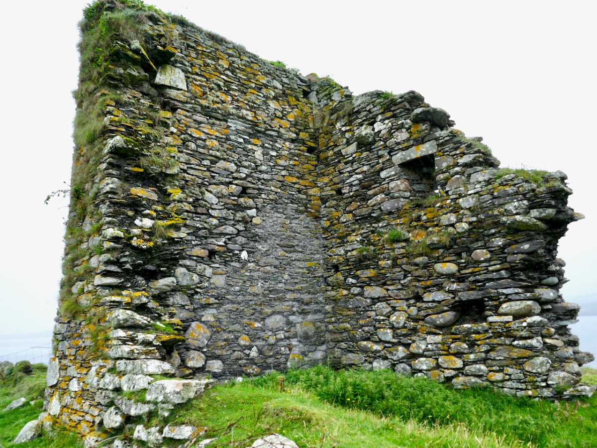
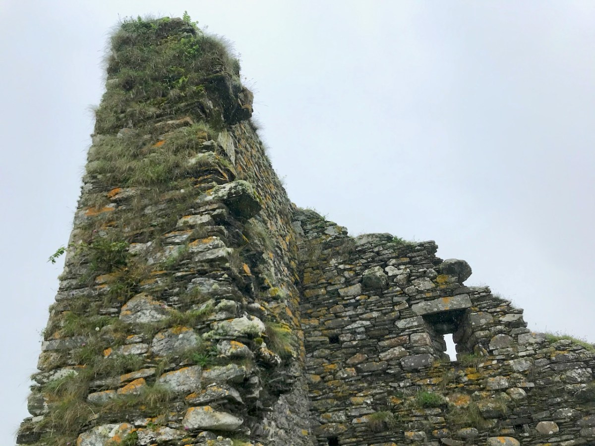
The only surviving opening is a loop in one wall, and a row of corbels that would have supported the first floor is still visible. There is no trace of anything that might suggest a vault, so it is possible that this small tower was unvaulted – Samuel thinks that the walls are noticeably thinner than the other castles, implying that this was a much simpler and shorter tower.

Samuels concludes his study of this tower by saying:

The jetty is modern, but the beach that it is laid upon was the best natural landing point on the island, well sheltered from the Atlantic swell. The landing clearly determined the siting of the tower house and was an important resource to the family that built the tower house. It is tempting to see a direct continuity between the recent settlement and a settlement around the tower house. Only excavation could determine if this was the case.

Mark Wycliffe Samuel
the tower houses of west cork

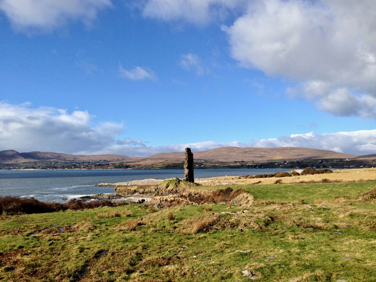
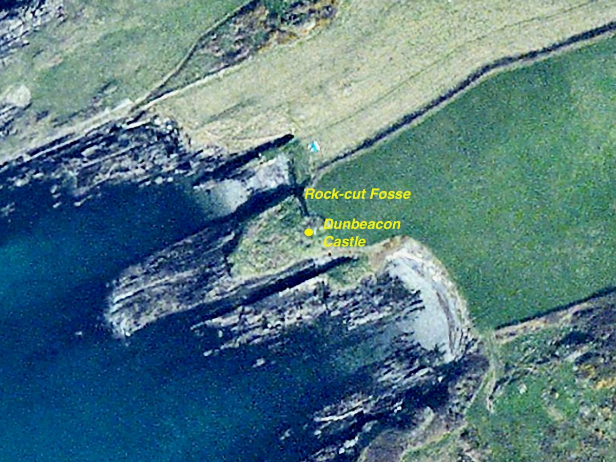
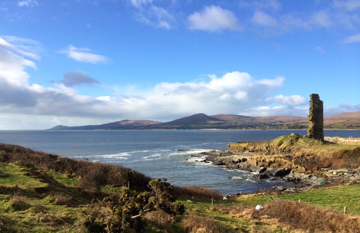
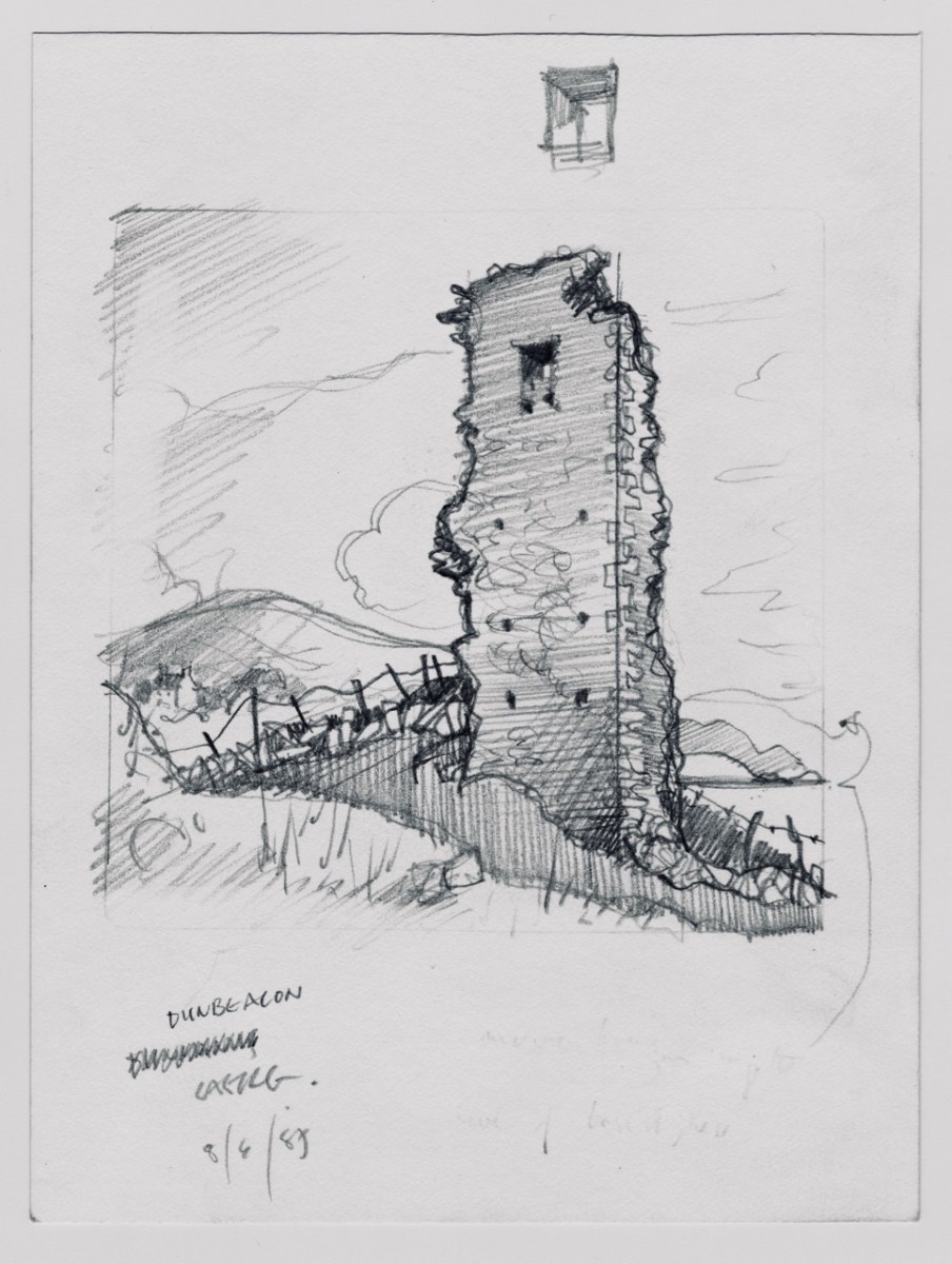
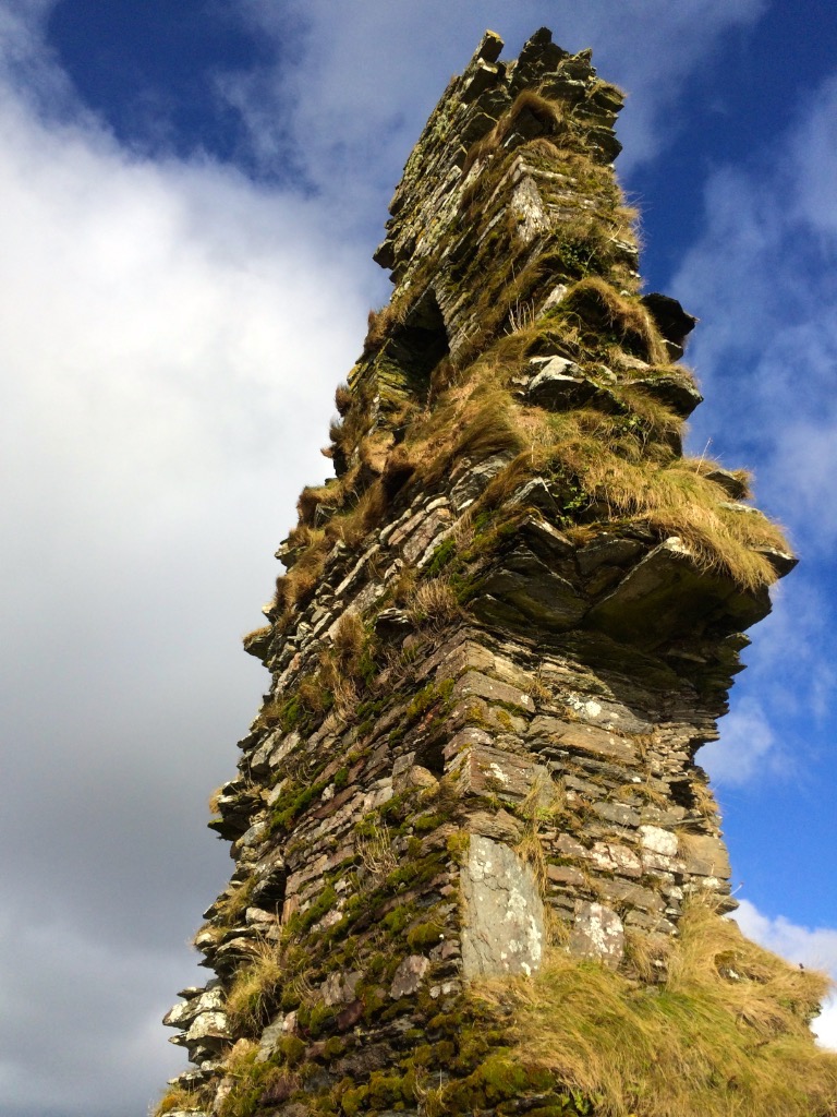
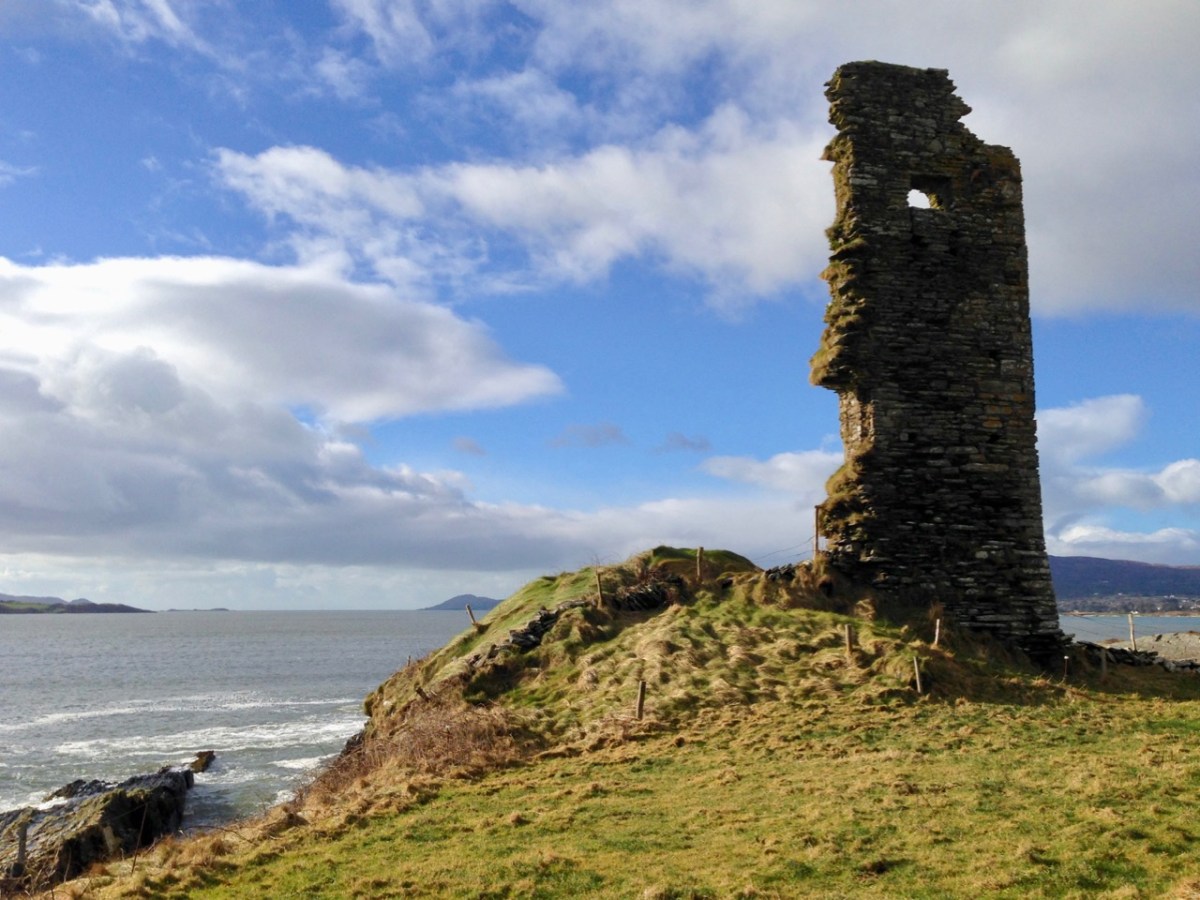
Dunbeacon (images below) is even more vestigial than Castle Island, but fortunately we do have some historical evidence for it. The name could mean Fort of Beacan – where Beacan is the name of a chieftain. However, it could also mean The Fort of the Mushrooms – since the Irish word for mushroom is beacán. I like to think of the chieftain and his lady chowing down on a plate of eggs and mushrooms for breakfast.

As with Castle Island, there are signs that the castle was built within a former promontory fort, also underscored with the name Dún, which means fortress. A fosse, or ditch, cut through the rock, is all that remains of the fortifications of that promontory fort.

The majority of the O’Mahony tower houses in Ivagha were built by or for the sons of Conchobar Cabach. Dunbeacon castle was allegedly built by his brother Dohmnall. This seems to be a traditional rather than documented attribution. If it is assumed that Dohmnall was born c. 1400, he may have built the tower house at any date during his adult life (c.1420 to c.1470).

Mark Wycliffe Samuel
the tower houses of west cork

The siting is magnificent. From it, there is a clear view of the whole of Dunmanus Bay, right to the end of the Ivaha (Mizen) and Sheep’s Head Peninsulas. This, of course, also meant that it bore the responsibility, along with Dunmanus, of defending O’Mahony territory from attack or incursion on the north side of Ivaha. The pro-English Owen O’Sullivan of Beara, for example, is known to have conducted cattle raids on the lands surrounding Dunbeacon.

Samuel tells us that the chief of Dunbeacon, Domhnall O’Mahony, forfeited his lands as a result of his participation in the Desmond Rebellion, and it became a ruin – beautifully captured in Brian Lalor’s sketch, above.

The tower house and four ploughlands were confiscated, and passed into the possession of an English settler who probably built a timber house to the east. The O’Mahonys did not attempt to reconquer the lost part of their pobol; instead they contented themselves with attacking and burning the tower house, an event recorded in a letter written by an English judge in 1588. The tower house probably remained a ruin.

Mark Wycliffe Samuel
the tower houses of west cork

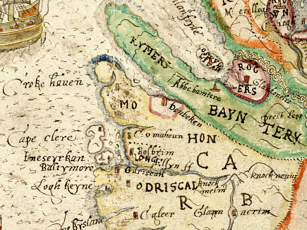
The O’Mahonys regained possession of their Dunbeacon lands but lost them again when they were granted to an English settler. See my post Planning a Plantation: Jobson’s 1589 Map of Munster Part 1 and Part 2 for how the land was mapped preparatory to the Plantation of Munster. As you can see above, Dunbeacon (or Donbeken) was clearly marked out for colonisation. William Hull came to own it at one point, and even the conniving ‘lawyer’ Walter Coppinger laid claim to it – as he did with much of the O’Mahony and O’Driscoll territory.

Although so little remains, Samuel’s careful analysis indicates that Dunbeacon was probably a typical raised entry tower house, with a vault supporting the third floor which held the principle private chamber. See my posts on Ardintenant  and Black Castle for what it may have looked like.

It’s hard to look at ‘fragmentary remains’ and think of them as vibrant centres of life. Yet, these two castles were once part of the mighty O’Mahony federation – a large network of connected families that ruled Ivaha and the surrounding seas. Sic Transit Gloria Mundi

Black Castle, or Leamcon

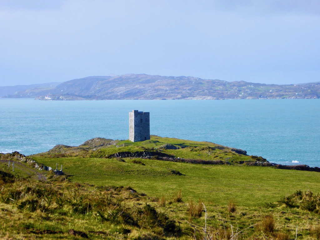
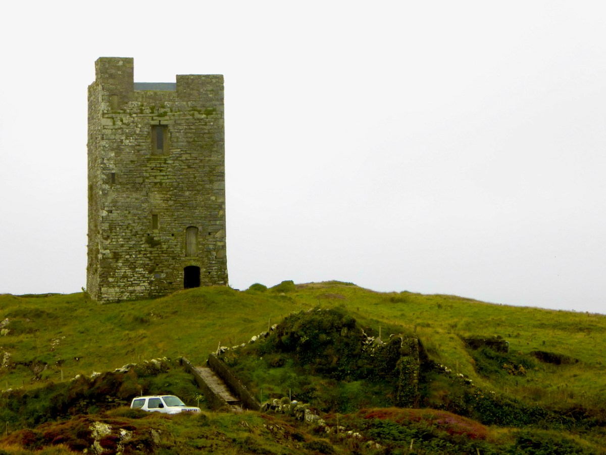
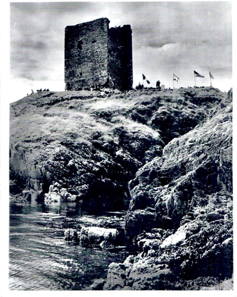
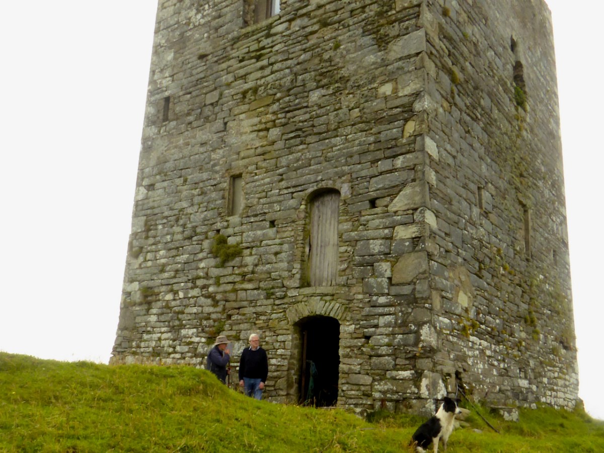
This is the fourth castle in my series The Castles of Ivaha, and the final one which is intact enough to be able to describe in detail (although I may have more to say about those which are more vestigial). Not just intact, though – Black Castle has been superbly stabilised and saved for future generations by its owner, Niall Hyde. 

Niall, by the way, thinks the the term Black Castle is more historically accurate. He points out that there is, in fact, in the townland of Leamcon, about 2km to the northeast, another ‘turret’ marked on the old OS maps, which is the remains of a castle built by the notorious Sir William Hull. Black Castle is in the townland of Castlepoint, and its name neatly distinguishes it from White Castle, AKA Ardintenant. Both were built by the O’Mahonys.

James Healy’s drawing of Black Castle from his wonderful book The Castles of County Cork, Mercier Press, 1988

As I said in my post on Ardintenant Conor Cabaicc succeeded his father in 1427 and remained Taoiseach for 46 years, embarking on an ambitious program of construction to provide castles for his sons and brothers. This included Black Castle, which he built for his second son, Finín Caol (pronounced Fineen Kale), or Finín the Slender. This means that Black Castle was built in the period before Conor Cabaicc (Conor the Talkative) died, in 1473. This accords well with its architectural details, which place it among the fifteenth century ‘raised entry’ castles, similar to Ardintenant, Dunmanus and Dunlough

The best source material for all the castles of Ivaha is the thesis The Tower Houses of West Cork by Mark Samuel. Here’s what Samuel says about the location of Black Castle, which he refers to throughout as Leamcon. Leamcon, by the way, means Hound’s Leap, which Samuel suggests may refer to a legend about the gully across which you must pass to get to the castle.

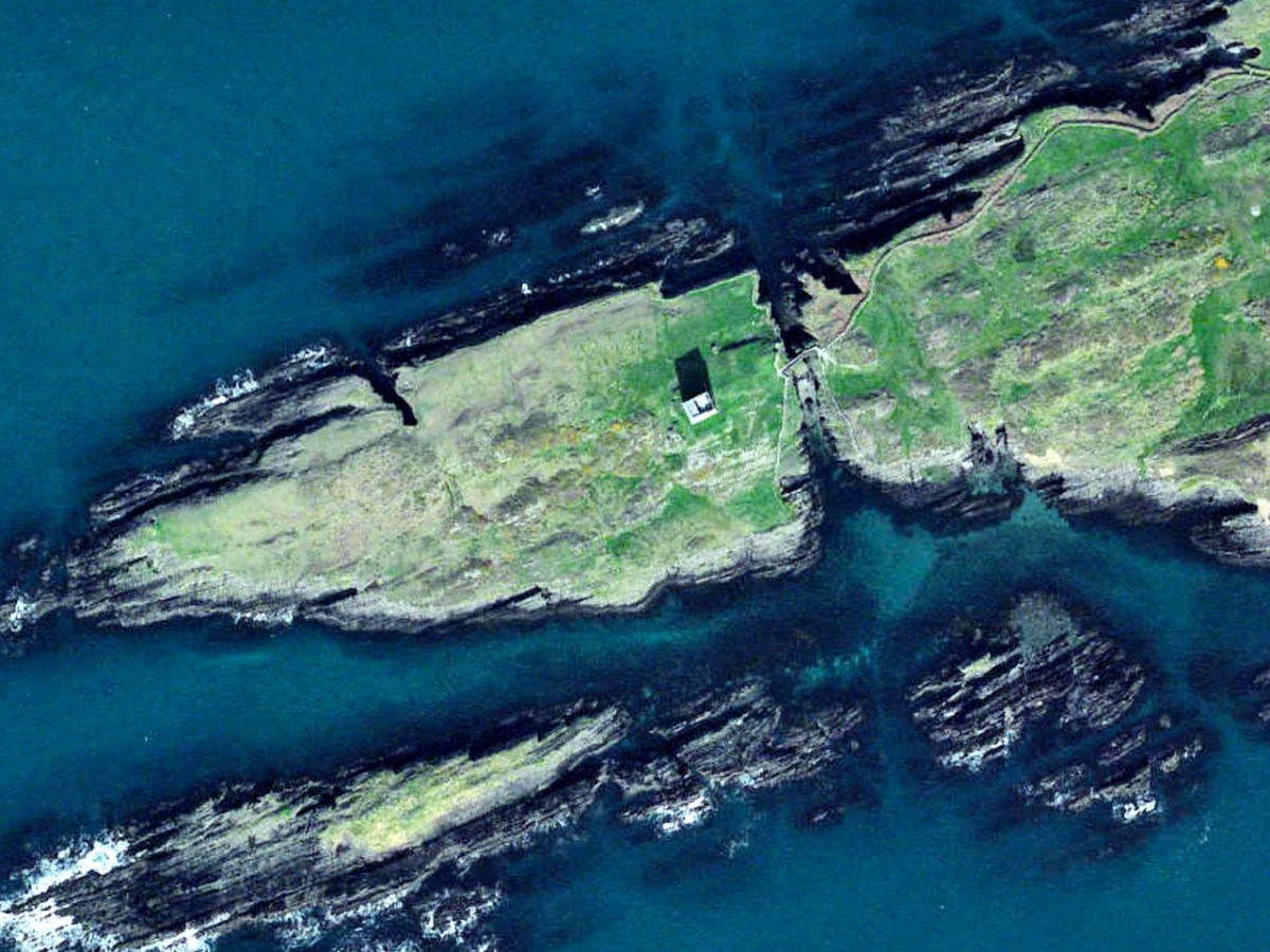
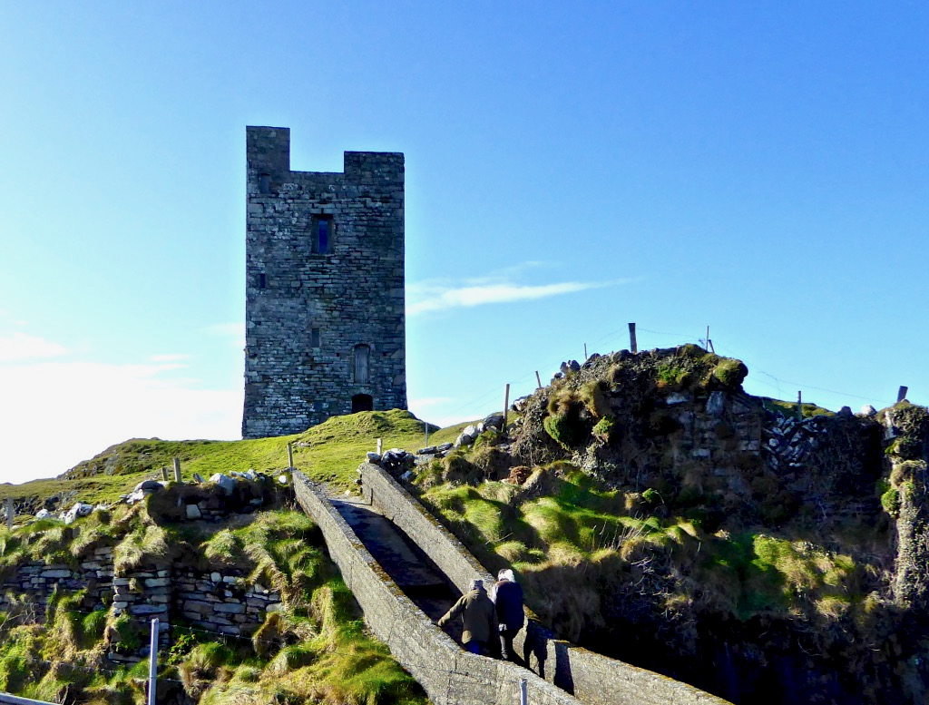
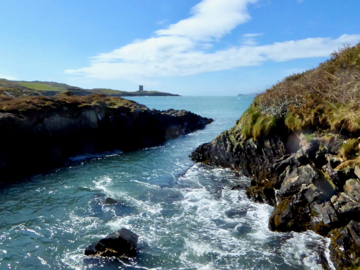
The western part of the Ivagha peninsula, the territory of O’Mahony Fionn, is now sparsely populated. Away from the formidable Mizen Head, the ice-sculpted land meets the sea with low, rocky cliffs. In this part of the Survey region, the strike of the rock is almost south-west/northeast, the layers being tipped close to the vertical, the shore tends to be sculpted into long peninsulas and islands running along the strike. Exposed to the Atlantic, it is a wild treeless shore. The fields once densely fanned prior to the famine, are now mostly given over to pasture. The tower house stands far from any road at the west end of a long narrow peninsula. Erosion has nearly severed the tip of the peninsula; only a precarious natural bridge, now reinforced with concrete, joins it to the mainland. The island is large, the ruins cover only a small fraction of its area. The tower house stands towards the island’s east end at its highest point. The promontory is for the most part gentle in relief, being covered by grass-grown ‘drift’ deposits.

THE TOWER HOUSES OF WEST CORK
MARK WYCLIFFE SAMUEL, 1998

When Niall bought the property the bridge consisted of a few planks. It must have been a hairy business getting across to it until he built the concrete walkway you see today. Niall and his family spent their summers at the castle – can you imagine, as a child, what it must have been like to have your own castle to play and live in? Magical! Although I do think about what it must have been like for Dorothy, who spent the weeks there with the children while Niall worked in Dublin. How did she manage to feed them and keep them safe? A heroine, indeed.

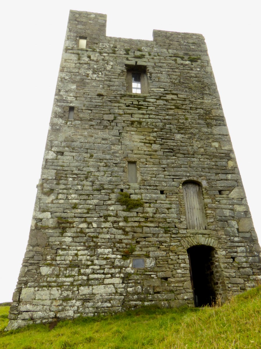
Like the others I have described in detail, Leamcon is a raised entry castle. To recap – the ground floor entry gave access to the ground floor, and possibly by means of a ladder to the second floor and mezzanine. The raised entry gave access to the second floor, and then, by means of a strait mural staircase, the the floors above the vault. Take a look at the cut-away diagram in Illustrating the Tower House: A Guest Blog to see what I am talking about here. Thus, the upper floors could only be accessed by one staircase, a defence feature, and being above the vault provided security from fire in the lower floors. Given that there were no fireplaces, and that braziers were lit in the middle of the floor, with smoke escaping however it could, this was probably a good idea.

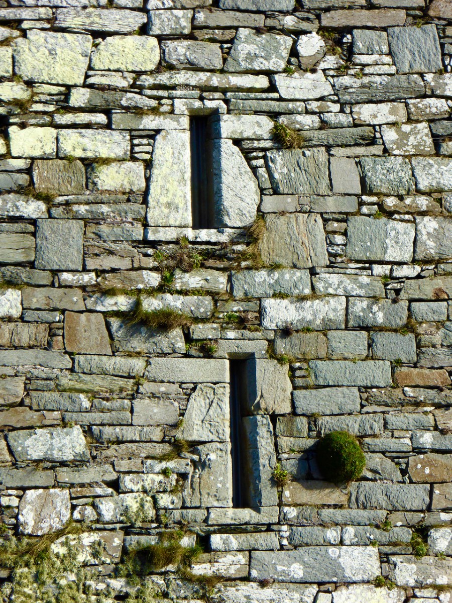
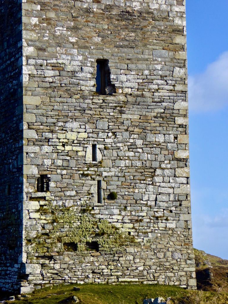
Another defensive feature was the small opes, or windows, through which no attacker could climb and little light could penetrate

As regards defence, the castle was attacked by Carew’s forces after the Siege of Dunboy in 1602. According to Samuel:

Sir George Carew reported, on 13th July 1602, that his lieutenant, Captain Roger Harvy, had taken several castles strongly seated on rocks and necks of land. All were so ‘neere unto the sea where ships may safely ride, and fit places for an enemy to hold as, namely Leamcon, Donnegall’ and others. The decision was taken to burn these tower houses. Conor, the head of the sept, received quarter with his men and migrated to Spain immediately afterwards. He was subsequently pardoned but seems never to have returned.

THE TOWER HOUSES OF WEST CORK
MARK WYCLIFFE SAMUEL, 1998

Black Castle wasn’t burned and it subsequently was reclaimed for a time by the O’Mahonys, although the clan forfeited all or most of their lands after the rebellions of the 1640s, and the castle was abandoned from at least the 1690s. Such was the state of it when the O’Mahony Reunion took place here in 65 or 66.

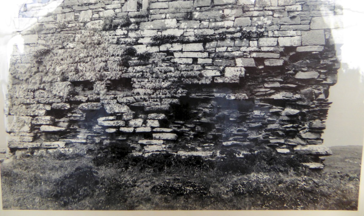
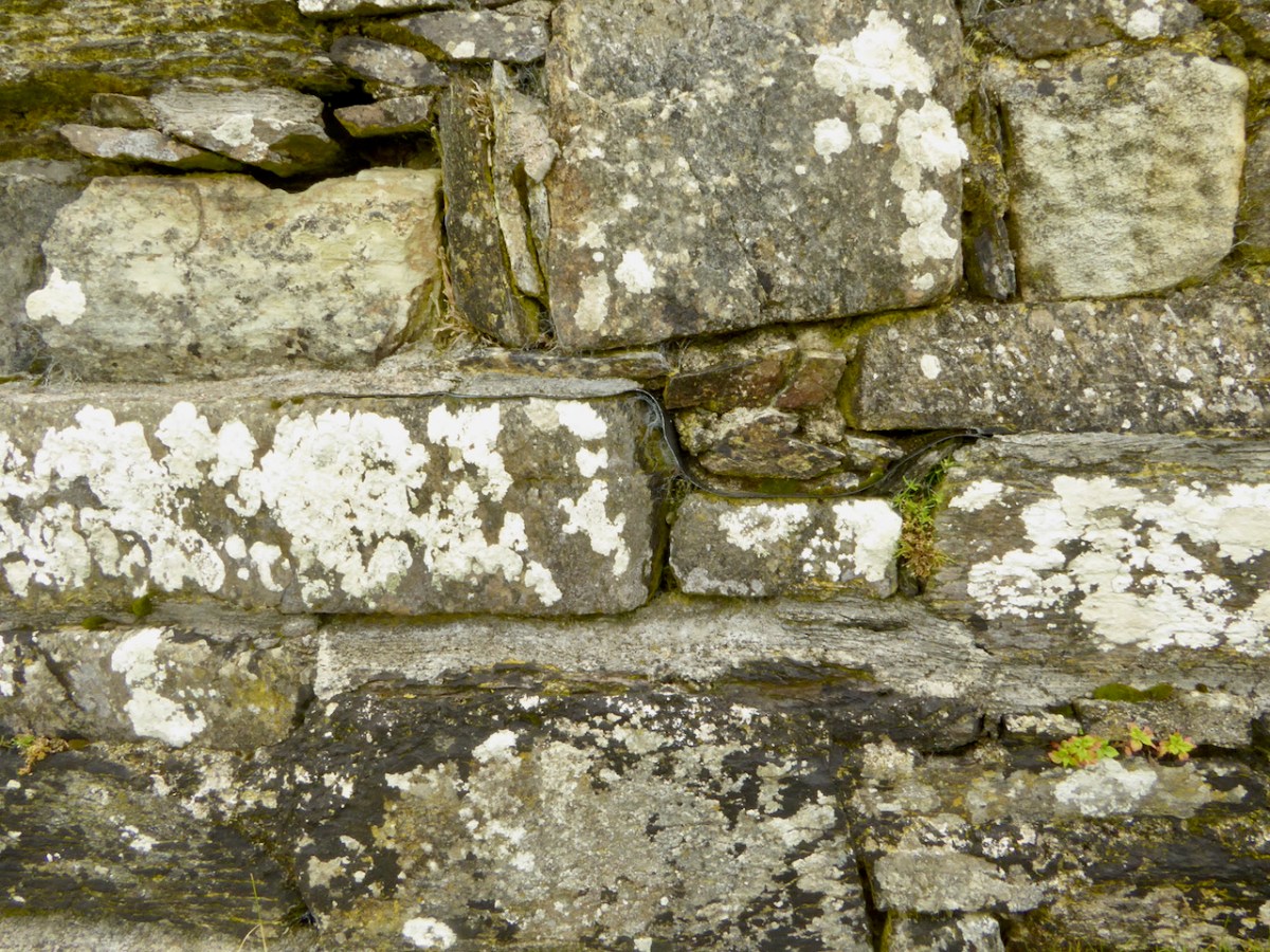
All those years of neglect had resulted in a castle in a perilous state of dereliction and Niall and his builders set about stabilising it before they could make it habitable. The base batter – the broad foundation that give the walls a strong base – had first to be repaired. This called for great skill and the results are impressive. Niall has left a band of membrane to indicate where the old and new stone work meets.

The castle was built to align with the strike of the rock, a feature of most of the Ivaha tower houses. The strike is the compass direction in which the rock bed is running and for West Cork that is mainly in a northeast to south west direction. The builders chose a prominent and solid rocky platform, still easily discernible, and probably prepared it by digging away any soil and loose rock and may have laid down a layer of mortar to help bind the lowest slabs to the rock surface. 

At Black Castle, the quality of the masonry varies, leading me to think that not all stone masons were as skilled, or perhaps as careful, as others. See the variation in the image below. The quoins (corner stones) were made of fine-grained sandstone that can be freely dressed in any direction (called Freestone), while the stones used to dress the outer layer were carefully chosen (or deliberately shaped) to be smooth and even, lending a pleasingly sheer surface to the castle exterior, sometimes called  an “ashlar finish.”

The raised entry, in the case of Black Castle, is directly about the ground-level entry, similar to Ardintenant, but unlike Dunmanus where the entries are staggered. The entrance to the upper door would have been by means of a wooden staircase, possible from the small rocky knoll across from the entrance.

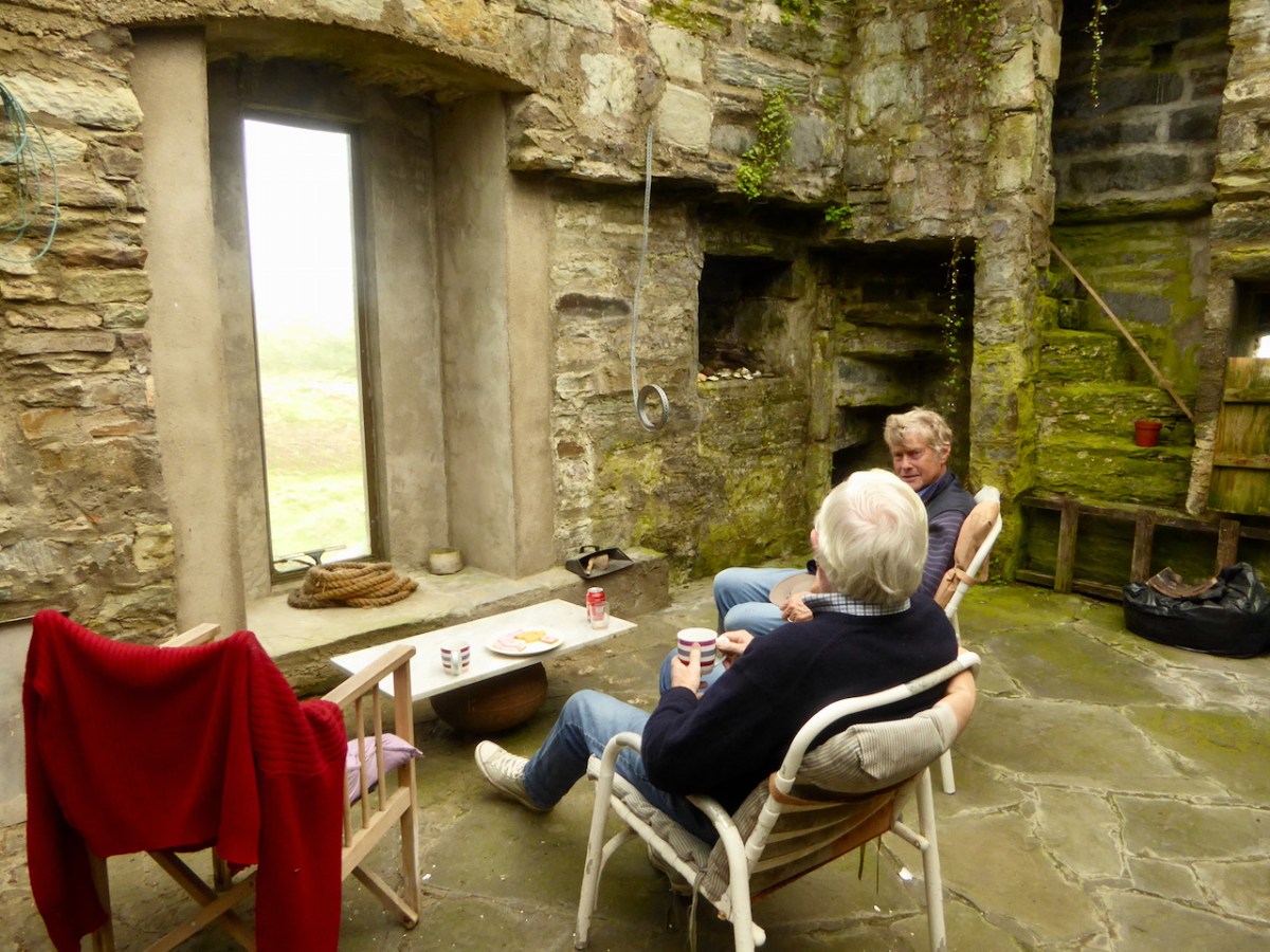
In his conversion of the castle to provide habitable space, Niall concentrated on the upper floors. There is a living room, kitchen dining area and bedrooms, along with a toilet and shower which are situated in the original garderobe space. 

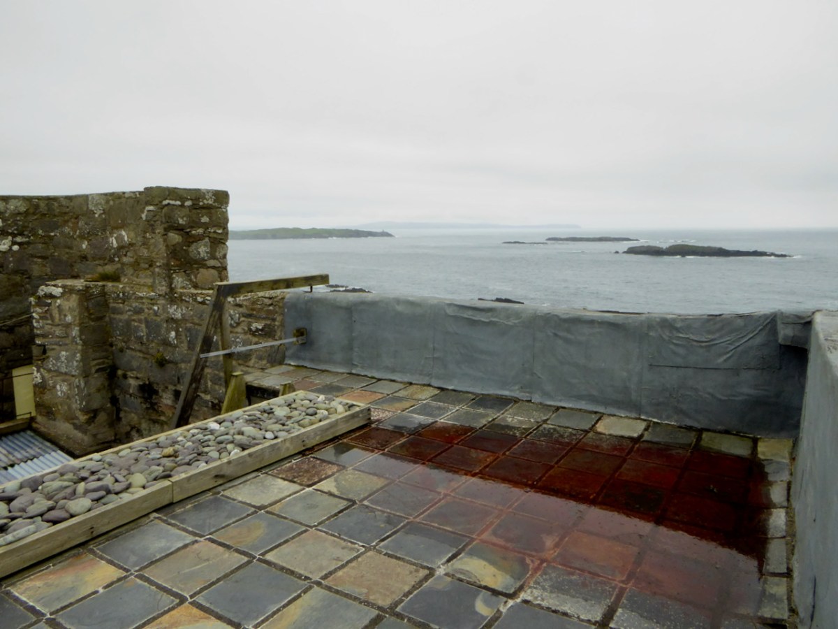
By roofing and waterproofing the building, Niall has kept further deterioration at bay. It is a joyous thing to sit and look over the countryside with a cup of tea on hand, or to climb up to the wall walk and gaze over the wild and rugged peninsula, imagining Carew’s forces advancing across the sea.

Niall Hyde has managed, on a limited budget, to salvage Black Castle and indeed turn it into a space that his family enjoyed. We should all be grateful to him, and to others who have taken on such tasks with vision and courage. Without the Niall Hydes of this world, we would all be the poorer.

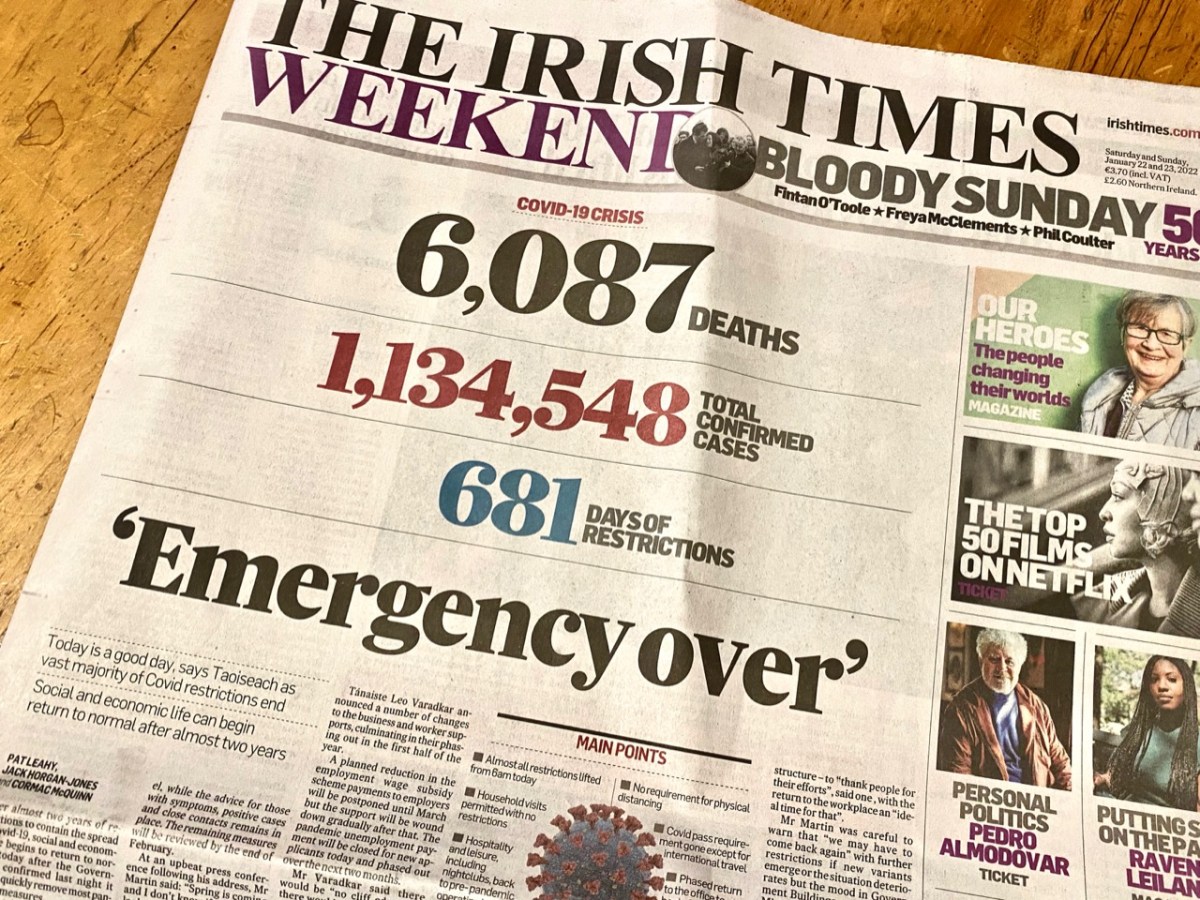
681 Days!

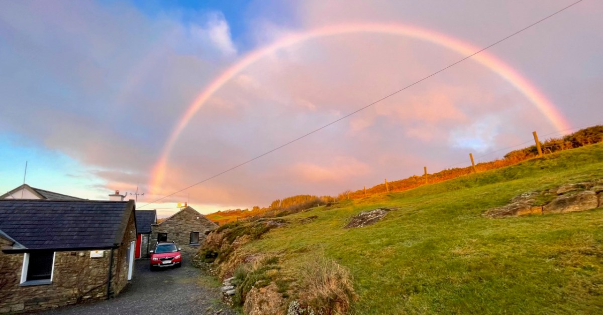
Yes – it has been 681 says since Covid-19 hit us and our world changed. From today, 22 January 2022, most restrictions in the state are gone, apart from the continuing need to wear masks in certain public places. Hopefully that West Cork sky over our house this morning, above, is a good omen for us. Today’s paper shows the stark tally:

The population of the Republic of Ireland as I write this is 5,023,337 (no doubt that is changing by the minute). That tells the story: 22.6% of the people here have had the virus. And of course it hasn’t gone away yet… But at least “social and economic life can begin to return to normal” says the Taoiseach. In order to mark the significance of the moment, my post looks back to our experiences over the last 681 days: in particular, how our lives changed at the beginning of the outbreak.

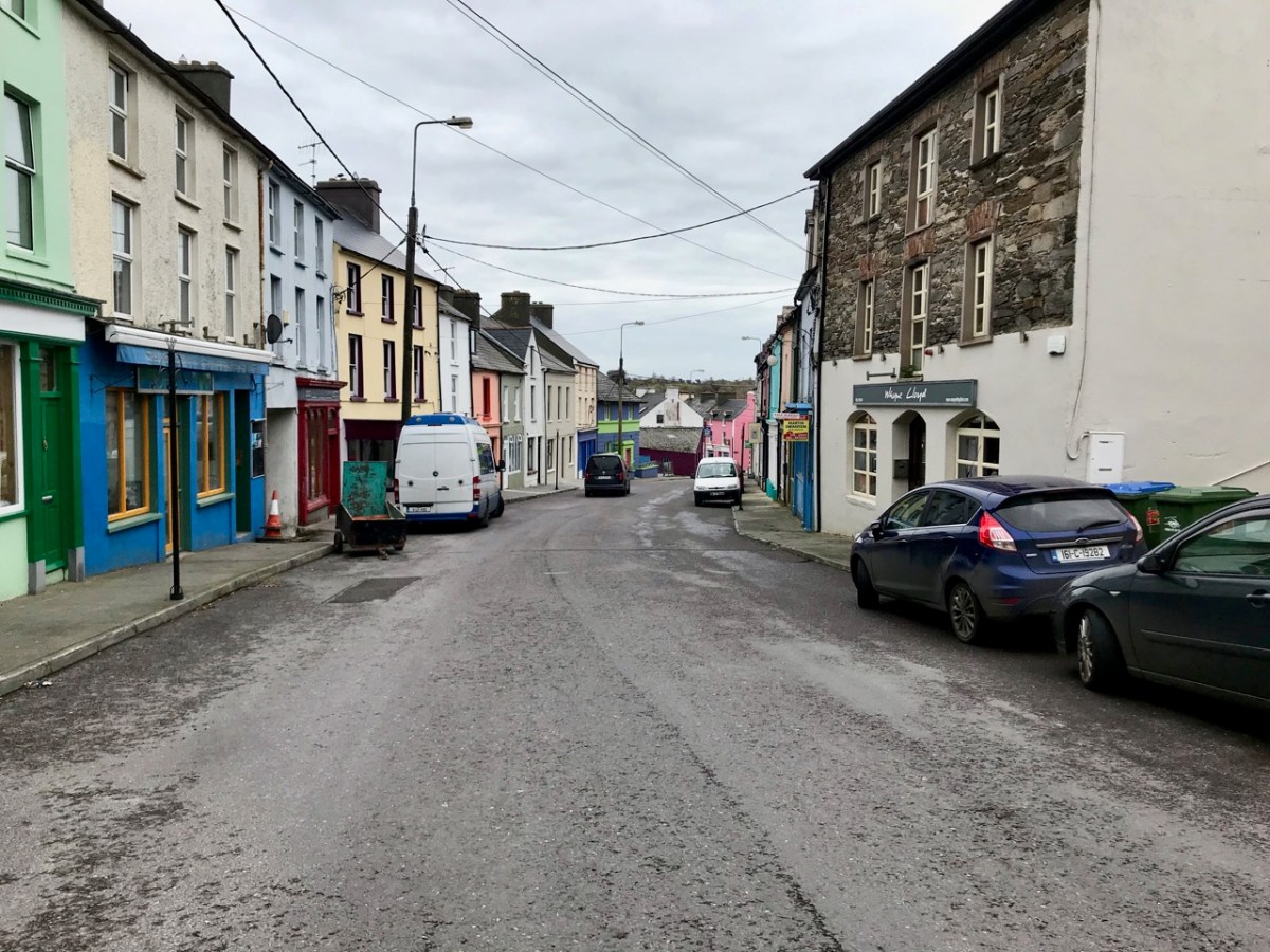
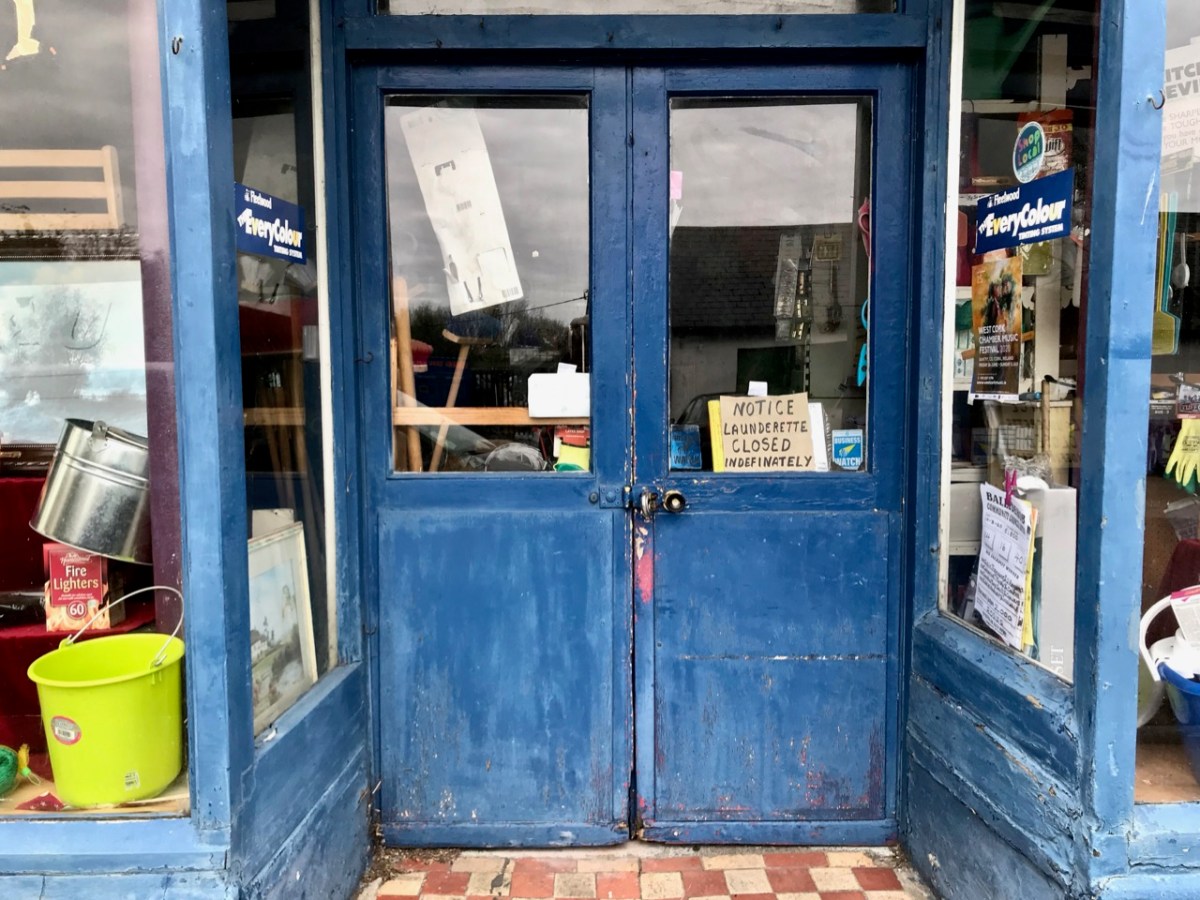
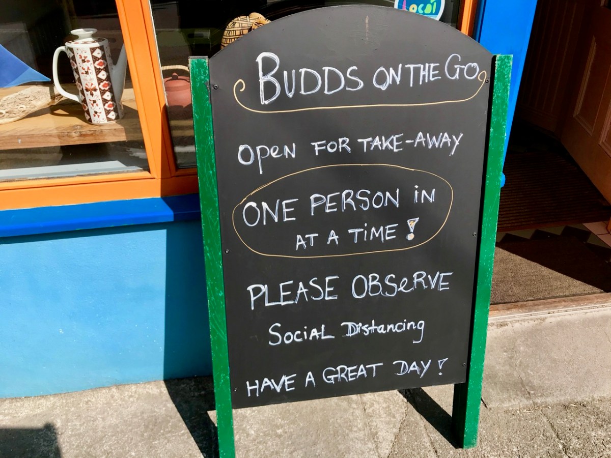
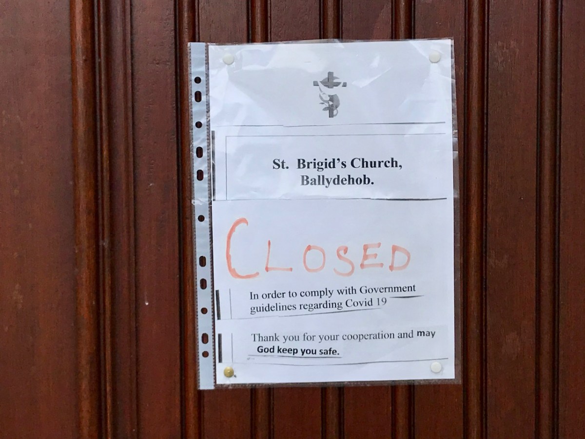
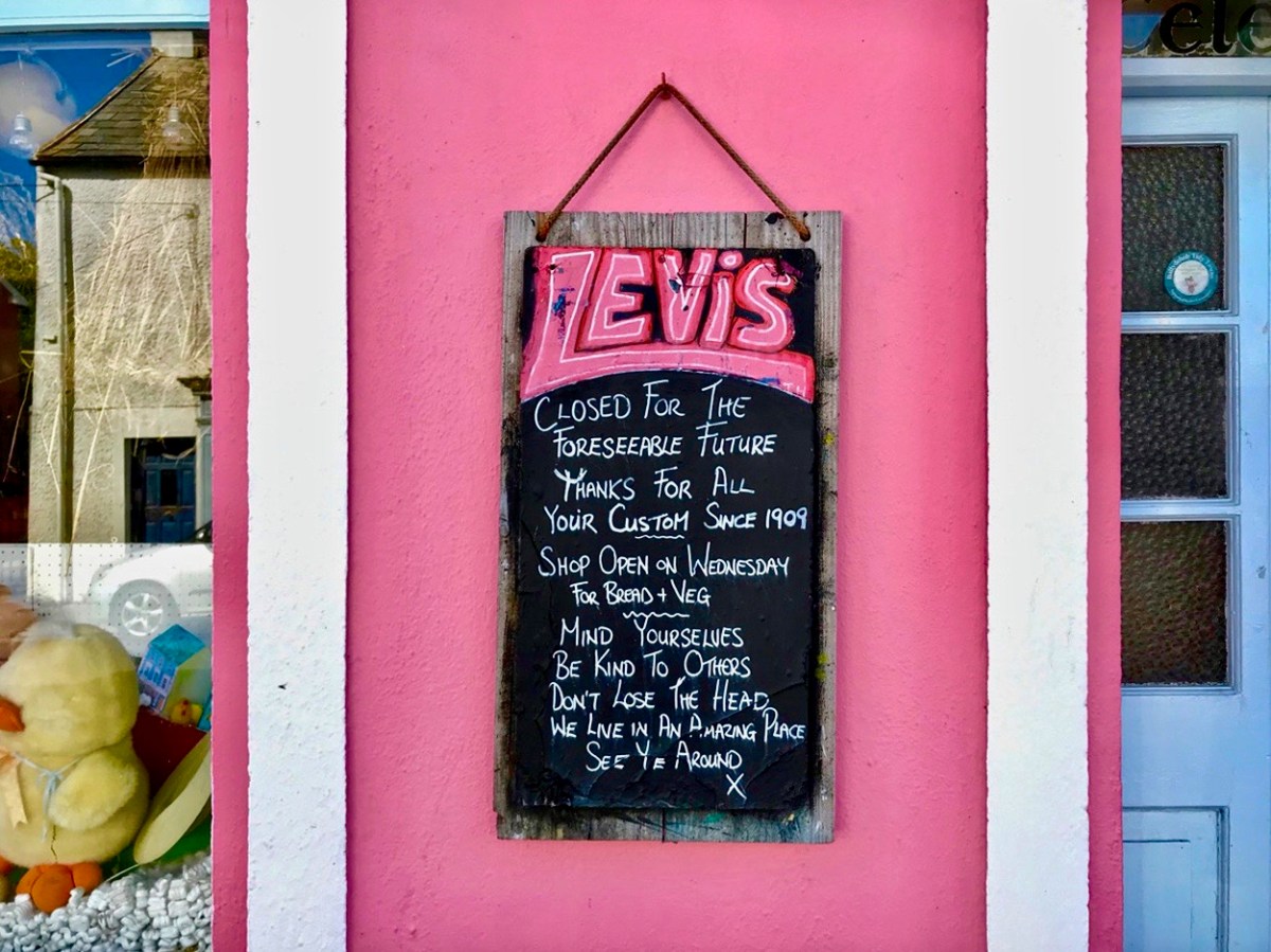
These two images of Ballydehob, taken at the beginning of April, 2020, sum up the shock of empty streets, closed businesses and everyone being advised to isolate. It all seemed very bleak: our movements were initially restricted to 2km from home, then that increased to a radius of 5km. If you lived in rural areas – as we do – you were permitted to travel beyond those distances if you needed to in order to shop or use essential services. We breached those rules on occasion – sometimes to get exercise in the deserted countryside all around us.

As the days went by, an amazing spring emerged, with day after day of beautiful weather. Human activity was curtailed, but the natural world continued along its course as though nothing was awry!

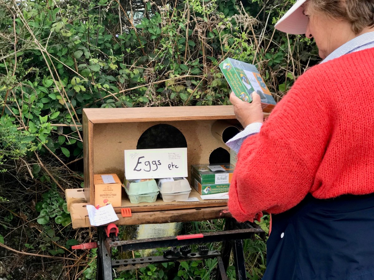
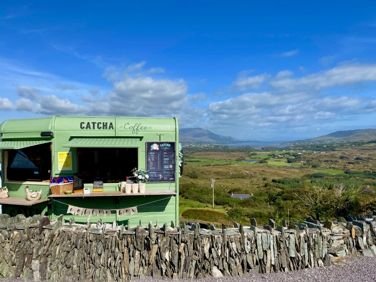
We humans are pretty adaptable. It was amazing to see the ingenuity of folks creating outlets for their energies without having to mix. Food-on-the-go blossomed as a craft industry: here are some examples.

We were very impressed with many of the examples we encountered – and which have survived over the months. Hopefully they will carry on, as casual coffee stalls in the middle of nowhere are welcome to us in our travelling. Pre-pandemic they were probably frowned upon by ‘the authorities’ – and they are certainly regulated – but ‘authority’ would have had to be very hard-hearted to close down these little lifelines. In our experience, every one we encountered was well-run, and spotless. It was an incidental opportunity to have a distanced ‘chat’: always a source of good local information on how others were coping.

We took the opportunity to climb – and descend – Knockaphuka during the pandemic. It’s a mountain a short distance from Nead an Iolair, but a little outside the limit. No-one was watching! I suppose being restricted to our immediate environment for so long – day after day – made us re-assess it, and our lives. Certainly we have got to know the fine detail of the beautiful place we call home.

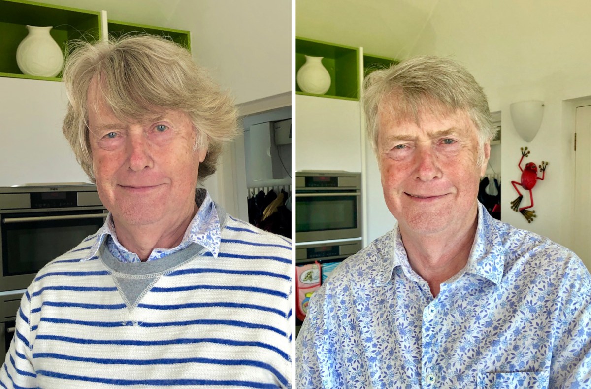
Here’s a social issue: we couldn’t get a haircut for months! Finola kept me in trim, but it was a relief when salons were once again allowed to operate, albeit with some restrictions.

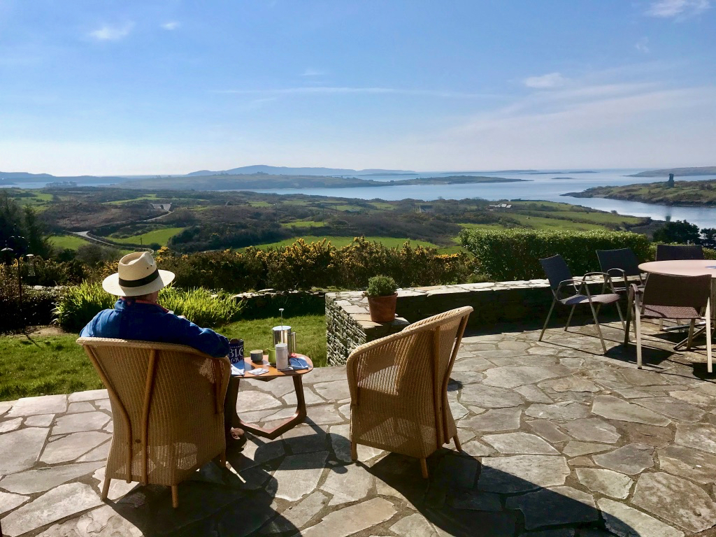
This is us having coffee on our own terrace, looking out over Roaringwater Bay in the wonderful spring of that first pandemic year. In fact, each of the two last years has been benign – with a few exceptional winter storms. We would have felt less relaxed if we had had persistent rain (which sometimes happens).

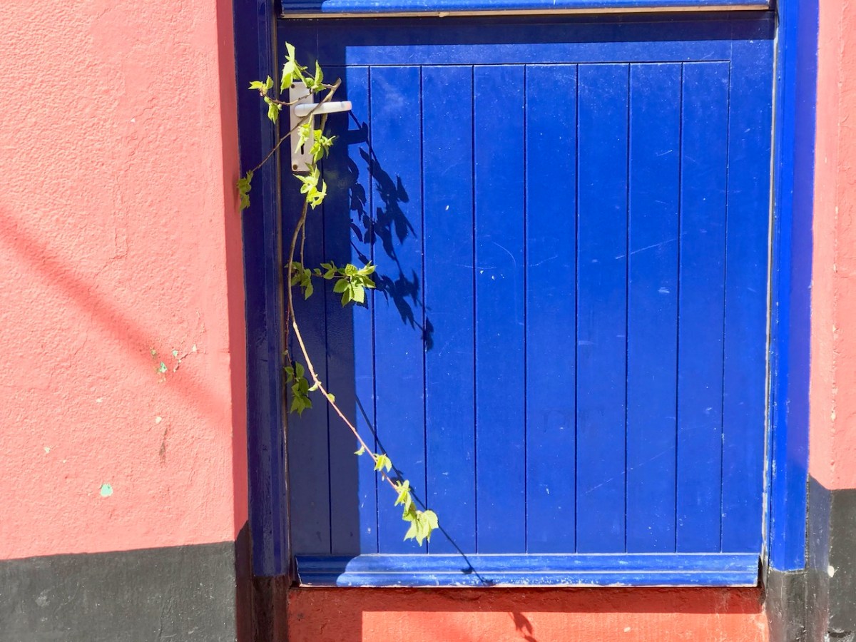
A sprig of green appears on a doorstep on May Day, 2020: a sign that we all still want to continue the old (perhaps ancient) traditions… There were ups and downs: things eased as the year went by and then the new variations came in. Numbers went down and we breathed out. Then they soared – especially with the Omicron variant, and everything went haywire again. Let’s hope that the present easing is here to stay. But the future can never be told…