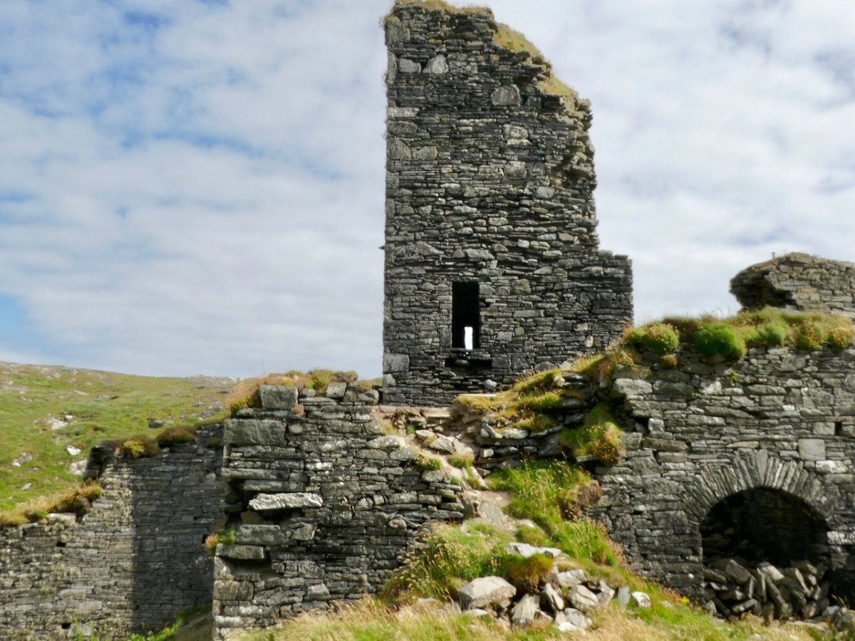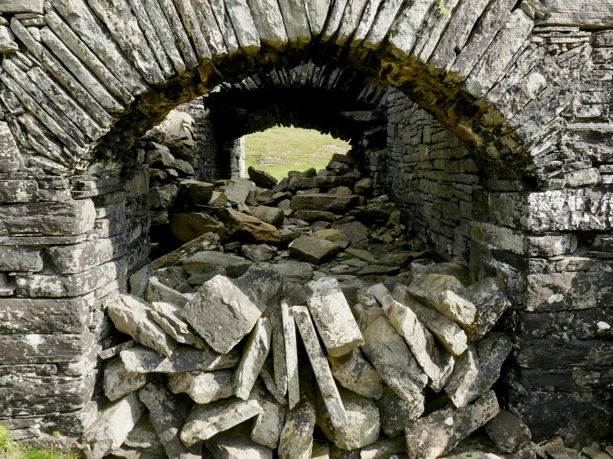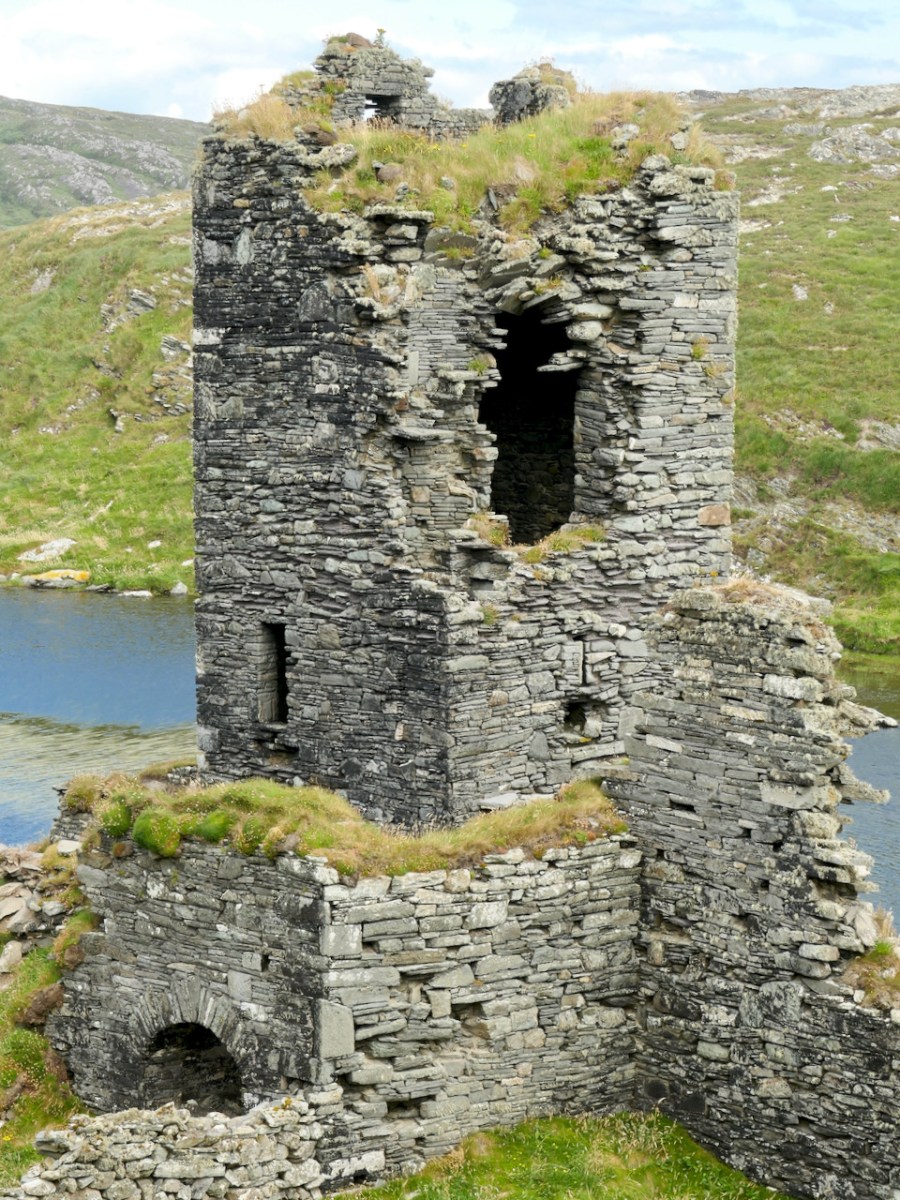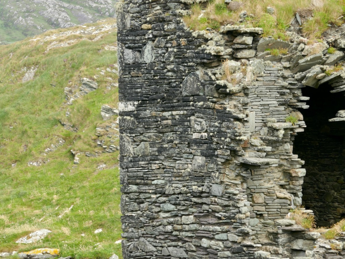
Dunmanus Castle 1: The Cliff-Edge Fort

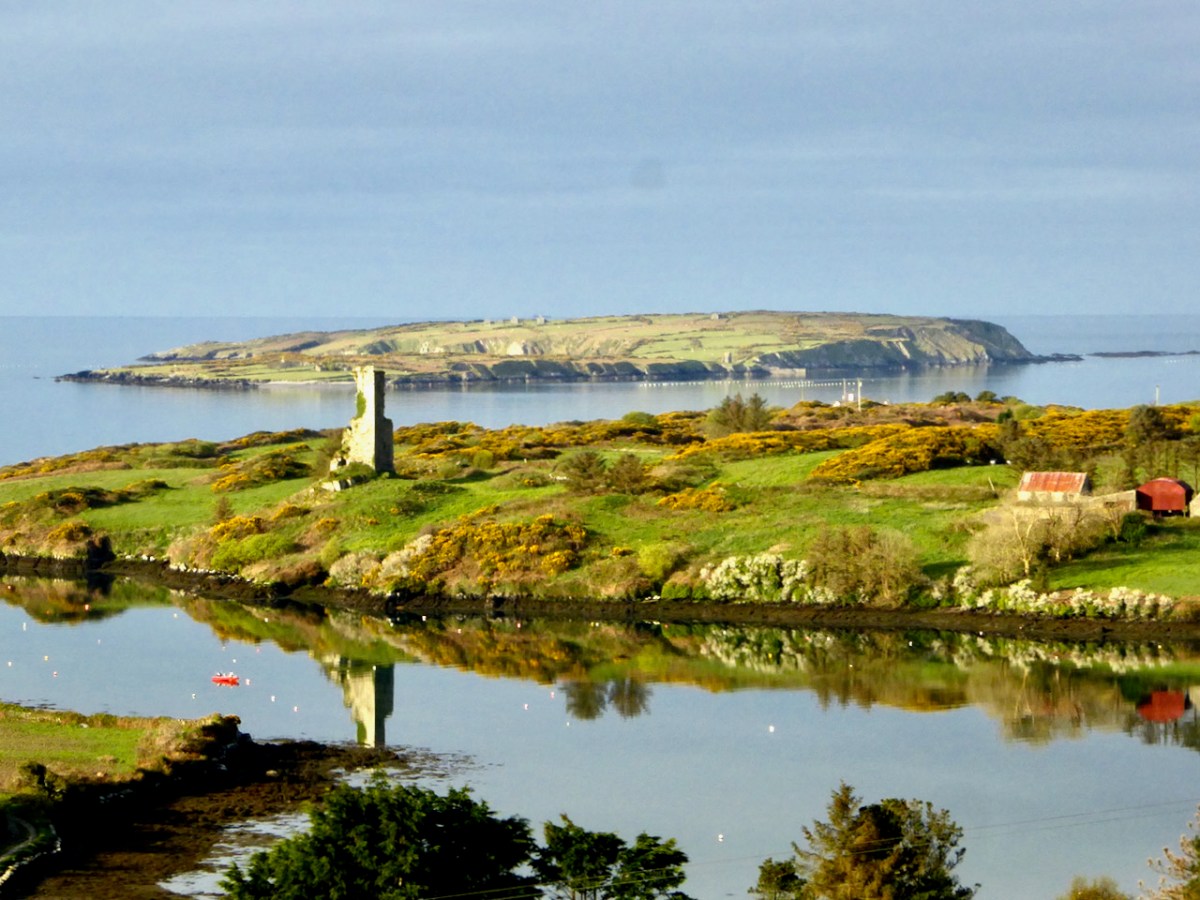
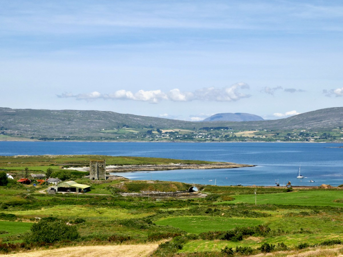
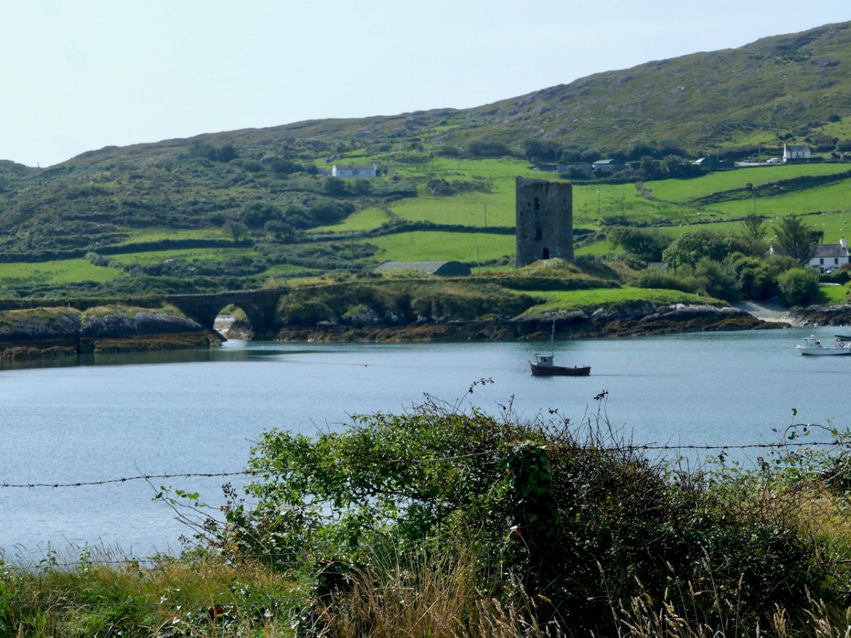
There is a strong local tradition on the Mizen, or Ivaha as I prefer to call it, that Dunmanus Castle is not the original. No – the first site for Donagh Mór O’Mahony’s Castle, the stories say, was in Knockeens, across Dunmanus Harbour from the present site. We set out to investigate.
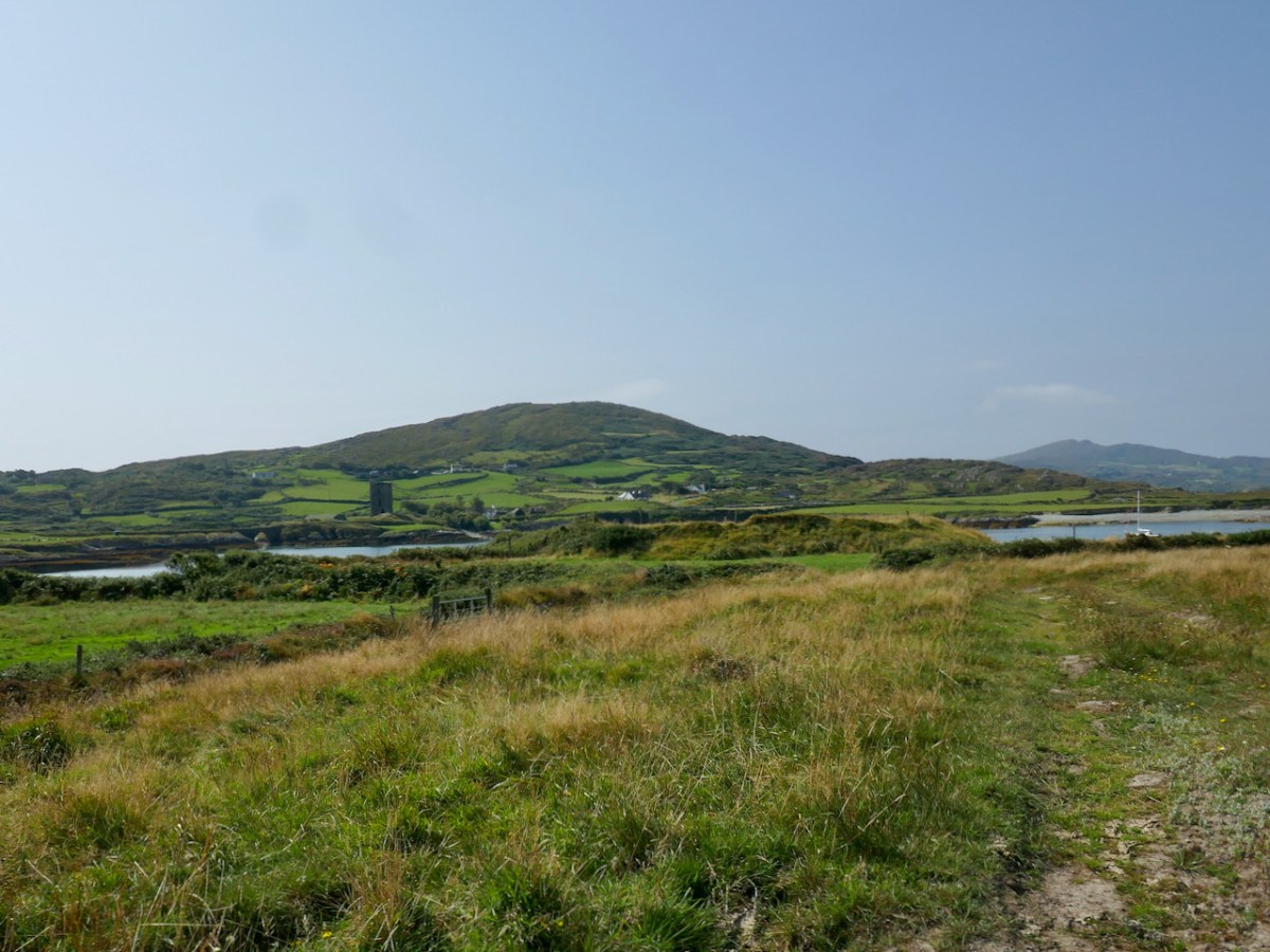
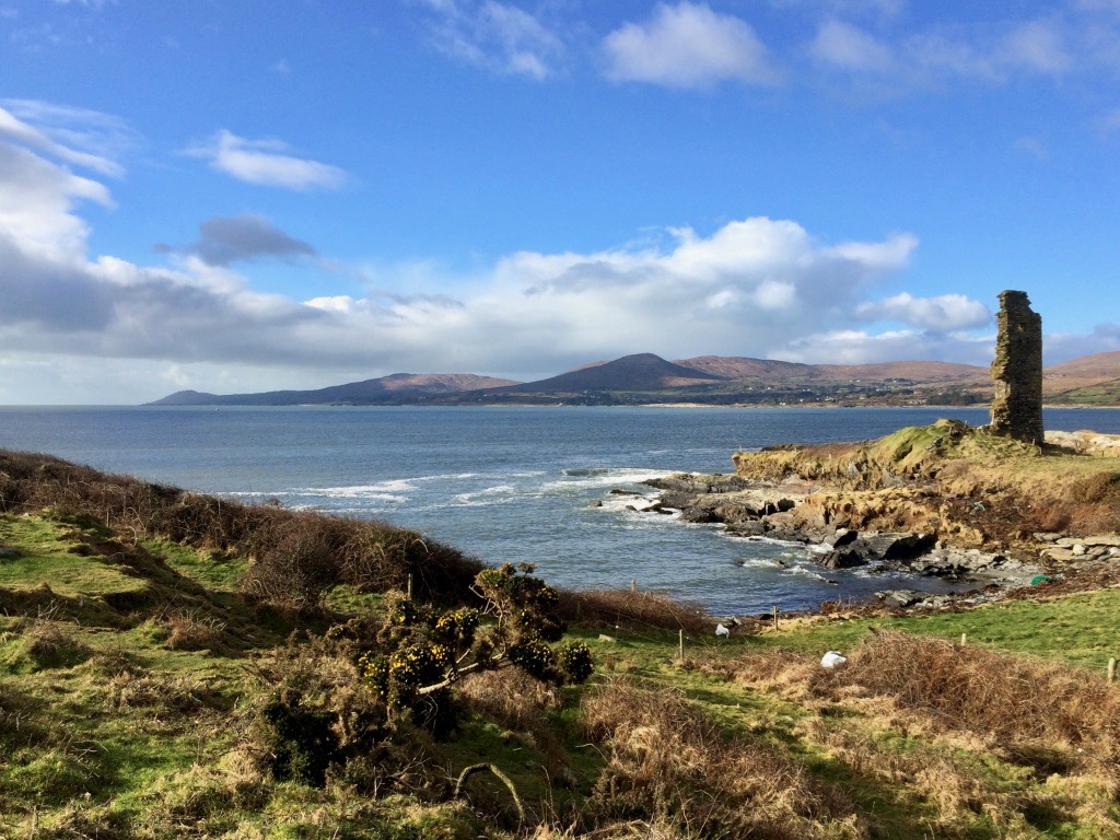
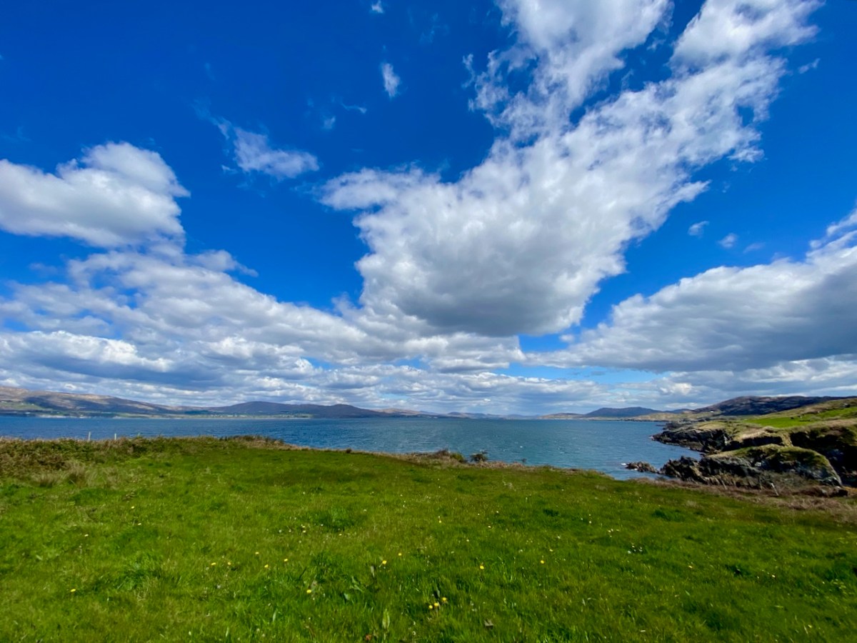
This is the site, directly across the bay from Dunmanus Castle, and it’s what is labelled in the National Monuments records as a Cliff-Edge Fort. According to their definition that’s A penannular enclosure which utilises a cliff-edge to form one or more sides as an enclosing element. They date from the late Bronze Age up to the medieval period (c. 1800 BC – 16th century AD).
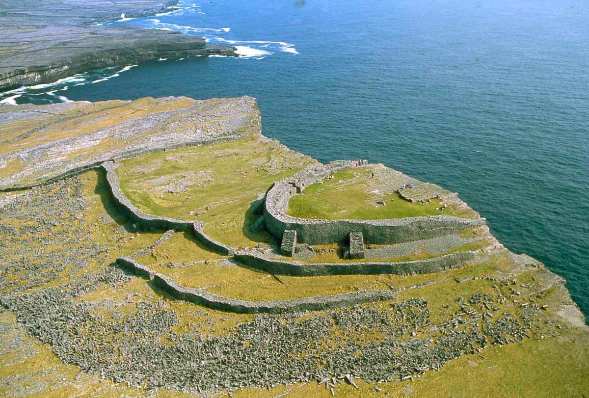
Perhaps the best known cliff-edge fort in Ireland is Dun Aonghasa on the Aran Islands (above) – it’s certainly the most spectacular. (Photo courtesy of Heritage Ireland) There are 20 examples of cliff-edge forts in Cork, of which only 6 are coastal, the rest are on ridges or steep slopes above rivers.
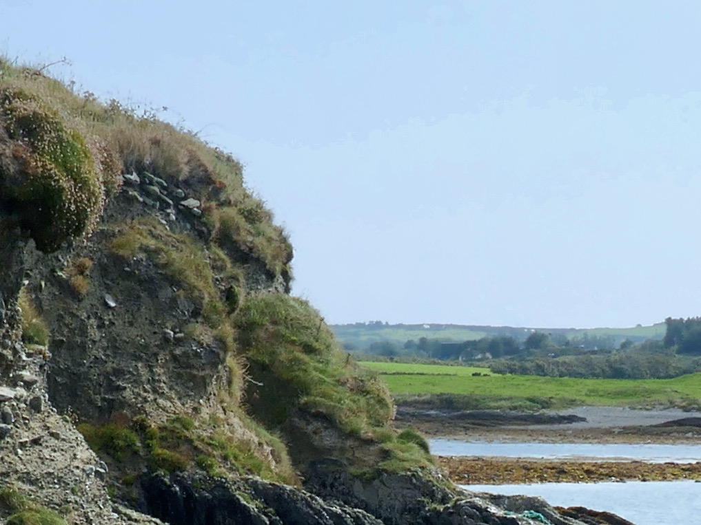
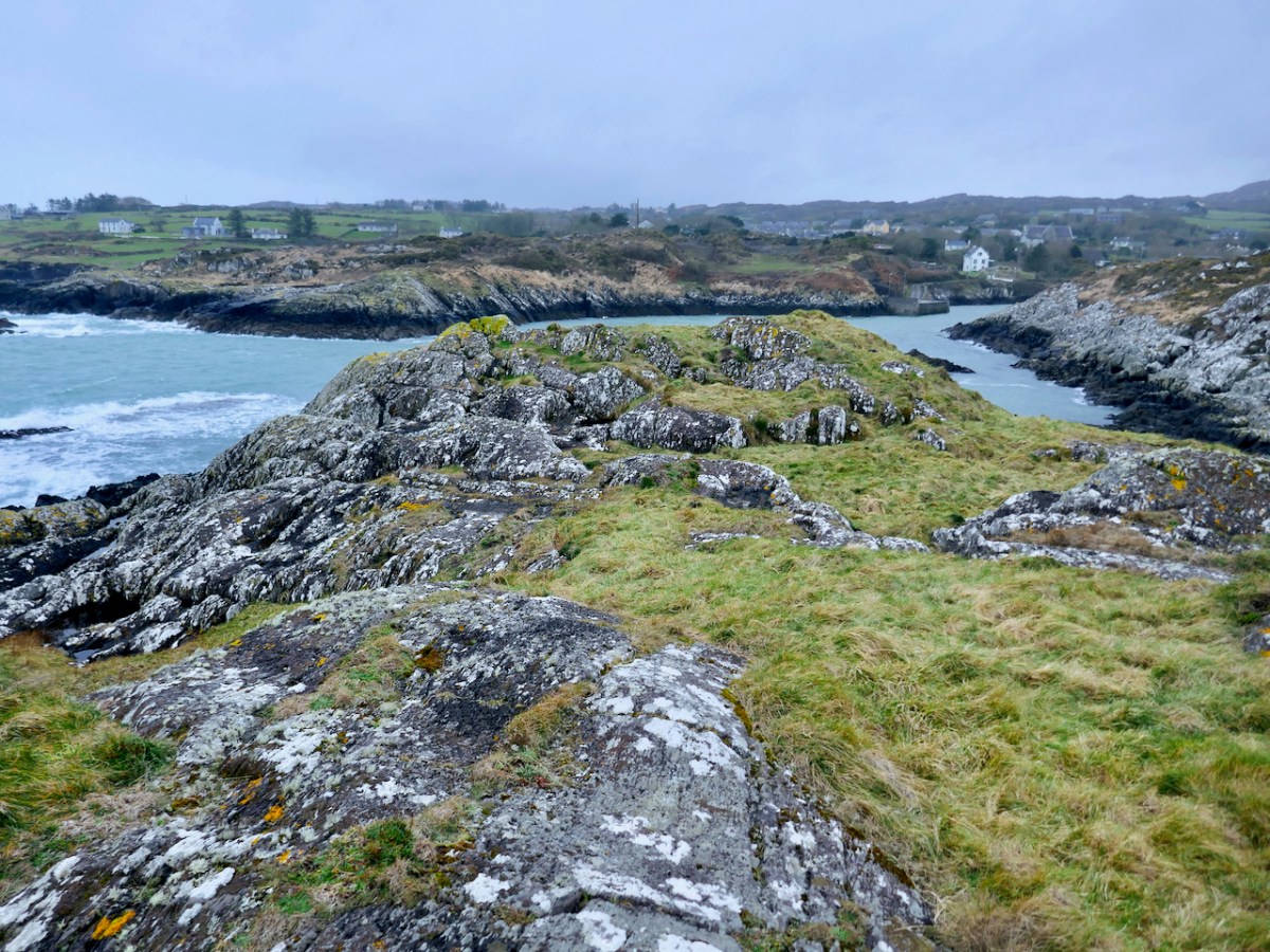
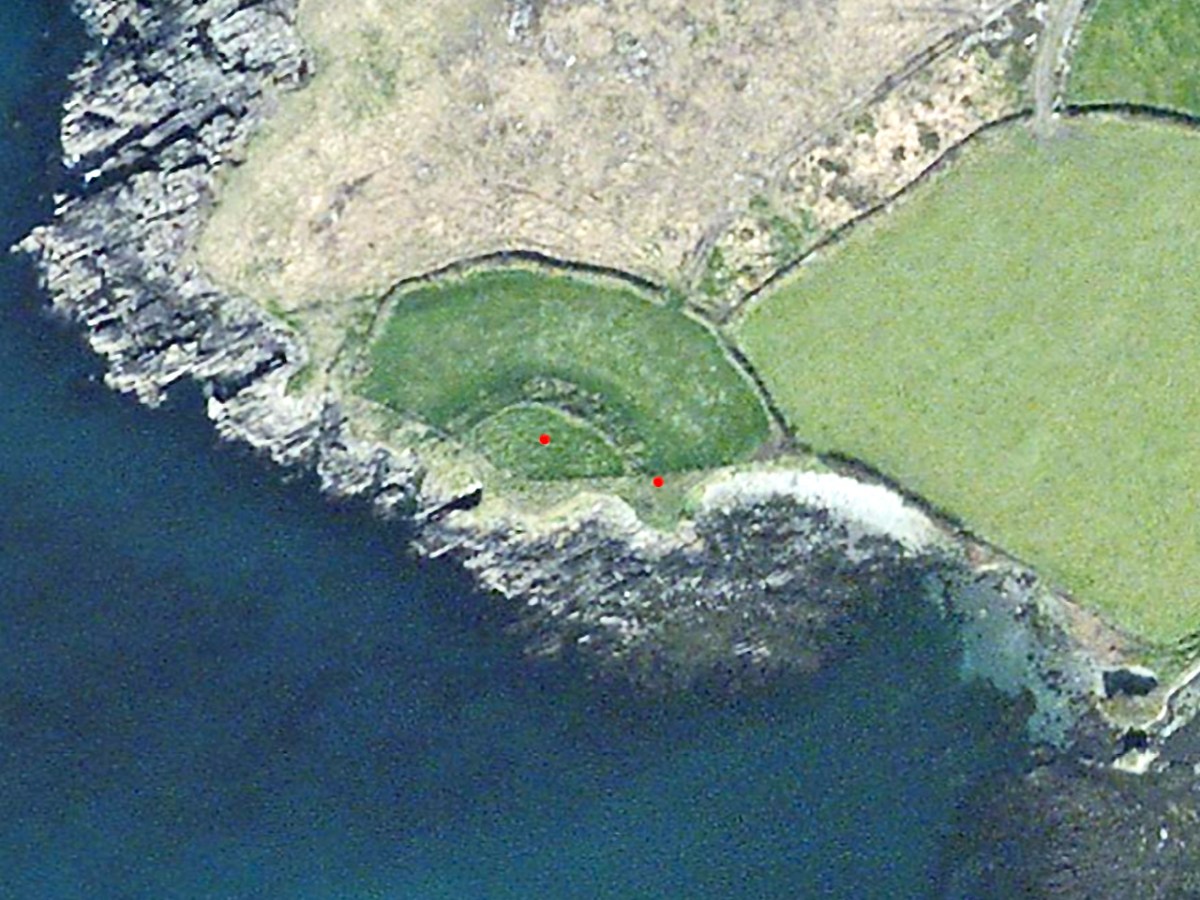
The problem is that some of these may genuinely be a specific type of fortification that uses the cliff-edge as an impregnable barrier – as promontory forts do, for example. Some of them, however, and this may apply to Knockeens, may have been circular ring forts, built on prominent locations to command views of land and sea, but which may have been eroded by sea-action until what is left is clinging on to the edge of a cliff. In the photo above, you can see the obvious erosion at Knockeens. Instead of a circular ring fort, what remains looks D-shaped.
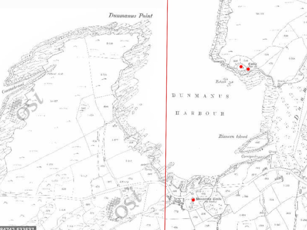
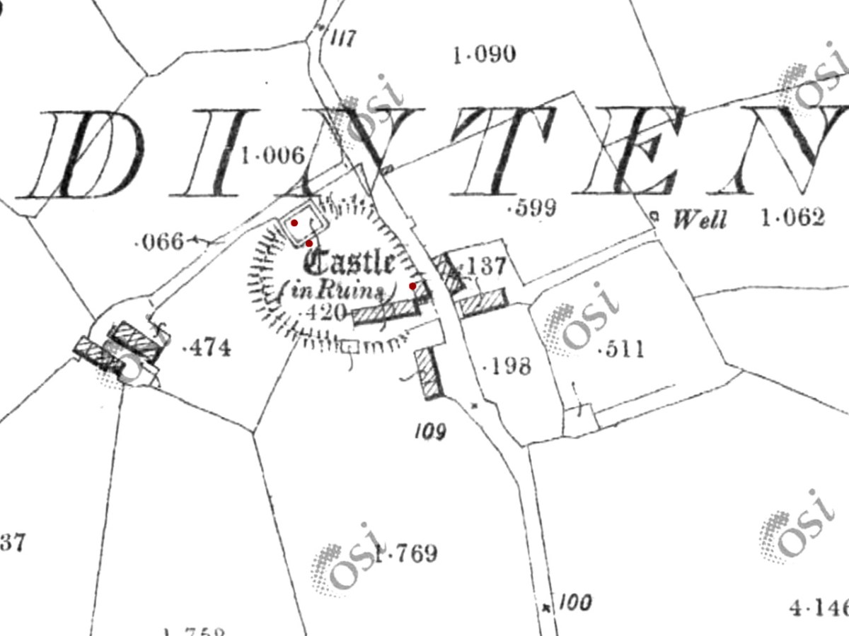
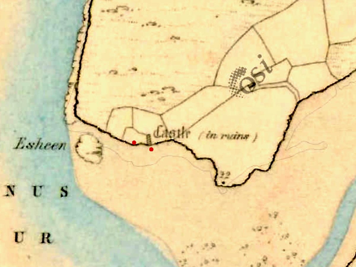
In the 25″ OS map, done in the late 1800s, the site shows ‘Castle in Ruins’

There is plenty of evidence that the Irish clan chieftains built their castles on the sites of their former strongholds – ring forts, cashels and promontory forts (see my post on Three Castle Head, for example). If there was indeed a castle at Knockeens, there is not much evidence of it now, although there are tell-tale signs of some kind of masonry construction.
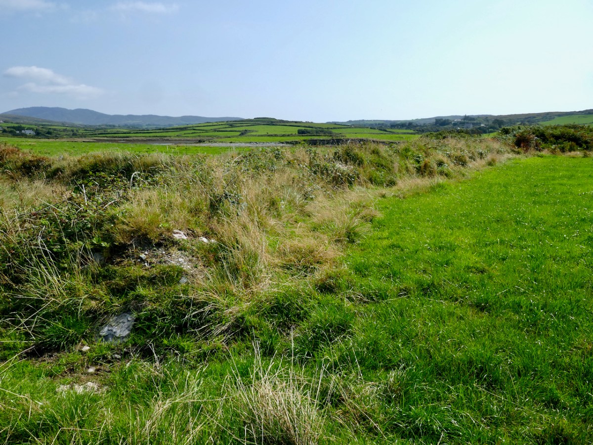
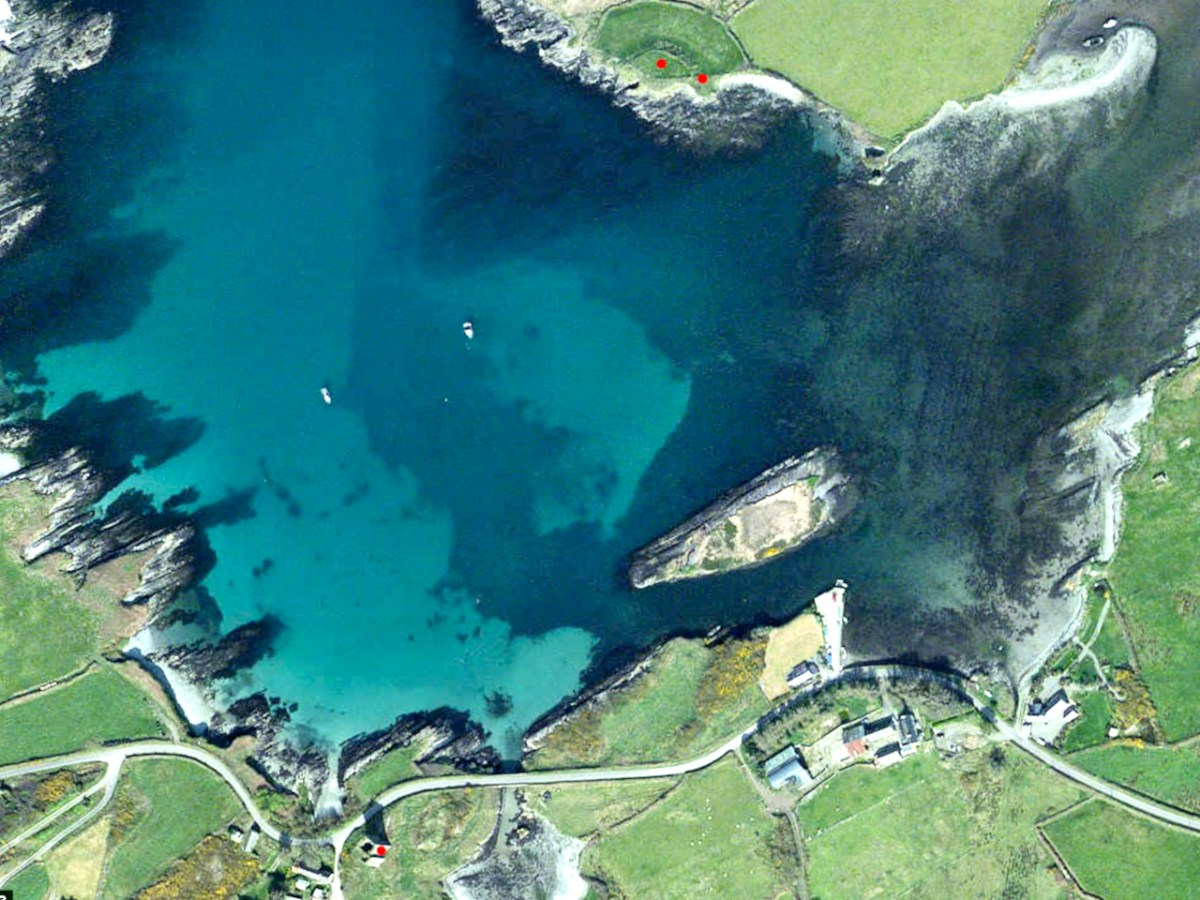
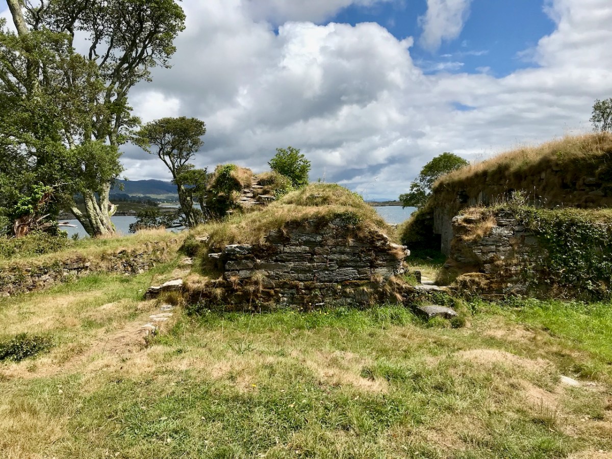
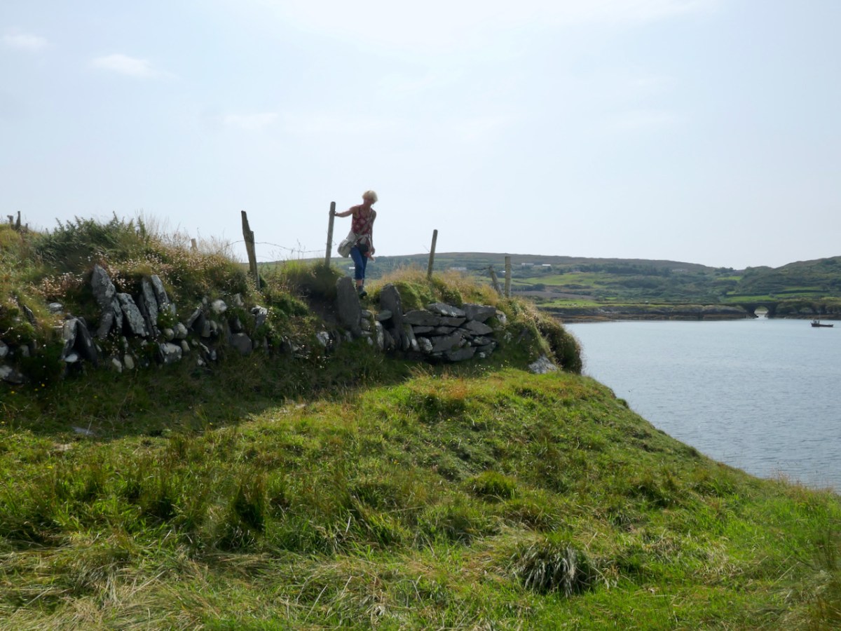
But whatever Knockeens was – a cliff-edge fort or a ring fort – it’s unusual and impressive. It consists now of a raised platform of earth, probably originally circular, and an outer wall (above). There may have been a radial wall once (see the map below), but it has been ploughed out and is no longer visible on the surface, although it shows up faintly in aerial photographs. There may have been a fosse, or ditch around the outer wall also – slight traces of this also remain.
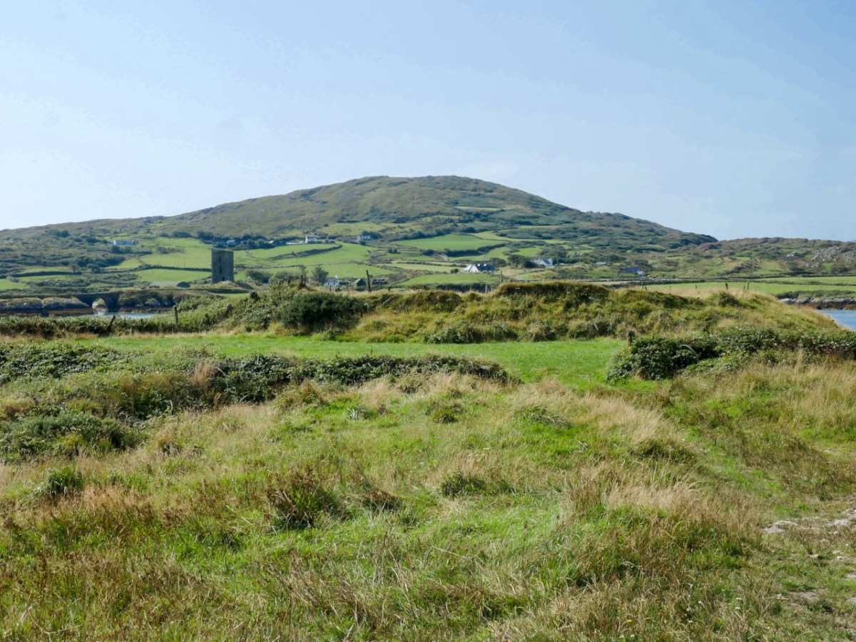
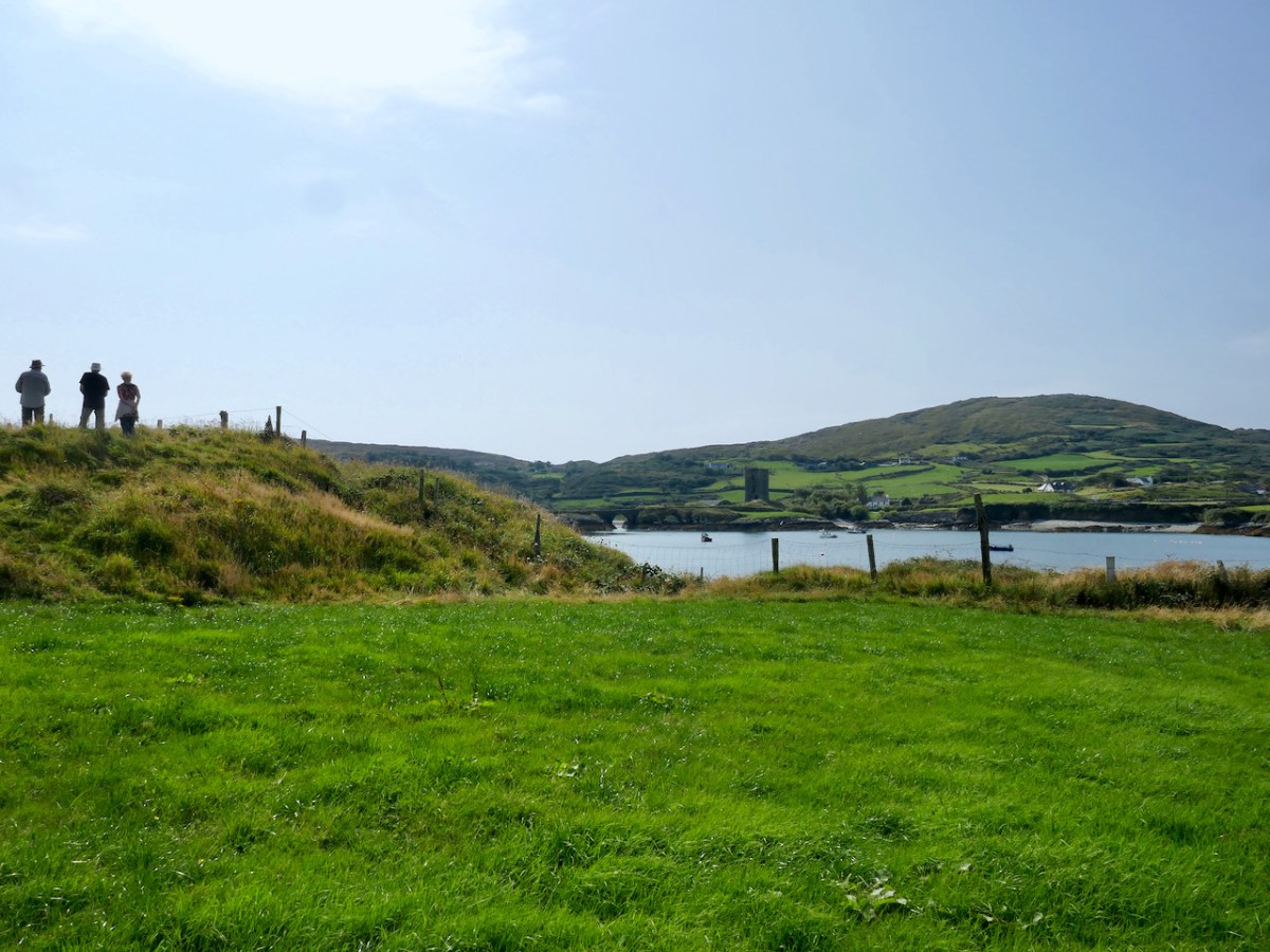
The raised platform is an imposing spectacle. We approached it from the landward side and were unprepared for how tall it is. The interior sits high above the surrounding land – an extraordinary feat of engineering and one which could only be accomplished by a chieftain with the ability to command the labour of many people. 
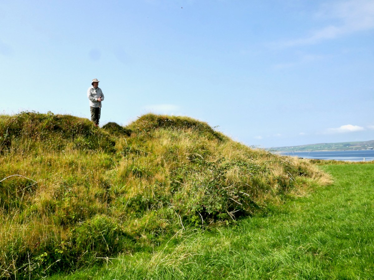
If indeed most of it has been swept away by the sea, it is now, of course, only a portion of what it once was. It certainly accomplished several objectives: commanding the entrance to the sheltered harbour, allowing visibility up Dunmanus Bay, and being a dominating force on the landscape – in other words a high-status statement residence and fortification. 
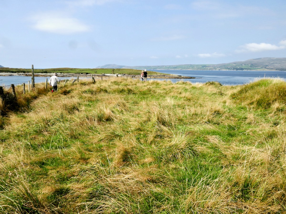
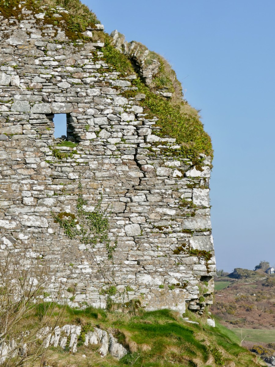
The outer wall appears to have been stone-built or stone-lined (see image below), and it, or the raised platform may have had a palisade around the top – these were common in ring forts. 
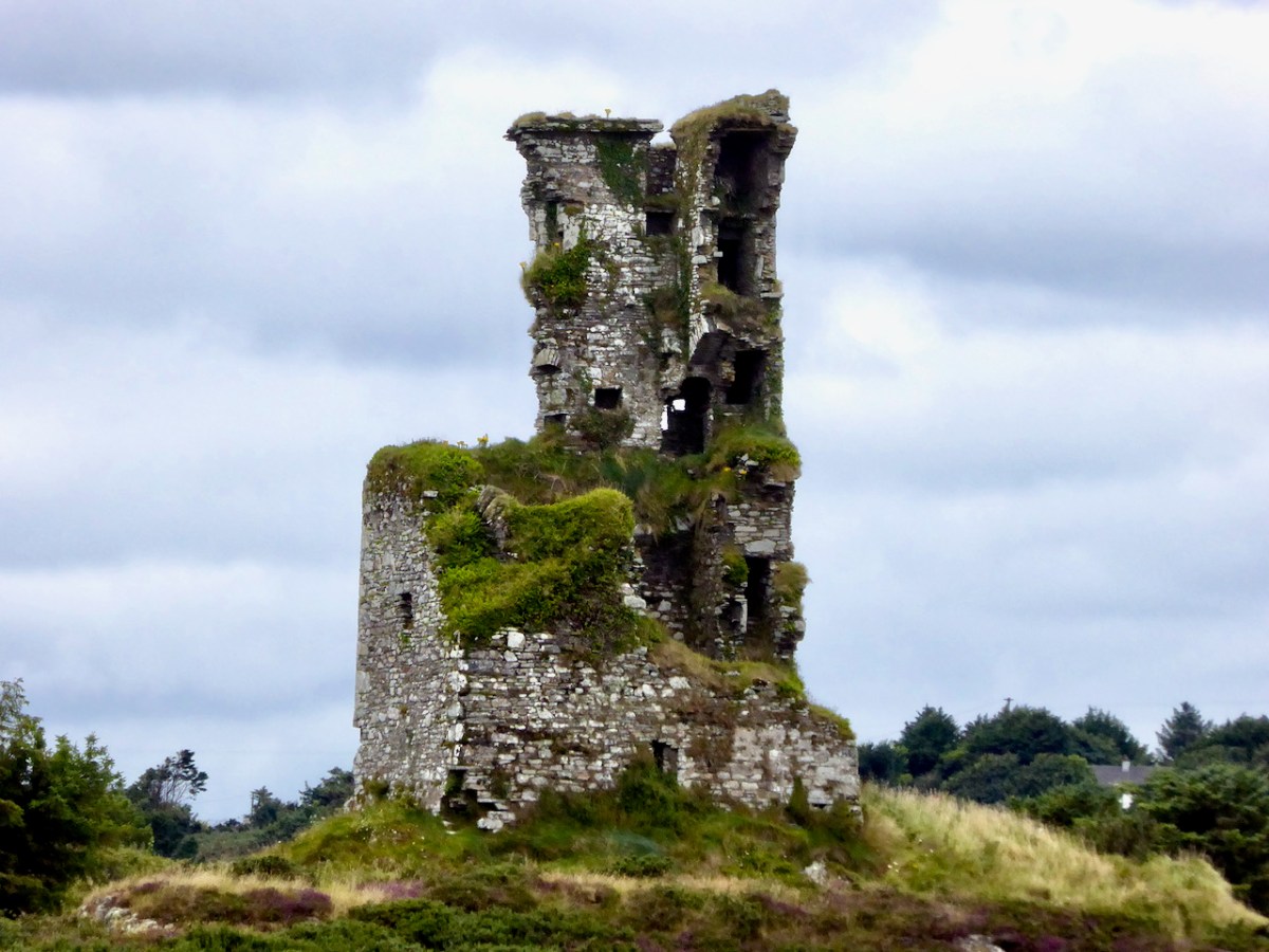
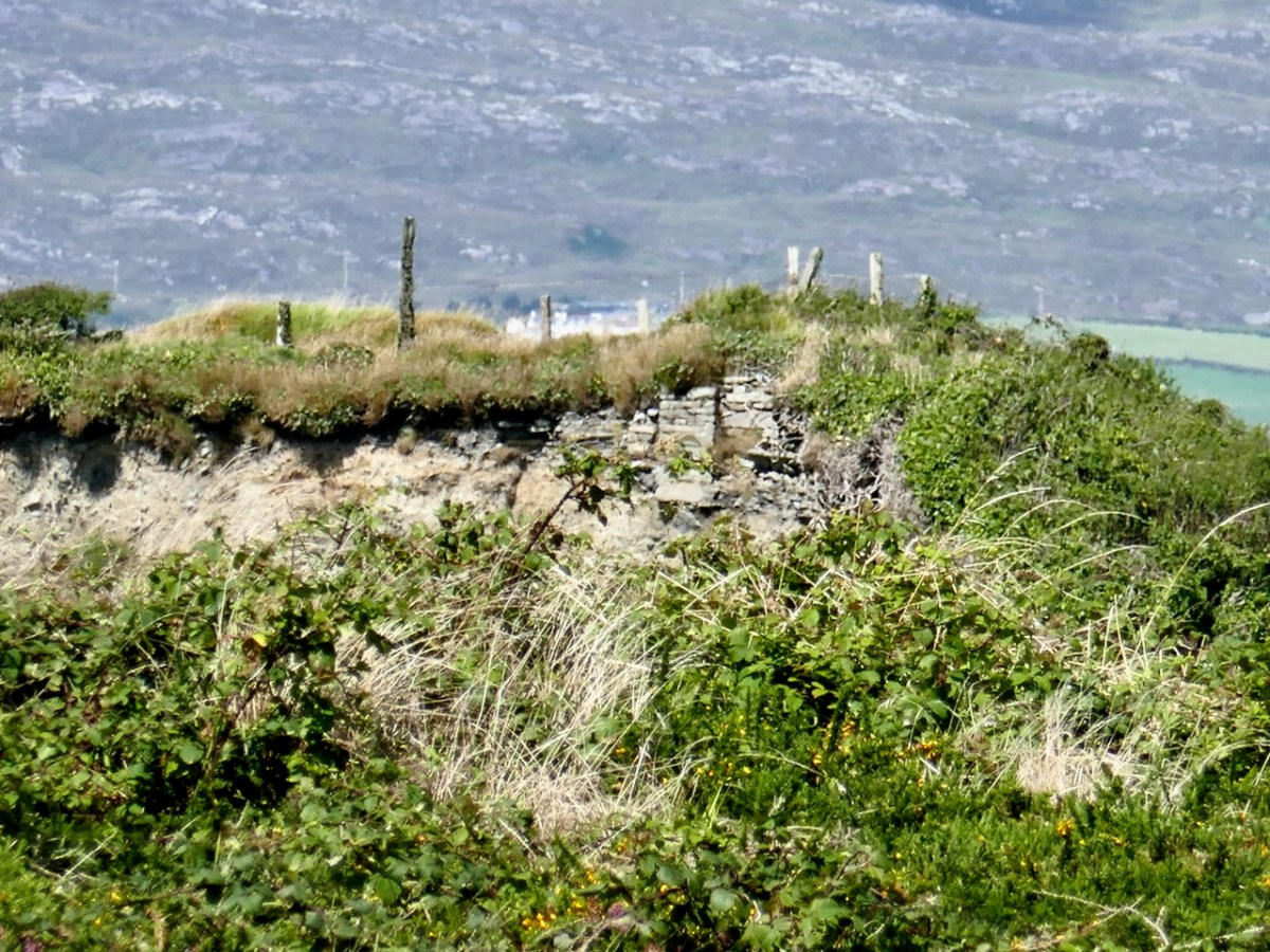
Although we could not find a way to get at it from the stony beach below the cliff edge, we could just about make out, from Dunmanus Pier across the bay, a cross-section of stone wall where the platform meets the cliff. In one of the older maps, this is marked as a “Castle in Ruins” although all that is shown is a portion of wall. So there may well be a solid basis for the belief that this was the original site of Dunmanus Castle. 
Michael Healy tells it this way:

It is related locally that before he finally decided on Dunmanus as a site for his castle, Donagh Mór O’Mahony, early in the 15th century, had selected a site on the other side of the inlet and had set his men to work. While they were working a stranger came by and said that they should not build a castle in that place as the sea would come and wash it away. They did not see him again but the project was abandoned and Dunmanus was built on its present site.

The Castles of County Cork,
Michael J Carroll in repeats the assertion that this was intended as the site of the castle but introduces a nuance:

The workmen  noted, however, that the heavy winter seas rose up over the site. The project was abandoned and the stones removed for use in Dunmanus.

The Castles and Fortified Houses of West Cork,
I said at the beginning that there is a ‘strong local tradition’ that this was the original site. What we have learned to do in these cases is go to the Dúchas Folklore Collection, for the stories collected by schoolchildren in the 1930s – and there it was, written by an anonymous students in Kilcomane School (possibly Bridie Kennedy of Lissacaha). Here’s what she wrote:

When O’Mahoney was building his castles he had one for each of his sons. When he was building Dunmanus castle it was in the Knockeen’s side he laid the foundation. There is a part of it still remaining. It goes by the name of the old castle. A half fool one day was passing by and he saw them at work. He told O’Mahoney it was a foolish place to build a castle, that the swells of the ocean and the river from the mountain would eat the foundation from it.

O’Mahoney then asked him where would he build it and the fool showed him a rock at the opposite side of the river called the mount. Then O’Mahoney considered himself and found he had a mistake made, so he took the fool’s advice and built the biggest castle of all the rest on the mount.

https://www.duchas.ie/en/cbes/4921594/4882831/5147738
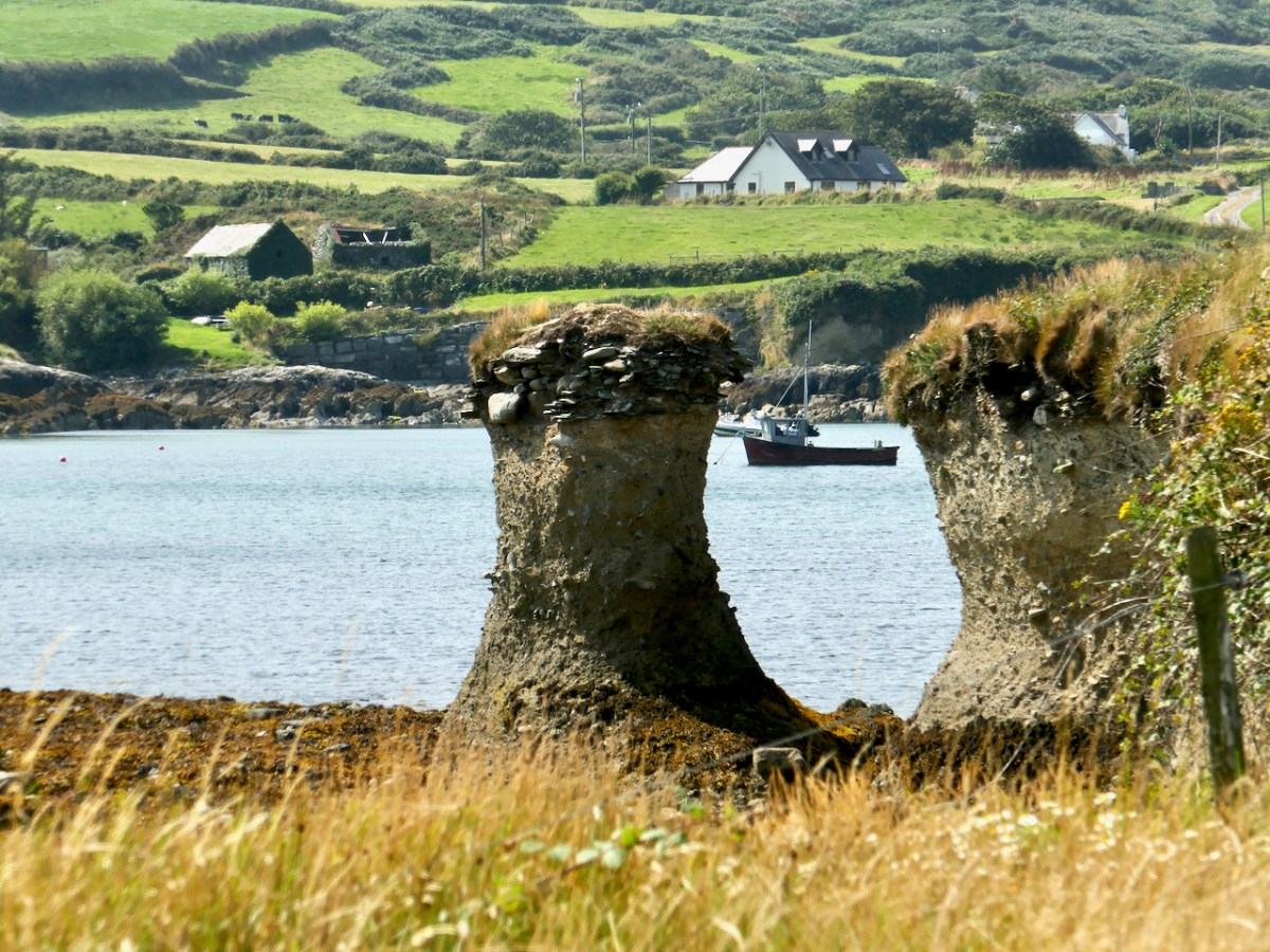
The sea stack above shows clear evidence of the amount of erosion that has happened over the centuries as well some kind of stone construction at the top level of the stack.
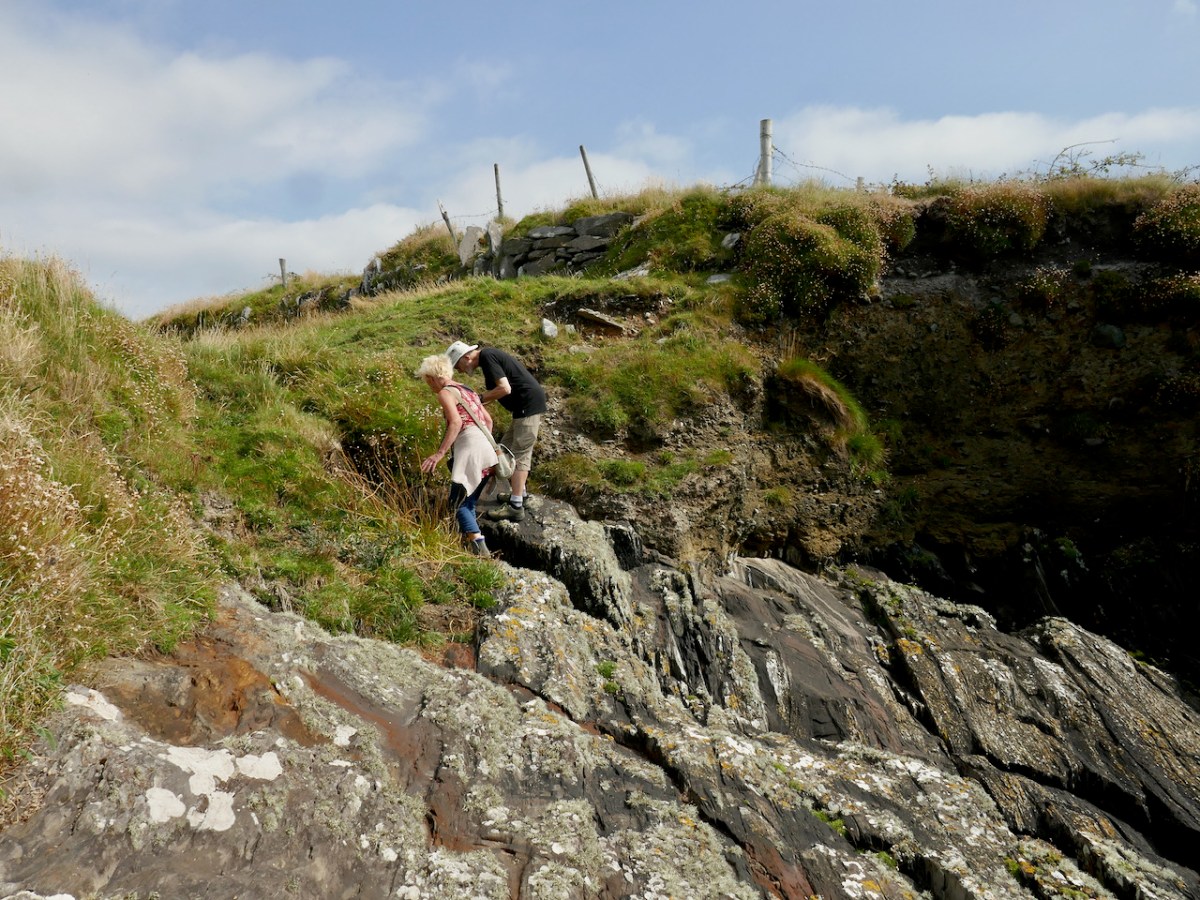
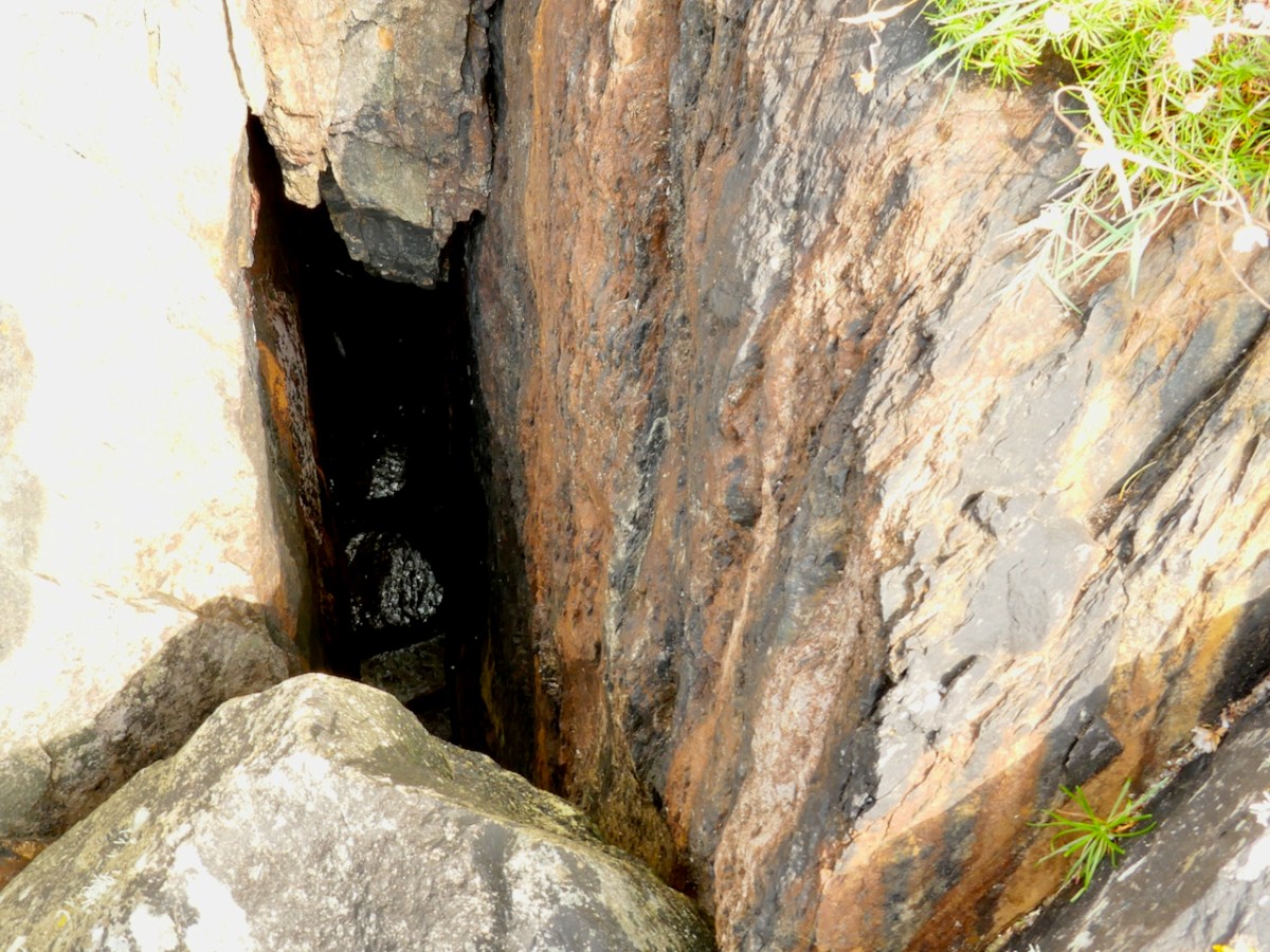
What are Amanda and Peter looking at? It’s a blow hole! Further evidence of how the sea can rage against this cliff.
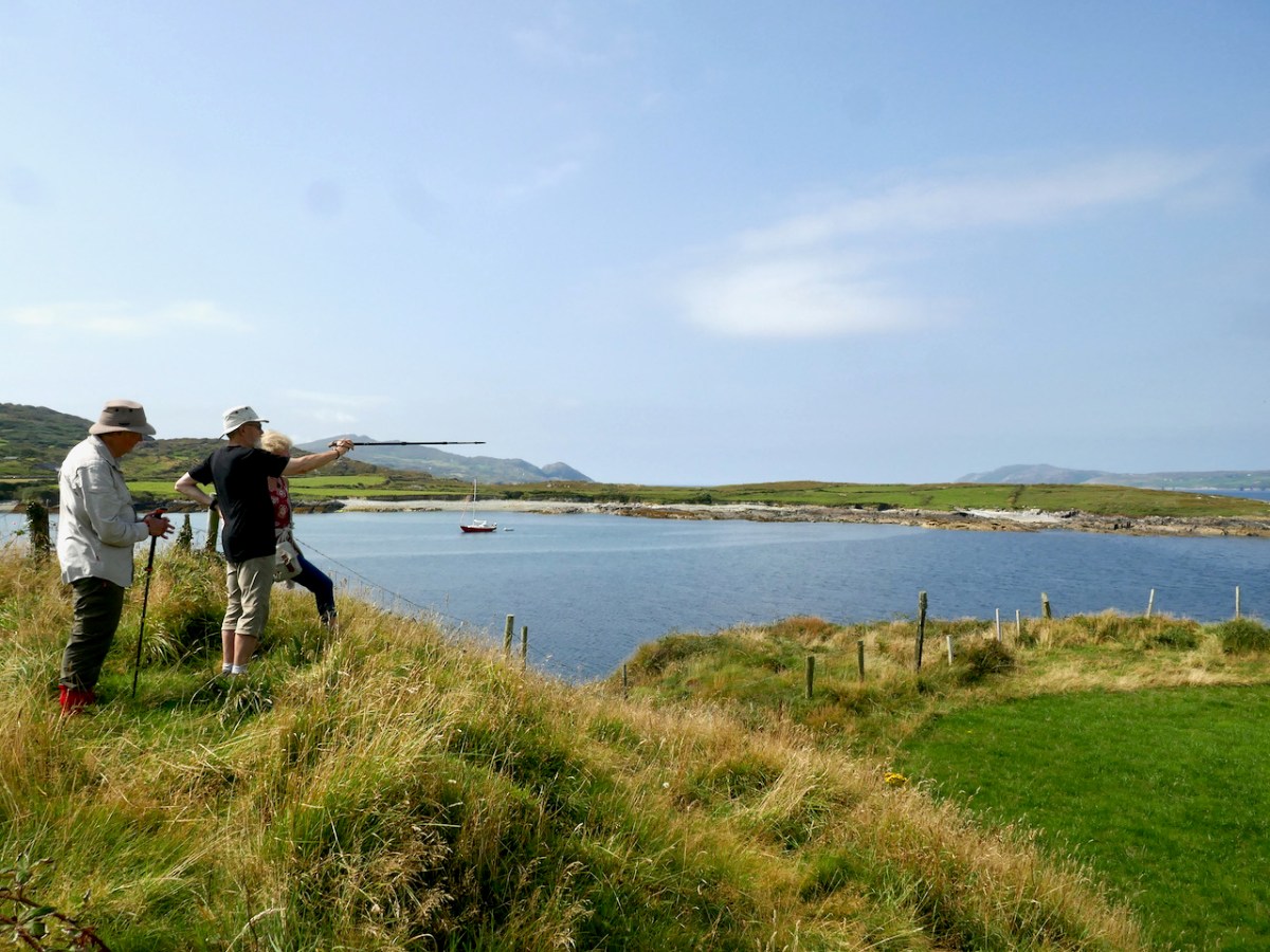
So there you go – O’Mahony took the advice and built his castle where we see it today – the subject of a future post.
Please note that this site is on private land, used for cattle, and we were granted access by the kind permission of the owner. Our grateful thanks to him.
Fresh From Sea and Land

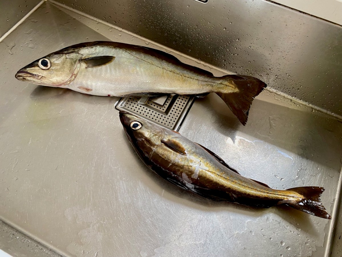
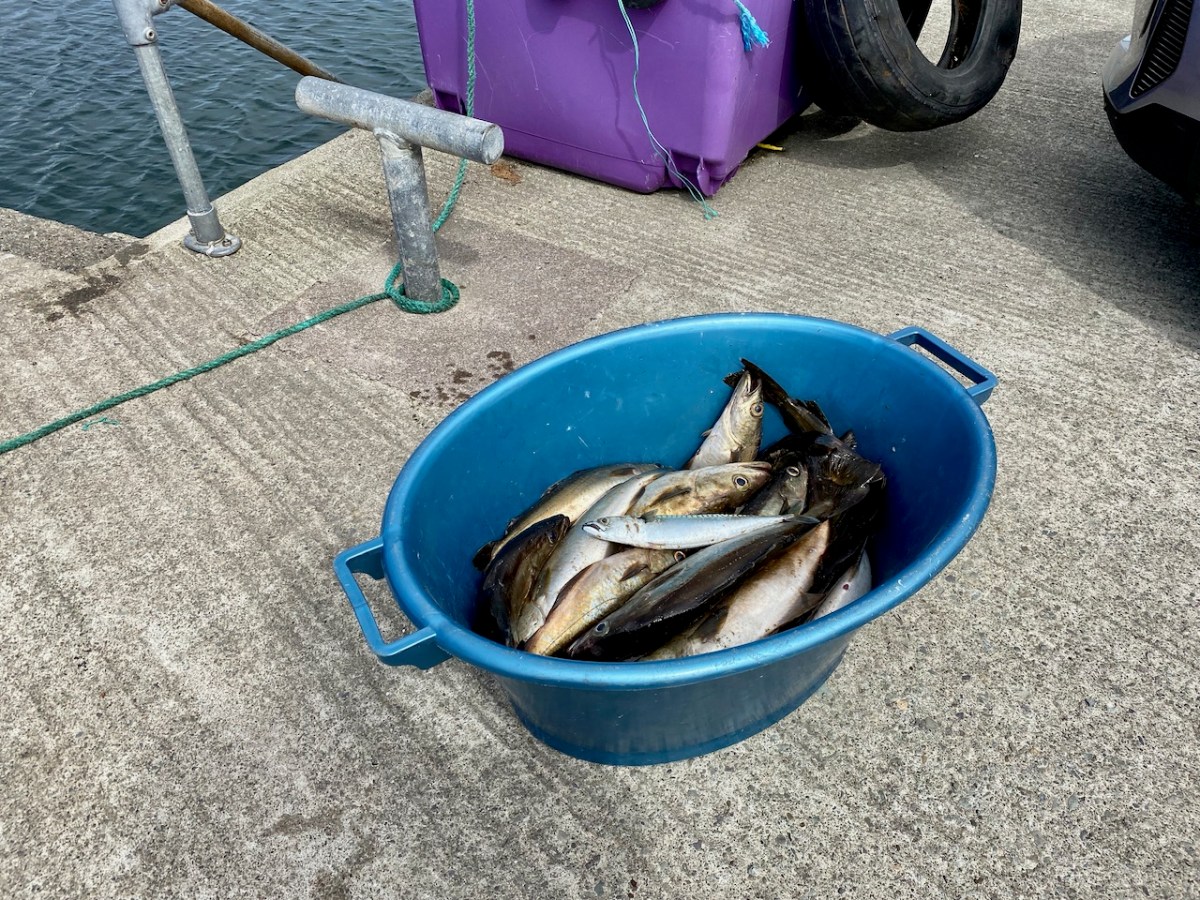
Would you like some pollock? It was a friendly fisherman on a West Cork pier we happened to stop on. He had just landed with some friends and family and they had caught a lot of fish, mostly pollock. They couldn’t eat them all, Billy said, just help yourself. A little overcome with such generosity, we selected two lovely fish, and asked for his advice on how to cook them.
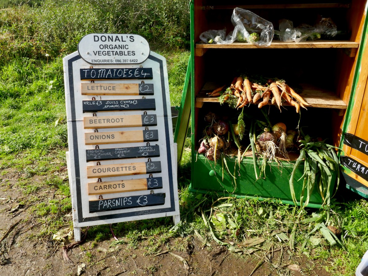
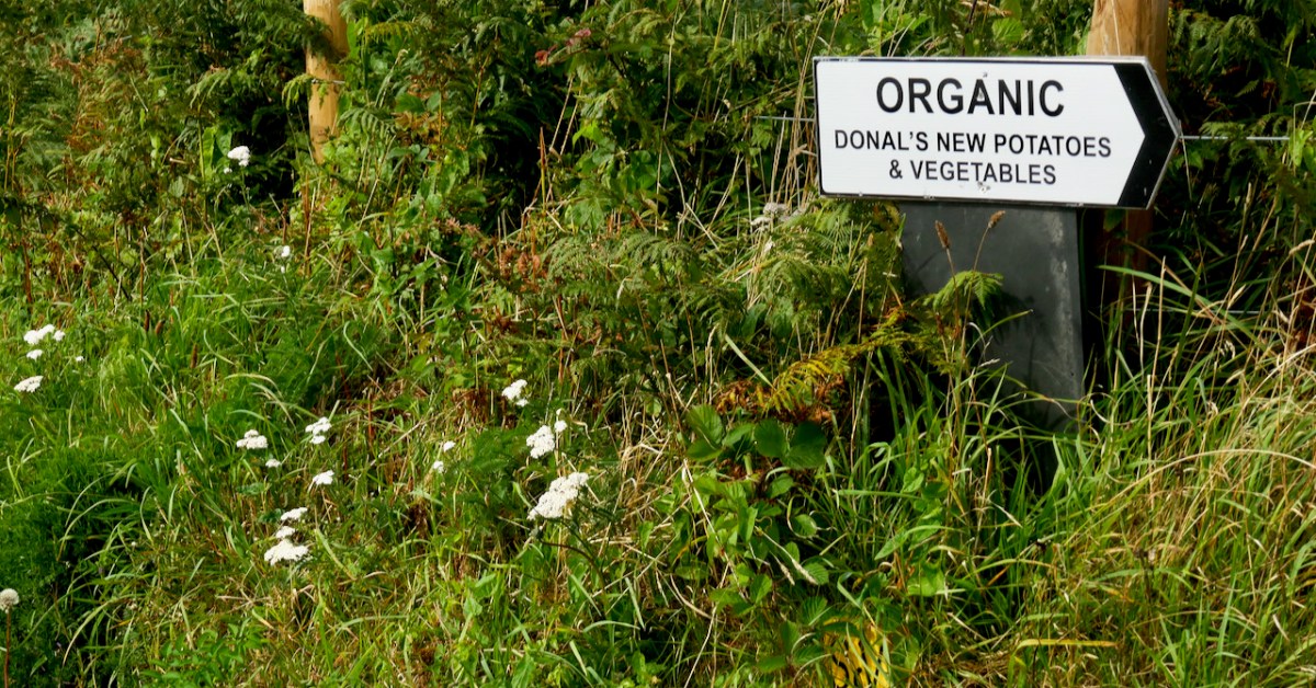
Just keep it simple, was his advice, with some dry potatoes and cream. Dry, it turned out, was his term for floury potatoes, and we knew just where to get those. Our neighbour, Donal, keeps a fresh vegetable stall nearby. He digs up or cuts the vegetables in the morning, and puts them in a little stall he built himself. You have to get there early if you want the pick of the crop.
Donal’s new potatoes are legendary. I was chatting with a friend who lives nearby recently and we were talking about the best way to lose the Covid weight. It’s all about the carbs, I said – pasta, rice, flour, sugar, potatoes … A look of horror came over her face. “But not Donal’s new potatoes!” We agreed that they couldn’t possibly be anything but healthy and whatever list of Bad Carbs we made, Donal’s New Potatoes could not be on it.

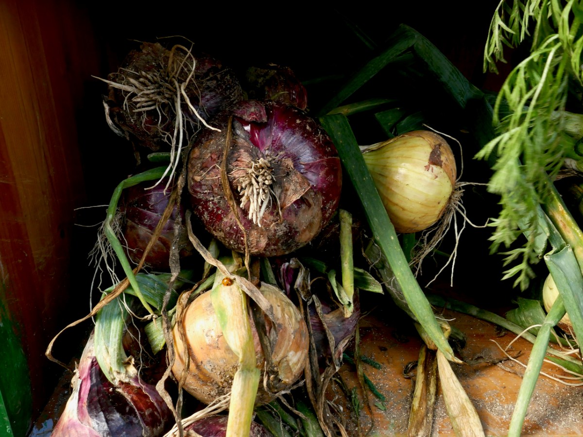
So on the way home from the pier, we dropped by the stall for the potatoes. While I was at it I picked up some carrots, courgettes (Zucchini to this ex-Canadian) and onions. 

I don’t know about you, but I have never actually gutted, cleaned and filleted a fish before. In fact, I have been awestruck by the expertise of the women at the fish stall in the Skibbereen market and their skill with that long, thin-bladed filleting knife. Where to start? YouTube, of course!

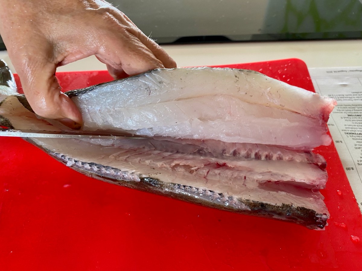
So with the computer propped up beside me, and Robert sharpening the knife and encouraging me every step of the messy way, I managed it. I will spare you most of the gory details and include this one that actually looks like I know what I am doing.

Although I probably left good meat behind, at last I had a lovely set of fillets, free of bones. 

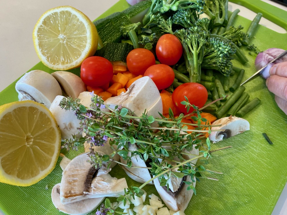
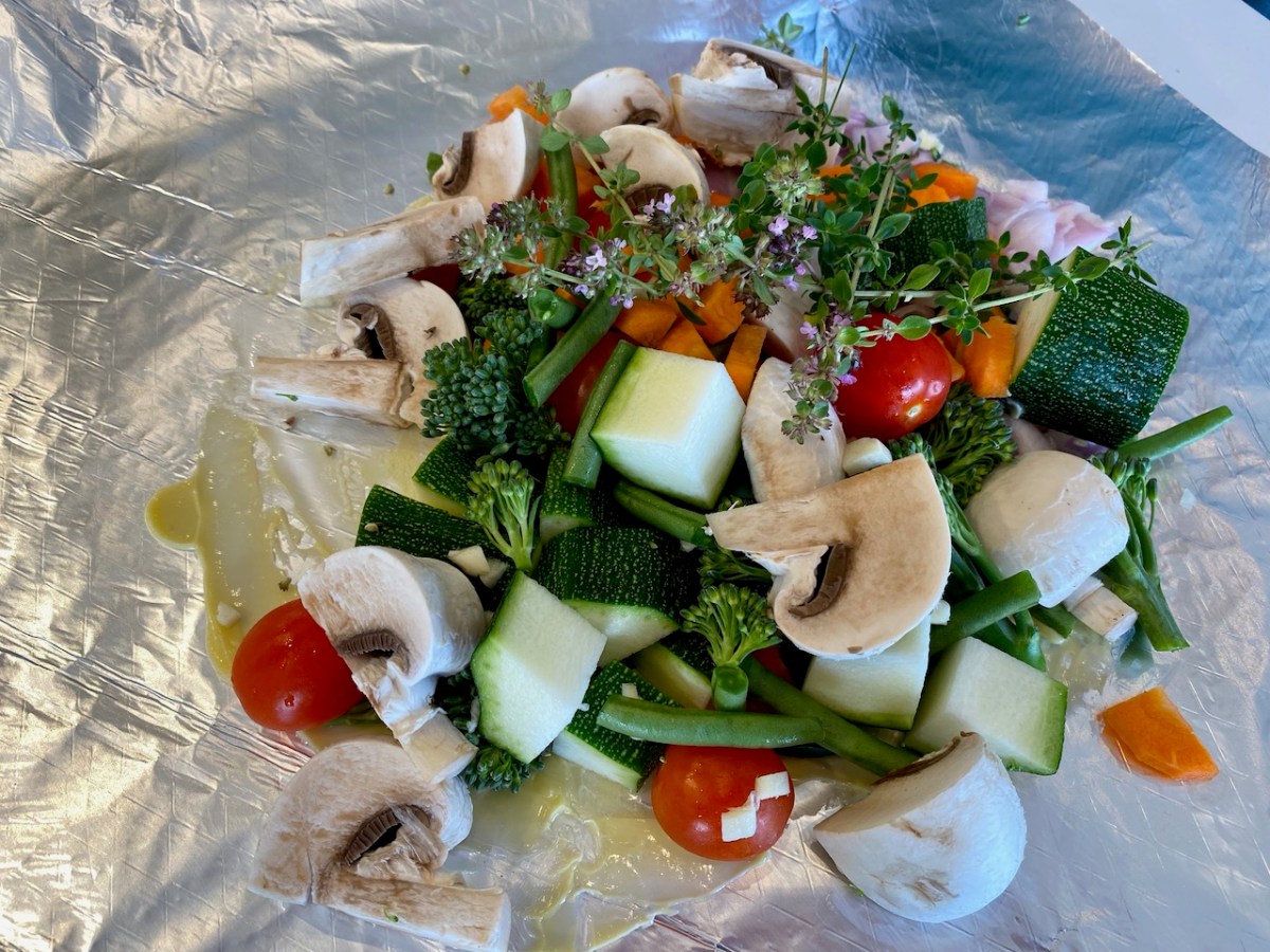
After that, it was a question of cutting some vegetable into small pieces – I used carrots, shallots, broccoli, green beans, mushrooms, cherry tomatoes, and garlic. 

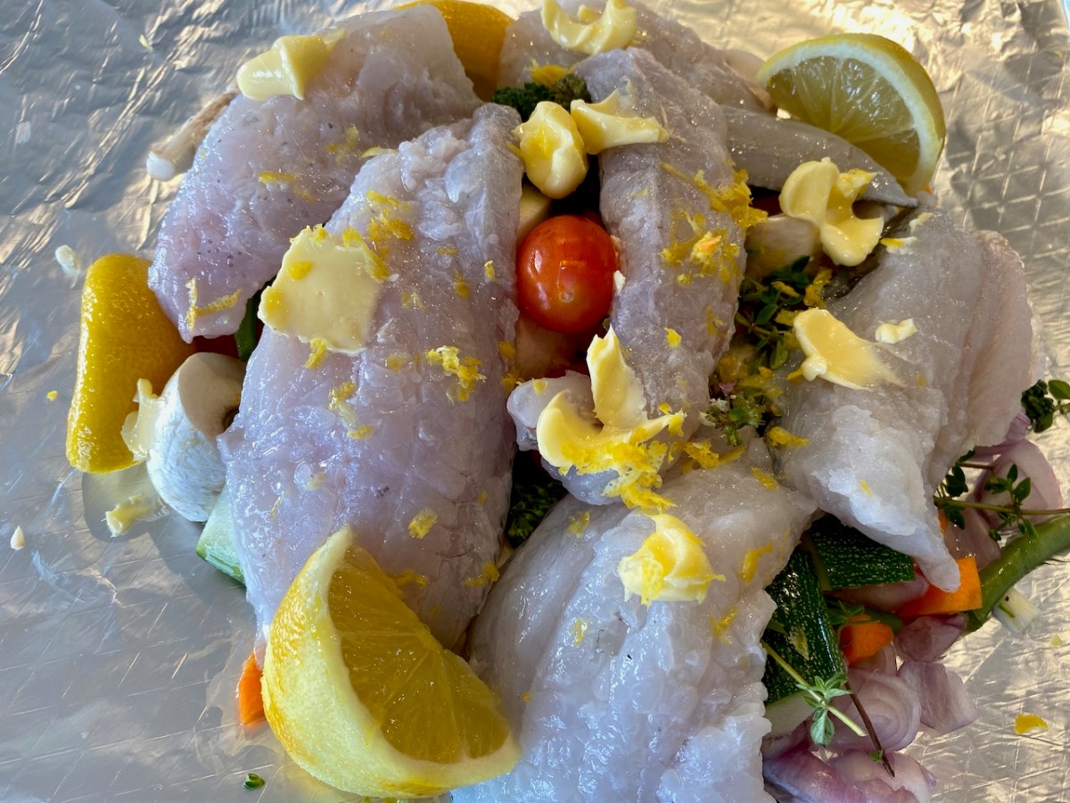
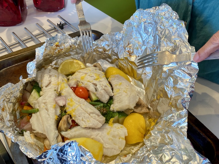
I piled them all onto a big sheet of buttered tinfoil, along with herbs from my little herb patch, and then laid the fillets on top. 

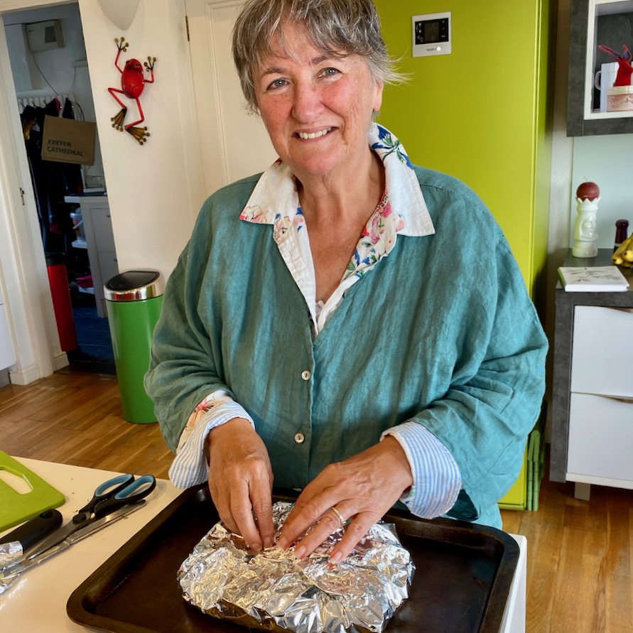
I poured lots of lemon juice over it all, along with zest, and dotted everything with more butter. Then I wrapped it up, and into the oven it went at 190C for 20 minutes.

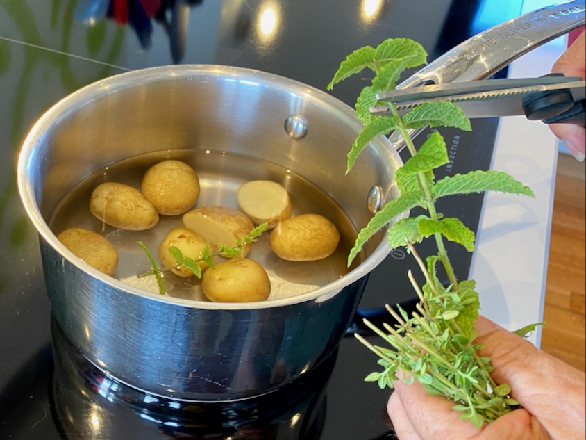
The potatoes were simply boiled with some mint from my garden. I chopped more mint to scatter on top once they were cooked.

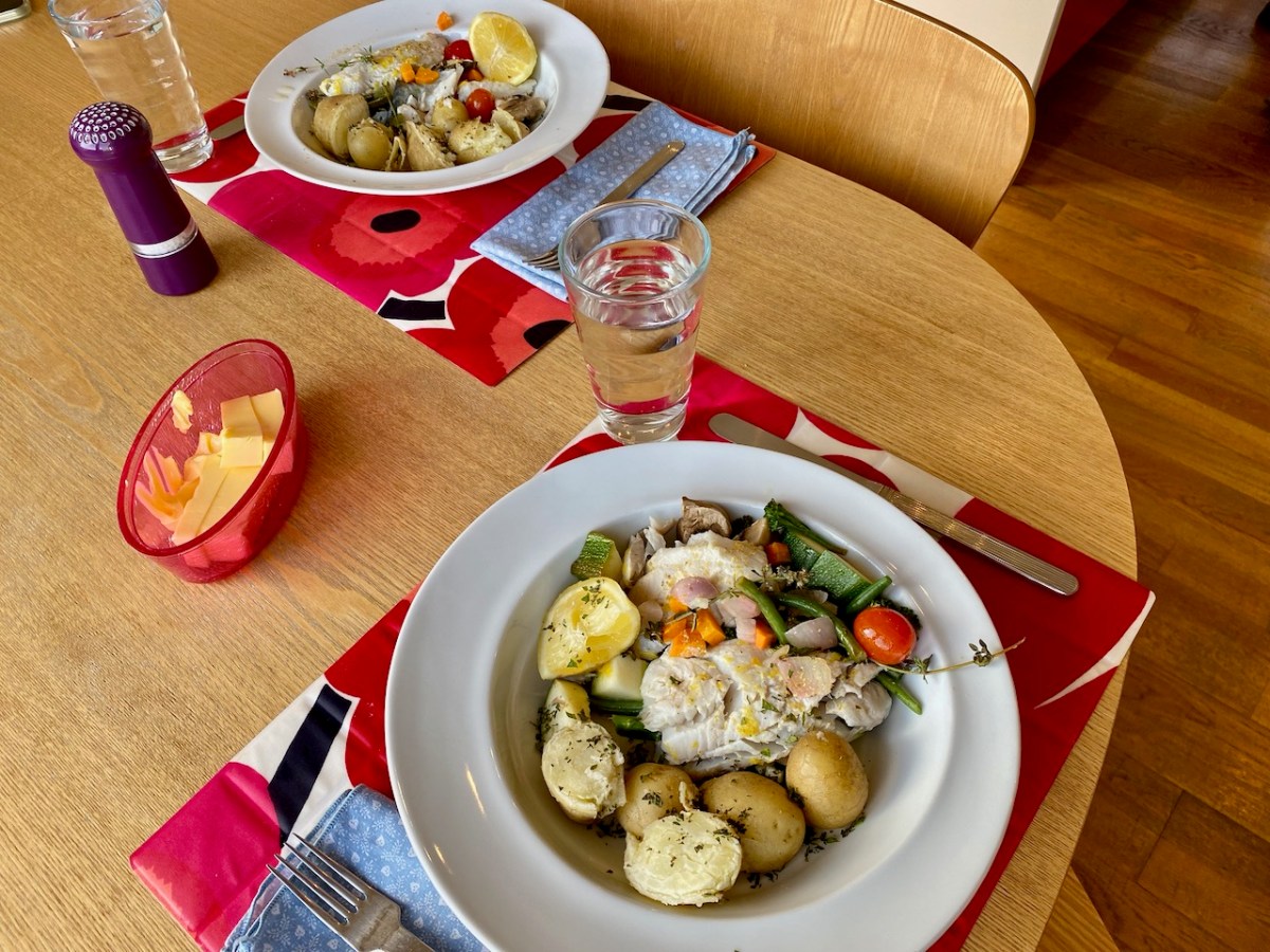
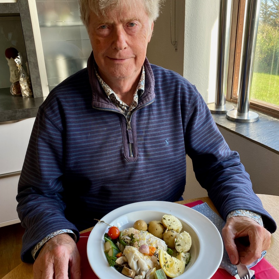
The results? Delicious!

In West Cork we have access to a lot of very fresh food and we eat well. There are markets in all the towns and villages near us (see this post from a few years ago), and Neighbourfood does a great job of keeping us going all year round. 

But there’s something extra special in a meal like this – straight from the ocean or the ground and onto a plate with very little intervention. 

Mmmmmm…

Dunlough, or Three Castle Head

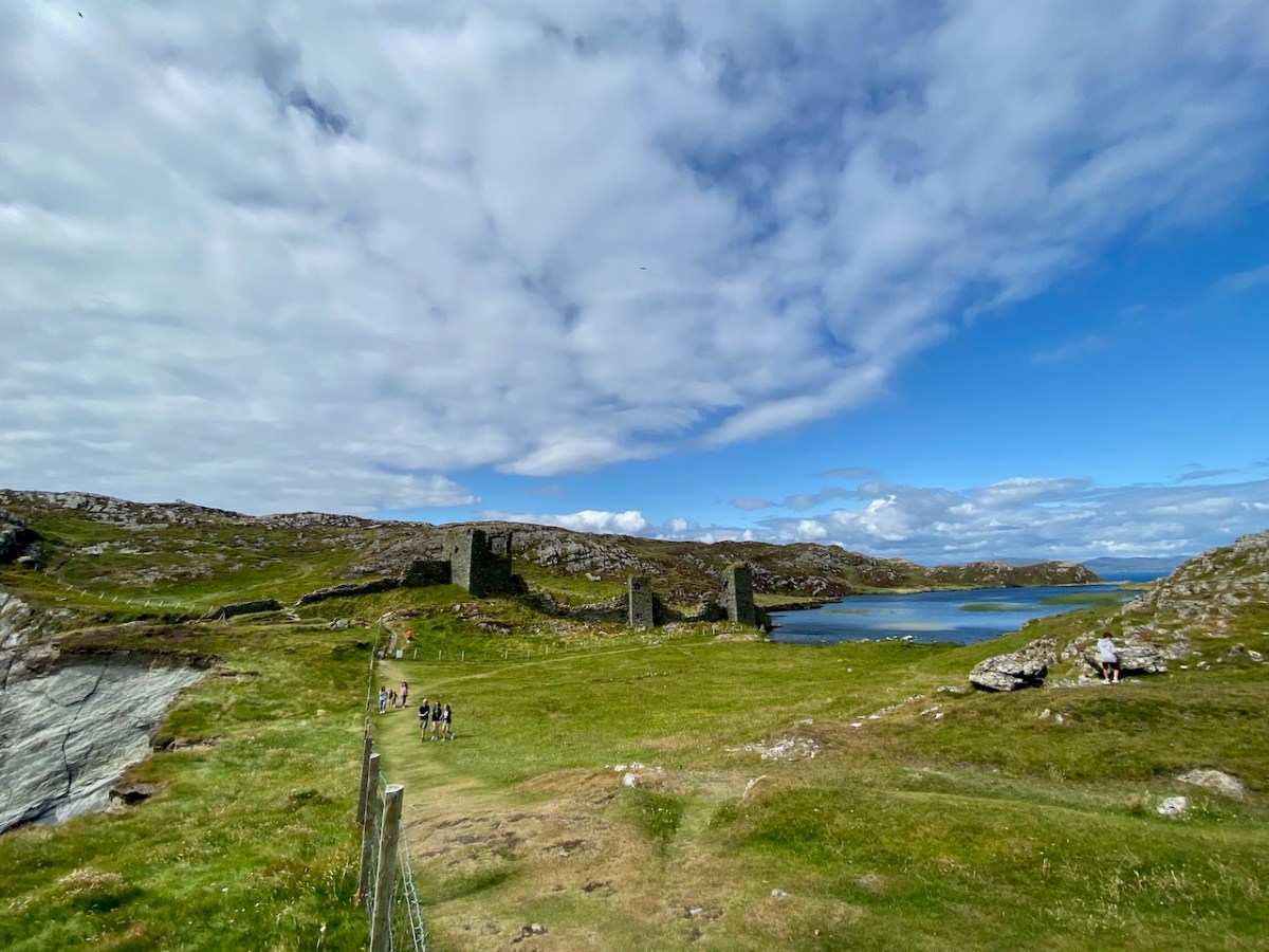
It’s actually amazing that in all the years we’ve been writing Roaringwater Journal (since 2012), we’ve never written before about Three Castle Head in detail, although we’ve mentioned it lots and visit it often. I consider it to be one of the most beautiful places in West Cork, perhaps in Ireland, and certainly one of the most interesting. It’s one of The Castles of Ivaha.

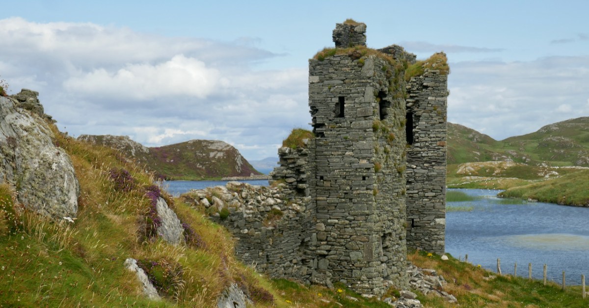
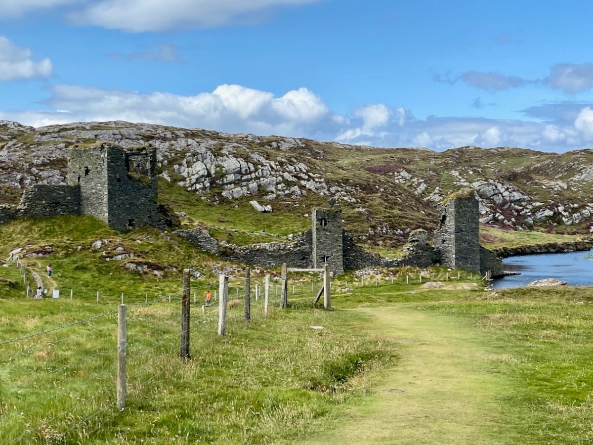
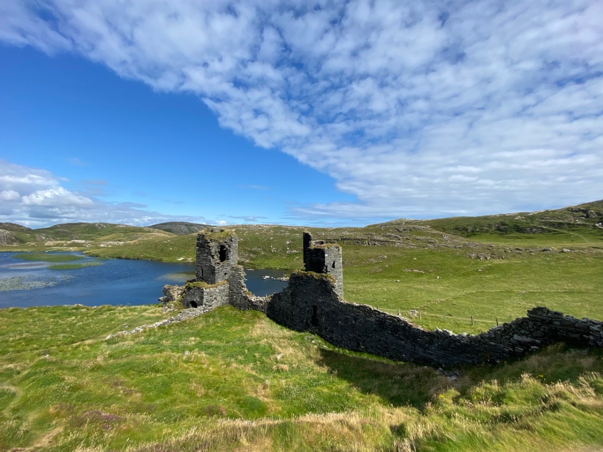
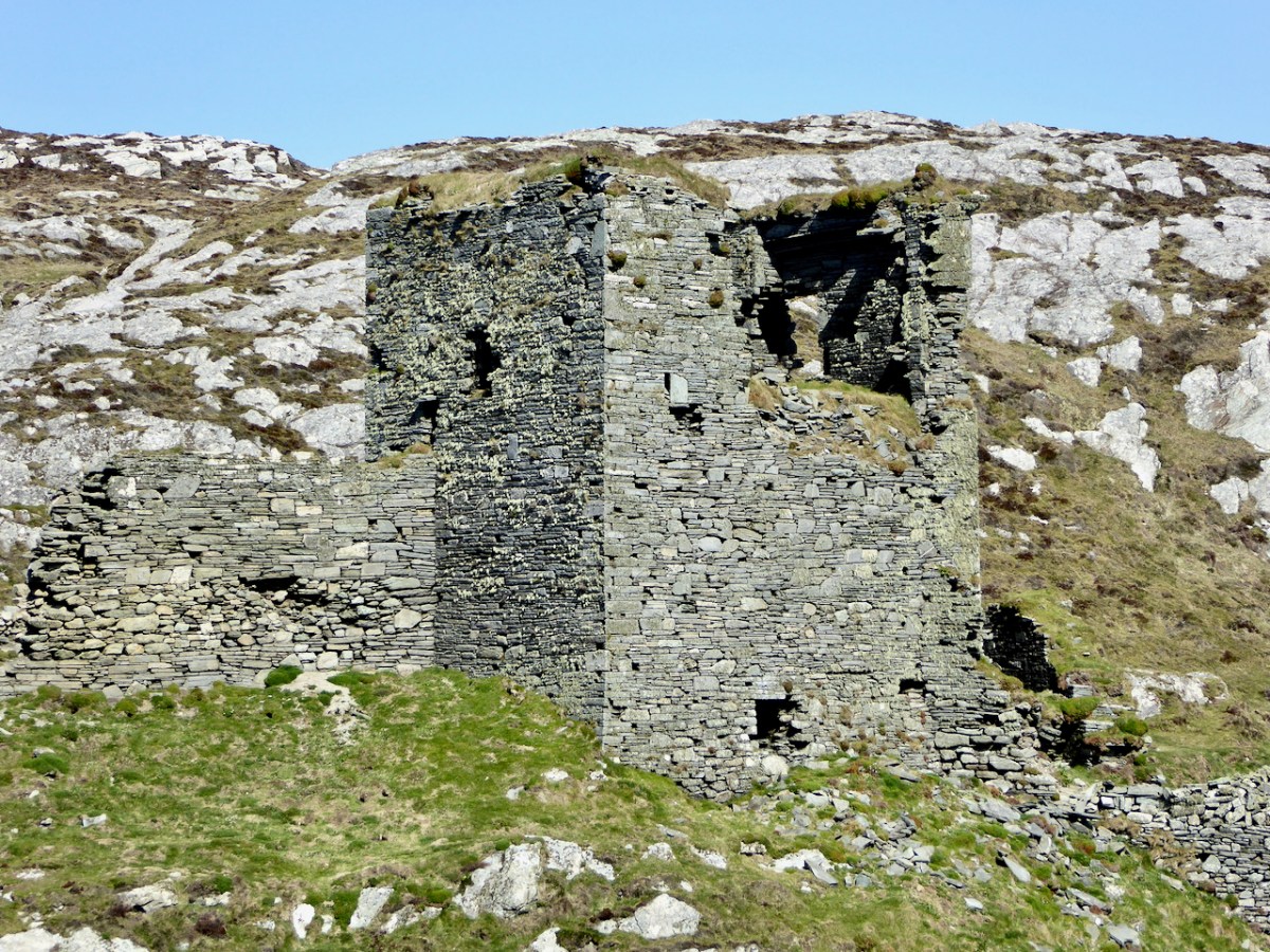
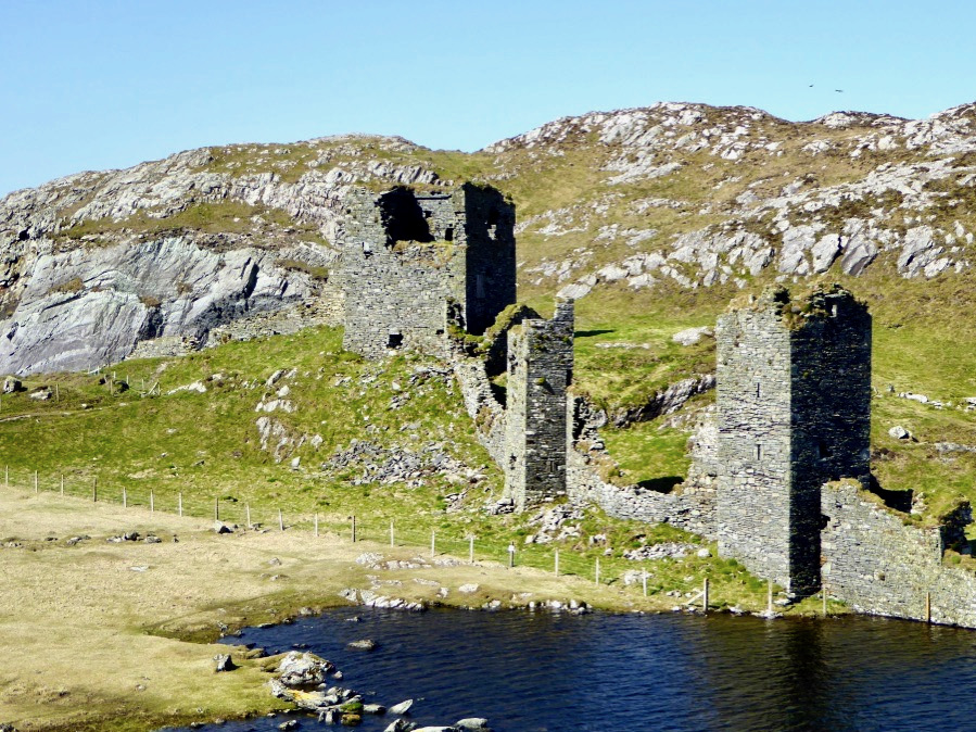
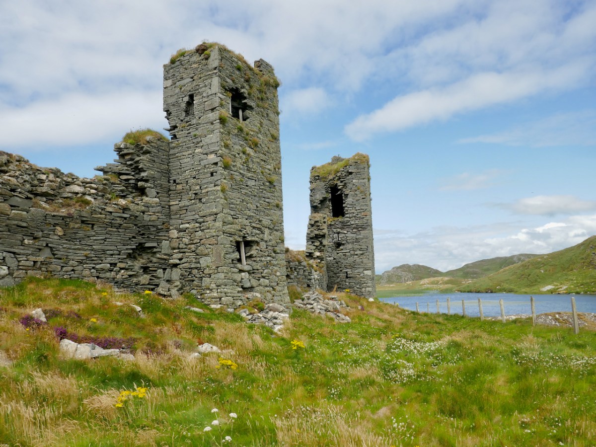
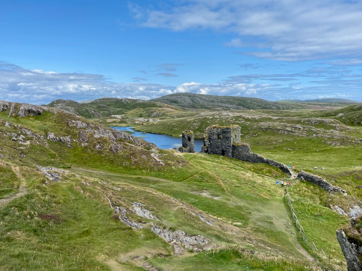
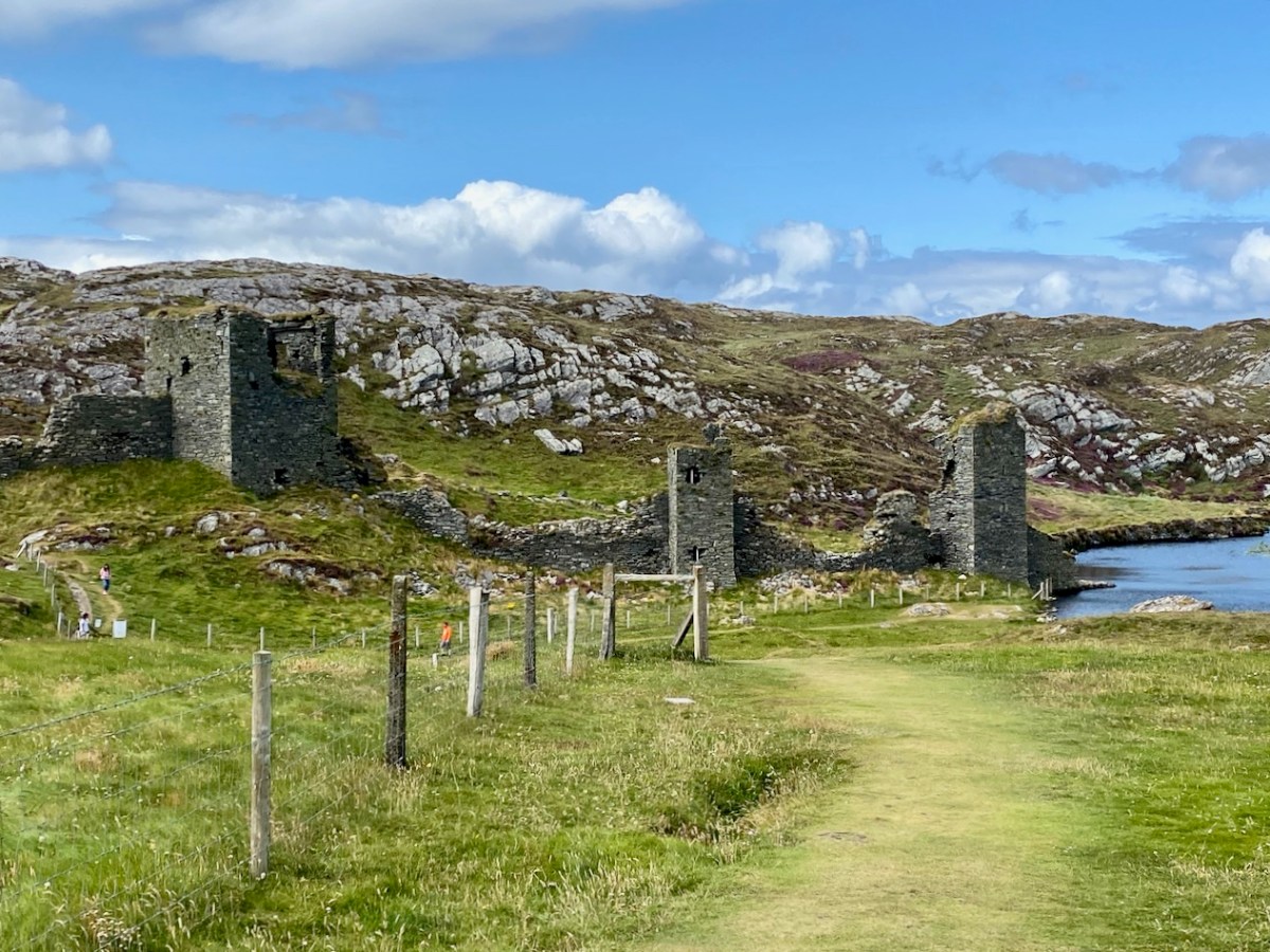
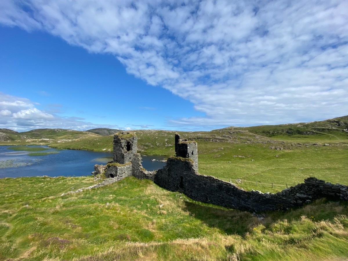
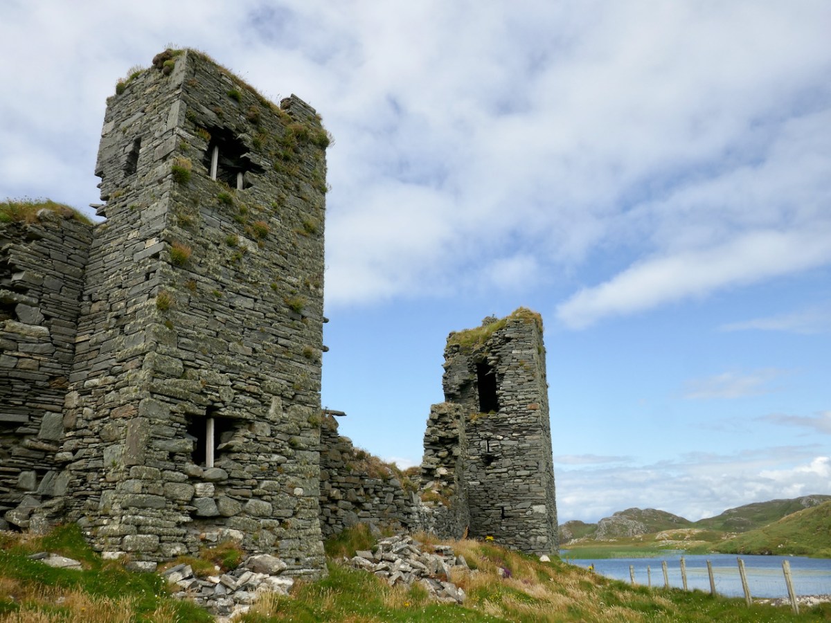
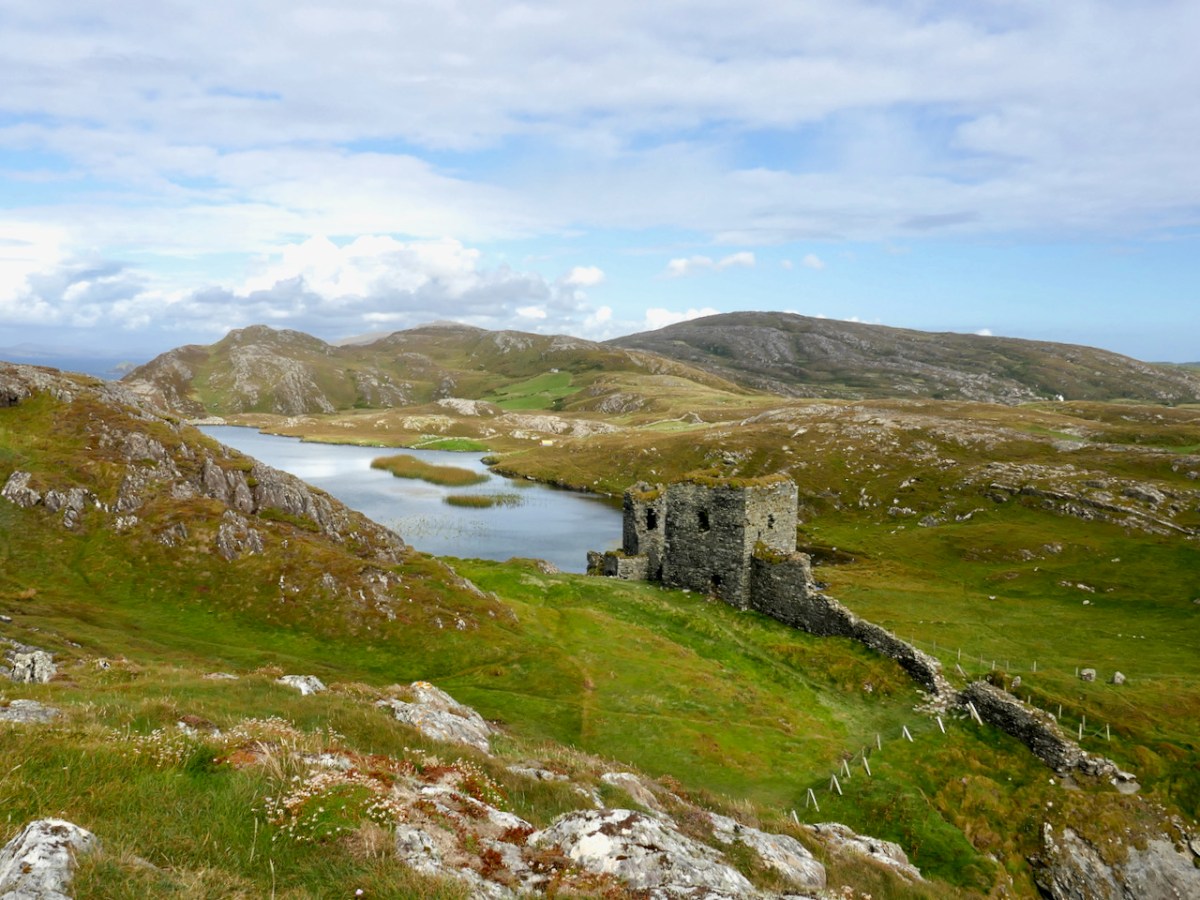
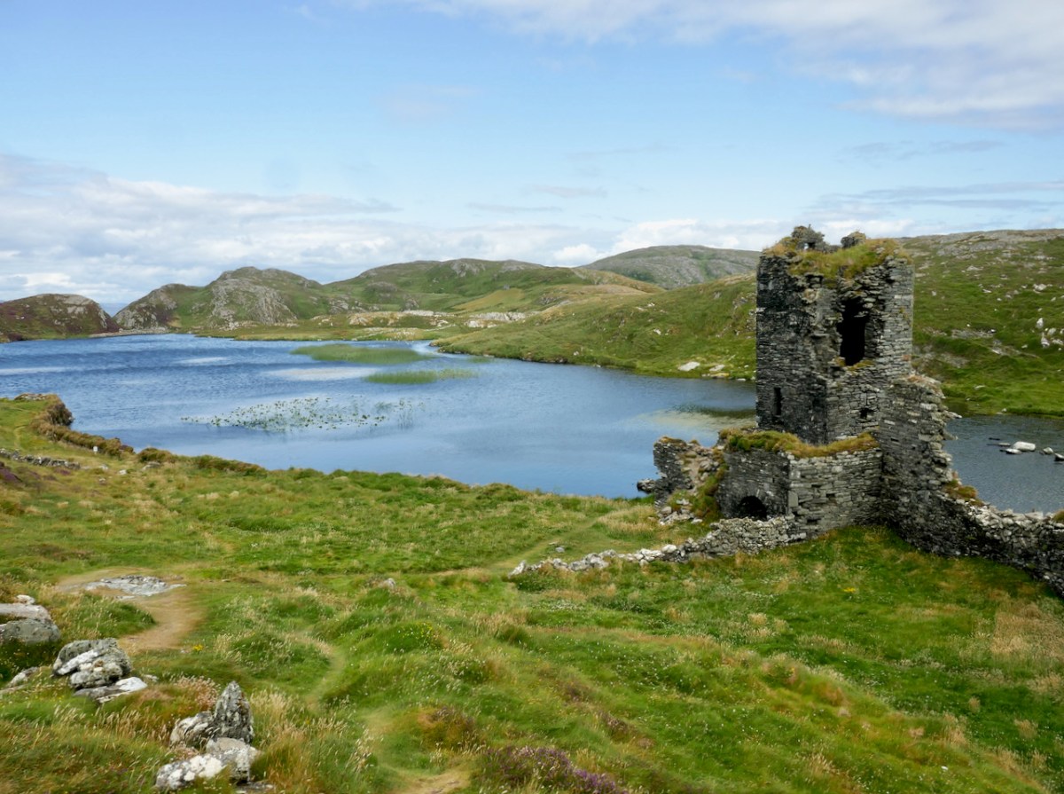
To come over the brow of the hill on a sunny day and catch your first glimpse of Three Castle Head is breathtaking, so let’s describe first what you actually see in front of you. Instead of three distinct castles, what you see is a long wall, known as a curtain wall, punctuated by three towers. The wall stretches from a precipitous cliff on the south west to a lake on the north east end, and it is this lake that gives this place its Irish name of Dunlough (from Dún Loch, or Fort of the Lake).

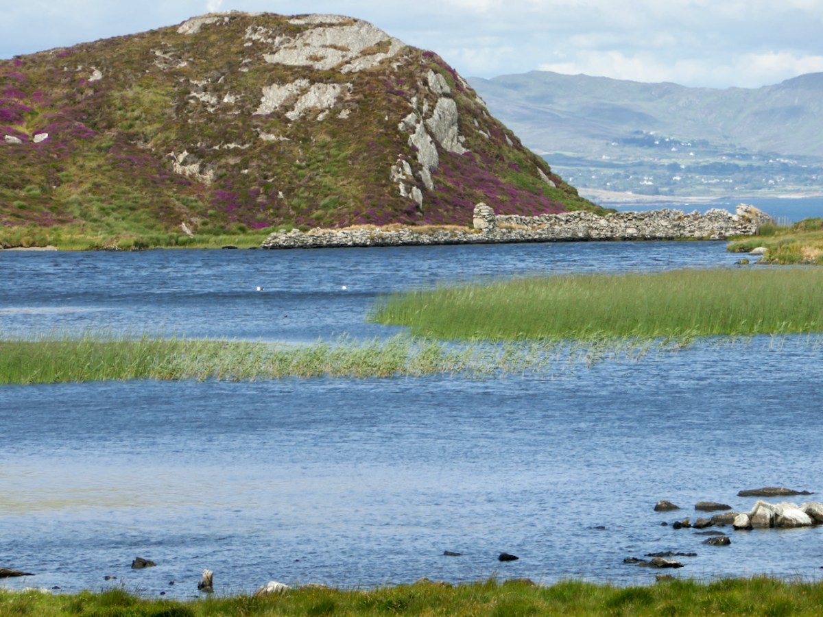
The lake may have been held back at one point at the north east end where it drains into the sea – a long wall stretches partly across it here – or this wall may have been part of the fortification system for the whole promontory. 

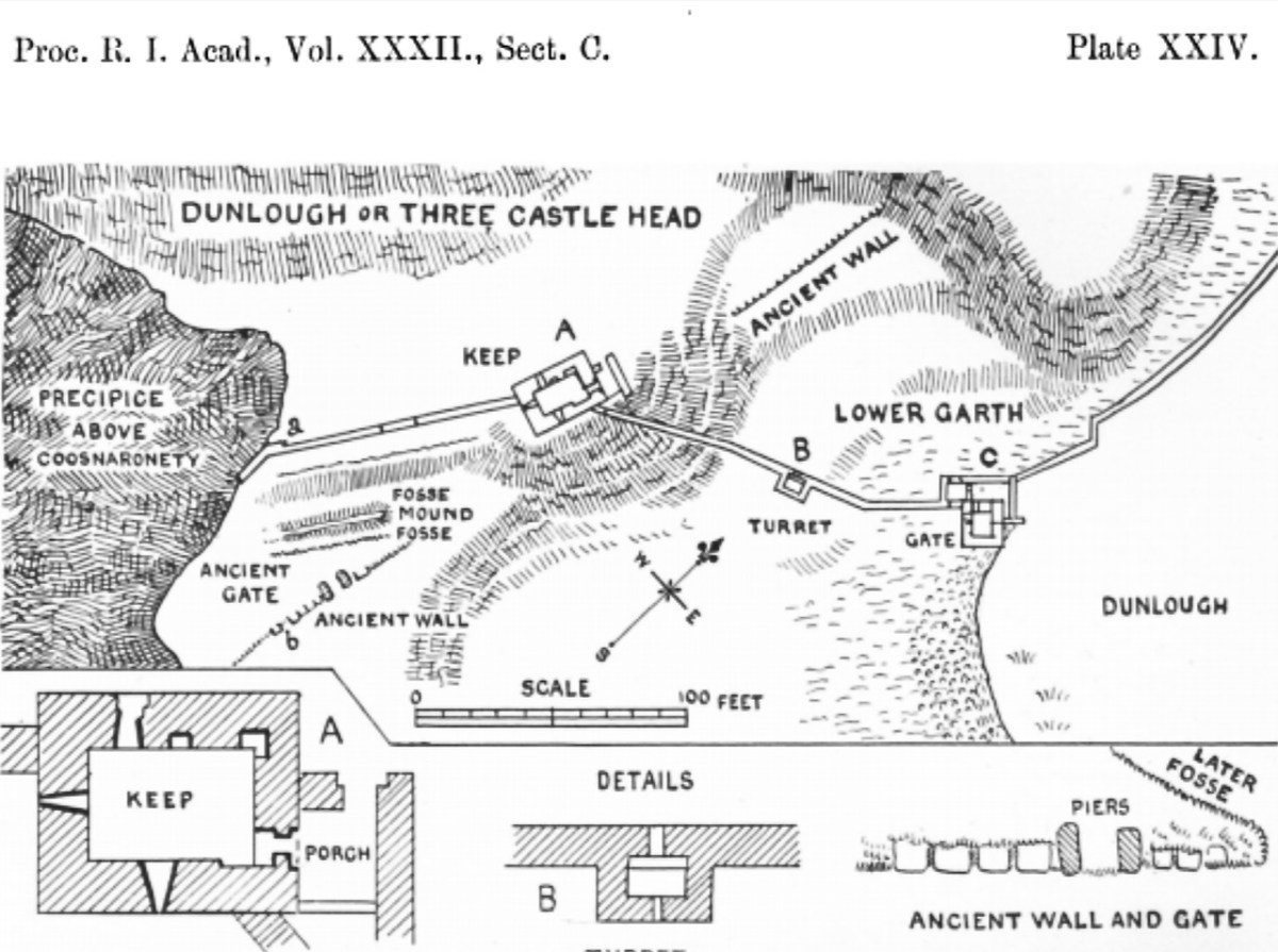
The curtain wall would have constituted a formidable defence for the area behind it – the cliff makes it impregnable on the west side, while the lake forms a barrier on the east. Our old friend Thomas J Westropp visited Dunlough in about 1914, when there was more to see on the ground of the pre-curtain wall fortifications, wrote up his observations, and supplied a drawing.* More on his conclusions later. For convenience, I will use his terminology for the three towers, although they are not necessarily what a modern medieval historian would use. He called the largest tower, located more or less in the middle of the wall, the Keep; the one immediately to the east the Turret, and the one closest to the lake the Gatehouse. You might like to have a good read of the posts Tower House Tutorial Part I and Part II to help you make sense of what follows.

The wall and the three towers are very finely built, using the rubble construction method, where both sides of the wall are shaped with stones carefully chosen for their straight edges, and the interior is filled with rubble. Mark Samuels, in his discussion of the construction of this tower says:

A proper lime mortar, quite hard, white and capable of adhering to the stones was used in the basebatter. However, at second-floor level, the mortar was little more than earth and the building stands entirely by virtue of the careful laying of the stones. The unusual drystone construction gives it a ‘vernacular’ air which is a peculiarity of this stronghold.

The Tower Houses of West Cork by Mark Wycliffe Samuel, 1998

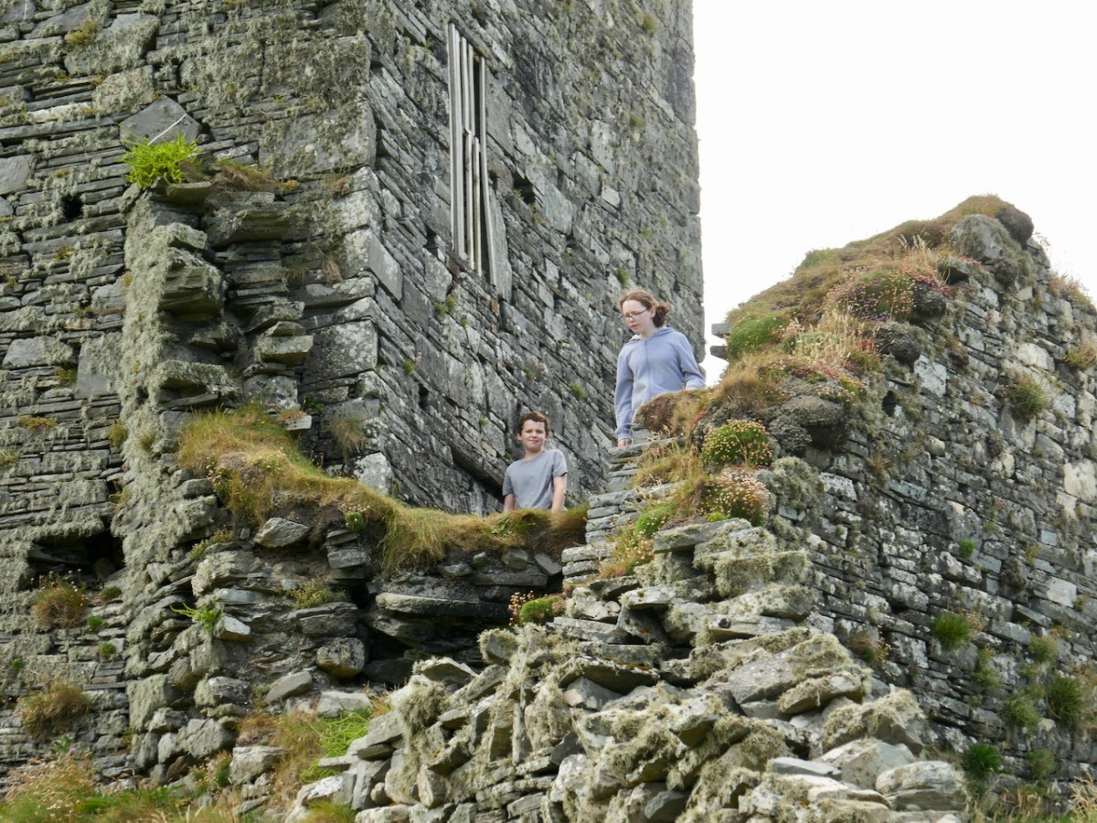
There is evidence of little mortar being used where the interior of the curtain walls can be seen, so this was a very skilful job indeed of ‘dry stone’ construction. Where mortar is discernible, however, it appears to be the local blue till, rendered into a kind of mud, rather than limestone-based mortar, and this has robbed the walls of some cohesion, so that they crumble more quickly once they start deteriorating. For a fairly thorough outline of what’s involved, see my post Building a Stone Wall. The curtain wall is likely to have had a rampart or wall walk, but no sign of this remains. Our budding archaeologist companions on our recent visit are taking a good look at the construction, below.

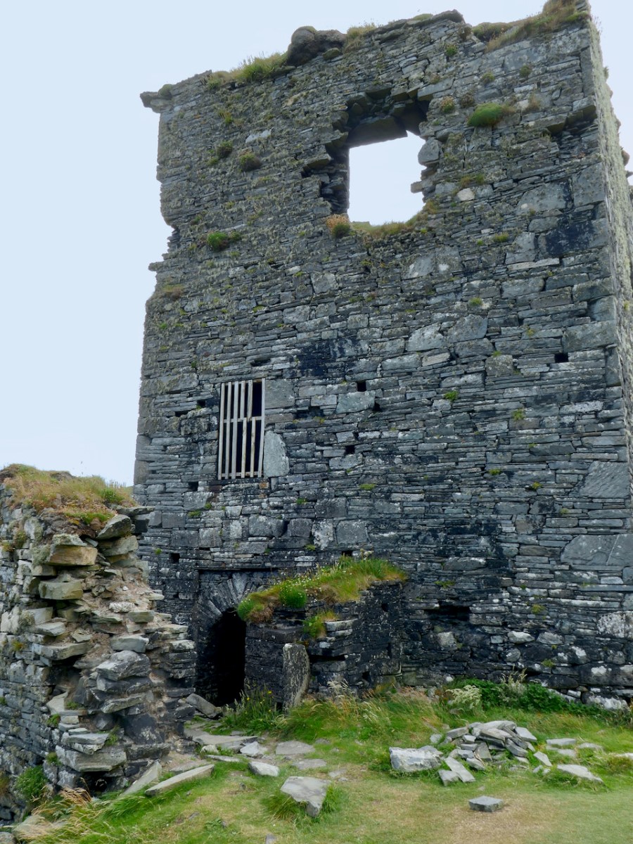
The Keep is the kind of tower house that the O’Mahonys were building all over Ivaha (The Mizen) in the 15th century and is typical of those towers, with a few interesting variations. There are two entrances, one above the other, denoting that this was, in common with all the other O’Mahony tower house, a ‘Raised Entry’ castle. However, unlike the others, the entries are surrounded by a small forecourt. Typically, the ground-level entry gave access only to the ground and first floors and there was no access to the upper, or residential floors (those above the vault) from it. The residential floors were accessed by means of a staircase inside the raised entry: it runs inside the wall to the right of the doorway.

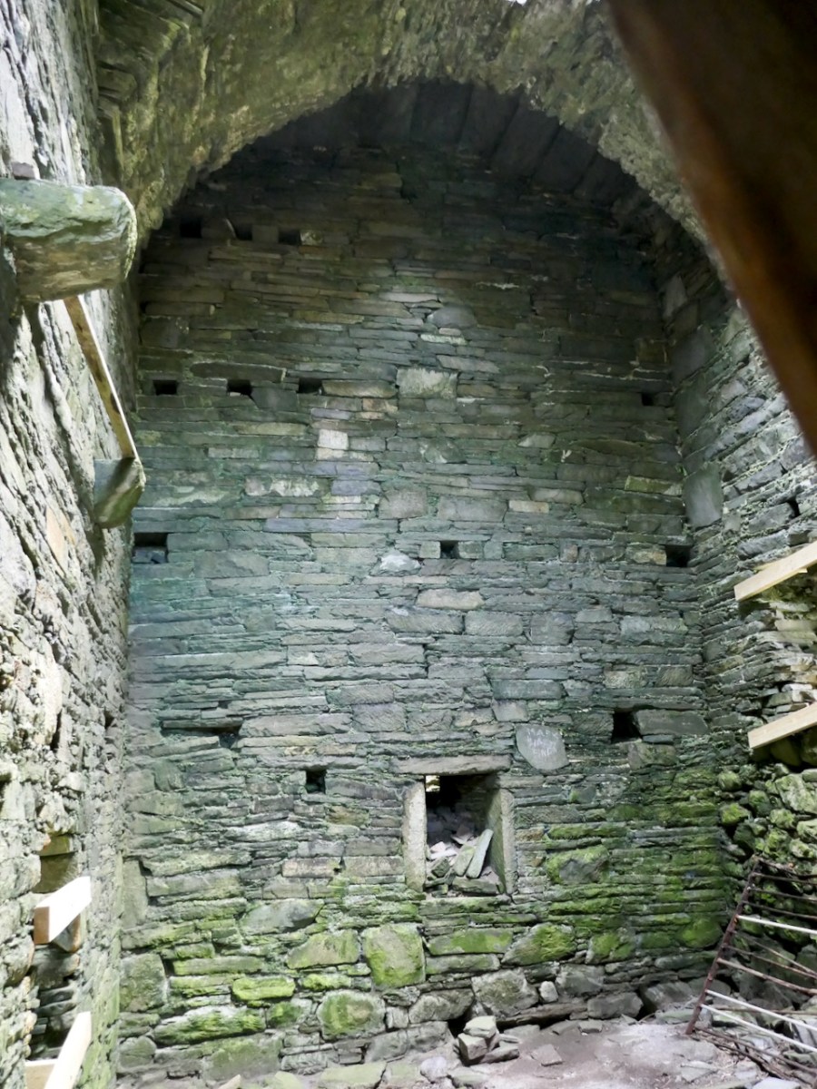
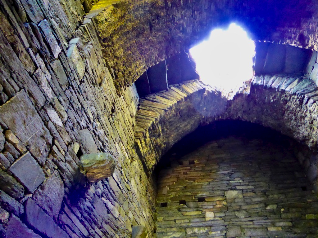
Above that floor is the vault, which would have separated the lower floors from the upper floors where the household of the chieftain lived or where they would have entertained visitors. Some of the O’Mahony Castles, where they survive sufficiently to asses them, had a continuous vault, such as the one at Dunmanus. However, in others, and this is the case in the Keep at Dunlough, the Vault is formed by archways, upon which great slatey slabs have been laid to form the floor above. In the Keep, you can still see the impression in the mortar overlaying the arches of the wicker used to build these wicker-centred arches.

There would have been at least one and probably two more floors above the arch/vault – the residential floors. These were not comfortable dwellings – there were no fireplaces and the windows, although bigger than the lower floors, would not have let in much light. Above the top floor, a wall walk would have patrolled by look-outs. 

Westropp christened the middle tower (below) the Turret as it is the slimmest of the three. There is no evidence of a stairway so the floors were reached by means of ladders. Unlike the other two towers, which were built straddling the curtainwall, this one has three of its sides outside the wall, with the entrance through the wall on the north side.

The gatehouse is perhaps the most complex of the three towers. At its base is an arched passageway, now with the collapse of ages completely blocking it.

Because it’s difficult to really see this tower now, I will give you Westropp’s description of it from his 1914 visit:

The entrance had inner and outer arches, which were closed and barred from the inside, I presume lest anyone should get into the enclosed hill, hide till night, and then open the gate treacherously. The outer gate is 6 feet 10 inches wide, the inner, 6 feet 3 inches and 9 feet 8 inches apart ; they have slightly pointed arches. From the interspace a small door opens into a little court, or rather passage, round the other two sides of the gate tower. This turret has a vaulted basement 9 feet by 9 feet 9 inches, and walls 4 feet thick, with a loophole, commanding the outer face of the gate. There are two stories or lofts, reached by a ladder through a trap-door and under another vault. The second floor has slits in each face ; the third, one to the south, and a torn gap westward above the gate. Over the upper vault is a little gabled attic, with an ope overlooking the lake. A small stair runs spirally up the north-west corner. The walls having been very thin there, have fallen, or been broken, down to the basement vault. A short wall runs from the gatehouse out into the lake. 

Westropp, 1915 (see footnote)

The small spiral staircase can be clearly see where the outer wall has fallen away (above).

Several sources tell us that this is the oldest of the O’Mahony Castles, built in 1207 by Donagh the Migratory O’Mahony – there are references in Annals to a ‘castle at Dun Locha’. Modern scholarship on castles tends to agree that there were structures called castells before the coming of the Normans, but it is clear that they did not look like these tower houses. It may be that the reference in the annals is to Dunloe in Kerry, but it may also be that there was indeed a castell here in 1207. If there was, it was not what we are looking at now: any analysis of its construction places it firmly in the fifteenth century. 

Once again, we turn to Westropp. When he  visited Dunlough in about 1914 there was more to see on the ground of the pre-curtain wall fortifications, and he wrote up his observations, and supplied a drawing (above). This was an ancient promontory fort, he said, dating to well before the  castle-building era, and he traced the line of the fort bank through the remains of fosses, or ditches, vestigial but still visible. The next phase was the building of a wall, and this may well have been the castell of 1207. It follows a line south-west to north-east, at a different angle to the curtain wall. He was able to make out a gate feature near the cliff. This was demolished, he said, to build the curtain wall we see today.

I agree with the broad strokes of Westropp’s analysis. Yes this is an old stronghold of the O’Mahony clan – and what you are looking at today was not built in 1207, but built on top of the 1207 fortifications. The O’Mahonys went on a castle-building spree in the 1400s and the Dunlough curtain wall and towers, in terms of their architecture and their similarity with all the other O’Mahony castles, fits with that timeframe. 

But all of that is dry as dust – who can worry about a dating timeframe when what presents itself to your view is so beautiful, so perfectly situated and so hopelessly romantic? So let’s take a vote – is this Ireland most beautiful castle? Hands up who agrees with me!

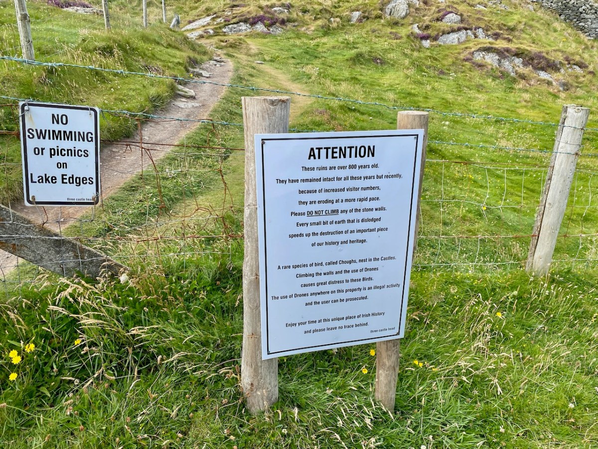
One last word – for many years Three Castle Head was off limits as a private farm. In recent years the owners have been welcoming visitors and this is gratefully acknowledged. However, the increased footfall is coming with a cost in wear and tear. Look at the walls above – these are fragile ruins: knocking off one loose stone can have a catastrophic effect on the building envelope.

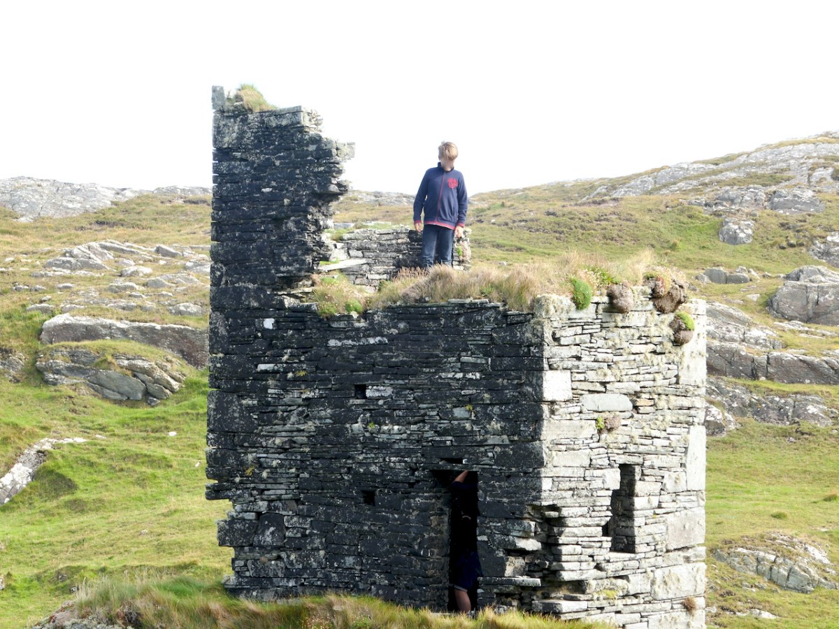
It’s also dangerous to go clambering over unstable ruins like this. So, a heartfelt plea – if you visit, and I hope you do, PLEASE STAY OFF THE WALLS! I was pleased to see a new notice up about this on our most recent visit, and indeed visitors seemed more respectful than they had when I was last there (above). If we stay away from the walls, hopefully they will stand to delight us for more generations to come.

*Fortified Headlands and Castles in Western County Cork. Part I. From Cape Clear to Dunmanus Bay by Thomas Johnson Westropp Source: Proceedings of the Royal Irish Academy: 1914 – 1916, Vol. 32 pp. 249-286, (accessed at: https://www.jstor.org/stable/25504178

West Cork Villages and Towns – Schull

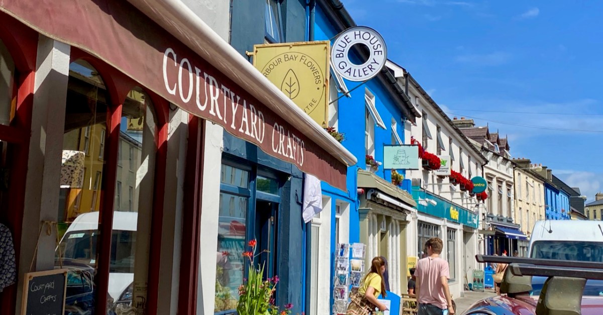
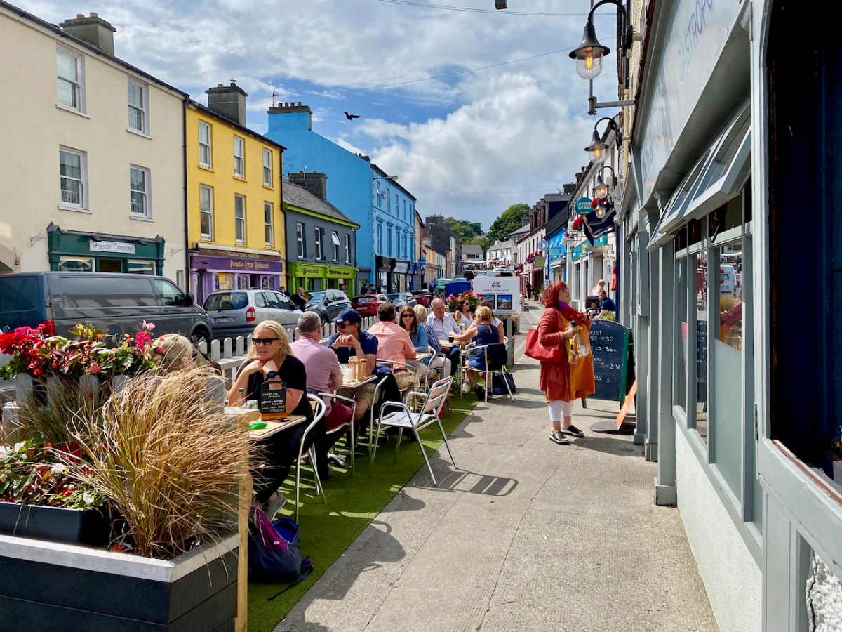
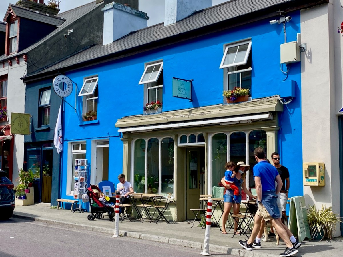
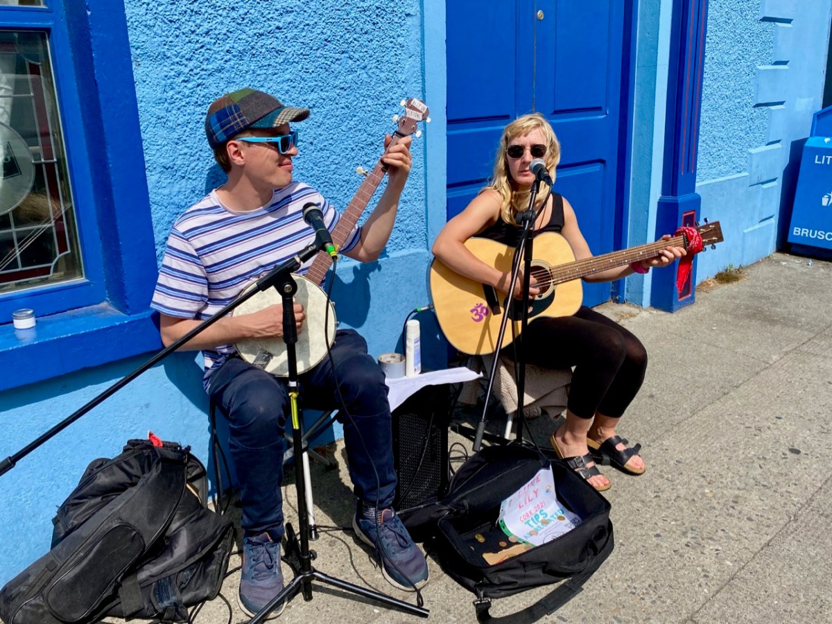
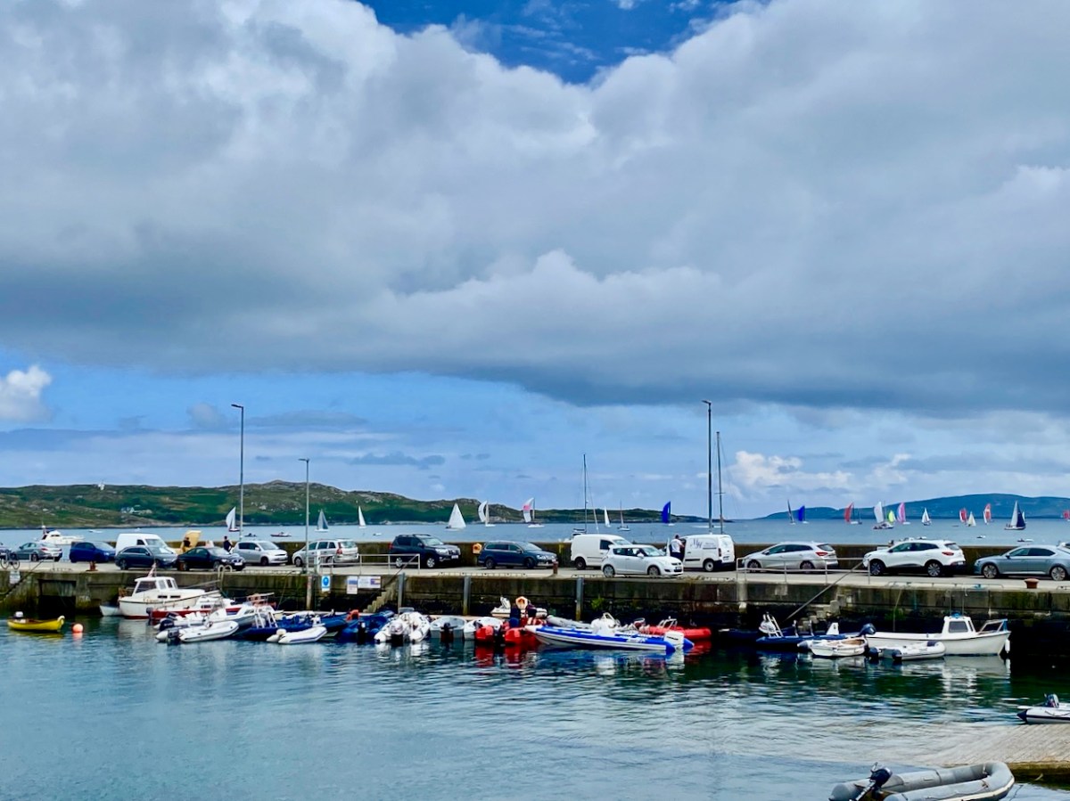
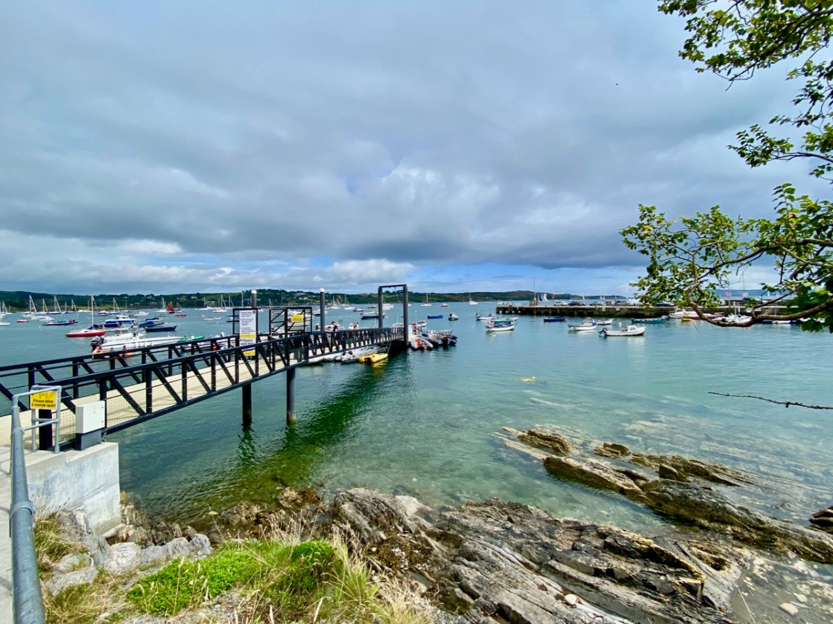
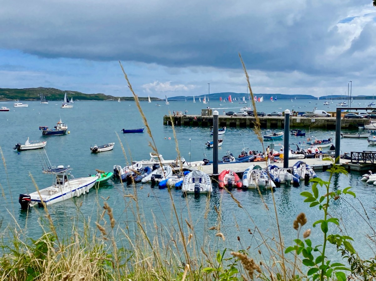
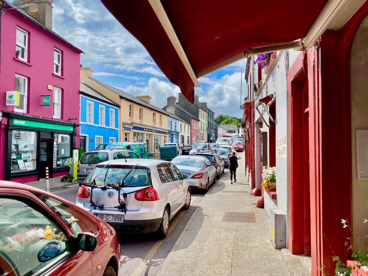
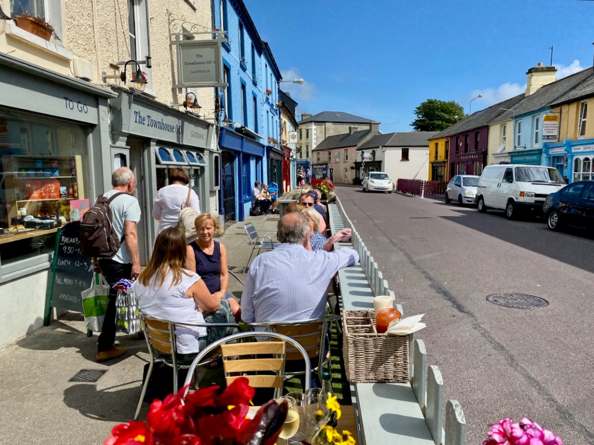
What better time to visit Schull than during Calves Week? That’s a big sailing festival at the beginning of August every year, and you have to be a sailor to understand the nuances of its title. It’s held at the same time as the UK’s premier sailing event – Cowes Week, ‘…the world’s longest running sailing regatta…’ and is focussed around the three Calf Islands in Roaringwater Bay. So there you have it – Cowes and Calves! What it means, of course, is that the village of Schull is at its busiest and, since Covid has given a boost to outdoor socialising, the streets are crowded with visitors enjoying the shops, pavement cafés and galleries.

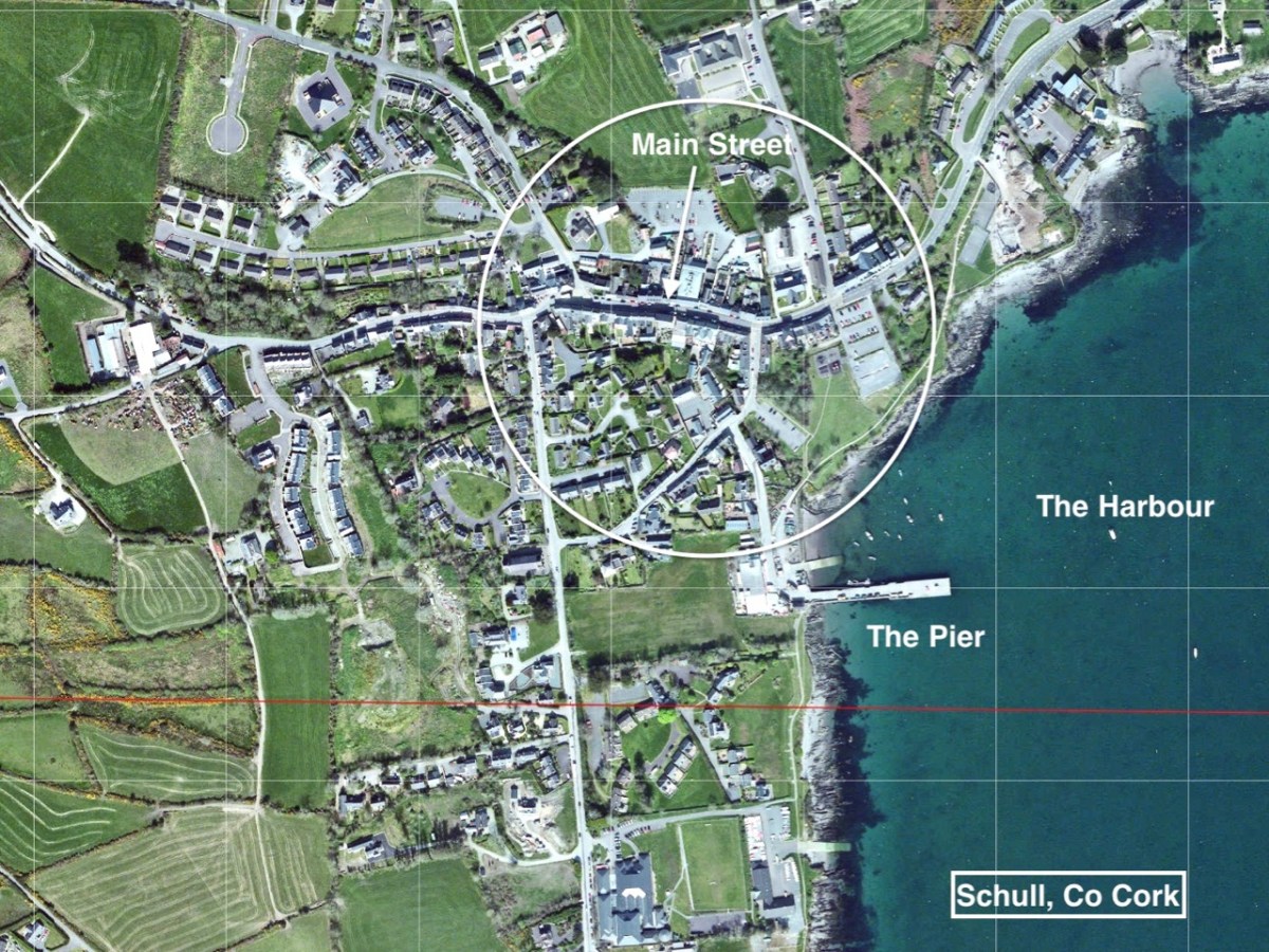
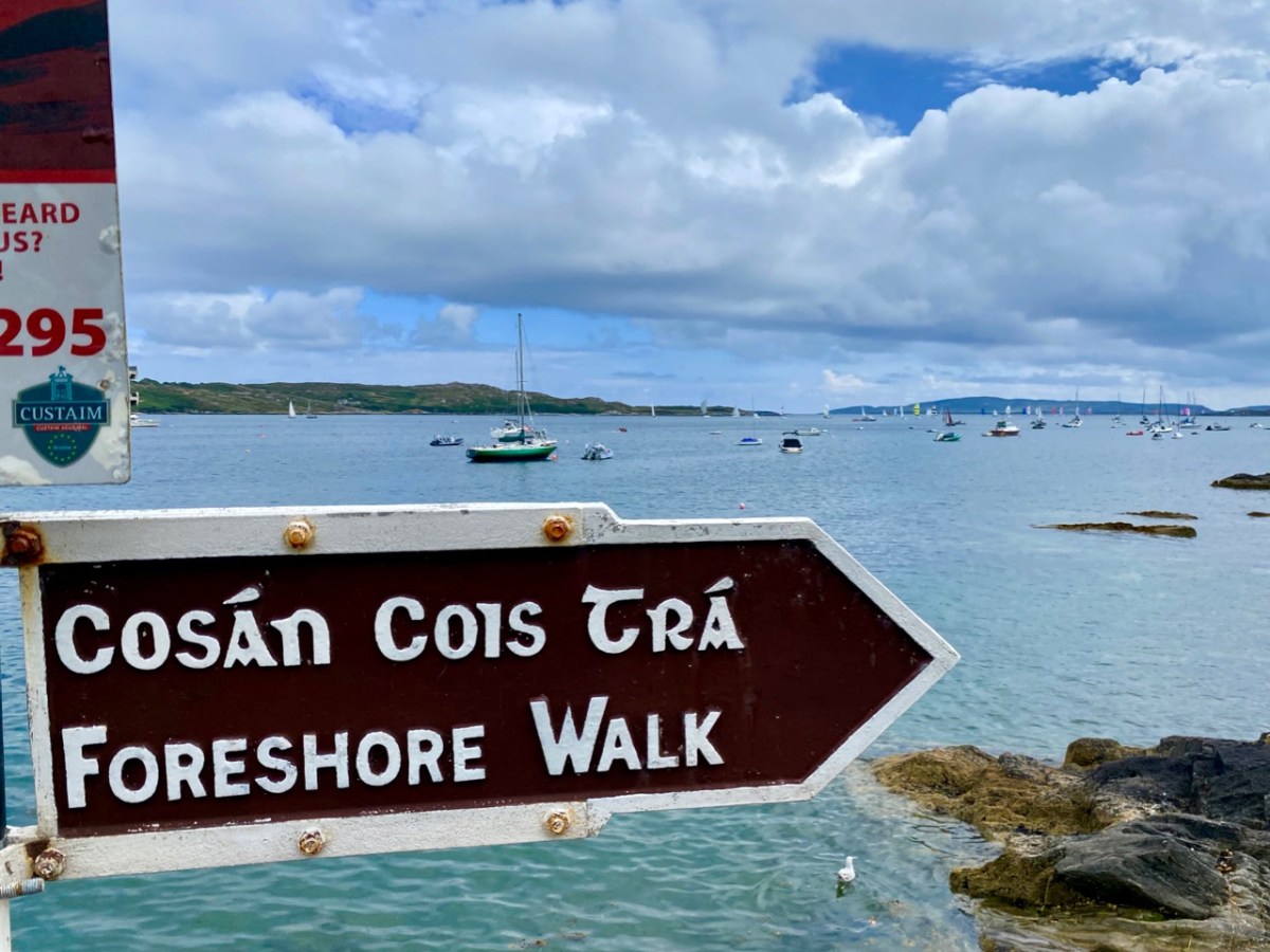
In this occasional series on the Towns and villages of West Cork we will take one community and try to discover why and how it has developed through history, and how it fares in the present day. A snapshot of the place will be presented – hopefully – in the best possible light (although this won’t always be on a sunny summer’s day!) From the aerial view above, you can see how Schull has been built up around its connection with the water. Schull Harbour is at the head of a long sheltered inlet, and the pier today is always busy with fishing and pleasure boats, ferries and yachts.

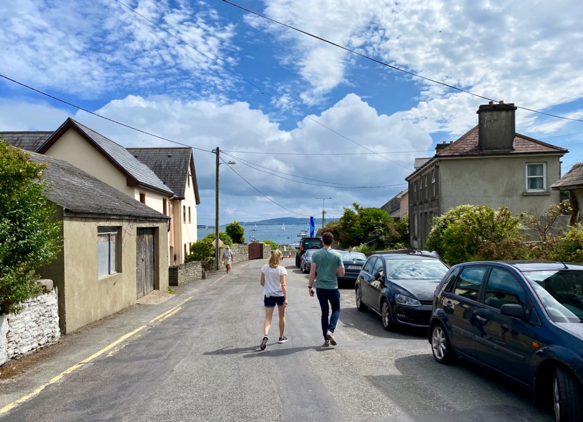
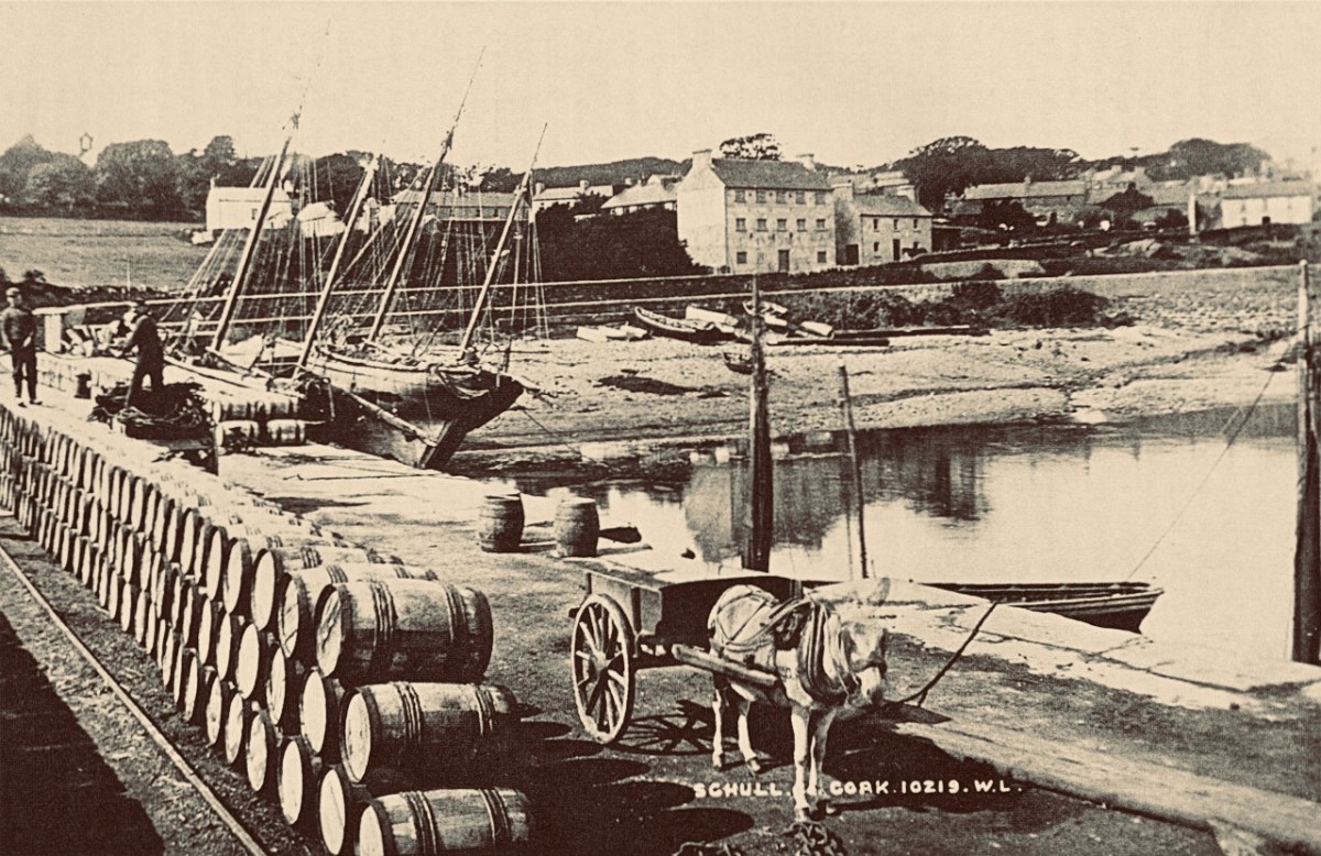
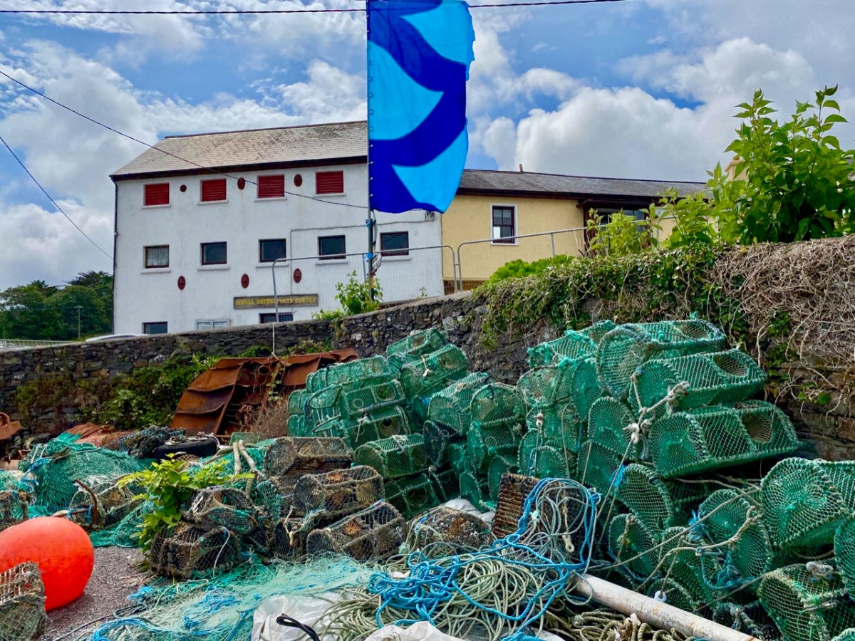
That’s the road to the pier, above, and it’s just a few steps from the village centre. If you are a visitor, you may have no idea that Ireland’s most south-westerly railway line once ran right on to this pier! The narrow gauge Schull, Ballydehob & Skibbereen Tramway and Light Railway was in service between 1886 and 1947, connecting these remoter parts of the county to Skibbereen and then, via the main line, Cork city. Although never considered a commercial success, it was a valuable element of infrastructure enabling local passengers to get to shops and markets, and fishermen to send their catches to distant merchants as hastily as possible (bearing in mind there was a speed limit of 15 miles per hour on most of this rural line). This photograph from the NLI Lawrence Collection (below) dates from the 1890s, and shows barrels of fish stacked up next to the railway track on Schull pier, awaiting despatch. They are likely to contain salted pilchards and herrings.

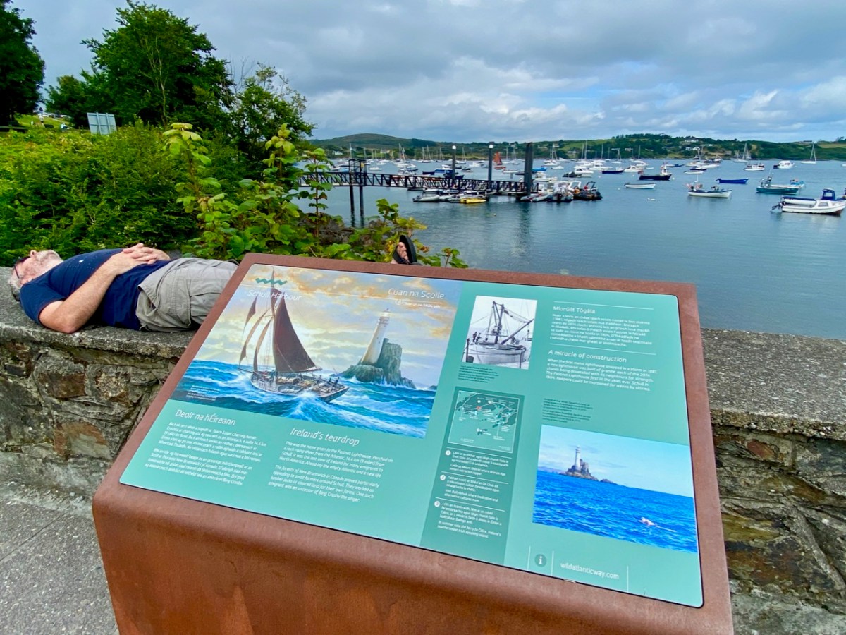
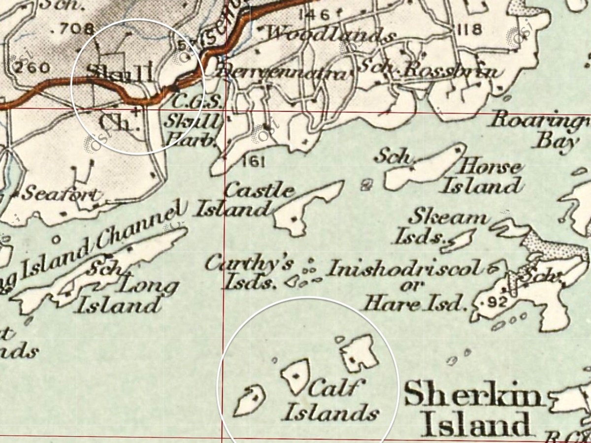
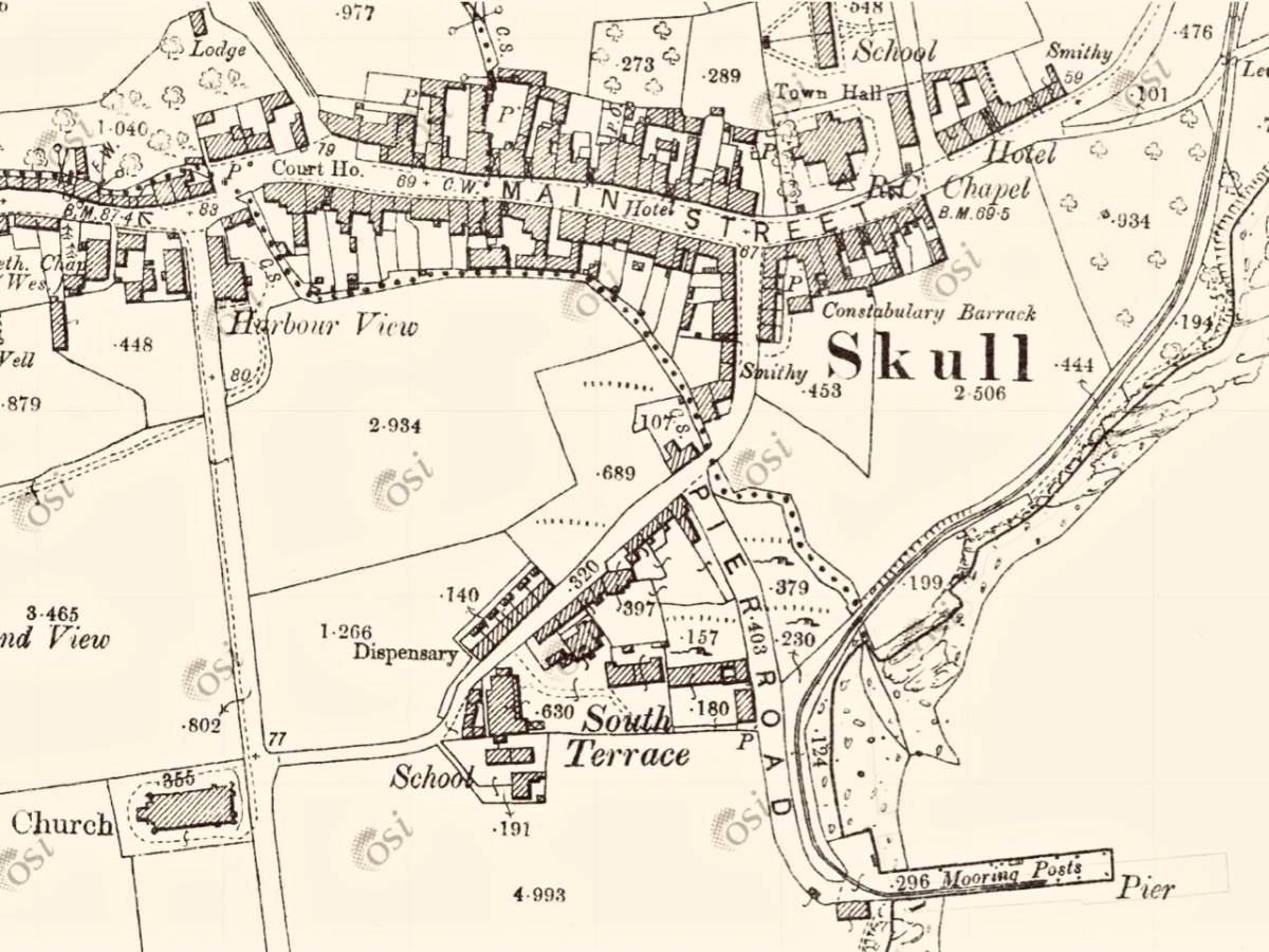
In all these pictures of the pier and pontoon areas above you can see the lively sailing activity in the background. Below are two extracts from early OS maps, one showing Schull and its location to some of the offshore islands, and the other showing the town centre, probably around 1890. It’s thought-provoking to see on the latter the various facilities which the town offered at that time, as well as the railway: Court House, Constabulary Barrack, Smiths, Schools, Hotel and Dispensary.

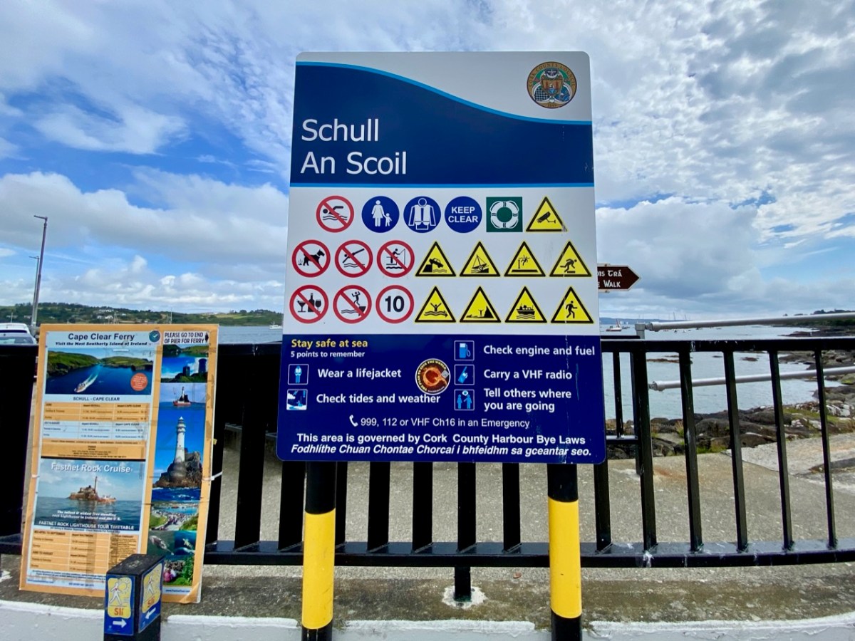
Note that on both the maps above, which date from more than a century ago, the settlement’s name is given as Skull: it still is on all OS Ireland maps up to the present time. Mostly today it’s known as Schull, or in Irish An Scoil, which translates as The School. Some of you may remember my posts earlier this year when I looked in to the possible origins of this village name – and the earliest ‘School’: a site described on Archaeology Ireland as a ‘possible early Christian settlement’:  . . . the ancient school of Sancta Maria de Scholia, ‘a place known in early times as a centre of learning’ . . . There’s a fair bit of local lore surrounding the subject, and you need to read Schull resident John D’Alton’s article on this to find an alternative view to the perhaps romanticised ideas of an ancient monastic site: I’m sitting on the fence!

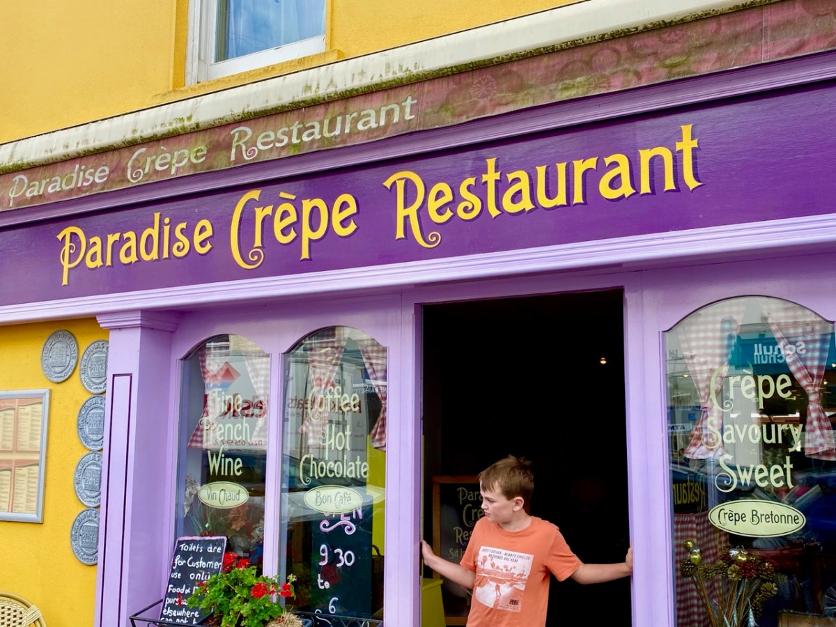
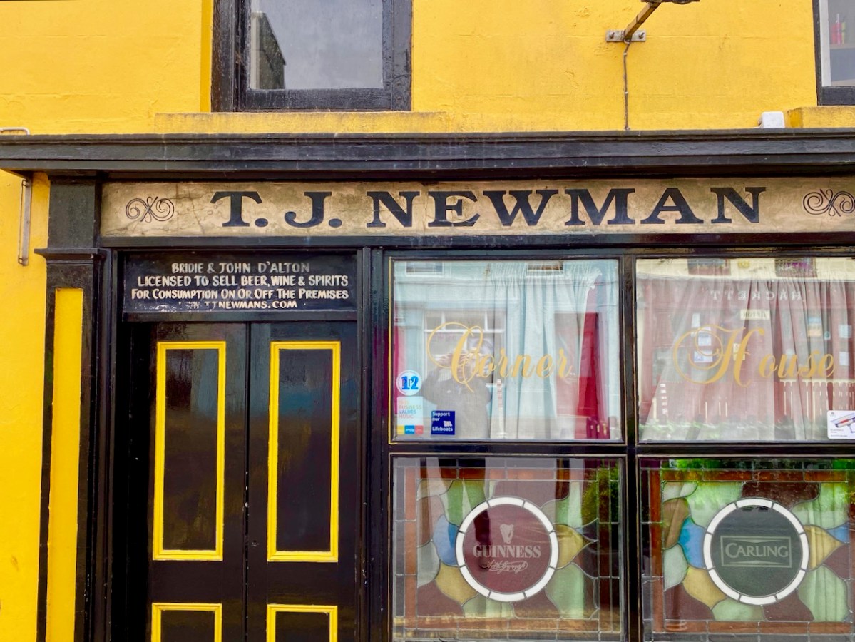
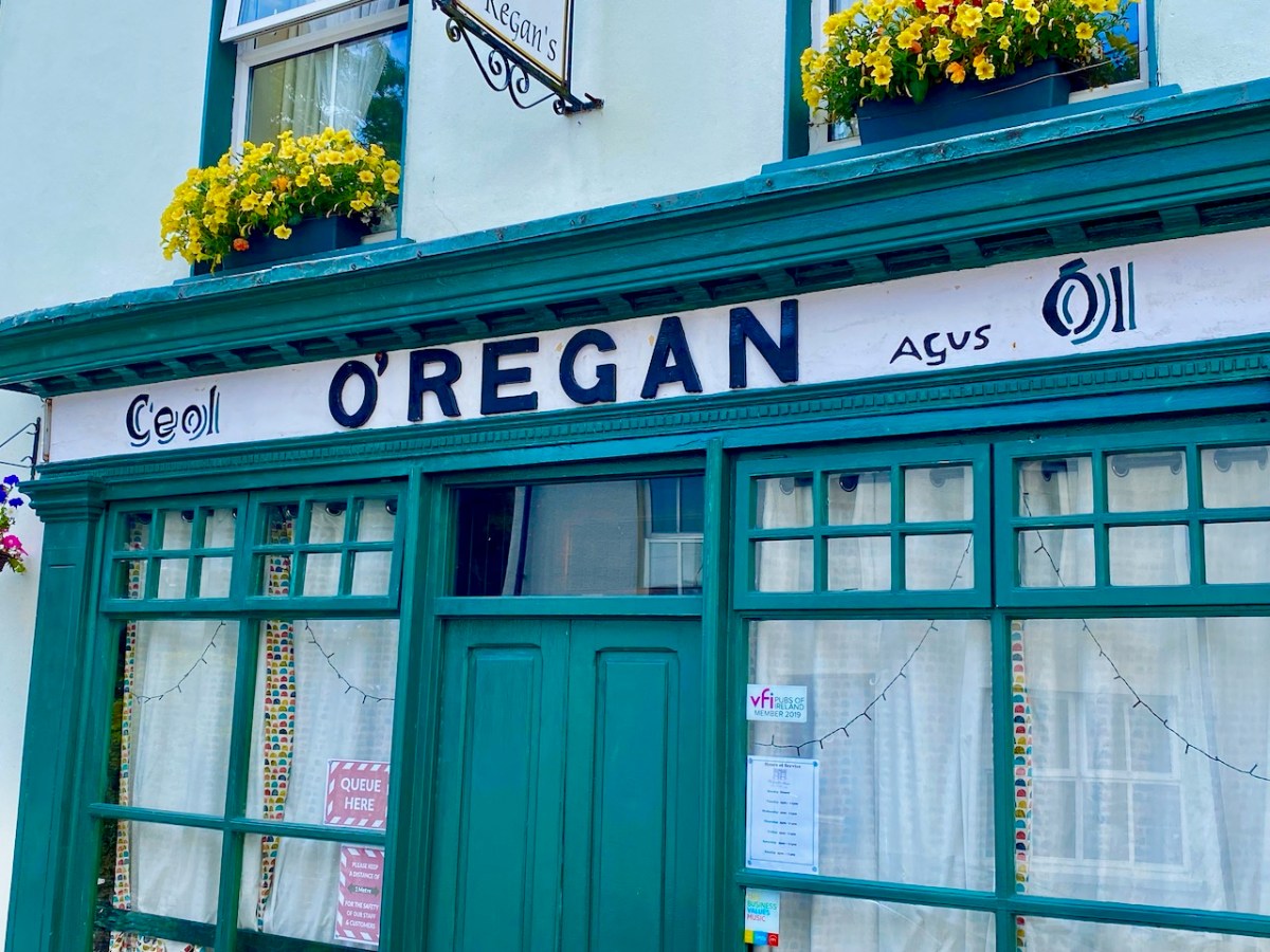
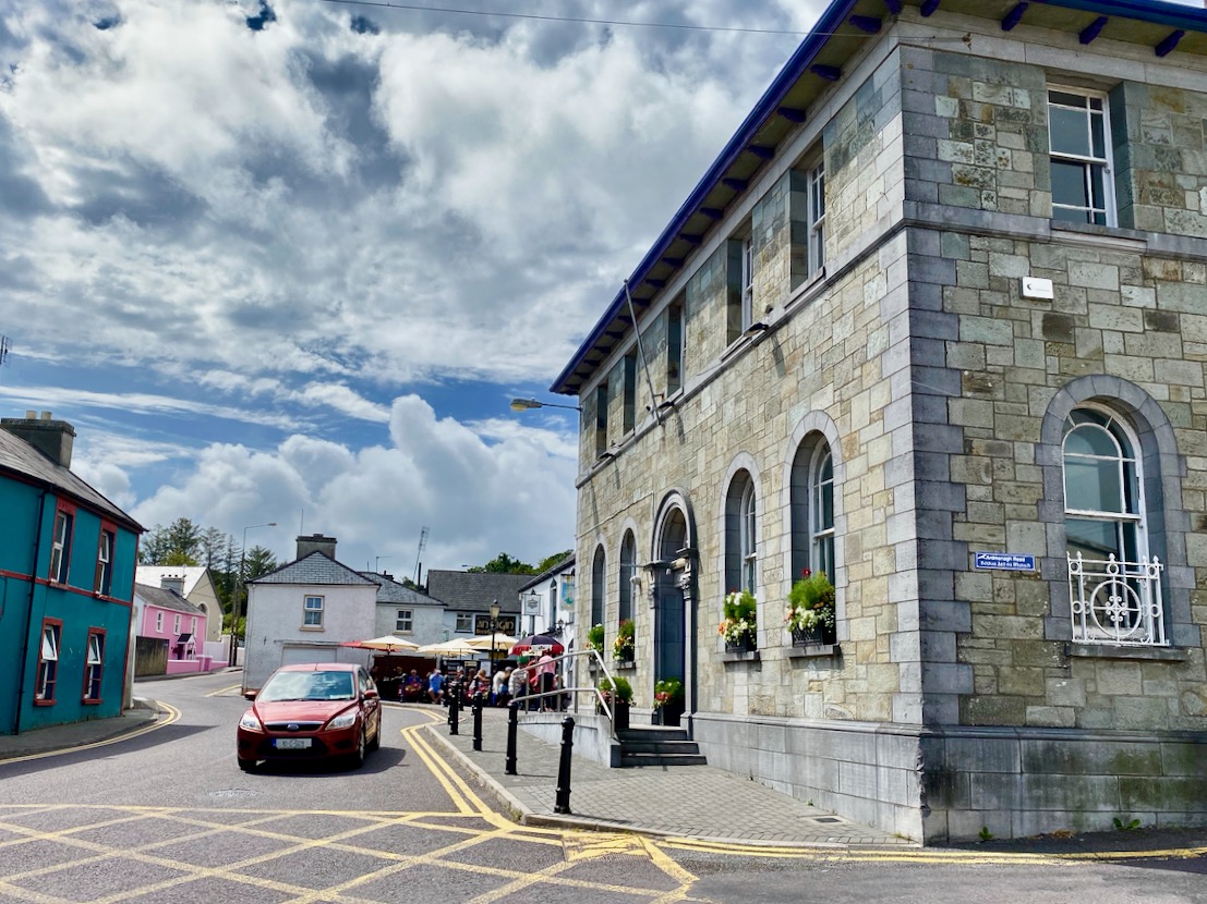
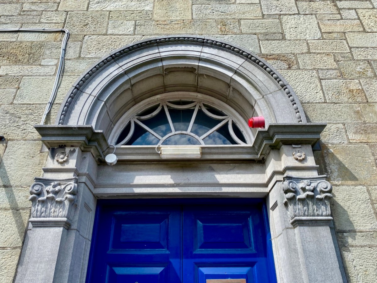
Historic village – perhaps with medieval origins – to vibrant sailing centre and colourful streets in the 21st century. Schull has come a long way, and has far to go. Today the resident population numbers around 1,050: this is boosted substantially with the influx of summer visitors. It’s good to see long established names and new businesses on the streets, contributing to the colourful palette of the architecture. Great things are happening in the future: the old bank building (below) is to become a cinema and film centre: a focal point for the acclaimed annual Fastnet Film Festival.

Year round, Schull is worth exploring. Mount Gabriel, the area’s highest point, is above the village and offers superb vistas over the bay and islands. Finola has looked at the many legends associated with this peak and there is ancient history there, too: the remains of Bronze Age copper mines on its slopes. Good walks can be had on the high ground and on the coastal footpaths – see the Explore West Cork website.

The Castles of Ivaha

Ivaha was the name for the West Cork peninsula that was the traditional territory of the O’Mahonys. The modern name for the peninsular – the Mizen – appeared on maps as early as the 17th century but it is unclear how the name change came about. Ivaha (sometimes Ivahagh or Ivagha) is a corruption of Uibh Eachach Múmhan (pronounced Iv Ahok Moo-en), the Clan Eochy of Munster. Eochy Mac Erc was one of the mythical High Kings of Ireland, from whom the clan claimed descent, acquiring the name O’Mahony from Mahon, son of Cian, an eleventh century chieftain.

Ardintenant Castle was built on/within an existing ringfort

This expansive territory with its complex coastline was defended and controlled by a series of raths (earthen ring-forts), cashels (stone ring forts), cliff-edge and promontory forts until the 15th century, when wealthy chieftains and high-status individuals (such as bards and brehons) adopted the new style of stone fortification which we now call tower houses, or simply castles.

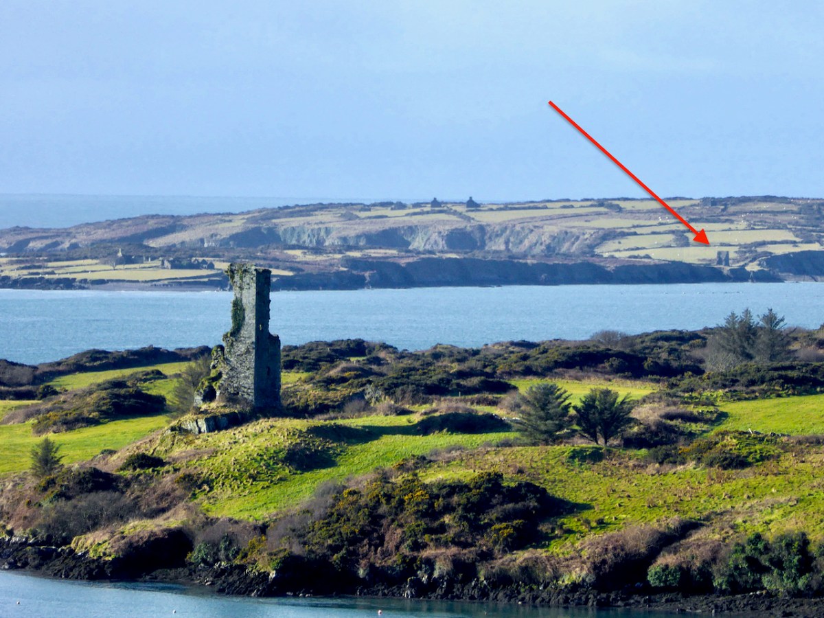
Rossbrin Castle. The arrow points to the location of the remaining wall of the tower house on Castle Island

And the O’Mahonys were certainly wealthy. Control of maritime resources was ensured by castles commanding all harbours and with sight-lines out to sea and to other castles, as well as by fleets of ships. The waters around Ivaha teemed with herring and pilchards, one of the staples of the Medieval European diet, once salted and processed in ‘palaces’ owned by the chieftains. Fishing dues were a lucrative source of income, as were exports of fur and wool and control of vast herds of swine which fed on the mast in the all-surrounding forests.

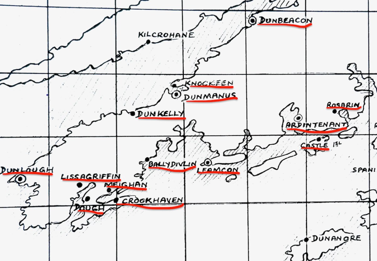
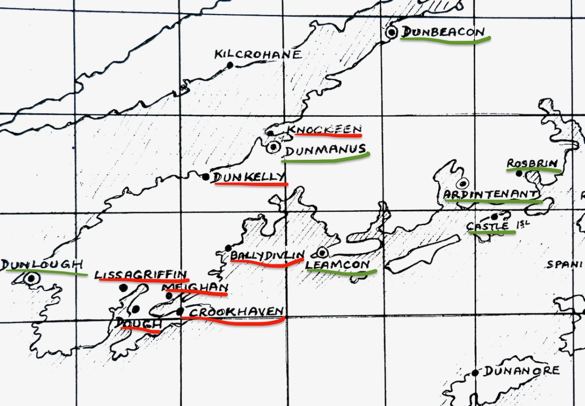
Several of the castles deserve an individual post (all in good time, although Robert has certainly written often about Rossbrin, see for example here and here) but for this introduction I want to lay out exactly how many O’Mahony Castles there were and how many we can see in the landscape now. Let’s start with the total number, each one underlined in red.

As you can see, there are fourteen locations indicated on the map*. Some of these may be familiar to you from previous posts we have written about the history and archaeology of West Cork, and some of them may look strange.  Dough? I hear you say – Never heard of it! Not to mention Knockeen, or Meighan.

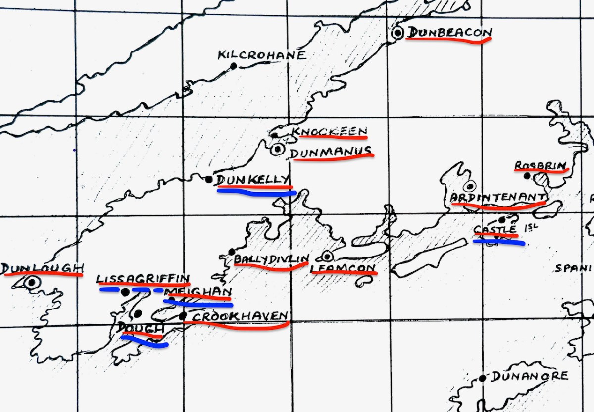
The castles underlined in blue are certainly in O’Mahony territory, but may not have been built, or owned or occupied by O’Mahonys. There is some suggestion, and some local belief, that the tower on Castle Island may have been owned by the O’Driscolls, built for the purpose of keeping an eye on their neighbours. However, on the whole this seems highly implausible, since it is so deep within O’Mahony lands  and indeed within sight and easy reach of both Ardintenant, where the clan chieftain, (or Taoiseach) resided and Rossbrin, where the next-in-line to the chieftaincy, (known as the Táiniste) had his stronghold. 

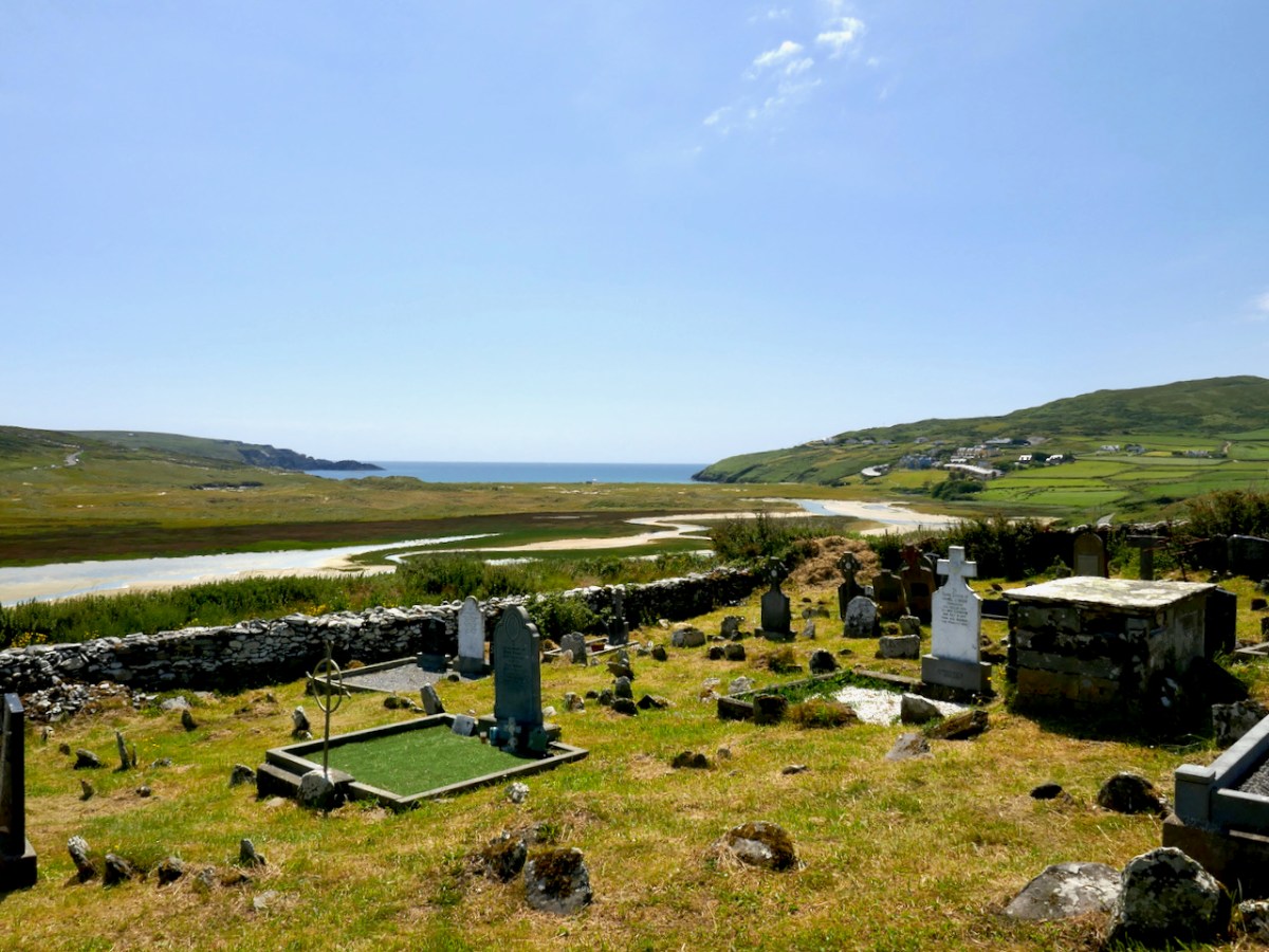
This is the site of the graveyard and ancient church at Lissagriffin – the castle would have a short distance to the west but with the same commanding view

Lissagriffin, Castlemehigan and Doagh Castle may have been built for or by the Mehigans, the traditional bards to the O’Mahonys. According to John O’Mahony,** A well-endowed hereditary family of Bards was considered to be an indispensable appendage of every considerable Chieftain’s establishment. Canon O’Mahony goes on to say

In process of time, if not from the beginning of the new chieftaincy, the western O’Mahony employed another Bardic family, that of O’Mehigan, and endowed them with some three hundred acres of land in Kilmoe (as appears from the Inquisition of Dermod O’Mehigan taken in 1623), and with the wardership of a castle―Castle Mehigan―built by the Chieftain, as, of course, it could not have been built from their own limited resources.

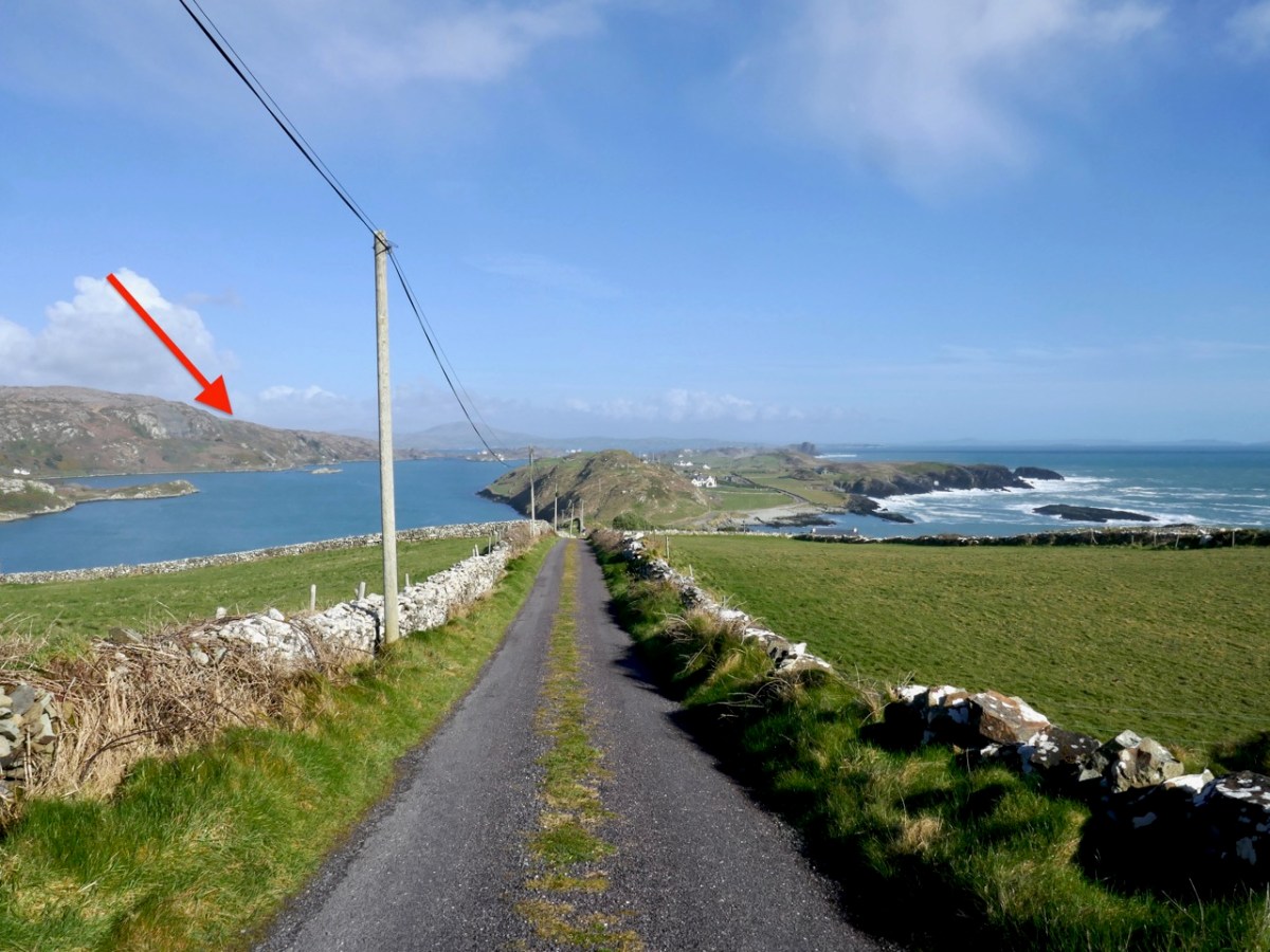
Other authorities posit that the O’Mehigans had not one but three castles of their own. The arrow below indicates the approximate location of Castle Mehigan.

Finally, there is Dunkelly. This one is traditionally associated with the pirate, Canty, and you can read all about him and his exploits in Robert’s post, Canty.

The view from where Dunkelly Castle was sited, looking up Dunmanus Bay

Some of these castles may be unfamiliar to those of you who already know most of these sites. That’s because there is nothing left of them. Besides the O’Mehigan and Canty castles, which have totally disappeared, there is now no longer any trace of the O’Mahony castes at Knockeen, Ballydivlin and Crookhaven. Knockeen, across the bay from Dunmanus Castle, may never have been completed. According to ‘Finnerty’ writing in the Southern Star in 1935, a ‘wise stranger’ came along as the castle was being built and warned that it would fall into the sea – so all operations were moved across the bay to the current location of Dunmanus Castle.

The two red dots on the north side of Dunmanus Harbour mark the site of Knockeen Castle, which was built (or started) on an existing cliff-edge fort. The red dot on the south side is Dunmanus Castle

Ballydivlin, sometimes called Ballydesmond,  was still standing, according to Healy, until the middle of the nineteenth century when it was demolished and its stones used for road making. Likewise, Bishop Dive Downes, visiting Crookhaven in 1700 described the walls of an old castle in the middle of what is now the village. Both Crookhaven and Ballydivlin (the photograph below shows where it was) followed the pattern of strategic siting to dominate the entrances to harbours.

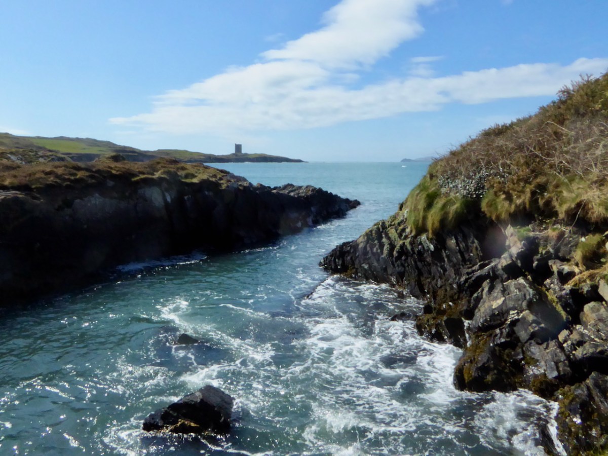
Of those we have left, Dunbeacon and Castle Island are vestigial – only parts of one or two walls remain. Dunbeacon is my lead photograph – you can see not only how little is left, but also how strategically sited it was, with views right down Dunmanus Bay.

Rossbrin is in a perilous state, having been battered by storms over the years and with cracks and holes in its walls (above). And so we are left with seven of the original fourteen castles – the ones underlined in green, below.

But the final four castles of Ivaha – Ardintenant (White Castle), Dunmanus, Leamcon (Black Castle) and Dunlough (Three Castle Head) are all relatively intact, and Leamcon (below) has been stabilised and preserved by its dedicated owner. 

Future posts will describe the defining characteristics of the Castle of Ivaha and explore what we can learn from those that can still yield information.

Three Castle Head

*map, and information where noted, based on James N Healy’s The Castles of County Cork, Mercier Press, 1988

**A History of the O’Mahony Septs of Kinelmeky and Ivagha, Rev Canon John O’Mahony, Glenville, Crookstown, Journal of the Cork Archaeological and Historical Society, various issues, 1906-10

For posts on individual Castles see:

Ardintenant Castle

Dunmanus Castle 1: The Cliff-Edge Fort

Dunmanus Castle 2: The Castle

Dunlough, or Three Castle Head

Black Castle, or Leamcon

Elizabethan Map of a Turbulent West Cork 2: The Story

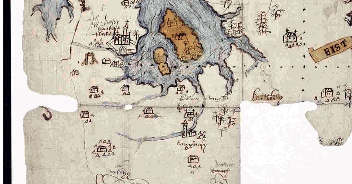
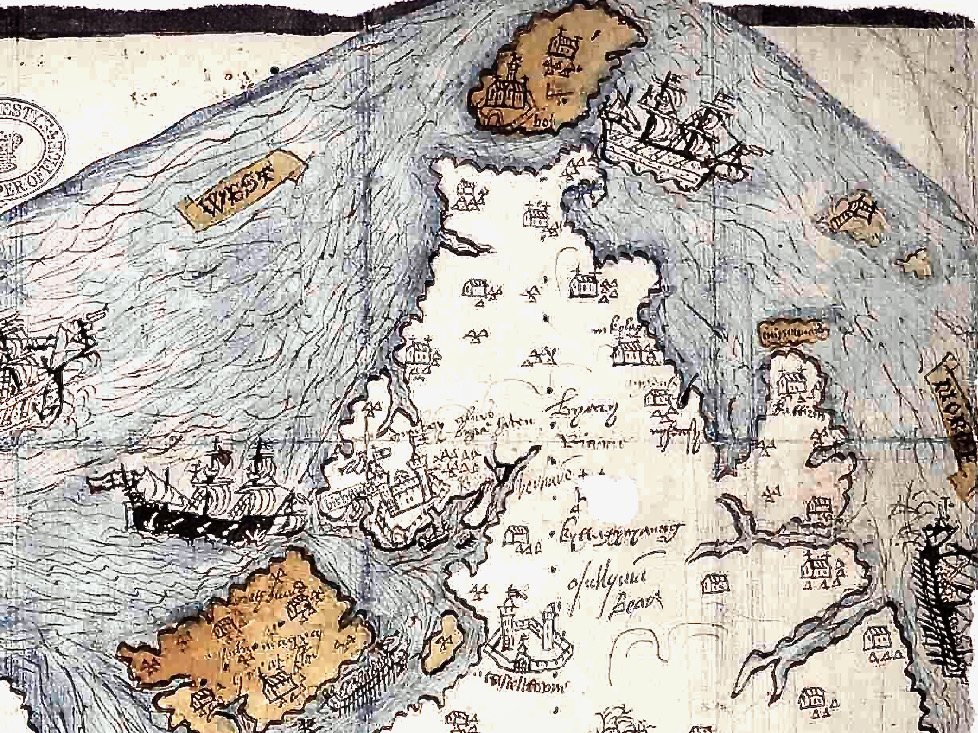
Last week we took a look at this intriguing map and picked out many of its features. This week we want to see what is actually being depicted in this extraordinary document. By the way, before we get on with that – what is that strange construction beside the Bantry Abbey? A drying rack? A Gallows?

The main source I am using is the article written by P.O’Keeffe (this may have been Paddy O’Keeffe of Bantry – if anyone can confirm this I would be grateful). It was published in the Journal of the Cork Historical and Archaeological Society in 1958. It’s a brilliant piece of analysis based on a close reading of the map, cross-referencing with the Pacata Hibernia, and a deep dive into the few other sources for medieval West Cork History.

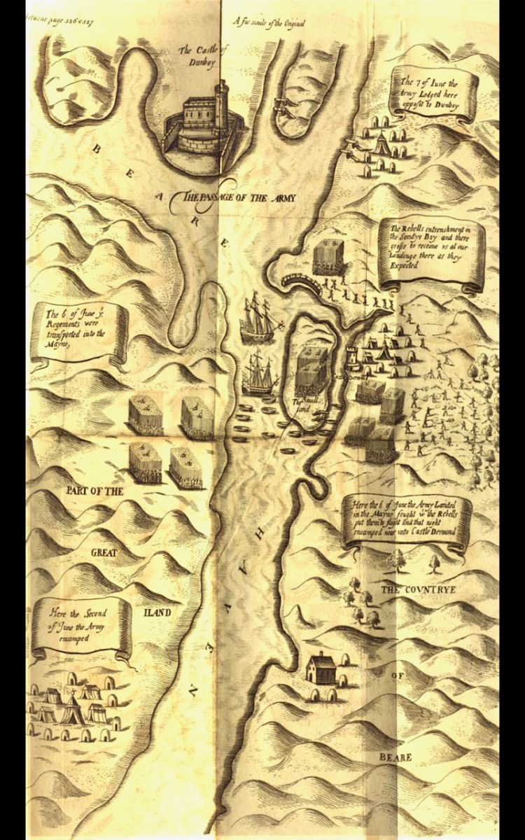
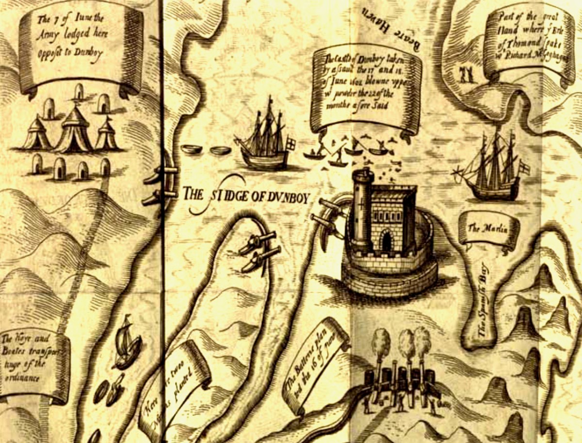
The Passage of the Army – an illustration from the section of Pacata Hibernia dealing with the Siege of Dunboy

First, a very brief background – a slightly more detailed version can be found in Robert’s 2019 post, An Excursion to Dunboy. After the Battle of Kinsale, where a combined force of Irish and Spanish were defeated by the British, Donal Cam O’Sullivan Beare retreated to Dunboy. Having forcibly taken it back from the Spanish commander whom he had left in charge and who was prepared to surrender it, he strengthened its fortifications and leaving it in charge of a deputy, he departed for Ardea Castle to meet a Spanish ship bringing reinforcements and supplies.

While he was absent the British made their way, by land and sea, to the Beara, attacked and destroyed Dunboy (with some assistance from Donal Cam’s cousin, Owen O’Sullivan of Carriganass), killing or subsequently hanging (in Castletownbere) all the defenders and inhabitants. The also murdered all those who has sought refuge on Dursey Island. This all happened in June 1602.

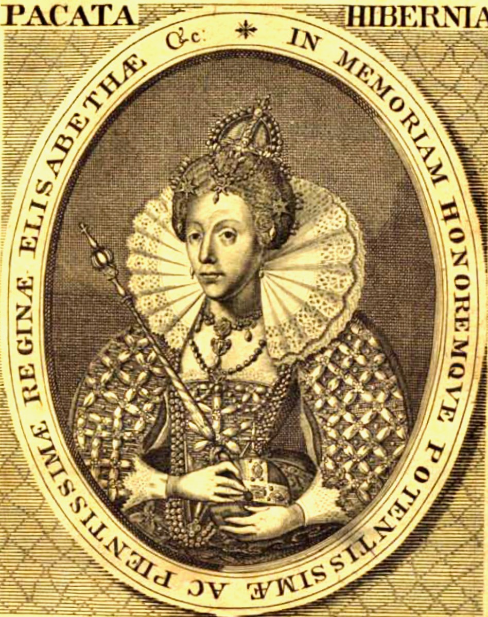
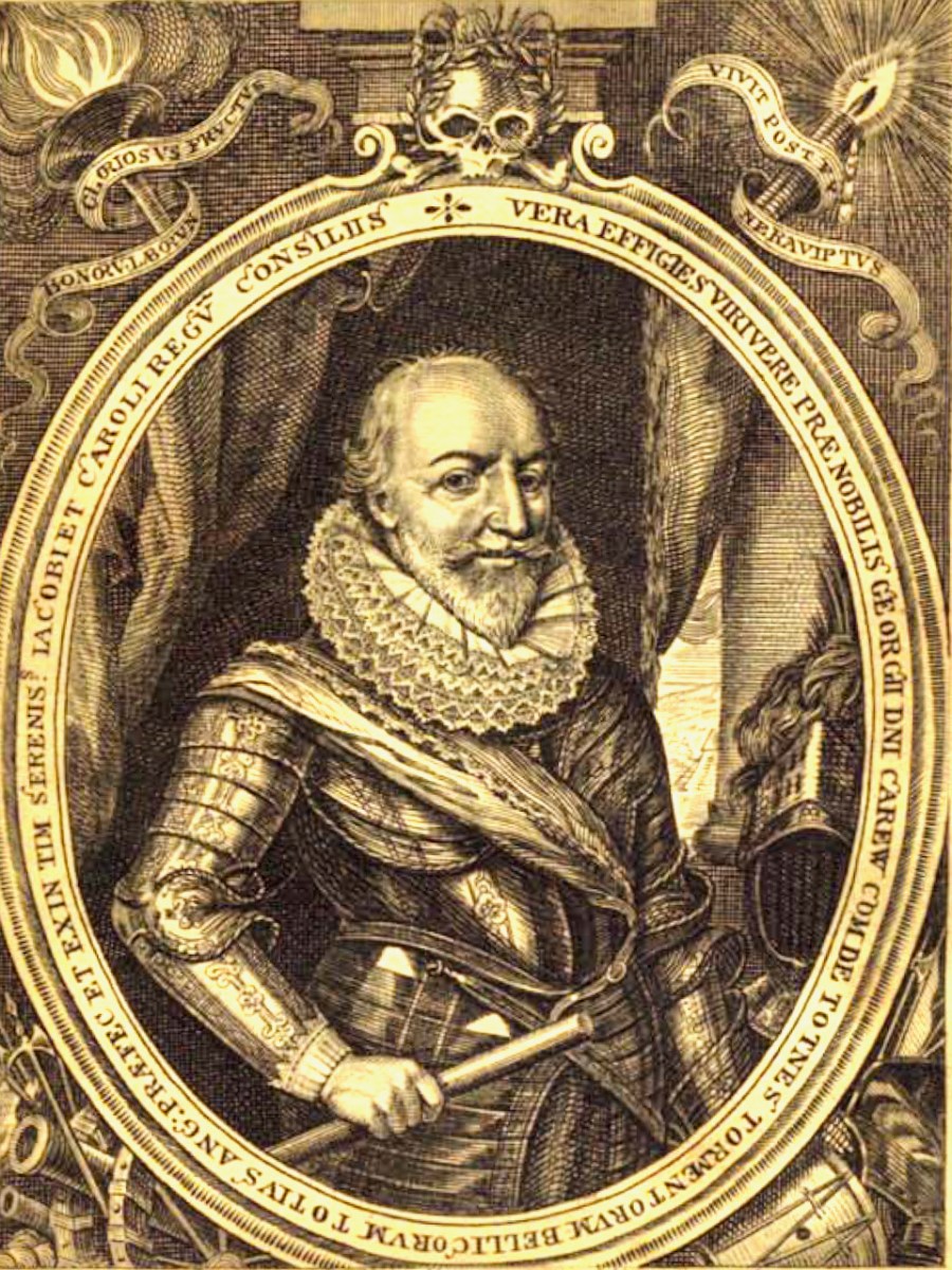
The campaign that marked the end of the Nine Year’s War was chronicled in a book called Pacata Hibernia, (Ireland appeased and reduced; or, an historie of the late warres of Ireland), written by Sir Thomas Stafford and dedicated to Elizabeth I (above) and to his boss (and possible father), George Carew, the President of Munster (below). Stafford lays out the course of each battle, siege and engagement, illustrated with maps and drawings.

Seen as glorious victories by the British, the Battle of Kinsale and destruction of Dunboy spelled the death-knell of the power of the old Gaelic lordships in West Cork and ushered in the large-scale takeover of Munster by the new planter class who arrived to a devastated and depopulated landscape. A visit to Dunboy (below) nowadays does not in any way convey the seismic effect this siege had on Irish history.

Because a previous historian had assigned this map to the 1550s, O’Keeffe goes to great pains to demonstrate that what is depicted here is indeed the Siege of Dunboy.

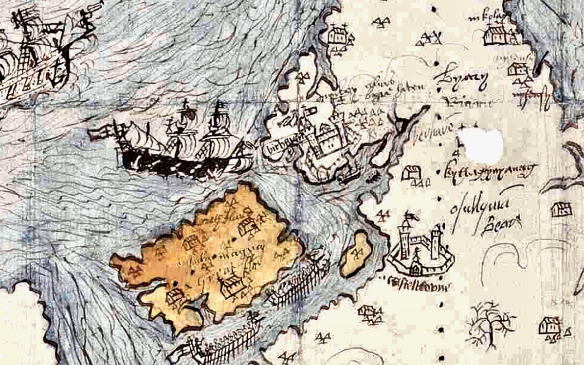
Thus, the movement against Dunboy, in its initial stages, was entirely a naval action, ships playing a vital role in ferrying troops, guns and supplies, firstly to Bear Island and secondly to Dinish Island, thirdly, to the mainland and into strategic creeks about Dunboy, and, finally, to the Dursey. The principal islands mentioned in the Pataca  report are Whiddy, Great Island (Bear Island) Doughe Insh (Dinish Island) and Dursey, and each one of these played a vital part in the attackers’ plans. Can it be coincidence that these islands are specially emphasised in our map by colour washes? Troops were ferried from Muintervarry to Bear – the map shows two galleys being rowed up the Bear Island Sound. Boats ran the fire of Dunboy into the Creeks about the castle. The map shows boats in precisely similar positions.

A Spanish ship came to Kenmare Bay carrying Bishop McEgan and Turlough O’Brien with supplies and money. The map shows a Biscayner being rowed out of Kenmare Bay. A pinnace and three other boats went to capture the Dursey – a ship is shown clearing the Dursey Sound. Finally, the boundary line on the Muintervarry Peninsula, and the dotted ‘scale’ embrace the specific region mentioned on the Pacata Hibernia. Can the occurrence of all these features be purely coincidental? It seems unlikely, and unless serious arguments can be advanced to the contrary, we must consider that the map was used to illustrate the events of Dunboy in 1602.

O’KEEFfe, P., A Map of Beare and Bantry,
Journal of the Cork HISTORICAL and Archaeological Soc
1958, Vol 63, No 167

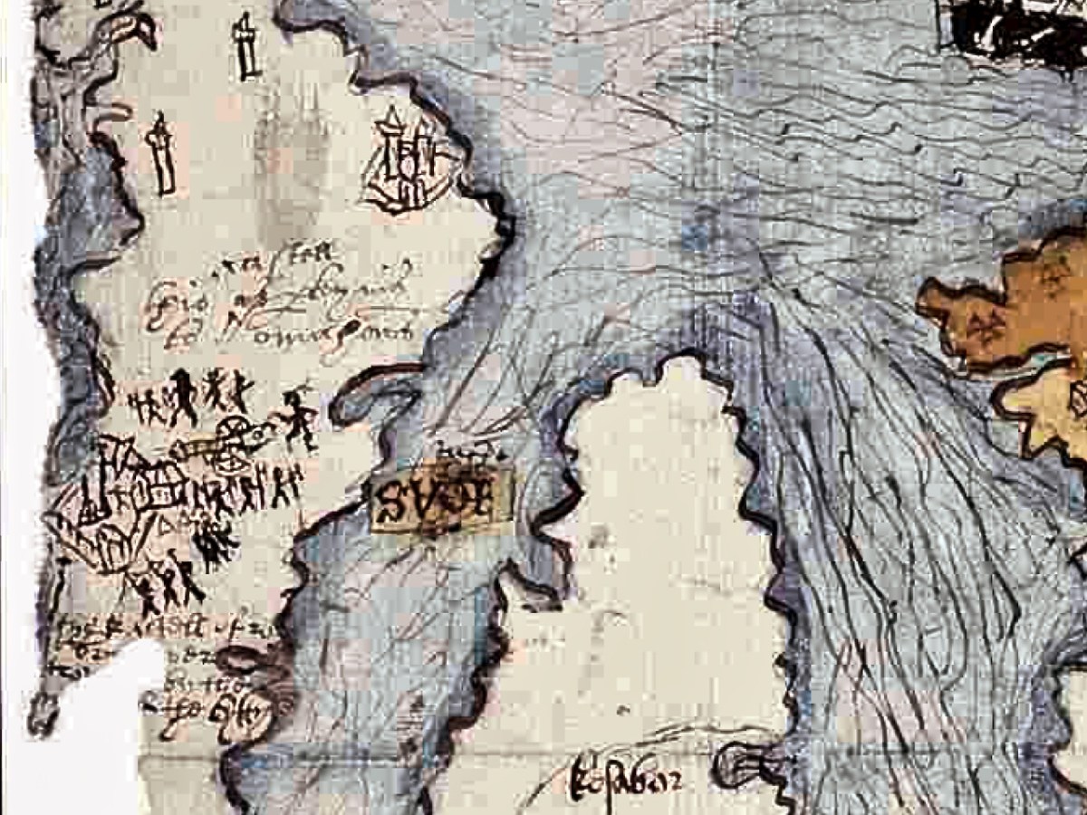
Very convincing. What remains a puzzle, however, is the castle that is being besieged on the Mizen Peninsula. O’Keeffe has deciphered two words above the castle as ‘Kastell’ and ‘Omahons’ and the inscription below as ‘the kastell of rosebry . . . wer  . . . by the m . . .  of the Cytty of . . .’  The drawing may show that the tower inside the bawn has already been destroyed by the cannon outside the walls, being fired by a soldier in a plumed hat. Troops are shown with muskets, crossbows and axes. The bawn wall has at least one corner tower and a substantial gatehouse. 

The inscription appears to verify that this is Rossbrin, and we do know that the Rossbrin O’Mahonys took part, on the Irish side, in the Battle of Kinsale, so it makes sense that their castle would come in for the same treatment as Dunboy. However, only one authority (Smith*) states that Rossbrin was besieged by Carew in 1602, while others assert that it was not, and that the tower was substantially intact up to comparatively recent times. There is no mention of actions against Rossbrin in Pacata Hibernia. O’Keefe speculates that what is being illustrated may be the recorded siege of Rossbrin in1562 when “the authorities in Cork fitted out an expedition to capture the castle from the O Mahonys” or in 1571 “when Perrott attacked and captured the castle.” 

However, this calls for some chronological sleight of hand – in order to establish that what is depicted on the map is a siege of the 1550s, O’Keefe postulates that this map was produced in the 1550s and then later modified to include the Siege of Dunboy. Not very likely, given that his rationale for assigning it to 1602 is so clear, and the map has all the unified appearance of being done at one time and by one hand. What’s left of Rossbrin now can be seen above and below.

The other possibility is that the castle of the Mizen being besieged is not Rossbrin. In this case, the likeliest candidate would be Dunmanus (below), which was captured by Owen O’Sullivan of Carriganass. While the castle under siege on the map is on the correct side of the Mizen for Rossbrin, and not Dunmanus, we have already seen in Part 1 that Ardea Castle is located on the wrong side of the Kenmare River, so perhaps the cartographer was a little more approximate with some locations than others, or perhaps the boundaries of the paper available for the map forced a couple of castles to be squeezed in, even if the location wasn’t totally accurate.

I have yet another resource to consult, but I don’t have access to it yet, so it is possible that there is more, and better, analysis of this map. If so, I will either write a future post, or revise this one. Meantime, I would be interested in anyone else’s take on The Story.

*Smith, Charles, 1893, The Ancient and Present State of the County and City of Cork (available here)