Favourite Posts of 2018

At this end of the year we reflect with a critical eye on all our 2018 posts – there have been 102 of them – and select just a few which we think stand out in some way. A link is provided for each one, in case you want to have another look yourselves.

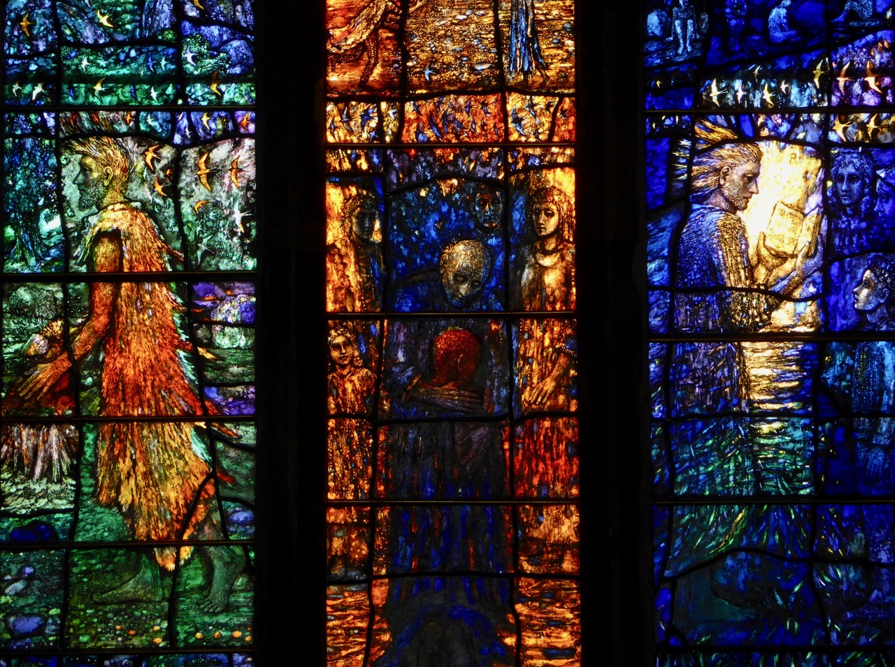
Firstly – not just one of our favourites, but the all-time most popular post we have ever published – Ireland’s Newest Stained Glass Window. Finola wrote this in January, and then went on to put together an article in the Irish Arts Review on the same subject later in the year. The window is in St John’s Church in Tralee, a Catholic church, but the project was a joint venture between the Catholic and Anglican congregations. It tells a story of reconciliation, from many angles. The window was designed and made by Tom Denny, one of Britain’s most eminent and respected stained glass artists. Tom is a direct descendant of Sir Edward Denny (1547 to 1599) who was one of the architects and enforcers of the Plantation of Munster. It’s a complex history, and this post is well worth a careful read.

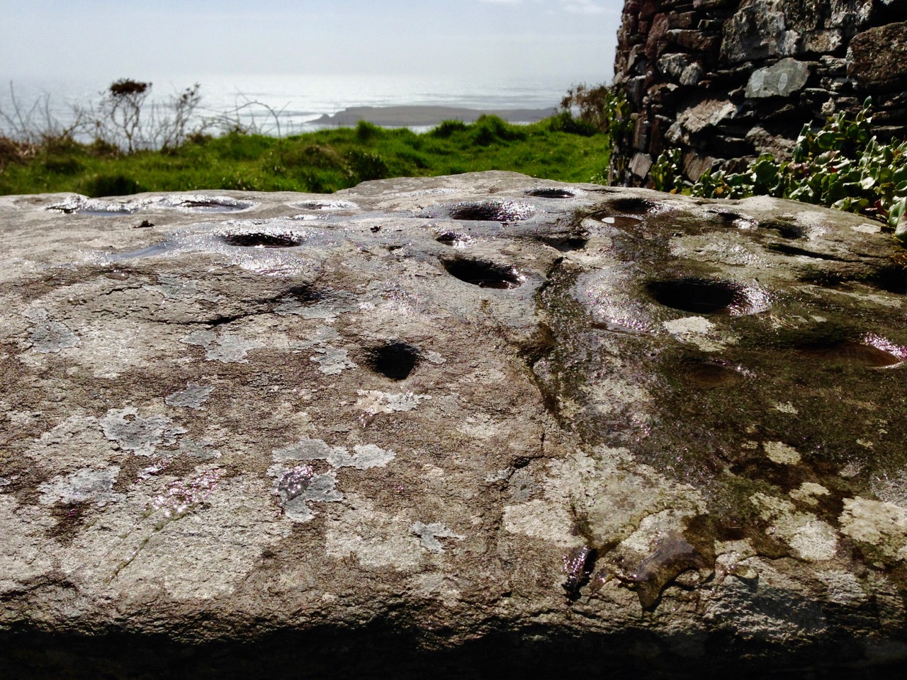
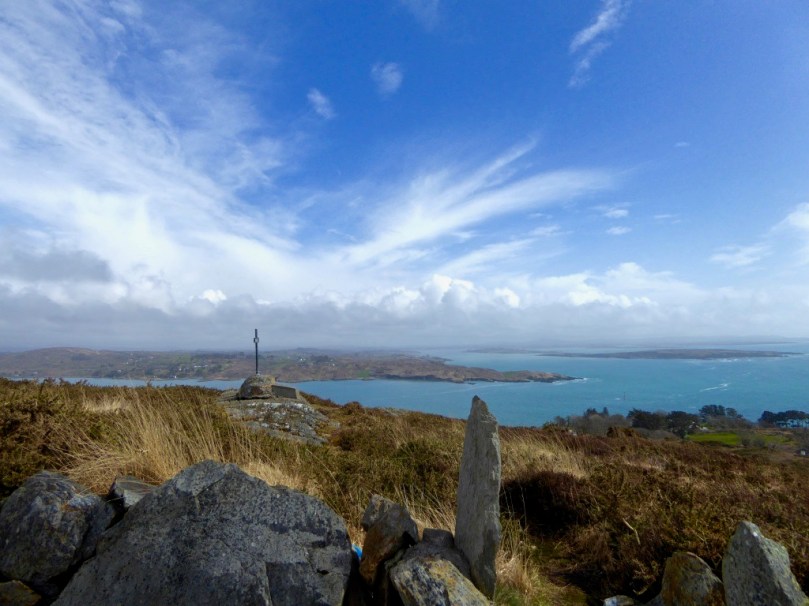
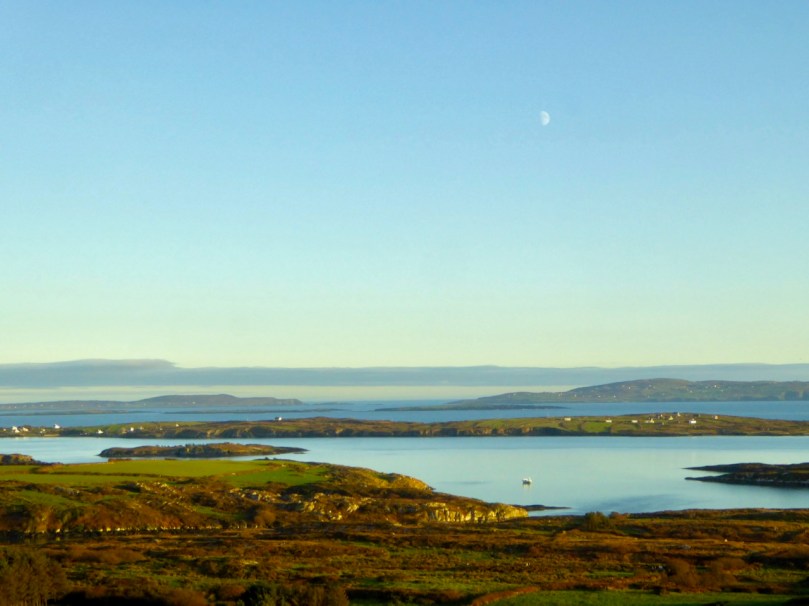
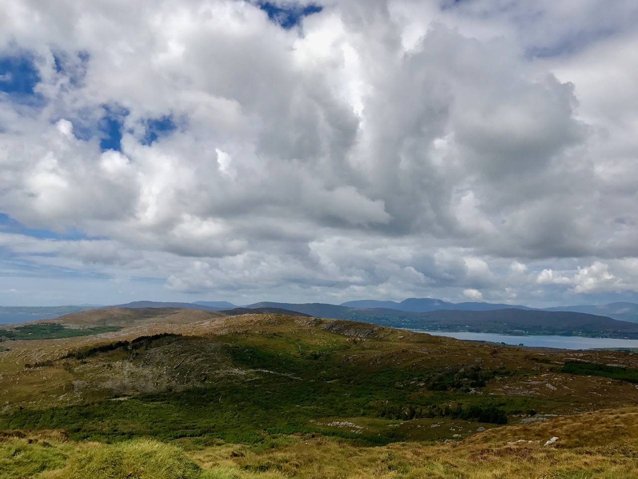
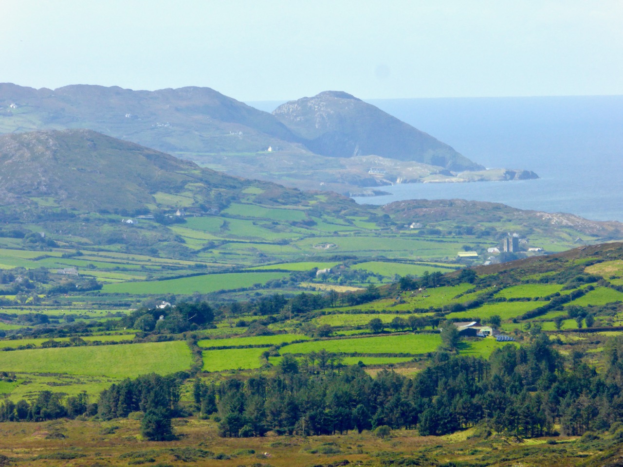
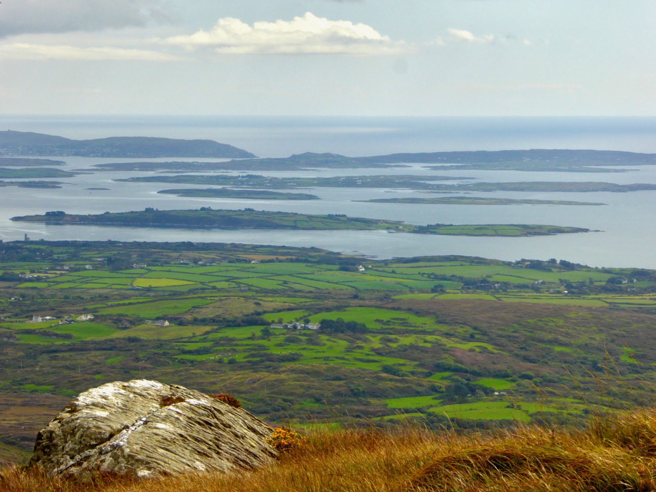
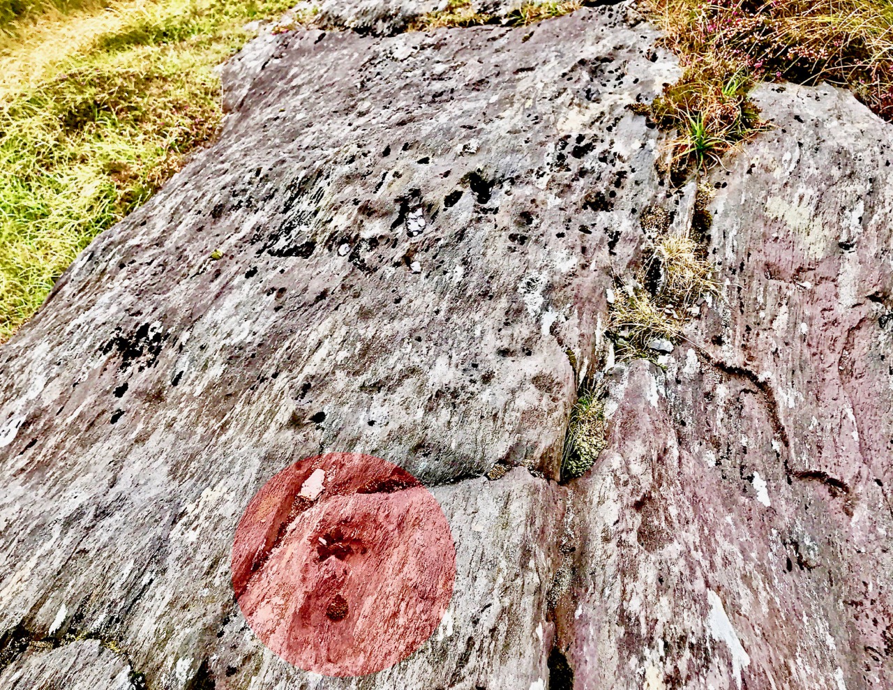
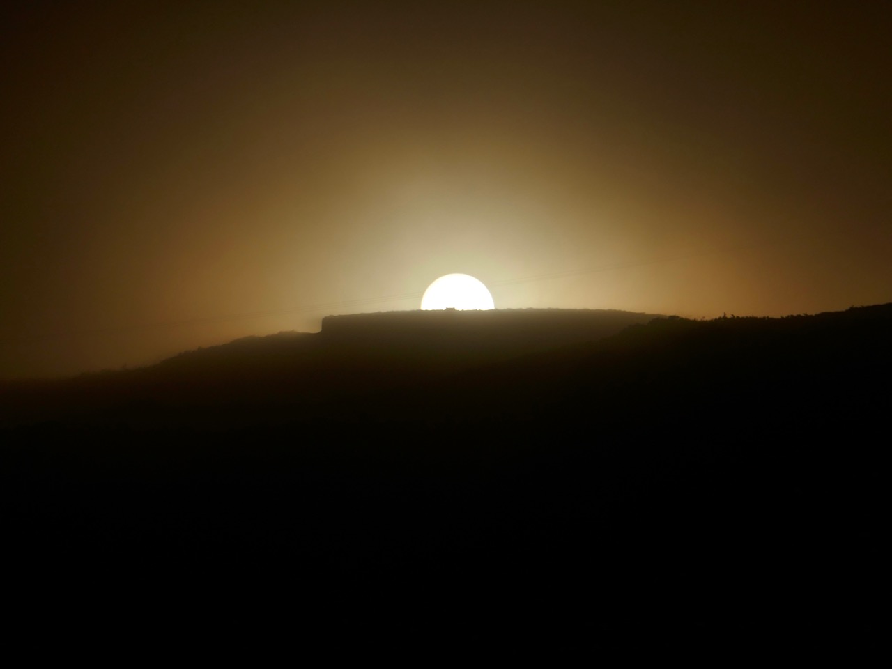
Another post which proved popular was Robert’s detailed account of an archaeological site in West Cork: Knockdrum Stone Fort. This place has everything – a substantial stone structure which probably dates from the first millennium AD; prehistoric Rock Art (one of our favourite subjects – the Knockdrum example is pictured above), likely to be around 5,000 years old; fabulous views (choose a clear day) – and a solar alignment discovered in 1930 by Vice Admiral Henry Boyle Somerville, the younger brother of writer and artist Edith Somerville. In a complementary post, Finola reported on Boyle’s life and tragic death – and gave us insights into the science of archaeoastronomy, expanding on this in a Bealtaine post, following our own experience of Boyle’s discovered alignment at Knockdrum (the sun setting exactly over the fort is pictured below).

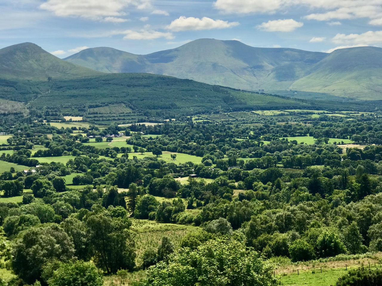
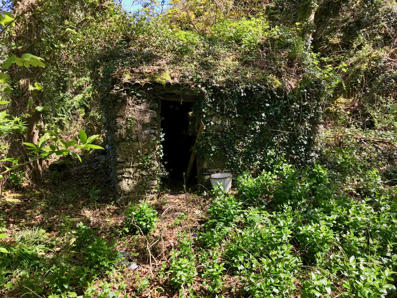
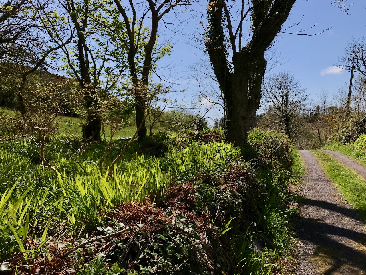
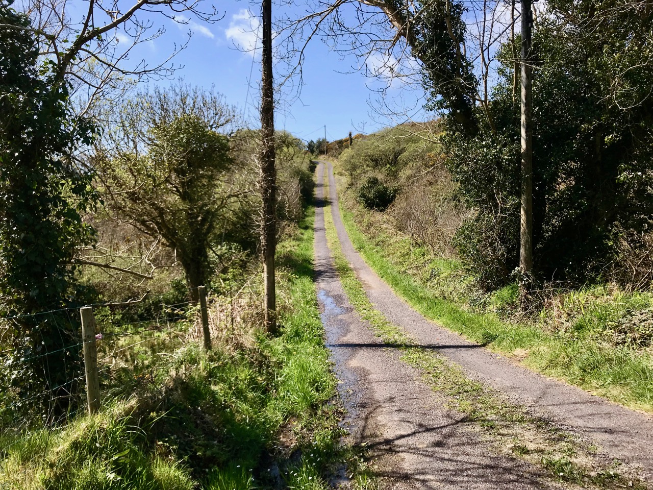
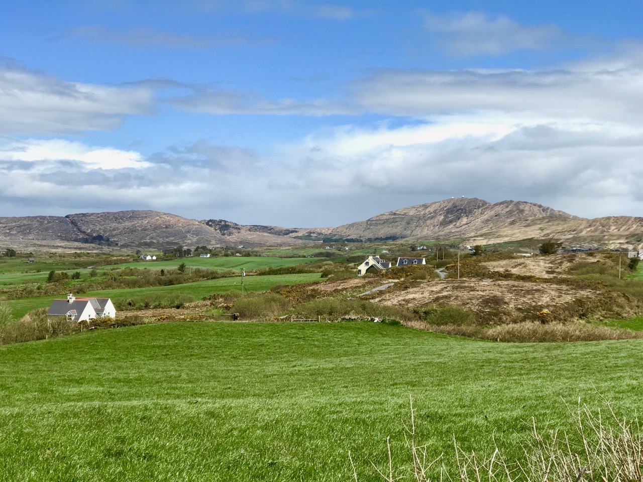
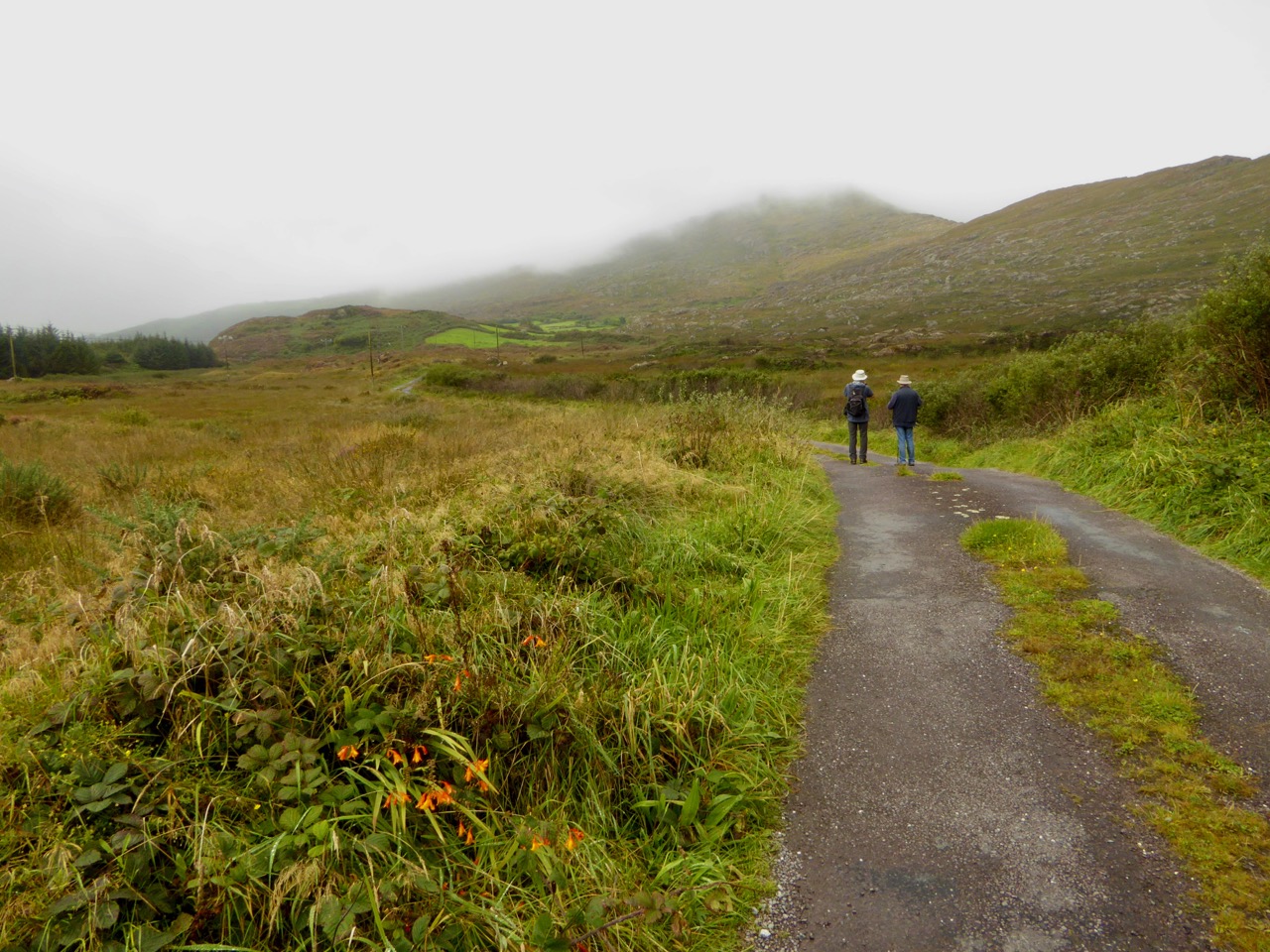
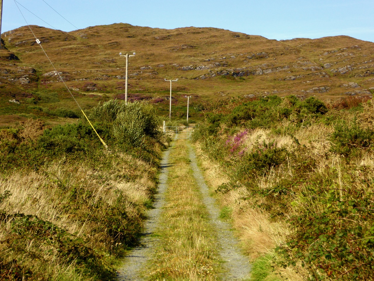
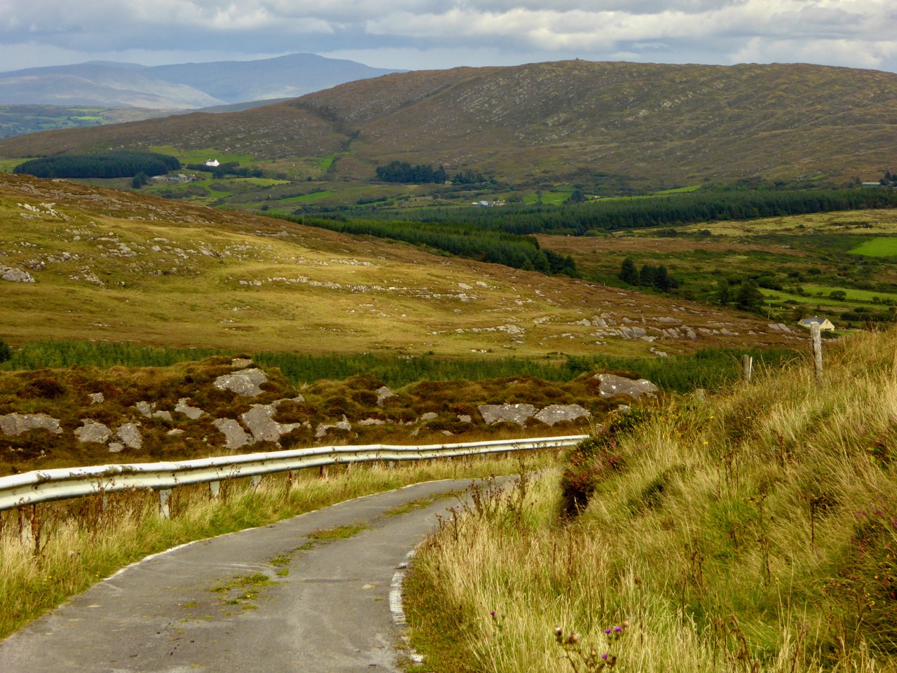
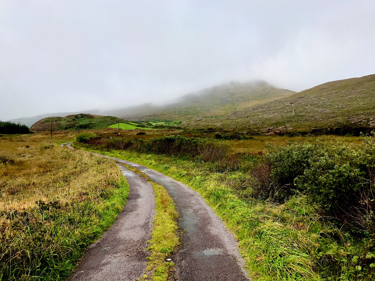
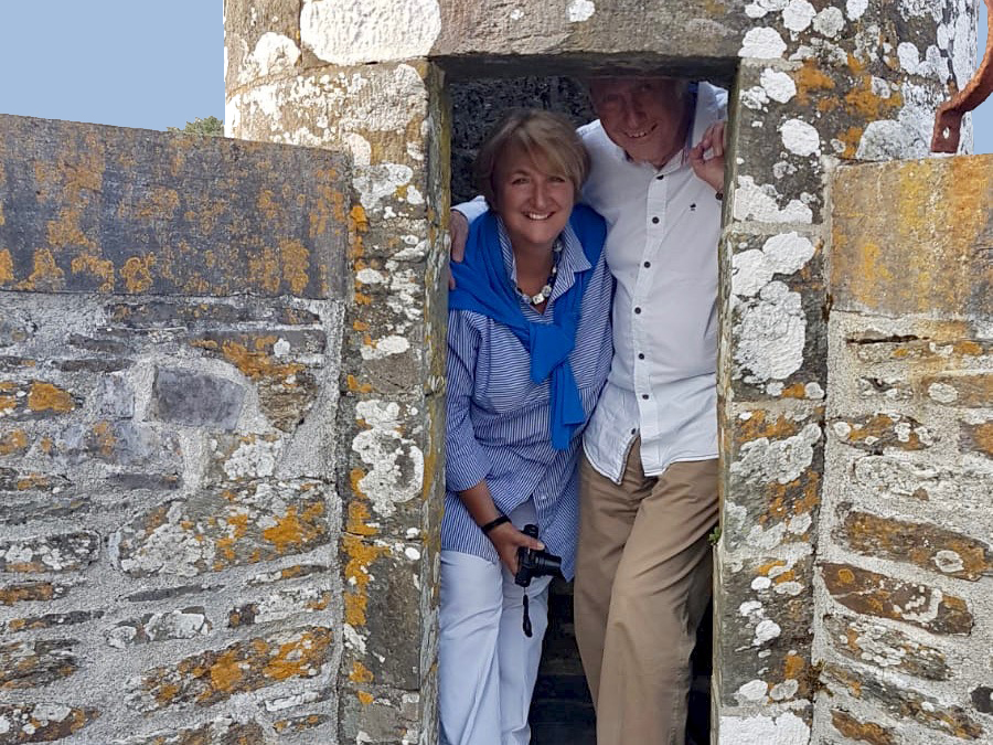
Way back in 2017 we started a series of occasional posts bearing the title . . . Off the M8 . . . We do a lot of travelling throughout Ireland (because it’s such a beautiful and historically rich country) and cover the ground between Cork and Dublin quite frequently. The M8 motorway has made this journey quite straightforward, but it has also provided the jumping off point for many an exploration to enhance the journey. One of my own favourite discovered places this year is the magical Glen of Aherlow (pictured above). We thank our good friends and travelling companions Amanda and Peter – she of Holy Wells of Cork and he of Hikelines  – for pointing us to this entrancing valley located between Slievenamuck and the Galtee Mountains in the western part of County Tipperary. We discovered there secret places and stories relating to obscure Irish Saints: have a look at the haunts of St Berrahert and St Péacáin in these posts from Robert.

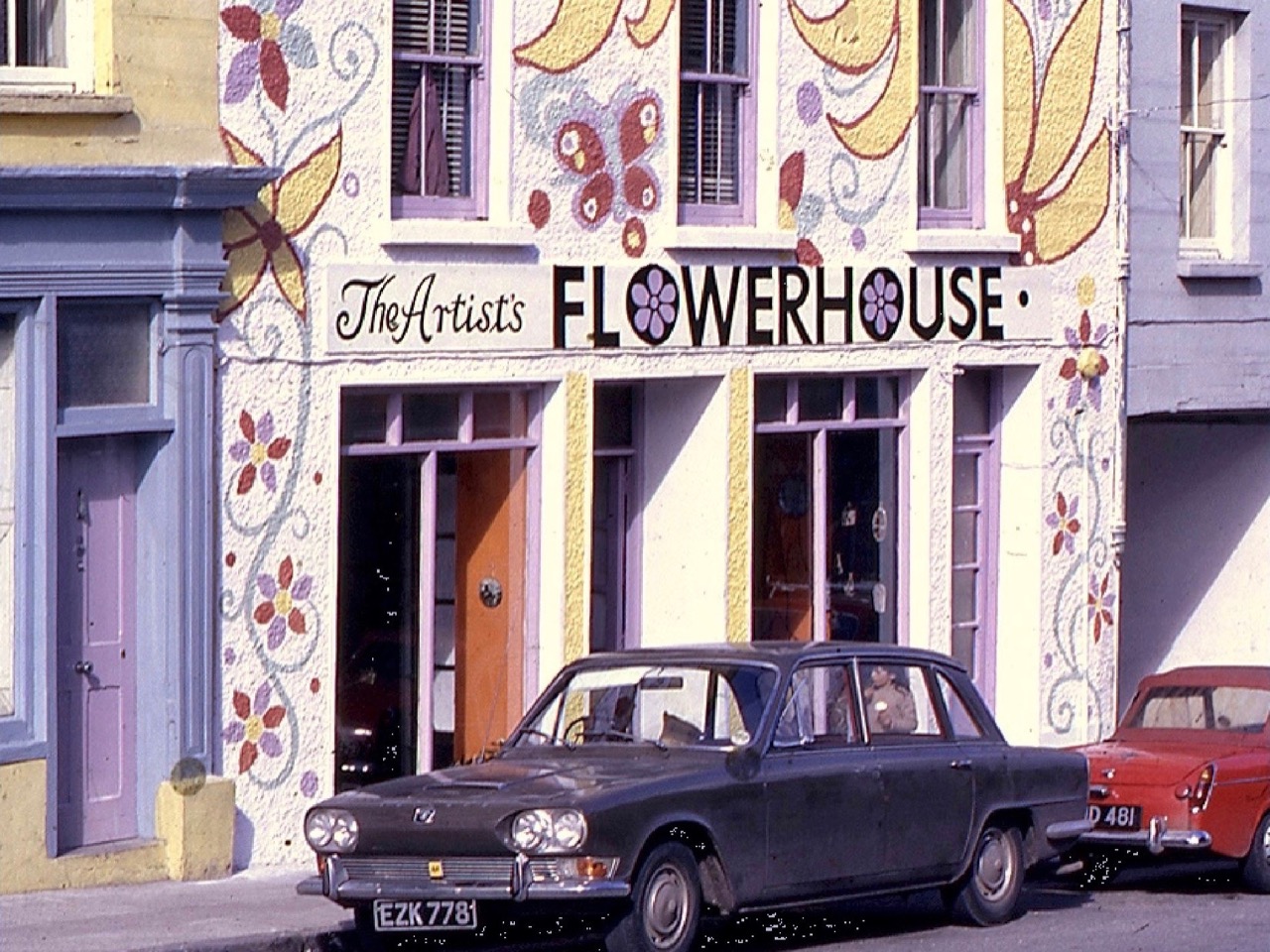
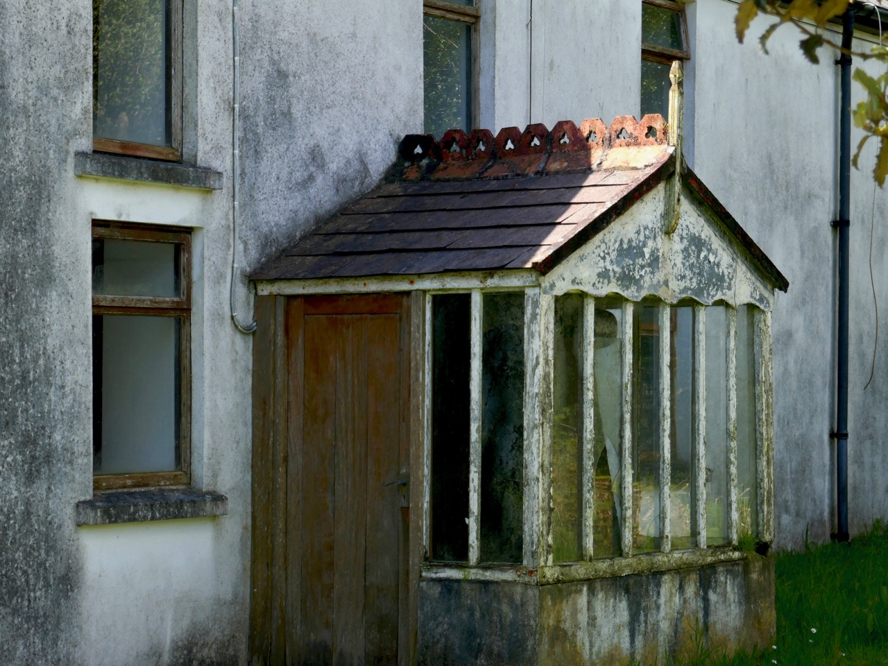
When I moved from Cornwall to West Cork some years ago I was delighted to find out that our lively adopted village of Ballydehob had a great artistic heritage during the second half of the twentieth century, to rival that of Britain’s westernmost county. West Cork became a cosmopolitan centre for artists, writers, craftspeople and musicians, renowned in its day but never properly celebrated – until this year. I was one of a small group locally who decide to rectify this by establishing the Ballydehob Arts Museum (BAM): our first exhibition . . . Bohemians in Ballydehob . . . using donated artworks, ceramics, storyboards and posters, was staged in Ballydehob’s community building, Bank House, and – presided over by Curator Brian Lalor (one of the surviving Bohemians!) – was the first incarnation of the new Museum, which will be followed up by new exhibitions every year. The picture above (courtesy of Andrew Street) from my post, shows the Flower House which, during the 1960s and 70s, became an iconic focus for the town’s artistic colony.

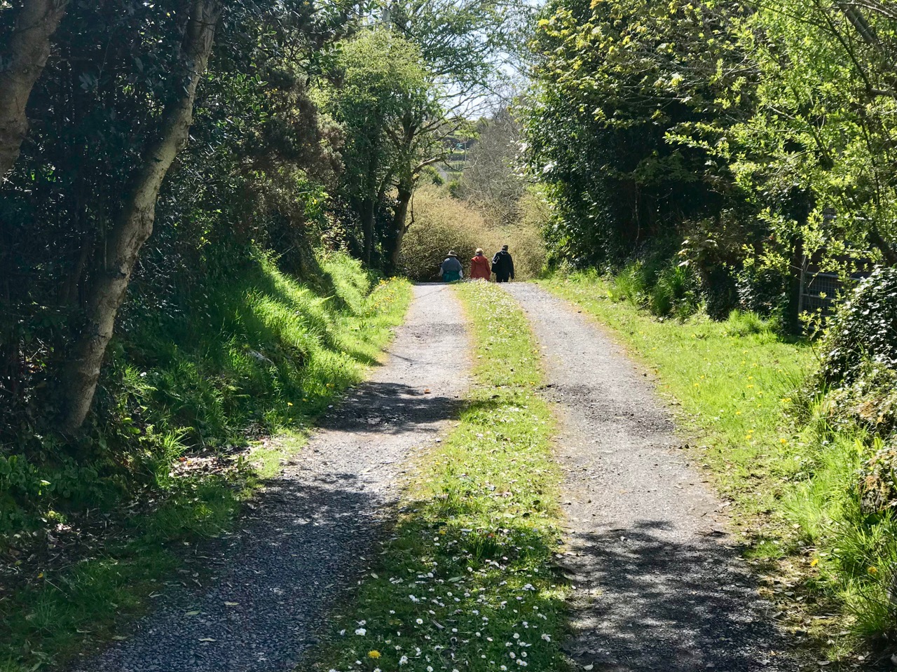
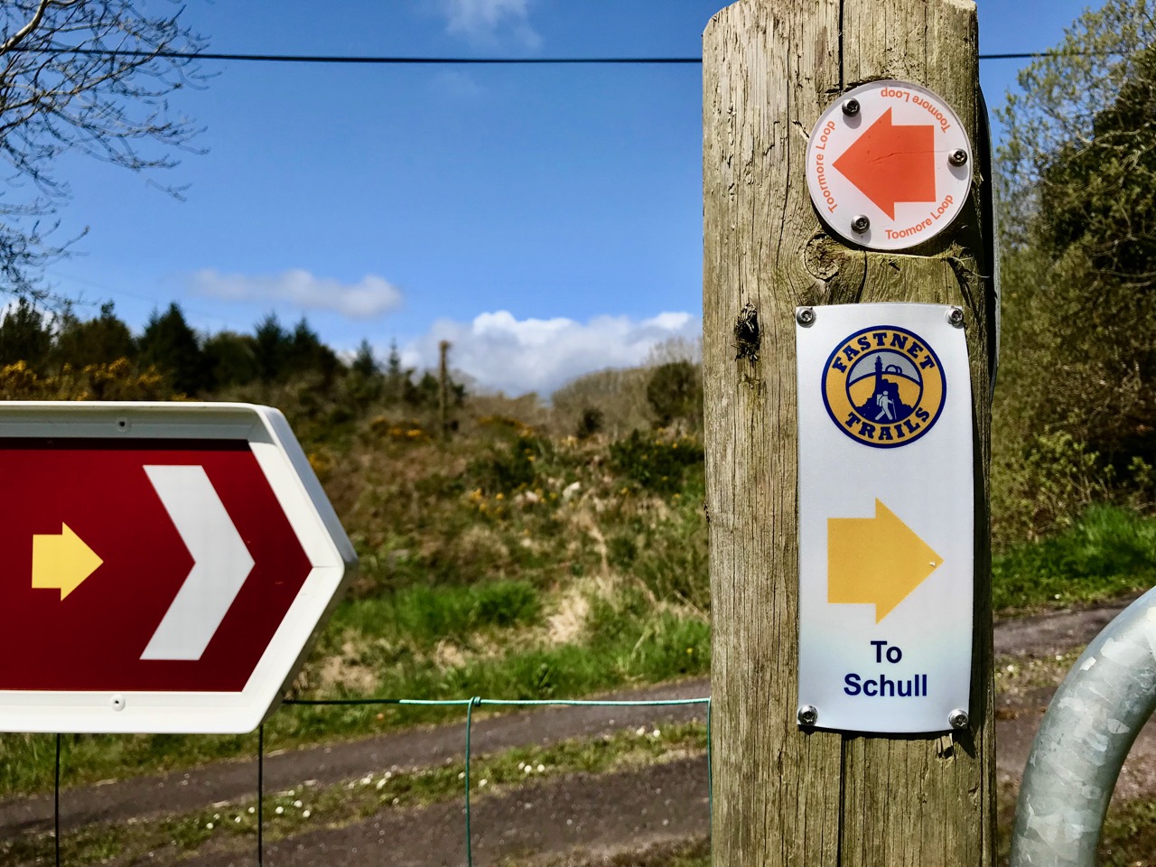
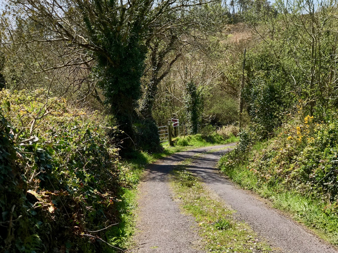
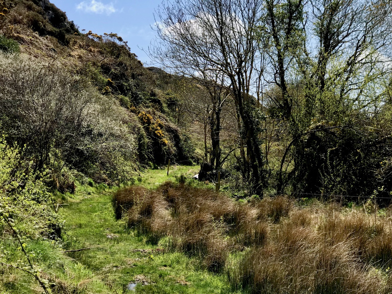
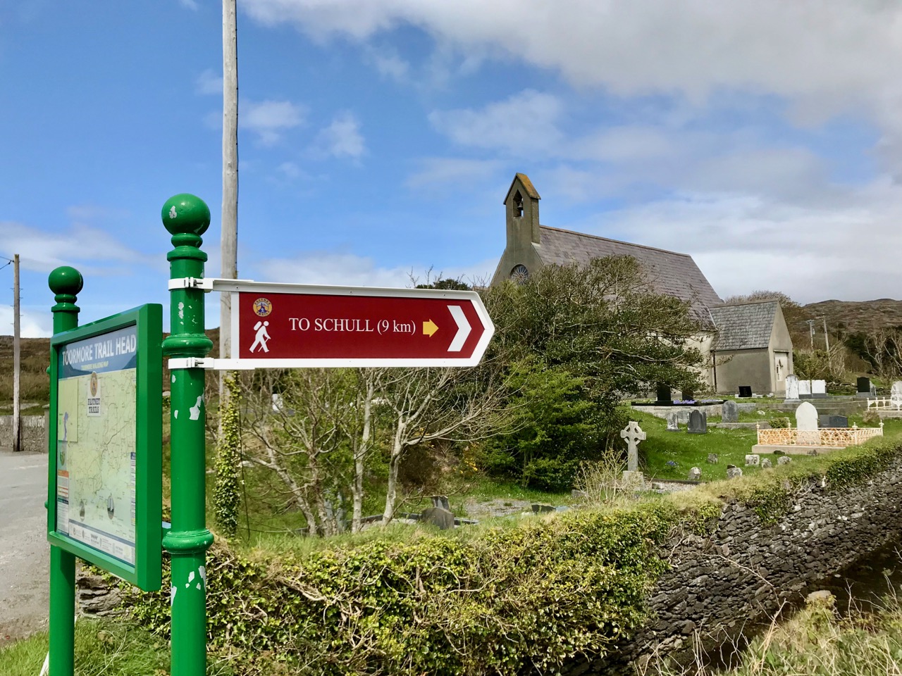
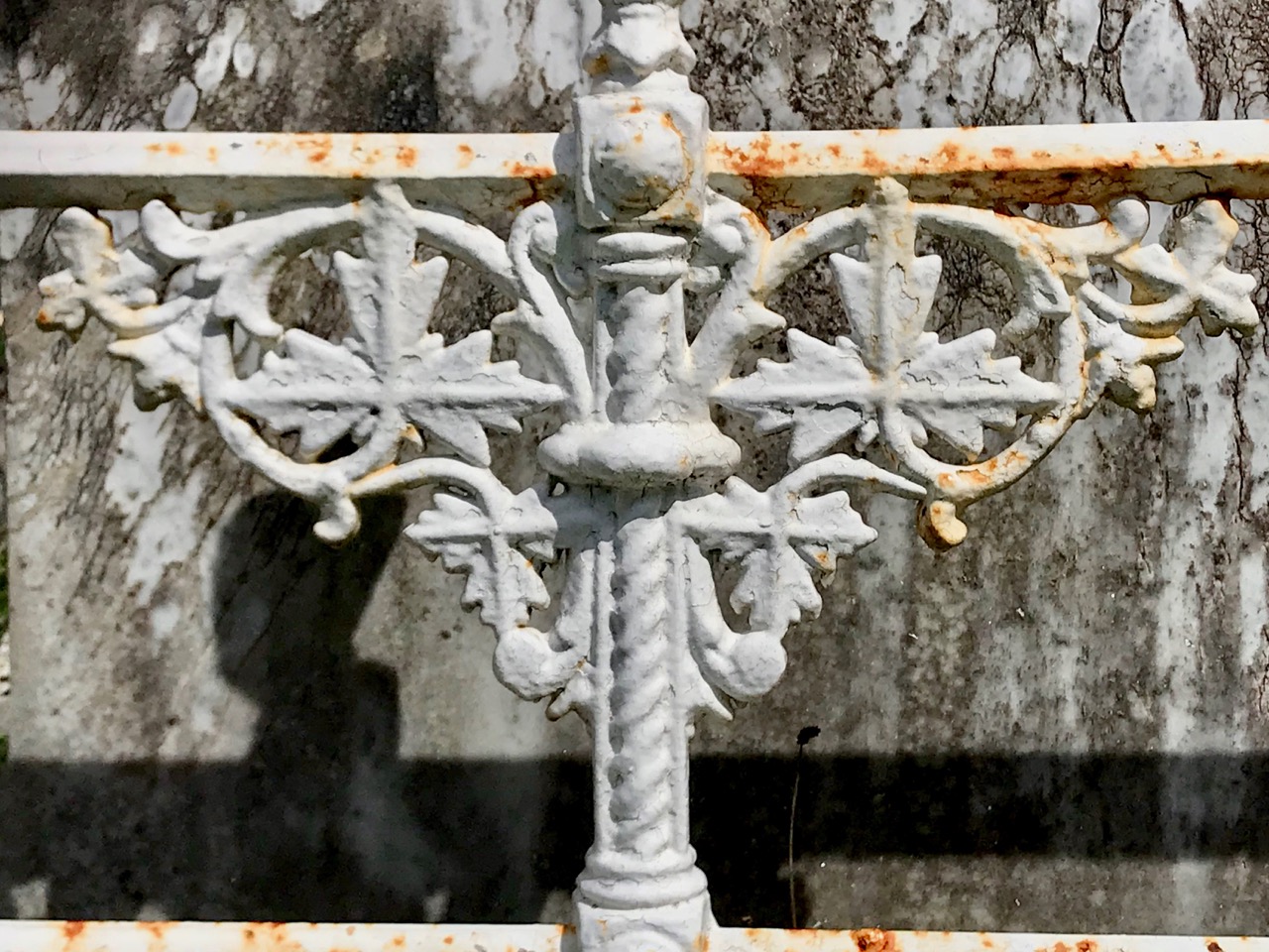
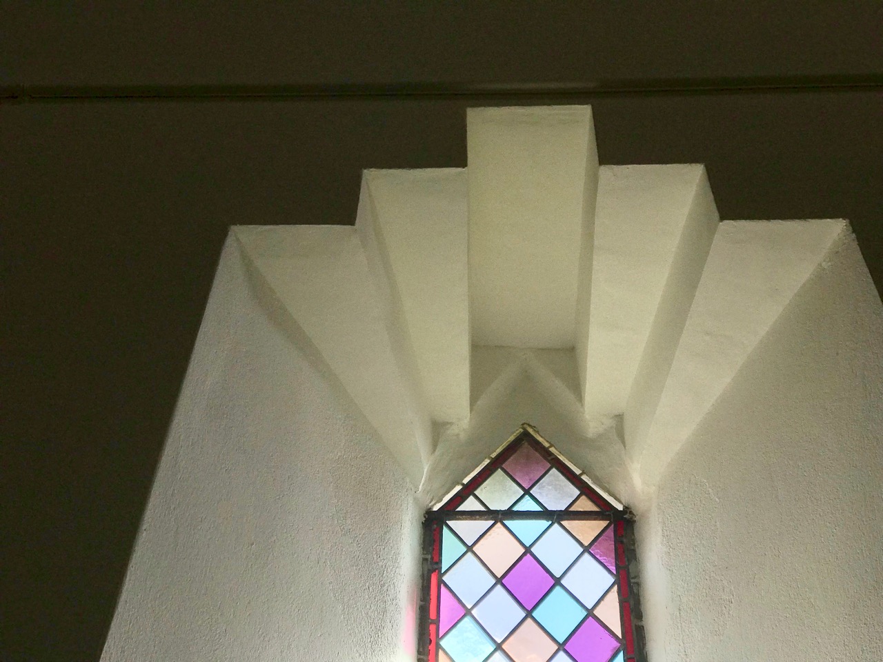
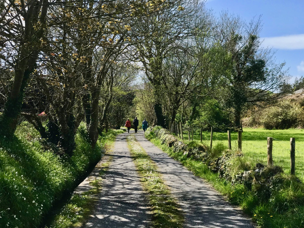
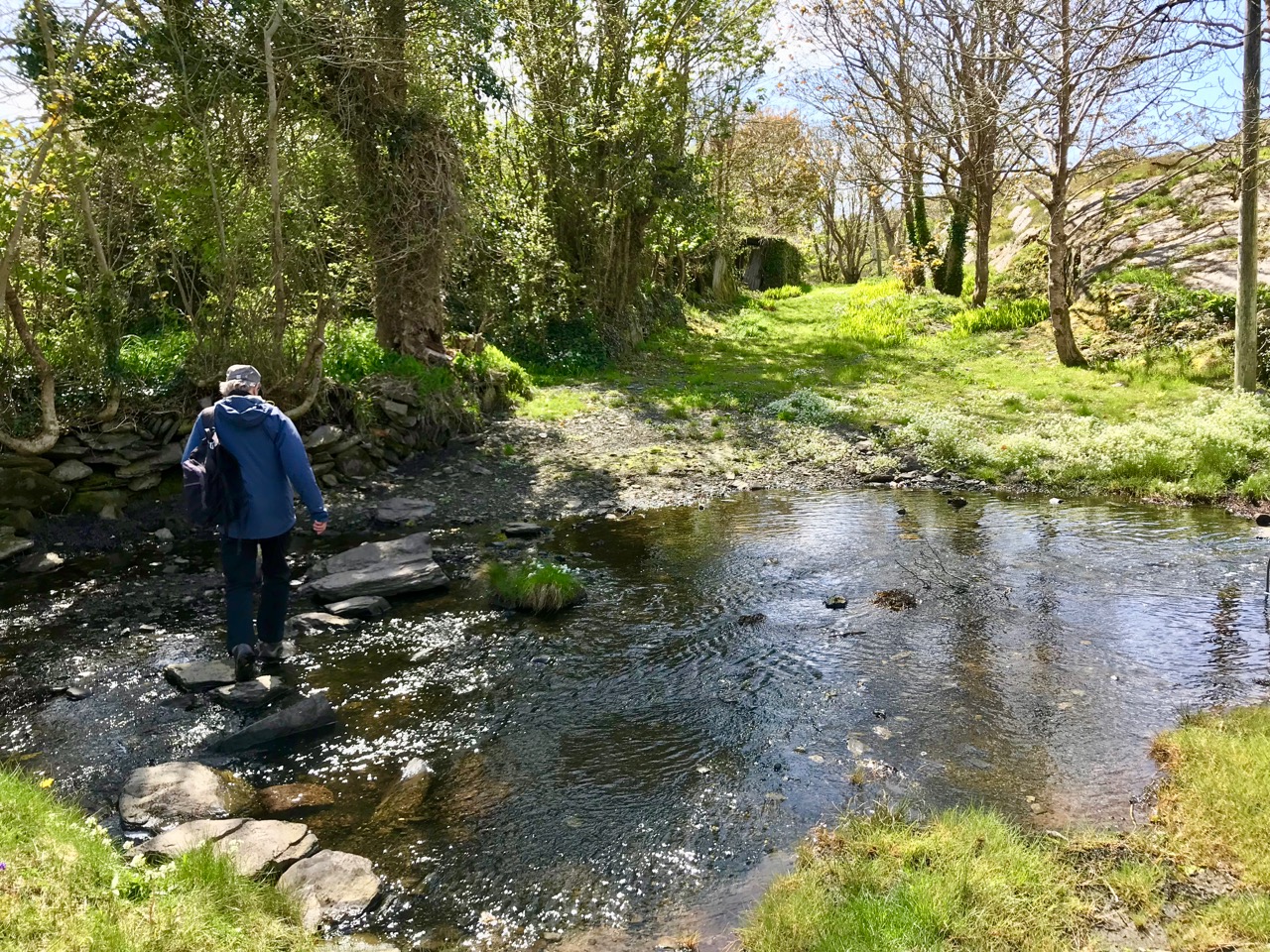
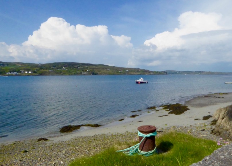
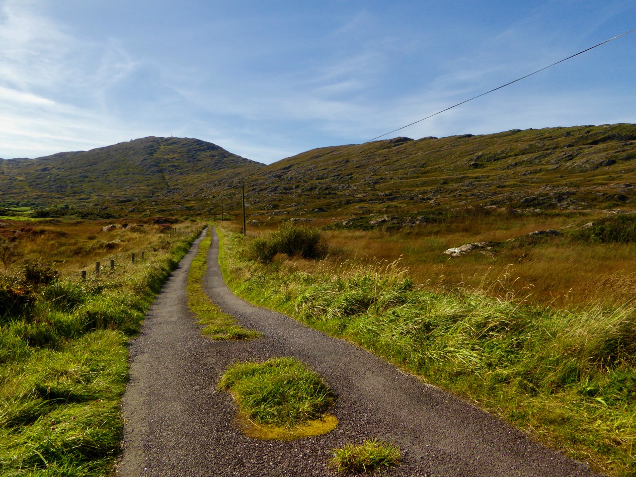
It was a grand summer altogether, and we were out walking the roads and footpaths of West Cork as much as possible. On a fine day in May we set off to explore the Toormore Loop which is only one of an excellent comprehensive system of trails which has been put in place locally in recent years. This post – Another Grand Day Out on the Fastnet Trails – documents that adventure and, hopefully, will encourage all of you to enjoy this wonderful free resource and immerse yourselves in the nature that’s all around us.

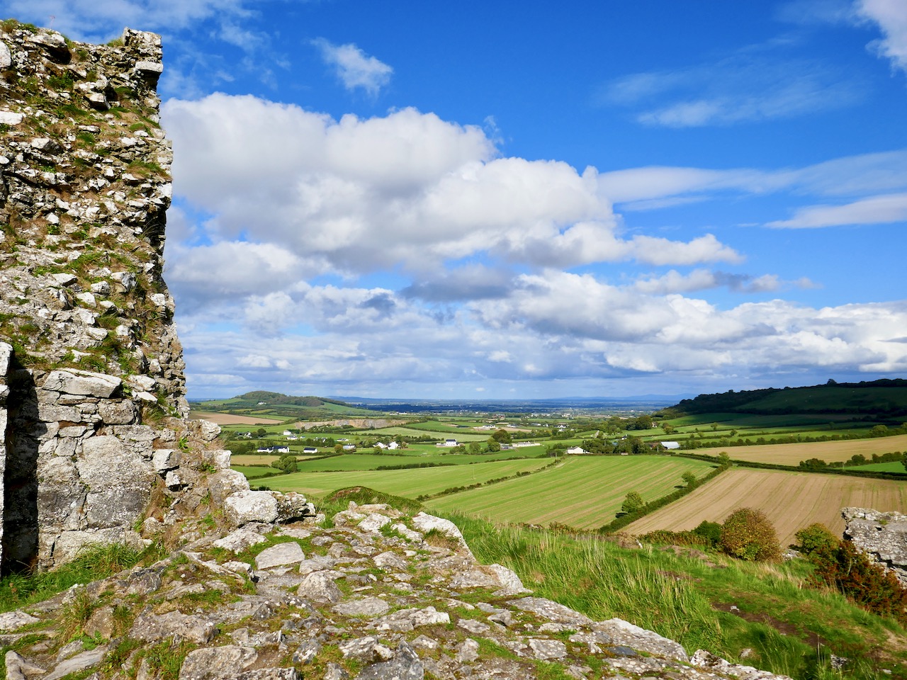
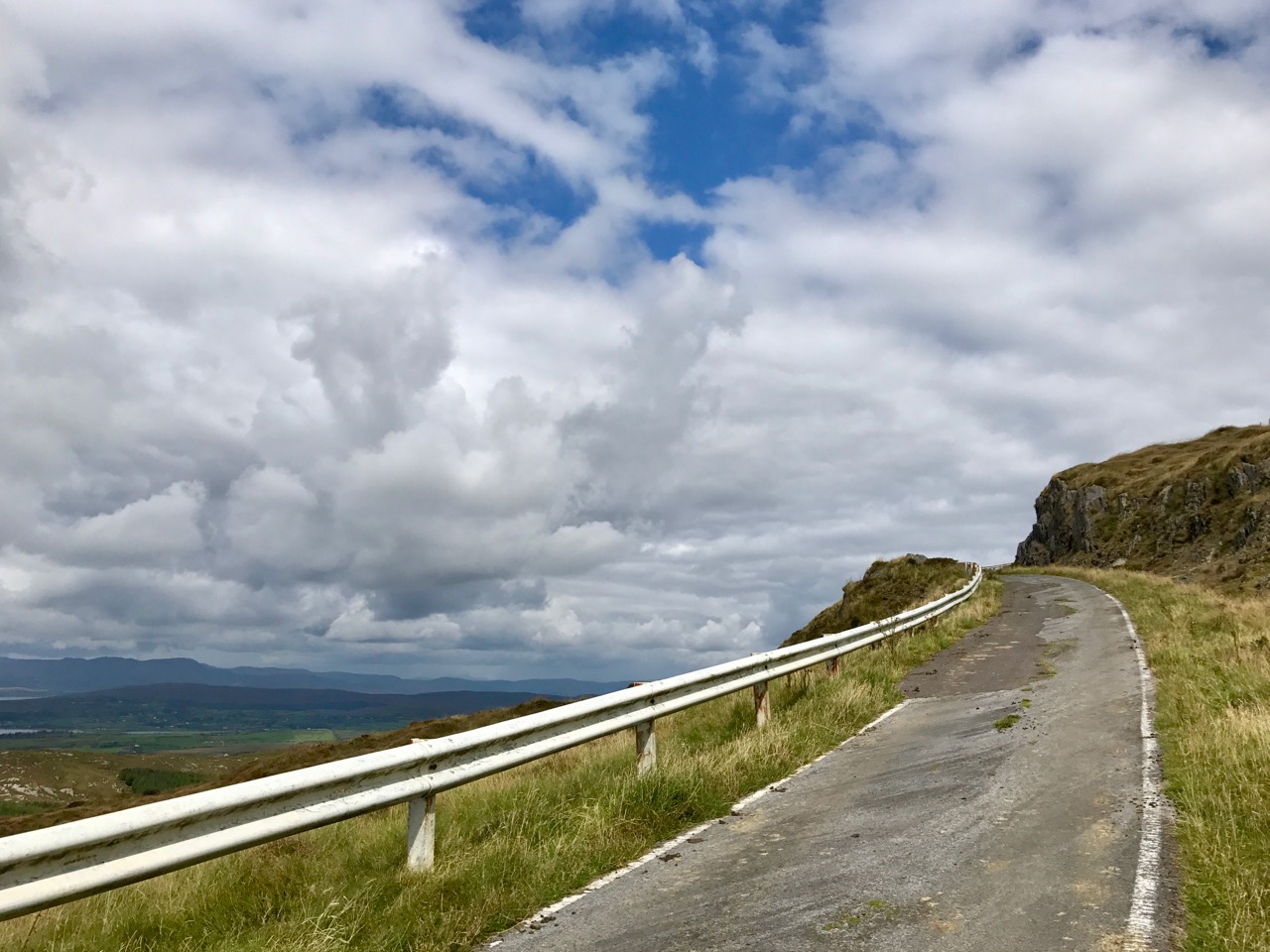
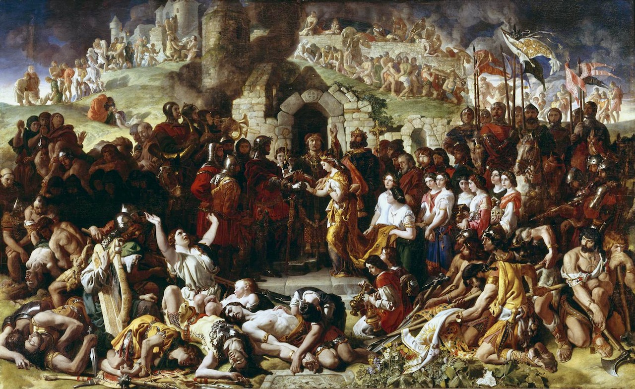
The second most viewed post this year was Finola’s fascinating account of the Rock of Dunamase and the history that it embodies. It’s a place that, for some reason, took us a few years to get to – and it’s Off the M8! But – as you can see from the picture above – climbing the Rock will give you a most rewarding and spectacular view across several counties. The ruin on its summit is inextricably associated with the most turbulent events in Irish History – the coming of the Normans to Ireland in 1169, and the famous marriage of Aiofe (daughter of Diarmuid MacMurrough, King of Leinster) to the Earl of Pembroke, immortalised in the painting by Daniel Maclise (below, courtesy of National Gallery of Ireland). The fortification with its Great Hall on the Rock was a MacMurrough stronghold, and accordingly was part of Aoife’s dowry when she married Strongbow.

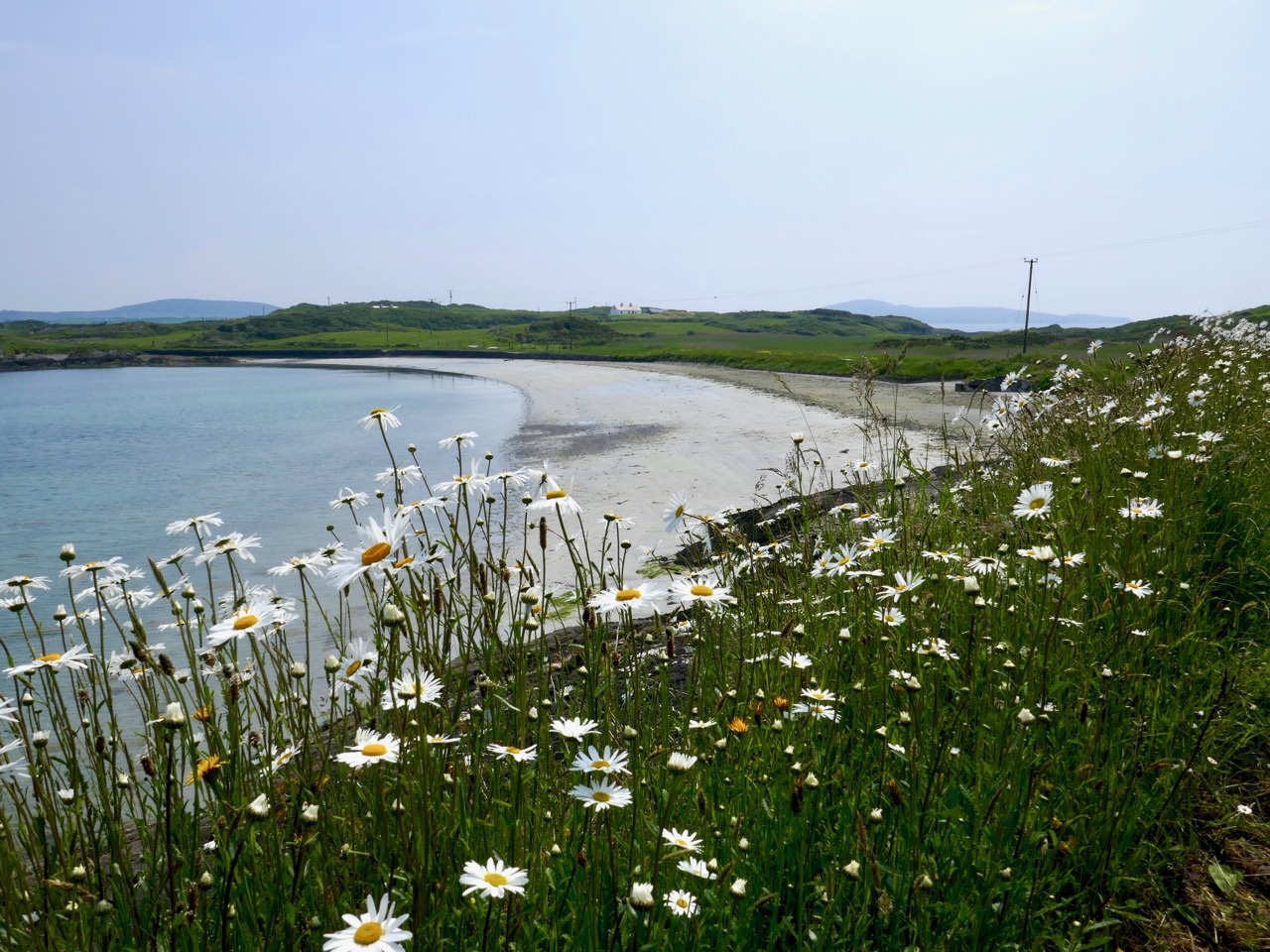
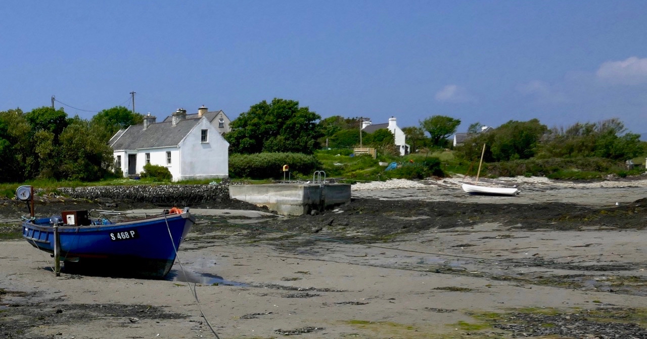
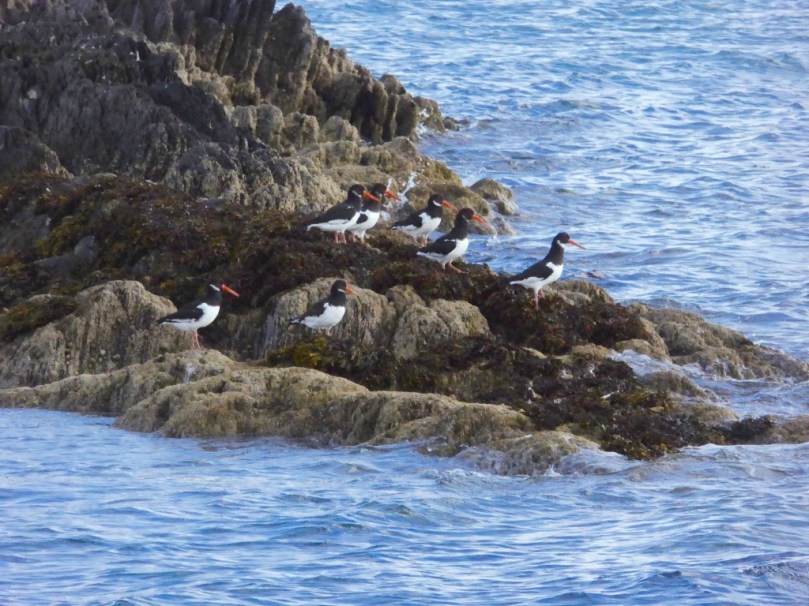
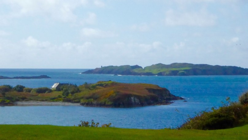
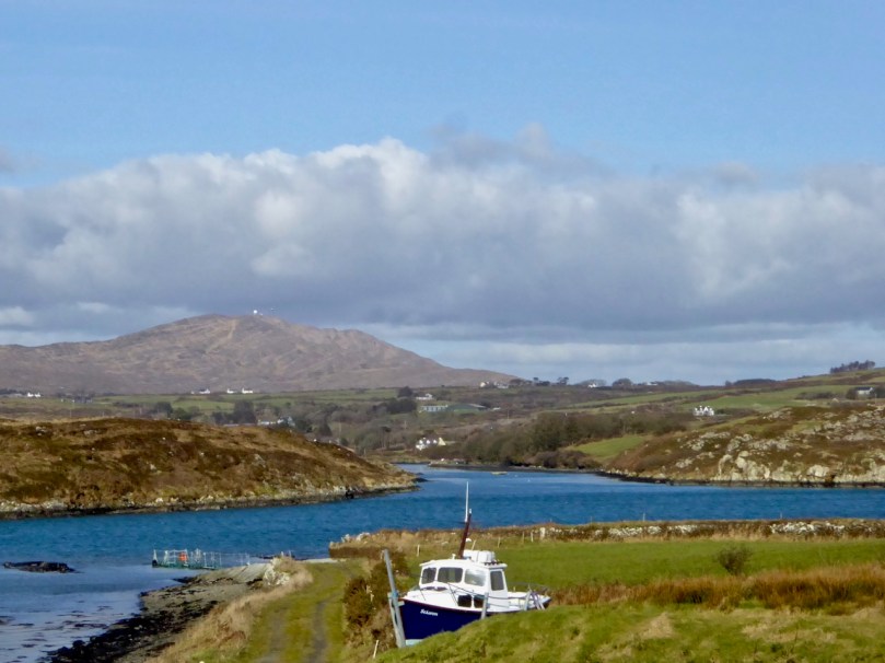
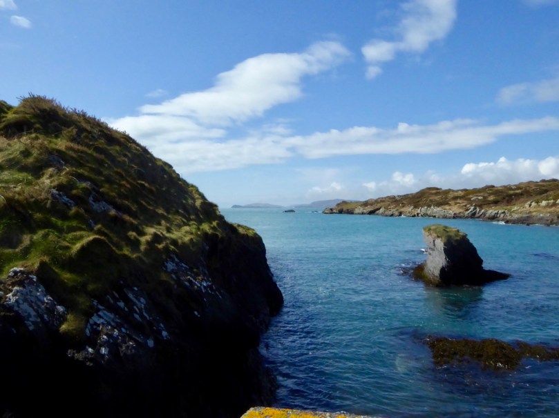
Finally (for today, anyway) we look at Finola’s post which comprehensively explores another West Cork treasure: Heir Island – a Modern Paradise (pictured above and below). West Cork has such a diverse landscape, including the inhabited islands of Roaringwater Bay, each one of which is unique. Finola teamed up with her photographer friend Trish Punch and they were shown around the island by islanders Christine Thery and Sarah Mathews, who run the Heir Island Wildlife Project. This post is a great example of how the diversity of life on the island – and here in West Cork generally – brings together so many disciplines and interests: photography, history, wildflowers, wildlife, colourful houses, and art. Everything that Roaringwater Journal tries to encompass, in fact.

Seeking Calm Now

What a week it’s been in our part of West Cork! Only the gentlest of images will help to bring me back to earth – hence the somewhat random collection of photographs today, some taken along the Toormore Loop Trail or in my own garden.

Along the Toormore Loop Trail

The highlight of the week was the opening of Coming Home: Art and the Great Hunger – Robert has given you some sneak peaks into this incredible exhibition in his post. If you do nothing else in West Cork this summer, take in this experience.

Eyebright, along the trail

But that’s not all – we also attended the unveiling of the memorial to the 110 Skibbereen Girls, which I wrote about last week. Most movingly, the ceremony was attended by Judith Constable, the Great, Great Granddaughter (and her daughter) of one of those girls. This is a story of hope, of the bravery of those adventurous girls who accepted the passage to Australia and went on to have full lives in their adopted land. It reminds us that it is possible for individuals to transcend the wretchedness of their circumstances.

Above, Judith Constable – her Great Great Grandmother, Jean Leary, was pictured in my previous post on the occasion of her 50th wedding anniversary. Below, the commemmorative spoons, finally installed, and the block of Australian stone.

And on Saturday night there was the long-anticipated performance of Anáil na Beatha (Breath of Life) at the ruins of the Schull Workhouse. We found ourselves seated outside the former hospital on the Workhouse grounds, listening to the unearthly lament of a chorus of voices, chanting the names of places stricken by famine, and then walking silently in a torchlight (well, lightstick) procession through the place where so many had come to die. It felt cathartic, respectful, important.

There was a memorial for Seamus Hogan too this week. He was one of us blow-ins to Ballydehob, a poet and raconteur and he will be much missed. His portrait was one of Shay Hunston’s finest and is reproduced here from Shay’s Wild Atlantic People series. It’s in a shop window in Ballydehob, across from his favourite hangout, Ina Daly’s pub.

Photo courtesy of Shay Hunston

And in between we had the launch of the marvellous Skibbereen Arts Festival, which goes from strength to strength each year and which will keep us busy from July 27th to Aug 5th. The program includes many concerts, the world premier of the Asenath Nicholson play, poetry, art exhibitions, movie screenings, walking tours.

Finally, today, was the opening of the new Toormore Loop walk. I helped out by leading a wildflower walk around the small looped trail with a happy group of a dozen lovely people. The greatest reward – a mother telling me that even the kids enjoyed it!

I’m wiped! All this stimulation is wearing me out. I need to take up meditation so all together now. . . om. . .om. . .

Another Grand Day Out on the Fastnet Trails

Lowertown, Schull to Toormore: it may seem a rather unadventurous walk: mainly on narrow back roads. But, on a spring day of scudding clouds and clear air, with distant views from the high ground across to the Sheep’s Head and even beyond, into Kerry, there is stimulation a-plenty to be had from an easy afternoon’s ambling and exploring of places which would be passed by in an instant when driving down to the west of West Cork. Although largely on tiny boreens, you are unlikely to encounter any traffic: we didn’t see any vehicles in two hours, apart from those parked in the few houses and farmyards on the way.

Header – our walk is part of the Fastnet Trails network beyond Schull: in this case the Toormore Loop. Upper – undisturbed peace on the quiet boreens; lower – we started out at Lowerton, where you will find a fiddler at the ready beside the old dance platform!

We parked one car beside the church at Lowertown – opposite the site of the old dance platform, celebrated with the sculptures of Susan O’Toole – and the other beside Teampol na mBocht, the little church at Altar, overlooking Toormore Bay. This enabled us to take our time and enjoy every aspect of the route, walking from east to west: in my view always the proper way to walk – following the sun! I should point out that the route we took – around 5 kilometres – is only a part of the full Toormore Loop which is itself one of an excellent comprehensive system of Fastnet Trails which has been put in place in recent years.

From the board at Toormore Trail Head: I have indicated our walk from Lowertown to Altar with the broken red line over on the left. Leaflets showing the full extent of the Fastnet Trail walking routes are available in the tourism information offices in Ballydehob and Schull

The little road climbs up and over hills and down through valleys and glens. I hadn’t expected to find an old burial ground, the site of the original Ballinskea Church which existed in this remote area between 1826 and 1967, when the Church of the Seven Sacrements was built to replace it beside the main road at Lowertown.

The old burial ground at Ballinskea Church: top – a bit of local history, perhaps, in the name stamped on the ironwork at the gate; bottom – the graveyard is well looked after – cowslips are in abundance

We passed a few houses along the way, but many were abandoned: each one tells its own story of lives and livelihoods – but they don’t readily give away their secrets to us.

Some of the signs of former occupation and cultivation which we passed by on our way: the area seems so remote, yet it’s not so far from well-trodden routes

We were taken by surprise at the extent of the views both north and south from the higher ground. At one point we stopped to admire the long vista out over Dunmanus Bay with the Sheep’s Head settlement of Ahakista clearly delineated.

Top – the nature of the walk: I can’t guarantee that you won’t encounter a vehicle along these back roads, but we didn’t! Centre, looking back over rolling fields towards the wild high ground of Mount Gabriel. Bottom – the view towards Ahakista on the Sheep’s Head, with the Beara beyond

After a good hour you will reach a gateway where you will leave the boreens behind and continue across country. Of course, you don’t have to follow the marked trail: the myriad of tiny roadways continues throughout West Cork and is awaiting your further exploration. We did turn off, however, as the footpath beckoned through a leafy glen and looked most inviting. First of all, however, we paused to take a look at the bridge which carries the roadway over a stream that flows along by the path – and runs all the way down to Toormore Bay. The bridge is unusual in that it has a large stone slab lintol rather than an arch. I don’t know its history for sure, but I would guess it dates from the eighteenth century, when the road it carries was established as the main highway from Goleen to Cork!

Top – the footpath diverges from the main road to Cork! Just around the corner it passes over the unusual bridge (centre and below)

Our route is the line of the former Butter Road which ran all the way to the international Butter Market in Cork. In its heyday it would have seen plenty of traffic in the form of packhorses and donkey carts, and some of the now abandoned cottages lining its way would have been welcome ports of call on the long trek. Here’s a post from Finola about a walk we did a few years ago on another part of this highway, which tells a little more about the great butter trading days. You can also have a look at my own post from last week, which talks about the improvements to the roads of West Cork initiated by Richard Griffiths a century later, at which time the importance of our own little trail receded and was bypassed by what is now the main road going from Ballydehob and Schull down to the end of the Mizen. I suppose we therefore have Griffiths to thank for taking all the traffic away from our back roads and giving us these idyllic walking trails.

The footpath through the glen is another world – a contrast to the boreen we have been following so far. It is lush and damp underfoot, and there is green everywhere: mossy green boughs of ancient oaks, soft turf and vivid St Patrick’s Cabbage emerging in the newness of the late spring. All too soon we are in sight of our goal, the little church by the bay. But the good experiences of the day are not yet over. The church itself, and its burial ground, deserve exploration.

Teampol na mBocht is said to be the only Church of Ireland church in the country with an Irish name: it means ‘Church of the Poor’, so named by its builder, Rev William Allen Fisher, who was Rector of the Parish. Appalled by the ravages of the Great Famine, he raised money from well-wishers in both Ireland and England: with this he set up soup kitchens and distributed food, medicine, blankets and clothing.  But he wanted to do more than dole out charity. He determined to provide paid work for everyone in the area, regardless of their denomination. In 1847 – at the height of the famine – he commenced the building of this church. The story is told in more detail on the website of the Kilmoe Union of Parishes:

. . . Tradition has it that, in order to employ as many as possible, without benefiting the less impoverished farmers, no carts or horses were to be hired.  The stone was quarried nearby and carried to the site entirely by hand.  As Fisher wrote in a report on the church, ‘the employment was given chiefly by contract, so that the poor were able to work about their cabins, fishing etc. at the same time that they earned a subsistence for themselves.’ . . .

. . . It is a controversial building.  For many Protestants, William Fisher was a saint, a scholarly man happiest at his books, who nevertheless drudged selflessly for forty years in a remote parish, giving all his time and strength to the poor, the hungry and the sick, until he himself died of famine fever.  But for many Catholics, Fisher was a ‘souper’, whose manifold projects on the Mizen Peninsula, including the building of his church, had only one object: to win converts from Catholicism to the Church of Ireland . . .

The church is not always open, so it is best to contact the Parish in advance for a look inside – it’s worth it for the history. This would be the end of the trail but we walked a little further, west of the church, and took the road up to the right. This intersects the Butter Road at a crossroads. We turned left and found ourselves heading for another green track, followed by a ford with stepping stones. Keep going and you meet the main road again: if you are following the route it’s probably best to do as we did and retrace your steps here, rather than walk on the relatively busy main road.

All in all, we had another Grand Day Out! In West Cork you really can’t fail to have a good time: every day can – and should – be a new adventure. Try this one for yourselves…


Mizen Magic 10: Sailor’s Hill

Fancy a walk? One with just enough elevation to get the heart going and with the reward of spectacular views at the top? It will take about an hour, maybe a bit longer if you stop to chat, or just gaze.

We’ve mentioned Sailor’s Hill before in the course of other posts – this one and this one. But it deserves a post of its own, because it’s a complete experience. Start from Schull and walk out along the Colla Road until you get to the old St Mary’s Church and graveyard. The National Monuments listing tell us that this was originally a medieval structure, although what we see in ruins now is mainly an eighteenth century church, situated in a picturesque burial ground. Turn right at that point.

You will notice the waymark signs. This is one of the newer extensions of the Fastnet Trails, and an initiative of a committed group in Schull. The walk up Sailor Hill is actually part of a larger walk, the Colla Loop – we are planning to do that one soon but only had time for this stretch of it today.

The road meanders gently upwards. Take the first left and then the next left. Views of Schull Harbour start to open out as the road rises. Looking back, you can see how Schull nestles at the foot of Mount Gabriel (see the photograph at the top of this post).

A tiny shrine in a gatepost

Later on, this boreen will be heady with Foxglove and Loosestrife and Oxeye Daisies, and later still the purple heather will dominate, but this is early spring and it’s been a long cold winter. 

Everything is late this year, so I am happy to see the ever-reliable Celandine in profusion.

The willows are starting to bud out too, but apart from that, it seems that dandelions and lawn daisies are the only wildflowers brave enough to flourish along the way. Not that we disdain these humble flowers – they provide early and important nourishment for the insects and the bees. Must feed those pollinators!

Connie and Betty Griffin have built a house with magnificent vistas near the top of the hill. They never stop adding to it, Betty with flowers and Connie with quirky additions, sculptures and walls. This time, he showed us his Sailor Hill Newgrange, a nifty arrangement of standing stones that respond to the rising sun by capturing the morning light in a stone recess.

Connie demonstrates his sun calendar to Robert

Up to the top then, and there it is – a breathtaking panorama that encompasses the whole of Roaringwater Bay and Long Island Sound to the south, and Mount Gabriel and its foothills to the north. Cape Clear, the Fastnet, Sherkin Island and all the smaller islands are laid out in front of you.

And there’s a cross and inscriptions, so you begin to realise that this site is about more than those views. Connie, who designed and built it, wants us to think about those who lost their lives at sea. It’s his own personal mark of respect and a reminder to us in the midst of all this grandeur to take a moment to contemplate on the power of the ocean and the fleeting nature of life.

I had to look up The Niña, 1492, and of course it was one of Columbus’ ships. He took the Santa Maria, the Niña and the Pinta on his voyage to the New World, but the Niña was his favourite. To learn why, take a look at this. But why is it here? Well, I’m not sure, but there is a tradition around here that Columbus may have visited West Cork on his way. His last provisioning stop may have been with the hospitable, learned and Spanish-speaking Fineen O’Mahony, Scholar Prince of Rossbrin

Connie has built his own tiny belvedere (he calls it his folly) perched to take maximum advantage of the view. It’s the perfect spot to sit, munch an apple, and enjoy a companionable chat before the walk down again.

A final look out to sea. There’s Long Island and beyond it the Fastnet Rock with its iconic lighthouse.

We paused to admire a Goldfinch in Connie’s garden, as well as his wonderful textural arrangement of sticks, stones and whalebones.

Thank you, Connie and Betty, from two happy walkers.

Mizen Magic 6: Schull to Castlepoint

The Mizen is the Peninsula we live on, and of course we think it’s the most beautiful part of West Cork, and of Ireland. In previous Mizen Magic posts I’ve been exploring different aspects and areas, such as the Northside, or Brow Head, or our excellent beaches. This time I’m concentrating on the stretch from Schull to Castlepoint. The map below shows the area, with the village of Schull, our starting point, on the top right. The photograph above was taken from the top of Sailor’s Hill.

A winter view of Long Island Sound – Coney Island, Long Island,  the Calves, Cape Clear and Sherkin, with the entrance to Croagh Bay in the foreground

It’s only a few kilometres, and it would take you about ten minutes to drive straight to Castlepoint from Schull. But where’s the fun in that? No- let’s start by driving (or walking if you’d rather) out to St Mary’s Church on the Colla Road. It’s largely an eighteenth century church, although there are hints of a medieval structure here and there, and it stands in what must be one of the most scenic graveyards in West Cork.

Intriguing depictions of boats are inscribed into the render inside the church. How old are they? Who did them and for what purpose?

From there, I suggest you drive to the lookout on Sailor Hill – the trail arrows for the new extension of the Fastnet Trails will show you the way. We discovered Sailor’s Hill ourselves when I was researching belvederes – the redoubtable Connie Griffin has built his own modern version of a belvedere and there is no better place to get a view of Long Island Sound and the south side of the Mizen. Here’s the viewing house Connie built  – perfect for contemplation.

Back down to the Colla Road, continue to the scenic little Colla Pier, where you can take the ferry to Long Island. Robert and I do this every year as part of the Fastnet Film Festival. The ferry runs every day but you can also book special trips – it is, as they say here, a great day out. Pack a picnic and your camera – there’s lots of birdlife, including these oystercatchers on the rocks at Colla Pier.

The ferry leaves Long Island for the return trip to Colla Pier

From the Pier the road winds across country, overlooking the sea here and there, and always with Mount Gabriel looming in the background. From here you can see tiny Coney Island, privately owned, and with one house which is rented out to holiday makers.

Beyond Coney Island are the Goat Islands – Goat Island and Goat Island Little – probably once one island, but now split into two, with a narrow passage between. There are feral goats on these islands, but not much else. They appear to be completely inaccessible, with craggy shores that are impossible to land on. That, of course, only makes them all the more mysterious. I’d love to hear from anyone who knows more about the Goat Islands.

The narrow and treacherous channel that divides the Goat Islands, and the beacon on the smaller of the two islands

The road now winds down to Croagh Bay (locally pronounced ‘Crew’), a lovely tidal sheltered inlet with the romantically named Gunpoint at its head. On the higher ground to the right you will see that an enterprising individual has converted one of the old signal stations into a unique residence. It must have the best view – but all those stairs!

We are now in the territory described by Robert in Here Be Pirates and in Pilchards and PalacesCroagh Bay, or more correctly Leamcon House, was the site of William Hull’s house and a hotbed of piratical activity.

Nowadays it’s downright idyllic and the shallow waters of Gunpoint inlet provide sanctuary to wintering birds such as these shelducks.

Our last stop is the little pier at Castlepoint, offering a dramatic view of Black Castle, one of the O’Mahony Tower Houses that dotted the coast of West Cork in the fifteenth and sixteenth centuries. This one is privately owned and the owner has stabilised and largely restored the castle, saving it for future generations from the all-too normal fate of dereliction that befalls West Cork Castles.

Robert looks across to Black Castle in the photograph above. The castle as the owner has stabilised it is shown below – he has done a first-rate job and we should all be grateful for his care of this important monument. The final photograph is of a small inlet by Castlepoint Pier.

The Mountain Road

Over three years ago I wrote a piece about the mountain that’s on our doorstep – Mount Gabriel. This rocky high terrain is always in our view as we travel around West Cork, and we feel it must have had special significance in prehistoric times: it overlooks a majority of the archaeological sites that we have explored locally – perhaps they were placed because of that. Also, there are many stories attached to Mount Gabriel (find them in my previous post), including the fact that the Archangel himself touched down on its summit and left behind a footprint in the stone! Evidently, he was intrigued to hear about Ireland’s verdant beauty and knew that …in time to come, this honest island would never part with the worship and duty it owes to the Mother of God… and so was determined to get a look at the holy place.

Derryconnell Loop Walk on the Fastnet Trails takes in the foothills of Mount Gabriel – seen here in contrasting weather conditions, but only a day apart!

There is a little-known road which runs along the foothills of the mountain which, on a good day, is as beautiful a road as you will find anywhere in Ireland. It begins at the bog of Derreennatra (more of which can be found in Finola’s post today) and you can follow it up and through the Barnacleeve Gap. If you wish, from there you can go all the way up to the summit and get some of the most stunning views all the way over the Mizen, across the Sheep’s Head and even into Kerry.

The climb to the summit of Mount Gabriel is always rewarding, with panoramic views to all points of the compass. Lower Picture: the Air Traffic Control Authority’s installations atop the mountain add an odd drama to the landscape

Part of our Mountain Road has been incorporated in the Derryconnell Loop Walk, one of the new group of the Fastnet Trails based around Schull. The whole of this loop walk is varied and picturesque, but the section from the bog is outstanding as it skirts the mountain – which always dominates the vista – and brings you to the junction with the Barnacleeve road. Keep on going, and take in the mountain itself, or follow the trail down to the old Schull Workhouse. Whichever way you go, you will be struck by the seeming remoteness of the boreens, and you will seldom encounter a vehicle.

In all weathers the Mountain is engaging: you can start out in the mist and finish up in sunshine!

In the latter part of this summer we have explored the road in all weathers, and recorded the many moods of the mountain. Reaching the summit last week, we had a search for the Archangel’s footprint. I’m convinced we found it, but we couldn’t see the lake with its magical islands which – according to the legends ‘…float about up and down, east and north and south; but every Lady-day they come floating to the western point, and there they lie fixed under the crag that holds the track of the Angel’s foot…’ (John Abraham Jagoe, Vicar of Cape Clear – Church of Ireland Magazine 1826)

The peak of Mount Gabriel is strewn with rocks, any of which might contain the Archangel’s footprint. Upper – the view to the islands of Roaringwater Bay. Lower – could this be where he touched down? A definitely footprint shaped impression on this rock – highlighted on the photo in red

In my younger days I was fortunate to hear traditional Irish musicians Margaret Barry and Michael Gorman performing on the streets of Camden Town, London, when I worked in that city. Those streets were a far cry from the home I now have in West Cork, but I recall the duo’s rendering of the tune The Mountain Road: Margaret came from Cork herself, so perhaps our own mountain (or maybe it was Gabriel?) was an inspiration to her.

Descending from the summit, we finished our walk on the Mountain Road at the gauntly atmospheric ruins of Schull Workhouse