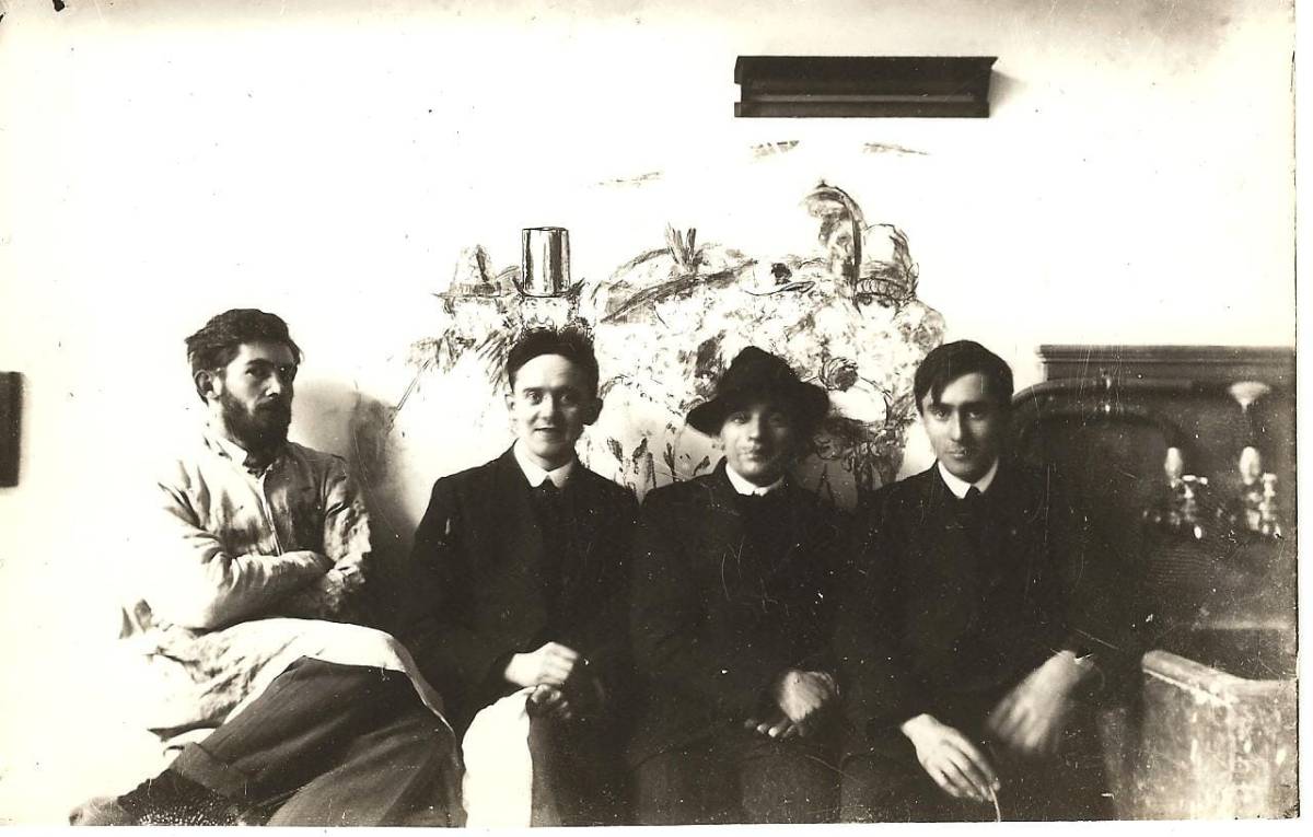
At this stage in his career, as we saw in the last letter in Part 1, Harry was making his own windows – that is, he was designing, cartooning (making the life-size drawings and laying out the cutlines) and choosing and painting the glass. He worked in his father’s studio, Joshua Clarke and Sons, where he used the assistants and glaziers to cut and lead the glass, and to fire it in the kilns. A few years later, he was so busy that many of his designs were mostly executed by talented apprentices, under his close supervision. He was also teaching in the Dublin Metropolitan School of Art – here he is with colleagues Sean Keating, James Golden and James Sinton Sleator about this time.*
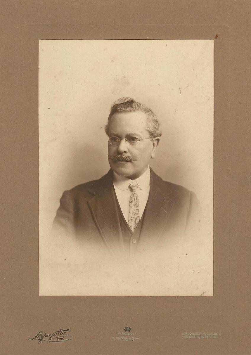
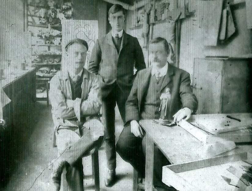
That’s one of the reasons the Castletownshend Nativity window is so special – it is Harry’s vision and Harry’s work, and only Harry’s. It’s also the reason he had to come to new terms with his father. Harry was a perfectionist who demanded only the best quality glass and worked on each tiny piece of it to make it unique and exactly how he wanted it. His father (above) was a businessman who despaired of making even a tiny profit from this laborious way of work, especially when the war had made everything scarce and expensive. Harry had quoted a price of £315 for the window as it was currently sized, or £252 if it was shortened. Gordon-Bowe** says that Joshua had worked that it would actually cost £2,300 for the time and materials involved. He was probably factoring in the cost of all the changes to the frame, discussed below, but even so, this was a huge amount for a window at that time. His father suggested that Nagle (below, with Harry and Joshua) should do some or most of the work, but as Gordon Bowe says, Harry would never have accepted [this suggestion] at this point in his career. Given the huge disparity between what it would cost and what Harry proposed charging, this window was a significant loss to the Studio, but they must have felt that it was worth it, and that it would lead to other commissions.
The arrangement Harry and Joshua came to was that Harry would pay his father for the glass, the facilities and the glazier’s time, but that he would work on his own windows, and charge his clients, independently. But it was complicated, because at the same time, Harry was, by this time, effectively running the stained glass side of his father’s business, as Joshua’s health was declining (he died in 1921). Harry’s hand and eye can be discerned occasionally in some of the other glass being produced from Joshua Clarke and Sons at this time, but mostly his role was to manage the work of others.
Here’s an example of Harry’s influence, perhaps, in a window for Charleville Catholic Church – the windows are all from Joshua Clarke and Sons, but this one in particular bears some Harry hallmarks in the sensitive drawing of the features and the elaborate decoration of every piece of glass.
15 April 1917
Dear Miss Somerville
Thank you for your letter & enclosure of cheques value 15/. – I have been knocked up with a cold since Wednesday and have not been able to work – which will I know postpone my sending you my proposals for the Castlehaven window for a few days – the Nativity would be a jolly subject for the three lights – However this is a matter you can discuss among yourselves –
But – – you as an artist can understand that these three tall narrow windows would not suit any subject – for example an Ascension or Crucifixion would be most suitable, tho’ I think a charming little nativity might be done.
LETTER FROM HARRY CLARKE TO EDITH SOMERVILLE
Somerville Archives, Drishane House***
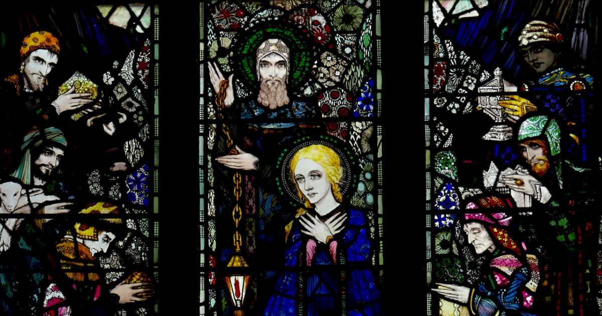
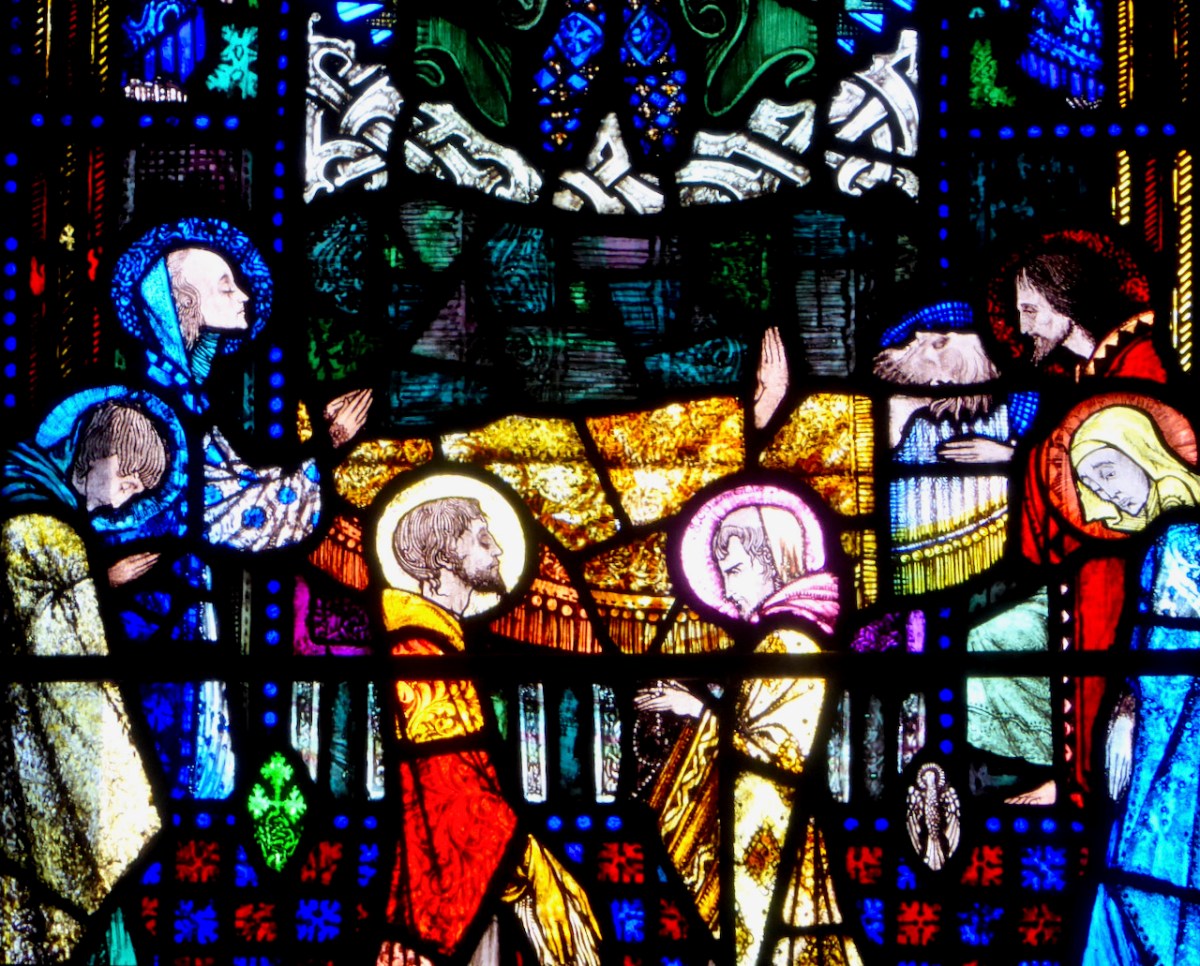
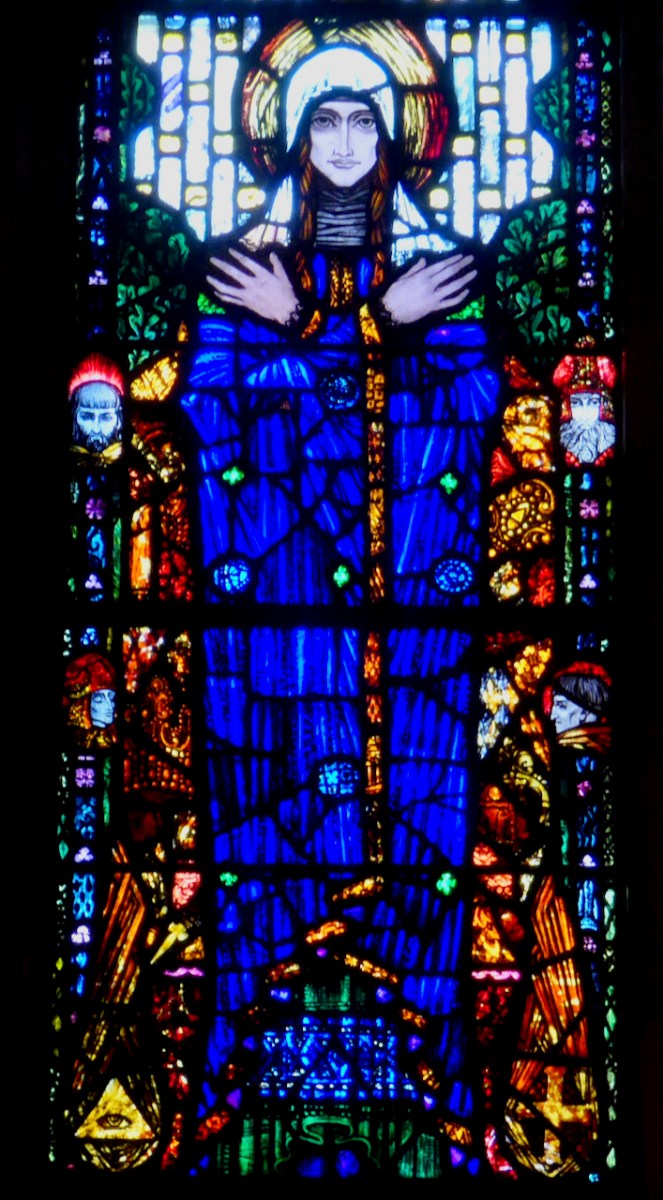
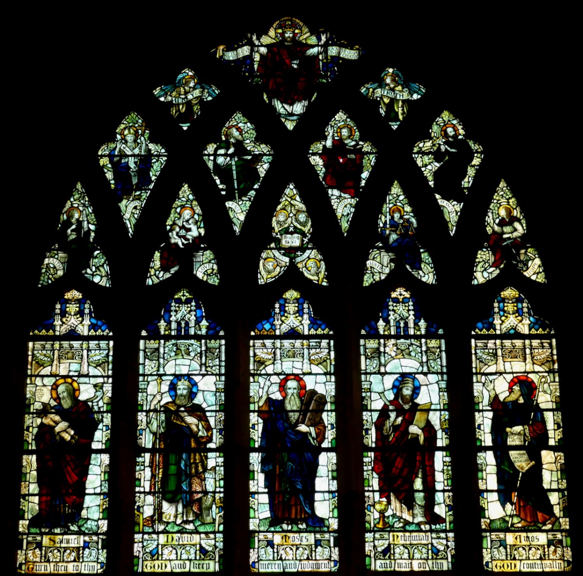
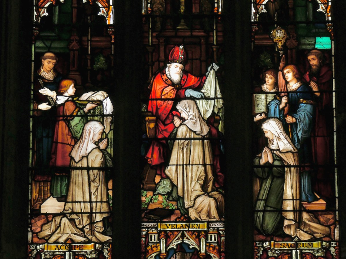
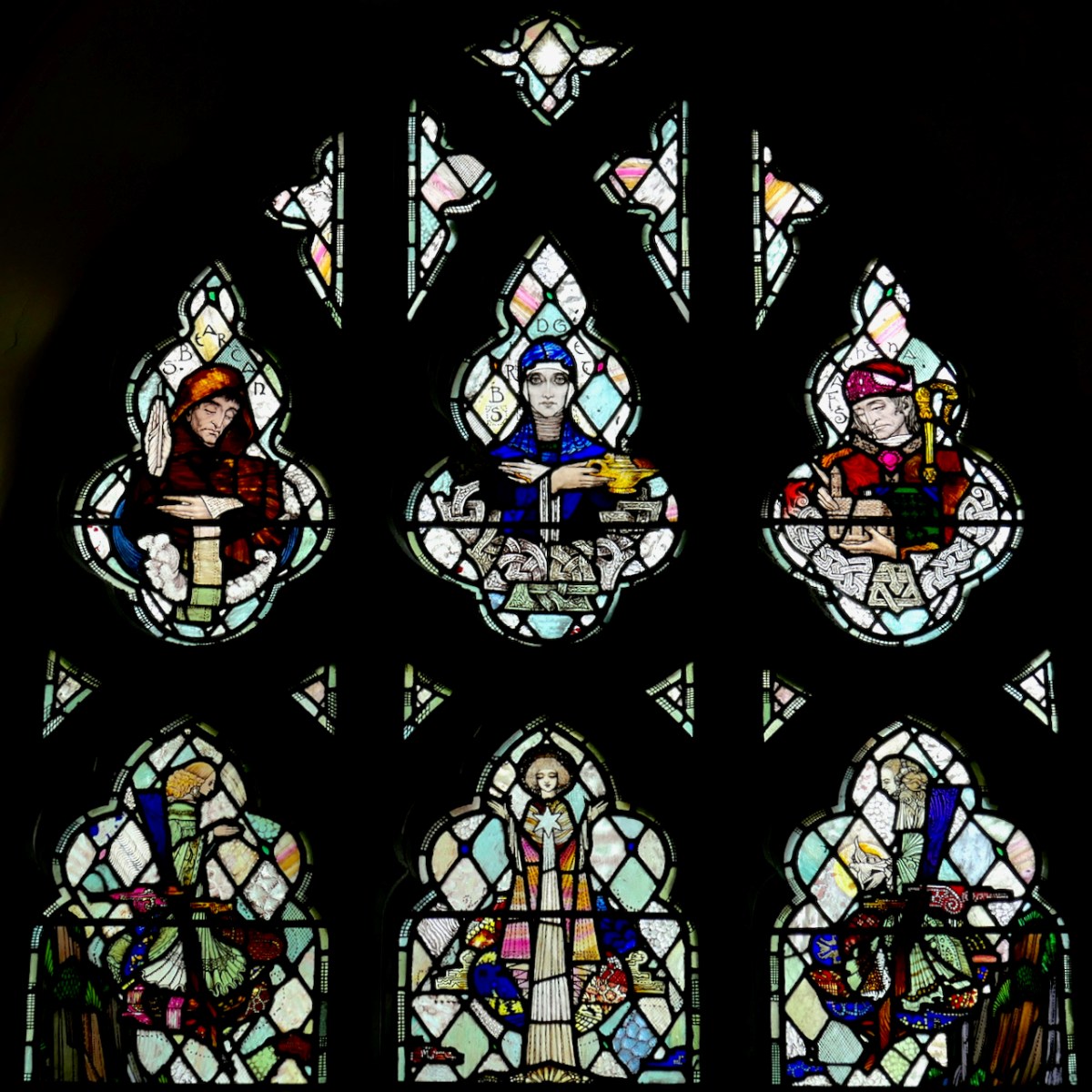
The design that Edith and Harry eventually settled on was an unusual one for a Church of Ireland church. The main scene is that of the Nativity, also sometimes knows as the Adoration of the Magi. While this is certainly part of the iconography of Protestant churches at this time, it is a tiny proportion, representing fewer than 3% of all Church of Ireland windows and often as a small scene within larger windows, or as part of a Life of Christ assemblage.
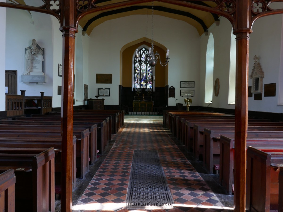
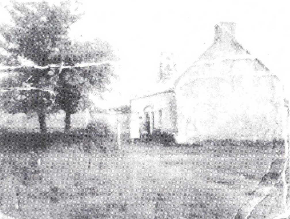
Interior of St Barrahane’s Church. In this photo you can see that the windows along the nave are longer – that is, the bottom of the windows are closer to the ground than in the east window
Edith was still determined to shorten the window, and some of the correspondence between her and Harry is taken up with details of measurements and proposals for how to get the work done – Harry will not embark on the window until he has a completely accurate set of measurements from the final shape of the changed windows.
24 April 1917
Dear Miss Somerville
I send you herewith a drawing of the alterations I suggest in the tracery of the East window of Castlehaven church – I have worked with the idea of getting some good tracery with the very least amount of carpentry work. You will see marked in red on the drawing the parts which will have to be made in new wood and these should present no real difficulties to a carpenter of ordinary skill and intelligence.
This tracery will need to be made and fixed in the position before I start the actual making of the glass as I will work from templates taken from the real openings
LETTER FROM HARRY CLARKE TO EDITH SOMERVILLE
Somerville Archives, Drishane House
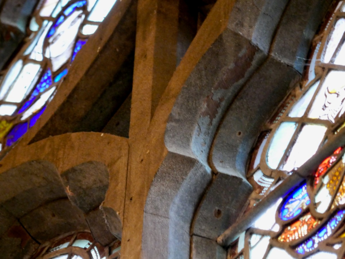
So – Harry not only designed the stained glass, but also re-designed the window itself. A casual visitor to St Barrahane’s would look at the window and assume that it was carved in stone and was entirely original. However, a closer examination reveals that the east window is different from all the other windows in the church in two important ways – it is shorter (foreshortened from the bottom up) and the tracery is more elaborate. In fact, it is made of wood, as are all the windows in the church, although this is more apparent from the outside than the inside, since the wood has been painted and sanded to look like stone.
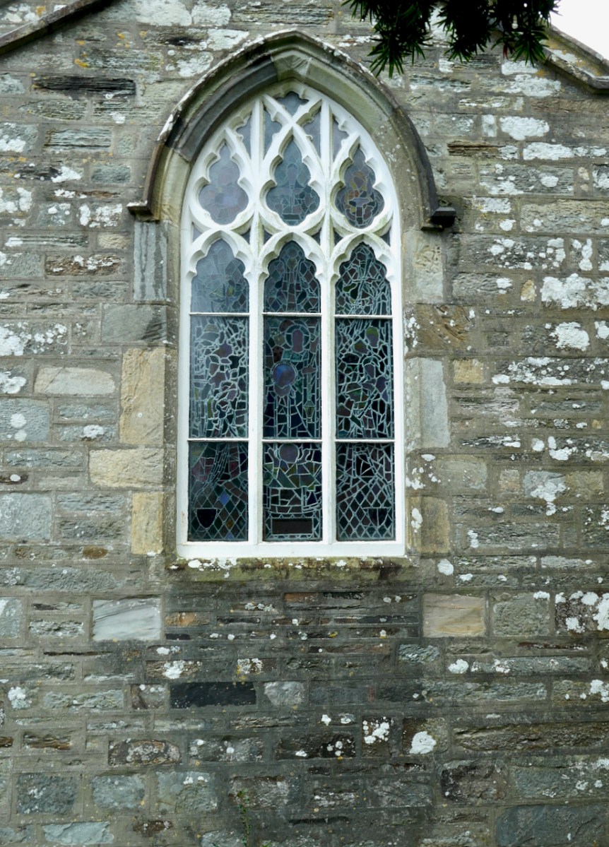
From the outside, it can be discerned that the window has been shortened from the bottom up. The wooden window frame was re-built to include Harry’s elaborate tracery design, painted white outside, and inside (below) sanded to look like stone.
I am glad the proposed window has been sanctioned and bearing in mind your views and those of your brother expressed in your last letter, I hope to send you the design in September or early October. The coats of arms will do any time between this and then.
Re – re making of window frames; I suggest that it would be better if it were made in Cork and I understand that Messrs Sisk and Son of that city – who built the Honan Chapel are excellent builders and must employ efficient carpenters.
Sisk’s man could measure the job and could make it either in Skibbereen or Cork – I propose this as you would be sure of a good job if the man who measures the window either makes it or has opportunity of personally explaining the alterations and measurements to another – this would rule out any chance of miscalculation – Also – It could I think be made cheaper in Cork – and the cost of carriage from Dublin to Skibbereen for the finished wood would be considerable – If it suits you and would save you any bother I will write Sisk and explain matters – there is no hurry I suppose if you remember that the new tracery will have to be finalised before I start my window early in 1918.
LETTER FROM HARRY CLARKE TO EDITH SOMERVILLE, June 10, 1917
Somerville Archives, Drishane House
By this time (June 1917) the elements of the window have also been agreed – that is, that the main scene will be a Nativity, and that Irish saints will have a place in the window. The price has also been negotiated and even though that sum seems paltry now, it was enough to give some members of the family heartburn. Hildegard was apparently ‘scandalised at the family’s extravagance’ and Edith says she is probably right “but such fears have never yet curbed my extravagance & as I have often said, I have only regretted my economies” (Rauchbauer, p179). A woman after my own heart.
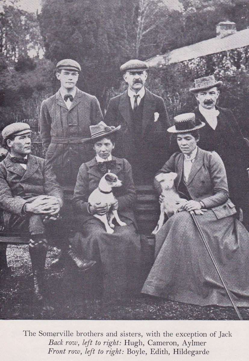
One more drama ensued before the work could start – Cameron lost the sketch design! He may have left it on a train. Desperate searches (even at Scotland Yard) turned up nothing, so Edith was in the embarrassing position of having to ask Harry to produce a new one. Harry, ever the gentleman, responded on Dec 7th.
Dear Miss Somerville
Thank you for your letter. I will do the new Nativity sketch the first time I can put my mind to it to the exclusion of my other work – I am behind time with everything now, but at any rate I will undertake to give it to you at latest on the 7 January next. – possibly I will finish sooner – I will ask you to understand the delay is not entirely my own fault – the publisher of Poe’s Tales is persecuting me for the drawings – I would have been glad long ago to have taken up your happier work but business men always nail me to a date.
LETTER FROM HARRY CLARKE TO EDITH SOMERVILLE
Somerville Archives, Drishane House
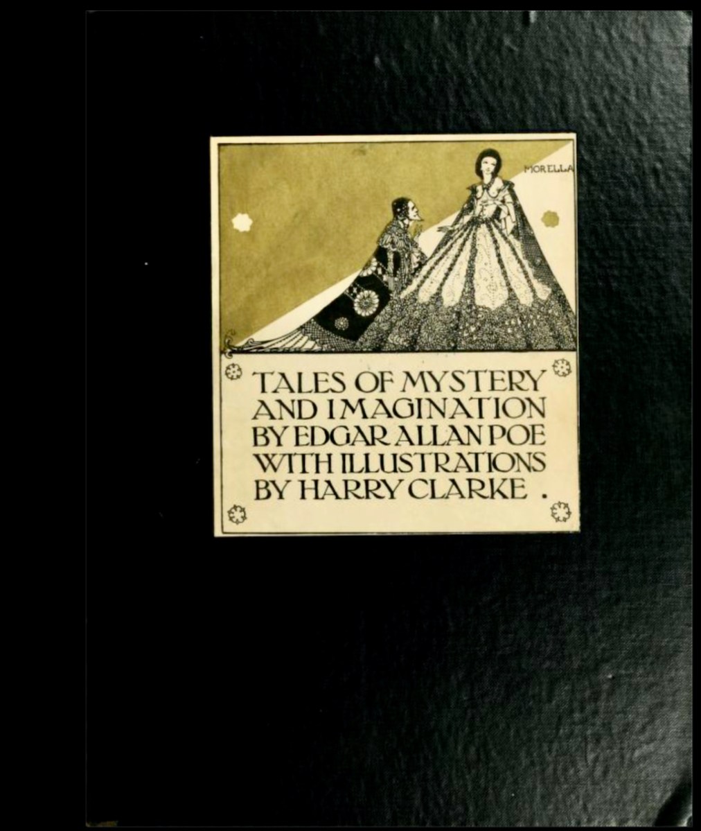
This image was captured from the book on loan at the marvellous Internet Archive
He offered further clarification on Dec 10th.
It will be better in every way if I do the sketch for the 7 January – I hardly think I can do a replica of the missing drawing but if I work to this date at any rate I will and do remember the scheme, drawing, and general colour.
LETTER FROM HARRY CLARKE TO EDITH SOMERVILLE
Somerville Archives, Drishane House
This second drawing is, or was, extant, although I cannot now trace where it might be. However, Nicola Gordon-Bowe must have seen it, as she describes it as being done in charcoal only and drawn surprisingly loosely and sketchily . . . in comparison with those for the Honan Chapel. However, it is perhaps not so surprising that Harry, under pressure to produce a duplicate of work he had already done in detail, should produce only a charcoal drawing. He was relying on his memory for all the details and the colour.
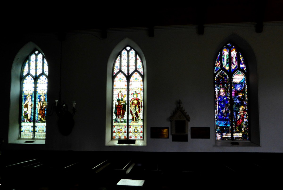
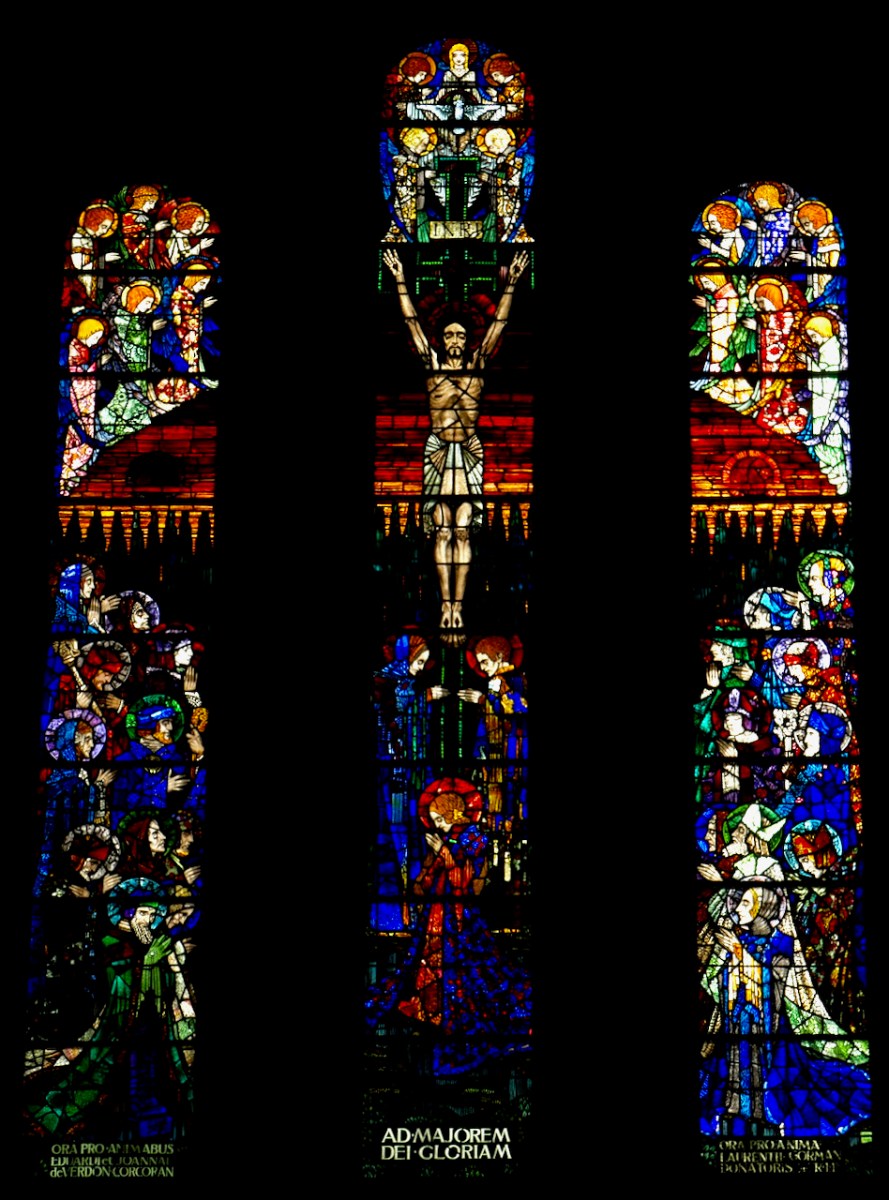
In this photo you can see the size, shape and relatively simple tracery of the other windows in St Barrahane’s Church. The two windows on the left are by Powells of London and pre-date the Harry Clarke windows in the church. The window on the right is Harry’s Kendall Coghill window, about which I have written here. My supposition is that the east window, although three-lights instead of two, had very similar tracery to these windows, before the changes I describe above and was of course the same length. Such elongated dimensions are well suited, as Harry pointed out, to a crucifixion or a resurrection, where the movement of the eye is upwards to the heavens. Below is Harry’s Crucifixion in Terenure as an example of what he meant. It was dedicated in 1920 but he had already won the commission when he was working on the St Barrahane Nativity.
The shortening of the window, the inclusion of the Irish saints, the addition of three angels above the scene and of coats of arms below it – all these design devices resulted in Harry giving Edith what she really wanted – a painterly canvas for the main scene, rather than a composition constrained by tall, narrow dimensions.

What Edith got, in fact was a cleverly constructed division of space in the window. The main Nativity scene is located within a square, while her saints and Harry’s angels occupy the elaborate new tracery that Harry designed to be constructed by Sisk’s ‘carpenter of ordinary skill and intelligence.’
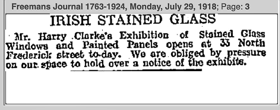
In the end the carpentry work did not get underway until the following spring, and once it was done Harry was able to start on the glass painting in April. By the end of July, the window was finished and exhibited in his studio at North Frederick Street to great acclaim.
Gordon Bowe quotes the review by Bodkin in the Dublin Evening Mail.
It has not the sumptuousness of colour which we are accustomed to associate with [Clarke], for it is especially designed to hang in the comparative dimness of an eastern light. But it has an appropriate beauty of colour second to none of this earlier works and a suavity of design and strength of drawing that shows, if that be possible, an advance in the artist’s power.
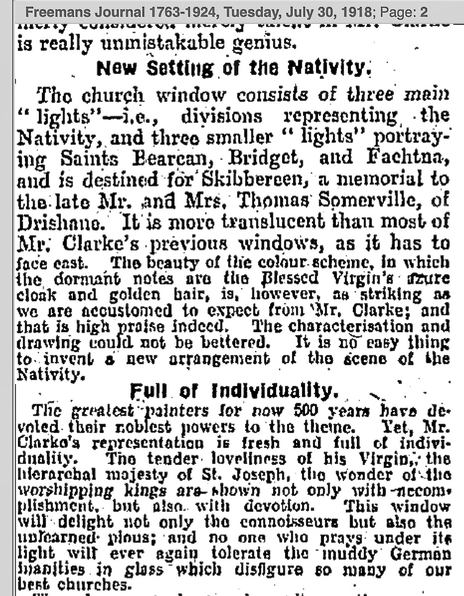
The Freemans Journal also had a review of the window by Bodkin (he signed it A.C. for “A Critic”), under the title Genius in Stained Glass
In part 3 we will look in detail at the Nativity. I’m sorry – I know this is taking forever and perhaps few will find talk of tracery and window dimensions as fascinating as I do. All I can say is that it wasn’t until I read the real-time correspondence that I realised all the changes that had been made to the windows, and the corresponding effect that this had had on Harry’s final design. But we have finally arrived at the point where we can talk about the window itself. I think it will be worth the wait.