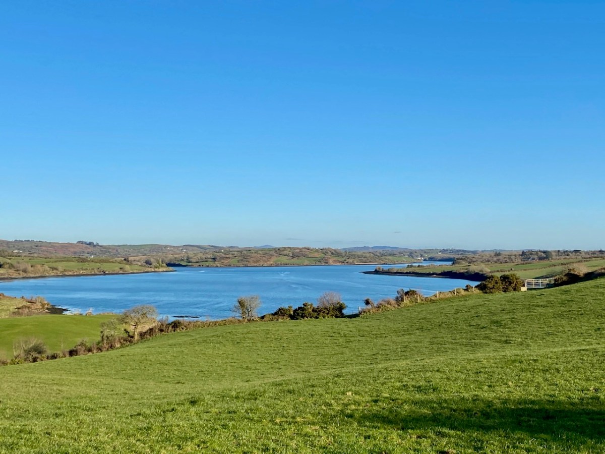
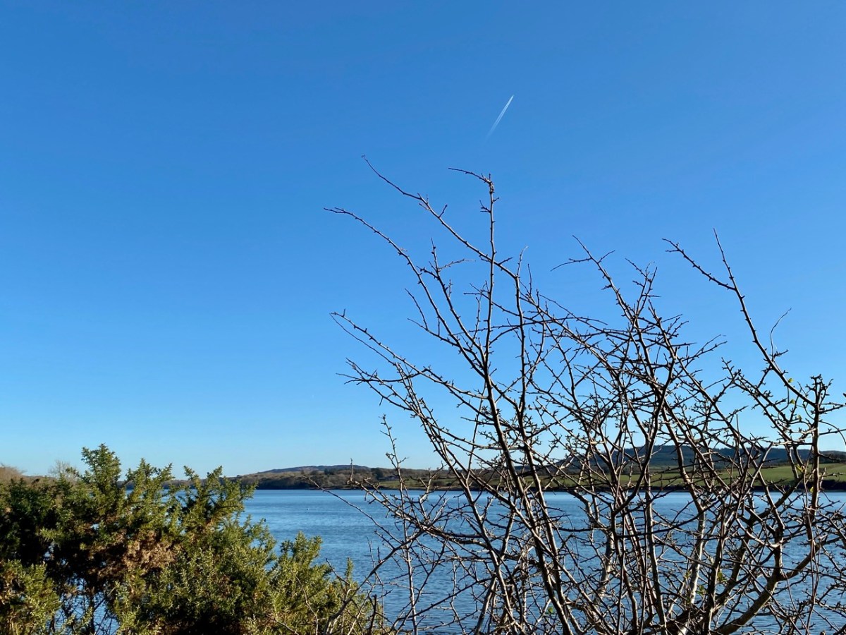
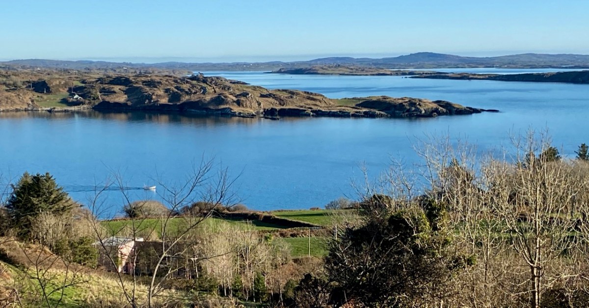
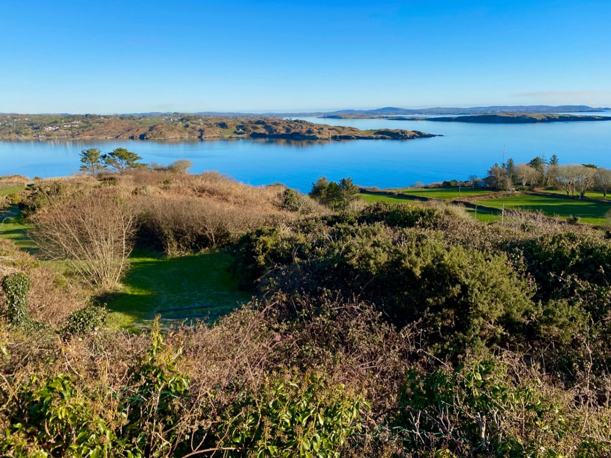
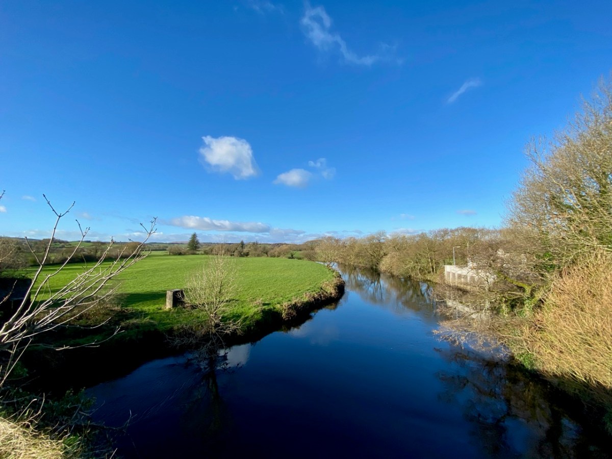
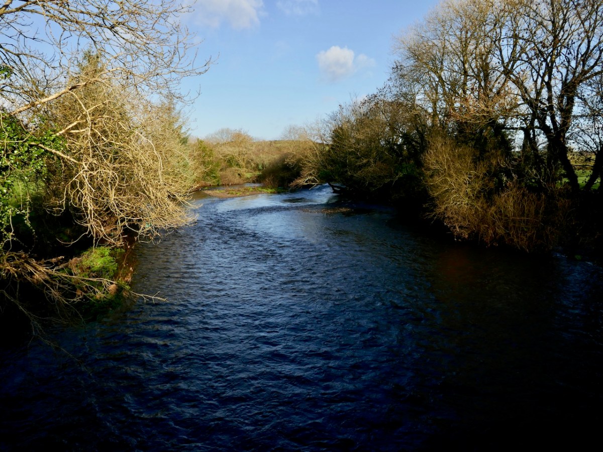
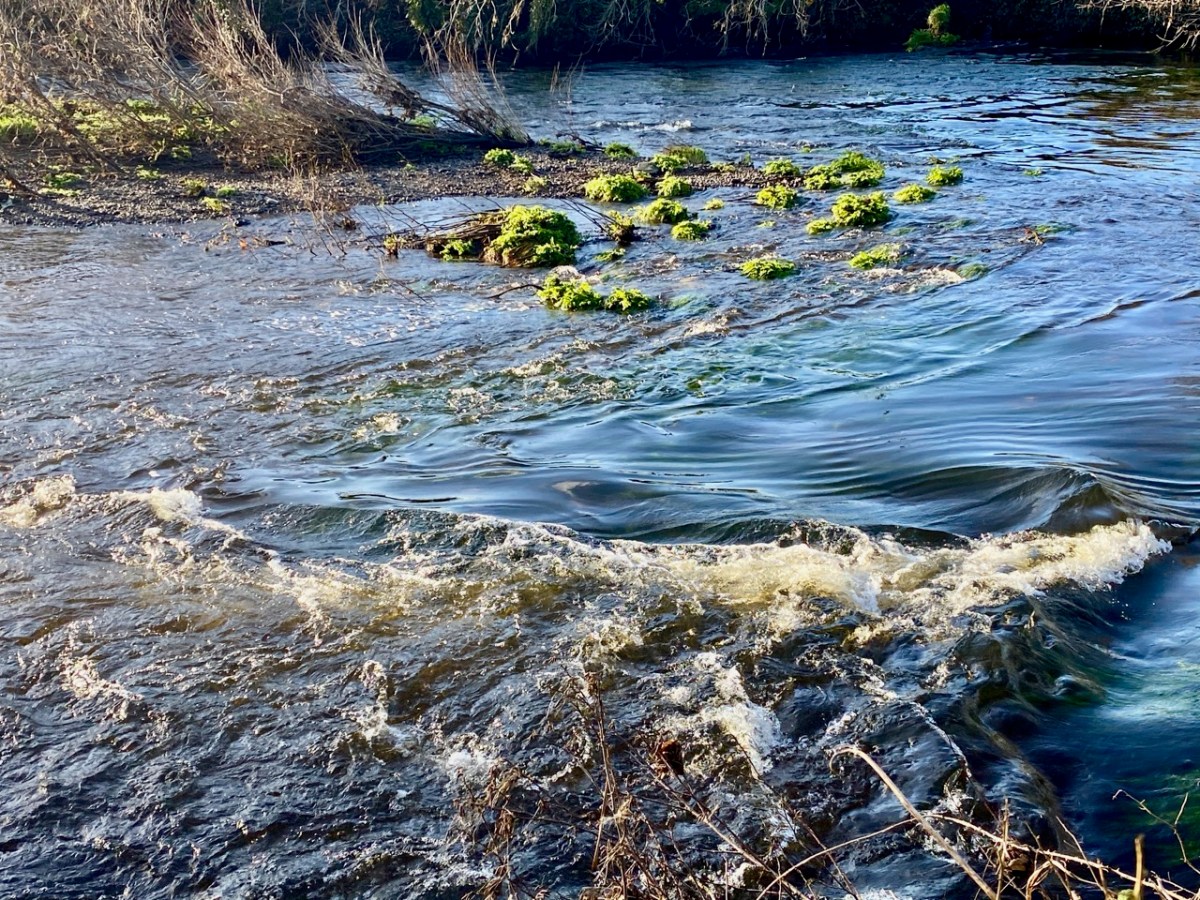
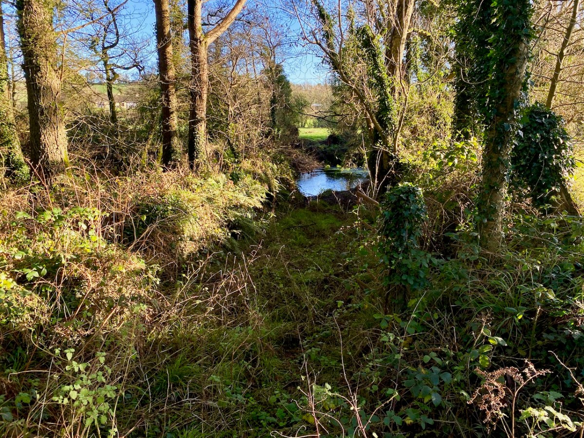
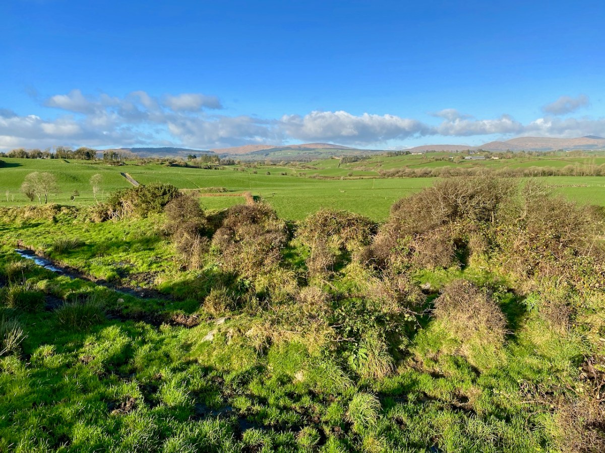
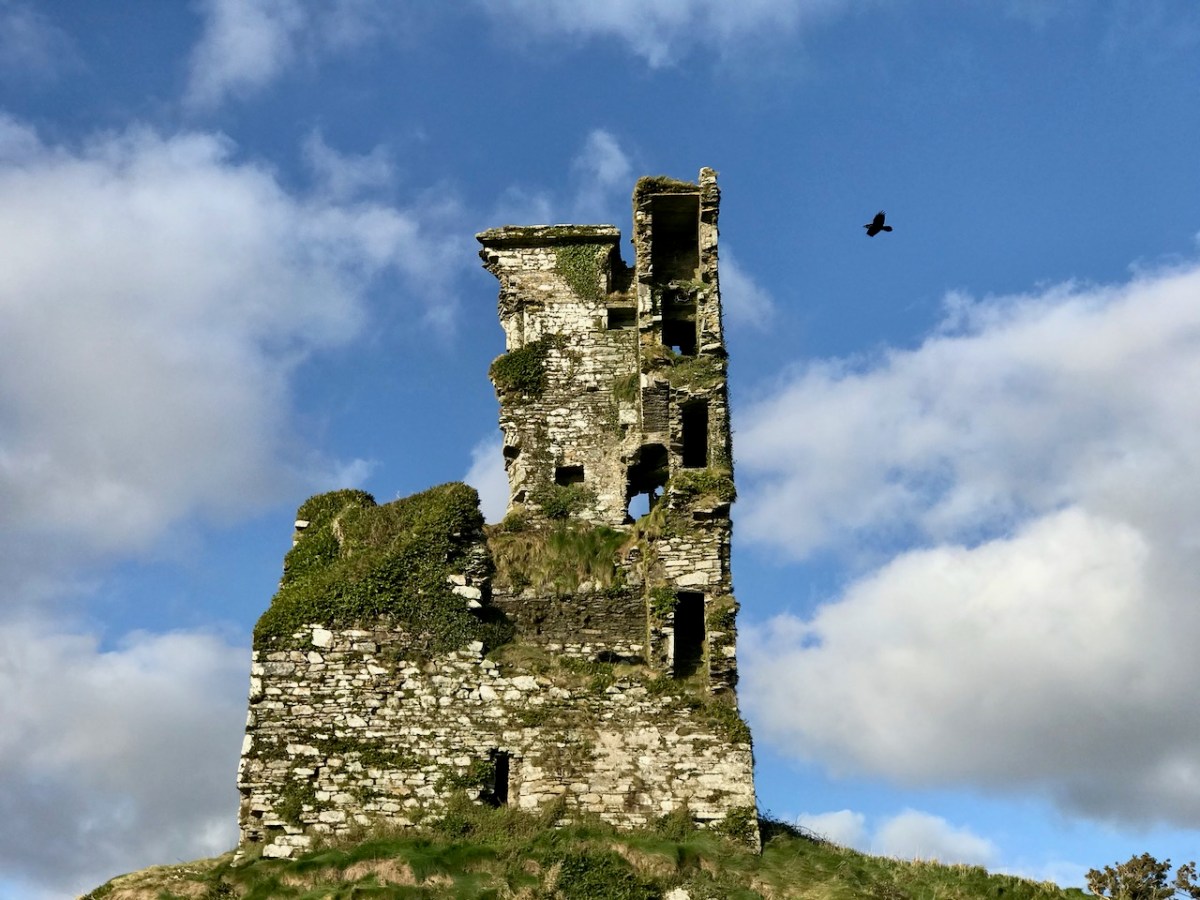
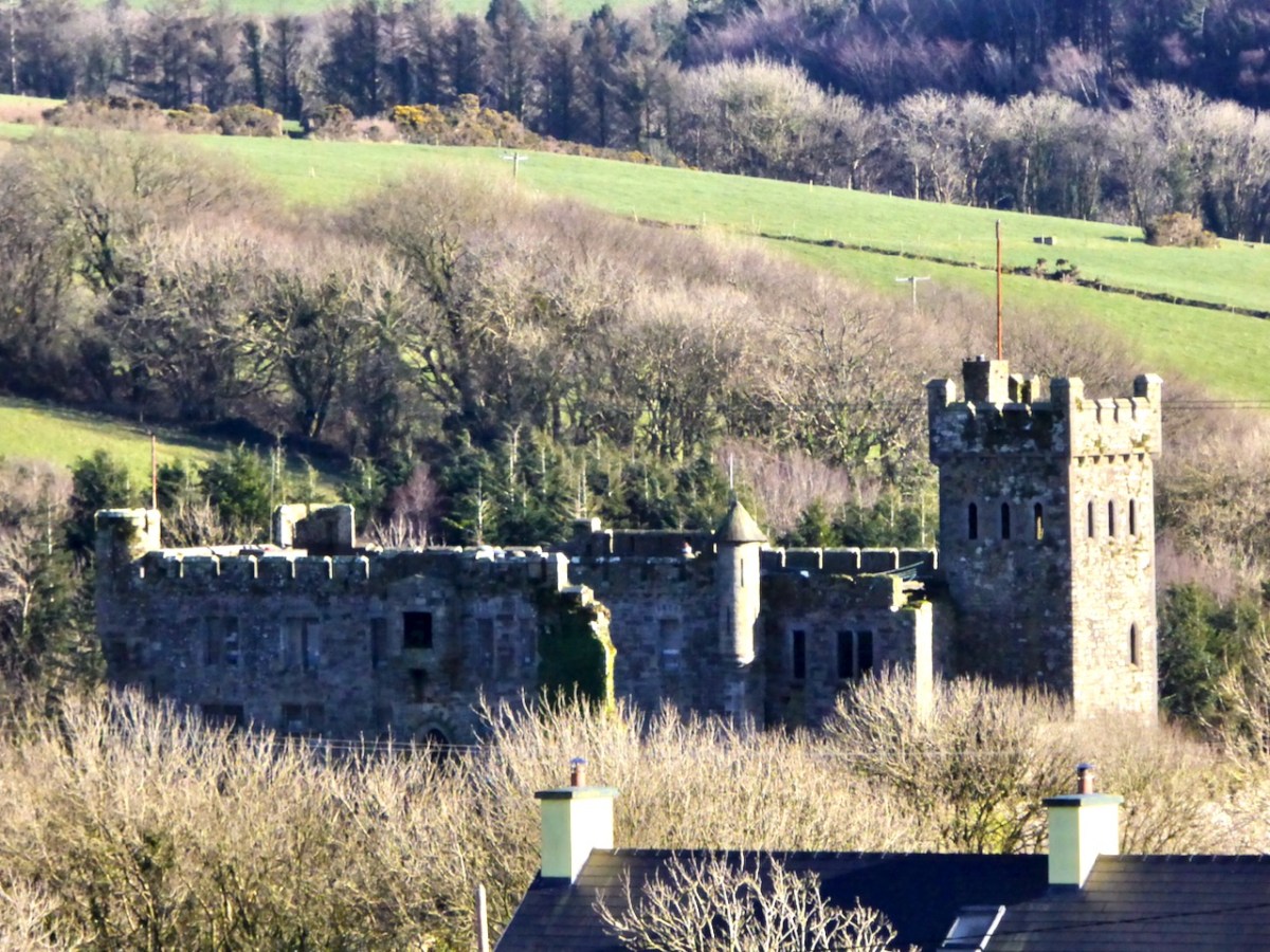
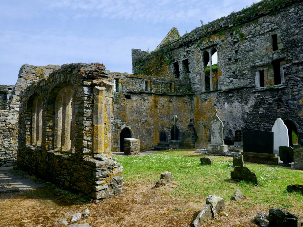
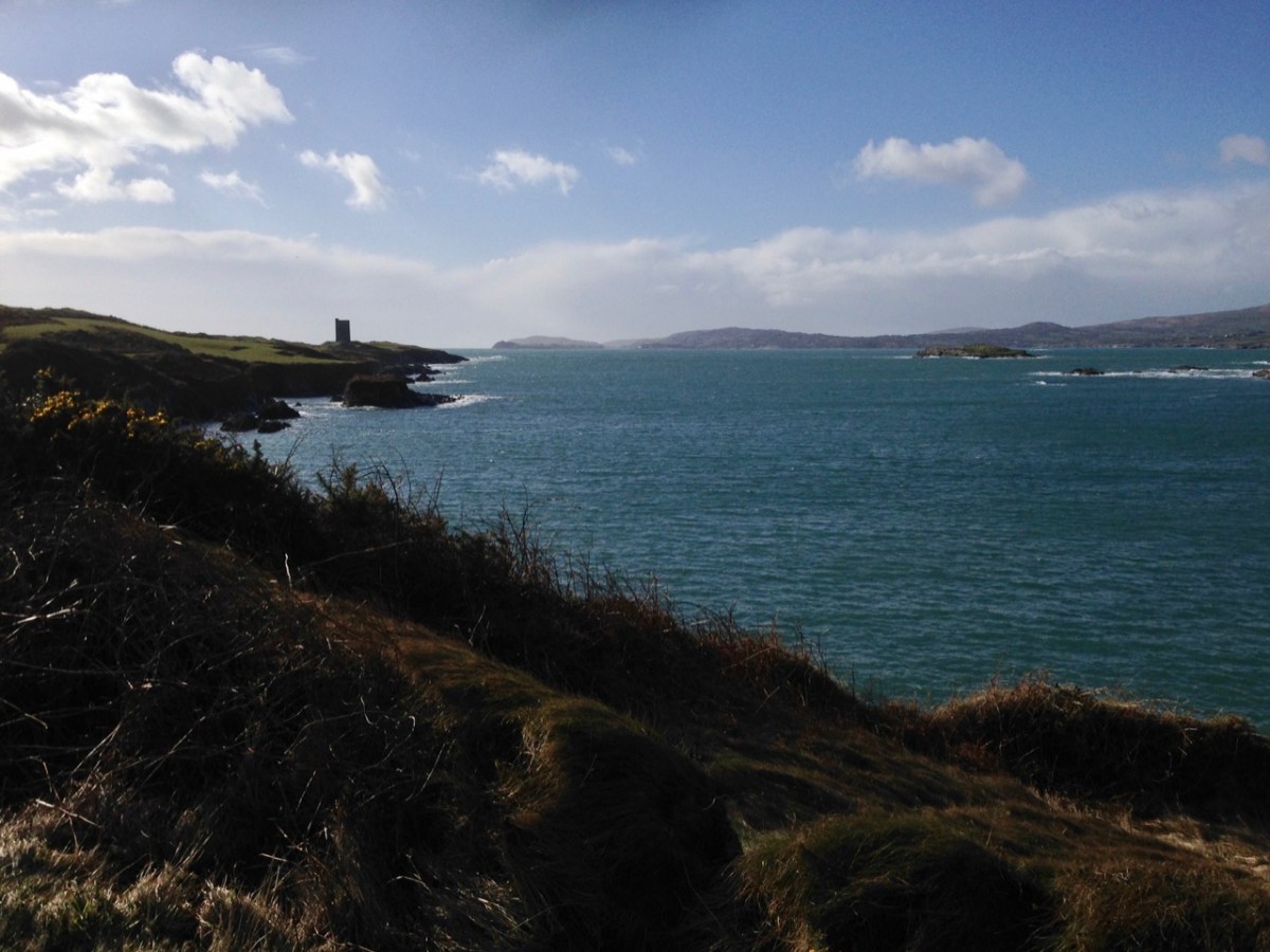
. . . A trip down the river Ilen, as it pursues its winding and picturesque course from Mount Owen (the hill of streams) to the harbour of Baltimore, a distance of about fifteen miles, is the most pleasant and interesting excursion during the summer months. Starting from Skibbereen, we can either steam or row, according to our pleasure, or rather as the tide suits, to Baltimore and Sherkin, a distance of eight or nine miles, and then out the harbour’s mouth, and cruise about the islands of Carbery . . .
Sketches in Carbery – Daniel Donovan 1876
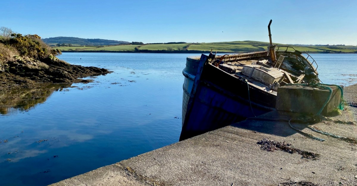
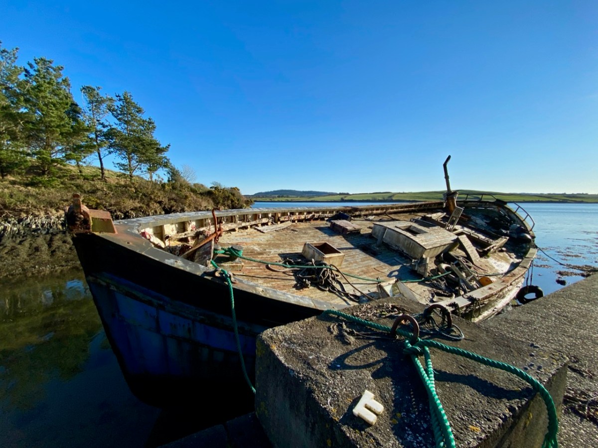
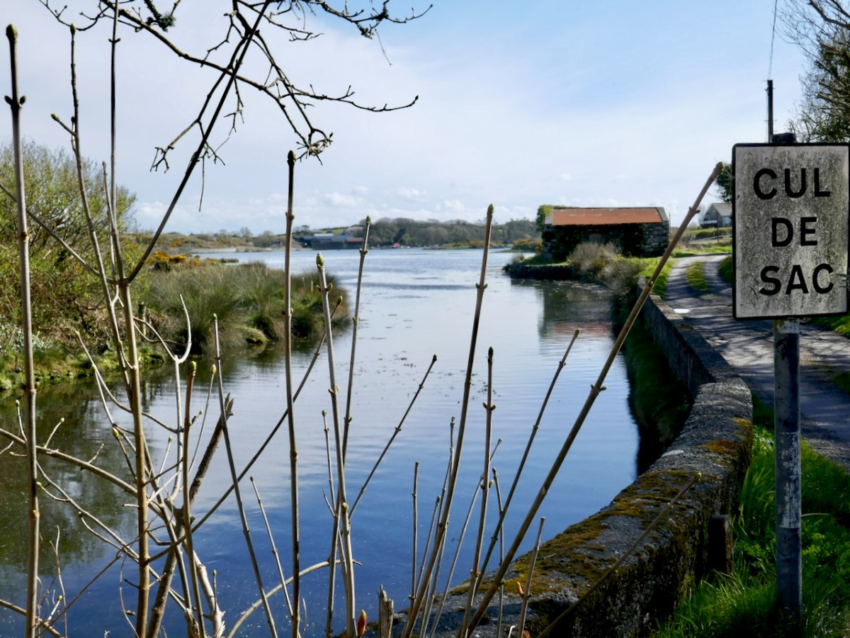
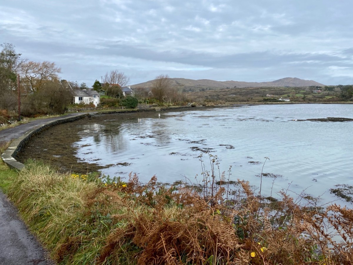
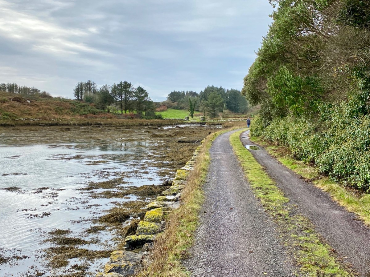
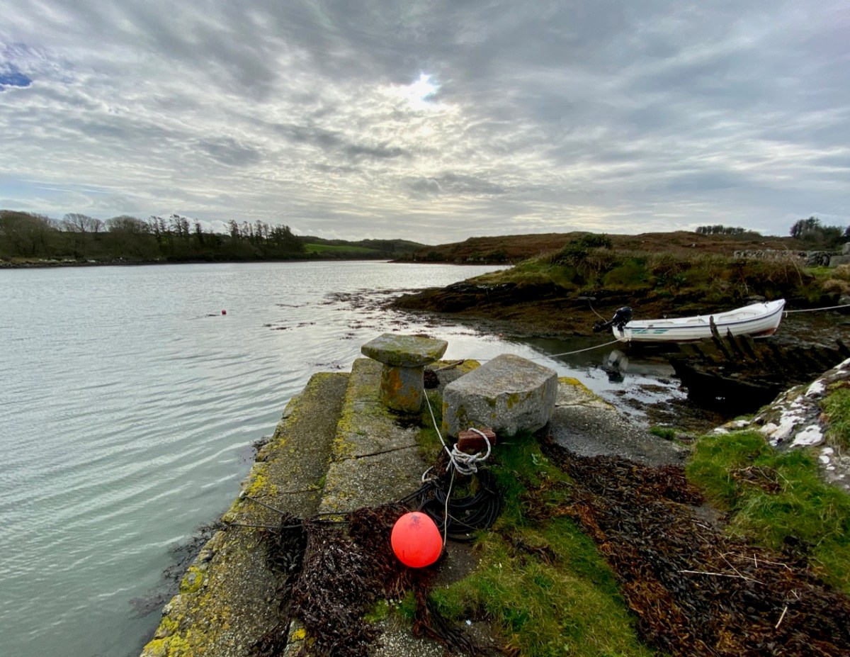
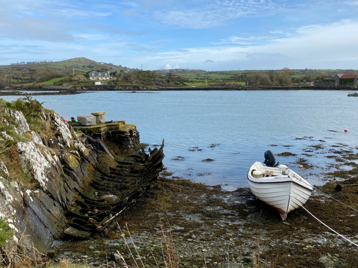
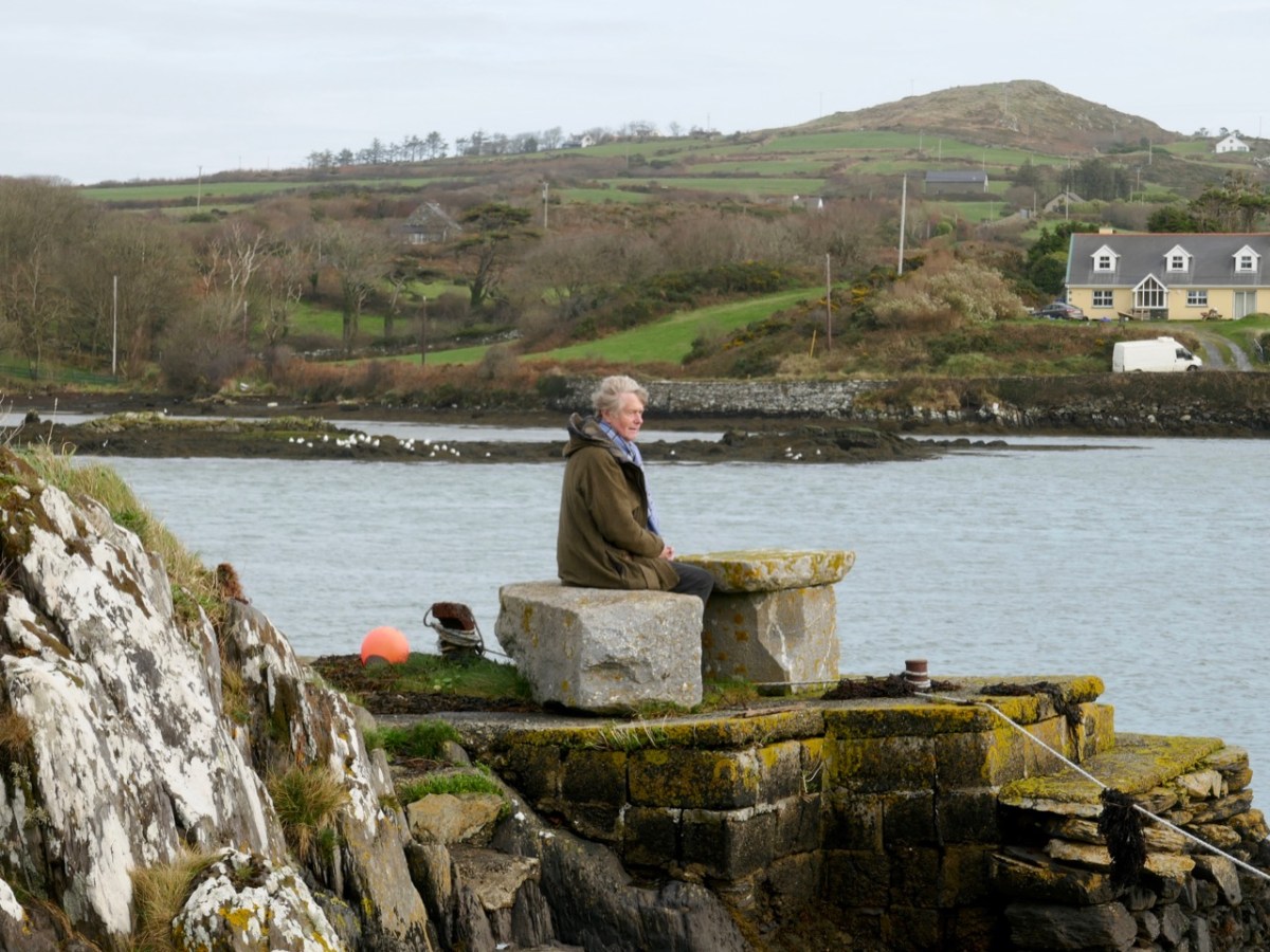
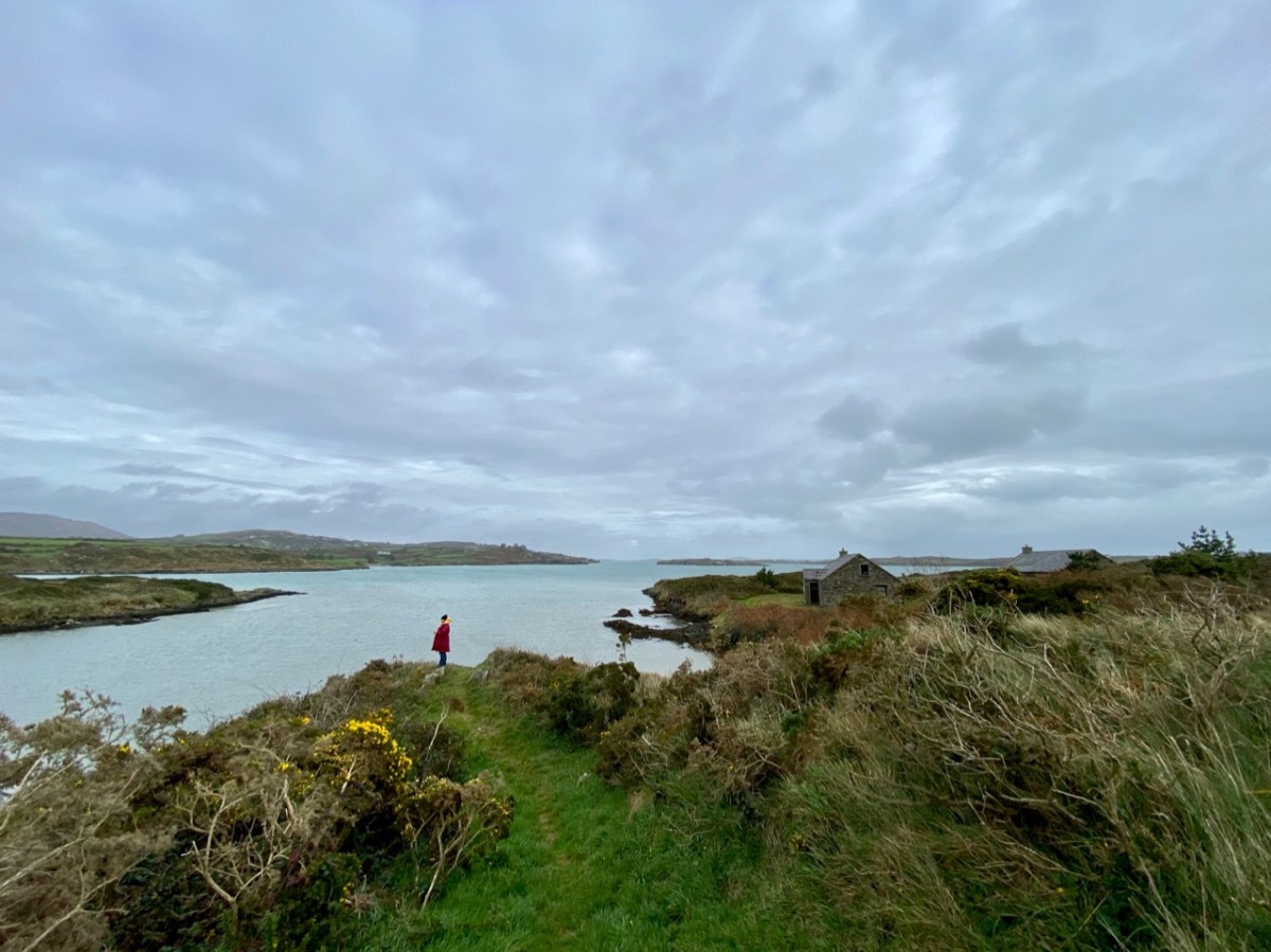
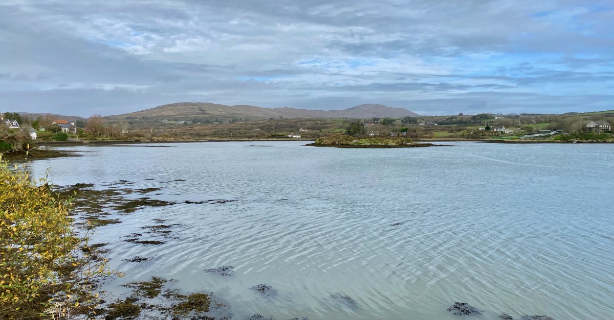
The idea of boarding a ‘steamer’ in Skibbereen and voyaging down the Ilen River to its mouth is an attractive one – but not an option for us as we continue our exploration of this waterway in 2021, a year which has started with a frightening escalation of the Covid pandemic which is forcing us to stay ever closer to home. Fortunately, we are not too far from the broad stretches of the tidal Ilen as it nears its destination and meanders through peaceful, sylvan meadows passing by deserted quays, once active with commerce and vitality, now at rest apart from the occasional fisherman or boat mender.
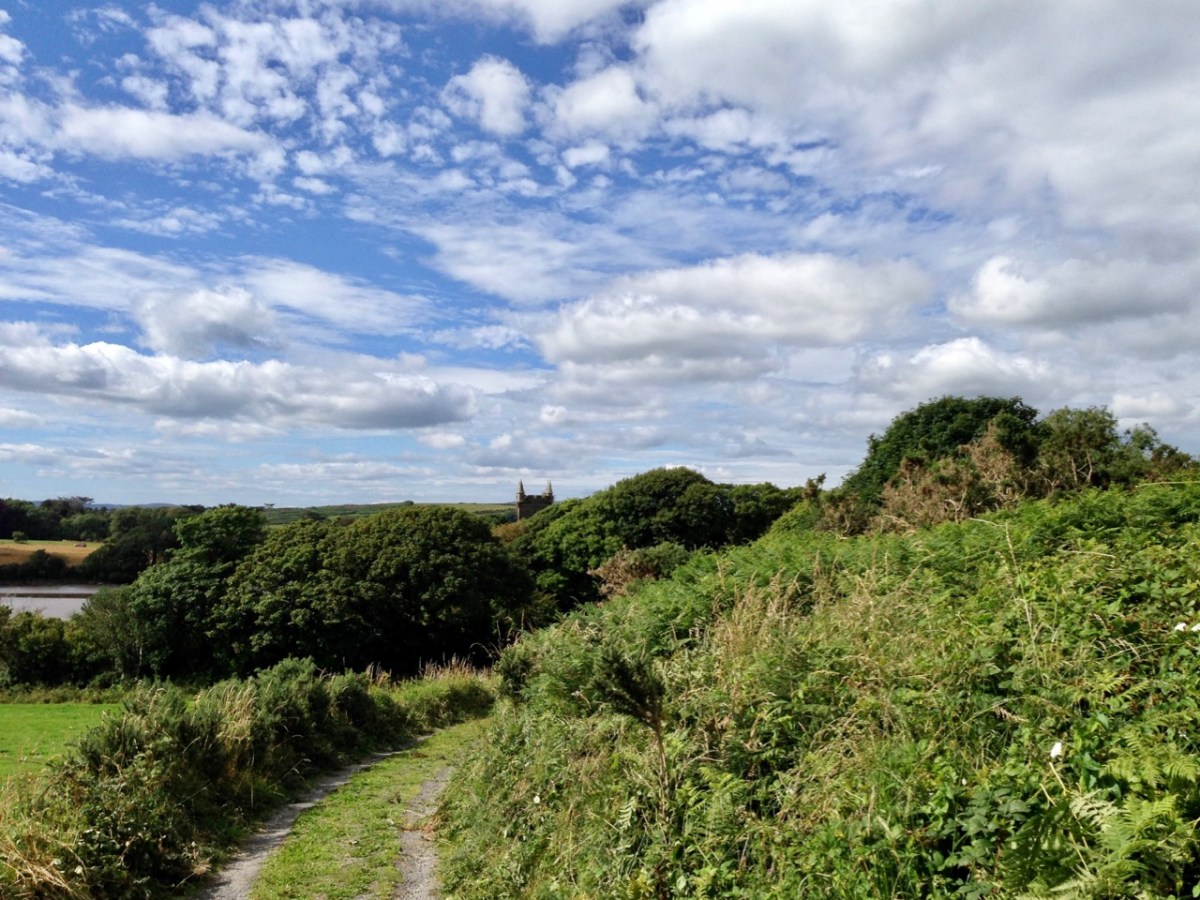
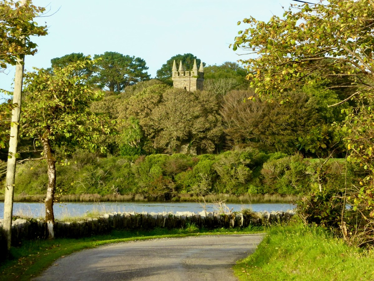
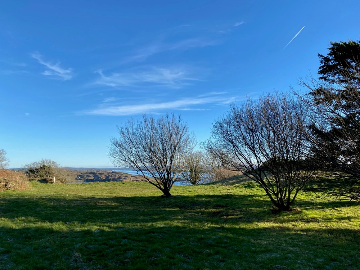
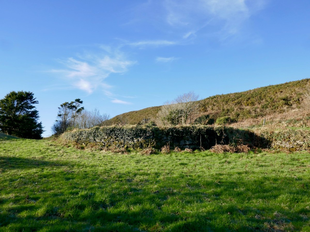
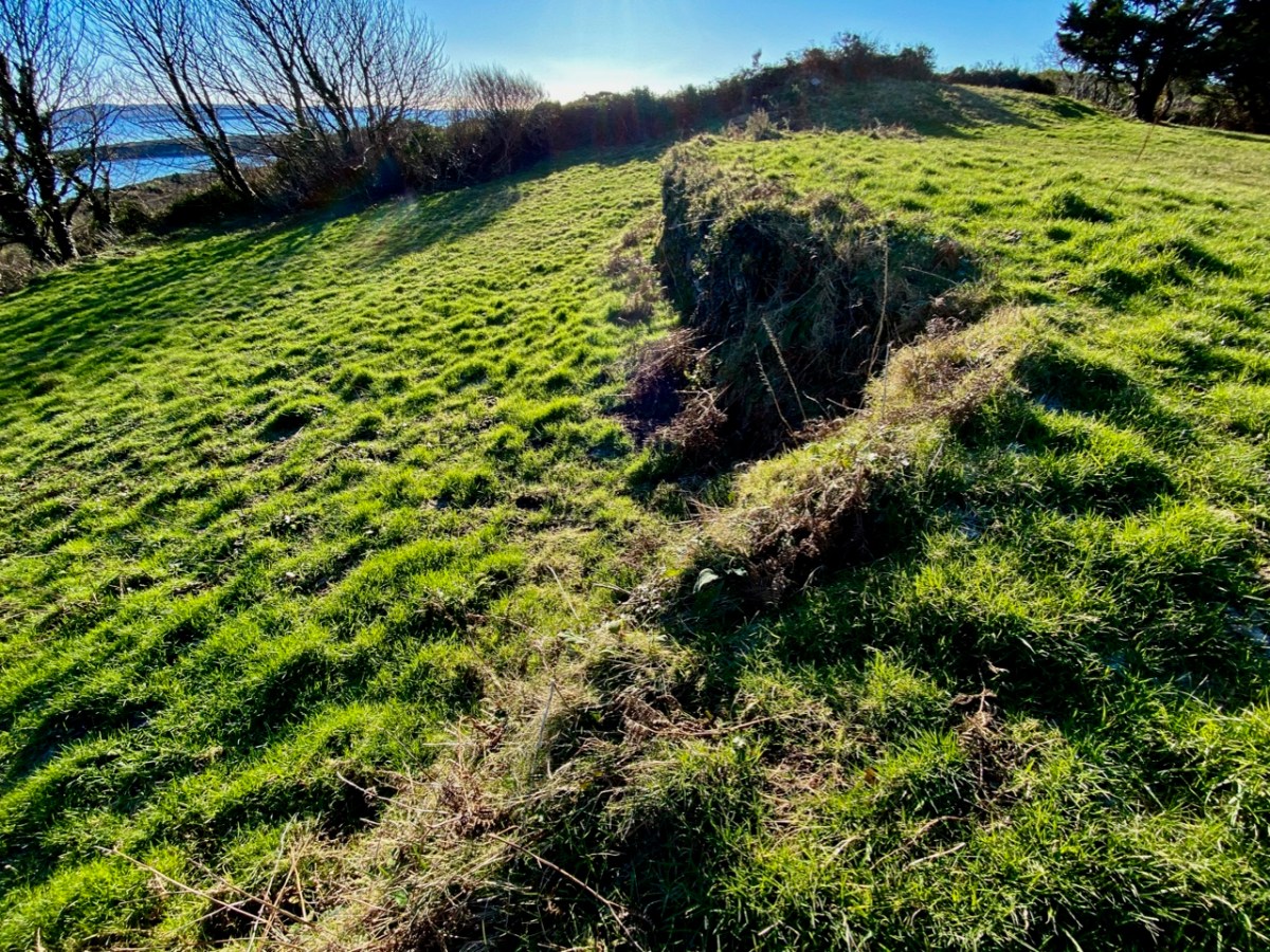
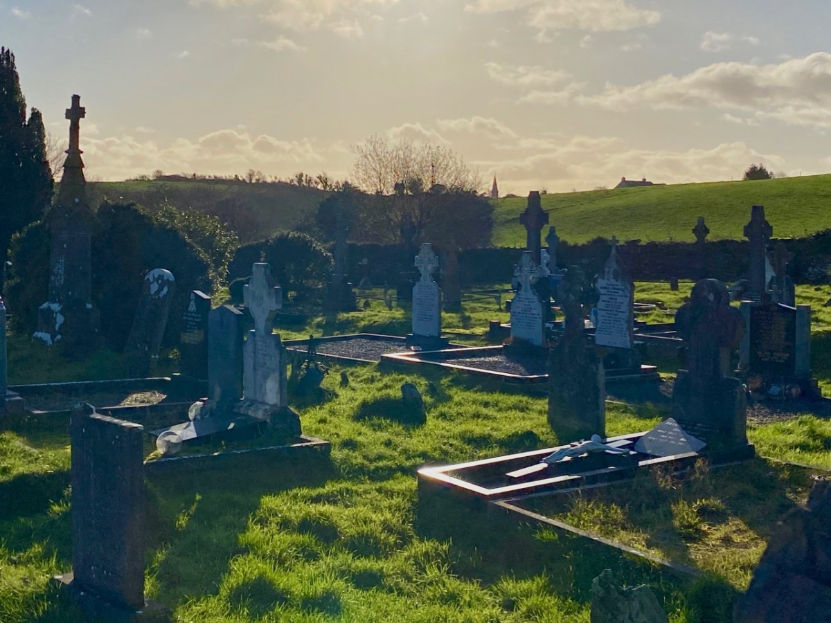
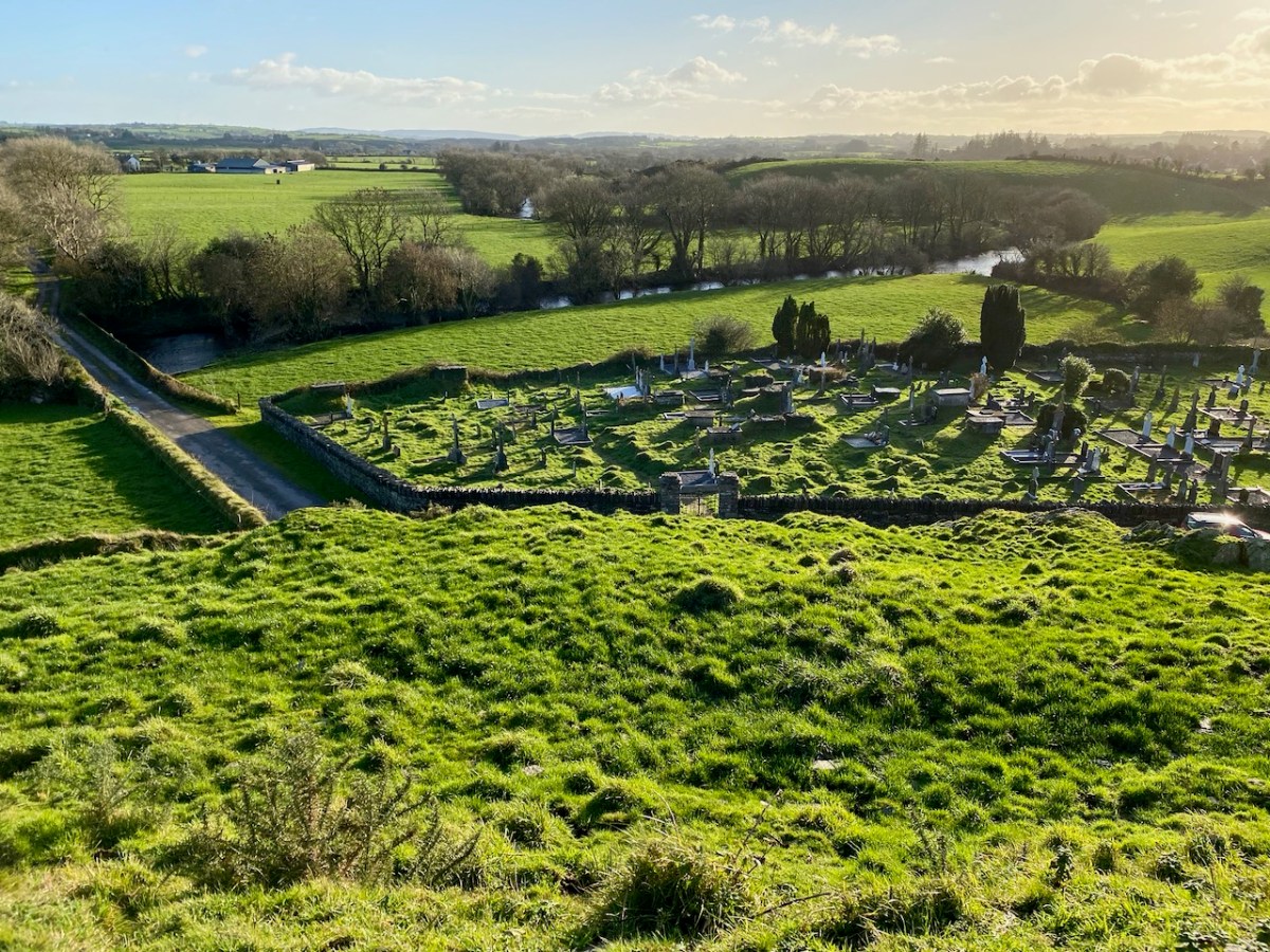
We are fortunate to have a large archive of our photographs taken in West Cork over many years. I am revisiting (below) my pictures of the river at Creagh taken in 2014. This is on the south side of the Ilen, and certainly out of bounds for us at the moment because of distance. Situated at Creagh is a secluded burial ground, the resting place of Canon James Goodman who was Rector of Abbeystrewry Church, Skibbereen, during the nineteenth century. The three photographs below were taken there. My principal interest in him is the name he made as a collector of traditional music and a player of the uilleann pipes – that most singular of Irish instruments that we have also celebrated elsewhere. When the Canon died in 1896 he asked that his pipes were buried with him at Creagh – and they were. But, not long afterwards, they were dug up again. If you want to know what happened to the pipes and where they are now, read my earlier post about the Canon here.
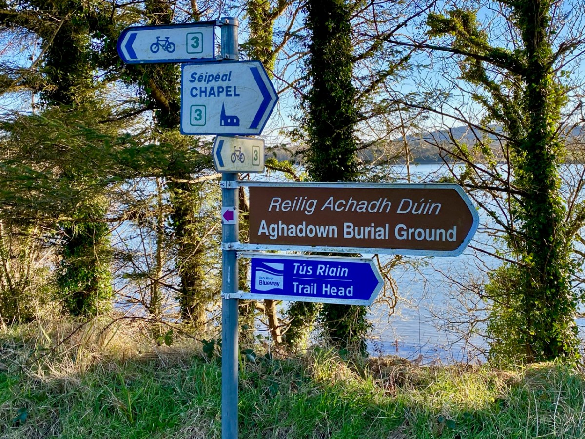
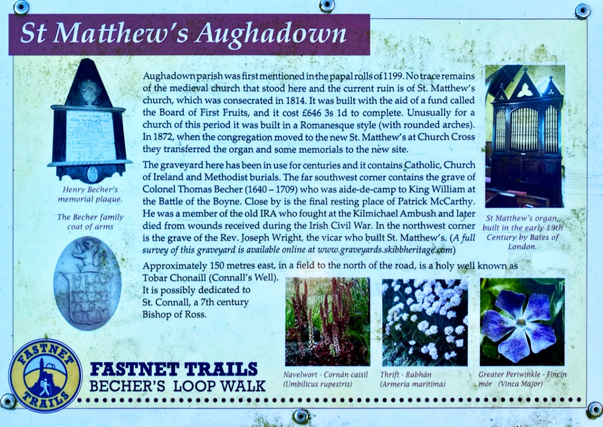
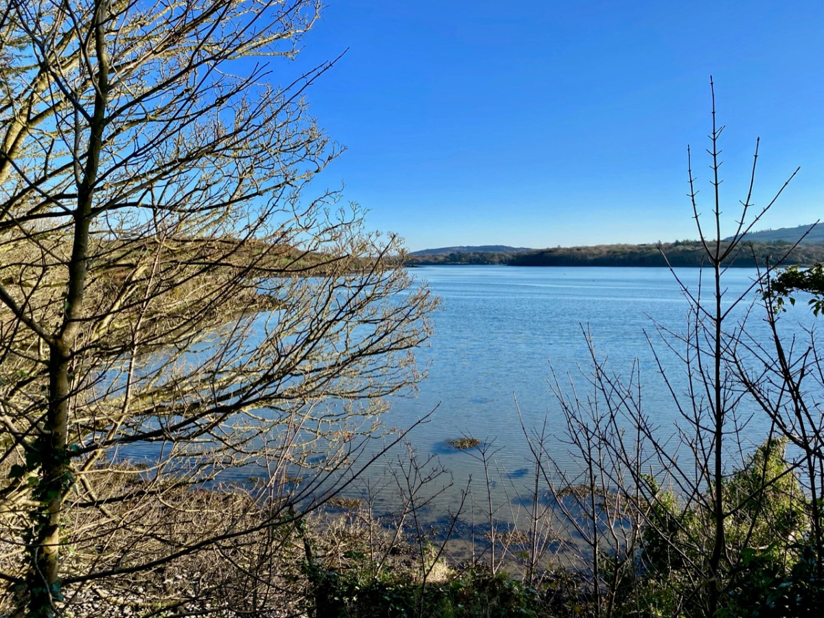
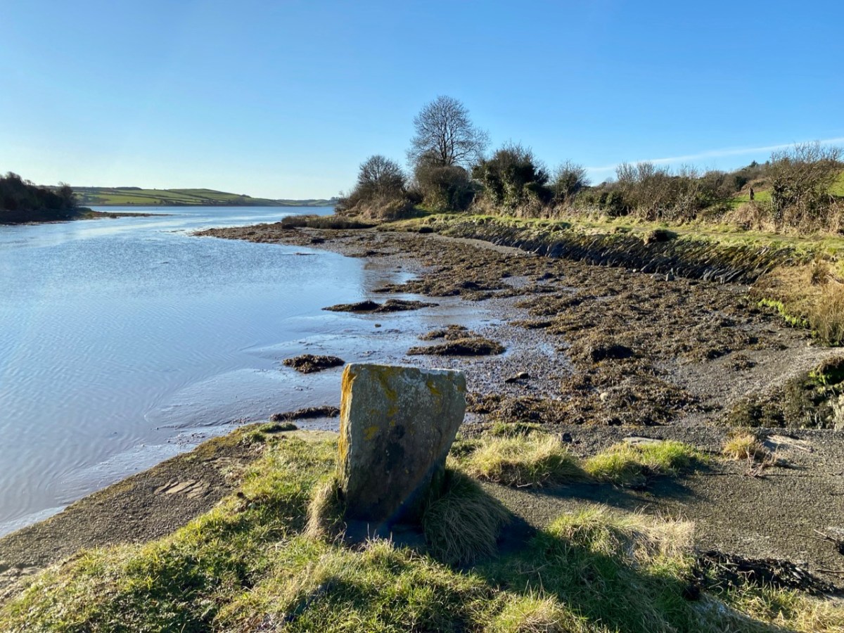
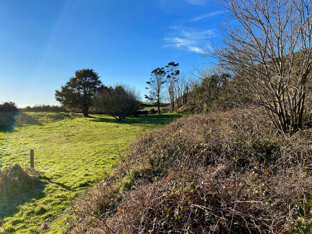
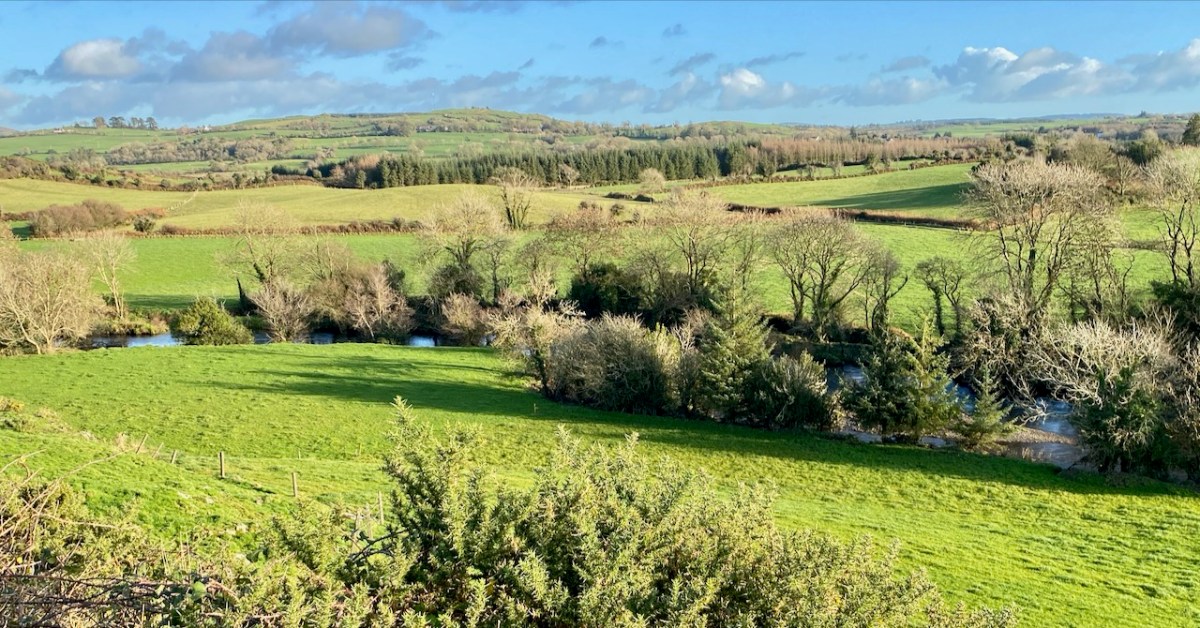
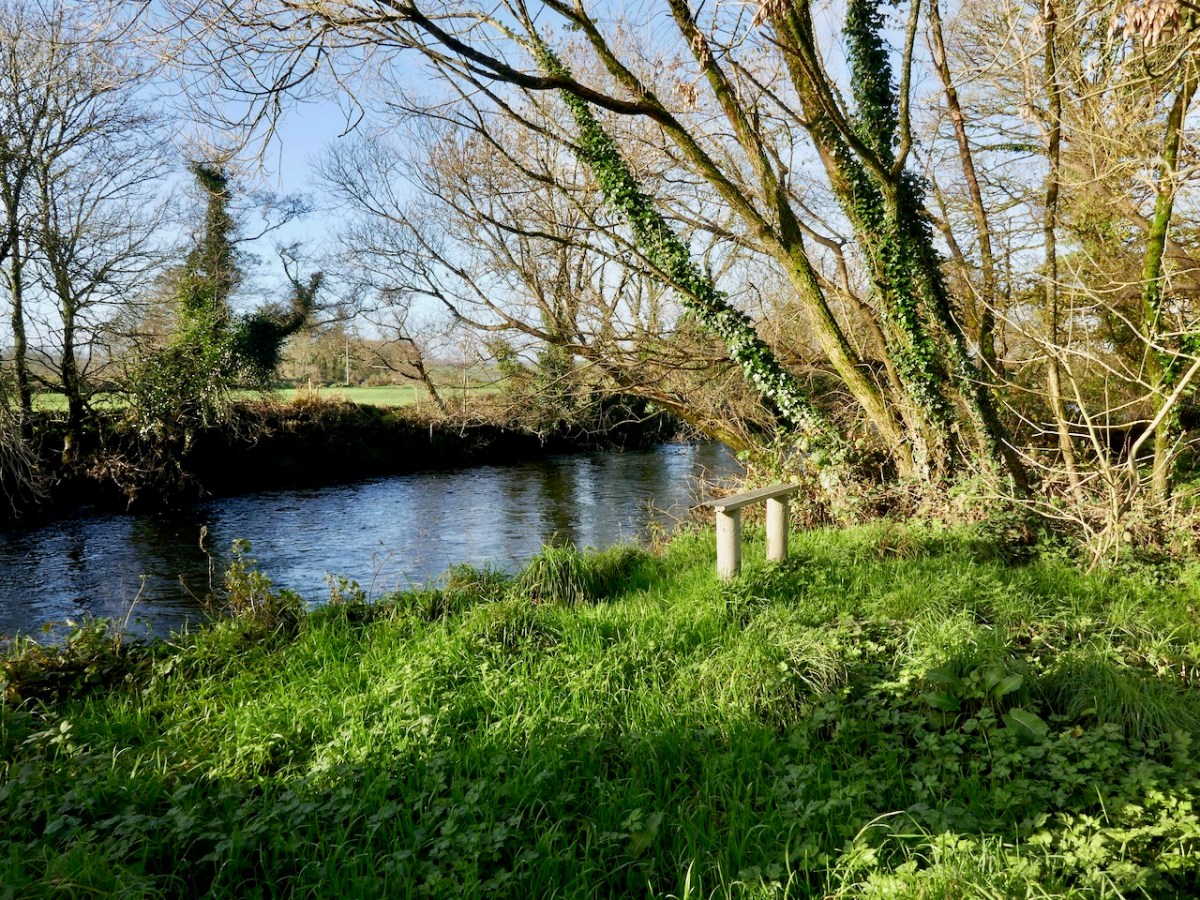
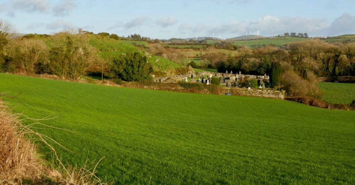
We can travel to Skibbereen for essential supplies, and the road to that town runs close to the river. Just off the road, down a winding boreen, is another burial ground, Aghadown, beautifully situated beside the water – Finola has written about it here. Here are some views we took a few days ago during a prolonged spell of clear winter sunshine.
. . . The view down the river from near Creagh, on a fine day, is attractive. The Ilen, winding in a serpentine course towards Baltimore harbour, shining and sparkling in the sunlight like a silver thread, and dotted over with a multitude of rocky islets, whose recesses form a safe retreat and favourite feeding ground for flocks of sea fowl during the winter months. Looking backwards, we are chiefly struck by the almost complete absence of wood, and the patchwork of irregular fields, enclosed by earthen banks, and the prominences so much admired by tourists and strangers, most probably on account of the novelty and singularity of the scene . . .
SKETCHES IN CARBERY – DANIEL DONOVAN 1876
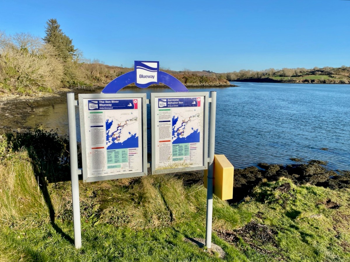
The Ilen is a ‘Blueway’ – designated as a recreational activity trail for use by activity enthusiasts – anyone, in fact, who wants to get out and experience some of the best scenery in Ireland on the water itself or, like us, on foot. This would be in normal times, of course. Undoubtedly there are better days ahead. We look forward to an untrammelled future so that we can continue this exploration of a waterway to its source in the mountains ‘. . . where rain clouds perpetually hover about . . .’ and to its outfall towards Carbery’s ‘Hundred islands’. When we can make those expeditions, we will bring you there through the pages of our Journal.
Here’s a bonus today: you can hear an aspect of our recent walk! Donovan mentioned in 1876 that the river was a favourite feeding ground for flocks of sea fowl during the winter months. We can vouch for that, having heard these sounds close to the Glebe burial ground. The loudest voices are – I think – from redshanks:
Last week my post explored a part of the Colla Loop on the Fastnet Trails. That walk passed by a site described on Archaeology Ireland as a possible early Christian settlement: . . . the ancient school of Sancta Maria de Scholia, ‘a place known in early times as a centre of learning’ . . . That information was ascribed to ‘Burke 1914’ but I can find no links to that source anywhere. If anyone can enlighten me, that would be great.
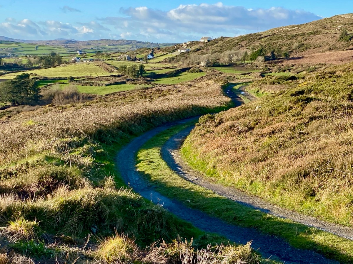
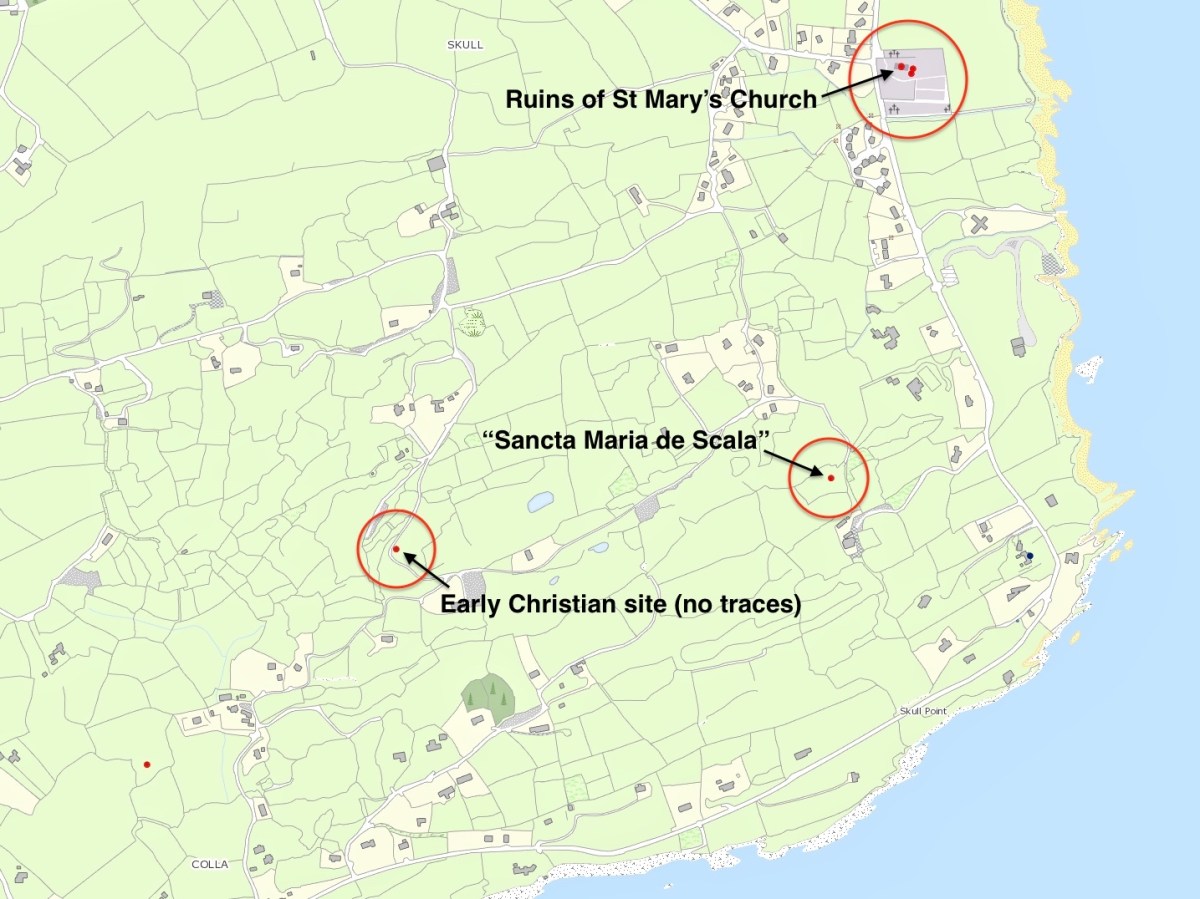
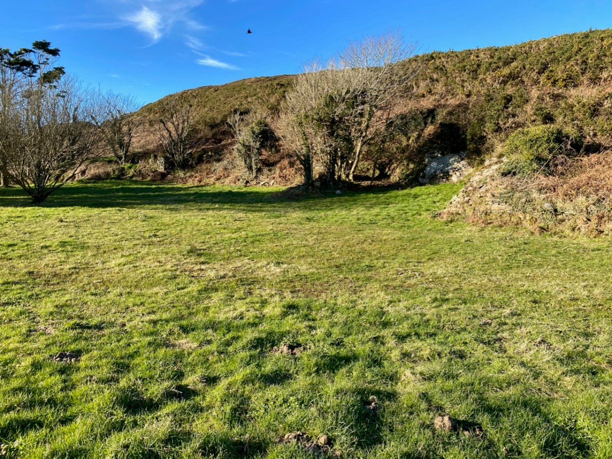
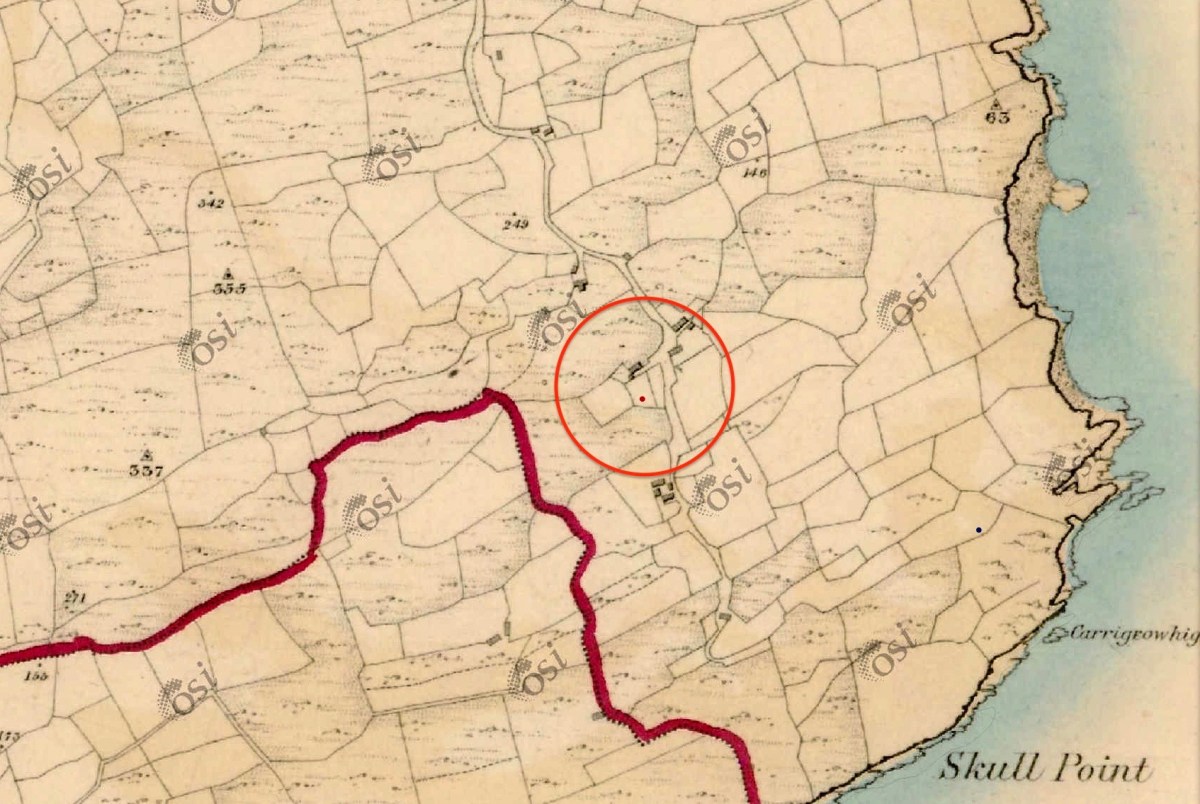
The location of this possible site is in the gorse covered area on the right hand side of the picture above. There is nothing to be seen there today, although such dense scrub could be hiding a lot. That record on the archaeological site is now described as ‘redundant’ – because there is no trace – but is maintained as it does indicate that there has been a tradition of the associations of the place historically. Certainly, if you were a group of wandering monks in medieval times looking for a new home it would have much to commend it – a south facing slope, sweeping views to the ocean below and defensible high ground behind. Not much shelter from the weather, though. The map below shows the possible site on the lower left, but note there are two further candidates, which we will discuss.
I found the historical reference to this possible site intriguing, especially in view of the suggestion that it could have been the original ‘school’ (centre of learning) that supposedly gave the settlement of Schull its name. If you want to delve further into the origins of the name ‘Schull’ – which the Ordnance Survey, interestingly, insisted should be spelled Skull right up to modern times: you can see it on the the Archaeology Ireland record extract above – I commend you to John D’Alton’s fascinating and comprehensive article here. John himself is a well-known long term resident of the village; I would love to have a discussion with John (and likely will when times permit) on some of his conclusions, but he certainly lays the foundations for questioning long-held assumptions. He does, however, posit that the name of the place has sounded the same for over a thousand years. For me, it is reasonable to conclude that ‘Schull’ is most likely to derive from the Irish word scoil – school – and that a ‘centre of learning’ did, indeed, exist in the area anciently. There are precedents enough for sites like this in West Cork. Our own Rossbrin Castle was the home of Finnin O’Mahony – Taoiseach of the clan – in the late fifteenth century and he was known to have established what has been described as ‘the greatest centre of learning in Europe’ on these now remote and deserted shores, while the Sheep’s Head peninsula boasts the remains of a great medieval ‘Bardic School’ close to Kilcrohane. My post of (yes!) eight years ago gives a brief outline. But let’s now turn to those other sites shown above.
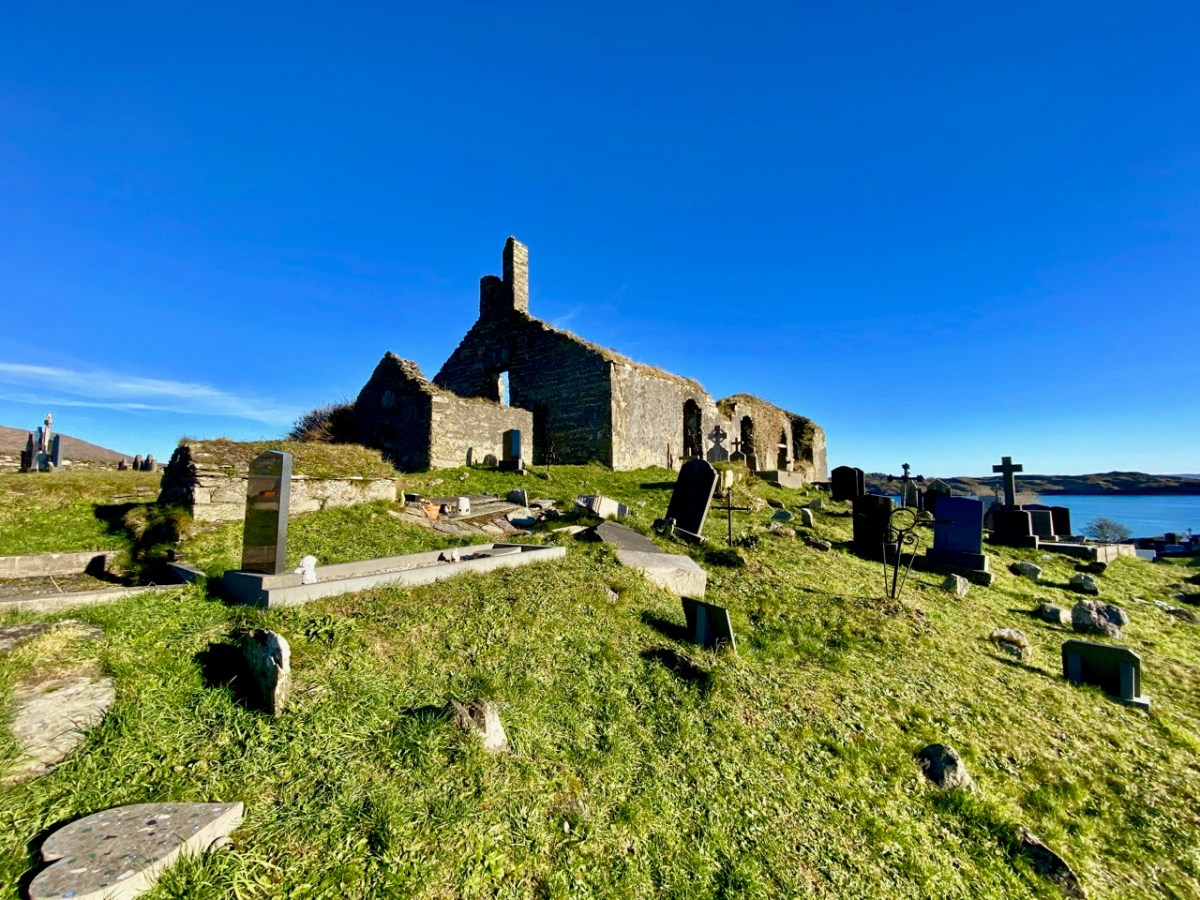
Here’s St Mary’s Church, the ruin which sits above – and dominates – the large burial ground to the south of Schull today. Tradition has it that it was built in 1720, but there is a fair bit of evidence to suggest that this ecclesiastical site goes back much further than that. I am indebted to Mary Mackey for her article in Mizen Journal – Volume 8, 2000: A Short History of the Ruins of St Mary’s Church, Colla Road, Schull.
The parish church is first recorded in a decretal letter issued in 1199 from Pope Innocent III to the Bishop of Cork listing the parishes in the diocese. The entry reads “scol cum suis pertinentiis” – Schull with its appurtenances. It is this early spelling of ‘scol’ meaning school which goes some way to authenticating the ancient tradition . . . During the reformation (16th century) when all church and monastic benefices and land were confiscated, the detailed rent roll for the Diocese of Cork records Schull with nine ploughlands, and in 1581 in a list of parishes in the diocese, Schull church is called “Saint Maria de Scoll”. This seems to be the first written record of the name of the church and it adds weight to the theory of the ancient monastic school, and to the origin of ‘Scoil Mhuire’ . . .
Mary Mackey – MiZEN Journal Volume 8
The same article notes that in 1653 the church commissioners stated “Upon 9 plowlands of Schull are the walls of a church” and in May 1700 Bishop Dive Downes, visiting the western part of his diocese records: “The church walls are standing and good, made of stone and lime 84′ long and 24′ broad”. Mackey comments that this was a large parish church compared with others in the Mizen area.
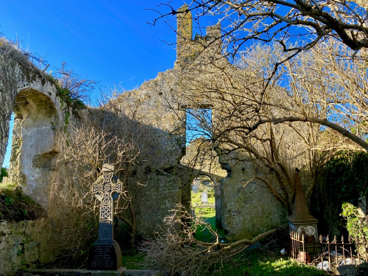
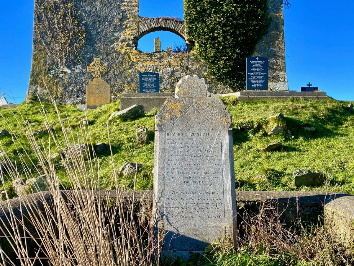
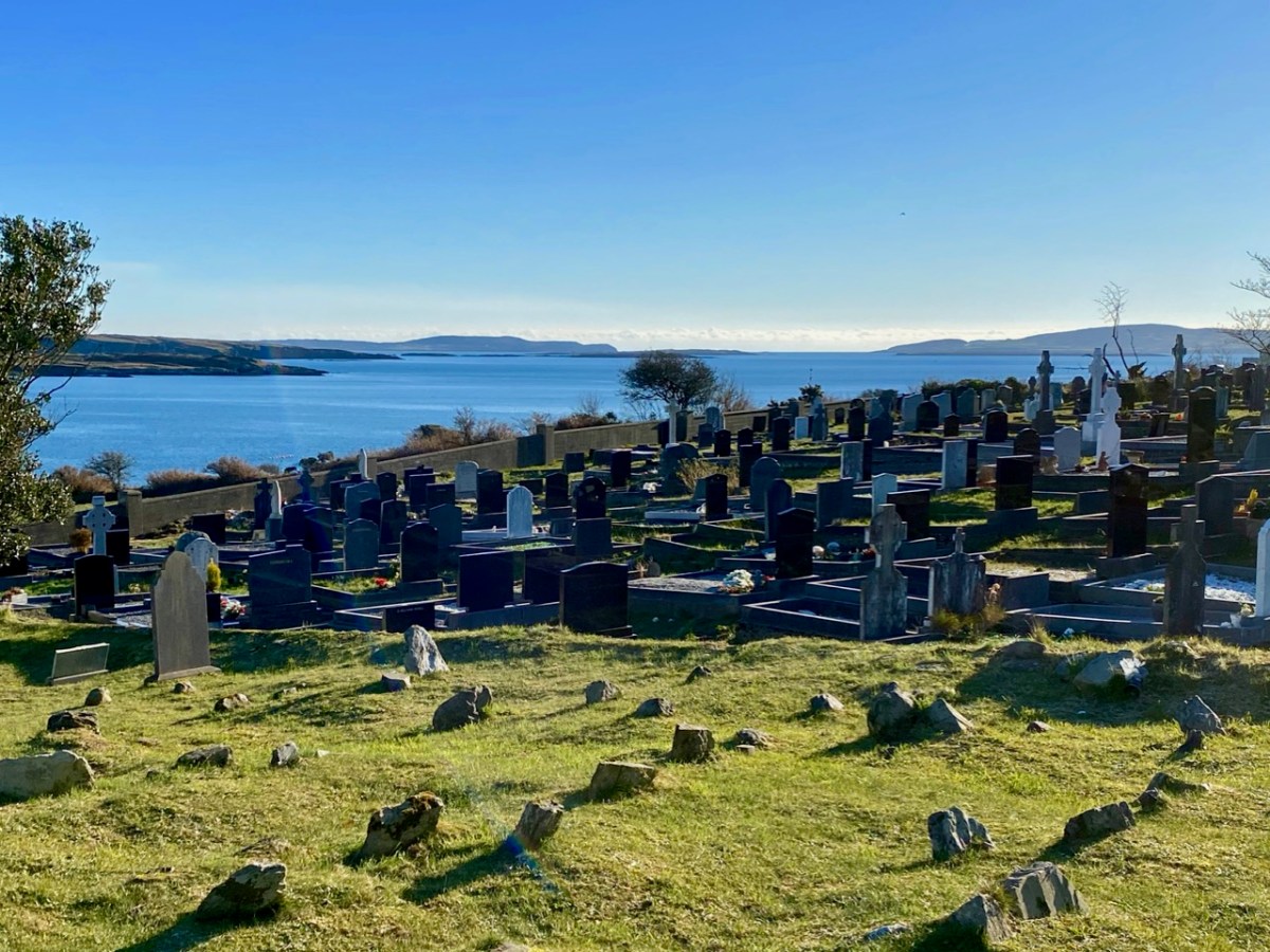
The local population will be very familiar with this ruin, and the graveyard which it overlooks. The grave marker (above) is dedicated to the Reverend Robert Traill – Finola has included him in her Saints and Soupers series. Schull graveyard must have one of the finest prospects of any burial place in the west, with its views out towards Long Island Sound and Roaringwater Bay:
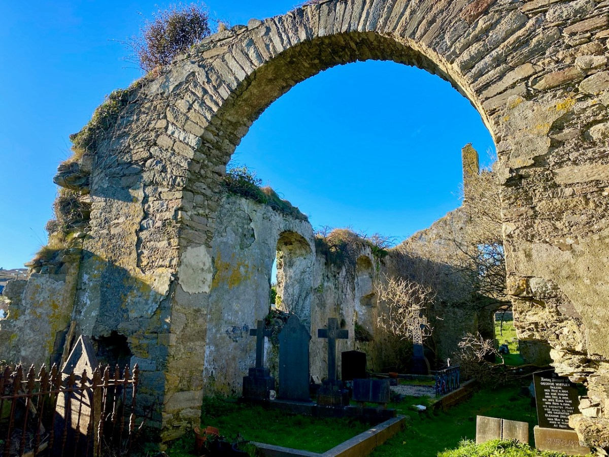
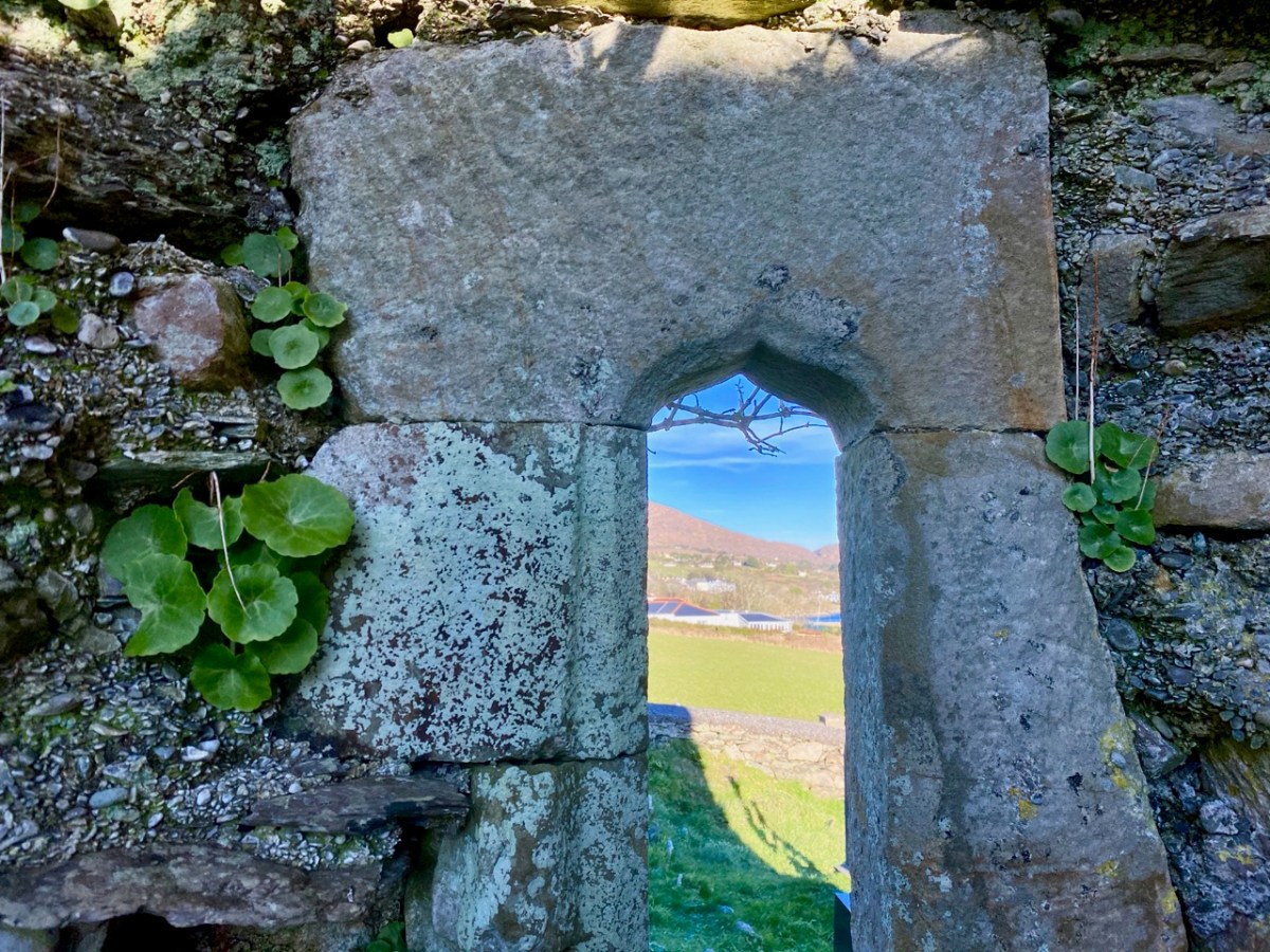
In 1936 we find Con O’Leary writing in A Wayfarer in Ireland (published by R M McBride): . . . Schull, named from Scoil Mhuire, the School of Mary, in the sixth century, is picturesquely situated , with Long Island thrown across the mouth of the bay . . . Well, that’s stretching us back a fair bit – but there’s nothing to confirm it. In the ruins of the church, however, there is one element which leads us to think that the architecture is quite ancient – this cut-stone ogival window in the northeast wall (possibly fifteenth century):
Now let’s turn to the third candidate in our search for Schull’s origins as a ‘great centre of learning’ – shown on the map towards the top of this post to the south of St Mary’s Church. Here is the Archaeology Ireland listing and the record note:
Description: In rough grazing, on a S-facing slope overlooking Long Island to the S and Skull Harbour to the E. Recent reclamation work exposed a level earthen platform-like area (c. 35m E-W; c. 17m N-S) faced externally on its curving S side by a roughly constructed drystone revetment (H 0.2m at W to 1.6m at E). According to local information, this is the location of Scoil Mhuire or Sancta Maria de Scala, a medieval church and school that gave its name to this townland and to Skull village . . .
The Archaeological Inventory of County Cork. Volume 5 (Dublin: Stationery Office, 2009)
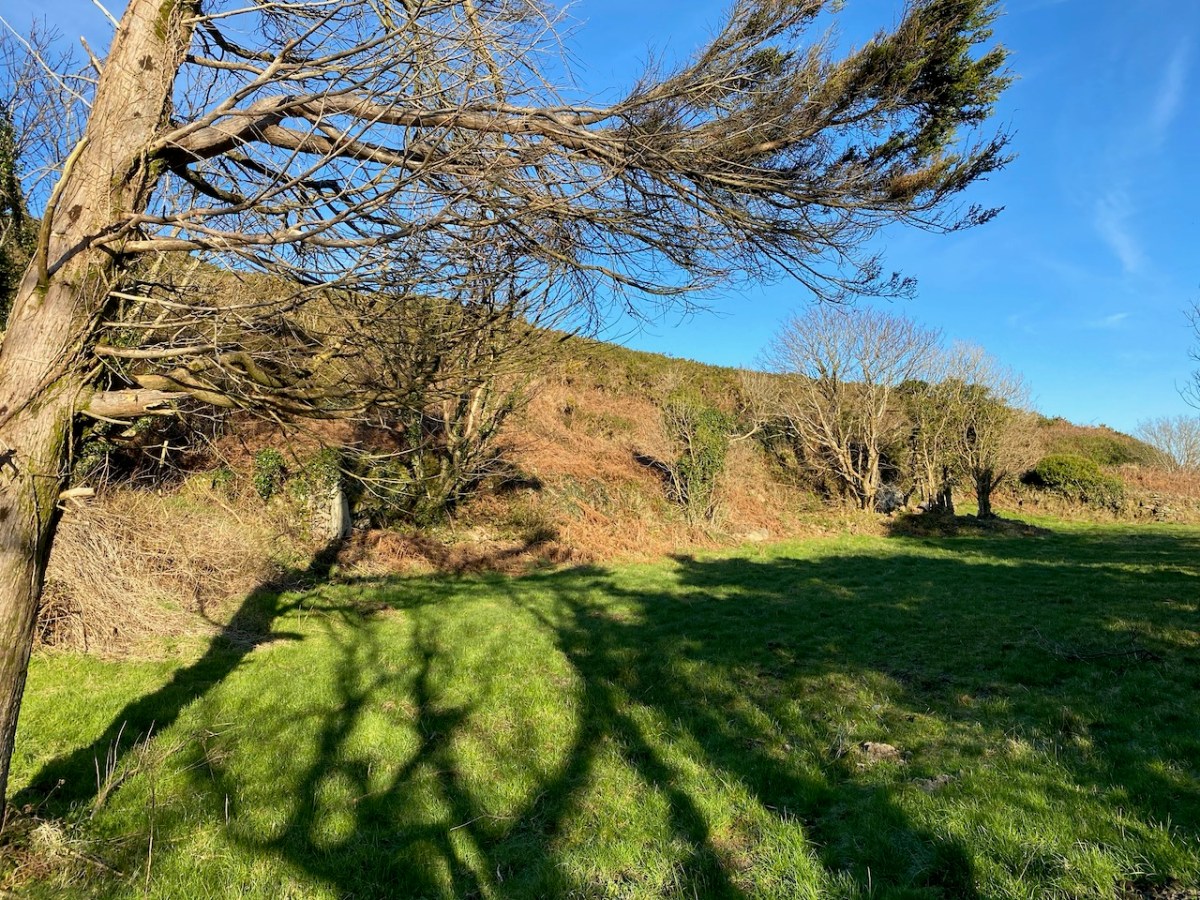
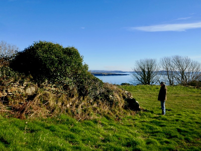
The prospect of unearthing ancient history sent us out into the field on an idyllic January day, under an almost surreal clear blue sky. We don’t exactly know what we found, but the expedition was rewarding, if only for the joy of walking through a beautiful country and knowing that other generations had walked here before us.
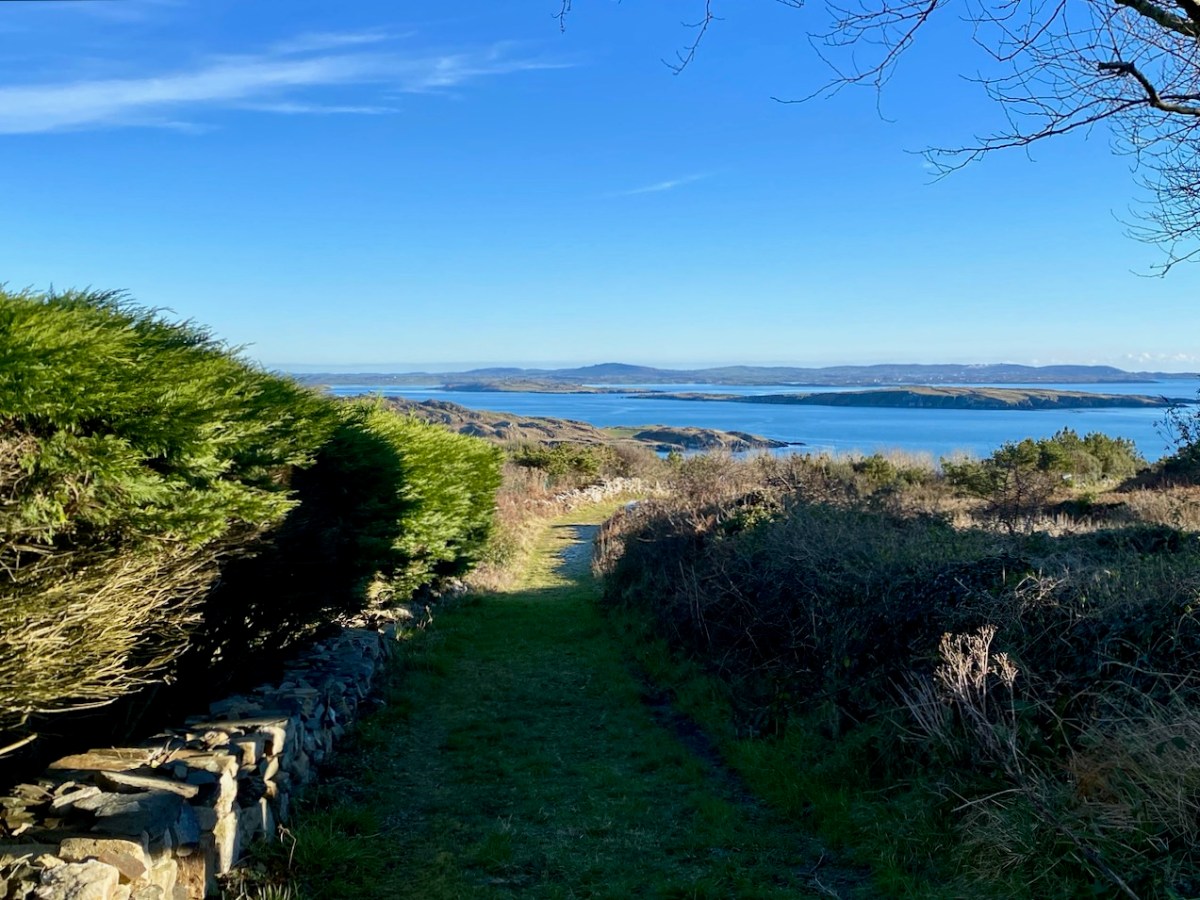
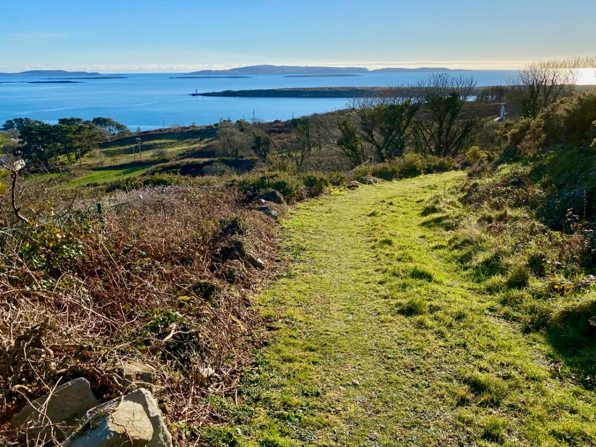
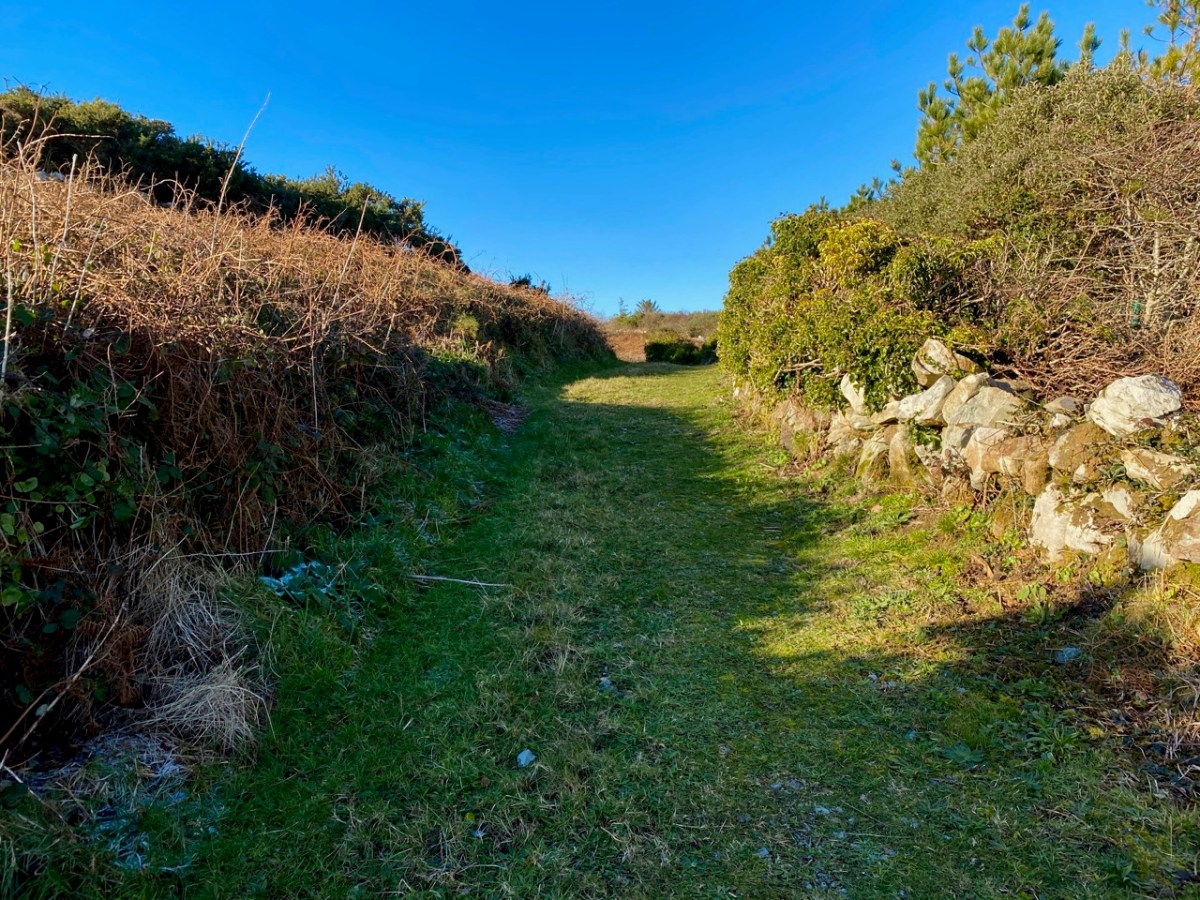
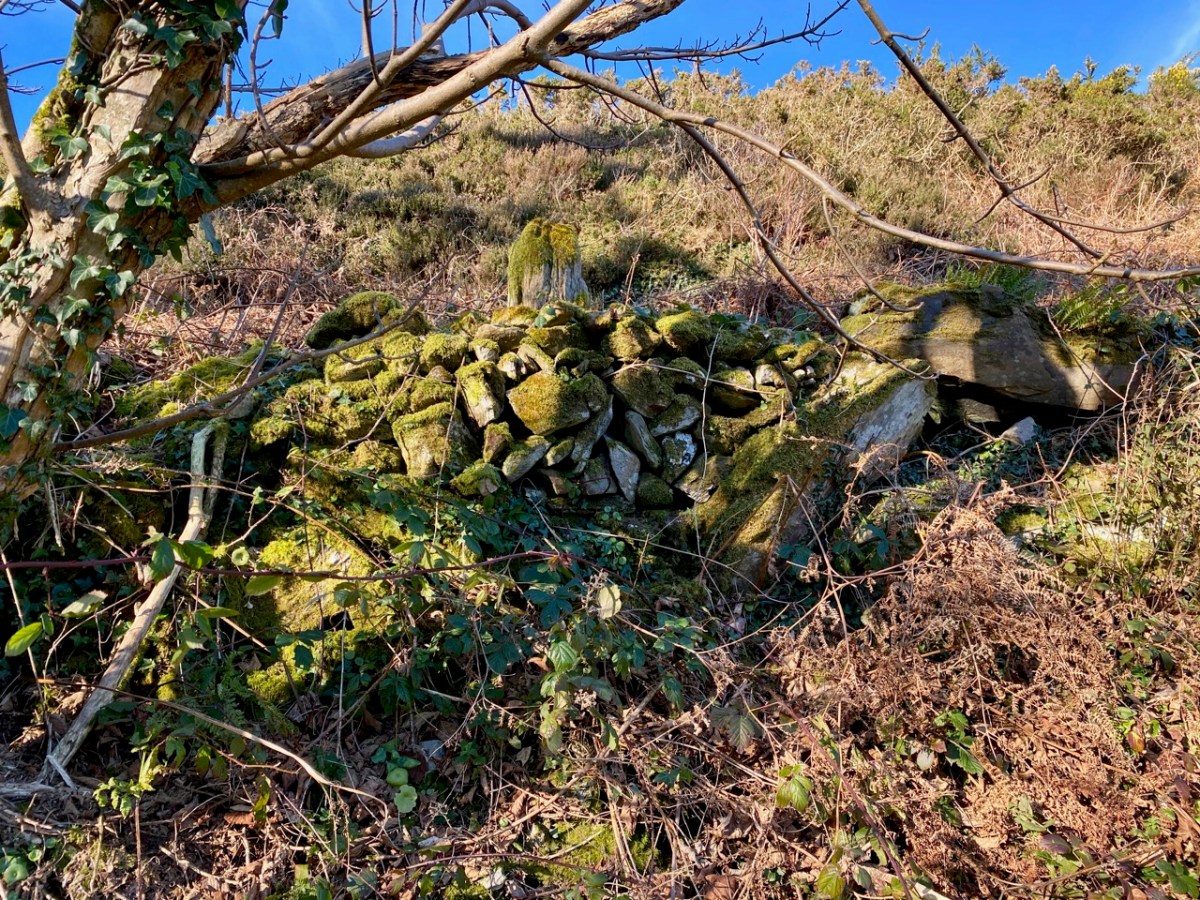
Always we were in sight of water, and the islands of the Bay beyond. We left the metalled boreen and found a narrow green path lined with old walls.
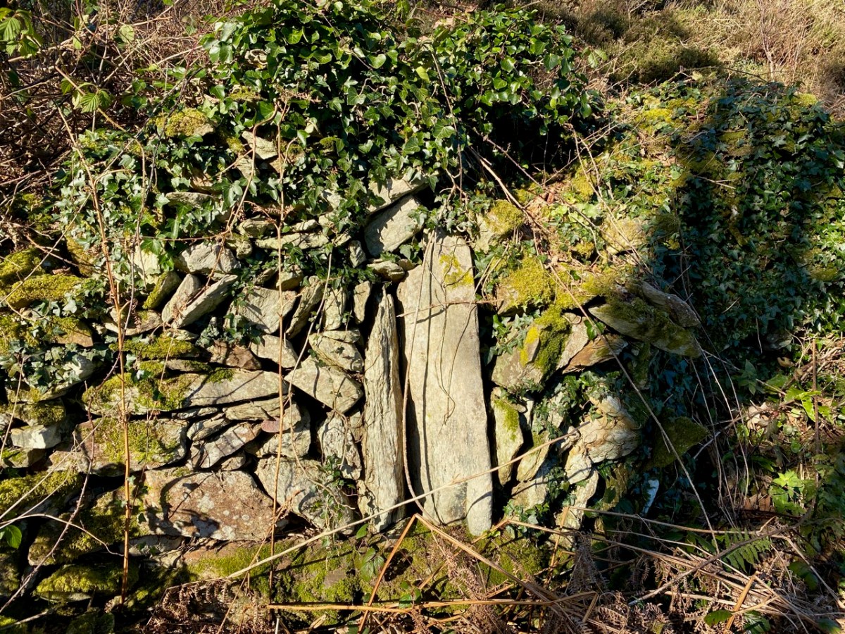
The path led to a sheltered paddock. We could clearly see the ‘level earthen platform-like area’ and the curved retaining wall supporting it: also, in several areas, there were the vestiges of old walls and probable structures. We immediately sensed the zeitgeist of a place which had tales to tell. Could it really be an early Christian settlement? Did the old stone walls echo the chanting of monks from long ago? Could we look through their eyes and see the grove of trees and the spectacular azure cast of the sea receding to the horizon across all the islands as they had?
The Historic 6″ Ordnance Survey map is the earliest record we have of what existed on the site: it dates, at the latest, from around 1840. There are buildings clearly shown. Could they have been simple farm cottages and barns? Might those buildings perhaps have incorporated much earlier structures?
There you have it: a creation tale (myth, perhaps) for Schull. I will give the last word to a pupil from ‘Skull School’, recorded in the 1930s:
The O’Mahony’s had a stronghold in Castle Island, which is known as the Middle Island. It is situated about three miles from the beautiful village of Schull, which lies by the harbour of the same name. Situated amid picturesque and varied scenery, nestling at the foot of Gabriel’s rough defiles, and fronting the wild Atlantic, it is a charming spot. It was anciently called Scoll Muire (B.V. Mary’s School) and in mediaeval documents it is designated “Sancta Maria de Scholia.” This school is said to have been founded by the “Universitie of Rosse, St.Fachtna’s Carbery”. However this may be – I doubt it – the parish is mentioned as Scol in the Papal Letters of Pope Innocent III. (1199 A.D.). Canon O’Mahony says its site has been identified in south Schull. At all events, Ardmanagh (Monks Hill), on which part of Schull is built, attests the presence of cenobites in the district . . .
Brighid Ní Choithir – Skull School – Dúchas Schools Folkore Collection 1937
Please note that the ‘Sancta Maria Scala’ site is on private land, and permission to visit should be sought.
Here is the third instalment of our wanderings along the Ilen – one of West Cork’s most significant rivers. Once a commercial highway connecting the merchants of Skibbereen with the coastal ports and scattered islands, it now plies its way from the summit of Mullagmesha Mountain taking a lazy and often secret course through lush valleys and pastures, showing itself to us only at a few crossing points until, boosted by many tributaries, it becomes a wide tidal waterway heading for Baltimore and the wild Atlantic.
Our explorations so far have taken us from Newcourt upstream to Ballyhilty Bridge. We have yet to ‘top and tail’ the river: that will be done, but only when restrictions and conditions permit. I doubt that we will be searching for the source in the mountains until next spring at the earliest, as those high paths are closed for safety at present. But, back in November, we were able to continue north from Hollybrook Demense and Maulbrack townland.
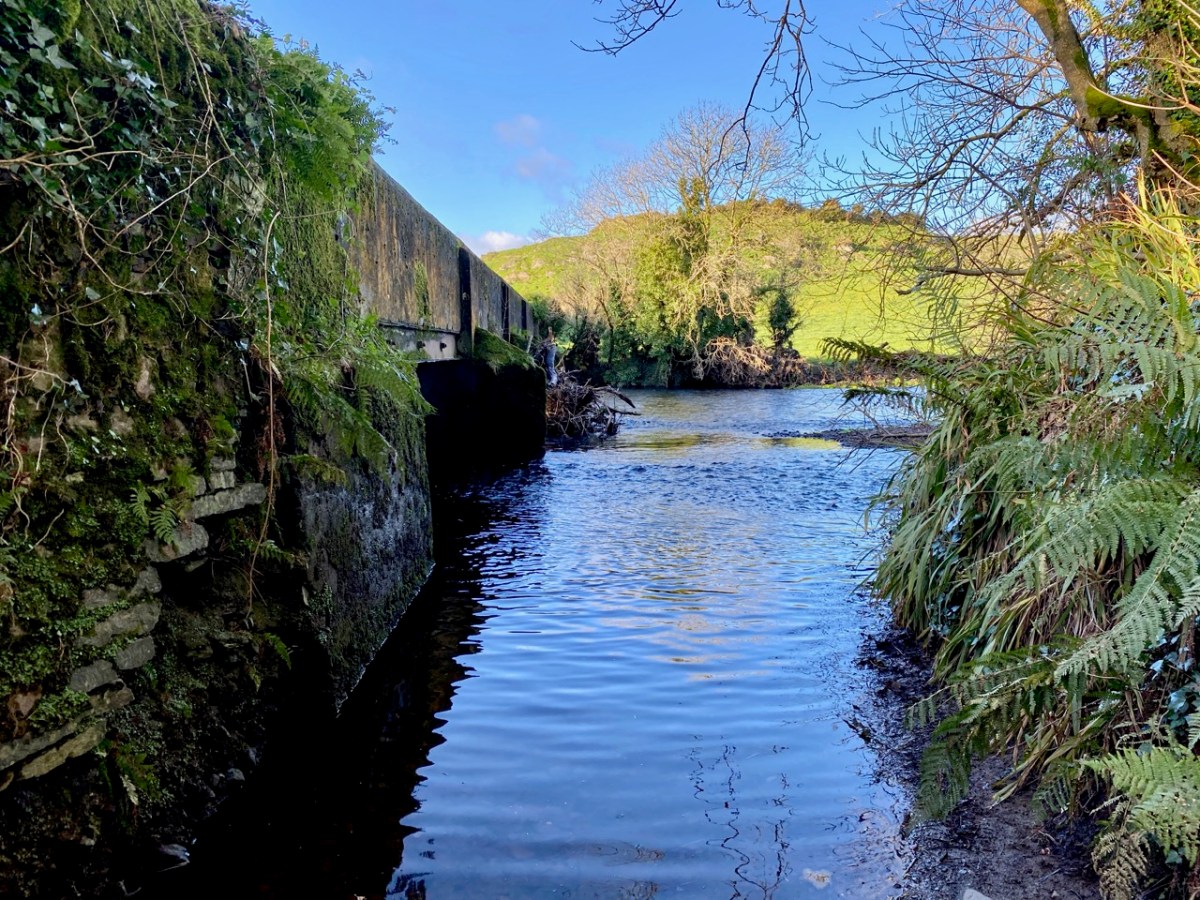
Images from top include the header showing the river at Caheragh with the distant mountains to the north; an anglers’ seat at Ballyhilty; and the broad river just upstream of Ballyhilty Bridge. The river is still wide as we follow it, but becomes shallower and is interrupted by rapids mixing with contemplative, deep pools (above).
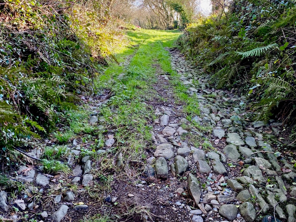
Large parts of the river here are lost in the hinterland. We try to follow every small trackway that might take us close to it – and which certainly take us to the back of beyond – and catch the occasional glimpse such as this one (above), which is probably an ancient ford.
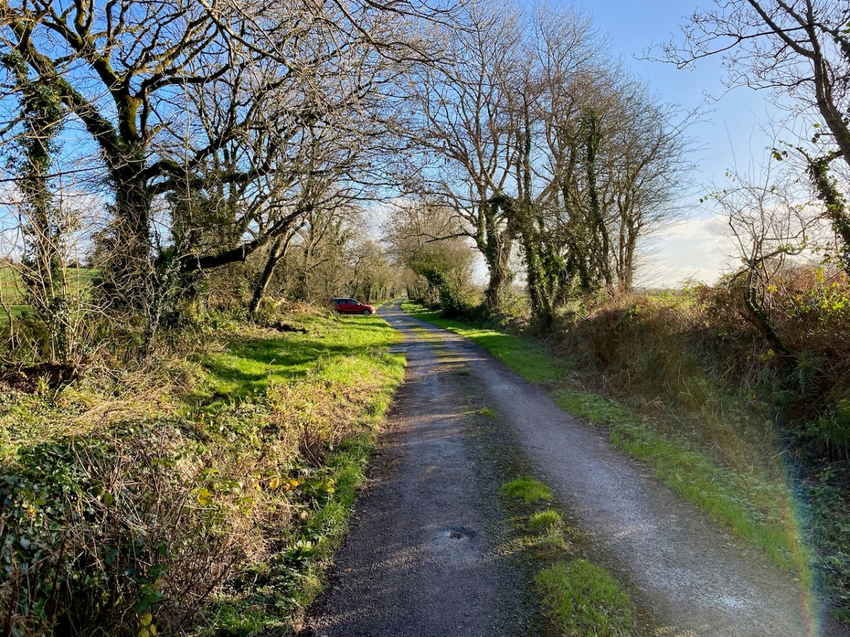
We delight in travelling the tiniest of boreens, which invariably open up new vistas for us, and make us feel so happy to be living in such a beautiful part of our world! This little used lane (above) takes us to the next crossing point – romantically named, as far as I can ascertain, Graveyard Bridge.
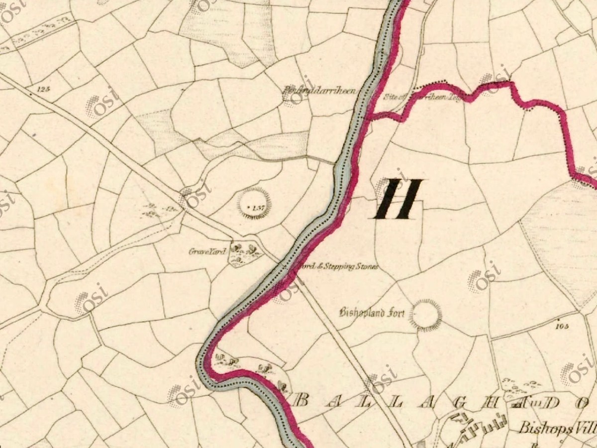
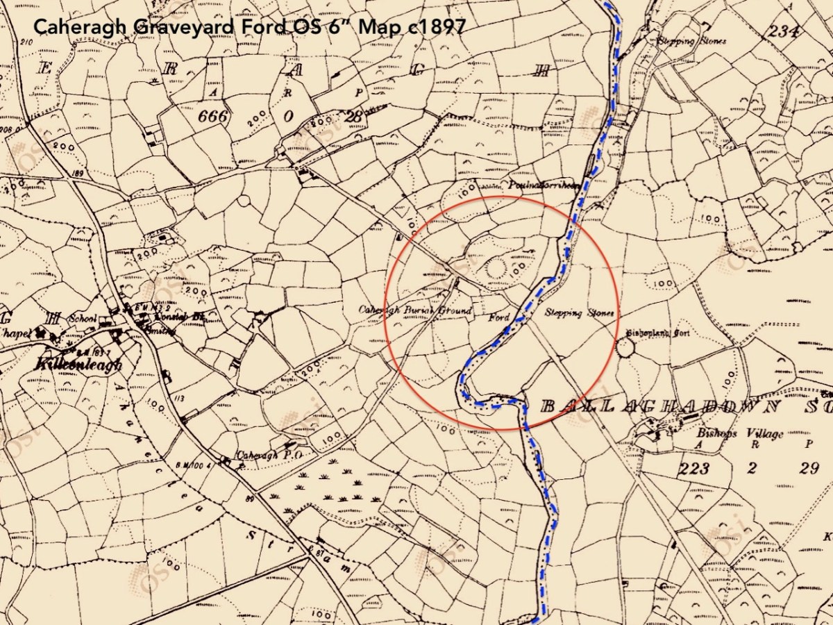
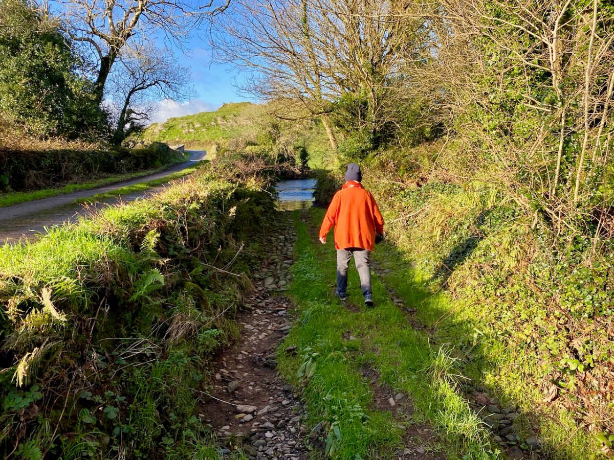
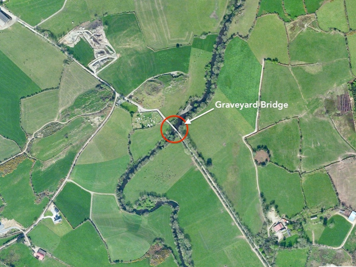
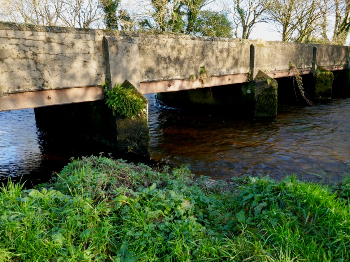
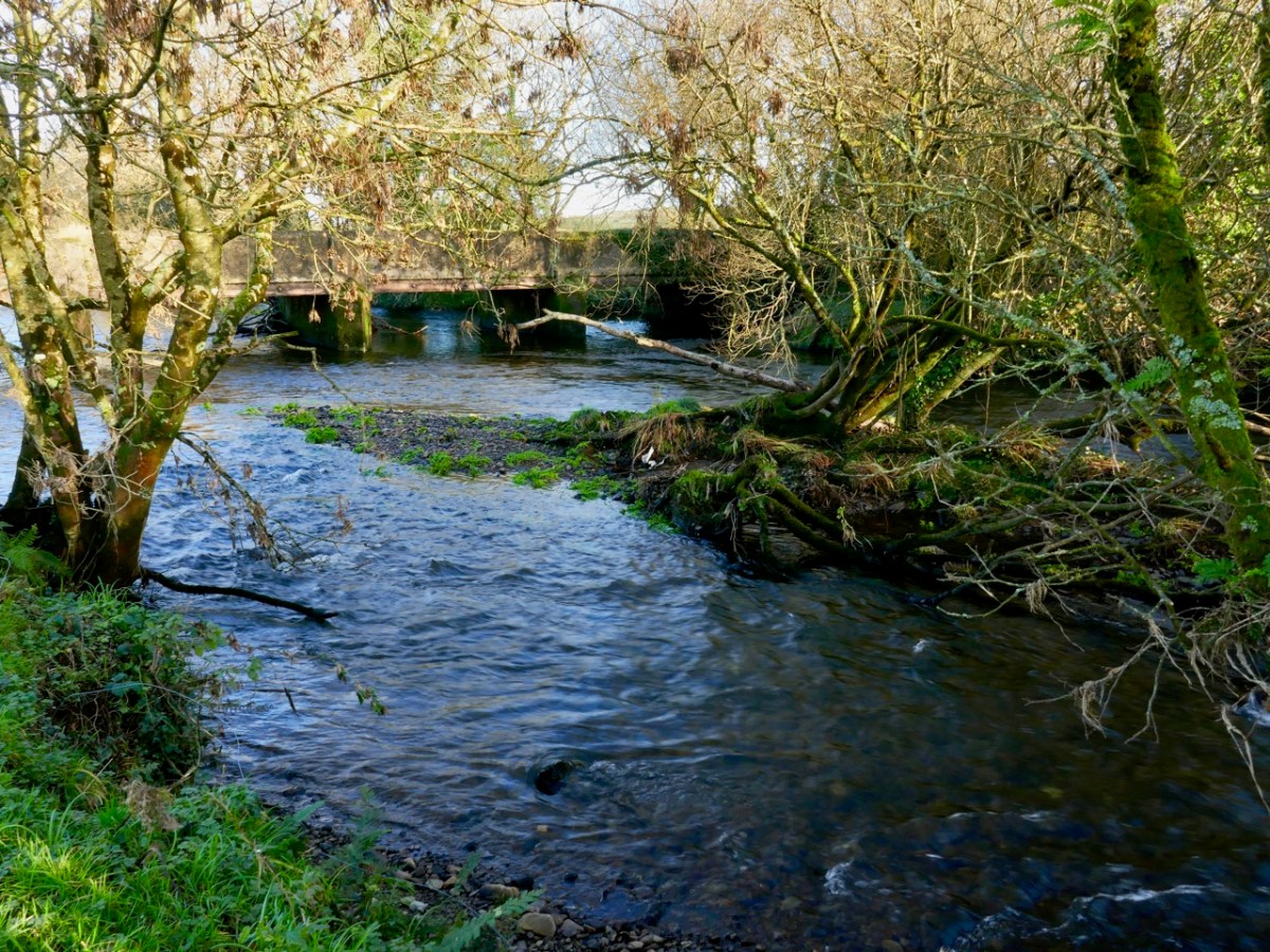
Two extracts from the OS maps of c1840 (upper) and c1897 (lower) show the site on the border of Ballaghdown South and Caheragh townlands, where an ancient road crosses the Ilen River. Both maps show a ford and stepping stones at this point. Today we found a bridge there dating (we believe) from the early twentieth century. We also found the remains of the old ford: large cobbles providing a trackway down the the waters’ edge: Finola is following the original line of the lane (below).
This river crossing was of significance in Medieval times. ‘Blessed Mary de Caheragh’ was a monastic site, said to be situated on the hilltop commanding the view above the graveyard. It was no doubt founded here because of the proximity of the watercourse.
1317 December 28, Geoffrey Fitz John de Cogan is presented by the King (by mandate to the Bishop of Cork), to the church of the Blessed Mary de Catheragh, in the King’s gift, by reason of his wardship of the lands and heir of John de Cogan
Tuckey’s Cork Remembrancer, from Durrus History
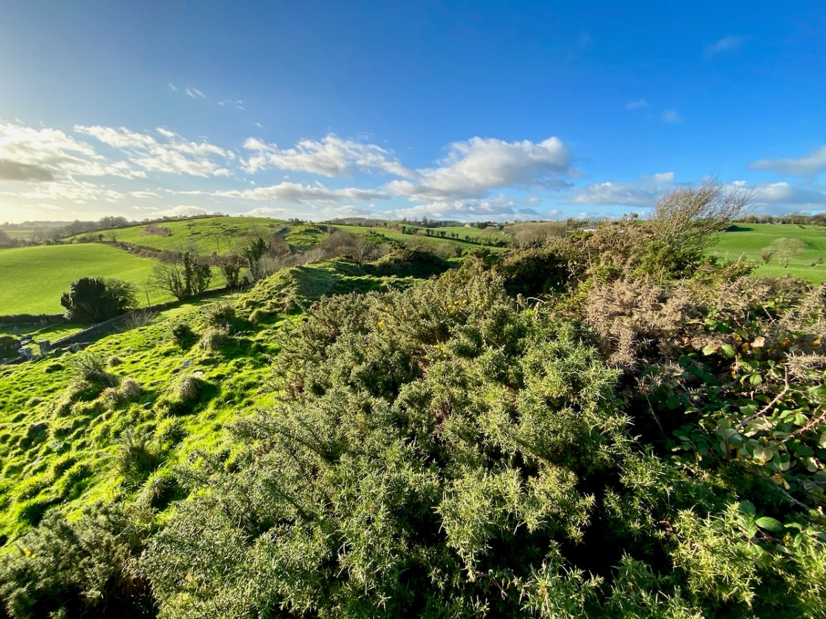
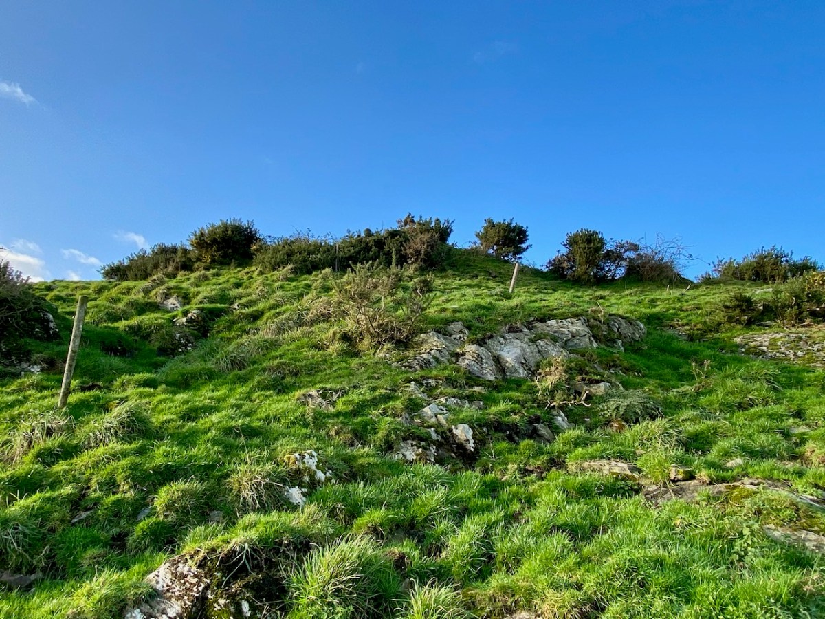
There are certainly earthworks, embankments and (reputedly) a souterrain on the high ground which overlooks the river, the ford site and the adjacent burial ground connected to Caheragh village. The Historic Environment Viewer suggest that this site (shown on both maps above) is a ringfort and makes no mention of an ecclesiastical settlement. I braved fierce cows and barbed wire to make the steep climb: it was well worth the effort (and the risk) for the views across the old fort ramparts which opened up to the distant mountains. There is no sign, today, of anything remotely monastic up there on the hill. There is another ‘ringfort’ a short distance to the south – enigmatically named ‘Bishopland’. Nowhere can I find any records or accounts of the fort or the small settlement to the south of it named Bishops Village: this confirms that there is still so much early history to be unravelled in the Irish landscape.
Caheragh Graveyard is located beside the Ilen here and it is also well worth making the time to explore. The village and present day church at Caheragh (which has some fine stained glass) are some way off to the west. You can see the spire on the skyline in this view from the graveyard itself (below).
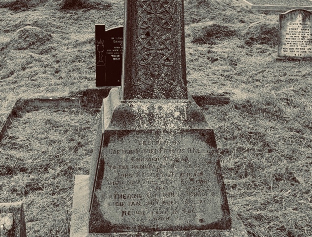
The extensive Caheragh graveyard (above) – a view from the ringfort (and possible medieval site) looking across the river. The ford, roadway and later bridge are on the far left of the picture. Burial grounds are always a magnet for us, and we spent significant time exploring. The Skibbereen Heritage Centre has done sterling work researching this and many other West Cork graveyards: you will find information online here, and more in the Centre itself, which merits many visits. One grave which was important for me is that of the parents of Captain Francis O’Neill, the Chicago Police Chief who came from West Cork and collected thousands of Irish traditional dance tunes and songs which he gathered from the many Irish settlers in Chicago and who had kept the tradition alive far away from their birthplaces. I wrote about Chief O’Neill a few years ago. The ‘Celtic Cross’ memorial below was commissioned by Francis during a visit home in 1906.
Erected By Captain Francis O’Neill
Chicago, USA To the Memory of his Parents
John O’Neill of Tralibane
Died Nov 1867 Aged 66 Years
And Catherine O’Mahoney
Died 1900 Aged 88 Years
Requiescant in Pace
Amen
inscription in Caheragh Graveyard, West Cork
This aerial view above clearly shows the bridge that has replaced the old ford and stepping stones at this site. You can also see the ‘fort’ on the hilltop above it. The bridge should not be dismissed because it is relatively modern: it’s an example of practical civil engineering in Ireland, possibly in the early years of the Free State, and is functional rather than elegant, serving the purpose of helping to open up some of the remoter regions of the west of Ireland.
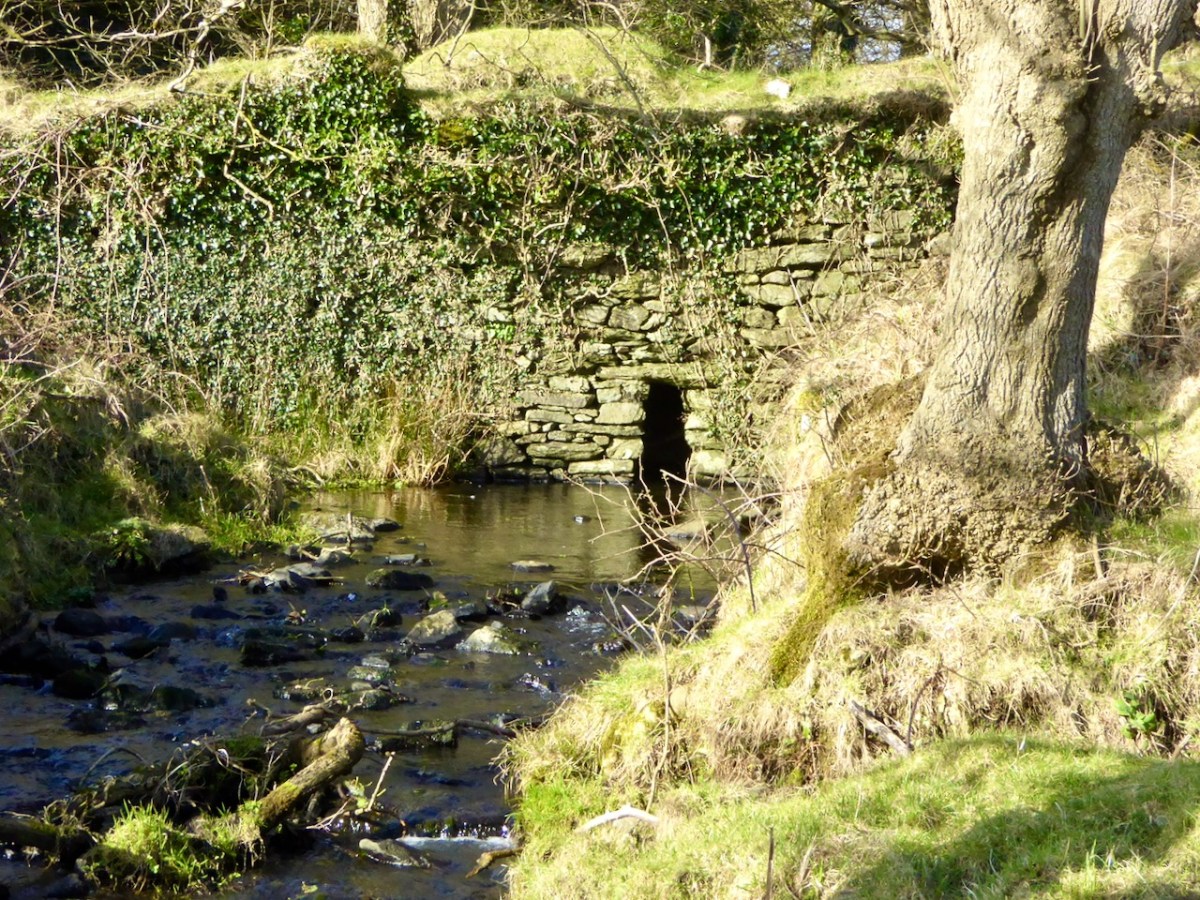
For our latest Mizen Magic post, we look in detail at an area we have skipped through previously: it deserves to be more thoroughly explored as it’s rich in history but is also, literally, a backwater which rests in a time-warp. Whenever we reconnoitre the shores of Croagh Bay, I’m always taken back to the sixteenth and seventeenth centuries and to the pirates, knights and Earls who made their own little empires in this now remote district. I should probably add that I can’t find an origin or meaning for the name Croagh. But I do know that it is pronounced locally as Crew. It’s even spelt Crewe on some maps (but – late edit – have a look at the enlightening comment by ‘Tash’ at the end of this post). The following image shows a clapper bridge – possibly quite ancient: a modern concrete parapet has been placed over the much earlier stonework:
The header image and the one above are both taken at the same place – the head of the tidal section of the Croagh River, in the townland of Lowertown, not too far west of Schull. It’s rewarding to walk on the boreen that follows the north shore of the river. You will admire some very fine residences and come across tiny quays that have doubtless faithfully served many generations of West Cork families, and which are still in use. Behind you the rugged peak of Mount Gabriel will always be in sight – a familiar local landmark.
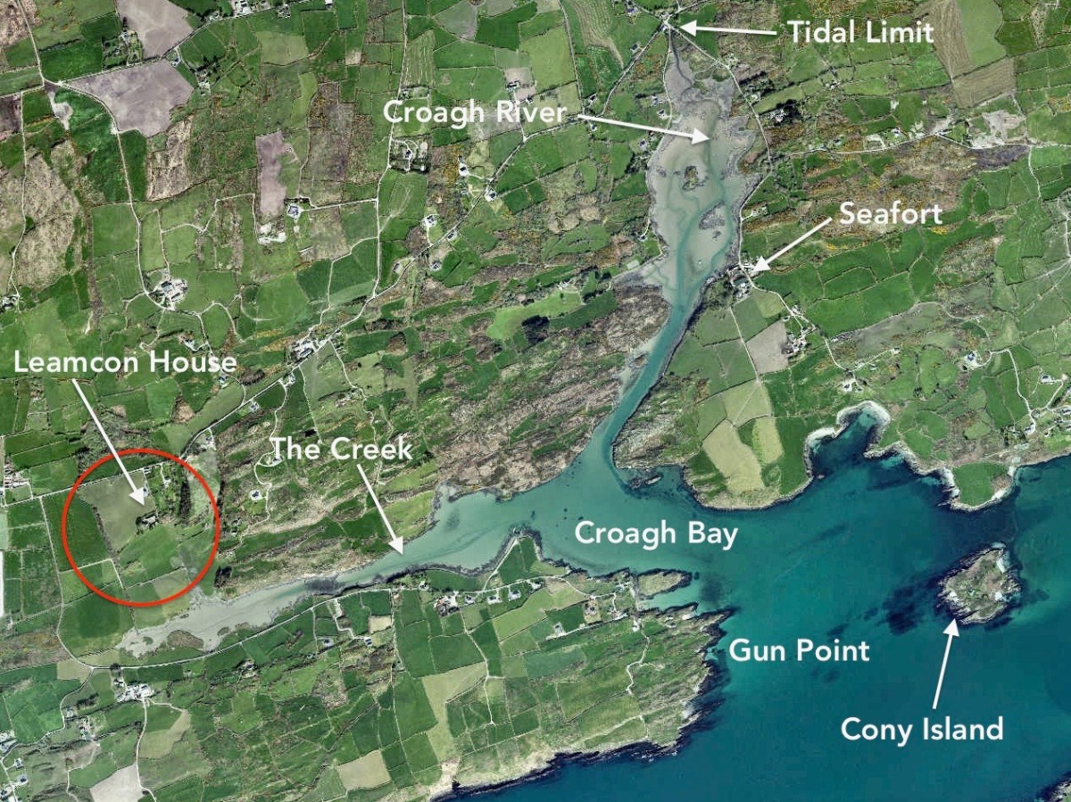
The Croagh River is only one of the waterways that you will explore today. The boreen comes to an end but the inlet itself continues out to Long Island Sound, Roaringwater Bay and the mighty Atlantic. Before that, however, there is another which demands attention: The Creek – which goes west towards the settlement of Leamcon.
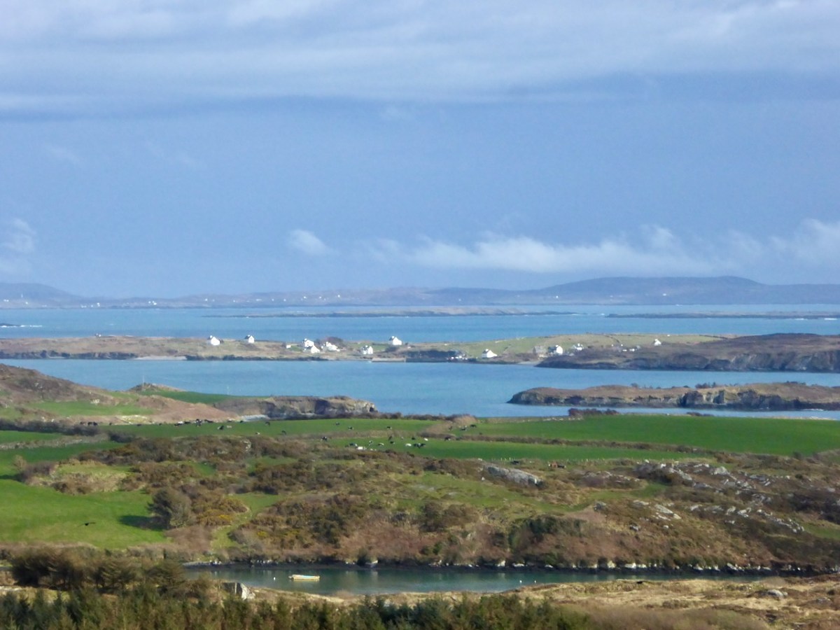
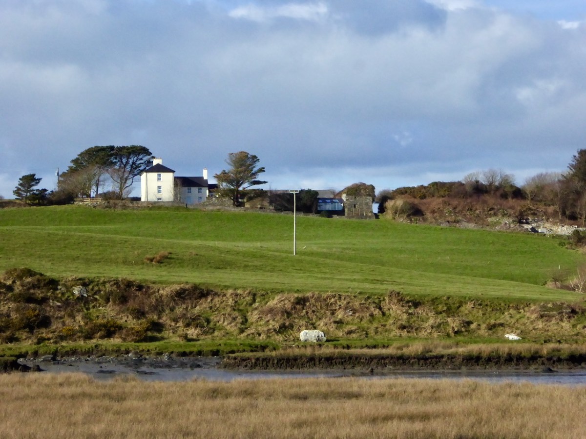
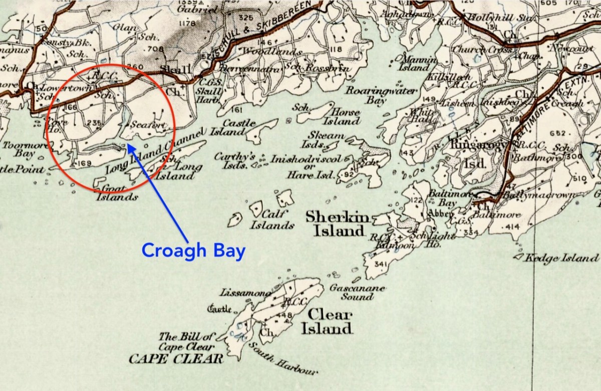
Upper – an overview of the area covered by this post; centre – looking out over the Croagh River towards Long Island with the high ground above Baltimore in the far distance; lower – Croagh Bay is in the centre with Long Island beyond and Cony Island to the left
The aerial view gives a very good idea of why this particular location was so strategically important: the river estuary and the creek are both hidden out of sight of the main seafaring routes of Long Island Sound and beyond. They are, therefore, perfect safe havens for pirates, smugglers, and those who want to profit from such activities. One well-known profiteer we have encountered before in this Journal is William Hull, described in the High Court of Admiralty papers as ‘a notorious harboro of pirates and receavor of theire goodes’ who nevertheless managed to retain an official post as Deputy Vice Admiral of Munster. In cahoots with Richard Boyle – First Earl of Cork – Hull developed links with privateers and pirates, and hosted a whole fleet of vessels within the hidden inlets of Croagh Bay and Leamcon: the shallow waters were ideal for careening vessels and Hull’s empire allegedly included victualling stations, fish palaces, ale houses and brothels. All this was focussed on the townland of Leamcon which Hull leased initially from the O’Mahony Gaelic overlords. Although Hull’s own castle is now long vanished, we can find traces of his endeavours marked on the early OS maps.
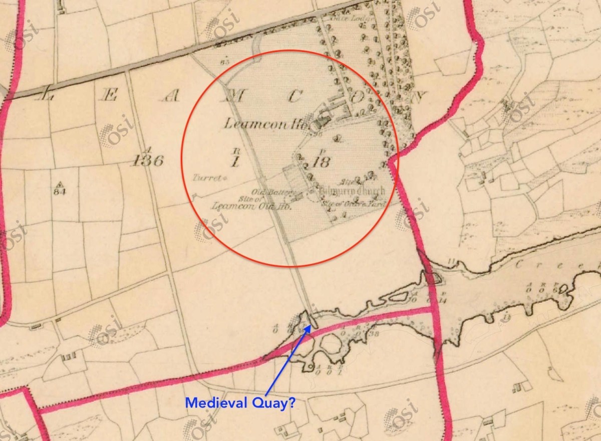
The early 6″ map locates ‘Turret’, ‘Old Battery’ and ‘Site of Leamcon Old House’ within the environs of the present Leamcon House, to the north of the furthest limit of The Creek. Interestingly, there is also what looks like a quay on the water directly below the estate: all these potential antiquities could reasonably date from Hull’s time.
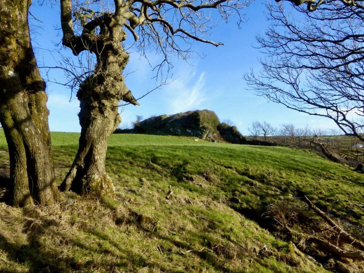
The ‘Battery’, the site of an old wharf and an ancient stone gulley may date from the time of William Hull’s occupation of the townland of Leamcon, which came to an end in 1641, when the O’Mahony’s moved to regain their former holdings. Below is Leamcon House today, looking down to the waters of The Creek. The extensive stone wall on the right hand side of the image is said to incorporate the remnants of a fish palace – another enterprise of William Hull and Richard Boyle:
Centre – extract from the 1612 map (see more on this here), showing Leamcon and Croagh Bay; lower – locating the Bay in relation to the islands of West Cork, from a later 6″ OS map
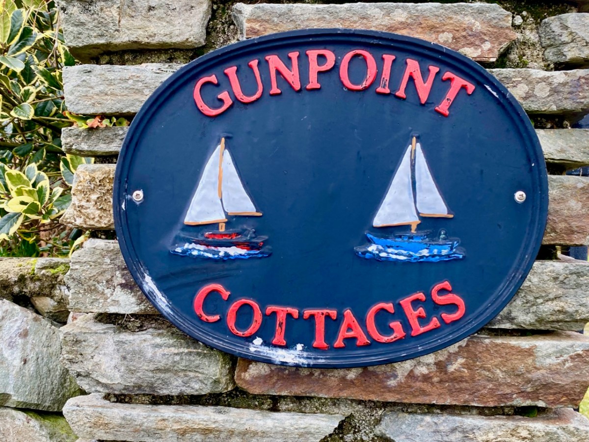
Before we complete our tour of Croagh Bay we have to travel east along the Croagh peninsula, where we find the intriguingly named Gun Point. There is no sign of a gun there today, nor any record of where the name might have originated. It could be, of course, that in Hull’s time the entrance to these important inlets was guarded.
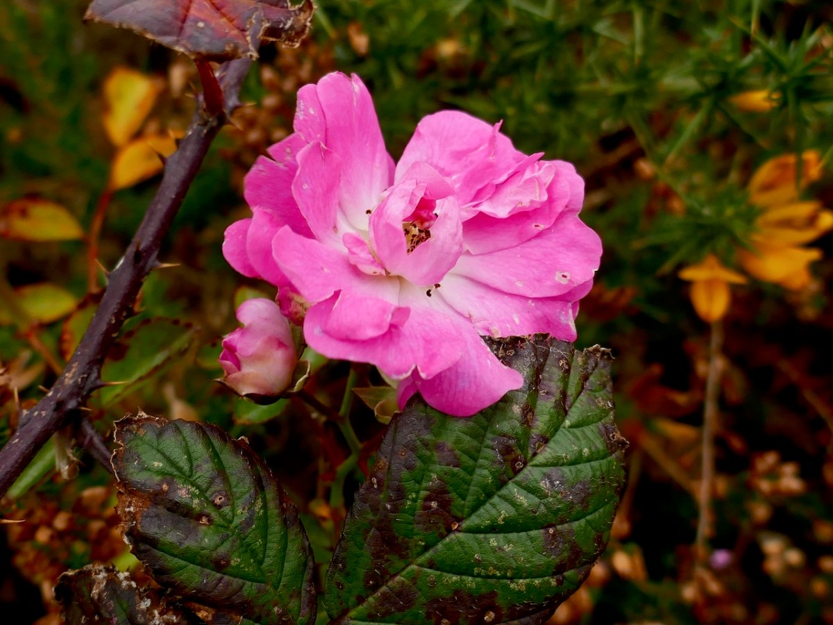
We were pleased to find a briar still in bloom, but were also intrigued by this gate, above, at the very tip of Gun Point. It was singing to us! The wind which, by late afternoon, had become a bit of a gale, was picked up by the hollow metal rails and created for us a Port na bPucai – ‘song of the spirits’. We recorded it as best we could and then handed it over to our musical friend Paul Hadland. He in turn passed it on to his brother Tony – an electronics wizard, who presented us with the following rendition of our Harmonic Gate. Many thanks, Hadlands!
For the technically minded amongst you, here is Tony’s account of how he processed our recording:
. . . I first of all manually edited out the worst of the very short but irritating wind noise elements. I then traced the frequency band where the music was and applied the Apple AU Bandpass filter, centred on 400 HZ. I trimmed off the ragged beginning, faded out the end, and normalised the volume to -10db. To get rid of more of the background noise I then applied the Acon DeNoise 2 adaptive filter, using its default broadband music setting. The result is the attached file Gate Harmonics . . .
This is a topical post, as only this week we heard the news that the Book of Lismore has been donated to University College, Cork to become the centrepiece of the library there. It will be accessible to students and will contribute to the knowledge and study of Gaelic manuscripts dating from the 15th century.
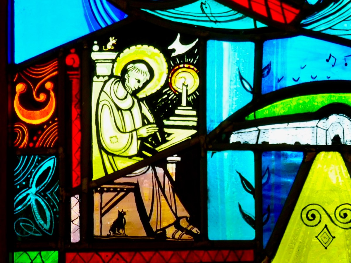
When we think of ancient Irish manuscripts we might visualise the Book of Kells, which is on display in Trinity College, Dublin. It’s remarkable to think that the Book of Lismore is over 500 years old, but that the Kells manuscript predates it by 600 years: it was created around 800AD. Here’s a scribe (from Finola’s window by George Walsh) who could be from any of those medieval periods when monks and lay brothers worked away in their scriptoriums making, copying and illuminating beautiful works which have become our most precious historical documents:
The Book of Lismore is written on vellum, and was compiled for Fínghin Mac Carthaigh, Lord of Carbery (1478–1505) and his wife Caitlín. It became known as Leabhar Mhic Cárthaigh Riabhaigh. It is entirely in Irish. What has really excited us is that, in introducing the installation of the book at Cork, UCC Professor of Modern Irish Pádraig Ó Macháin mentioned our own locality:
[The book] belongs to a period of creativity which was centred on the coastline of Cork. It is difficult to imagine those seats of learning and literature today when you look at the remote rural landscapes . . . In Rossbrin Castle – the O’Mahony stronghold – translations, treatise and journals were being made using contemporary European resources: it was a proto-university in pre-urban Ireland, paralleled by the vibrant poetic tradition of the O’Daly family in nearby Mhuintir Bháire [The Sheep’s Head] . . .
Pádraig Ó Macháin, 2020 (paraphrased)
Rossbrin (above) was only one of many castles occupied by the Gaelic nobility along the coastline here in the 15th century and beyond: this ties in with my post of last week when I explored a 1612 map and identified many centres of occupation and scholarship which surely made West Cork so vibrant and cosmopolitan in earlier times. Books are known to have originated here – including the first to be written in Ireland on paper – and some of them survive to this day.
All the page illustrations in this post come from the Book of Lismore. It has a complex history and is likely to be by many hands. One – Aonghus Ó Callanáin – is certainly identified within its pages, and another – a friar named O’Buagachain is suggested. Tradition has it originating from the lost Book of Monasterboice and associates it with Kilbrittain Castle, Cork – reportedly the oldest inhabited castle in Ireland, dating from as early as 1035 and possibly built by the O’Mahonys – but also with the Franciscan Friary at Timoleague.
Upper – Kilbrittain castle in the present day: the original building is a thousand years old. Lower – the Friary at Timoleague, a foundation attributed to the MacCarthys in 1240, and plundered in the 17th century
The book fell into the hands of Richard Boyle, First Earl of Cork, during the Irish civil war in June 1642 and ‘vanished’ until its rediscovery in Lismore Castle in 1814. Apparently it was walled up together with the Lismore Crozier. By then the castle was owned by the Cavendishes, Dukes of Devonshire. It is this family that has donated the book to Cork and the nation, through the Chatsworth Settlement Trust.
Upper – Lismore Castle by TS Roberts, Aquatint and etching 1795 print by Samuel Alken. Lower – The Book of Lismore and the Lismore Crozier celebrated in this Celtic Revival stained glass window of St Carthage in Lismore Cathedral. The window is by Watsons of Youghal, and you can read more about them in Finola’s post here
One further thought: today is ‘All Saint’s’ – November 1st. The contents of the Book of Lismore include a section on the lives of the Irish Saints: these lives were translated by Whitley Stokes in 1890 and are available to read online. Finola has used this source in her post about Saint Fanahan, or Fionnchú. We look down on Rossbrin Cove and the ruins of the medieval O’Mahony castle – sometimes described as the greatest centre of learning in Europe! We feel excitement and gratitude that here in West Cork we are linked to this treasure from that age, now in the responsible hands of UCC.
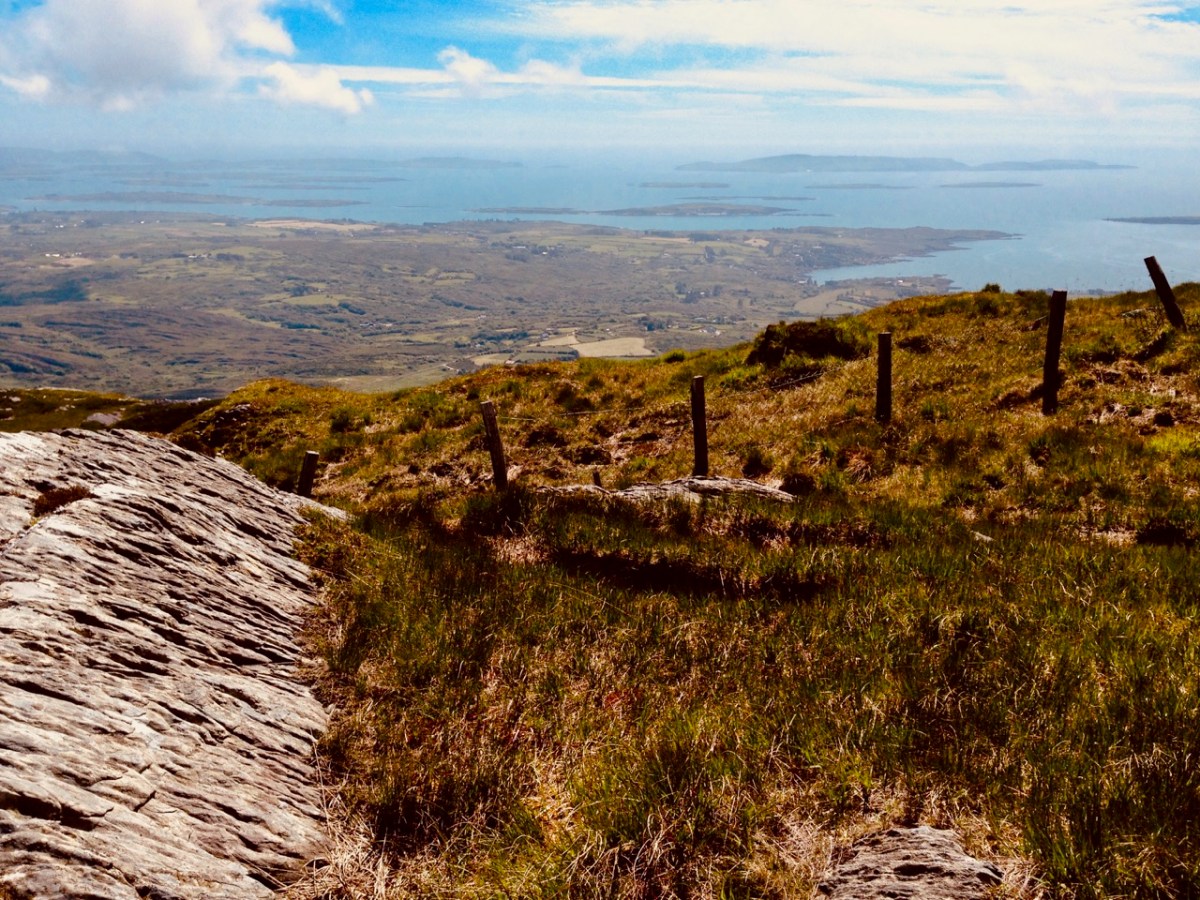
Roaringwater Bay must be so familiar to you, if you are a regular reader of this Journal. It’s a land- and sea-scape of hidden coves, inlets, islands, mountains and castles: a treasure trove for explorers and historians. That’s Black Castle at Castlepoint, Leamcon, above – said to have been built by Connor O’Mahony in the mid fifteenth century. Probably the best place to get an overview of the coastline is to climb to the top of Mount Gabriel (407m) and have a look down. You will see stretched out the archipelago of ‘Carbery’s Hundred Isles’ – seen here in autumnal hue – Cape Clear is the distant remote landfall over on the right:
We always have a sizeable pile of books waiting to be pored over. Currently at the top is this study, The Alliance of Pirates, written by Connie Kelleher and just published (2020) by Cork University Press. We have yet to consume every detail, but we do assure you that it’s full of fascinating historical information – not just about pirates, but about life and culture in the west of Ireland in the late sixteenth and early seventeenth centuries. Connie is an ‘underwater archaeologist’ and we have followed her over many years, lecturing and presenting original information which she has gathered together on her subject. We couldn’t fail to be hooked on everything she says, illustrates and writes about, as the focus is on our own doorstep. One linchpin of this book is a map which is dated to 1612. This article from Atlas Obscura explains the map and Kelleher’s approach. It’s worth reading: note that you may be required to register on the Atlas Obscura website (it’s free) in order to access it.
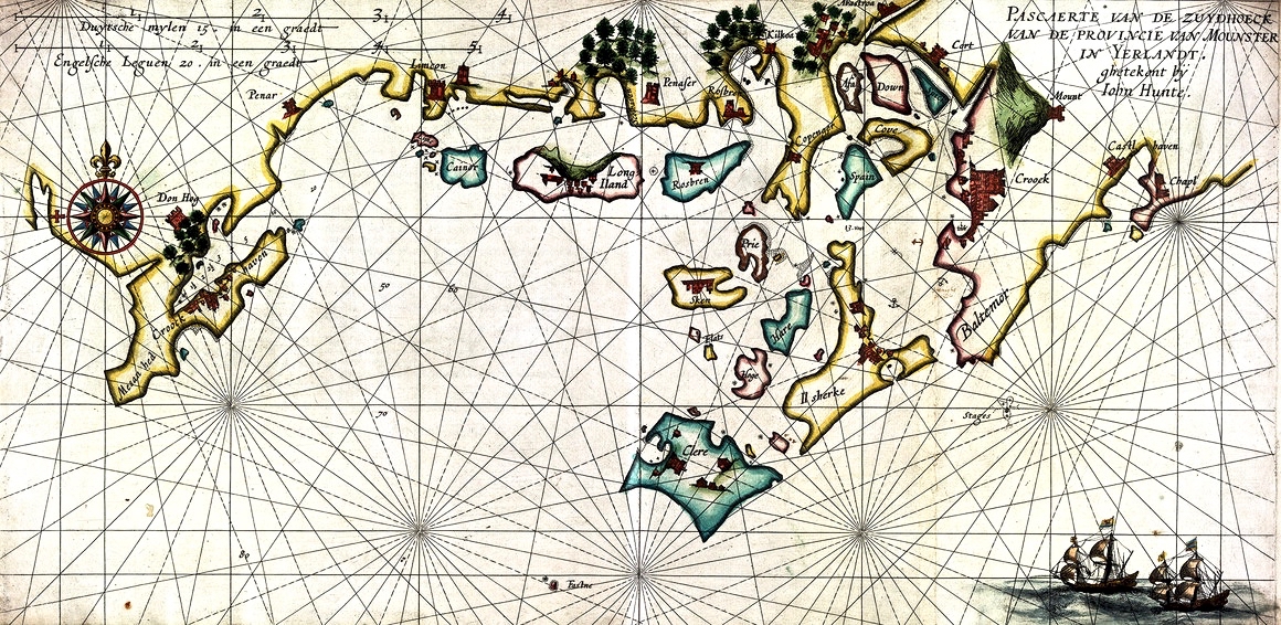
The purpose of today’s post is to examine the 1612 map in detail and attempt to identify and relate to many of the places which are named and illustrated. Before that, though – let’s consider how such a chart came to be made. Finola has written previously about how West Cork as a whole was being mapped in the sixteenth and seventeenth centuries here and here. The thing that sets the 1612 map apart, however, is that it was made in secret, and largely from surveys only carried out at sea. Also, it was specifically intended to enable a Dutch fleet to assail the pirate strongholds which became numerous around the area from Baltimore to Crookhaven, centred on Roaringwater Bay and ideal for forays into the wider Atlantic trade routes.
The sheltered waters of Crook Haven – an important recognised centre for careening and victualling ships operating legitimately on the Atlantic trade routes: ships that would become prime targets for the pirates based in secret ‘nests’ along the same coastline
. . . In 1612, having grown tired of the ongoing pirate harassment, the Dutch government lobbied James I for permission to enter the harbours of southwest Ireland to attack the pirates themselves. James I agreed, but only under the conditions that the pirates would be captured alive and handed over, along with captured goods, to the Kings’ ships to be transported for trial by the Admiralty in England.
To prepare their ships for the attacks, Dutch hydrographer Hessel Gerritszoon was tasked with mapping the Irish coastline with a special focus on the “pirate coast” of southwestern Ireland. A large task in front of him, Gerritszoon engaged English cartographer John Hunt to assist. . .
Atlas Obscura
The leeskarte which the hydrographers produced still exists, and has been housed since the mid 1700s in the library at the University of Göttingen in Germany, which acquired it in the mid 1700s. During her researches, Connie Kelleher travelled to Göttingen to examine and document the map, which is a wonderful resource for enlightening us on some aspects of our local history.
. . . It is a type of ‘treasure map’ informing on the heritage within the landscape at the time, which could potentially help us identify other pirate-related locations, including archaeological sites . . .
Connie Kelleher
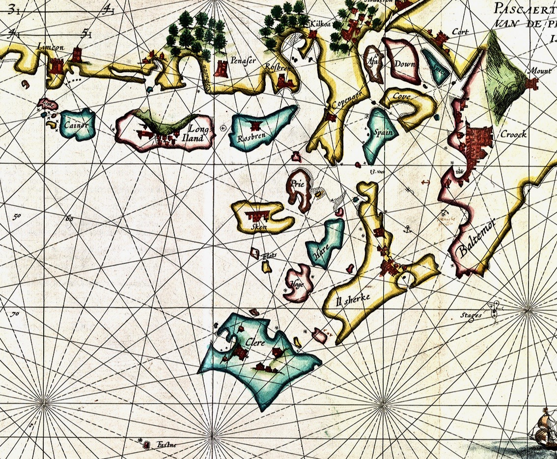
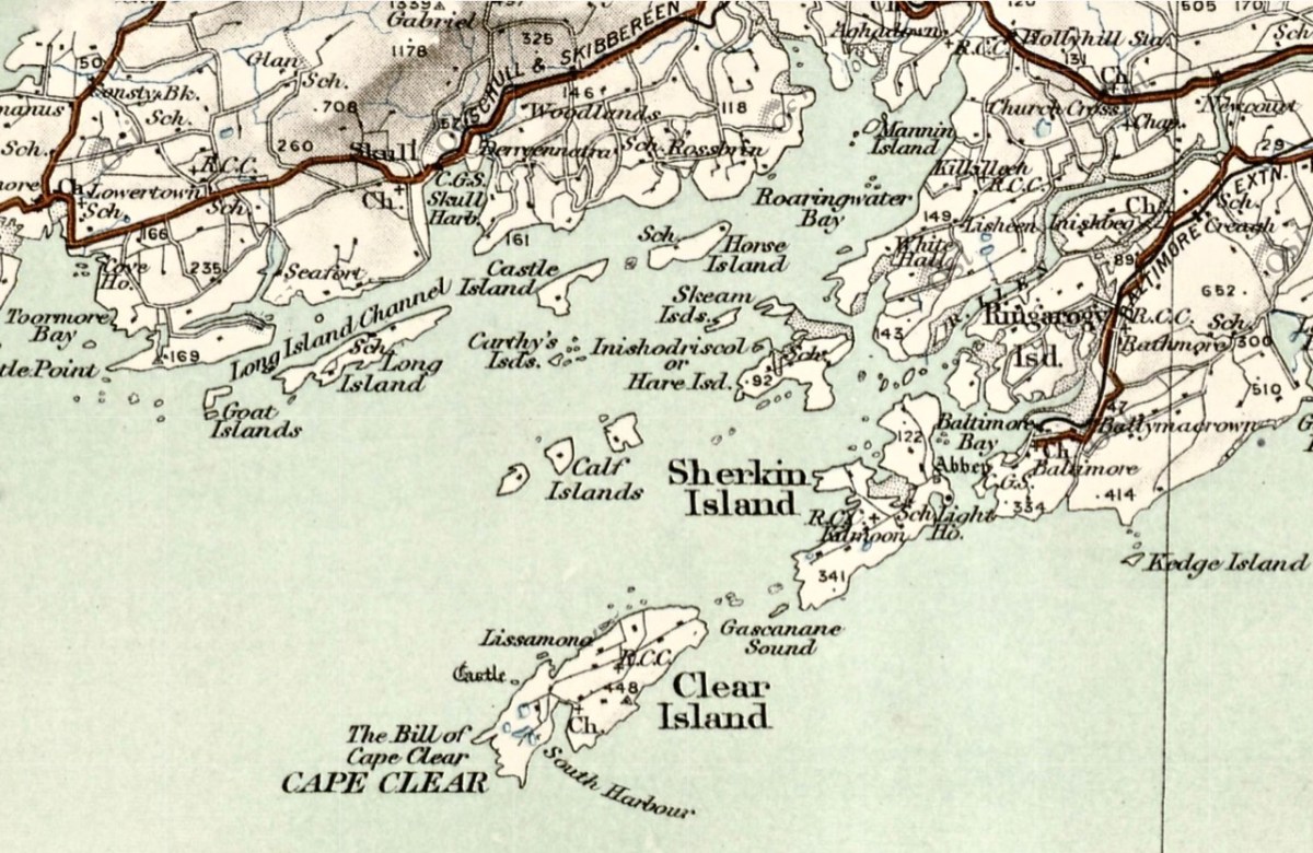
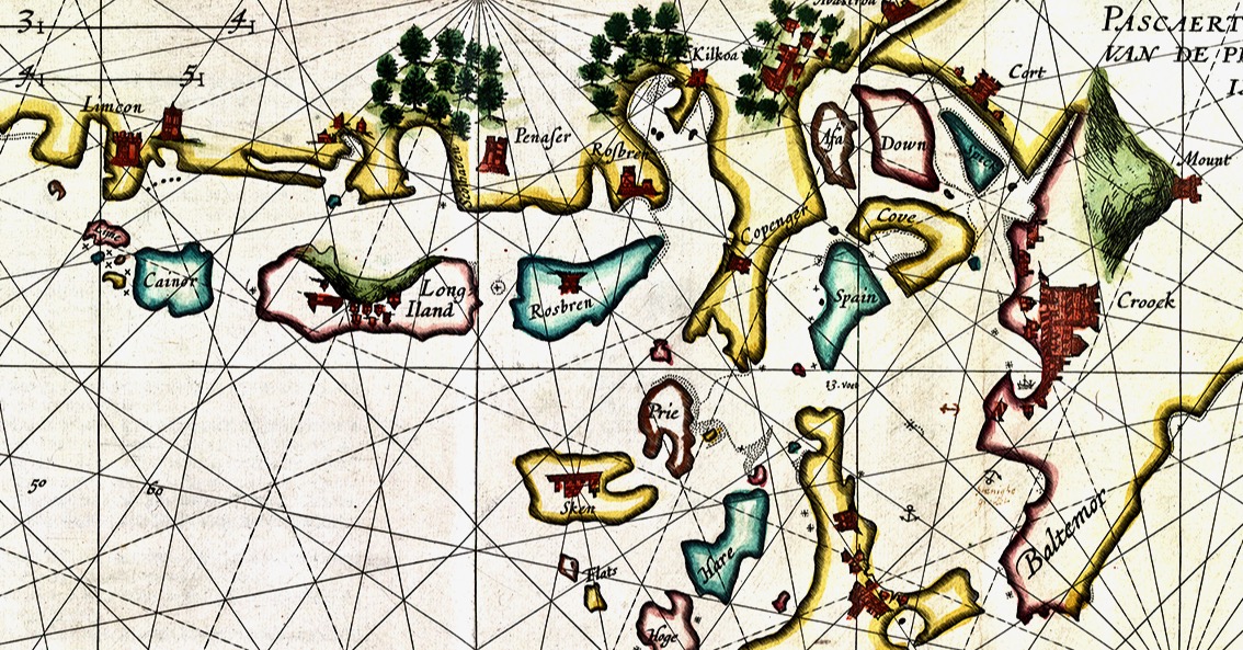
In this extract from the 1612 map I have focussed on our immediate area – the environs of Roaringwater Bay itself. Many names will ring bells with us (Clere, Baltemor, Rossbren for example); others won’t. For a simple comparison I have chosen a version of the historical 6″ Ordnance Survey map, dating from the late nineteenth century – it’s probably the clearest and best annotated example of what we would recognise around us today in terms of place-names:
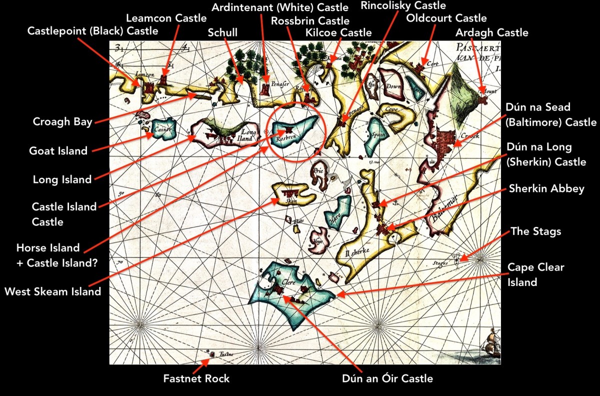
Here I have located and labelled our environs, as shown in 1612. It is remarkable that every castle and many significant features are clearly shown. Now, have a look at my red circle around ‘Horse Island + Castle Island’.
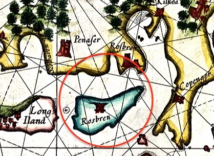
There’s an island missing! Opposite ‘Rossbren’ on the mainland is shown a single island: Rosbren. Next to it is Long Island. In fact, there are two islands here – Horse Island and Castle Island. On the 1612 map there is a castle shown on the Rosbren island, but the castle is actually on Castle Island. Somehow, the surveyors have missed this detail: perhaps the visual information which could be got offshore was confusing. What is interesting, though, is that the dotted lines at the east end of Rosbren on the 1612 map seem to mark the line of a causeway, the vestiges of which do appear today at very low tides and the feature exists in local folk memory. That level of detail on a chart, produced in the limited circumstances of its, time is remarkable! You can read more about Castle Island here.
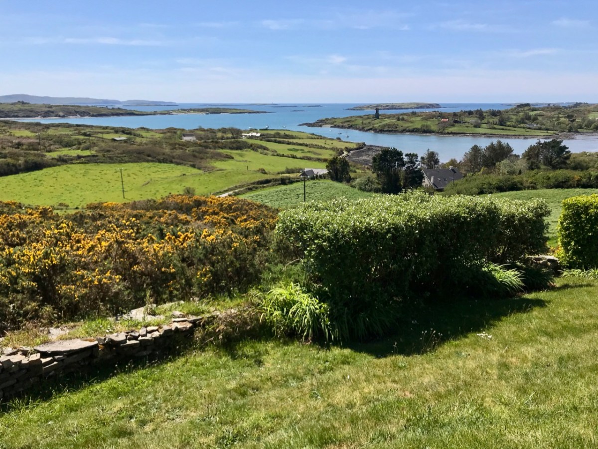
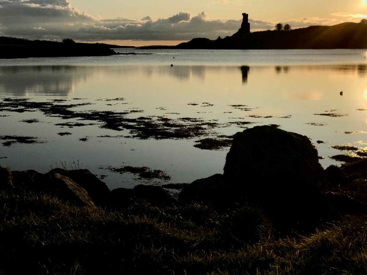
Our view across Rossbrin Cove with its O’Mahony castle and, beyond Rossbrin Castle, Castle Island. On the left of the picture is Horse Island
I want to show you some further details from the 1612 leeskarte. Firstly, here’s a close-up of Crookhaven (Croock haven on the map). Note the scales in Dutch miles and English leagues, and ‘Limcon’ – in fact Leamcon – which was one of the major pirate centres and also the territory of Sir William Hull, a Vice Admiral of Munster from 1609. His job description involved rooting out the plague of pirates in Roaringwater Bay but in fact entailing a lot of profitable collaboration with them. Also of interest here is the depiction of Goat Island – named ‘Cainor’ and a castle – ‘Penar’ which is likely to be Ballydevlin, at the mouth of Goleen harbour; also ‘Don Hog’, which we believe refers to Castlemehigan. There is no trace remaining of either of these two.
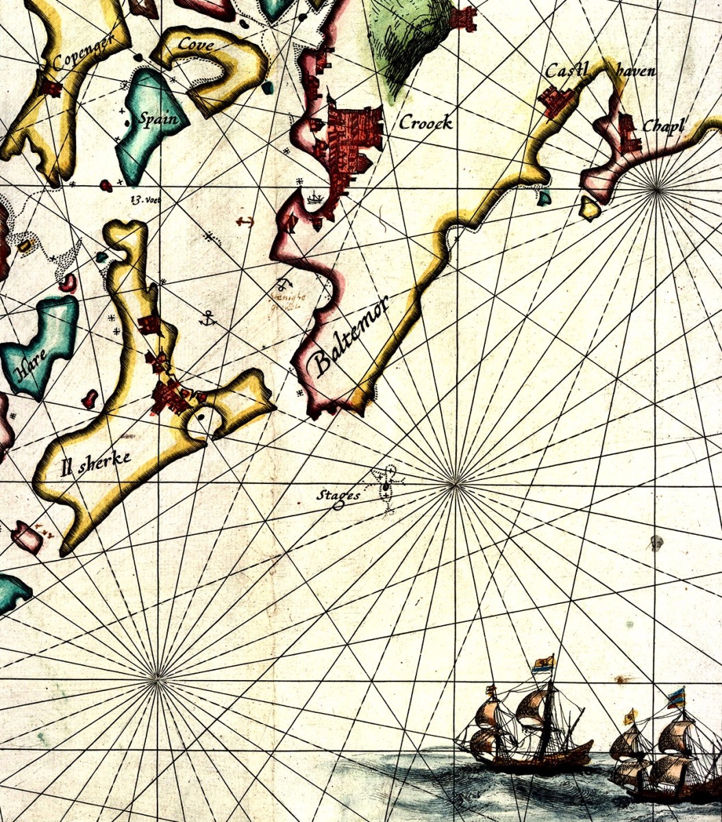
Another detail from the map (above) shows Spain Island, Sherkin and ‘Baltemore’. the depiction of galleons in full sail is a fine ornamental ‘illumination’. Also, note the small anchor symbols. In some places on the whole map, anchorage depths are shown: another remarkable factor highlighting the observation skills of the surveyors. Additionally on this detail, note the name ‘Croock’ – Thomas Crook, an Englishman, took a lease on Baltimore Castle in 1605. The ‘Chapl’ below Castlehaven is probably the now ruined church at Myross, detailed in my post here.
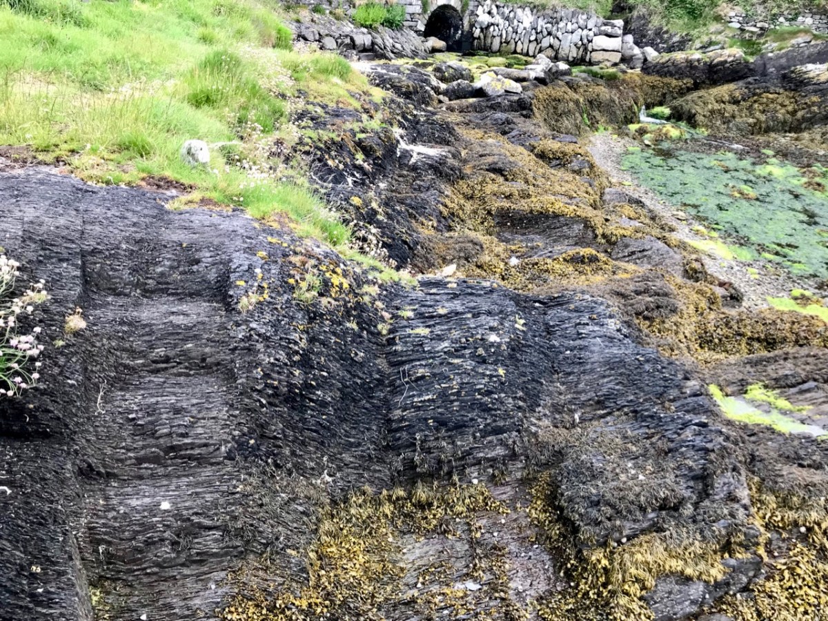
Our photograph of old (possibly ancient) steps carved into the rocks at Dereenatra. Connie Kelleher highlights the physical remains that can be found today in many of the former pirate strongholds around the coast of West Cork. Several are in the form of frequently hidden away steps and tying-up points in remote locations. I have included references to ‘pirate steps’ in a previous post. For the full picture, don’t forget to get hold of Connie’s book: it will make an ideal Christmas present for the archaeologists and pirate enthusiasts among you!
Welcome to the UCD Library Cultural Heritage Collections blog. Discover and explore the historical treasures housed within our Archives, Special Collections, National Folklore Collection and Digital Library