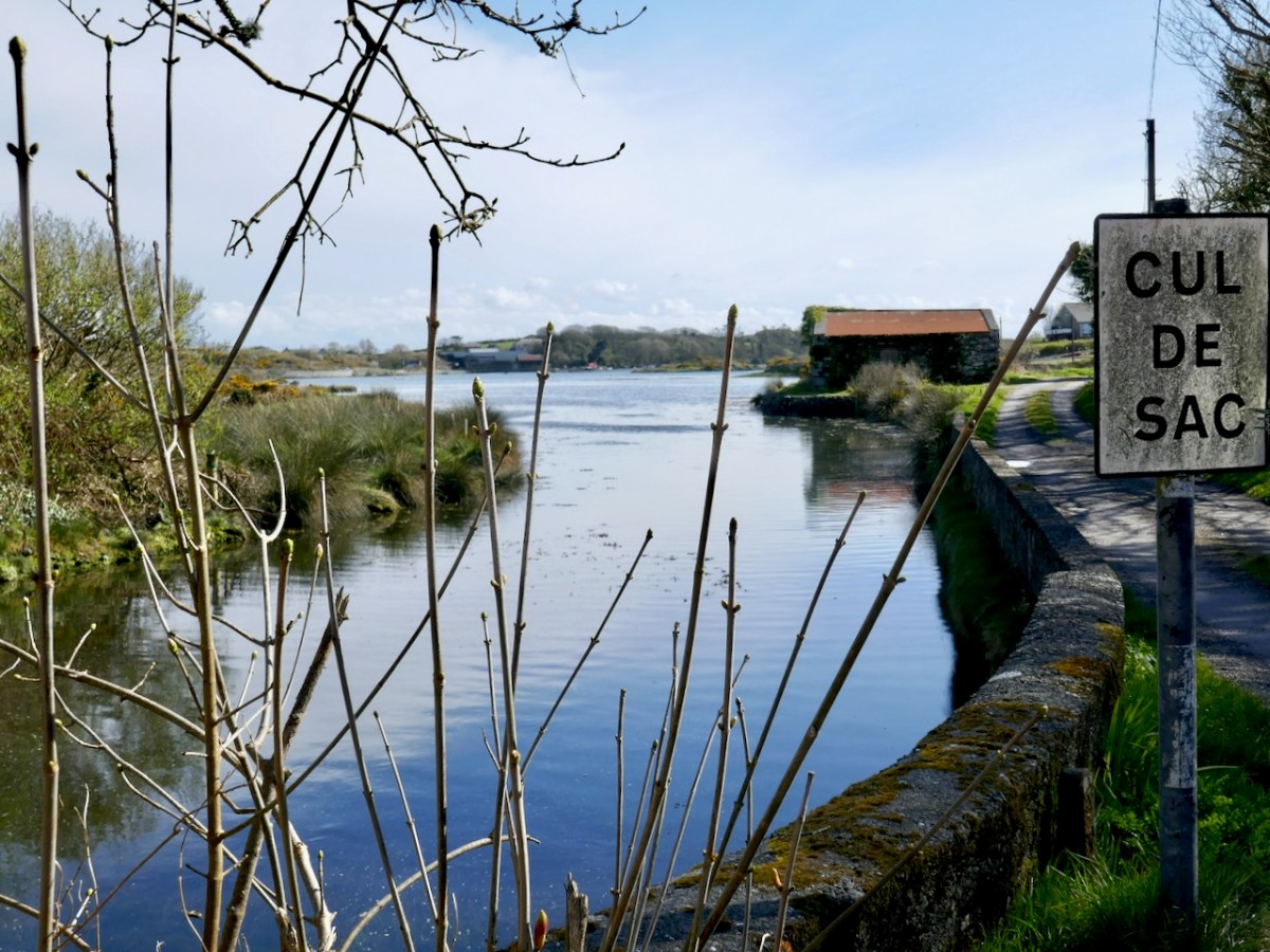
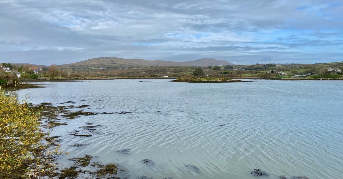
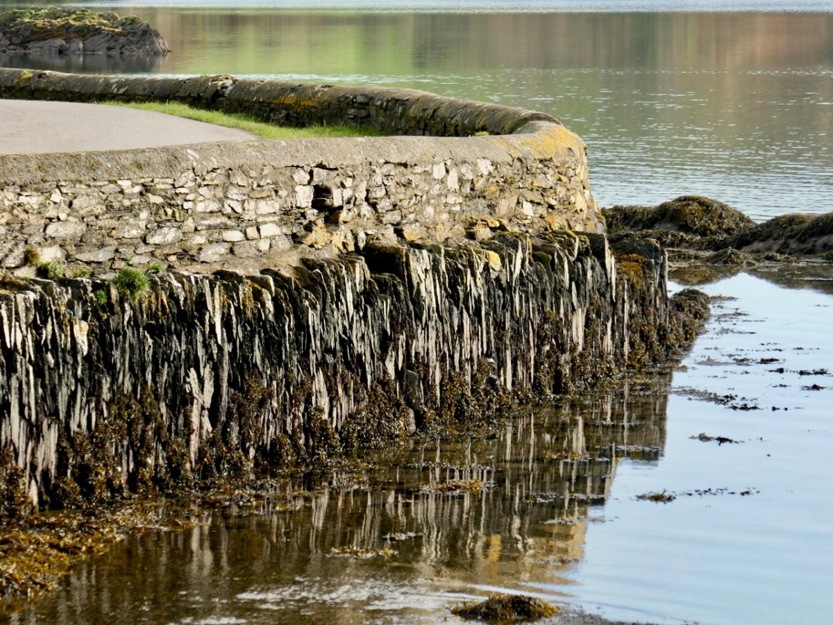
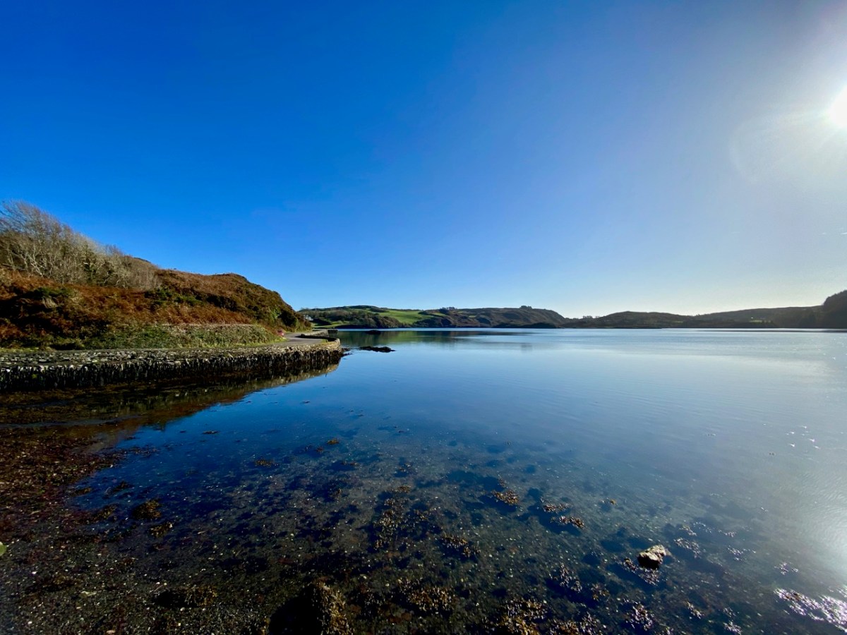
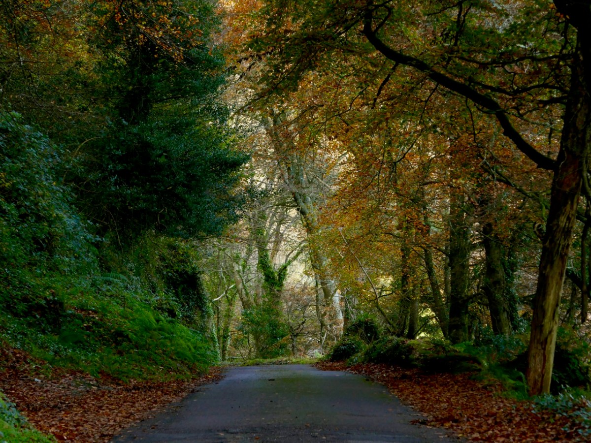
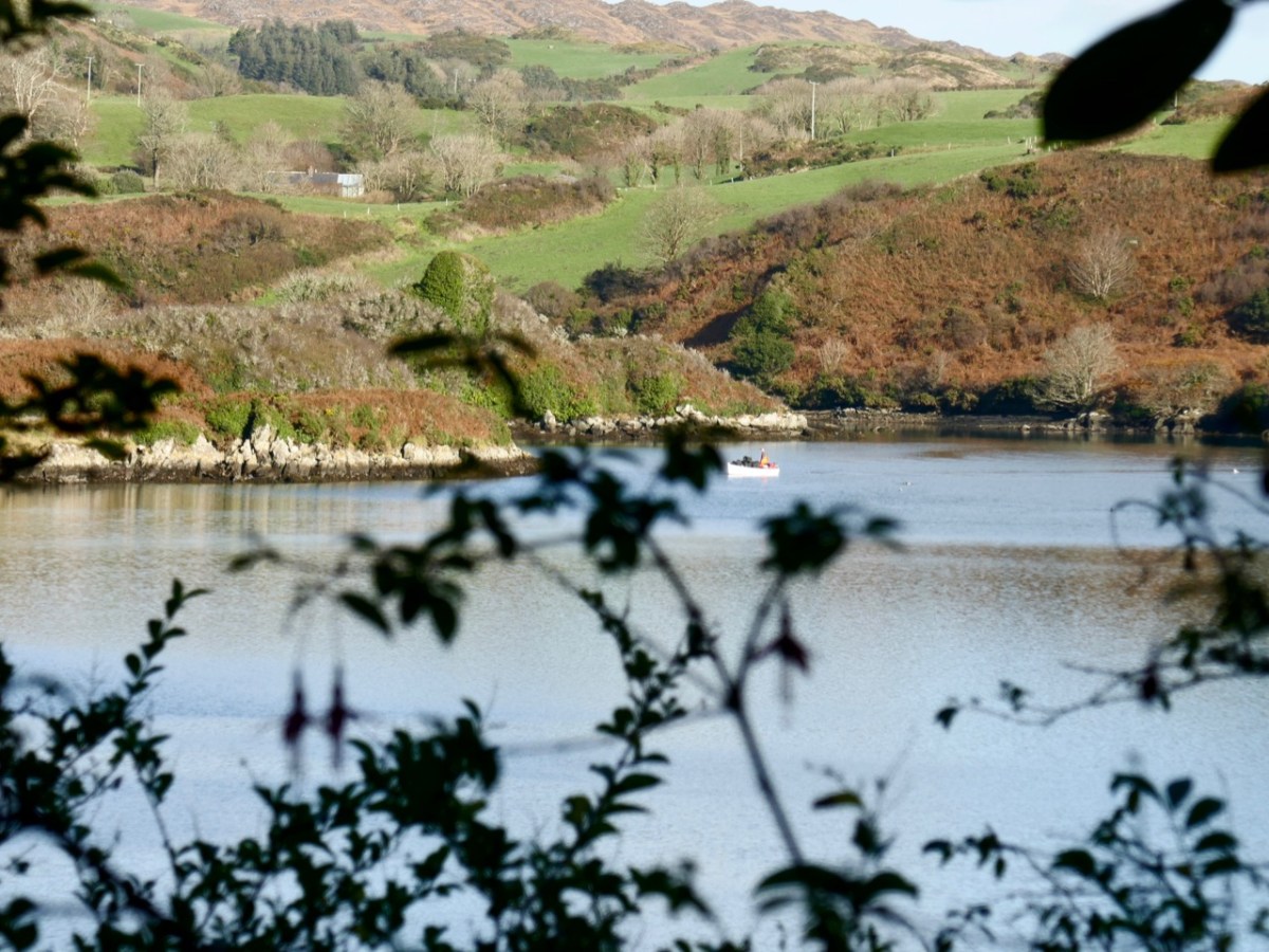
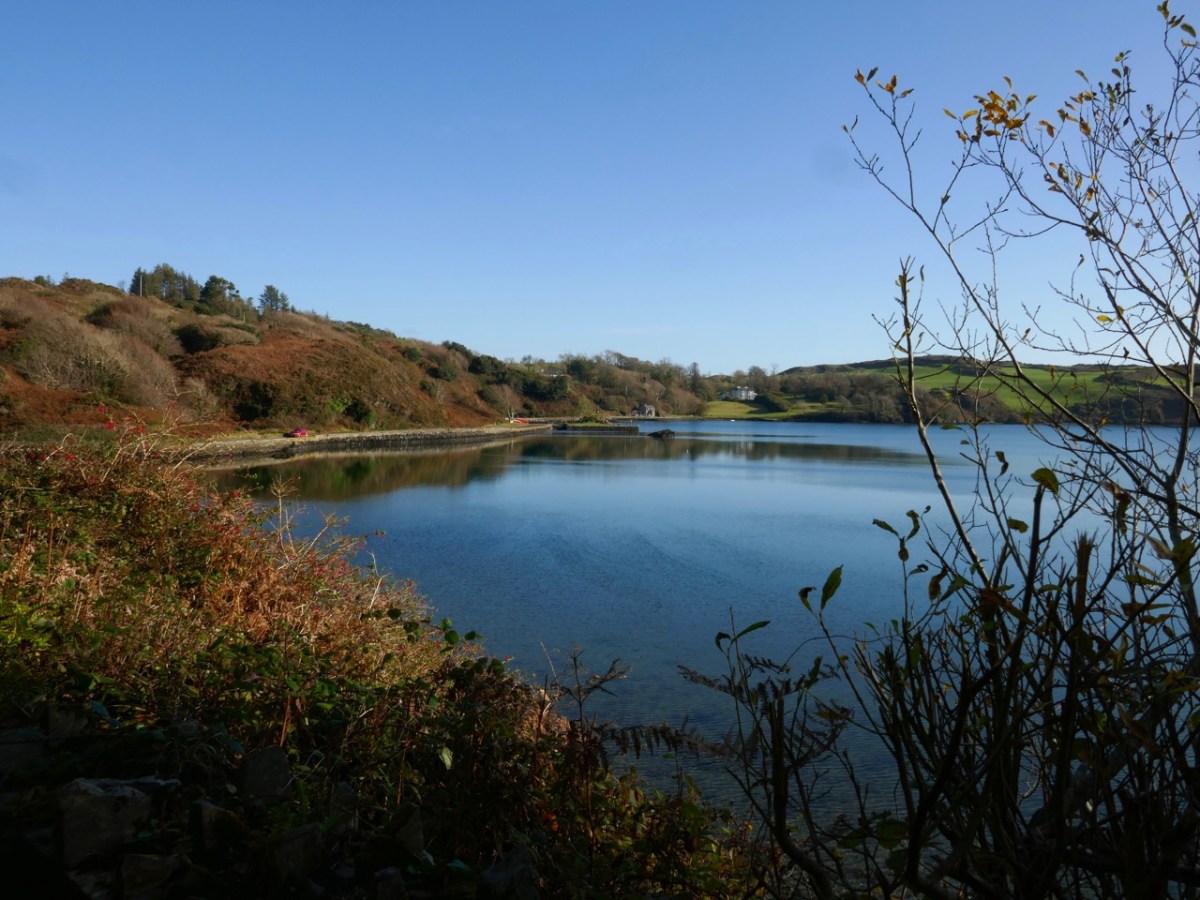
For our latest Mizen Magic post, we look in detail at an area we have skipped through previously: it deserves to be more thoroughly explored as it’s rich in history but is also, literally, a backwater which rests in a time-warp. Whenever we reconnoitre the shores of Croagh Bay, I’m always taken back to the sixteenth and seventeenth centuries and to the pirates, knights and Earls who made their own little empires in this now remote district. I should probably add that I can’t find an origin or meaning for the name Croagh. But I do know that it is pronounced locally as Crew. It’s even spelt Crewe on some maps (but – late edit – have a look at the enlightening comment by ‘Tash’ at the end of this post). The following image shows a clapper bridge – possibly quite ancient: a modern concrete parapet has been placed over the much earlier stonework:
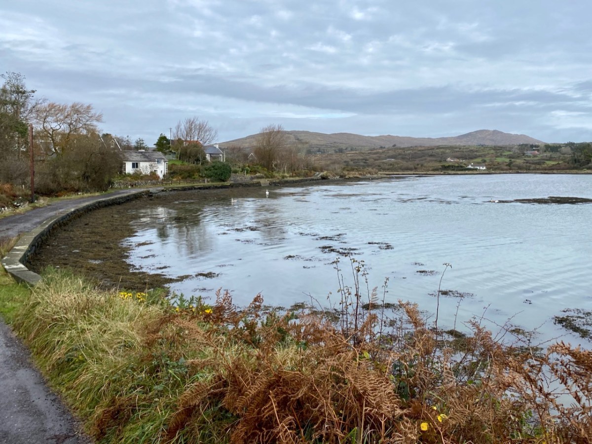
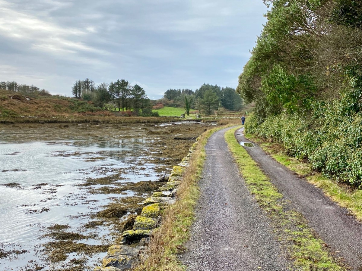
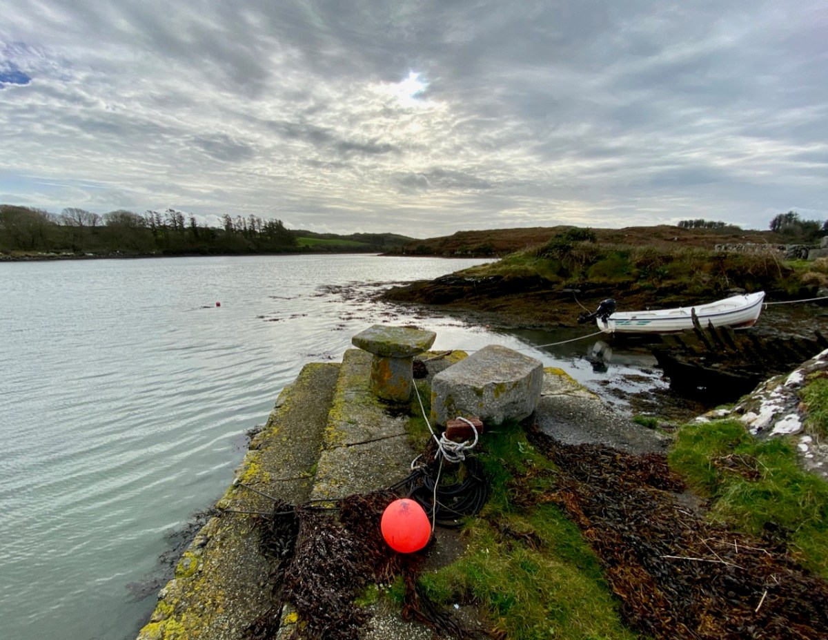
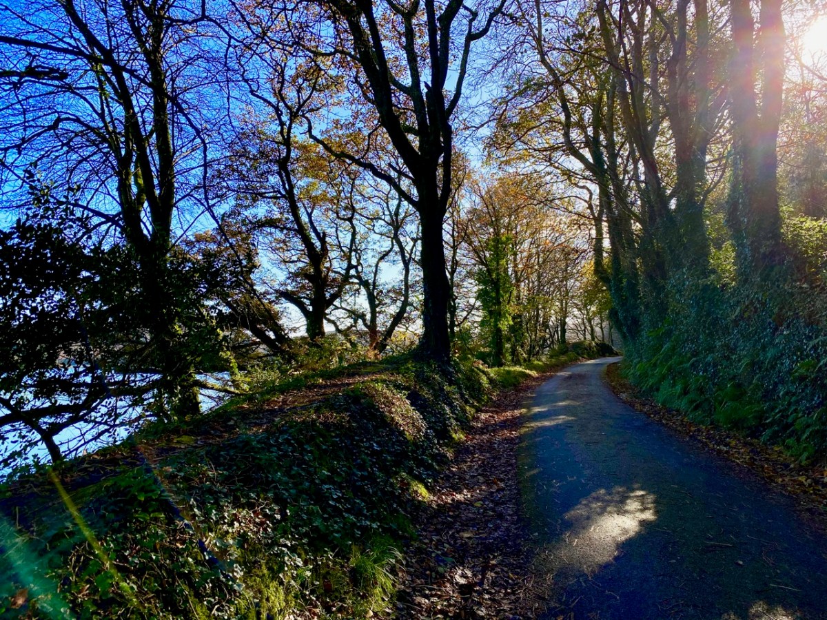
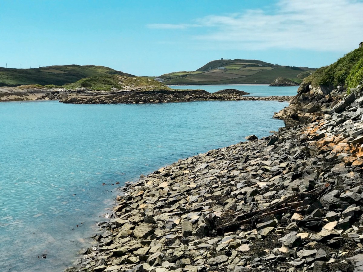
The header image and the one above are both taken at the same place – the head of the tidal section of the Croagh River, in the townland of Lowertown, not too far west of Schull. It’s rewarding to walk on the boreen that follows the north shore of the river. You will admire some very fine residences and come across tiny quays that have doubtless faithfully served many generations of West Cork families, and which are still in use. Behind you the rugged peak of Mount Gabriel will always be in sight – a familiar local landmark.
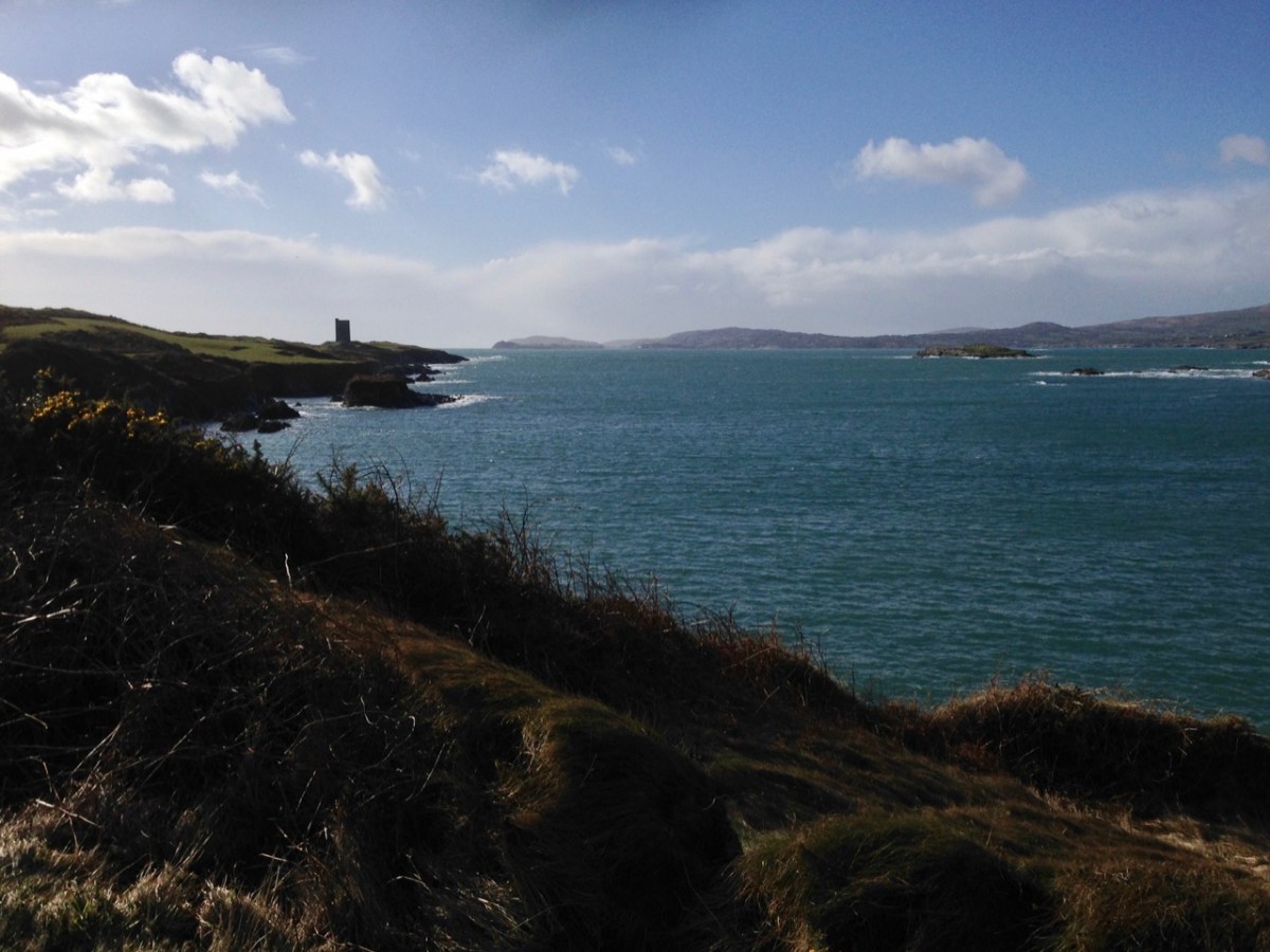
The Croagh River is only one of the waterways that you will explore today. The boreen comes to an end but the inlet itself continues out to Long Island Sound, Roaringwater Bay and the mighty Atlantic. Before that, however, there is another which demands attention: The Creek – which goes west towards the settlement of Leamcon.
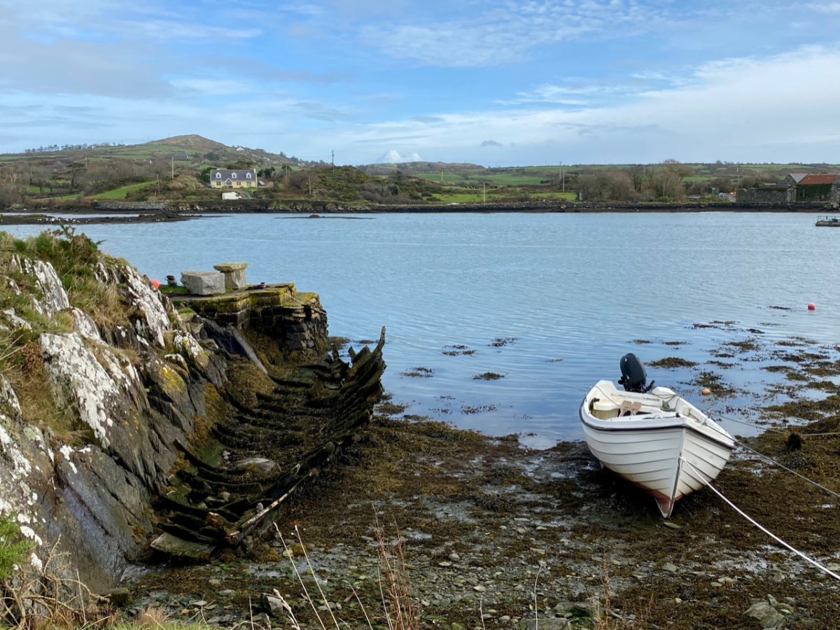
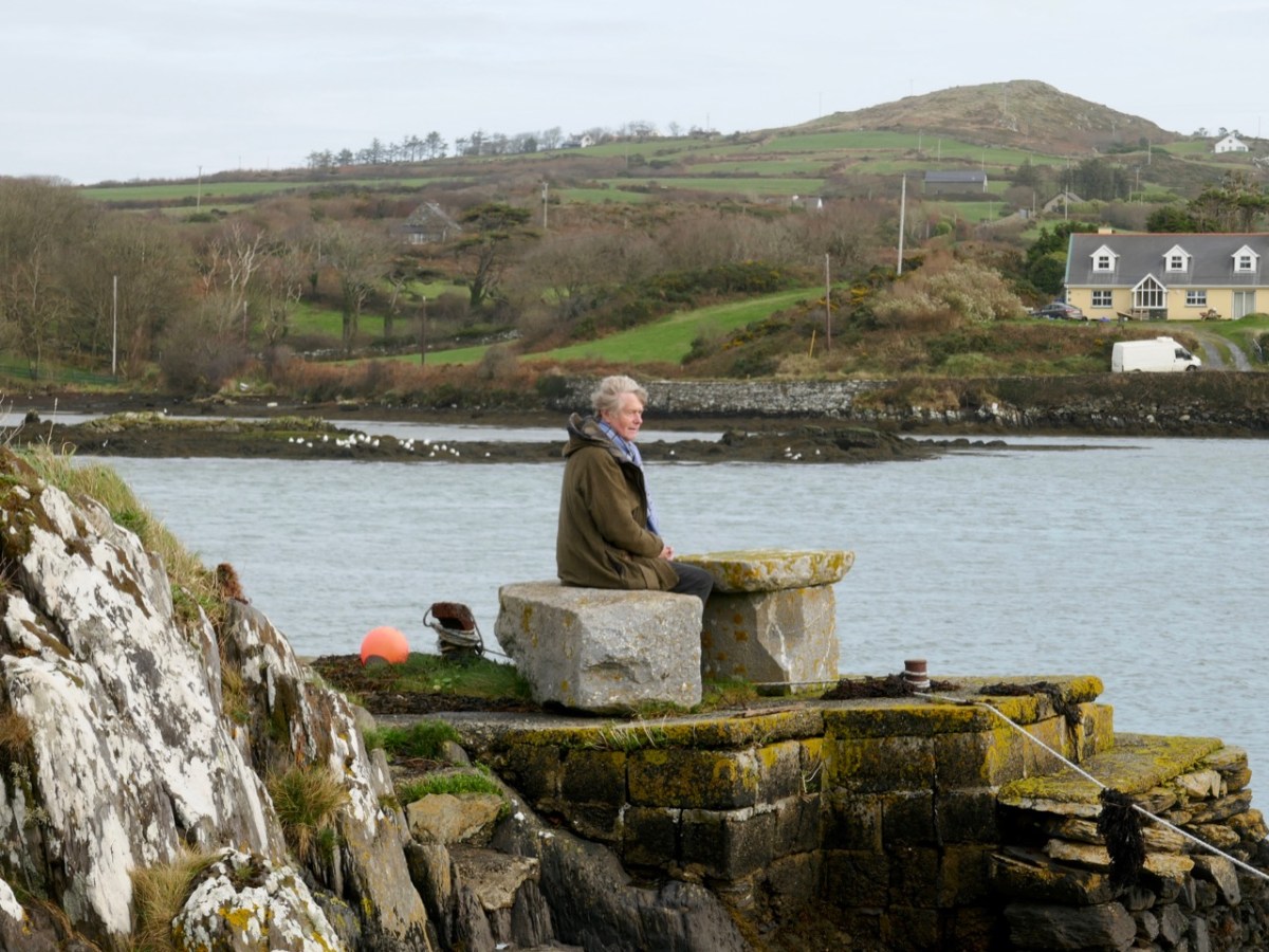
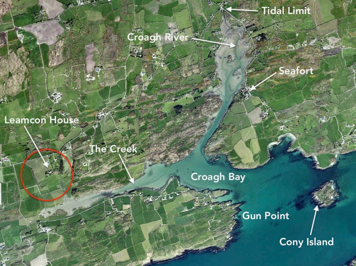
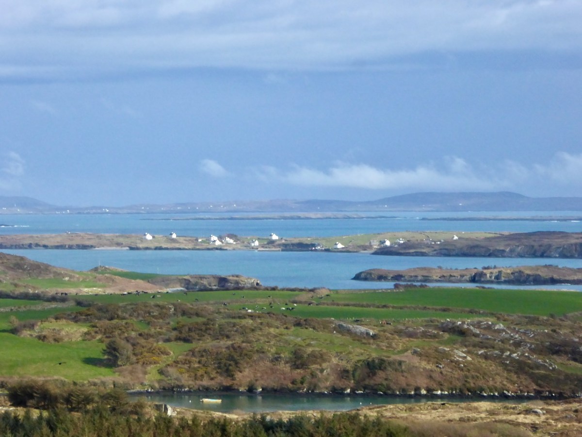
Upper – an overview of the area covered by this post; centre – looking out over the Croagh River towards Long Island with the high ground above Baltimore in the far distance; lower – Croagh Bay is in the centre with Long Island beyond and Cony Island to the left
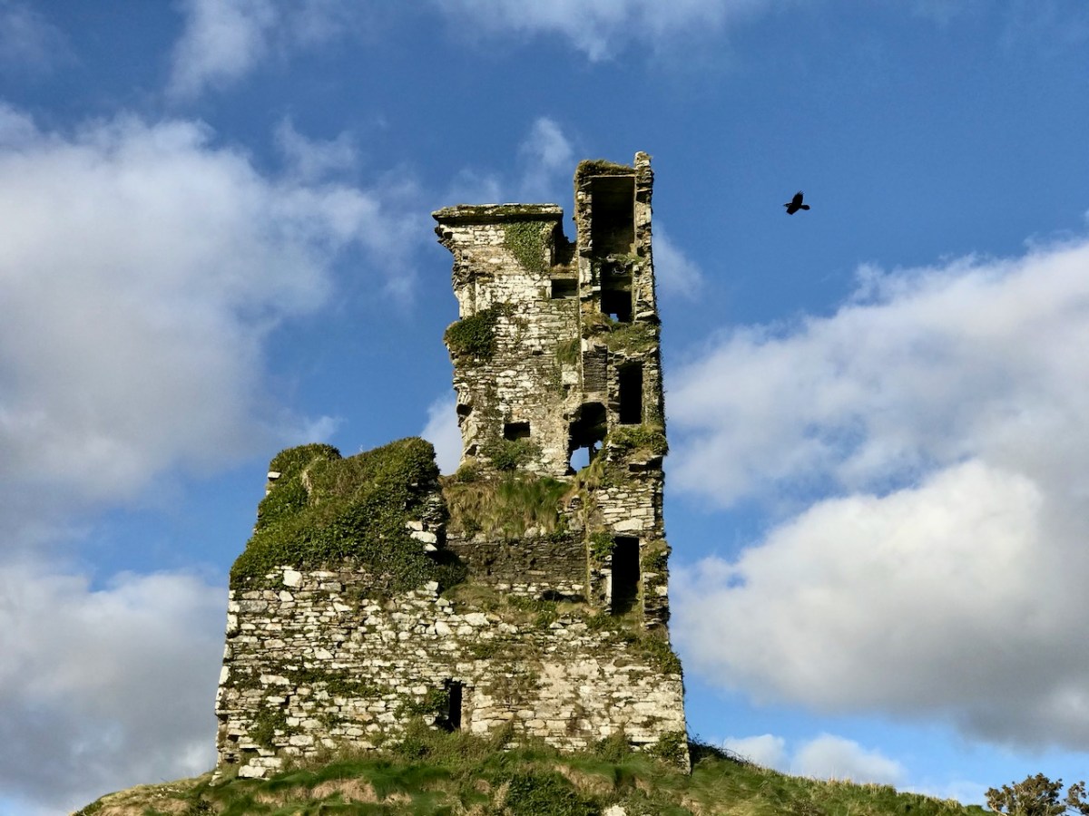
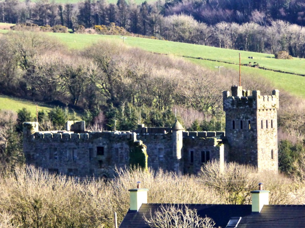
The aerial view gives a very good idea of why this particular location was so strategically important: the river estuary and the creek are both hidden out of sight of the main seafaring routes of Long Island Sound and beyond. They are, therefore, perfect safe havens for pirates, smugglers, and those who want to profit from such activities. One well-known profiteer we have encountered before in this Journal is William Hull, described in the High Court of Admiralty papers as ‘a notorious harboro of pirates and receavor of theire goodes’ who nevertheless managed to retain an official post as Deputy Vice Admiral of Munster. In cahoots with Richard Boyle – First Earl of Cork – Hull developed links with privateers and pirates, and hosted a whole fleet of vessels within the hidden inlets of Croagh Bay and Leamcon: the shallow waters were ideal for careening vessels and Hull’s empire allegedly included victualling stations, fish palaces, ale houses and brothels. All this was focussed on the townland of Leamcon which Hull leased initially from the O’Mahony Gaelic overlords. Although Hull’s own castle is now long vanished, we can find traces of his endeavours marked on the early OS maps.
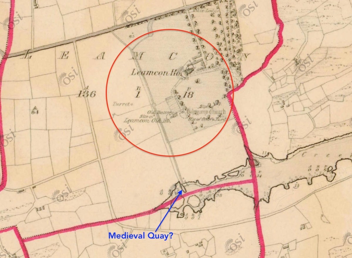
The early 6″ map locates ‘Turret’, ‘Old Battery’ and ‘Site of Leamcon Old House’ within the environs of the present Leamcon House, to the north of the furthest limit of The Creek. Interestingly, there is also what looks like a quay on the water directly below the estate: all these potential antiquities could reasonably date from Hull’s time.
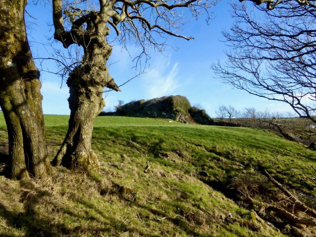
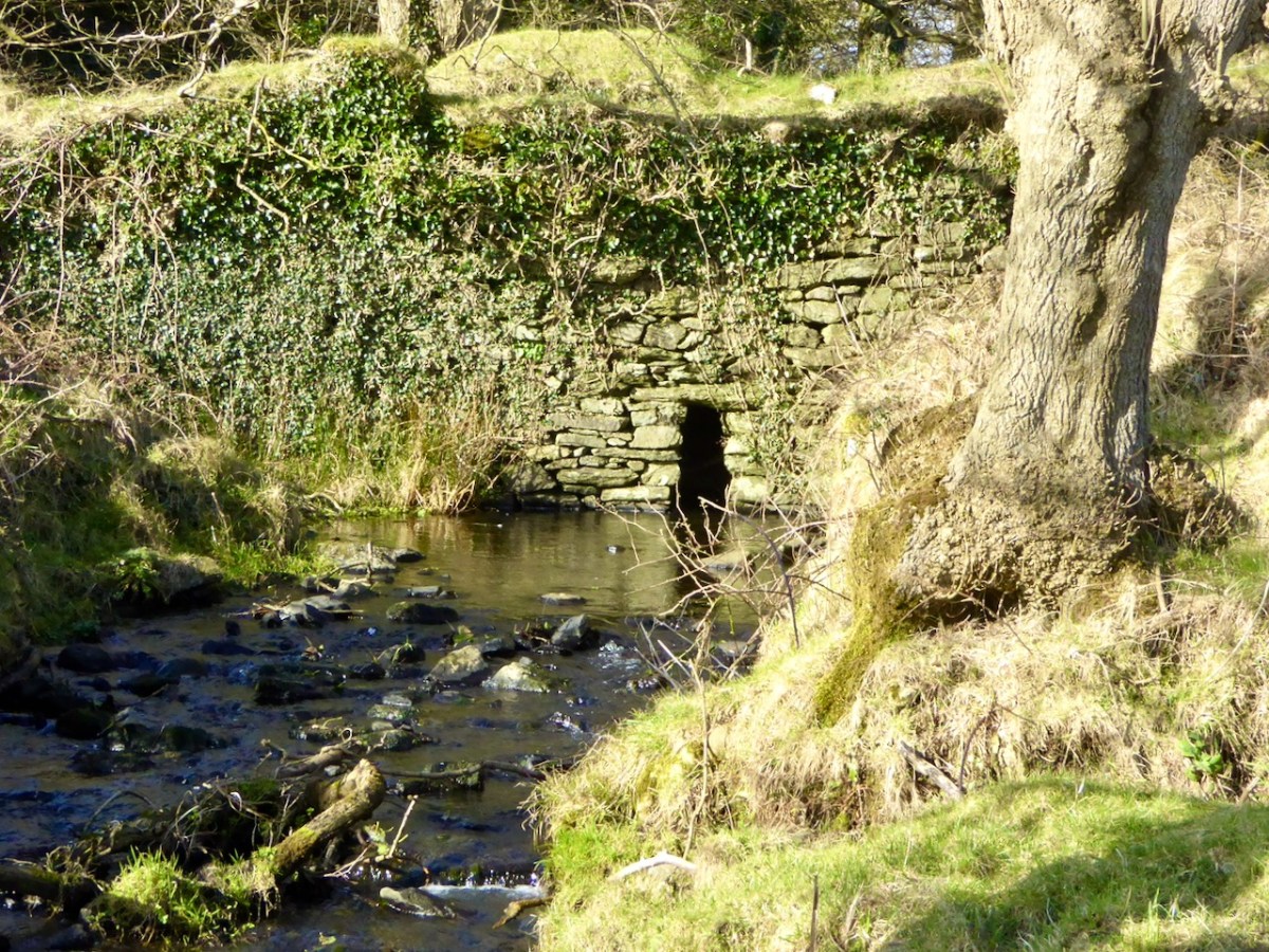
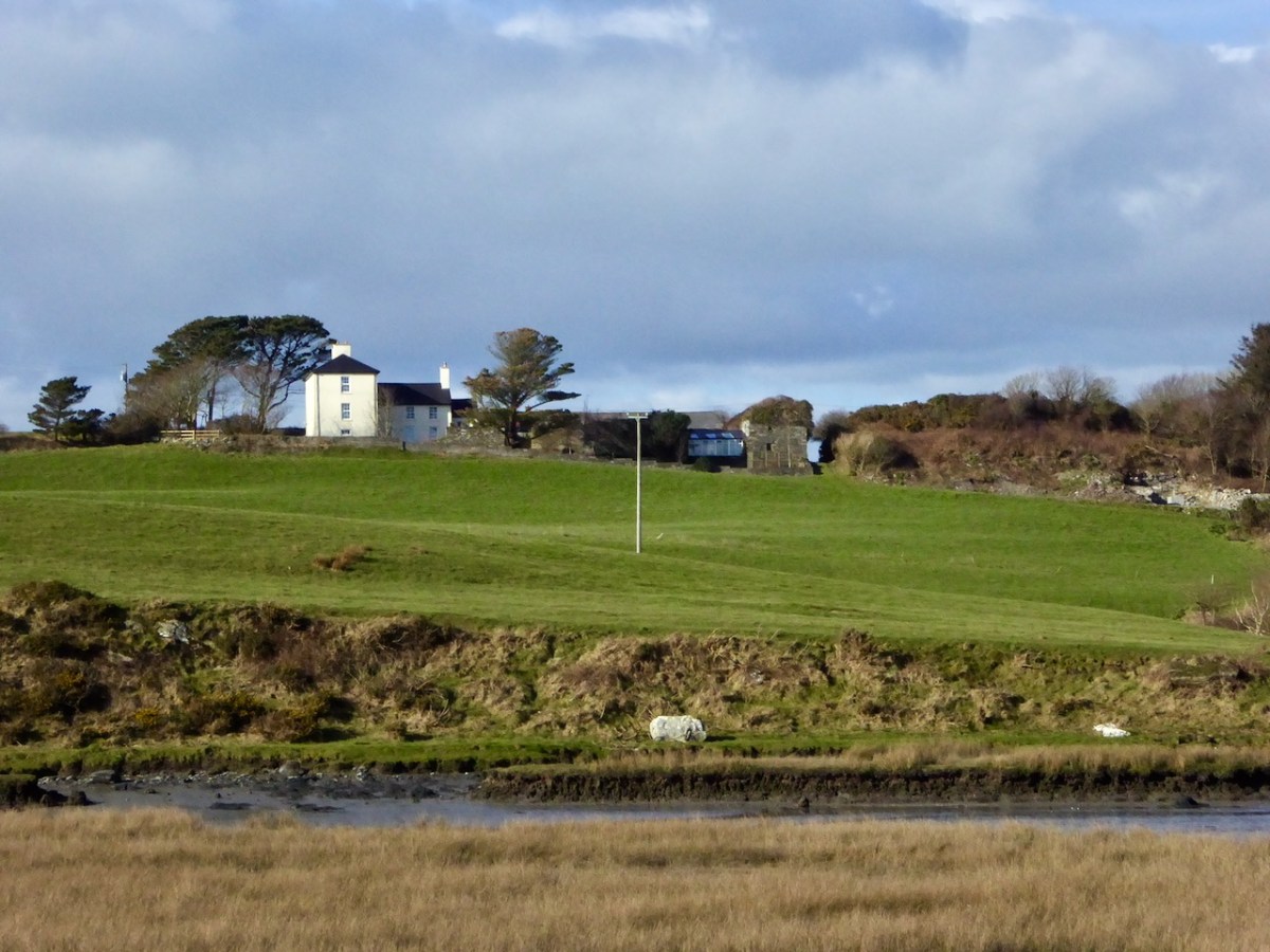
The ‘Battery’, the site of an old wharf and an ancient stone gulley may date from the time of William Hull’s occupation of the townland of Leamcon, which came to an end in 1641, when the O’Mahony’s moved to regain their former holdings. Below is Leamcon House today, looking down to the waters of The Creek. The extensive stone wall on the right hand side of the image is said to incorporate the remnants of a fish palace – another enterprise of William Hull and Richard Boyle:
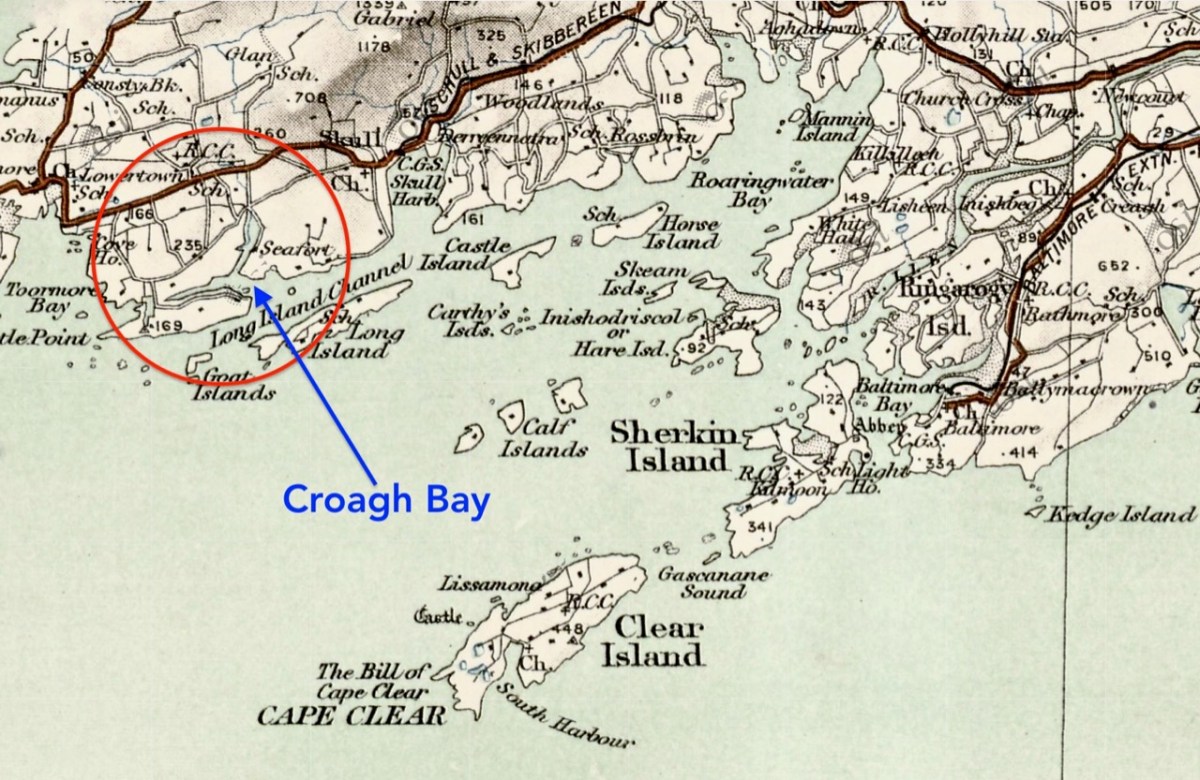
Centre – extract from the 1612 map (see more on this here), showing Leamcon and Croagh Bay; lower – locating the Bay in relation to the islands of West Cork, from a later 6″ OS map
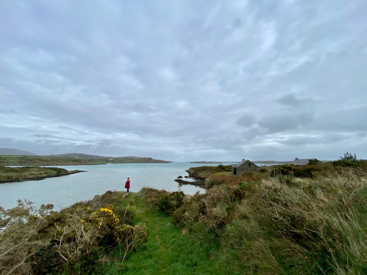
Before we complete our tour of Croagh Bay we have to travel east along the Croagh peninsula, where we find the intriguingly named Gun Point. There is no sign of a gun there today, nor any record of where the name might have originated. It could be, of course, that in Hull’s time the entrance to these important inlets was guarded.
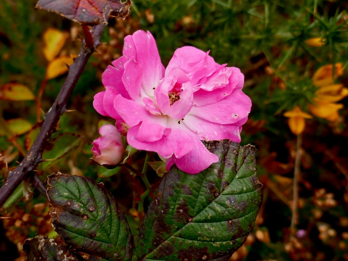
We were pleased to find a briar still in bloom, but were also intrigued by this gate, above, at the very tip of Gun Point. It was singing to us! The wind which, by late afternoon, had become a bit of a gale, was picked up by the hollow metal rails and created for us a Port na bPucai – ‘song of the spirits’. We recorded it as best we could and then handed it over to our musical friend Paul Hadland. He in turn passed it on to his brother Tony – an electronics wizard, who presented us with the following rendition of our Harmonic Gate. Many thanks, Hadlands!
For the technically minded amongst you, here is Tony’s account of how he processed our recording:
. . . I first of all manually edited out the worst of the very short but irritating wind noise elements. I then traced the frequency band where the music was and applied the Apple AU Bandpass filter, centred on 400 HZ. I trimmed off the ragged beginning, faded out the end, and normalised the volume to -10db. To get rid of more of the background noise I then applied the Acon DeNoise 2 adaptive filter, using its default broadband music setting. The result is the attached file Gate Harmonics . . .
Over the course of a marathon seven posts, I wrote about the Rev William Allen Fisher, revered by his kin and congregation as the energetic and saintly saviour of hundreds of famished souls during the Great Hunger, and reviled by his Catholic clerical counterparts as one of the worst examples of a Protestant Clergyman who bought conversions with food and employment. Balanced precariously on the fence of fairness, I concluded that he was both a Saint and a Souper, conflating, as he did, the imperative to feed the body with his mission to save souls.
Paul Farmiloe’s lovely sketch of Fisher’s church, Teampall na mBocht in Toormore
It is difficult to overstate, from this remove, how normal his kind of evangelical Protestantism was for the time in which he lived and worked. Ultimately, though, he was on the losing end of history. Not only did the Protestant Crusade, of which he was an enthusiastic proponent, fail to convert broad masses of ‘Papists’ but the burgeoning social and economic power of the Catholic Church ensured that those individuals who had converted to the Church of Ireland felt the full might of episcopal condemnation. Indeed, to be accused of being a Souper remains to this day one of the worst insults that can be said to an Irish person.
In this church-dominated narrative, which all of us were fed in school in the 50s and 60s (betraying my age there – and I am in that blurry photo above), there was no room for allowing that a conversion to the Church of Ireland could possibly be through genuine conviction or a change of heart. No, such conversions – or perversions as they were labelled at the time – came as a result of taking advantage of people driven mad with hunger. Knowing as we did that Catholicism was the one true faith, how could we accept that anyone in their right mind could abandon it? It’s always been interesting to me, by the way, that at the same time as we were taught to excoriate those who converted away from their own faith, we were happily offering up our pennies to fill the collection boxes that every school had for Ireland’s extensive Missions Programs, in which Irish priests and nuns (including members of my own family) spread out across the world with the intent of wresting souls away from other religions.
In the second half of the 1930s the Folklore Commission collected stories and local traditions from over 50,000 schoolchildren in Ireland (like the boys in the 1930s classroom above) – now all available online. I was curious whether stories of the Rev Fisher had persisted in local memory and I turned to this collection to look, specifically to the schools in the vicinity of Toormore. And yes – here it all was, occasionally in remarkable specificity, still very much alive ninety years after the events had taken place.
Mary O’Sullivan from Toormore National School contributed this detailed piece:
The only landlord that any of the old people around here heard tell of were Mr Baylie and Mr Fisher. Although a Protestant, he was a very good man, and all his tenants were catholics, in fact the Catholic curate of the parish was living in a cottage on his lands – where Mr Hogan now resides. All his tenants were living in peace and comfort until he was forced to sell all his property to the church body, one of whose agents was a minister named Mr Fisher.
The first act that he did was to issue notices that any catholic that did not pay the running half gale within a month would be evicted. All the catholics paid, and the next notice issued intimated that any catholic that did not go to church on the following Sunday would be evicted.
Some of the catholics remained steadfast, but as Fisher had the law in his own hands he had no trouble in evicting all those who he knew had the best of the lands. Those farms he divided into smaller lots, and gave to those whom he got to go to church.
There were two catholic schools in Toormore at that time, one for boys and the other for girls. These were closed so that the children should go to the Altar Protestant school. As the time went on the people got poorer as a result of evictions, and Mr Fisher keeping constantly going amongst the poor people with his charity and prayers he got some of them to go to church to save themselves from starvation. But others endured the greatest privation and kept the faith. Some of these that were evicted were given houses by their old landlord Mr Baylie.
Mr Fisher was supposed to have contracted what was called a slow fever, he was taken from the Altar to Dublin where he died.
I found that last paragraph interesting as I know that Fisher is on the same headstone (below) as his brother in Mount Jerome Cemetery in Dublin but had been unable to find any account until now as to why he would not have been buried in his own churchyard in Goleen. I also need to point out that there is no evidence, or accusations in contemporary accounts, that Fisher evicted tenants or used eviction or a threat of eviction to force conversions. Finally, if anyone knows what a ‘running half gale’ refers to, do let us know as I have been unable to track down the term.
Eileen O’Driscoll, also of Toormore, had this version
The famine years lasted from 1845 to 1847. In this district the people had plenty of corn but they had to export it to England to pay the rent and the potato crop failed. The potato was their principal food for breakfast dinner and supper. Lots of them died of hunger and the fever came all over the county and swept them in hundreds. There were men hired for carrying them to the nearest burial ground which was Kilhangil. They had a special car for that purpose. They called it a bogey car. This man carried nine or ten at the time and dug a big hole and covered them over without any coffin. There was then a relief sent from England to all Parish priests and ministers. In this parish the the minister took hold of the clothes that were sent and some of the poor Catholics died of hunger before they would take anything from the Protestants and others took the clothes and turned Protestant. Mr Fisher was the minister of this parish and also the landlord of Toormore and Gorttyowen. He got the clothes and distributed them to anyone that went to the Protestant church on Sunday. Many Catholics availed of this offer and they were called “soupers or turncoats” The Bishop became angry and he sent a very strict priest to the parish. His name was Fr. Holland. He gave very harsh sermons to the people and we are told that when Mr Fisher got up on Monday mornings he found lots of clothes outside his door. A lot of the people still kept on getting the clothes. Fr. Holland said that he would curse the people that went to the protestant church. He got permission from the bishop to do so. One Sunday as he was speaking in Ballinaskeagh Church a man stood up and said he would go in spite of any Bishop to what churches he like himself. The man died before the end of that day, and his son was killed by his own horse within a week. This frightened the people and it forbade a great number from attending the Protestant Church any more There was one man in Toormore that went to the Protestant Church but he also went to Mass before going there. Mr. Fisher found this out. He met him one day and asked him why he was going to Mass and also going to Church He said he was going to Mass to save his soul and that he was going the Church for to save his body Mr. Fisher bought Mr. Bailey’s property which was Toormore, Gorttyowen, and the Altar. He evicted all the Catholic out of Gorttyowen Toormore but left those that remained souper in their holdings and they are known as Toormore soupers.
There is so much to unpack here. In this version of the story the main inducement to convert is the provision of clothing, rather than food. In Saints and Soupers Part 6 I related that Bishop Delany of Cork had sent the firebrand Fr John James Murphy (AKA The Black Eagle of the North) to sort out the situation and he had succeeded in winning back (or browbeating) many of the converts. There was indeed a Father Timothy Holland in Goleen, but it was several years after the Famine, from 1863 to 1867, and his fierceness and effectiveness has obviously lived on in folk memory and become intertwined with that of Fr Murphy. (Perhaps it was Fr Holland who lined up all the newly married parishioners and married them again in case they hadn’t been ‘properly’ married the first time – see the comments at the end of Part 7.)
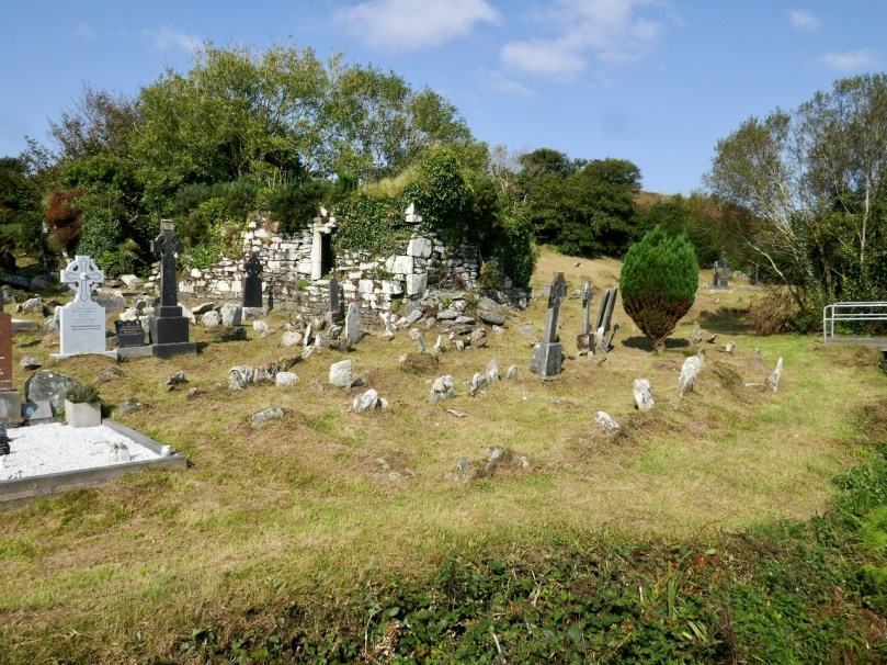
The story of the man who asserted his independence of choice only to be struck down, along with his son, is a trope of many Irish stories, often revolving around the wilful destruction of a fairy fort or a holy well. Finally, Kilhangil, nowadays a particularly beautiful and peaceful spot (below), may be familiar to you from the post Mizen Magic 19: Church of the Angels
A pithy entry from Mary Lucey of Ballyrizard relates information from her father, Tim.
Mr Fisher was landlord of Toormore. He was a very bad man and he hated the Catholic Religion. All Catholics who would not become Protestants were evicted. Most of them kept the faith but some turned Protestants for the sake of keeping their land.
Once again, eviction takes centre stage, this time as the outcome of refusing to turn Protestant. Hating the Catholic Religion is equated with being a very bad man.
Kathleen McCarthy from Lowertown School (that’s Lowertown townland, above) wrote about many aspects of the Famine, including this section on Fisher.
The famine times were from the beginning of eighteen forty seven to the end of eighteen forty eight. The conditions of the Catholics was terrible at that time. Their potatoes were destroyed with the blight, and they had to sell their wheat to pay the rent. In this district three quarters of the people died with hunger.
The English sent yellow meal to the Protestant minister in Toormore to distribute among the people but it was the Protestants who got the most of it. Any Catholic who would turn a Protestant would go to the minister’s house every day and they would get a bowl of soup to drink and meal to take home. Nearly every Catholic in Toormore turned Protestant in that time and their descendants are there today, Protestants and bearing Catholic names. Toormore is known as “the land of soupers” on account of the number of people that turned Protestant for a bowl of soup. There lived one man in Toormore called John Barry and he had seven children. Six of the children died with starvation and he would not go to Fisher for anything for them.
This is the first account we have of Taking the Soup, and the labelling of Toormore as ‘the Land of the Soupers’. The story of the man who would rather let his children starve to death than take the soup is a familiar one. While these John Barrys were held up, in our history lessons, as a model of steadfastness and an exemplar of Catholicism, I remember being horrified that any father would act in this way. Perhaps it’s one of the thousand little cuts that eventually ushered me out of the church.
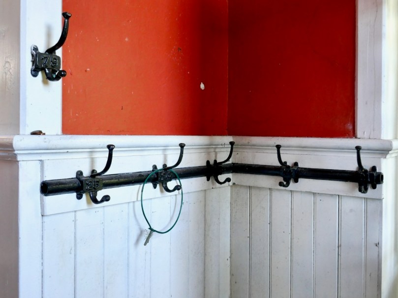
A cloakroom in a traditional schoolhouse
Annie Donovan collected information from Jeremiah Donovan of Gunpoint who was 97 when he was interviewed. There is a long and detailed description of the conditions and burial practices during the Famine, and it includes this short piece:
The Catholics were starving with the hunger and Fisher who lived in Toormore at that time gave meal and soup to any Catholics that would go to him. Nearly every person in Toormore went to him for the soup and yellow meal, and they turned Protestants also. They were called “Soupers” and the village of Toormore was called “The village of the Soupers” since and their descendants are still living in Toormoor with Catholic names.
This is a particularly interesting account, since Jeremiah would have lived through some of the events he relates, as a young boy. There is also the same reference as in Kathleen McCarthy’s essay to ‘Protestants with Catholic names’ – a poignant reminder that in Ireland one’s last name is often a pointer to one’s religious affiliation.
Peter Clarke’s beautiful sketch of the church that Fisher built at Toormore, also called the Altar Church and Teampall na mBocht (Church of the Poor)
A long but anonymous entry from Gloun School (on the slopes of Mount Gabriel – the old school house at the end of this post is associated) goes into great detail about various aspects of the Famine, mainly centring on evil landlords, and contains this:
At the time of the famine, some Catholics turned Protestants. They became perverts to get soup which the Protestants minister gave out. The name of the minister of Toormore was Mr. Fisher.
Some of the “soupers” were William O Donovan and John O Donovan both natives of Toormore. William O Donovan’s daughter, Mrs Coughlan, still lives in Corthna. John Donovan’s grandson is a shop-keeper in Schull, whose name is Joseph Woods. Another man who was a “souper” was Joseph Daly, a native of Toormore. He afterwards became a minister. Before he became a “souper” he was so holy it was said that he could walk upon the waters. He tried to do it once, before a crowd but he sank. He also answered Mass in Ballinashker Chapel barefoot once. His son lives in Schull. Ever since Toormore is sometimes called “the land of the soupers” and the Protestant Church is called ” Teampall na mboct” which means”the Church of the poor”.
I think this piece, more than any other, is illustrative both of the long memory of these events and of the classroom ethos of devout Catholicism in which this child writes – an atmosphere in which it has been normalised to name and shame the ‘Soupers’ and their descendants several generations on. This is divisive sectarianism at its most abhorrent, and it’s just as important to understand this, as it is to chuckle at the funny verses and old folktales that the children also write about.
The old school house at Lissacaha near Gloun
There’s more, but I think this gives you a flavour. Rev William Fisher has left a complex legacy. Some of it springs from his own actions – we haven’t exonerated him from bigotry and over-enthusiastic proselytising (another possible future post, in the light of new information). But it’s also based in the narrow, blinkered, self-righteous Catholicism that encouraged the condemnation of neighbour by neighbour, in the name of religion. It would be good to think we’ve moved beyond that now, in Ireland.
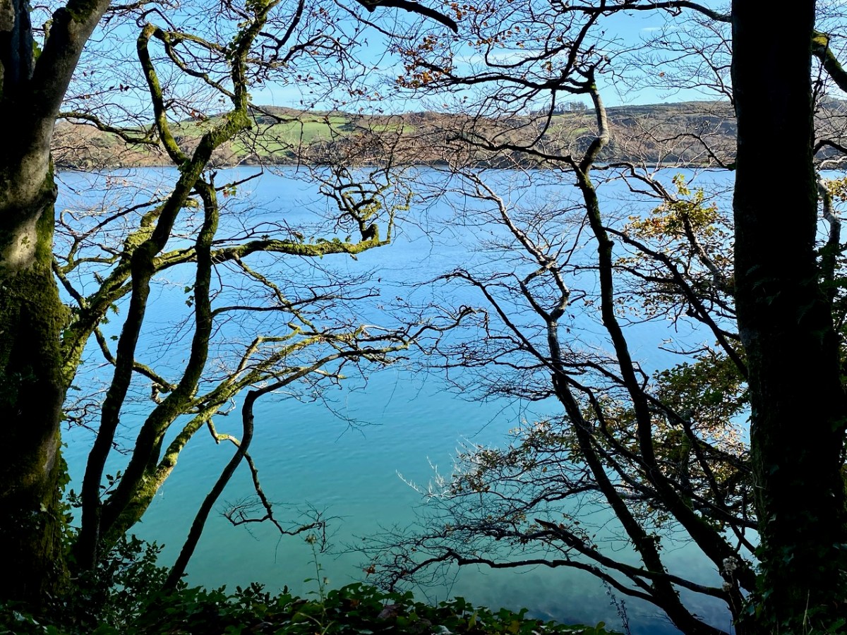
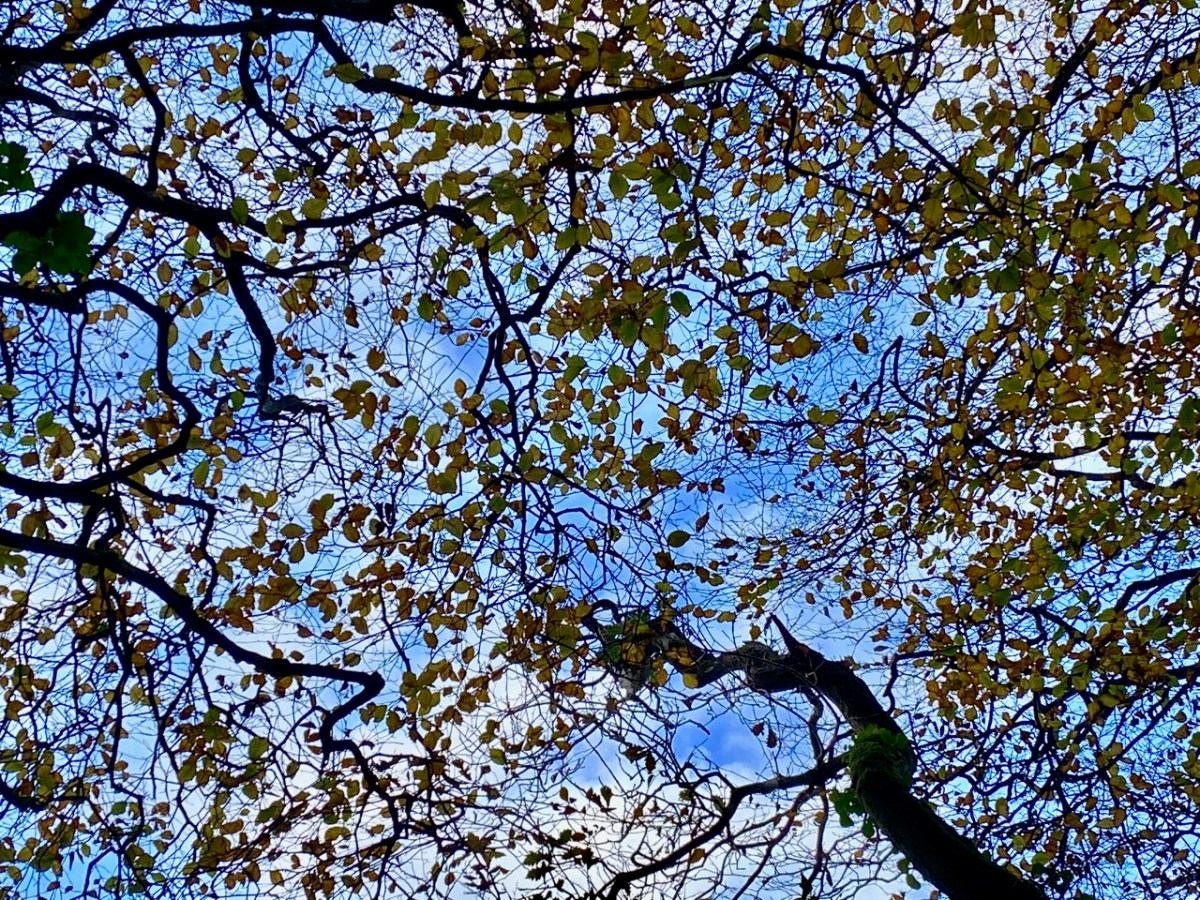
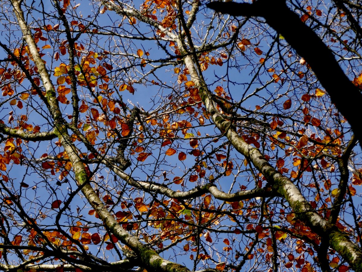
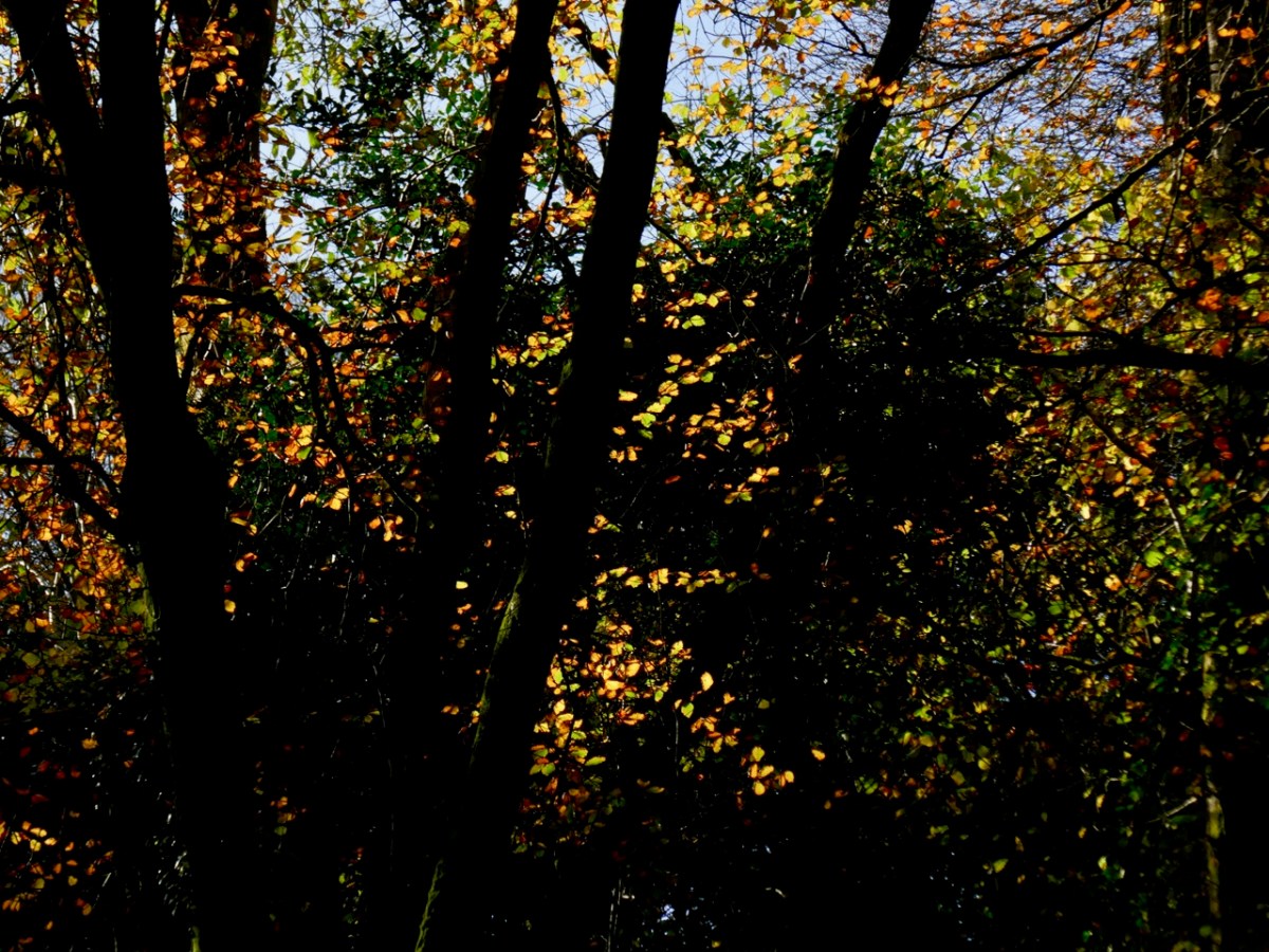
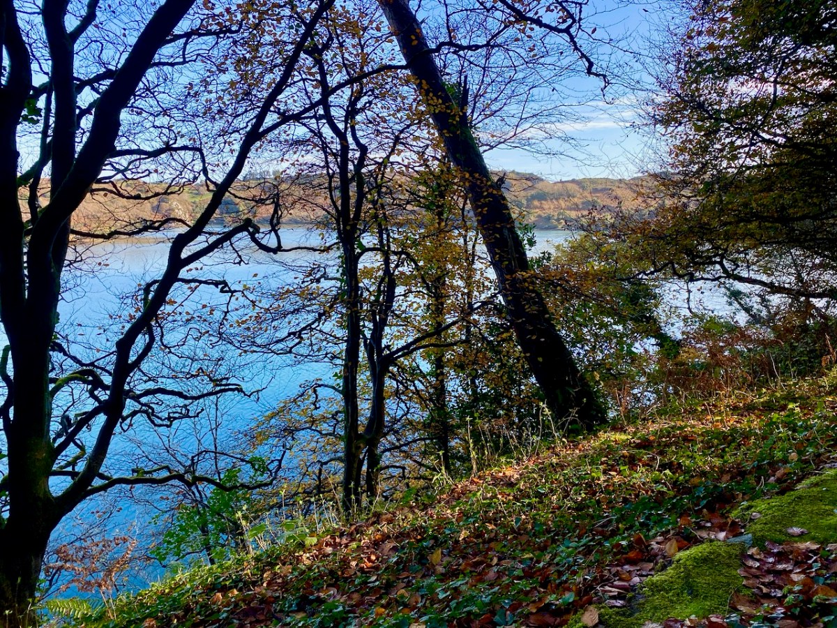
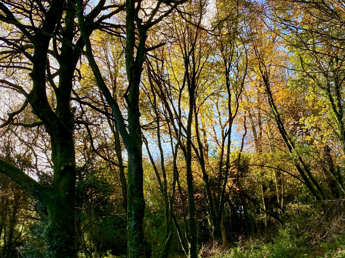
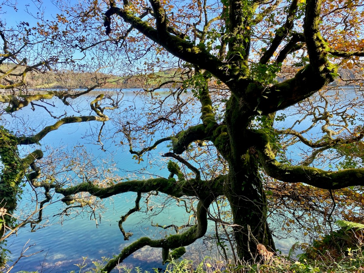
Wild West Cork: a rugged landscape of mountains, a myriad patchwork of pastures; inlets, coves, spruce plantations and an archipelago of mostly unwooded offshore islands. Where are the deciduous trees? This is what we ask ourselves when autumn comes and we want to see the changing colours; the wistful season of autumn at its best. The answer, for us, is Lough Hyne!
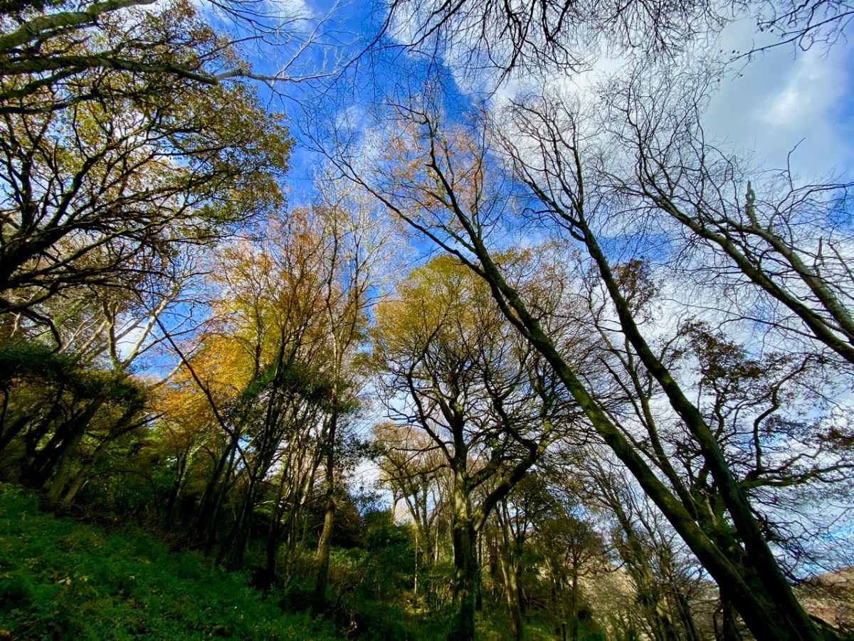
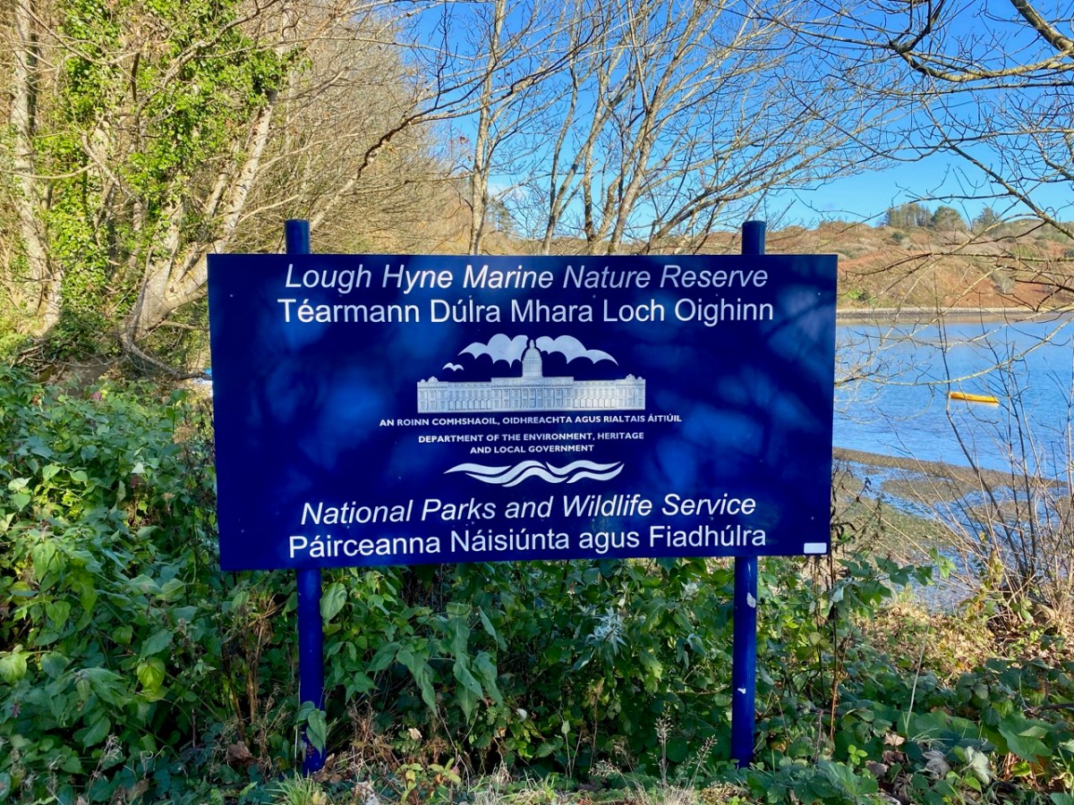
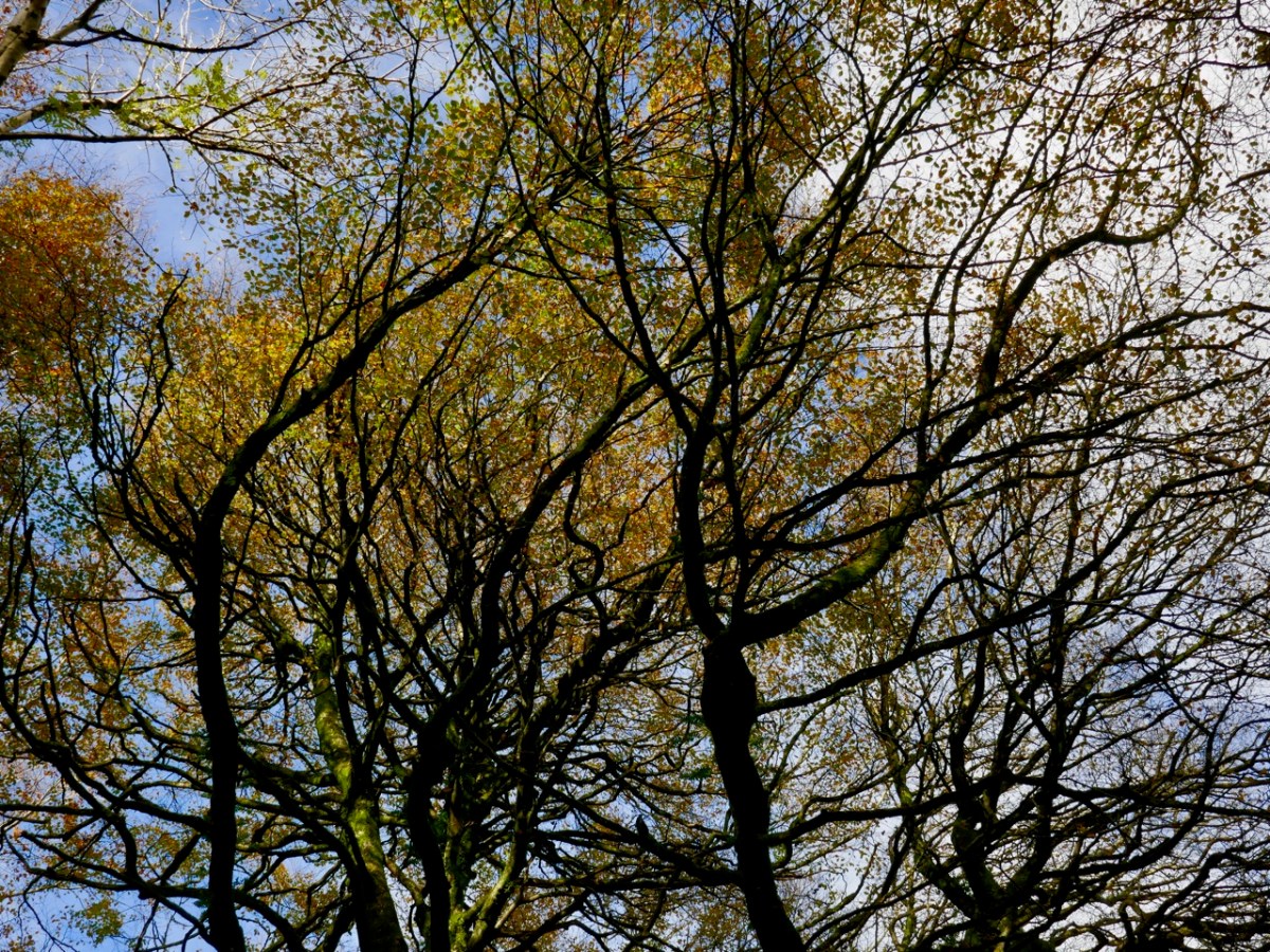
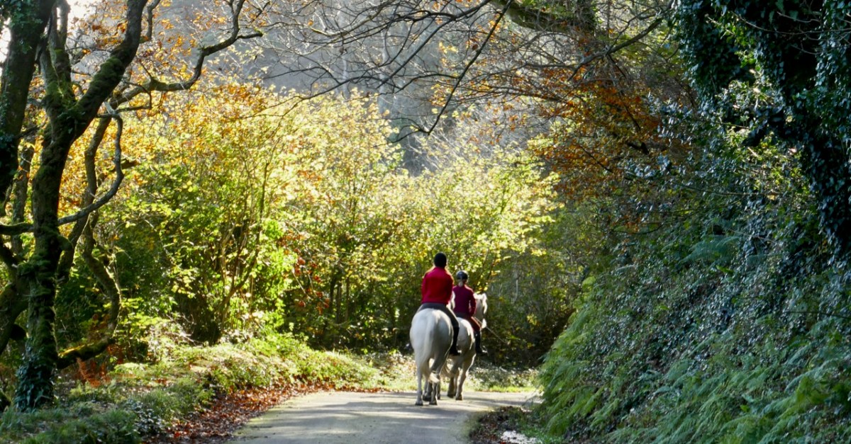
It’s just a skip and a jump to this tucked-away corner of our world. Once there, we are in a unique environment. It is Ireland’s first Marine Nature Reserve – international recognition for the ecology of this special place where not only the (salt) water is important both above and underneath the lake’s surface, but the immediate surroundings are hopefully sacrosanct for all time. These environs include woodlands which are just at this moment on the threshold of turning gold: we know gales are on the way which will tear and disperse them as winter sets in. Here’s a little tour of the paths on the edge of the water, featuring – above all – colour and texture: a feast for our eyes!
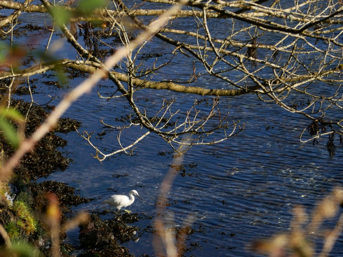
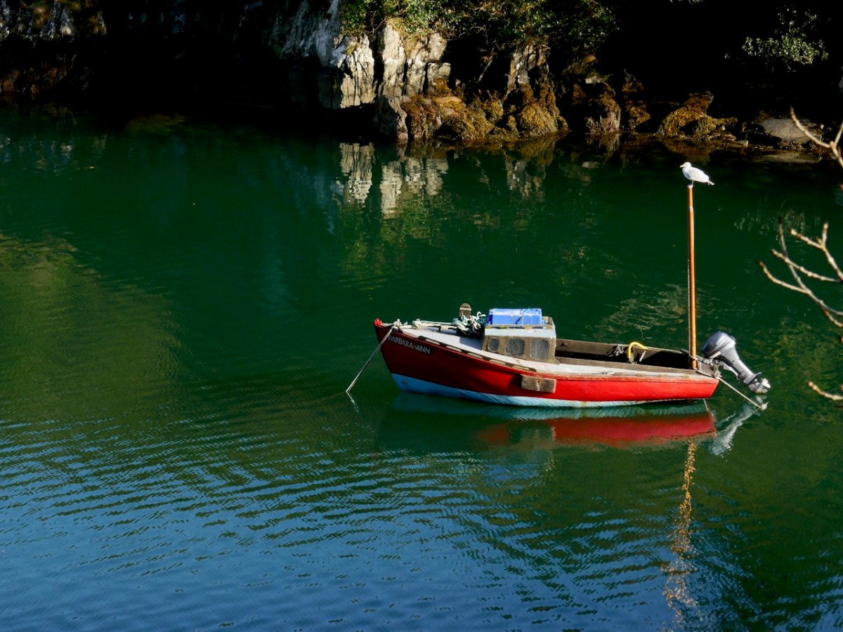
While the leaves are our main focus, everything else is worth a pause. The colour of the lake itself, certainly the wildlife it supports, but also the juxtaposition of boats, stone walls, shadows and sky are all brought to life by the early November sun.
I can’t resist quoting William Makepeace Thackeray’s description of his travels through ‘The City of Skibbereen’ to Lough Hyne, which we find in his Irish Sketch Book, published in 1843. Thackeray, the English writer best known for Vanity Fair and Barry Lyndon, spent four months travelling around much of the country and – although he appeared to enjoy himself – he didn’t have many good words to say about Ireland or the Irish . . .
THAT light four-inside, four-horse coach, the “Skibbereen Perseverance,” brought me fifty-two miles to-day, for the sum of three-and-sixpence, through a district which is, as usual, somewhat difficult to describe. A bright road winding up a hill; on it a country cart, with its load, stretching a huge shadow; emerald pastures and silver rivers in the foreground ; a noble sweep of hills rising up from them, and contrasting their magnificent purple with the green; in the extreme distance the clear cold outline of some far-off mountains, and the white clouds tumbled about in the blue sky overhead.
* * *
Of all the wonderful things to be seen in Skibbereen, Dan’s pantry is the most sublime: every article within is a makeshift, and has been ingeniously perverted from its original destination. Here lie bread, blacking, fresh butter, tallow-candles, dirty knives — all in the same cigar-box with snuff, milk, cold bacon, brown-sugar, broken teacups and bits of soap. No pen can describe that establishment, as no imagination could have conceived it. But – lo! – the sky has cleared after a furious fall of rain — and a car is waiting to carry us to Loughine . . .
Thackeray – Irish Sketch Book 1842
ALTHOUGH the description of Loughine can make but a poor figure in a book, the ride thither is well worth the traveller’s short labour. You pass by one of the cabin-streets out of the town into a country which for a mile is rich with grain, though bare of trees; then through a boggy bleak district, from which you enter into a sort of sea of rocks, with patches of herbage here and there. Before the traveller, almost all the way, is a huge pile of purple mountain, on which, as one comes nearer, one perceives numberless waves and breaks, as you see small waves on a billow in the sea; then clambering up a hill, we look down upon a bright green flat of land, with the lake beyond it, girt round by grey melancholy hills.
* * *
The water may be a mile in extent; a cabin tops the mountain here and there; gentlemen have erected one or two anchorite pleasure-houses on the banks, as cheerful as a summer-house would be on a bleak plain. I felt not sorry to have seen this lonely lake, and still happier to leave it. There it lies with crags all round it, in the midst of desolate flatlands: it escapes somewhere to the sea; its waters are salt: half-a-dozen boats lie here and there upon its banks, and we saw a small crew of boys splashing about and swimming in it, laughing and yelling. It seemed a shame to disturb the silence so . . .
THACKERAY – IRISH SKETCH BOOK 1842
Thackeray’s Irish Sketch book is something we will return to in this journal, as it provides an unusual and, sometimes, surprising perspective on pre-Famine Ireland. But I can’t agree with him on Lough Hyne: grey melancholy hills . . . in the midst of desolate flatlands . . . Clearly, he cannot have visited on an autumnal day, and neither was he favoured by the sun. Perhaps there is a poetic justice there, somehow: we embrace everything that Ireland – and West Cork – has to offer; possibly his acute and carping scrutiny of the detail removes from him the more rewarding overview? For us, Lough Hyne was idyllic!
This is a topical post, as only this week we heard the news that the Book of Lismore has been donated to University College, Cork to become the centrepiece of the library there. It will be accessible to students and will contribute to the knowledge and study of Gaelic manuscripts dating from the 15th century.
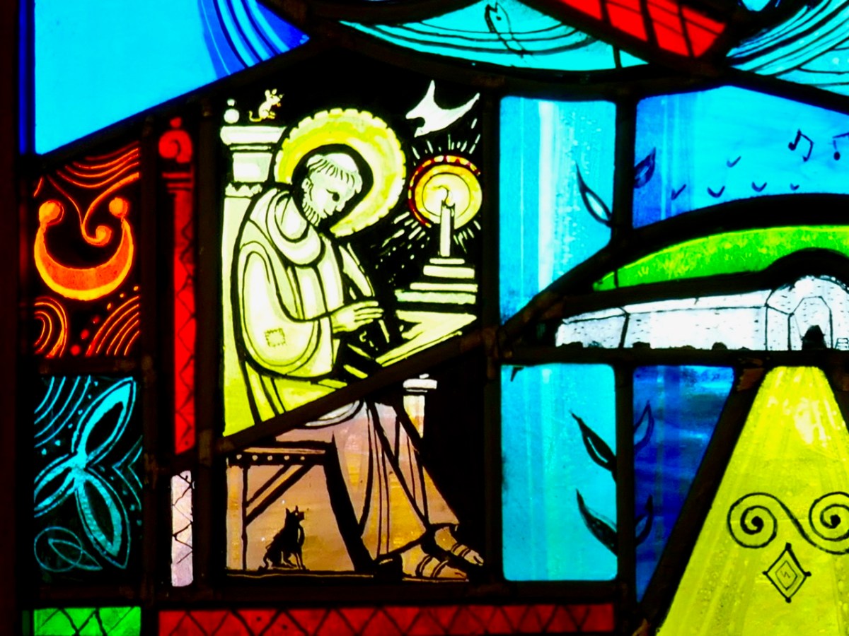
When we think of ancient Irish manuscripts we might visualise the Book of Kells, which is on display in Trinity College, Dublin. It’s remarkable to think that the Book of Lismore is over 500 years old, but that the Kells manuscript predates it by 600 years: it was created around 800AD. Here’s a scribe (from Finola’s window by George Walsh) who could be from any of those medieval periods when monks and lay brothers worked away in their scriptoriums making, copying and illuminating beautiful works which have become our most precious historical documents:
The Book of Lismore is written on vellum, and was compiled for Fínghin Mac Carthaigh, Lord of Carbery (1478–1505) and his wife Caitlín. It became known as Leabhar Mhic Cárthaigh Riabhaigh. It is entirely in Irish. What has really excited us is that, in introducing the installation of the book at Cork, UCC Professor of Modern Irish Pádraig Ó Macháin mentioned our own locality:
[The book] belongs to a period of creativity which was centred on the coastline of Cork. It is difficult to imagine those seats of learning and literature today when you look at the remote rural landscapes . . . In Rossbrin Castle – the O’Mahony stronghold – translations, treatise and journals were being made using contemporary European resources: it was a proto-university in pre-urban Ireland, paralleled by the vibrant poetic tradition of the O’Daly family in nearby Mhuintir Bháire [The Sheep’s Head] . . .
Pádraig Ó Macháin, 2020 (paraphrased)
Rossbrin (above) was only one of many castles occupied by the Gaelic nobility along the coastline here in the 15th century and beyond: this ties in with my post of last week when I explored a 1612 map and identified many centres of occupation and scholarship which surely made West Cork so vibrant and cosmopolitan in earlier times. Books are known to have originated here – including the first to be written in Ireland on paper – and some of them survive to this day.
All the page illustrations in this post come from the Book of Lismore. It has a complex history and is likely to be by many hands. One – Aonghus Ó Callanáin – is certainly identified within its pages, and another – a friar named O’Buagachain is suggested. Tradition has it originating from the lost Book of Monasterboice and associates it with Kilbrittain Castle, Cork – reportedly the oldest inhabited castle in Ireland, dating from as early as 1035 and possibly built by the O’Mahonys – but also with the Franciscan Friary at Timoleague.
Upper – Kilbrittain castle in the present day: the original building is a thousand years old. Lower – the Friary at Timoleague, a foundation attributed to the MacCarthys in 1240, and plundered in the 17th century
The book fell into the hands of Richard Boyle, First Earl of Cork, during the Irish civil war in June 1642 and ‘vanished’ until its rediscovery in Lismore Castle in 1814. Apparently it was walled up together with the Lismore Crozier. By then the castle was owned by the Cavendishes, Dukes of Devonshire. It is this family that has donated the book to Cork and the nation, through the Chatsworth Settlement Trust.
Upper – Lismore Castle by TS Roberts, Aquatint and etching 1795 print by Samuel Alken. Lower – The Book of Lismore and the Lismore Crozier celebrated in this Celtic Revival stained glass window of St Carthage in Lismore Cathedral. The window is by Watsons of Youghal, and you can read more about them in Finola’s post here
One further thought: today is ‘All Saint’s’ – November 1st. The contents of the Book of Lismore include a section on the lives of the Irish Saints: these lives were translated by Whitley Stokes in 1890 and are available to read online. Finola has used this source in her post about Saint Fanahan, or Fionnchú. We look down on Rossbrin Cove and the ruins of the medieval O’Mahony castle – sometimes described as the greatest centre of learning in Europe! We feel excitement and gratitude that here in West Cork we are linked to this treasure from that age, now in the responsible hands of UCC.
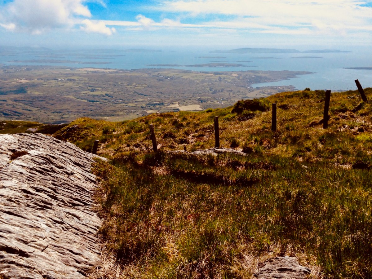
Roaringwater Bay must be so familiar to you, if you are a regular reader of this Journal. It’s a land- and sea-scape of hidden coves, inlets, islands, mountains and castles: a treasure trove for explorers and historians. That’s Black Castle at Castlepoint, Leamcon, above – said to have been built by Connor O’Mahony in the mid fifteenth century. Probably the best place to get an overview of the coastline is to climb to the top of Mount Gabriel (407m) and have a look down. You will see stretched out the archipelago of ‘Carbery’s Hundred Isles’ – seen here in autumnal hue – Cape Clear is the distant remote landfall over on the right:
We always have a sizeable pile of books waiting to be pored over. Currently at the top is this study, The Alliance of Pirates, written by Connie Kelleher and just published (2020) by Cork University Press. We have yet to consume every detail, but we do assure you that it’s full of fascinating historical information – not just about pirates, but about life and culture in the west of Ireland in the late sixteenth and early seventeenth centuries. Connie is an ‘underwater archaeologist’ and we have followed her over many years, lecturing and presenting original information which she has gathered together on her subject. We couldn’t fail to be hooked on everything she says, illustrates and writes about, as the focus is on our own doorstep. One linchpin of this book is a map which is dated to 1612. This article from Atlas Obscura explains the map and Kelleher’s approach. It’s worth reading: note that you may be required to register on the Atlas Obscura website (it’s free) in order to access it.
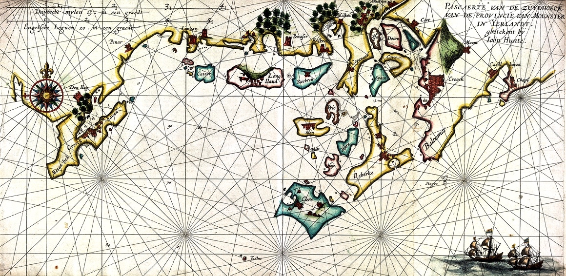
The purpose of today’s post is to examine the 1612 map in detail and attempt to identify and relate to many of the places which are named and illustrated. Before that, though – let’s consider how such a chart came to be made. Finola has written previously about how West Cork as a whole was being mapped in the sixteenth and seventeenth centuries here and here. The thing that sets the 1612 map apart, however, is that it was made in secret, and largely from surveys only carried out at sea. Also, it was specifically intended to enable a Dutch fleet to assail the pirate strongholds which became numerous around the area from Baltimore to Crookhaven, centred on Roaringwater Bay and ideal for forays into the wider Atlantic trade routes.
The sheltered waters of Crook Haven – an important recognised centre for careening and victualling ships operating legitimately on the Atlantic trade routes: ships that would become prime targets for the pirates based in secret ‘nests’ along the same coastline
. . . In 1612, having grown tired of the ongoing pirate harassment, the Dutch government lobbied James I for permission to enter the harbours of southwest Ireland to attack the pirates themselves. James I agreed, but only under the conditions that the pirates would be captured alive and handed over, along with captured goods, to the Kings’ ships to be transported for trial by the Admiralty in England.
To prepare their ships for the attacks, Dutch hydrographer Hessel Gerritszoon was tasked with mapping the Irish coastline with a special focus on the “pirate coast” of southwestern Ireland. A large task in front of him, Gerritszoon engaged English cartographer John Hunt to assist. . .
Atlas Obscura
The leeskarte which the hydrographers produced still exists, and has been housed since the mid 1700s in the library at the University of Göttingen in Germany, which acquired it in the mid 1700s. During her researches, Connie Kelleher travelled to Göttingen to examine and document the map, which is a wonderful resource for enlightening us on some aspects of our local history.
. . . It is a type of ‘treasure map’ informing on the heritage within the landscape at the time, which could potentially help us identify other pirate-related locations, including archaeological sites . . .
Connie Kelleher
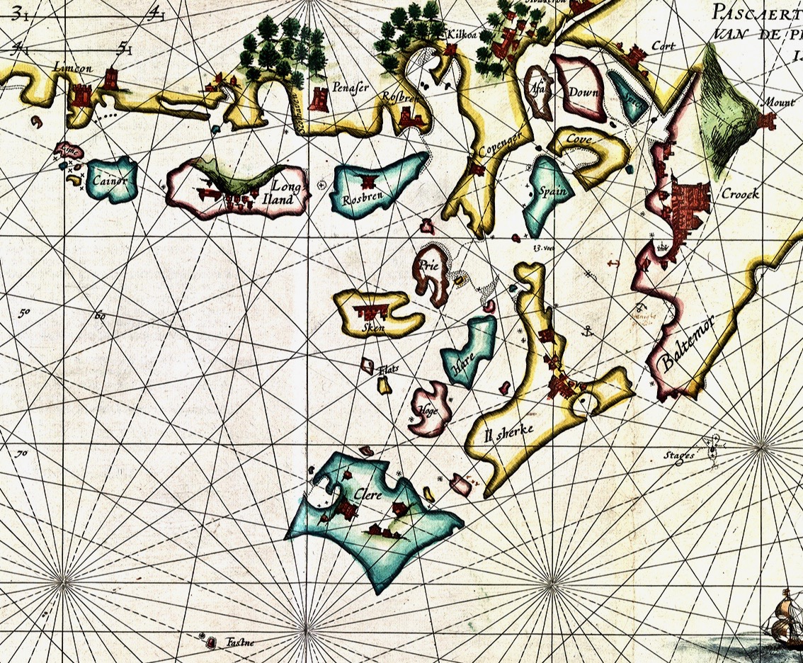
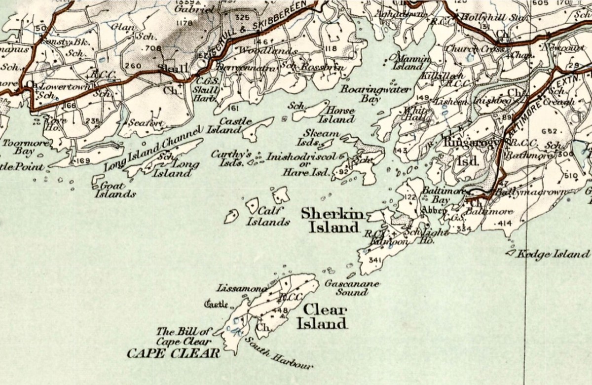
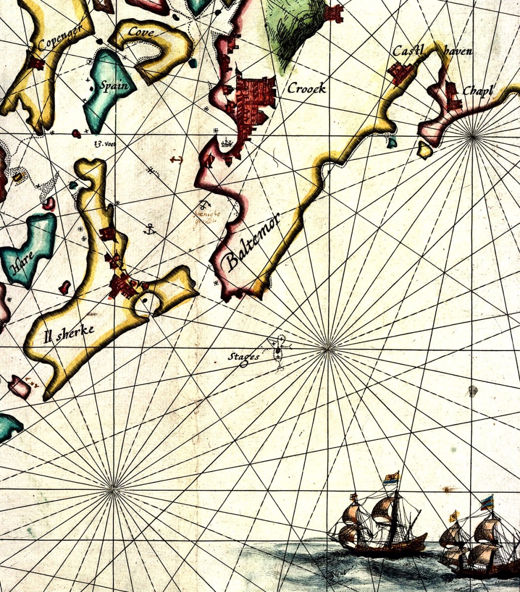
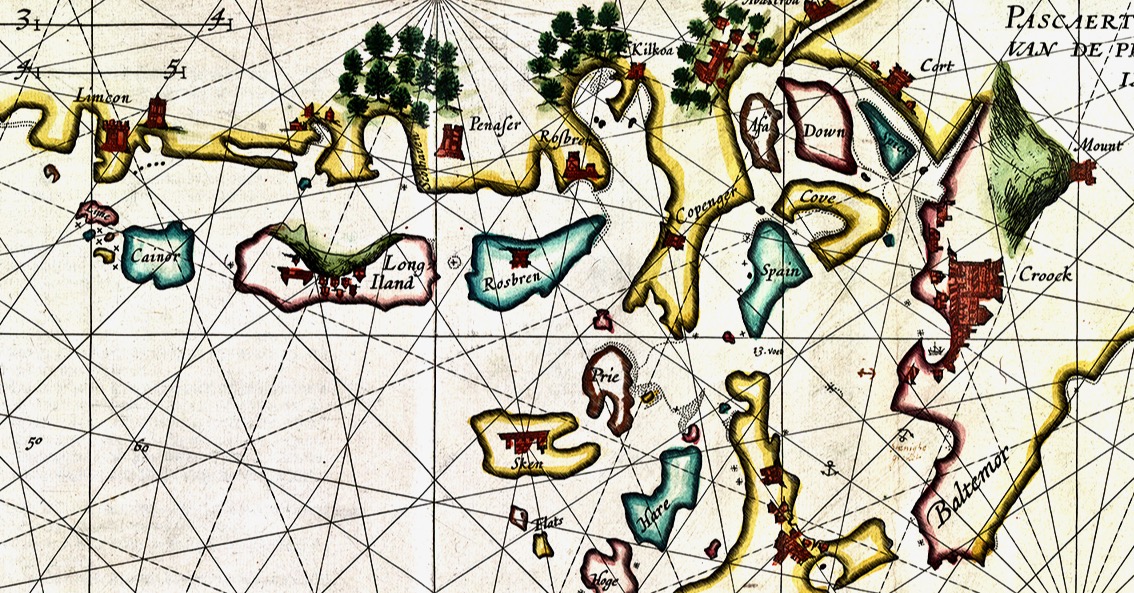
In this extract from the 1612 map I have focussed on our immediate area – the environs of Roaringwater Bay itself. Many names will ring bells with us (Clere, Baltemor, Rossbren for example); others won’t. For a simple comparison I have chosen a version of the historical 6″ Ordnance Survey map, dating from the late nineteenth century – it’s probably the clearest and best annotated example of what we would recognise around us today in terms of place-names:
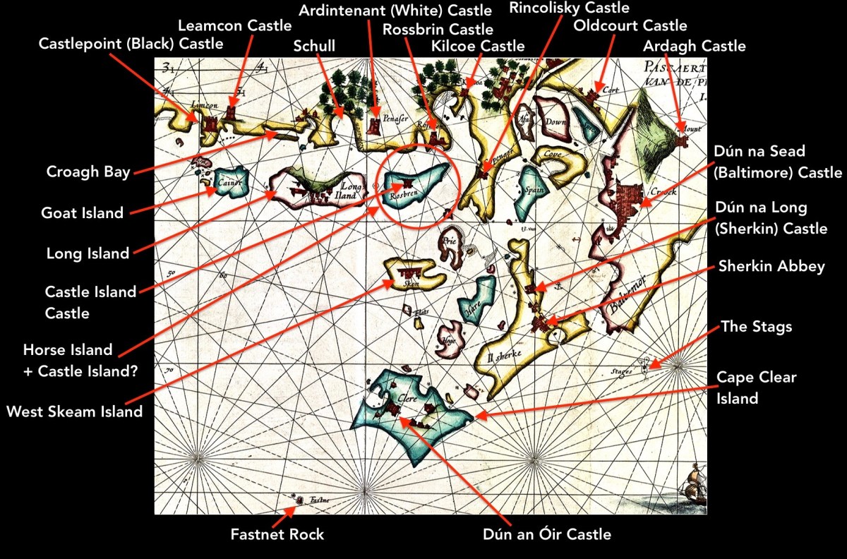
Here I have located and labelled our environs, as shown in 1612. It is remarkable that every castle and many significant features are clearly shown. Now, have a look at my red circle around ‘Horse Island + Castle Island’.
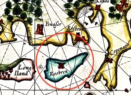
There’s an island missing! Opposite ‘Rossbren’ on the mainland is shown a single island: Rosbren. Next to it is Long Island. In fact, there are two islands here – Horse Island and Castle Island. On the 1612 map there is a castle shown on the Rosbren island, but the castle is actually on Castle Island. Somehow, the surveyors have missed this detail: perhaps the visual information which could be got offshore was confusing. What is interesting, though, is that the dotted lines at the east end of Rosbren on the 1612 map seem to mark the line of a causeway, the vestiges of which do appear today at very low tides and the feature exists in local folk memory. That level of detail on a chart, produced in the limited circumstances of its, time is remarkable! You can read more about Castle Island here.
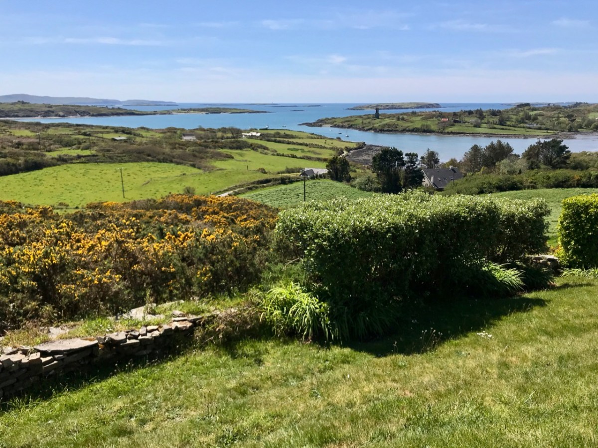
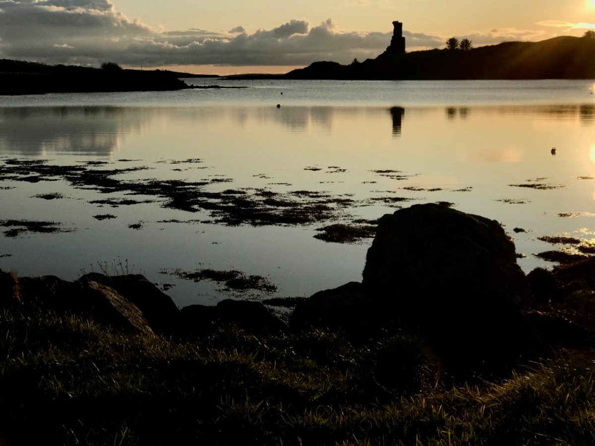
Our view across Rossbrin Cove with its O’Mahony castle and, beyond Rossbrin Castle, Castle Island. On the left of the picture is Horse Island
I want to show you some further details from the 1612 leeskarte. Firstly, here’s a close-up of Crookhaven (Croock haven on the map). Note the scales in Dutch miles and English leagues, and ‘Limcon’ – in fact Leamcon – which was one of the major pirate centres and also the territory of Sir William Hull, a Vice Admiral of Munster from 1609. His job description involved rooting out the plague of pirates in Roaringwater Bay but in fact entailing a lot of profitable collaboration with them. Also of interest here is the depiction of Goat Island – named ‘Cainor’ and a castle – ‘Penar’ which is likely to be Ballydevlin, at the mouth of Goleen harbour; also ‘Don Hog’, which we believe refers to Castlemehigan. There is no trace remaining of either of these two.
Another detail from the map (above) shows Spain Island, Sherkin and ‘Baltemore’. the depiction of galleons in full sail is a fine ornamental ‘illumination’. Also, note the small anchor symbols. In some places on the whole map, anchorage depths are shown: another remarkable factor highlighting the observation skills of the surveyors. Additionally on this detail, note the name ‘Croock’ – Thomas Crook, an Englishman, took a lease on Baltimore Castle in 1605. The ‘Chapl’ below Castlehaven is probably the now ruined church at Myross, detailed in my post here.
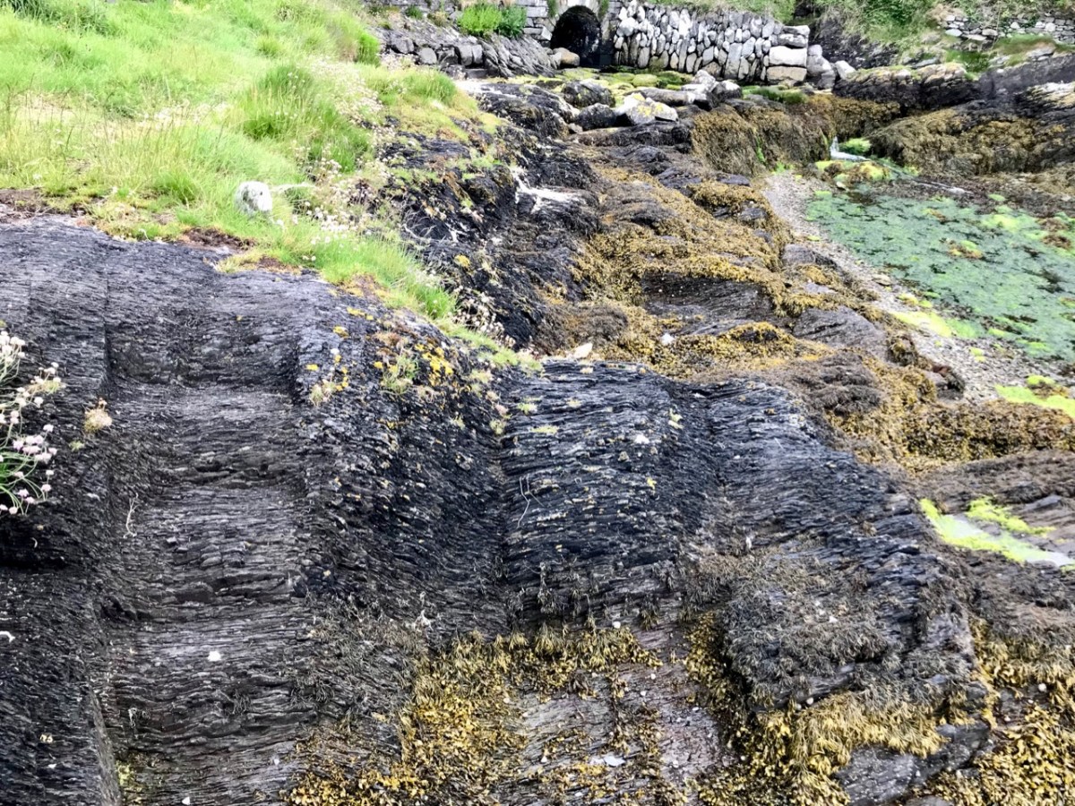
Our photograph of old (possibly ancient) steps carved into the rocks at Dereenatra. Connie Kelleher highlights the physical remains that can be found today in many of the former pirate strongholds around the coast of West Cork. Several are in the form of frequently hidden away steps and tying-up points in remote locations. I have included references to ‘pirate steps’ in a previous post. For the full picture, don’t forget to get hold of Connie’s book: it will make an ideal Christmas present for the archaeologists and pirate enthusiasts among you!
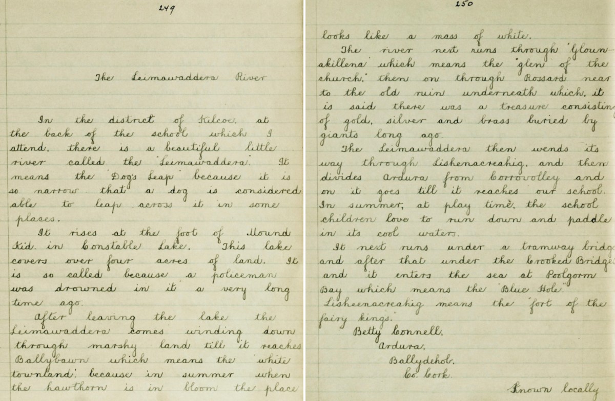
We set out to search for a lake in the hills above Ballybane West: it’s known as Constable Lake. There’s a story, of course – which I found in the Duchas Schools Folklore Collection, collected at Corravoley School in 1937. A whole gamut of stories, in fact, packed into two neatly handwritten pages. I don’t think I have ever found quite so much information on local lore in a single entry. Ammunition for a few more posts, perhaps!
In the district of Kilcoe, at the back of the school which I attend, there is a beautiful little river called the “Leimawaddera”. It means the “Dog’s Leap” because it is so narrow that a dog is considered able to leap across it in some places.
*
It rises at the foot of Mount Kid in Constable Lake. This lake covers over four acres of land. It is so called because a policeman was drowned in it a very long time ago.
*
After leaving the lake the Leimawaddera comes winding down through marshy land till it reaches Ballybawn which means the ‘white townland’, because in summer when the hawthorn is in bloom the place looks like a mass of white.
*
The river next runs through ‘Glounakillena’ which means the “glen of the church”, then on through Rossard near to the old ruin underneath which it is said there was a treasure consisting of gold, silver and brass buried by giants long ago.
*
The Leimawaddera then wends its way through Lishenacreahig, and then divides Ardura from Corravolley and on it goes till it reaches our school. In summer, at play time, the school children love to run down and paddle in its cool waters.
*
It next runs under a tramway bridge and after that under the Crooked Bridge and it enters the sea at Poolgorm Bay which means the “Blue Hole”.
*
Lisheenacreahig means the “fort of the fairy kings”.
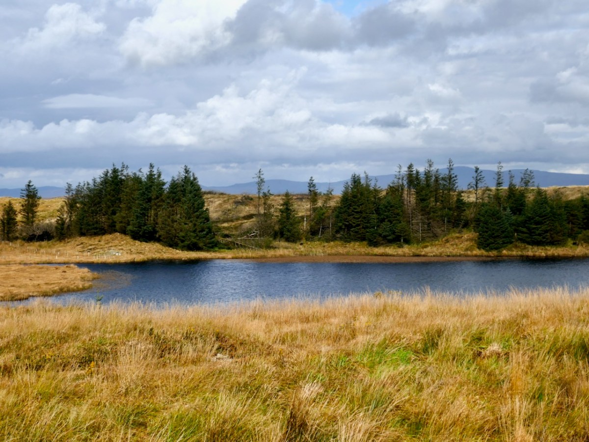
This view is cleverly framed to minimise the clues, but several readers gave the correct answer almost immediately. Here’s a more revealing picture:
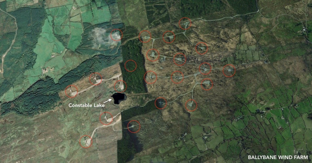
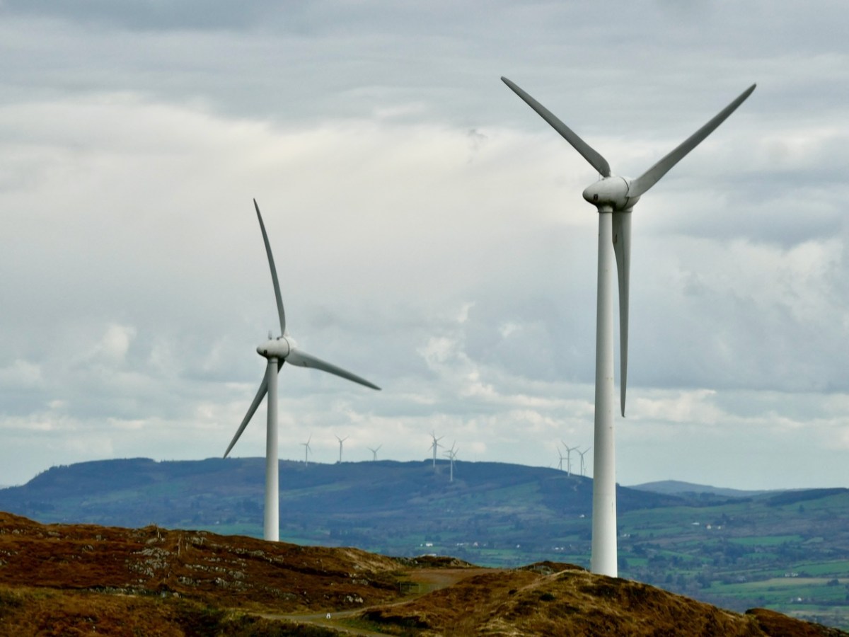
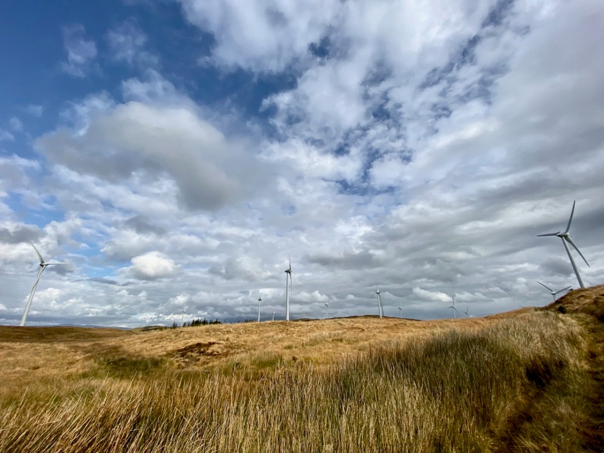
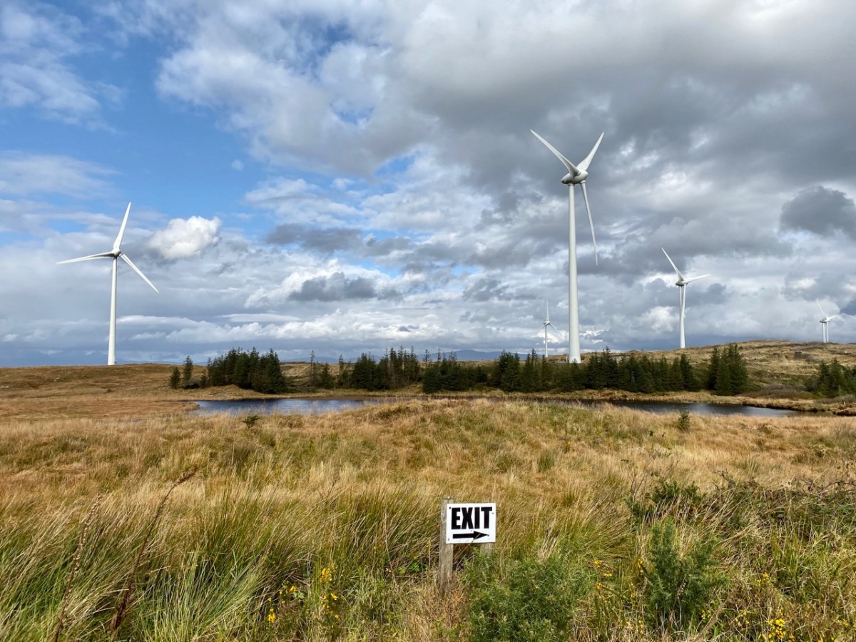
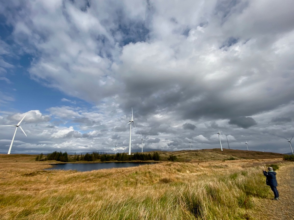
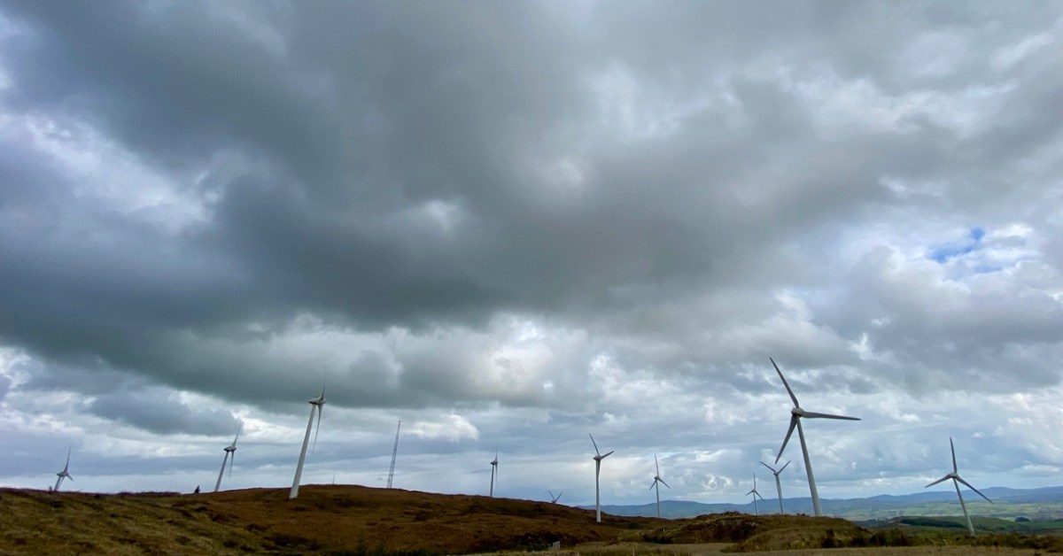
Constable Lake now lies within the boundaries of Ballybane Wind Farm and the 21 tall turbines can all be seen from its shores. It’s one of several farms in the West Cork area, strategically sited on the wild heathland ridges, working away at their mission of harvesting nature’s resources in order to provide us with electricity without burning fossil fuels.
Upper – on the aerial view I have marked each of the 21 turbines. Lower – from the Ballybane site the turbines at Drinagh and Coomatallin are visible
I find the turbines dynamic and exhilarating. I know there are many readers who will disagree with my opinion, and social media abounds with polarised views about them from all perspectives. It’s hard to home in on hard and fast truths on anything these days but I have read extensively – and scientifically – on the subject and it seems to me that these wind-turned appliances have a life expectancy of around 25 years, and they pay for their installation in less than two years. Of course, carbon emissions are involved in the construction and manufacturing processes but this is heavily outweighed by the carbon savings from running these instead of burning fossil fuels to produce our electricity. Dismantling costs are built in to the permissions, and there is no doubt in my mind that in 25 years time – or less – technology will have advanced towards other solutions.
A simple chart from 2017 (via FactChecking.org) which graphical shows how well onshore wind farms perform against other fuel sources. Only nuclear power is marginally better
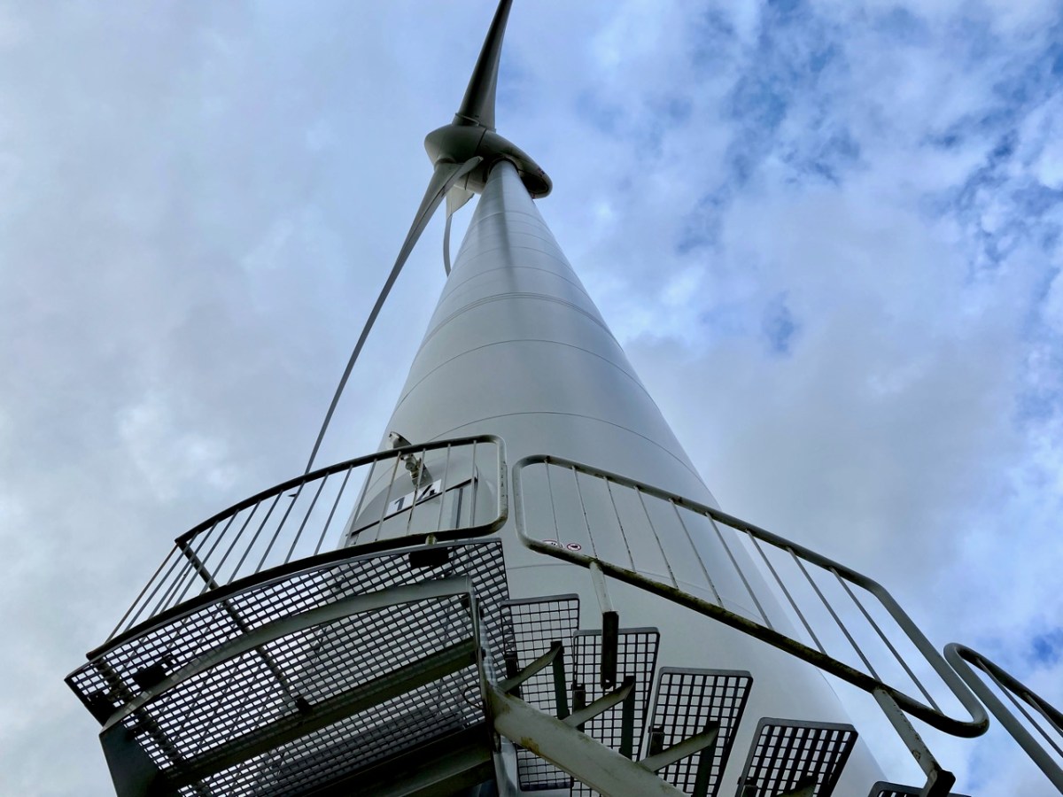
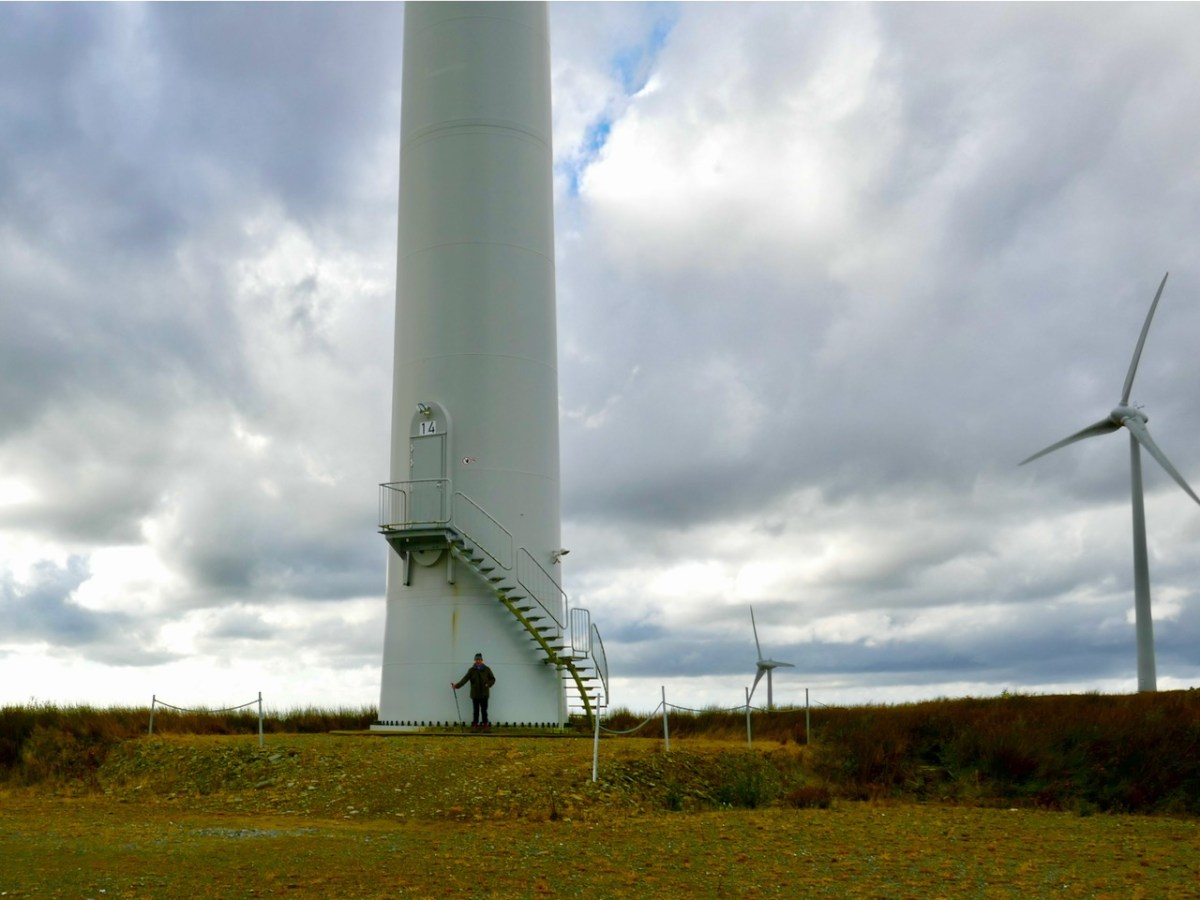
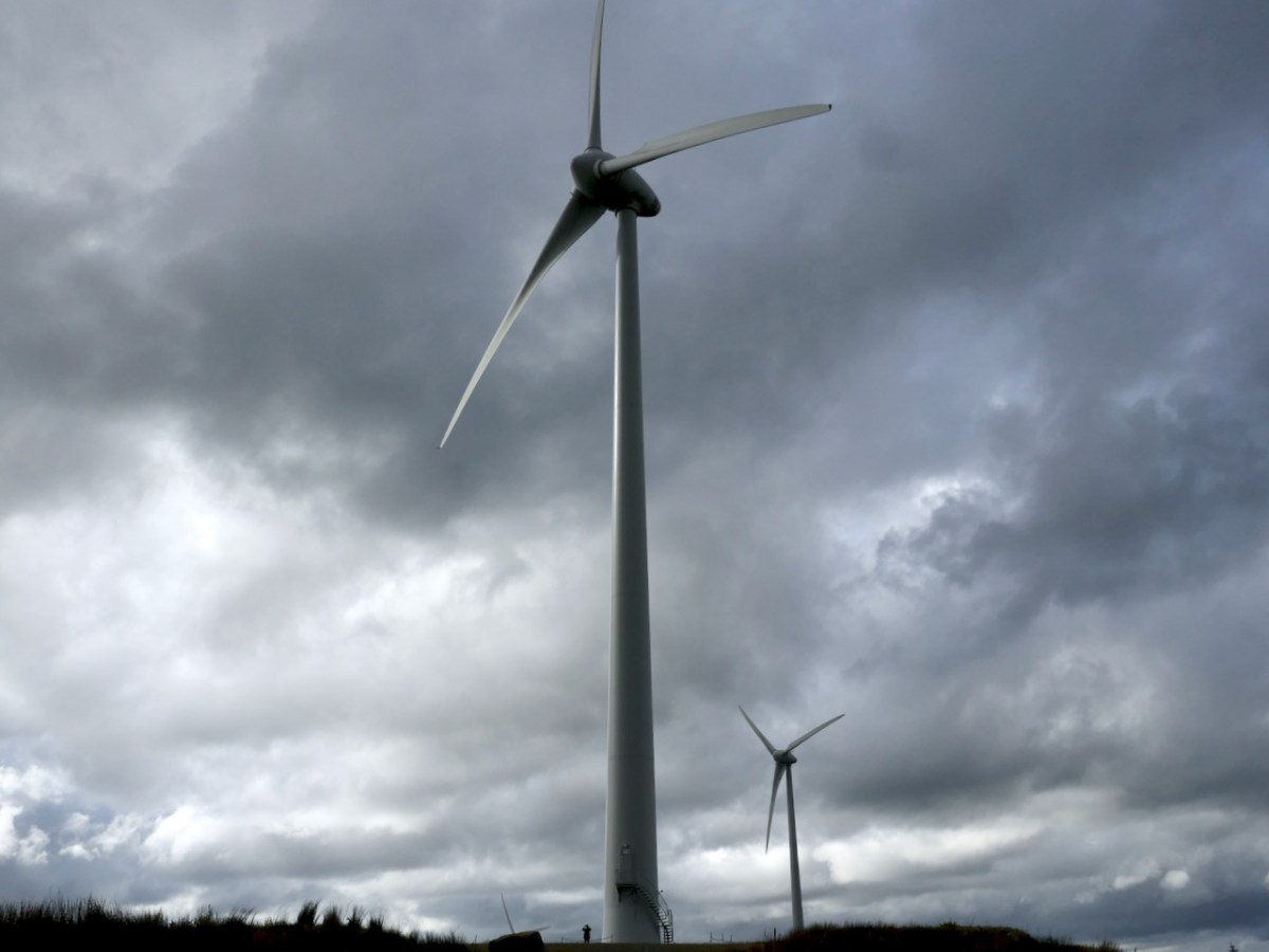
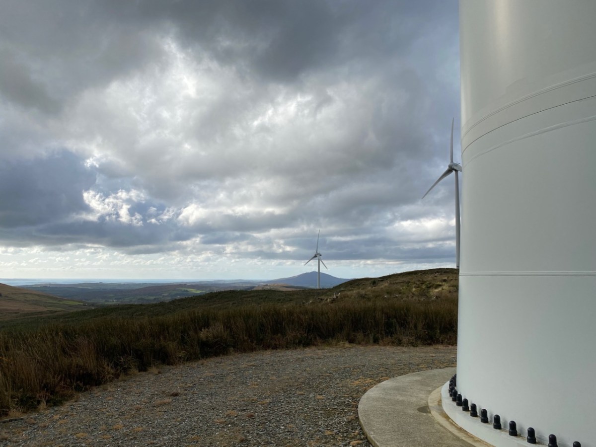
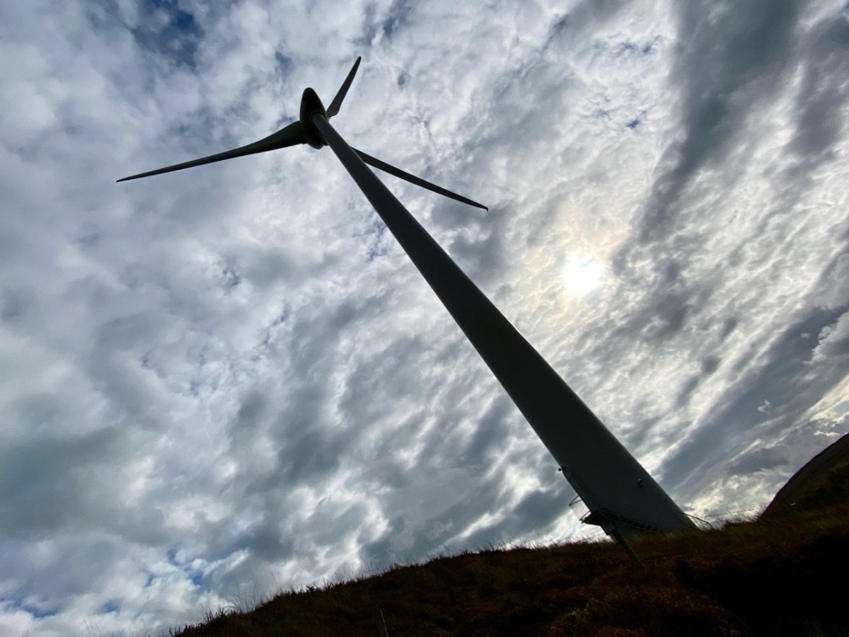
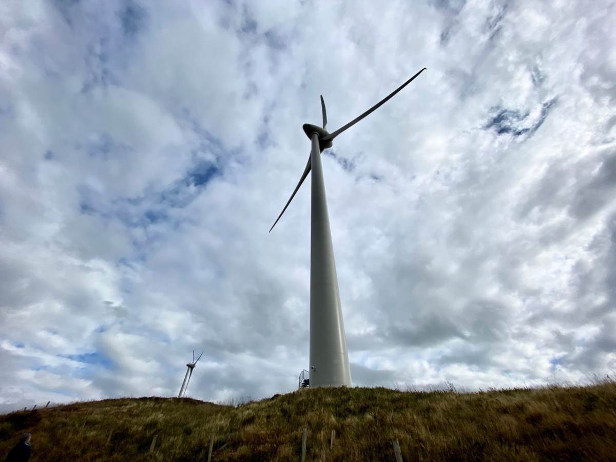
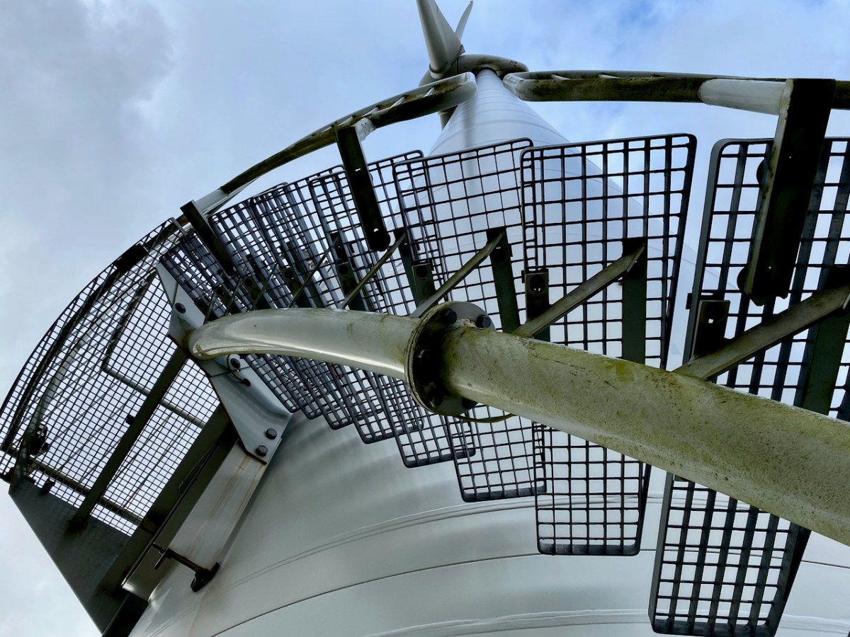
Wind turbines have a huge visual impact on the landscape, so their siting is important. In the case of Ballybane they have been constructed on heathland and in an area that was formerly commercial forestry. I personally prefer the elegance of the actively dynamic structures to a dark, impenetrable and seemingly sterile sitka spruce plantation. The scale is aweing: in the following photographs here’s me at the base of one of the 64m high towers (upper picture) and, below that, you can see me again – the very tiny figure to the left of the main turbine.
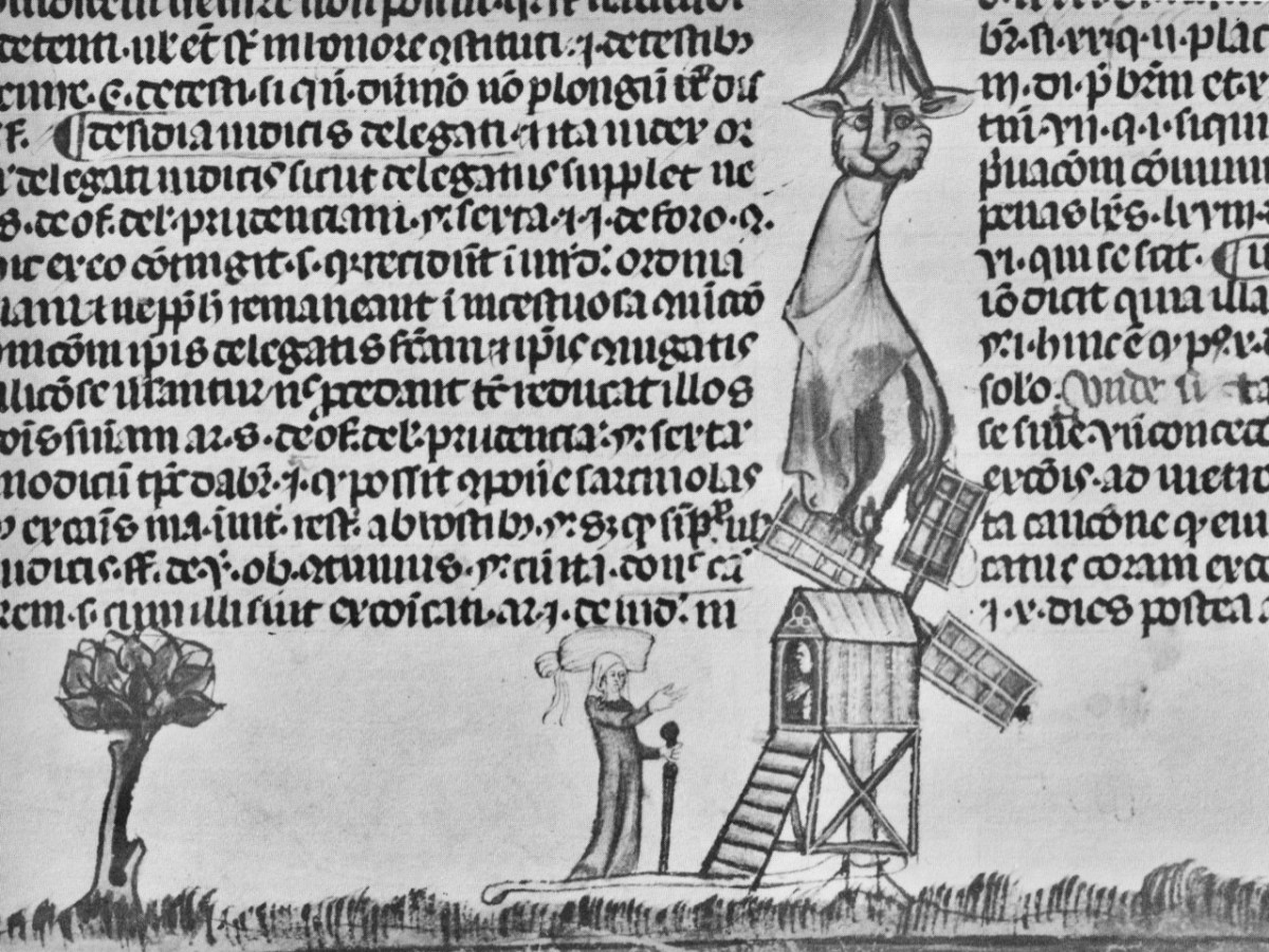
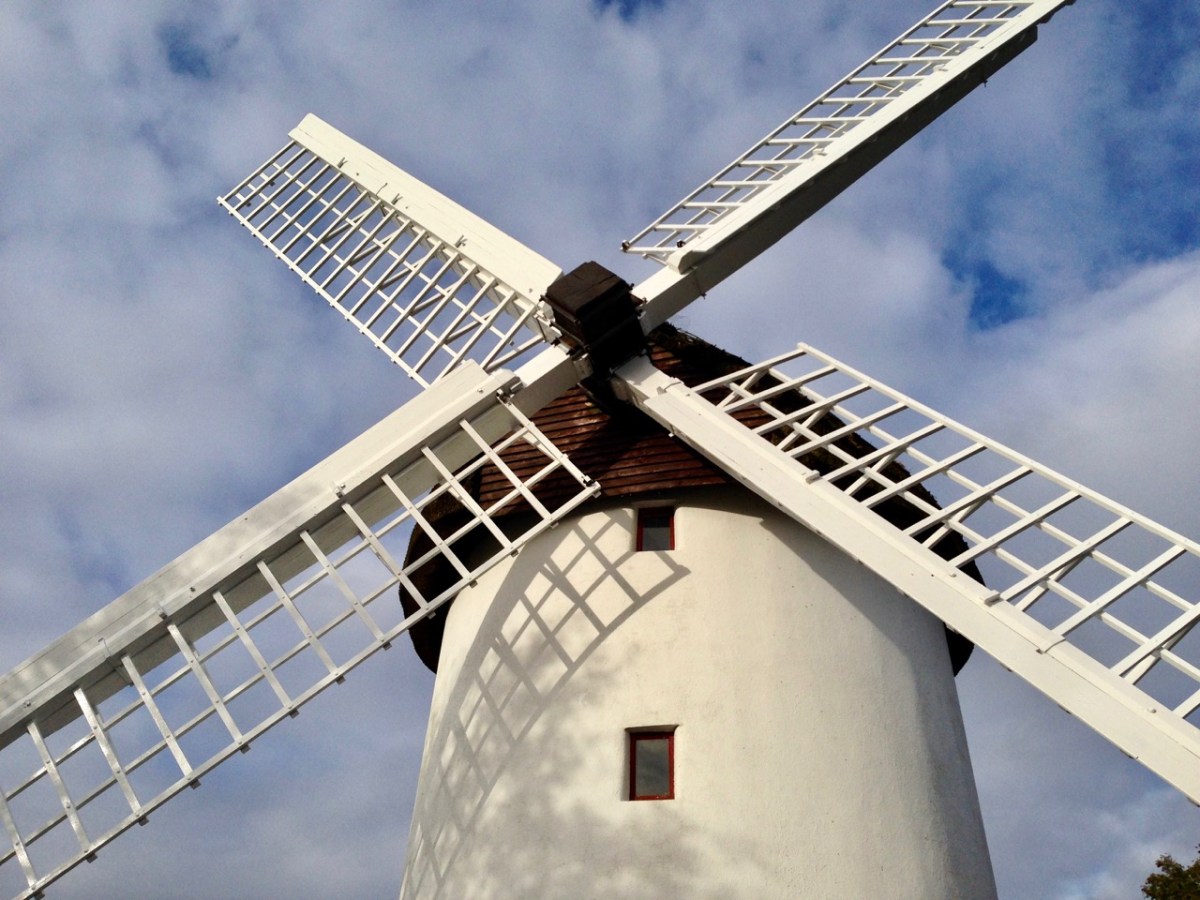
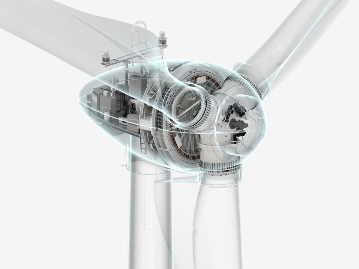
The machinery of industry has always fascinated me. Windmills go back a long way. The first image, below, is from the 14th century Decretals of Gregory manuscript in the British Museum. This is followed by our photograph of Elphin mill, County Roscommon, which dates from 1730 and is said to be the oldest in Ireland. Next, an exploded view of the nineteenth century flour mill at Chillenden, Kent, UK (courtesy of John Reynolds) and then a comparable view of the workings of the Enercon E-70 Wind Energy Converter, which is the unit in use at Ballybane and has a rotor diameter of 71 metres.
The Ballybane Farm will power about 40,000 homes a year on average. That’s modest compared to the newest developments. Currently the world’s largest installation – the offshore Hornsea One Farm, Yorkshire, UK – powers a million homes, while in the Netherlands a huge Haliade-X offshore turbine is being developed with a height of 260 metres and rotor blades of 220 metres in diameter: it’s said that each sweep of the blade will keep a house powered for a day. But that’s enough of the technical stuff. I enjoyed the experience of being close to these giants, and hearing the significant swish of those blades powering us into a safer, carbon reduced future.
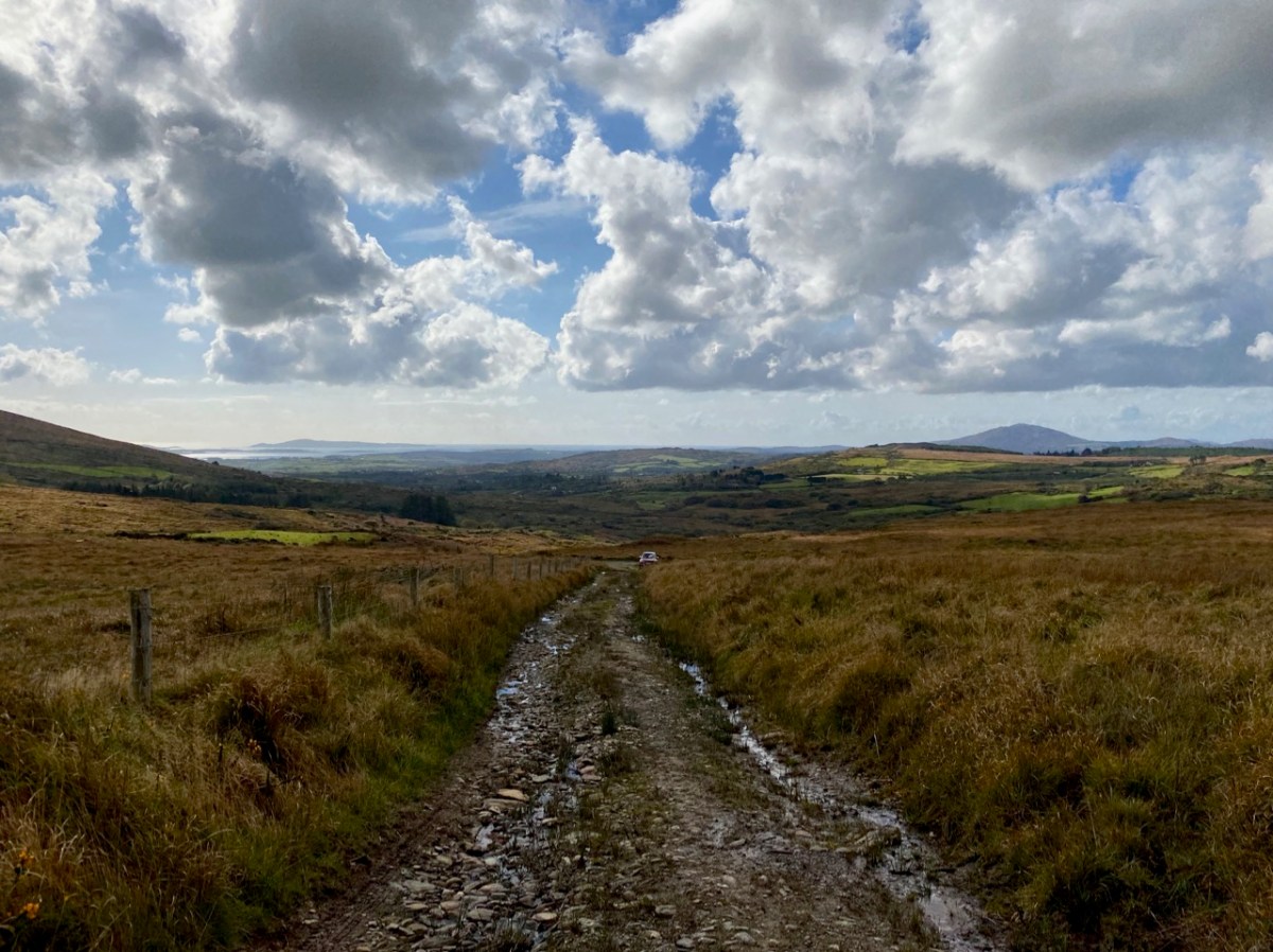
Above you can see the trackway leading us up to Constable Lake and the Ballybane Wind Farm. On the horizon is Roaringwater Bay and the distinct profile of Mount Gabriel. There’s an ancientness about this landscape that balances the surreal – somewhat ‘science-fiction’ – character of the turbines. For me, these elements complement each other, and the sheer scale of the contemporary engineering sets us apart from our slight, human selves – so vulnerable in these times.
Welcome to the UCD Library Cultural Heritage Collections blog. Discover and explore the historical treasures housed within our Archives, Special Collections, National Folklore Collection and Digital Library