Mizen Mountains 6 – Derrylahard East

The peak of Derrylahard East is perplexing. It’s on a continuation of the Eastern Mizen Ridge that runs from just west of Mount Corrin (which we visited exactly a year ago), takes in Letterlickey Cairn (ditto) and peters out close to the wind farm at Ballybane West (which we explored last October). At its highest point it overlooks Glanlough (from the Irish Gleann Locha – ‘Glen’ or ‘Meadow’ of the lake). We must not be confused or misled by another Glanlough nearby – on the Sheep’s Head peninsula, nor yet another in Co Kerry.
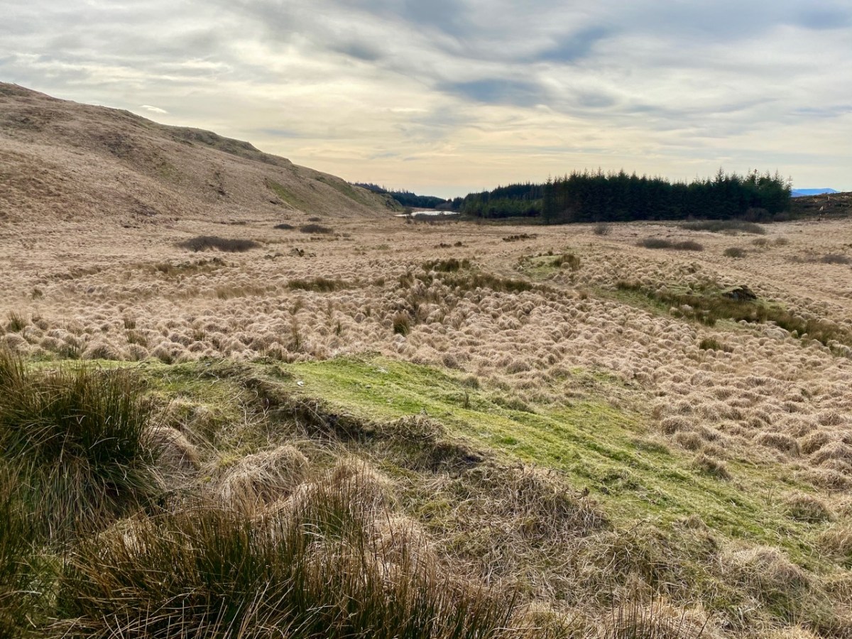
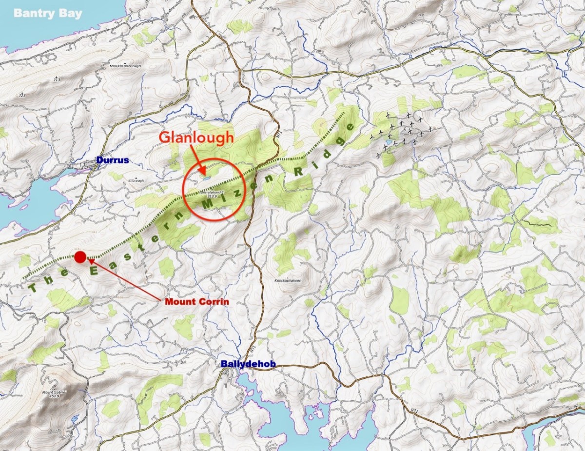
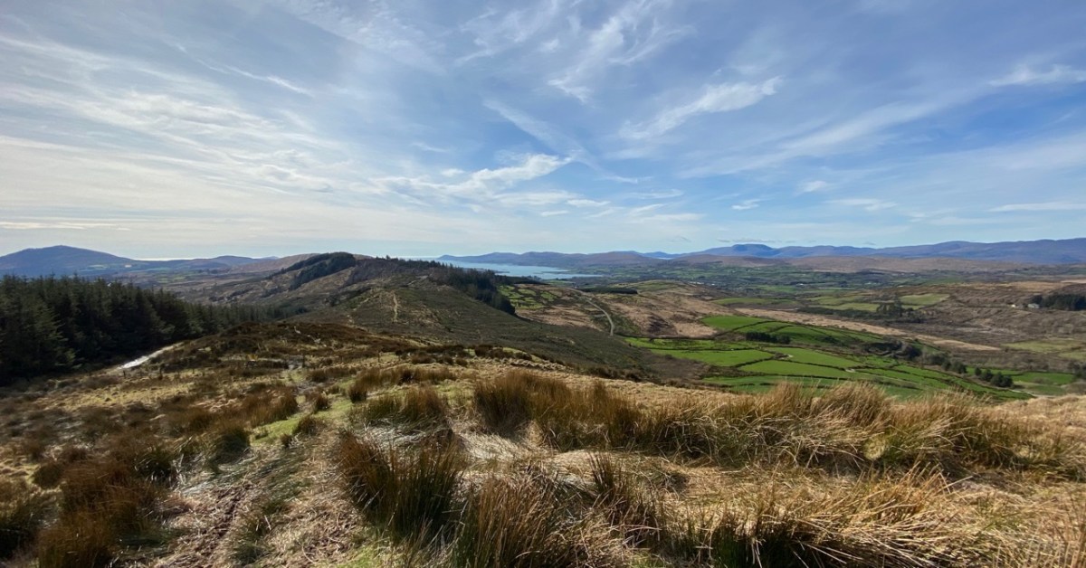
On the map above I have indicated Glanlough, which is central to our most recent peregrination. It is a mountain lake which has been virtually hidden over the last decades by thick commercial pine forests. Very recently, much of the forest has been felled, and views from the top of the ridge are now revealed: they are magnificent and far-reaching. In fact, from the high point we found we could see the 12 arched bridge at Ballydehob – which means. of course, that we can also see Derrylahard East from our own village.
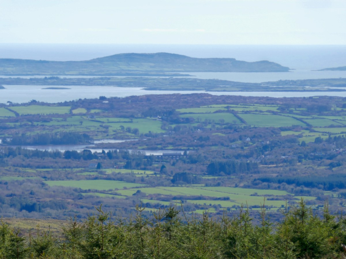
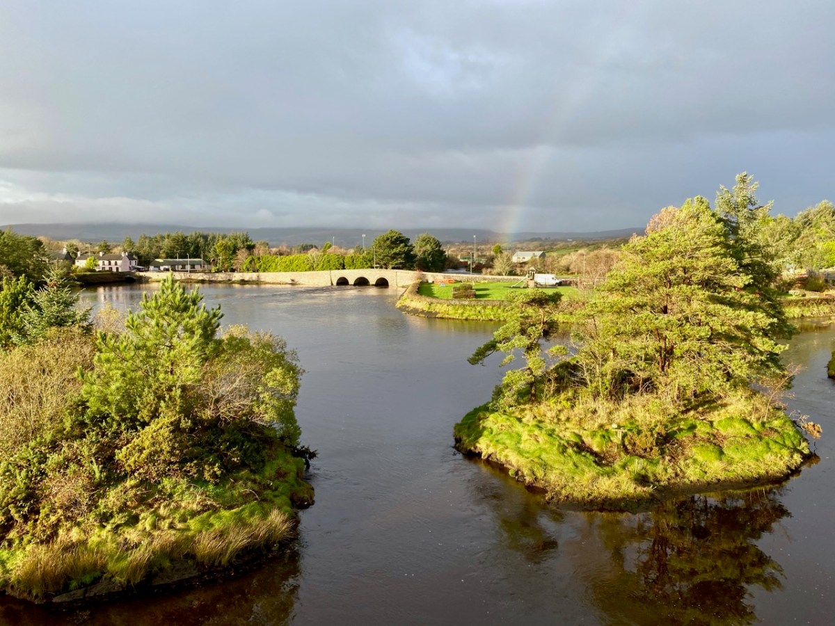
The upper picture was taken from the Derrylahard East Peak with a lens stretched well beyond its limit, but you can see the 12 arched bridge and the sandboat quay house just below the centre of the view: Cape Clear is on the horizon. The lower picture was taken a while ago from the 12 arched bridge in Ballydehob, looking north towards the Derrylahard East Peak, which is swathed in cloud to the left of the rainbow.
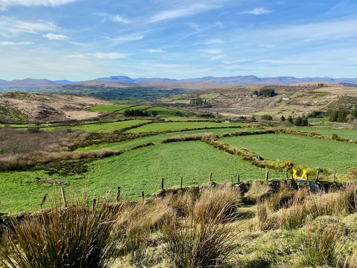
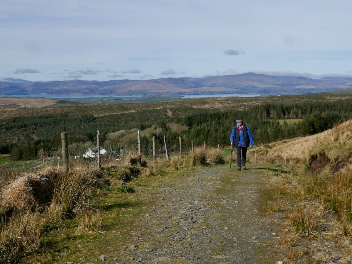
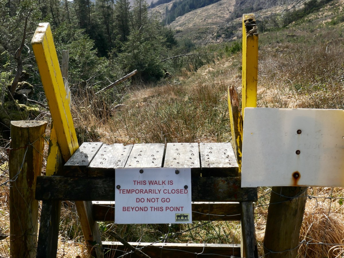
We started the walk at the western end of the loop: we accessed it from a road that runs through the forestry from Barnageehy down to Durrus. As we gained the higher ground we could see the ridge path that would lead west through to Mount Corrin – currently closed due to storm damage. We turned uphill and kept close to the townland boundary. Below – Finola is correctly negotiating the stile by going backwards down the steps!
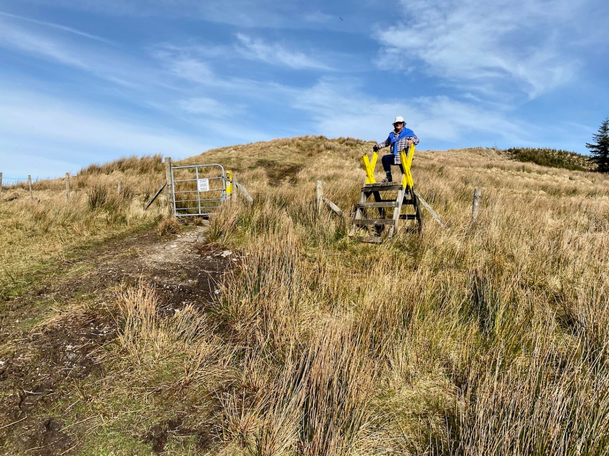
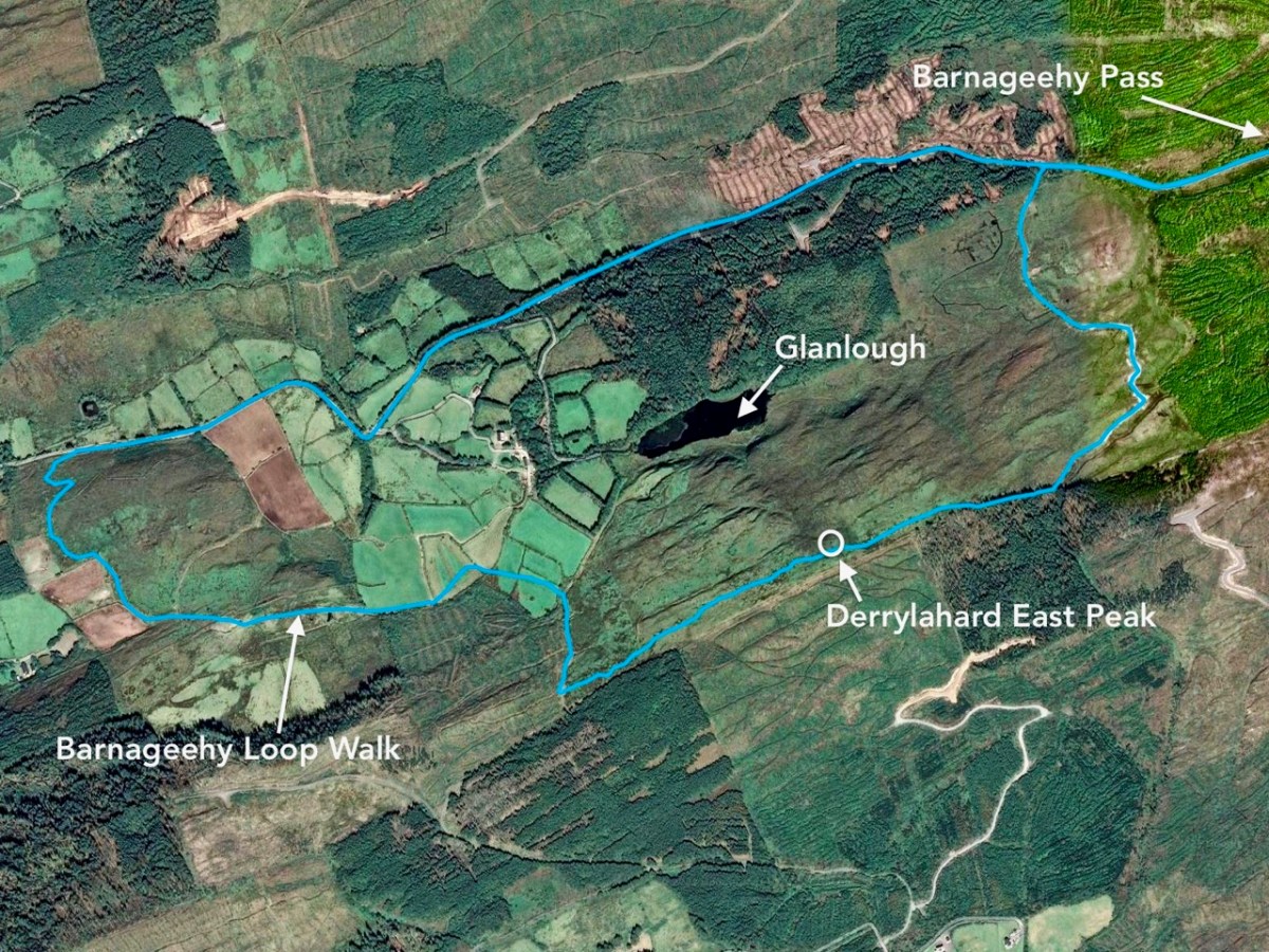
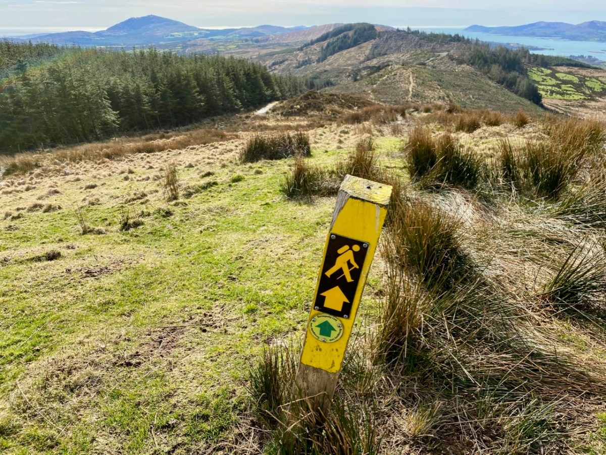
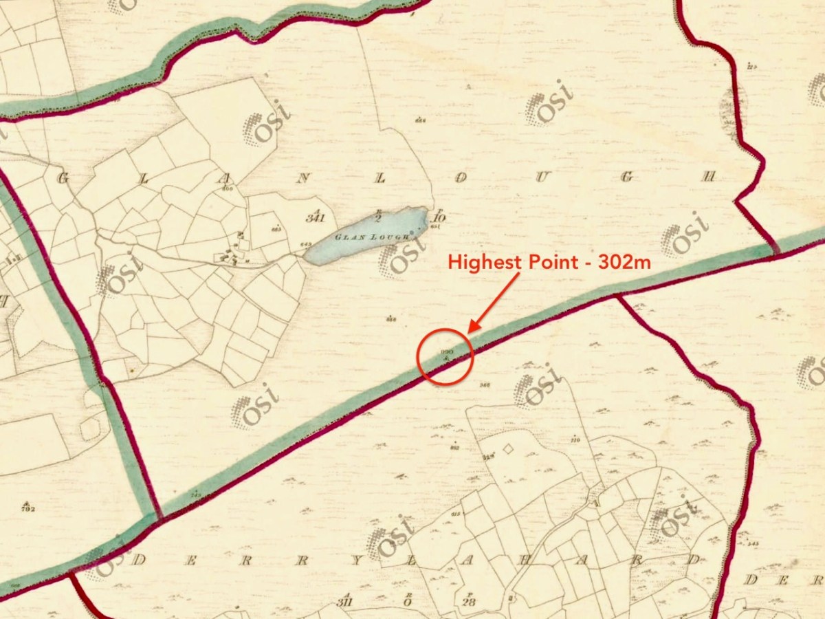
We followed the Sheep’s Head Barnageehy Loop Walk in an anti clockwise direction, circling the lake of Glanlough and looking out for the summit, which is known as Derrylahard East Peak, even though it appears to be within the townland of Glanlough. According to the 6″ OS map, which dates from the 1840s, there was once a trig point at this summit: a height of 990ft – 302 metres.
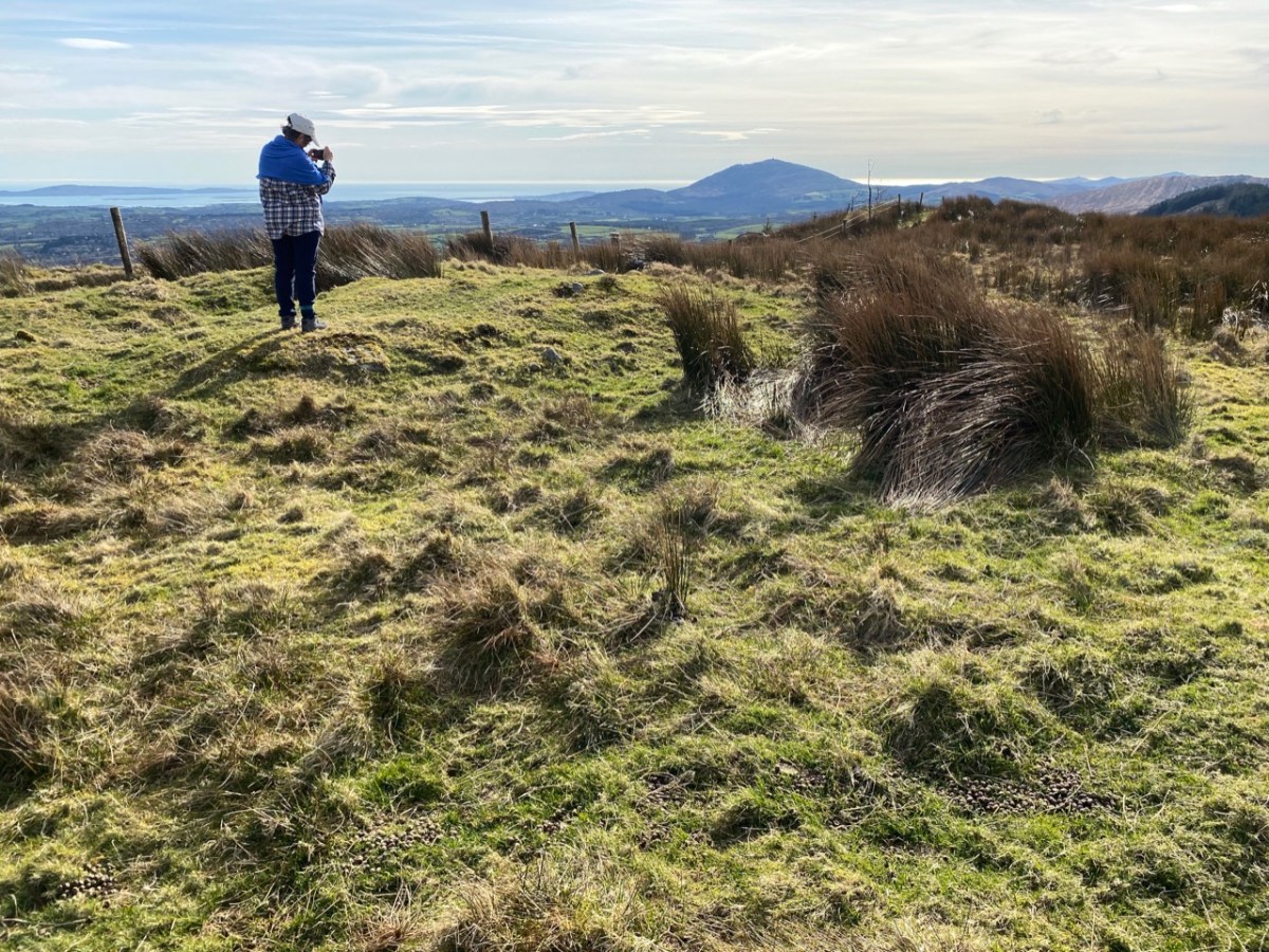
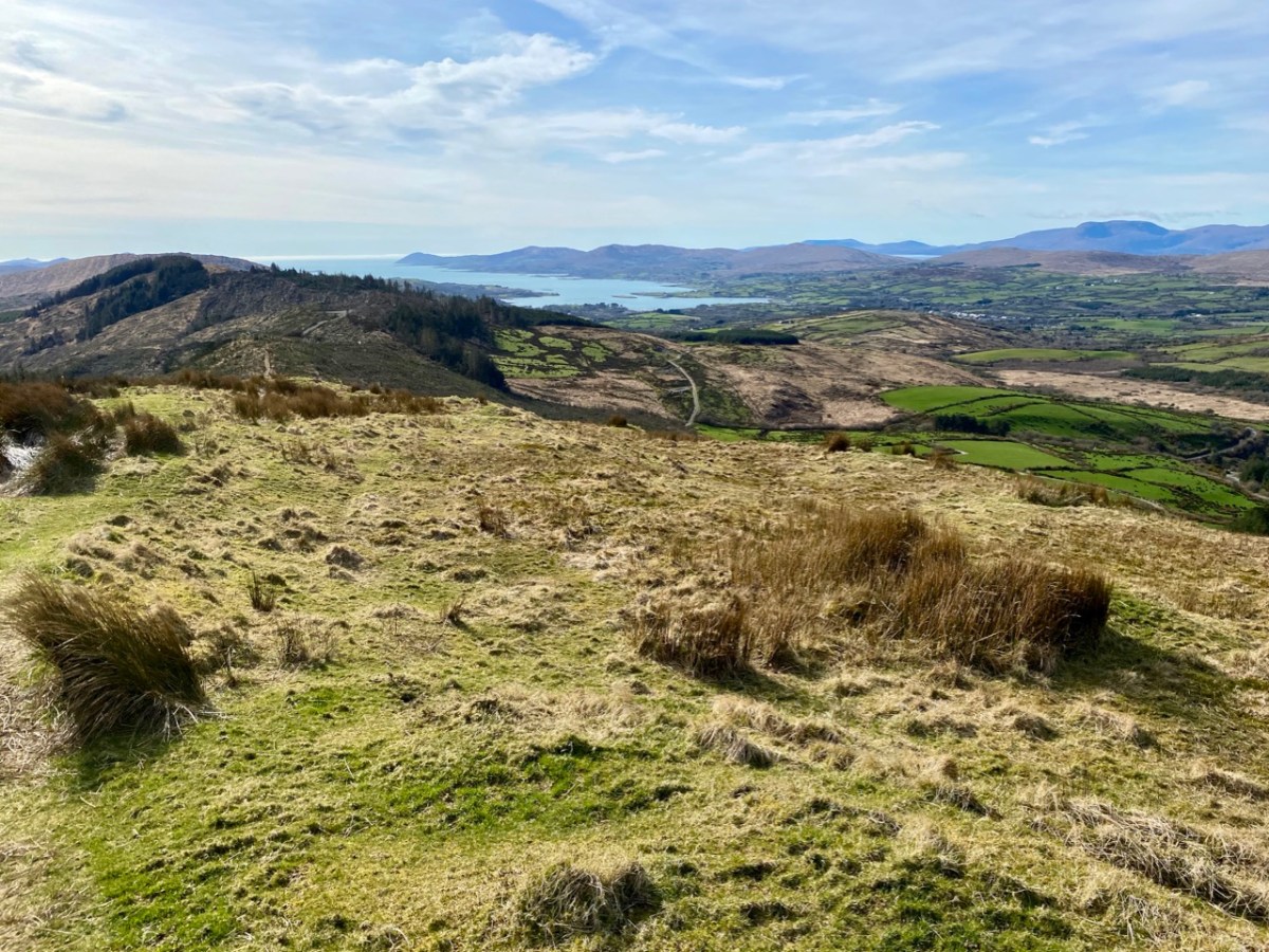
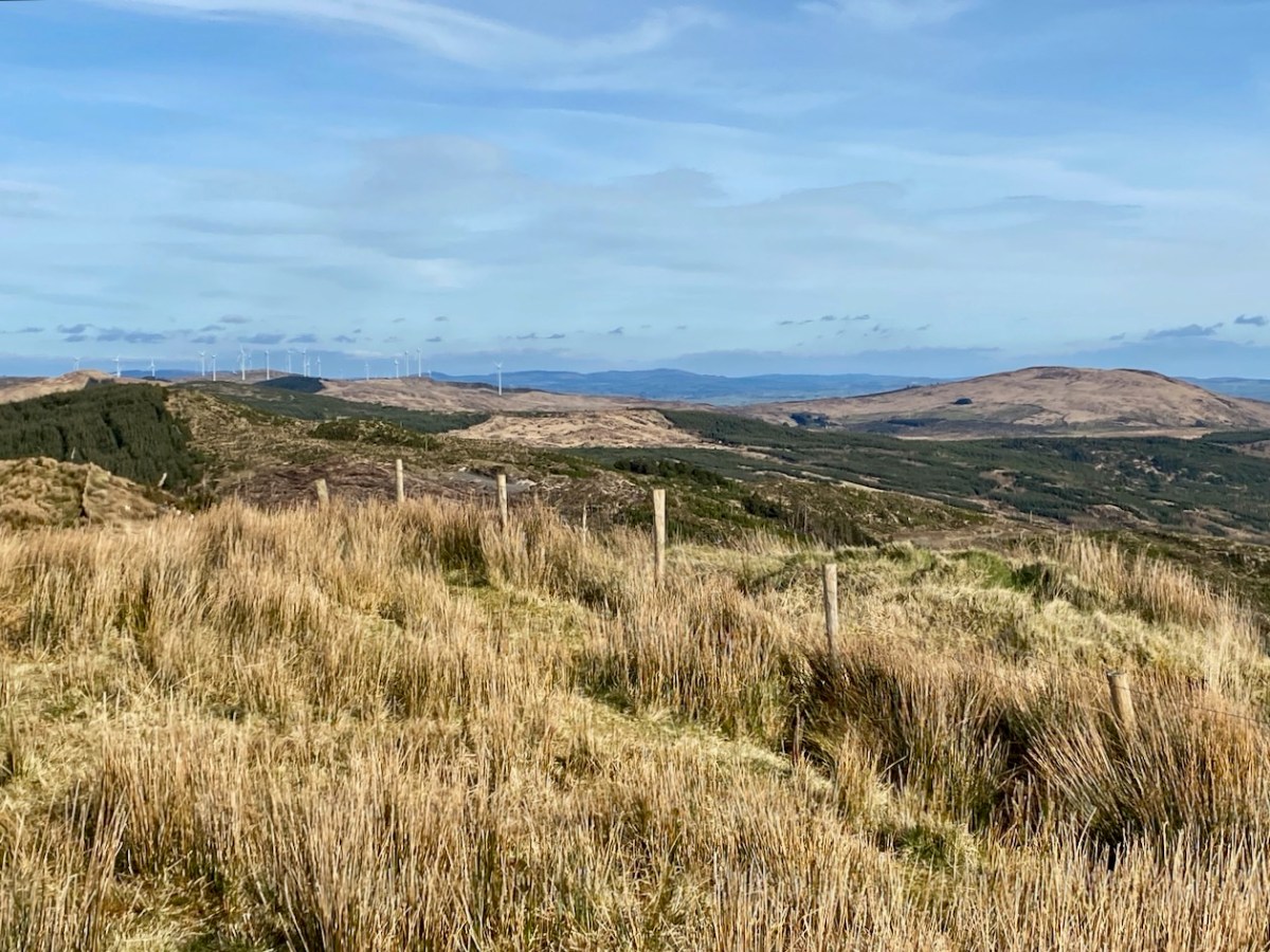
At the peak: Finola looking back towards Gabriel – always dominating the landscapes in West Cork – with the islands and ocean in the distance; Dunmanus Bay and the Sheep’s Head to the west, with the Beara Peninsula visible beyond; the view east encompassing the Ballybane West turbines and Mount Kidd.
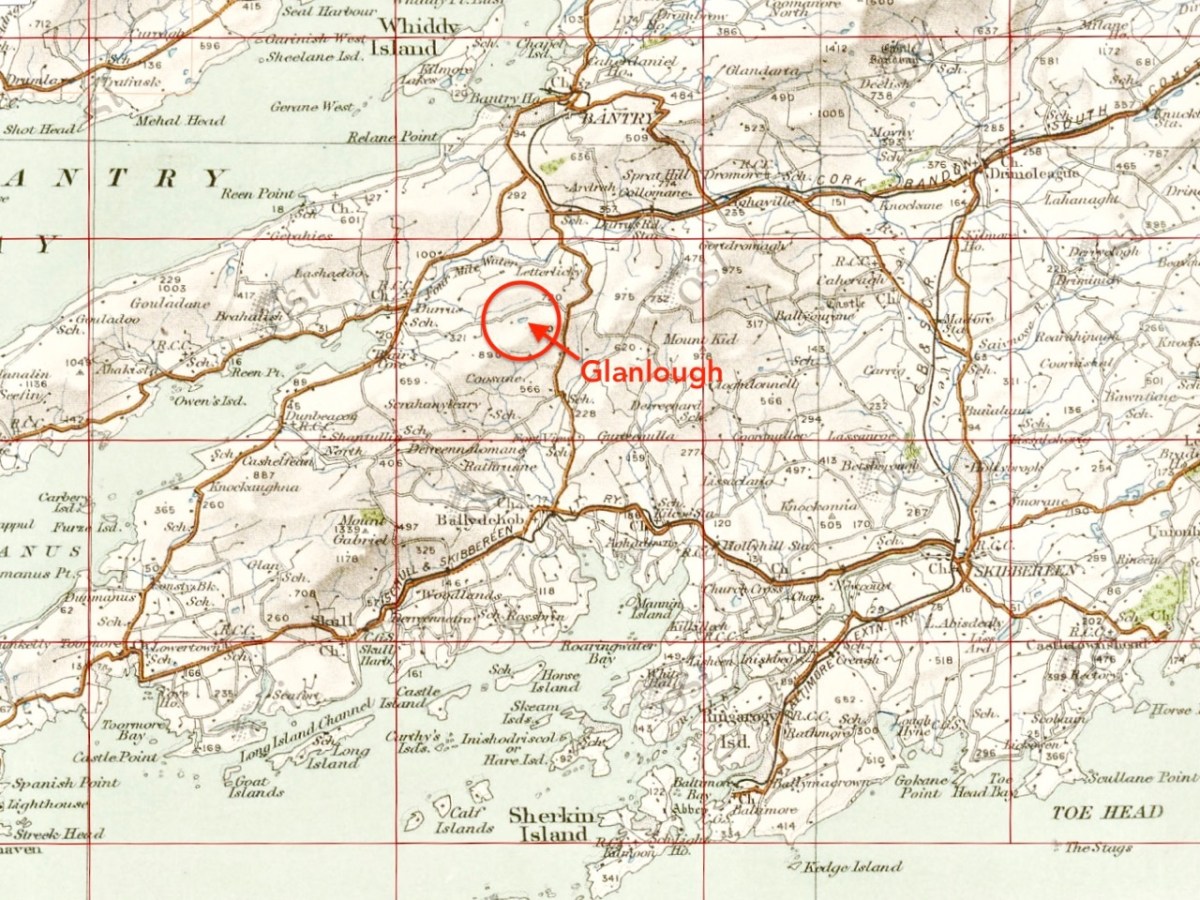
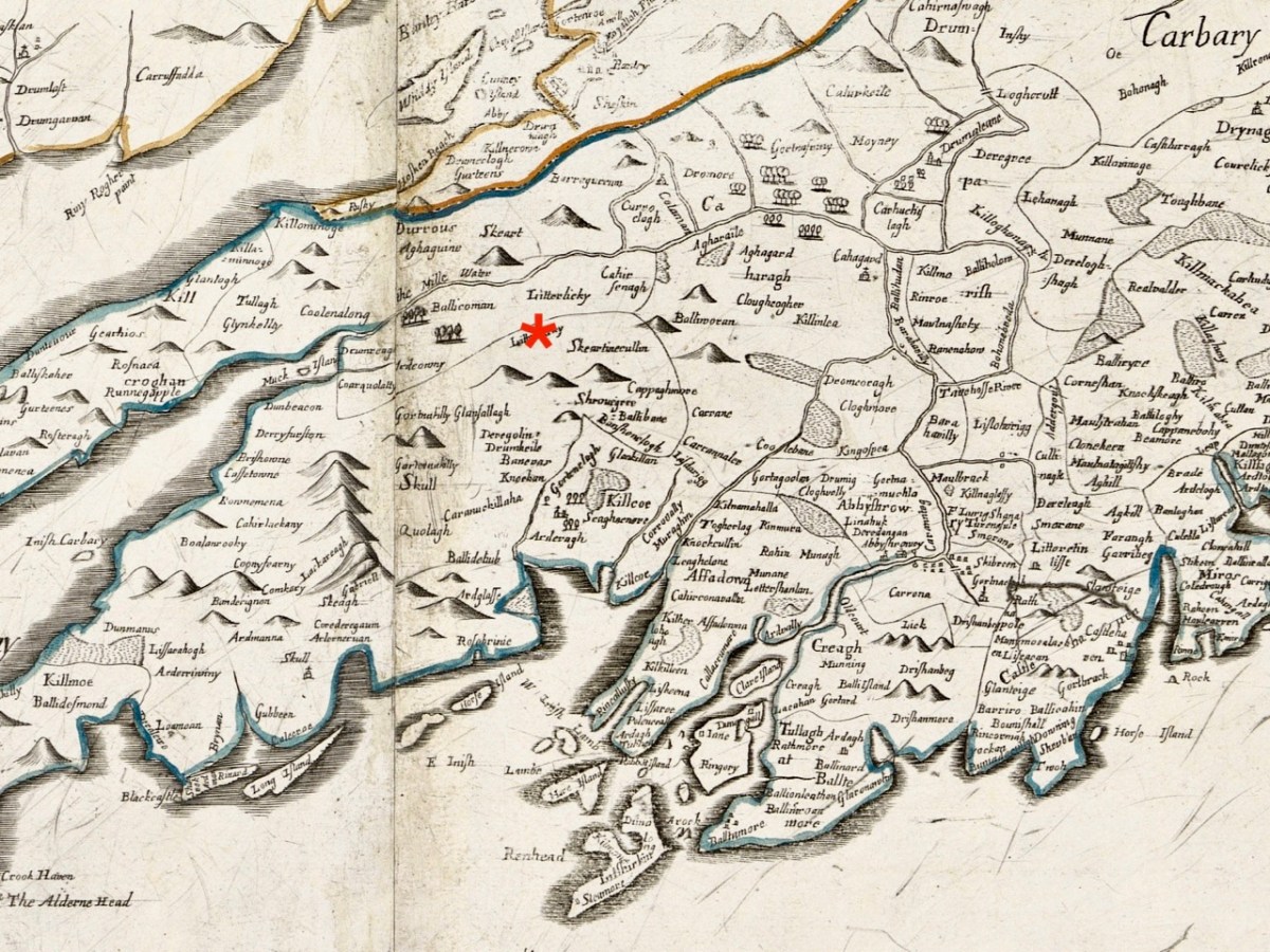
Upper map: the 1904 OS showing Glanlough lake in context with the wider topography of West Cork. Above – the Down Survey, made between 1656 and 1658: this section covers the area shown in the OS above it, and is at a comparable scale. The red asterisk shows the position of the lake at Glanlough: I had hoped there might be some notation on the Down Survey that would give some insight into the name of Glanlough, but the old map is fascinating for the fact that very few of the names are familiar to us and barely a scattering of them can be easily equated with place names today.
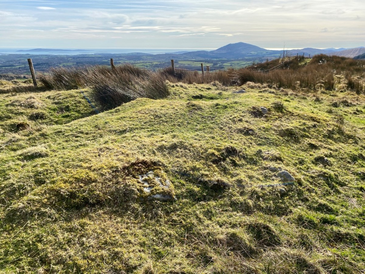
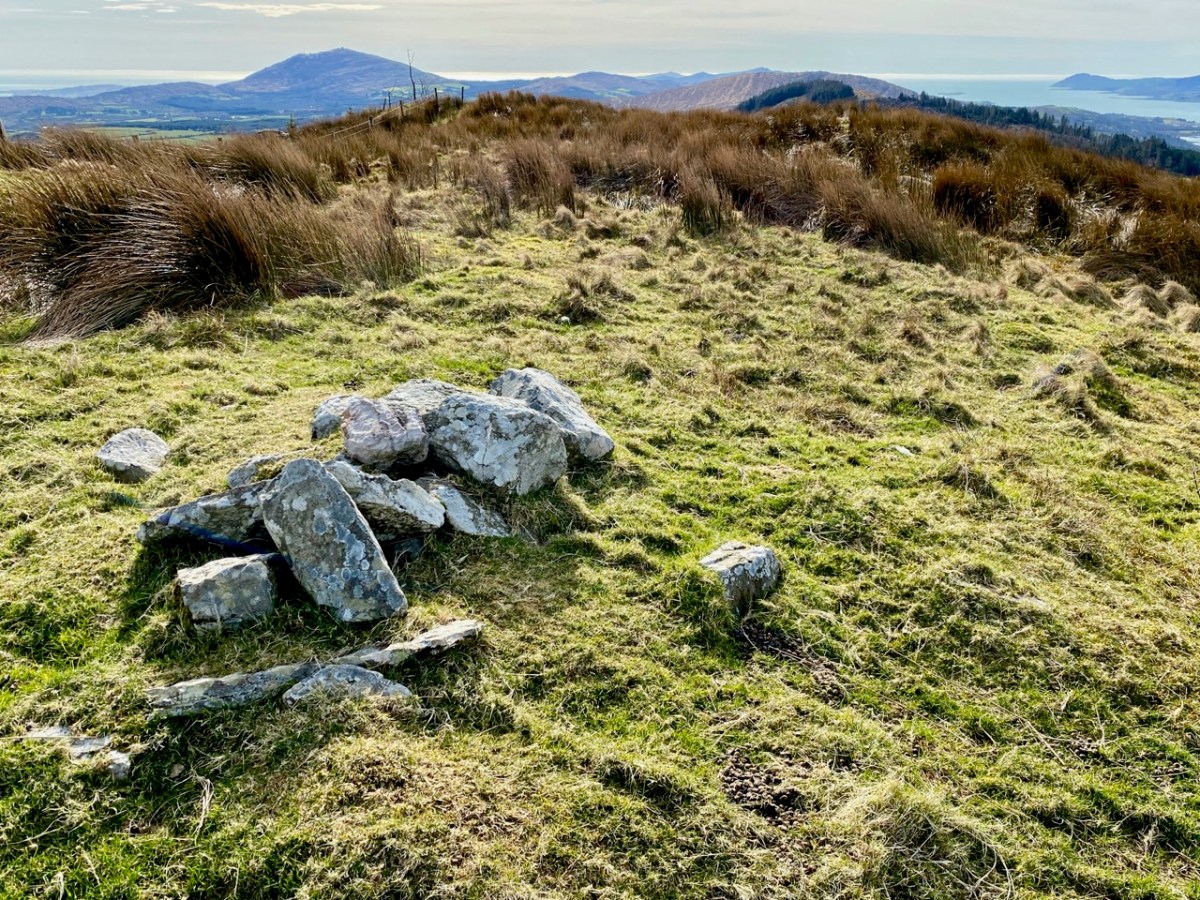
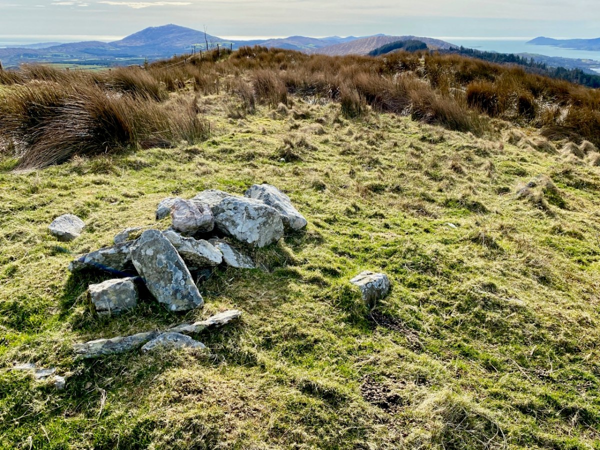
I said at the outset that the peak of Derrylahard East is perplexing. For one thing, it is clearly in the townland of Glanlough, yet bears the name of the neighbouring townland. Then there is the altitude of the summit: mountainviews.ie shows two figures for the height above sea level: 301m (which I would – almost – agree with), but also the figure of 353.9m, which must be a mistake. Unless, of course, there is something preternatural in this small patch of West Cork territory: I’m thinking of the legend of the ‘floating’ islands in the lake on Mount Gabriel. According to John Abraham Jagoe, Vicar of Cape Clear – from the Church of Ireland Magazine 1826 – they float about up and down, east and north and south; but every Lady-day they come floating to the western point, and there they lie fixed under the crag that holds the track of the Angel’s foot…’ Perhaps our peak fluctuates at will to confuse us? The shape of the summit is also intriguing: we sensed there are traces of a circular platform and a number of loosely scattered stones – could there have been a megalithic structure here?
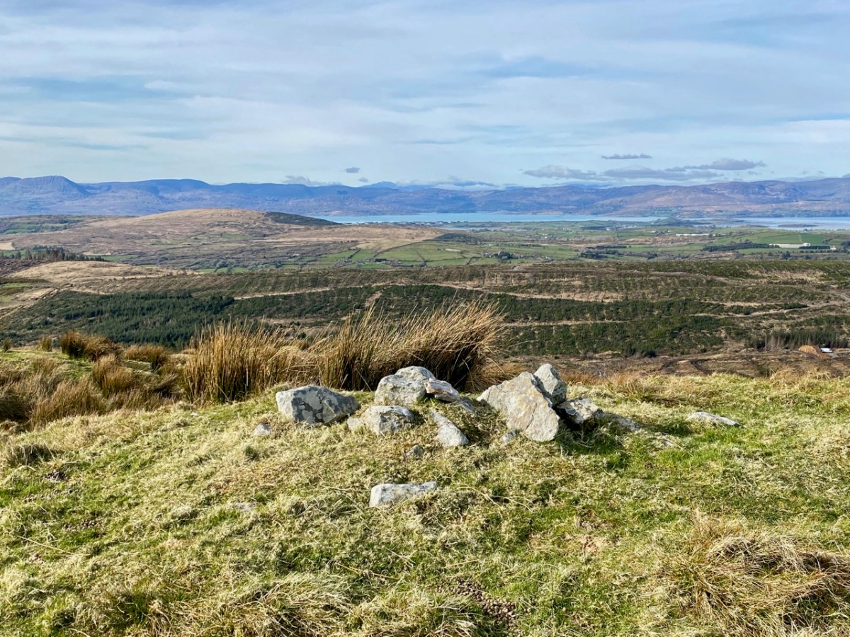
The views from this peak would justify it being marked out as a special site, and we could expect to find some stories recorded in the folklore archives, but no: the Duchas Schools Collections reveals nothing of the peak, the lake, nor the townland.
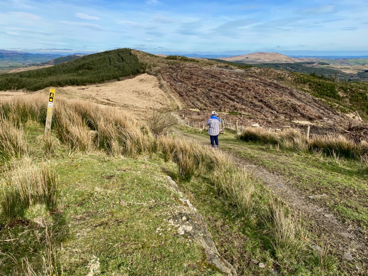
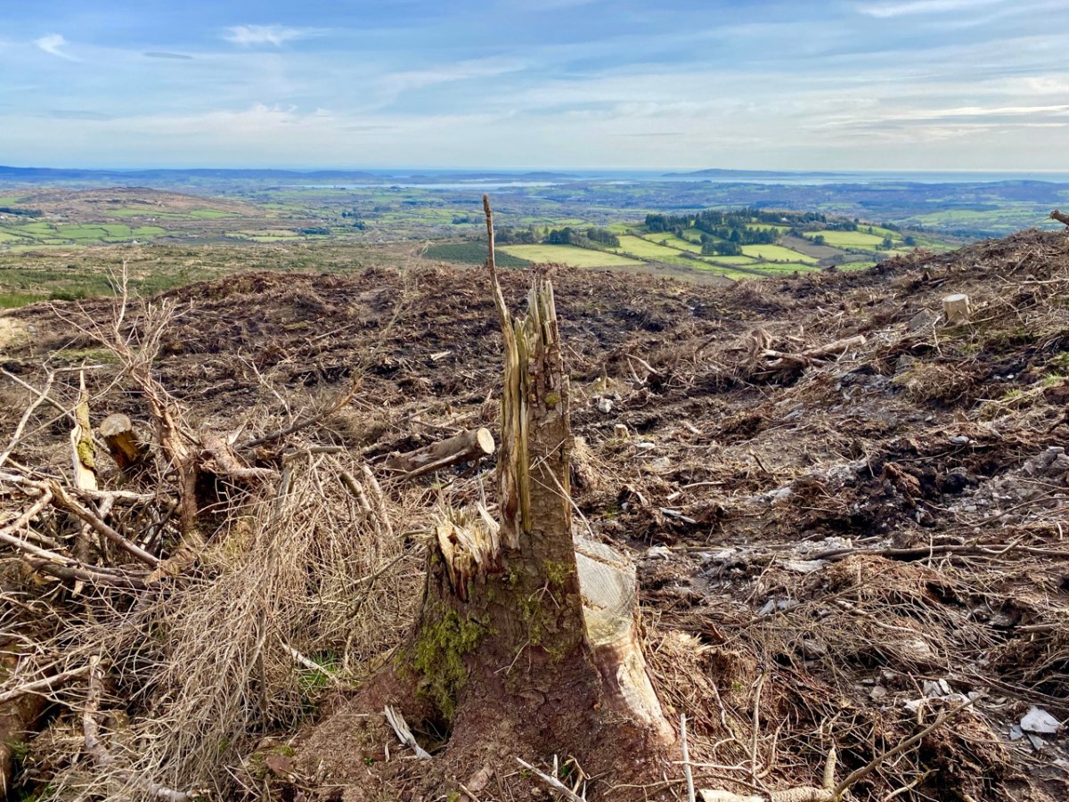
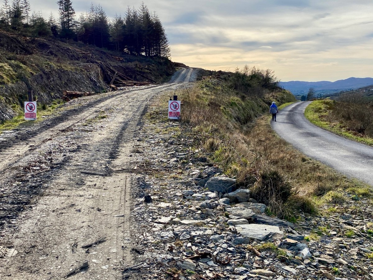
As we descended the track we were grateful that the recent forestry removal has opened up the extensive views to the south, over Roaringwater Bay, but we are also reminded of the devastation that this type of monoculture creates. The scarring of the landscape will last for years, until eventually covered by further spruce planting: then the views will vanish again.
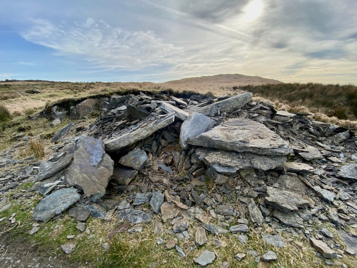
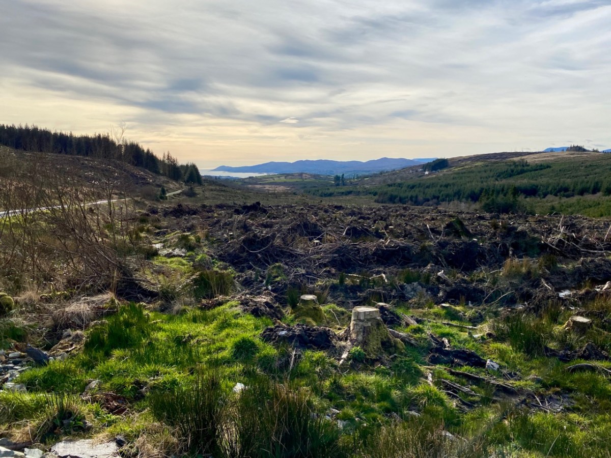
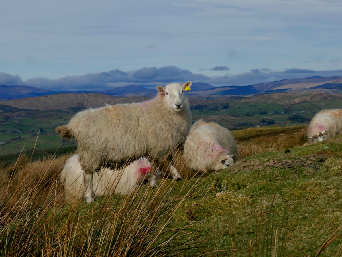
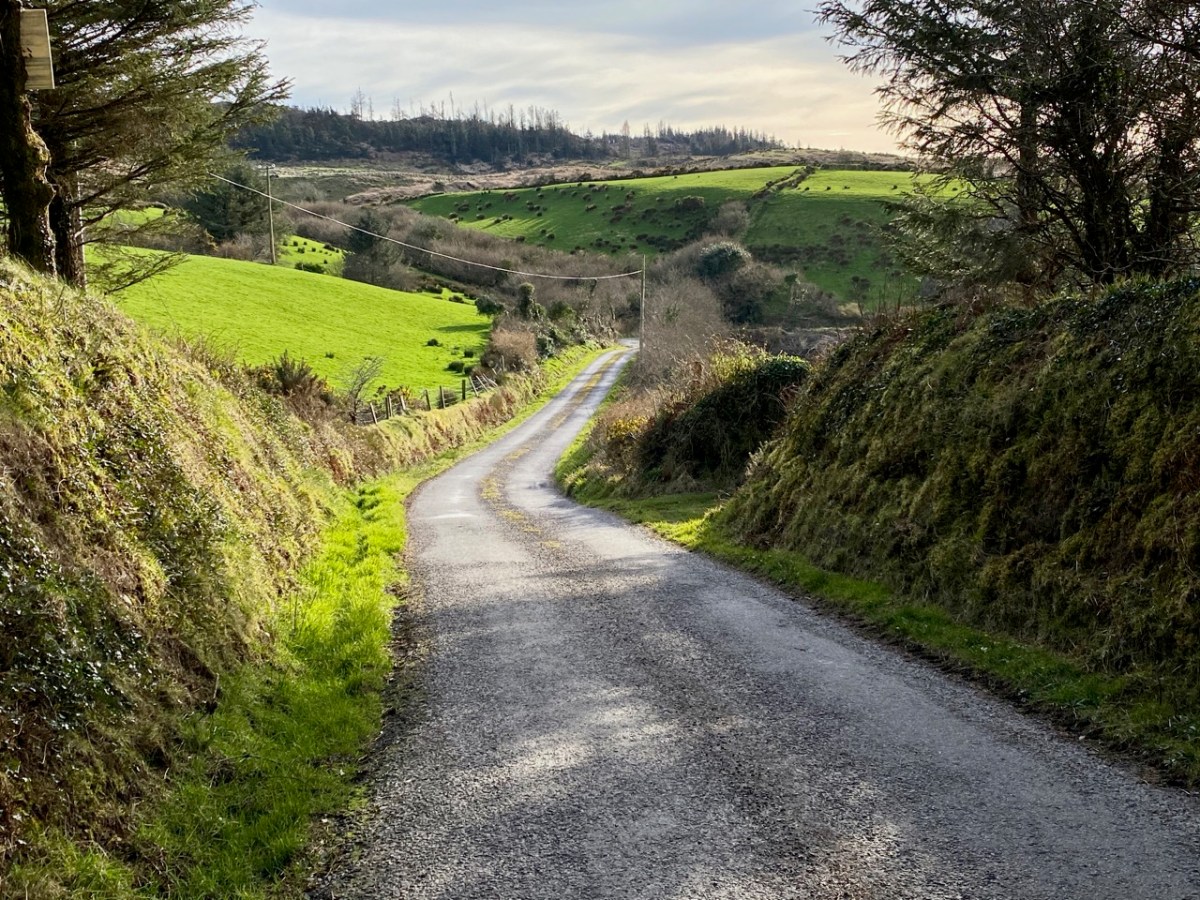
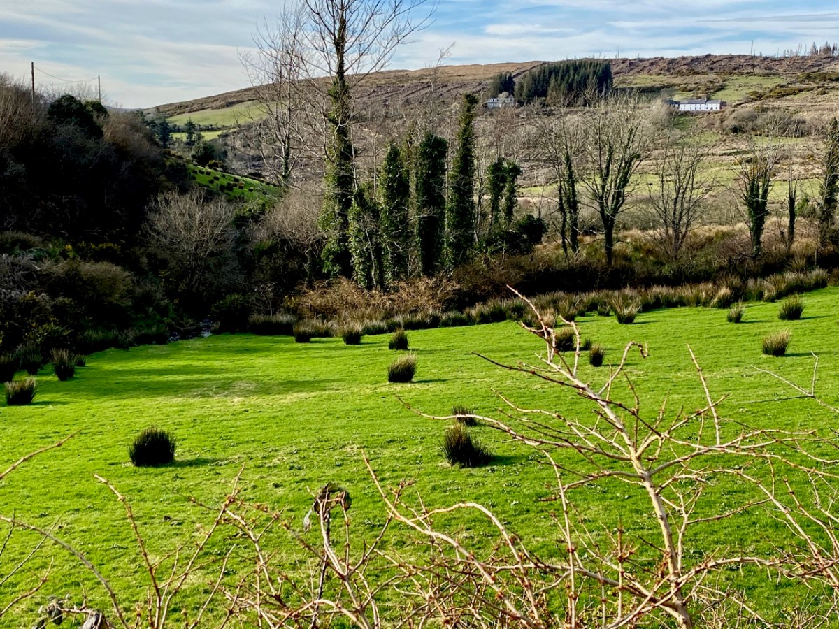
As we left behind the havoc of the ravaged hillsides it was good to find some pastoral prospects, reminding us that West Cork always has unfolding delights and juxtapositions, wherever we wander.
Previous posts in this series:

Knockaphuca, Corrin, Letterlicky Cairn, Lisheennacreagh, Knockatassonig
Back to the Irish Canals

Our readers with good memories may remember a long-running series I penned five years ago, about the canals of Ireland. I revisited that series recently – for a Trasna na Tíre talk* – and realised that I had left it incomplete back in 2017! What better time to finish off the journey than now – when we can only travel outside our lockdown limits through virtual technology?

In 2016 Finola and I explored part of the Irish canal system, following in the footsteps of Tom and Angela Rolt who had voyaged the same way exactly 70 years before, in 1946. They were pioneers in their day, as boating for ‘pleasure’ on the canals was rare. In their book Green & Silver they also managed to capture, in words and photographs, the essence of a decaying transport system in Ireland immediately following WWII, and our travels tried to give an impression of the considerable transformation of inland waterways in Ireland since their time. We traversed, on road and on foot, their voyage around the Shannon Navigation, and the Grand and Royal Canals.

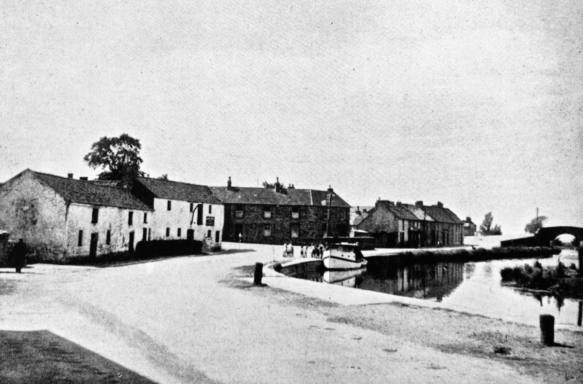
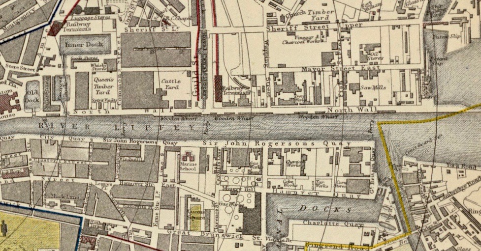
The upper photograph was taken by Angela Rolt in 1946: it shows the Rolt’s boat moored up in sleepy Robertstown (Grand Canal), receiving the attentions of a crowd of small children who had never seen a pleasure cruiser before. Below that is the photo of Robertstown we took in 2016, seventy years later. Our own travels in that year, however, omitted the Rolt’s journey through Dublin, when they had to pass across the Liffey and Dublin Port to get from the Grand Canal to the Royal Canal. The header is an extract from a 19th century map of the docks area in Dublin.

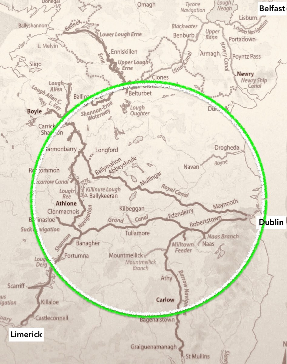
That’s the ‘Green & Silver’ route, above, which the Rolts travelled in 1946. Starting from Athlone they went anti-clockwise around the triangle formed by the Shannon Navigation, Grand Canal; and Royal Canal. This involved crossing the Liffey in Dublin

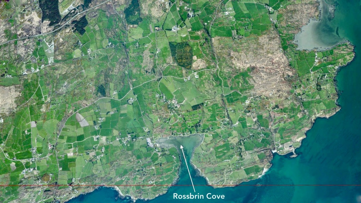
We have visited Dublin many times in recent years, and I managed to take photographs to complement those of the Rolts, in order to finally complete the ‘Green & Silver’ series today. First, however, let’s try to get an idea of the scale of Dublin Port by comparing aerial views, like by like, of that district and our own Rossbrin Cove in West Cork. The scale and area of each of these two photographs is exactly the same (1600 hectares): the demography (population and land use) couldn’t be more different.

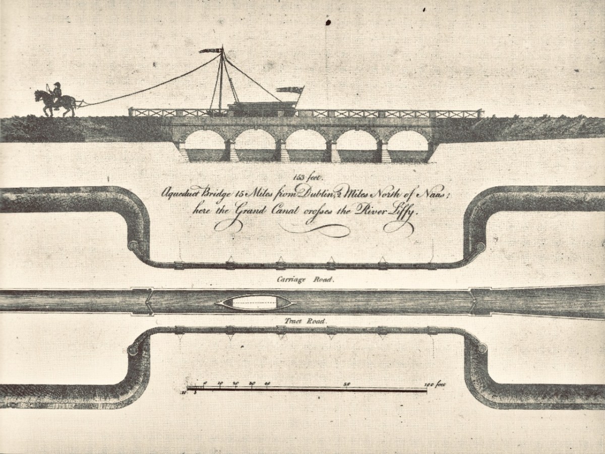
. . . After tea we journeyed on through Landestown and Digby Bridge Locks to the Leinster aqueduct over the River Liffey. It was an attractive pound, the canal skirting a ridge of high ground on our right with a view over the valley to the left until it turned to cross the river. As there was little traffic about, we stopped for a few moments on the aqueduct, an impressive structure of four arches, to look down at the swift flowing peat-stained waters which we next should see, and enter, in the heart of Dublin . . .

Green & Silver by L T C Rolt, Chapter 6
Top – early print of the Leinster Aqueduct, Grand Canal; lower – the Rolts pause to admire the structure as they cross the Liffey on the aqueduct

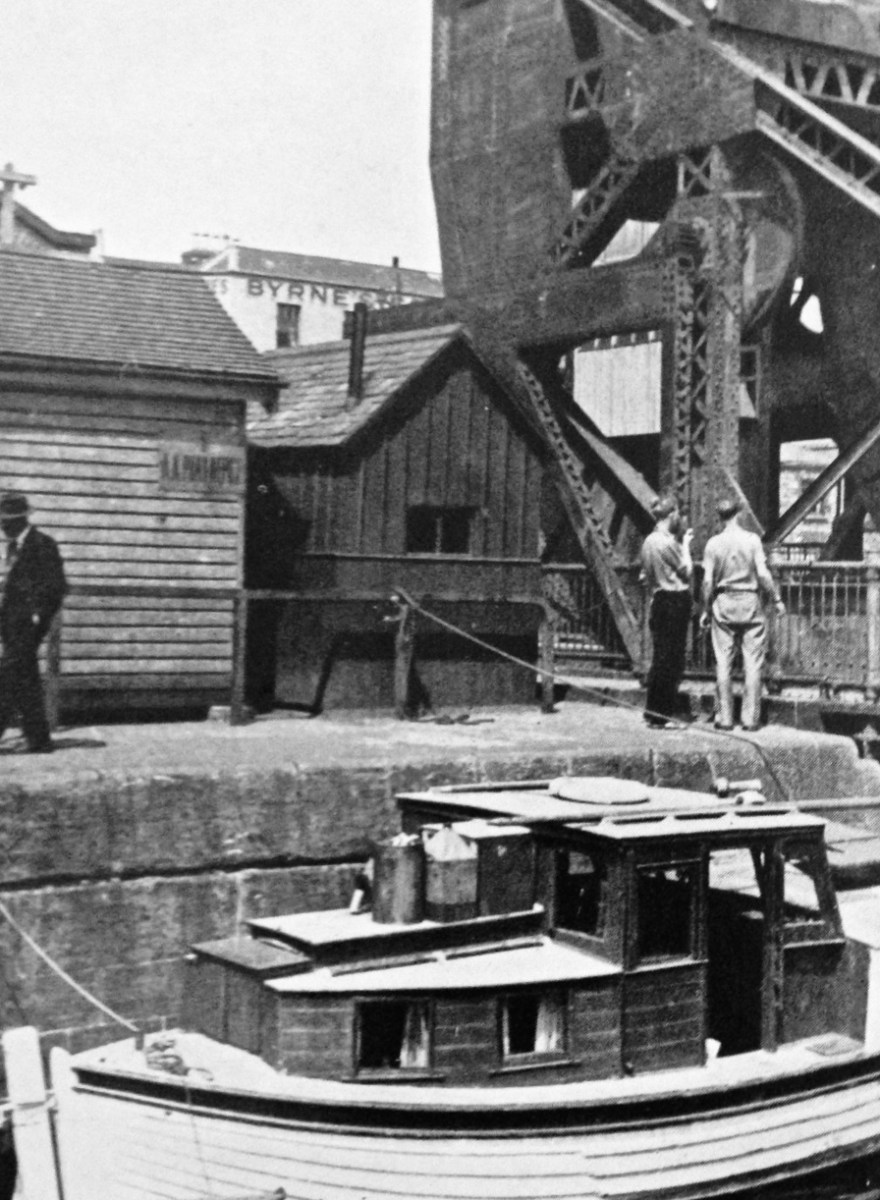
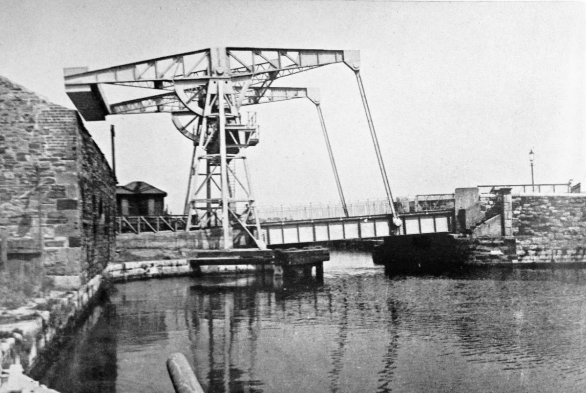
. . . The day before we were due to leave our moorings at Grand Canal Dock I thought it as well to reconnoitre the entrance from the Liffey into the Royal Canal at Spencer Dock, North Wall. The channel into the tidal lock was barred by an enormous rolling lift bridge over which an endless procession of cars and lorries was rattling and thundering. To my eyes it appeared as though this formidable barrier was seldom or never moved. In any case it seemed optimistic to suppose that this ponderous mechanism would be operated, and the traffic along North Wall suspended, merely to allow the passage of our small craft. Looking up at the dock I saw yet another obstacle; a drawbridge this time operated by two steel beams high overhead which looked at this distance, with their long rods linking beams to bridge, like a pair of slender, long-beaked birds. This carried Sherriff Street, another busy thoroughfare, across the dock . . .

GREEN & SILVER BY L T C ROLT, CHAPTER 8
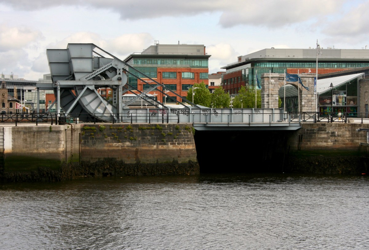
Top – Tom Rolt surveying the Scherzer style ‘rolling lift bridge’ located at the entrance to Spencer Dock, Royal Canal, in 1946. It was erected by the firm of Spencer & Co of Melksham, Wiltshire, in 1912. The bridge was worked by an electric motor – now removed. Lower – the bridge in the present day

. . . It looked as if our passage bade fair to dislocate the traffic of Dublin. I thereupon visited the engineers department of Corus Iompair Eireann at Westland Row Station where I tactfully suggested that if I came up to North Wall at low tide we might just be able to get under the bridge there, but I was received with helpful courtesy and matters were quickly arranged. Of course the bridge would be lifted, that was no trouble at all. And when did I wish to come up the river. To-morrow? High tide was at noon; if I would undertake to be at the bridge at that time it would be opened at once. Arrangements were made on the spot by telephone . . .

GREEN & SILVER BY L T C ROLT, CHAPTER 8
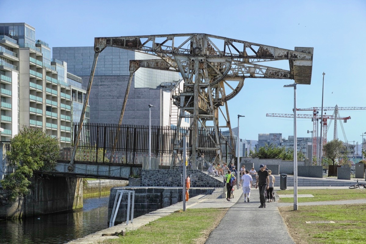
Upper – Angela Rolt’s photograph of the Sherriff Street lift bridge at Spencer Dock, Royal Canal, in 1946; centre – the lift bridge today (courtesy  William Murphy aka Infomatique). Lower – the overhead beam lift bridge mechanism is a principle often found on canal navigations: here is a more vernacular example on the Barrow Navigation (from Ireland of the Welcomes, 1971)

. . . Next morning we crossed the waters of the outer basin and entered the tidal lock. Actually there are three locks of different sizes here, side by side, and we entered the smallest of them which was on our port side. The lower gates opened, we paid a final farewell to the Grand Canal, and were soon dancing over the little waves of the Liffey mouth. It was our one brief taste of salt water. Having made sure that no steamers were on the move to or from the quays, we headed straight across the channel and came up the river close to the North Wall side. We swung straight in and got our lines onto the quay wall precisely at the time appointed. Everything went like clockwork. The bridgeman clambered up into his overhead cabin, men appeared from nowhere armed with red flag to stop the traffic and in a few moments, with a rumble of machinery, the bridge opened remarkable swiftly. We passed through into the tidal lock, and the bridge as quickly closed behind us. While the lock was filling, I paid my dues, two pounds for the ninety-two miles and forty-seven locks to Richmond Harbour. This done, the Sherriff Street Bridge drew up with similar despatch and we sailed through to begin our journey on the Royal Canal. Probably very few of the thousands who pass over the North Wall Bridge or board the steamer for Liverpool or Glasgow at the nearby quay suspect that this is the gateway of a forgotten water road which leads through the heart of Ireland . . .

GREEN & SILVER BY L T C ROLT, CHAPTER 8

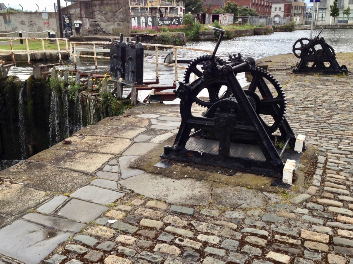
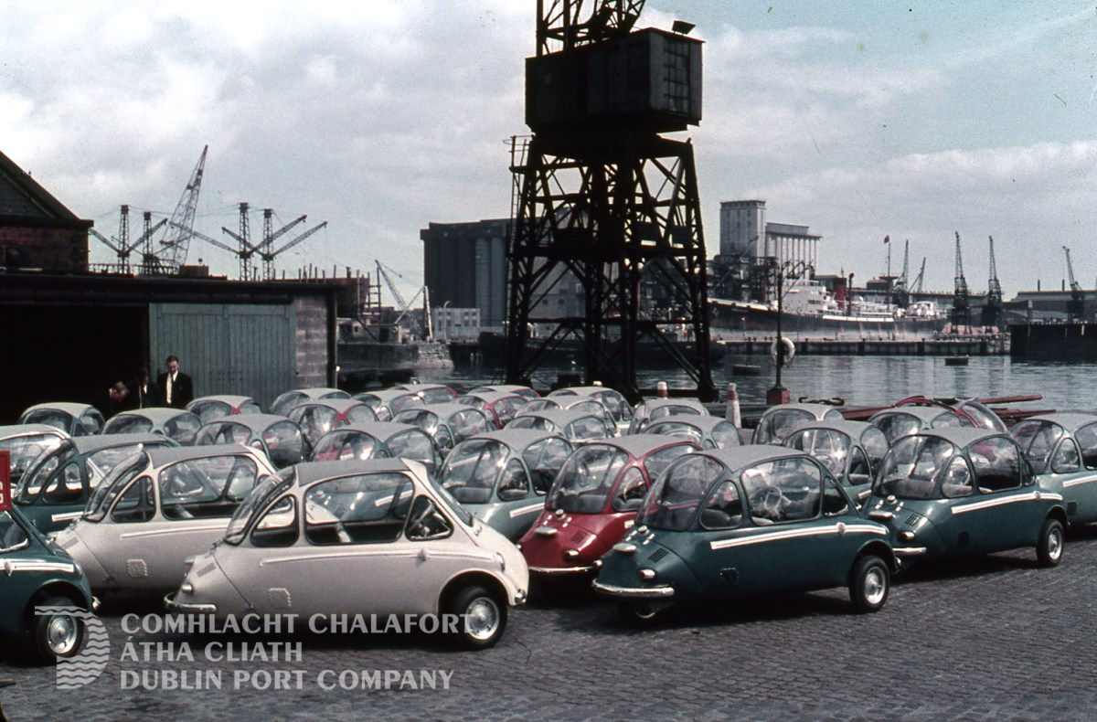
Grand Canal Dock, Dublin – photographs which we took in 2014 (above). The decline which was apparent then continues to this day. Currently there is a plan to sell much of the land for redevelopment. It goes without saying that navigable water will need to be retained to allow access from the Grand Canal itself to the Liffey. Below – another context for the Port of Dublin in the 1950s!

The Heinkel Kabine ‘bubble car’ was designed by the same company which produced German long-range heavy bombers during the Second World War: this famous micro-car was manufactured for a short time between 1956 and 1958 under licence in Dundalk’s Great Northern Railway Ireland (GNRI) works. More than 6,000 were manufactured here.

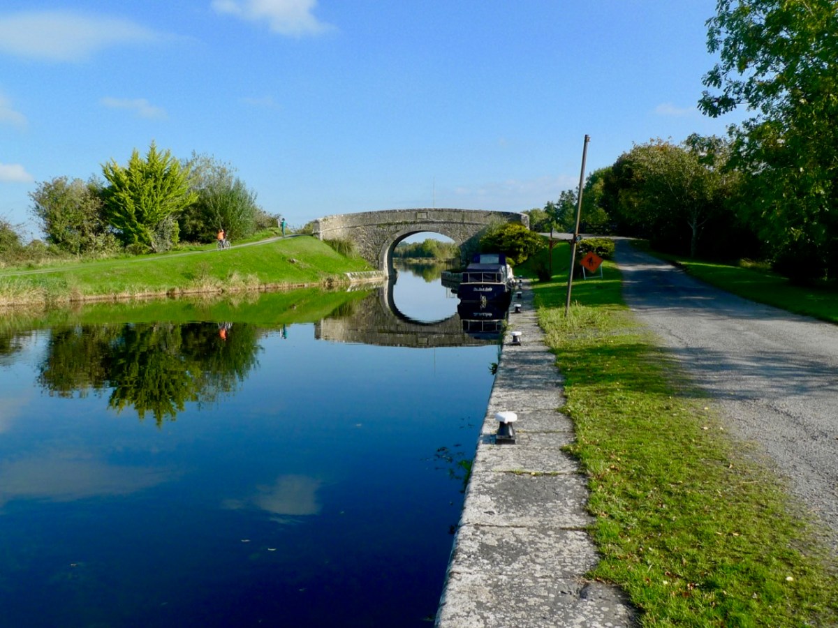
The beauty of the rural Royal Canal: Chaigneau Bridge, Ballybranigan, Co Longford in 2016

The previous series of Roaringwater Journal posts on Irish waterways can be found (in reverse order) here.

*Robert’s Trasna na Tíre talk can be reached on this link.

O’Donovan Country (Sweet Ilen – Part 6)

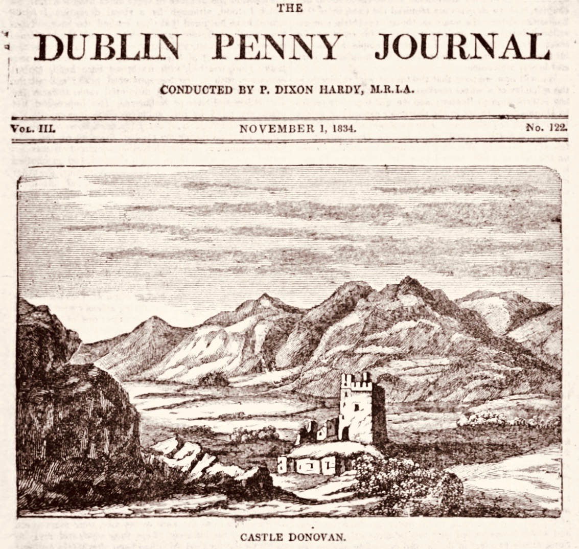
Here’s a forerunner to Roaringwater Journal (above)! Philip Dixon Hardy lived from 1794 to 1875 and described himself as a poet, bookseller, printer, and publisher. He was the first to use a steam-powered printing press in Ireland and was the editor of The Dublin Penny Journal which was published every Saturday between 1832 and 1836. If you scroll through the contents you will see articles on all aspects of Irish life and accounts of many of his travels through the Irish countryside, including a series of ‘Rides through County Cork’. He was undoubtedly a man after our own hearts!

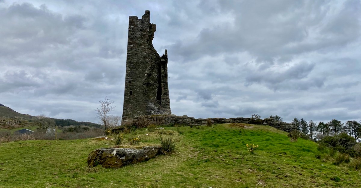
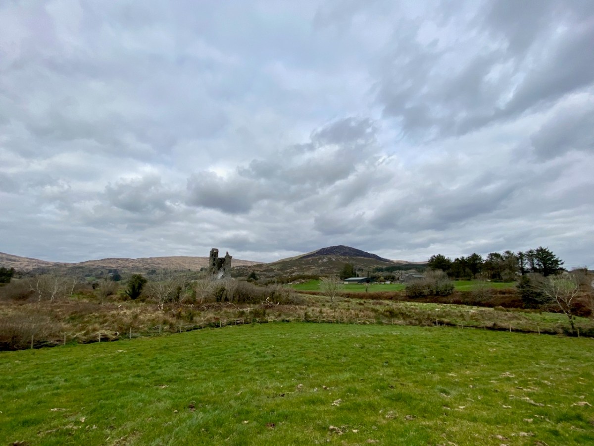
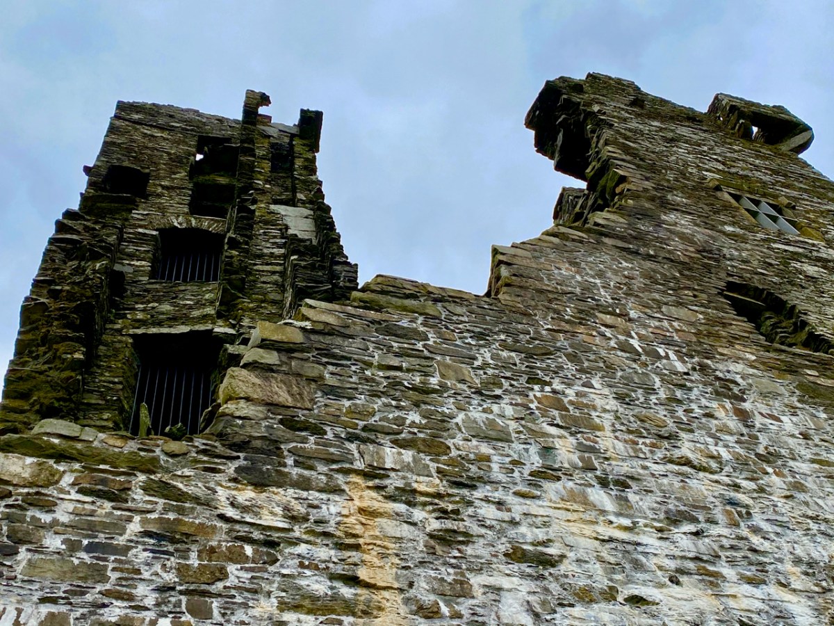
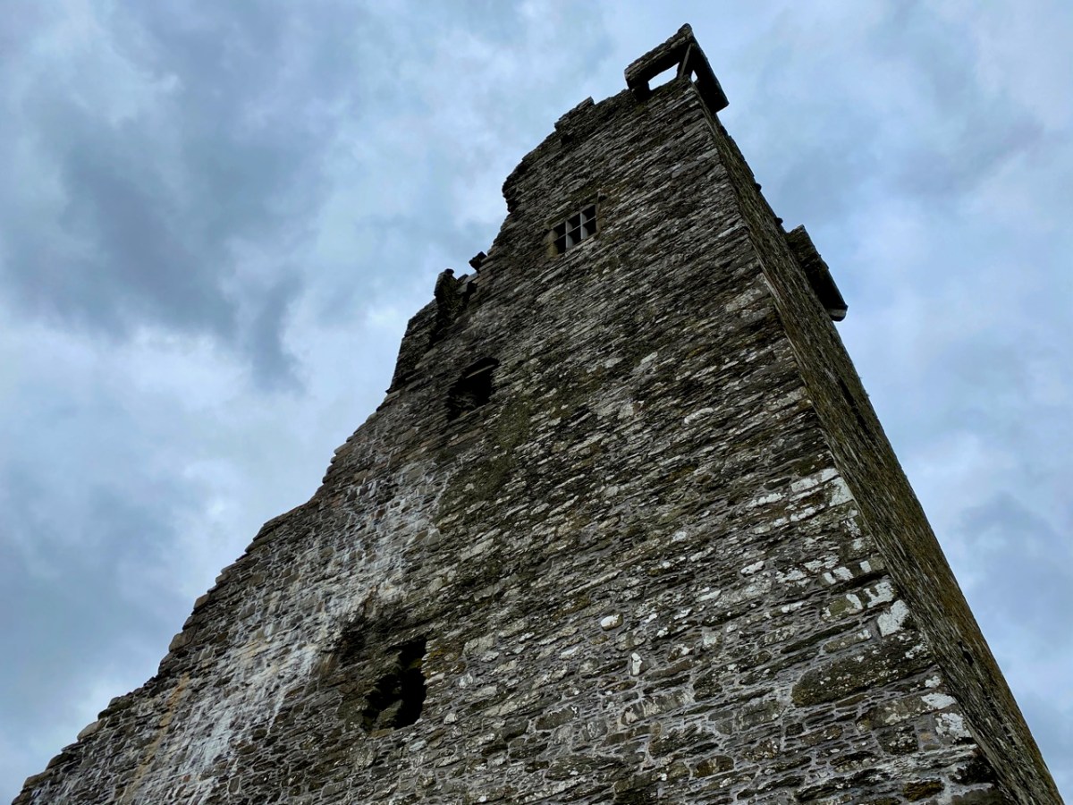
Continuing our own series of travels, exploring the Ilen River, we can’t help comparing our impressions of Castle Donovan (above) – which overlooks the Ilen after it has cascaded down from the summit of Mullaghmesha and broadened out to cross the plains of Cork County – with those that are recorded by Philip Dixon Hardy as he journeyed over the same terrain in 1828, almost two centuries ago.

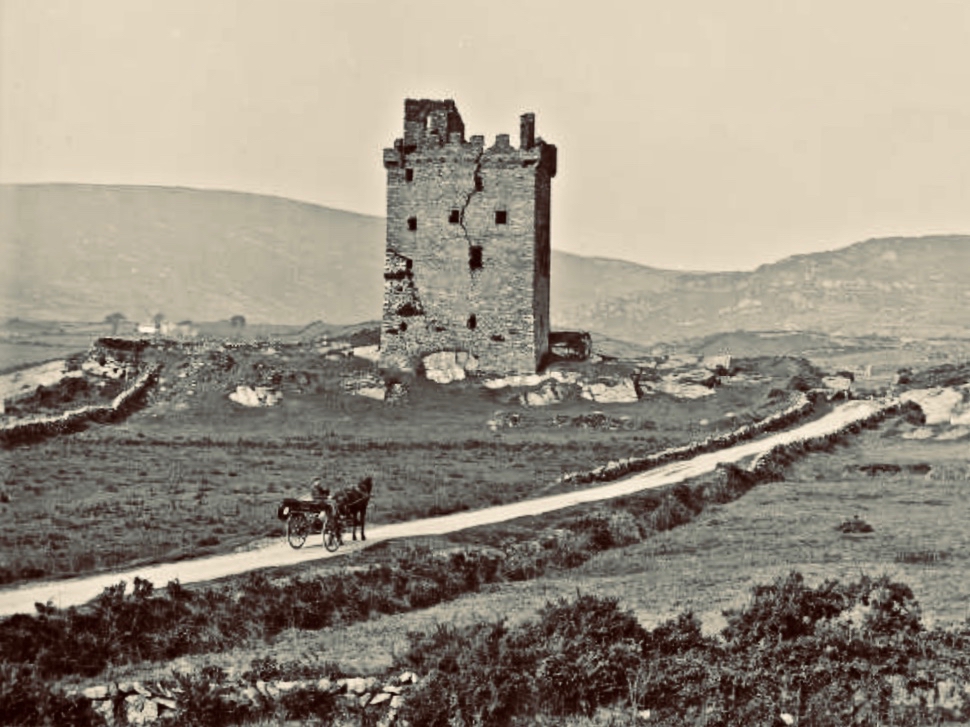
The upper picture is taken from the Ilen plain looking north, with the castle tower set against the high mountains beyond. Above is our earliest known photograph of the castle: it comes from the Lawrence Collection, National Library of Ireland, and could date from the 1880s. Juxtapose this with the Dublin Penny Journal view, 50 years before that, shown under our header at the top of the page. Bear in mind that Hardy carried out most of his travels on foot:

. . . We will now suppose the the tourist who rejoiceth in the splendour of a wheel carriage has proceeded without any interruption to Bantry. We will act in the charitable capacity of guides to the humbler pedestrian. Him we would advise to select the old, or northern road, leaving Dunmanway to the west. Thence it proceeds to the lofty hill of Mielane, and surmounting a rising ground beyond this eminence, the vale of Castle Donovan (which forms the subject of our sketch) opens on the sight. It is hard to conceive of any thing more wild, more desolate, more lonely, than this savage vale. … I reached the eminence which commands it from the east, about two in the afternoon of a warm sunny day. Trees there are none in this district, and the heathy covering of the hills was incapable of showing any marks of the advancing season. In the centre of the vale beneath me, was the tall, castellated tower; an extensive marshy meadow lay beyond it, bounded by the steep rocky hills of Mullaugh-Nesha, and its peaked brethren. . .

Philip Dixon Hardy, 1828, from The Dublin Penny Journal

The Castle itself has a fairly well recorded history, although its origins are unclear. James N Healy – The Castles of County Cork, The Mercier Press 1988 – suggests that the first fortification on this site dates from the early 13th century, but the present building is more likely to be 16th century. There is a carved stone in a window embrasure on an upper floor which bears the date 1626, but Healy suggests that this marks a later restoration of the castle, and gives a probable date of construction between 1560 and 1584.

The castle was traditionally the seat of the Clann Cathail sept of the O’Donovans, and was first named ‘Sowagh’. I can’t find any origin for this name. Healy gives an intriguing story:

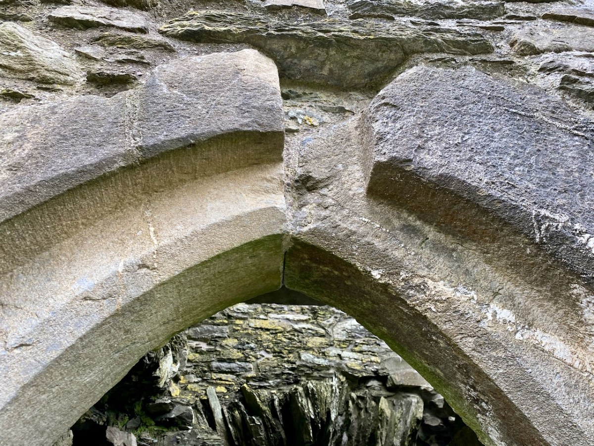
. . . A local story is told of how O’Donovan and his ally MacCarthy Duna hanged a protestant woman at the castle in 1641, as a result of which the curse of a corroding drip from the main arch was placed on the building. This would not cease until the demise of the last of the family: the castle does not appear to have been lived in again.

James N Healey – 1988 The Castles of County Cork

It is recorded that Cromwell’s officers attacked the castle and it was left in ruins. Returning to The Dublin Penny Journal, Philip Dixon Hardy describes his exploration of the remains:

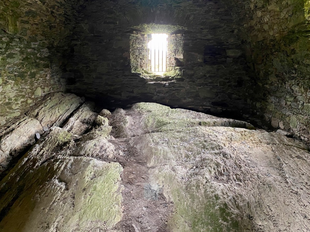
. . . I diverged from the road to examine the old castle; it is founded on a rough rock whose surface, forming the floor of the vaulted hall of the castle, retains all its original inequalities. Strange notions of comfort must our ancestors have had! Here were men, possessed of a large tract of country, sufficiently wealthy to build several castles; and in this one, the constant residence for many years of a principal branch of the family, the floor of the hall is bare rock, which never has been levelled, and which is intersected with two or three ridgy indentations, nearly two feet in depth, and extending almost the whole length of the apartment!

PHILIP DIXON HARDY, 1828, FROM THE DUBLIN PENNY JOURNAL

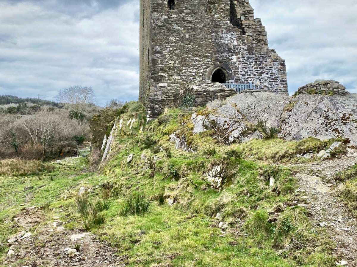
This is what Hardy is referring to – in fact it’s not ‘the vaulted hall of the castle’! It’s the lowest floor – at ground level – and was in all likelihood a store or cattle shed. It might even have been a dungeon. The main ‘hall’ of the castle is on an upper level.

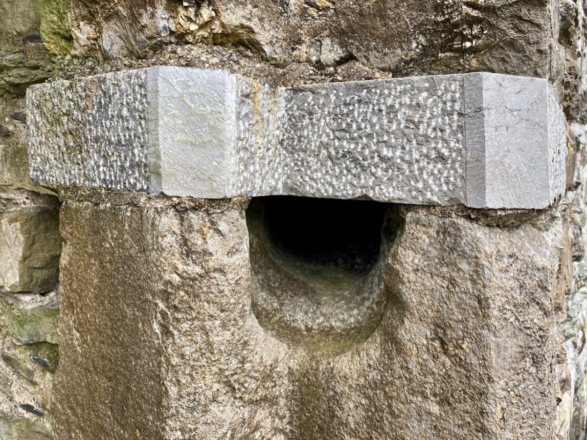
The castle structure was stabilised by the OPW and public access to the grounds was granted in 2013. Restoration works included the replacement of key elements of the masonry to prevent further decay. The ‘peep-hole’ above allows a view by a sentry located just inside the entry door of who might be standing outside: perhaps an undesirable character (below). Actually, rather than a peep-hole, this little tunnel through the wall was for a chain that secured an outer iron gate called a yett.

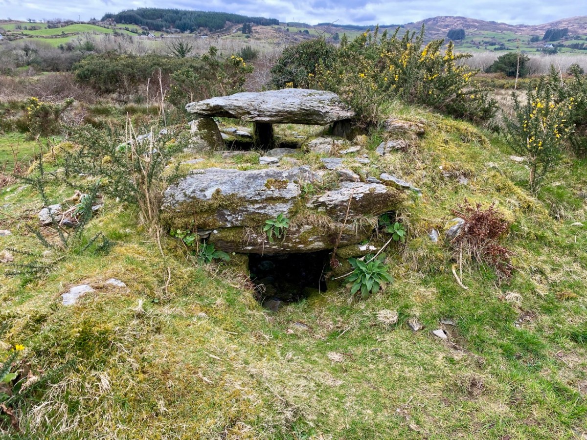
When you visit Castle Donovan, look over the low wall to the west of the tower itself. You will see an archaeological feature which is quite rare today, but was once common all over Ireland from early times: a cereal-drying kiln (also called a corn-drying or grain drying kiln).

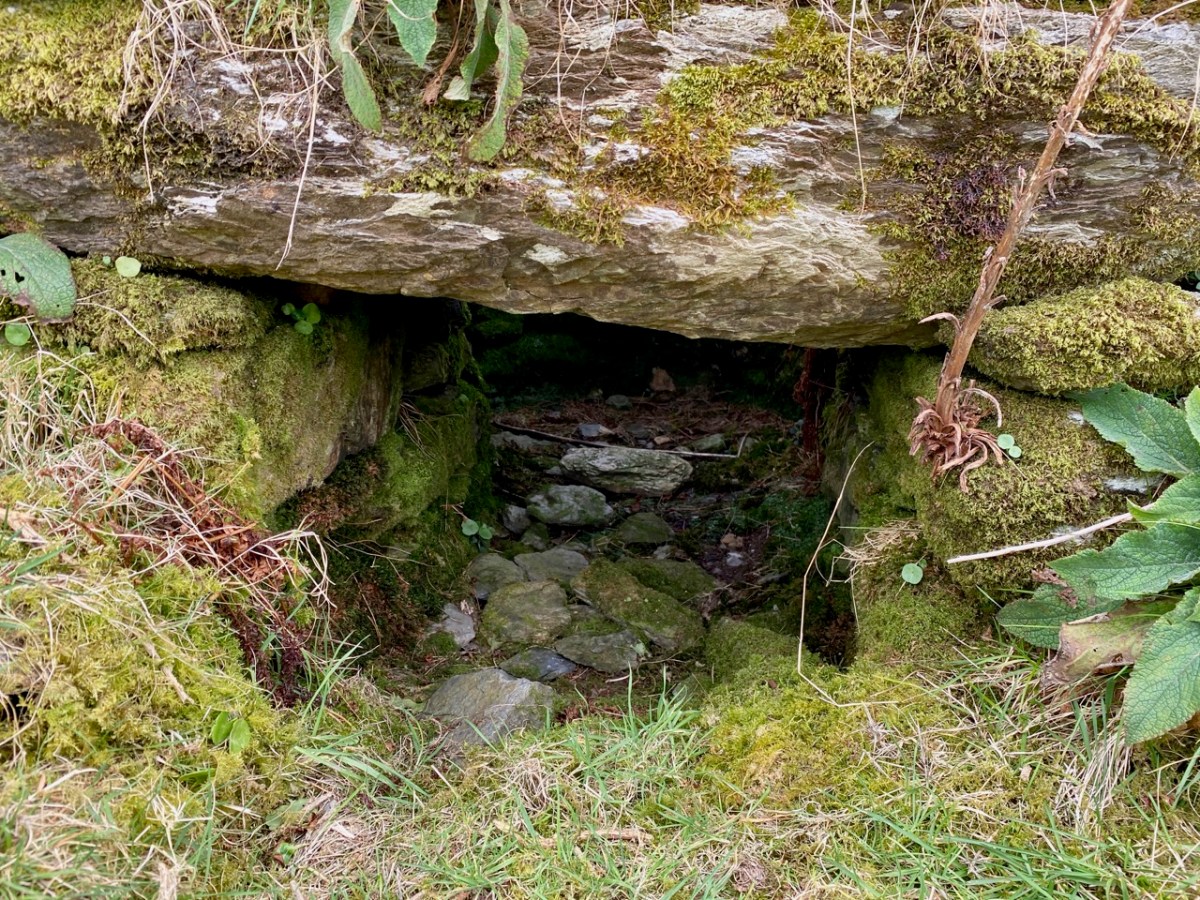
What is a cereal-drying kiln? Here is a good summary, from Irish Archaeology. It looks almost megalithic – and the earliest one dated so far goes back to the Bronze Age, but there are many that are medieval, and this one at Castle Donovan is likely to be contemporary with the castle itself. The structure has a fire-pit (below) and trays of cereal were placed above the fire, and in this case under a capstone, presumably protecting the corn from wind and rain.

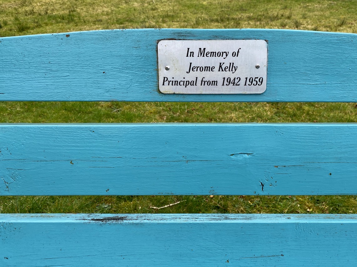
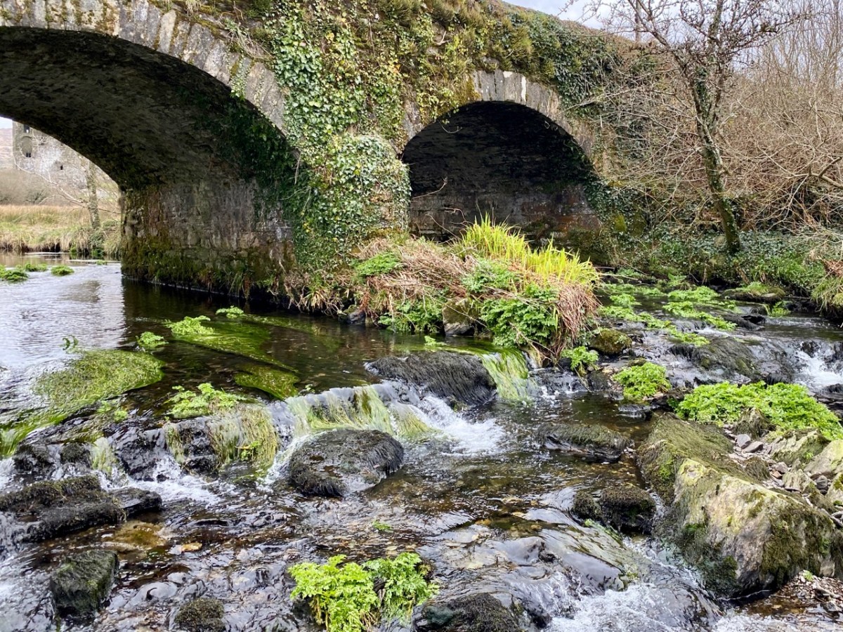
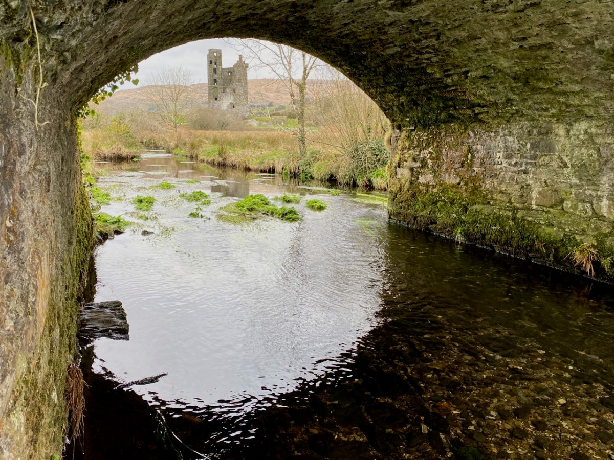
This extract from the 25″ Ordnance Survey map (late 19th century) shows the castle overlooking the Ilen River and, to the south, the bridge and the old school. To finish off this episode in the Ilen series, we will pause at this bridge. There’s plenty to see – good views back to the castle from the arches of the stone bridge; the site of the old National School. There is no sign of the building today, but there is a memorial stone:

This is from the Duchas Schools Folklore Collection, dating from 1937:

. . . Walkers: it was no uncommon thing for people to walk to and from Cork in olden times – often carrying baskets. Tradition has it that a woman Magg Hourihan of Deelis did the double journey on foot in one day (approximately 90 miles). Biddy Regan of Castledonovan is credited with the same feat – The occasion in both cases being the payment of Rent (which at that time was often paid through Cork butter factors). Herewith is a direction given to people who were unacquainted with the road – Bí ag dul soir, soir, soir – go bfeidir séipéal ar thaobh do láimhe deise ni fada uait Corcaig annsan.

Seán Ó Súilleabháin, múinteoir Deelish Co Cork

Previous episodes in this series: Sweet Ilen : Sweet Ilen – Part 2 : Sweet Ilen – Part 3 : Sweet Ilen – Part 4 : Sweet Ilen – Part 5

A Signal Success in Irish Engineering – Part 8: Brow Head
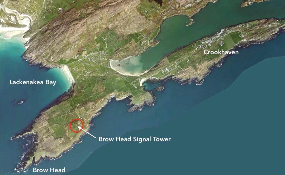
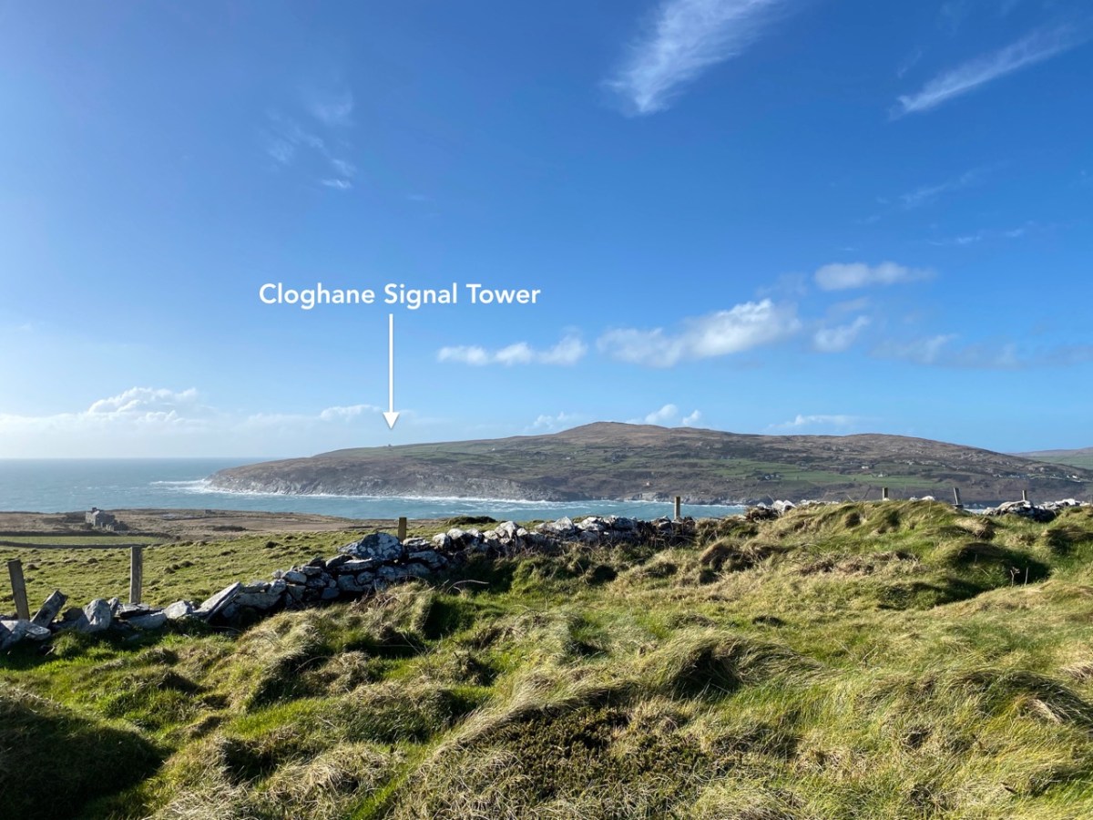
It’s surprising that it’s taken us eight episodes of this series to reach Brow Head, as it is one of the nearest to us, and one of the best preserved – albeit a ruin. It’s not far from the last one we explored: Cloghane, on Mizen Head. In fact, at 3.8km apart, these two towers are the closest of any in the whole system of signal towers around much of the coast of Ireland: 81 towers, each one generally in sight of two others.
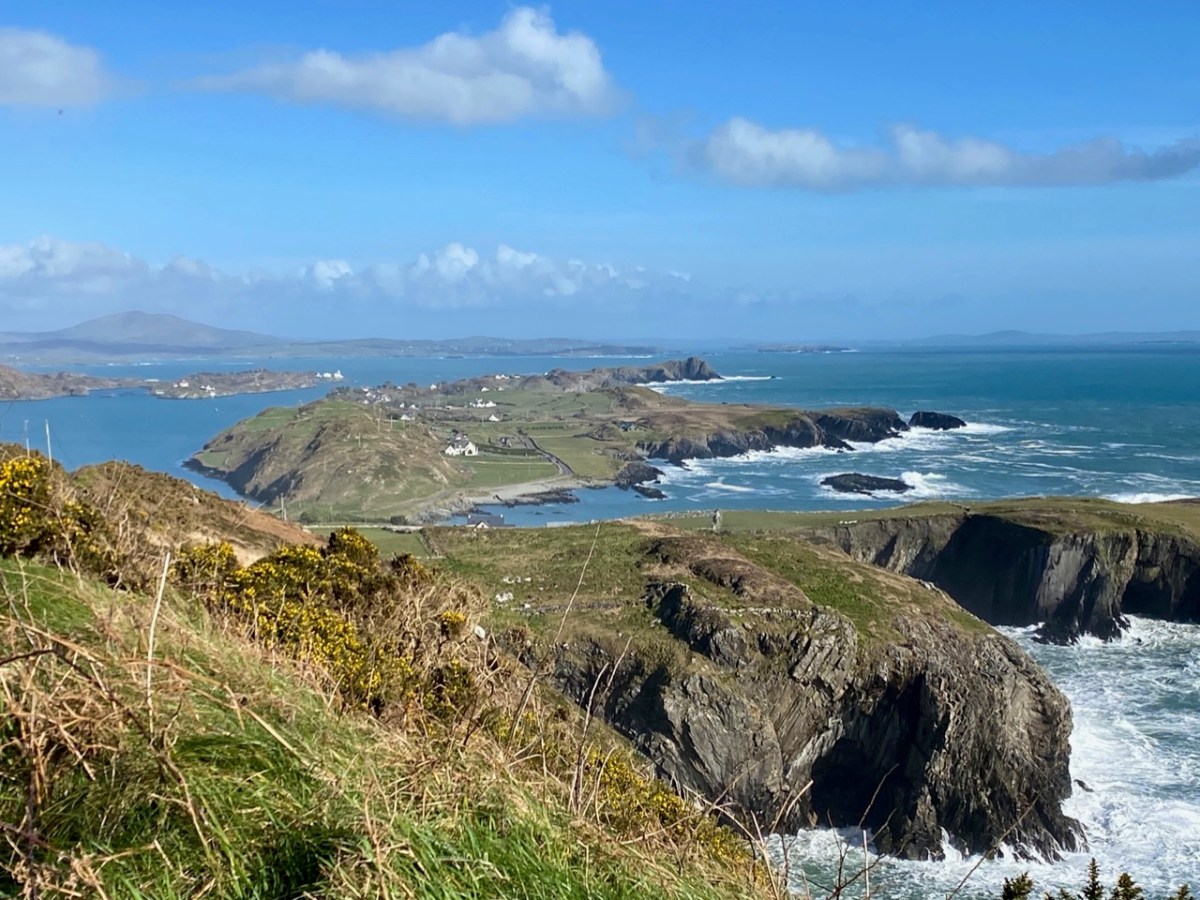
Above – views north-west across to Cloghane, Mizen Head, from Brow Head. The lower photo is taken with a long lens. Cloghane is 3.8km away from Brow Head: it doesn’t sound very far but, as you can see from the centre picture here, it’s remarkable that telescopes were good enough, in the early 19th century, to make out visual signals in any great detail. Weather conditions were obviously an important factor in this. Below, the tower at Knock, Lowertown, near Schull, is some 19km away to the east. When we visited the vestigial Ballyroon signal tower, on the Sheep’s Head to the north, we could also clearly see across to Brow Head – a distance of about 17km.

Brow Head – the headland itself – has been the subject of a previous post on Roaringwater Journal. It has a remarkably diverse history: not only is it the site of the Napoleonic-era signal tower, but of industrial and scientific activity. There are the substantial remains of a nineteenth century copper mine (photo above): I noted that the Mine Captain here was Hugh Harris from Cornwall – and wondered if he was a relation – until I read that he was dismissed as ...an incompetent authority…! Most interesting, perhaps, are the ruins of a signalling station set up by Guglielmo Marconi – established in 1901.

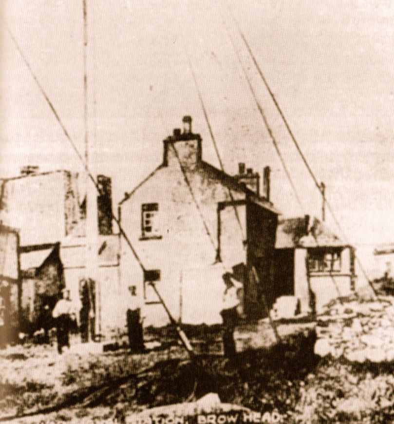
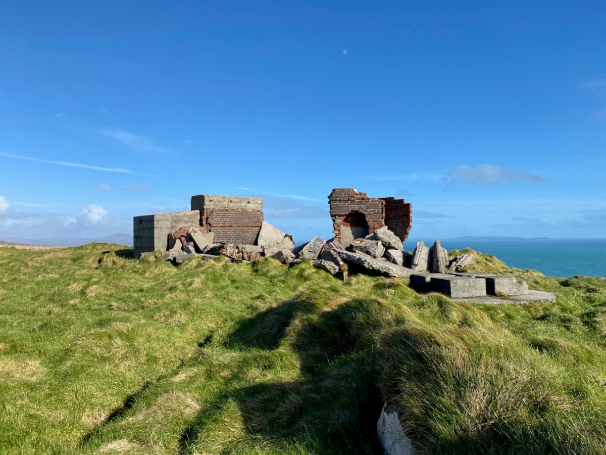
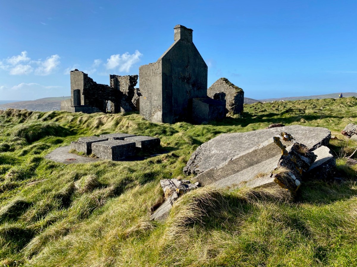
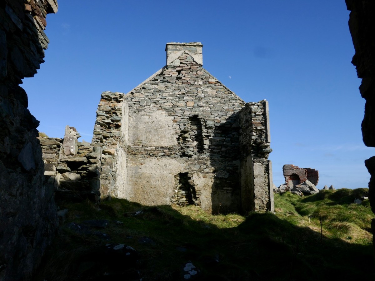
This photograph was taken in 1914. It shows the Marconi installation still in use: the signal tower is visible in the background, on the left. On the far right is a building which I take to be the electricity generating station, powering the telegraph. During the Emergency (1939 – 1945), a lookout emplacement was built to the south of the Marconi station: many of these were built around the coast, the majority sharing a site with a Napoleonic-era tower. Have a look here for more information on these comparatively recent structures.

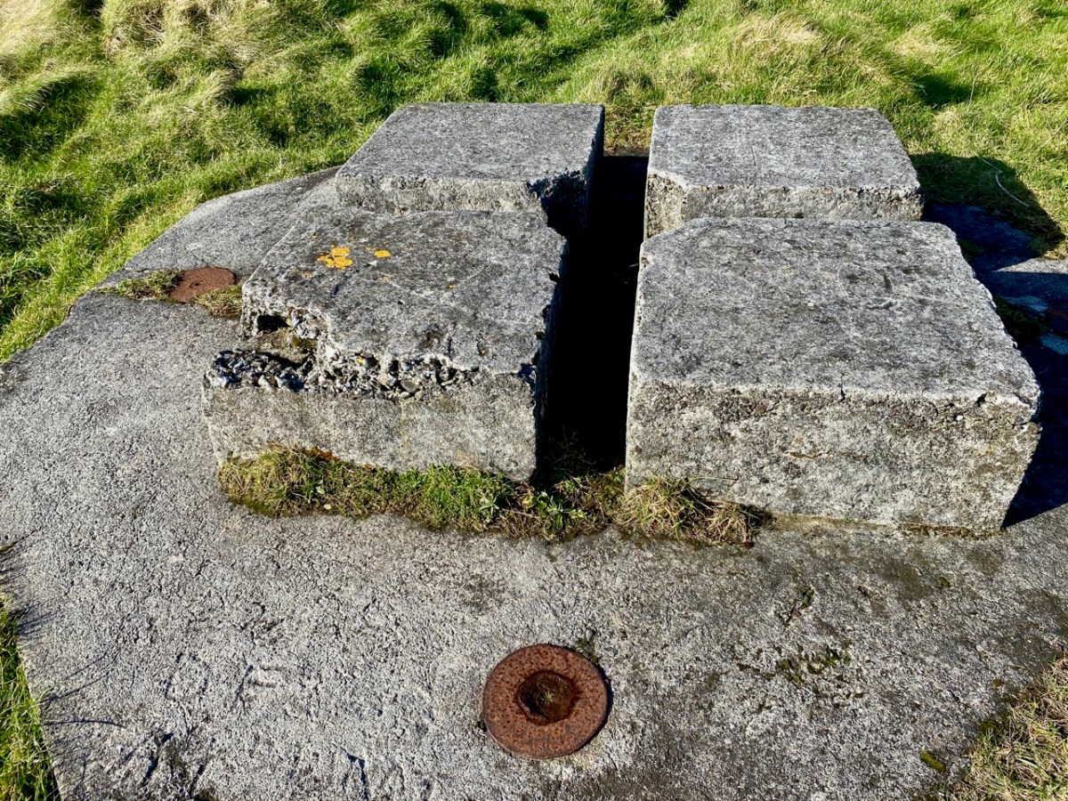
For this excellent drone picture of the Brow Head site, taken in 2017, I am most indebted to Jennifer & James Hamilton, mvdirona.com. Jennifer and James are intrepid adventurers, travelling around the world on their Nordhavn52 vessel. It’s well worth going to their website to see what they get up to: it makes our own travels in the West of Ireland seem a little humdrum… On the right of the photo is the 1804 signal tower; on the left is the Marconi station with – just in front of it – all that is left of the 1939-45 lookout post. On the right in the foreground is the generating station shown in the present day photo, below. Note, also, in all these images can be seen the four-block supporting base for the Marconi transmission mast.

What happened to these buildings? Here’s an account I received from a RWJ correspondent (very many thanks, Rachel), after I had published an earlier post on them in 2014 – it is based on contemporary newspaper articles during the Irish War of Independence:

. . . Brow Head was destroyed on the 21st August 1920 at 12:45 – 1am, having been raided less than 2 weeks earlier on the 9th August. All reports mention the use of fire; only some mention the use of bombs. Explosives had, however, been stolen during the earlier raid on Brow Head (they were used for fog-signalling). Due to delays in reporting, some articles suggest different dates for these events but I’m fairly sure the 9th and 21st of August are the correct ones. 9th August: Armed and masked men raid the station and take stores of explosives, ammunition, and rifles. There are conflicting reports over whether any wireless equipment was taken during this raid. 21st August: Reports that all buildings at Brow Head (war signal station, post office, coastguard) destroyed, either by fire, or fire and bombs depending on the article. Some reports say 40 men were involved, some 70, some 150, some 150-200. These men had masks and were armed with revolvers to cover the three or four guards, they were described as young and courteous. The raid is said to have taken 5 hours; all Post Office equipment was taken away, as well as other stores. Other wireless equipment was smashed. The raiders helped the guards move their furniture/belongings out before setting fire to the buildings . . .

Rachel Barrett

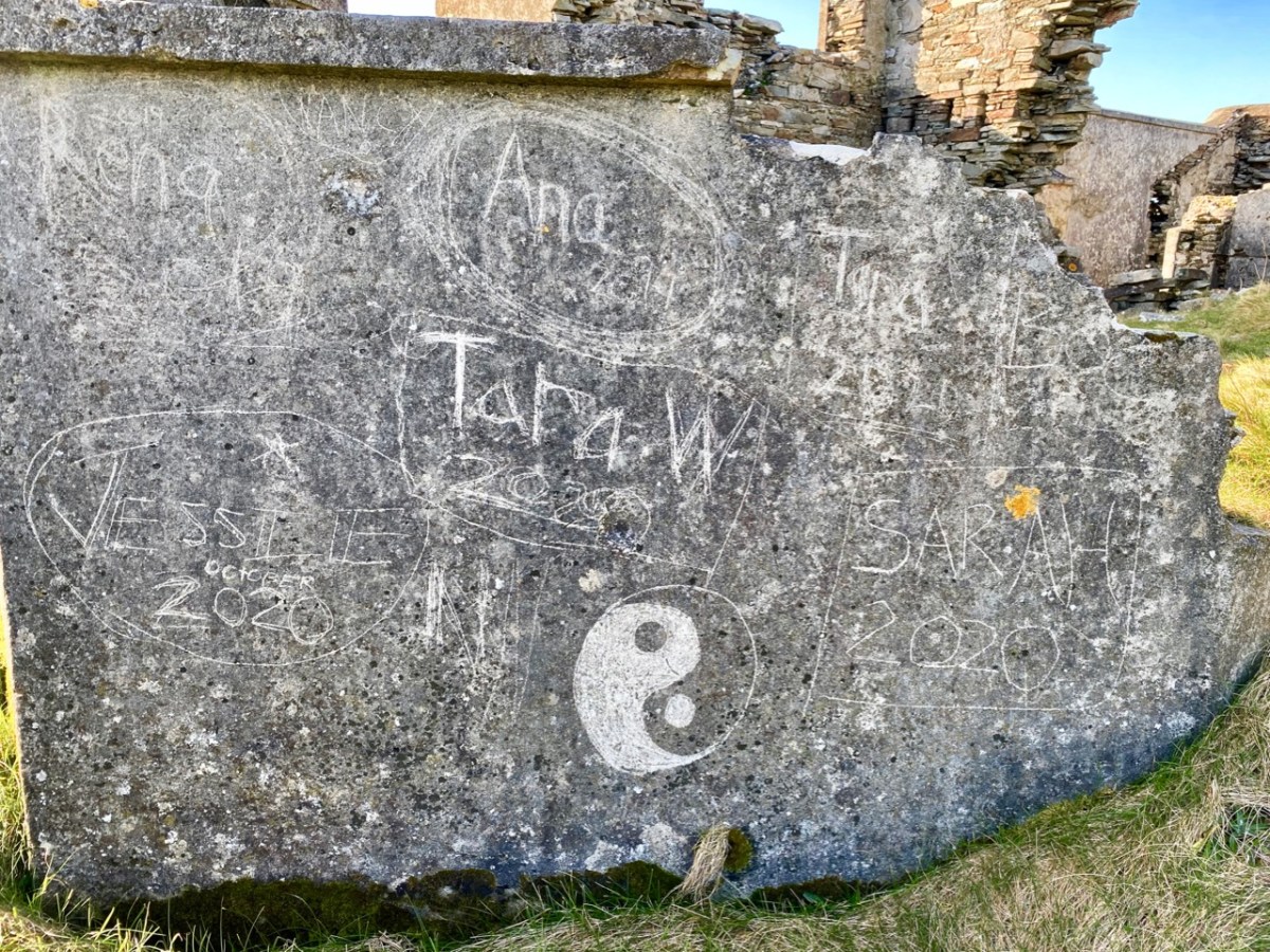
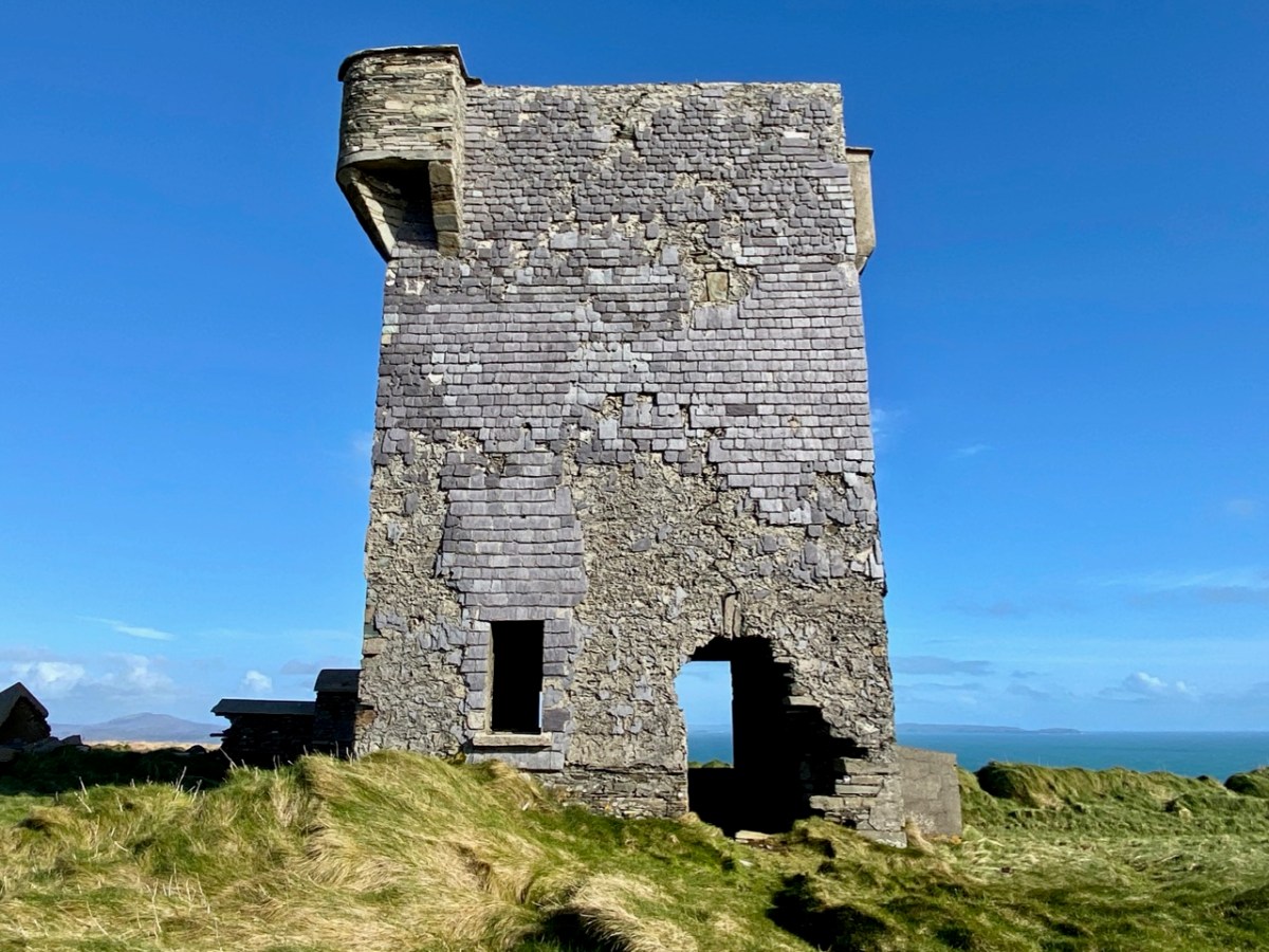
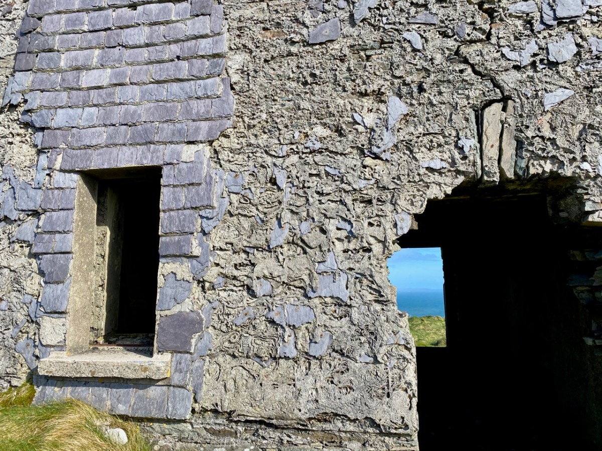
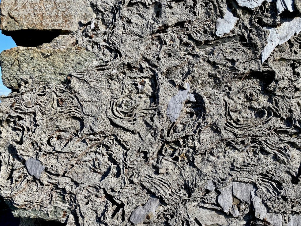
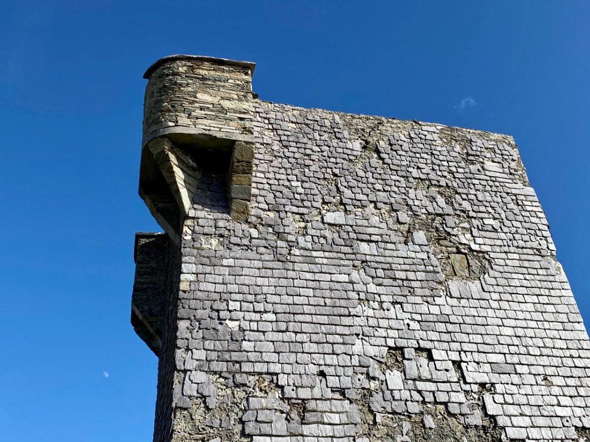
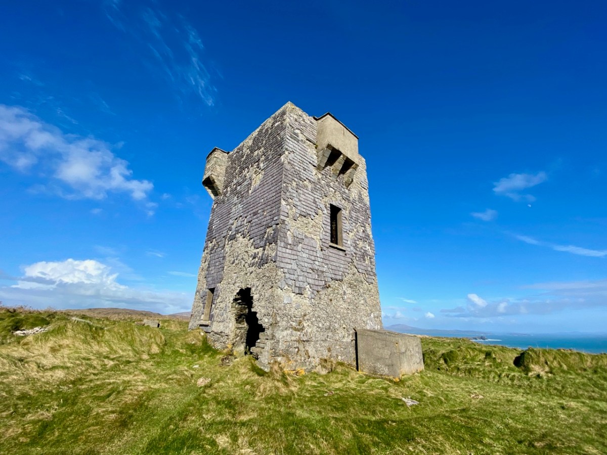
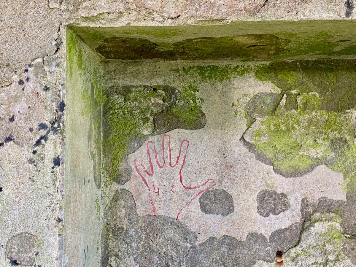
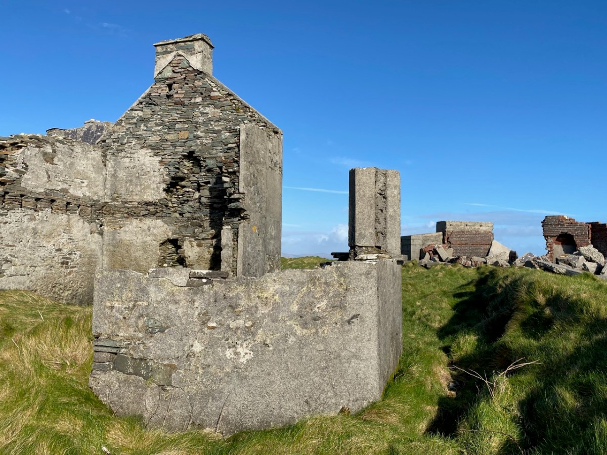
So far we haven’t said much about the 1804 signal tower itself. Although ruined, it is a good example, reasonably stable, and has survived two centuries of severe Atlantic gales remarkably well. All the elements are recognisable: projecting bartizans, slate hung external walls for improved weatherproofing, an intact roof and distinct internal features – and a little enigmatic graffitti. Compare all these with the other towers in our series so far (there are links at the end).

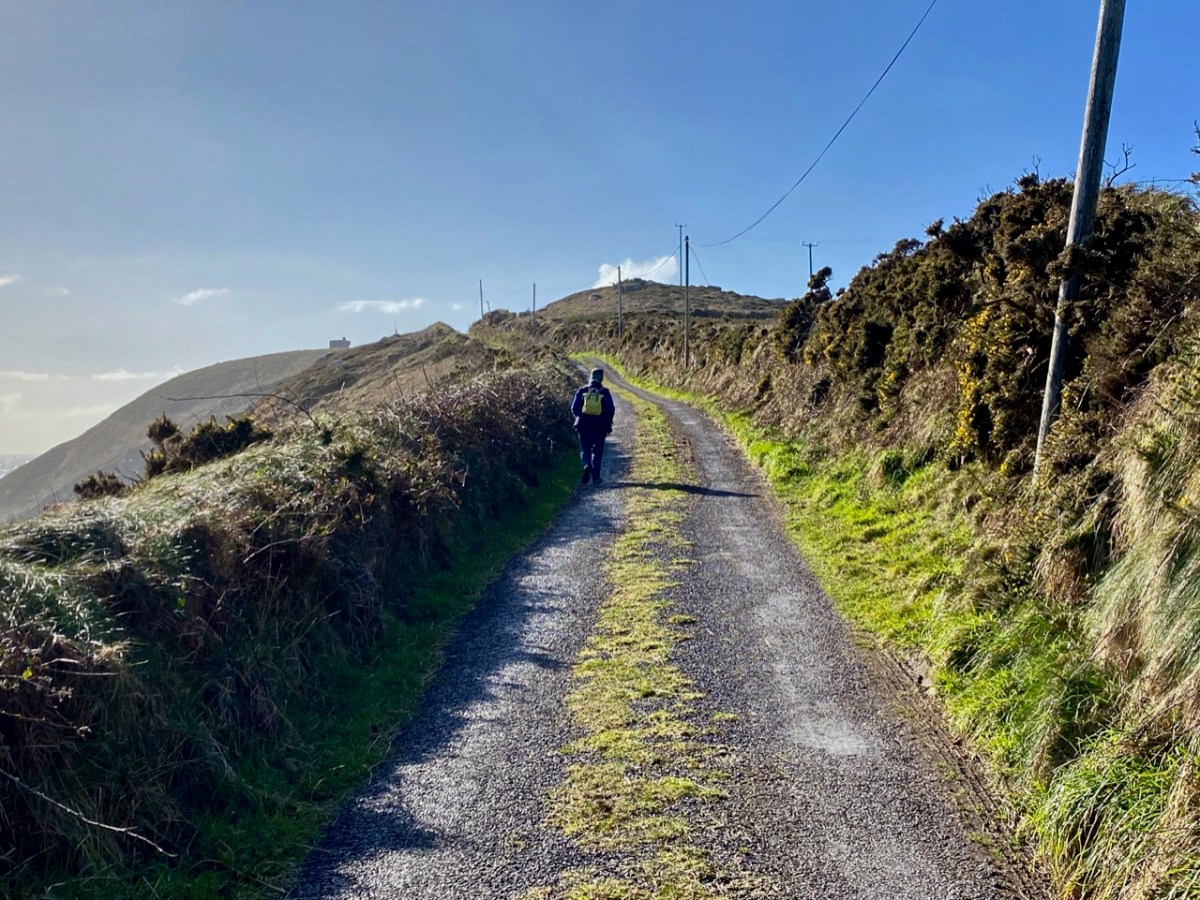
If you set out to visit the Brow Head site on a good day, you can’t do better than to park at Galley Cove – at the bottom of the long, steep access road (and beside the Marconi commemoration board and sculpture by Susan O’Toole) – and then walk up. You will enjoy continuously changing spectacular views in all directions, and you will begin to see the signal tower above you as you approach the brow of Brow Head.

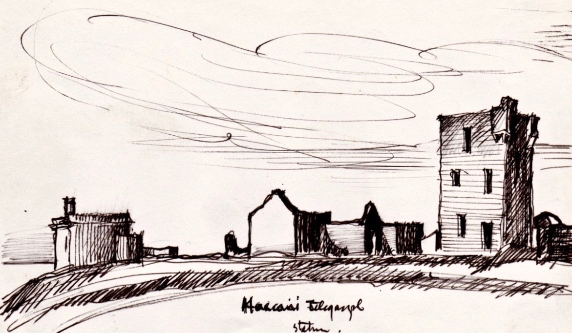
West Cork based artist Brian Lalor visited the Brow Head site with the Mizen Field Club in 1984. His sketch of the buildings is an interesting record as it appears to show, on the left, the 1939-45 lookout post intact (below). Very little remains now, 37 years later (lower). I wonder what led to this particular piece of destruction?

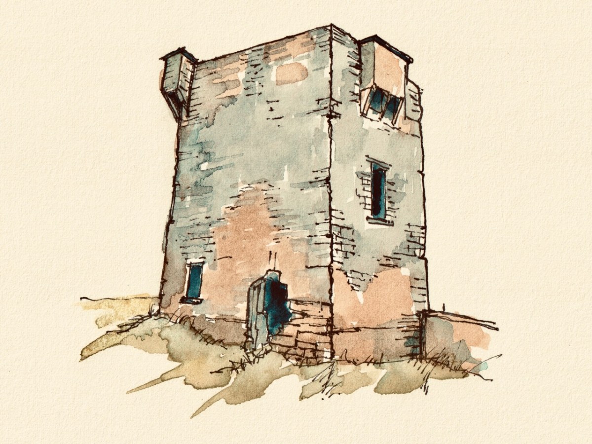
I’ll finish off with another sketch view of the Brow Head signal tower: this is by Peter Clarke, who runs the excellent Hikelines site. Many thanks, Peter.

The previous posts in this series can be found through these links:

Part 1: Kedge Point, Co Cork

Part 2: Ballyroon Mountain, Co Cork

Part 3: Old Head of Kinsale, Co Cork

Part 4: Robert’s Head, Co Cork

Part 5: Downeen, Co Cork

Part 6: Dunnycove

Part 7: Cloghane, Mizen Head

Ilen’s End (Sweet Ilen – Part 5)

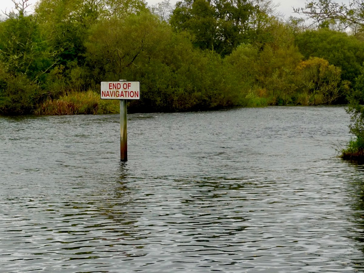
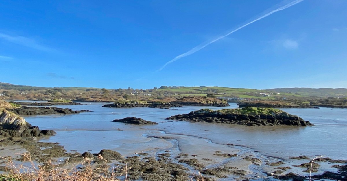
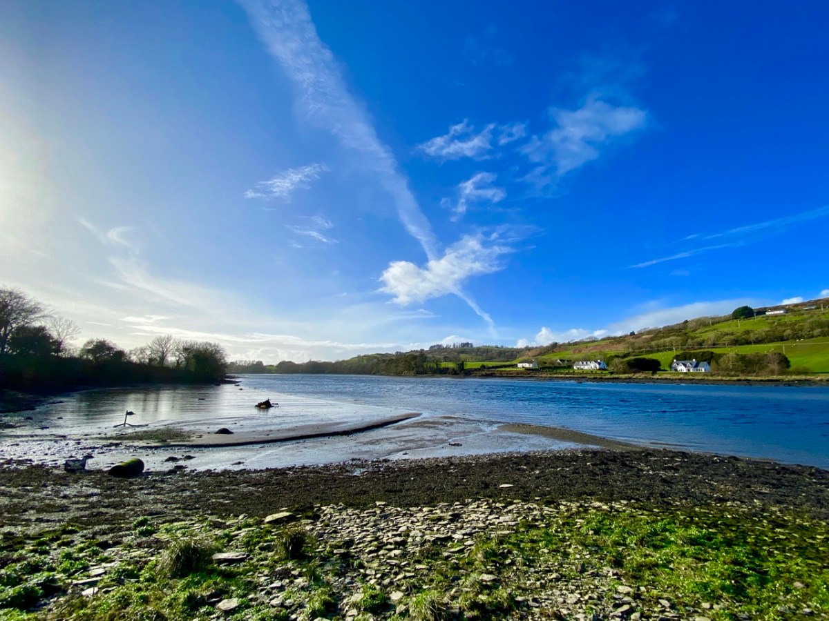
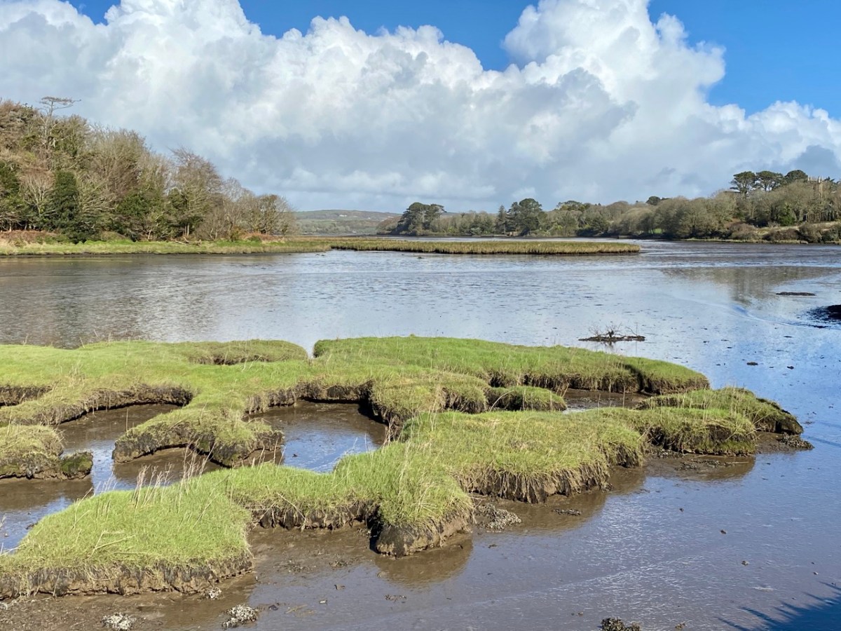
It rises on a remote mountain-top in the wilds of Mullaghmesha townland and falls 500 metres from there to the Atlantic, over a length of 34 kilometres. I think it’s time to establish exactly where the river ends, and the ocean begins. As you can see from the photo above, the lower reaches are wide and shallow, and the estuarial waters are dotted with islands and islets, some of which are only revealed at the ebb of the tide.

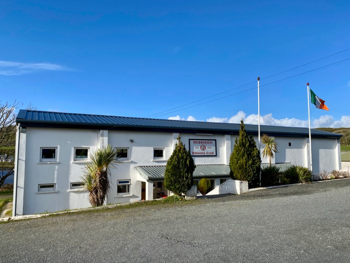
Below Skibbereen, the river is fully tidal – and its character is constantly changing. The history of the waterway has also seen an evolution, from a busy highway carrying lighters filled with cargoes to the wharves in the town (in the 19th century there were five of them – and a Customs House), to the present day where it is a tranquil scene, only busy – in normal times – with the skiffs and light craft based at the Rowing Club (above): that establishment has produced some celebrated champions!

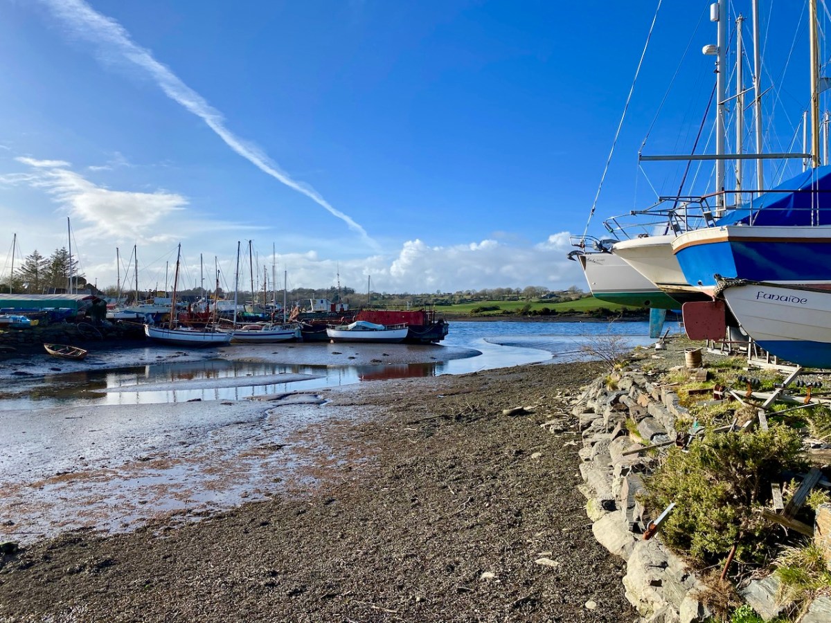
Oldcourt (above) was the transhipment point where laden ships from distant shores would leave their loads into the shallow draft barges that would take them upstream into the town. Today it is still a busy hub where vessels are stored, built and repaired – and also left to decay. The disorder of the place has a picturesque informality, and there is medieval history also: a rickety tower house stump stands guard over the apparent chaos. We have written about the boatyard (and the castle – and a ketch named Ilen) in a previous post.

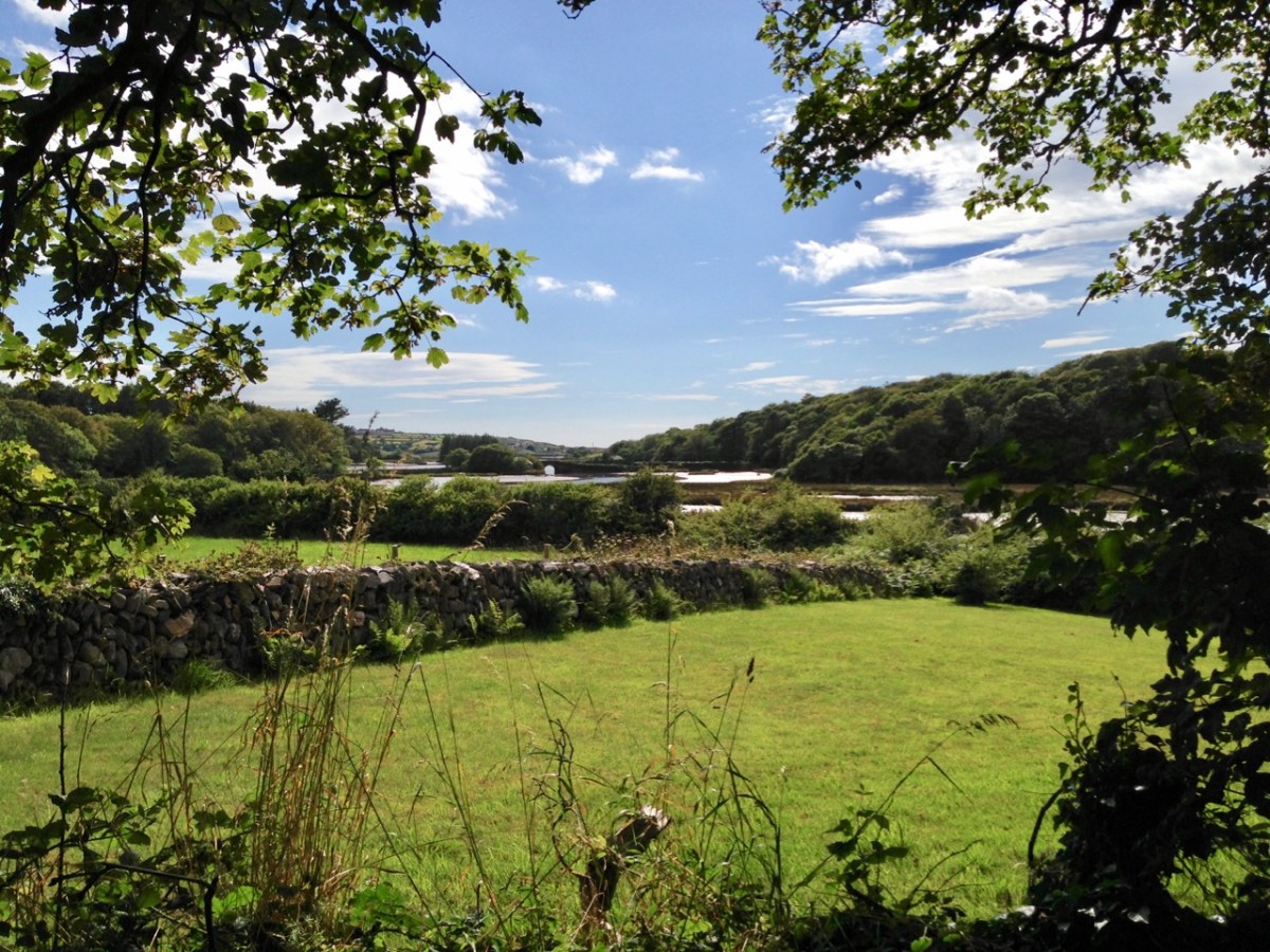
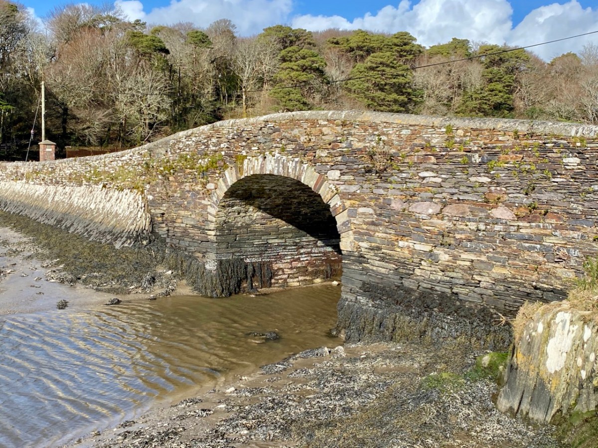
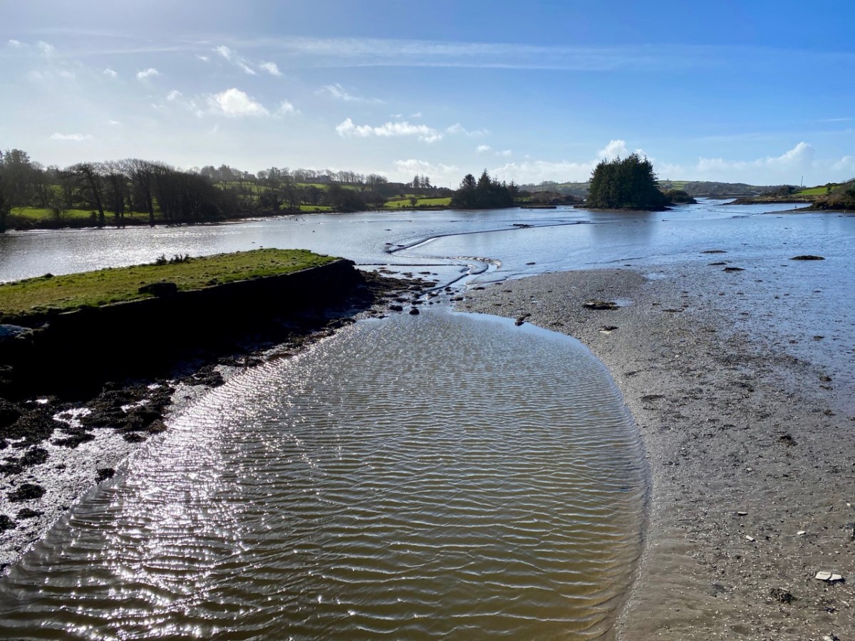
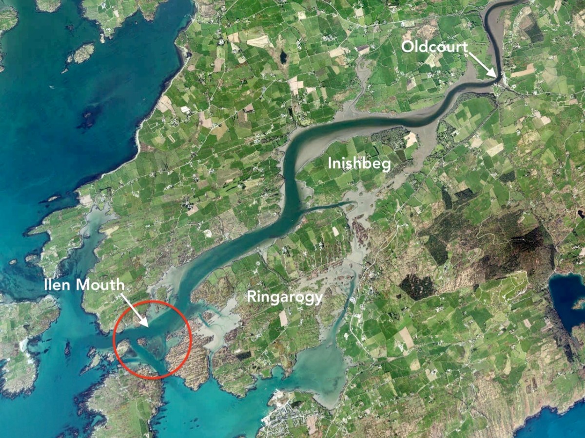
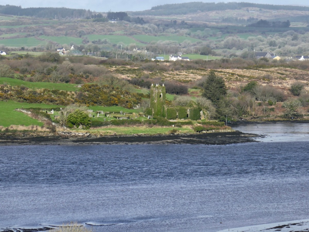
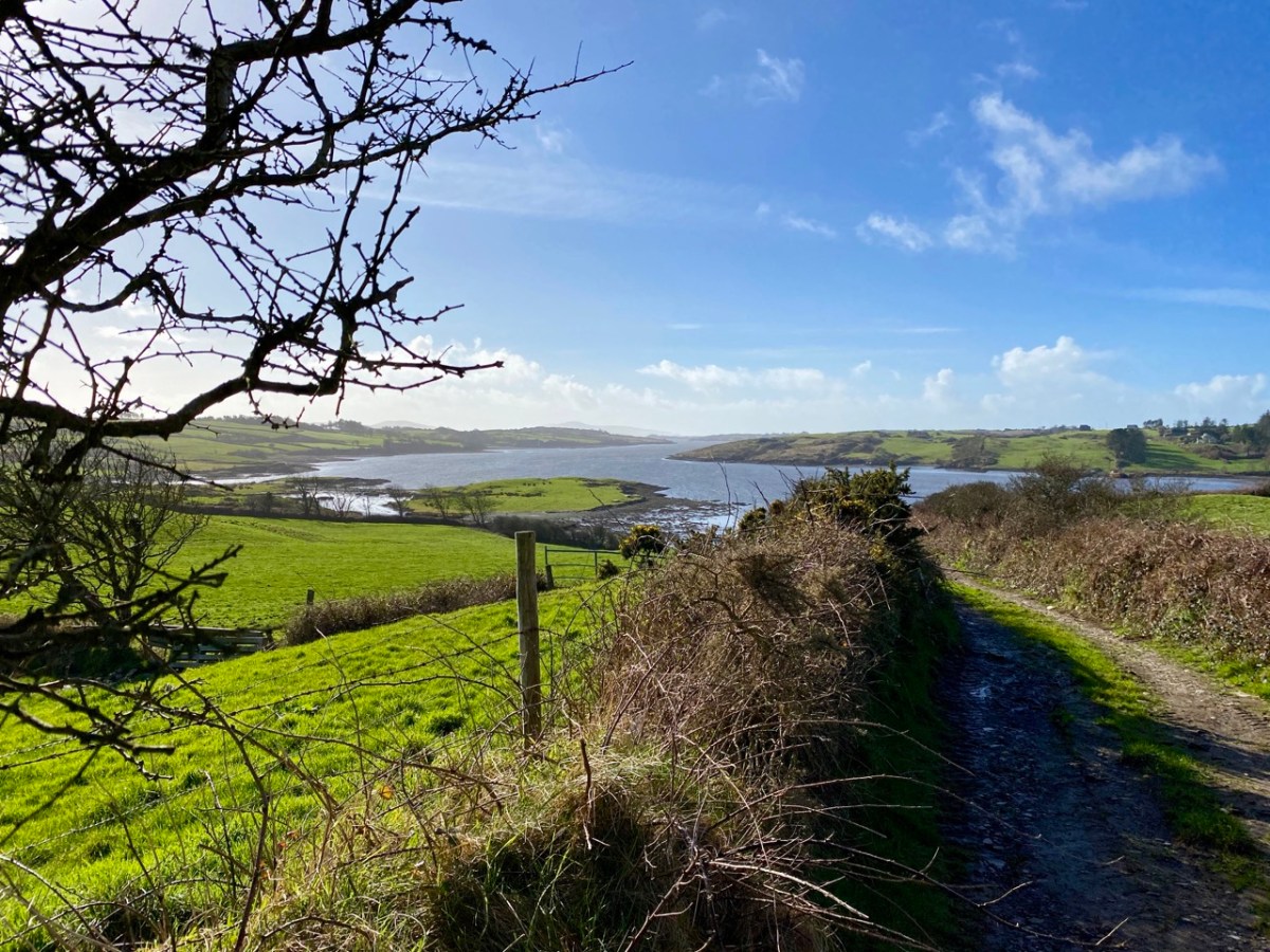
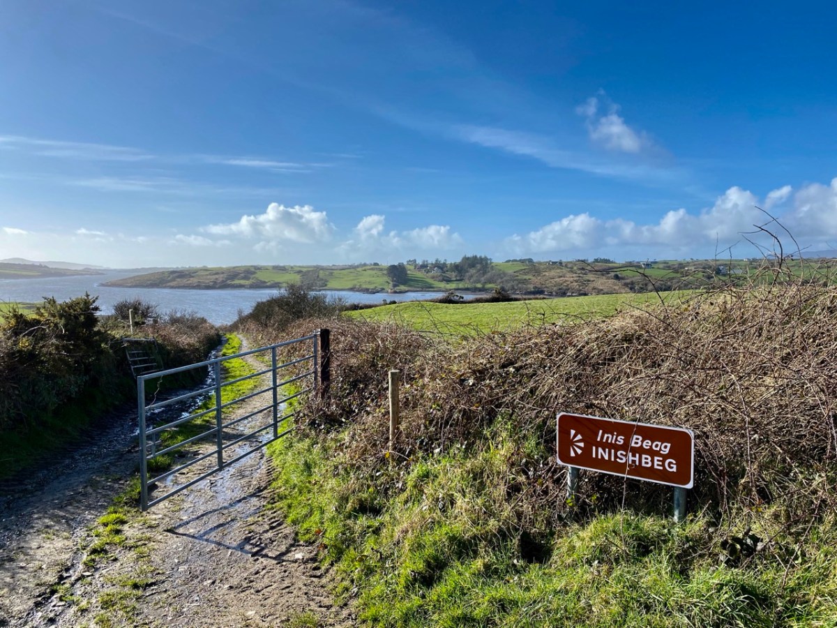
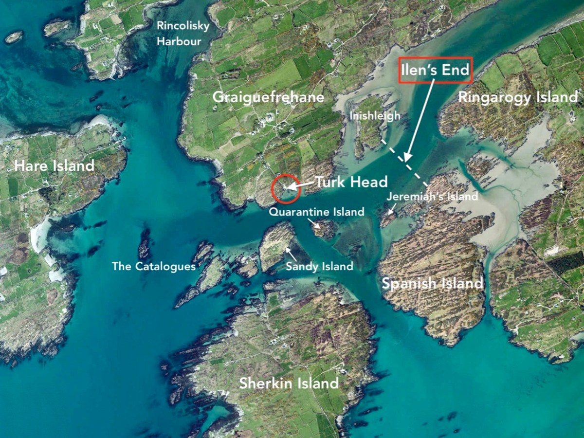
You can cross a bywater of the Ilen by bridges at Inishbeg (above) and Ringarogy. Exploration of those two islands will reveal a number of view points over the main channel of the river to the north. The marked aerial map below shows the lie of the land, while the photos following show the wide views of the river in both directions from Inishbeg.

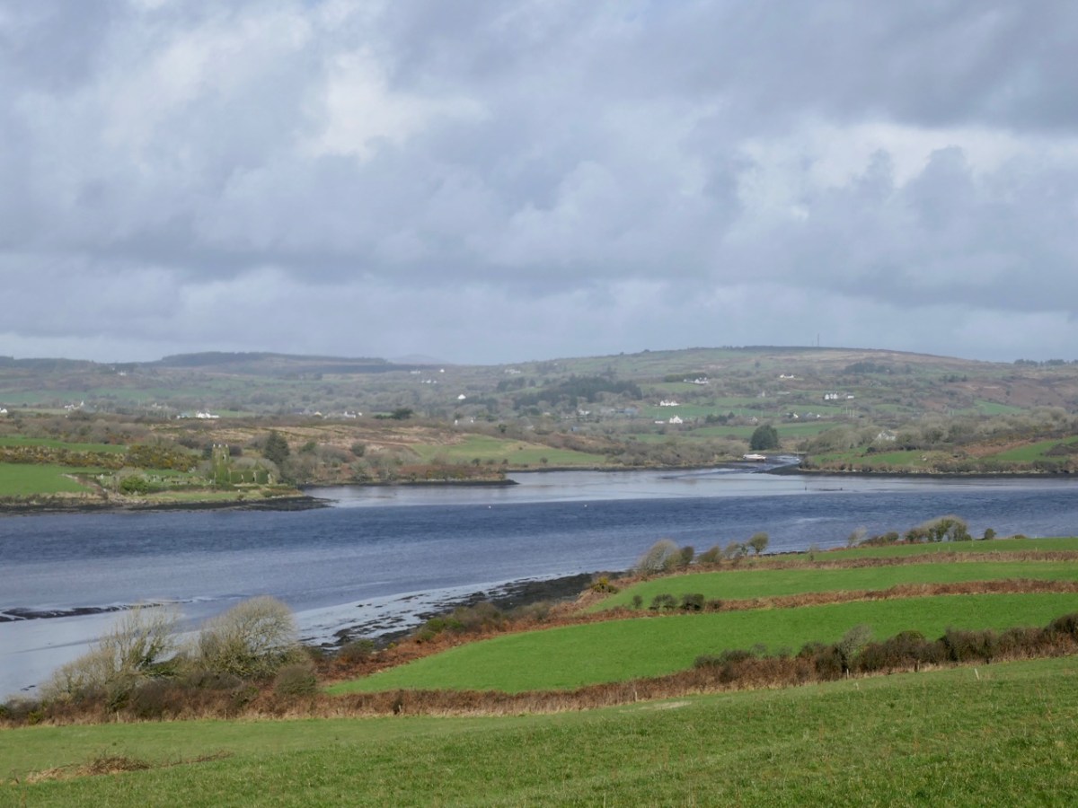
(Upper) looking upstream from Inishbeg, and (lower) a close view of The Glebe Burial Ground, also seen from across the main river at Inishbeg.

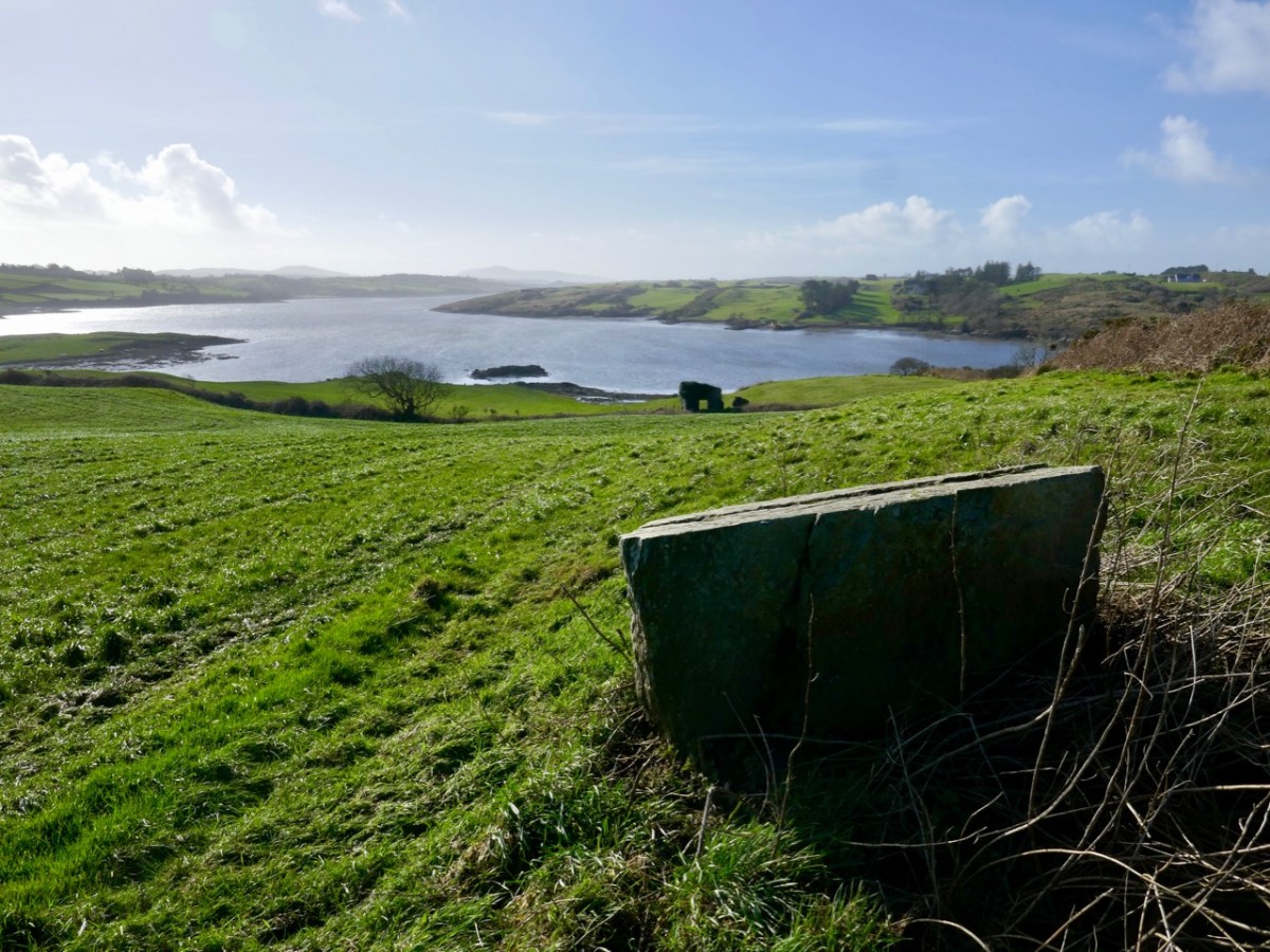
Downstream from Inishbeg: at the east end of the island we found an unusual large rock which appears to have a worked surface and a possible cup-mark. Below that rock is the lonely ruin of a structure which must have had a remarkable aspect over the whole width of the river. It would be easy to suppose that this ruin could have been part of a defence system, but there is no mention in the archaeological records of this, or of the rock. For now, they remain enigmas – but perhaps there is an alert reader out there who can shed some light?

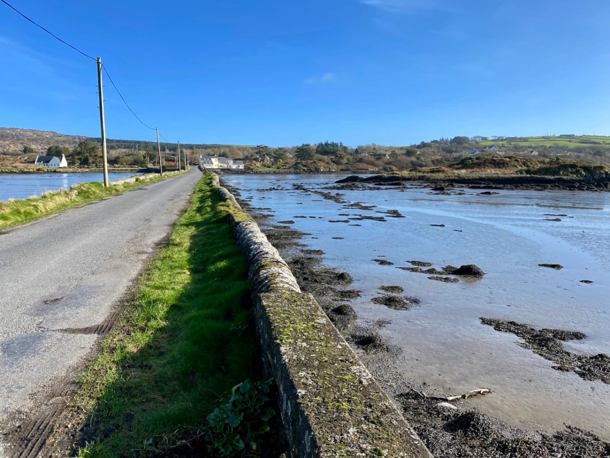
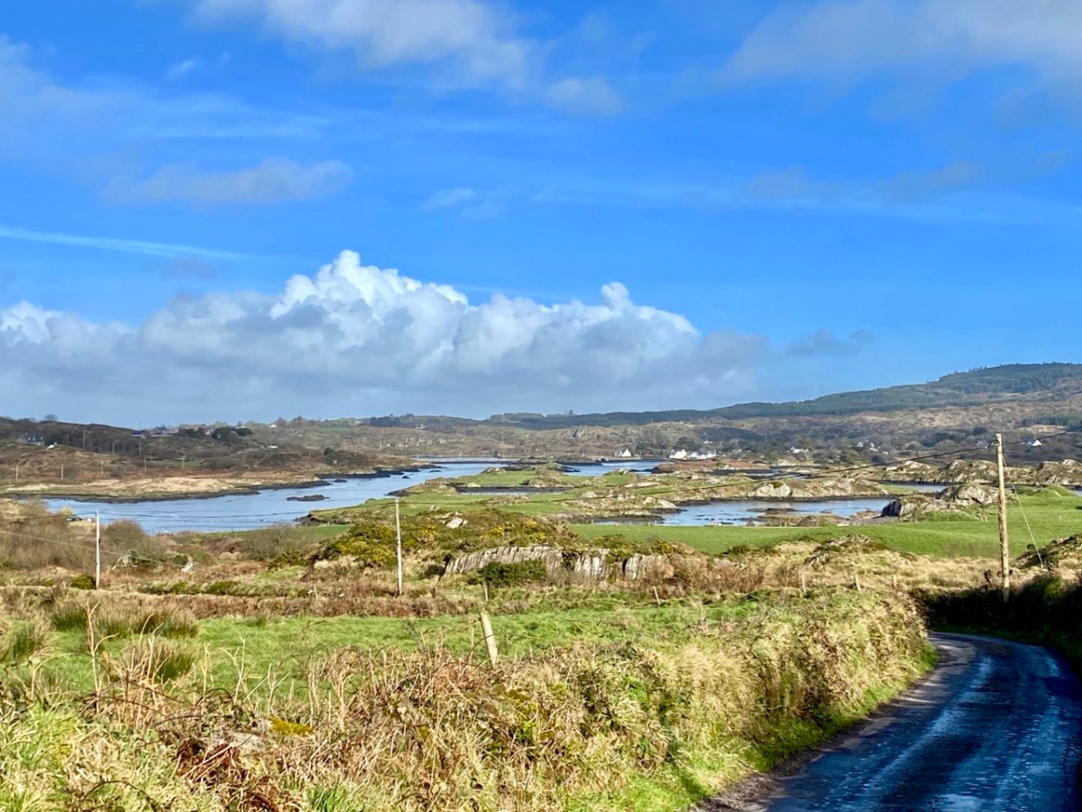
Ringarogy has fewer accessible viewpoints than Inishbeg, but the long causeway and some prospects from high land indicate how the lower course of the river is punctuated with small, barren landfalls (above).

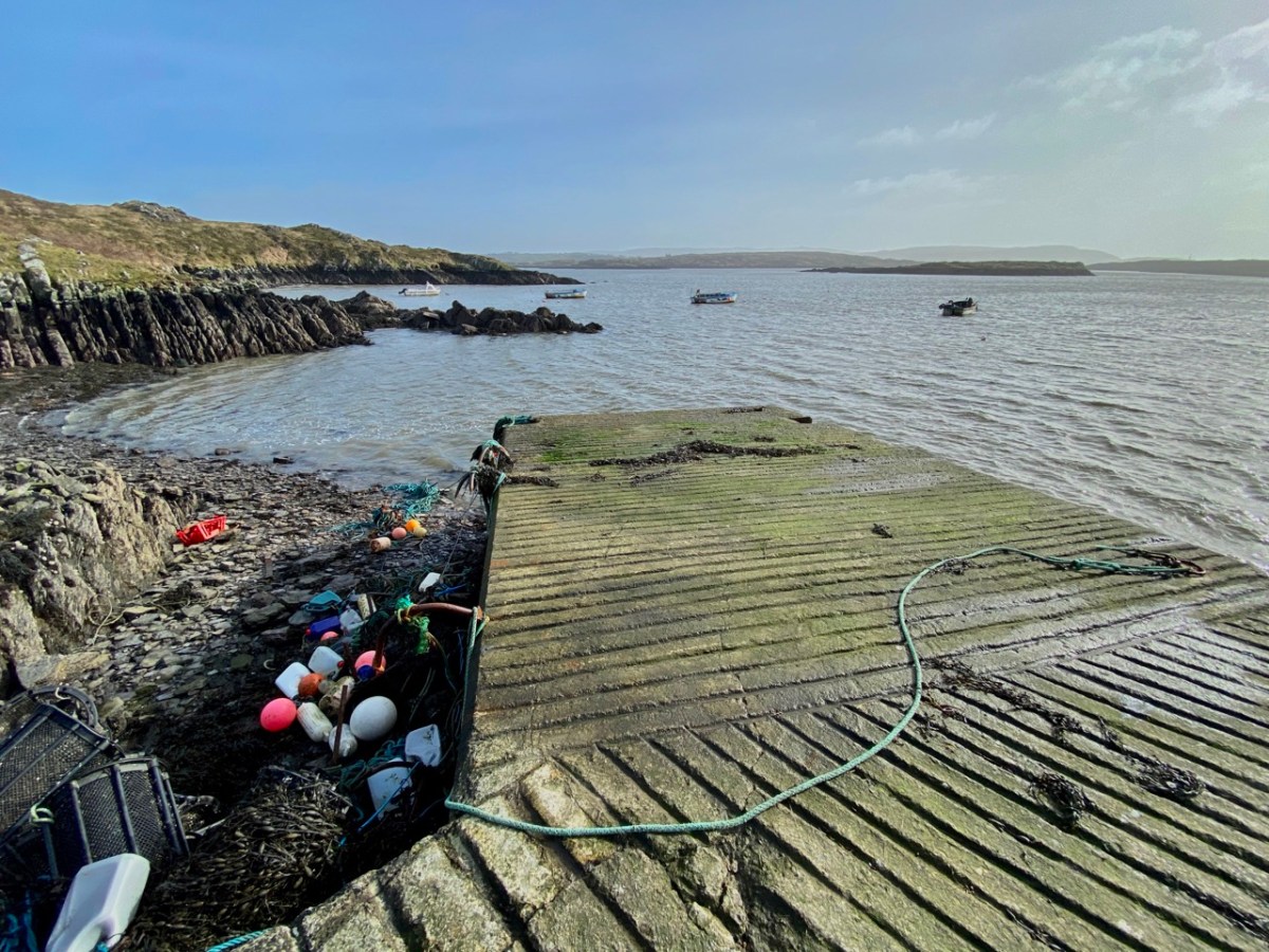
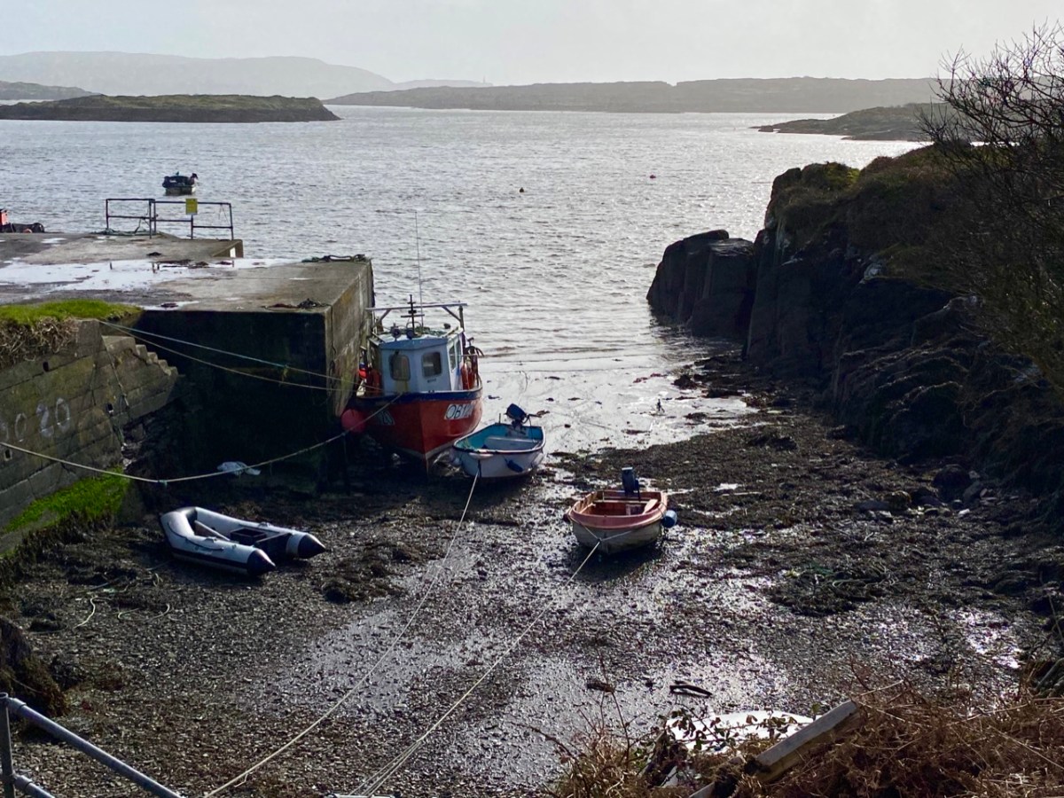
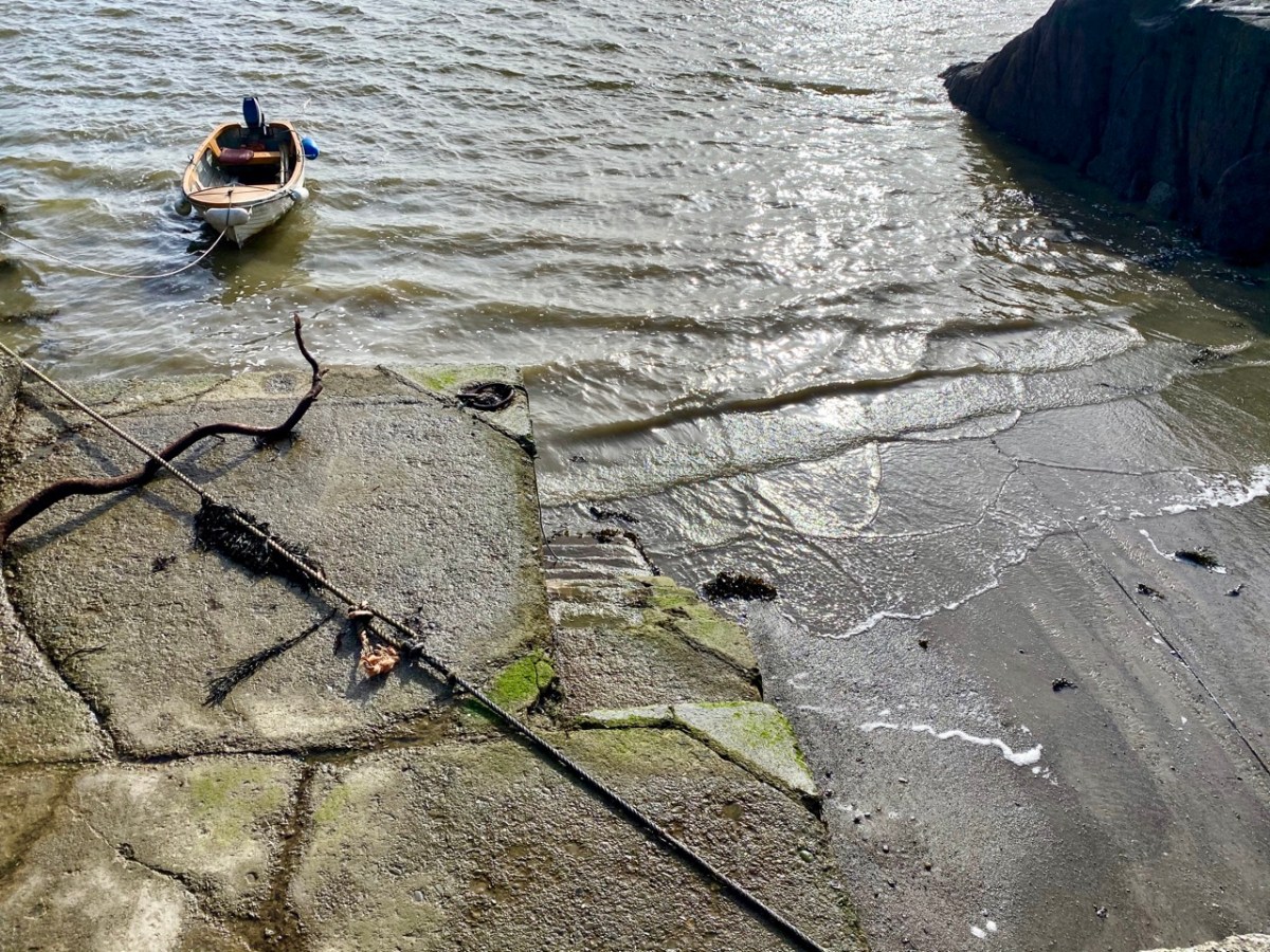
I have made up my mind that the Ilen proper must ‘end’ at Turk Head – the pier, above, is looking towards the main channel of the river. It is also a small but substantially built harbour – partly hewn out of the low cliffs – which can shelter a few light fishing craft.

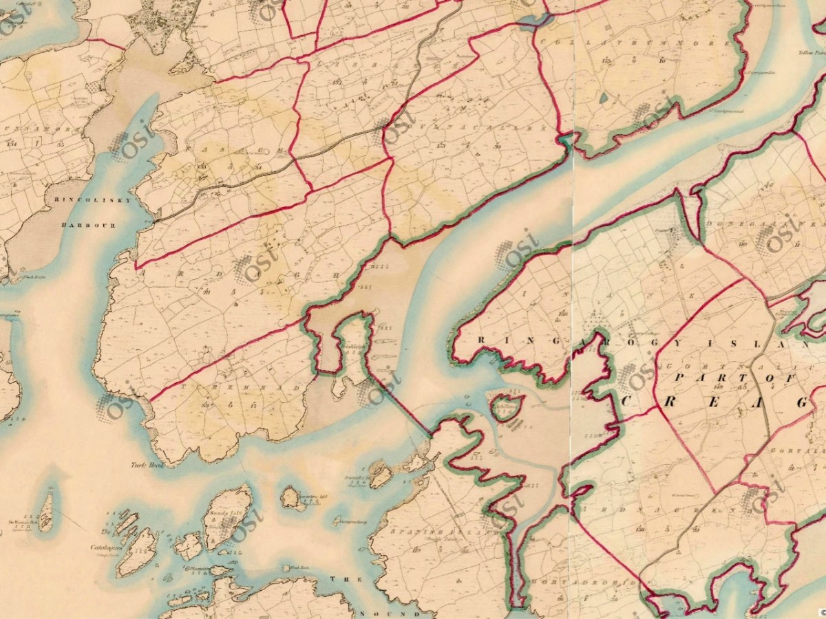
But the reality of the downstream ‘end’ of the river seems to be defined on the 6″ OS map above, which dates from the early 19th century and shows the townland names and boundaries as they were recognised at that time. There, a clear line is drawn between the island of Inishleigh to the north, and Spanish Island to the south. To the east of that line, apparently, is the Ilen, while to the west is the edge of Roaringwater bay, which leads into the ocean, but first skirting a myriad of rocks and small islands, only some of which have names.

There may be traditions – unknown to me – that define where the river mouth lies. Perhaps it doesn’t really matter. If you are a seafarer carrying goods bound for Skibbereen you will have to negotiate your way safely through a fairly convoluted channel before entering a contrasting world of wide, calm water and rich, smooth meadowlands: Sweet Ilen.

Previous episodes in this series: Sweet Ilen : Sweet Ilen – Part 2 : Sweet Ilen – Part 3 : Sweet Ilen – Part 4

Robáird an Tuairisceoir Fáin

Exciting news! Recent land improvement works around Rossbrin Castle have uncovered the fragments of an old manuscript – tucked away in the crack of a rock probably 530 years ago. We all know about the Scholar Prince of Rossbrin – Finghinn O Mathuna – who was Tánaiste of the great West Cork O’Mahony clan, and who lived in the castle during the second half of the fifteenth century. He gathered around him historians, bards and scribes. Many books were written there and some survive to this day. They are learned treatise, but the new discovery is something different – a piece of pure journalism written by a visitor to the castle, Robáird an Tuairisceoir Fain (Robert the Roving Reporter), for the Rossbrenon News, a worthy forerunner to our own Roaringwater Journal. In the article, Robáird interviews Finghinn, and gives us a unique insight into how life was lived in those far-off days.

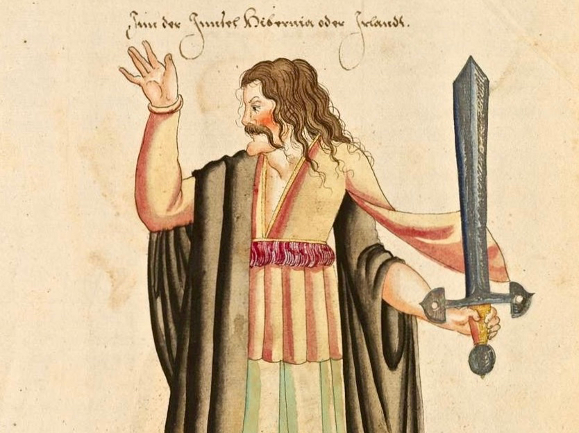
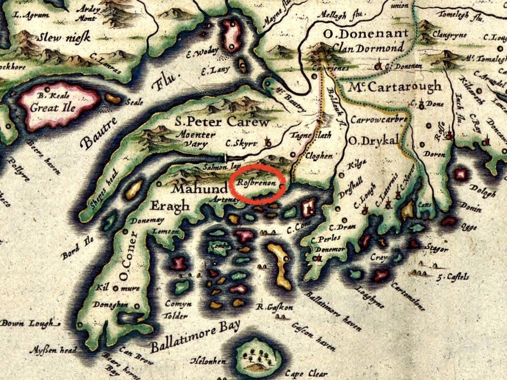
Upper – possibly Finghinn O Mathuna, the 15th century Scholar Prince of Rossbrin; lower – John Speed’s 1611 map of Roaringwater Bay, showing the Tánaiste’s territory of ‘Rossbrennon’

The manuscript is written in a mixture of Latin and Irish, and I have done my best to translate. The format is a dialogue between Finghinn and Robáird. You will have to excuse any errors:

RanTF: Tánaiste, thank you for talking to us today, and for entertaining me in this splendid castle solar which looks out over the waters of Roaringwater Bay. It’s such a busy place – the water is crowded with ships: where do they all come from and why are they here?

F O’M: Poiyou, Guyenne, al-Andalus, Castile, Flanders… all the coasts of Oceanus Occidentalis and an Mheánmhuir. They are here because we have the best fishing grounds in the whole of this world! Our warm waters have an abundance of cod, herring, pilchards – enough to feed all the great cities…

RanTF: So all this commerce that’s out there in Roaringwater Bay – it’s just about fish?

F O’M: Well, no. If you’ve got ships coming up here from places like an Mheánmhuir they might as well be bringing you some of their fine wines! Look below us, around the castle: you see all those warehouses? Some are ready with barrels and salt for preserving the fish before their long journey back, but those over there are doing very nicely for the wine trade…

RanTF: Is this an illicit trade?

F O’M: I’m certainly not going to be telling you that if you are going to publish it in that damnable broadsheet of yours. The Customers and Searchers do well enough out of us, but they seldom get down to these parts. If we do see them, we welcome them with open arms, and fill those arms with a good helping of Burgundy! We are seldom troubled by them after that – until they run out, of course.

RanTF: I understand that fish – especially pilchards – have to be preserved very quickly or they go bad?

F O’M: That’s why all those people are working out there. Look at the place – every one of those huts and cabins is occupied by large families, all of whom – women, children and men – are employed every waking moment. They do get a couple of hours off on the Sabbath, so that they can hear the sinners being denounced: that entertainment lasts them the week…

RanTF: Such a dense population must lead to some hygiene problems?

F O’M: There’s certainly an excess of pestilential exhalations – but that’s why I spend most of my time up here in the solar: I’m above all that. Besides, from here I get a very good view of what’s going on all around.

RanTF: So what is it that sets you apart? They do call you ‘The Scholar Prince’…

F O’M: They do – and they say that Rossbrenon is ‘The greatest centre of learning in the world’! That’s what really interests me. You see those houses down there, just below the castle? That’s where the scribes work. We are producing the finest literature, which is going to the most important libraries in Europe : London, Rennes…

RanTF: And what are they writing about?

F O’M: Whatever is in demand – and topical. We produced the standard work on the life of Sir John Mandeville, for example: that contributed considerably to the current debate on what happens when you reach the edge of the world – do you fall off? We have also come up with volumes on state-of-the-art medicines. Invaluabe for when the next plague strikes…

RanTF: Ah yes – very topical. But where does your knowledge come from?

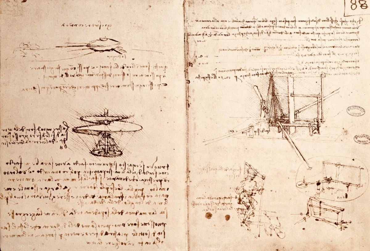
F O’M: I learn a lot from the seafarers: I entertain them royally with their own Burgundy and, in return, I find out what the latest thinking is. D’you know, there’s a young lad from Italia who is coming up with all sorts of ideas: he reckons that, very soon, we humans will be able to fly like birds! We’ll just equip ourselves with wings made from timber struts and skins, climb up the round towers, and jump off the top!

RanTF: Remarkable! What else does he say?

F O’M: He’s absolutely sure that if you keep sailing west, you will one day find yourself coming back from the east… I don’t understand it myself. What’s more, he claims to know exactly how babies are made!

RanTF: He’s obviously a genius, or a charlatan! So, Tánaiste, with all this knowledge you are gaining from your trading partners, what predictions can you make for us. What will this little bit of our Irish Empire look like in – say – five hundred years time?

F O’M: Ha! Well, I think there’s little doubt that the young community we are creating here in this sheltered cove will expand and become a huge city. There will be town walls, a Cathedral of Rossbrenon, a university and palaces to house the princes and the citizens. And, beyond the boundaries, there will be extensive coney warrens, enough to feed everyone, and keep them warm in winter. And – if that young Italian has his way, we’ll all be flying everywhere: who knows – perhaps we can even fly across the world and find where its edge is. As we’ll have wings, we won’t fall over it!

RanTF: Tánaiste, it’s been a privilege to talk to you. You have certainly widened my horizons. I would give anything to be able to see that city of Rossbrenon…

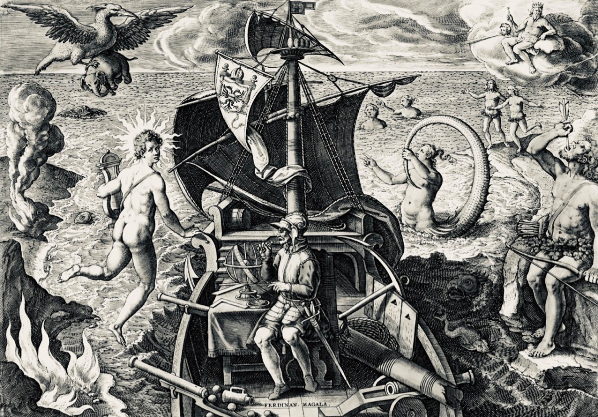
Christopher Columbus set foot in America in 1492 (above). Finghinn O Mathuna died in 1496. Ferdinand Magellan was the first to circumnavigate the earth, in 1522:

Glossary

An Mheánmhuir – The Meditteranean; Oceanus Occidentalis – The Atlantic Ocean; Customers and Searchers – Customs and Excise; Tánaiste – second-in-command of the Clan (the Taoiseach is the Clan leader).

The drawing of ‘Flying Machines’ by Leonardo da Vinci (1452 – 1519) is courtesy of the Museo Leonardo da Vinci, Florence. Note the ‘mirror writing’ that he always used in his private notes.

O’Mahony Clan Rally at Rossbrin Castle, 1975. Photo by Michael Minihane