Mizen Magic 6: Schull to Castlepoint

The Mizen is the Peninsula we live on, and of course we think it’s the most beautiful part of West Cork, and of Ireland. In previous Mizen Magic posts I’ve been exploring different aspects and areas, such as the Northside, or Brow Head, or our excellent beaches. This time I’m concentrating on the stretch from Schull to Castlepoint. The map below shows the area, with the village of Schull, our starting point, on the top right. The photograph above was taken from the top of Sailor’s Hill.

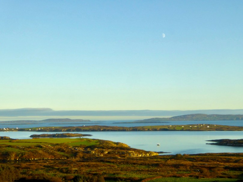
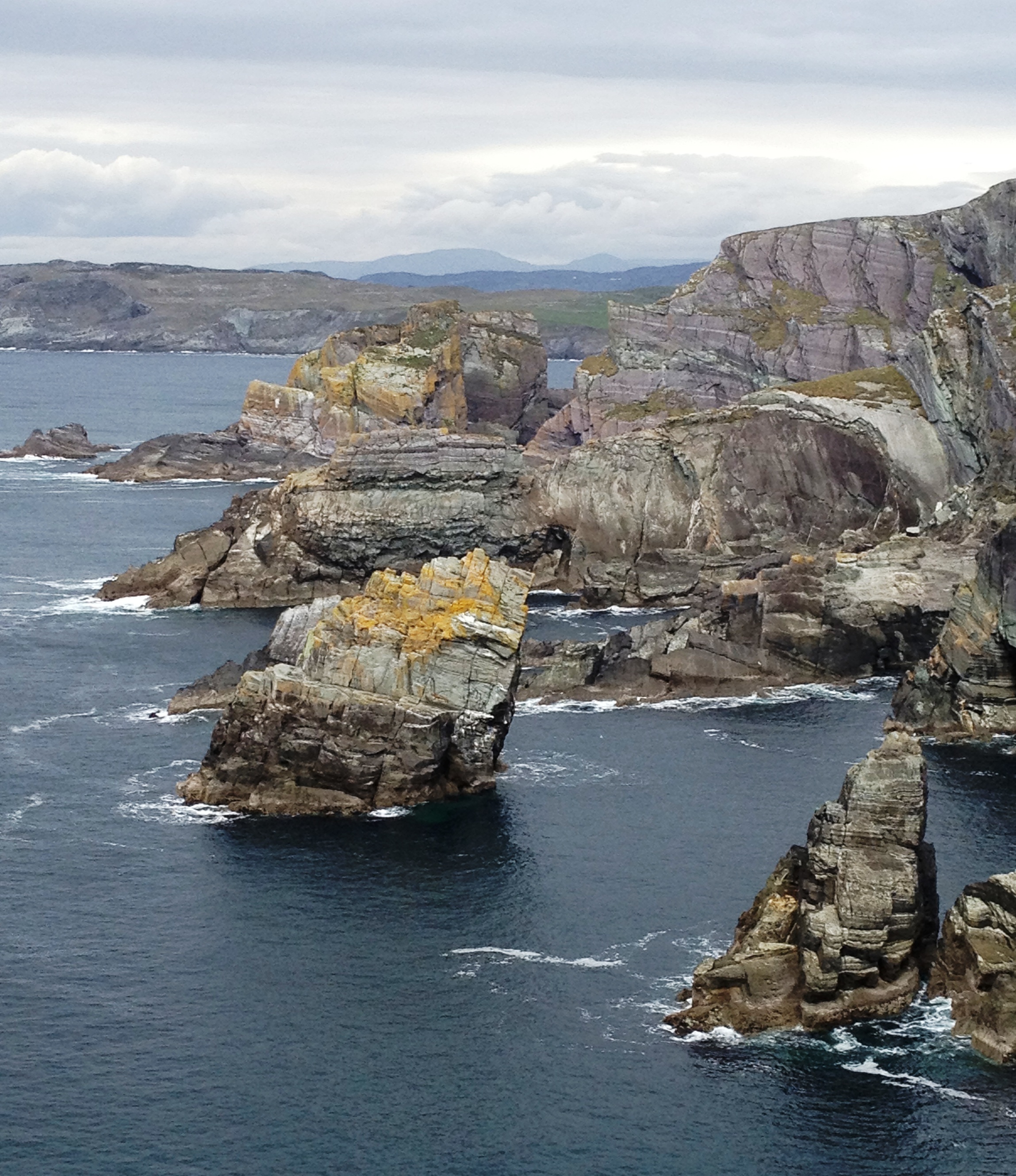
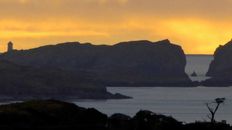
A winter view of Long Island Sound – Coney Island, Long Island,  the Calves, Cape Clear and Sherkin, with the entrance to Croagh Bay in the foreground

It’s only a few kilometres, and it would take you about ten minutes to drive straight to Castlepoint from Schull. But where’s the fun in that? No- let’s start by driving (or walking if you’d rather) out to St Mary’s Church on the Colla Road. It’s largely an eighteenth century church, although there are hints of a medieval structure here and there, and it stands in what must be one of the most scenic graveyards in West Cork.

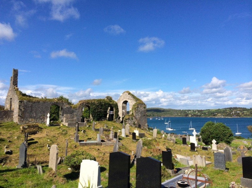
Intriguing depictions of boats are inscribed into the render inside the church. How old are they? Who did them and for what purpose?

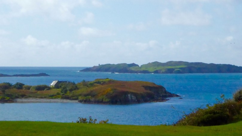
From there, I suggest you drive to the lookout on Sailor Hill – the trail arrows for the new extension of the Fastnet Trails will show you the way. We discovered Sailor’s Hill ourselves when I was researching belvederes – the redoubtable Connie Griffin has built his own modern version of a belvedere and there is no better place to get a view of Long Island Sound and the south side of the Mizen. Here’s the viewing house Connie built  – perfect for contemplation.

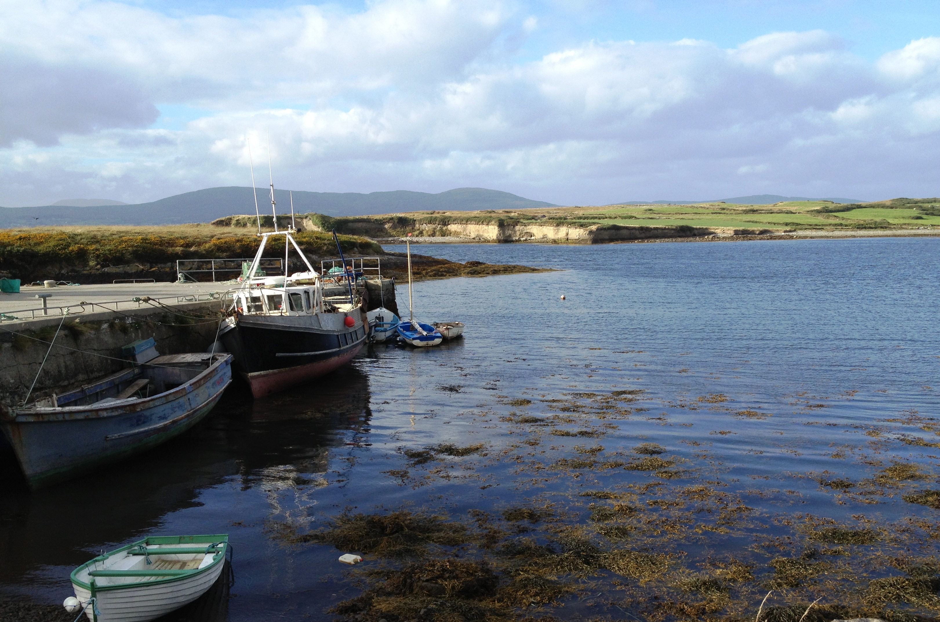
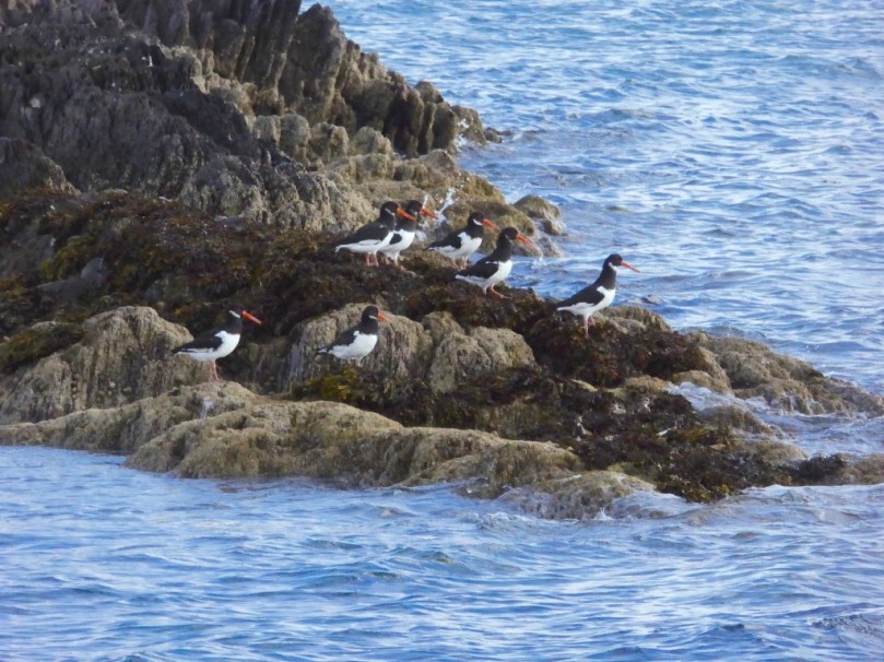
Back down to the Colla Road, continue to the scenic little Colla Pier, where you can take the ferry to Long Island. Robert and I do this every year as part of the Fastnet Film Festival. The ferry runs every day but you can also book special trips – it is, as they say here, a great day out. Pack a picnic and your camera – there’s lots of birdlife, including these oystercatchers on the rocks at Colla Pier.

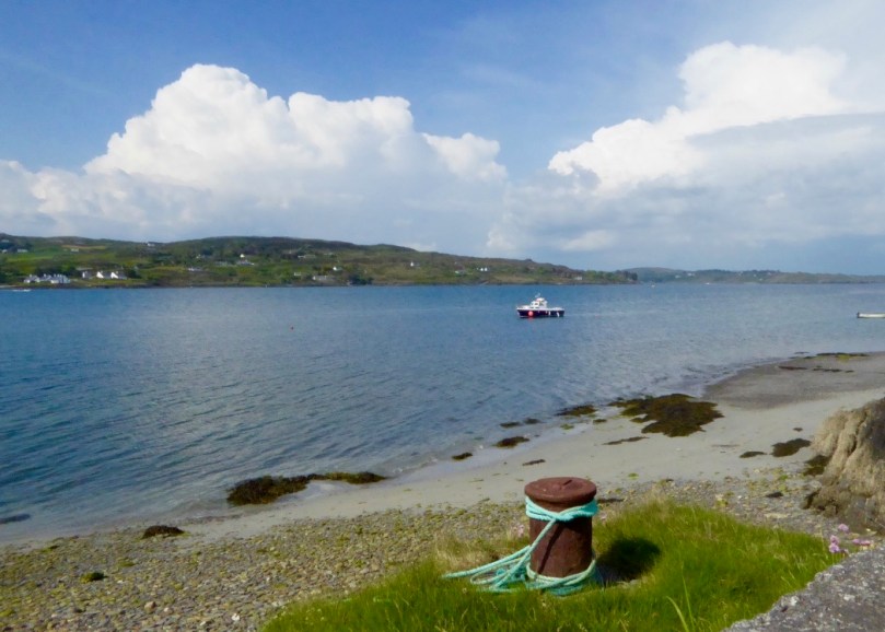
The ferry leaves Long Island for the return trip to Colla Pier

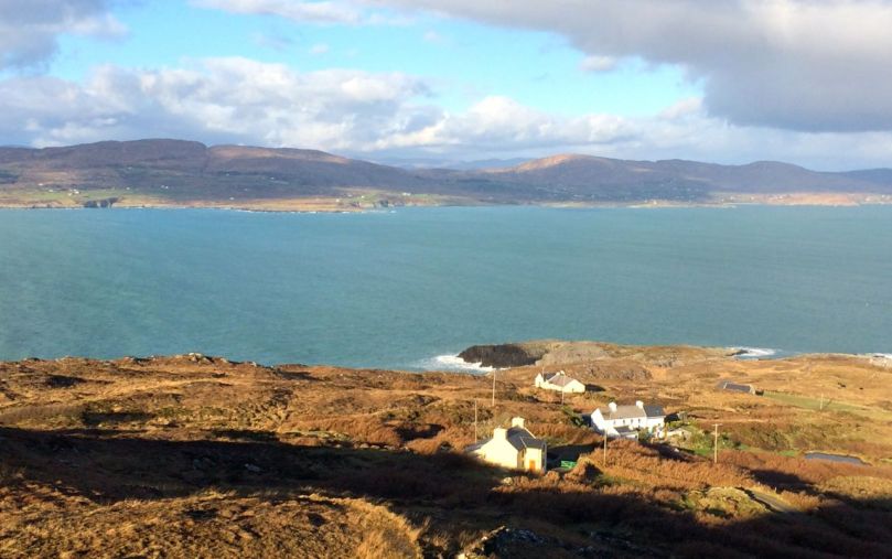
From the Pier the road winds across country, overlooking the sea here and there, and always with Mount Gabriel looming in the background. From here you can see tiny Coney Island, privately owned, and with one house which is rented out to holiday makers.

Beyond Coney Island are the Goat Islands – Goat Island and Goat Island Little – probably once one island, but now split into two, with a narrow passage between. There are feral goats on these islands, but not much else. They appear to be completely inaccessible, with craggy shores that are impossible to land on. That, of course, only makes them all the more mysterious. I’d love to hear from anyone who knows more about the Goat Islands.

The narrow and treacherous channel that divides the Goat Islands, and the beacon on the smaller of the two islands

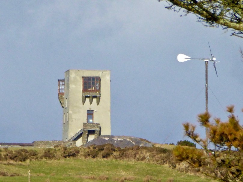
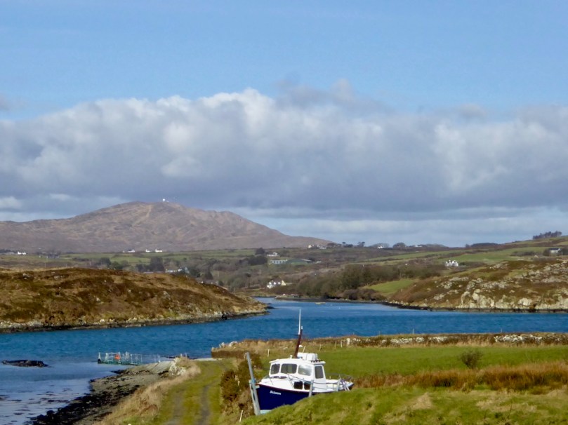
The road now winds down to Croagh Bay (locally pronounced ‘Crew’), a lovely tidal sheltered inlet with the romantically named Gunpoint at its head. On the higher ground to the right you will see that an enterprising individual has converted one of the old signal stations into a unique residence. It must have the best view – but all those stairs!

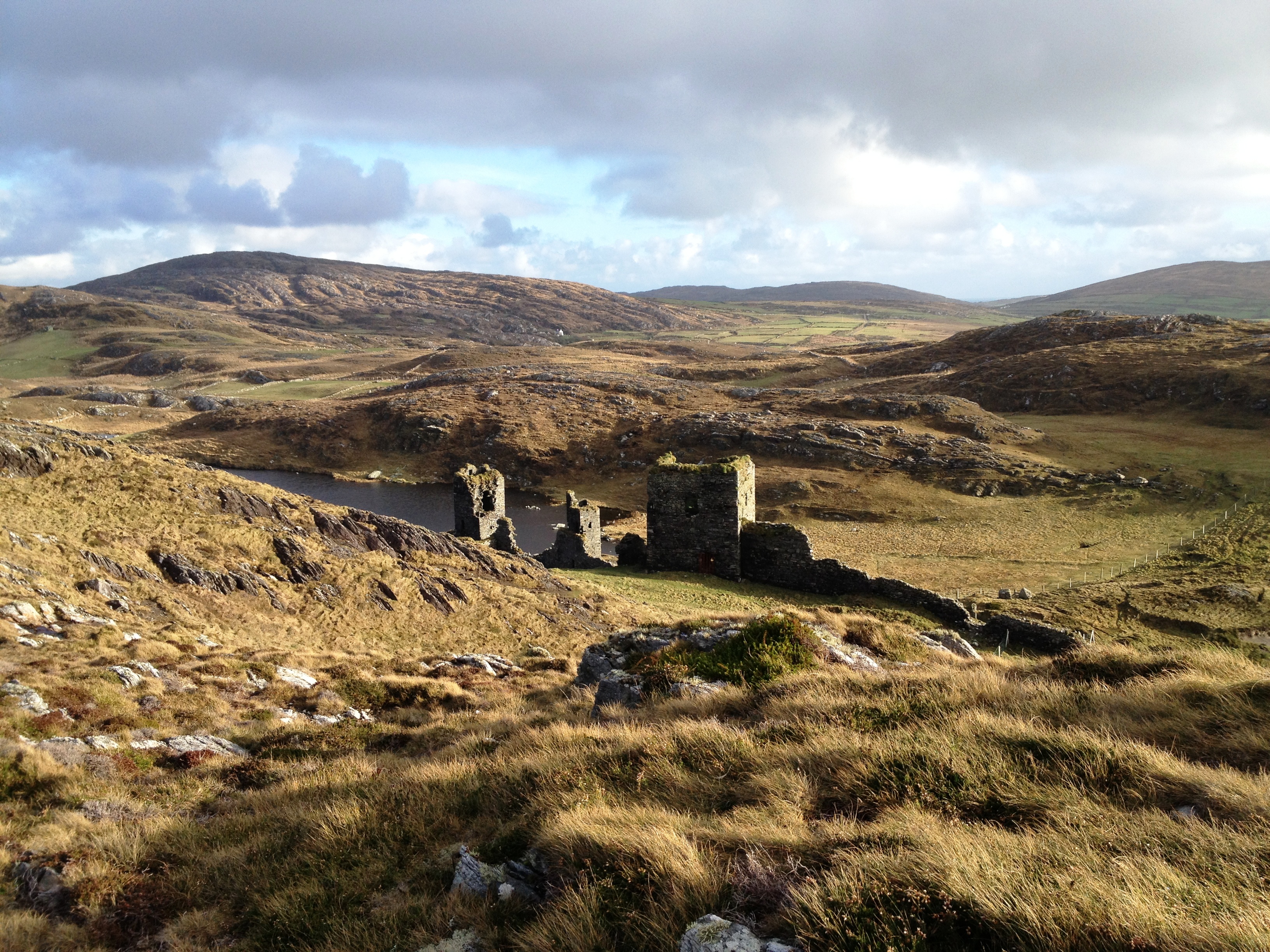
We are now in the territory described by Robert in Here Be Pirates and in Pilchards and PalacesCroagh Bay, or more correctly Leamcon House, was the site of William Hull’s house and a hotbed of piratical activity.

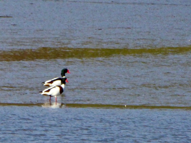
Nowadays it’s downright idyllic and the shallow waters of Gunpoint inlet provide sanctuary to wintering birds such as these shelducks.

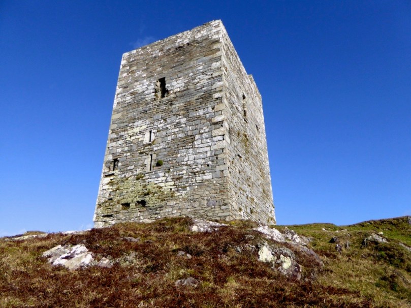
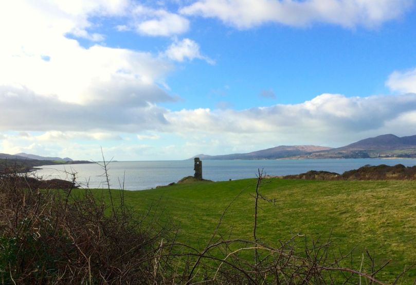
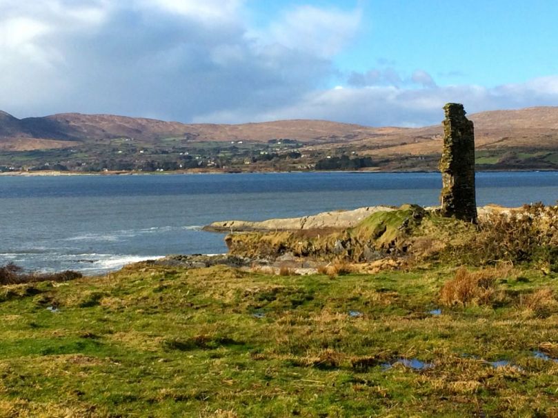
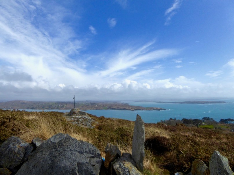
Our last stop is the little pier at Castlepoint, offering a dramatic view of Black Castle, one of the O’Mahony Tower Houses that dotted the coast of West Cork in the fifteenth and sixteenth centuries. This one is privately owned and the owner has stabilised and largely restored the castle, saving it for future generations from the all-too normal fate of dereliction that befalls West Cork Castles.

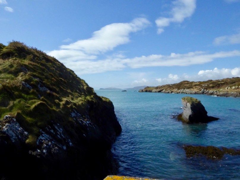
Robert looks across to Black Castle in the photograph above. The castle as the owner has stabilised it is shown below – he has done a first-rate job and we should all be grateful for his care of this important monument. The final photograph is of a small inlet by Castlepoint Pier.

Mizen Magic 5: Top 14 Pics of 2015

Crookhaven in winter sunlight

Crookhaven in low winter sunlight

You love the Mizen! That’s all we can conclude when we look at which of our Facebook photographs resonated most with our readers and followers this year.

Cairn on Dunlough Head, looking east along the Mizen and Dunmanus Bay

Cairn on Dunlough Head, looking east along the Mizen and Dunmanus Bay

We post a couple of photographs each week on our Facebook page and we are always delighted when they are liked and shared. The vast majority of these images are from West Cork, and many are from our own Peninsula, the Mizen.

The tiny quay at Greenmount, outside Ballydehob. You pass this on the Rossbrin Loop Trail.

The tiny quay at Greenmount, outside Ballydehob. You pass this on the Rossbrin Loop Trail

So, as we look back over 2015, here are your top picks from the Mizen Peninsula, beginning with the most liked/shared. Next week, we will post the top West Cork (non-Mizen) Facebook photographs.

Near Dunlough Bay, on the way to Three Castle Head

Near Dunlough Bay, on the way to Three Castle Head

Not much text to plough through this week. Consider that your Christmas present from us!

Goleen Village looks so colourful and inviting in the summer

Goleen Village looks so colourful and inviting in the summer

There’s nothing we like better than wandering around West Cork with our cameras – it’s an endless feast. Enjoy – and tell us which is your personal favourite!

The famous 12 Arch Bridge at Ballydehob

The famous 12 Arch Bridge at Ballydehob

The Magnificent Mizen!

The Magnificent Mizen!

The Winding Road...the Cappaghglass high road in autumn

The Winding Road…the Cappaghglass high road in autumn

We saw these Jacob sheep on the slopes of Mount Corrin

We saw these Jacob sheep on the slopes of Mount Corrin

Sun and shadow - the quintessential West Cork lighting conditions

Sun and shadow – the quintessential West Cork lighting conditions

Farmhouses in the shadow of Mount Gabriel

Farmhouses in the shadow of Mount Gabriel

Ballydehob Bay. This one was taken close to the same place as The Winding Road, but facing the opposite direction, towards Foilnamuck

Ballydehob Bay. This one was taken close to the same place as The Winding Road, but facing the opposite direction, towards Foilnamuck

The North Side of the Mizen - so beautiful and so few people

The North Side of the Mizen – so beautiful and so few people

The Three Castles, from the lake

The Three Castles, from the lake. No Mizen post would be complete without at least one view of this iconic place

Mizen Magic 4: The Beaches

Barley Cove Beach from Brow Head

Barley Cove Beach from Brow Head

If you’re not familiar with West Cork, you may be surpised to hear that we have some of the best beaches in Ireland. And no – they are not just to look at, and yes, people do swim here in the summer. In fact a surprising number of the people we know were still swimming well into October. The autumn weather was glorious, and they claimed the sea was still warm enough to be enjoyable. In fact, they raved about how delicious it was to be bobbing around in the stuff. (You know who you are.)

A little further east of us there are good surfing beaches but here on the Mizen our beaches feature the golden sand and the dunes of the classic swimming beaches. The most popular with holiday-makers is the incredible expanse at Barley Cove. These photos were taken in February – so we aren’t swimming, but we have the place almost to ourselves, apart from the horses, and we are loving it!

Around the corner from Barley Cove are the beaches of Galley Cove and the White Strand. When the sun goes down on one, you can just move to the next one.

Ballyrisode

Ballyrisode

A local favourite is the beach at Ballyrisode, near Toormore. We strolled along it on a fine day in September, with nary another soul in sight.

Shelly Beach

Shelly Beach

But of course we have our own little secret beach nearby. Those in the know call it Shelly Beach – for the reasons you might imagine. You can’t drive there – it’s only accessible on foot down boreens and over the fields – and it’s a beautiful, peaceful spot, perfect for that wind-in-the-hair, sun-in-the-face, contemplative experience.

Inchydoney Beach

Inchydoney Beach

The last photo wasn’t taken on the Mizen, but it’s only a few miles to the east, so perhaps it’s not totally cheating to include it here. It was taken on a fabulous sunny day half way through October, and the beach was alive with activity.

Mizen Magic 3: Brow Head

On Brow Head, looking back up the Mizen Peninsula

On Brow Head, looking back up the Mizen Peninsula

Contrary to popular belief, Mizen Head is not the most southerly point on the Irish mainland – that distinction actually belongs to Brow Head, just to the east. Brow Head doesn’t have the same profile as Mizen Head: many people have never heard of it. But it’s magnificent, steeped in history, wonderfully scenic and best of all, totally walkable.

Possible prehistoric field boundary, visible at low tide

Possible prehistoric standing stone and field boundary, visible at low tide

You arrive at Brow Head by driving west from Schull out towards Crookhaven. If the water is low in the Haven you may spy the remains of ancient field boundaries, covered at high tide.

Galley Cove

Galley Cove

The starting point is Galley Cove – a smaller and quieter beach than the popular Barley Cove a little further west, but featuring the same white sand and inviting Caribbean-blue water. You can leave the car here and proceed on foot uphill if you’re feeling in the need of an aerobic workout. Or you can drive up the narrow road, but be warned: if you meet a car coming down you may have to reverse a considerable distance. There is parking for three or four cars at the top of the hill.

Recently-erected standing stones

Recently-erected standing stones

The first thing you’ll notice, in front of the lone house at the top of the hill, is an impressive row of standing stones, aligned to point back down the Mizen Peninsula. These are recent additions to the landscape, testament to the enduring tradition of erecting such stones in this part of the world.

Scramble up through the heather to the remains of the Napoleonic-era signal tower and the Marconi Telegraph Station – see Robert’s post for more about Marconi and early wireless telegraph in West Cork. From here there are panoramic views east to Crookhaven and down the Mizen Peninsula, west to Mizen Head, North to Barley Cove and southeast to the Fastnet Rock.

Follow the path now south west to the tip of the Head. This was a copper mining area in the nineteenth Century and you can still see the ruins of the Mine Captain’s house, miners’ dwellings and fenced off mine shafts. Abandoned cottages litter the north-facing slopes, with small overgrown fields defined by stone walls.

Near the tip of the Head you must cross a narrow causeway with steep cliffs on either side. This part is not for the faint of heart (or small children, perhaps) especially on a windy day. Find a sheltered spot at the end and sit a while. You may see gannets diving here, or dolphins in the waters below, and you will certainly be aware of the power of the pounding waves.

Next parish - America!

Next parish – America!

Before you leave, make sure that you make a wish – after all, this is a special place, and special places in Ireland have their own magic. 

Heron tracks

In the Haven

Mizen Magic 2: The North Side

A pet day on The Mizen

A pet day on The Mizen

We are once again being battered by Atlantic storms, but on a sparkling day earlier this week we drove, on a whim, to Durrus for breakfast. The day was so pure and sunny that it seemed a crime to go home again, so we set out to drive along the north side of the Mizen Peninsula.

Dunbeacon Castle

Dunbeacon Castle

What a day! We rambled down to the shore to investigate the 15th Century Dunbeacon Castle. There’s nothing left except one tall wall, standing sentinel against the wind, facing down the length of Dunmanus Bay. Its commanding position would have given its builders, the O’Mahonys, a strategic advantage in protecting and controlling their territory from adventurers arriving from the Atlantic.

Not much left

Not much left

Further along we explored an abandoned cottage, and found one of the water pumps that were once ubiquitous in the irish countryside. We saw few other cars, but we weren’t alone – our movements were observed from above by interested parties.

Preserved. Observed.

Preserved, Observed

Heading towards Dunmanus Harbour we stopped to pay our respects at the little ruined church and graveyard, beautifully called in Irish Kilheangul – the Little Chuch of the Angel. This was a curious mixture of cillín and modern graveyard: rough unmarked stones stood shoulder to shoulder with more recent granite headstones and lovingly tended graves.

The Little Church of the Angel

The Little Church of the Angel

We headed west along the road that skirts the sea and eventually leads to Barley Cove. We are convinced that this is one of the most breathtaking drives in Ireland – and, in a land as scenic as this, that’s a tall order! To the east we looked back up Dunmanus Bay to the Kerry Mountains in the far distance.

Looking East up Dunmanus Bay

Looking East up Dunmanus Bay

To the north lay the Sheep’s Head and beyond it the looming presence of the Beara Peninsula.

Across to the Sheep's Head and Beara Peninsula

Across to the Sheep’s Head and Beara Peninsula

To the west, Knocknamadree (the Mountain of the Dogs) and the wild Atlantic.

Bird Island and the Atlantic beyond

Bird Island and the Atlantic beyond

Once home to hundreds of families, this is a depopulated area now. There are some small farms, but many of the houses are holiday homes, seldom used. Sobering, that such a wildly beautiful place is no longer economically viable to support a thriving community.

The North Side of the Mizen

Northside of the Mizen

But thanks to the foresight and hard work of local writers, we can have a true appreciation of what life was like here. Northside of the Mizen has its own book! Recorded, edited and written by Patrick McCarthy and Richard Hawkins, and illustrated by Thelma Ede and with old photographs, it’s a charming, quirky compendium of character sketches, folktales, customs and traditions, poems and songs, and descriptions of country life. With chapters organised by month, it’s the kind of book you keep by the bedside and dip into when the spirit moves you. In January, for example, there’s a section on scoriachting, or visiting neighbours. It’s accompanied by a photo of a man and his jennet in somebody’s kitchen, with the caption Michael and Tom McCarthy out scoriachting. Once the neighbours arrived (but not on Saturday night as you would have to get ready for mass early the next morning) the night…

“…would start with games, blackguarding (horseplay) and sometimes dancing, then progress on to songs and poems. Storytelling was the preserve of an evening by the fire. With flames flickering and the wind and rain howling like the Banshee, the imagination of the storyteller and his forebears was let loose on a delighted and spellbound audience of children and adults alike. This, in turn, would lead to stories of a more superstitious nature, into a world of small folk, púcas (sprites), mermaids and of people’s misfortune when they interfered with the fairy ways.”

Look out for future posts about the Mizen – we’re only scratching the surface of this marvellous region of West Cork.

Where once were farms

Where once were farms

Mizen Magic

We’ve done several posts on the Sheep’s Head and the marked hiking trails that crisscross that peninsula. But we actually live on a different peninsula, The Mizen, and it is just as glorious and wild and beautiful.

Map of Mizen and Goleen

The road to the Mizen Head starts at Ballydehob, runs along the southern side of the peninsula through Schull and Toormore and on to Goleen and Crookhaven. At the far or western end are the beaches of Barley Cove and the Mizen Head Lighthouse and Visitor Centre. There are no villages on the northern side of the peninsula until you reach Durrus, which also marks the start of the Sheep’s Head Peninsula. It is bounded on the south by the waters and islands of Roaringwater Bay and on the north by Dunmanus Bay. The whole peninsula is rich in history and archaeology and we plan future posts about many aspects of life here.

For the moment, a flavour in photographs of what The Mizen landscape has in store for visitors.

Dunbeacon Stone Circle

Dunbeacon Stone Circle

Ballyrisode Beach

Ballyrisode Beach

Dunmanus Bay

Dunmanus Bay

Mizen Head

Mizen Head

Dunmanus Harbour

Dunmanus Harbour

Three Castle Head

Three Castle Head