Witches’ Marks and Lovelorn Shepherds: Inscribed Rock Art in a Remote Valley

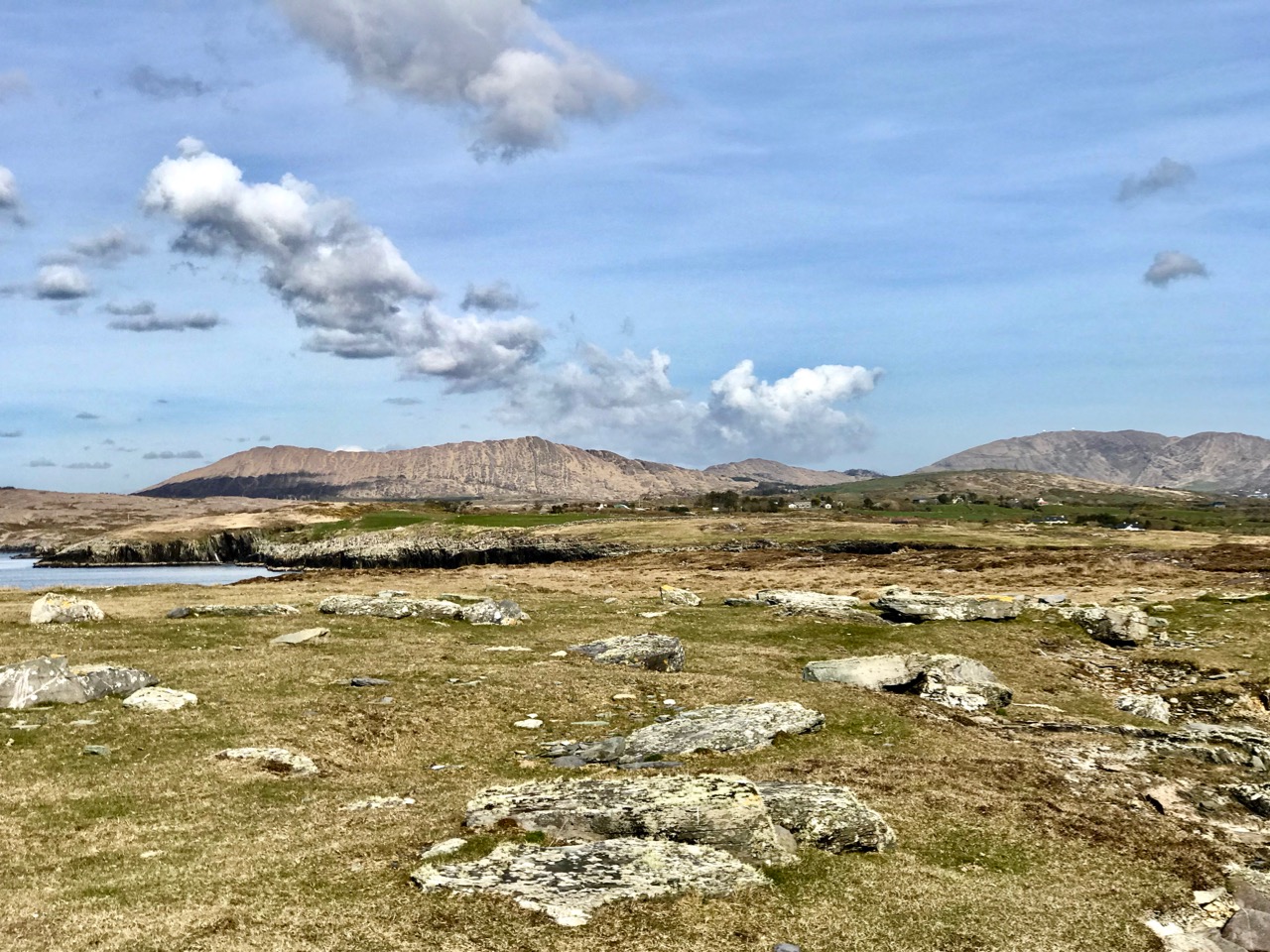
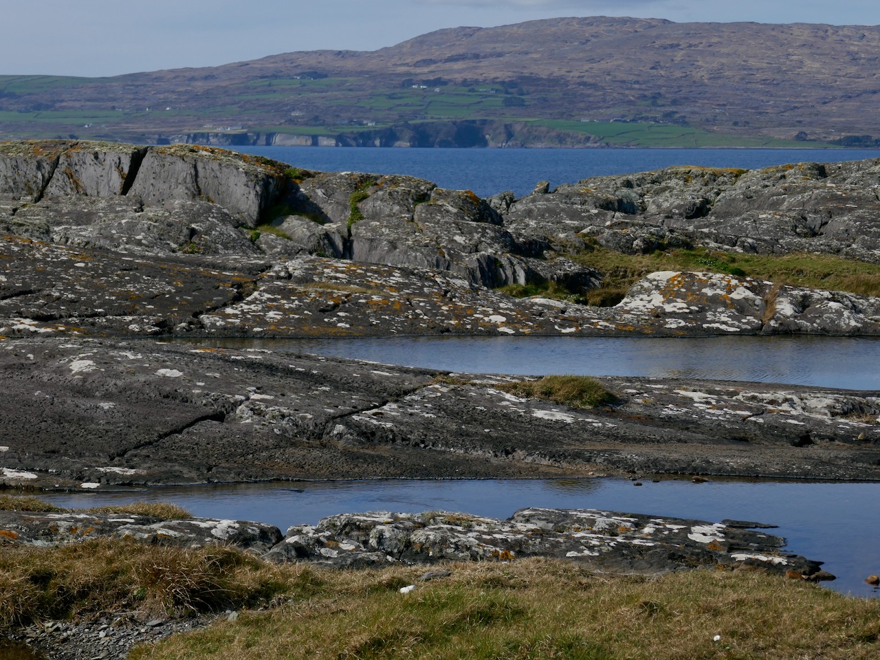
One day in the summer of 1972 I set off on my Honda 50, backpack full of recording tools, to find a new and different example of rock art. This was not my usual prehistoric cup-and-ring carving, but inscribed or scratched markings in a ‘cave.’ When I returned yesterday, 47 years later, it was to a place even more remote and wildly beautiful than it had been in my memory. Read Robert’s post for a full account of our walk up the Valley of the Cooleenlemane River.

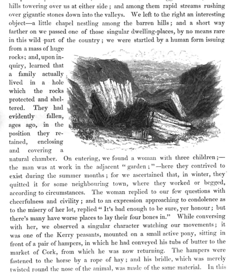
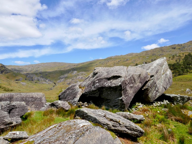
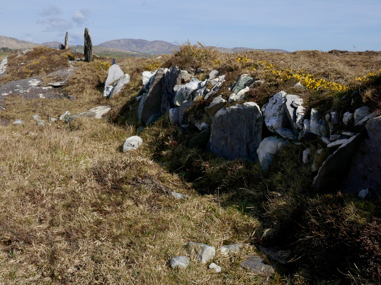
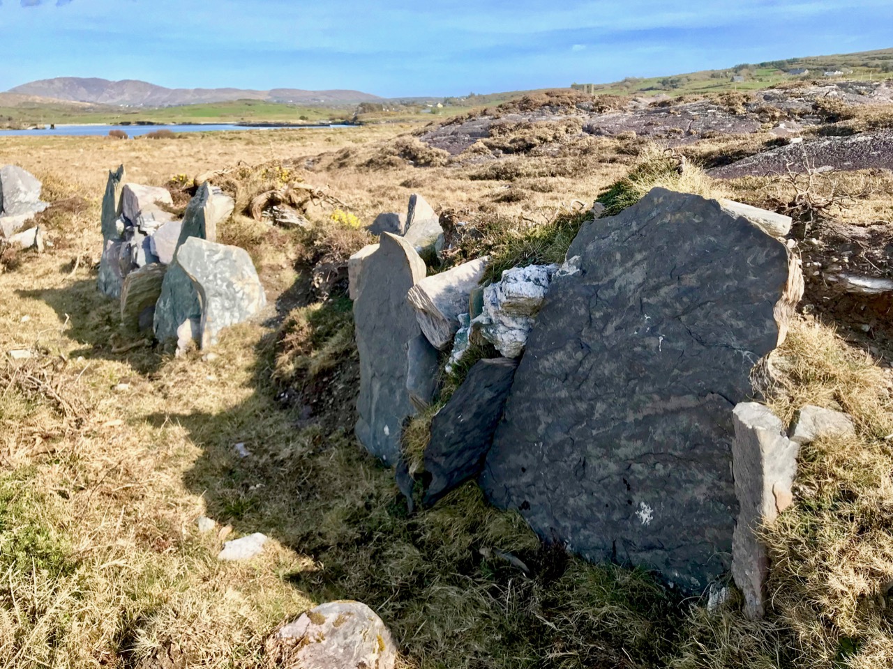
The site itself is arresting. Huge slabs lean against each other to form three shelters – nowadays harbouring sheep but in times past, perhaps humans. There is an account in the Halls’ Tour of Ireland of an encounter they had with a family living in this area in what looks remarkably like our destination.

The House of Rocks from Ireland, Its Scenery, Character, &c by Mr and Mrs S C Hall, page 149. Drawn by A Nicholl, engraved by Landells

The ‘caves’ are known locally as the Bealick – Pat Joe pronounced it The Bay Lick. Leach (pronounced lack) is the word for a flagstone or slab so this could be a reference to the enormous stones themselves, but baoleach (pronounced bway-lock) is also the Irish word for dangerous, which may refer to beliefs about the power of the place. The townland name, Cooleenlemane, could mean the Little Nook of the Rock Outcrop, or it could mean the Rock Outcrop at the Remote End (of the valley). Either way, it’s apt.

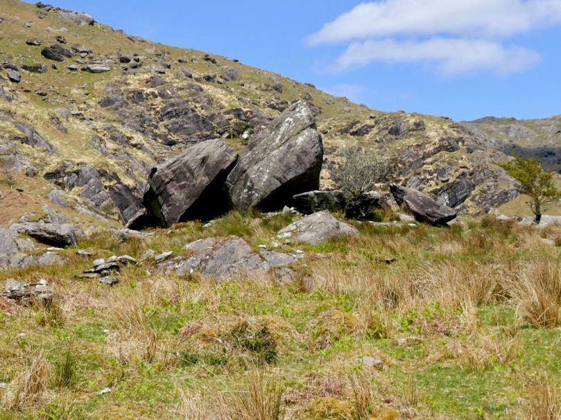
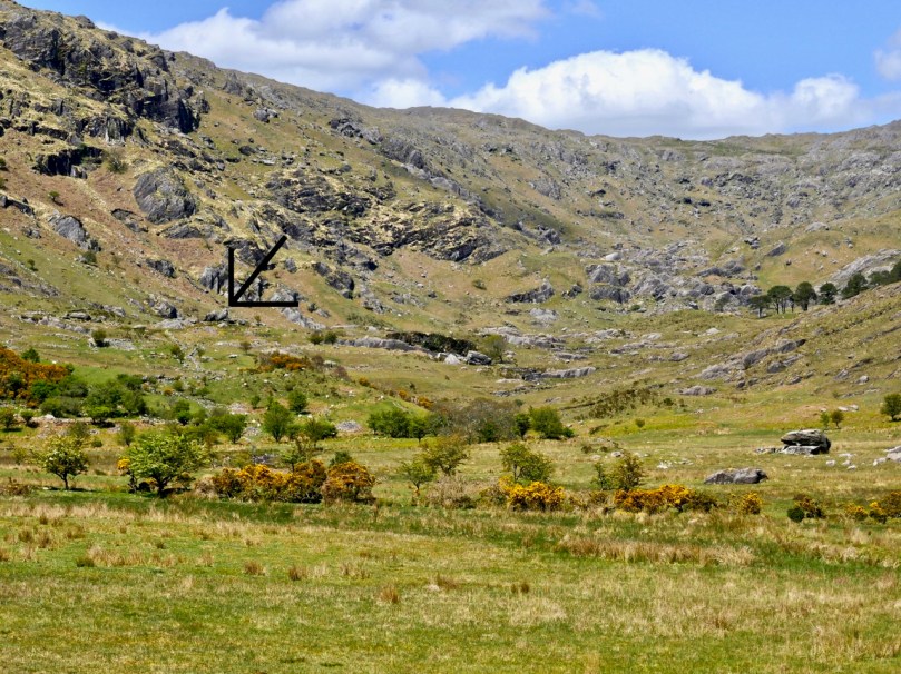
The arrow points to the Bealick: you can see it from a long way away as you walk up the valley

We’ve written many posts about rock art in this blog, but the closest we’ve come previously to dealing with Inscribed markings was Robert’s post on the Aultagh stone, which has been suggested as an Ogham (or fake-Ogham) stone. This one is very different.

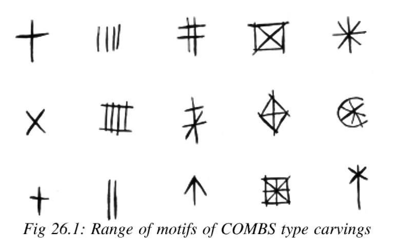
This type of site has been described most comprehensively in Elizabeth Shee Twohig’s paper, An Enduring Tradition, Incised Rock Art in Ireland in the 2014 book From Megaliths to Metal: Essays in Honour of George Eogan. She coins the term COMBS, based on where these kinds of marks occur – Caves, Outcrops, Megaliths and Boulder-Shelters, and gives details on the ones that have been documented to date, including the list I included in my 1973 thesis.

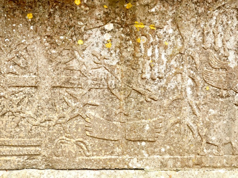
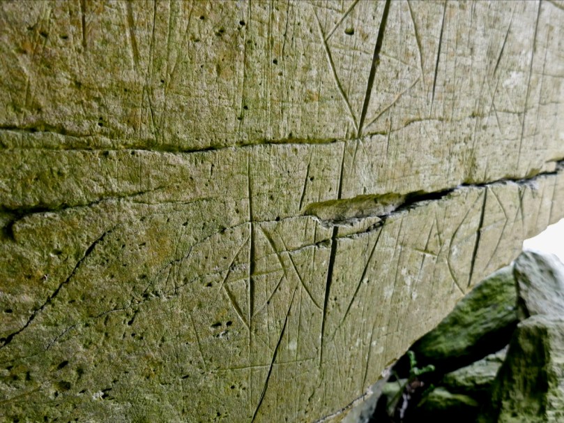
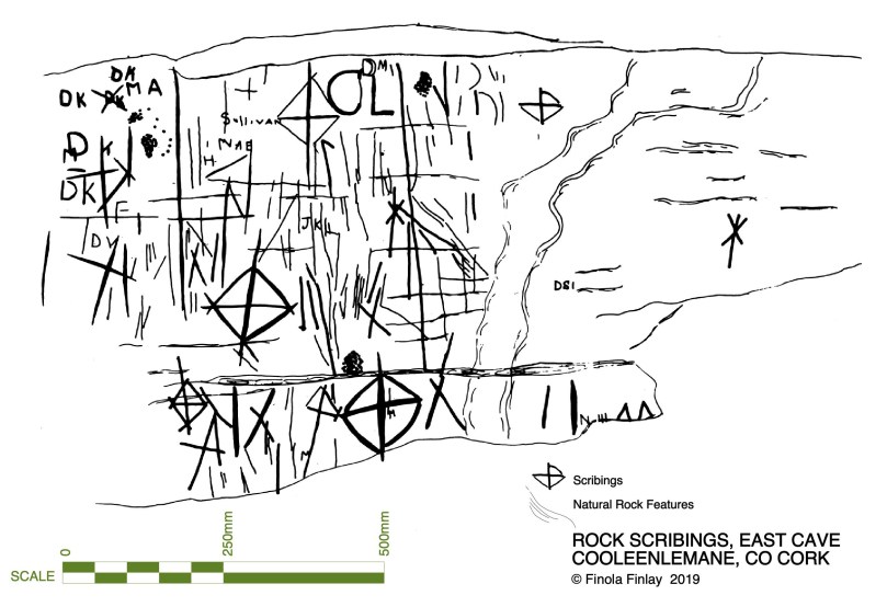
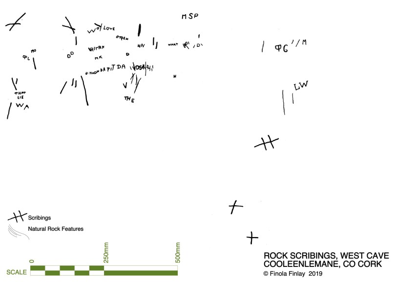
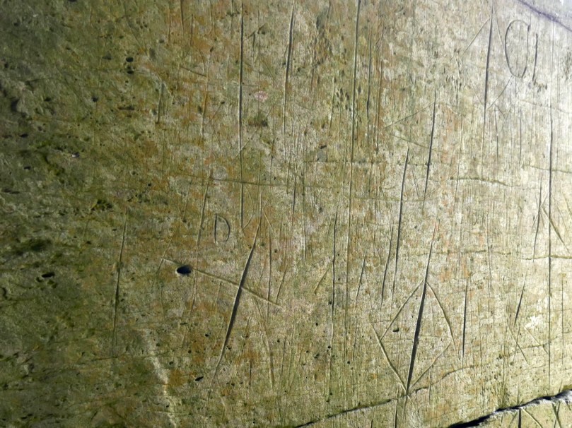
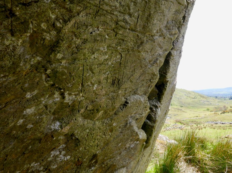
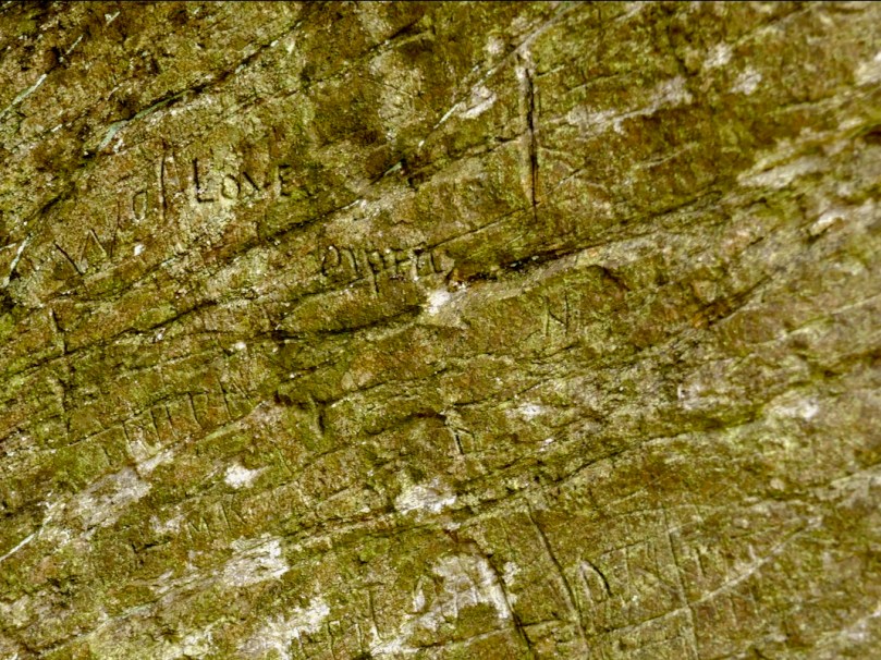
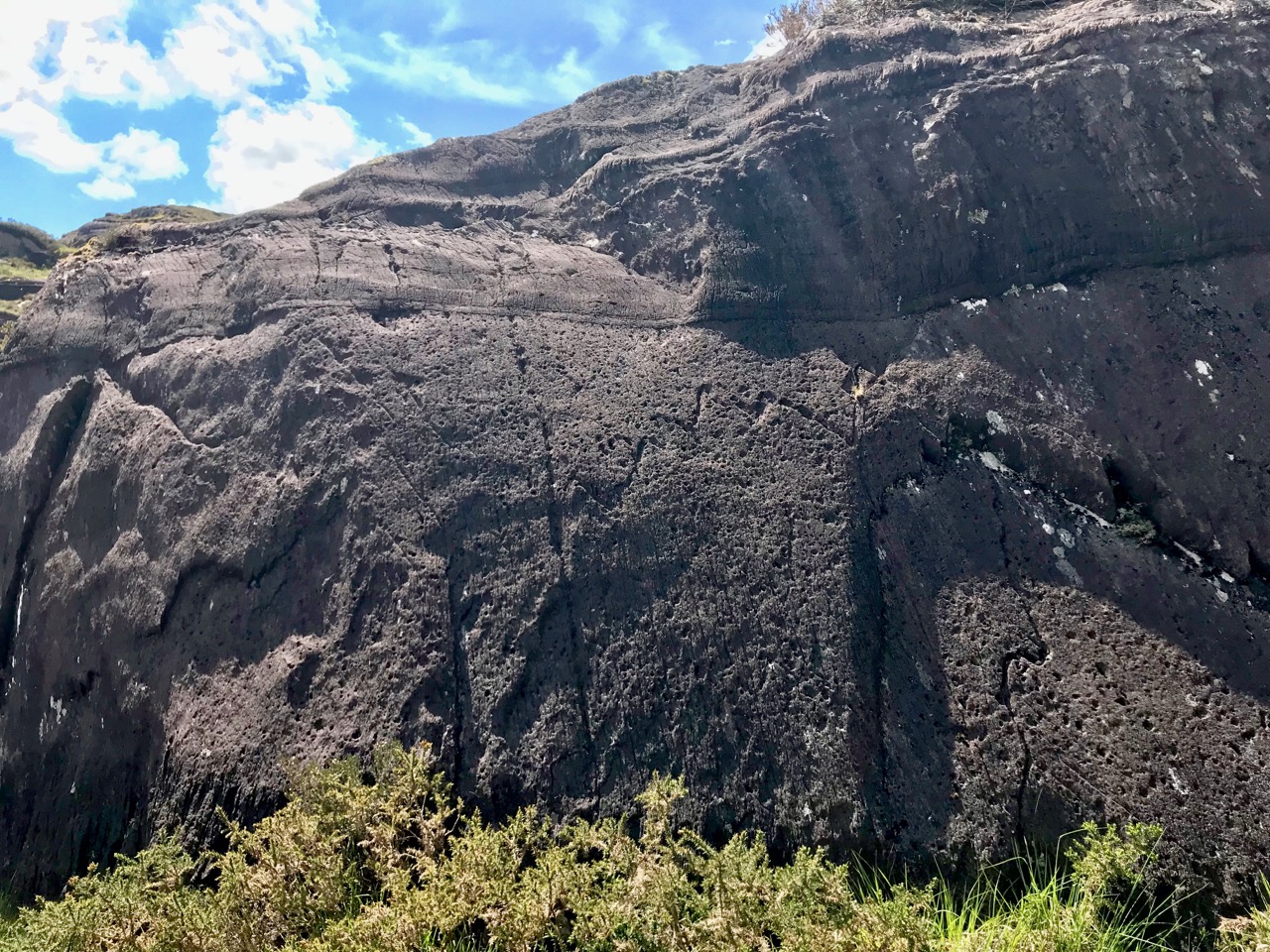
I described and drew three of the sites then – Glanrastel, Kealanine and Cooleenlemane – and I hope to get back to the others also. Of the three, Cooleenlemane has the greatest range of markings. There are three caves here, but markings only in two, which I labelled the East and West Cave. The markings run the full gamut of Shee Twohig’s motif range. There are also initials and words and letters that do not form words but that seem to run together.

The East Cave has the widest range of markings

This is what I wrote in my 1973 thesis about how the carvings were made:

The three sites of Glanrastel, Kealanine and Cooleenlemane share an identical incising technique. The markings have a V-shaped cross-section with smooth faces. In the case of the lighter marks, this effect could have been achieved by scratching with a strong knife, and at Kealanine and Cooleenlemane this technique accounts for many of the initials and letters, and some of the straight strokes. The deeper strokes were probably made by reaming with the end of a pointed tool. This tool need not have been metal. Identical techniques of marking have been identified by Shee. . . from passage-graves, which she suggests were executed with the edge of a stone axe.

The West Cave has more words and letters

At the time, we had no idea how to interpret these kinds of markings. I did say in my thesis they were more likely to be historic rather than prehistoric, and pointed out the Christian nature of the many cross motifs. The initials and words are, of course, fully modern.

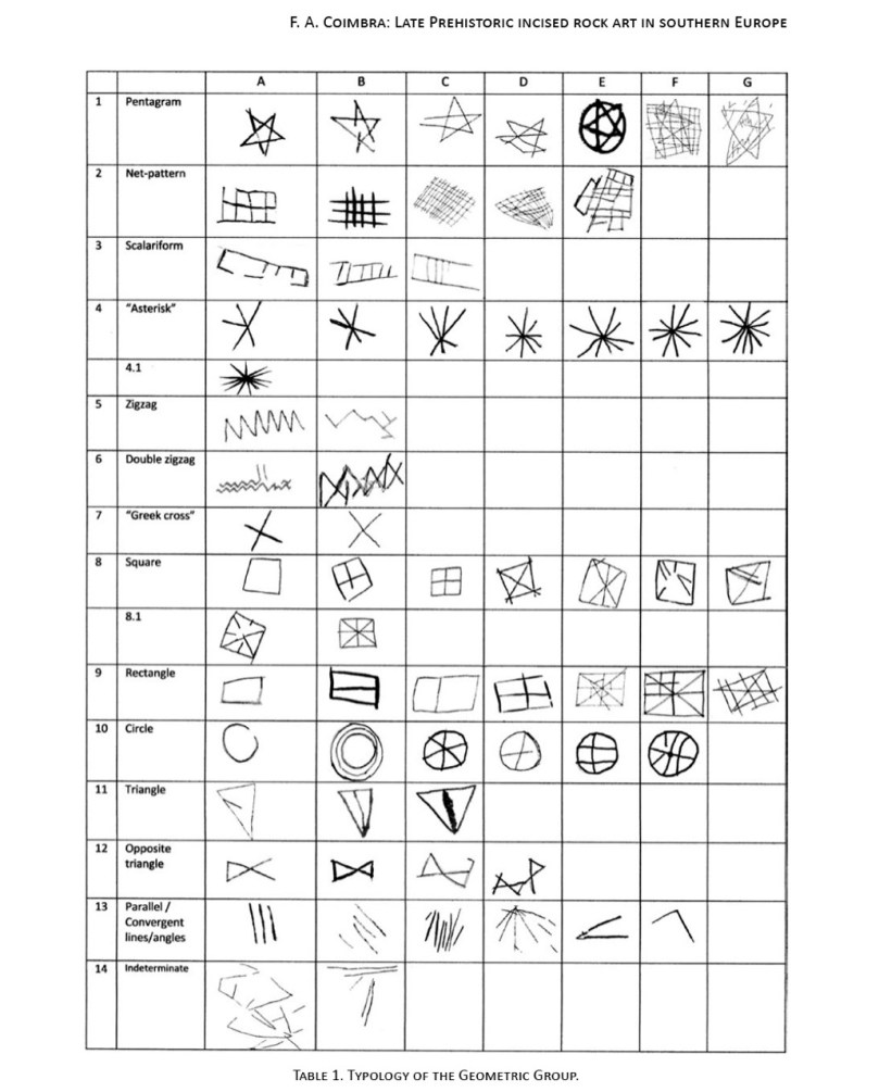
But in fact, incised markings such as these are known from many contexts, including prehistoric. They are widely distributed in southern Europe, where they may be associated with figurative carvings also. The 2014 Proceedings of the XVII UISPP World Congress was published as Post-Paleolithic Filiform Rock Art in Western Europe, filiform being the word chosen to describe incised rather than pecked rock art. A chart of what the authors call The Geometric Type (above) contain many motifs that would be at home in Cooleenlemane. Some of these may date from the Bronze Age or the iron Age.

Shee Twohig also points out the long and varied traditions of marks of the COMBS type, including Early Medieval inscribed crosses on rock outcrops, and thirteenth century mason’s marks. You may remember our post about Keith Payne’s exhibition, Early Marks: inspired by Genevieve von Petzinger’s book The First Signs, he depicted many such inscribed markings, including one from Blombos Cave in South Africa, reckoned to be 75,000 years old.

A recent discovery at Creswell Crags in Nottinghamshire generated excitement earlier this year and may hold the answer to the puzzle of what at least some of these marks are all about. Dubbed Witches’ Marks, they are believed to have been tokens to ward off evil spirits. According to this BBC piece Protection marks are most commonly found in medieval churches and houses, near the entrance points, particularly doorways, windows and fireplaces. They are also often found in caves and shelters, near the entrance.

I said some of those marks – The initials and words, to my mind are equally important as evidence of our enduring need to leave our, er, mark on the world. How many generations of DKs (Several Dinny Keohanes, apparently, lived around the valley) carved their initials and hoped to be remembered? And was someone in the West Cave, in the time honoured-tradition of the love-struck everywhere, trying to make a declaration while sheltering with his sheep against a spring gale?

In the inevitable way of such special places in Ireland, the Bealick eventually became known as a Mass Rock (see this post for an explanation and examples) and it is described thus in the National Monuments records (Monument number CO091-003). Indeed, it would have made an excellent location for a mass rock, remote and hidden in its lonely valley.

From this angle you can see the three caves. There are no markings in the closest one

Seeing it again after all these years, I was struck by wonder at how my 22 year-old self managed to find it (I suspect I would have applied to the nearest dwelling and been directed there after multiple cups of tea and slices of brown bread) and to draw it. It must have taken hours then, but the 20 minutes I spent stooped inside yesterday trying to get photographs just about crippled me. But mostly what I felt was gratitude – first for the privilege I had been granted all those years ago of doing something so exciting and important for my thesis, and second for the untouched and pristine nature of the Bealick and its setting.

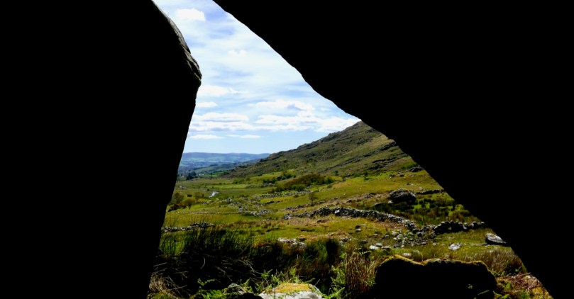
(Thanks, Keith, for the inspiration for this shot)

Cooleenlemane – A Walk into History

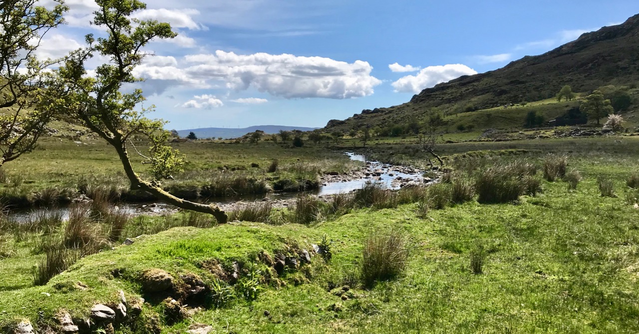
Finola has written about the destination of our adventures yesterday – the inscribed ‘caves’ at Cooleenlemane. Above is a photo of the view from the ‘cave’ entrance, looking back at the glen which we journeyed across. My post today is about that journey on foot through decades of human history and thousands of years of topographical transformation.

Upper – looking back and leaving the world behind: a rough track climbs up from the entrance to the Cooleenlemane valley and very soon we were absorbed into the wild emptiness of the mountainsides (lower)

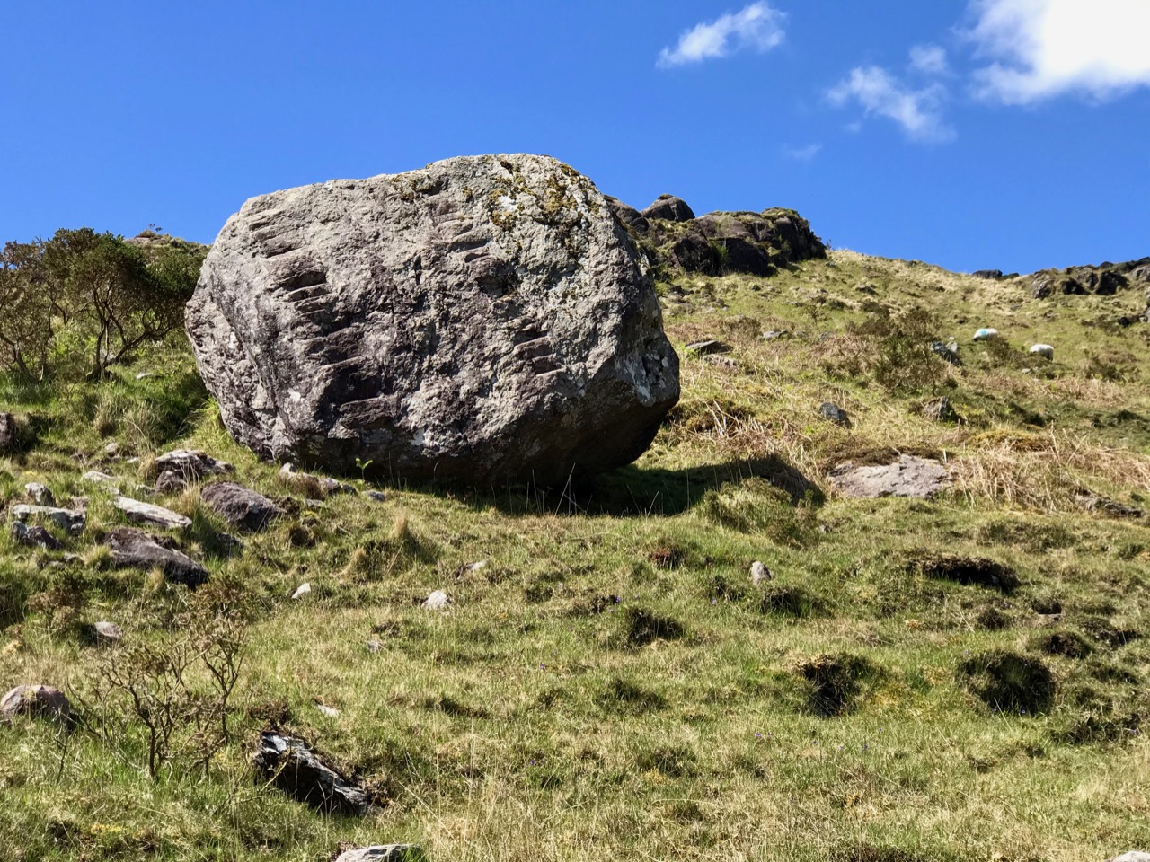
When I looked into the furthest reaches of the glen as we made our way over the rocky track I saw first, in my mind’s eye, the movement of the glacier which shaped it – the splintering, shuddering path it took and the debris it left in its wake: strangely distorted outcrops and huge erratic boulders feigning dice unrestrainedly scattered by a random hand.

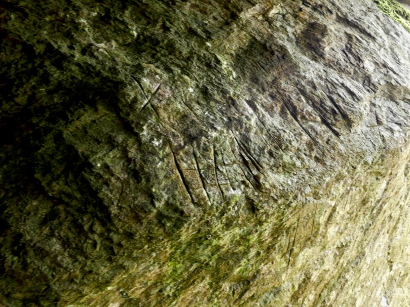
Scribings on the rocks in the glen of Cooleenlemane: these are made by nature (and the movement of glaciers) long before humans appeared in Ireland. I often wonder whether observation of these marks could have inspired our earliest artists?

Then I couldn’t help the vision that came into my mind of herds of the huge Irish Elk – Megaloceros giganteus – that ruled places such as this in Ireland after the ice receded 10,000 years ago. It was around that time that human habitation came back to these revitalised lands: some say that it was human hunters who wiped out the elk – and the bear – in Ireland using spears, bows and rocks. When you are immersed in these wild places, with no signs of the 21st century around you, it is easy to imagine such scenes from the distant past.

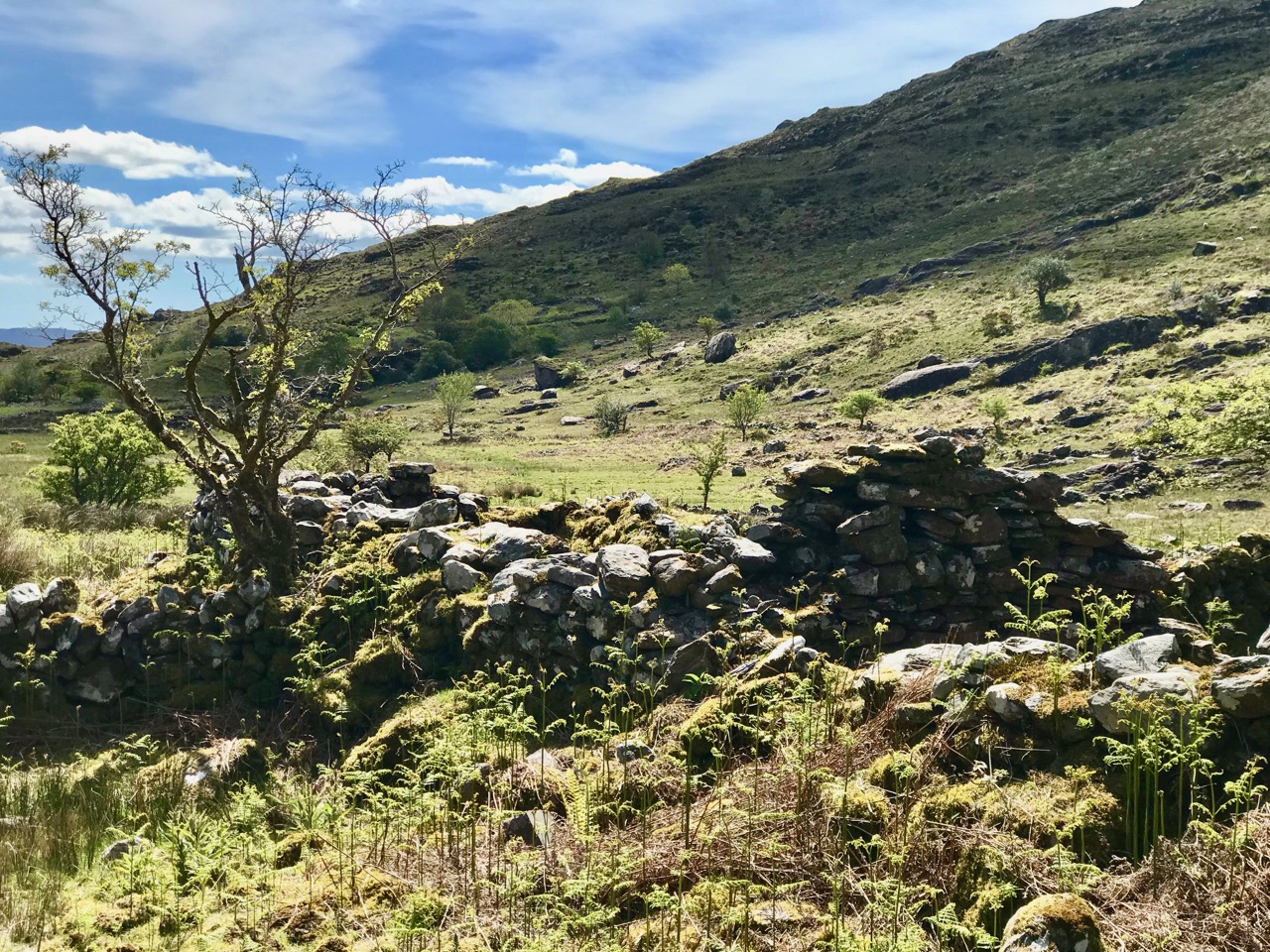
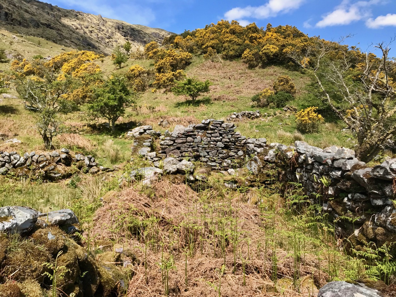
But – lonely and remote as this valley seems today – there is significant evidence of enduring human occupation here. As we journeyed up to the ‘caves’ we were tracing ancient tracks and paths and saw the remains of several settlements: stone walls, enclosures including a cashel, and many haphazard piles of rock that presumably came from rudimentary field clearances. We had the good fortune to meet and talk to Pat Joe O’Leary, who resides in the last house before you enter the glen, and he told us that sixteen families had lived out here.

Some of the many traces that remain of the dwellings which were once occupied by  families eking out their lives in the remoteness of Cooleenlemane and (lower image) piles of stones cleared from the lands to provide pastures and potato beds

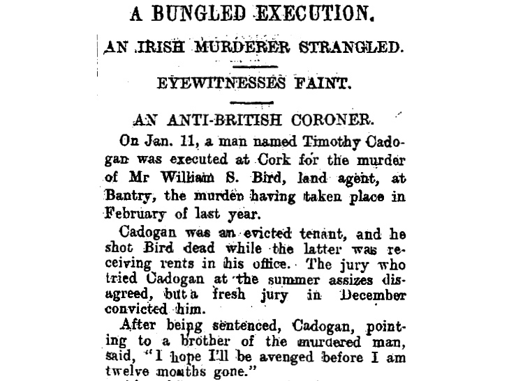
It’s right to describe the stories that Pat Joe told us as living memories, because he carries them. His own family has lived in the valley for generations so – like the bards of old – he is the keeper of the traditions and lore of the area. One of his tales was about a man from the glen who was the last to be hanged in Cork gaol. His name was Timothy Cadogan, and he was accused of the murder of William Bird, a land agent, at Bantry in 1900. Tim Cadogan was from one of the families who lived in Cooleenlemane – who had been evicted by Bird – and Pat Joe assured us that the name T Cadogan is inscribed on a stone beside one of the old buildings in the valley. Unfortunately, we did not hear this until we were returning from our expedition, so missed seeing the stone. Interestingly there is a record in the Schools Folklore Collection – in Irish – describing the same event, more or less in the same words that Pat Joe used. The event occurred in 1900, became recorded as folklore in 1936, and was told to us as oral tradition in 2019!

Contemporary newspaper account of the hanging of Timothy Cadogan – formerly from Cooleenamane – on 11 January 1901. Cadogan was tried twice before being sentenced to hang. The ‘Bungled Execution’ is reported as a failure on the part of the executioner, causing the condemned man to suffer a long, slow death by strangulation

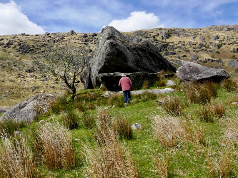
Ignorant of such thoughts of the harsh realities of the world – even this far-away corner of it – we reached our destination: the ‘caves’. This is an unusual rock formation where a large outcrop has been split into enormous slabs, probably through glacial action. The rocks lean against each other and form crude shelters, within which are the inscribed surfaces. Finola’s post describes these in detail.

The rocks which form the ‘caves’ have a brooding presence on the landscape. It’s not surprising that they harbour enigmatic symbols with some possible other-worldly connotations

In addition to the sites of old farms and cottages that we passed by and explored on our trail, we clearly saw the imprint of ‘lazy-beds’ – ridge and furrow arable cultivation methods traditionally used in Ireland for planting the potato. These took our minds back to famine times and the harsh reality of having to forge an existence out of minimal resources. Also, we could only wonder at how clearly life – and history – have been etched into these aged and incredibly beautiful landscapes.

The very clear impressions of the potato beds which tell of the subsistence farming practiced for generations in Cooleenlemane accompanied our hike

Looking back on our day in the wildness of West Cork, my abiding memories are beauty and poignancy. I have used this term before – achingly beautiful – and I often have to return to it in order to try to sum up my own emotional reaction to such unique places in Ireland. You won’t find these places in tourist guides – getting here is hard work! Nor will you find very much recorded in the archaeological records about Cooleenlemane. But everything you see here is Ireland’s real history – deep, deep history; we are fortunate in every step we take into it.

Inish Beg Estate: Ancient Woods and New Discoveries

Craving a woodland walk, we took ourselves to Inish Beg this week – and found a lot more than bluebells!

This is a cillin, down beside the river. There are lots of stories associated with it

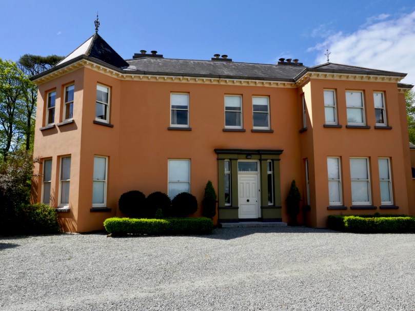
Inish Beg abounds in both the wild and the tame. That’s not such an easy balance to maintain and it’s a real tribute to the team on the ground that manages and nurtures the estate. Mostly, of course, it’s down to the vision and hard work of Paul and Georgiana Keane who bought the place in 1997 when it was crumbling and neglected. The house, Georgie told us, was close to collapse and had to be completely re-done – new roof, plumbing, electrics and a complete re-furbishment. It’s hard to believe now, when you see the beautiful place it has become.

Paul and Georgie run it now as a hotel and wedding venue and it is totally set up for it. In fact it must be one of the most romantic venues in Ireland, ideally situated on an island on the Ilen River, accessible by an old stone bridge. It was originally O’Driscoll territory, but owned by the McCarthy family. When James Morrogh inherited it from a McCarthy relative in the 1830s he changed the family name to McCarthy Morragh – such stipulations were not unusual then.

In the 1890s the family built the grand house, and it is this house that is associated with its most famous inhabitant, Kay Summersby. A noted beauty, she was Eisenhower’s secretary in London during the war, and may (or may not) have had an affair with him.

She describes her early life at Inish Beg thus:

Our home, Inish Beg, was a somewhat run-down estate on a small but lovely emerald island in a river in County Cork. Our favourite pastime (I had a brother and three sisters) was to sail down that river four miles, to the Atlantic. There was a succession of governesses, hunts, spatting parents, riding in the fields and along the long avenue fringed with old trees . . . the usual pattern of life in that obsolete world.

The ‘usual pattern’ for some, perhaps – to me it sounds like a life of breathtaking privilege. However, like many such estates, it became difficult to sustain and by time the Keanes took it over it desperately needed their infusion of enthusiasm and capital. And what a magnificent job they have done with not only the house but the grounds as well.

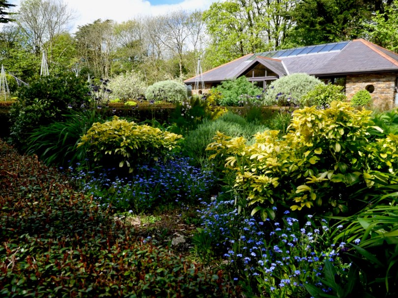
There’s a walled garden (above) that’s full of organic goodies for the estate kitchens, and also features an indoor swimming pool! Tony O’Mahony, the head gardener, practises an organic philosophy and does not feel the need to eliminate wildness from the garden, which results in a delightful mix of plant life.

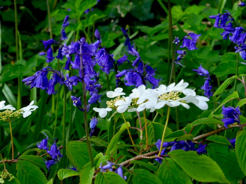
But we were here mainly for the woodland walks and we were certainly not disappointed. You could spend several hours wandering the trails here and right now the undergrowth is glorious. Bluebells were in abundance along with every wildflower that contributes to that colourful spring carpet that is so dear to our senses.

There are trails for the kids – pirates and a wildlife search are part of the system, as well as little fairy houses here and there.

There are lovely views (above) across the Ilen to the ruined church at Aughadown – burial place of the Tonsons that I wrote about in New Court Bridge – a Hidden Wonder. Surprisingly, beyond the church, you can see Mount Gabriel. I mention this because of its significance with our next find – a previously unrecorded cupmarked stone!

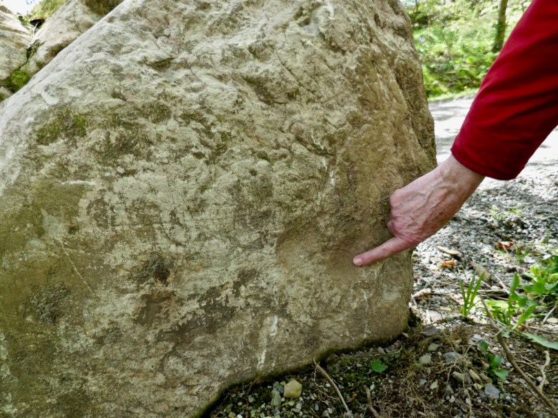
Regular readers know of our involvement with Prehistoric Rock Art – Neolithic or Bronze Age carvings on open air boulders and outcrops. The cupmark is the basic motif of all Irish Rock Art – a semi-spherical cup-shaped hollow (see more about Rock Art here and here and specifically about cupmarks here). Robert has an amazing eye for slight differences in rock surfaces and has developed a habit of examining every stone we come across for cupmarks. This time he struck gold! At least four cupmarks on the back of a stone along one of the trails.

We like to warn people that rock art can be a little underwhelming. I know these cupmarks don’t look like much, but they were probably carved several thousand years ago as part of a ritual we now know nothing about

The stone has been moved there from somewhere on the estate and the Keanes will try to track down where this was. It’s always important to see a rock like this in its context, of corse, but we are also curious to know if Mount Gabriel was visible from the location, as it is from so many of our West Cork Rock Art sites. We will be returning to do a proper record and see if we can add more information to the story before we send it in to be included in the National Monuments database.

There’s also a boulder burial on the estate, visible as you are leaving. It’s a pretty tumbledown affair, but still recognisable, and we found cupmarks on the capstone too. These may be already recorded, but we will let National Monuments know in case they aren’t.

Fabulous woodland walks, my fill of wildflowers, lovely vistas across the Ilen – and a new archaeological find. Too much excitement for one day!

The Monster of Red Strand!

Last week we investigated Castlefreke, the tallest High Cross in Ireland,  and the Long Strand. Not far away – and ripe for another day of exploration – is the intriguingly named Red Strand.

Header picture – looking across Red Strand towards Galley Head. Upper – Red Strand beach; lower – red stones are prolific on the beach at Red Strand: it is said the beach ran with blood after the battle between the Barryroe army and John Barry’s army

Tales abound as to how or why that West Cork beach got the name. A good source of such stories is the Schools Folklore Collection – an invaluable resource of memories recorded by local people about their own townlands. Although the collecting project took place in the mid 1930s, the schoolchildren were interviewing members of their own families who might have lived in the same location through several generations, and were probably retelling stories that had in some cases been passed across hundreds of years.

. . . There is an old ruin of a castle in Dundeady which is about eight miles s.w. of Clonakilty. It is about 20 ft high. During the last storm a part of the top was blown off. There are holes in the walls where the guns were kept to shoot from. It was built by an anglo Norman named John Barry. One night they went east to Barryroe and stole cattle from another Norman named “Barry Bán”.

John Barry had a white horse which would not drink water of any well only the well in “Cráig Gaimhne”. Next day he went to the well with his horse and left him grazing in a field near by called “Pairchín Caol” whilst himself fell asleep near the fence.

It was not long until “Barry Bán” and a great army came attacking his castle. The horse ran to the fence where John was sleeping and started to screech into his ear and woke him.

When he saw the Barryroe army attacking his castle he jumped on his horse and off with him over the fields and fences as fast as he could. When he was crossing the “Góilín” he struck the horse with a magic wand. The horse jumped the “Góilín” which is about 15 yds. He struck the horse a second time and the horse fell dead.

The signs of the horses feet are plainly visible on the rock. That day there was a terrible battle fought between the Barryroe army and John Barry’s army and this battle is called the “Battle of the Red Strand”. They fought all the way across the “Red Strand”. They fought and fought across the “Red Strand” and up “Ballira Hill” as far as “Ballira House”. John Barry and his army slew and killed all of Barry Bán’s army nearby. John Barry and his army won the battle that day.

For months after there were bones and pieces of bones throughout the place where the battle was fought . .

Collected from Master Pat Hayes, Donour, by Duchas Schools Folklore Project 1937

Another collected tale also centres around the Lady Well at Dunowen (lower right on the aerial view, above):

. . .There is a well situated in a field belonging  to Michael Feen in the townland of Dunowen not far from the sea coast. It is said that the Blessed Virgin appeared there long ago and was seen by some fishermen when fishing near the coast. She appeared as a big swan and pitched on the edge of the boat. Then she flew eastwards and flew in a circle over the well. Then she knelt down and left the prints of her fingers and knees on the flag, But some 20 years ago  a young boy about 12 years who was blind from birth went to the well with his father, after being taken to the well he left a scream at his father to look at the frog. Then they both thanked god and went home cured . . .

Amanda fully describes and illustrates this well in Holy Wells of Cork and Kerry after her own visit to the area three years ago.

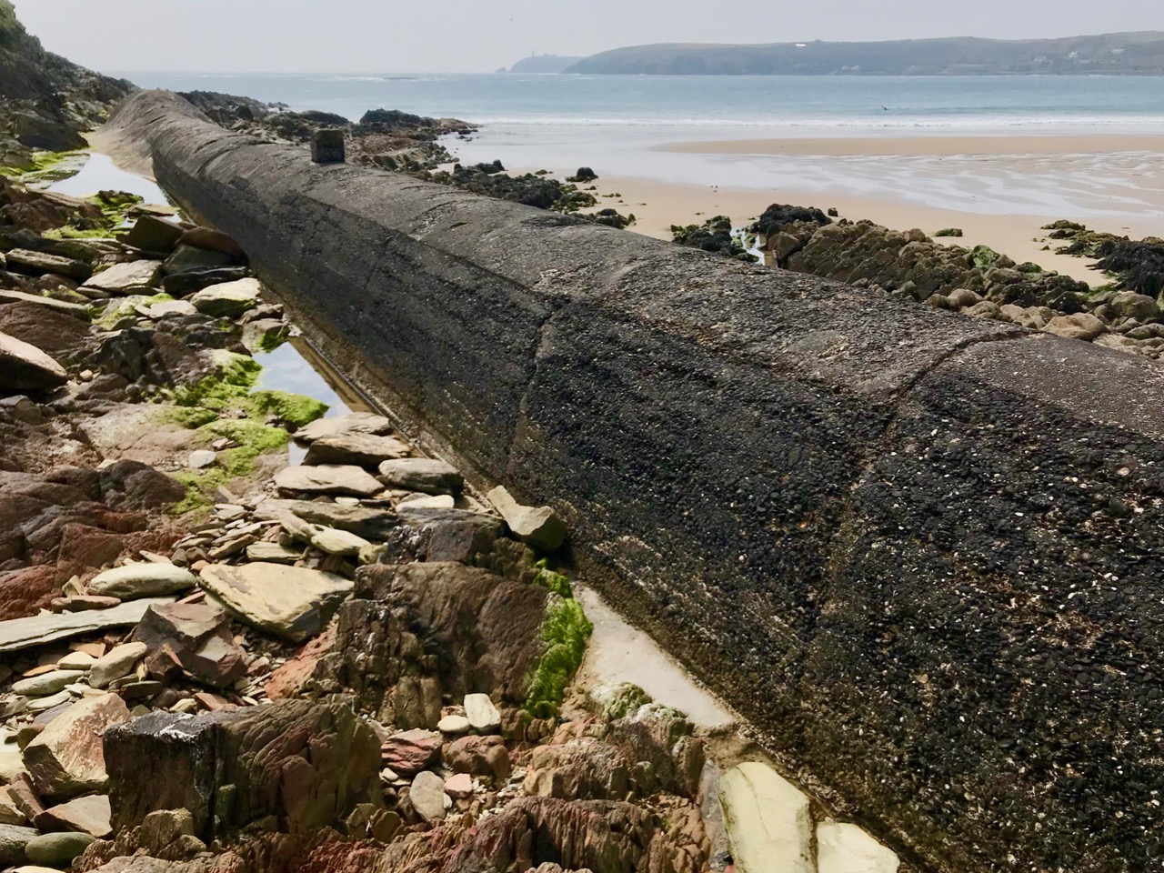
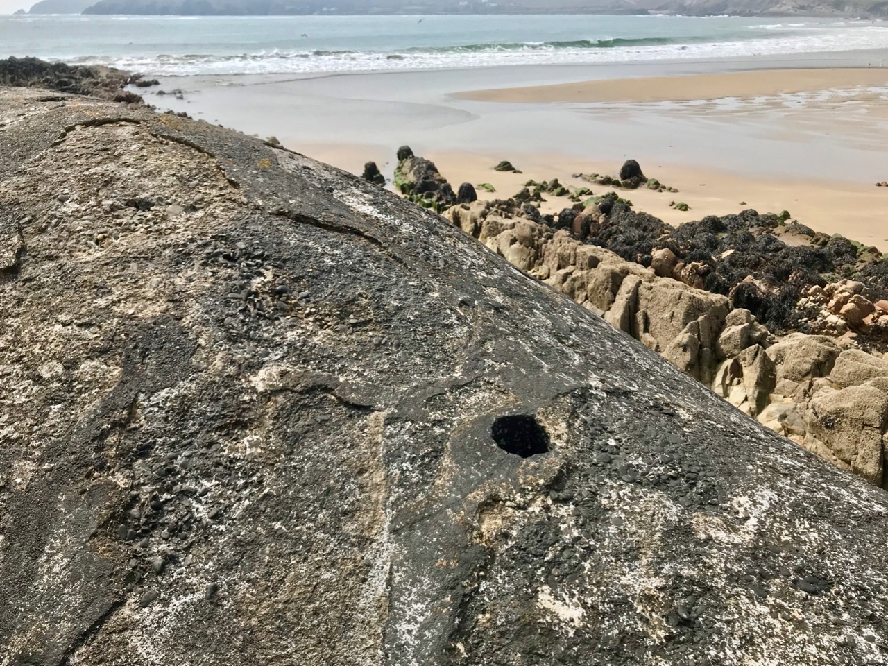
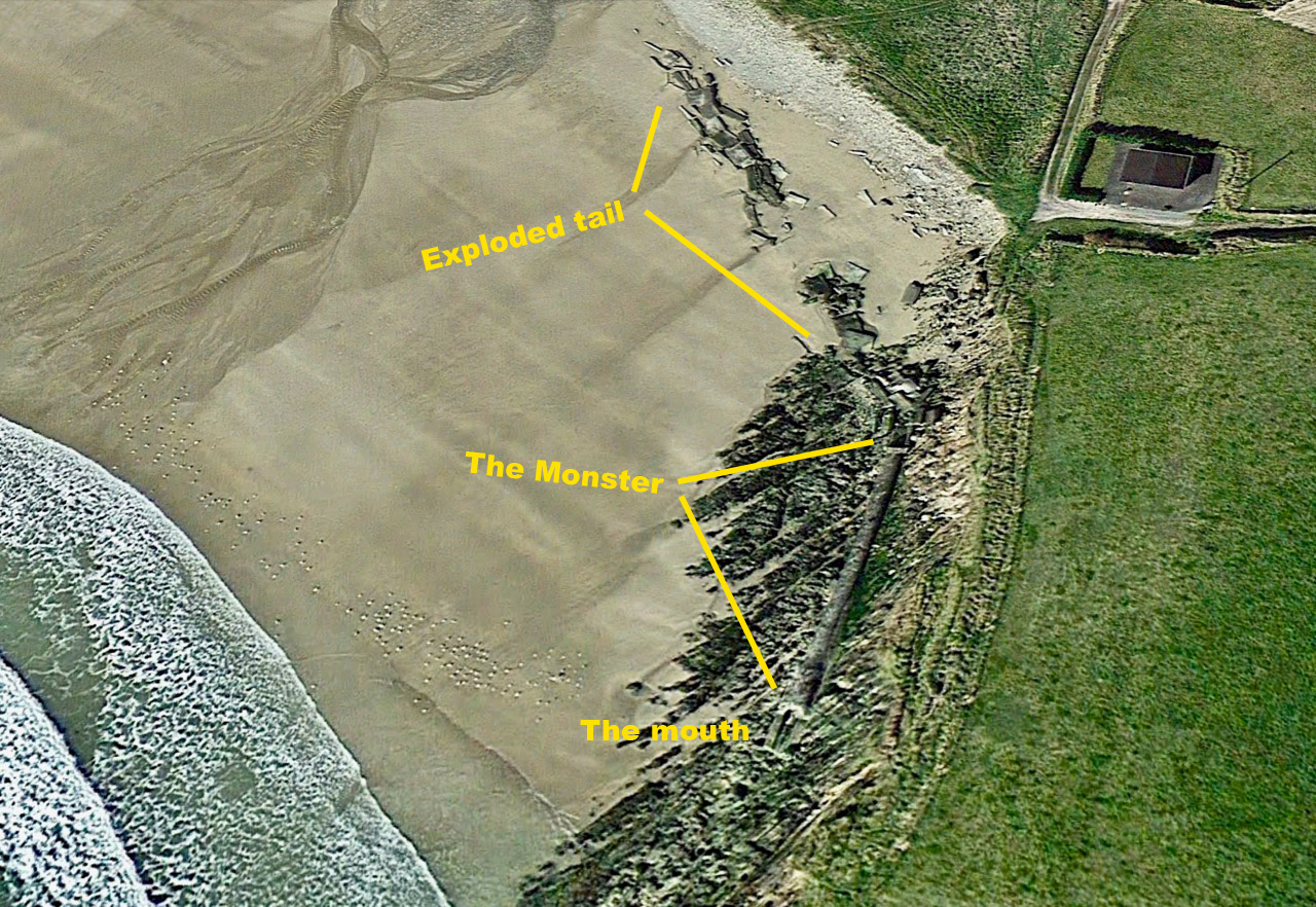
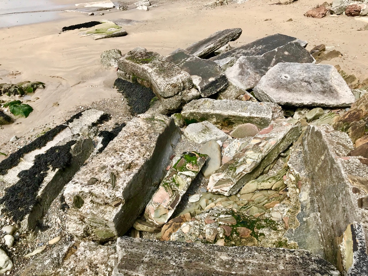
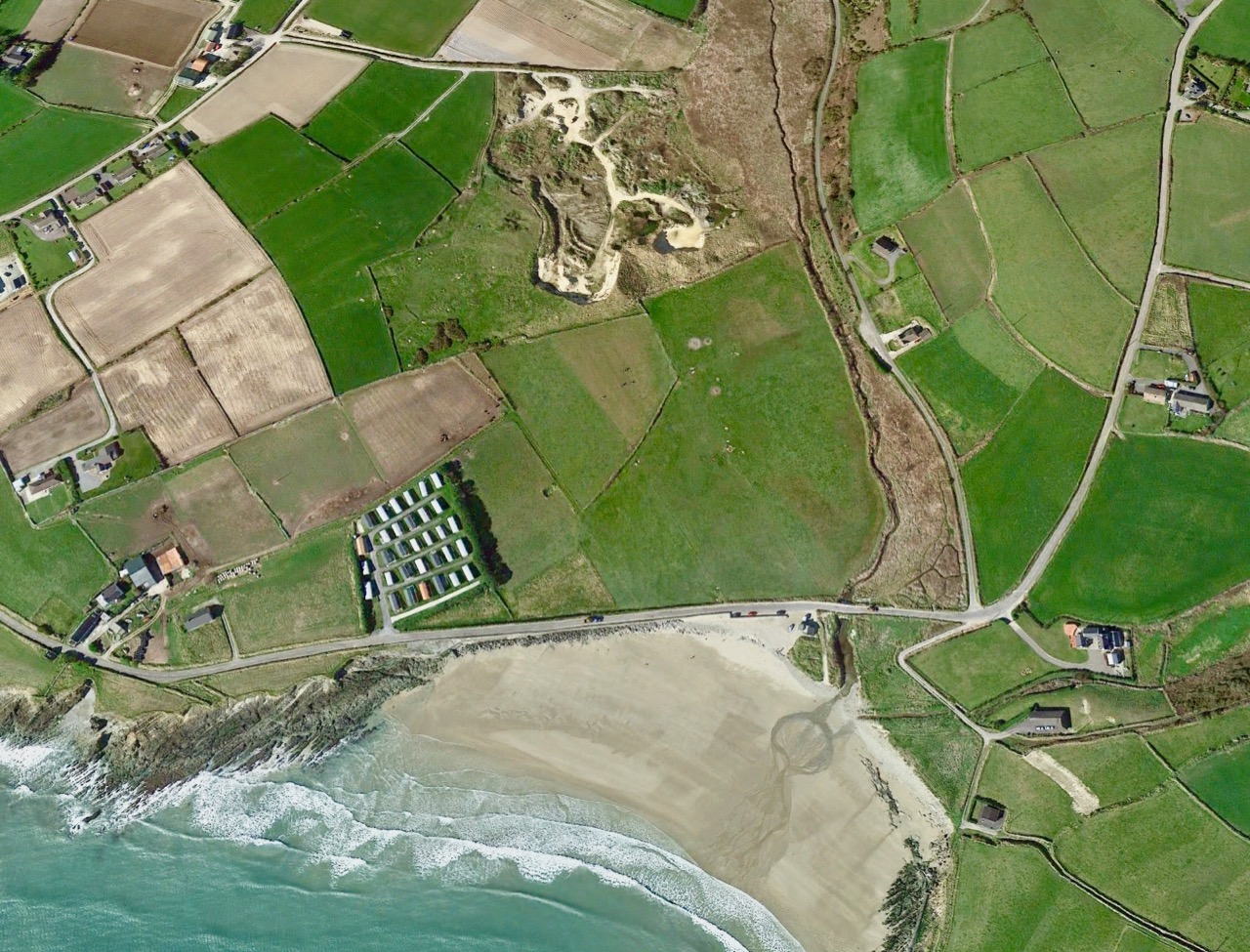
But – what’s this? Marooned on the beach is a strange, dismembered creature… Or, at least, the remains of a creature. I’ve labelled it monster on the aerial view, because I can’t think of a better way to describe it: alien, amorphous, slightly sinuous. It has a mouth, too.

Is it spewing out or sucking in? Will it swallow you or I if we are not careful with the tides? Why is it here, and who made it? Be careful, Robert . . .

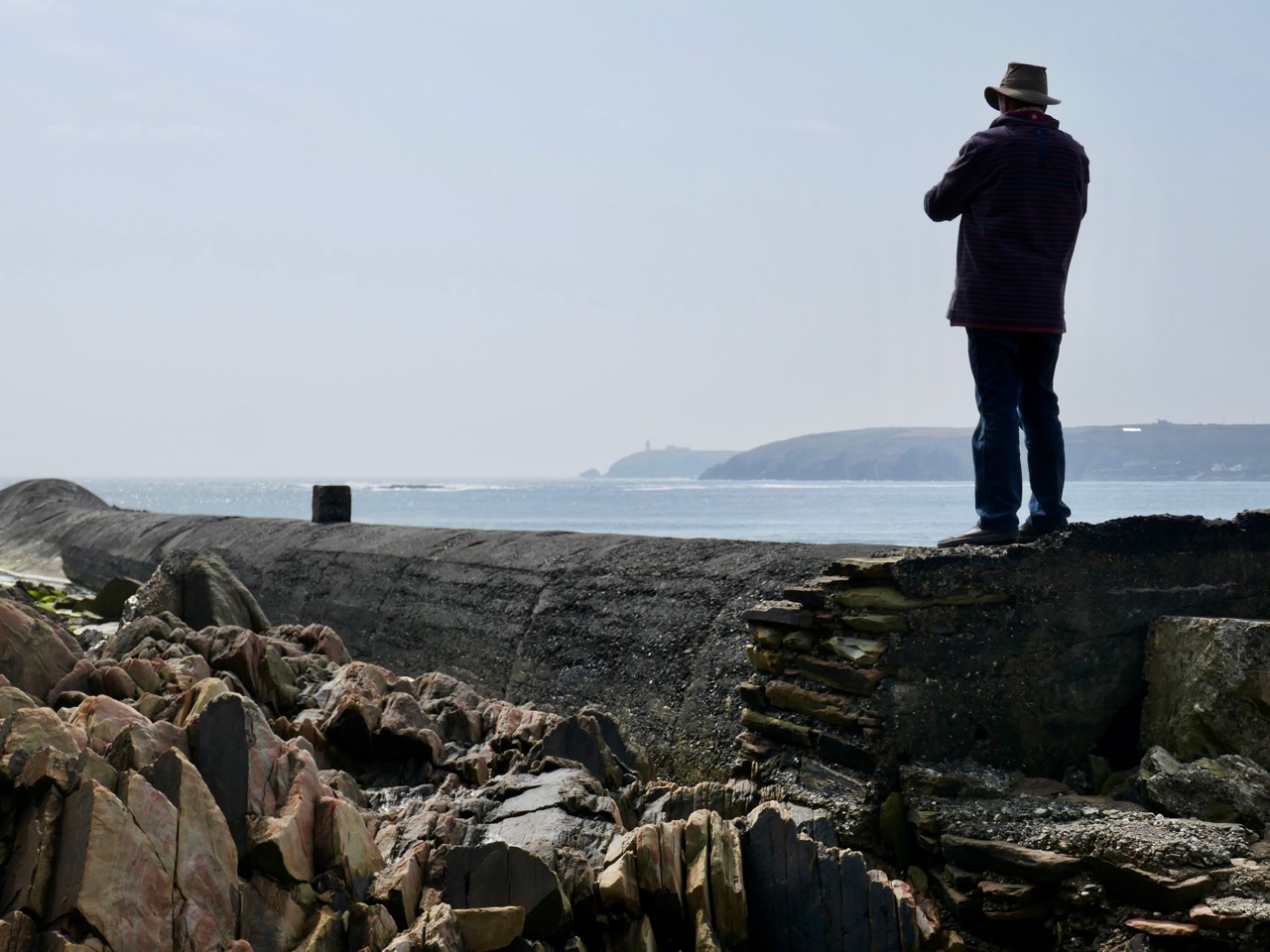
It’s enormous! It runs the length of the west end of the beach: you can just make it out in the second picture from the top, lying along the bottom of the cliff face. It’s like a great, marine creature with a fin and blowholes.

But, if that is its mouth facing out to sea, then its tail seems to have exploded. Look at this more detailed aerial view:

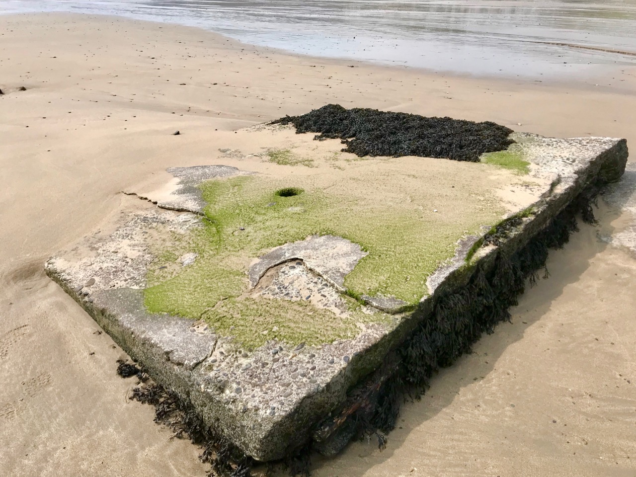
This Google Earth image dates from 2009. Ten years later, much of the debris from the exploded part of the monster is disappearing under the shifting sands.

Those huge slabs now scattered over the west end of Red Strand are reinforced with steel girders: whatever has been here in the past was a massive and heavy structure. Is there any record of it? I found only one slightly oblique mention, after searching high and low, written by Noel Baker in the Irish Examiner in February 2014 – following one of the most severe storms ever recorded on the coast of West Cork:

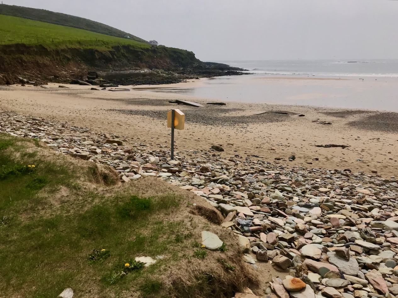
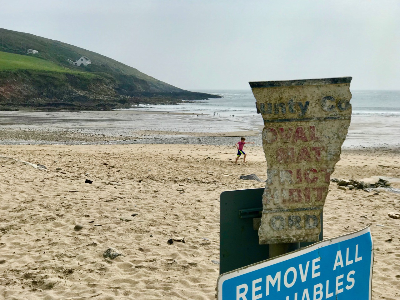
. . . So much of what happens is hidden from plain sight. Take the beautiful beach area of Red Strand near Clonakilty. The recent storms have caused serious damage to counties from Mayo to Wexford and beyond. Sometimes the extent of the damage is obvious, other times not so much. Red Strand, not far from the villages of Rathbarry and Ardfield, has clear evidence of damage. One of the walls alongside the road has been knocked, the sands have been shifted, along with rocks and stones, and the pillar displaying the Red Strand plaque lies knocked on the sand. Local man Cornelius ‘Con’ Scully is a veritable historian of Red Strand. He has photos of the area dating back to the 19th century and knows every nook and cranny.

“The face of the strand has totally changed in a very short time,” he says from his conservatory overlooking the sea.

He remembers back to the 30s when a tunnel, a section of which is still visible to the left of the strand as you look from the road, was laid. “When that was built the high water [mark] was 20 ft further out to sea,” he says. “It’s coming in the whole time” . . .

So there we have it – a tunnel, ‘laid’ in the 1930s.

But we still have an enigma. Why was the tunnel built then? And while the term ‘tunnel’ would adequately describe the remaining long section of the monster, it gives no clue as to its purpose. The ‘exploded’ bit intrigues me the most. From what you can see of the debris today, there must have been some sort of box-sectioned structure running along the higher part of the beach. A number of possibilities spring to mind: a sea-bathing pool, fed from the high tide through the ‘tunnel’? Fish tanks? A sewage system? Settling beds (but for settling what)?

Let’s do a little more detective work by looking back at another aerial photograph from Google Earth. You can see that I have placed the beach – and the monster – in a broader context:

You can trace the snaking line of the monster, starting in the bottom right (ish) and heading up the beach: follow the disintegrated section, which heads for the outlet on to the beach of a stream, which passes under a road bridge. It might be reasonable to assume that whatever passed through the monster’s stomach (the ‘tunnel’) came from that stream.

This picture is looking over the wetlands that are beyond the road running along the top of Red Strand. In the middle distance are ‘old workings’, seen more closely below: these appear to be in the townland of Ganniv Beg.

Whatever those workings might be – or might have been (extraction of sand, minerals?) – any run-off could have been carried into the stream on the right and then spilled out over the beach. This could have been detrimental to the amenity of the beach, and the ‘monster’ might have been constructed to contain and carry the outfall away at high tide. Pure speculation on my part: I’m happy enough to be proved either right or wrong. I would just like my curiosity to be satisfied. So – who has the story? It’s a recent enough construction to be within living memory . . . Hopefully, this post will stir someone to comment: if they do, I will report back.

Mizen Magic 13: Dunmanus Promontory

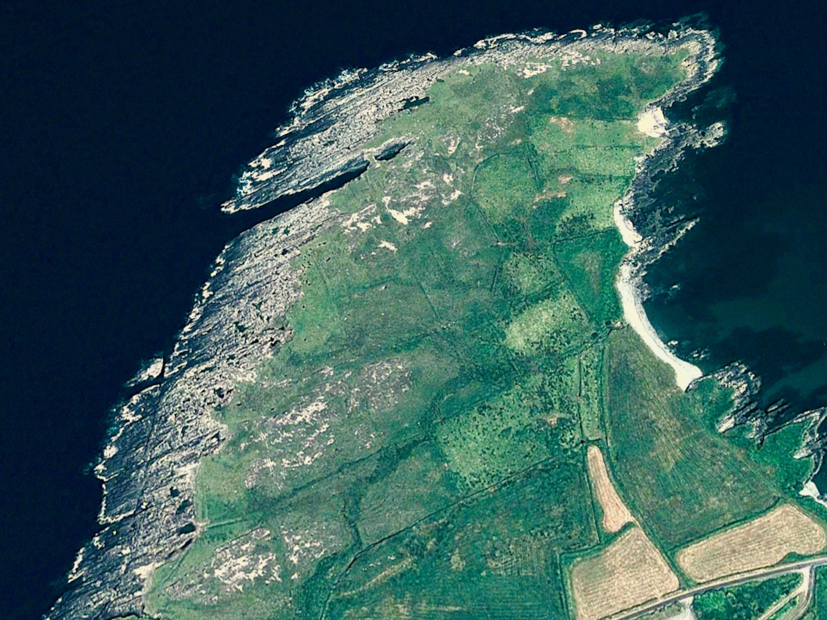
It’s geologically and archaeologically fascinating – a substantial natural promontory just to the north of Dunmanus Castle: well worth an exploration. But, do be warned – there are cliff edges, exposed fissures, ankle-wrenching undulations and bogs to overcome. Also – it’s private, so please seek permission before crossing the land.

The west side of this shark’s fin-shaped promontory is wildly exposed to the ocean and its gales. You can see from the aerial views, above, how the rock bed is bare and visible, and the vestigial fields which occupy – or once occupied – the east side peter out, and the walls and banks which once formed them fade away altogether over on the left. In fact, these Google Earth images give a better impression of the oddly shaped enclosures than can be seen on the ground.

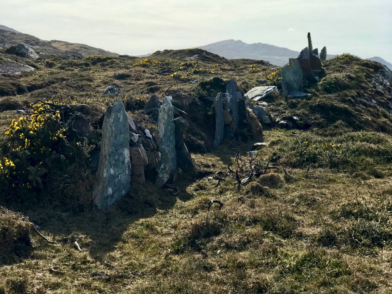
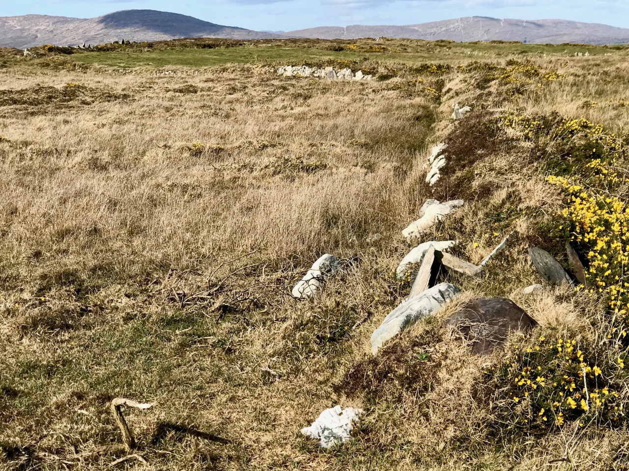
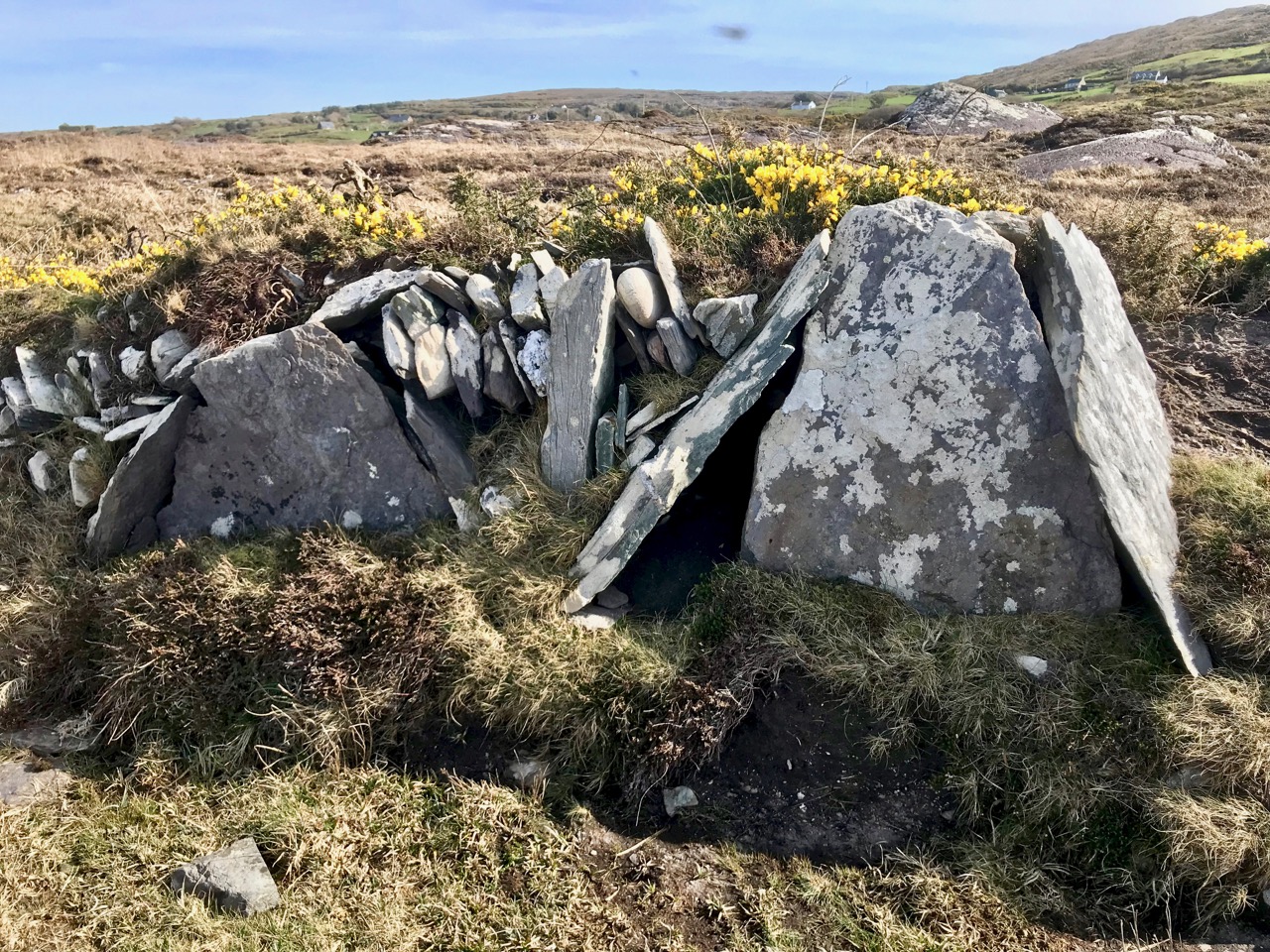
Three examples of many varied boundary features on the promontory are shown above. Each is differently constructed and they range from a series of vertically-set slabs to rocks-and-rubble and a raised bank reinforced with stones. In the picture below, follow with your eye the boundary as it traverses the scrub and makes a large S-bend on to the ridge facing the distant horizon.

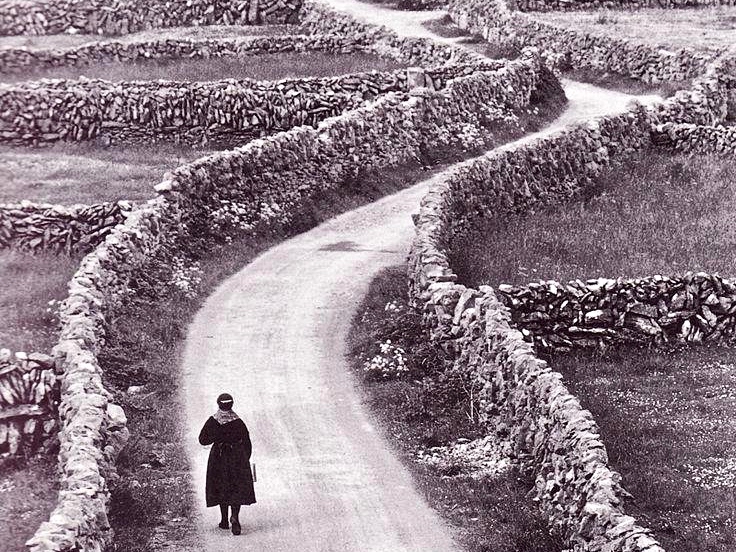
Ireland – especially the west of it – is a huge stone landscape. Wherever people have settled, they have moved the stone and used it. To make fields, or any enclosures, they have had to clear the land. The stone taken from the land is used – sometimes to build shelter, often to build myriad walls to define the holdings. Here’s a striking example from the Aran Islands:

Nothing is recorded on the National Monuments Survey about these land boundaries at Dunmanus – or the significance of the promontory as a whole. Was it once a promontory fort? There are others on this coast. It could easily have been defended along the line of the present road running across the south. However, the land is flat and low, and there is no shelter.

Flat stone surfaces – of old red sandstone – remind us of the Burren landscape in Clare, and we can suppose that the present windswept bog and scrub could once have supported agriculture. But when? In medieval times, perhaps, when the nearby Dunmanus tower house was a thriving centre of occupation and, probably, commerce. In the shelter of the bay the little quay at Dunmanus survives and is still used by small boats searching out shellfish and scallops.

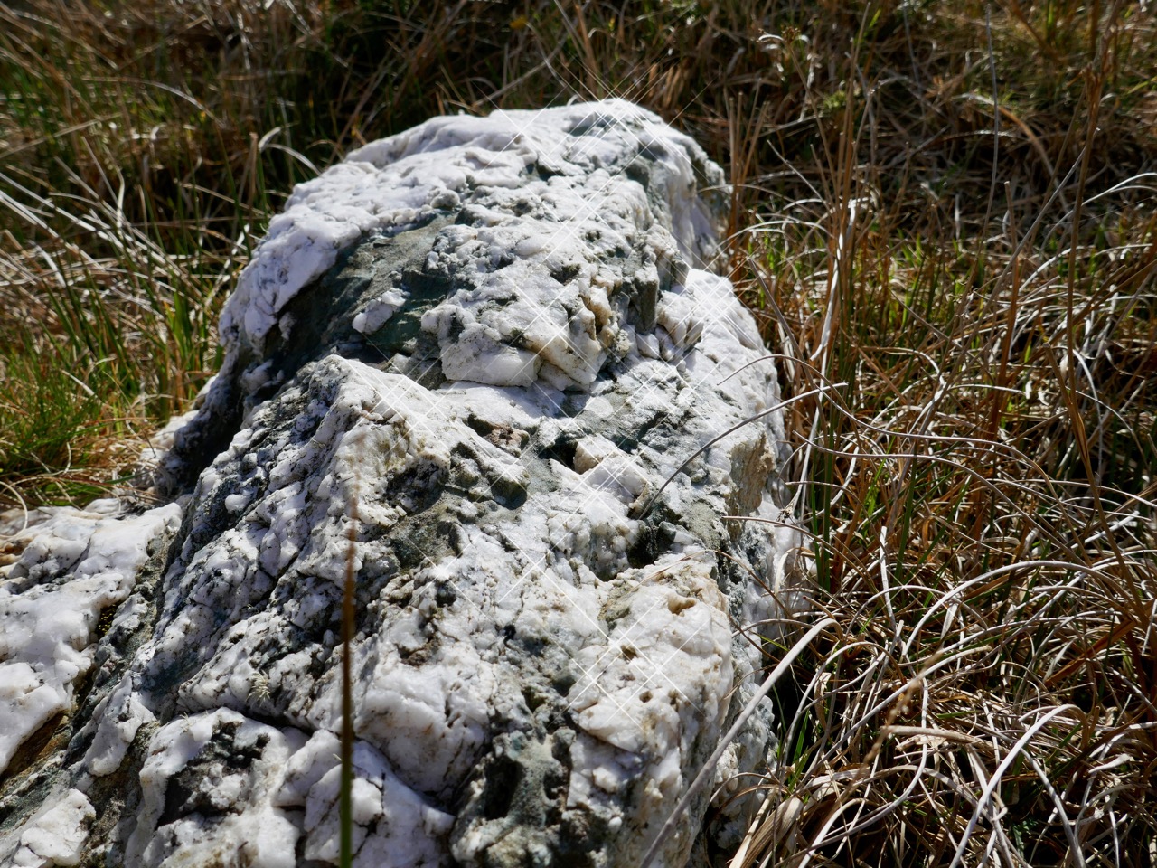
In some places the old walls seem to have a prehistoric feel: the use of slabs embedded vertically like standing stones is quite unusual in West Cork. The presence of large quartz rocks, too, is reminiscent of ancient sites, although they are natural geological occurrences here.

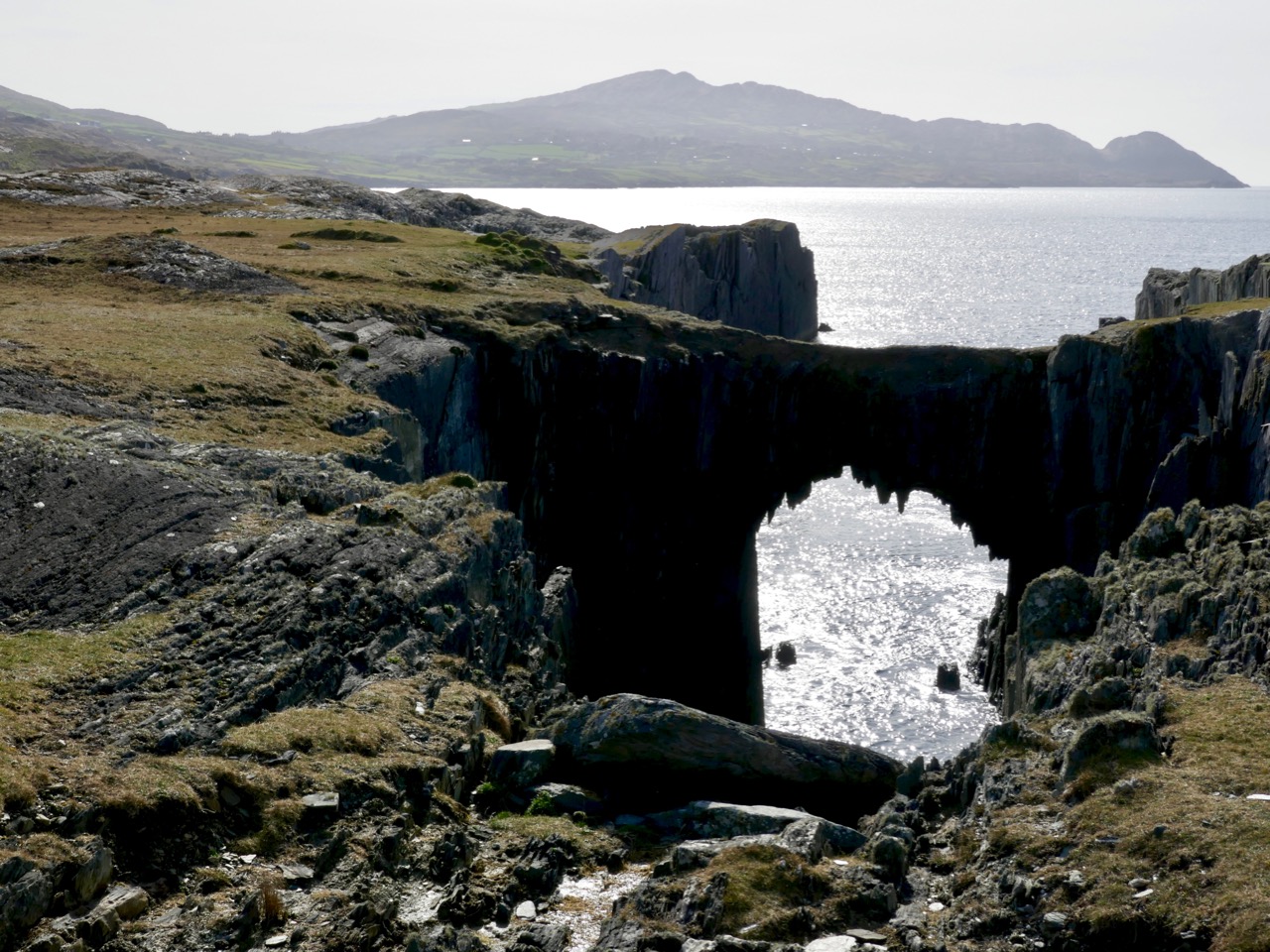
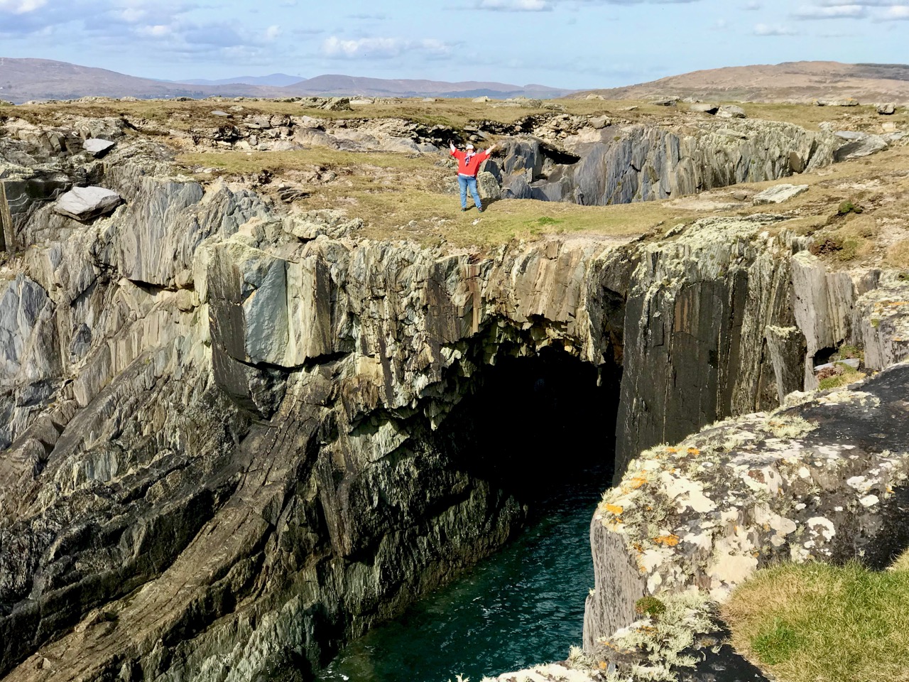
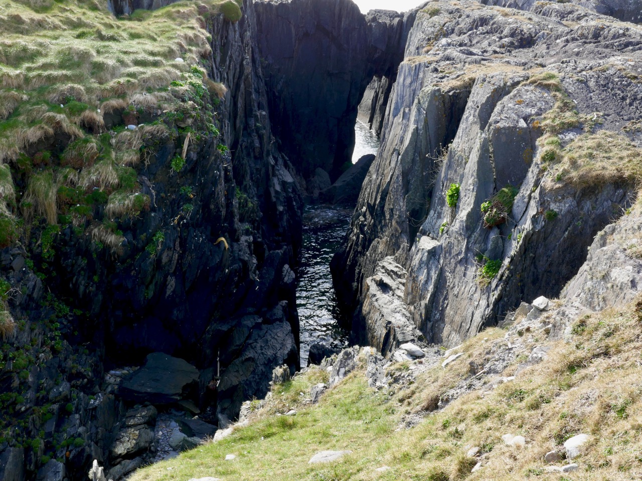
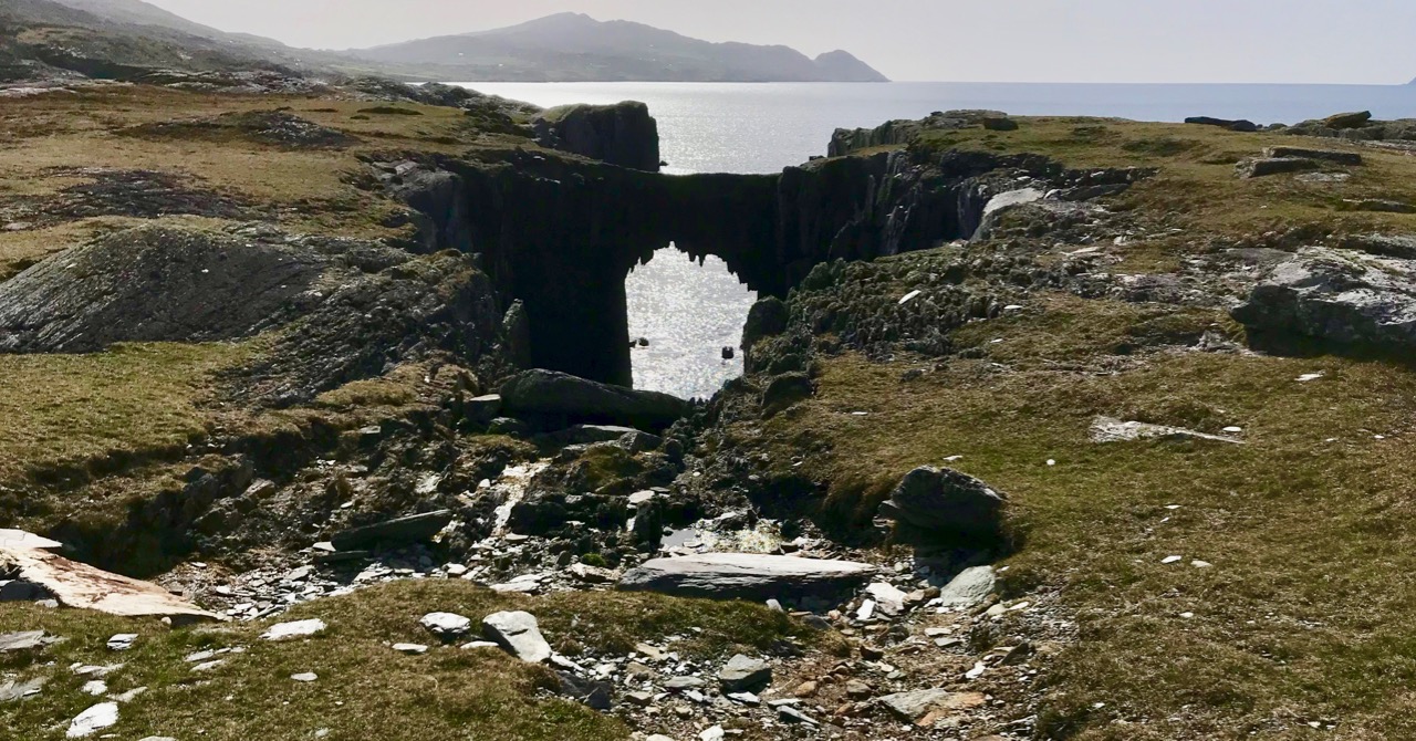
Other natural features on the peninsula include two ‘sea arches’ – bridges formed through erosion of the rocks and chasms by the ocean.

It’s a landscape of vestigial fields, sea – and stones. Nothing more. But I find it a mesmeric place; partly because we can see that it bears the marks of human toil, and we want to know more about who was there and how they lived. It’s a remote piece of Ireland to call ‘home’. Those marks remain after how many years – hundreds, thousands? They intrigue us, and compel us to explore.

Drawn to the Beara

The spectacular landscapes of the Beara Peninsula draw us again and again: have a look at some of our past explorations here and here. There’s no doubt that for fine, distant views, tranquil coastlines and variety in geology, history and archaeology this part of Ireland takes some beating. And, for us, it’s ideal: near enough that we can have a full day out absorbing all these things, yet still being home in time for tea!

This is the weekend when clocks ‘spring forward’ – giving us longer evenings. But also the sun is getting noticeably stronger, colours are getting more intense, and the shadows are hardening. It’s a great time to be out on our travels.

That’s Hungry Hill above – highest peak in the Caha Mountain range, Co Cork – and the background setting for Daphne du Maurier’s 1943 novel of that name. The story is based on the real-life Puxley family who set up and ran Allihies copper mines in the first half of the nineteenth century. Du Maurier weaves the tale to give the name of the hill a symbolic meaning – the mines ‘swallow up’ the lives of those who work them and the plot is charged with tragedy and unhappiness.

We crossed the peninsula on the Healy Pass, one of Ireland’s great road journeys, with breathtaking views towards Bantry Bay in the south and the Kenmare River to the north as you traverse the 334 metre summit. The road, known in Irish as Bealach Scairte, was originally cut as a nineteenth century famine relief project, and improved in the 1930s, when it was named in honour of Tim Michael Healy, a Cork man who served as the first governor general of the Irish Free State.

We had a mission: to visit Dereen Garden, which is open all year round. We were there before the tourist season got going, and we mainly had the beautiful walks and vistas to ourselves. The woodland garden was laid out 150 years ago with sub-tropical plants from around the world and has been improved and added to since then; it is famous for its huge Arboreum rhododendrons. Evidently there is a variety of wildlife to be seen, including red squirrels, sitka deer and hares, but they were all keeping out of the way when we visited.

We were hoping to sample some of the fine eateries which have been set up on the Beara but, again, we were a little too early in the year: an excuse for another trip when they open up. So we reluctantly turned our way back towards the Healy Pass – to get the views from the other direction – and were stopped in our tracks by a sign pointing to ‘stone circles’. This is in a townland named Cashelkeelty and is near Lauragh, Co Kerry. Finola had a look at her archaeological records on the phone and found it was somewhere we had to go! It involved a long, uphill walk through a forest, but was very well worth it. Read Finola’s post to find all the details.

I will show only one picture as a taster (above) – but also to point out the proximity of the high grade overhead powerline which runs right by the ancient stones. Does it add or detract from the monument itself?

There were many more vistas to be taken in on our few hours spent on this dramatic peninsula, where mountains so spectacularly meet the sea. We can never tire of this, our own little part of the world.