‘Will the Hare’ – and the Mizen Olympics!

street market

…In ancient Ireland the festival of the beginning of the harvest was the first day of Autumn, that is to say, it coincided with 1 August in the Julian calendar. This has continued in recent tradition, insofar as Lúnasa or Lammas-Day was still taken to be the first day of Autumn; the gatherings and celebrations connected with it were, however, transferred to a nearby Sunday, in most parts of Ireland to the last Sunday in July, in some places to the first Sunday in August… The old Lúnasa was, in the main, forgotten as applying to the popular festival and a variety of names substituted in various localities, such as Domhnach Chrom Dubh, Domhnach Deireannach (Last Sunday), Garland Sunday, Hill Sunday and others…

making the stack

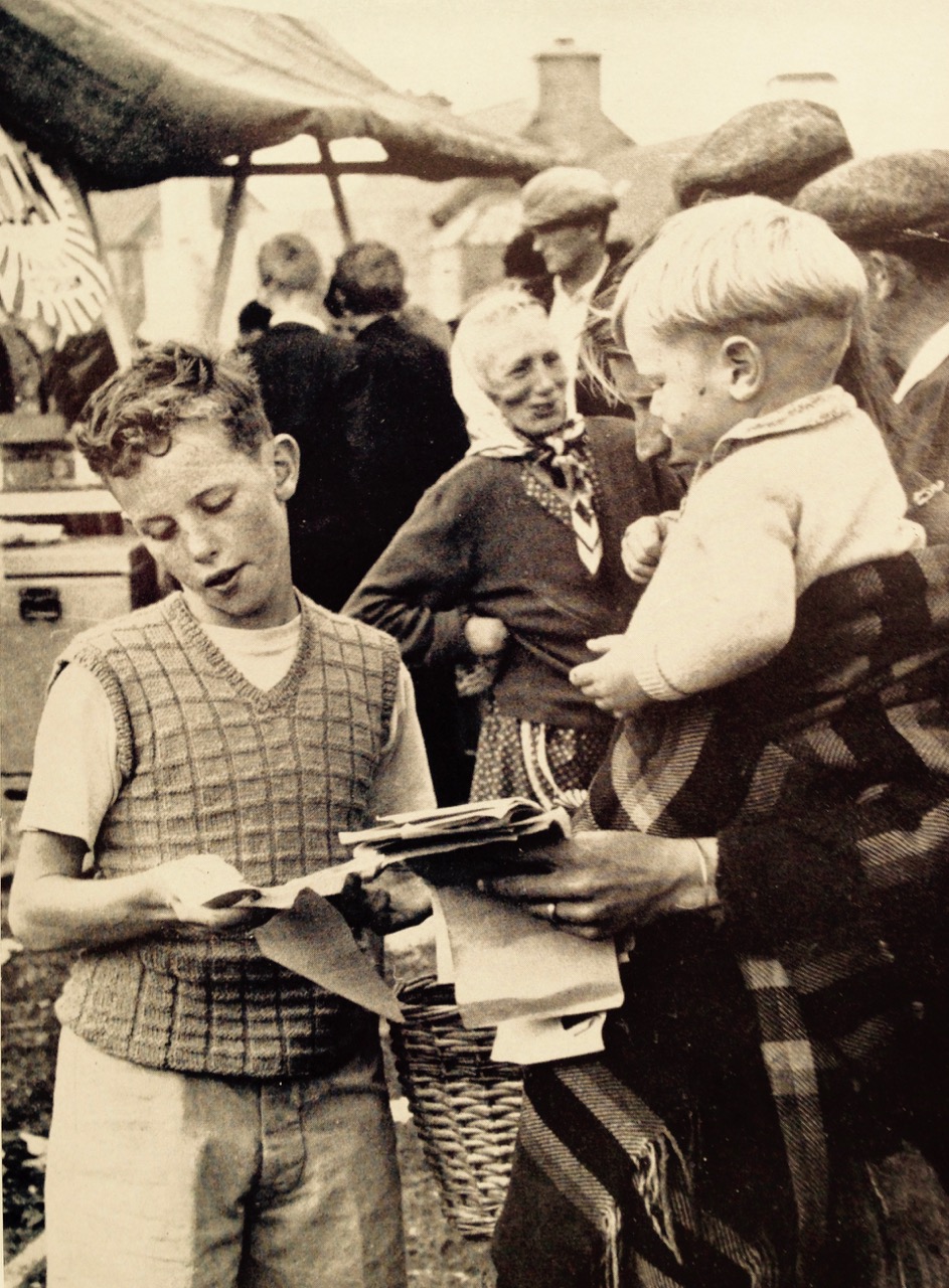
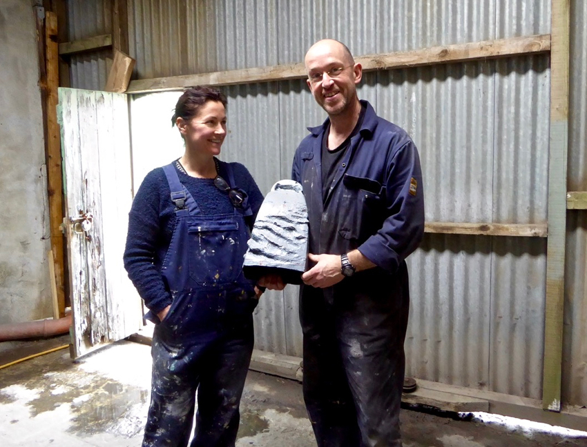
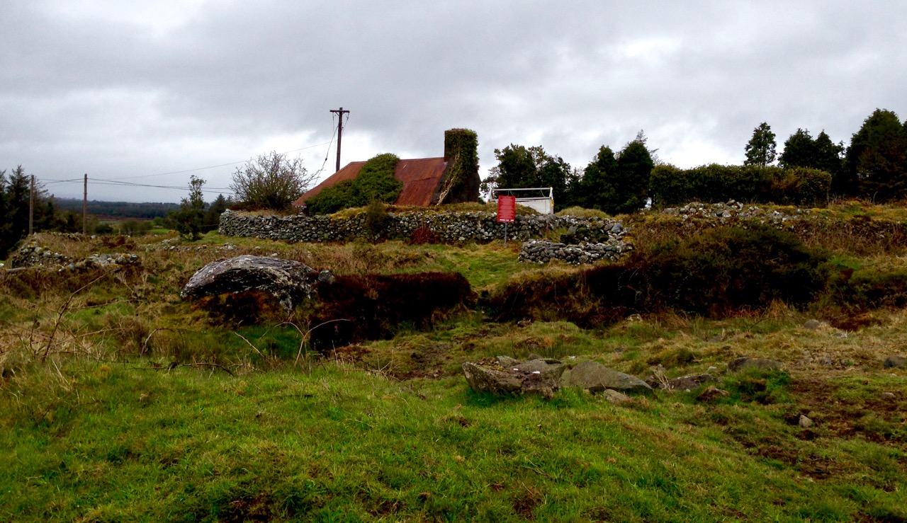
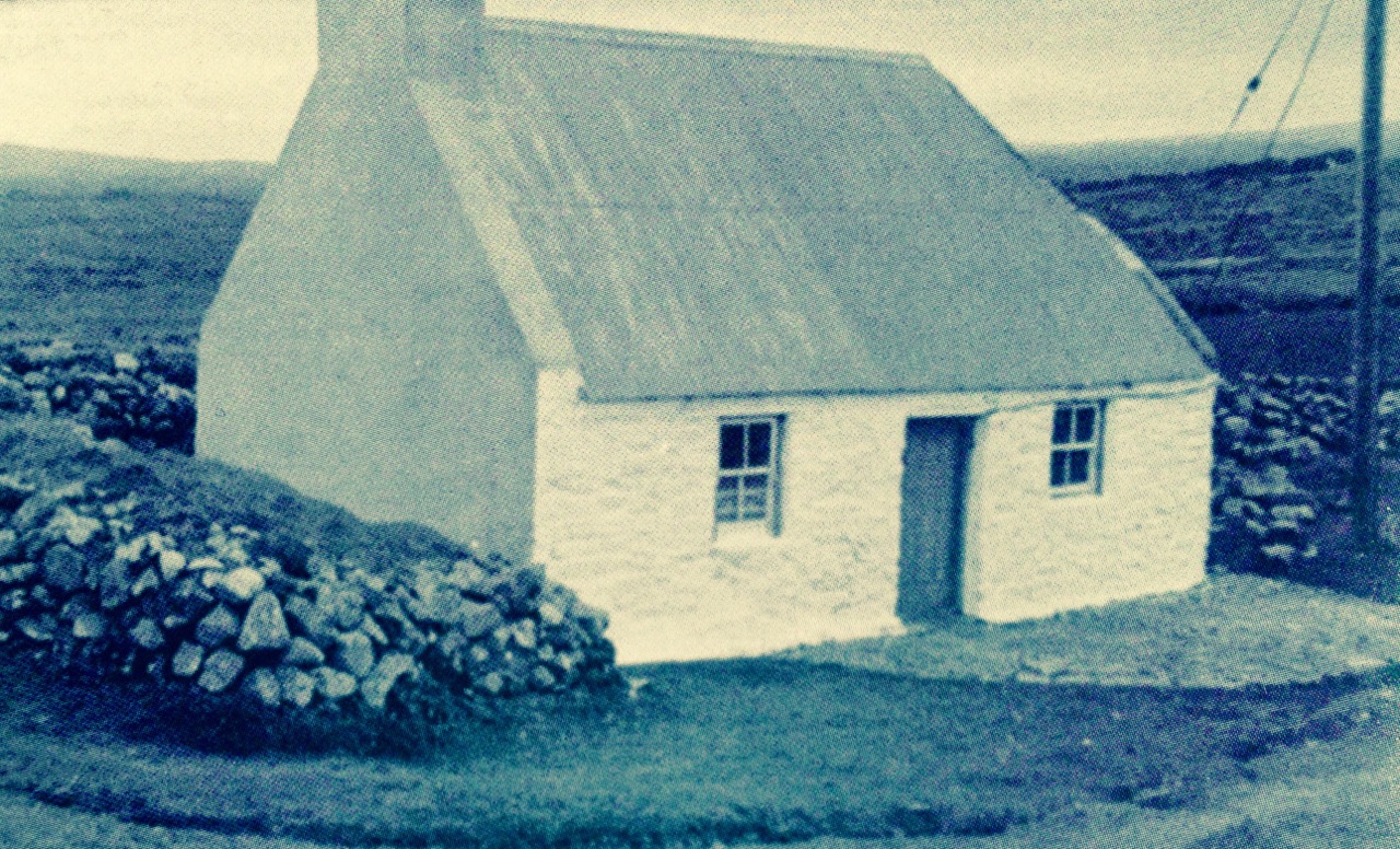
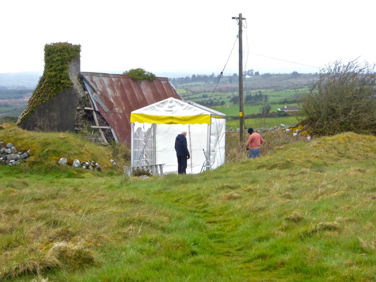
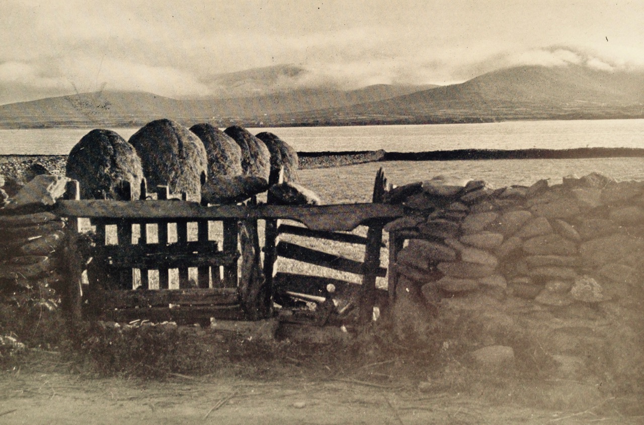
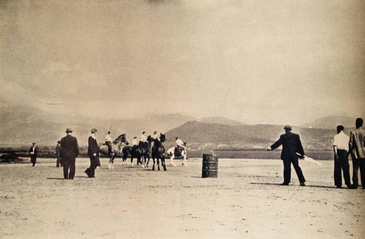
All the photographs in this post are from the collection of Tomás Ó Muircheartaigh who travelled and photographed the west of Ireland during the 1930s, 40s and 50s and is an invaluable documentary of the times in which he lived. Generally, the locations of the photographs are not noted, and very few are likely to be specific to the Mizen: they do however record life as it would have been lived at that time in all the rural areas

Today we celebrate Lúnasa – the festival of the bringing-in of the harvest. Kevin Danaher (The Year in Ireland, Mercier Press 1972) wrote (above) about what he observed in the middle of the last century, when things were already changing and many of the old customs were, as he notes, ‘in the main forgotten’, although still talked about. What changes do we see in Ireland, a few generations on?

seascape

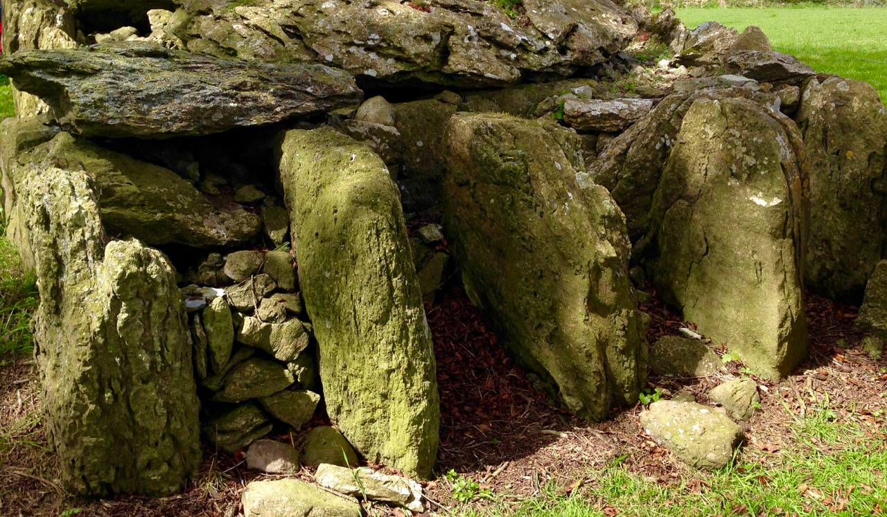
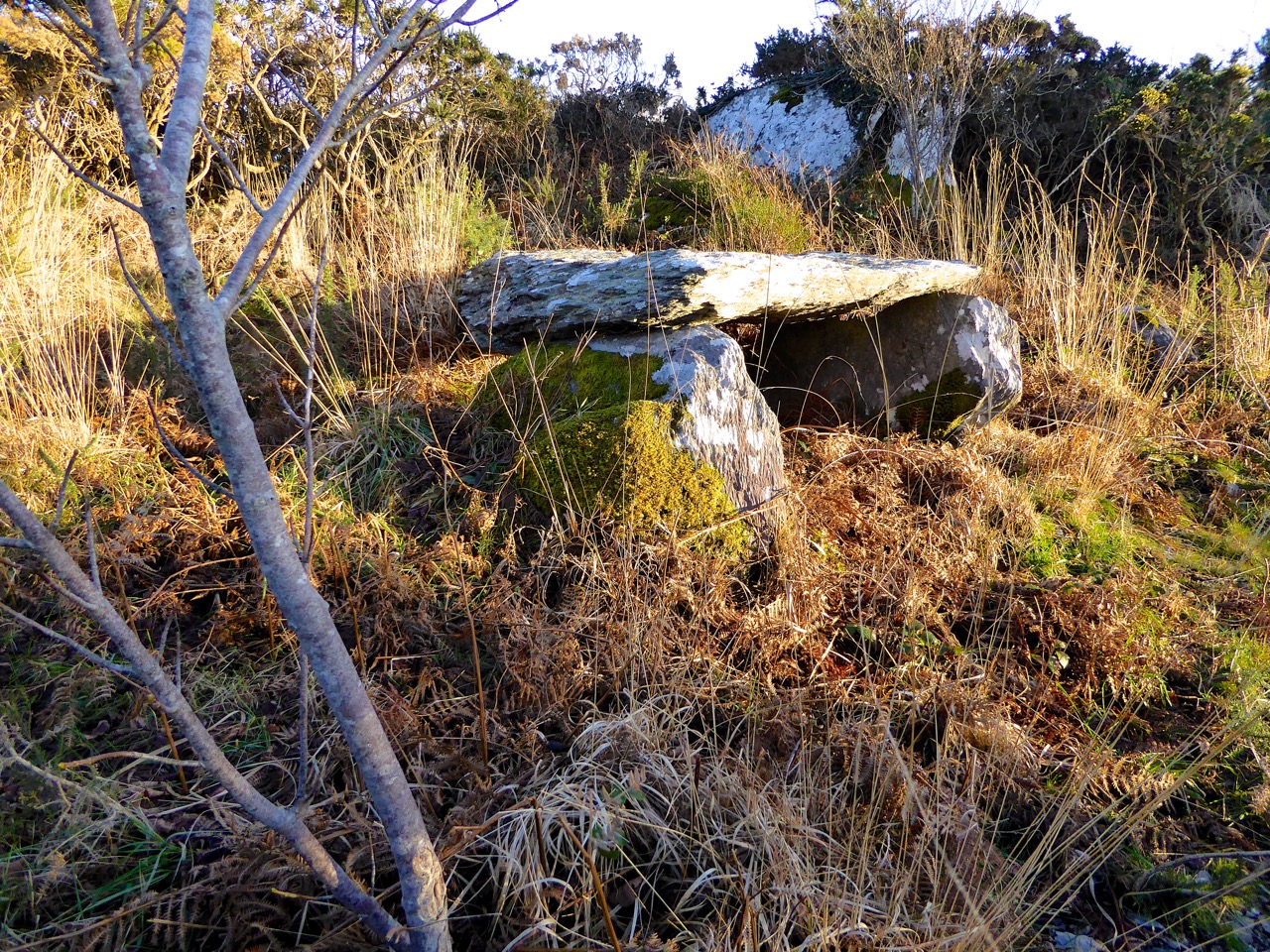
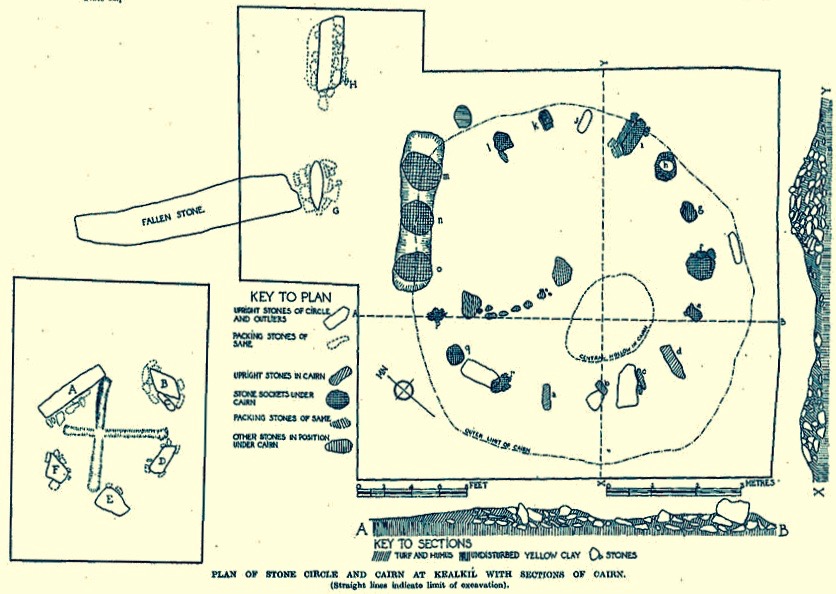
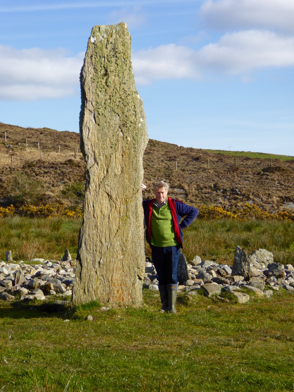
Northside of the Mizen by Patrick McCarthy and Richard Hawkes was written in 1999 (Mizen Productions) and is a collection of memories and stories still being told then about traditional life in this westerly part of of the country:

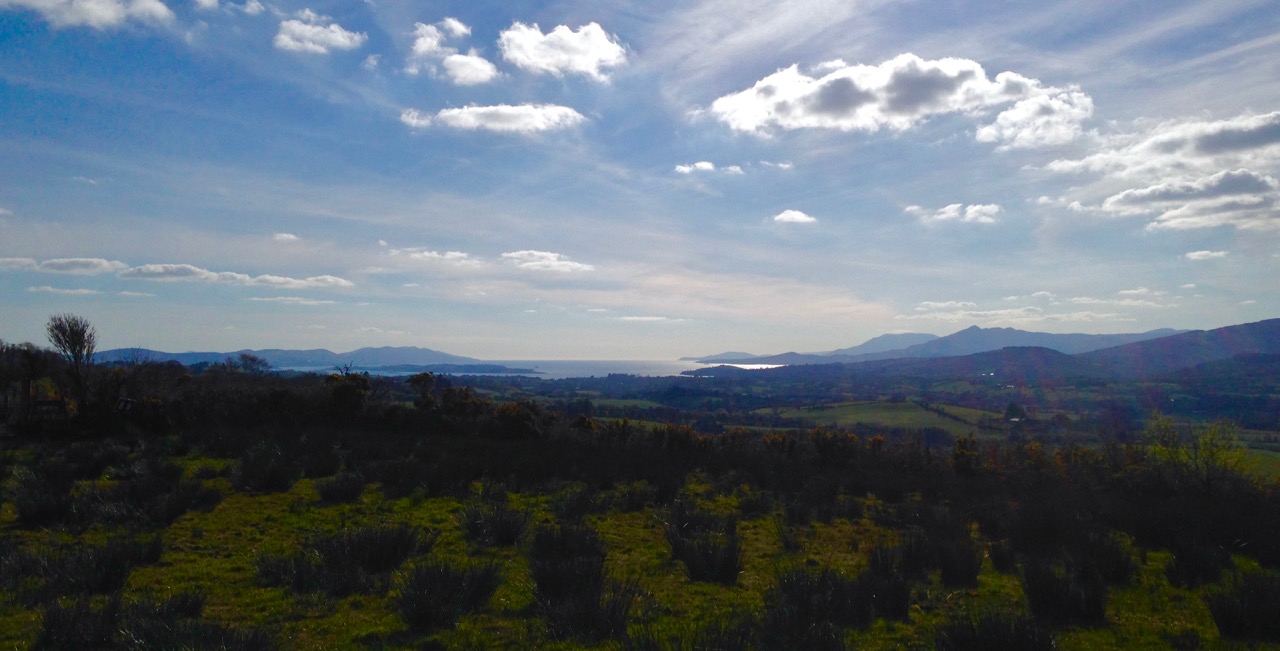
…The heat of the summer was eased by the cooling breezes from the Atlantic. It was busy on land and sea, with seine fishing by night and fish curing and farming by day, but there was always time for scoriachting, games and dance, sometimes on Carbery Island or across Dunmanus Bay…

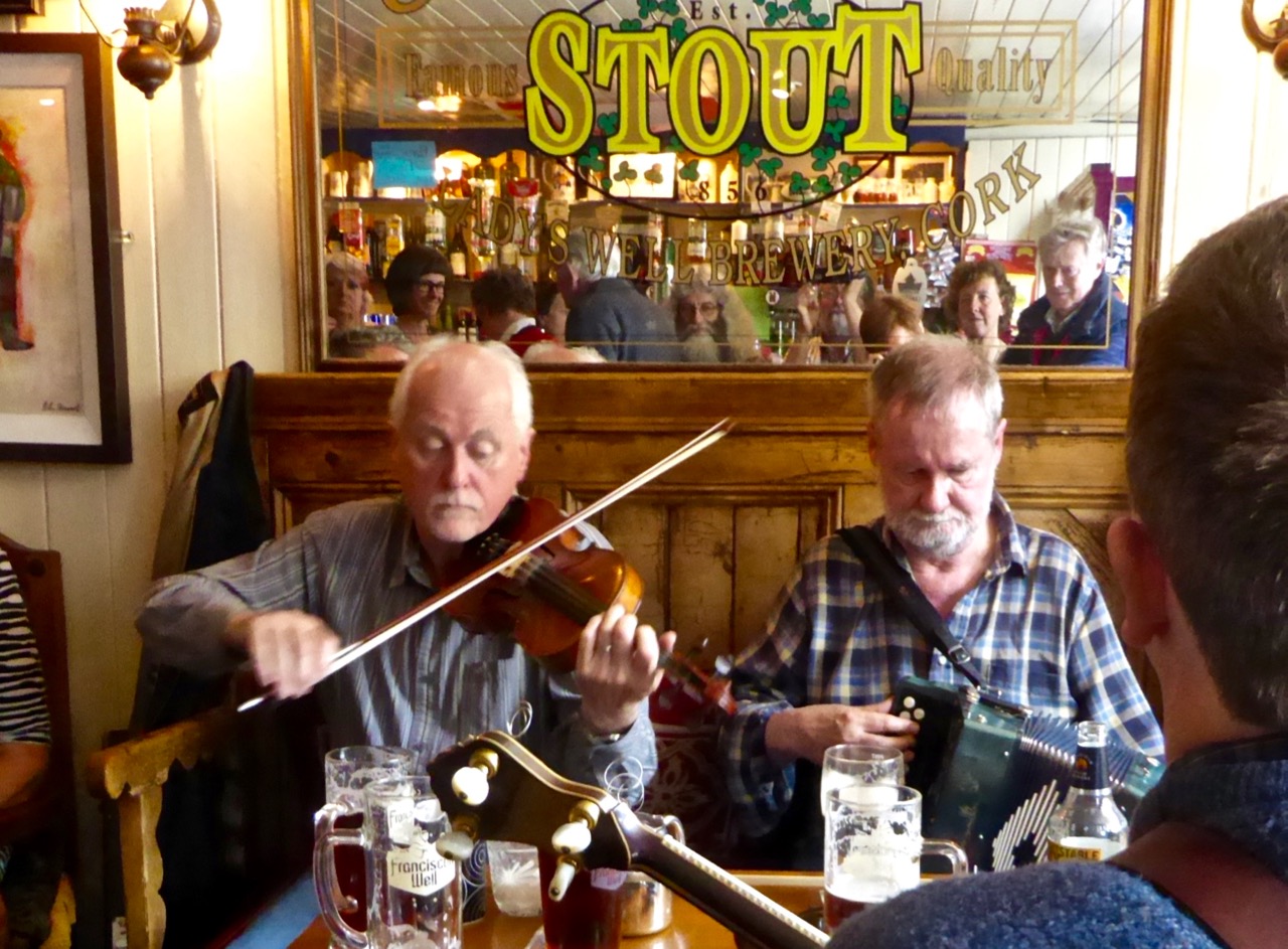
…Once in the year Carbery Island was the location for a dance and in settled weather the Northsiders could shout across and give the signal to the people of Muintir Bháire to meet at Carbery Island. As many as forty-five people in three boats would cross Dunmanus Bay to the White House, and a good crowd of men and women from Bear Island would also come to the dances. They were great hearty people. Ann Daly from Kilcrohane and Agnes O’Donovan of Dunkelly played the melodeon…

I like the idea of the Northsiders shouting across the water to the residents of the Sheep’s Head, two miles away! I wonder if they would be heard nowadays?

horse race

…There were competitions at Dunmanus for swimming, running, jumping and weight lifting, and you could be sure that the Northsiders were well represented in each of the events. ‘Will the Hare’ (William McCarthy of Dunkelly Middle), was good at the long jump and the running races and would often win and bring great honour to the Northside. It was said that ‘Will the Hare’ got his name by catching a hare on the run! It was also said that when you blew the whistle to gather the men for seining, by the time you had finished, ‘Will the Hare’ would be at Canty’s Cove waiting!

boat race

…Wild John Murphy would take the lads to the Crookhaven Regatta which was held on The Assumption (15th August). It was a long pull around the Mizen but a good time was had by all. The Northsiders were great with the oars, but it was hard to beat the Long Island crews in the boat races…

(Danaher): …In very many localities the chief event of the festival was not so much the festive meal as the festive gathering out of doors. This took the form of an excursion to some traditional site, usually on a hill or mountain top, or beside a lake or river, where large numbers of people from the surrounding area congregated, travelling thither on foot, on horseback or in carts and other equipages… Many of the participants came prepared to ‘make a day of it’ bringing food and drink and musical instruments, and spending the afternoon and evening in eating, drinking and dancing…

picnic

…Another welcome feature of the festive meal was fresh fruit. Those who had currants or gooseberries in their gardens, and this was usual even among small-holders in Munster and South Leinster, made sure that some dish of these appeared on the table. Those who lived near heather hills or woods gathered fraucháin (‘fraughans’, whortleberries, blueberries) which they ate for an ‘aftercourse’ mashed with fresh cream and sugar. Similar treatment was given to wild strawberries and wild raspberries by those lucky ones who lived near the woods where these grow… A number of fairs still held or until recently held at this season bear names like ‘Lammas Fair’, ‘Gooseberry Fair’, ‘Bilberry Fair’…

market in town

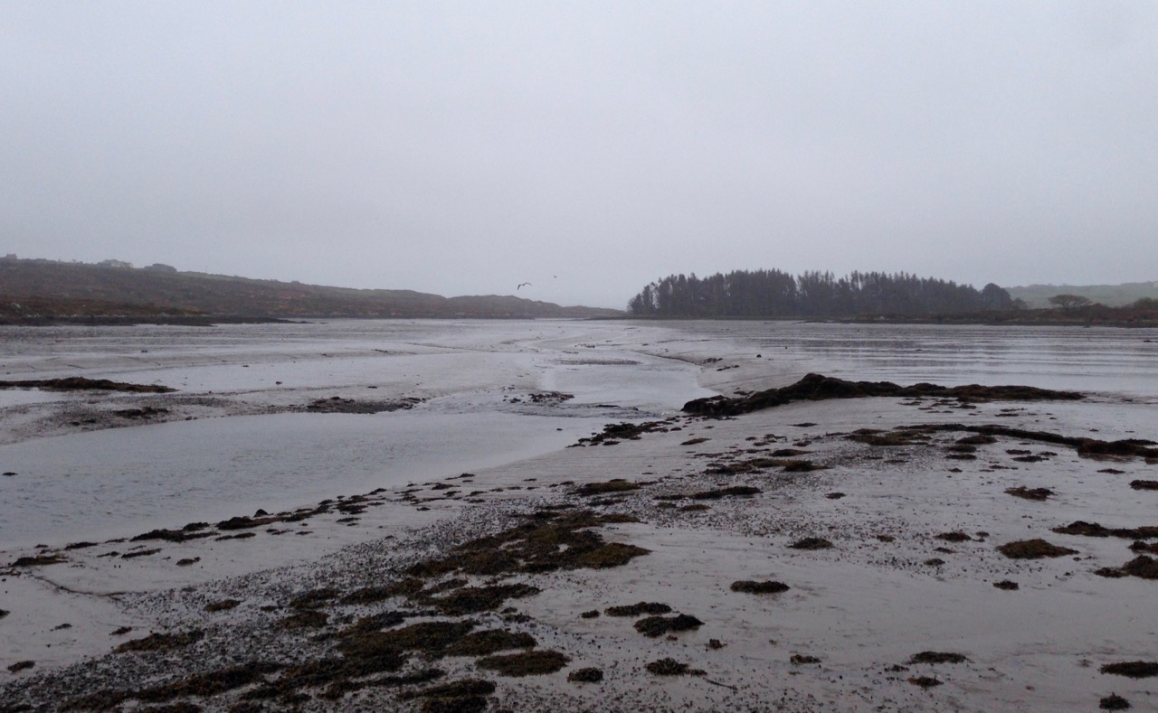
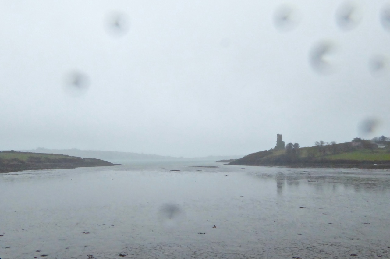
One interesting custom was the driving of cattle and horses into the water. This is mentioned in the 1680s by Piers in his Description of the County of West-Meath:On the first Sunday in harvest, viz in August, they will be sure to drive their cattle into some pool or river, and therein swim them; this they observe as inviolable as if it were a point of religion, for they think no beast will live the whole year thro’ unless they be thus drenched; I deny not but that swimming of the cattle, and chiefly in this season of the year, is healthful unto them…

at the fair

A Bell for Bangor

Holg + Donagh 2

The man standing on the platform in the picture is Holger Lönze. You might remember him from Umha Aois, a post I put up last year about a group of artists and ‘experimental archaeologists’ who use Bronze Age metal working techniques to produce replicas of ancient tools, weapons and musical instruments. Holger – a sculptor – is a key member of that group: his workshop is in Schull and he has just completed a commission to make an enormous bell. You can see the project in progress on the right of the picture. On the left is Donagh Carey, another West Cork artist who worked on the casting.

Left: the original Bangor Bell – the inspiration for the new work – and, right: an early sketch design by Holger of the proposed bell sculpture

The story begins in the sixth century when Columbanus (the Latinised form of Columbán, meaning White Dove) was born in the Kingdom of Meath, now part of Leinster, Ireland, in 543. That’s about 50 years after the death (aged 120) of St Patrick. Patrick, of course, is the best known of the missionaries building up Christianity in Ireland, but he wasn’t Irish himself, having been born a Roman Briton. Columbanus was Irish, and he saw his mission as spreading Christianity from Ireland throughout the Continent of Europe. His mission was successful and St Columbanus is recognised in Europe as a founder of many monastic settlements during his travels in Gaul, Burgundy, the Alps and finally Italy where he established the great monastery at Bobbio, beside the River Trebbia. Columbanus died at Bobbio in 615 and his remains are buried in the crypt there.

Bobbio_bridge

The medieval bridge at Bobbio with St Columbanus’ great monastery beyond (photo by Herbert Ortner, Vienna, Austria)

There are great stories told about the life of Columbanus. When he walked in the woods, birds would land on his shoulders to be caressed, and squirrels ran down from the trees and nestled in the folds of his cowl. He is also said to have tamed a bear and trained it to pull the plough. Wolves would not harm him. He is usually depicted with a book and an Irish satchel, sometimes with sunbeams over his head. I’m not sure why but Columbanus is known as the patron saint of motorcyclists.

Saint Columbanus – left: depicted on a medieval fresco with book and sunbeams (note he is carrying a bell) and, right: sailing off to Europe with his companions

Getting back to West Cork and the bell: Columbanus travelled to Bangor, County Down – in the far north east of the island of Ireland – where he studied in the  Abbey until he was 40. A beautifully decorated bronze handbell was found near the Abbey by gravediggers in the 18th century; it is assumed to have been buried to keep it safe from Viking invaders in the 9th century. The Abbey is seen as the starting point for Columbanus’s missionary work in Europe and the bell (now in the North Down Museum) is associated with him, although unlikely to have been contemporary with his time there. Holger Lönze has always been fascinated by medieval bronze bells and has made replicas of many surviving examples. He cast a copy of the Bangor Abbey handbell using Medieval metalworking techniques in 2012, and the process is recorded in this video.

Holger’s full-sized replica of the Bangor Bell and (right) Holger in his studio explaining his techniques to Robert

The new sculpture – titled Fluctus Angelorum (Wave of Angels) was commissioned by Ards and North Down Borough Council for Bangor Abbey  as one of a series of works inspired by the extraordinary achievements of Columbanus and his companions. Based on the proportions of the original bell, the surface of the sculpture is shaped like the surface of the ocean. The sea-blue patina and breaking waves are a metaphor for Columbanus’ remarkable sea voyage. The 4m high bell was fabricated in bronze plate in West Cork using the ancient repoussé process – by alternating annealing and hammering and finally welding. It took no less than 400,000 hammer blows to transform flat sheets of bronze into this piece of sculpture!

Bell surface

In the workshop: the surface of the 4m high bell reflects the surface of the ocean and (right) the inside of the great bell: it is mounted on a stone plinth and lit at night. Both bells and waves are striking metaphors to mark the Saint’s 1400 miles journey from Bangor to Bobbio – 1400 years ago

The medieval Bangor Bell didn’t have a clapper: it was carried around and hit with a hammer. Taking me back to my days as a percussionist, Holger allowed me to hit the giant bell… It made a mighty sound! From West Cork the bell travelled the whole length of Ireland, passing its 8th Century sister bells in Cashel, Co Meath and Bangor. It is now installed in the Abbey grounds and was formally unveiled on 13th June. The sculpture is not yet complete – Holger is making a number of smaller ‘satellite’ bells which will be set around it, but even on its own it is a most impressive sight: the largest bell ever made in Ireland.

holger with bell

Artist Karen Hendy and Holger Lönze showing the maquette for the bell project in Schull and, below, the bell in its setting at Bangor Abbey

bangor context

I’m often repeating the message but there is no doubt that West Cork is the most creative place I have ever lived! All manner of culture flourishes here and we are privileged to live in a community where we can readily meet and appreciate the work of so many artists; and we have excellent galleries to showcase this work – The Blue House Gallery in Schull (next door to Holger’s workshop), Uillinn in Skibbereen, Catherine Hammond‘s excellent gallery, now also in Skibbereen and The Aisling Gallery in Ballydehob. We are spoiled!

With many thanks to Holger for allowing me to use some of his own images of the work progressing…

Labbacallee

rookery

My strongest memory of our visit to Labacallee wedge tomb, Co Cork, earlier this summer was the rookery above it. Our presence seemed to make this multitude of large black birds restless: there was a constant movement over our heads – a mixing up of flapping feathers, wind in the still bare branches and screeching protests. These are the unpaid guardians of this monument, apparently the largest of its kind in Ireland, with a long documented history and a wealth of folklore.

labbacallee view

Labacallee today: it must once have been an impressive and dominant feature on an open landscape. Now it has been closed in by fields, trees and a byroad running north out of Fermoy. In the foreground is a cairn, possibly made in relatively modern times from material excavated from the monument

Finola has written about wedge tombs. She calls them The Last of the Megaliths: court-tombs, portal-tombs and passage-tombs are slightly earlier constructions, built before c2000 BC, while wedge tombs date from some 500 years after this. According to the Archaeological Inventory of County Cork Volume 1 (Stationery Office Dublin 1992) …The more numerous and widespread wedge-tombs are relatively small and simple constructions, so called because of an increase in height and width from the chamber rear to the entrance front. They generally face in a south-westerly direction, an orientation they share with stone circles and stone rows…

labbacalle back end

The east facing – and narrower – end of the wedge tomb

Labacallee is enormous, especially if you are only familiar with examples such as Altar, west of Goleen (itself sizeable) or our own more domesticated version at Kilbronogue, a neighbouring townland:

kilbronogue-wedge-tomb

A more ‘human scale’ wedge tomb at Kilbronogue, West Cork: many thanks to Stephen Lynch, a near neighbour, for looking after this example and allowing us access

Labbacallee – the name seems to be from the Irish Leaba Caillighe – ‘the bed of the witch’ – measures some 14 metres by 8 metres overall. It has a series of upright stone ‘walls’ supporting three capstones. The largest of these measures 5 metres by 2.5 metres and is a metre in thickness: it must weigh at least 10 tons. These stones house three ‘chamber’ enclosures.

tomb plan

Plan of Labbacallee wedge tomb drawn following the excavation by H G Leask and Liam Price in 1934, from Proceedings of the Royal Irish Academy Volume 43

The tomb has been recognised as an important site in British and Irish archaeology over a long period. English antiquary John Aubrey, who lived from 1626 to 1697 (and who was incidentally described as “Shiftless, roving and magotie-headed…”) is recognised as one of the first serious recorders of historic sites. He was also a keen collector of folklore and, like me, felt that the stories that local people told about the monuments around them were valuable insights into perceived history.

John Aubrey and a drawing of Labbacalle  he published in 1693. While you can see in the drawing the principle of a chamber constructed of upright stones and roofed with large slabs, there is very little resemblance in the drawing to the structure itself (which was anyway in a ruinous state in Aubrey’s lifetime). It has been suggested that Aubrey obtained the sketch – or a verbal description of the tomb – from a Mr Gethyng who lived close by it
A drawing from the1897 work The Dolmens of Ireland, their Distribution, Structural Characteristics, and Affinities in Other Countries; together with the folk-lore attaching to them and traditions of the Irish people by William Copeland Borlase 1848 -1899. This Cornish antiquary and politician spent part of his life in Ireland so it is likely that he did visit the tomb. Certainly the drawing is more true to life than Aubrey’s. After what has been described as ‘high living’ Borlase died in disgrace, having been involved in scandal and bankruptcy
Artistic interpretations of a subject: views of Labbacallee dating from 1827 (top), 1844 (below left) and 1845 (below right by George Wilkinson)

The first full scientific examination and excavation of the tomb was carried out in 1934 under the supervision of H G Leask, using workers paid one guinea per week as part of a government unemployment relief plan. According to the excavation report, at this time the smallest chamber was filled to the top with rubble, including earth, stones, ash and the bones of animals and humans. When these were cleared a skeleton of a woman was exposed, together with a bone pin which might have fastened a garment or shroud. The woman’s skull was missing but later found upright (as though on display?) in the large main chamber. One of the leg bones of the skeleton was deformed: this led to the speculation that her handicap may have set her apart in life, giving her a status that was either feared or revered: she might have been ‘marked out as a witch’.

labercalle excavators

Leask’s excavation team in 1934 (top) and (left) his drawing of the headless skeleton as found; (right) the separated skull of the ‘witch’

I am fascinated that ‘folk’ or oral traditions survive through generations, centuries and even millennia. In the case of Labbacallee, we know that the name existed back in Aubrey’s time – over three hundred years ago – and was undoubtedly well established by then. Could it be that the name – ‘bed of the witch (or hag)’ – was the persisting memory of the interment of an important person, perhaps a priestess or shaman, from very ancient times?

hag's bed

The Hag’s Bed – the main chamber in the monument, where the skull was found

While the excavators were exploring Labbacallee they found evidence to suggest that the tomb (or part of it) had been an occupied dwelling at some point during its history. The notion that some historic and prehistoric monuments were (or are still) the dwelling places of the Old Ones, or The Other Crowd – supernatural beings possibly descended from ancient invaders of Ireland – or had in fact been used in some way by practitioners of magic – is not unknown. Borlase’s 1897 work on The Dolmens of Ireland… included this illustration (albeit from the Netherlands) of ‘A ‘White Woman’ (wise woman or witch?) prophesying from a dolmen-mound’. It’s not a big leap to the idea of a witch being buried in a wedge tomb.

whiteWoman borlase

Legends specific to a ‘hag’ of Labbacallee suggest that she was married to a druid, Mogh Ruith, who ‘had an eye’ for the hag’s sister. In a fit of jealously the hag chased the druid towards the River Funchion. He reached the water and started to cross it: the hag threw an enormous boulder which struck the druid, toppling him and pinning him down under the water. As far as we know, he’s there to this day!

labbacallee stones

Stories in stone: Labbacallee landscape

Another story specific to Labbacallee also involves a drowning – and a warning! This version is from theirishplace.com:

…Whatever the provenance and history of the remains found in the Labbacallee Wedge Tomb, there is no doubt that it is a site around which legends abound. One of the most pervasive legends tells that one day, very long ago, four local men went to the tomb in the middle of the night, with the aim of digging for the treasure that they had heard was buried there. As they started to dig, it is said that an enchanted cat appeared, fire bursting from its tail, terrifying the men, who were dazzled by the light emitting from it. Panicking, they ran screaming from the scene, and in the ensuing panic one fell into the nearby river (Funchion) and drowned. The remaining men lived to tell the tale, and their experience stood as a stark warning to others that they should never, under any circumstances, disturb the resting place of the long dead at this most mysterious of megalithic sites…

labbacallee shadows


The City of Shrone – and a talking cow!

shrone walls + gap

It’s May Day, and we’re in Ireland, so it’s no surprise that we should encounter a talking cow. We are in Kerry County and it’s a Kerry Cow that’s doing the talking. This is an ancient breed of cattle – probably the oldest in Europe – so our cow has a lot of stories to tell.

city cow

We found the cow – or, at least, the story she has written – in the City of Shrone. What sort of a metropolis is that, you wonder? It’s a pretty diminutive one: it’s almost certainly the smallest city in the world. It has no skyscrapers and no traffic jams…

no parking

Shrone does, however, have a long, long history. According to the local expert on this subject, Dan Cronin, …Historians have satisfied themselves that The City was one of the first places in Ireland to be peopled. It was here on a barren elevated site that the Tuatha Dé Danann had their base established, naming the mountains at whose base they had settled, Dhá Chich Danann, The Two Paps of Dana…

in the shadow

Dan’s book (published in 2001 by Crede, Sliabh Luachra Heritage Group) is the definitive work on The City, The Paps, and the life and traditions of the Sliabh Luachra – which is the name given to the mountains and rushy glens on the borders of Cork, Kerry and Limerick. It’s an area which has long been famous for its traditional music: at our own Ballydehob Fastnet Maritime and Folk Festival – coming up in June – two of the most notable musicians carrying that living tradition, Jackie Daly and Matt Cranitch, will once again be in residence.

Jackie Daly and Matt Cranitch

Matt Cranitch and Jackie Daly in Ballydehob, at last year’s Fastnet Maritime and Folk Festival

Meanwhile, back in the City, we have deliberately timed our visit for the First of May: this is Shrone’s big day! The City is 50 metres in diameter – it’s a very ancient stone cashel or ring fort. The Irish name for it is Cathair Crobh Dearg, meaning ‘Mansion of the Red Claw’. On the western side of the finely preserved four metre thick stone walls is an entrance (known as the gap), and anyone coming in that way has to pass by a holy well. Today is the Pattern Day for the well, and elaborate rounds are performed, culminating in taking the holy water. There is much to do with cattle at this site: the Tuatha Dé Danann are said to have originated in Boeotia – the Land of Cattle – in Greece, and the well water is notably good for cattle, especially on this day. The well was formerly in another site nearby and there cattle were driven around it to ensure good health and fertility for the herd. Farmers still take water from here and sprinkle it on their animals.

shrone aerial

Satellite view of The City of Shrone: the circular cashel wall is clear. On the left is ‘The Gap’ and the holy well. Beside ‘The Gap’ and inside the city is the ruin of Paddy Quinihan’s House (below and bottom): in the 1930s he was the deerhough (caretaker) of the holy well

keeper's house

the house

Today is Lá Bealtaine (pronounced Law Byowl-tinneh): the Irish word might refer to the ‘Fires of Baal’, reflecting a tradition of lighting fires on hilltops or in sacred places. In Ireland it was important to drive cattle through, or by, the flames as a purification ritual. As May Day was usually the first day that the animals were brought out of byres and sent to the summer pastures (booleys), it makes sense that the purification would have taken place at this time. So we have the various seasonal elements of water and fire connected with cattle and their health and fertility: it’s no wonder that our commentator at Cathair Crobh Dearg is a cow!

The holy well water at Shrone is good for animal health and fertility: Robert gives it a try!

The City of Shrone is below the Paps. According to Cronin, the early celebrants – the Danann – …were wont to go up to the top of the Paps for the fertility and immortality rituals. Fragments of ancient pagan altars still remain to this day. Petitions were made to the gods for fertility for man and beast, good return from the land, good crops and fodder. Even today, 4000 years later, several small offerings are placed on ledges near the ruins of pagan altars on top of the Paps Mountains for health of the family and of cattle and for fertility… Many of those acquainted with this old pagan custom have remarked on the peculiarity of its perseverance and continuity… I would like to explore those high parts but, ‘on the day that’s in it’, they are not even visible, and it would be unwise to venture into such a shrouded domain when, at this turning point of the year, the spirits of the hills might be abroad…

way to the paps

The way to the Paps: it’s unwise to venture there when you can’t even see the summits of the sacred mountains…

Cronin again: …So the May Day or Lá Bealtaine festivities were held each year and the years rolled by. On May Day, The City and its surroundings were a hubbub of activity. The music of pipes and fiddles re-echoed from the hills and valleys, and the lowing of cattle mingled with the sweet music of the harp. Jesters and jugglers plied their respective trades, with everybody trying to make themselves heard. It is very evident that ale was brewed here in plenty. Champions were performing feats of valour, while throngs of admirers looked on… What will we find happening today, May Day, at the smallest but most ancient city in the world?

mary and walls

Setting Up

Our Lady of the Wayside guards the sacred site now (above) while (below) preparations are made for the Bishop’s visit

It’s still a sacred site and the crowds still come. But it’s Our Lady of the Wayside who looks out over the City walls now. A Mass is performed within the Cashel on May Day afternoon. This year the Bishop of Kerry is in attendance, as is a devouring Kerry mist. I listen in vain for the echoes of harp, pipes and merrymaking. The City of Shrone on a cold, damp First of May seems a desolate place – yet an absolutely fascinating one. The pilgrims visit and the curious passer-by (like me) pauses to drink from the well. As always here in Ireland, history is writ large on the landscape, and continuity is assured both through holy ritual and piseogs…

making the mark

Pilgrims leave their marks on a ‘Neolithic altar’ under the statue of Mary

Another record of the day at The City can be viewed on Louise Nugent’s page, here. Amanda has covered the holy well at Shrone here. Voices from the Dawn website published an interview with Dan Cronin, who wrote In the Shadow of the Paps.

Walking the Past

Robert taking a picture

How fortunate are we? We are free to spend our days wandering the world’s most beautiful landscapes, here in Ireland: landscapes which have changed relatively little over the last five thousand years. They have changed, of course, but the human hand has had less impact in this country than in many other developed nations, especially in these wilder parts. That is why we relish our explorations: we are walking the past.

breeny landscape

Top picture: Robert taking in the setting of the monuments at the Kealkill complex. Above: the view towards Kealkill village from Breeny More

Every expedition requires a little pre-planning. This week we were keen to catch up with a group of monuments known as ‘boulder burials’. Finola tells me that, when she was first studying archaeology, they were known as ‘boulder dolmens’: I prefer that term – perhaps because it has a touch of the antiquarian about it – and, in any case, the use of the word burials implies a definitive function which has not been universally borne out with the examples that have been excavated. But I will leave Finola to delve into the specifics of that subject in her post Boulder Burials: a Misnamed Monument?

workspace

Blogging in progress: prequel to an expedition…

First, we look to the available information: William O’Brien’s Iverni – A Prehistory of Cork (The Collins Press 2012) is an essential primer on the pre-Christian era in this corner of Ireland since the first human foot was set on its shores. Then there are maps to be consulted: the Ordnance Survey Office was created in 1824 to carry out a survey of the whole island for land taxation purposes. The original survey at a scale of 6 inches to 1 mile was completed in 1846 and Ireland thus became the first country in the world to be entirely mapped at such a detailed scale. From the outset, known historic sites and monuments were recorded and the present Discovery Series at 1:50,000 scale provides a wealth of information to the fingertips of historians and adventurers.

kealkill OS map

One of our bibles: the Discovery Series of the 1:50,000 Ordnance Survey maps – well used and well worn! The monument sites are marked in red

Before setting out we usually consult with the Archaeological Survey Database of the National Monuments Service: this gives us the fine detail on where to find recorded historic sites. Yet in the end the most valuable information often comes from knocking on doors. Farming families here often go back through many generations and local knowledge is always passed down through them. It’s here that you sometimes pick up the ‘stories’ that are associated with ancient sites – for me, these are just as interesting as any formal records.

Breeny More landscape

View to Bantry Bay across the Breeny More archaeological site

This week our travels brought us to the Breeny More and Kealkill complexes, high up in the hills above Bantry, heading towards the wonderfully named Cnoic na Seithe – the Mountains of the Spirits. This was on a perfect spring day: the views all the way down the bay with the Beara on one side and the Sheep’s Head on the other can only be described as spectacular.

kealkill landscape

view west

Two views from the Kealkill complex

It can’t be accidental, surely, that these ancient sites occur in places like this, that make the senses reel? In many cases there are long views in all directions, often taking in prominent horizons, hilltops, the sea, inlets and islands. ‘As far as the eye can see’ is an expression that truly comes into its own: these vistas must have had special meanings to the ancestors who were here in the Neolithic and Bronze ages. Were they trying to define it in some way by building such impressive large-scale structures, most likely for some ceremonial purpose? It was certainly not construction work which could have been undertaken lightly or frivolously. Here’s O’Brien in Sacred Ground, Megalithic Tombs in Coastal South-West Ireland (NUI Galway 1999):

…Antiquarian interest in Ireland dates from the visit of Edward Lhuyd at the end of the 17th century and was encouraged by the discovery of great megalithic centres like the Boyne Valley in Co Meath and Carrowmore in Co Sligo. The early antiquarians were to link these ‘Giants Graves’ to invaders or colonists from the East, to Scandinavian incursions and eventually to the events and characters of early Irish literature…

boulder cluster

The Breeny More complex:  no less than four boulder burials, a multiple stone circle and a (much later) ring fort, all on one superbly located site

Robert Kealkill Complex

A cause for wonder: the tall standing stone at the Kealkill complex. A stone circle lies to the west while a radial cairn is behind (to the south of) the stone pair

So, it’s Finn McCool and the Tuatha de Danaan that we have to look to, perhaps, for explanations as to why we find these incursions on our natural landscape standing as solidly and unchangingly as they did a few millennia ago. Perhaps not quite unchangingly, in fact: archaeologists have had a hand in the present day appearance of some of them. In the photo above you can see me wondering at the 4.6 metre high megalith which is part of the Kealkill complex. When the site was explored by Sean P O’Ríordáin in 1938 that stone had broken off and had fallen: O’Ríordáin re-erected the remaining part of the menhir. The original would have been at least a metre higher than what we see today.

kealkill excavation report

kealkill diagram

From O’Ríordáin’s published report of the excavation of the Kealkill complex: top, the taller standing stone being re-erected and, below, a survey diagram of the findings. From the Journal of The Cork Historical Archaeological Society, Volume XLIV ,1939

The Breeny More site and the Kealkill complex are near neighbours. Both contain various artefacts: standing stones, stone circles and boulder burials. Kealkill also has a radial cairn. Both are set against a background of moorland, mountain and bay. Kealkill is easily accessible although boggy.

Most sites are on private land and permission should always be sought to visit, unless it is obvious that access is welcomed, as here at Kealkill

Our second archaeological adventure this week was also boulder burial orientated. This was close to home in the townlands of Rathruane, Lisheen Lower and Bawngare. Again, Finola has detailed the findings in her post, but I was struck at each of these sites that the their settings, too, were on high ground with excellent distant views. In each case, mountains were prominent. I couldn’t help thinking that the boulders could have been placed where they are specifically because of the visibility to the various peaks. Might it even be that territories were marked out by these huge stones? Boundaries have always been important to human strategies: we have been identifying and ‘naming’ the land before records began to be written. Field names, townland names, parishes, baronies… A whole lot more to be researched, visited and recorded. Our long walk through Ireland’s past has barely begun!

Robert at Kealkill

Tide’s Further Out!

cove gray day“Donn Fírinne was in the clouds last evening – today would be bad…” Donn Fírinne was a Munster fairy-king always connected with weather omens: …the people said that Donn collected the clouds on his hill (Cnoc Fírinne, Co Limerick) and held them there for a short while to warn of approaching rain, and from the reliability of this sign came his name, Donn of Truth… (from The Festival of Lughnasa, Máire MacNeill, University College Dublin 2008)

Only a month ago I wrote a post about a very low tide: I hadn’t realised that we were heading for an exceptional event, the lowest tide of the century! So I felt that our readers deserved to have this circumstance recorded as well, even though it involved braving what was probably the least hospitable weather that the spring has come up with so far! I should have taken notice of the omens from Donn, but instead I went out into the cold, pervading rain.

high road gray day

Out into the weather: the high road at Cappaghglass at its wettest

The day was last Thursday, 7th April, and the tide prediction was a low of 0.00, just after noon. 0.00! You can’t get much lower than that. But we have to remember that  tide predictions are just that – predictions. It’s a bit like weather forecasting – there are so many factors which can affect the outcome. Tides can vary from the predictions because of winds, atmospheric pressure, even the salinity and temperature of the sea, evidently. However, although I can’t vouch for the 0.00 (wouldn’t that mean that the sea was empty?) I can confidently state that the shoreline had receded further than I’ve ever seen it before.

ballydehob bay gray day

12 arch low tide 2

Top: Ballydehob Bay just a mud flat – Bottom: the 12-arched bridge has lost its river

I followed the coastline all the way from Ballydehob Bay to our own Rossbrin Cove. Sure enough, whenever you could glimpse the sea, it wasn’t to be seen! But that might have had something to do with the all encompassing fog that had descended.

Sunken wreck

Is it a wreck? Or some debris discarded in the Cove?

The modern quay in Rossbrin Cove seemed stranded and pointless, but Fineen O’Mahony’s tower house still managed to catch a reflection as the tide began to turn.

the quay gray day

Rossbring through rain

Rossbrin Castle – Fineen O’Mahony’s tower house – seen through a spotted lens

Of course, what goes down has to come up and – in the evening – I ventured out again to see the ‘high’ of 3.30.

high tide 12 arched bridge

rosbrin pier high tide
Evening high water in Ballydehob (top) and at the quay in Rossbrin (below) – note the improvement in the weather!

This is Ireland, so the day that was in it had changed completely with the tide: now we enjoyed clear blue skies and (watery) sunshine. Walking the shoreline was a pleasure! To be honest, you have to find your pleasure here from taking to the trails whatever the weather (as many of our occasionally bedraggled visitors might testify). It’s fine, as long as you have a good fire in the hearth to come home to…

the road to julian's house

Above – when the tide goes up, the road to Julian’s house goes under! Below – a hot fire to come home to…

hot fire