Valentia Adventure

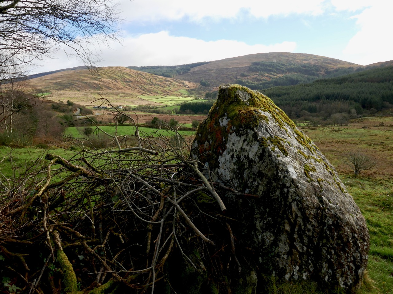
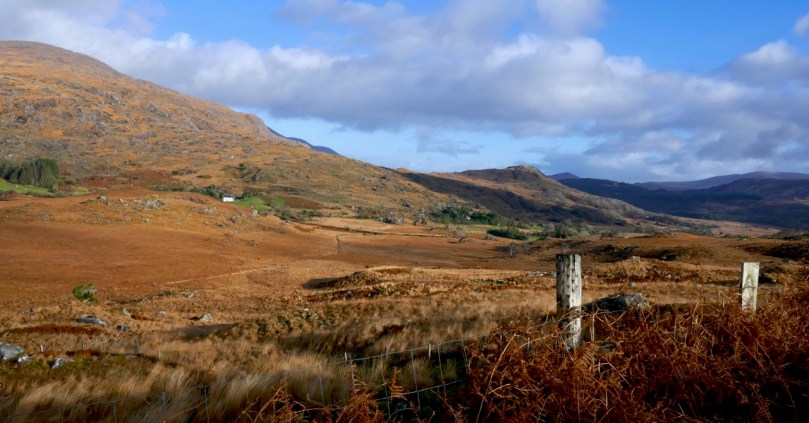
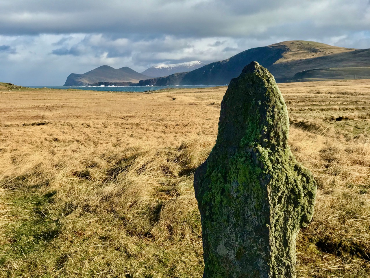
At the very end of January – when we should have been in the dark depths of winter – we headed off to Valentia Island in County Kerry, and enjoyed sublime golden sun. This time of the year often gives us the best light: we experienced this on our expedition through the Yellow Gap in West Cork a fortnight ago, and again during these three days in our neighbouring county last week. It’s to do with the low sun: somehow it enriches the amber hues of the landscapes, which are themselves enhanced by backdrops such as the one above. An ancient stone is set against a distant turquoise ocean and dark, snow-capped mountain peaks.
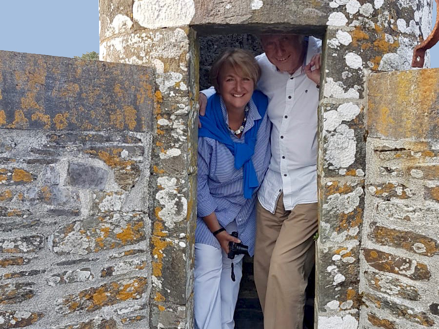
Holy wells were on the agenda (see Finola’s post here), as we were joining our friends Amanda and Peter Clarke from the Sheep’s Head. Amanda has nearly come to the end of her chronicle which records all the Holy Wells in County Cork, and she is now starting to explore those in County Kerry. I’m not going to say too much about the wells we saw, as Amanda will cover them in great detail, but the expedition certainly provided great opportunities for observation and photography, and caused us to wonder – again – at this unique aspect of Ireland’s history and traditions.
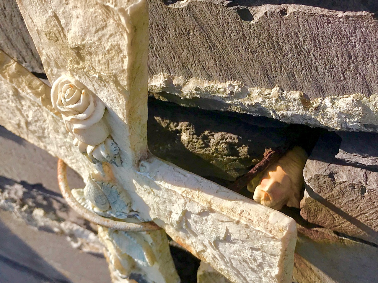
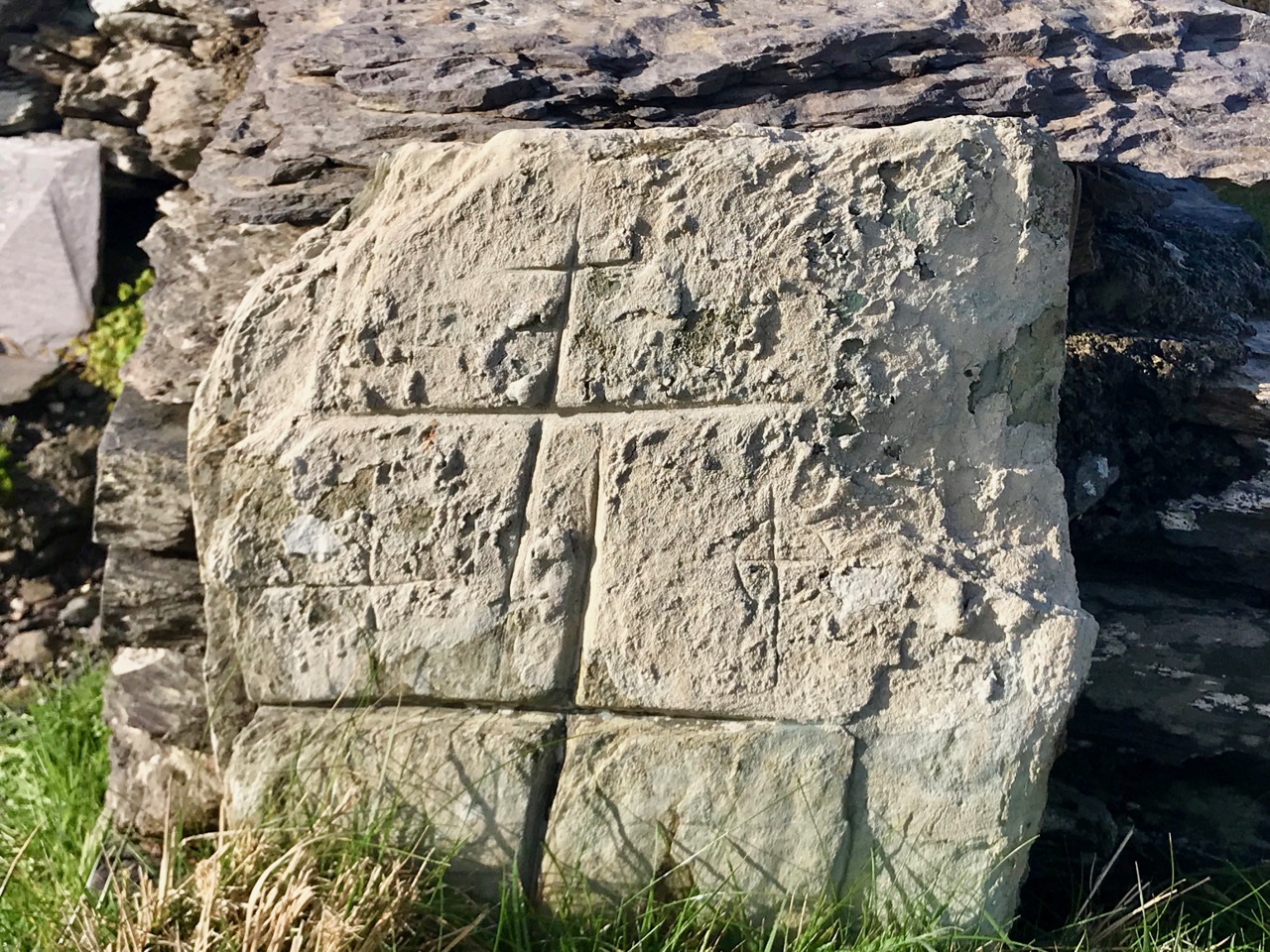
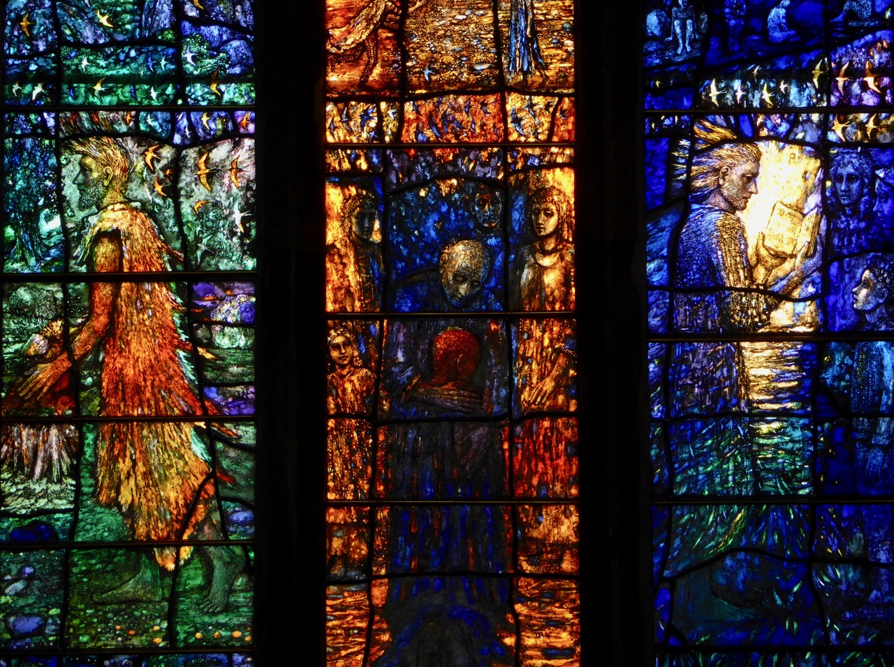
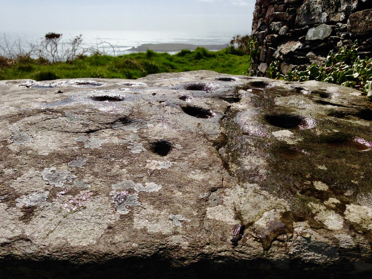
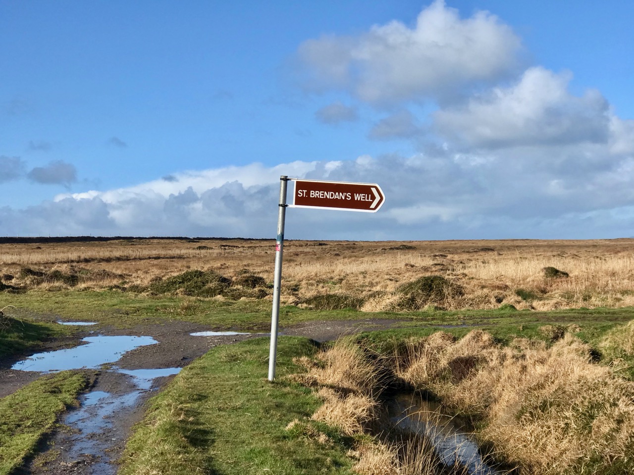
All the photographs above are from a remote and atmospheric site on the north west side of Valentia Island: St Brendan’s Holy Well. It’s a long way off the beaten track: desolate, bleak and boggy – but justifies making the effort. There are ancient stone crosses, carved slabs, cures to be had, and history. St Brendan himself journeyed there from Tralee in the fifth century, climbed the cliffs at Culoo, and found two dying pagans at the site: he anointed them and they became Valentia’s first Christian converts.
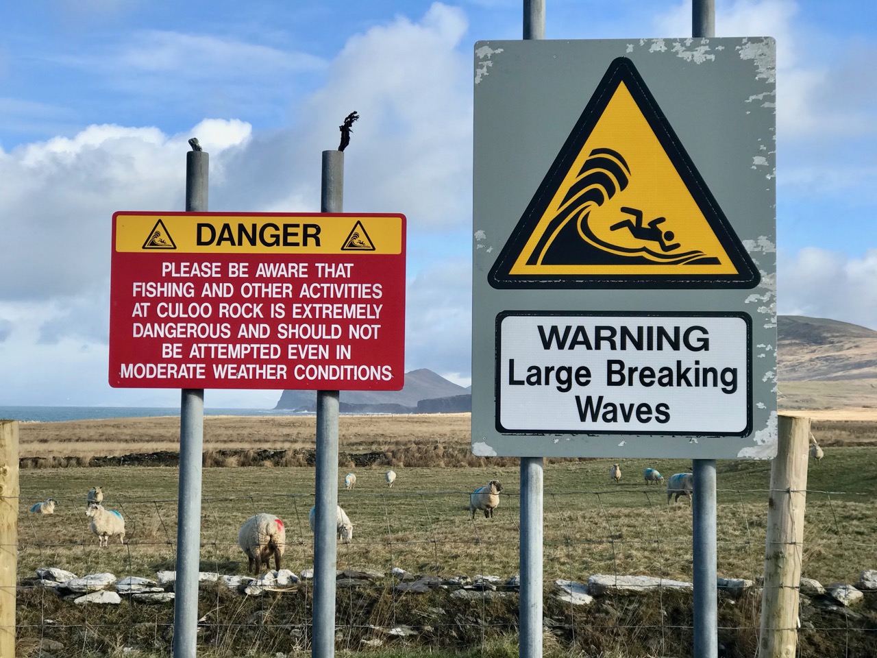
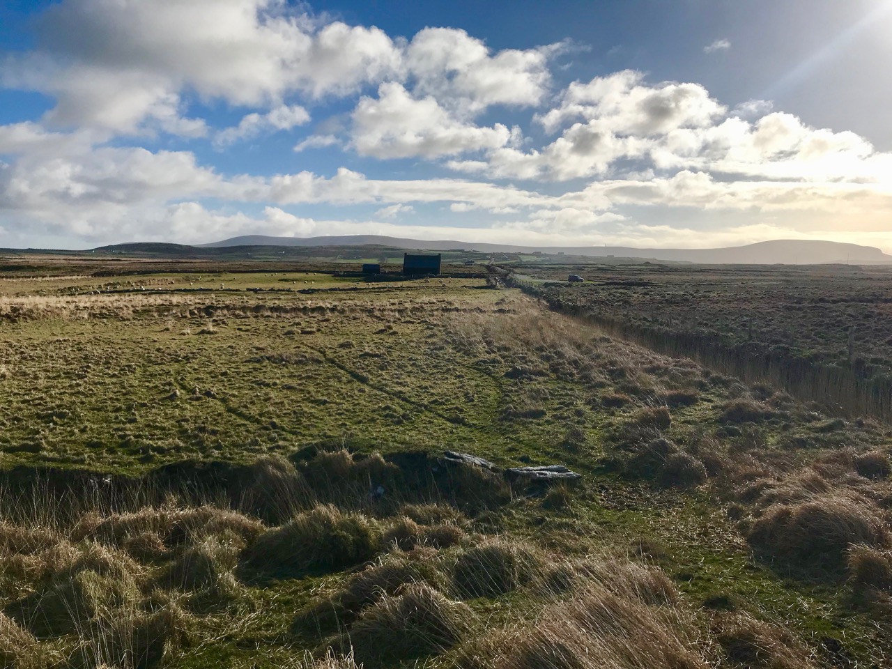
Above – the way to St Brendan’s Well, Valentia Island, passes by O’Shea’s Pub . . . one of the furthest flung bars in the world, that you can’t—and could never—buy a proper pint at . . . The story is here.
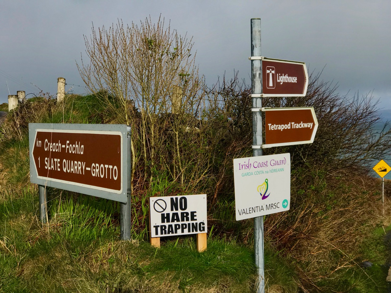
I certainly endorse that sign in the centre, seen on Valentia Island. Hare trapping in South Kerry is illegal – and so it should be! But – how could we not follow a sign that says: Slate Quarry – Grotto?
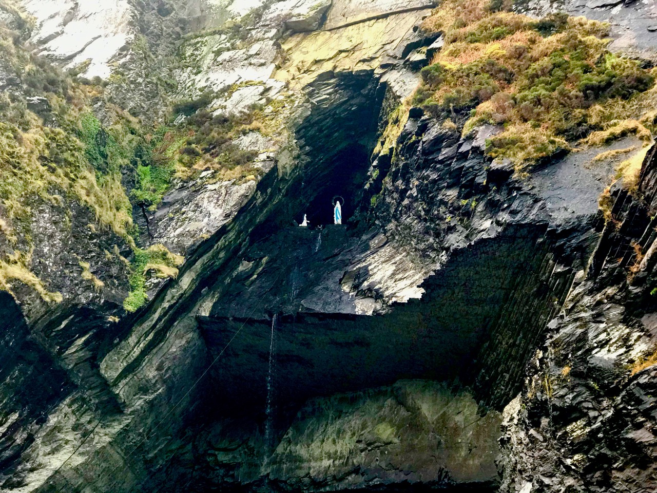
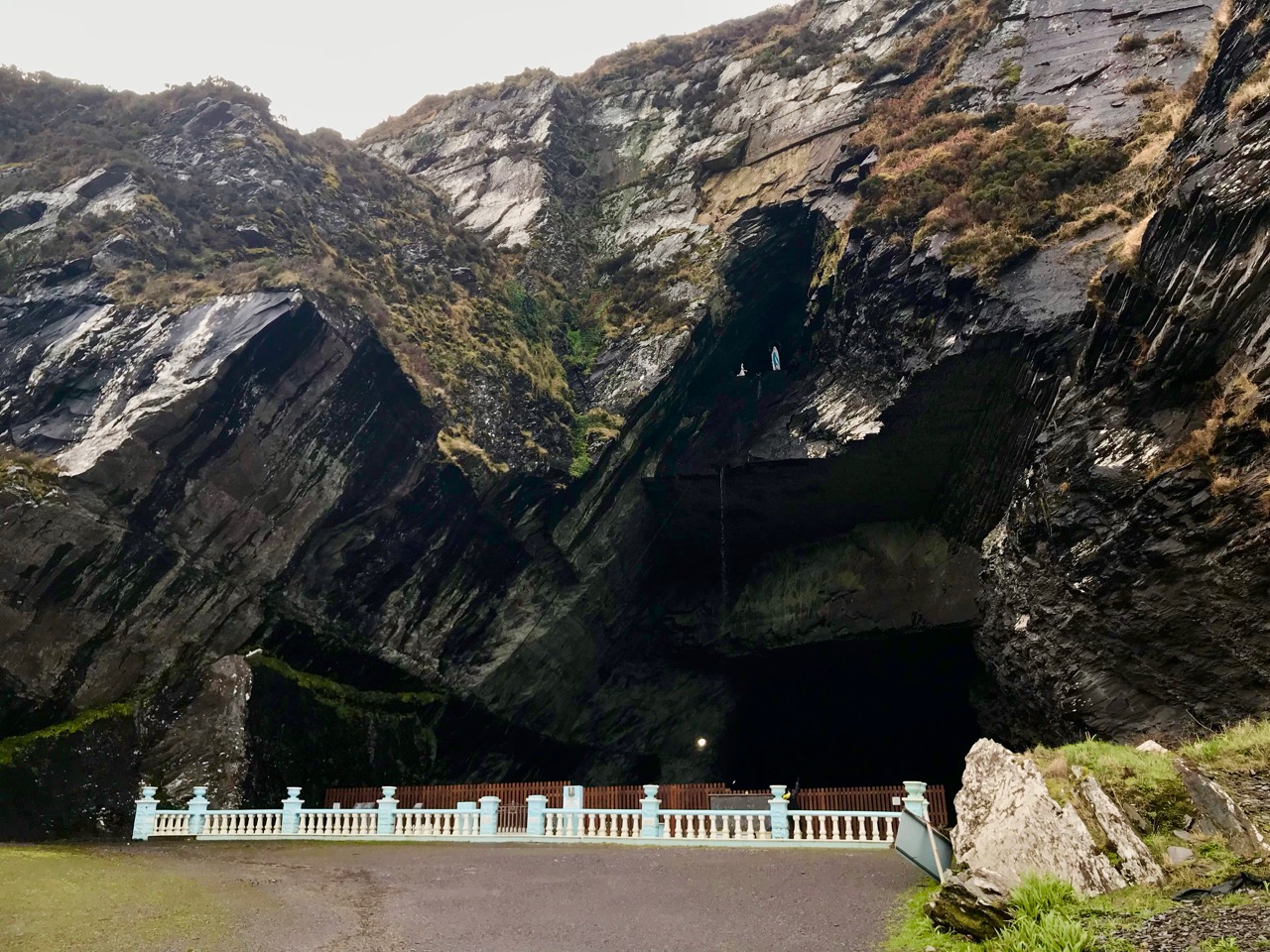
The Grotto – in this case a statue of the BVM together with Saint Marie-Bernadette Soubirous, the girl who witnessed Mary’s apparition in Lourdes – was installed in the Marian Year of 1954 in a cave high above the entrance to the Valentia Slate Quarry on Geokaun Mountain, at the north end of the Island. The Quarry had been opened in 1816 and supplied slate to the Palace of Westminster, Westminster Abbey, St Paul’s Cathedral, London railway stations and many another building project. The quarry excavated a huge cave into the mountainside, and closed after a major rockfall in 1910.

Fr James Enright, who was the PP of Valentia in the Marian Year, saw a golden opportunity in such a setting for a commemorative grotto. Fr Enright decided exactly where the statues were to be positioned, but the burning issue was how were these heavy items going to be put in place and worked upon at over 90 feet from ground level? The answer came in the building of a deal timber ladder.


Jackie Clifford , who was a blacksmith based in Gortgower, made the iron to bind and reinforce the ladder and was helped in his forge by Denny Lyne and subsequently aided by other islanders. Having been transported to the quarry in sections, it was assembled there and put in place by the volunteering islanders. The ladder was over 100 feet long, being four feet wide at the bottom narrowing to a foot. and a half on top. The sections of ladder were joined at the various points with a four foot lap. Many island volunteers were enlisted with each townland taking their turns to work. The initial work involved levelling a massive mound in order to form a proper base. This was quite labour intensive, being done with pick and shovel. The ladder was hauled into place by means of a block and tackle pulley system with people at the ends of ropes from above and to the sides in order to control it and put it in place. As one islander succinctly put it “The greatest miracle to happen there was the erection of the ladder”.


Subsequent to the ladder being put in place, a number of daring and intrepid islanders had to climb it for the purpose of erecting the statues. The statues were hoisted up by rope with other tools and building materials. The concrete for the base was mixed by shovel above.

(Quote from The Kerryman, January 2015)

The Quarry has recently reopened, and it’s quite surreal to stand in front of the grotto with the sound of heavy machinery reverberating at the huge cave mouth from deep within the mountain.
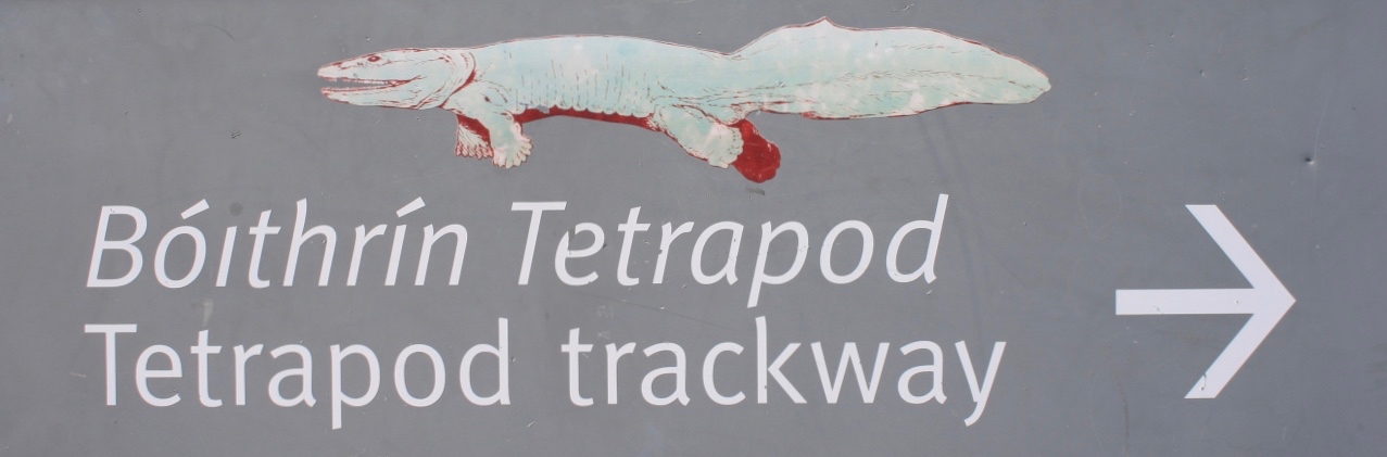
Have a look again at the signs above: one points to ‘Tetrapod Trackway’. This is surely a must-see for any visitor to Valentia Island as the fossilised Tetropod footprints here, representing the point at which life left the Devonian Seas 370 million years ago to begin to evolve on dry land, are the best examples of only four sites found to date in the world! We hurried to have a look – but the site was closed for repairs. You can see a picture of the tracks here.
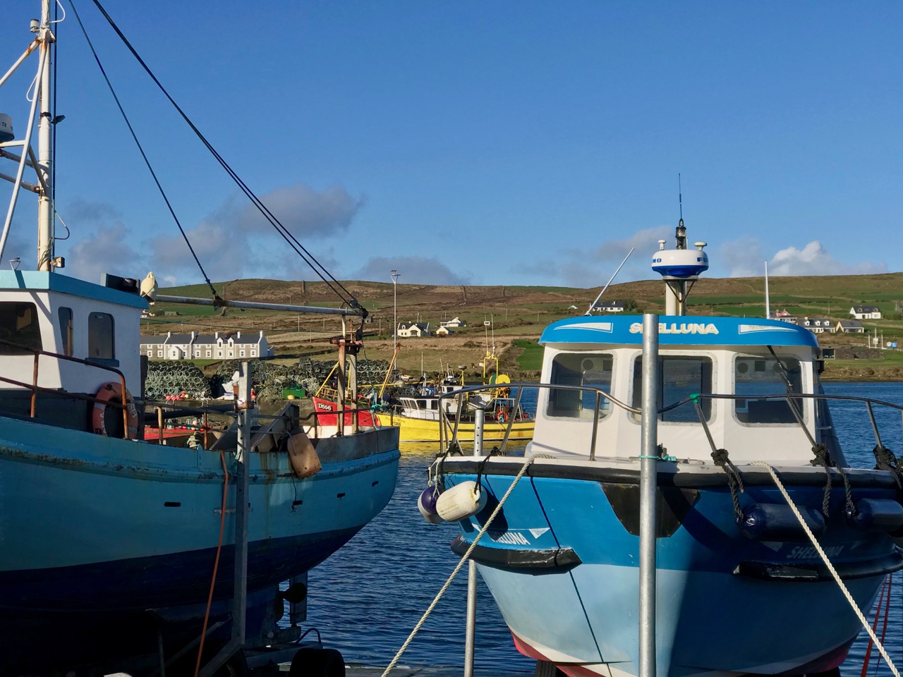
In the winter sunlight, the little village of Portmagee which stands at the threshold of Valentia Island and connects to it by a bridge opened in 1971, looks like a picture postcard. In fact, the bridge was opened twice – once on New Year’s Day, when it was blessed by the Bishop of Kerry – and again at Easter, because there was some debate about whether the first opening had been ‘official’ or not!
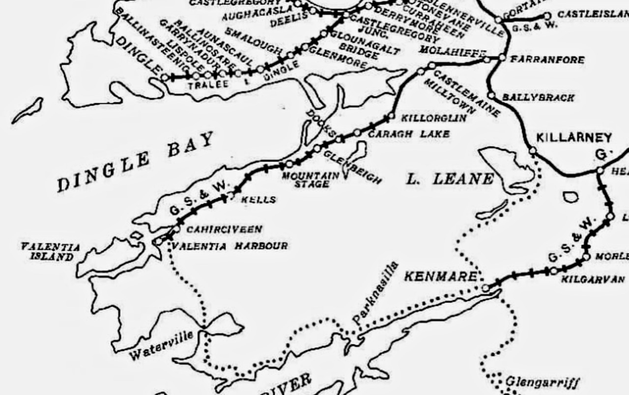
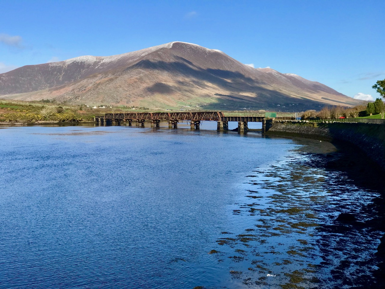
Here’s a railway map and photo dating from around 1901 showing ‘Valentia Harbour Station’. In fact, it’s not on the island at all, although Knightstown – the ‘planned village’ designed by Alexander Nimmo for the Knight of Kerry in the 1830s can be seen across the water. The station – the terminus of the most westerly railway in Europe – is on the mainland, to the east of  Valentia Island, which could be reached by a ferry. The Farranfore to Valentia Harbour Railway was 39½ miles long and operated from 1892 to 1960. The photo below shows the Valentia River Viaduct just outside Cahersiveen, now derelict but hopefully to have a new lease of life when a planned cycling greenway is developed along the old railway track.
Valentia Island has a great deal more to offer than I can show in a brief post. It’s well worth making the journey and staying for a little while: there is such varied landscape to be experienced – a microcosm of the West of Ireland, in fact – and much history if you want to delve under the surface.
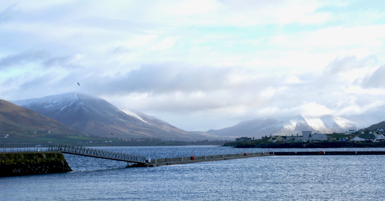
The tailpiece shows a view from Knightstown looking across to Valentia Harbour on the mainland and the site of the former railway terminus:
Through the Yellow Gap

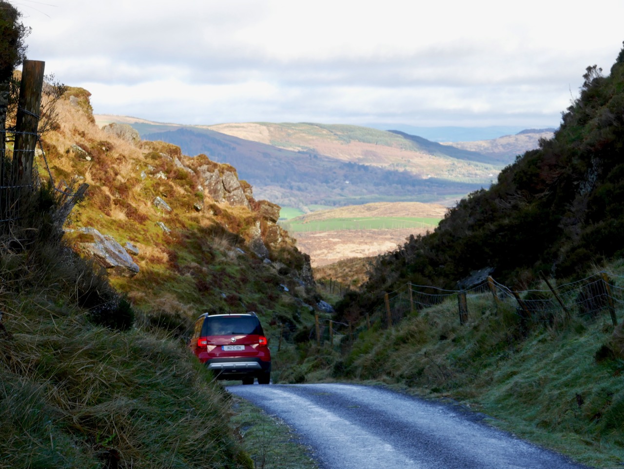
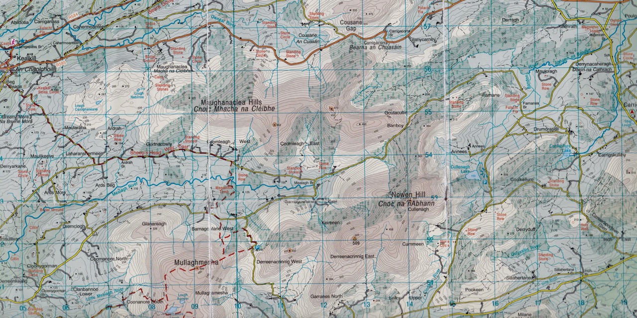
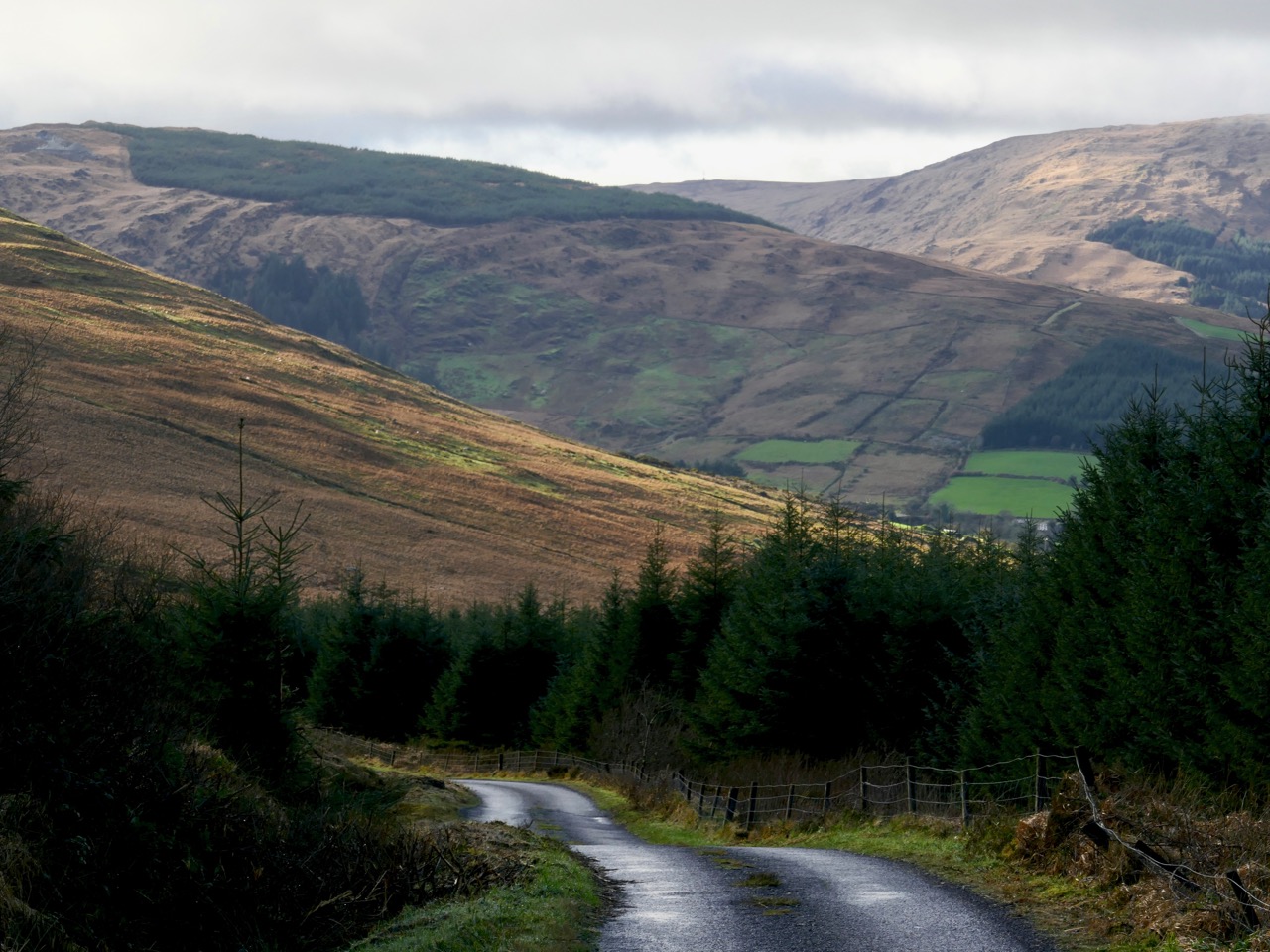
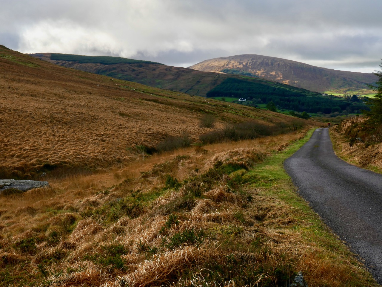
The middle of January: you might expect to be battened down here in West Cork with raging gales or bitter north winds, but Saturday dawned with a clear sky to reveal a most beautiful sun-warmed landscape. We had to be out! We adopted exploring mode and headed for the hills to the north-east of Bantry. OS Map 85 entices with a whole swathe of archaeological sites from megalithic tombs to stone rows and circles, but it was a name that drew us: Barrboy – probably from the original Irish barrabhuidhe – which means ‘yellow summit’. As the highest point of the road in that place (pictured below – about 350m above sea level) is a mountain pass, we have chosen to name our journey Through the Yellow Gap.
The ‘Yellow Gap Road’ runs west to east across the centre of this extract from OS Map 85: we turned on to it from the N71 at Lahadane, just north of Bantry, and dropped back on to the main road to Drimoleague south of Coolkellure

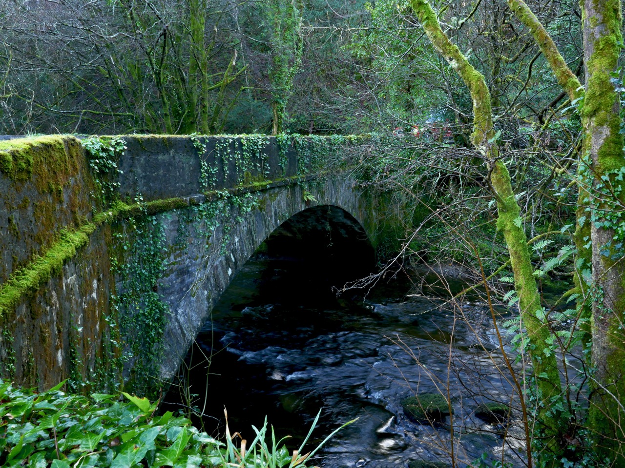
The first part of our route followed the Mealagh river and we were intrigued by the boreens that cross it in places over very fine stone arches: these will have to be explored another time – we were aiming for the hills.
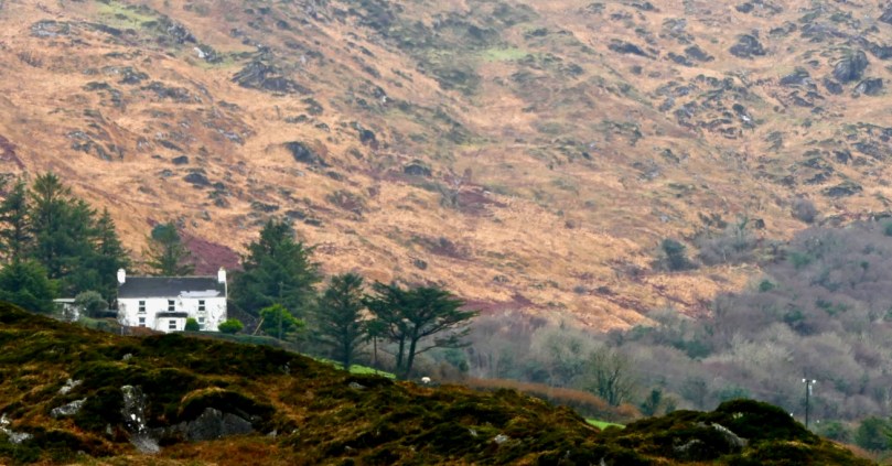
Our day offered us a study of light and landscape, which only the combination of January low sun and shadows can give. If anything the yellowness of the uplands with their rocks, mosses and furze is emphasised by this light: Finola is sure that the colour is due to the fionnán (blonde) grass which is so prevalent during the winter months (header picture). We felt we were in a very remote place, known only to those who spend their lives there, but we were in fact barely a hop and a skip from our own home.
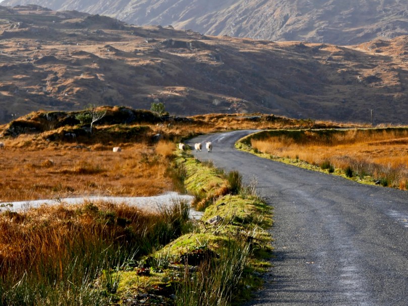
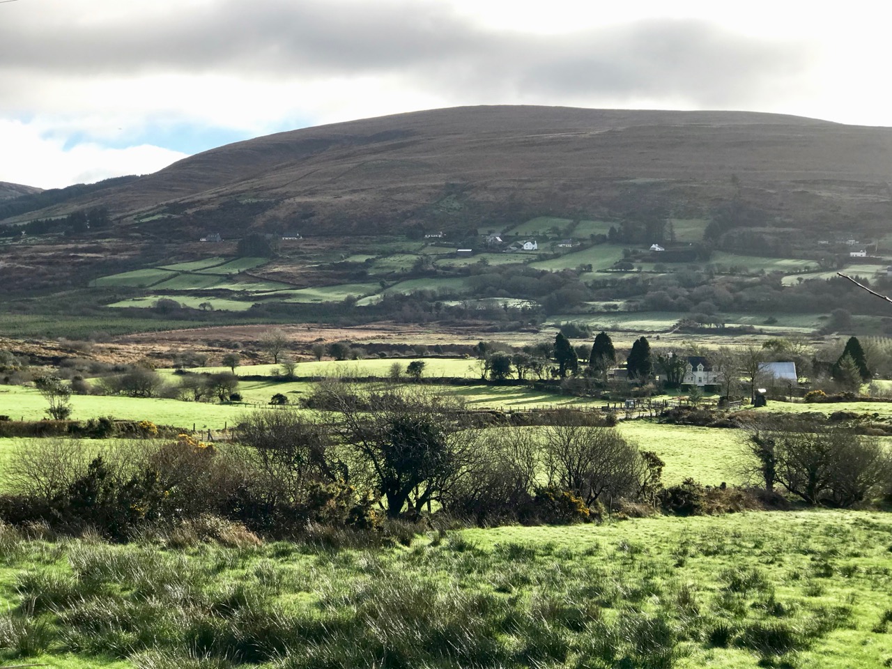
Studies in light and landscape: with a different vista at every turn we were treated to outstanding views typical of rural Ireland

As is so often the case with our off-the-beaten-track excursions, we saw hardly anyone in the whole day, but we did chance to bump into our cycling friend Tim who is in training for yet another Everesting event. The rules are straightforward:

. . . The concept of Everesting is fiendishly simple. Pick any hill, anywhere in the world and ride repeats of it in a single activity until you climb 8,848m – the equivalent height of Mt Everest. Complete the challenge, and you’ll find your name in the Hall of Fame, alongside the best climbers in the world . . .

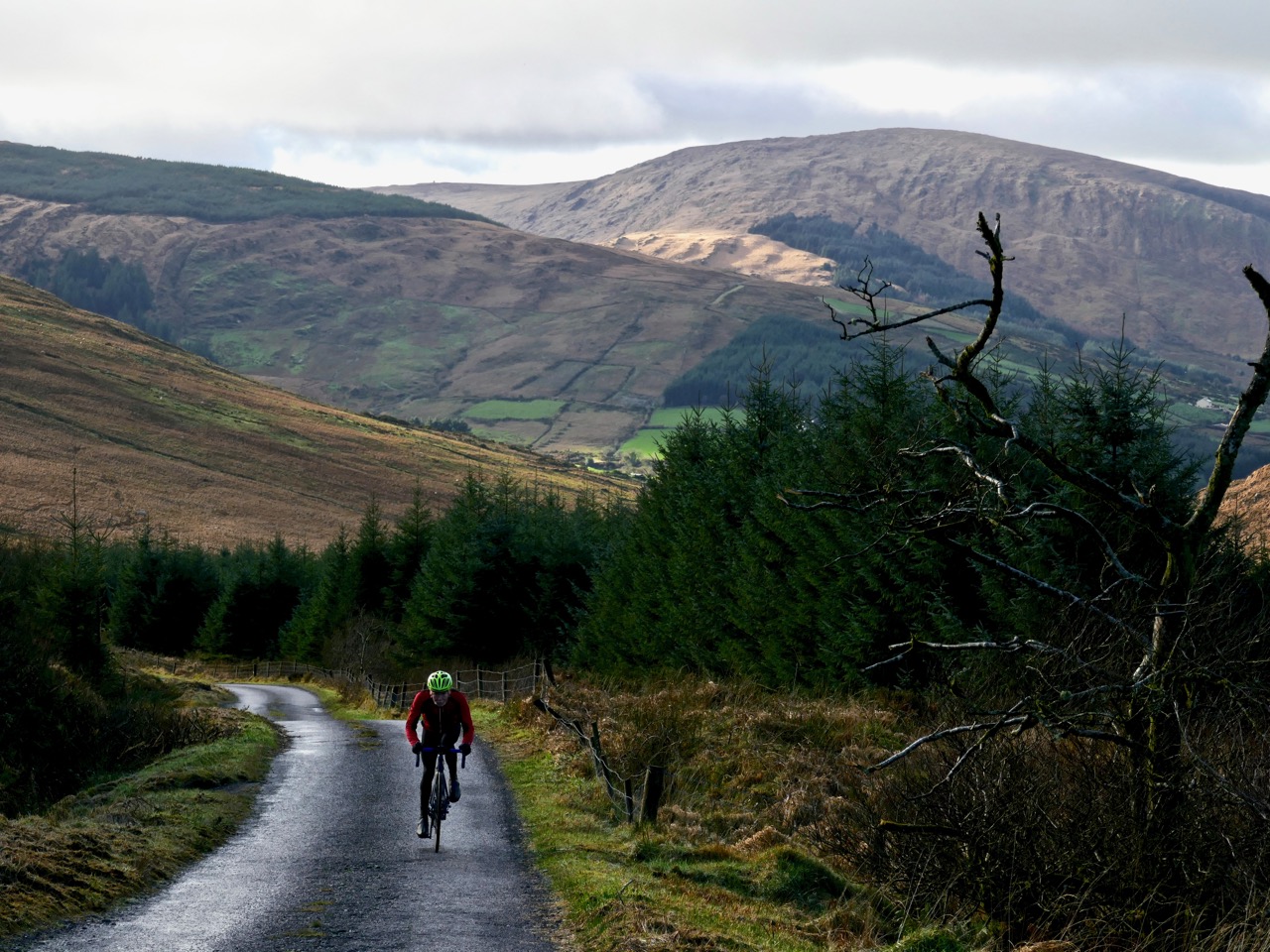
Tim on his way up the Yellow Gap Road (also known as Nowen Hill). He has to do this climb 56 times in one go to achieve the ‘Everest’. In fact, his aim is to do a ‘Double Everest’ on this hill! This will be his third Everesting event in West Cork… Good luck, Tim

Our travels took us through some very attractive ‘deep’ countryside dotted with cottages and small settlements. Humans have been here for a very long time and have left evidence of their occupation in enigmatic standing stones, alignments, circles and tombs. Some can be seen from the roadside, but many involve explorations across fields or into forests. Always, we are left wanting to know who these early settlers were and why they left us these monuments.

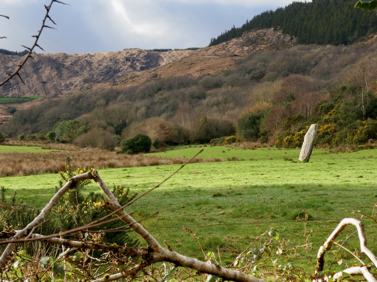
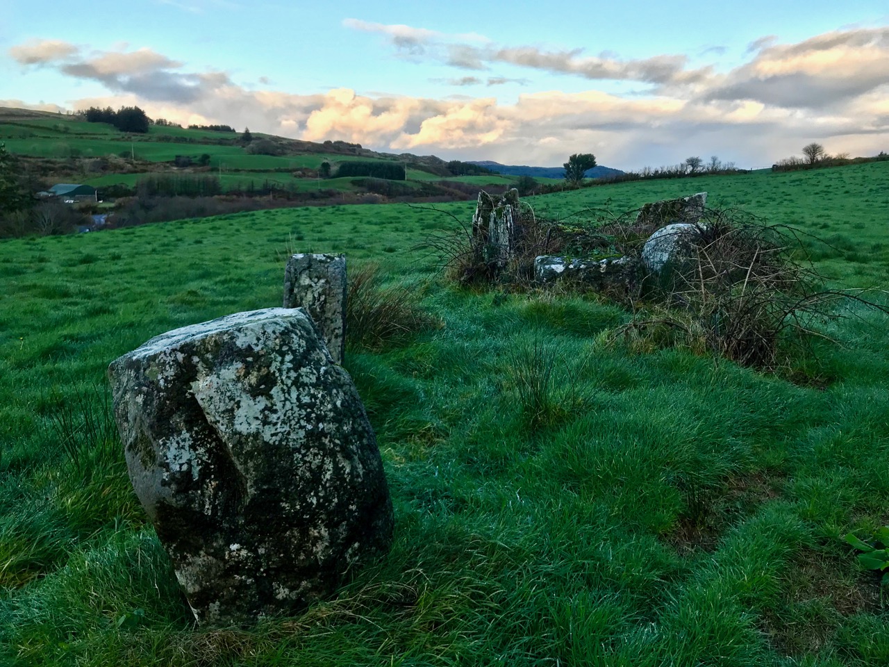
Upper pictures – single standing stones which can be seen from the roadside; lower picture – a five-stone circle and a two-stone alignment on high pasture land: all are ancient and mysterious

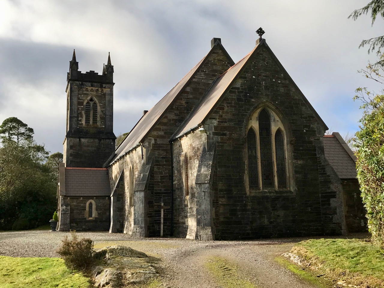
As the road threaded its way through the gap and began to descend we seemed to re-enter a less wild landscape, and habitations became more frequent. Eventually we found ourselves in a small community – Coolkelure – with a great sense of history. there was a fine C of I church, a school which had been in use until the 1950s, and an avenue leading to a large house which has had a chequered history, There is an entry in Duchas (the Schools Folklore Collection) about this village:

. . . Coolkelure is situated about four miles and a half west of Dunmanway. There is a holy well at the side of the road but it is covered in now with briars and bushes. Its origin is unknown. There are three steps going into it and there are medals, pieces of cloth and pennies up on a stone over the well. About twenty feet in from it there are rocks nearly a thousand feet high. It is said that a giant lived there in olden times. On the other side of the road is a marsh and the giant is supposed to be buried there. There is a huge stone over his grave. Further on is Coolkelure House. This formerly belonged to Shouldhams, now it is the property of Lady Bandon. The avenue looks beautiful in summer and it is hedged with rhododendrons of every hue . . . (Joan Collins, aged 12 years, from Patrick Collins, aged 60 years – c1934)

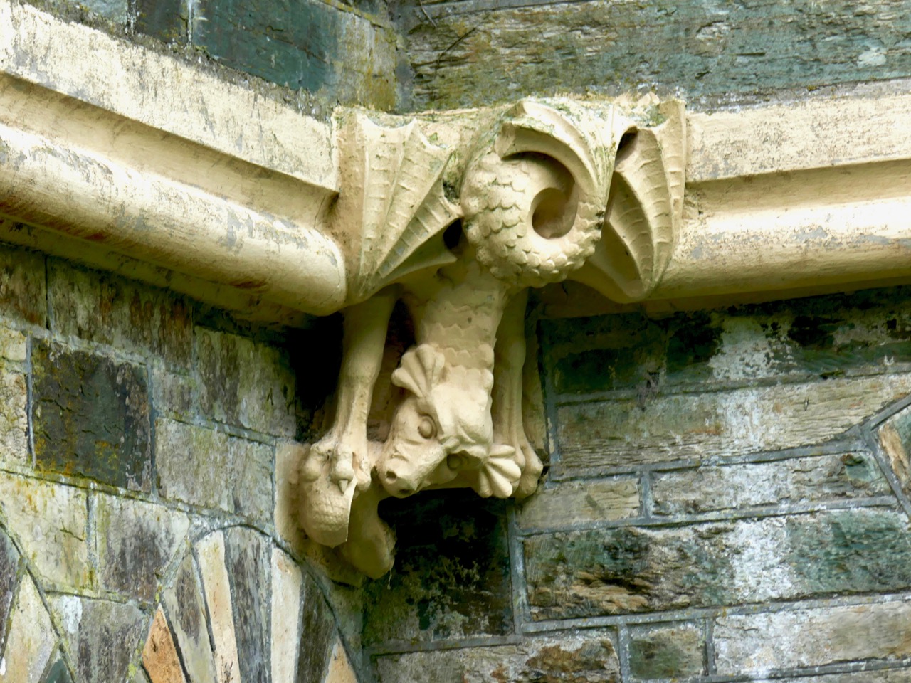
Upper – Coollkelure Church; centre – the Lodge at the gateway to Coolkelure House; lower – one of many fine gargoyles on the eccentric Lodge

Well, we didn’t see the holy well, the thousand feet high cliff, the giant or his grave. But we did see rhododendrons – large thickets of them – all the way along many of the roads we travelled. They must look very striking when in bloom in the springtime, but they are an invasive species which threatens the true natural hedgerows. In Coolkelure, also, occurred one of the highlights of our day. We met and got into conversation with Donal and Caitriona – a most hospitable couple who own a small house overlooking the lake. They invited us in, we were given coffee and cakes, and the chat was mighty!

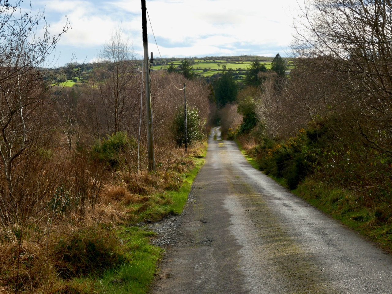
Upper – looking back at our way through the mountains; centre – an example of the many stands of invasive rhododendrons that we encountered and lower – the road becomes tamer as we approach a pastured landscape

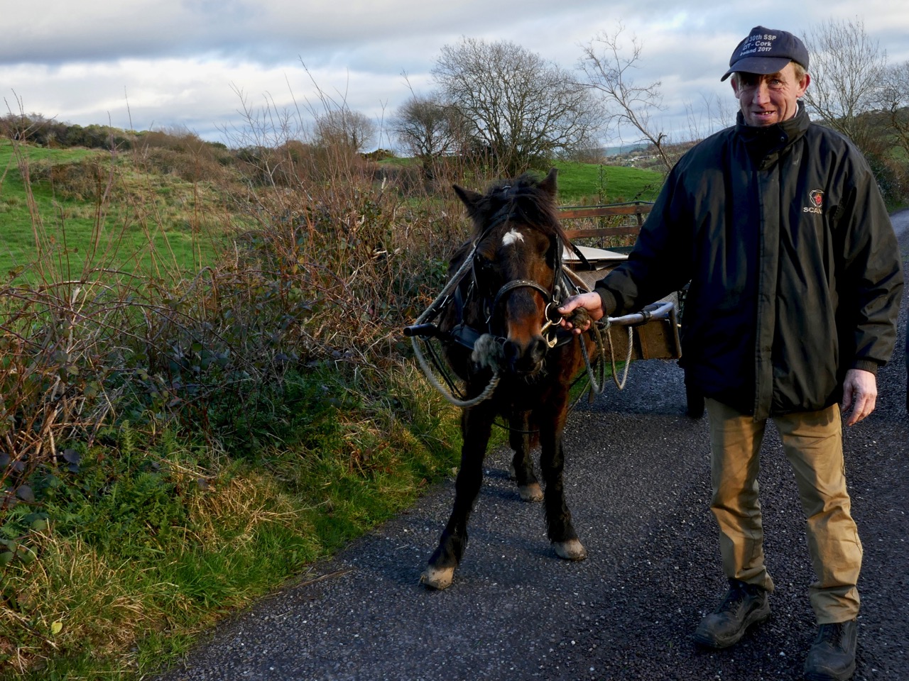
We left Coolkelure and headed out of the hills, feeling fulfilled by all the events of the day. Our adventures were not quite over, however, as we encountered Daisy and her owner with their ‘road-car’, delighted that we stopped to photograph them (below). In fact, between us we took at least two hundred photographs on our day out and can only include a modest selection on these pages.

Off the M8 – The Great Dolmen of Kernanstown

Our ‘Off the M8‘ series is intended to make your journeys across Ireland far more interesting! We travel between Cork and Dublin fairly regularly and, each time, we determine to search out something new. It may be an aspect of medieval history, architecture, stained glass or – as in today’s example – archaeology.

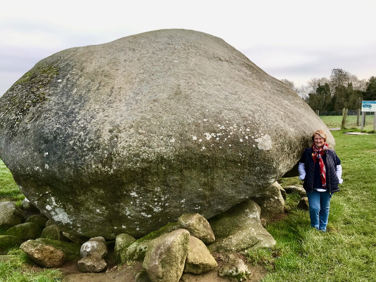
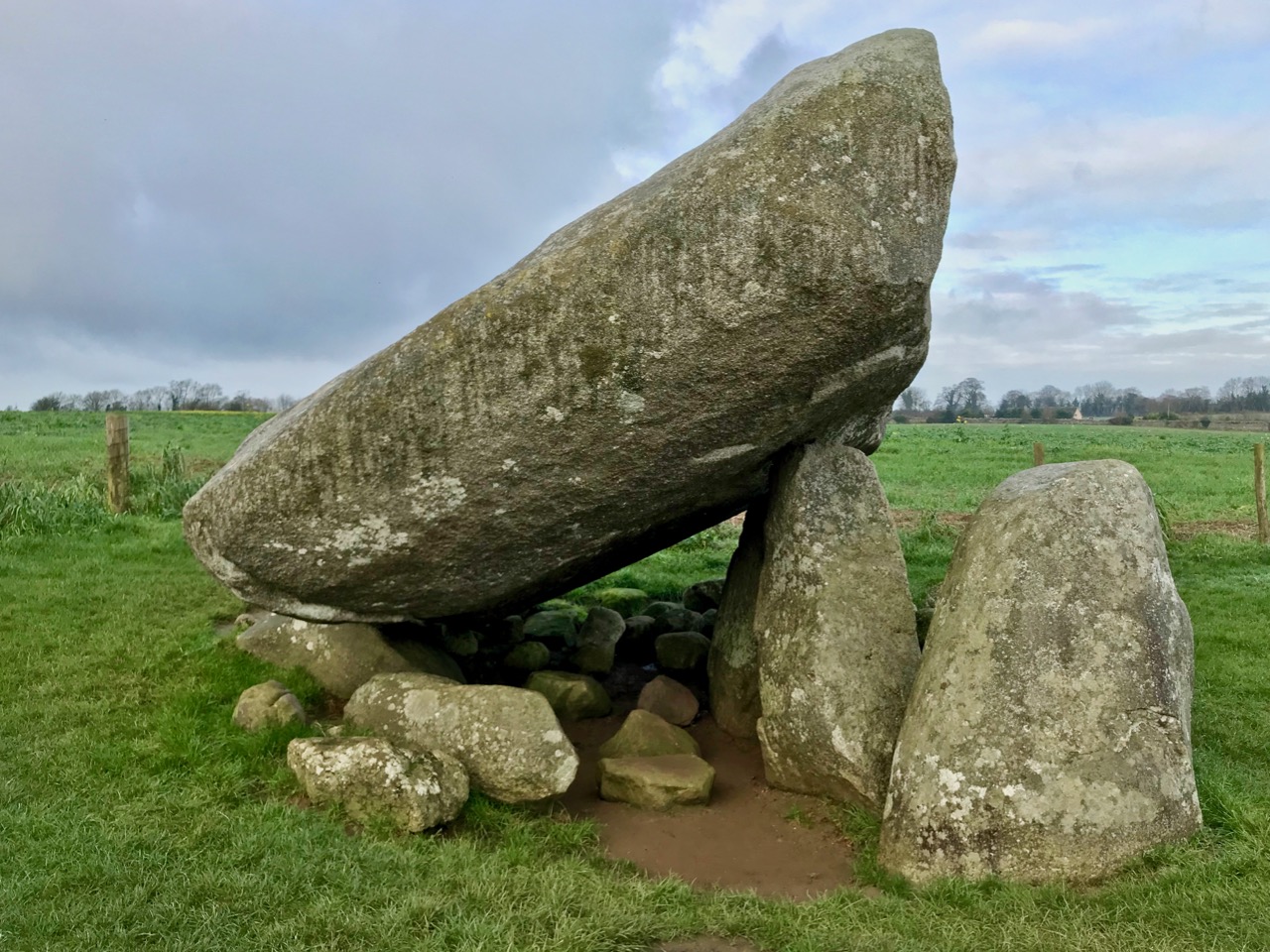
How far you want to stray from the ease and directness of the motorway in your explorations is entirely up to you. This diversion will add about forty minutes to your journey: you will leave the M8 at Junction 3, head across to Carlow on the R430, and then, after Carlow, meet the M9 at Junction 4 and continue up to Dublin. You’ll have to take a little diversion east out of Carlow on to the Hacketstown Road (R726) to find today’s destination: the largest prehistoric portal tomb in Europe, and perhaps in the world!

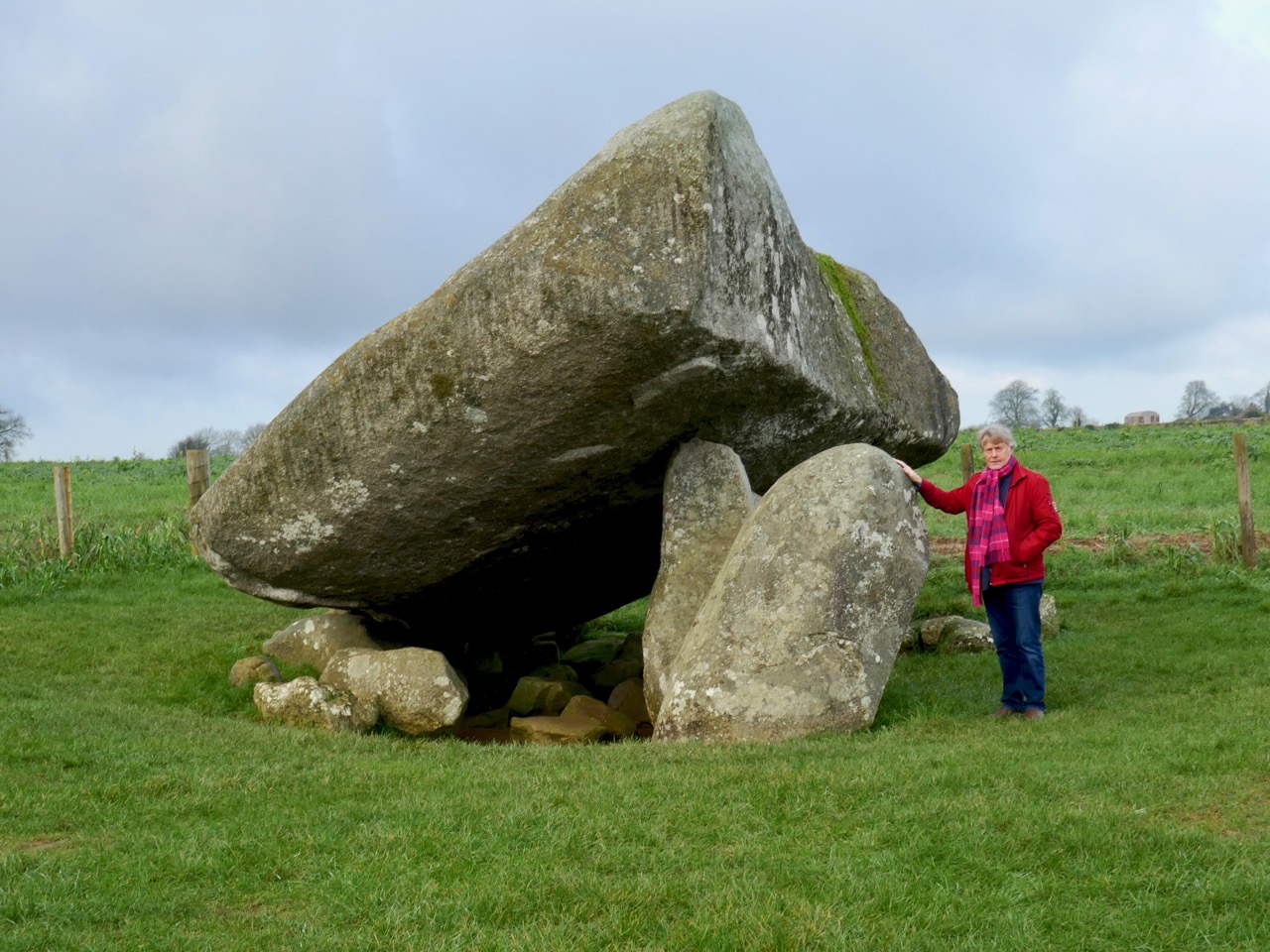
Robert stands at the east face of the megalithic structure: the orientation suggests a relationship to the rising sun, possibly at significant calendrical events

It’s known variously as the Brownshill Portal Tomb, or the Kernanstown Dolmen (Kernanstown is the name of the Townland, and the word ‘Dolmen’ was formerly used to describe megalithic structures which consist of a large stone slab resting on smaller boulders). The Irish National Monuments Service, in its listing of the Archaeological Survey of Ireland, has set out to regularise the names given to various structures. It does not recognise the once widely-used terms ‘Dolmen’ or ‘Cromlech’, but defines a variety of ‘Megalithic Tomb’ structures, of which the Portal Tomb is one:

. . . A single, short chamber formed by two tall portal-stones, two sidestones and a backstone. Sometimes a stone between the portals closes the entry. The chamber is covered by a roofstone, often of enormous size, which slopes down from the front towards the rear. Cremation was the preferred burial rite and these date to the Neolithic from 3800 to 3200 BC . . .

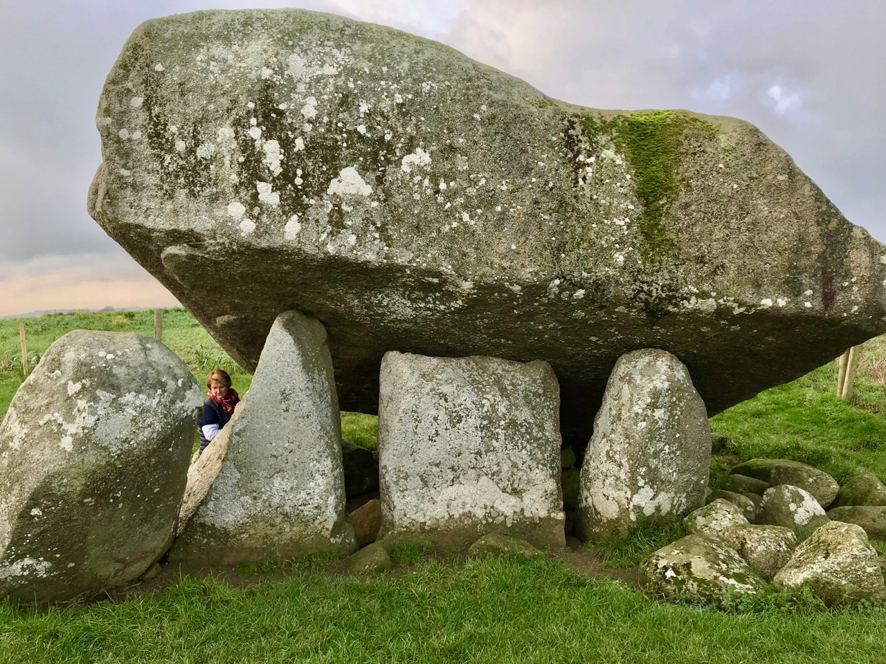
Finola is giving scale to the portal tomb in the header picture, where the two ‘portal stones’ and central ‘gate stone’ support the east side of the capstone: these features are common to these structures across Ireland, Britain and Europe. Above – the back (west face) of the capstone: Finola is standing at the southern tip

Historically, ‘Dolmen’ was the most common term for these archaeological structures. William Copeland Borlase (1848 – 1899) wrote a lengthy treatise in three volumes on The Dolmens of Ireland, their Distribution, Structural Characteristics, and Affinities in Other Countries; together with the folk-lore attaching to them and traditions of the Irish people published in 1897. In it, he describes the Brownshill / Kernanstown structure thus:

In the Barony of Carlow, in the Townland of Kernanstown, and Parish of Urghin, two miles E. of Carlow, to the N. of Browne’s Hill, or Browneshill House, also called Mount Browne, are three dolmens. The largest of the three is marked Cromlech in Ord. Surv. Map No. 7.

There are three dolmens on this hill. One is of enormous proportions, the two others are smaller. The former has been described by Ryan, Ledwich, and G. Du Noyer. Of one of the latter there is a drawing and plan in Miss Stokes’s collection of drawings of dolmens. The remaining one is situated a distance of 50 yards to the N. of the latter.

The great dolmen stands in the centre of a large flat field in permanent pasture, and has no trace of a bank or cairn near it. It consists of a splendid block of granite, the longer axis of which is N. and S., raised at an angle of 35 degrees to the horizon, upon four blocks, three of which, pillar-like, support the E. side, at a height of 6 feet above the floor, while one sustains its lower and W. side, at a height of only about 2 feet above ground.

The following are my measurements of the block thus elevated into position: Superficial measurement from N.E. to S.W., 23½ feet; ditto from N.W. to S.E., 22 feet; girth 65 feet; thickness at W. side, 6 feet; at S. side, 5 feet; at E. side, 6 feet; and at N. side, 4 feet.

. . . it is, I believe, the largest block raised from the ground by the dolmen-builders which is known, not only in the British isles, but on the continent of Europe

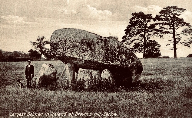
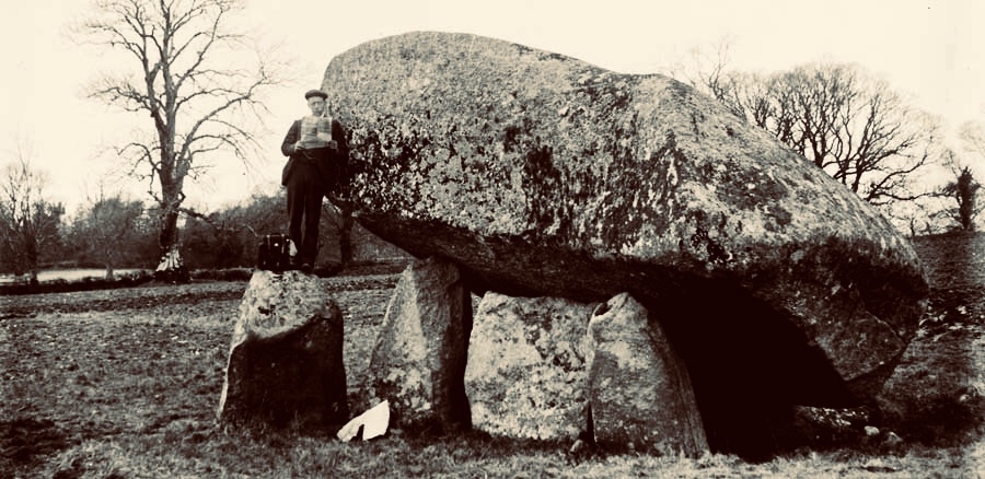
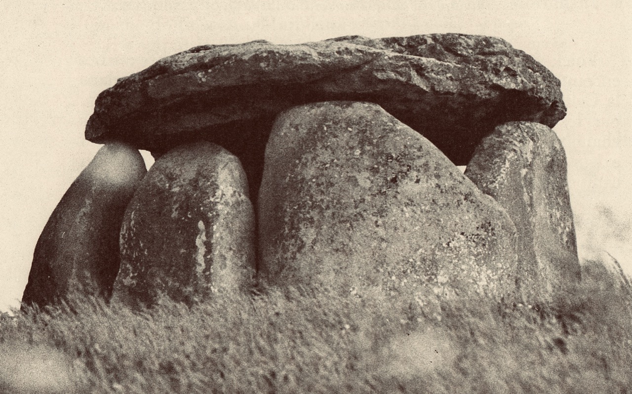
Two picture postcards of the ‘Brown’s Hill Dolmen’ probably dating from the late 19th or early 20th century

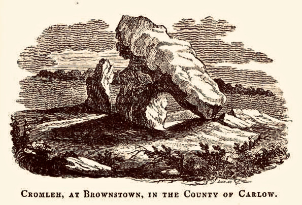
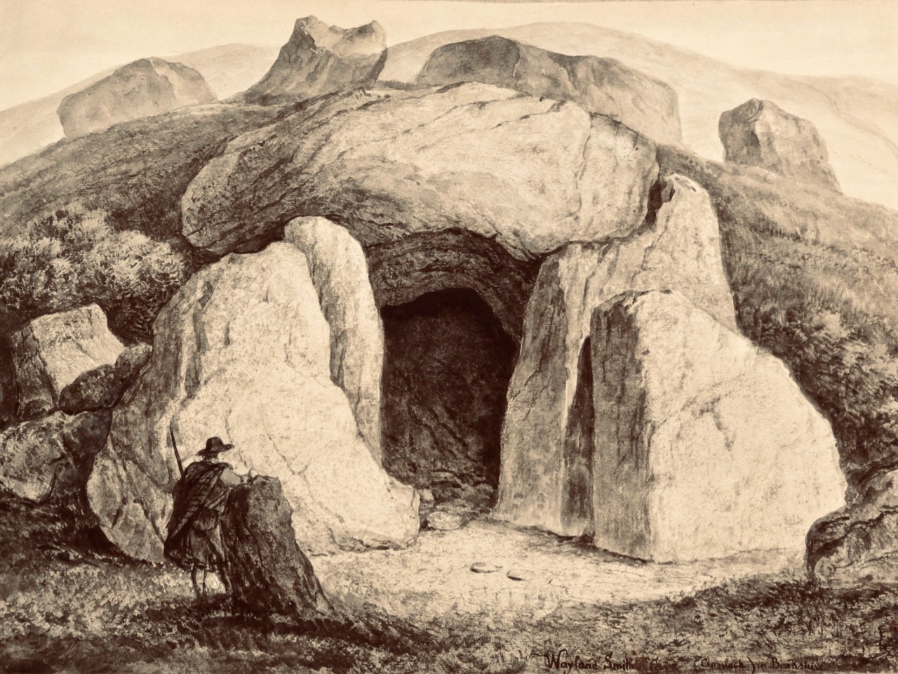
Today, there is only one portal tomb visible at Brownshill, although the National Monuments listing confirms that there were three in the area at one time. I was intrigued to find this engraving:

There is no ‘Brownstown’ in County Carlow, so it is likely that this engraving (above) is another version of ‘Brownshill’. It’s hard to see in this the portal tomb we have been describing, so it is possible it is an image of one of the other ‘lost’ dolmens. There is no further information attached to this illustration.

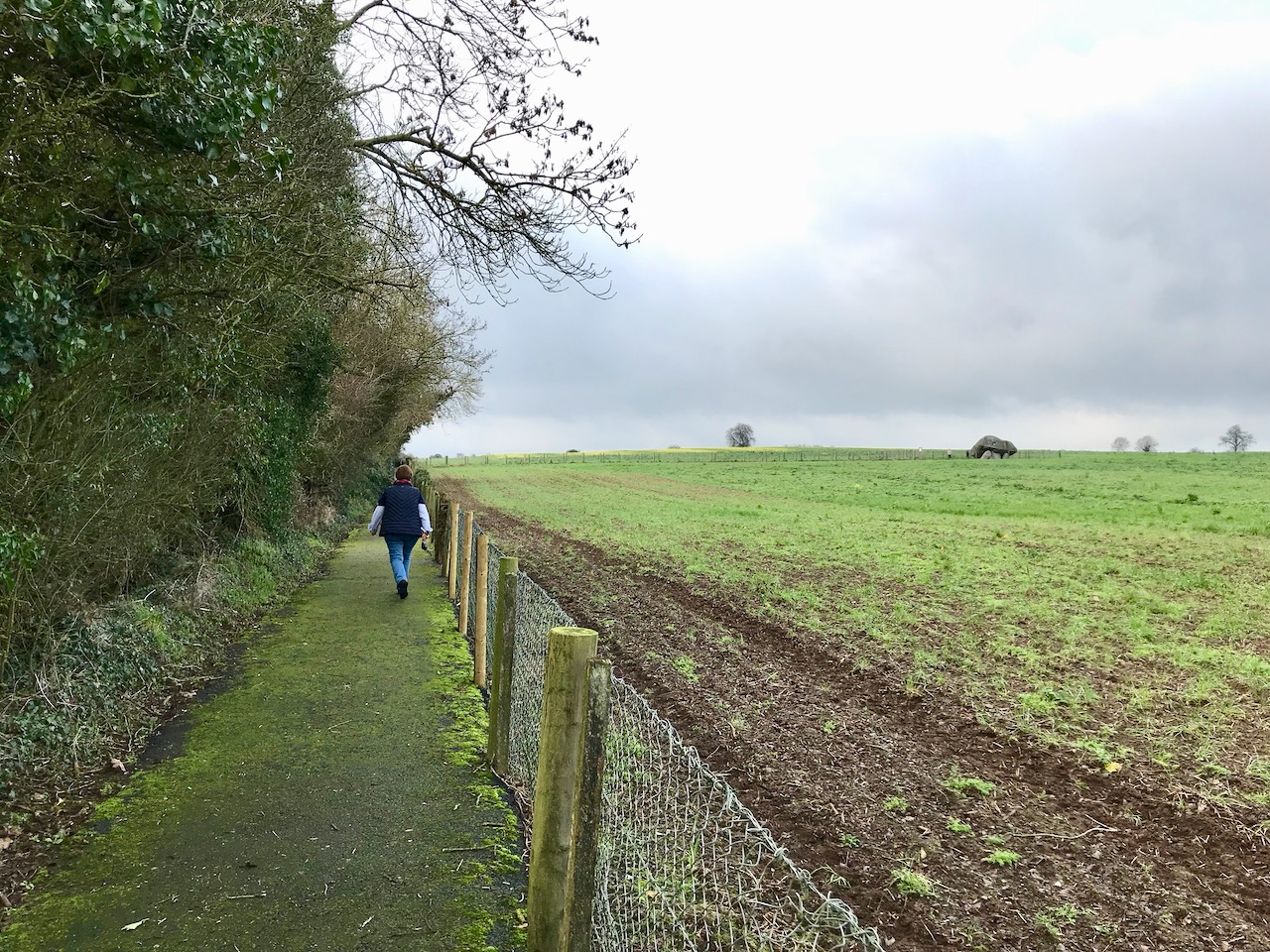
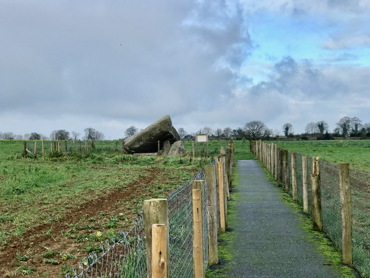
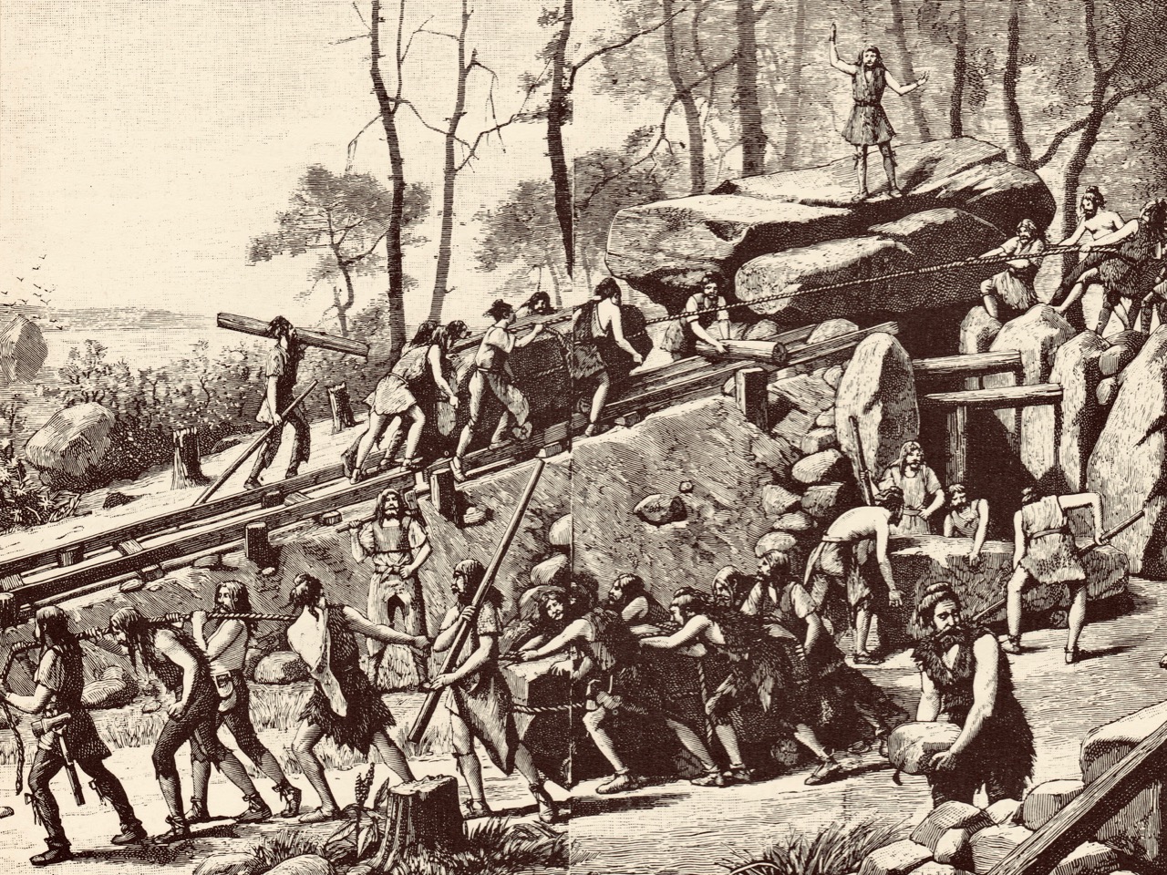
The two illustrations above show how the portal tomb is today enclosed and made accessible by means of a fenced pathway leading from the road to the east of the structure. This setting is not ideal: the impressive nature of the huge capstone is visually diminished by the fencing – although the provision of good disabled access to the monument is highly commendable. The massive granite stone has been estimated to weigh up to 160 tons, and we can only wonder at the methods used to lift it some 5,000 years ago. Here is an imaginative view (dating from the nineteenth century) of a megalithic tomb being built:

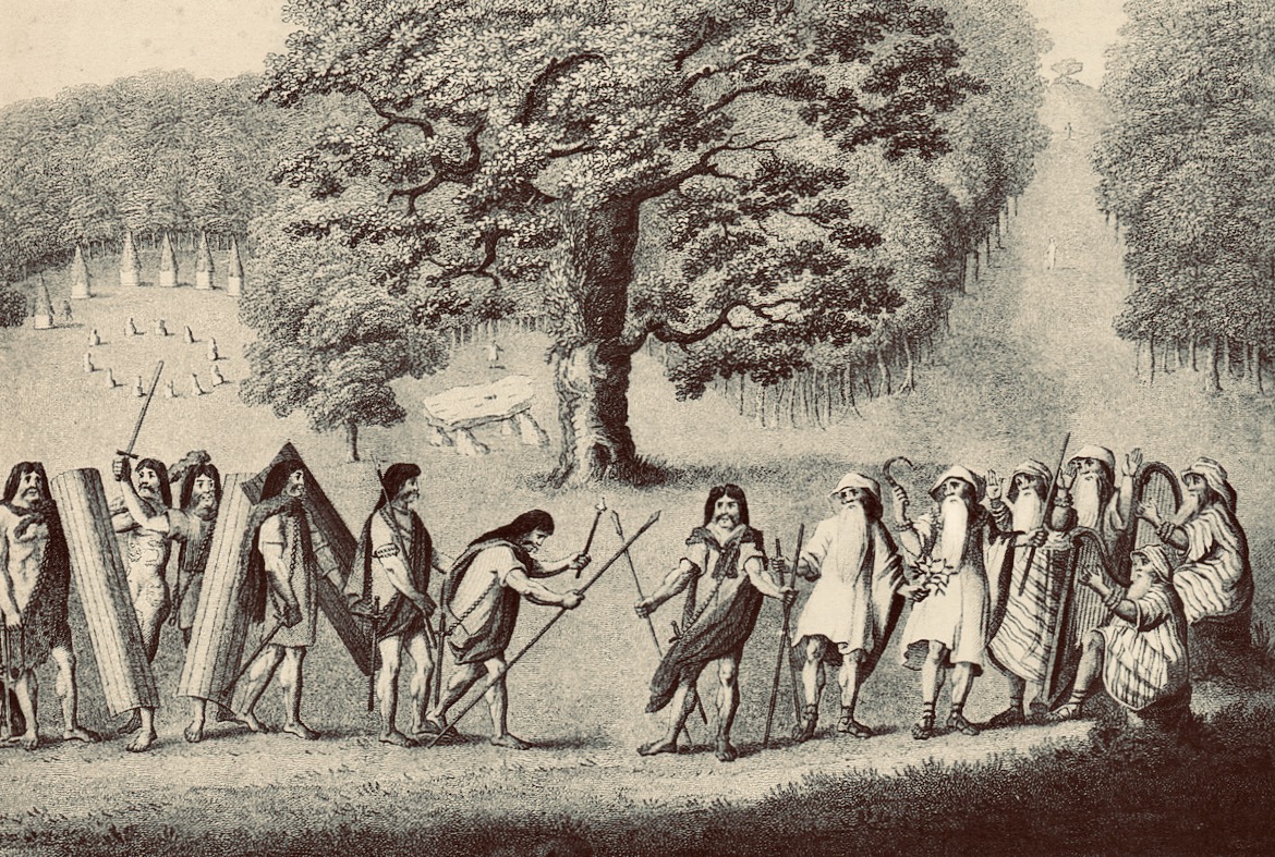
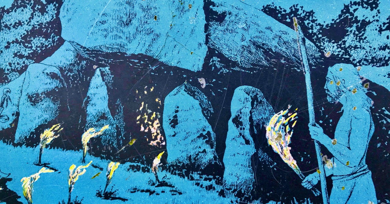
Celtomania is an expression which has been used by some antiquarians to describe the use of megalithic structures by ‘Druids’ and ancient races for ritual purposes. This fanciful scene by Edward King (above) shows ancient warriors, sickle-wielding and harp-playing druids, oak trees and standing stones – and a ‘dolmen’. It is taken from a 1969 book on megalithic structures in Brittany which I purchased in my travels there in the 1970s: Carnac ou les mésaventures de la narration by Denis Roche.

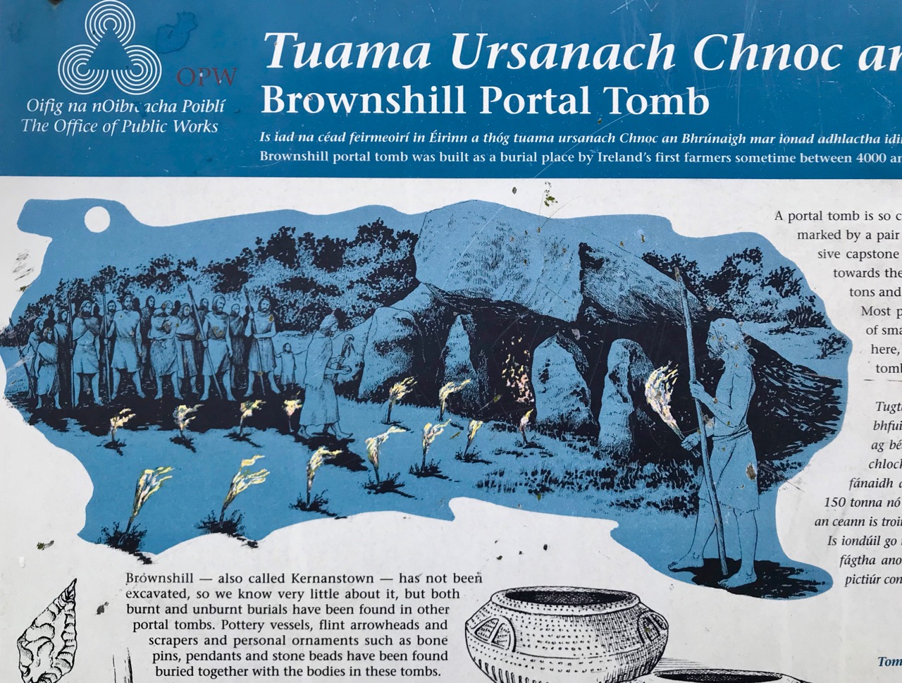
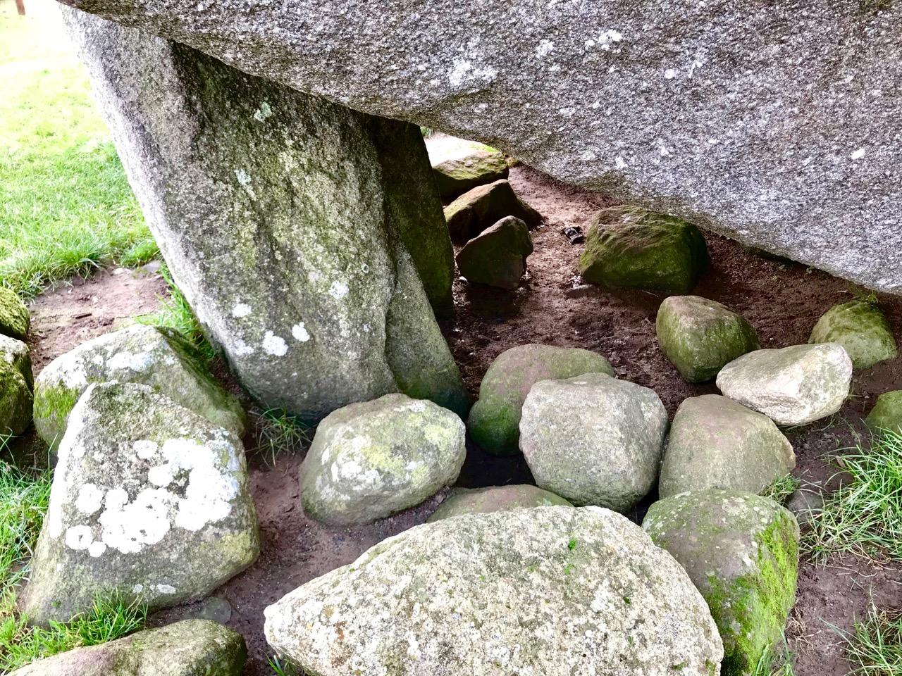
The ‘chamber’ of the Brownshill monument is visible when viewed from the south (top photo, above). This structure has never been excavated so we cannot say for sure that it was used to deposit human remains or cremations; in tombs elsewhere, excavations have revealed such a use in some, but not all. It has been suggested that all such structures were fully or partly covered in earth or stone, as implied in the example from Brittany below:

The structure at Brownshill, County Carlow must surely be one of the wonders of the megalithic world. It’s hard not to think that the sheer immensity of the raised capstone would require it to be seen so that the labour involved in its construction is appreciated. These stone edifices were the earliest architecture in the world of our settled ancestors, and the first examples of engineering prowess: one of the reasons for their existence must have been the demonstration of power and knowledge.

Above – a dolmen in Brittany (where they are still known by that name!) demonstrating a reversal of the principles of construction at Brownshill. In the Irish example, the huge capstone is supported by comparatively slender uprights; in France the capstone, although also substantial and heavy, sits on very large portal stones. The result is visually impressive in a different way.

Here in Ireland there are many more examples of portal tombs waiting to be visited and reported on: they are on our list.

New Year Resolutions 2019

Note of explanation from Finola and Robert: the Blog has taken on a mind of its own and decided he needs to make some resolutions for 2019.  He has asked us, his slaves faithful staff, to record these, as a means of keeping him accountable. Ours not to question why, ours but to do or die, so here goes, in his own words. . .

The Black Valley, Kerry

1. Spend more time in Kerry

It’s only next door, after all, and it’s in Finola’s blood, since her grandmother came from Killarney and she still has lots of lovely family there. So I’m determined they will take me there on outings a bit more often this year. There’s an ulterior motive too – you, my faithful readers, know that I often cosy up to that cheerful little Bloguette Holy Wells of Cork: she’s running out of wells in Cork but is enthusiastic about the idea that we can go jaunting off together on Kerry adventures.

2. Incorporate more music

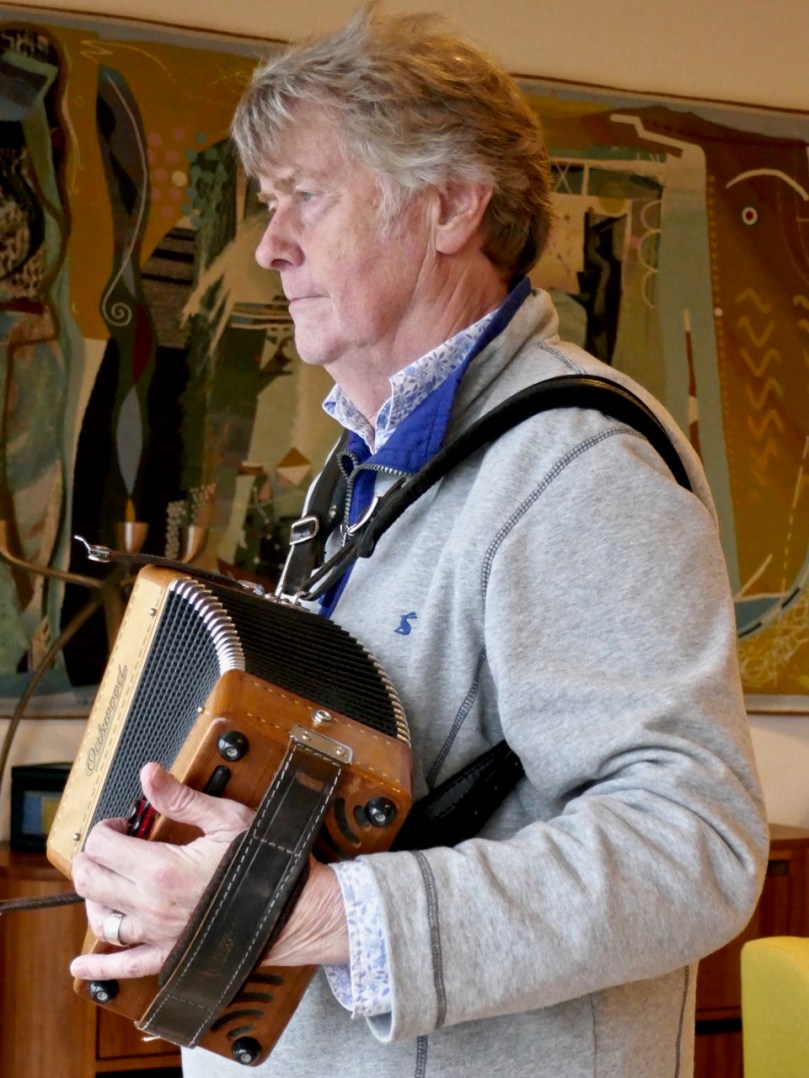
I have to let you in on a secret – Robert is forever promising to learn new tunes for me, but then he comes up with all kinds of excuses why he’s not getting on with it. He’s too busy, it’s too hard, it’s not in the right key, blah, blah, blah. He’s finally sort-of learned this one, after weeks. We live in the heart of Irish traditional music – come on, people!

Staff member Robert trying to get it right – it’s called Pearl O’Shaughnessy’s Barn Dance, learned from Clare concertina player Mary MacNamara

3. Get on with that Saints and Soupers story

Honestly, that Finola, she leads us deep into this fascinating study of whether or not that Fisher guy was a saint or a souper, and then she goes off on one of her tangents about stained glass or wildflowers or whatever. I’m dying to know what happens next, so I’m going to have to lean on her to put the nose to the grindstone and get back to all those Protestants and Catholics and the actual famine part.

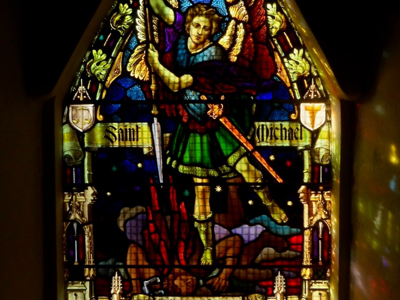
Michael the Archangel fights the devil – a powerful good versus evil metaphor in Altar Church

4. Get out to the Islands

It’s called Carberry’s Hundred Isles, for goodness sake – we can see them from the house (like Sarah Palin and Russia). Time to travel to more of them and get to know them. 

South Harbour on Cape Clear

I’ve been polishing up my Irish (or Blirish, as we Blogs like to say) and I need the practice, so Cape Clear needs to be on the agenda. I hear they have a good Blirish program out there, so ar aghaigh linn!

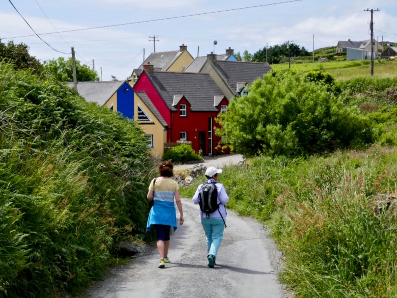
Staff member Finola and her sister on Cape Clear this summer

5. Finish the Fastnet Trail walks

This is a bit of a hangover resolution from previous years when I vowed to do all the Fastnet trails, but got a bit distracted with other walks and other projects. Besides, they’re adding to them all the time so if I don’t get off my desk and get out there soon the job will just get bigger and bigger.

Kilcoe Castle can be seen from several of the Fastnet Trails

6. Find more places to have breakfast

My staff loves going out for breakfast and I must say I am very partial to a nice plate of avocado toast and smoked salmon, with a good pot of tea to wash it down (although those two insist on lattés). They took me to the Box of Frogs in Bantry recently, and despite my misgivings about the name (I had a bad experience with a toad once) I had to admit the food was excellent. But, like all the humans I meet recently, I’ve been toying with the idea of eating less meat so I will persuade them to go to Antiquity Bookshop Café in Skibbereen for their tasty vegan food more often. BUT. . . see next resolution

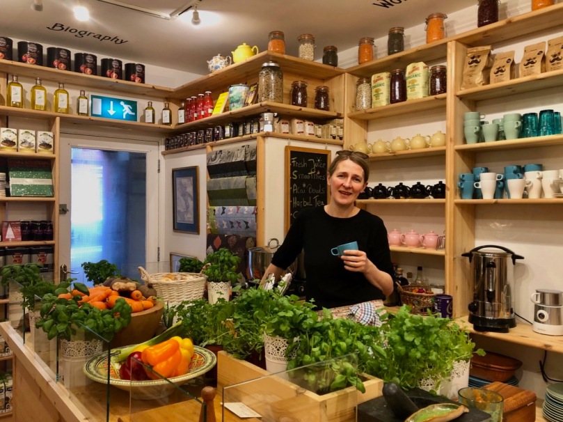
Nicola surrounded by her stock in trade in Antiquity, West Cork’s first vegan café

7. Read the books!

The staff keep bringing more books (especially from Antiquity) into the house and they pile up beside me, making me feel guilty that I’m not keeping up. They built a new set of shelves and they are already filled. Honestly, in this day and age, you’d think someone would have invented some kind of scanner-to-brain technology so that Blogs like me wouldn’t have to work so hard.

Just one shelf – yikes!

I have more, but the experts say not to make too many. Right, friends – a little encouragement and I’m sure I will be fine, despite all the malingering and complaining of my staff. Onwards and upwards into 2019!

Favourite Posts of 2018

At this end of the year we reflect with a critical eye on all our 2018 posts – there have been 102 of them – and select just a few which we think stand out in some way. A link is provided for each one, in case you want to have another look yourselves.

Firstly – not just one of our favourites, but the all-time most popular post we have ever published – Ireland’s Newest Stained Glass Window. Finola wrote this in January, and then went on to put together an article in the Irish Arts Review on the same subject later in the year. The window is in St John’s Church in Tralee, a Catholic church, but the project was a joint venture between the Catholic and Anglican congregations. It tells a story of reconciliation, from many angles. The window was designed and made by Tom Denny, one of Britain’s most eminent and respected stained glass artists. Tom is a direct descendant of Sir Edward Denny (1547 to 1599) who was one of the architects and enforcers of the Plantation of Munster. It’s a complex history, and this post is well worth a careful read.

Another post which proved popular was Robert’s detailed account of an archaeological site in West Cork: Knockdrum Stone Fort. This place has everything – a substantial stone structure which probably dates from the first millennium AD; prehistoric Rock Art (one of our favourite subjects – the Knockdrum example is pictured above), likely to be around 5,000 years old; fabulous views (choose a clear day) – and a solar alignment discovered in 1930 by Vice Admiral Henry Boyle Somerville, the younger brother of writer and artist Edith Somerville. In a complementary post, Finola reported on Boyle’s life and tragic death – and gave us insights into the science of archaeoastronomy, expanding on this in a Bealtaine post, following our own experience of Boyle’s discovered alignment at Knockdrum (the sun setting exactly over the fort is pictured below).

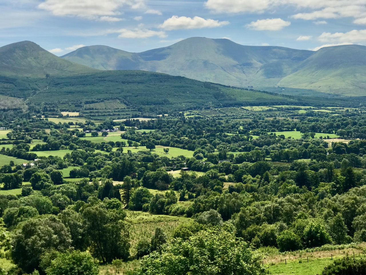
Way back in 2017 we started a series of occasional posts bearing the title . . . Off the M8 . . . We do a lot of travelling throughout Ireland (because it’s such a beautiful and historically rich country) and cover the ground between Cork and Dublin quite frequently. The M8 motorway has made this journey quite straightforward, but it has also provided the jumping off point for many an exploration to enhance the journey. One of my own favourite discovered places this year is the magical Glen of Aherlow (pictured above). We thank our good friends and travelling companions Amanda and Peter – she of Holy Wells of Cork and he of Hikelines  – for pointing us to this entrancing valley located between Slievenamuck and the Galtee Mountains in the western part of County Tipperary. We discovered there secret places and stories relating to obscure Irish Saints: have a look at the haunts of St Berrahert and St Péacáin in these posts from Robert.

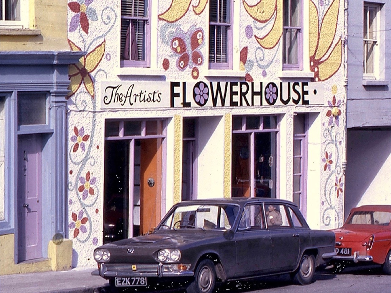
When I moved from Cornwall to West Cork some years ago I was delighted to find out that our lively adopted village of Ballydehob had a great artistic heritage during the second half of the twentieth century, to rival that of Britain’s westernmost county. West Cork became a cosmopolitan centre for artists, writers, craftspeople and musicians, renowned in its day but never properly celebrated – until this year. I was one of a small group locally who decide to rectify this by establishing the Ballydehob Arts Museum (BAM): our first exhibition . . . Bohemians in Ballydehob . . . using donated artworks, ceramics, storyboards and posters, was staged in Ballydehob’s community building, Bank House, and – presided over by Curator Brian Lalor (one of the surviving Bohemians!) – was the first incarnation of the new Museum, which will be followed up by new exhibitions every year. The picture above (courtesy of Andrew Street) from my post, shows the Flower House which, during the 1960s and 70s, became an iconic focus for the town’s artistic colony.

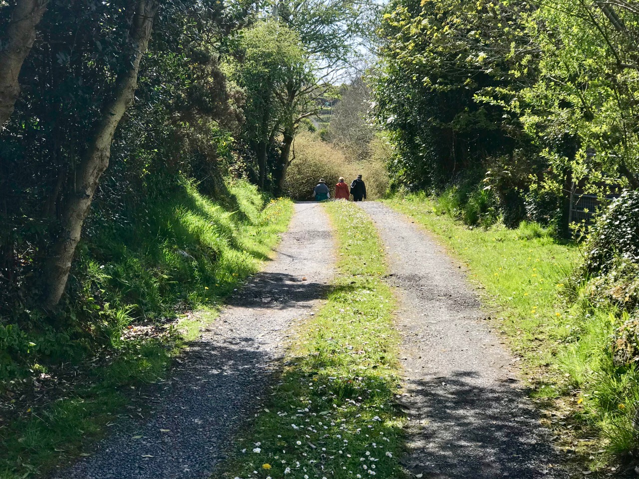
It was a grand summer altogether, and we were out walking the roads and footpaths of West Cork as much as possible. On a fine day in May we set off to explore the Toormore Loop which is only one of an excellent comprehensive system of trails which has been put in place locally in recent years. This post – Another Grand Day Out on the Fastnet Trails – documents that adventure and, hopefully, will encourage all of you to enjoy this wonderful free resource and immerse yourselves in the nature that’s all around us.

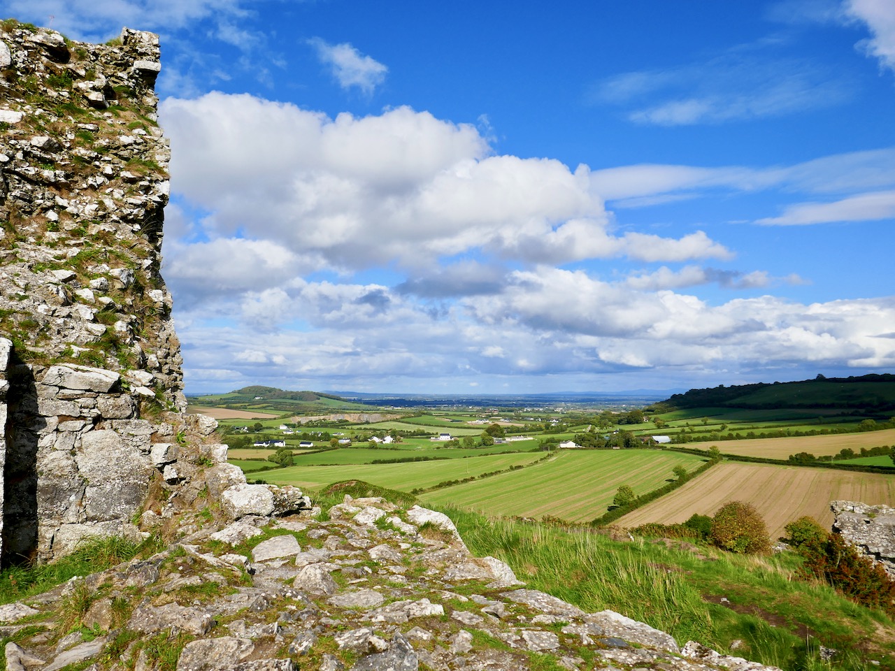
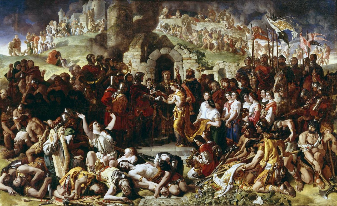
The second most viewed post this year was Finola’s fascinating account of the Rock of Dunamase and the history that it embodies. It’s a place that, for some reason, took us a few years to get to – and it’s Off the M8! But – as you can see from the picture above – climbing the Rock will give you a most rewarding and spectacular view across several counties. The ruin on its summit is inextricably associated with the most turbulent events in Irish History – the coming of the Normans to Ireland in 1169, and the famous marriage of Aiofe (daughter of Diarmuid MacMurrough, King of Leinster) to the Earl of Pembroke, immortalised in the painting by Daniel Maclise (below, courtesy of National Gallery of Ireland). The fortification with its Great Hall on the Rock was a MacMurrough stronghold, and accordingly was part of Aoife’s dowry when she married Strongbow.

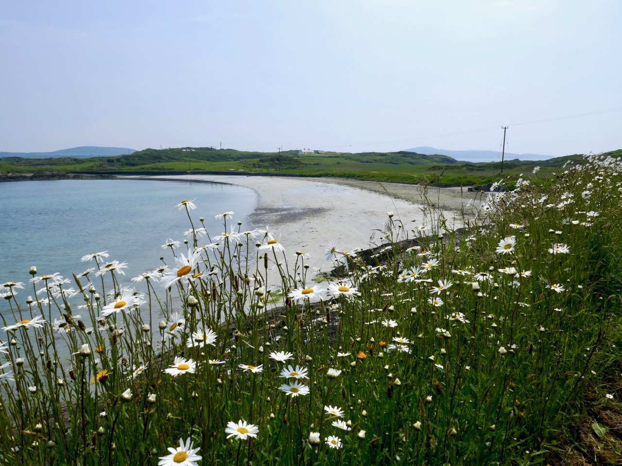
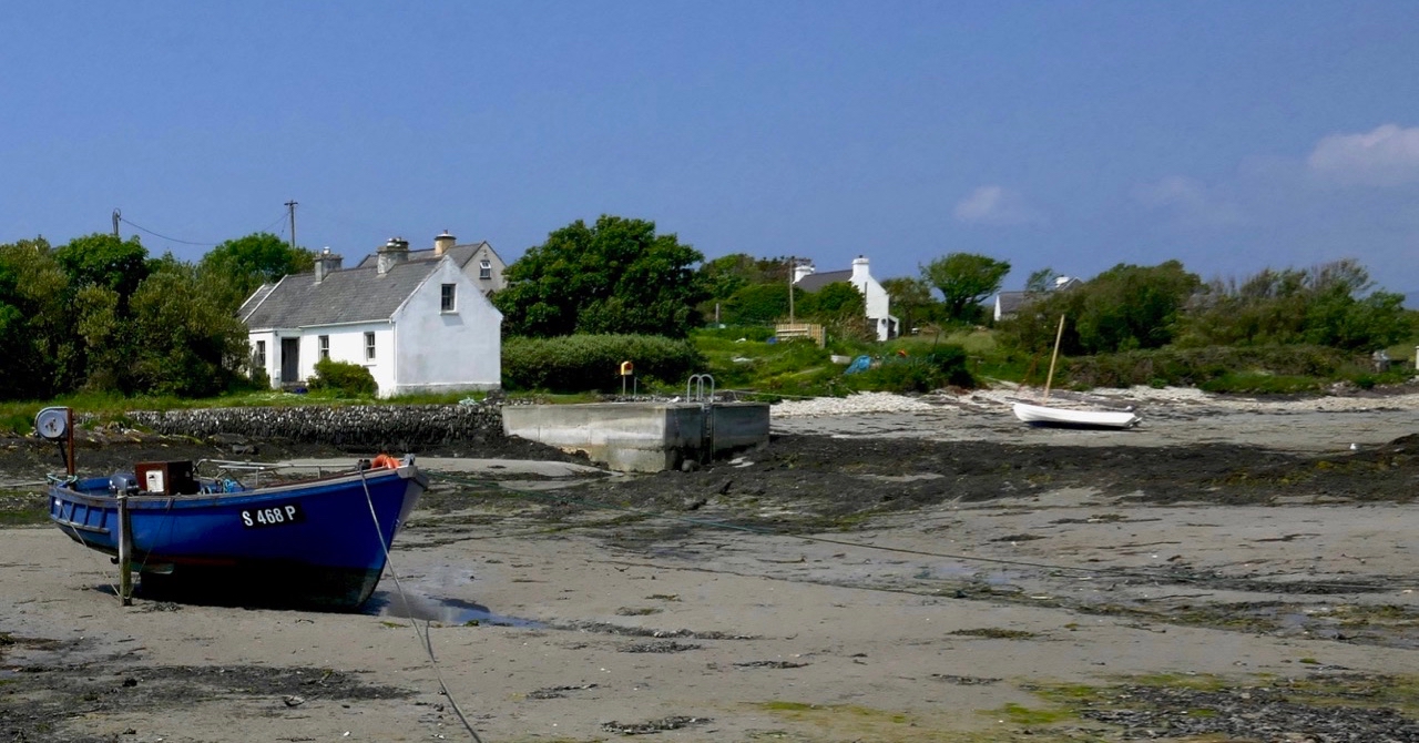
Finally (for today, anyway) we look at Finola’s post which comprehensively explores another West Cork treasure: Heir Island – a Modern Paradise (pictured above and below). West Cork has such a diverse landscape, including the inhabited islands of Roaringwater Bay, each one of which is unique. Finola teamed up with her photographer friend Trish Punch and they were shown around the island by islanders Christine Thery and Sarah Mathews, who run the Heir Island Wildlife Project. This post is a great example of how the diversity of life on the island – and here in West Cork generally – brings together so many disciplines and interests: photography, history, wildflowers, wildlife, colourful houses, and art. Everything that Roaringwater Journal tries to encompass, in fact.

Top Fifteen West Cork Photographs of 2018

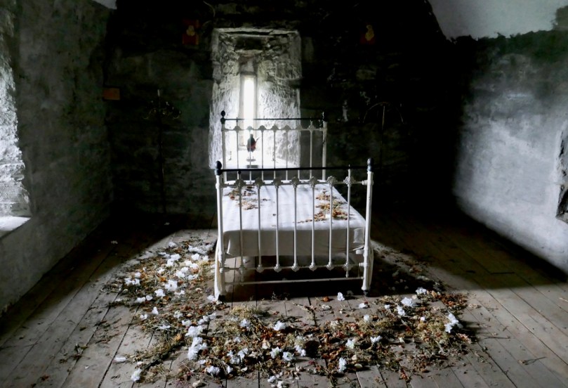
Photographs are vital to this blog, so we are always out and about with our cameras. This is a personal selection of images that pleased us in 2018. Some of these photographs have appeared in our posts, and some on our Facebook pages, but several are appearing here for the first time. Some of them remind us of places we’ve stumbled across, like the one above. It’s a room in the 15th century Castle Salem, all done up for a movie – a wildly romantic one, I bet.

From there to the iconic Fastnet Rock Lighthouse. They changed the bulb this year, to LED. We can still see the light at night, but it doesn’t sweep across the sky like it used to. On this trip, mostly photographed by my nephew, Hugo, the scaffolding was still up for the renovations.

We love the Beara and try to get over there as often as possible. It’s famous for its colourful villages – this one is Ardgroom. And not too far away is a wonderful stone circle – Robert mentioned it in last week’s post. This photograph is of the outlier and shows how it seems to mirror the shape of the landscape on the Iveragh Peninsula.

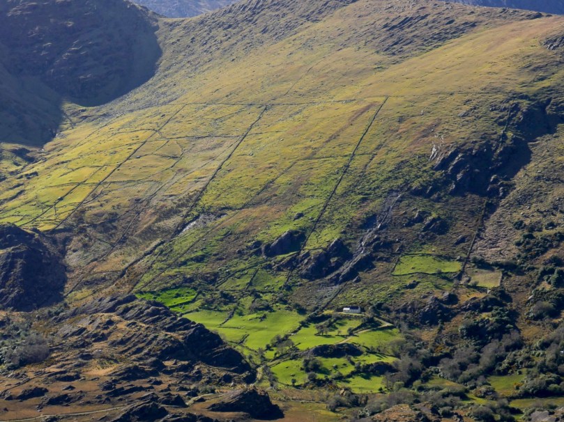
Coming back, or going, our route always takes us over the incredible Healy Pass. I’ve chosen the photograph below because the remoteness of the little farms take my breath away.

But if you look closely, this photograph also shows the old field patterns from tiny holdings long ago, including the lazy beds – ridges left from cultivating potatoes by hand.

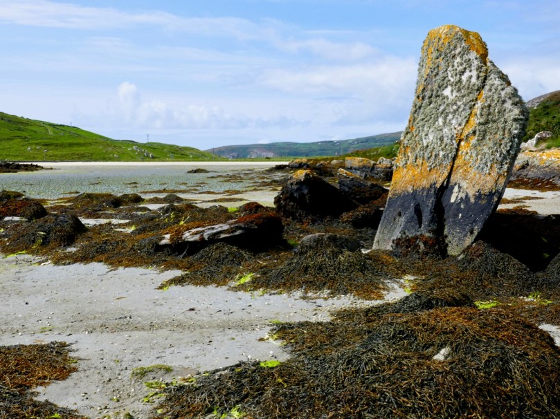
Our own Mizen Peninsula is fertile ground for exploration. This enormous standing stone, for example, can be seen in Crookhaven Bay. But even though it seems to be set in the sand deliberately, some authorities feel it is a natural feature. There’s what looks like an old stone field fence nearby, and lots of archaeology in the area.

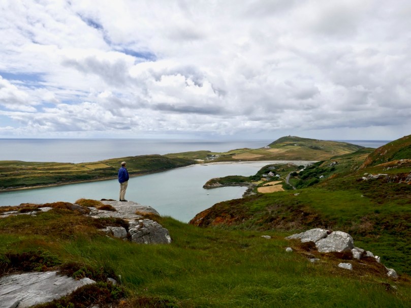
We’re looking down on that area from this vantage point (above), and across to Brow Head, always great for a wander – we included it in our West Cork Obscura list.

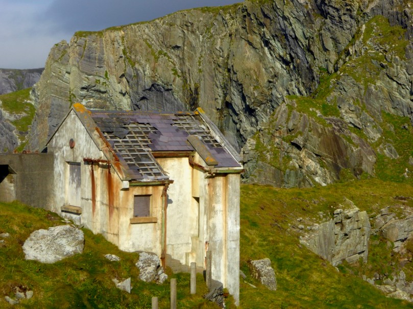
We love to bring our visitors out to the Mizen Head Visitor Centre too. It’s a wonderful experience, with dramatic scenery and vertiginous cliffs. There are lots of remnants still to remind us of the active past of this lighthouse and signal station, including this derelict, if picturesque, shed.

Of course, the weather isn’t always wonderful, even if it seems that way in a set of carefully-chosen images. But even when it’s wild, it’s worth taking the camera along – the photograph above was taken at the Altar in Toormore on a stormy day.

Robert, as our readers know by now, is a hare fanatic, and one of the highlights of his year (next to becoming a citizen!) was when little Berehert, a young hare, showed up on our lawn and hung around for a few days.

Meanwhile, nothing makes Finola happier than to wander around among the wildflowers. She runs a Facebook page on the Wildflowers of West Cork – so pop over there any time to see the amazing range of flowers that we get to enjoy here.

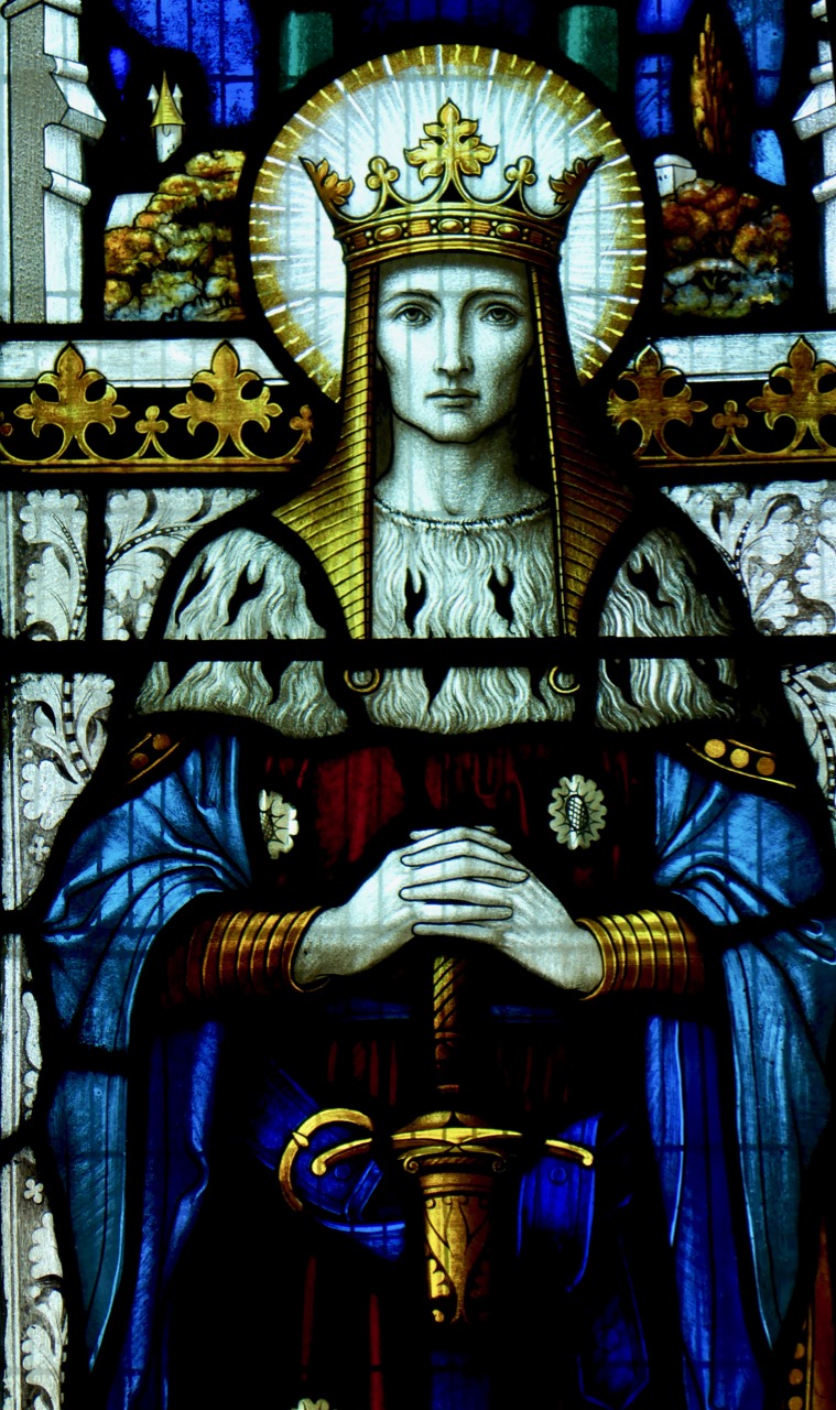
The other thing she loves is to drop into churches to study the stained glass. We’ve written about the fabulous George Walsh windows in Eyeries before, but there are lots of surprises wherever you go. She was quite taken with a wonderful three-light war memorial window in St Peter and Paul Church of Ireland in Bandon. Above is King David from that window, by the firm of Clayton and Bell. Gorgeous, isn’t it?

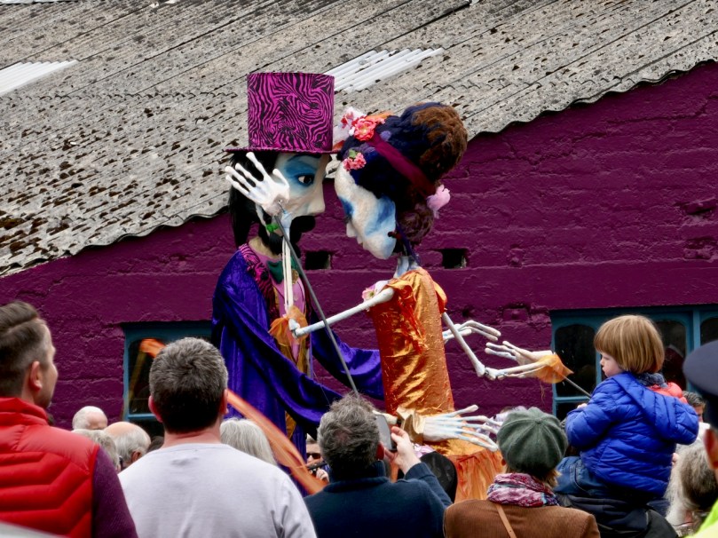
From March to October West Cork hosts a huge number of festivals. Everybody goes to everything – from the Ballydehob Jazz Festival (above), to events celebrating country and traditional music, history, wooden boats, the arts, short films, knitting (really), stone carving, food and more.

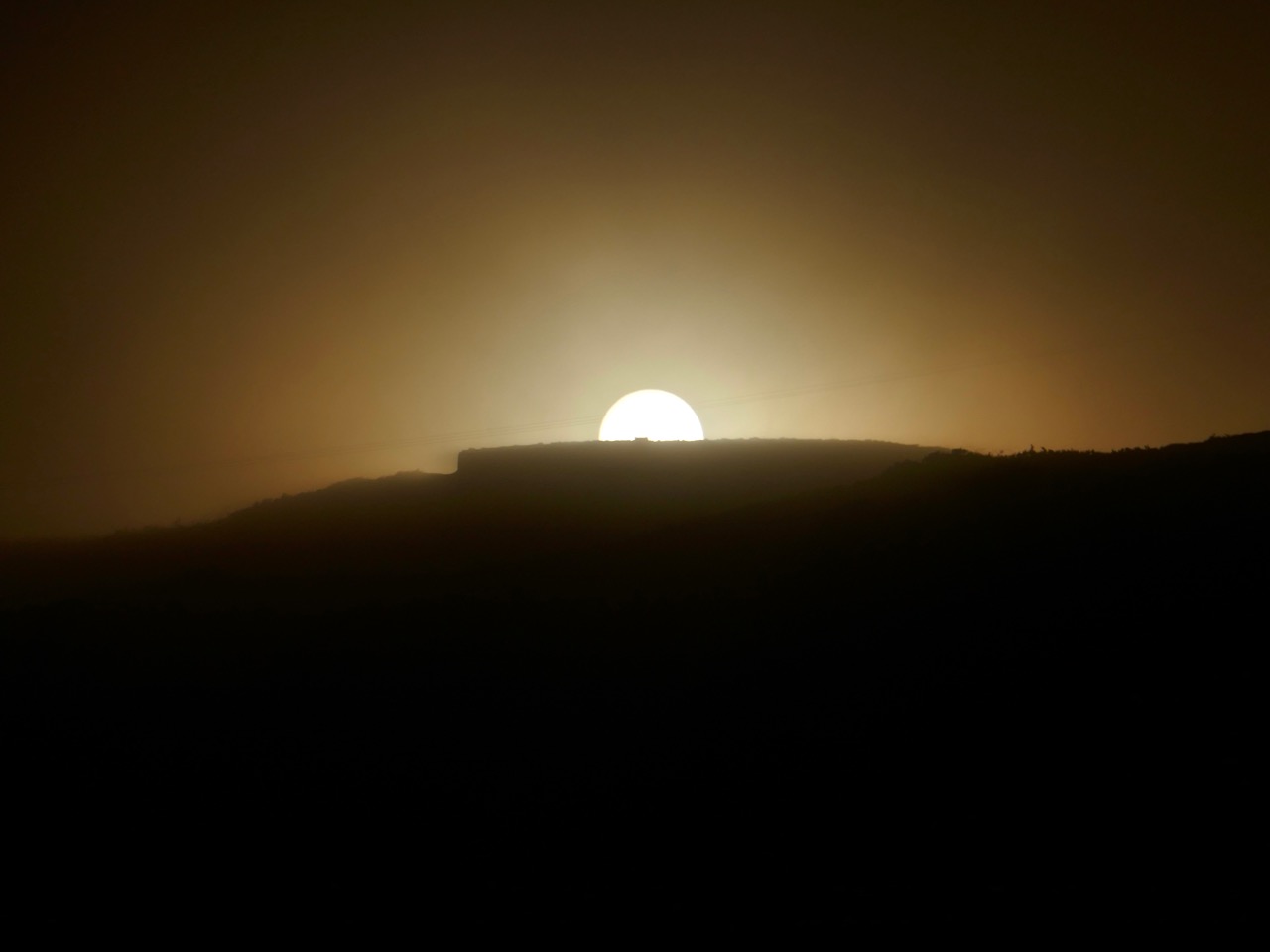
Our own view is a never-ending source of delight. This is sunset over the Goat Islands, Greater and Lesser, which lie west of Long Island. There’s a cleft down the middle, which is dangerous to try to navigate, and no place to land. As a result the islands are quite wild, with a herd of feral goats. For us, they have an air of profound mystery.

Our final photograph was taken yesterday – a traditional farmhouse on the slopes of Mount Gabriel. Lots more West Cork scenes in the months to come!