‘Going to the Skelligs’

star wars on the skelligs

My eye was taken by an article in the Irish Times this week which stated that the Archbishop of Canterbury and the Pope have agreed to work towards a fixed date for Easter. Currently, that festival can occur anywhere between 22 March and 25 April – this year it will be an early one: Easter Sunday will be on 27 March. This has meant that, in Ireland, the Easter school holiday will last for three weeks, from St Patrick’s day (17 March – and always a day off school) until 4 April. Evidently the church leaders believe that a fixed date for all Christians around the world to celebrate Easter would be logical and practical. So much for logic – what about history and tradition?

It’s all about the sun and the moon, and the Vernal Equinox. That’s the point in the first half of the year when day and night are of exactly equal length. We are used to thinking of the equinox occurring on 21 March but this won’t happen again until the 22nd century! From now until 2044 the equinox will be on 20 March, then on the nineteenth. This is in part because our Gregorian calendar is inaccurate, but also because the Earth’s axial precession is gradually changing. In 325 the Council of Nicaea established that Easter would be held on the first Sunday after the first full moon occurring on or after the Vernal Equinox, but that was taken to be 21 March. You can begin to see the complications…

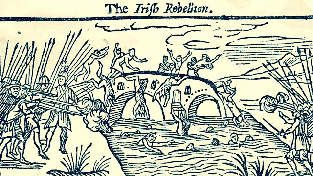
As you might expect, Ireland has had a lot to say about all this. The early church here, established by Saint Patrick, didn’t necessarily agree with the Roman church over certain issues, including the date of Easter. Matters came to a head in 664 when a synod was convened in Whitby, Yorkshire attended by delegates from the Ionian tradition and the Roman tradition. The Ionians were led by the Irish Saint Colmán, Bishop of Lindisfarne. They supported the older traditions, but the debate was won by the Romans and Saint Colmán resigned his post and returned to Ireland, where he founded abbeys in Inishbofin and Mayo and – presumably – continued to celebrate Easter in the ‘old way’.

The situation today is still confused. While Roman Catholic and Protestant churches use the ‘Alexandrine rules’, agreed in the 7th century and adapted when the Gregorian calendar was introduced (1582), Orthodox churches generally follow a method based on the earlier Julian calendar but, in fact, there are different systems used by the many different branches of Orthodoxy around the world so the Easter festival in any year may be celebrated on varying dates in divergent places.

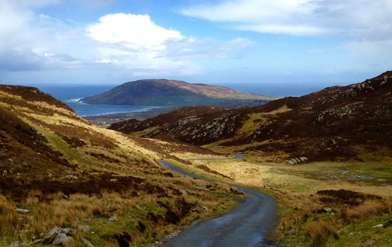
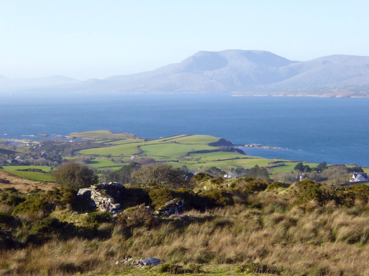
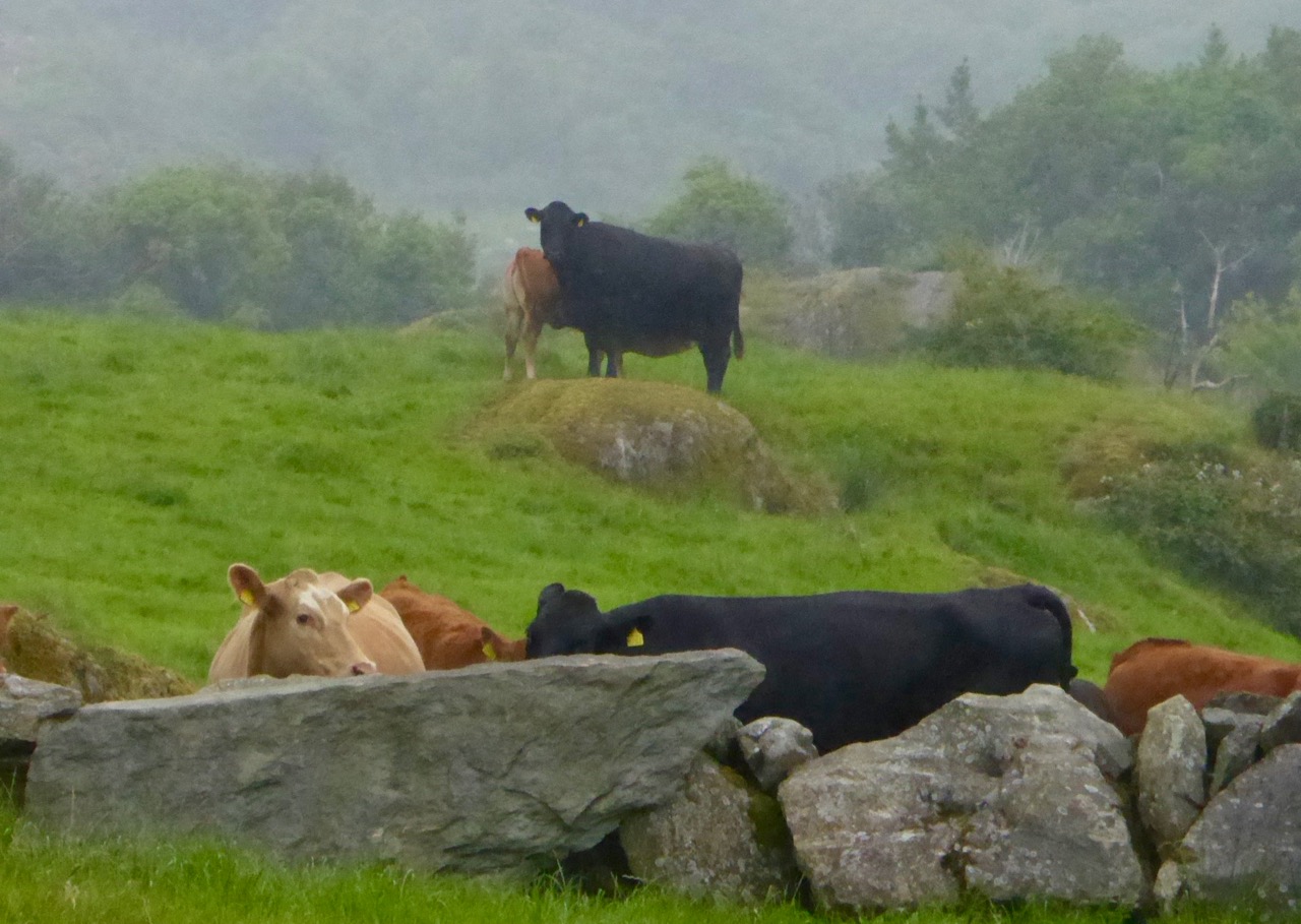
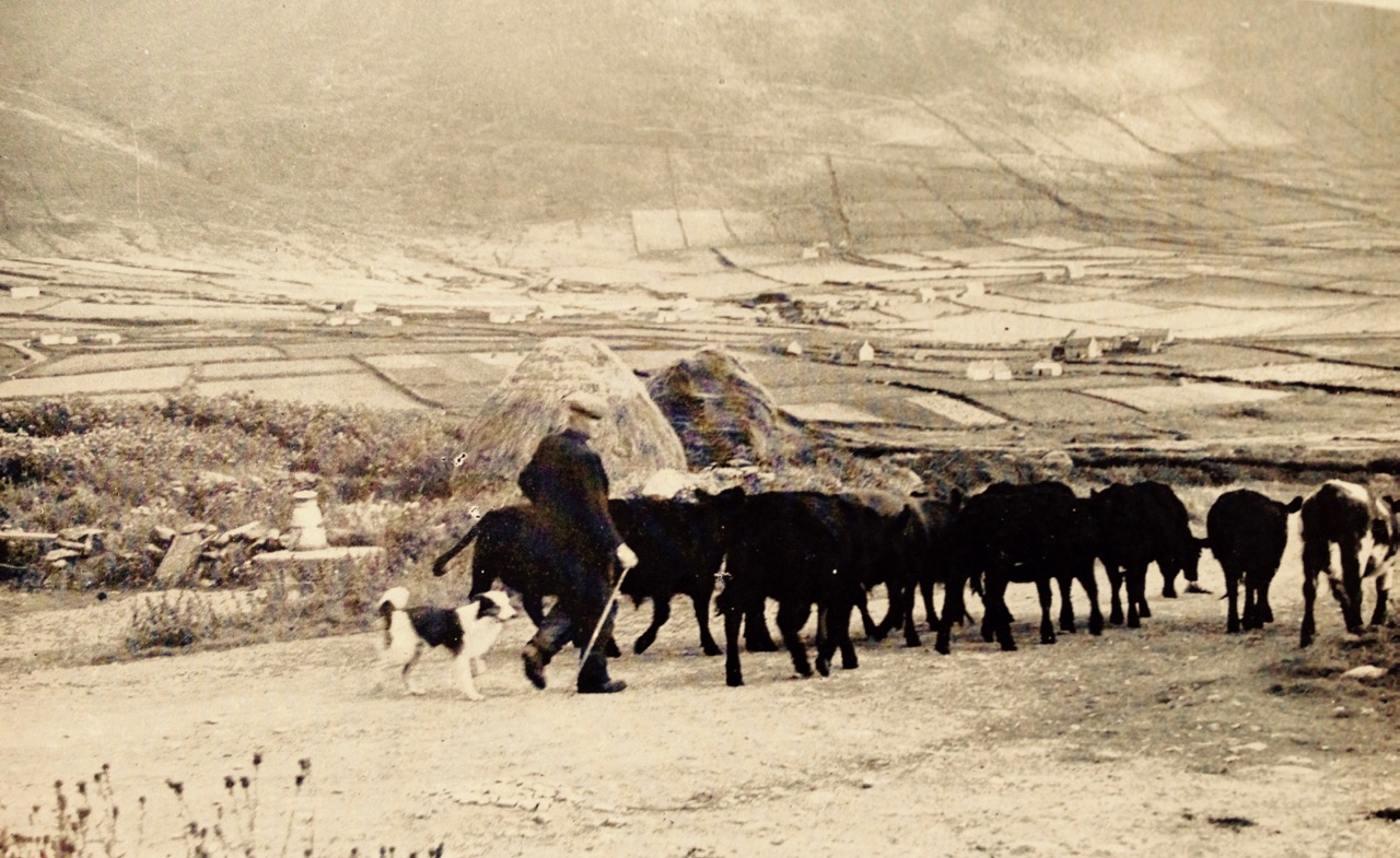
Let’s look at tradition, especially in Ireland. Although the churches here did eventually conform to the Roman calculations, there was always some dissent. Folklore tells us that the monks on the Skelligs – isolated rocks off the Kerry coast which housed a monastery back in medieval times – followed a calendar which was several days behind the rest of the country – this sounds as though they were still basing themselves on the Julian system. This was useful, however, if you missed out on getting married before the beginning of Lent (you couldn’t marry during Lent): the period we are in now – between Little Christmas (6 January) and the beginning of Lent – was in Ireland always the most popular time for weddings. ‘Going to the Skelligs’ was a joking expression used unkindly against confirmed bachelors and spinsters.

From Danaher The Year in Ireland – Mercier Press 1972:

In much of the south-west of Munster there is a vague tradition that the festival of Easter was celebrated a week later on the island sanctuary of Sceilg Mhichil than on the mainland. Whether this tradition is a distant echo of the ancient controversy on the date of Easter is a matter of speculation, but it did give the occasion of another form of disapproval of the unmarried. These had lost their chance of marrying this year on the mainland, but they could still be married on the Skellig, and steps must be taken to send them there… All over County Kerry, in parts of west County Limerick, in much of County Cork, especially along the coast, and in west County Waterford the negligent were greeted, in the first days of Lent, with a barrage of chaff and banter. ‘You’re off to the Rock, I suppose?’ ‘Don’t miss the boat!’ ‘Is it Mary or Katie you’re taking on the excursion’ etc etc. The victims had to grin and bear it… In many places the custom was carried further, and local poets were encouraged to compose verses on the occasion, verses which told of a grand sea excursion to the Skelligs, praised the splendid vessel which would take the party there and gave a long list of the participants, linking together the names of the bachelors and old maids as incongruously as possible. These verses – most of them mere doggerel – were written out and circulated about the parish so that all might enjoy them, and were sung to popular airs, often in the hearing of those lampooned in them… The custom has in more recent times taken the form of large posters, giving details of the ‘Grand Excursion’ with a list of the couples taking part in it. These notices were hung in prominent positions on the first Sunday of Lent, where they might be read by all on their way to church… In south-east County Cork the Skellig joke appeared in its most extreme form. Here bands of young men went about on Shrove Tuesday evening, and if some inveterate bachelor ventured out and fell into their hands he was bound with ropes and had his head ducked under a pump or in a well; this drenching was called ‘going to the Skelligs’

The Skelligs have been in the news recently, as the setting for a scene in the new Star Wars film: The Force Awakens. Filming on the historic site provoked considerable debate and discontent among archaeologists and conservationists. Despite our own reservations, Finola and I went to watch the film in Vancouver and – although we had to wait until the very end (the Skelligs appear only in the last scene) – we were delighted to see one of the West of Ireland’s most magnificent seascapes on the big screen – and in 3D!

Shrovetide is nearly upon us. If you haven’t arranged your pre-Lent weddings yet don’t forget there’s always the Skelligs!

With thanks to mavek-cg (http://mavek-cg.deviantart.com) for the fine image on the header

Beyond the Mizen: Top 14 West Cork Pics of 2015

We were heading home from Hare Island after a Fit Up Theatre Performance, when this happened

We were heading home from Hare Island after a Fit Up Theatre Performance, when this happened

Many of our top Facebook photographs this year were from the Mizen, but not all. You also liked and shared photographs that captured the essence of other parts of West Cork.

Baltimore Bay and Ringarogy Island

Baltimore Bay and Ringarogy Island

I think the Baltimore Bay one was so popular because the colours are SO west Cork. When you get blue sky and clouds, the sea turns this amazing Caribbean blue and the contrast with the green fields and wilder high ground is gorgeous.

Lighthouse Loop, Sheep's Head

Lighthouse Loop, Sheep’s Head

This photograph of our friend Susan Byron of Ireland’s Hidden Gems is one of my favourites this year because of the impression it creates of sheer wildness.

Occasionally we get lucky with the local wildlife. Ferdia, the fox, used to be a regular around our place but has forsaken us recently for neighbours with higher quality leftovers.

Bantry House in winter

Bantry House

It’s possible to get good shots of Bantry House in winter, when the trees don’t obscure it from view.

Kilcoe Castle

Kilcoe Castle is such an icon on the landscape. This photograph shows the neighbourly way it interacts with the other houses around it.

Bardic School Loop, Sheep's Head

Bardic School Loop Walk, Sheep’s Head

This tiny abandoned cottage may have been part of the 17th Century Bardic School near Lake Faranamanagh on the Sheep’s Head. We’re looking across at the Mizen in this shot.

The Beara, from the Sheep's Head

The Beara, from the Sheep’s Head

And here’s the view from the other side of the Sheep’s Head, across to the Beara Peninsula, with the instantly-recognisable bulk of Hungry Hill to the far right.

Priest's Leap Valley

Priest’s Leap Valley

The long climb up to Priest’s Leap starts near Ballylickey and ends at a high mountain pass that separates Cork and Kerry. The views are spectacular from the top, but this shot of a colourful house and farms in the valley on the way up seemed to express something typical of West Cork.

Farm, Sheep's Head

Farm, Sheep’s Head

This farm appears to be carved out of the mountain land behind it.

Barloge Bay, at the entrance to Lough Hyne

Barloge Bay, at the entrance to Lough Hyne

This was taken in November. I love the contrast of the turquoise water with the autumn colours of the bracken-covered hillside.

F

A final sunset to end this post. This was taken last February from the lay-by overlooking Roaringwater Bay on the N71. The light was extraordinary – a once in a blue moon kind of shot. The mussel beds make the water look like floating ice packs.

A big thanks to Celia Bartlett for helping us improve our photographic skills this year. We loved our workshop with her.

Happy New Year to all our faithful readers!

Mizen Magic 5: Top 14 Pics of 2015

Crookhaven in winter sunlight

Crookhaven in low winter sunlight

You love the Mizen! That’s all we can conclude when we look at which of our Facebook photographs resonated most with our readers and followers this year.

Cairn on Dunlough Head, looking east along the Mizen and Dunmanus Bay

Cairn on Dunlough Head, looking east along the Mizen and Dunmanus Bay

We post a couple of photographs each week on our Facebook page and we are always delighted when they are liked and shared. The vast majority of these images are from West Cork, and many are from our own Peninsula, the Mizen.

The tiny quay at Greenmount, outside Ballydehob. You pass this on the Rossbrin Loop Trail.

The tiny quay at Greenmount, outside Ballydehob. You pass this on the Rossbrin Loop Trail

So, as we look back over 2015, here are your top picks from the Mizen Peninsula, beginning with the most liked/shared. Next week, we will post the top West Cork (non-Mizen) Facebook photographs.

Near Dunlough Bay, on the way to Three Castle Head

Near Dunlough Bay, on the way to Three Castle Head

Not much text to plough through this week. Consider that your Christmas present from us!

Goleen Village looks so colourful and inviting in the summer

Goleen Village looks so colourful and inviting in the summer

There’s nothing we like better than wandering around West Cork with our cameras – it’s an endless feast. Enjoy – and tell us which is your personal favourite!

The famous 12 Arch Bridge at Ballydehob

The famous 12 Arch Bridge at Ballydehob

The Magnificent Mizen!

The Magnificent Mizen!

The Winding Road...the Cappaghglass high road in autumn

The Winding Road…the Cappaghglass high road in autumn

We saw these Jacob sheep on the slopes of Mount Corrin

We saw these Jacob sheep on the slopes of Mount Corrin

Sun and shadow - the quintessential West Cork lighting conditions

Sun and shadow – the quintessential West Cork lighting conditions

Farmhouses in the shadow of Mount Gabriel

Farmhouses in the shadow of Mount Gabriel

Ballydehob Bay. This one was taken close to the same place as The Winding Road, but facing the opposite direction, towards Foilnamuck

Ballydehob Bay. This one was taken close to the same place as The Winding Road, but facing the opposite direction, towards Foilnamuck

The North Side of the Mizen - so beautiful and so few people

The North Side of the Mizen – so beautiful and so few people

The Three Castles, from the lake

The Three Castles, from the lake. No Mizen post would be complete without at least one view of this iconic place

Coomkeen, Summer and Winter

Coomkeen Road, winterThe Coomkeen Loop Walk on the Sheep’s Head is one of the most richly satisfying walks in West Cork. And that’s saying something, in this land of jaw-dropping vistas and absorbing heritage.

Start, summer

The start of the trail in June

We walked it in June with our friends Amanda and Peter and again in November with our friend John. We had extraordinary days on both occasions. While the November day was cloudless, the one in June provided enough scattered cloud to supply that variation in light and shade that lends such atmosphere to the West Cork landscape.

And in November

And in November

To reach the start of the Coomkeen trail, drive from Durrus towards Ahakista and turn right at the Church of Ireland (before you get to the pier). Ascend to the top of that road and you will find a parking spot and the clearly marked trailhead. There are various ways you can do this walk. The complete loop is a 7km walk that brings you along the spine of the peninsula before you drop down onto tracks and then the road back up to the parking place. Our own favourite option is to walk until you reach the little lake and then retrace your steps along the ridge. Lough na Fuilla, Lake of Blood, is so called, the story goes, because thirst-crazed cattle found it dry and attacked each other in their frenzy.

Lough na Fuilla

Either way is fairly easy, although the complete loop presents a long steep climb back to the starting point. As with all Sheep’s Head walks, be prepared for any weather, wear good boots, bring a camera and leave the dog at home. If you want more information, consult the section on the Durrus Trailhead in Walking the Sheep’s Head Way.

Winter fields on Bantry Bay

Winter fields on Bantry Bay

Perhaps you think that it sounds fine to go for a mountain hike in June – but November? Yes, it was a little cooler and a lot windier, but the November hike was just as spectacular as the June one had been. Most striking of course, is the change in colour.

In summer the foxgloves are everywhere

In summer the foxgloves are everywhere

Because this is a ridge walk, the views are immense. To the north is Bantry Bay and Whiddy Island with its huge oil tanks. Beyond that are the mountains of the Beara, looking as wild and remote as, in fact, they are. To the south is Dunmanus Bay and the Mizen Peninsula. 

The Summit

The Summit

Amanda and Peter were able to show us an enormous standing stone on our June trip, although we missed it in November.

Rooska East standing stone

But we did visit the same ruin of a small farmhouse on the north side of the ridge. Incredible to think that someone eked out a living so high up. Although only a few broken down walls remain, the poignancy of the site comes from what was once a garden by the house, with thorn trees still bravely clinging on.

Further on are the remains of booleys – small huts used by the young people sent to mind the cattle on the high ground during the summer. Perhaps the little farmhouse was part of that endeavour.

Robert and John inspect the little ruined farmhouse

Robert and John inspect the little ruined farmhouse

Running along the ridge and crisscrossing the mountain are the remains of old stone walls. Impossible to tell how long ago they may have been first built, or how recently they functioned to separate pastures.

Walls, Summer

Walls, winterIn November the dominant colours are the blond of the grasses (called fionán, pronounced fyuh-nawn) and the amber, brown and honey tones of the bracken and heather, interspersed with the greenery of gorse and pasture. Although visually stunning, the predominance of the fionán (properly called Purple Moor Grass) and bracken have a less positive underlying meaning. They take hold where the hillside has been set on fire time and again. The fires that we often see here are supposedly to control the gorse and increase grazing for sheep, but in fact according to Birdwatch Ireland, repeat burning “has led to a loss of cover (protection) for Red Grouse…depletes moorland fauna, and can lead to soil acidification, leaching and thus soil degradation.”

In summer, it’s all green but the wild flowers provide bursts of colour.

In November, the only wild colour to be found came from a yellow brain fungus on a dead gorse trunk. Yes, it’s really called that, and is normally yellow but darkens after dry weather. It’s not feeding on the gorse, apparently, but on other fungus that is feeding on the wood. Charming.

Yellow brain fungus on gorse?

Do the walk, any time of year. Then show the photos to your friends and watch them make plans for a trip to West Cork. Or should we just keep this our secret?

Contemplating the route

Atlantic Winter

Dingle Beach

When St Brendan of Clonfert set out to discover America in 512 he and his fellow monks had to face the enormity of the Atlantic Ocean in tiny boats built out of wood and oxhides, sealed with animal fat. Up here in Nead an Iolair our view out to the islands of Roaringwater Bay and beyond is dominated by that same ocean and – sometimes – we feel just as small. This year the winter gales have started early, and spates of fierce westerlies have been throwing the Atlantic straight at our windows. The tiles rattle alarmingly while we are tucked up in bed at night. At these times I think of the Saint and what he had to face. But, like Brendan, we always survive the storms, and often wake up in the morning to a calm, clear day – except that you can hear the constant ‘roaring’ of the open sea out over the bay.

celebrating massOn their way to the New World – Saint Brendan and his companions take advantage of a passing Atlantic denizen to celebrate Mass…

The Atlantic has shaped Ireland. The sea is omnipresent: poets have written about it, storytellers have woven tales around it, and composers have tried to capture its spirit in music. Here’s a small section from the impressive ‘Brendan Voyage’ written by Shaun Davey for orchestra and Uillinn pipes – it’s the haunting second movement, played by Liam O’Flynn with the Irish National Youth Orchestra, at a performance in Cork City Hall. It makes me think of the wonderful sunrise on that calm day after the storm…

Brendan Voyage

Long Island Beacon

Brow Head

Mizen Head

Our own Atlantic: telescopic view of a storm battering Long Island, taken from our garden at Nead an Iolair (top), Brow Head, near Crookhaven (centre), and the impressive land and seascape at Mizen Head – Ireland’s most south-westerly point (lower picture). At the head of this page you can see the huge rollers that come into Dingle Bay, Co Kerry

Dogger, Rockall, Malin, Irish Sea:
Green, swift upsurges, North Atlantic flux
Conjured by that strong gale-warning voice,
Collapse into a sibilant penumbra.
Midnight and closedown. Sirens of the tundra,
Of eel-road, seal-road, keel-road, whale-road, raise
Their wind-compounded keen behind the baize
And drive the trawlers to the lee of Wicklow.
L’Etoile, Le Guillemot, La Belle Hélène
Nursed their bright names this morning in the bay
That toiled like mortar. It was marvellous
And actual, I said out loud, “A haven,”
The word deepening, clearing, like the sky
Elsewhere on Minches, Cromarty, The Faroes.

Glanmore Sonnets VII, taken from Field Work by Seamus Heaney, published by Faber and Faber Ltd

Seamus Heaney was deeply affected by the seascape of his native Ireland. Anyone who works on or beside the sea is aware of the resonant names from the Shipping Forecasts, and the poet has used those names here to introduce his word-picture of the elemental Atlantic.

Near Malin Head 2

On the Beara

Donegal Beach

Atlantic contrasts from Mizen to Malin: near Malin Head – Ireland’s most northerly point (top), off the Beara (centre) and a beach in Donegal (lower)

A later traveller over the Atlantic waters was Chistopher Columbus in the 15th century. On the way he looked out for St Brendan’s Isle, a spectral island situated in the North Atlantic somewhere off the coast of Africa. It appeared on numerous maps in Columbus’ time, often referred to as La isla de SamborombónThe first mention of the island was in the ninth-century Latin text Navigatio Sancti Brendani Abatis (Voyage of Saint Brendan the Abbot), from whence it became firmly implanted into Irish mythology. St Brendan took a little party of monks to the island to say Mass: when they returned after a few days to the rest of the flotilla, they were told that they had been away for a year! The phantom island was seen on and off by mariners for years until in 1723 a priest performed the rite of exorcism towards it during one of its apparitions behind low cloud… You can see St Brendan’s Isle for yourselves, above the wonderful giant fish in the second picture down.

Dingle Peninsula

Coast Road

Dingle peninsula (top), and Coast Road in Donegal (lower)

I was pleased to find this Irish Times video made by Peter Cox when he was fundraising for his book Atlantic Light: spectacular photographs of the coastline on Ireland’s Wild Atlantic Way. The excellent aerial views in this film are all taken by a drone… Look out for places you will have seen in our blogs!

atlantic video

We are privileged that the Atlantic Ocean is the abiding but ever-changing feature in our daily lives. It must affect us in unknown ways: I do know that, wherever I go in this world, I will – like Saint Brendan – always be drawn back here to our wonderful safe haven…

St-Brendan-Coin1


The Booley

Bucolic

Booleying is an Irish term for transhumance – the agricultural tradition of taking cattle up to the high open lands to graze during the summer months.

booley farm

Booleying territory: on the upland moors of the Sheep’s Head the ruins of a simple cottage in a lonely glen tell of bygone farming practices

The English poet Edmund Spenser went to Ireland in 1580 and was given lands in County Cork that had been confiscated in the Munster Plantation. (His fellow colonialist Sir Walter Raleigh was also granted large areas of land, which he sold to Sir Richard Boyle who later became Earl of Cork and one of the richest men in the British Isles). In 1596 Spenser wrote a pamphlet – A View of the Present State of Ireland – based on his experiences. This piece is highly regarded as a historical source on 16th century Ireland although it refers somewhat inaccurately to booleying: …the Irish country people keep their cattle and live themselves the most part of the year in bollies, pasturing upon the mountains and wild waste plains, and removing to fresh lands as they had depastured the former… 

irish rebellion

16th century Ireland: the Munster Plantation

Our trusted commentator Kevin Danaher devotes a chapter in Irish Customs and Beliefs (Mercier Press 1964) to ‘The Summer Pastures’: …If you could take away the cattle from the fields around the house all during the summer and autumn, you could have more hay and a bit of winter pasture. Therefore you could keep more cattle and were a richer man. But where could you put the cattle in summer and autumn?

peak

Old walls on the Coomkeen ridge tell of early land divisions

(Danaher) …In Ireland there are big areas of the countryside which have some value during the better part of the year but none at all during the winter and spring. These are, of course, the mountains and moor lands. In the cold season they are barren and desolate, but when the milder part of the year comes they provide grazing which may be sparse but is very sweet. Our farming ancestors knew this and a system was worked out which gave the milch-cows the benefit of them. They were away in the mountains or the moors, far from the homestead over bad roads or no roads at all, so that the cattle could not be driven home for milking. Some of the family went and lived with the cows on the mountain. Some sort of dwelling was built there for them, they milked the cows morning and evening and made the butter which could be stored until the men from the home farm came for it once a week…

Varieties of simple shelters – ancient beehive style (left from George Walsh’s window in St Kentigern’s Church, Eyeries, on the Beara Peninsula and – top right – from Dingle, County Kerry – both were used by contemplative hermits but some booley huts were built in similar style) and, bottom right, an example of an Irish cabin

Of the booley houses – or huts – Danaher writes: Most of them were just rough copies of the kind of houses ordinarily used as dwellings, smaller and simpler but made of the same materials and by the same methods. Usually they had only one room, with a simple fireplace, often without any chimney, only a hole in the roof over the hearth… In fine weather their occupants could live out of doors all through the long period of daylight, coming in only to sleep or to cook food and eat it, and the buaile houses were used as sleeping-places only…

booley hut

This structure on the Sheep’s Head is recorded on the National Monuments Record as a Booley Hut

Farming practices have changed in the modern day and I am not aware that any booleying still happens – but the custom lives on in memory and in place names. The Irish word Buaile (pronounced bool-yeh), is translated as a feeding or milking place for cows – so it refers to the dairy as well as the summer pastures. There is a townland near us called Corravolley: that’s the anglicised name. Two roads lead there, and on each road is a signpost:

Do you notice the subtle difference in the Irish rendering of the name on these signs? One reads ‘An Chorrbhaile’ and the other ‘An Chorrbhuaile’. One letter is different in the second sign, but it makes all the difference in the way you might translate its meaning. An Chorrbhaile combines corr – round hill, pointed hill, hollow, pointed, conspicuous with baile – townland, town, homestead, but the alternative suffix buaile means cattle-fold, or summer-pasture. As Corravoley is way up in the hills it is very likely that it was the place of the booleying.

cattle in the wild

Other examples of Irish names which may have derived from the booley include Coill na Buailidh, Kilinaboley, Kilenabooley, Both Théith, Boheagh, Knocknaboley, Buaile h’Anraoi, and Cnoc an tSamhraidh (which actually translates as Summerhill – a place name associated with transhumance in Britain).

bullocks

In Scandinavia, transhumance is still practiced: there the common mountain or forest pasture used for transhumance in summer is called seter or bod / bua. The same term refers to a mountain cabin, which is used as a summer residence. In summer (usually late June), livestock is moved to a mountain farm, often quite distant from a home farm, in order to preserve meadows in valleys for producing hay. Livestock is typically tended for summer by girls and younger women, who also milk and make cheese. As autumn approaches and grazing becomes in short supply, livestock is returned to the home farm. Note the Norse word būð which sounds like ‘both’ as in ‘bothy’, and the use of that word in Scotland to mean a basic shelter on the high moors, unlocked and available for anyone to use free of charge.

from the uplands

There is physical evidence of the booleying in Ireland. On the Coomkeen route of the Sheep’s Head Way we found a little glen high up on the mountain, a setting for a ruined small stone house which could well have been used by those herding the cattle on the summer pasturage in bygone days. It’s a beautiful sheltered site, guarded by two ancient thorn trees, and we could easily imagine – through our romantic 21st century vision – the hard but simple lifestyle invoked there.

booley thorns

Guardians of the Booley – two ancient thorn trees stand by the abandoned cottage

I feel particularly close connections to that way of life as my Dartmoor ancestors were transhumers. They kept a remote farm out on the moor uplands, well away from the nearest centre of civilisation. The enclosure had been established towards the end of the 18th century and involved the building of miles of stone boundary walls (which caused dissent among the commoners) and my forebears who lived there for a few generations were paid to run cattle from other farms on the pastures during the summer months. By the early 1900s the farm had been abandoned and nature has gradually taken over and created an attractive antiquity which I loved to wander over and recreate in my mind’s eye the scenes of family life: my maternal great-grandmother was one of fourteen children born on the farm in one generation.

teignhead today

Family home: Teignhead Farm on Dartmoor – used as a summer run for cattle, although it was  a permanent residence way off the beaten track for the large family of my forebears – an early 19th century print (top left), a photograph dated 1889 (top right) and the ruins of the house today (below)

Novelist Philip Robinson writes:

…The ghostly footprints of ancient sod walls still mark the sites where families once moved with their cattle up to uplands in county Antrim during the summer months (from May to October). They built temporary ‘booley’ huts to live in, usually beside a water burn or spring… The families that took their cattle to booley places on the Commons like Ardboley (High Booley), Carnbilly (Booley Cairn) or Milky Knowes had their home farms down on lower ground in clusters or villages called ‘clachans’. The arable land around each clachan was shared out between the group in a jigsaw of tiny plots and strips each year, and when the cattle returned before the 1st November, the field markers were torn down and the land around the clachans returned to common winter grazing. The homecoming to the clachan at harvest time was another great time of celebration and seasonal customs, closely tied up with Halloween bonfires and gatherings on 31st October.

on the move

On the move – Kerry cattle (believed to be Ireland’s most ancient breed) from the collection of photographer Tomás Ó Muircheartaigh, who documented life in rural Ireland between the 1930s and the 1950s

We know that Booleying was an ancient practice as it is mentioned in the Brehon Laws – which takes it back at least to the time of St Patrick. Later, under the 14th century Statute of Kilkenny the Irish ...were forbidden to booley or pasture on those of the march lands belonging to the English; if they did so the English owner of the lands might impound the cattle as a distress for damage; but in doing so he was to keep the cattle together, so that they might be delivered up whole and uninjured to the Irish owner if he came to pay the damages… The historian, John O’Donovan (1806-1861) noted (in his Ordnance Survey Letters of 1838) that the people owned houses in two townlands, one of which was a booley. …It is a great habit among the people of the island to have two townlands and houses built on each where they remove occasionally with their cattle. The townlands are held under one lease and one of these farms is called a Bouley…

booley house

In Ireland The Booley is relegated to the tune books but there are those alive today who remember the tradition in their own families. Danaher relates: …old people tell of the buaile as a very happy place, full of song and laughter. On Sunday evenings the girls from several buailes would come together and the young men came up from the farms to be with them, and there was music and dancing and gaiety on hillsides that now hear only the bleat of the sheep and the cry of the grouse and the curlew…

boley fair poster