Atlantic Winter

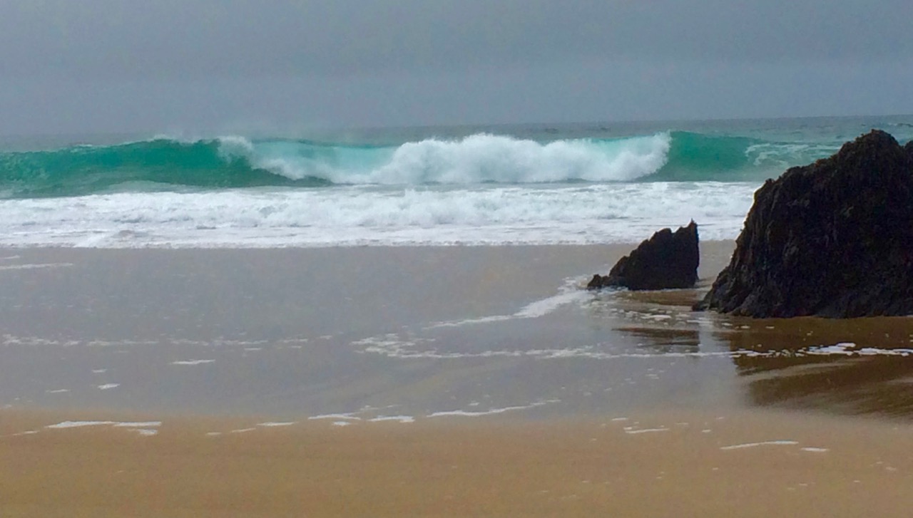
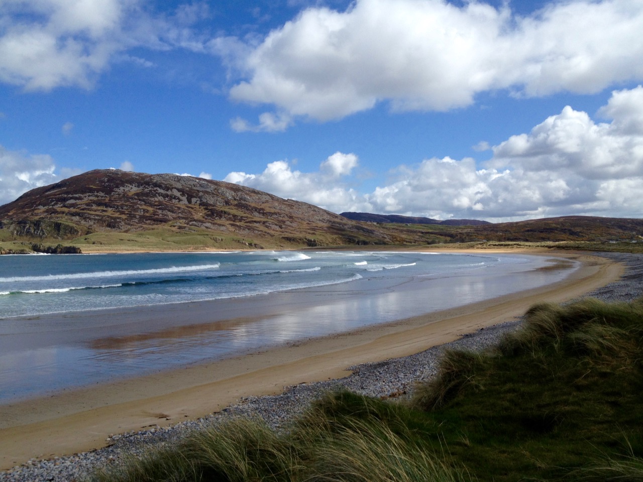
Dingle Beach

When St Brendan of Clonfert set out to discover America in 512 he and his fellow monks had to face the enormity of the Atlantic Ocean in tiny boats built out of wood and oxhides, sealed with animal fat. Up here in Nead an Iolair our view out to the islands of Roaringwater Bay and beyond is dominated by that same ocean and – sometimes – we feel just as small. This year the winter gales have started early, and spates of fierce westerlies have been throwing the Atlantic straight at our windows. The tiles rattle alarmingly while we are tucked up in bed at night. At these times I think of the Saint and what he had to face. But, like Brendan, we always survive the storms, and often wake up in the morning to a calm, clear day – except that you can hear the constant ‘roaring’ of the open sea out over the bay.

celebrating massOn their way to the New World – Saint Brendan and his companions take advantage of a passing Atlantic denizen to celebrate Mass…

The Atlantic has shaped Ireland. The sea is omnipresent: poets have written about it, storytellers have woven tales around it, and composers have tried to capture its spirit in music. Here’s a small section from the impressive ‘Brendan Voyage’ written by Shaun Davey for orchestra and Uillinn pipes – it’s the haunting second movement, played by Liam O’Flynn with the Irish National Youth Orchestra, at a performance in Cork City Hall. It makes me think of the wonderful sunrise on that calm day after the storm…

Brendan Voyage

Long Island Beacon

Brow Head

Mizen Head

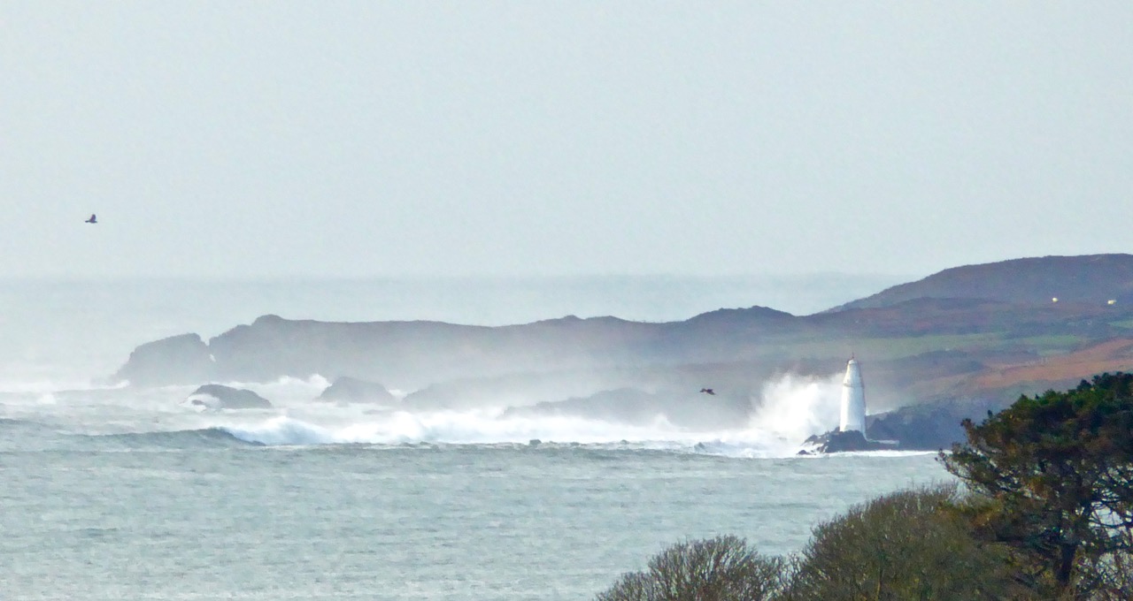
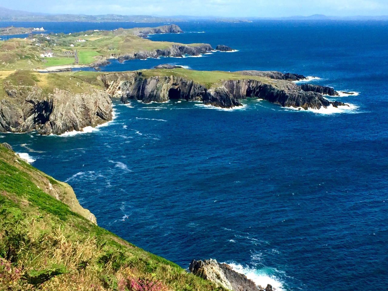
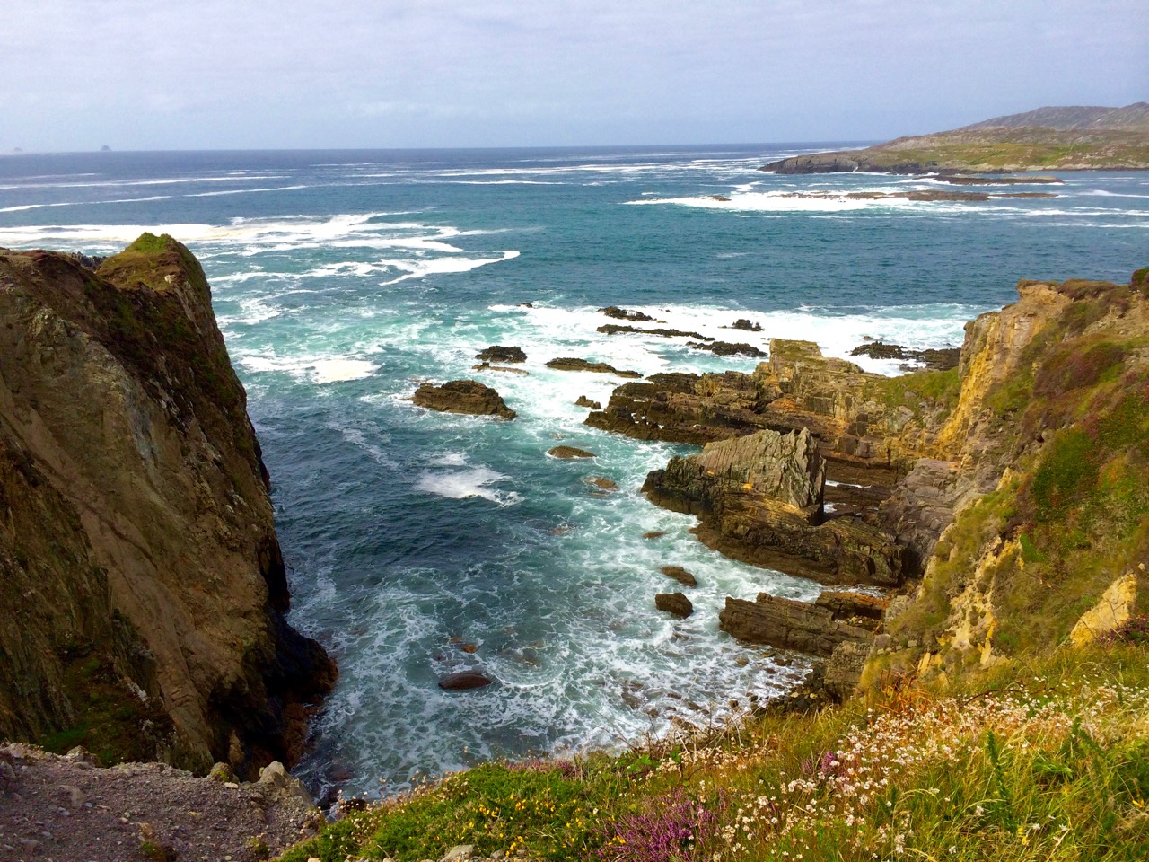
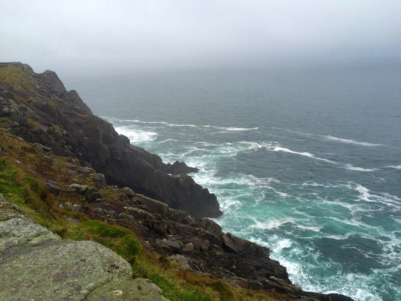
Our own Atlantic: telescopic view of a storm battering Long Island, taken from our garden at Nead an Iolair (top), Brow Head, near Crookhaven (centre), and the impressive land and seascape at Mizen Head – Ireland’s most south-westerly point (lower picture). At the head of this page you can see the huge rollers that come into Dingle Bay, Co Kerry

Dogger, Rockall, Malin, Irish Sea:
Green, swift upsurges, North Atlantic flux
Conjured by that strong gale-warning voice,
Collapse into a sibilant penumbra.
Midnight and closedown. Sirens of the tundra,
Of eel-road, seal-road, keel-road, whale-road, raise
Their wind-compounded keen behind the baize
And drive the trawlers to the lee of Wicklow.
L’Etoile, Le Guillemot, La Belle Hélène
Nursed their bright names this morning in the bay
That toiled like mortar. It was marvellous
And actual, I said out loud, “A haven,”
The word deepening, clearing, like the sky
Elsewhere on Minches, Cromarty, The Faroes.

Glanmore Sonnets VII, taken from Field Work by Seamus Heaney, published by Faber and Faber Ltd

Seamus Heaney was deeply affected by the seascape of his native Ireland. Anyone who works on or beside the sea is aware of the resonant names from the Shipping Forecasts, and the poet has used those names here to introduce his word-picture of the elemental Atlantic.

Near Malin Head 2

On the Beara

Donegal Beach

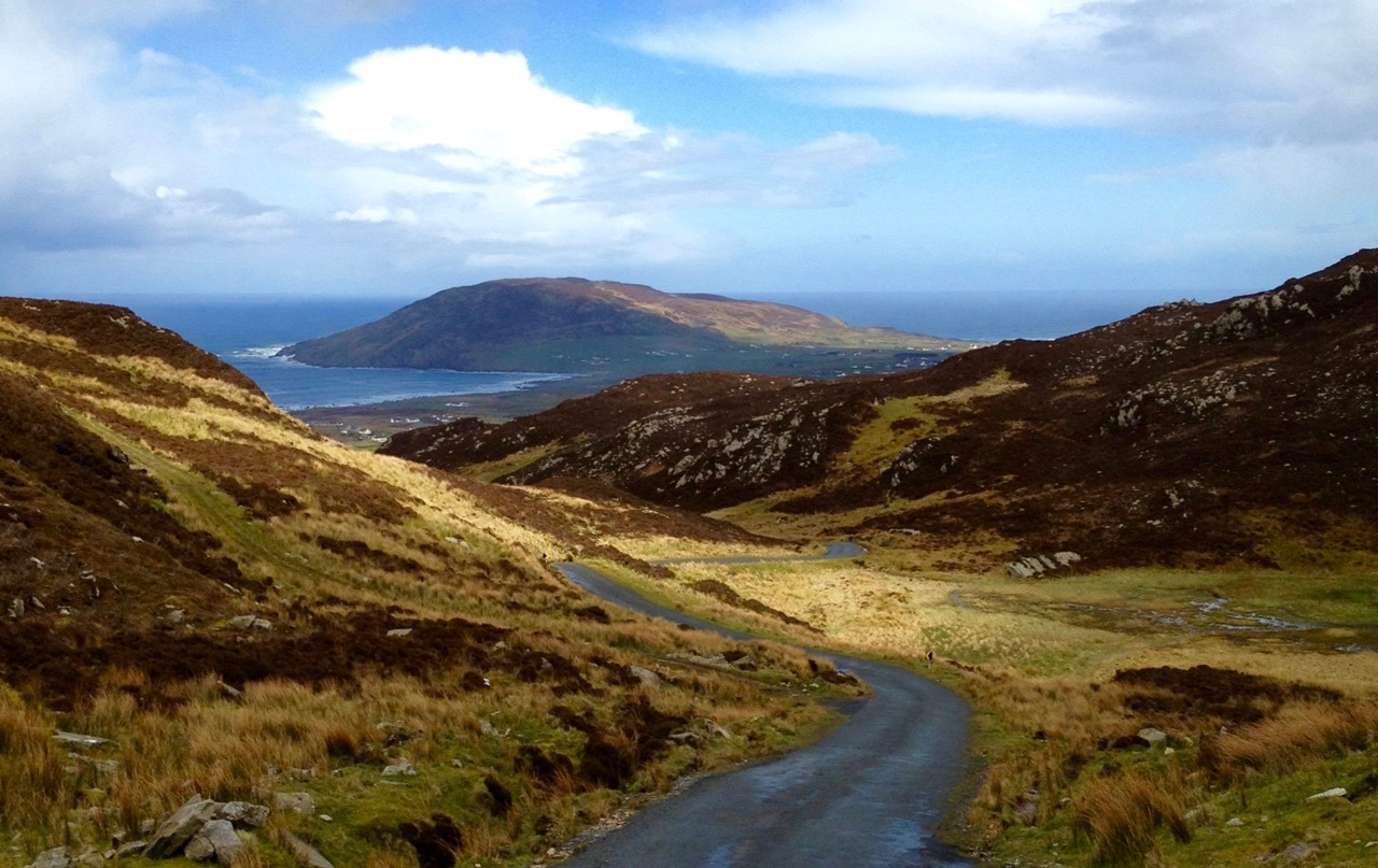
Atlantic contrasts from Mizen to Malin: near Malin Head – Ireland’s most northerly point (top), off the Beara (centre) and a beach in Donegal (lower)

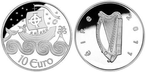
A later traveller over the Atlantic waters was Chistopher Columbus in the 15th century. On the way he looked out for St Brendan’s Isle, a spectral island situated in the North Atlantic somewhere off the coast of Africa. It appeared on numerous maps in Columbus’ time, often referred to as La isla de SamborombónThe first mention of the island was in the ninth-century Latin text Navigatio Sancti Brendani Abatis (Voyage of Saint Brendan the Abbot), from whence it became firmly implanted into Irish mythology. St Brendan took a little party of monks to the island to say Mass: when they returned after a few days to the rest of the flotilla, they were told that they had been away for a year! The phantom island was seen on and off by mariners for years until in 1723 a priest performed the rite of exorcism towards it during one of its apparitions behind low cloud… You can see St Brendan’s Isle for yourselves, above the wonderful giant fish in the second picture down.

Dingle Peninsula

Coast Road

Dingle peninsula (top), and Coast Road in Donegal (lower)

I was pleased to find this Irish Times video made by Peter Cox when he was fundraising for his book Atlantic Light: spectacular photographs of the coastline on Ireland’s Wild Atlantic Way. The excellent aerial views in this film are all taken by a drone… Look out for places you will have seen in our blogs!

atlantic video

We are privileged that the Atlantic Ocean is the abiding but ever-changing feature in our daily lives. It must affect us in unknown ways: I do know that, wherever I go in this world, I will – like Saint Brendan – always be drawn back here to our wonderful safe haven…

St-Brendan-Coin1


The Booley

Bucolic

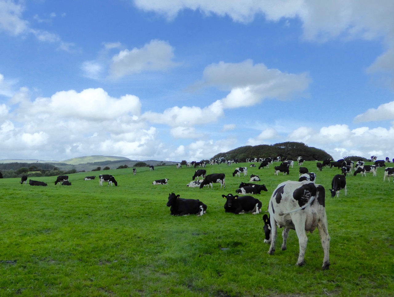
Booleying is an Irish term for transhumance – the agricultural tradition of taking cattle up to the high open lands to graze during the summer months.
booley farm

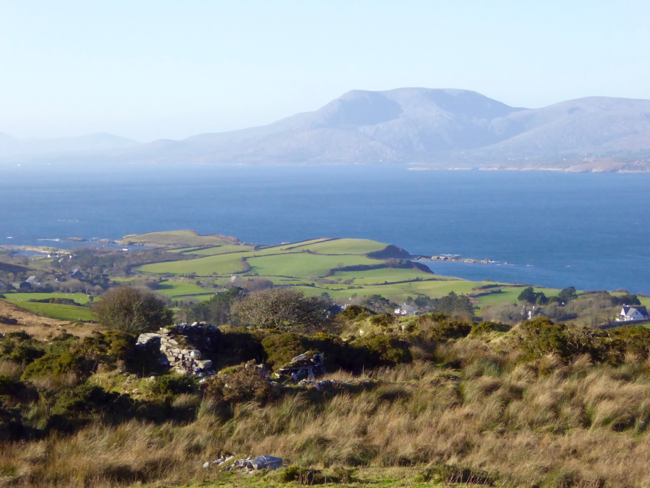
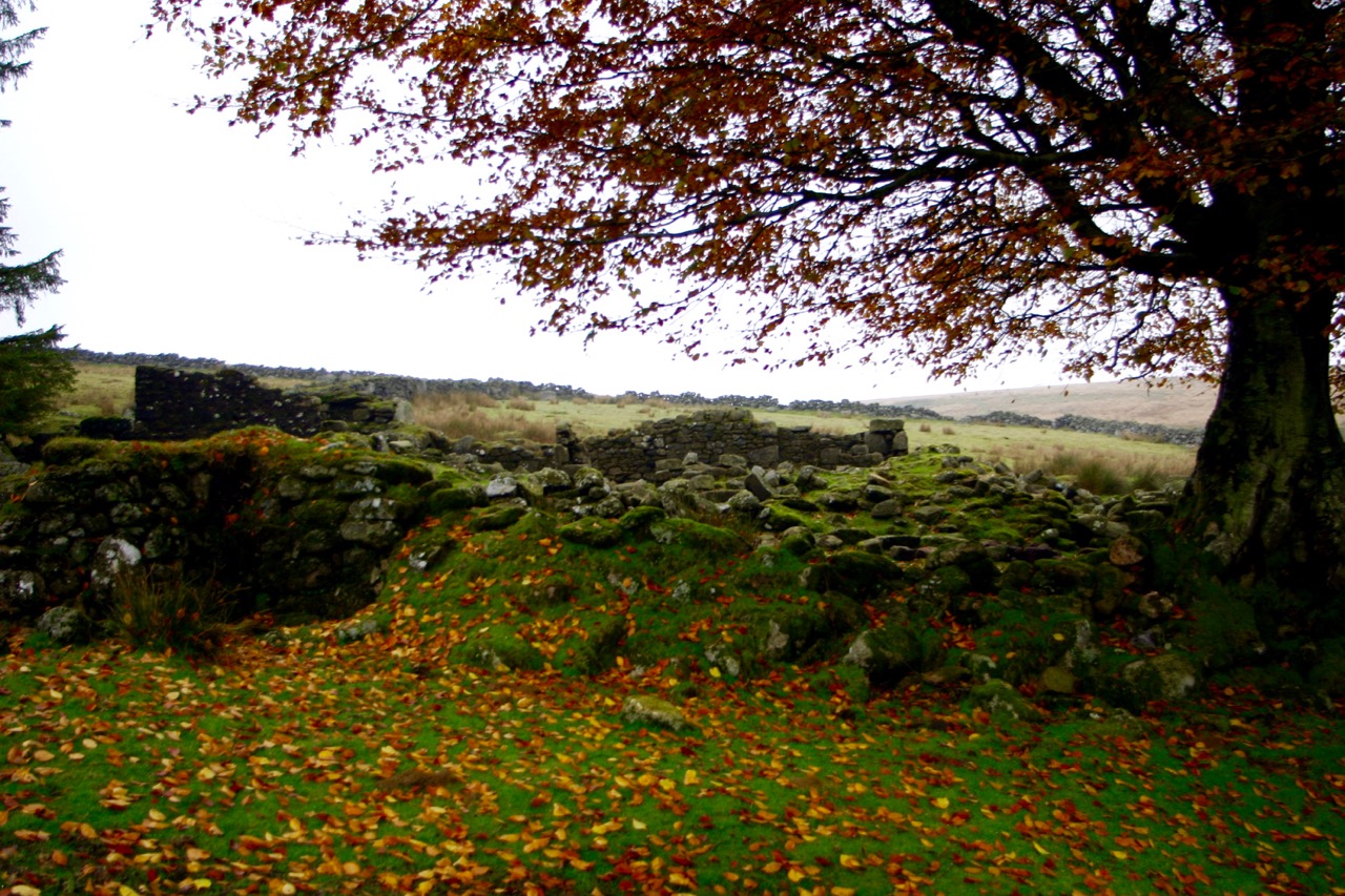
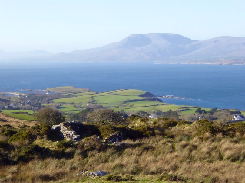
Booleying territory: on the upland moors of the Sheep’s Head the ruins of a simple cottage in a lonely glen tell of bygone farming practices

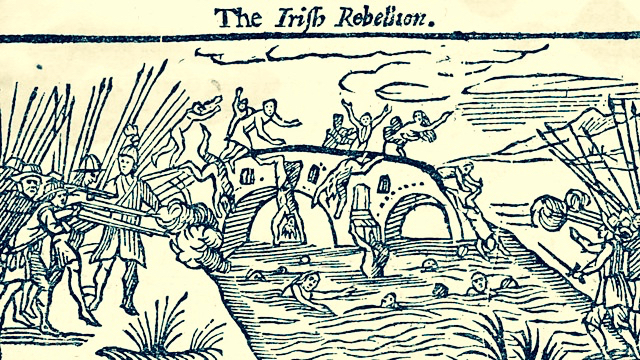
The English poet Edmund Spenser went to Ireland in 1580 and was given lands in County Cork that had been confiscated in the Munster Plantation. (His fellow colonialist Sir Walter Raleigh was also granted large areas of land, which he sold to Sir Richard Boyle who later became Earl of Cork and one of the richest men in the British Isles). In 1596 Spenser wrote a pamphlet – A View of the Present State of Ireland – based on his experiences. This piece is highly regarded as a historical source on 16th century Ireland although it refers somewhat inaccurately to booleying: …the Irish country people keep their cattle and live themselves the most part of the year in bollies, pasturing upon the mountains and wild waste plains, and removing to fresh lands as they had depastured the former… 
irish rebellion

16th century Ireland: the Munster Plantation

Our trusted commentator Kevin Danaher devotes a chapter in Irish Customs and Beliefs (Mercier Press 1964) to ‘The Summer Pastures’: …If you could take away the cattle from the fields around the house all during the summer and autumn, you could have more hay and a bit of winter pasture. Therefore you could keep more cattle and were a richer man. But where could you put the cattle in summer and autumn?
peak

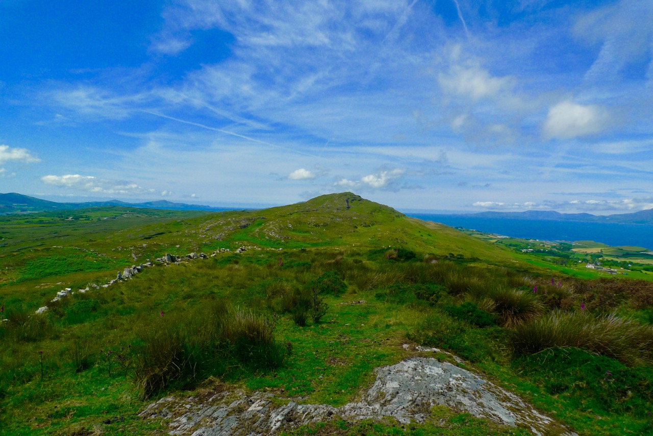
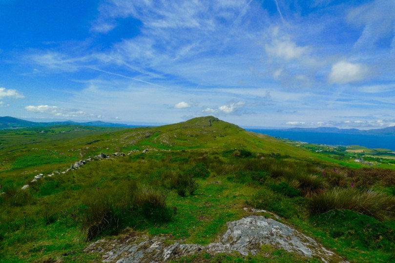
Old walls on the Coomkeen ridge tell of early land divisions

(Danaher) …In Ireland there are big areas of the countryside which have some value during the better part of the year but none at all during the winter and spring. These are, of course, the mountains and moor lands. In the cold season they are barren and desolate, but when the milder part of the year comes they provide grazing which may be sparse but is very sweet. Our farming ancestors knew this and a system was worked out which gave the milch-cows the benefit of them. They were away in the mountains or the moors, far from the homestead over bad roads or no roads at all, so that the cattle could not be driven home for milking. Some of the family went and lived with the cows on the mountain. Some sort of dwelling was built there for them, they milked the cows morning and evening and made the butter which could be stored until the men from the home farm came for it once a week…

Varieties of simple shelters – ancient beehive style (left from George Walsh’s window in St Kentigern’s Church, Eyeries, on the Beara Peninsula and – top right – from Dingle, County Kerry – both were used by contemplative hermits but some booley huts were built in similar style) and, bottom right, an example of an Irish cabin

Of the booley houses – or huts – Danaher writes: Most of them were just rough copies of the kind of houses ordinarily used as dwellings, smaller and simpler but made of the same materials and by the same methods. Usually they had only one room, with a simple fireplace, often without any chimney, only a hole in the roof over the hearth… In fine weather their occupants could live out of doors all through the long period of daylight, coming in only to sleep or to cook food and eat it, and the buaile houses were used as sleeping-places only…
booley hut

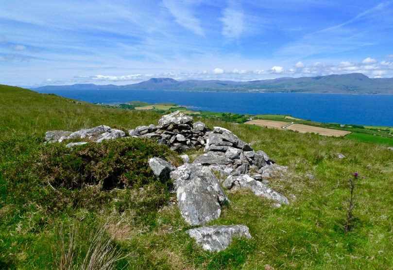
This structure on the Sheep’s Head is recorded on the National Monuments Record as a Booley Hut

Farming practices have changed in the modern day and I am not aware that any booleying still happens – but the custom lives on in memory and in place names. The Irish word Buaile (pronounced bool-yeh), is translated as a feeding or milking place for cows – so it refers to the dairy as well as the summer pastures. There is a townland near us called Corravolley: that’s the anglicised name. Two roads lead there, and on each road is a signpost:

Do you notice the subtle difference in the Irish rendering of the name on these signs? One reads ‘An Chorrbhaile’ and the other ‘An Chorrbhuaile’. One letter is different in the second sign, but it makes all the difference in the way you might translate its meaning. An Chorrbhaile combines corr – round hill, pointed hill, hollow, pointed, conspicuous with baile – townland, town, homestead, but the alternative suffix buaile means cattle-fold, or summer-pasture. As Corravoley is way up in the hills it is very likely that it was the place of the booleying.
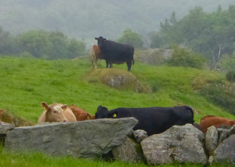
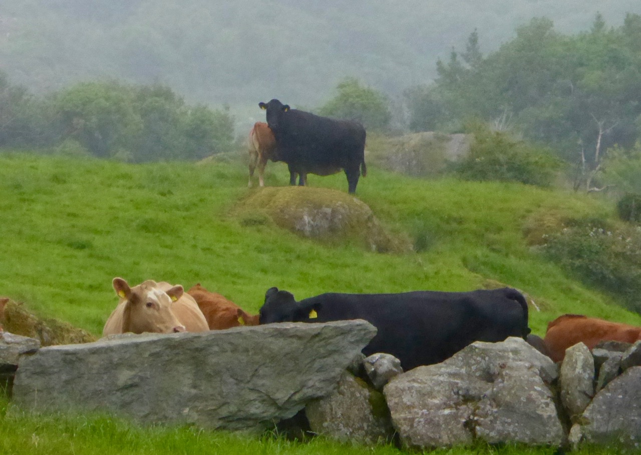
cattle in the wild

Other examples of Irish names which may have derived from the booley include Coill na Buailidh, Kilinaboley, Kilenabooley, Both Théith, Boheagh, Knocknaboley, Buaile h’Anraoi, and Cnoc an tSamhraidh (which actually translates as Summerhill – a place name associated with transhumance in Britain).
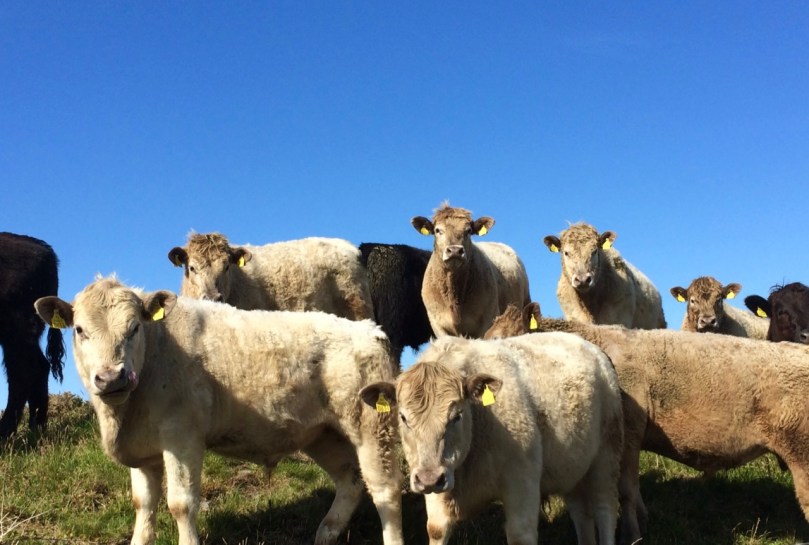
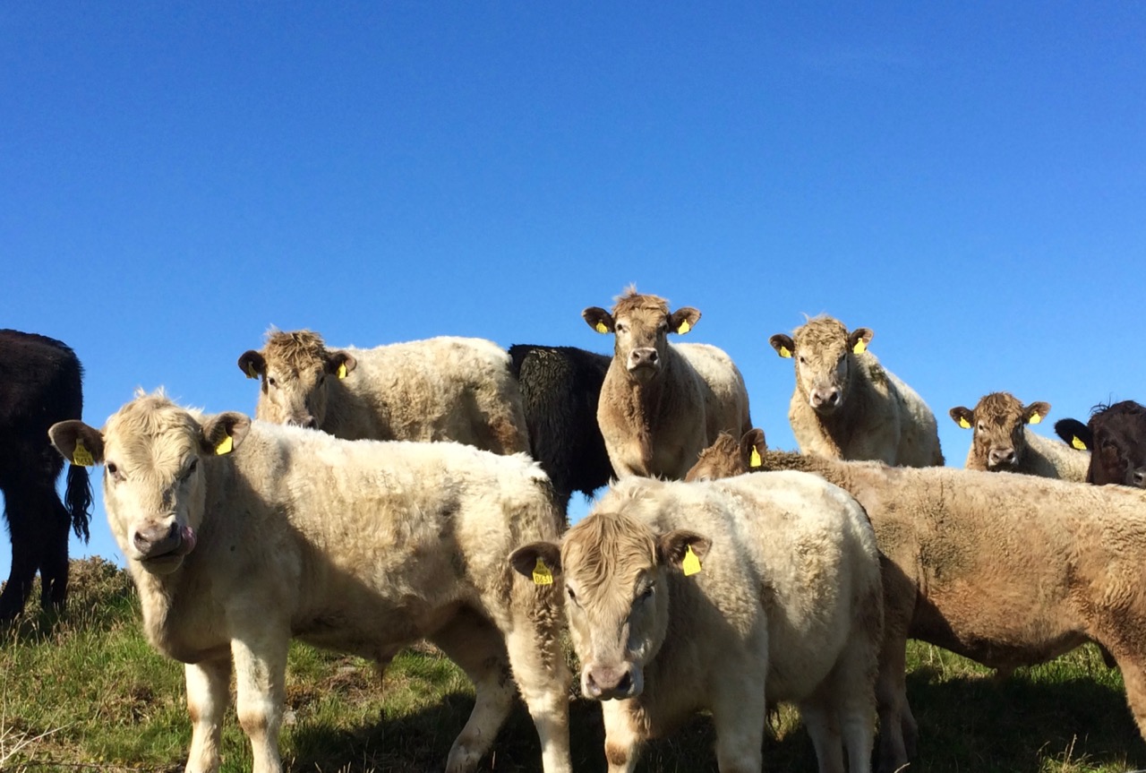
bullocks

In Scandinavia, transhumance is still practiced: there the common mountain or forest pasture used for transhumance in summer is called seter or bod / bua. The same term refers to a mountain cabin, which is used as a summer residence. In summer (usually late June), livestock is moved to a mountain farm, often quite distant from a home farm, in order to preserve meadows in valleys for producing hay. Livestock is typically tended for summer by girls and younger women, who also milk and make cheese. As autumn approaches and grazing becomes in short supply, livestock is returned to the home farm. Note the Norse word būð which sounds like ‘both’ as in ‘bothy’, and the use of that word in Scotland to mean a basic shelter on the high moors, unlocked and available for anyone to use free of charge.
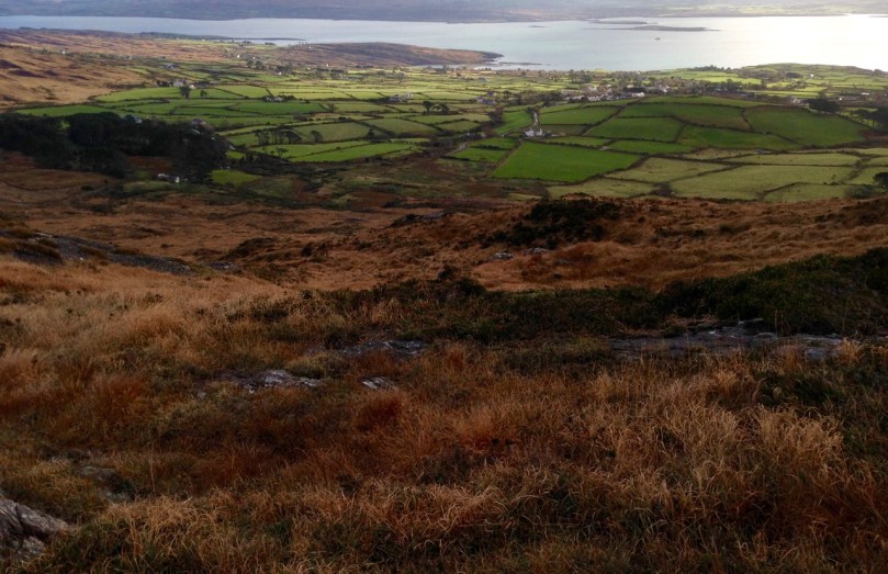
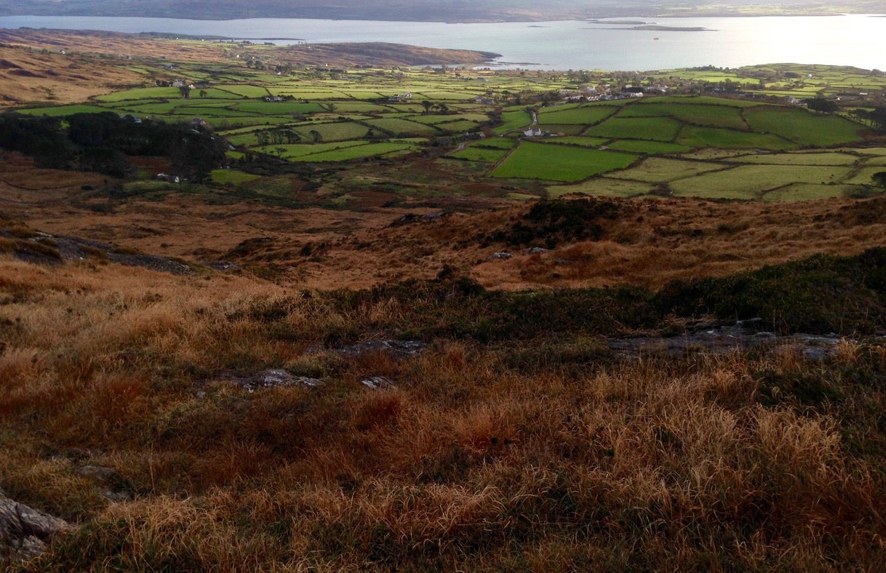
from the uplands

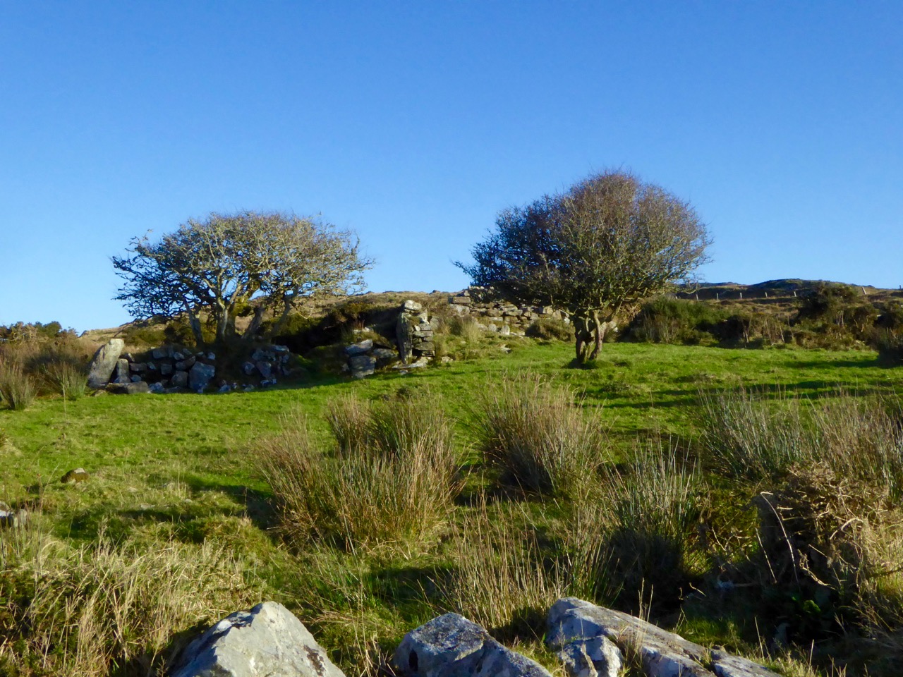
There is physical evidence of the booleying in Ireland. On the Coomkeen route of the Sheep’s Head Way we found a little glen high up on the mountain, a setting for a ruined small stone house which could well have been used by those herding the cattle on the summer pasturage in bygone days. It’s a beautiful sheltered site, guarded by two ancient thorn trees, and we could easily imagine – through our romantic 21st century vision – the hard but simple lifestyle invoked there.
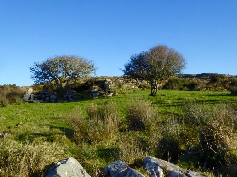
booley thorns

Guardians of the Booley – two ancient thorn trees stand by the abandoned cottage

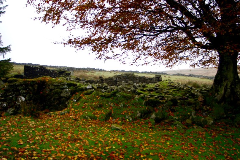
I feel particularly close connections to that way of life as my Dartmoor ancestors were transhumers. They kept a remote farm out on the moor uplands, well away from the nearest centre of civilisation. The enclosure had been established towards the end of the 18th century and involved the building of miles of stone boundary walls (which caused dissent among the commoners) and my forebears who lived there for a few generations were paid to run cattle from other farms on the pastures during the summer months. By the early 1900s the farm had been abandoned and nature has gradually taken over and created an attractive antiquity which I loved to wander over and recreate in my mind’s eye the scenes of family life: my maternal great-grandmother was one of fourteen children born on the farm in one generation.
teignhead today

Family home: Teignhead Farm on Dartmoor – used as a summer run for cattle, although it was  a permanent residence way off the beaten track for the large family of my forebears – an early 19th century print (top left), a photograph dated 1889 (top right) and the ruins of the house today (below)

Novelist Philip Robinson writes:

…The ghostly footprints of ancient sod walls still mark the sites where families once moved with their cattle up to uplands in county Antrim during the summer months (from May to October). They built temporary ‘booley’ huts to live in, usually beside a water burn or spring… The families that took their cattle to booley places on the Commons like Ardboley (High Booley), Carnbilly (Booley Cairn) or Milky Knowes had their home farms down on lower ground in clusters or villages called ‘clachans’. The arable land around each clachan was shared out between the group in a jigsaw of tiny plots and strips each year, and when the cattle returned before the 1st November, the field markers were torn down and the land around the clachans returned to common winter grazing. The homecoming to the clachan at harvest time was another great time of celebration and seasonal customs, closely tied up with Halloween bonfires and gatherings on 31st October.
on the move

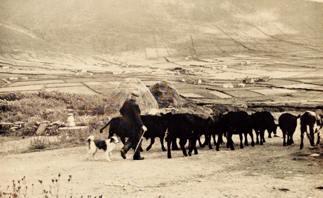
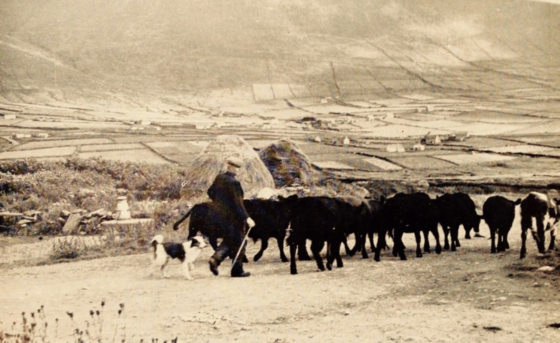
On the move – Kerry cattle (believed to be Ireland’s most ancient breed) from the collection of photographer Tomás Ó Muircheartaigh, who documented life in rural Ireland between the 1930s and the 1950s

We know that Booleying was an ancient practice as it is mentioned in the Brehon Laws – which takes it back at least to the time of St Patrick. Later, under the 14th century Statute of Kilkenny the Irish ...were forbidden to booley or pasture on those of the march lands belonging to the English; if they did so the English owner of the lands might impound the cattle as a distress for damage; but in doing so he was to keep the cattle together, so that they might be delivered up whole and uninjured to the Irish owner if he came to pay the damages… The historian, John O’Donovan (1806-1861) noted (in his Ordnance Survey Letters of 1838) that the people owned houses in two townlands, one of which was a booley. …It is a great habit among the people of the island to have two townlands and houses built on each where they remove occasionally with their cattle. The townlands are held under one lease and one of these farms is called a Bouley…
booley house

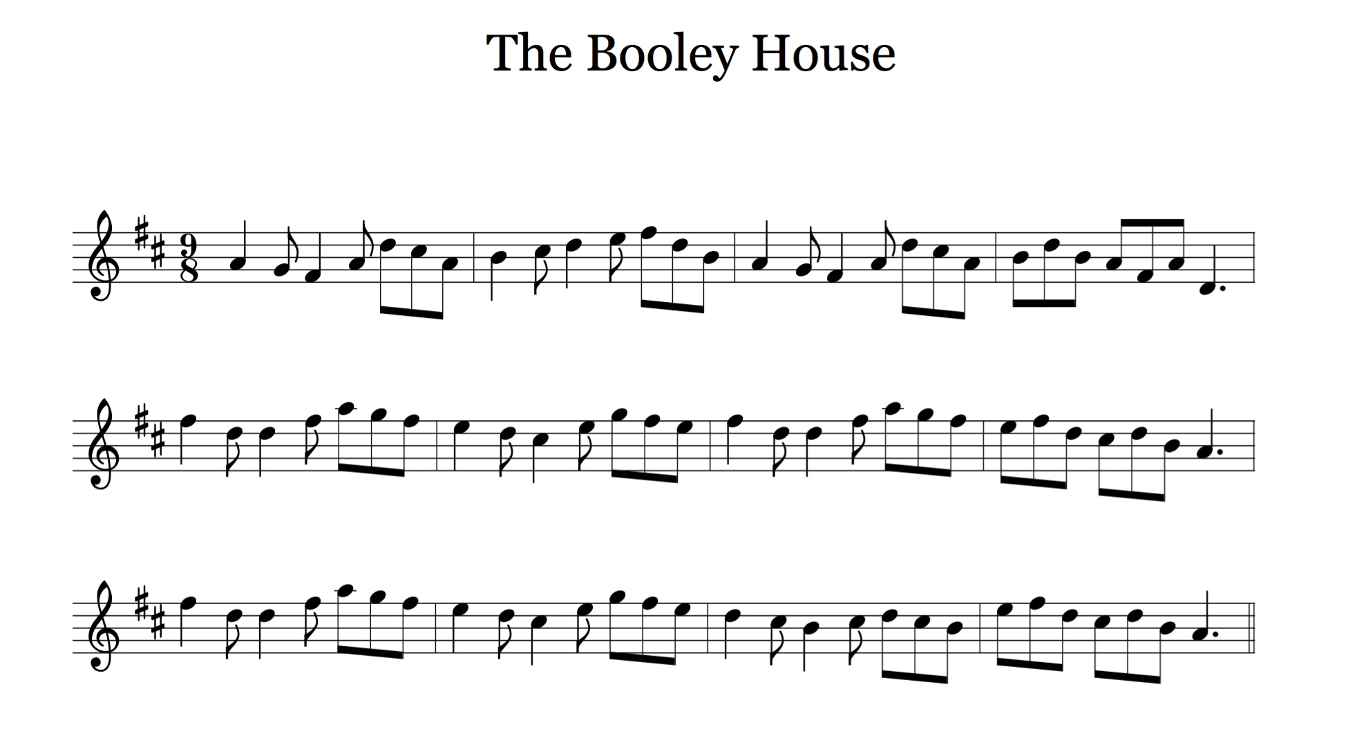
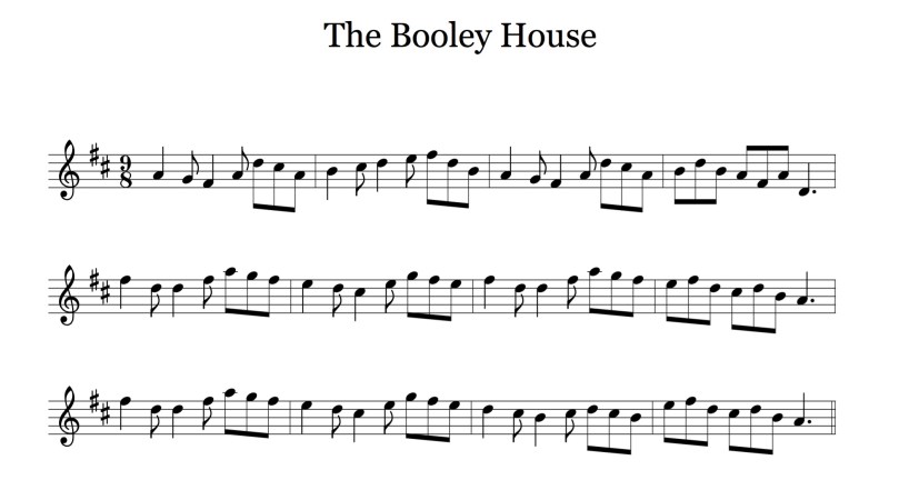
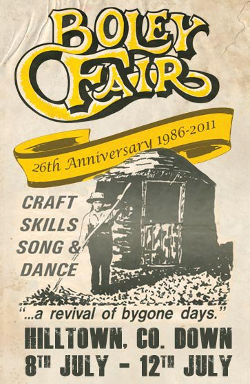
In Ireland The Booley is relegated to the tune books but there are those alive today who remember the tradition in their own families. Danaher relates: …old people tell of the buaile as a very happy place, full of song and laughter. On Sunday evenings the girls from several buailes would come together and the young men came up from the farms to be with them, and there was music and dancing and gaiety on hillsides that now hear only the bleat of the sheep and the cry of the grouse and the curlew…
boley fair poster


Launched!

A joint post by Finola and Robert

Mingling

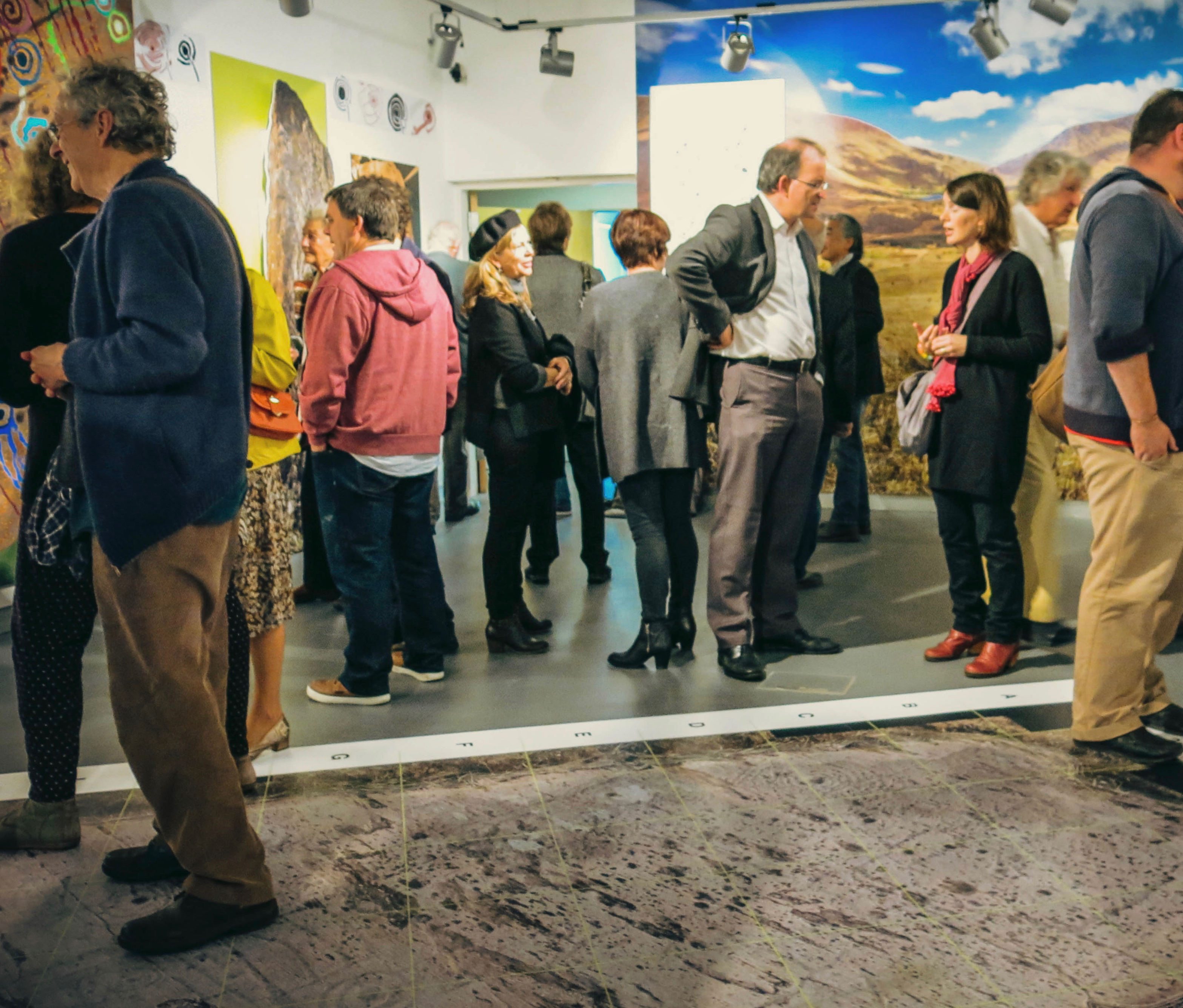
Hallowe’en (All Hallows – Samhain) was the perfect day to launch our Prehistoric Rock Art Exhibition at the Cork Public Museum. As Finola said in her remarks at the opening, it’s a time when the veil between two worlds is at its thinnest: in this case, it’s the veil between an ancient time and the present day. We hope the exhibition emphasises the work of our distant ancestors who have inscribed the landscape and given us the enigma that is Rock Art.

Blank Canvass

Almost there
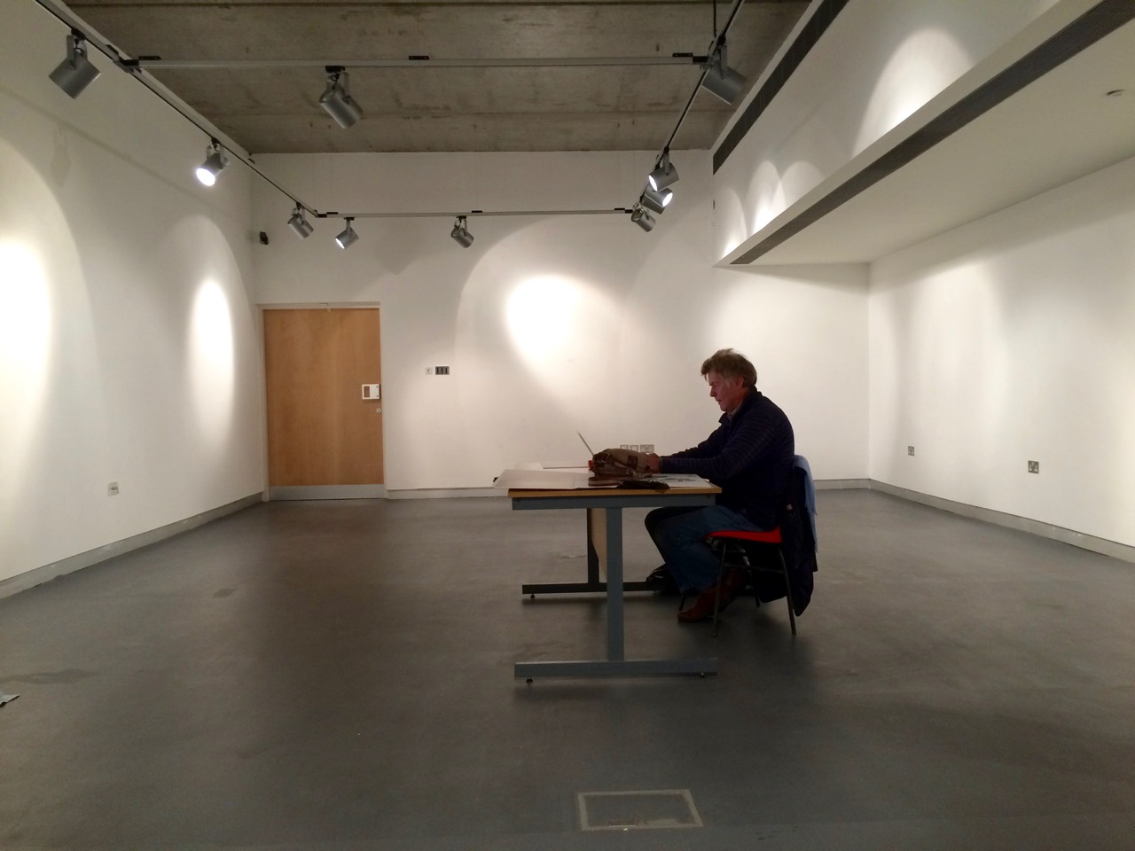
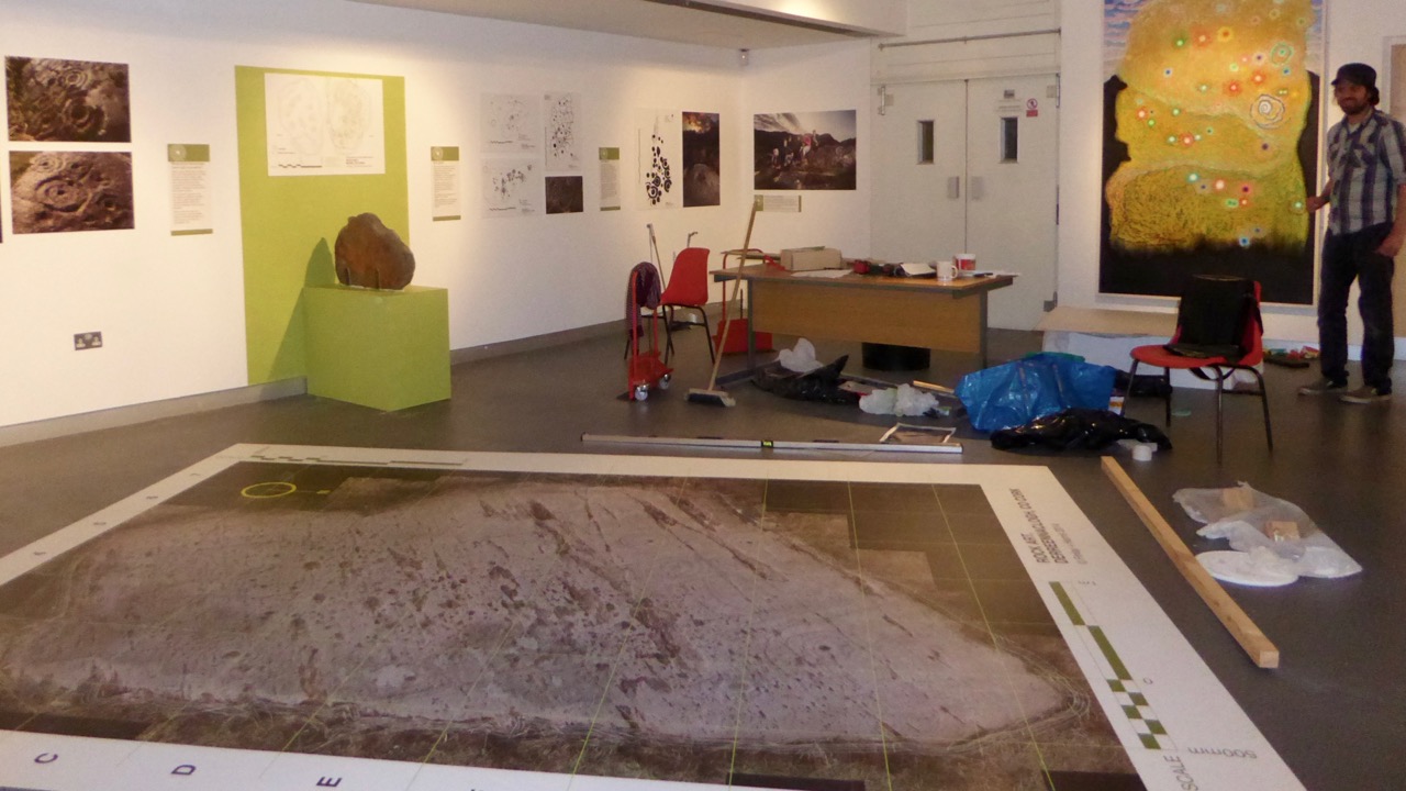
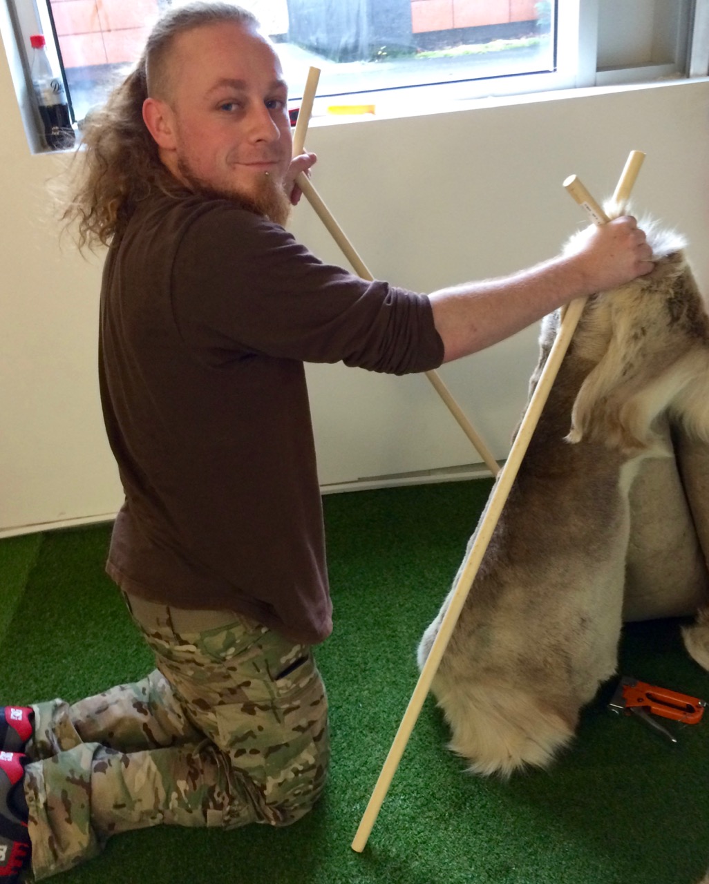
Before the Exhibition – Robert contemplates the blank canvas (top) and installation work in progress (below)

As our regular readers will know, the exhibition has been a very successful collaborative effort: Finola and Robert (providing drawings, explanations and the overall design); Keith Payne, a West Cork painter whose work is inspired by ancient art; Ken Williams, the excellent photographer of megaliths and monuments; the staff of Cork Public Museum, including intern Clare Busher O’Sullivan who came up with the idea and Dan Breen, Assistant Curator and his team, who made sure it all happened.

The Team

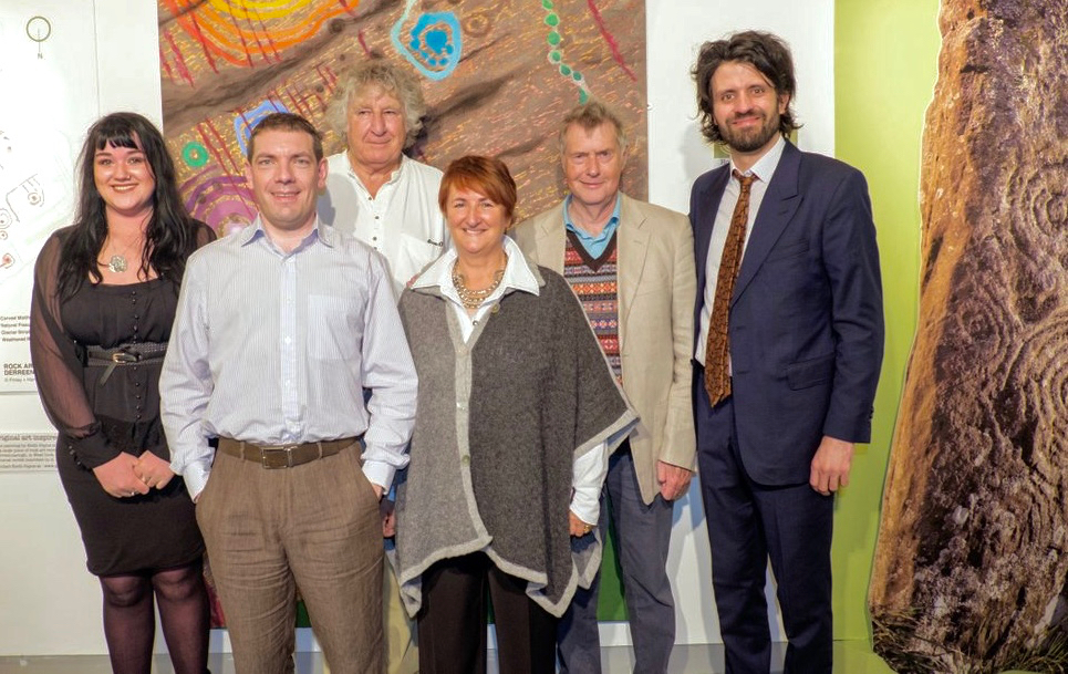
The Core Team: Clare Busher O’Sullivan, Ken Williams, Keith Payne, Finola Finlay, Robert Harris and Dan Breen

After some intensive days, on site and off, it has all come together and was launched yesterday. It was a grand launch: Firstly, William O’Brien – Professor of Archaeology at UCC – outlined a history of rock art studies and research which started back in the nineteenth century. He mentioned a predecessor in the department – Professor Michael J O’Kelly – who was born exactly 100 years ago and is best known for his excavations and restoration work at Newgrange, the Boyne Valley passage tomb: Finola worked on those excavations and it was Professor O’Kelly who suggested that she should carry out the research on rock art in Cork and Kerry which led to her Master’s thesis on the subject in 1973 – and, 42 years later, to the undertaking of this exhibition.

Professor Michael J O’Kelly (left) was renowned for his work at Newgrange (right)

Next up was Finola, who told us more about her expeditions back in the early 1970s. In those days when the boreens of rural Ireland were mostly populated by donkey carts her own travel was by means of her brother’s Honda 50 motorcycle, and we pictured her loaded down with compass, tapes, chains, chalk and tracing paper – a recording methodology now completely out of favour. But the result was a set of beautiful monochrome illustrations that form the core of the exhibition.

Coomasaharn

Rock Art: a detail of the picking technique (top left), and Finola’s drawings from 1973

In our modern days non-invasive recording methods have to be used: Ken Williams has developed a very effective method of photography using slave flash units to provide low angle lighting over the carved rocks, which brings the maximum level of detail out of the panels. The exhibition contains many fine examples of Ken’s work in this field.

Ken Williams in action: at the Bohonagh stone circle (left) and in the Derrynablaha townland, Kerry (right)

Finola also talked about Keith Payne’s work. He produces large and visually striking paintings based on particular rock art motifs. Two of these artworks are in the exhibition and will inevitably draw the eye, providing a good and colourful counterpart to Finola’s drawings.

Keith Payne at the hanging (left) and at the launch, in front of the remarkable Derreennaclogh stone (right)

The official launch was in the capable hands of Ann Lynch, now Chief Archaeologist at the Irish National Monuments Office. Ann and Finola were fellow students at UCC. Ann outlined the work of her department in recording Ireland’s monuments – and the difficulties involved in pursuing the preservation and protection of these monuments, including Rock Art – before formally declaring the exhibition open.

Ann declares it open

Ann Lynch, Chief Archaeologist at the National Monuments Office, declares the Exhibition open

Noteworthy exhibits include one piece of Rock Art – the Bluid Stone from County Cork – which is in the safe keeping of the Museum, and will remain on permanent display after the exhibition closes at the end of February next year. The Museum also houses an example of passage grave art from Cape Clear island (prominent in our own view from Nead an Iolair).

Tired

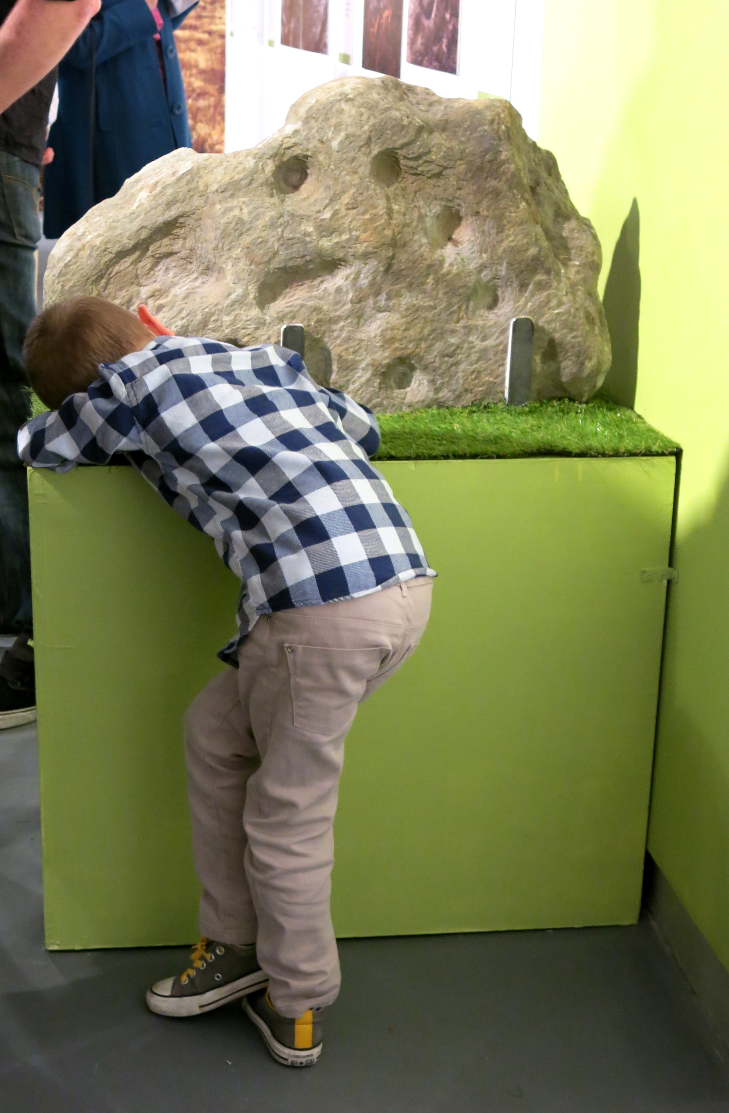
Fine Detail: the Bluid Stone under close inspection

Other exhibits include Ken’s superb photo of the iconic stone at Derrynablaha, Co Kerry, in its panoramic setting of a Neolithic landscape. This occupies the whole of the end wall – and is simply beautiful.

Gazing

Visitors are surprised to see much of the floorspace taken up with a 70% life-sized image of the stone at Derreennaclogh: some hesitate to walk over it, but the printing is on hard-wearing vinyl, so feel free. The idea is to give you the feel of what it’s like to discover and explore the Rock Art out in the field. We have to mention how impressed we have been with the printing work carried out by Hacketts of Cork in the preparation of the exhibition – in particular, we were fascinated to watch the professionalism of their installation of the large items.

Yes – that floor can be walked on!

The timescale is set admirably by Alex Lee’s ‘Neolithic Settlement’ on the approach to the exhibition room. It’s well worth studying closely all the artefacts set out in this, and imagining what life must have been like for our artist ancestors in Ireland four or five thousand years ago.

Alex

Alex Lee at work on the Neolithic Settlement

We were delighted by how many of our friends from West Cork and beyond attended the opening, and gave us positive feedback. If you go during the next four months, please sign the visitors’ book. We are so grateful to our friends Amanda and Peter Clarke for being so supportive throughout – and for taking most of these photographs of the event: very many thanks.

Earnest discussions (left) and one of Ken’s superb photographs (right)

Our own day was rounded off by a visit to the Shandon Dragon festival, which processed through the centre of Cork in the evening – another unmissable event which reminds us of ancient times and long-held beliefs…

Shandon Dragon

Hallowe’en: The Shandon Dragon Procession makes its way through Cork City

Up the Airy Mountain…

Shadow and light

…down the rushy glen – we daren’t go a-hunting for fear of little men! We were hunting mountains last week when we travelled up the west coast of Ireland with a visiting friend – finding some of the best scenery this country has to offer.

Connemara 2

If you look down on the island from above (as in this view from NASA, below) the lie of the land is very clear: the high points are all around the perimeters, yellow and brown in colour, with lower green plains in the centre.

nasa imageIf you lived in a country like Canada, then Ireland’s mountains should seem like mere gentle slopes. Our highest peak is not too far from us, up in Kerry, Carrauntoohil (Irish: Corrán Tuathail – this could mean Tuathal’s sickle or fang, Tuathal having been a common Irish name in medieval times) and this is only 1038 metres to the summit. However, the overriding characteristic of Irish mountains is that they often sweep steeply down to the sea or to a lough and are therefore visually spectacular in their settings.

We live in the far south-west: our mountains form the backbone of each of the peninsulas: The Mizen, Sheep’s Head, Beara, Iveragh and Dingle, largely Old Red Sandstone with some Carboniferous Limestone north of Killarney. Our travels took us up to Clare – very distinctive exposed limestone ‘pavements’ and mountain tops – and then to the complexities of granite, schists and gneisses found in the district of Connemara.

Connemara 3

Connemara fence

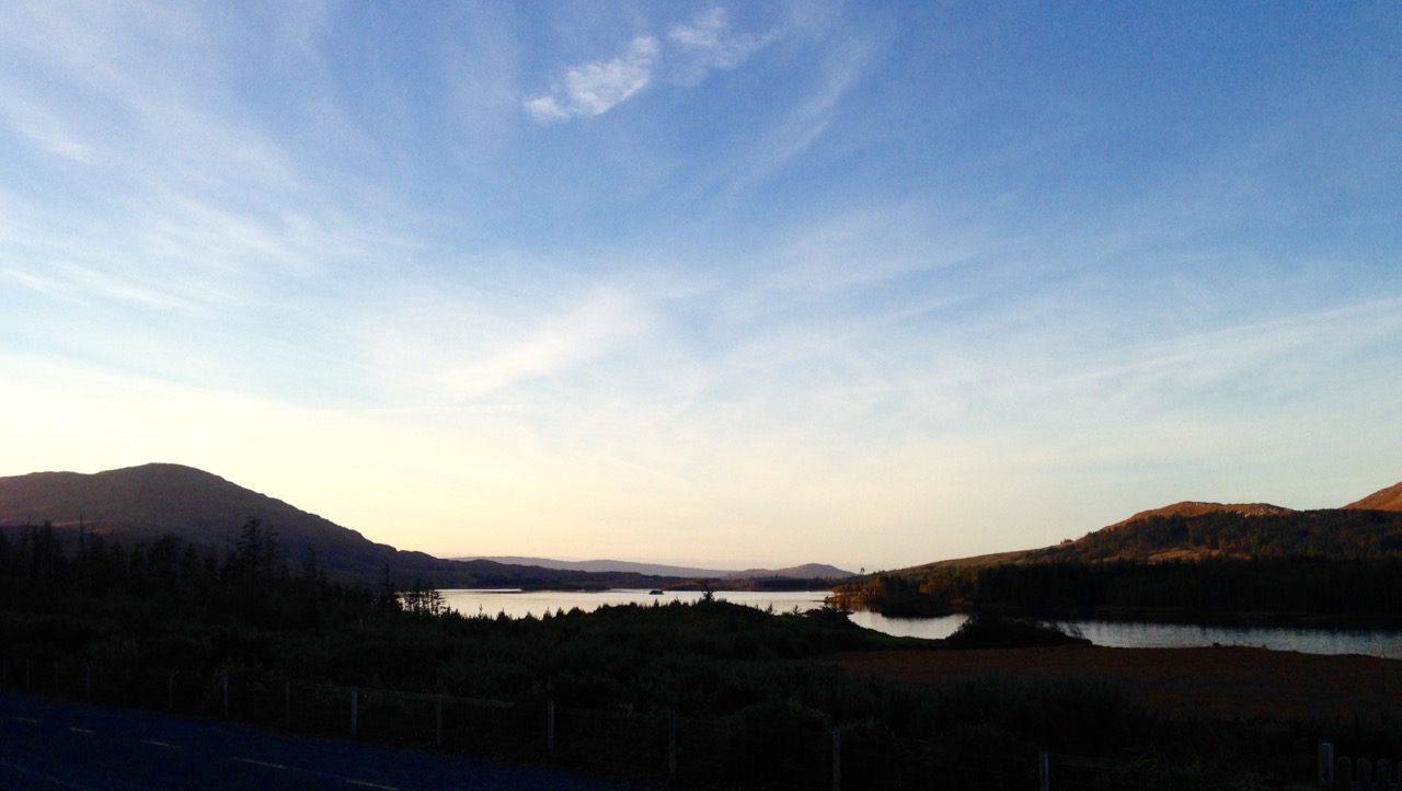
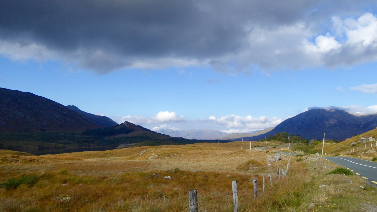
The four pictures above show the elements of the landscape in Connemara, Co Galway: quiet boreens, reflective water and dramatic mountains

The Irish landscape -and, particularly, her mountains – has long been the inspiration for artists and poets. The work of Paul Henry (1877 – 1958) is sparse and flat, yet expertly captures the character of the high lands of the west. It has been used over and over again in tourist advertising campaigns.

Paul Henry’s work was part of popular culture during his lifetime (above): now his art is very collectible and can be found in international galleries (below)

Killary Harbour

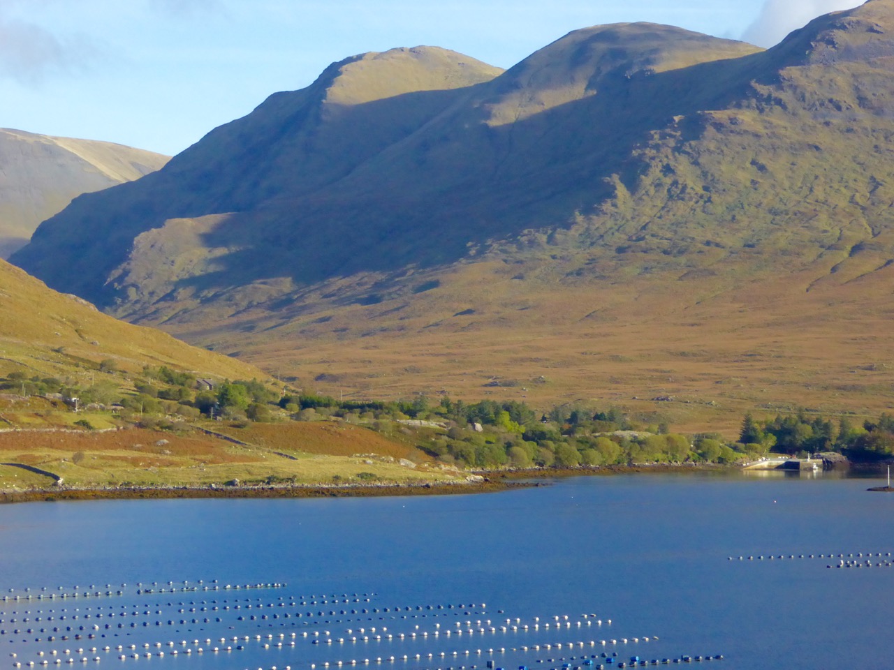
Killary Harbour, Connemara (above) and in Paul Henry’s landscape (above left) is said to be Ireland’s only true fjord (a flooded valley cut by glacial erosion which outlets to the sea): in the foreground are mussel ropes

irish mountain postcard

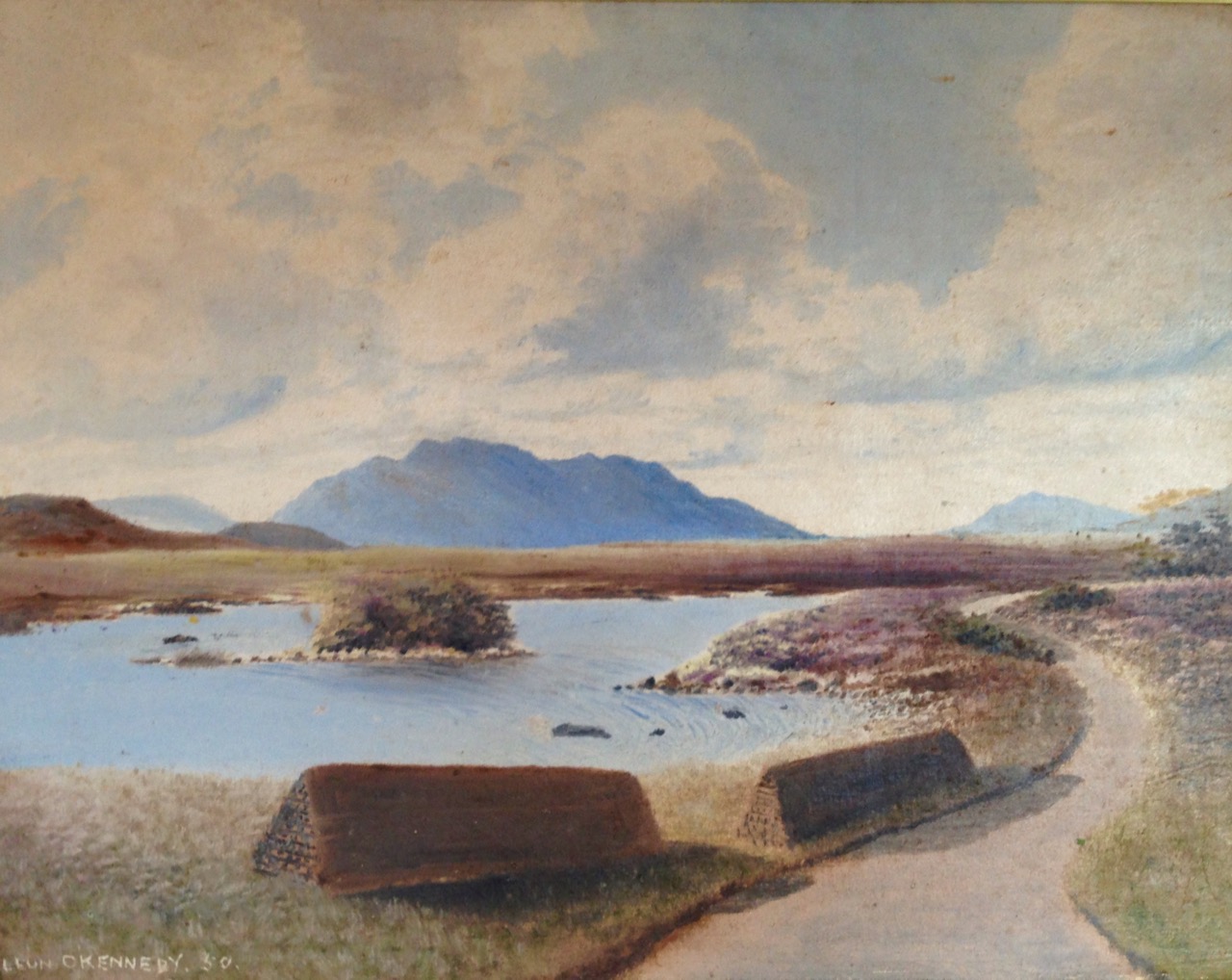
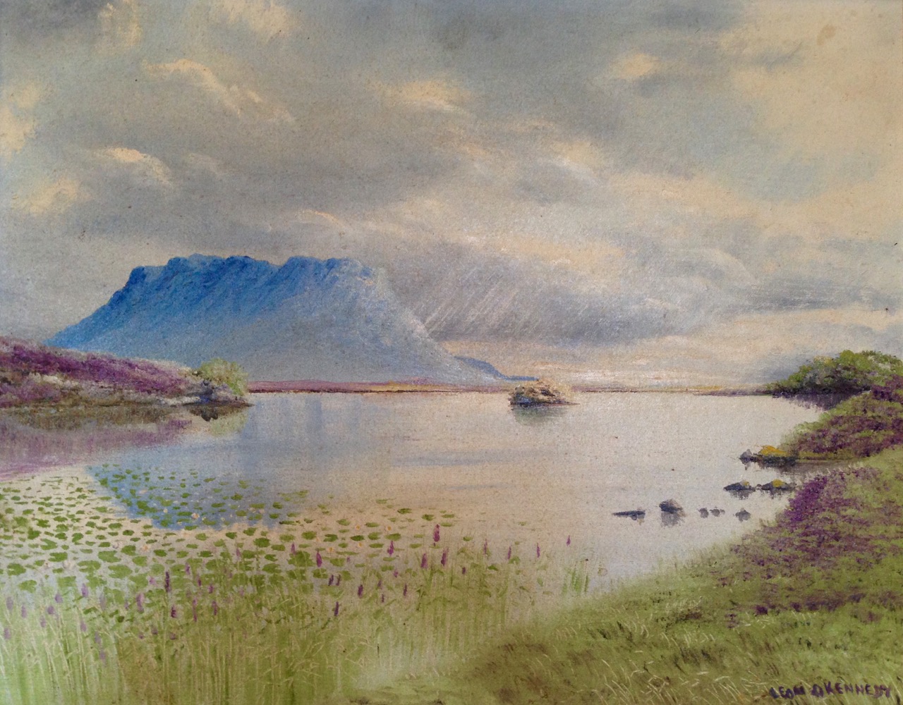
We stayed in the Lough Inagh Lodge – a comfortable hotel with great character and superb views to the mountains. There I was pleased to discover two original oil paintings by Leon O’Kennedy (1900 – 1979), a little known artist  who travelled mainly in the west of Ireland and, evidently, sold his work by knocking on doors. The hotel’s paintings might have arrived in this way as they depict local views: the prism shaped peat stacks are still very much in evidence in Connemara.

O Kennedy 1

O Kennedy 2

Connemara (which derives from Conmhaicne Mara meaning: descendants of Con Mhac, of the sea) is partly in County Galway and partly in County Mayo, in the province of Connacht. We were there only two days and barely did it justice. We intend to return and get to know it more intimately. In terms of our tour of Ireland’s mountainous districts it was the icing on the cake, but that in no way lessens the particular beauty of the other places we encountered – the strangely haunting limestone heights of Clare and the perennial grandeur of Killarney: all are experiences not to be missed.

rainbow over burren

Killarney

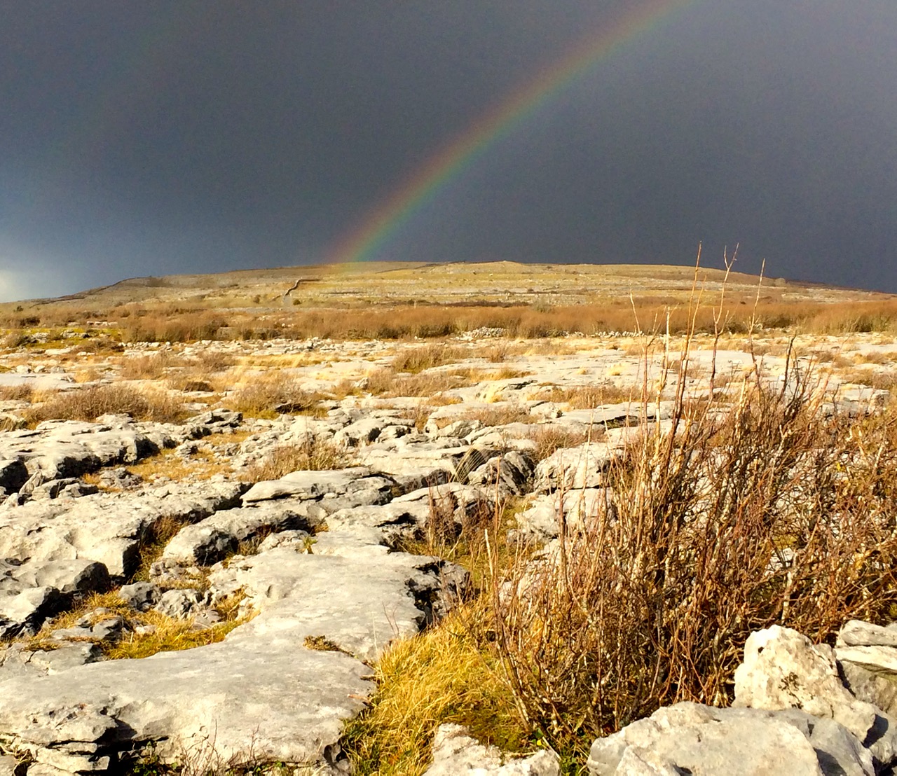
Limestone landscape in the Burren, Clare (top) and the lakes of Killarney, Kerry (above)

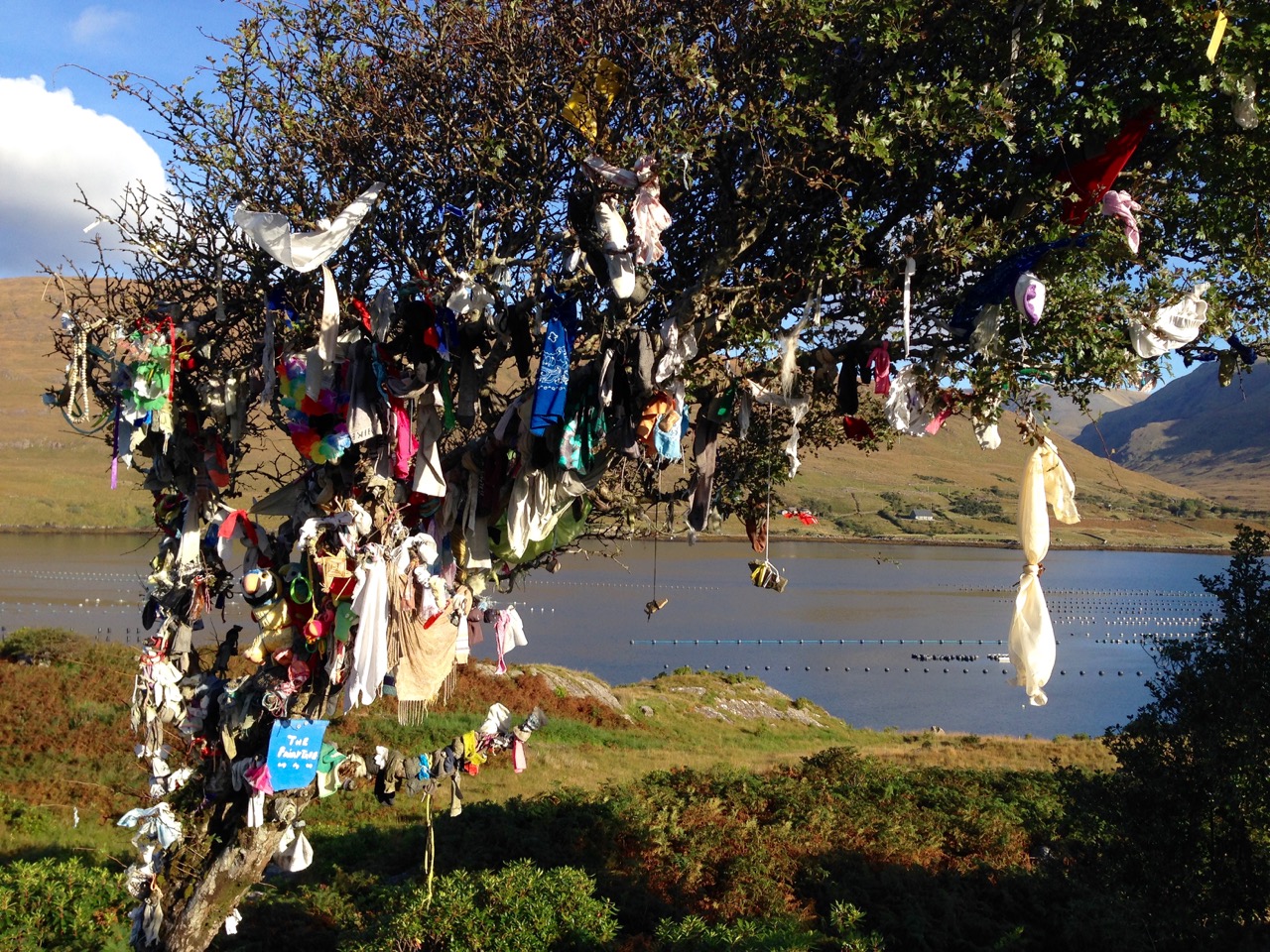
Fairy Tree

…By the craggy hillside,

Through the mosses bare,

They have planted thorn-trees,

For pleasure here and there.

Is any man so daring

As dig them up in spite,

He shall find their sharpest thorns

In his bed at night.

Up the airy mountain,

Down the rushy glen,

We daren’t go a-hunting

For fear of little men.

Wee folk, good folk,

Trooping all together;

Green jacket, red cap,

And white owl’s feather!

from The Fairies by William Allingham

Castle Haven

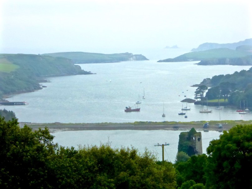
The entrance to Castle Haven. Horse Island is separated from the mainland by the charmingly named Flea Channel.

The entrance to Castle Haven. Horse Island is separated from the mainland by the charmingly named Flea Channel

South West of Skibbereen lies a deeply indented section of the coast known as Castle Haven. It is perhaps best known for the town that clings to the steep hill on its west side – Castletownshend. We have written much about Castletownshend itself, about Edith Somerviille and about the lovely St Barrahane’s Church and its Harry Clarke windows. But the whole inlet is an explorer’s paradise, yielding up its treasure to us on successive visits so this post will be about other things to see around the Haven.

Castle Haven

Catle Haven on a misty day. The inlet was guarded by two castles: this one at Raheen and another at the entrance to the Haven

The Haven is shallow at its top end, but up to the spit of land that runs across it near Reen Pier, it provides a deep and sheltered harbour for boats, and a popular sailing ground. We like to drive down the road that runs above the eastern side of the Haven. It’s twisty and a bit treacherous but at a certain point it presents a view of the whole inlet, dominated by Raheen Castle.

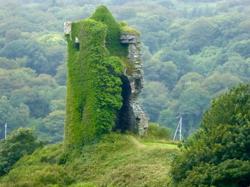
Raheen Castle

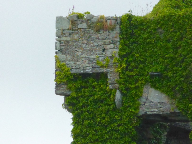
This was a castle of the O’Donovan clan, built in the late 16th or early 17th century. It didn’t last long – it was attacked by Cromwellian forces in 1649 and the collapsed upper stories may be the result of cannonball damage.

Raheen Corner machicolation

Continuing to the end of the east side brings you past Reen to the wonderful harbours of Myross and Squince, but that’s a post for another day. Now we’ll return to the west side of the inlet and visit two spectacular archaeological sites, Knockdrum Fort and the Gurranes Stone Row, before proceeding down into Castletownshend.

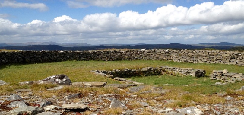
Knockdrum interior and views to north

The interior of Knockdrum Stone Fort, with square hut site in the middle. The fort commands panoramic views across the countryside and out to sea

To get to Knockdrum Fort, you have to park at the large church about 2km before the village. Walk downhill about half a kilometre until you get to the signposted green road to the fort. A pleasant trudge brings you to a set of steps and these lead up to the site. This is an excellent example of an early medieval stone fort – the kind of fortified homestead that marked the residence of a family of high status before the Normans taught us how to build tower houses.  From this site there are striking views across Castle Haven.

Entrance to Knockdrum

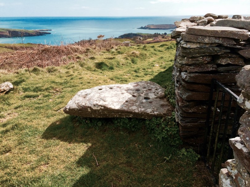
The entrance to Knockdrum Fort, looking towards the entrance to Castle Haven. Outisde the entrance is this large rock, covered in cup-and-ring art

But there’s more to this place than just the fort. There’s an early Medieval cross slab just inside the entrance, and a fine example of 4000 or 5000 year old rock art just outside it. There’s another piece, a cupmarked stone, inside the fort, lying on the ground. All three are here thanks to the activities of Boyle Somerville, a keen amateur archaeologist and brother of Edith Somerville who lived in Drishane House, just below the fort. Farmers who found such items would bring them to him and he placed them here for safekeeping. Also inside the fort you will see evidence of a souterrain – an underground passage used for storage when the fort was active.

Knockdrum cross slab

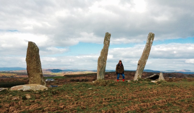
If you look north across the valley once at Knockdrum you will see a stone row on a nearby hill. These are the Garranes ‘Fingers’. (They are on private land so you should seek permission to visit and make sure there are no bulls in the fields.) The best way to access them is to tramp through the fields across the road from the entrance to Knockdrum. It’s well worth the effort – once you get up to them you will see that more uprights are now lying on the ground. This was originally an alignment of at least five stones, unusually tall and thin, positioned so that they would be visible on the skyline from many directions.

Gurranes Fingers

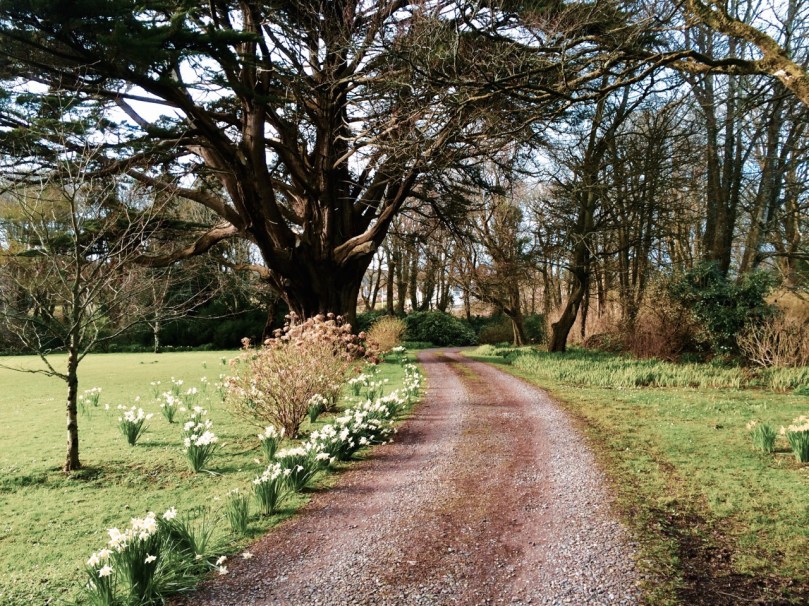
Drive down towards the village now, until you get to the entrance to Drishane House. To the right of the gate is a bench dedicated to Boyle Somerville. In 1936 he was shot dead by the IRA, who claimed he was recruiting local young men for the British Navy. He was liked and respected locally and, outraged by the deed, the people of Castletownshend raised money for this memorial. If the house is open (there will be a sign) this is a wonderful place to visit. For a small charge you can wander around the extensive grounds and visit the Edith Somerville Museum. We love to go in spring, when the bluebells provide a vivid carpet and a photographer’s paradise.

Drishane house driveway in spring

Drishane House driveway in the spring, with the giant macrocarpa (a Californian cypress tree)

Down to the village now and up to the church. But this time, instead of heading inside to see the Clarke windows, or behind the church to view the graves of Somerville and Ross, cross the graveyard until you find a gate at the far side and head east along the edge of the field towards the water. There you will find the remains of a structure labelled as a star-shaped fort on the OS map. Nowhere near as enormous as the massive star-shaped Charles Fort in Kinsale, nevertheless it is a reminder of a time when the sleepy village was not as peaceful as it is now. Dating to the 1650s, not a lot remains, just enough to confirm that this was a structure built for defence. Along the way you might also see a ruined square tower, known as Swift’s Tower. This was built as a belvedere, (a place to admire the view) and legend has it that Dean Swift visited and liked to write there.

Left is the remains of a bastioned fort, labelled as a ‘Star-Shaped Fort’ on the OS map. Right is the belvedere, where Swift is said to have written

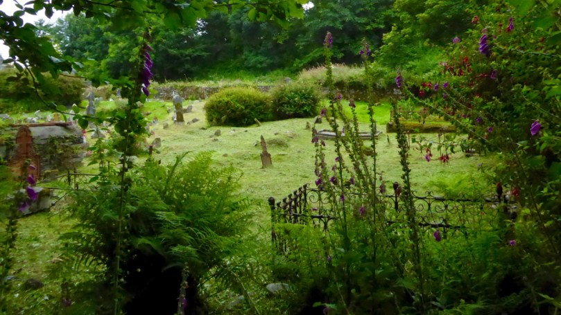
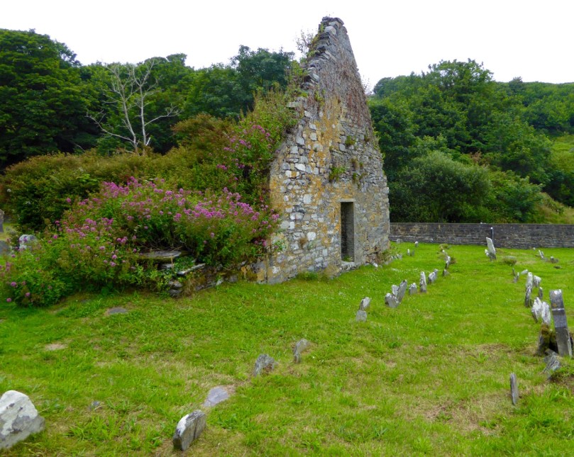
Drive back out of town now and take the left turn after the entrance to Drishane House. Follow this road for about a kilometre to a sharp left turn, just before a small crossroads and turn left down a narrow road that ends at the sea. A tower house used to guard this part of the Haven but nothing remains of it now except a stump covered in ivy and brambles. But wander around the graveyard and admire the picturesque siting of the old church, already in ruins by the mid-1600s. This is a good example of a classic West Cork graveyard. Most graves are marked by simple stones at the head and foot, with no inscriptions. 

Castlehaven Graveyard atmosphere

There are some family plots and some more elaborate memorials, including one for Ellen Buckley, second wife of O’Donovan Rossa (although his name, interestingly, does not appear on the headstone).

Castlehave graveyard, old church

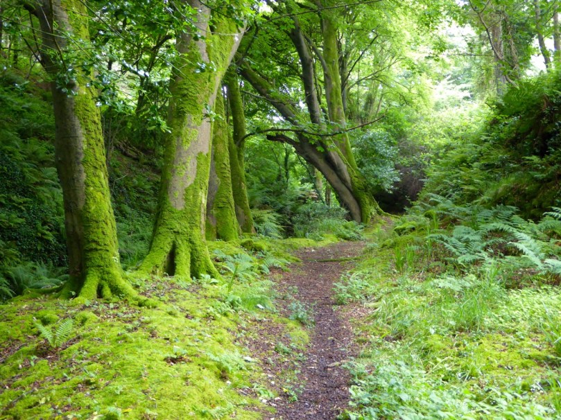
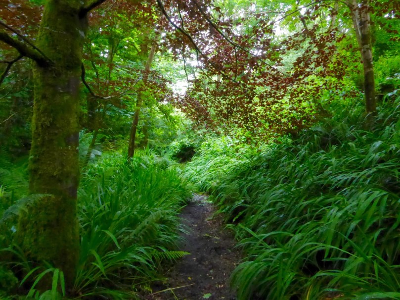
To the immediate left of the graveyard you will find a stile leading to a green path. Take this path and walk up though the luxuriant woods past a rushing stream until you come to a little wooden bridge.

Path by the stream

On the other side is a holy well, cut into the hillside and decorated with ribbons and fishing floats. Make a wish, or say a prayer – this is a special place and still visited and maintained by local people.

Take OS Discovery Map 89 with you. Most of the sites I describe are actually marked on it. But if you get lost, have fun, and let us know what you discovered!

Path through woods

All Around the Bloomin’ Heather

heathers CappaghglassHeather blooms here in late summer and through the autumn – not, as in the song lyrics, when “the summer time is comin’”. It washes the hillsides with a rich pink-purple that has to be seen to be truly appreciated. The gorse has a late bloom too and the combination of the purple heather and the brilliant yellow gorse is one of my favourite things at this time of year.

We’ve been walking the little roads around us in West Cork again, and observing the new cycle of hedgerow flowers since I last reported on them in June.

boreen

Inspired by my Ellen Hutchins experience, I set out to identify some of the most conspicuous of them, aided by my Zoë Devlin book and my friend Amanda.

Fuchsia Montbretia and blackberries

Most striking, of course, is that combination of drooping fuchsia and the gaily waving montbretia (or crocosmia) underneath. Although technically both are introduced species, together these two flowers define the south west of Ireland – it’s what we see in our mind’s eye when we think of West Cork.

Mainly montbretia

Now the berries are ripening and it’s impossible to walk without keeping an eye out for particularly juicy blackberries.

Blackberries

Although, because we’ve had a cold and wet summer, lots of the brambles are only flowering now.

blackberry flowers

Sloes too, with their glossy blueblack skins are there for the picking. Sloes are the fruit of the blackthorn, often used for making sloe gin. They are actually a type of small plum and are considered edible after the frost. (Note to self – must try one!) Blackthorn hedges are common around here as they make an impenetrable, thorny cattle-proof fence. The wood was prized in the past for making walking sticks that could also be used as clubs, sometimes called shillelaghs. Traditionally, they were cured and acquired their glossy black colour by sticking them up the chimney.

Sloes

Whitethorn, or hawthorn, hedges and their red berries, or haws, are equally ubiquitous in September. We love to see our garden birds descend on the whitethorn trees in the winter, knowing that the haws provide an important source of nutrition for them.

Haws

The wild roses, white and pink, still sport a few blooms but now mostly the colour comes from the rose hips, the more domesticated ones huge and glossy and the wilder ones smaller and half-hidden among the brambles. I’ve never made rose hip jelly, which is apparently packed with Vitamin C, but I did pick up a delicious rose hip and apple jam at one of our local markets recently, and I’ve been enjoying it on my morning toast.

One of the dominant flowers in the hedges and ditches now is purple loosestrife. In lower-lying marshy ground it masses in a vivid amaranthine swath.

Loosestrife

We can admire it freely here, although when I lived in Canada I knew it as an invasive weed to be feared and eliminated. Researching this online, I came across this excellent article by the Examiner’s Dick Warner. As he explains it, once purple loosestrife established itself in North America…

In these new homes, without any natural ecological controls, it became invasive and threatened to choke up important watercourses. The main reason this doesn’t happen in Ireland is that purple loosestrife is kept in check by a number of specialised and very efficient insect predators.

There are known to be two species of beetle, two species of weevil and one species of moth that feed virtually exclusively on purple loosestrife and control its spread. In America, the first thing they tried when it started to become a problem was to control it mechanically, by cutting and removing it. When this didn’t work they tried chemical control, spraying it with herbicides. Not only was this equally unsuccessful, it had some very undesirable environmental repercussions. Using toxic substances in or around water is always problematic.

Then the scientists looked to Europe. They decided the moth with caterpillars that ate purple loosestrife was itself a potential pest, so they left it alone. But they imported the beetles and the weevils and they did an excellent job. It’s one of the classic success stories of biological pest control.

The grasses, brackens, hogweed and ragwort have colonised the hedges and jostle for space in the corners of the fields.

Thistles have now mostly lost their purple heads but are no less spectacular for that.

thistle seedheads

In fact seed heads of all kinds provide an ethereal fringe to many of the hedges, while the breeze in the grasses supplies the music. 

Thistles and seedheads

Knapweed (top) and ragwort seed heads

A few of the smaller flowers can be easily missed.

Common dog-violet (left) and tormentil (right)

And even some of the larger ones are easy to ignore because they’re so common. But look closely…

meadowsweet

Scabious

Meadowsweet (upper) and Scabious (lower)

And here’s a handsome one – Hemp Agrimony, sometimes known as Holy Rope or St John’s Herb. Apparently you’re supposed to boil the root in ale as a purgative or to cure dropsy. Now you know.

Hemp Agrimony

Finally, and because many of you cherish the memory of curling up with Baroness Orczy as teenagers, here’s a Scarlet Pimpernel.

Scarlet pimpernel

All the photographs in this collection, with one exception, were taken on one day, September 8. There’s more, so much more, to see and hear at this time of year along the boreens of West Cork, but I’ll leave it at that for now, except to show you whom I was sharing all this with on my walk.

FLY ON BLACKBERRY

Clockwise from top: blackberry, dog rose, rose hip, hawkbit, herb robert and a species of willowherb. All with visitors.

Oh and one more thing… there are many versions of the song Wild Mountain Thyme on YouTube, but this one struck me because of the lyrics. Subtle changes make the song both more romantic and more accurate. See what you think.

fuchsia