Ellen Hutchins: The Short and Remarkable Life of Ireland’s First Female Botanist

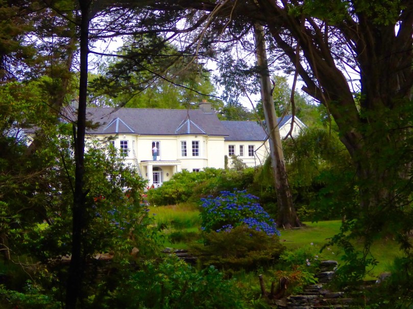
Ballylickey House, Home of Ellen Hutchins. Although the burned down, it was rebuilt exactly as the original.

Ballylickey House, Home of Ellen Hutchins. Although the house burned down, it was rebuilt exactly as the original

In West Cork, we have been celebrating the short but extraordinary life of Ellen Hutchins who died 200 years ago this year. Acknowledged in her lifetime as one of the most knowledgeable and accomplished botanists in the British Isles, she contributed specimens and drawings to the great collections in Glasnevin and Kew and kept up a lively and learned correspondence with some of the leading botanical scientists of the day. When she died, aged only 29, her name had already been memorialised: several plant specimens bore the title hutchinsia.

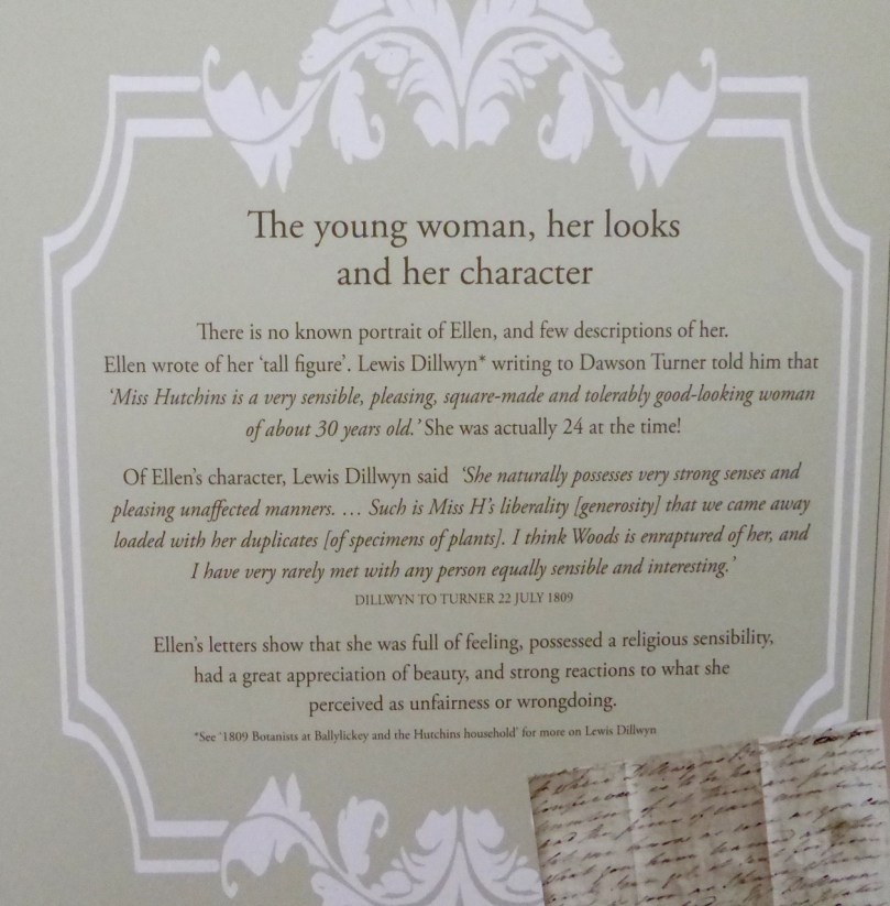
Looks and character

It’s been a fantastic week of lectures, guided walks, exhibitions and demonstrations. Jointly organised by the Bantry Historical Society, the National Parks and Wildlife Service and the Hutchins family, the week has been a marvellous success, with all the events well attended and everyone eager to learn more about Ellen. For a program of what was available, take a look at the excellent Ellen Hutchins website and the Facebook page.

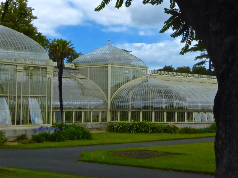
Dublin Botanic Gardens

While many of Ellen’s specimens ended up in Kew Gardens, some went to what has become the Dublin Botanical Gardens

The website contains biographical data about Ellen, her accomplishments, her family and her place in the scientific community, and a links and resources section leading to much more information. Ellen Hutchins was born in Ballylickey, near Bantry, in 1785 and spent most of her life there. During schooldays in Dublin she lived with family friend Dr Whitley Stokes who introduced her to the discipline of botanizing. She became an avid and scholarly collector of plants and seaweed, annotating, sorting and cataloguing as she went, and an expert illustrator of marine and terrestrial specimens.

Ellen identified new species of seaweeds on the shores around Bantry Bay

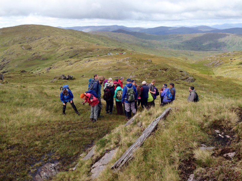
She roamed freely around the shores of Bantry Bay and took her family’s boat out to Whiddy Island. She also climbed (we’re not sure how) to the top of Knockboy, the highest mountain in Cork at 700m, identifying new species of plants right at the top. We followed her footsteps last weekend, led by Wildlife Officer Clare Heardman of Glengarriff Nature Reserve, botanist Rory Hodd, writer Kevin Corcoran, and Madeline Hutchins, great great grandniece of Ellen, who has been uncovering all kinds of new material on her ancestor.

group botany

What a day we had! It was warm and dry until we got to the top, where we were subjected to a hailstorm for form’s sake before the sun re-emerged. It was an insight into what gets botanists excited – tiny plants, apparently, with subtle variations from other tiny plants.

We were in awe of the knowledge on display, and the boundless enthusiasm of all the plant experts in the group. The highlights for them were finding some of the species that bore Ellen’s name, although Rory and Clare were particularly pleased to find a dwarf willow at the summit that had originally been identified by Ellen over 200 years ago. Along the way, we also learned a lot about the characteristics of that kind of high mountain environment, with its burden of boggy moss and highly acidic environment.

Kevin Corcoran demonstrated the properties of sphagnum moss, and showed us how soft the bog underneath us was, by probing with his staff

Knockboy descent

We felt on top of the world on Knockboy. We drove up to Priest’s Leap and only climbed the final 300m.  But how did Ellen get up there, with her long skirts and her intermittent poor health?

In Bantry House we viewed Ellen’s drawings, beautifully framed and presented and on loan from their permanent homes in Kew Gardens, Trinity College, Dublin and elsewhere. Her drawings were used by other botanists to illustrate books and were considered to be superior in their exactitude.

The Bantry Library hosted an exhibition about her life. This was curated by Madeline Hutchins and here we came closer to appreciating the woman herself, of whom no portrait exists. We learned, through her letters, of the struggles of a home life dominated by an ailing mother, a disabled younger brother and two bitterly feuding older brothers. She suffered from intermittent ill health, which often prevented her from collecting, but when she was strong her delight in her outdoors pursuits was palpable. One of her greatest pleasures was her correspondence with fellow botanists, among whom she earned true respect, especially Dawson Turner.

Dawson Turner

Dawson Turner: Although they never met, he thought of Ellen as a beloved sister and was devastated when she died

Although we were not able to join the group tour of the Ardnagashel Arboretum, we ventured down there on our own and were shown around the east section by the gracious Arethusa Greacen, herself a Hutchins on her mother’s side. The arboretum was started by Ellen’s brother and was maintained and added to by succeeding generations of Hutchins – the botany gene was obviously strongly embedded in the family!

Myrtle Woods Path

Ardnagashel colourMyrtle groves and colour at Ardnagashel

The enormous contribution made by Ellen Hutchins to science has languished in obscurity for two centuries, known only to a few experts in the field (a bit like that other West Cork woman of science, Agnes Clerke of Skibbereen). All that changed last week. West Cork, and Bantry/Ballylickey in particular, has celebrated and honoured Ellen Hutchins in style. There is talk of future events, perhaps even a summer school.

Ellen Plaque

A new plaque has been erected on the wall of the old ruined church in Garryvurcha graveyard, final resting place of Ellen Hutchins

Well done to the hardworking organisers of this exceptional festival! Thank you to them for illuminating the life of this remarkable woman and to helping us appreciate, in the most hands-on and interesting way, her enormous contributions to science.

Madeline Clare Angela

The team behind the Ellen Hutchins Two Hundred Year Celebration: Madeline Hutchins, great great grandniece and biographer of Ellen; Clare Heardman of the National Parks and Wildlife Service; Angela O’Donovan of the Bantry Historical Society. This photo was taken from the Ellen Hutchins 200 Years Facebook Page, with appreciation

Don’t forget to check out the website Ellen Hutchins: Ireland’s First Female Botanist for so much more detail than I could give you in a blog post.

Irish Poldarks

black hole

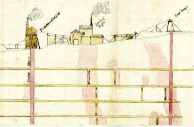
Derrycarhoon Mine

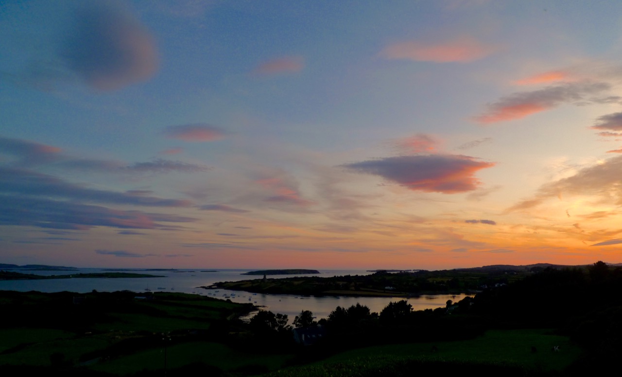
Schools are back; fields are being cut; the shutters are going down on the holiday houses around the Cove. And – the good weather has arrived! Hot days and red sunsets: West Cork is the place to spend autumn…

Full Sky

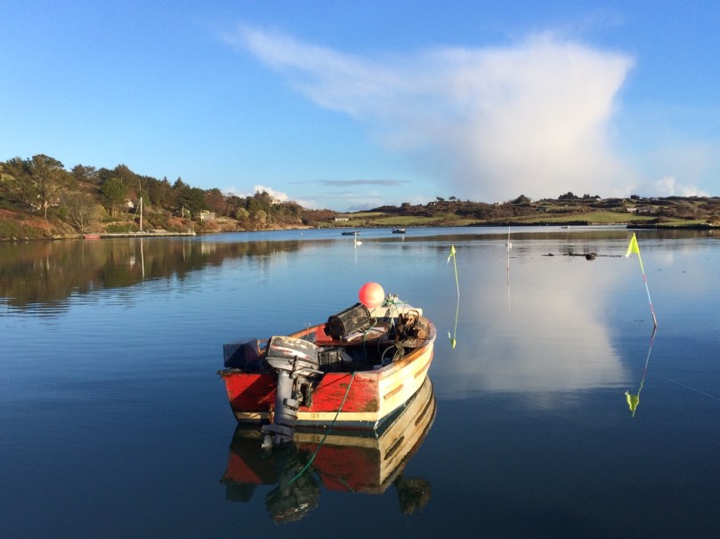
Autumn comes to Rossbrin Cove

It was just such a golden autumnal-feeling day when our friend (and Fastnet Trails mastermind) Eugene McSweeney called us to see if we would like a trip out to the old metal mine north of Ballydehob, in the townland of Derrycarhoon. Of course we would! Local farmer William Swanton led the expedition: William’s family had connections with mining – he told us that his grandmother’s father had been a Captain of the mine.

William

William Swanton at the South Shaft, Derrycarhoon

You will know that we live in the townland of Cappaghglass, and this has a mining history, as does the neighbouring townland of Ballycummisk. Also, there are ancient mines on the slopes of Mount Gabriel, not far away, and more mining activity in other parts of the Mizen, Sheep’s Head and Beara Peninsulas.

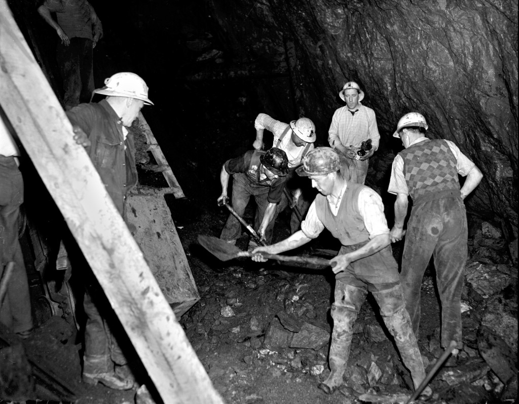
Allihies19571957 scene at Allihies Mine, Beara Peninsula

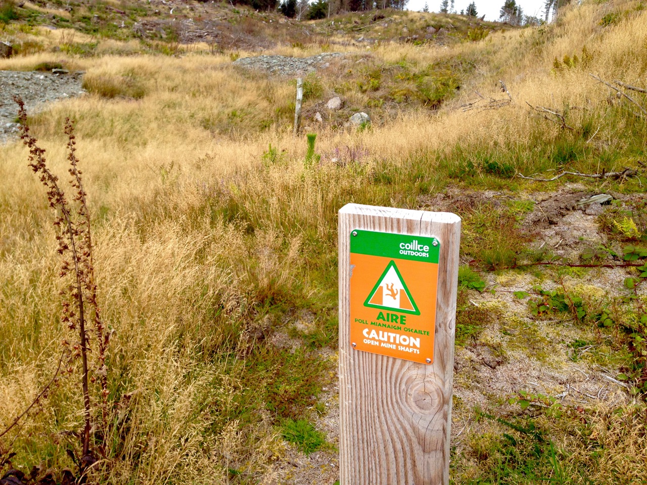
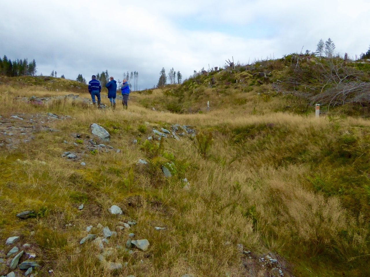
hodnett bookWhile many aspects of the 19th century history of the old mine at Derrycarhoon have been well recorded (I am indebted to The Metal Mines of West Cork by Diane Hodnett, The Trevithick Society, 2012), the site itself had for some time been difficult to reach and interpret as it was in a dense forestry plantation established in the 1960s and 70s. Now, however, much of the matured forest has been cleared (albeit leaving a devastated landscape) and it is possible to piece together the layout of the workings. Please remember that the mine is on land managed by Coillte and is subject to Coillte’s policies on access – permission must be sought from the landowner before visiting; also, a guide is essential – there is very rough ground and open and unguarded shafts and trenches.

danger

What is so special about this mine is that it has apparently been exploited firstly in prehistoric times, and then again in historic times – prior to its most recent incarnation in the 19th century. Professor William O’Brien of UCC recognises ‘…the recently-adduced evidence for early medieval operations at this site, which is quite unique in the history of Irish metal mining…’ (A Primitive Mining Complex at Derrycarhoon, County Cork – Journal of Cork Historical and Archaeological Society vol 94). While other mines on the Mizen Peninsula have shown evidence of being worked initially in the Bronze Age and then subsequently in modern times, Derrycarhoon is the only one to date which can confidently claim to have also been in use in between those times.

finola at the shaft

interior

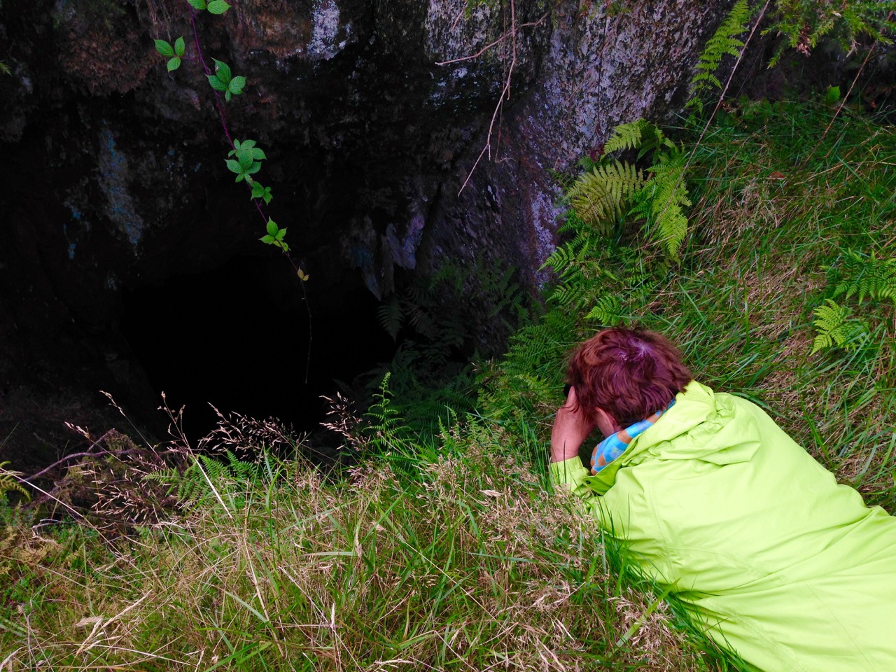
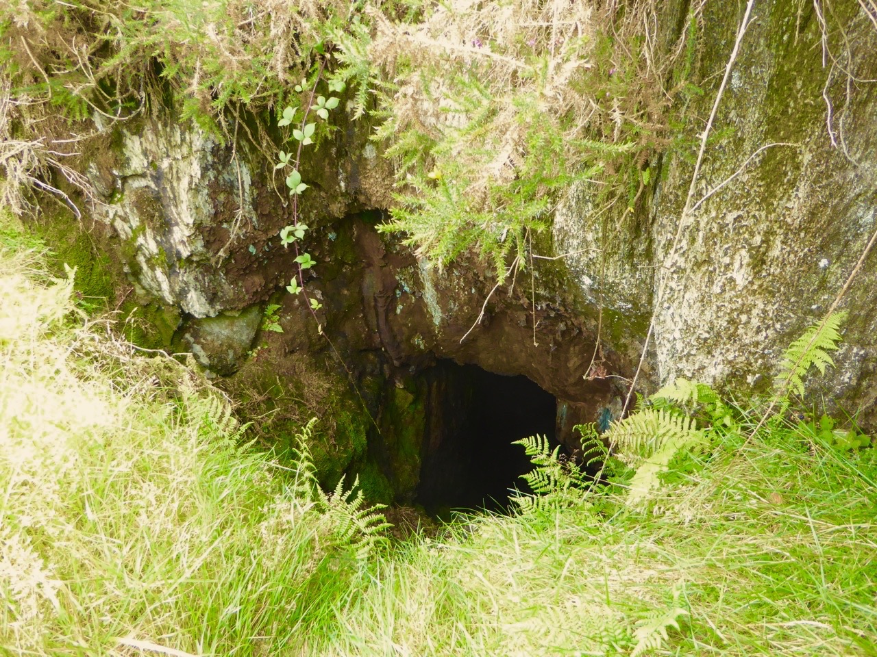
Intrepid Finola inspecting the deep shaft at Derrycarhoon, top, and her photo, below – note the copper staining

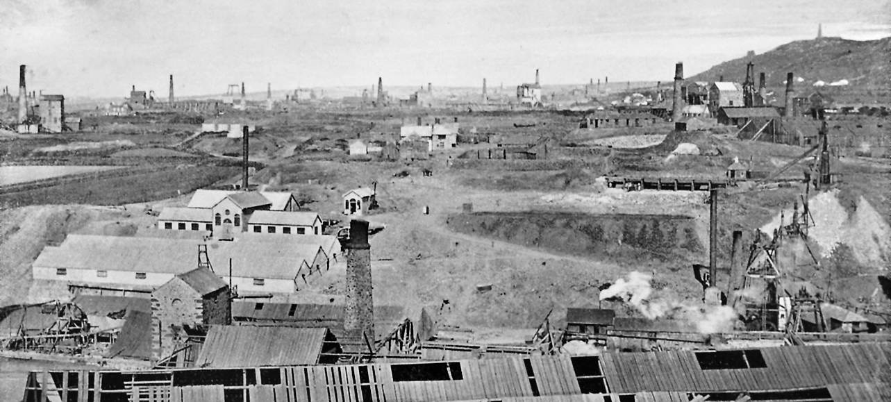
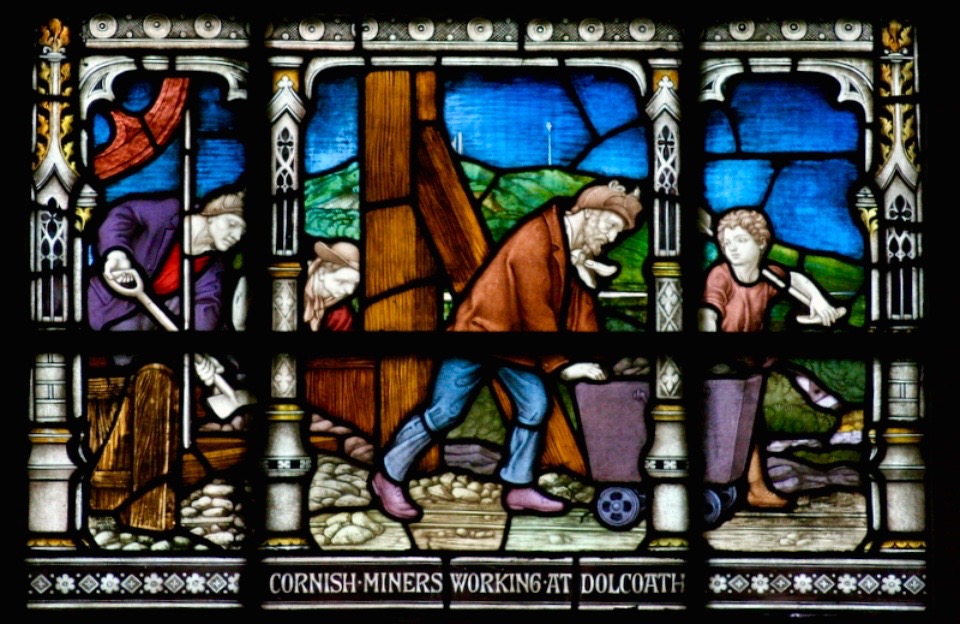
We have explored links between West Cork and Cornwall in previous blog posts (here, herehere and here). When it comes to metal mining anywhere in the world there’s usually a Cornishman involved and here is no exception to that rule. The mine agents – whose job it was to prospect and direct operations – were always known as ‘Captains’. A dynasty of Mine Captains was founded by Charles Thomas (1794-1868), a mining agent and share dealer in Camborne, Cornwall – responsible for the very successful development of the Dolcoath Mine in Camborne. Mineral rights here were established in 1588 and copper was being produced in some quantity by 1720. Thomas (who had started work in the seams of Dolcoath at the age of twelve) stepped in as Captain in 1844 after a period of considerable decline in metal production. Charles was a real-life Poldark – insisting that the apparently dwindling seams of copper be followed to the bitter or fruitful end – and his skills saw Dolcoath (known as the Queen of Mines) become the largest, deepest and most productive mine in Cornwall, with its principal shaft eventually reaching a depth of 3,300 feet (1,000 m) below the surface – and incidentally taking the miners between 2 to 3 hours to descend and ascend, significantly reducing their working shifts below ground. Thomas was succeeded at Dolcoath by his son Josiah and then his grandson Arthur, taking the mine well into the twentieth century. (Its successor, the South Crofty Mining Company went into administration in 2013).

Dolcoath 1893

Dolcoath, Cornwall – Queen of Mines – 1893

The point of this digression into Cornish mining history is simply that three more sons of Charles Thomas, Captain of Dolcoath, came to the west of Ireland in the mid nineteenth century and were instrumental in the development of many of the mining activities here, including those on the Mizen. The brothers, Charles, Henry and William arrived by 1841 with their own families – yet more sons – who proceeded to populate, at one period or another, the Captaincies of most of the West Cork activities, including our own Cappaghglass workings and the Derrycarhoon venture.

West Cork Mine Captains: Henry Thomas (left) with his niece and William Thomas (right) with his daughter

The modern age of mining commenced at Derrycarhoon in 1846, under the management of Captain Charles Thomas. Charles discovered no less than six old mines during his preliminary explorations, and recognised similarities between them and the shallow workings of medieval tinners which he knew from his childhood home on the moors of Bolenowe, near Camborne, where such workings were extensive and visible. That’s how we know that this mine had been active in those times. But also, as his brother Captain William records in an article dated 1853:

…In the Derrycarhoon Mountain some excavations have been found, which no doubt were made at a very remote period, as they are invariably designated by the country people ‘Danes’ or ‘Danish Works’, but whether these ancient works were carried on or not by the Danes is not easy to determine: it is, however, an historical fact that the Danes visited Ireland many hundreds of years ago…

1843 drawing danish implements

Nineteenth Century Archaeology: Excavated ‘Danish Implements’, 1843 – in fact these finds are likely to be Bronze Age or Iron Age – have a look at  Umha Aois, a Roaringwater Journal post about early metalworking

(Thomas 1853) …One of these singular excavations at Derrycarhoon was a few years ago cleared of water and rubbish; it was found to be 60 feet deep and about 120 feet in length… the lode or vein appears to have been literally pounded away by stone hammers, a great many of which were found in the old works and which were evidently brought from a considerable distance, there being no rock of the same character within some miles…

Hand-held stone maul used at Derrycarhoon in prehistoric times

We found evidence at Derrycarhoon of these stone tools, generally known as ‘cobble stone hammers’ and probably originating on the beaches below us: their presence almost certainly confirms that the earliest workings here were Bronze Age, as confirmed by Timberlake and Craddock in a paper of 2013: …The distribution of known occurrences of this type of cobble stone hammer at or near to mining sites in the British Isles correlates with some (but not all) of the areas of near-surface copper deposits, particularly along the west coast of Britain… Recent fieldwork suggests good survival of tools at mine sites, even where these have become dispersed as a result of redeposition by later mining… Hammer stones, or fragments of hammer stones, are more or less indestructible, surviving any amount of later reworking. In most cases the fragments of these tools never disperse far from source, even when redeposited several times. Experience has shown that if a range of these can be found, then the approximate site(s) of prehistoric mining can usually be identified…

derrycarhoon trumpet

Further intriguing finds were made at Derrycarhoon in the nineteenth century, including a ‘notched pole’, a ladder and a trumpet-like wooden tube 75cm in length. Whether these artefacts were medieval or earlier we do not know but, remarkably, the tube still exists and is kept in the spectacular Pitt-Rivers Museum in Oxford (why not here in Ireland?). I could only find a poor quality early photograph of this.

Pitt Rivers Museum, Oxford, UK

Pitt-Rivers Museum, Oxford – where the Derrycarhoon Trumpet (above) is stored

The topography at Derrycarhoon – which is reappearing now that the forestry plantation has been cleared – is very similar to the Bronze Age mining sites on Mount Gabriel: long, shallow trenches interspersed with pits and shafts. However, the superimposition of medieval and modern interventions clouds the issue. William Swanton pointed out to us a drainage adit driven horizontally for some distance through the bedrock. We assume this is probably the work of the Victorian speculators.

three figures

portal

Mine explorers (top) and portal (below)

Captain Charles Thomas evidently raised some 30 to 40 tons of ‘rich grey copper ore’ after the ‘old workings’ had been cleared during the 1850s. Derrycarhoon Mine was listed from 1862 to 1873 under the ownership of Swanton and Company but there is no record of any production at this time nor afterwards, although prospecting trials were made in 1912 by a John McArthur of Glasgow and again in 1965 by the Toronto Mining Company. We found part of a core sample on site, presumably dating from that trial. Then the trees took over…

Landscape of spoil: copper traces in the discarded rubble; baryte – and views west to other Mizen mining sites, Mount Gabriel and Mount Corrin

Today, the rough landscape is marked only by green-stained spoil heaps, earthwork undulations and a few recognisable pits and shafts. The litter includes traces of barytes, sometimes a by-product of copper production. If you are not interested in mines or the history of them you will be pretty unimpressed. But, as a microcosm of our own local history, we were fascinated by our exploration of Derrycarhoon and are very grateful to William and his ancestors (were they the Thomases – our own Irish Poldarks?).

Cornish Miners Window

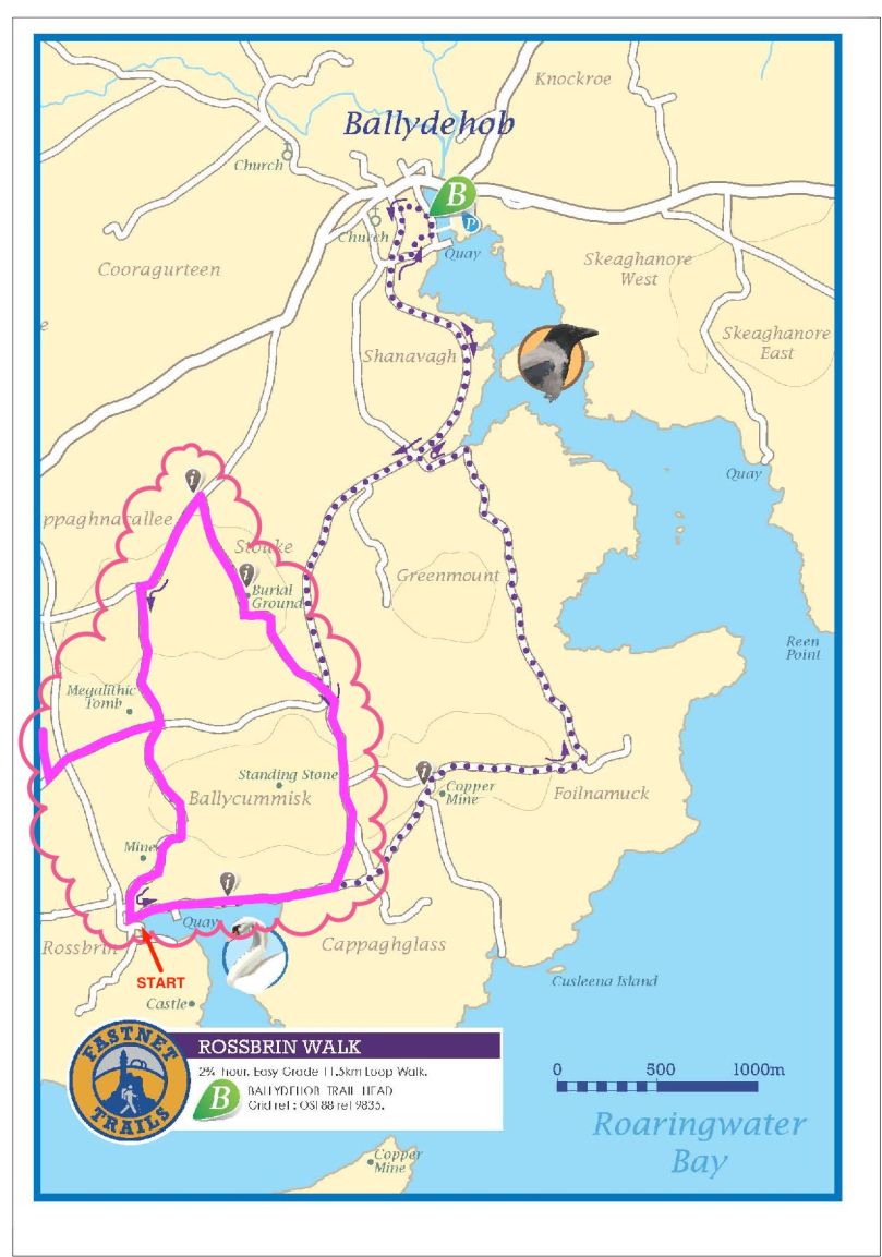
Fastnet Trails: Rossbrin Loop, Part 2

Start this walk at the Rossbrin boat slip

Start this walk at the Rossbrin boat slip

A joint post by Finola and Robert

In Part 1 of this trail post, we took you around the first leg of the Rossbrin Loop trail, which we have broken into two shorter rambles.

This one is steeper and climbs higher, but it’s full of interest and you can take it as easy as you like. For this walk, you park at the Rossbrin boat slip, at the eastern end of Rossbrin Cove.

Rossbrin trails route revised Export

You won’t need off-road boots and you can take the dog. Give yourself two to three hours, depending on whether you decide to do the detour to see the wedge tomb. This is a nice, rambling pace, with lots of time to stop and chat to anybody you meet, admire the wonderful views, take lots of photographs, and maybe indulge in a picnic along the way. 

The first hill affords lovely views back to Rossbrin Castle

The first hill affords lovely views back to Rossbrin Castle

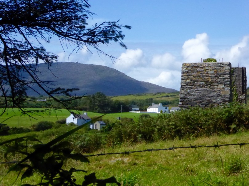
Set off north and turn right after the boat yard and then left up the hill. As you ascend you will see the remains of old mine workings to your left. The earliest records of mining at Ballycummisk refer to 16 tons of ore raised in 1814 and 42 tons in 1815. In 1838 a shaft was sunk 20 fathoms, mainly through barytes and shale. In 1857, 174 tons of ore were sold, mainly copper. By 1861 the mine was recorded as being ‘one of the best developed and very satisfactorily worked.’ The ‘Lady’s Vein shafts’ are marked on the OS 6” map. The Ballycummisk Mining Company worked the mine from 1872. In 1878 a section down to 228 fathoms was noted, but in the same year the mine was recorded as ‘abandoned’. Nowadays some concrete pillars and the slag heap are the most visible remains of the once thriving mine-site.

Old Mine site

There are extensive views over the countryside beyond the old mines

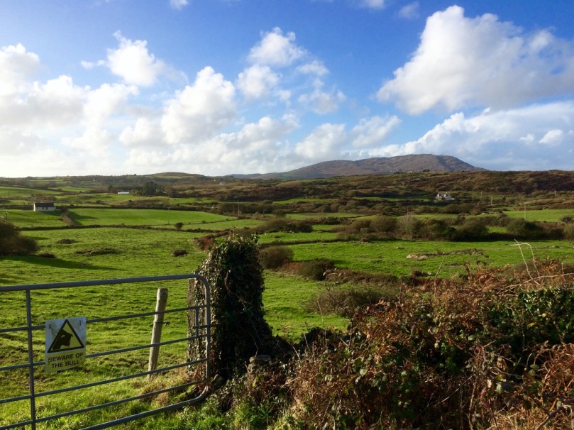
At the top of the hill, where you will find a sign to the riding stables, turn left and head through the townland of Ballycummisk with pleasant country views to the west. Once you get to the crossroads you may see a little wayside stall selling vegetables on the honour system. If you’ve brought a backpack, this would be a good place to stock up on carrots, potatoes, or yellow tomatoes.

Beware of the bull

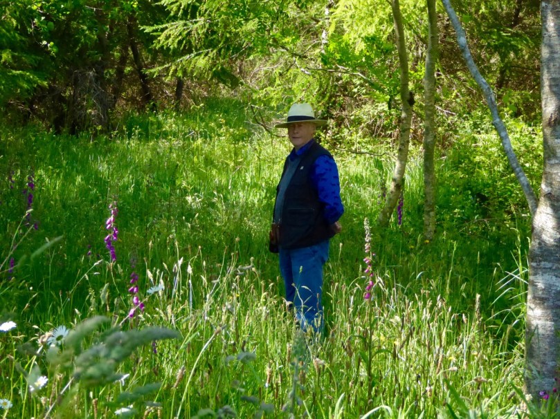
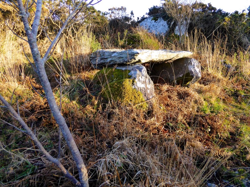
Wayside StallAt this point, we recommend a detour to see the Kilbronogue wedge tomb. Turn left and walk until you reach the next crossroads. Go straight through the crossroads and a short distance on you will see a lay-by on the right side of the road. Step over the wire and find your way up the path that has been generously maintained by the landowner. In early summer this path is awash with ox-eye daisies. It meanders up through a birch plantation until you emerge in a small clearing to find the wedge tomb.

Path to wedge tomb, Kilbronogue

Like most wedge tombs, this one is orientated to the west – take a look at our post Wedge Tombs: Last of the Megaliths for lots of information on this class of Bronze Age monuments. This is a lovely example, and we are grateful to Stephen Lynch for ensuring its wellbeing and providing access to it.

Kilbronogue Wedge tomb

Retrace your steps to the second cross roads and turn left up the hill, turning right when your reach a T junction, and then take the left fork at the Y. This is a pleasant country road – farmland stretches on either side, with ruined or abandoned houses dotted here and there among the neat modern farmhouses with their colourful paint and bowery entrances.

In spring and summer the hedgerows are heady with wild flowers of every variety.

Turn right again at the next junction and you will come shortly to the beautiful and atmospheric Stouke burial ground. Although we have read that there are the ruins of an old church in this graveyard, we have never found it. But there are other items of great interest here, the traditional burial place of many island dwellers. In the centre you will find the grave of two priests, Fathers James and John Barry, who were parish priests here during the time of the famine. According to the Historic Graves listing for Stouke  “Sarah Roberts who is buried here in this tomb, died at an early age… worked as a housekeeper for the parish priest… When his sister died and was also buried here, Sarah’s coffin was in perfect condition. She was reburied with the parish priest even though she was not a Catholic. People of the parish come to pray at this tomb on the 24th June at John’s Feast Day.”

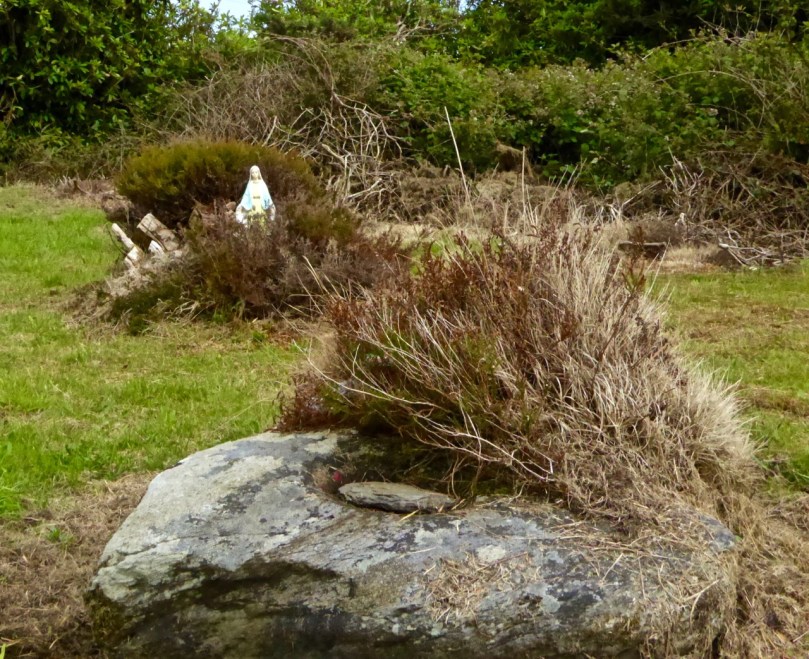
A little way to the right of this grave is a rock, partially covered by heather, that contains a bullaun stone, known locally as the Bishop’s Head. Once again, according to the Historic Graves entry, “The bishop was confirming children in a nearby church. Red coats came in and beheaded the bishop.”

Amanda photographs the bullaun stone

Amanda photographs the bullaun stone

There are offerings of coins in jars at the bullaun stones, and at the priests’ grave. Leave one too, along with a prayer or wish for a loved one.

Bishops Head bullaun stone, Stouke Graveyard

Bishop’s Head bullaun stone, Stouke Graveyard

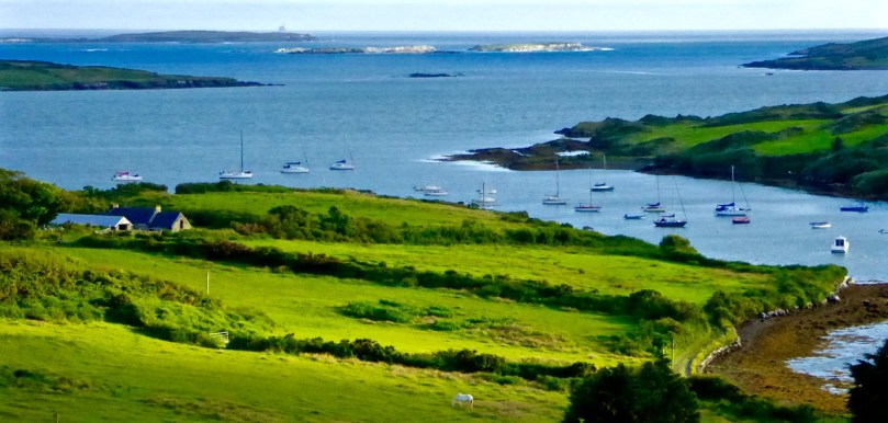
From Stouke the road drops down to a cross roads. Go straight through and start to climb again up to Cappaghglass. Ignore the left turn and carry on until you reach a Y junction. Take the right fork, pass all the ripe blackberries (if you’re able) and as you crest the hill the whole of Roaringwater Bay is laid out before you. Few views in the country can equal this one for sheer scope: all the islands in Carbery’s Hundred Isles come into view, The Baltimore Beacon gleams on its rocky outcrop to the east, while the Fastnet Rock sits sturdily on the horizon, and the Mizen Peninsula stretches away to the west.

Roaringwater Bay from Cappaghglass

Descend the steep hill, turning right at the T junction, and meander down to Rossbrin Cove.

Shaft of Sun

Now a peaceful boat harbour, Rossbrin in the 15th Century was the domain of Finghín O’Mahony, the Scholar Prince of Rossbrin, a man who used the riches extracted from taxes paid by Spanish and French fishermen to fund a centre of learning here in Rossbrin where scribes and learned men wrote and translated books which still exist today. The ruined section of the castle still standing gives little evidence of the erudite court that was once respected throughout Europe. A fish ‘palace’ for processing pilchards once provided employment to the people of Rossbrin, but little trace remains of it, or the holy well at the shore that once attracted those seeking cures for their ailments.

Kayaks at Rossbrin Cove

If the weather’s warm and the tide’s in, this is a good spot for a dip. No? Well, a photograph, then. 

We hope you’ve enjoyed the two Rossbrin Loop walks – do let us know how you got on.

Ballycummisk Mine

Ballycummisk Mine

Irish Roads

Heading towards the light

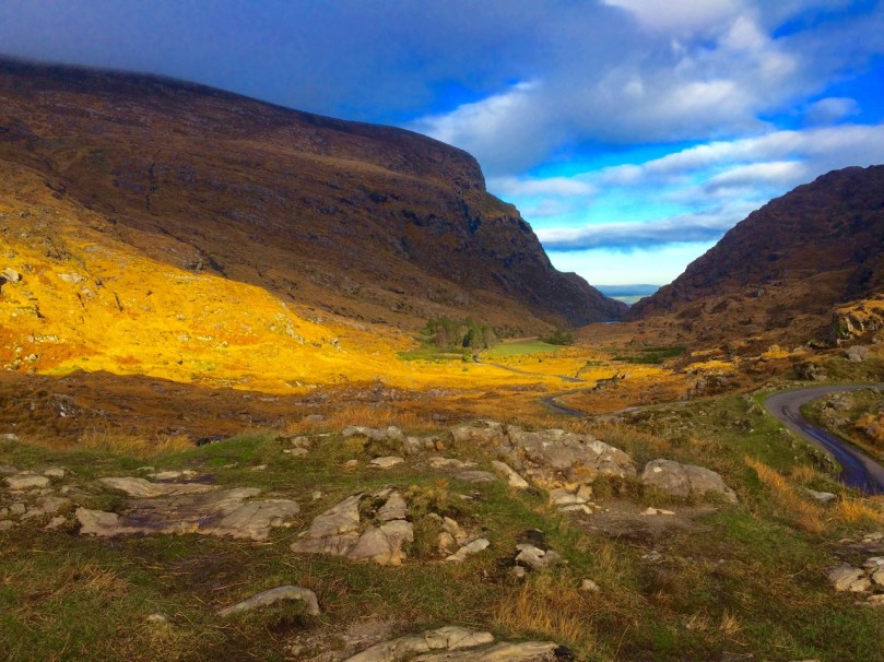
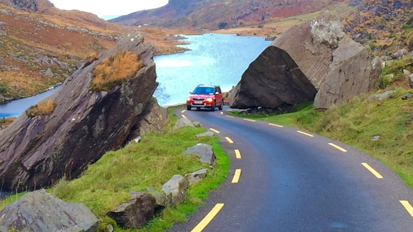
Driving the Gap of Dunloe in Kerry – it can only be done in winter.

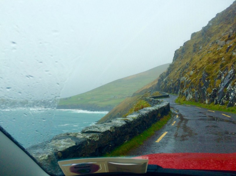
To give you a flavour of what it’s like to drive in Ireland, I’ve put together a few of my favourite photographs of the roads we’ve travelled. Sometimes I wonder if we will get to the point where we take for granted the spectacular scenery which is such an everyday occurrence for us, but then we find ourselves pulling over once again to wonder at the wild landscape, the grandeur of the mountains, the way the sea cuts deeply into the sandstone cliffs, the old castles and ruins that dot the fields – and we know that we will never tire of Irish roads.

This slideshow requires JavaScript.

I’ve chosen only photographs that have roads in them, so you can get the feel of travelling in Ireland. And yes, it does rain in Ireland and the clouds come down and cover everything and then driving isn’t as much fun. Find a pub to hole up in, wait a while, and try a prayer to St Medard

Dingle

Of course some  of you, dear readers, do this every day, like we do, so tell us your own favourite Irish roads – or share a photograph on our Roaringwater Journal Facebook page if you like.

This slideshow requires JavaScript.

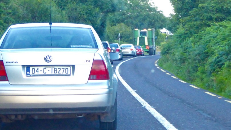
Obstacles are common – so don’t drive too fast along the rural roads as you never know what might be around the bend.

Tractor pace

And there’s no point in being in a big hurry…
Only room for one at a timeThere’s only room for one at a time

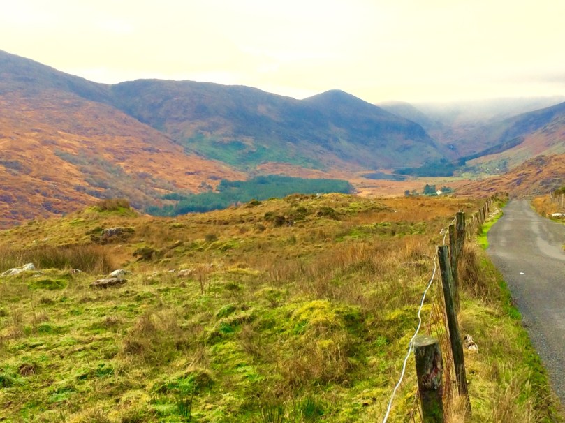
We do have freeways/motorways in Ireland, and tolled highways, and congested city streets with honking traffic. Our advice is to get off the highways and out of the cities as soon as possible. Get on this road, for example, that runs through the Black Valley in Kerry, and see where it takes you.

Black Valley, Kerry

Happy driving in Ireland!

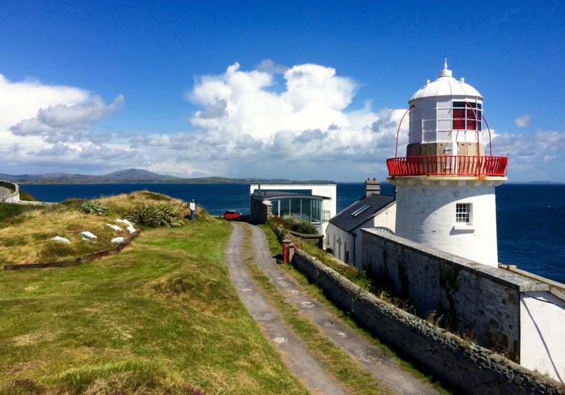
By the lighthouse