Mizen Mud: Recipe for a February Exploration Day

Muddy Boots

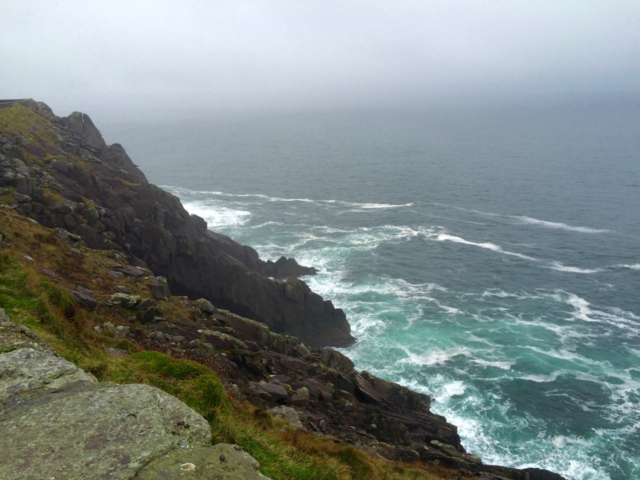
It’s been a wet, wet winter, but when the sun shines in February (which it does, honestly!), we are out exploring. This particular day our companions were Jessie, Brandon, Amanda and Peter and our accompaniment was MUD, and lots of it.

Explore Group

Amanda took the photo of the group, and the one of my muddy boots

We had goals – Amanda was after some elusive holy wells and Robert wanted to find the pirate steps at Canty’s Cove for his talk on William Hull and the Leamcon Pirates’ Nest, part of the Ballydehob spring lecture series, ’Talks at the Vaults.’ Jessie is a professional tour guide, wanting to learn more about the Mizen. Finally, I wanted us to swing by Dunmanus Castle so I could check out a few construction details.

Dunmanus Castle and bridge

Dunmanus Castle on its knoll, surrounded by water

You don’t actually need goals like this to go out exploring, but it helps. It gets you into places you wouldn’t normally go, down tiny boreens, into farmyards and across fields. You end up knocking on doors and meeting people who know all about the well, or the old stones, or the legends of the place, or who owns what field and whether he minds people tramping through it. On this occasion we met, for the first time, the near-legendary Pat McCarthy, one of the writers of Northside of the Mizen, and a huge authority on this area. We’ve promised ourselves a return visit with him as we weren’t able to stay long enough for a good talk.

Budds

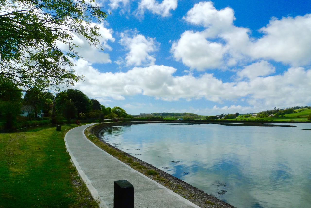
The best way to start a day like this is with excellent coffee, in Budds of Ballydehob, where we assembled with our map to plot our course. It was off then to Toormore and the Altar wedge tomb. On this occasion we weren’t actually after the wedge tomb (although I can never resist a photo of it) but the little holy well across the road.

Altar Wedge Tombe

Our next stop was Dunmanus, to take a good walk around the castle with the camera, looking for details I had missed on previous visits.

Dunmanus Castle ground floor entrance details: The bar-hole for barring the door once inside; the spud stone and the hanging eye. The hollows are for the pole that the door swings on

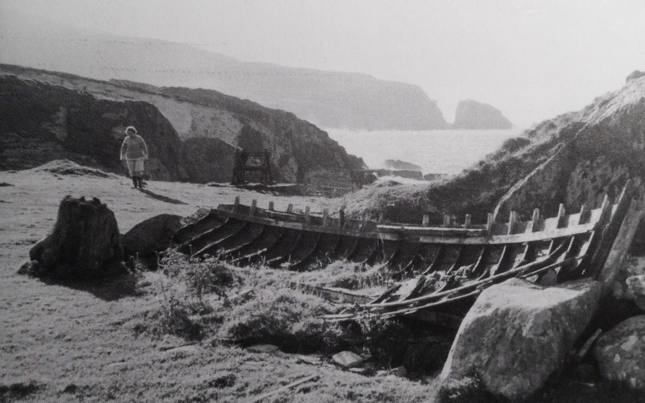
And then on to Canty’s Cove. You can read Robert’s post, Canty, for more about this place and its association with Canty the Pirate. Finding the steps wasn’t easy and it was a big thrill when we finally figured out where to look.

from Canty's House

This is the inlet with the pirate steps. Photographing them involved hanging over the edge with someone holding on to your ankles

Pirate Steps

How would you like to climb up these with a keg on your back?

By then we were starving – this exploring is hungry work – so we repaired to O’Sullivan’s of Crookhaven for one of their famous crab sandwiches. Even at that early date the sunshine was so inviting that people were sitting outside with their sandwiches and their pints.

water pump at Crookhaven

Crookhaven Pier

From Crookhaven it’s a quick trip to Lissagriffin, where there’s a medieval church and a bullaun stone doing double duty as a holy well/wart well. The church has a panoramic view over the salt marshes behind Barley Cove Beach as well as interesting architectural features.

Lissagriffin Doorway

Our next holy well was right by the side of the road a couple of miles further east – labelled so we couldn’t mistake it.

Callorus Oughter

Amanda inspects Tobareenvohir – or Tobairín an Bhóthar, the Little Well of the Road

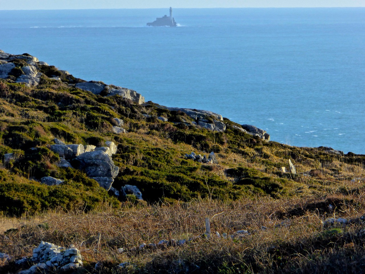
The final one was harder to find and necessitated negotiations of some seriously muddy fields. Tobairín Brón (Little Well of Brone) was in the general vicinity of where we ended up, along with a small monastic site – all very brambly and hard to decipher. But what a place – a view clear out to the Fastnet Rock, with Knockaphuca looming behind us. Cnoc an Phúca means the Hill of the Mischievous Spirit – it’s been tamed, presumably, by the large cross erected on its peak.

Monastic site

Knockaphuca

Fastnet Rock

Read Amanda’s post for her take on the four wells we visited that day.

By then the sun, so warming earlier in the day, had been overtaken by high cirrus clouds, and we were donning jackets and gloves and remembering that it was only February after all. As if to make up for its lack of warmth, it treated us to a magnificent solar halo (I’ve always called them sun dogs)  as we made our way back to the cars.

Sun dog

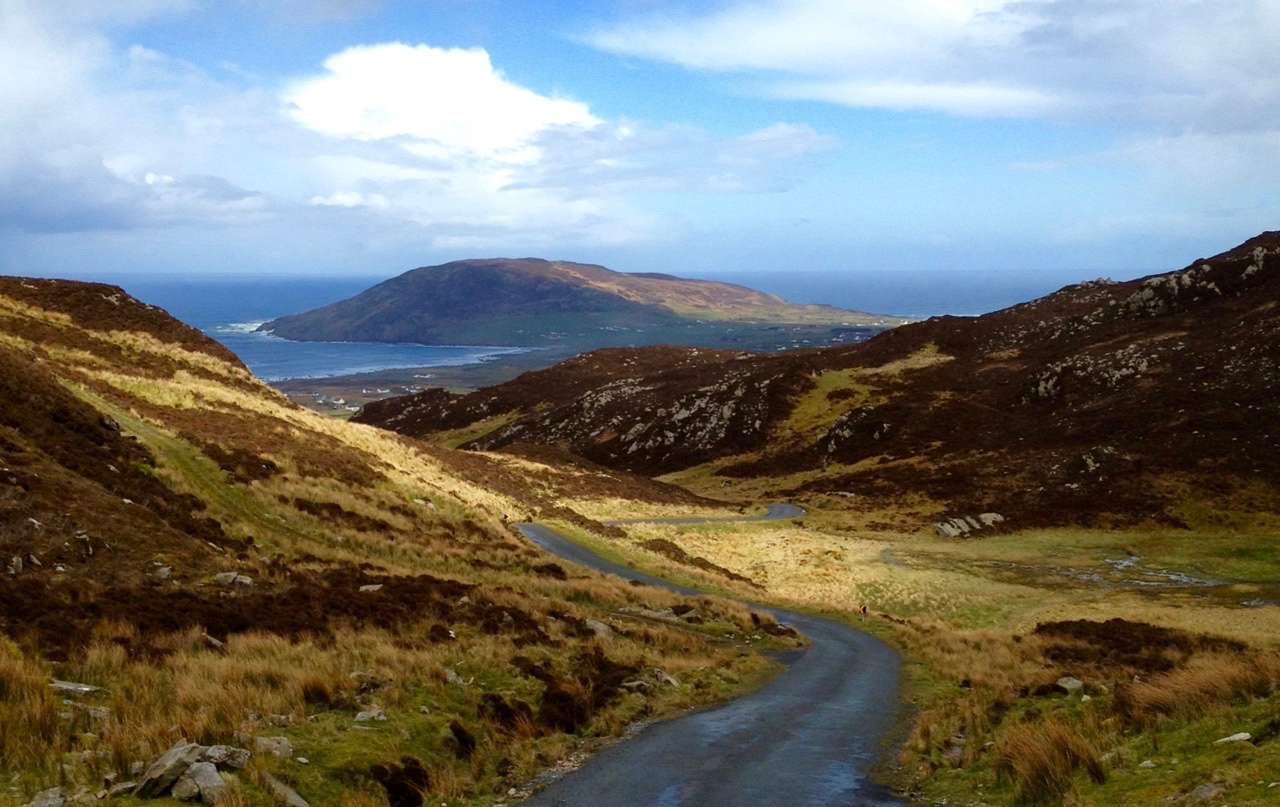
We were never much more than 30 kms (or about 40 minutes) from home but in that distance we managed to see heritage sites dating from the bronze age through the medieval period up to the recent past, surrounded all the time by the magnificent scenery of the Mizen. You can do this anywhere in Ireland. Using the Historic Environment Viewer of the National Monuments Service, define the area you want to explore, pick your fancy (ring forts? medieval churches? cross slabs? megalithic tombs? castles? rock art?), and off you go.

Peter and Amanda in a holy well

A holy well looks back at Amanda and Peter

Now, if you’ll excuse me, I’m off to buy some wellies…

Gather Your Seaweed

collecting sand

Today is Oiche Fhéile Bhríde – St Brigid’s Eve. The Saint’s festival – tomorrow – marks the beginning of Spring: we will feel the lengthening of the days, and we have to be alert for so many portents.

Firstly – Hedgehogs. Watch out for your Hedgehogs: to see one is a good weather sign, for on Brigid’s Eve the Hedgehog comes out of the hole in which he has spent the winter, eyes up the weather and, if he likes the look of it, starts his foraging. If he goes straight back in again, then you’ll know that the storms will continue! This is according to Kevin Danaher, a frequent contributor on our seasonal folklore. The wind direction on the eve of the festival ‘…betokens the prevailing wind during the coming year; the festival day should show signs of improving weather, although an exceptionally fine day is regarded as an omen of poor weather to come…’

For those of us who live by the sea we have to be alert for Rabharta na Féile Bríde, the spring tide nearest to St Brigid’s day, as it is said to be the most significant one of the year – that’s when the difference between high and low tide is the greatest. Danaher, The Year in Ireland, Mercier Press 1972, notes: ‘…The people were quick to take the opportunity of cutting and gathering seaweed to fertilize the crops and of collecting shellfish and other shore produce. In a few places a live shellfish, such as a limpet or a periwinkle, was placed at each of the four corners of the house, to bring fishing luck and ensure plentiful shore gathering…’ But don’t forget that it’s not until Good Friday that you harvest the Mussels.

along the strand

All the photographs in this post are from the collection of Tomás Ó Muircheartaigh, who documented life in rural Ireland between the 1930s and the 1950s – an invaluable pictorial record of the times

This is the day to make – and eat – your bairin-breac: ‘…On St Brigid’s Eve every farmer’s wife in Ireland makes a cake, the neighbours are invited, the madder of ale and the pipe go round, and the evening concludes with mirth and festivity…’ (Danaher). I’m holding out hopes that Finola will oblige and get out her delicious barm-brack recipe. Of course, the mirth and festivity will follow as she soaks the fruit in whisky! The Saint travels around the countryside on the eve of her festival, bestowing her blessing on the people and their livestock. We must be sure to leave out for her a piece of our cake: ‘…Often a sheaf of corn was put beside the cake, as refreshment for the Saint’s favourite white cow which accompanied her on her rounds. Others laid a bundle of straw or fresh rushes on the threshold, on which the Saint might kneel to bless the house…’ (Danaher).

collecting seaweed

Tonight we will hang a piece of red ribbon outside our door: ‘…One traditional story says that St Brigid wove the first cloth in Ireland and worked into it white healing threads which were said to have kept their healing power for centuries. In many places in Ireland it was customary to put a piece of silk ribbon, red being the preferred colour, outside the house on the Eve of St Brigid’s Day, much in the same way as articles of clothing or cloth left out on the saint’s eve would be endowed with St Brigid’s blessing when they became known as the Brat Bhríde (Brigid’s cloak). It was believed that St Brigid, when travelling around the country on the Eve of her Day, would see and touch the ribbon, so endowing it with her blessing and conferring on it some of her healing power. After this it was referred to as the ribín Bhríde…’ from Brigid: Goddess, Druidess and Saint Brian Wright, The History Press 2009. This reminds me very much of another saint – Gobnait – who also has a February festival. It’s going to be a busy month! To start it off it’s essential that we make our bogha Brídhe – St Brigid’s Cross.

carrying the seaweed

Atlantic Winter

Dingle Beach

When St Brendan of Clonfert set out to discover America in 512 he and his fellow monks had to face the enormity of the Atlantic Ocean in tiny boats built out of wood and oxhides, sealed with animal fat. Up here in Nead an Iolair our view out to the islands of Roaringwater Bay and beyond is dominated by that same ocean and – sometimes – we feel just as small. This year the winter gales have started early, and spates of fierce westerlies have been throwing the Atlantic straight at our windows. The tiles rattle alarmingly while we are tucked up in bed at night. At these times I think of the Saint and what he had to face. But, like Brendan, we always survive the storms, and often wake up in the morning to a calm, clear day – except that you can hear the constant ‘roaring’ of the open sea out over the bay.

celebrating massOn their way to the New World – Saint Brendan and his companions take advantage of a passing Atlantic denizen to celebrate Mass…

The Atlantic has shaped Ireland. The sea is omnipresent: poets have written about it, storytellers have woven tales around it, and composers have tried to capture its spirit in music. Here’s a small section from the impressive ‘Brendan Voyage’ written by Shaun Davey for orchestra and Uillinn pipes – it’s the haunting second movement, played by Liam O’Flynn with the Irish National Youth Orchestra, at a performance in Cork City Hall. It makes me think of the wonderful sunrise on that calm day after the storm…

Brendan Voyage

Long Island Beacon

Brow Head

Mizen Head

Our own Atlantic: telescopic view of a storm battering Long Island, taken from our garden at Nead an Iolair (top), Brow Head, near Crookhaven (centre), and the impressive land and seascape at Mizen Head – Ireland’s most south-westerly point (lower picture). At the head of this page you can see the huge rollers that come into Dingle Bay, Co Kerry

Dogger, Rockall, Malin, Irish Sea:
Green, swift upsurges, North Atlantic flux
Conjured by that strong gale-warning voice,
Collapse into a sibilant penumbra.
Midnight and closedown. Sirens of the tundra,
Of eel-road, seal-road, keel-road, whale-road, raise
Their wind-compounded keen behind the baize
And drive the trawlers to the lee of Wicklow.
L’Etoile, Le Guillemot, La Belle Hélène
Nursed their bright names this morning in the bay
That toiled like mortar. It was marvellous
And actual, I said out loud, “A haven,”
The word deepening, clearing, like the sky
Elsewhere on Minches, Cromarty, The Faroes.

Glanmore Sonnets VII, taken from Field Work by Seamus Heaney, published by Faber and Faber Ltd

Seamus Heaney was deeply affected by the seascape of his native Ireland. Anyone who works on or beside the sea is aware of the resonant names from the Shipping Forecasts, and the poet has used those names here to introduce his word-picture of the elemental Atlantic.

Near Malin Head 2

On the Beara

Donegal Beach

Atlantic contrasts from Mizen to Malin: near Malin Head – Ireland’s most northerly point (top), off the Beara (centre) and a beach in Donegal (lower)

A later traveller over the Atlantic waters was Chistopher Columbus in the 15th century. On the way he looked out for St Brendan’s Isle, a spectral island situated in the North Atlantic somewhere off the coast of Africa. It appeared on numerous maps in Columbus’ time, often referred to as La isla de SamborombónThe first mention of the island was in the ninth-century Latin text Navigatio Sancti Brendani Abatis (Voyage of Saint Brendan the Abbot), from whence it became firmly implanted into Irish mythology. St Brendan took a little party of monks to the island to say Mass: when they returned after a few days to the rest of the flotilla, they were told that they had been away for a year! The phantom island was seen on and off by mariners for years until in 1723 a priest performed the rite of exorcism towards it during one of its apparitions behind low cloud… You can see St Brendan’s Isle for yourselves, above the wonderful giant fish in the second picture down.

Dingle Peninsula

Coast Road

Dingle peninsula (top), and Coast Road in Donegal (lower)

I was pleased to find this Irish Times video made by Peter Cox when he was fundraising for his book Atlantic Light: spectacular photographs of the coastline on Ireland’s Wild Atlantic Way. The excellent aerial views in this film are all taken by a drone… Look out for places you will have seen in our blogs!

atlantic video

We are privileged that the Atlantic Ocean is the abiding but ever-changing feature in our daily lives. It must affect us in unknown ways: I do know that, wherever I go in this world, I will – like Saint Brendan – always be drawn back here to our wonderful safe haven…

St-Brendan-Coin1


November Dark

November Dark

Dramatic sky over Nead an Iolair on November Dark this year

The month opened with Snap-apple night and tales of pucás and little folk. From the rising of the moon on November Dark the mackerel would make their way to deeper water; it was the end of the seine season. With the crops all in and hill grazing finished, fires were set on the hills and preparations made for the winter. There was little employment for the months ahead… (from Northside of the Mizen by Patrick McCarthy and Richard Hawkes 1999)

I have mentioned this reference to ‘November Dark’ in previous posts but, apart from the Northside book, I have been unable to find any other allusions to the term – either on the internet (which is usually a sure source of every conceivable fact or fiction) or on our bookshelves (which are overflowing with volumes on Irish culture, traditions and folklore). According to McCarthy and Hawkes it points to the appearance of the November new moon: this year it occurred last Wednesday – the 11th – which was also Martinmas.

bookshelf

gallimaufry on the bookshelves at Nead an Iolair

Once, the day had particular significance: …With the rising of the moon from November Dark the mackerel made their way to deep water; it would be the end of the seining season. Most of the barrels of fish were collected by ships from September onwards. Limerick Steam coasters and ships from England and America anchored offshore, and the barrels would be taken to them. The faller boats took five to eight barrels per trip to the ships. They were hauled up by a derrick, two at a time, into the hold. Often 300 barrels would be loaded onto one ship… Although the barrels of fish were taken throughout the season by the fish buyers, it was on November Dark that the seine crews received their money… (from Northside)

Seining: the huer (top) watched for the arrival of the shoals and then signalled their location to the boats at sea; the lower photograph shows seine netting on the beach at Greystones, Co Wicklow

Historical evidence documents seining in the South West Coast of Ireland from County Waterford, to County Kerry, from the 16th century onwards. This was an important industry with Baltimore, Dunmanus, Schull, Sherkin, Kinsale, Bantry and Whiddy Island as centres, together with outlying curing stations called Fish Palaces or Pallices, of which there were significant numbers along the Southern coast. The fish – usually pilchards – were caught by means of a seine net: two boats, the seine boat and the so-called follower (locally called the ‘faller’) were used. The seiner, a large boat pulled by perhaps a dozen or more oars, carried the net, which was often 300–400 yards long. An experienced fisherman acted as a huer by directing fishing operations from a suitable vantage point ashore. From high land, the huer could see the shoals of pilchards clearly, and he alerted the seine boat, by shouting (the ‘hue and cry’) or making suitable signs as to the location of the shoal. Often the shoals were too far out to be seen from the land, and one of the crew – known as  a spyer – had the job of locating them from on board. On a given signal, the net was shot around the shoal by the seine boat, and in the meantime, the free end of the net was picked up by the faller, with a crew of perhaps five or six, pulling the ends of the net together. The footropes of the net were gradually drawn up until the fish were completely enclosed, and by means of baskets the fish were transferred from the net to the boats.

Tucking

Cornish ‘Tucking’ – gathering in the pilchards from the seine net – by the Newlyn School artist Percy Robert Craft: the original painting is in the Penlee Gallery, Penzance. As the seining season advanced, the Cornish boats followed the shoals to the west coast of Ireland

…After the season’s fishing all the nets were barked in a ceiler (a flat bottomed iron pot) at Dunmanus or Goleen… The ceiler would be full of boiling water and bark (a non-sticky type of tar), and the nets were steeped for a good spell. Barking drove out the salt and would preserve the cotton mesh for the next year’s fishing. The nets, when being repaired, were spread out in a field. In Dunkelly the field was called the Seine Field, and at Gurthdove it was at Willie’s Paircnafarriga. Only the experienced and older men were allowed to repair the nets, as the younger lads rarely had enough care for a job that had to be done so well… (from Northside…)

The Barking Pot at Goleen has been restored as a historic site: sadly the pot is no longer in use

Seining was used to catch pilchard, mackerel, herring and pollock off the Irish coast. A ‘Kerryman’ article by Ted Creedon in the Irish Independent back in 2003 gives a very comprehensive account of the living made in pre-war years – this is a short extract:

…Mike Séamus O’Sullivan of The Glen, St Finan’s Bay, was a member of the crew of the last seine boat to land a catch in South Kerry. Mike began fishing lobsters with his father when he left school aged sixteen.

“That was before the war and lobsters were making four shillings a dozen in those days, but when the war came the fishing really got going in these parts,” Mike told The Kerryman this week.

“We were catching mackerel, pollock, herring and they were cured and boxed at Renard Point before going by train to England. The seine boats were catching all mackerel in the war years and prices were about two shillings per hundred, but one day in 1942 an English buyer arrived at Renard Point and offered £3 a hundred!” Mike recalled.

“There was a fortune made in those days then and the local buyers put their prices up to £4 a hundred for the mackerel to keep the English buyer out!” he said…

mending nets

Mending the nets – in this case in a traditional Irish kitchen: a photograph by Tomás Ó Muircheartaigh, who documented life in rural Ireland between the 1930s and the 1950s. The Irish caption to this photo suggests that the net was damaged by a shark

We have been looking back through our archive of the photographs which we’ve taken here on or around ‘November Dark’ in past years. There’s quite a contrast: we have had times of golden sunsets and warm days when we could sit out, while this year has brought a period of wild storms and grey skies.

Mizen Sunset November

November evening

November contrasts: our view a year ago (above) and (below) in the last day or two, brief respite from a period of Atlantic storms

November Dark – have any readers a recollection of this term? We’d like to know – and record – memories of the day and its significance here in West Cork…

sad end for a seine boat

From Northside of the Mizen – the photo is captioned ‘A sad end for a seine boat’

The Village That Never Was

Colourful Courtmacsherry

Colourful Courtmacsherry

In the Days of Yore – when I first started to visit the west of Ireland – I travelled on the good old Swansea – Cork Ferry. It’s such a shame this route has now been scrapped (not once but twice): it was an overnight crossing, leaving the Welsh port at 9pm and arriving in the mouth of the Lee estuary at dawn. I felt there was nothing more beautiful than the slow cruise up through that great natural harbour in the early morning sunlight: passing lighthouses, lookout towers, mothballed ships, the Irish Navy and the coloured terraces of Cobh (pronounce it Cove), before disembarking at the exotically named Ringaskiddy Terminal.The Swansea-Cork ferry, the Celtic Pride1980s

image006

Swansea – Cork Ferry: above – Celtic Pride, 1980s, below – MV Julia, withdrawn in 2011

Part of the excitement of that journey was the anticipation of the drive down to Ballydehob and beyond. I always went on the R600 route, passing through Carrigaline and Kinsale – stopping, of course, at Ballinspittle to check that the BVM was safely in place at her grotto – before heading out along Courtmacsherry Bay. The journey alongside that ribbon of water – the road hugs it for some 10 kilometres – is recommended as an exemplary introduction to the landscape characteristics of rural Ireland.

This water was known as Timoleague Bay until it became silted up in the 18th century

This water was known as Timoleague Bay until it became silted up in the 18th century

What was formerly Timoleague Bay is now known as Courtmacsherry Bay. Timoleague was the head of the navigation and thrived from wharfs built in front of the medieval Priory there until a catastrophic earthquake occurred in Portugal in 1755 causing a tsunami which hit the coasts of Britain and Ireland and dramatically changed the topology. This bay is one example: the inlet was no longer navigable for sea-going vessels up to Timoleague, and new piers and quays were built further to the east, closer to the mouth of the estuary, on the north facing shoreline. The place we now call Courtmacsherry didn’t exist until after this maritime event (hence the title of this post).

The Lisbon Earthquake of 1755 changed the shoreline of Britain and Ireland

The Lisbon Earthquake of 1755 changed the shoreline of Britain and Ireland

So how did the name ‘Courtmacsherry’ come about? It’s an unusual one, and a bit of a mouthful – locals call it simply ‘Courtmac’. According to Sean de Barra of the Courtmacsherry Historical Society the area was settled by the Hodnett family from Shropshire, in England:

…In the course of time they became more Irish than the Irish themselves and took the Irish version Mac Seafraidh…

…Which sounds like Macsherry – the prefix Cuirt would have been ‘Manor House’ or ‘Mansion’.

The Hodnett name is still familiar in the area

The Hodnett name is still familiar in the area

Although I travelled so many times along the road up to Timoleague it is only very recently that I actually diverted to visit Courtmacsherry. I’m very pleased that I finally did: it’s an attractive settlement which displays many aspects of its 300 year history. I had heard of the place – it has a lifeboat which is twinned with the one in Bude, Cornwall (have a look at this post). I worked for very many years in Bude with Jonathan Ball, who was Coxswain with the Bude boat and he led (and still leads) a choir from the Bude crew who have an annual twinning visit with the Courtmacsherry crew.

The Courtmacsherry Lifeboat has recently been in the limelight as the Centenary of the sinking of the Cunard liner Lusitania by a German torpedo has just passed (here is a very detailed account of the tragedy). The RNLI lifeboat Kezia Gwilt was on call during that event (having to row the 11 miles out to the wreck because there was no wind to sail her with) and helped rescue survivors. Sadly, 1,198 of the 1,959 people on board lost their lives on 7 May 1915.

Notice Board

Model of Lusitania on display in Courtmacsherry, 2015

Model of Lusitania on display in Courtmacsherry, 2015

*

The village is unusual in that it has virtually only a single street facade, which follows the line of the water. Finola liked the colourful house fronts! Fishing is still a living here, just about. Tourism is important nowadays: we certainly appreciated the hostelries, including the Golden Pheasant Cafe. There really are Golden Pheasants in the cafe garden and – to my delight – Robins and Chaffinches who will eat from your hand. Also, in the aviary, a magnificent Eagle Owl. Apart from all this the food is excellent!

Golden Pheasant

Single sided street...

Single sided street…

As with our own village of Ballydehob, Courtmac was served by a branch of the West Cork Railways. Although planned as a three foot gauge ‘roadside railway’ (just like our Skibbereen to Schull line), the Timoleague and Courtmacsherry Extension Light Railway was actually built to full gauge, and lasted a little longer: our line closed in 1947, this one in 1960. The track bed from Timoleague has been made into a scenic waterside footpath covering several kilometres.

Railway Line Walk

Timoleague Station around 1910, top left – seaside Courtmacsherry 1950s, top right – the waterside walk along the old railway line, above

Our visit to Courtmacsherry was too short: we will be back soon, to take in the Castle and the Abbey – and to try and find out why it has an area called Siberia! My researches showed that there is another Siberia in Ireland: it’s in County Sligo and is also known there as Slieveroe. In that case the name is said to have come from  An Sliabh Rua, which means ‘Red Mountain’ – but there are no such topographical features in this part of West Cork.

I didn’t quite draw a blank with ‘Siberia’. Here’s an extract from Eating Scenery – West Cork, the People and the Place by Alannah Hopkin, The Collins Press 2008:

…In July and August, like most coastal villages in west Cork, Courtmacsherry can be too busy; it is heavenly in May and June, September and October. But in winter Courtmacsherry is deadly quiet, prone to dull, dark days of low sky and mist, when you are acutely aware of its north-facing character.The only compensation in this season is the presence of thousands of migrant birds, great clouds of golden plover, lapwing, blacktailed godwits, and Arctic shags, fleeing the cold of Scandinavia and Siberia to roost on the mudflats of Courtmacsherry Bay…

Houseen

Queen of the May

May Eve activity: setting up the May Bush

May Eve activity: setting up the May Bush

I was excited to learn – from one of my favourite and most faithful volumes on folklore: The Year in Ireland by Kevin Danaher (Mercier Press 1972) – that on May Day the Fastnet Rock weighs anchor, casts off her moorings and goes sailing about in Roaringwater Bay! I spent May Eve in a whirl of anticipation – and hot spring sunshine – awaiting the morrow which would present this wonderful spectacle to add to the feast to be seen from our window. The morrow that came, ostensibly the first day of summer, was a disappointment: the wind was in the east – and biting – and the whole bay was encased in damp, grey fog. The perambulations of the rock remained out of sight until nightfall, by which time the sweeping light had smugly returned to its rightful place twelve miles off shore.

Dancing Rock...

Dancing Rock…

My only consolation – again, according to Danaher – is that a cold, wet May morning heralds an excellent summer (and this certainly came about last year). I could write all day about Danaher’s observations on the subject of Mary’s month – in his book 42 pages are devoted to it: the longest section by far, indicating the importance given to this part of the year in the traditional calendar. But I’ll leave that for another time and concentrate on our own activity: putting up our May Bush.

When I lived in the west of England it was a toss-up between going to Minehead or Padstow on May Day – occasionally both. They were contrasting experiences: in Minehead, on the north coast of Somerset, you had to take pot luck – there was no fixed itinerary to the day and you never quite knew what you were going to see, or where or when. What you wanted to see was the Hobby Horse, sometimes known as the Ship-horse, or the Sailor’s Oss. I’ll refer you to another classic book – by chance also dating from 1972: A Year of Festivals – A Guide to British Calendar Customs by Geoffrey Palmer + Noel Lloyd (Frederick Warne):

…The head of the horse (or the mast and sails of the ship) is in the centre; and a long rope tail, once a real cow’s tail, is fastened to the ‘stern’. The man inside the contraption glides and sways through the streets, and sometimes swings his tail around anybody who refuses to contribute to the collecting-box… The ship form of the horse is said to date from 1772 when, on the evening before May Day, a ship sank in a storm off Dunster, three miles from Minehead. The only object to be washed ashore was a dead cow, the tail of which was used to decorate the horse…

Now, the early photograph below is one of my all-time favourites as an illustration of a folk custom: it’s optimistically captioned Hobby-horse Festival, Minehead, Somerset and says to me that such traditions will continue forever because ‘they have to be done’ – even if the rest of the world has lost all interest…

The First of May at Padstow is another matter altogether. It’s a huge gathering: all the roads are closed to traffic and at times it seems impossible that any more people could be fitted in to this modest Cornish fishing community. Here there are two ‘Obby Osses’: the Red Oss, sometimes known as the Original or Old Oss, is stabled in the Golden Lion, while the Blue Oss – or Temperance Oss has its headquarters in the (perhaps more temperance friendly) Public Library. Both horses come out in the morning of May Day, led by a ‘Teaser’ and accompanied by numerous dancers, drums and accordions, perambulate all around the town, and well beyond it, finally meeting in the evening at The Square, in the shadow of an elaborate and colourful May Pole.

Padstow taster… Photos from the 1960s and 2006:

Preparing the Maypole in Bavaria

Preparing the Maypole in Bavaria (Florian Schott, Ellbach)

While I was experiencing my first Padstow May Day in the 1960s, our Cappaghglass neighbour Dietrich was in Bavaria, watching the construction of an enormous Maypole: he also remembers all the children dancing around it holding up May Bushes. For our own May Bush we took our inspiration from Danaher:

…The children set up their May Bush in the same spirit in which we hang out our flags on a national holiday, to celebrate an occasion, but some – at least – of their parents were glad of the feeling of protection against unseen forces which the May Bush gave…

Oh yes! We have to be aware that…

…So powerful were the preternatural forces abroad in the night between sunset on May Eve and sunrise on May Day that almost anything might be expected to happen… (Danaher) while …The powers of evil, always on the alert to entangle and destroy souls, being most dangerous and powerful on May-Eve, on that day the maids were apt to be uneasy and rather sullen, watching us suspiciously lest we might, through our unbelief, frustrate their precautions against danger. They strewed primroses on the threshold of the front and back doors – no fairy can get over this defence – and in the cow-byres they hung branches of rowan while the head dairy-woman sprinkled holy water in mangers and stalls. The milkmaids, at the end of the evening milking, stood to make the sign of the cross with froth from the pails, signing themselves and making a cross in the air towards the cows… from The Farm by Lough Gur by Mary Carbery (Longmans, 1937).

Burning the land

Burning the land

We have had a long, dry spell and there have been a number of gorse fires recently in our neighbourhood: this one occurred on May Eve – traditionally a time in Ireland when bonfires were lit – although the gorse fires have nothing to do with that tradition. Here are the observations of William Wilde (father of Oscar) in Irish Popular Superstitions, Dublin, 1853

…Turf, coals, old bones, particularly slugs of cows’ horns from the tan-yards, and horses’ heads from the knackers, logs of wood etc were also collected, to which some of the merchants generally added a few pitch and tar-barrels. The ignitable materials were formed in depots, in back-yards, and cellars of old houses, long before the approaching festival; and several sorties were made by opposing factions to gain possession of these hoards, and lives have been lost in the skirmishes which ensued… With the exception of one ancient rite, that of throwing into it the May bush, there were but few Pagan ceremonies observed at the metropolitan fires. A vast crowd collected, whiskey was distributed galore… The entire population collected round the bush and the fire; the elder portion, men and women, bringing with them chairs or stools, to sit out the wake of the winter and spring, according to the olden usage… Fiddlers and pipers plied their fingers and elbows; and dancing, shouting, revelry and debauchery of every description succeeded, till, at an advanced hour of the night, the scene partook more of the nature of the ancient Saturnalia, than anything we can presently liken it to…

mass sign

By contrast, our own rural activities were much more calm and constrained. I couldn’t miss out on an outdoor Mass celebrated at one of Lough Hyne’s Holy Wells – the Skour Well. On a beautiful evening – attractive to the midges – it felt the most natural thing in the world to be at a site which has been considered sacred for hundreds, if not for thousands of years, and to take part in a ceremony which is also ancient. I counted over eighty people, including a gentleman of 97, at this event – presided over by two priests and centred on a portable altar with cloth and candles, the revered well being the backdrop. Prayers were said and hymns were sung in English, Irish and Latin.

There’s a continuity here which defies any twenty first century rationale. I was very conscious that this was the way that faith was practiced in Ireland in the penal times (requiring that a watchful eye be kept out for the Redcoats) – but also it was an honouring of nature and a respect for the elements: earth, water, sun and rain – old ways carrying on regardless of new technologies.

A May garland – Hatherleigh, Devon:

Finola’s memory of May Day in her schooldays was of all the girls wearing veils and processing down to the grotto saying the Rosary; and, every day throughout Mary’s month, singing the refrain that was sung at the close of the Mass at Skour Well:

O Mary! we crown thee with blossoms today,
Queen of the Angels, Queen of the May.

9074db7eb01031a082d064758b8b18ba