Wrought Iron Grave Markers

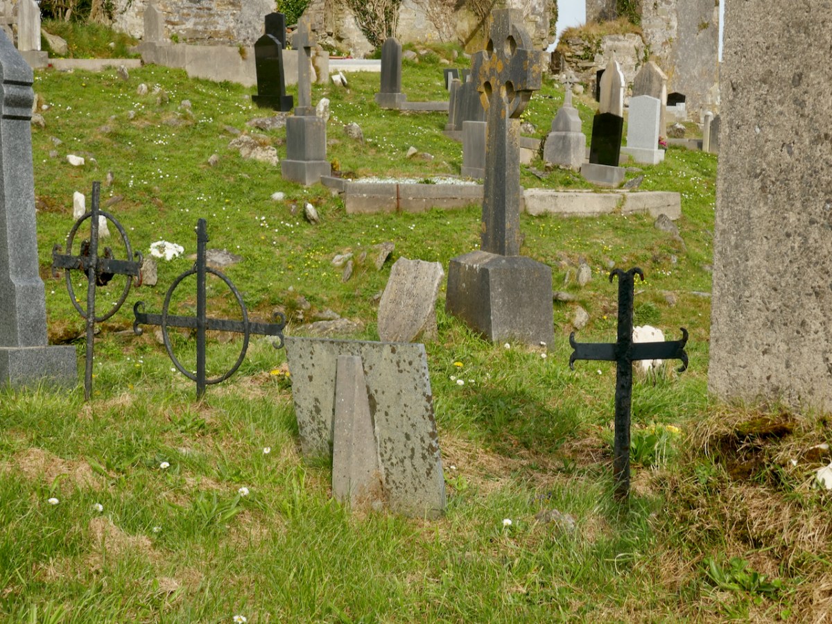
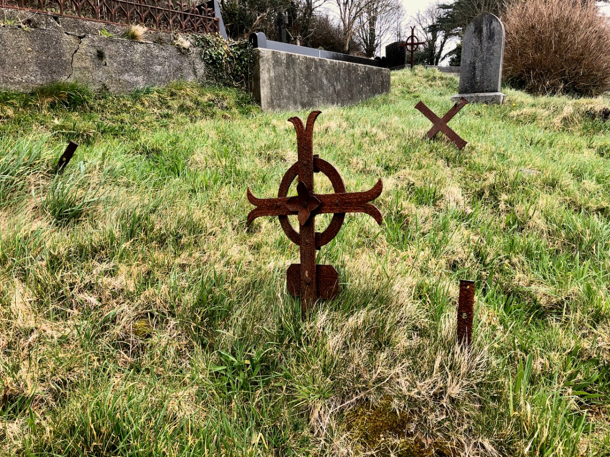
Every graveyard we go into has fine example of the blacksmith’s craft – wrought iron grave markers. Ranging from simple to decorative, they are a part of our heritage that is often overlooked and forgotten.

Wrought iron was once a common material in Ireland – there were huge production facilities in Clare, for example. What is it? It’s iron made by smelting iron ore and hammering out the impurities, with little or no carbon content. How it’s produced hasn’t changed much since the start of the Iron Age 2500 years ago. But it’s no longer available as a material, having been completely replaced by steel (carbon content up to 2%) and by cast iron (carbon content of up to 4.5%). This means we are in danger of losing all the knowledge about how to work with it, since it can only be worked using traditional forge techniques. 

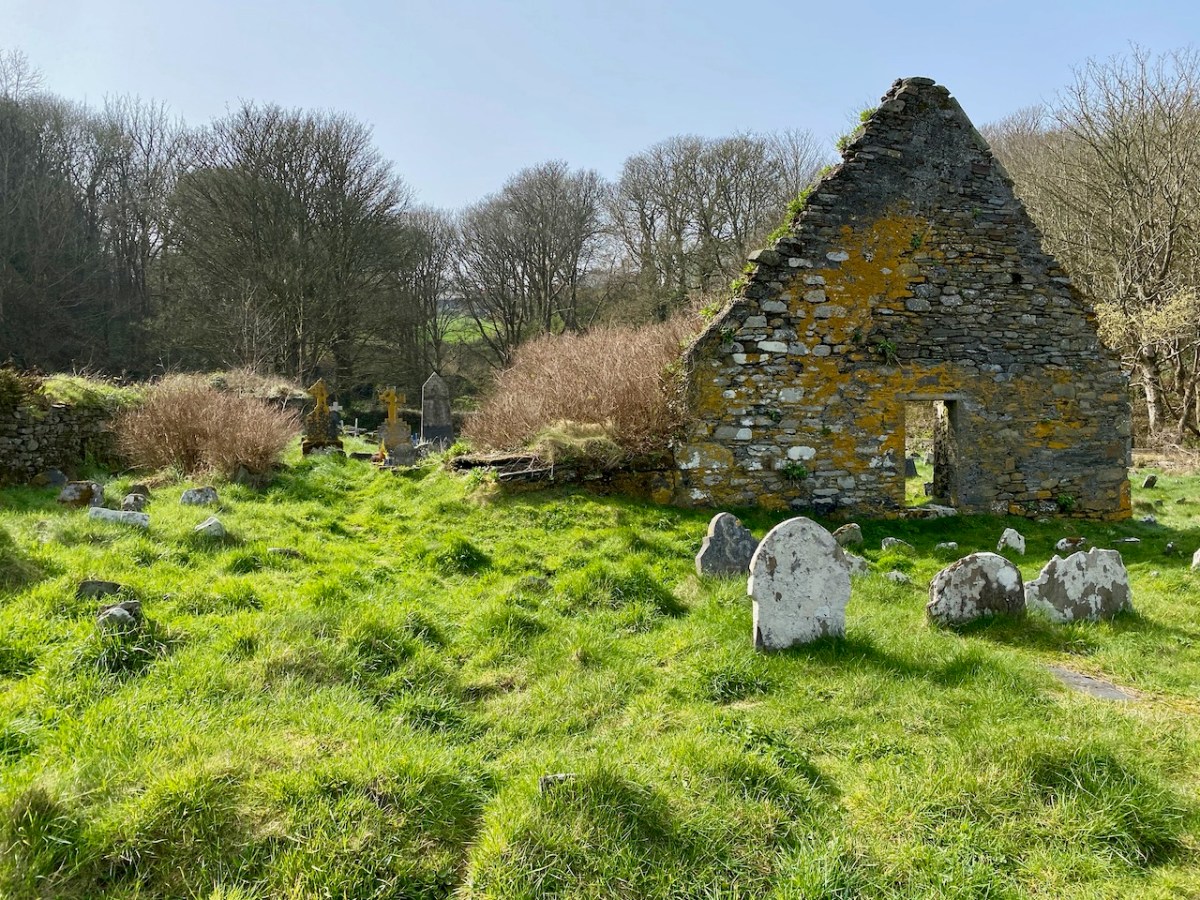
Graves in burial grounds in the past in West Cork were mostly marked with crude stone slabs as headstones (and sometimes footstones) and the vast majority were un-inscribed. They were carefully chosen, though, and the memory of who was buried there, and the shape and placement of the markers, would pass down through families. 

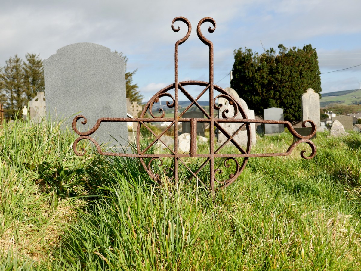
However, every local blacksmith was also adept at making grave markers, most often in the shape of a simple cross, but sometime with more elaborate detailing. As with the hand-forged gates (see A Gate Post and Another Gate Post) grave markers were forge-welded or riveted, and details were added by hammering out shapes, or splitting the iron and curling it around the anvil.

Some examples follow. All are from my local area but wherever you are in Ireland you will find similar grave markers in old burial grounds (although probably not in newer cemeteries) – why not have a wander down to your own local old graveyards and see what you can spot?

Many of the wrought iron grave markers have lost any identification over the years, but there are exceptions, such as the plaque to Timothy Keating who died in 1896 and is buried in Abbeystrewry graveyard in Skibbereen, or the simple letter PH and the date of 1907, from the graveyard in Drimoleague.

This elegant grave surround is completely hand-forged and is in the Abbeystrewry graveyard. It is likely to be the work of one the McCarthys, a family of blacksmiths whose work is still remembered and celebrated in Skibbereen – see this post from the Skibbereen Heritage Centre.

In the same graveyard, Eugene, a member of that McCarthy family, made this impressive famine memorial (above, upper) in his forge on Ilen Street. His hallmark can be seen elsewhere in the graveyard – notice the similarities between the cross on top of the famine memorial and the gravemarker (above, lower). The cross keys are associated with St Peter – perhaps this marks the grave of a Peter.

Many simple crosses such as those above can be found in the graveyard surrounding the ruined church of St Mary in Schull. The second image in this post is a more elaborate example from St Mary’s.

This graceful wrought iron grave surround is in the Castlehaven graveyard. The cast iron headstone obscures the original hand-forged IHS, just visible behind it.

Almost completely obscured by vegetation is this lovely example of a wrought iron grave marker in Creagh graveyard on the banks of the Ilen. Below are more simple crosses in Abbeystrewery.

Wrought iron is amazingly durable and will last for hundreds of years with little or no maintenance. It can deteriorate under certain conditions, though, and when it does it can only be properly repaired using traditional forging methods. There are still blacksmiths around who can use these traditional methods – in West Cork we are lucky to have Pat O’Driscoll* and JJ Bowen – but the knowledge and the equipment is getting scarcer. 

This lovely memorial to the O’Brien family can be see in the Dunbeacon graveyard. The image below is of a wrought iron memorial in Schull. The circle was made from band-iron, originally used for banding wheels.

I’ve tried to limit this essay to wrought iron. I’m still learning – please point out any errors you see, in the comment section. I hope to do more about cast iron in the future. Wrought and cast iron were often used in combination and we have lots of examples of this in our West Cork graveyards.

*My thanks to Pat O’Driscoll for information and for his willingness to patiently answer my questions.

I am also grateful to Architectural Conservation Professionals – see their site for lots of information on the conservation of historic ironwork.

Extreme Green – Castlehaven

There are many places in West Cork that deserve more than one visit. Our enforced confinement close to home focusses us on that thought. March went out like a lamb and – on the first day of April – we went off to enjoy the stirrings of spring in one of our favourite spots: Castlehaven.

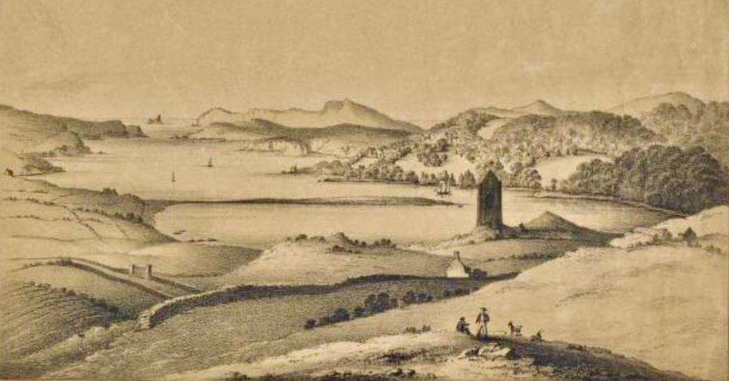
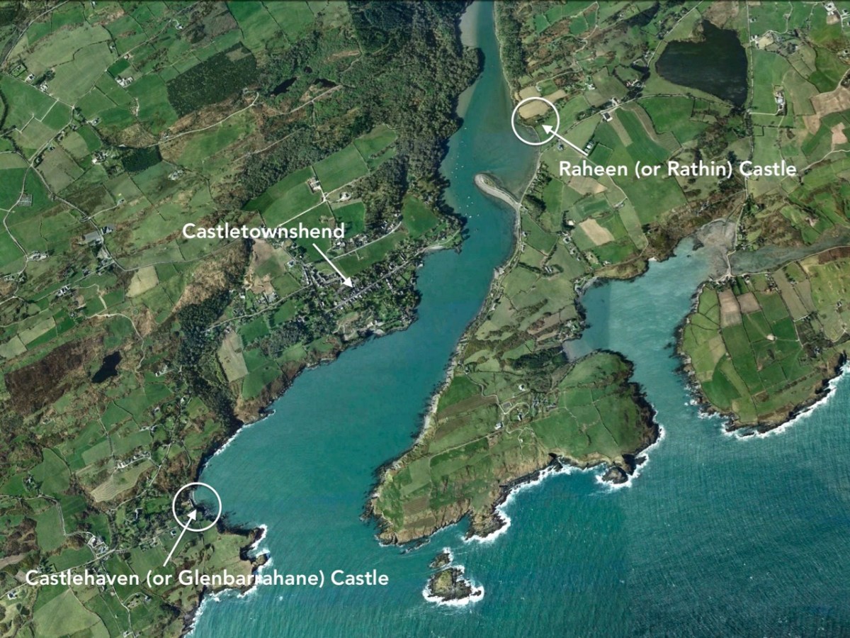
Here’s that spot seen from above. It’s accessed from a boreen that goes nowhere else, and is to the south west of Drishane, just outside Castletownshend. In the view you can see the little cove and an old burial ground which surrounds the ruin of the original church of St Barrahane, probably built on medieval foundations but disused by the 1600s. This benign place has bathed in some momentous historical events but is now forever peaceful and seems far removed from our material world.

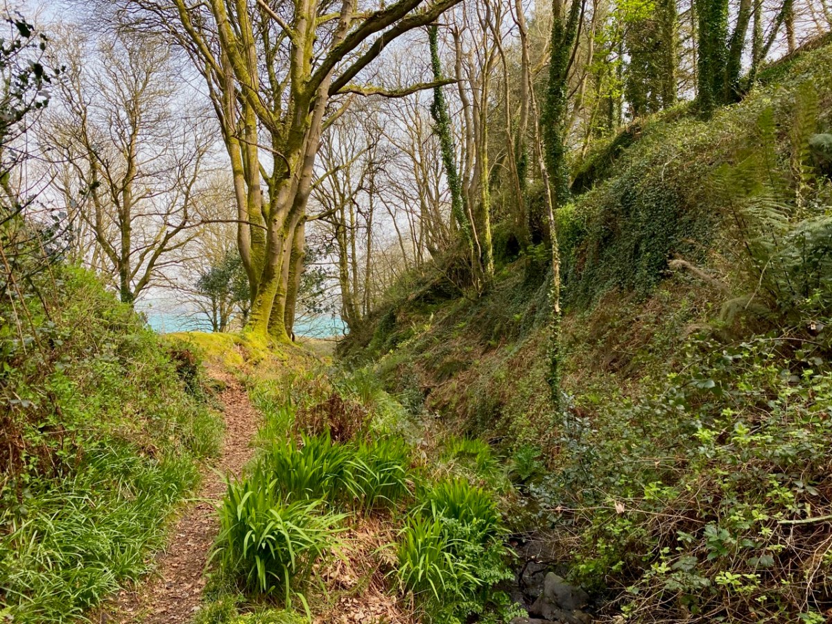
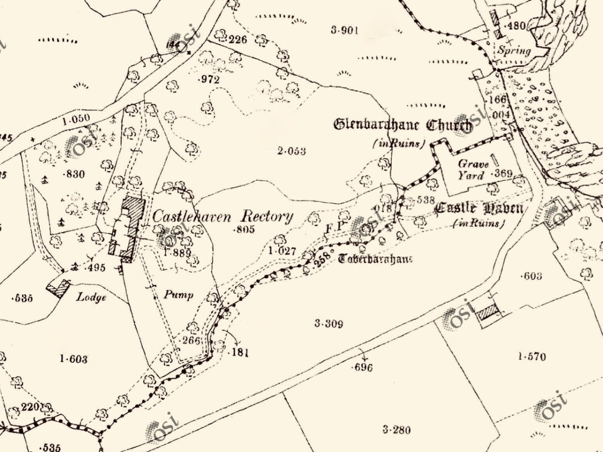
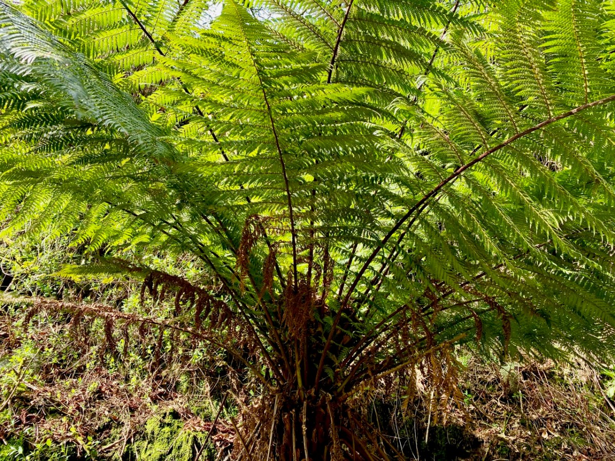
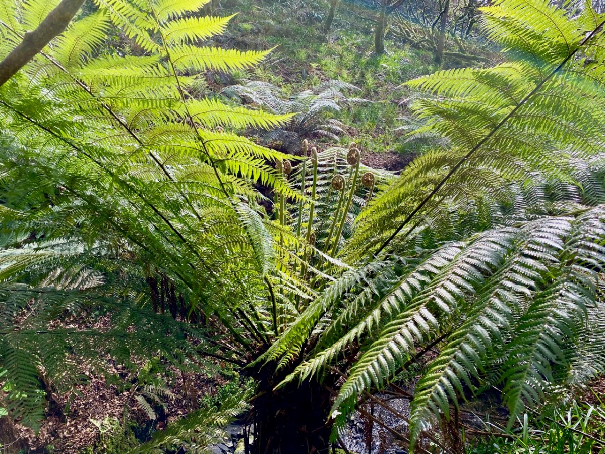
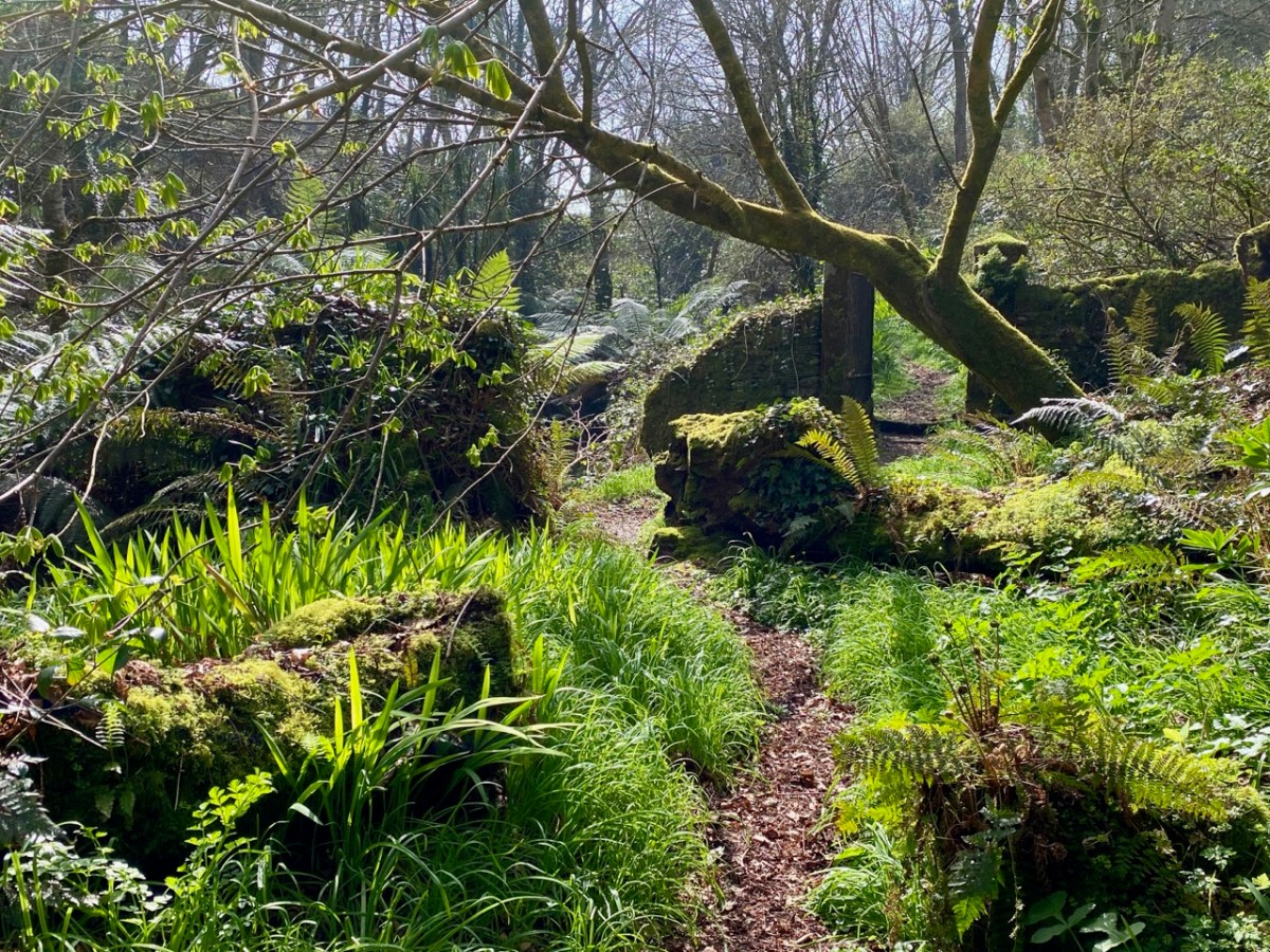
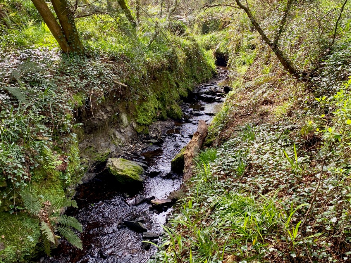
The 25″ OS map – dating from the late nineteenth century – marks the main features of Castlehaven: the ‘Grave Yard’, Rectory (based on an older house) and ‘Toberbarahane’ – a holy well. One of our favourite walks begins just to the south of the graveyard and wends its way up to the well, – and beyond – following a small stream which has ferociously gouged a channel through the rock formations in ancient glacial times. Today I can only describe the experience as ‘Extreme Green’ because our eyes are drawn to a riot of spring growth and exotic flora. In fact, Finola described it as a rainforest path when we first visited a few years ago.

The Holy Well is still revered, evidently, especially by sailors who need protection while at sea. The saint was known as Bearchán, and most likely came from the Corca Laoighde family  (the Annals describe the O’Driscolls as kings of the Corca Laoighde in the twelfth century), although we can find very little of his life. According to Pádraig Ó Riain’s A Dictionary of Irish Saints, Bearchán’s pattern day is not known, but Amanda gives it as 3rd December in Holy Wells of Cork & Kerry, something which she must have gleaned from local knowledge.

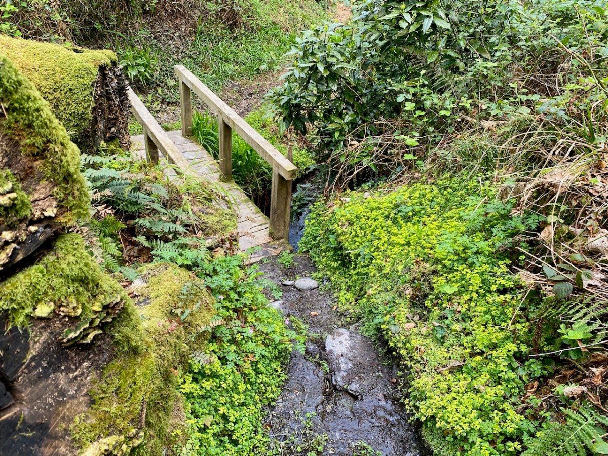
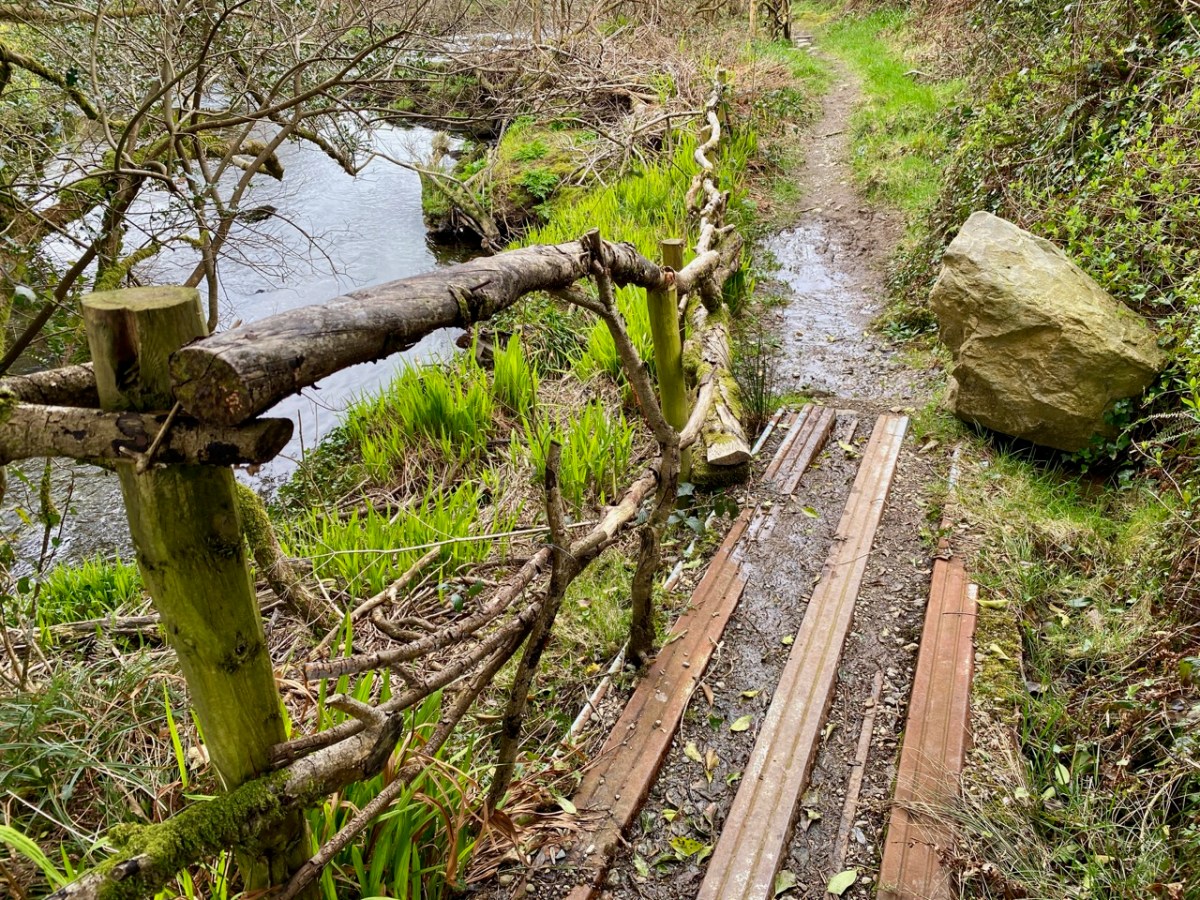
The Holy Well is easy to find and involves crossing a stout timber bridge to the left of the path. On our previous visit, three years ago, a tree had fallen across the path and the bridge was damaged, but this has now been put right.

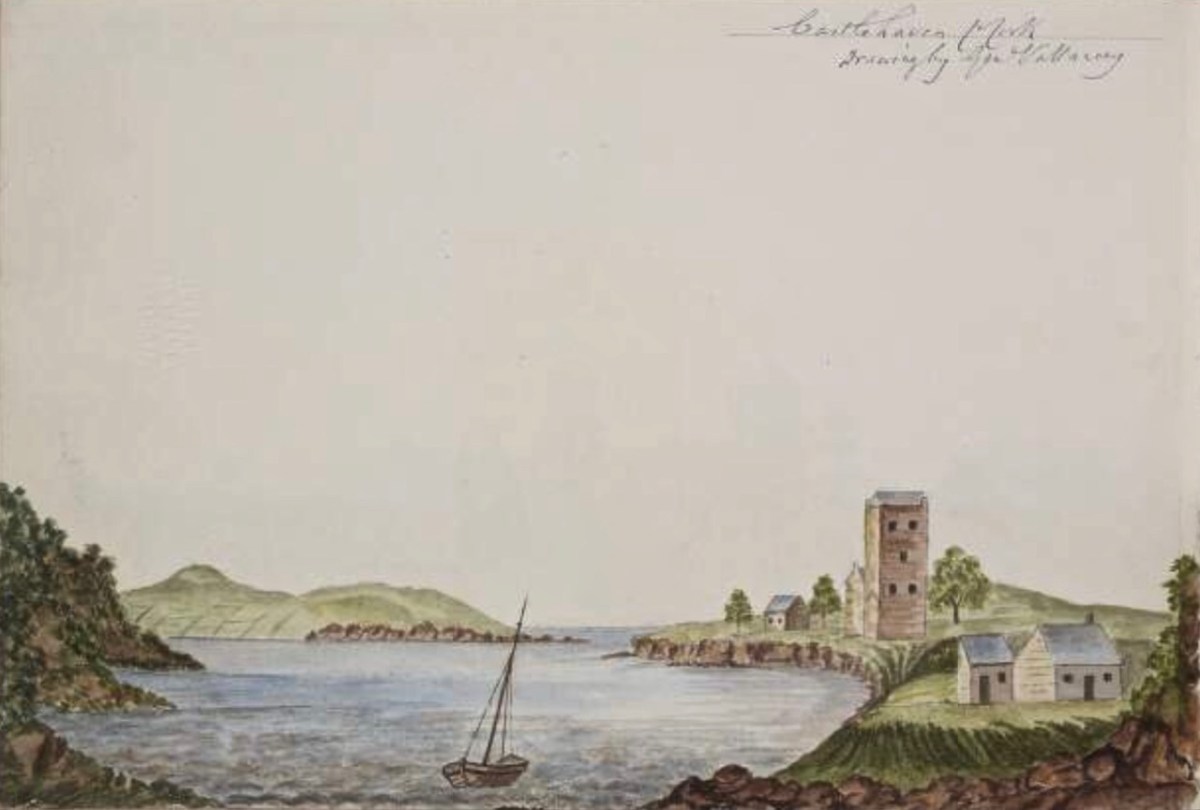
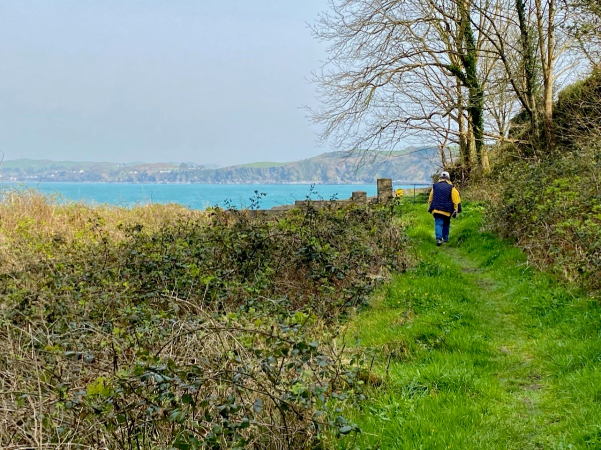
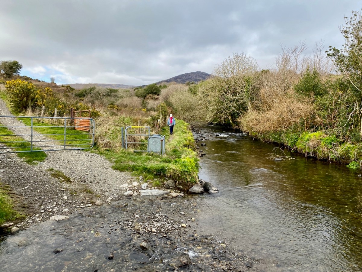
Finola is coming back along the holy well path, and the bay of Castlehaven is immediately beyond her. The colour of the sea is stunning azure at this time of the year. Just beyond the gate, and sited right above the strand, is all that is left of Castle Haven, a strategic tower house which saw action on 6 December 1601, during the Nine Years’ War between Gaelic Irish lords and the English. The O’Driscolls, who held the castle then, had welcomed in a small convoy of Spanish munition ships. The commander of the English naval forces based at Kinsale, Admiral Leveson, was ordered to “. . . seeke the Spanish fleete at Castlehaven, to take them if he could, or otherwise to distresse them as much as he might . . .” I’ll leave the rest of this story as a cliff-hanger, to be completed in a future post, but we will return to the castle which gave Castlehaven its name.

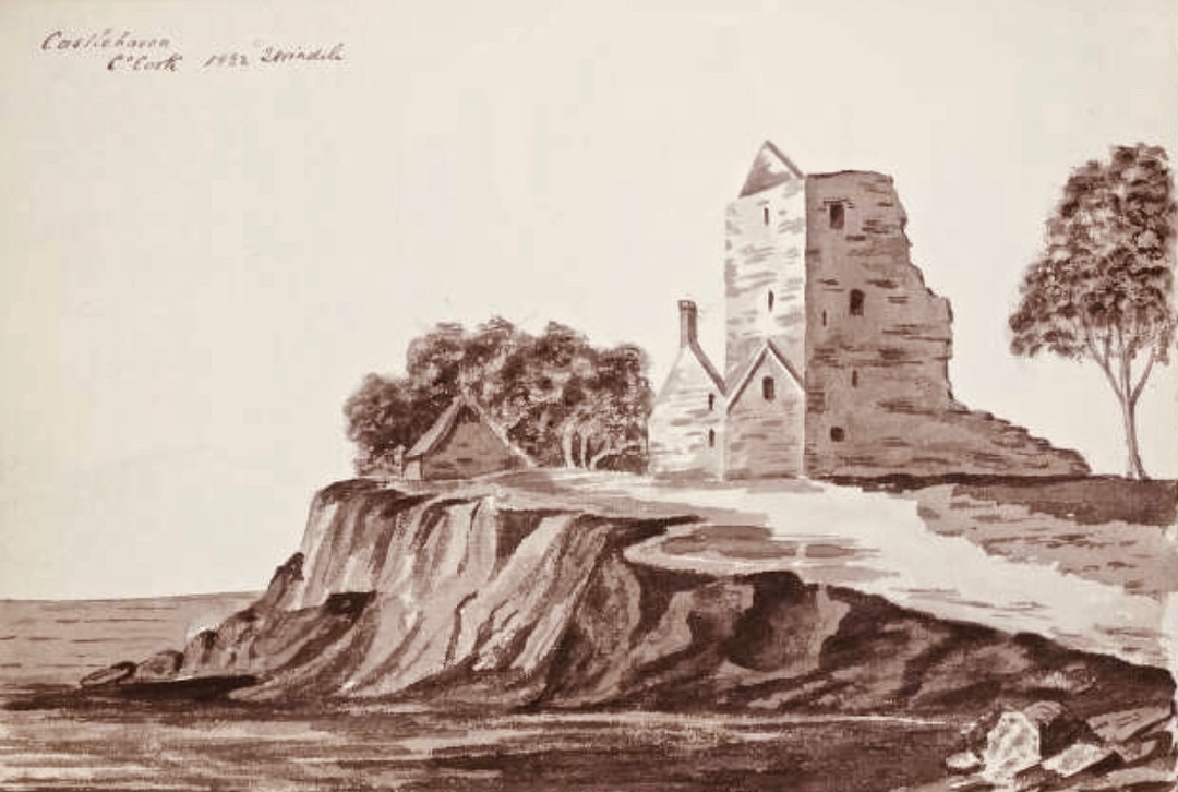
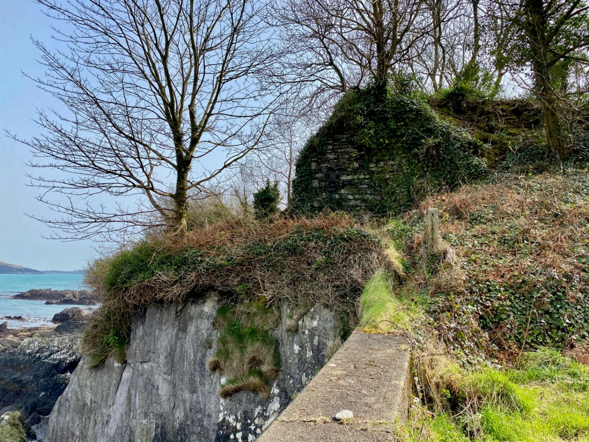
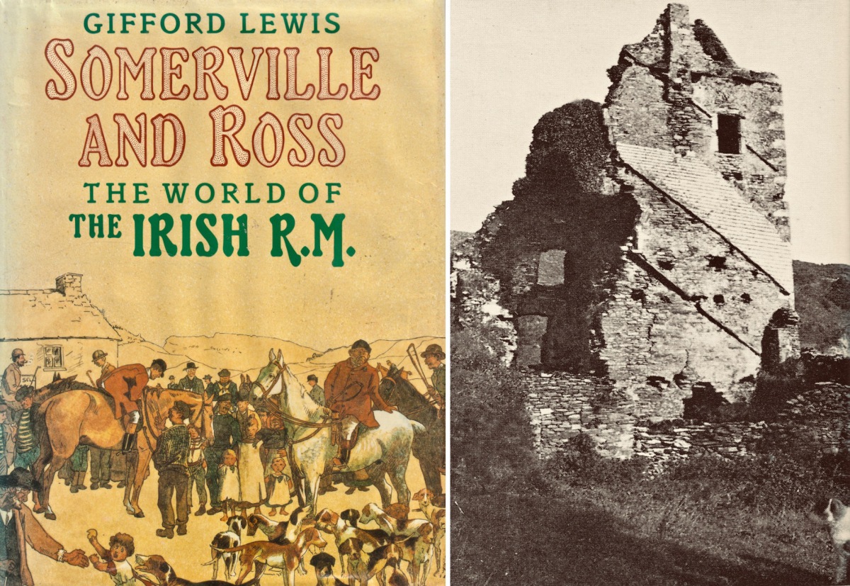
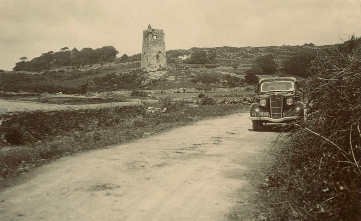
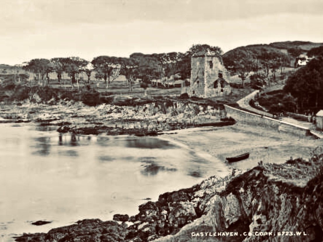
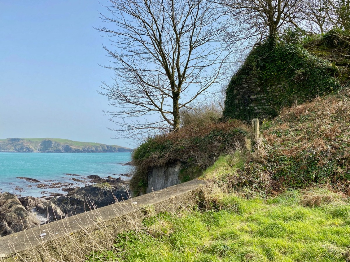
The old photograph dates from the late 1800s and is from the Lawrence Collection, courtesy of the National Library of Ireland. My photo shows all that remains of the castle today: a section of stone walling close to the cliff face. Its downfall occurred in 1926 and we know this because:

. . . Edith Somerville recorded that while taking a walk on 26 February 1926 she heard a loud rumble and in looking towards the direction of the old tower found that it had collapsed. Nowadays only a mere stump remains, and that covered with briars and weeds. The castle stood on the side of the harbour of Castlehaven, to the immediate south of the stony grey beach, and the decayed church, graveyard and holy well of St Barrahane, the local patron saint who gives his name to the nearby glen and castle. The castle and haven was known as Cuan-an-Chaisleán to the Irish, as Castlehaven to the English, and El Puerto Castello to the Spanish, but they all mean the same thing . . .
The Castles of County Cork by James N Healey, The Mercier Press, 1988

In the next post I’ll be telling you more about the pivotal sea-battle at Castlehaven between the Irish – Spanish alliance and the English forces; and setting out a case of mistaken identity. We will also be exploring another Castlehaven Castle, and looking into a salacious scandal that led to a beheading or two in 1631. There’s much to look forward to…!

Following the Cascades (Sweet Ilen – Part 7)

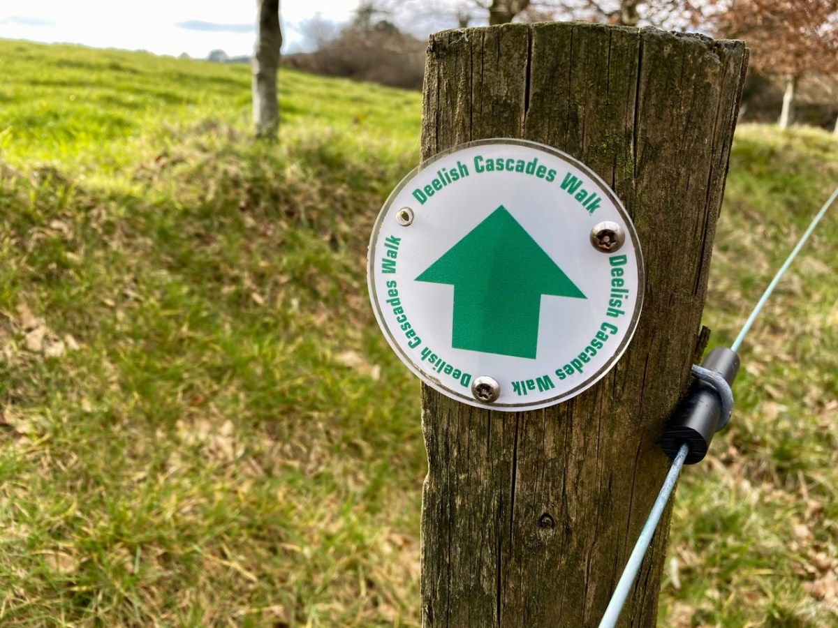
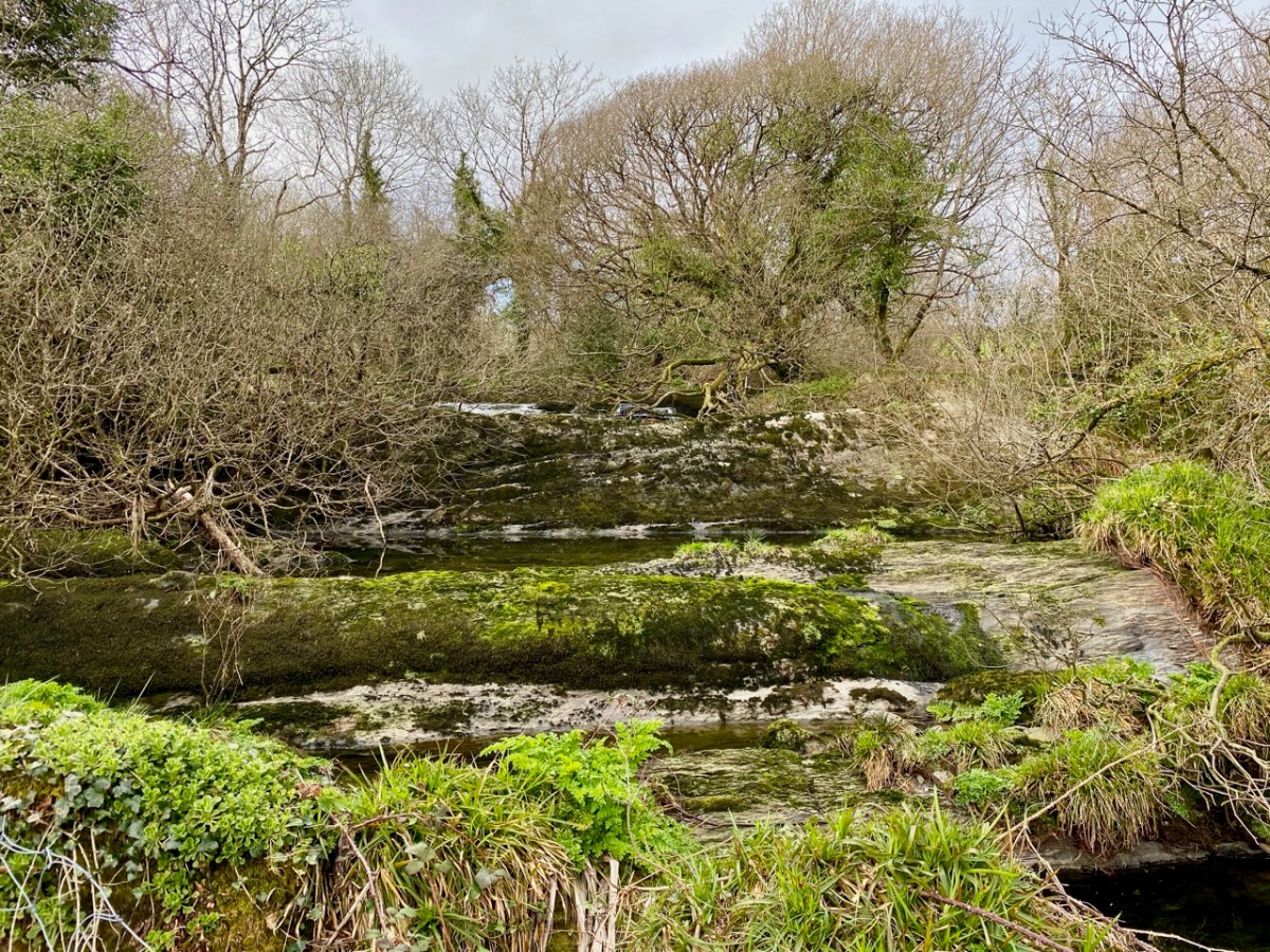
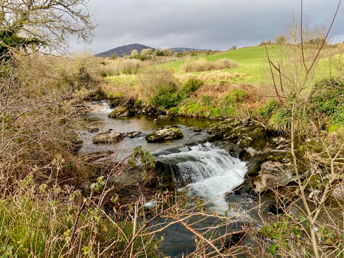
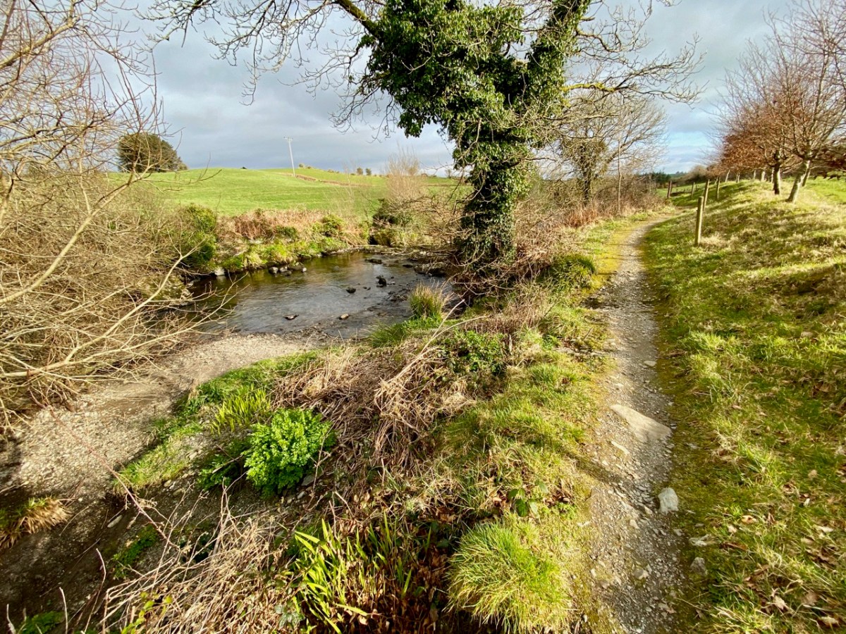
There’s a walk that goes down from Castledonovan to Drimoleague: it follows an ancient mass path and much of it is right alongside the Ilen River. At its northern end there is a section known as the Deelish Cascades: this is geologically fascinating, and gives us some insights into how our West Cork landscape was formed thousands of years ago.

. . . The oldest rocks exposed in West Cork are of Devonian age (410 – 355 million years ago) . . . These mostly red and green sandstones, siltstones and mudstones were deposited on a continental landmass in a low latitude desert or semi-arid environment. The sediments were deposited from rivers, whose flow was dominated by flash-floods fed by episodic rainfall, which originated predominantly from mountainous areas lying to the north which were were formed during the Caledonian Orogeny (mountain building event) in latest Silurian and early Devonian times. The environment was perhaps similar to the present day Arabian desert. This “Old Red Sandstone” continent extended over what is now northwest Europe. In Cork and Kerry these sediments accumulated in a large subsiding trough (the Munster Basin), resulting in one of the thickest sequences of Old Red Sandstone encountered anywhere in the world (at least 6km thick) . . .
Geology of West Cork, M Pracht and A G Sleeman, geological Survey of Ireland 2002

I have marked on this Geology Map the course of the Ilen River from its source on Mullagmesha Mountain to the tidal estuary which begins at Skibbereen. The map shows the ‘grain’ of the various faults which run SW to NE over the terrain: the river generally flows perpendicular to these faults, and the ‘grain’ is clearly seen in the exposed river bed running over the Deelish Cascades.

Praeger usefully simplifies the geological definition of the landscapes (for more on Praeger see Finola’s complementary post today):

. . . The story which geology tells as to how West Cork and Kerry got its present form is interesting, and I shall try to tell it in non-geological language. Towards the close of Carboniferous times – that is, after the familiar grey limestone which covers so much of Ireland and the beds of sandstone and shale which succeeded it were laid down on an ancient sea-bottom, but long before the beginning of the Mesozoic period, when the New Red Sandstone and white Chalk were formed – the crust of the Earth in Ireland and beyond it was subjected to intense lateral squeezing from a north-south direction. This forced it into a series of great east-west folds, thousands of feet high from base to summit – the Carboniferous beds on top, and below them and following their ridges and hollows the massive strata of Devonian time, and other deeper-buried systems. A series of pieces of corrugated iron laid one over the other will illustrate what happened. The folding was developed particularly conspicuously in the Cork-Kerry area. What we see is the result of this ancient crumpling, now greatly modified by the effect of millions of years’ exposure to sun and frost, rain and rivers . . . The more resistant slates, carved into a wilderness of mountains, still tower up, forming long rugged leathery ridges. A sinking of the land has enhanced the effect by allowing the sea to flow far up the troughs. That the ridges were longer is shown by the high craggy islands that lie off the extremities, and continue their direction out into the Atlantic . . .

The Way That I Went, Robert Lloyd Praeger, Methuen & Co London, 1937

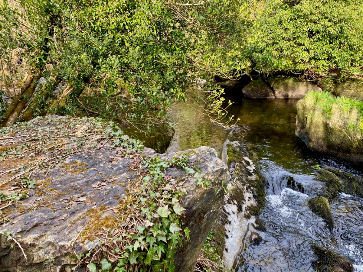
While the upheavals of far-off eras reaching back millions of decades certainly laid the foundations of our landscape, the geological events which actually honed the shaping of the terrain as we see it today are far more recent – the ‘Ice Ages’ which developed only 30,000 years ago and had receded by about 10,000 BC. During that time sea levels fell and then rose again, and the topography and shoreline of the island with which we are familiar today was established. The ice sheets covered most of the land and were up to 1,000 metres thick. As they melted, glaciers fell away from the highest points and carved fissures into the slopes, creating valleys and rivers. One of the most extensive ‘local’ ice-caps was in south-west Munster where a ‘Cork-Kerry’ glaciation, centred on or close to the Kenmare river, developed independent of the general ice sheet. Our own ‘Sweet Ilen’ was a consequence of the ice movement, and the rock formations that we see in the Deelish Cascades are good evidence of these modern geological events.

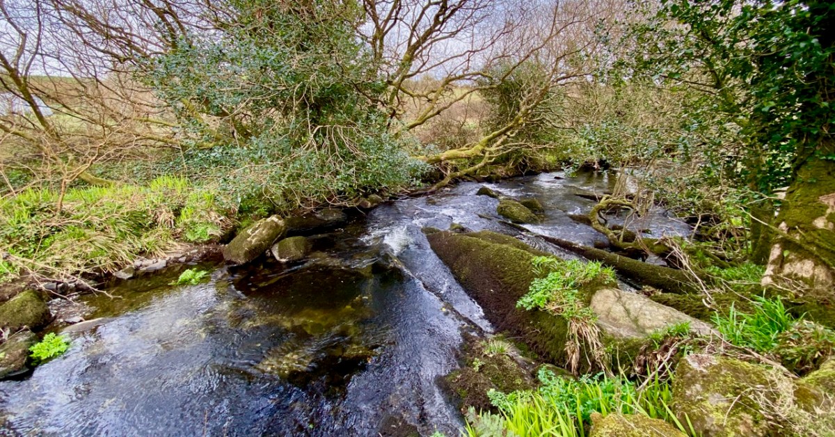
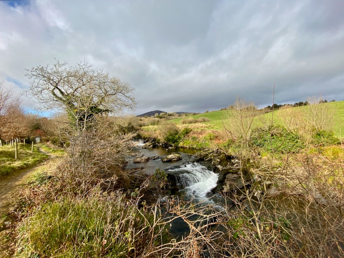
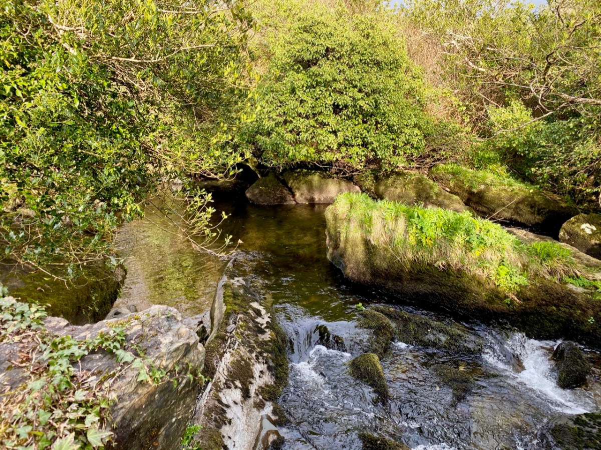
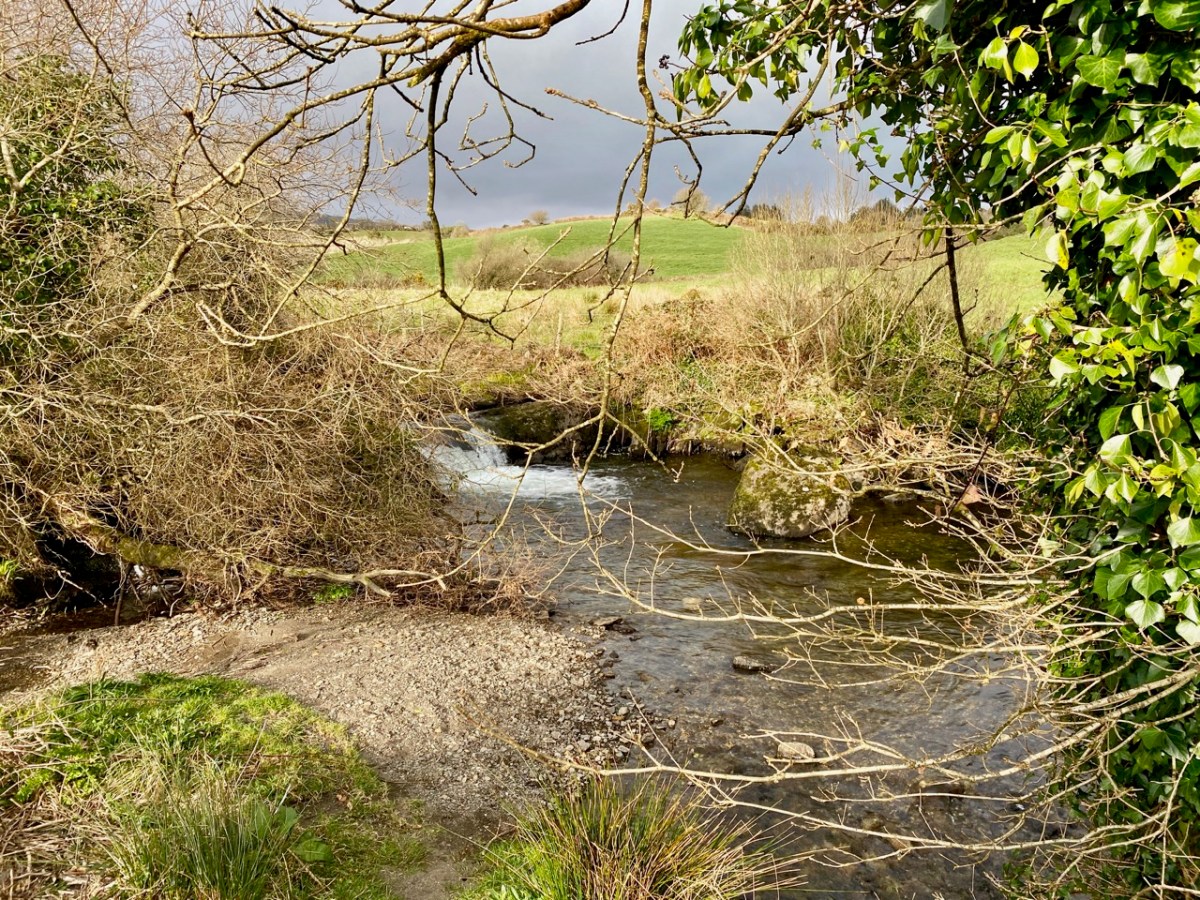
All the way down the Cascades you will see evidence of the scouring of the rocky river bed, and huge ‘erratic’ boulders that have been carried from the mountain-top on the ice flow, to be deposited randomly – and picturesquely – in the torrent. Of course, you don’t have to know about geology to appreciate the walk: you are free to explore the well kept path and delight in this West Cork experience which has been laid out for us all through the mighty efforts of the Drimoleague Heritage Walkways and the Sheep’s Head Way.

Previous episodes in this series: Sweet Ilen : Sweet Ilen – Part 2 : Sweet Ilen – Part 3 : Sweet Ilen – Part 4 : Sweet Ilen – Part 5 : Sweet Ilen – Part 6

Winter Light in West Cork: Lockdown Edition

We’ve both been dipping in to Robert LLoyd Praeger recently – Robert for this week’s post on the Ilen Cascades and me for pleasure. Praeger’s classic book The Way That I Went, was published first in 1937 and has never been out of print (this is the edition we have). My browsing reminded me that I tried a Praeger approach to explaining our West Cork landscape a few years ago, in a post post titled Wild Atlantic Light – the West Cork Winter Edition. I am having another go at it now with edited text and new photographs, all taken in the winter months. Mostly what I was trying to do then and now is to explain the West Cork landscape – what gives it its form and shape and colour and startling beauty. Being in lockdown since Christmas has forced us (even more than usual) to engage with our territory on a deeper level, seeking to understand what makes it the way it is.

Of this area, Praeger says,

At the Southern end of this land of great mountain promontories, in West Cork, you find yourself in a little-known and tourist-free region of much charm. You stay on Sherkin Island . . . or Cape Clear island . . . , at Schull or far out at Crookhaven: and you walk and boat and fish and lounge and bathe, and enjoy the glorious air and sea; towns and trams and telephones seem like bad dreams, or like fugitive glimpses of an earlier and inferior existence. A meandering railway penetrates to Schull, and the roads are as good as you could expect them to be in so lonely a country. All is furzy heath and rocky knolls, little fields and white cottages and illimitable sea, foam-rimmed where it meets the land, its horizon broken only by the fantastic fragment of rock crowned by a tall lighthouse which is the famous Fastnet.

Things have changed quite a bit since the 1930s, of course – how we wish that little railway was still running or that the ‘our’ part of Ireland had remained ‘little-known.’ But while it may seem that Praeger is describing a whole other world, enjoyed in the summer, the fundamentals remain. For example, as Praeger pointed out, West Cork is a maritime area and that affects our weather. It means that clouds are plentiful at all times of the year and that the weather can be highly variable and unpredictable. But the ocean, and the Gulf Stream it carries all the way from the Gulf of Mexico, ensure that we have a slightly milder climate than the rest of Ireland. Beside the sea, the air is full of negative ions. That’s a good thing. Negative ions stimulate our senses and lead to a heightened sense of wellbeing.

Sure, we can have rainy days and bitter winds in the winter, but there are lots of sunny days too. When the sun shines in the winter, it is filtered through those drifting clouds to produce those marvellous effects of light and shade that lend such drama to the landscape.

In winter too, the colours are highly contrasting – the green of the fields change abruptly to the blondes and golds of the higher mountains. The bracken turns the colour of amber and the fionán grasses provide an expansive sea of rippling heath on higher ground.

We don’t get snow very often, but it’s certainly visible on the high points, such as on the Caha Pass between Glengarriff and Kenmare. Praeger loved this dramatic geology with its crags and folds.

Under a blue sky the sea in West Cork turns the colour of the Mediterranean or the Caribbean. and this is particularly striking in the winter, perhaps because it’s so unexpected. They tell me it has to do with having a sandy bottom and I am sure there are other scientific explanations, but really, you have to see it yourself to believe it.

Our underlying geology (see Robert’s post again for Praeger’s explanation) provides the ruggedness, the exposed sandstone ridges, and the deep coastal indentations that characterise the landscape.

The end result of it all – the sunshine, the clouds, the mountains, the sea, the contours and colours of the land – is the kind of light that artists dream of. The sheer clarity of it is startling – you can see from one end of the peninsula to the other in a way that city dwellers have forgotten it’s possible to do. That clarity brings out every hue and allows all the colours to sparkle against each other.

The photographs in this post were all taken from the depths of winter to the first glimmerings of spring. Robert Lloyd Praeger found this area entrancing in the summer – he should have come in the winter! The last light of a winter evening would have set his heart aflutter.

Mizen Mountains 6 – Derrylahard East

The peak of Derrylahard East is perplexing. It’s on a continuation of the Eastern Mizen Ridge that runs from just west of Mount Corrin (which we visited exactly a year ago), takes in Letterlickey Cairn (ditto) and peters out close to the wind farm at Ballybane West (which we explored last October). At its highest point it overlooks Glanlough (from the Irish Gleann Locha – ‘Glen’ or ‘Meadow’ of the lake). We must not be confused or misled by another Glanlough nearby – on the Sheep’s Head peninsula, nor yet another in Co Kerry.

On the map above I have indicated Glanlough, which is central to our most recent peregrination. It is a mountain lake which has been virtually hidden over the last decades by thick commercial pine forests. Very recently, much of the forest has been felled, and views from the top of the ridge are now revealed: they are magnificent and far-reaching. In fact, from the high point we found we could see the 12 arched bridge at Ballydehob – which means. of course, that we can also see Derrylahard East from our own village.

The upper picture was taken from the Derrylahard East Peak with a lens stretched well beyond its limit, but you can see the 12 arched bridge and the sandboat quay house just below the centre of the view: Cape Clear is on the horizon. The lower picture was taken a while ago from the 12 arched bridge in Ballydehob, looking north towards the Derrylahard East Peak, which is swathed in cloud to the left of the rainbow.

We started the walk at the western end of the loop: we accessed it from a road that runs through the forestry from Barnageehy down to Durrus. As we gained the higher ground we could see the ridge path that would lead west through to Mount Corrin – currently closed due to storm damage. We turned uphill and kept close to the townland boundary. Below – Finola is correctly negotiating the stile by going backwards down the steps!

We followed the Sheep’s Head Barnageehy Loop Walk in an anti clockwise direction, circling the lake of Glanlough and looking out for the summit, which is known as Derrylahard East Peak, even though it appears to be within the townland of Glanlough. According to the 6″ OS map, which dates from the 1840s, there was once a trig point at this summit: a height of 990ft – 302 metres.

At the peak: Finola looking back towards Gabriel – always dominating the landscapes in West Cork – with the islands and ocean in the distance; Dunmanus Bay and the Sheep’s Head to the west, with the Beara Peninsula visible beyond; the view east encompassing the Ballybane West turbines and Mount Kidd.

Upper map: the 1904 OS showing Glanlough lake in context with the wider topography of West Cork. Above – the Down Survey, made between 1656 and 1658: this section covers the area shown in the OS above it, and is at a comparable scale. The red asterisk shows the position of the lake at Glanlough: I had hoped there might be some notation on the Down Survey that would give some insight into the name of Glanlough, but the old map is fascinating for the fact that very few of the names are familiar to us and barely a scattering of them can be easily equated with place names today.

I said at the outset that the peak of Derrylahard East is perplexing. For one thing, it is clearly in the townland of Glanlough, yet bears the name of the neighbouring townland. Then there is the altitude of the summit: mountainviews.ie shows two figures for the height above sea level: 301m (which I would – almost – agree with), but also the figure of 353.9m, which must be a mistake. Unless, of course, there is something preternatural in this small patch of West Cork territory: I’m thinking of the legend of the ‘floating’ islands in the lake on Mount Gabriel. According to John Abraham Jagoe, Vicar of Cape Clear – from the Church of Ireland Magazine 1826 – they float about up and down, east and north and south; but every Lady-day they come floating to the western point, and there they lie fixed under the crag that holds the track of the Angel’s foot…’ Perhaps our peak fluctuates at will to confuse us? The shape of the summit is also intriguing: we sensed there are traces of a circular platform and a number of loosely scattered stones – could there have been a megalithic structure here?

The views from this peak would justify it being marked out as a special site, and we could expect to find some stories recorded in the folklore archives, but no: the Duchas Schools Collections reveals nothing of the peak, the lake, nor the townland.

As we descended the track we were grateful that the recent forestry removal has opened up the extensive views to the south, over Roaringwater Bay, but we are also reminded of the devastation that this type of monoculture creates. The scarring of the landscape will last for years, until eventually covered by further spruce planting: then the views will vanish again.

As we left behind the havoc of the ravaged hillsides it was good to find some pastoral prospects, reminding us that West Cork always has unfolding delights and juxtapositions, wherever we wander.

Previous posts in this series:

Knockaphuca, Corrin, Letterlicky Cairn, Lisheennacreagh, Knockatassonig

Stained Glass Detectives – and a Find!

This is the story of what it takes sometimes to ferret out information about stained glass windows – often unsigned and undated and installed too far back for community memory to help. In this case, the window turned out to be a significant addition to the list of important Irish windows. Although it was I who first saw and photographed the windows in 2017, the detective work was largely done by my friend and colleague David Caron. David is the editor of the soon-to-be-published second edition of The Gazetteer of Irish Stained Glass and the most knowledgeable stained glass scholar on this island. My own contribution to the Gazetteer focusses on the work of George Walsh, but I am in the habit of photographing stained glass wherever I go, and I often send interesting windows to David or to other colleagues. In 2019, going though my photos, I came across two images that piqued my curiosity and decided to send them to David.

St Colman’s Catholic Church in Macroom (above, photo courtesy of the Buildings of Ireland) is a fine example of Gothic Revival architecture. The original church was built in 1826 – a significant achievement in the period before Catholic Emancipation and especially considering the poverty of the majority of the Catholic population at the time – and remodelled and extended in the 1890s. It has several stained glass windows inside – an Earley, some Harry Clarke Studios from the period after Harry died (such as the one below), and others that are unsigned and possibly imported. A fairly standard assemblage for a church of this period.

What caught my attention, however, were two panels in the entry porch. Rather than being fitted into true windows, the two pieces are installed in back-lit cabinets. The backlighting wasn’t quite bright enough so the windows did not show to full advantage and it was hard to make out any detail. Nevertheless, they were arresting in their modernity and in how different they were to the other windows inside the church. The first, to the left of the door, is an image of St Colman of Cloyne, patron saint of the diocese and of the church itself. He is depicted with a harp, dressed in long robes and with large bare feet. The harp is a reference to his status as a noted bard or poet – medieval bards recited their compositions to the accompaniment of the harp. The figure is surrounded by glass panes of varying shapes mostly in shades of green, and an aura radiates around his head.

The glass to the right of the door is a depiction of the madonna and child. Mary wears a wimple with a fez-like top and a long robe in olive green. She is seated and in her lap is the Christ child with one hand raised in blessing. He wears a crown and a white robe. Their faces are similar with a small mouth, long noise and heavy eyebrows (see lead image). Mary’s large foot rests on a crescent moon and her head and Jesus’ are surrounded  by an aura. Like Colman, the figures are set within irregularly shaped pieces of coloured glass in shades of green.

David decided to track down the mystery of who had made these windows and finally managed to get in touch with Fr O’Donnell, a retired Parish Priest who was very helpful indeed. He remembered that the windows had been made by a “Swedish woman from Skibbereen”. I got on the case and through a series of inquiries found Carin MacCana, who no longer does stained glass but still lives in West Cork. Below is an example of her previous stained glass work from the Skibbereen Heritage Centre, based around the sea creatures of Lough Hyne.

Carin confirmed that she had indeed done one of the windows. Wait, what? One of the windows? Yes, in fact she had been asked to match her window, St Colman, as closely as possible to the existing Madonna and Child window but she did not know who had done that one. Meanwhile, the enterprising Fr O’Donnell (now 90) was making good on his resolve to improve the backlighting. In the course of this, the signature ‘K’ was noticed on the back of the Marian panel. Fr O’Donnell recalled that the Madonna and Child had been presented by the artist Thomas Ryan, PRHA, in memory of a friend of his, a local doctor. Armed with this information, David went back to Carin who then remembered that she had been told the name of the artist was Richard King.

 Richard King in his studio, courtesy of the Capuchin Archives. The 1975 volume has extensive images and moving obituaries for King, beginning on page 169: he was the magazine’s chief artist.

Although I have written about Richard King before (see Richard King in Mayo and Discovering Richard King), I am no expert – but we know who is! David immediately consulted Ruth Sheehy. Ruth has recently published her magisterial study The Life and Work of Richard King: Religion, Nationalism and Modernism – an engaging, erudite and exhaustive study of King’s artistic output, including his stained glass. This is my well-thumbed copy.

She was delighted to confirm that this was indeed the work of Richard King, and that it was a panel she knew existed, but had never managed to find. She pointed us to a similar panel – a ‘twin’ – that King made for the Church of the Holy Cross in Aberaeron in Wales. That panel has been well documented by Martin Crampin, artist and academic, who is the acknowledged expert on Welsh stained glass. He has kindly given me permission to reproduce his photo of that window, “Our Lady of Ireland”, below. For more on that window, see his listing here: http://stainedglass.llgc.org.uk/object/970 and also his blog post about this and another Richard King window in Wales: https://stainedglasswales.wordpress.com/2020/12/17/richard-king/

Of the Welsh window, dating to 1958, in her book, Ruth says:

The Virgin Mary seated with the Christ-child shown in red, is depicted as an Irish woman with a blue shawl around her head and shoulders. The two figures are seen in the centre against a background of large areas of vibrant colour and cubist-abstract shapes. As King knew and admired Mainie Jellett’s art, he would have been aware of her meditative and indirect approach to religious themes as shown by The Ninth Hour. . . Although King’s interpretation of figuration and non-figuration was somewhat different from that of Jellett, the stained glass window of Our Lady of Ireland shows him experimenting with a cubist-abstract approach to form, light and colour which suggests an adaptation of her style.

Mainie Jellett’s The Ninth Hour, 1941, oil on canvas, Collection Dublin City Gallery The Hugh Lane

Regarding the Macroom window, which dates to 1963, Ruth wrote to us in an email:

The Virgin and Child are depicted here as King and Queen of Heaven and this image has similarities with another work by King entitled ‘Our Lady of Ireland’ c. 1958 which is reproduced in the book. The half moon at the Virgin’s feet refers to her immaculate conception. The red and white halo behind the Christ child wearing a crown indicates that his kingship is based on his ultimate Cross and resurrection and is not of this world.. . . . The large hands and feet of the figures and their expressive quality would suggest the influences of Evie Hone and modern German stained glass on King’s stylistic development at this period.

Fr O’Donnell has now had the windows cleaned and installed much improved back-lighting. The results are wonderful and allow us to see the windows properly, as both Carin MacCana and Richard King intended. Carin has done an outstanding job of matching King’s style, which is why we all assumed in the beginning of the hunt for answers, that this was a pair of windows done by the same artist. The colours of the St Colman window, instead of being muddy and autumnal now glow in golds, blues and greens.

As for King’s Madonna and Child window, the colours are quite different from how they appeared before. The background is dominated by light yellows and pale blues and greens, while Mary’s robe is not olive green but a brilliant azure – and it is now obvious that the ‘fez’ is a crown. The red and white halo (a favourite symbol of King’s) is also clearer now. Both of these windows beautifully illustrate the importance of proper back-lighting.

It isn’t every day that you can be part of rediscovering a ‘lost’ work of art – what a privilege it has been to be part of this journey.