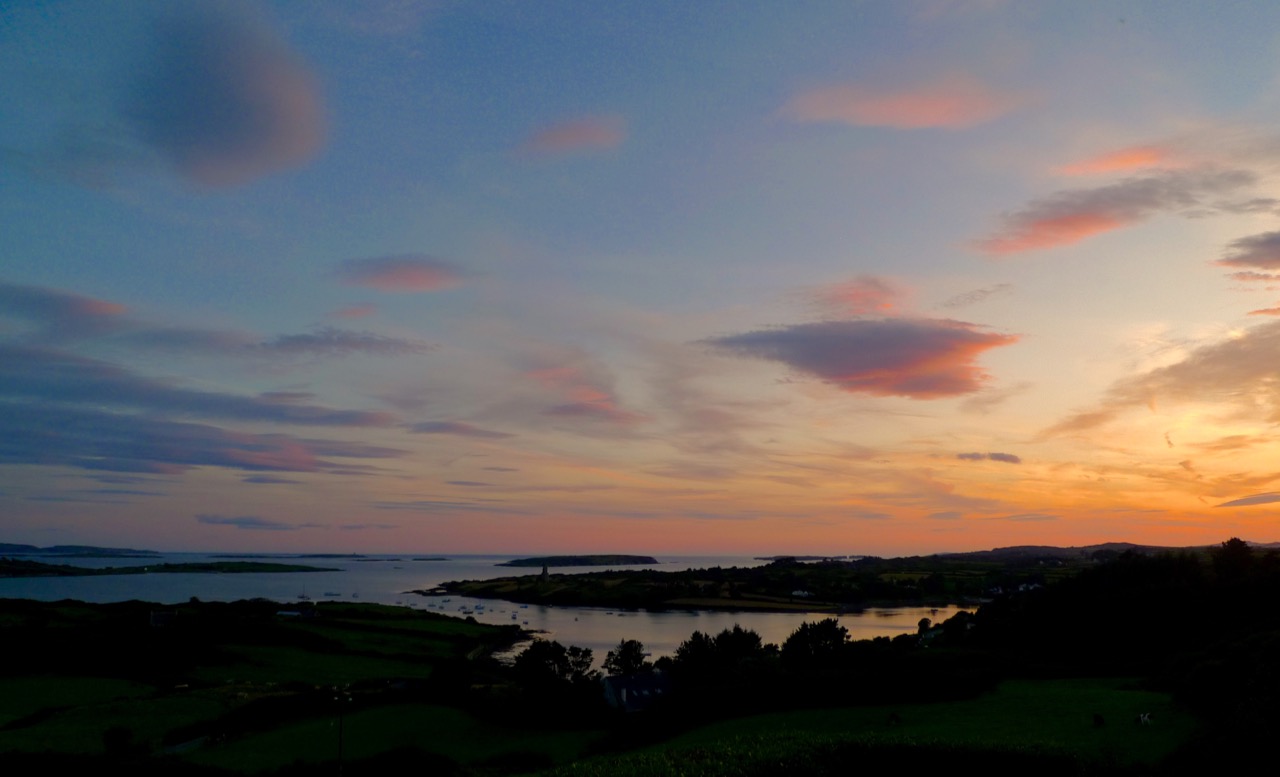
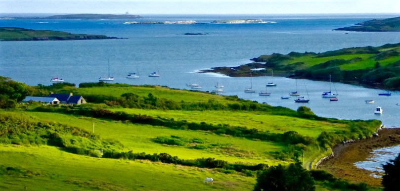
The entrance to Castle Haven. Horse Island is separated from the mainland by the charmingly named Flea Channel
South West of Skibbereen lies a deeply indented section of the coast known as Castle Haven. It is perhaps best known for the town that clings to the steep hill on its west side – Castletownshend. We have written much about Castletownshend itself, about Edith Somerviille and about the lovely St Barrahane’s Church and its Harry Clarke windows. But the whole inlet is an explorer’s paradise, yielding up its treasure to us on successive visits so this post will be about other things to see around the Haven.

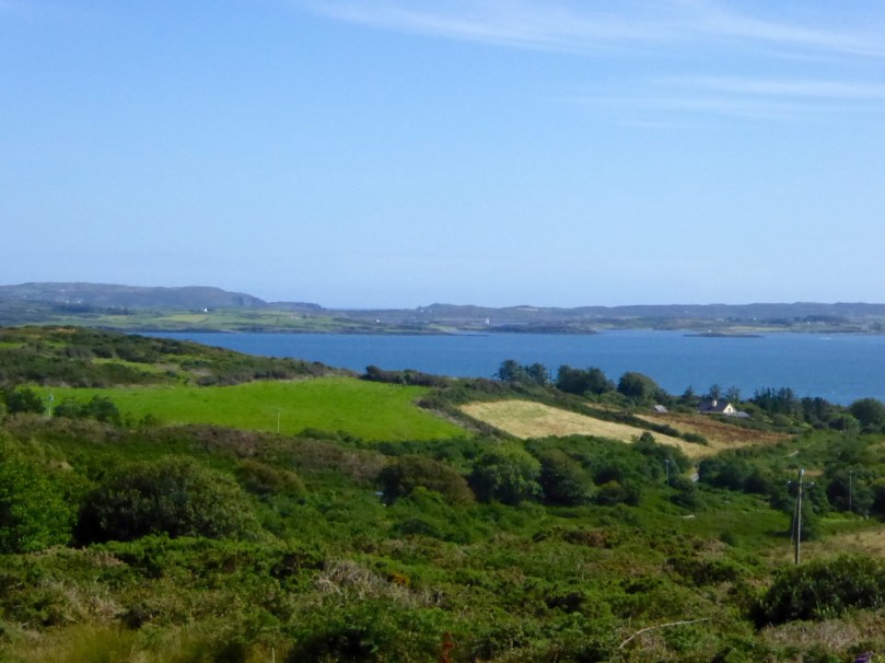
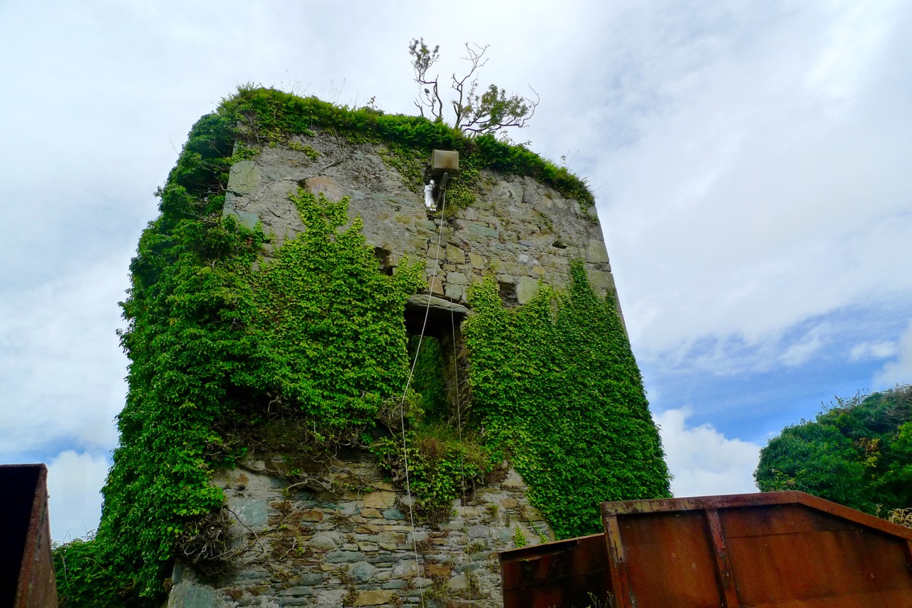
Catle Haven on a misty day. The inlet was guarded by two castles: this one at Raheen and another at the entrance to the Haven
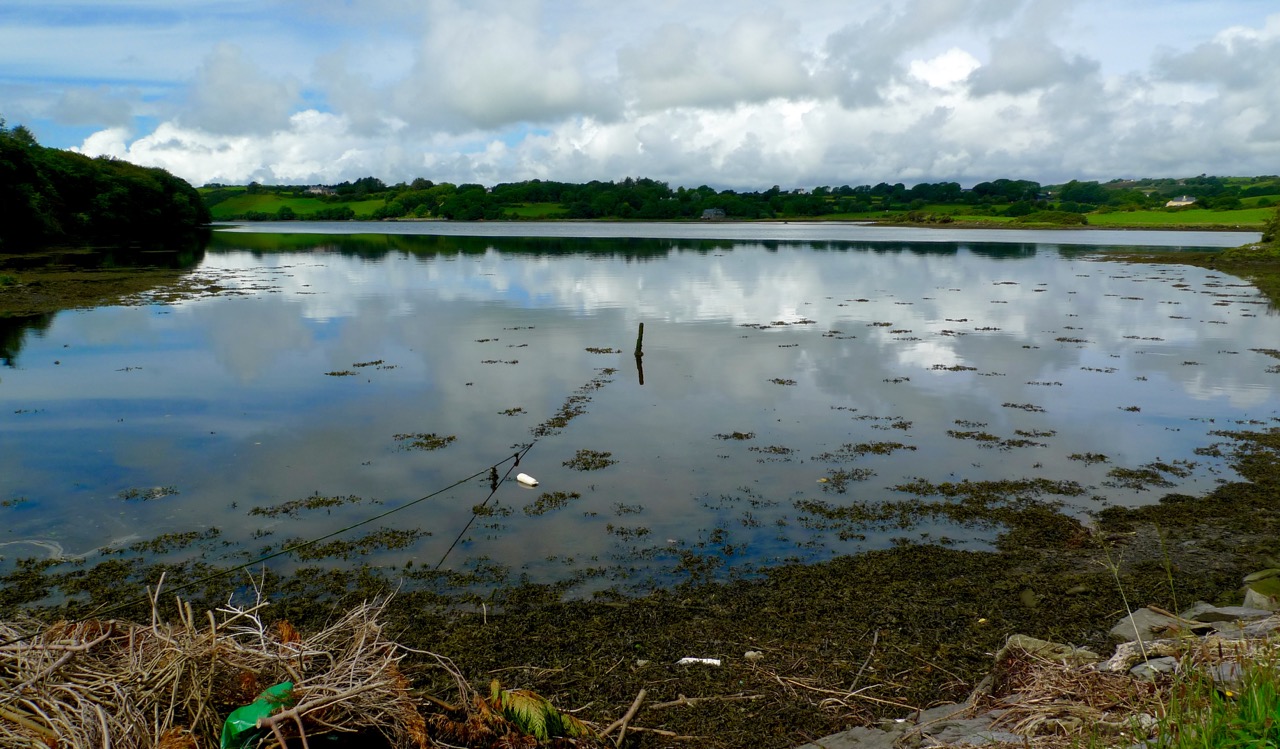
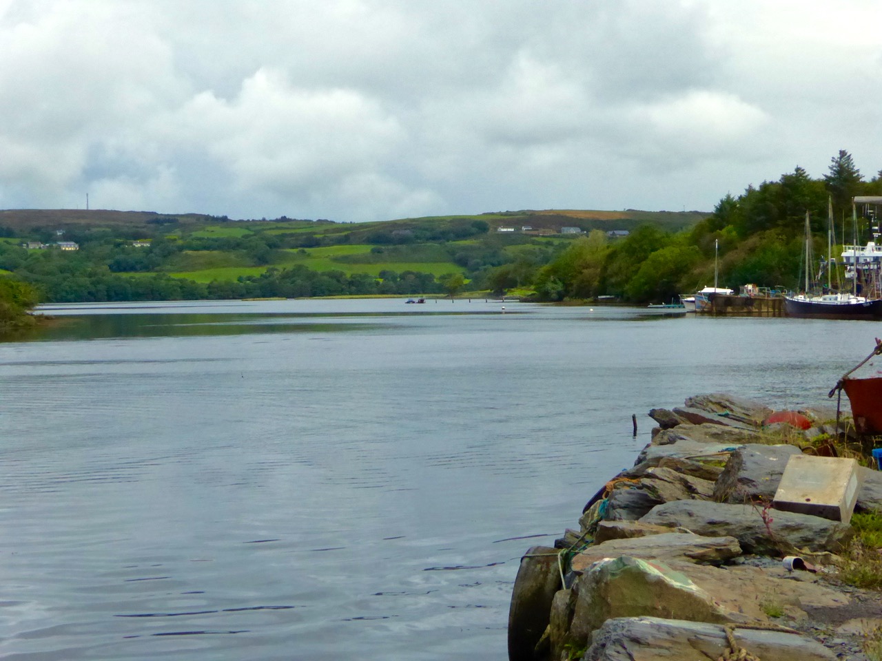
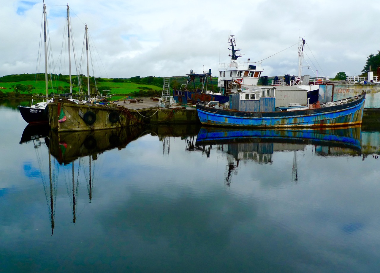
The Haven is shallow at its top end, but up to the spit of land that runs across it near Reen Pier, it provides a deep and sheltered harbour for boats, and a popular sailing ground. We like to drive down the road that runs above the eastern side of the Haven. It’s twisty and a bit treacherous but at a certain point it presents a view of the whole inlet, dominated by Raheen Castle.

This was a castle of the O’Donovan clan, built in the late 16th or early 17th century. It didn’t last long – it was attacked by Cromwellian forces in 1649 and the collapsed upper stories may be the result of cannonball damage.

Continuing to the end of the east side brings you past Reen to the wonderful harbours of Myross and Squince, but that’s a post for another day. Now we’ll return to the west side of the inlet and visit two spectacular archaeological sites, Knockdrum Fort and the Gurranes Stone Row, before proceeding down into Castletownshend.

The interior of Knockdrum Stone Fort, with square hut site in the middle. The fort commands panoramic views across the countryside and out to sea
To get to Knockdrum Fort, you have to park at the large church about 2km before the village. Walk downhill about half a kilometre until you get to the signposted green road to the fort. A pleasant trudge brings you to a set of steps and these lead up to the site. This is an excellent example of an early medieval stone fort – the kind of fortified homestead that marked the residence of a family of high status before the Normans taught us how to build tower houses. From this site there are striking views across Castle Haven.

The entrance to Knockdrum Fort, looking towards the entrance to Castle Haven. Outisde the entrance is this large rock, covered in cup-and-ring art
But there’s more to this place than just the fort. There’s an early Medieval cross slab just inside the entrance, and a fine example of 4000 or 5000 year old rock art just outside it. There’s another piece, a cupmarked stone, inside the fort, lying on the ground. All three are here thanks to the activities of Boyle Somerville, a keen amateur archaeologist and brother of Edith Somerville who lived in Drishane House, just below the fort. Farmers who found such items would bring them to him and he placed them here for safekeeping. Also inside the fort you will see evidence of a souterrain – an underground passage used for storage when the fort was active.

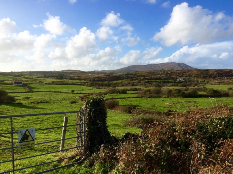
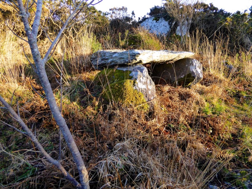
If you look north across the valley once at Knockdrum you will see a stone row on a nearby hill. These are the Garranes ‘Fingers’. (They are on private land so you should seek permission to visit and make sure there are no bulls in the fields.) The best way to access them is to tramp through the fields across the road from the entrance to Knockdrum. It’s well worth the effort – once you get up to them you will see that more uprights are now lying on the ground. This was originally an alignment of at least five stones, unusually tall and thin, positioned so that they would be visible on the skyline from many directions.

Drive down towards the village now, until you get to the entrance to Drishane House. To the right of the gate is a bench dedicated to Boyle Somerville. In 1936 he was shot dead by the IRA, who claimed he was recruiting local young men for the British Navy. He was liked and respected locally and, outraged by the deed, the people of Castletownshend raised money for this memorial. If the house is open (there will be a sign) this is a wonderful place to visit. For a small charge you can wander around the extensive grounds and visit the Edith Somerville Museum. We love to go in spring, when the bluebells provide a vivid carpet and a photographer’s paradise.

Drishane House driveway in the spring, with the giant macrocarpa (a Californian cypress tree)
Down to the village now and up to the church. But this time, instead of heading inside to see the Clarke windows, or behind the church to view the graves of Somerville and Ross, cross the graveyard until you find a gate at the far side and head east along the edge of the field towards the water. There you will find the remains of a structure labelled as a star-shaped fort on the OS map. Nowhere near as enormous as the massive star-shaped Charles Fort in Kinsale, nevertheless it is a reminder of a time when the sleepy village was not as peaceful as it is now. Dating to the 1650s, not a lot remains, just enough to confirm that this was a structure built for defence. Along the way you might also see a ruined square tower, known as Swift’s Tower. This was built as a belvedere, (a place to admire the view) and legend has it that Dean Swift visited and liked to write there.


Left is the remains of a bastioned fort, labelled as a ‘Star-Shaped Fort’ on the OS map. Right is the belvedere, where Swift is said to have written
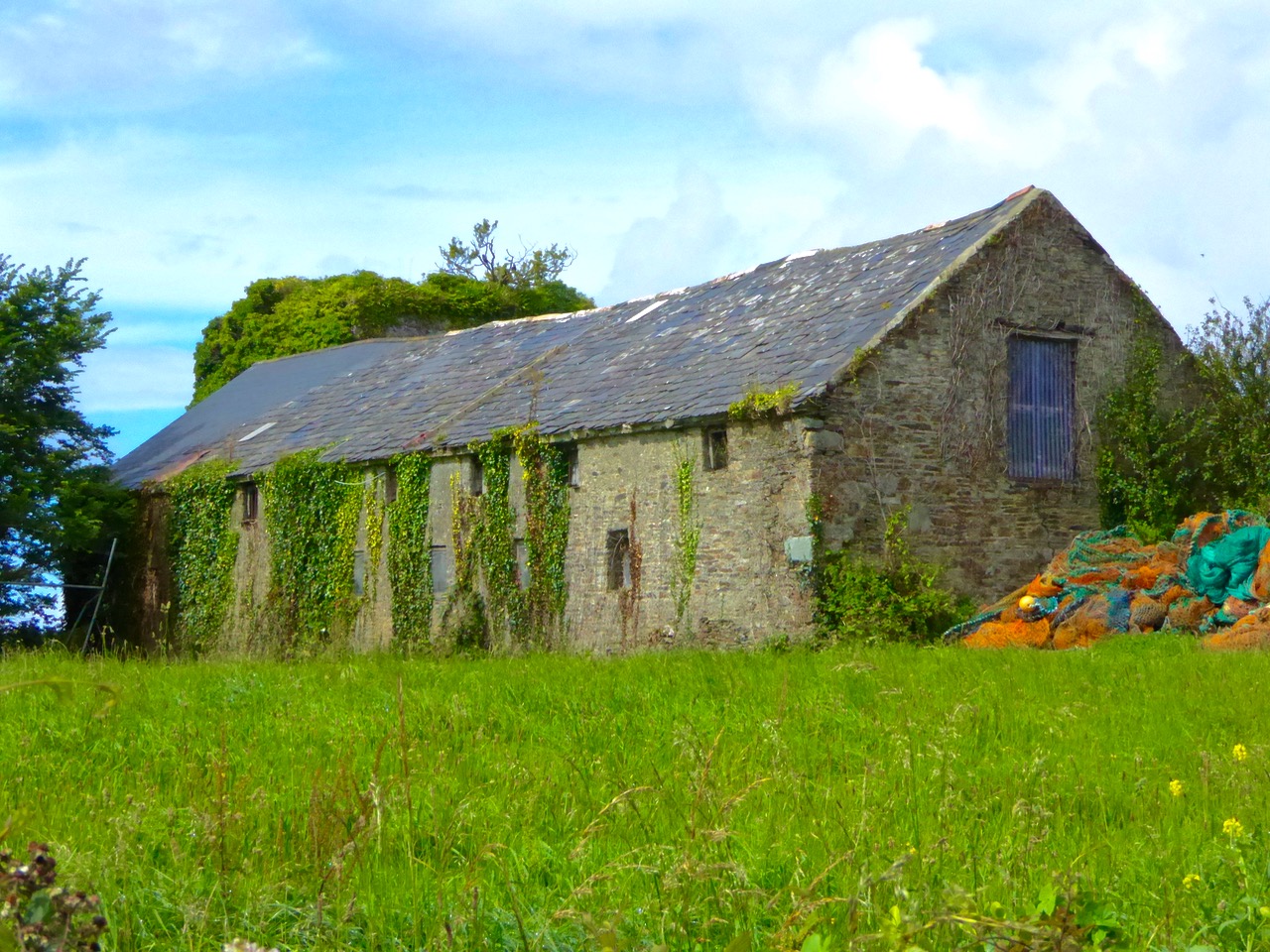
Drive back out of town now and take the left turn after the entrance to Drishane House. Follow this road for about a kilometre to a sharp left turn, just before a small crossroads and turn left down a narrow road that ends at the sea. A tower house used to guard this part of the Haven but nothing remains of it now except a stump covered in ivy and brambles. But wander around the graveyard and admire the picturesque siting of the old church, already in ruins by the mid-1600s. This is a good example of a classic West Cork graveyard. Most graves are marked by simple stones at the head and foot, with no inscriptions.

There are some family plots and some more elaborate memorials, including one for Ellen Buckley, second wife of O’Donovan Rossa (although his name, interestingly, does not appear on the headstone).

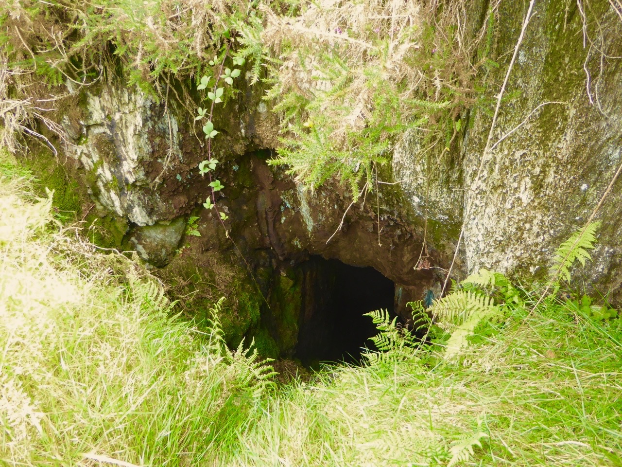
To the immediate left of the graveyard you will find a stile leading to a green path. Take this path and walk up though the luxuriant woods past a rushing stream until you come to a little wooden bridge.

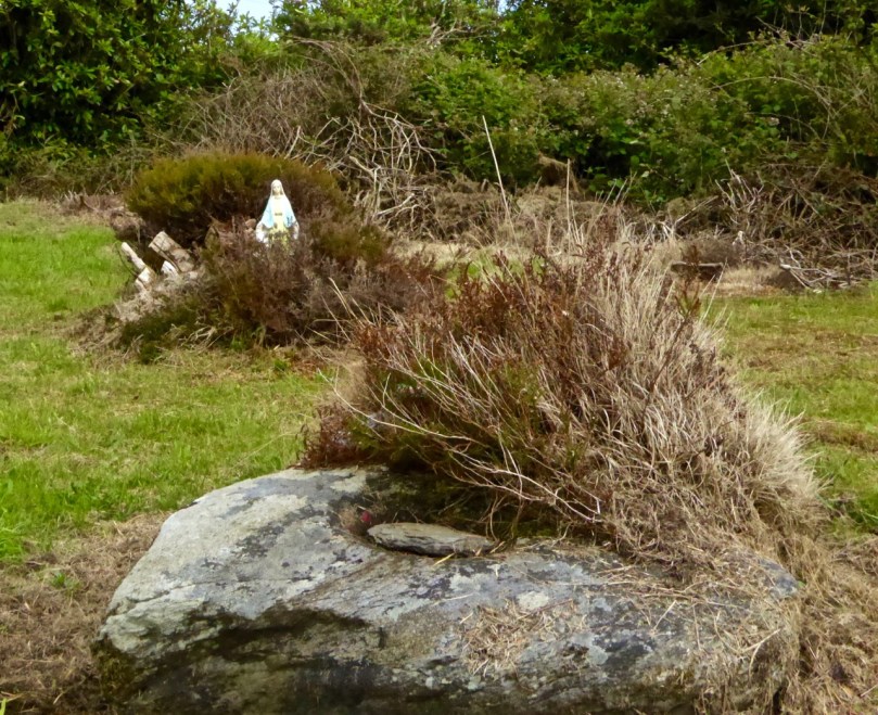
On the other side is a holy well, cut into the hillside and decorated with ribbons and fishing floats. Make a wish, or say a prayer – this is a special place and still visited and maintained by local people.


Take OS Discovery Map 89 with you. Most of the sites I describe are actually marked on it. But if you get lost, have fun, and let us know what you discovered!