Peter Somerville-Large and The Coast of West Cork

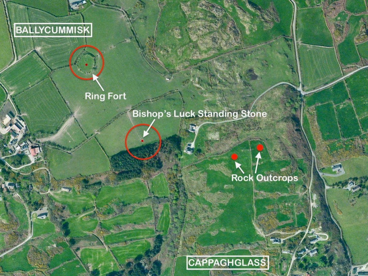
I was out of the country when the writer, Peter Somerville-Large, died in October – I just realised this week that he is gone. What another loss to the world of Irish culture and writing. I never met Peter, but we exchanged letters in the aftermath of me publishing the post I wrote in 2014 and which I reproduce below – a review of his most beloved book, The Coast of West Cork. The book is still in print, although the newer paperback editions lack the black and white photographs of the original.

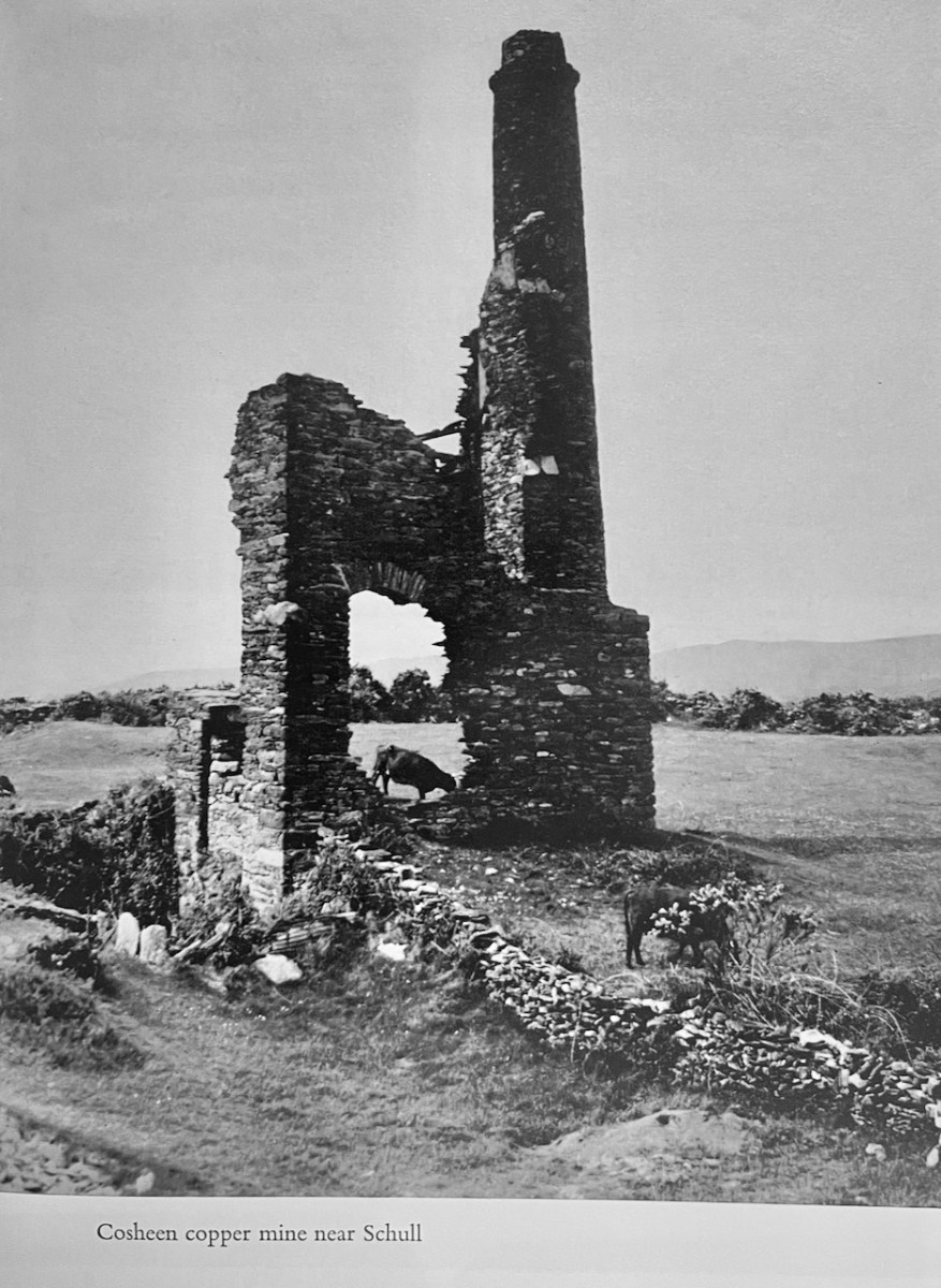
Here’s an example, and it’s one that shows why this book is such an important record of its time, the early 1970s. According to Mindat, The Coosheen Copper Mine was. . .

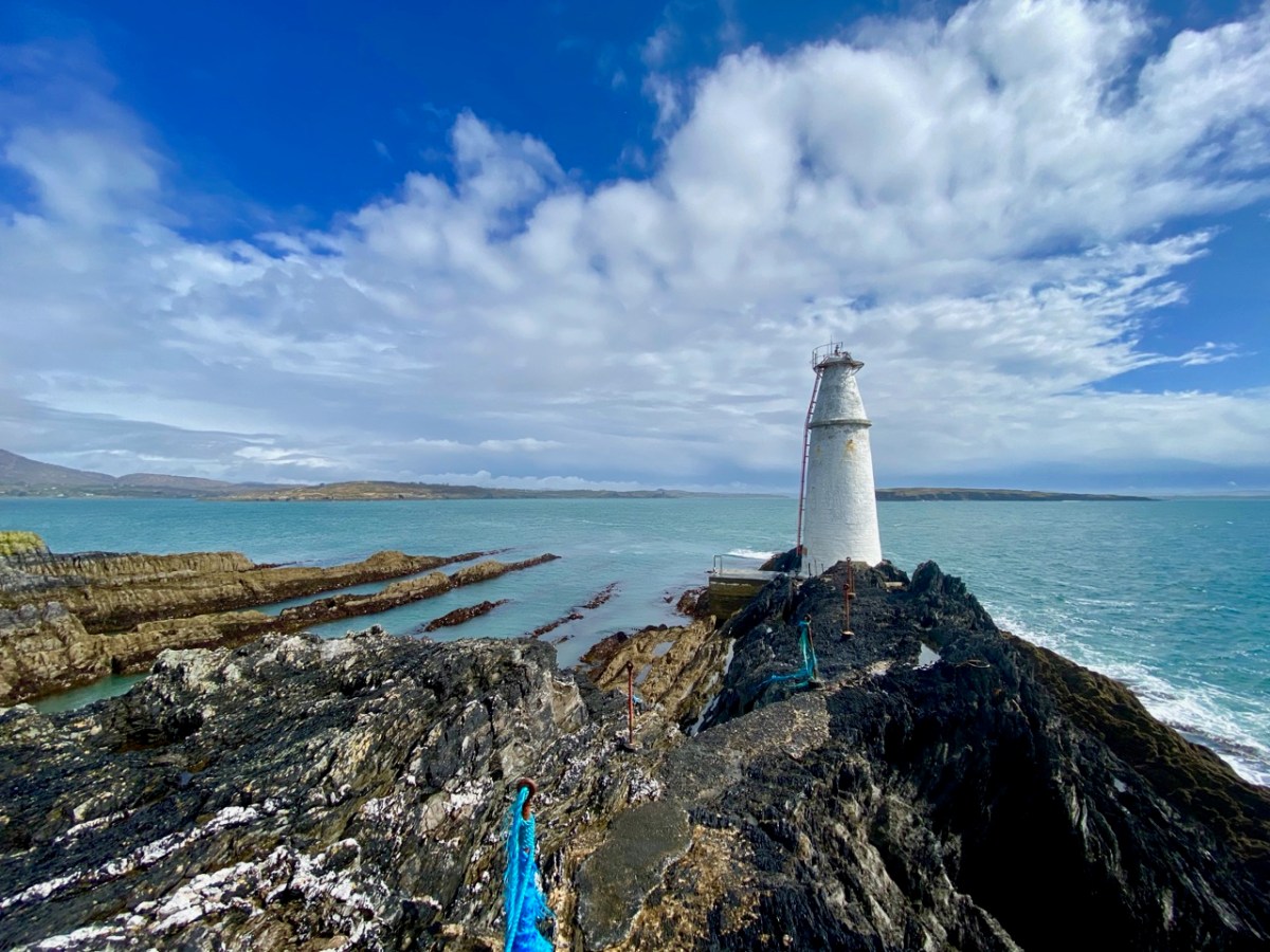
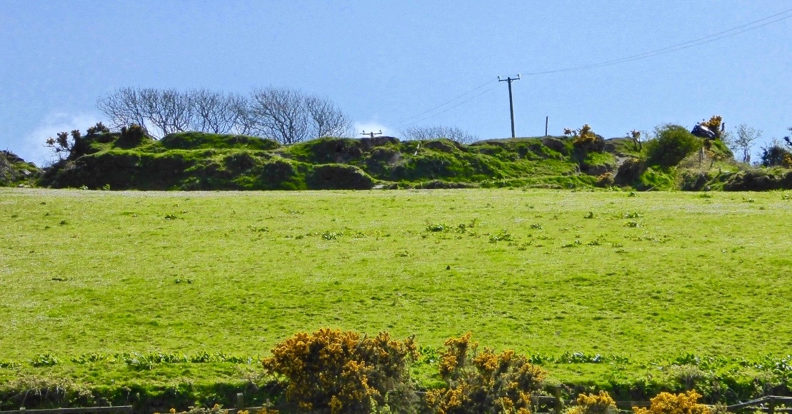
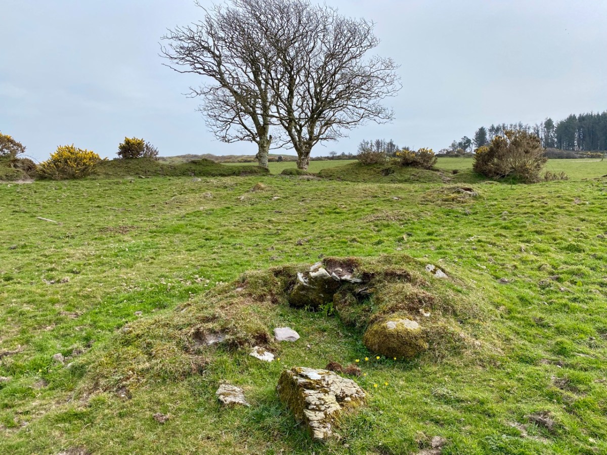
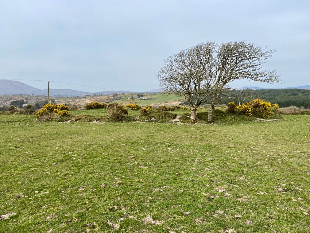
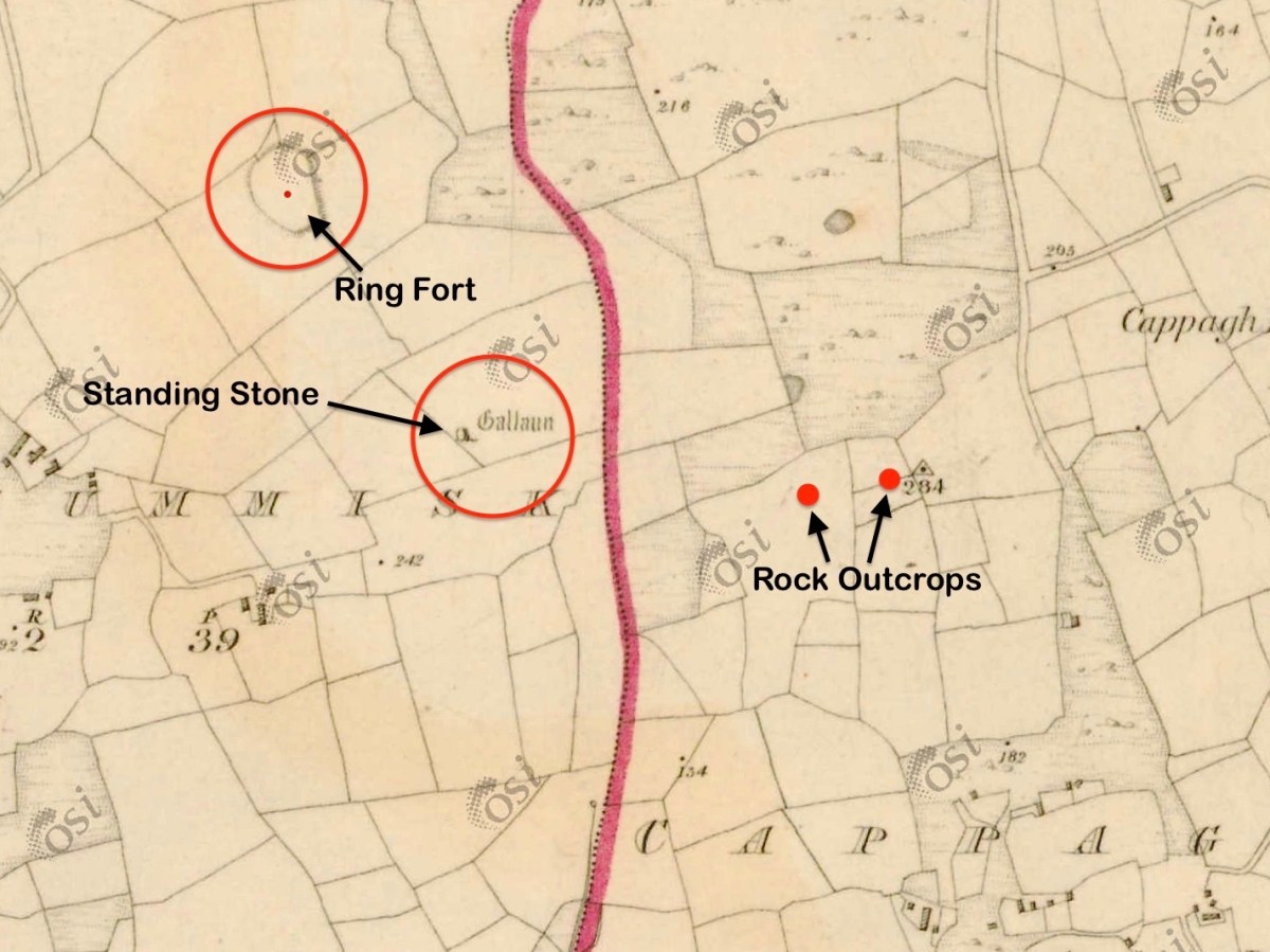
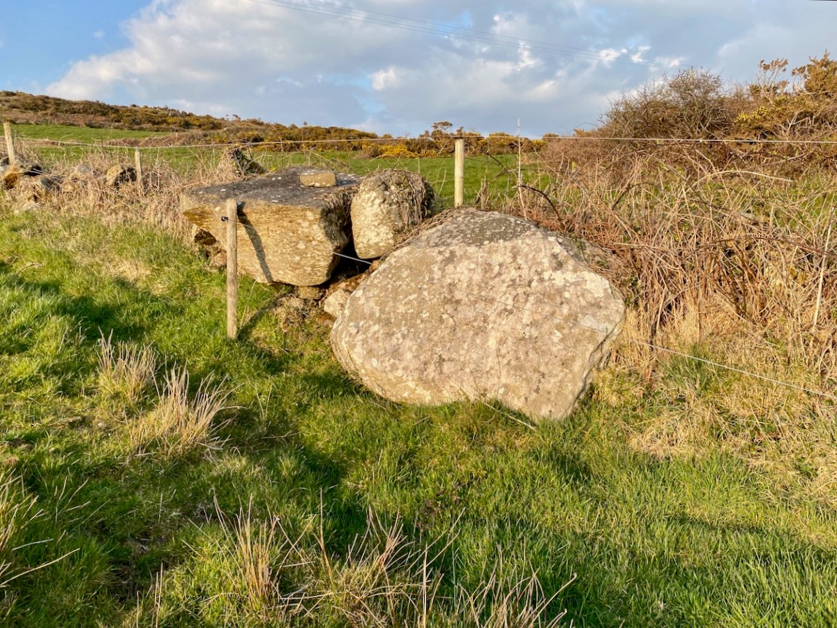
Once dubbed the “richest mine in the world” by a correspondent with the London Times, . . . worked a small but extremely rich copper deposit close to the surface from 1839-1877. The mine briefly reopened in 1888-1890 and again in 1906-1907 but only produced a trivial amount of ore. . . On the top of the hill 5 fenced off shafts can be seen and the largely obliterated ruins of the engine house built in August 1860 (bulldozed by the local council in the 1980’s as it was deemed both dangerous and an eyesore!).

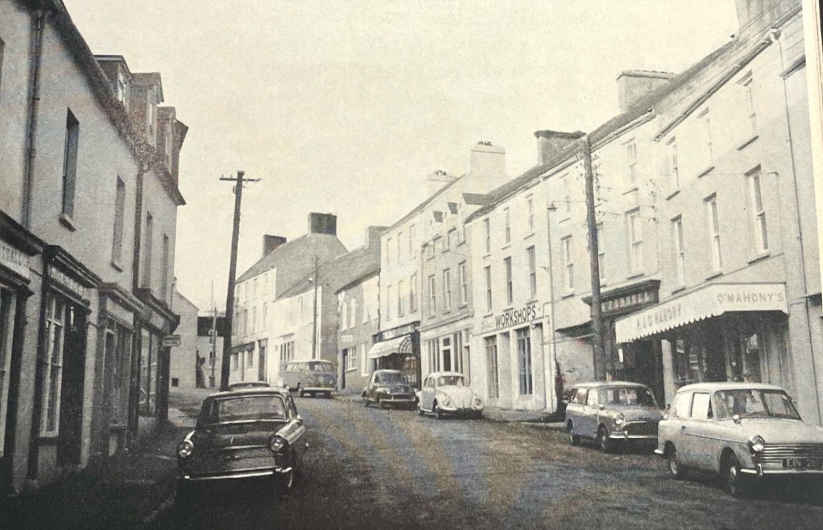
This photograph of Ballydehob reminds us what a thriving commercial town it was. 55 years later, you can still recognise the shopfronts, although few are actively trading.

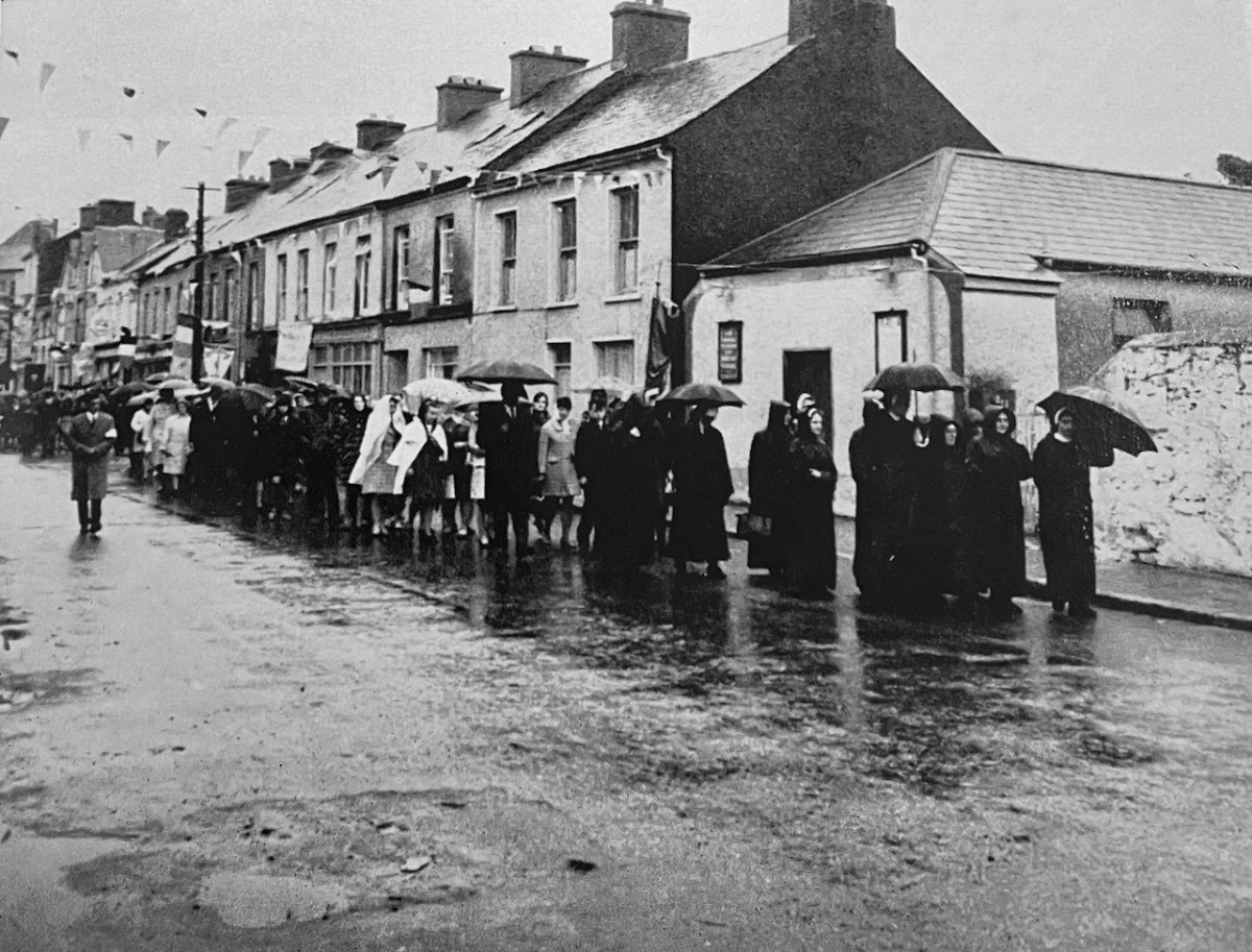
The final photograph from the original edition of the book that I want to share is of a temperance meeting in Skibbereen. Do any of our readers remember this?

And now, here is the original post, written 11 years ago, 1n 2014

The Coast of West Cork

Coast of West Cork cover

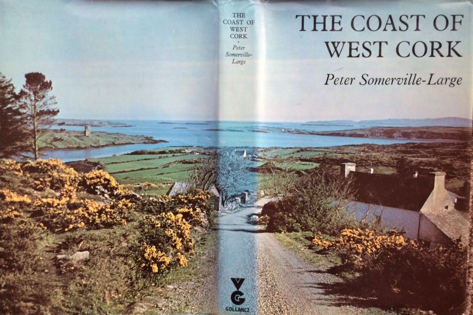
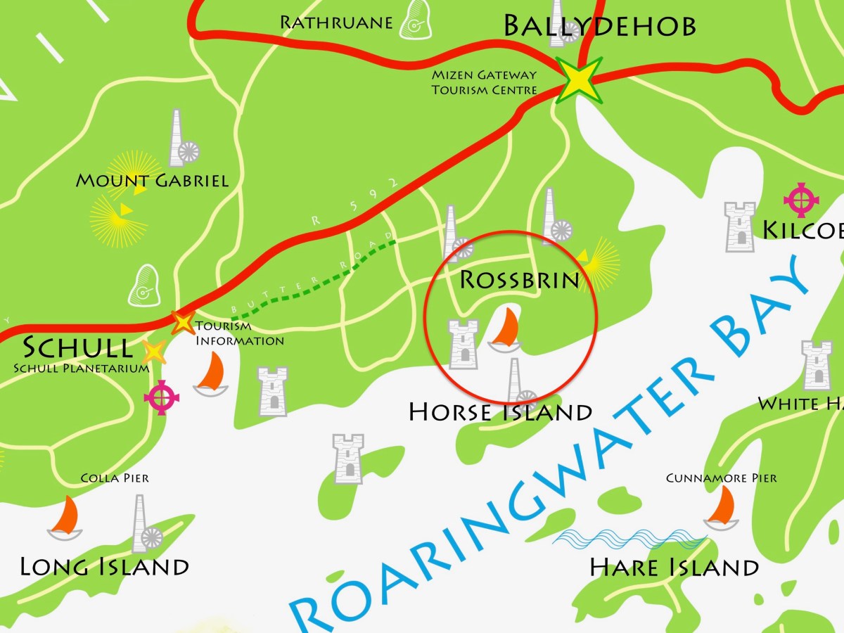
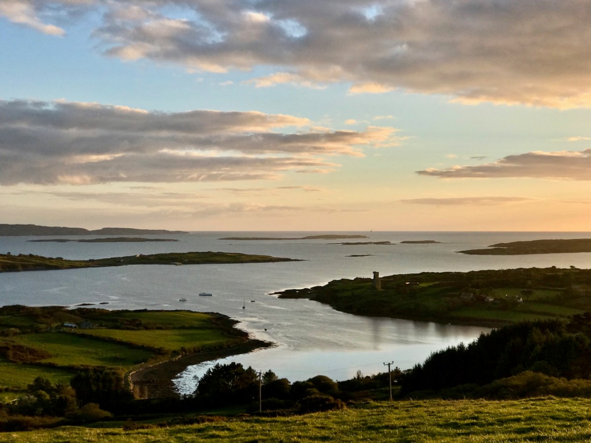
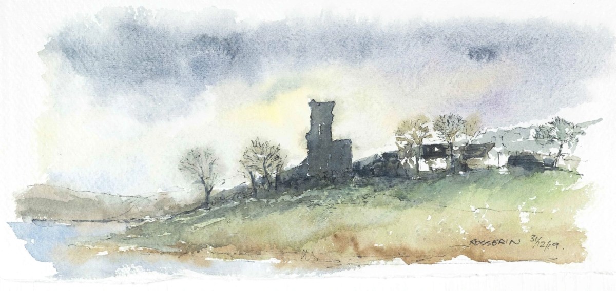
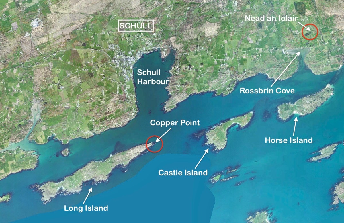
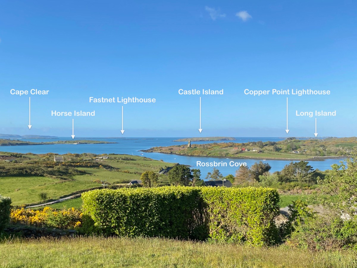
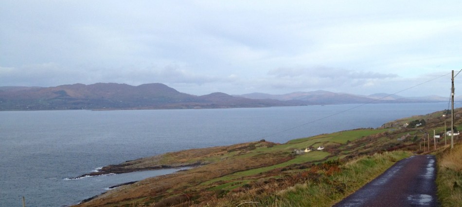
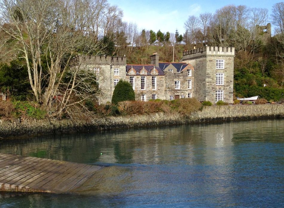
Every personal library in West Cork, maybe in Ireland, has a copy of the book The Coast of West Cork by Peter Somerville-Large. First published in 1972, it is a classic of travel writing – amusing, learned, thoughtful – that still holds up as a fascinating portrayal of this part of the world. The photograph above is of the front cover of the book, signed by the author, that I brought with me to Canada when I emigrated in 1974. Forty years later, I am living on the very spot where this photograph was taken! It took me a while to figure this out, as the picture is actually reversed. [EDIT: note that when this photograph was taken, in 1970, the castle was still intact – most of it collapsed in a storm in 1974. For what it looks like now, see Robert’s 2020 post, The Castle of Rossbrin.]

Peter Somerville-Large, now in his 80s, is still writing. He is connected to the old Castletownshend families (Edith Somerville was a relation and he mentions Townsend aunts) and was already very familiar with West Cork when he set out to tour it by bicycle in the spring of 1970. He takes every road, every byway and boreen, and describes in detail the scenery, the characters and the conditions along the way.

Grand road for cycling!

Far more than a travel diary, this is a comprehensive account of West Cork. Somerville-Large’s erudition is impressive. Either before or after his journey he spent many hours in the National Library, researching the history, folklore, archaeology and literature of the area and he weaves this knowledge seamlessly into his narrative. Because of his own personal background, he is able to include stories and anecdotes from the Big Houses of the gentry. A great aunt

…remembered going down to a cellar which was filled with swords used to arm the tenants during the time of the Whiteboys and also with empty stone wine jars which had carried wine smuggled in from France. From this cellar there was believed to be a passage underground to the O’Driscoll Castle of Rincolisky, whose truncated remains are to be found in a neighbouring field…An earlier Townsend sent his…page down the passage to see if it was clear. The boy was never seen again.

Castletownsend Castle
Castletownshend Castle

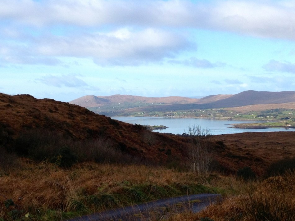
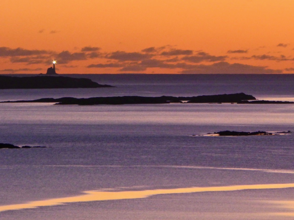
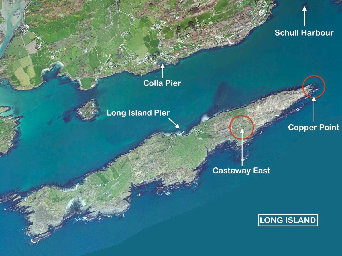
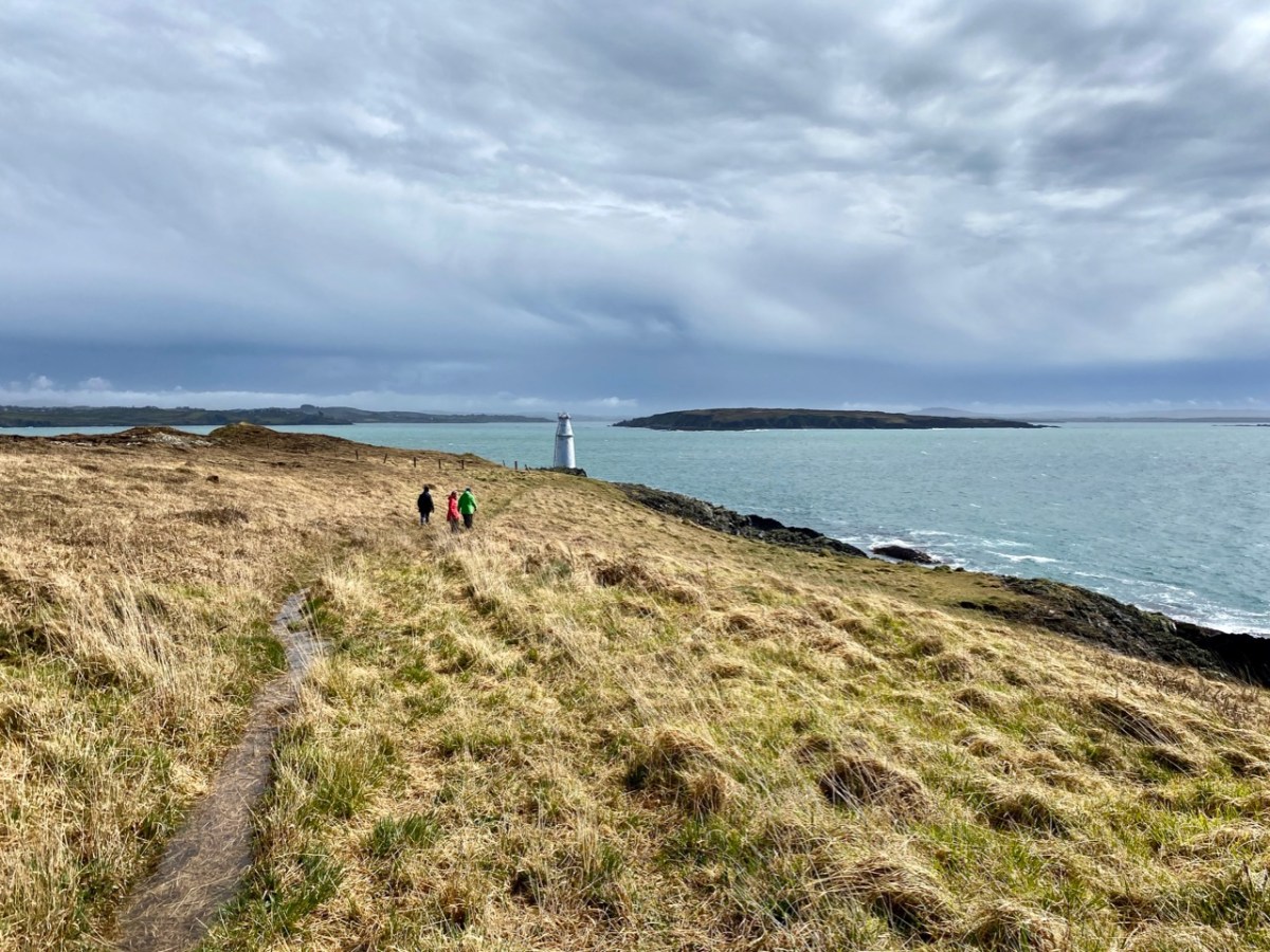
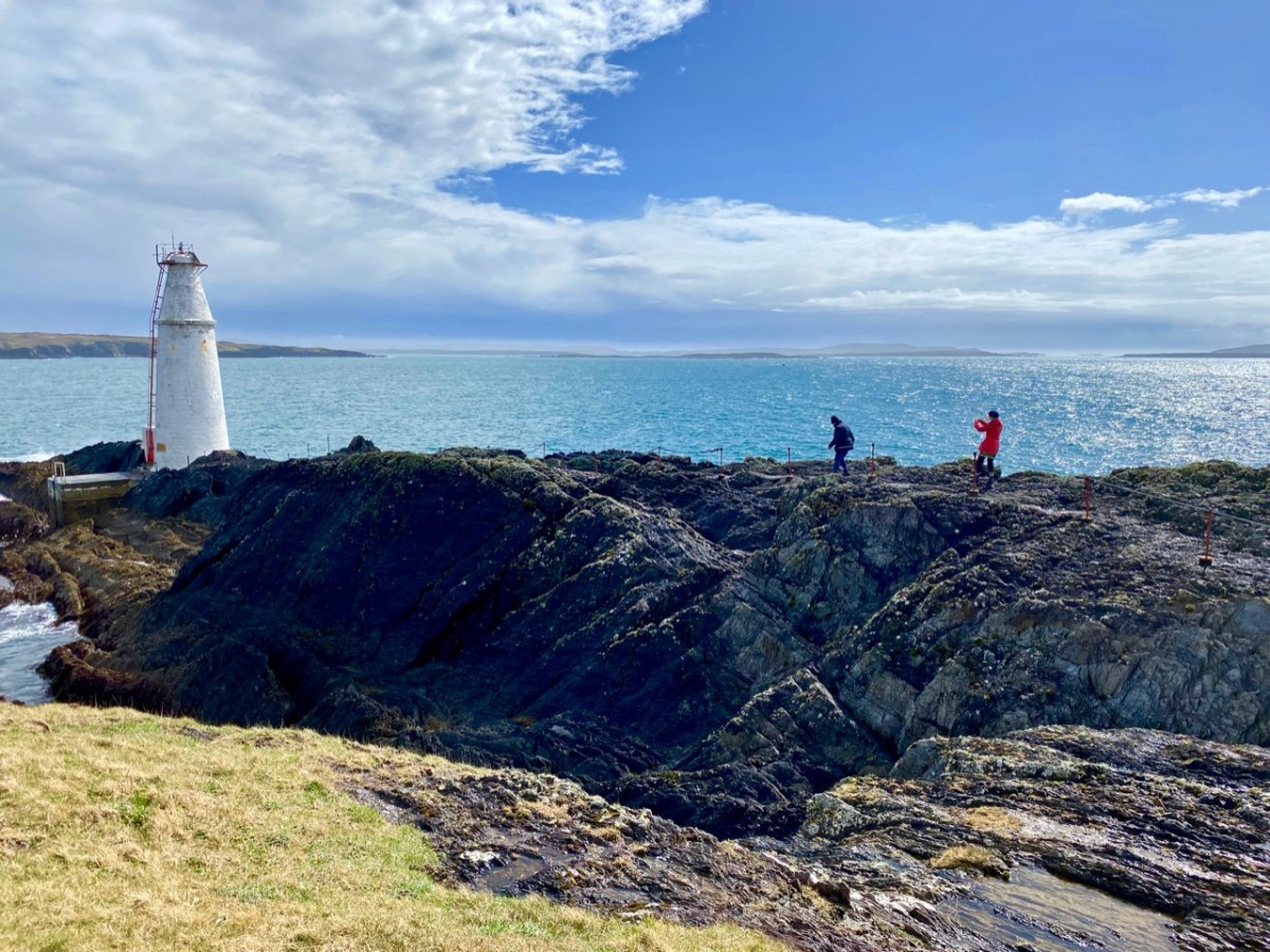
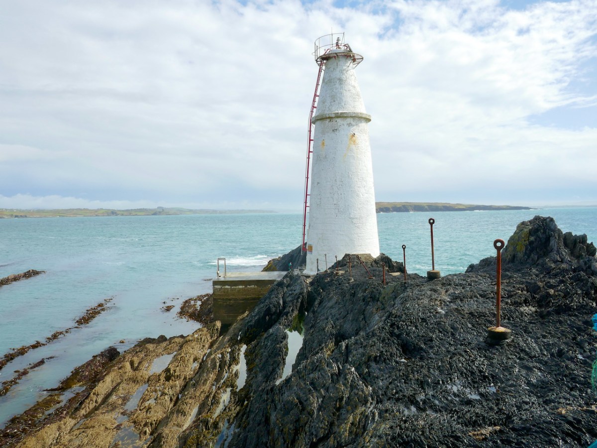
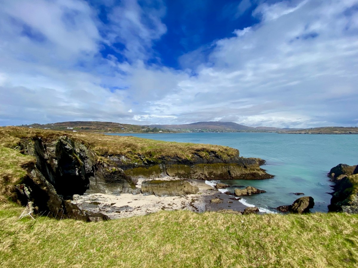
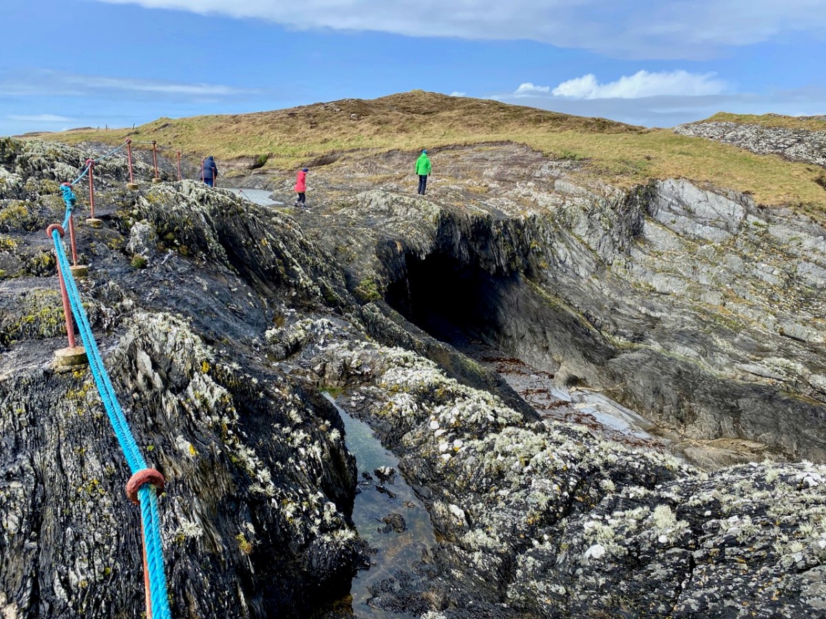
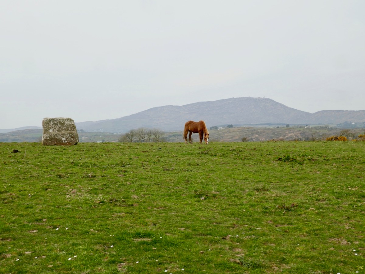
His affection for the place leads him to mourn the loss of population from the Islands of Roaringwater Bay.

One by one the small islands became deserted…Only a few years ago I visited Horse Island, just opposite Ballydehob. The last people there, an elderly couple, were living all alone. It was summer, and the old man was sitting in a chair outside his house, his feet in a basin of water. His wife, behind him, fed hens. Next year, they were gone. The house, still intact and comfortable, stood empty, the linoleum in place, last year’s calendar on the wall. Down by the pier a plough had been thrown into the water where it looked like a gesture of despair.

Looking across to Horse Island

He documents the importance of the creamery in the social life of the townlands, the old occupations of fishing and mining and the loss of such sources of income, the string of castles that dot the coast and the great irish families that built them, the brash new bungalows springing up around the scenic areas, the awful legacy of the famine, and the sheer beauty of the scenery. He is conscious of a way of life passing. Going out of his way to visit a sweathouse (a feature of the Irish countryside in times past) he ends up in the O’Sullivan’s kitchen, drinking whiskey and eating biscuits.

Mrs. Sullivan told me that the valley was once thickly populated, and when she was a girl there had been sixty children at the school that closed last year. The way of life had gone with it…Once it had been a great place to live in, her husband said. There were monthly fairs at Ballydehob and Schull, and he had walked all the way to Bantry with the cattle and all the way back again.

Deserted cottage
Deserted cottage

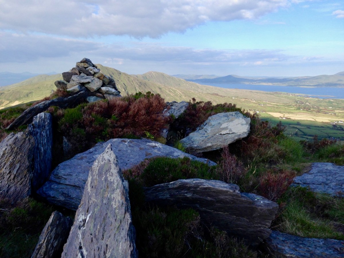
The parts I have quoted deal with the area around where we live, but the bicycle trip stretches from Clonakilty to the Beara Peninsula. Describing West Cork as it was in 1970, it is now an important historical document in its own right, alongside such accounts as Thackery’s Irish Sketchbook of 1879, or the Pacata Hibernia of 1633. Mostly, however, it is a charming, engaging and fascinating depiction of a special place.

Over the hill to Durrus

Rossbrin Review

The weather so far this year is breaking records for coldness, wetness and evapotranspiration – while Earth as a whole continues to get warmer. In simple terms that means it’s not pleasant to wander too far from home. I decided to walk down to the shoreline of Rossbrin Cove – all of ten minutes – and see what the winter storms may have washed up: often an interesting diversion.

Above: looking down on Rossbrin Cove with some of the islands of Roaringwater Bay beyond. It is a natural harbour, and there is a thriving boatyard at the western end of it. The difference between low and high tides is around 2.5 metres on average, and much of the inlet dries out when it is at an extreme low. I timed my walk to arrive when the tide was fully down, as I wanted to explore the exposed mud-flats, with hopes of finding intriguing detritus.

Not an inspiring start! In fact, as I continued my review, I noted that there was very little other than the natural environment – weather-worn boulders, skeletal shells and masses of seaweed – to disturb the order of things in Rossbrin on this February day. If our harsh storms had been of some positive effect it was perhaps to flush out any washed-up debris that might have accumulated in the winter – being now past St Brigid’s Day I consider it appropriate to call the season spring.

No matter that the exploration was superficially disappointing, the magic of this little bit of West Cork soon took over, and my mind was filled with the enormity of its history. There was a university here in medieval times: manuscripts were written here in the castle that has become a crumbling pile. Ravens and seabirds now rule over the stronghold. I walked on.

The margins of the cove are lined with ancient banks. At every turn there is a composition which a maestro could frame: I make do with a camera. Rossbrin inspired our artist friend Peter Clarke . . . Thank you, Peter!

Evidence of more recent history: possibly a pot which was used in the process of tarring a clinker boat hull. No doubt vessels were built on these shores – and used to make basic livings. There is still fishing activity in and around the cove; mussel beds thrive in Roaringwater Bay; seaweed collection happens also. In summer months the deeper waters of Rossbrin are occupied by leisure orientated sailing craft. I enjoy the calm days of winter when there is hardly anything on the water. I watched a small flock of oystercatchers scurrying and foraging with their brilliant beaks, and then I turned for home.

The Rossbrin oystercatchers were uncooperative, and wouldn’t let me photograph them. Instead I have imported this wonderfully atmospheric painting by Cornish based artist Steve Sherris. Thank you, Steve

We have posted extensively about Rossbrin Cove, its history and its people. Have a look at these:

The Down Survey – Closer to Home

Looking at Rossbrin

Rossbrin Calendar

Fastnet Trails: Rossbrin Loop 2

Outlook: Unsettled!

Exactly ten years ago I wrote a Roaringwater Journal post titled Outlook: Changeable! It was about the weather and – interestingly – things haven’t changed much in that respect over a decade. So I thought it was worth a re-run, with some adaptations. The new title, for a start – Outlook: Unsettled! – is apt, perhaps, for the whole world we are living in today and not just the weather. The year 2014 produced the fiercest storm – Darwin – that many in West Cork (and beyond) had experienced in their lifetimes. Certainly we had property damage, felled trees and powerlines, and were without electricity, phone and internet for very many days.

Examples of the damage caused by Darwin in 2014: neighbouring cables felled (upper) and boats toppled from their keel blocks in Rossbrin Boatyard

From January 2014: …One of my favourite expressions about the weather was learned from an elderly gentleman who had lived all his life in Hampshire, England. …Tis black over Will’s Mother’s… This would have described very well the scenes around us in Nead an Iolair when we awoke this morning. As an Englishman I would be expected to talk about the weather all the time; Irish people are not far behind in this, probably because there is such a variety of weather – even in a single day – that it demands to be described. …Is iomaí athrú a chuireann lá Márta dhe… means: …There is a lot of weather in a March day… This might just as well refer to a January day, or a day in any month in our experience. To illustrate this we decided to try a time lapse video, using an iPhone and a tripod. We had to shoot it through the window, hence the reflections – just as well because during the process we had torrential hail to add to the variety. So this is a thirty minute session of Irish weather coming in to Roaringwater Bay compressed to thirty seconds, each frame being shot a second apart:

By asking around the locality I have compiled some Irish expressions for weather. These are ones that I particularly like:

A snipe won’t stand in the morning… (meaning expect icy weather)

It’s a hure of a day… (meaning it’s a hure of a day – Finola has her own version here)

 Bad aul’ day isn’t it?

And – very occasionally – The Sun does be splittin’ the stones

Coming back to 2024 It’s worth delving into the archives of the The Schools’ Folklore Collection: the following entries were written down in the 1930s and provide an insight into weather-lore from the time:

“…When the sheep go under the wall there is a sign of rain.
When the curlew begins to whistle there is a sign of rain.
When the cricket begins to sing there is a sign of rain.
There is a sign of rain when the hills look near.
When the dust is flying off the road there is a sign of rain.
When the river is roaring there is a sign of rain.
When the fire is blue there is a sign of rain.
When the clouds are running in the sky there is a sign of rain.
When the smoke from the chimney is going up straight there is a sign of rain.
When the sky is red in the morning it is a sign of a wet day.
When there are a lot of clouds in the sky it is a sign of rain.
When there is a rainbow in the morning it is a sign of a rain.
The South wind brings most rain in this district. A red sky is a sign of a storm.
Black clouds are a sign of rain.
When the swallows are flying it is a sign of rain.
When the dog is eating grass it is a sign of rain.

When rain is expected the cat lies near the fire.
The crows lie on the walls when rain is expected.
The nearer the ring is to the moon the farther the rain is from us.
The farther the ring is from the moon the nearer the rain is to us.
When the lake is rough it is a sign of rain.
When the water-fall roars it is a sign of rain.
When the soot is falling it is a sign of rain.
When the cricket comes into the house it is a sign of rain.

If a robin comes in very near the door of the house its the sign of bad weather.
If crows fly in flocks together and are always cawing its the sign of rain.
The South and South West winds are the most that bring rain.
If the ducks quack loudly and the cricket sings sharply its the sign of rain.
A ring around the moon at night is the sign of rain…”

All these sayings have been collected by informants Willie Noone, John Monoghan and Michael Halloran, Co Mayo. It’s instructive that they are only about rain.

This is a record of the Earth Wind Map from early January, 2014. It’s centred over Ireland. Only 109 km/h is recorded. That’s classified as “Violent Storm” and just a few km/h short of a hurricane. Storm Darwin hit wind speeds of 177 km/h. That was a record for the time, but it’s worth noting that the greatest wind speed ever measured (so far) in Ireland was 191 km/h at Fastnet Lighthouse, County Cork on 16 October 2017. That’s just across the water from us here at Nead an Iolair! Here it is seen from our house (by Finola) on a happily calm day…

In High Places

Here is a collection of photographs taken in West Cork from some of the high places: ridges, peaks, mountain paths. The pics were all taken around ten years ago, and haven’t been used in our blog posts previously. They serve to show stunning landscapes, of course, and hopefully illustrate the variety of the country which surrounds us here. The header is taken from the peak above Three Castle Head.

The upper pic is looking down on Bantry town from the high ground to the south, while the lower one reminds you of the evening view from Bantry at sea level.

If you leave your car at Galley Cove Beach and walk up the steep track towards Brow Head you will come across this enormous stone row – and you will look back to the peninsula of Crookhaven. Don’t be fooled by the stones: they have been placed on this site fairly recently. They are impressive, nevertheless.

And here is a closer view of Crookhaven.

While turning from this spot and looking west, you will see the end of the coastline at Brow Head. This stone is likely to be more anciently placed. In the distance is Mizen Head with its Napoleonic era signal tower at Cloghane.

Contrasting light effects seen on the footpath that follows the ridge on the Sheep’s Head Way. That’s the spit of land that runs from east to west between the Mizen Head and the Beara Peninsula. There are cairns on the summits, with the remains of a wedge tomb and a Marriage Stone to be seen along the way.

The view north from the heights of the Sheep’s Head takes in the Beara Peninsula and – seen above – the high point of Hungry Hill dominating the distant rugged landscape.

You are never far from the coastline in West Cork. Look out for wild seas constantly sculpting the rocks over millennia.

From our home in Cappaghglass we look out to our own ‘high place’ – Mount Gabriel. This enigmatic tract of land dominates the area and is imbued with legends and folklore. It is also one of the most atmospheric of our peaks at all times of the year.

Another local view for us (above): we face out to Rossbrin Cove on the Mizen Peninsula. Finally, the celestial spectacle (below) finds its pot of gold on the shores of the Mizen.

“Easter” Island!

What better place to spend Easter Day than at the ‘Easter end’ of Long Island? We can see the island – out there in Roaringwater Bay – from our home here at Nead an Iolair. The lighthouse on the end of the island faces us – and winks through the night with the character of 3 quick flashes every 10 seconds. The narrow headland on which it stands bears the name ‘Copper Point’ – and so does the lighthouse.

This aerial view shows Long Island in its context – a part of Roaringwater Bay and its ‘Carbery’s Hundred Islands’. Its neighbours to the east are Castle Island and Horse Island – all in our view – (that’s our view, below).

A closer aerial view of the island, above. It’s accessed by a regular ferry which leaves Colla Pier, a short distance from Schull town. The ferry arrives at Long Island Pier: there it is, on the pier (below).

Our destination on this Easter Sunday was Castaway East – the furthest house on the ‘Easter’ end of the island. We have taken you there before, when we organised a Mad Hatter’s Tea Party in July of last year. The hosts there are Tracy and Peter, who served us brilliantly for that occasion, and also for the Wildflower Walks which Finola led last June: the Castaway crew provided a superb picnic for everyone, delivered to us at the island’s western end. This time we decided that we would test Tracy and Peter’s skills by ordering up an Easter Sunday lunch to celebrate a ‘special’ birthday for our good friend, Peter Clarke.

Amanda Clarke, Finola and birthday boy Peter, looking forward to a morning coffee (with delicious Easter treats) after arriving at Castaway East. We had an upstairs room in the Castaway house, with a good view over the island. Before lunch we had an opportunity to explore part of the island we had never been to before, heading down to Copper Point.

Why is it called ‘Copper Point’? Because there was a copper mine close by, one of many such enterprises that were seen in West Cork in the nineteenth century. Explorations on the island were started in the 1840s by the Cornish mining engineer Captain William Thomas: he wrote a Roaringwater Journal post for us a couple of years ago! William sank a trial shaft for 10 fathoms (60 feet) and extended a level south from this shaft for 3 fathoms. No metal bearing lode was found, and the mine was abandoned. Traces of these workings can still be seen not far from the lighthouse. It’s slightly ironic, perhaps, that the name ‘Copper Point’ arrived from somewhere and stuck.

It’s a wild landscape – but very beautiful and imbued with atmosphere. We certainly worked up a good appetite while on our morning walk, and returned to the house with great expectations.

All those expectations were far exceeded when we sat down to our meal. We had a room to ourselves, attractively furnished and comfortable, with a welcome wood-burning stove on the go in one corner. Tracy and Peter have spent considerable time and energy upgrading what was a very run-down cottage, and have used locally available materials with impressive imagination.

Tracy – in charge of the culinary delights – had worked out a menu which was entirely tailored to our various tastes (and dislikes) – and it was brilliant! All the courses were exemplary.

The main was a Sunday roast to make your mouths water… Fillets of pork for the three of us who are not vegetarian, and a miraculous stuffed filo pastry pie for Amanda. The accompanying vegetables were prepared without any meaty elements – so we could all savour them in equal measure.

Peter was delighted with every aspect of his celebratory meal – we all were! The choux bun dessert was unbelievable; not a morsel was left behind. The riches never stopped: for our after-dinner coffee we went outside to the terrace-with-a-view and enjoyed home-made fondants and biscuits.

I think you’ve got the message… Sunday lunch at Castaway East is a very special experience indeed. Combine it with a good walk on a beautiful and atmospheric West Cork island and you will have a day you will always remember. If you want the experience for yourselves give Tracy and Peter a shout: they will be delighted to organise it for you.

Contact Tracy & Peter Collins on +353 872966489 or email simplytracy@icloud.com – They also have a campsite!

Ballycummisk Archaeology

There’s a fine ringfort just over the hill from us – in the townland of Ballycummisk. A definition of a ‘ringfort’ in archaeological terms is given here:

. . . Many people lived in enclosed farmsteads known as ringforts in the Early Christian/Early Medieval period. Second to fulachta fiadh, they are the most common field monument surviving in Ireland with up to 60,000 examples, most dating to between 550-900AD. Ringforts are circular areas, measuring c24-60m in diameter, usually enclosed with one or more earthen banks, often topped with a timber palisade. In the west of Ireland the ringfort was often enclosed by a stone wall, with stone huts in the interior. Traces of iron and bronze working have been recovered suggesting some ringforts had very specific uses while others were multifunctional . . .

HeritageCouncil.ie
Significant Unpublished Irish Archaeological Excavations 1930-1997

A simpler definition comes from the monumental 1200-page Volume 1 of the ‘New History of Ireland’ series published in 2005 and edited by Dáibhí Ó Cróinín: “archaeologists are agreed that the vast bulk of them are the farm enclosures of the well-to-do of early medieval Ireland”.

The upper picture is taken from within the ringfort enclosure; the north bank of the fort can be seen beyond a small stone outcrop which is said to be the site of a souterrain. Time for another definition:

. . . Souterrain: an underground structure consisting of one or more chambers connected by narrow passages or creepways, usually constructed of drystone-walling with a lintelled roof over the passages and a corbelled roof over the chambers. Most souterrains appear to have been built in the early medieval period by ringfort inhabitants (c. 500 – 1000 AD) as a defensive feature and/or for storage . . .

archaeology.ie/HistoricEnvironment

You can see more about souterrains – including some illustrations – in my post from four years ago about Knockdrum Fort, south of Skibbereen.

The Schools Folklore Collection is an important source of local beliefs and traditions – if not exactly historical information. The stories were collected in the 1930s but were remembered through family traditions which could go back through several generations. The example pages above – dating from 1936 – describe the Ballycummisk fort. Here is a transcription of the paragraph:

. . . There is a fort in a place called Ballycummisk. It is near the sea, and was first found about two years ago by people who were ploughing. It is a hole going down through the ground, with four stone walls. You could not see down now, because it was filled in when they got to it. They could only see the walls. They dug down about a yard, and then drove down a ten foot crowbar, but the bottom could not be found. Very small pipes were found and shells This field is sloping to the sea. A stone about a yard long was also found. They thought it to be a handle for some old stone weapon . . .

Schools Folklore Collection
Frank coughlan Ballydehob

Frank Coughlan’s description almost certainly refers to the discovery of a souterrain. It doesn’t quite ring true as he says that “the field is sloping down to the sea”. In fact, the fields containing the ringfort are sloping southwards away from the sea, which is not visible at all from the site.

This aerial view shows parts of the townlands of Ballycummisk and Cappaghglass. The ringfort is marked. Another nearby feature – also shown – is a large standing stone, known as ‘Bishop’s Luck’.

The stone is 1.6m high, 2.05m in length, and 0.45m in width: tall and wide in one direction, and relatively narrow in the other. It is also worth noting that the ‘long’ orientation is exactly North-South. This stone has been in this position for at least 180 years as it appears in the earliest edition of the 6″ Ordnance Survey (1830s), marked as ‘Gallaun’ – and even given a little illustration!

The standing stone is not far from the ringfort: perhaps there is a connection, although standing stones are generally reckoned to date from earlier times than the forts. Here is an extract from a recent article in Archaeology Ireland: Vol 34 No 1 (Spring 2020) pp 26-29, Wordwell Ltd:

. . . The classic standing stone surviving from the Bronze Age in Ireland is a rough-hewn or unshaped pillar, known as a gallaun (from the Irish gallán), generally oblong or oval in cross-section and up to 3m or more in height. Stones presumed to belong within this class vary considerably in height, from as little as 1m to as much as 6-7m in exceptional cases, the majority probably falling in the 1.5-2m range. Seán Ó Nualláin noted many years ago that in his experience the axis is generally aligned north-east/south-west. This is by no means a universal rule. Gallauns are by far the most numerous of all pre-Christian standing stones in Ireland. Approximately 600 are known in Cork and Kerryb alone. Beyond this region, examples are to be found extensively throughout the Irish countryside and many of them have attracted folk explanations . . .


Lone Standing Stones by Muiris O’Sullivan and Liam DowneY
Archaeology Ireland 2020

In these two pictures you can see the striking profile of the Bishop’s Luck standing stone against the skyline which features Mount Gabriel – the highest piece of land in the immediate area. Gabriel was an important place in prehistoric times as the centre of a significant copper mining industry – yet no artefacts have ever been found on the summit. In the lower picture you can see how the western edge of the standing stone ‘echoes’ the distant profile of Gabriel on the horizon. This is a phenomenon that has been noted a few times with regard to stones standing in the landscape. Here is Gabriel seen from the ringfort:

Finola has written comprehensively about standing stones in this Journal: here and here. O’Sullivan and Downey mention (above) that examples have attracted folk explanations. This doesn’t seem to be the case here: no mention is made of the stone in the Schools Folklore Collection. But surely there must be significance in the name: Bishop’s Luck?

But – hang on! There is ‘Bishop’ folklore associated with a site not very far away – in the neighbouring townland of Stouke. Finola recorded this in her 2016 post here. It’s a simple tale: The story goes that during the time of the penal laws a Bishop was confirming children nearby when the redcoats got wind of his activities and came to arrest him. He was beheaded. A bullaun stone in the graveyard at Stouke is supposed to be his head. If our possibly Bronze Age stone in Ballycummisk had anything to do with this, it should surely be known as Bishop’s Bad Luck?

One further place that’s worth a mention here is the top of the hill to the south of the ringfort and standing stone. It doesn’t have a name, but it does have a magnificent view across to Rossbrin Harbour, with Cape Clear on the horizon in the far distance. There is a passage grave on the high point of Cape Clear. There seems to be some evidence for the inter-visibility of ancient sites, which makes me wonder whether there was ever any early structure on this hilltop. There are rocky outcrops there in the present day, and field clearance is evidenced by the presence of large slabs in the nearby field boundaries.

These are just thoughts, but I don’t mind thinking them! West Cork (and most of rural Ireland) must have much to reveal in terms of its ancient history. One point to remember: if you ever go searching yourself for archaeology or old sites, don’t forget that you will probably be entering private land. It is courteous to always seek permission: most owners are agreeable and – perhaps – may have stories to tell themselves.