There’s a magic to the working of metal: you can pick this up when you are doing it, or when you are watching others do it. It could be the arcane transformation of rough nuggets of ore, first into liquid and then into beautiful solid objects that inspires that impression – or perhaps it’s because the senses are battered by the fierce heat, the molten rivulets, the streaming sparks, the incessant hammering, the sheer excitement… It’s no wonder that our ancestors embraced the emerging technologies hundreds of generation ago, and created spectacular objects which, today, we place in our museums and venerate.
Umha Aois are artists and sculptors working as ‘experimental archaeologists’ who have been in Skibbereen this week as part of the Skibberen Arts Festival. They use Bronze Age metal working techniques to produce replicas of ancient tools, weapons and musical instruments and also contemporary art objects. We went to their workshops set up in the grounds of Liss Ard House and met Holger Lönze – a locally based sculptor – James Hayes from Bray and their colleagues who are researching and using stone and clay moulds, ‘lost wax’ processes and charcoal pit-furnaces.


Robert holding a recently cast bronze bell, while Finola tries out an adze
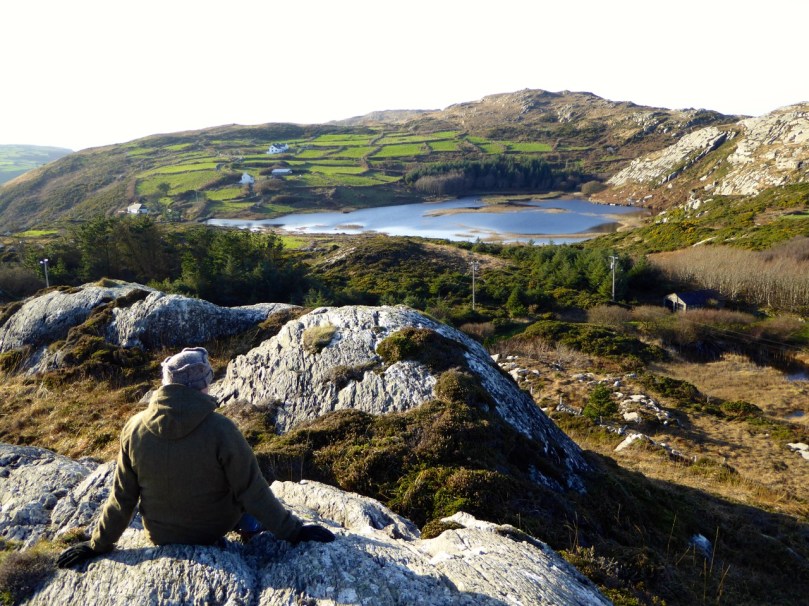
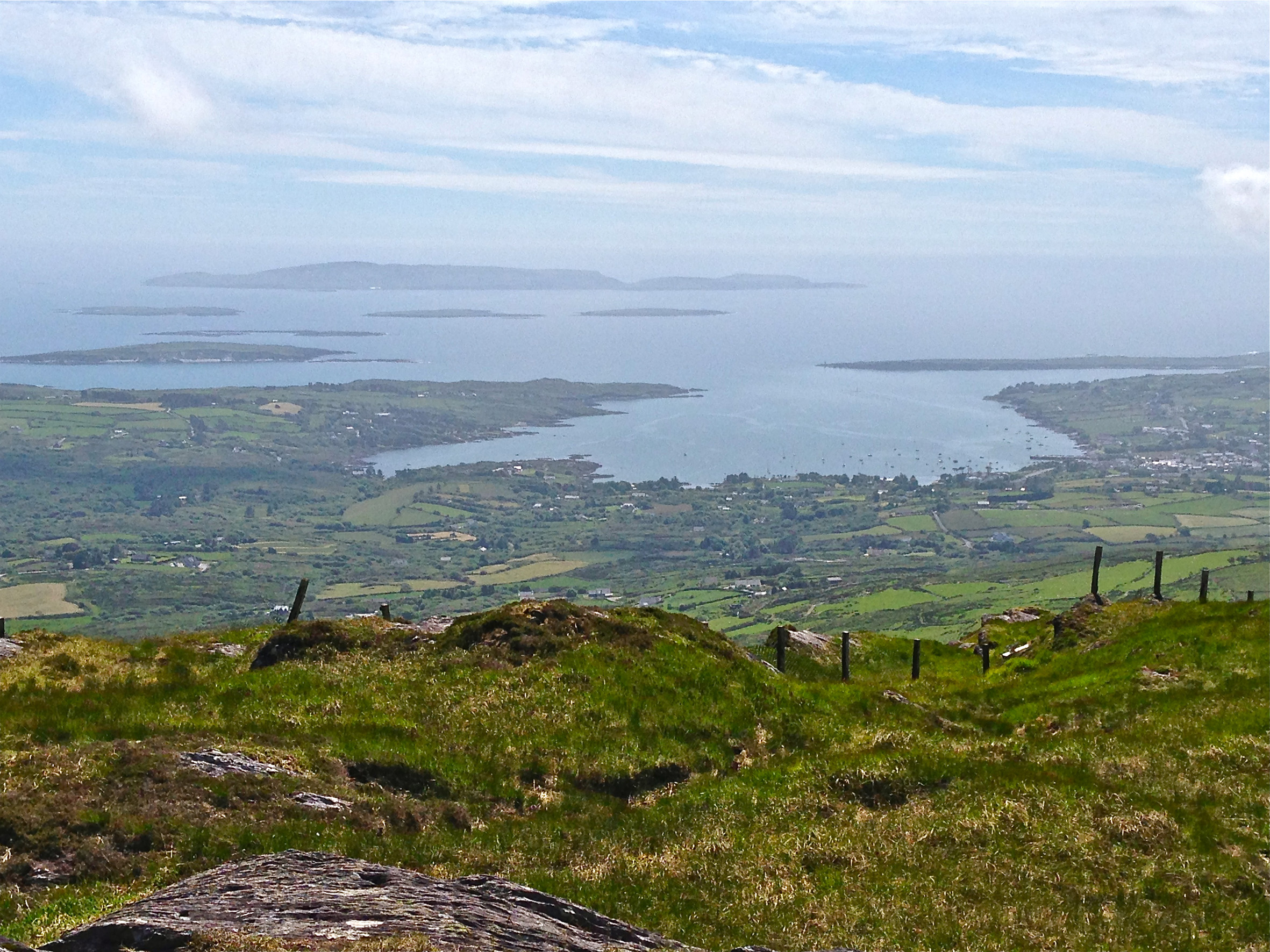
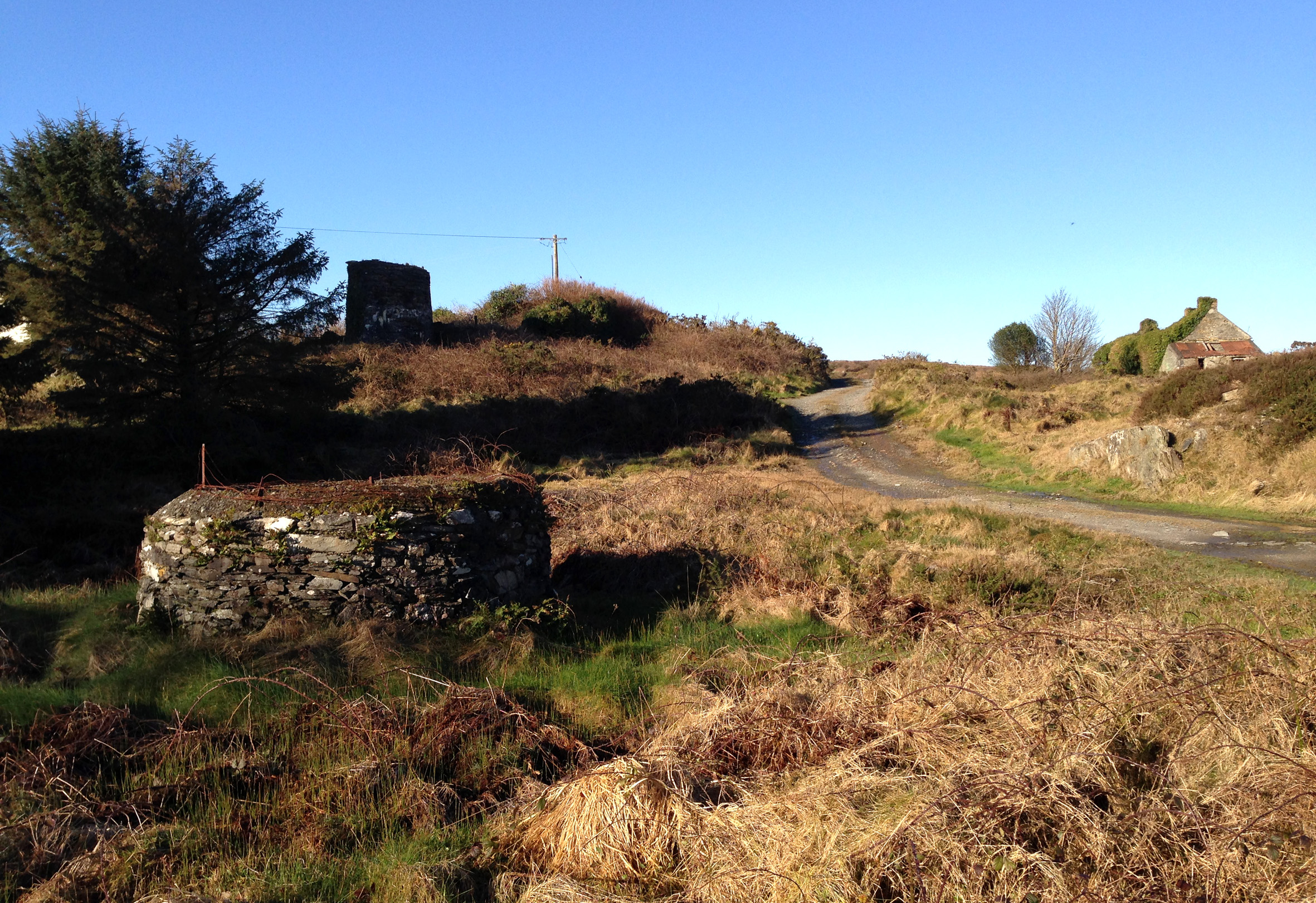
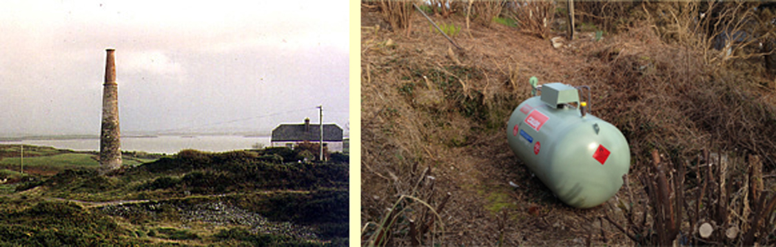
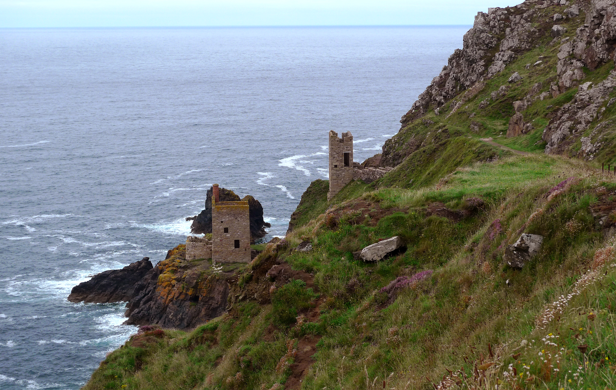
It’s very appropriate that we should be looking at Bronze Age metalwork in our own corner of West Cork as we are in the shadow of Mount Gabriel, site of substantial copper mine workings probably dating from some three and a half thousand years ago. A number of Bronze Age mines have been found on the Mizen Peninsula: it must have been a significant local activity and source of trade. It has of course continued almost up to the present day; our own townland of Cappaghglass saw considerable copper extraction during the nineteenth century.
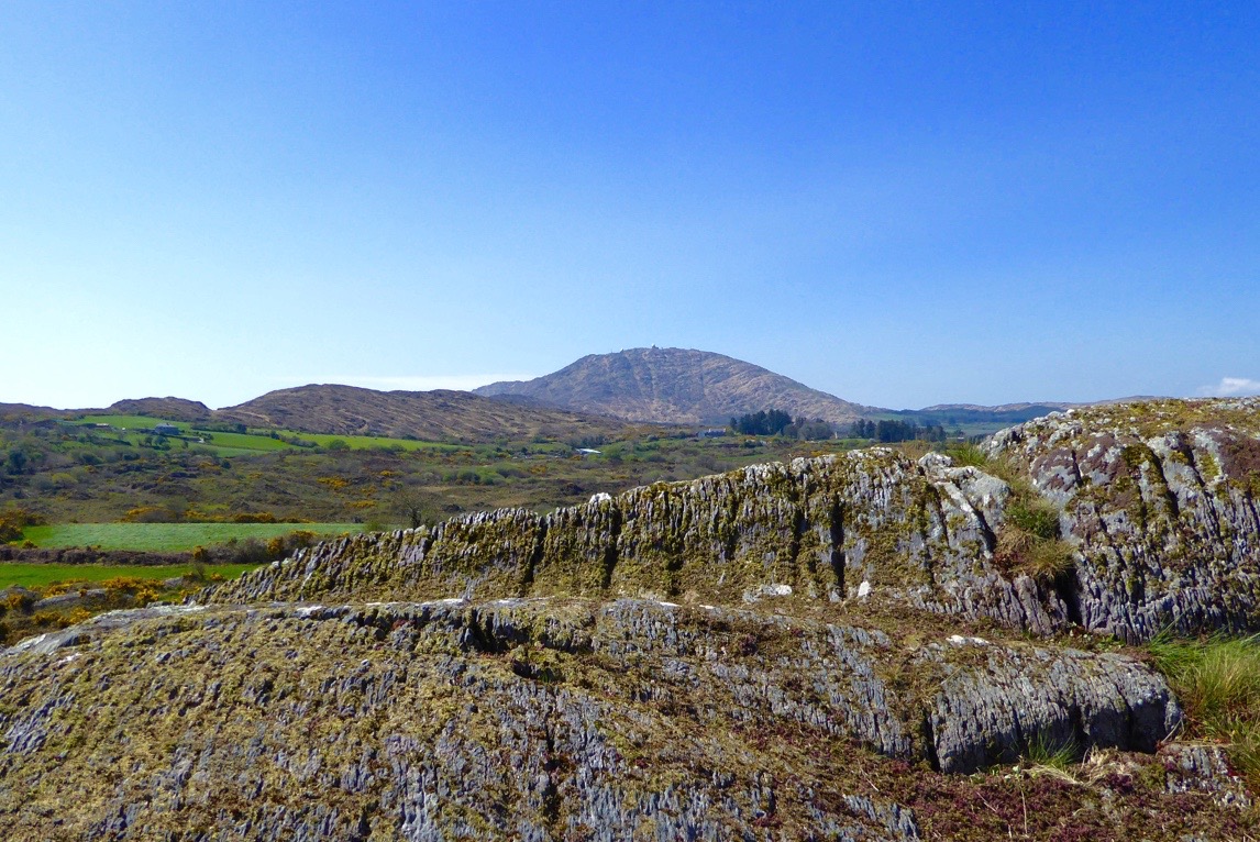
Copper Mountain – on Mount Gabriel can be found the sites of 32 separate workings dating from 1700 – 1400 BC, but there is no evidence of smelting or metalworking in the same vicinity: perhaps the ‘magic’ of the process required it to be carried out in more secret places?
Back to the Umha Aois project (it’s pronounced oowah eesh and means Bronze Age): we saw pieces in various stages of production, including axe heads, adze heads and spear heads, cast from stone moulds. They are elegant objects, especially when they have been polished to a gleaming finish.


Bronze axe head, showing the mould used to cast it
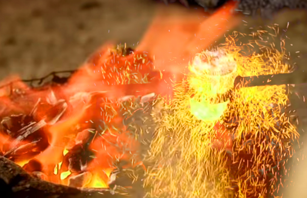
The group was using pit furnaces which they had constructed on site. These consisted of basin shaped depressions in the ground lined with clay, and pipework of clay running from two sets of bellows. The clay pits were filled with charcoal and fired to a high temperature to convert the ore in the crucibles to a molten state.
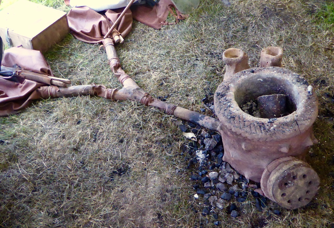


Top – the principle components of a Bronze Age pit furnace; below left – crucible being heated; below right – the bellows in action
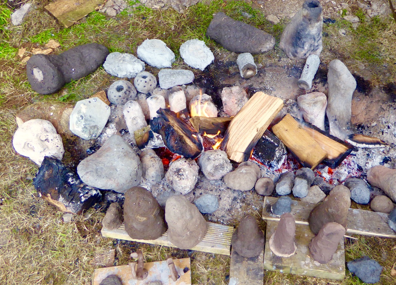
In another shelter we were also shown the ‘lost wax’ process: small objects were shaped in wax and then encased in clay. The wax was melted, leaving a mould in the clay cavity which was then filled with molten metal. Once hardened, the clay moulds are broken apart; the copper or bronze objects are then finished and polished. Here is a BBC video that demonstrates these techniques. There are incredible examples of this type of worked metal in the National Museum in Dublin, including some in gold – thousands of years old and yet so elegant and sophisticated.
 Clay moulds used in the ‘lost wax’ process
Holger has also made a Bronze Age musical instrument, which he demonstrated for us. The pattern is based on ‘trumpets’ which have been found in Europe, the finest being the Loughnashade trumpet, discovered during drainage works at the site of a former lake in County Armagh. Holger’s trumpet is a bronze cast: some finds have been made from curved and rivetted sheets of bronze. Here is a link to a recording of the sound made by a similar reconstructed instrument.


Holger Lönze conjuring up ancient music!
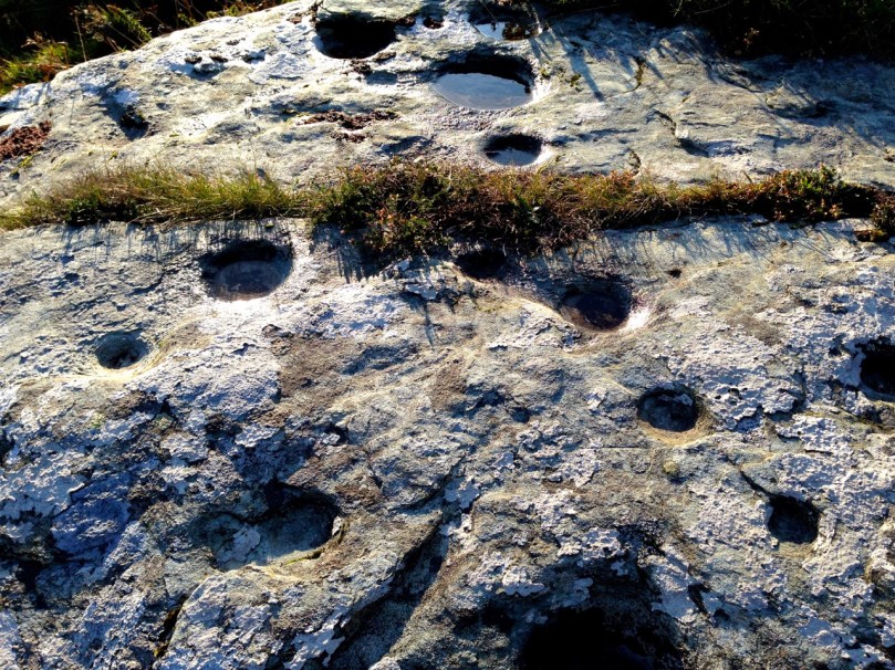
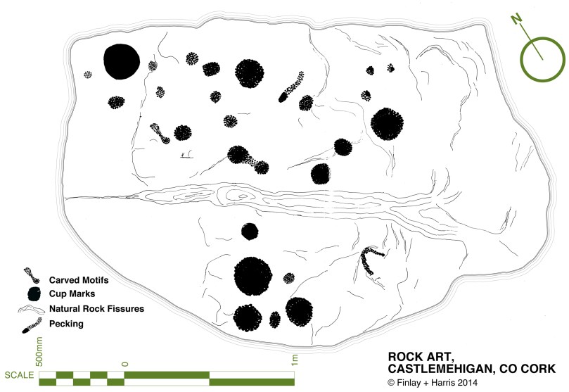
By exploring techniques, lifestyles and behaviour of our forebears through practical application, experimental archaeologists such as Umha Aois help us to understand that people who lived in the Bronze Age were not intellectually ‘primitive’ as was once thought; they have passed down to us their own aesthetic appreciation of art, music and their highly developed knowledge of sciences that enabled them to construct the complex megalithic monuments – and enigmatic Rock Art – which are yet beyond our own understanding.


Experimental archaeology in the walled garden at Liss Ard
Our ancestors left behind rugged stone monuments, landscapes which have shaped the pattern of our countryside, and sublimely beautiful objects: magic to our eyes and senses.
This Bronze Age gold disc – now in the National Museum, Dublin – was found at Sparrograda, Ballydehob:


")